Inspired by a flyer I found in a TBM Owner’s Magazine, I’m recreating the itinerary in MSFS. Revised - I’ll be posting individual Leg Segments below this top post, it became too unwieldy constantly editing a single message. Some Leg Segments feature Interludes, to capture some of the scenic parts of the country or region visited. Enjoy!
Leg 1A Quebec Lesage (CYQB) to Kuujjuaq (CYVP) Westerly wind @ 17 kts OAT a balmy -47C at 12,000’ ATE: 2:50:45
Departing Quebec
Lac Saint Charles
Mont Hibou Ski Area
Bagotville (CYBG) and Saugeney River
Distinctive triangular layout St. Honore (CYRC)
Pipmuacan Reservoir
Lac Manouane
Lac Pletipi
Caniapiscau Resevoir - largest body of water in Quebec Province, last stop before Kuujjuaq 250 nm away
Approach to CYVP
And we take a brief Technical Stop to refuel before heading on to Kangerlussuaq (BGSF), a little over 720 nm
END LEG 1A
Leg 1B Kuujjuaq (CYVP) to Kangerlussuaq (BGSF) Westerly wind @ 17 kts OAT is a crisp -84C at FL300 ATE: 2:40:10
Departing Kuujjuaq
The Great White North
The Hudson Strait marks the divide between Nord du Quebec and Nunavit Region
Killiniq Island - from here it’s about 440 nm of open cold water to Greenland
You’re in the Straits once you’ve been handed over to Gander Oceanic Control
Greenland Tally Ho! It’s still 160 nm away - enormous!
We’ll make it before dark.
On approach
Wheels down
Safely on the ramp at Kangerlussuaq - tomorrow on to Iceland!
END LEG 1B
We covered over 1400 nm on this leg.
Leg 2 Kangerlussuaq (BGSF) to Reykjavik (BIRK) Southerly Wind at 13 kts OAT -47C at FL310 ATE: 2:47:18
Departing lonely Kangerlussuaq (Sondestrom) BGSF
In the soup from 17,000 to FL310
Breakout at FL310
But the cloud tops are still higher than us
Synthetic Vision shows the coast ahead, but that’s 104 nm away - Greenland is enormous!
“Feet Wet” - arrived over the Greenland Eastern Coast - the North Atlantic opens up before us
Reykjavik or bust - 350 nm to go over open cold Arctic waters
Landfall: Snaellsfalljokull visible out the PIC window
Over Akranes approaching the FAF
Reykjavik Harbor and Final Approach
Passing downtown and on threshold
Made it safely - next stop the Emerald Isles!
END LEG2
We covered over 720 nm on this leg.
Leg 3 Reykjavik (BIRK) to Shannon (EINN) WSW Wind at 40+ kts OAT -45C at FL310 3:21:34
Departing Reykjavik
Immediately in the soup at 3000’ breakout to sunshine at about 9000’
Pillowy Clouds!
Wind shifted to the South as we progressed - a nice Tailwind!
Landfall - Louisberg sighted through a break in the clouds
Entering the Transition just as the sun sets
The low cloudbase and the soft green landscape makes everything ethereal
On final to RWY24 at Shannon (EINN) just as the sun begins to sink below the horizon
End Leg 3
We covered just a little under 800 nm this leg.
Leg 3 Interlude - Scenic Views of Ireland
We visit various Castles, the prehistoric dome tomb of Newgrange, and pay a visit to Harland & Wolff, makers of the ill-famed White Star Liner Titanic, including two of the largest gantries in shipbuilding nicknamed Samson and Goliath.
Leg 4 Shannon (EINN) to Le Bourget (LFPB) WSW at 30+ kts OAT -45C at FL310 ATE 2:25:51
Departing Shannon (EINN)
Feet Wet over Waterford entering the St. George Channel - England ahead
Late on the TOC - we should have been over this cloud layer by now
Landfall on England - Passing over Milford Haven
A glimpse of South England below through breaks in the cloud base
Landfall on France - Passing north of Dieppe
Chasing the darkness, sunset directly behind us
Claremont below
The lights of two busy airports, Charles De Gaulle (Upper Center) and Le Bourget (Upper Left)
Charles De Gaulle lit up
Final approach Le Bourget
End Leg 4
We covered 486 nm on this leg. Onto Salerno!
Leg 5 Le Bourget (LFPB) to Naples (LIRN) N at 44 kts gusting to 70 OAT -43C at FL280 ATE: 2:27:48
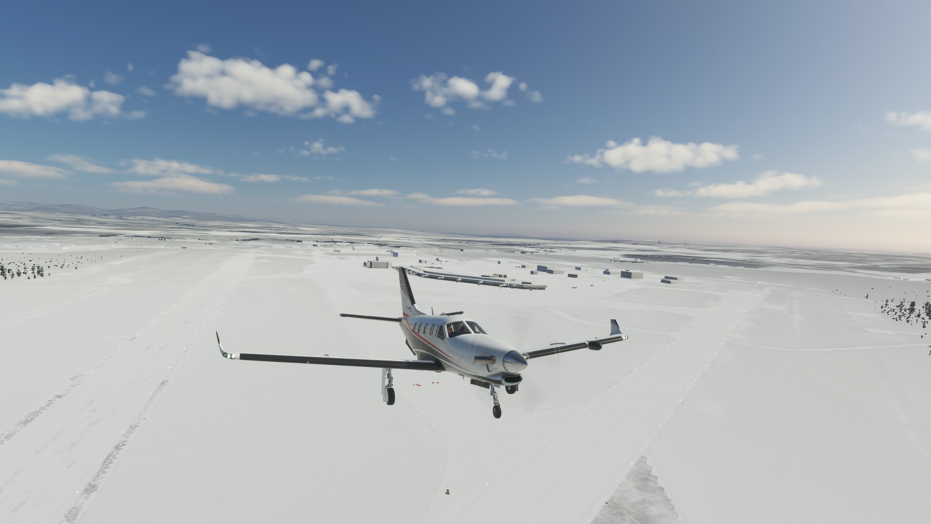
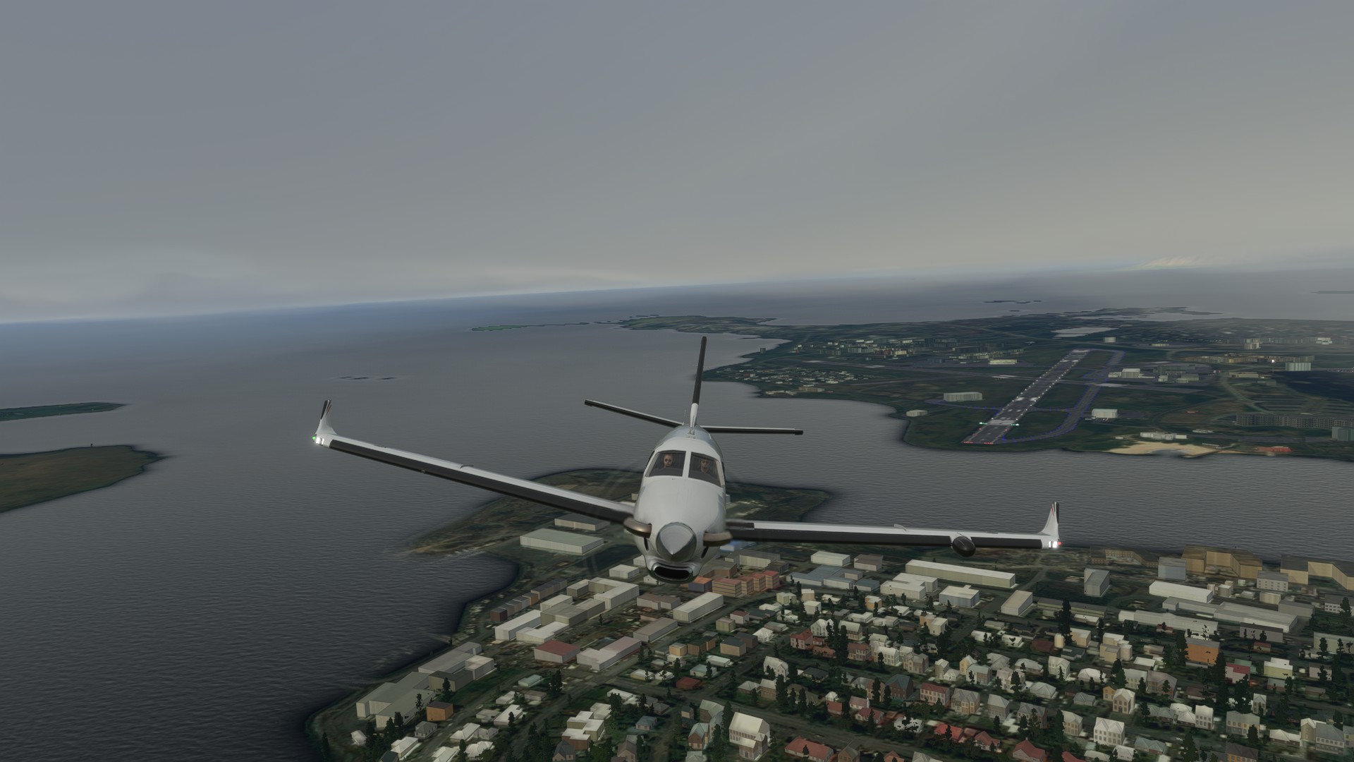
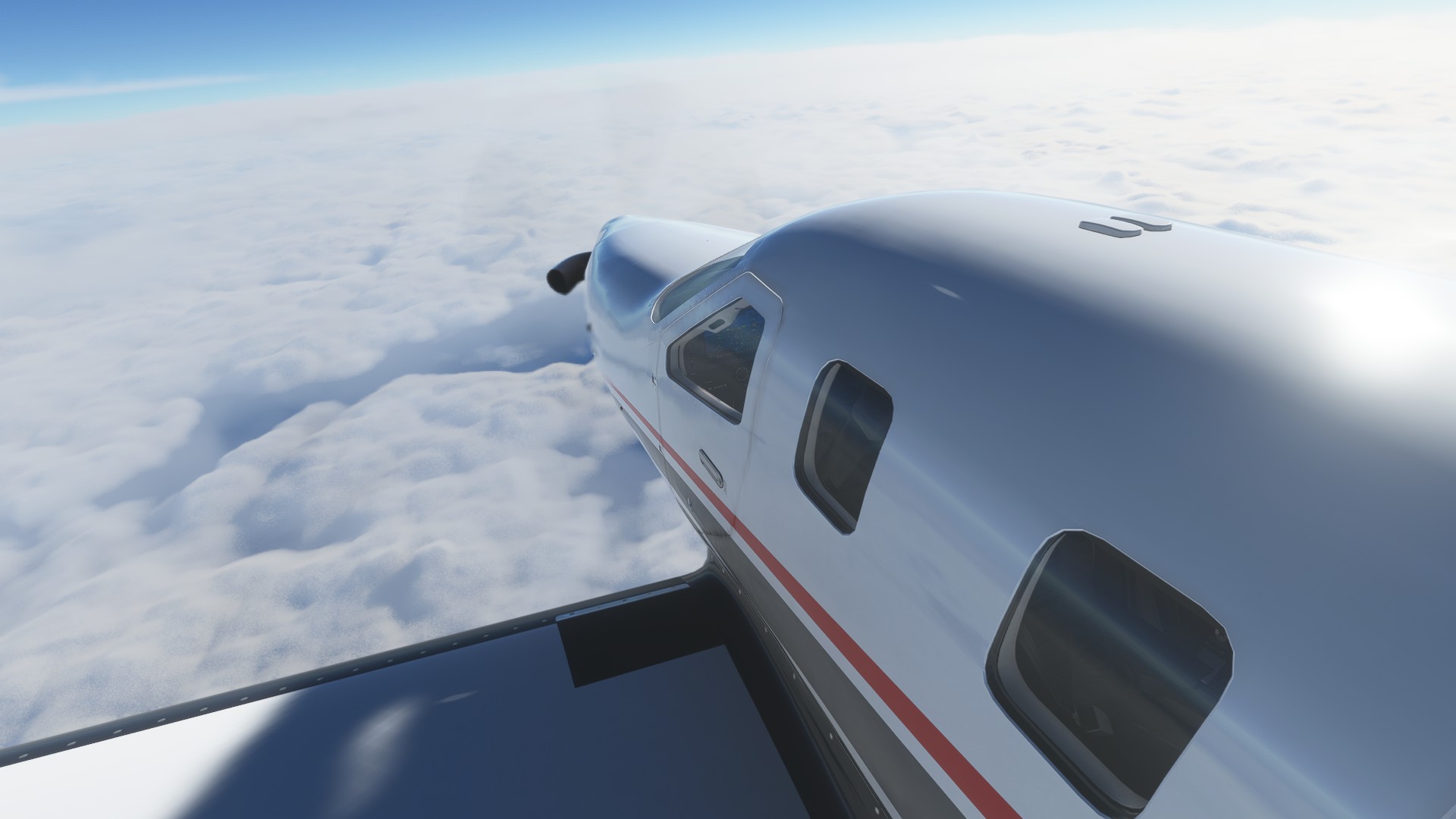
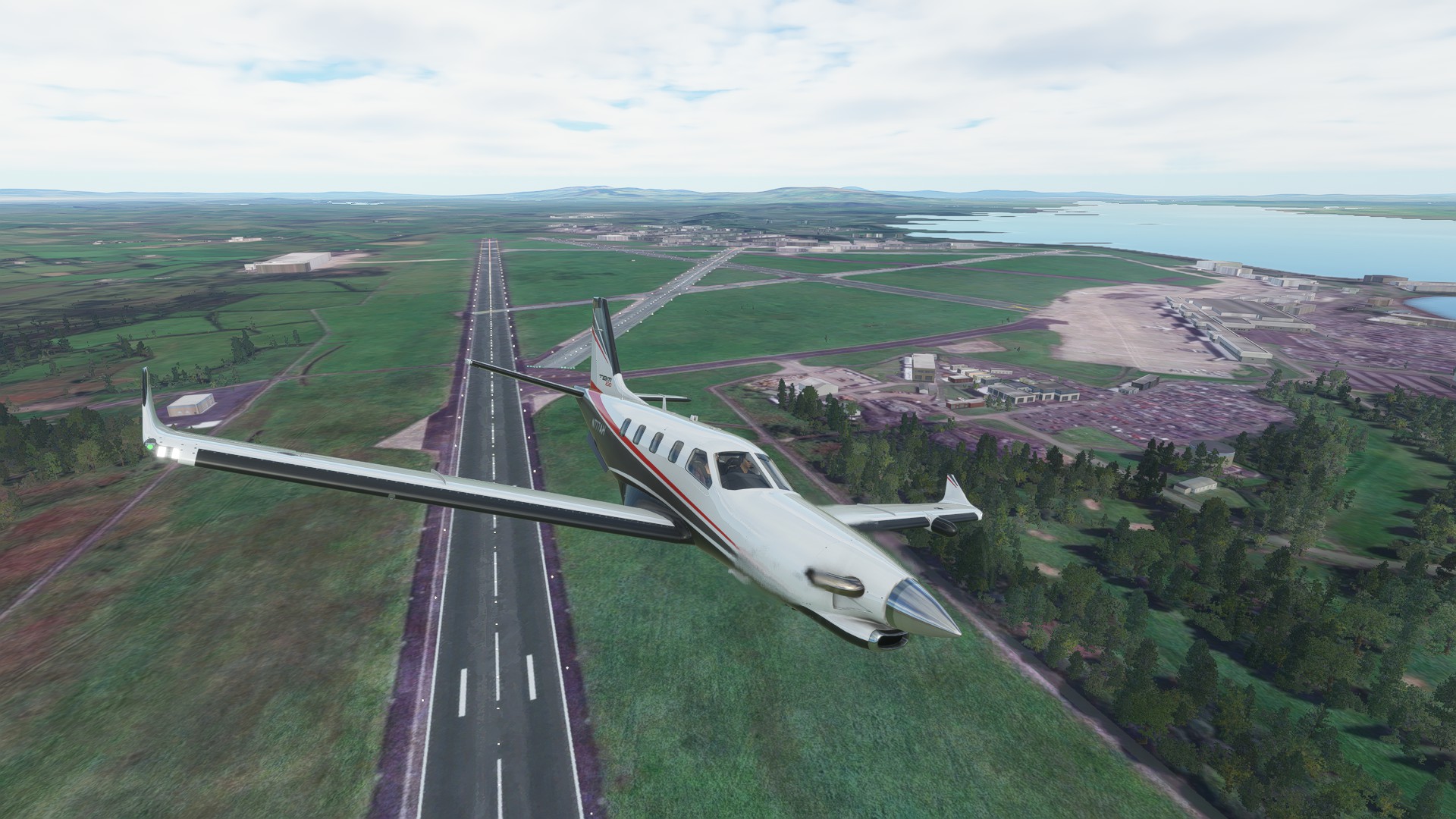
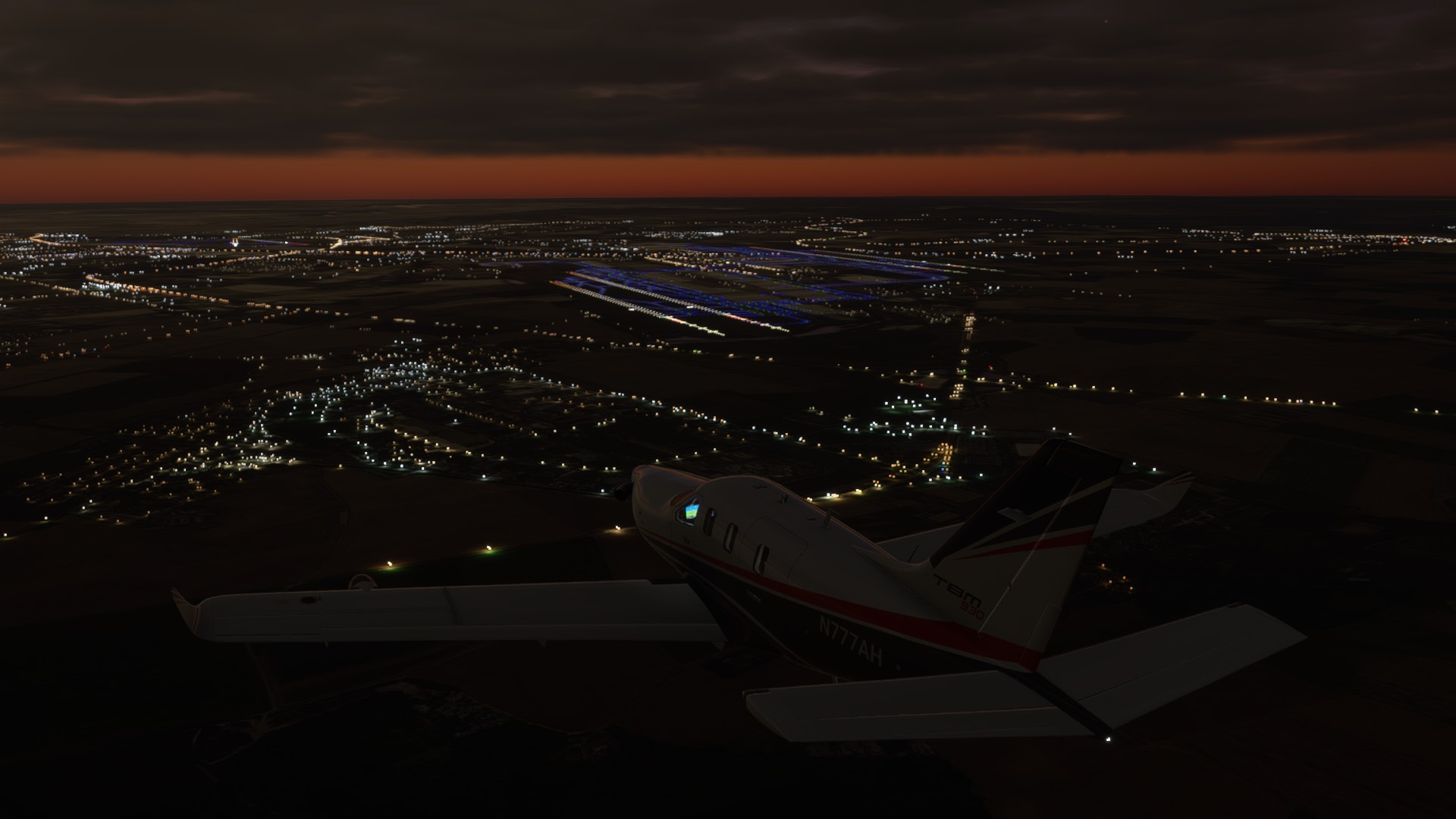
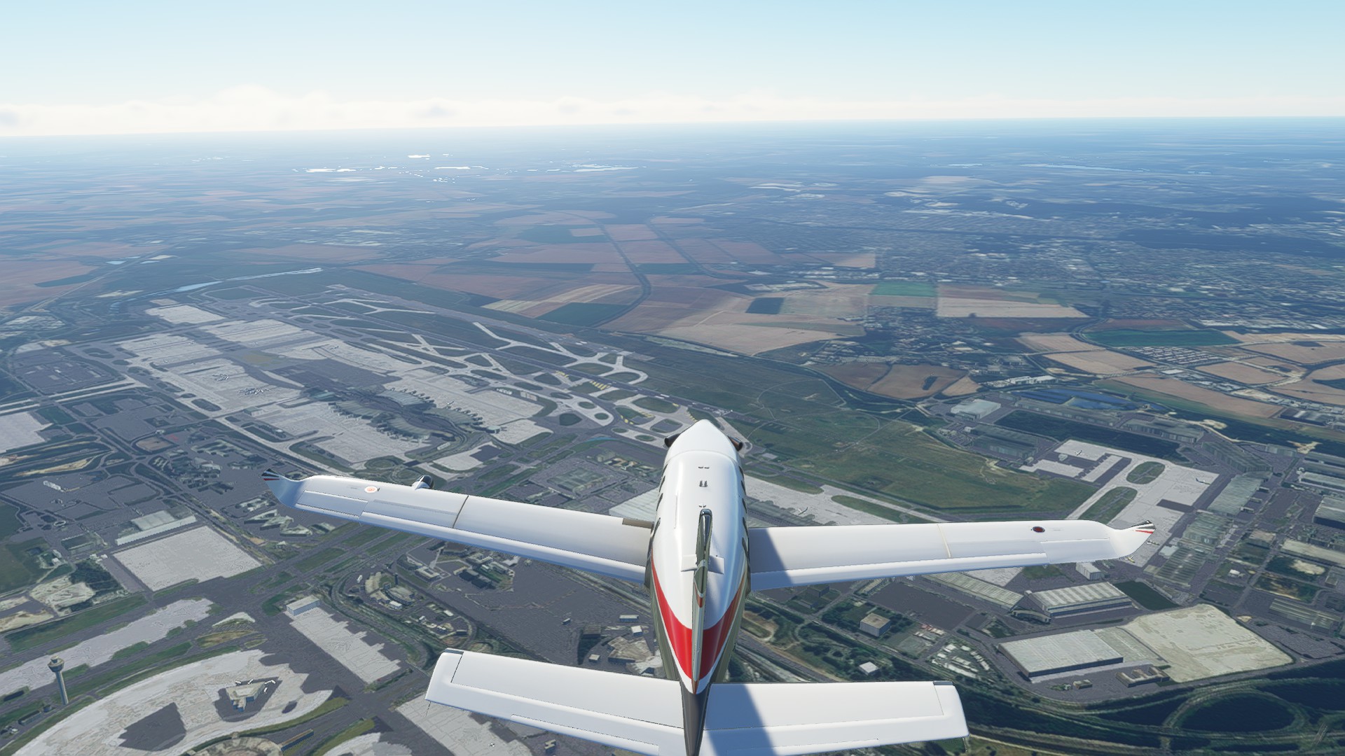
Departing Le Bourget and passing over De Gaulle Airport (it’s huge!)
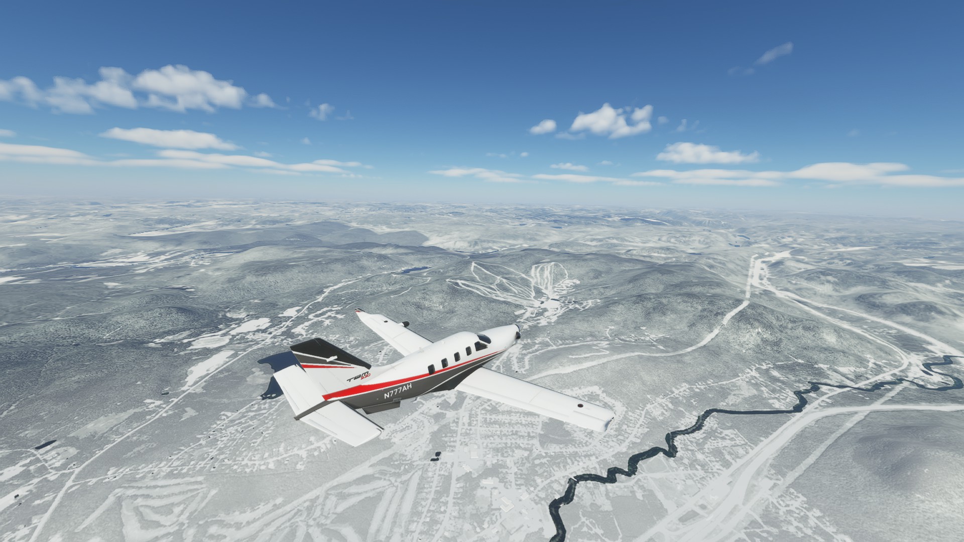
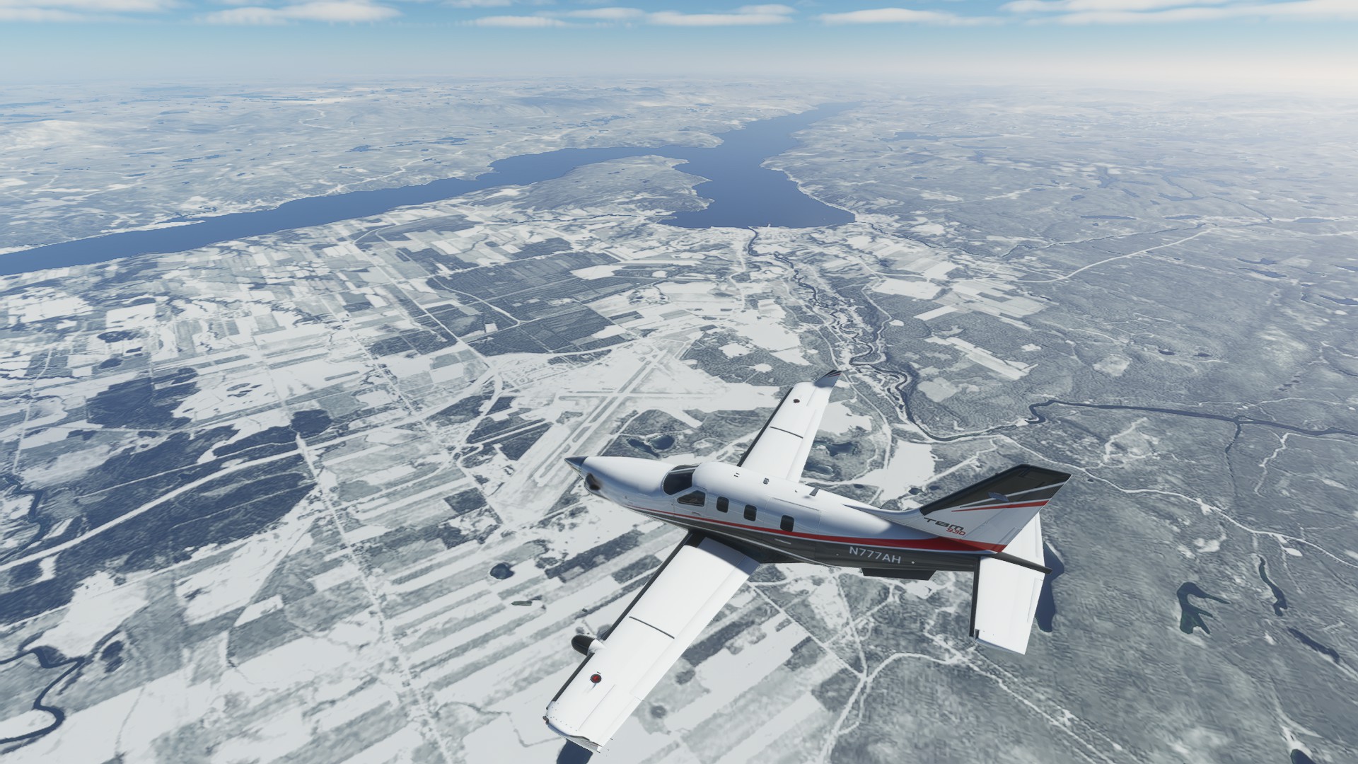
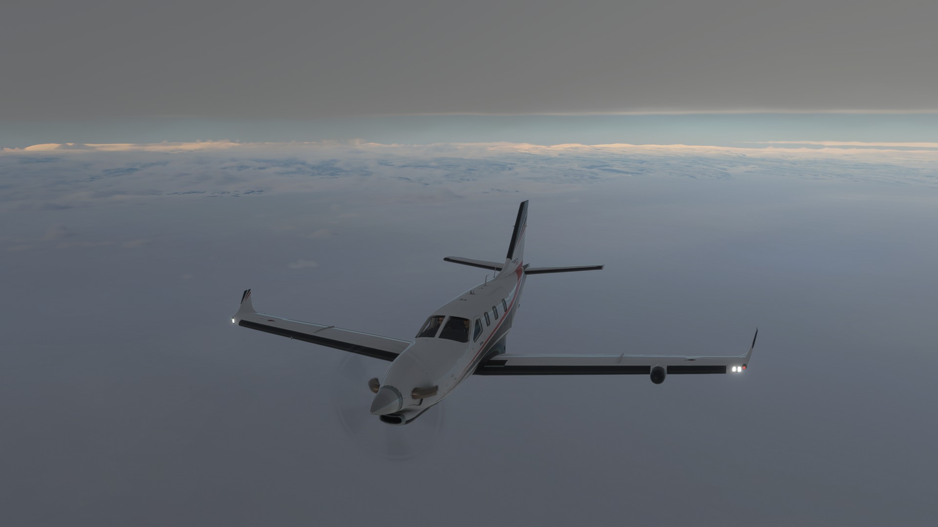
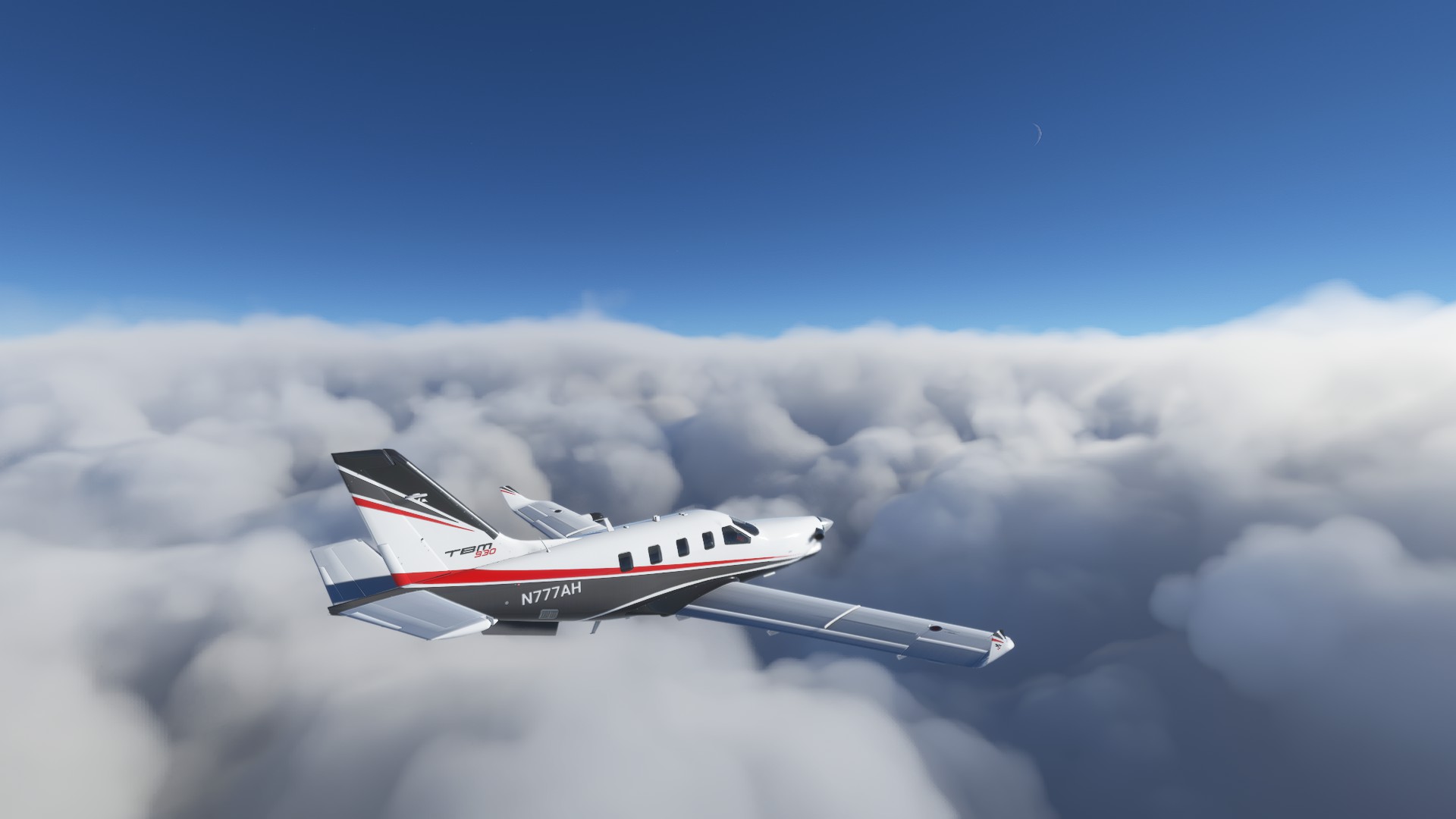
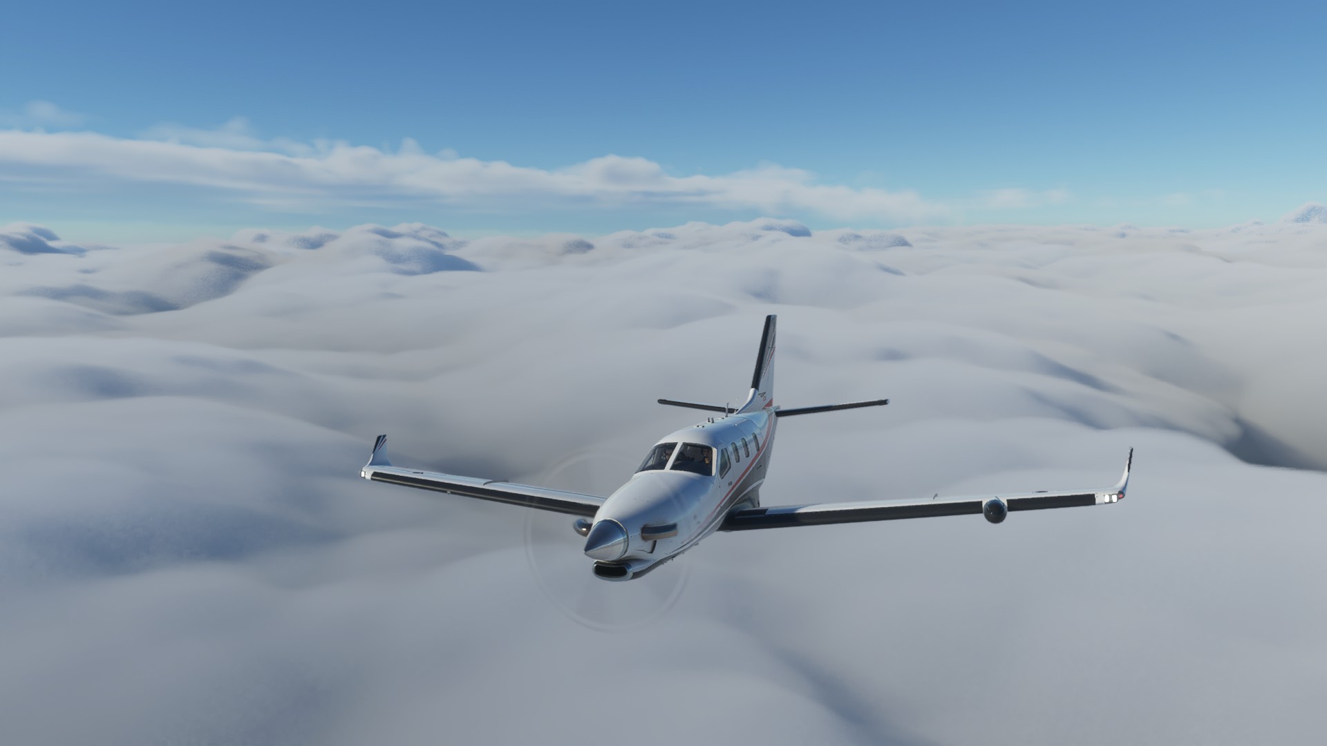
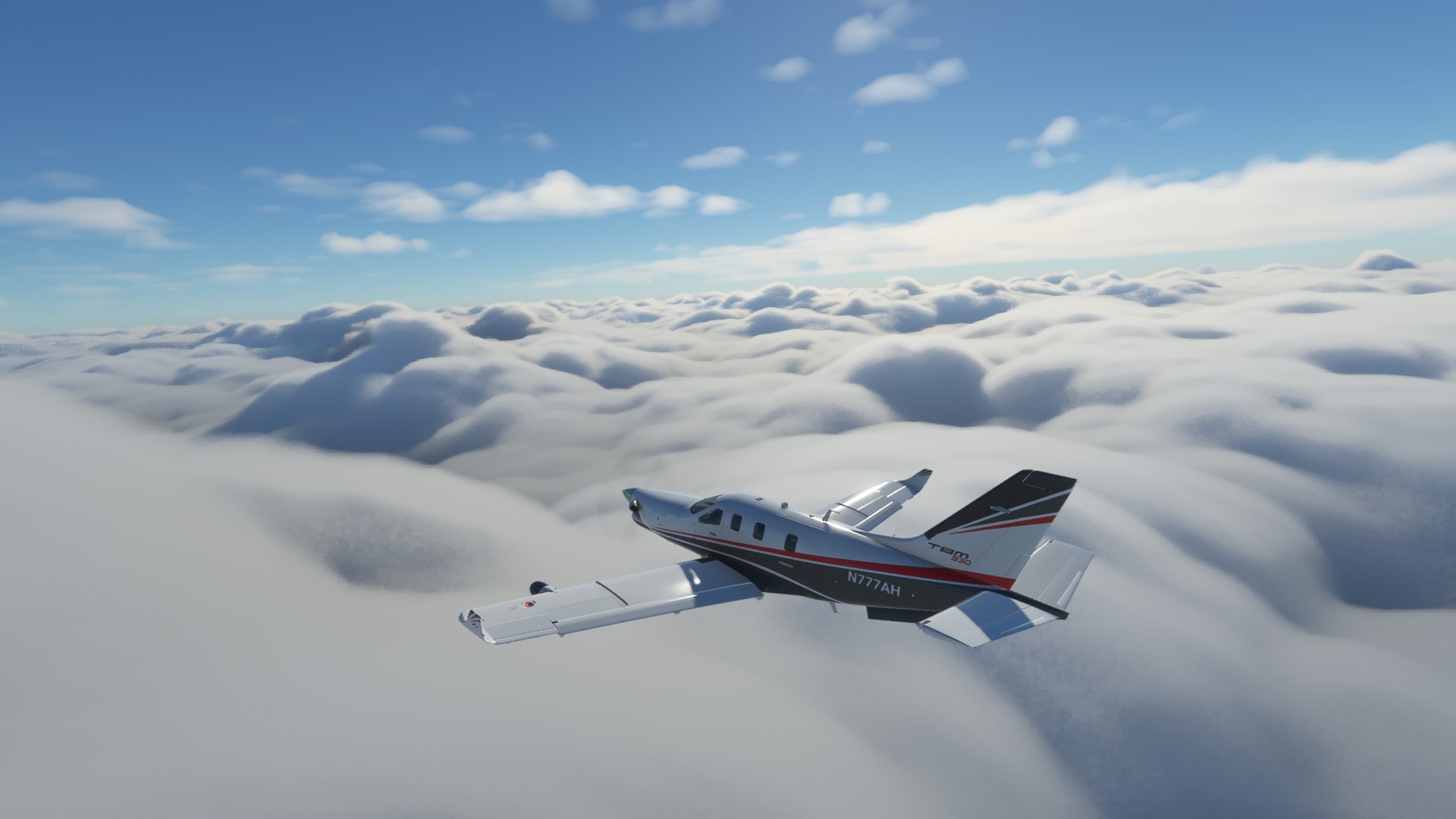
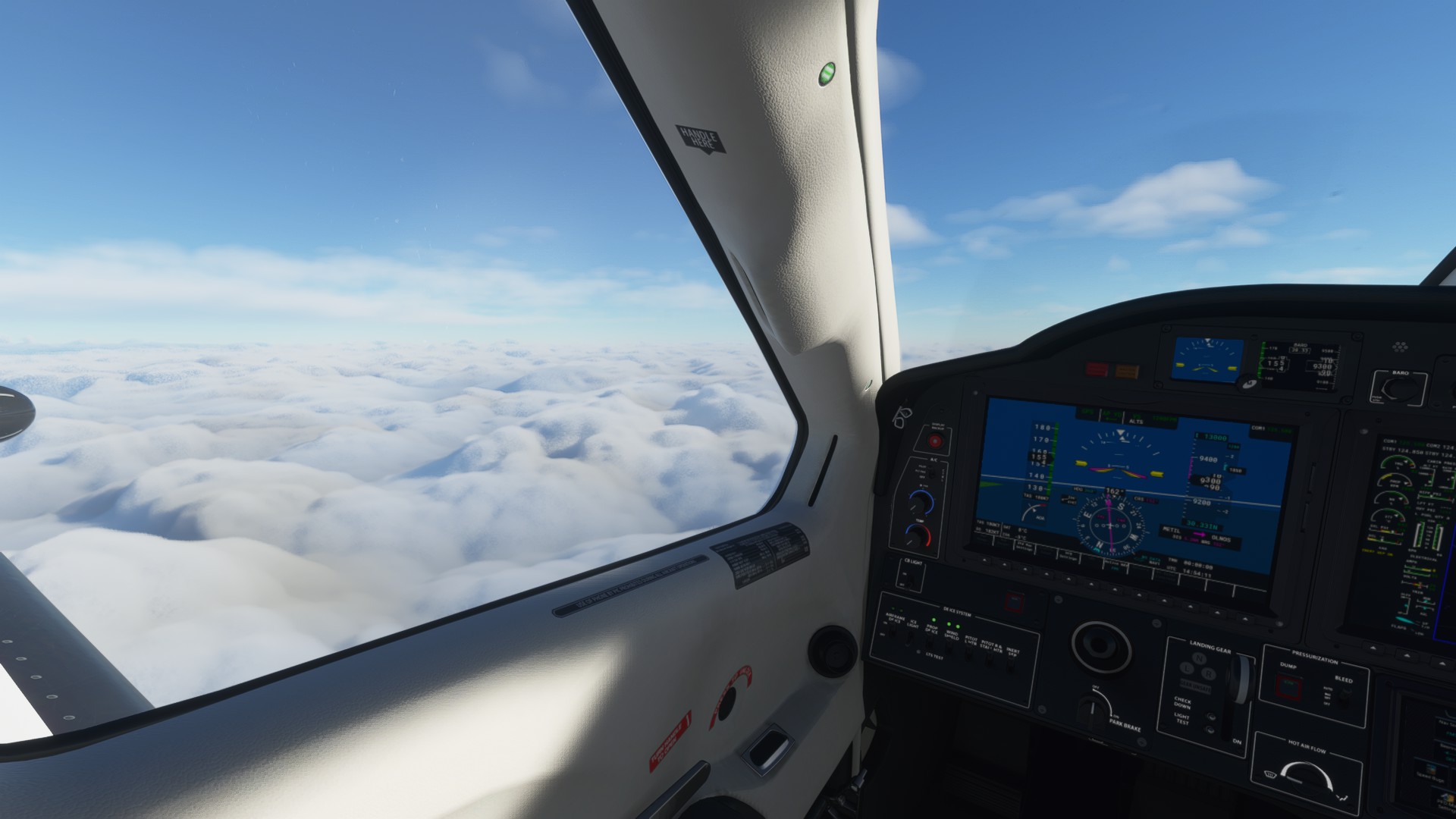
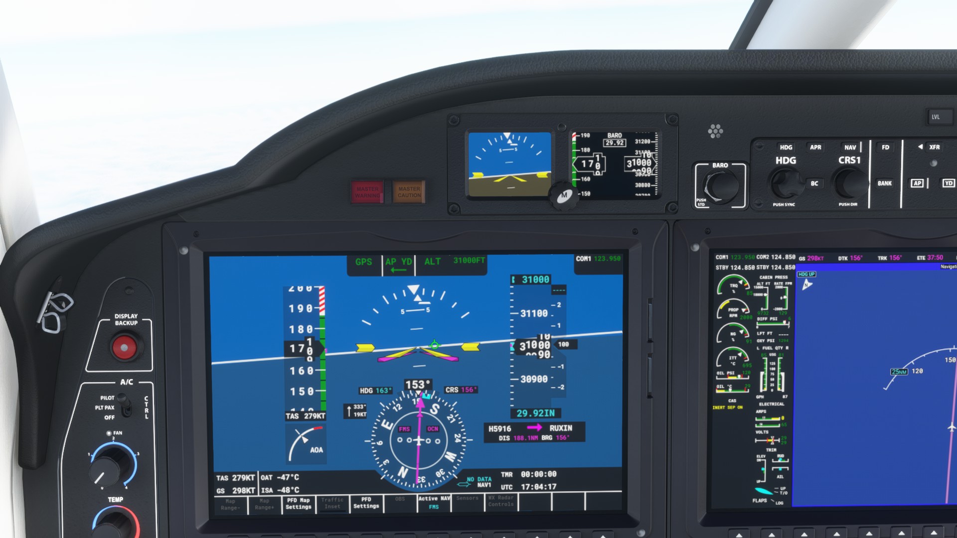
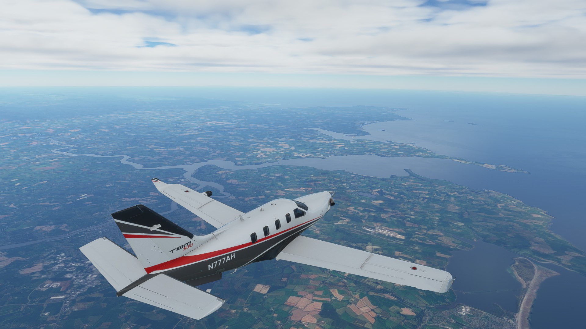
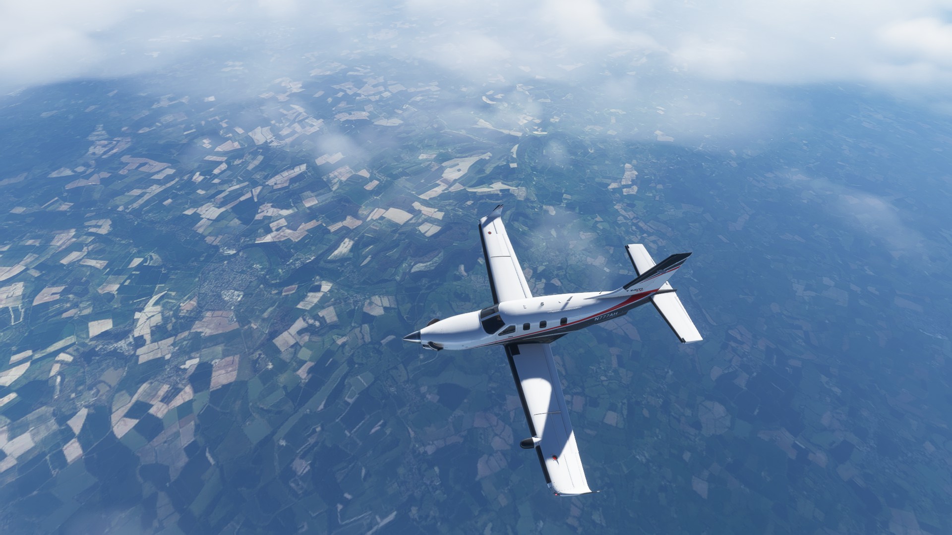
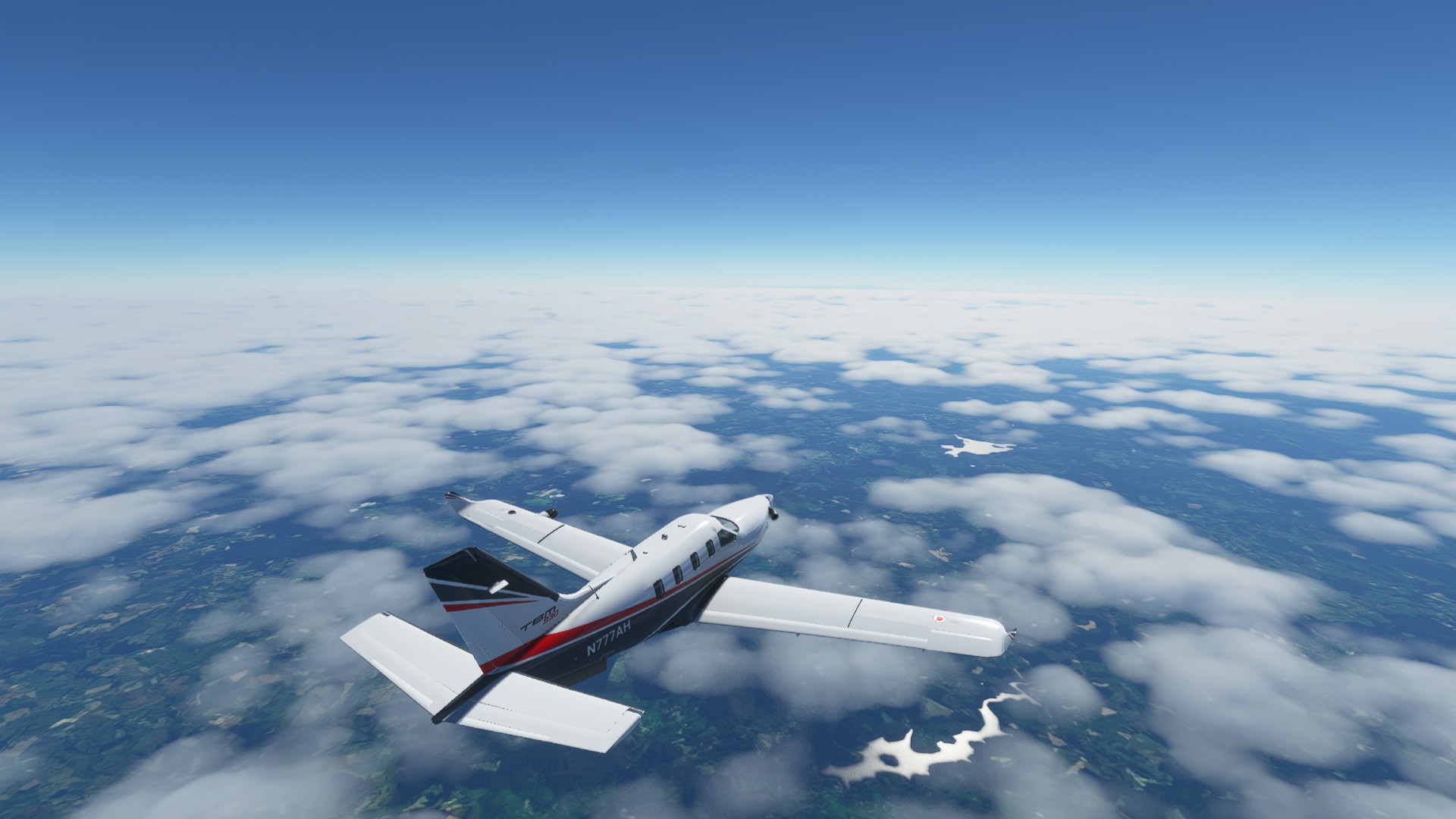
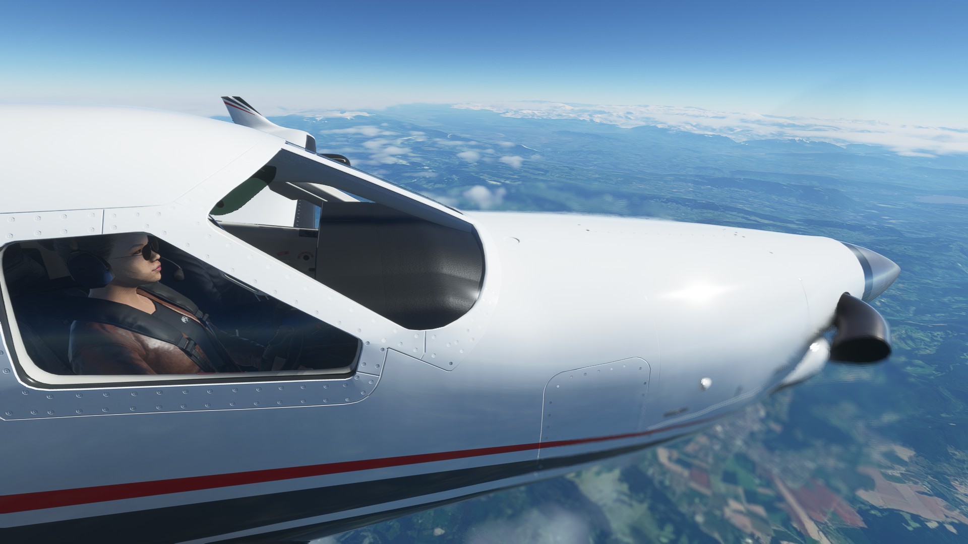
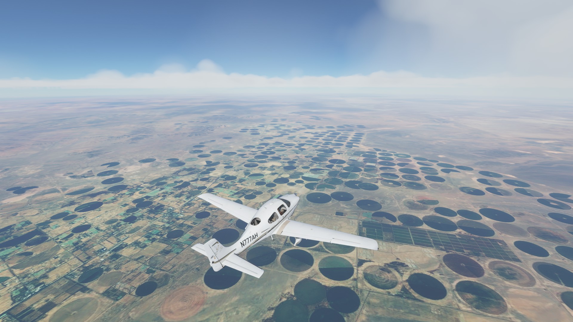
Cruising alt after completing the SID, cloudbase way below around 8,000’
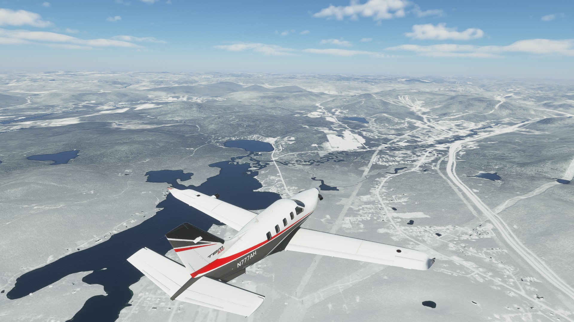
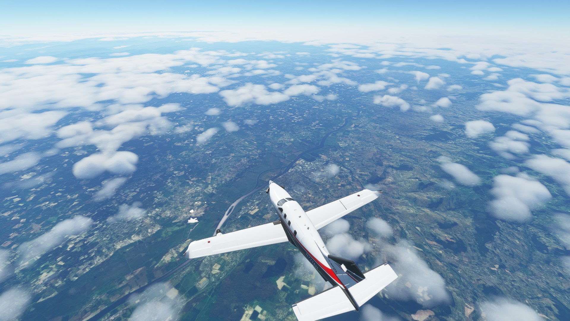
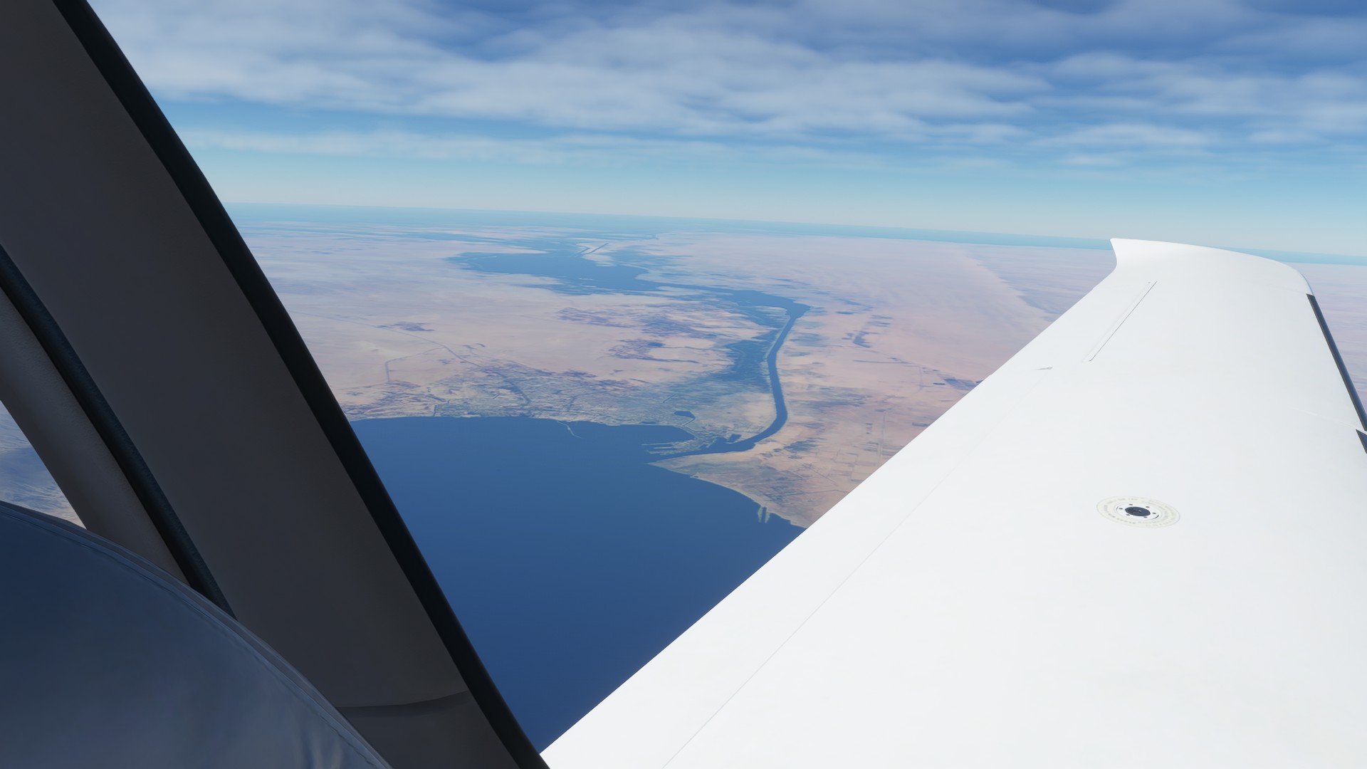
Through a break in the clouds, the Loire as it winds past the town of Macon
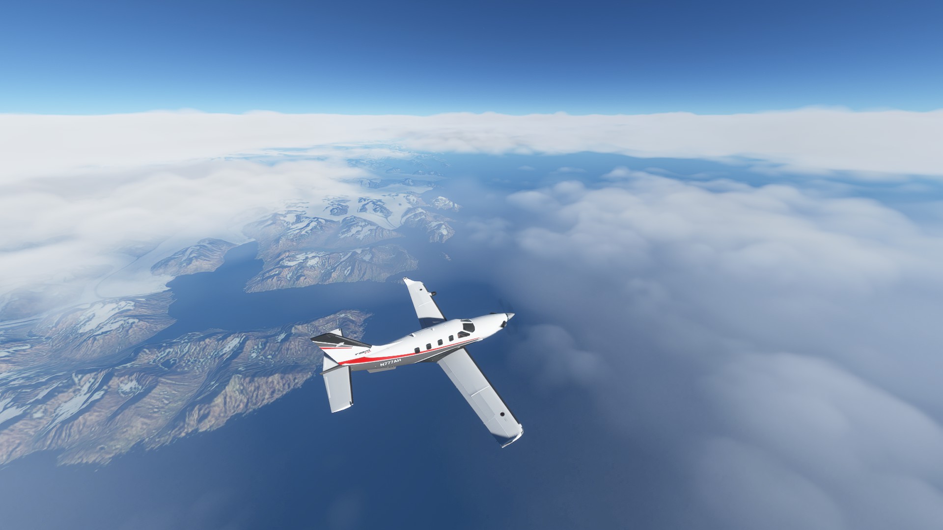
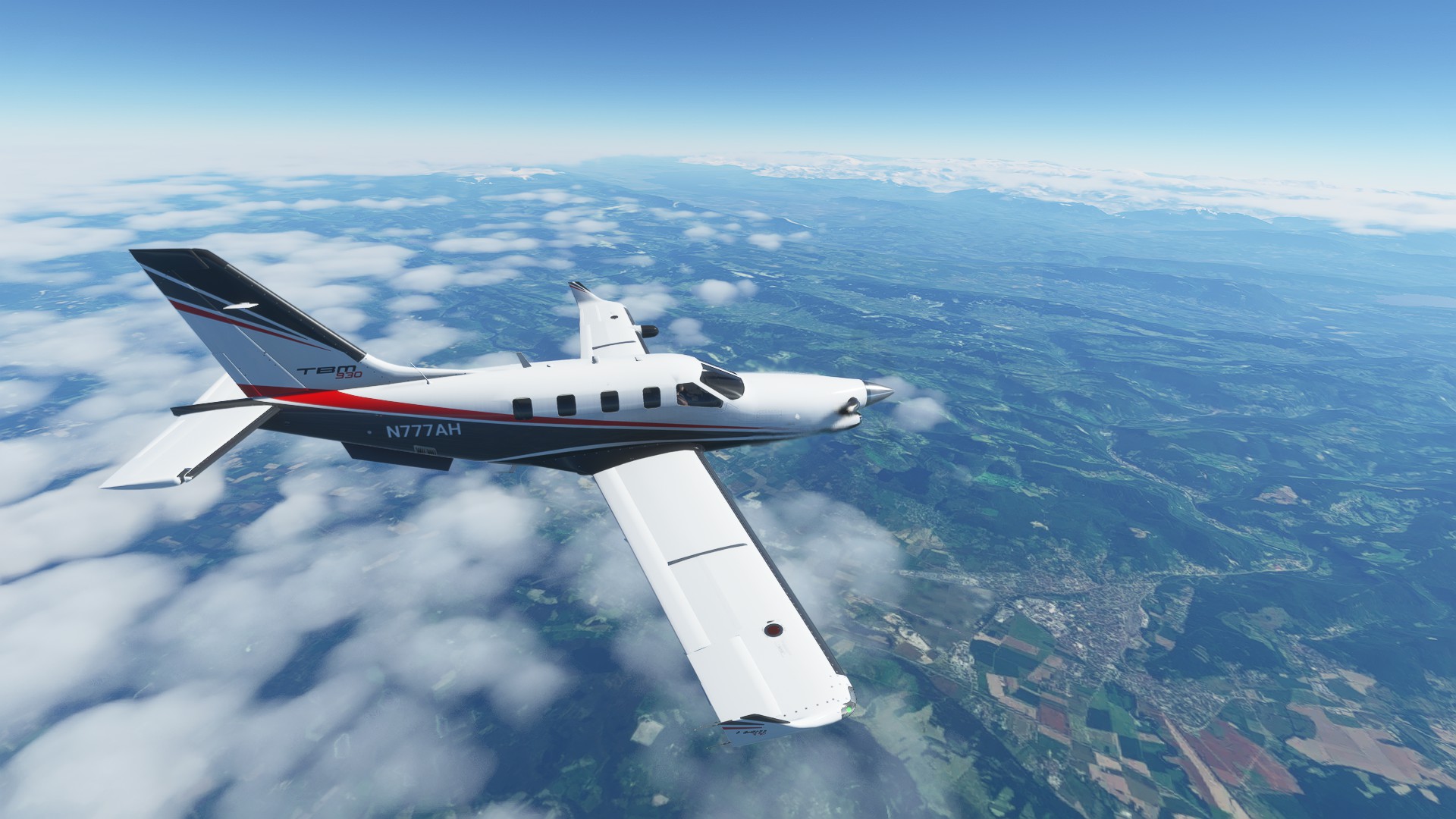
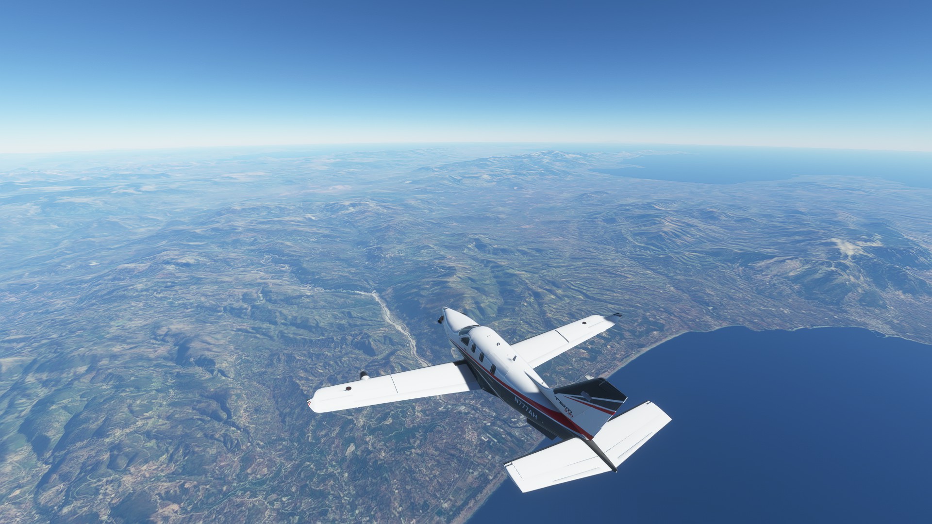
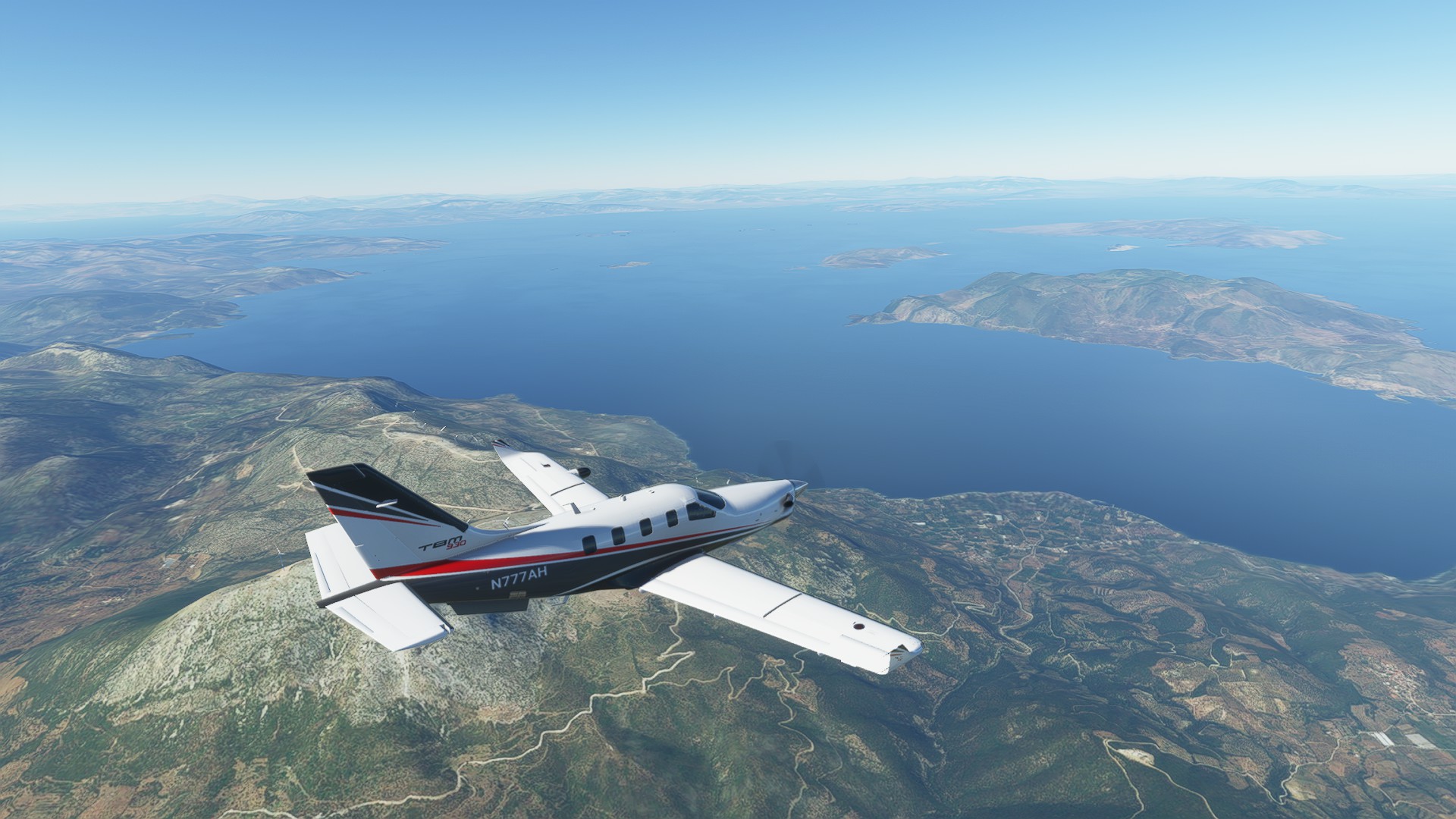
At the foothills of the Alps, Lake Geneva is visible on the far horizon behind the TBM
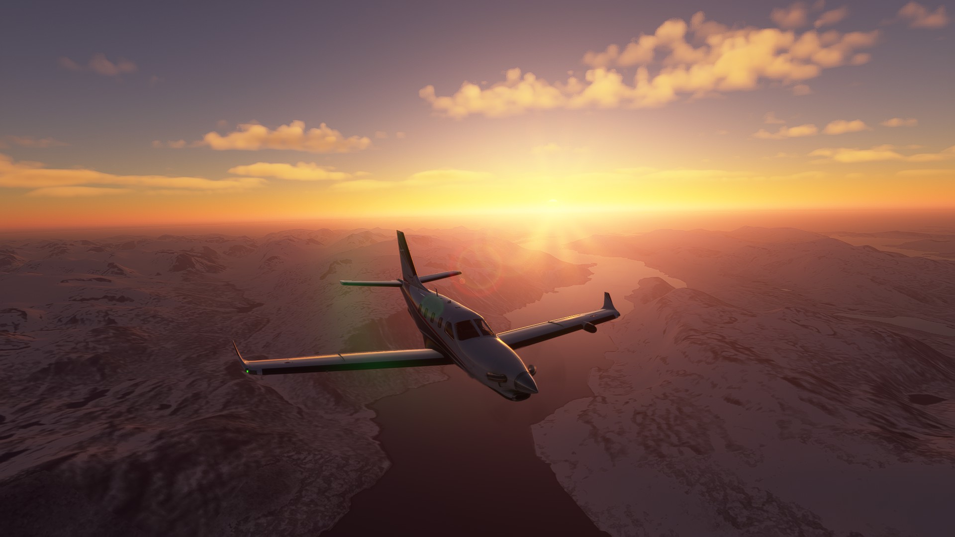
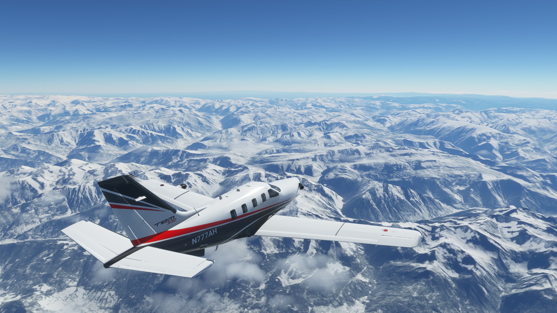
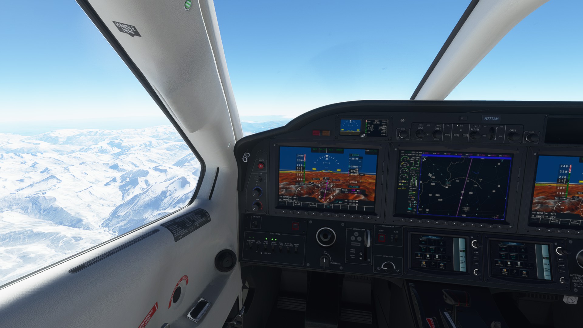
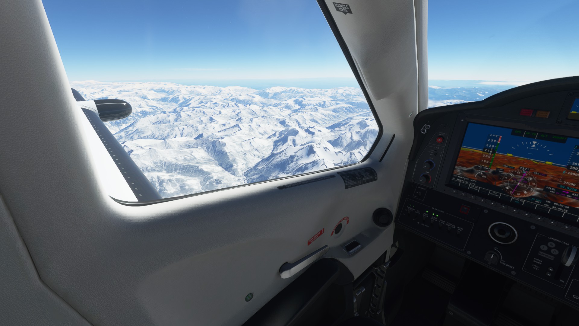
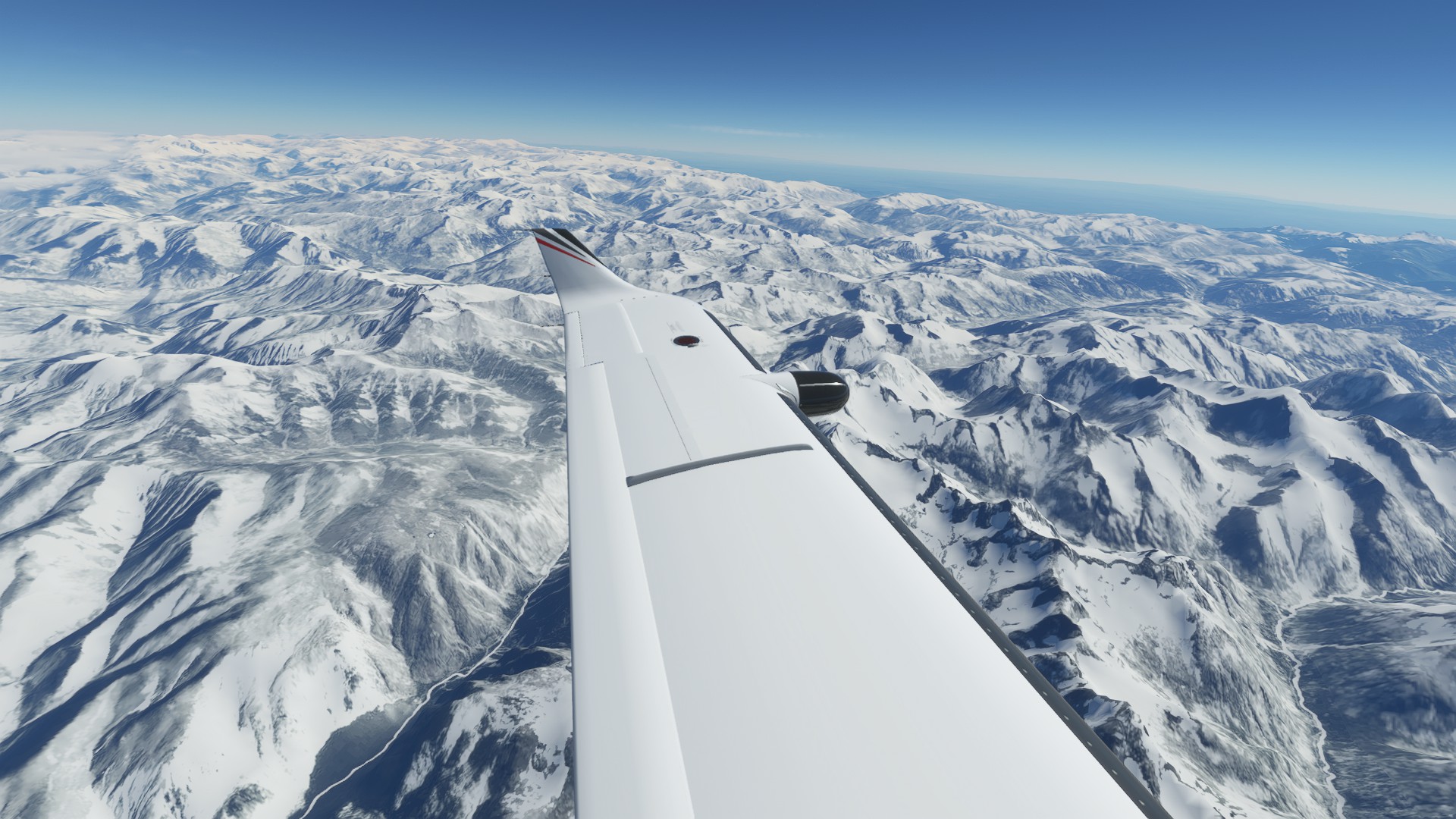
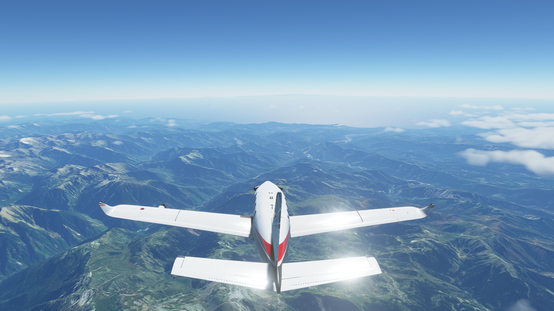
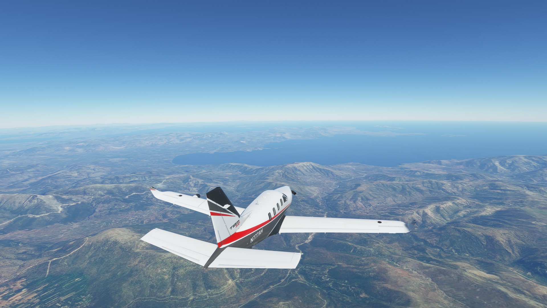
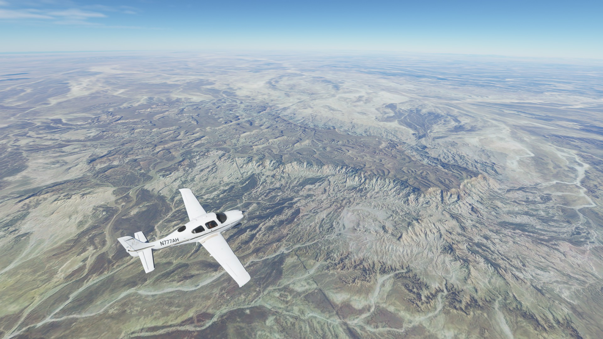
The weather clears out over the Alps, giving us a great view of the imposing mountain range
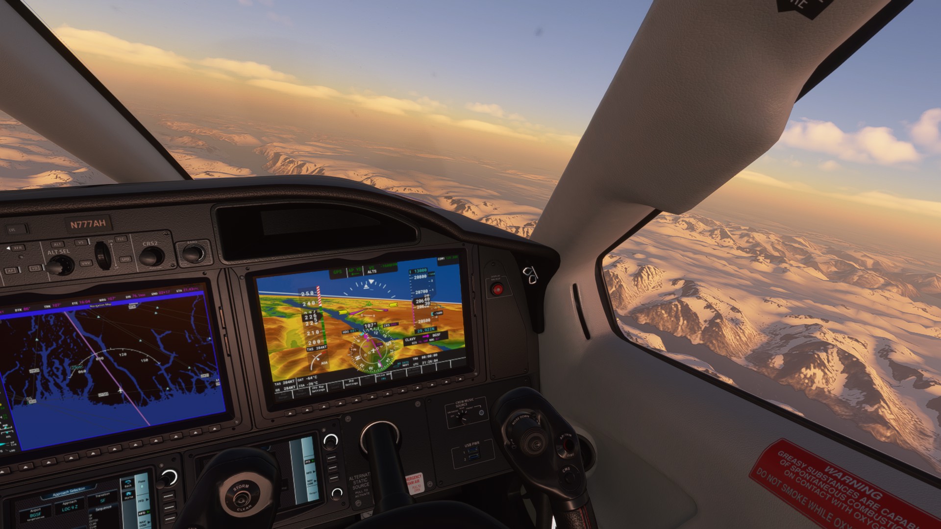
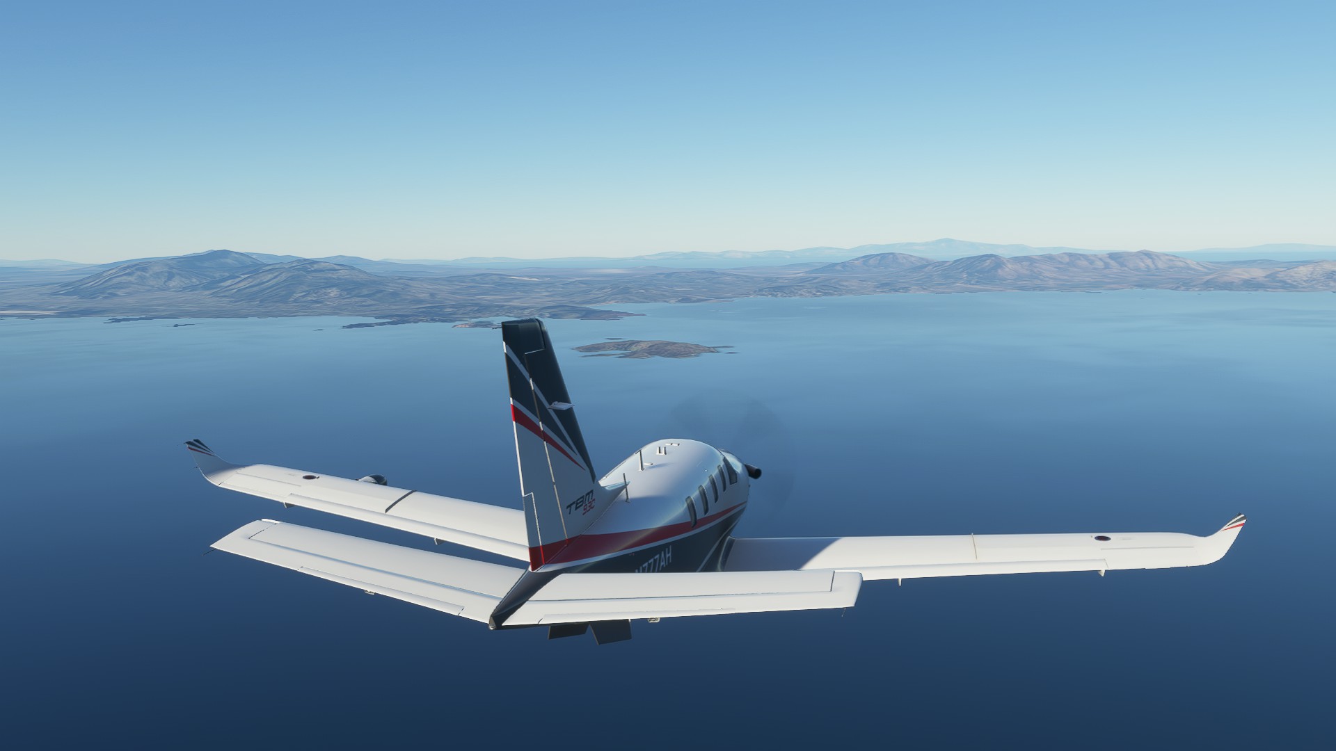
Some serious CAT over the Alps, dropping us 100-150’ at a time, wind gust kicked up to 60 knots
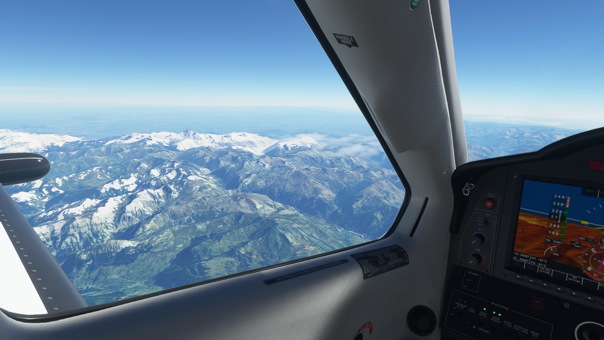
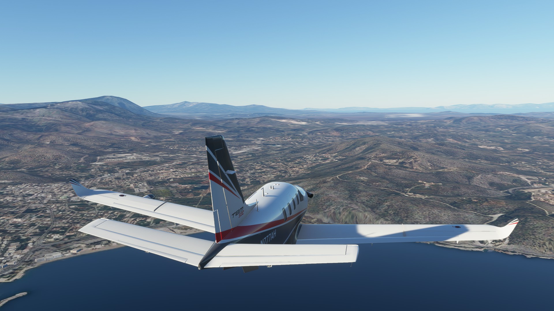
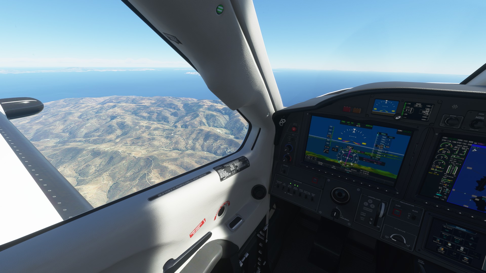
Out the PIC window, a glimpse of the Italian plains as we exit the Alps; Torino and Milan just beyond
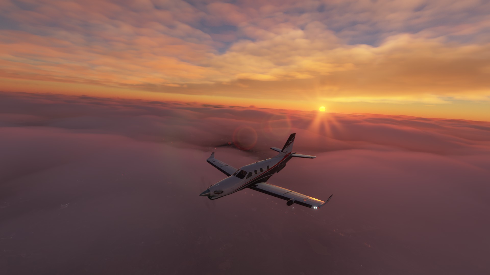
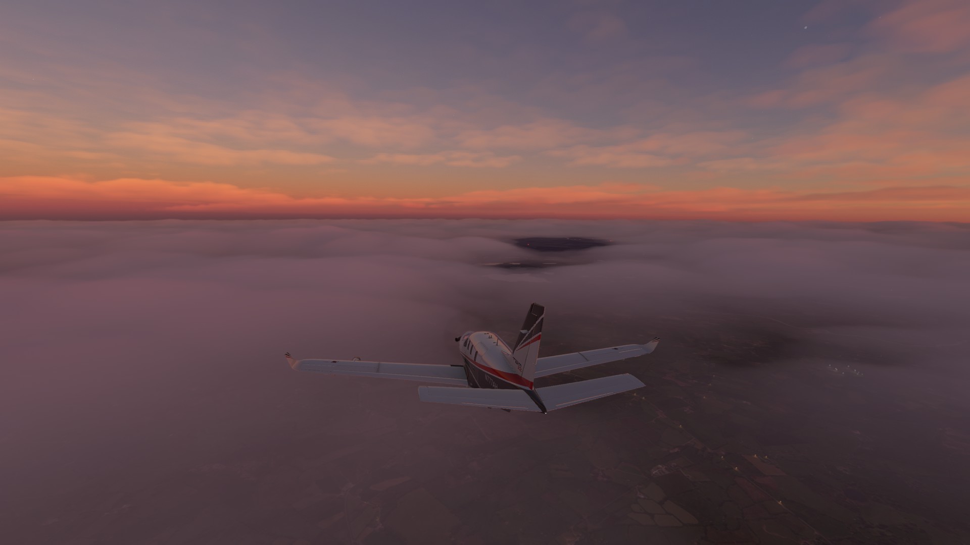
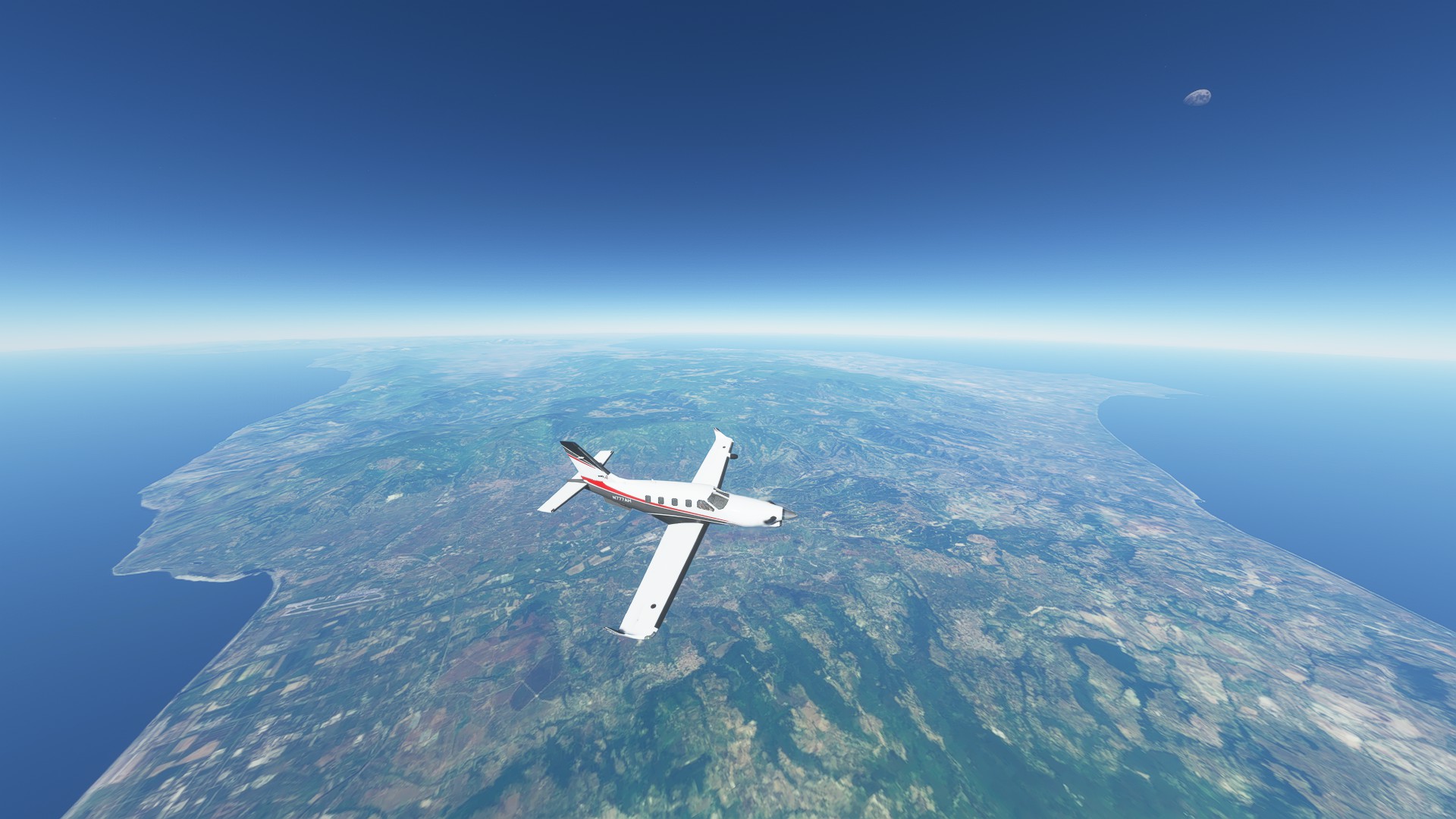
We leave the snow covered peaks of the Alps and warm Sunny Italian plains and the Med lay ahead
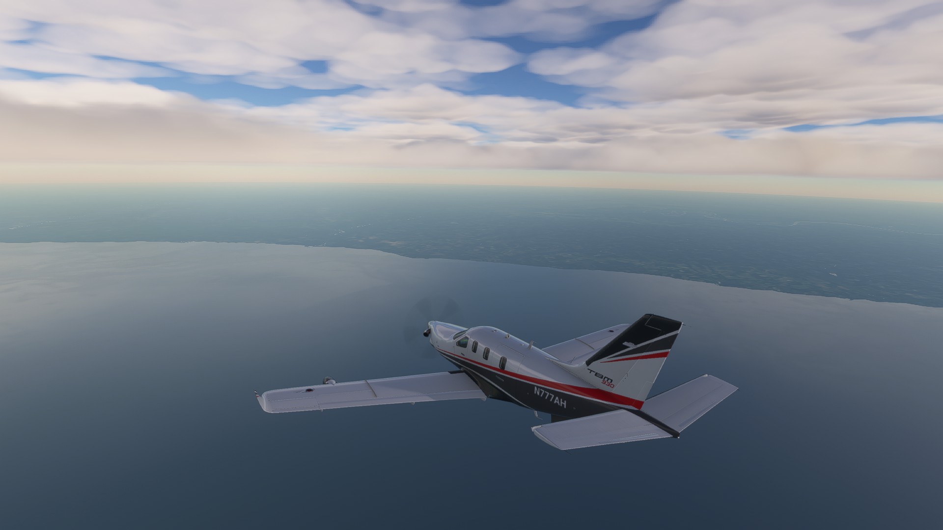
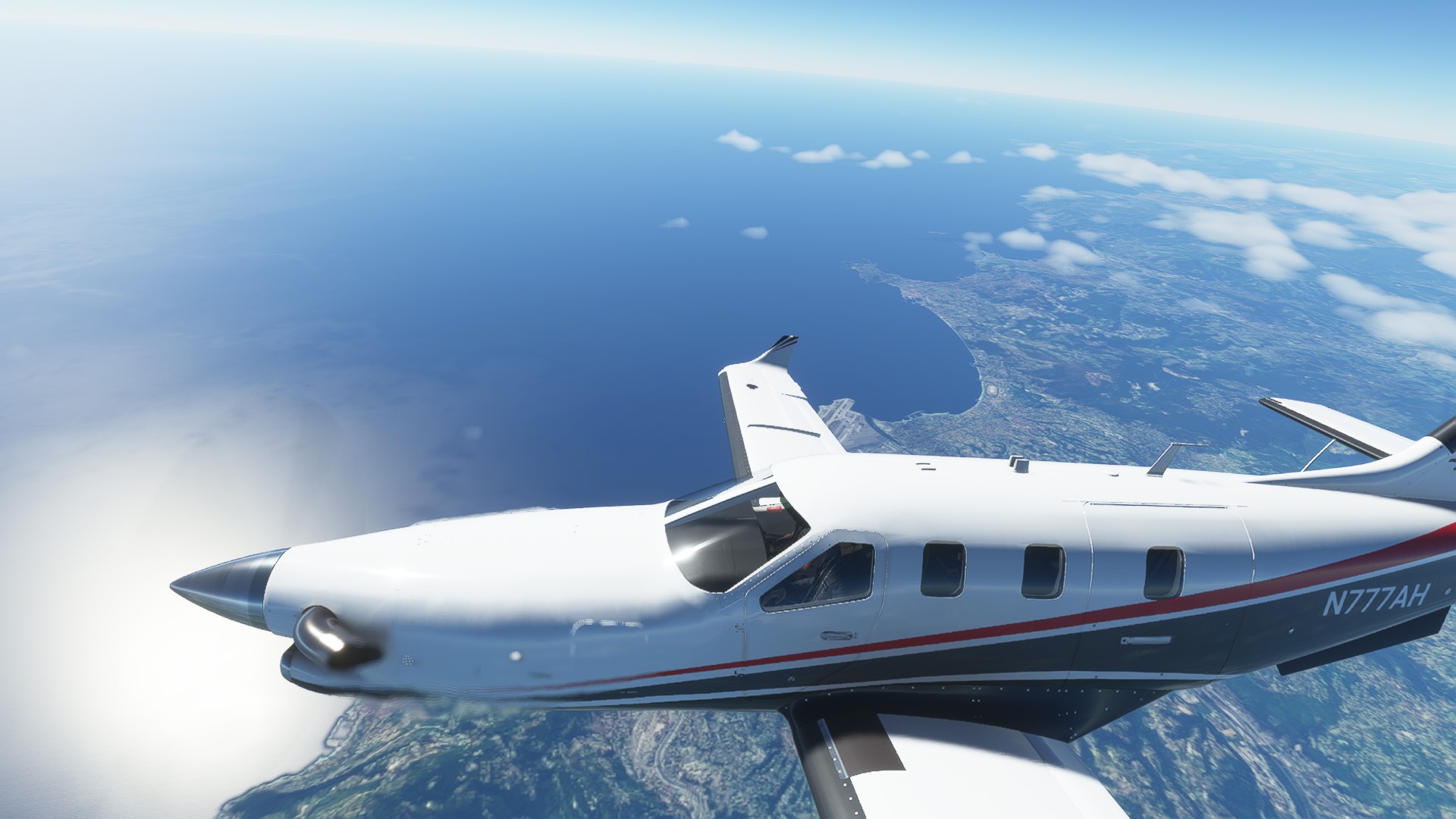
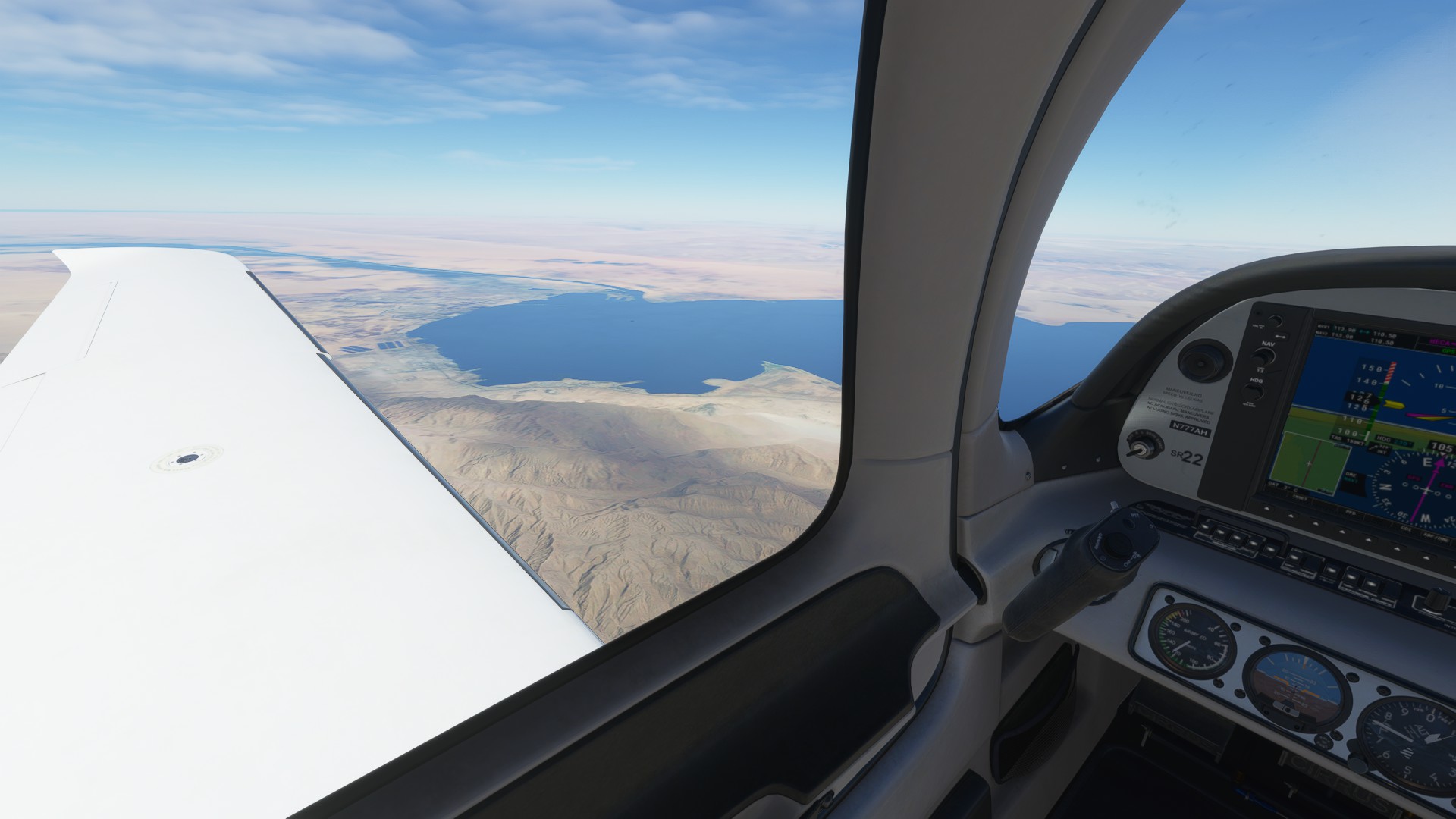
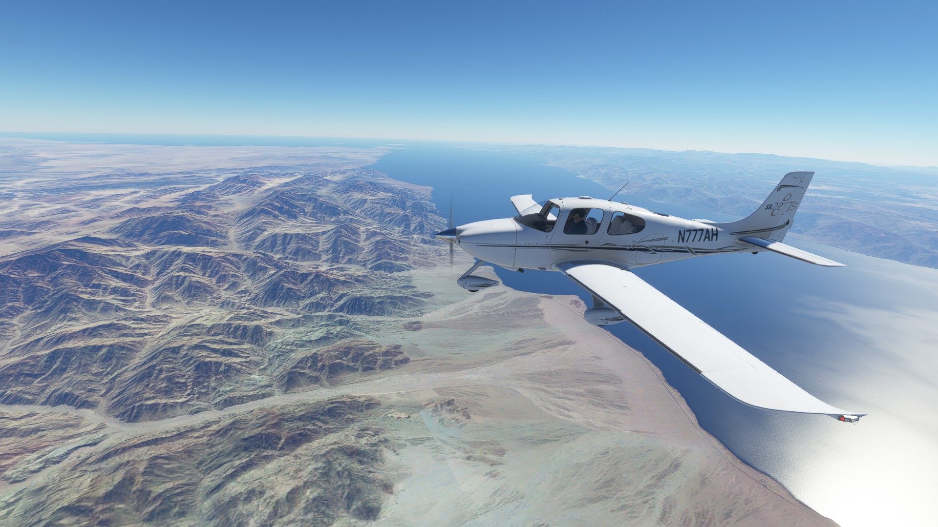
Feet Wet on the Med at Monaco, the beautiful city and bay are far below
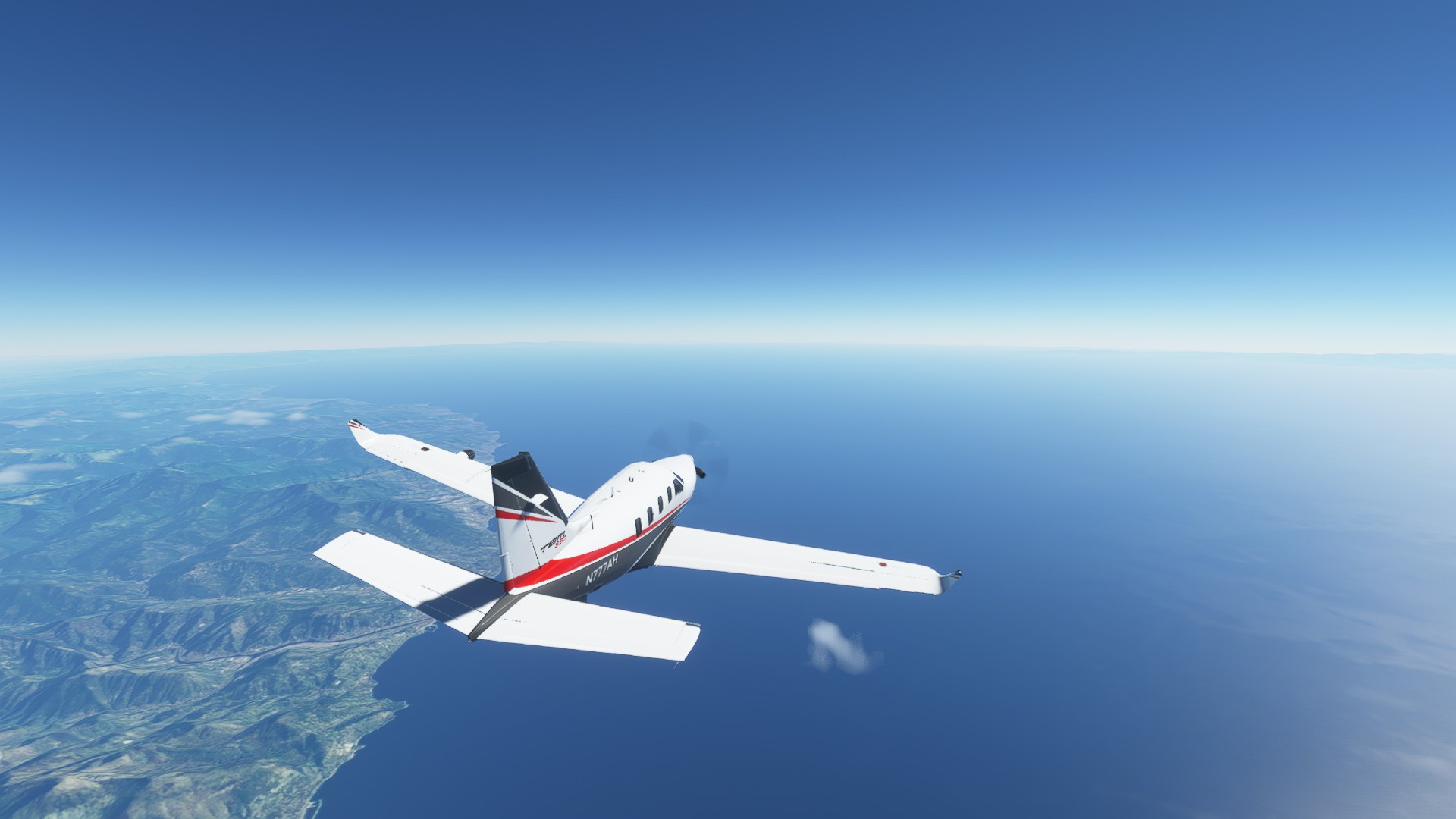
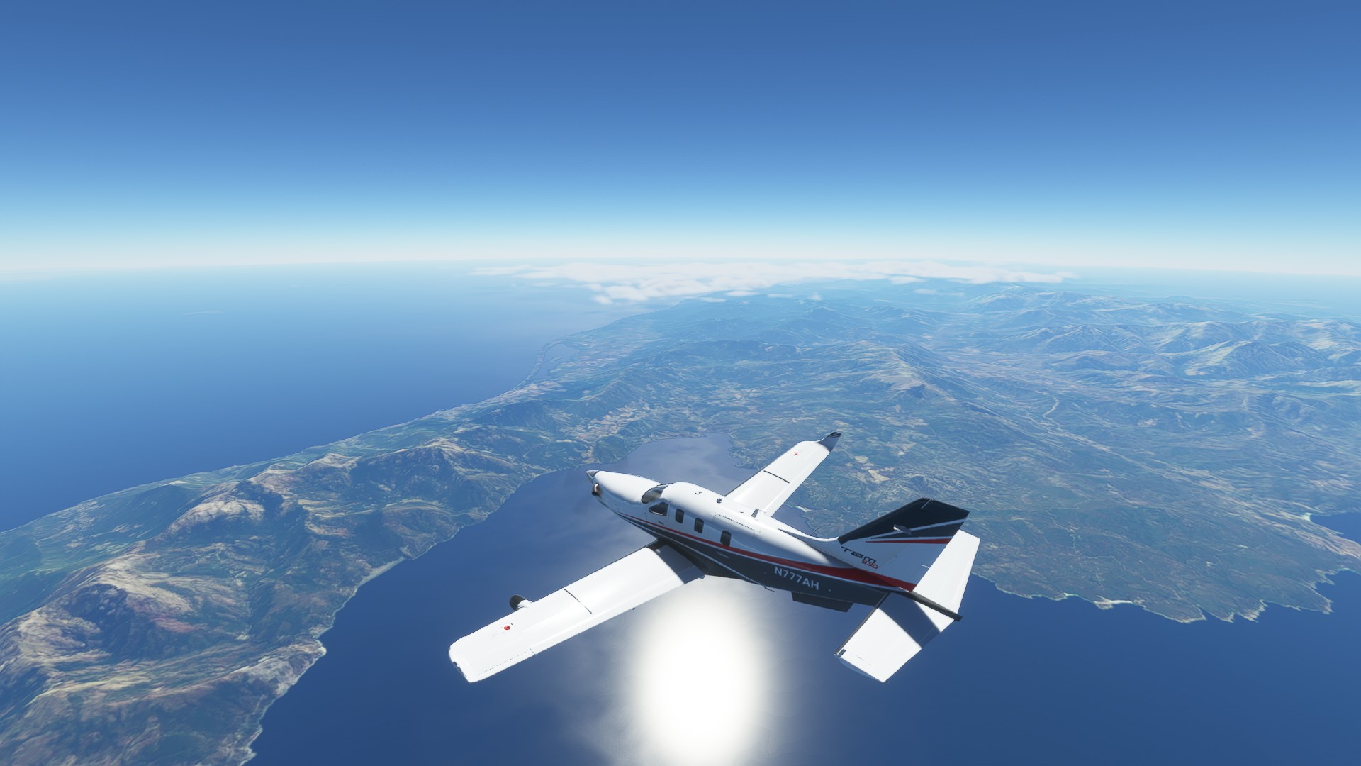
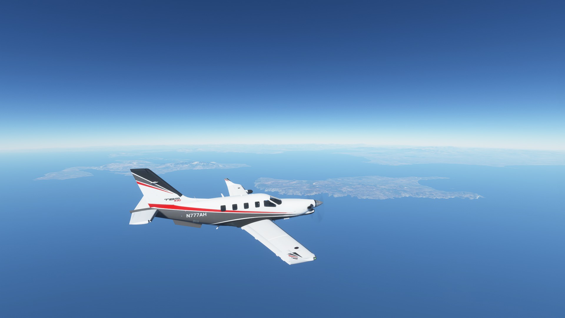
Turning SE to our leg over the Med, running parallel to the Italian Coast
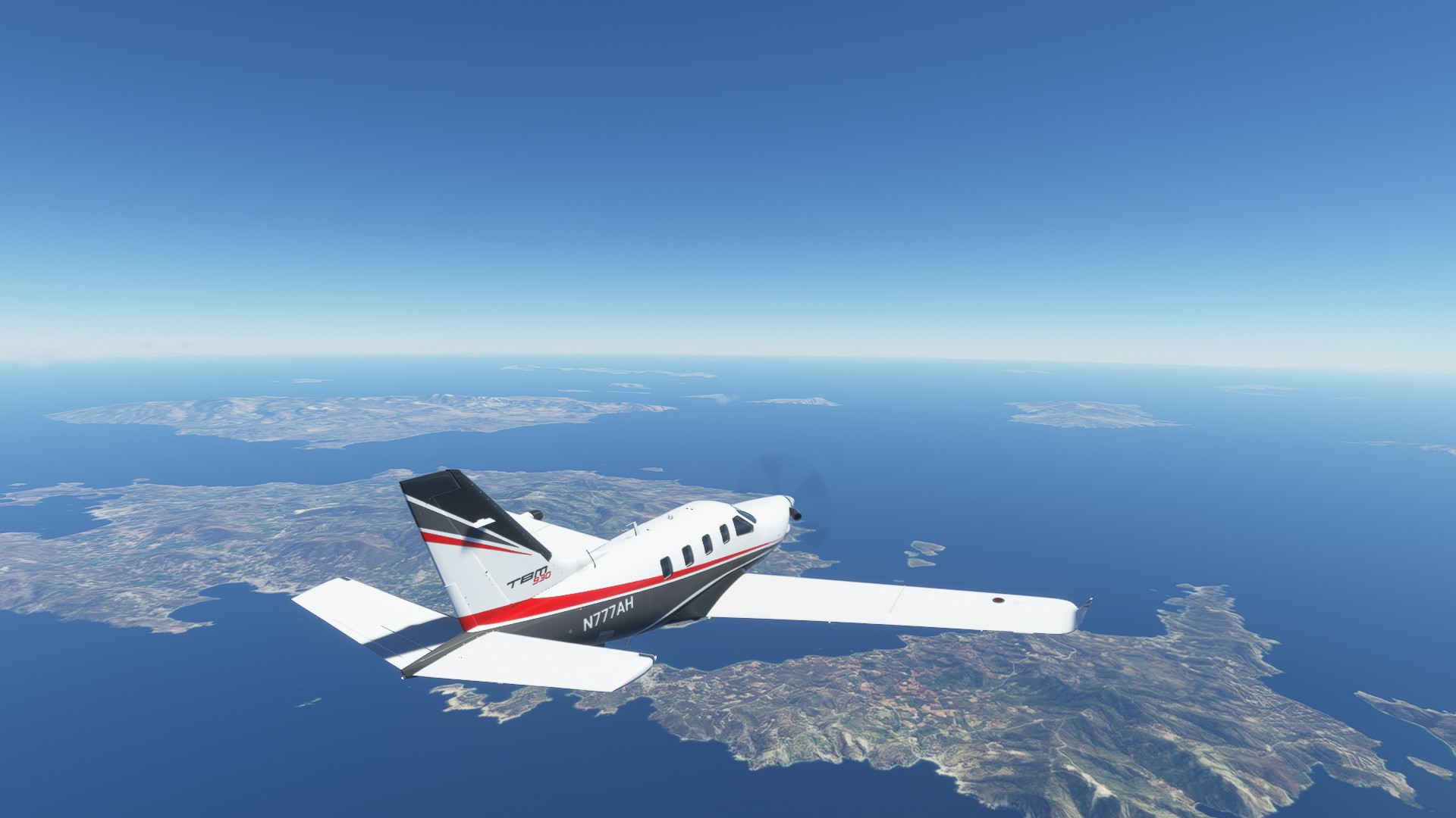
Passing over Corsica
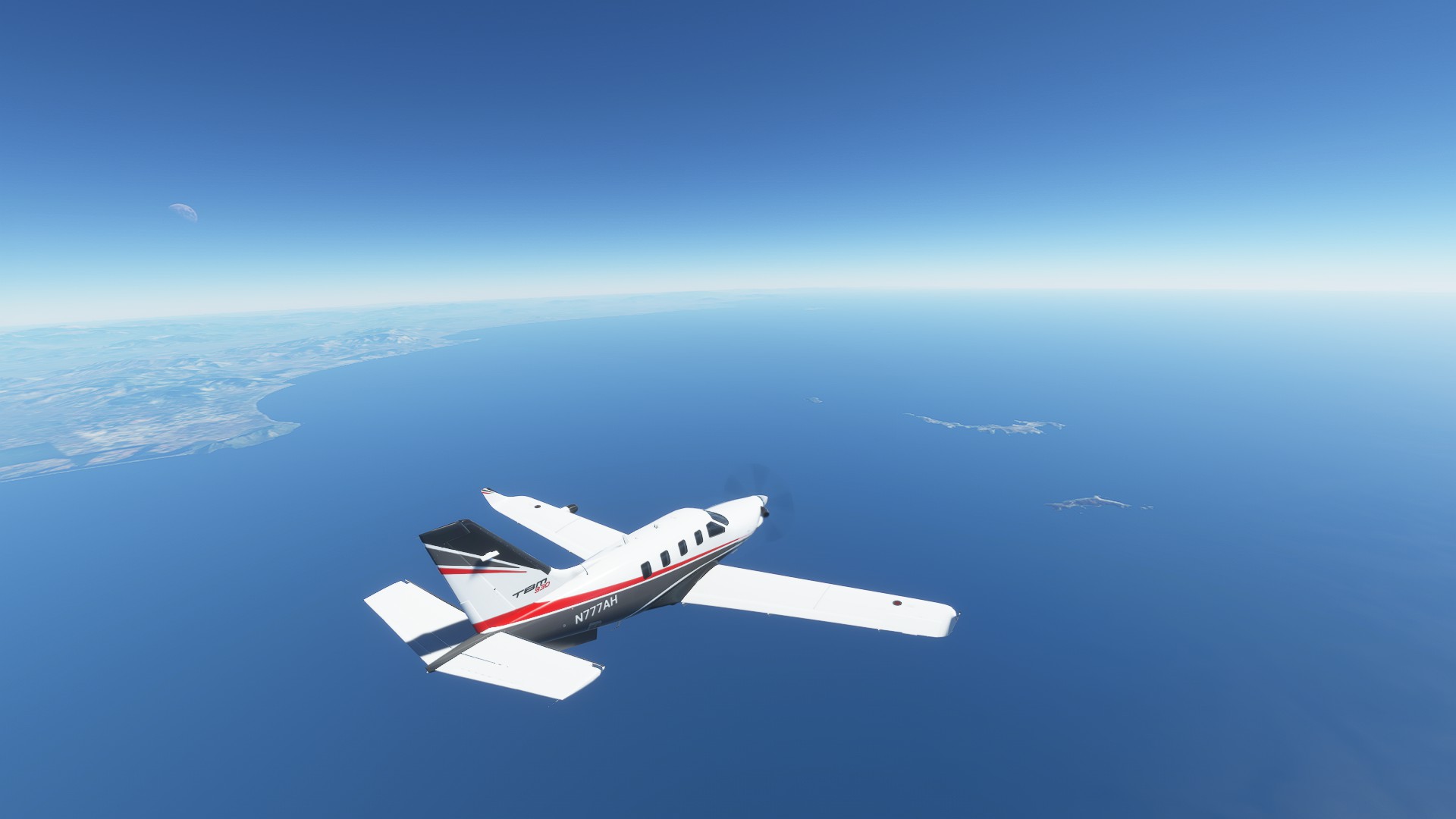
Portoferaio and the islands off to port
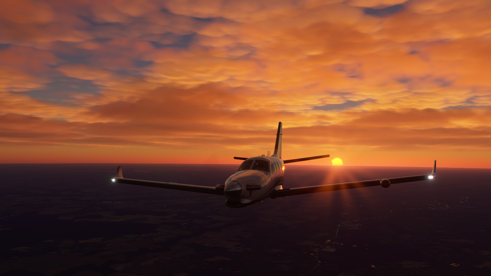
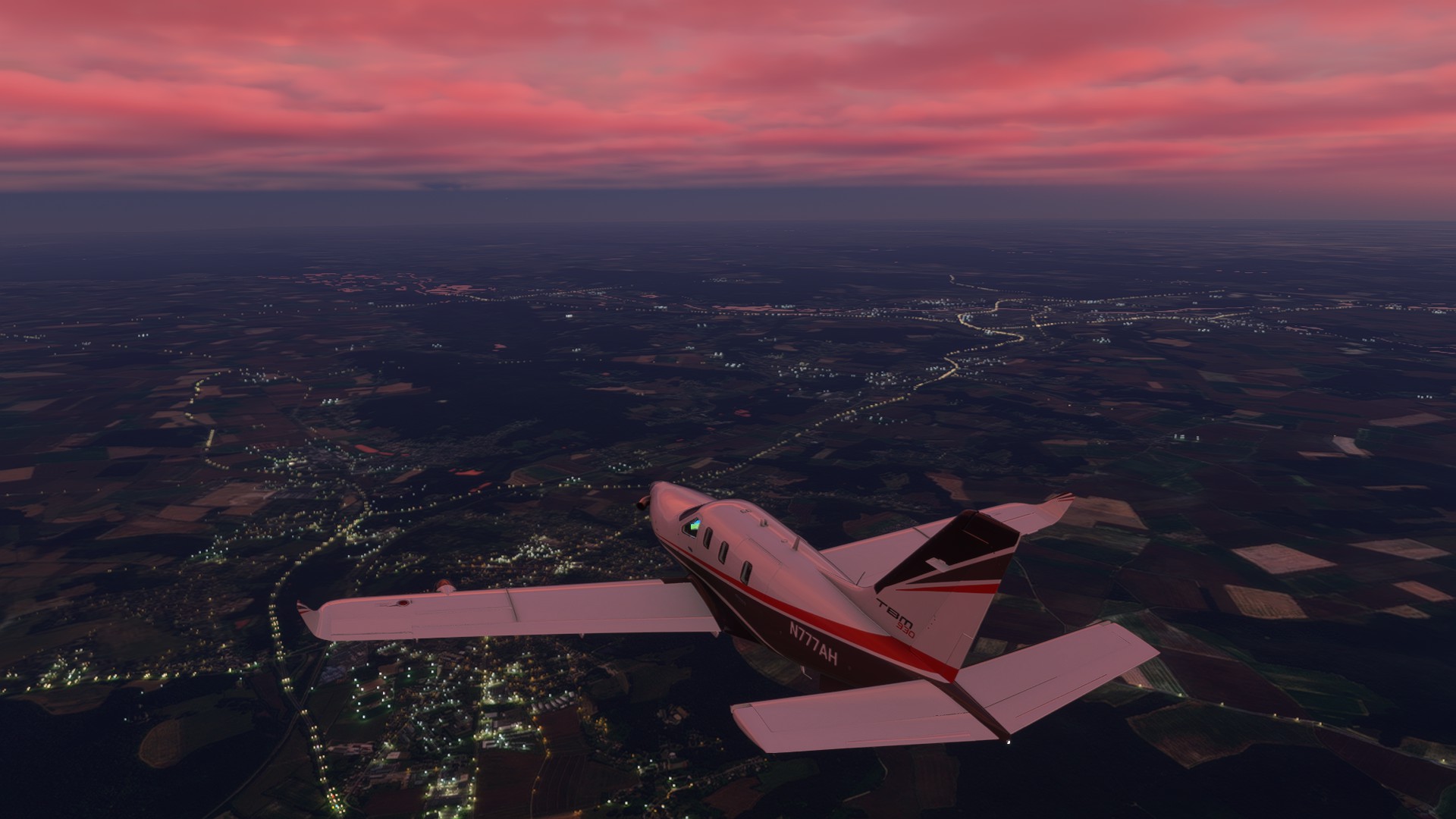
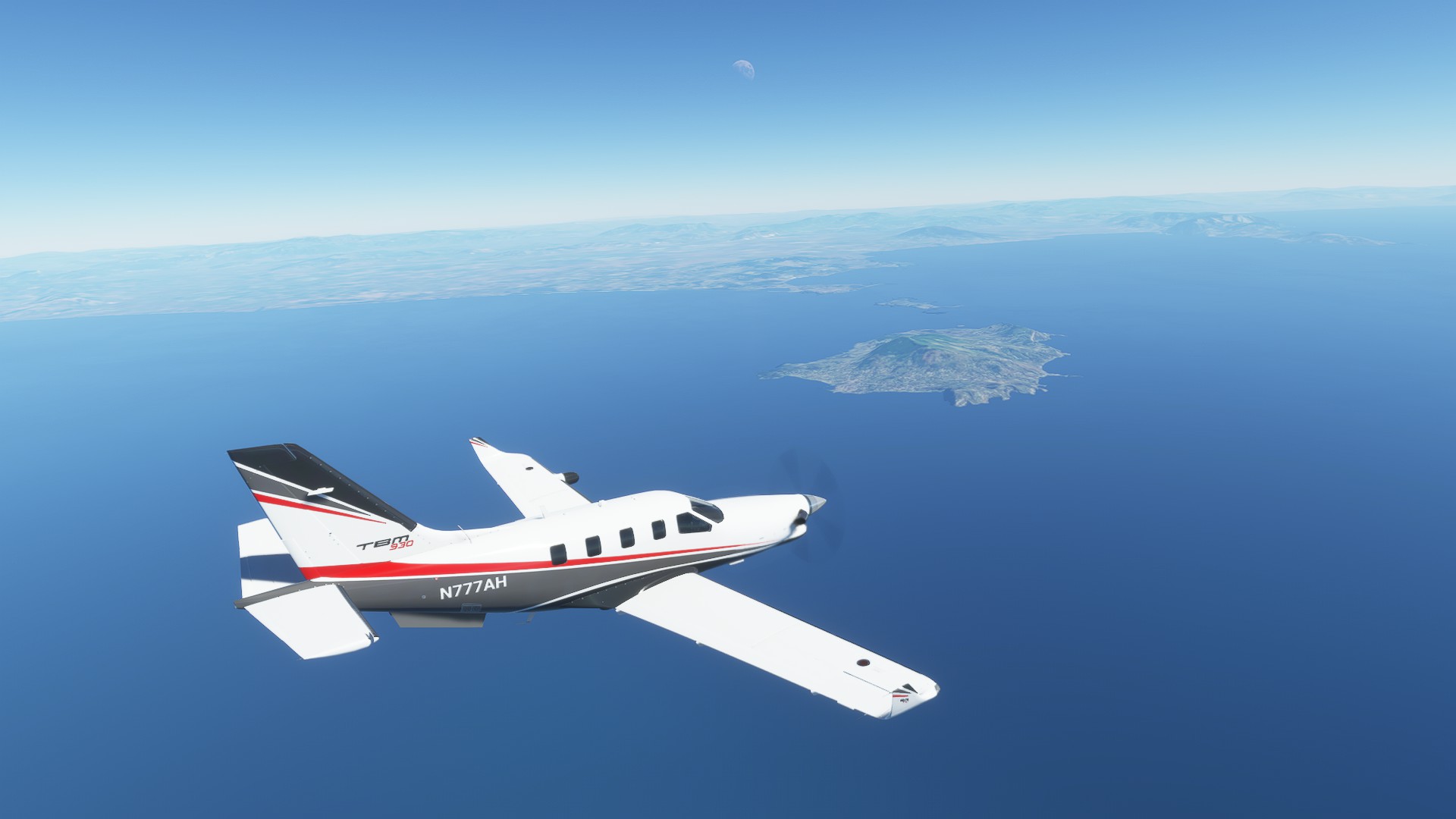
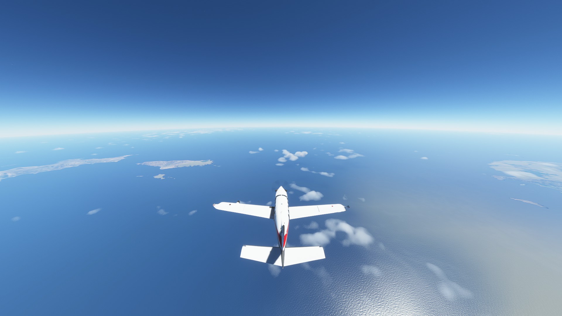
TOD just before Le Forma Ponza
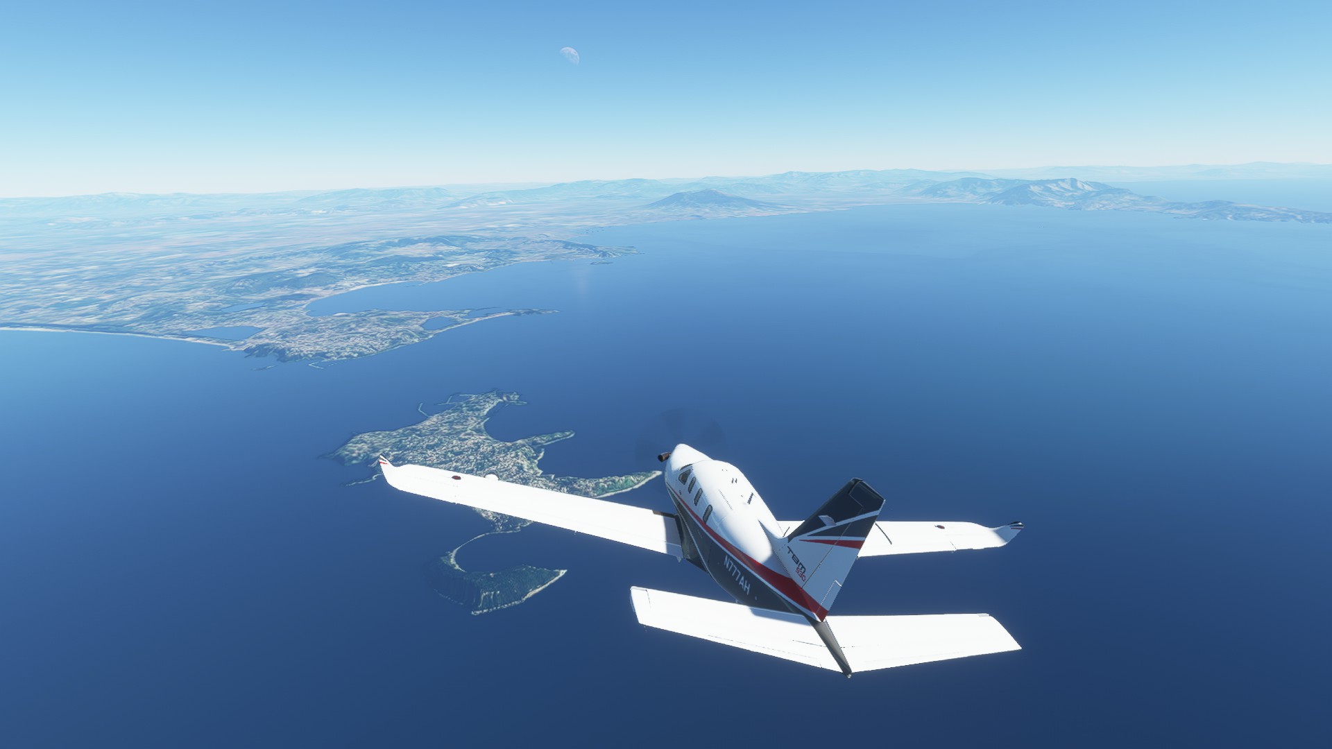
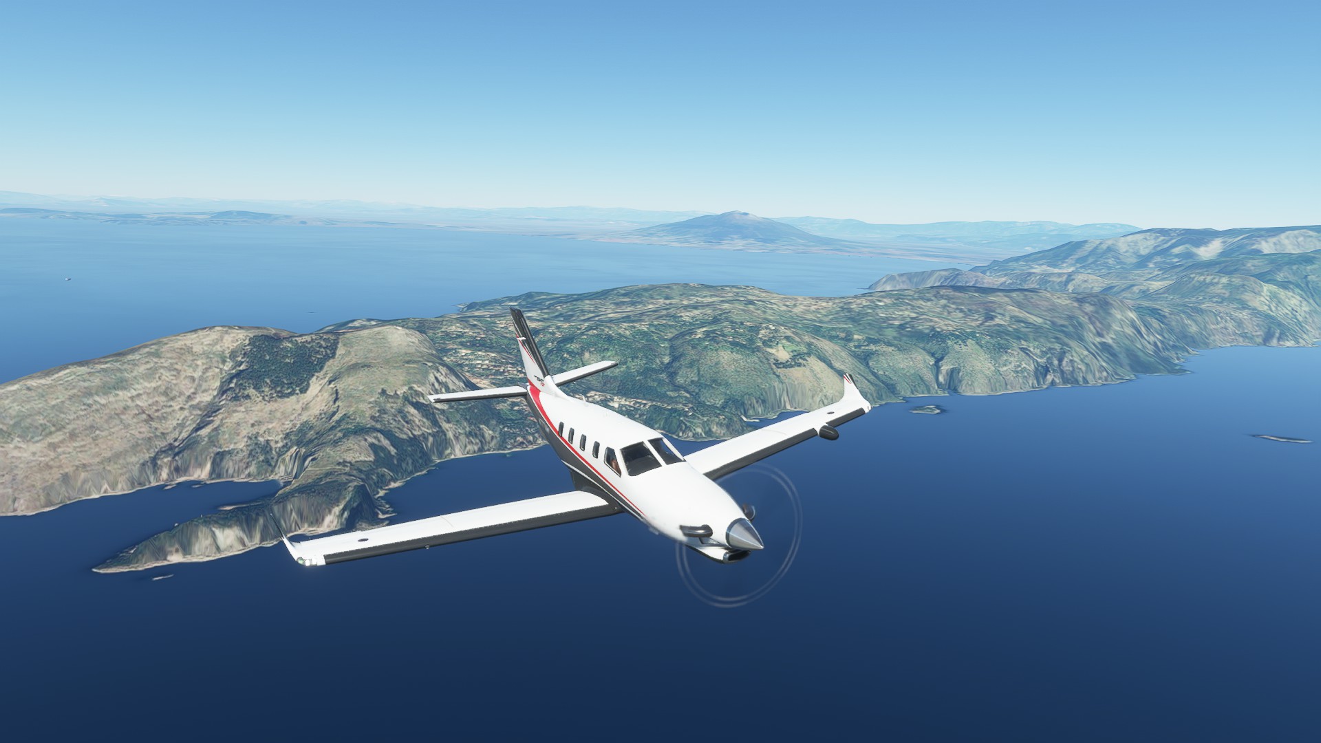
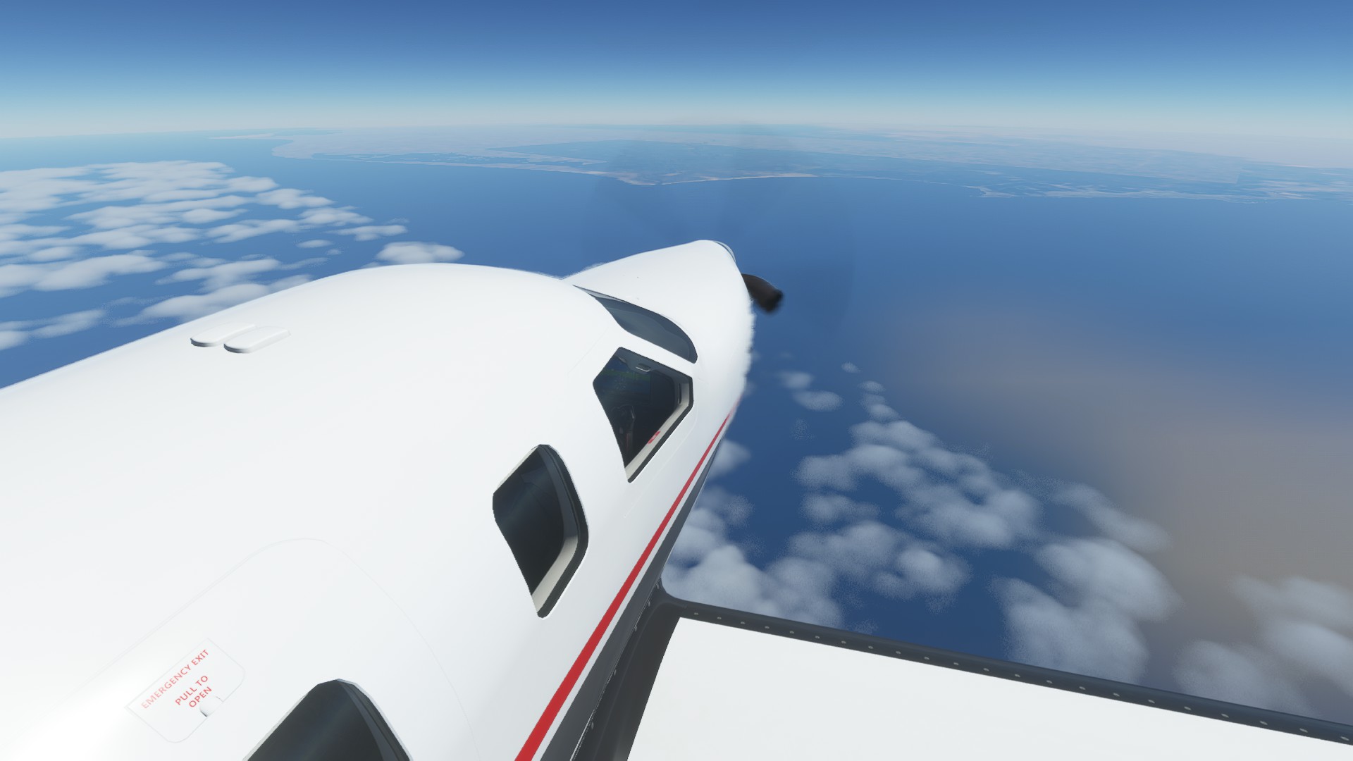
Isola di Ischia marks our turnpoint into the approach for Capodichino (LIRN)
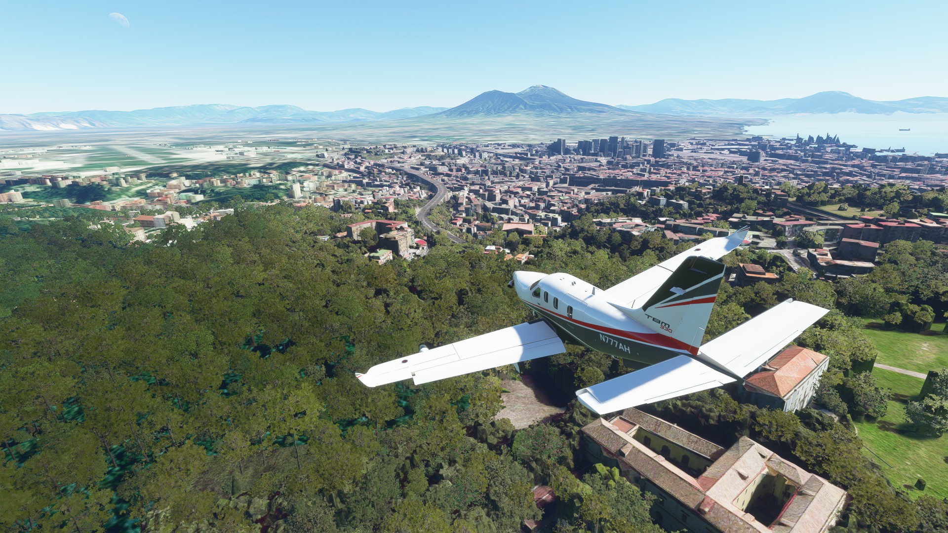
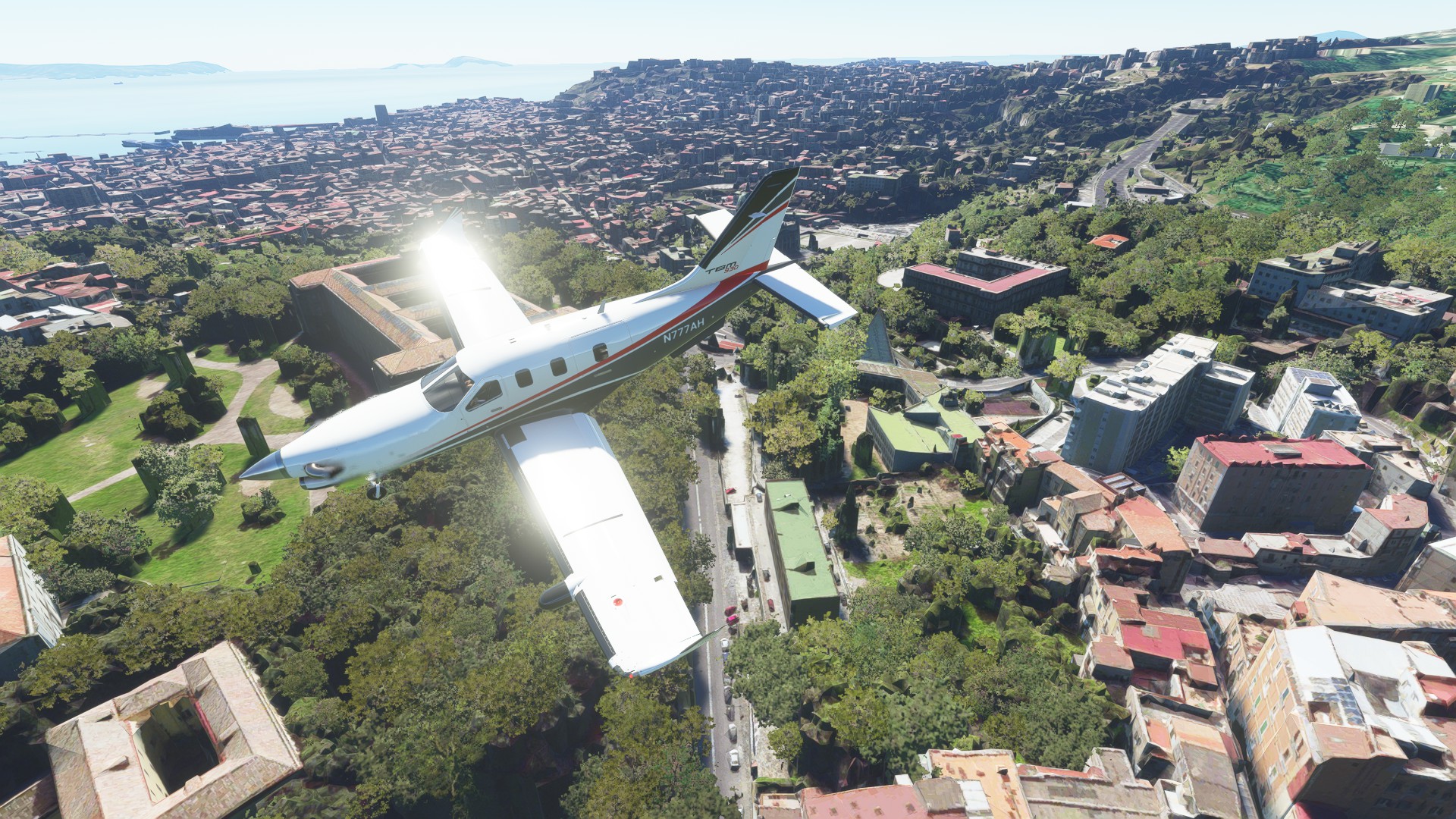
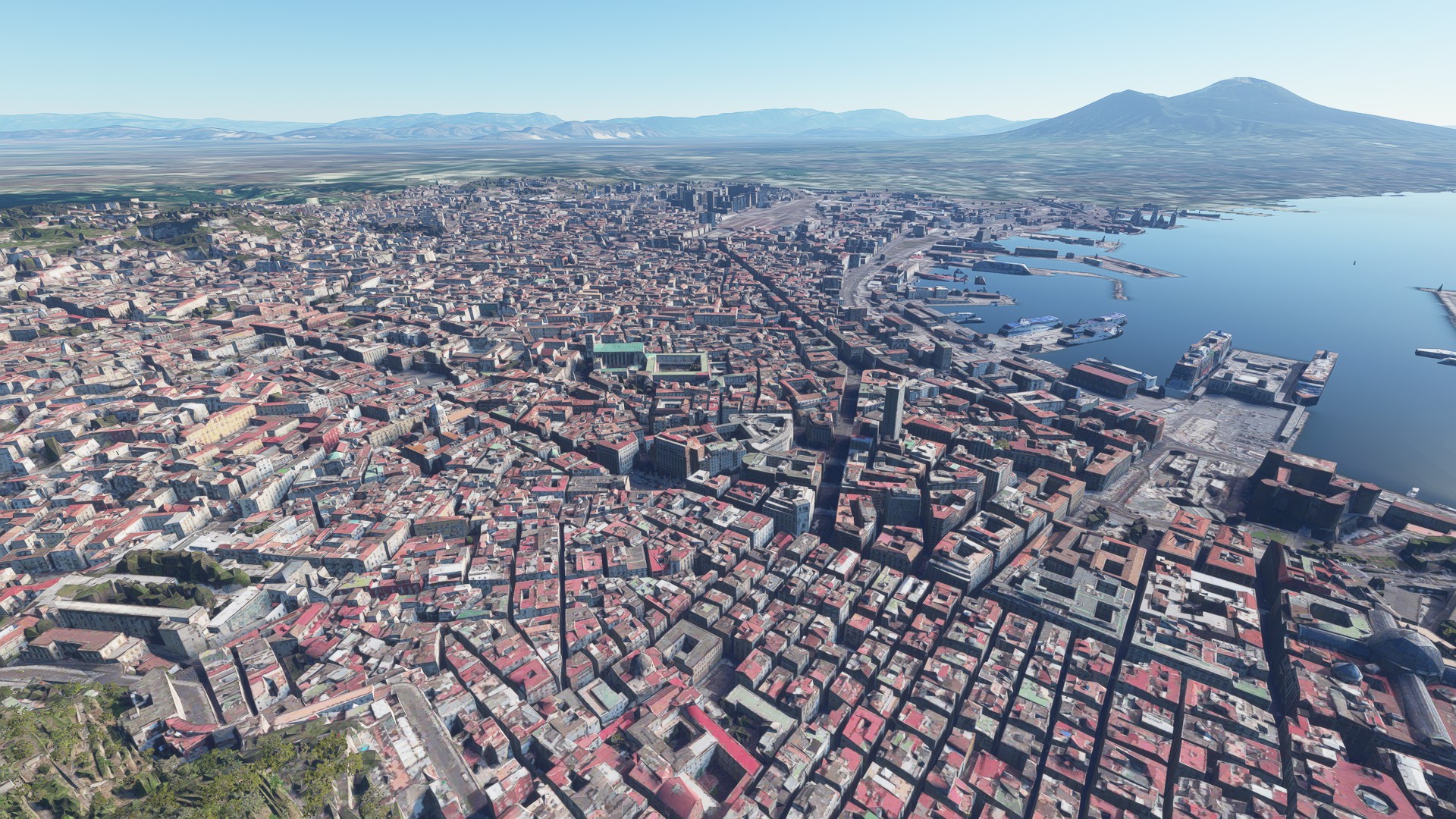
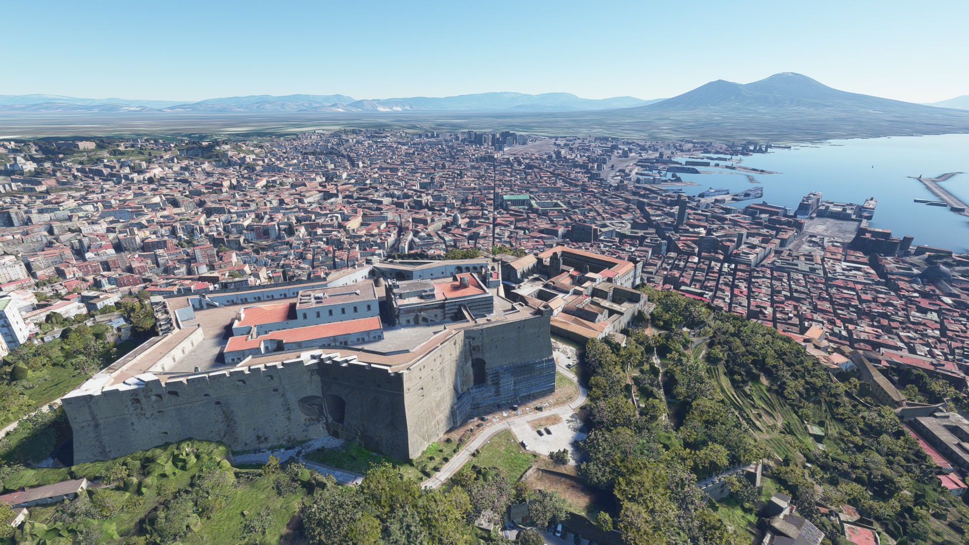
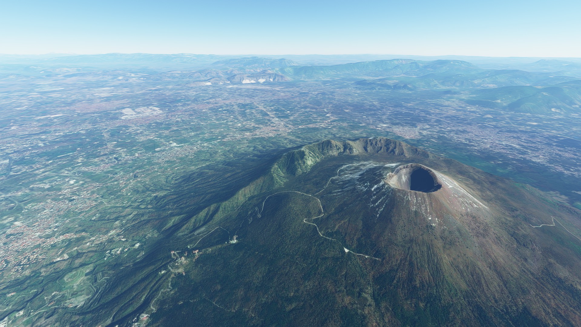
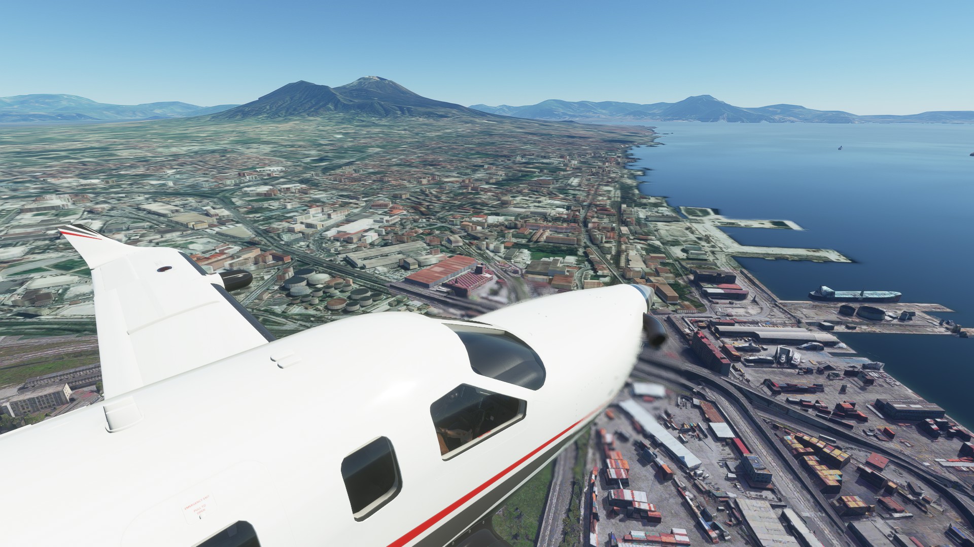
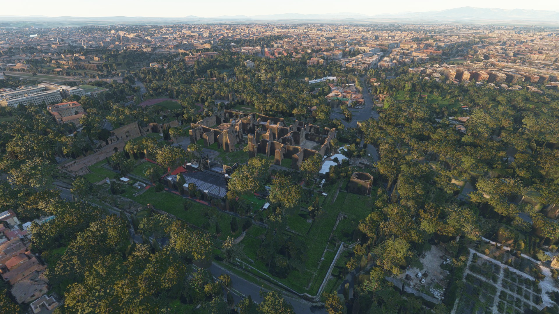
Over Naples with Vesuvius and the bay in background
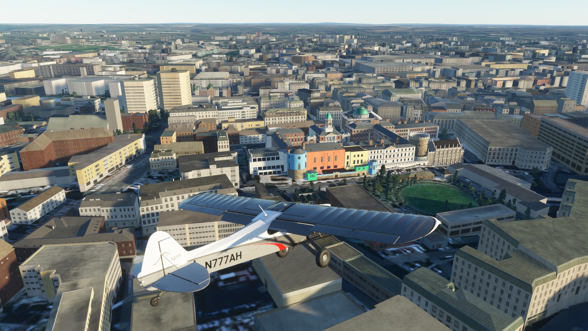
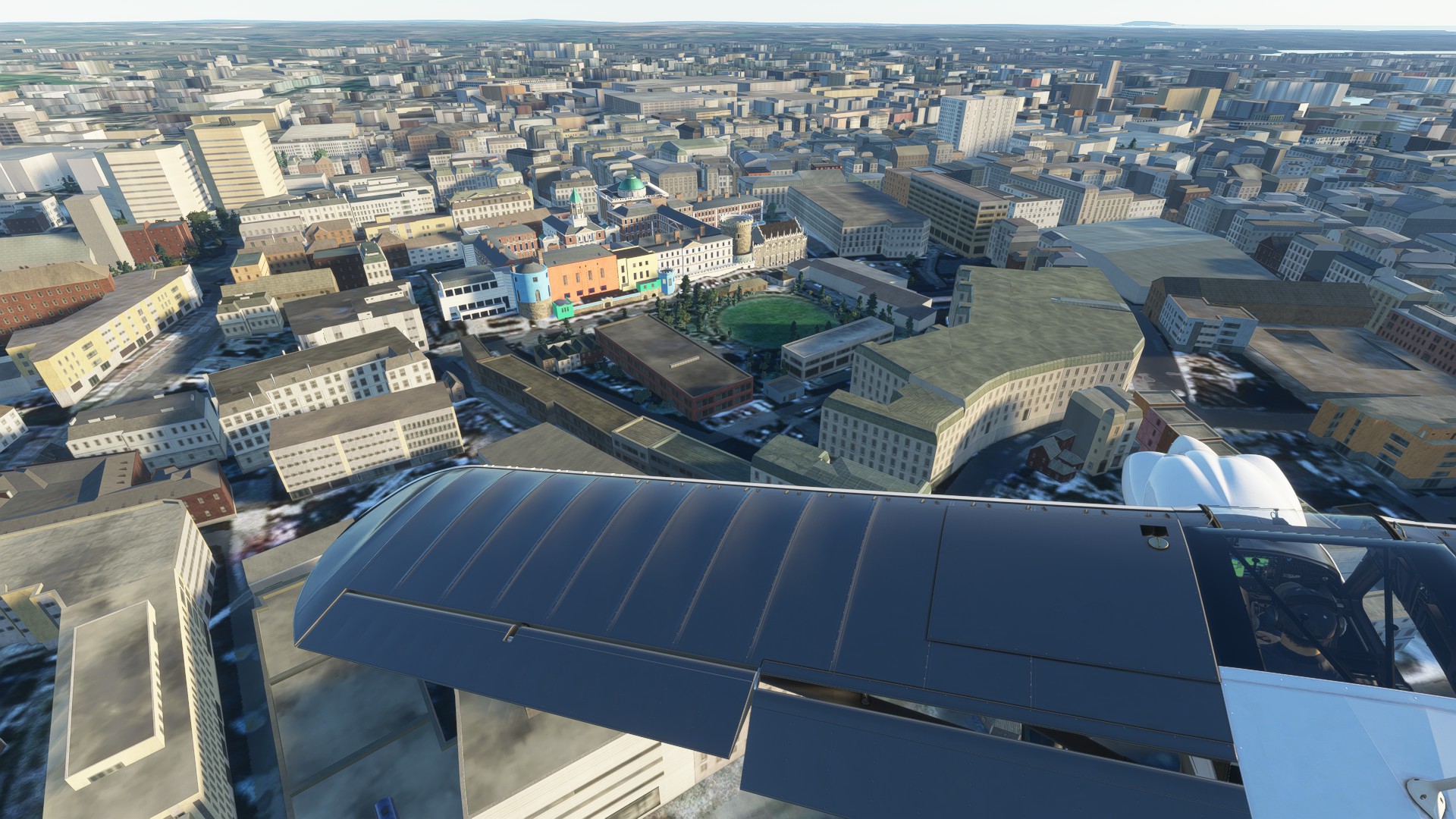
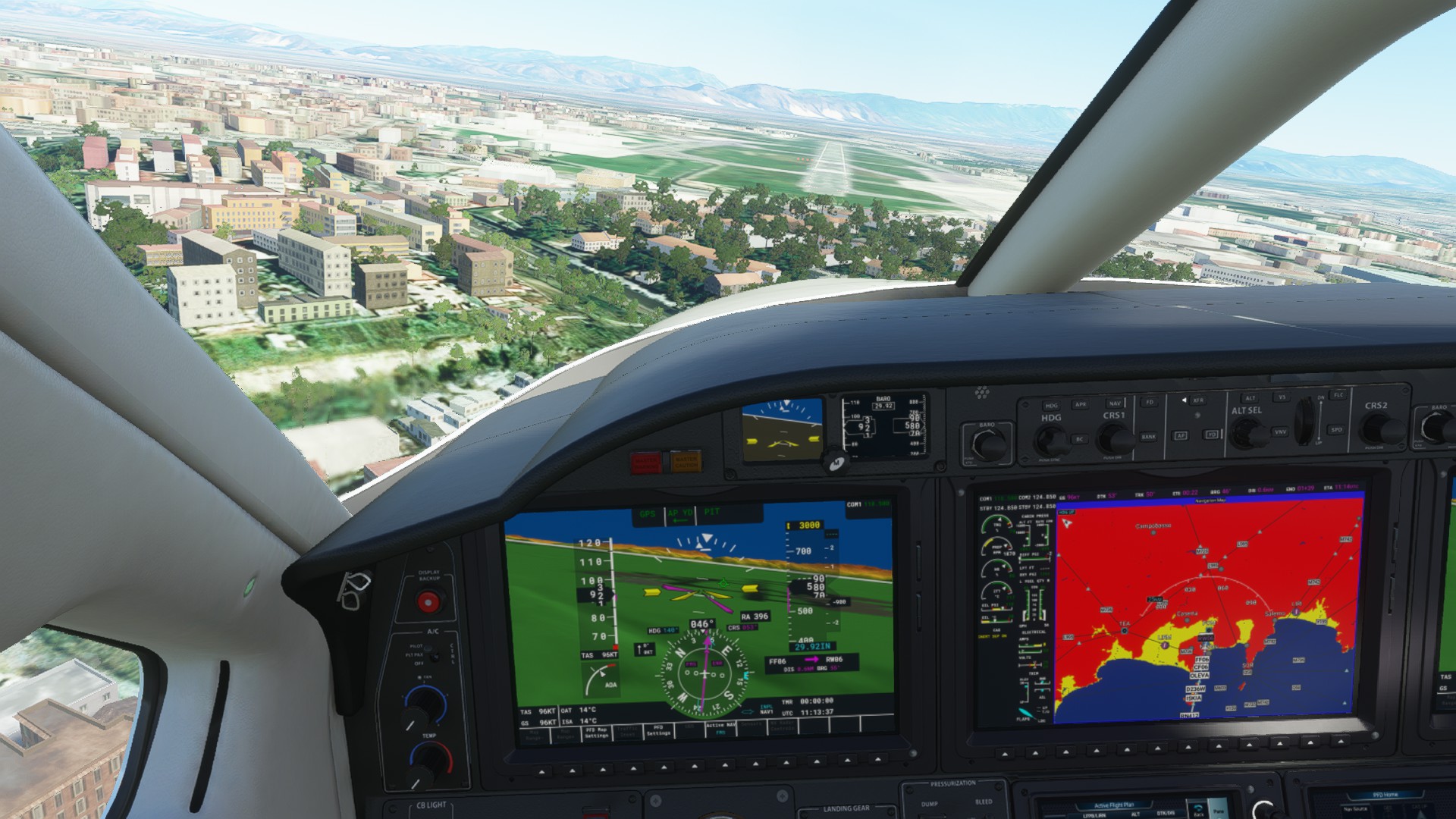
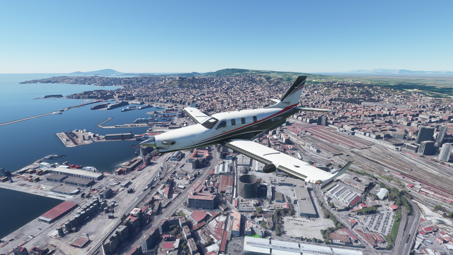
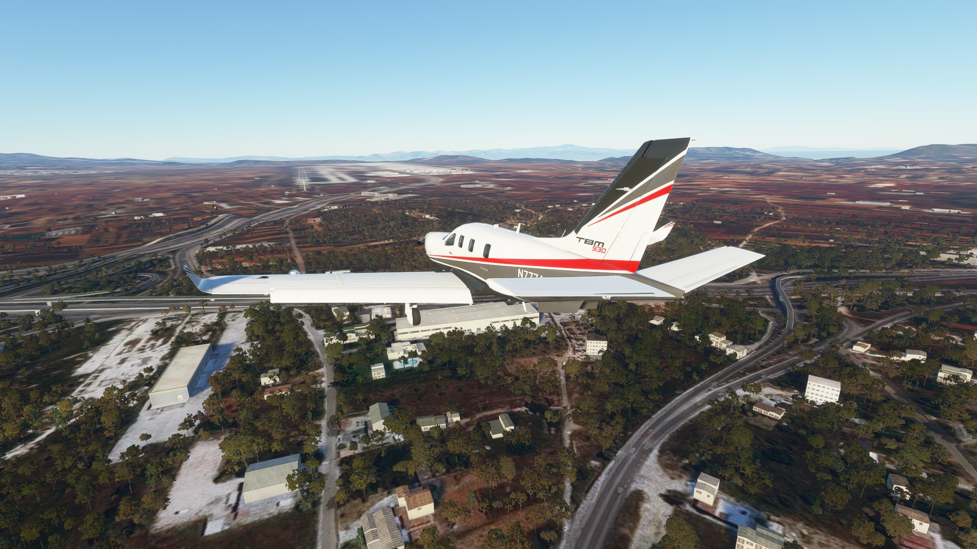
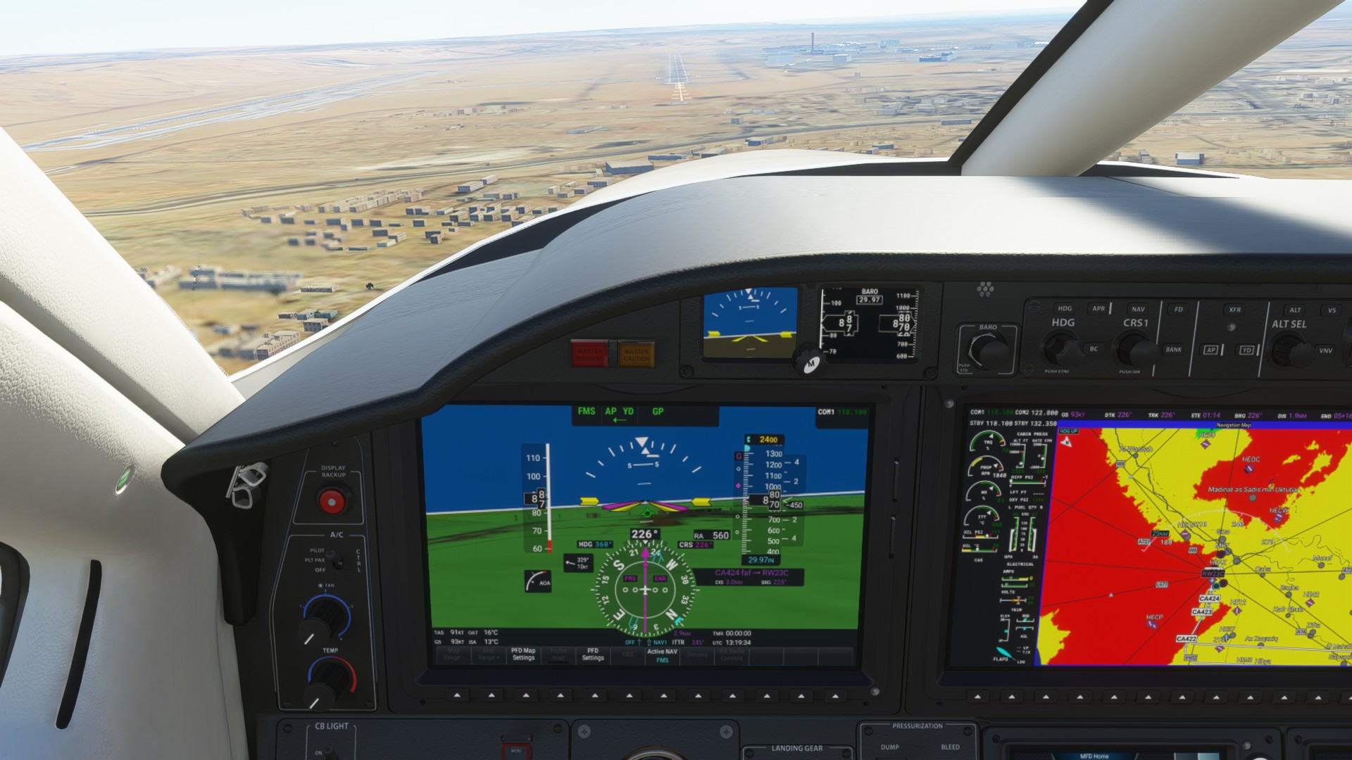
Over downtown Naples on Final
Made it to Naples - off to enjoy the warmth and some vino!
End Leg 5
We covered 766 nm on this leg.
Leg 6 Naples (LIRN) to Eleftherios Venizelos Intl (LGAV) W at 2 kts OAT -45C at FL280 ATE 2:14:39
We’re off to Greece, and say goodbye to beautiful Naples and the imposing bulk of Vesuvius
Passing over the Sorrento Peninsula
Crossing over the forefoot of Italy - to the left the Tyrhenian Sea, to the right, the Ionian - Greece ahead!
Kefalonia and Zakynthos in the foreground, Greek Mainland beyond
Landfall with the mountain town of Tripoli ahead, beyond is Corinth and Athens
The historic City of Corinth to the left joining the two peninsulas, Saronic Gulf ahead and the Corinth Gulf
upper Left.
The islands of the Saronic Gulf and Athens beyond
On the Approach Lane to 3L
Gear down and locked, on Final
Taxying past the heavies, we got the furthest ramp spot it seems.
We made it, break out the ouzo! Next stop is very exotic.
End Leg 6
We covered 552 nm on this leg.
Leg 7 Eleftherios Venizelos Intl (LGAV) to Cairo (HECA) W at 70 kts OAT -45C at FL310 ATE 1:44:25
We say Apochairetismós (farewell) to historic Athens
Passing over the Aegean Sea island chain leading to the Dodecansese
Gateway to the Mediterranean - Sitia to Port, Kasos and the larger island of Karpathos to Starboard - Egypt is 300 nm over the horizon
Landfall near the historic city of Alexandria.
Turning to Approach Over north Cairo
On Approach to HECA RNAV R23C
On Final
Made it to Historic Egypt!
End Leg 7
We covered 606 nm on this leg.
Leg 8A Cairo (HECA) to King Khaled International Airport (OERK) SSW at 6 kts OAT -1C at FL150 ATE 01:54:41
Pilot Notes - for a change of pace, we switched to the SR-22
Departing Cairo (HECA)
Headed East deeper into the desert
Our first glimpse of The Gulf of Suez, one of the busiest shipping lanes in the world
Some of the busy ports and refineries dotting the Gulf coasts
Views of the Southern End of the “Ditch” - the world famous Suez Canal
Over the harsh Sinai Peninsula
The Gulf of Aqaba - ahead is the deep deserts of Saudi Arabia
The natural colors of the desert alongside the wealth of resources - oil
Nearing Riyadh
On the outskirts of Riyadh, turning into the STAR
Sunset arrival at OERK - we’ll stop here for refuel and crew rest before continuing to Abu Dhabi
End Leg 8A
We covered 826 nm on this leg.
Leg 8 Interlude - Saudi Arabia
The Masjid al-Haram Mosque and the Abraj-al-Bait Towers (government complex).
**Leg 8B King Khaled International Airport (OERK) to Dubai International W at 60 kts OAT -45C at FL400 ATE: 2:05:42
Pilot Notes - for a change of pace, we switched to the Longitude
Departing OERK
On climbout
Not much to see, solid cloud base for most of the leg at about FL330 but a nice 60 kts tailwind
Descent into Dubai
Final approach into OMDB
Ground gave us the furthest possible spot on the ramp
OMDB has a very sleek and unique looking terminal design
Another safe arrival - next, some sightseeing!