Hello Simmers!
I searched here but actually didn’t find the right one on the topic.
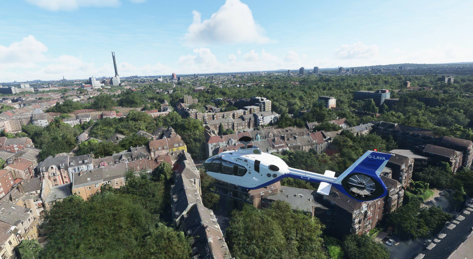
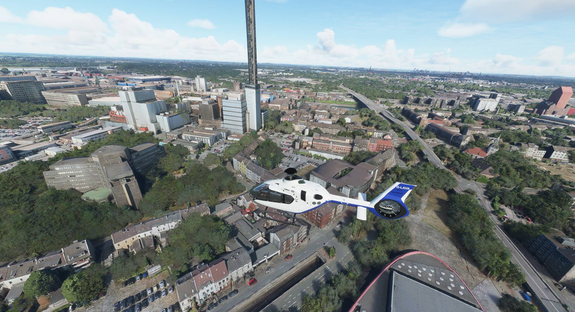
I myself find it fascinating to fly slowly over certain areas in a helicopter and discover photorealistic things there that cannot be compared with the global world. I have often seen that there are photo-realistic cities, but the corresponding satellite sections are terrible. But I also flew to areas where everything was correct, photo-realistic, very good satellite images and also the post-processing of the satellite images such as no or only little static traffic was to be seen on the pictures because they were reworked. I would like something like that here maybe with a screenshot and a small description of how detailed everything is if someone happens to come from this area and they know their way around and can confirm what can be seen. It would be nice to have such a travel guide because the world is so big that you just can’t explore everything.