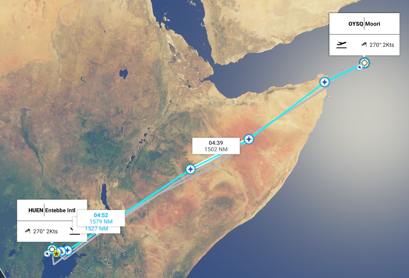
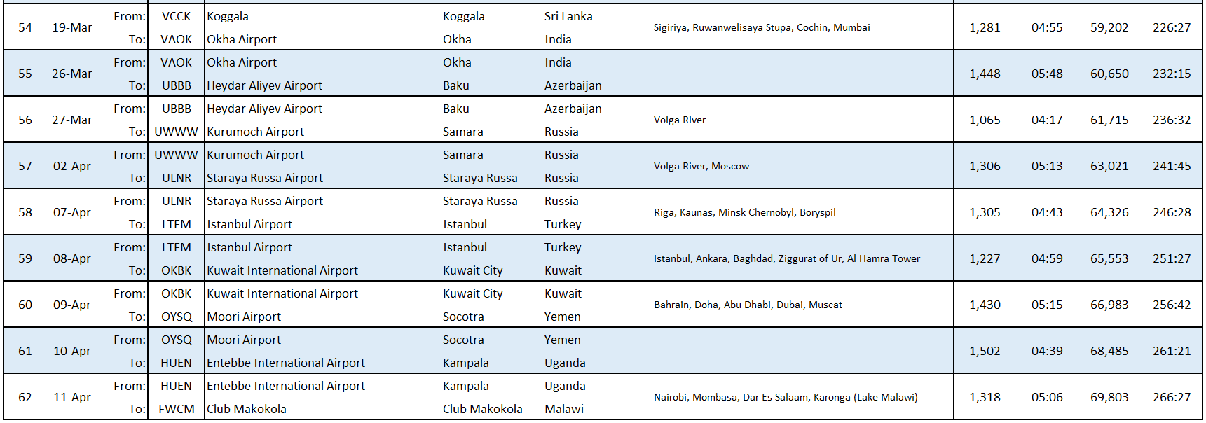
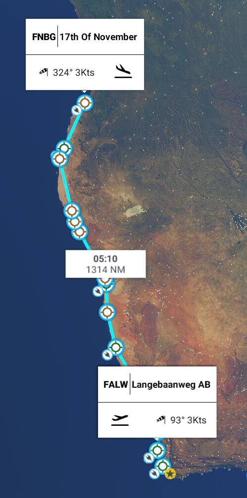
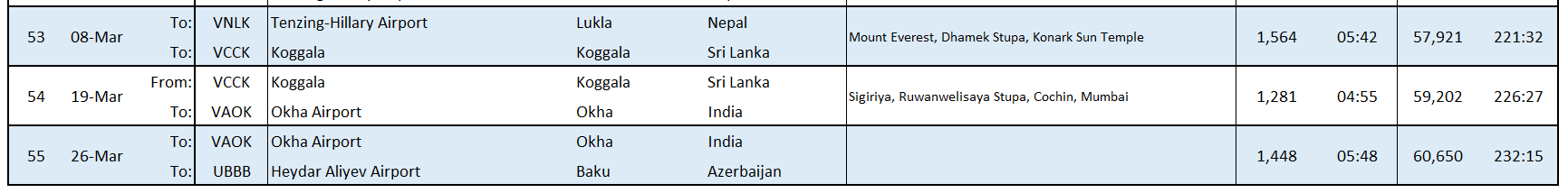
Leg 55 - Okha, India (VAOK Okha Airport) to Baku, Azerbaijan (UBBB, Heydar Aliyev Airport)
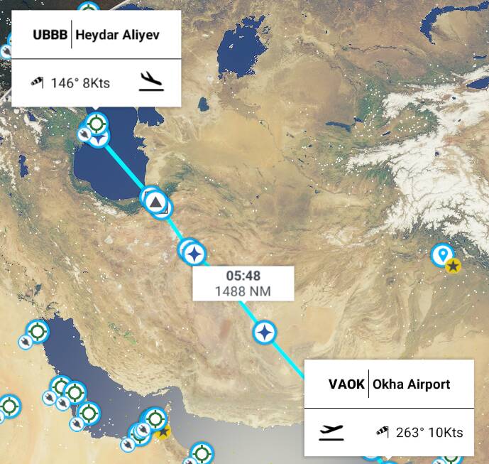
This leg: 1,488Nm, 5:48 flying time
Total so far: 60,650Nm, 232:15 flying time
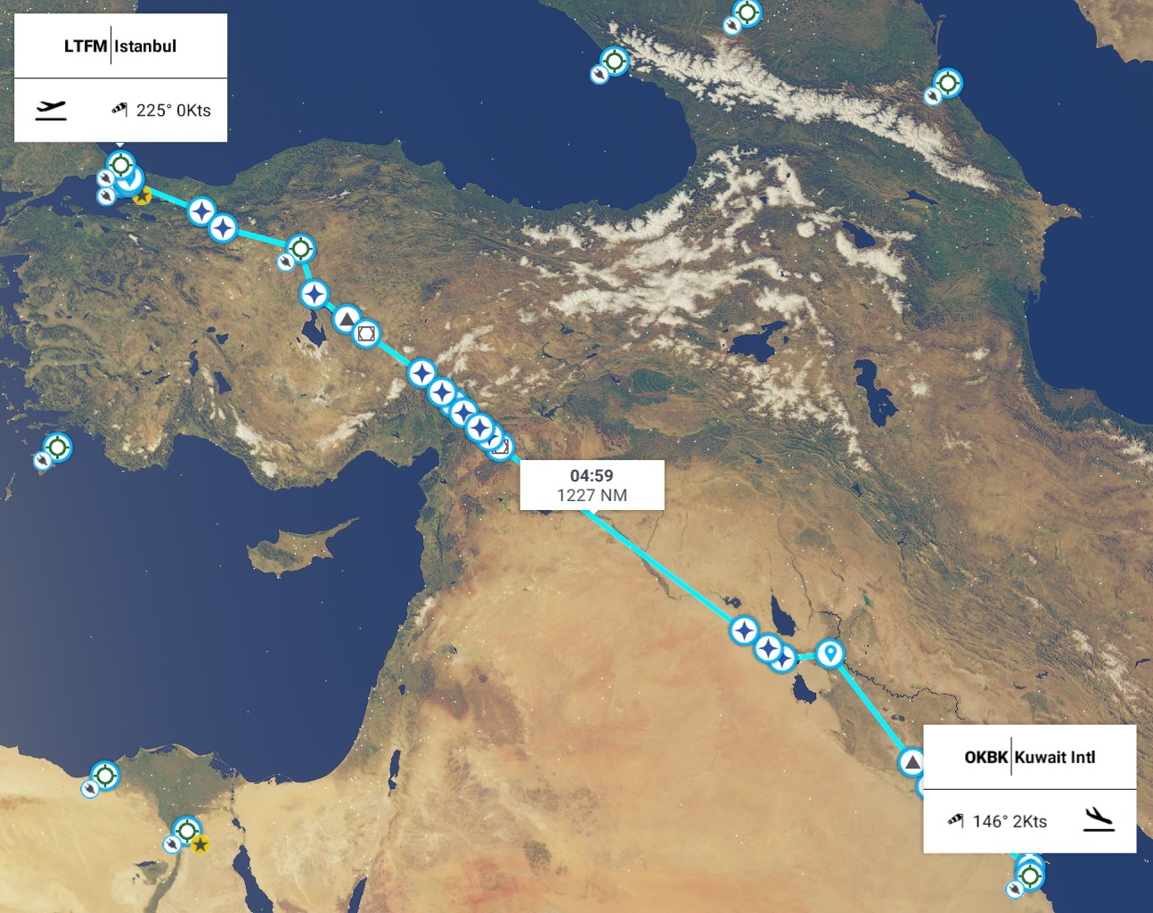
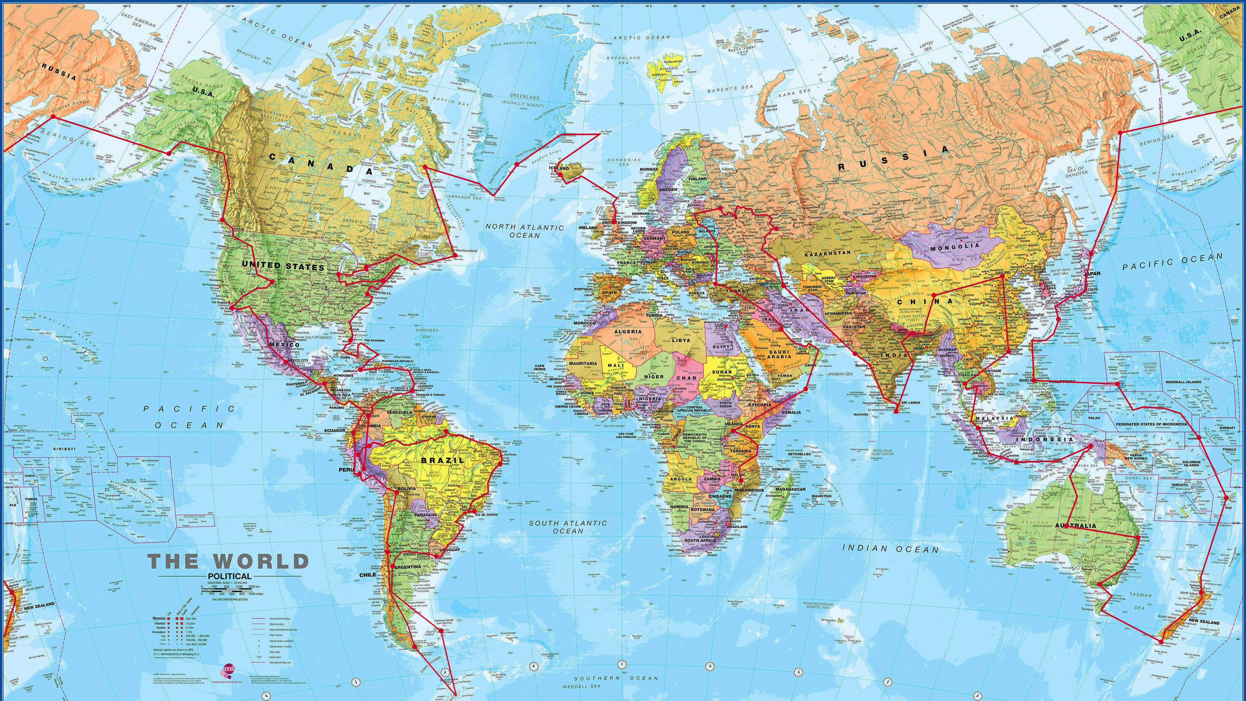
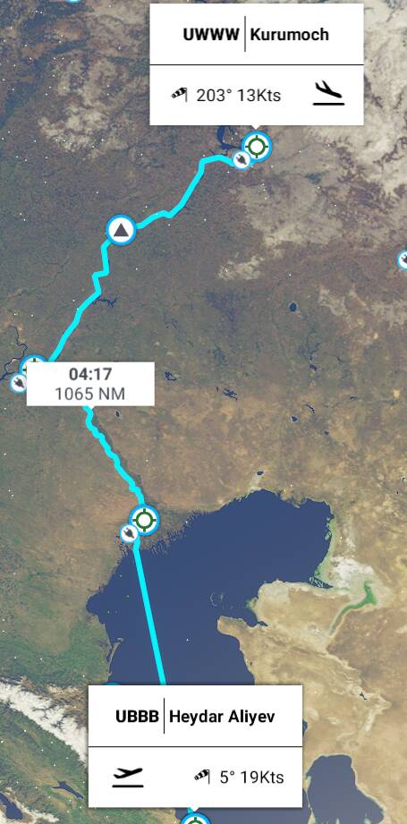
OK, so today we are flying all the way to the Caspian Sea, and the city of Baku in Azerbaijan - and we are going to take a direct route, flying at high altitude, because this flight is right on the limit of our fuel range. It’s nearly 1500Nm and close to 6 hours - one of our longest legs. We are heading North West from Okha in India and skirting the edge of the Arabian Sea. We’ll make landfall over Karachi in Pakistan, then fly over a tiny bit of Afgahnistan, Iran and then we will reach the Caspian Sea and approach Baku from the South East.
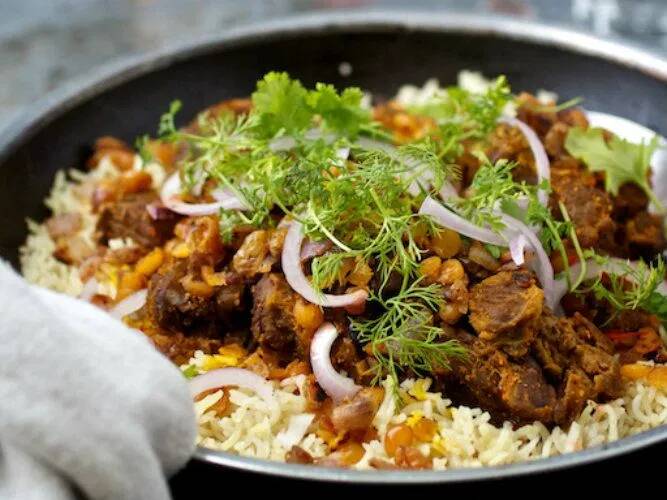
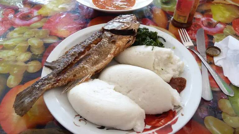
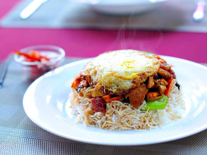
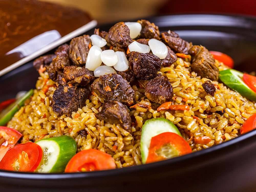
Plenty of food required for this flight, so we are stocking up with Kutchi Dabeli - buns fried to crunchy perfection in melted butter and stuffed with potato cutlet, garnished with fried peanuts, pomegranate seeds, sev, and spicy, tangy sauces.

Well if the passengers don’t like it, I’ll have them!
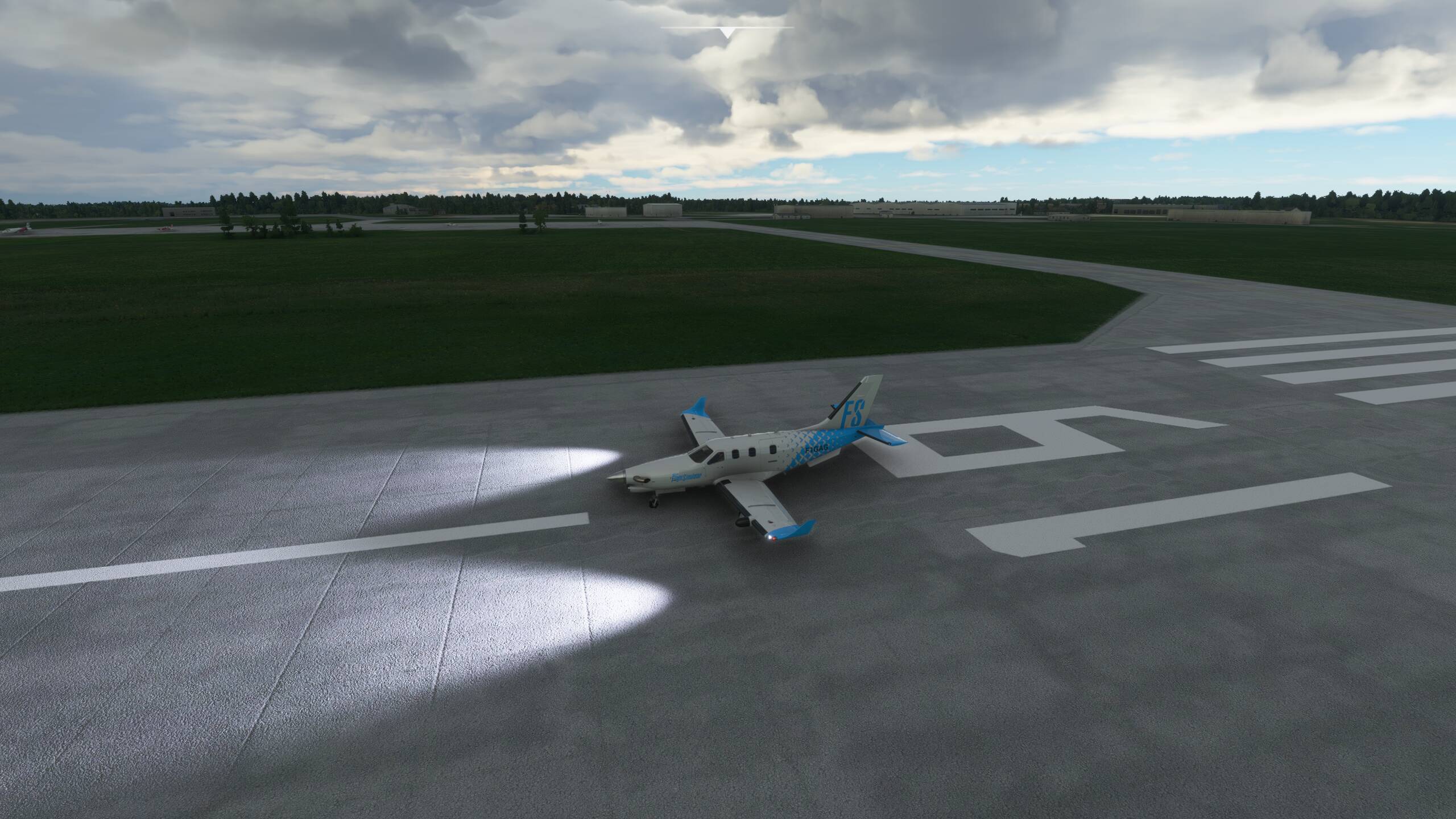
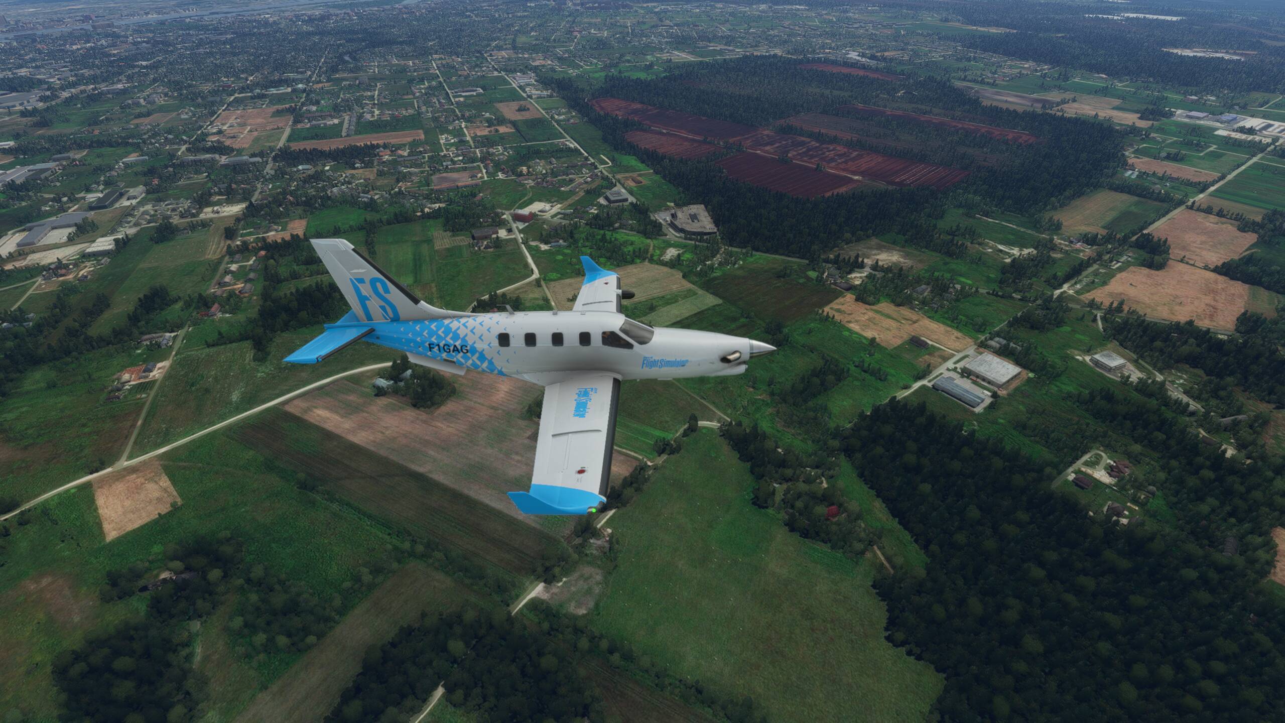
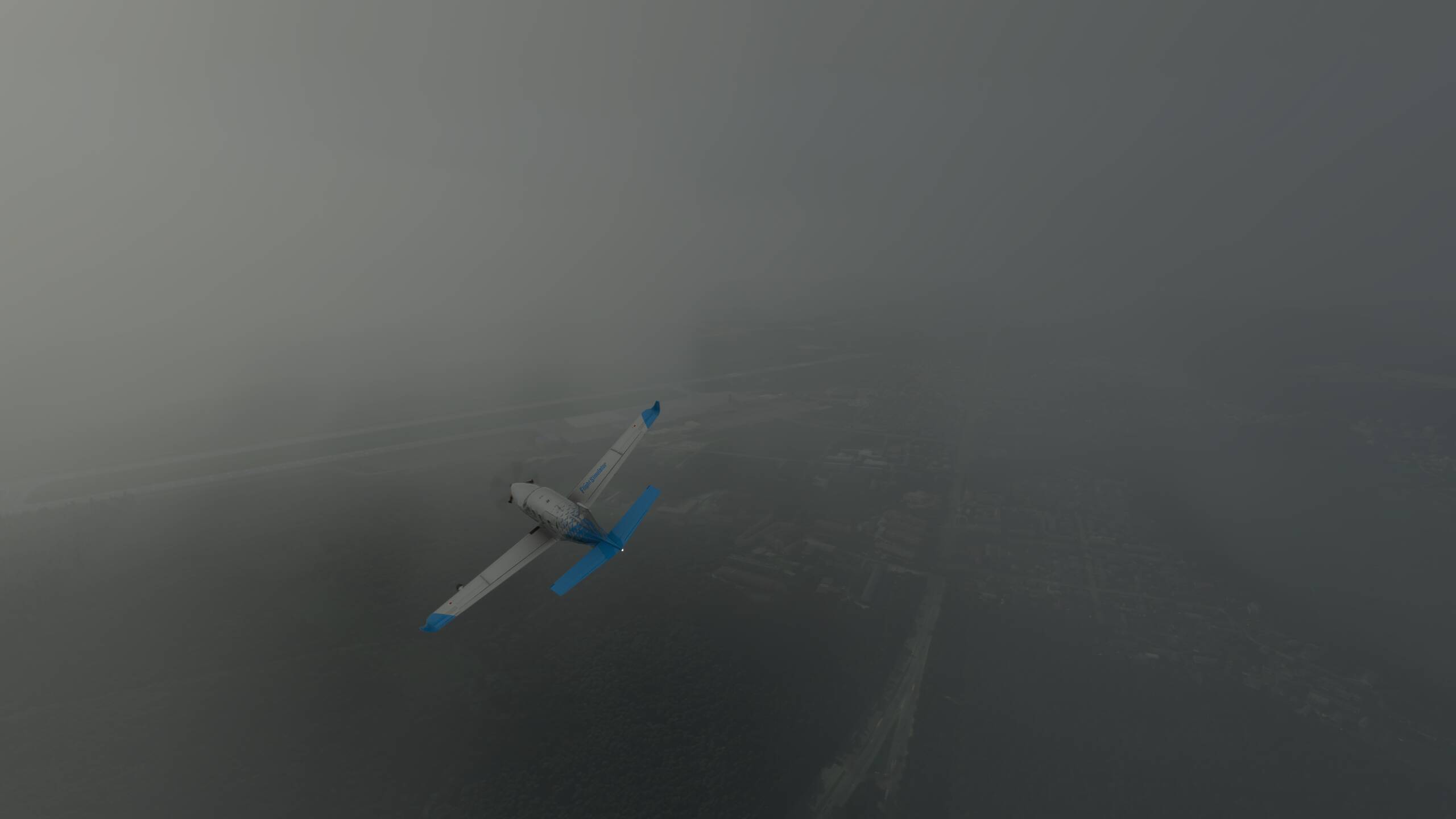
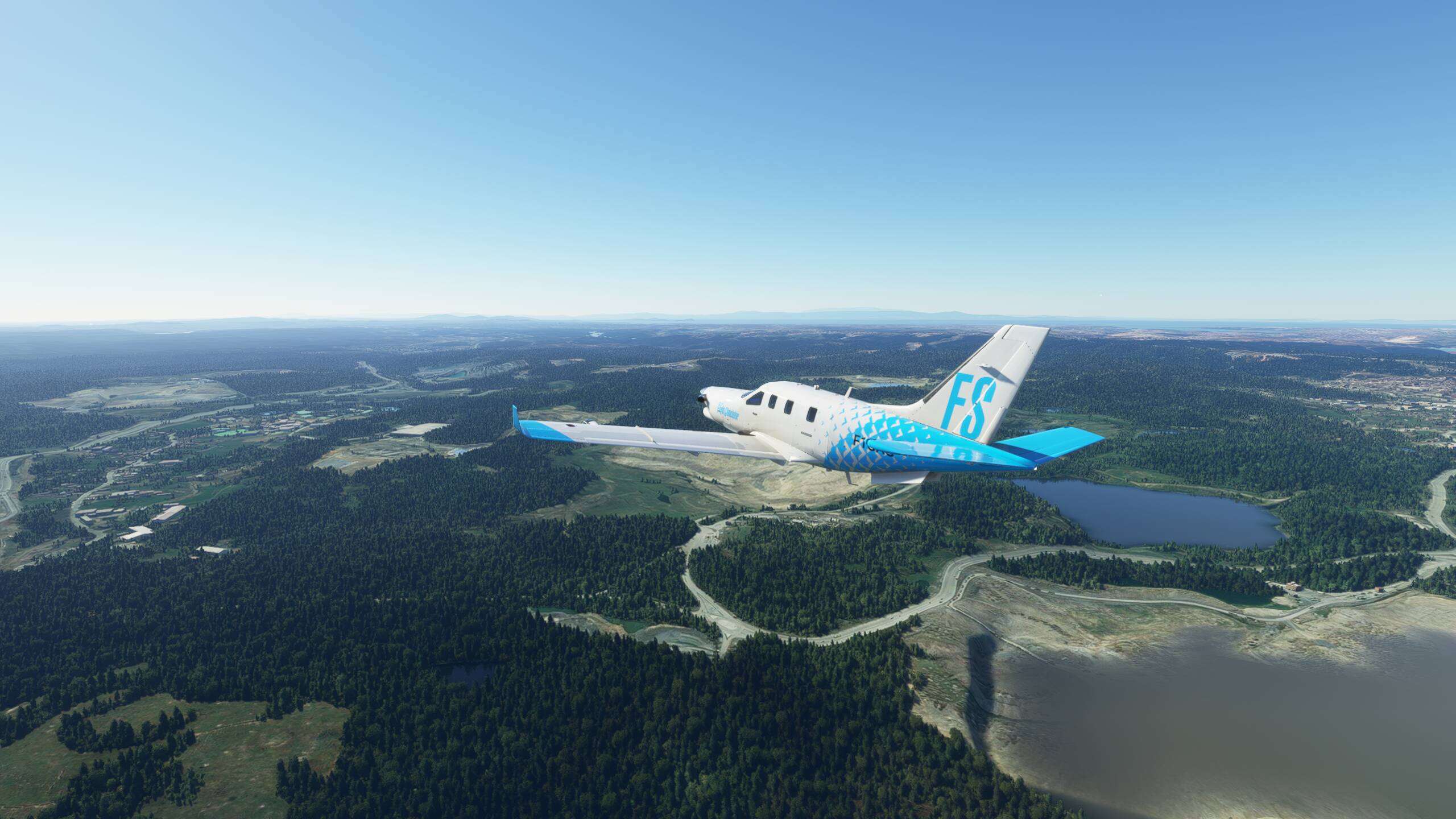
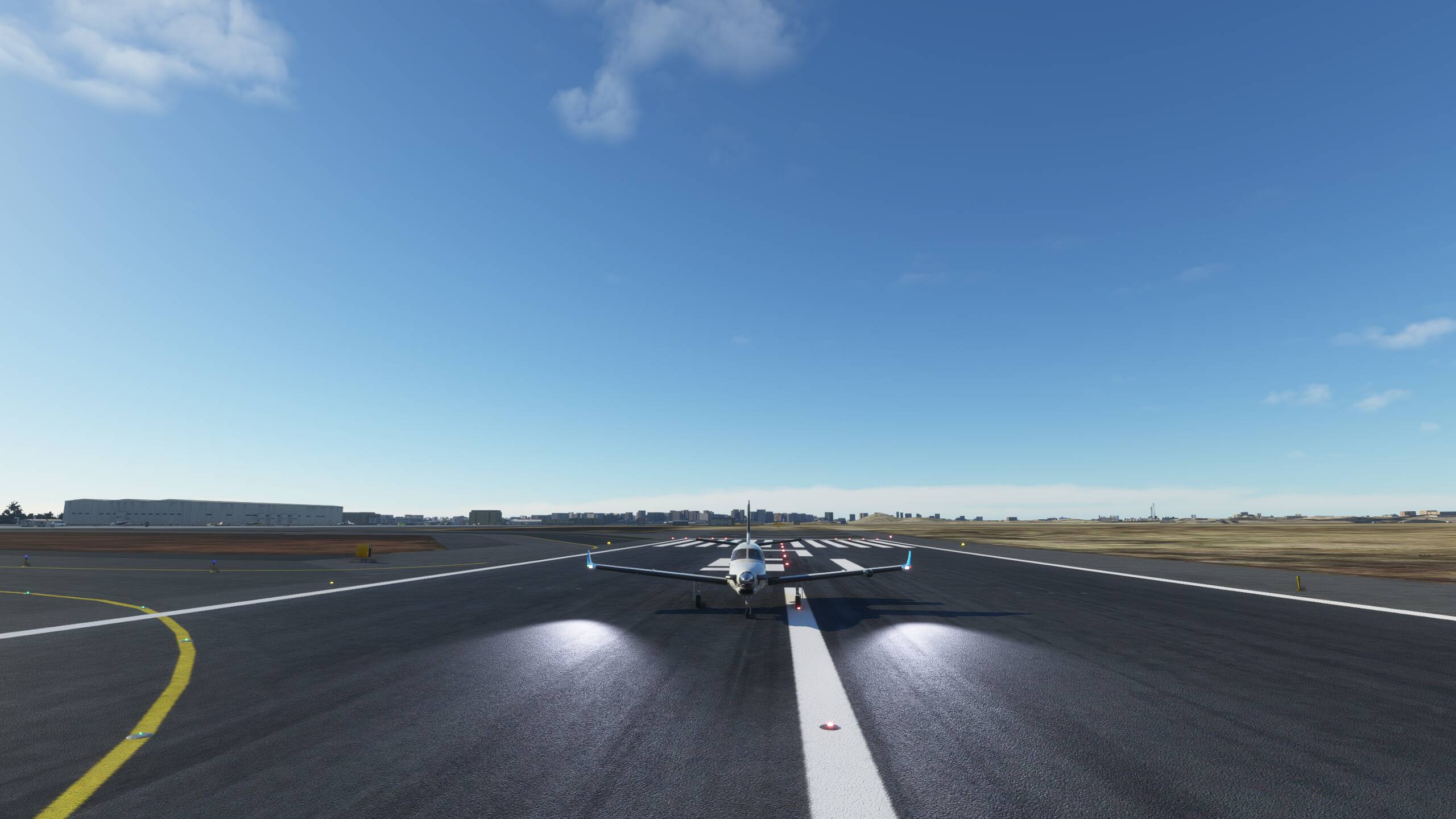
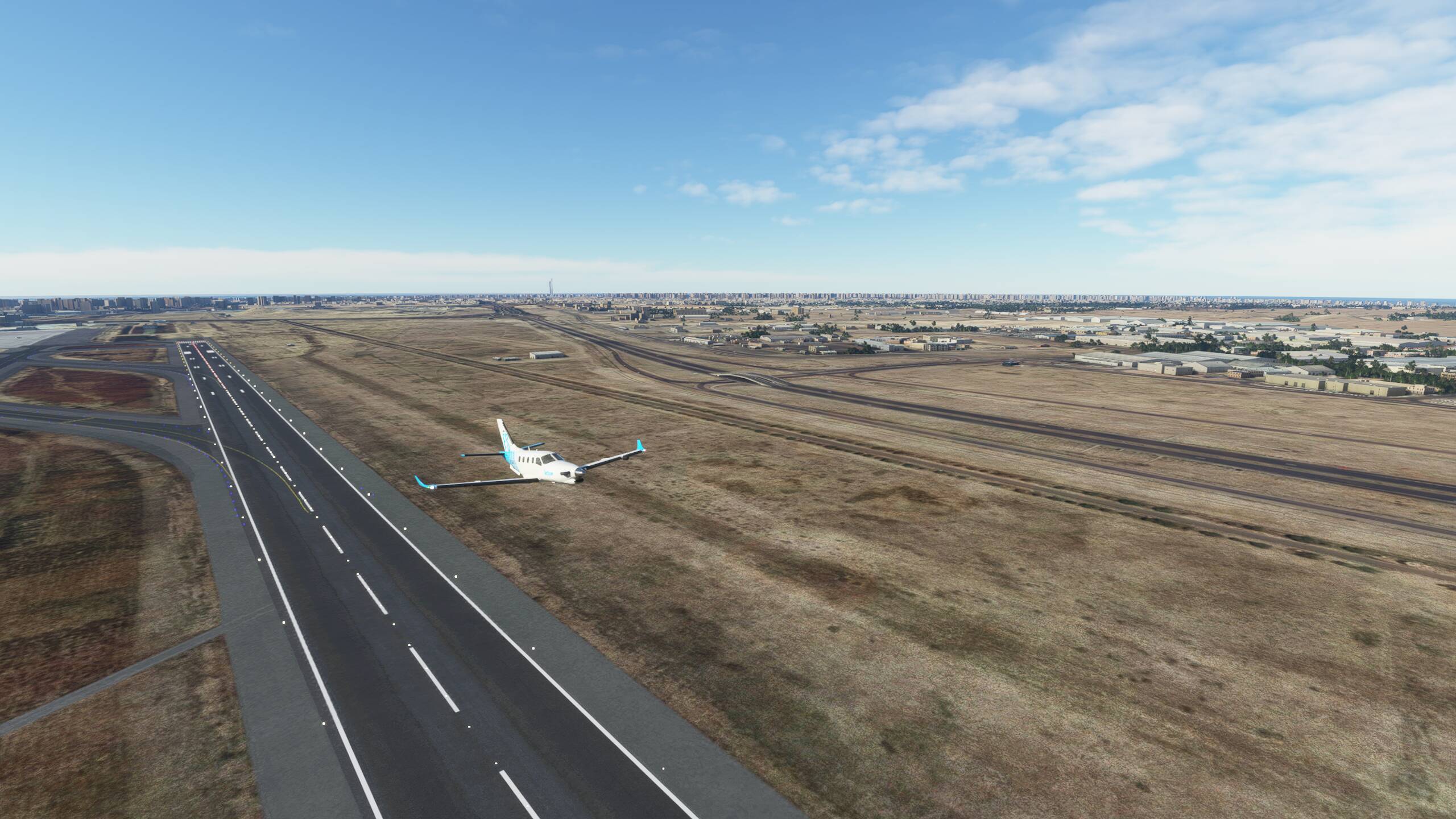
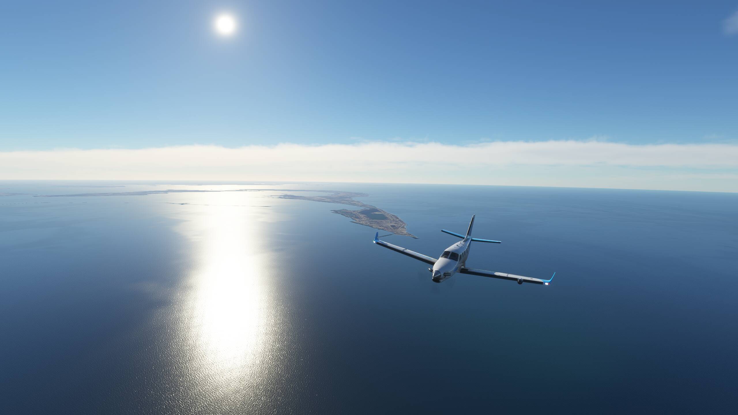
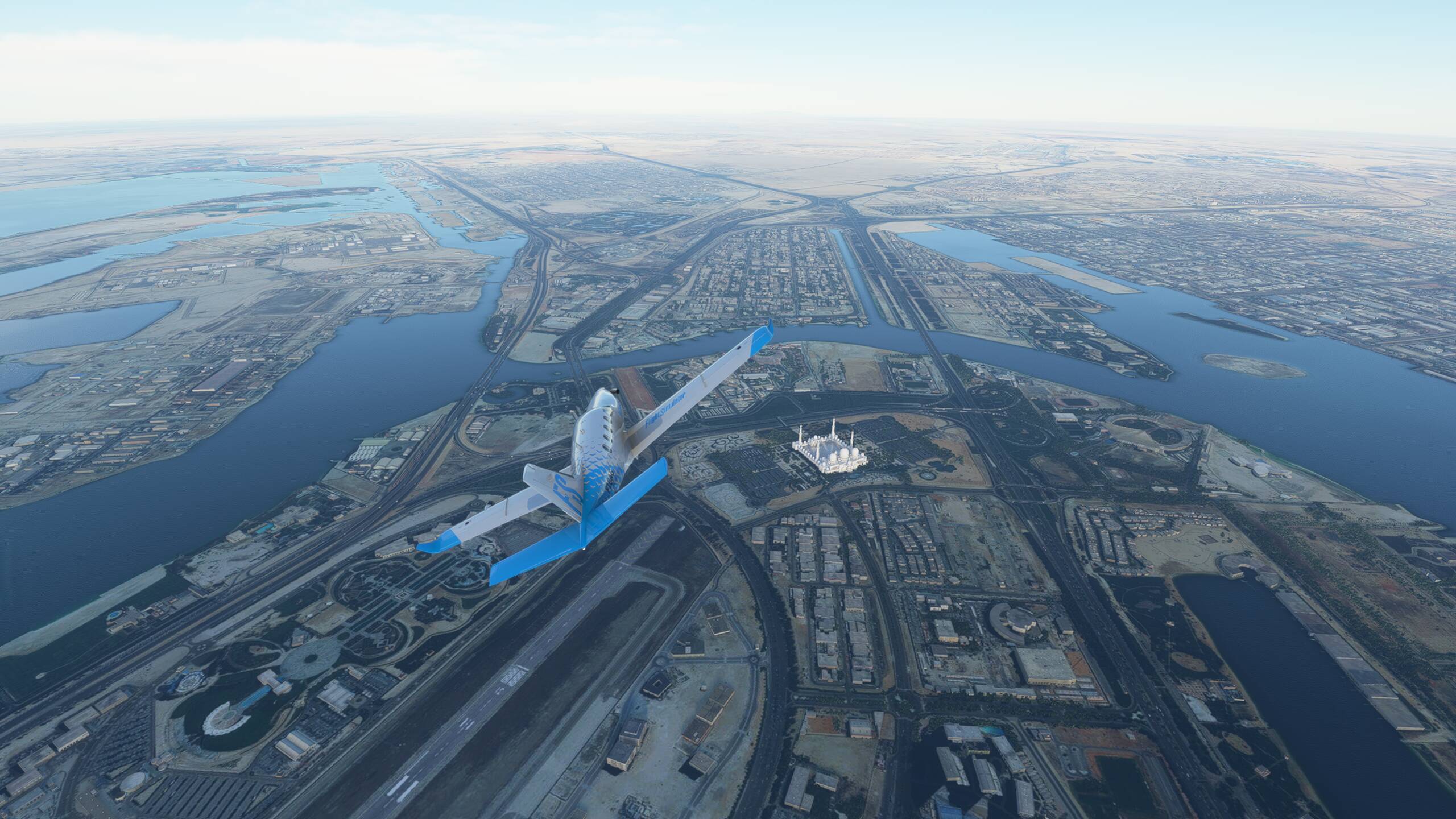
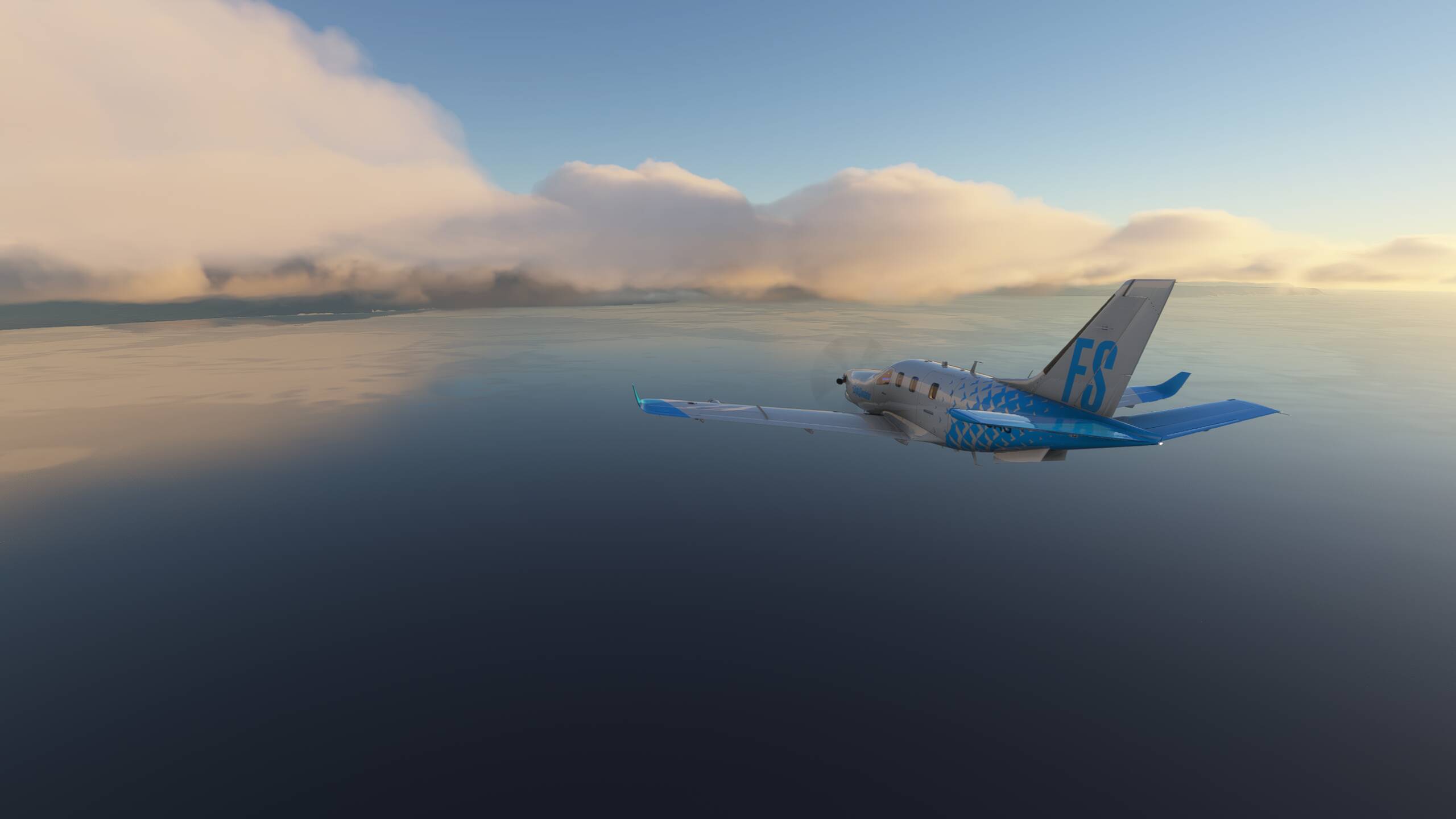
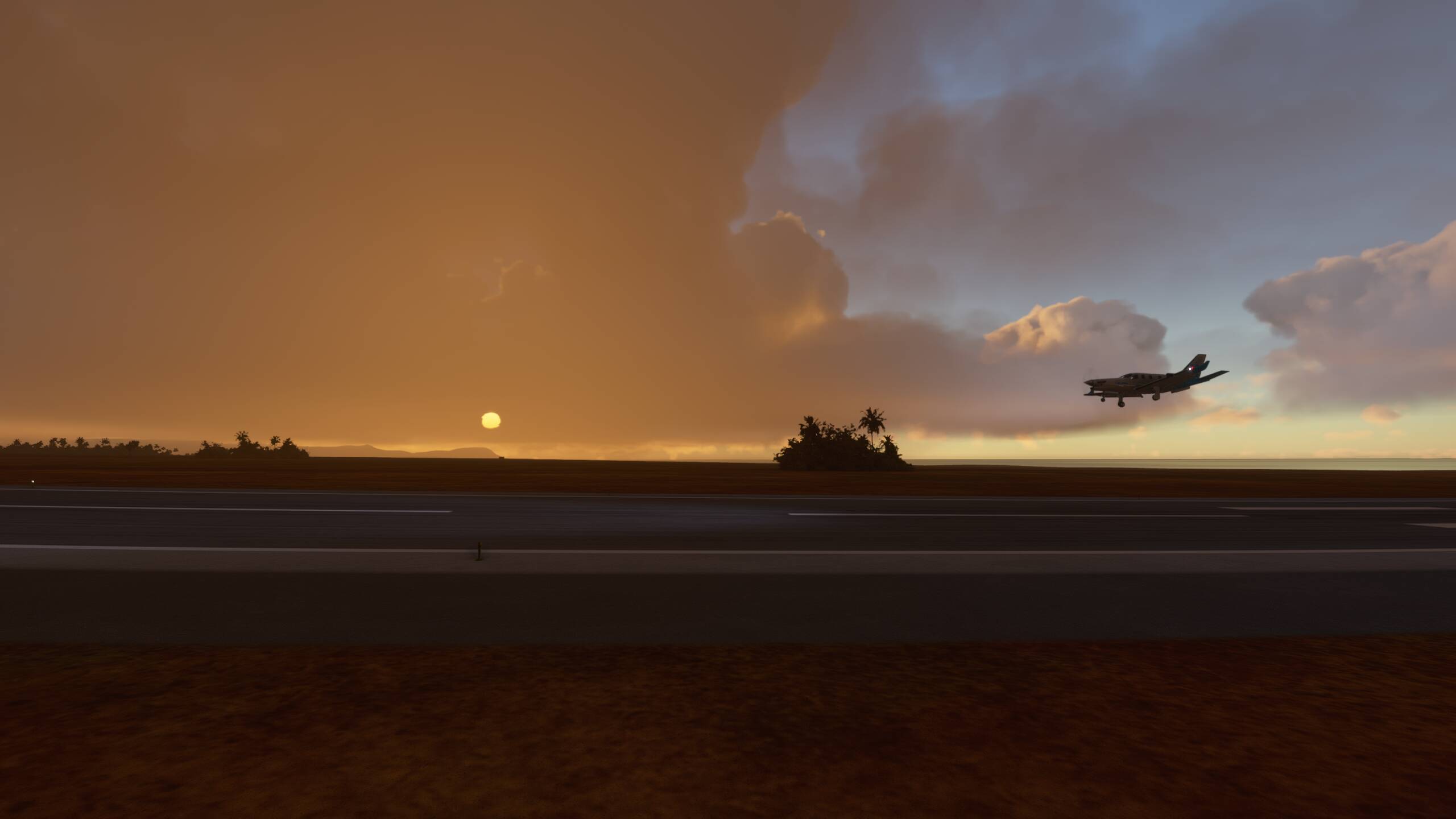
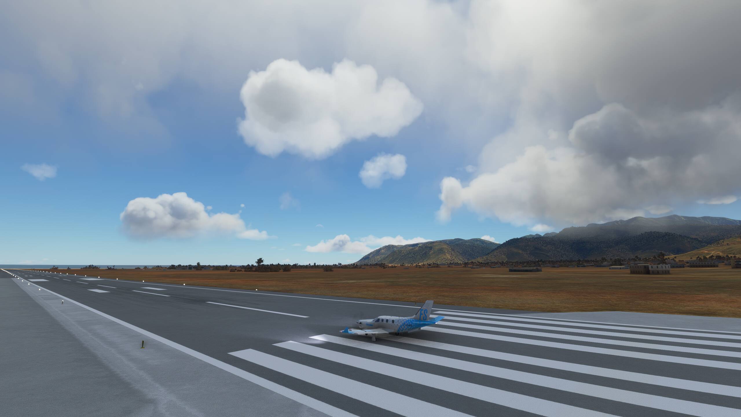
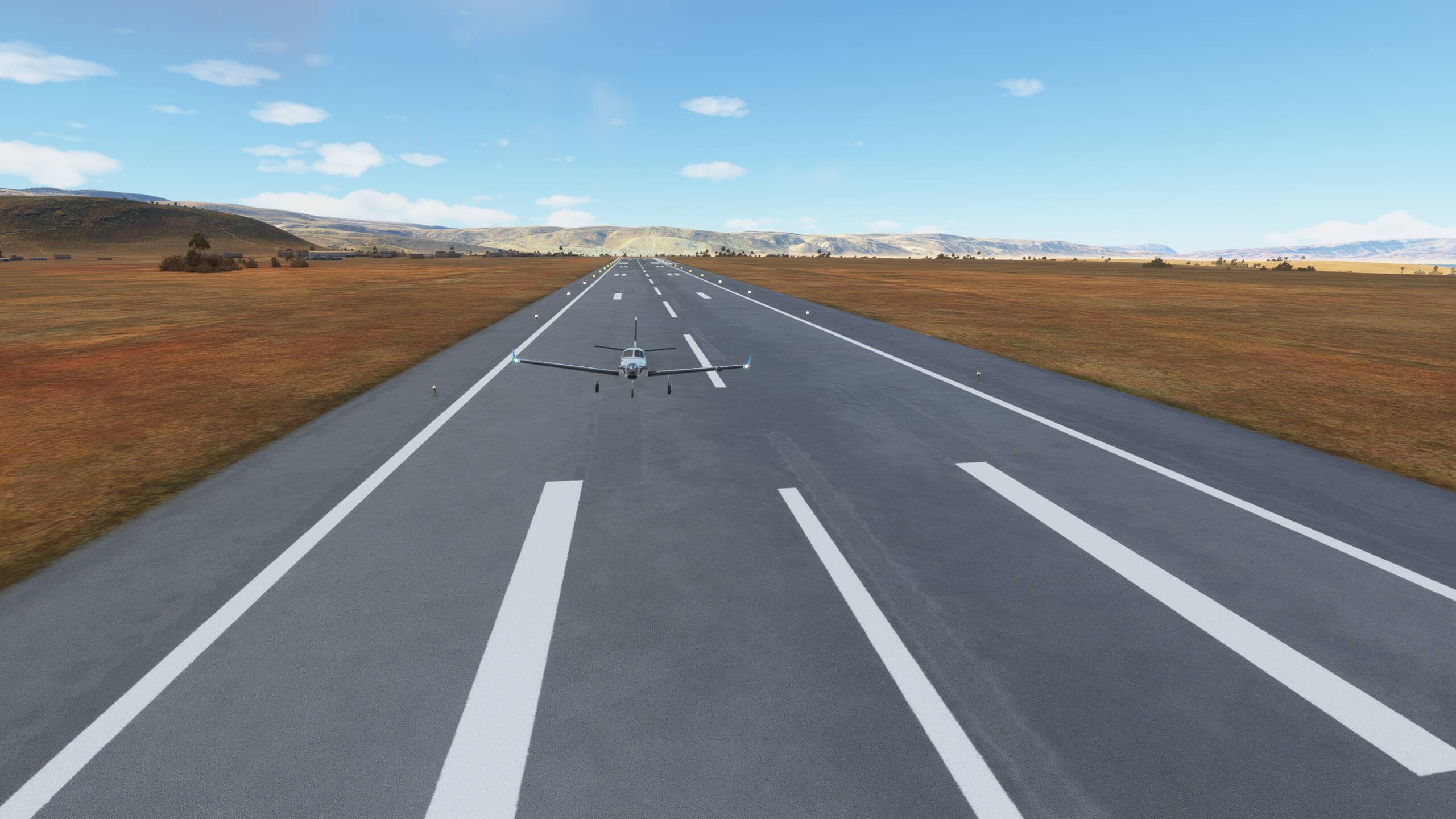
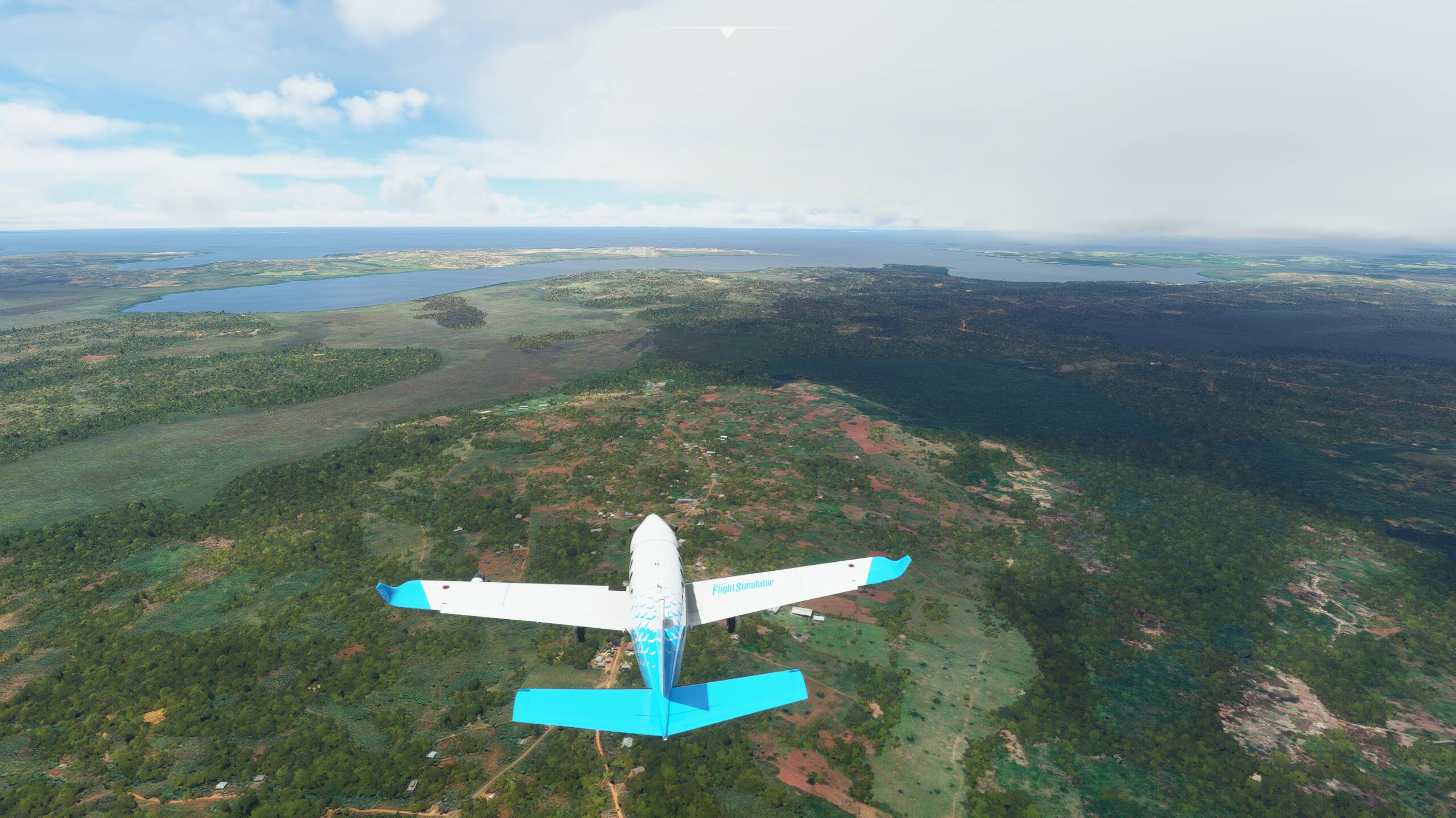
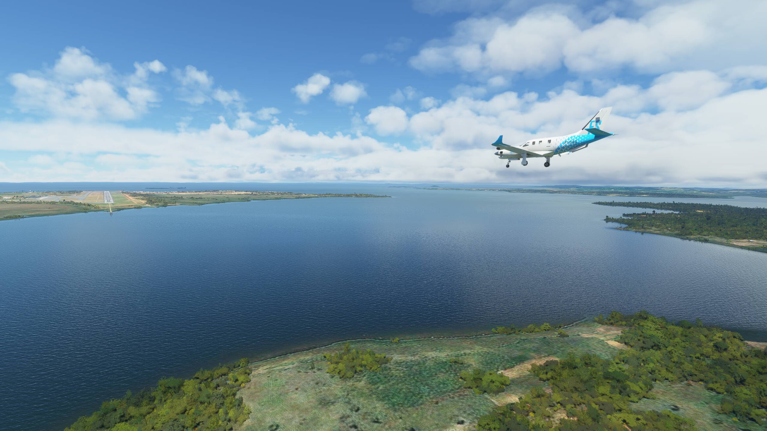
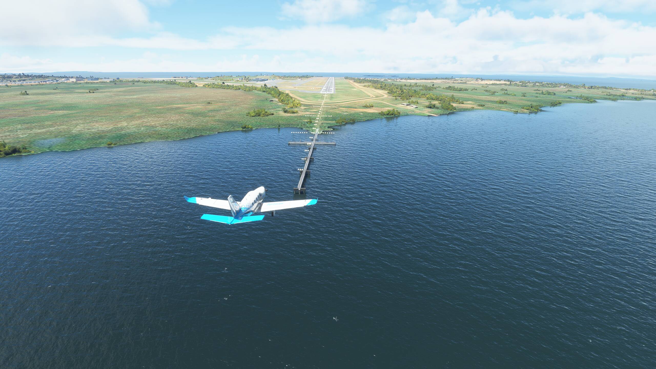
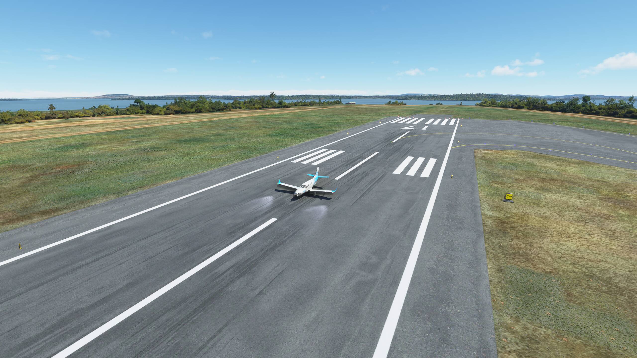
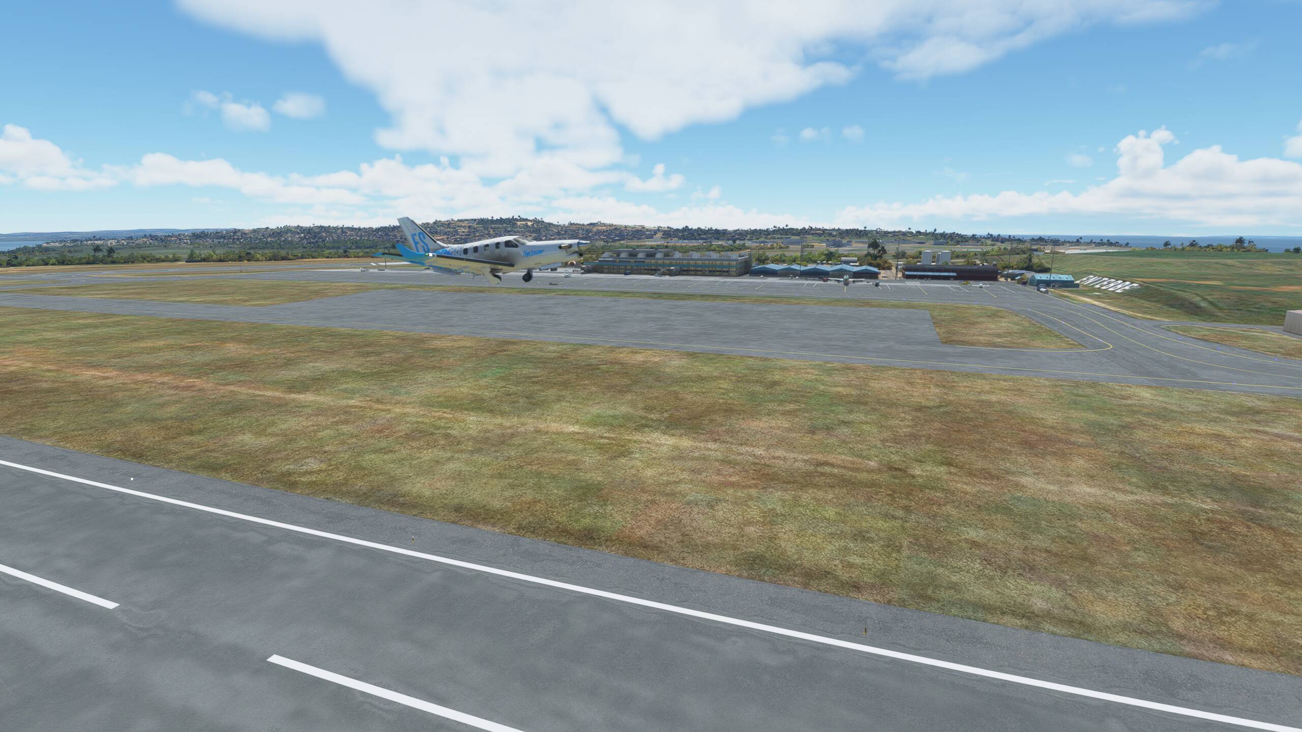
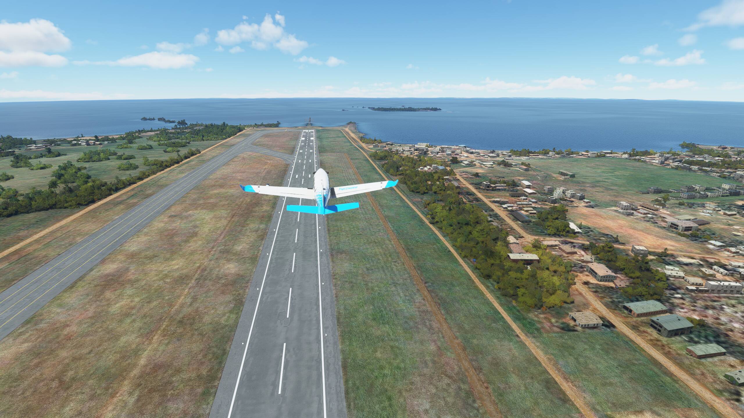
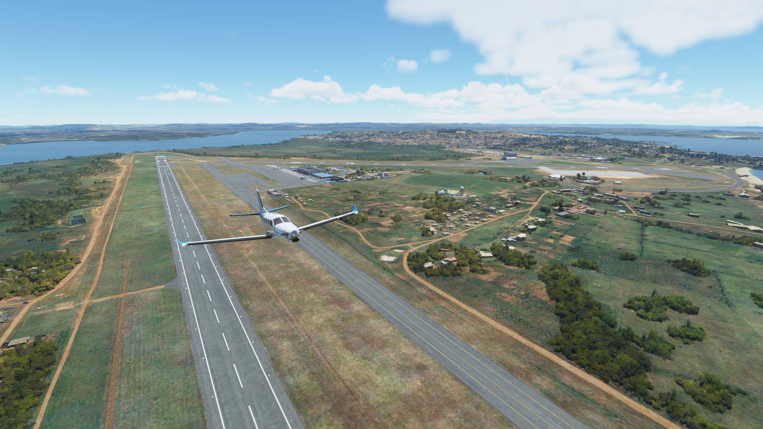
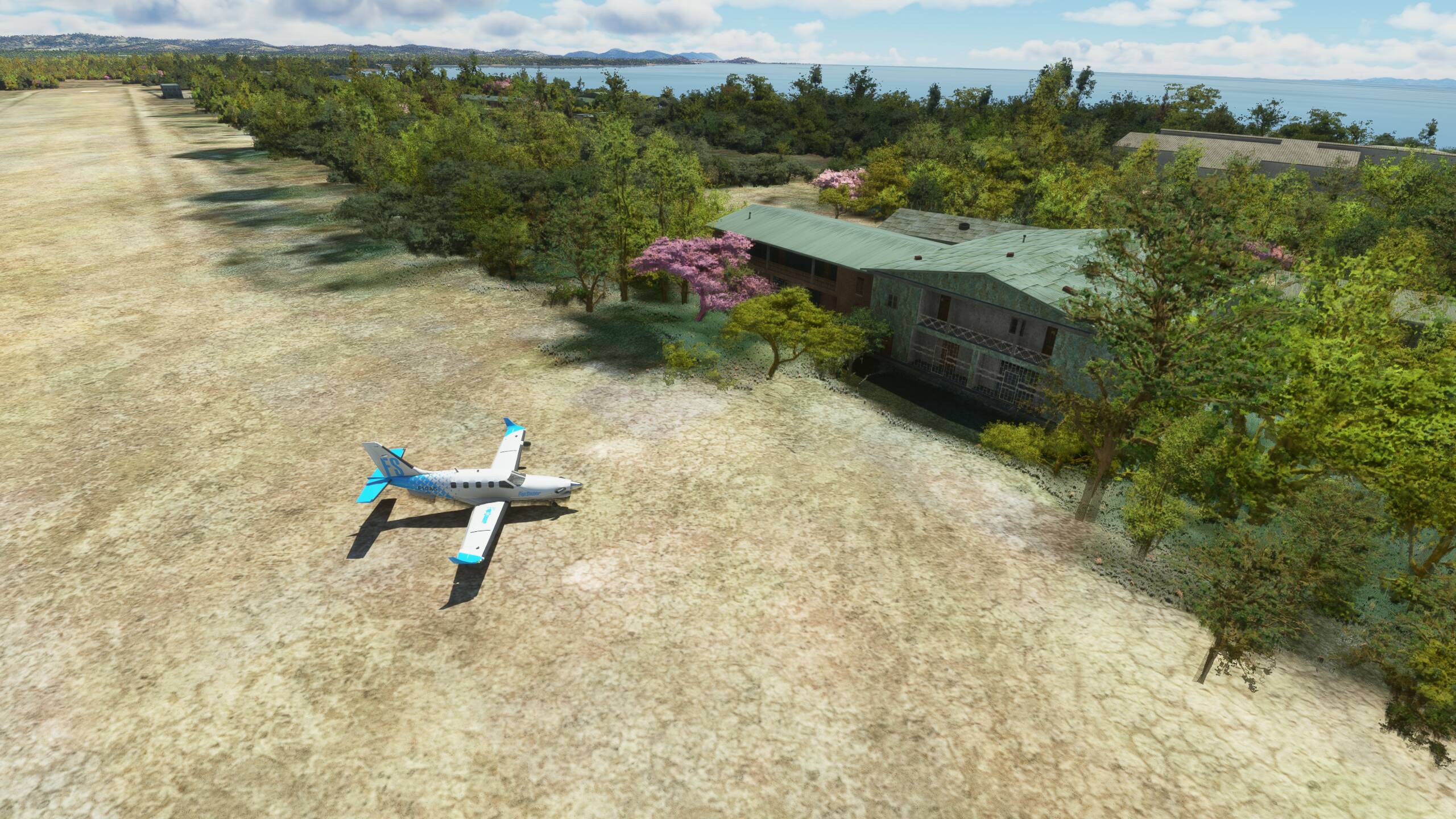
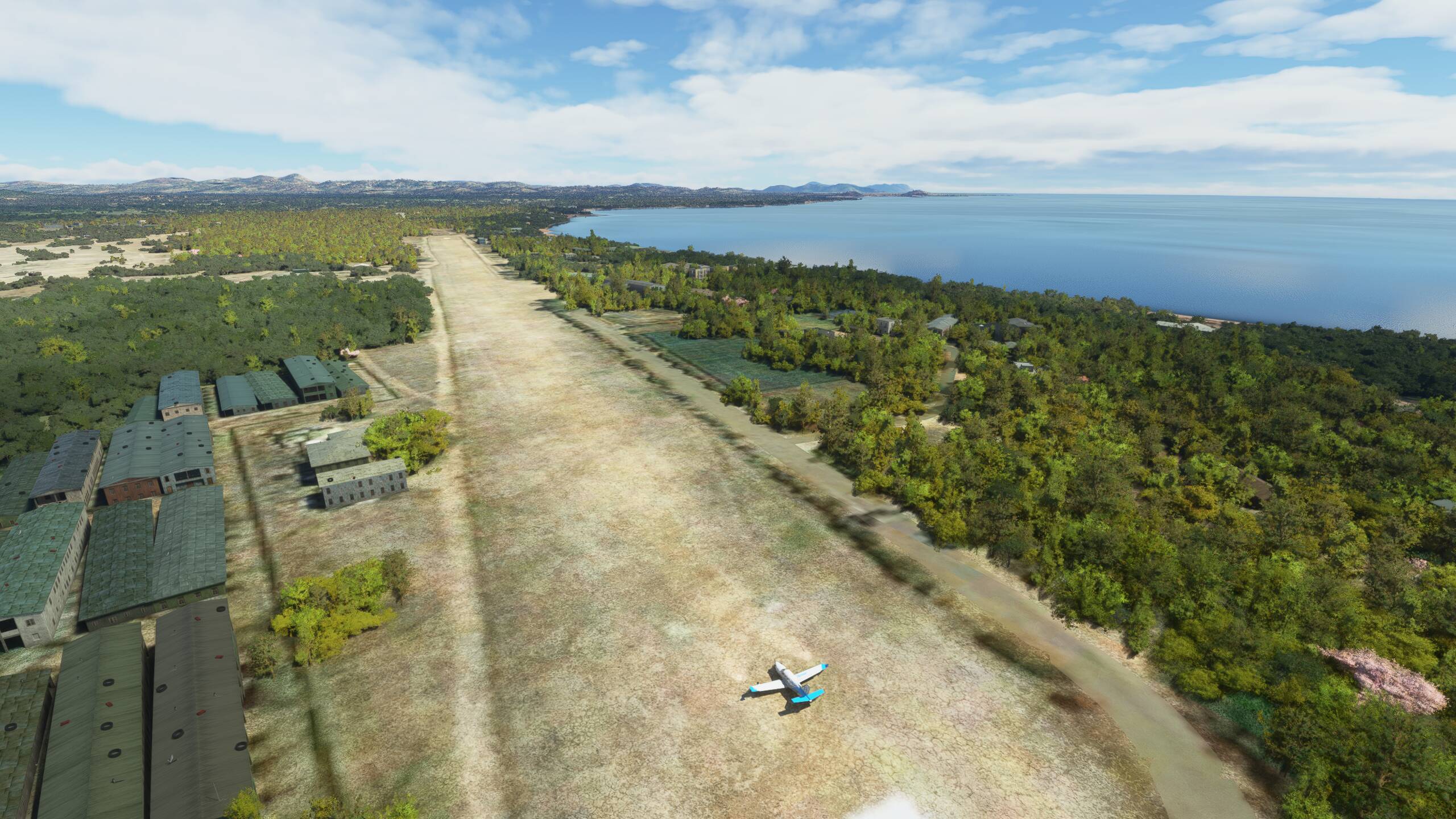
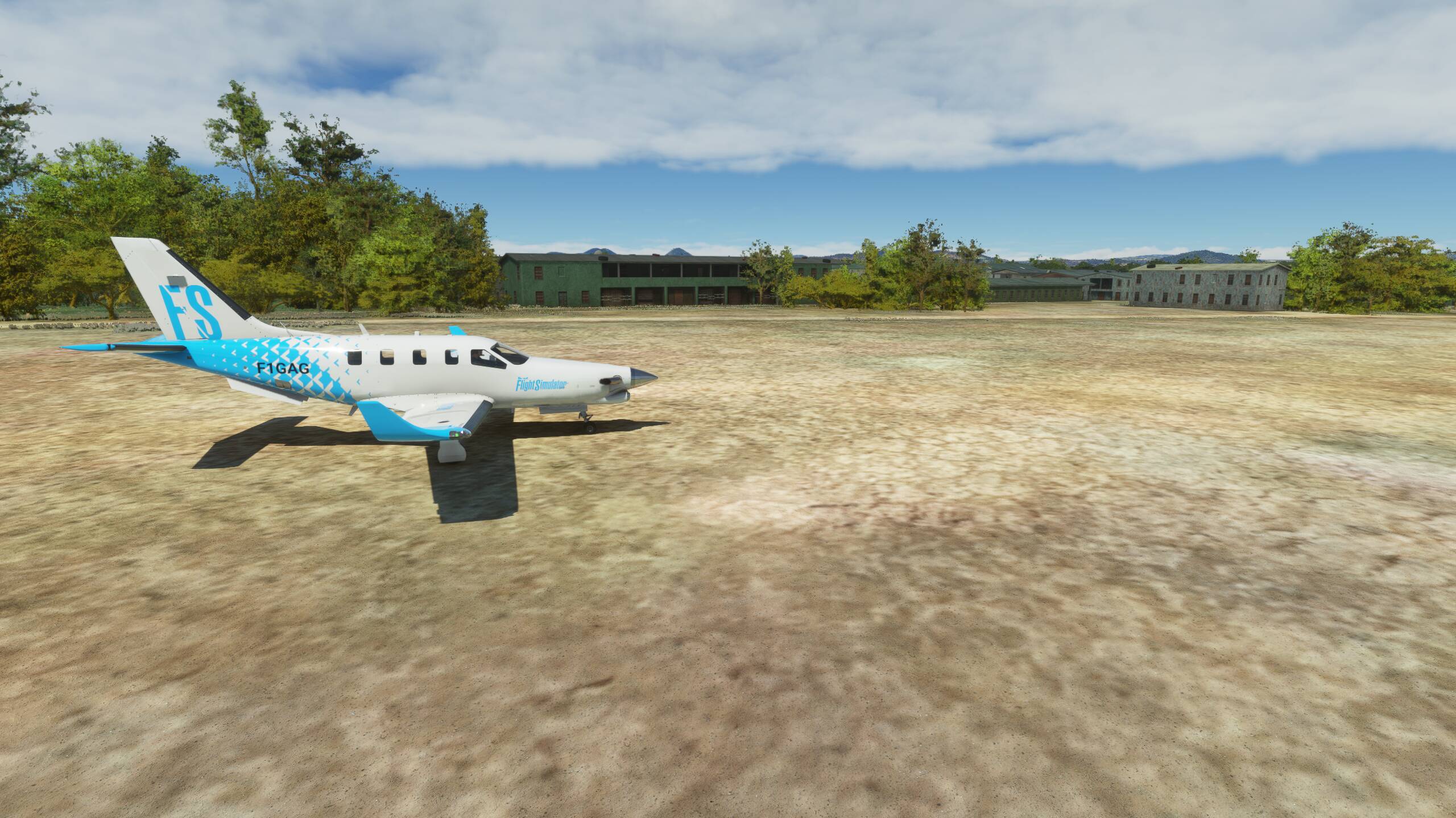
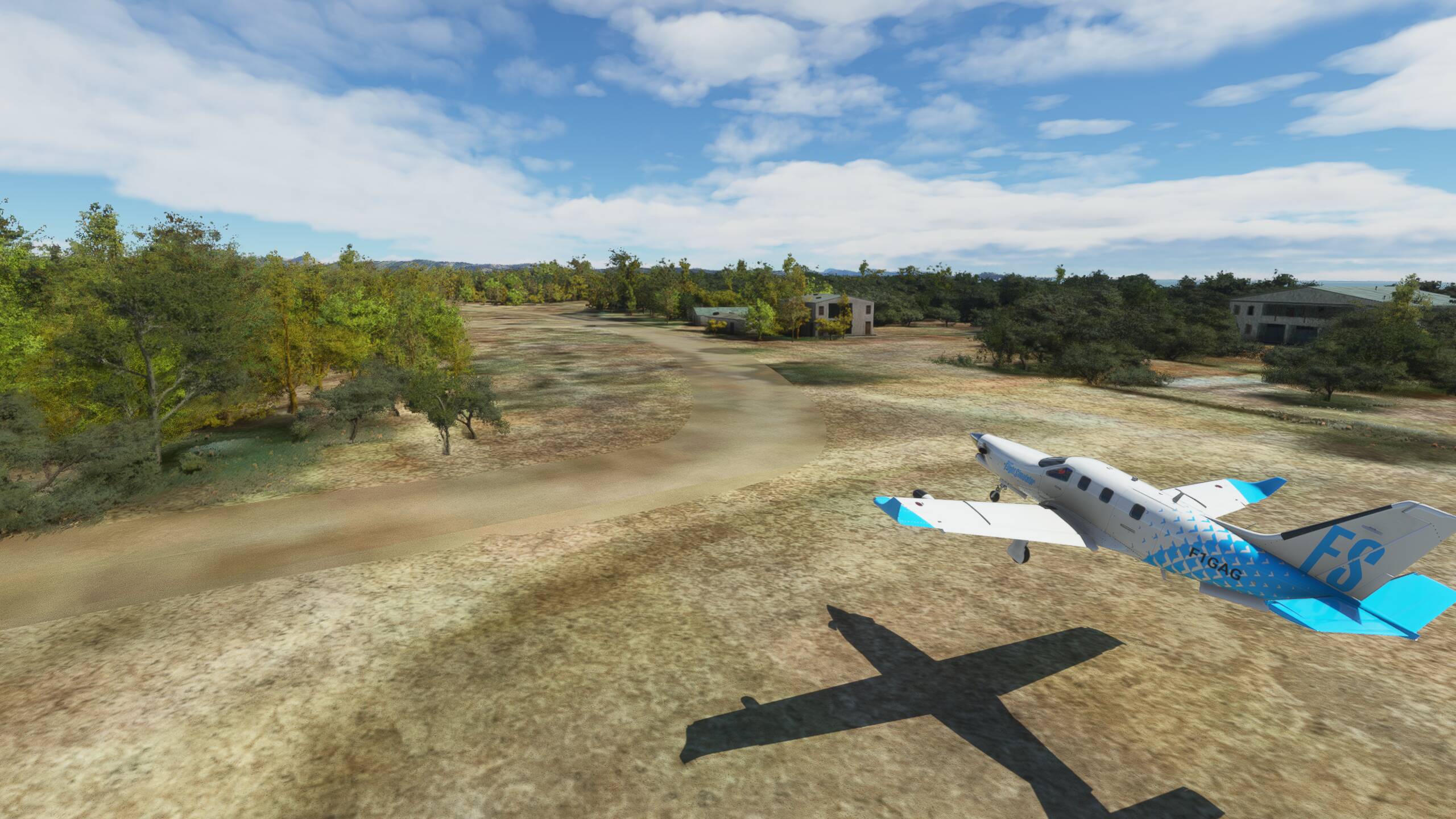
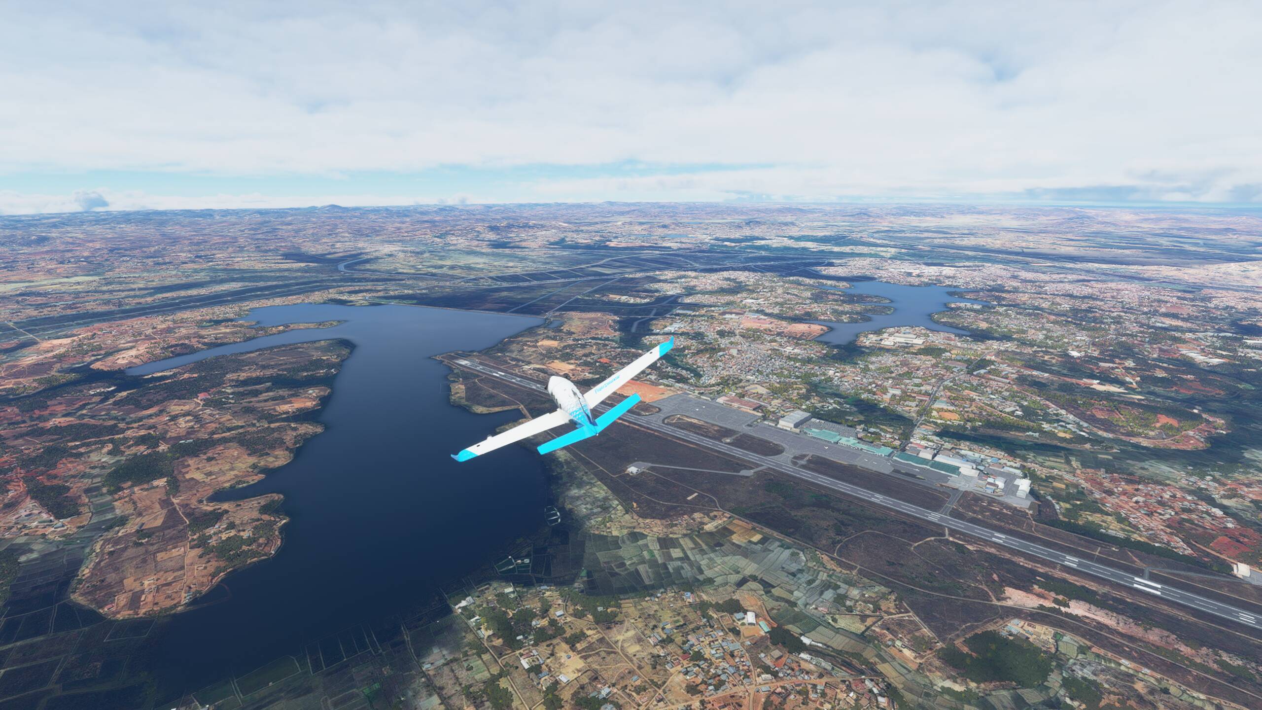
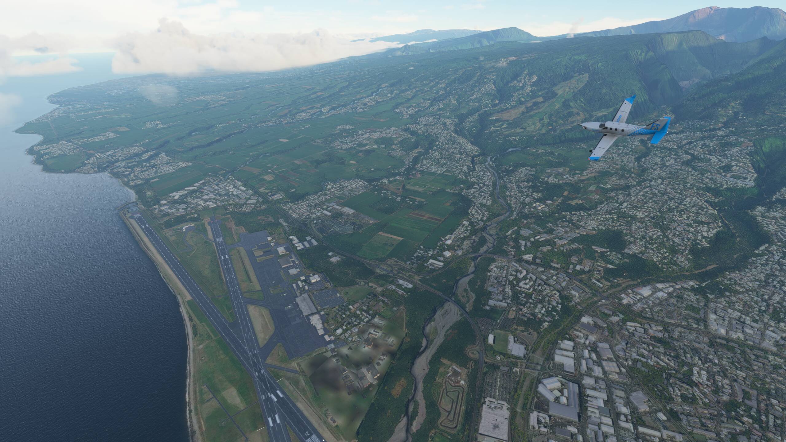
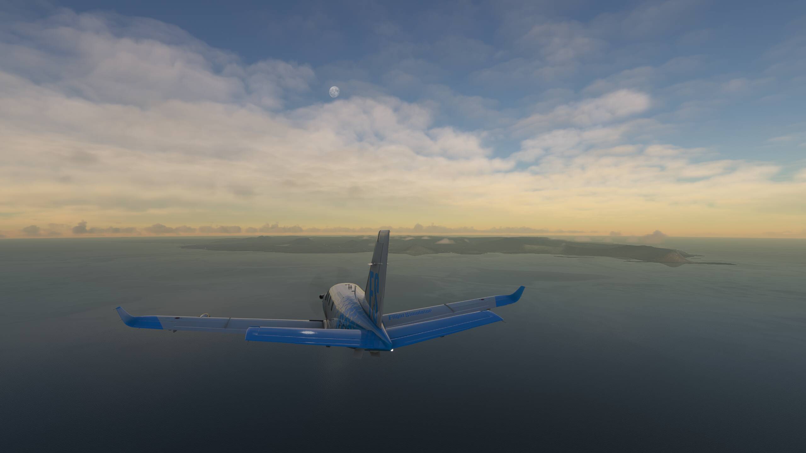
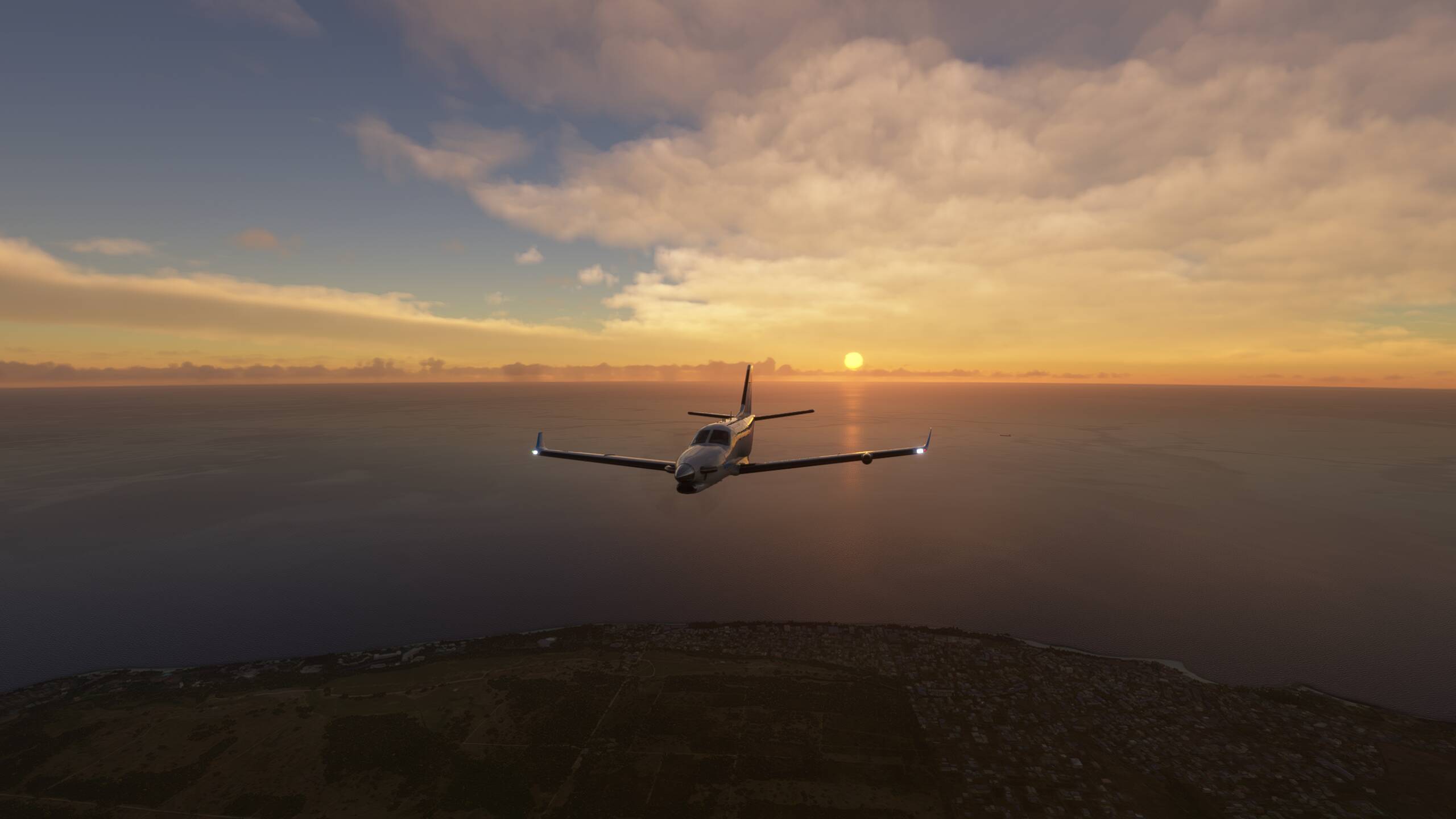
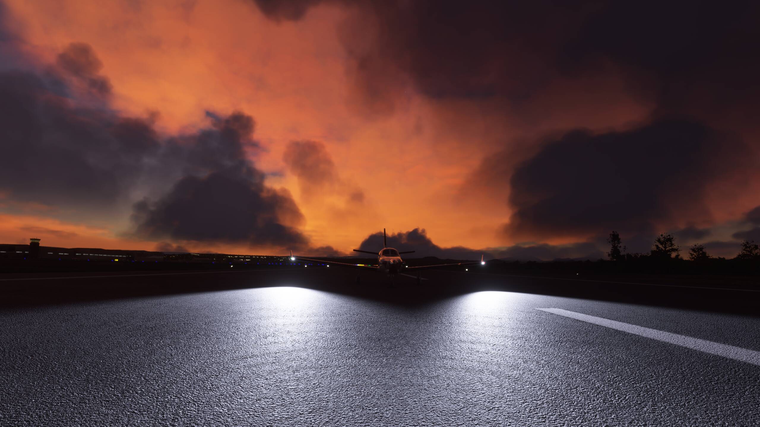
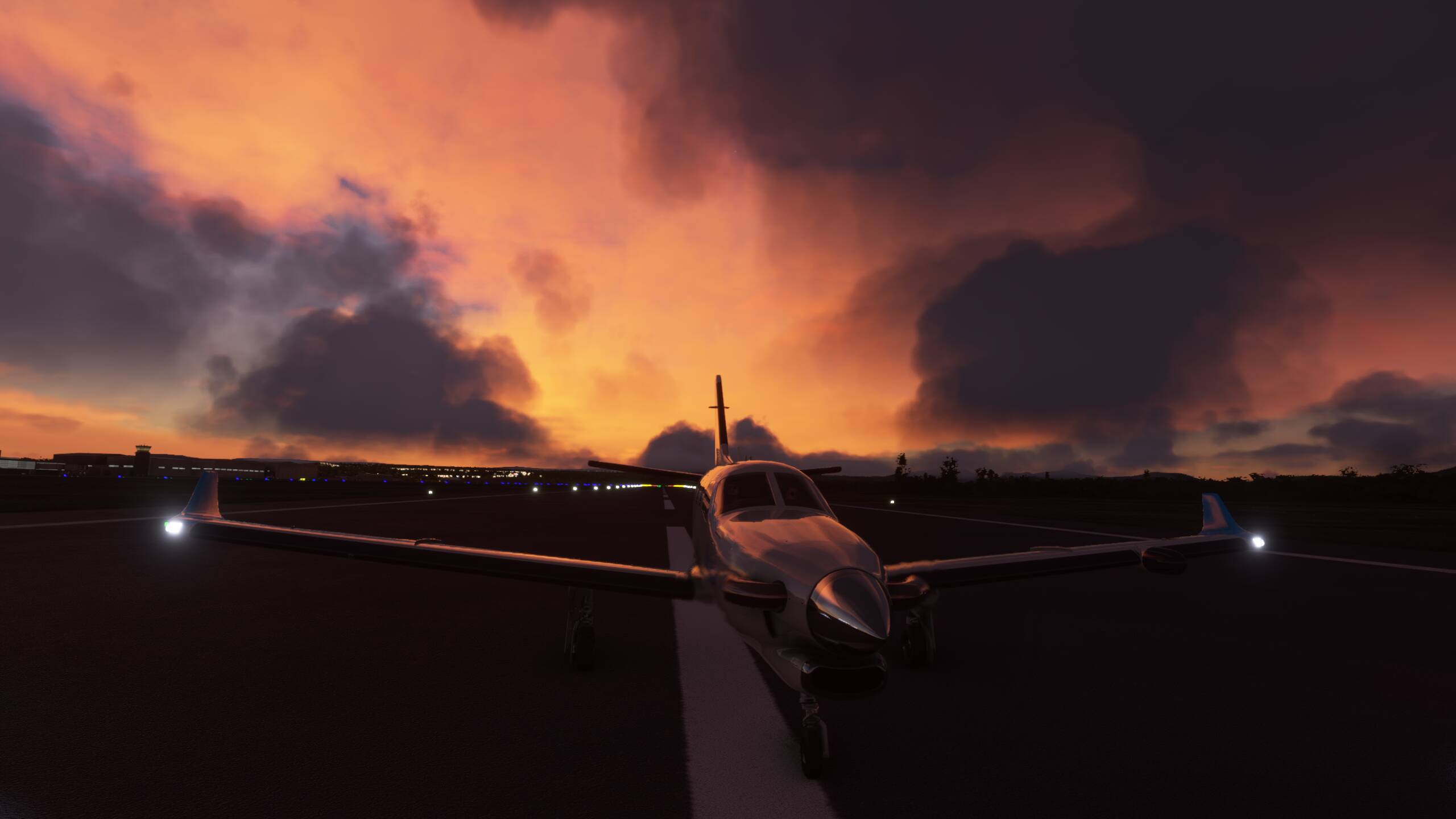
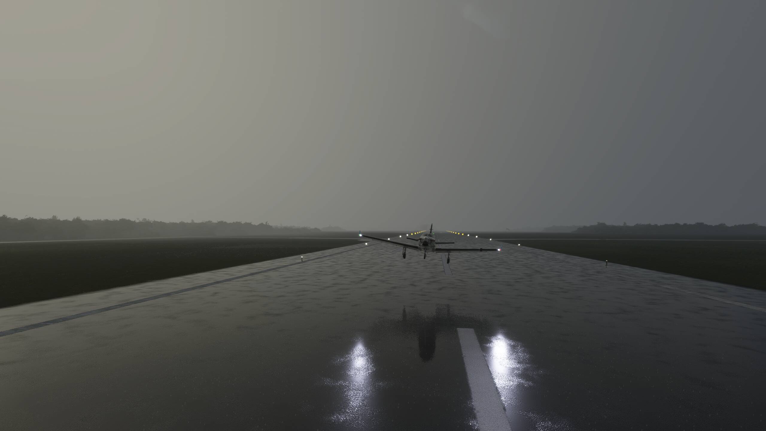
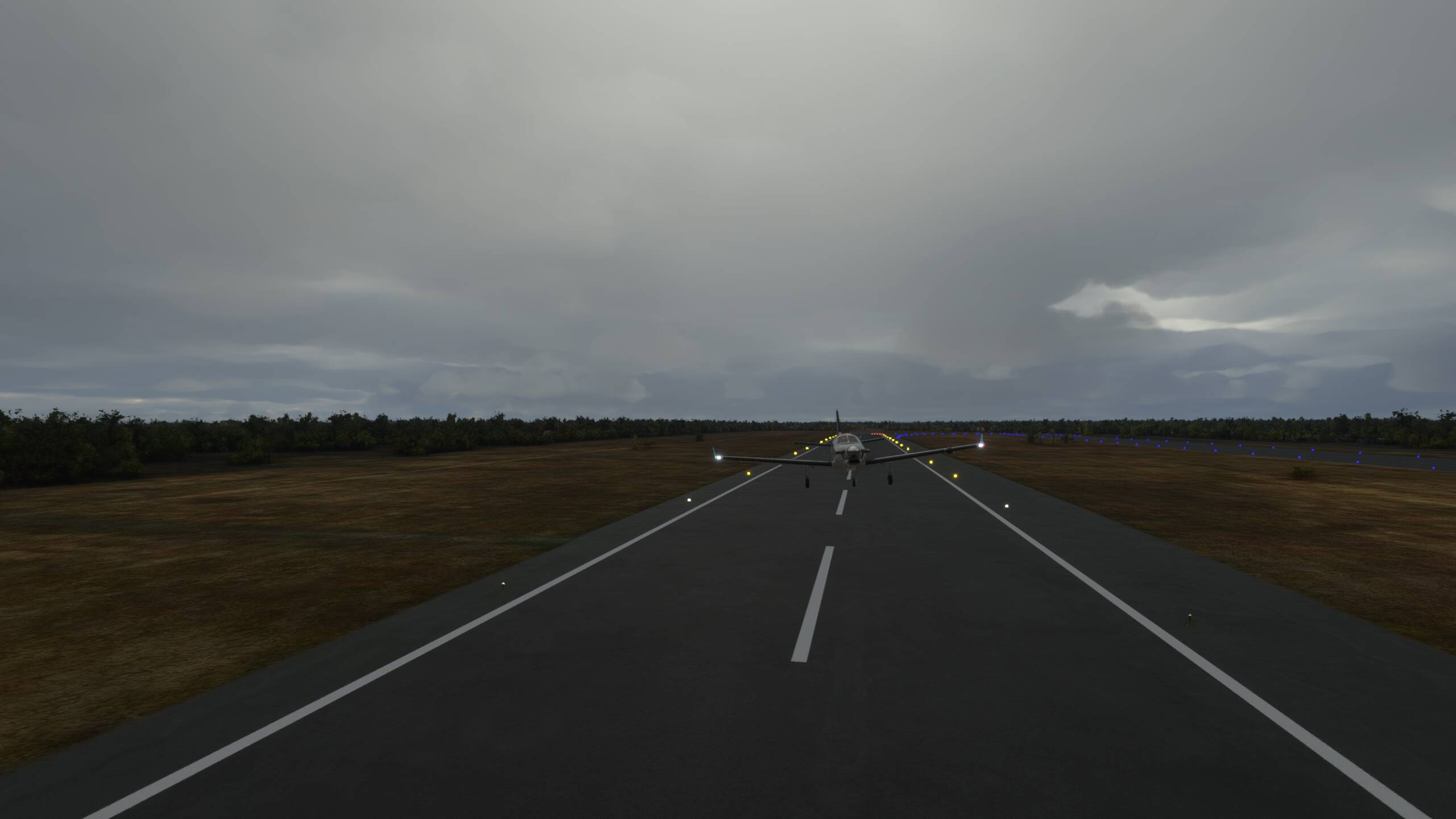
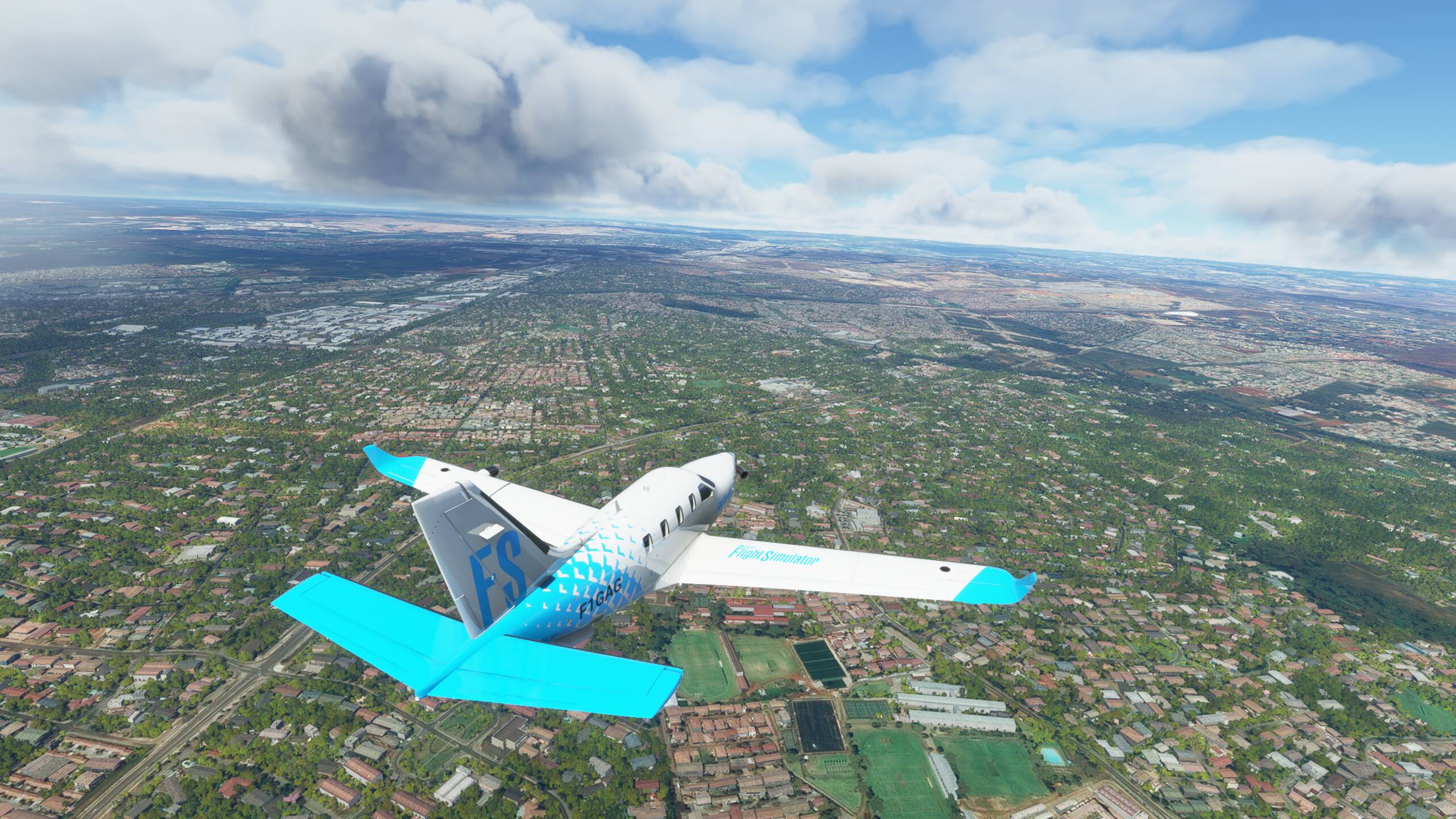
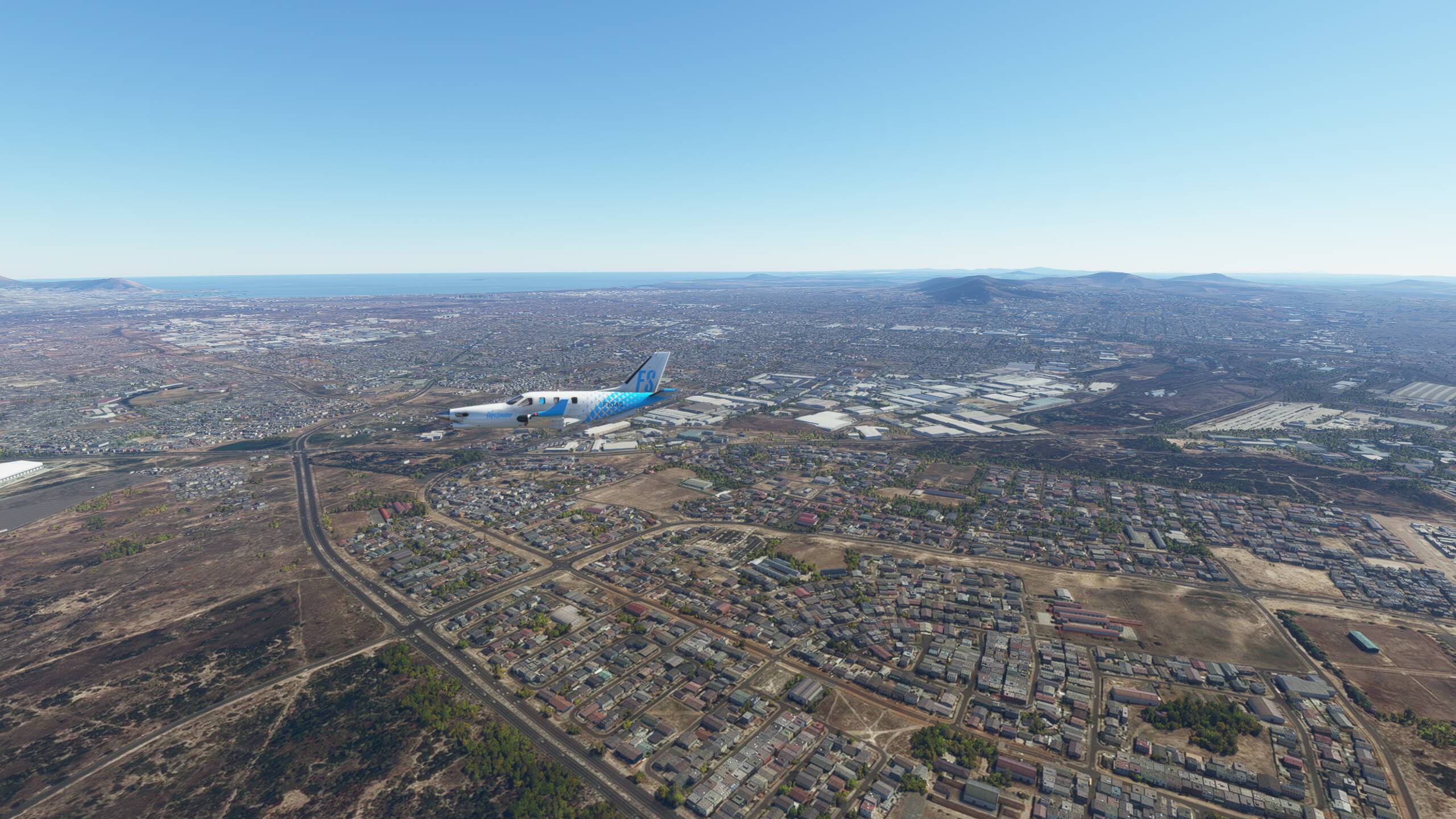
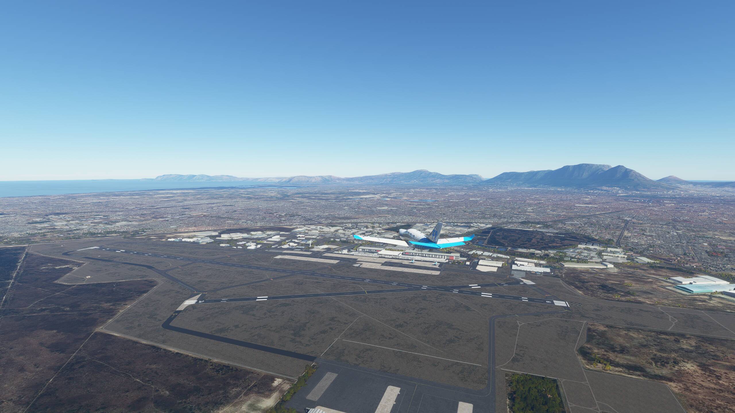
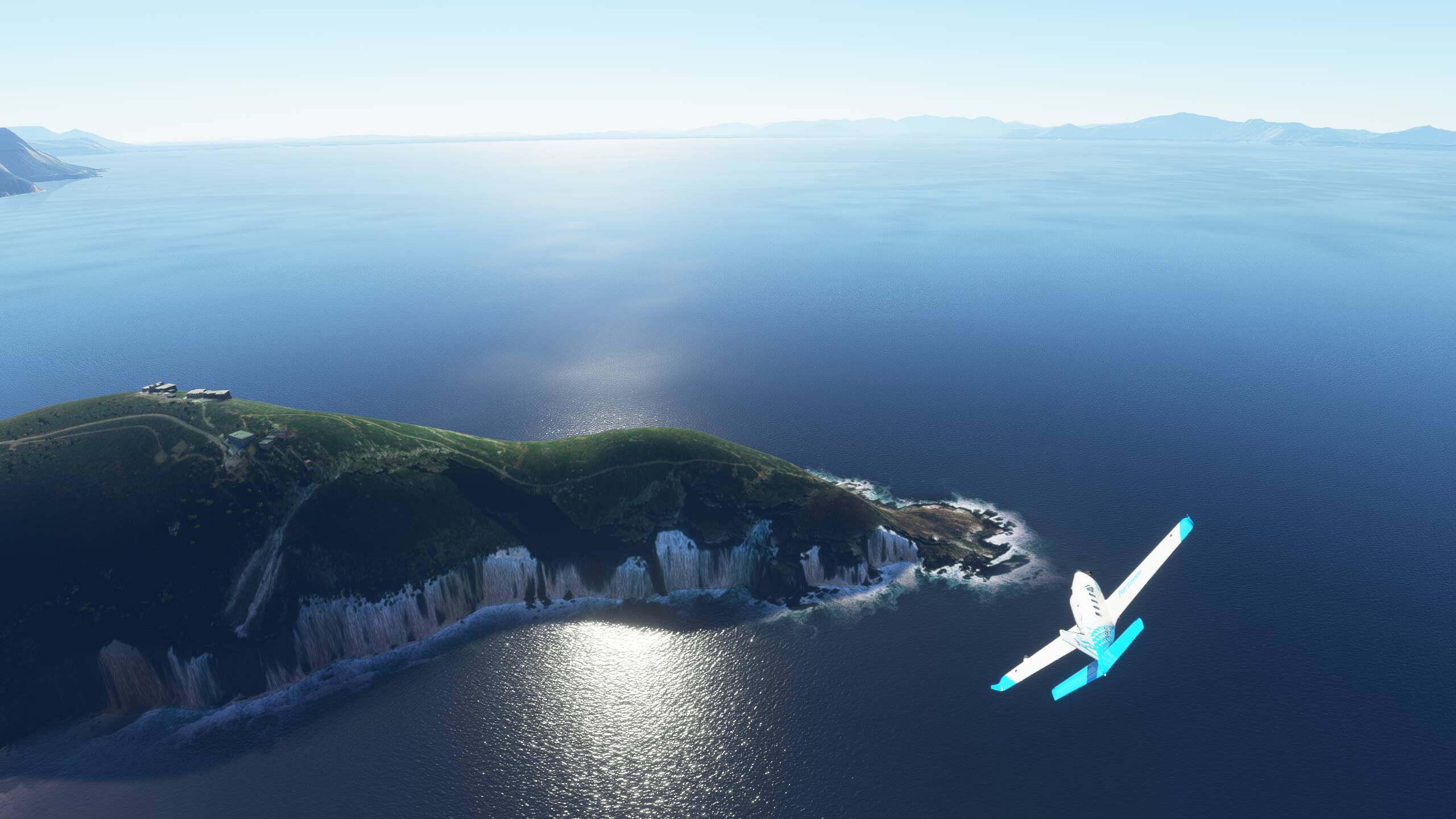
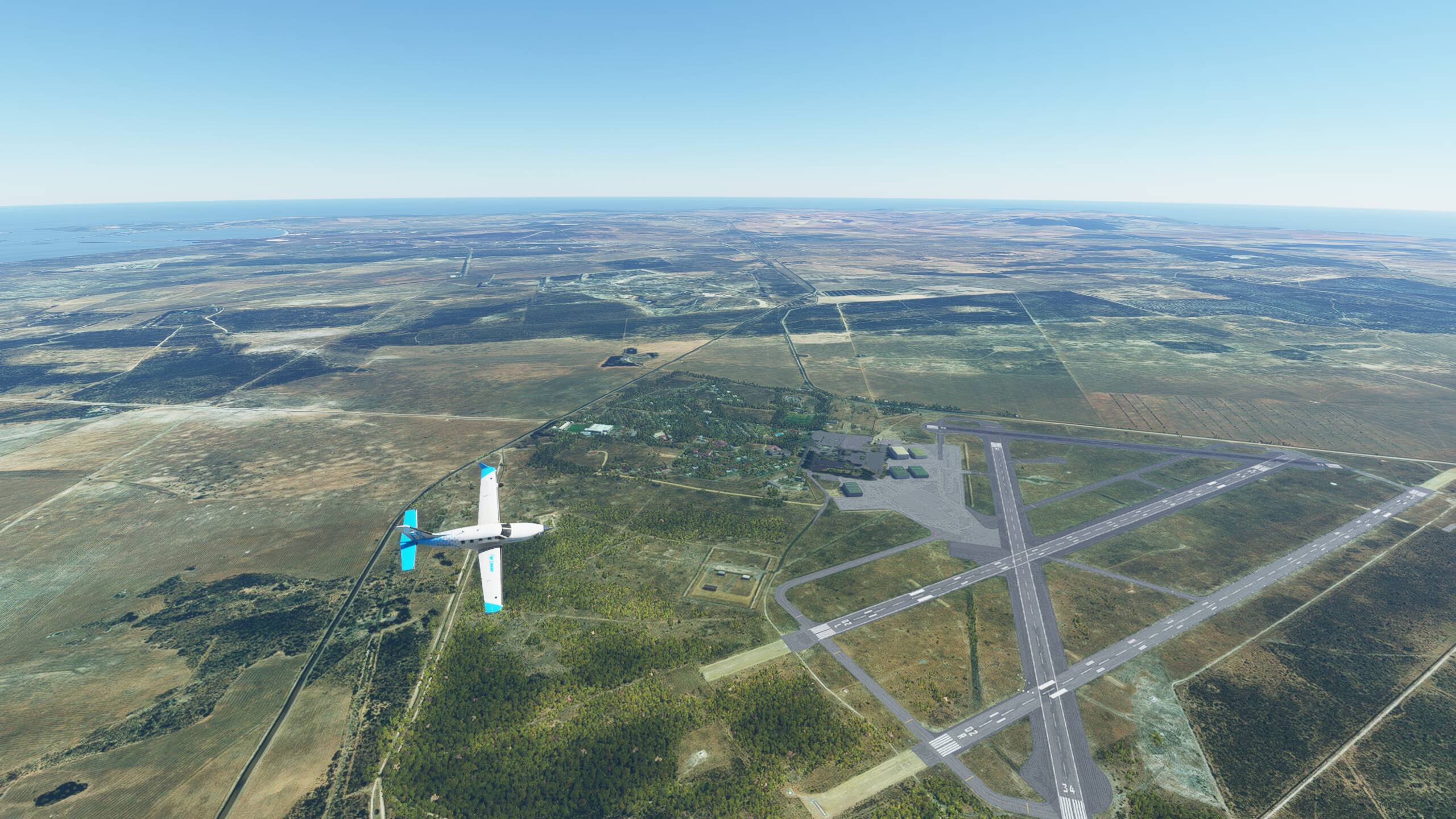
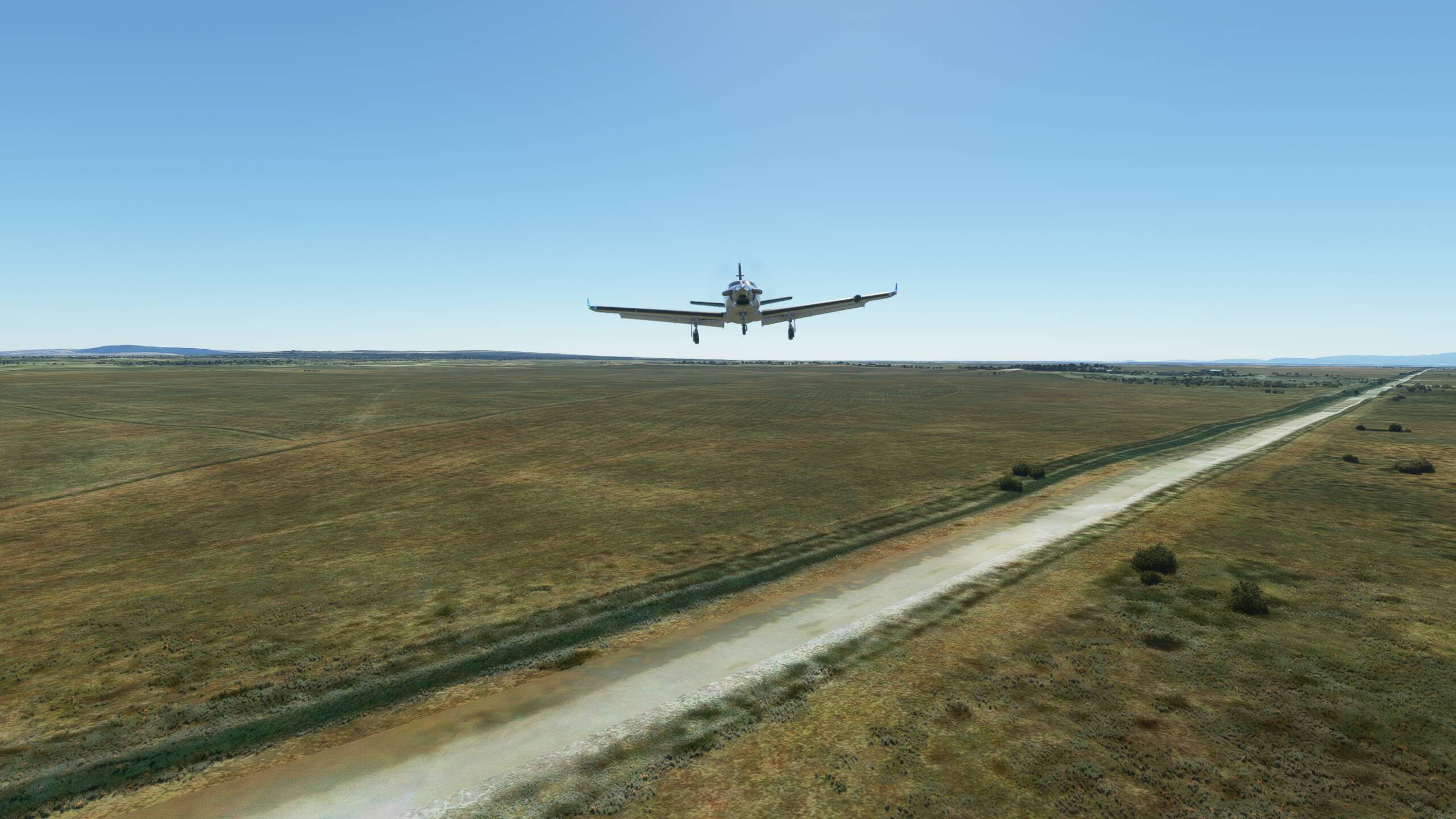
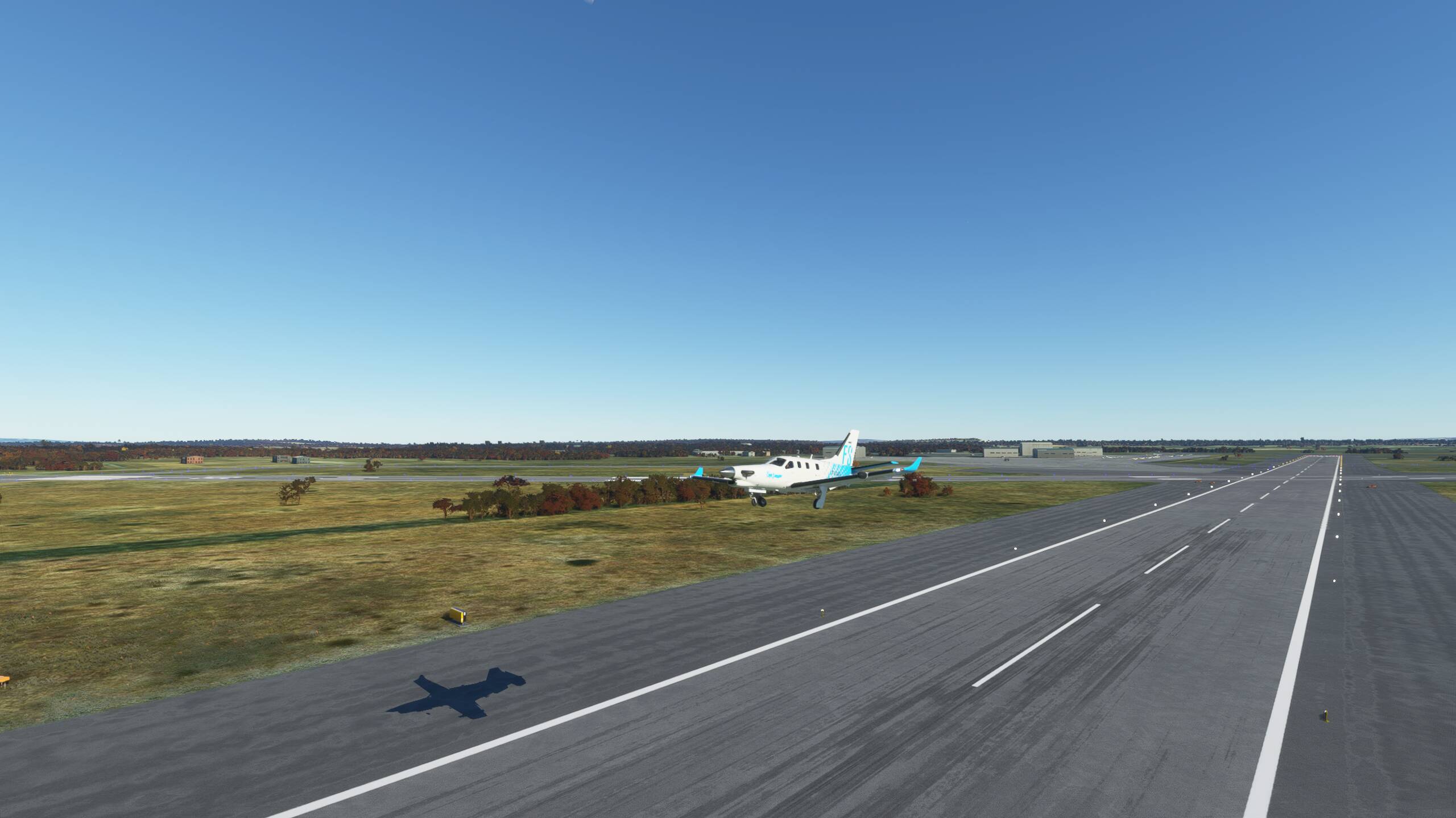
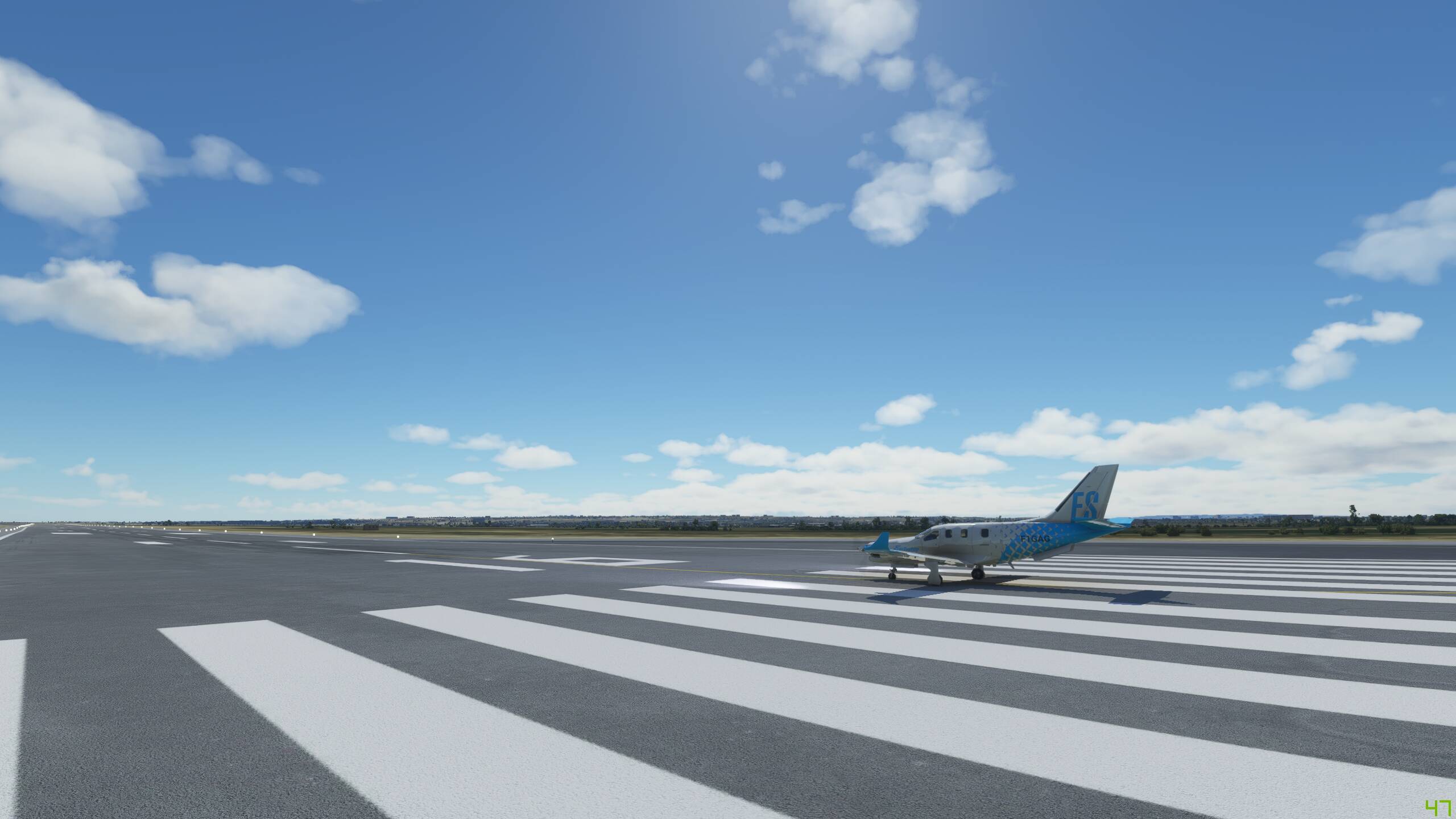
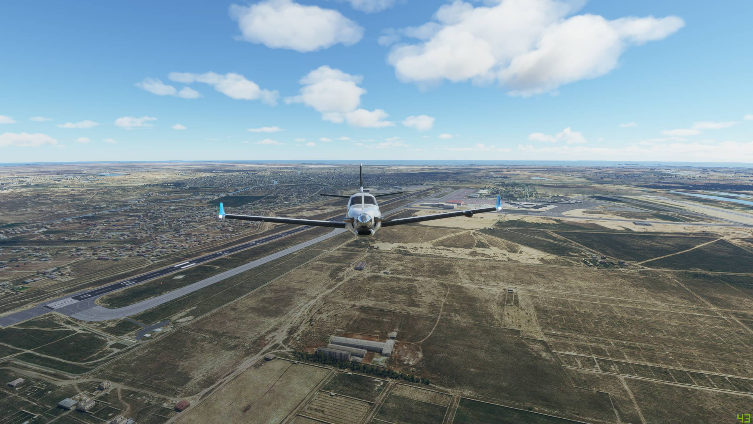
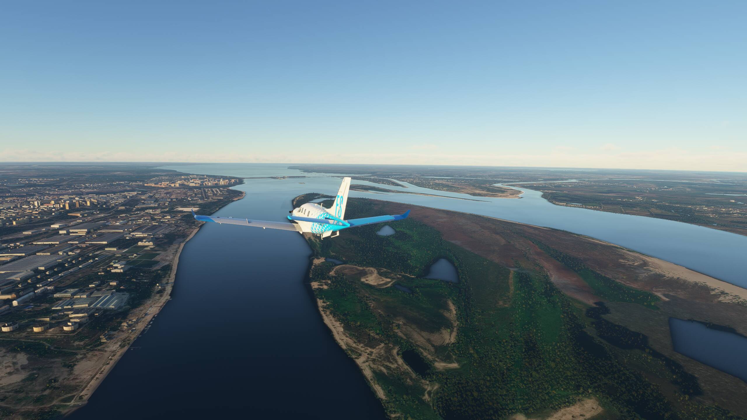
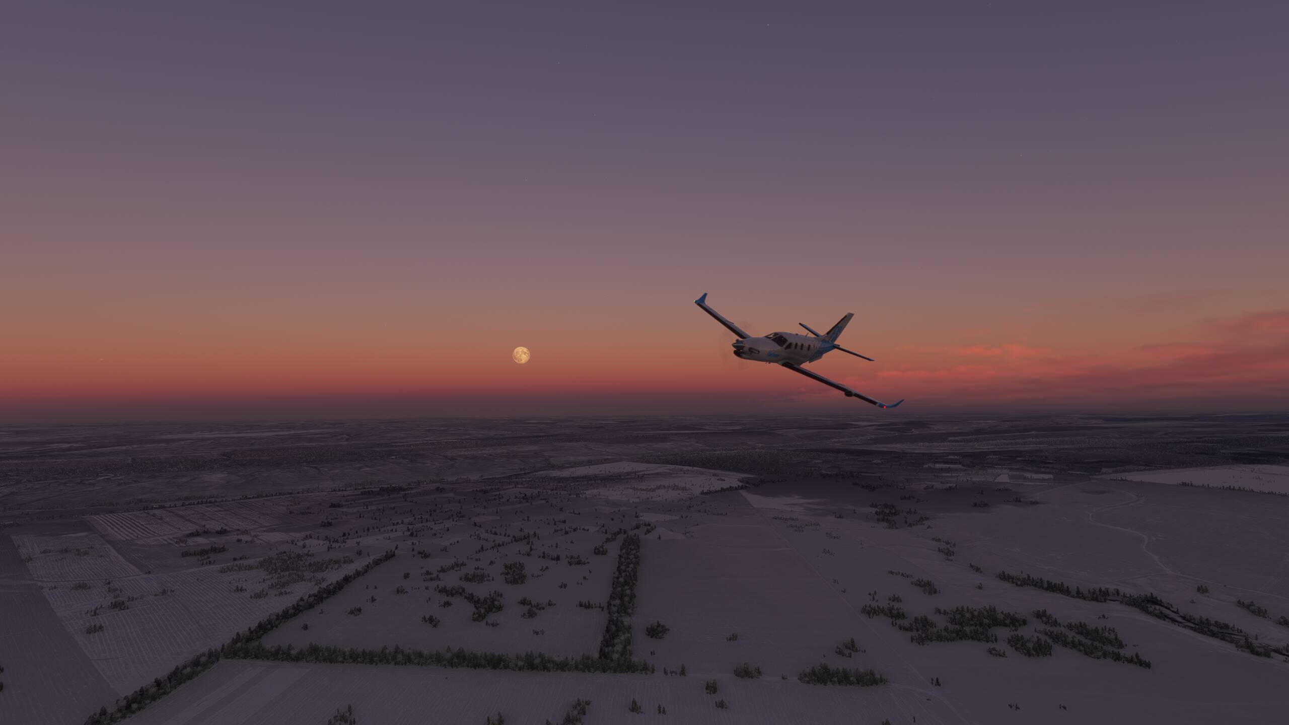
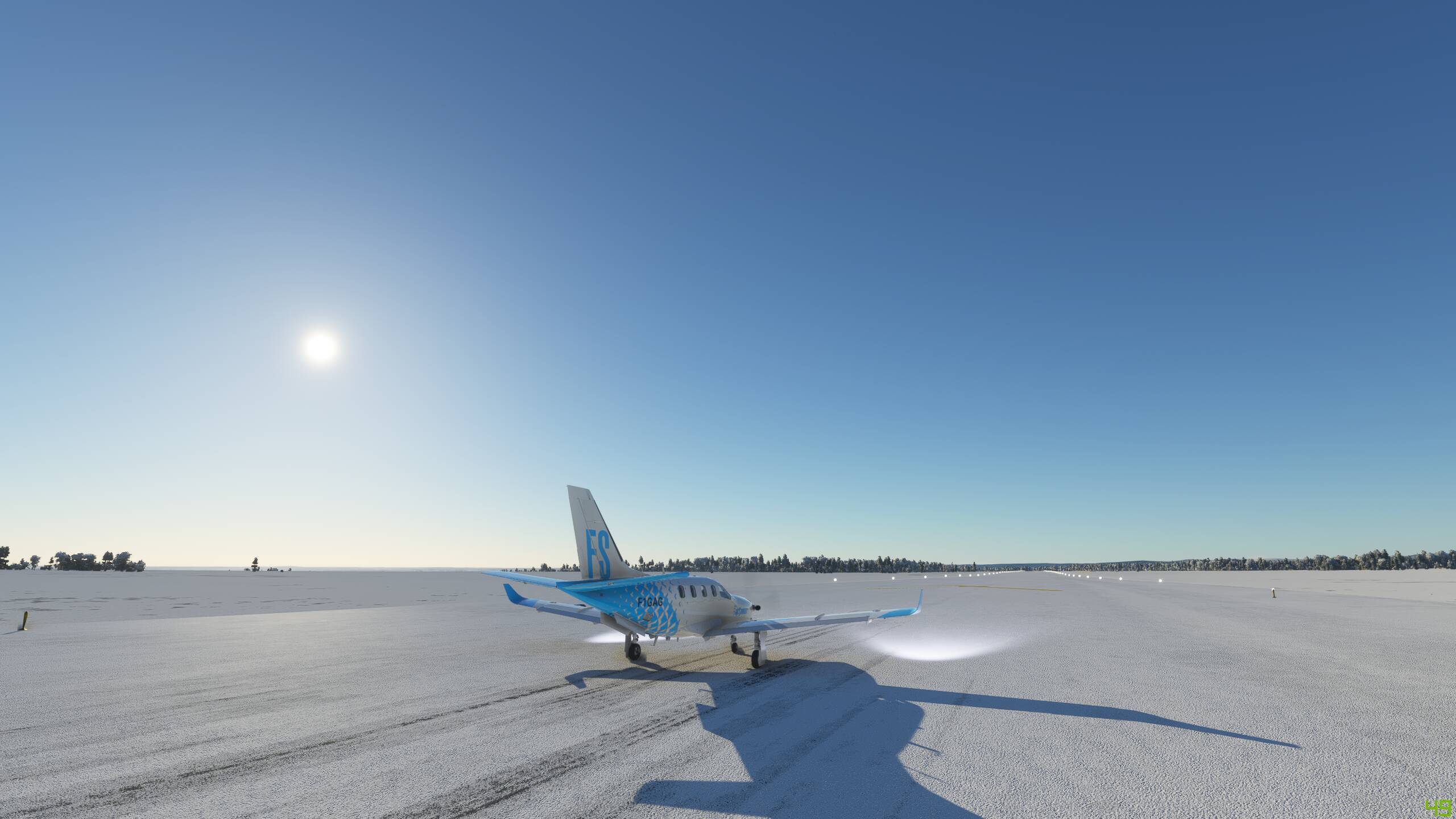
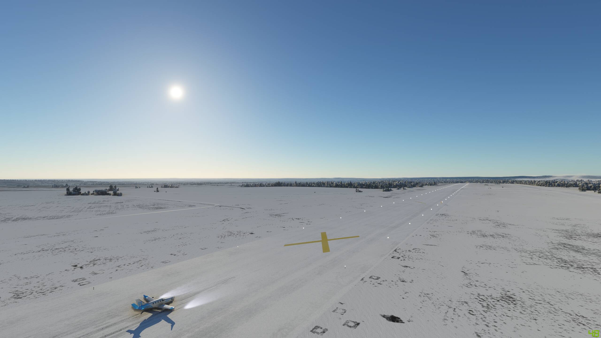
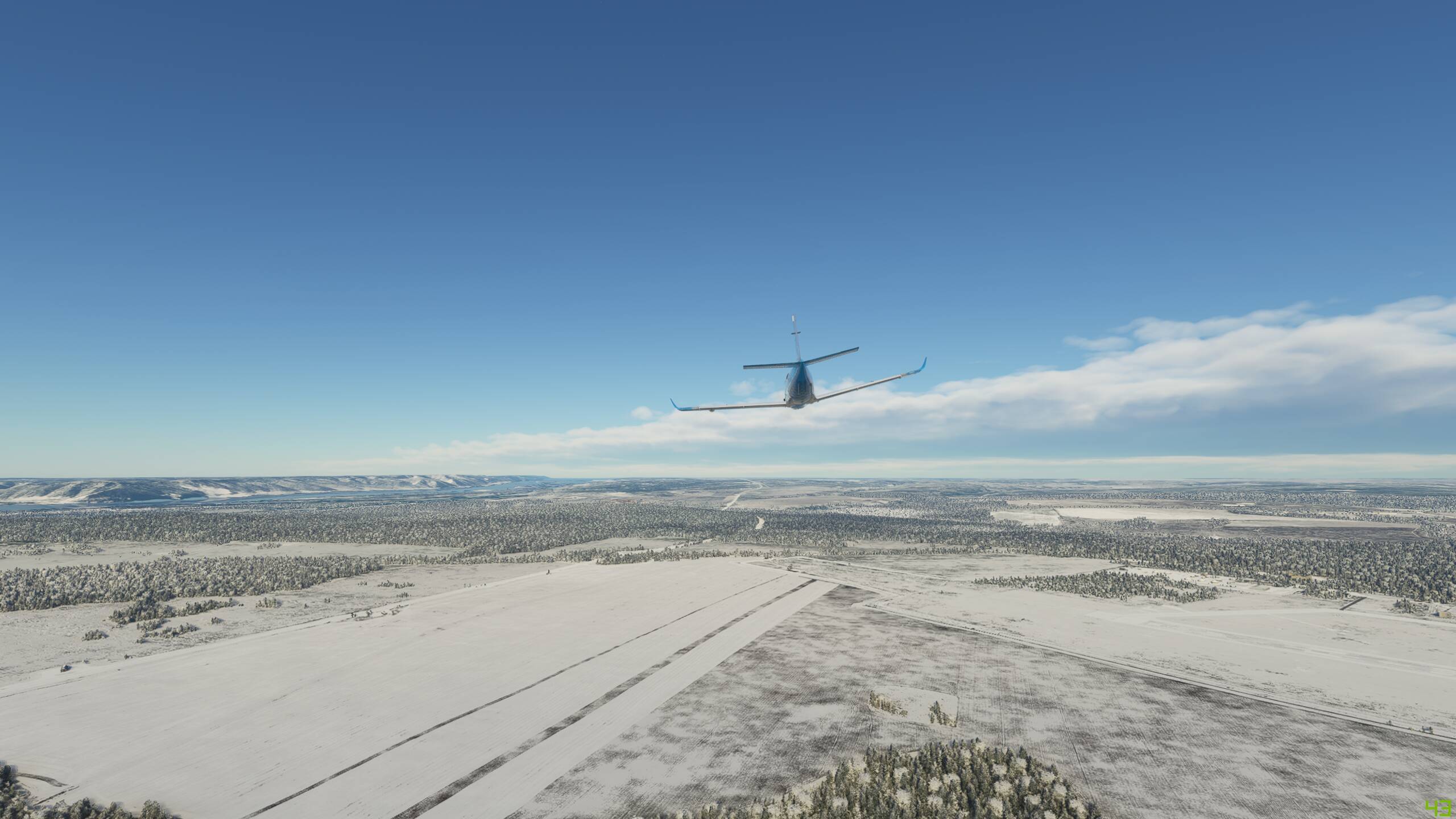
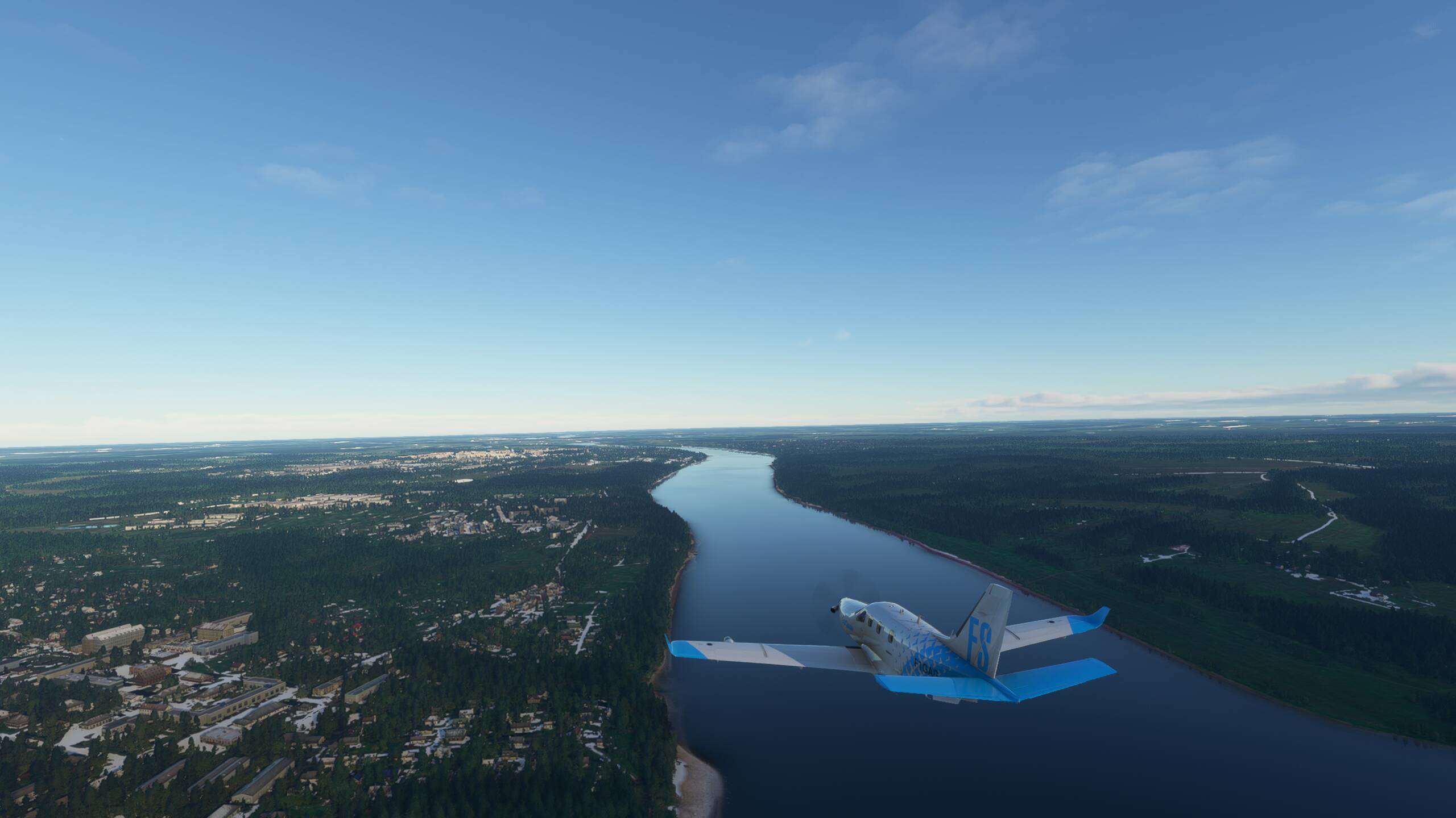
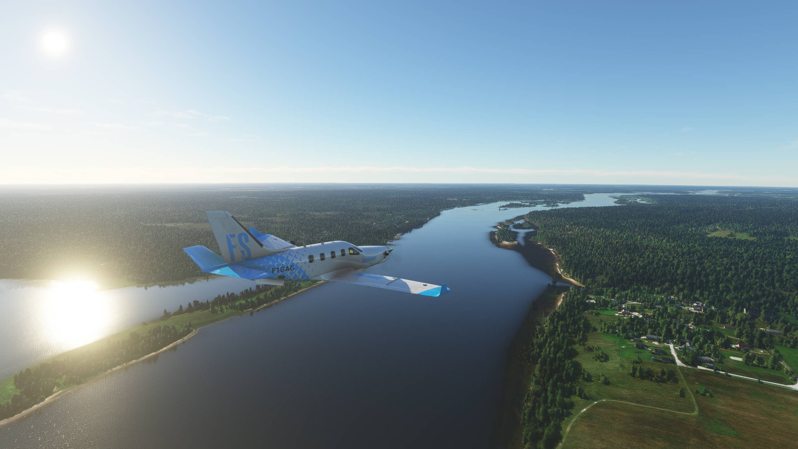
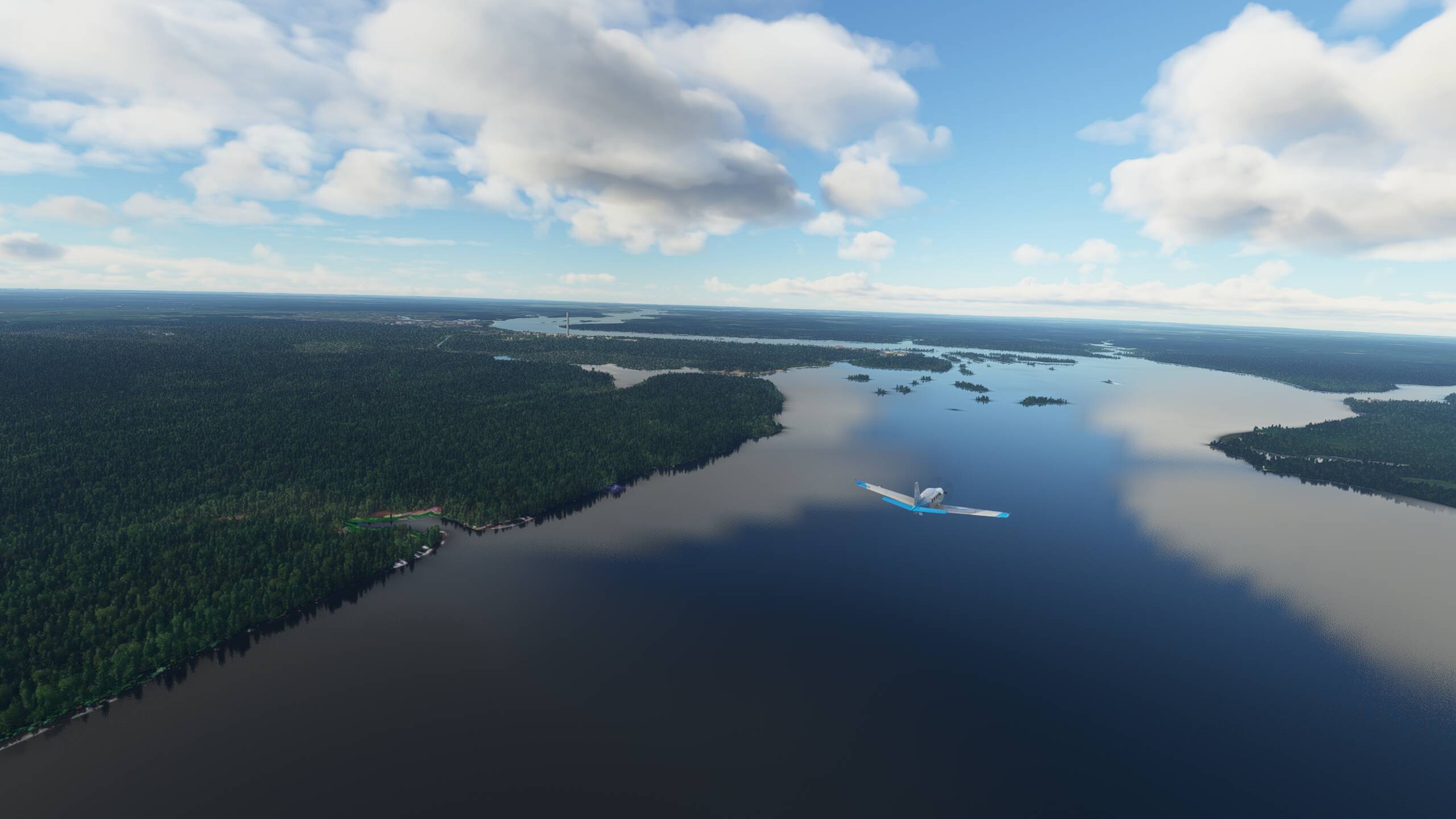
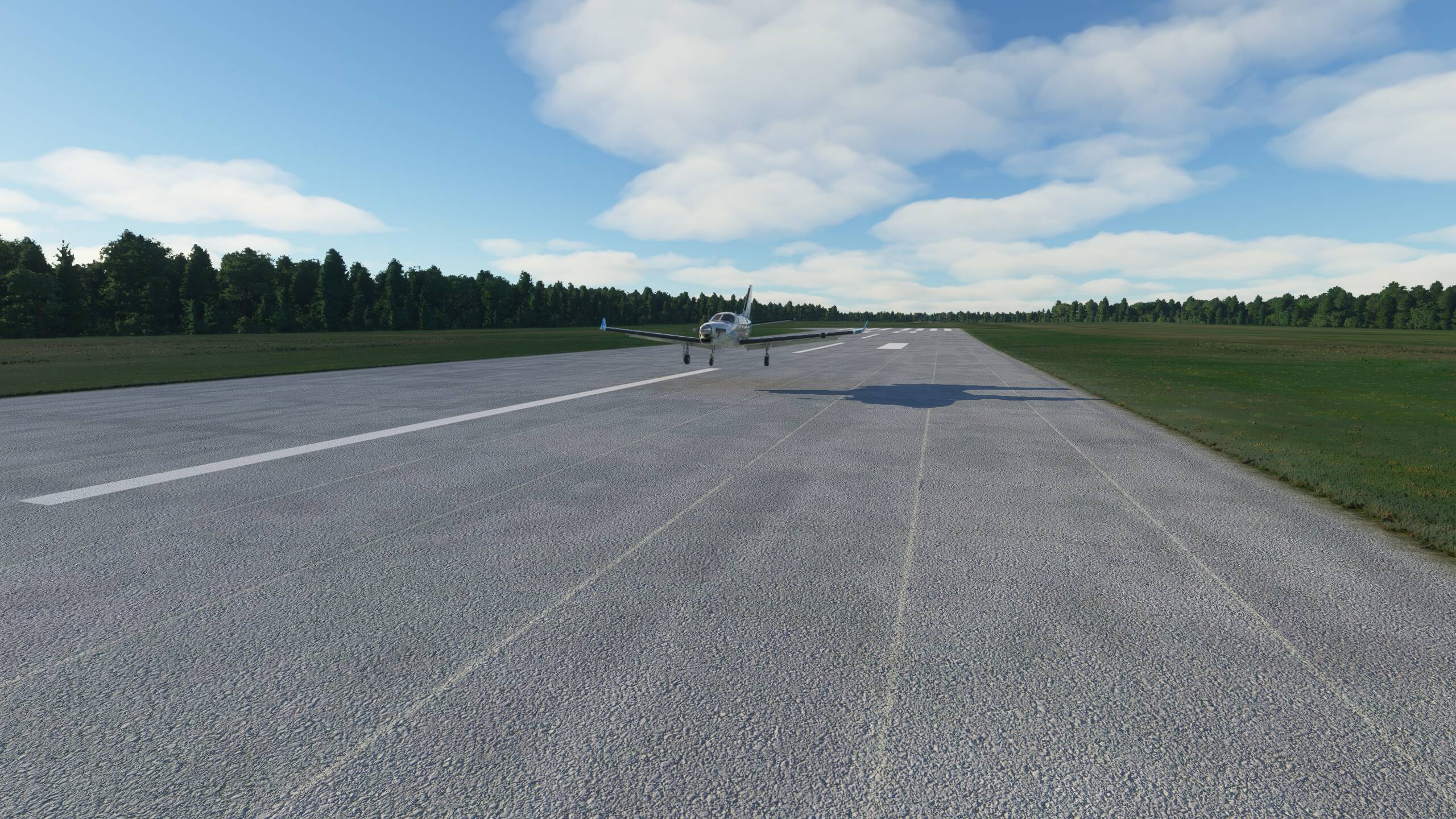
OK, so let’s get going - and a lovely clear day here in North East India


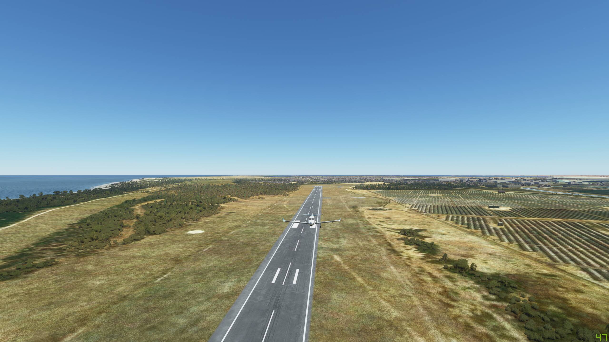
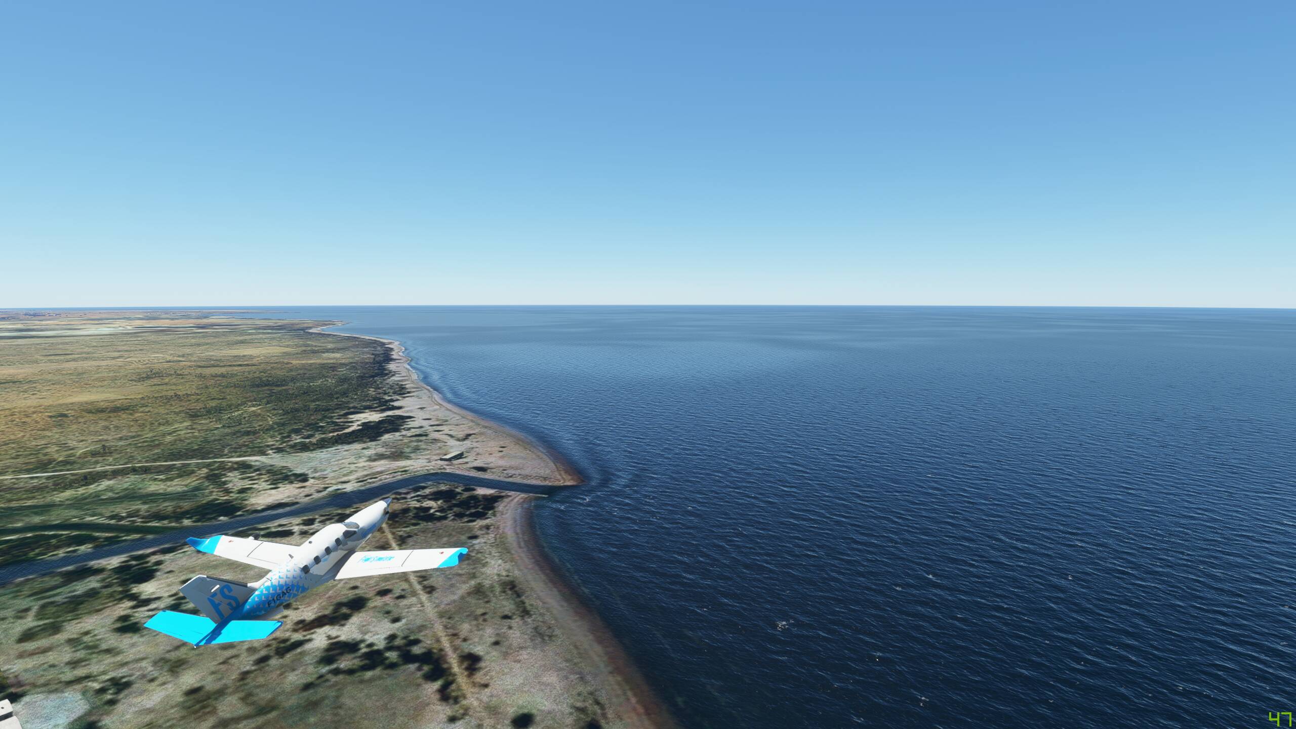
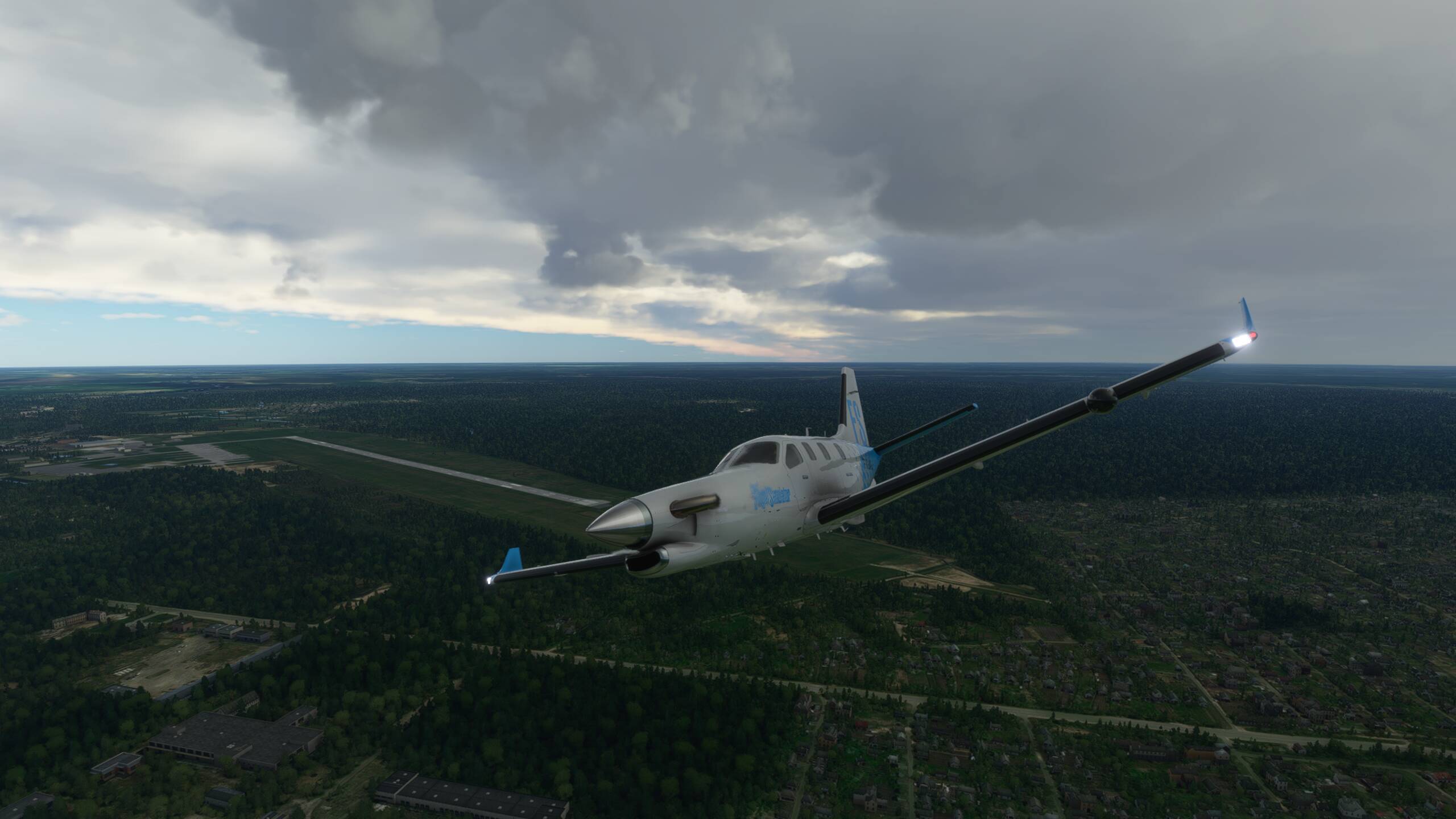
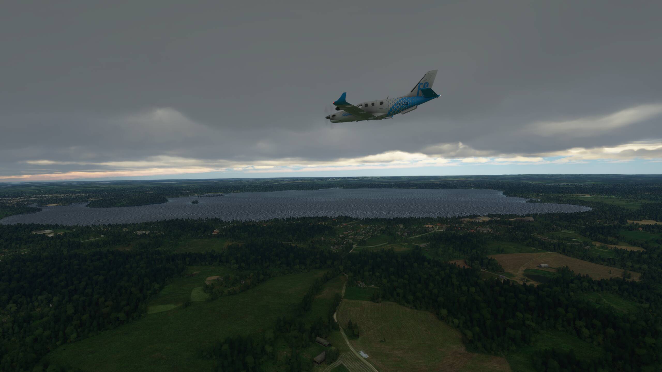
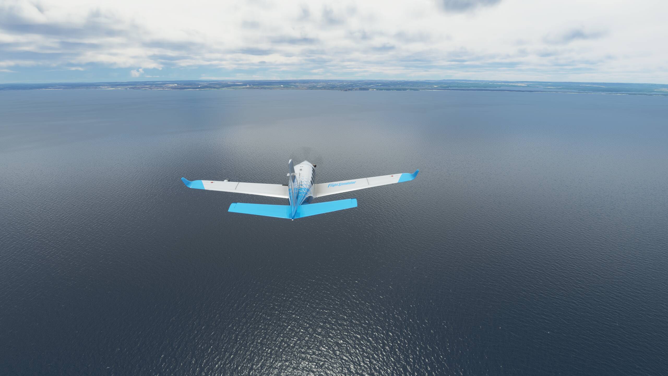
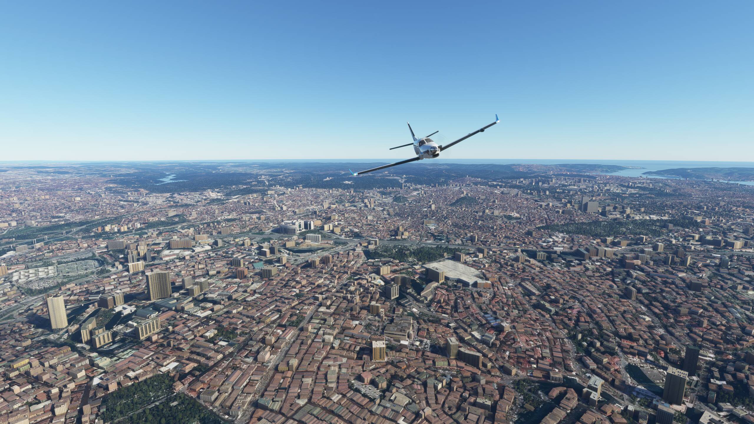
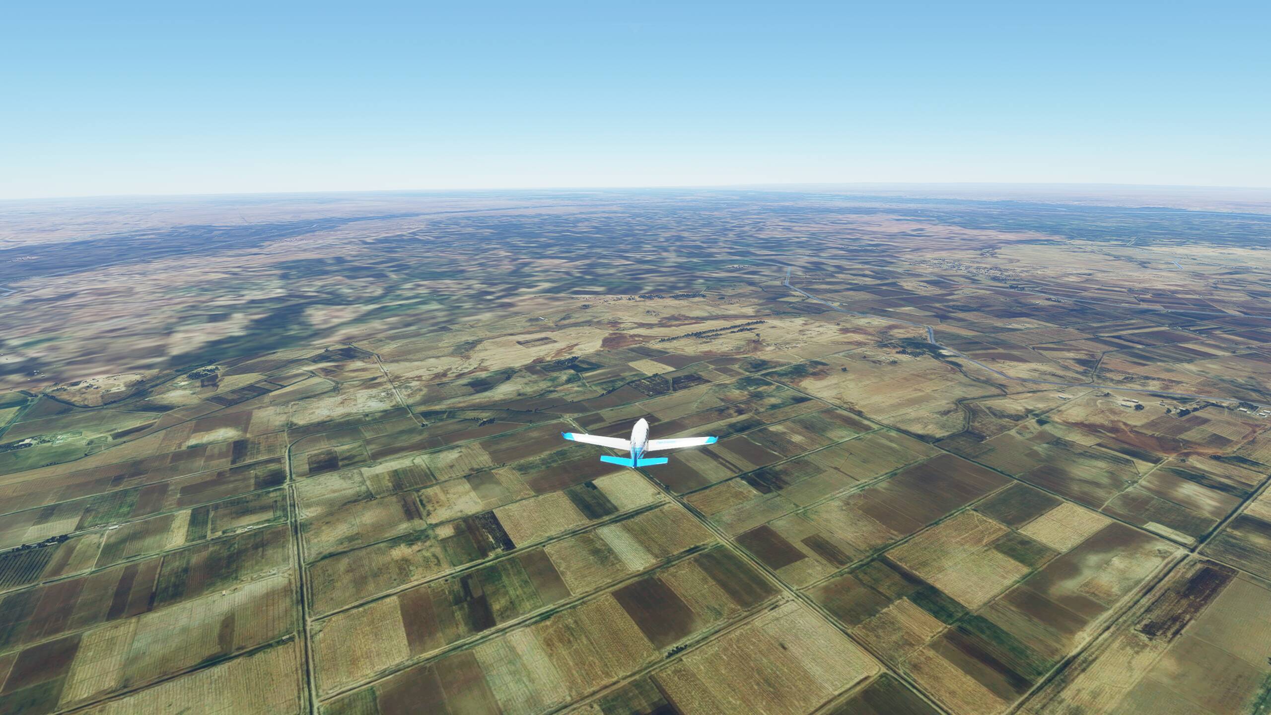
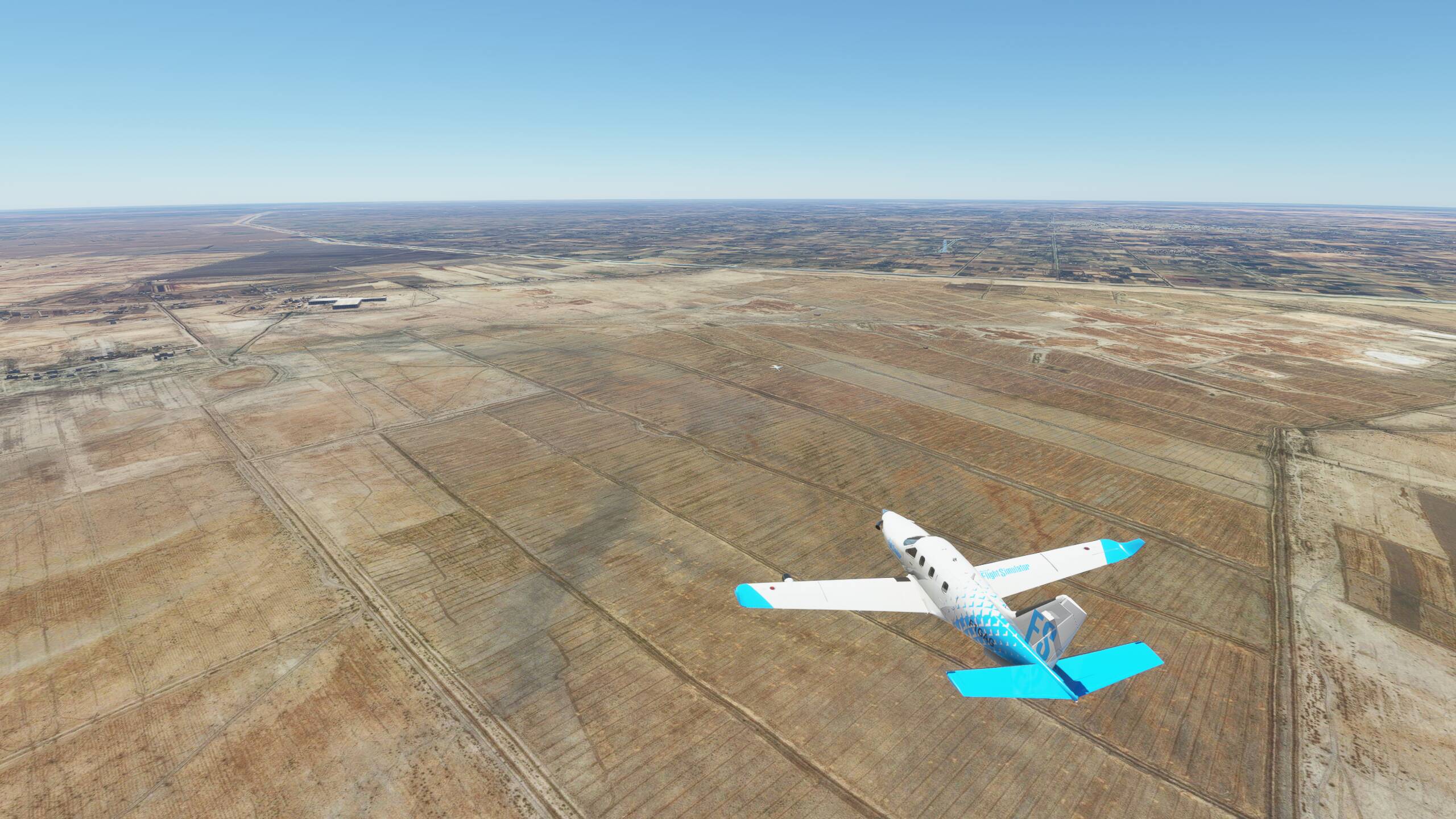
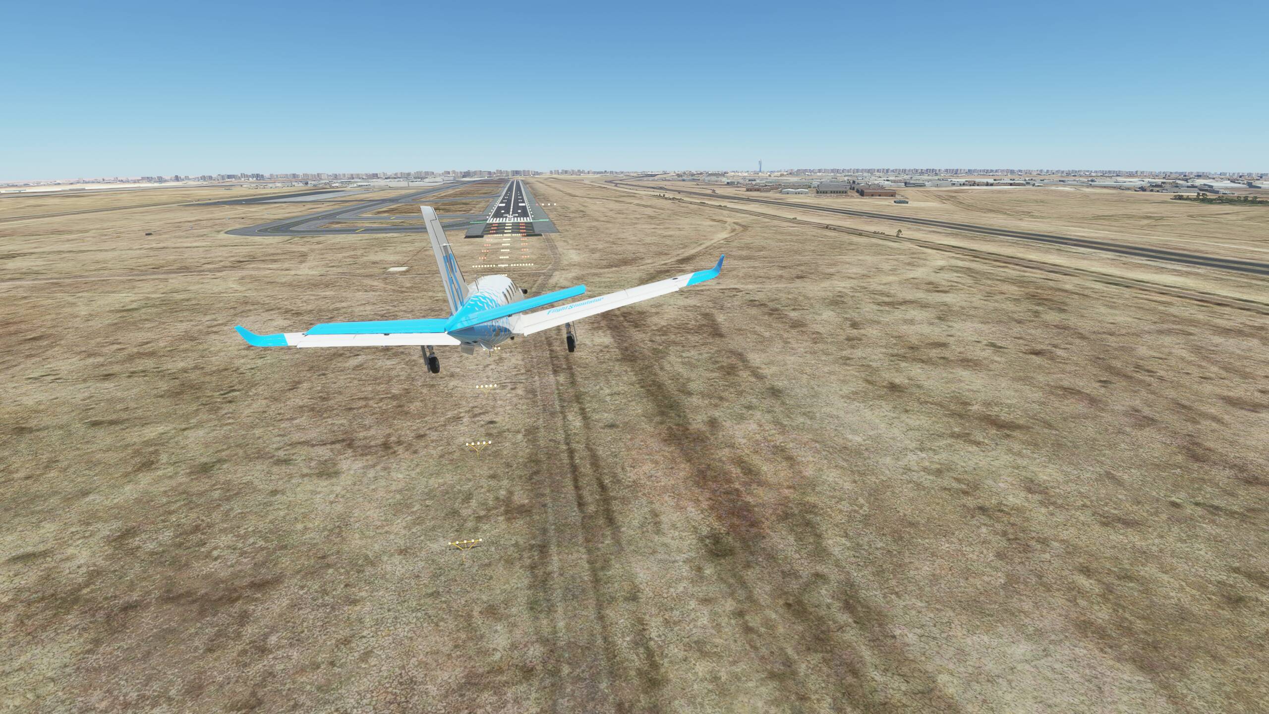
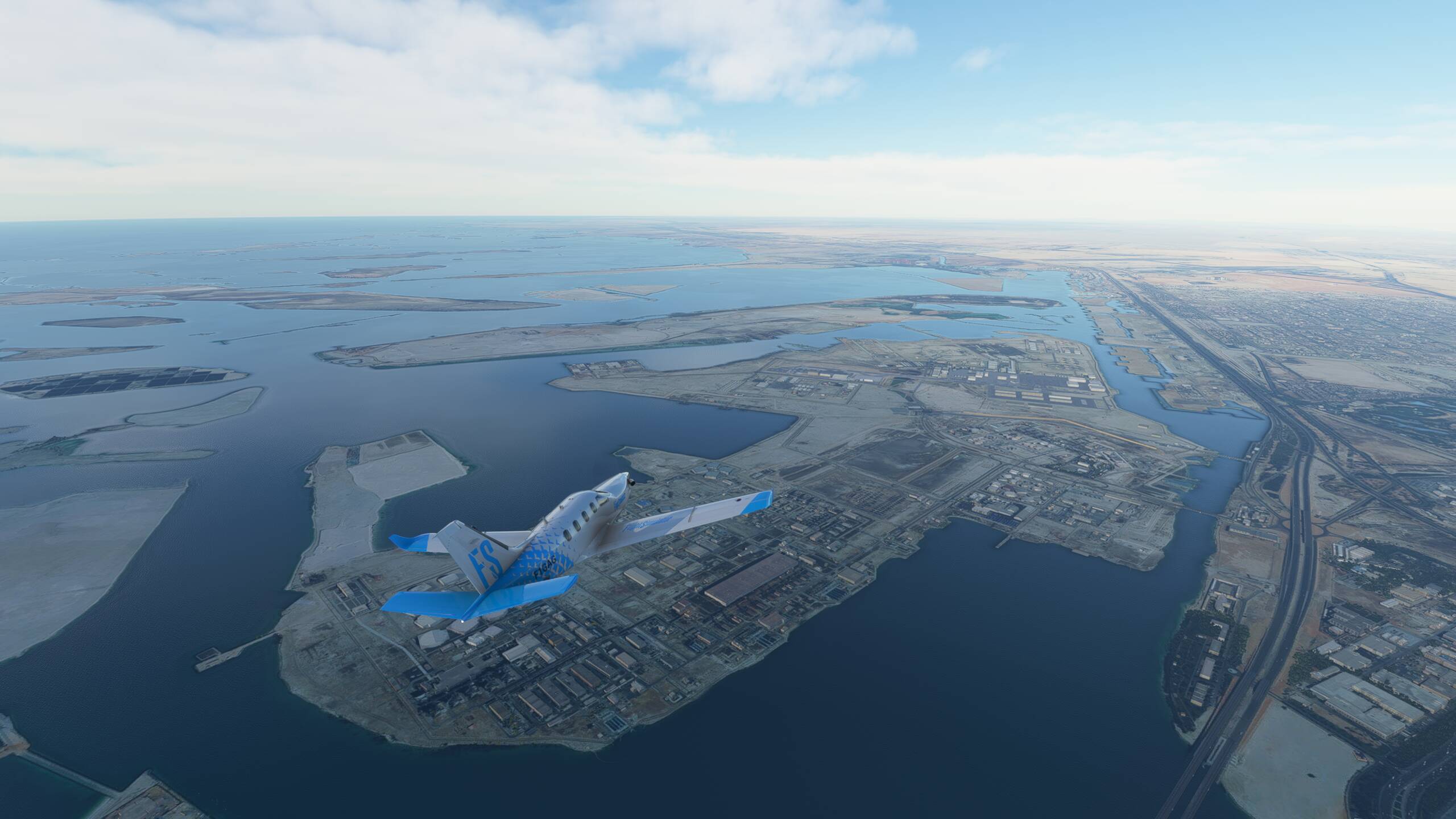
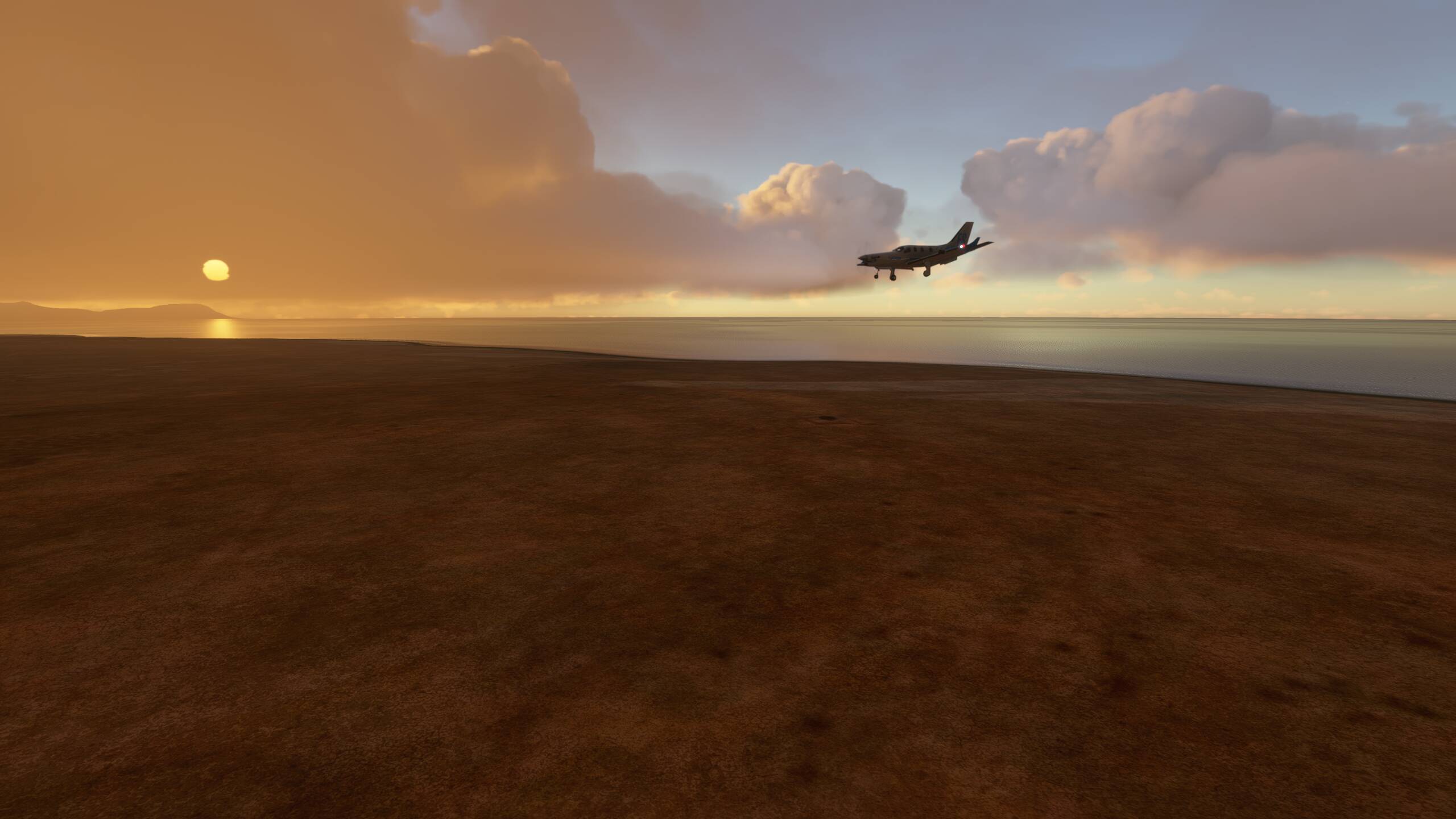
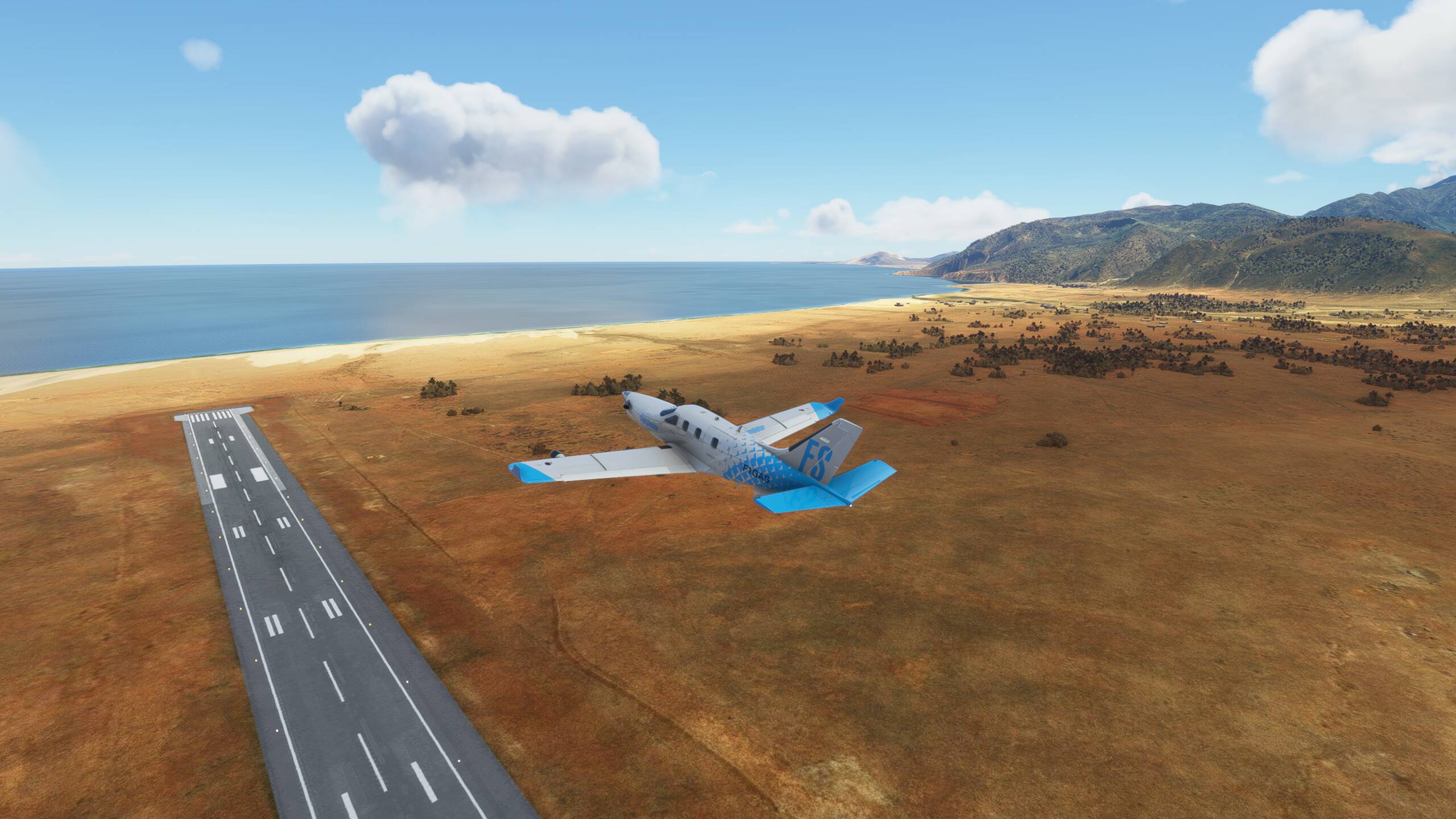
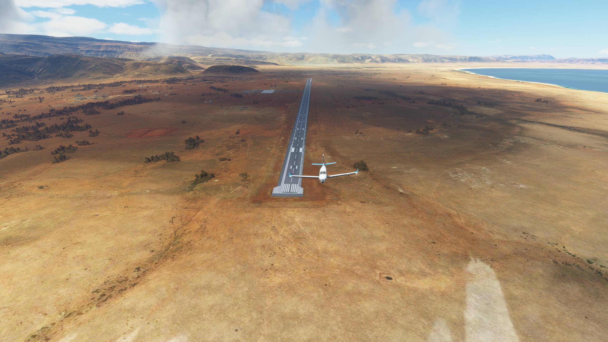
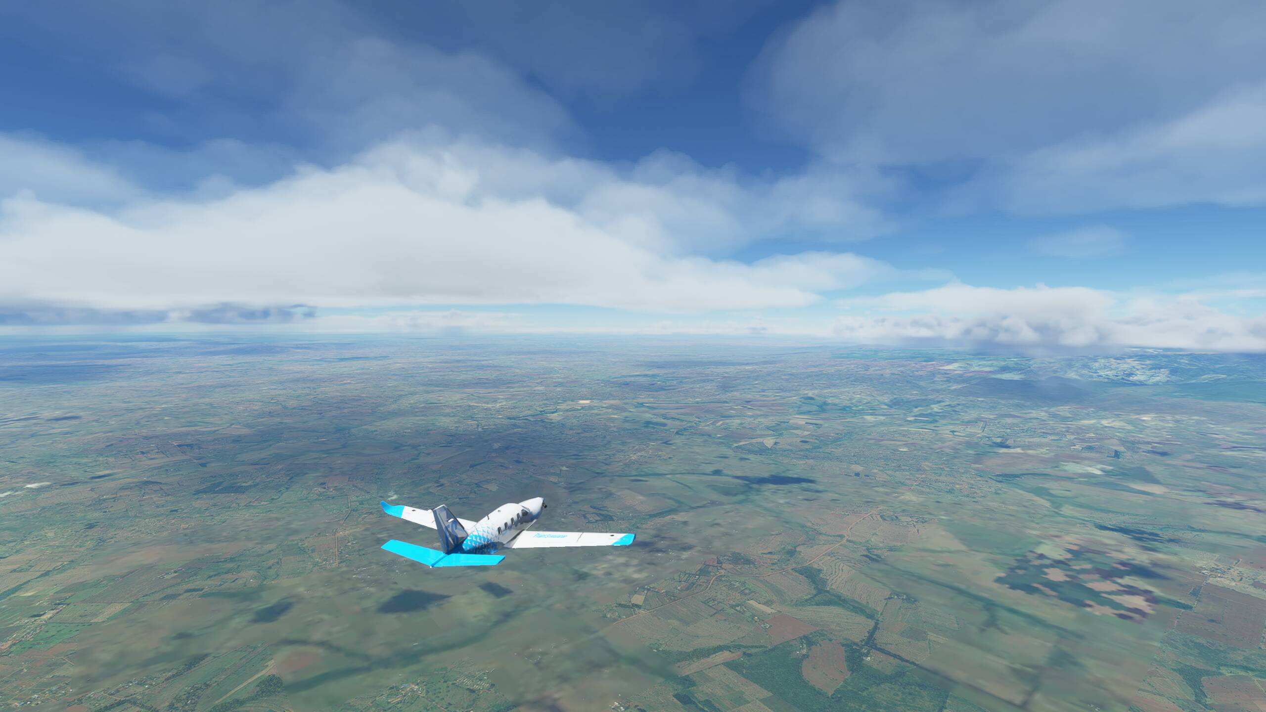
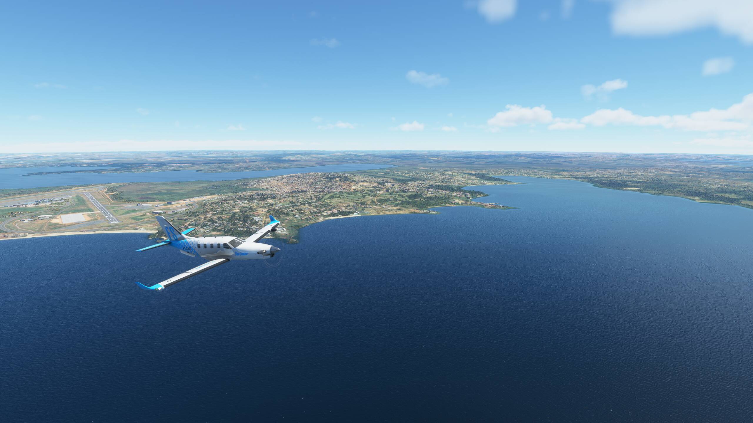
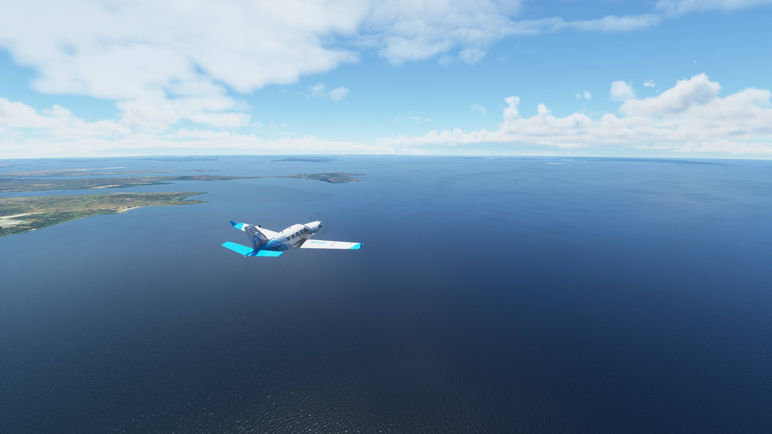
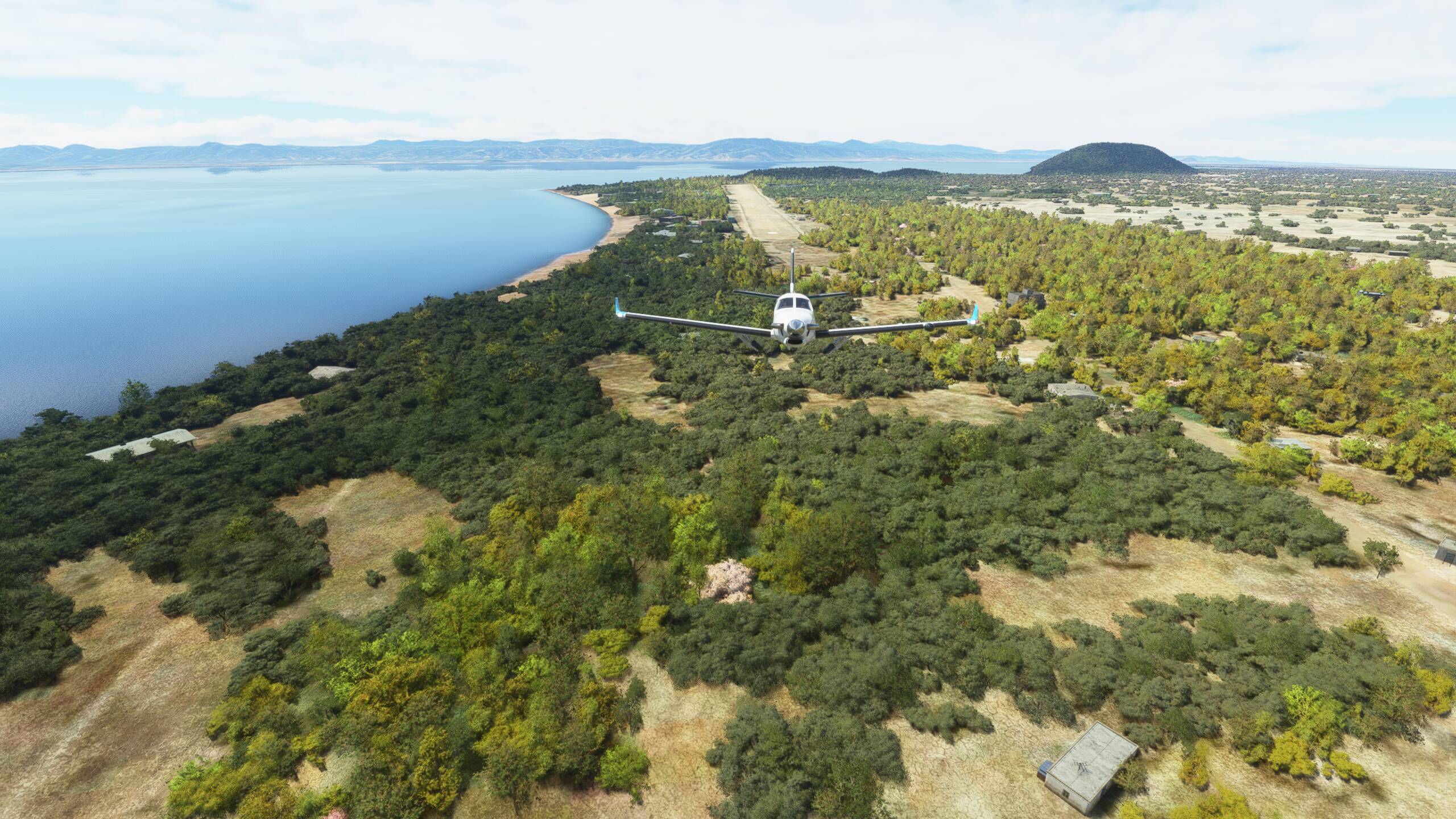
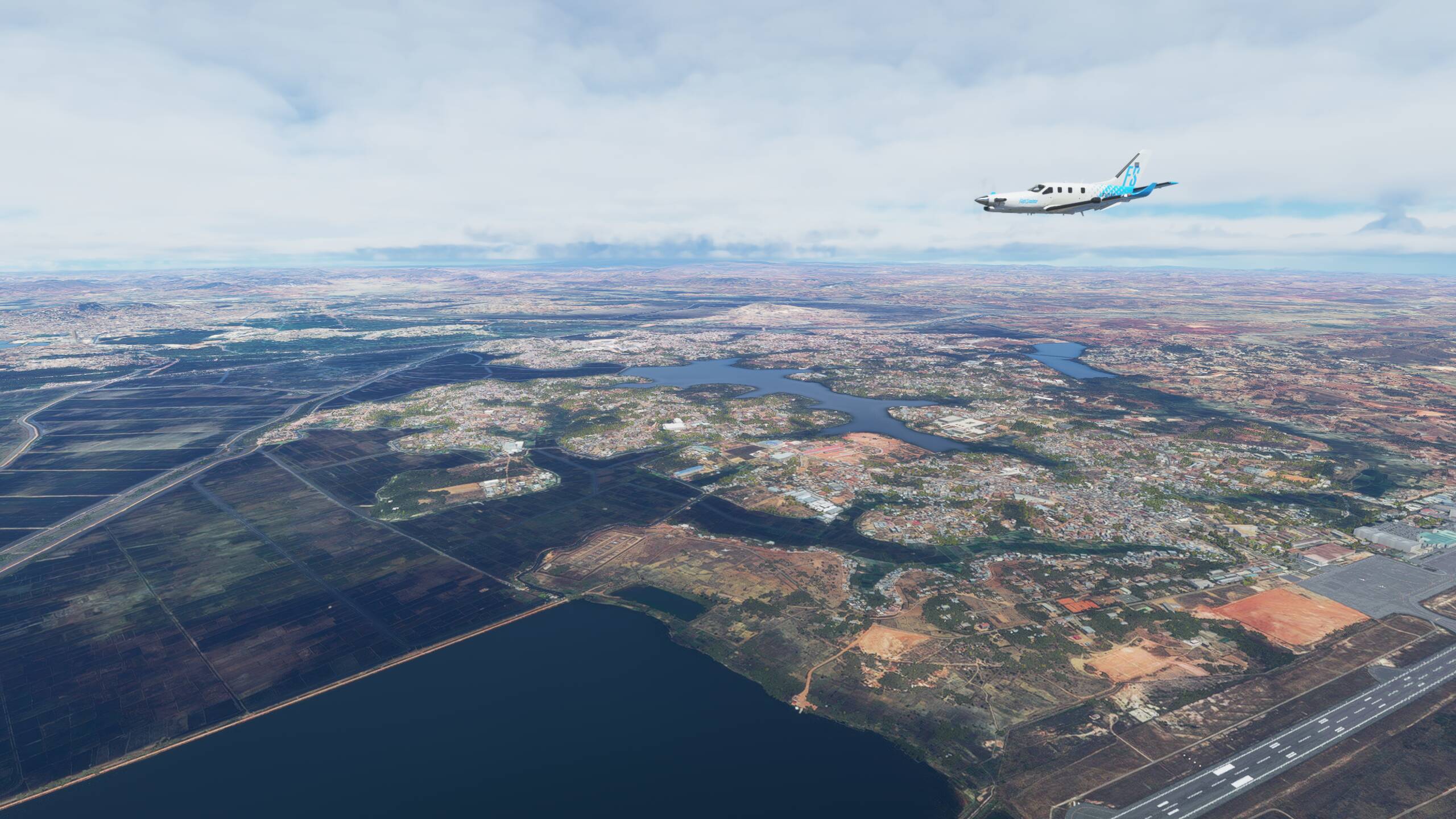
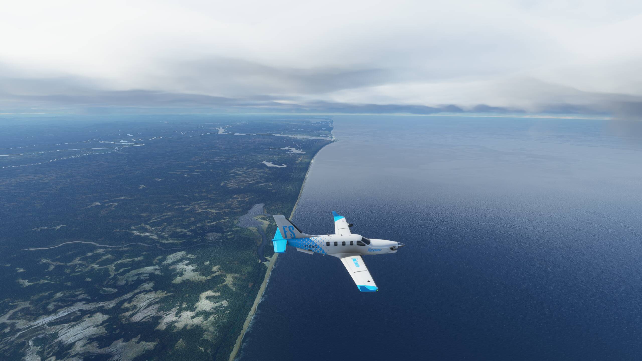
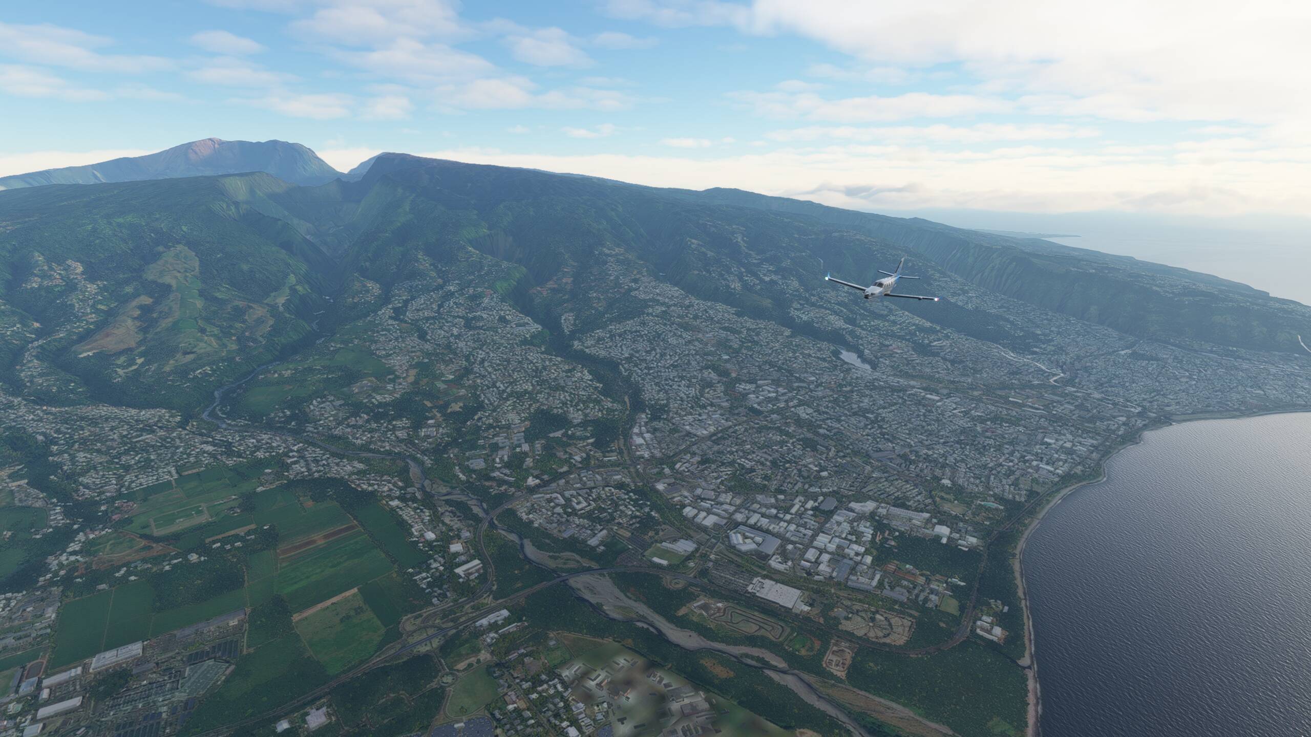
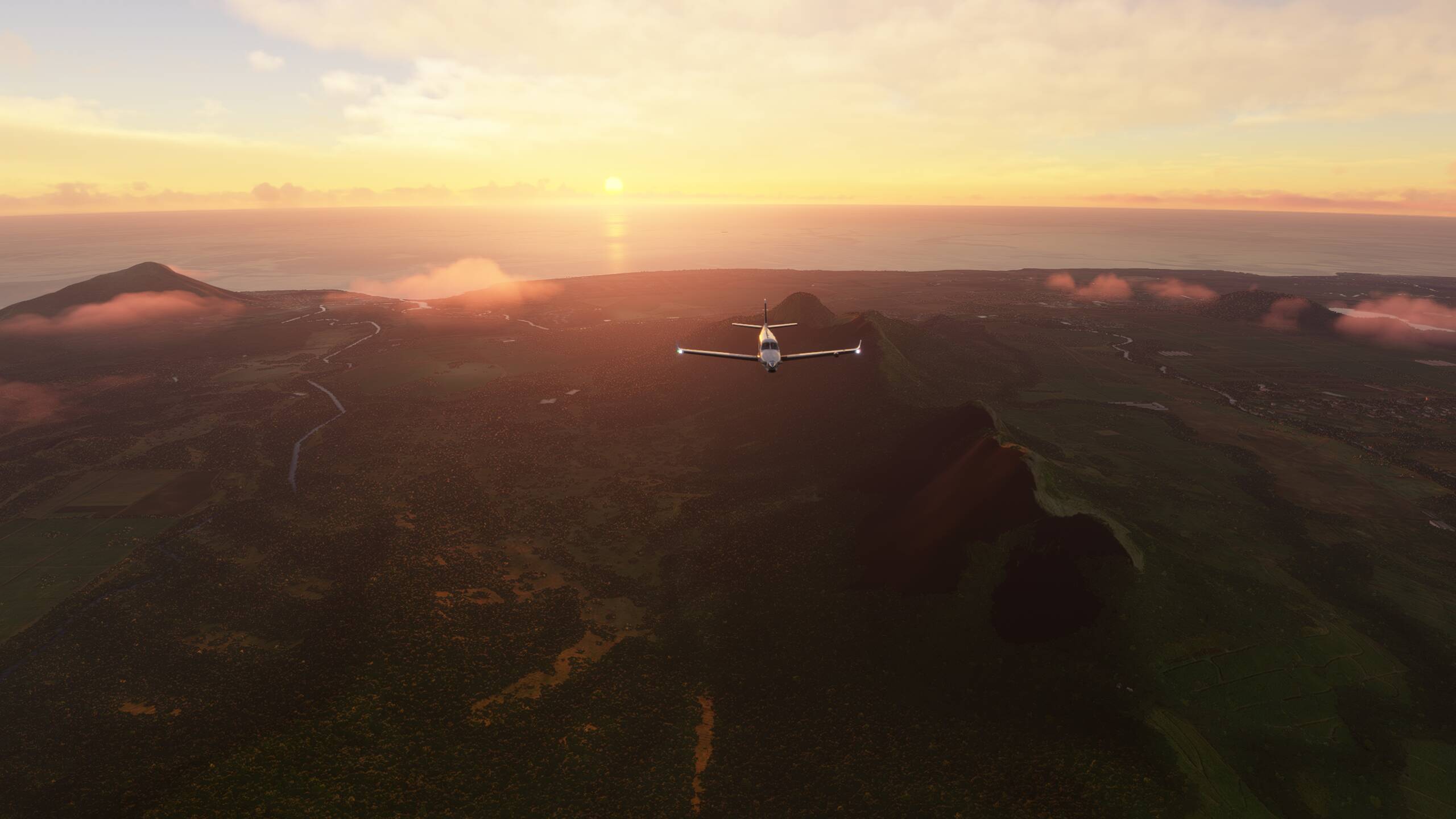
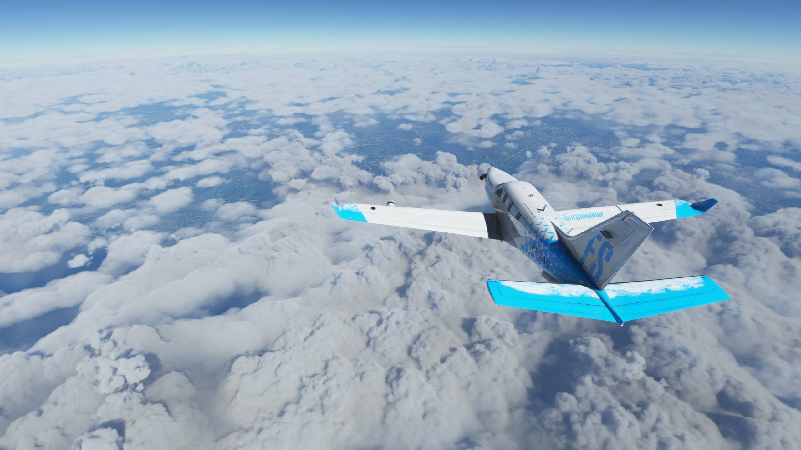
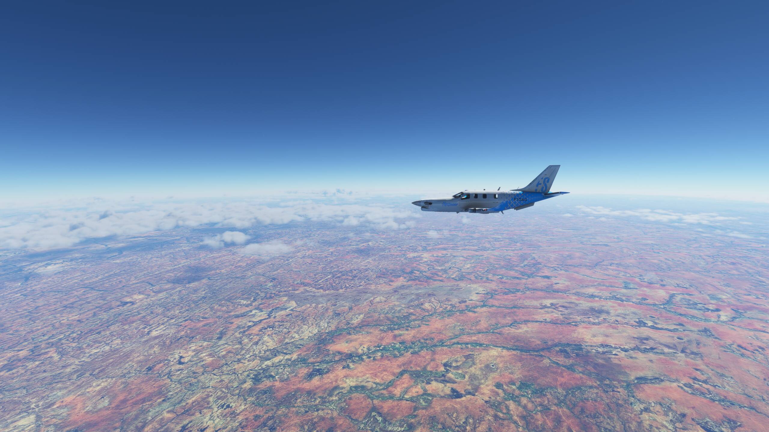
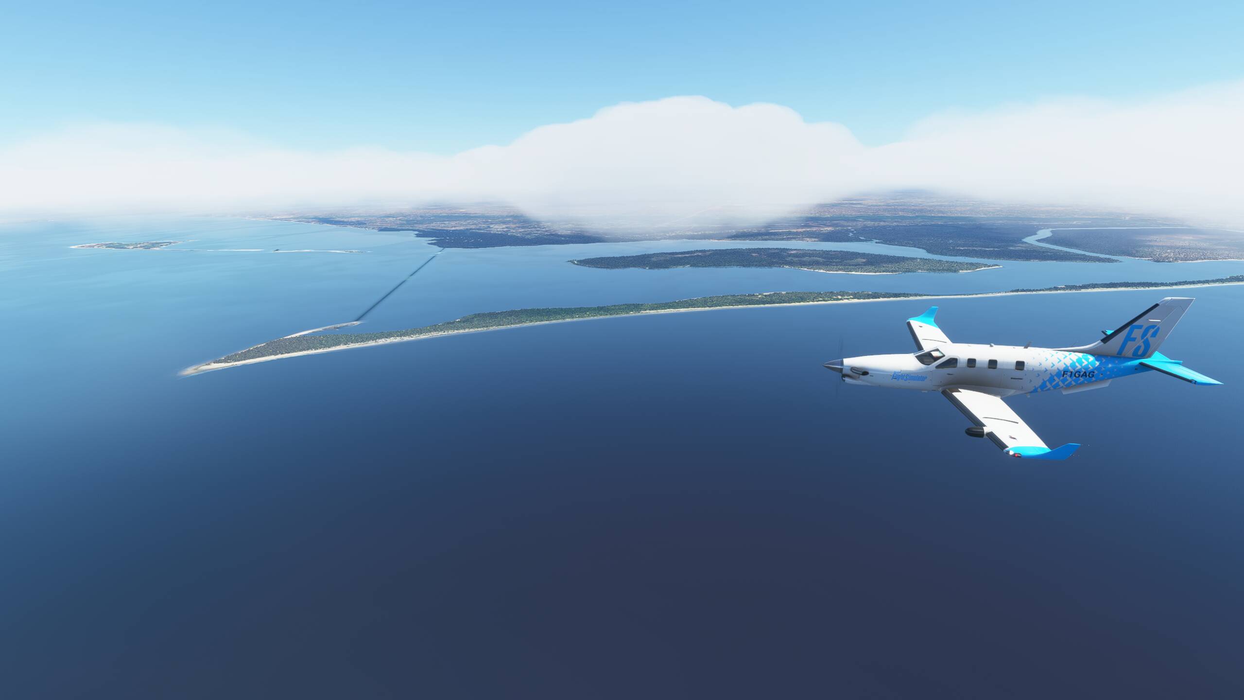
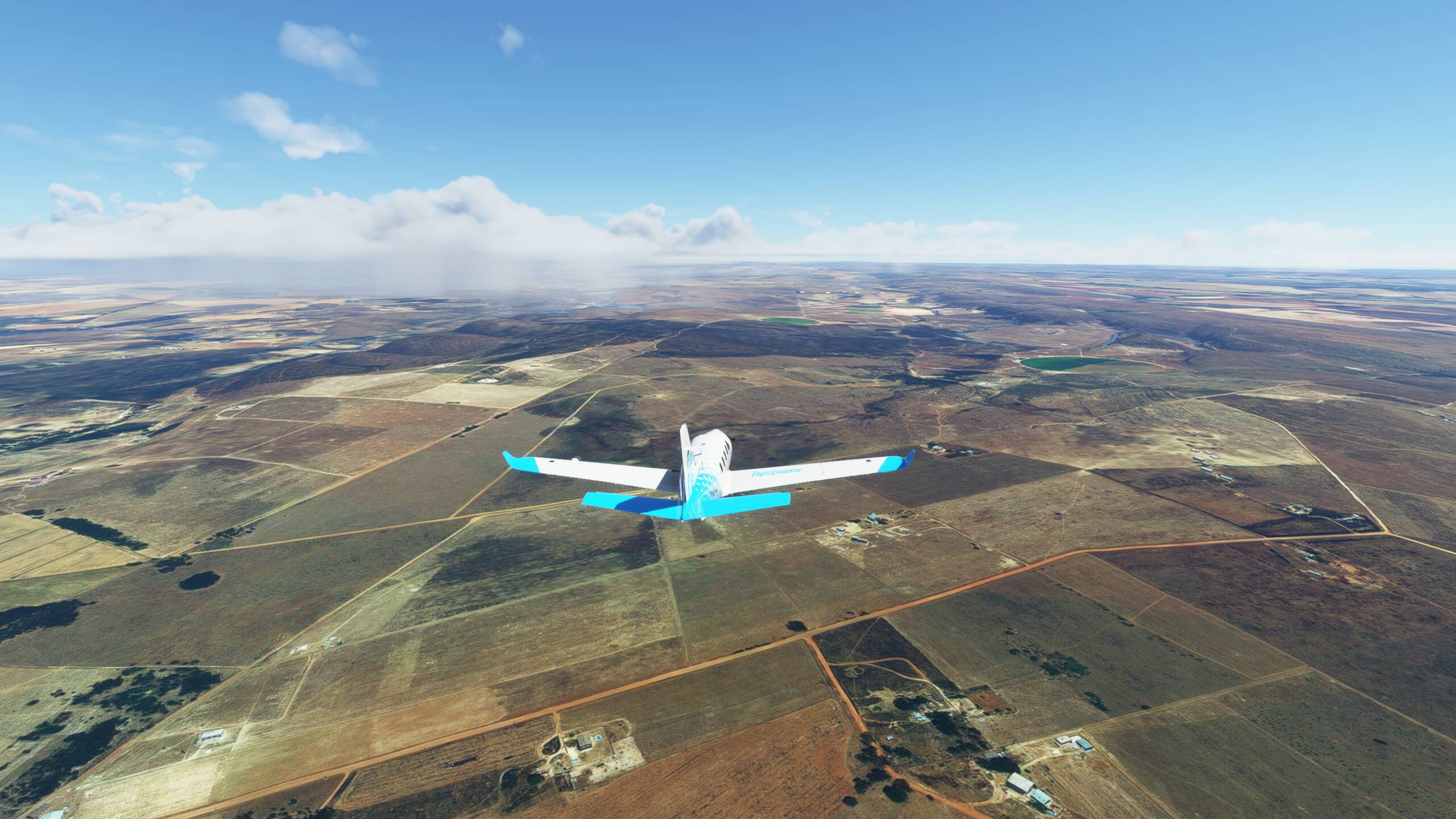
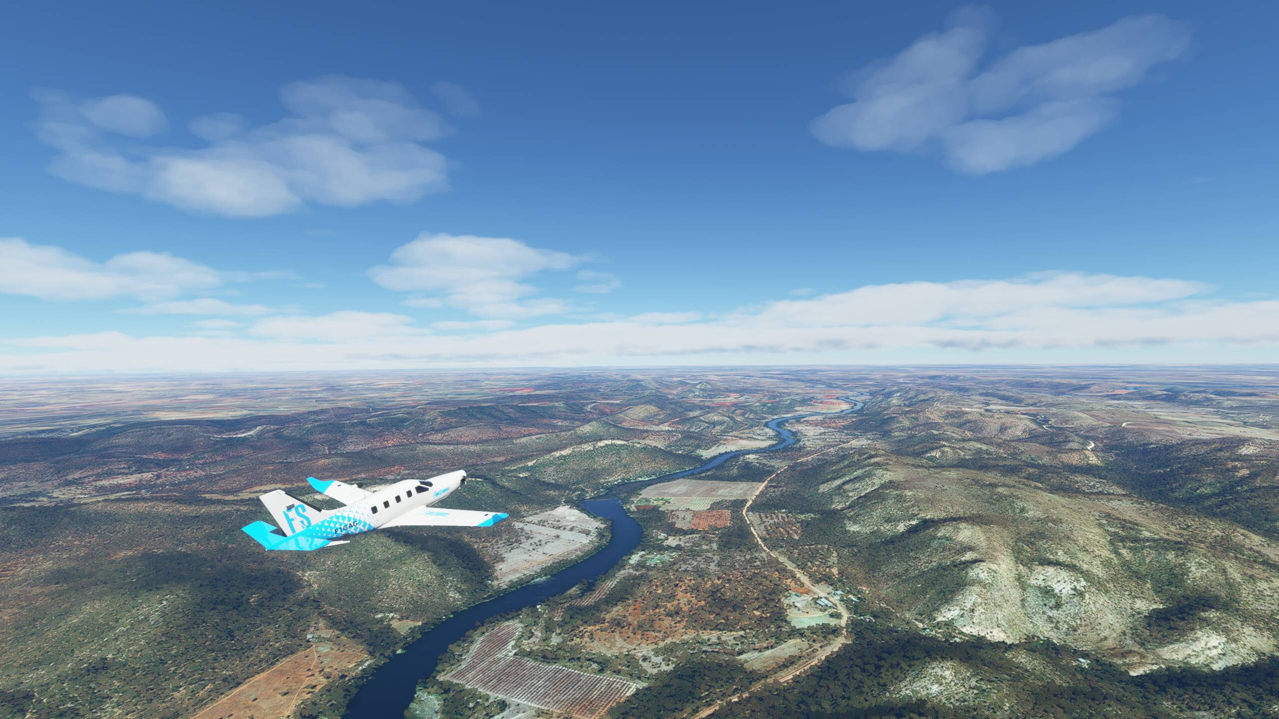
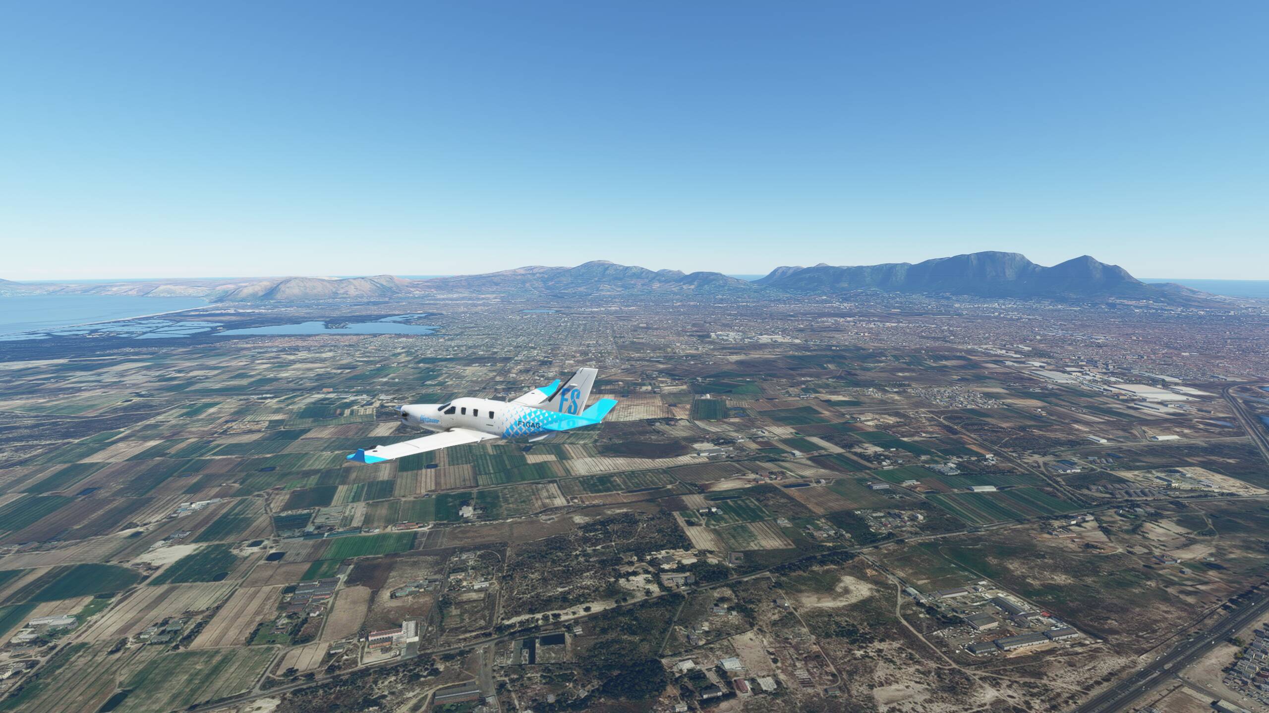
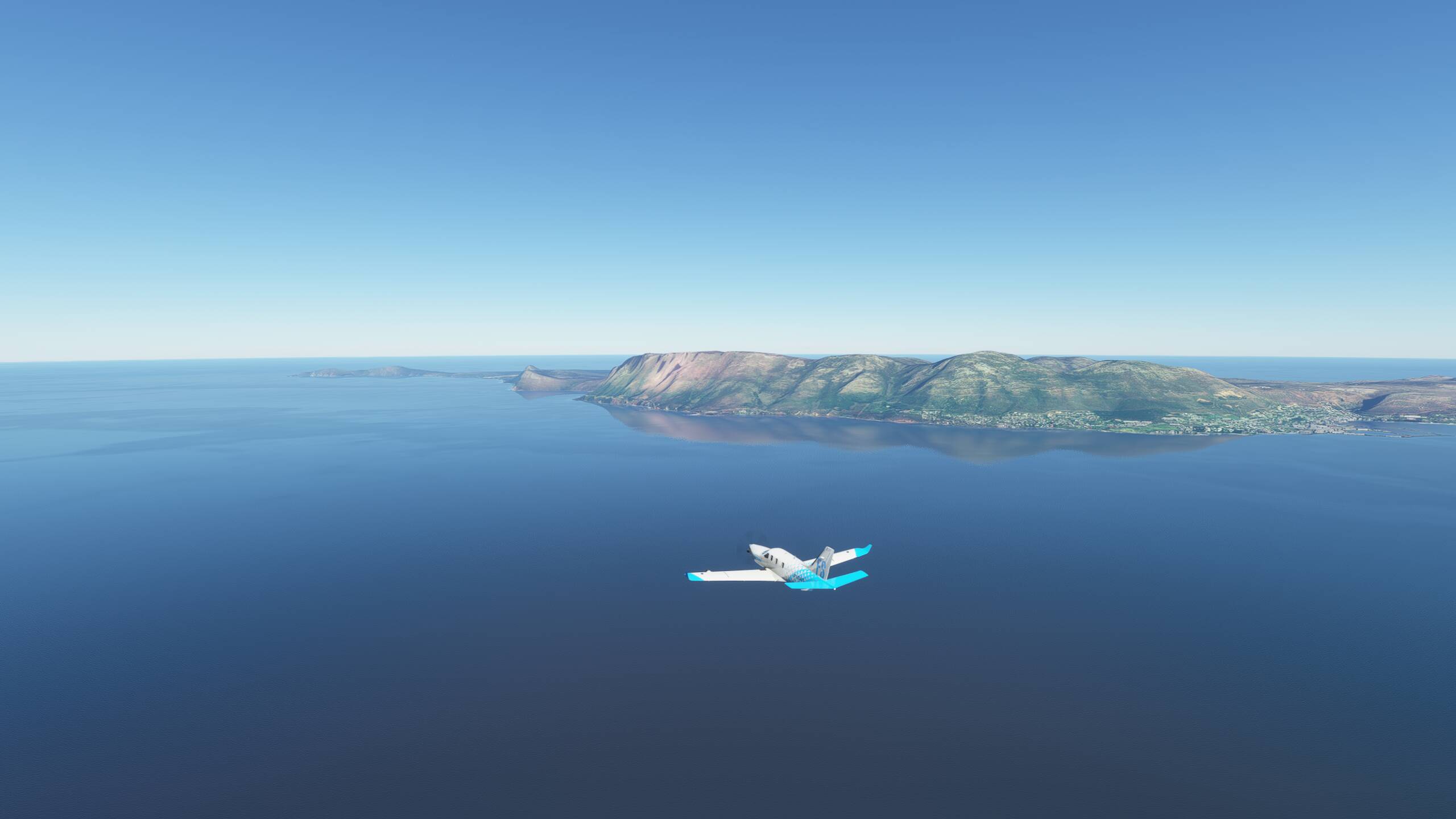
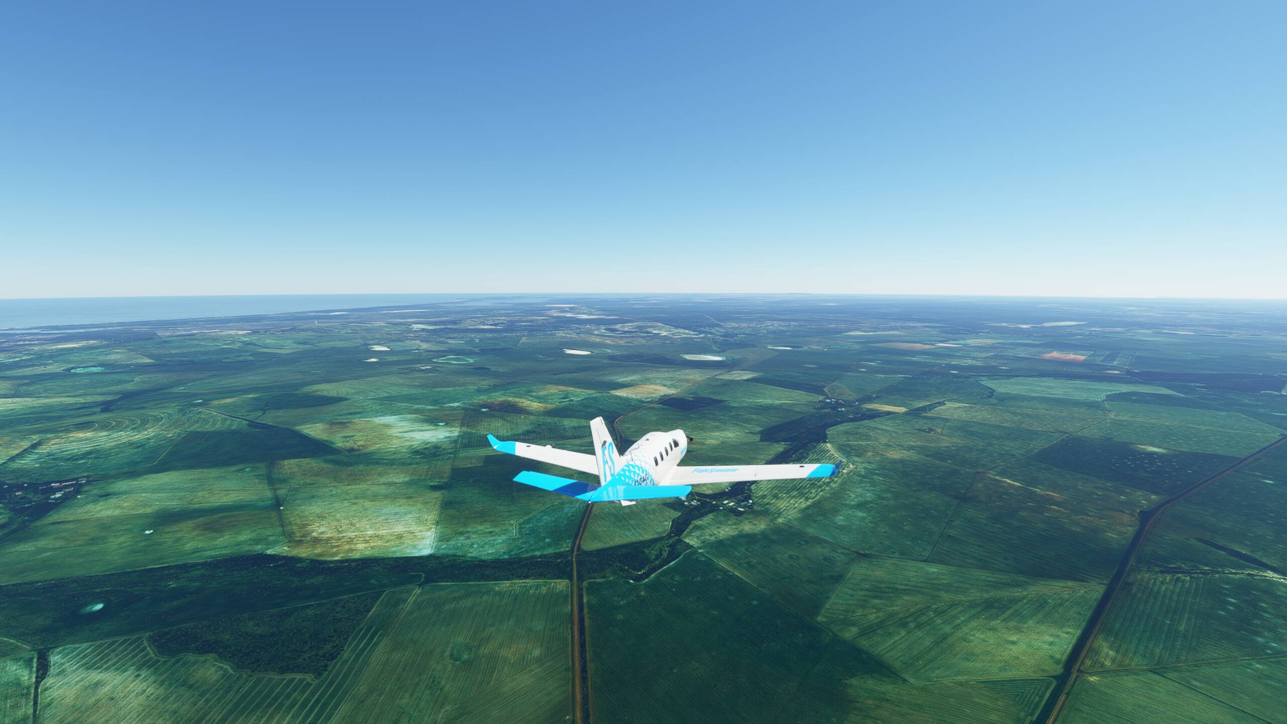
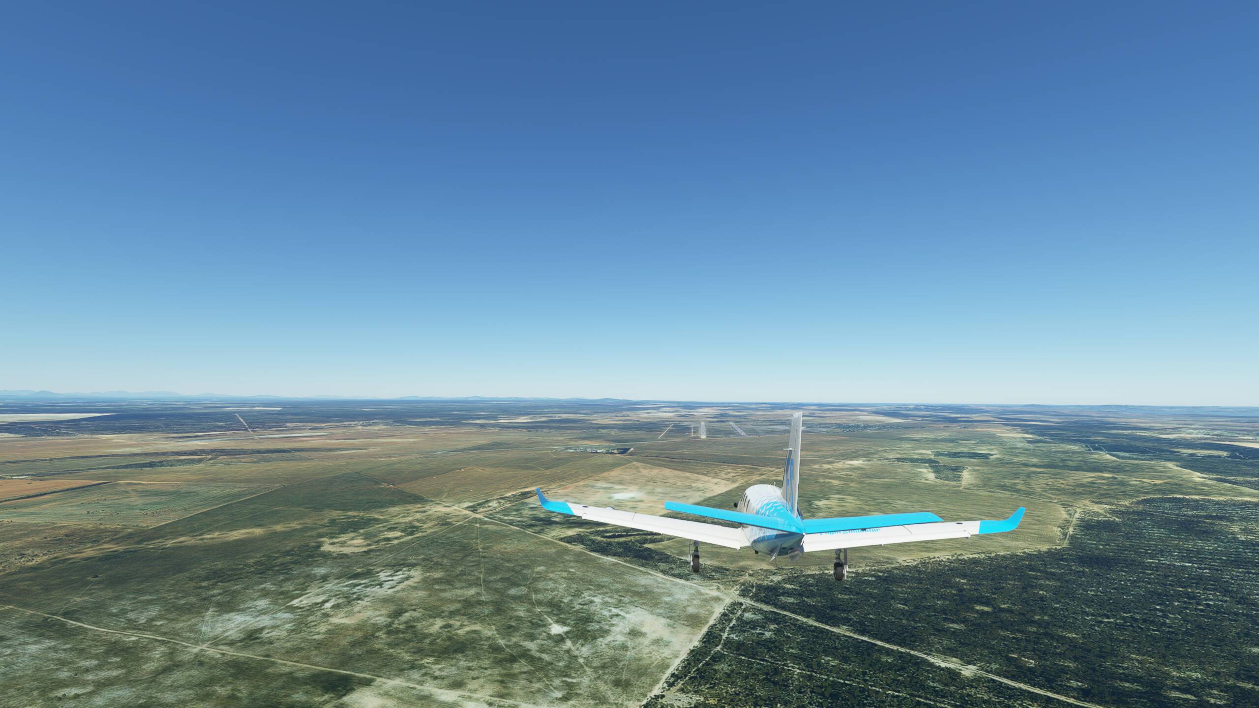
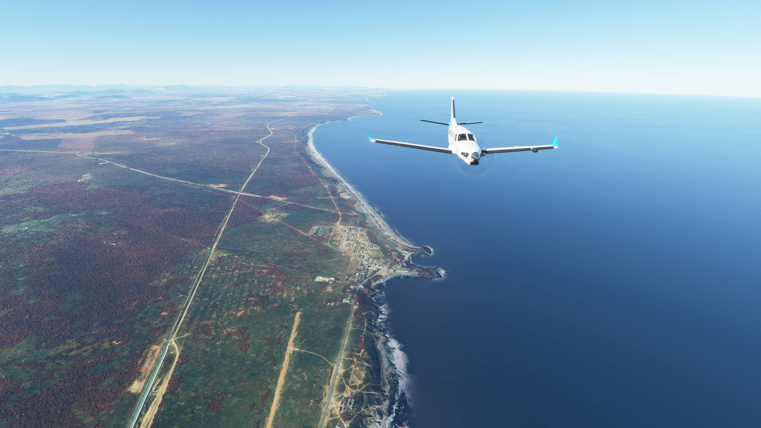
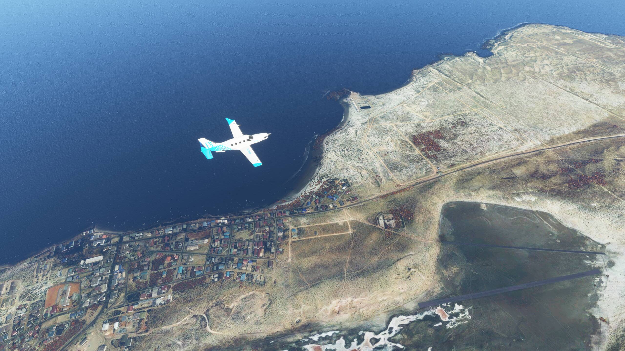
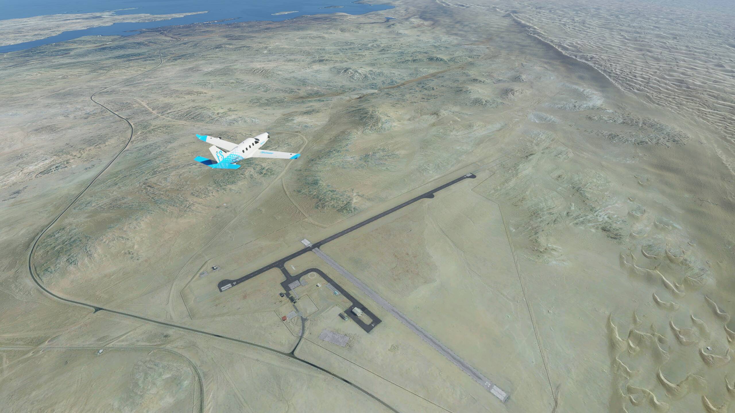
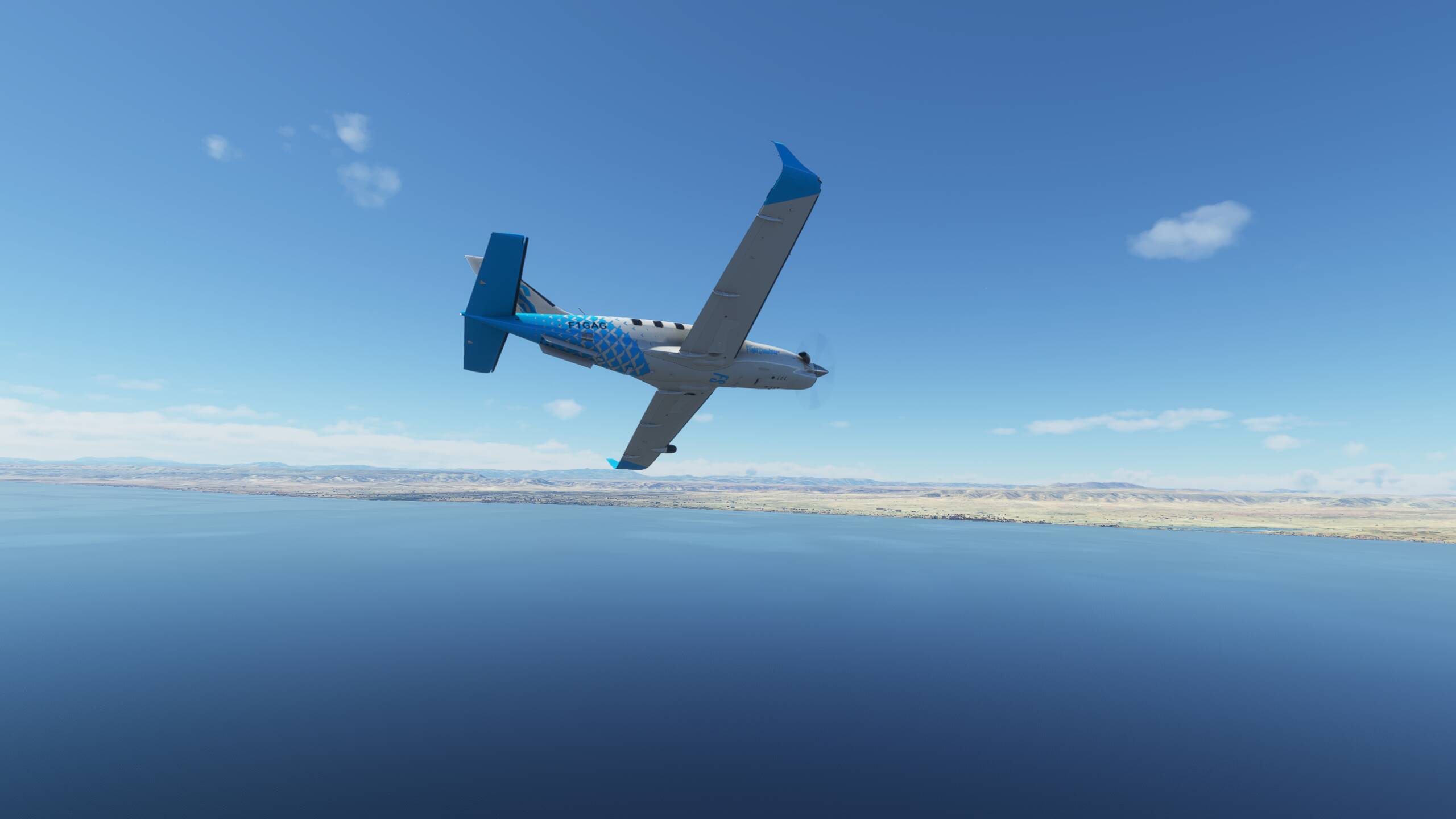
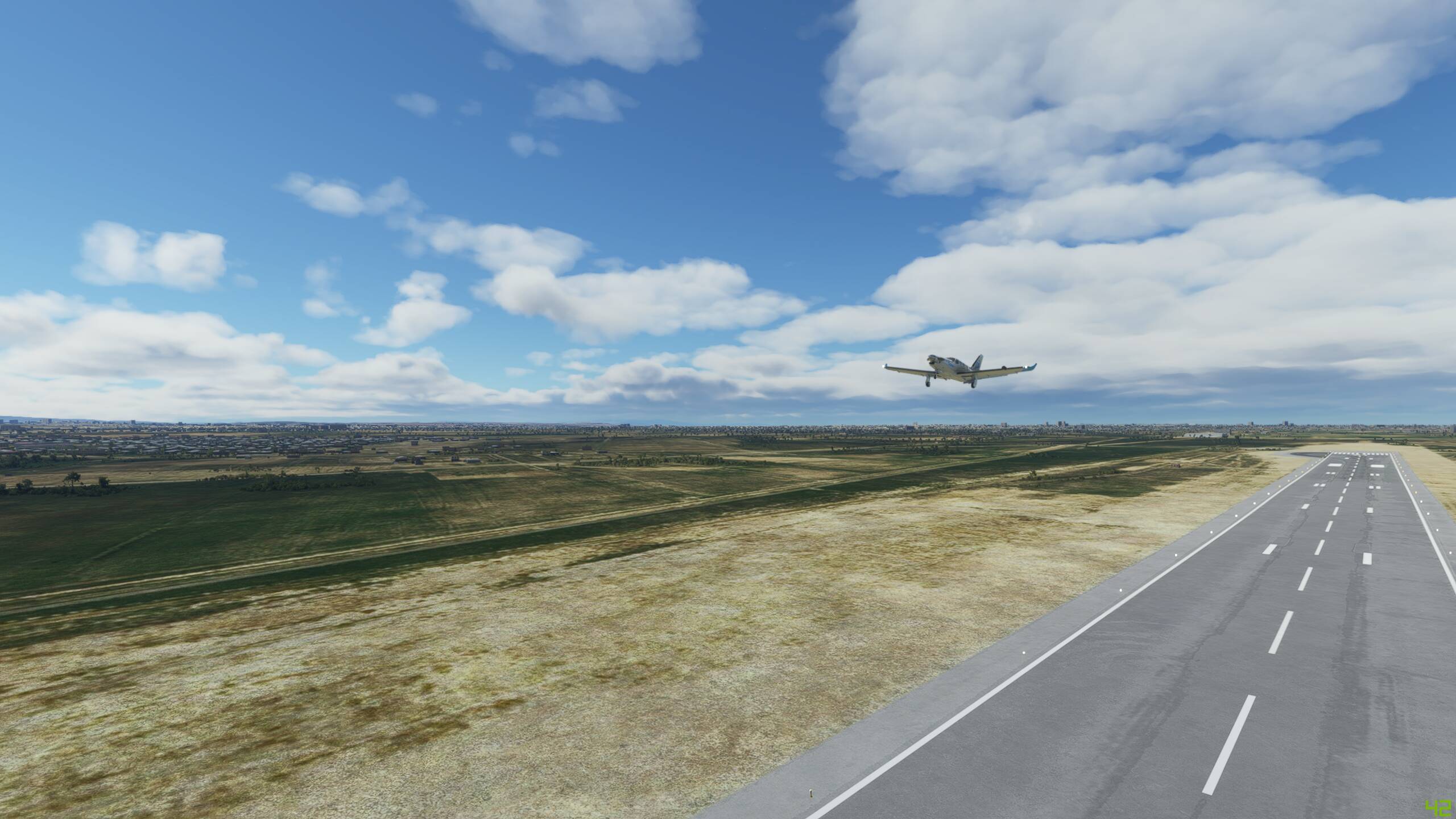
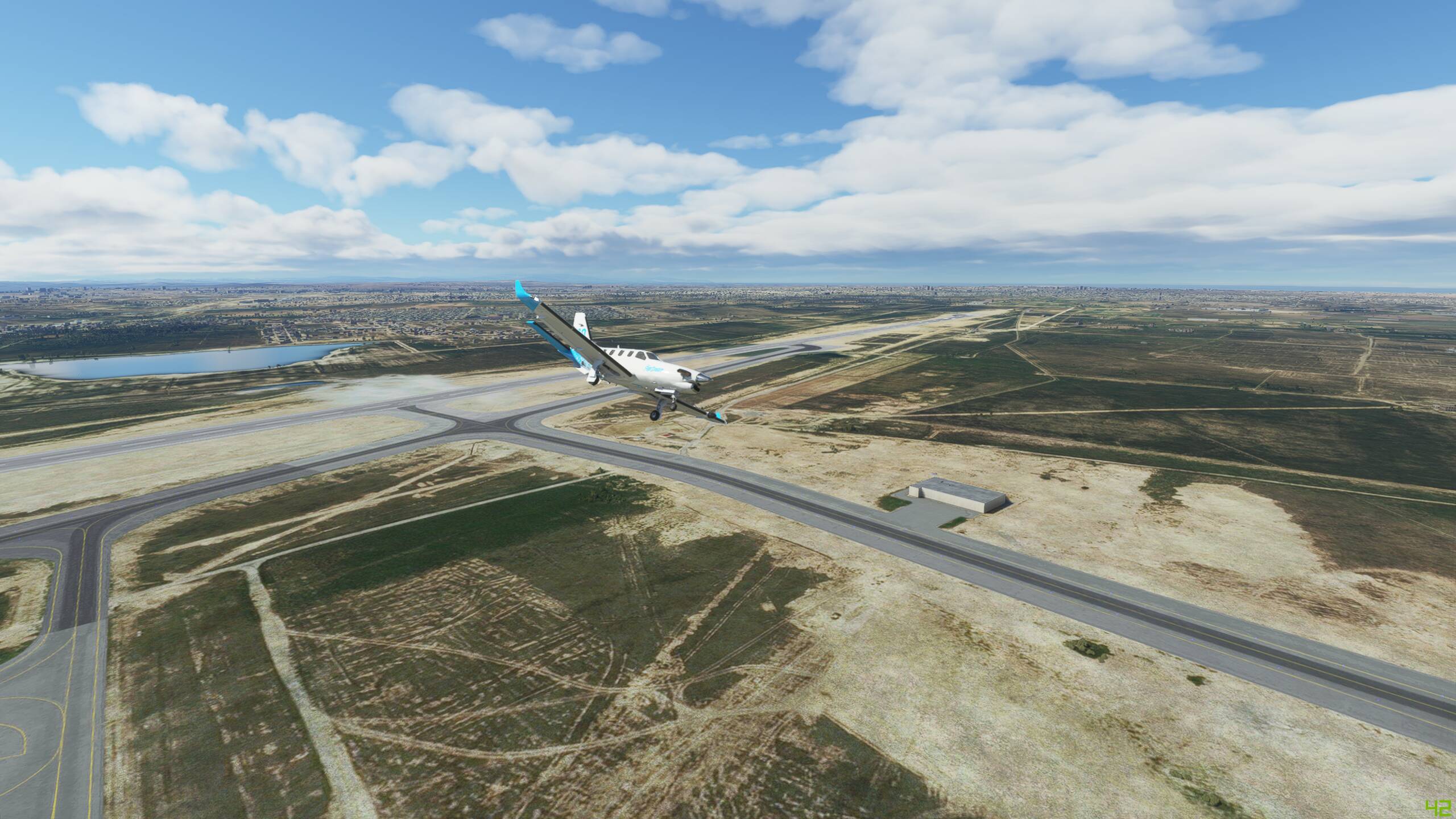
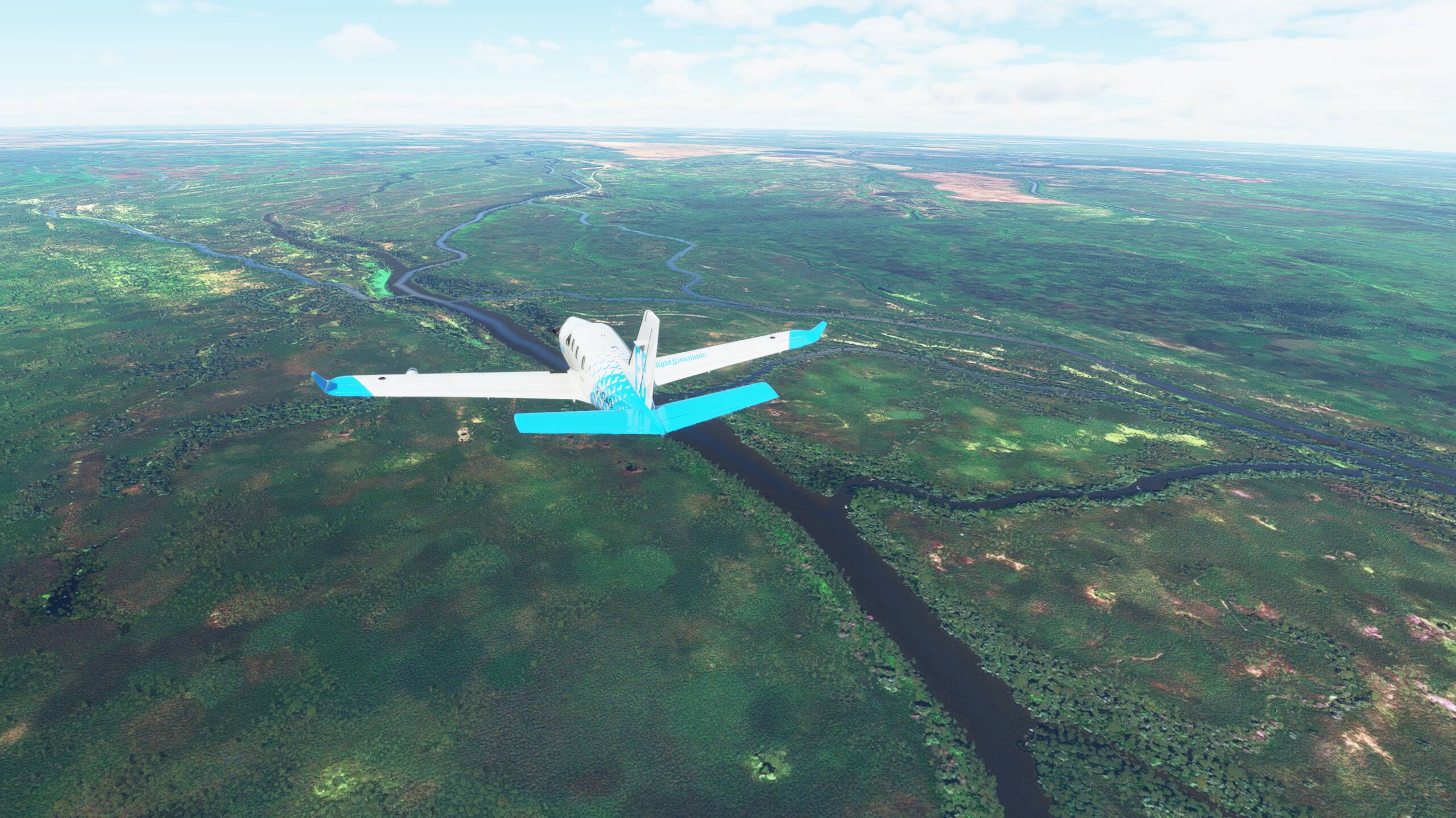
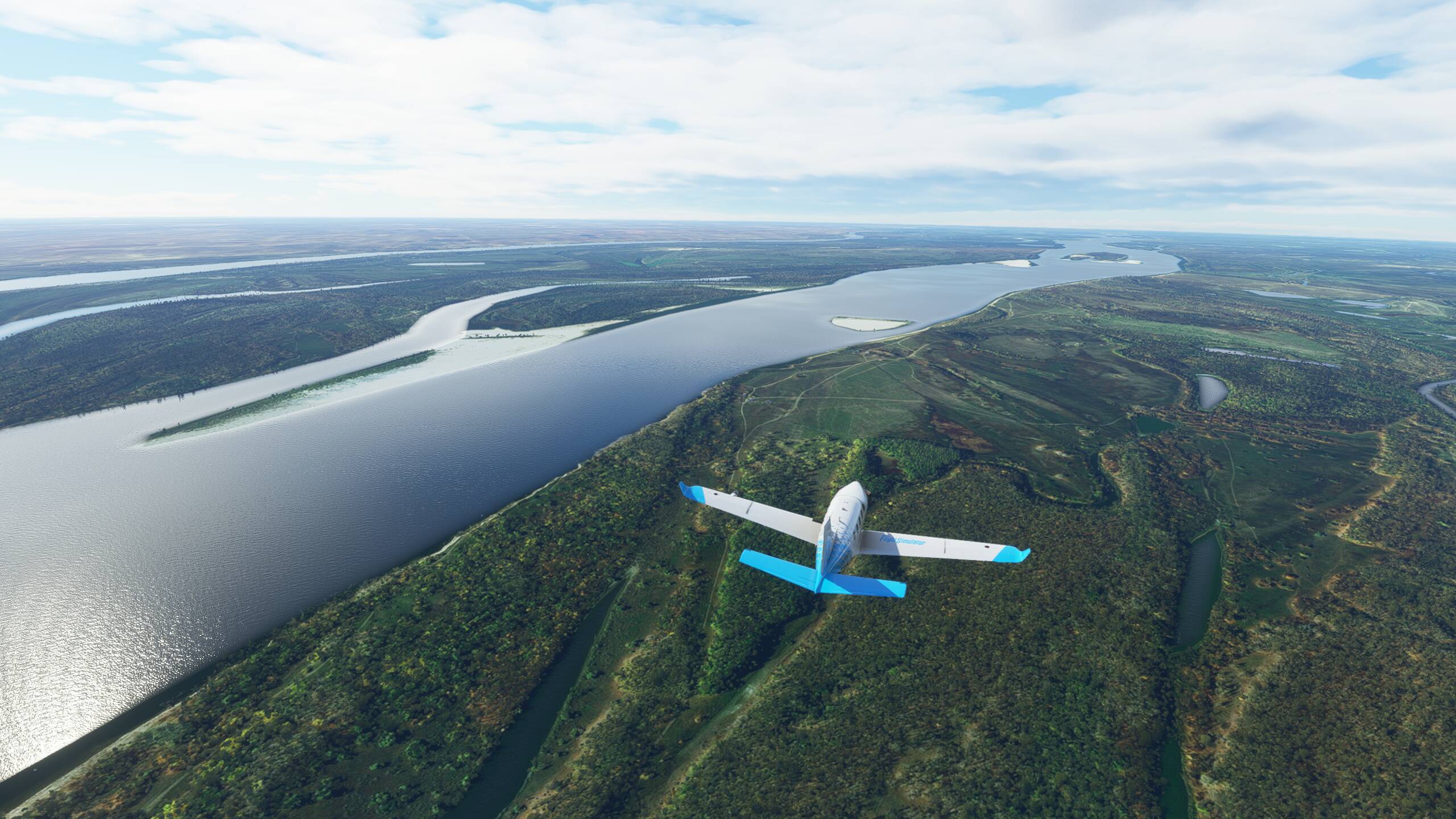
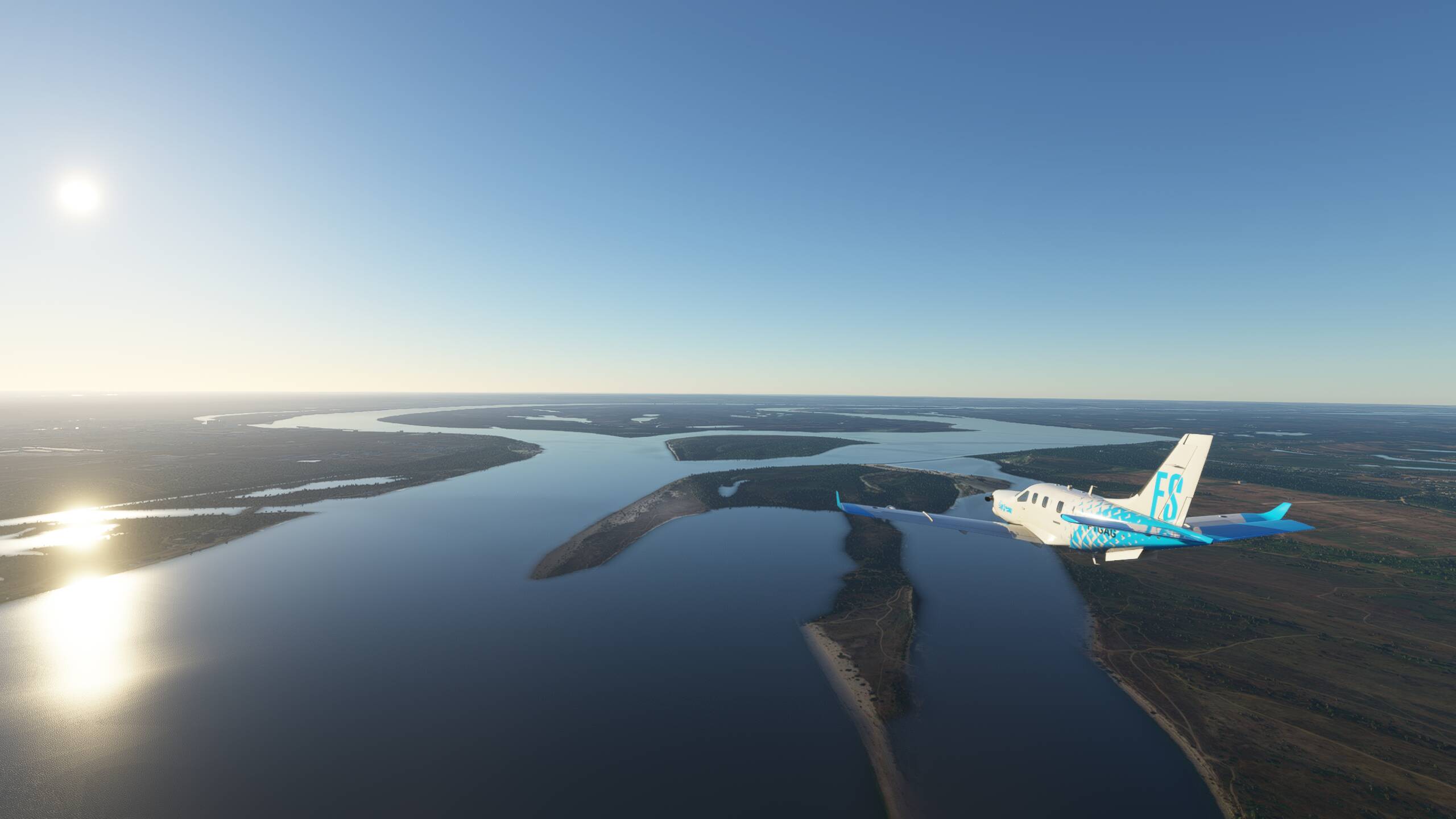
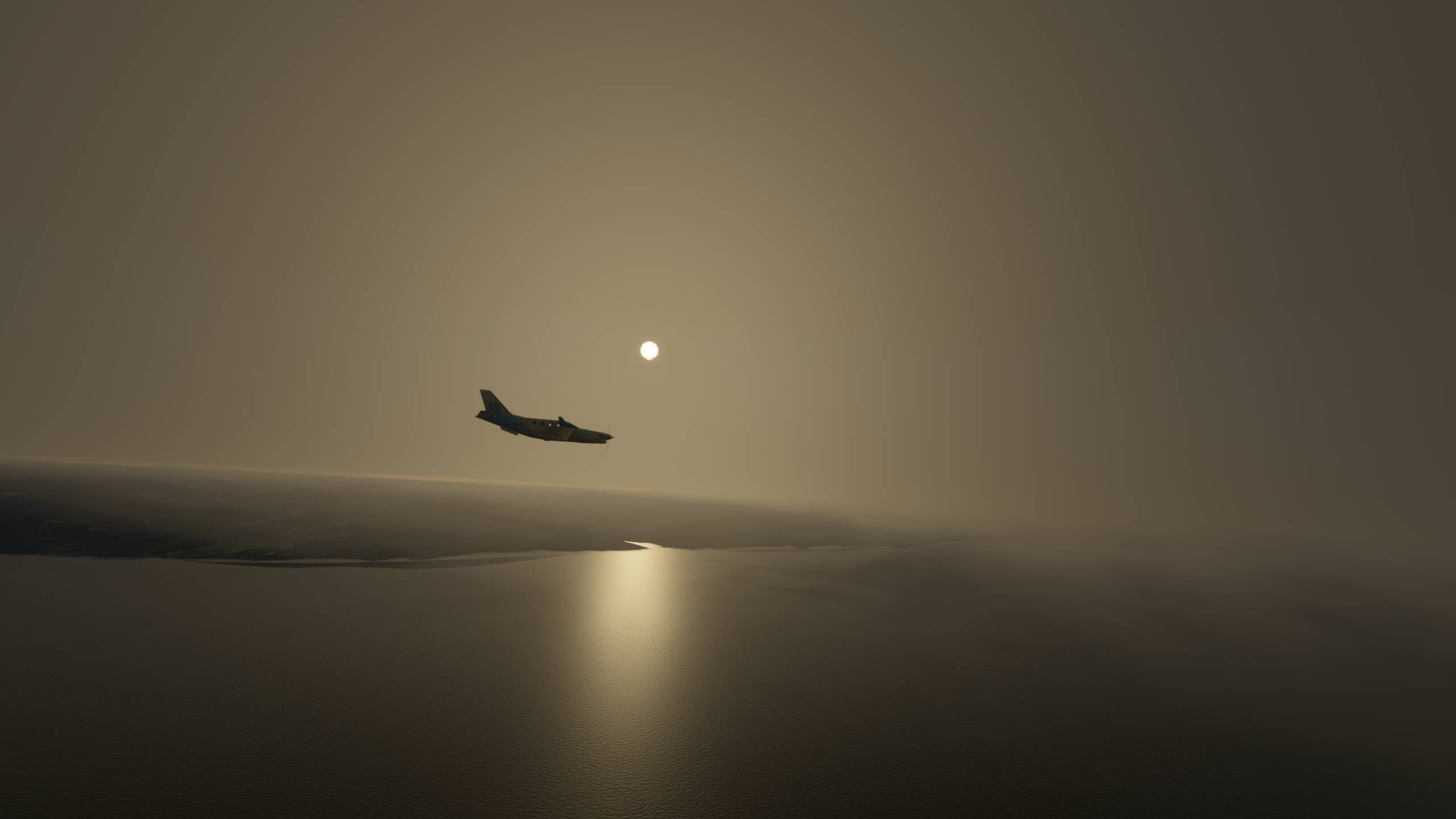
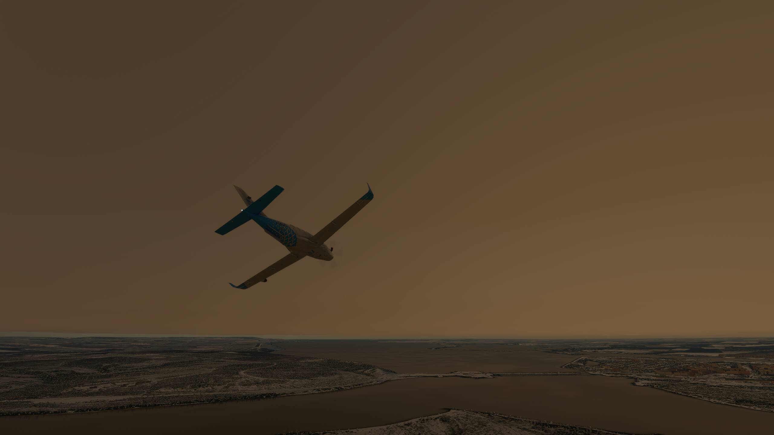
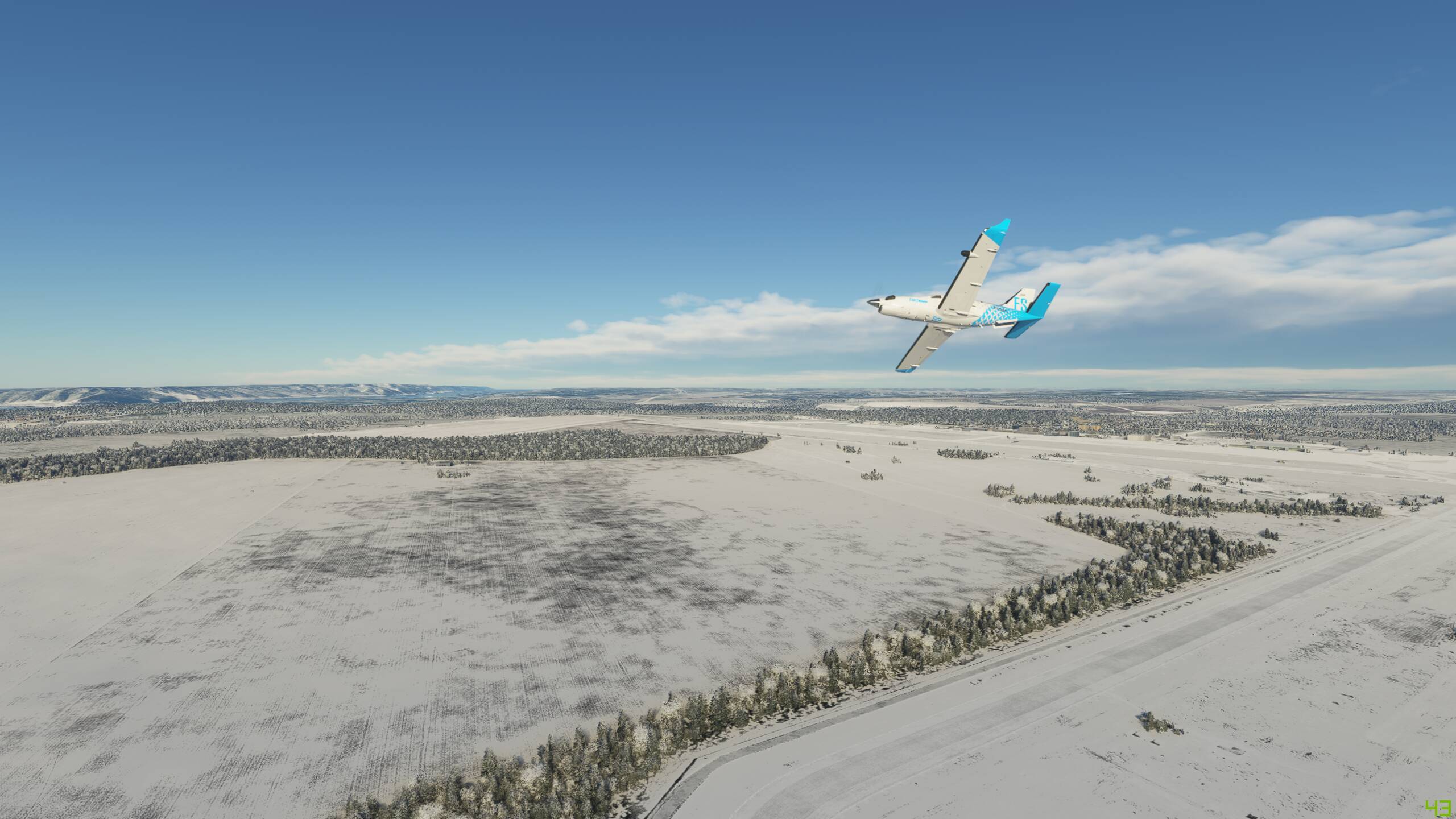
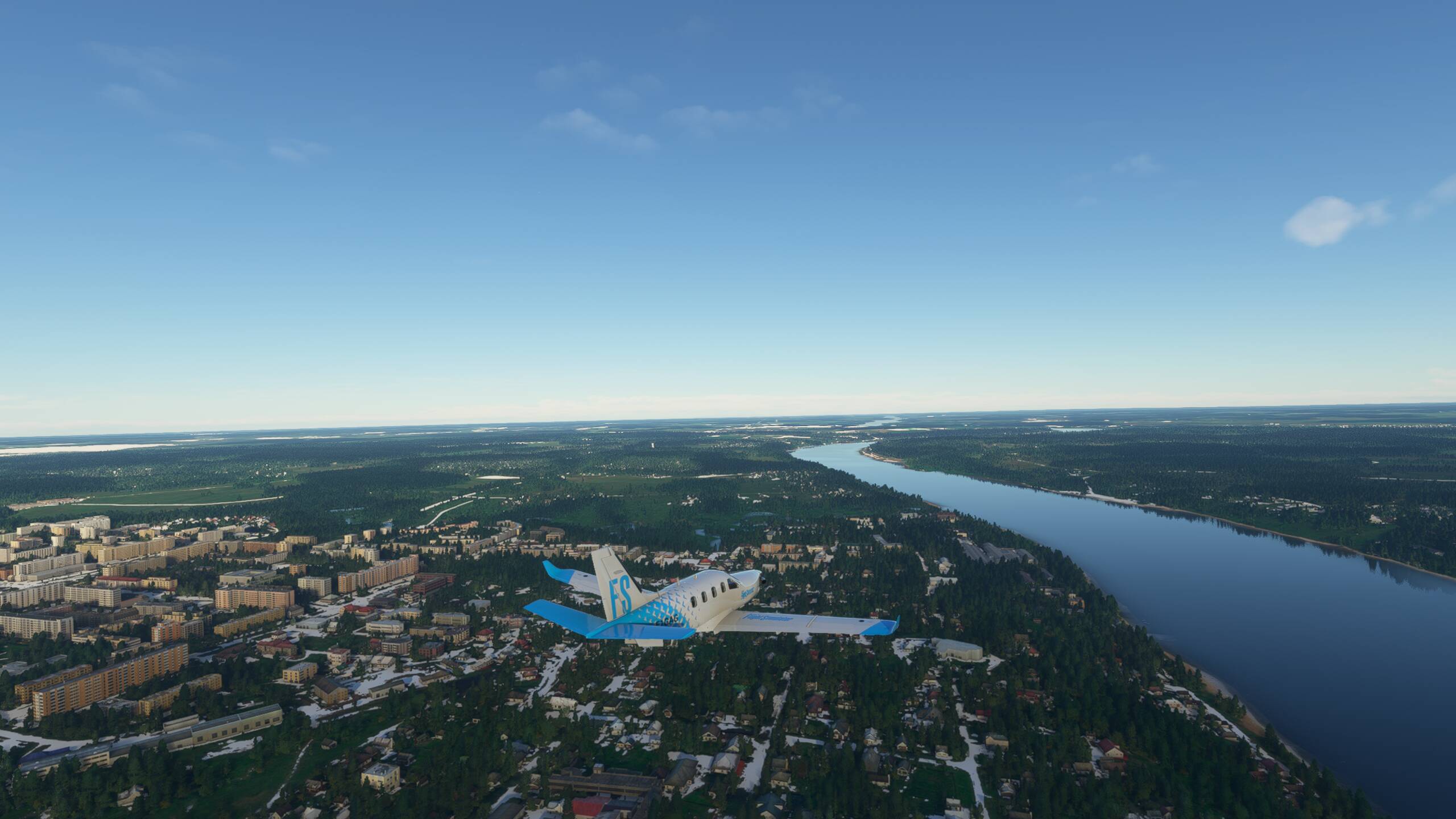
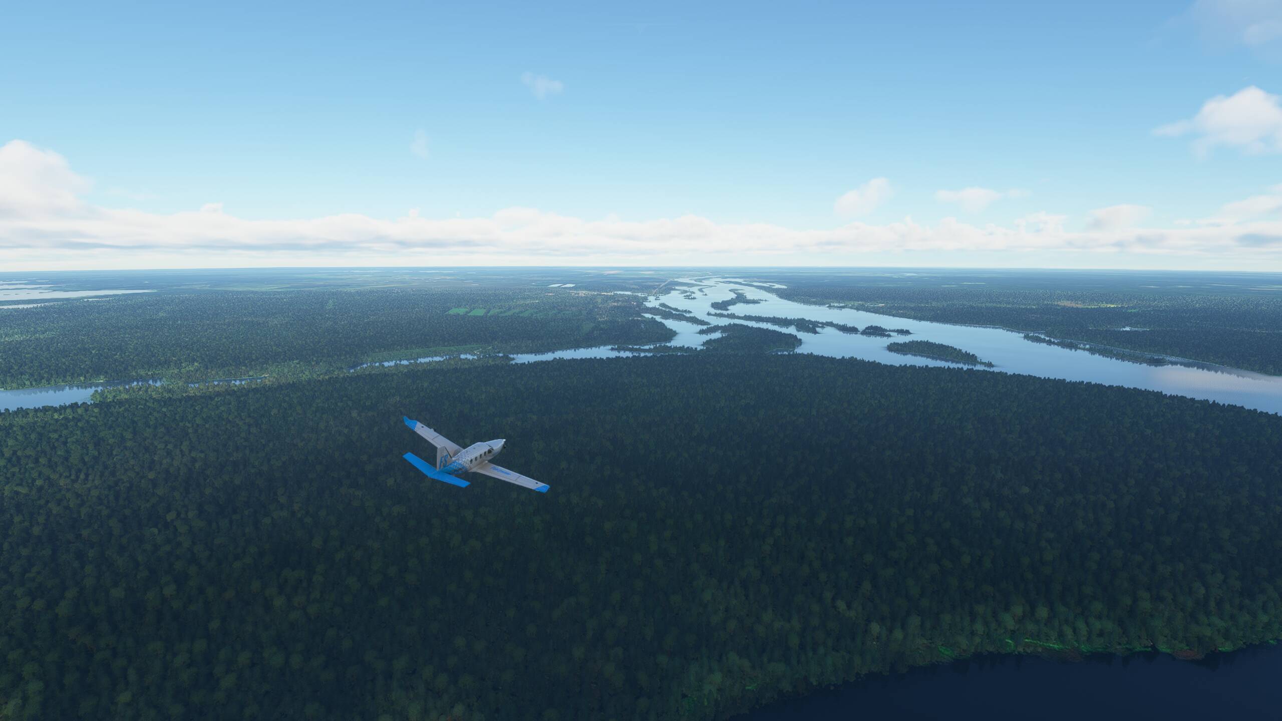
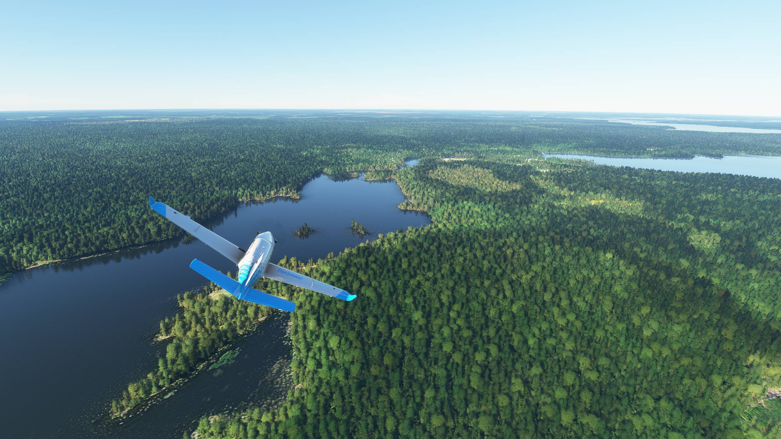
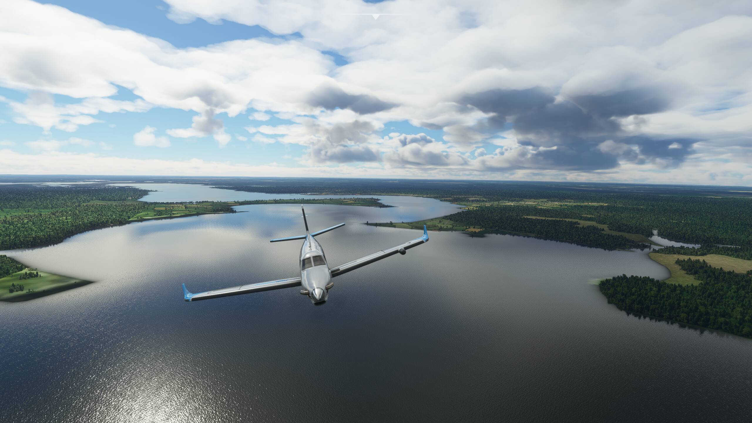
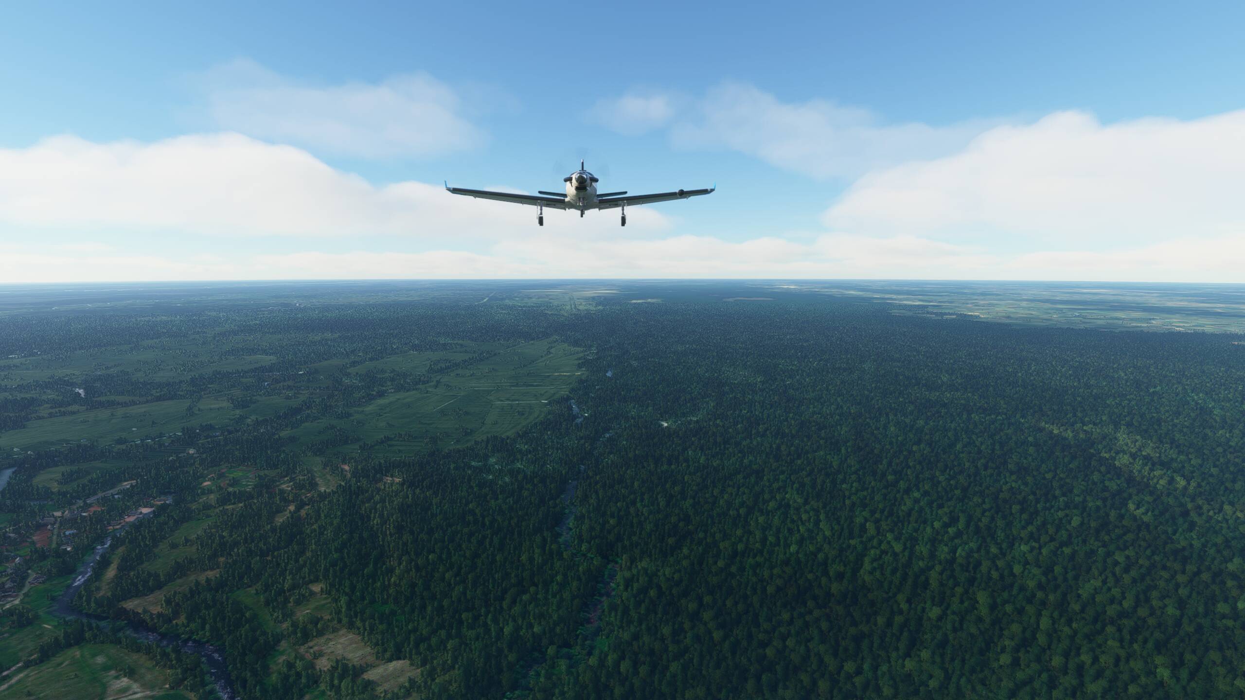
After take off, we circle to the right and head North West towards Karachi, and leave India behind
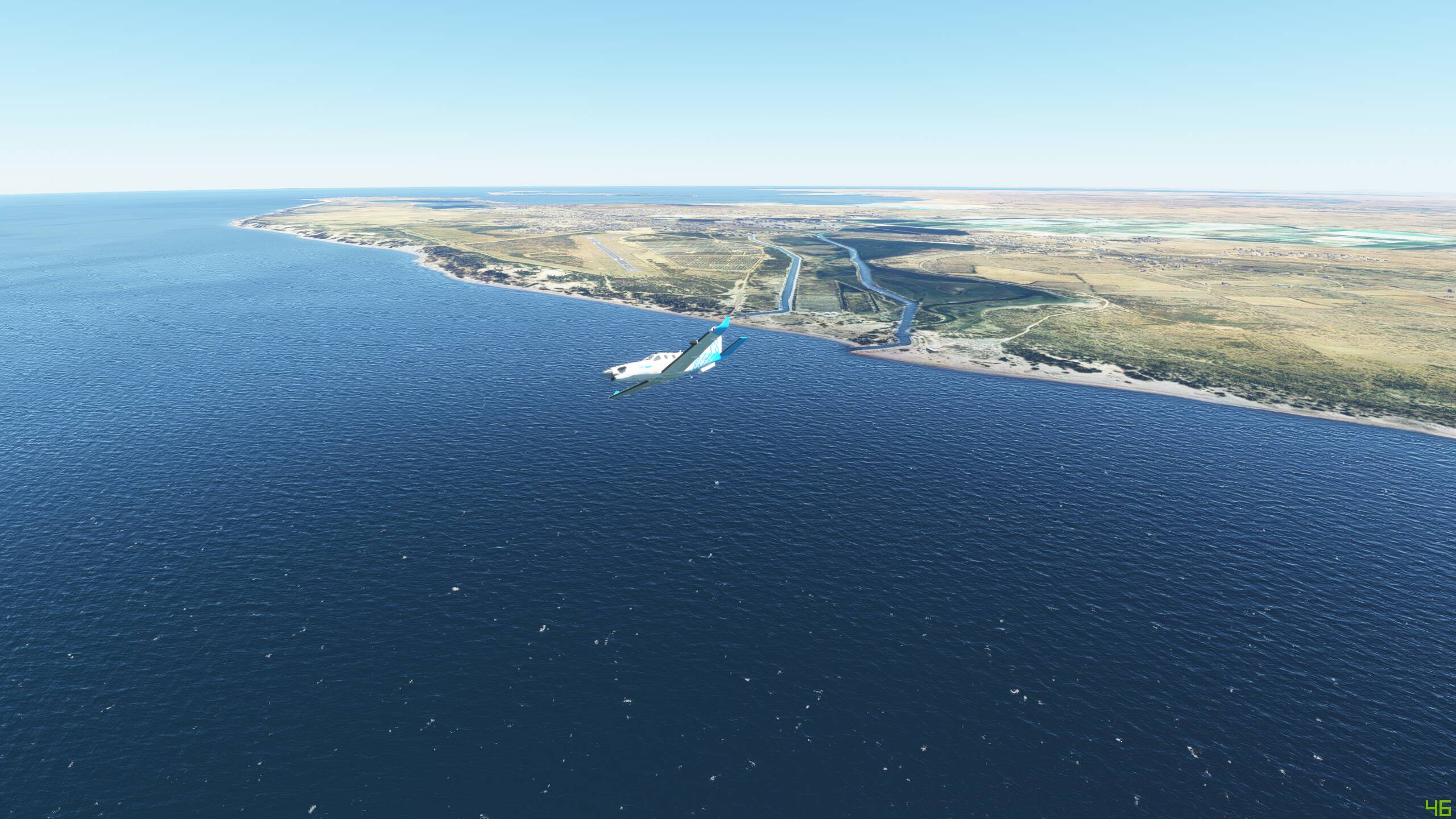

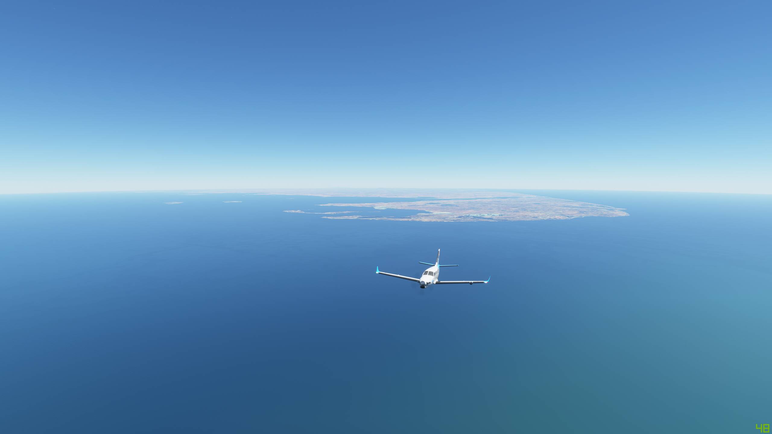
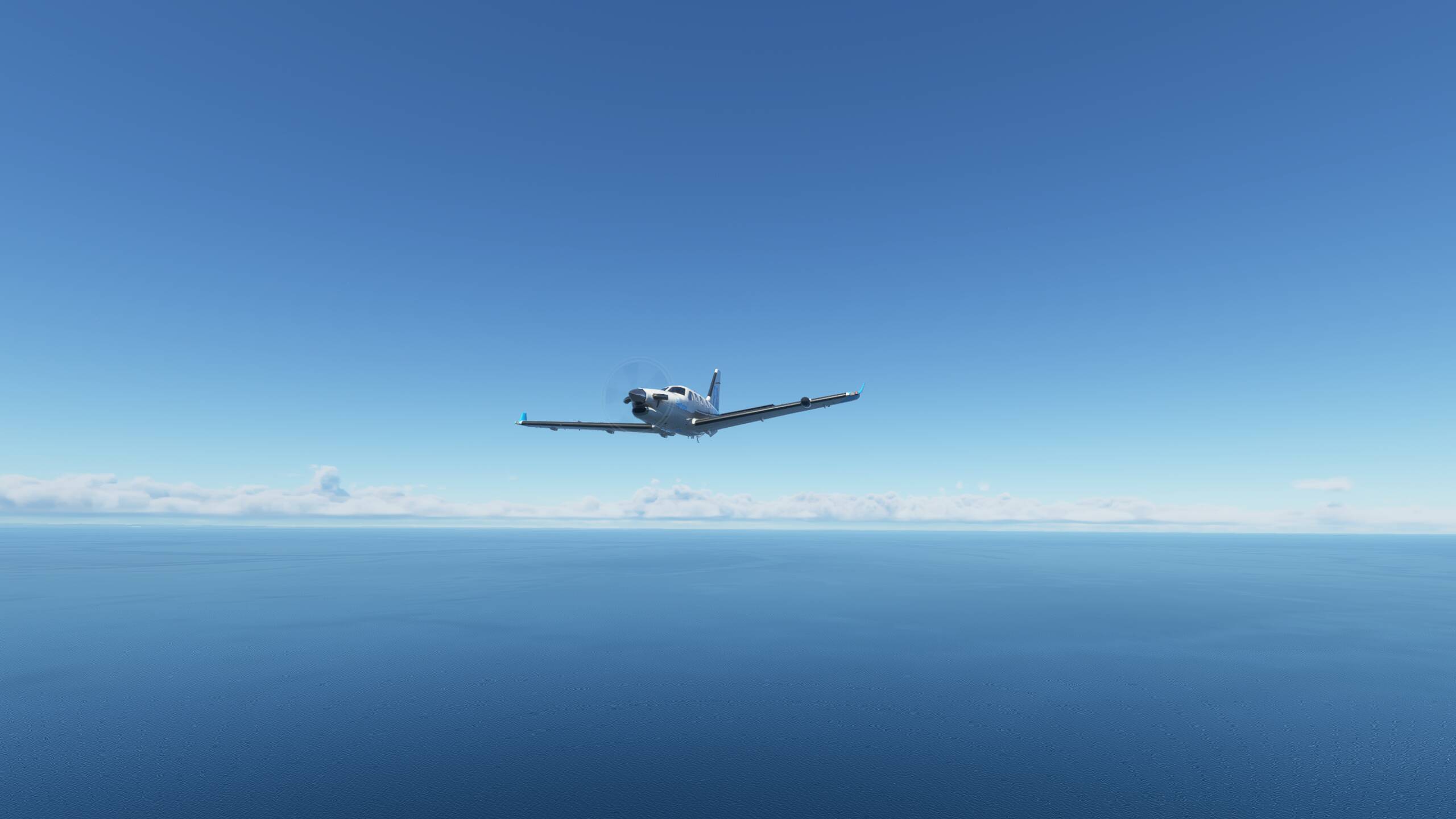
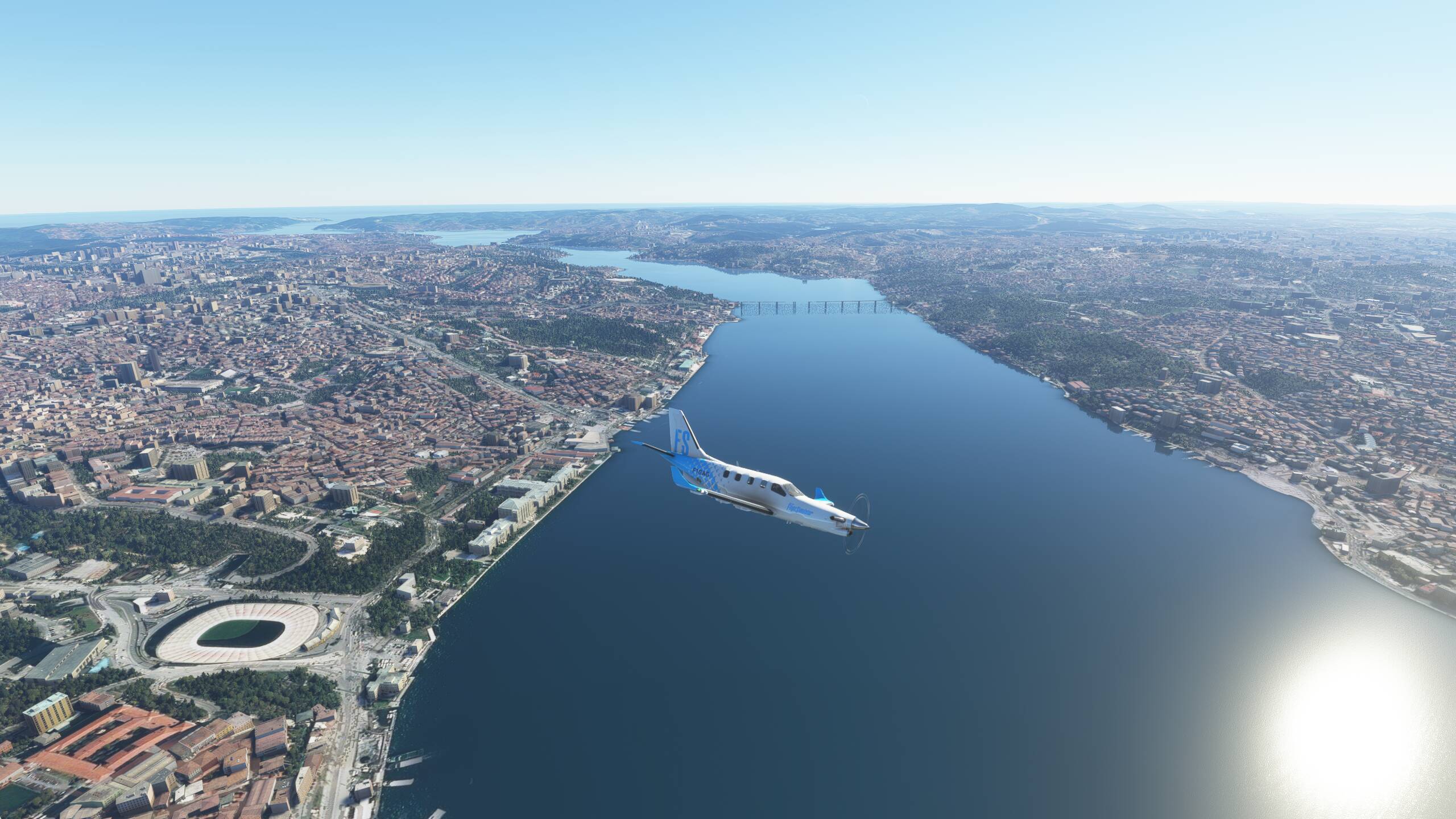
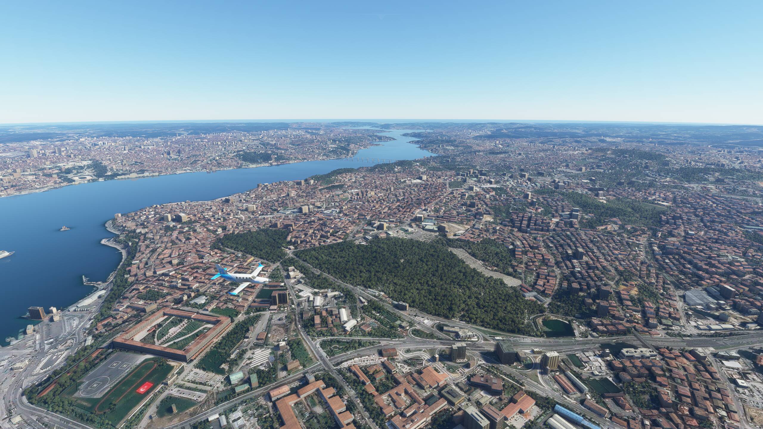
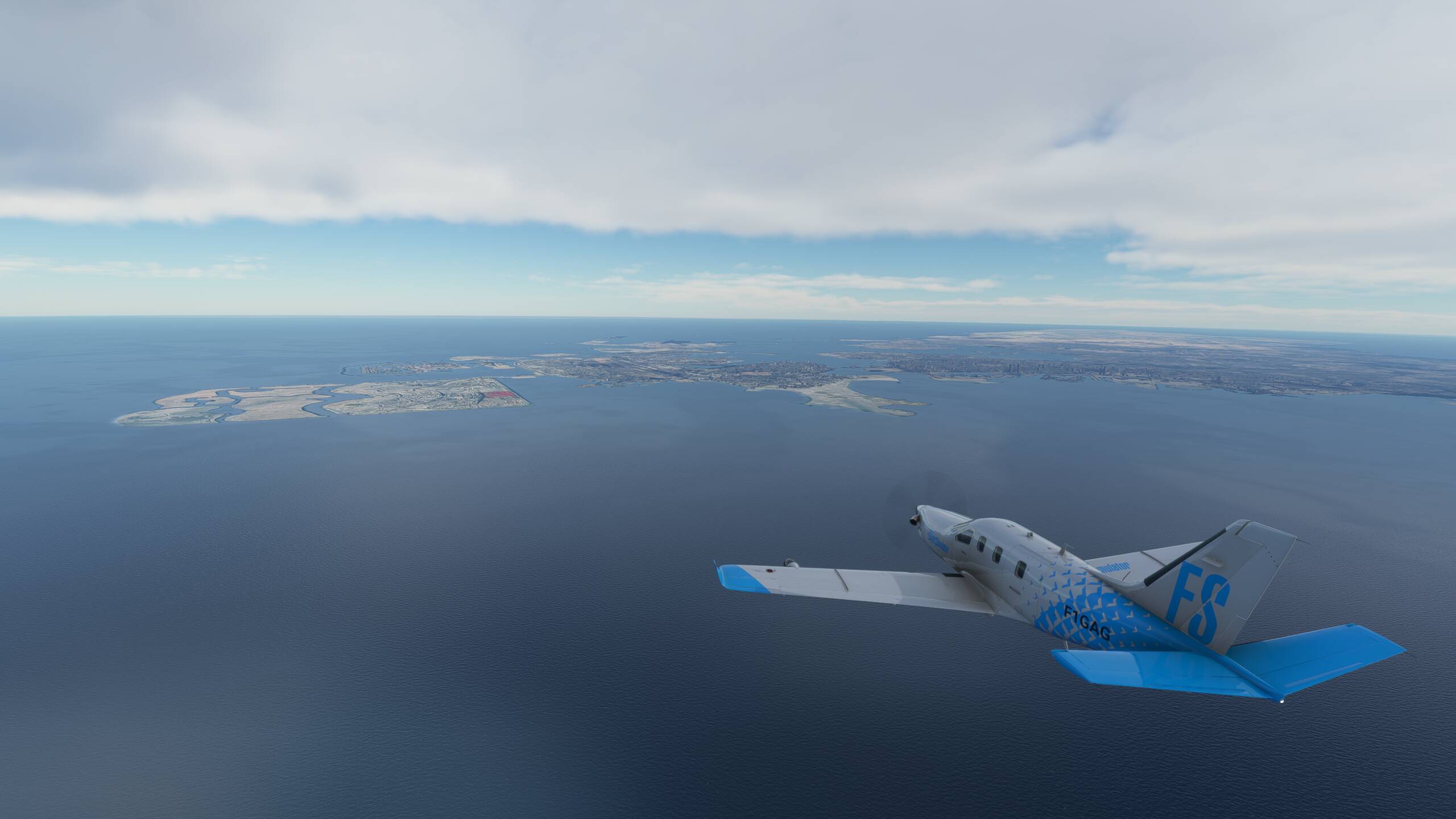
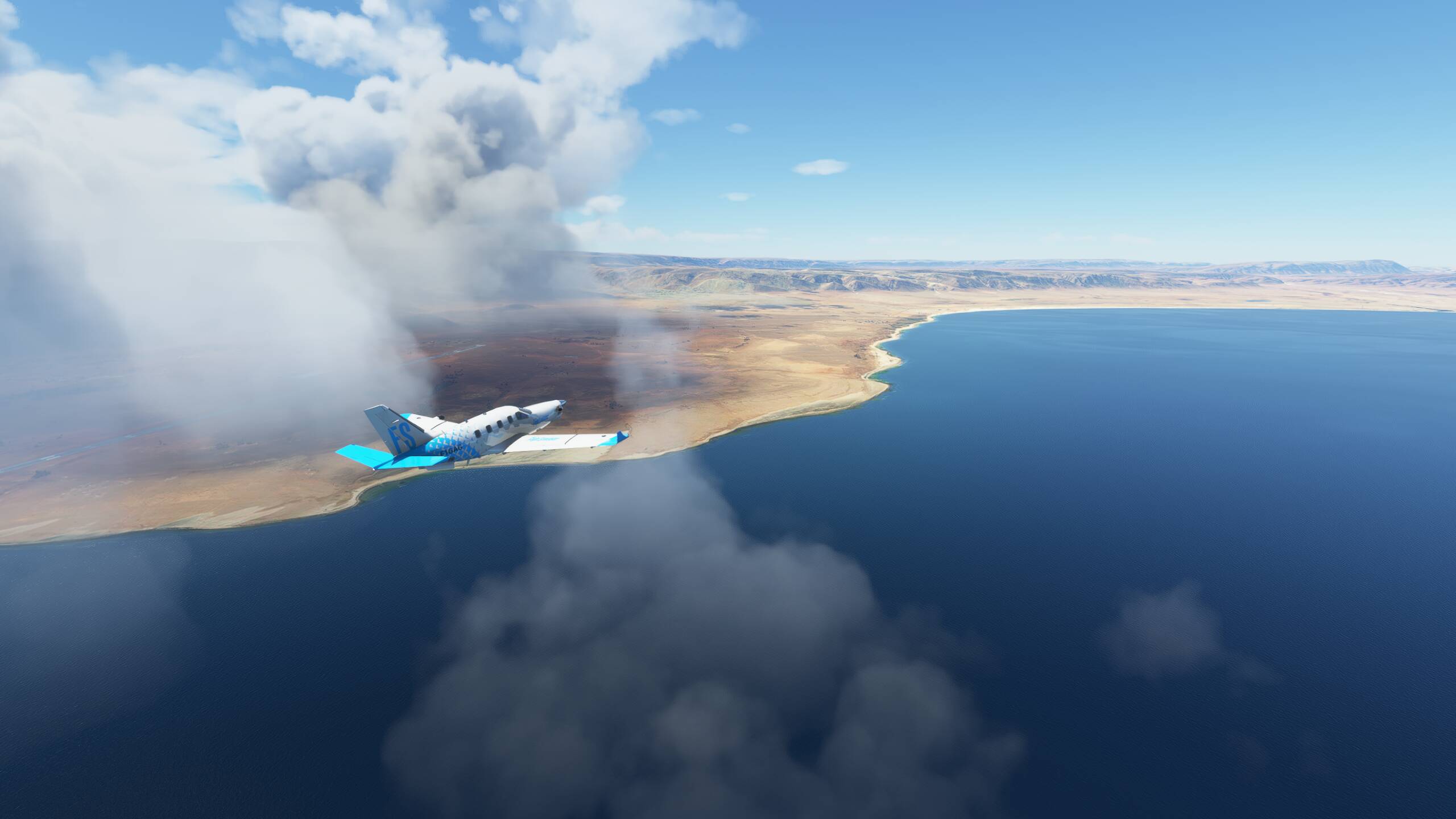
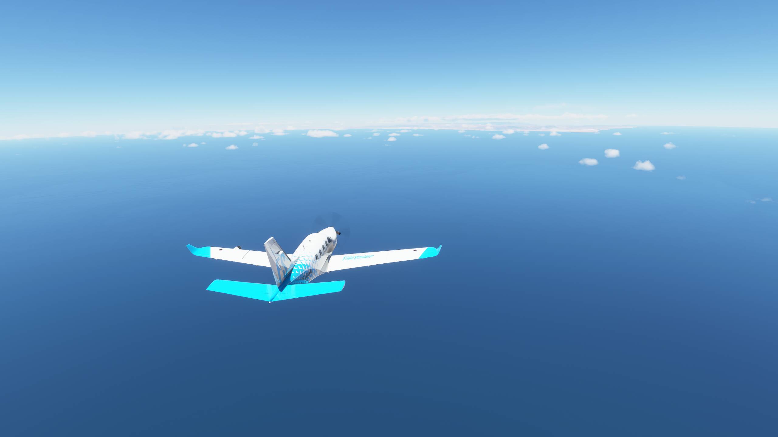
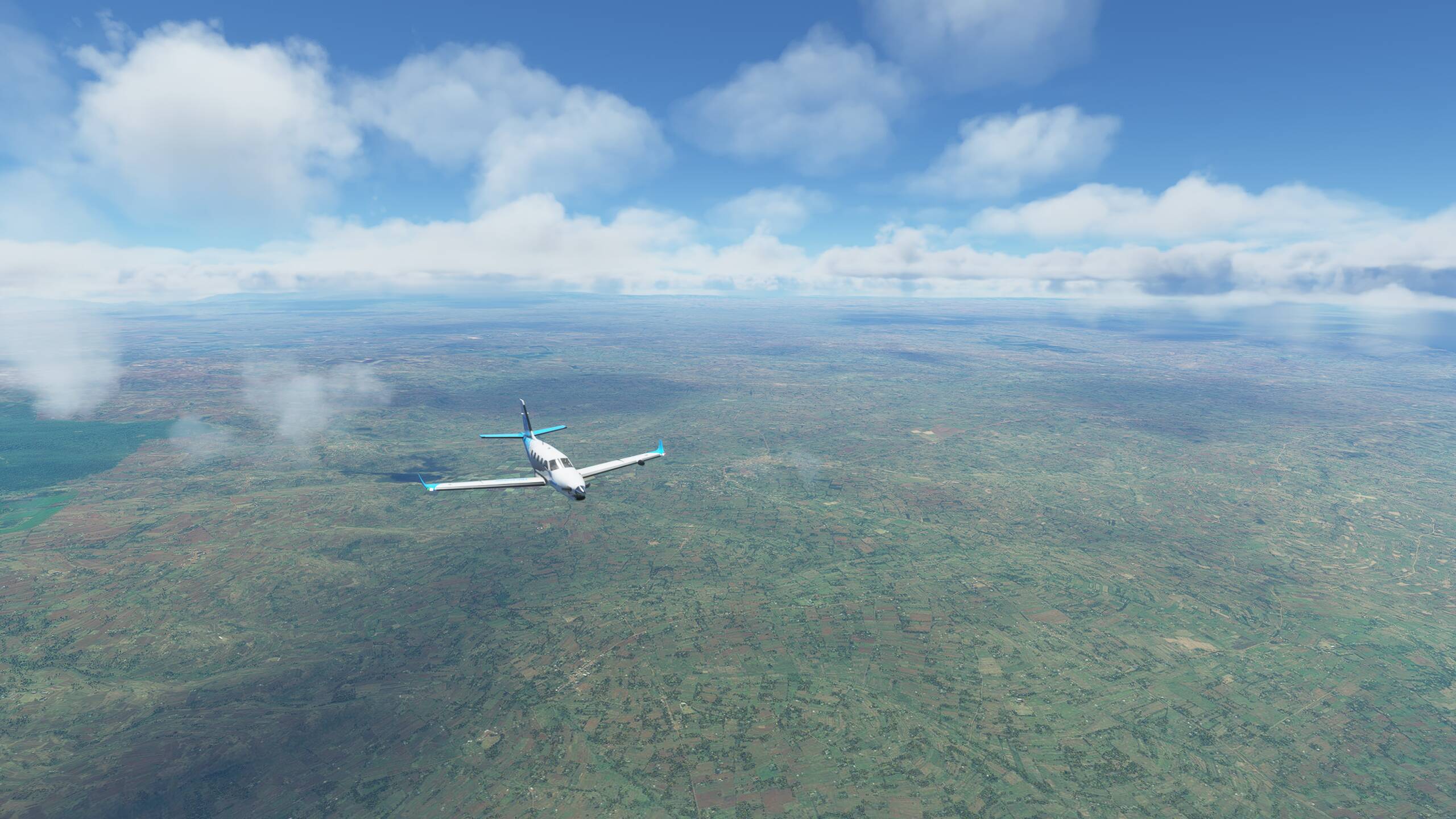
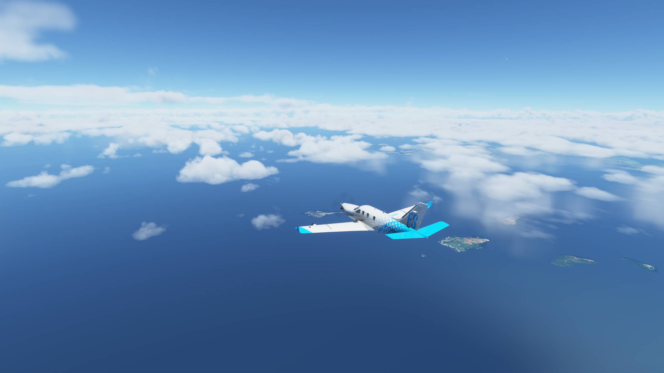
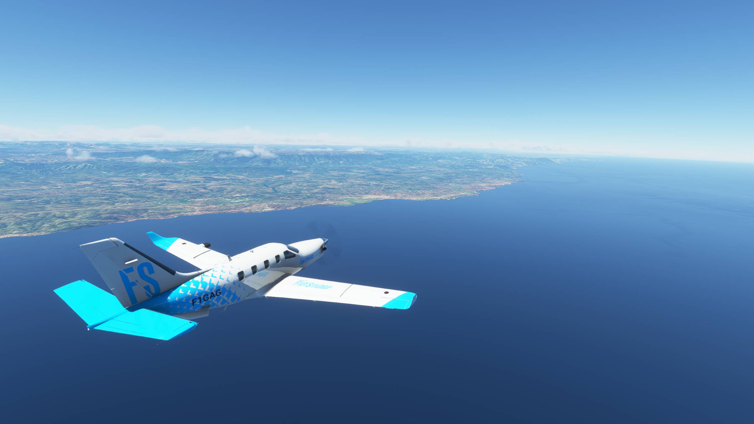
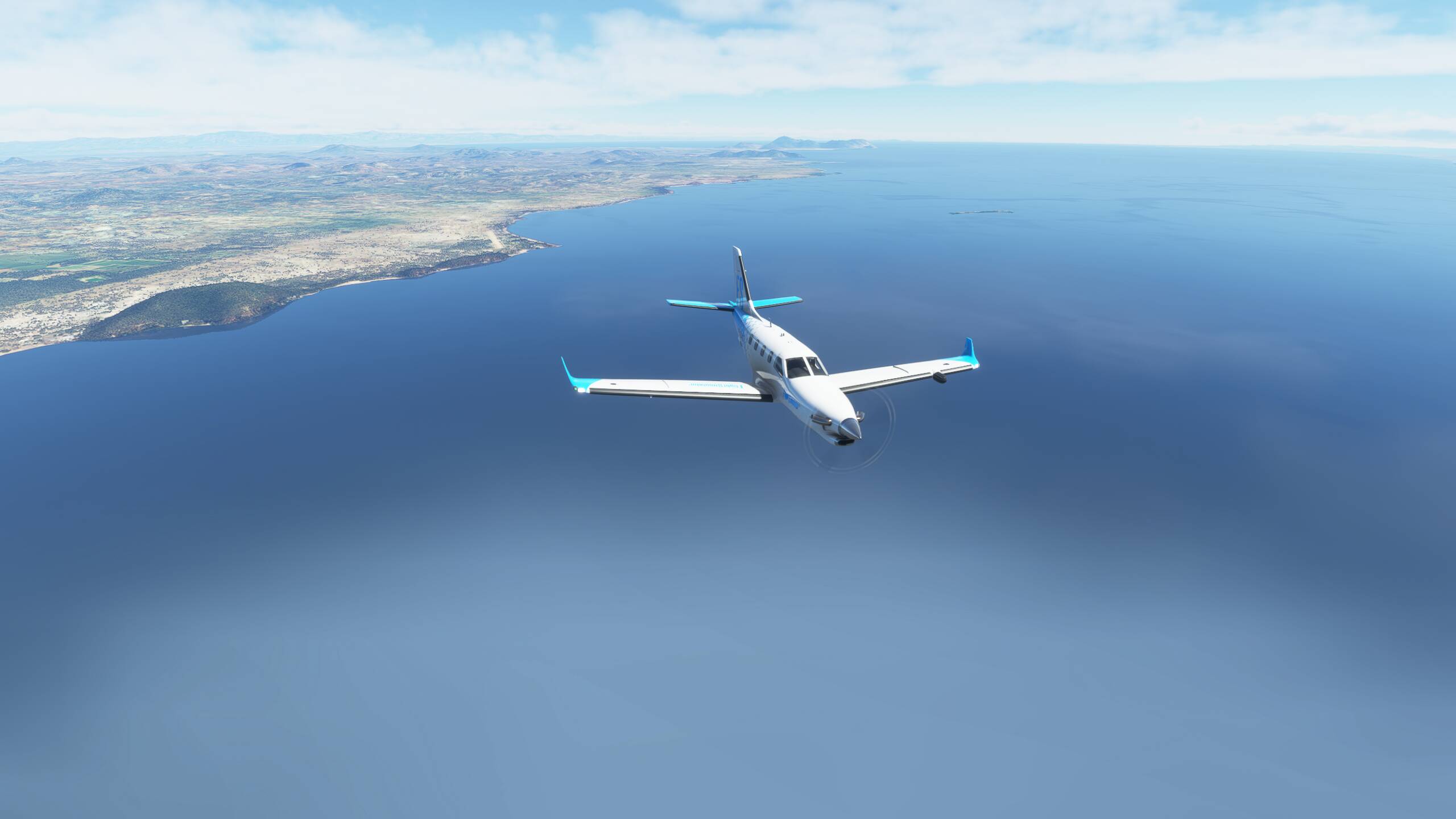
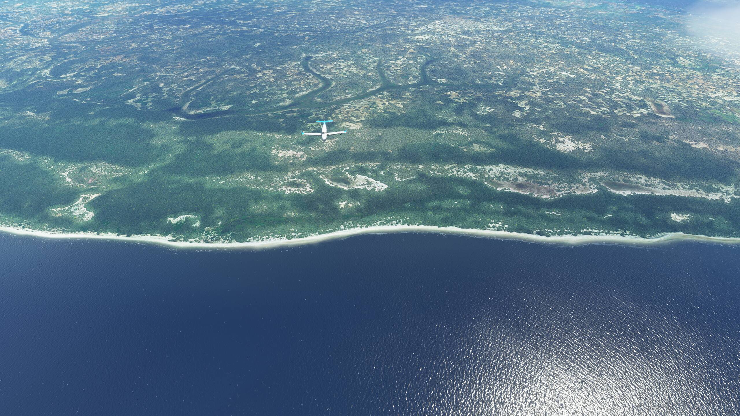
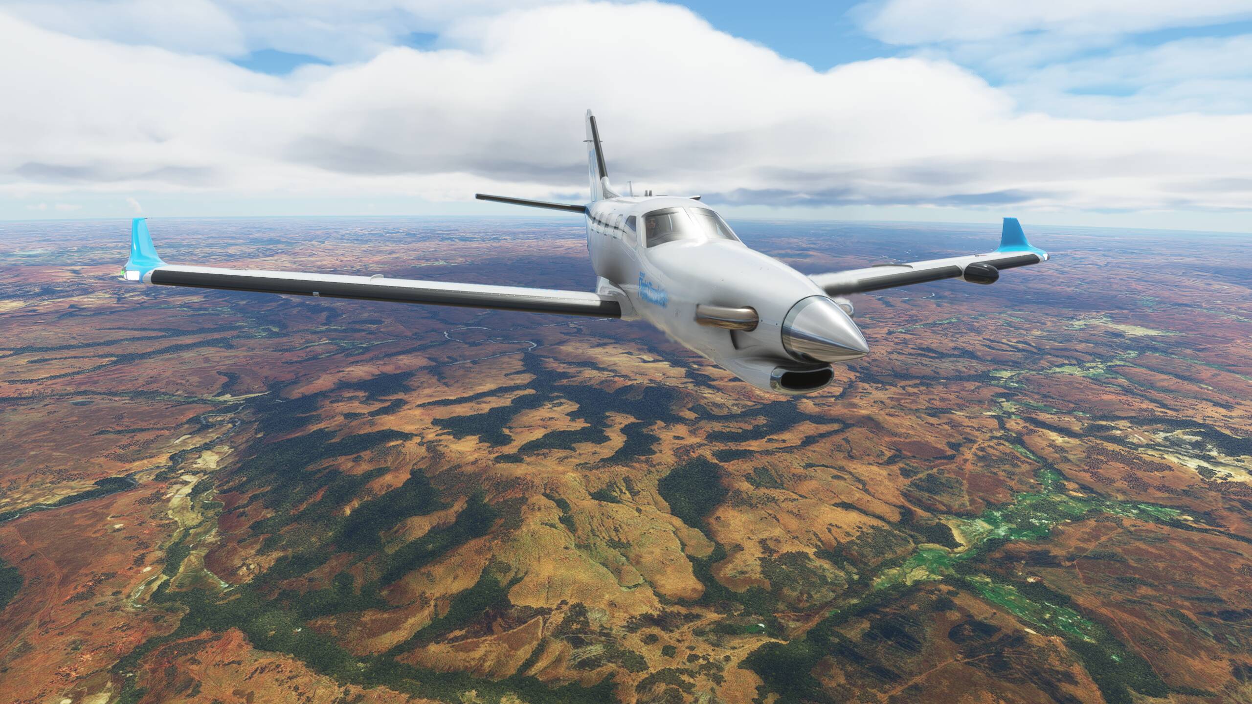
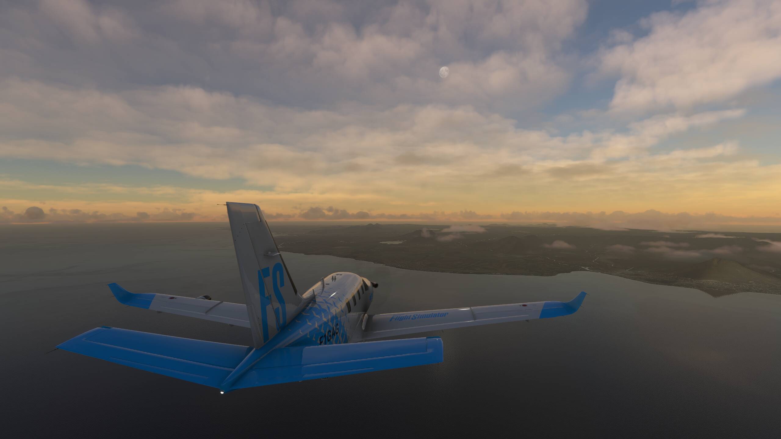
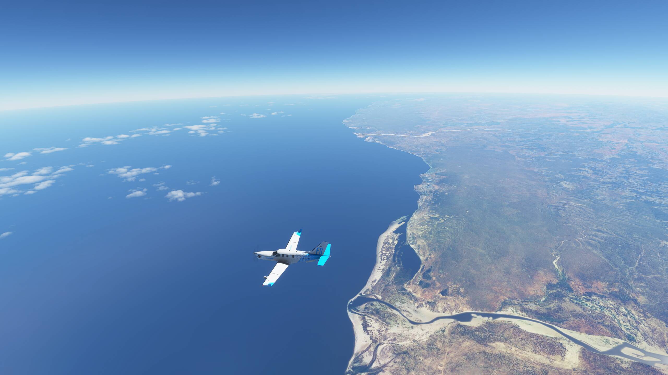
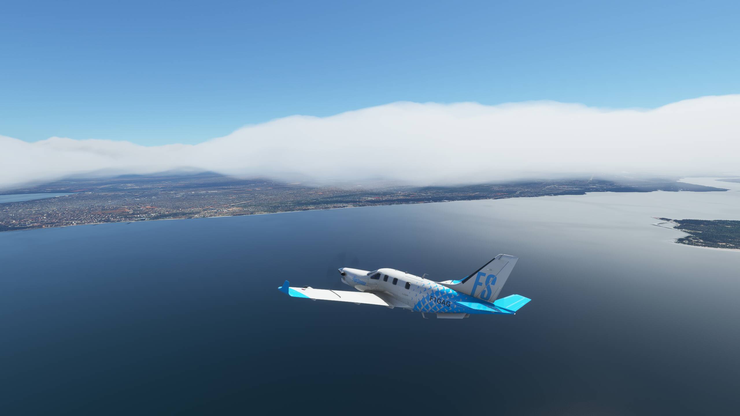
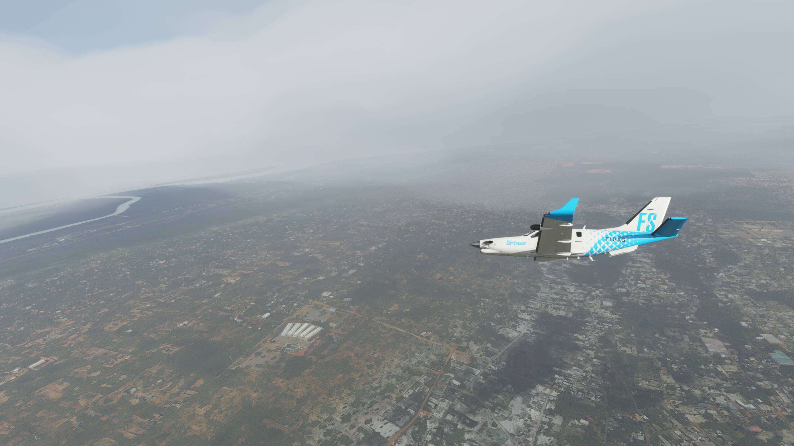
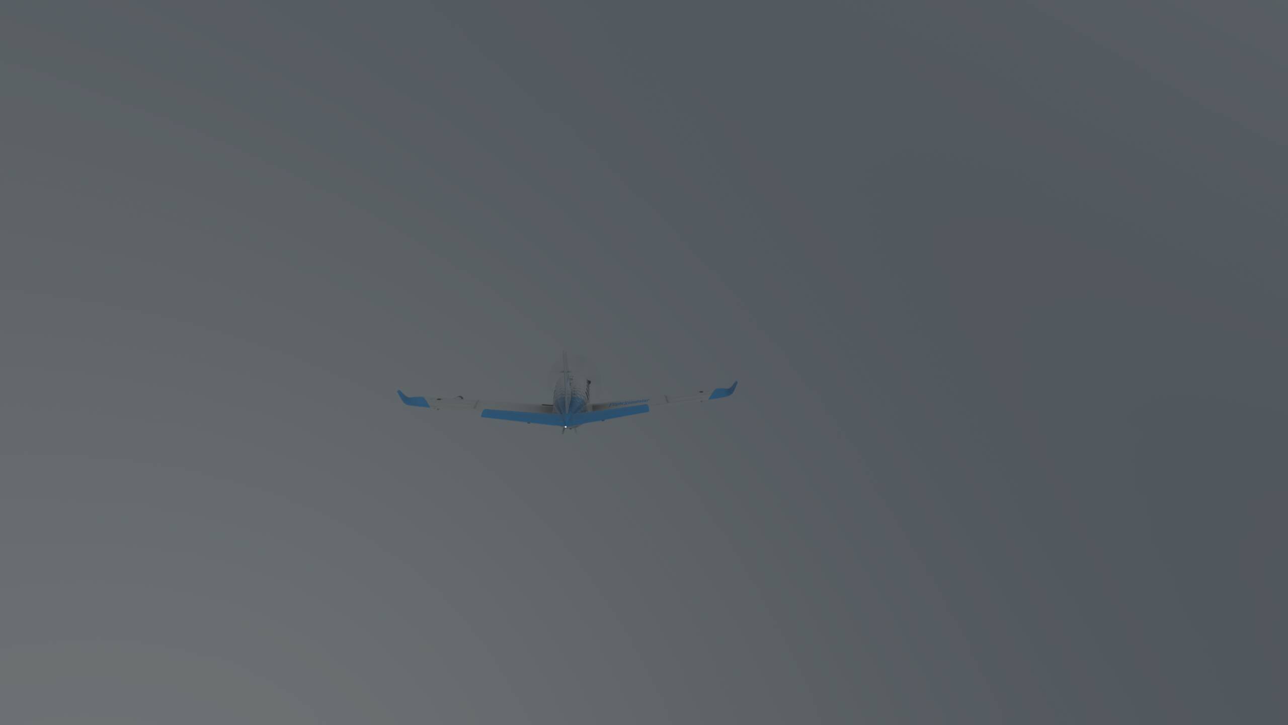
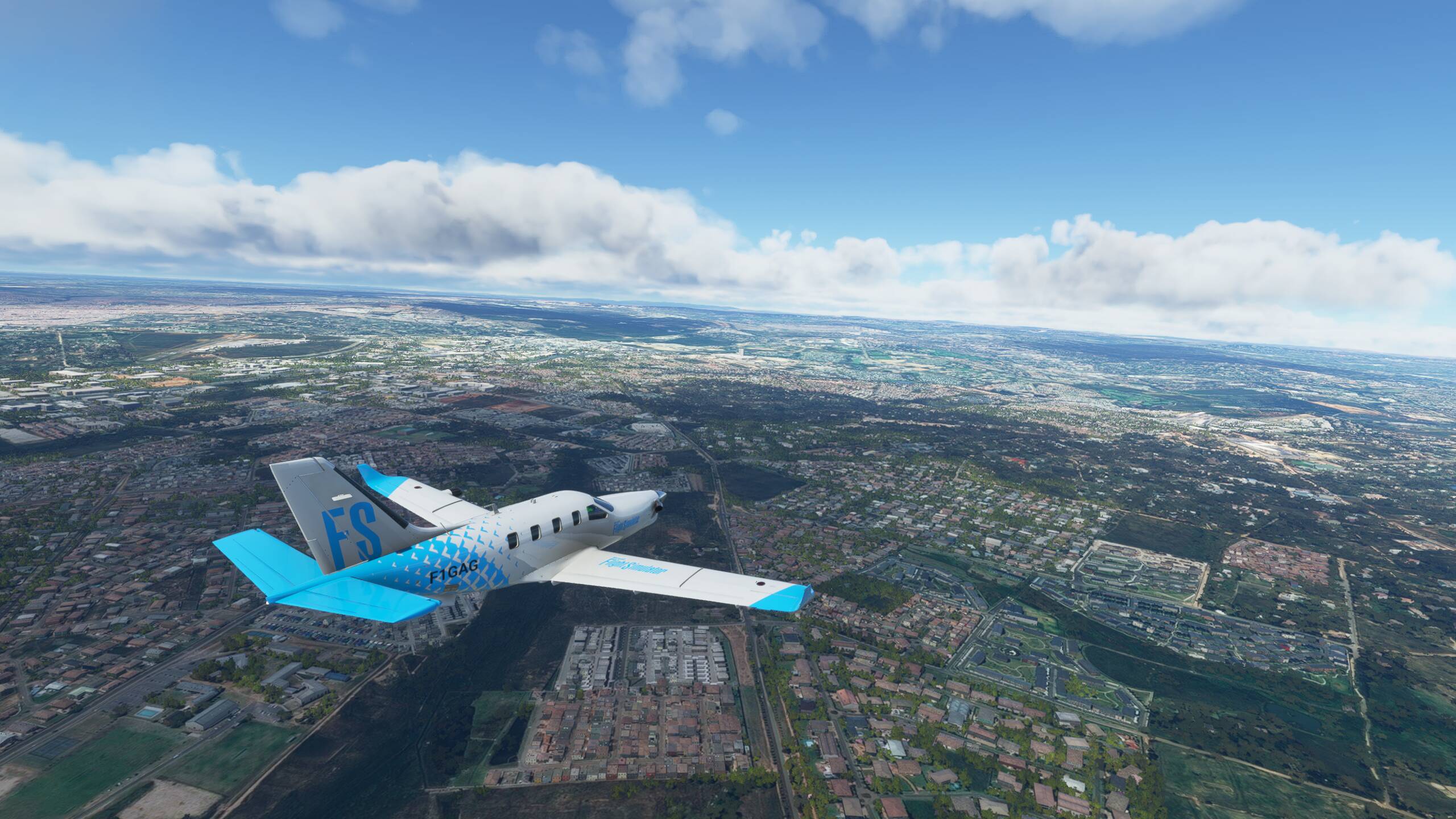
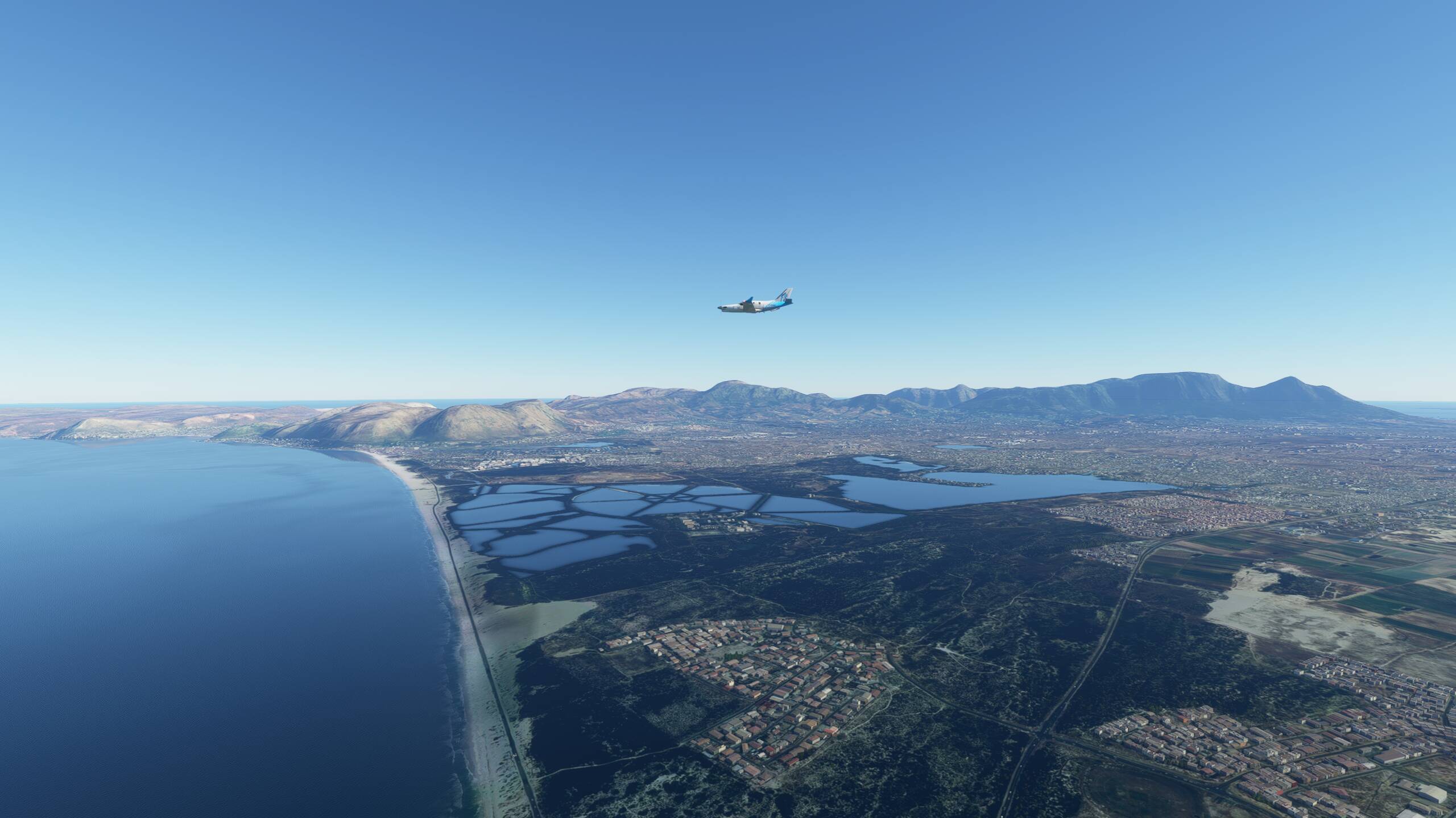
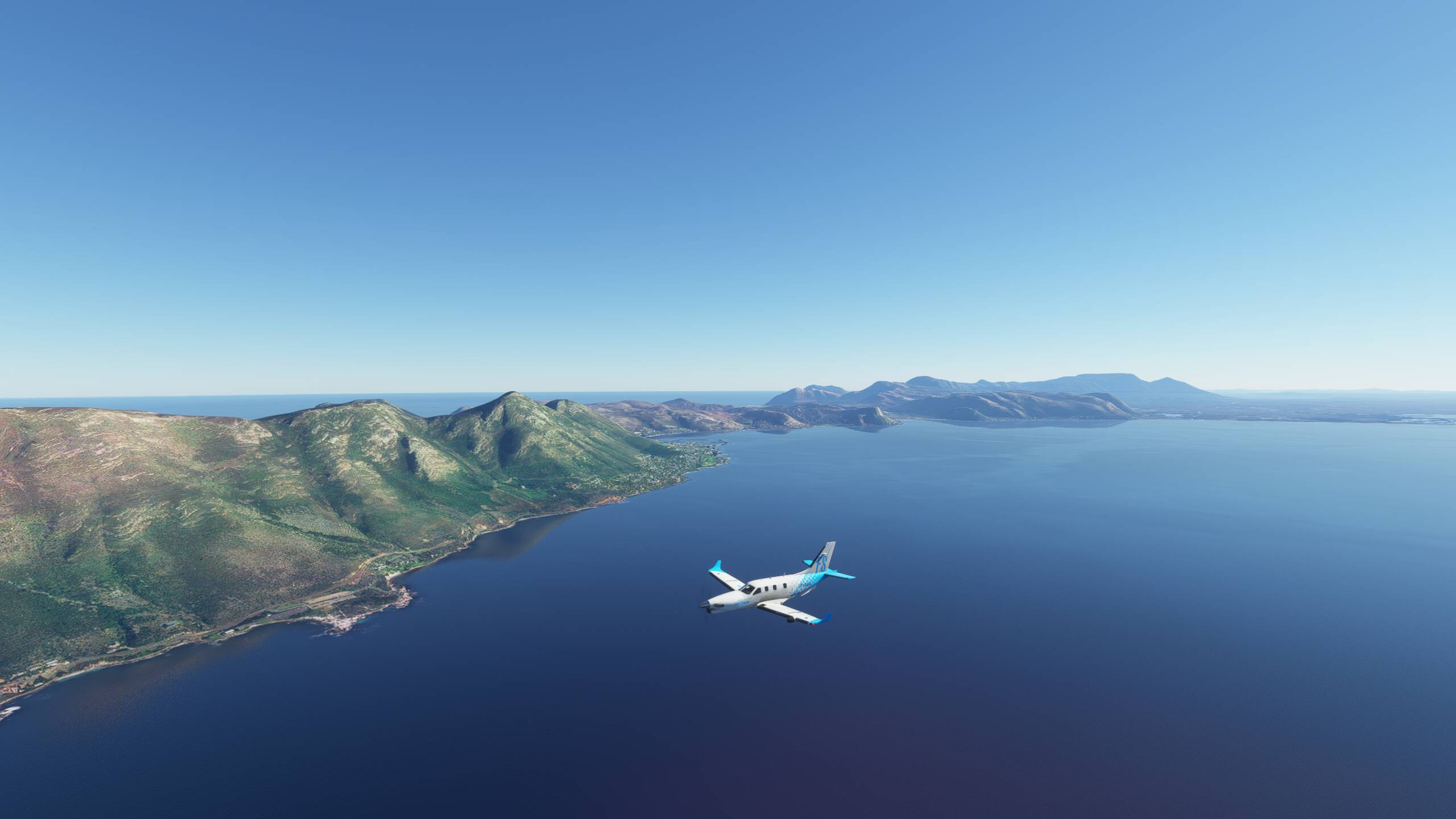
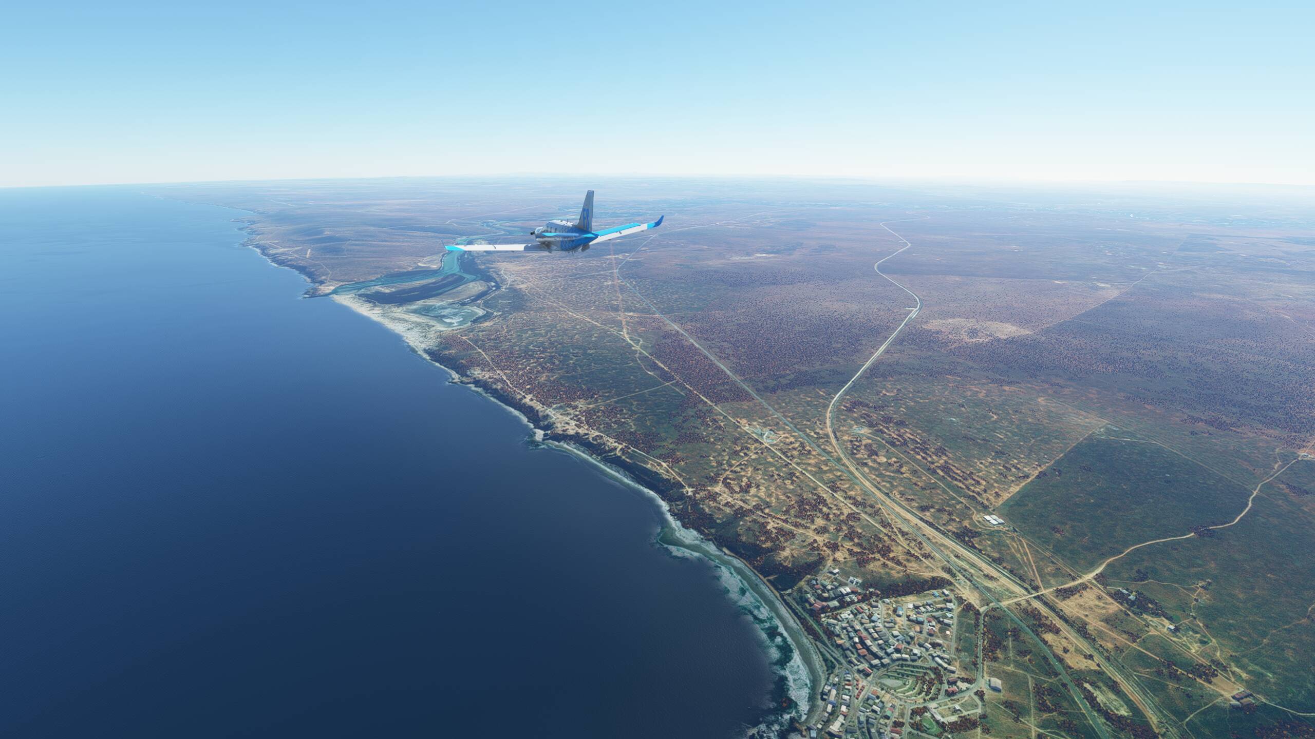
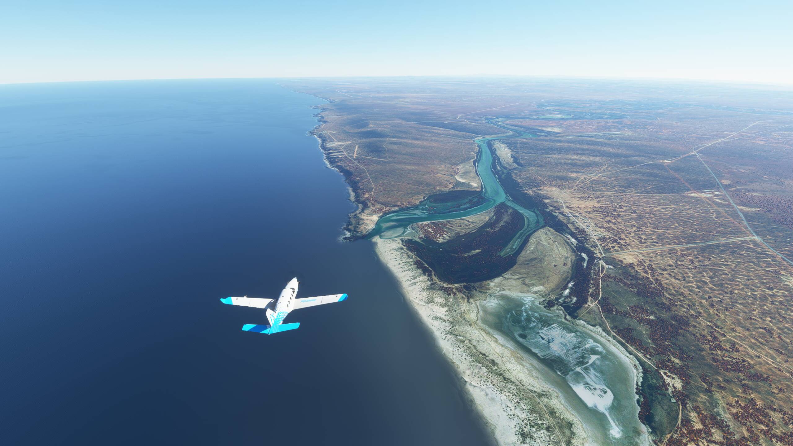
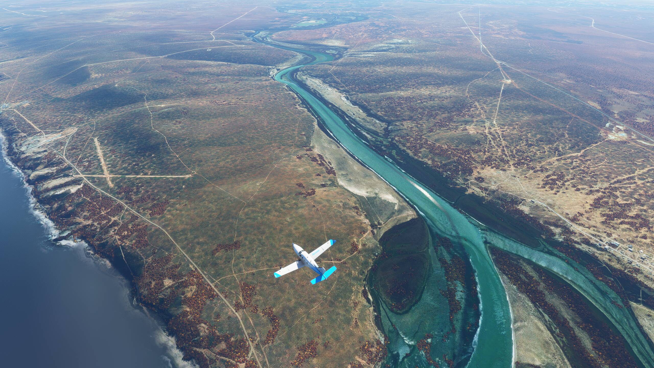
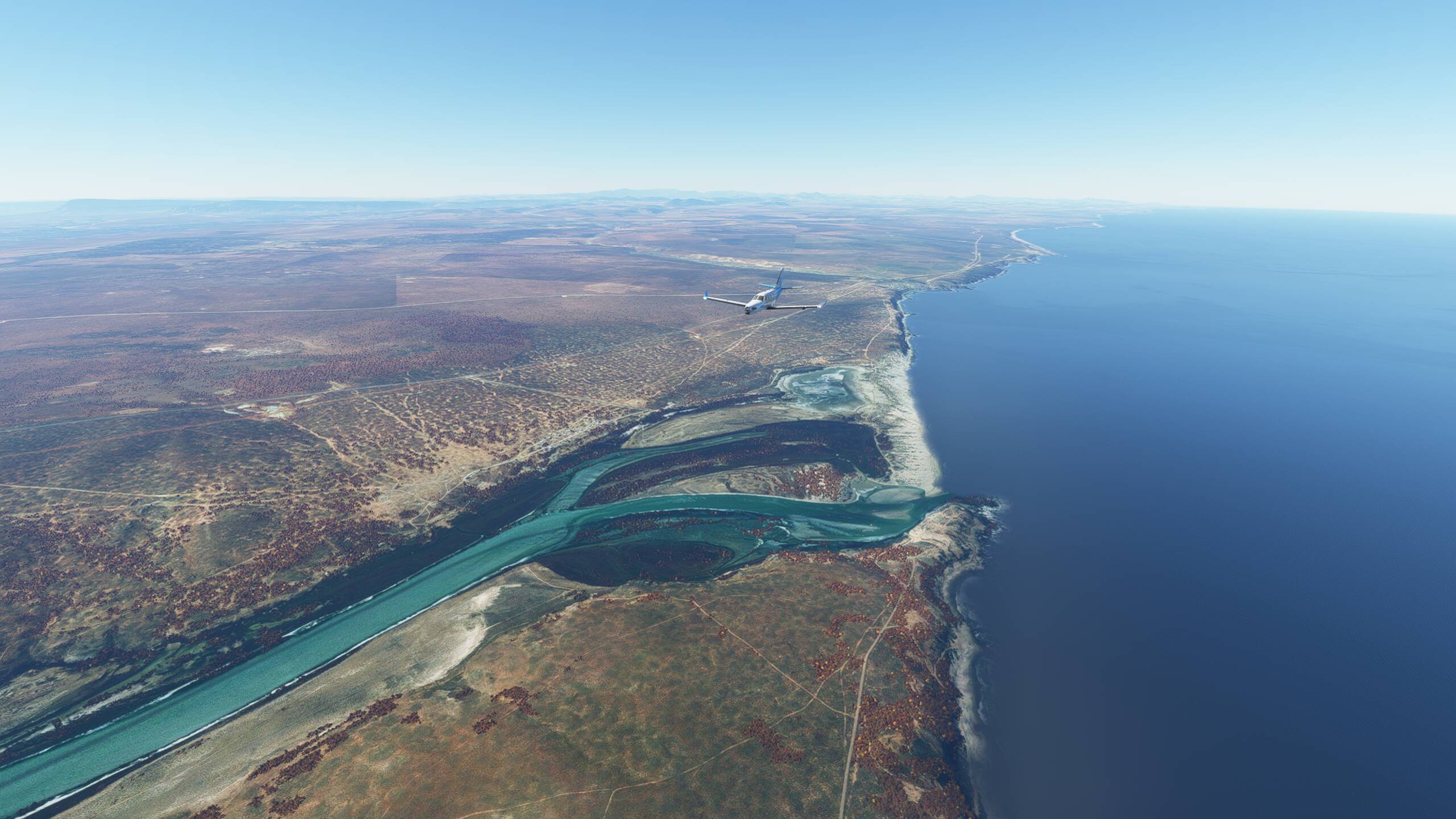
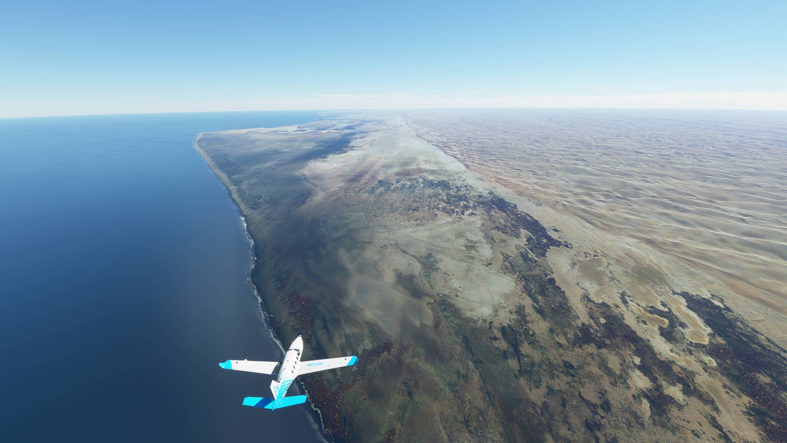
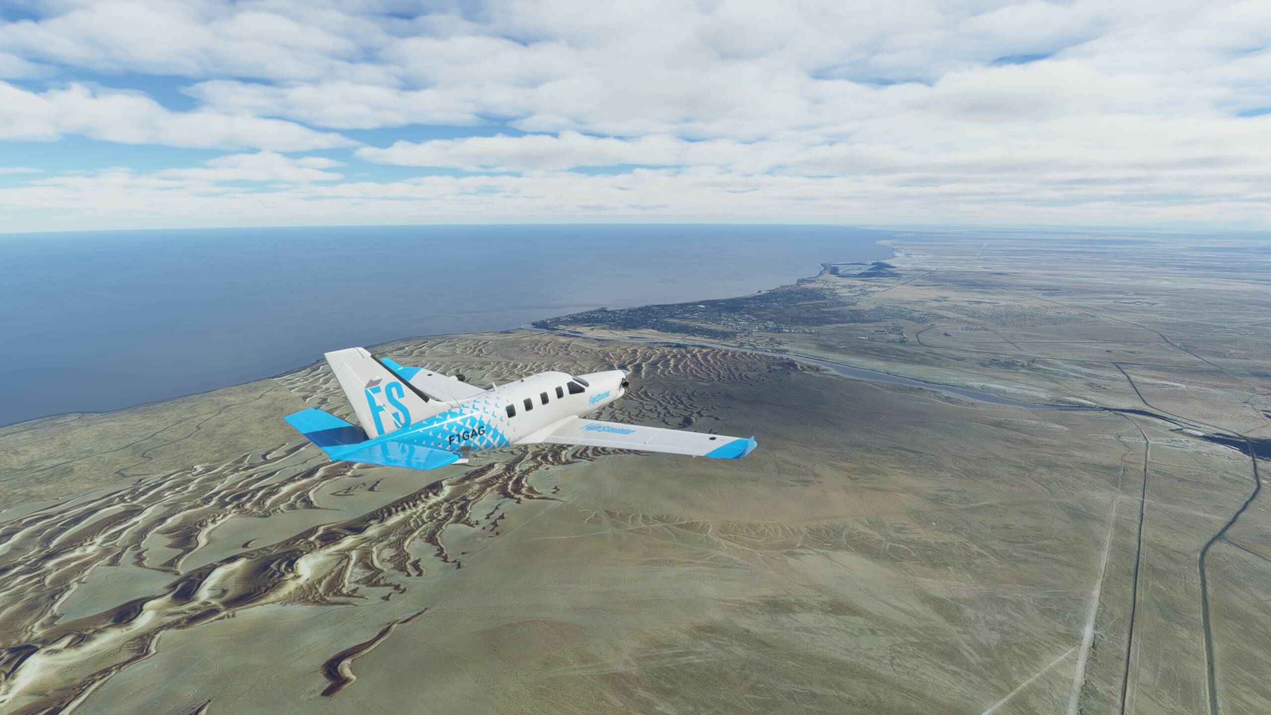
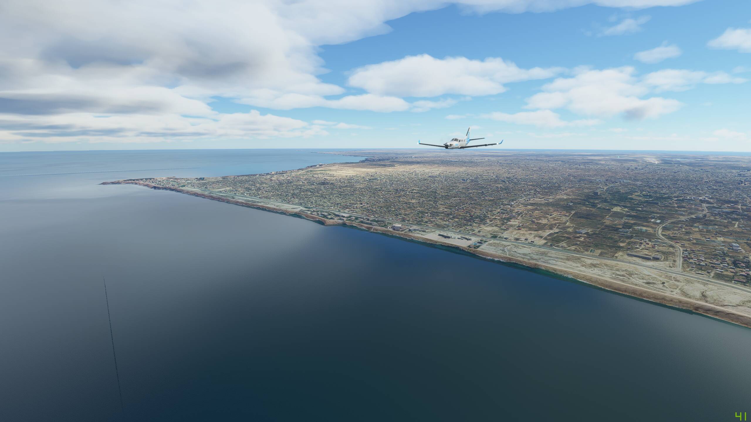
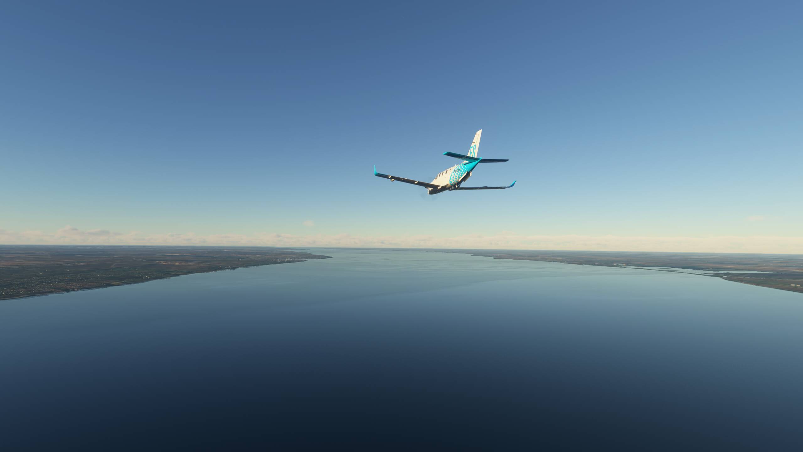
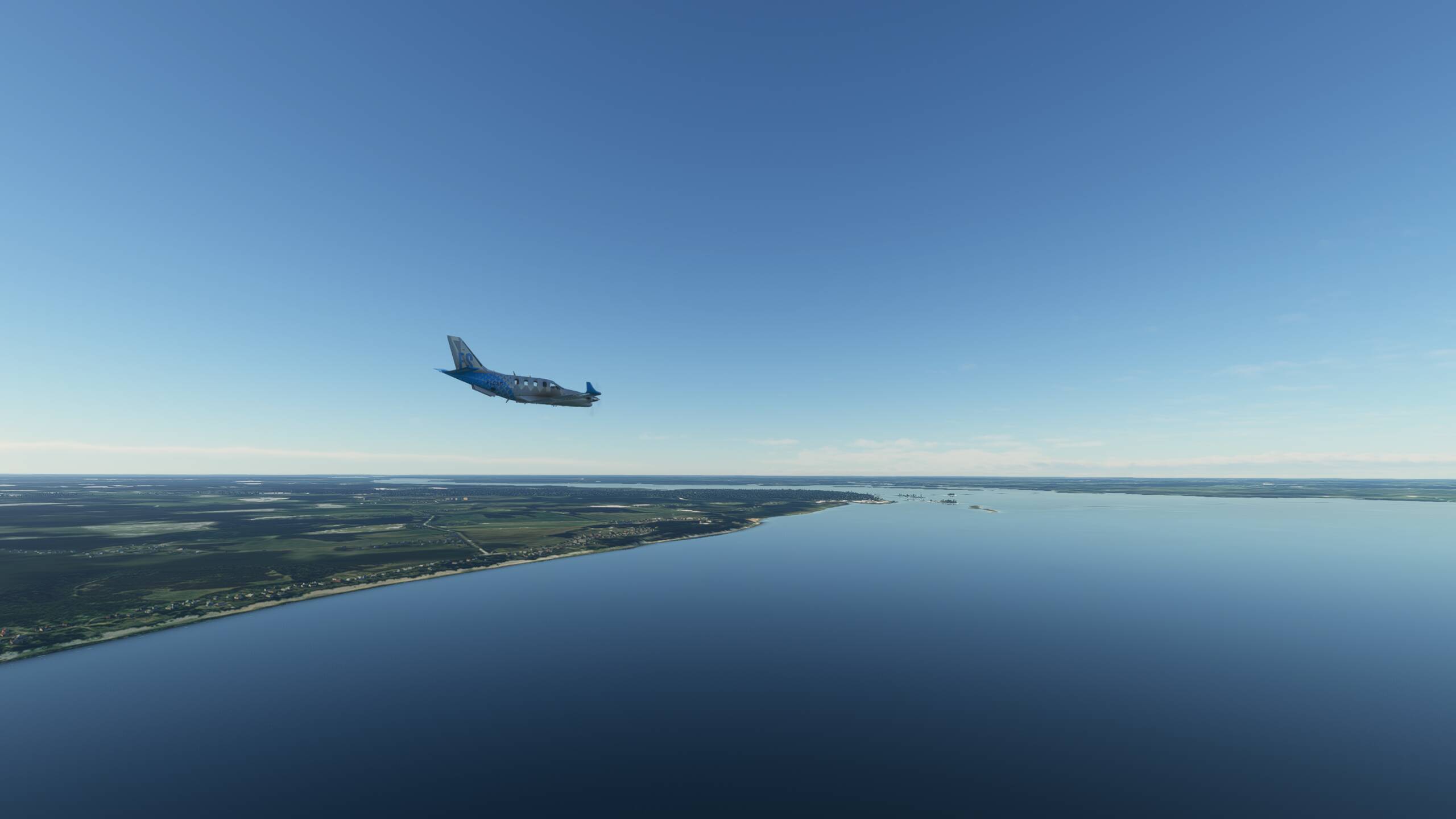
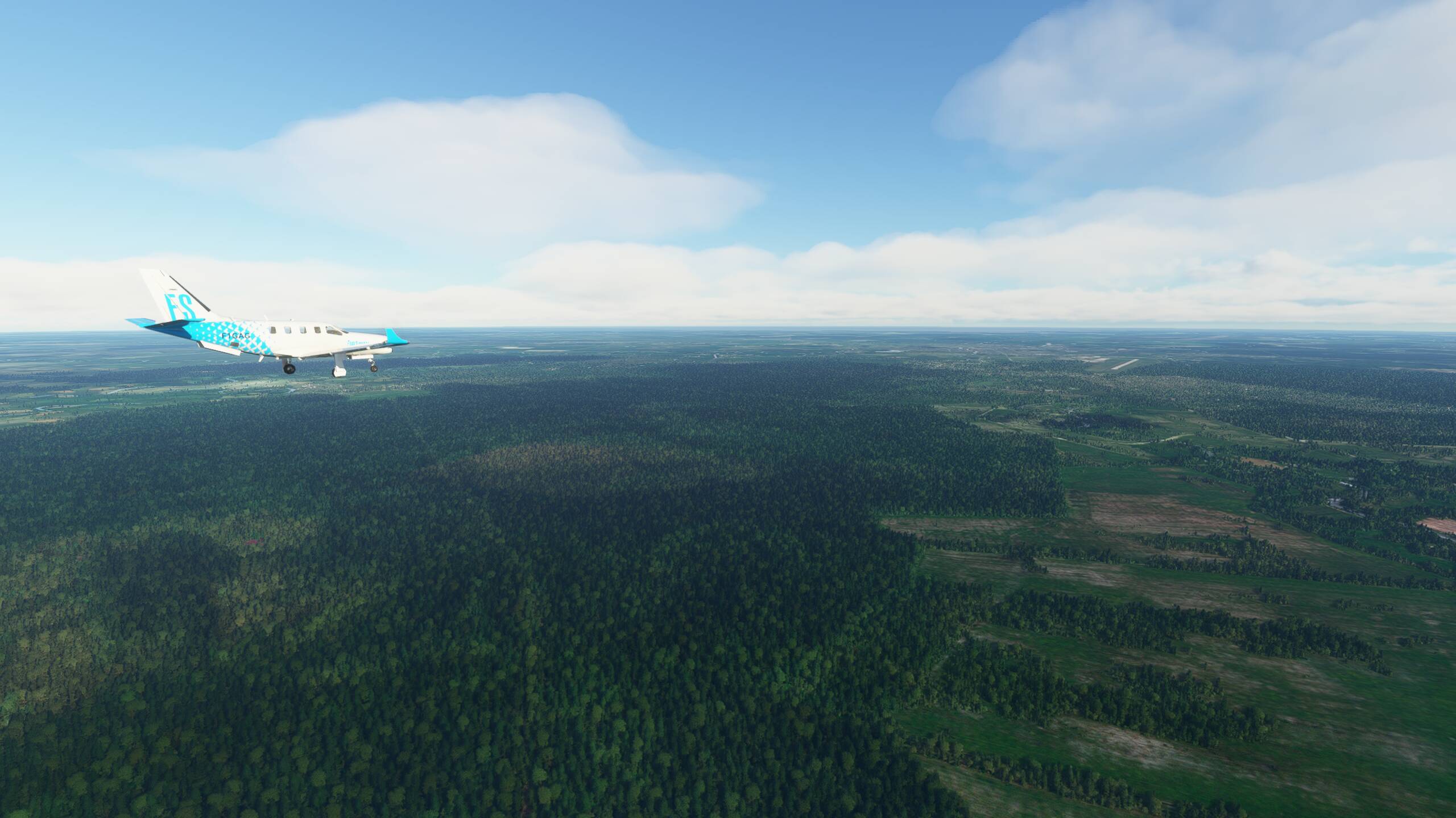
Climbing now to 32,000ft, we skirt the coast of India along the edge of the Arabian Sea
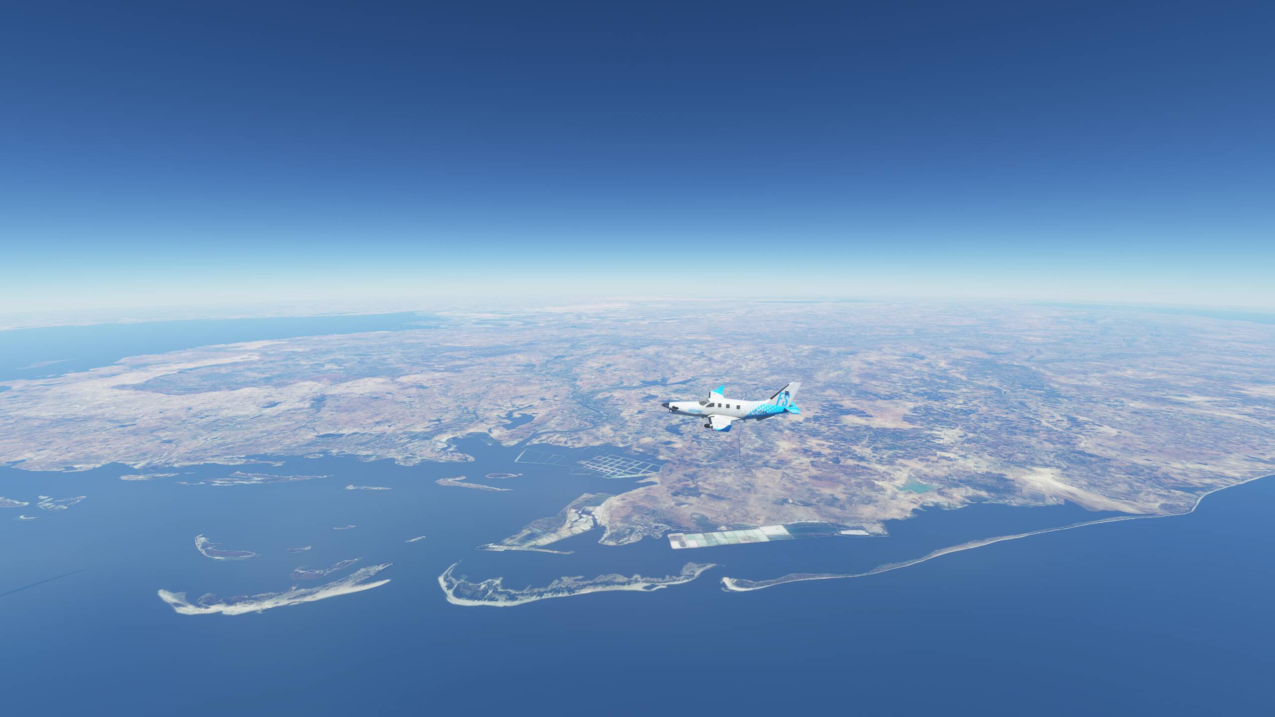
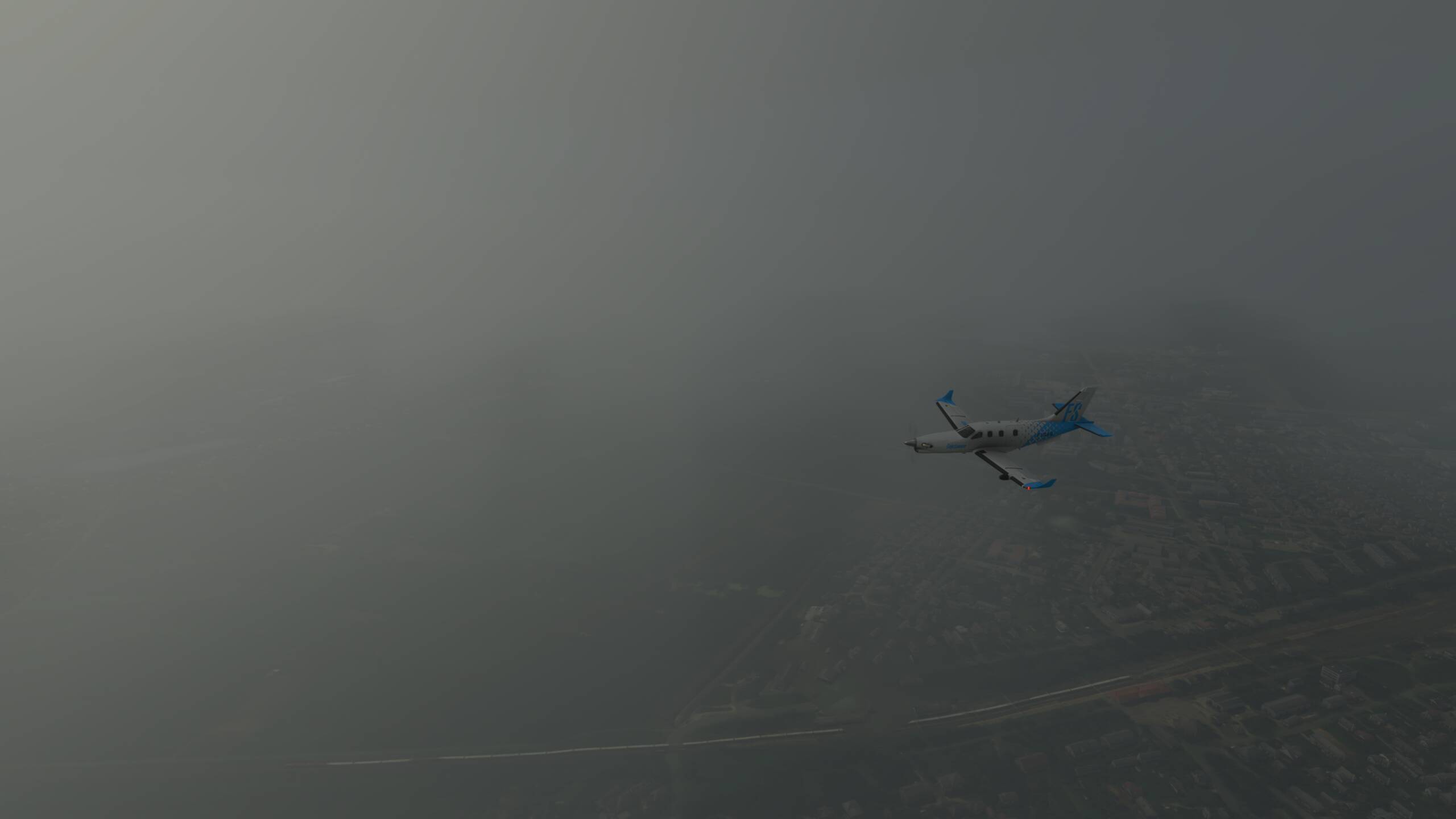
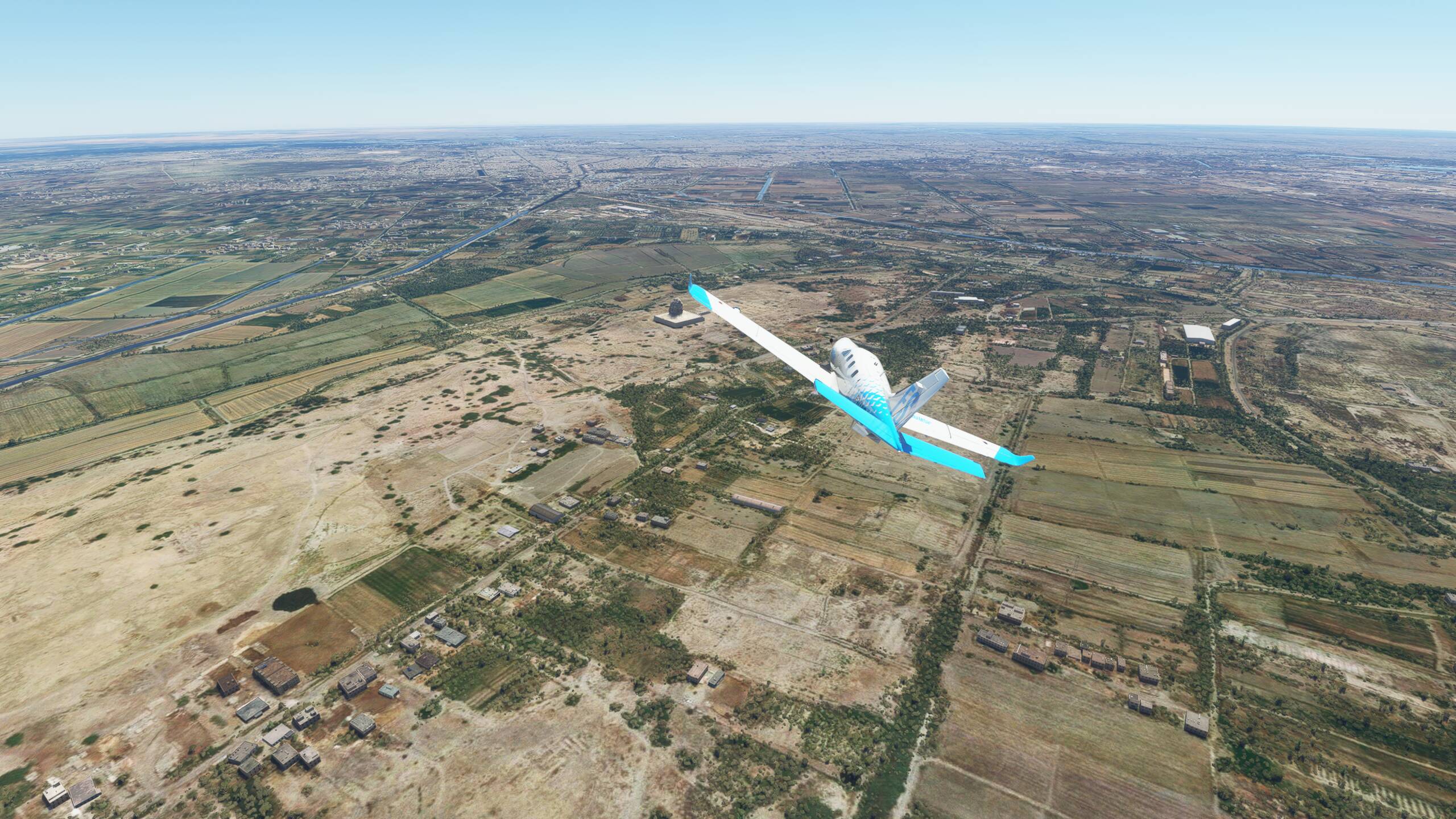
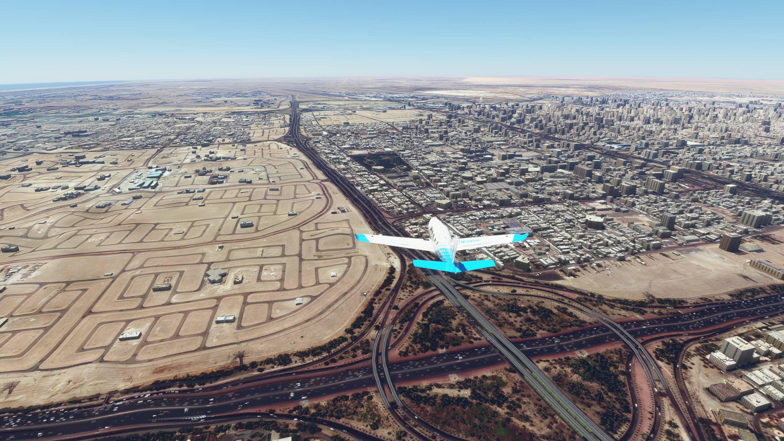
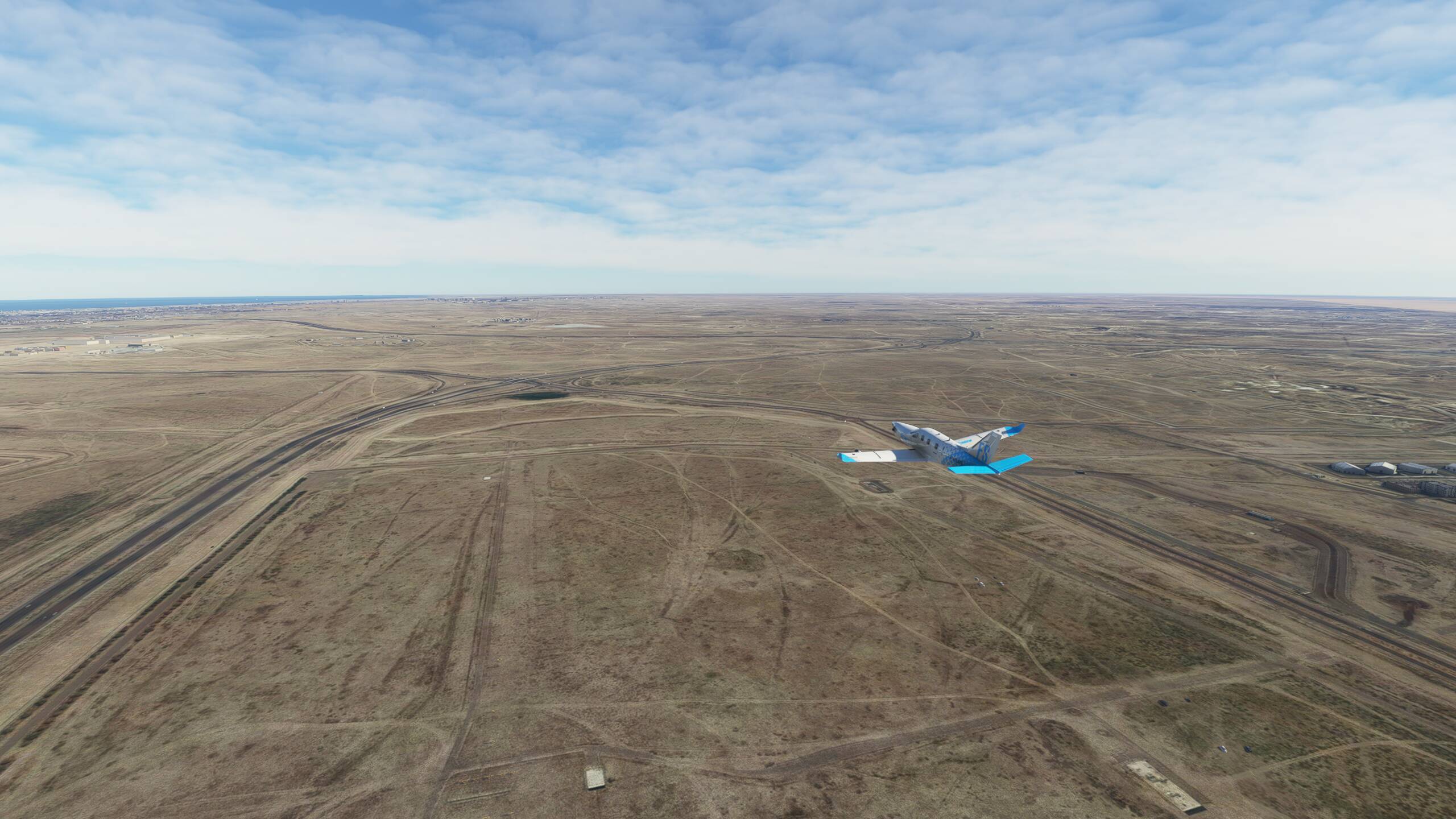
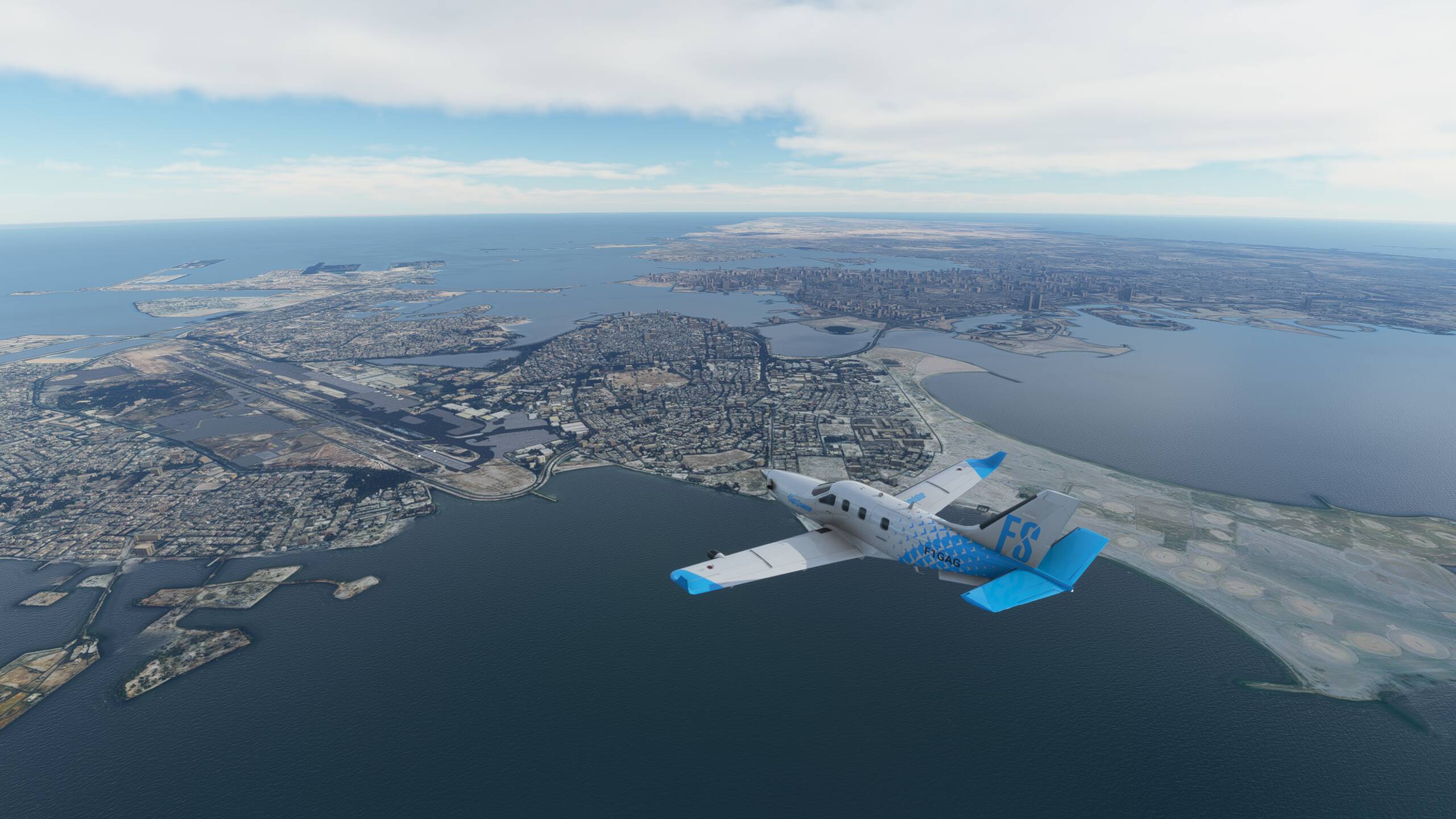
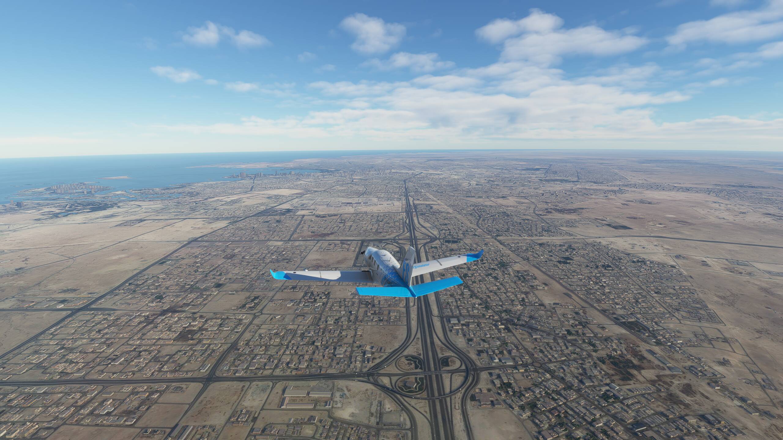
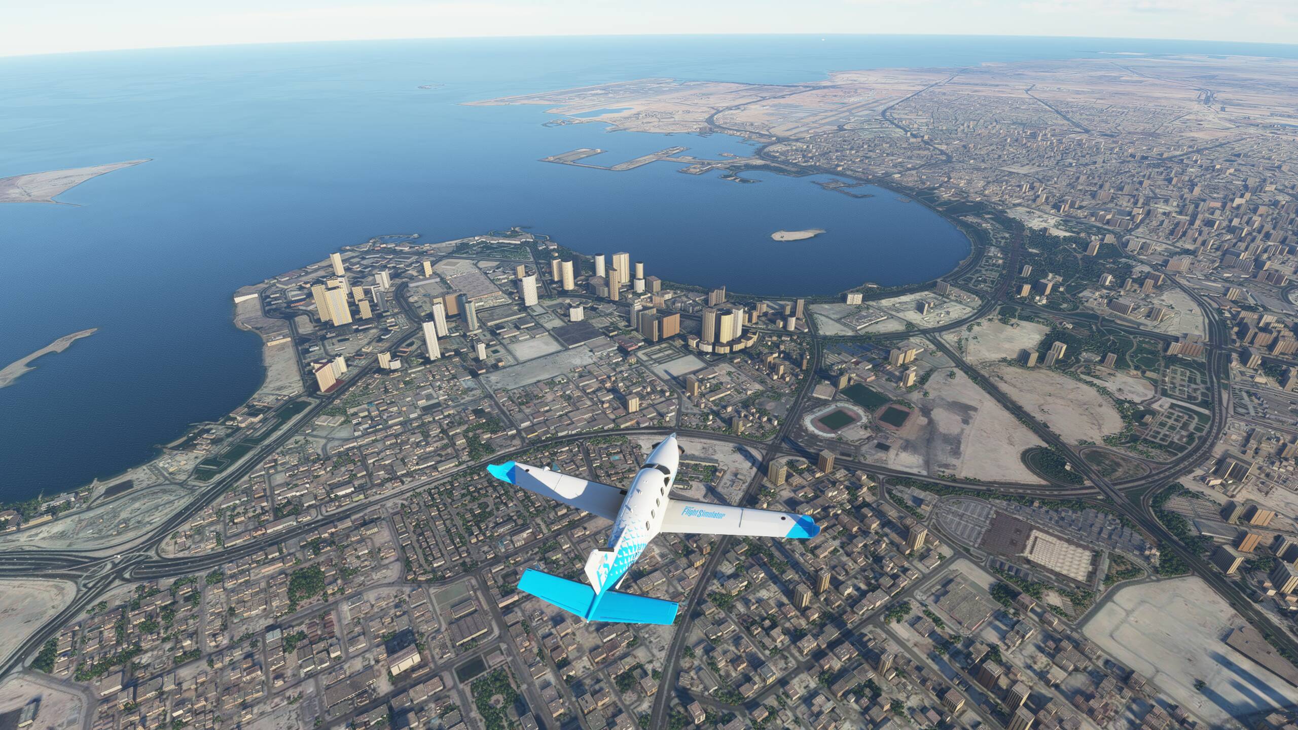
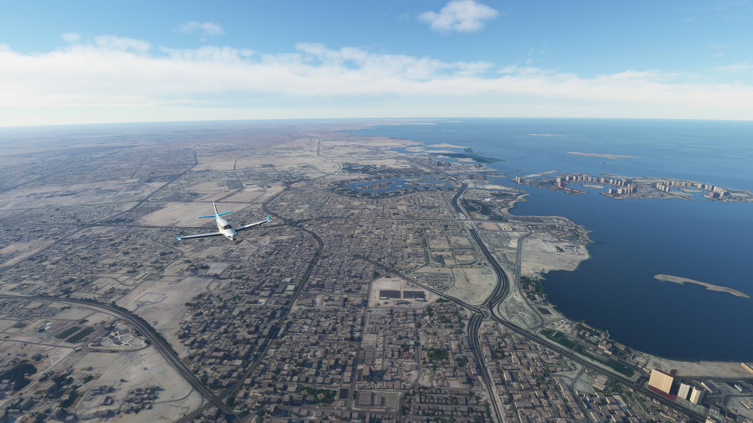
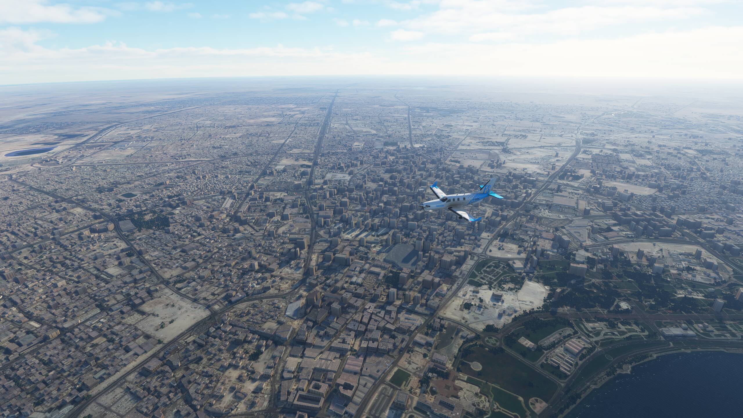
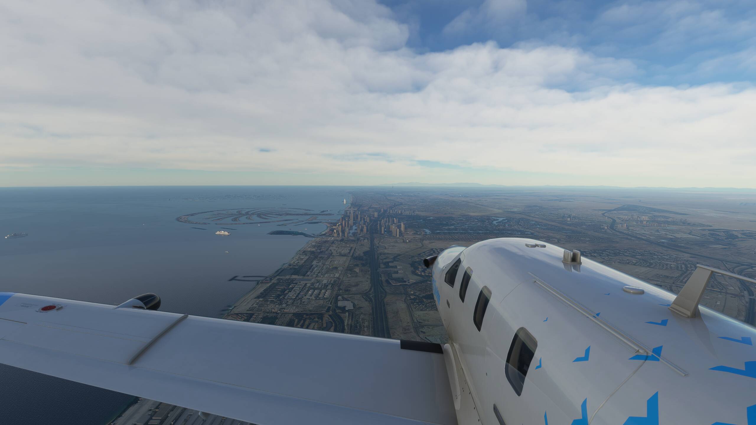
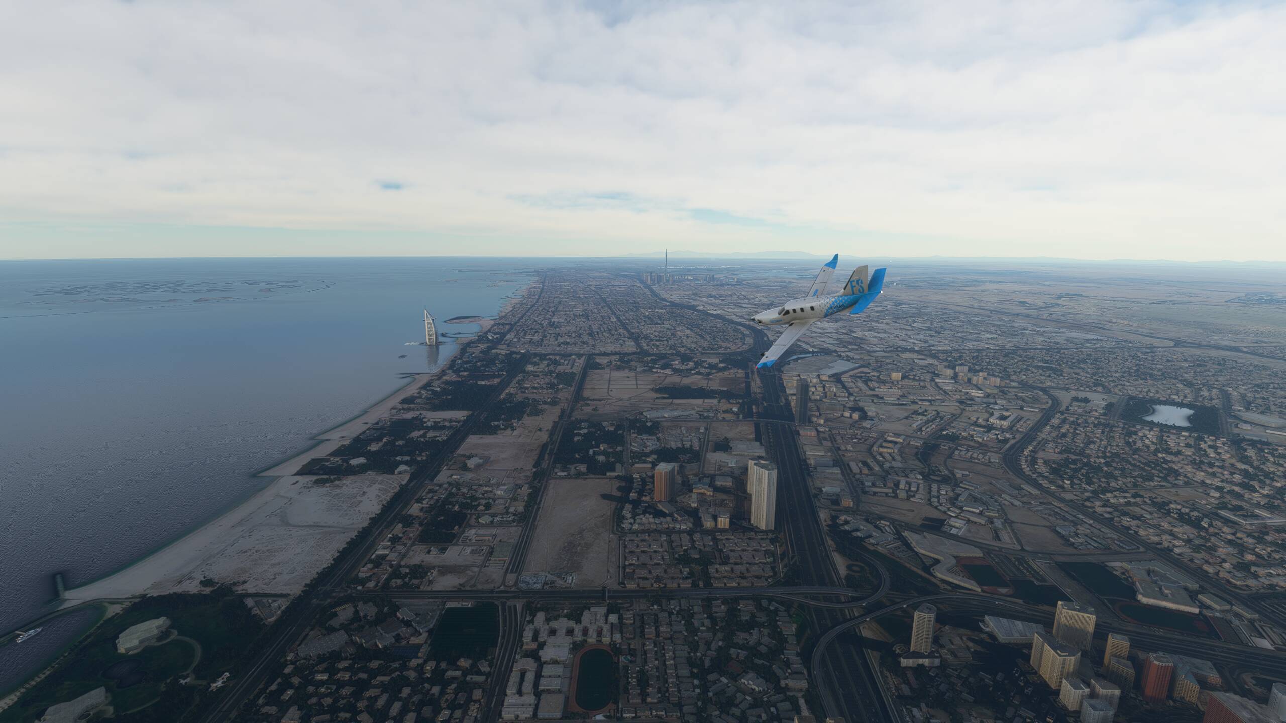
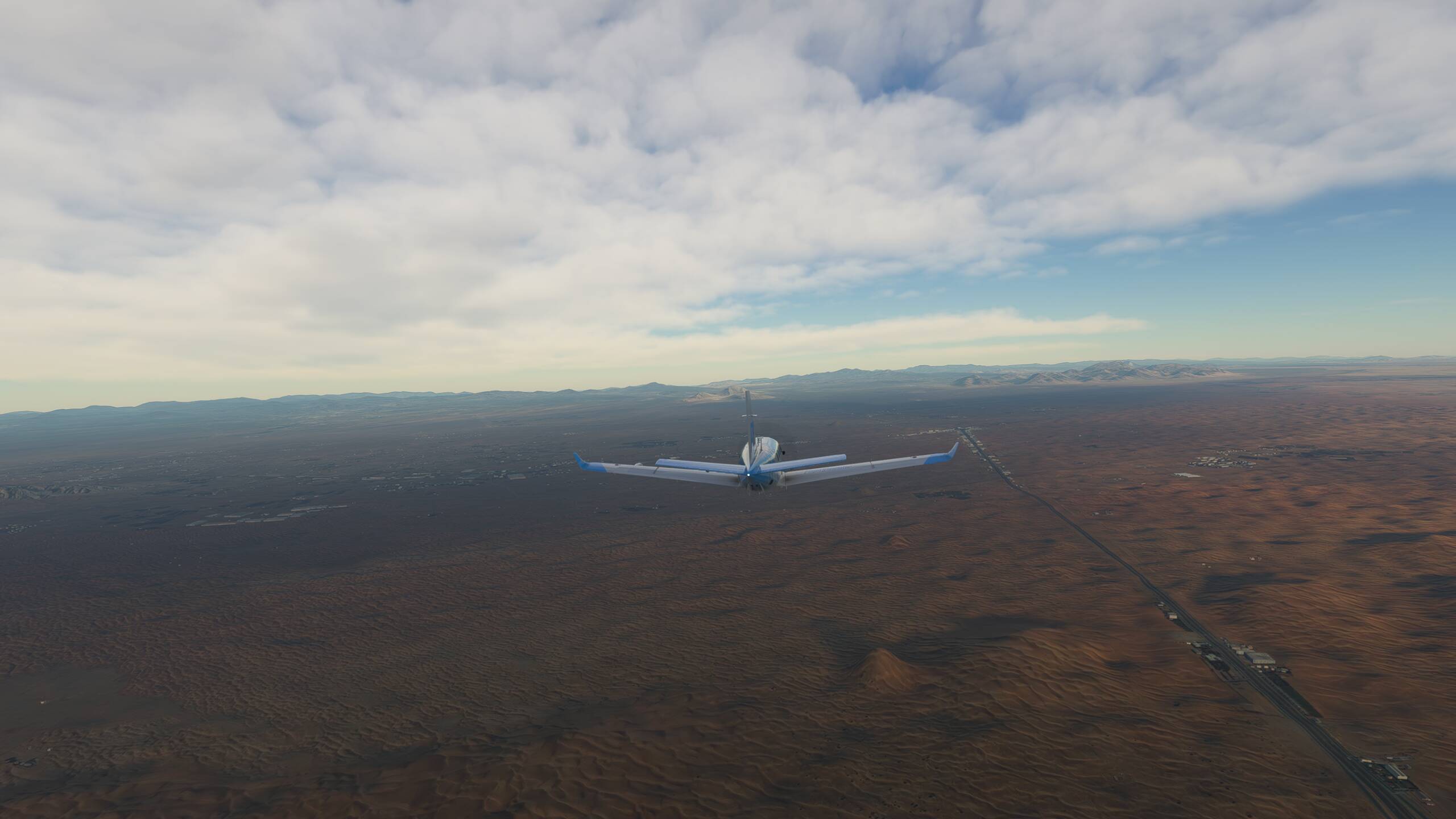
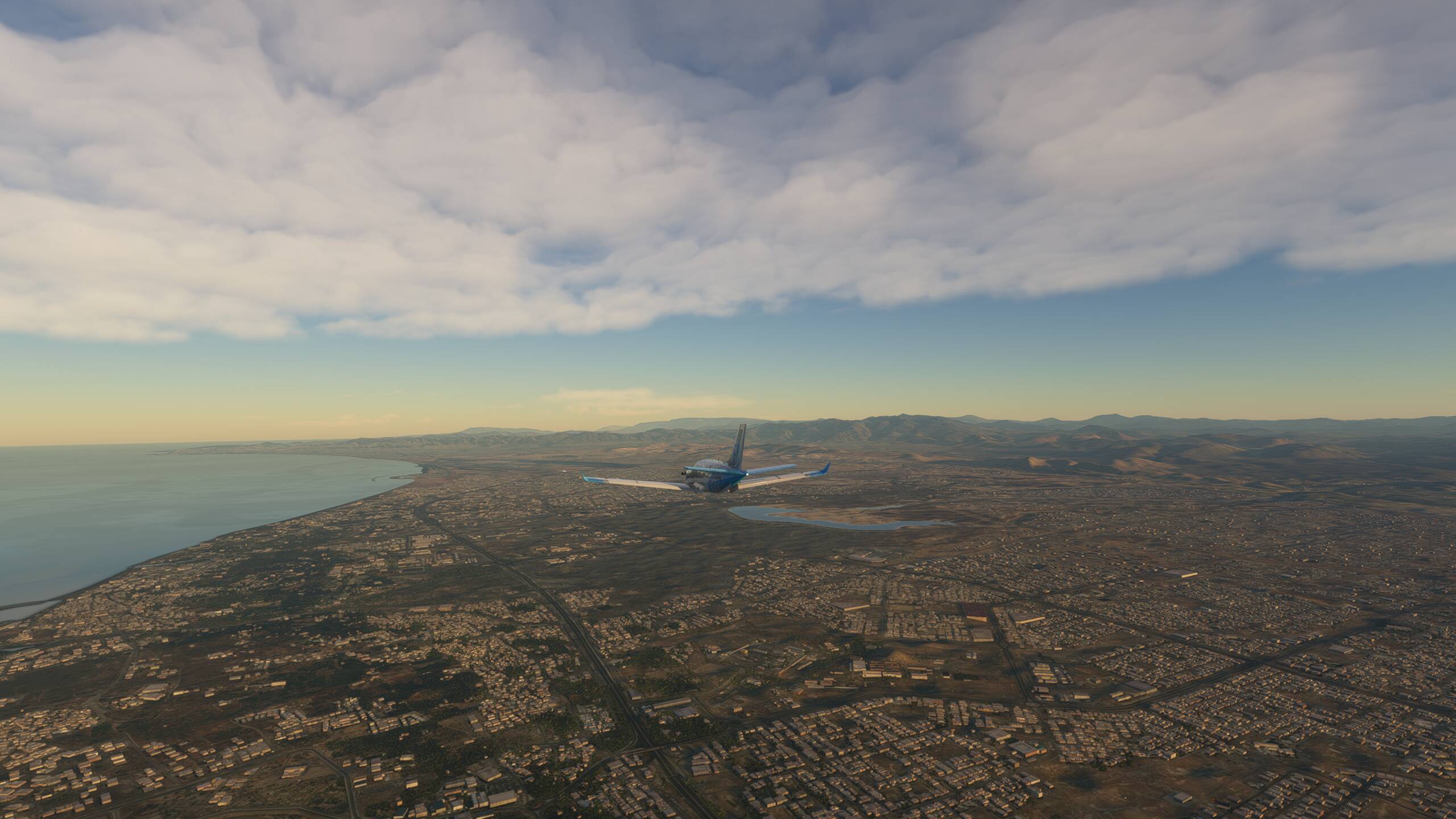
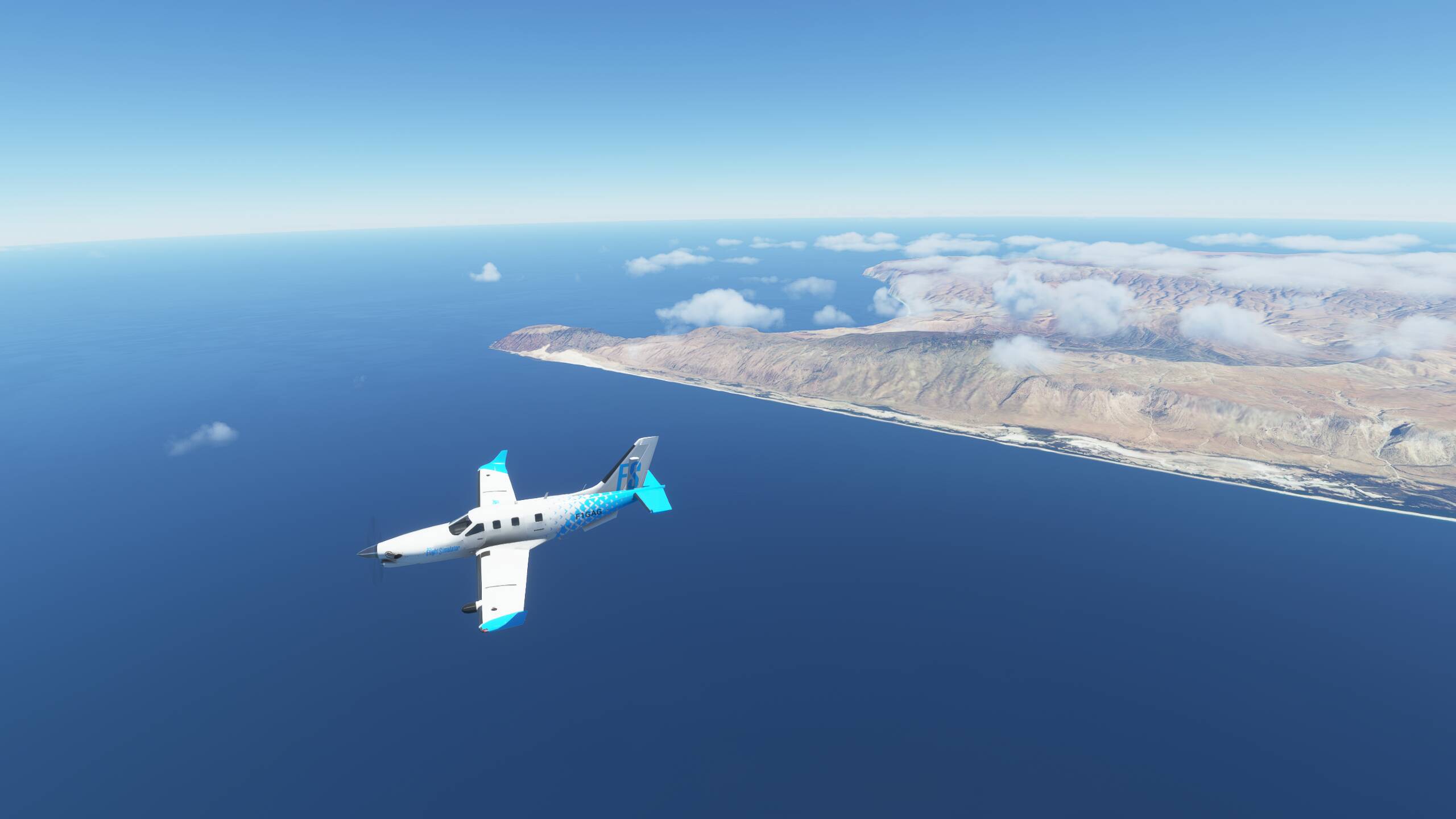
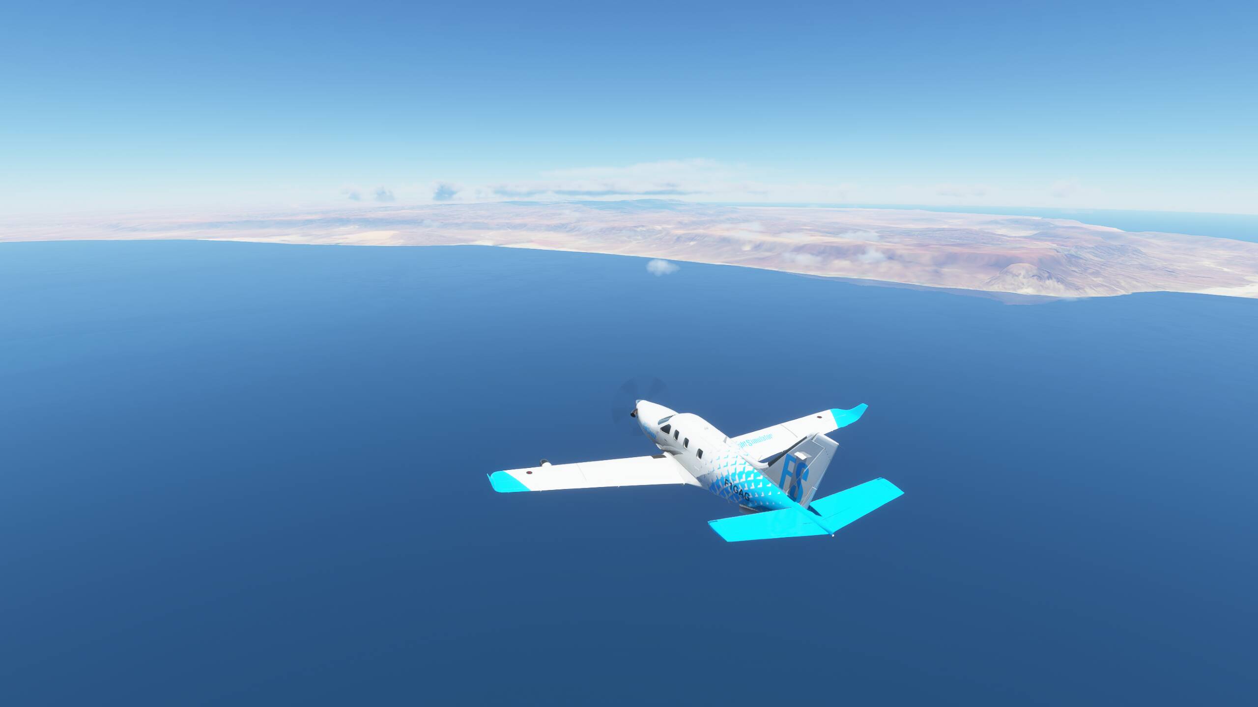
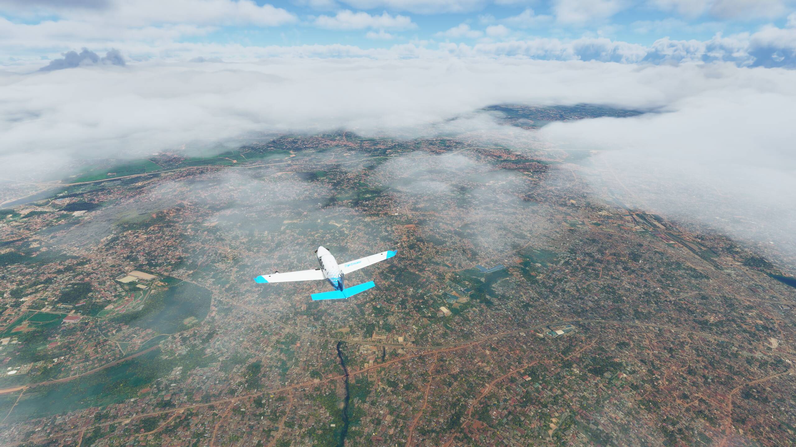
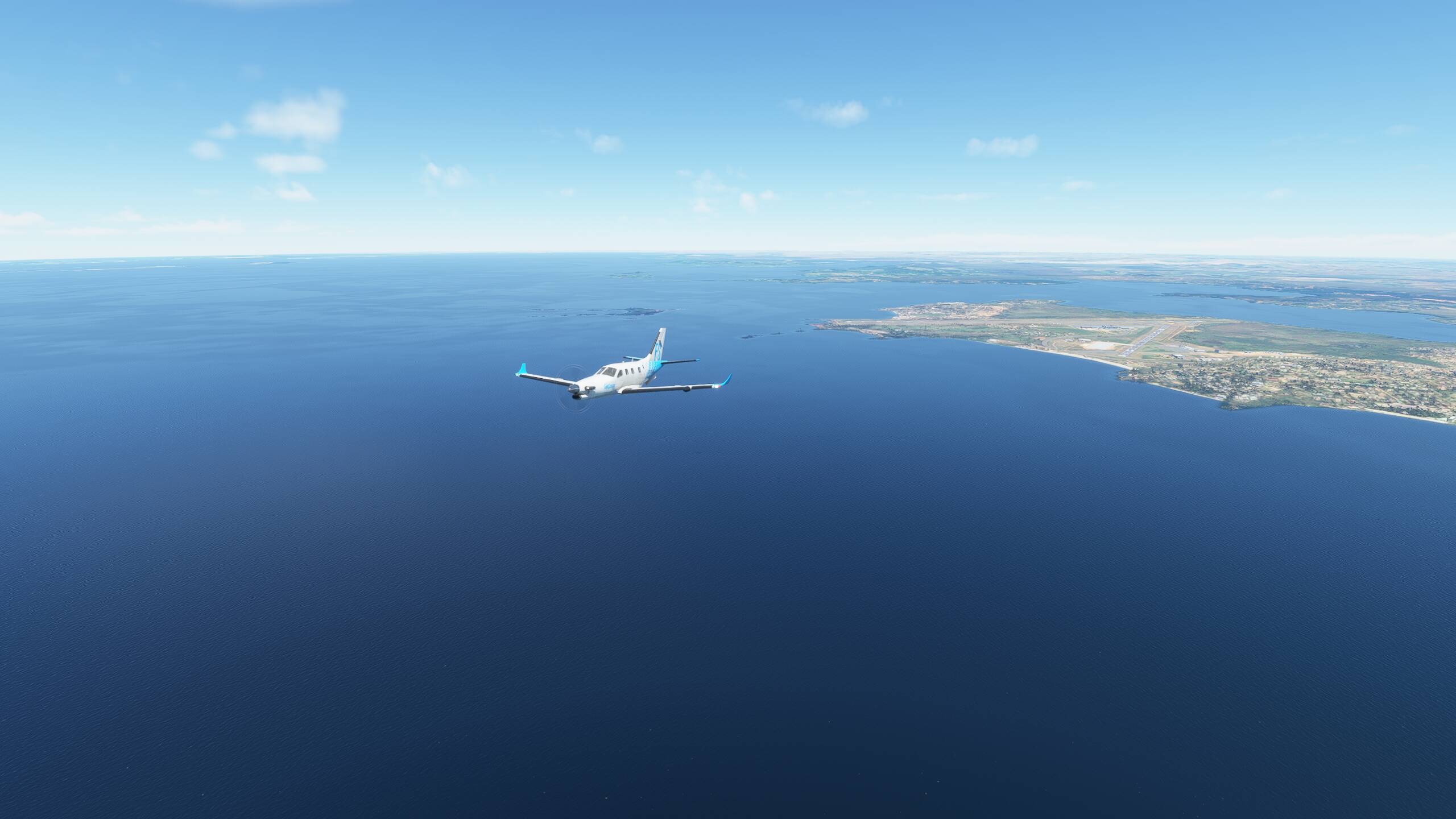
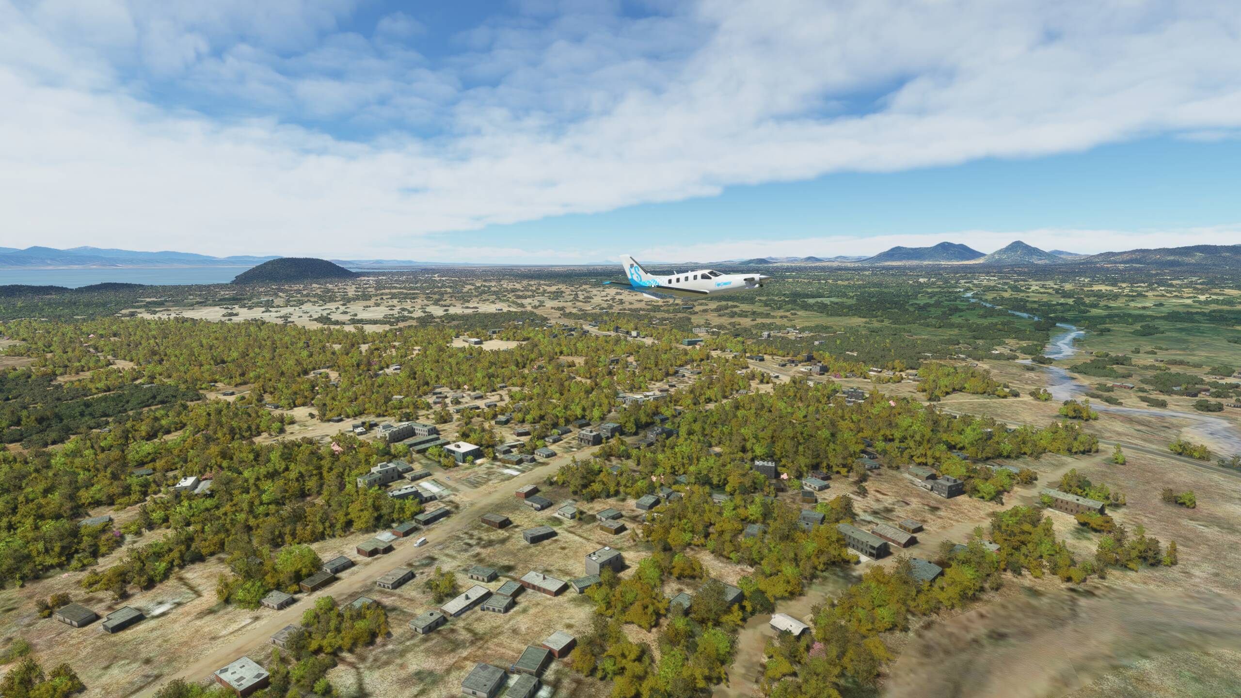
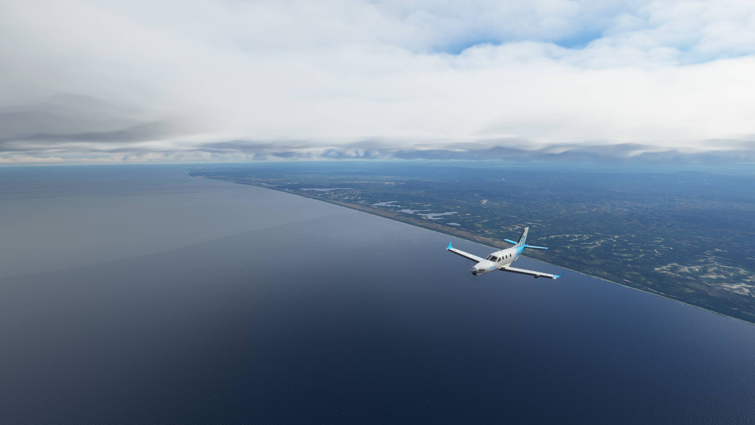
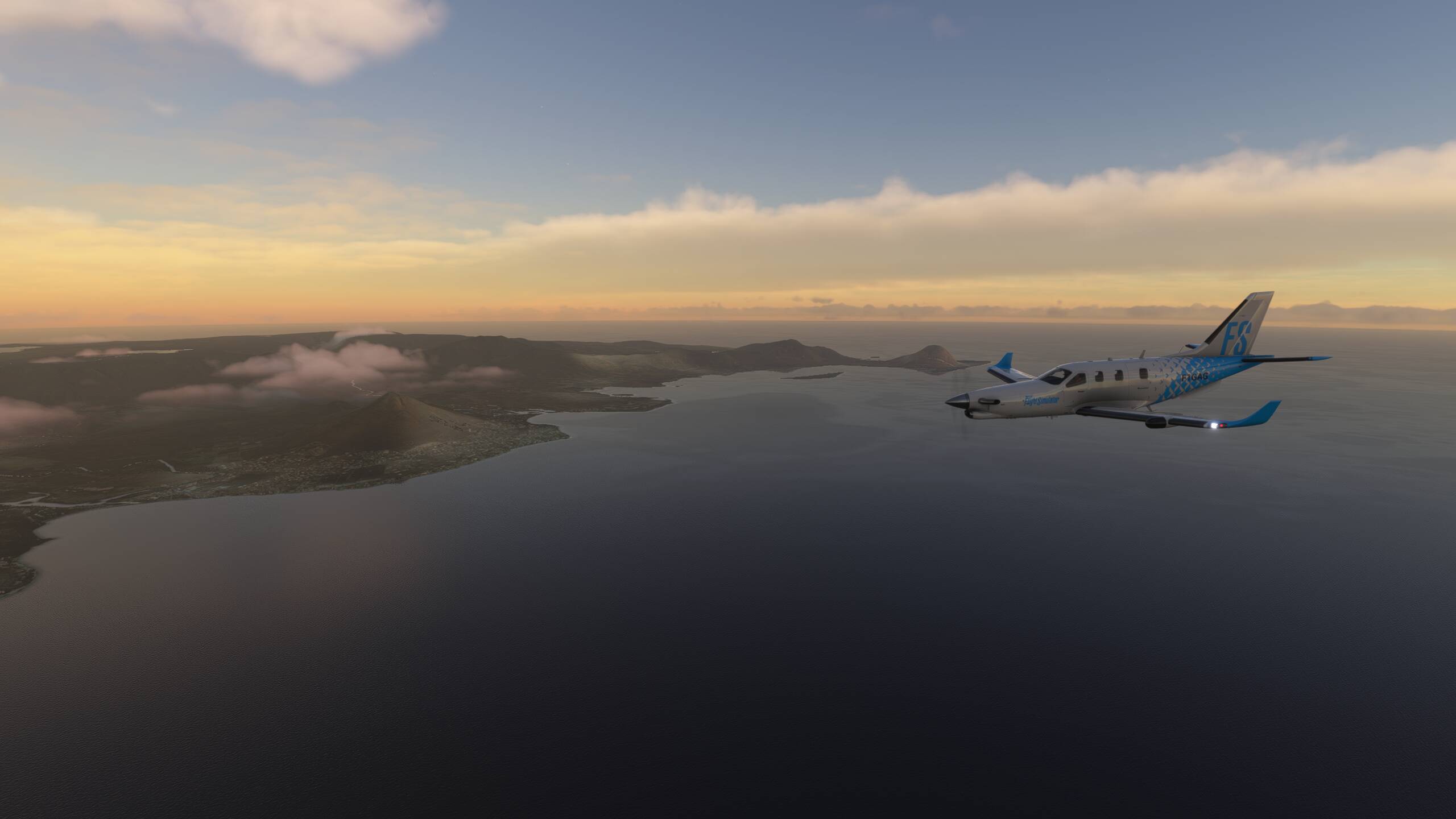
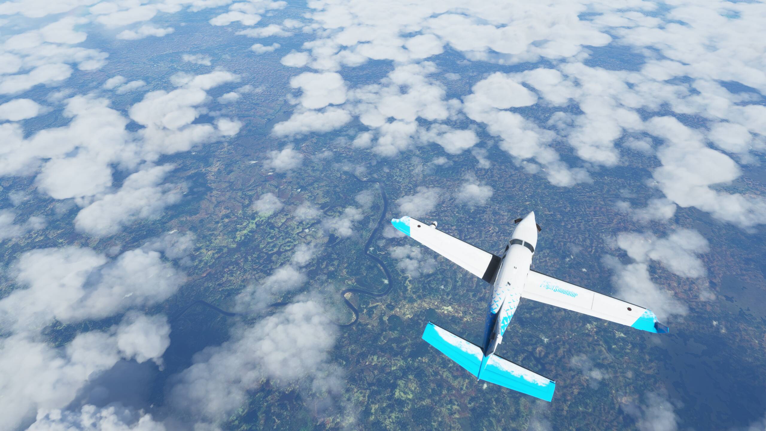
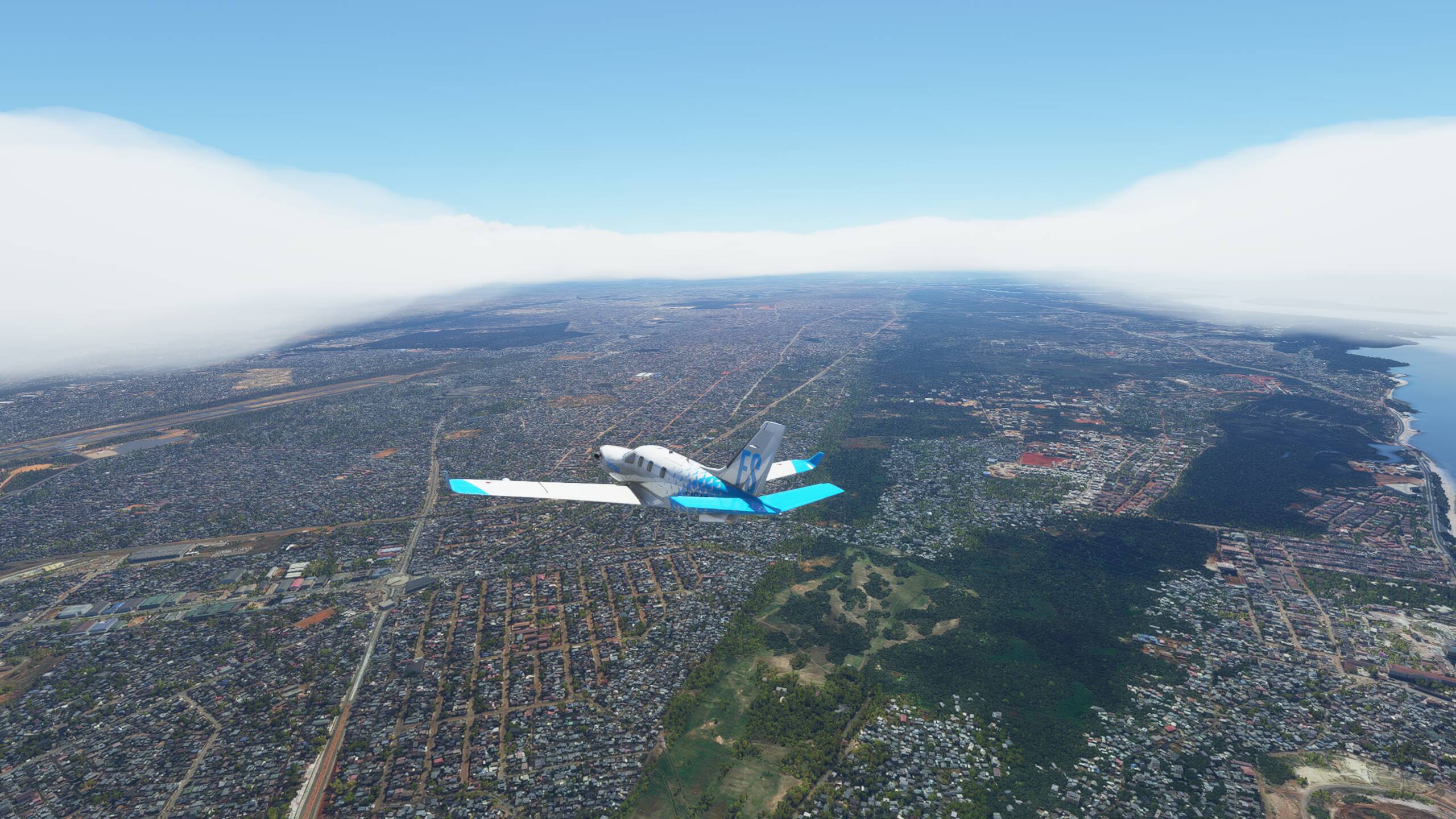
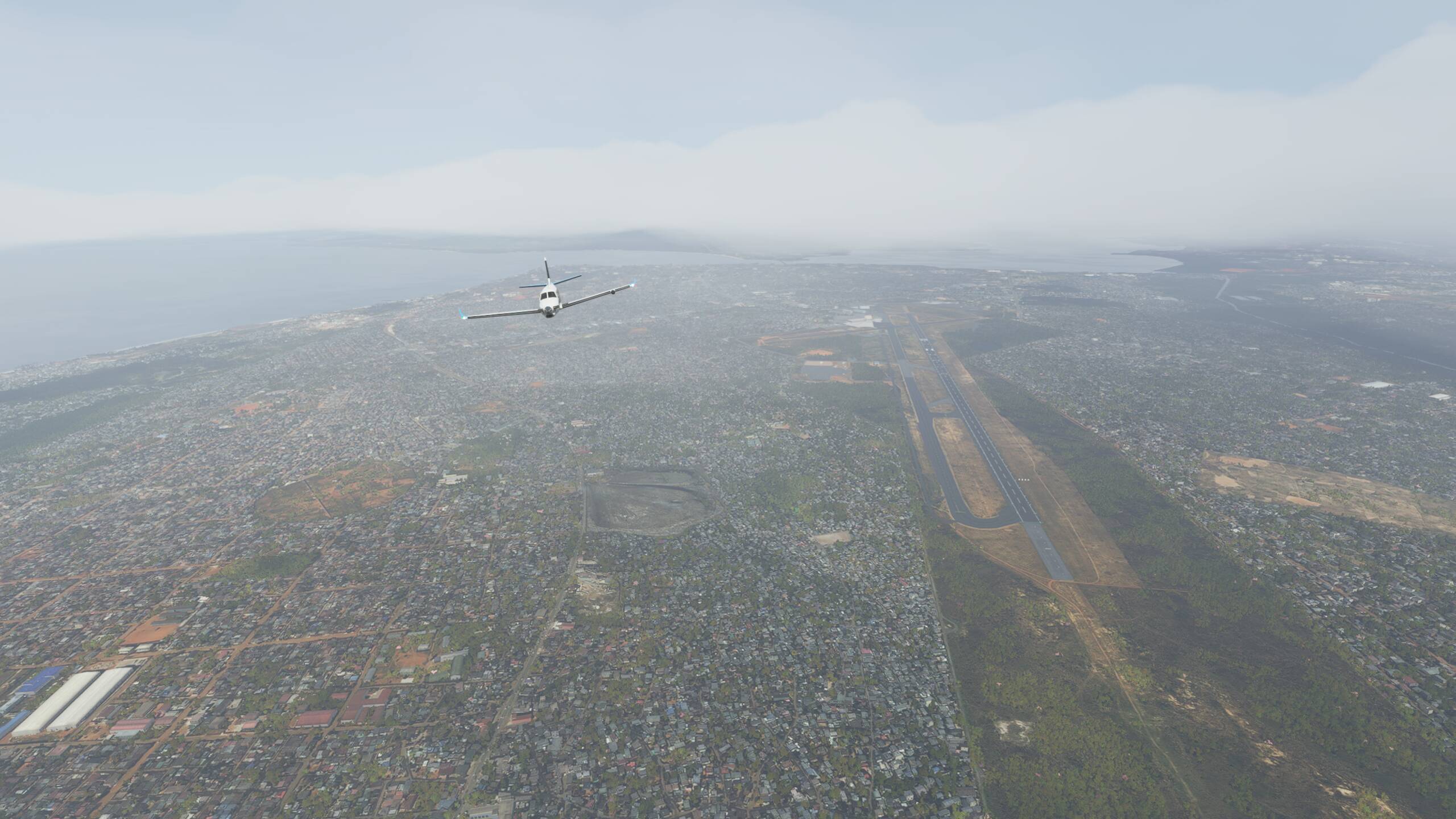
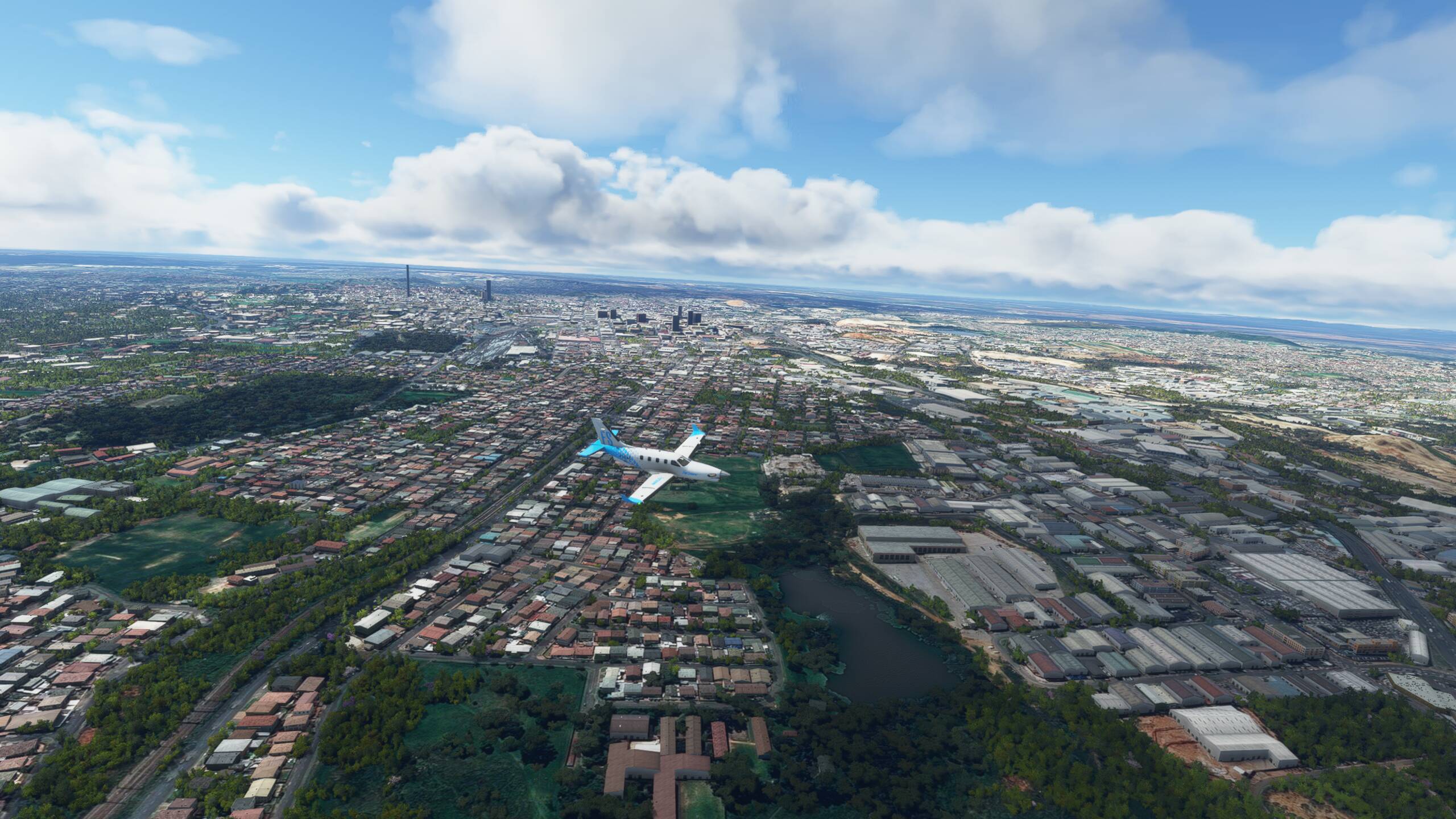
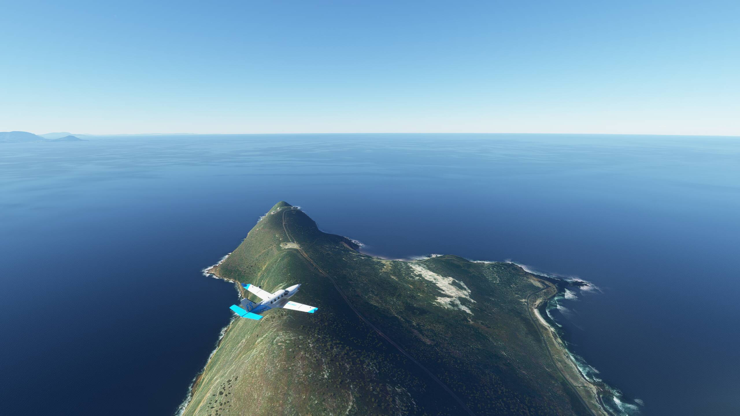
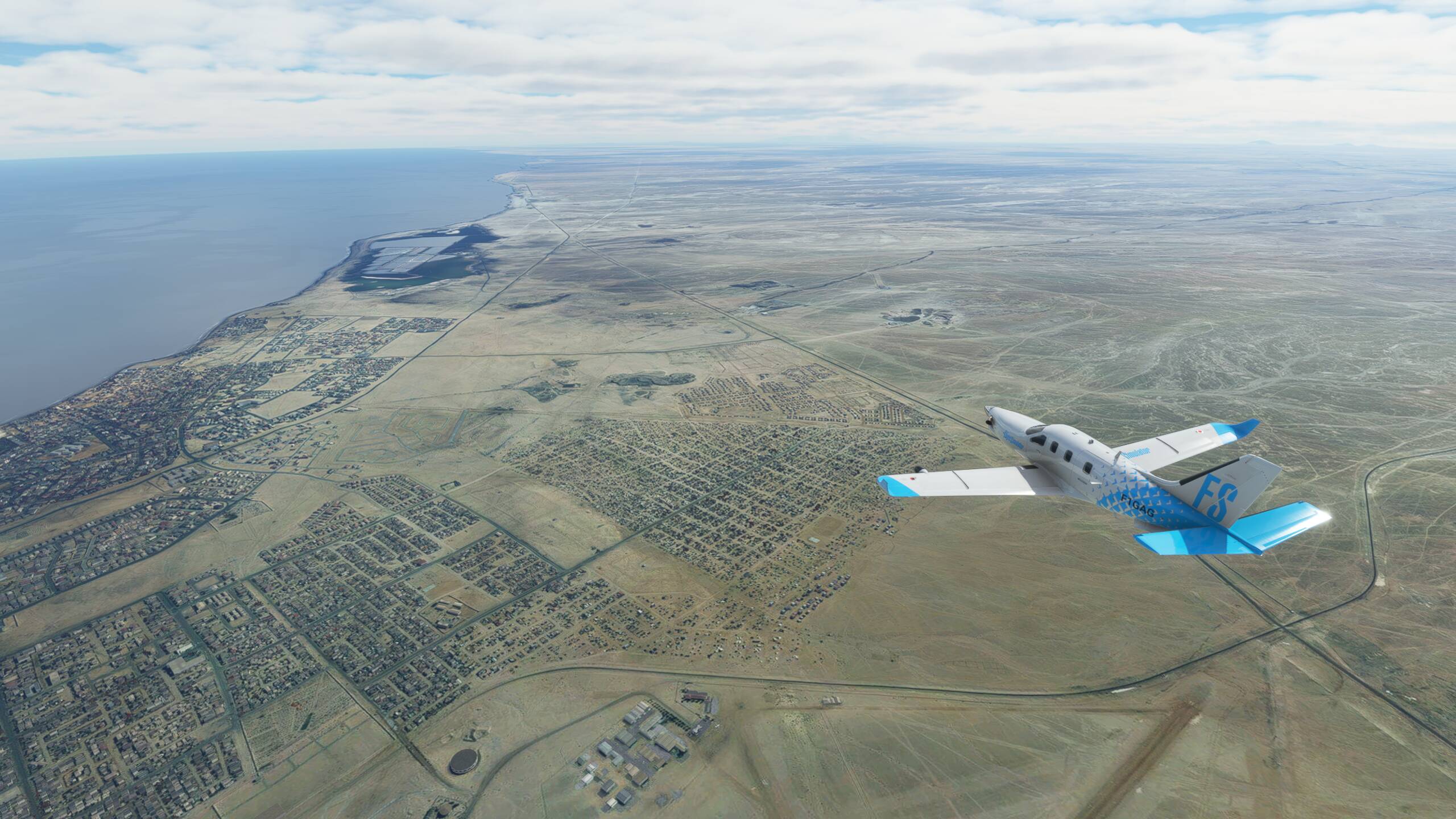
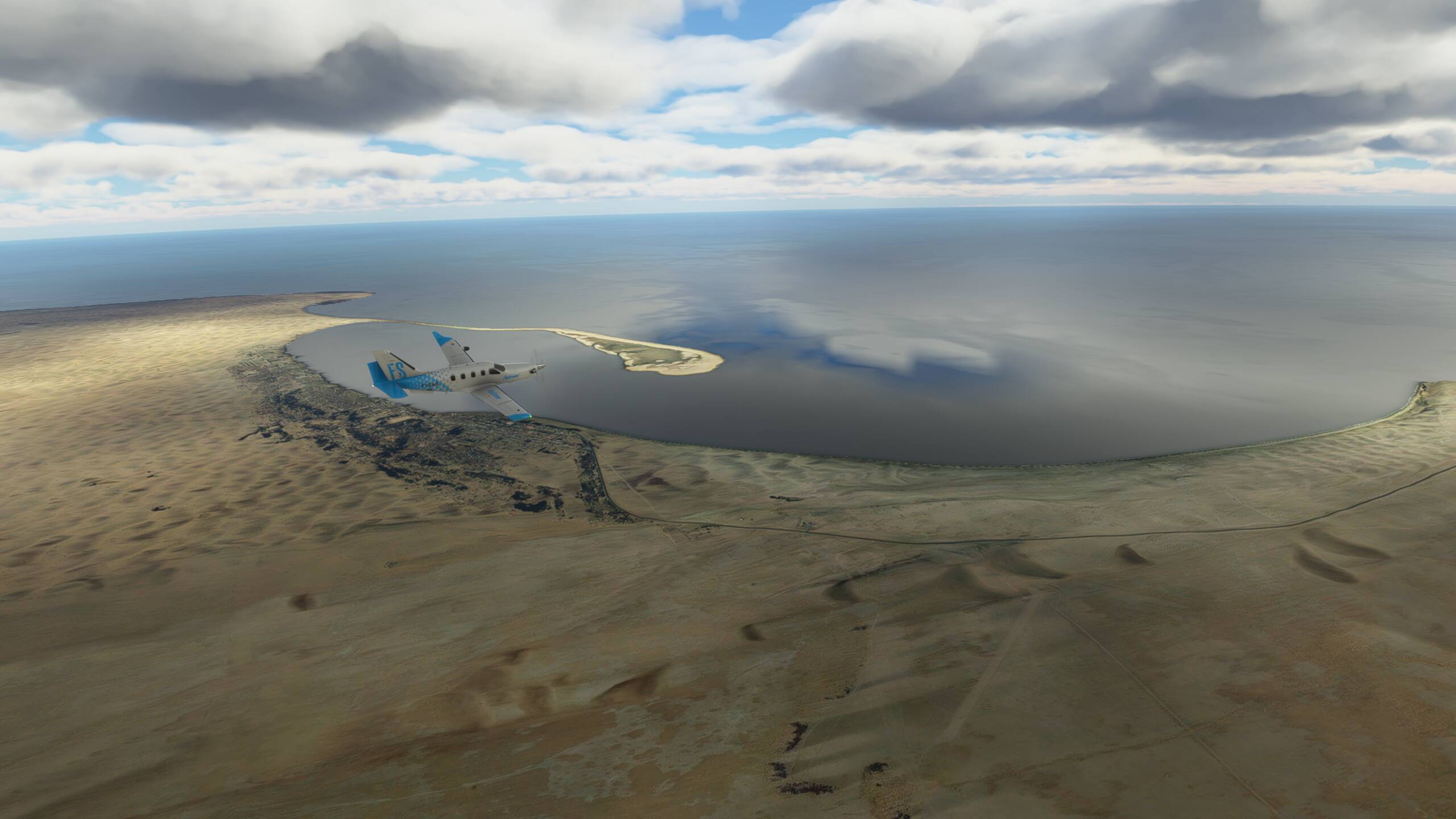
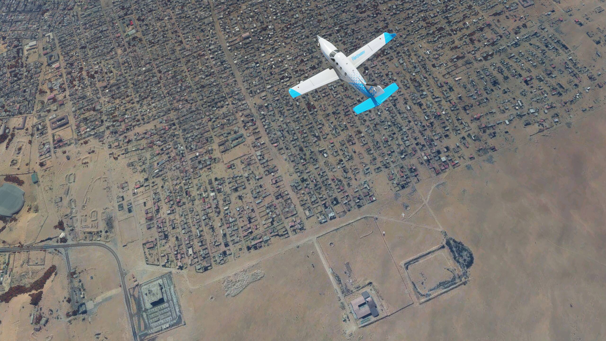
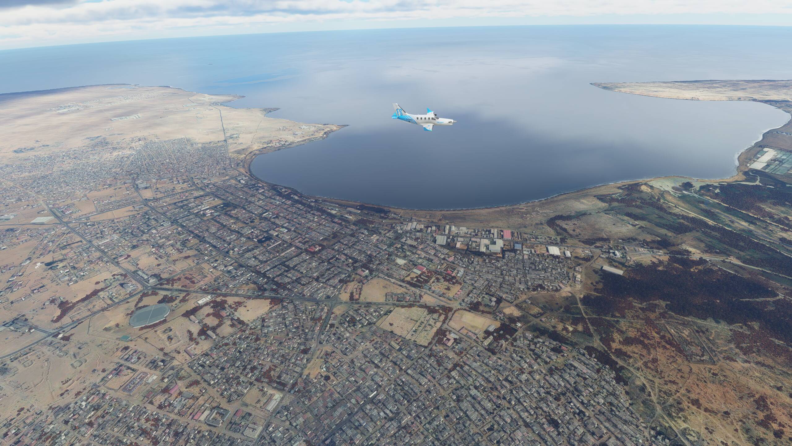
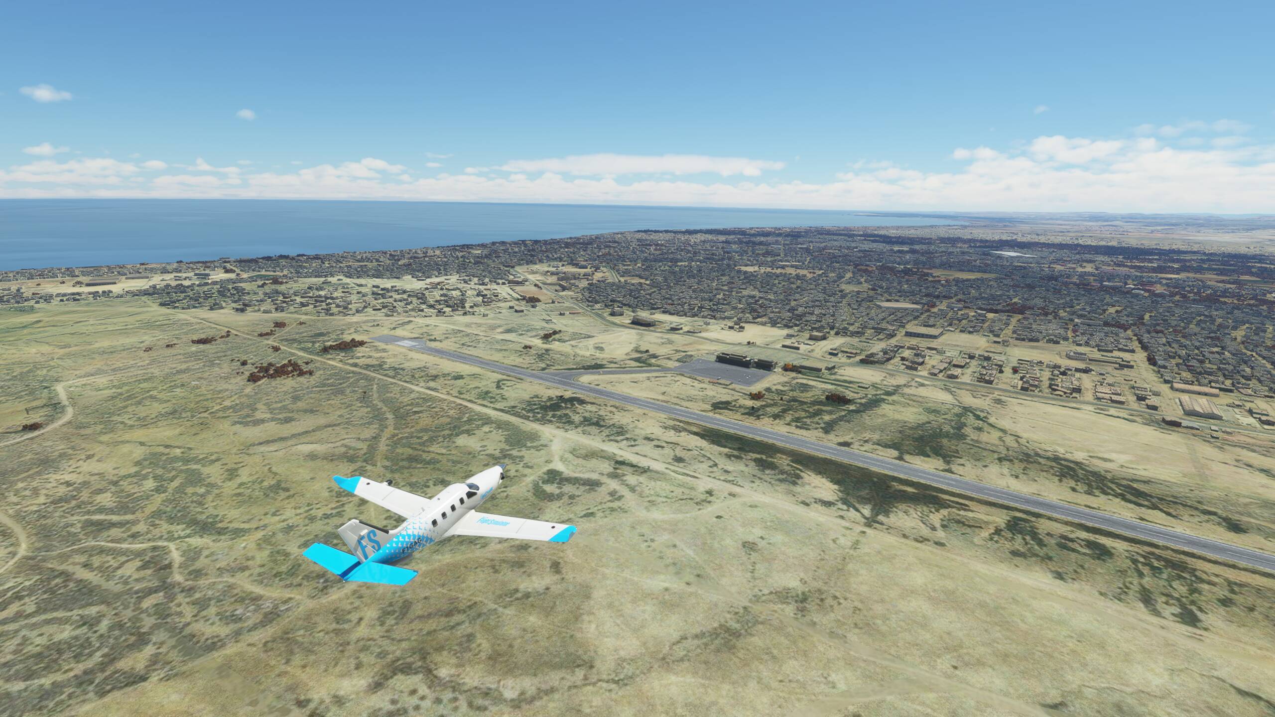
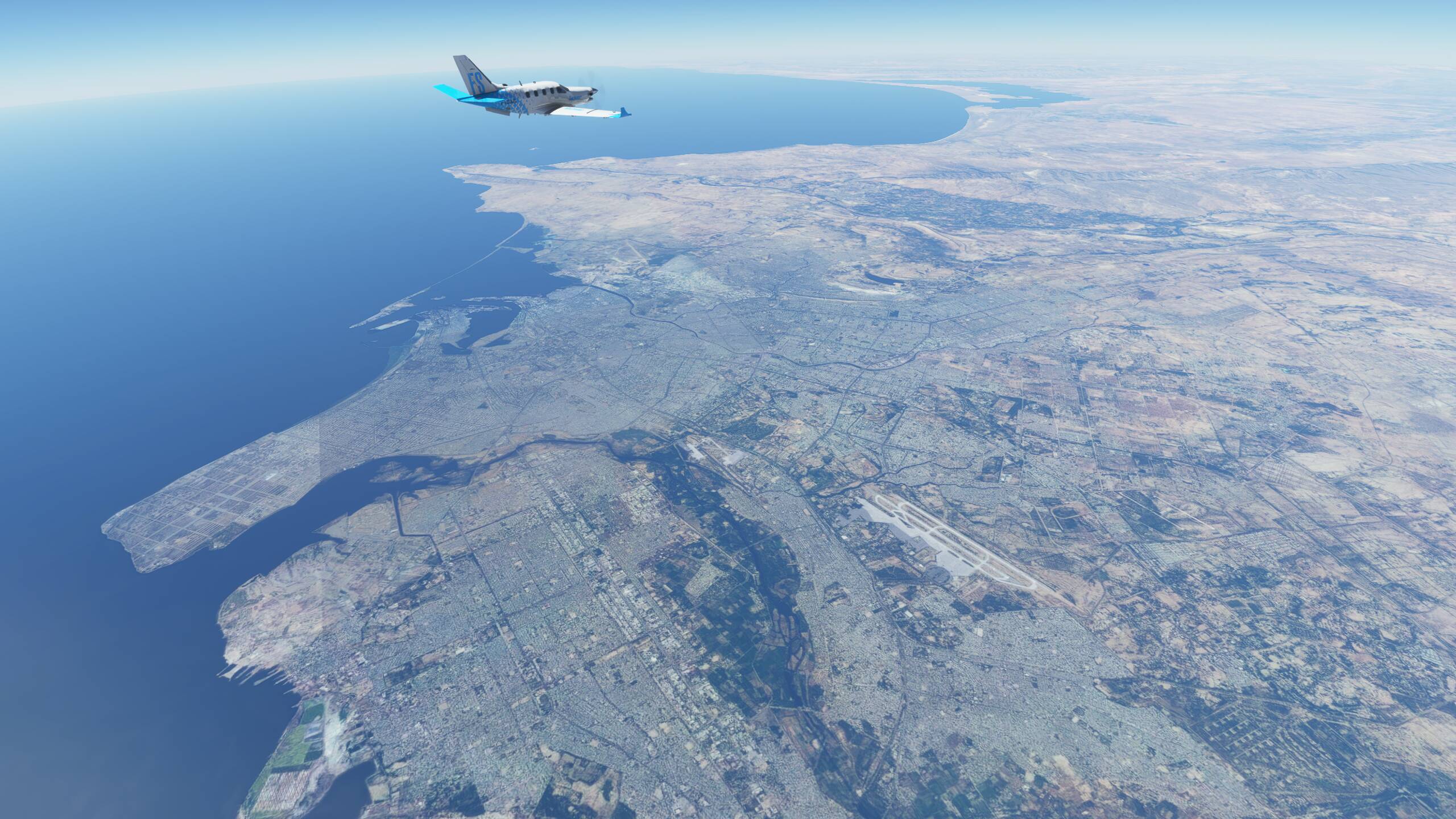
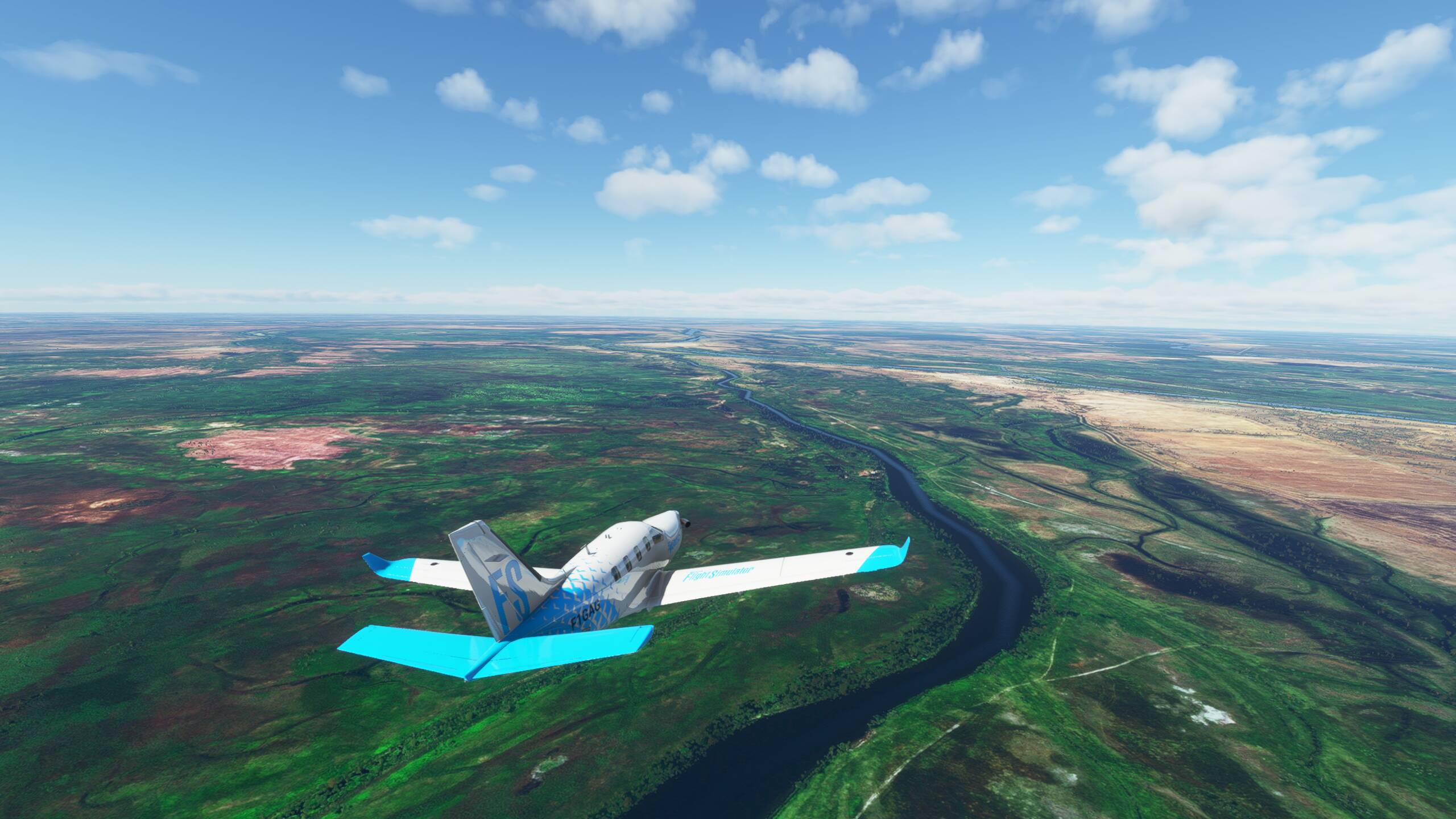
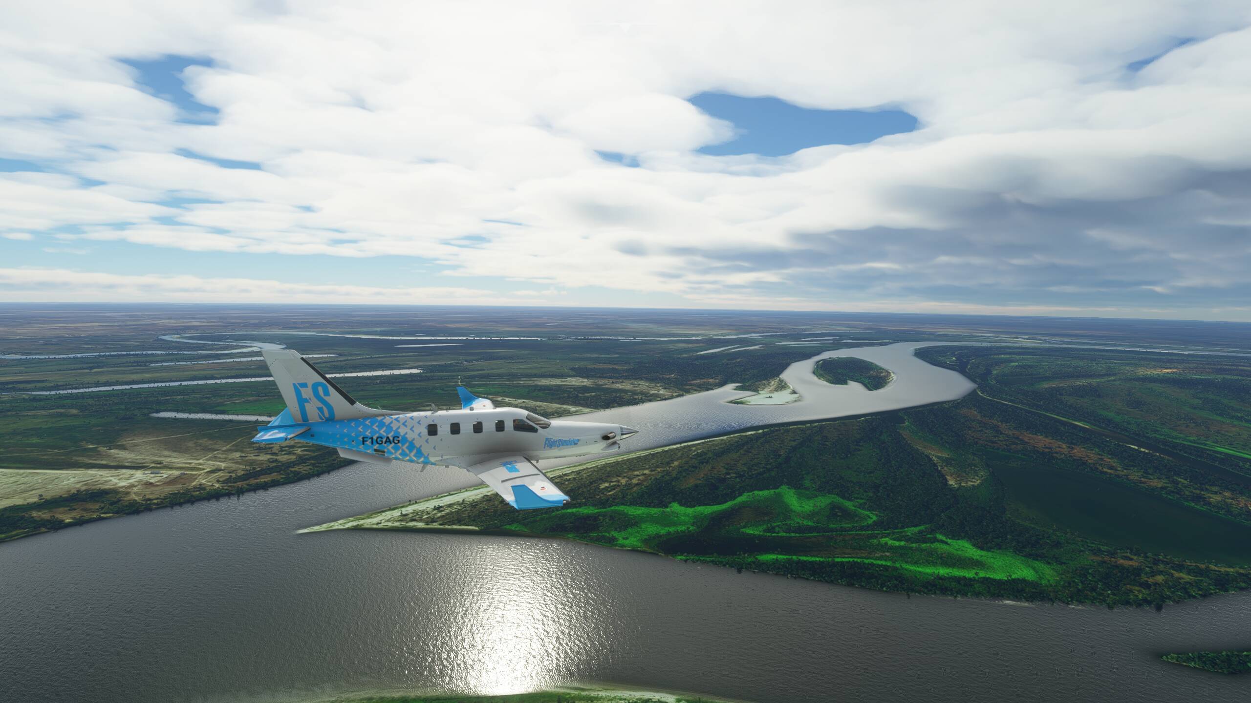
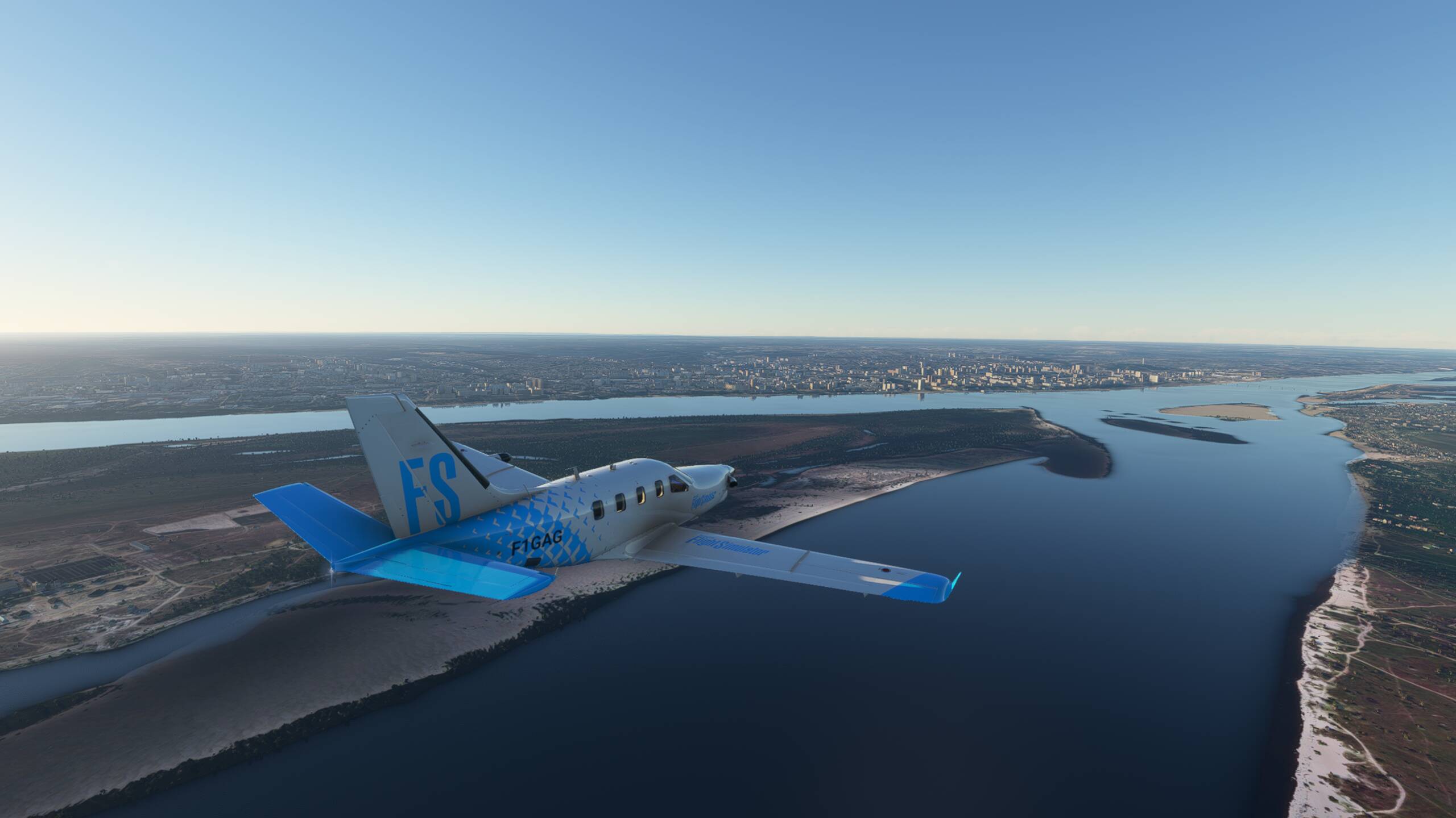
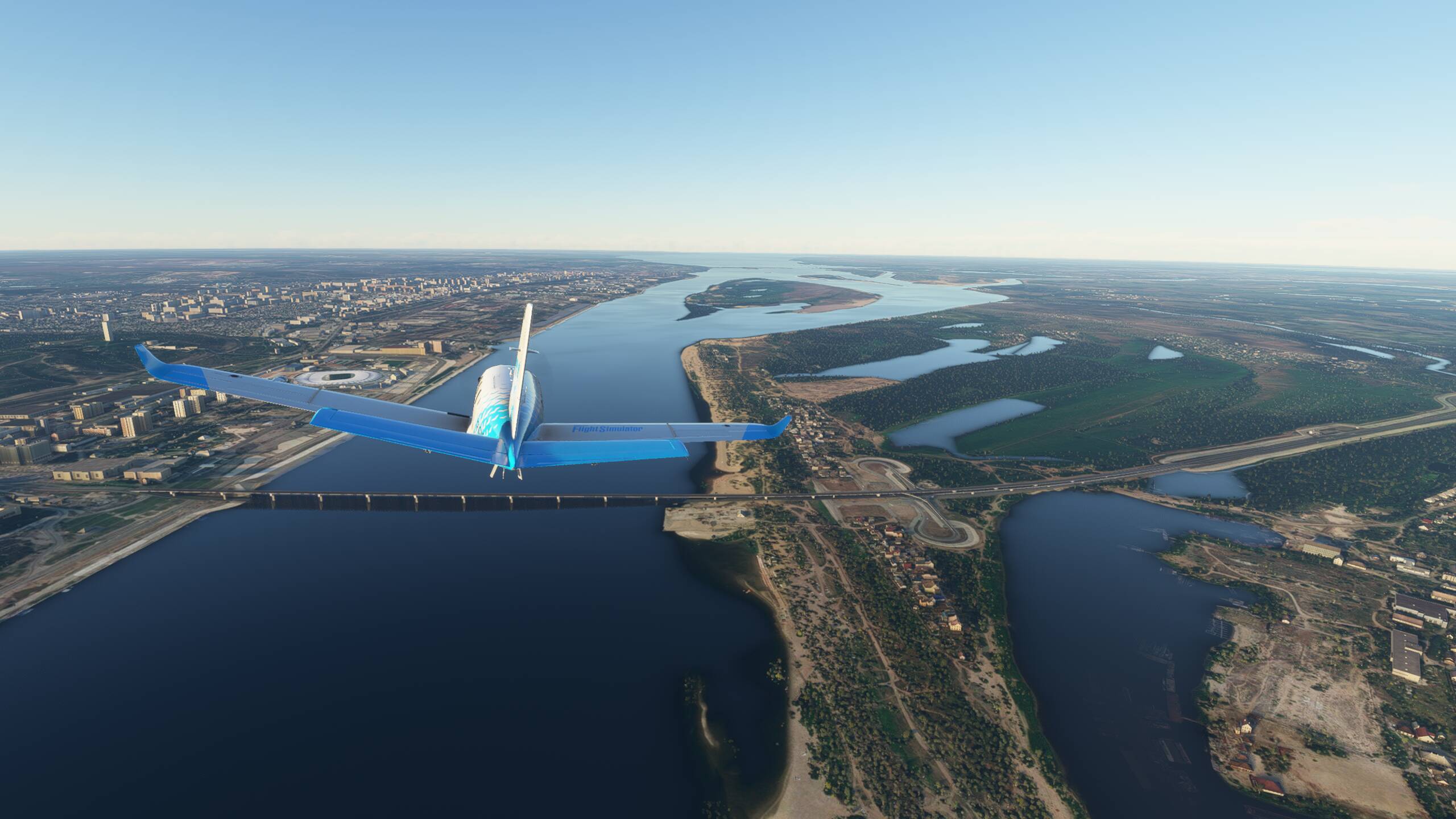
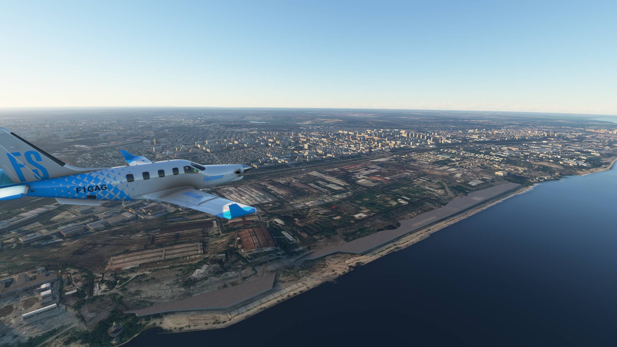
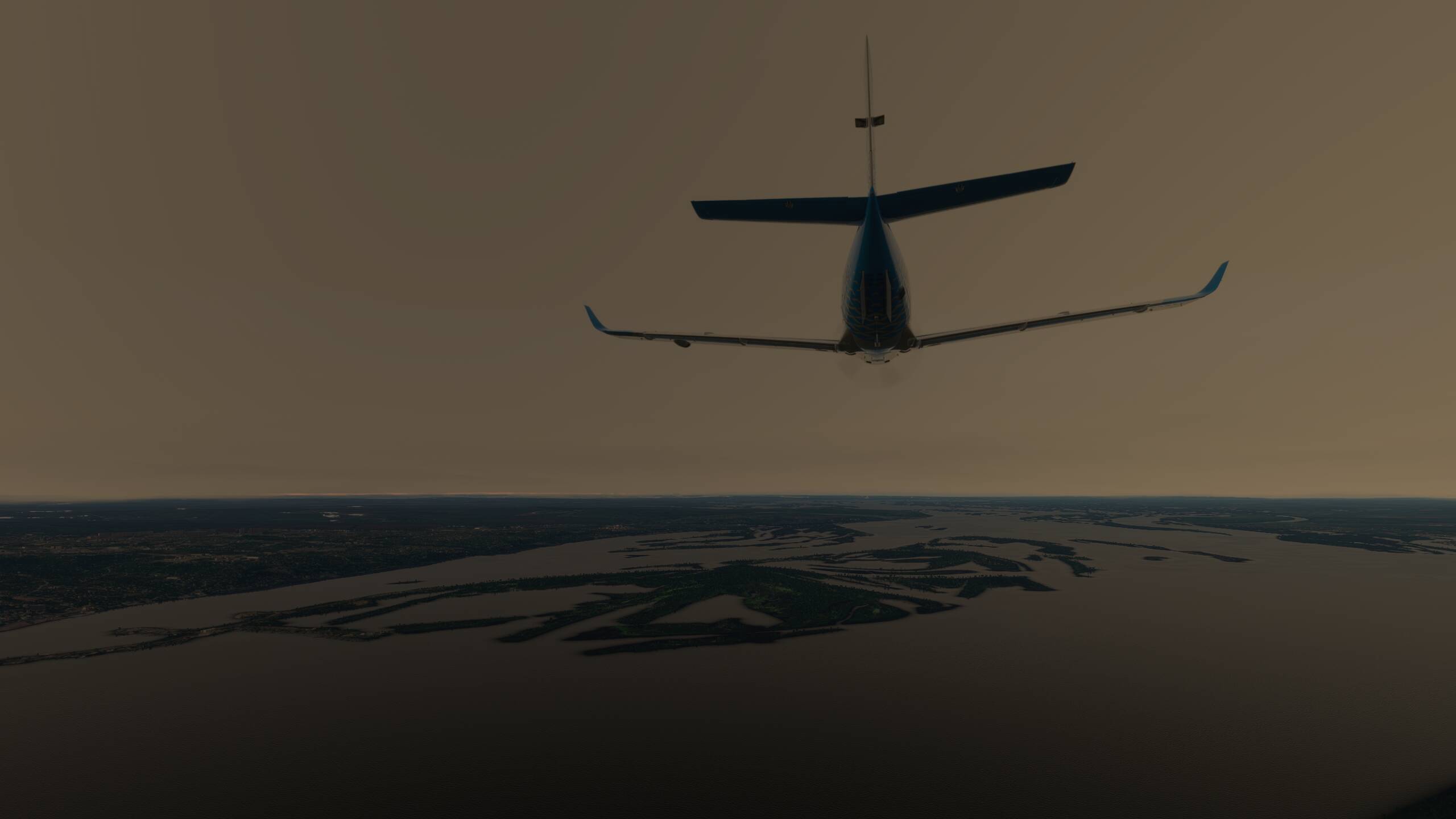
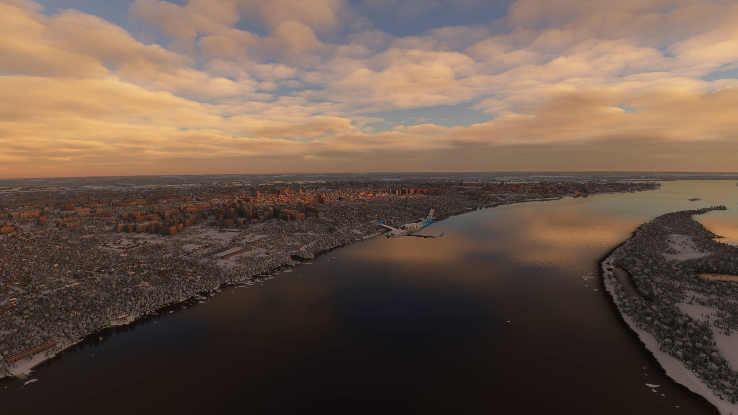
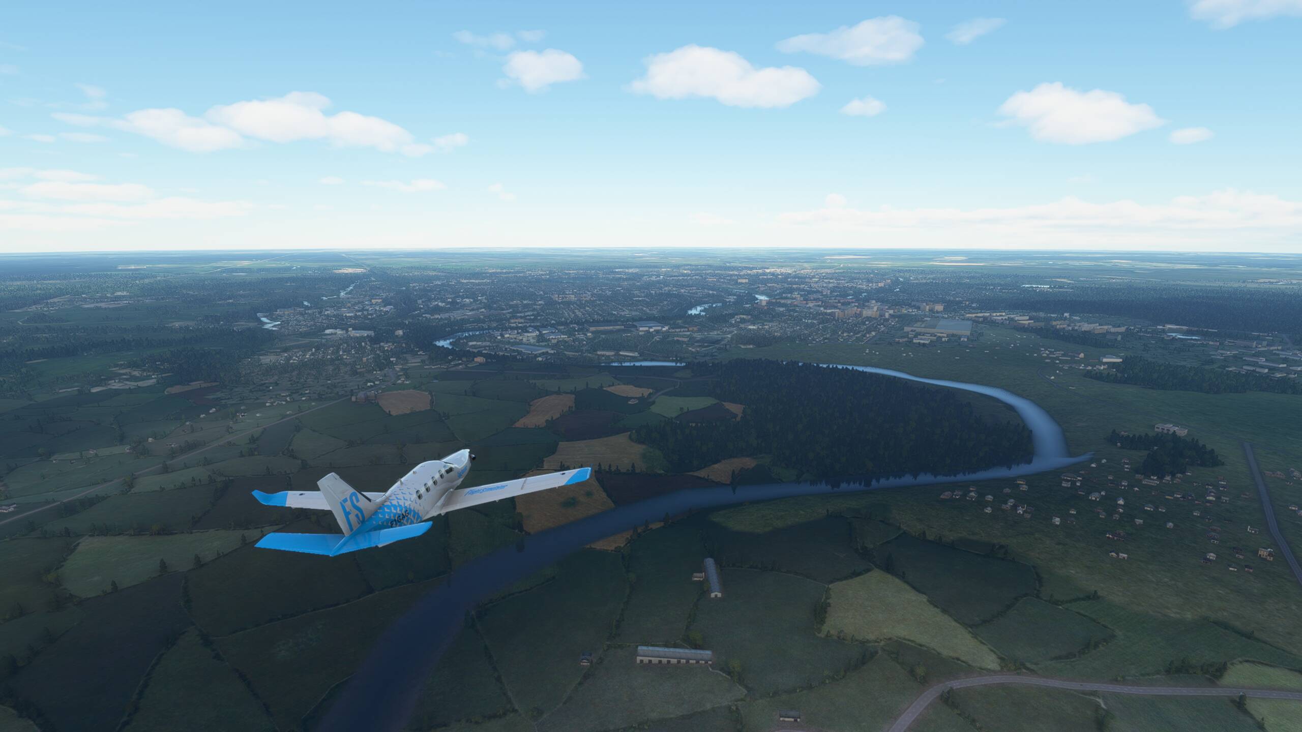
Over Pakistan and Karachi is below us

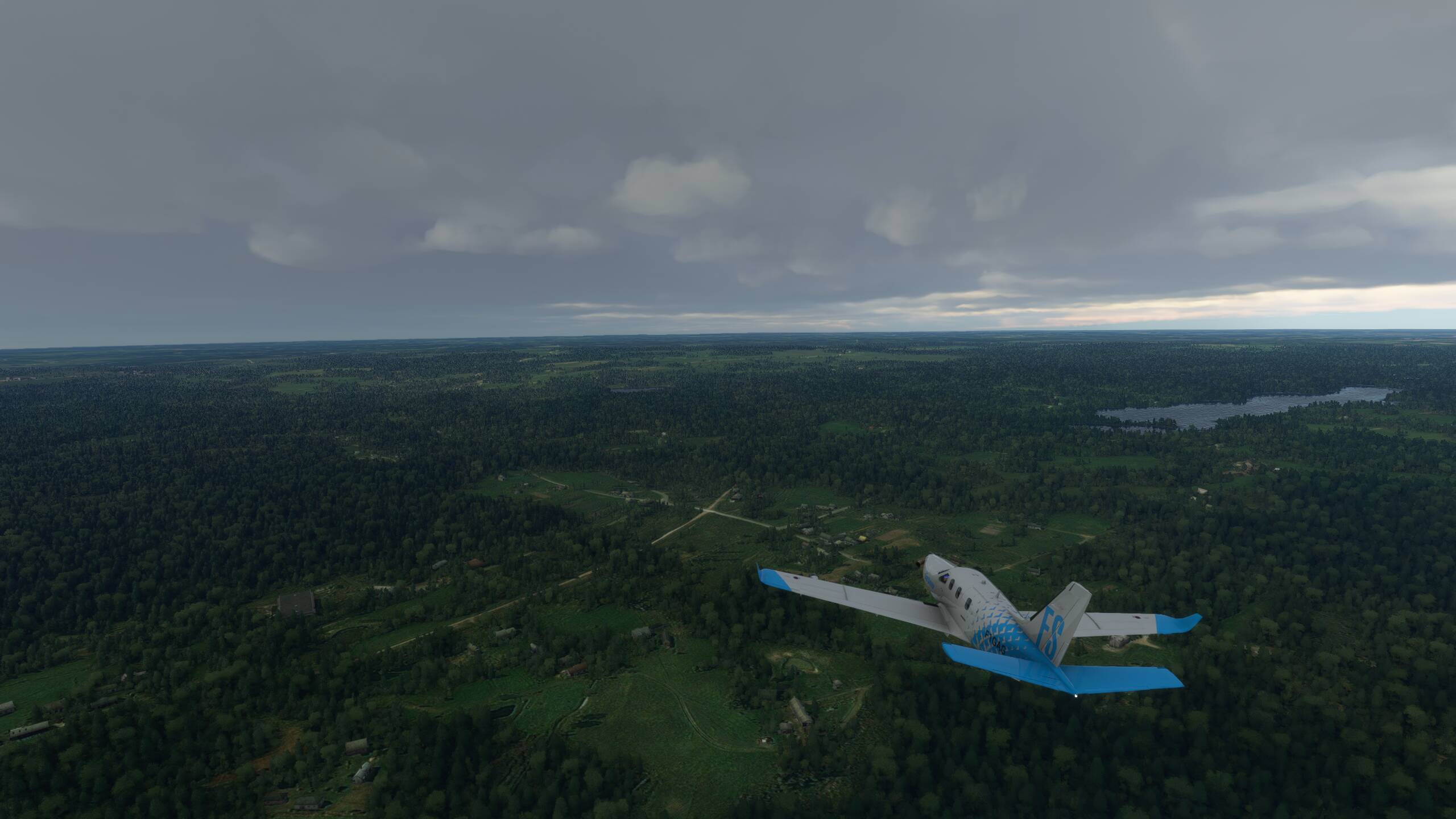
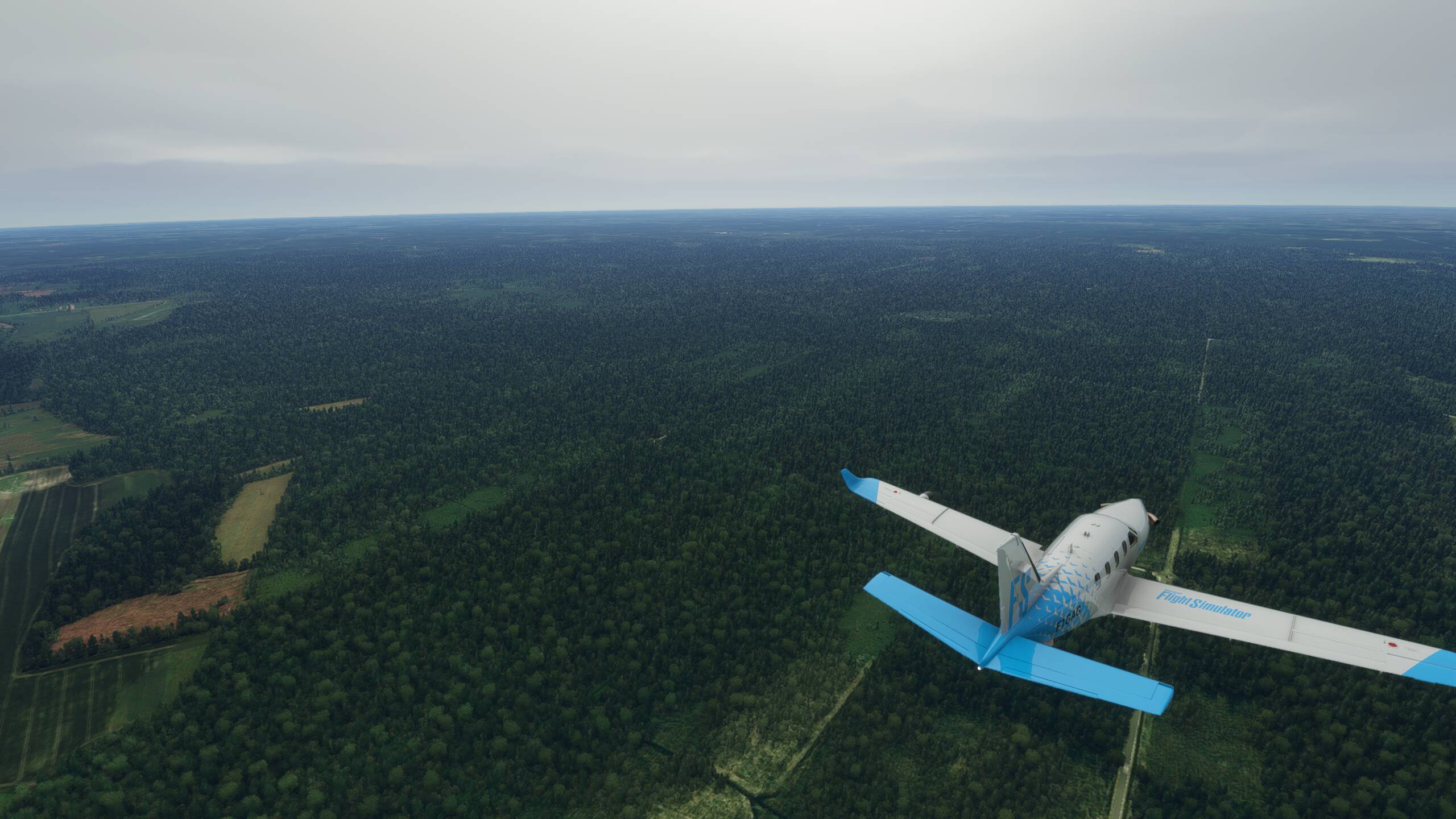
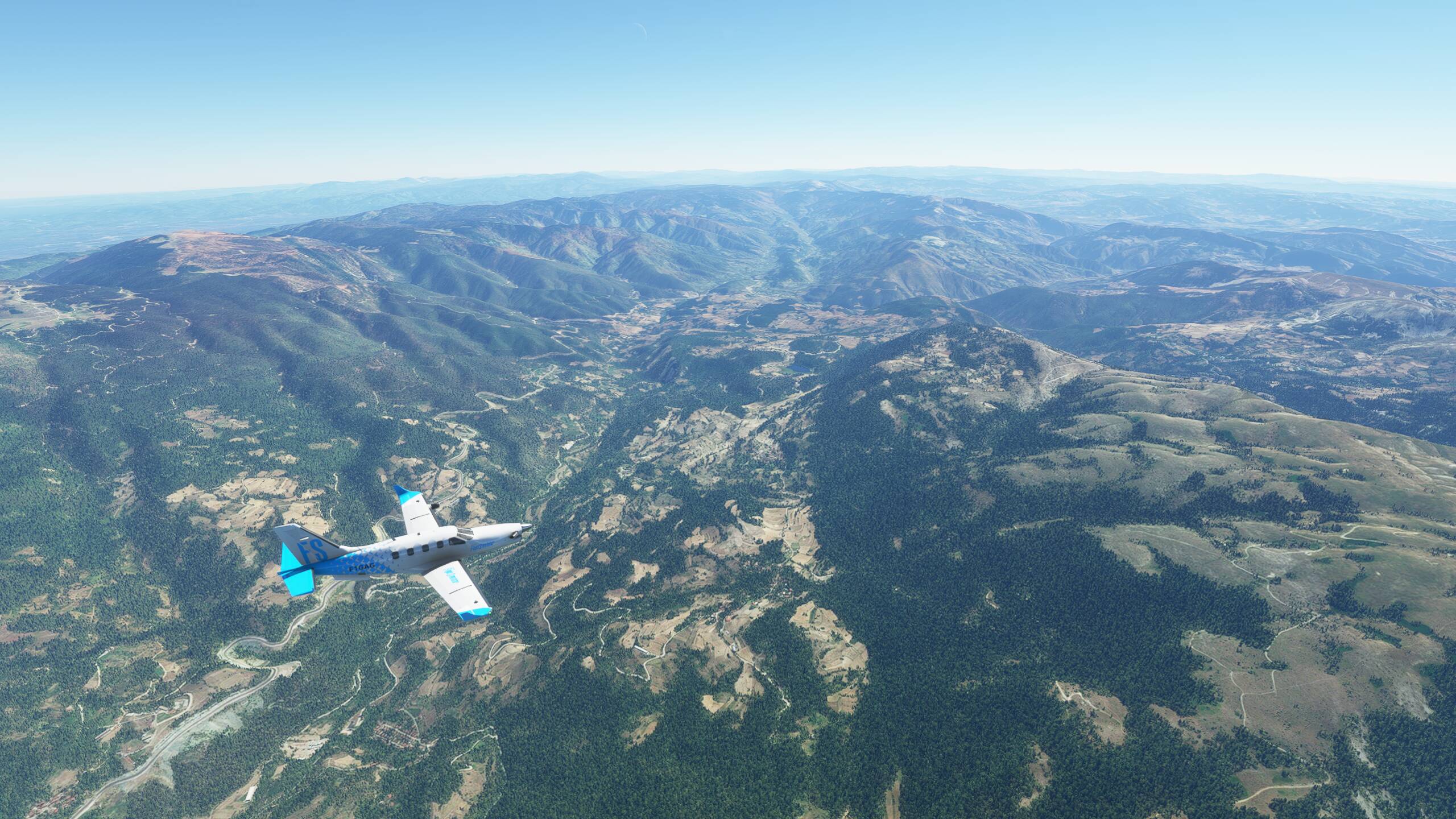
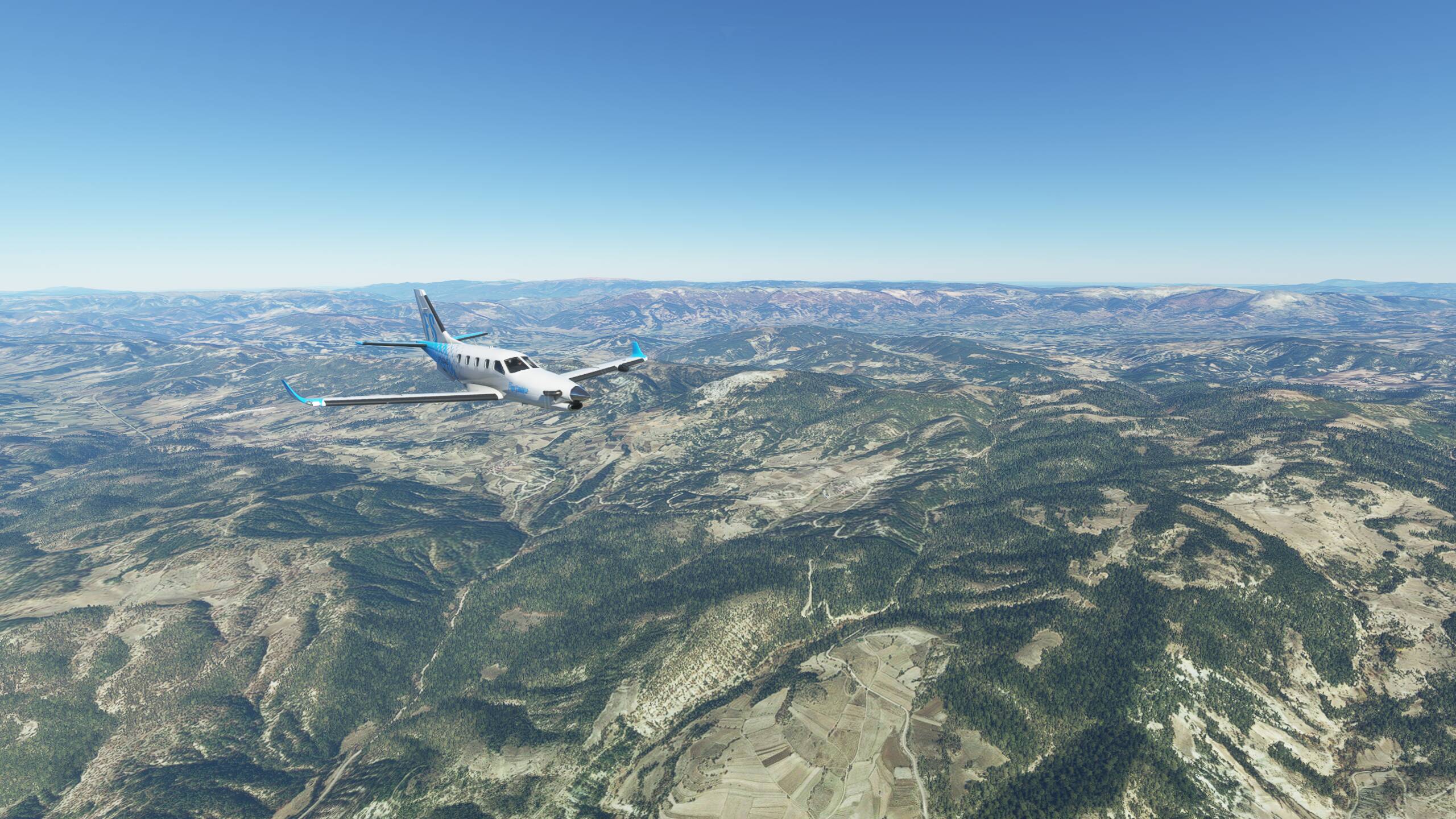
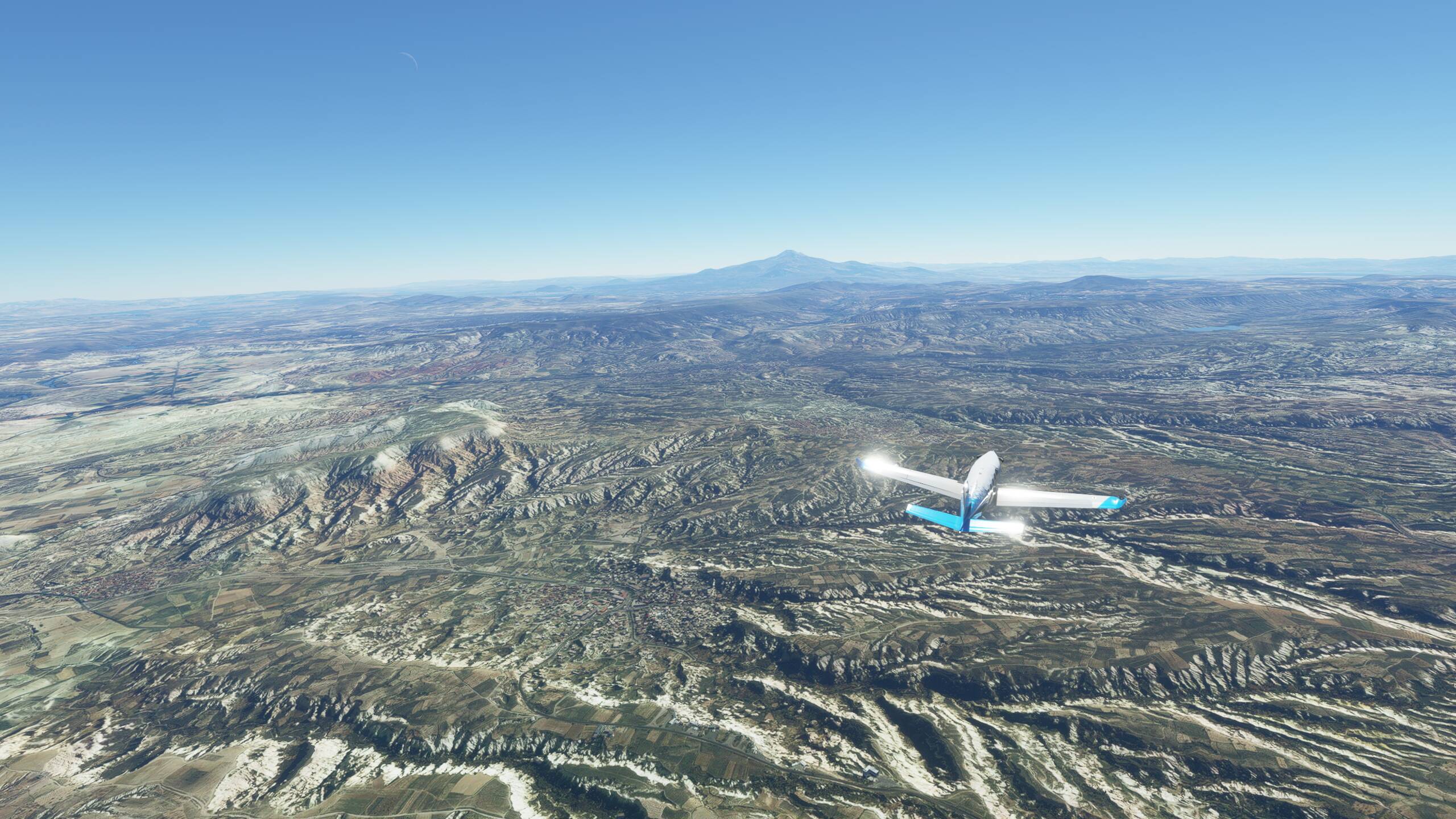
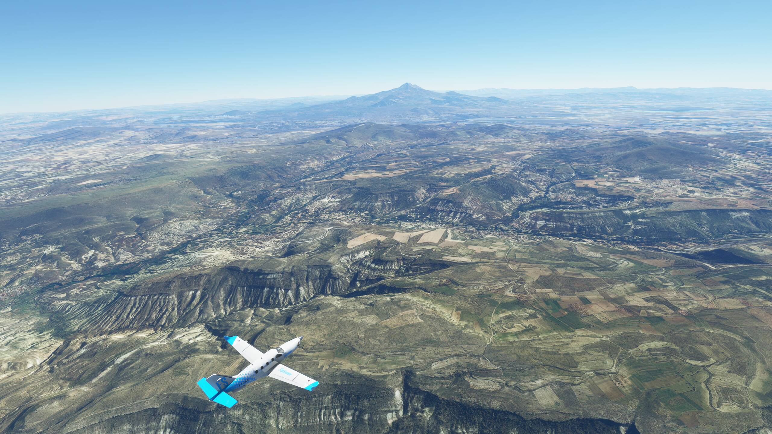
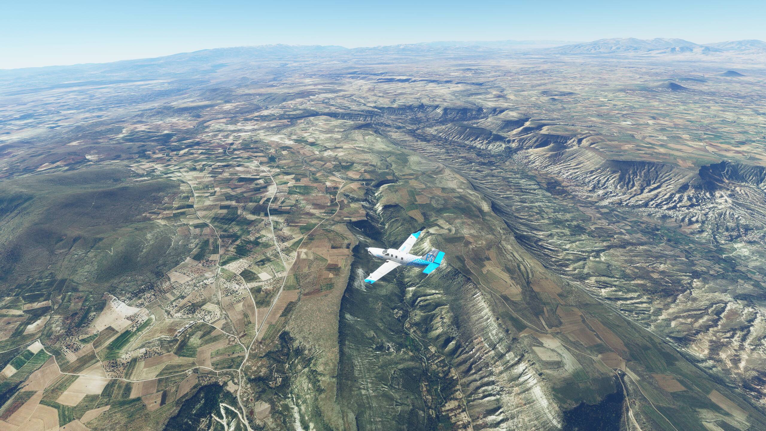
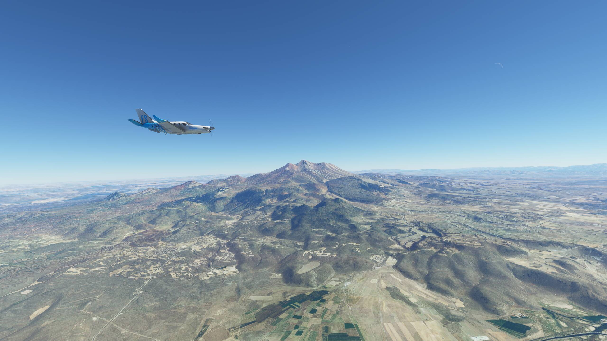
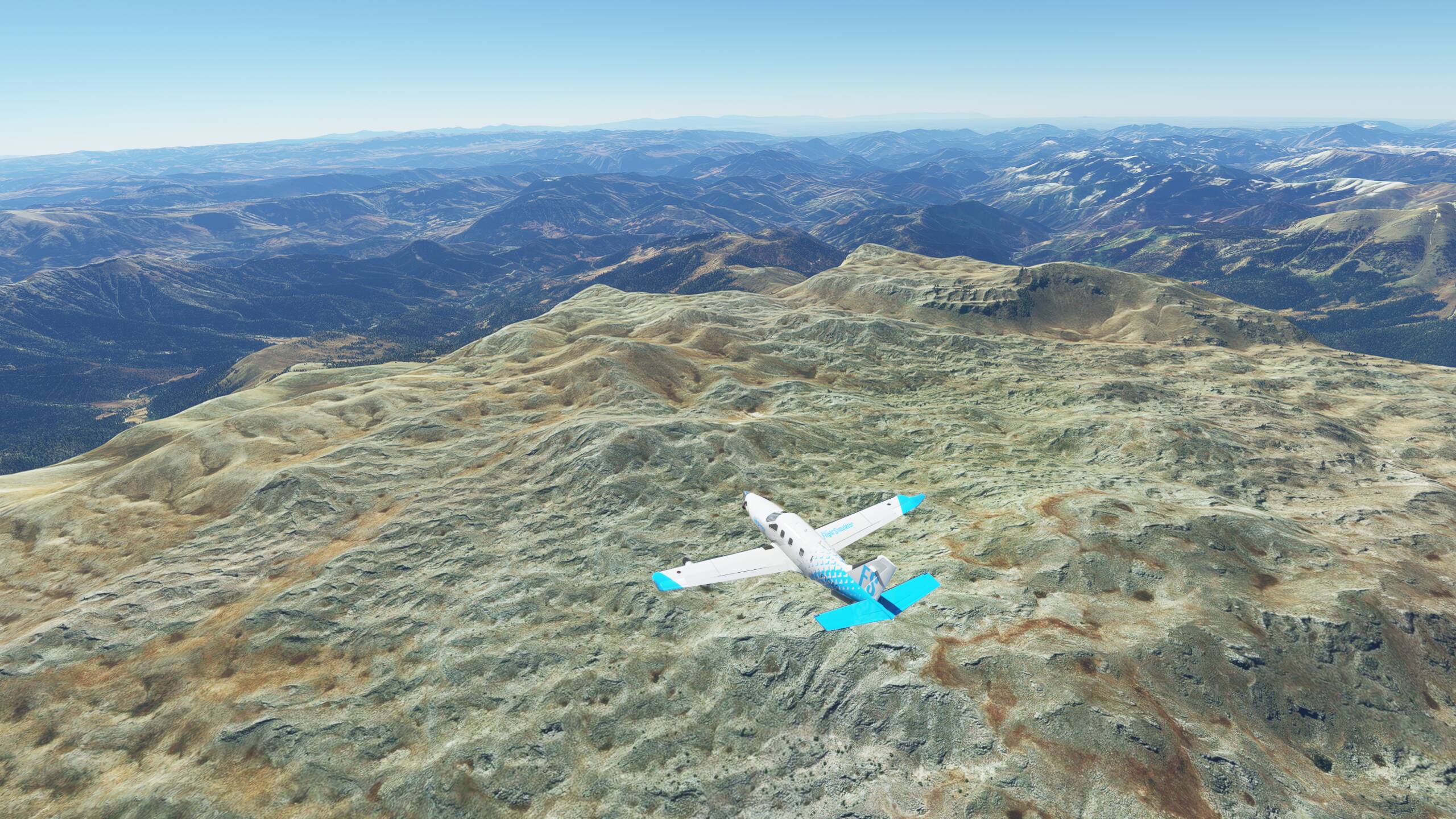
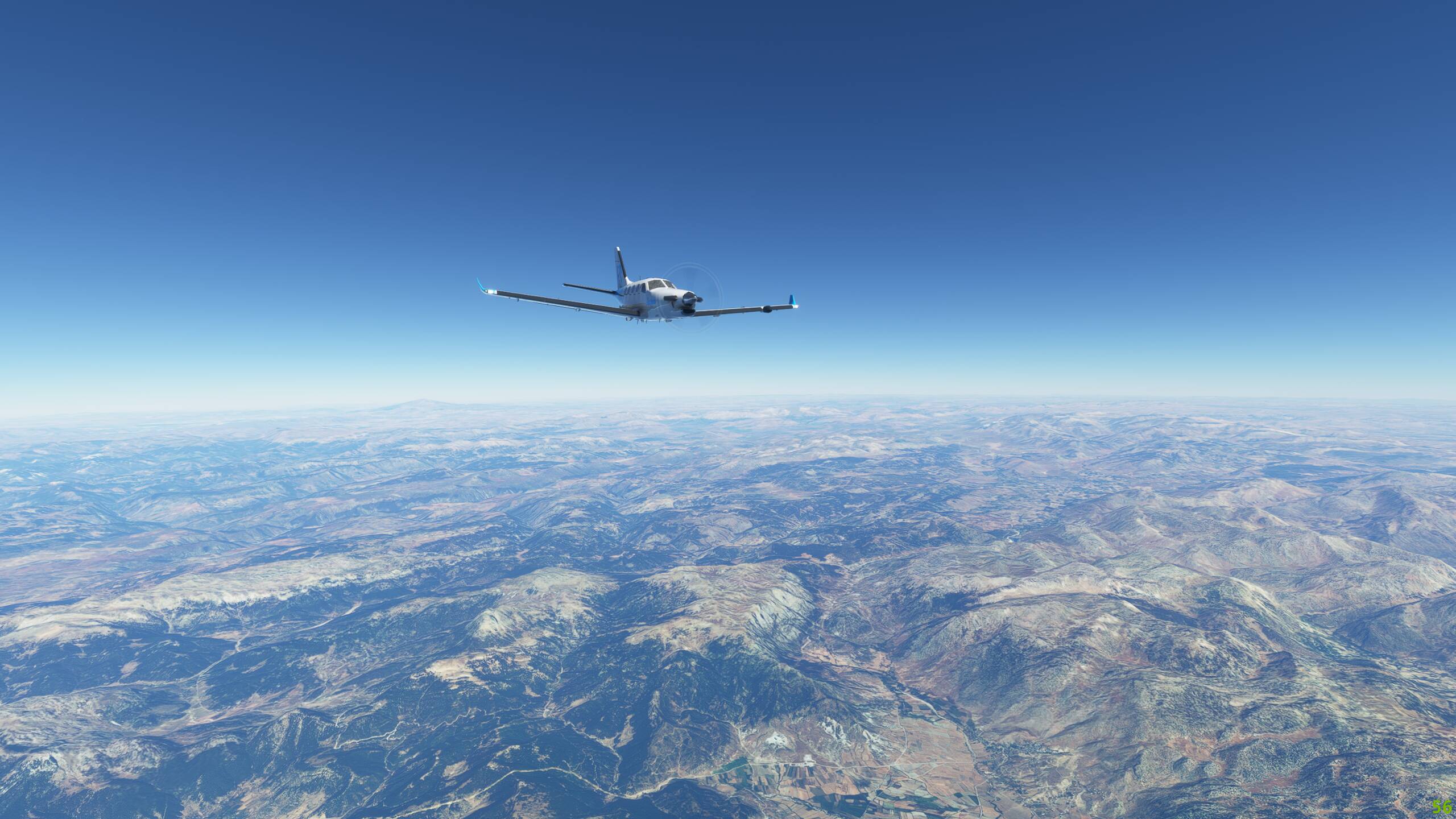
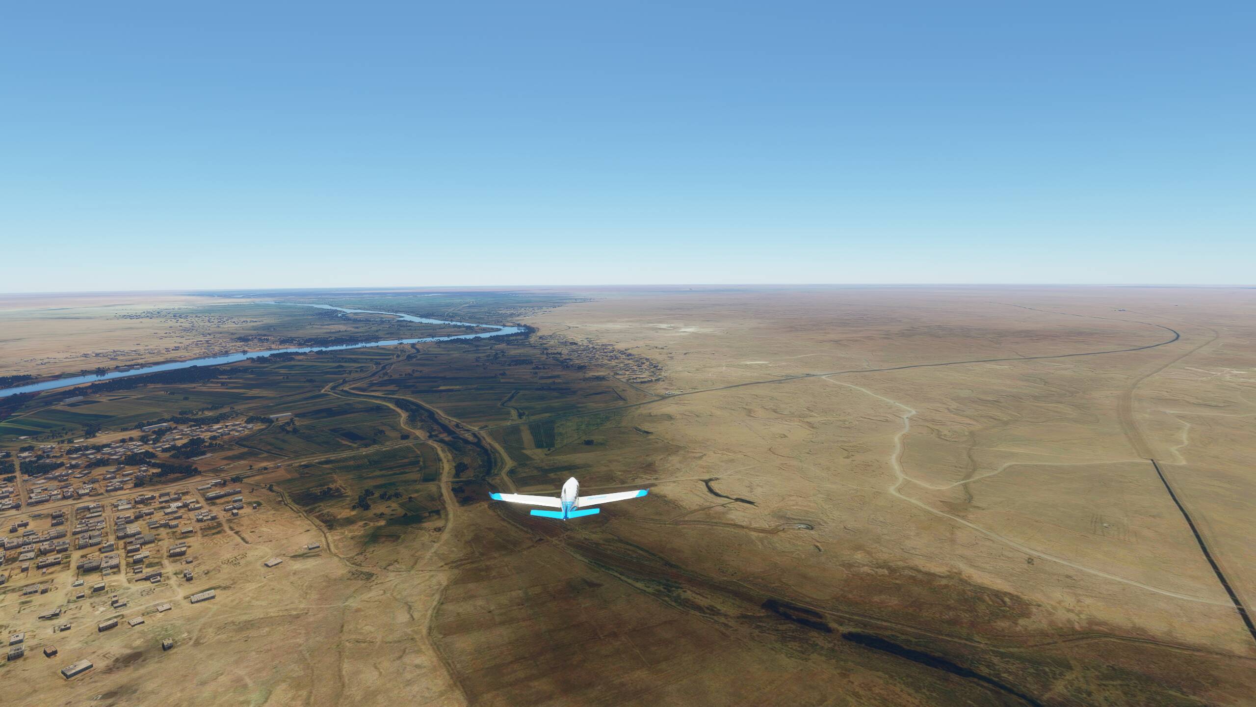
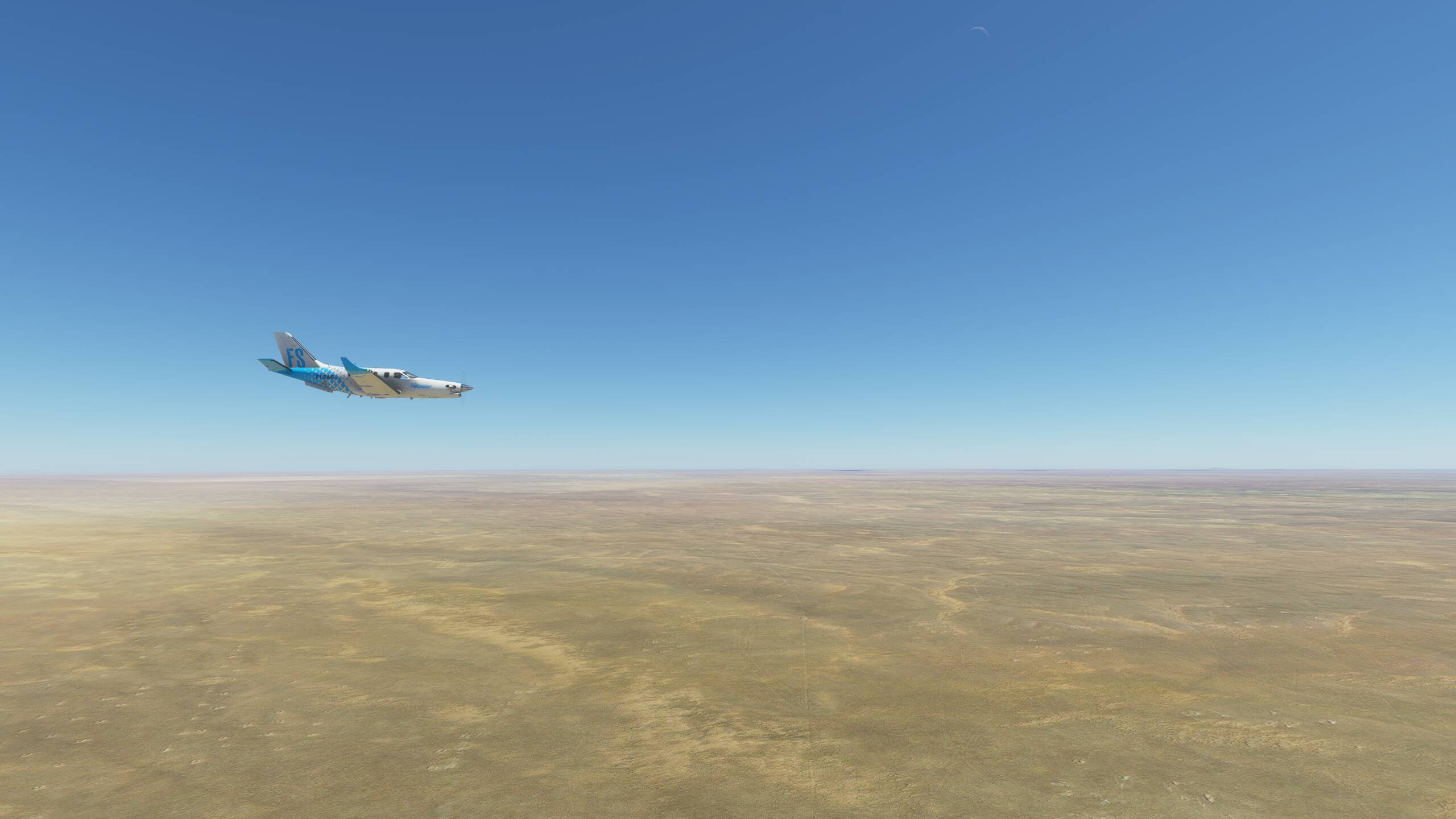
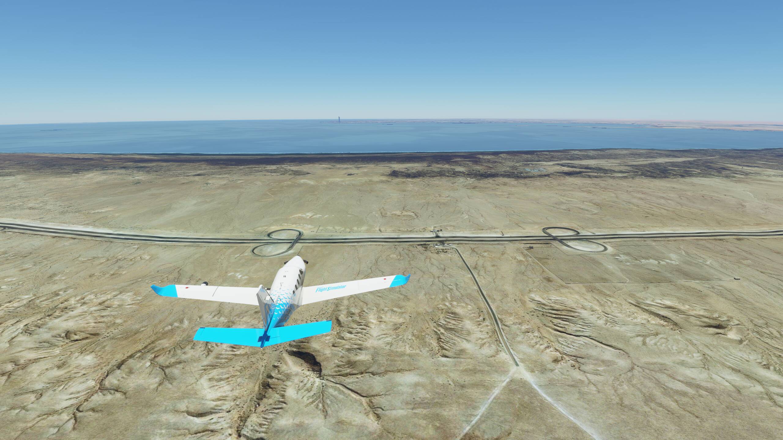
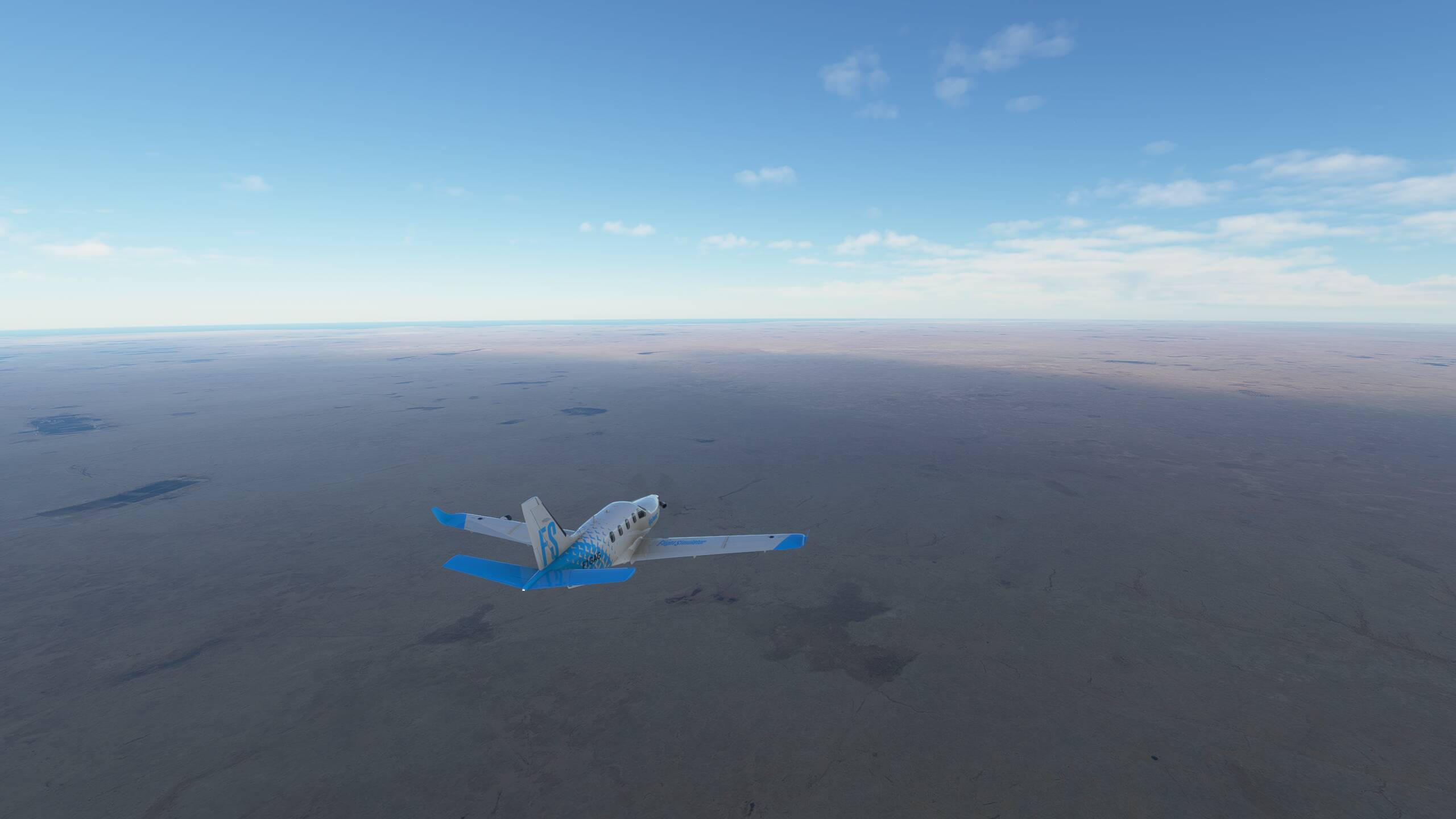
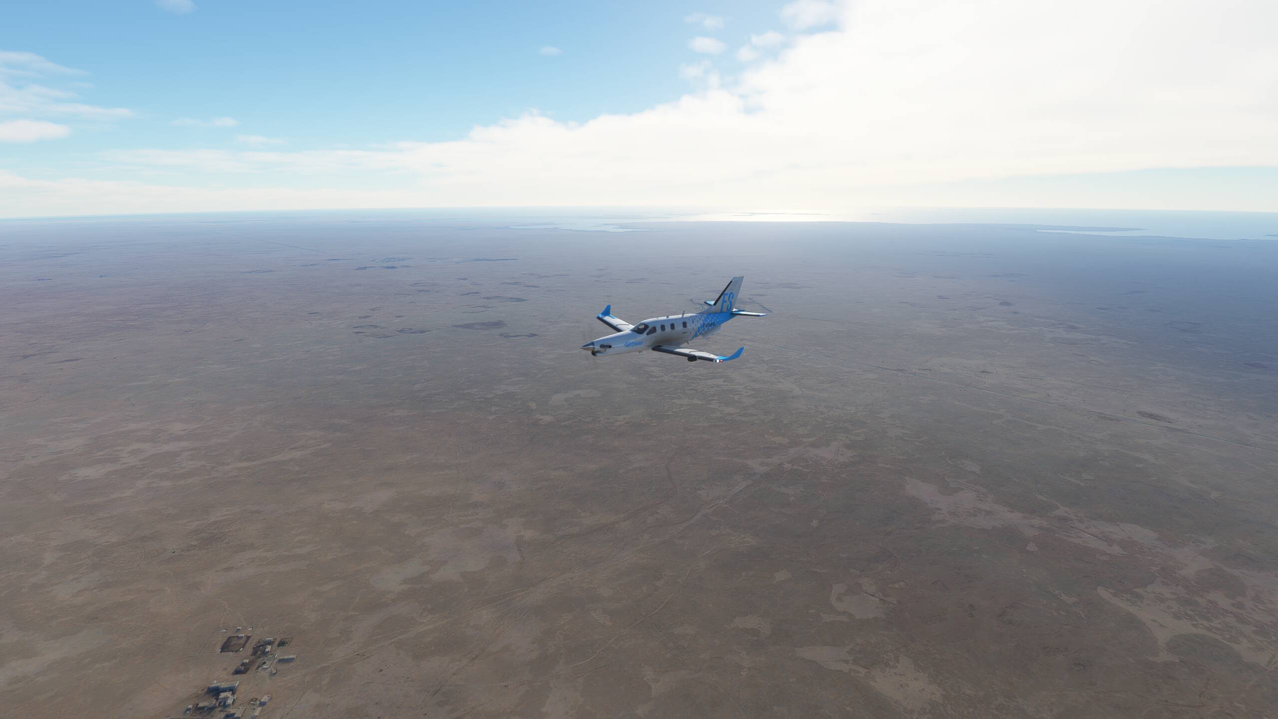
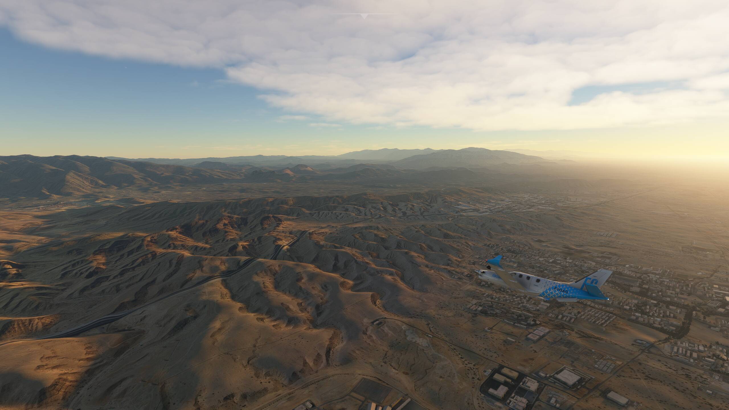
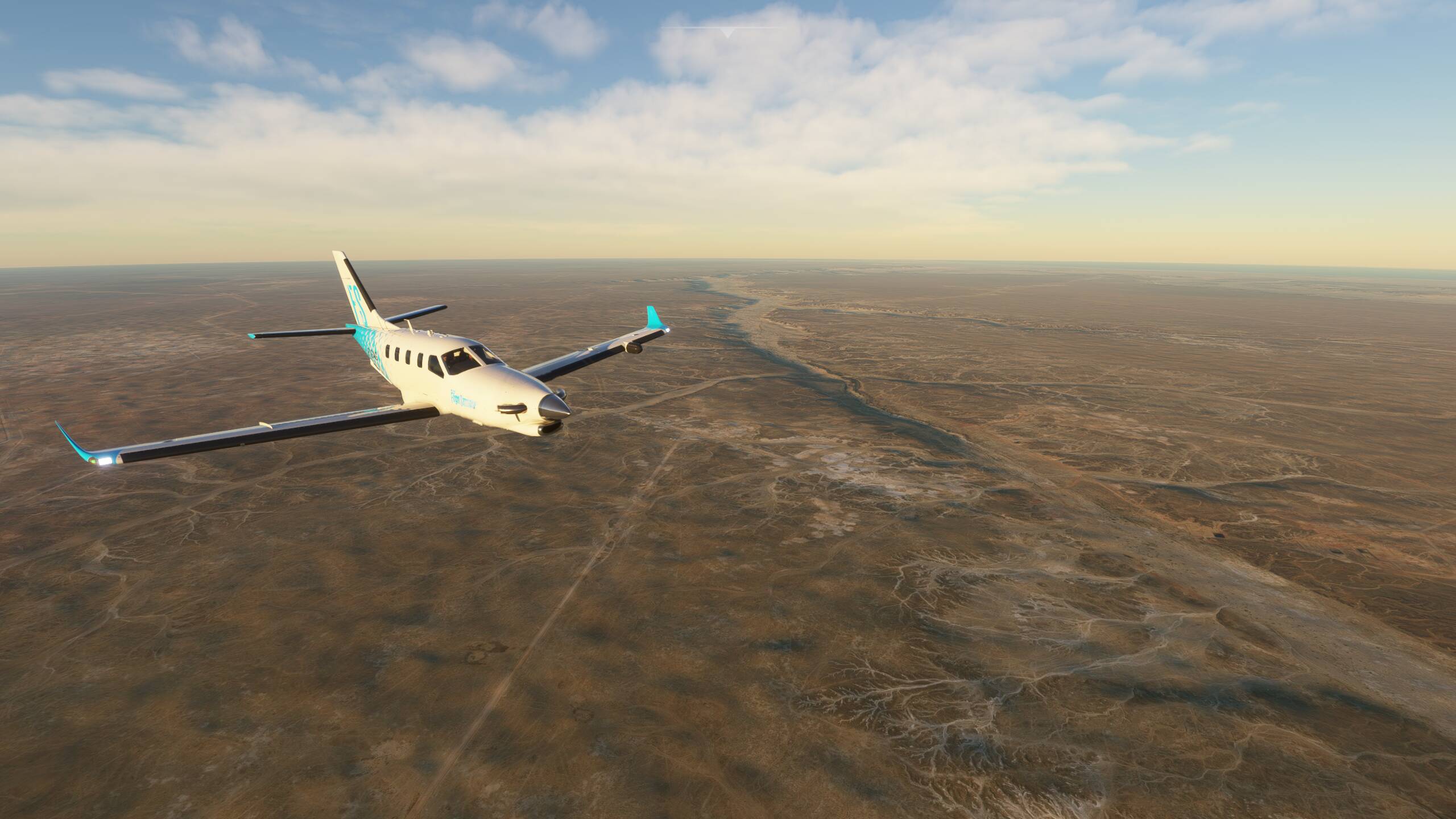
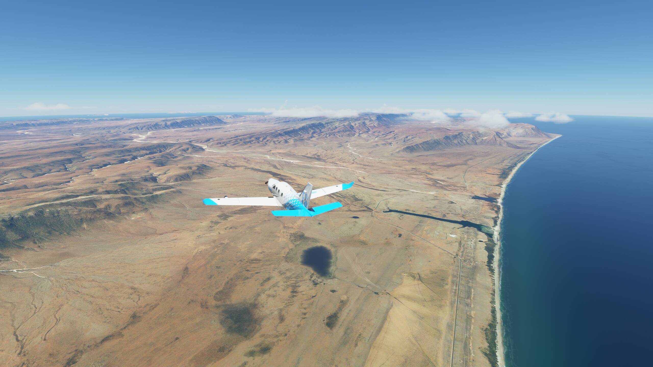
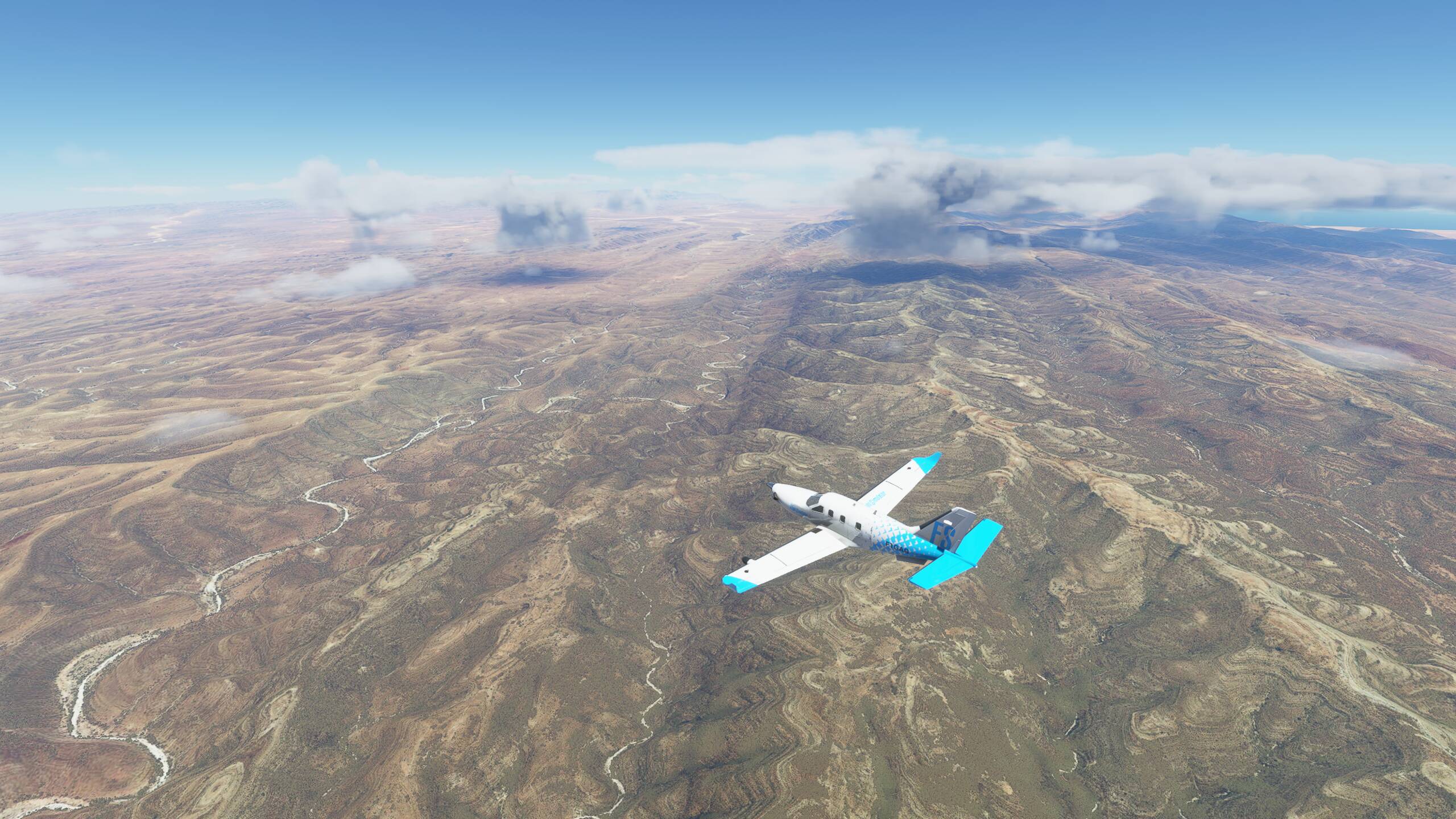
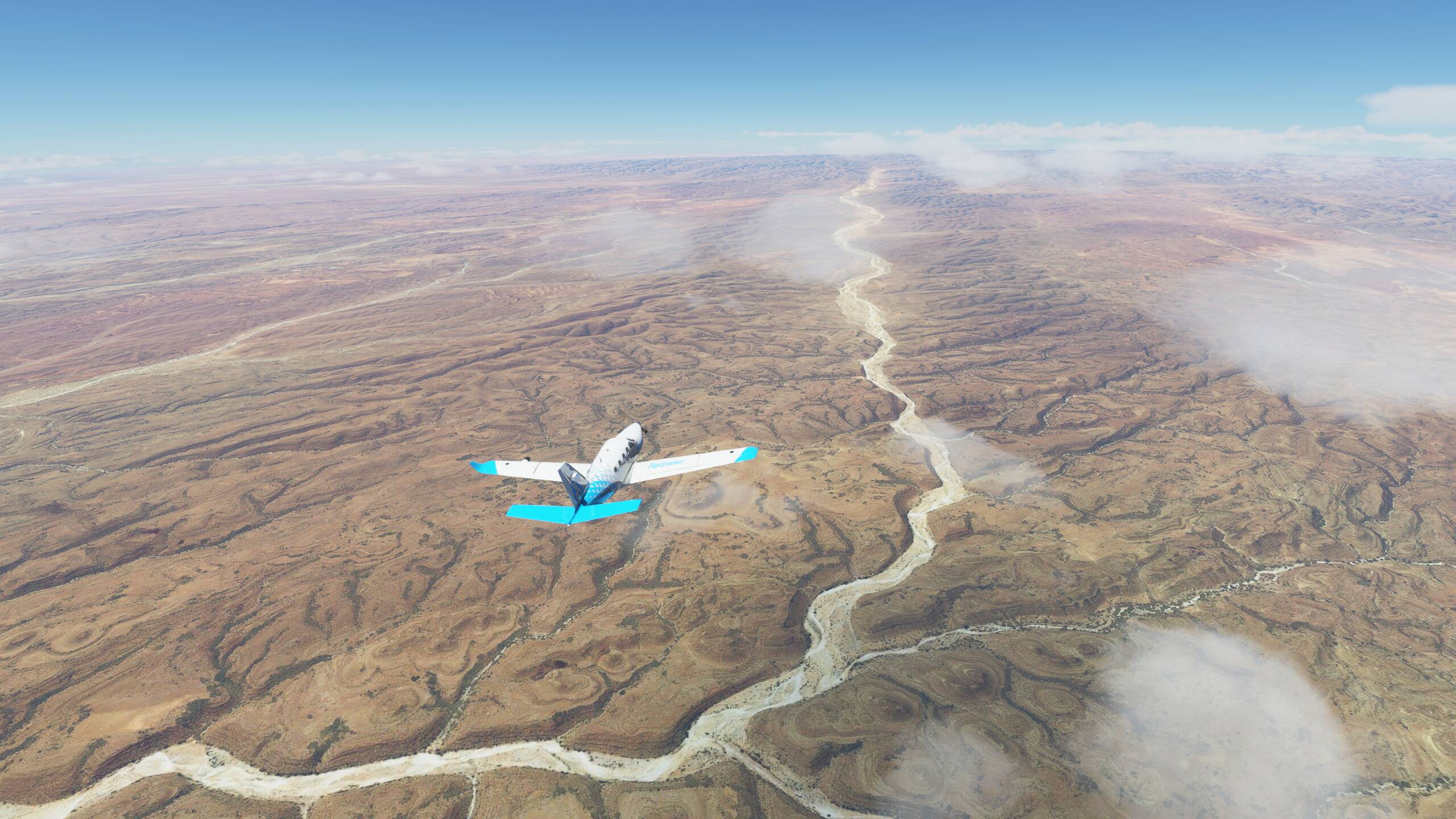
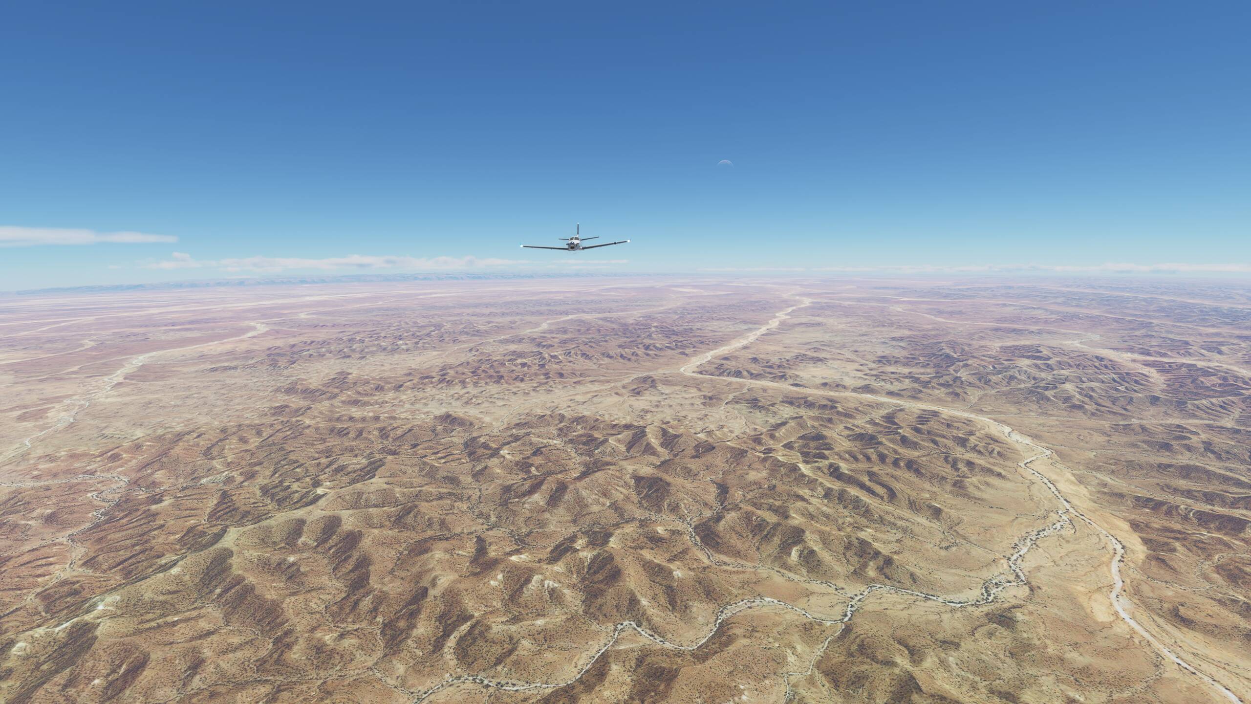
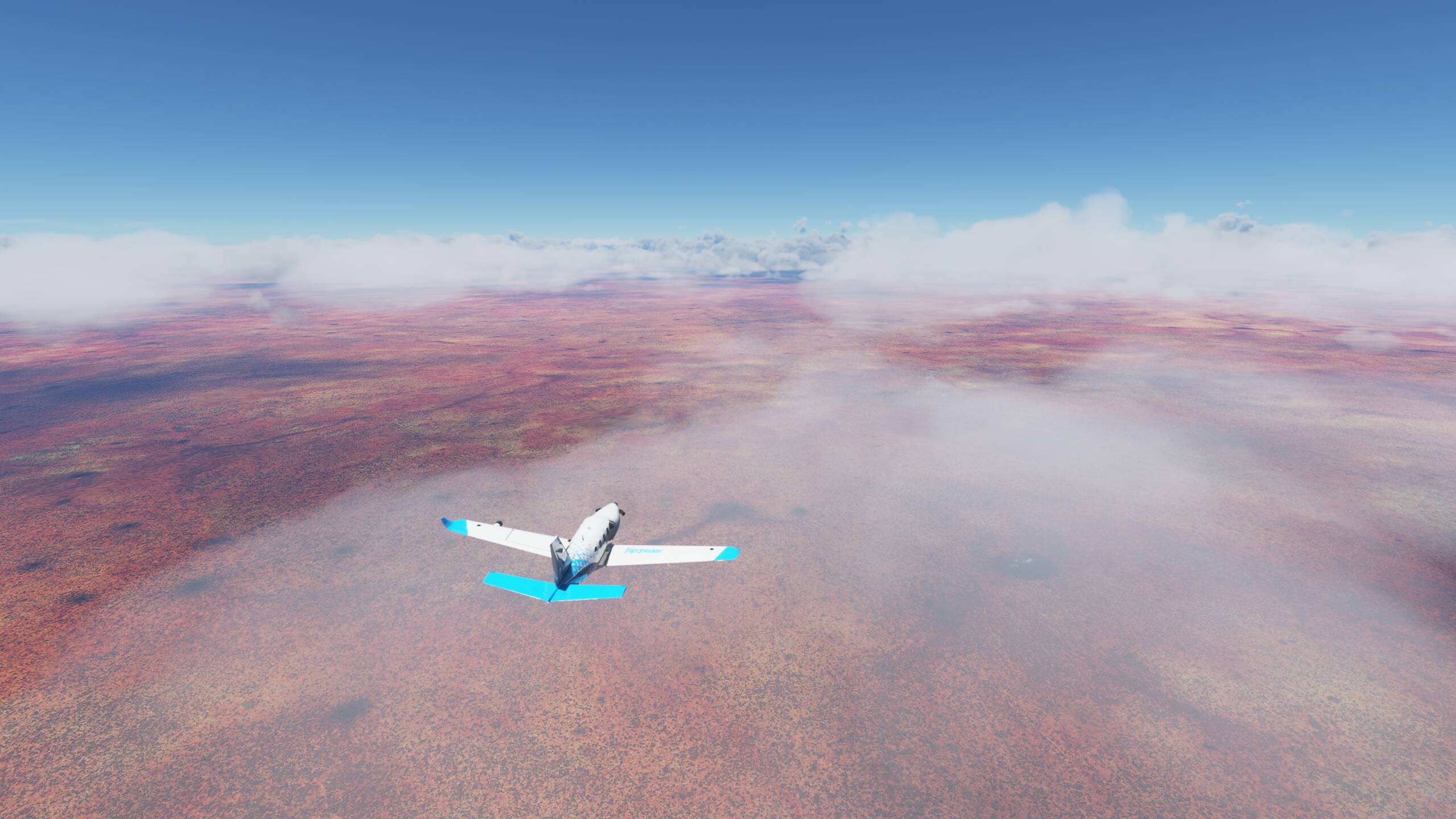
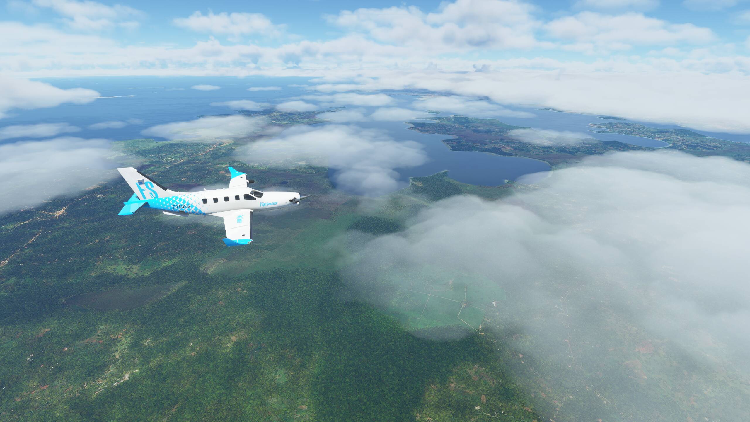
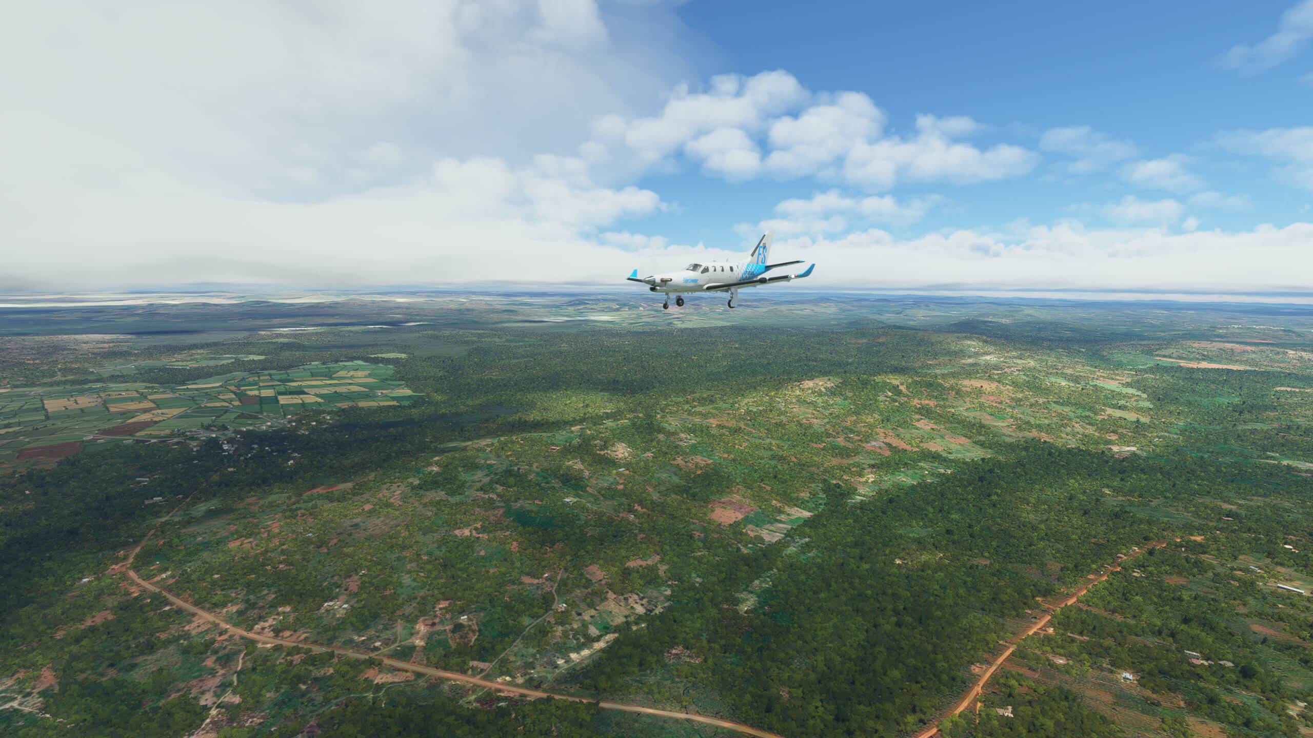
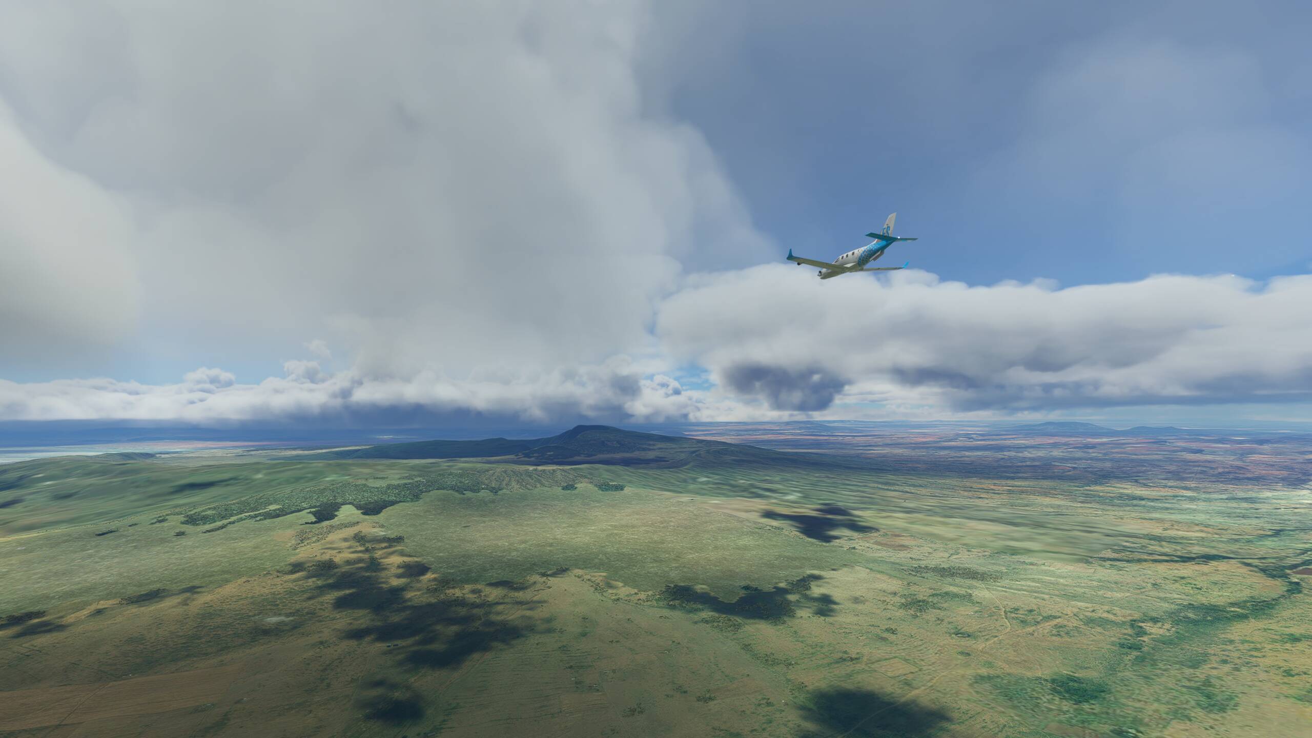
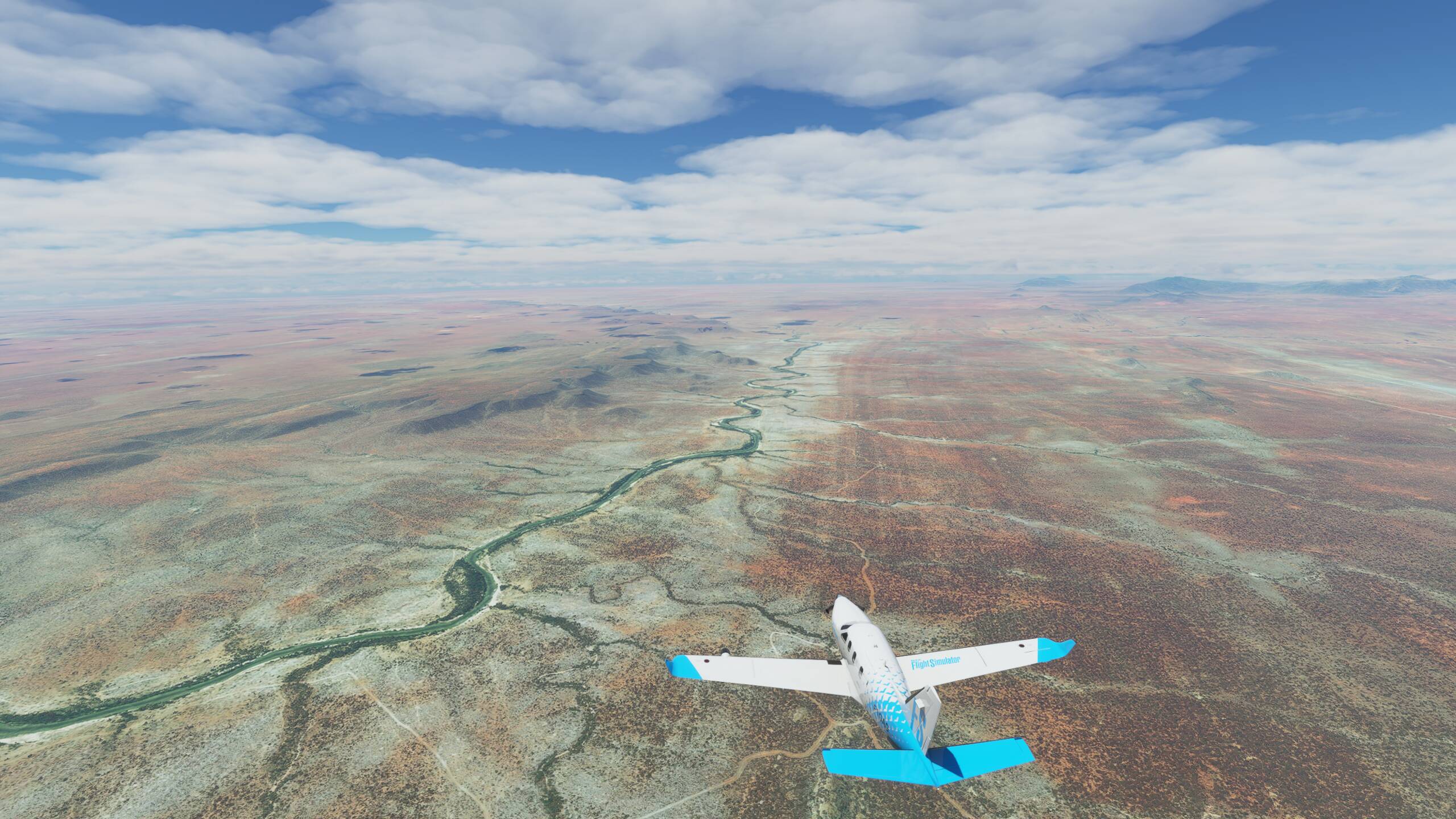
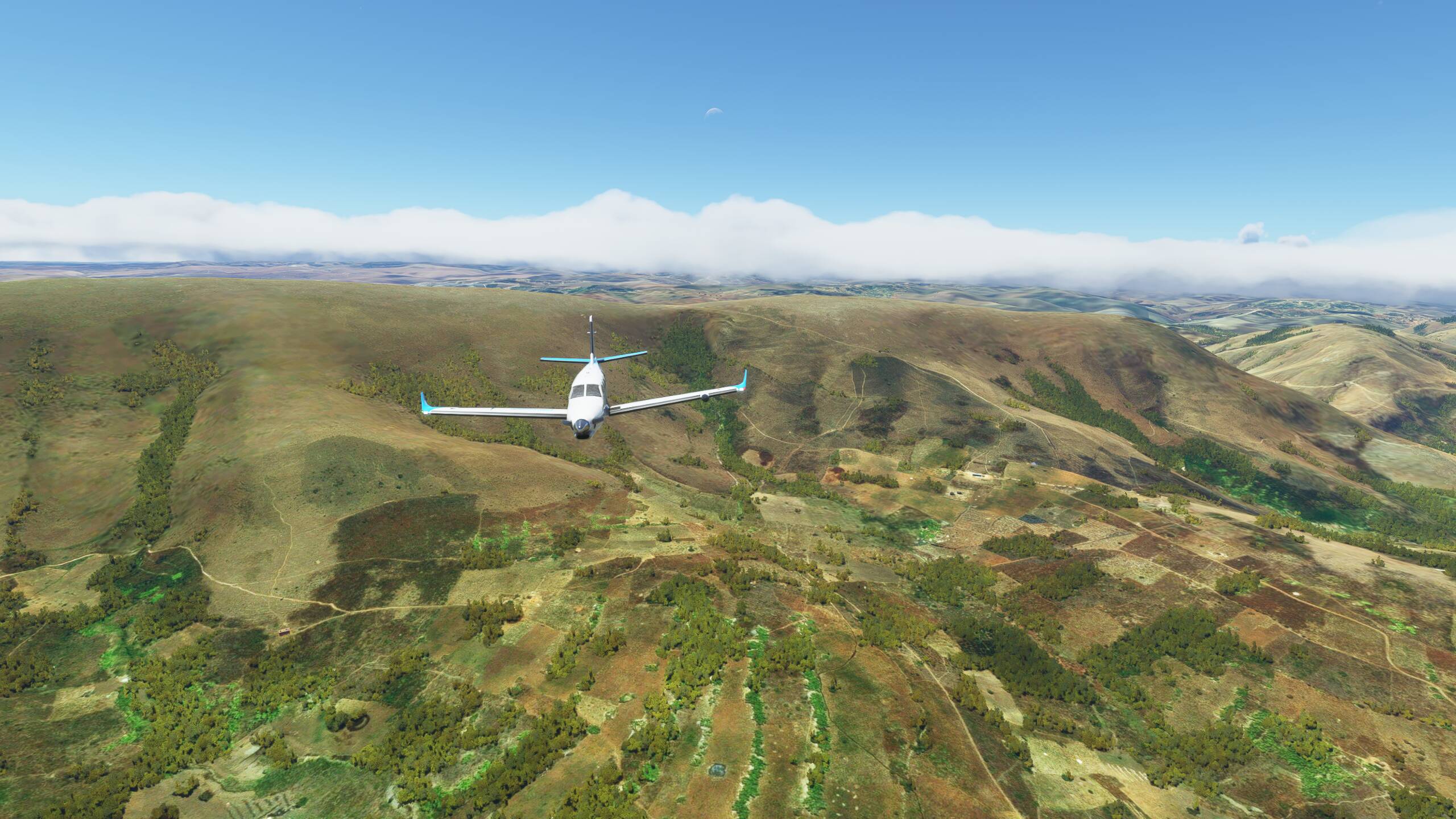
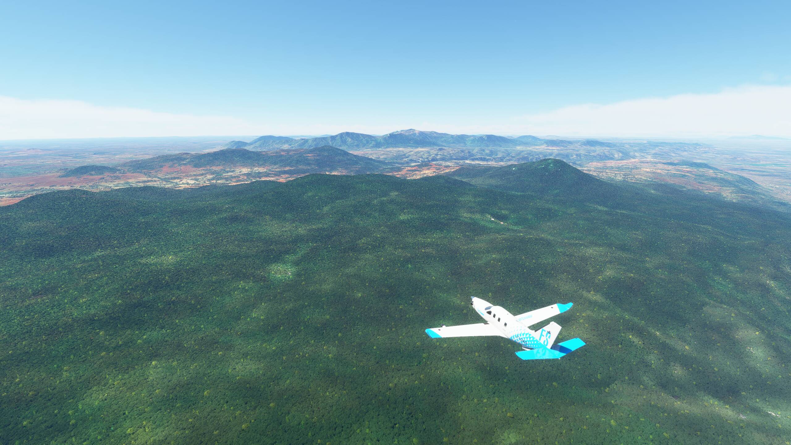
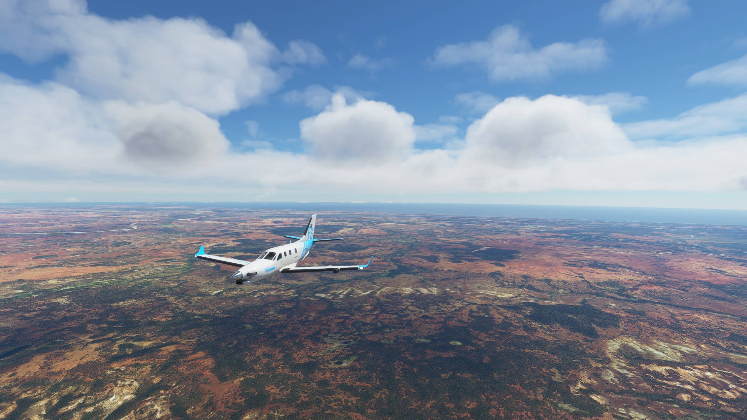
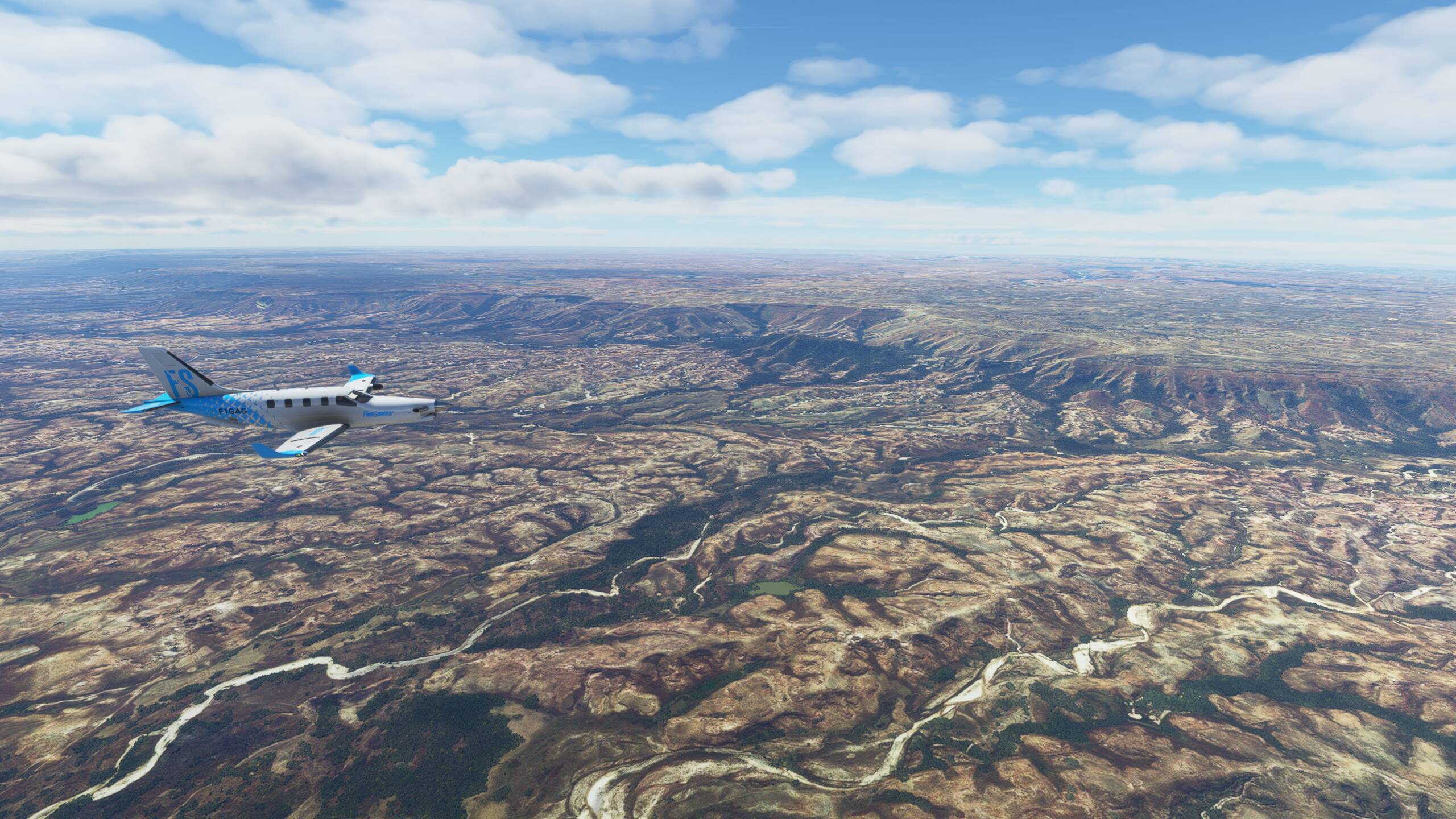
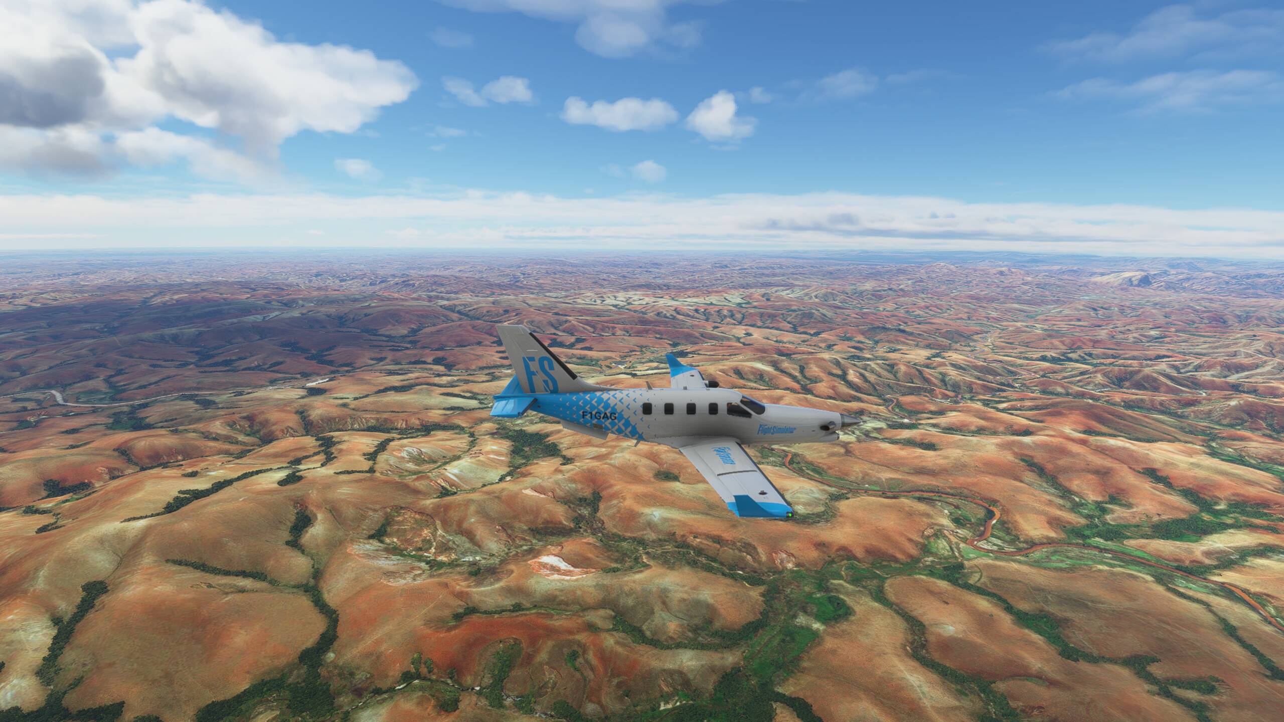
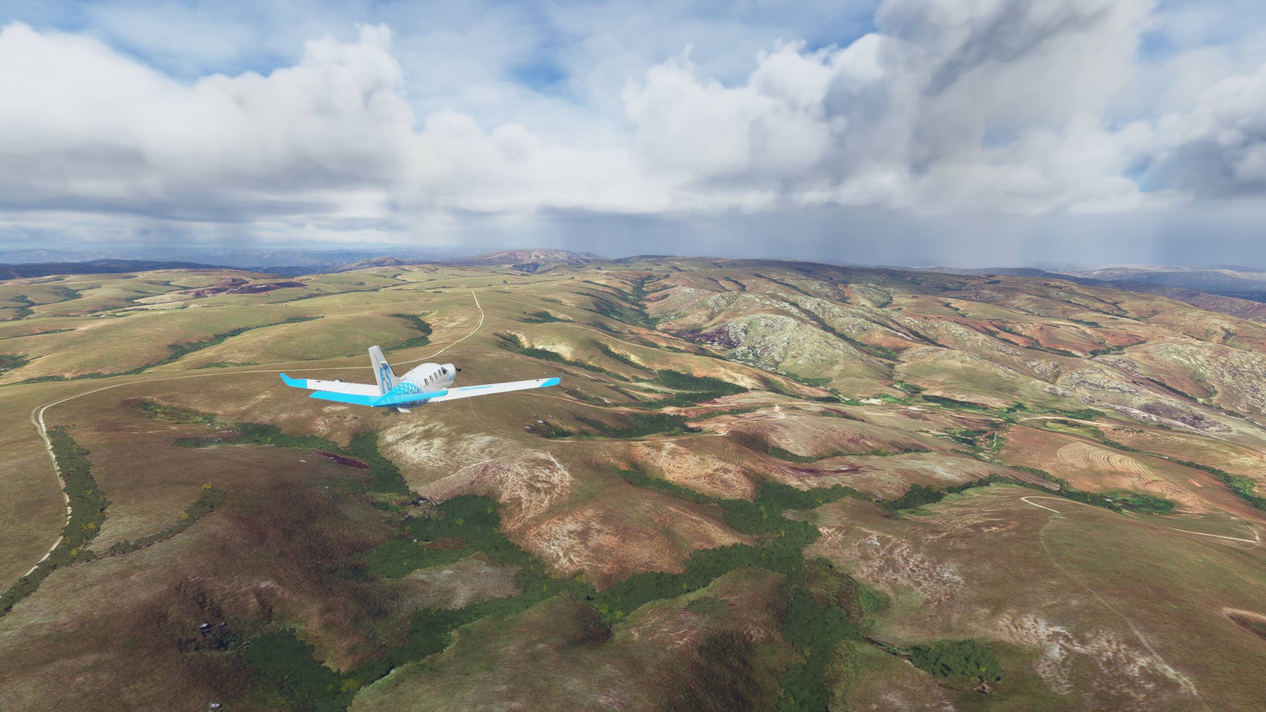
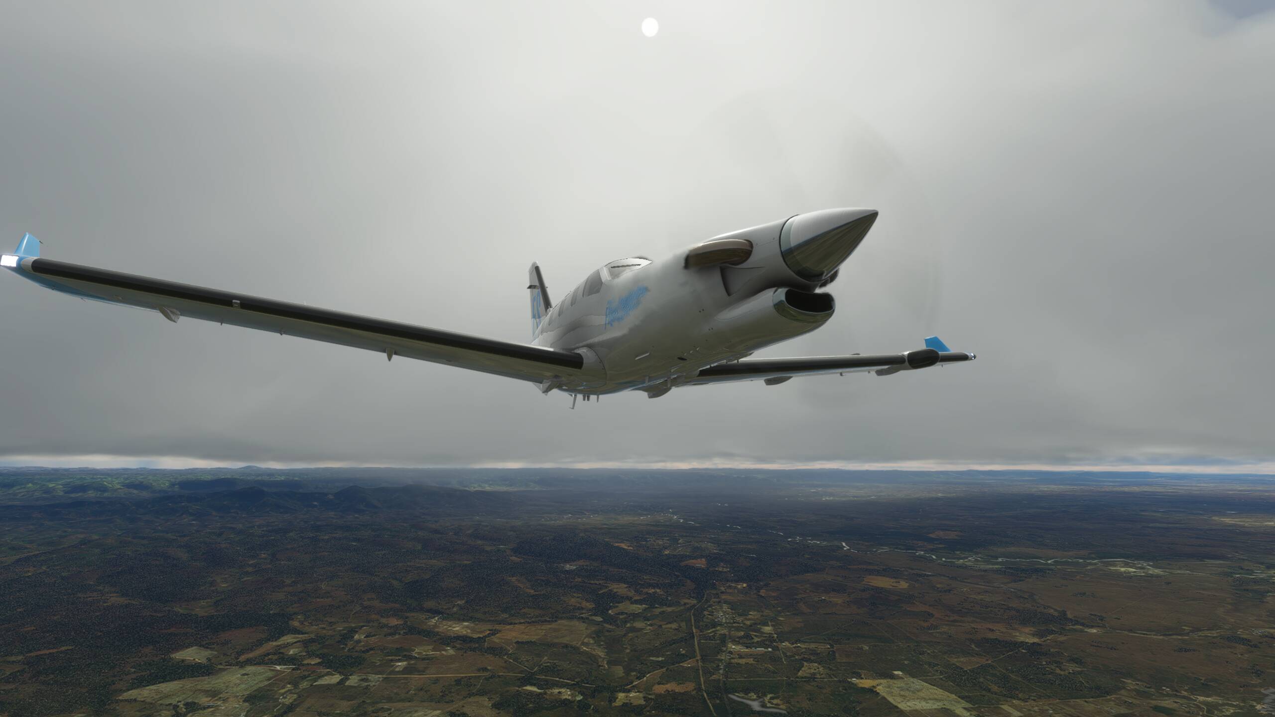
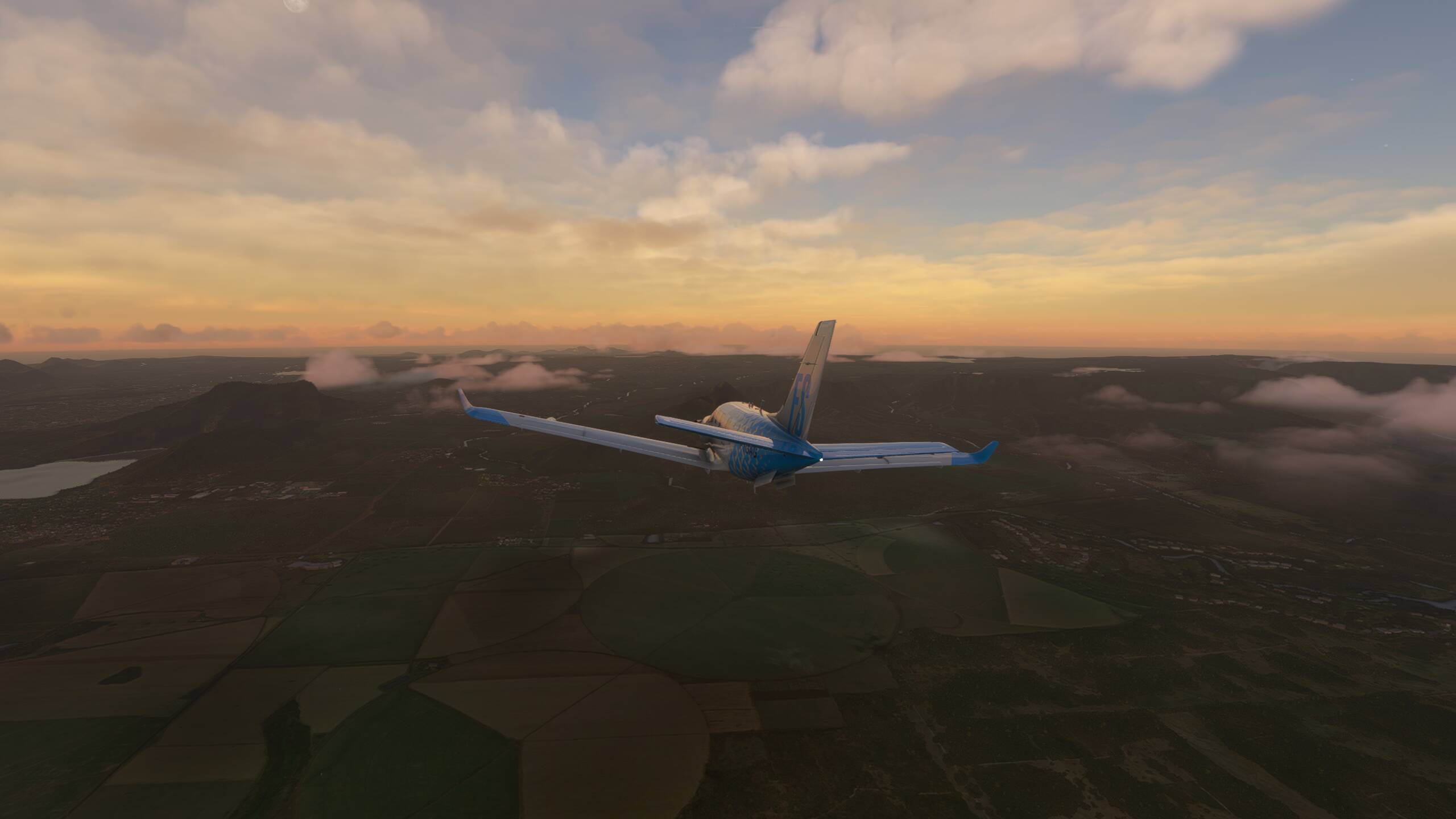
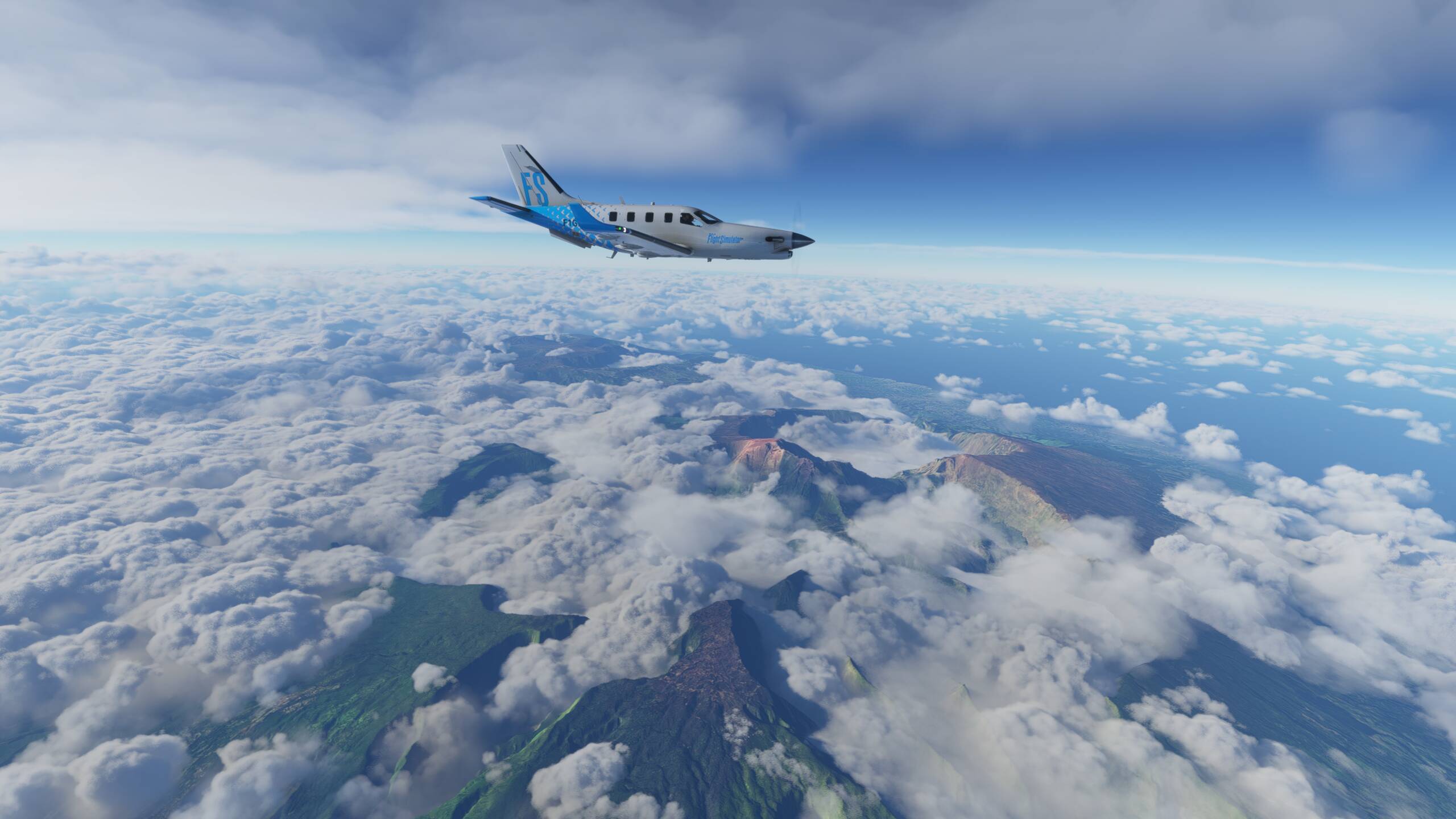
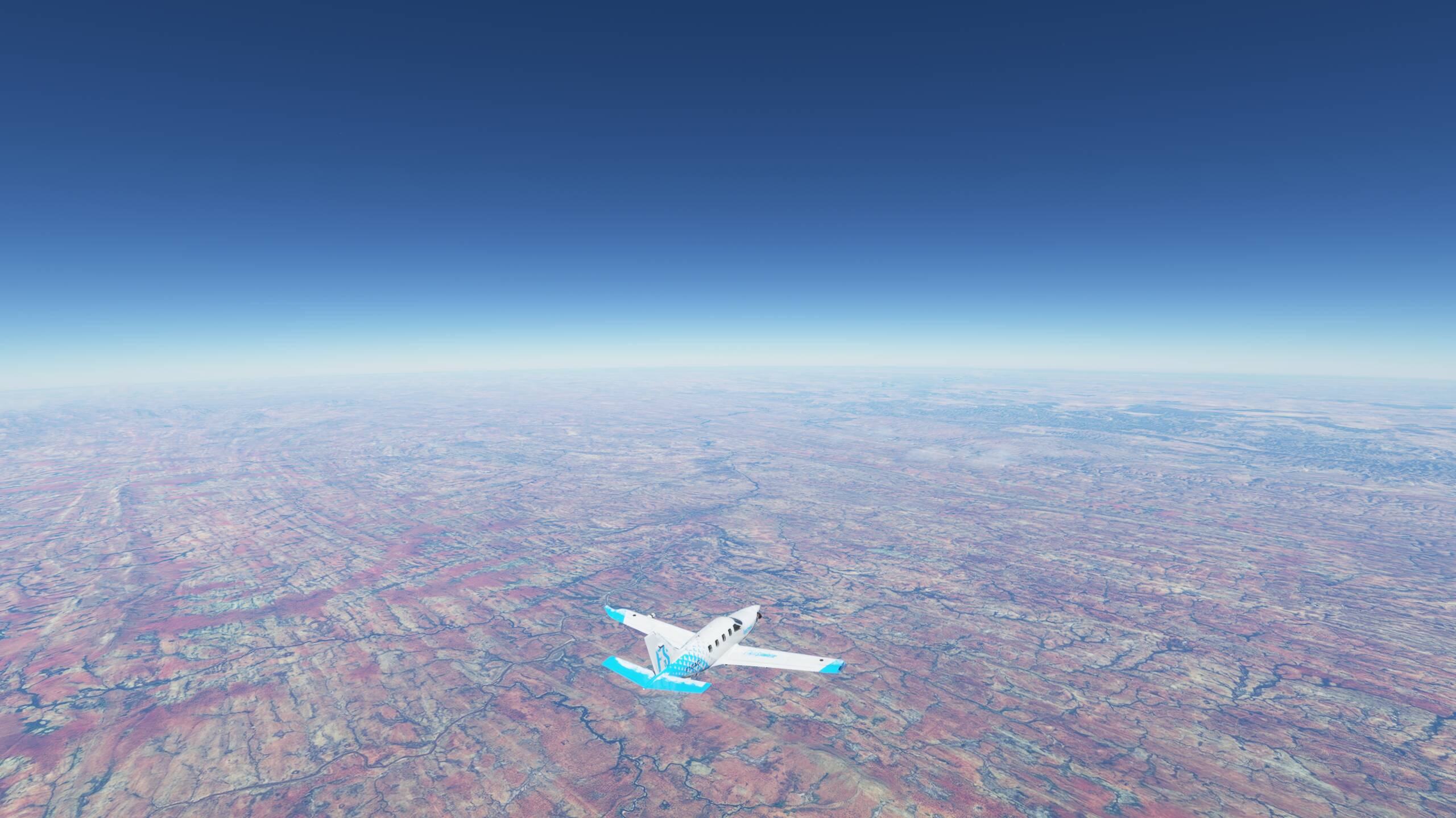
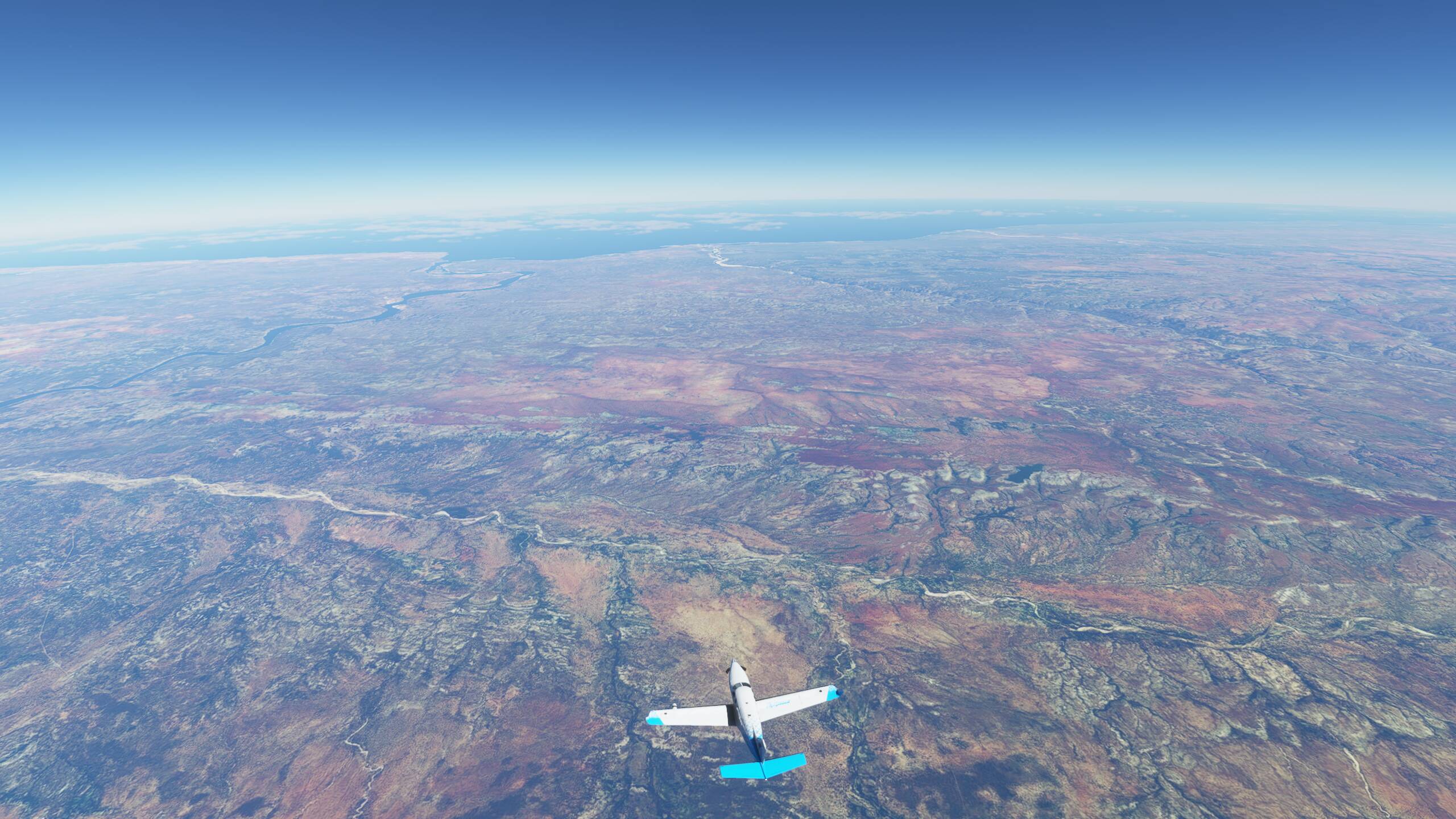
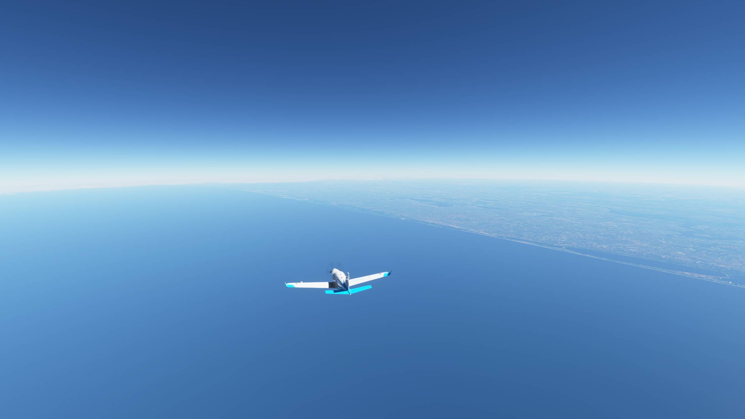
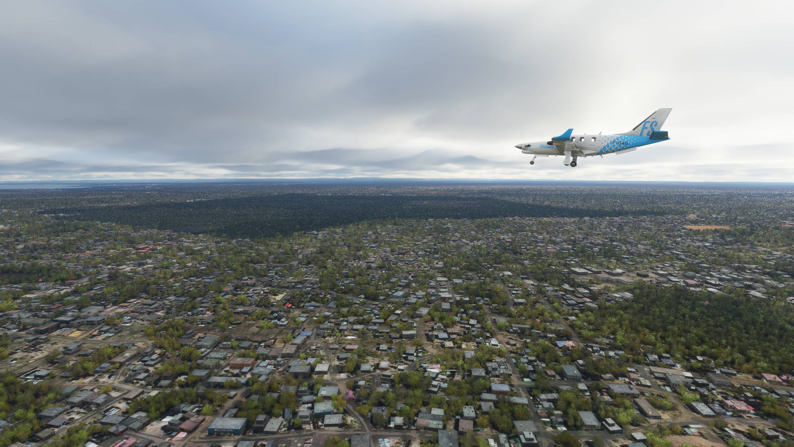
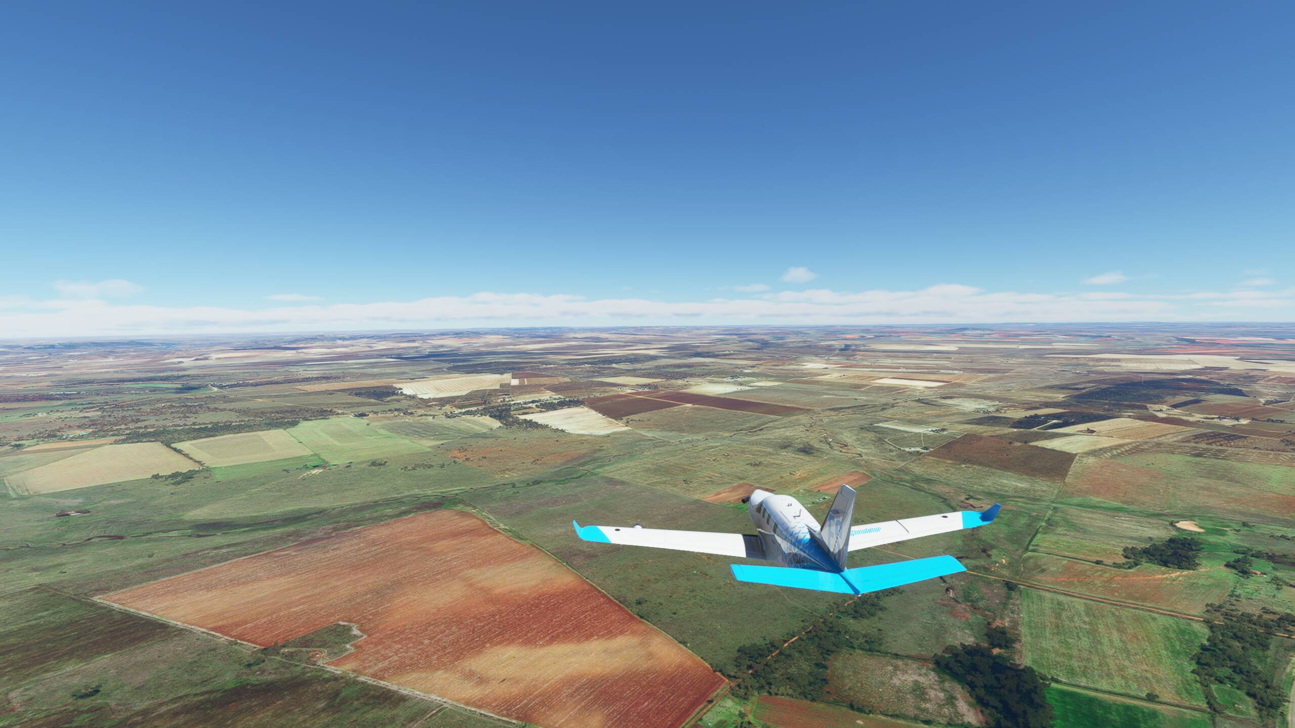
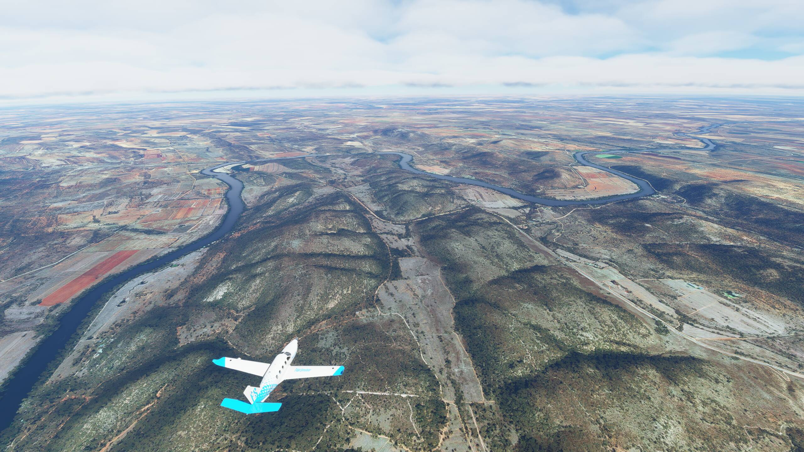
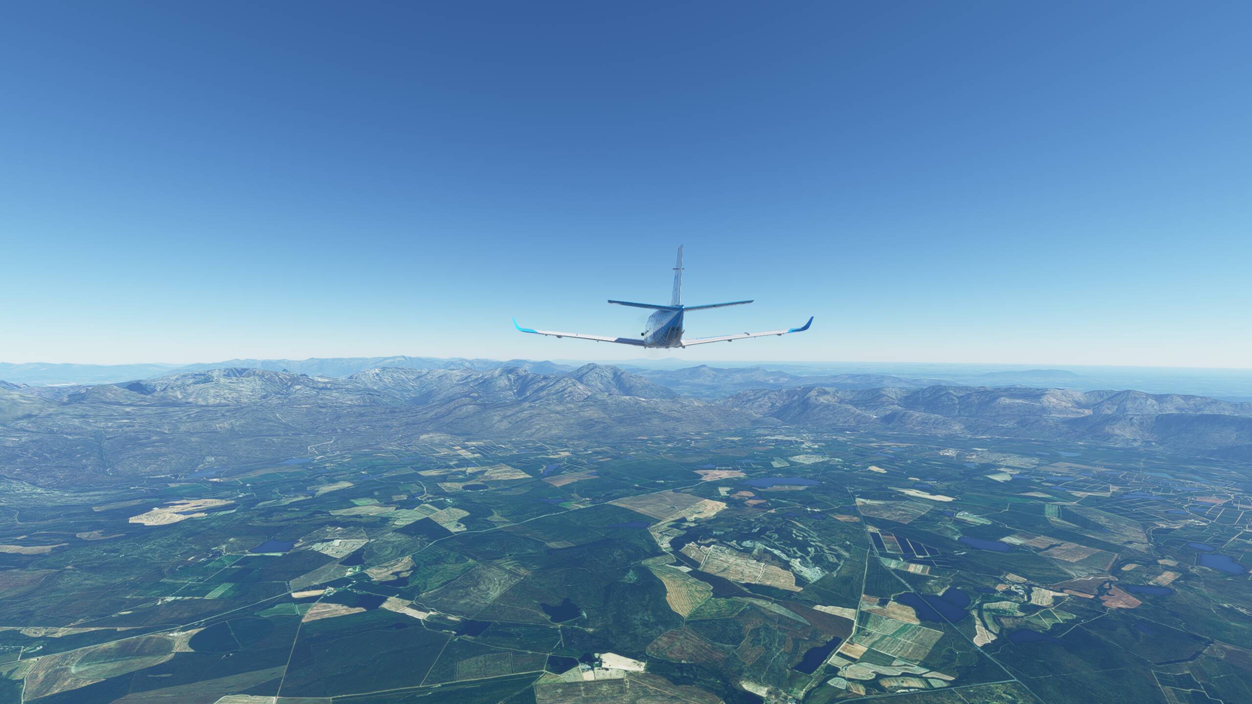
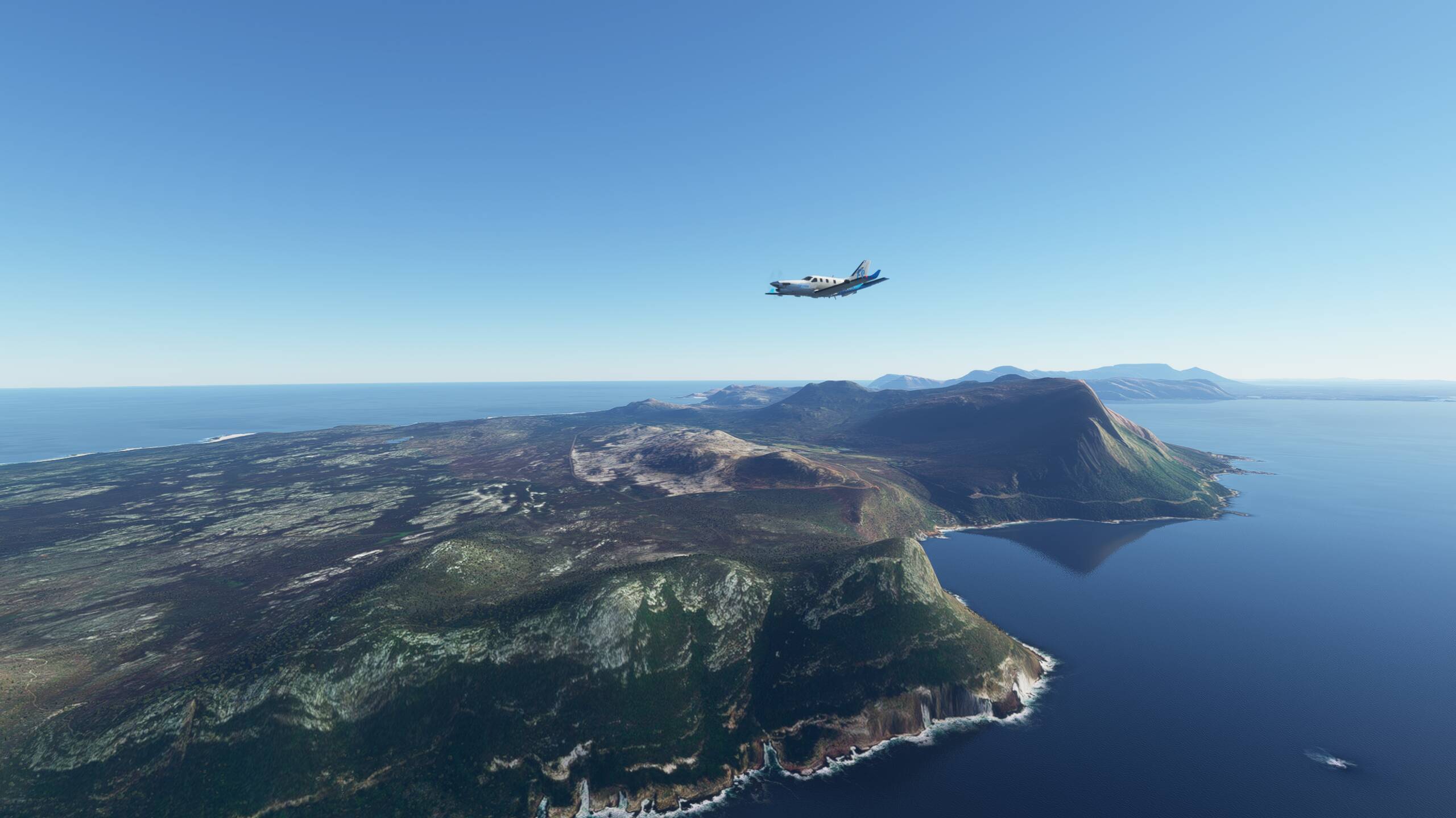
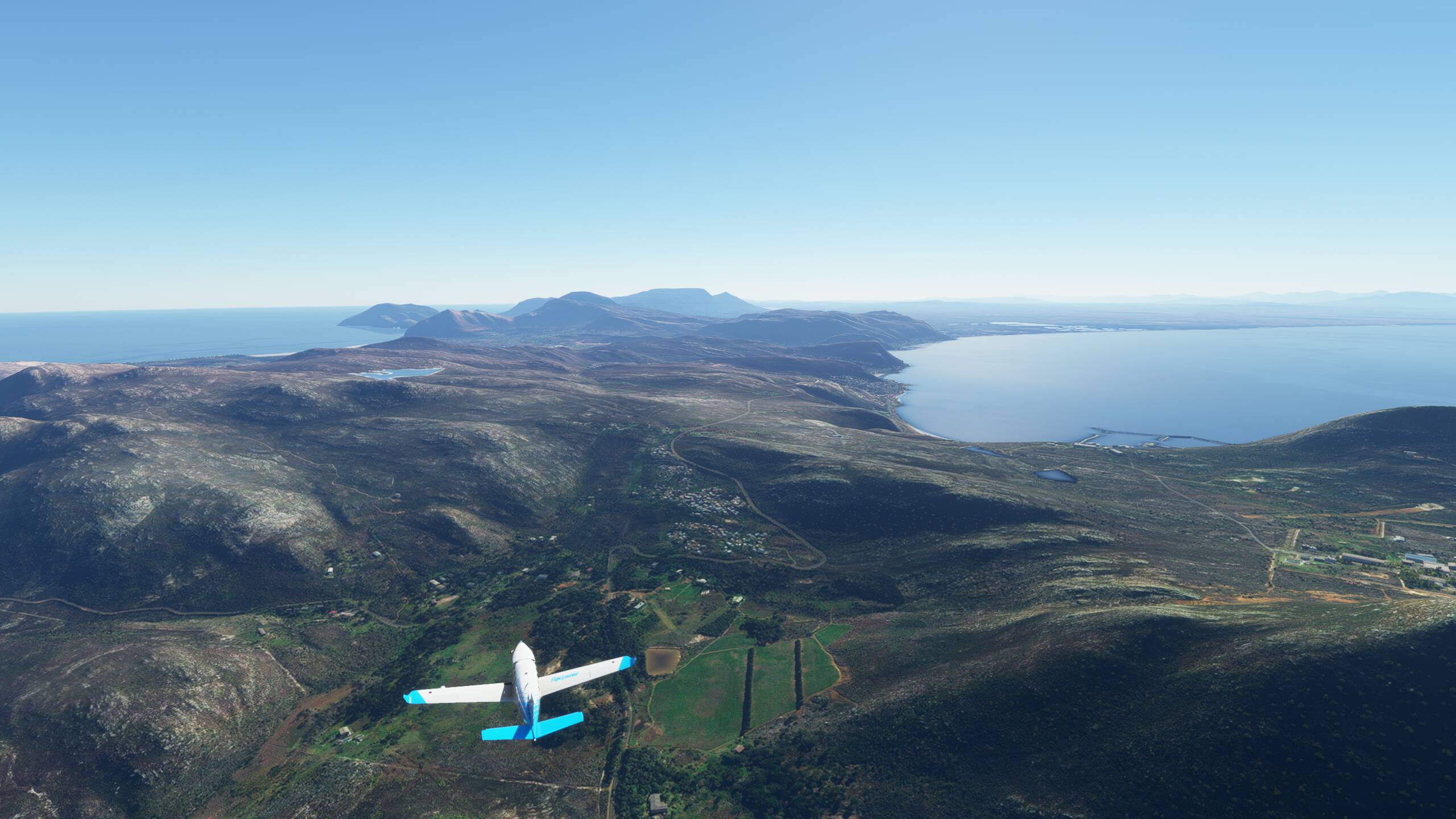
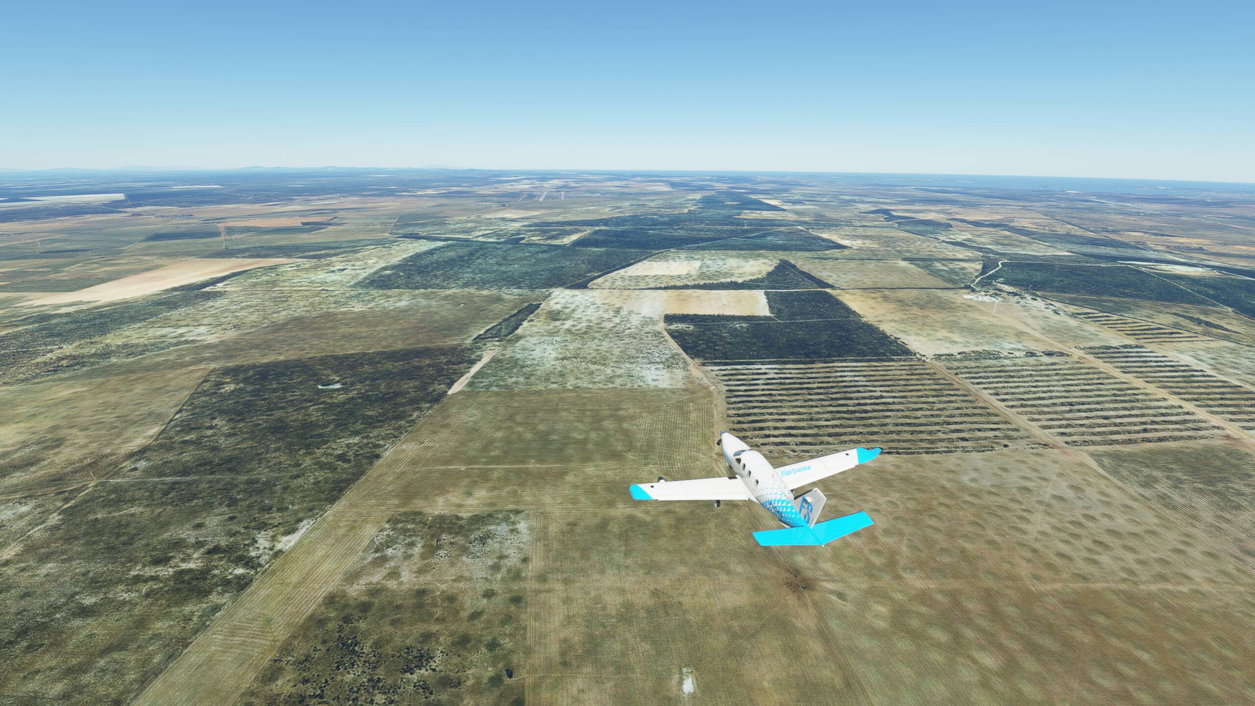
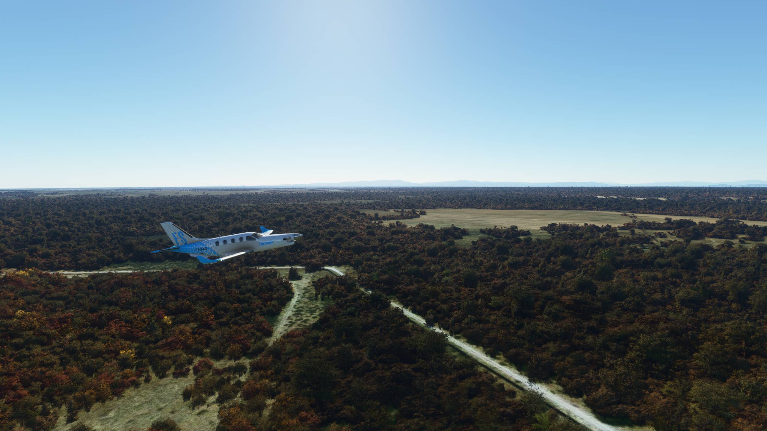
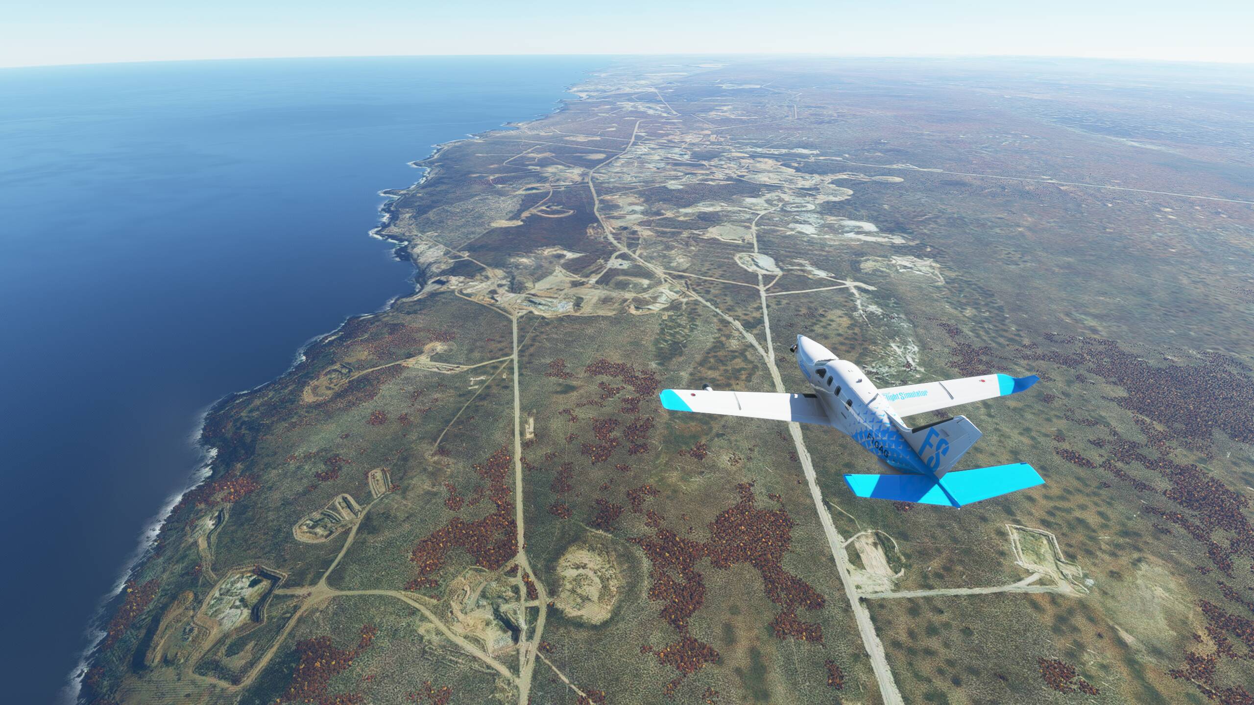
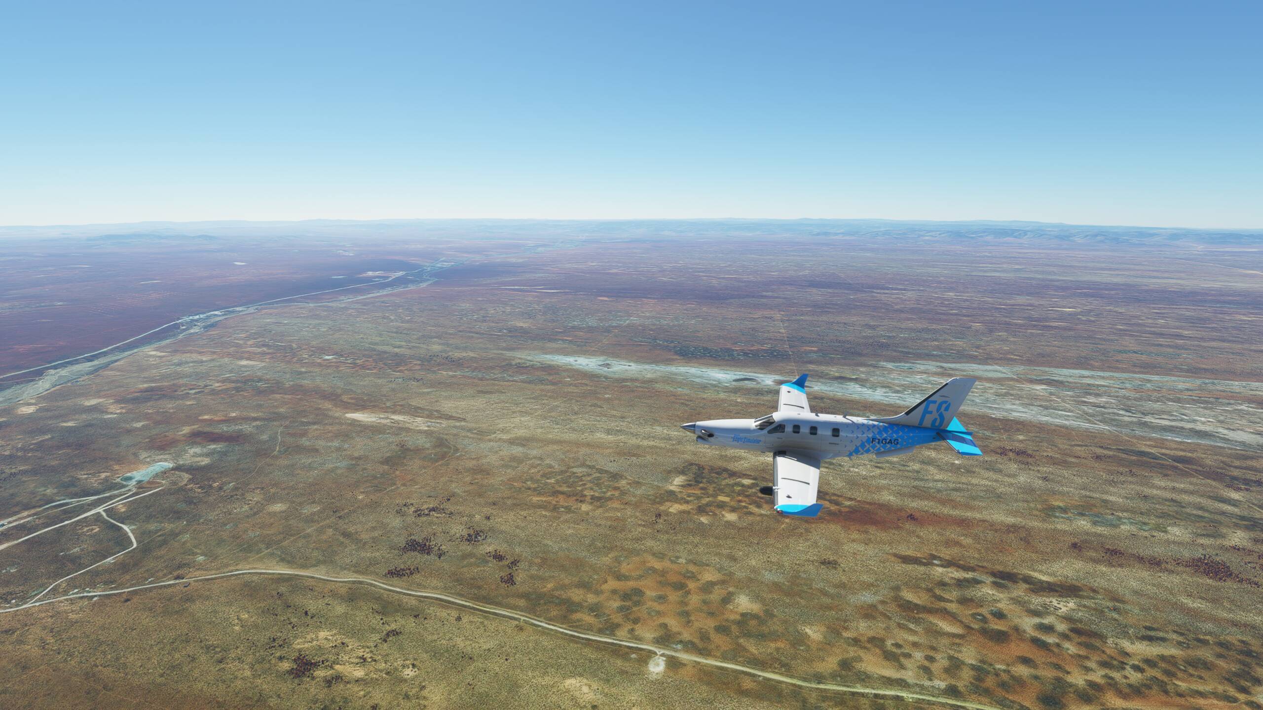
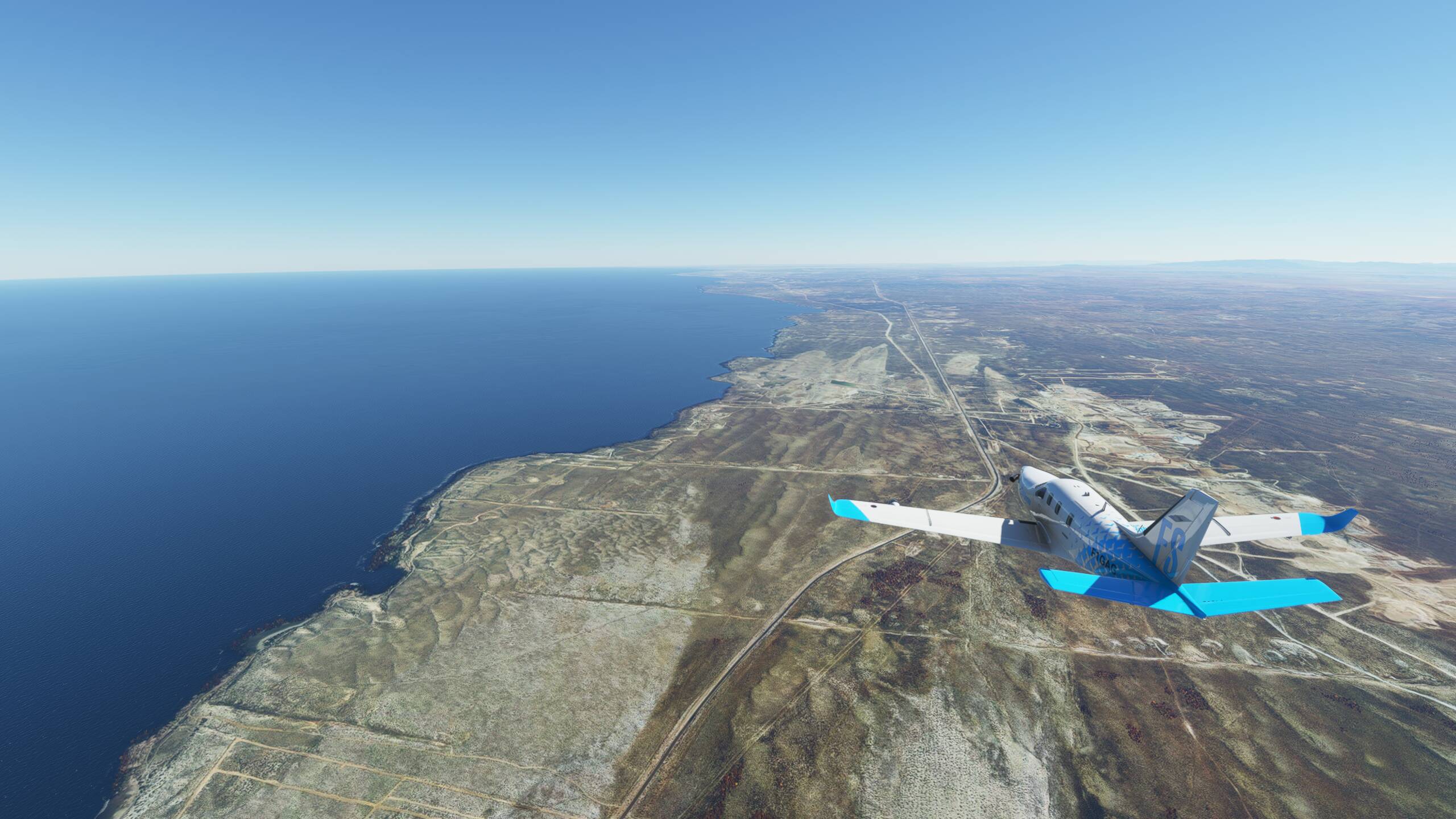
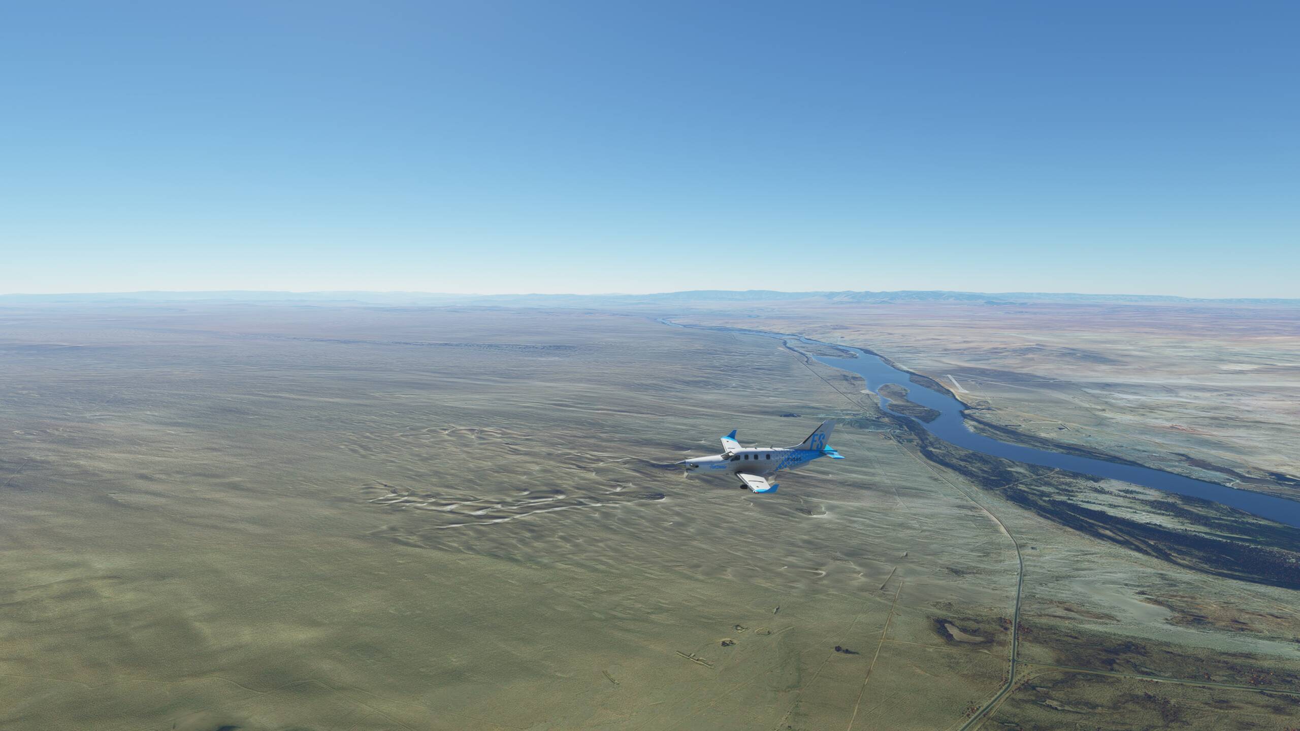
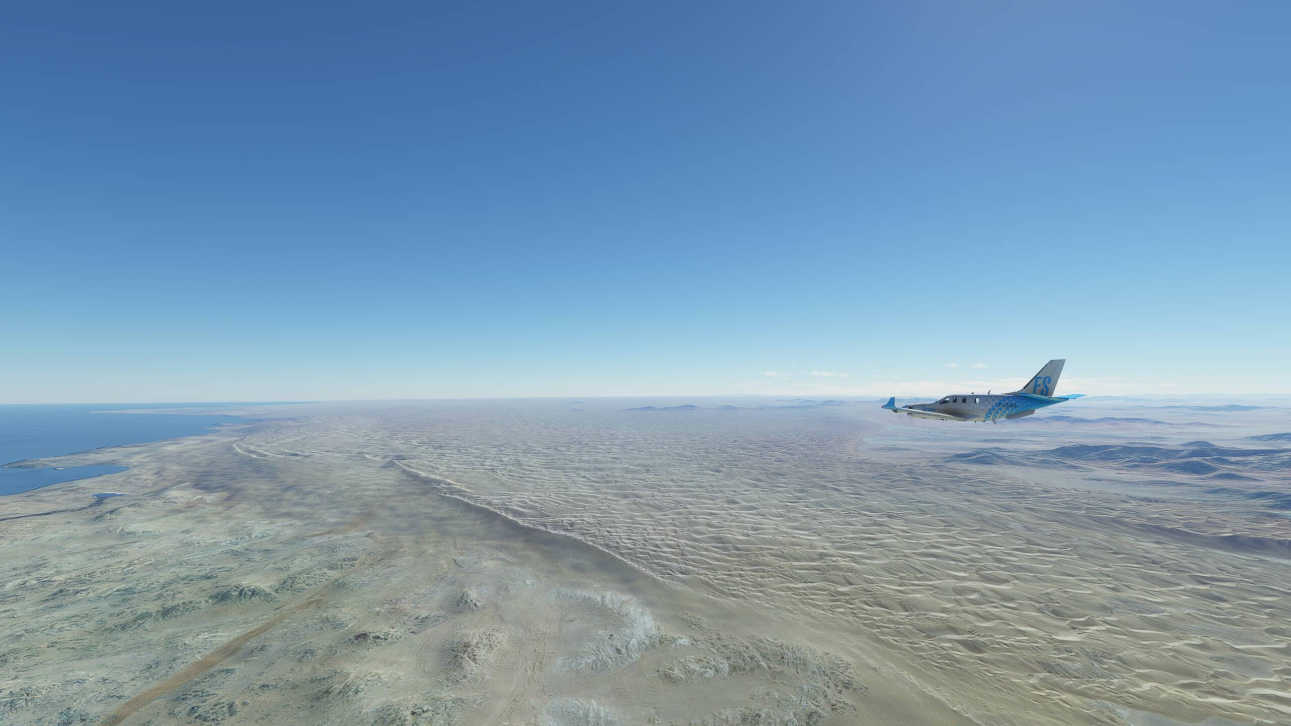
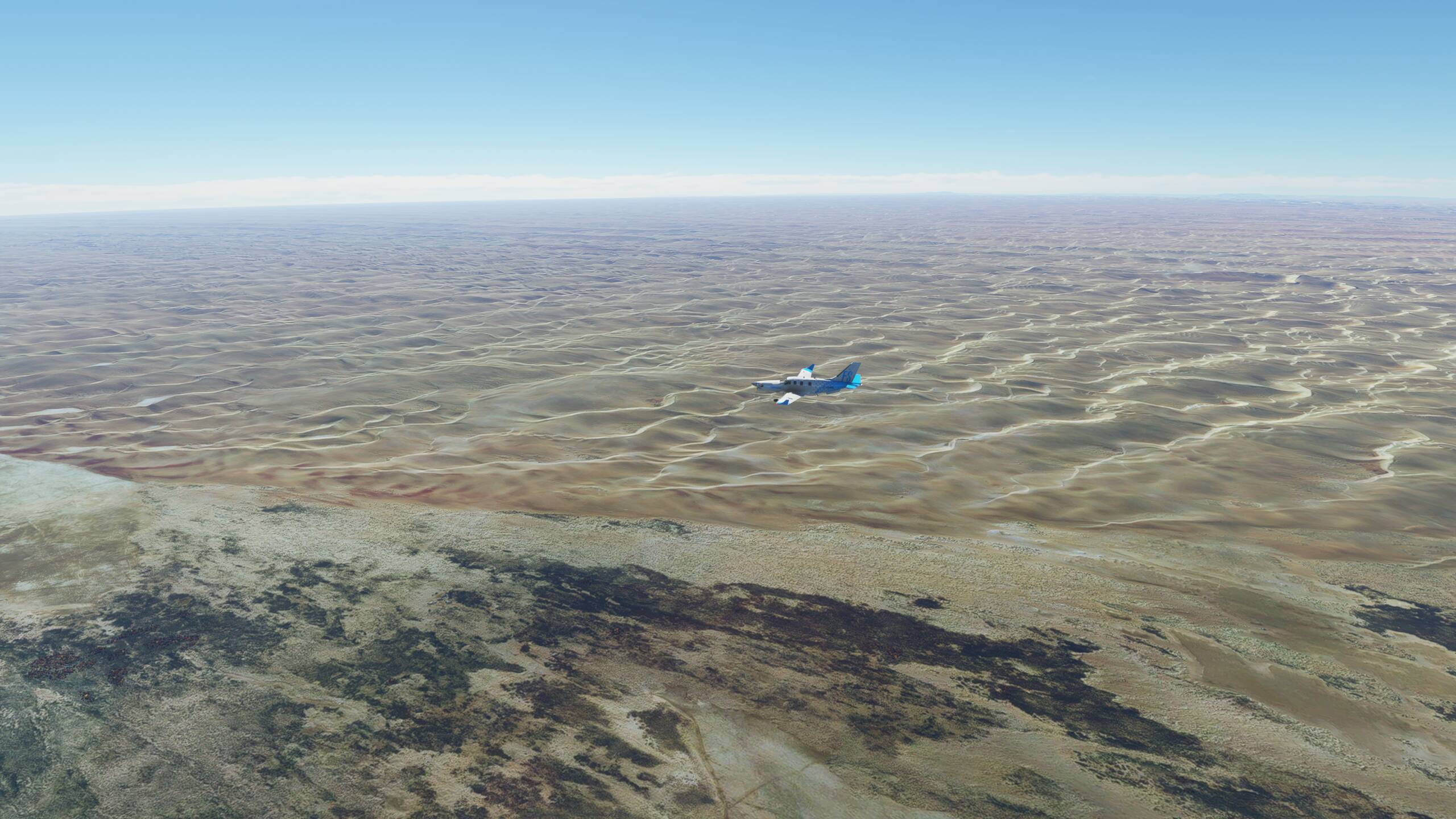
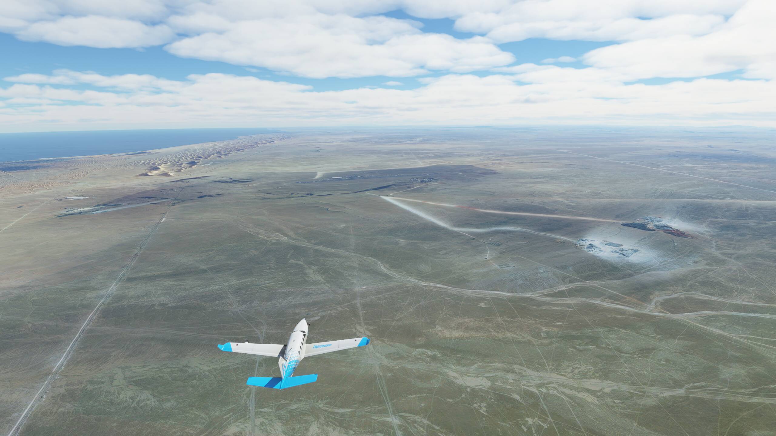
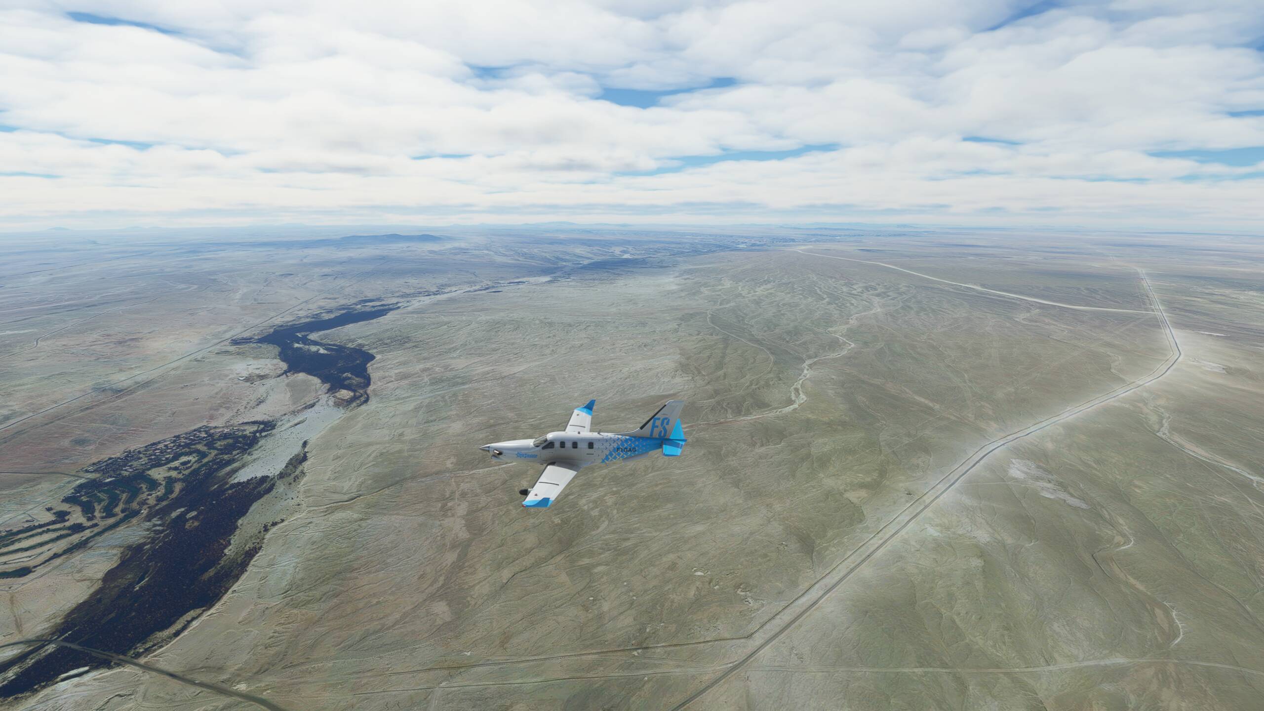
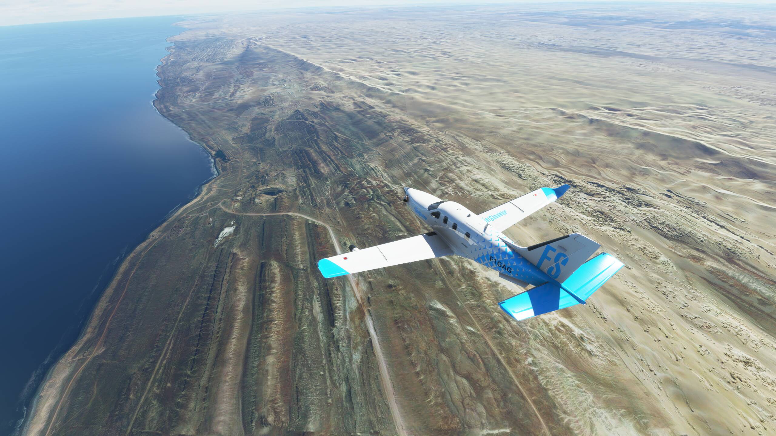
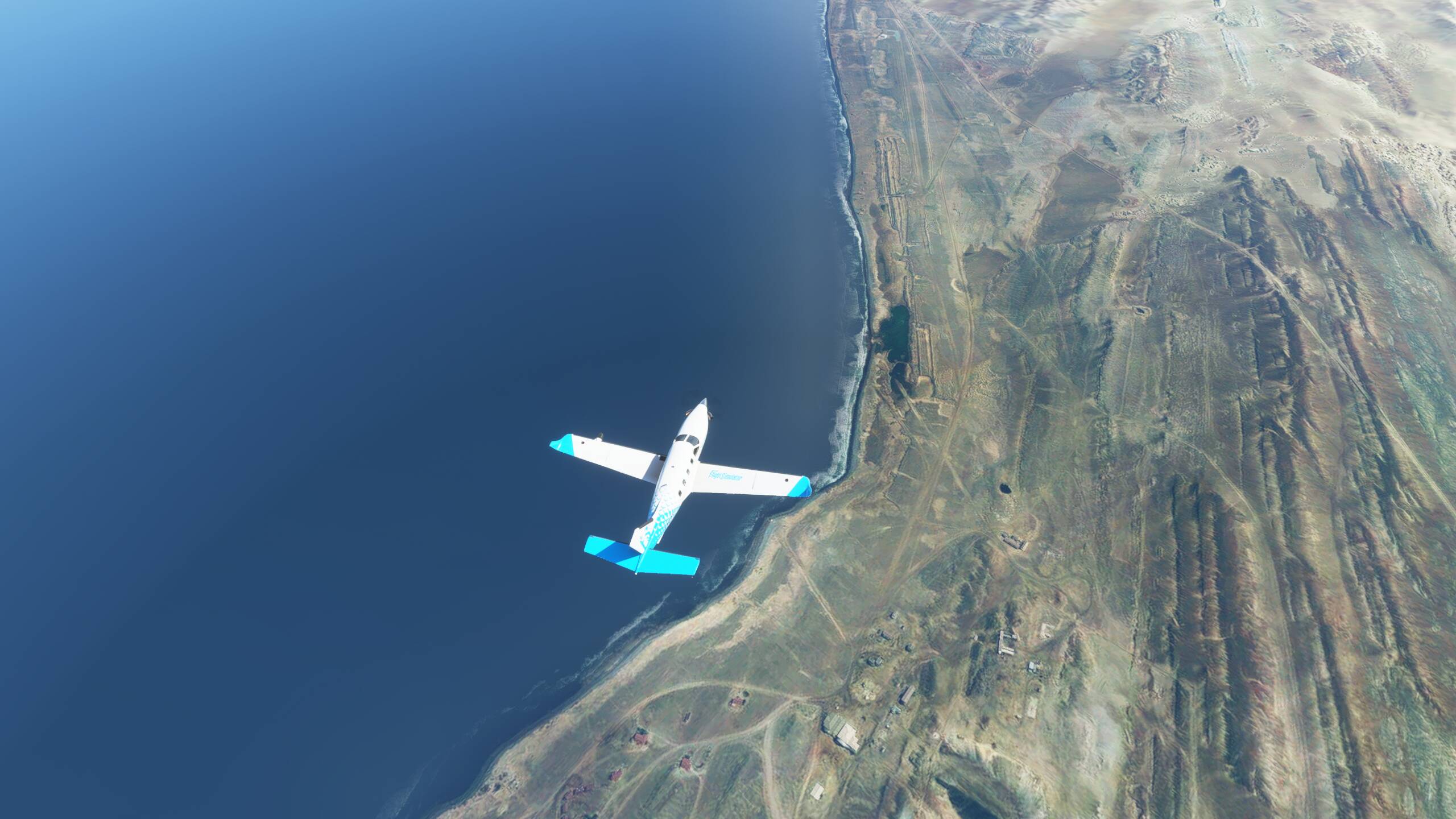
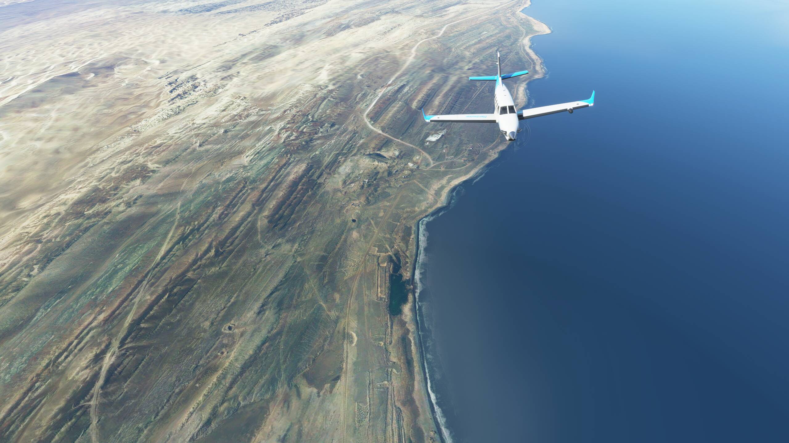
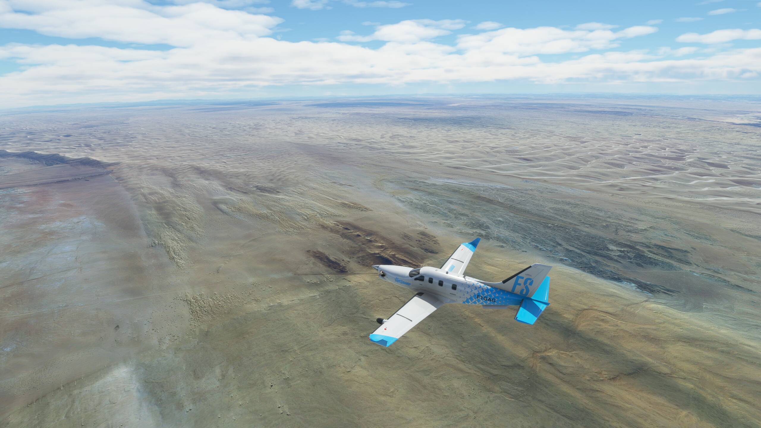
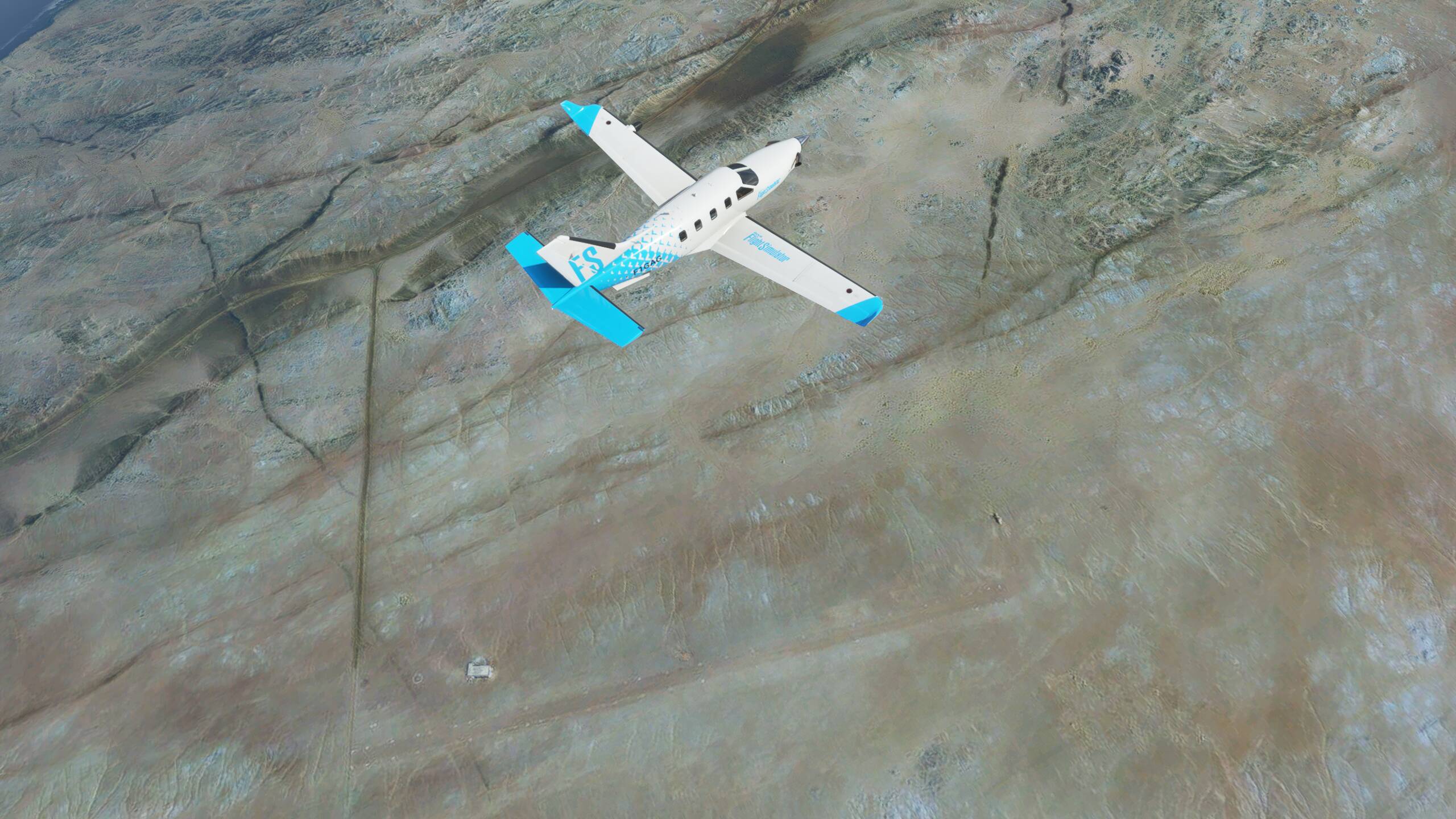
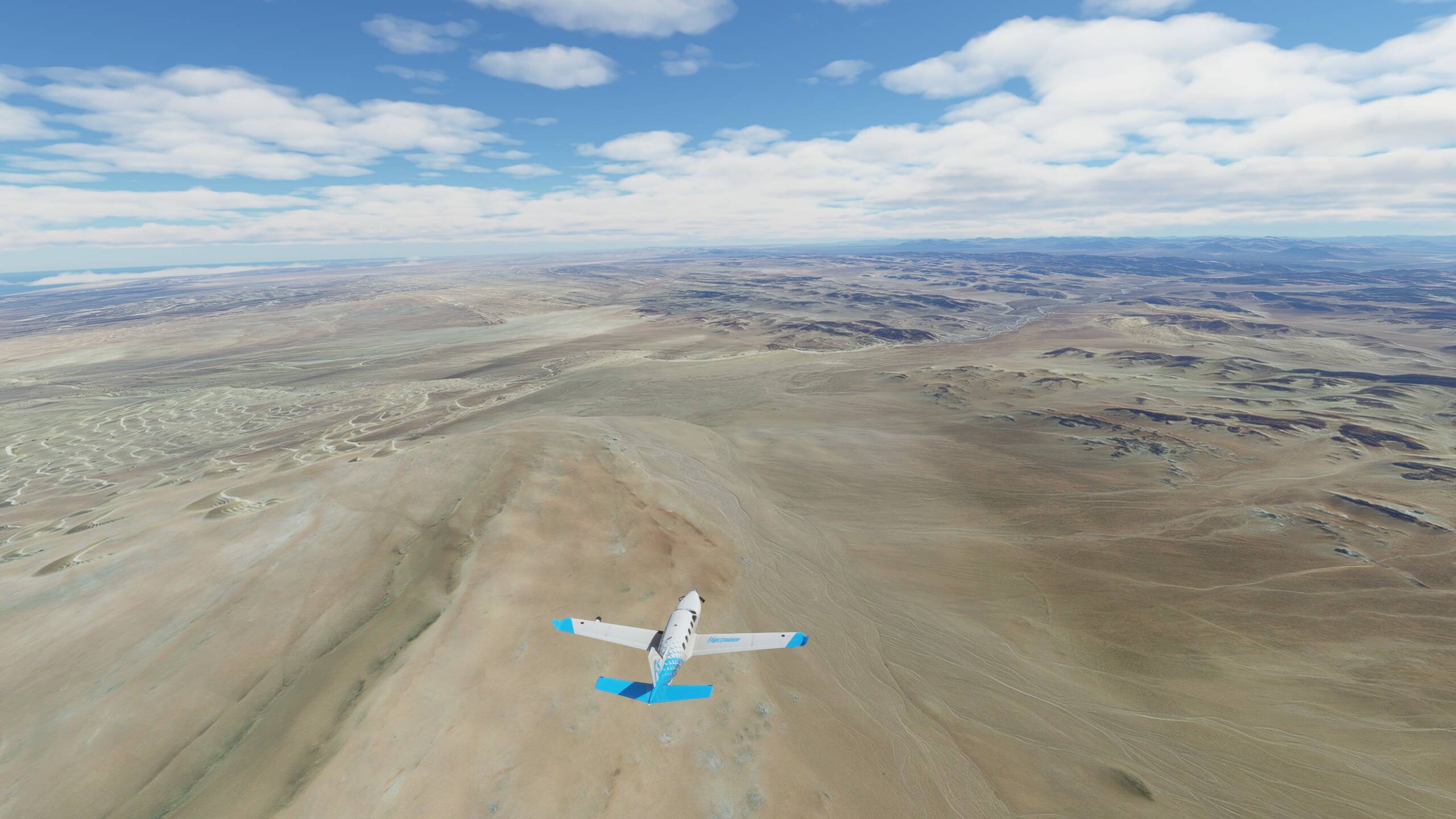
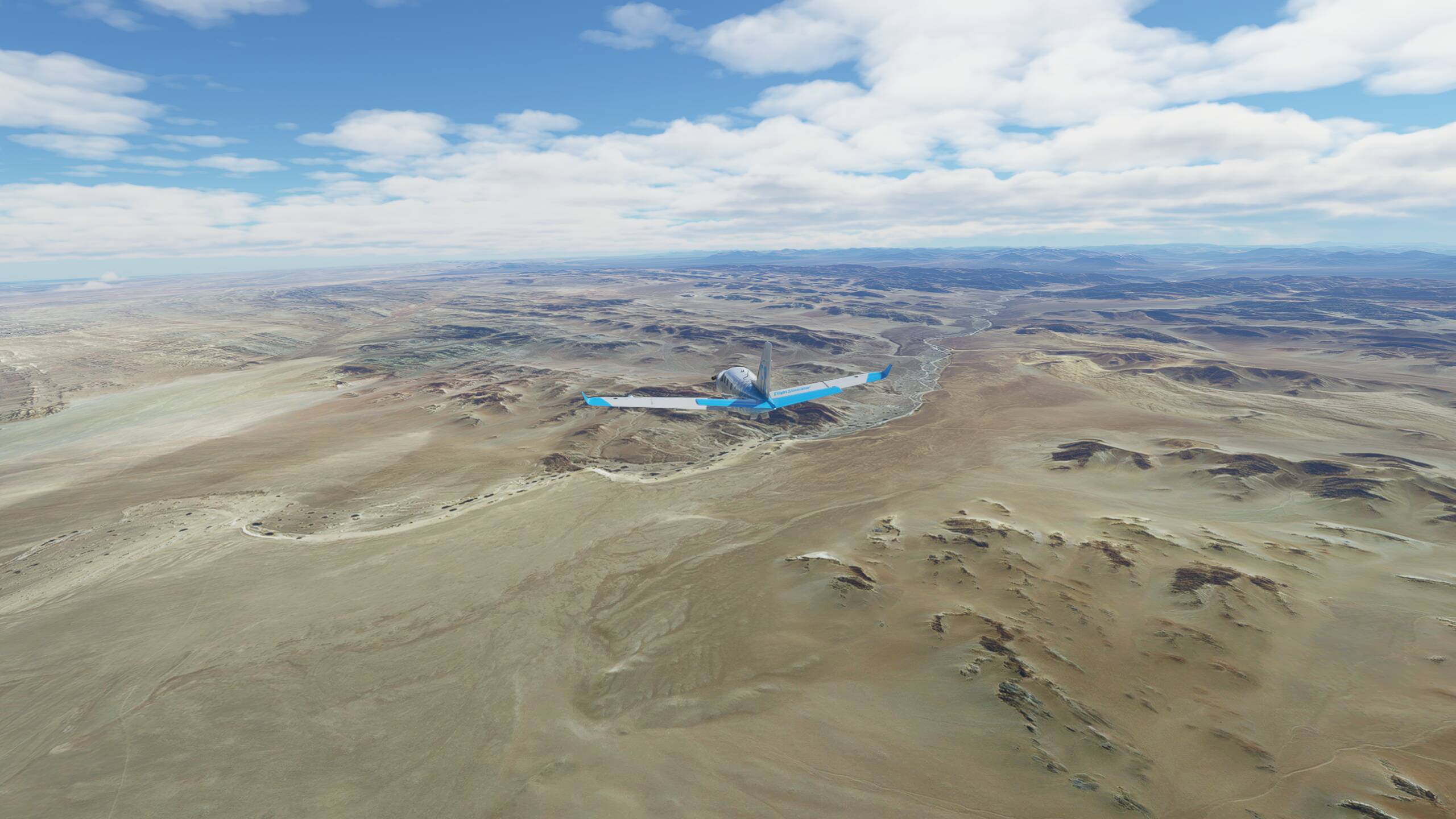
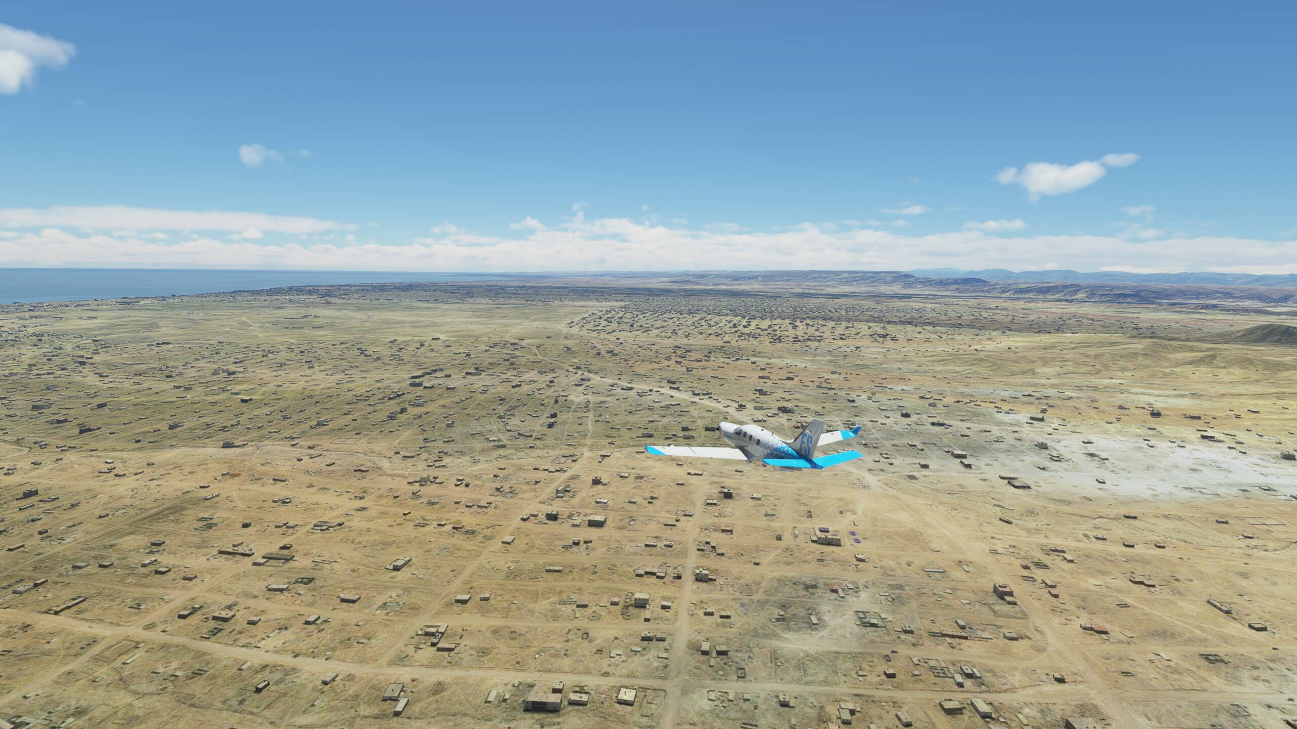
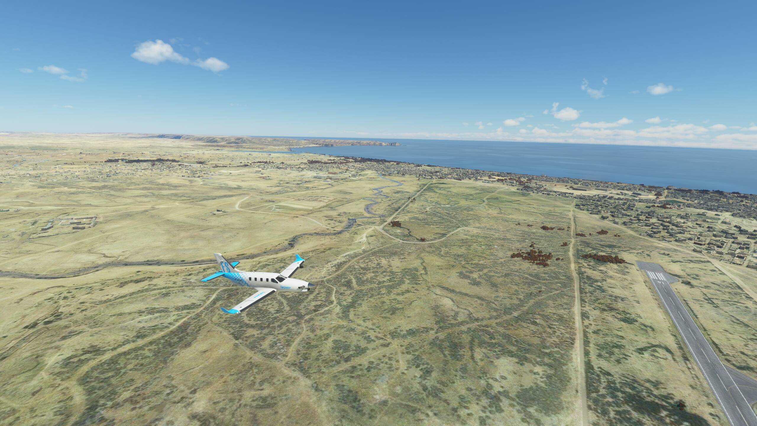
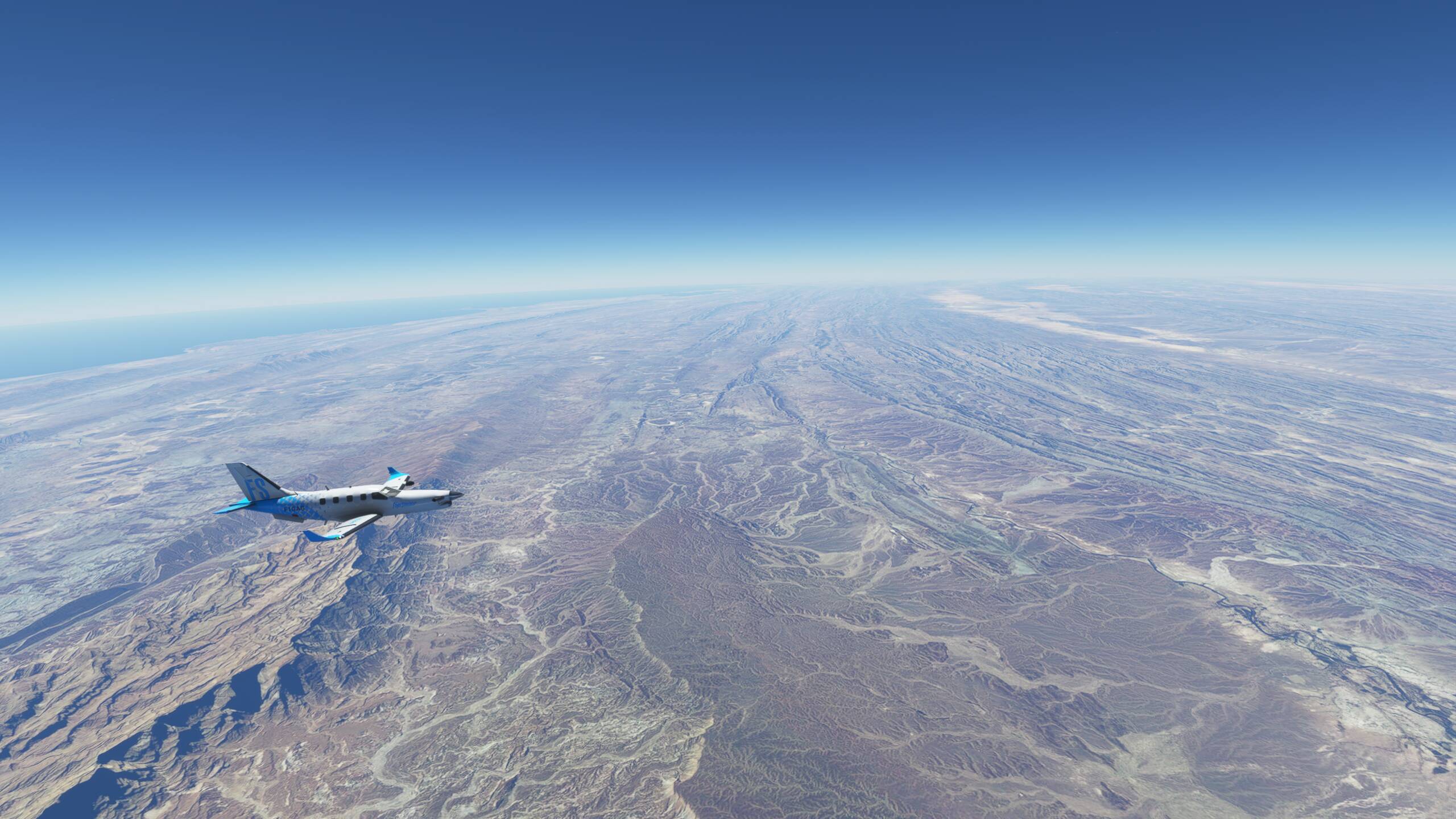
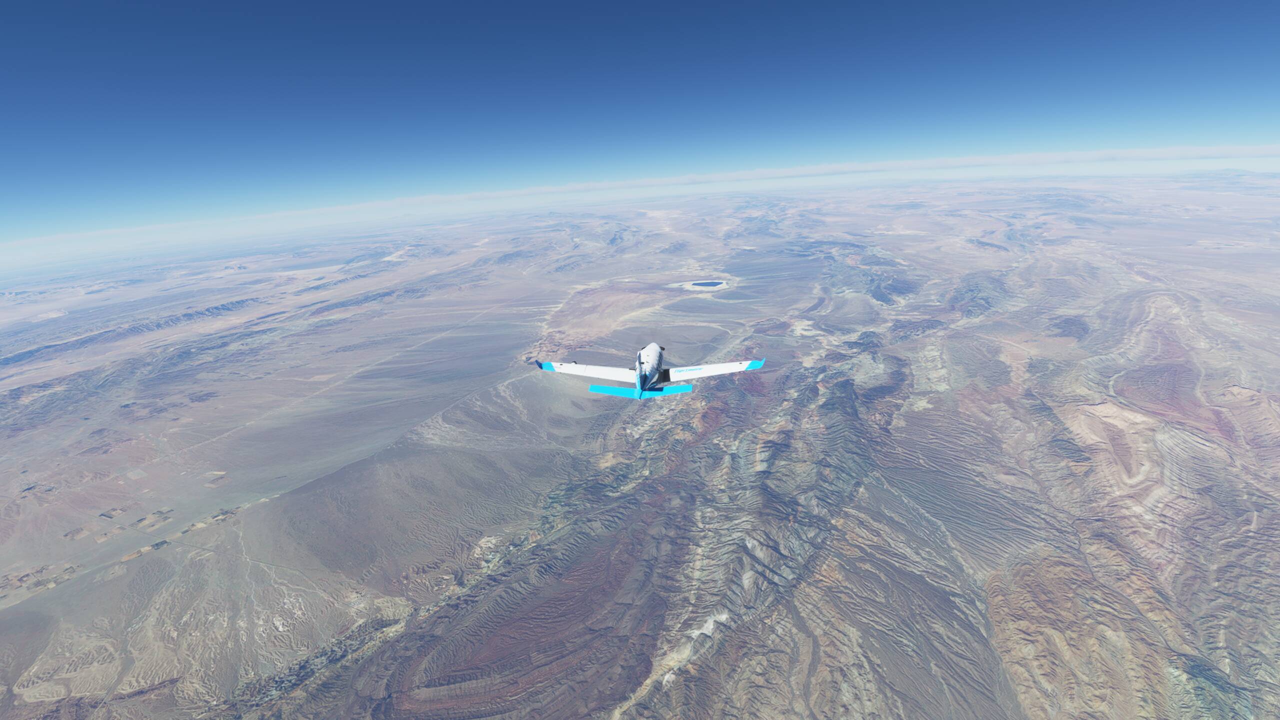
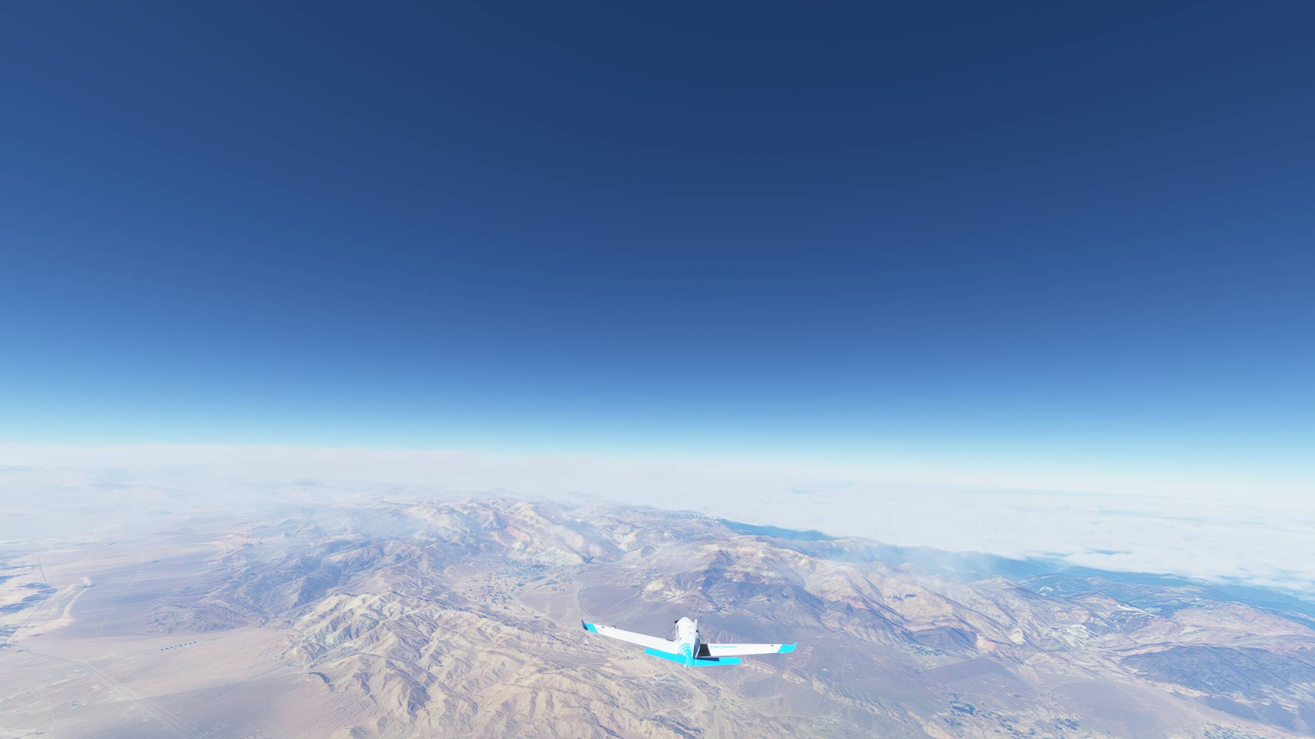
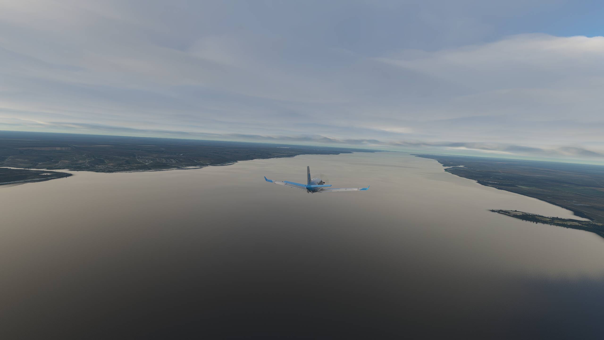
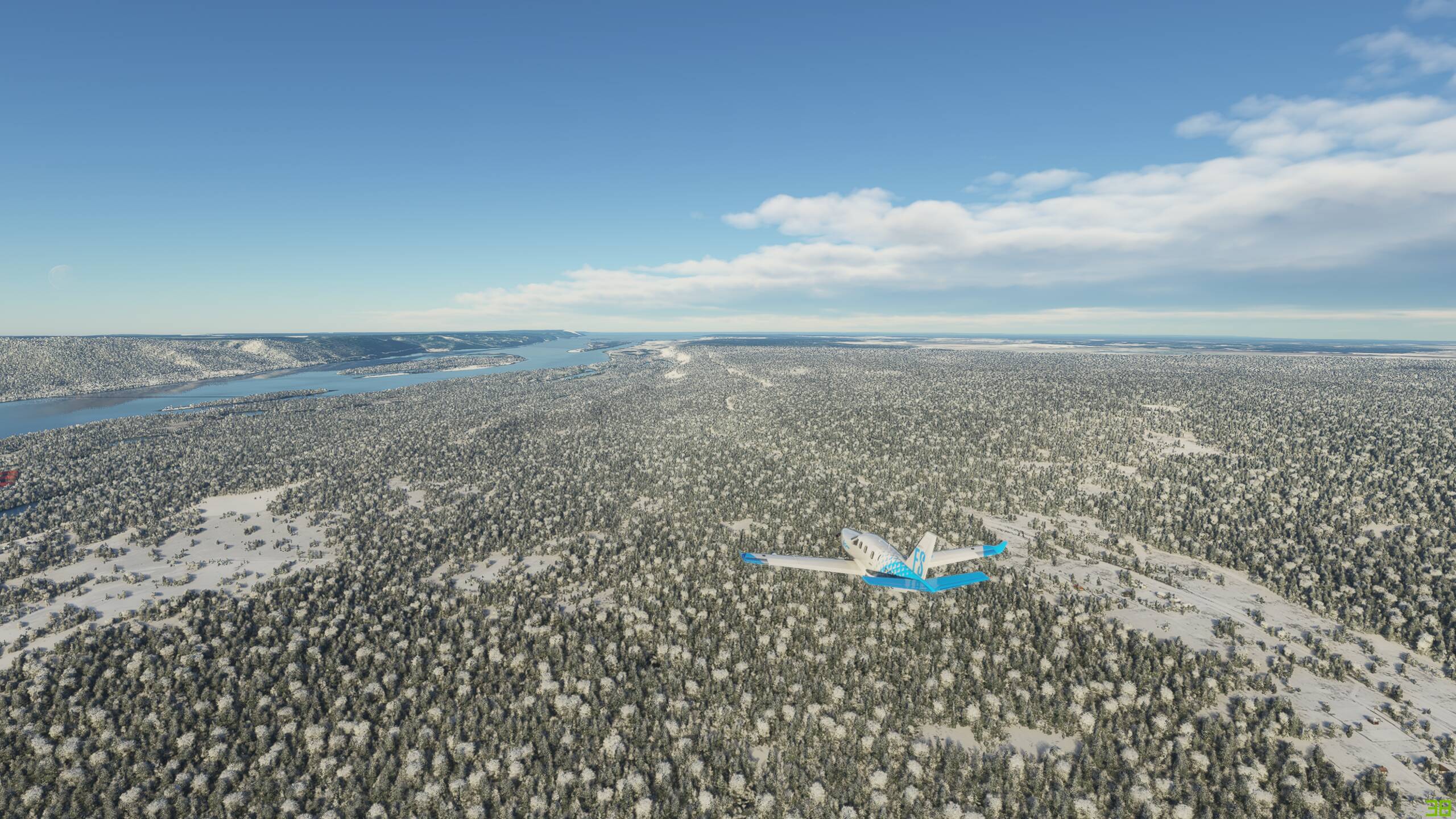
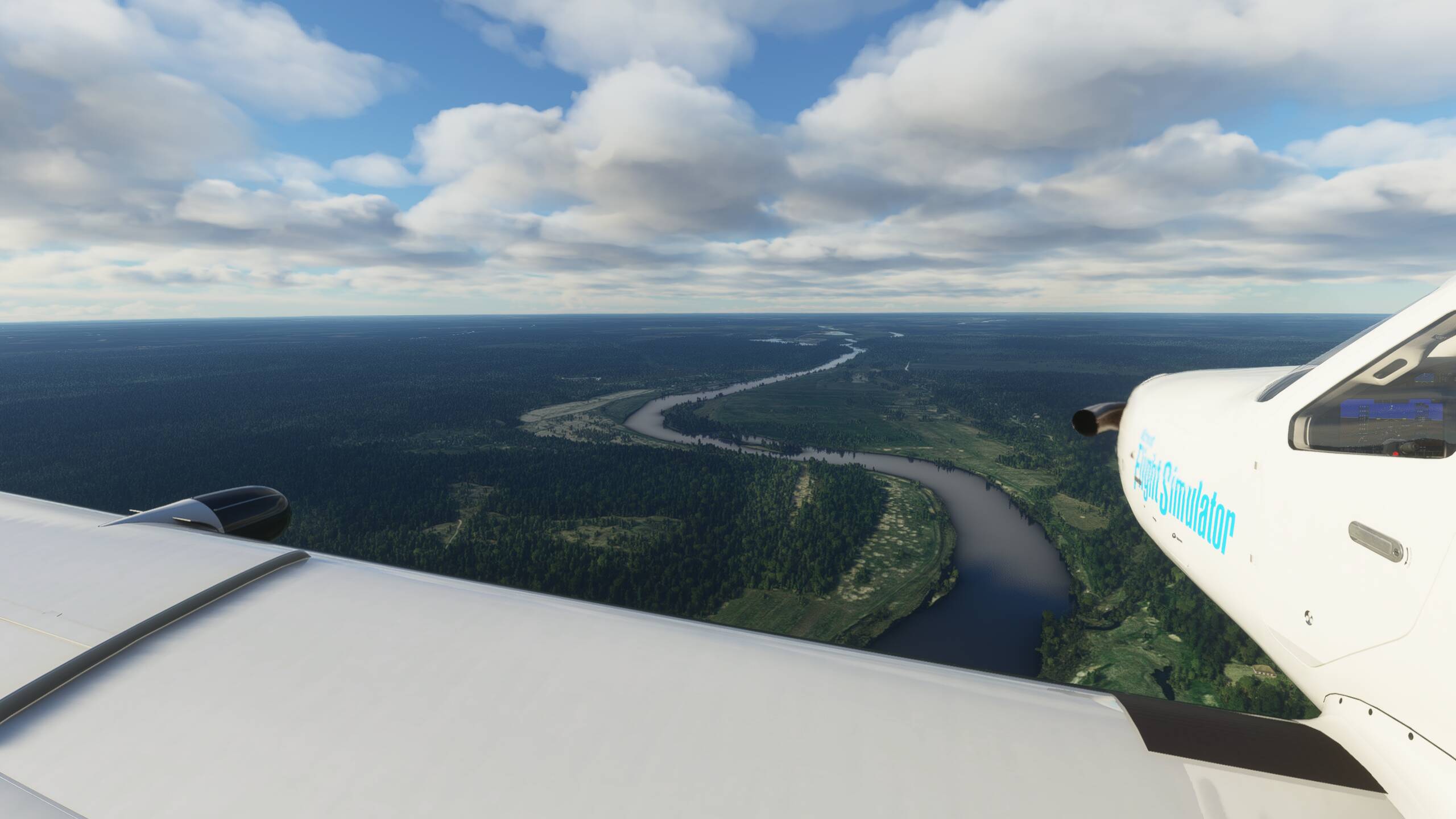
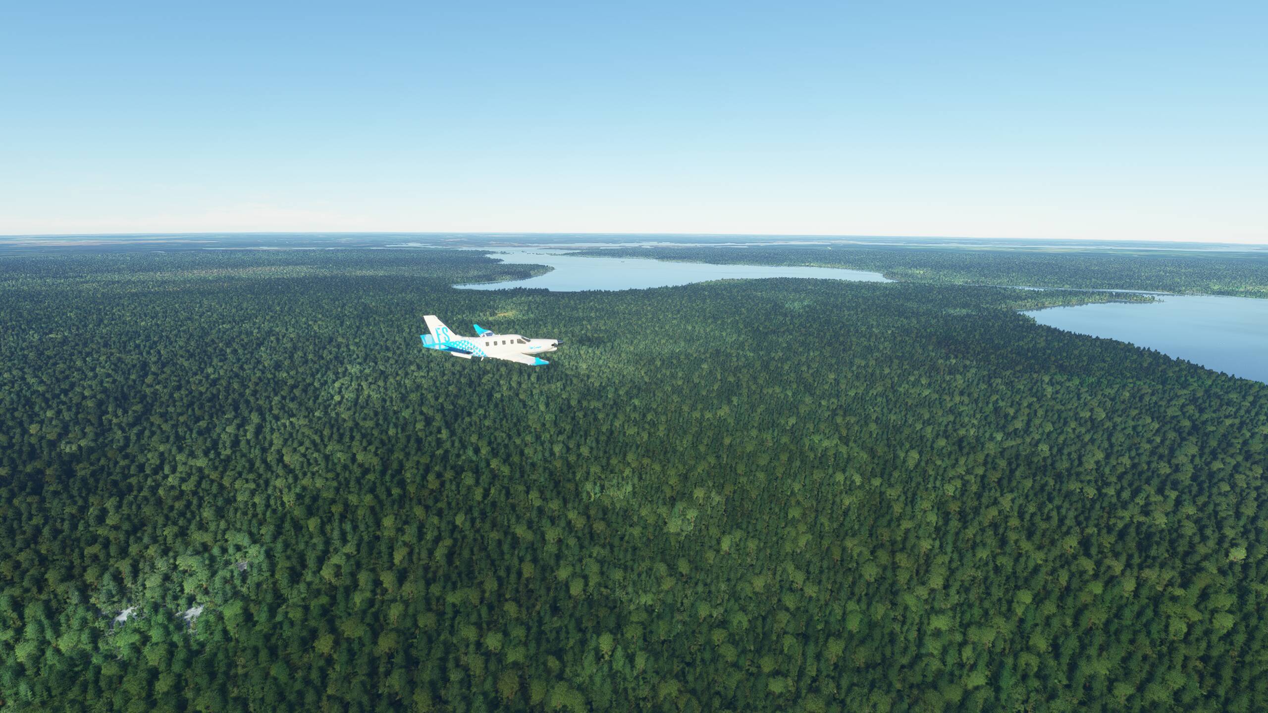
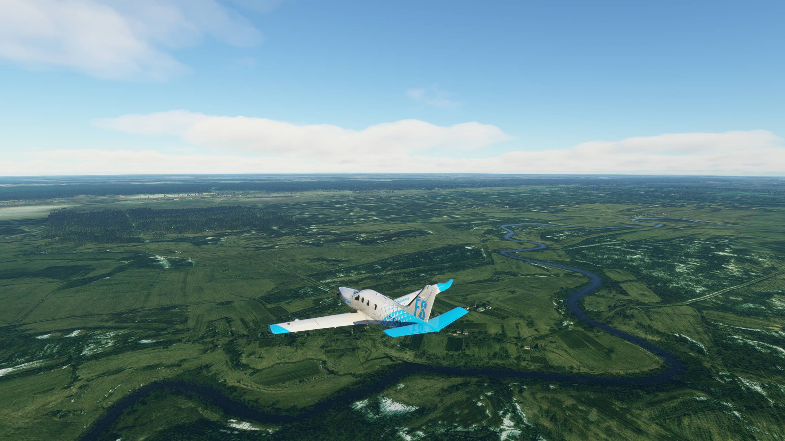
Some amazing barren, mountainous land in Pakistan as we head North West towards the Afghan border

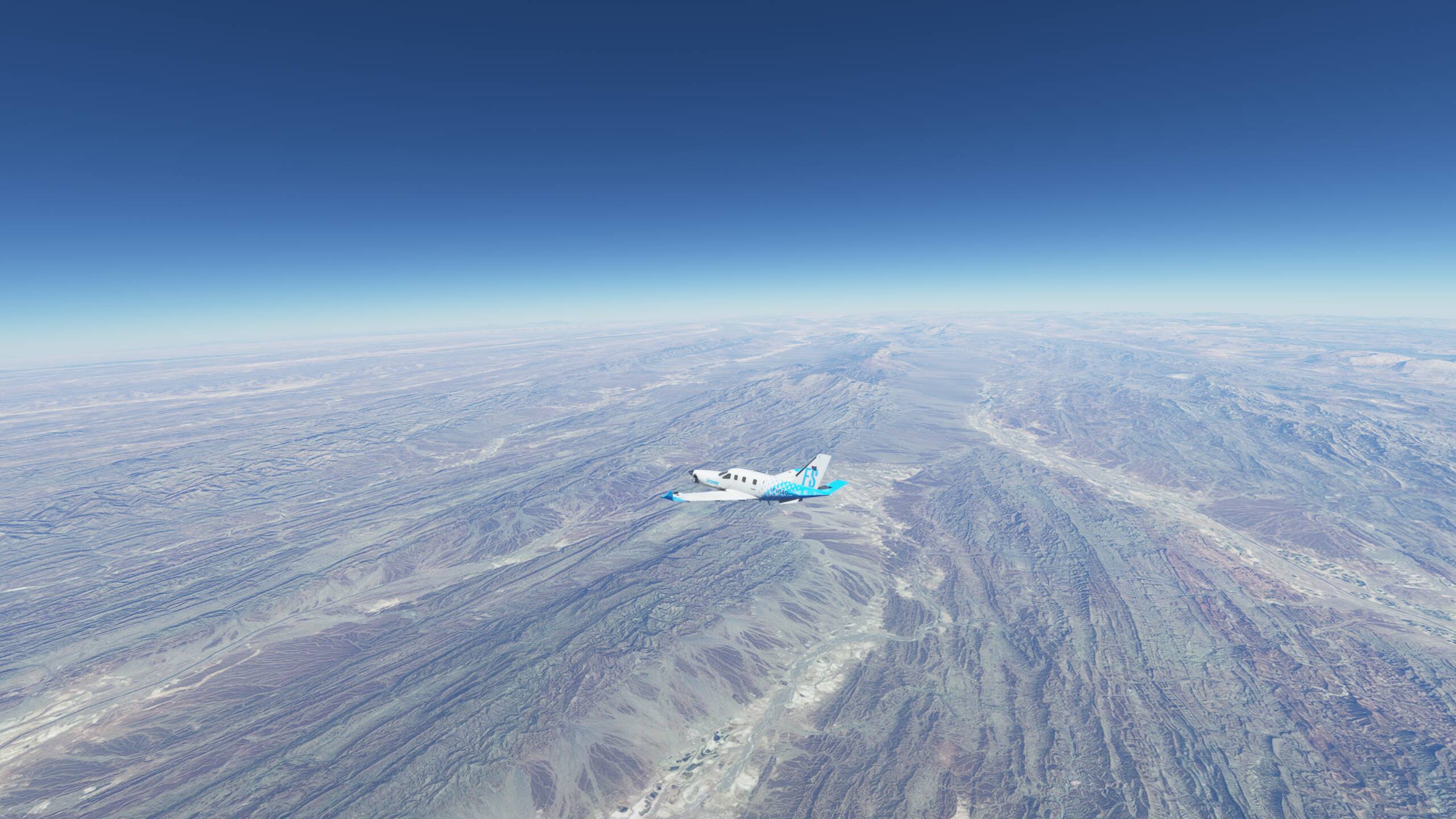


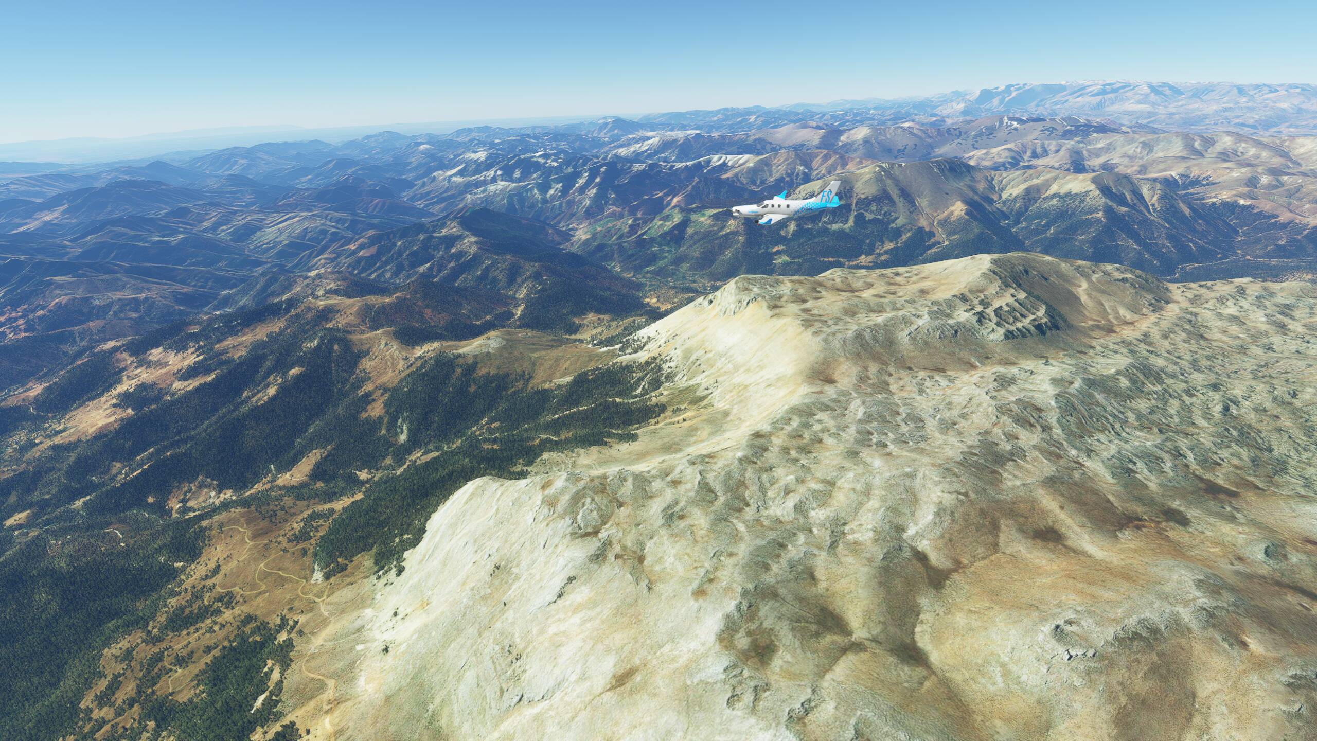
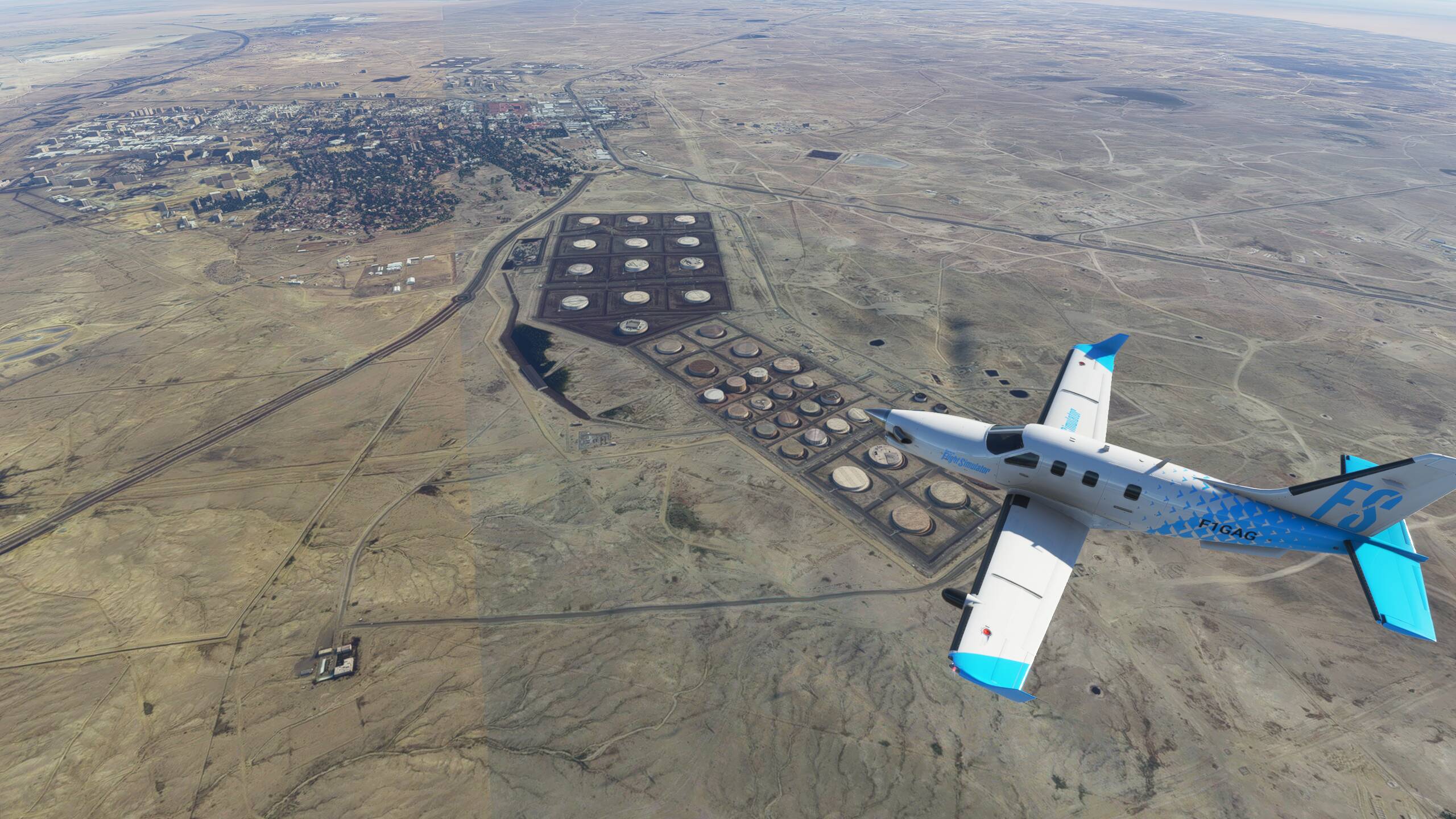
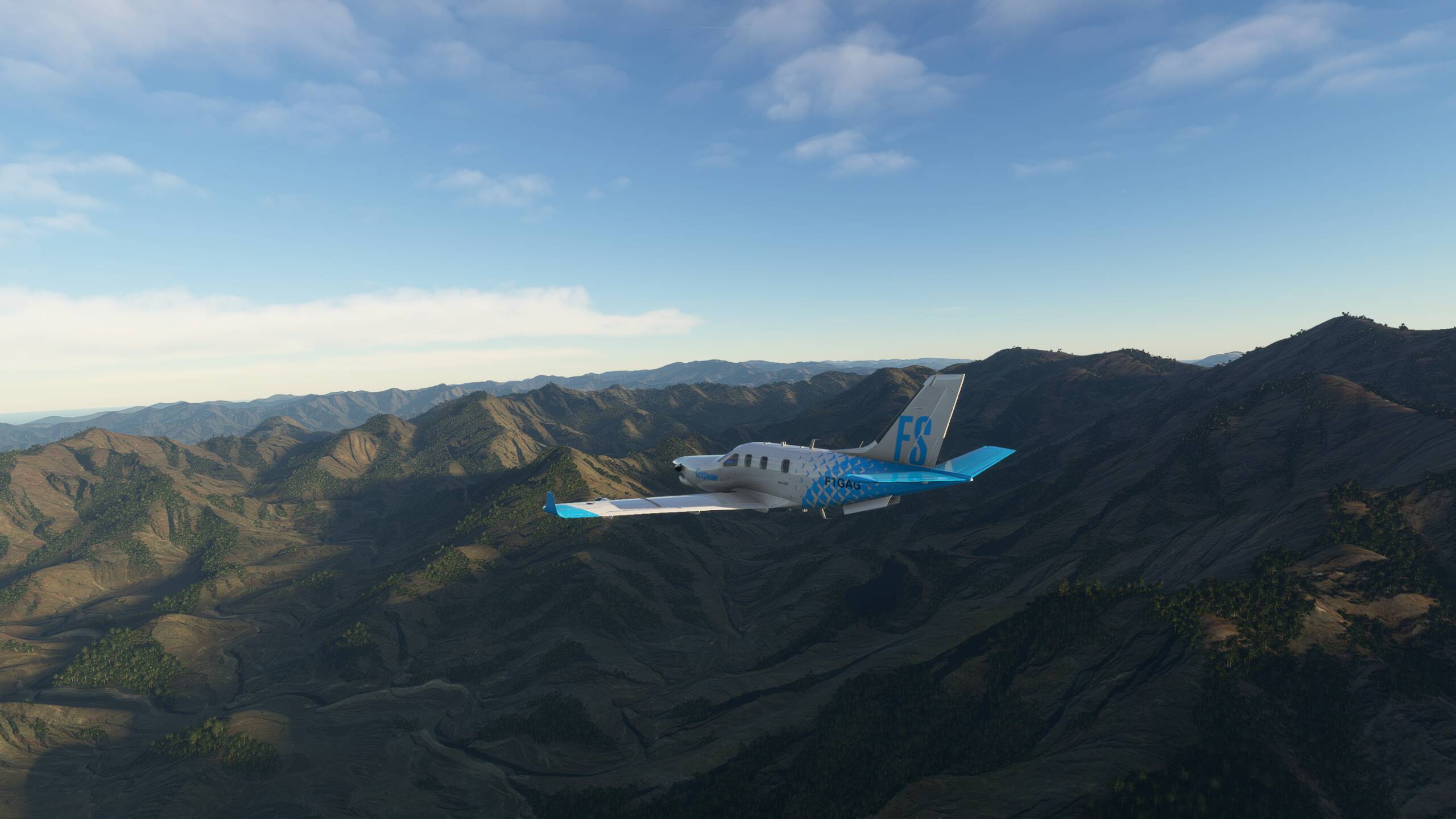
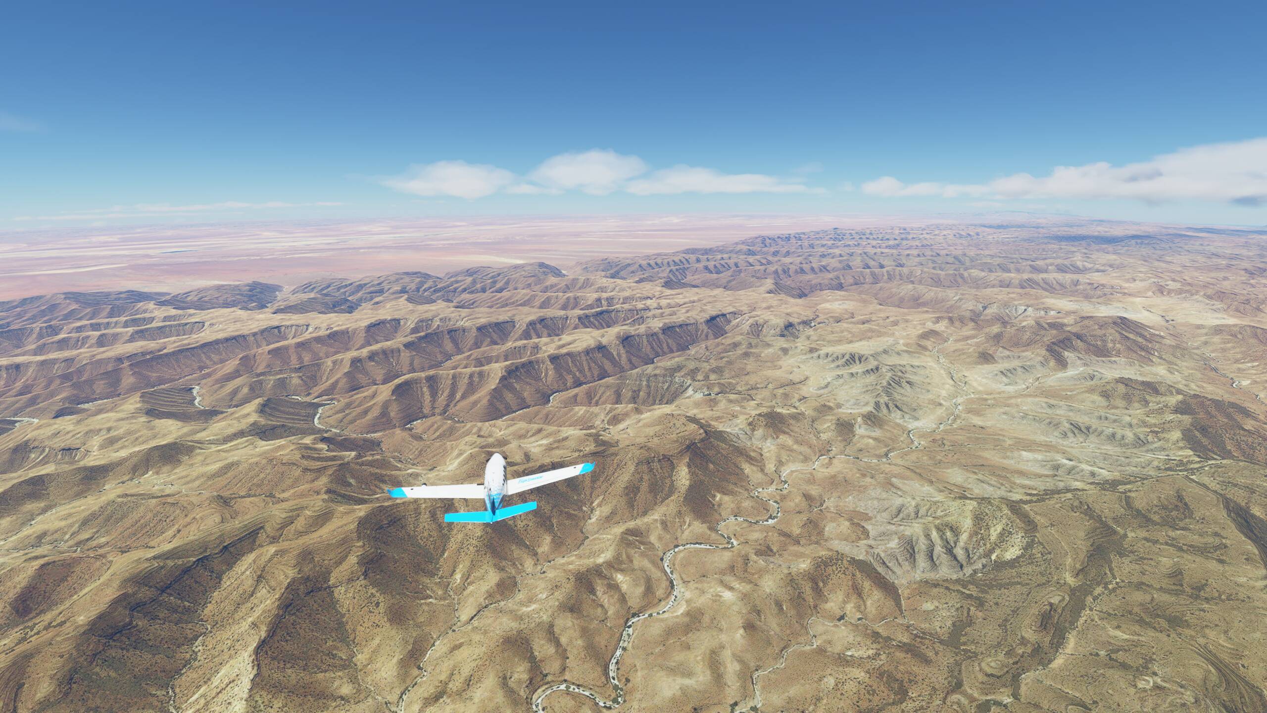
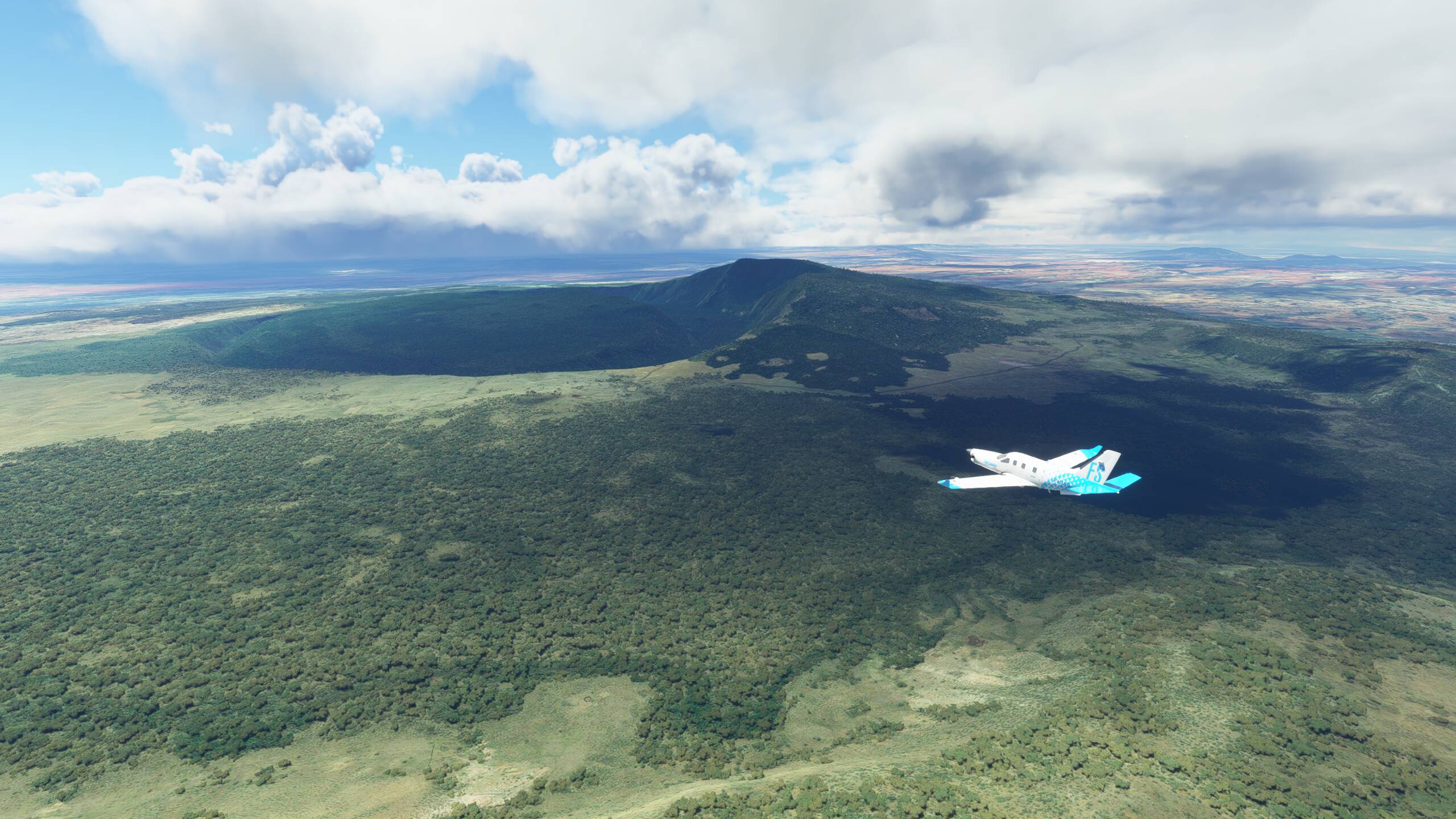
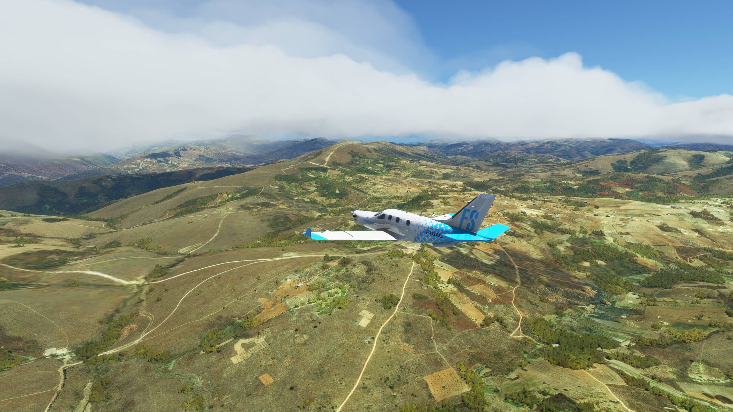
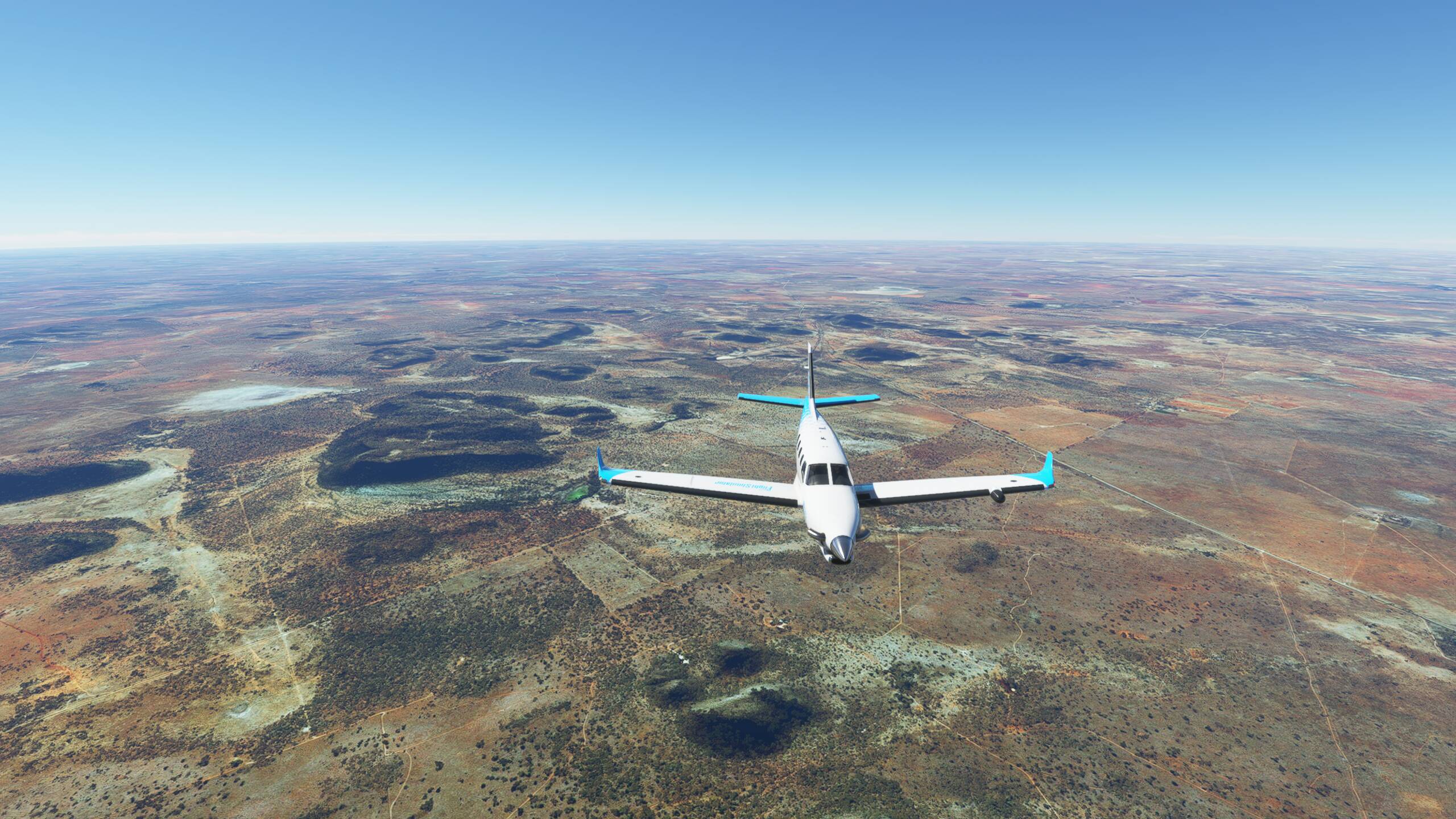
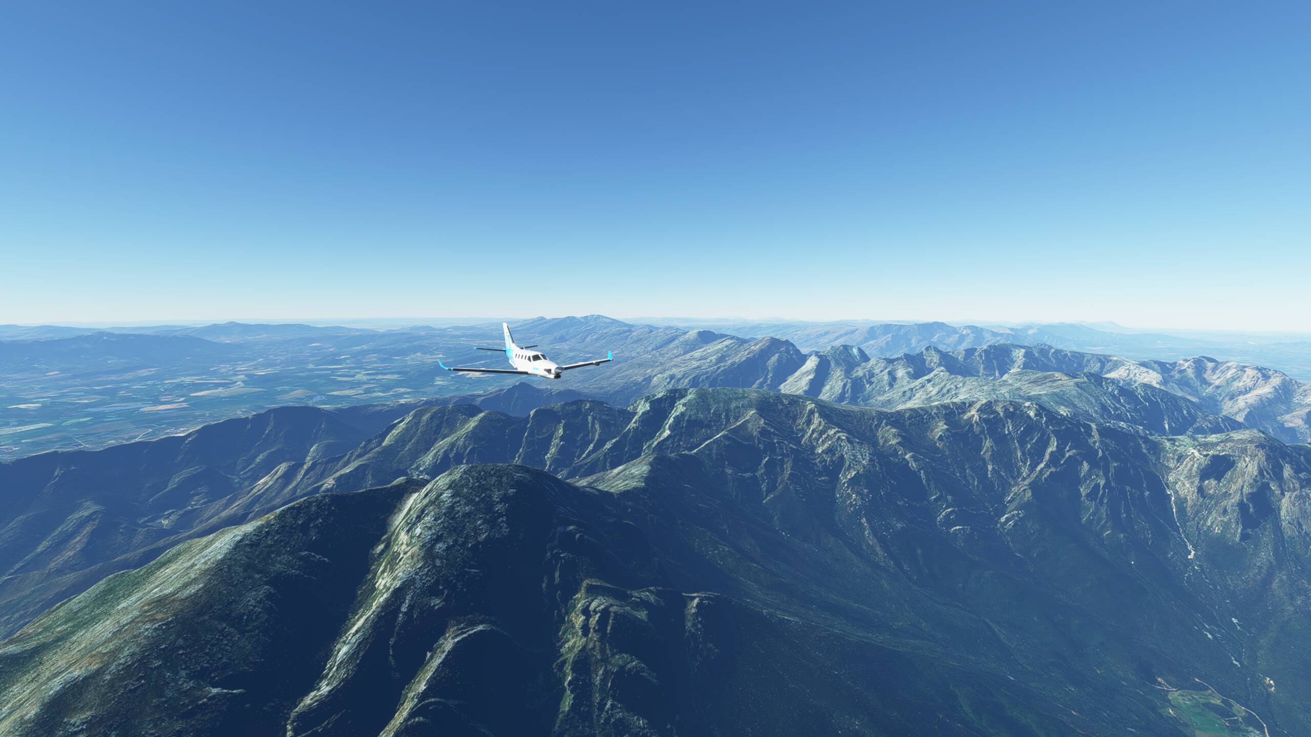
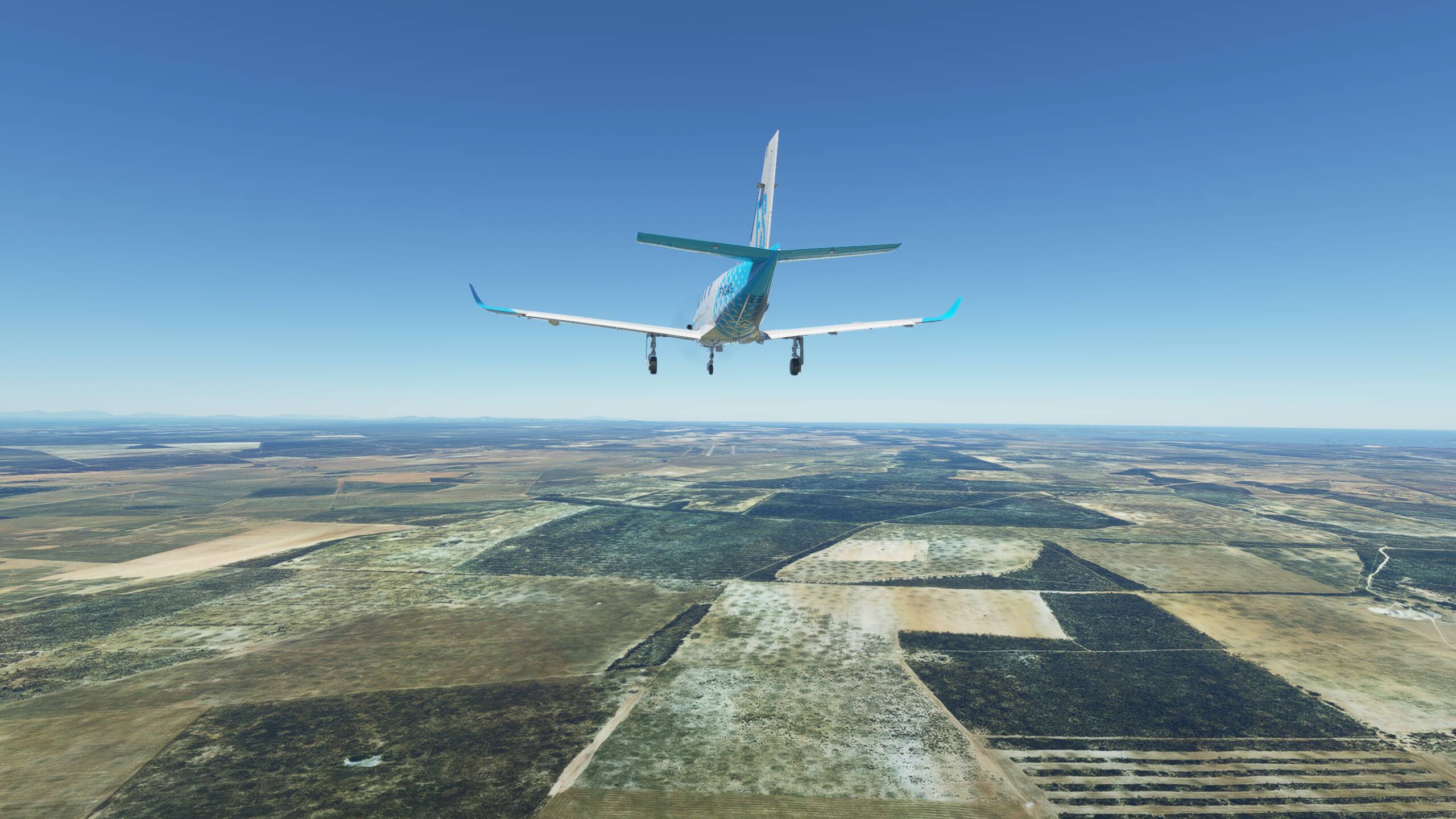
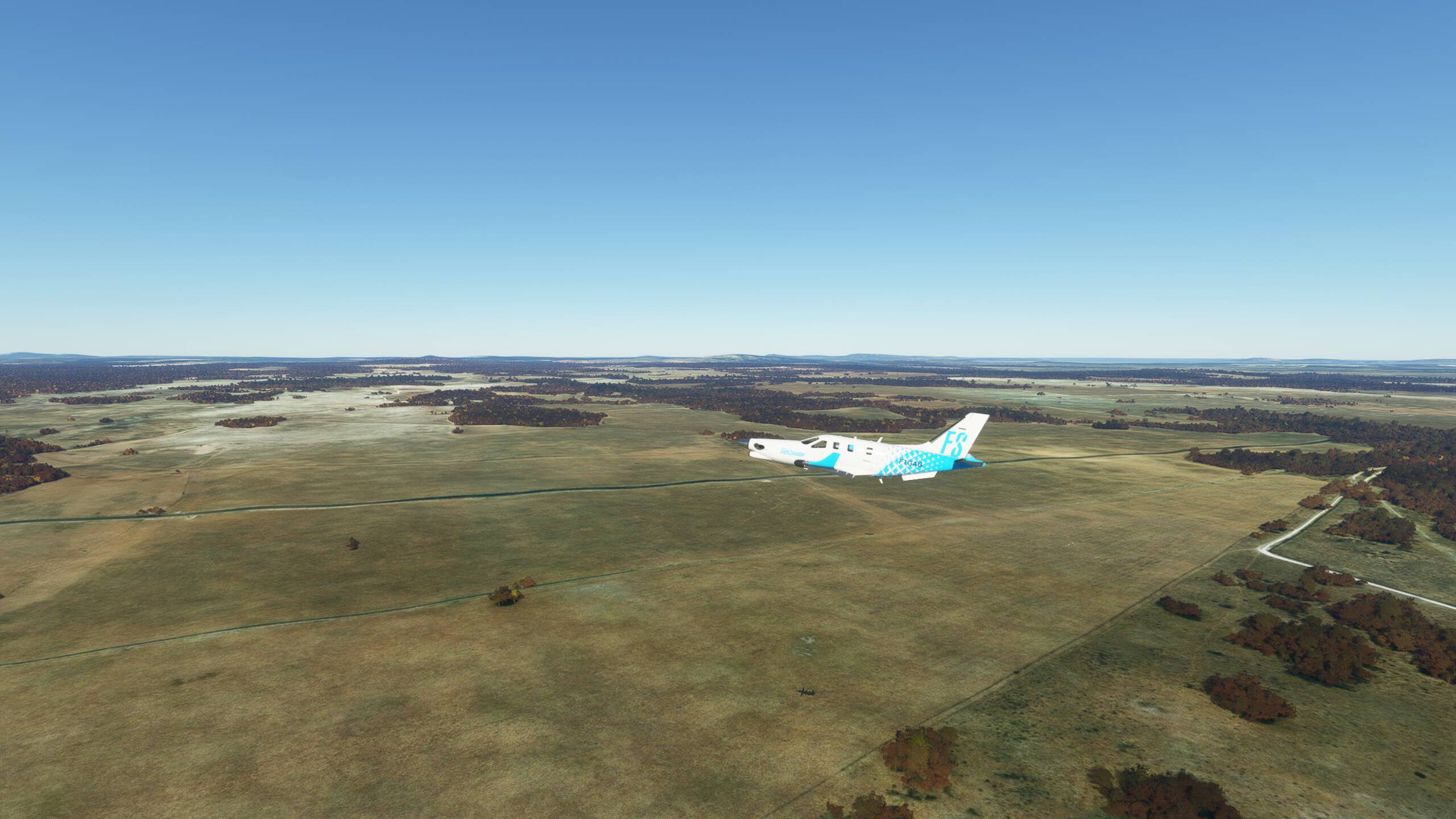
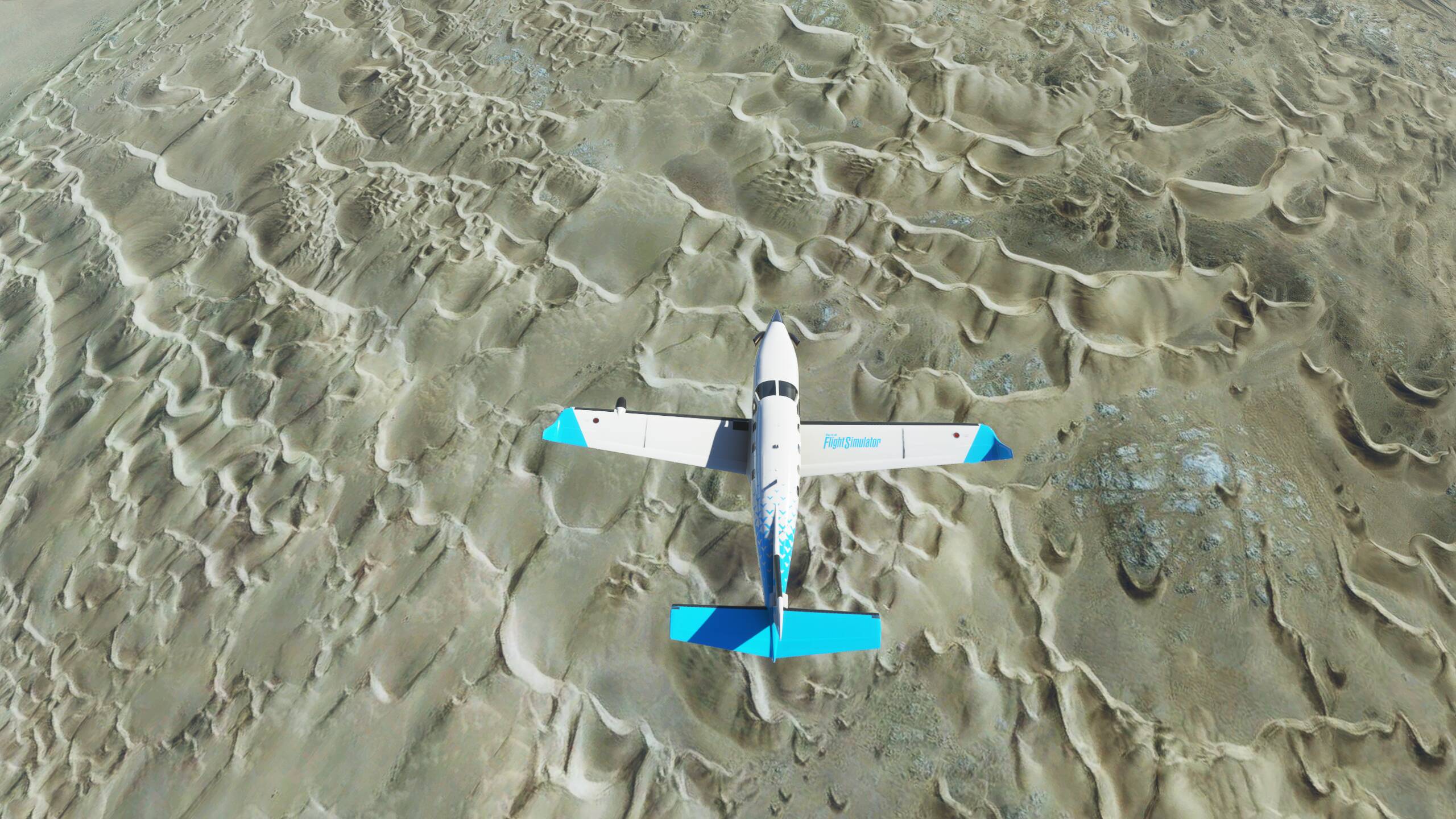
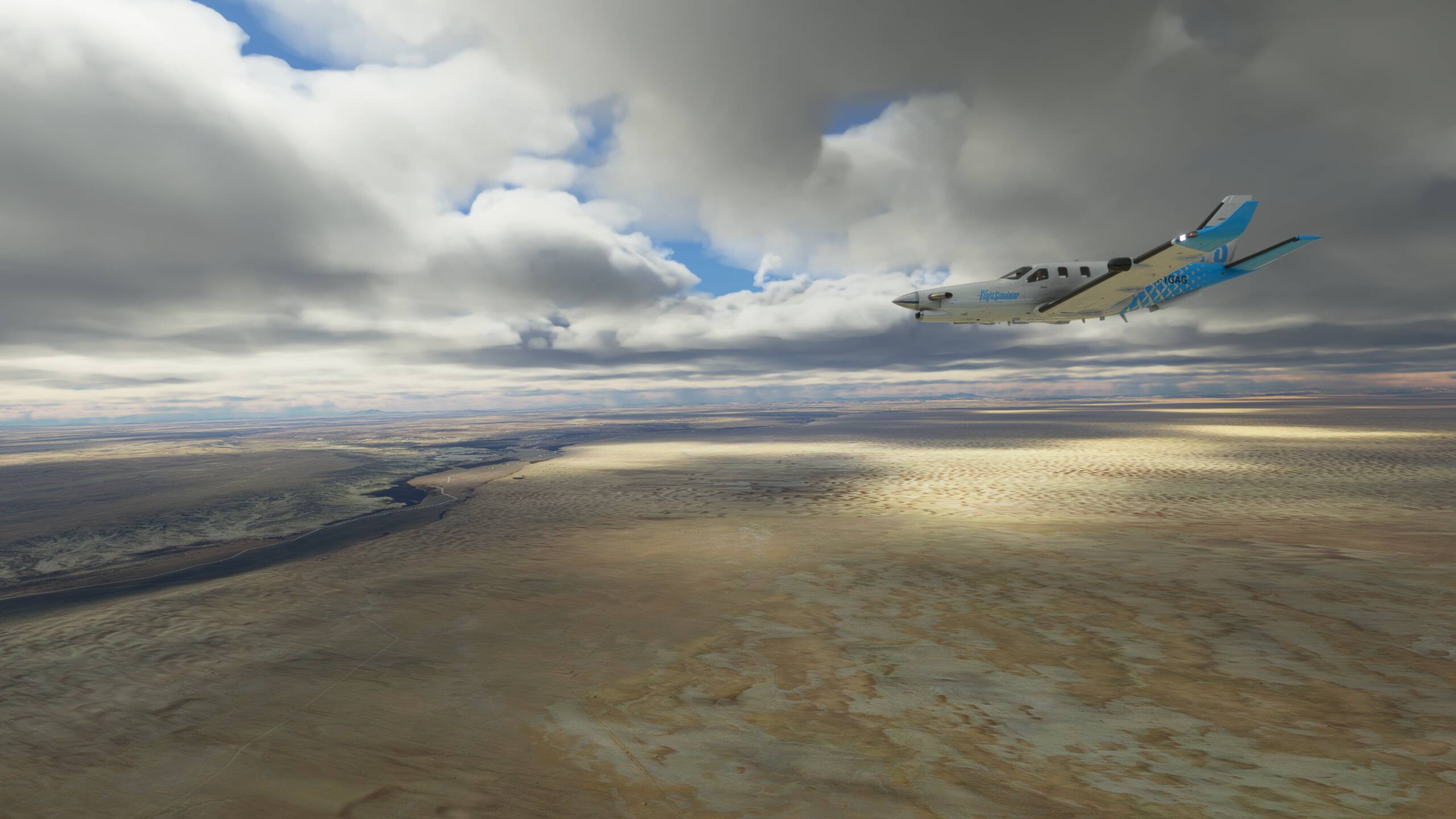
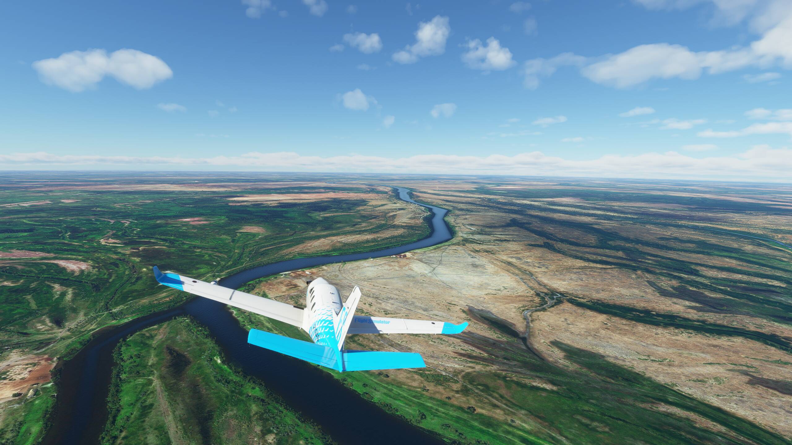
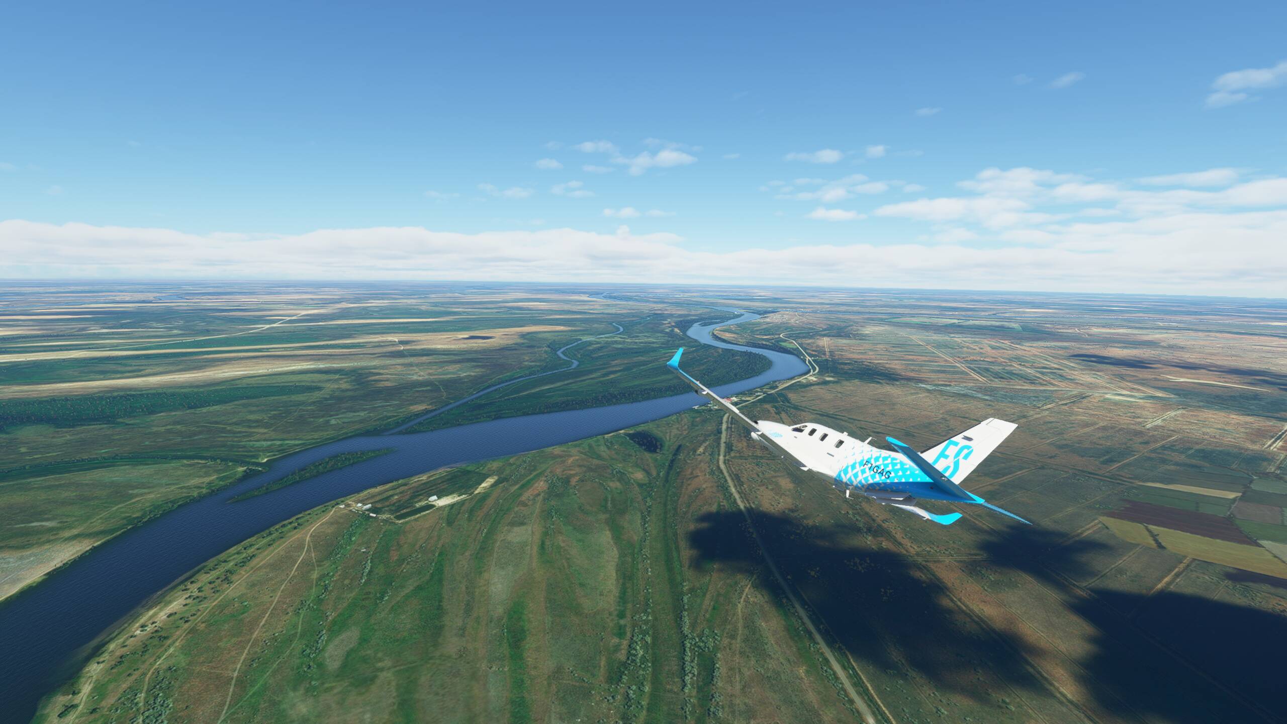
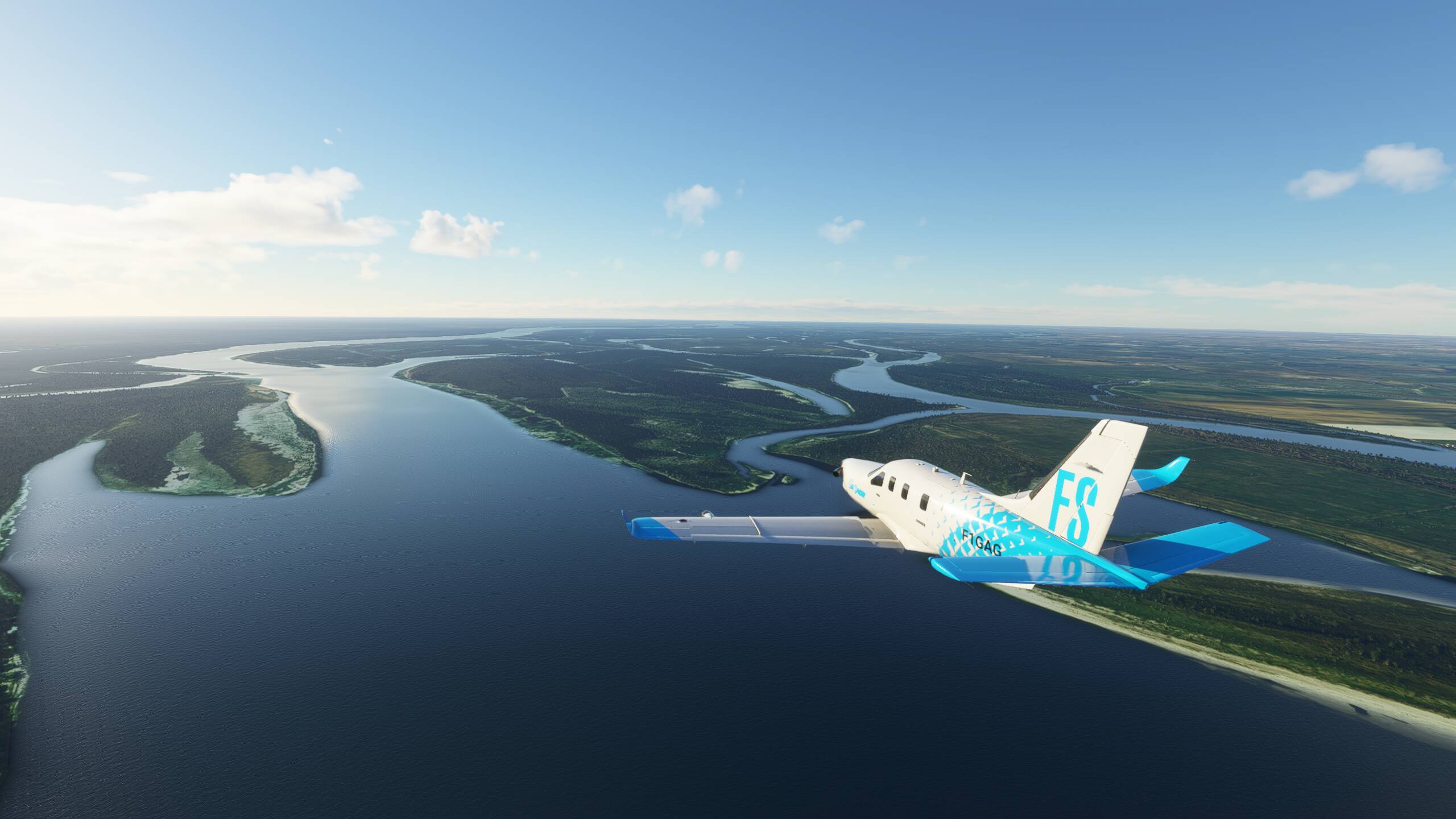
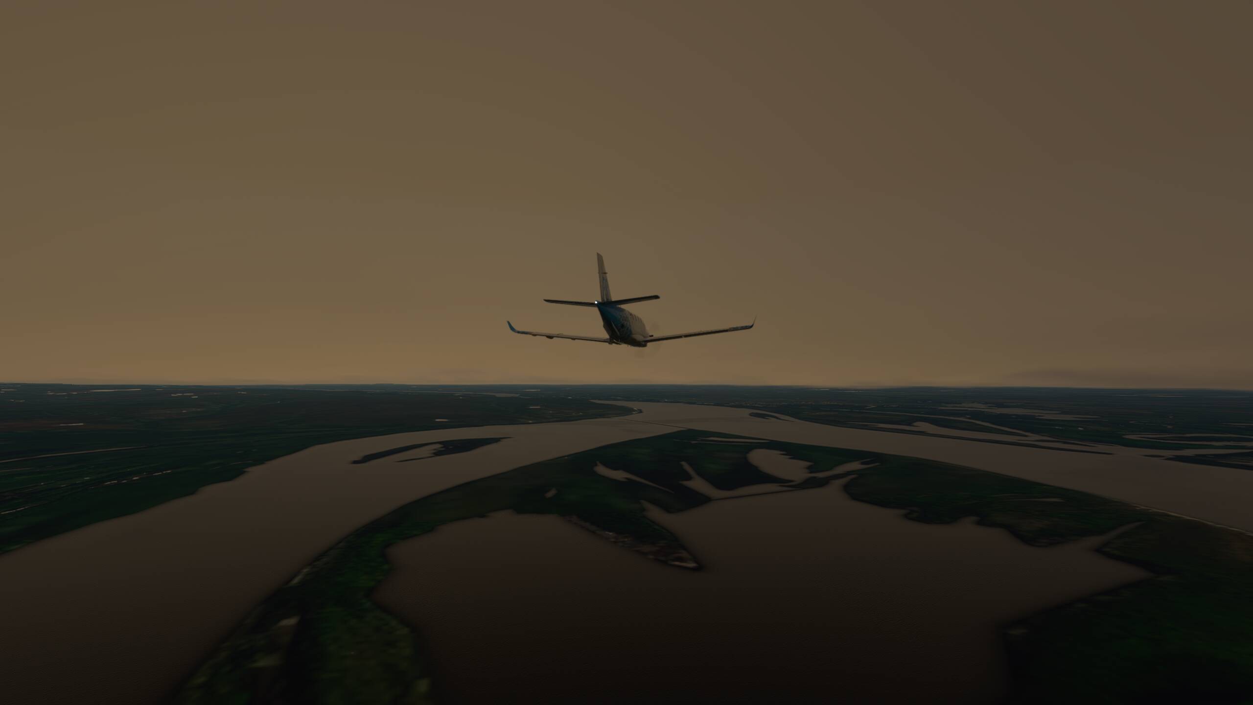
Afgahnistan not looking any less barren than Pakistan - desert like
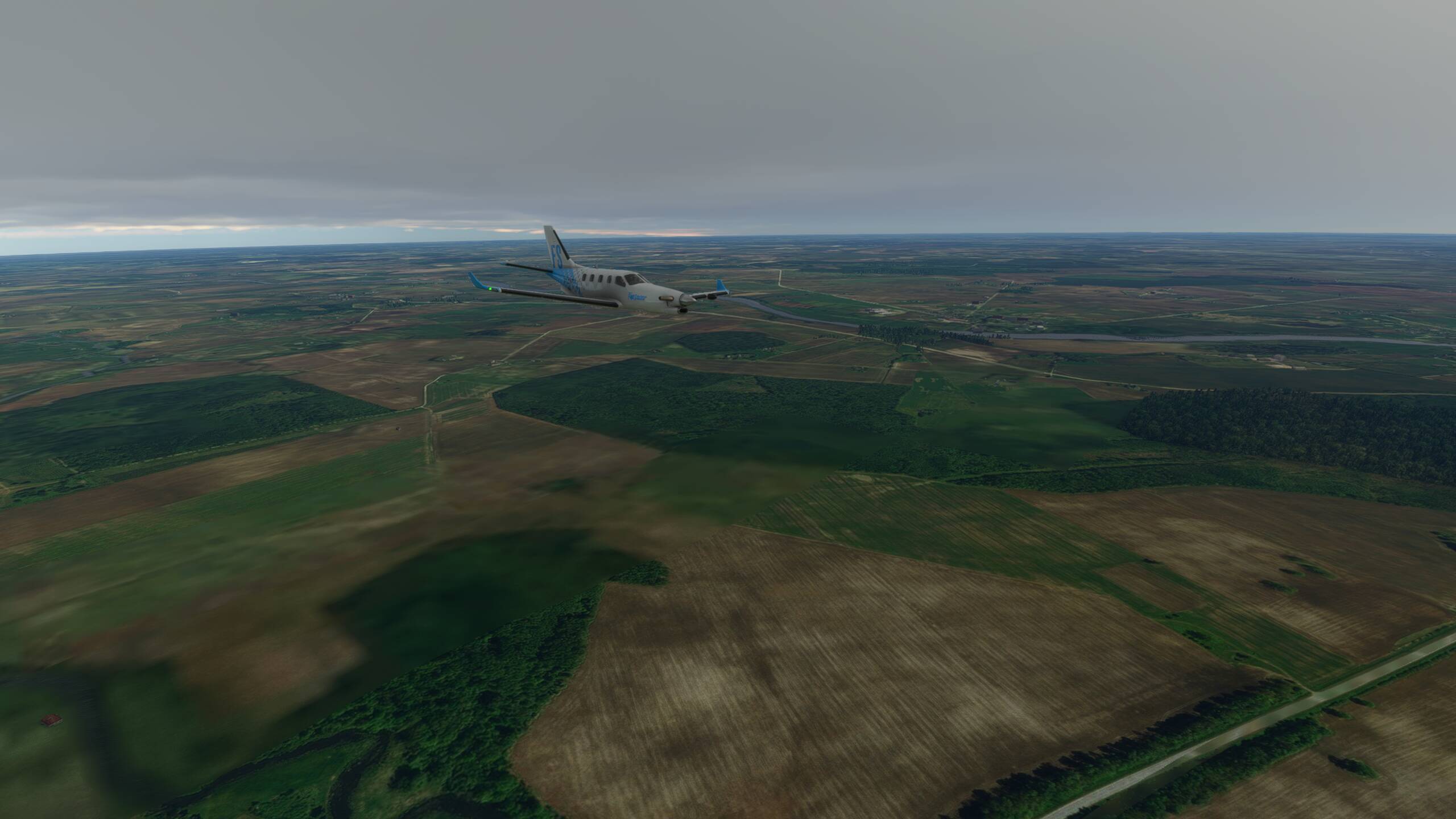
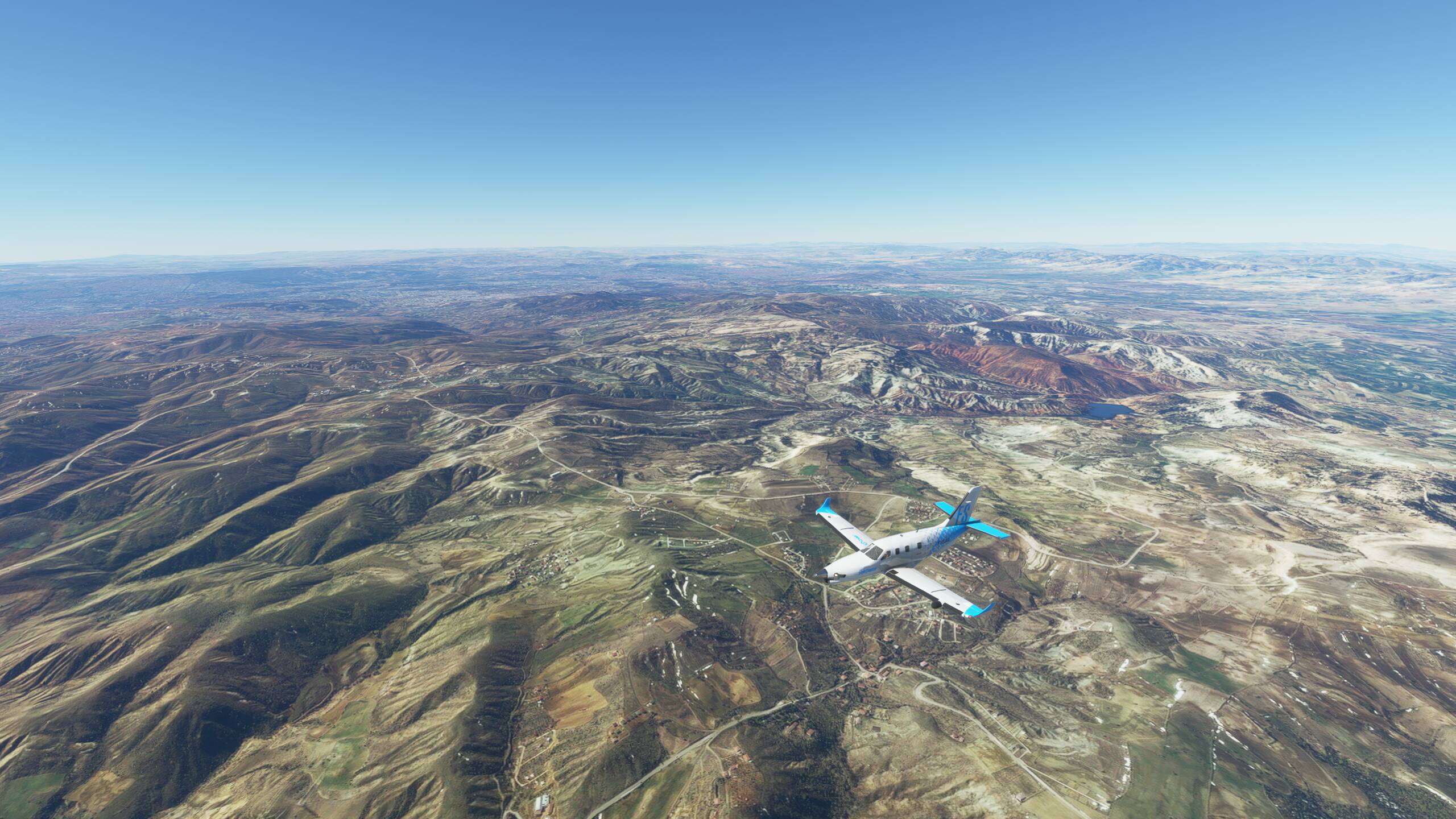
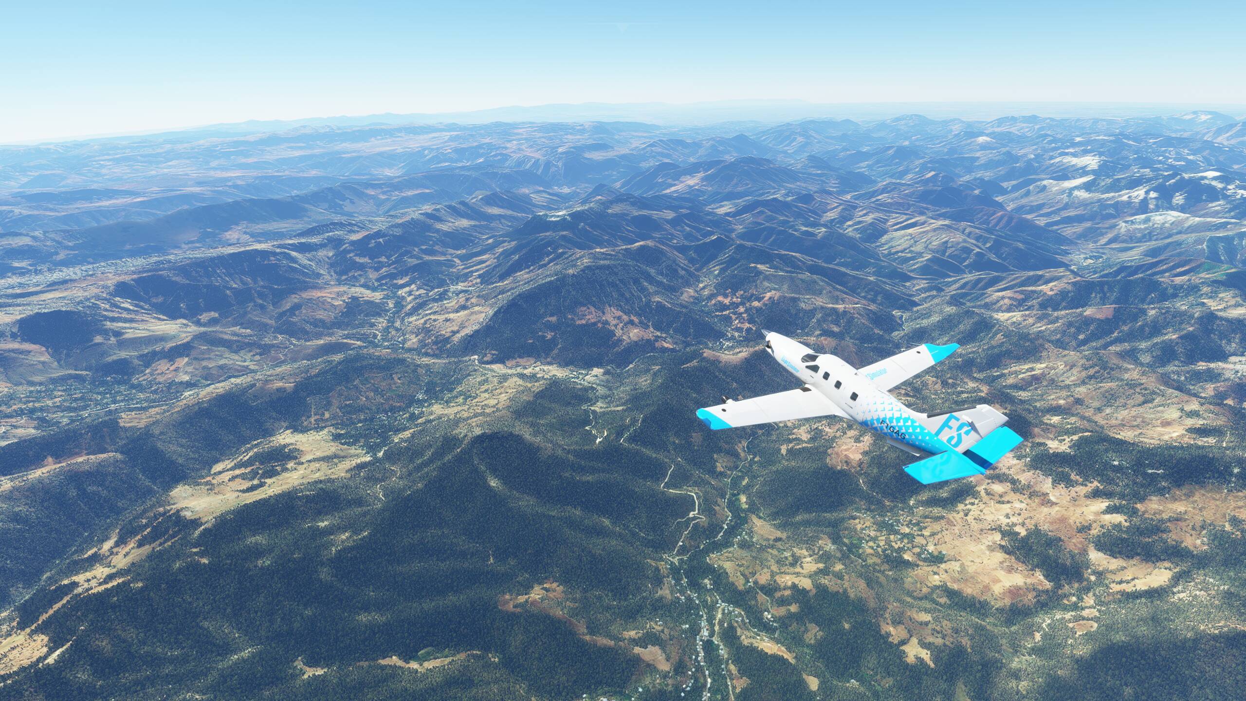
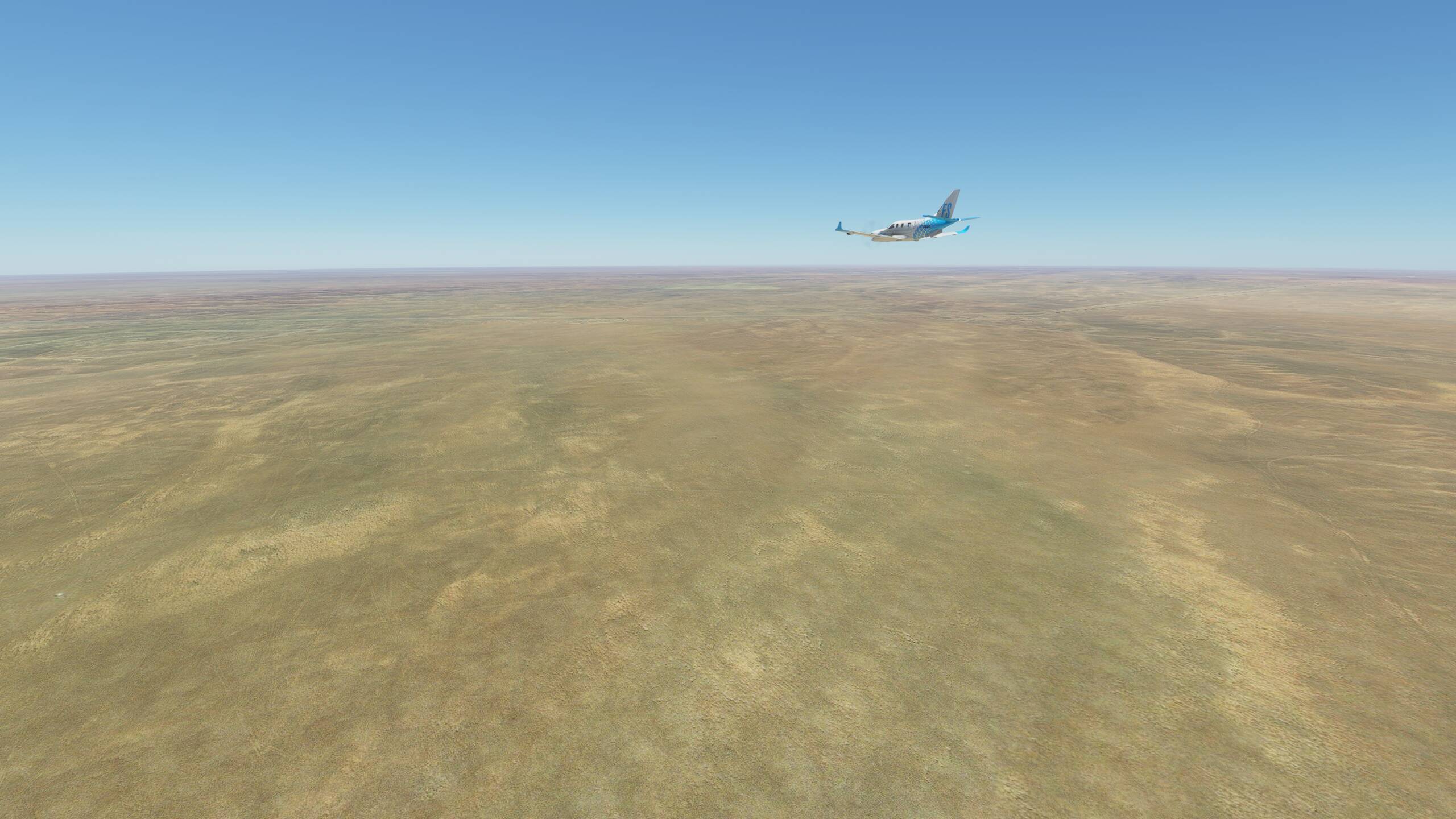
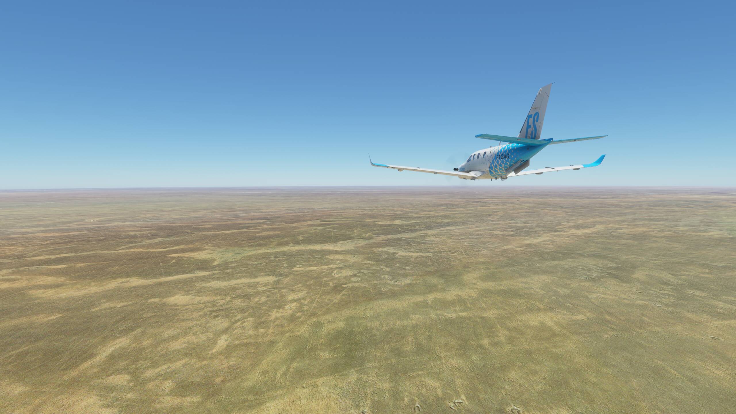
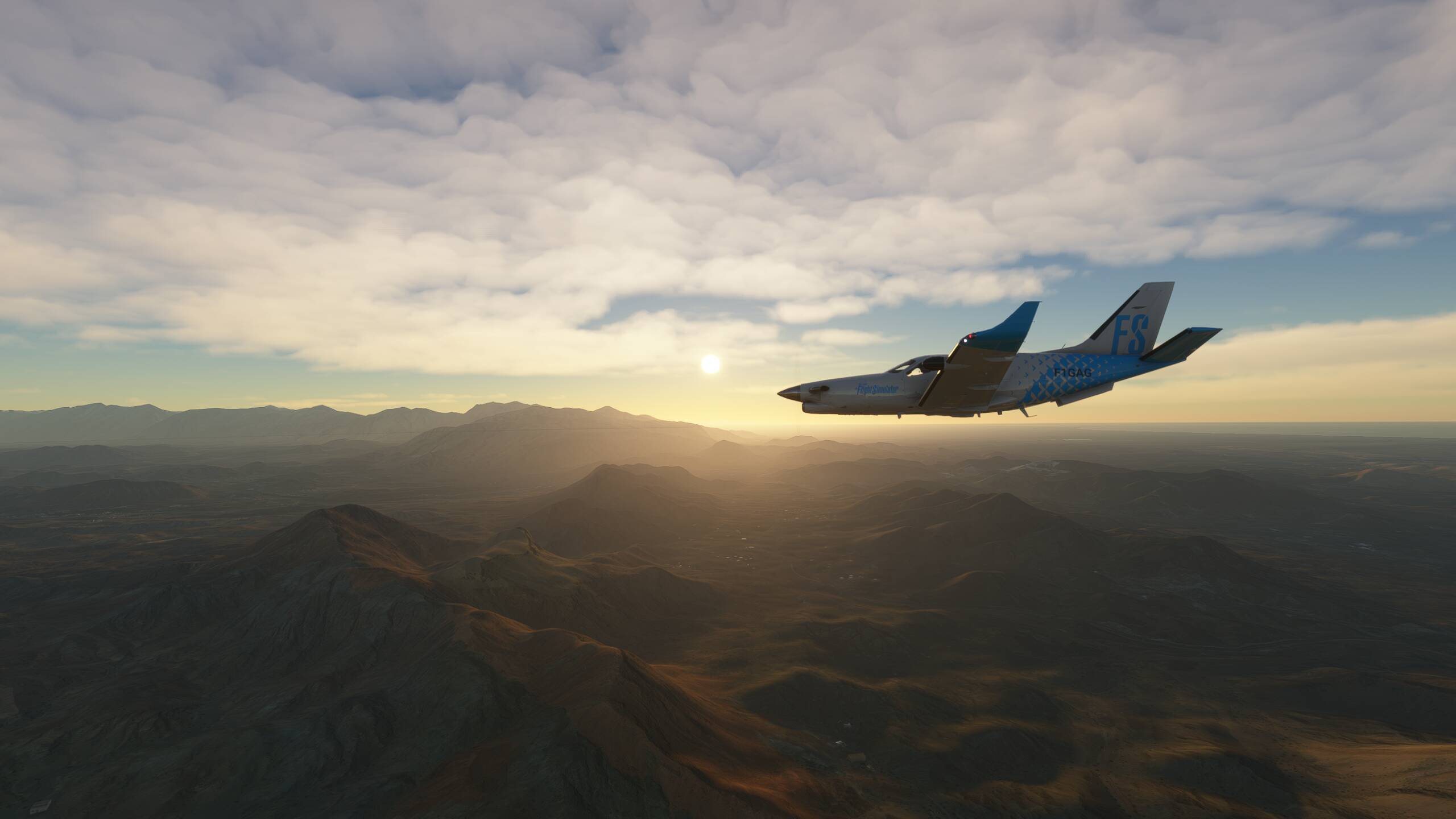
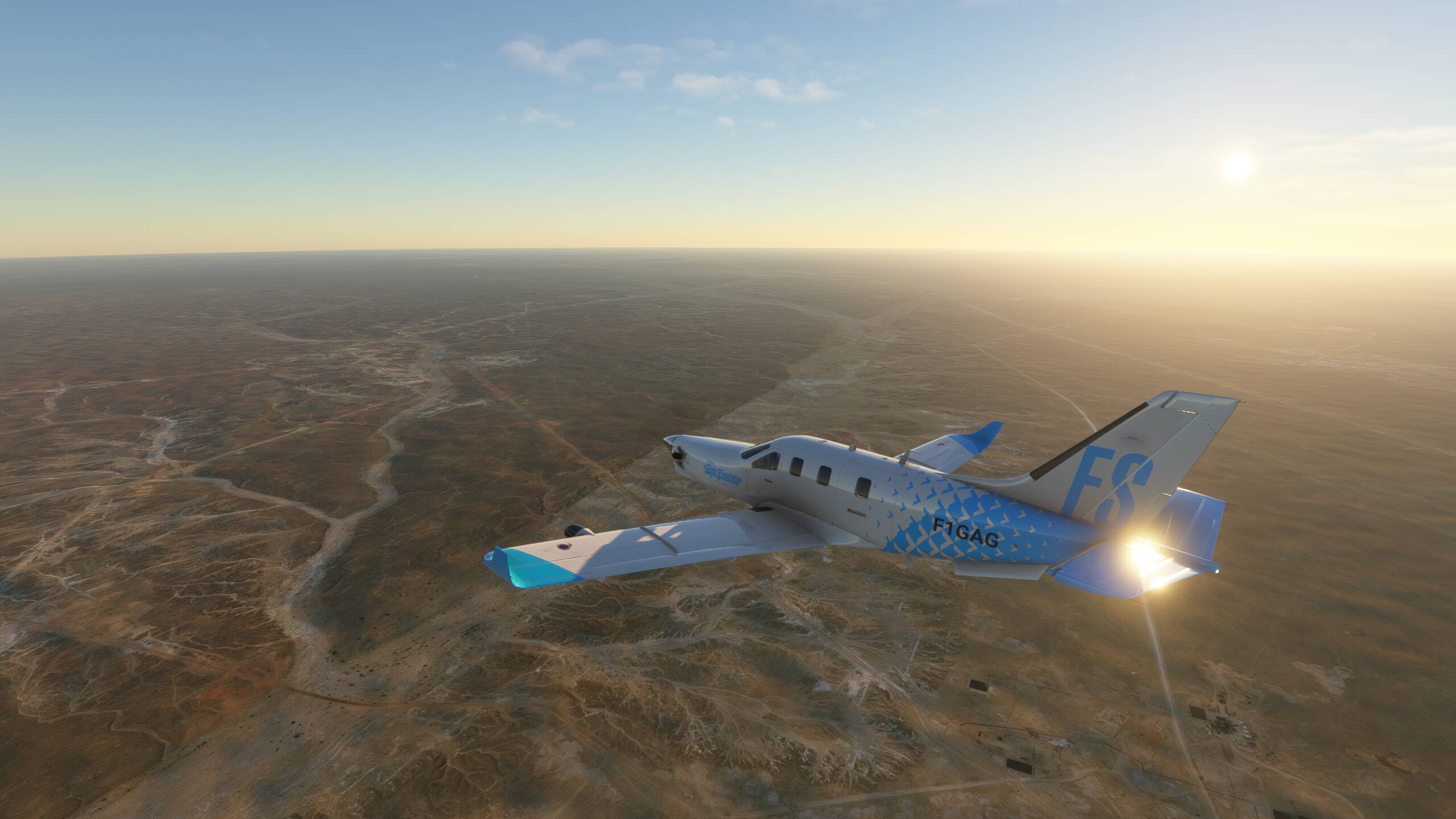
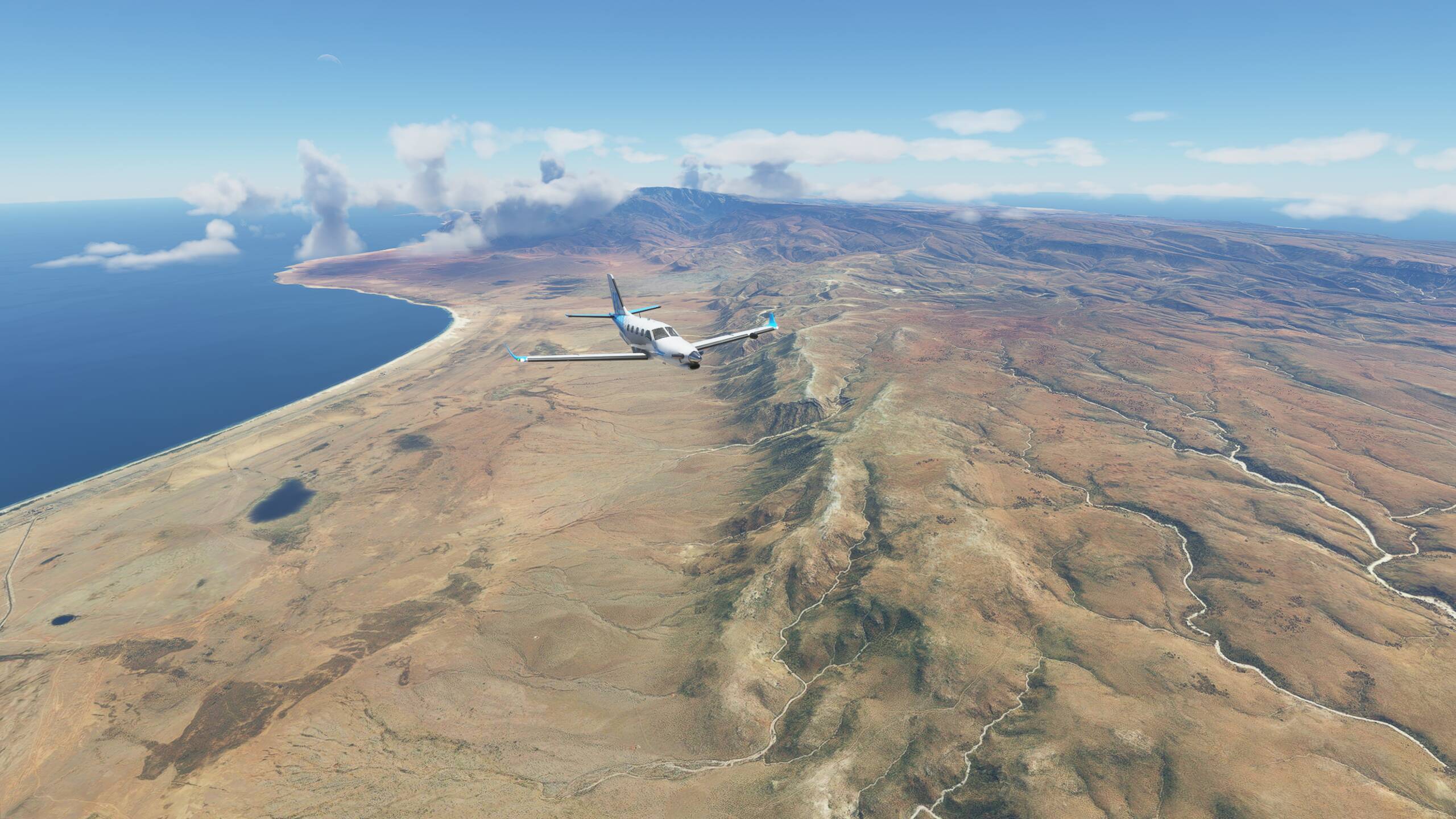
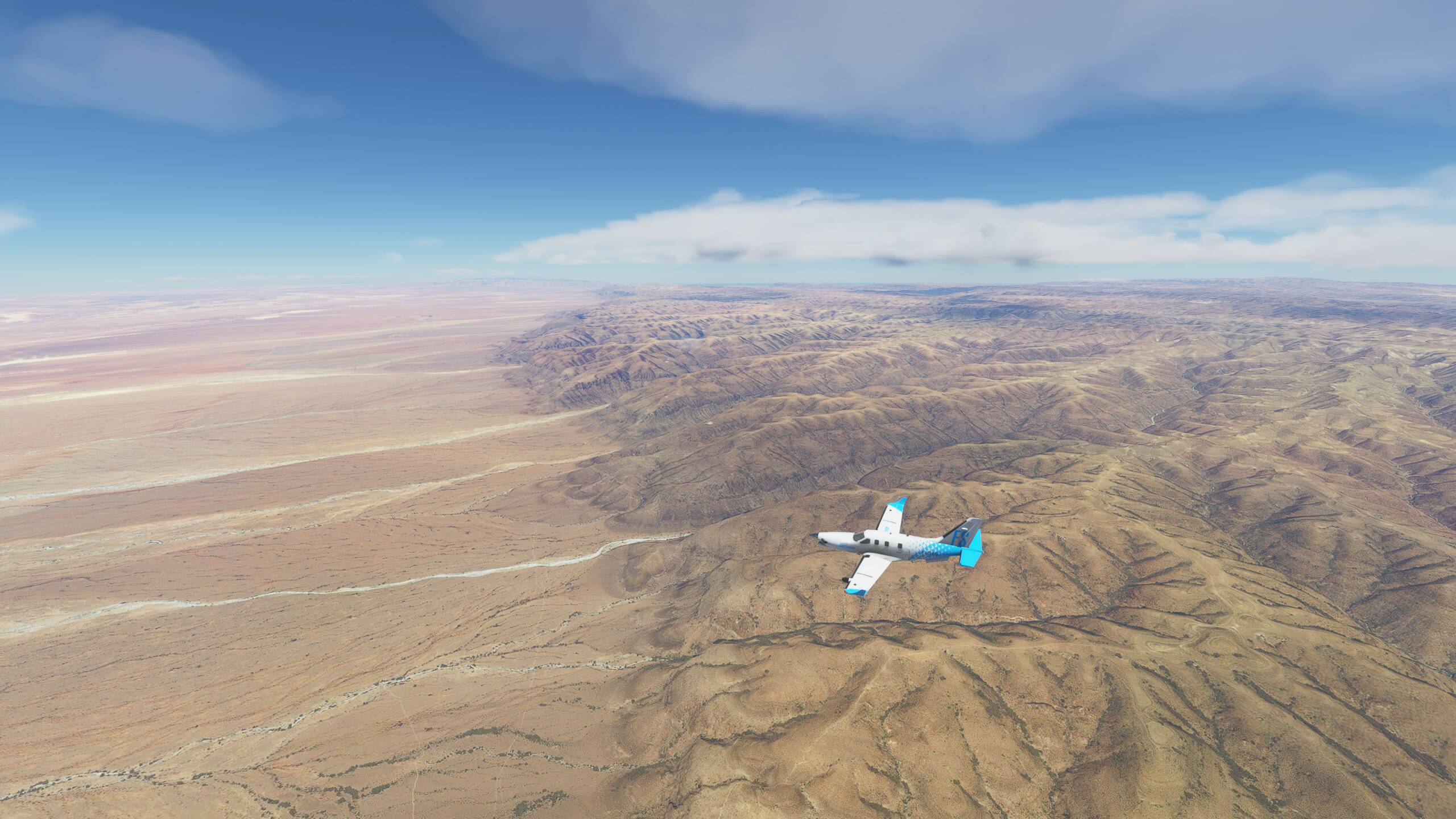
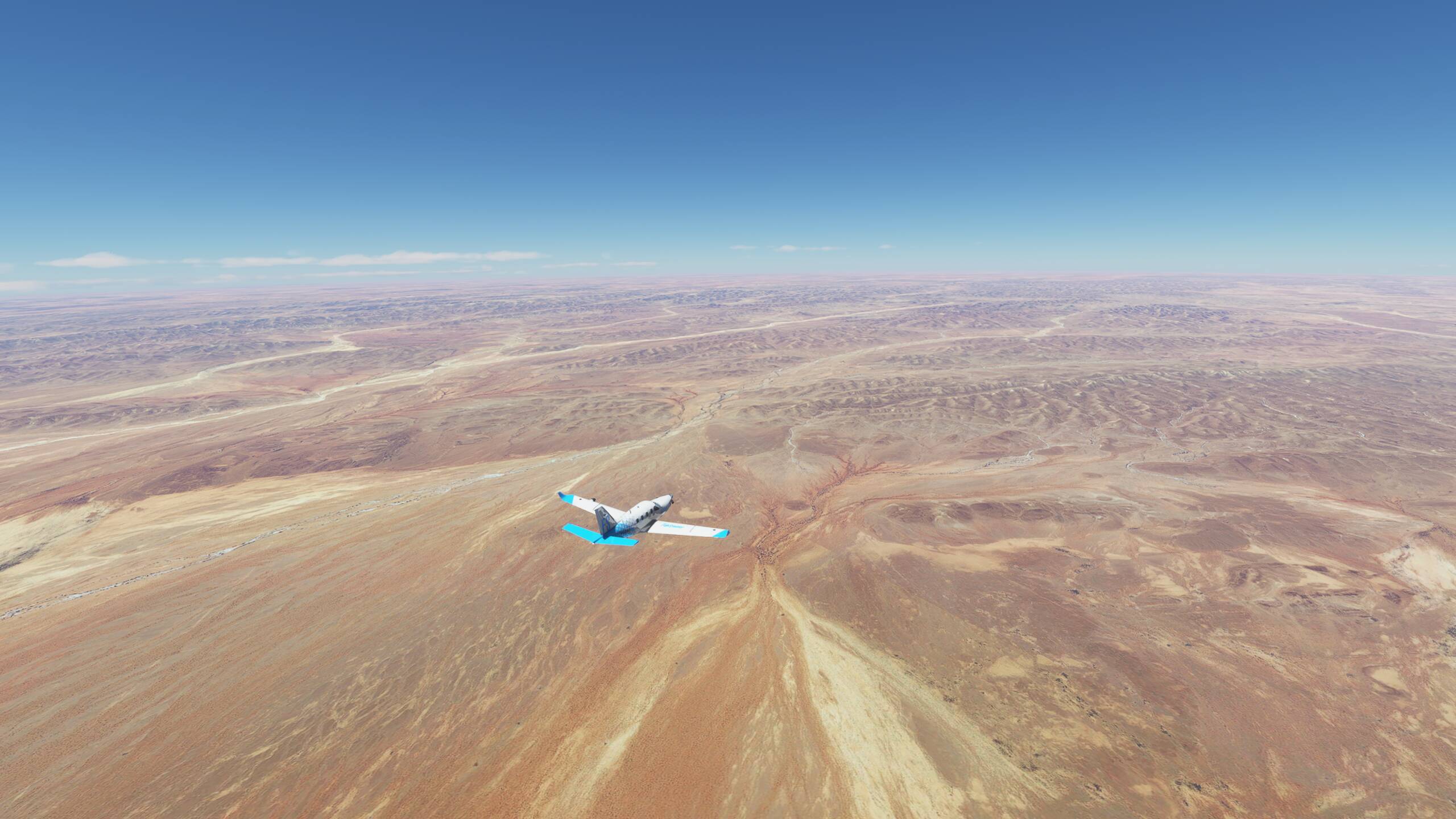
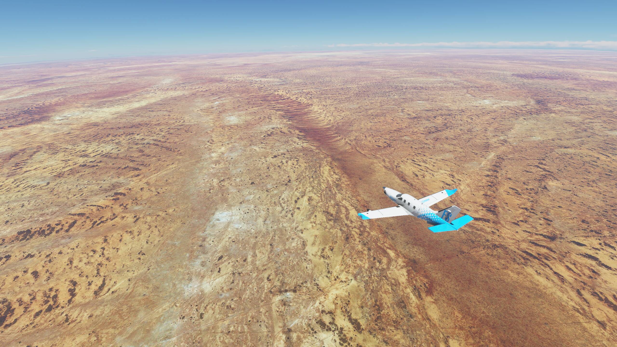
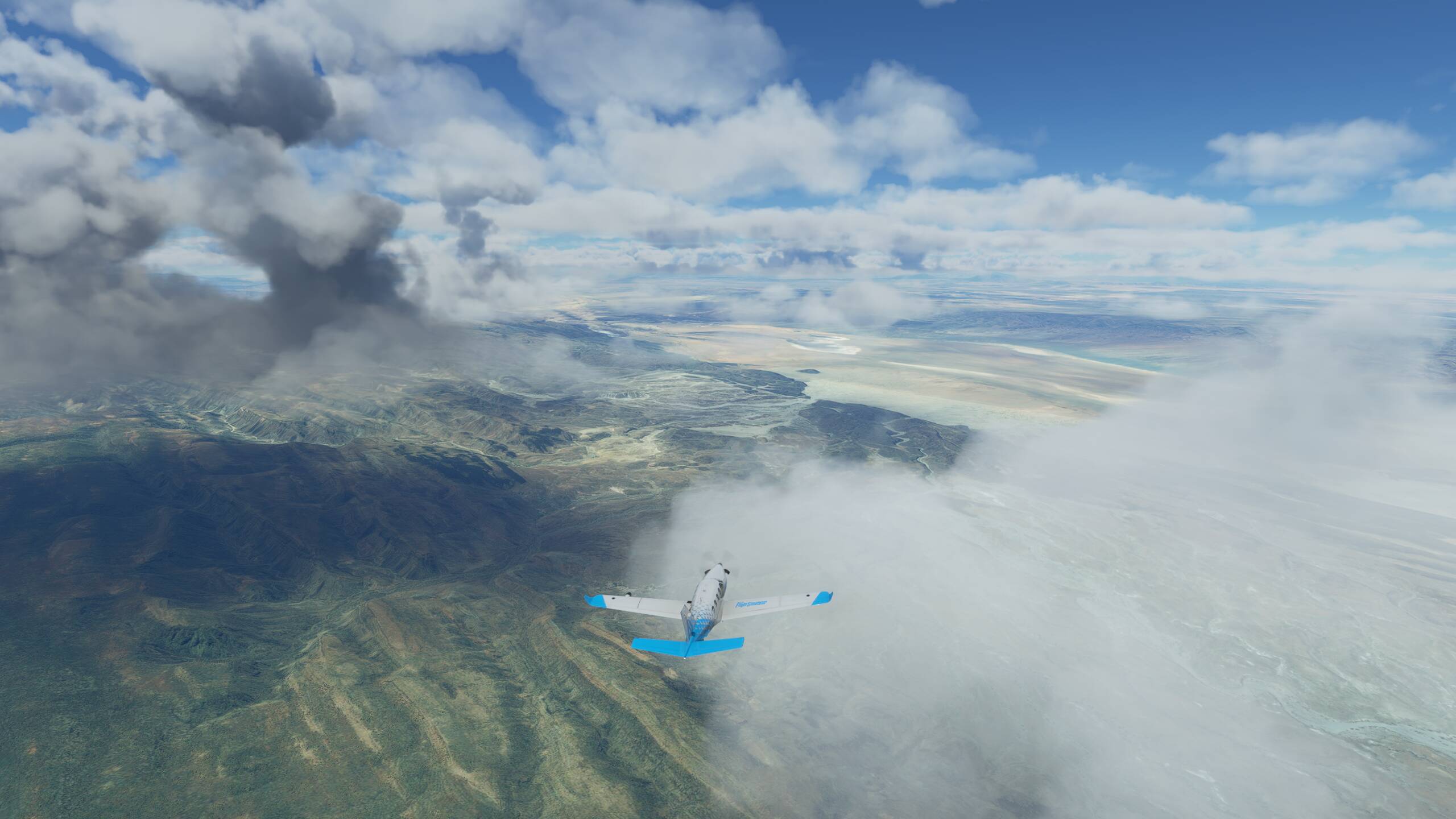
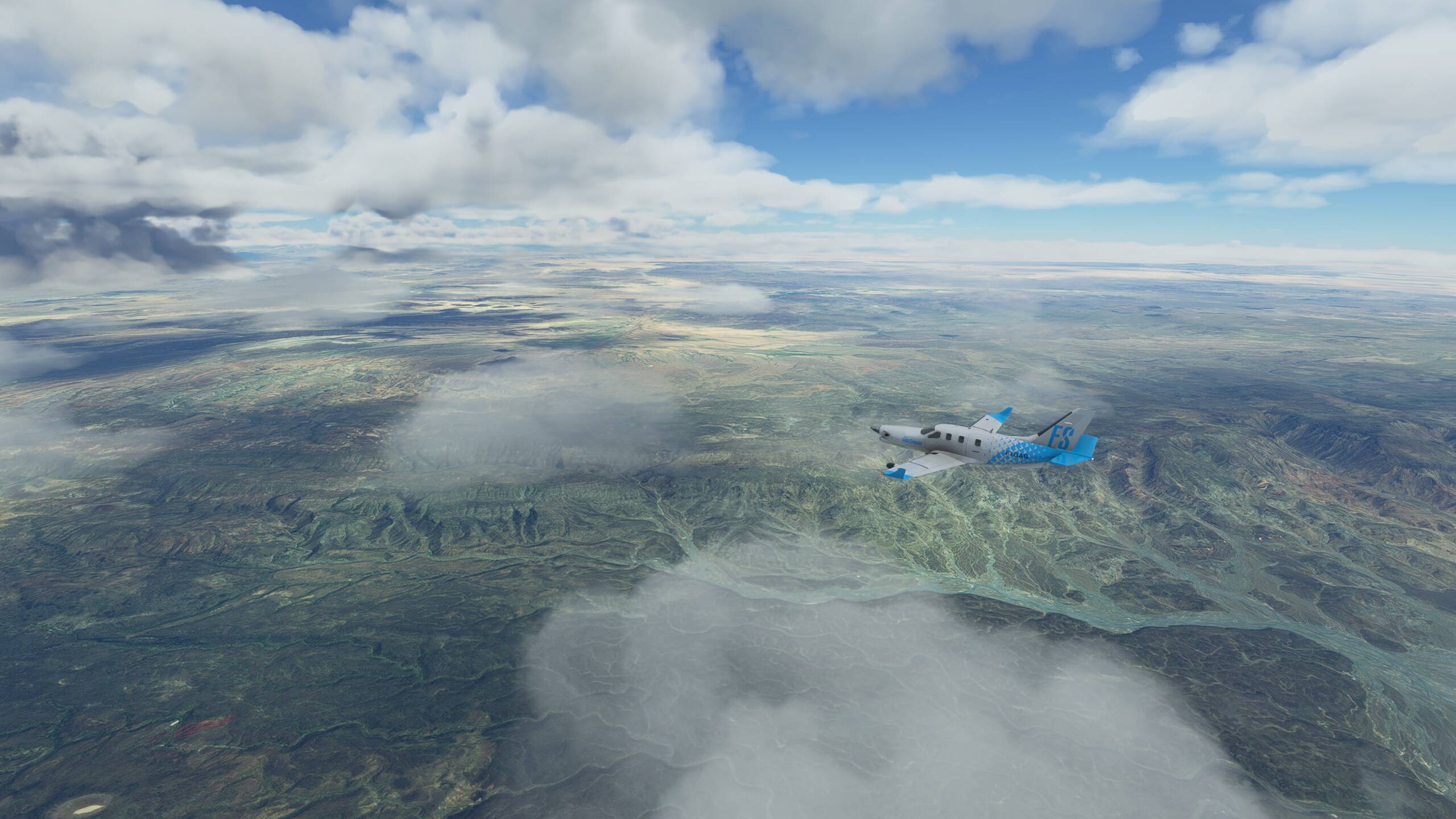
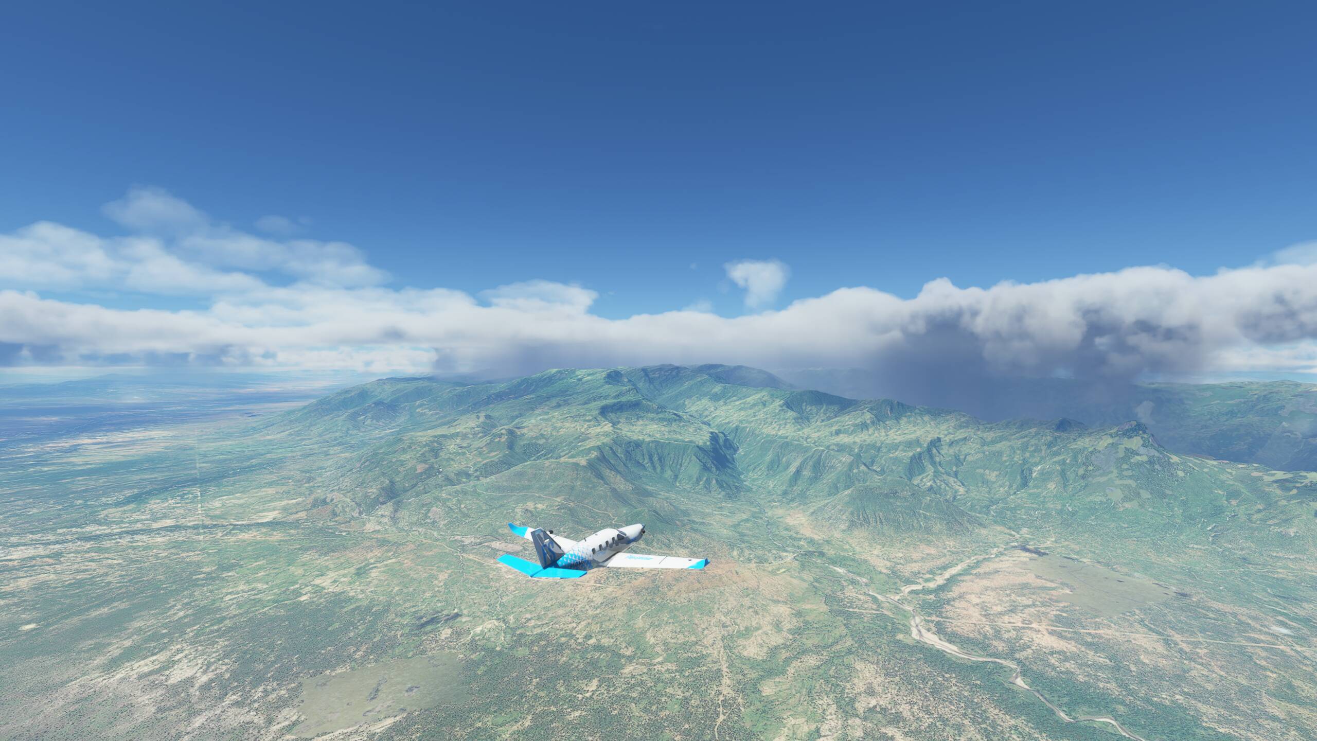
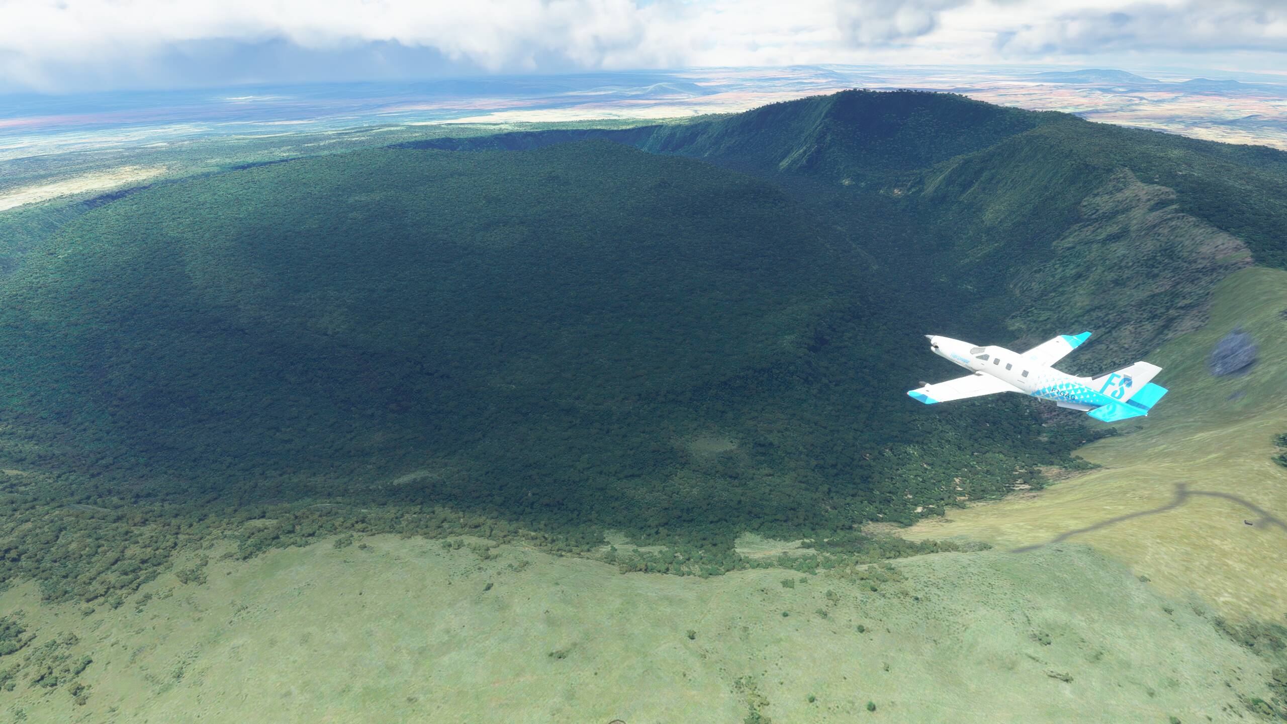
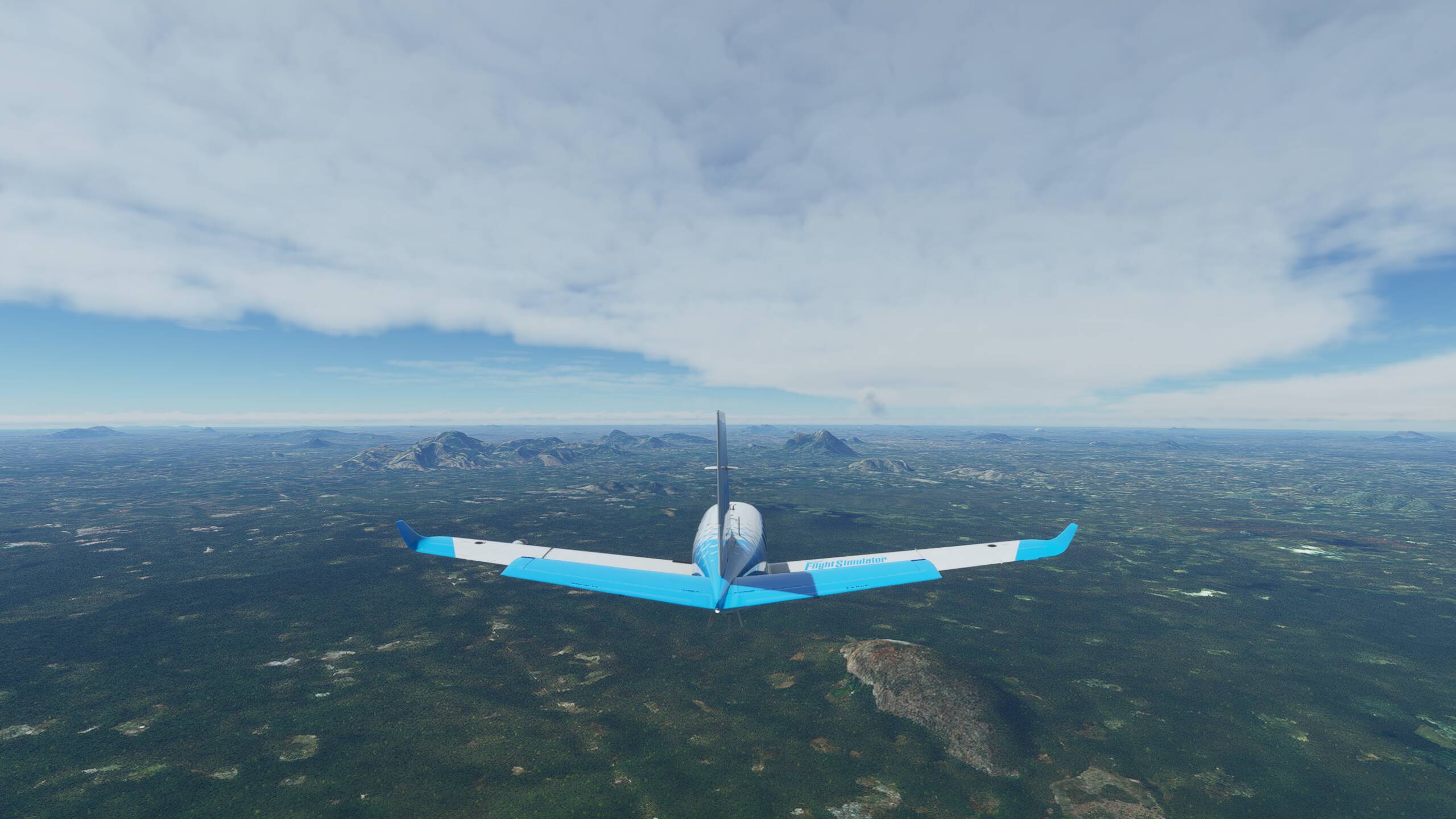
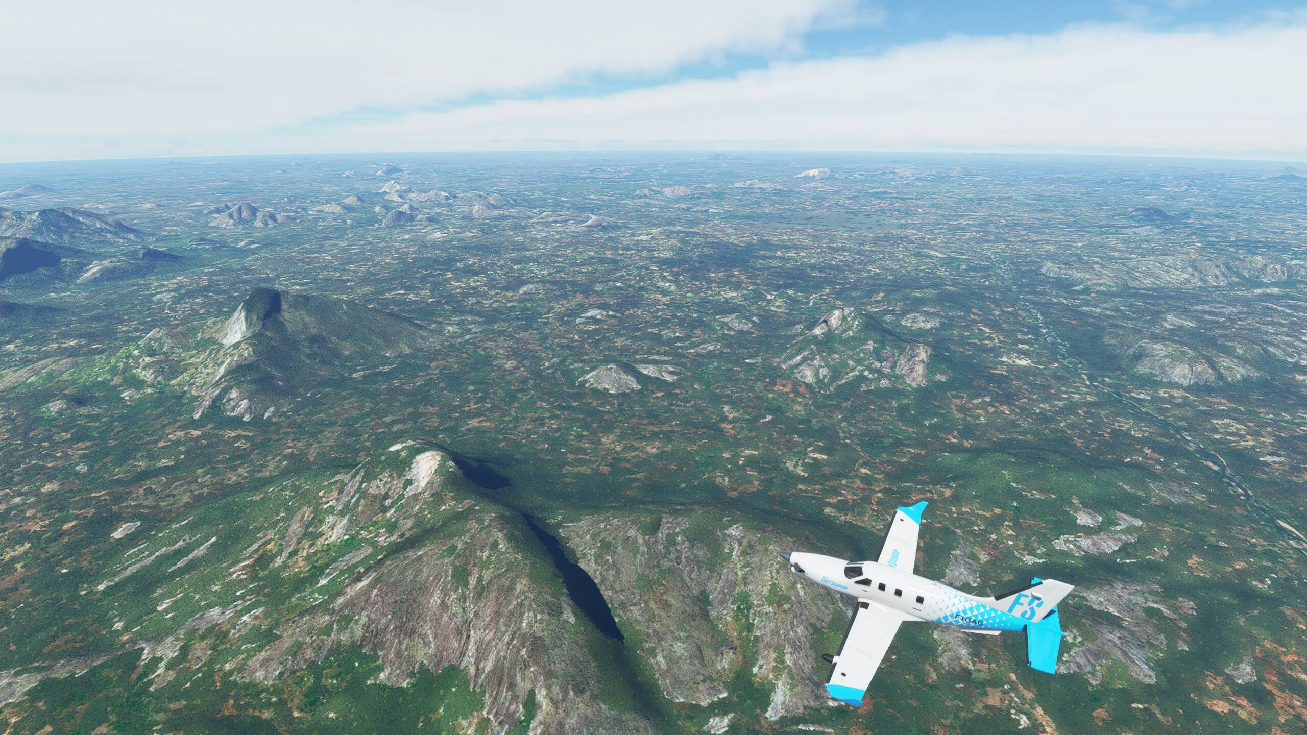
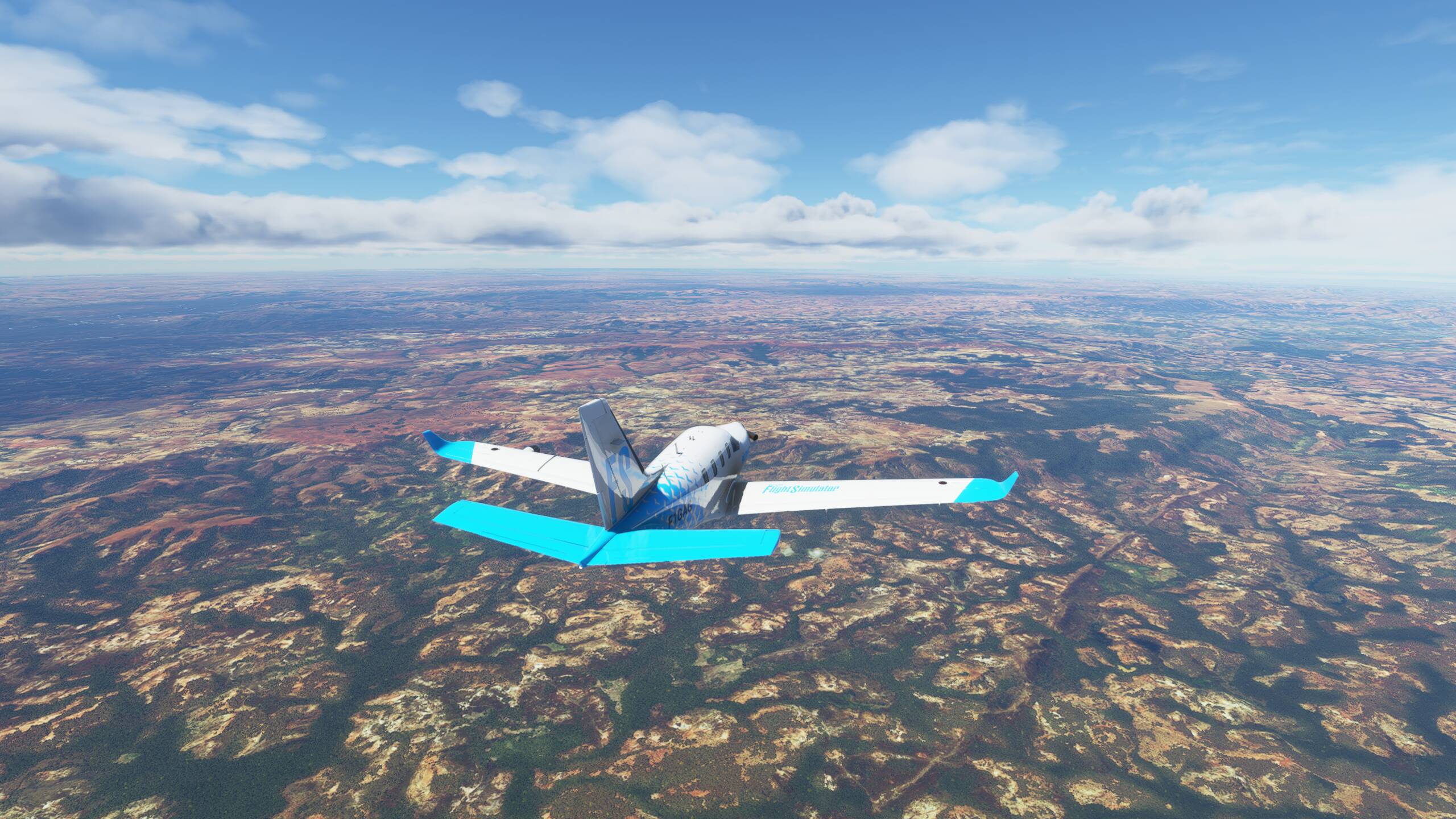
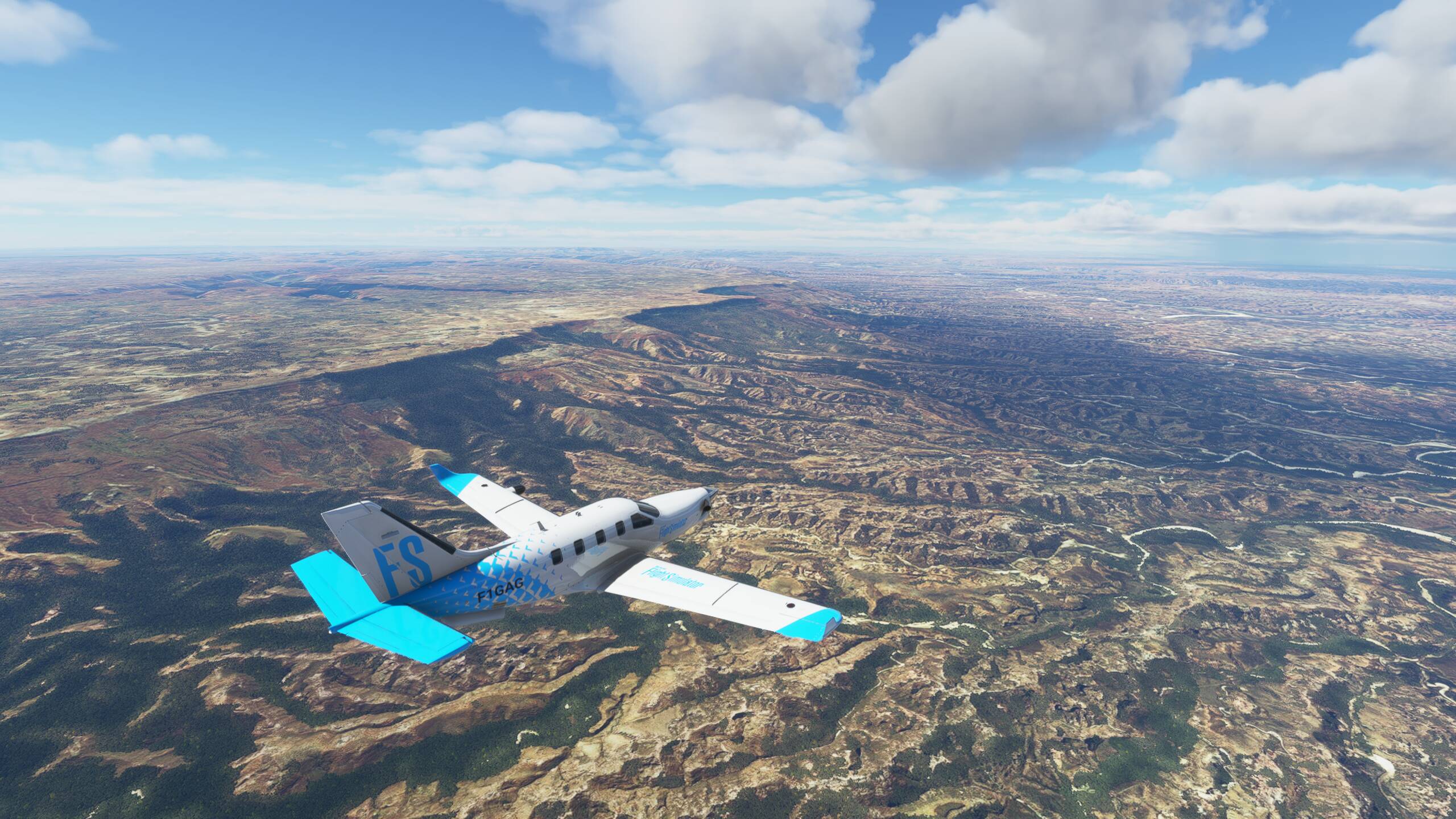
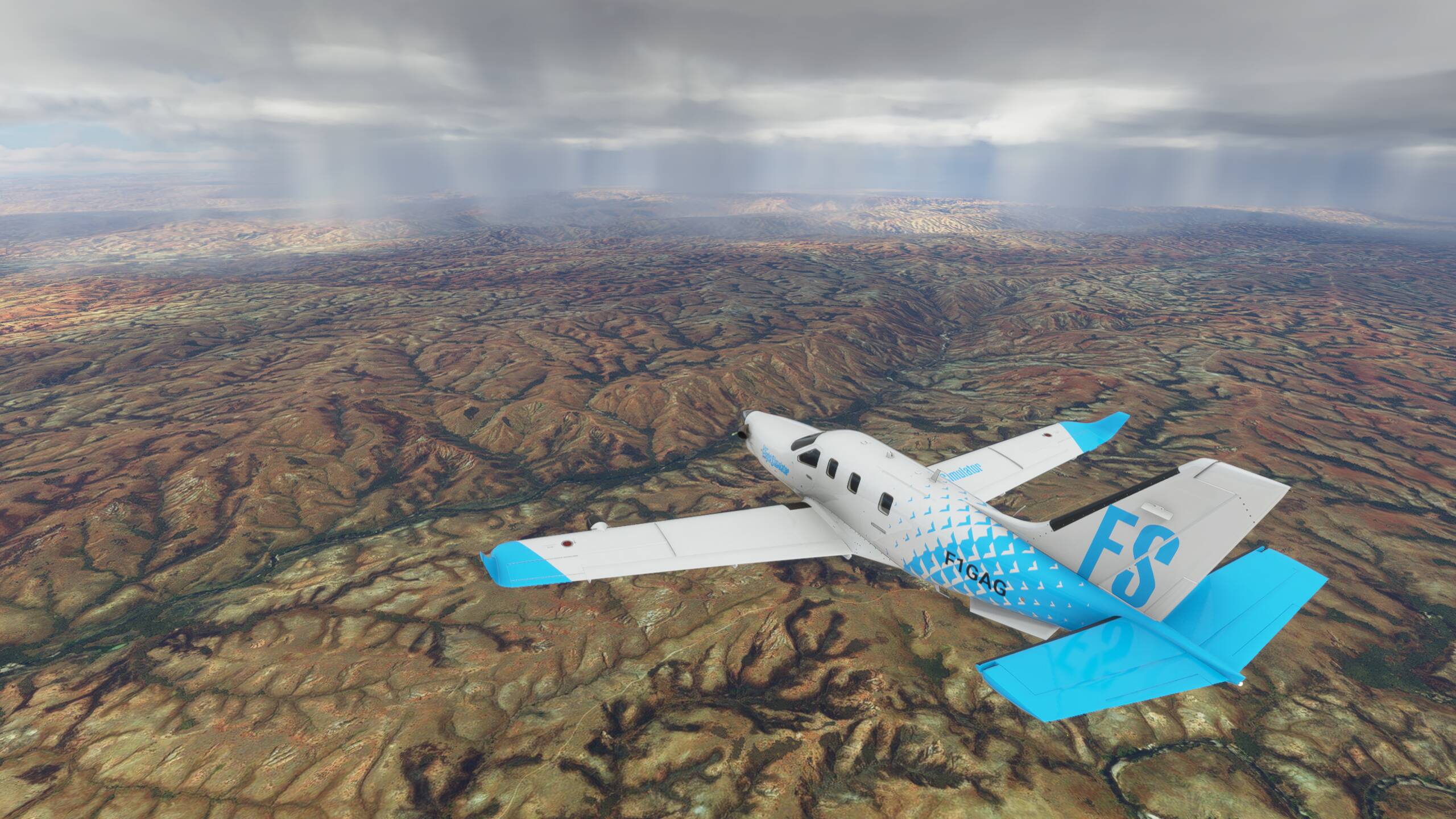
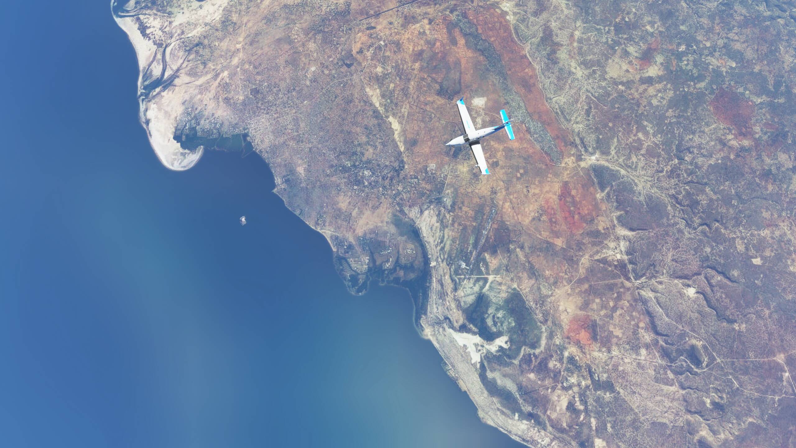
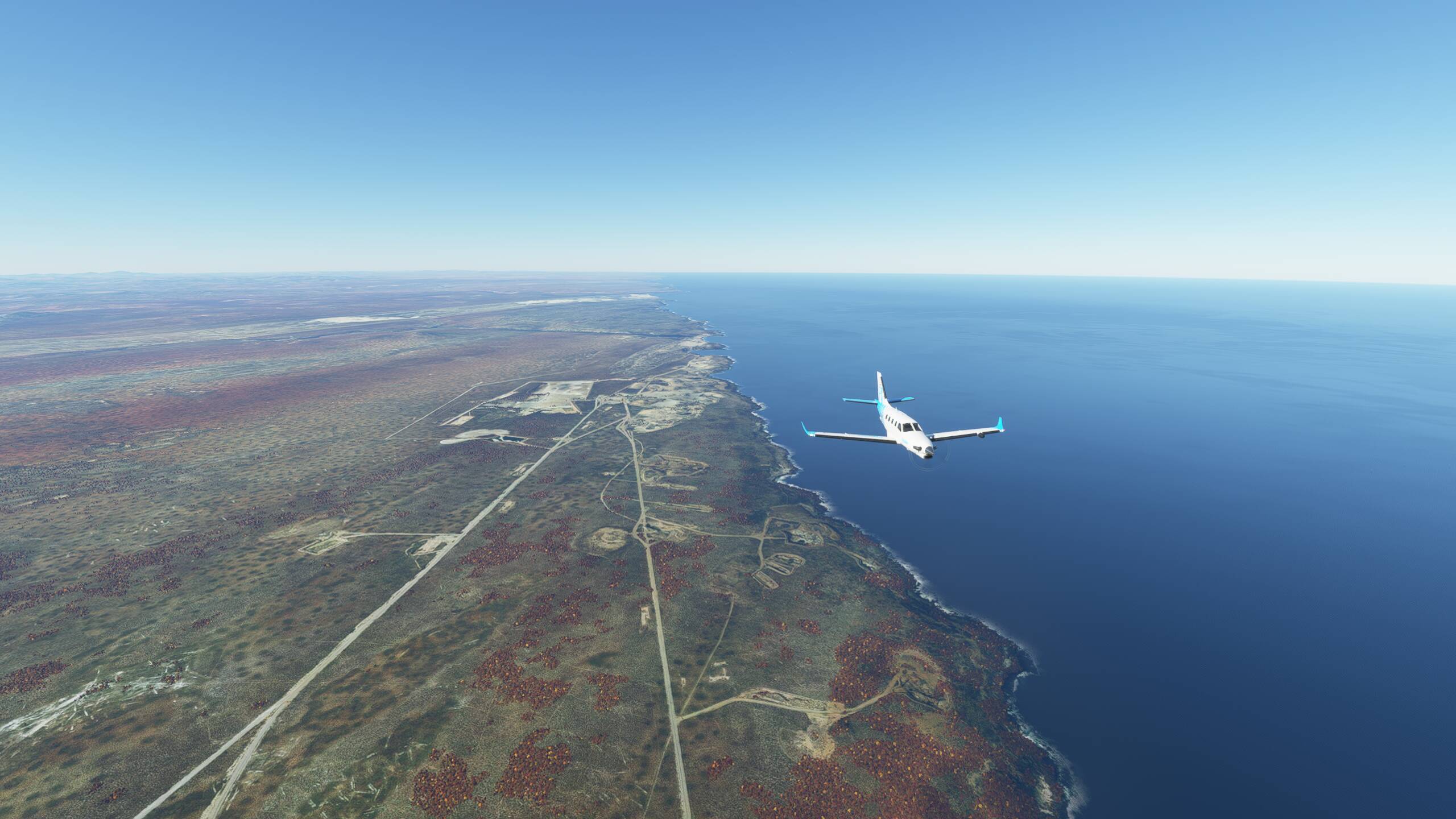
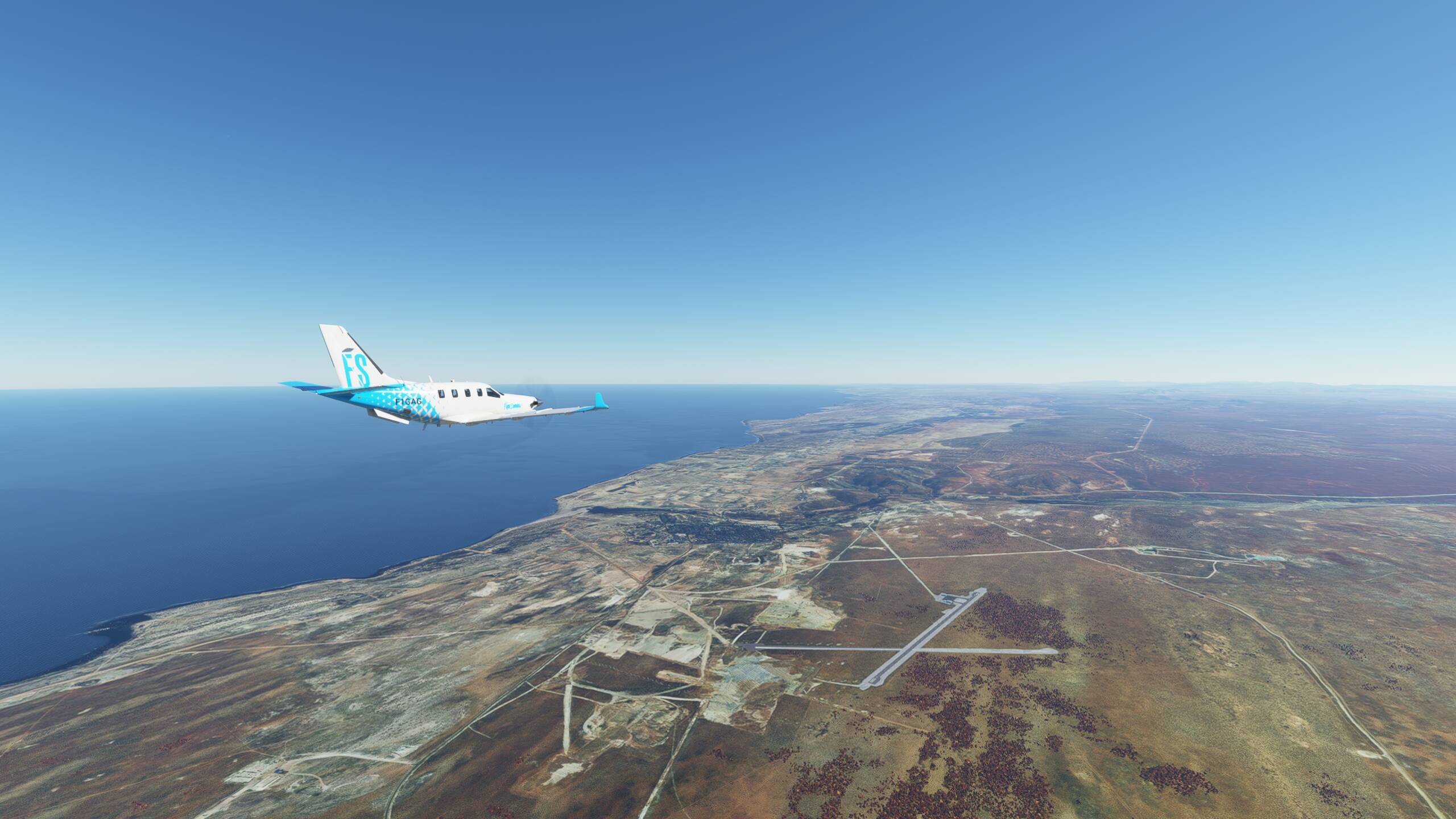
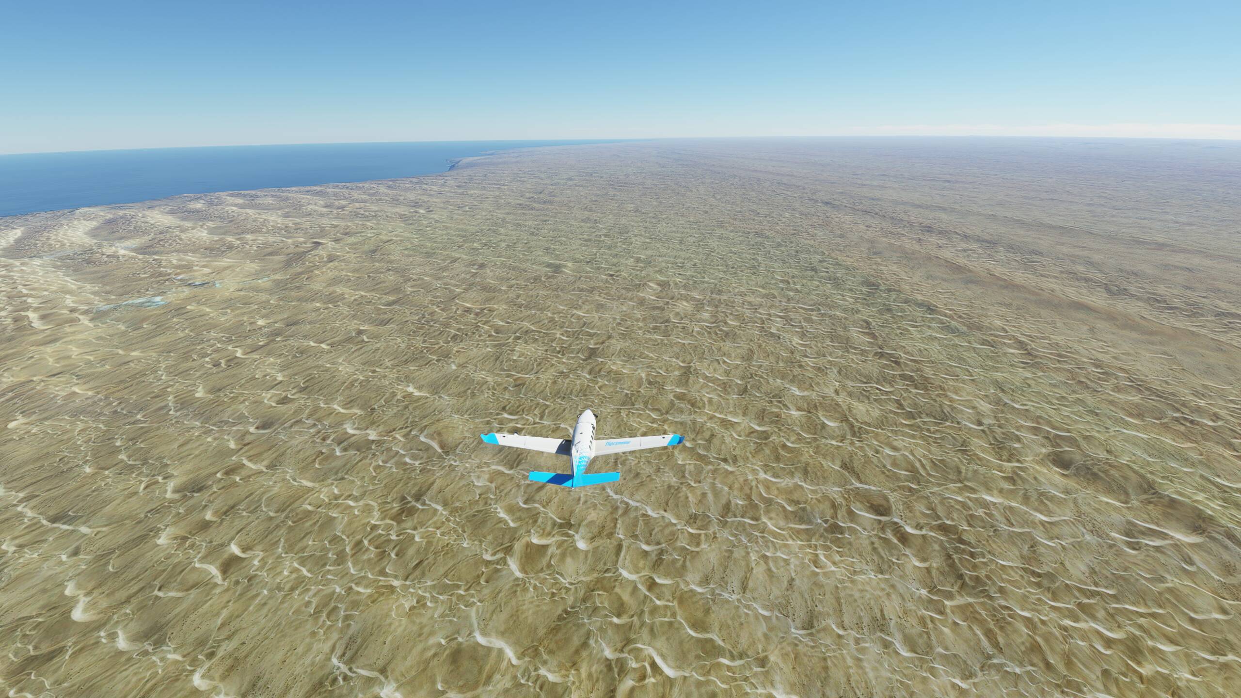
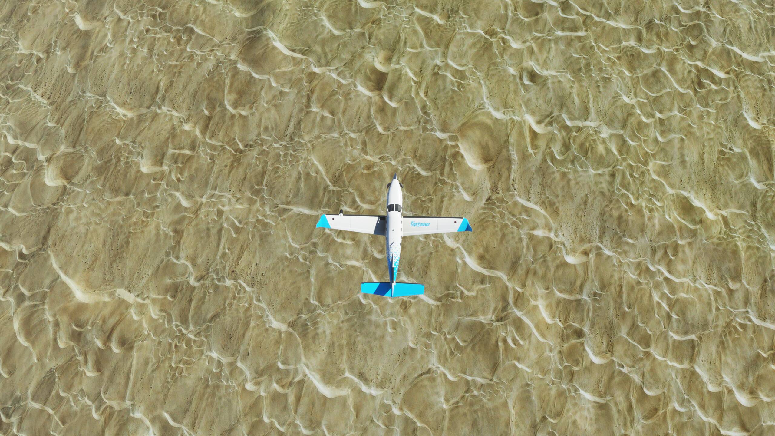
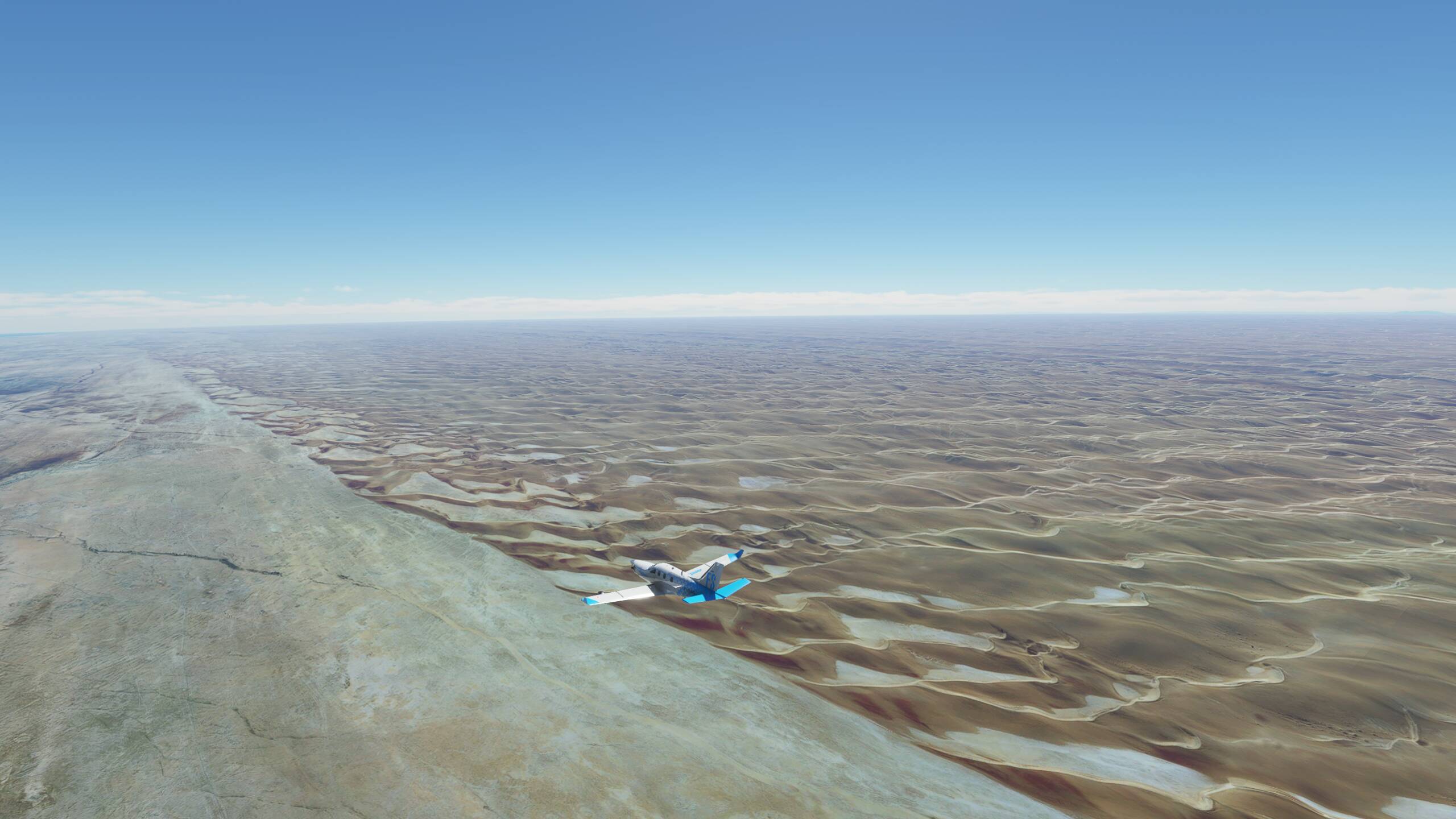
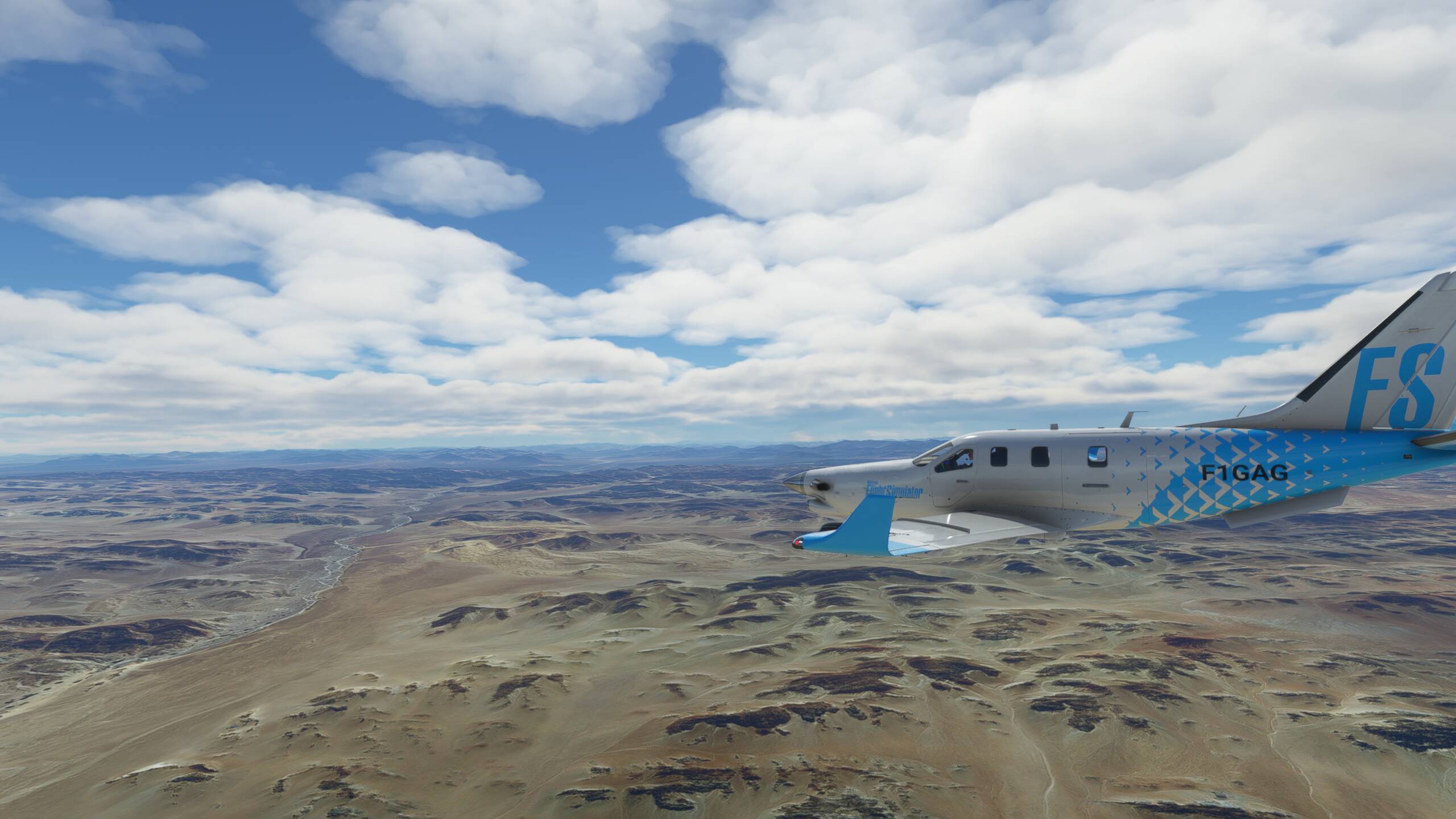
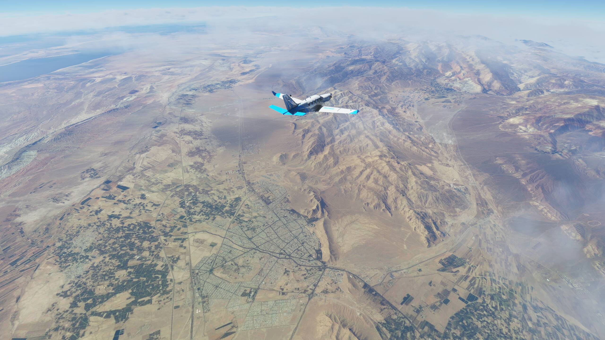
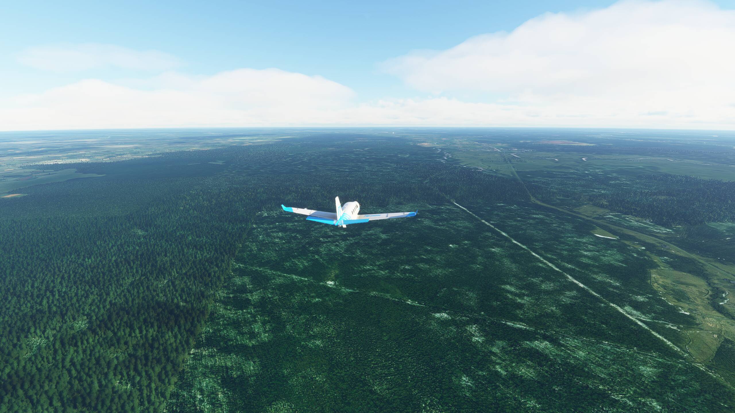
And guess what, Iran doesn’t seem any different - but still spectacular
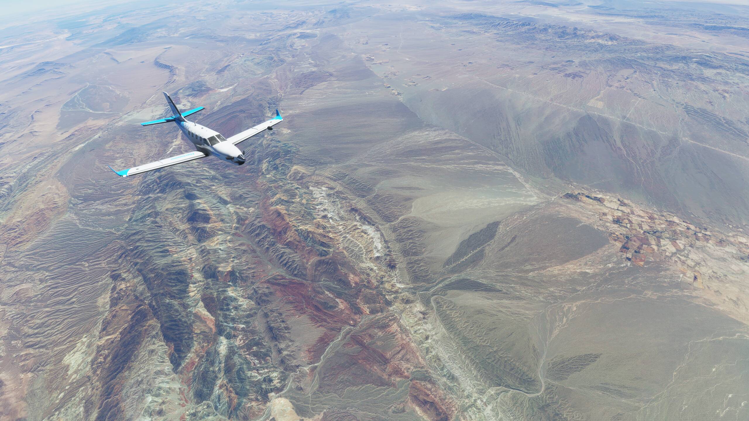
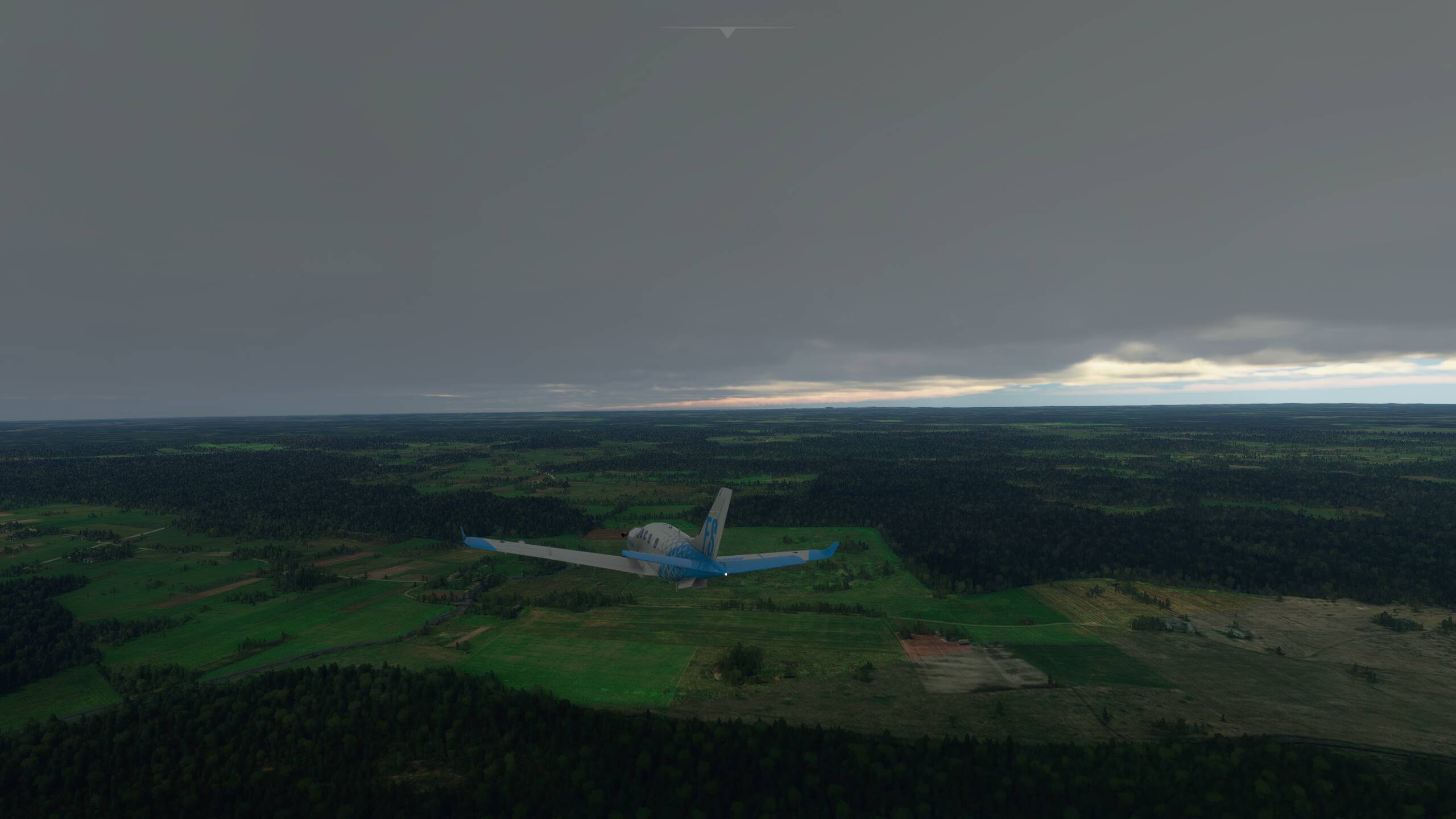
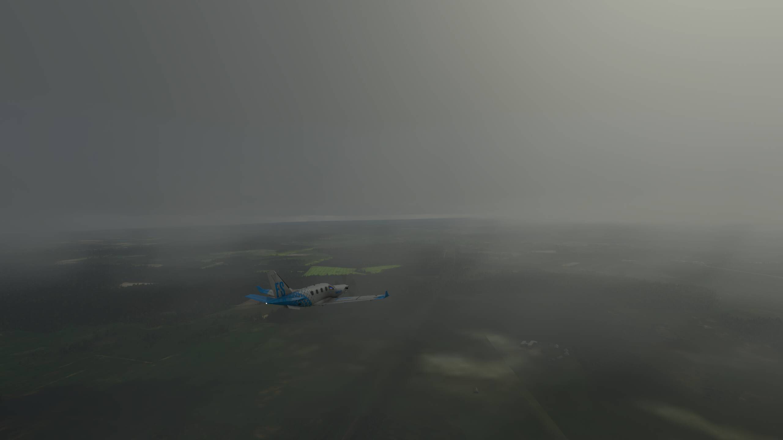
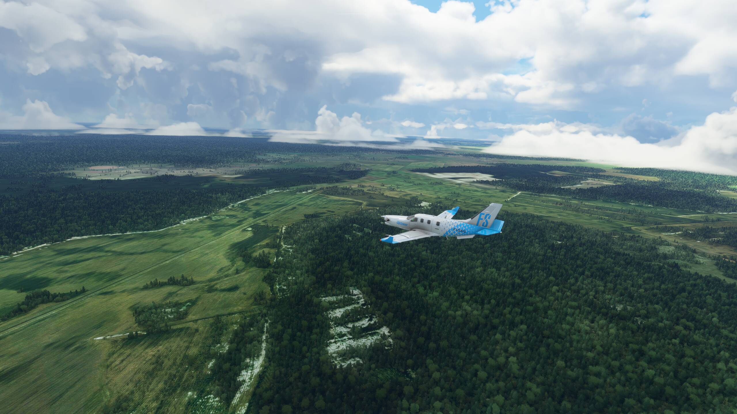
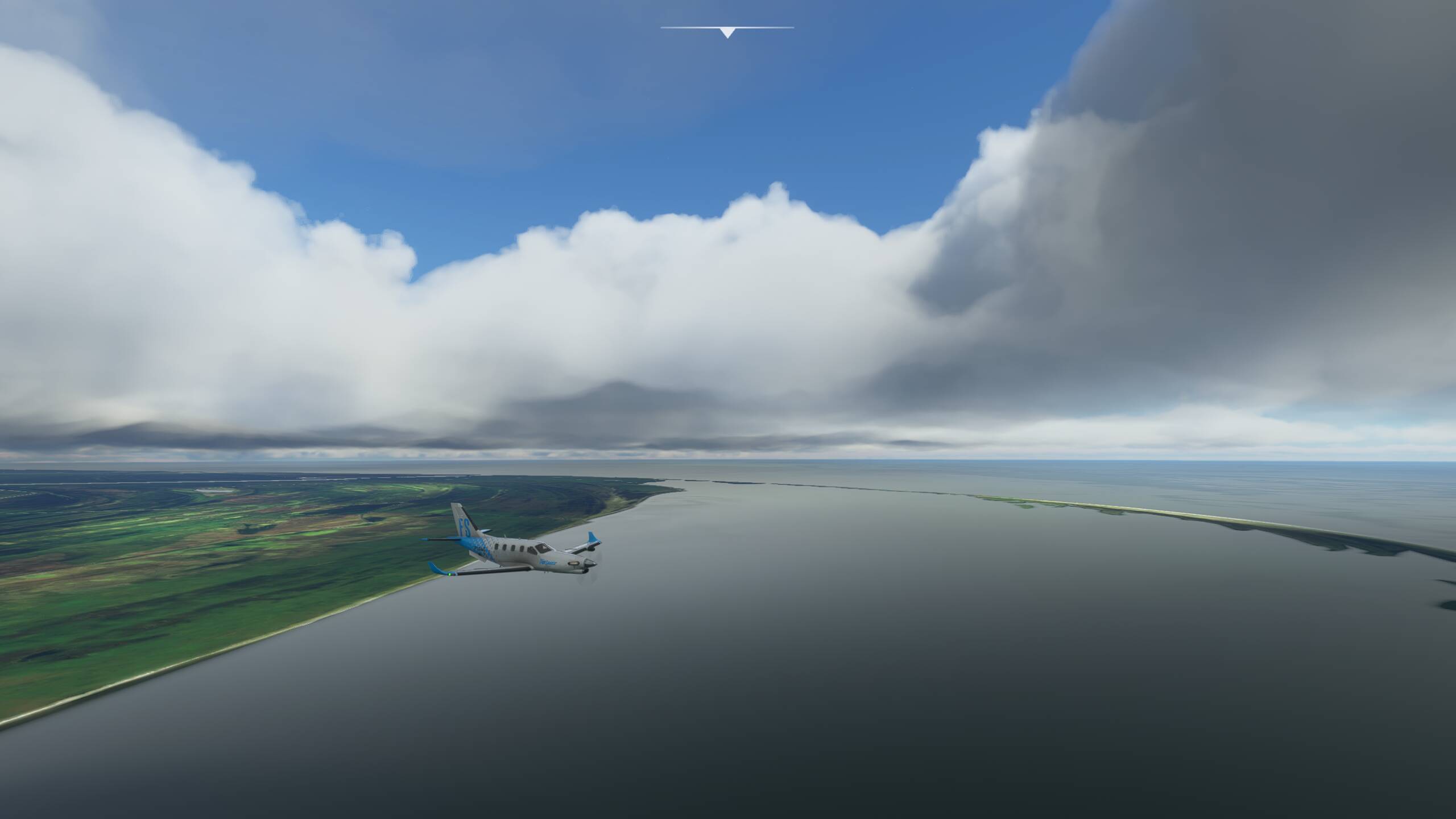
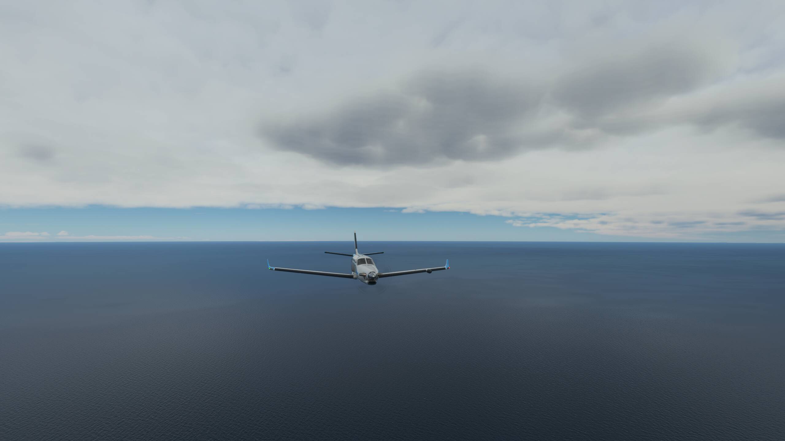
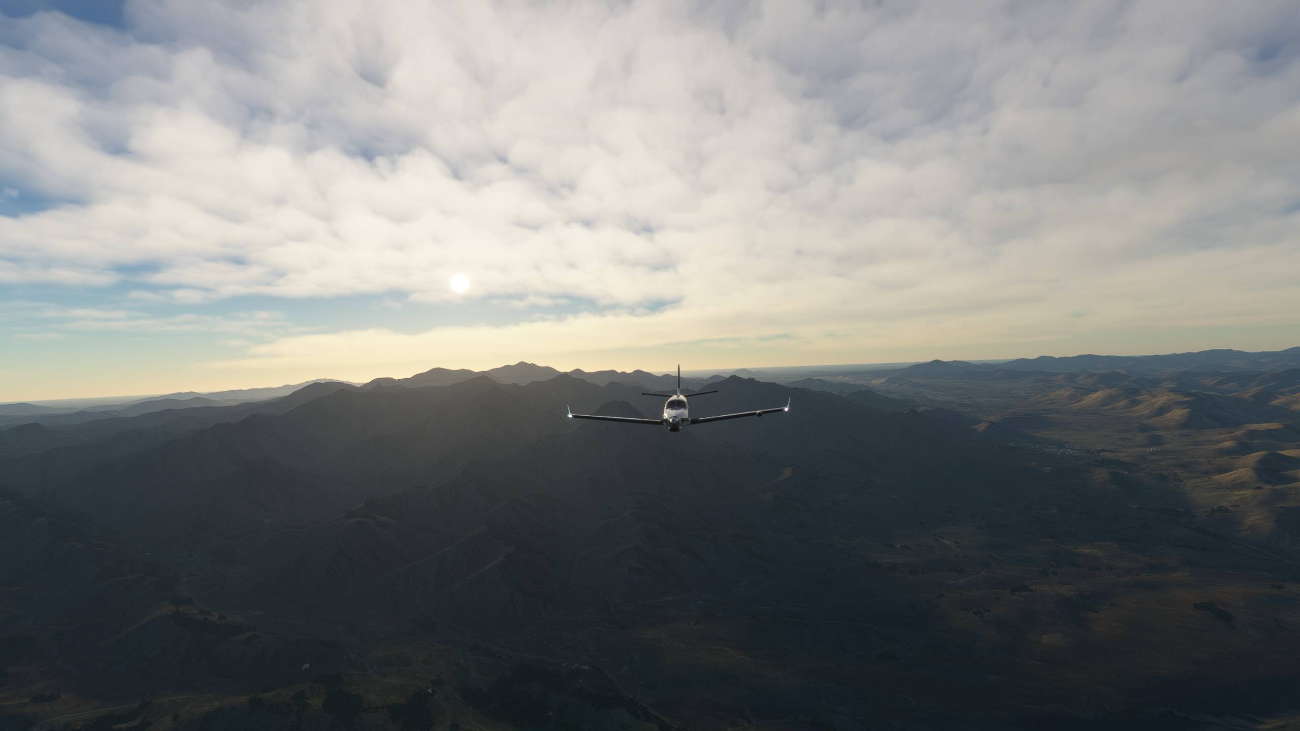
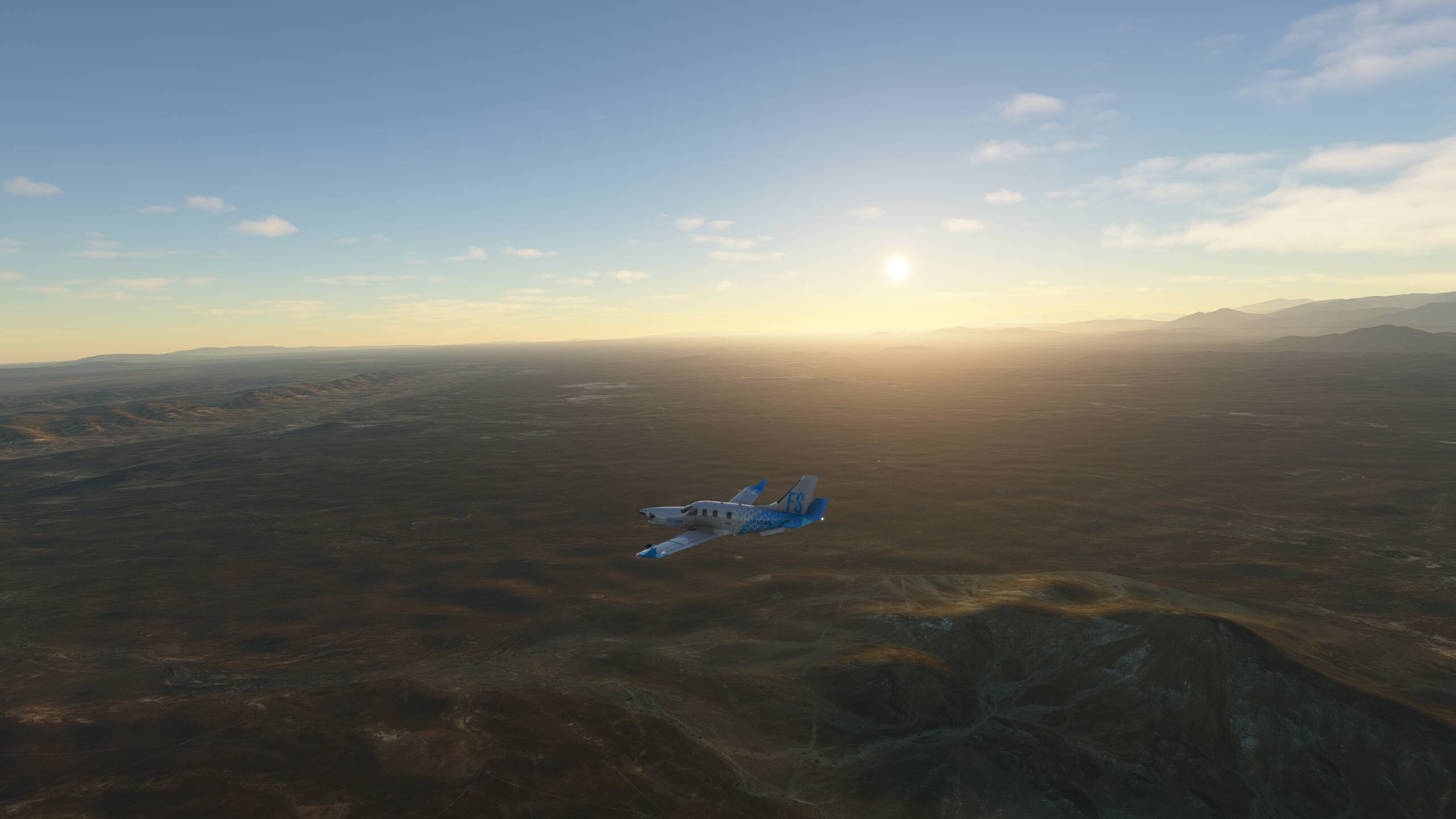
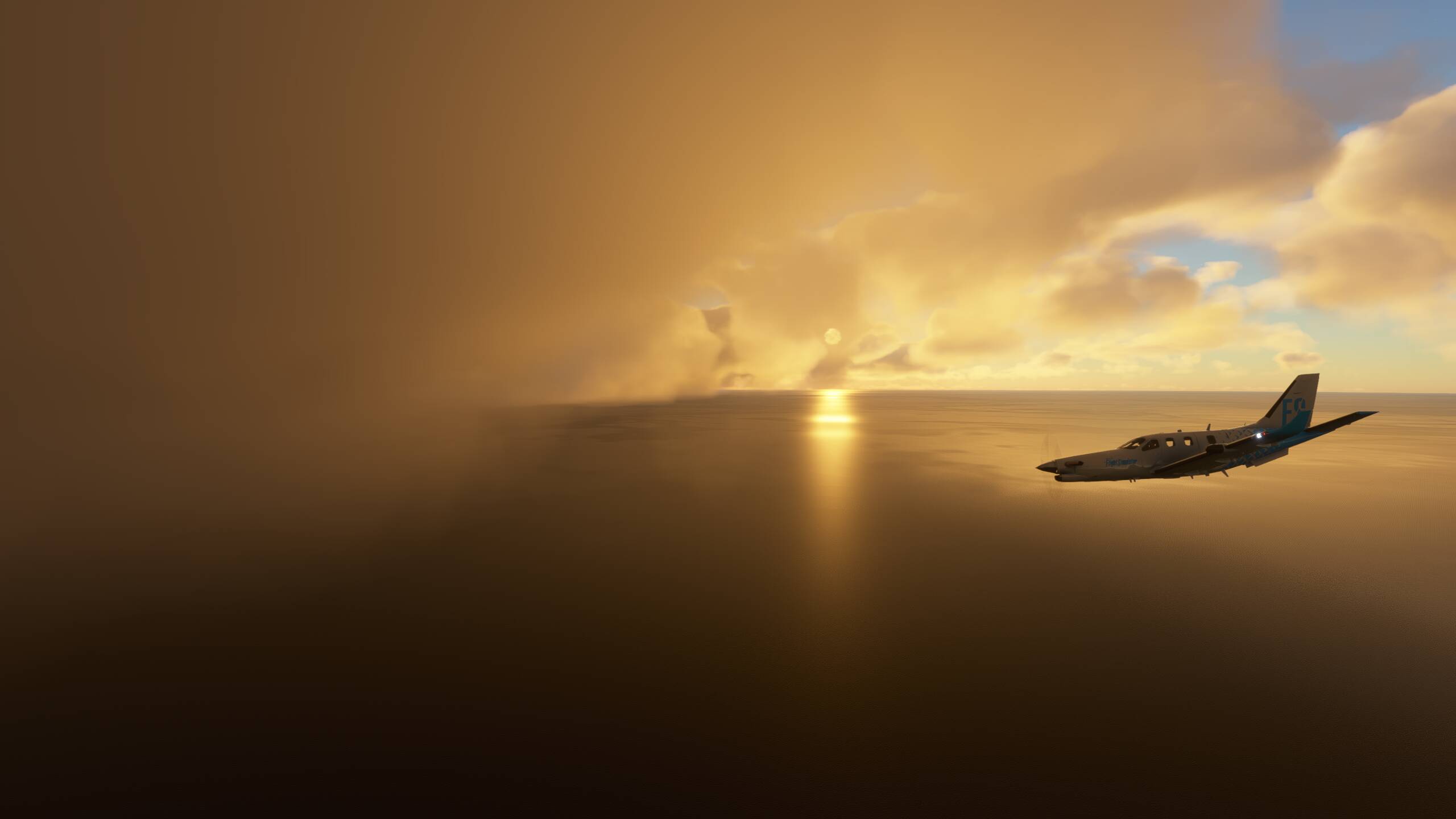
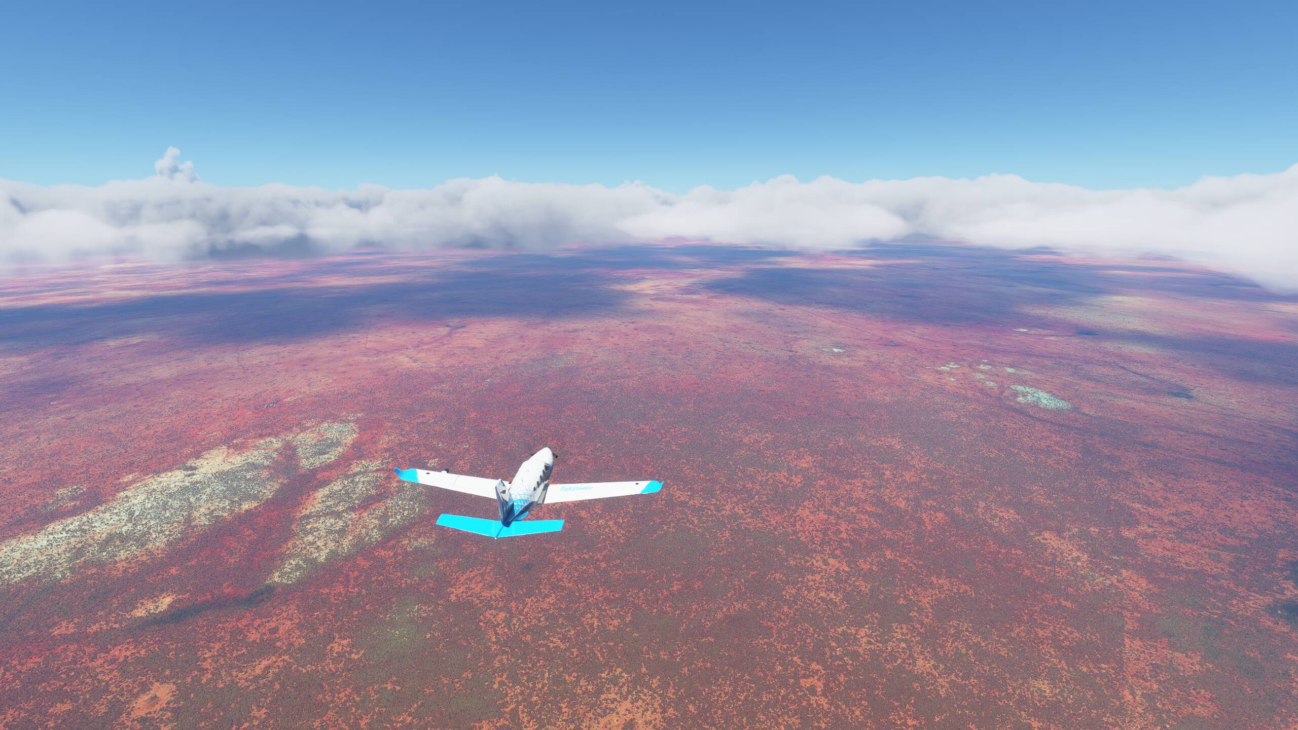
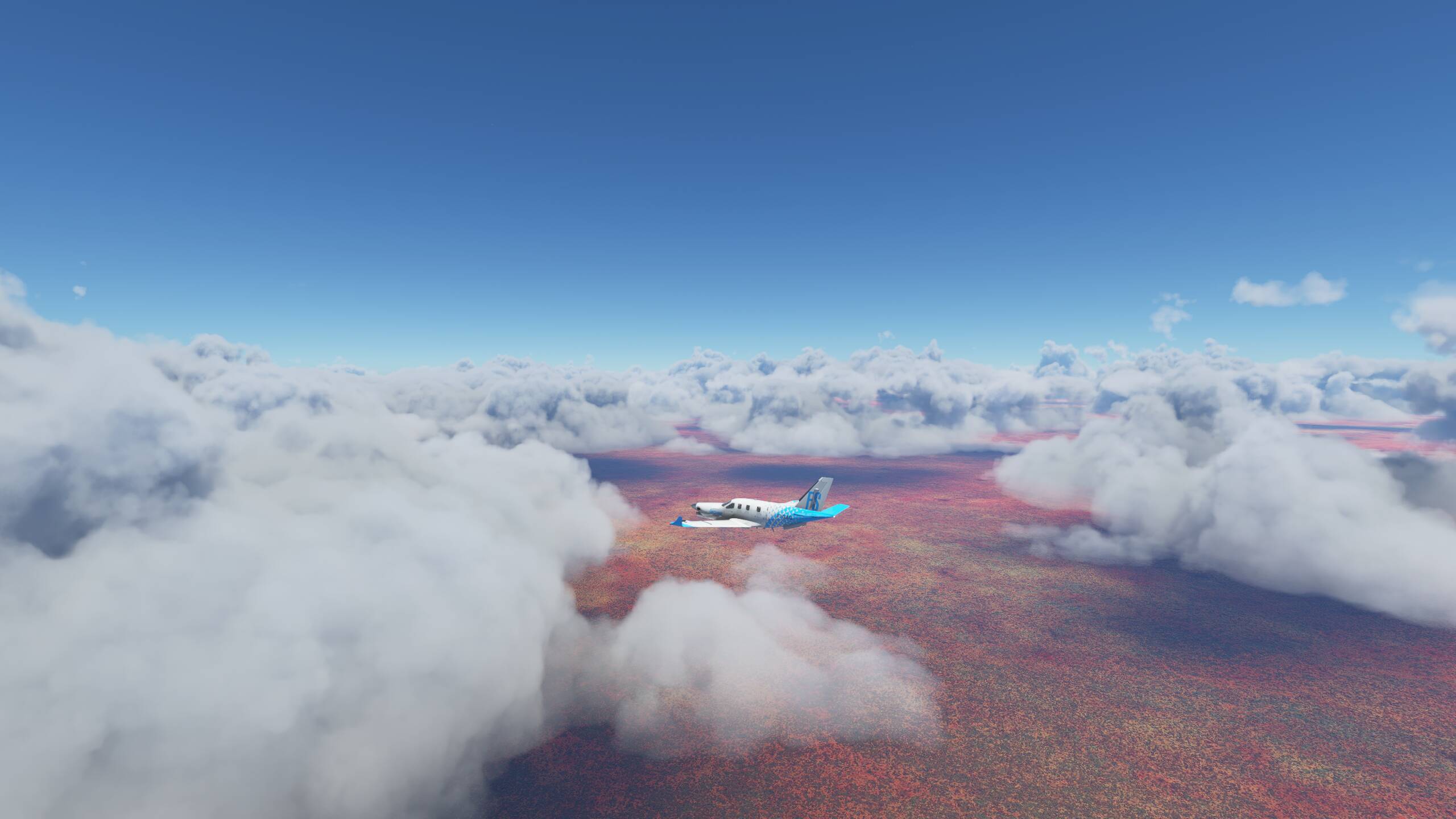
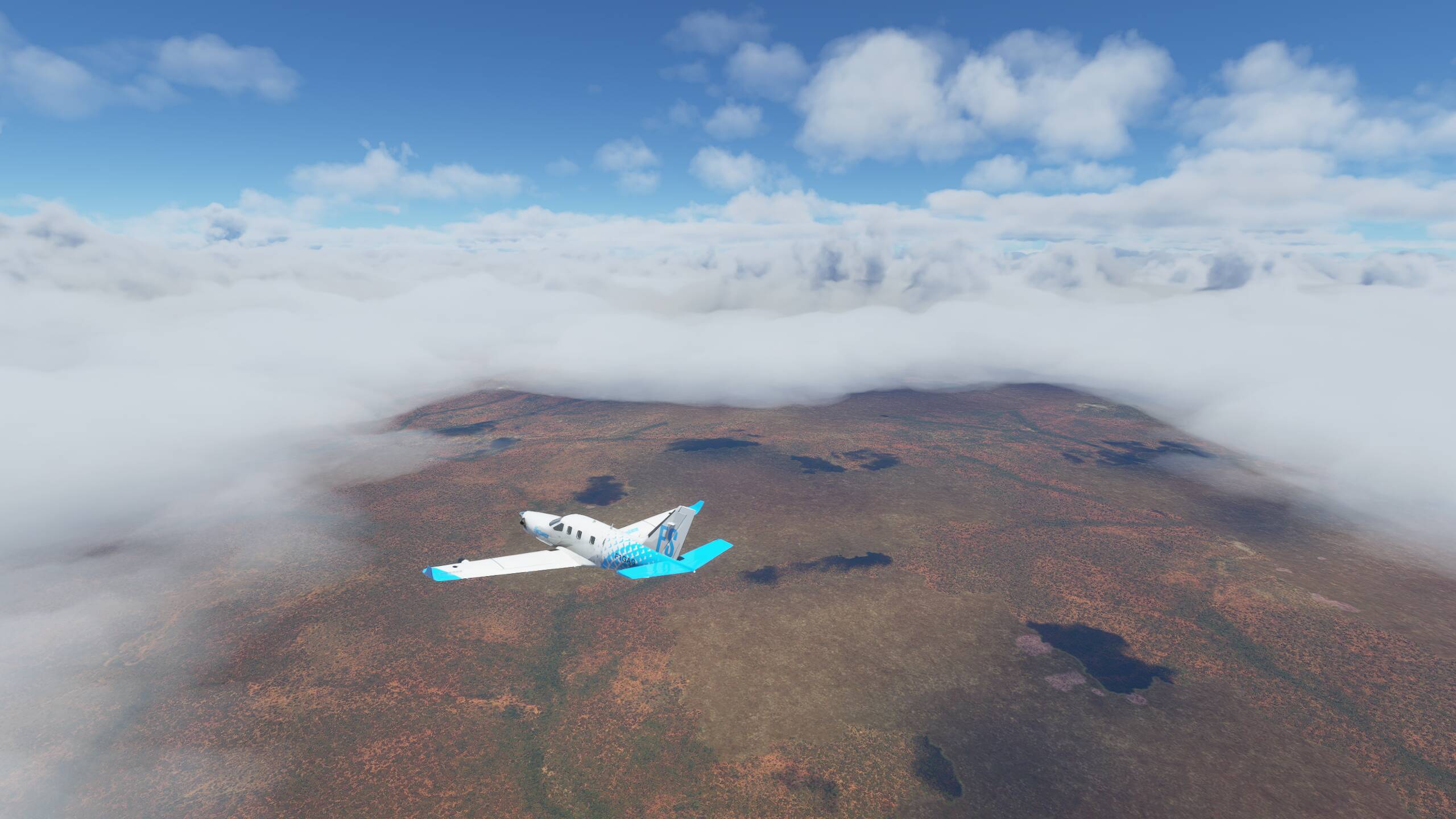
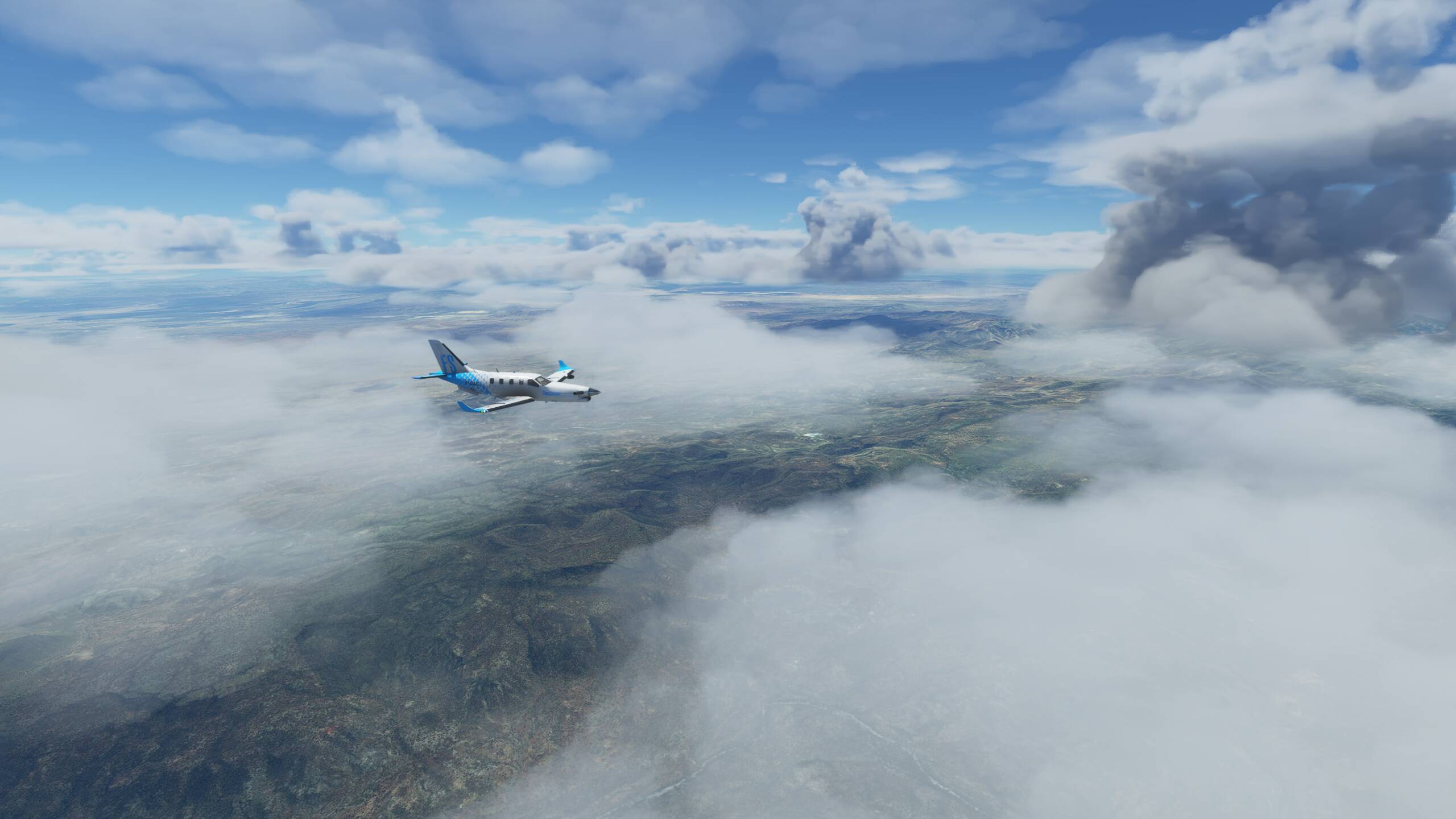
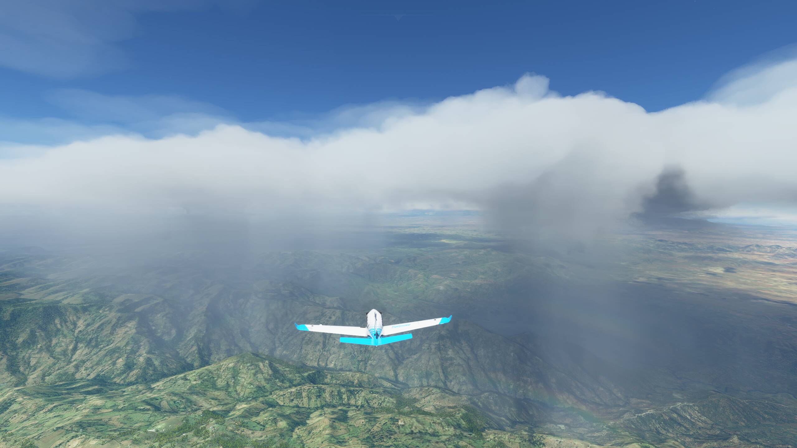
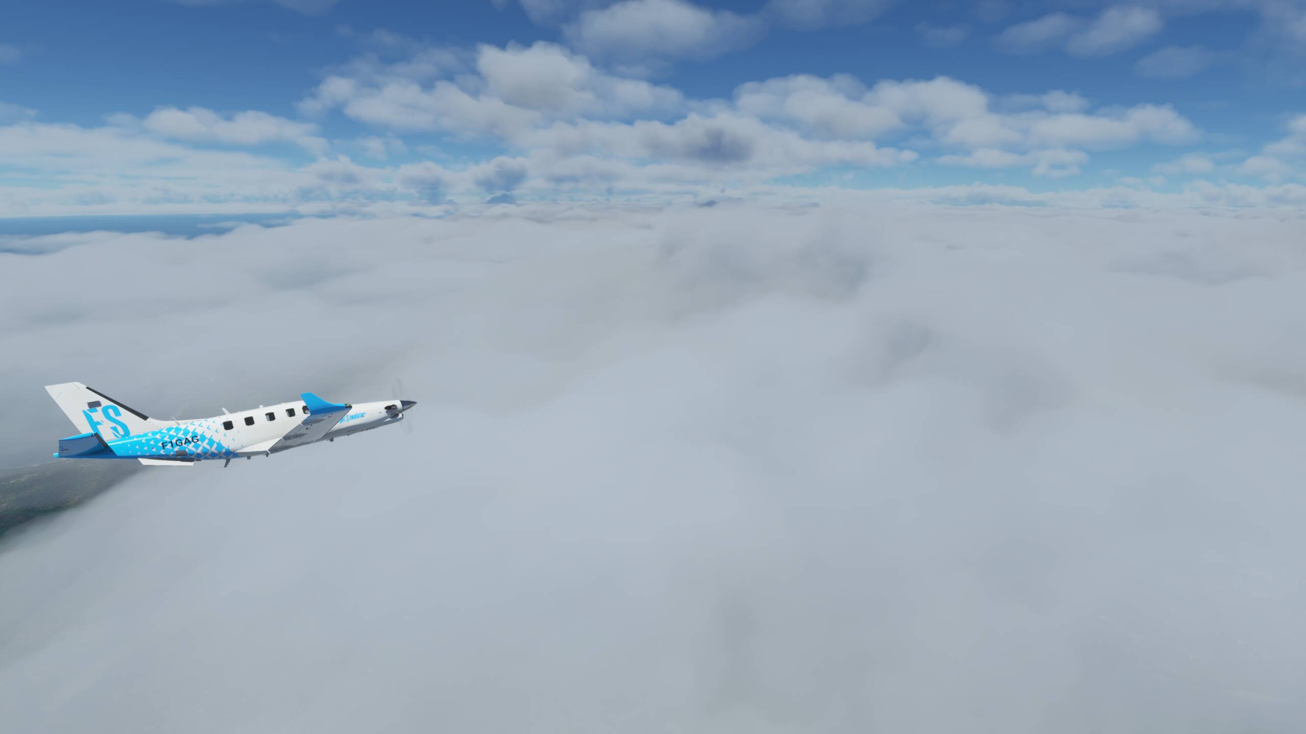
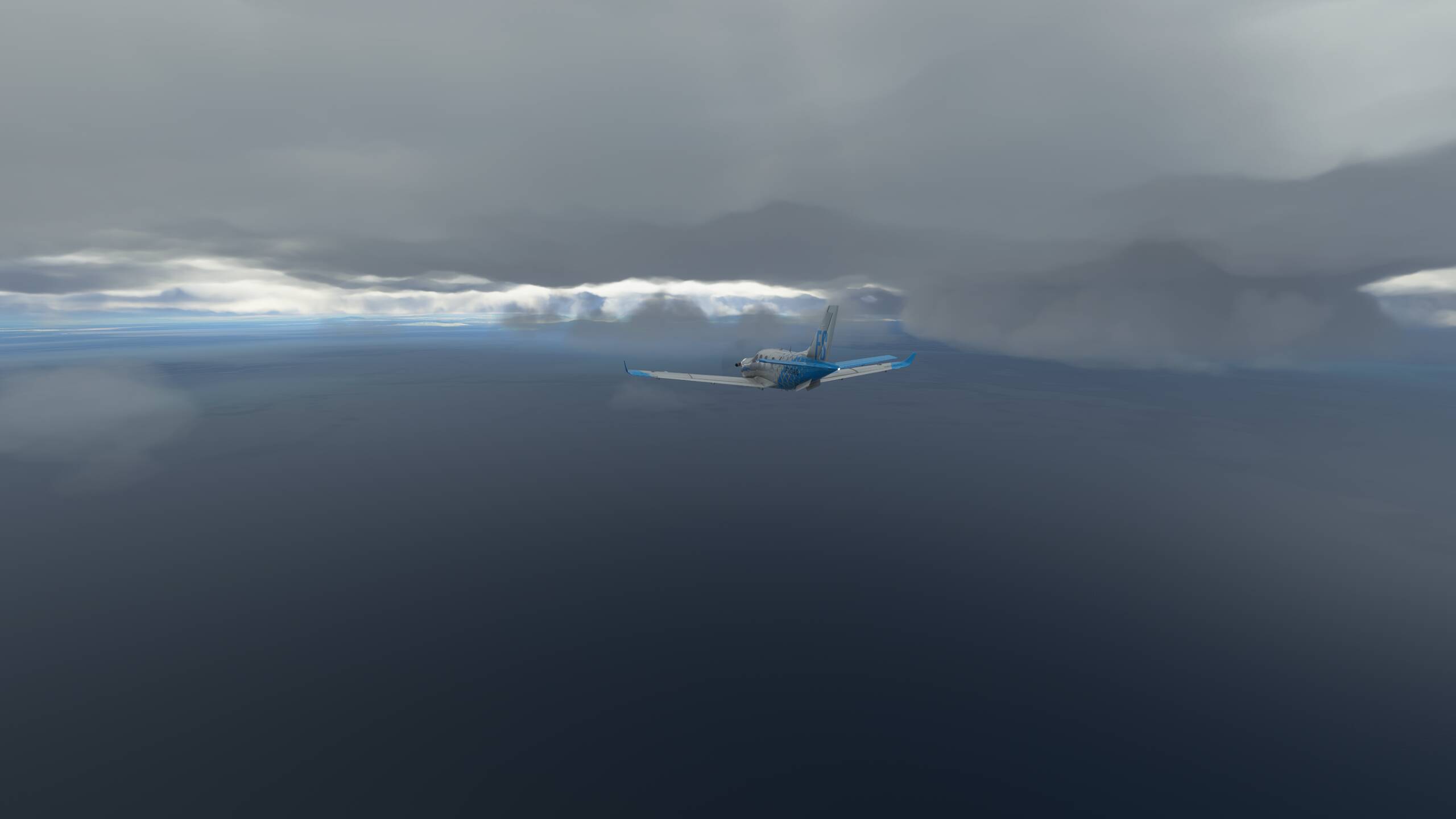
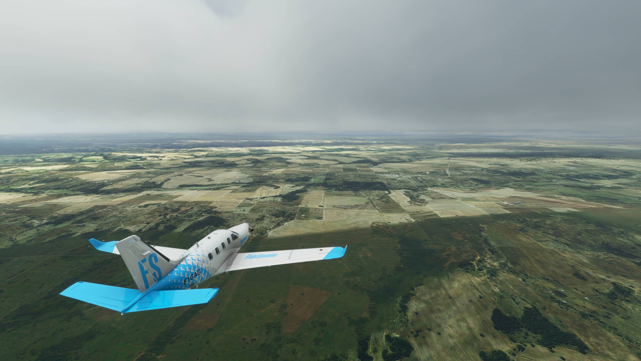
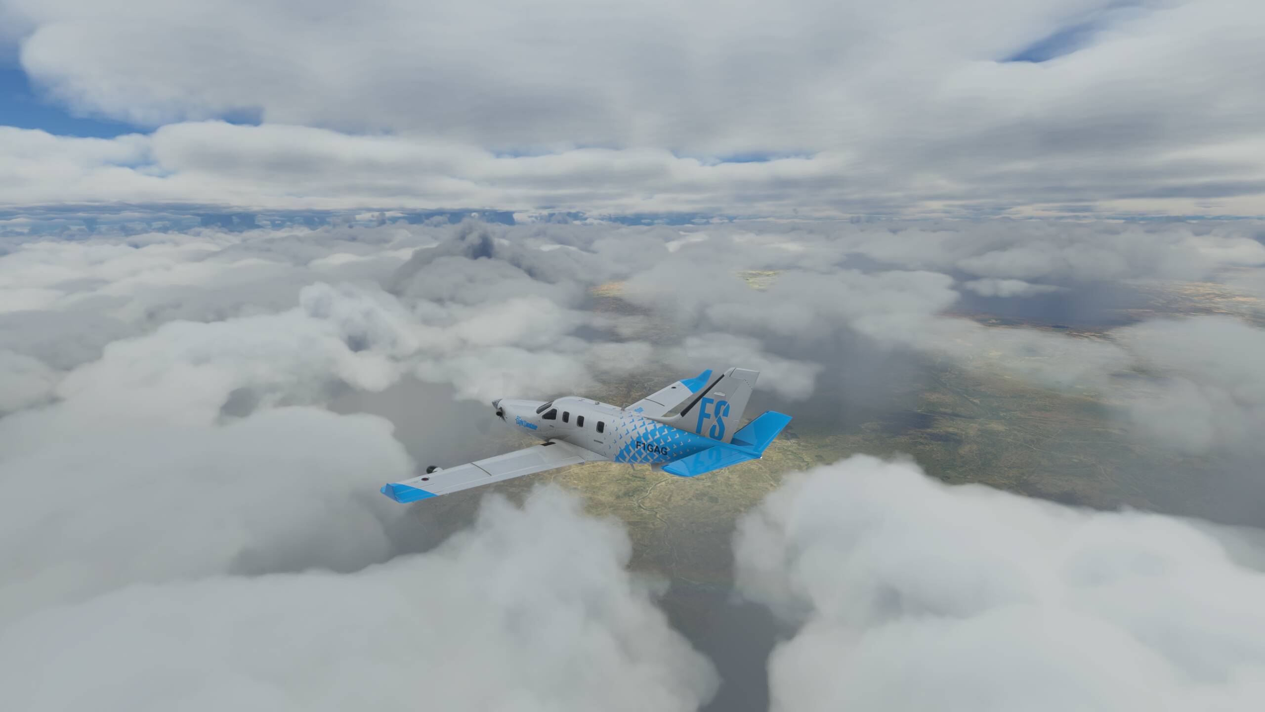
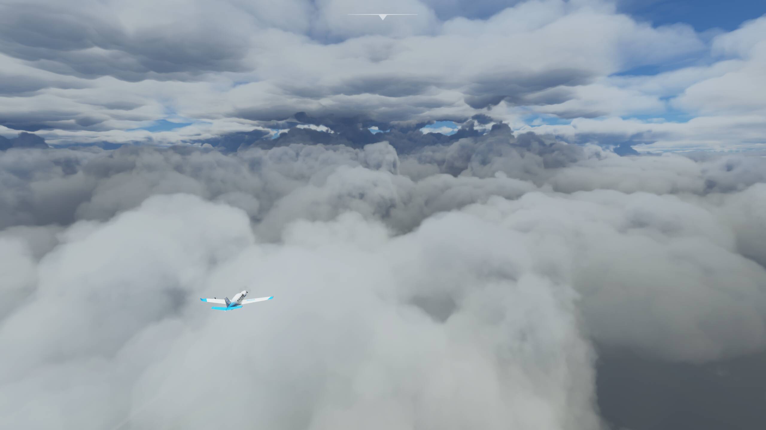
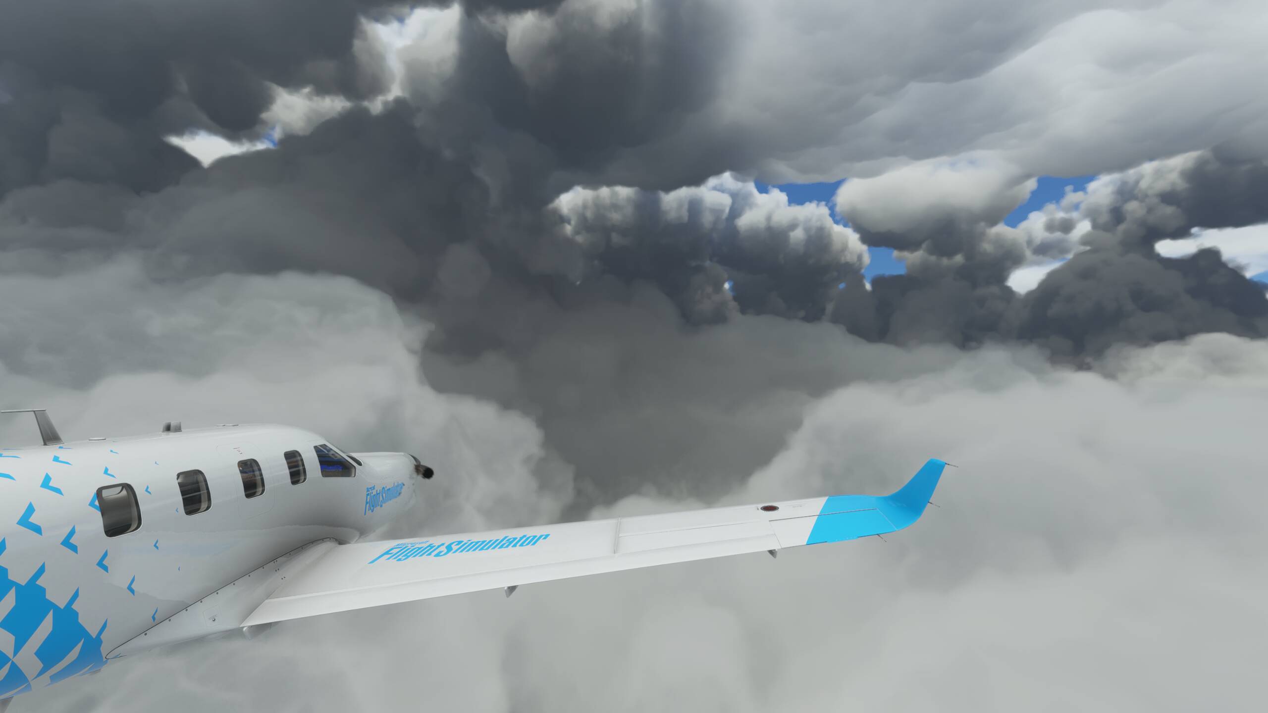
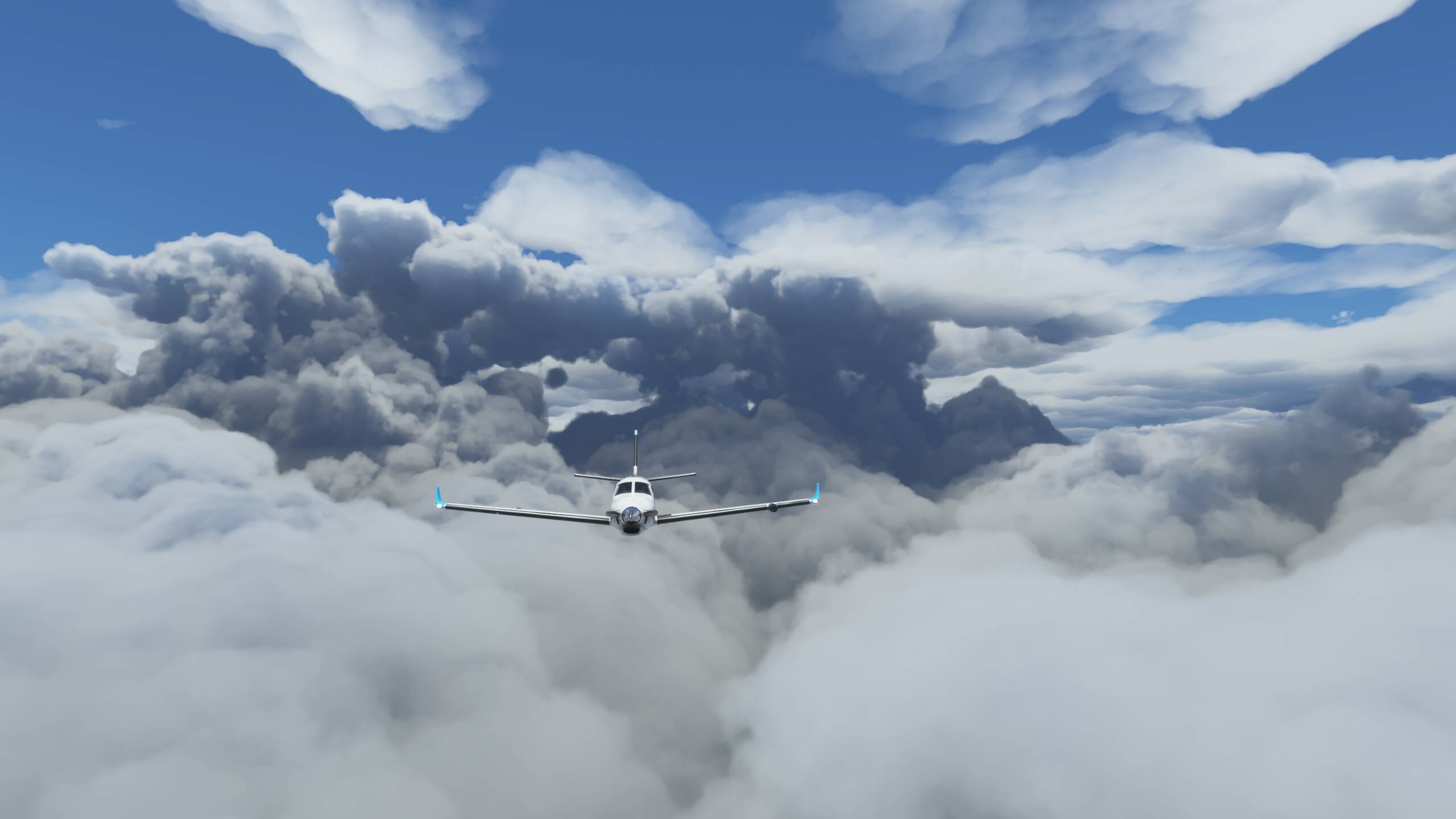
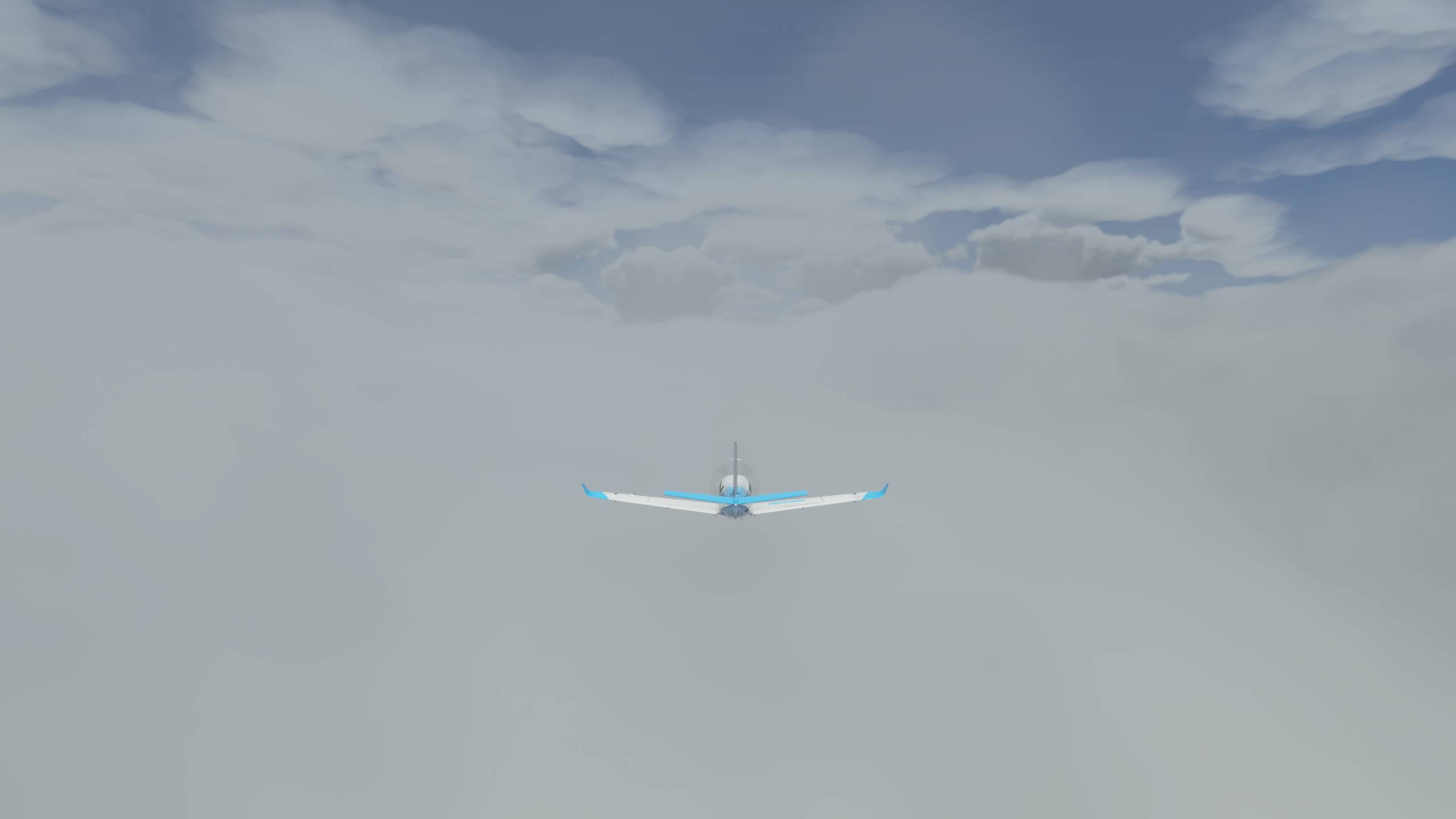
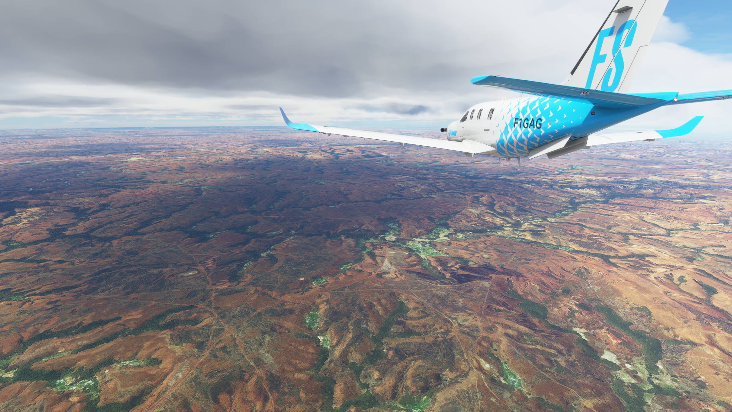
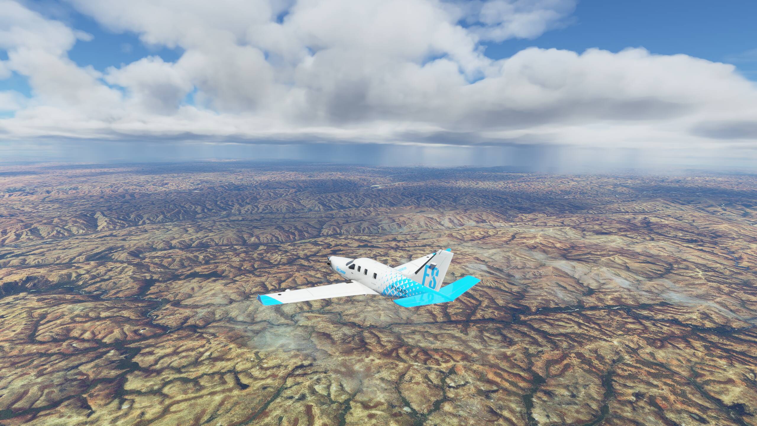
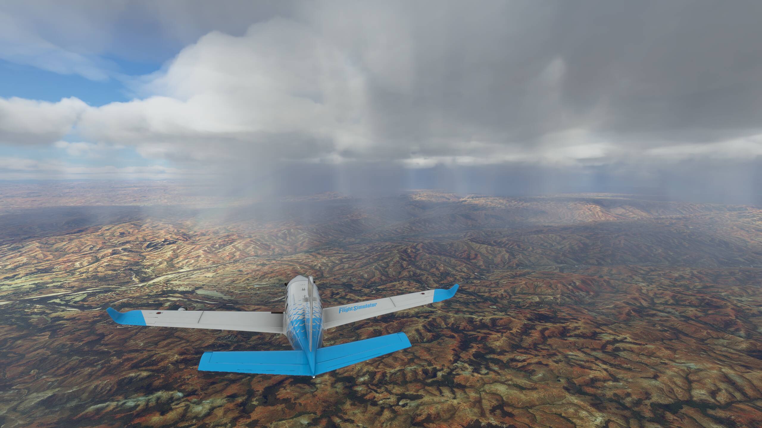
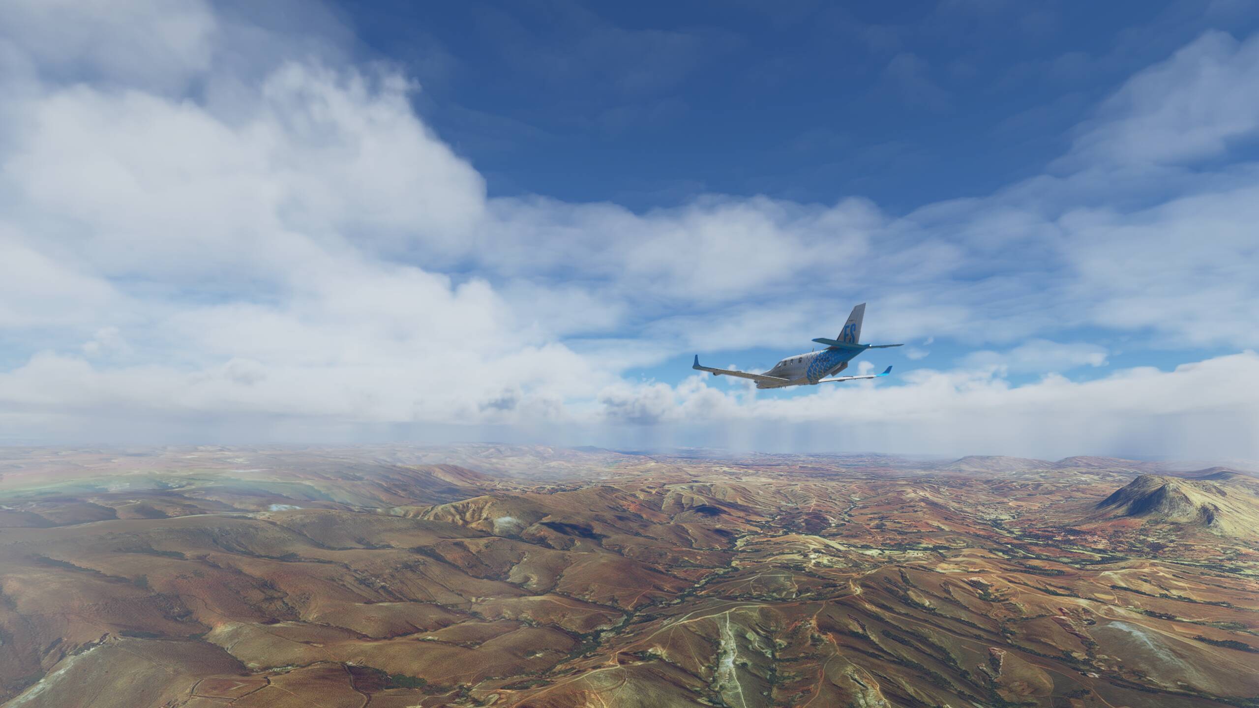
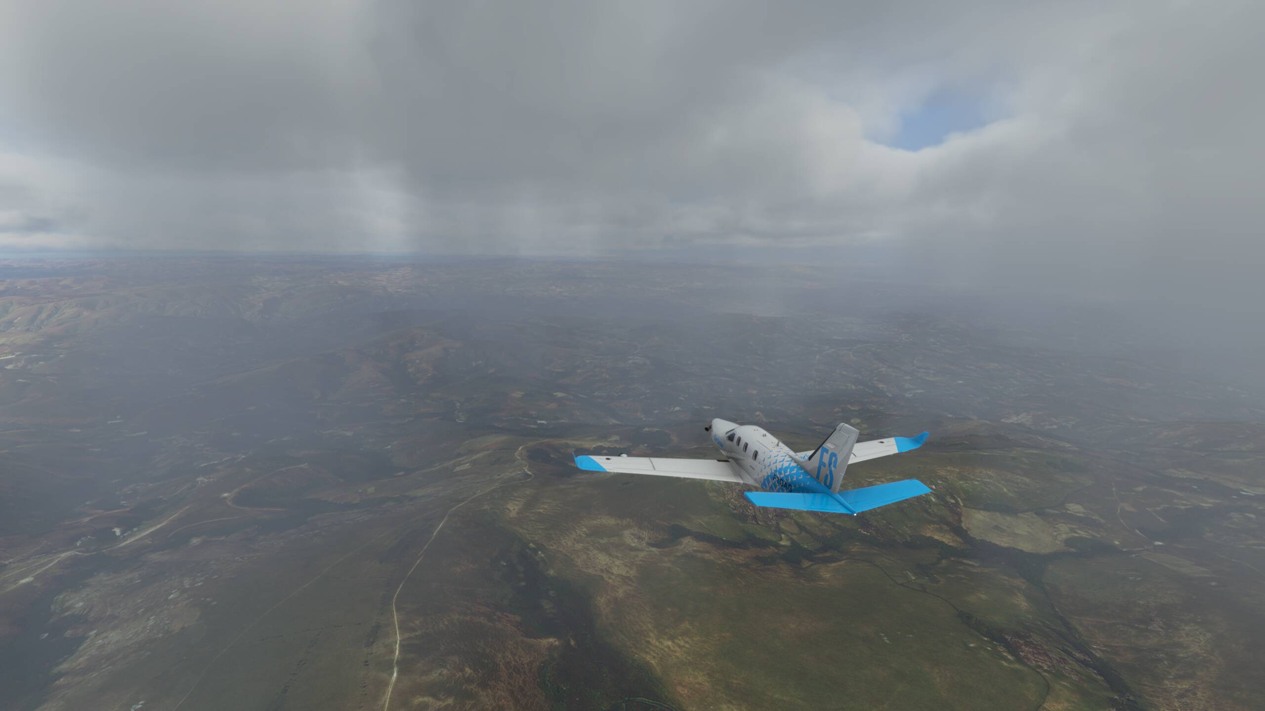
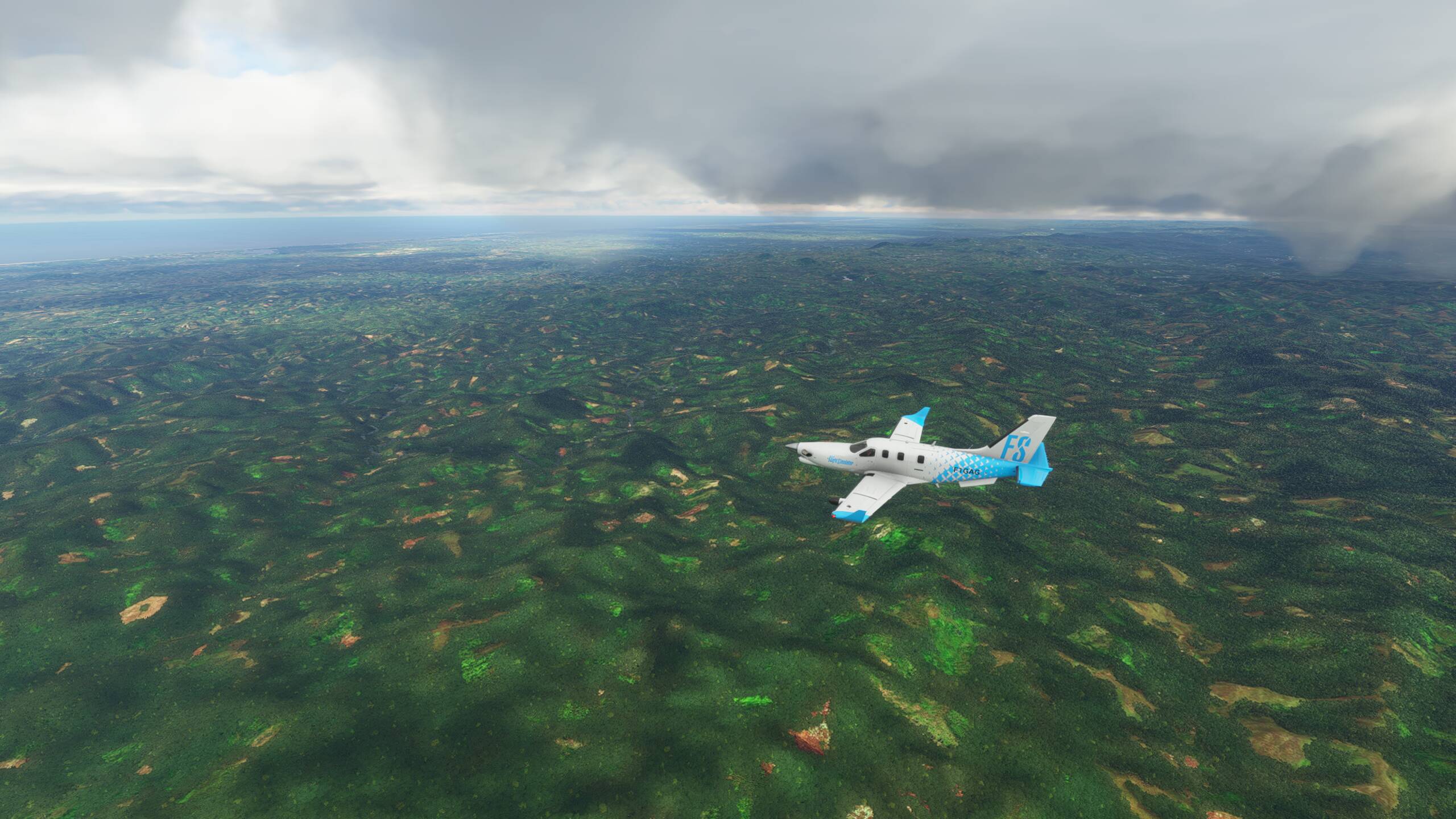
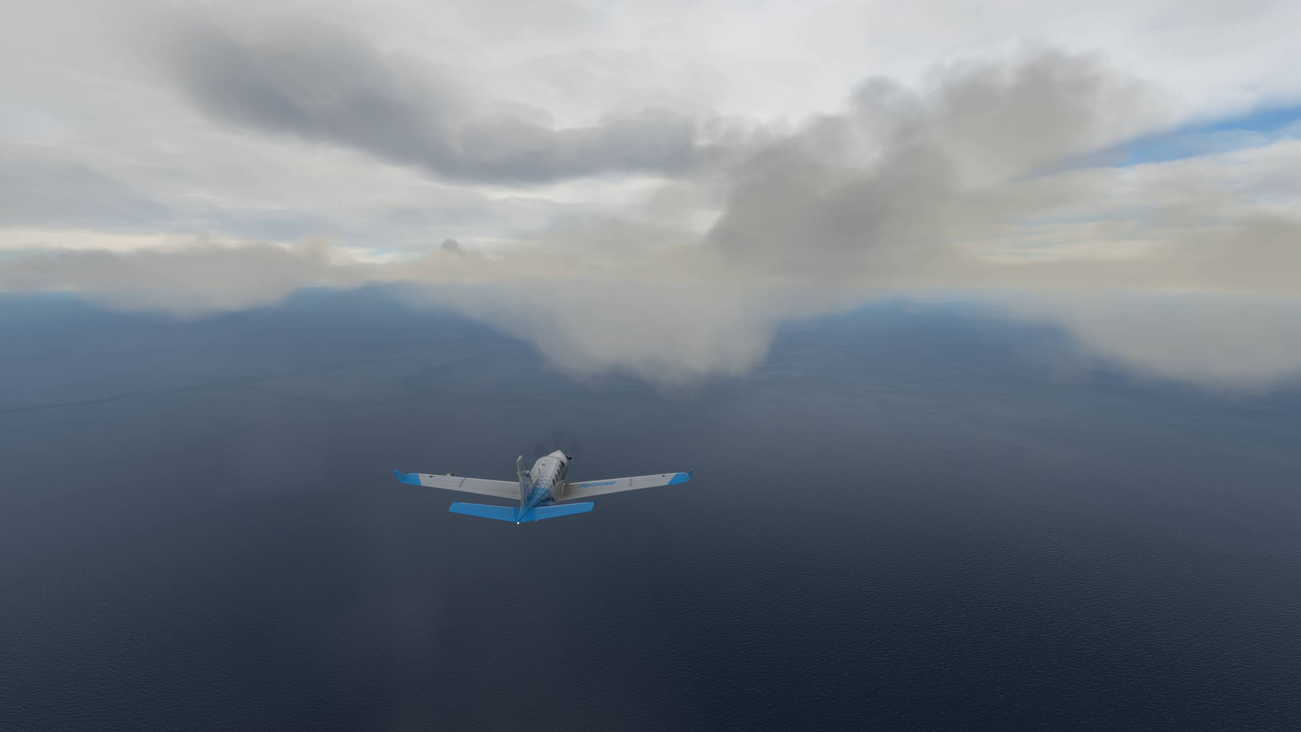
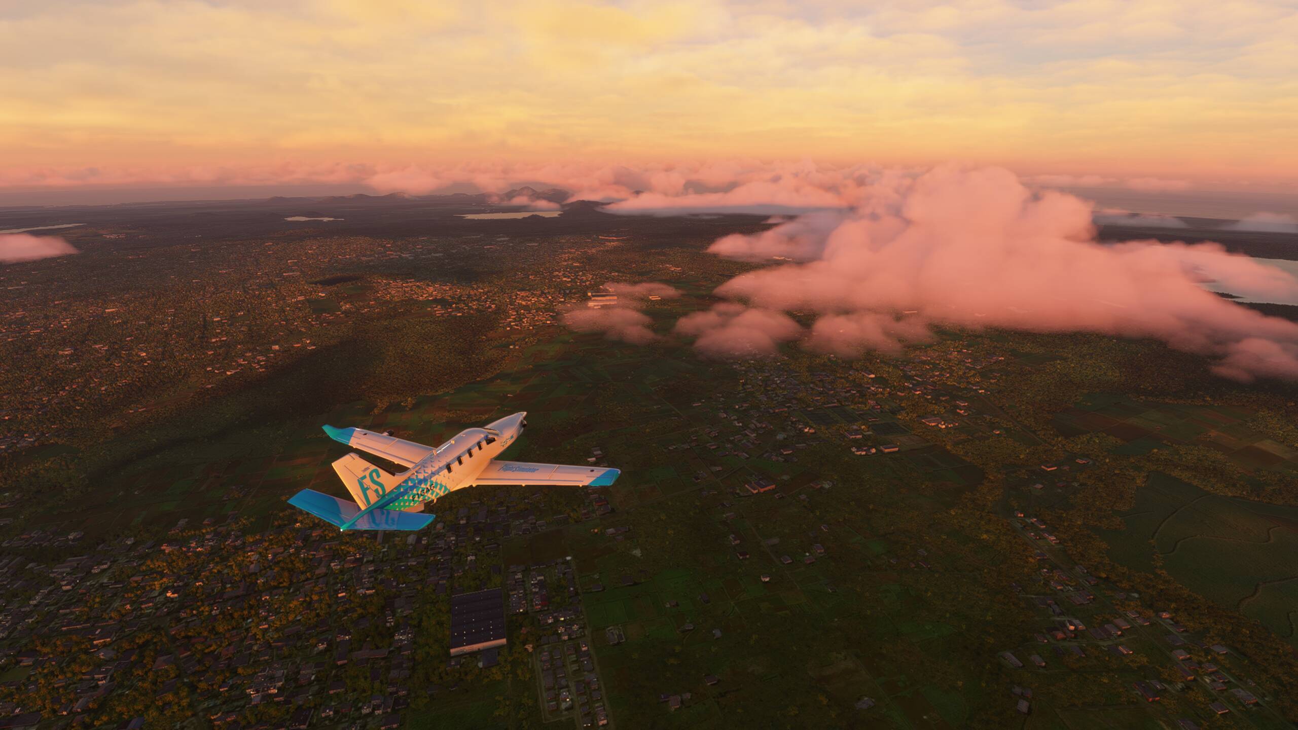
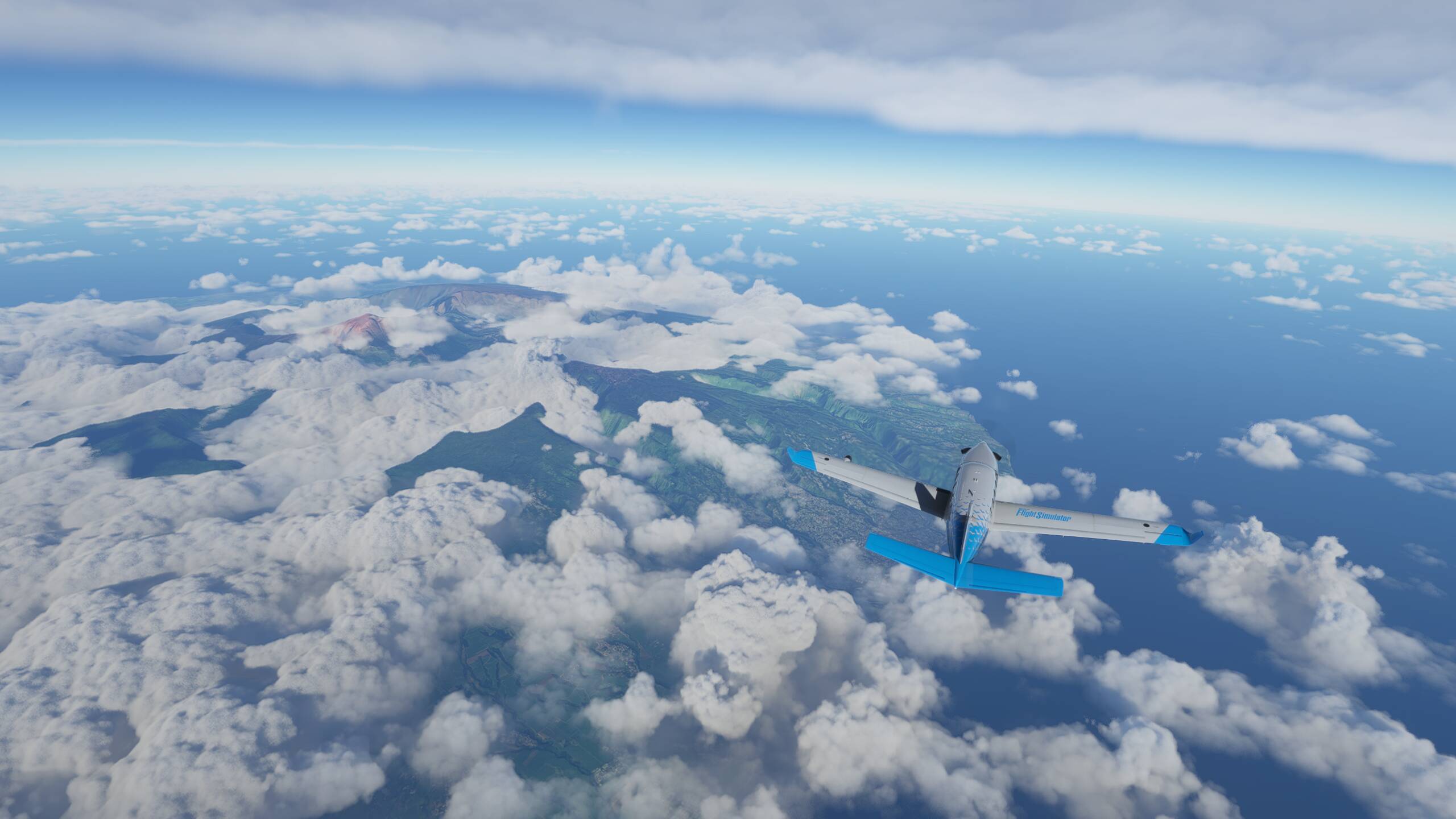
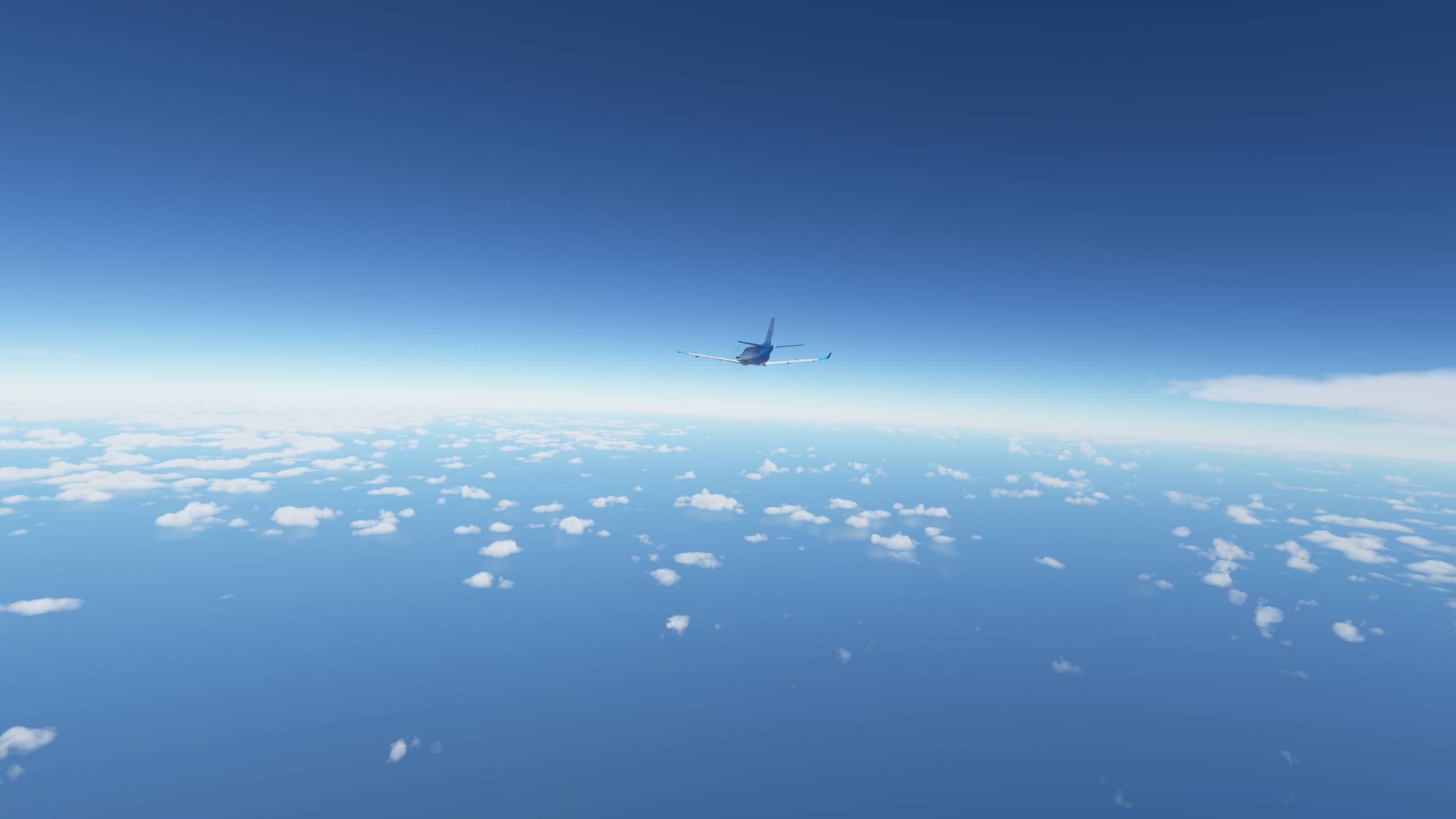
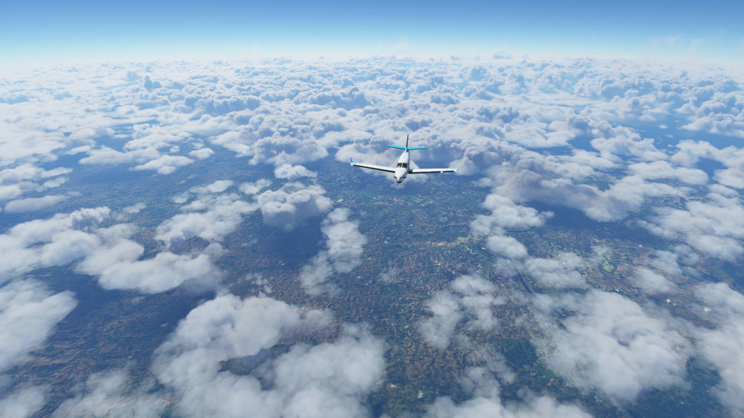
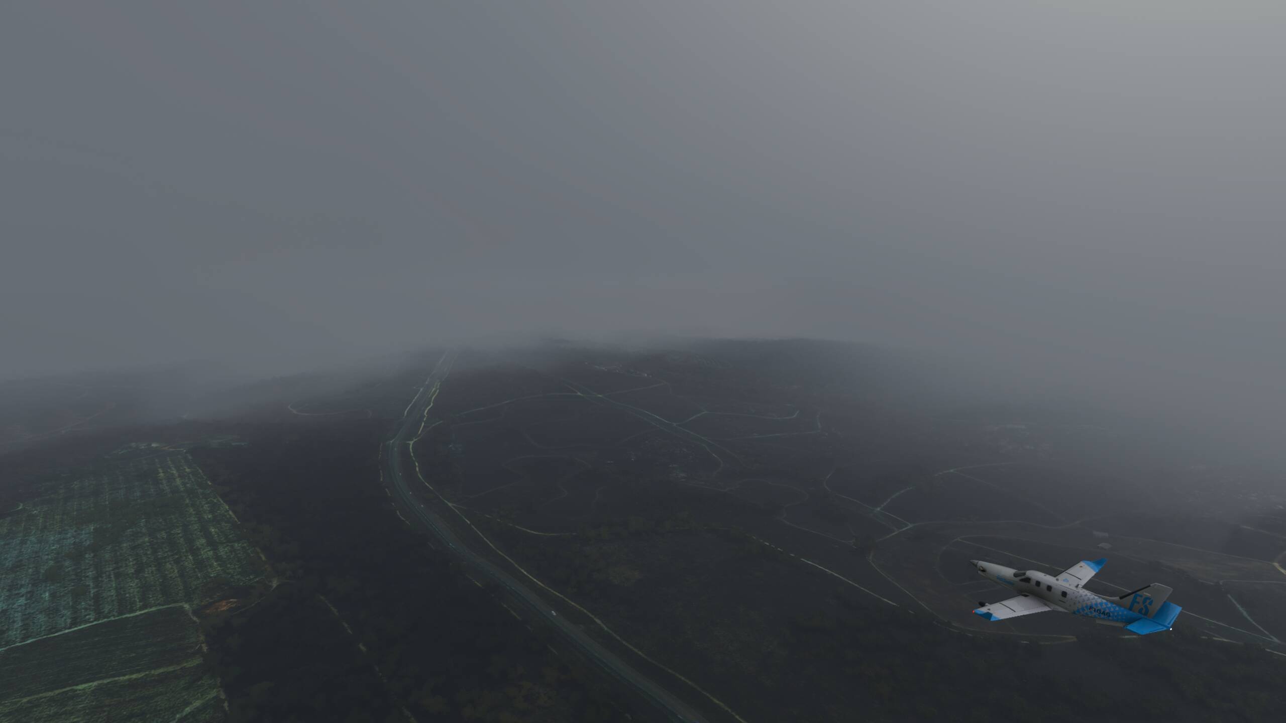
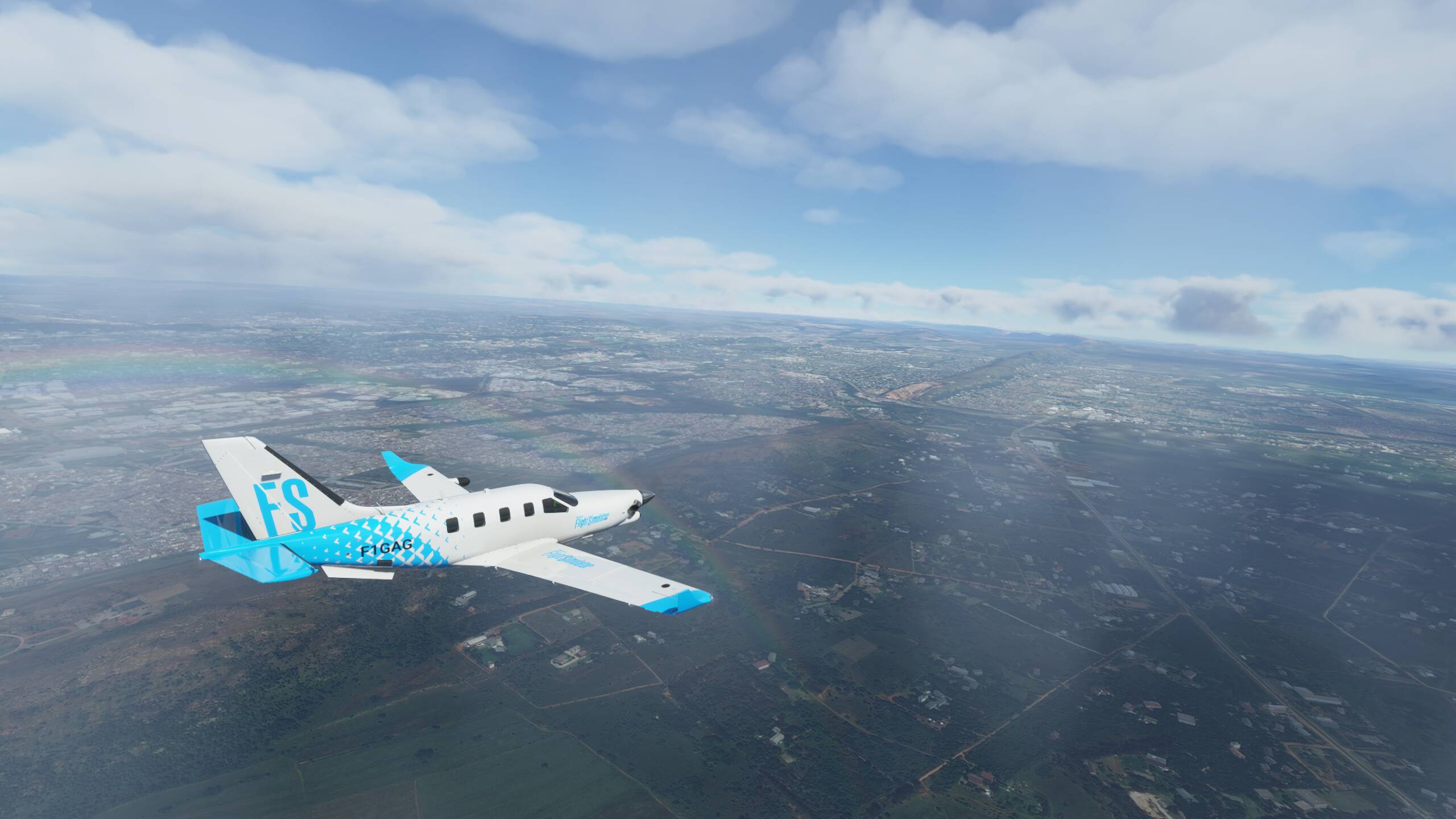
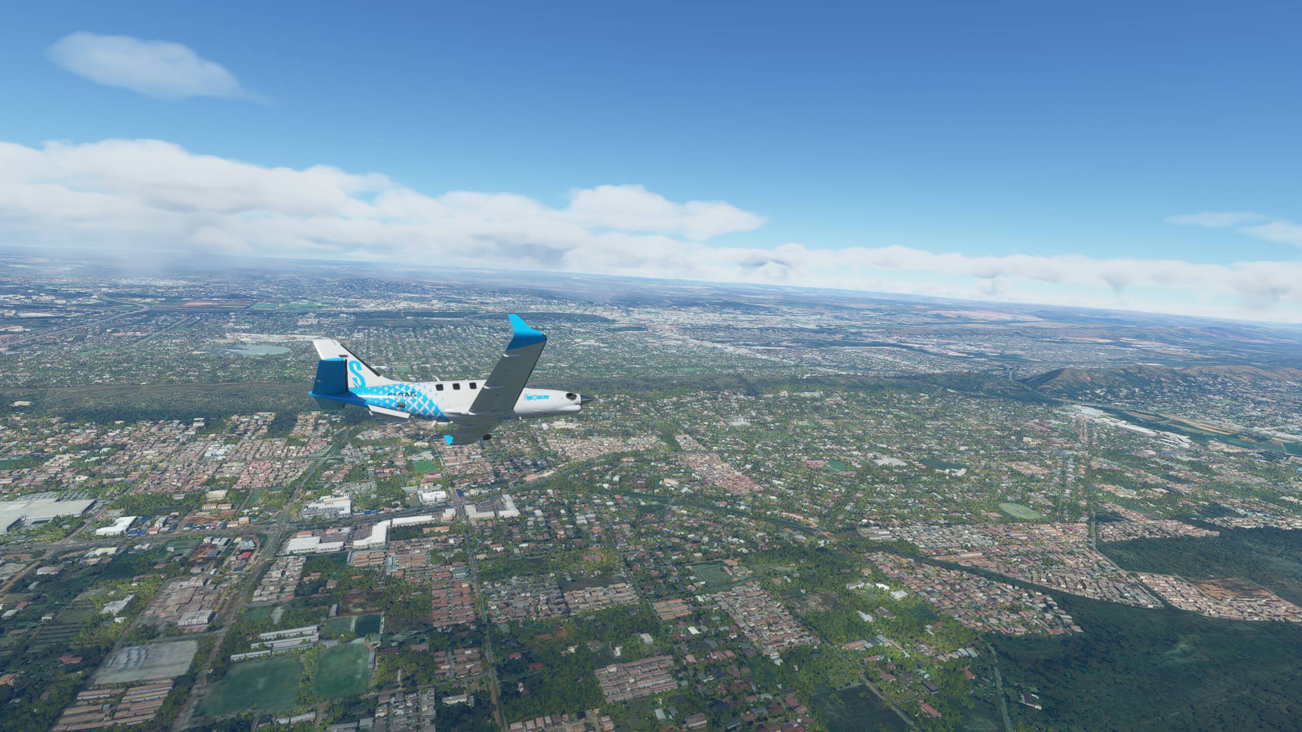
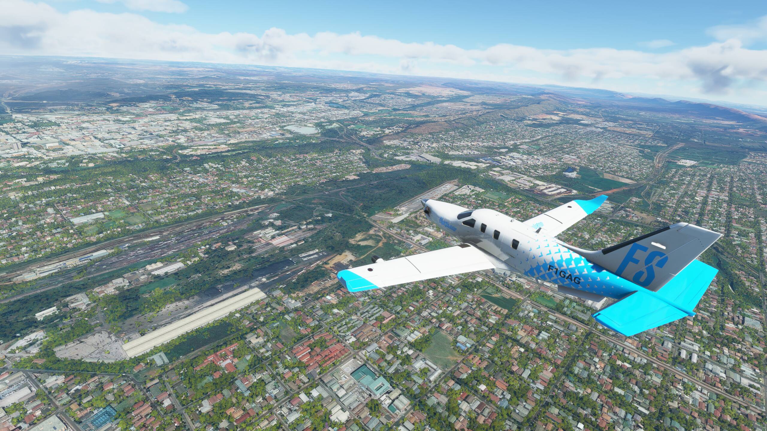
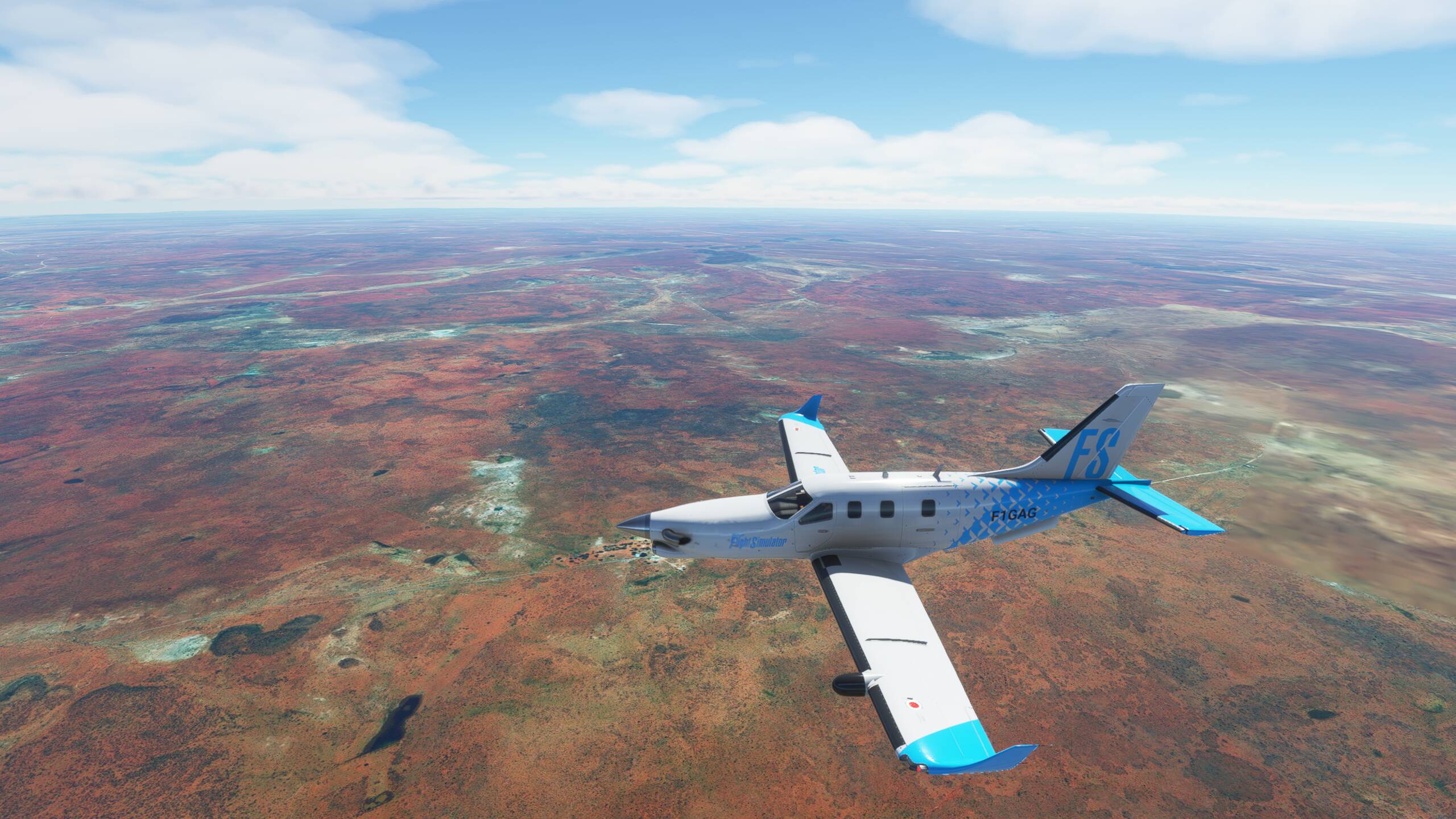
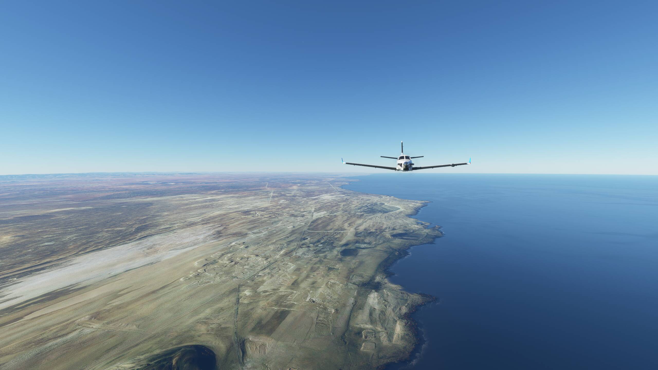
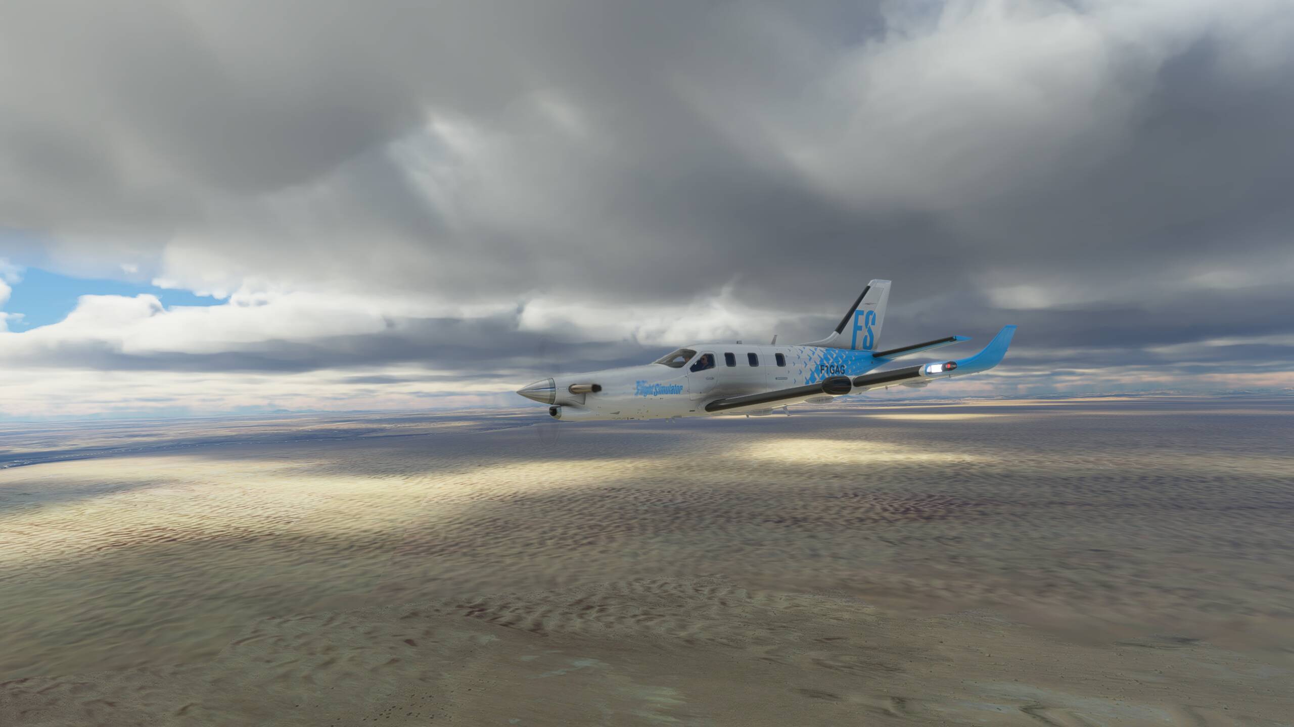
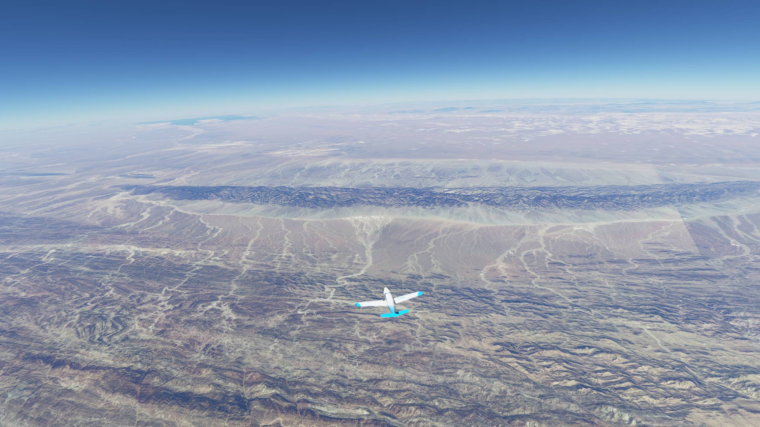
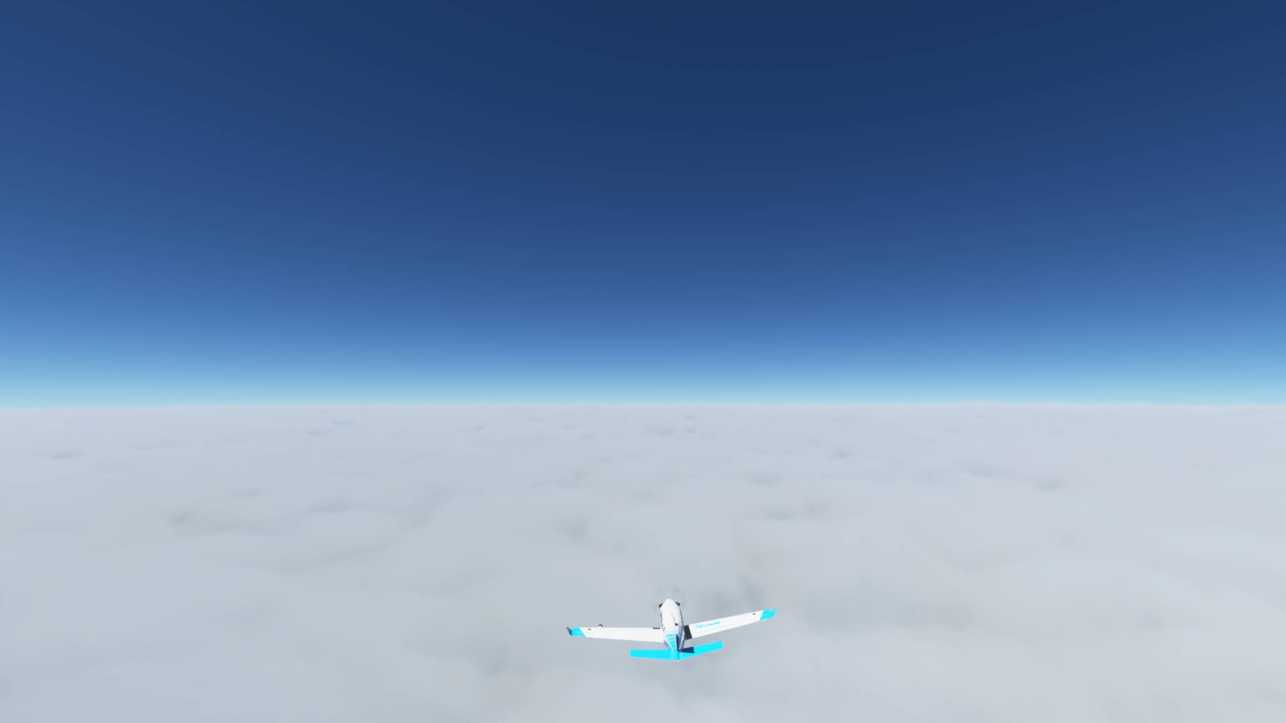
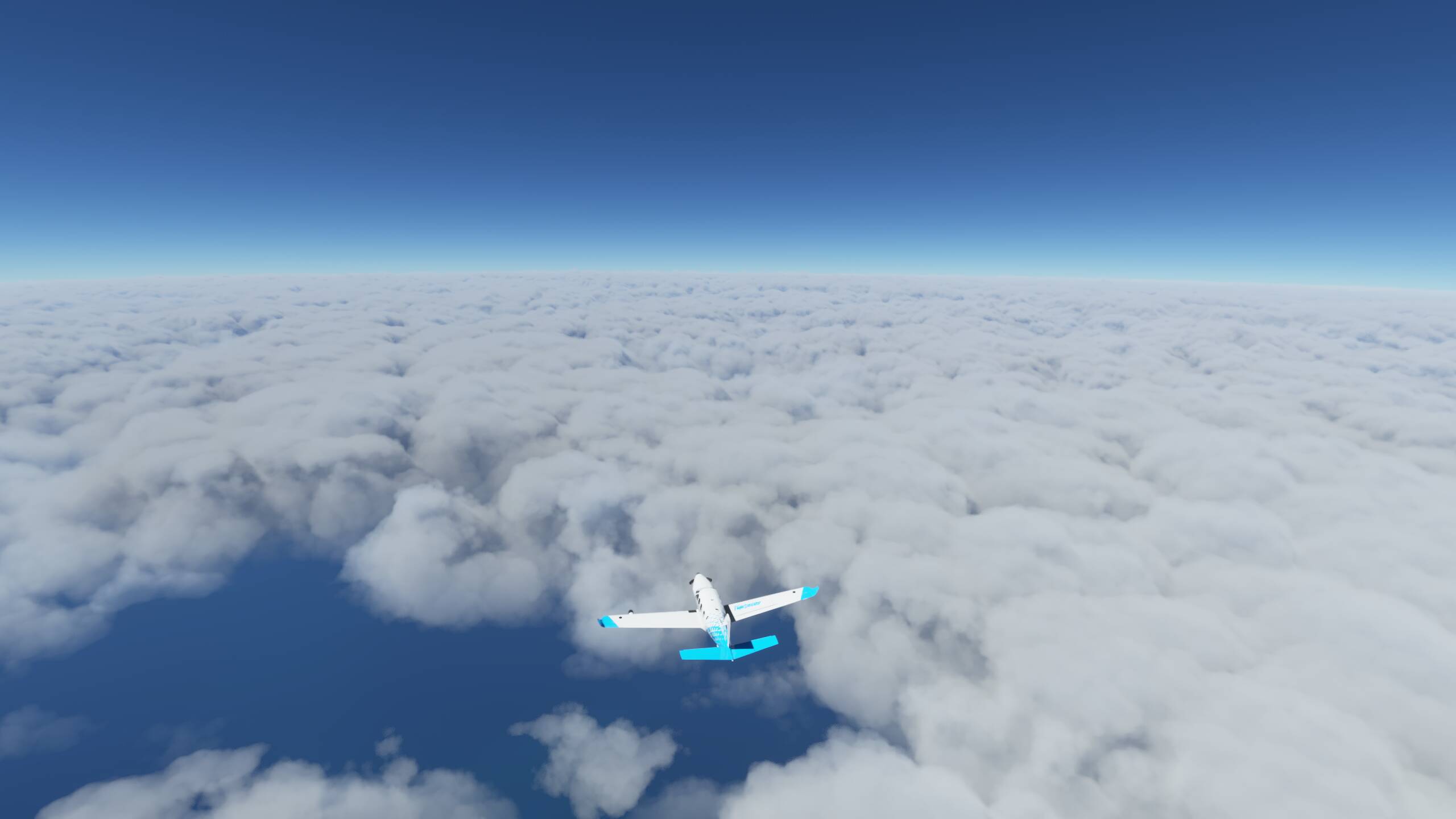
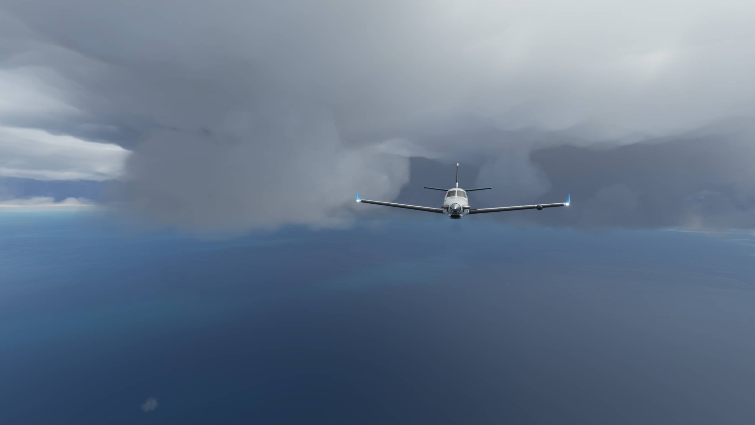
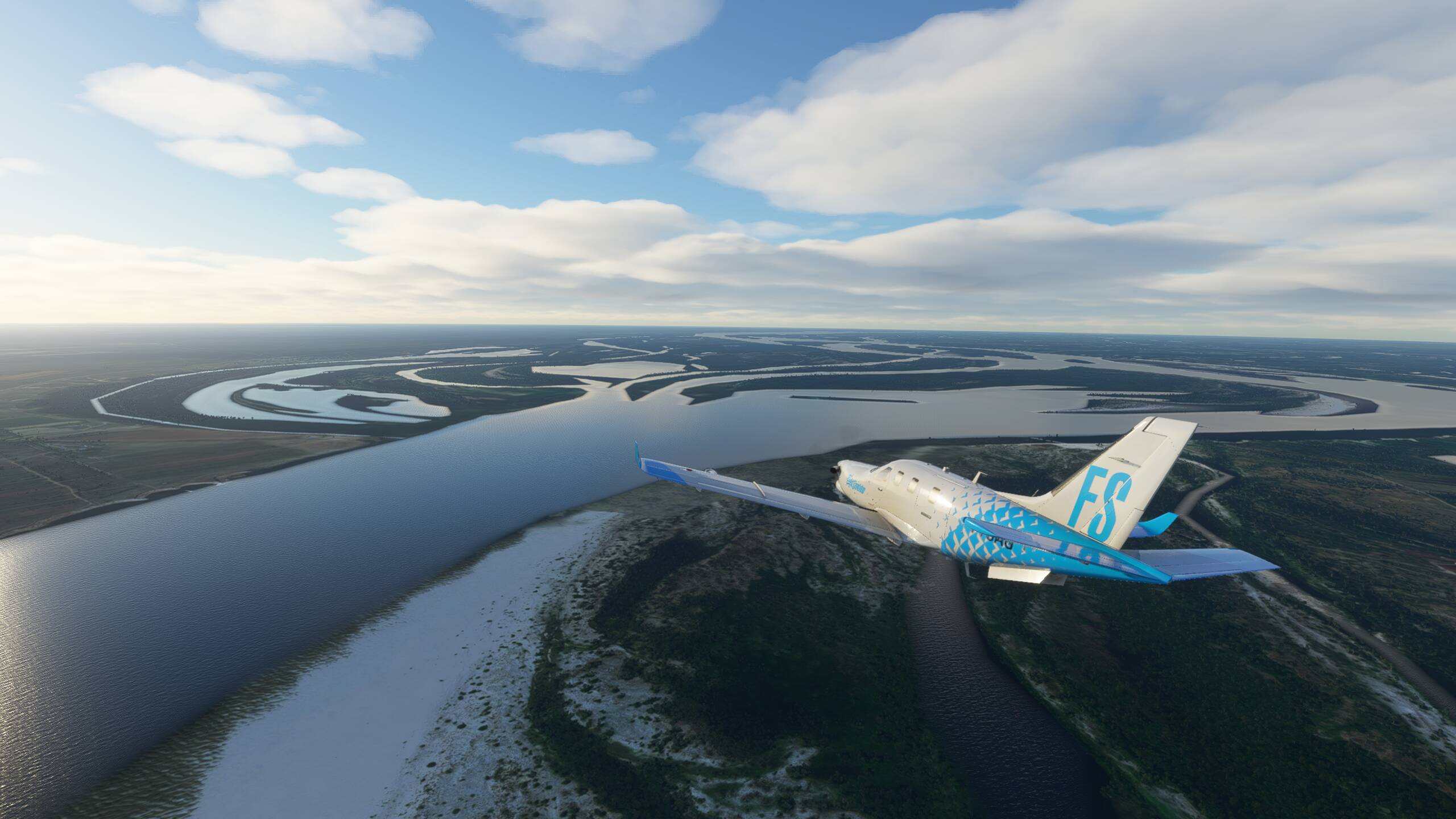
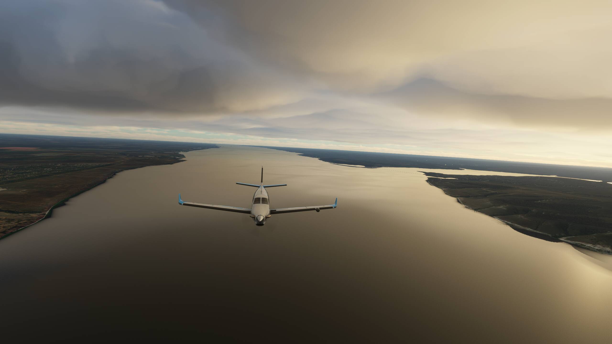
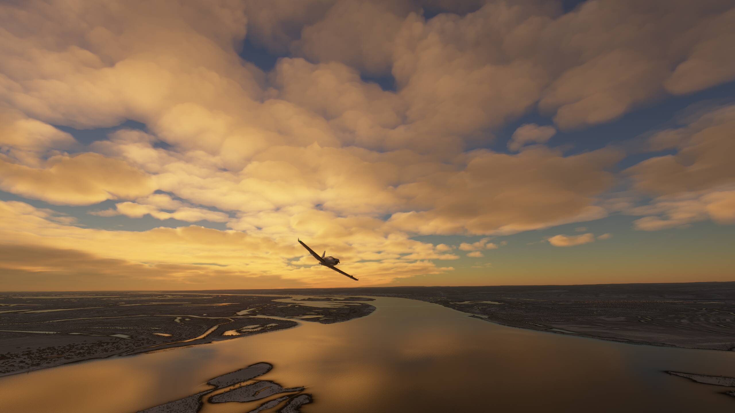
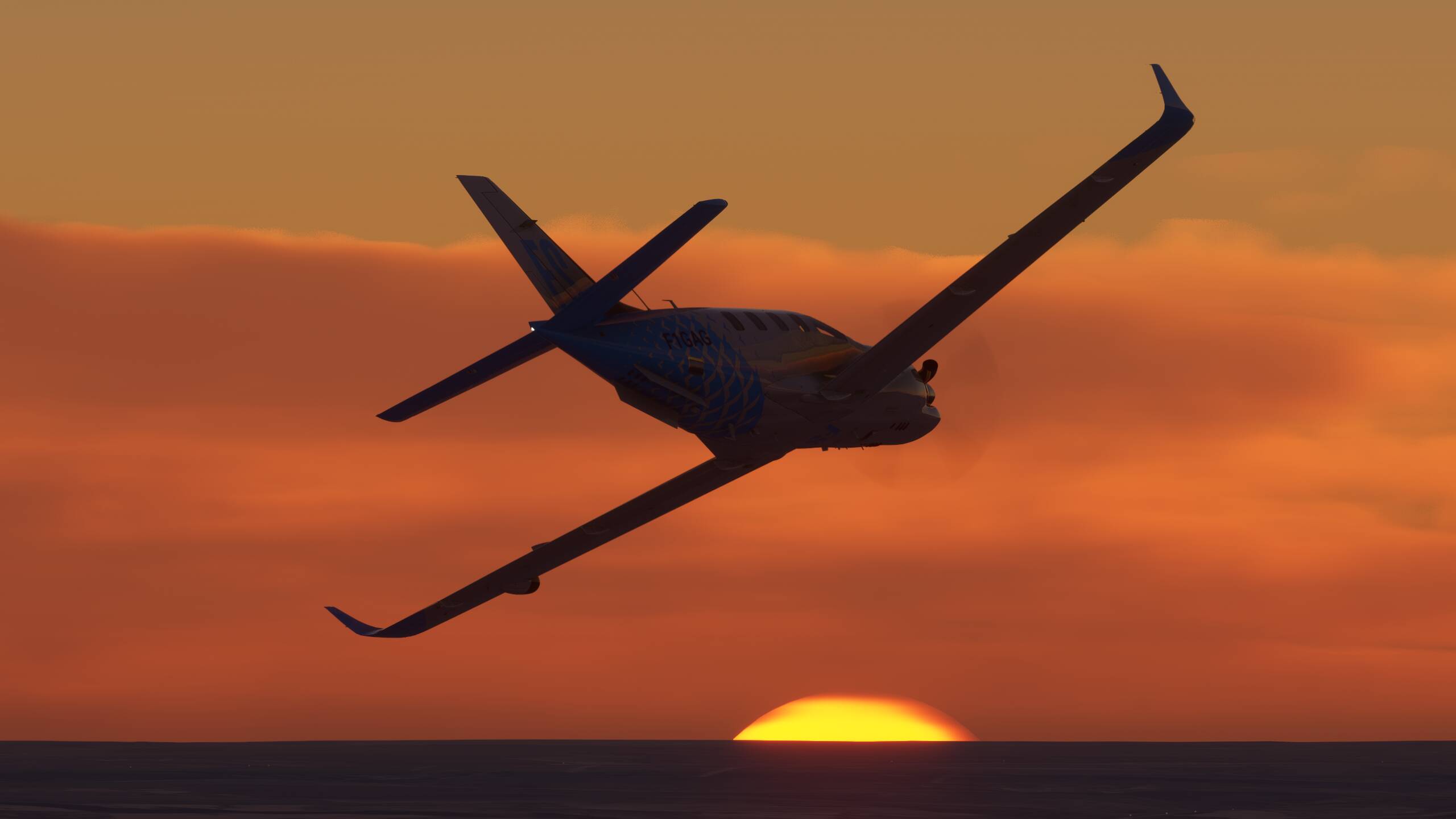
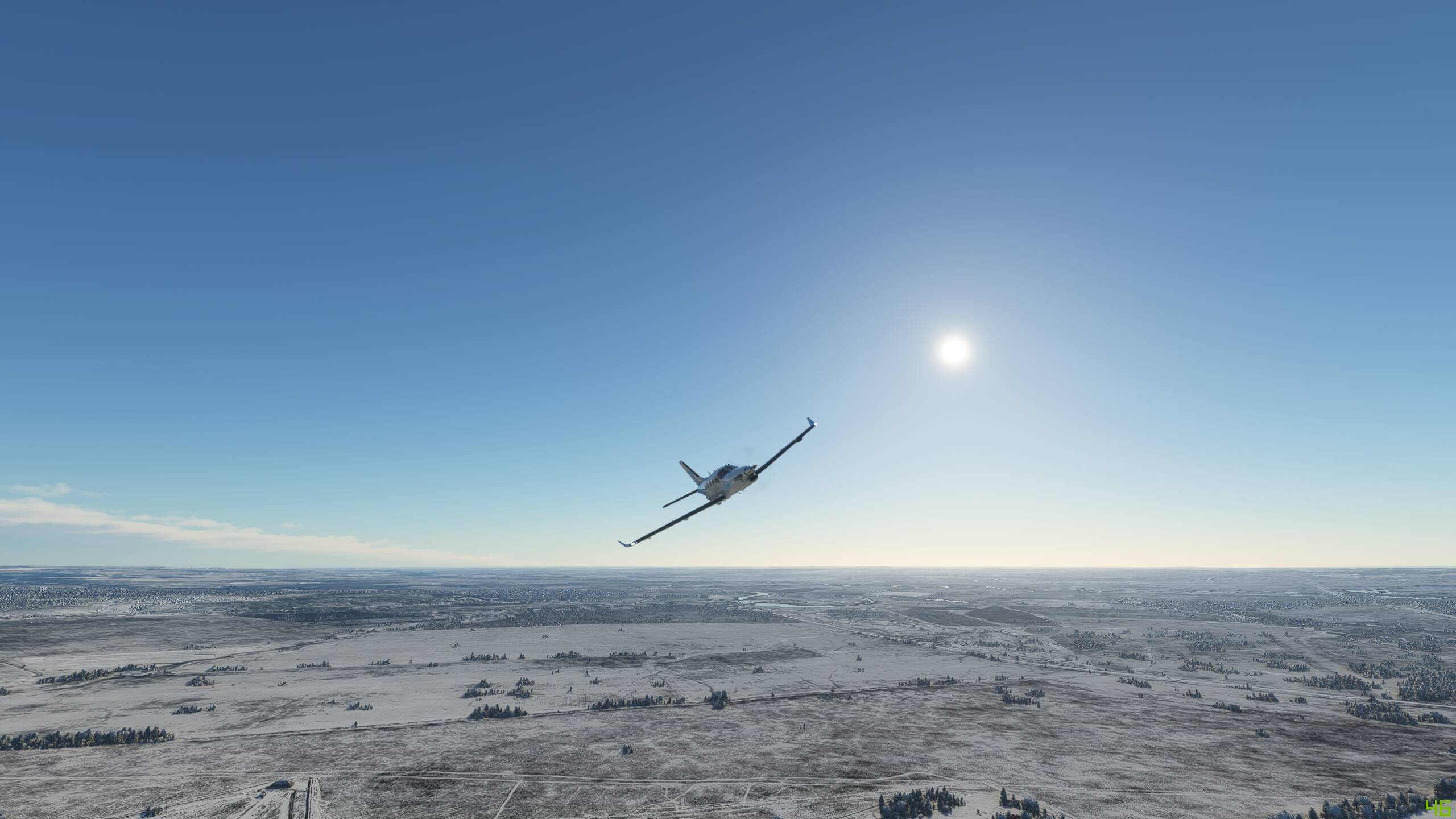
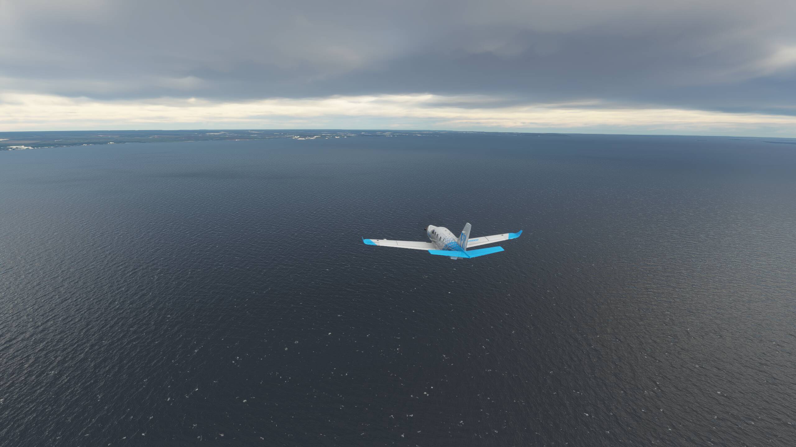
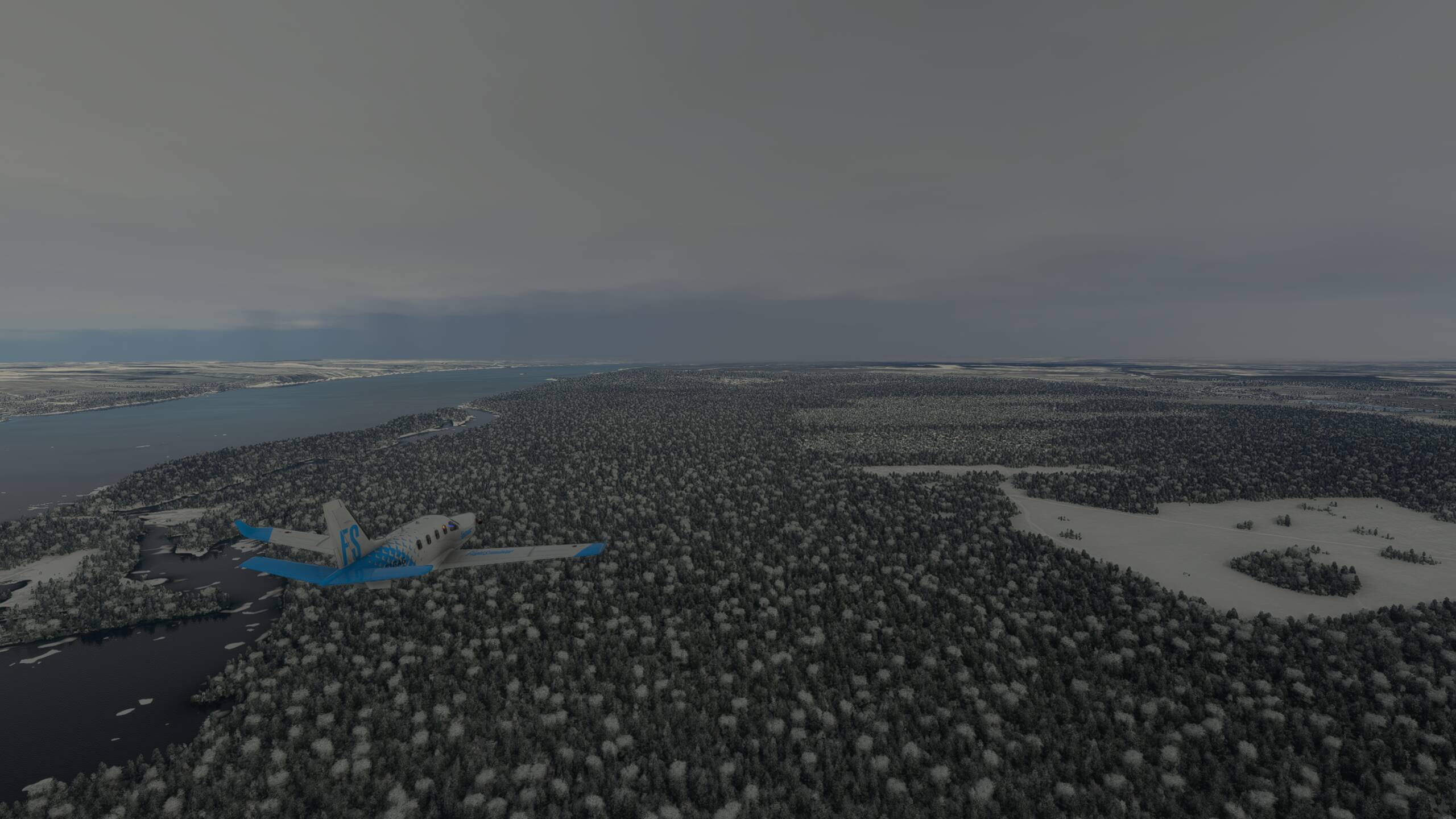
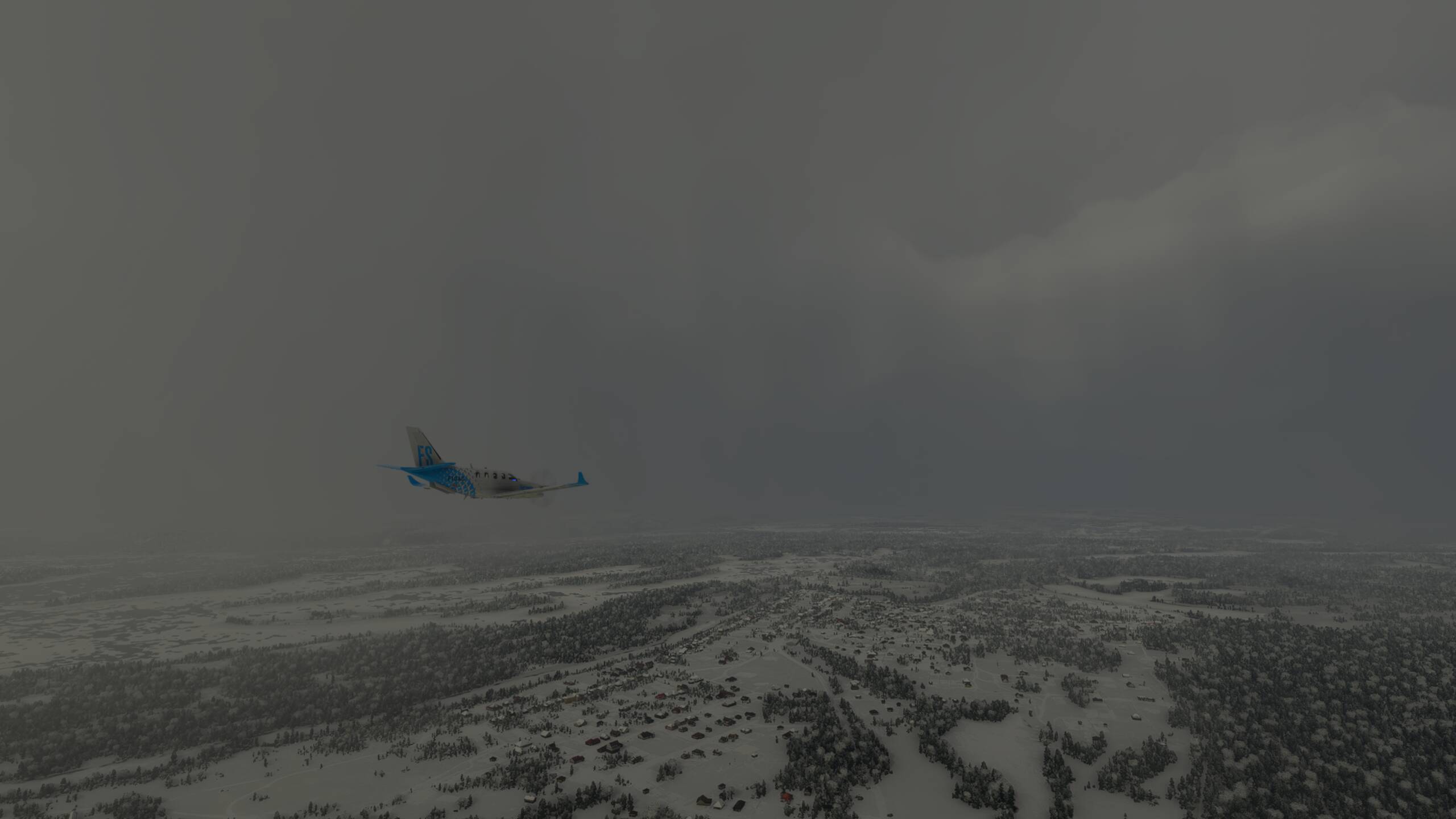
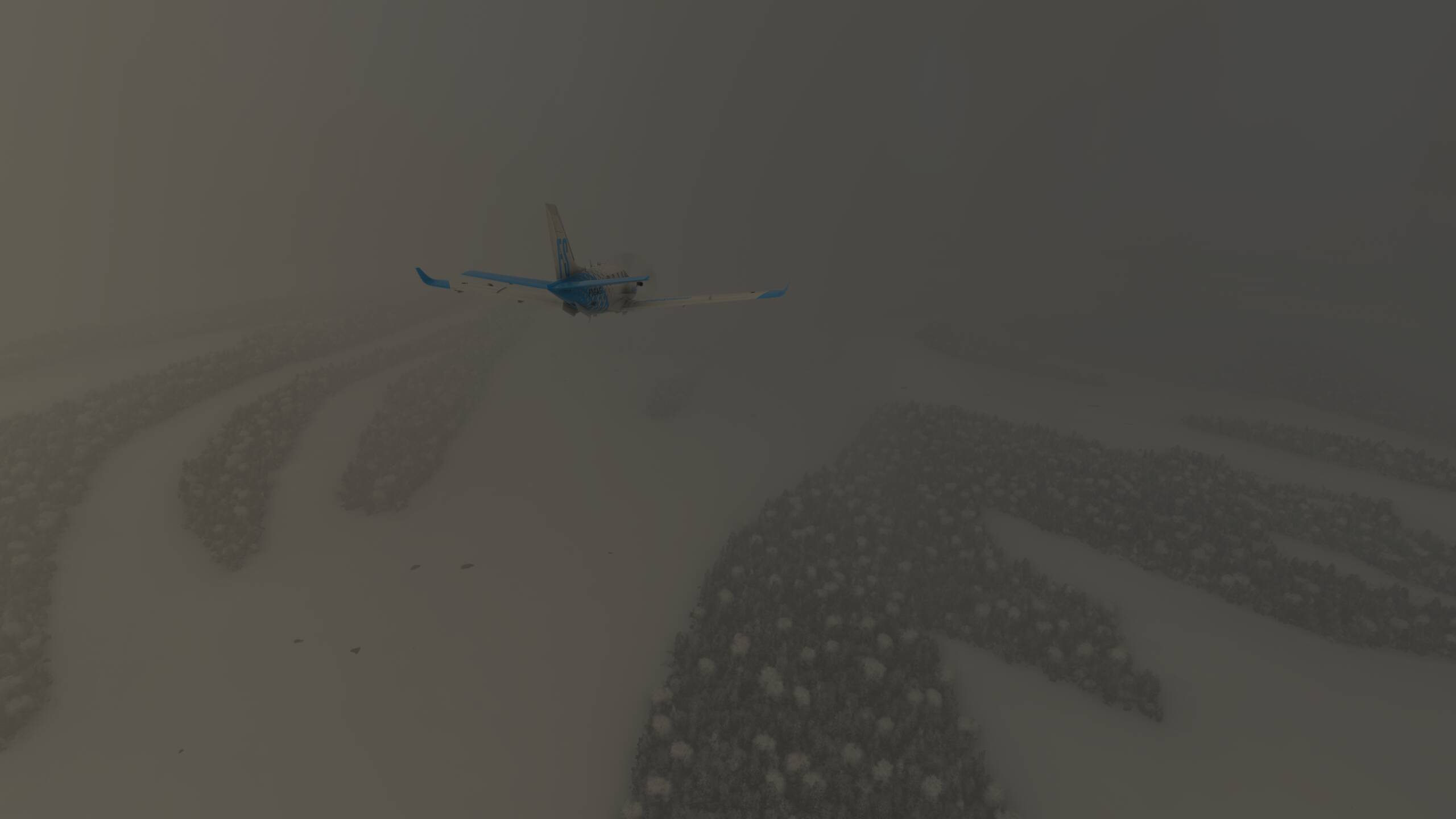
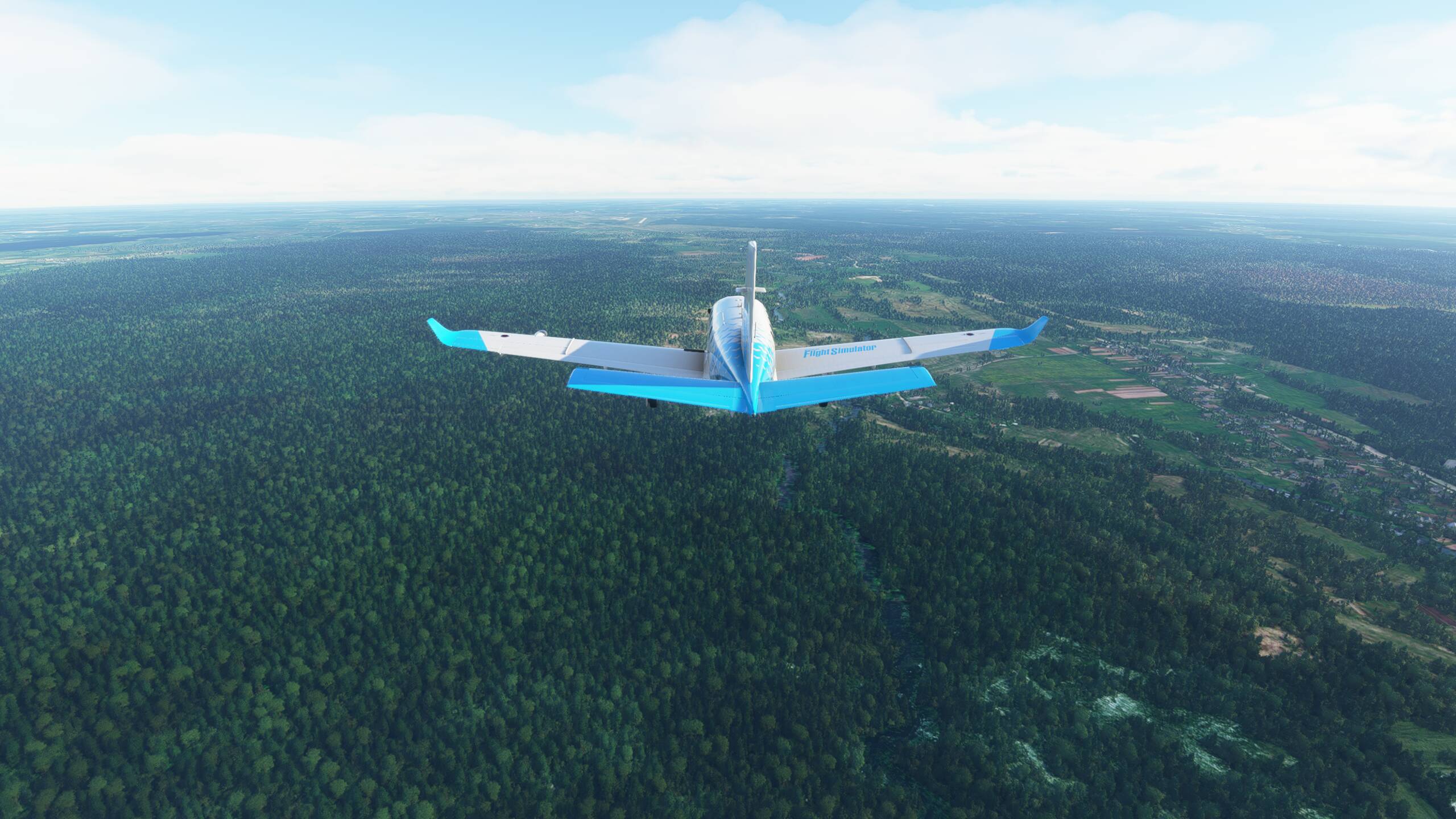
A few clouds starting to spoil the view a little bit
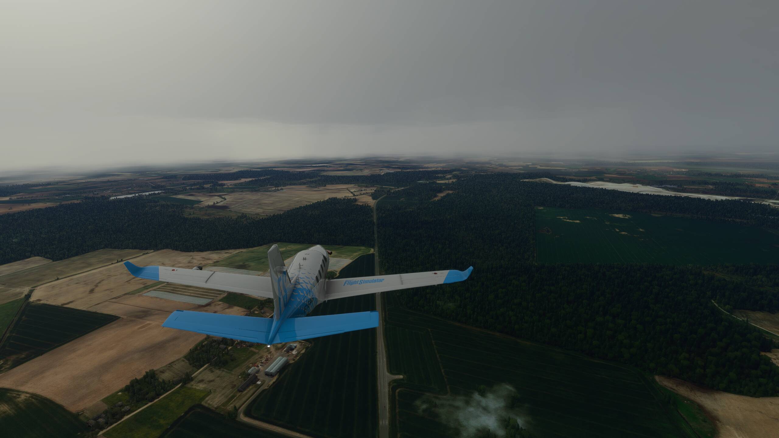
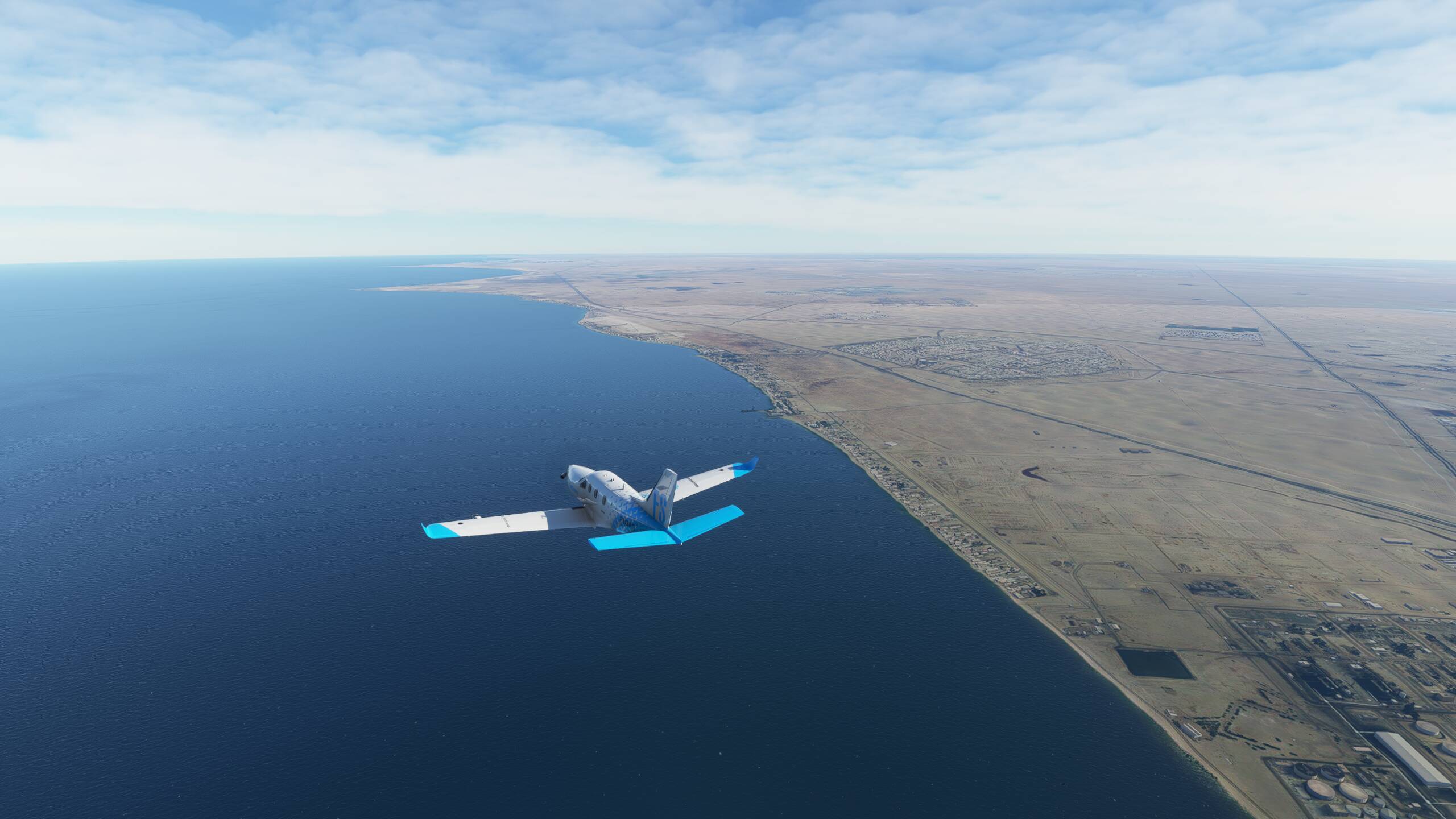
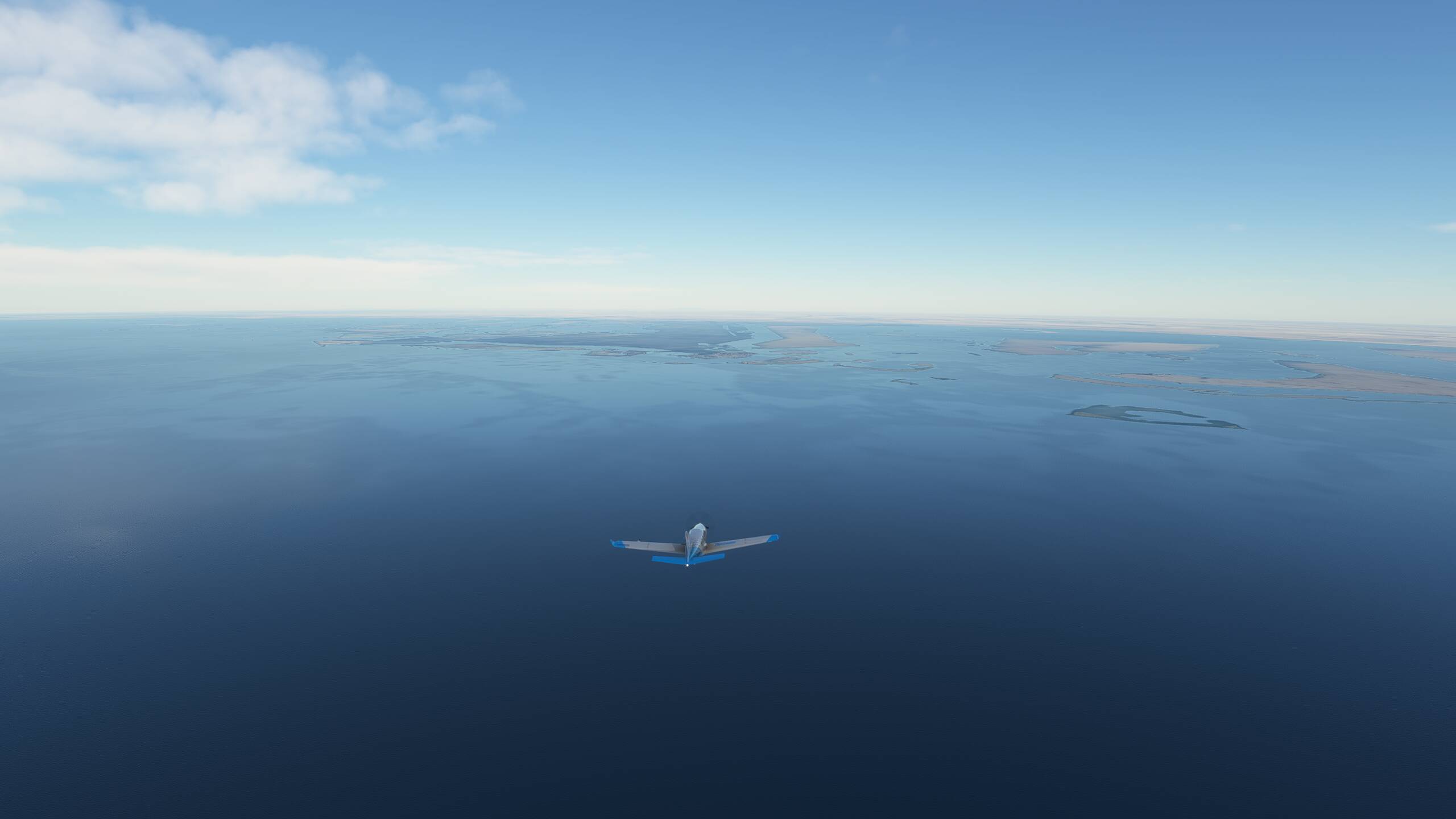
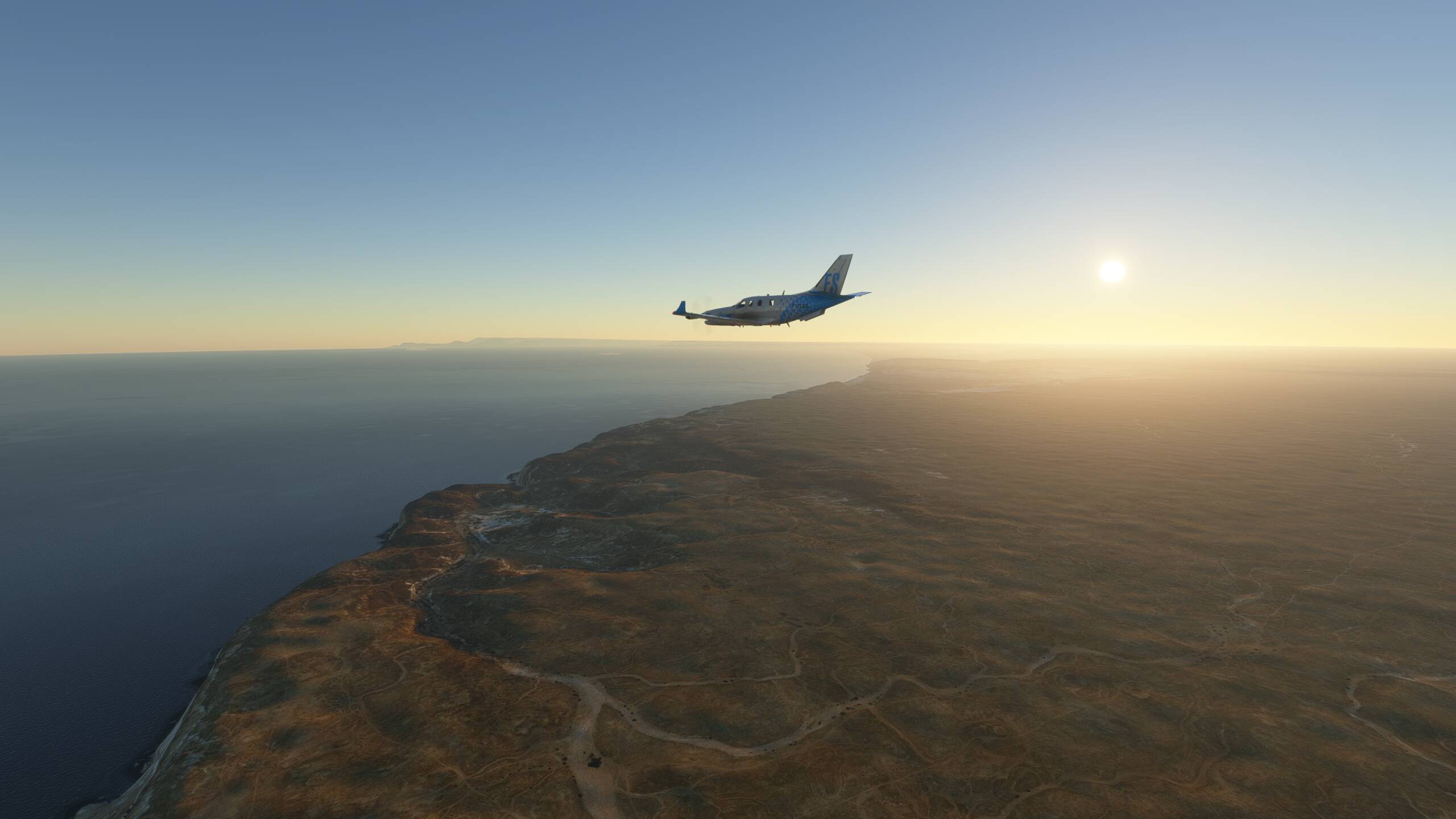
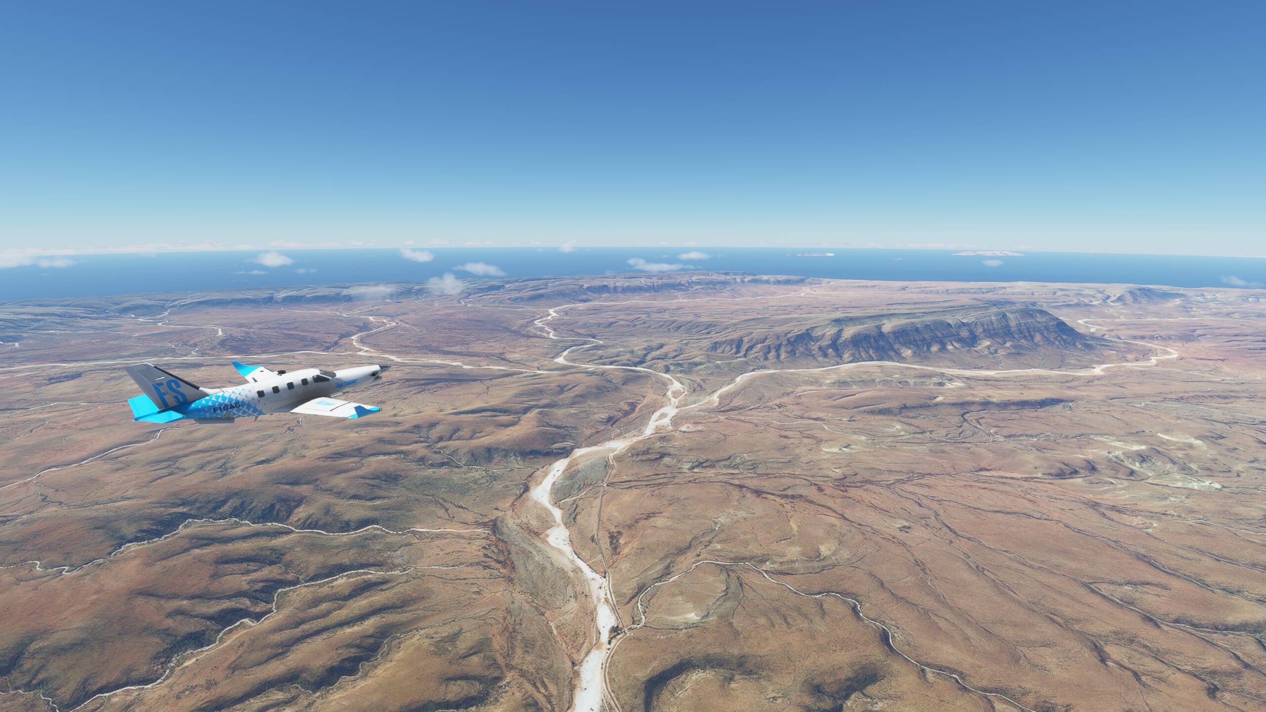
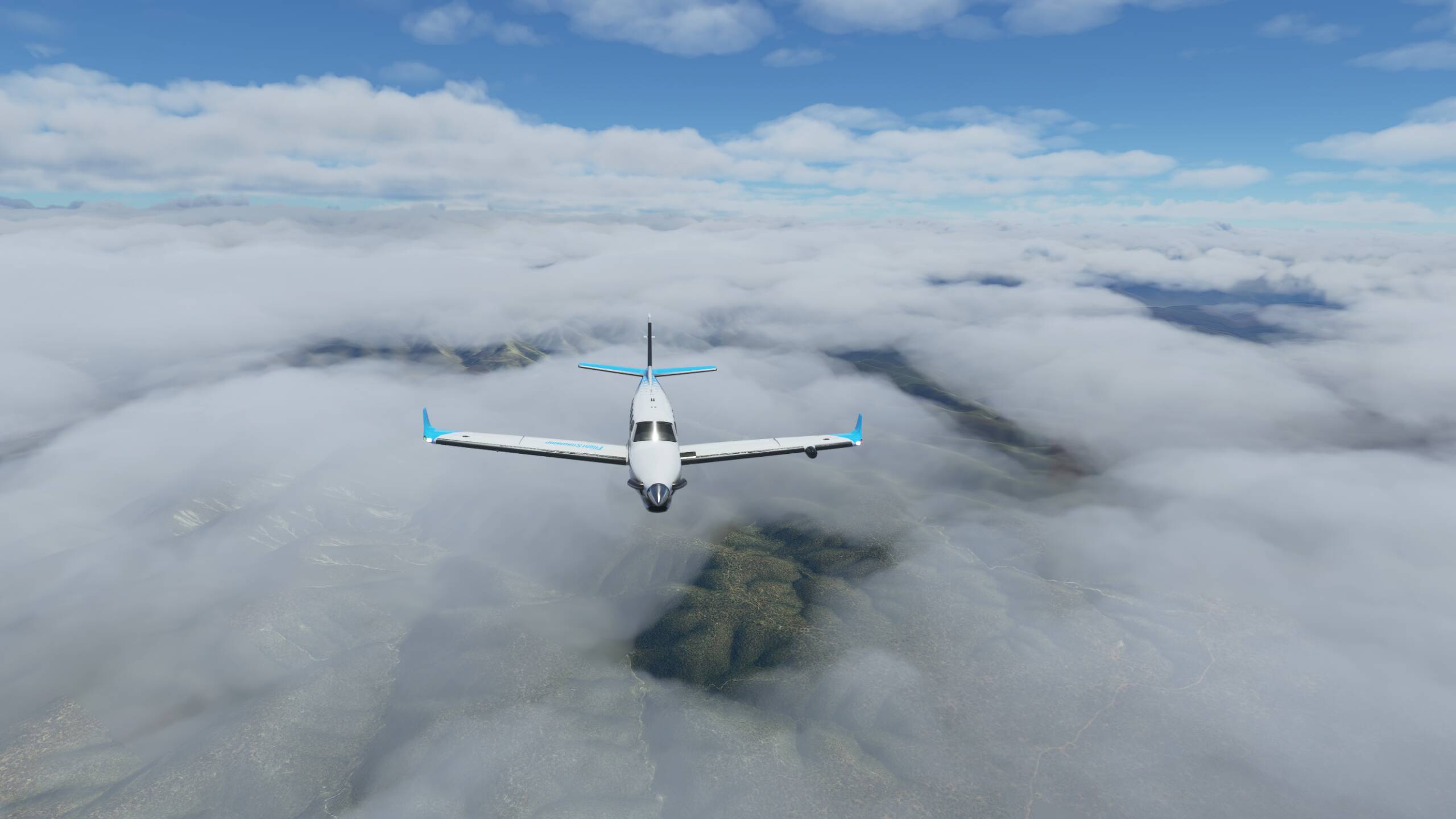
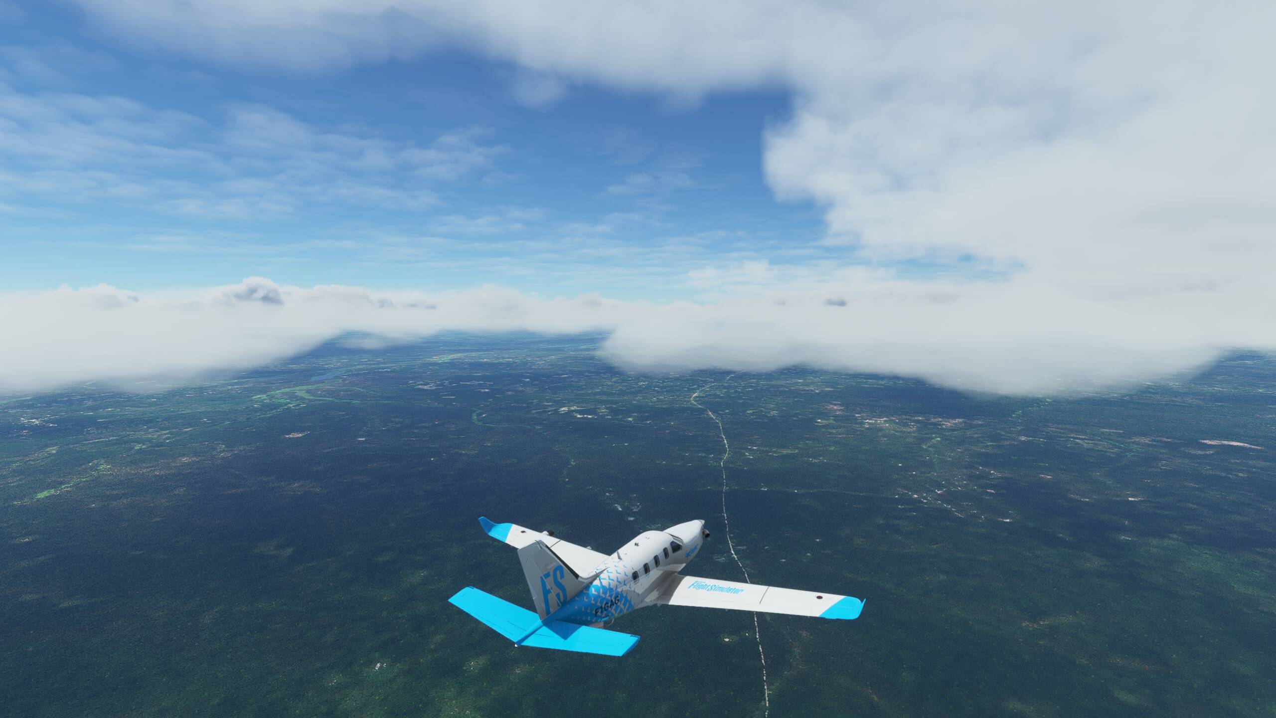
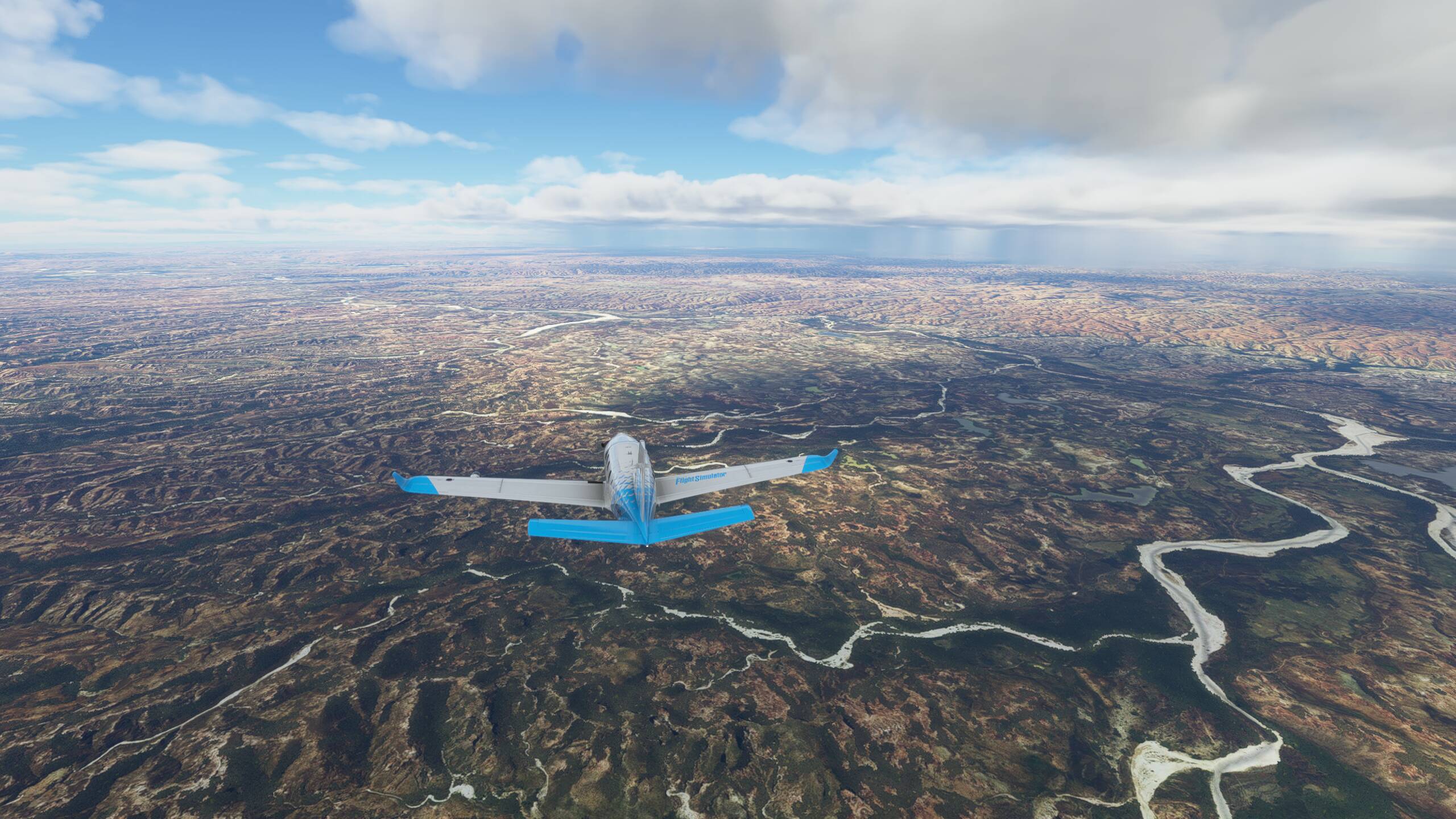
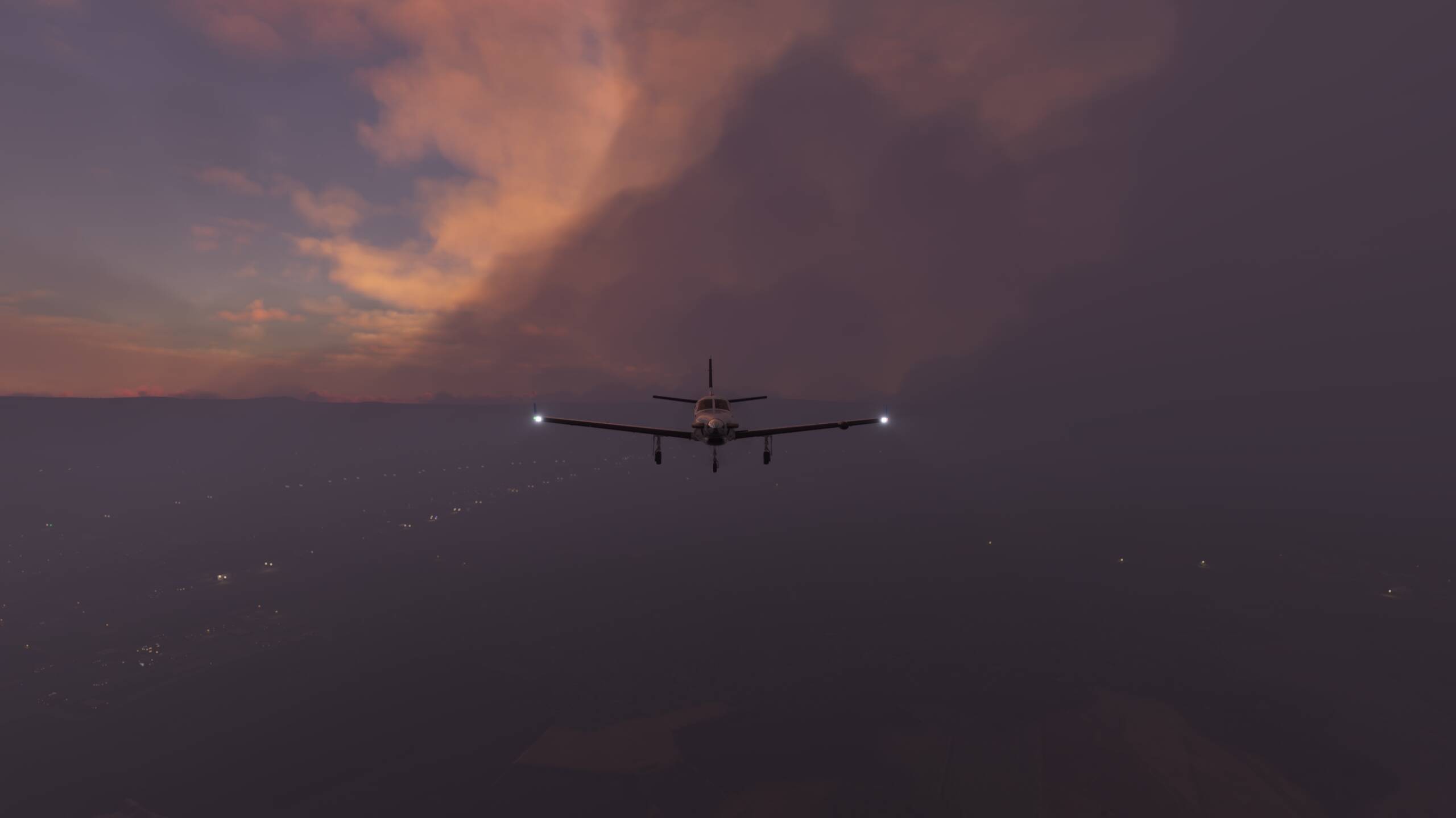
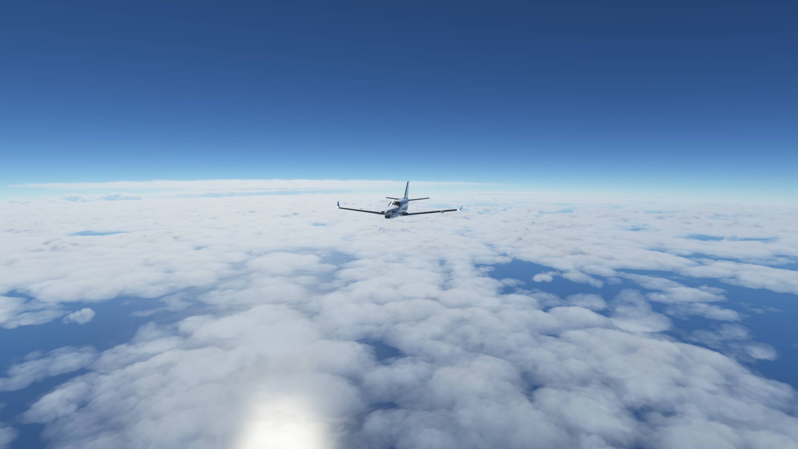
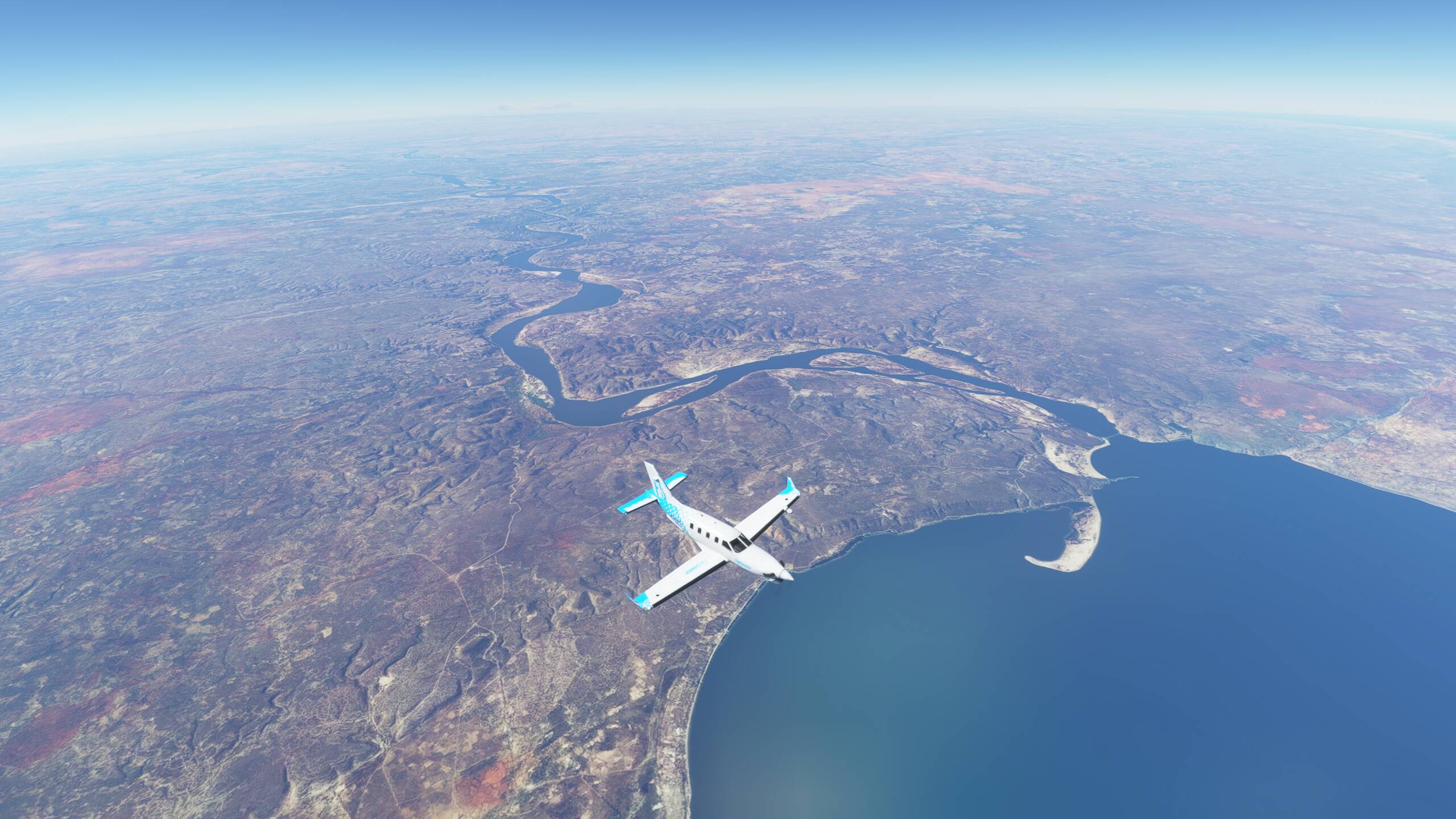
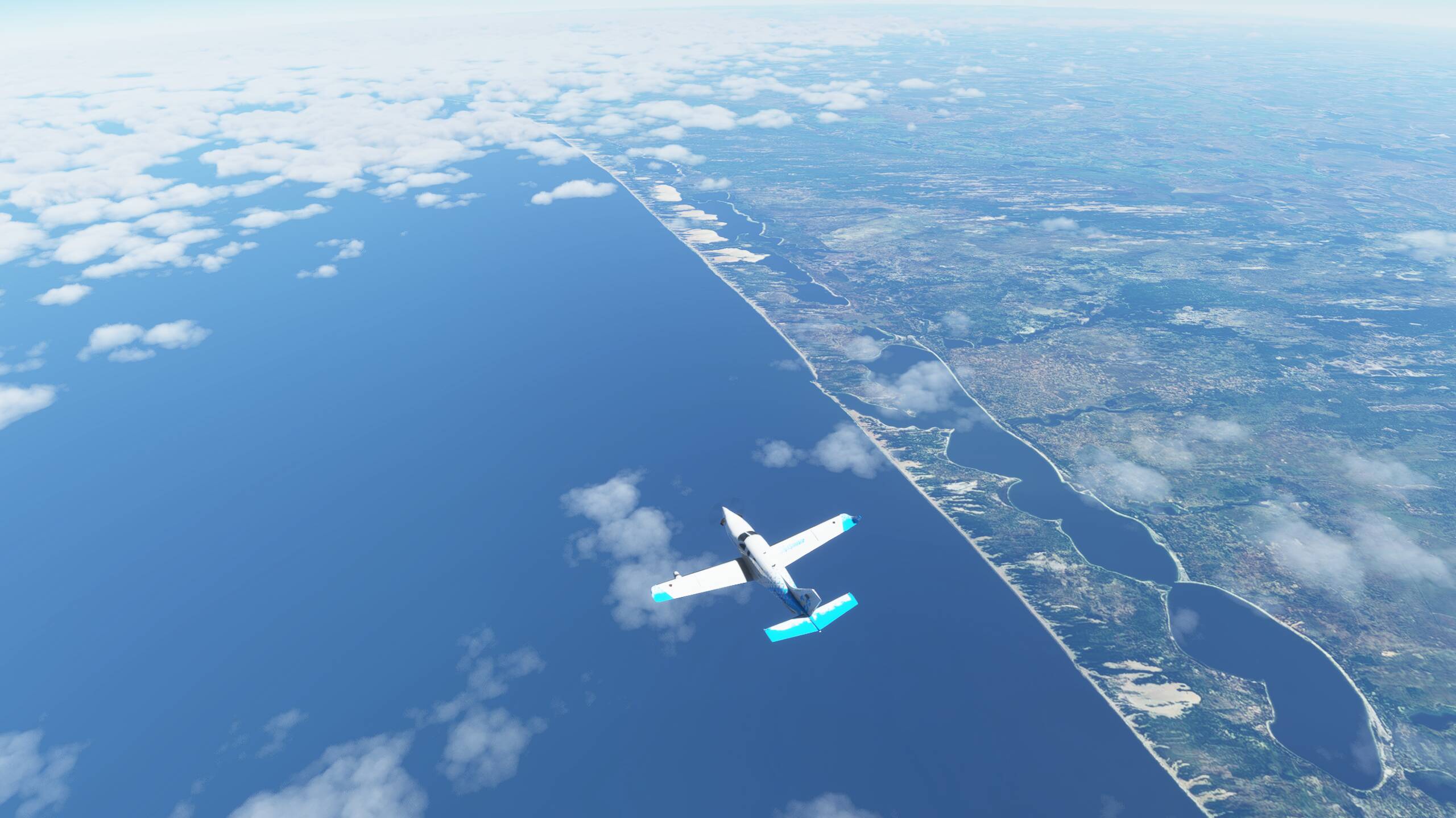
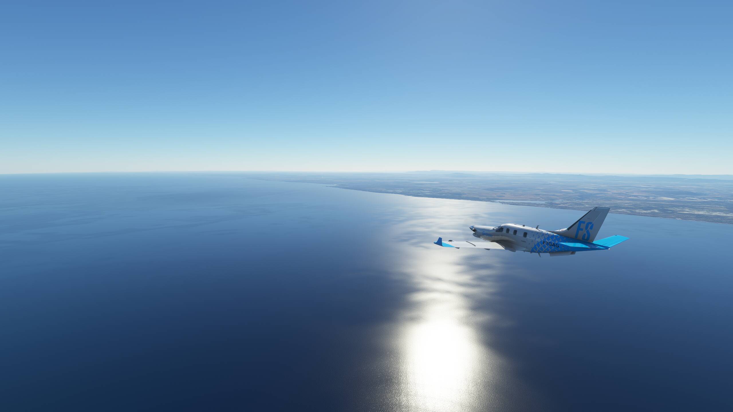
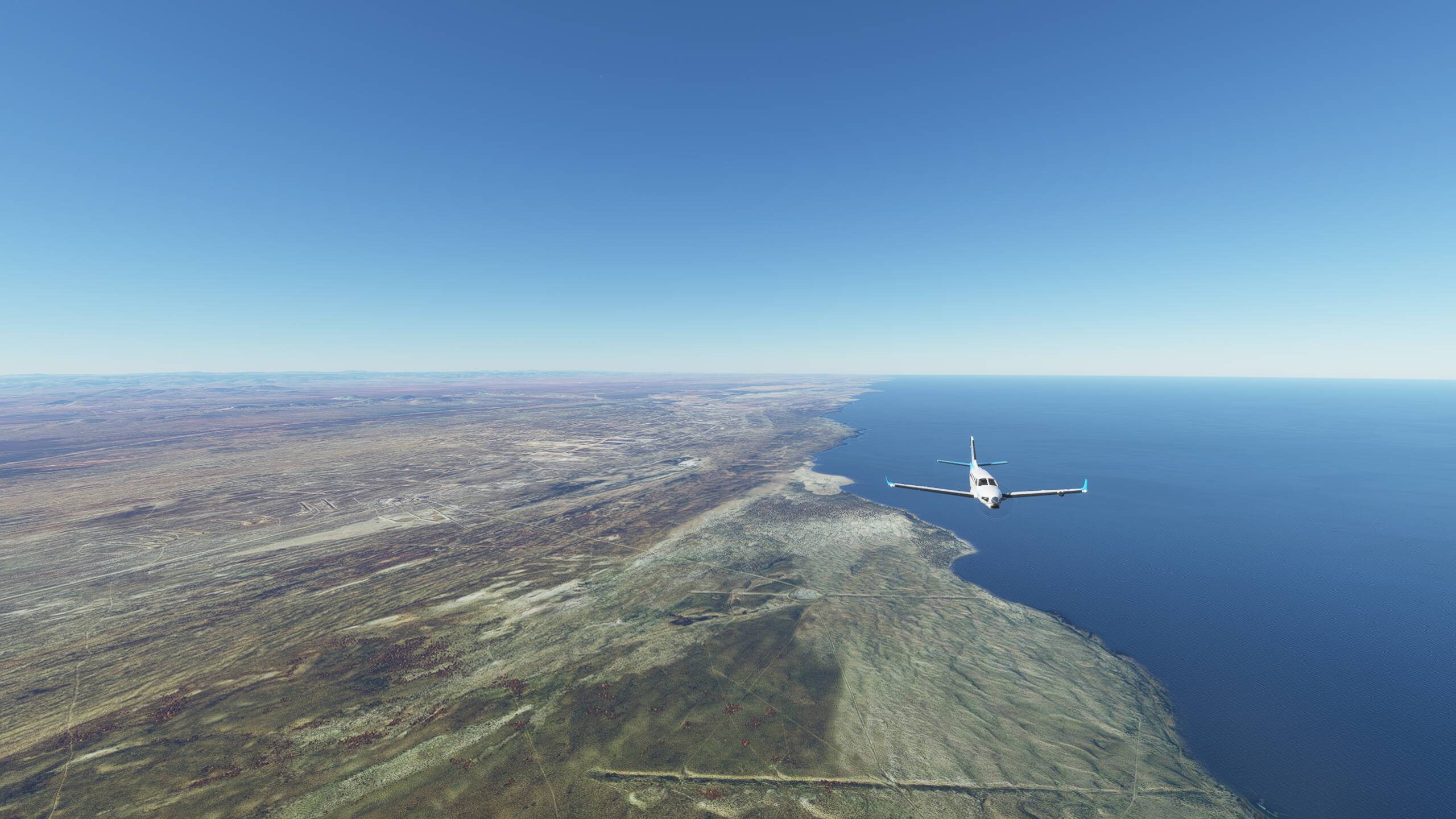
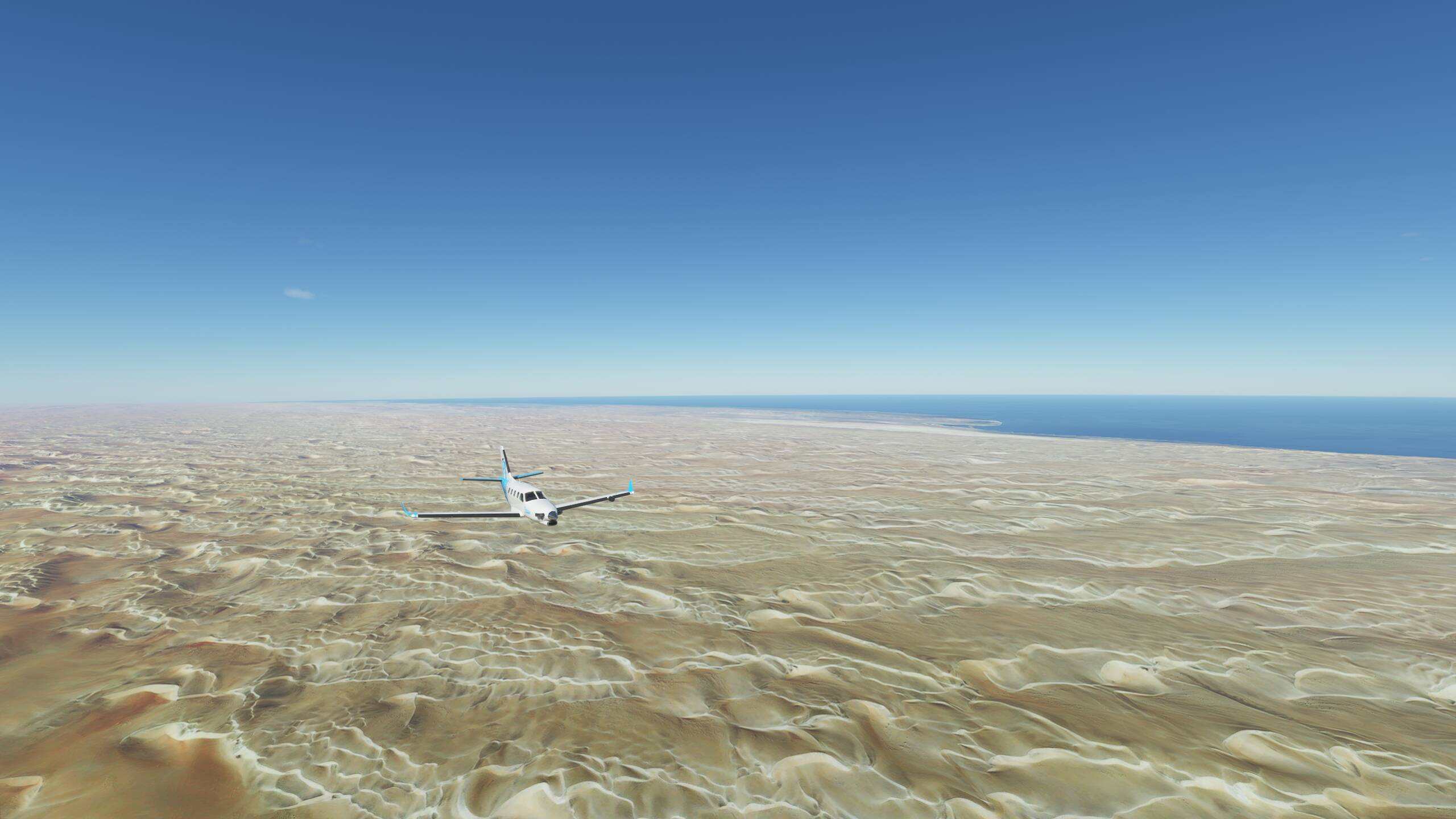
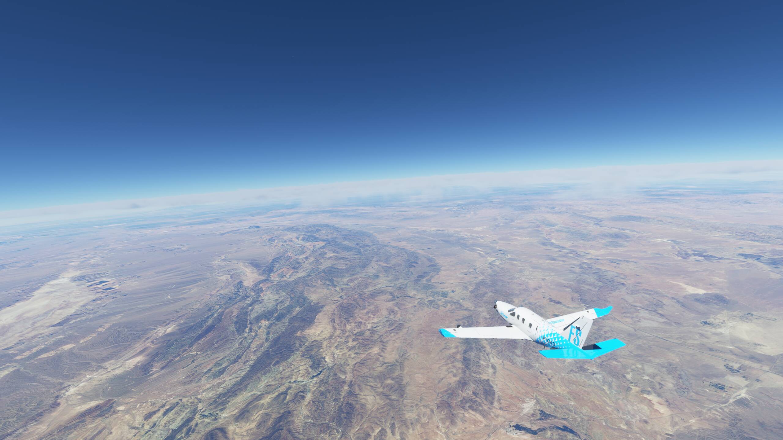
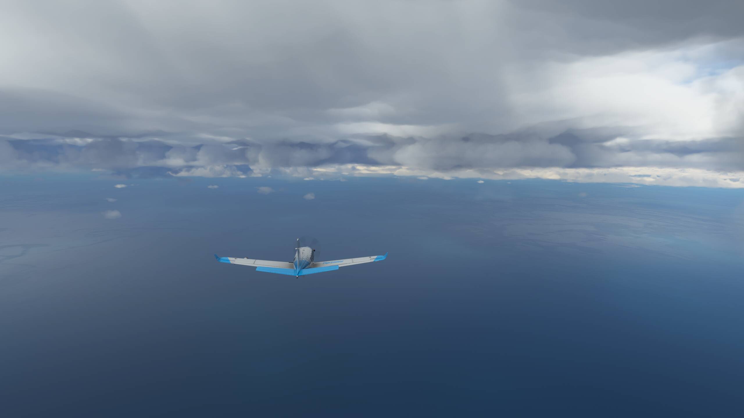
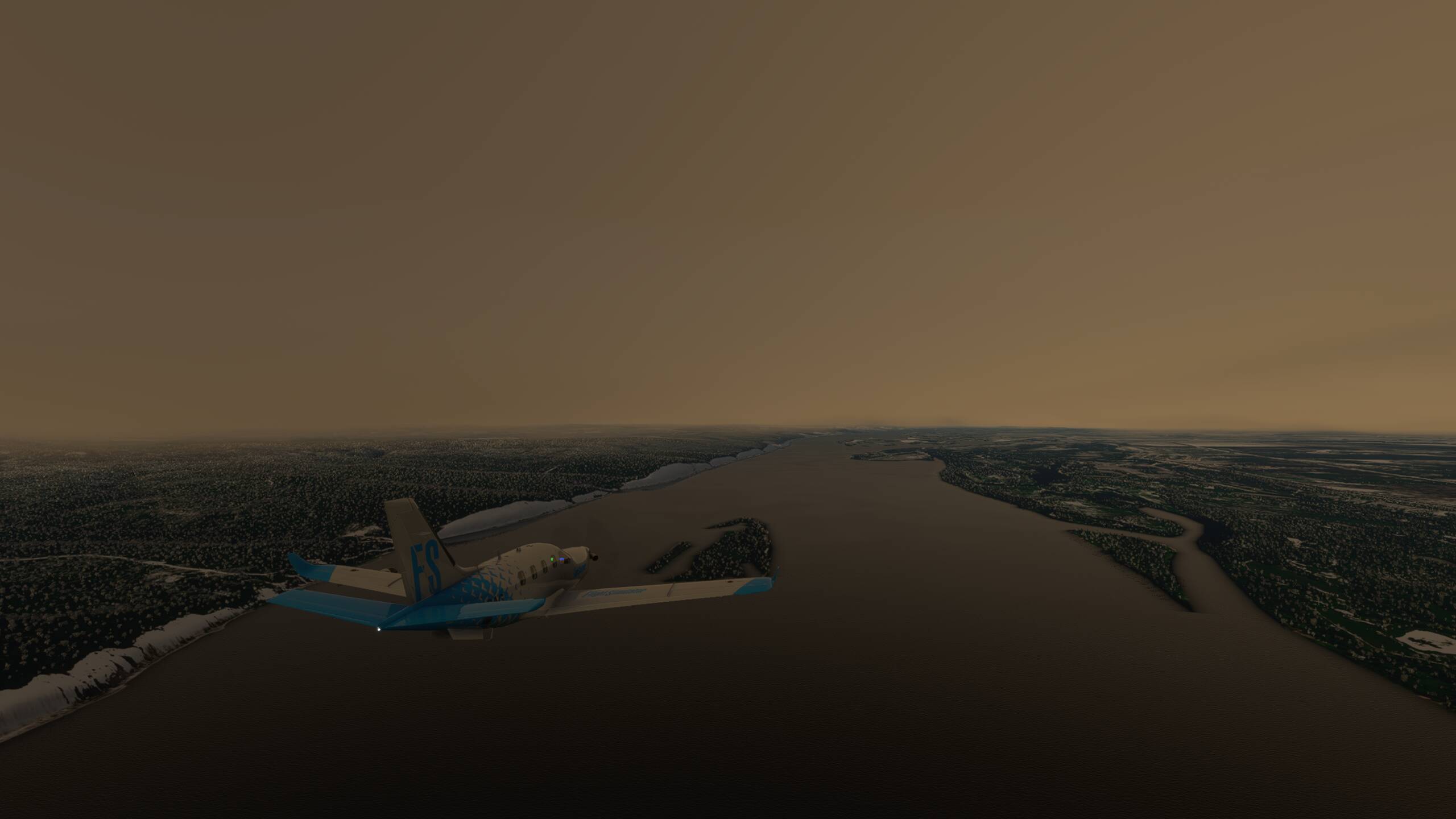
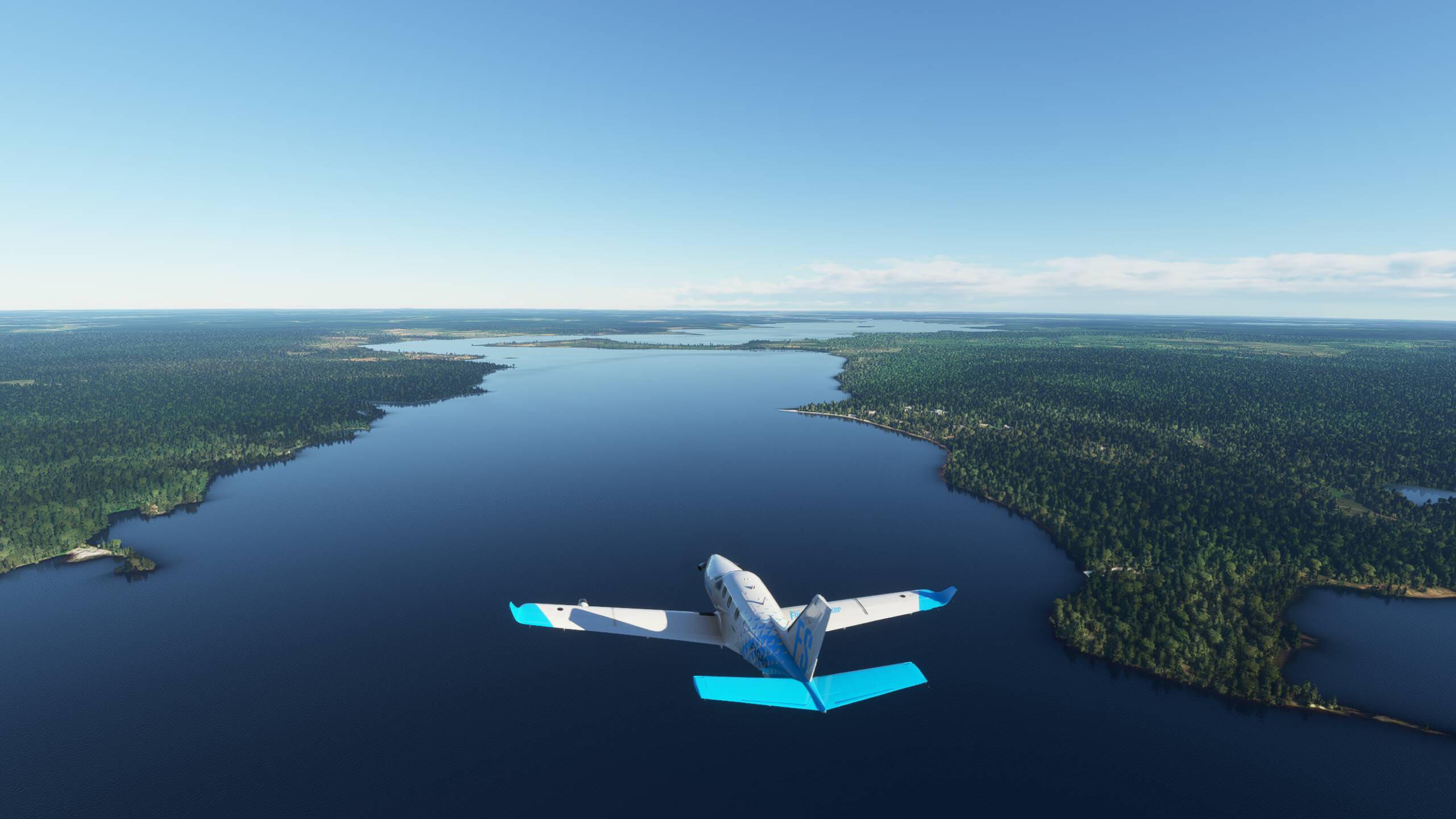
Crossing some mountain ridges before we see the Caspian Sea ahead of us - crabbing into a 140Kts wind from the West

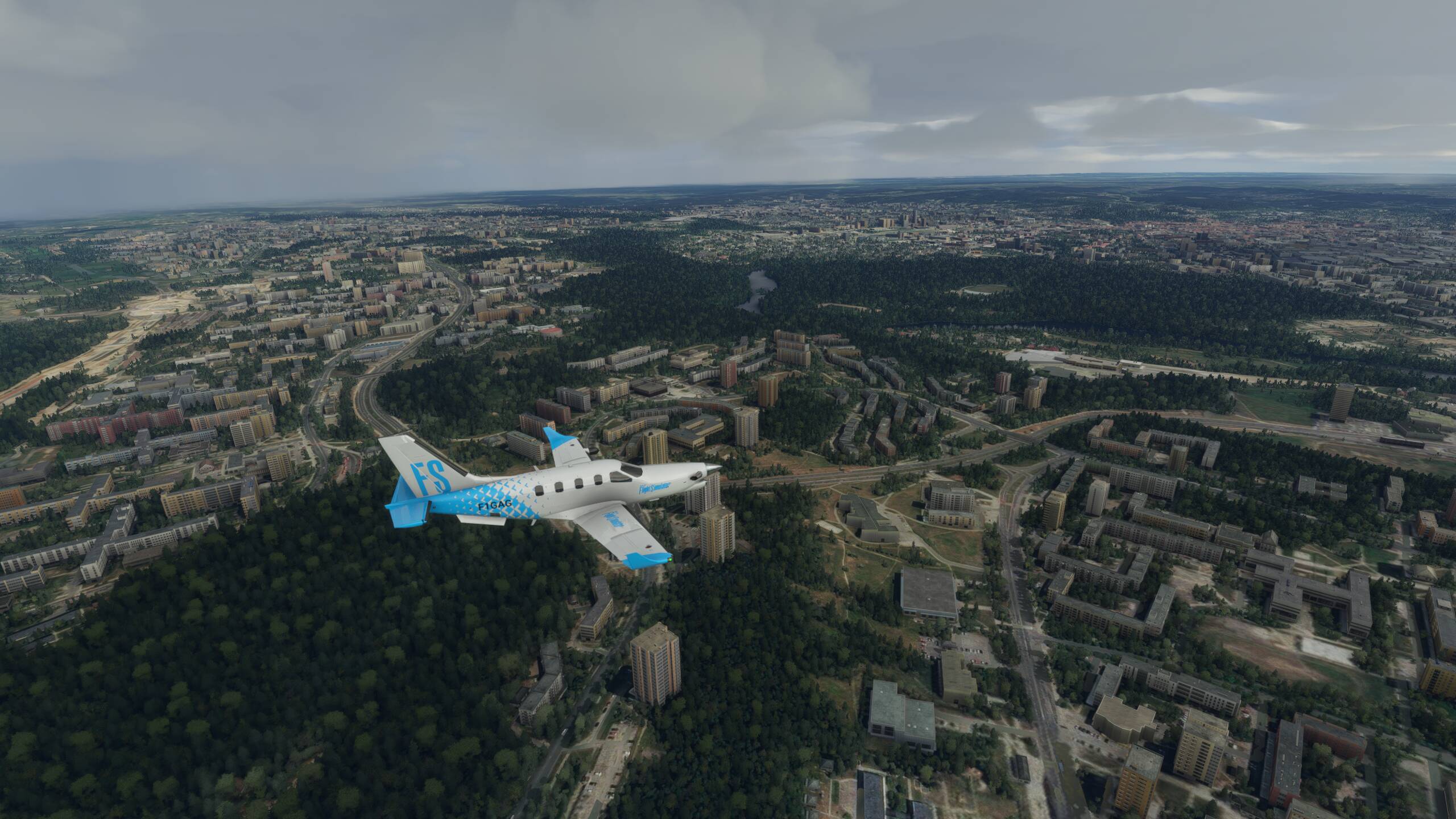
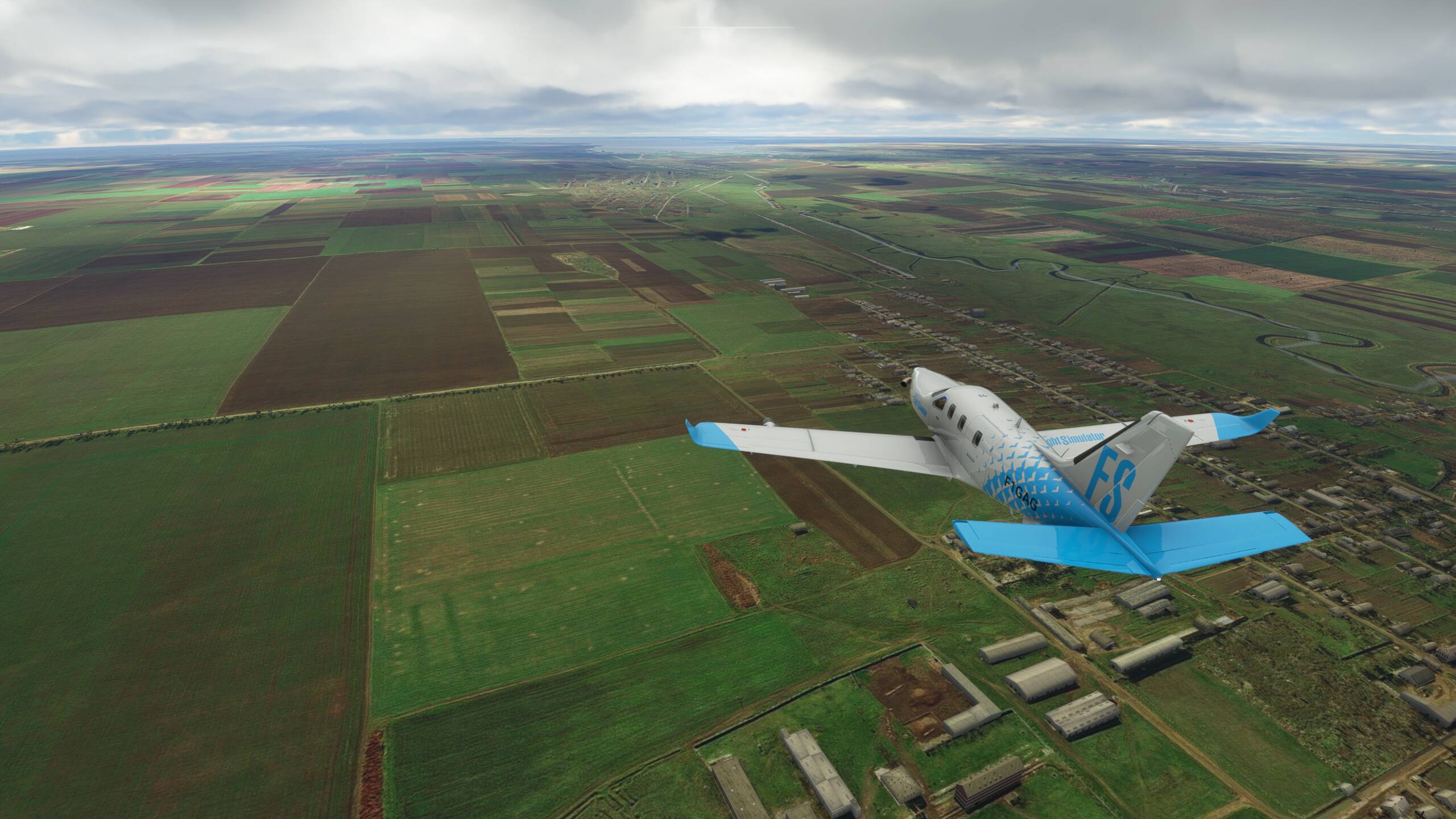
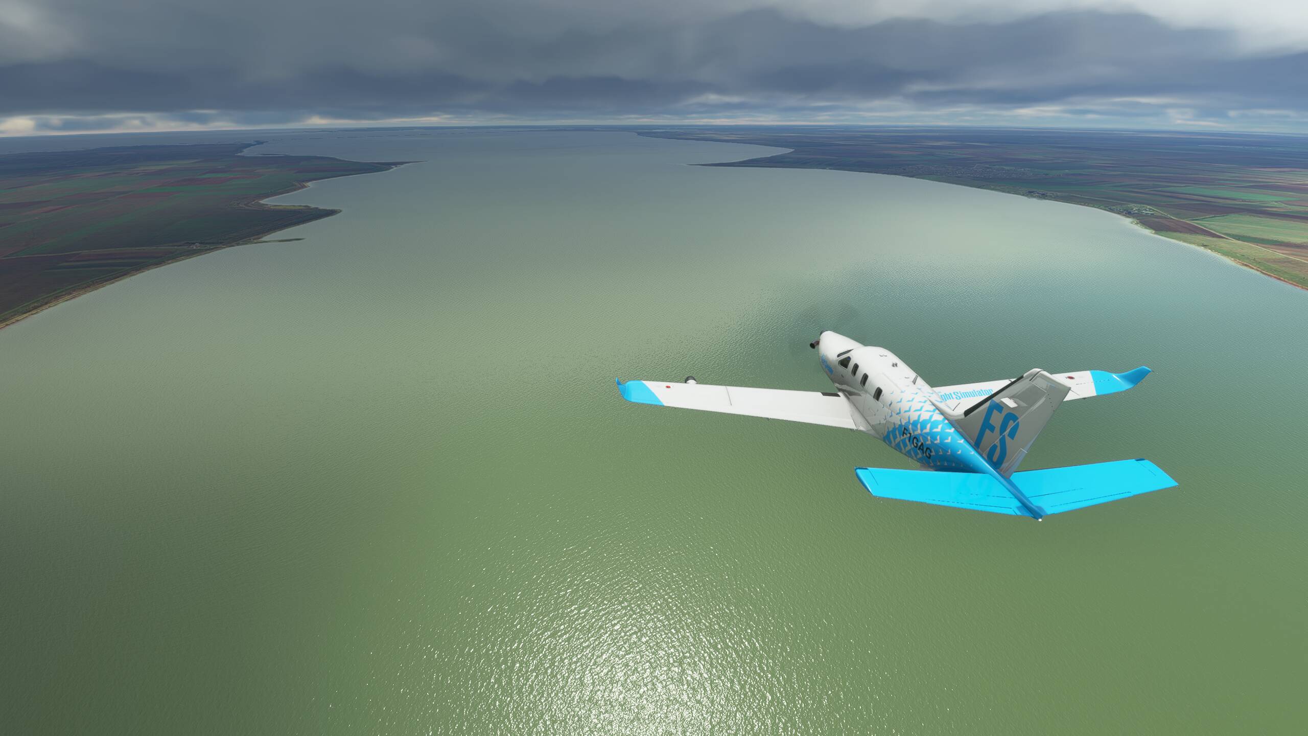
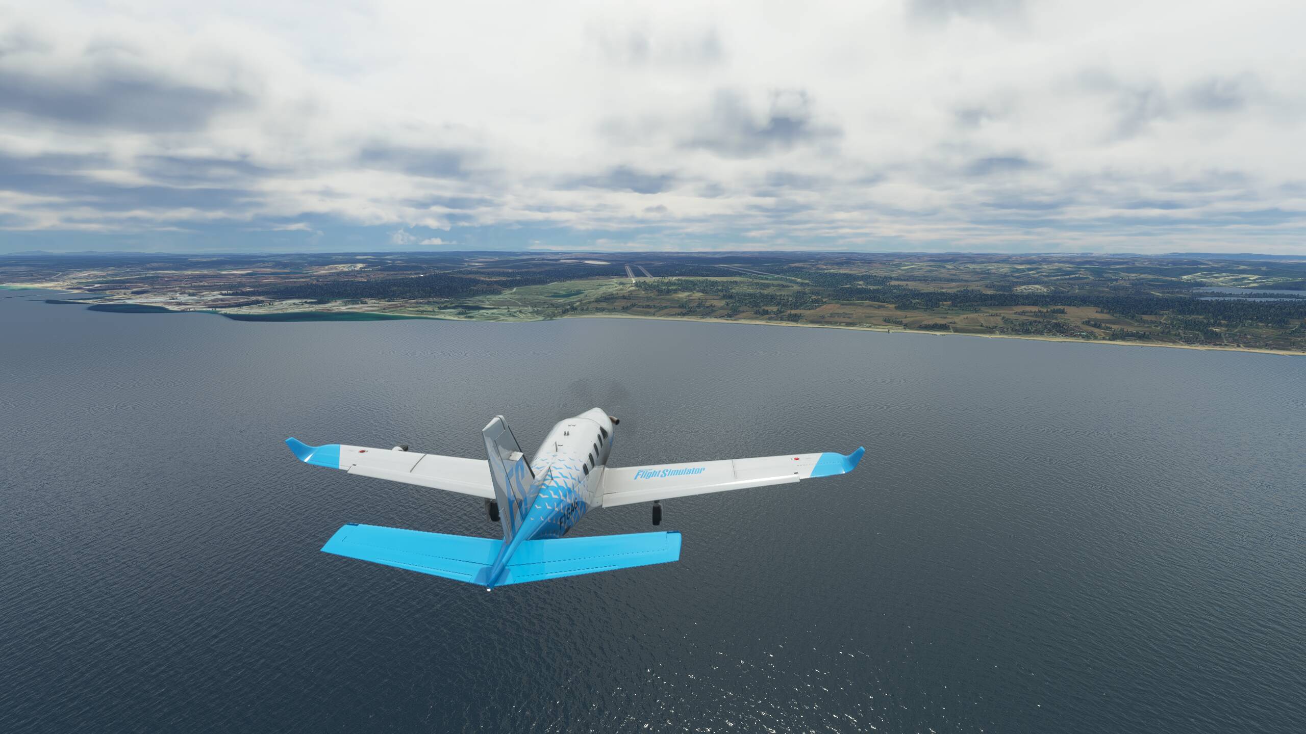
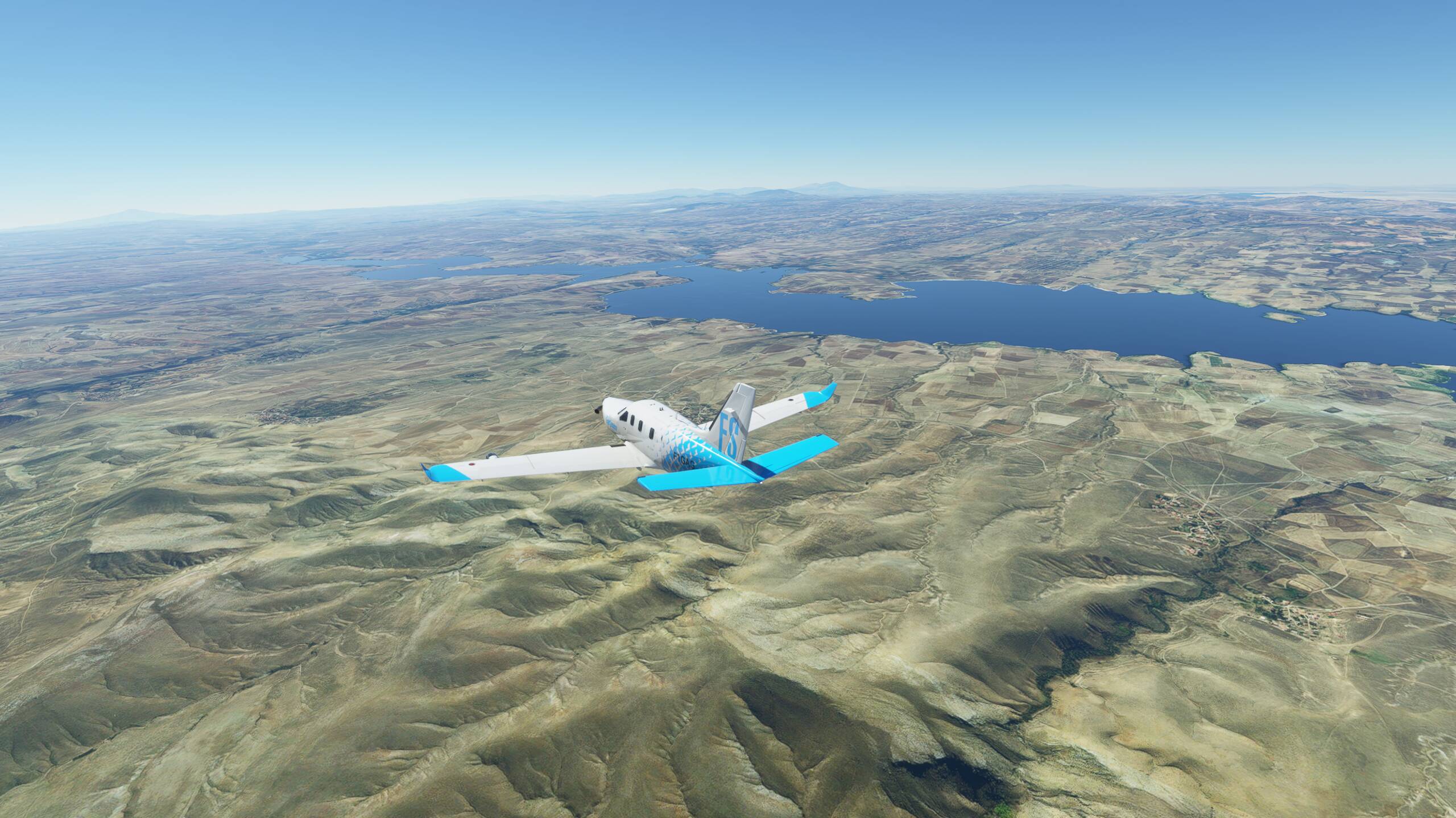
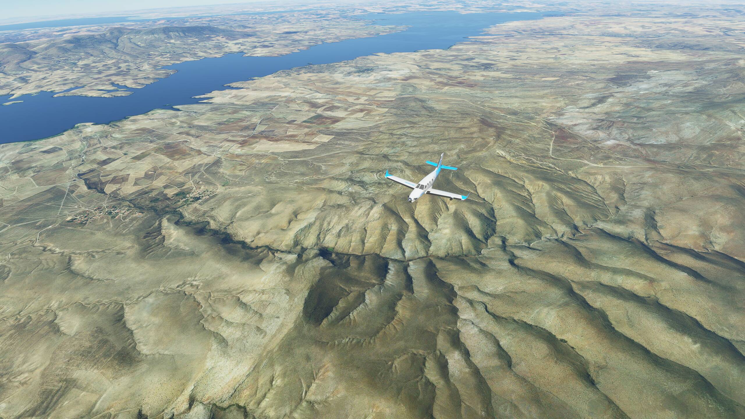
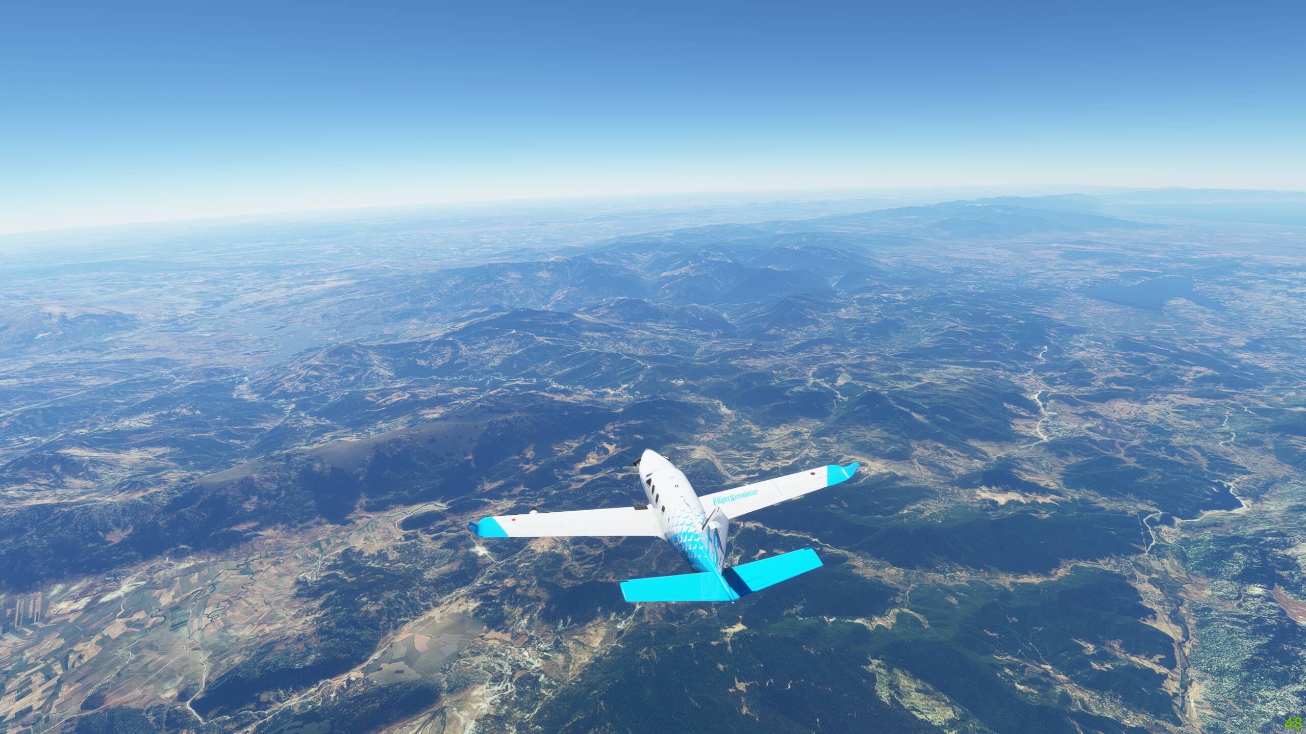
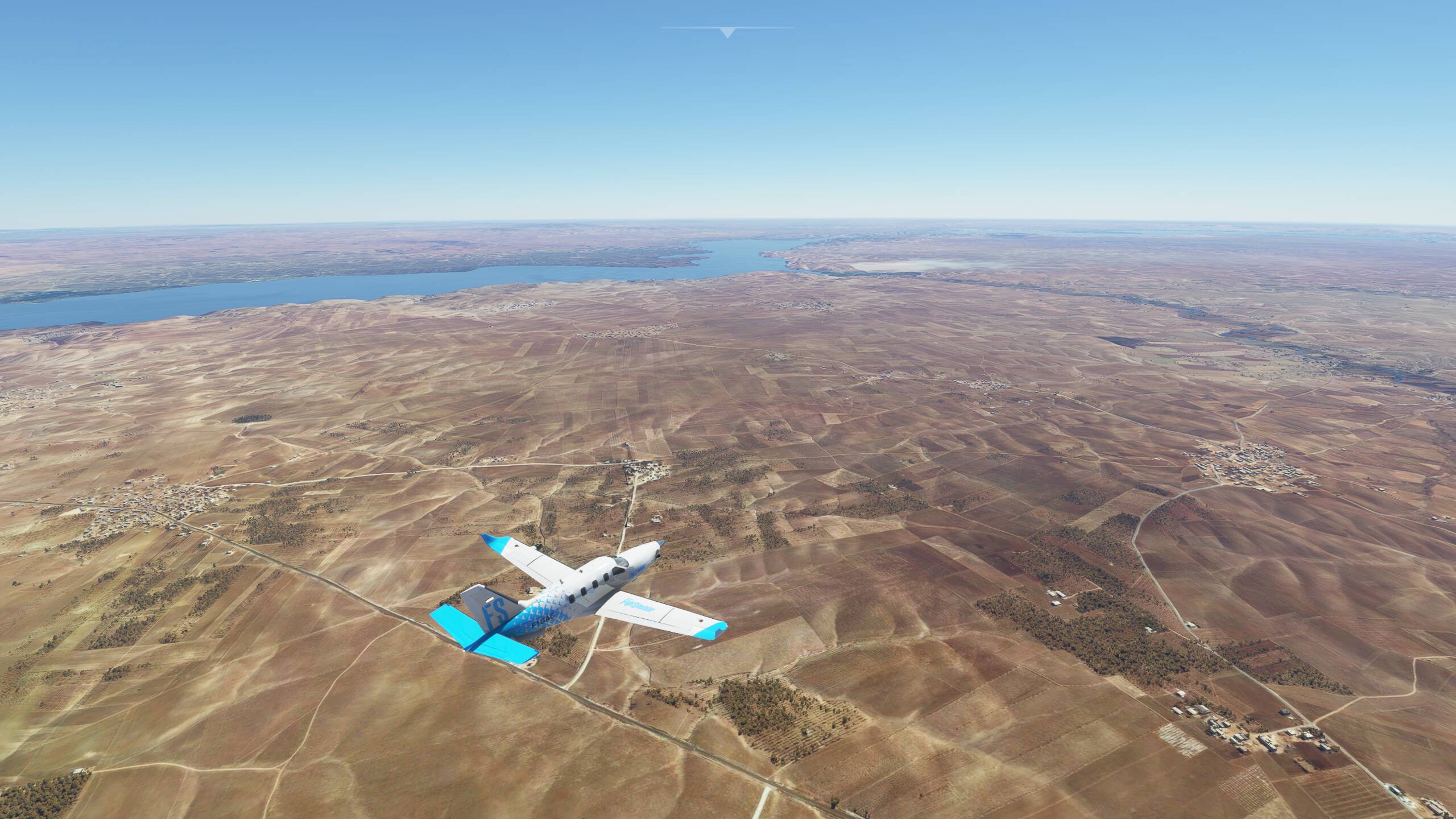
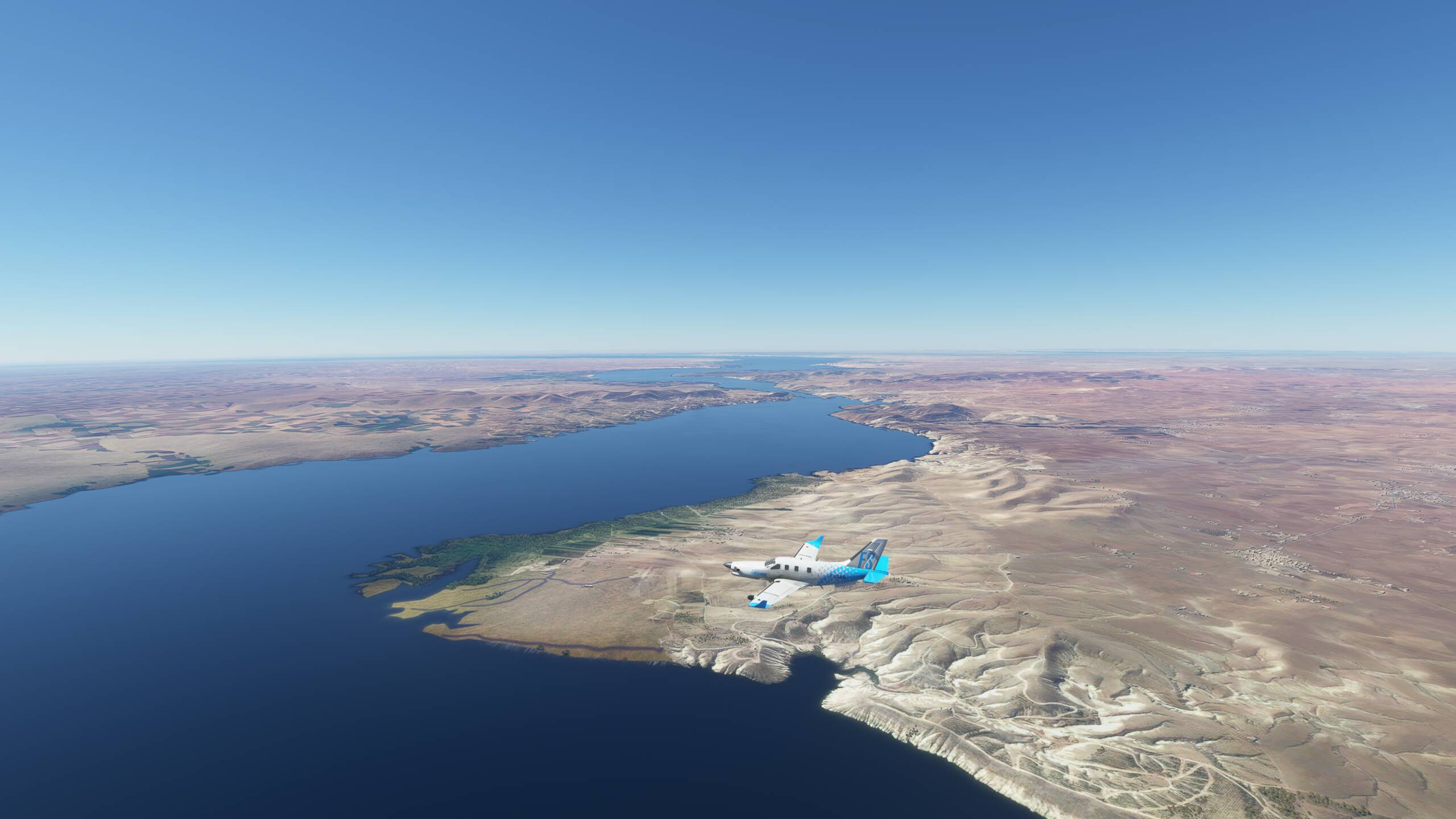
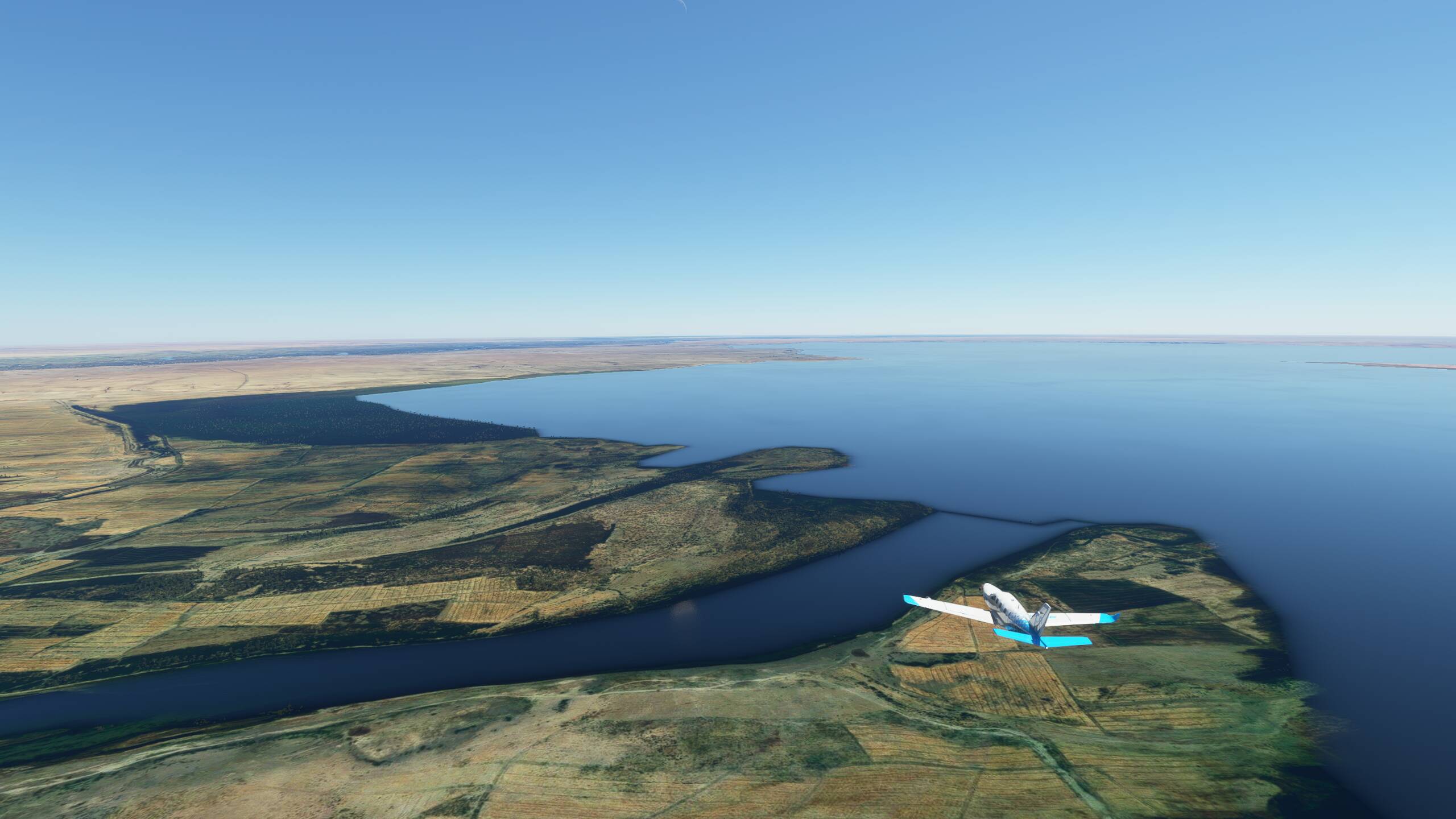
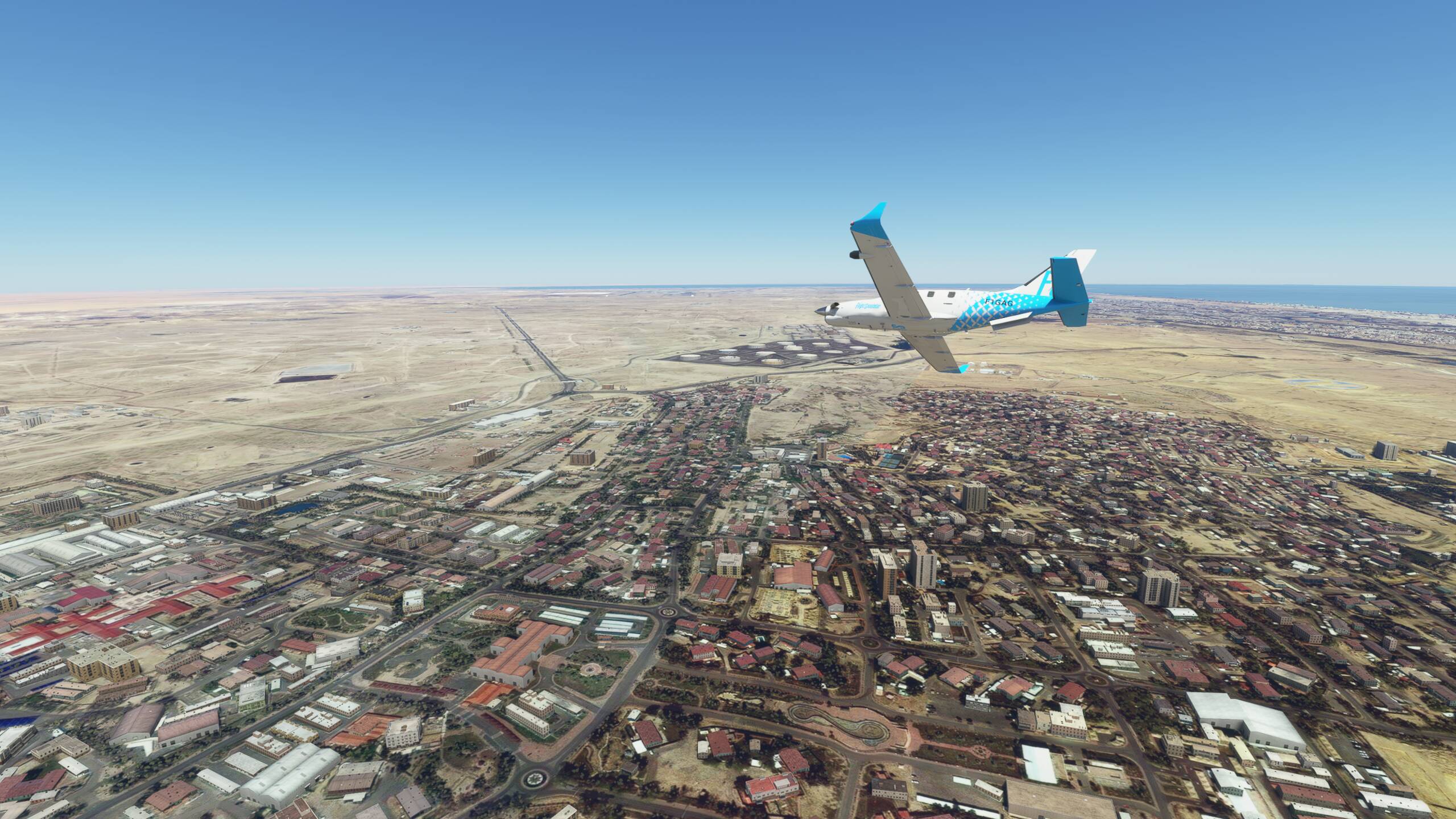
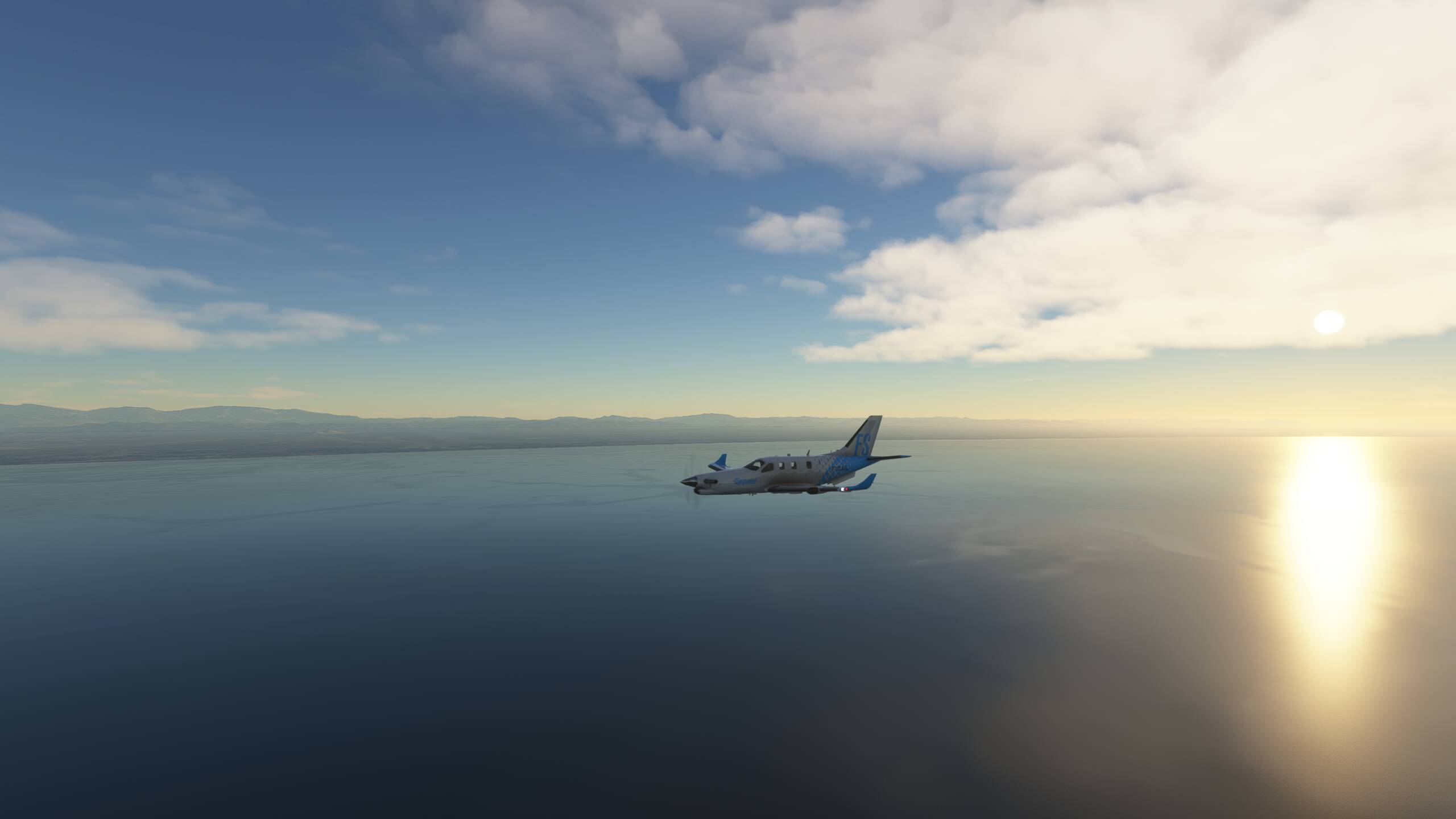
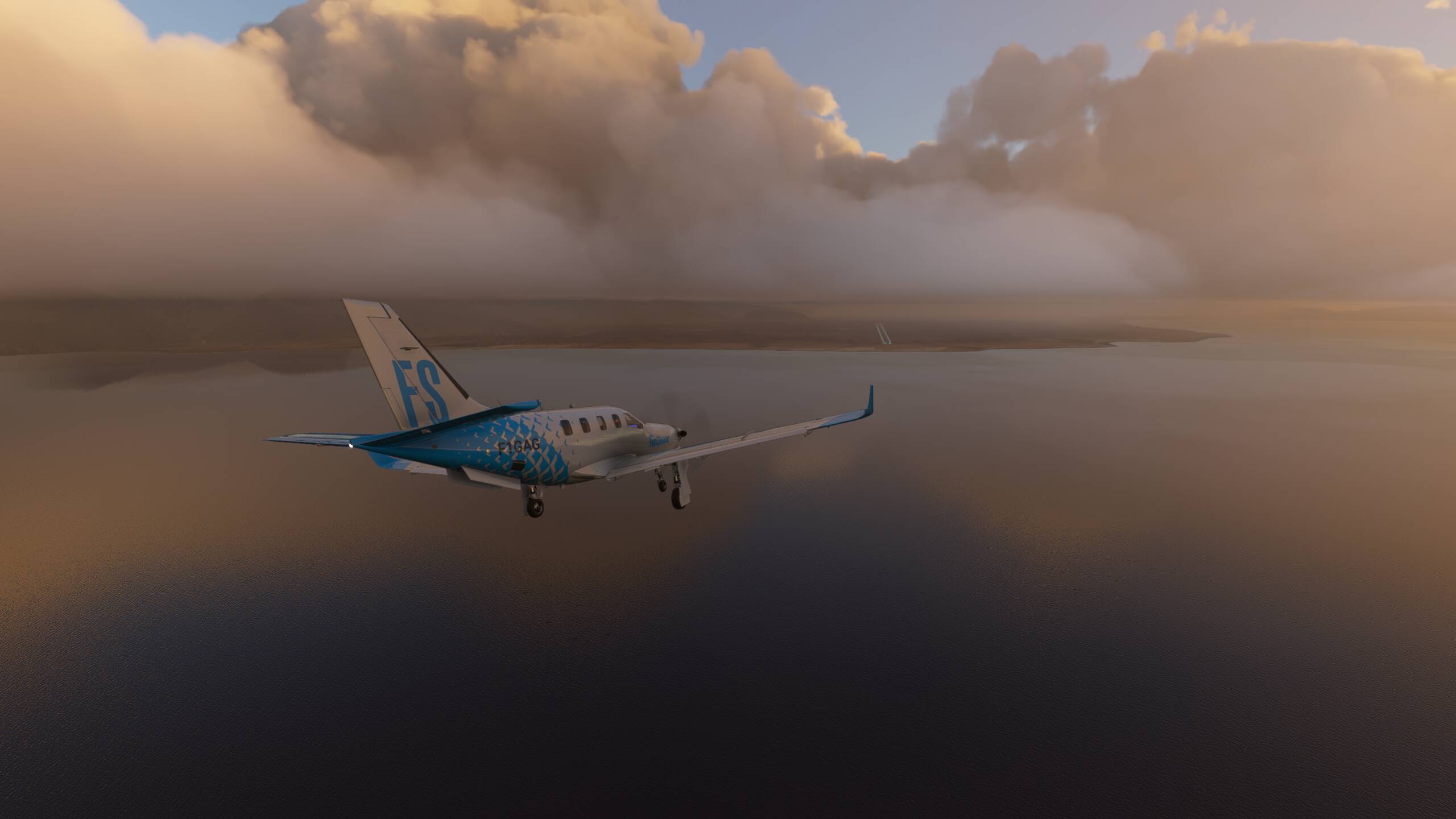
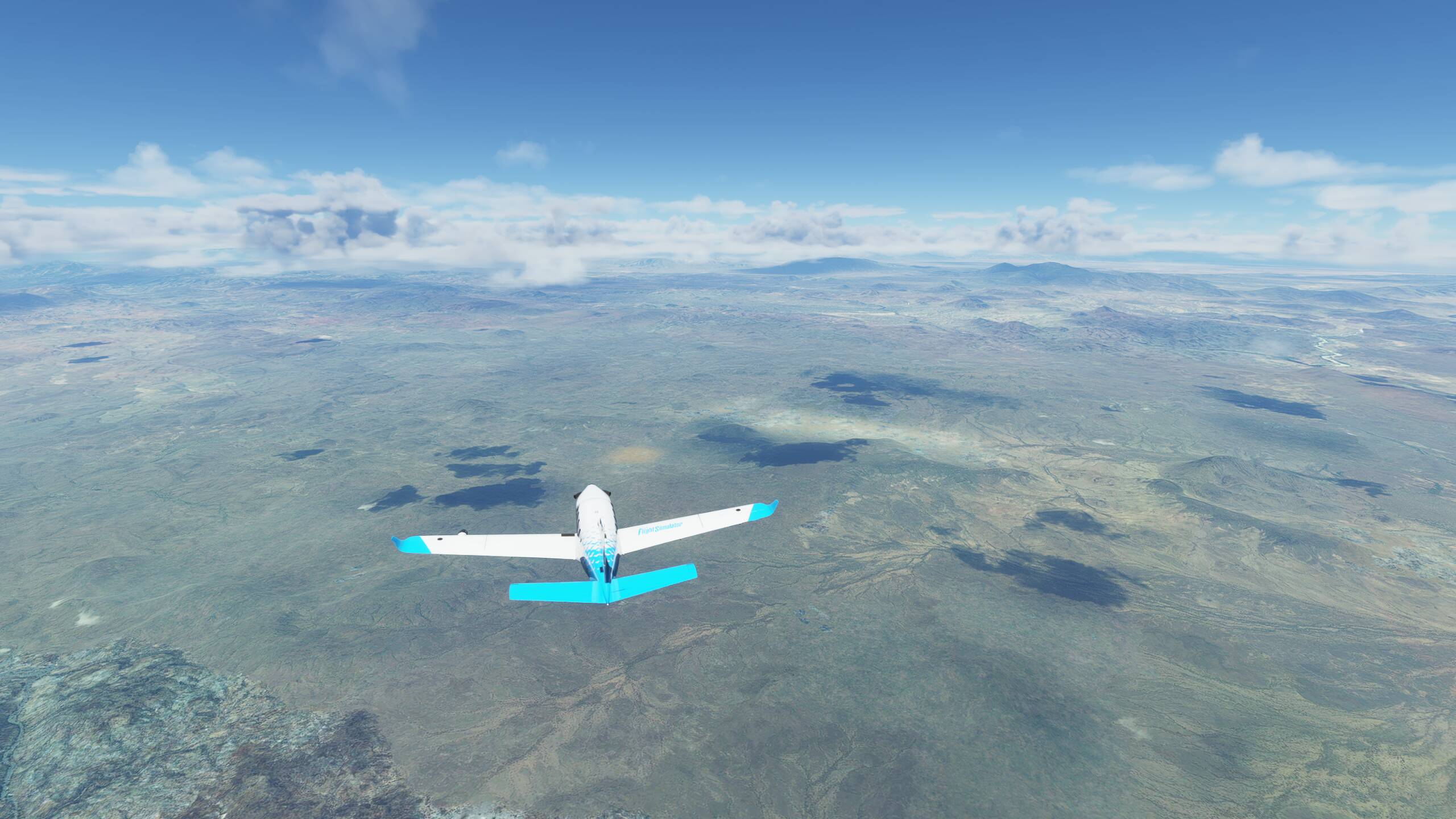
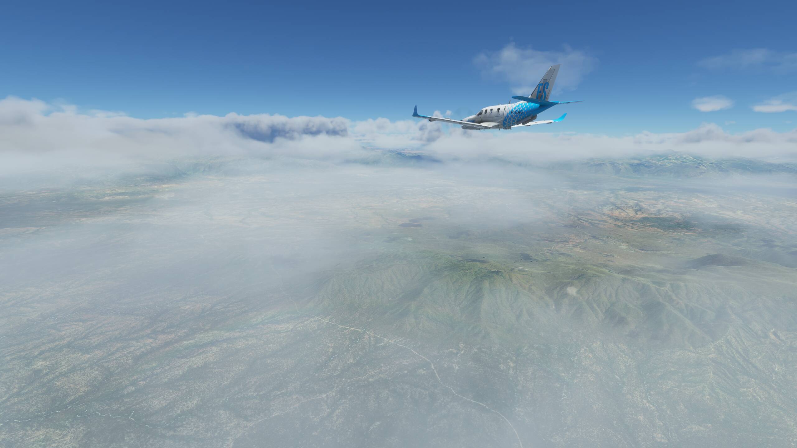
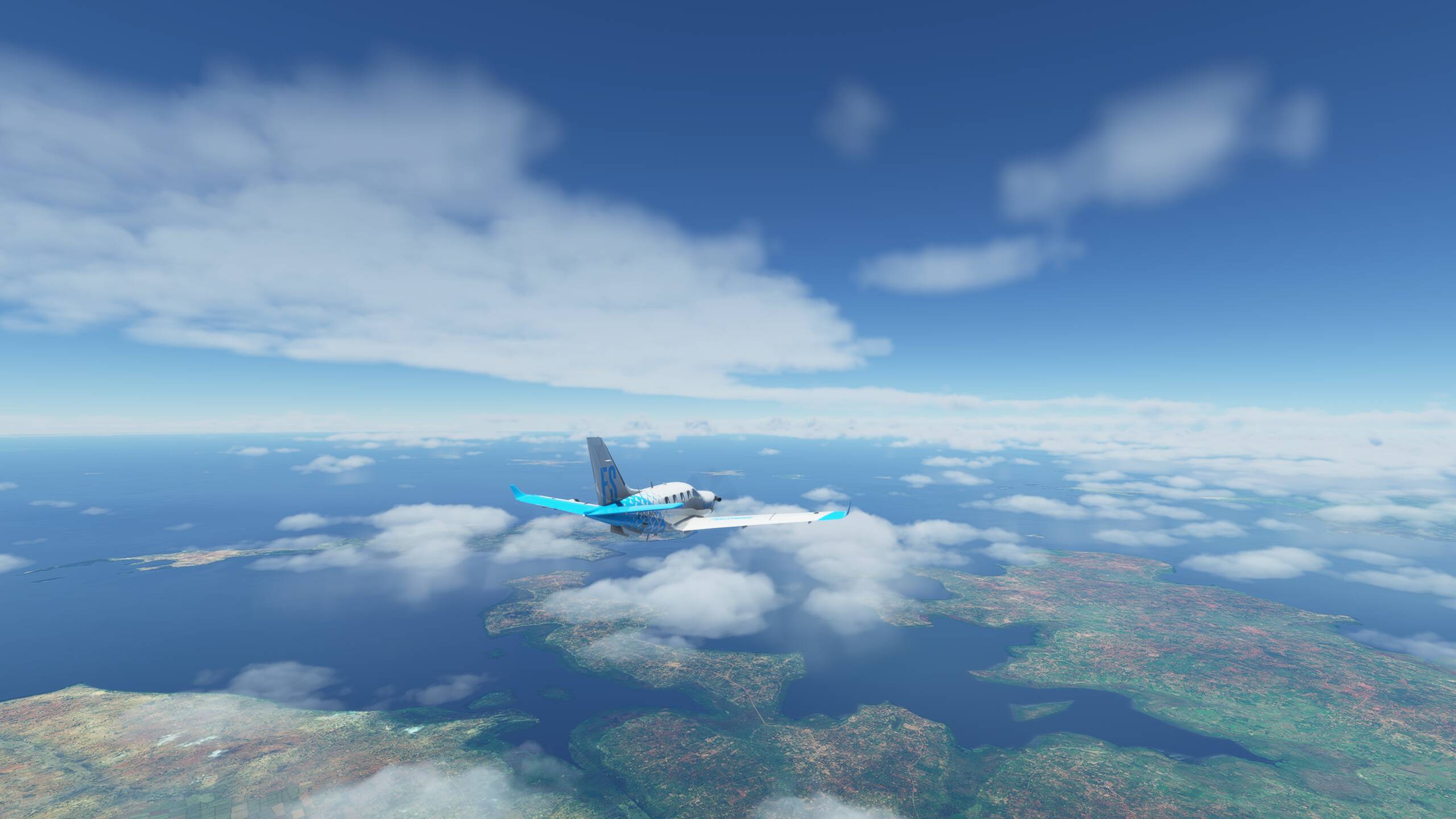
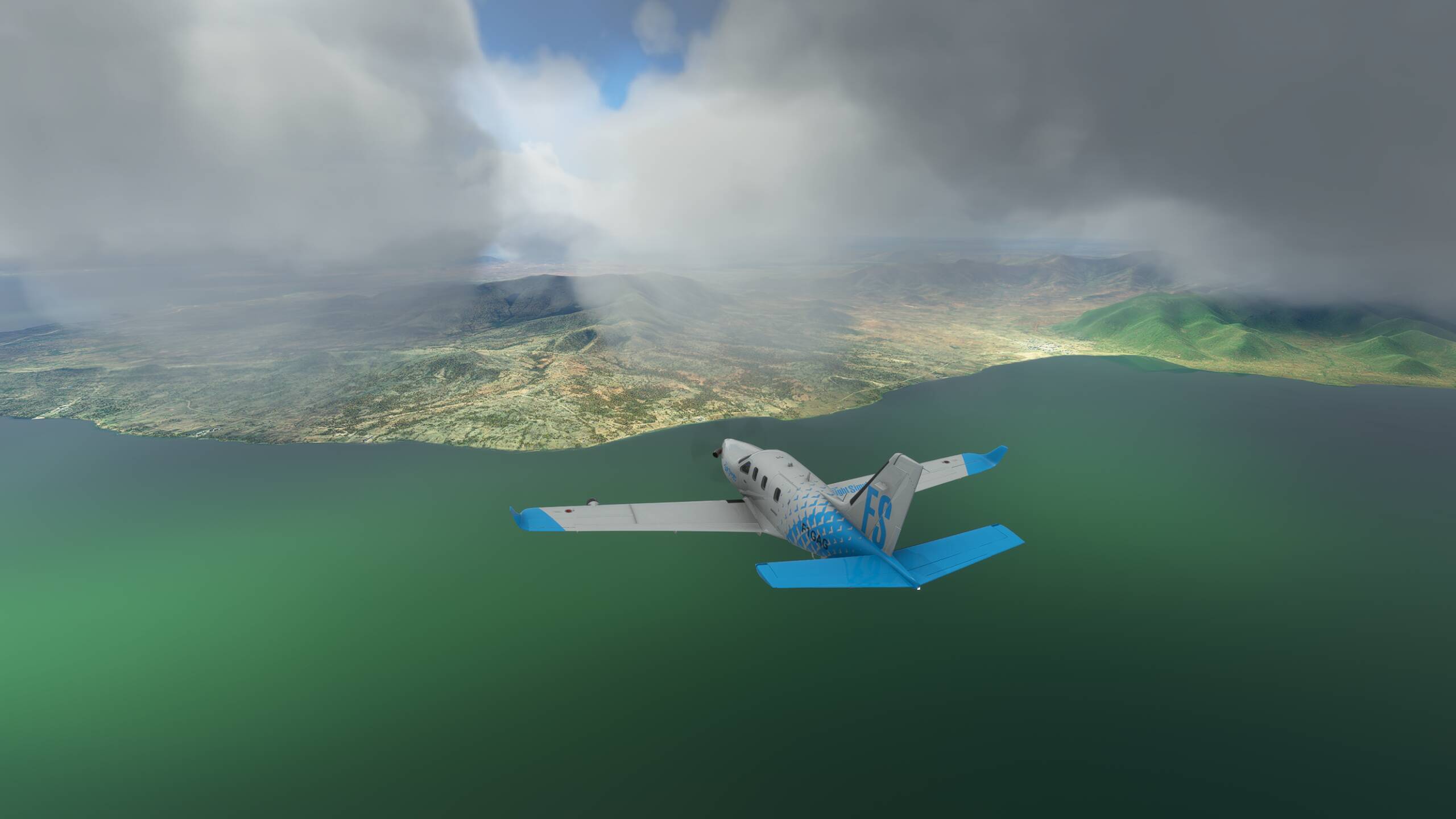
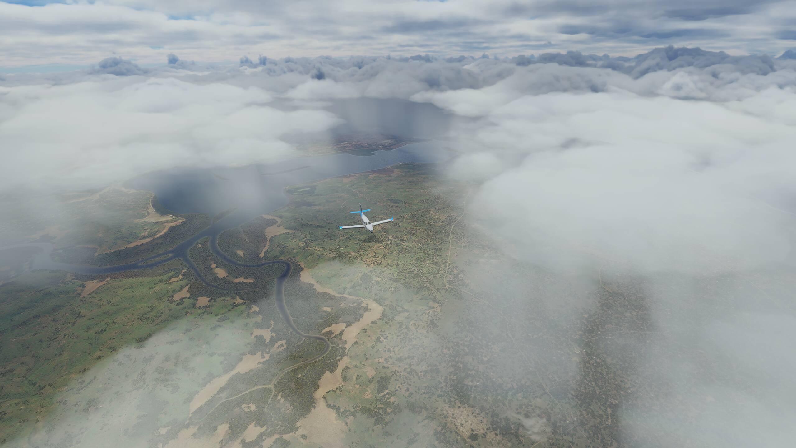
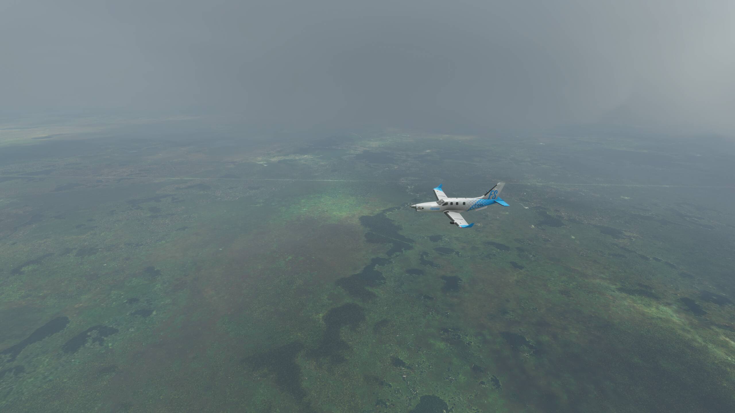
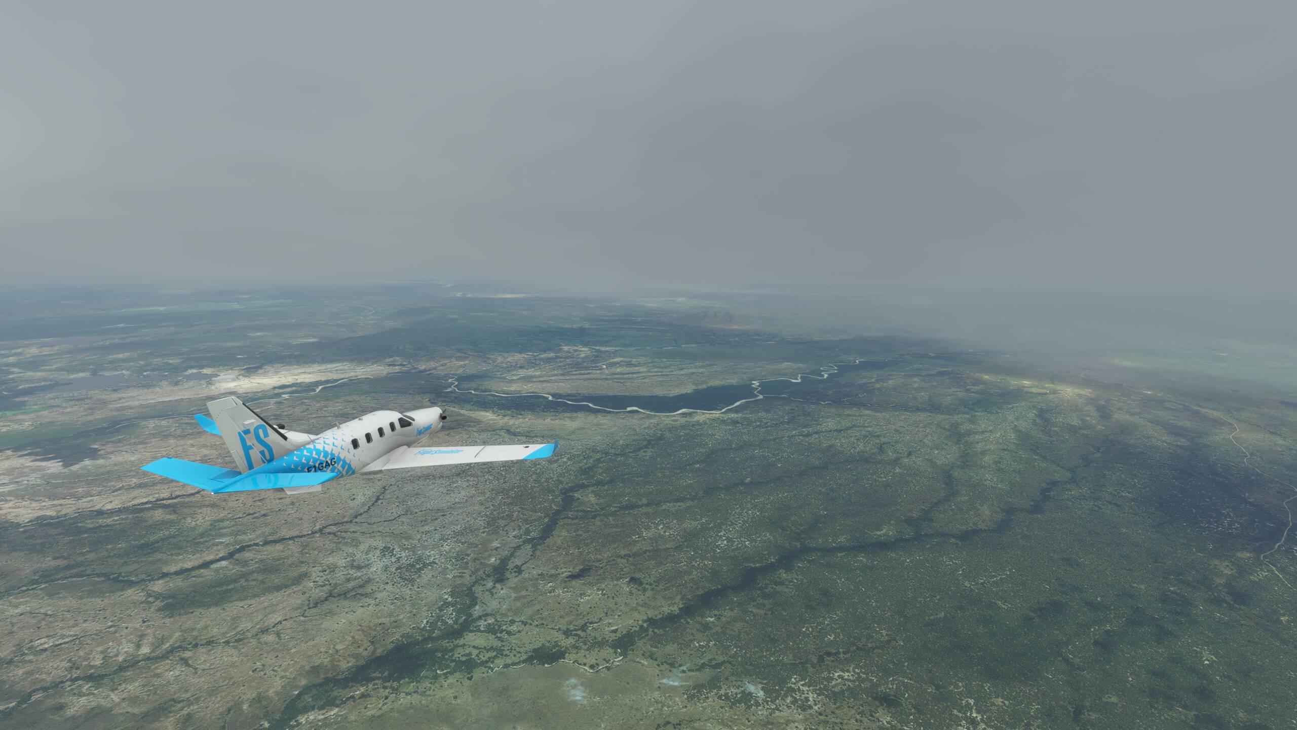
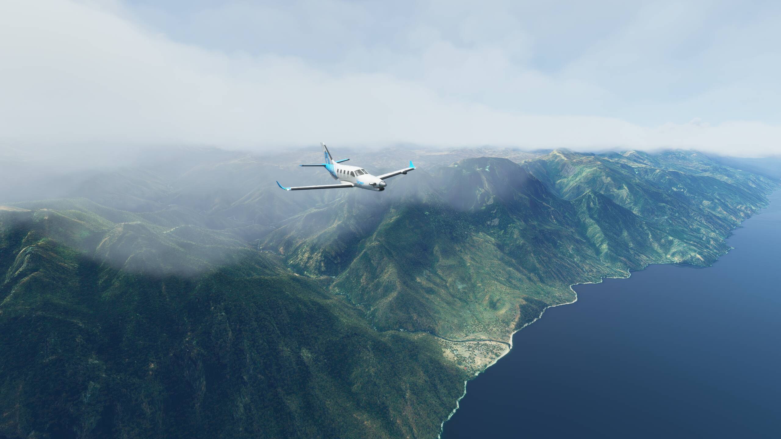
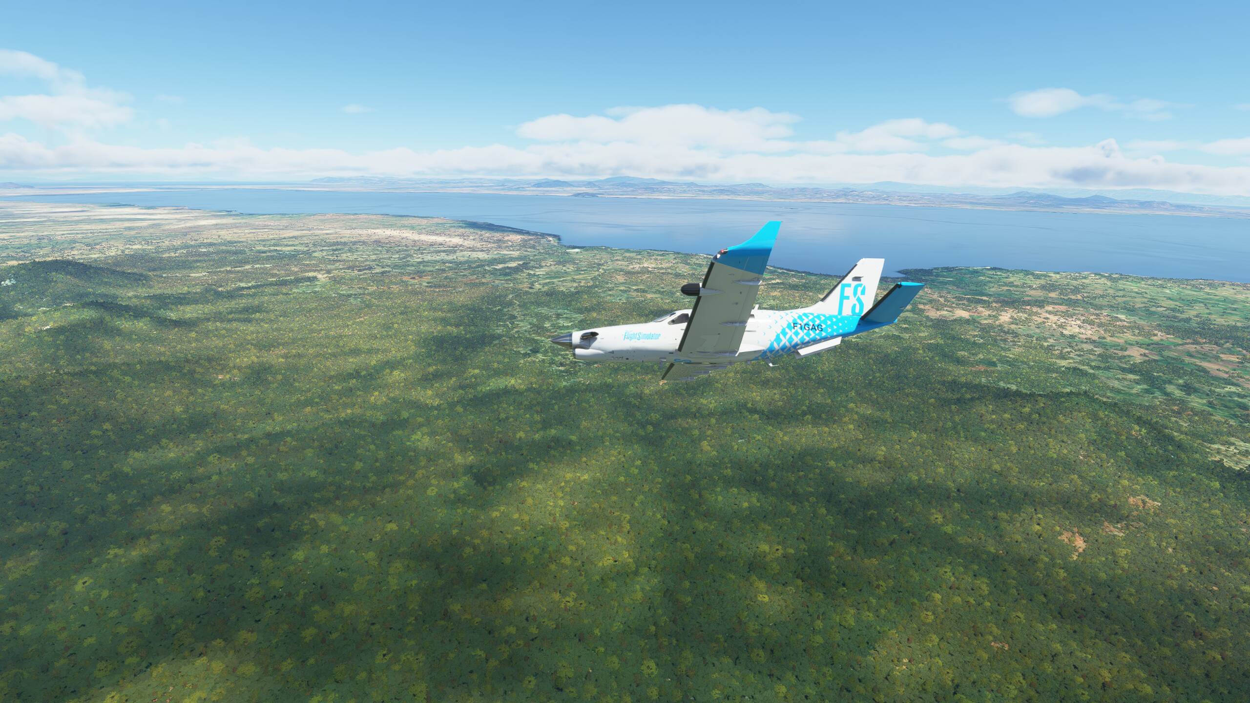
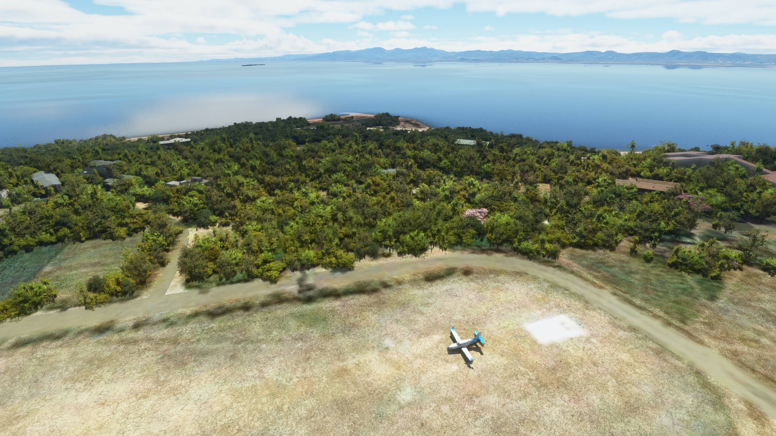
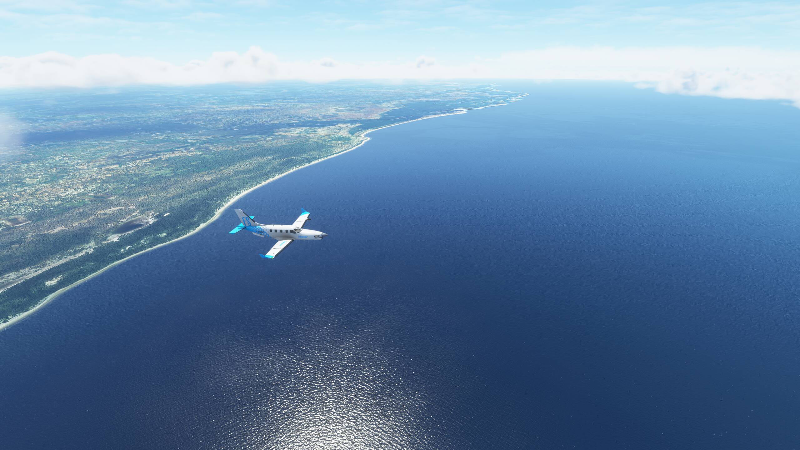
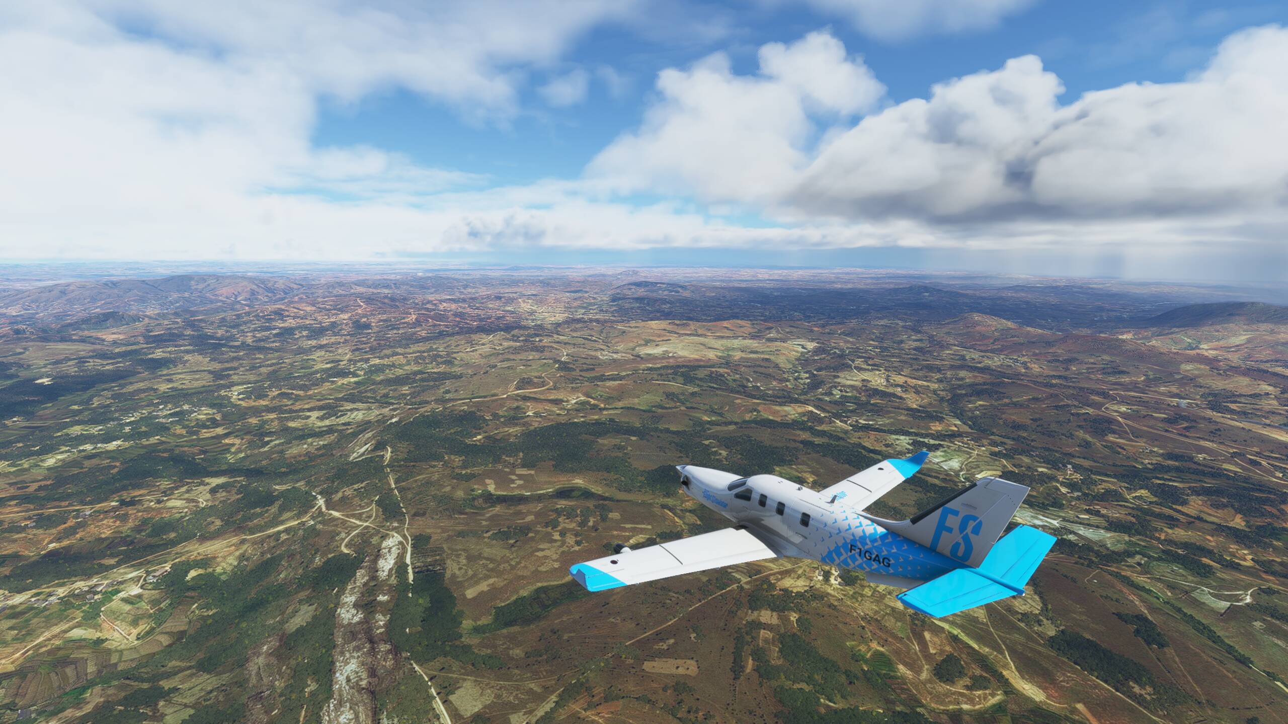
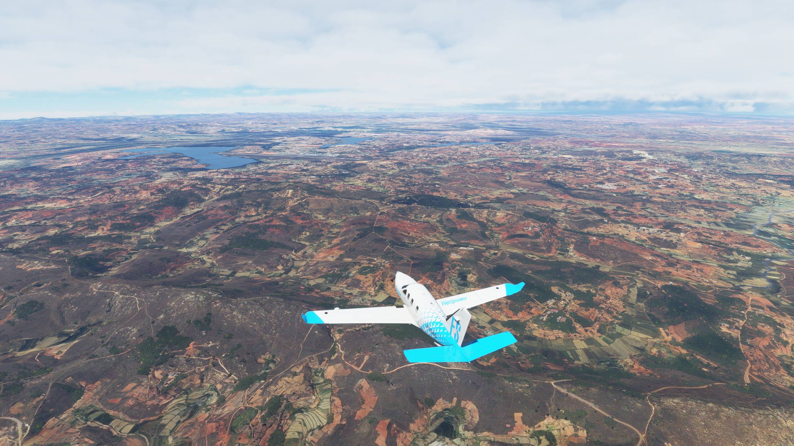
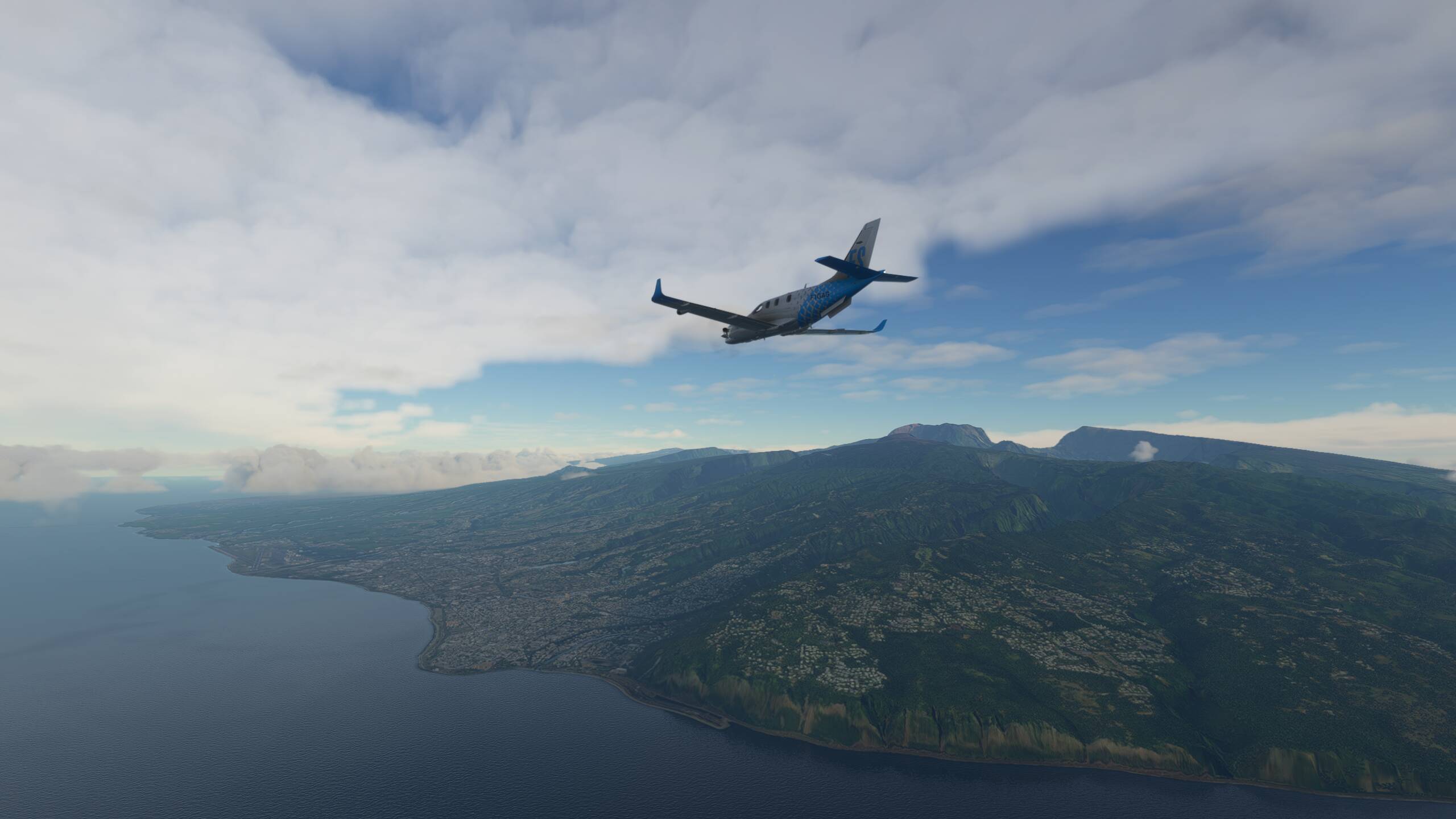
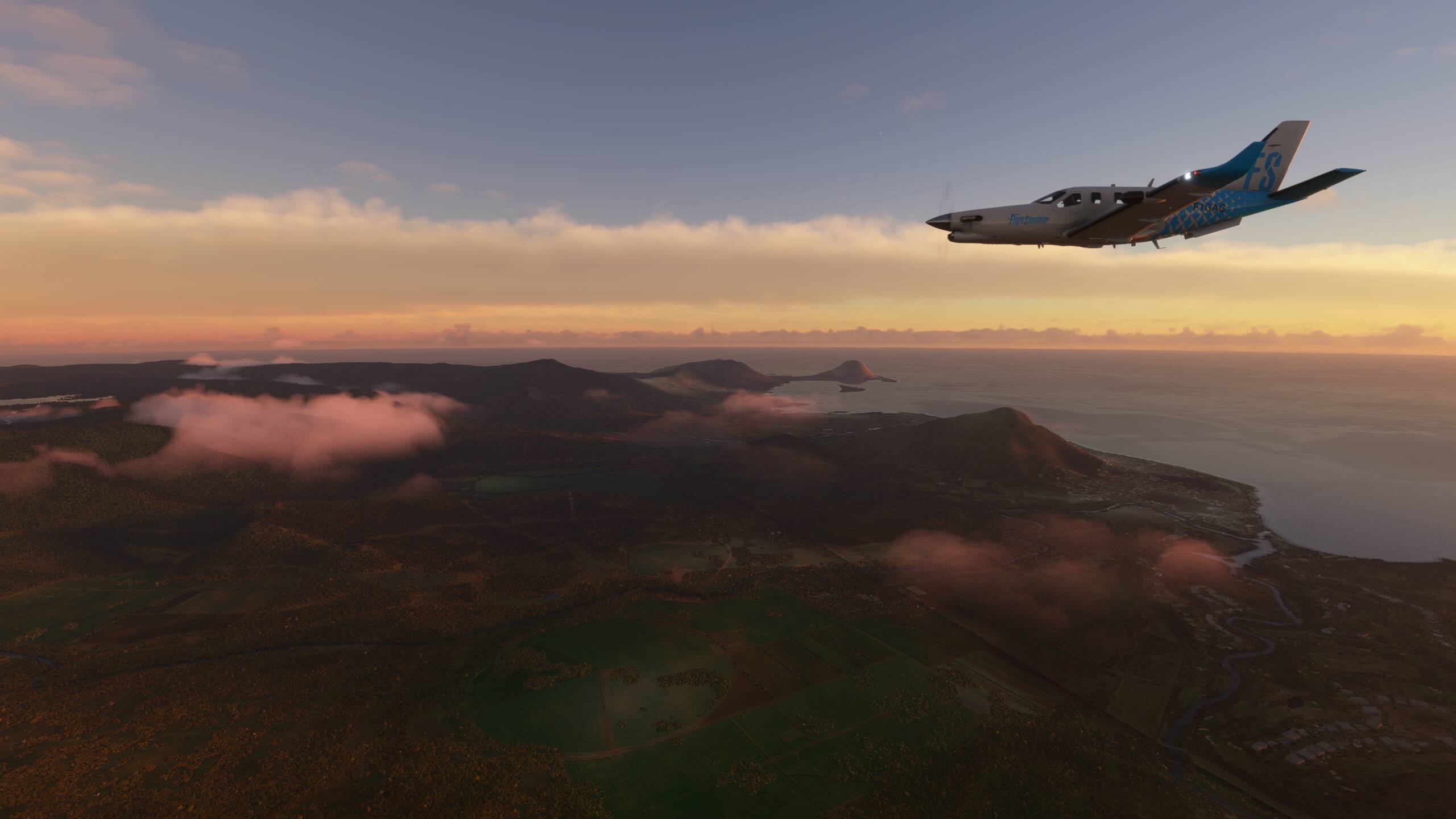
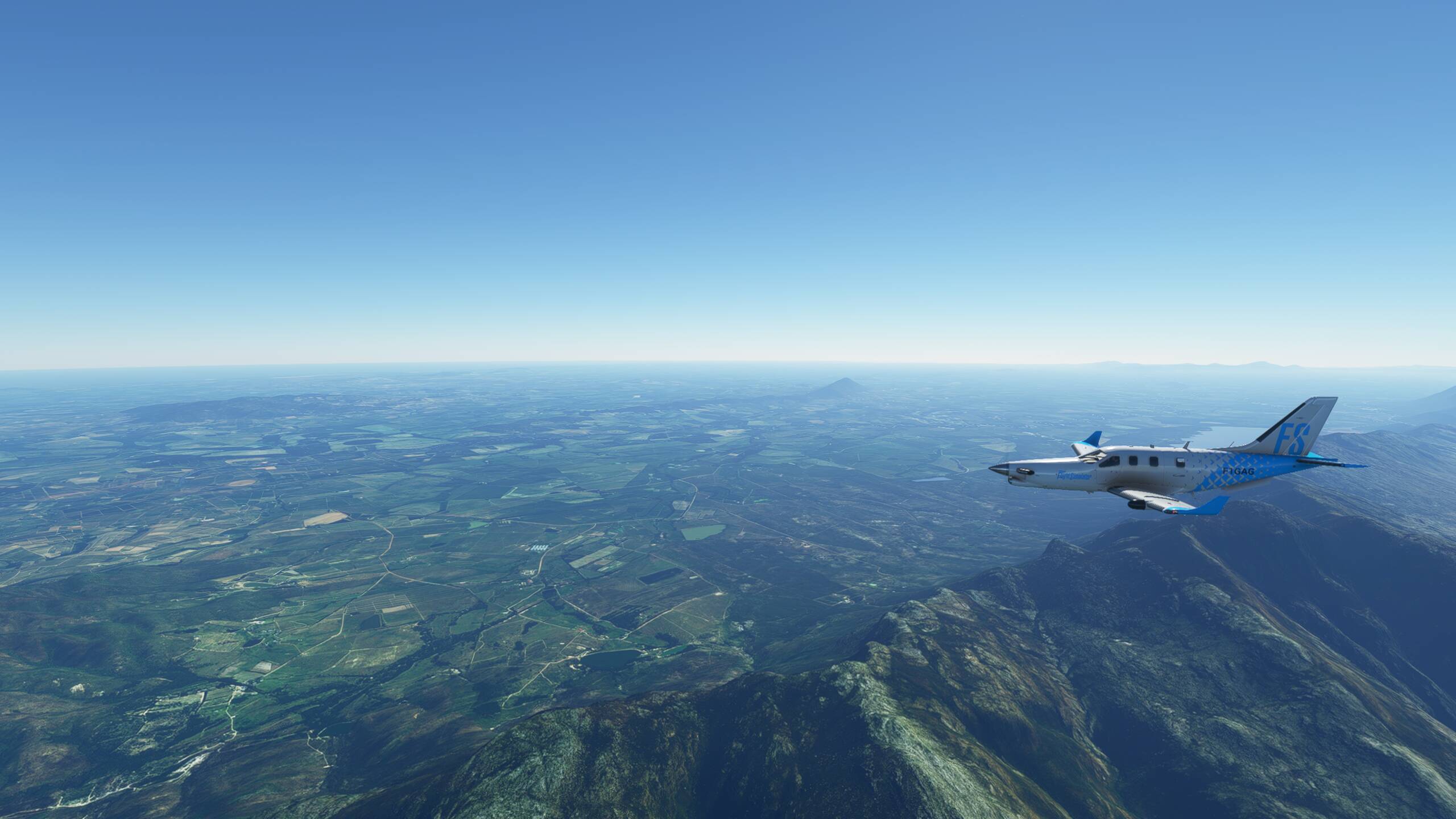
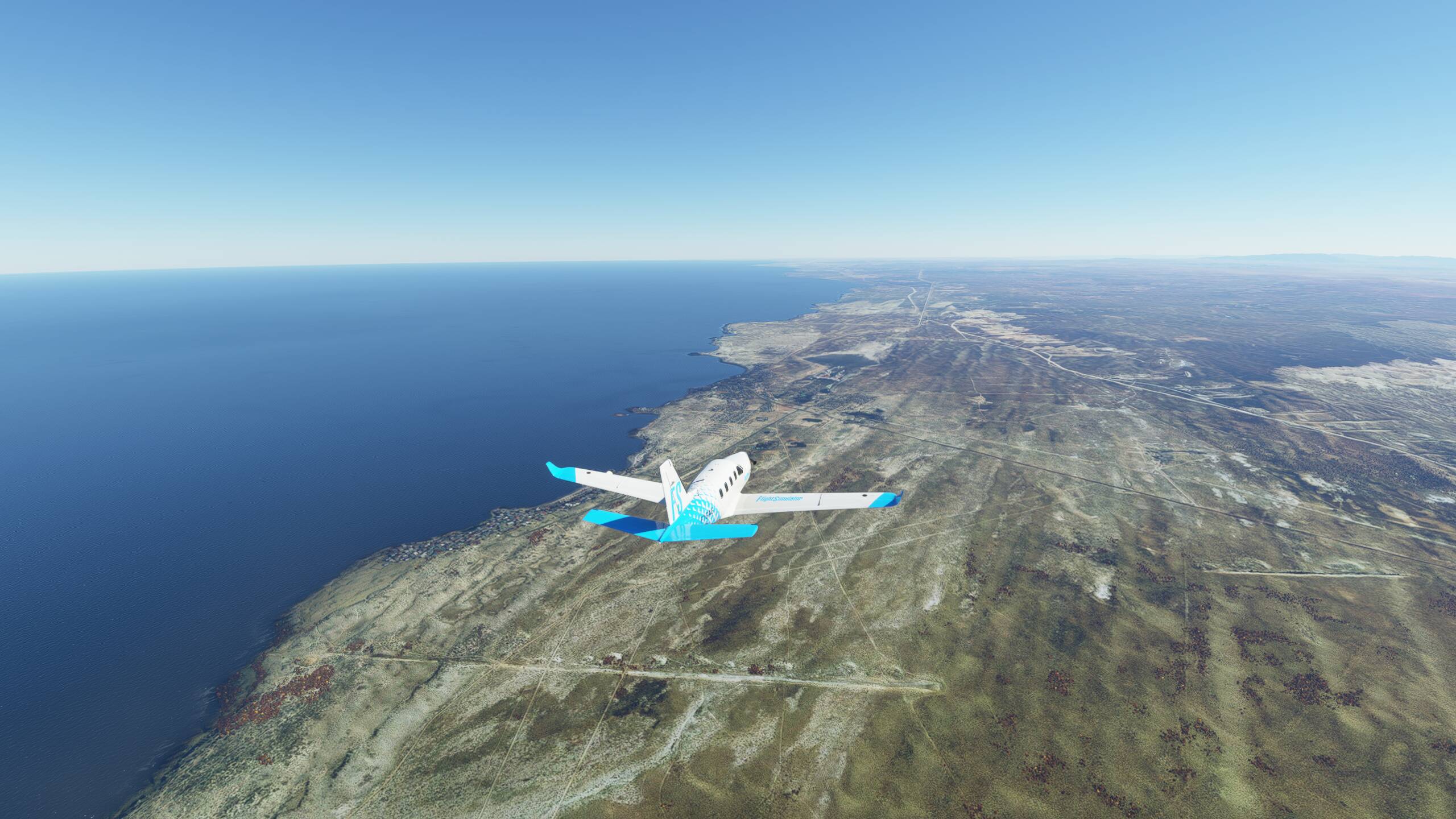
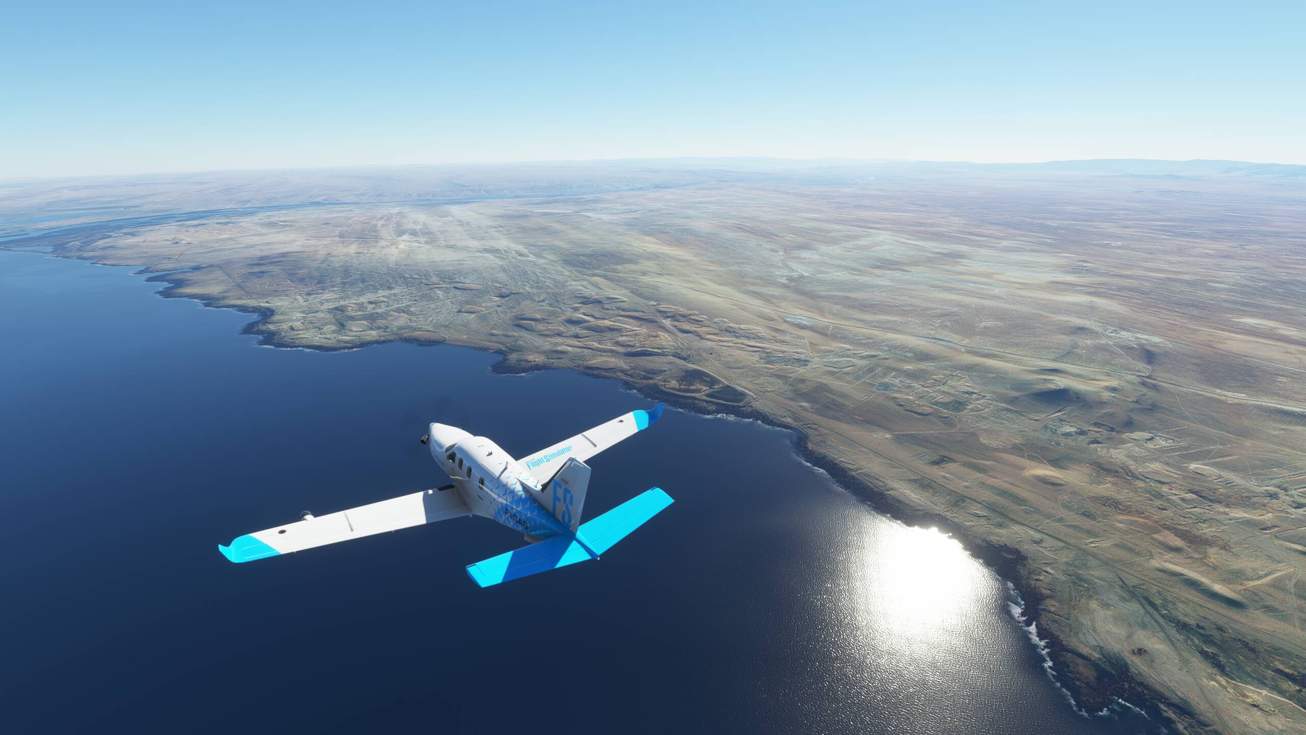
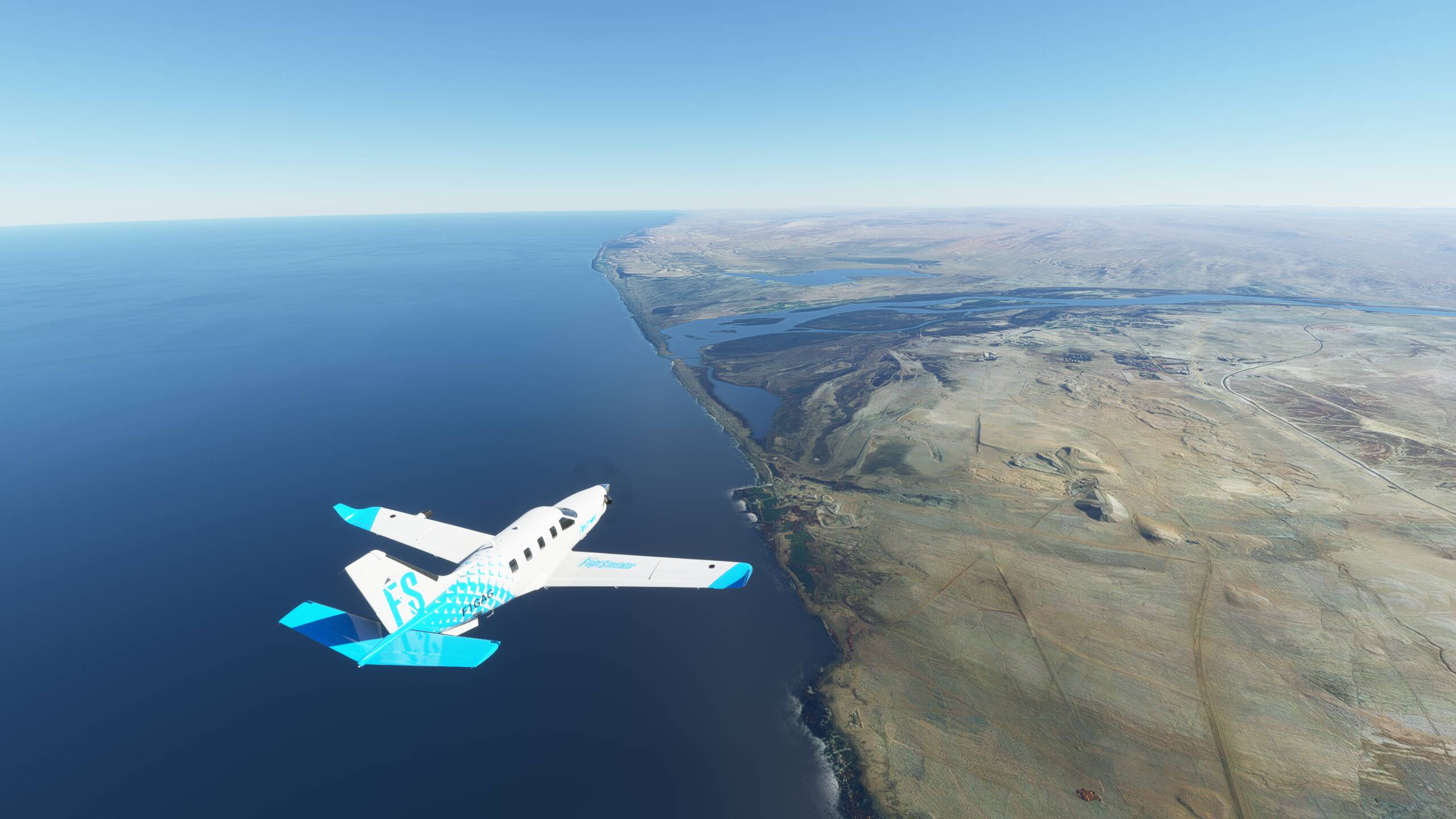
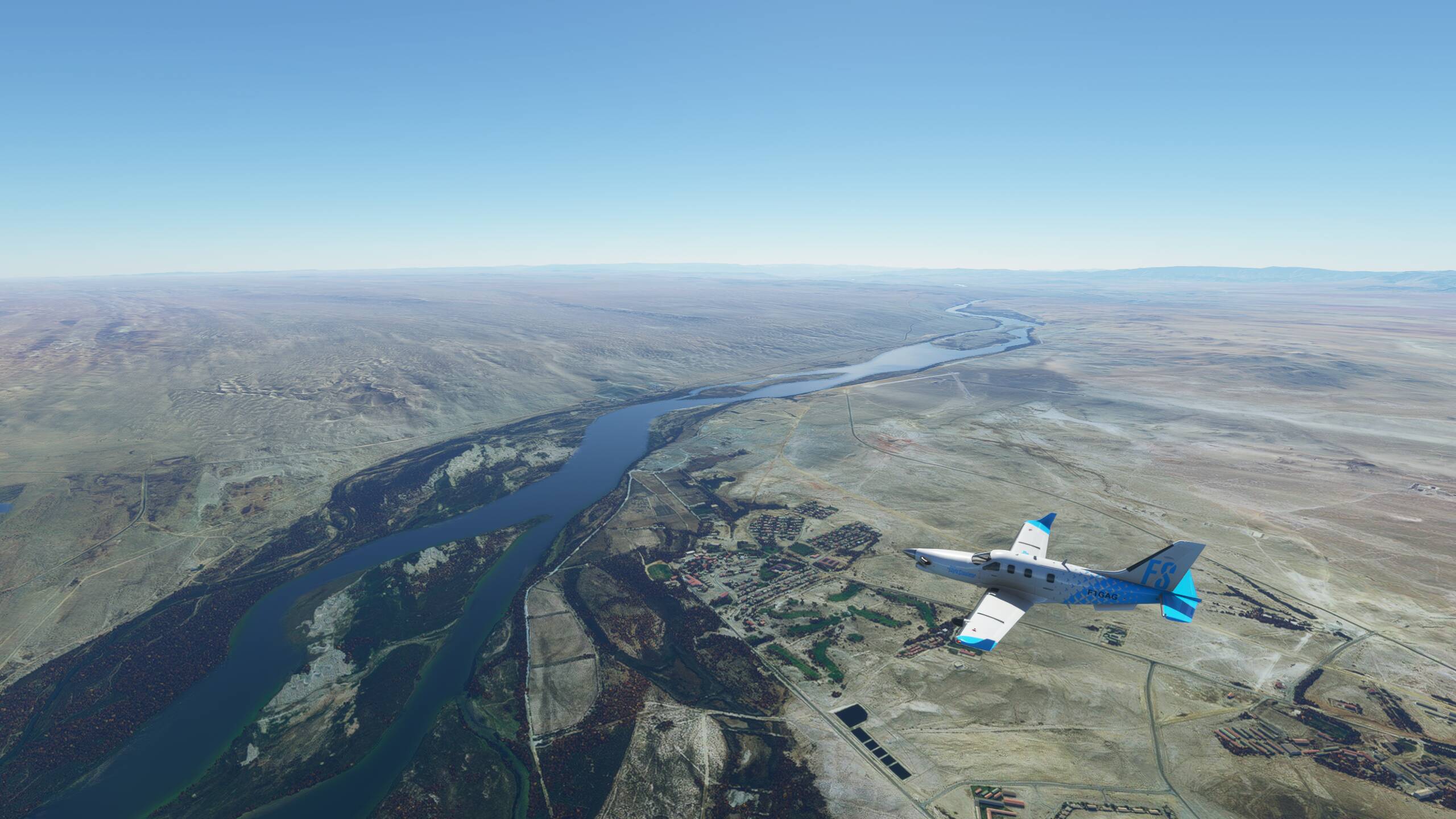
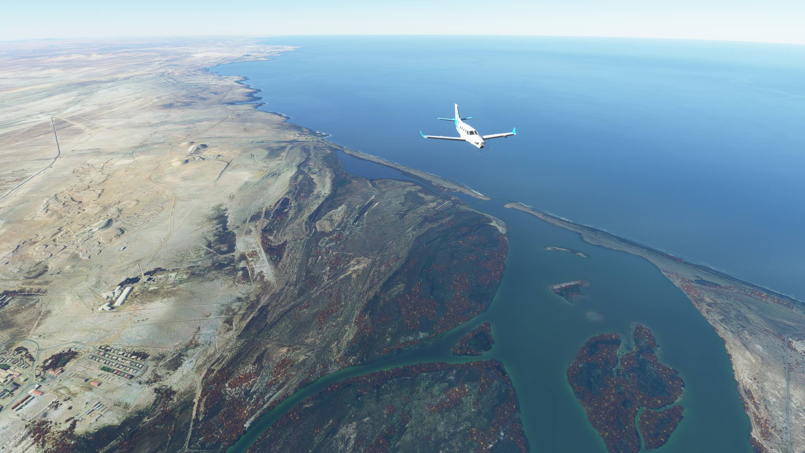
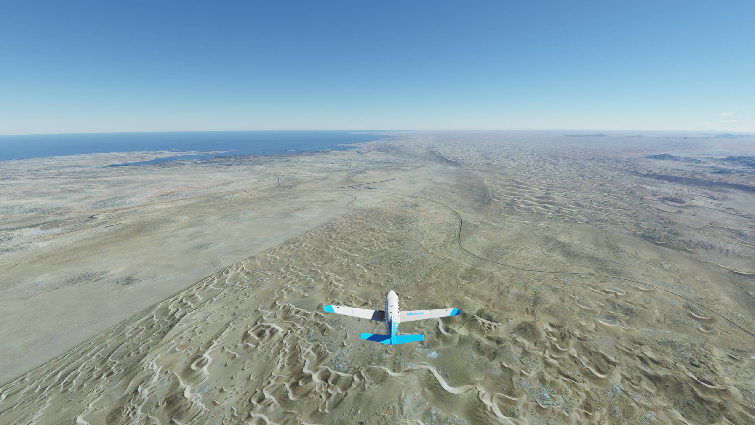
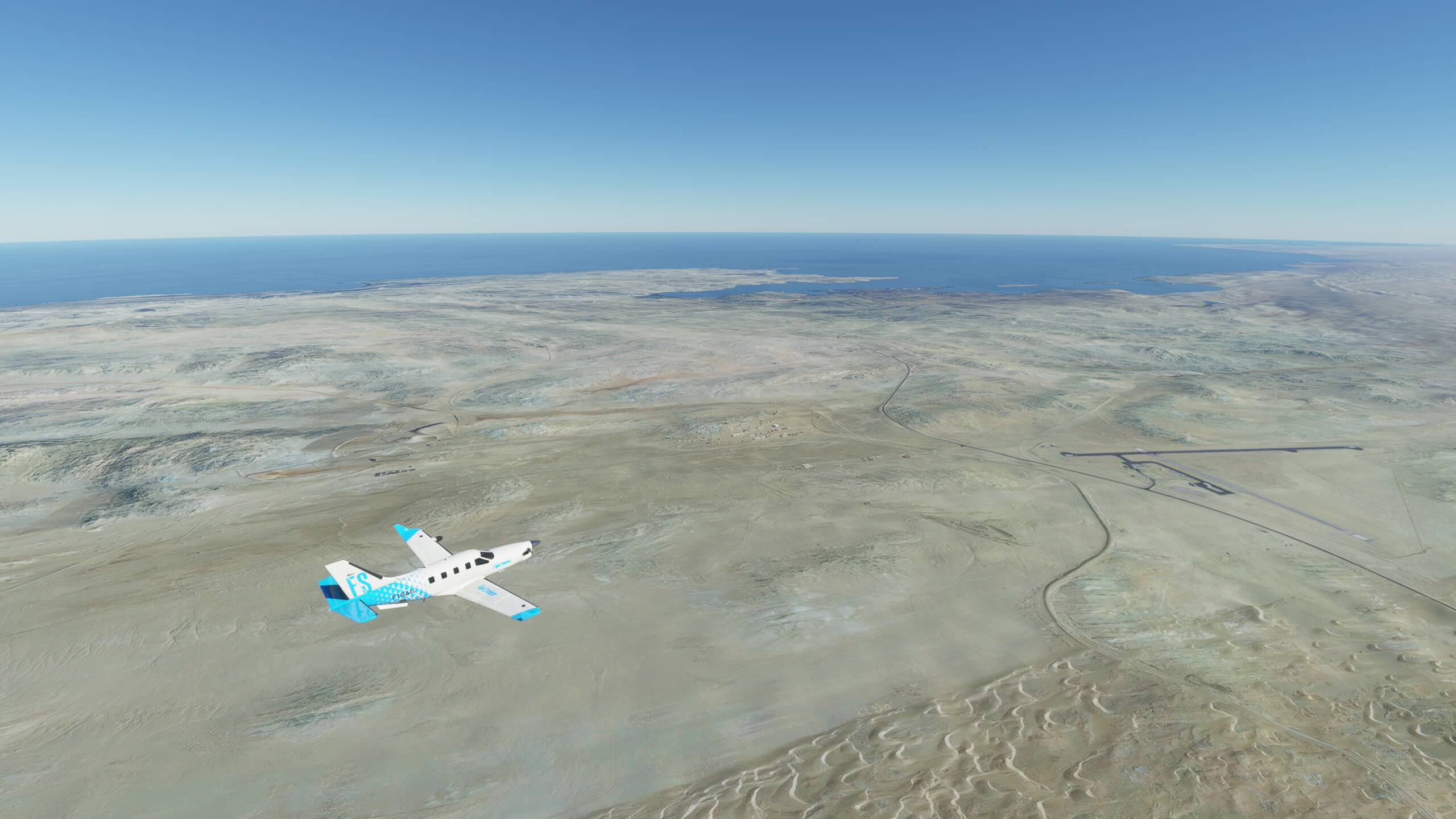
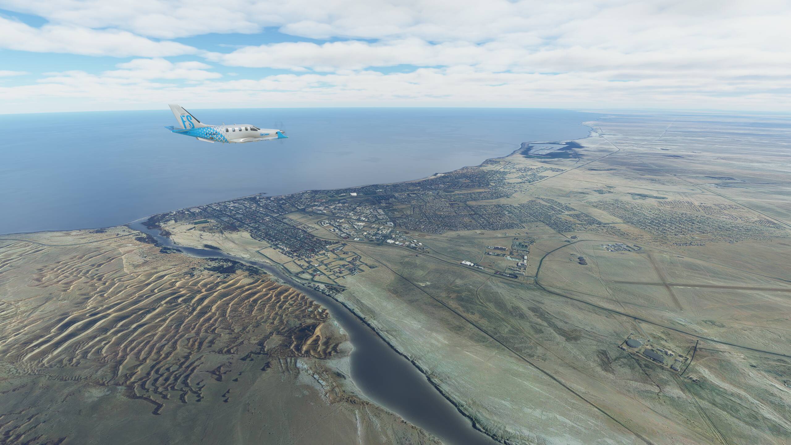
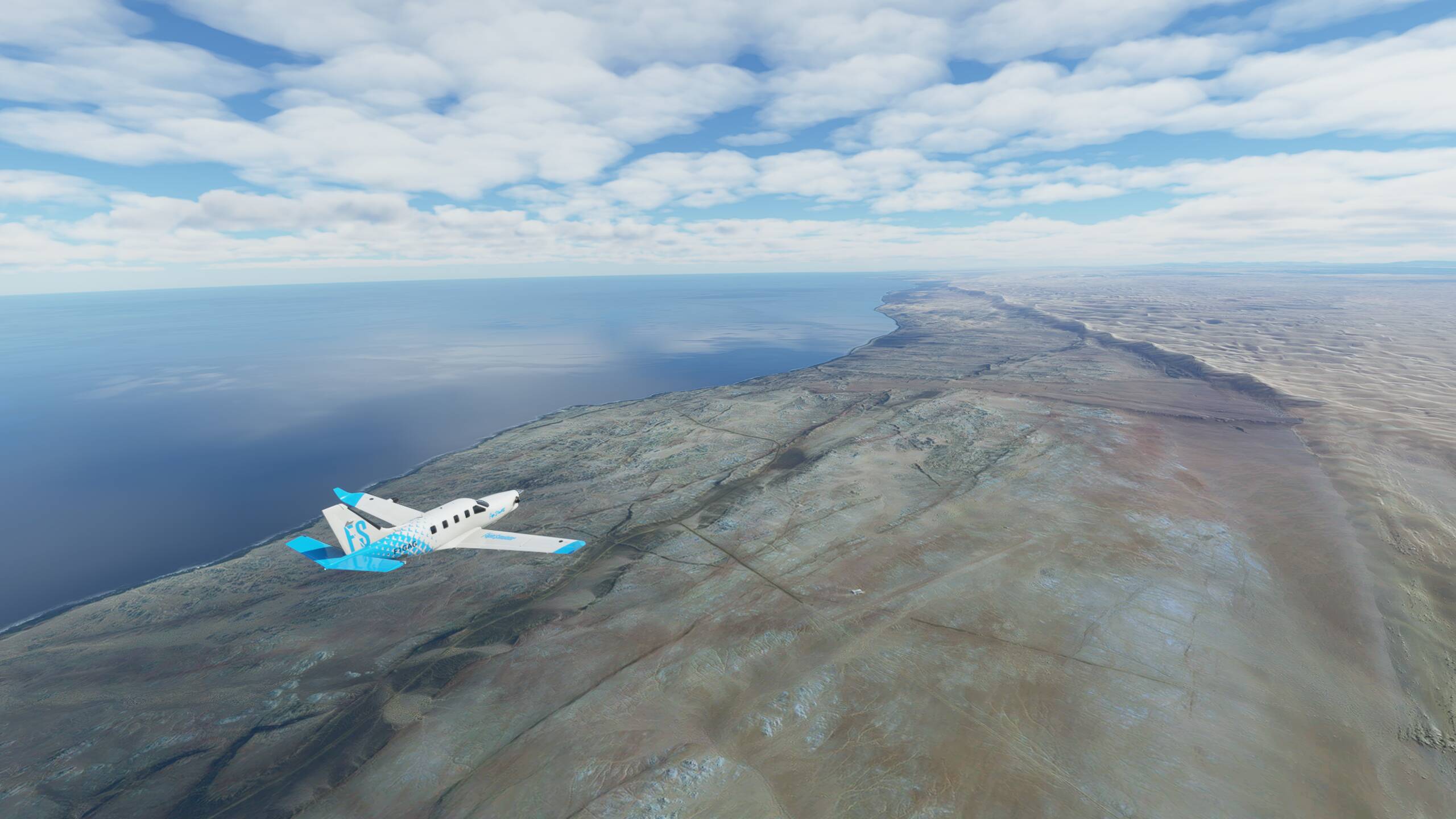
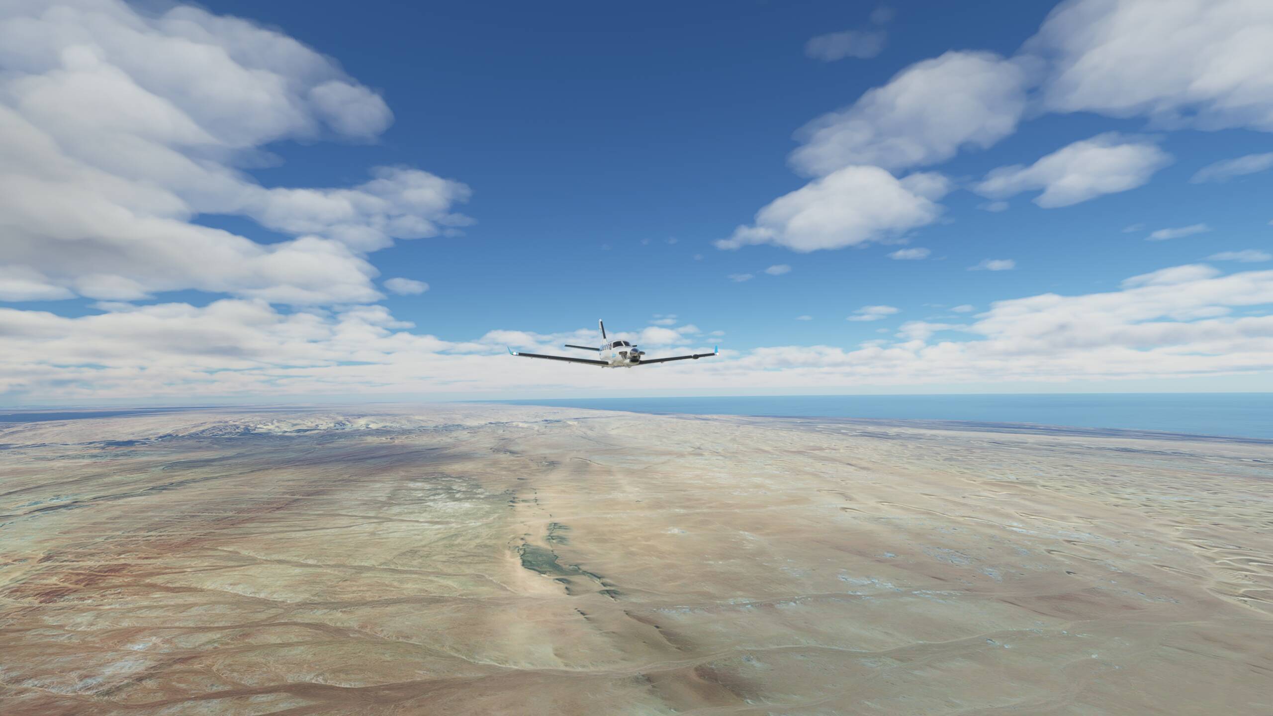
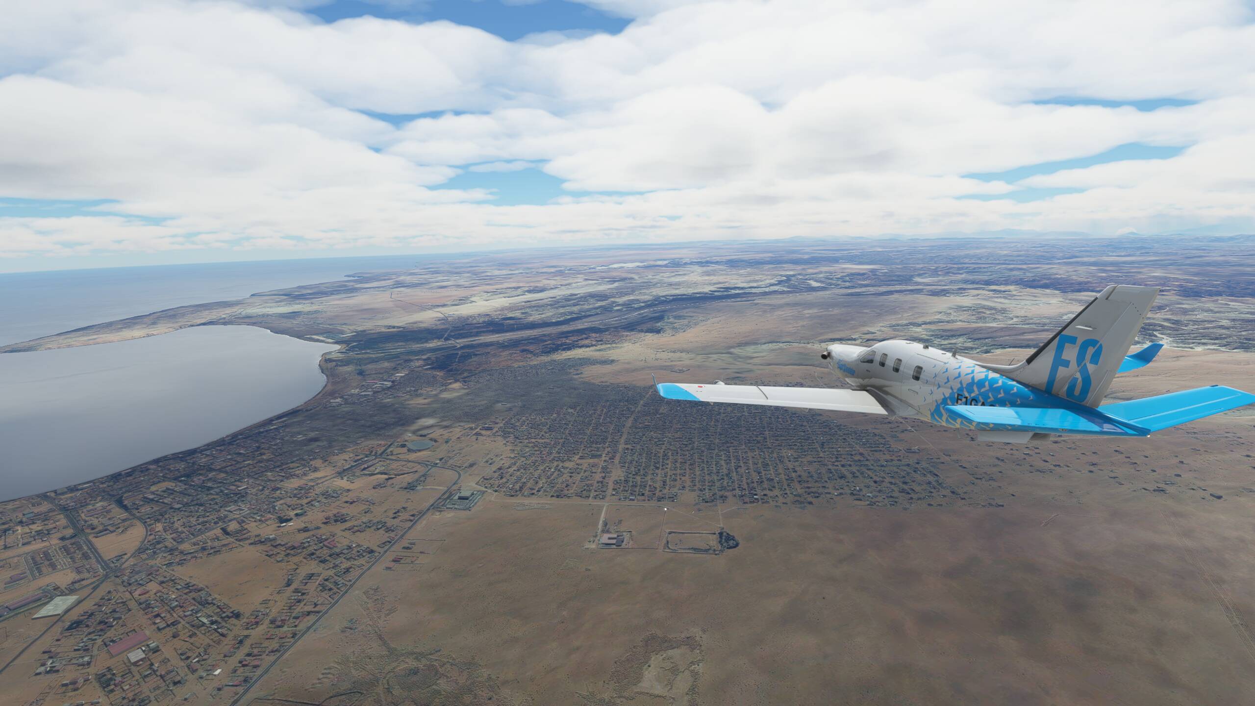
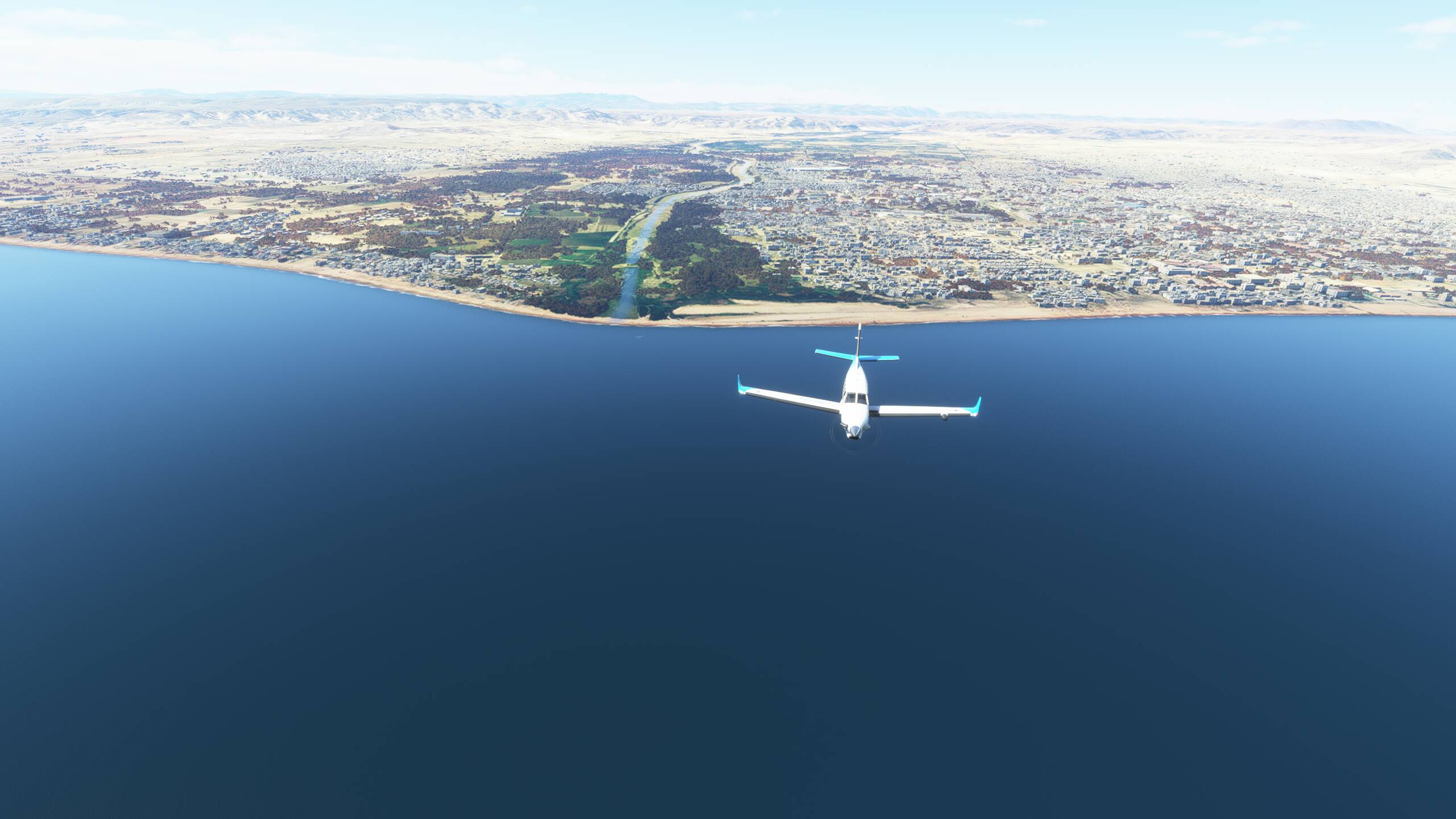
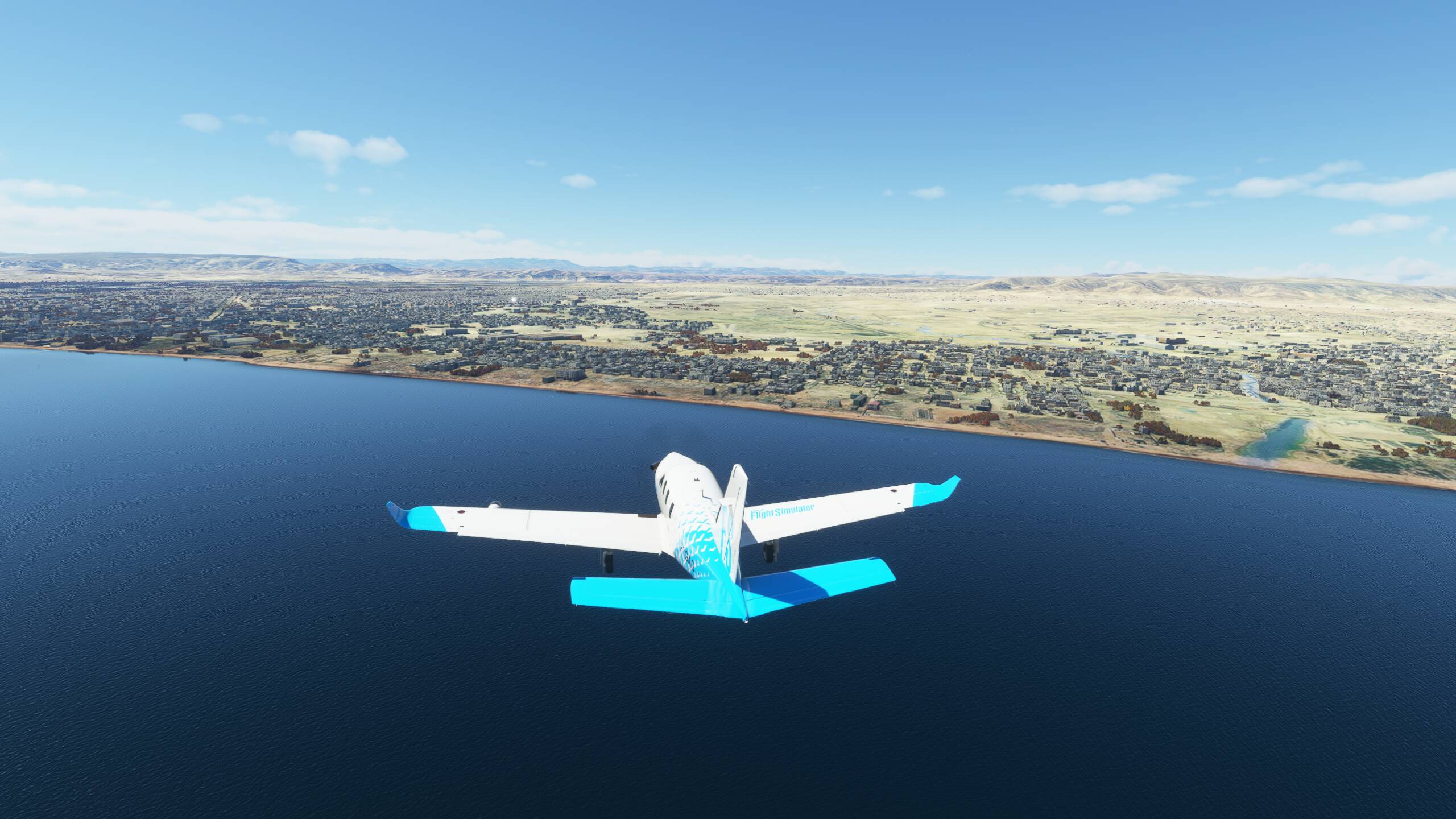
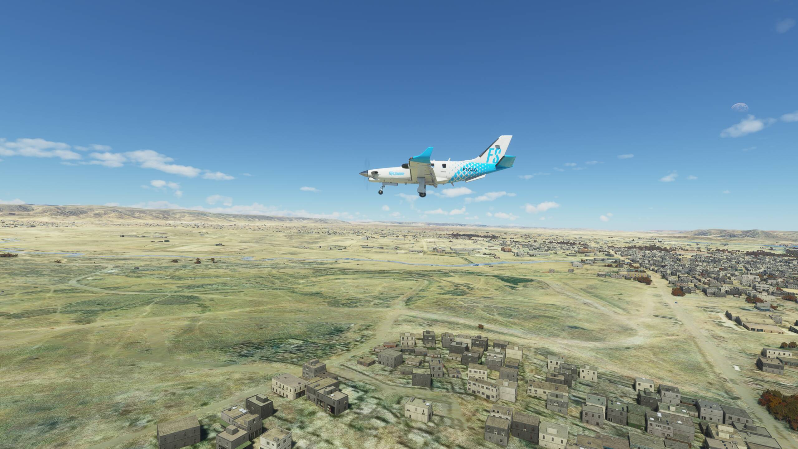
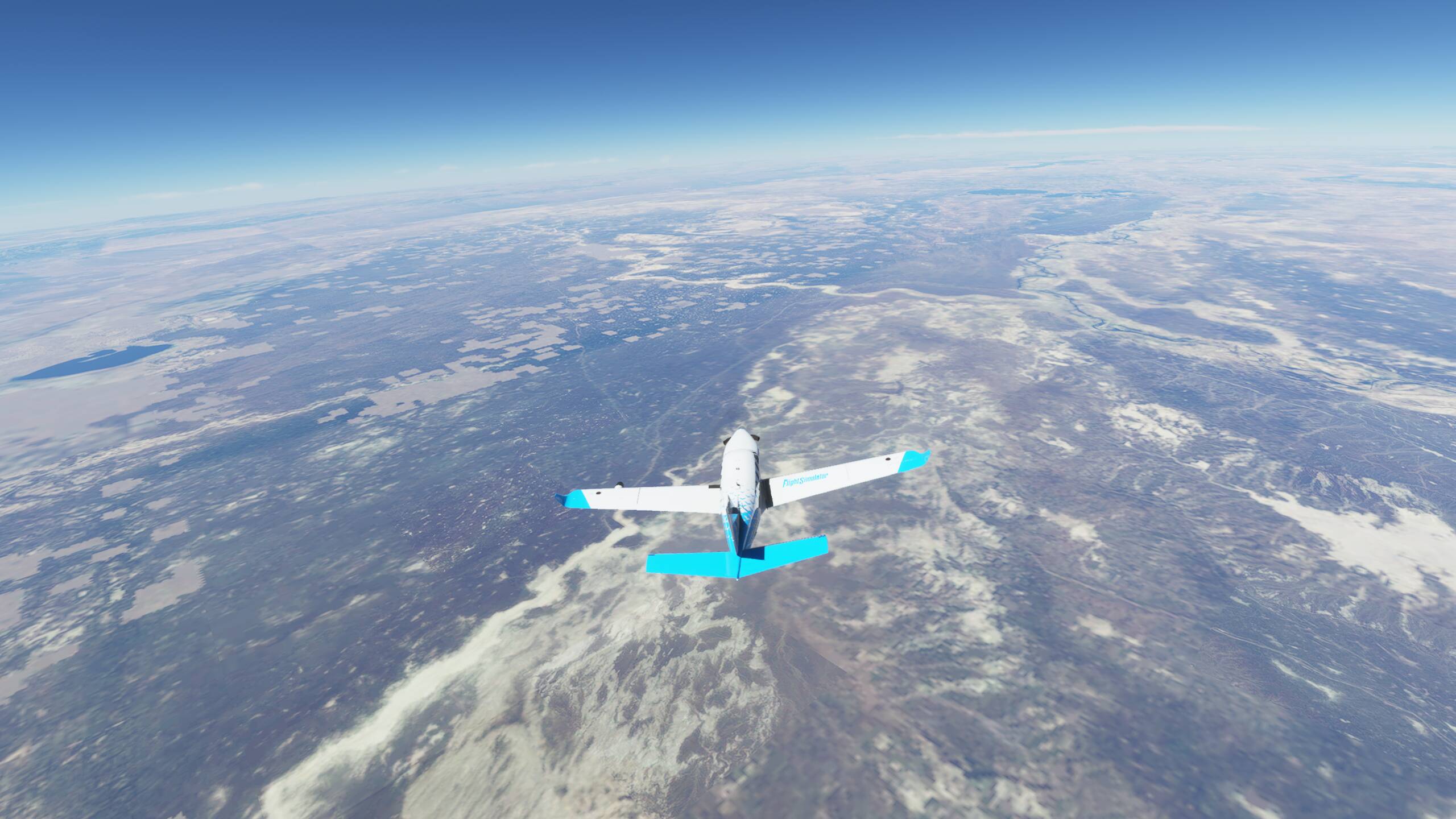
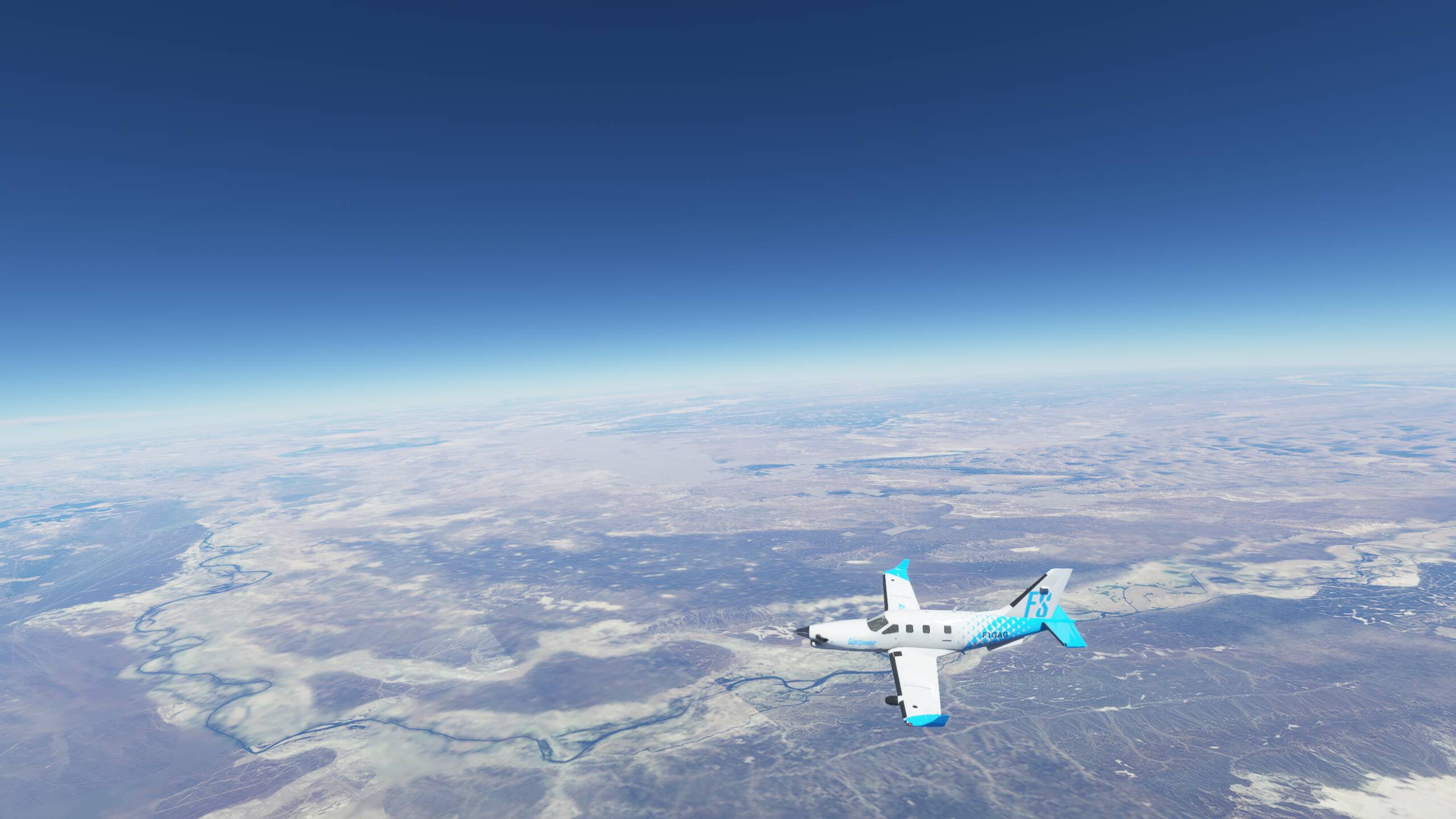
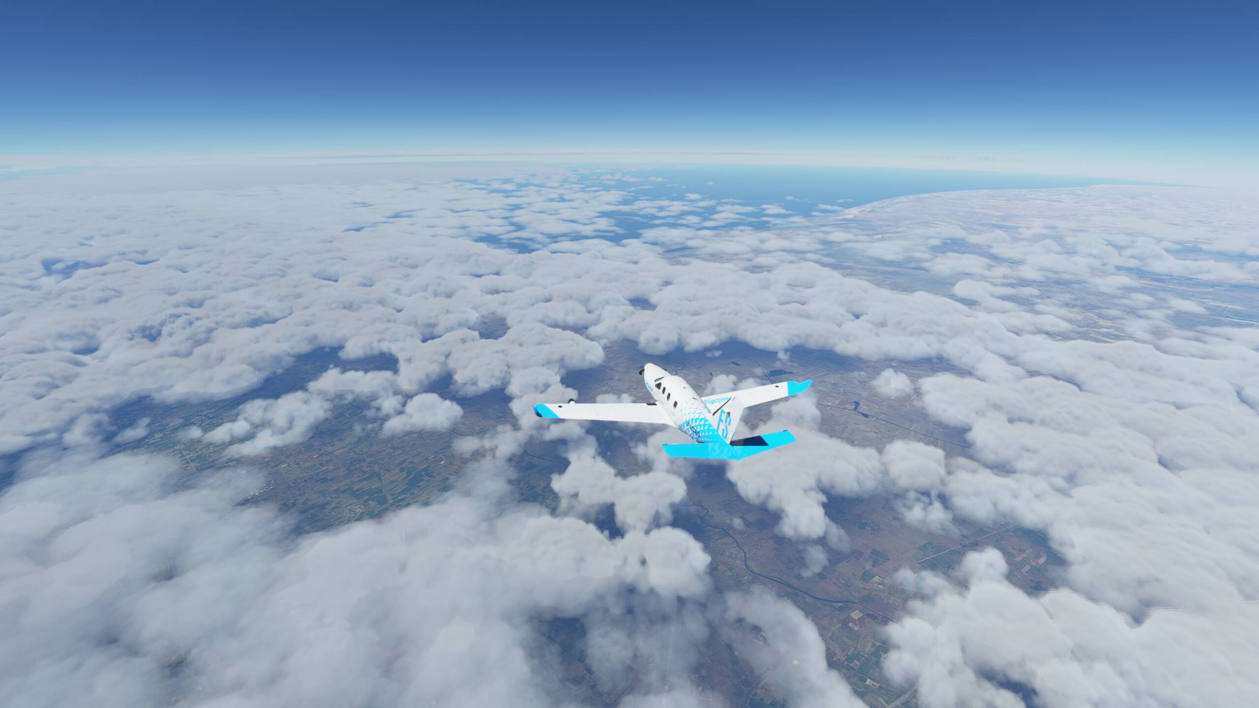
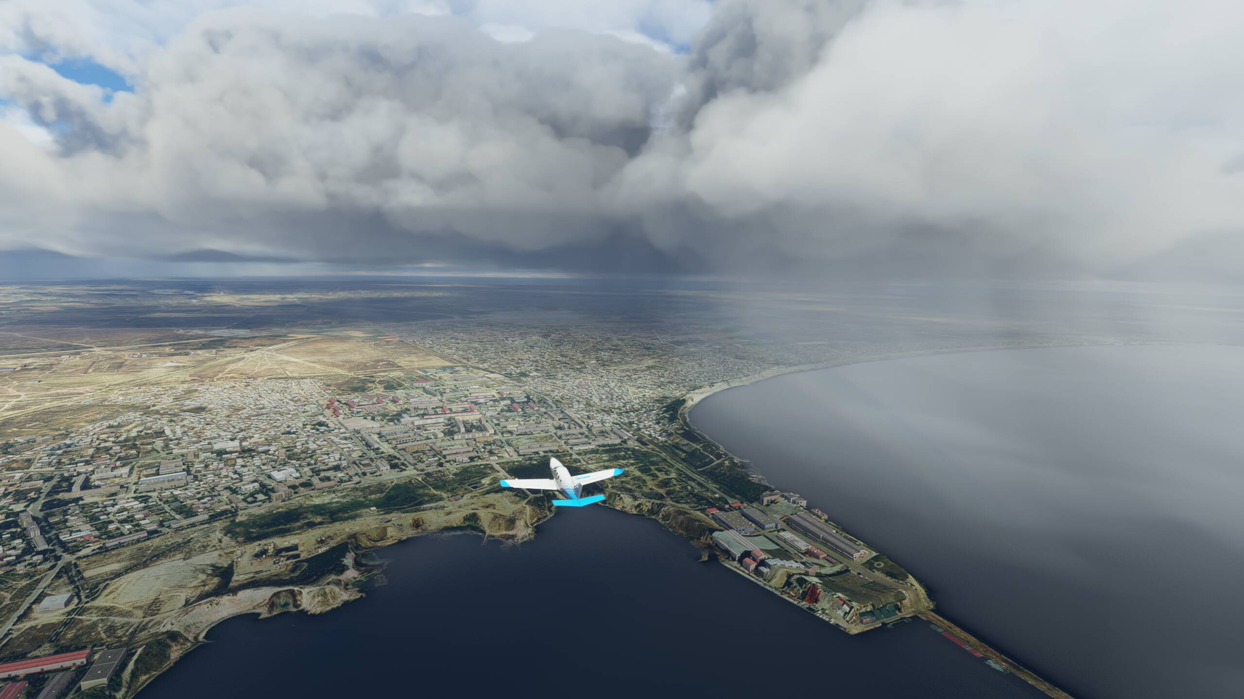
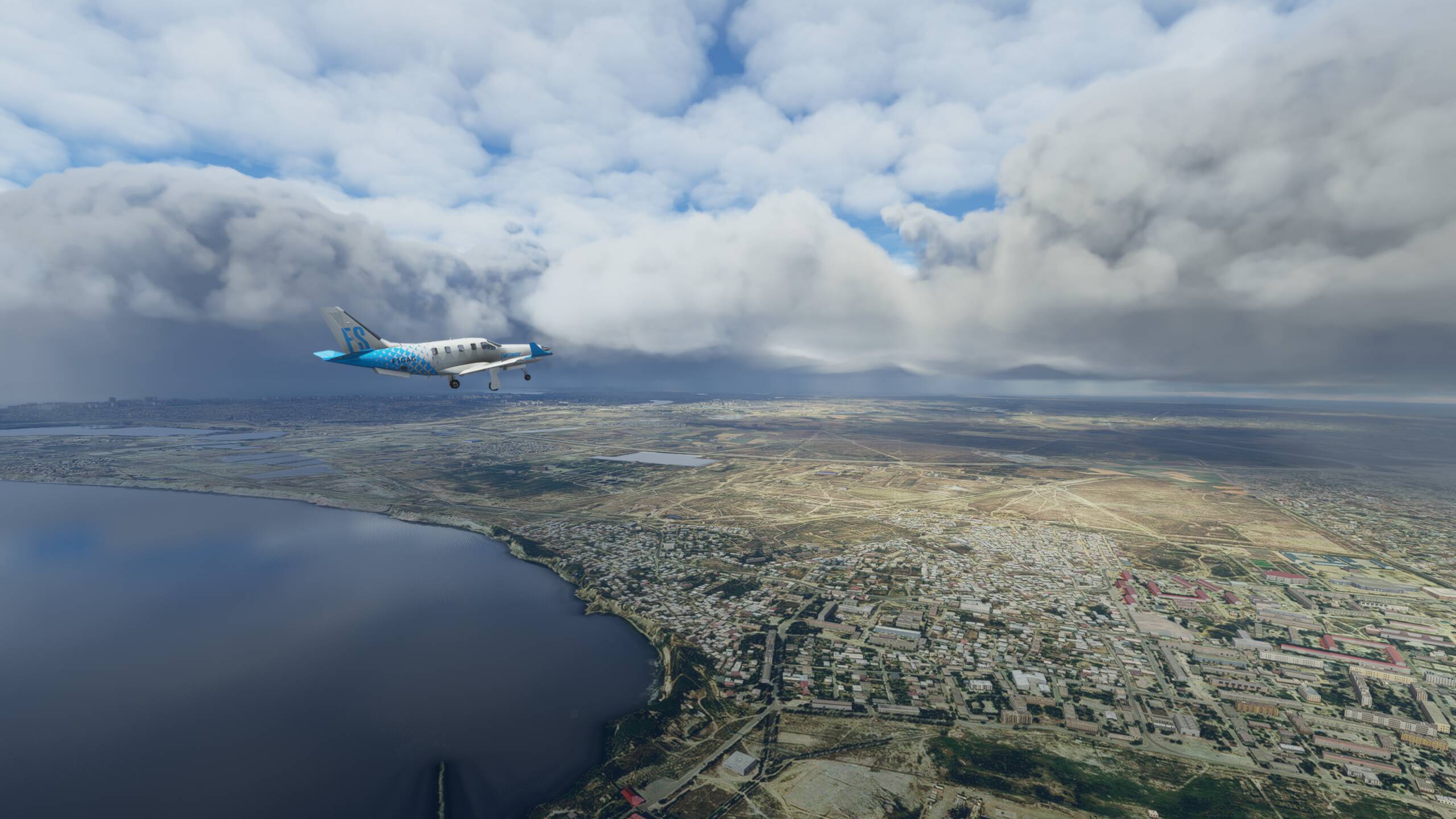
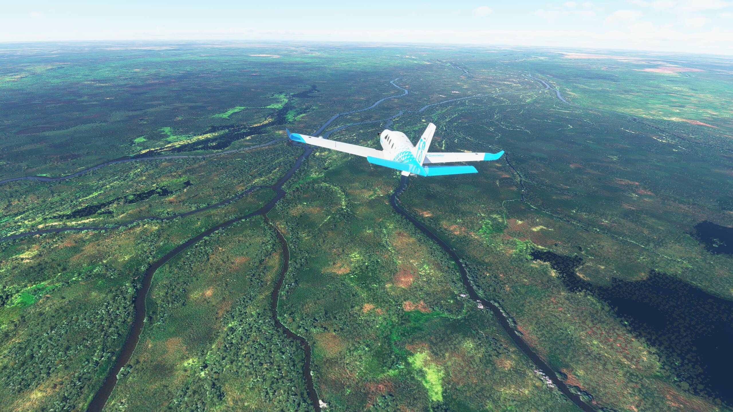
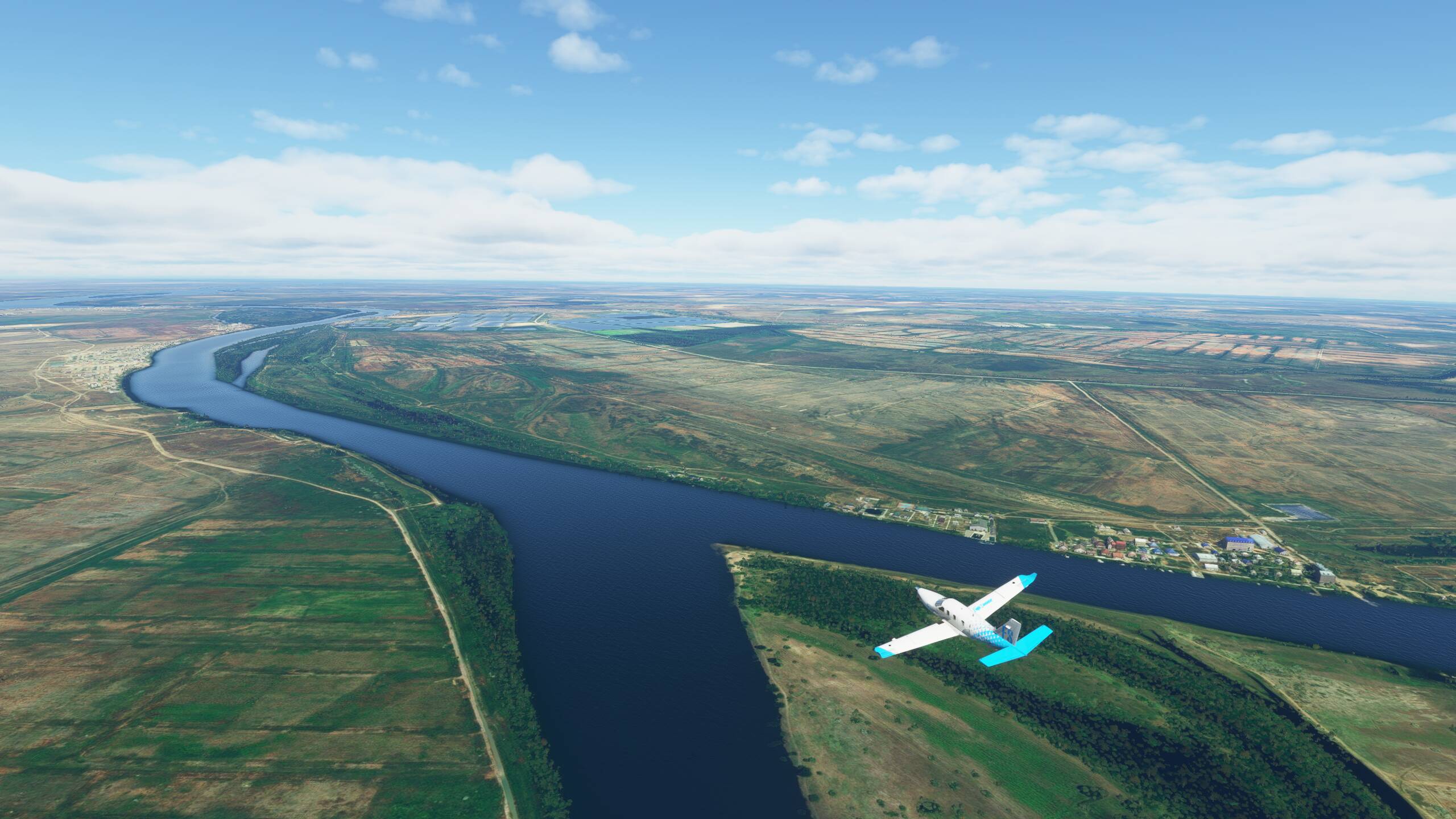
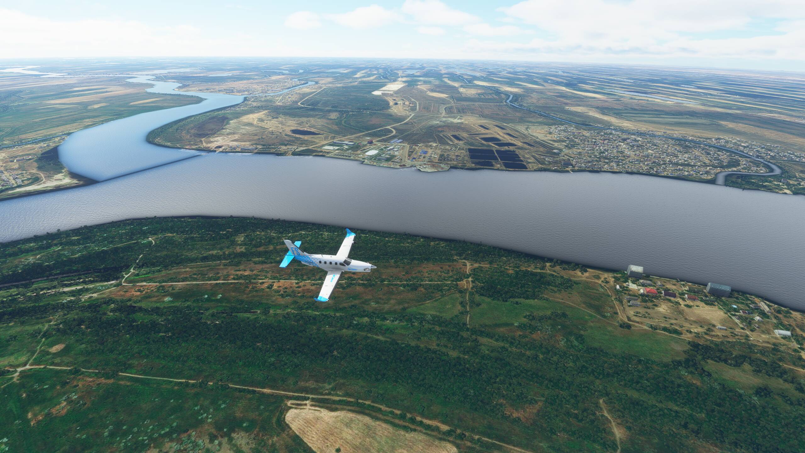
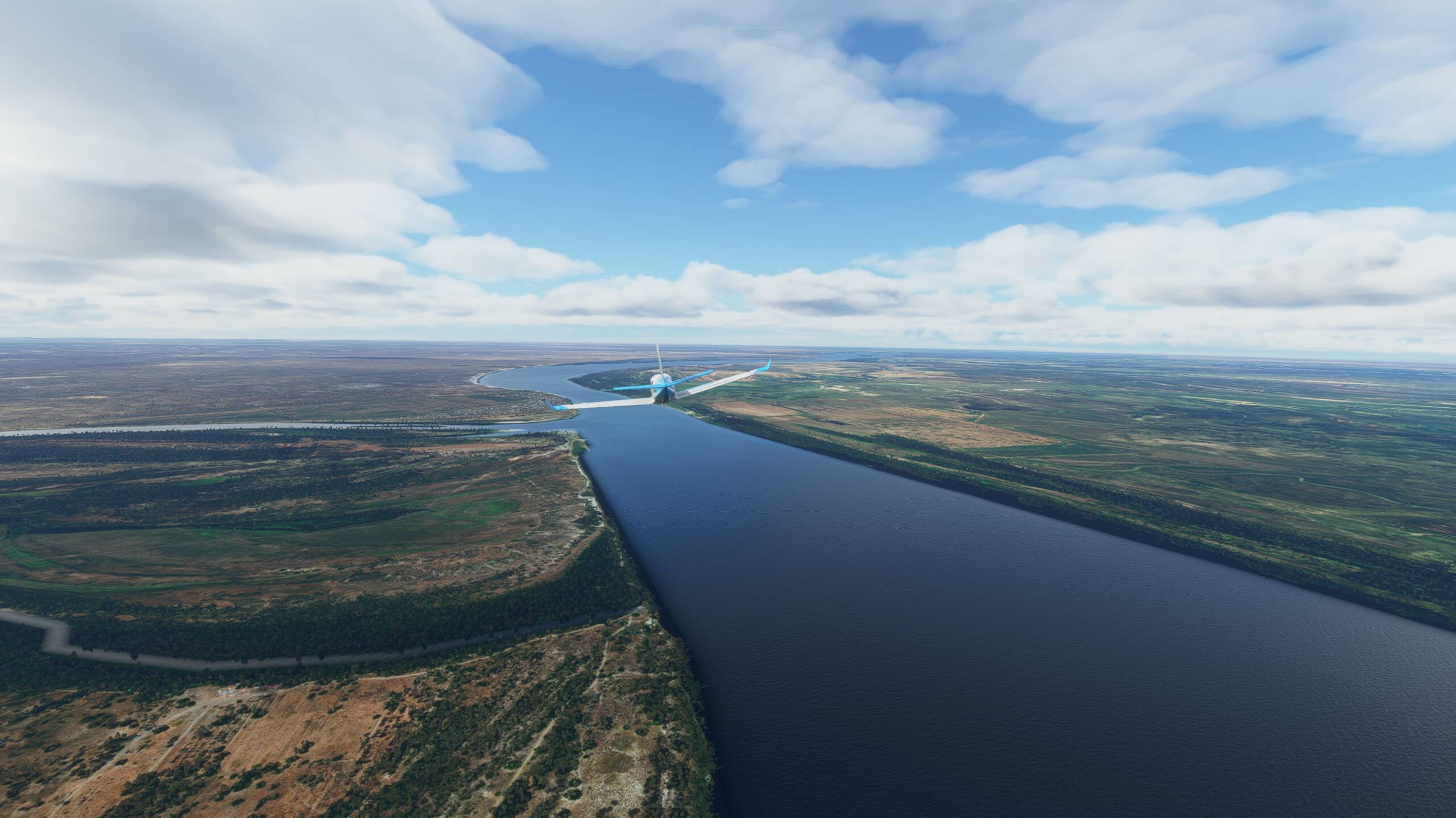
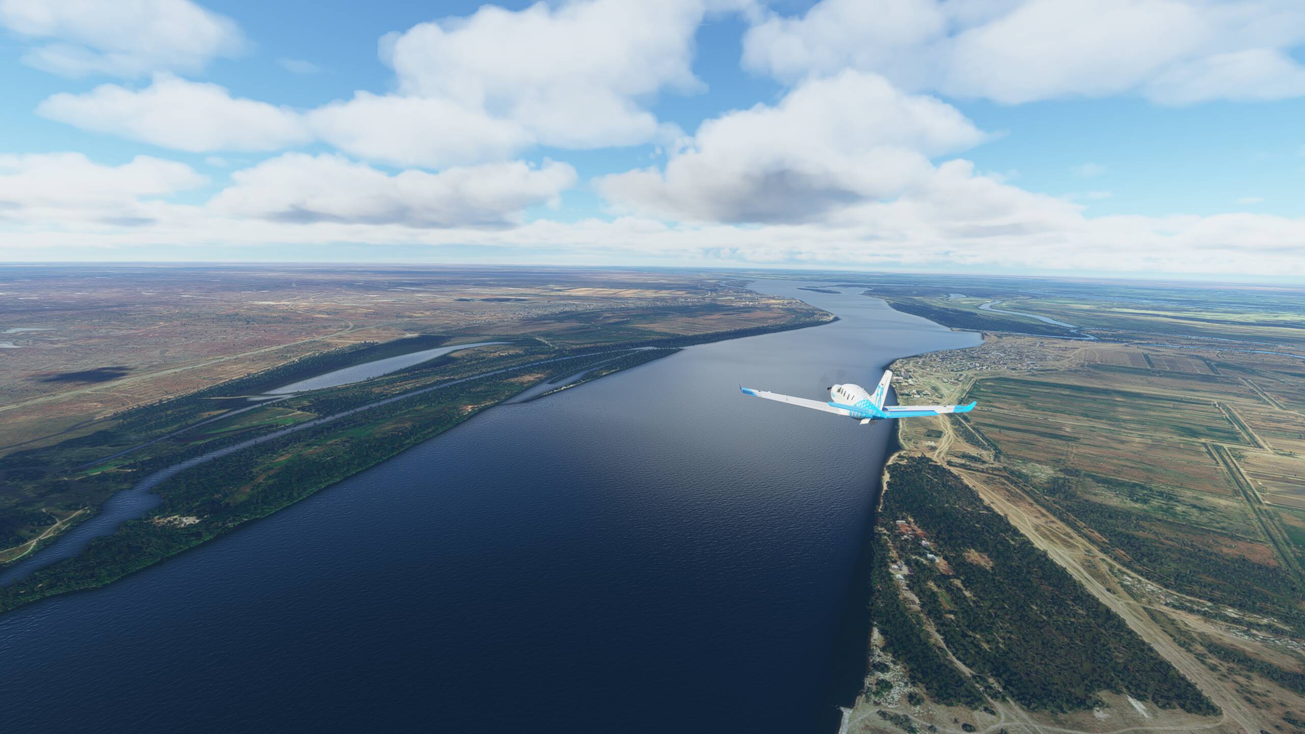
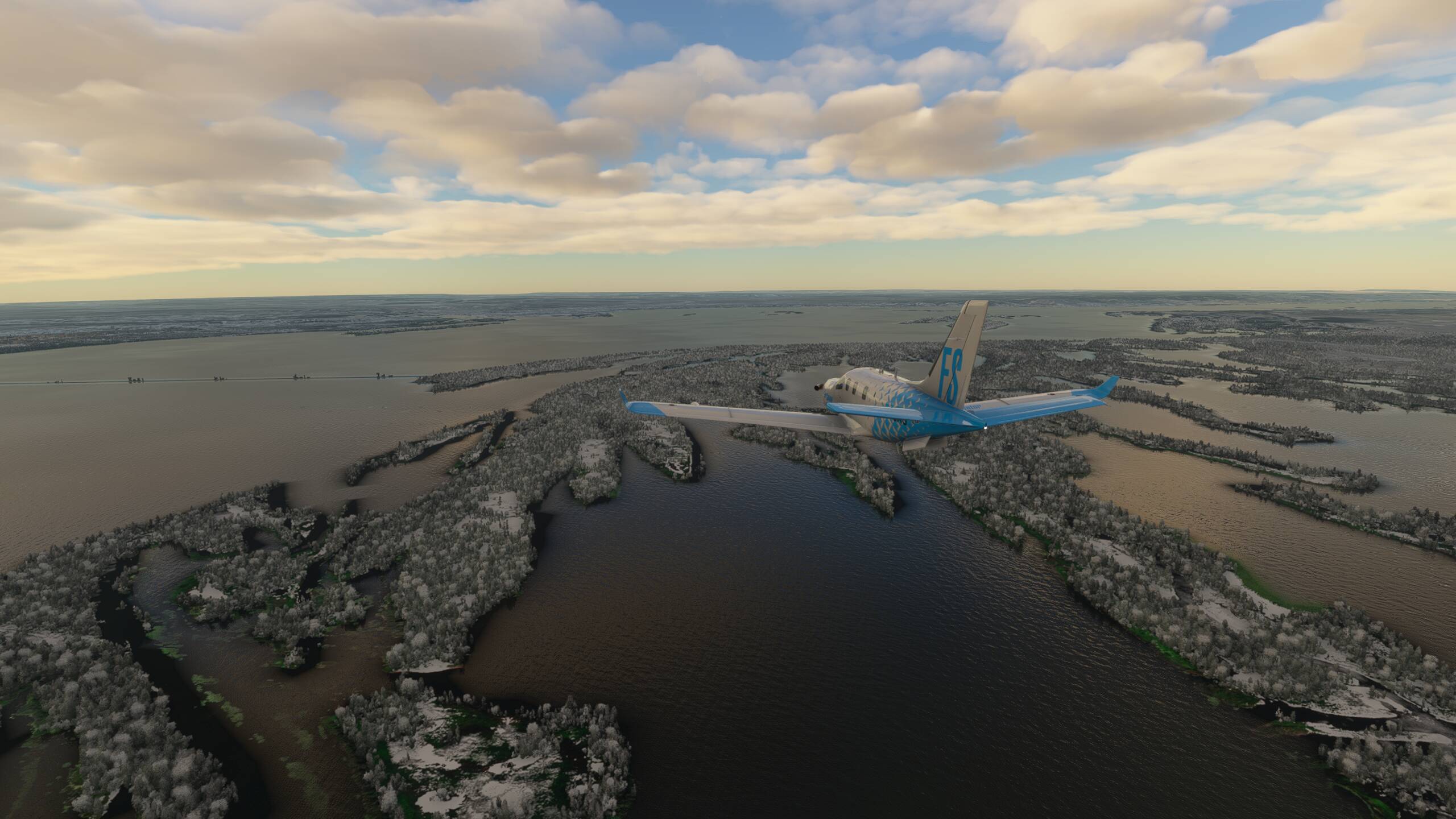
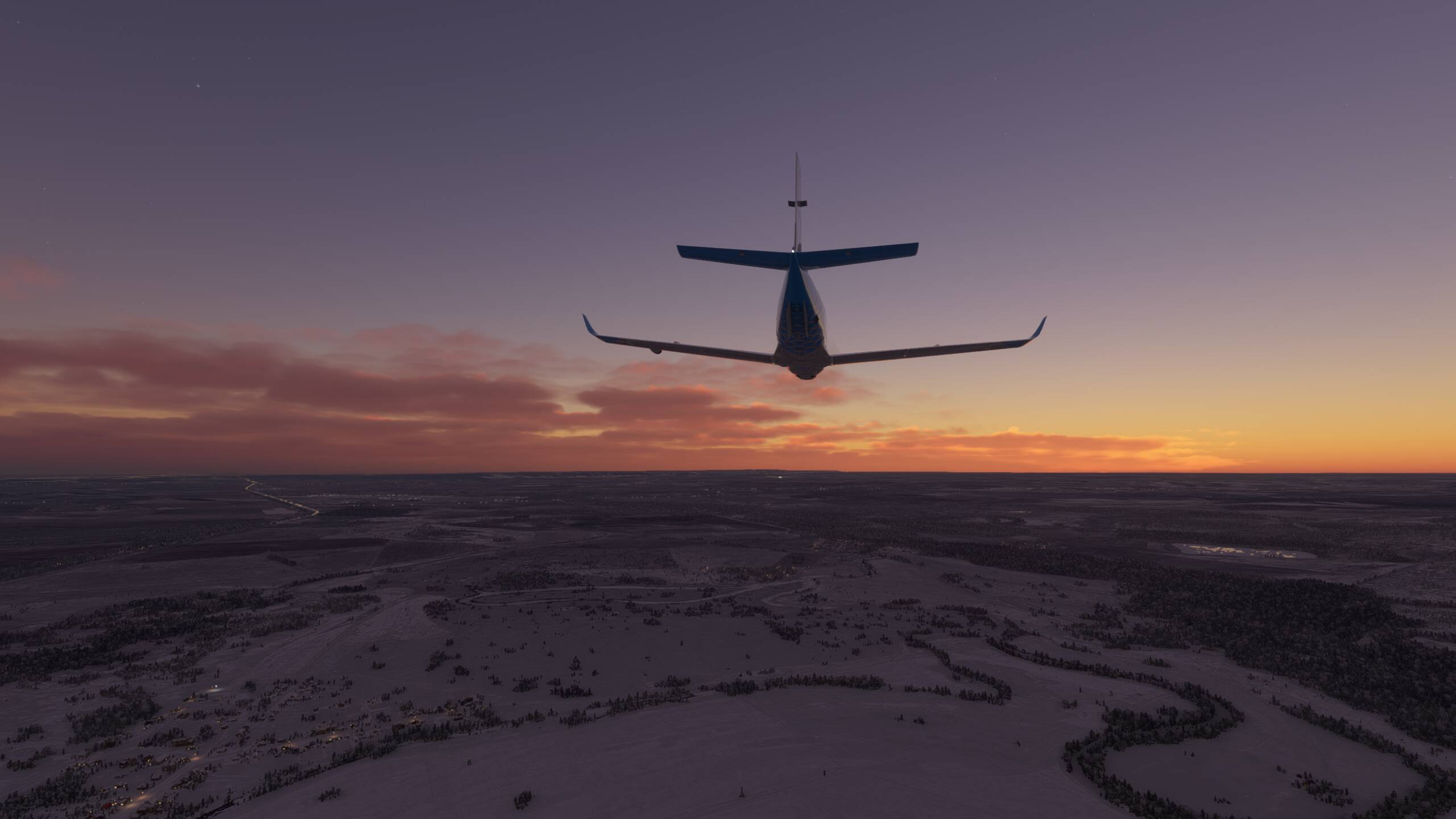
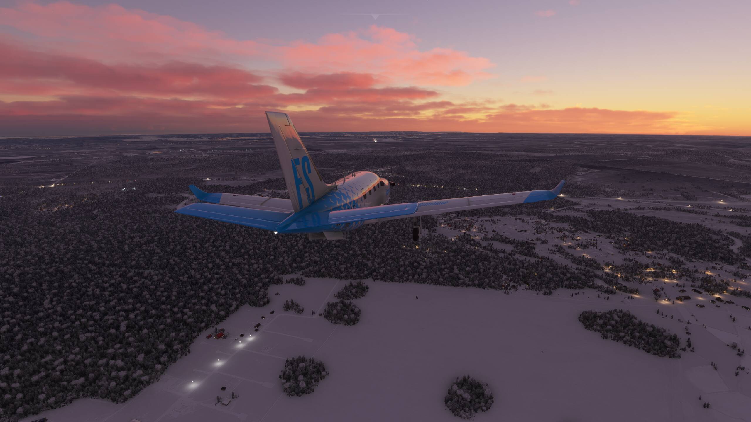
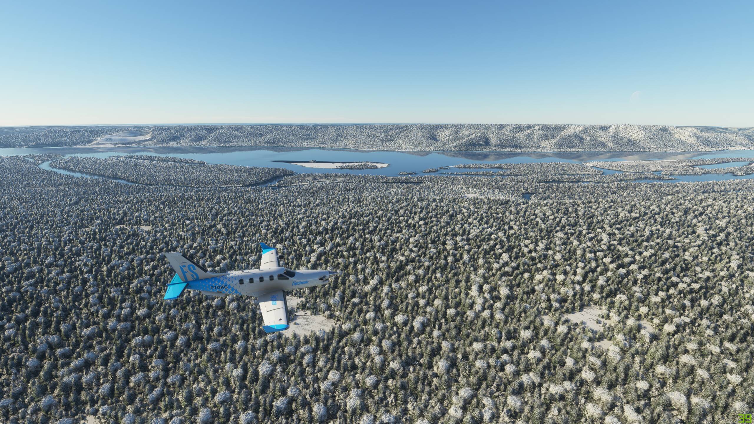
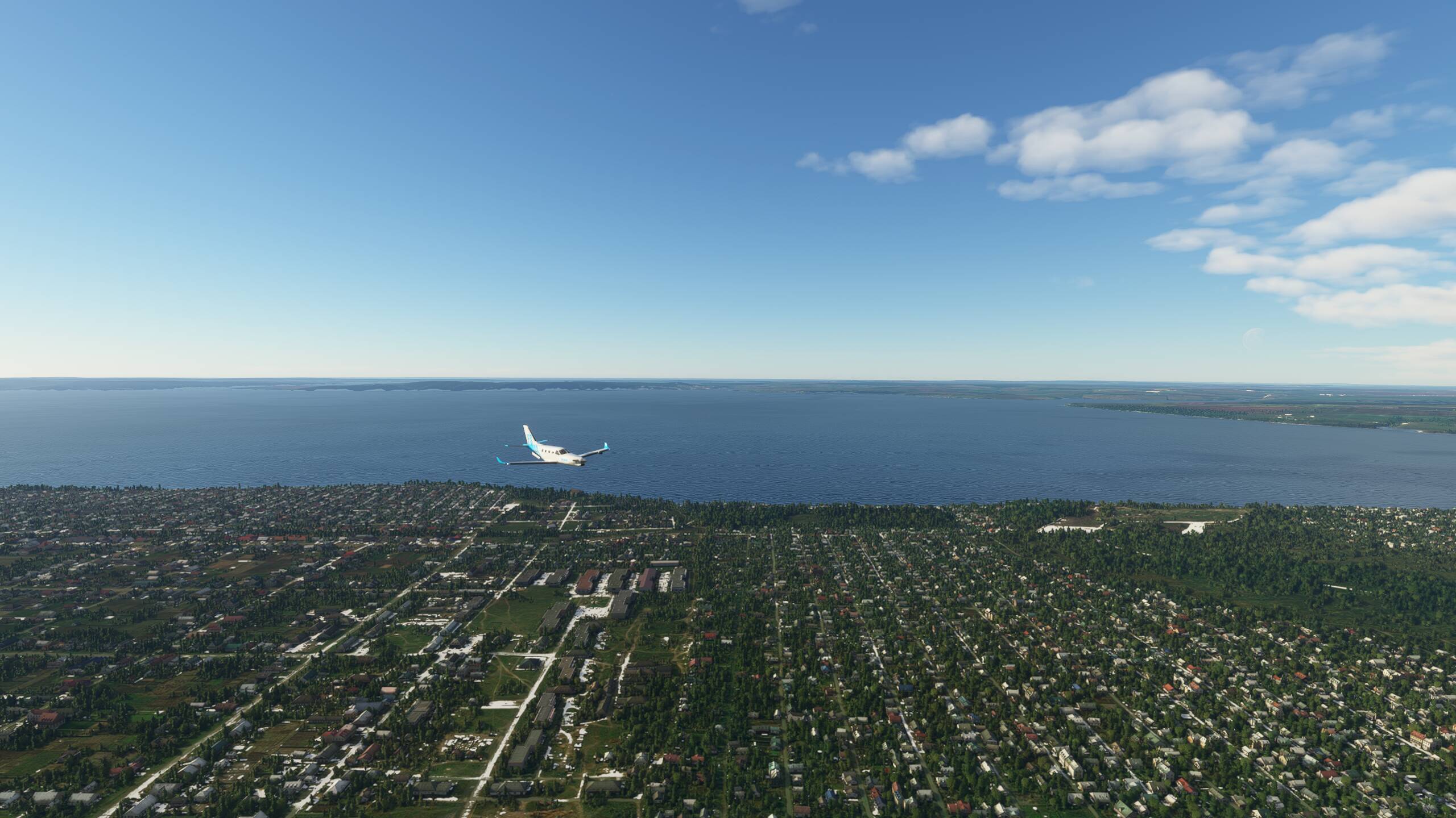
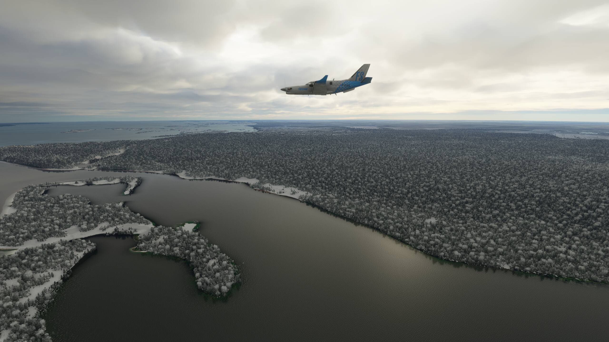
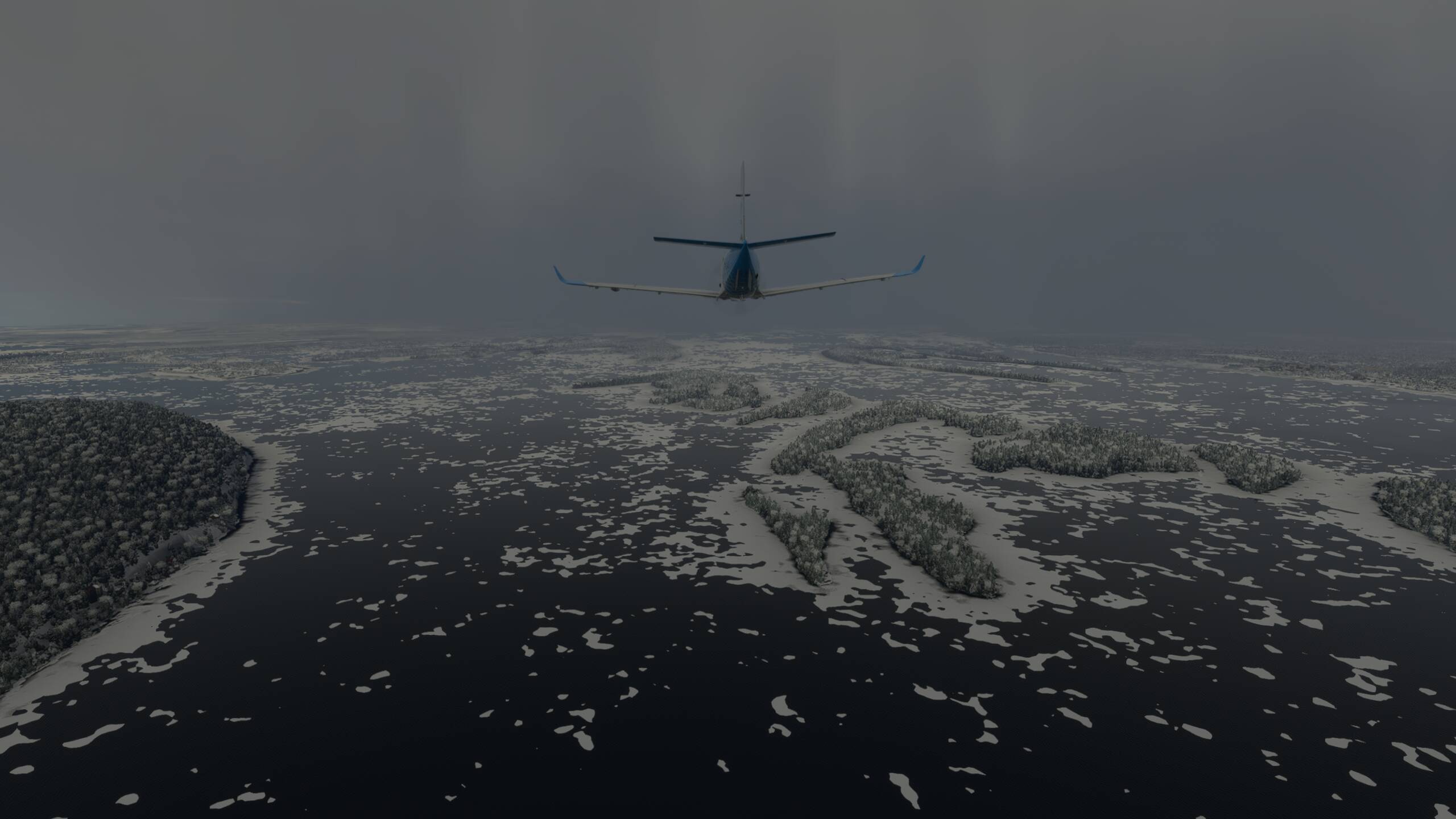
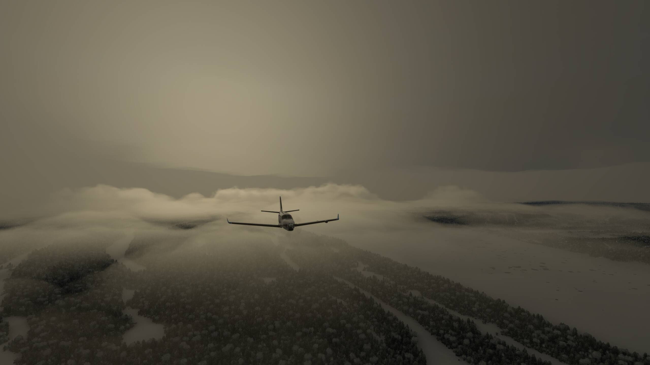
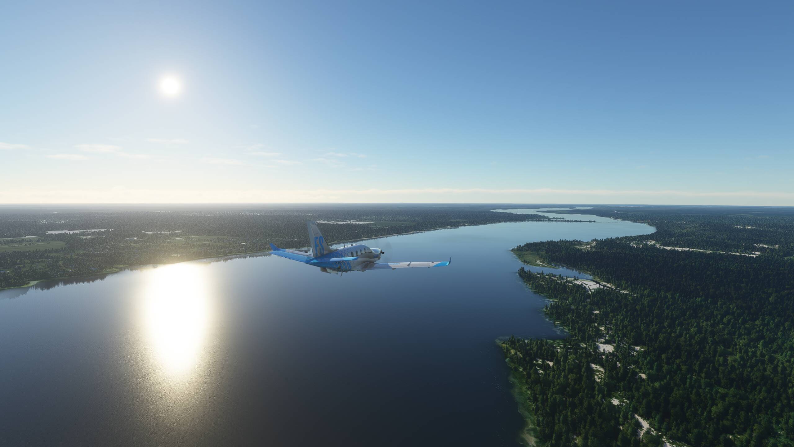
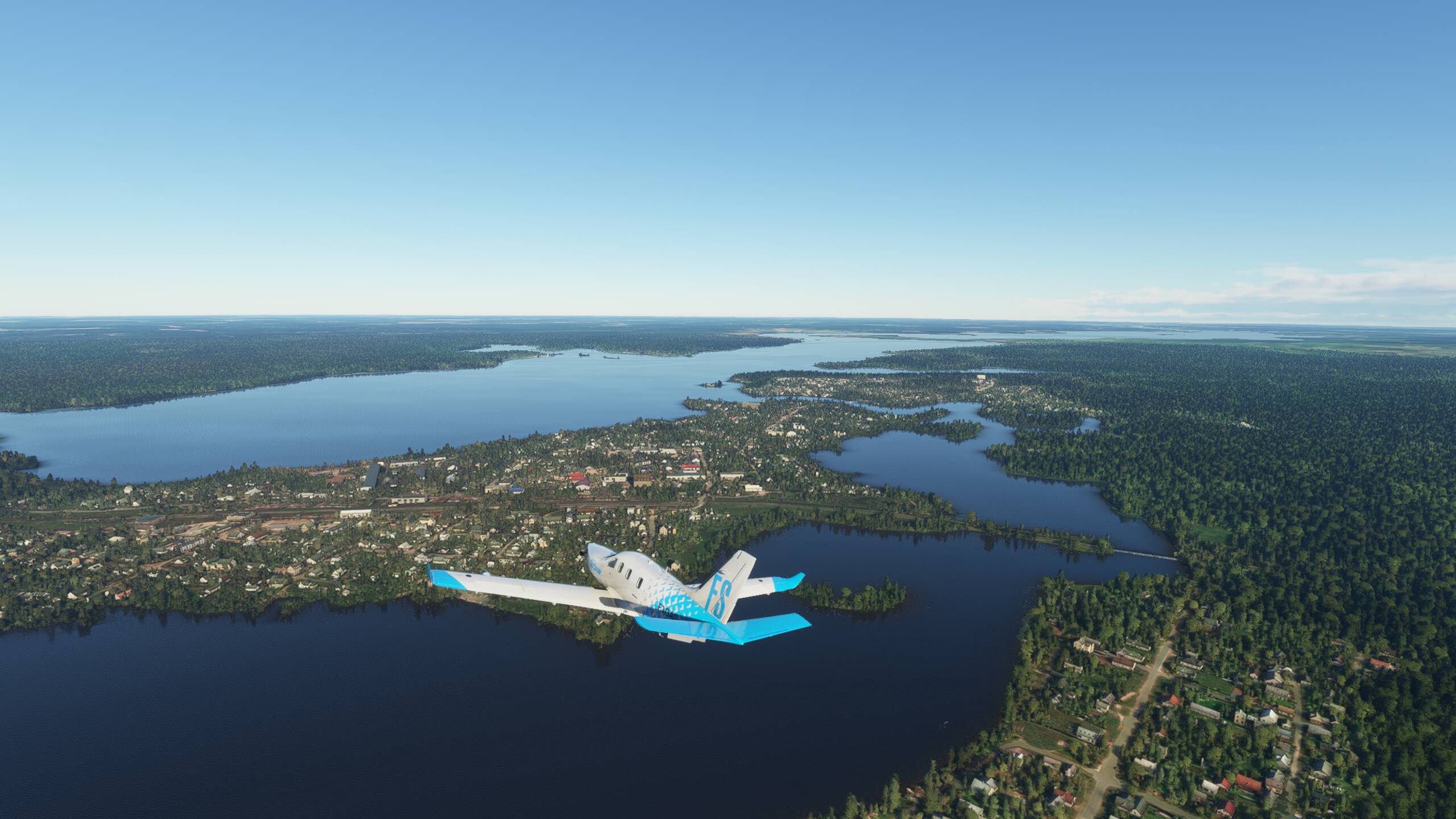
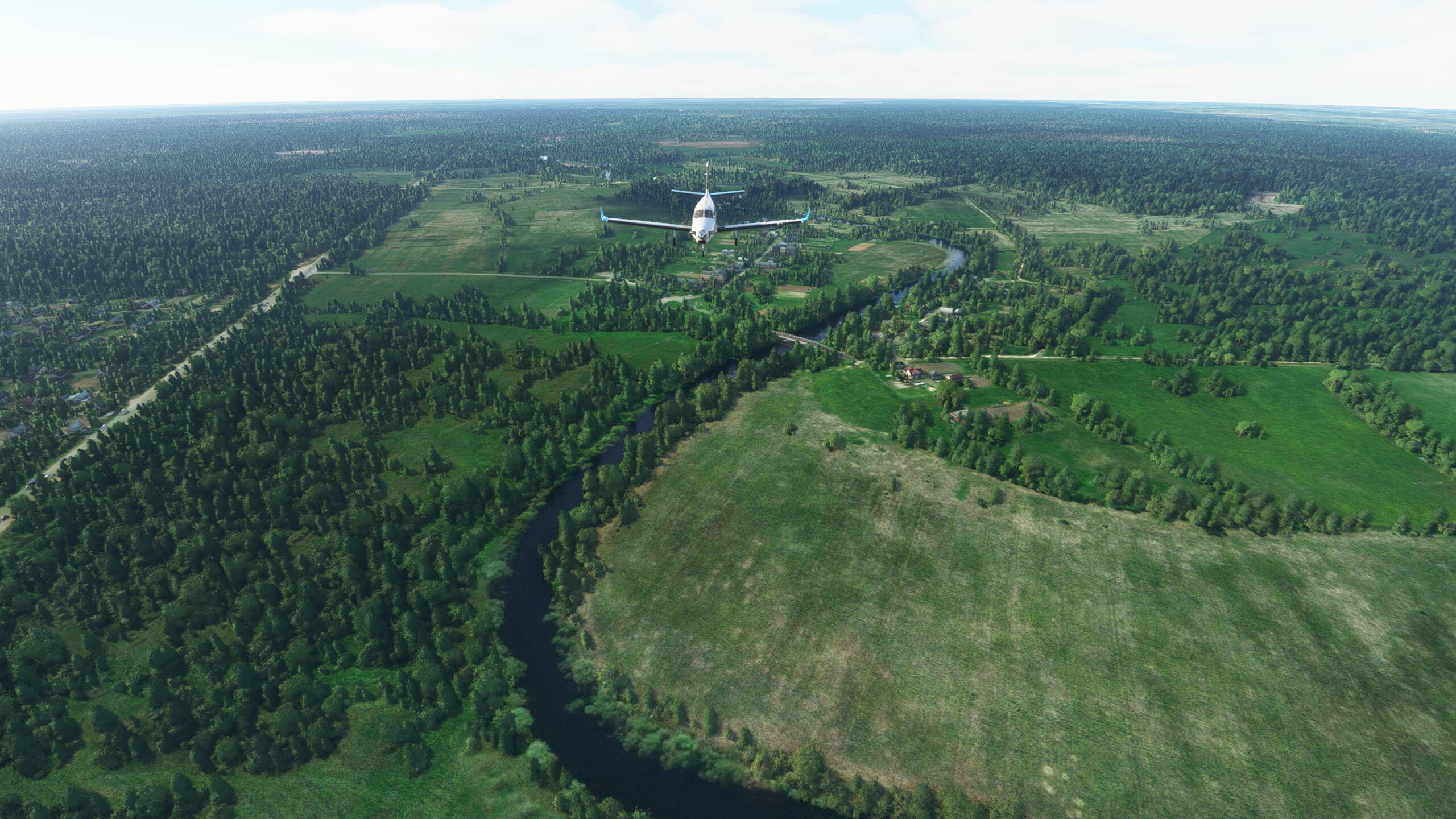
Suddenly some green below us! As we approach the Capian Sea, the climate must be a little more temperate here


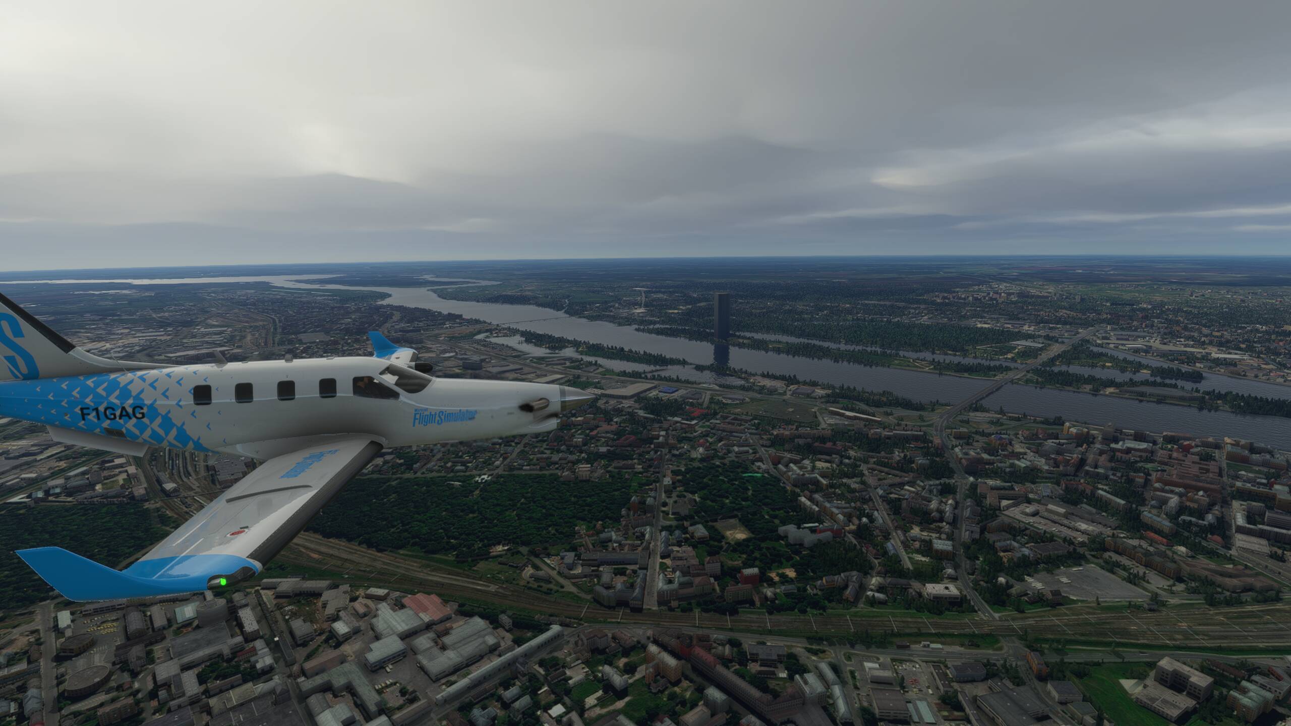
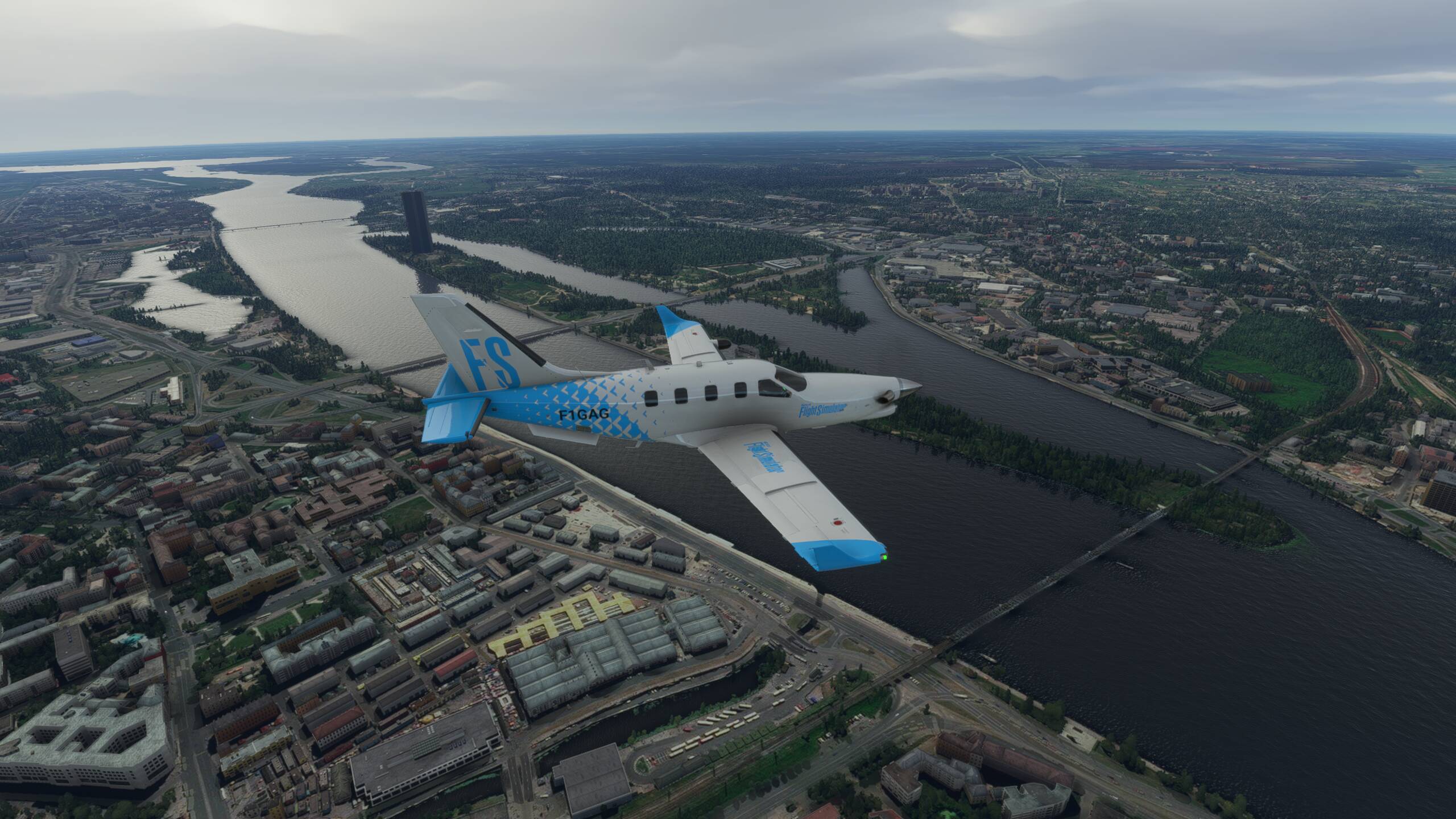
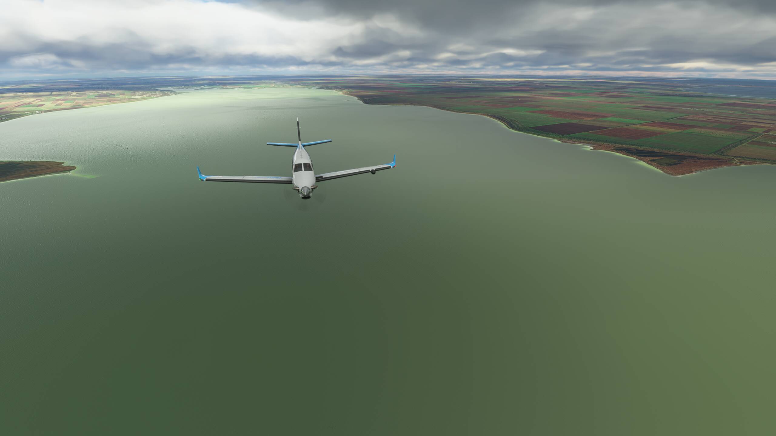
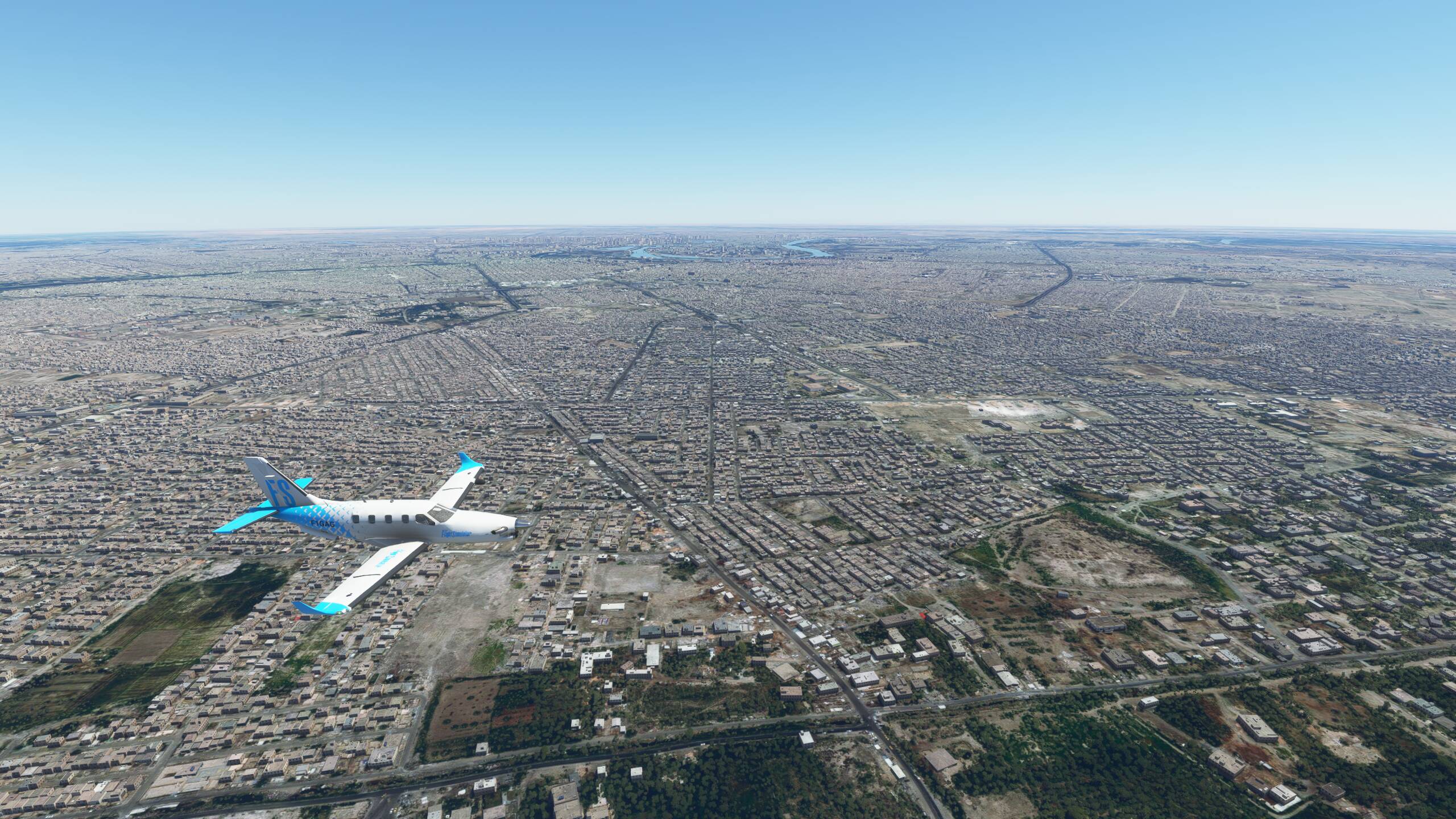
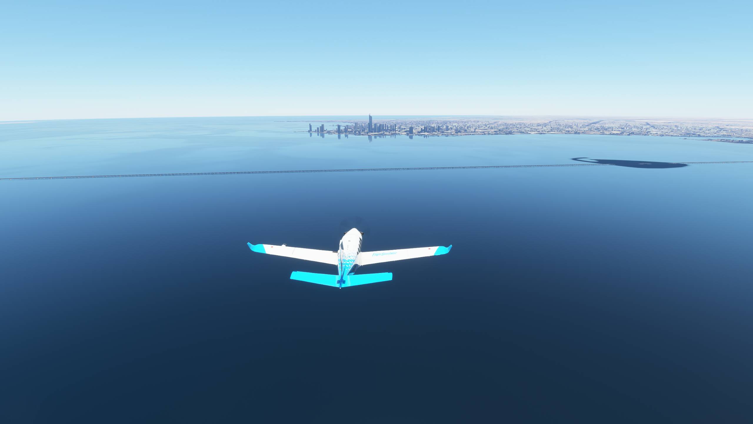
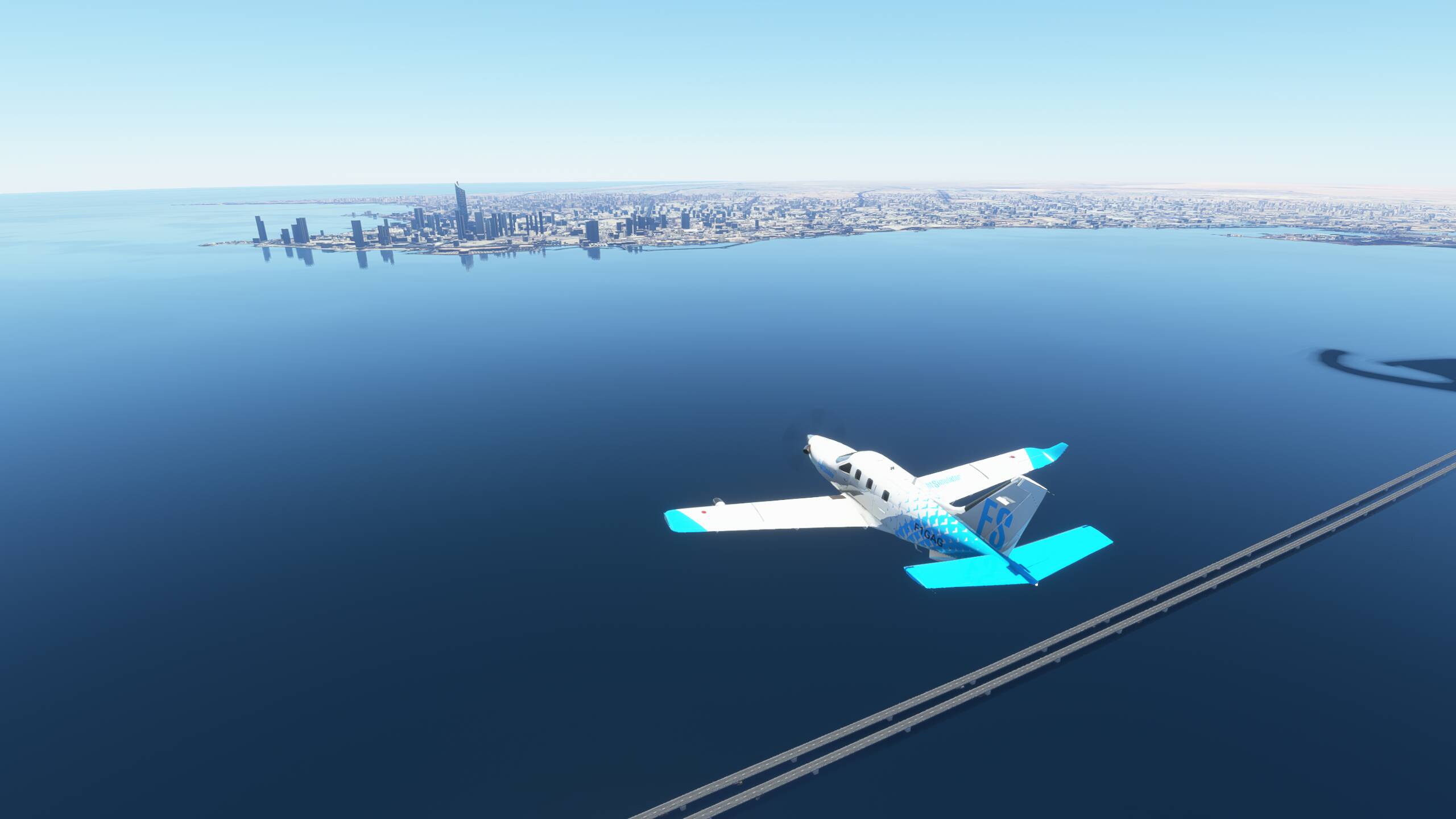
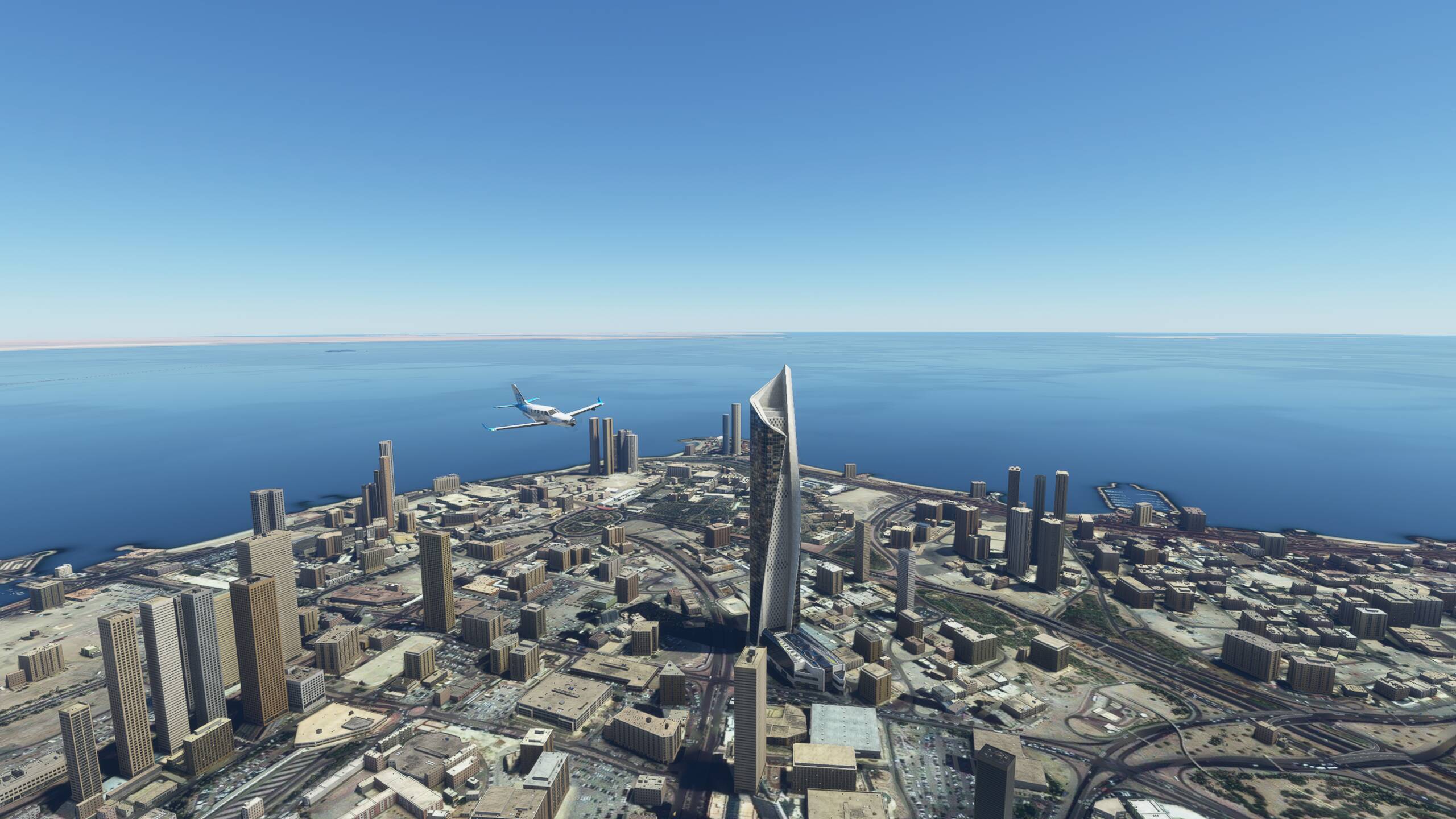
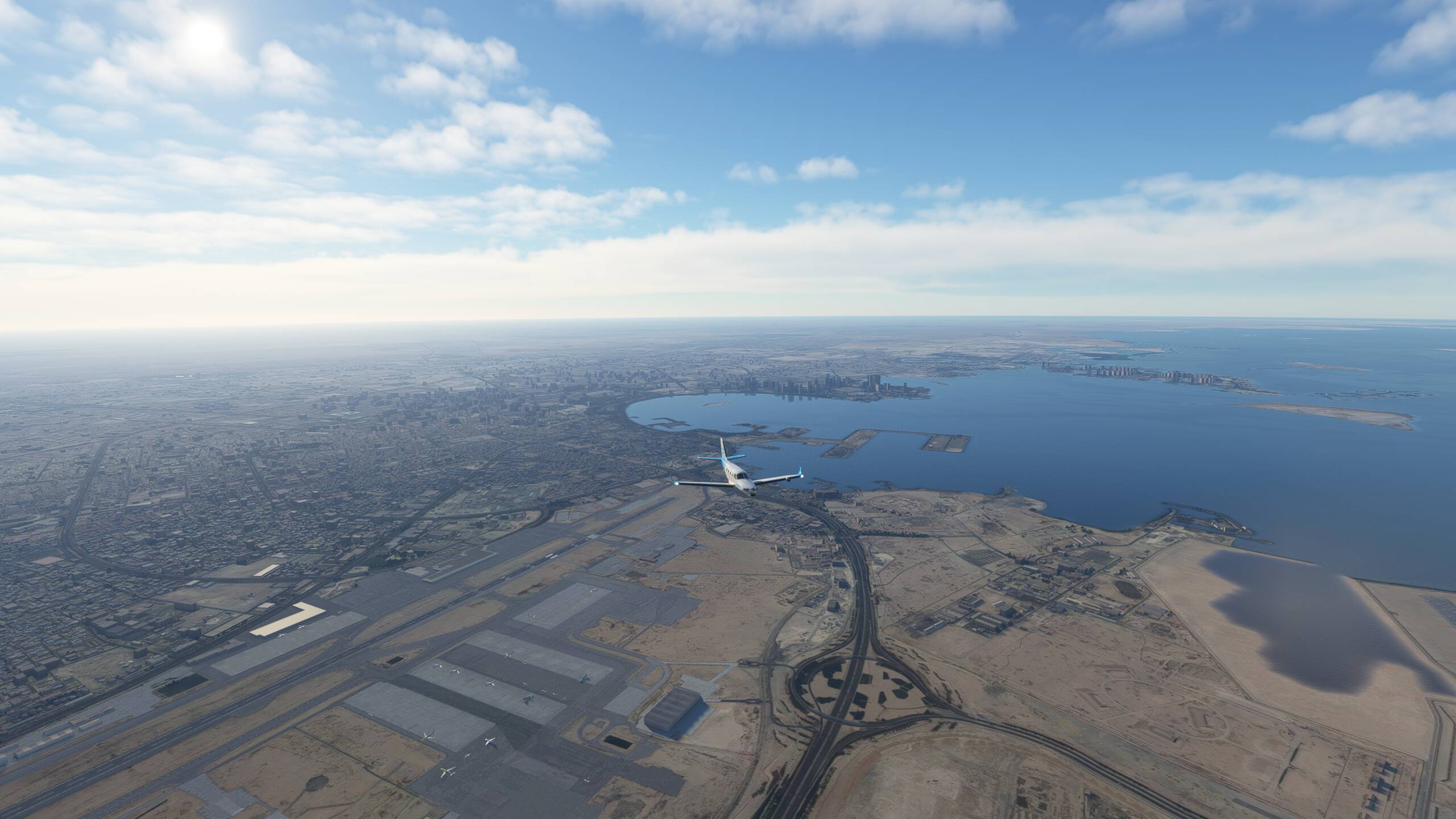
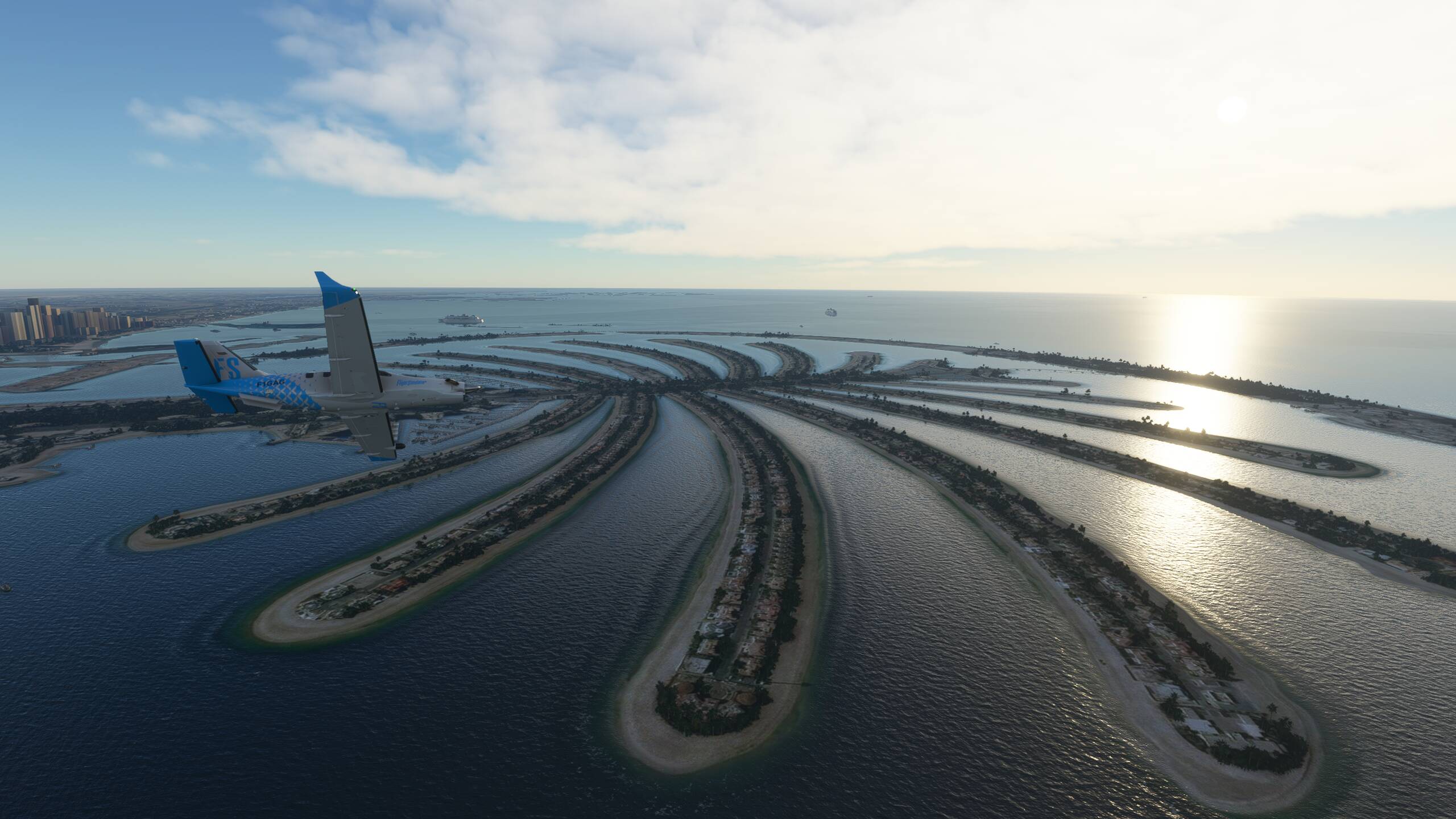
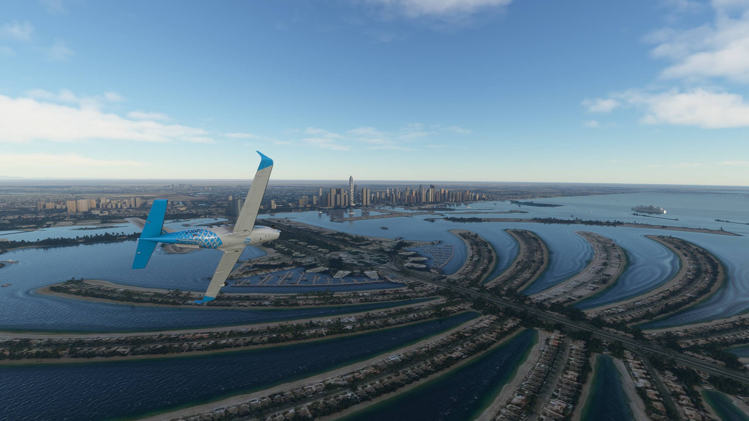
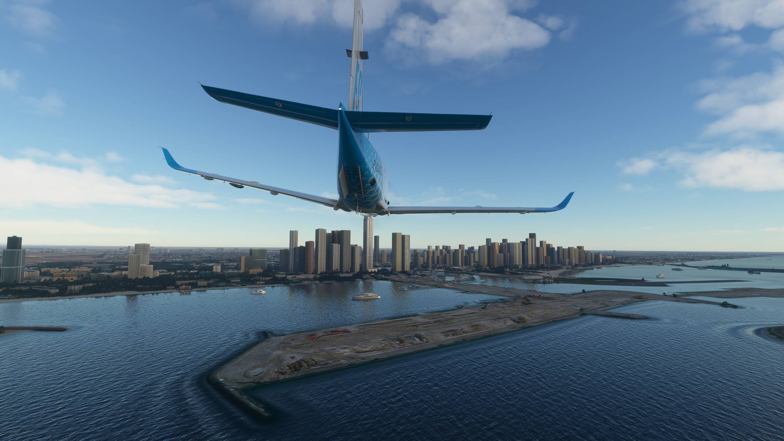
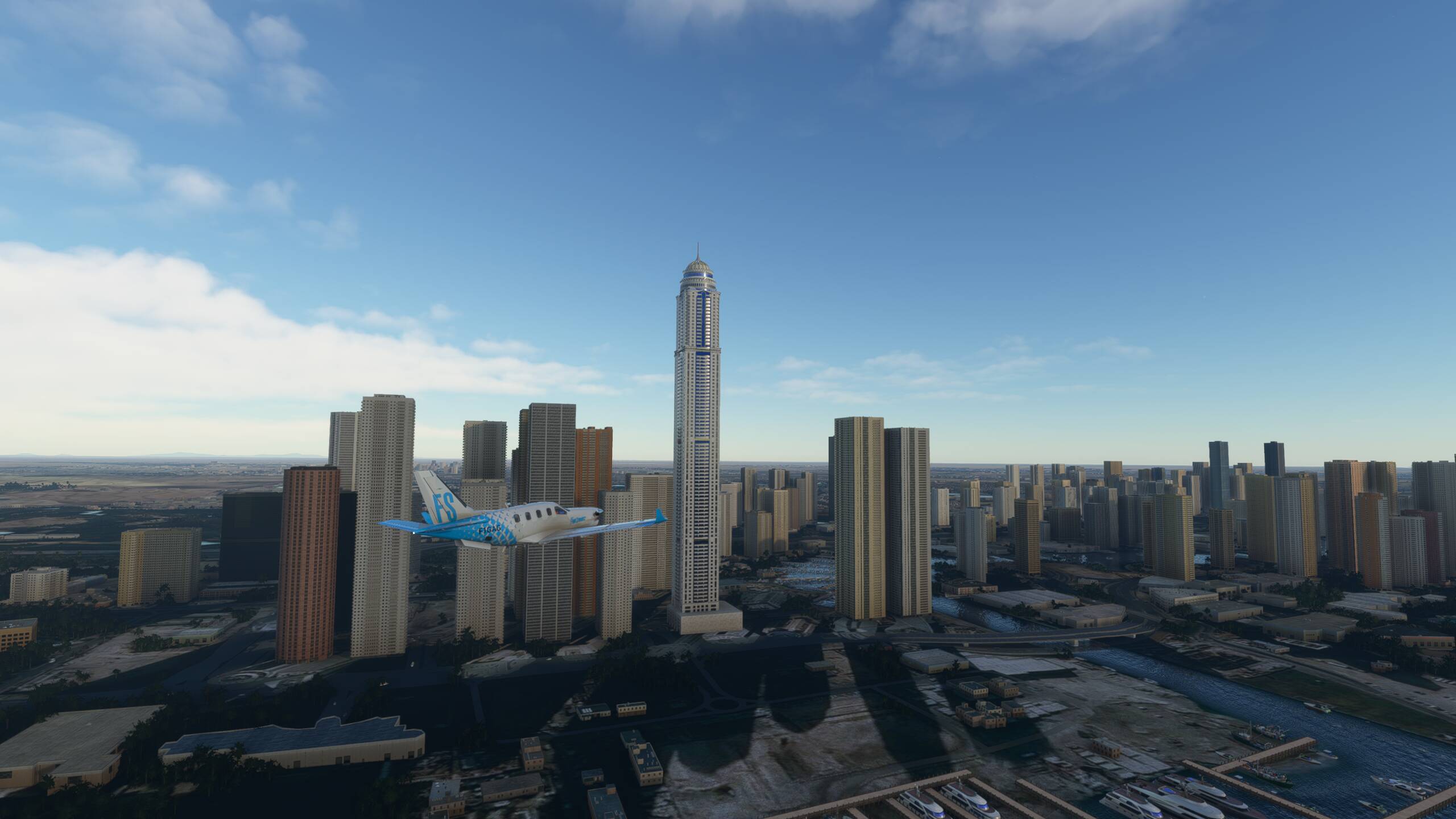
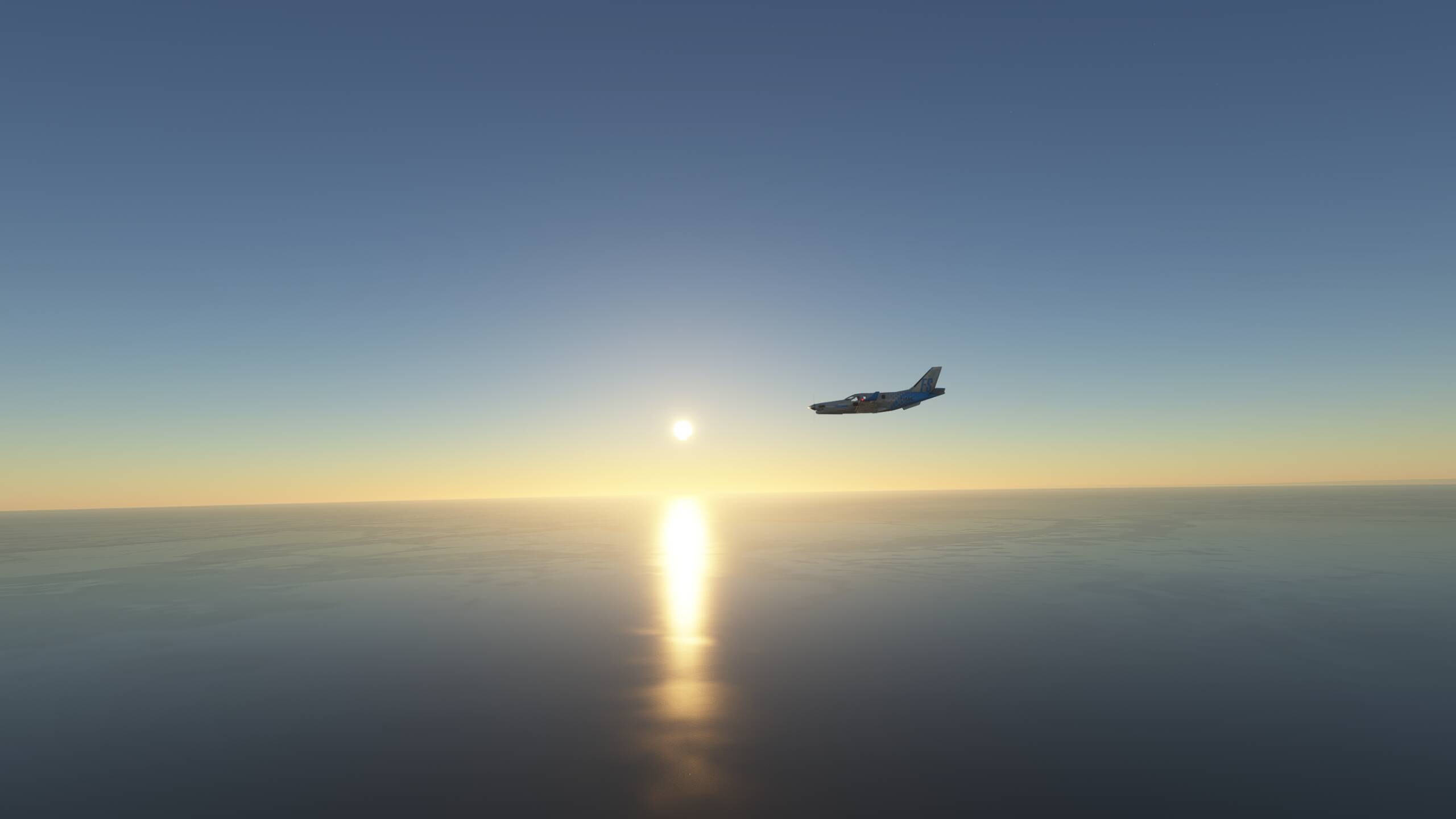
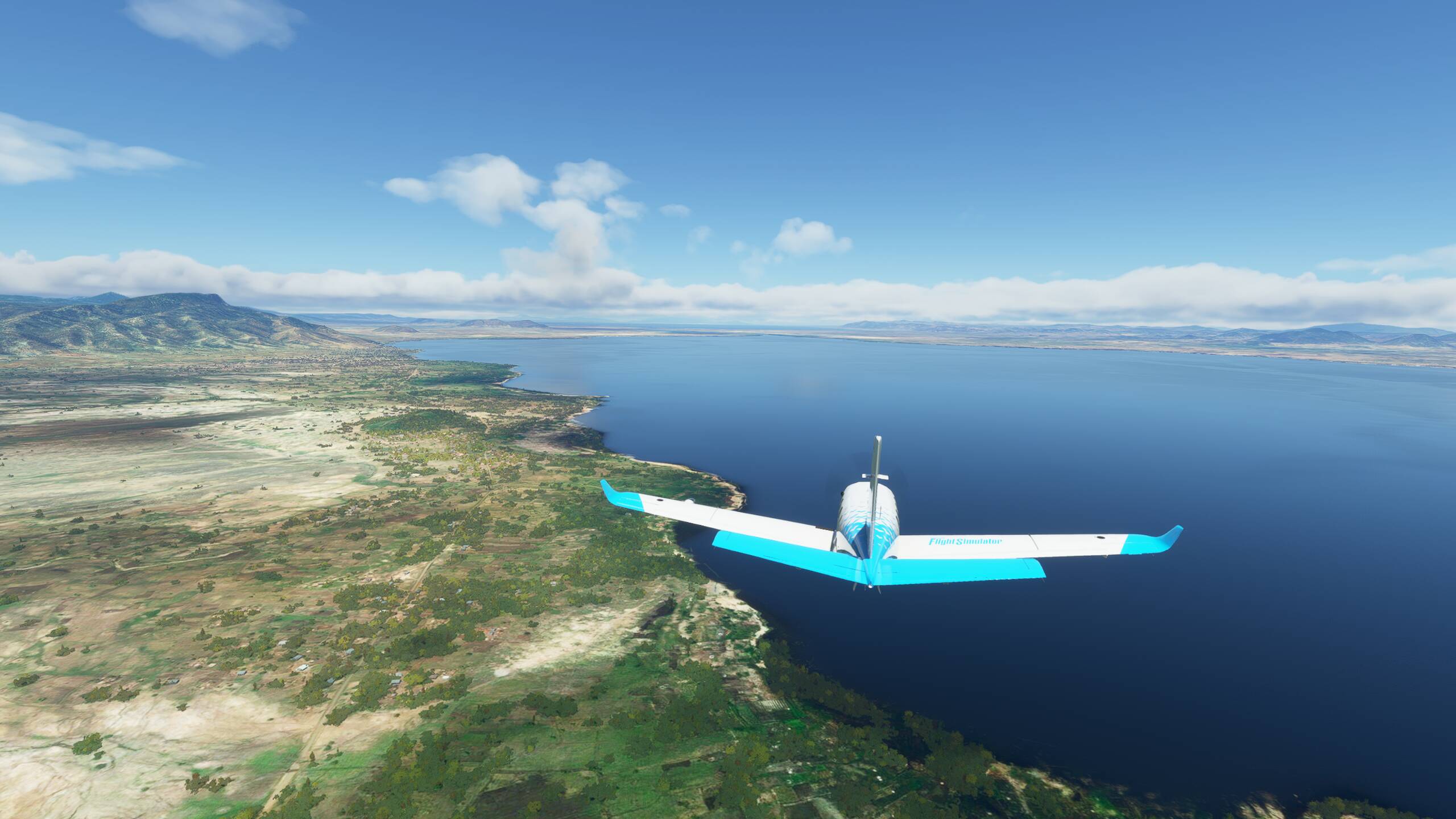
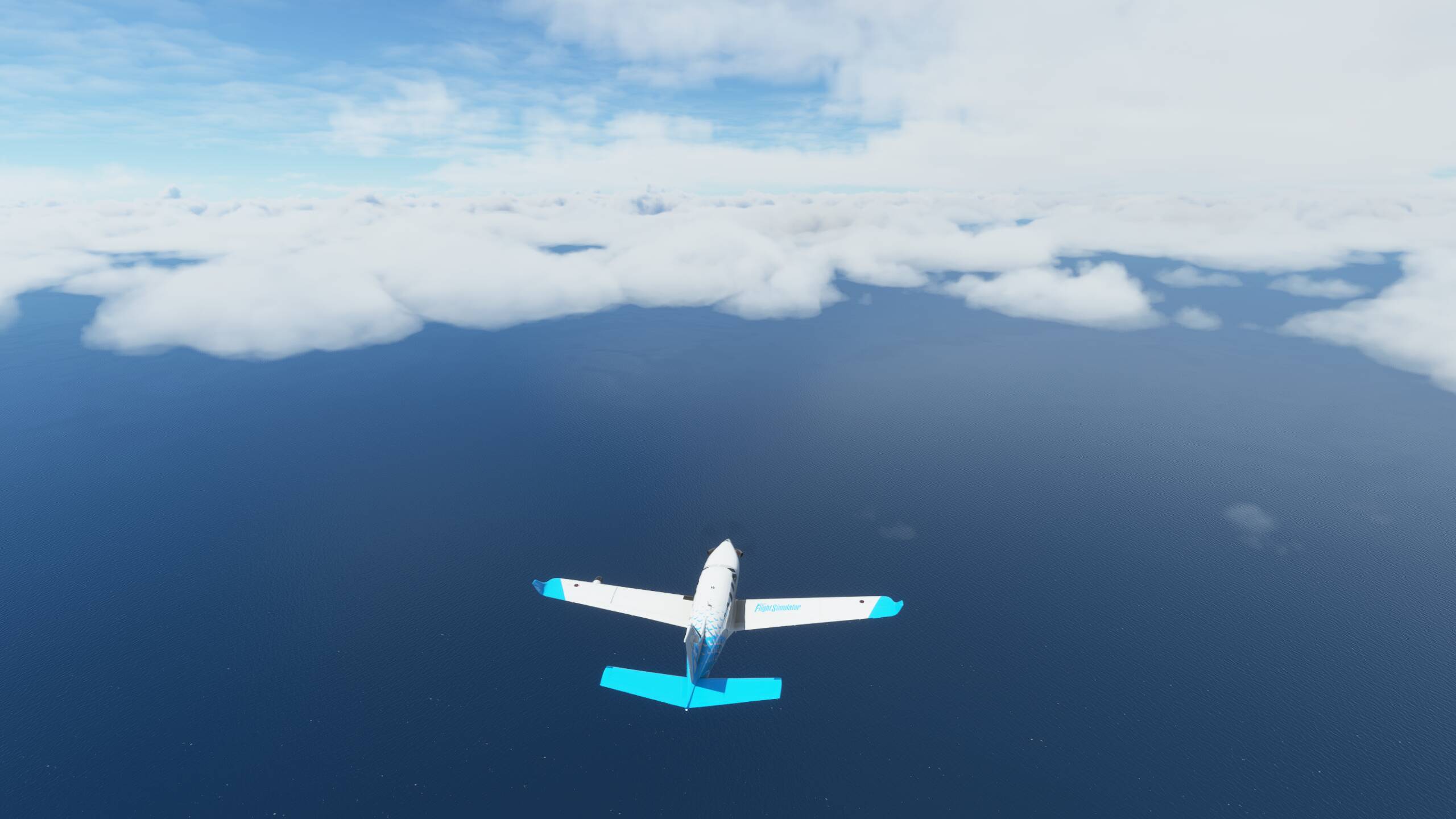
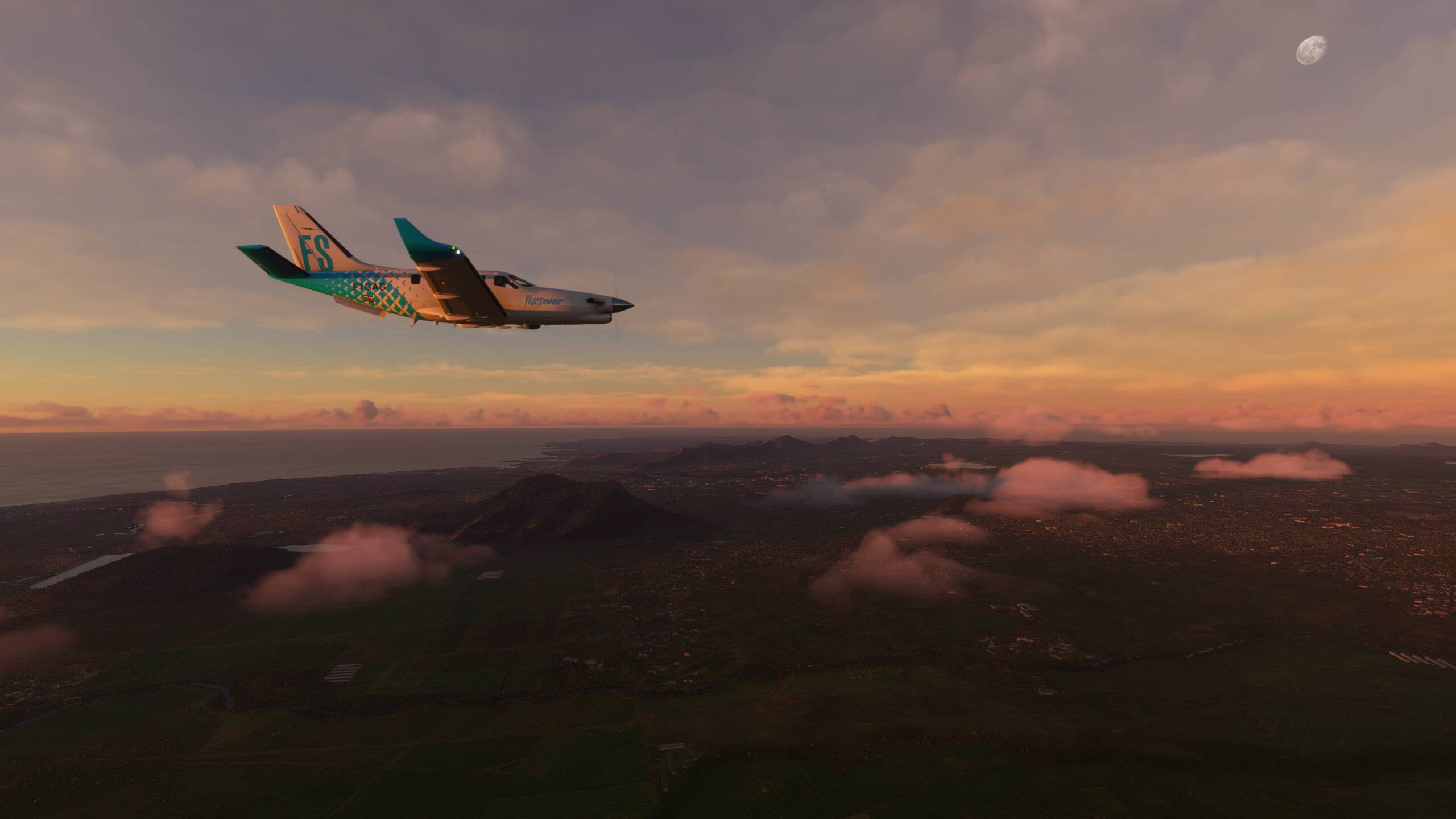
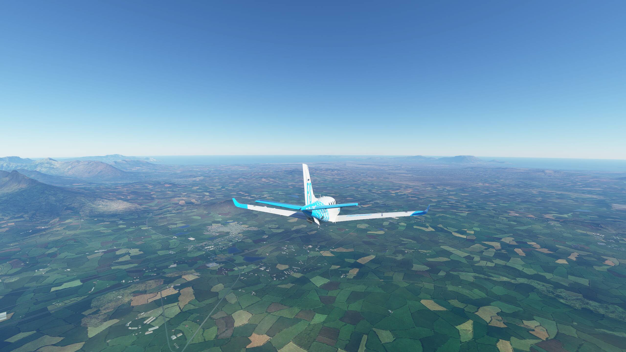
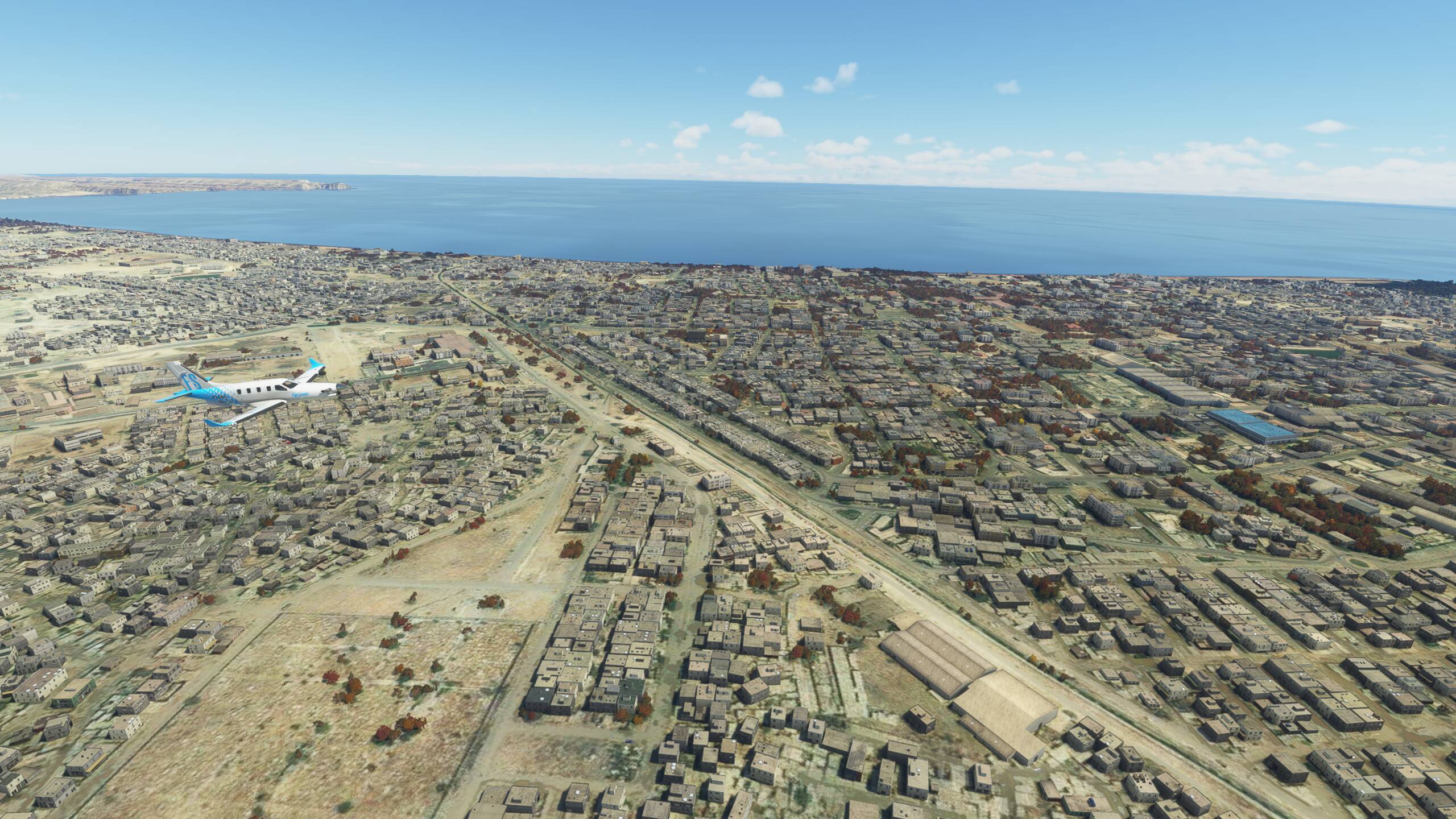
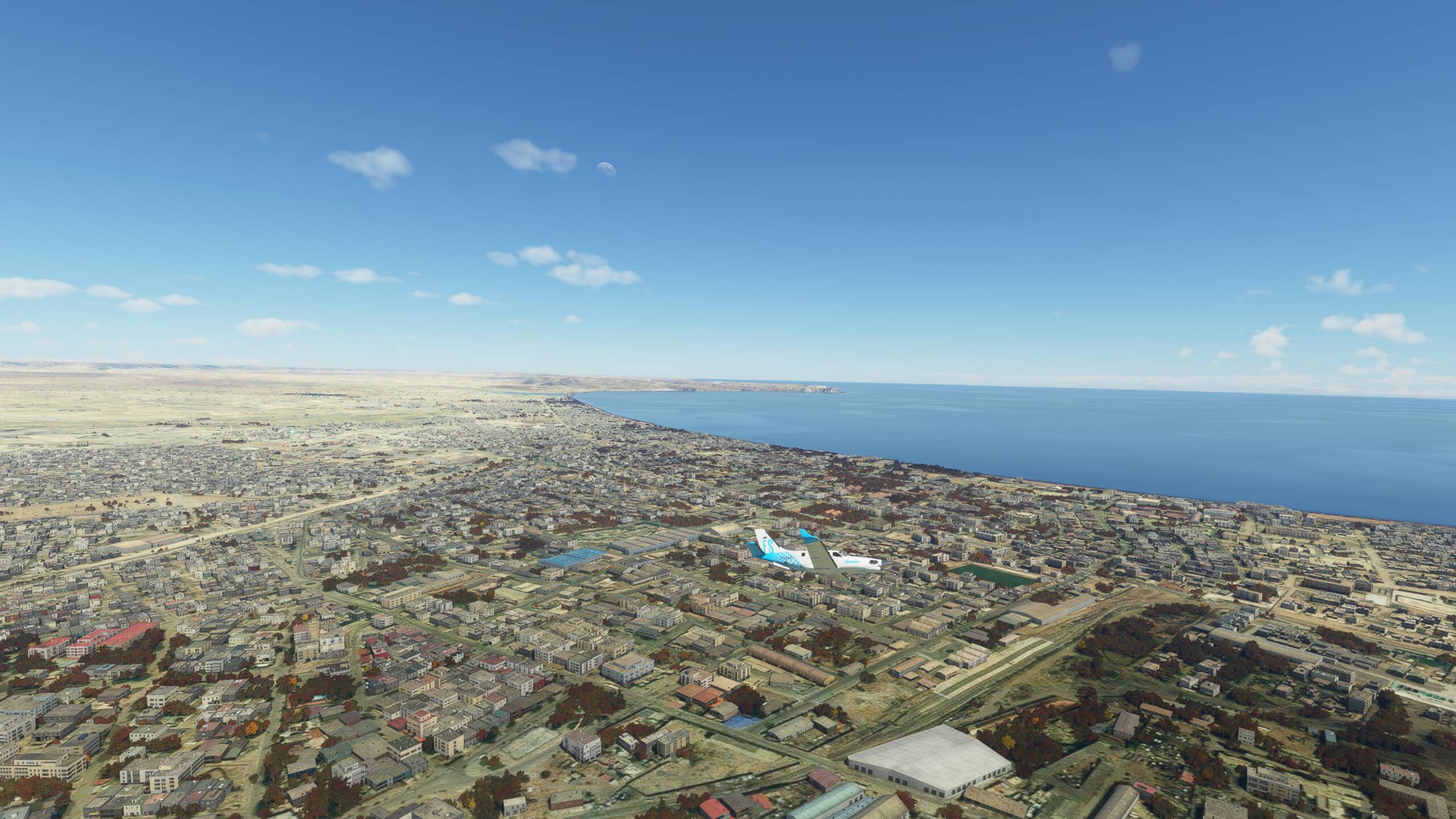
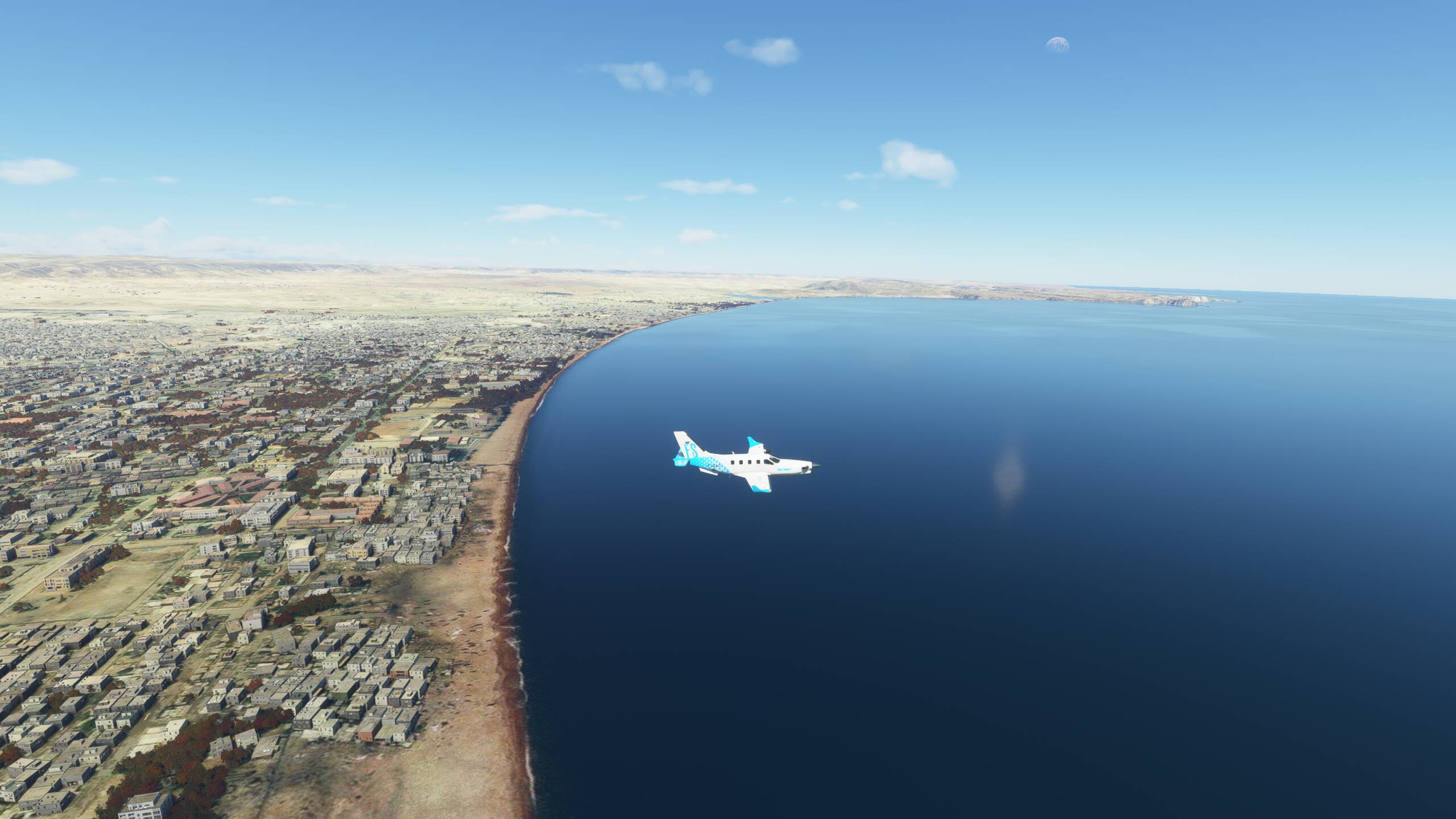
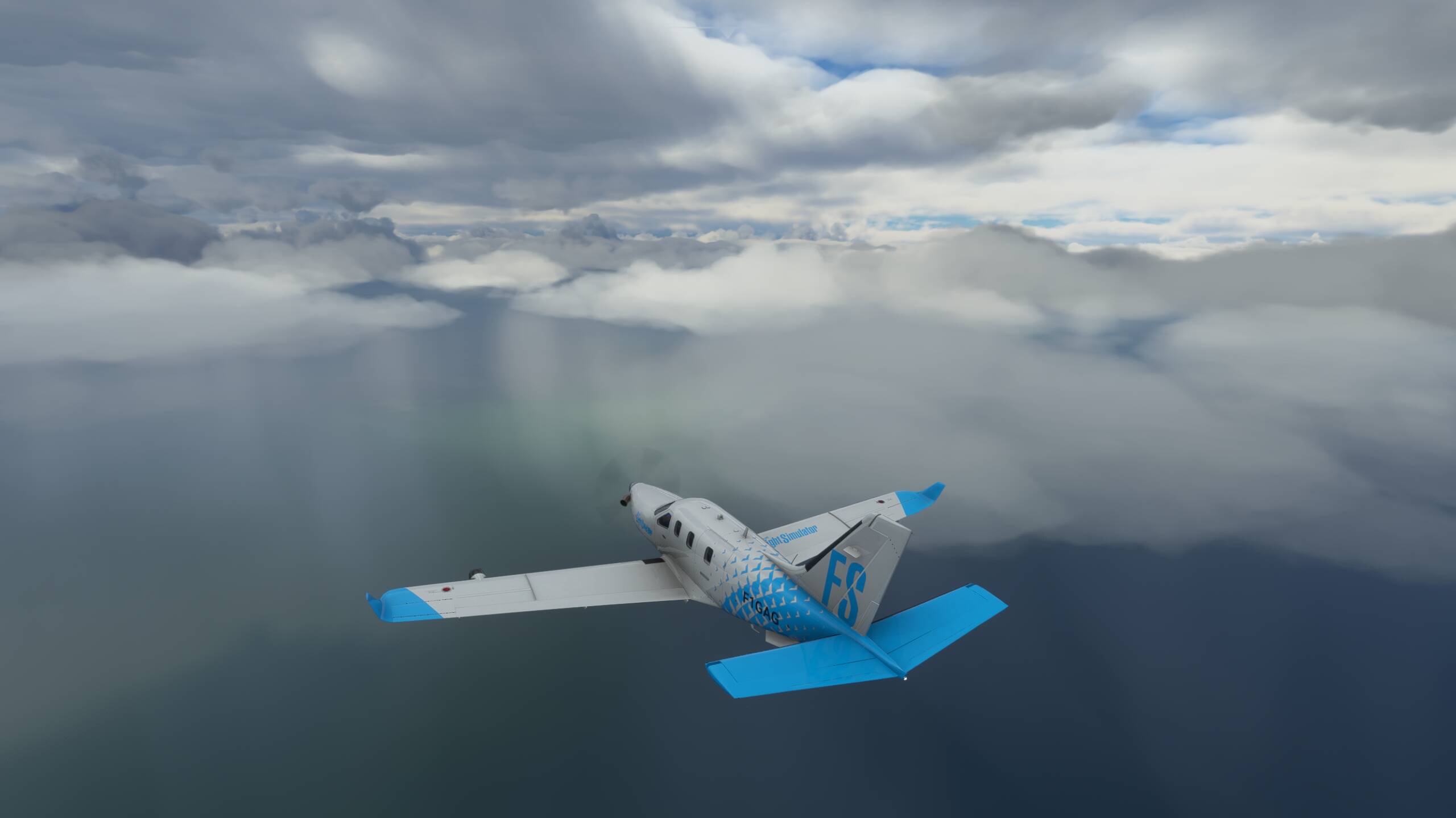
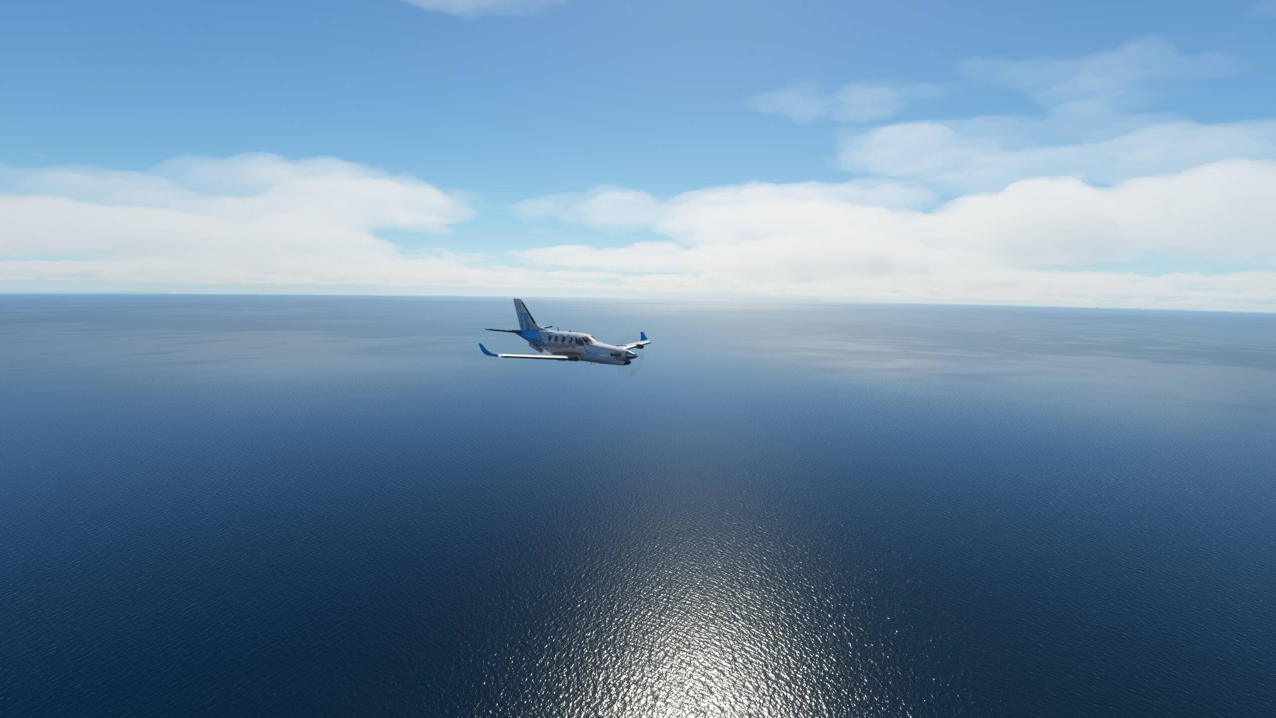
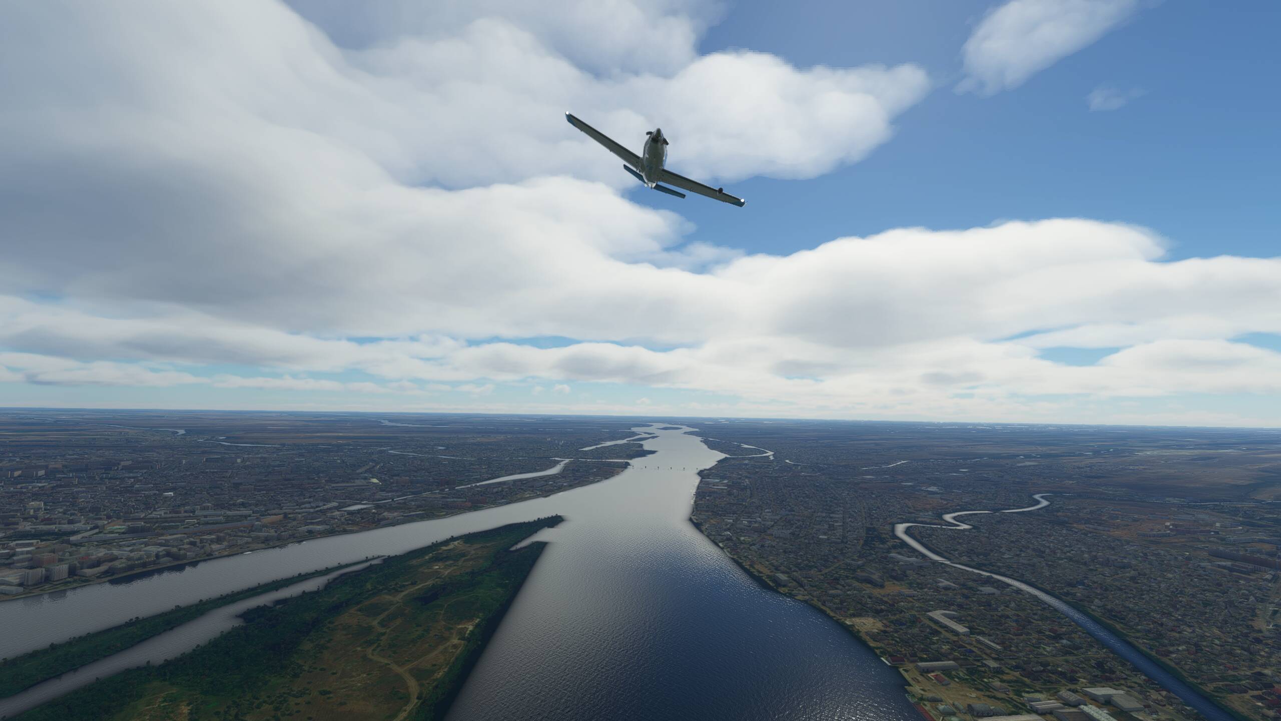
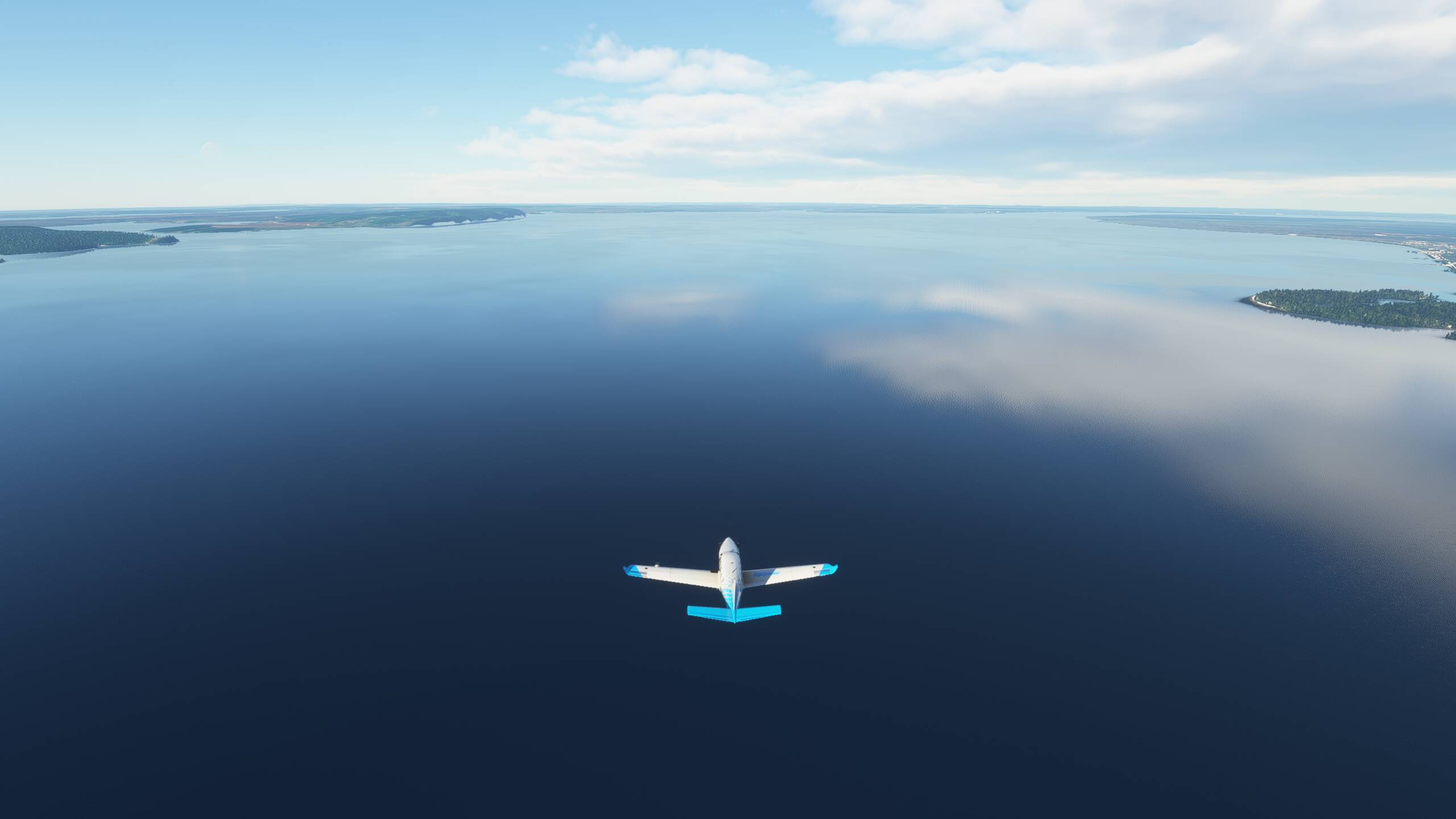
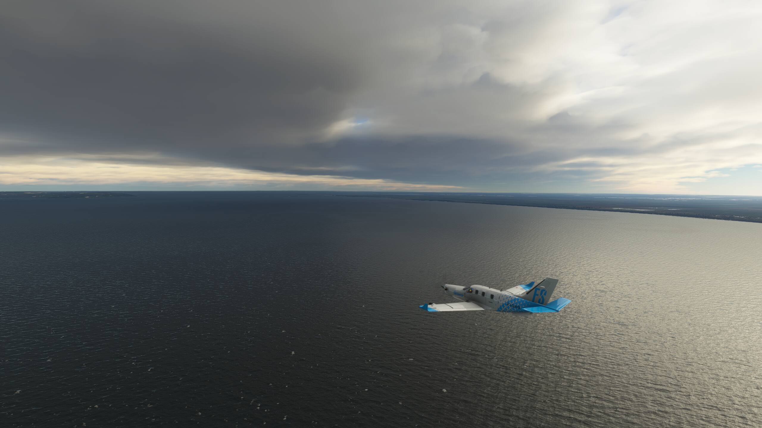
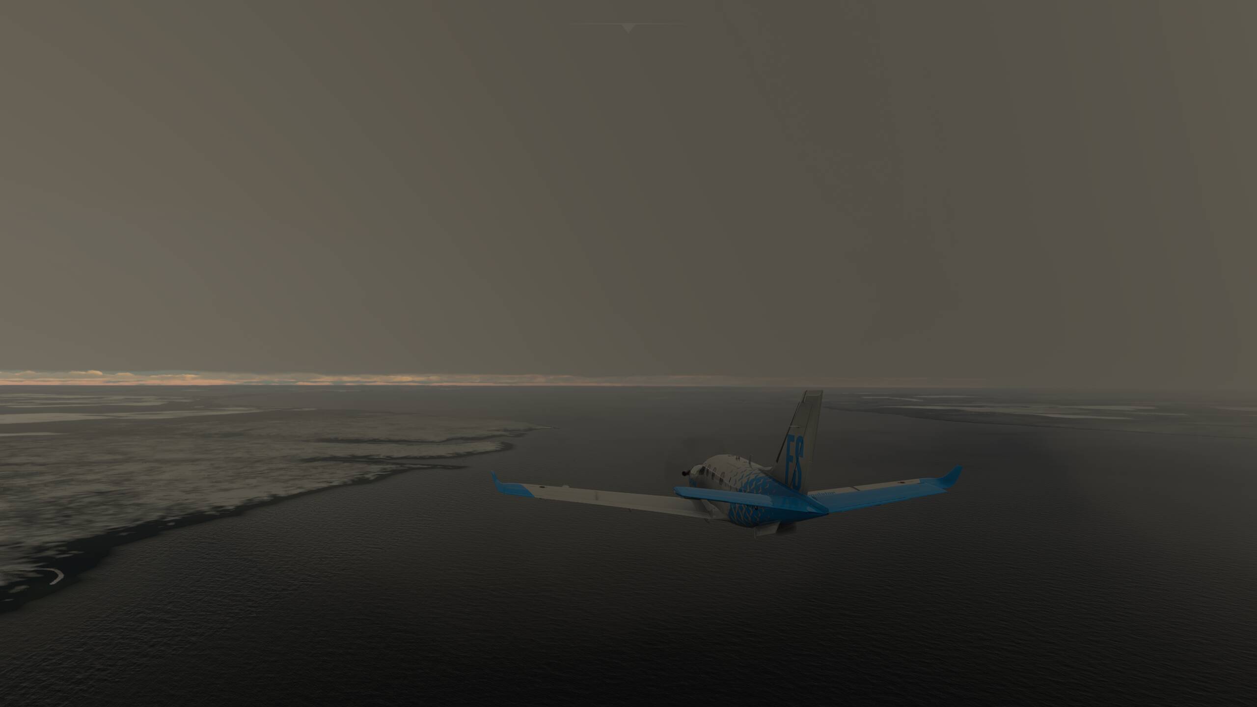
In the middle of the Caspian Sea, and Baku is somewhere over there!
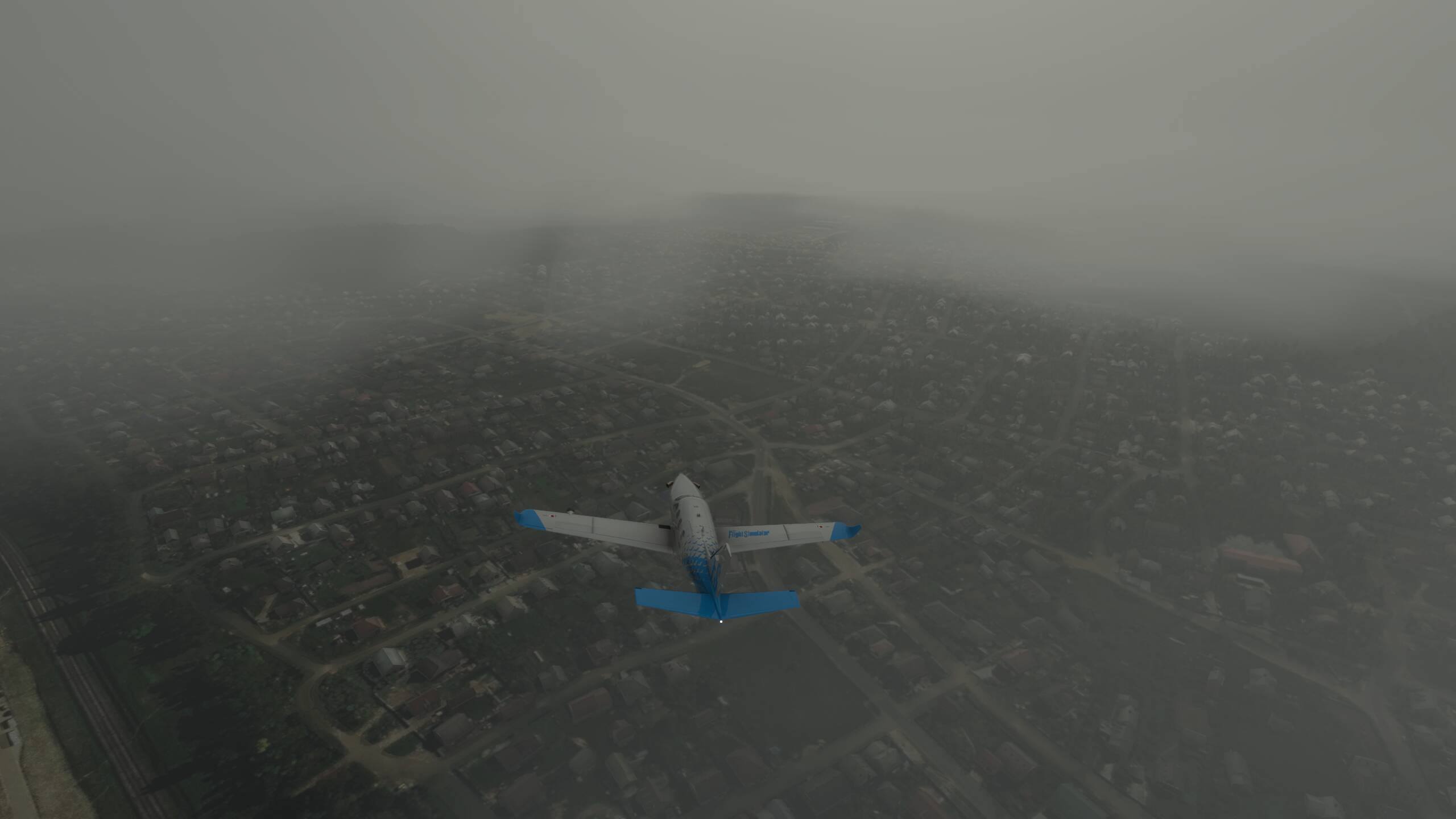
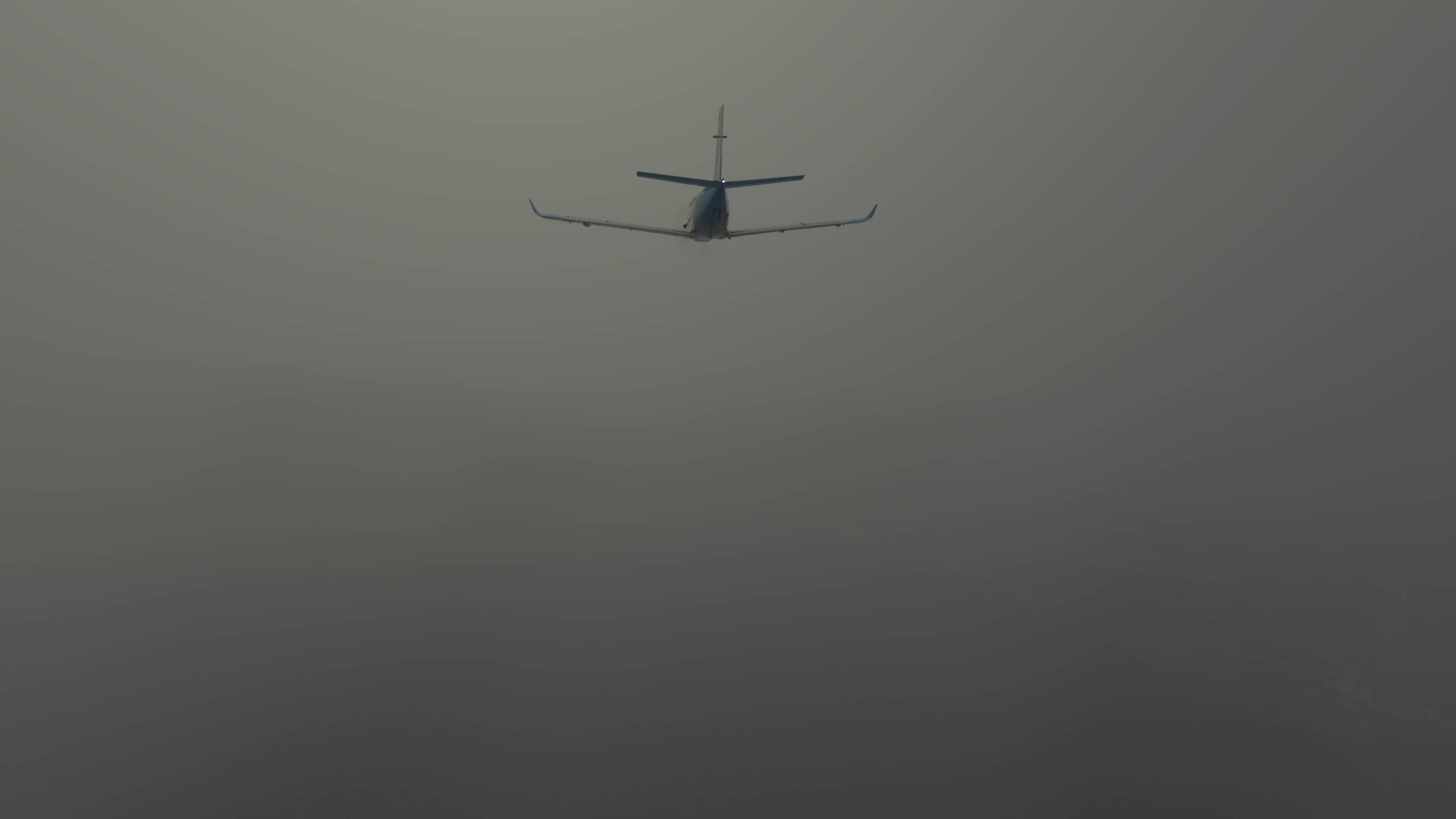
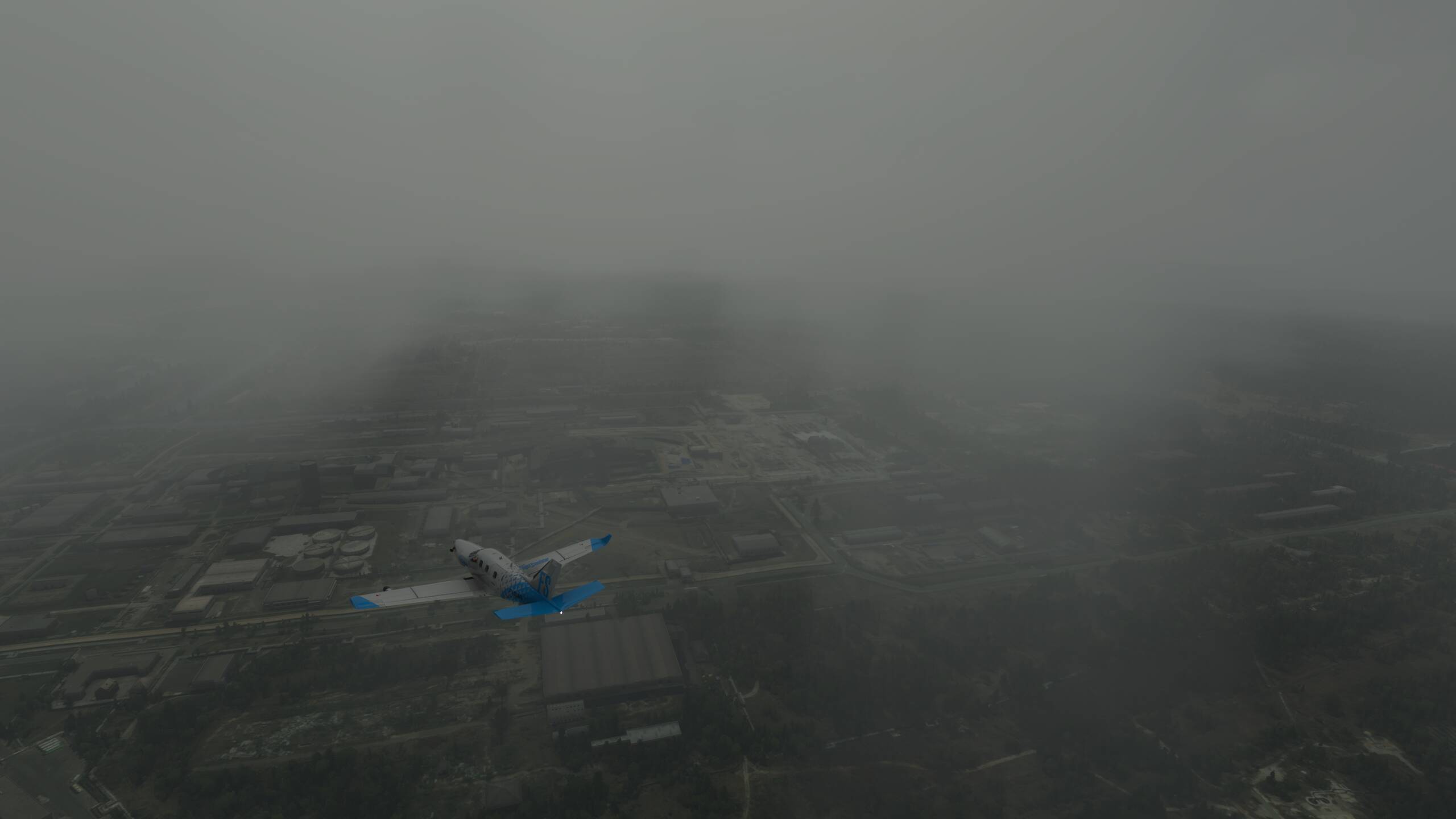
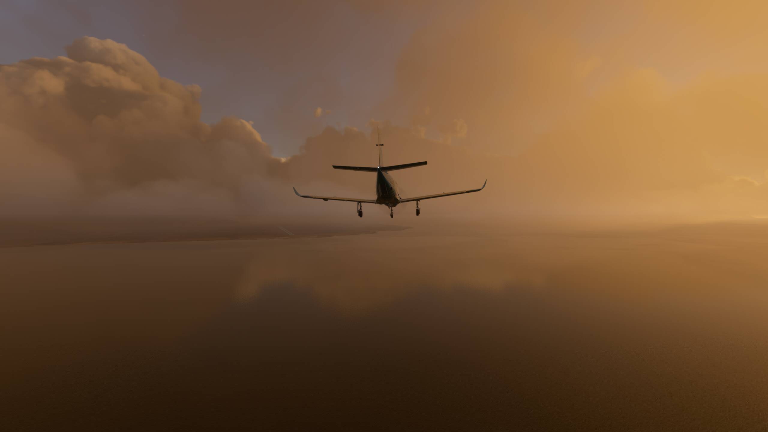
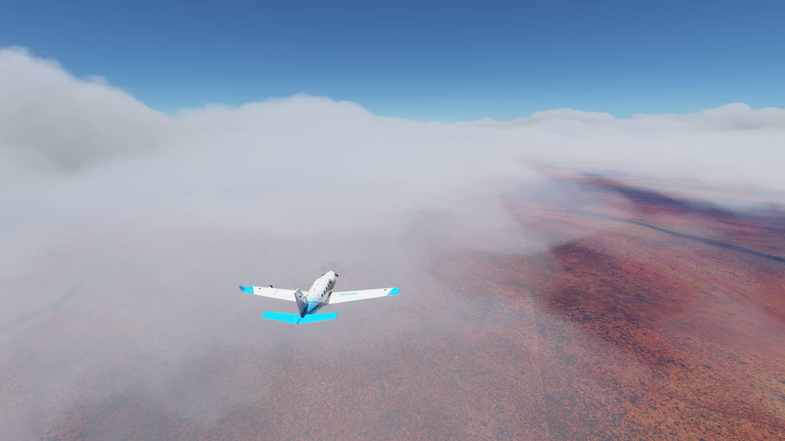
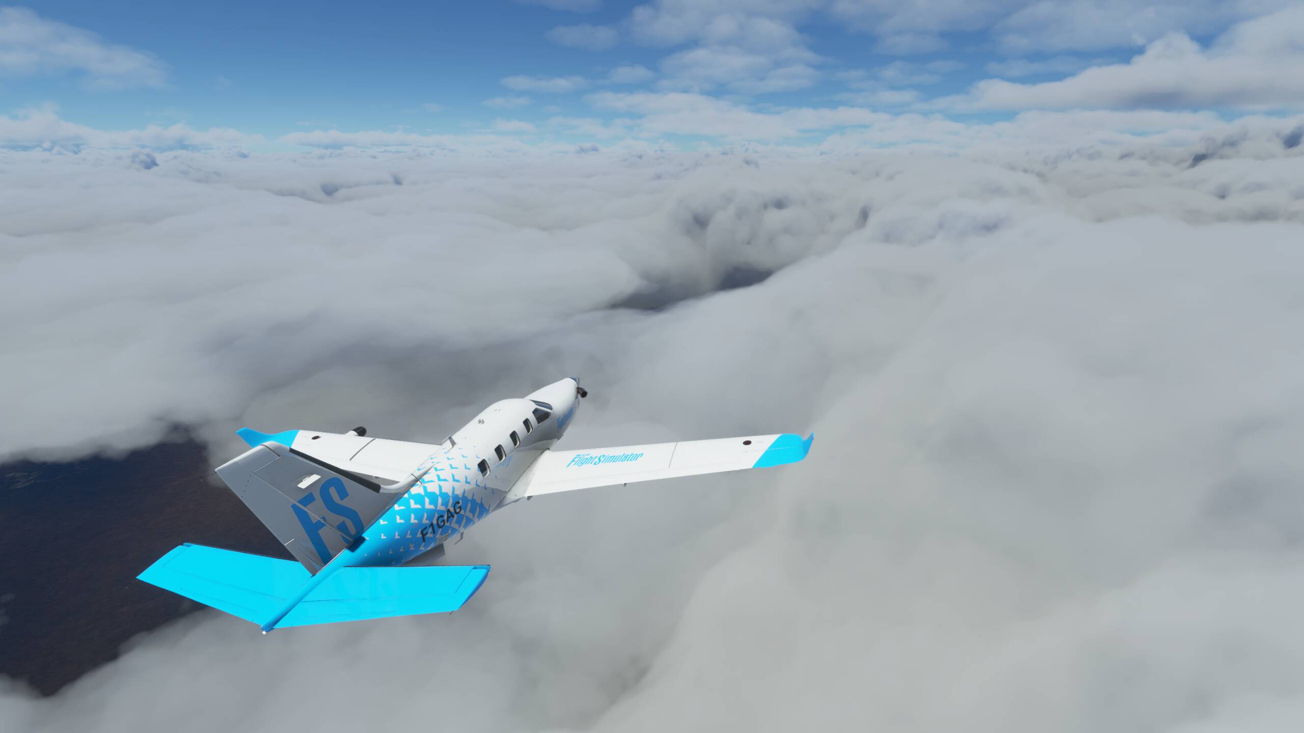
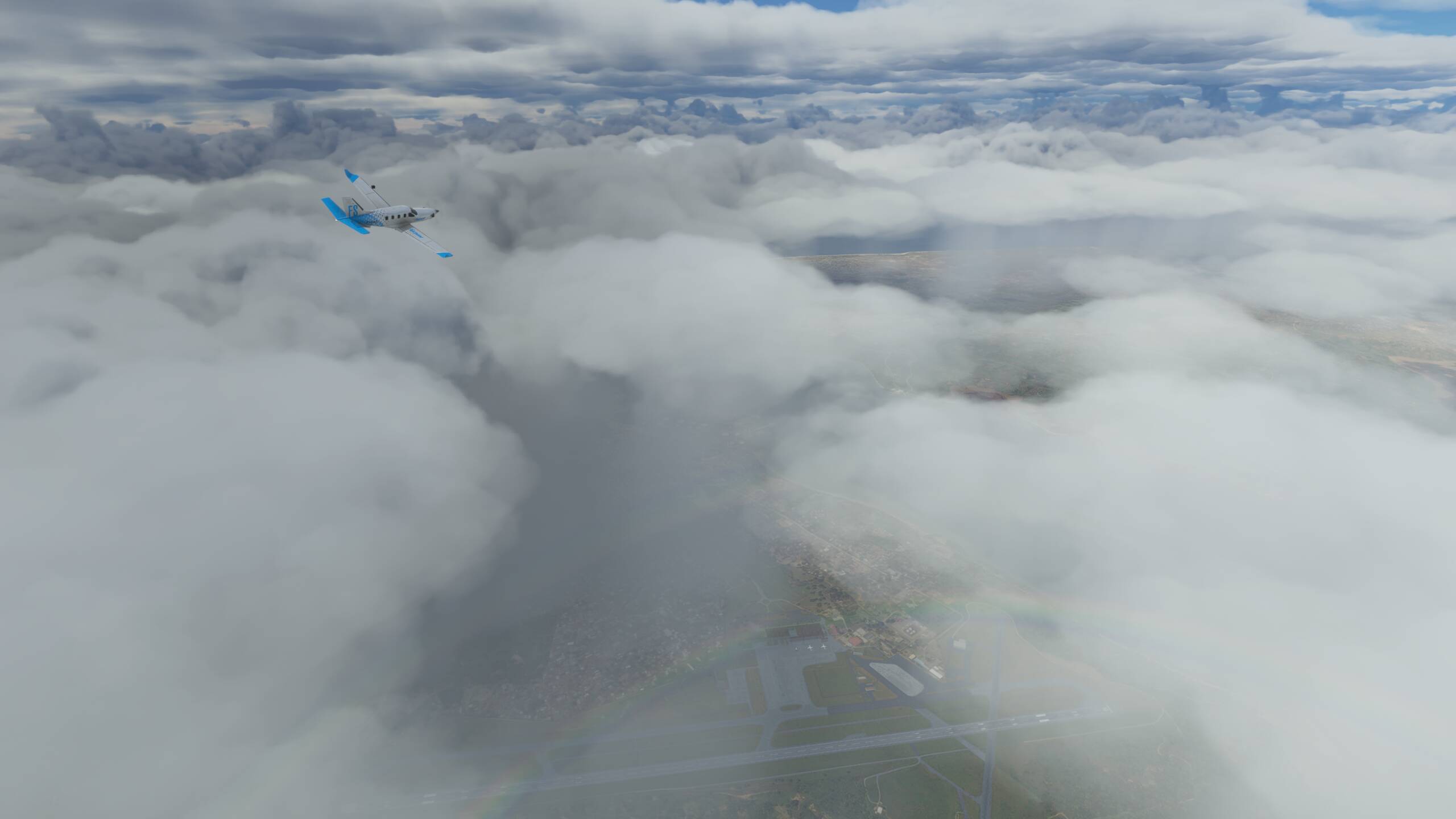
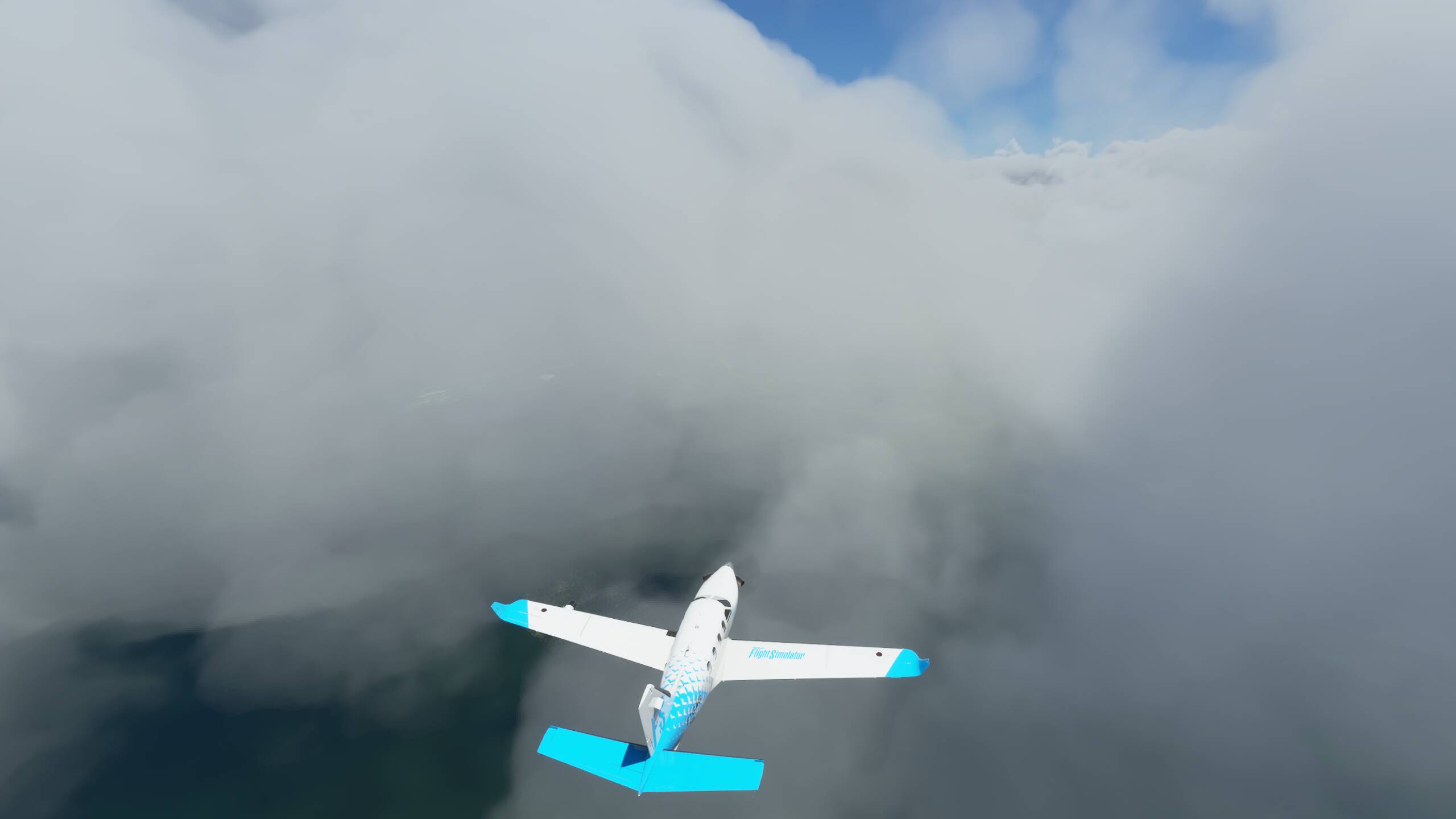
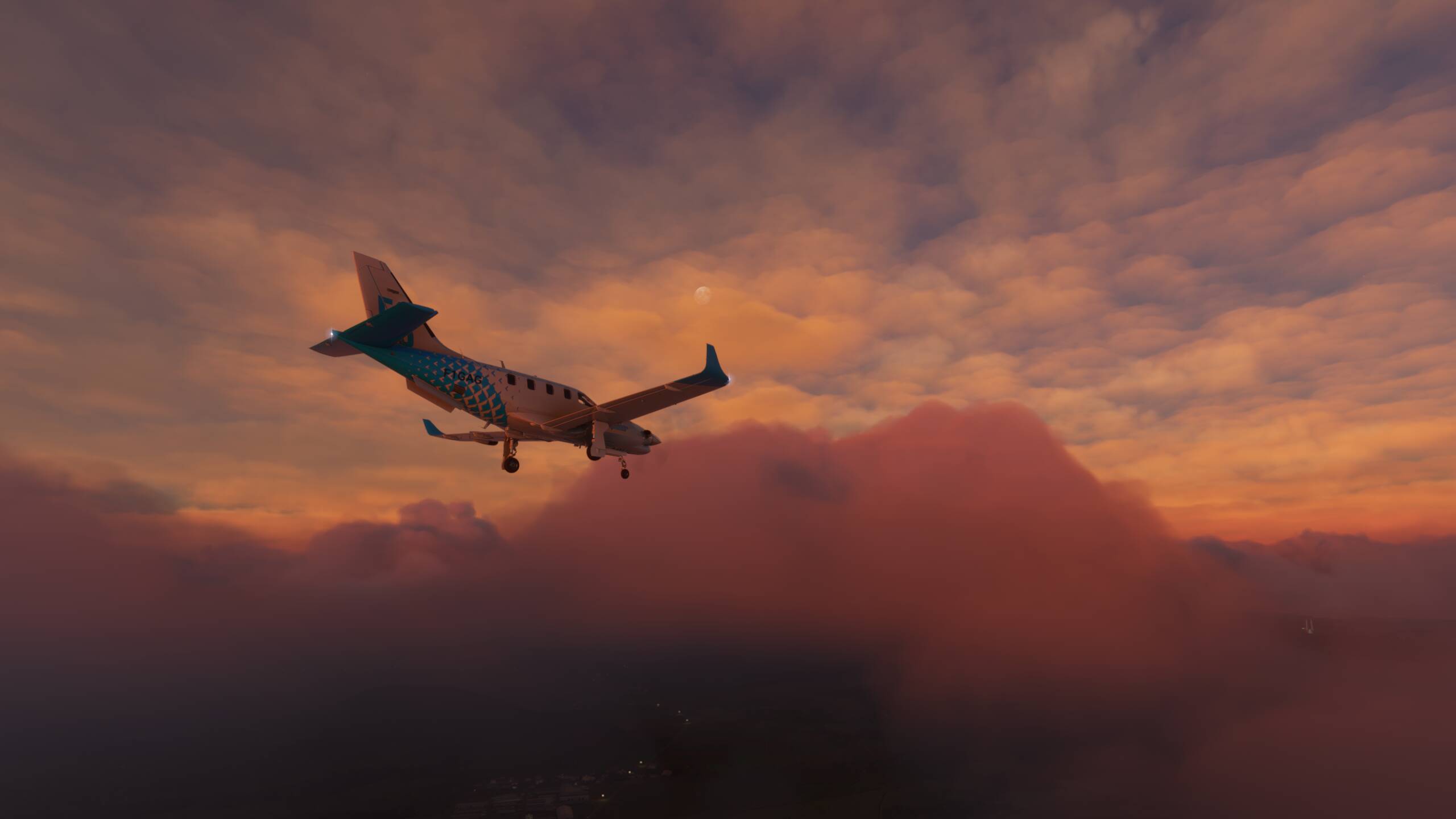
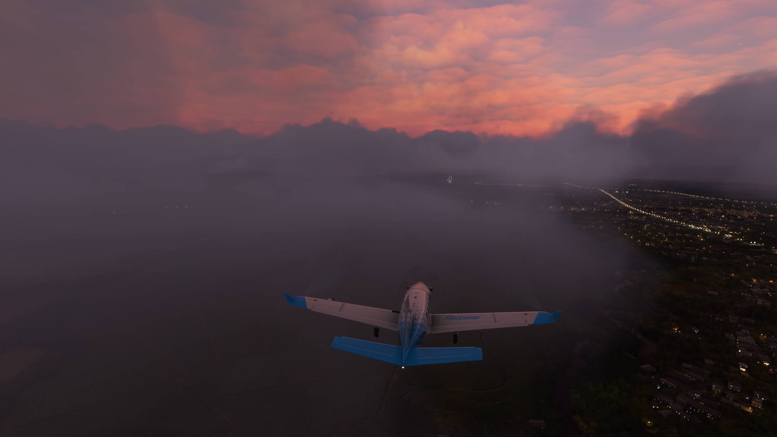
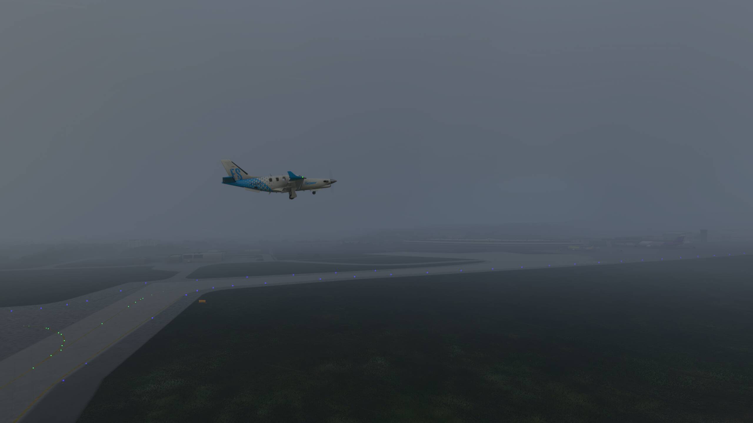
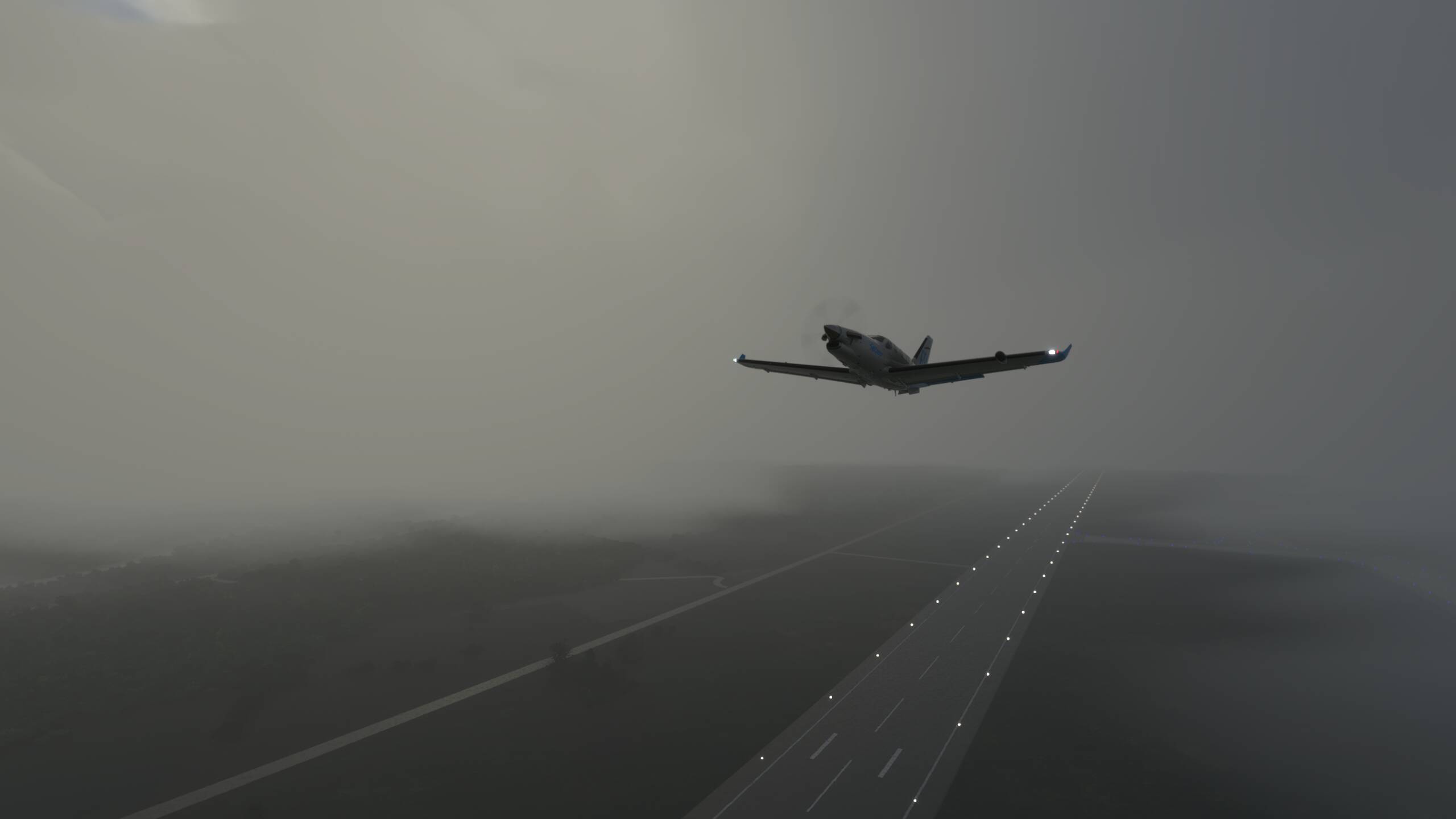
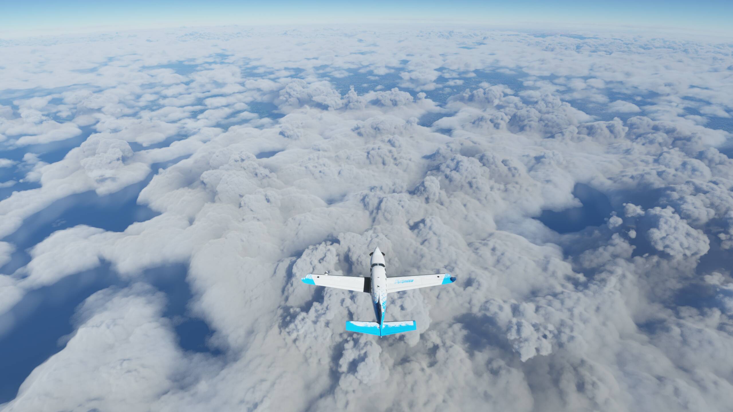
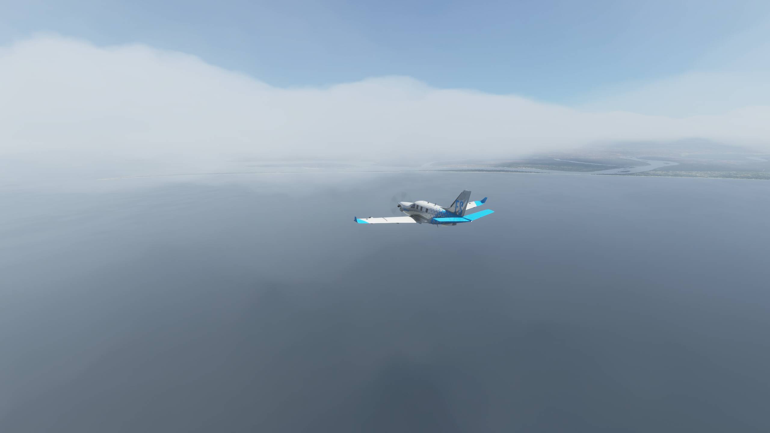
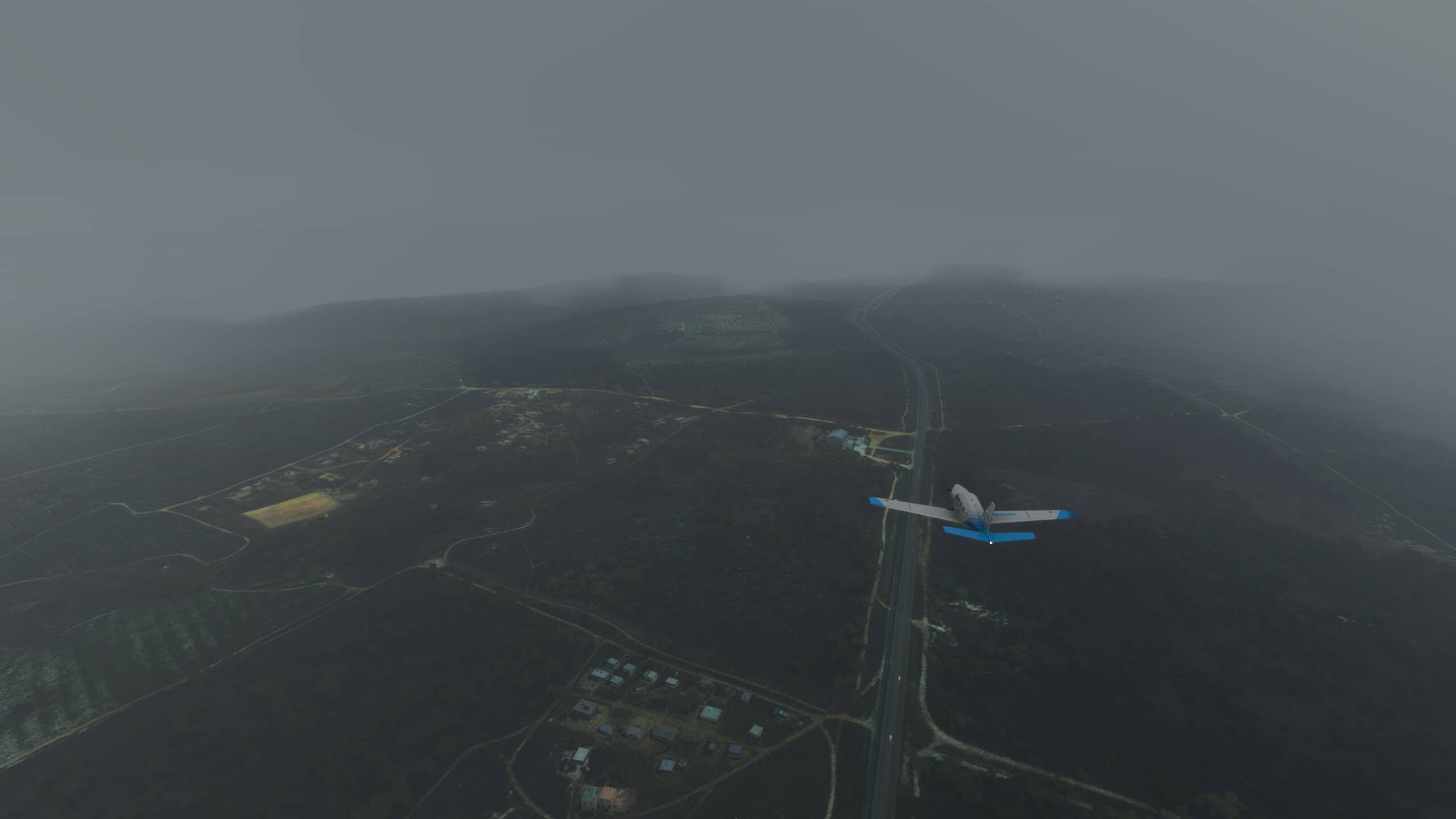
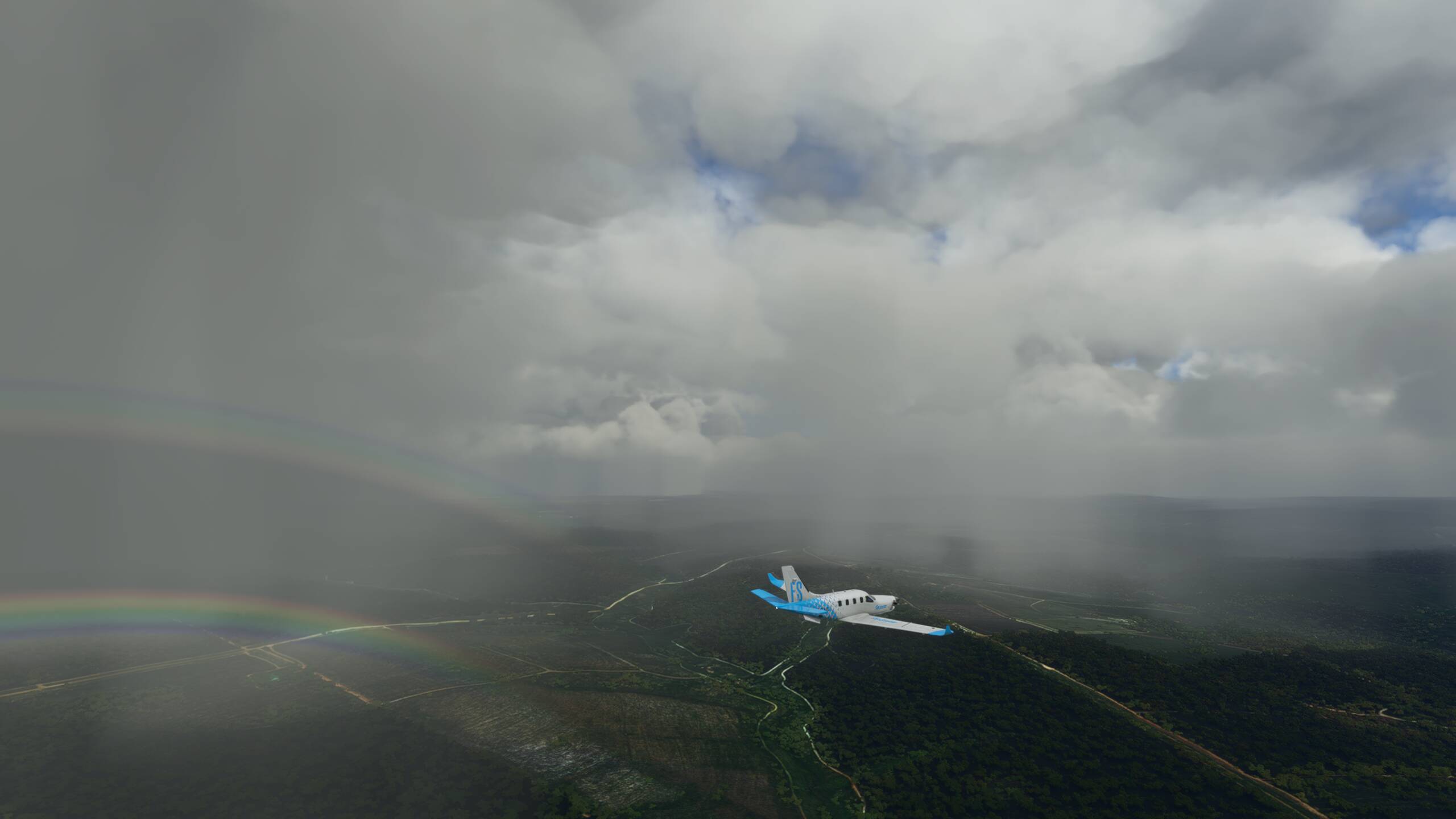
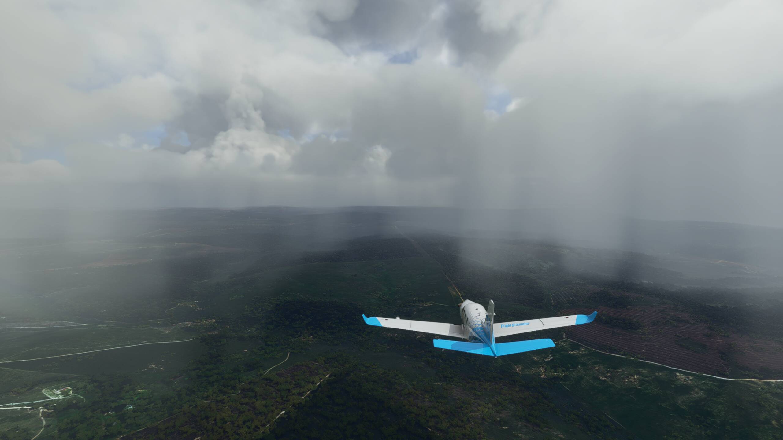
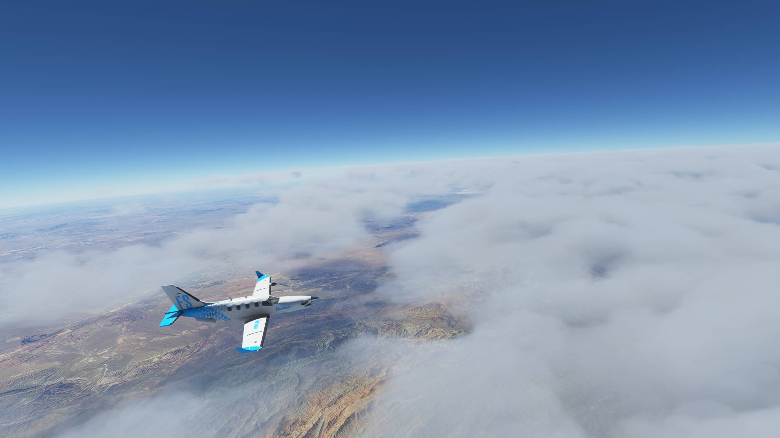
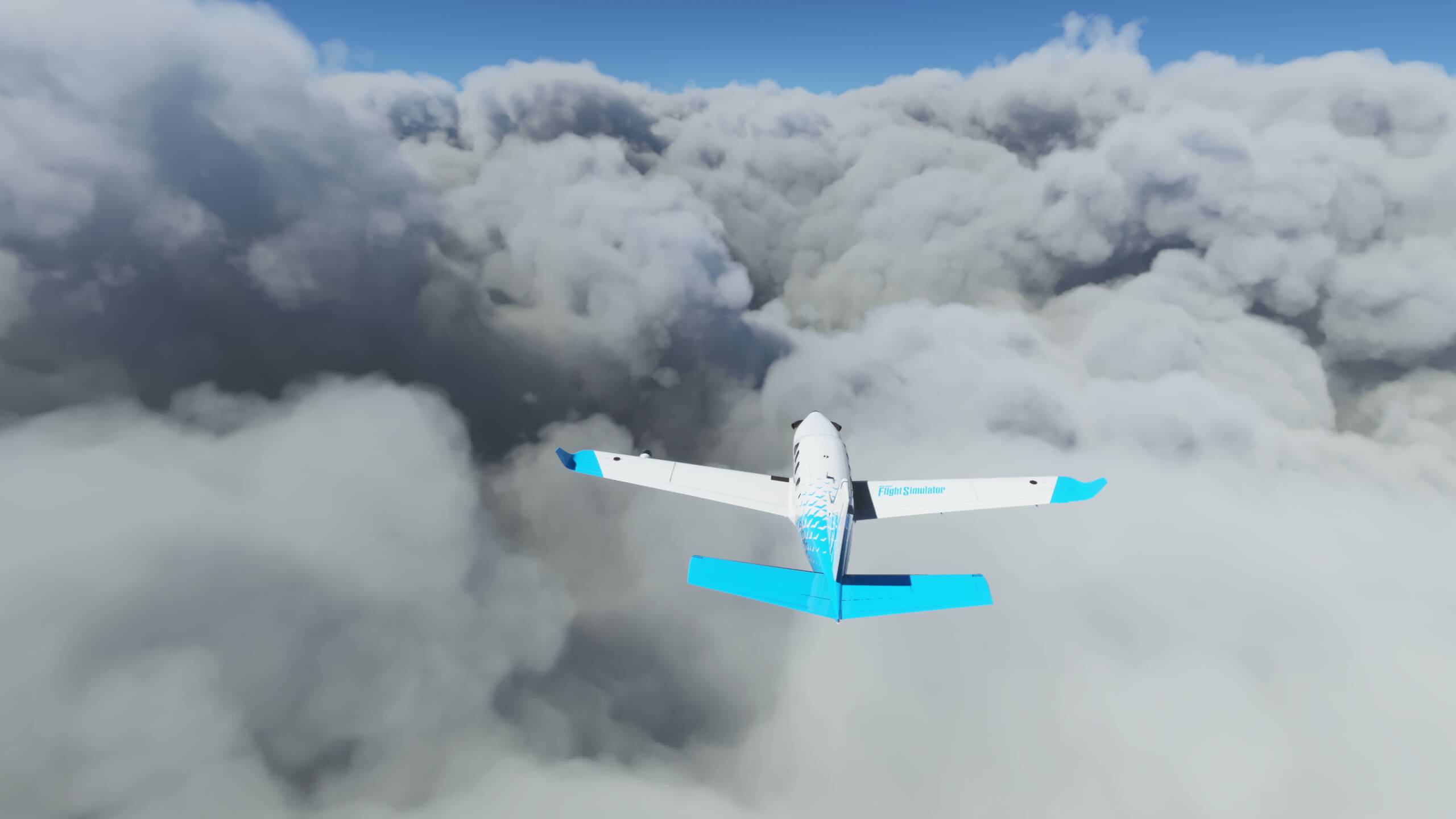
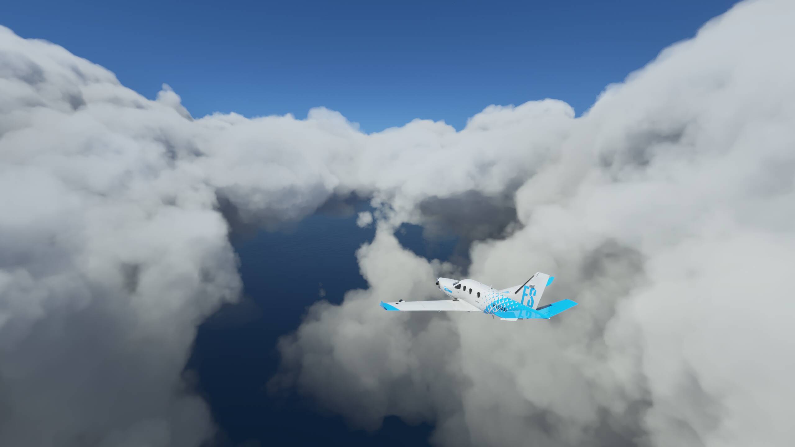
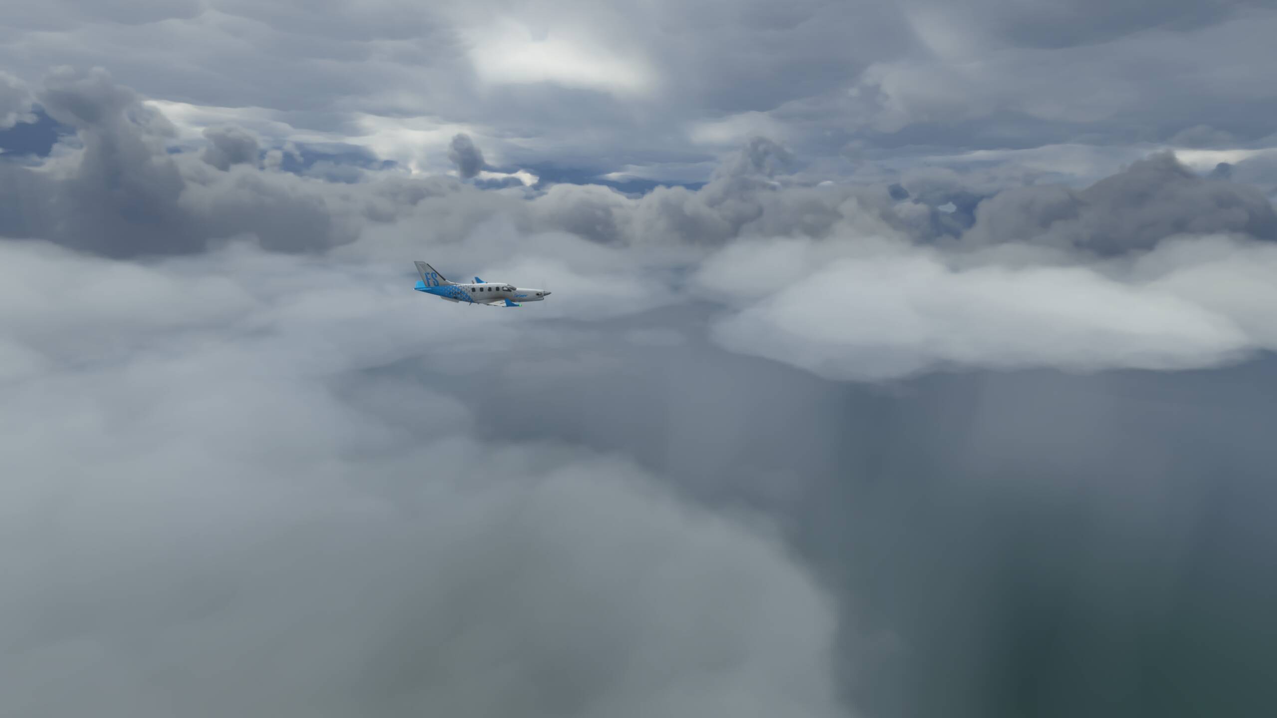
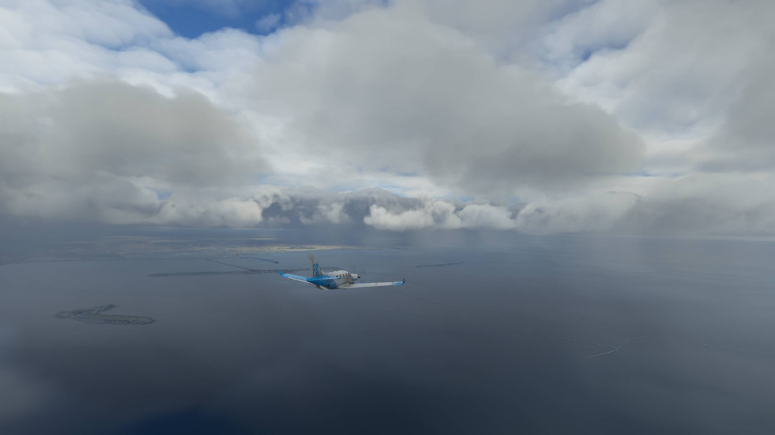
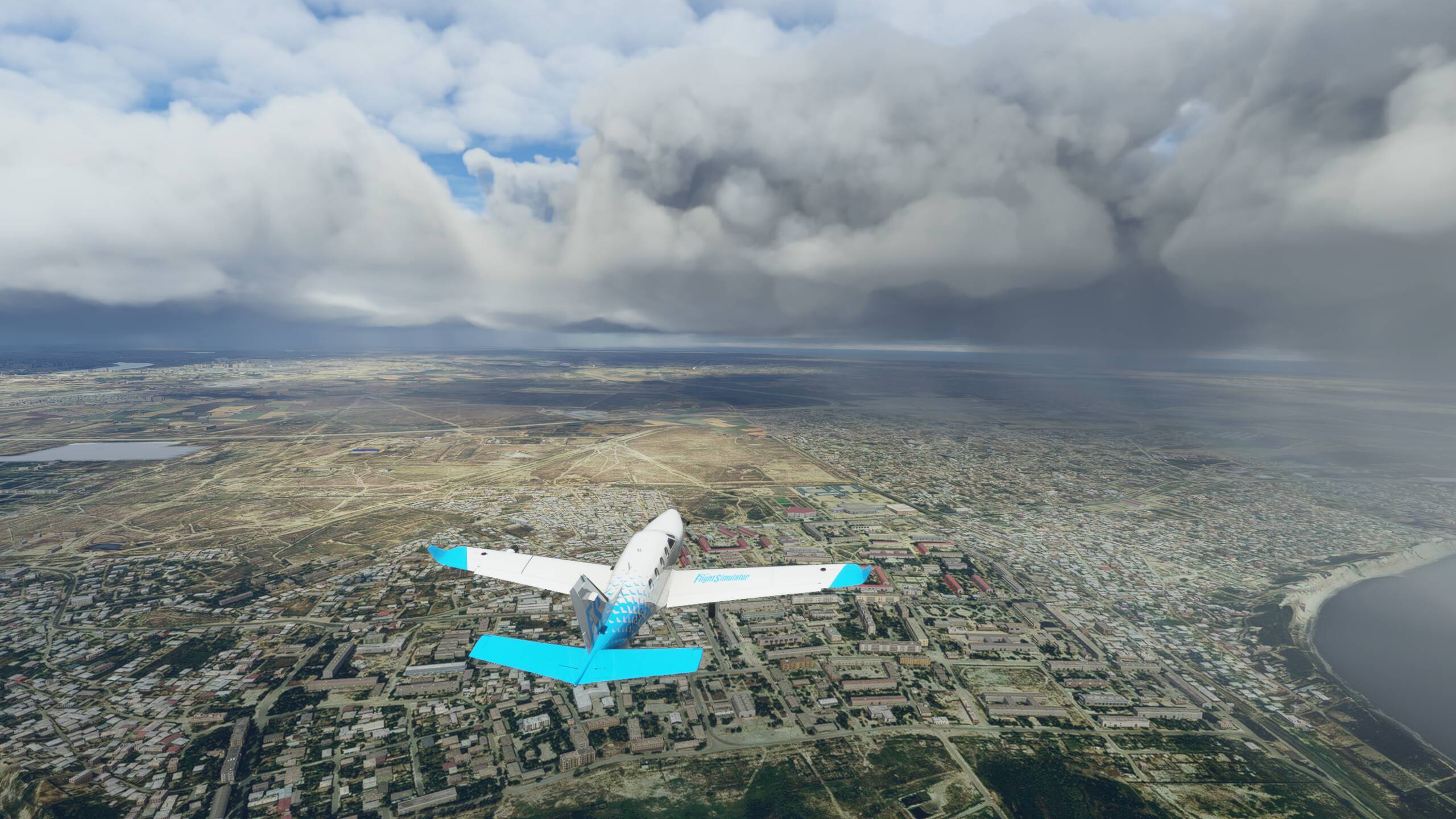
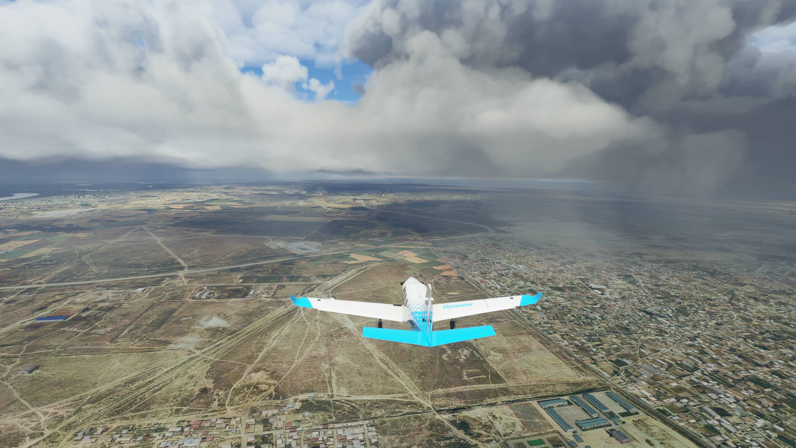
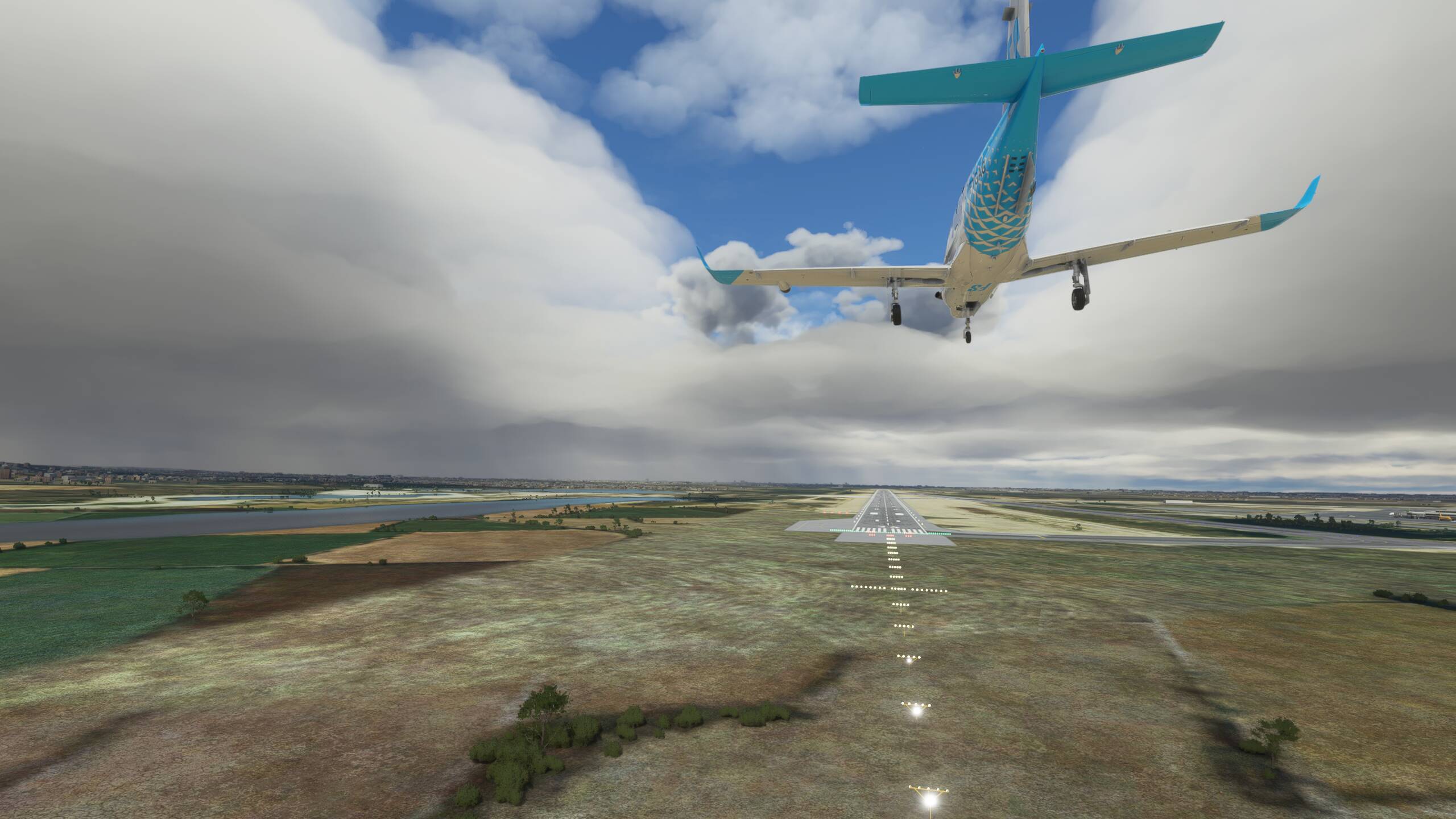
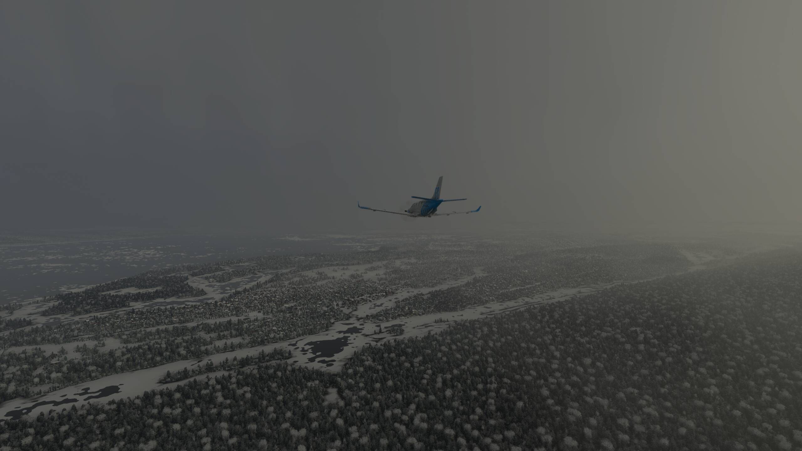
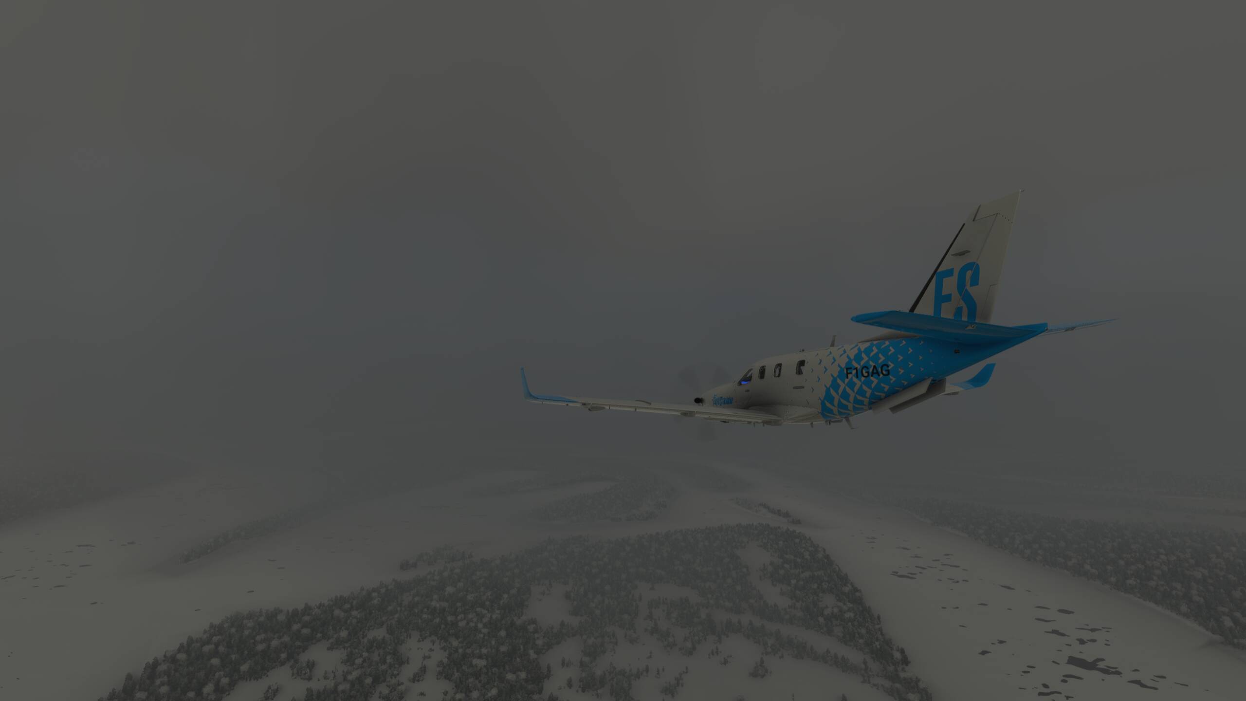
Time to descend through the clouds and finally emerge from the thick cloud layer
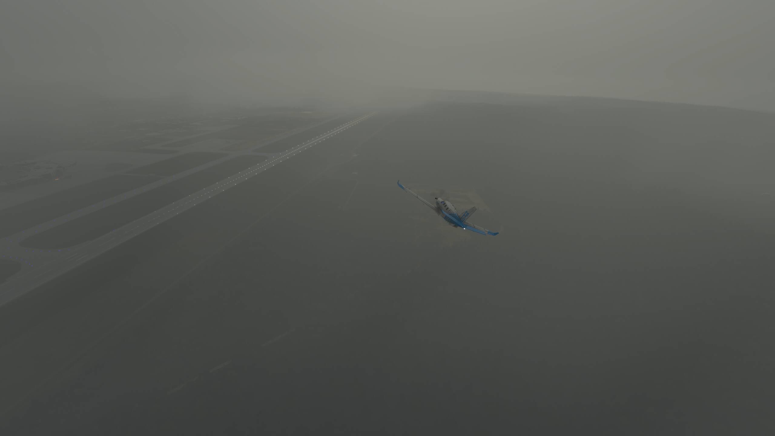
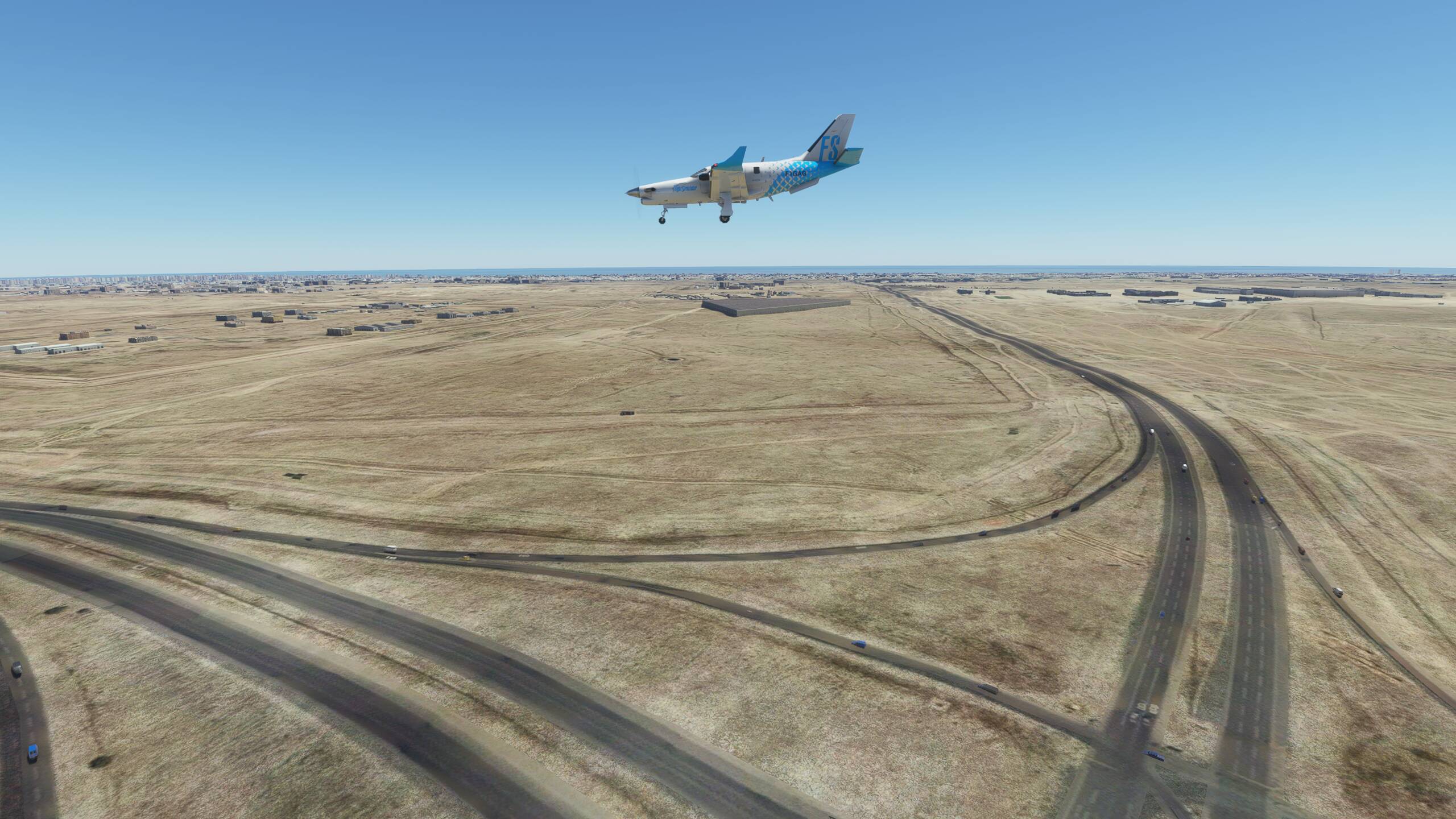
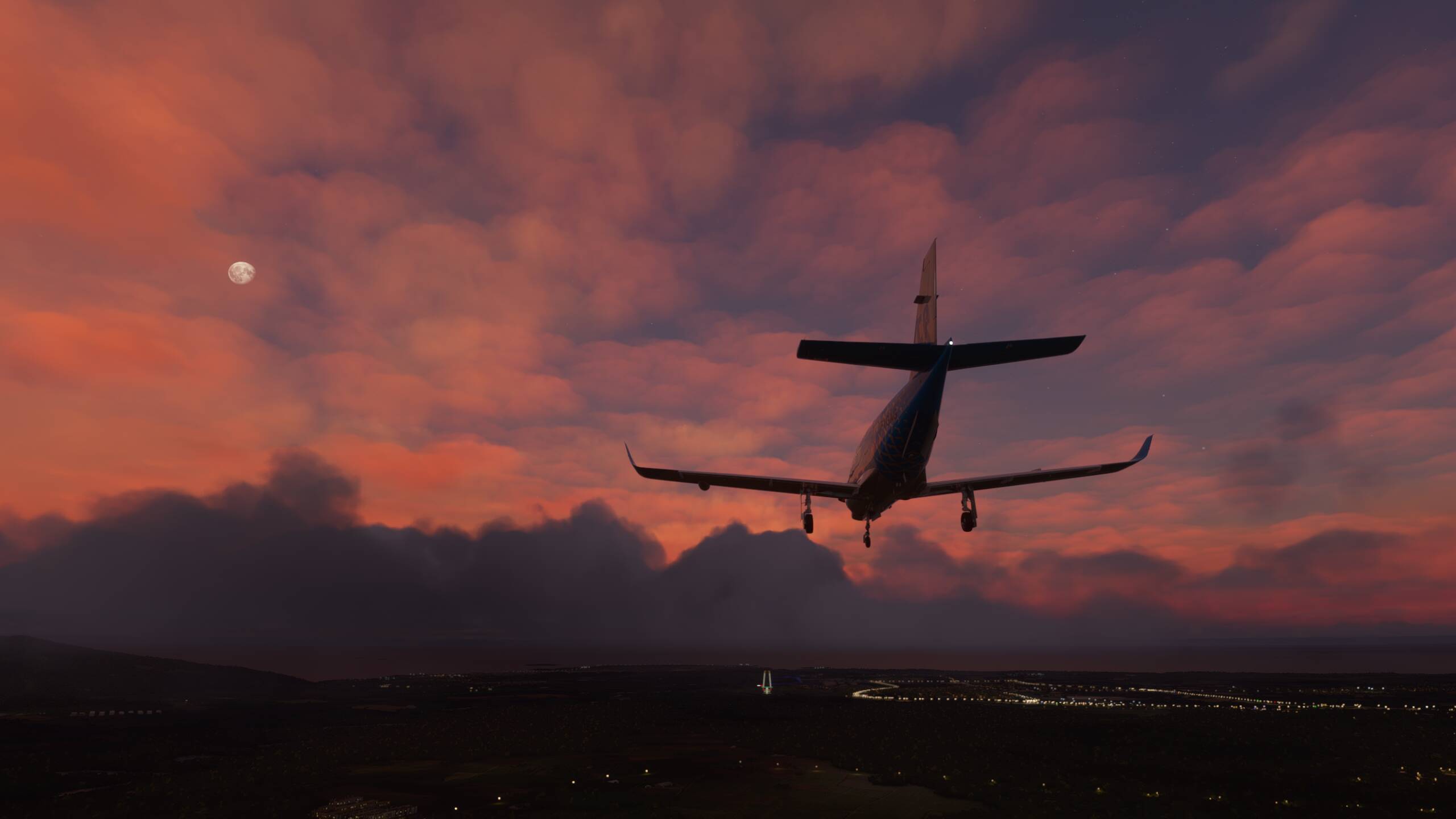
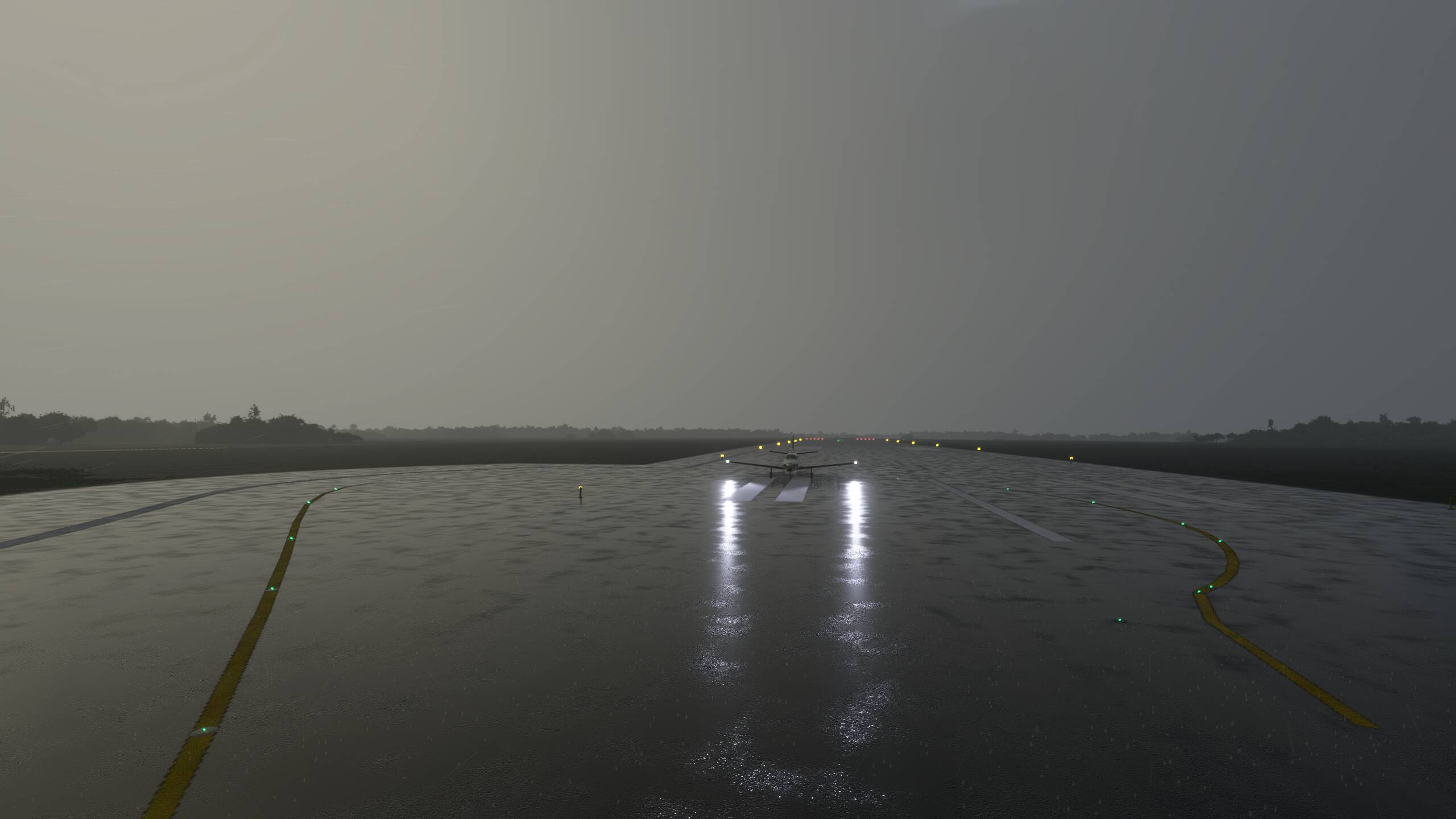
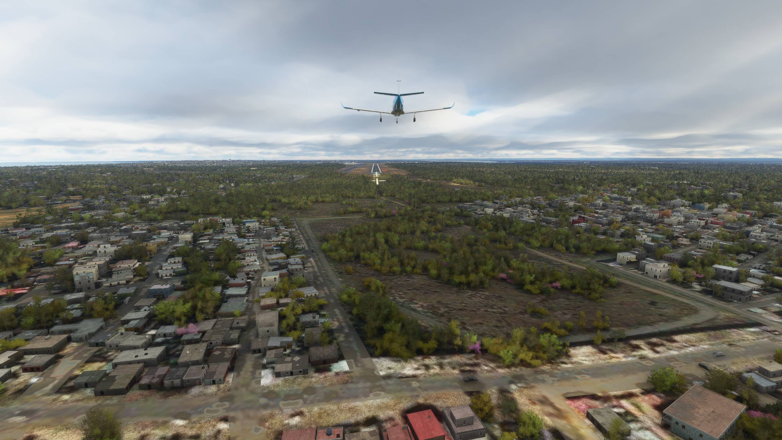
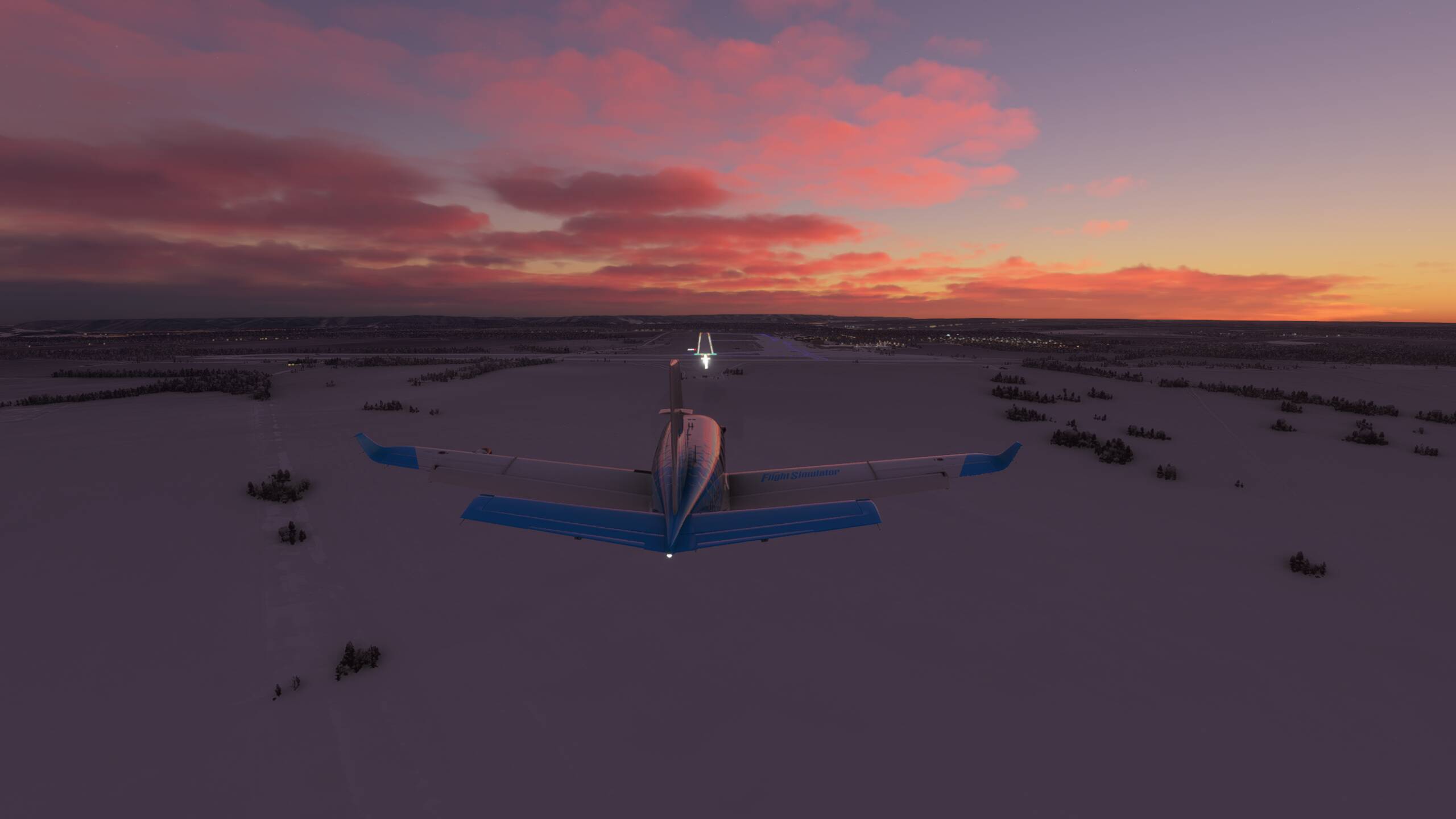
Time to start our approach into Baku - the weather not looking too great - windy, cloudy and wet (but a stunning rainbow!)

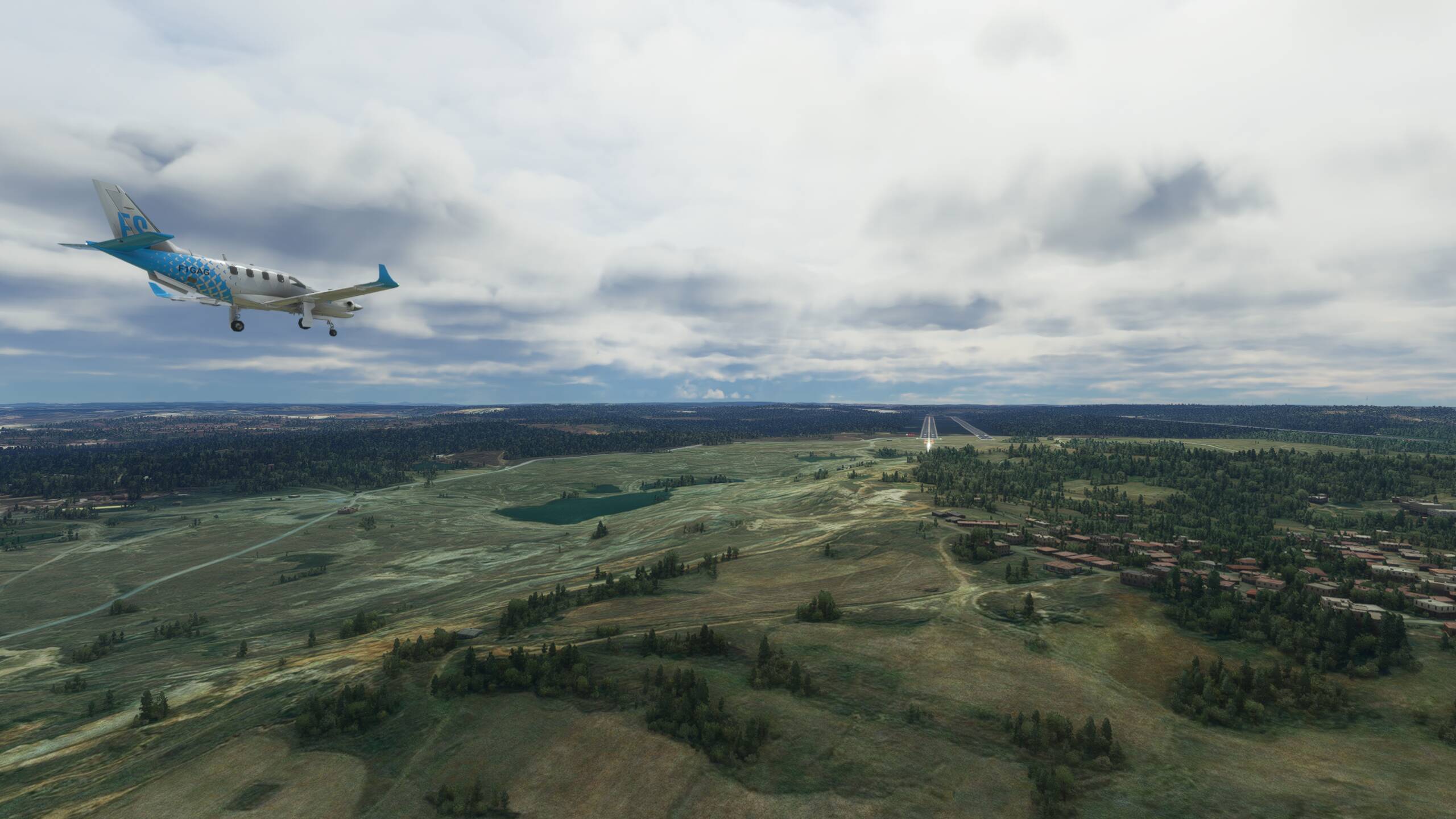
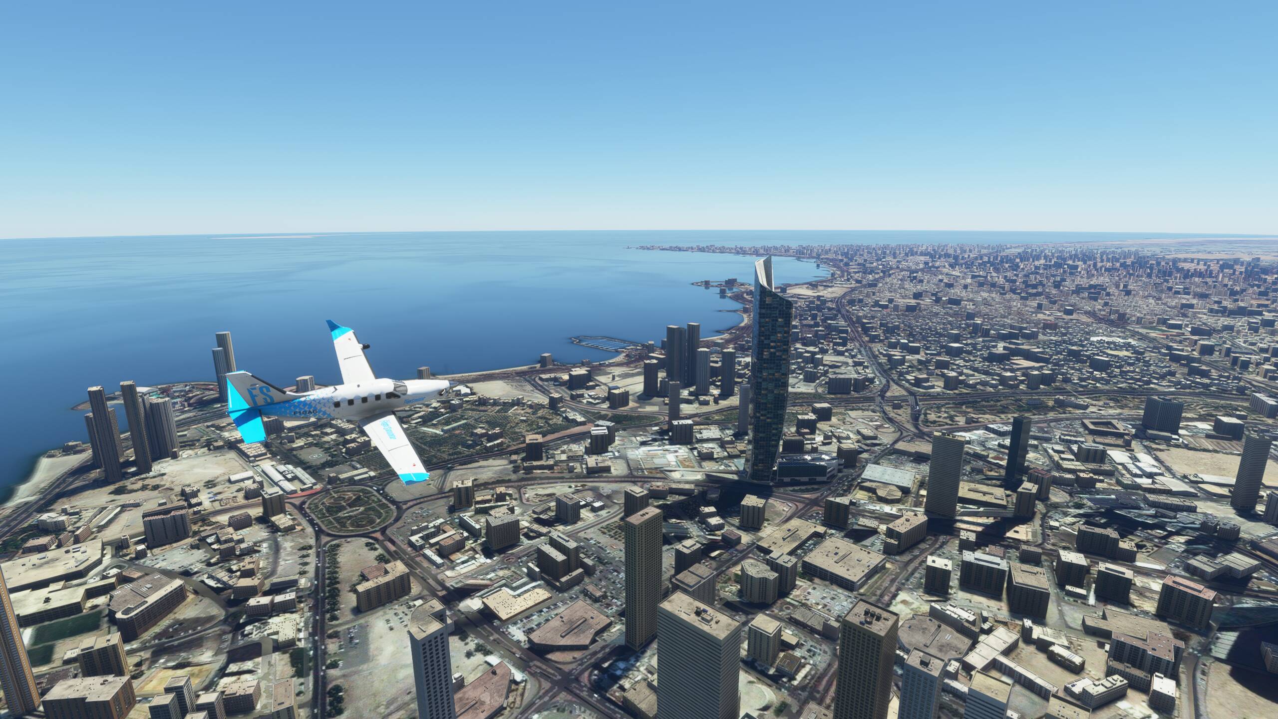
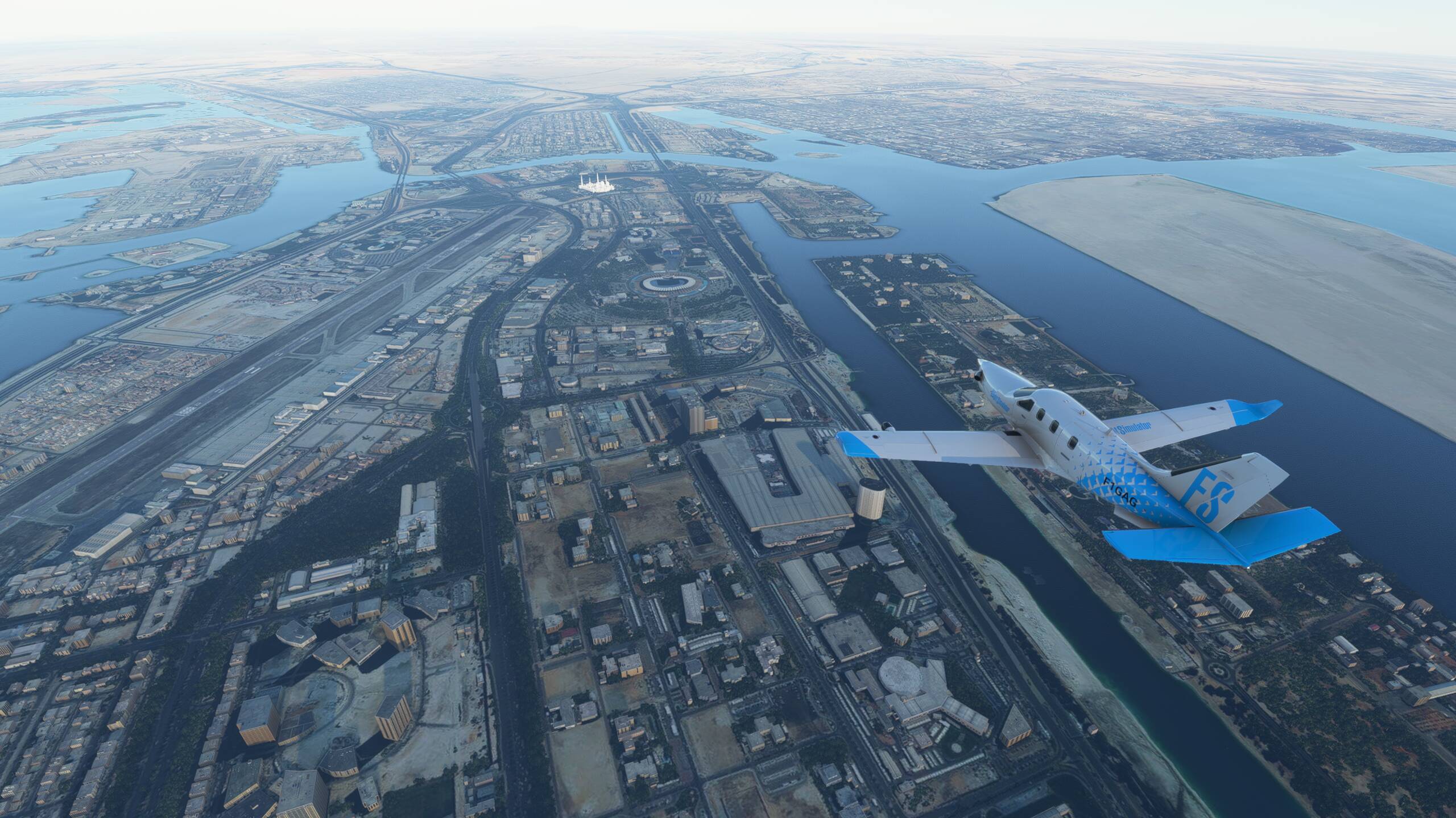
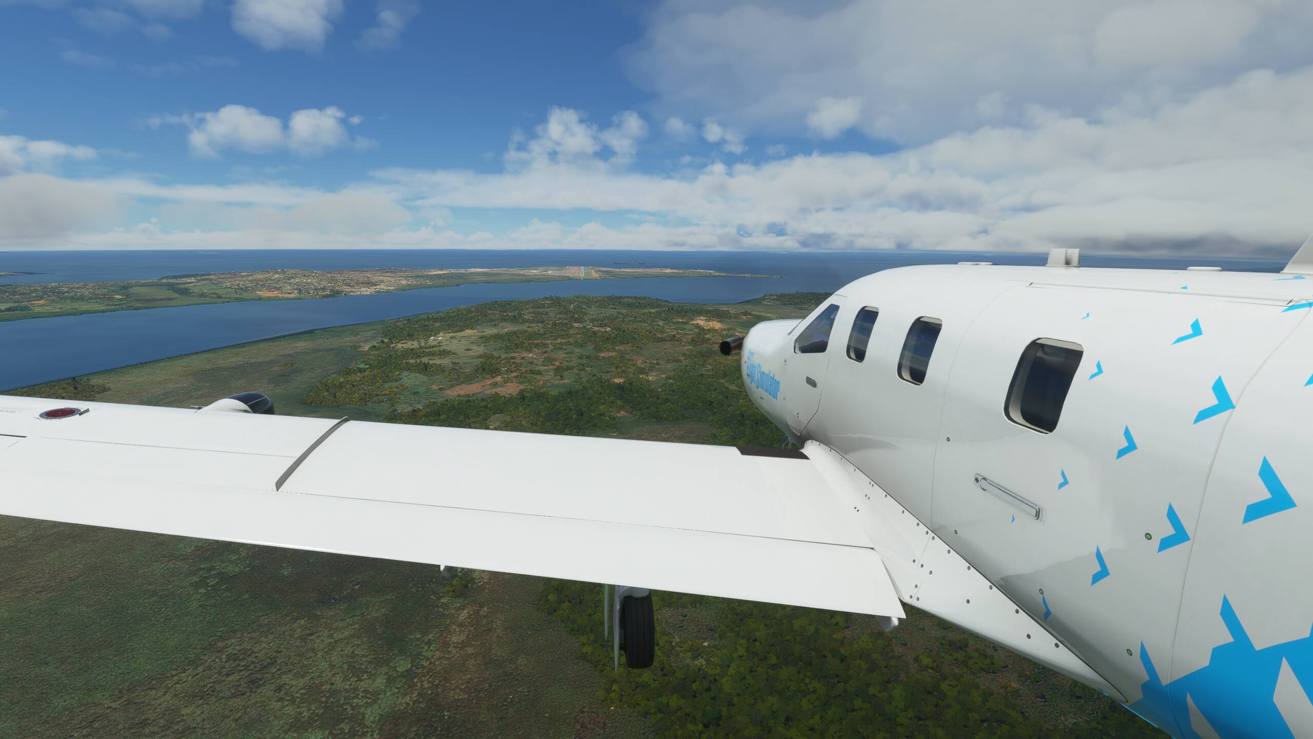
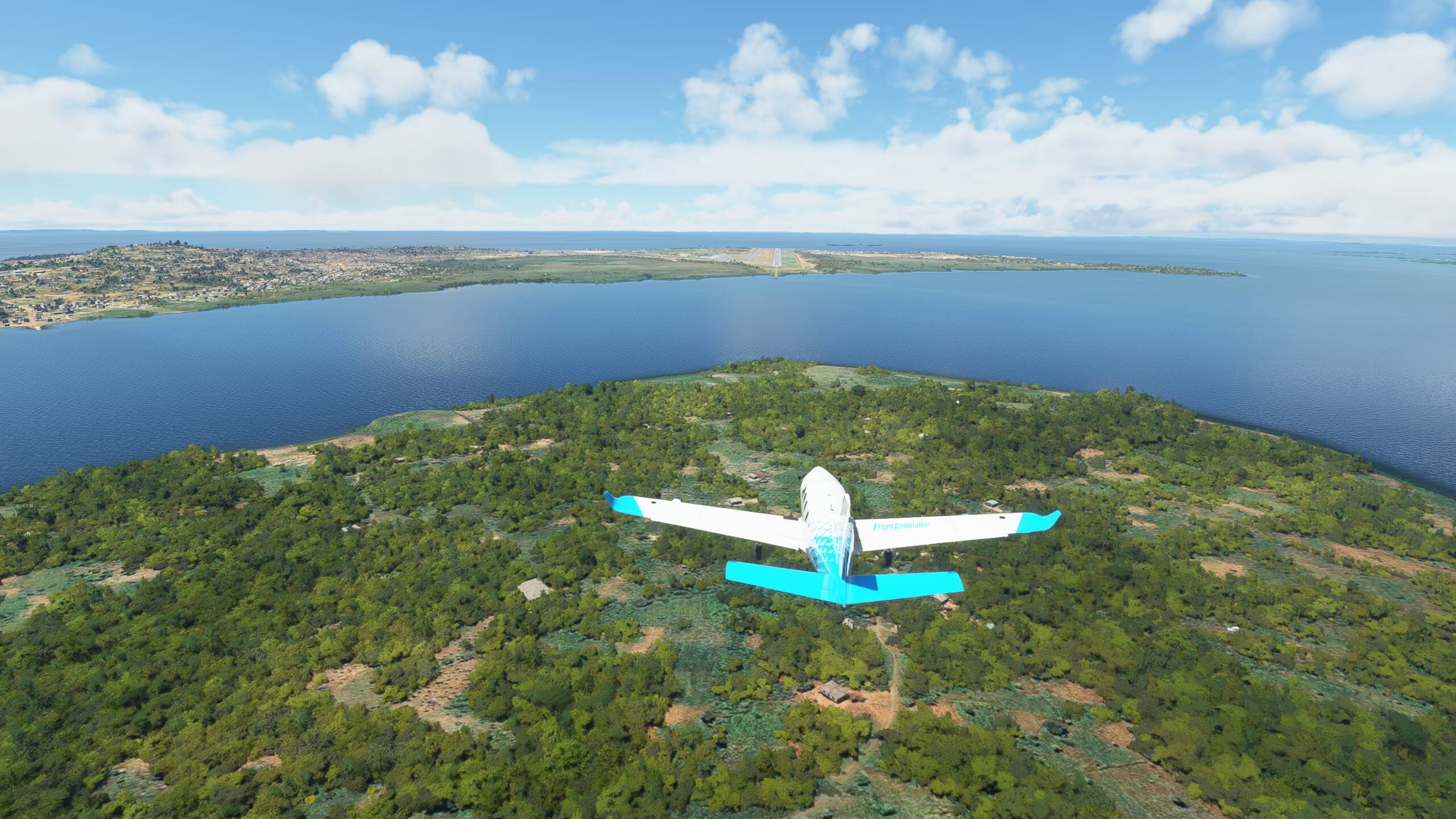
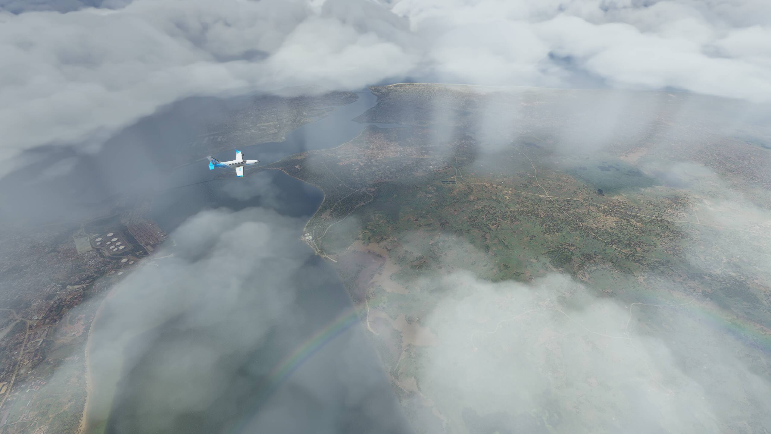
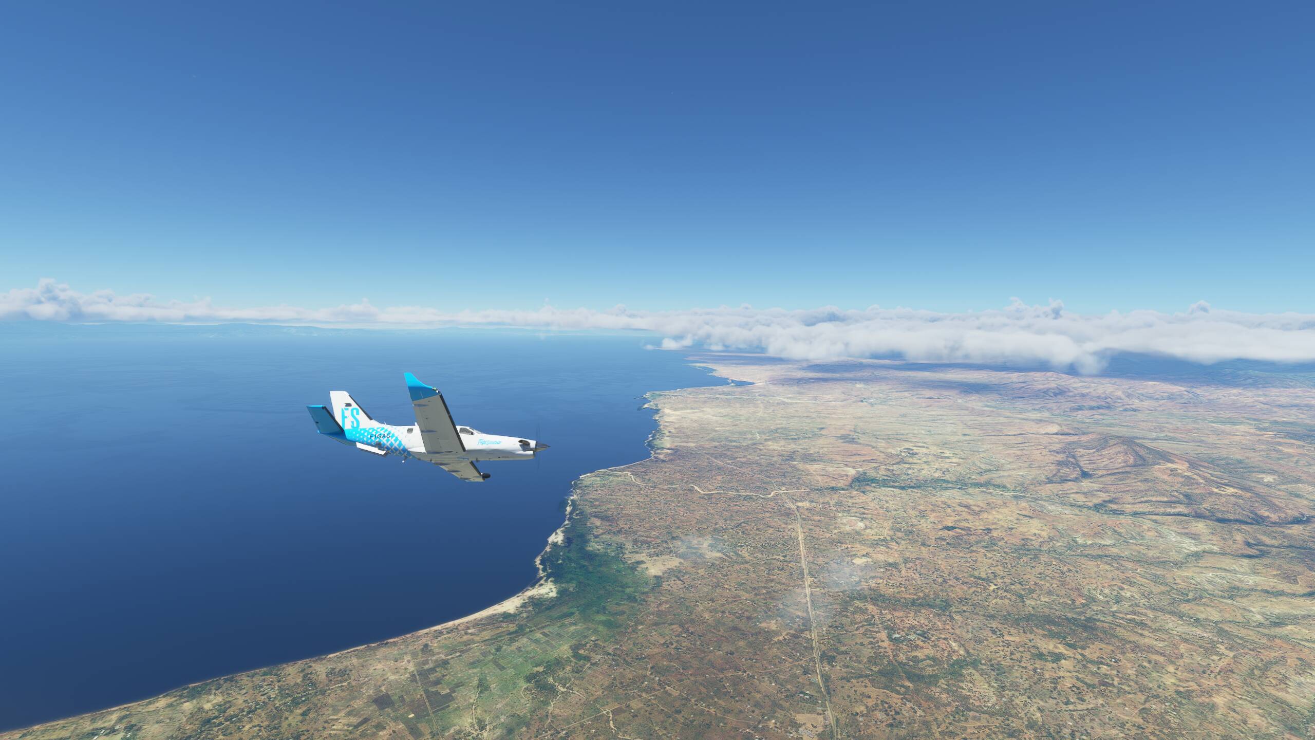
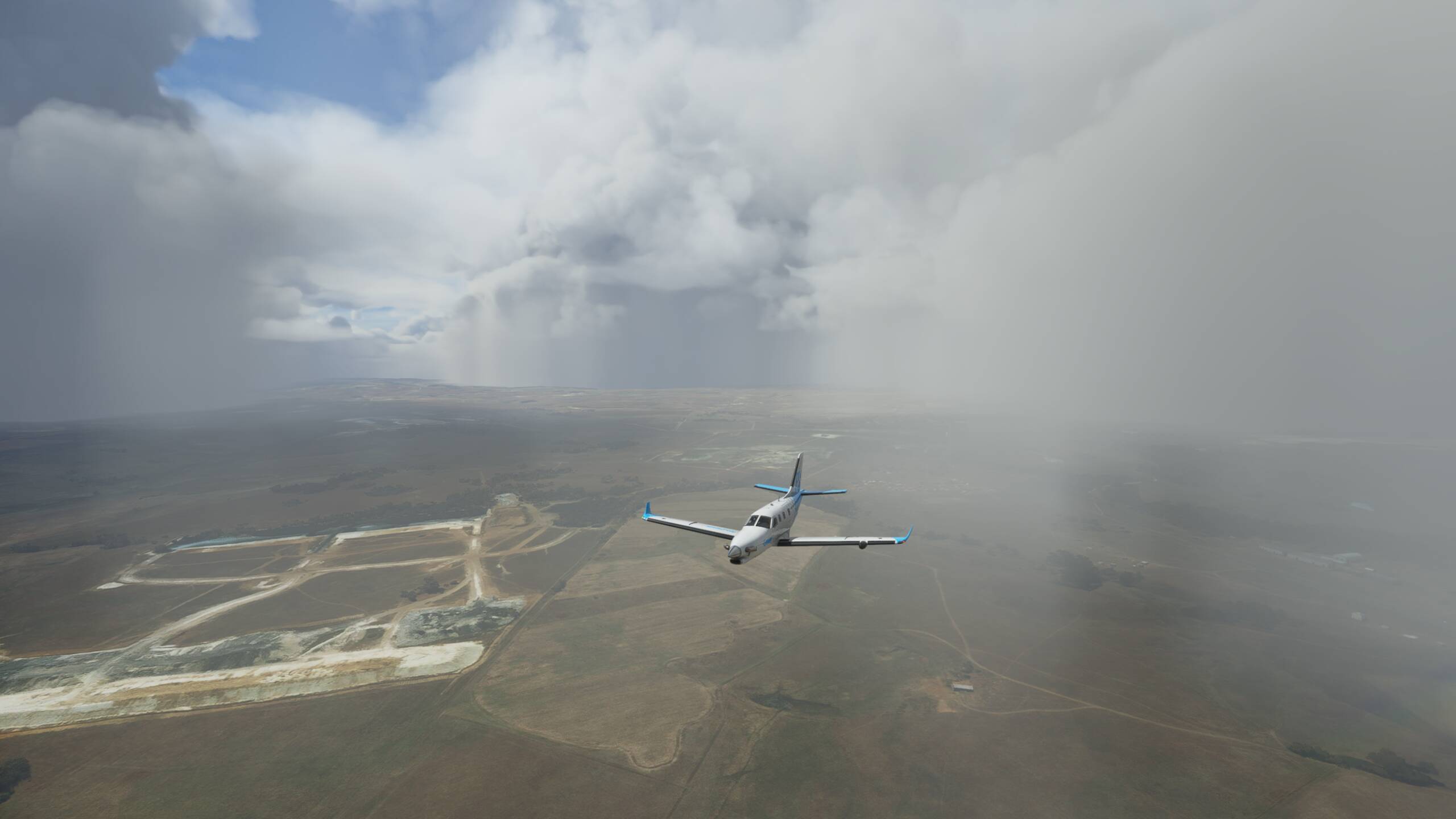
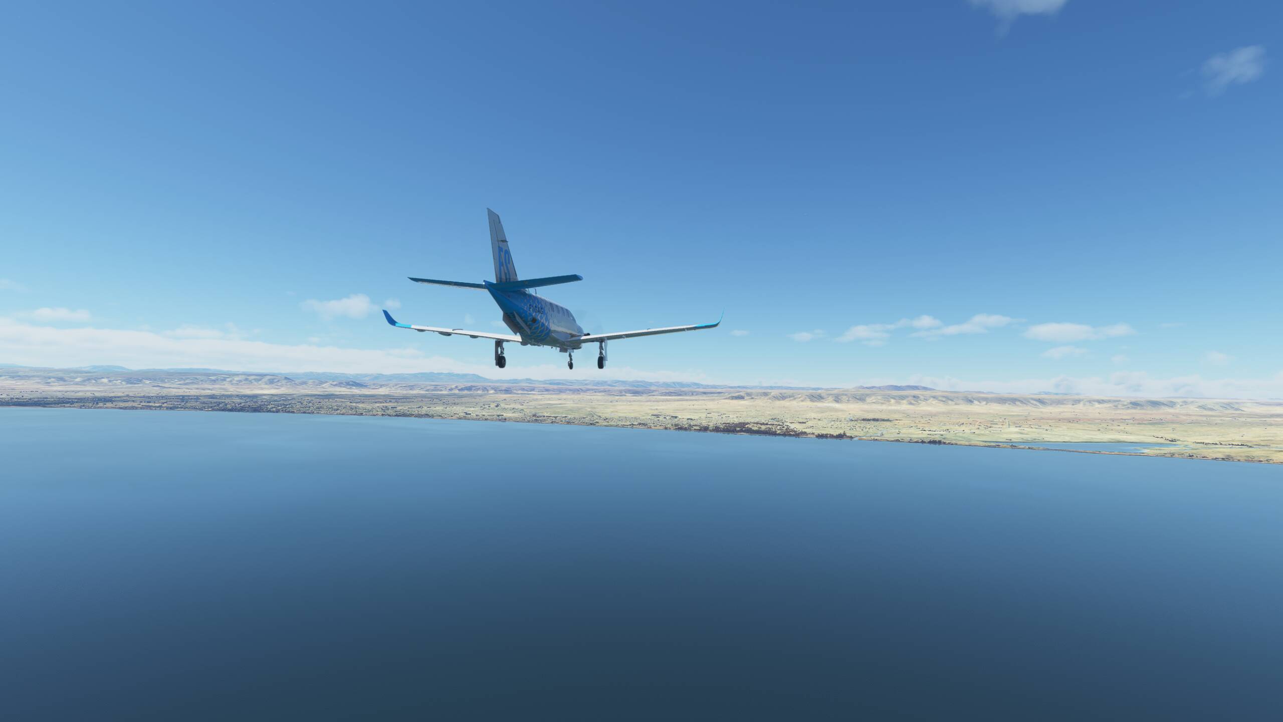
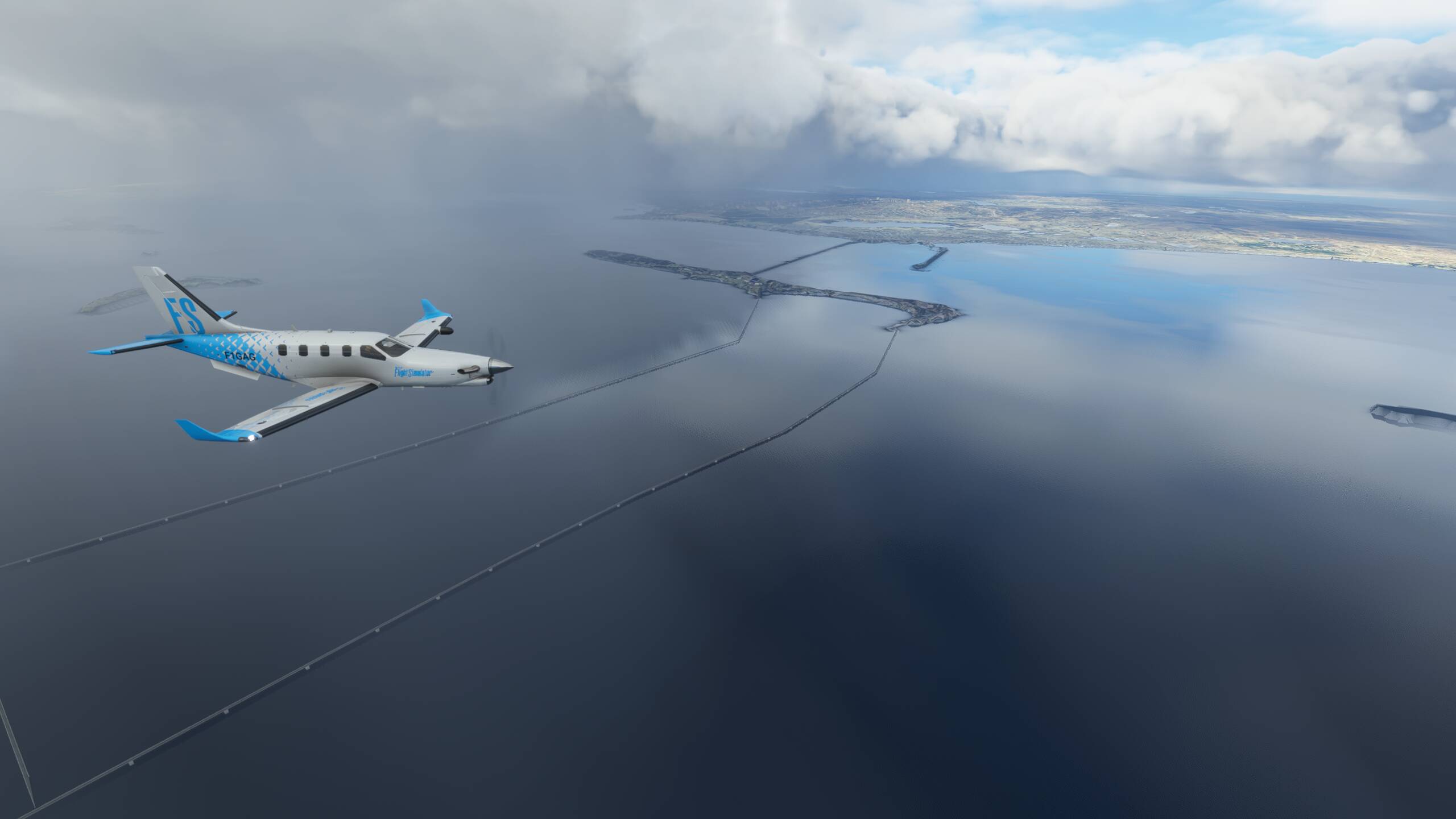
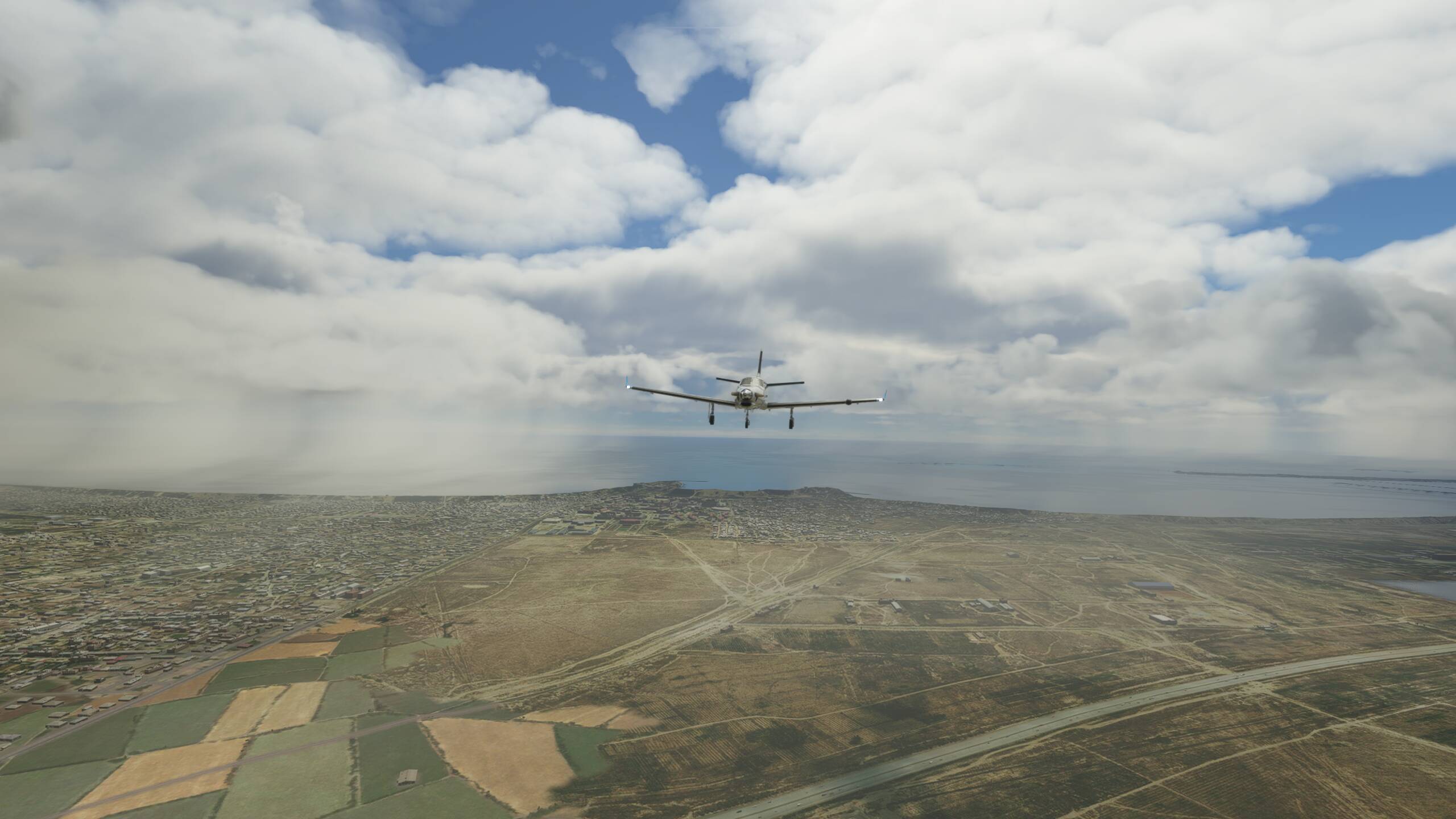
At last, a sight of land!
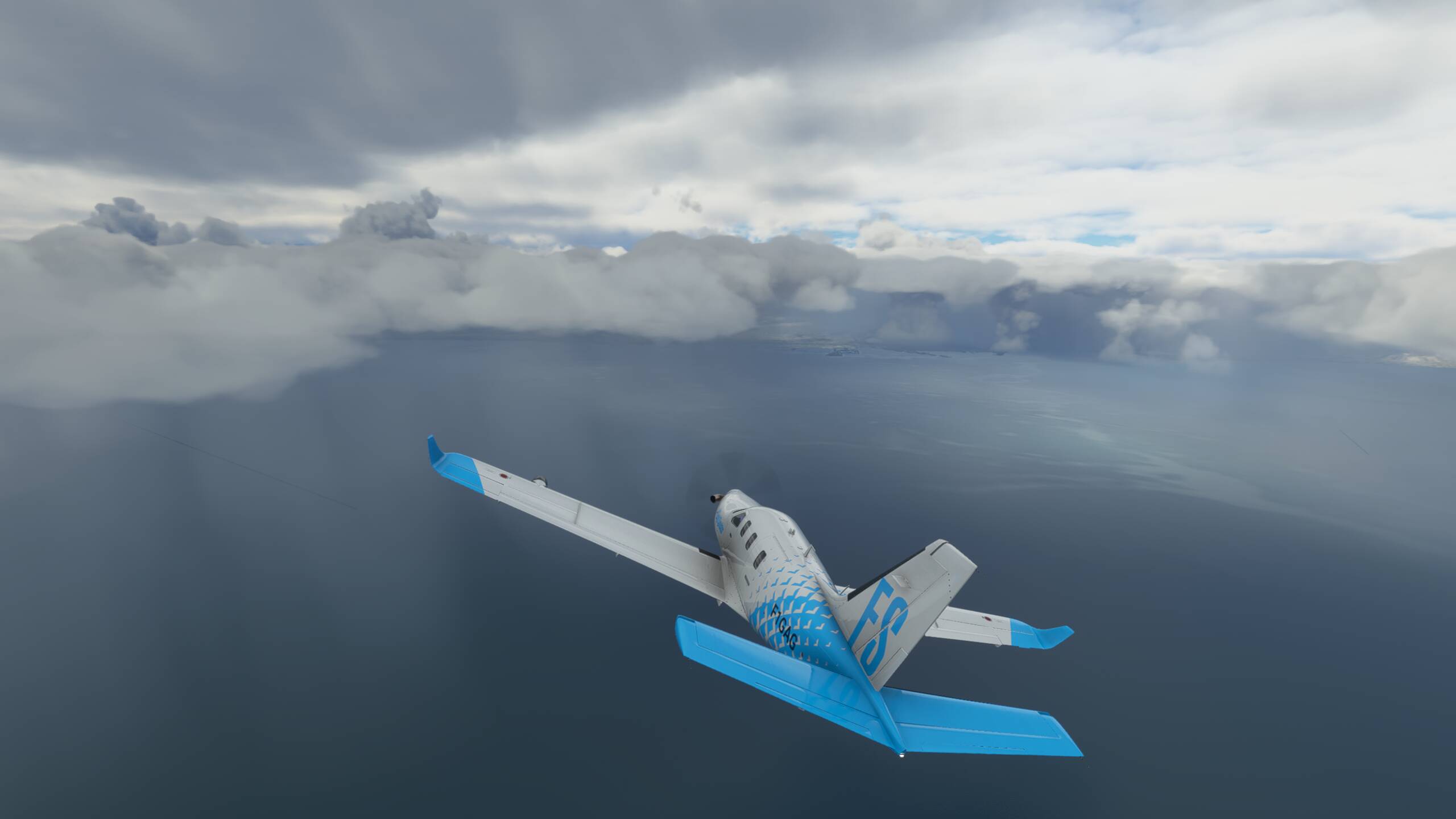

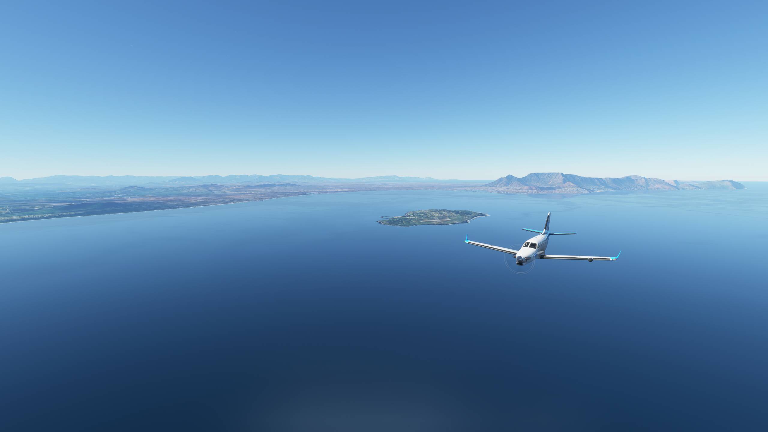
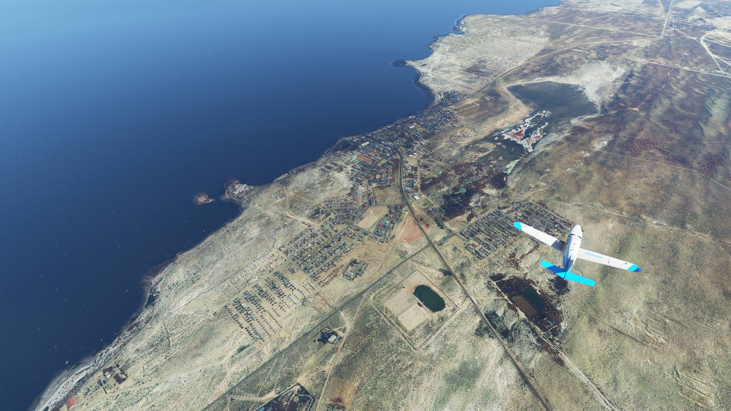
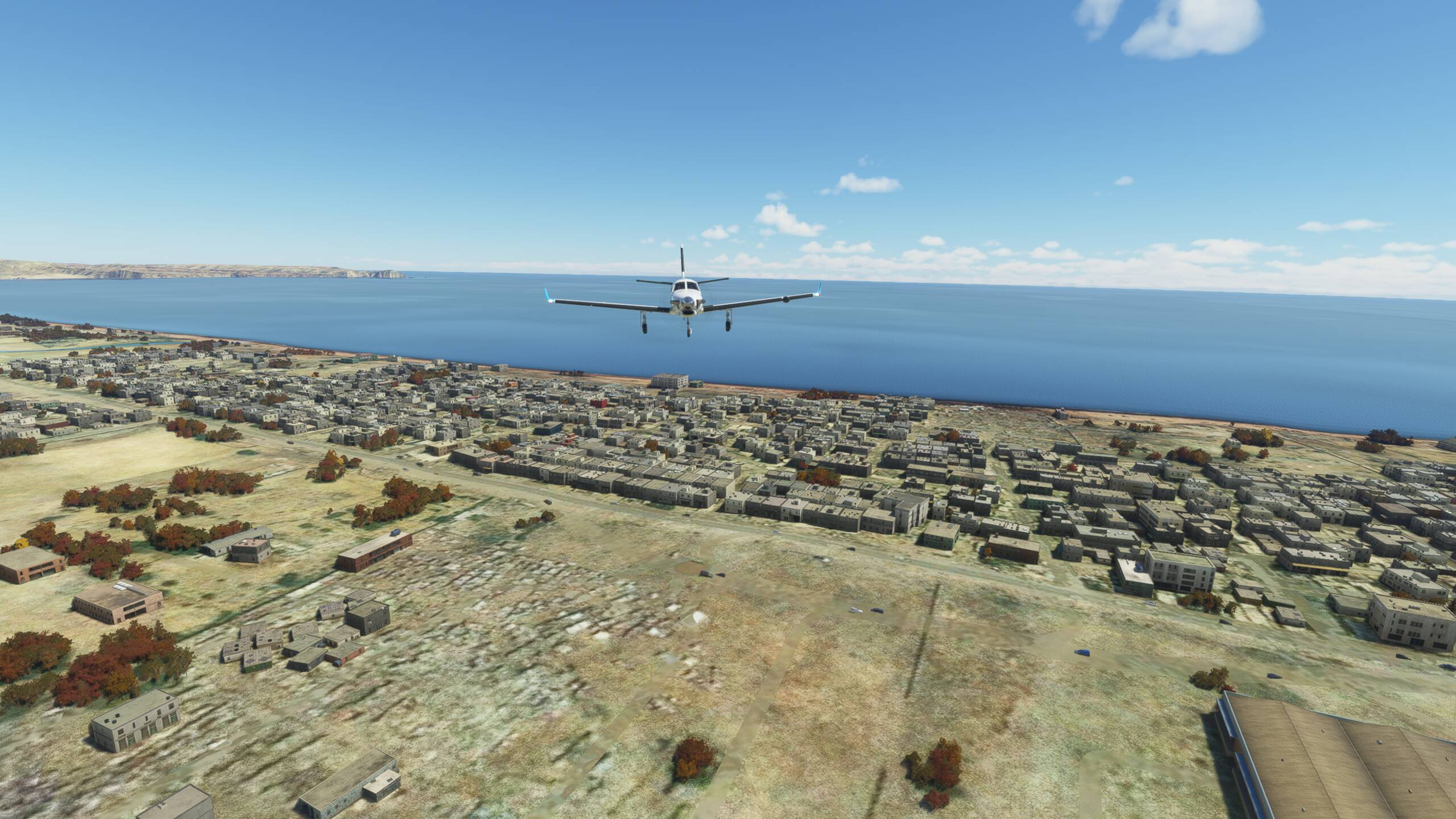
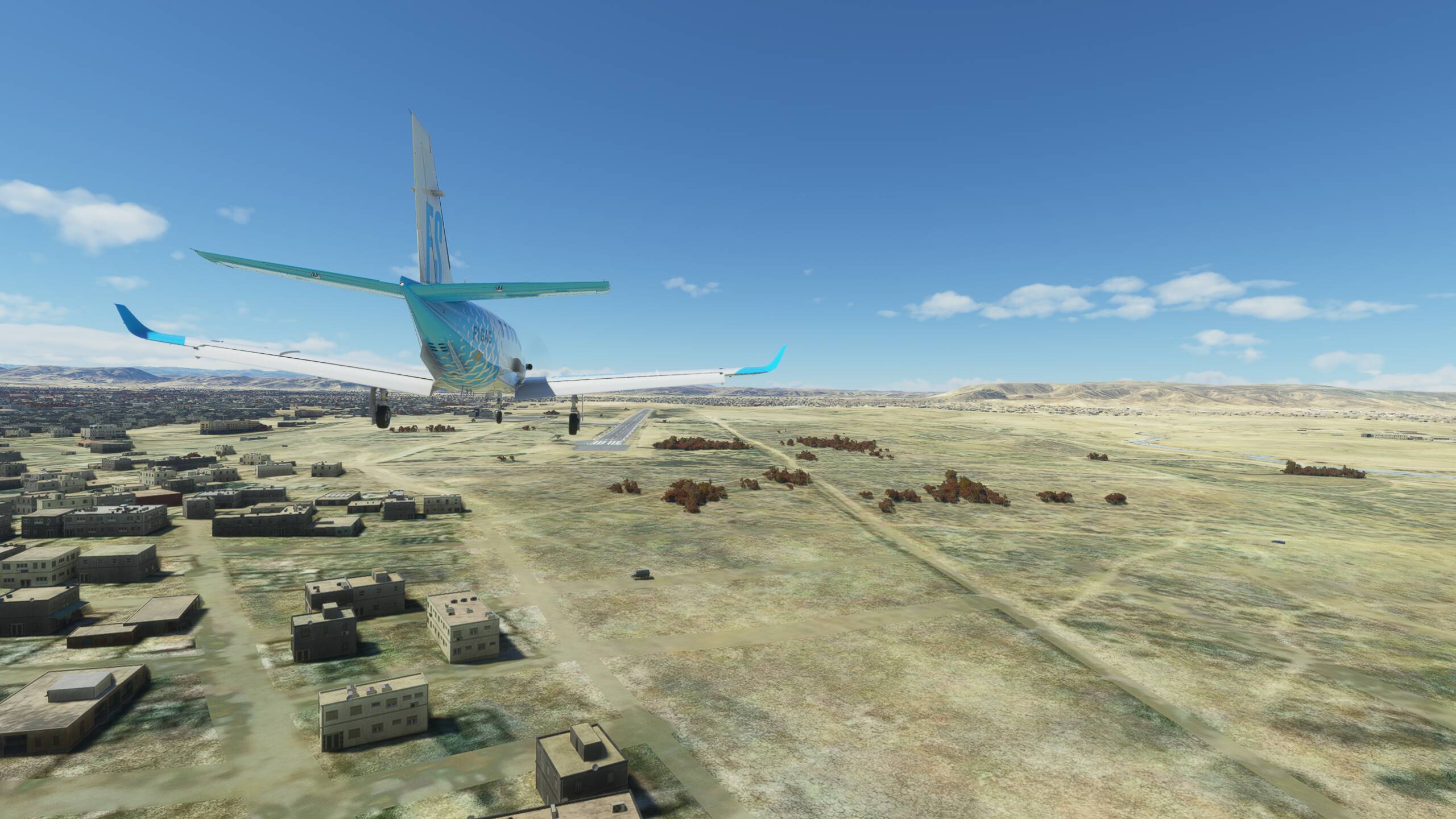
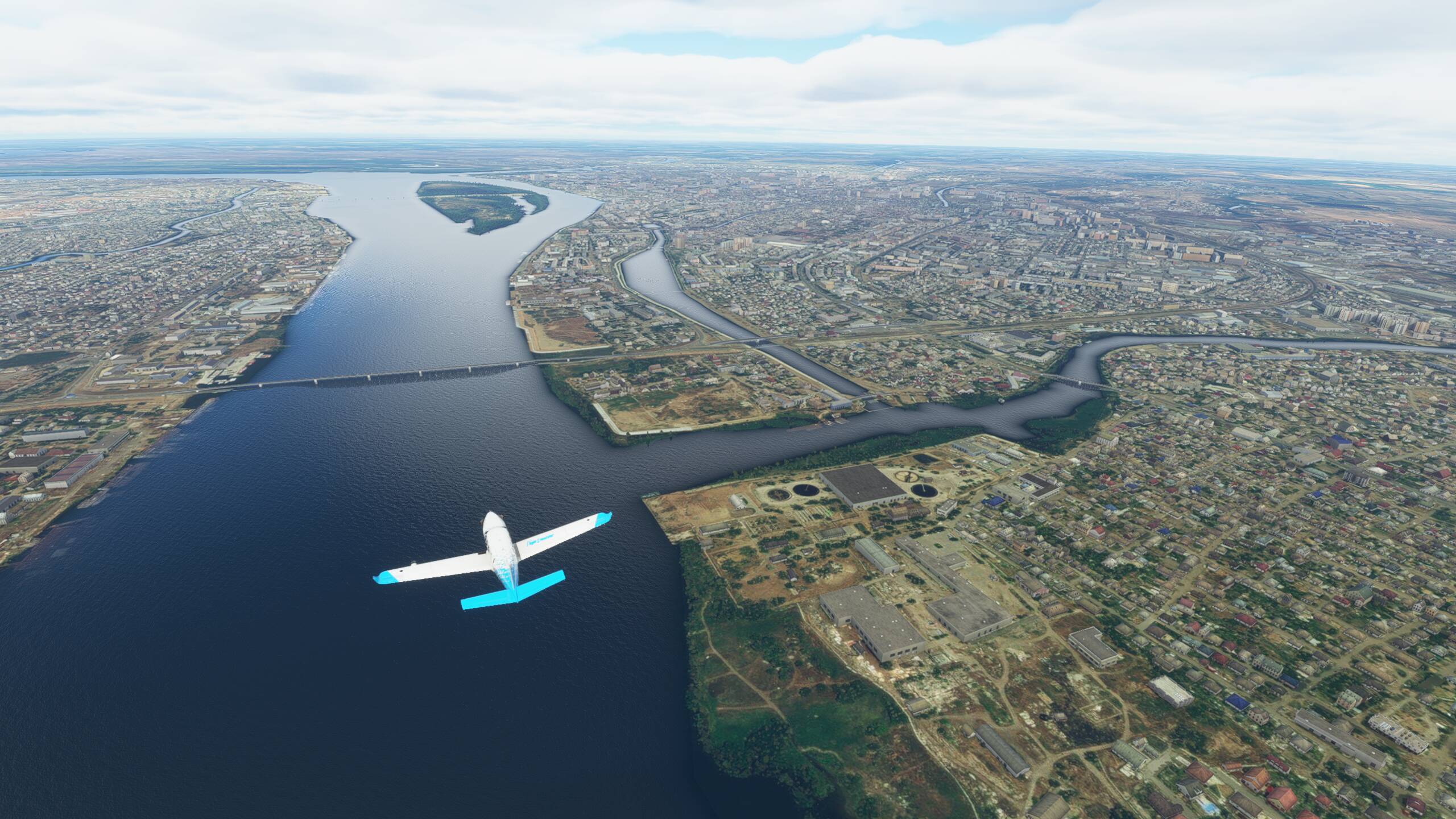
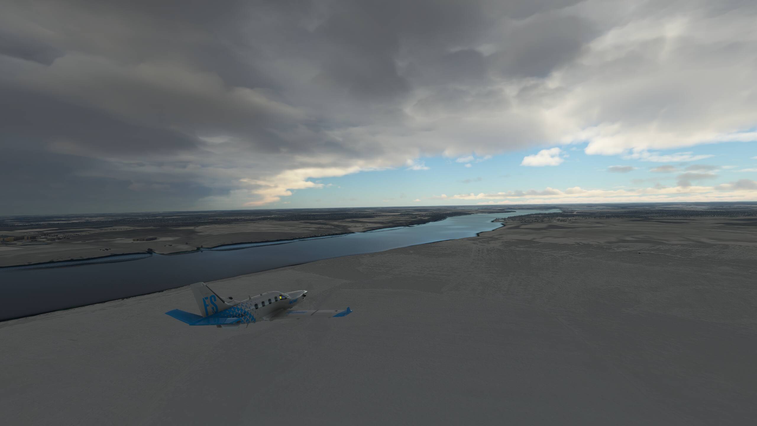
Baku is over there off our left side, and the little island here is Gum Island
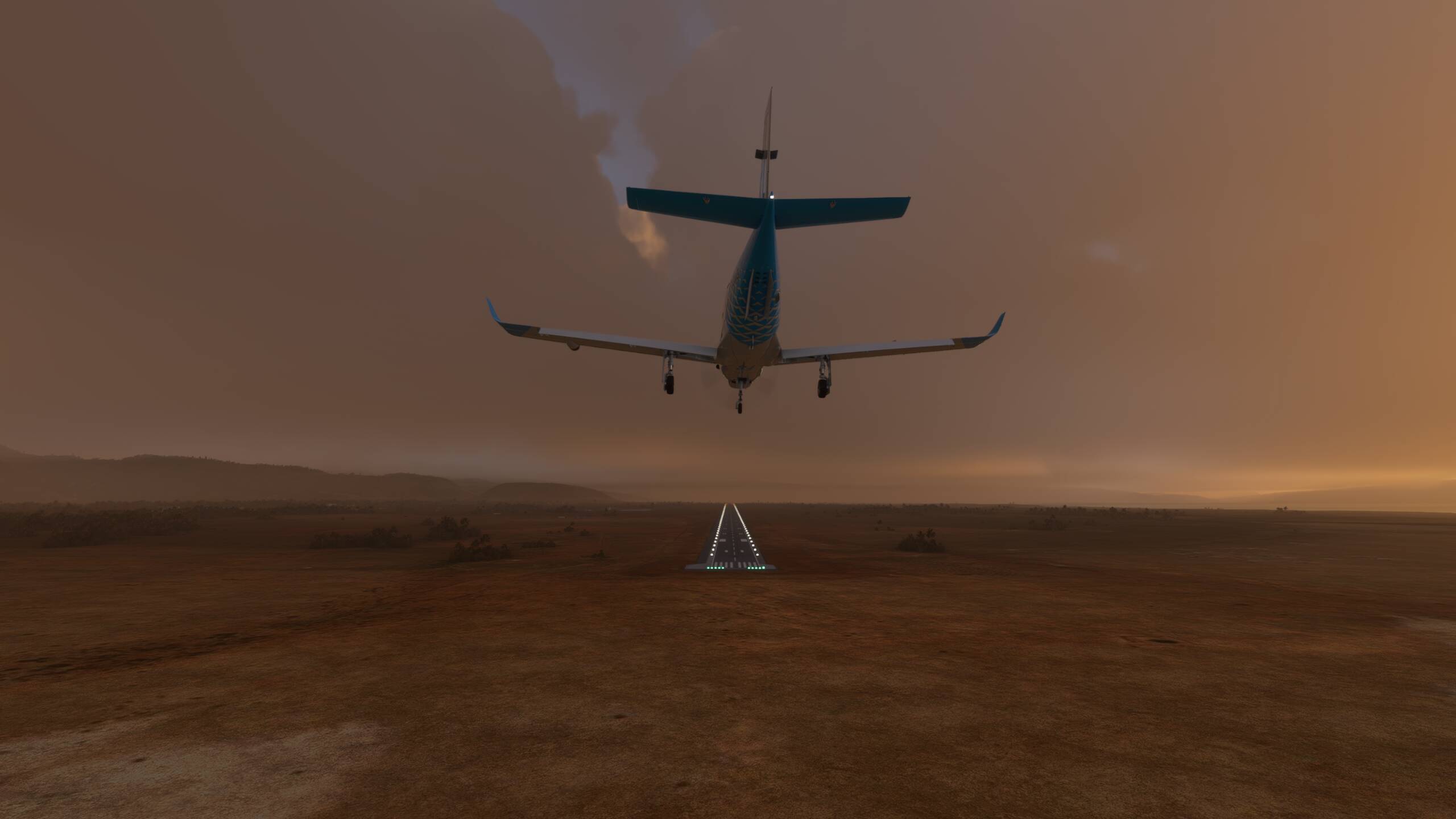
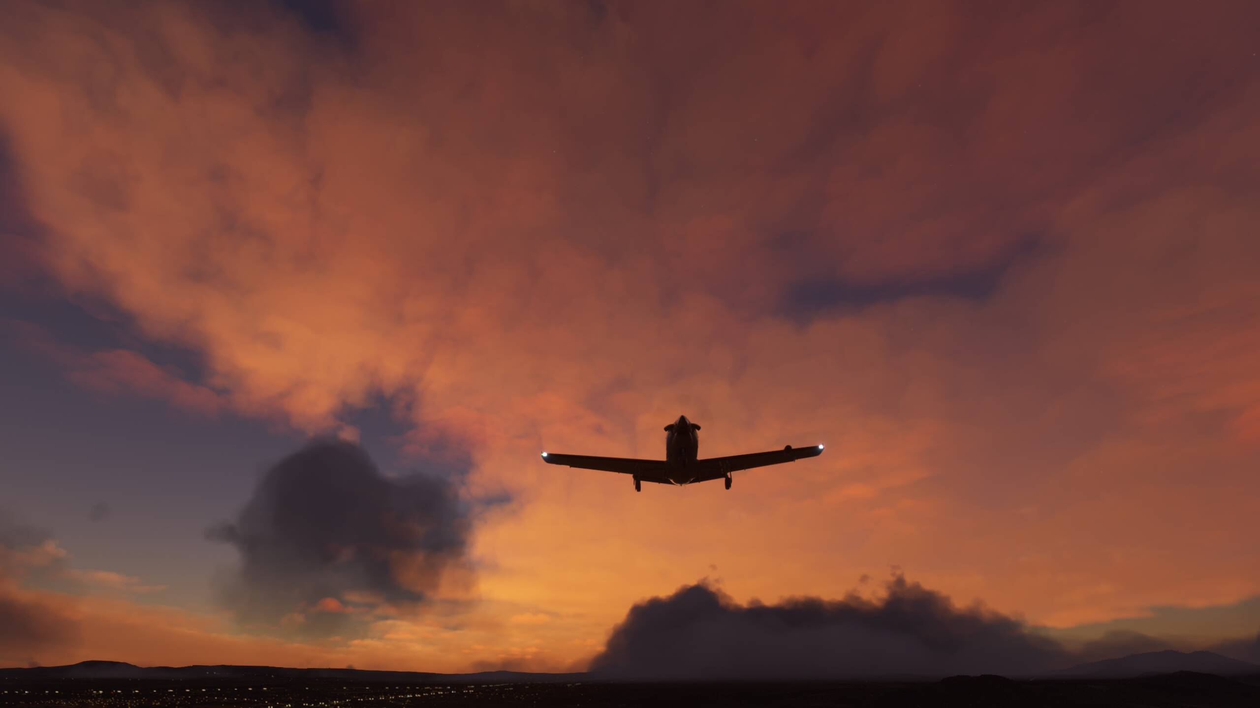
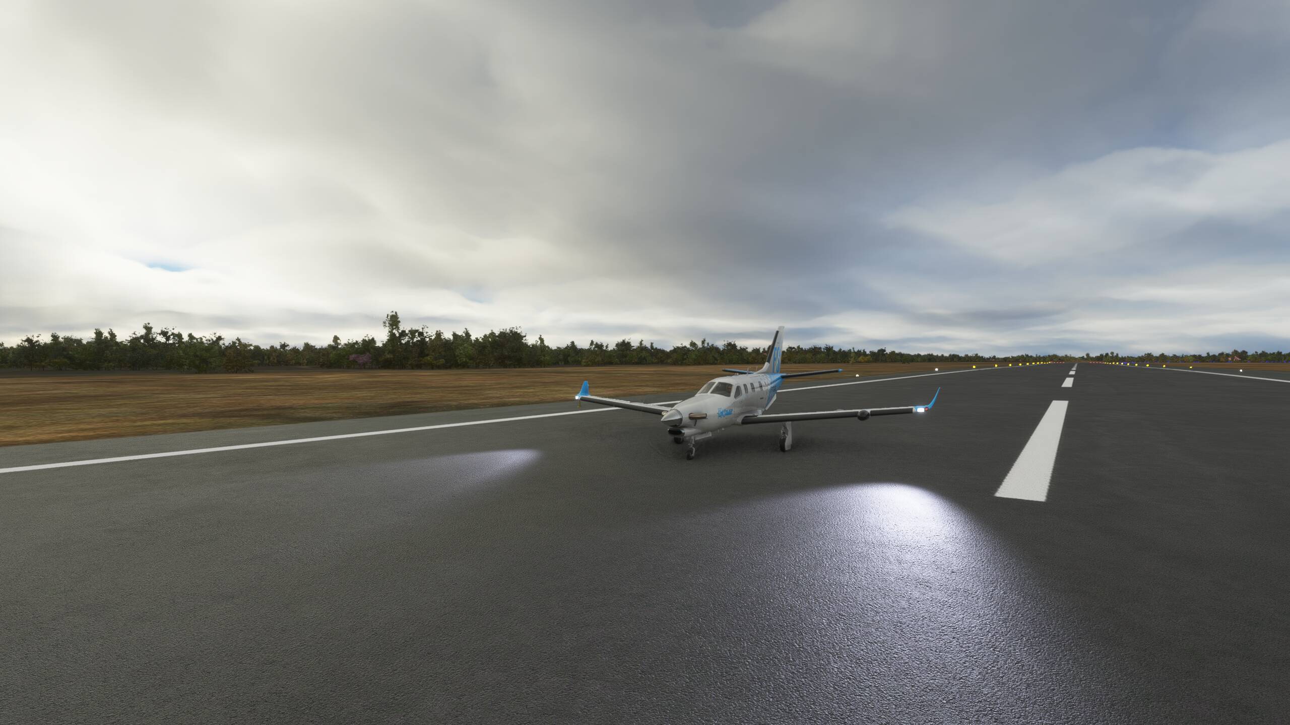
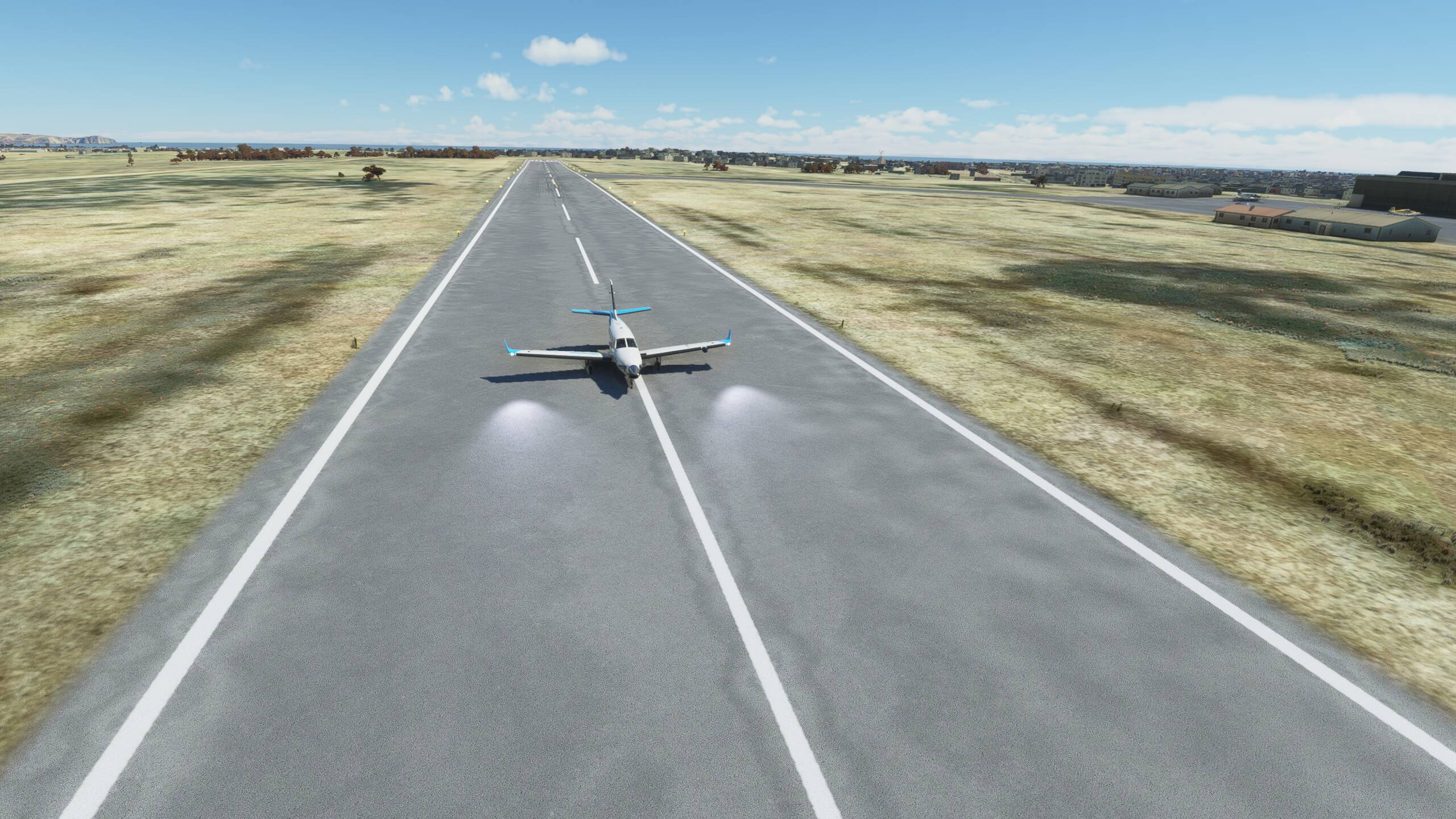
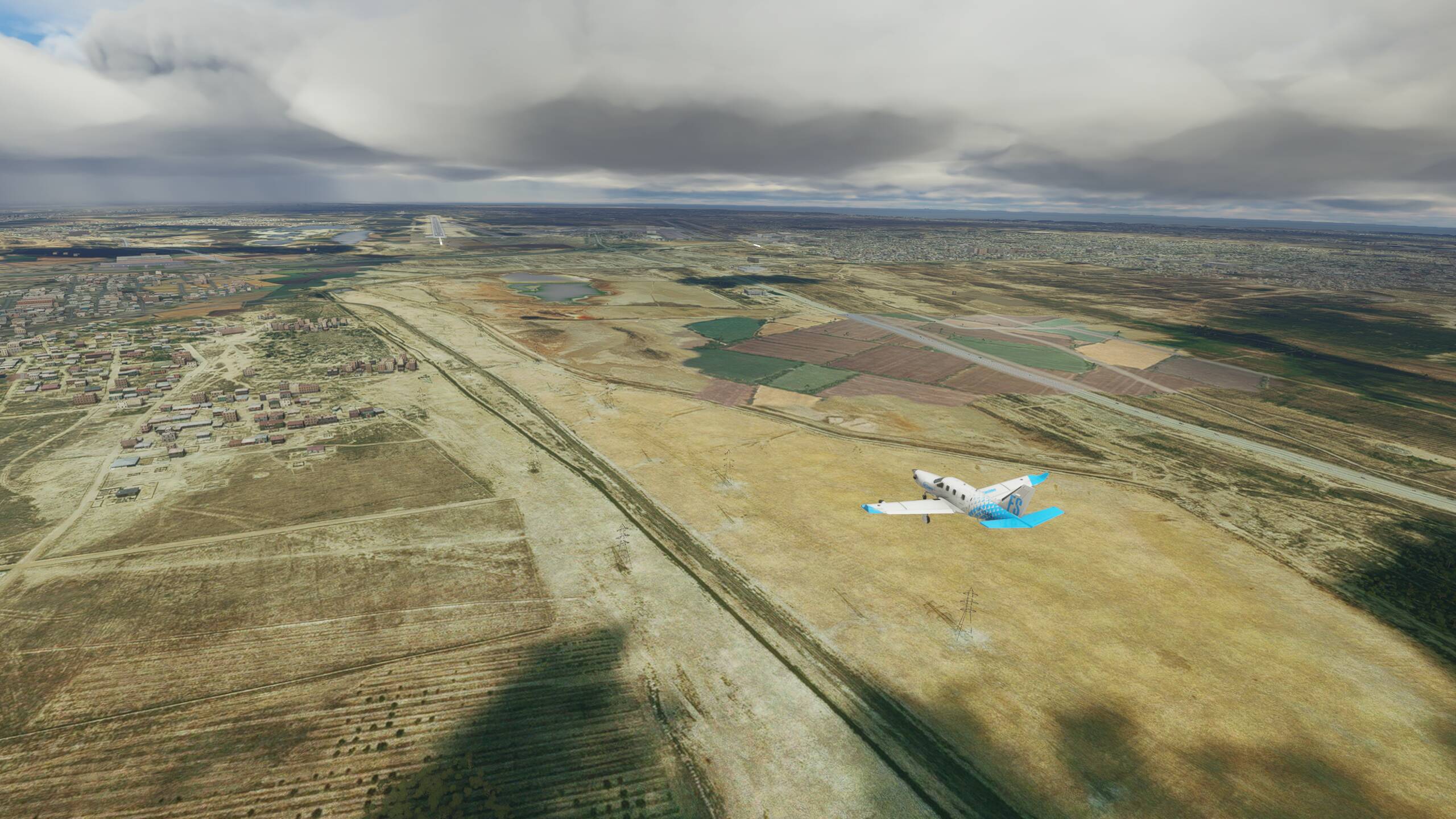
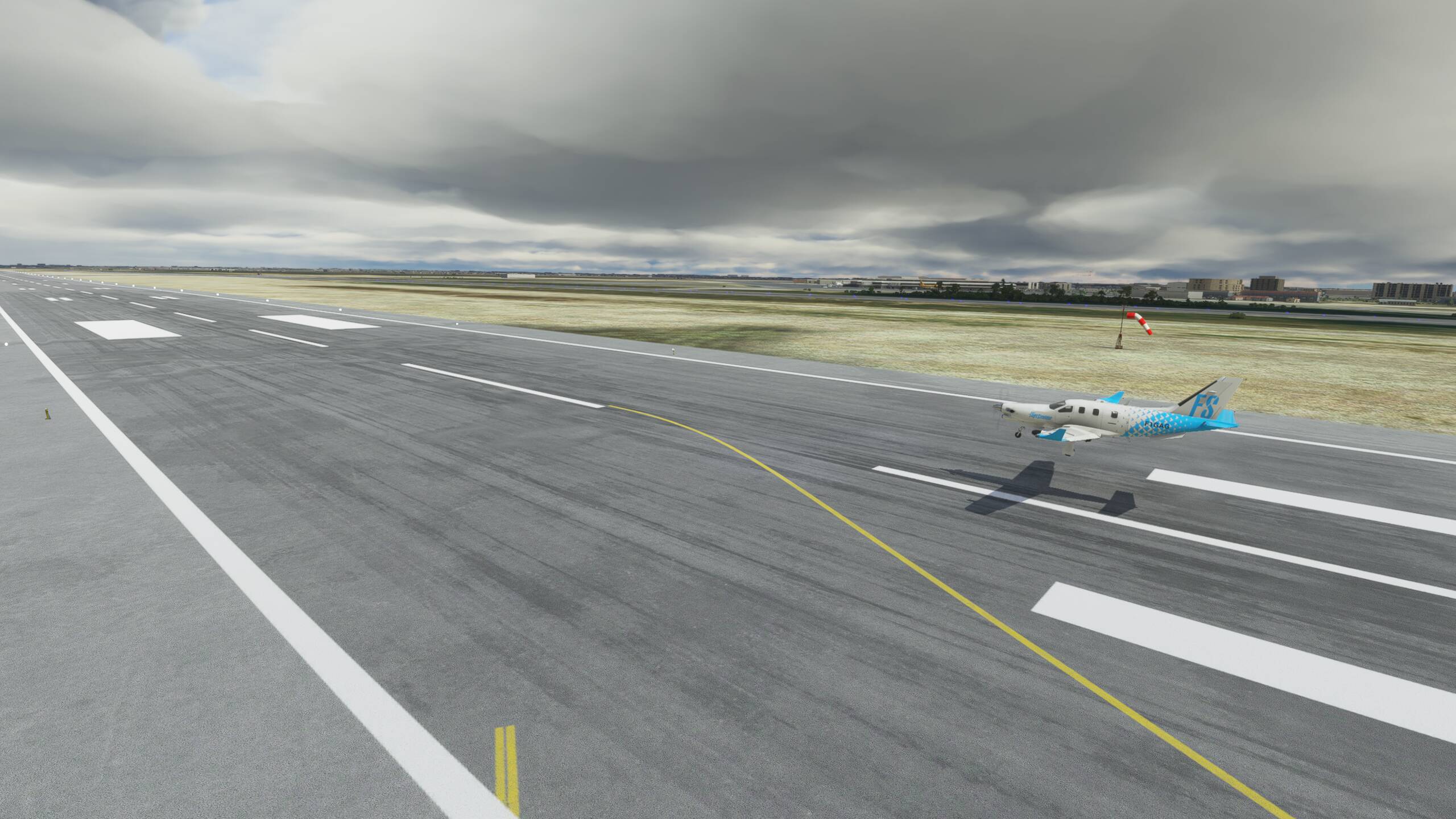
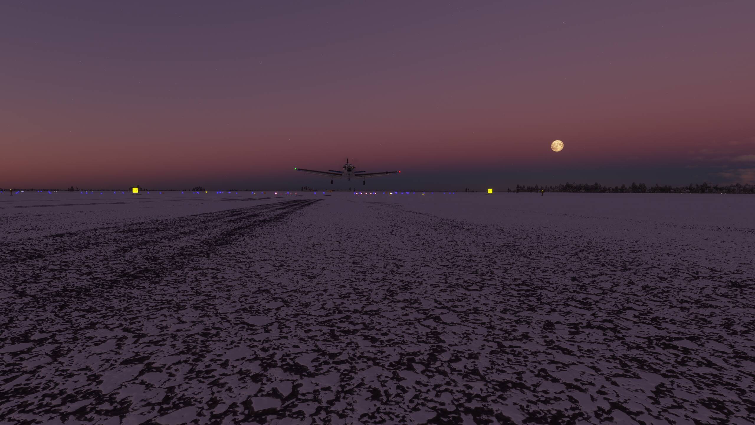
Turning on to final approach and lining up nicely - still crabbing into a strong wind though
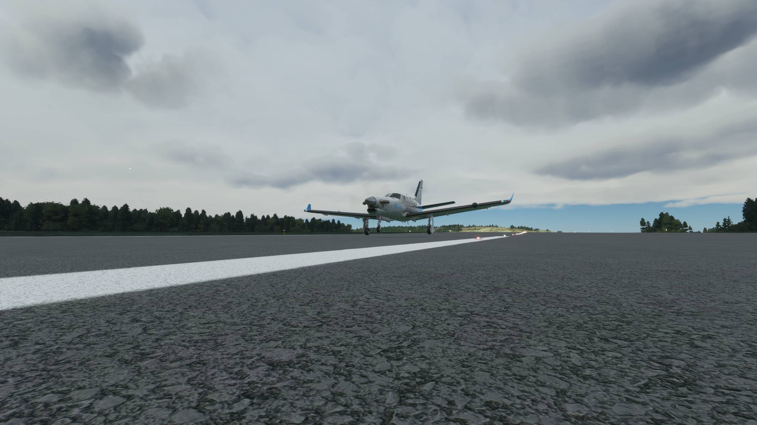
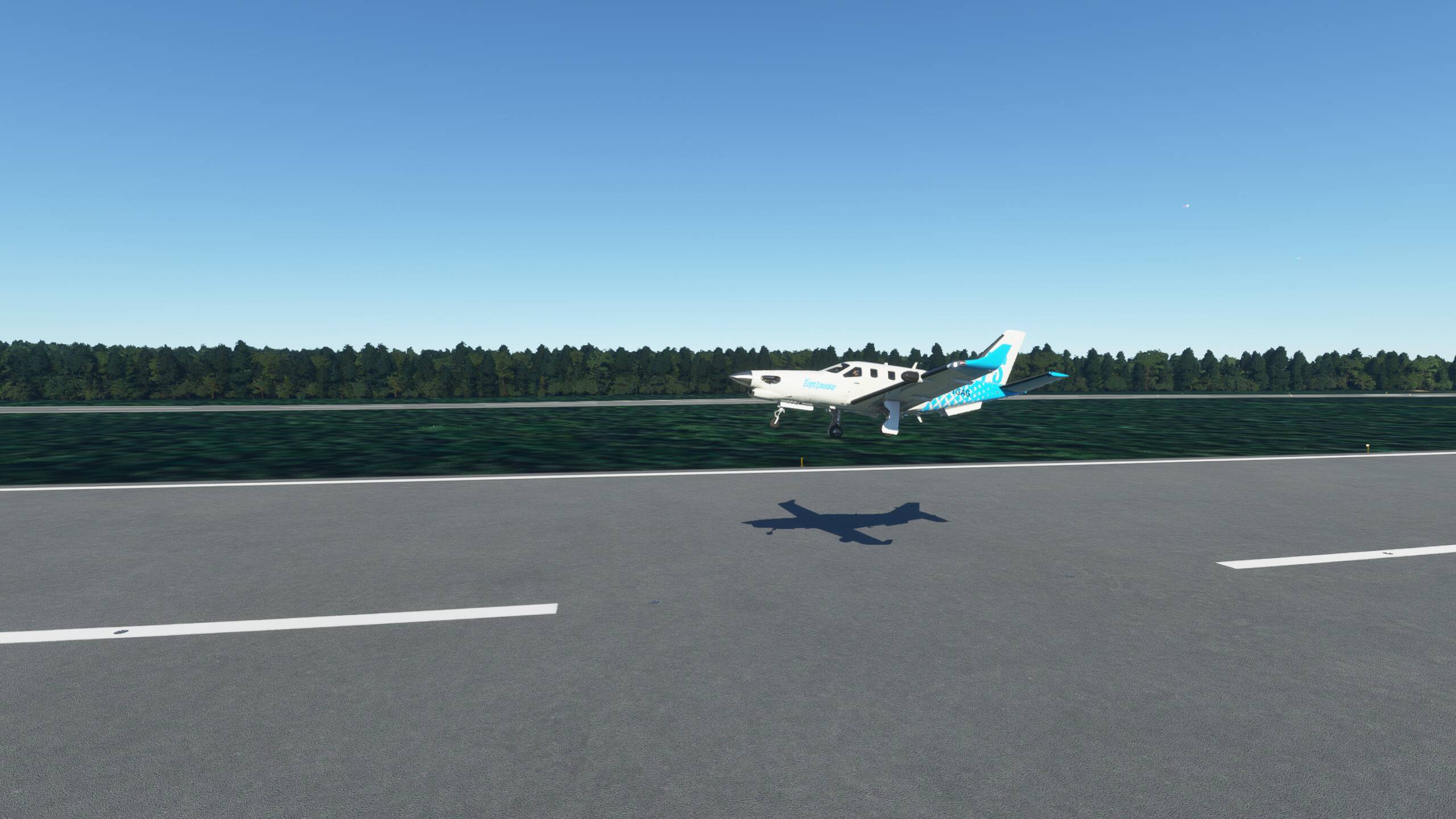
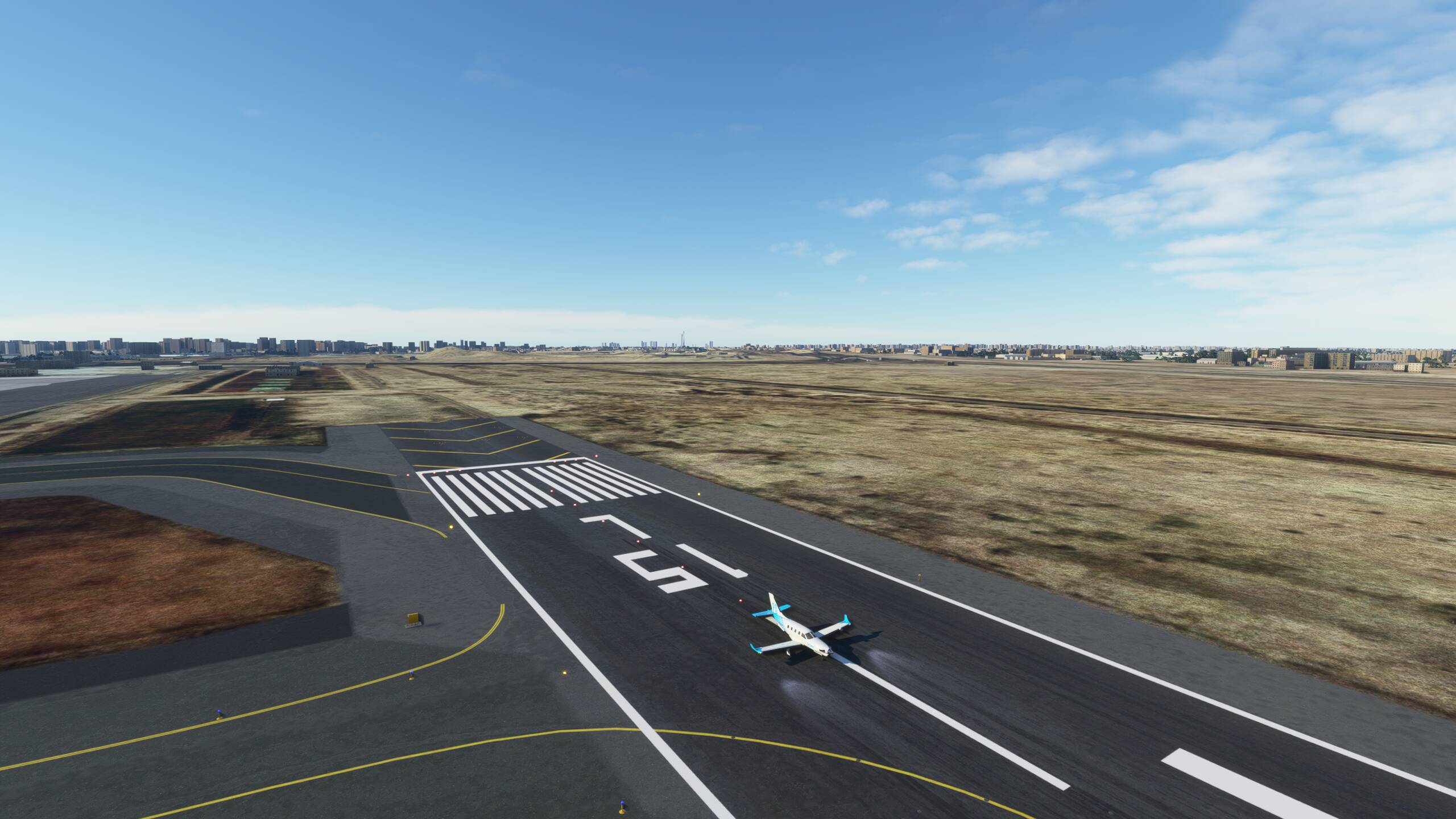
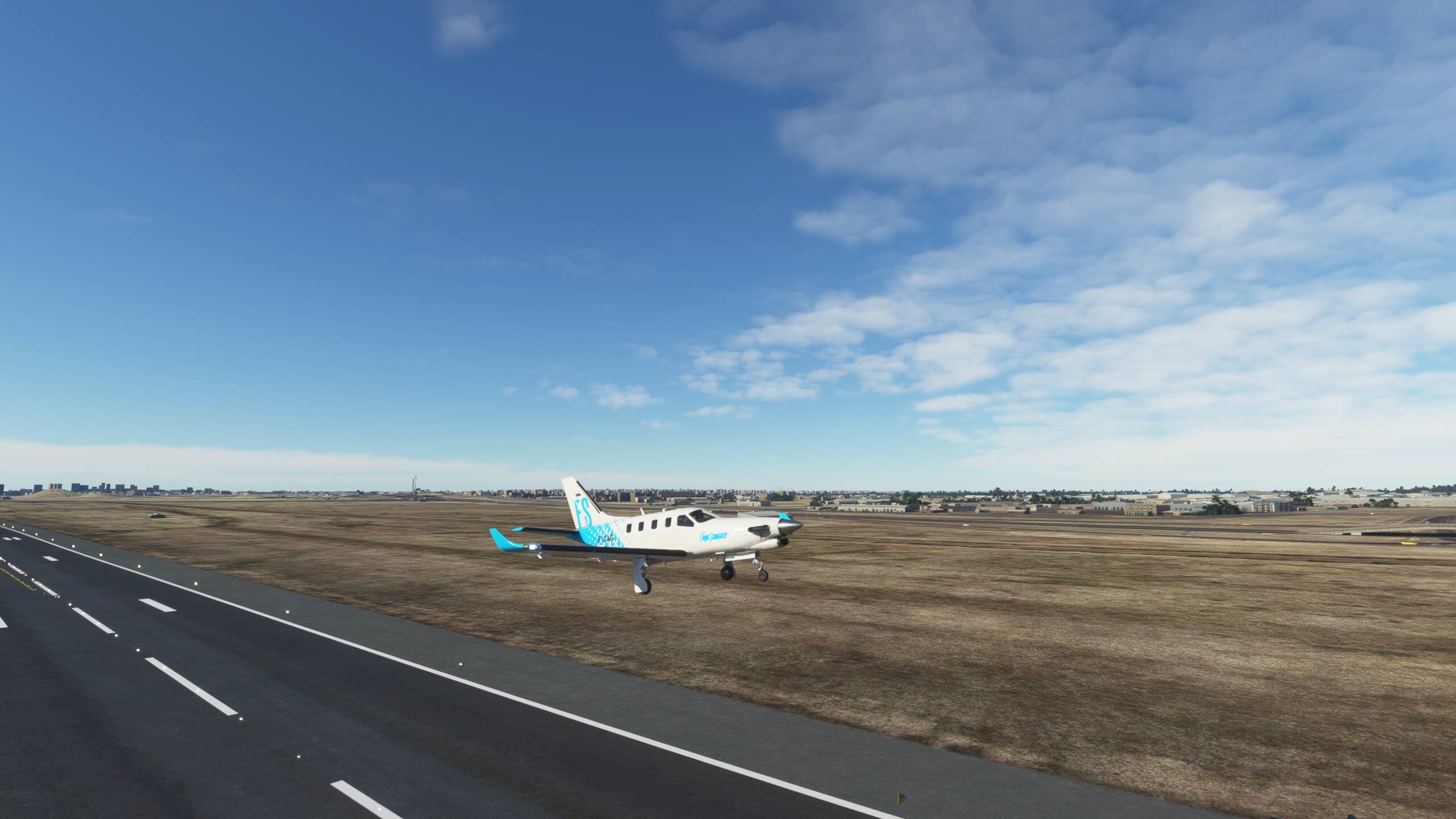
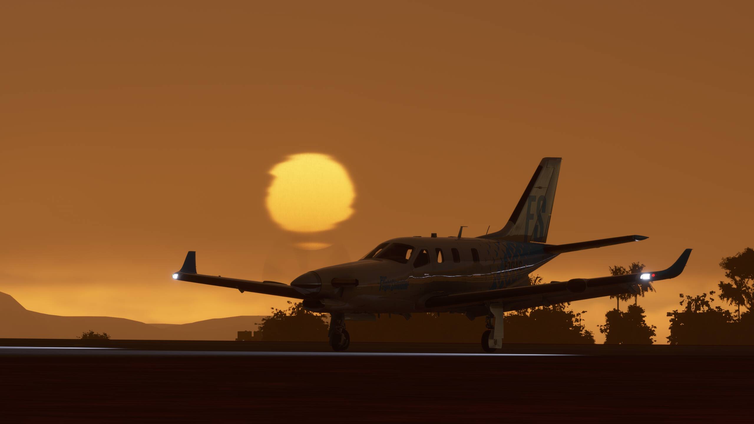
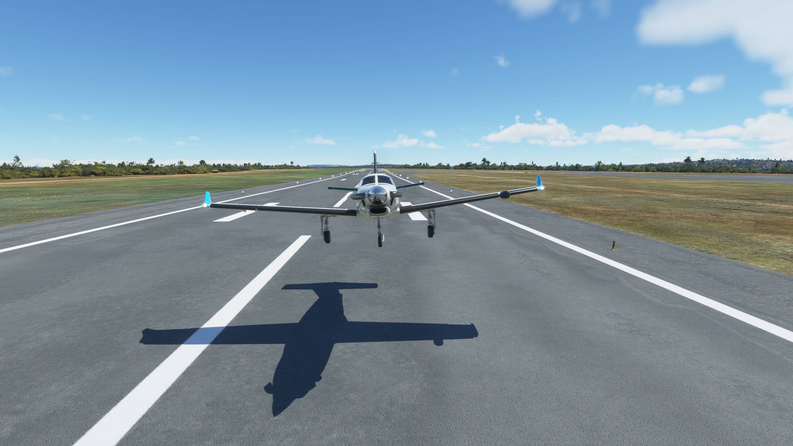
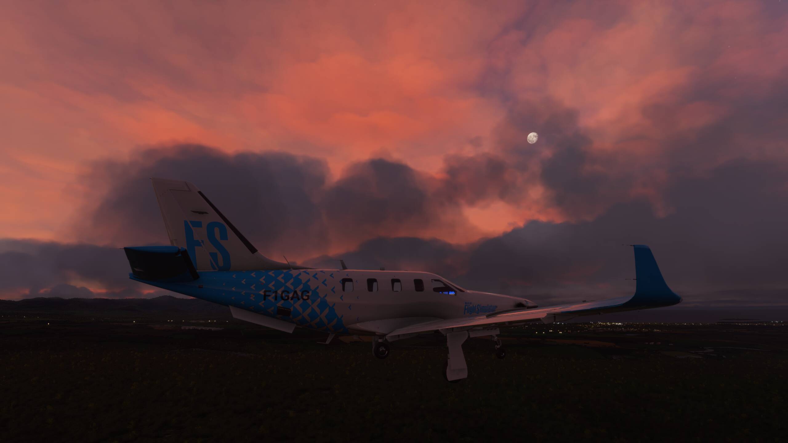
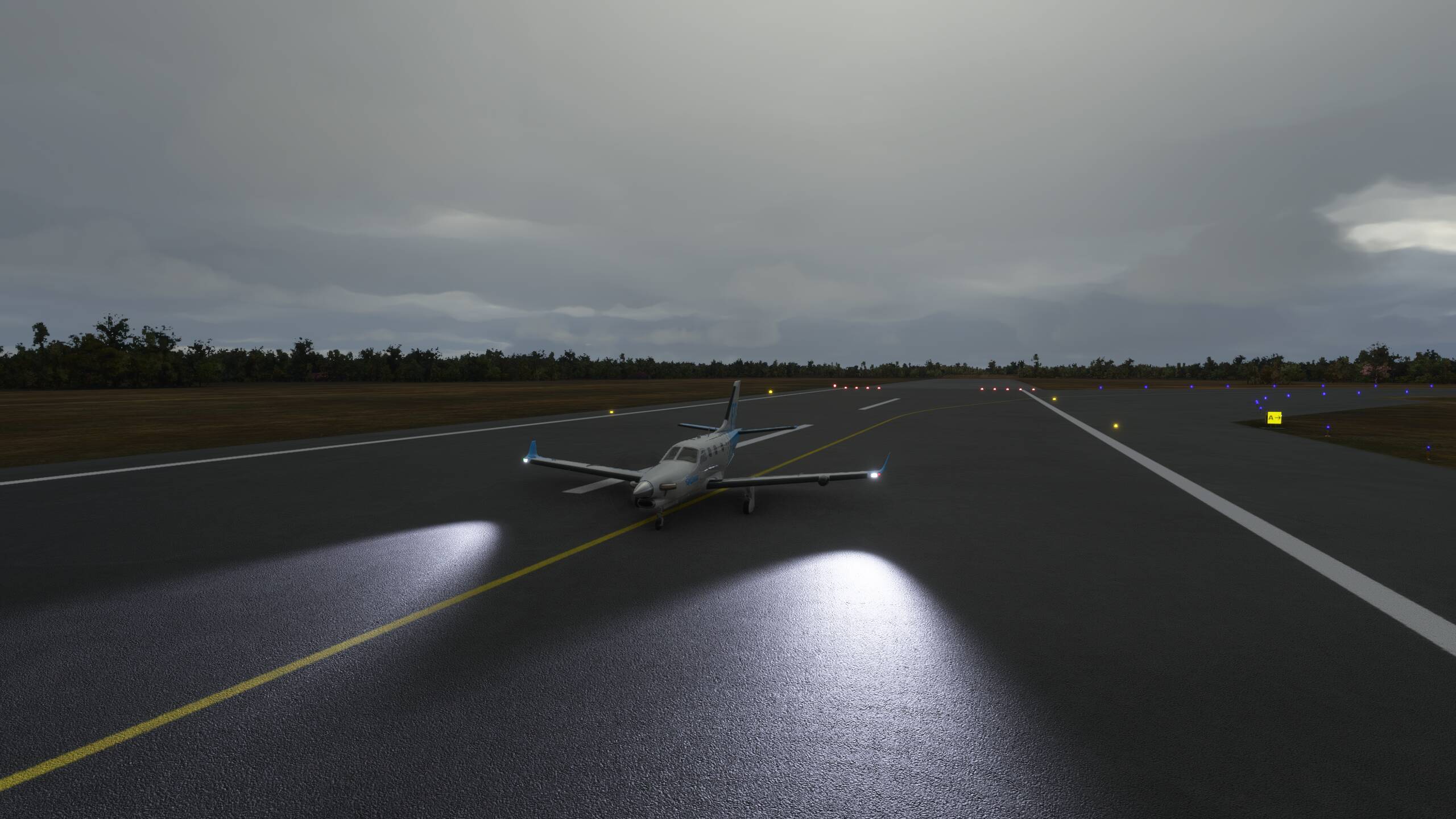
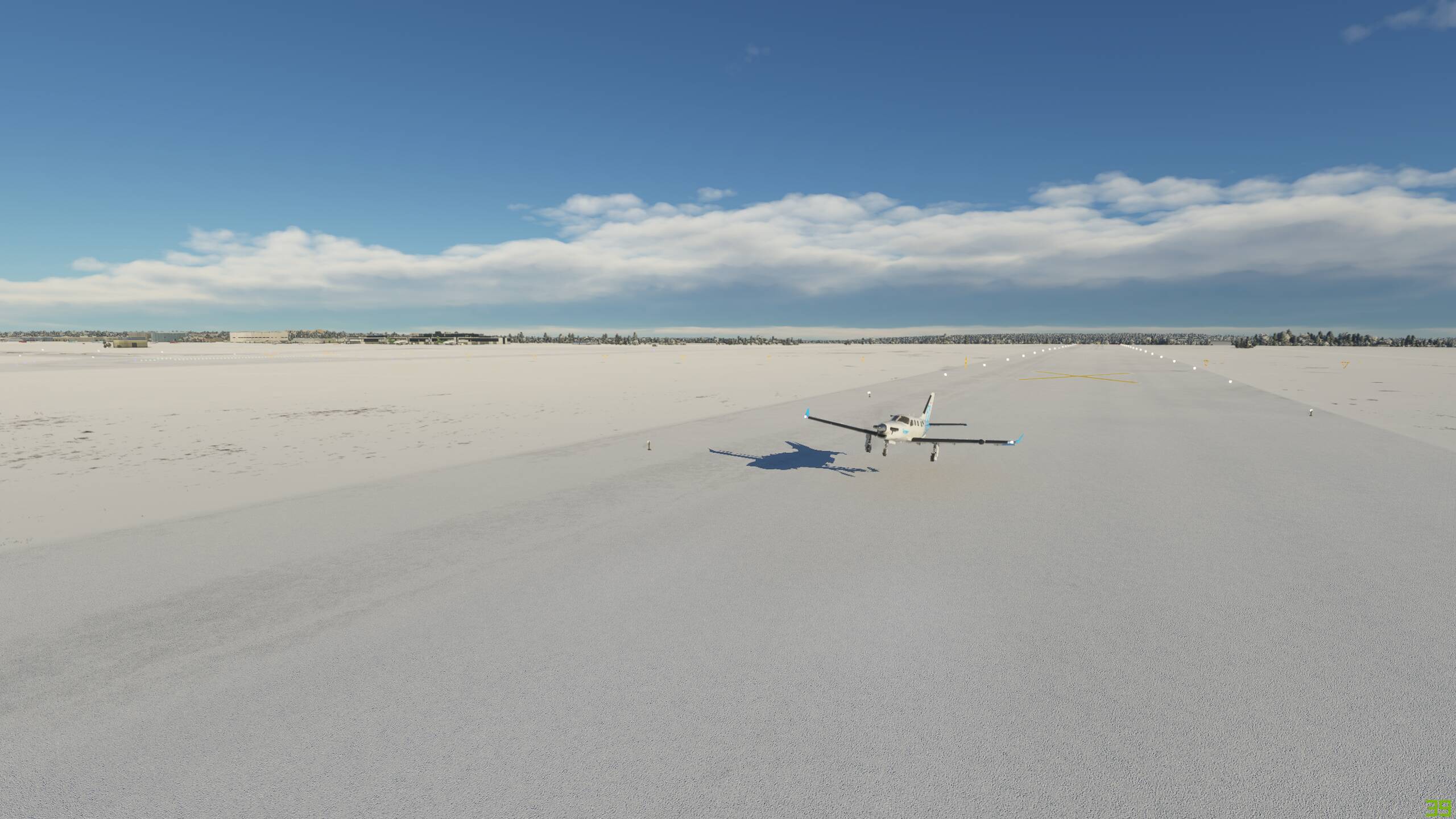
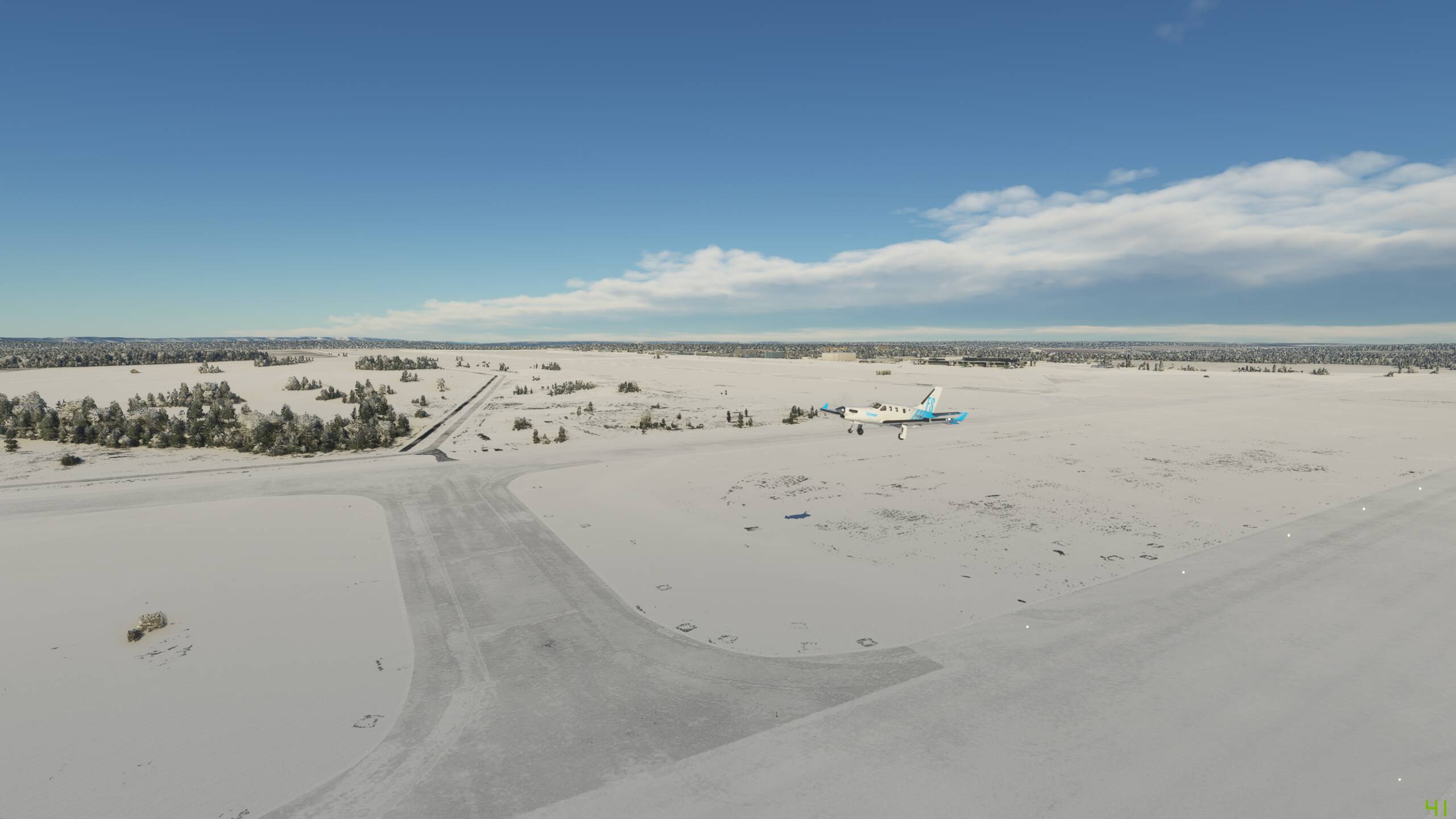
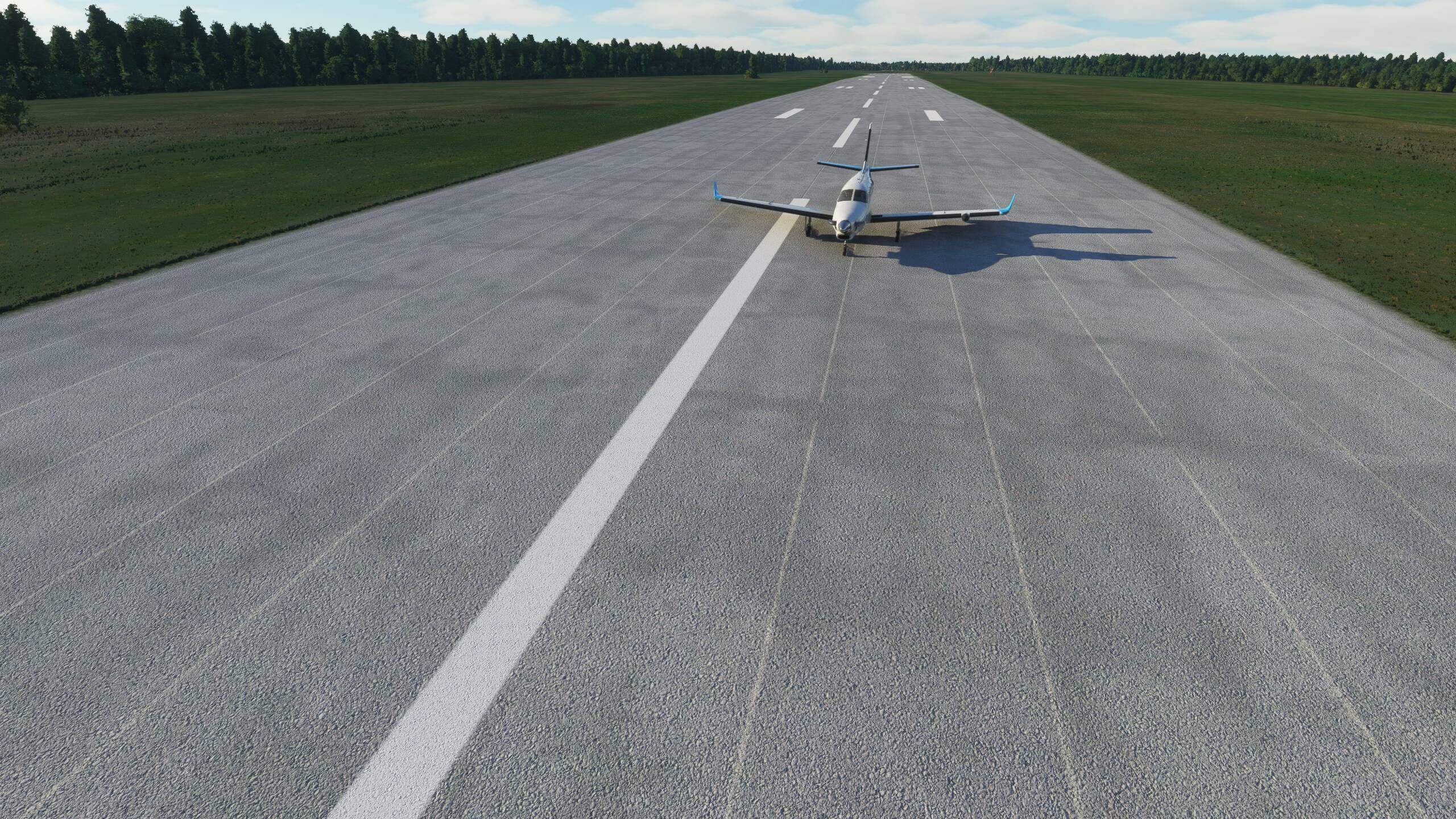
And down
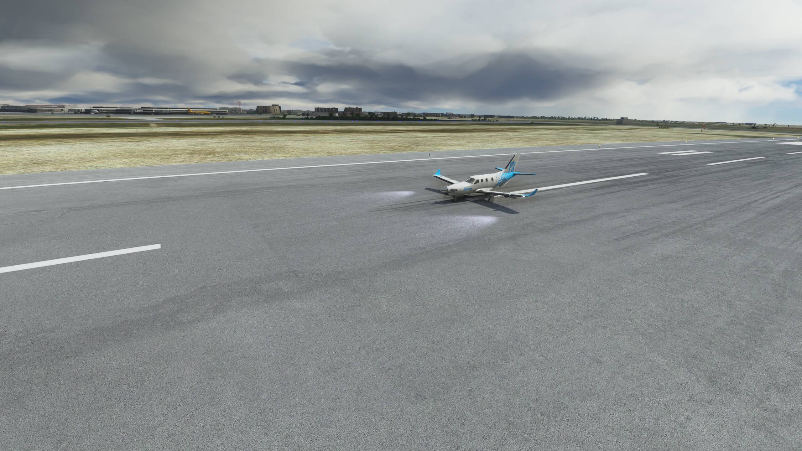
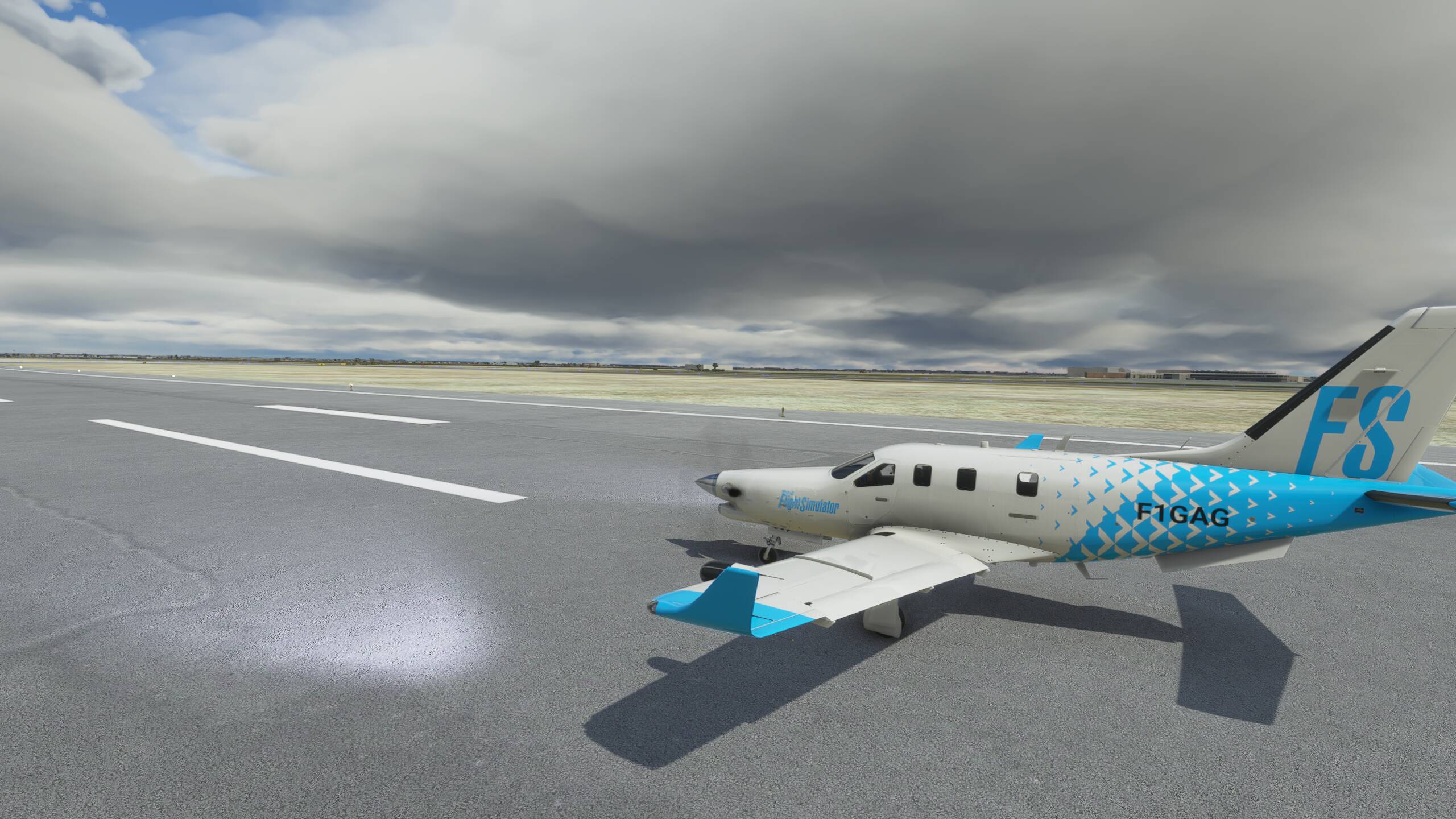
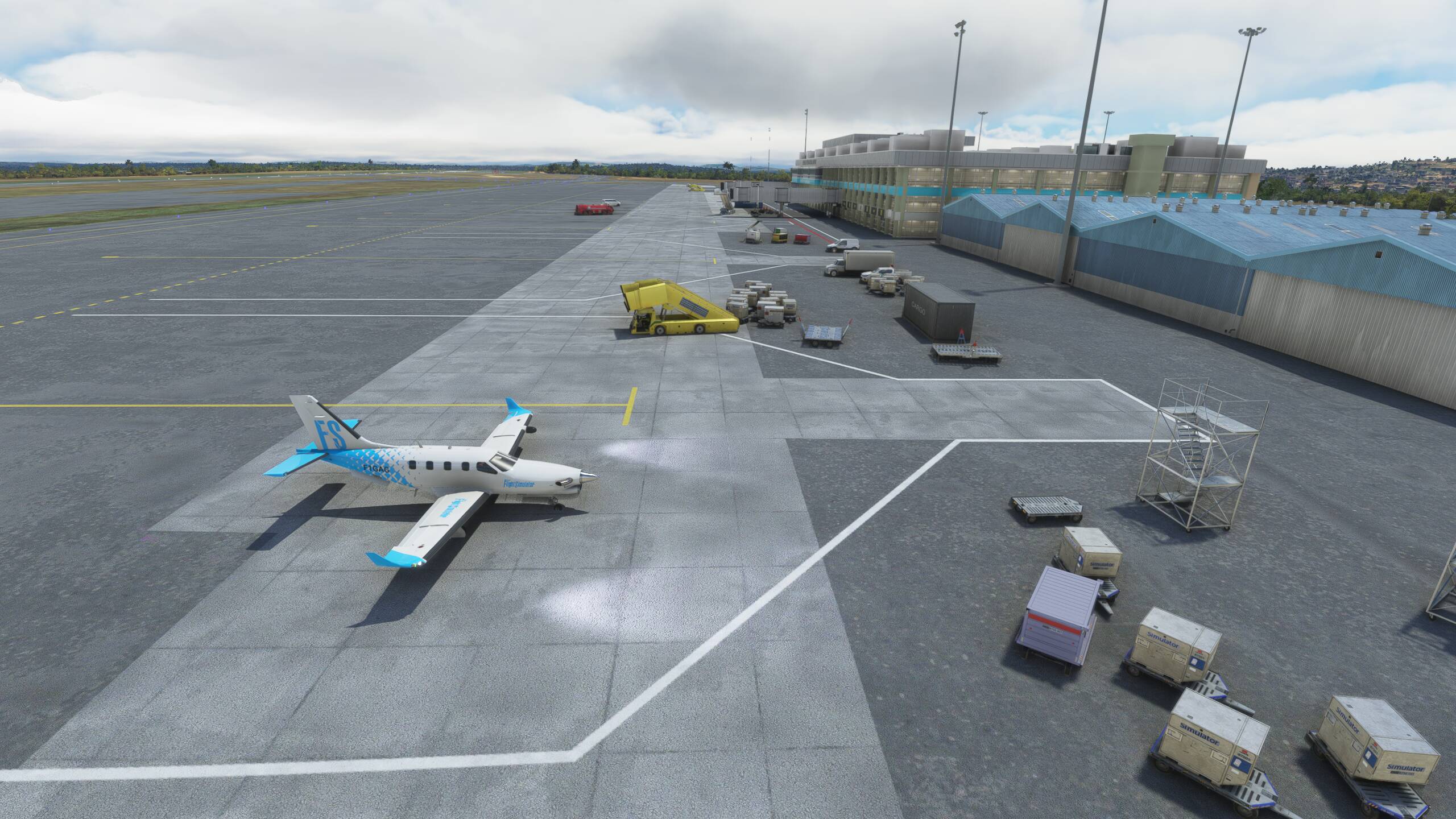
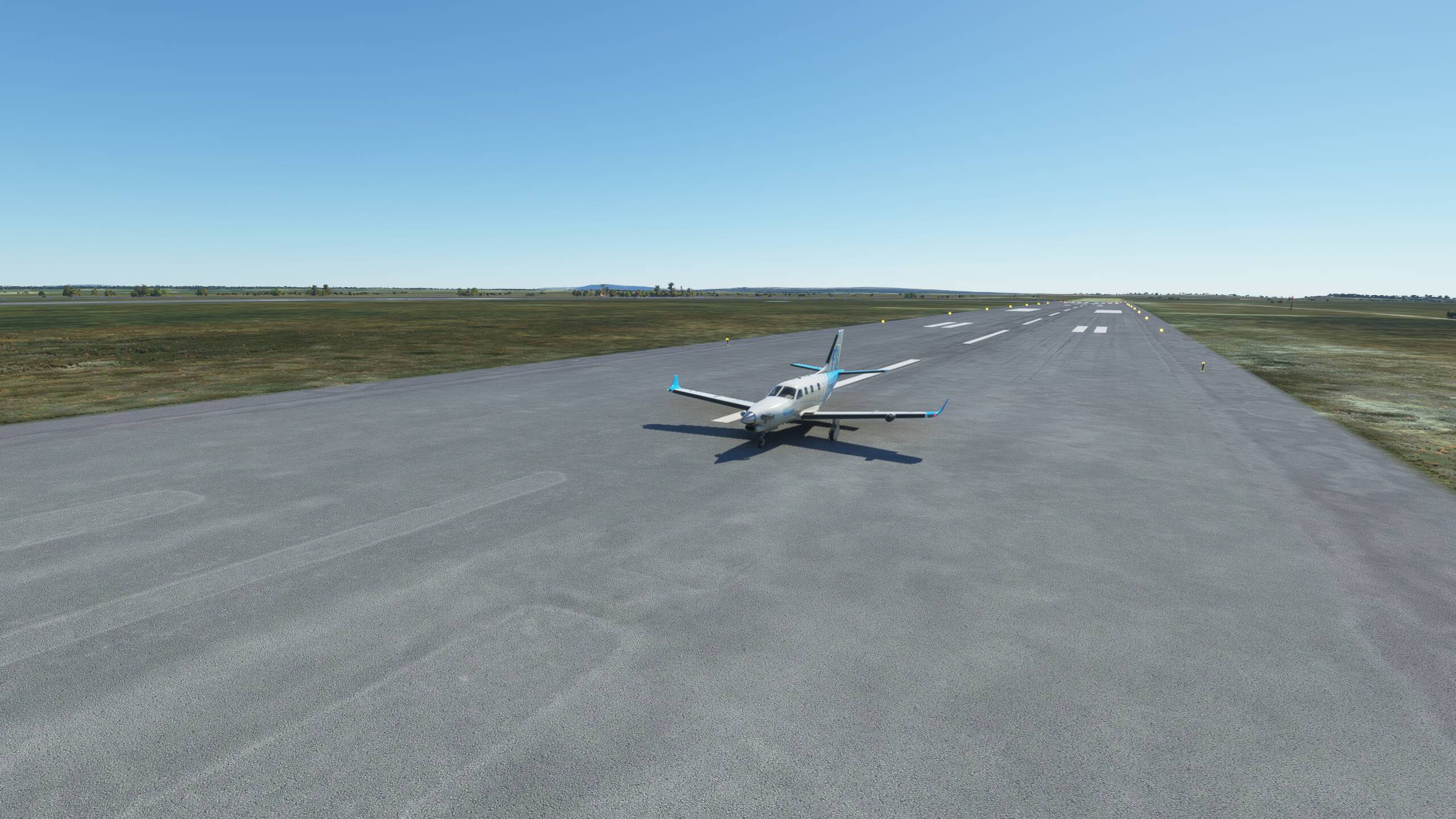
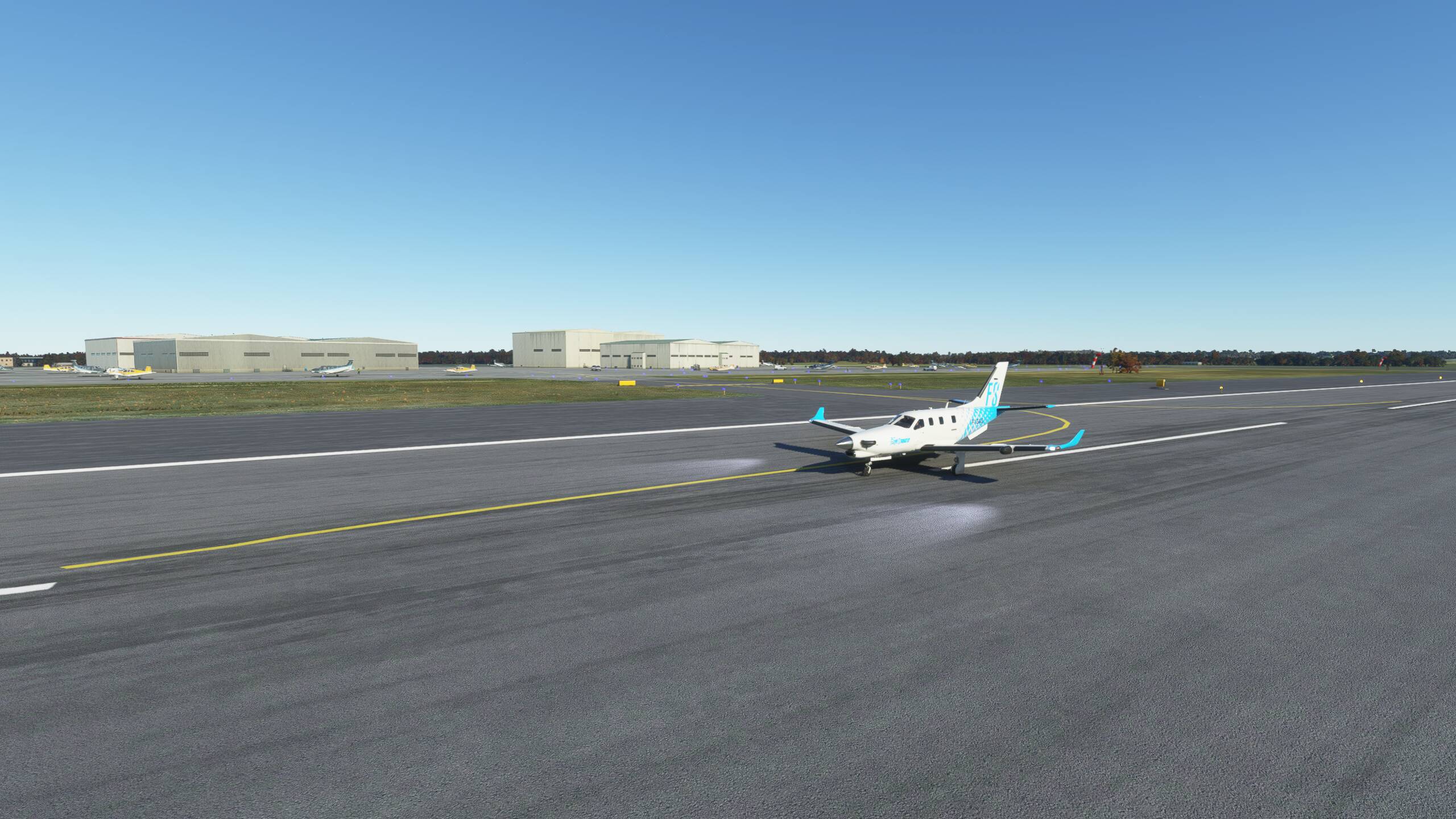
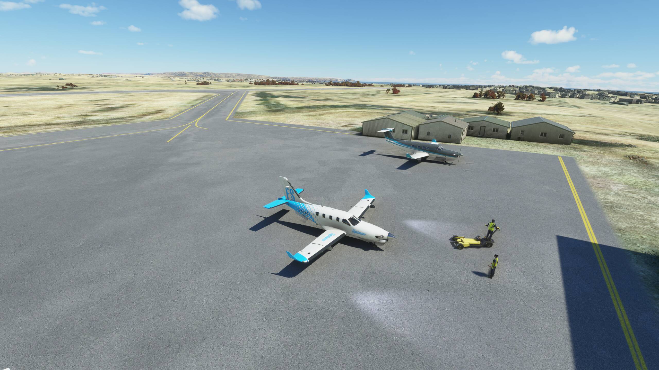
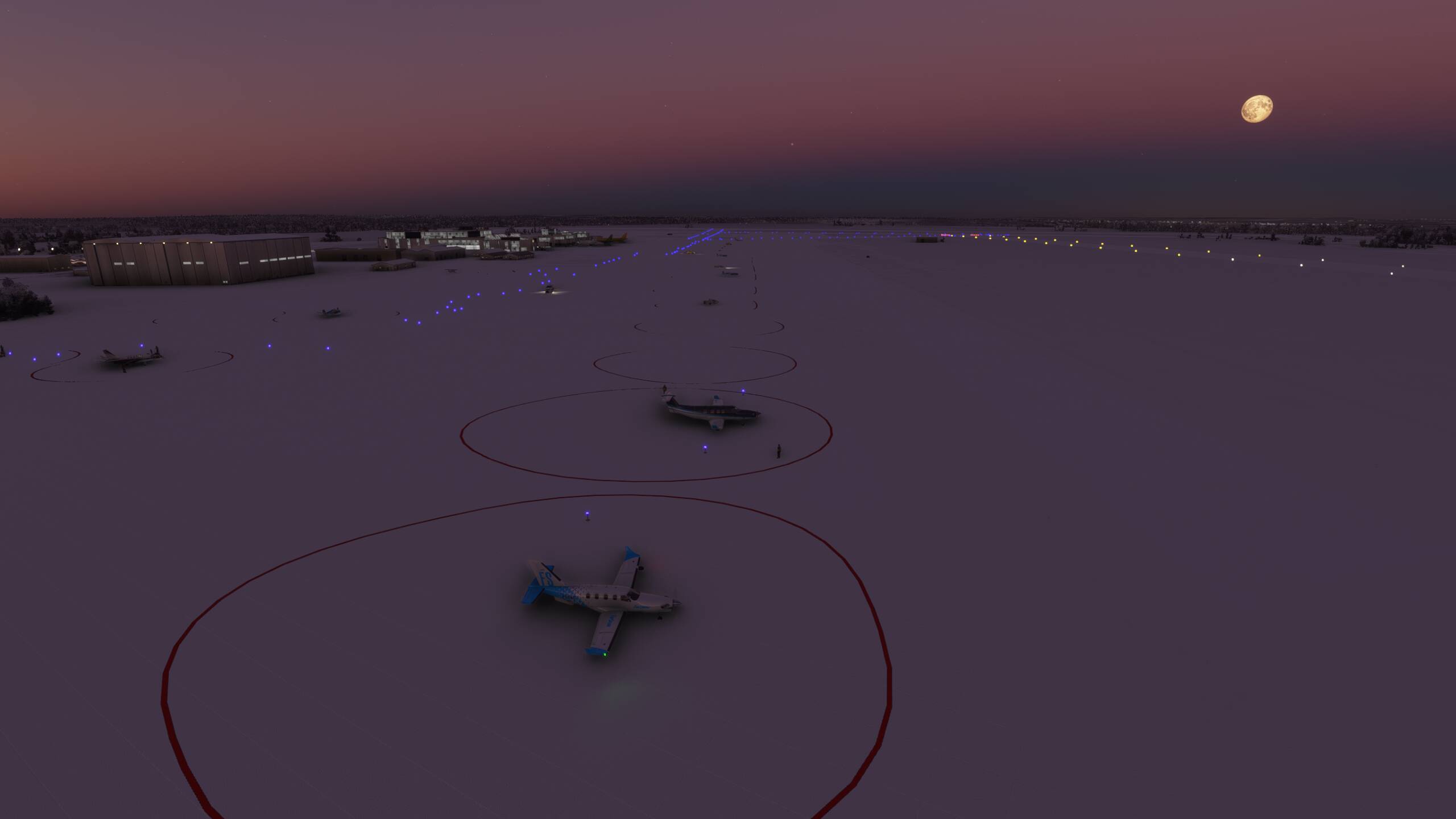
And parked!

Enjoyed that, and patch 1.14.6.0 is awesom and has really improved the frame rates and smoothness of the sim.
I think we should head to Russia and Moscow next!


 Can’t wait to see the next installment.