ATTENTION Aussie Flight Group Participants …
Group Flight: Group Flight: 2020-10-02T10:00:00Z
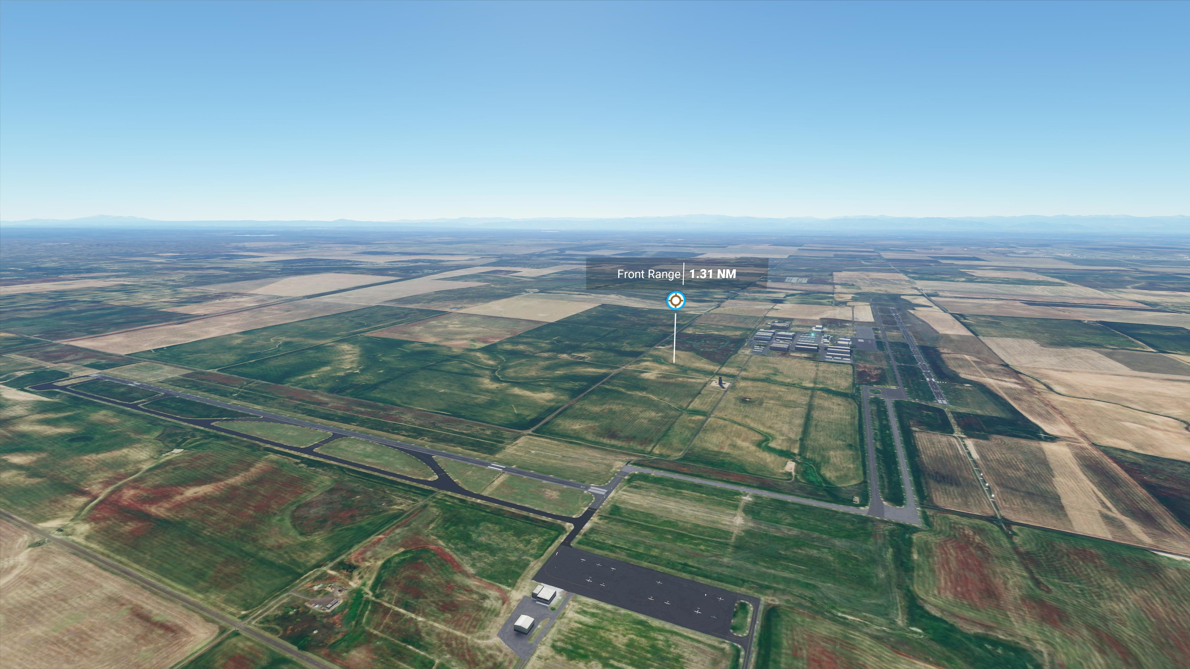
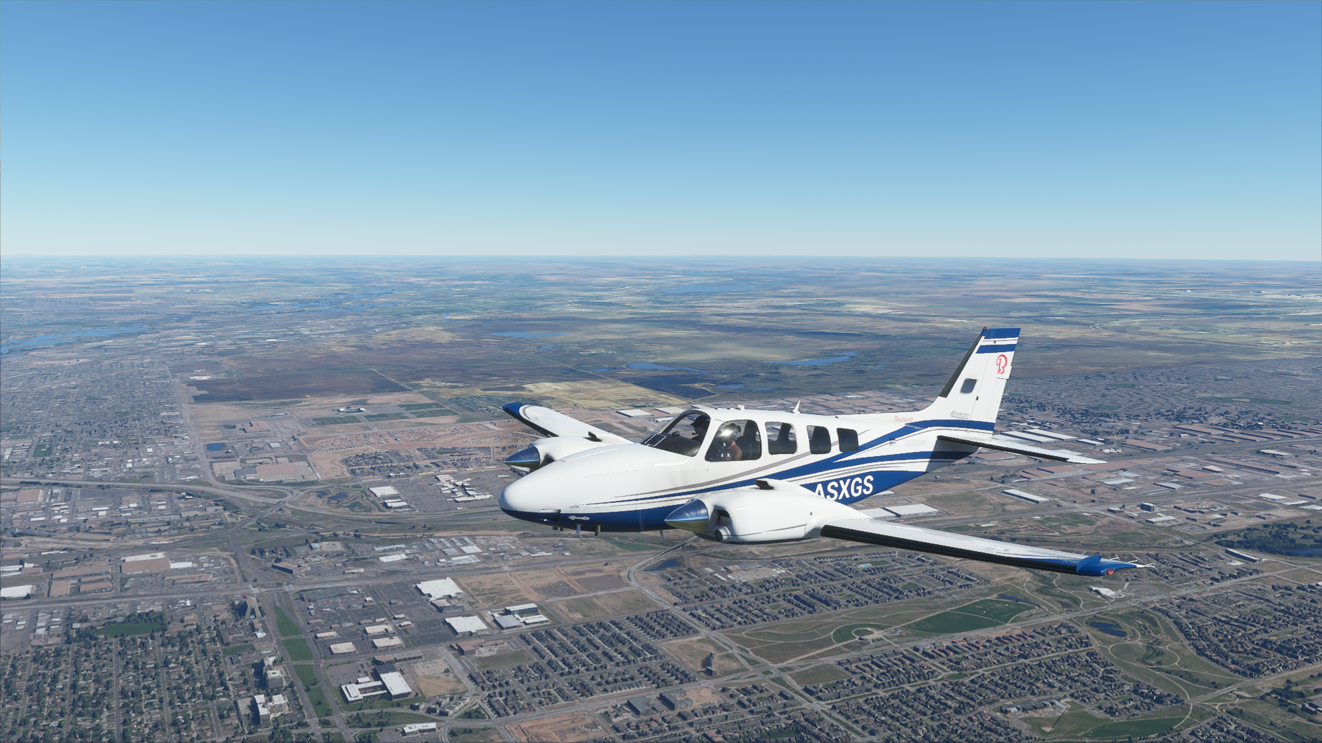
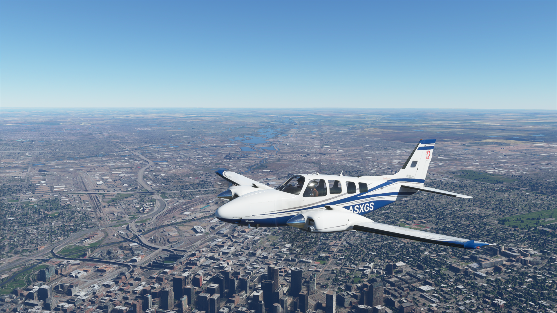
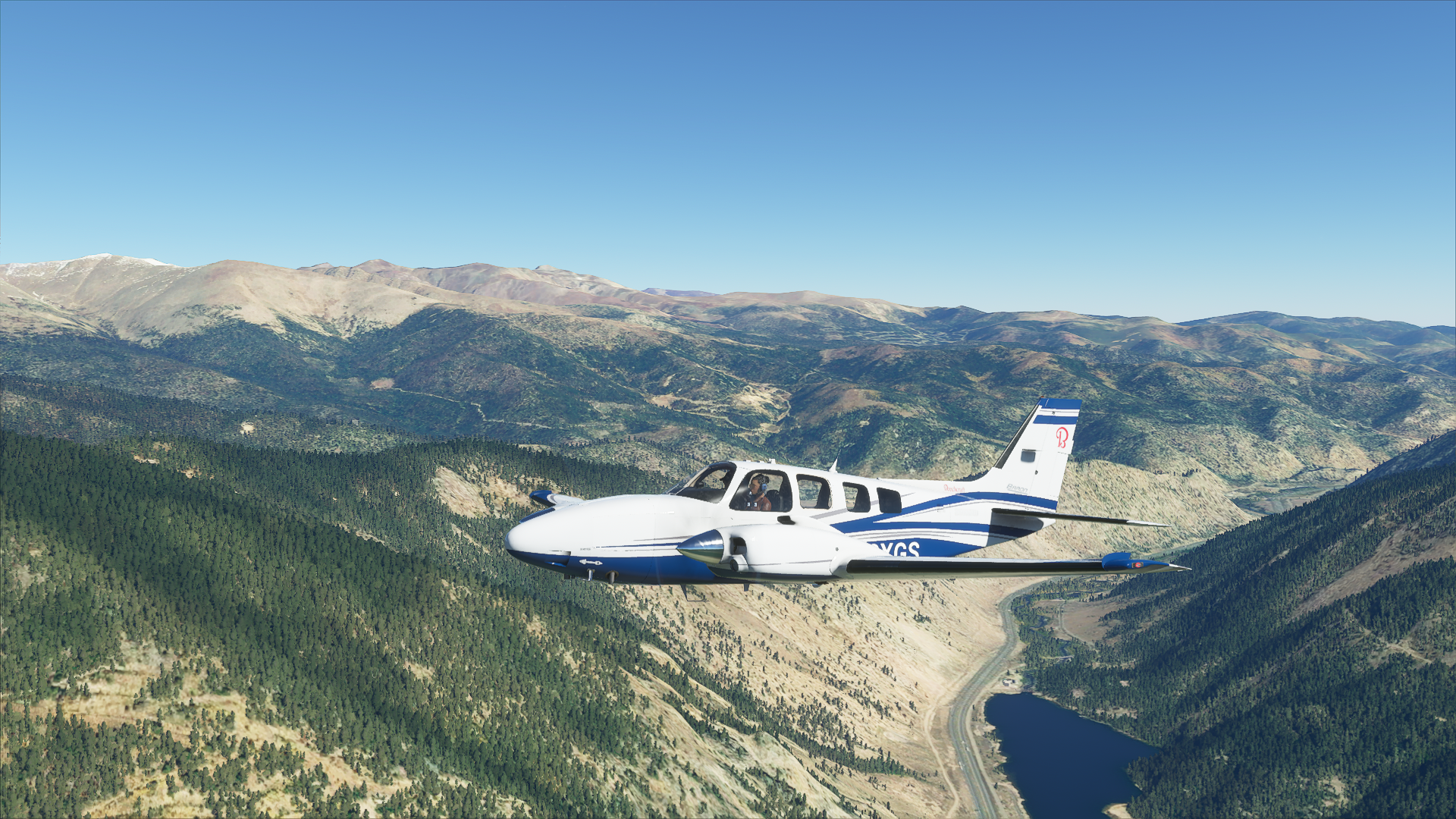
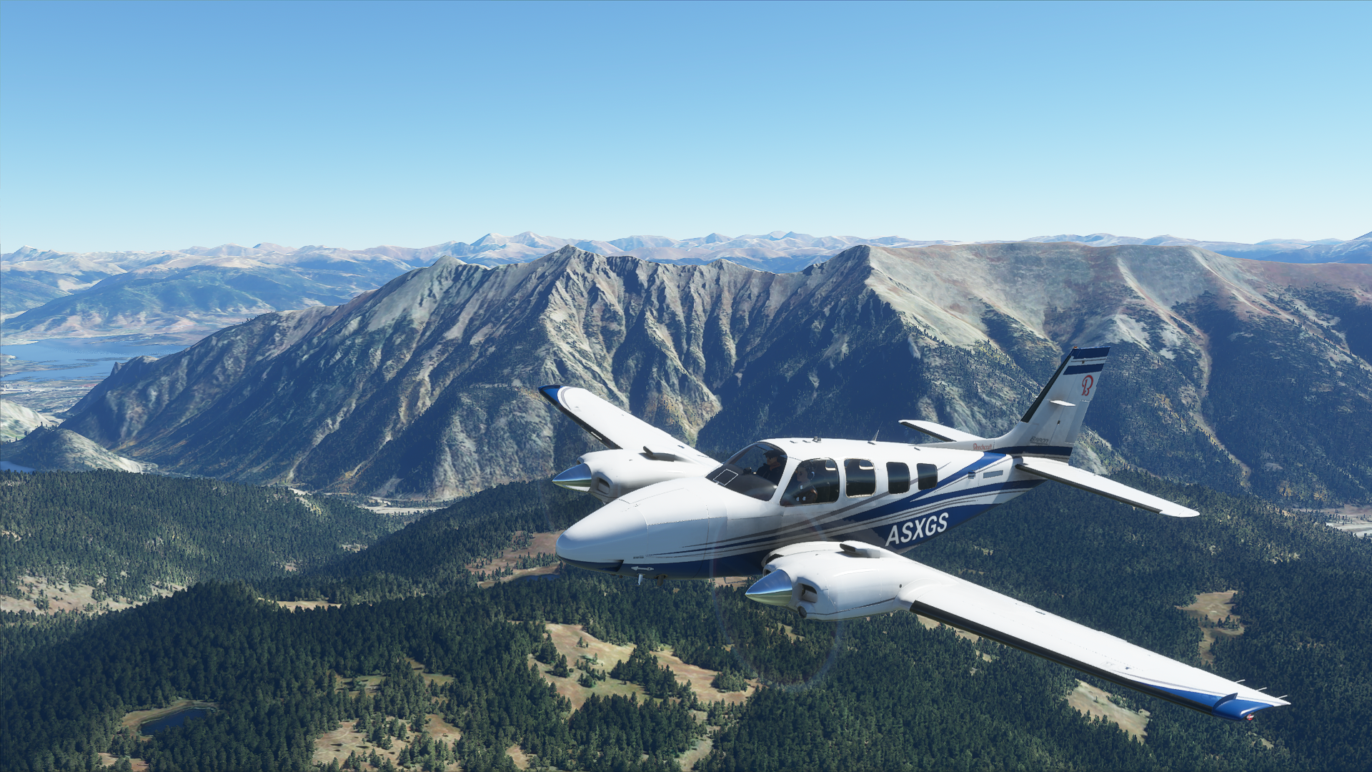
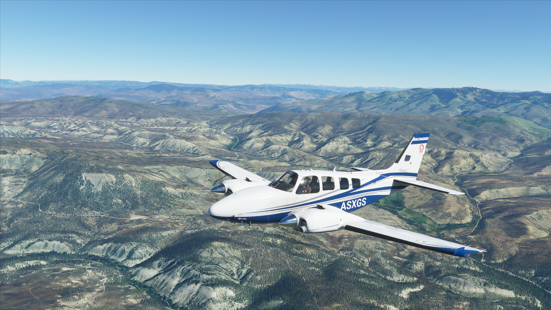
Departure: Front Range KFTG/ (Colorado Air and Space Port KCFO) GA Ramp.
Arrival: Eagle County Regional (KEGE)
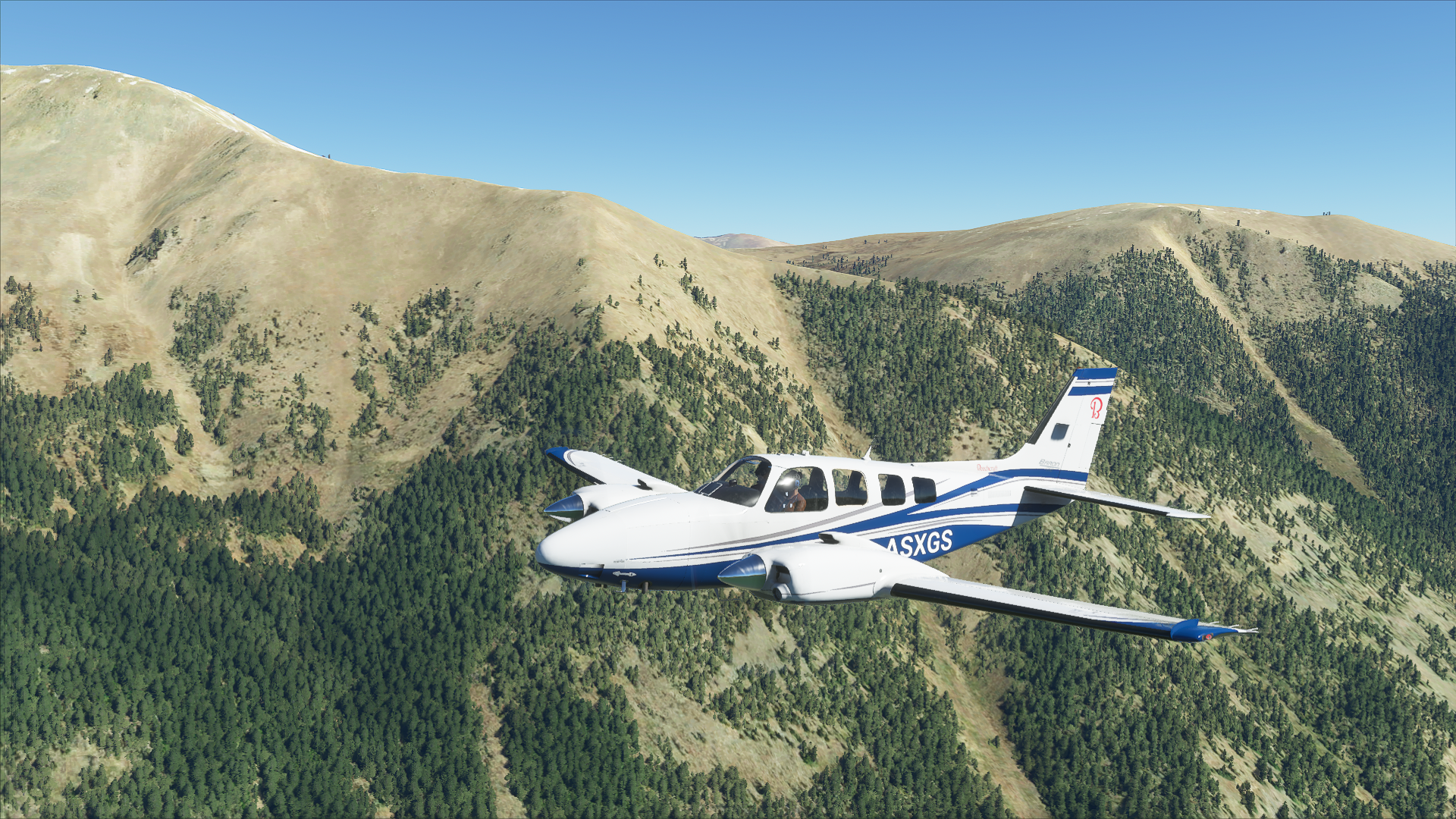
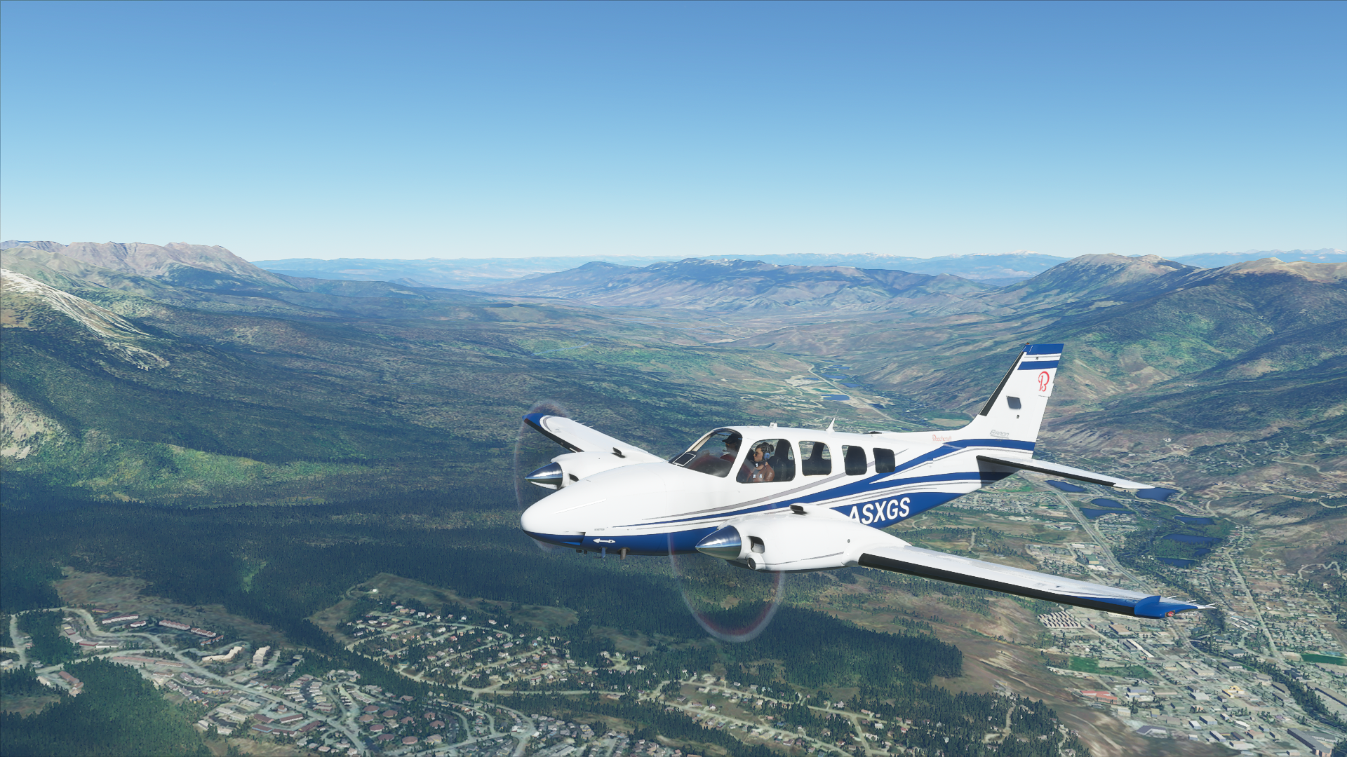
This will be Part One of a three-part series introducing challenging and educational flights in the Rocky Mountains of Colorado USA to be conducted over the next 6 months. Completion of all three parts (honor system) will earn you a mountain flying endorsement including special endorsements for Leadville Airport (Part Two) which is the highest GA airport in North American and Telluride Airport which is the highest Commercial airport in North America.
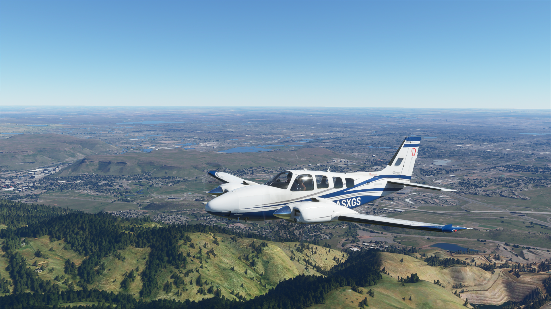
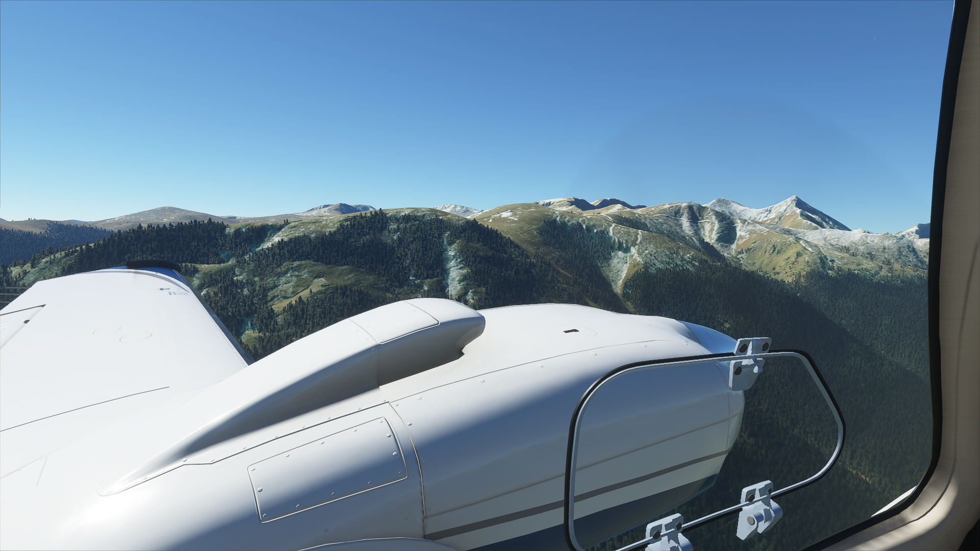
Colorado has 53 of the 67 fourteeners ((14,000 + feet MSL) in the lower 48 states. Second in North America is Alaska with 29.
PLEASE DO NOT SPAWN ON THE RUNWAY. ENSURE YOU SELECT THE STARTING POSITION ON THE RAMP.
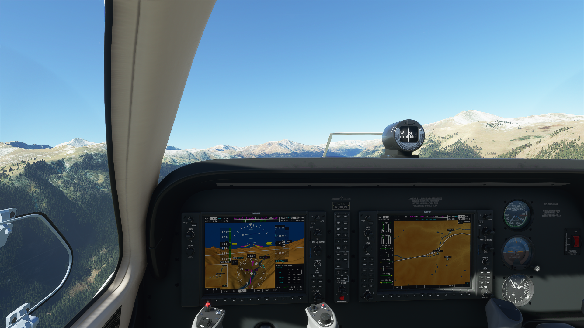
Route:
Charts will be provided to assist locating VFR waypoints and recognizing surrounding features.
Take off from Front Range/Colorado Air and Space Port Airport (KFTG/FCFO)
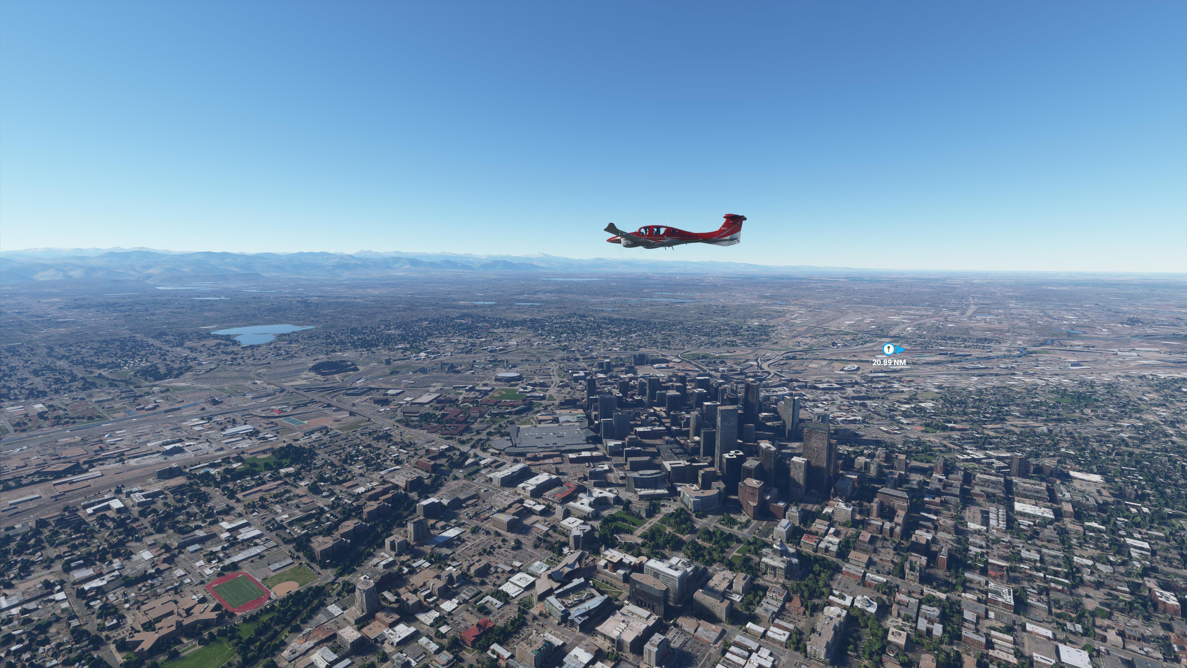
Track 253 deg to Denver (2.2 nm)
Track 251 deg to Foot Hills (9.2 nm)
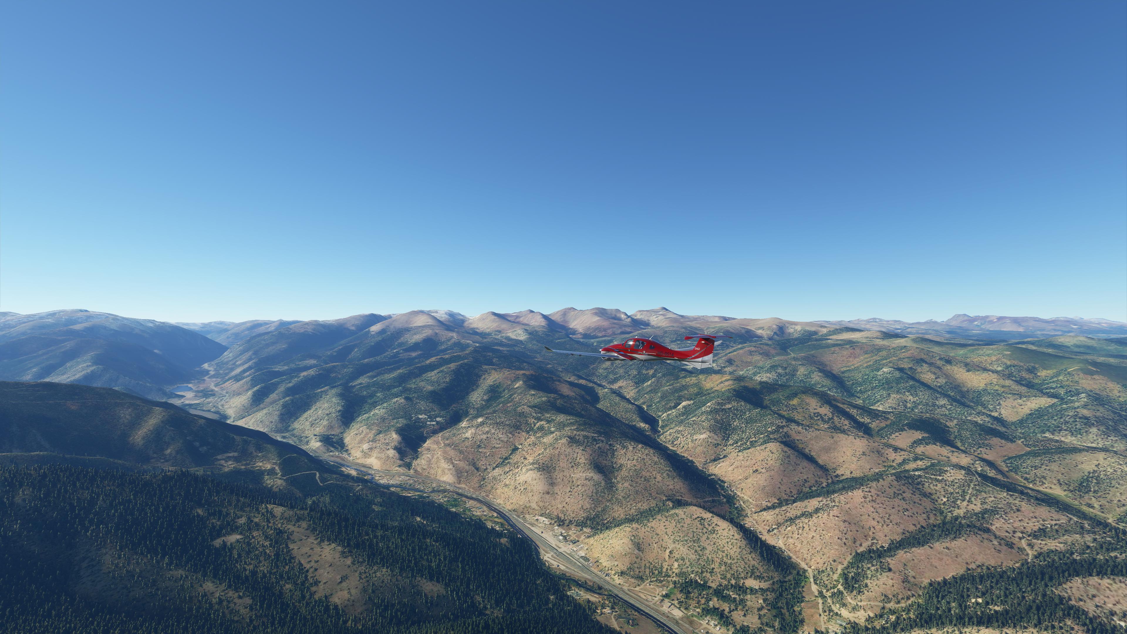
Track 281 deg to Idaho Springs (14.3 nm)
Track 278 deg to I-70/US 40 (6.7 nm)
Track 203 deg to George Town (3.8 nm)
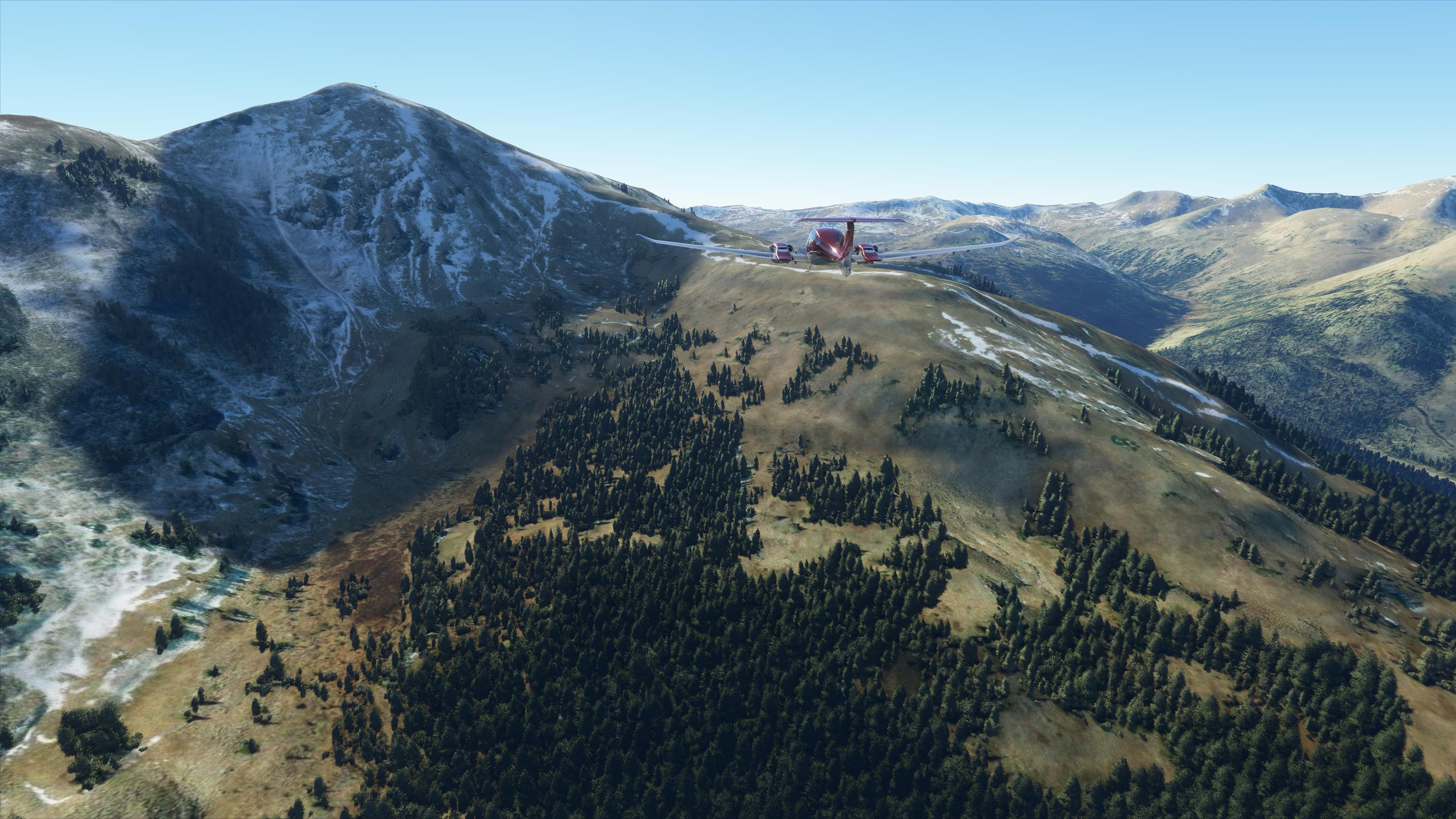
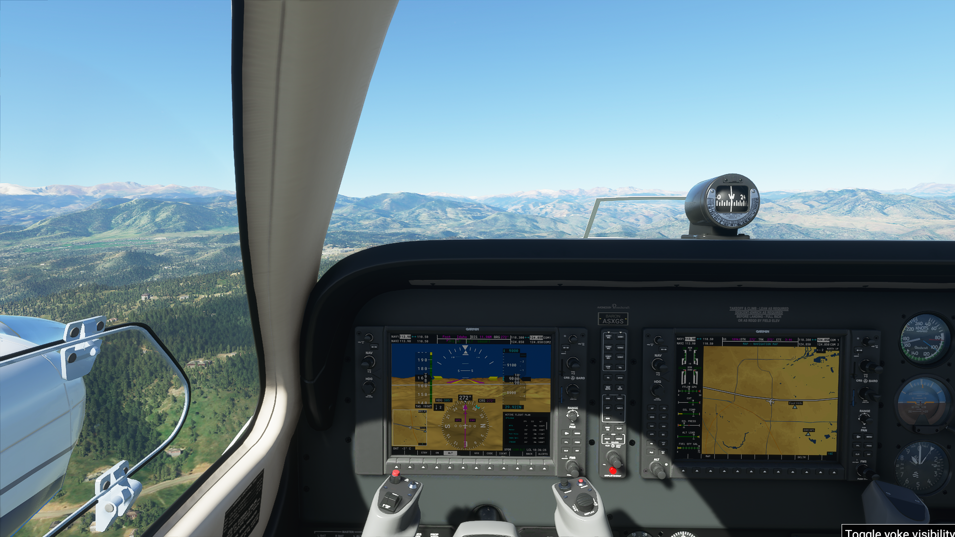
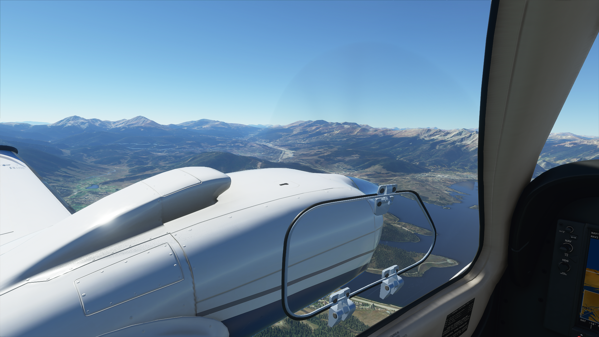
Track 253 deg to Eisenhower Tunnel East Portal (9.5 nm, 11,337’ MSL min)
Track 261 deg to Eisenhower Tunnel West Portal (1.5 nm, 11,830’ MSL min)
Track 233 deg to Lake Dillon (6.5 nm)
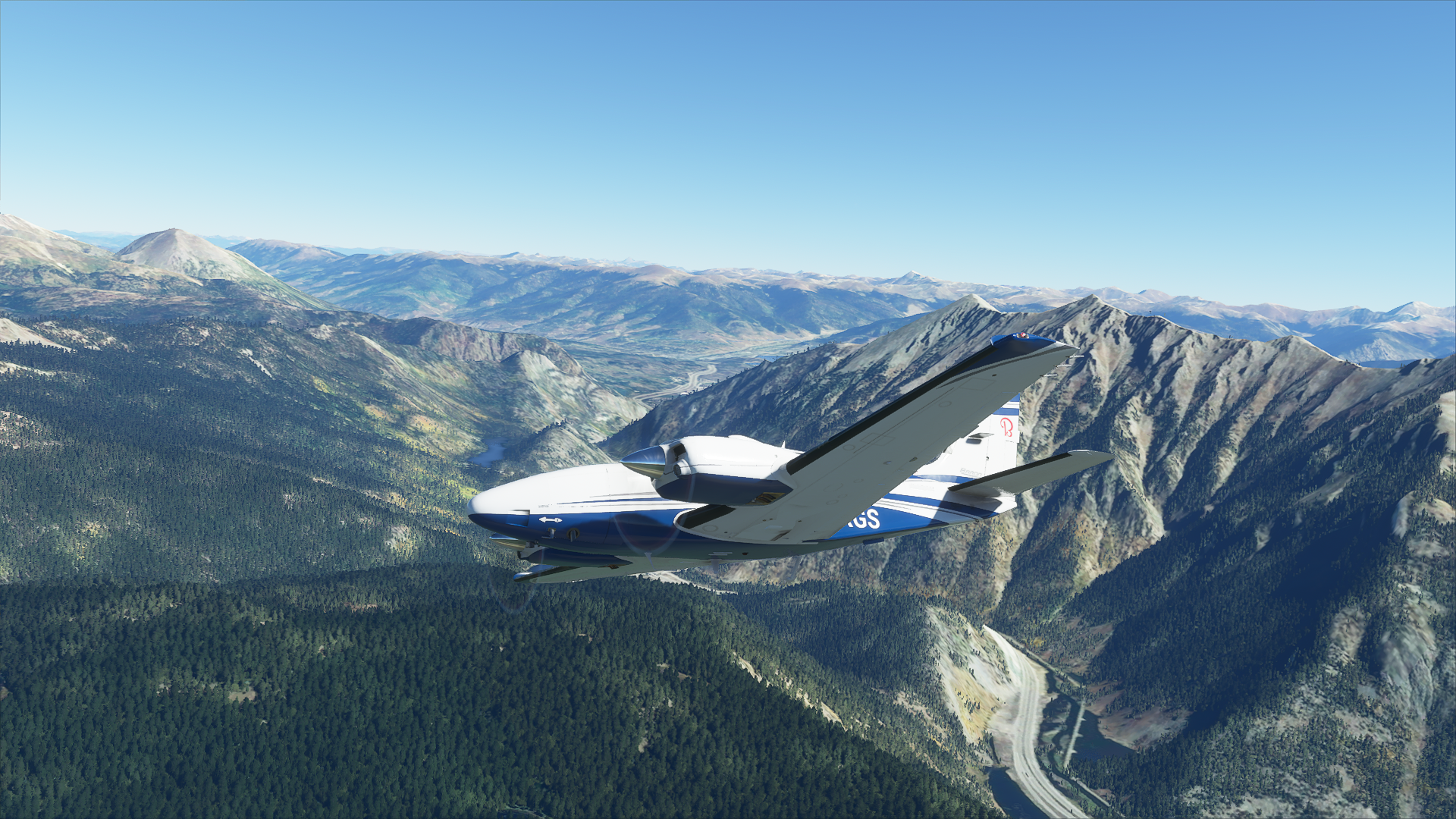
Track 203 deg to Copper Mountain (8.8 nm)
Track 295 deg to Vail Pass (3.2 nm, 10,837’ MSL min)
Track 302 deg to Vail (10.4 nm)
Track 278 deg to VFR Approach to Eagle County Reginal Runways 07/25 (15.2 nm) OR -
Track 269 deg to Waypoint HAMOS for LDR/RNAV Approach to Runway 25 (14.7 nm, 7,551’ MSL min)
Land at Eagle County Regional Airport (KEGE)
Altitude: The route can be flown at 14,500’ but you can vary the altitude to suite the terrain.
Airport details:
Front Range/Colorado Air and Space Port (KFTG/KCFO)
Elevation: 5515’ MSL
RWYS: 07/26
RWYS: 17/35
Eagle County Regional (KEGE)
Elevation: 6547’ MSL
RWYS: 07/25
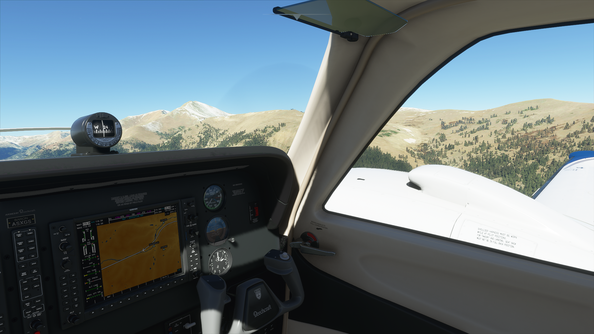
Aircraft: As the route is around 13,500’ in altitude at a couple of places the following is a guide for maximum flight altitude (See Graphic of Flight Plan):
Any aircraft capable of obtaining an altitude of 13,500’ for short periods of time and a VS of 500 fps, preferably 1000 fps if you want to explore the area as the route does not allow you to turn around at low altitudes.
Seeing Aircraft Correctly: You need to do two things to ensure you can see the other pilots in the event and see them in the aircraft they selected.
Select the same server: To do this, proceed as follows:
From the Welcome Screen, click on your Username (top right)
From the list of servers, under Servers, select WEST USA
Turn off Generic Planes: To do this, proceed as follows:
From the Welcome Screen, click on OPTIONS
Click on GENERAL
With GRAPHICS selected, scroll down to the last option and set USE GENERIC PLANE MODELS to OFF
Voice Room: Discord for Official MSFS Community: Event #1 or Event #2 are the voice rooms available to us. I need to see which is available on the day and reserve it. I will be in the room and get it authorized for our use. Just look for my USERID: VHFIB to determine which room to enter.
Note: if you are new to the Discord Server for MS FS, you will need to “react” to get access to the voice rooms.
To “react”, once in the Discord for Official MS FS , click on the Important - Info option and at the very bottom, click on the button (last item at the bottom of the screen) to react and provide access. Note: clicking on the button accepts the conditions etc., which you can read via the available links.
Weather/Time: We will set the time 12hrs prior, i.e., 8 am. This will allow us to fly in daylight and choose Clear Weather, so you will not get icing during the flight:
From the World Map view, click on Flight Conditions (upper right of screen)
Click on All Players, Live Traffic, Custom
Under Weather and Time, select Clear Weather and move the time slide bar to show 8:00am or say 7:45am if you arrive at 7:45pm (12hrs prior to current time).
Click Close and Fly from the World Map view.
We can start departing from 8pm. There will be no need for official radio calls. Let’s just have some fun taking in the scenery and the social aspects of the event.
Multiplayer Map: Currently, the VFR map won’t show Live players, so if you get lost, it’s difficult to find where the other flyers are. The free multiplayer map will show the other players (that are using the map) and allow you to see their heading, speed, altitude and callsign. But it will only show those using the map. The below map tool is excellent but only as good as the volume of people using it.
Not mandatory but if you would like to use this map, see the below for details:
Link to moving map: https://events.flighttracker.tech/ 12 7
Once viewing the map, click on Join to download the client that connects MSFS for tracking your flights. Note the .NET Core Windows Runtime requirement that needs installing also.
Let me know if there is anything else that I’ve missed that you need to know.
Regards, Paul