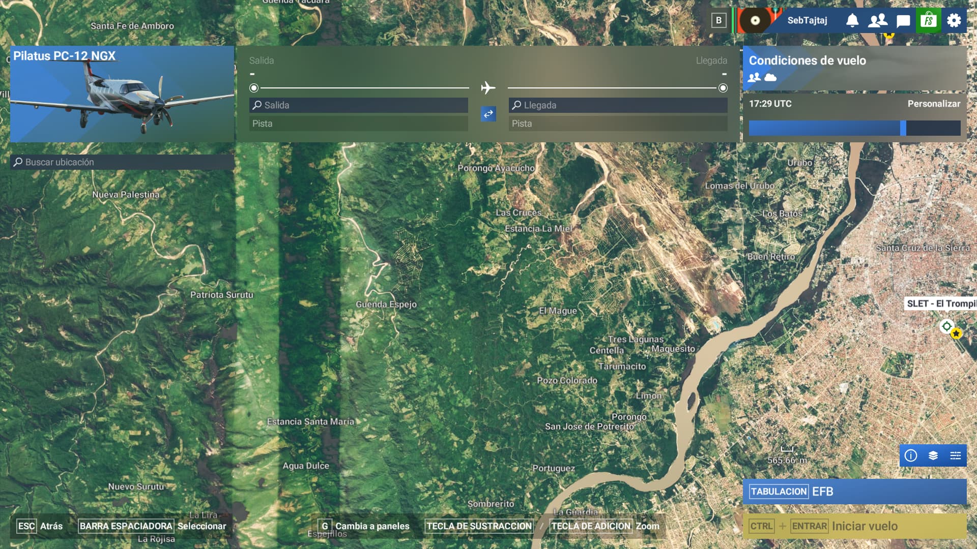
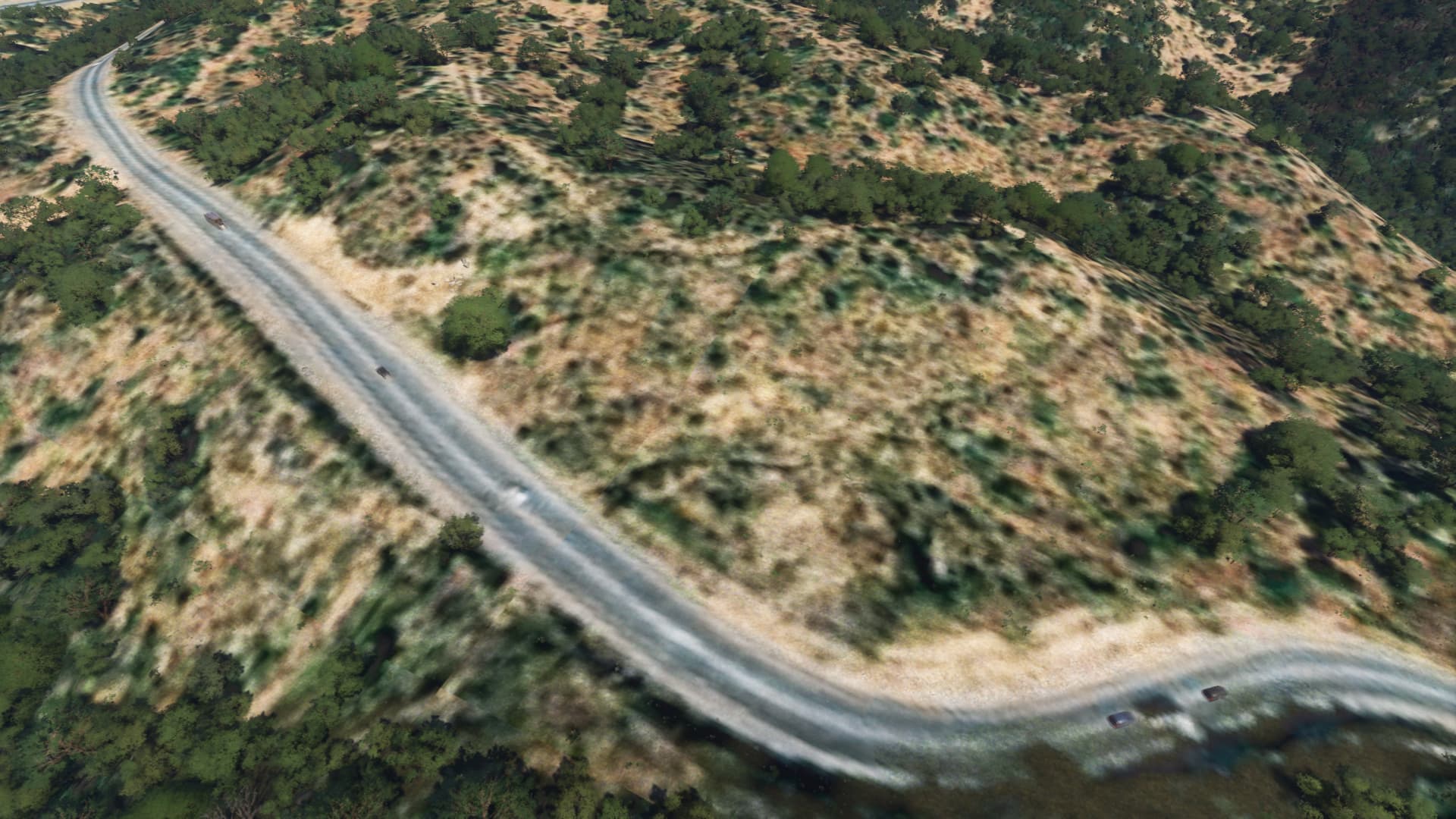
Description of the issue:While flying near Santa Cruz, Bolivia, I noticed that the aerial images are not the same as those displayed on Bing. In fact, they now show spots and very poor quality images, something I hadn’t seen before, given that I fly a lot in the area. Here are some images that show the difference between the simulator images and those on Bing.
The most notable example is that the main airport, SLVI, now displays two colors, something that wasn’t there before.
I want to make it clear that I’ve noticed this problem since SU4. Previously, the most recent images appeared.
No, not 100%. There are several reasons why you might see something different in the sim including, but not limited to, photogrammetry overriding the satellite data, a conflict with another scenery package, the newest data not being properly processed for use in MSFS, or the newest data not being properly licensed for use in MSFS. Probably many others, but those are some that I’m aware of.
Is it possible this was an area impacted by the recent World Update focused on areas of South America? If so, photogrammetry, while more detailed, can be more outdated than satellite data and will override satellite data as explained previously. Try disabling that World Update, restart the sim, and see if that changes anything.
Nope they don’t use the update version. The community I live in still appears as land with construction vehicles. Yet the bing map shows the completed property. I don’t get why they don’t just upload the current updated map
My city is at least 5 years out of date and was done in the NZ city update 3 or so years ago like my mates house his been living in for 5 years is not in the sim
I understand your point, but what worries me is that before SU4, I’m almost certain these bands, lines, and spots on satellite imagery didn’t exist. I fly in that area a lot, and I would have noticed them sooner.
if that’s the case in Sicily (exactly the photogrammetry of Catania) there is a bridge in the city that was demolished in 2013… well yes in 2024 this city bridge is still there… so 11 and it has never been updated…
This has been reported several times, and I’m quite sure there’s a bug report.
It also was reported on the beta testing thread too. Sat image quality seriously degrades between the last two SU.
However, while this is obviously a degrades the simming experience, not sure if this is the intended behaviour. If a mod is around (not because I’m lazy, but because they’re generally more aware), perhaps can link to the bug report. In the meantime I’ll try to search for it.
And yes I do agree, some things are a step backwards, or no step at all.
I’m personally astonished about how some small bugs that break the simming experience -like ATR 42/72 or Saab 340 having broken cockpit lighting- have been present since release and almost a year later they’re still not fixed.
This terrain imagery issues are also a step backwards. It has affected msfs 2020 too after SU16.
The data ingestion and data versions available were discussed in a previous dev q&a live stream.
The bing data can not be used directly in MSFS and therefore needs some processing. It is always behind the bing version in terms of satellite ortho data. In terms of photogrammetry cities and areas it is ahead of bing since MSFS acquire this independently from bing (even flying own planes over cities and landscapes - also already discussed in an earlier dev q&a live stream, the live streams can be founding the MSFS official YouTube channel)