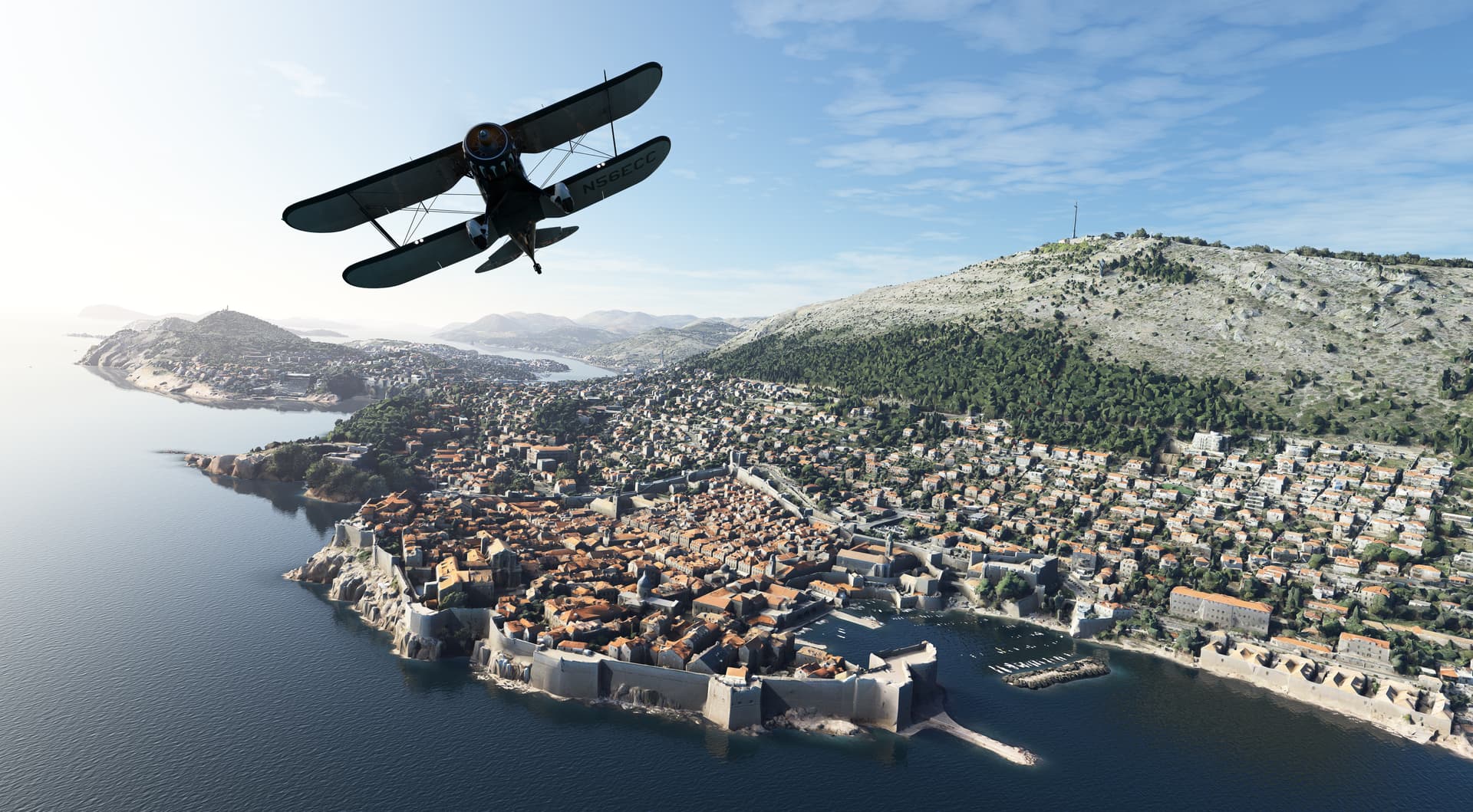
Check out this photogrammetry of Dubrovnik, made by a Croatian company Vektra. This would be rather easy to import into MSFS and would be a spectacular addition to the sim.
From looking and researching the MSFS scenery for a couple of years, my best guess is that there are 5 “levels” of scenery “accuracy”.
Top level (5) of scenery is a custom designed 3D architecture overlaid on BING aerial photography that looks good from the air AND on street level. London is one of the cities that (probably deservedly, along with a few other cities) gets a “bespoke” (Custom) treatment, and has 3D custom built landmark objects, along with POI markers.
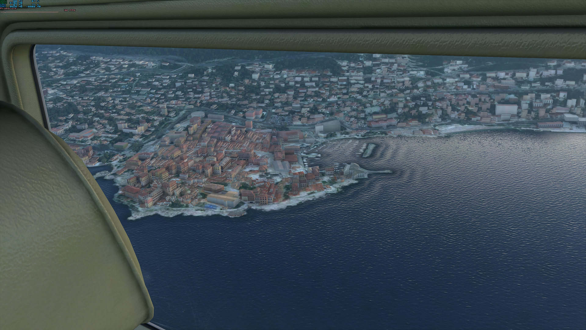
Next “level” down (4) is photogrammetry, where the AI “walks” along the streets (probably Google Streets) and generates the “best guess” of 3D buildings along with their facades, and places them on top of BING aerial maps. This also Includes trees, and is very effective for flight level, but it looks horrible on the street level. I just downloaded “Zagreb City” from Flightsim.to, and this is a perfect example of this type of scenery. The creator of this scenery inserted a few POIs, and that is done manually, within the scenery editor in MSFS.
Next level down (3) is also AI, but looking at aerial map, (no Google streets), and doing its best guess to place a GENERIC building (with consideration to geographical area of the world, i.e. Europe, South America, Africa) and climate (Tropical, Mediterranean, Nordic…), and overlays this generic (used to be called “Autogen” in FSX) on top of BING aerial imagery. These generic buildings are pre-built and reside in a building library, but the AI has a limited ability to build more complex shapes (like Lego bricks) and assemble them in simple extended layouts.
Next level down (2) is a simple BING aerial image, and no 3D building coverage at all, mostly reserved for uninhabited areas. I am not sure if this is actually a “level”, but I HAVE seen areas with BING aerial imagery with obvious building outlines, and no 3D generic treatment.
First, and the simplest level (1) is no BING aerial imagery at all, due to the unavailability of the imagery for whatever reason (cloud cover, etc). A lot of Africa is like that. In this case, the terrain is covered with generic textures that roughly represent landscape type, although they can be way off from the real world.