Exploring the World in a C172 Skyhawk G1000 (World Trip)

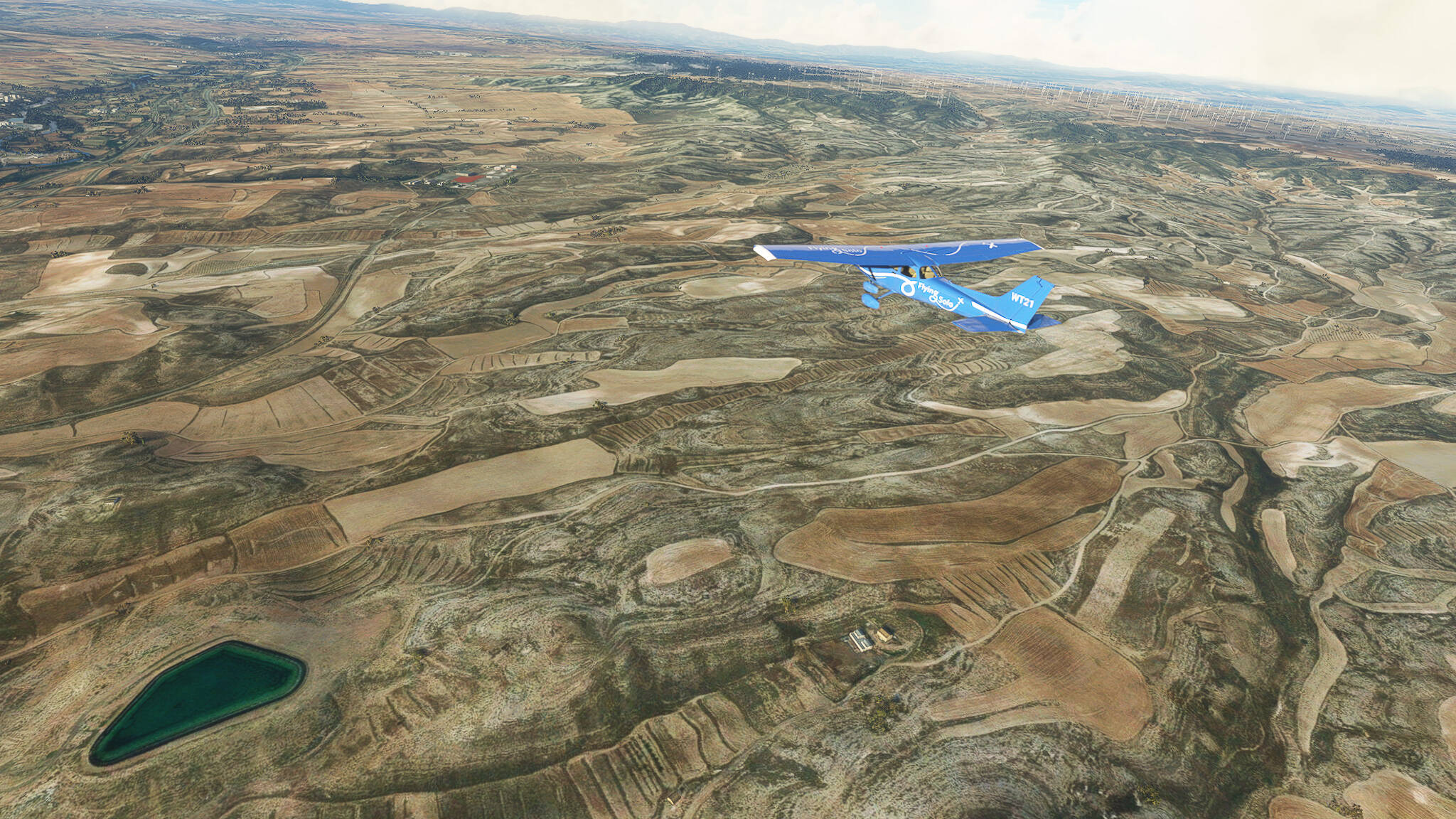
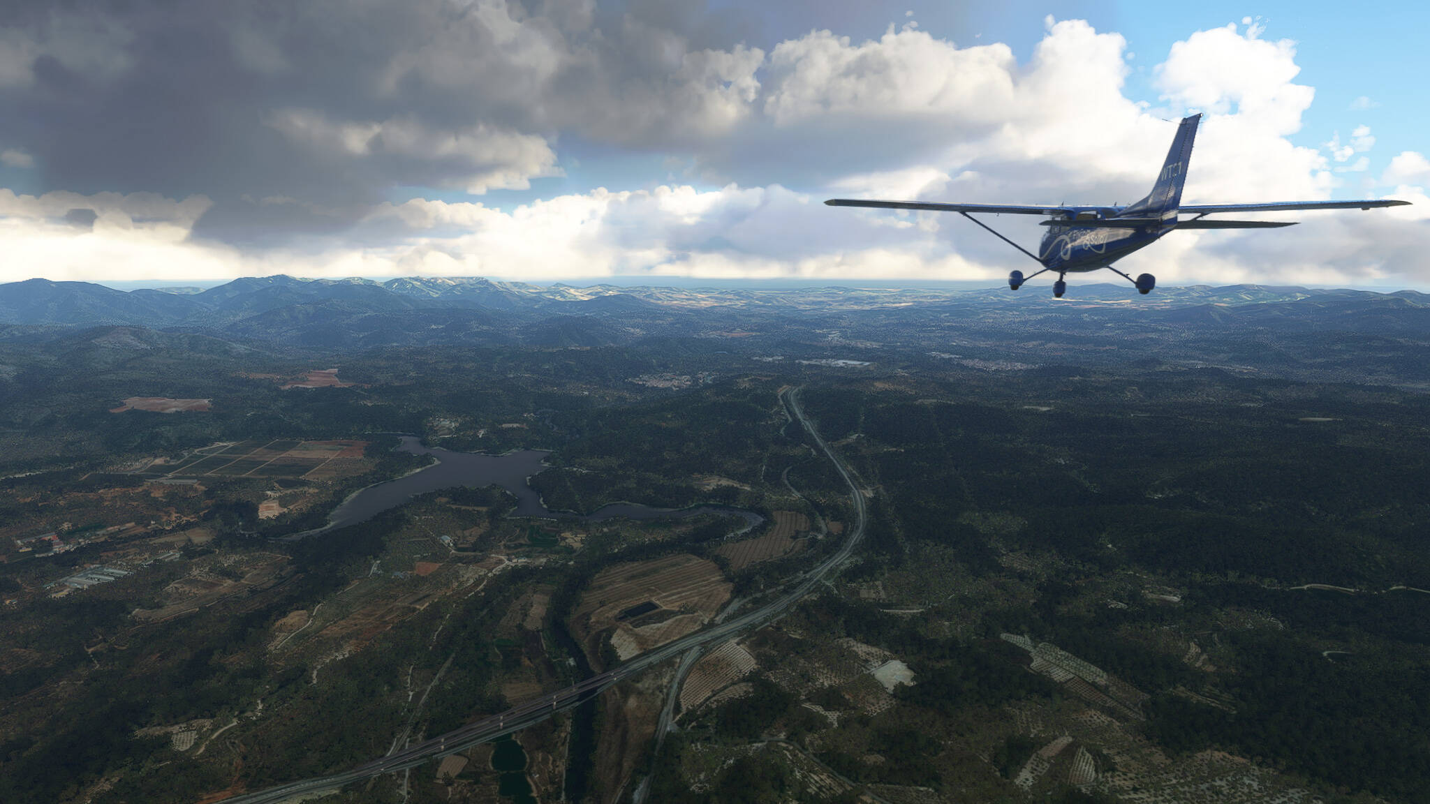
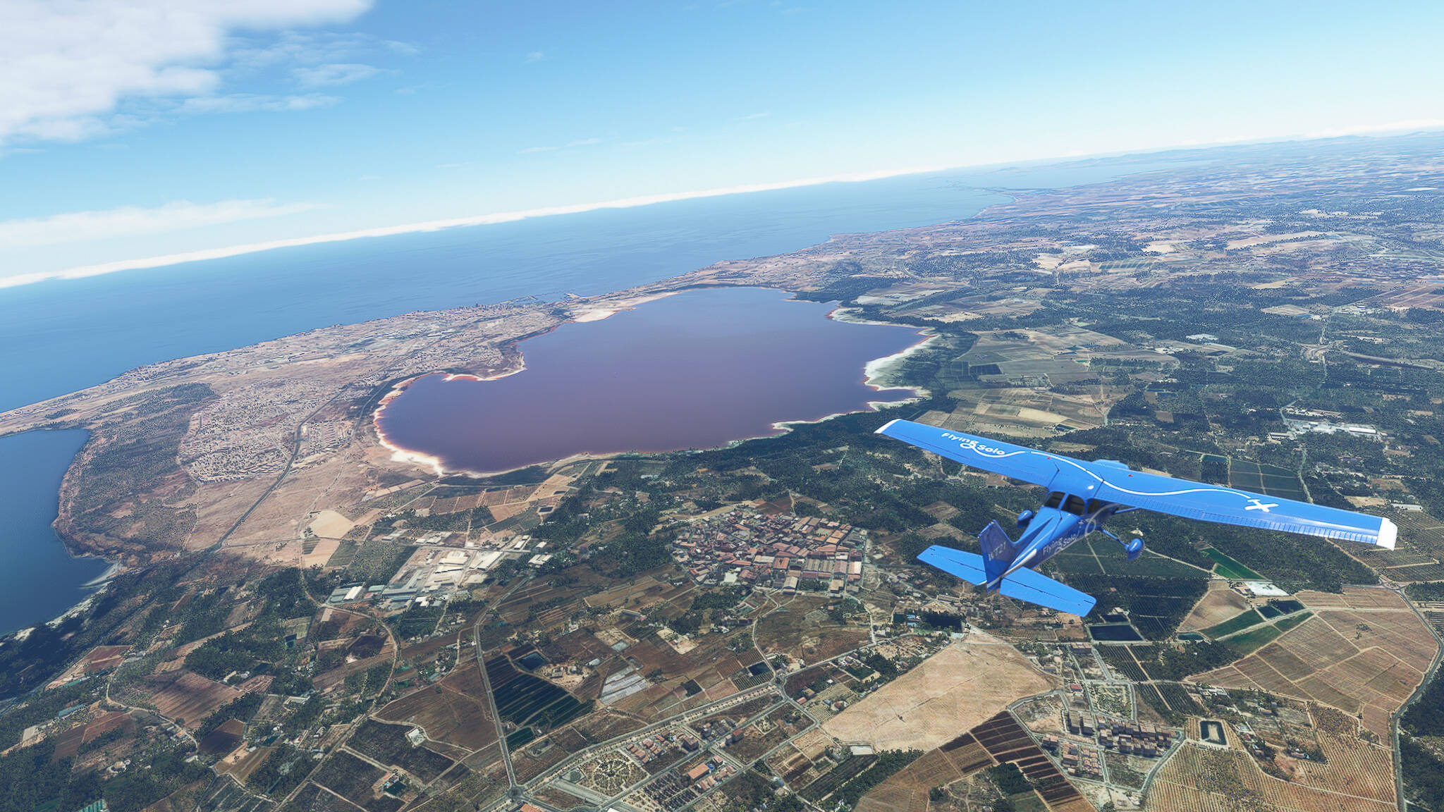
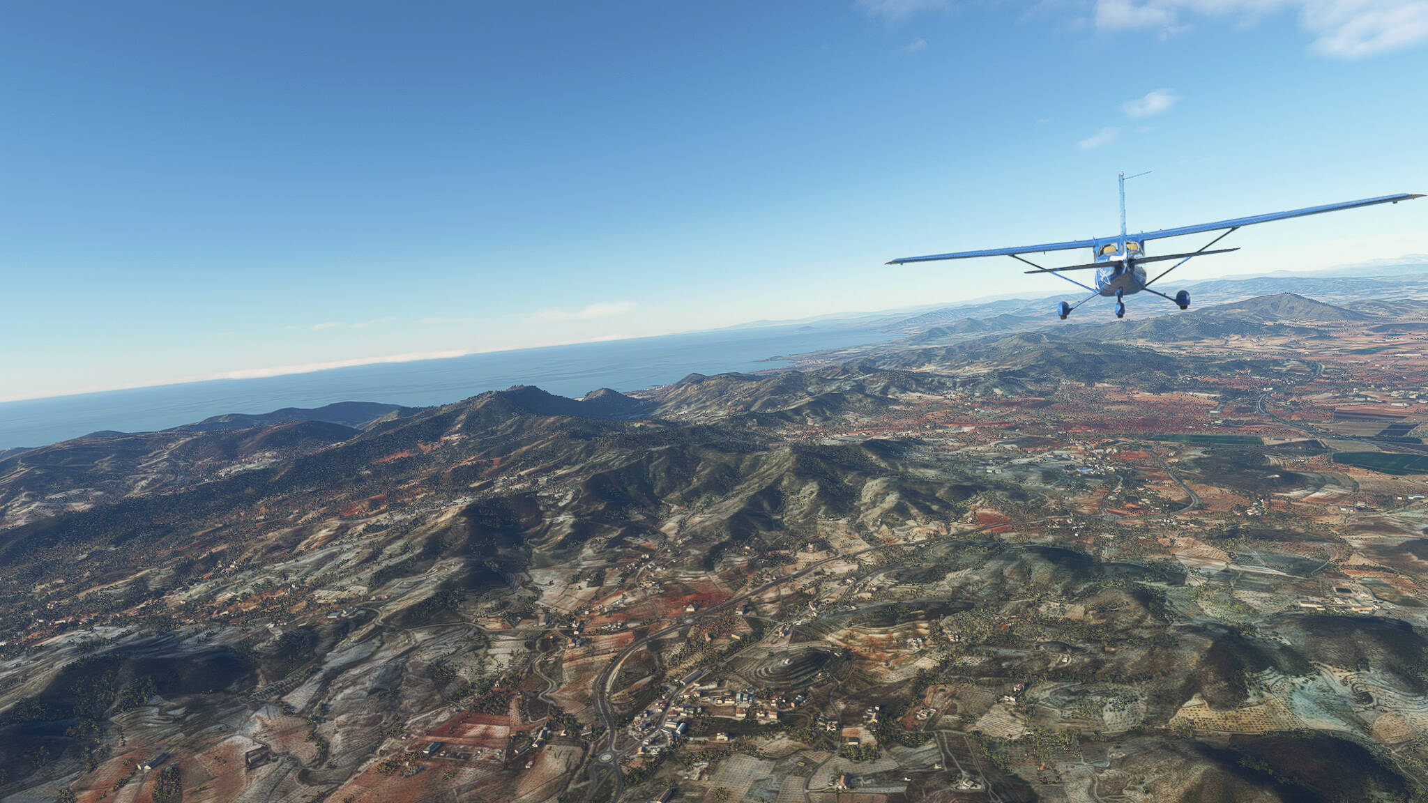
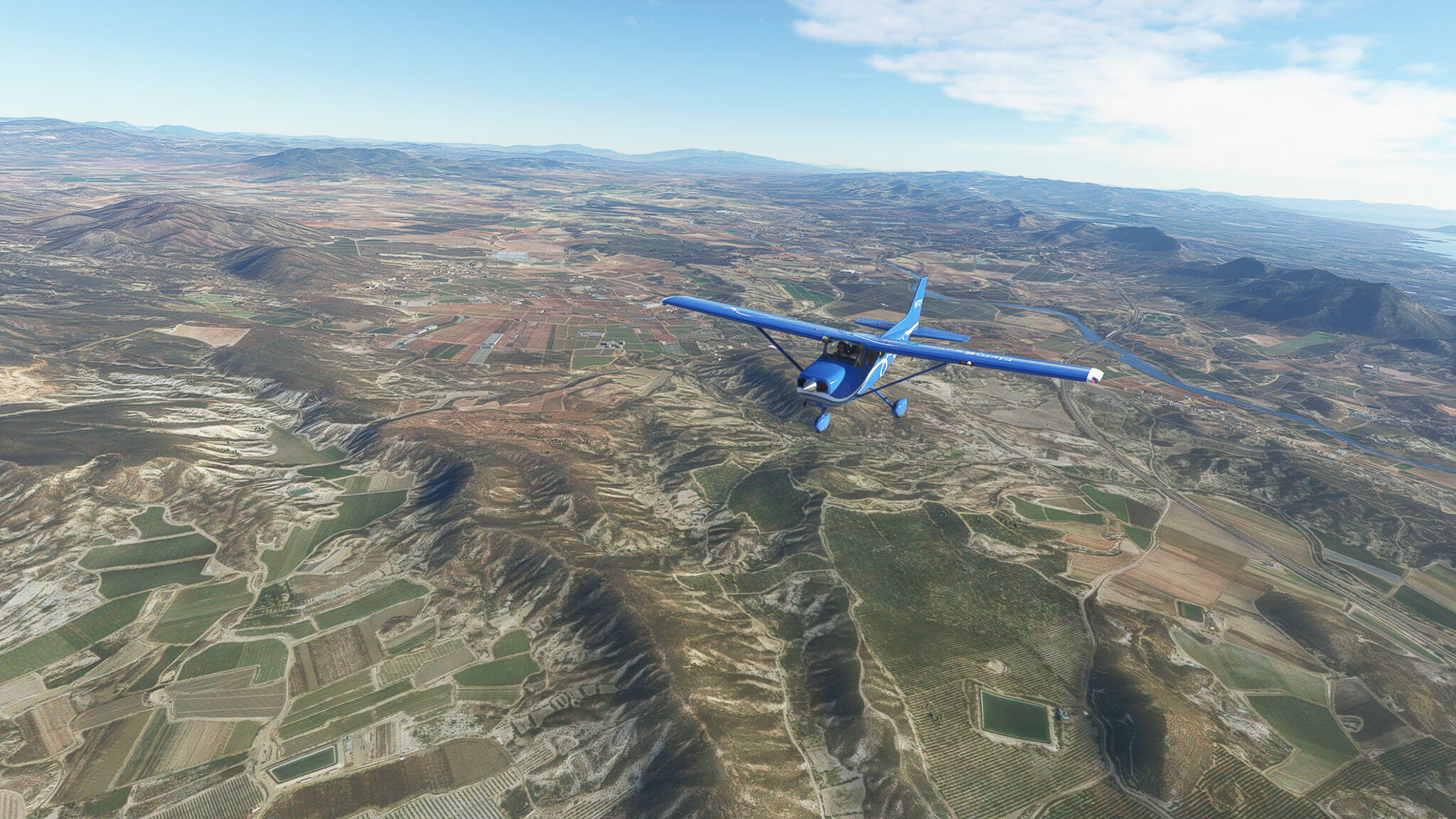
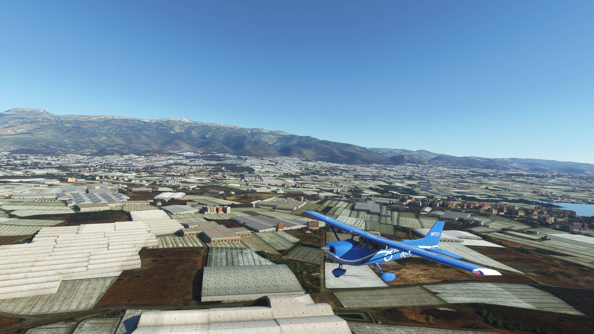
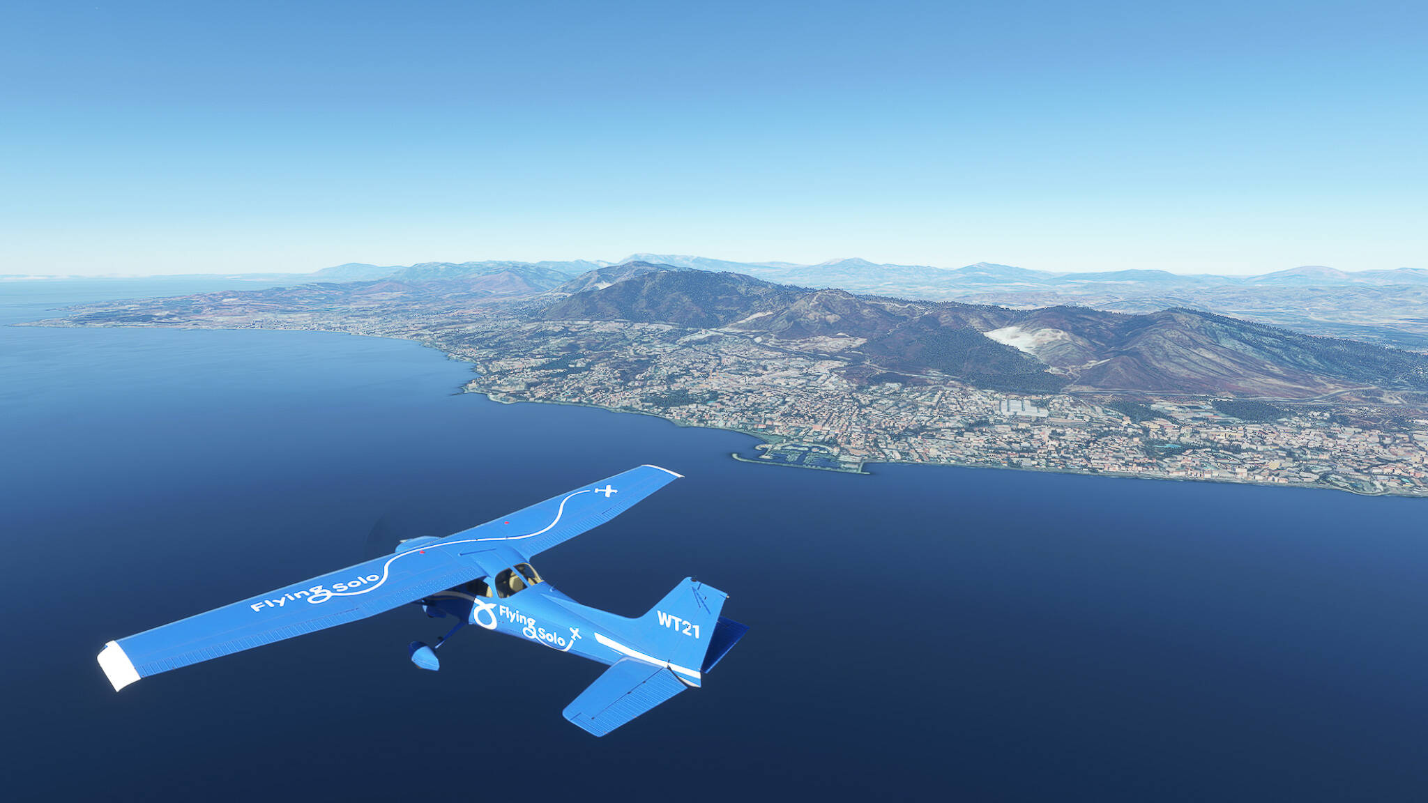
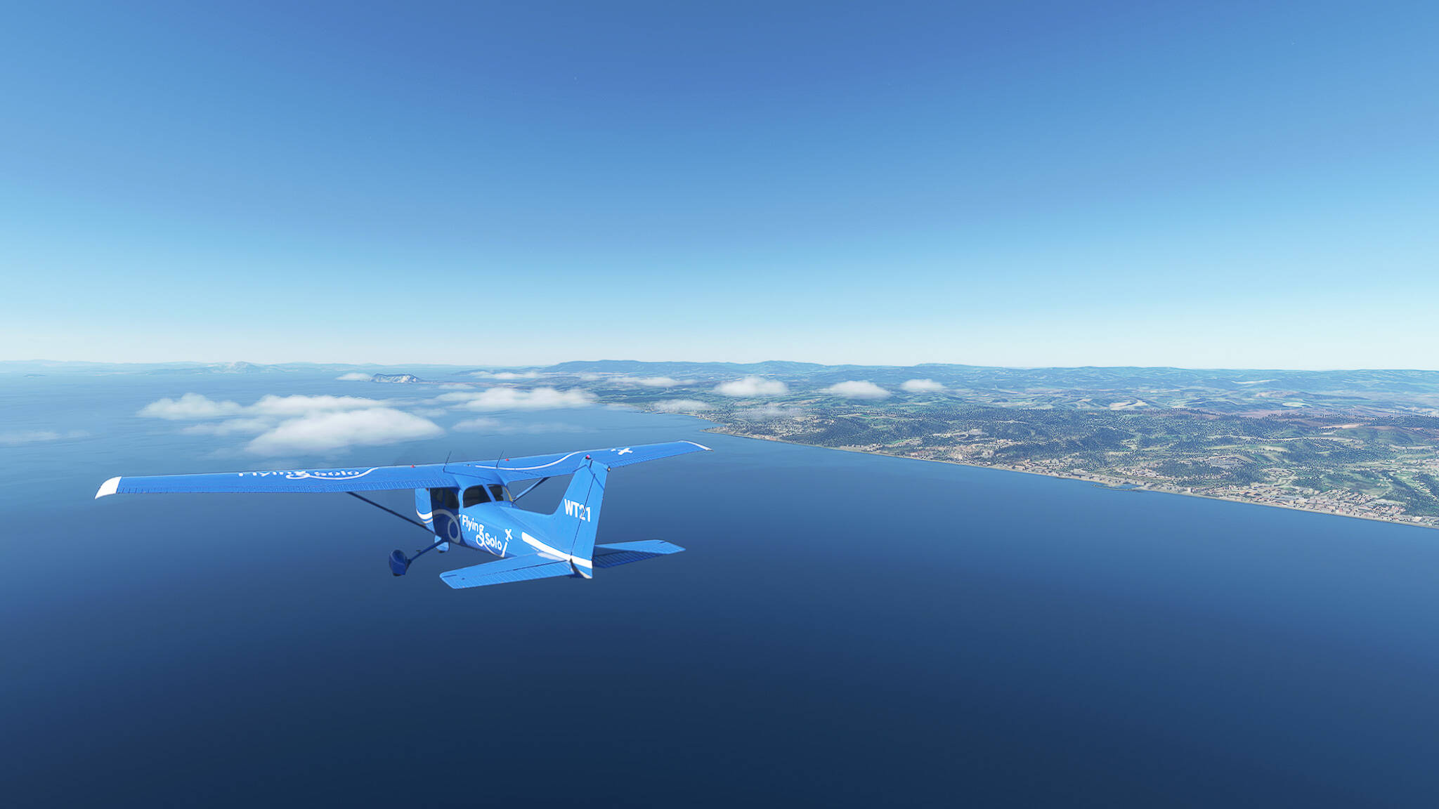
Back again. As with the one before I wasn’t happy with my second World Trip attempt. Well, if you can’t be happy with what you’re doing than change it - so I did.

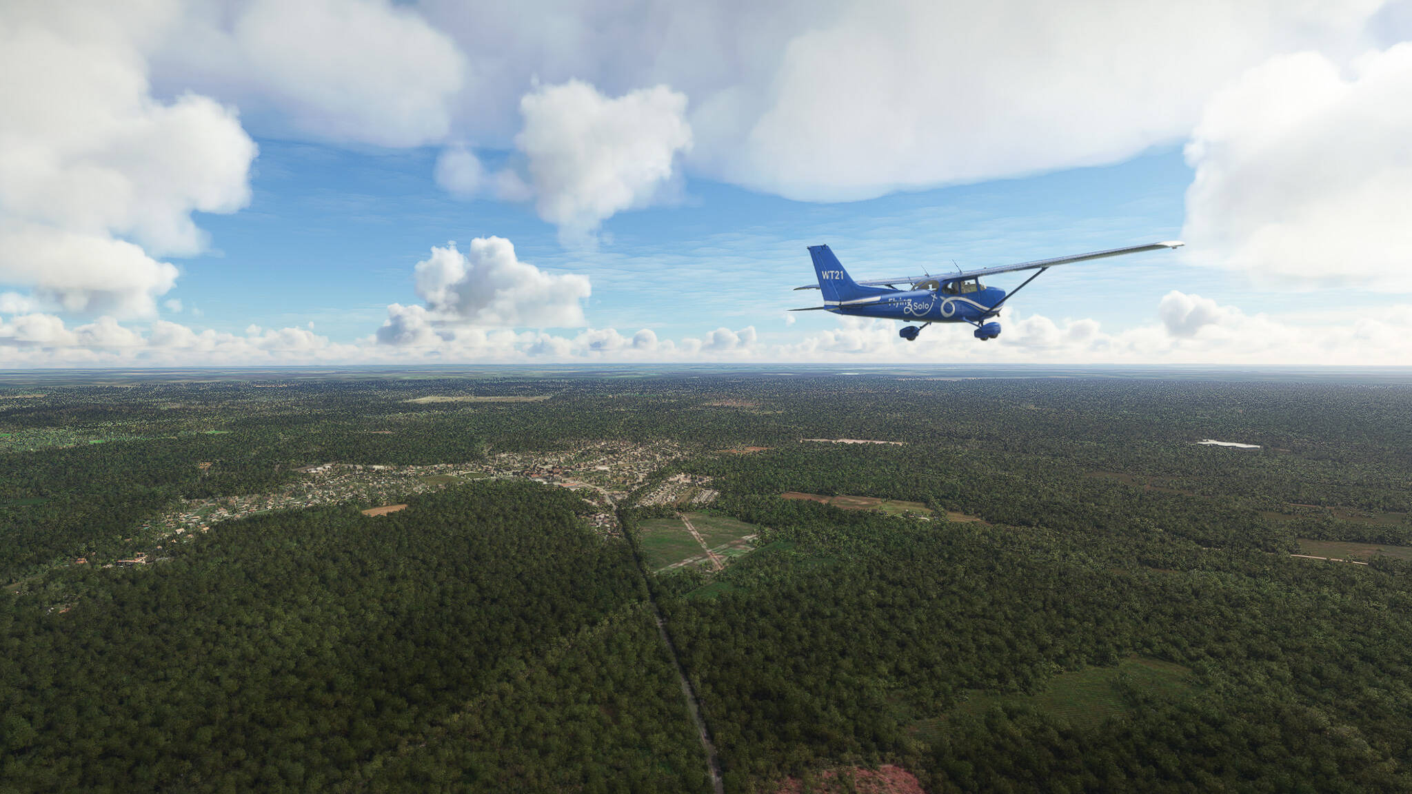
This won’t be a classical RTW attempt. It is a series of consecutive flights with a Cessna 172 Skyhawk G1000. I won’t call it a World Trip because I don’t know where I am going. I won’t plan much but rather start from the last airfield we landed on and see where we might find pretty places and cool stories.

There won’t be any rules or boundaries. An unspecified number of consecutive flights with an open end. I hope you’ll enjoy it!

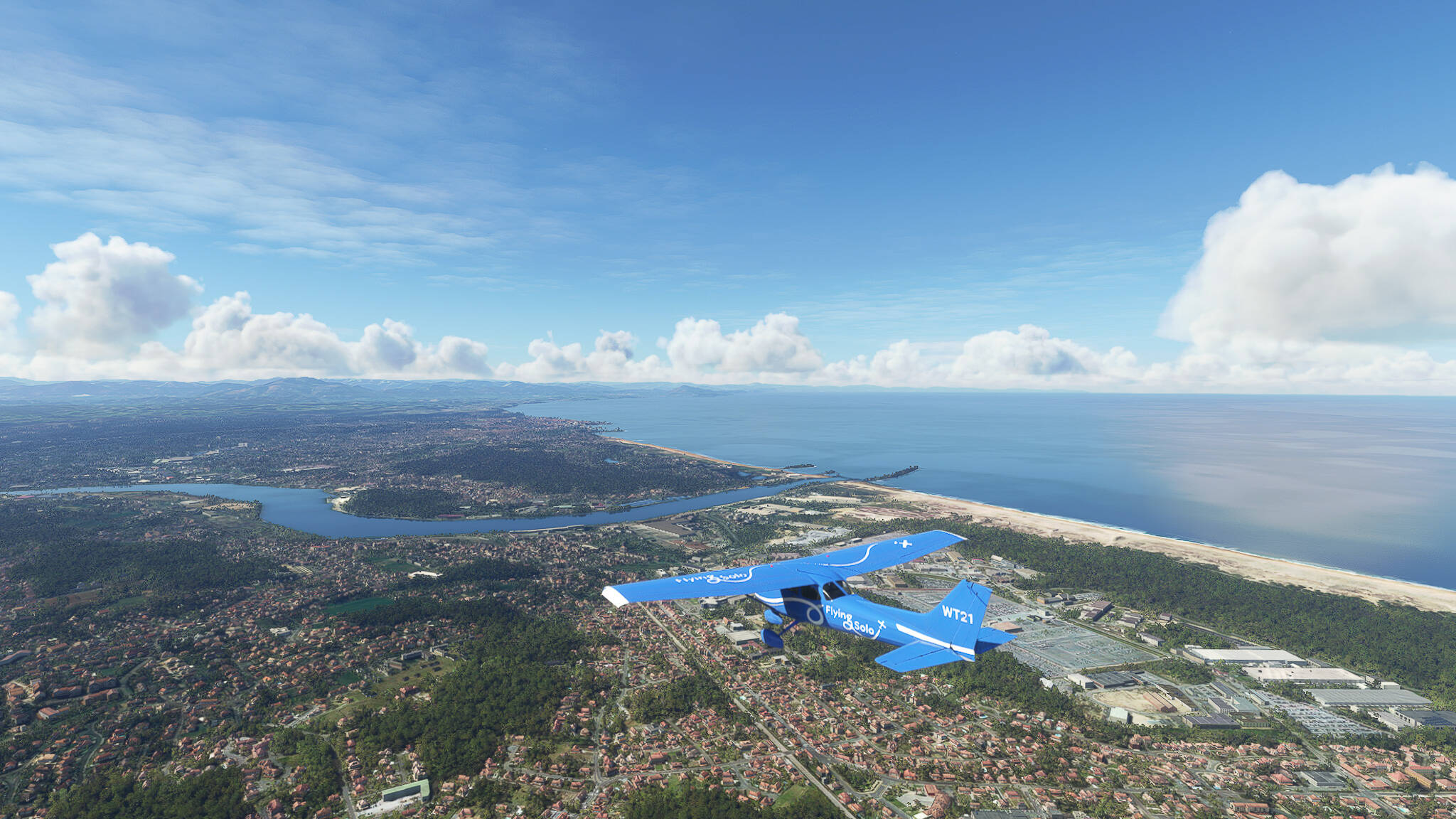
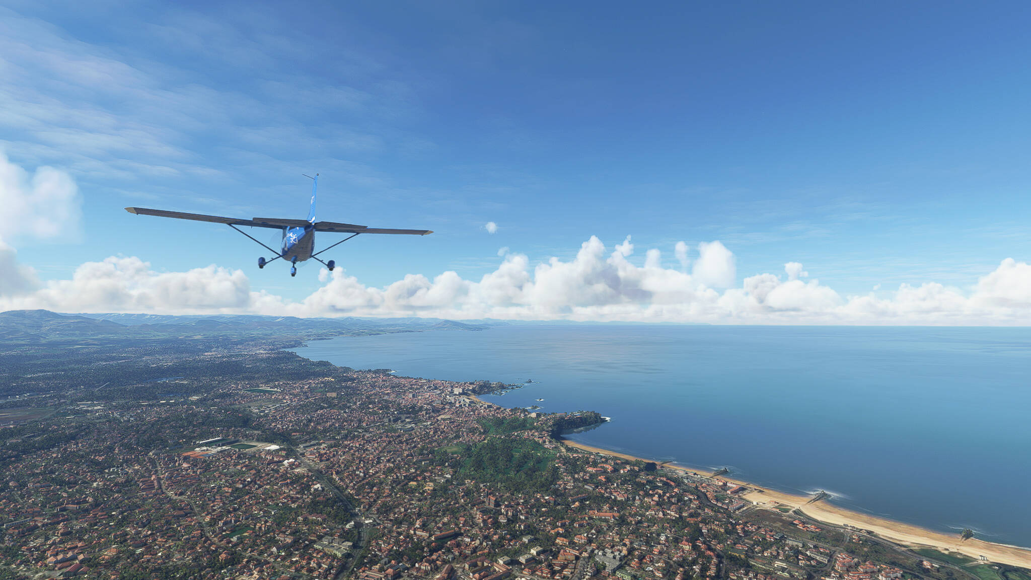
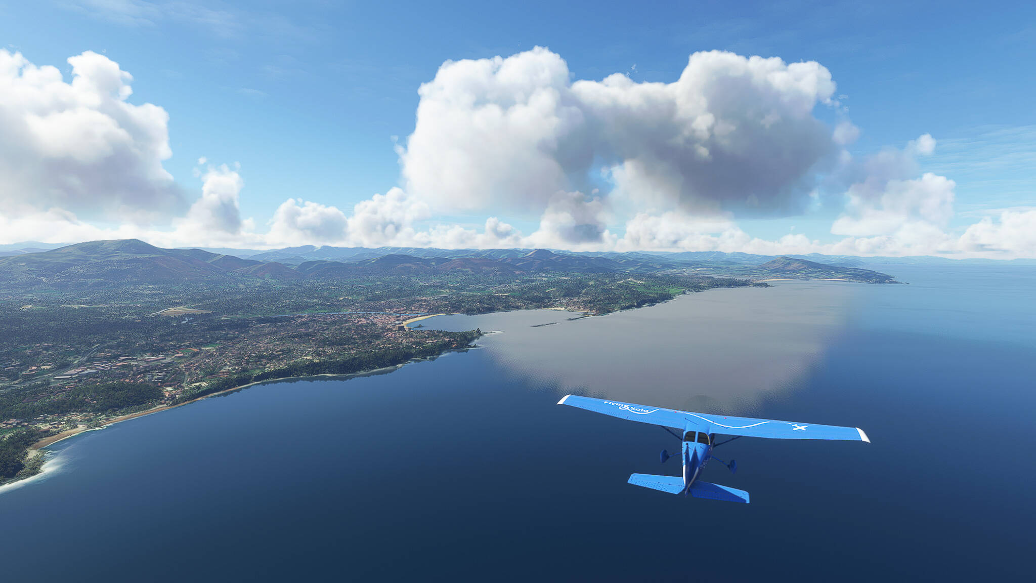
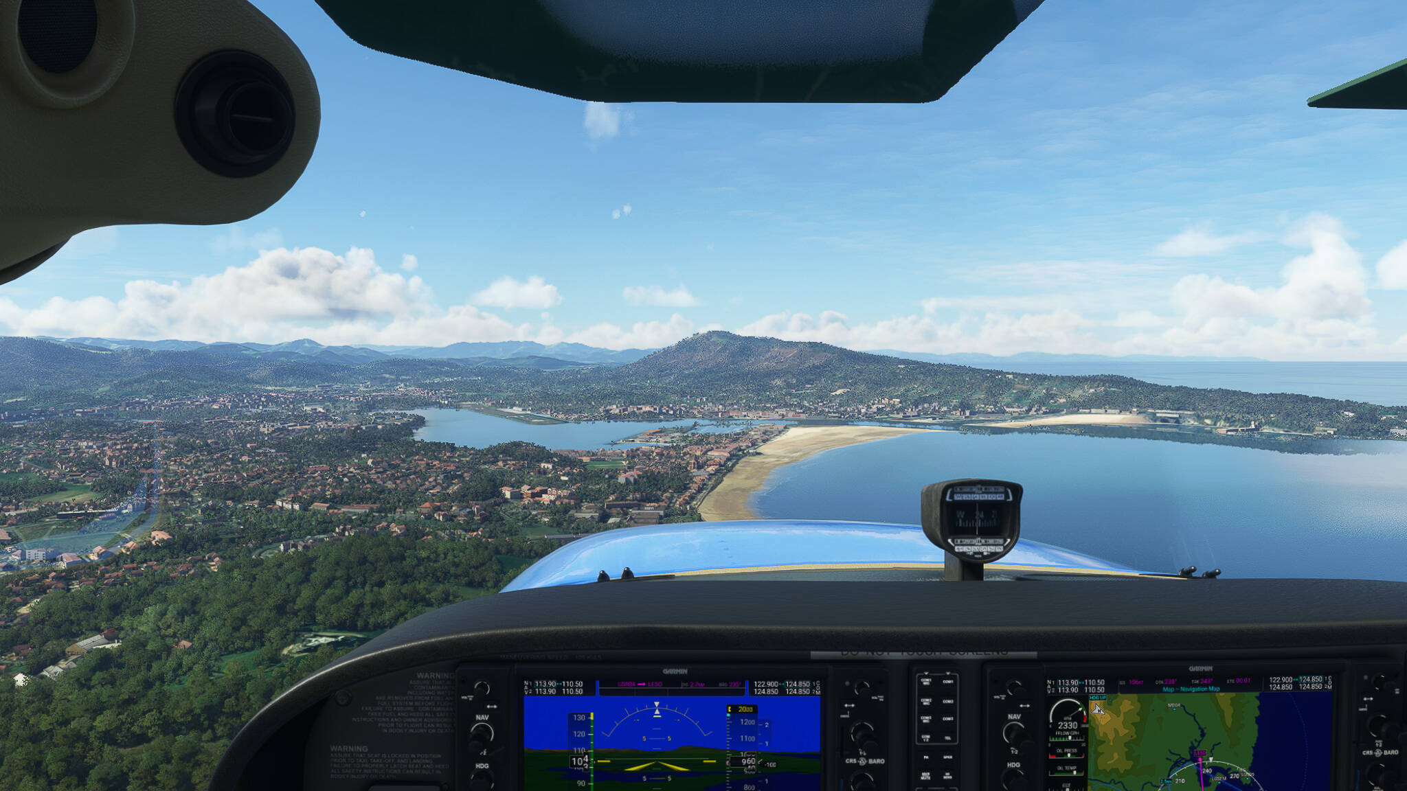
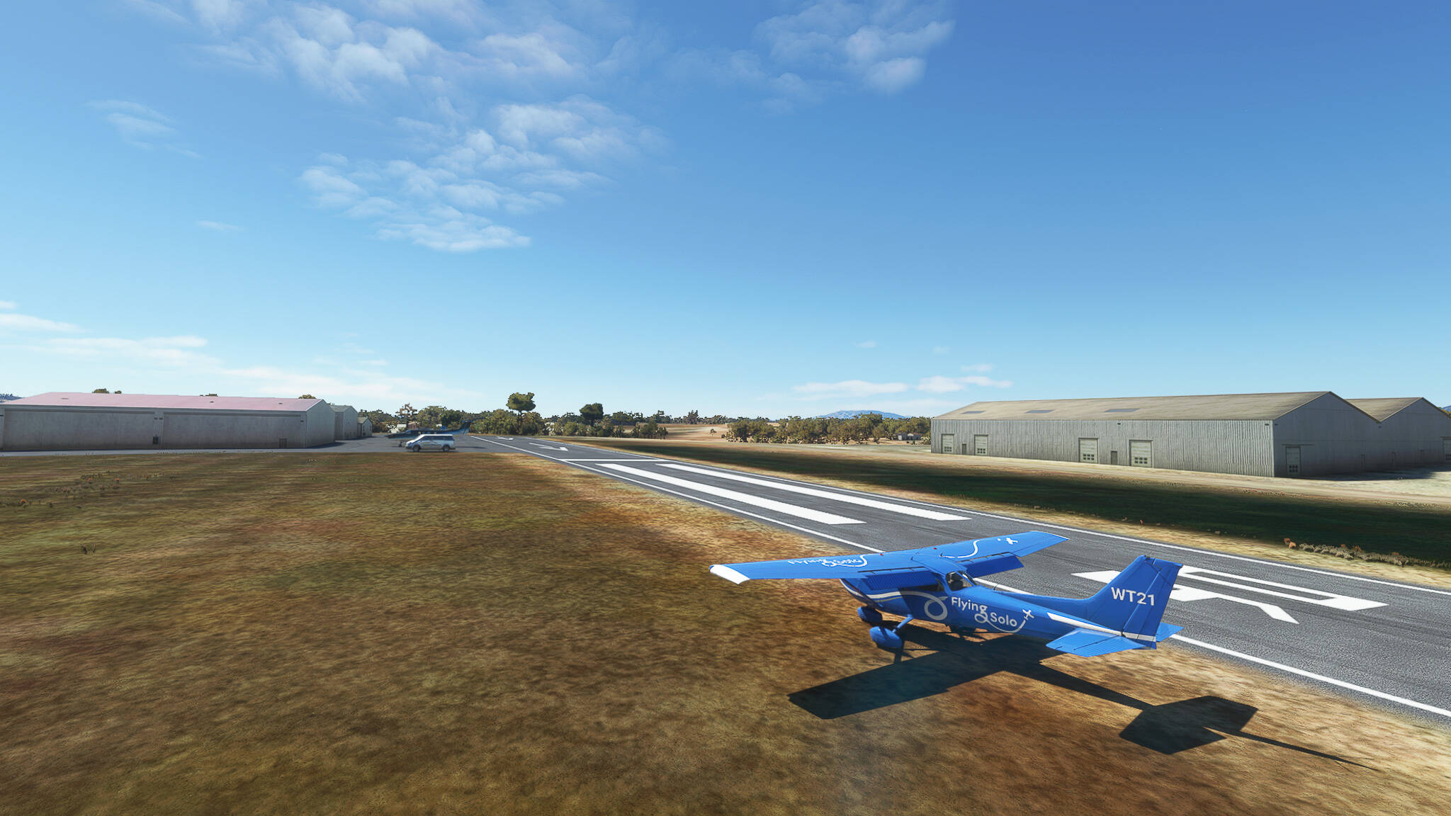
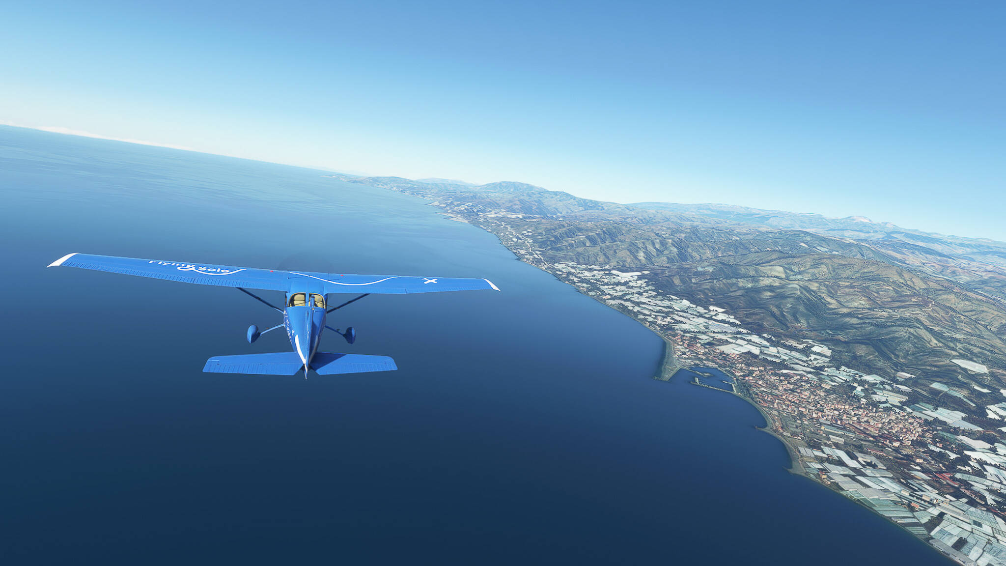
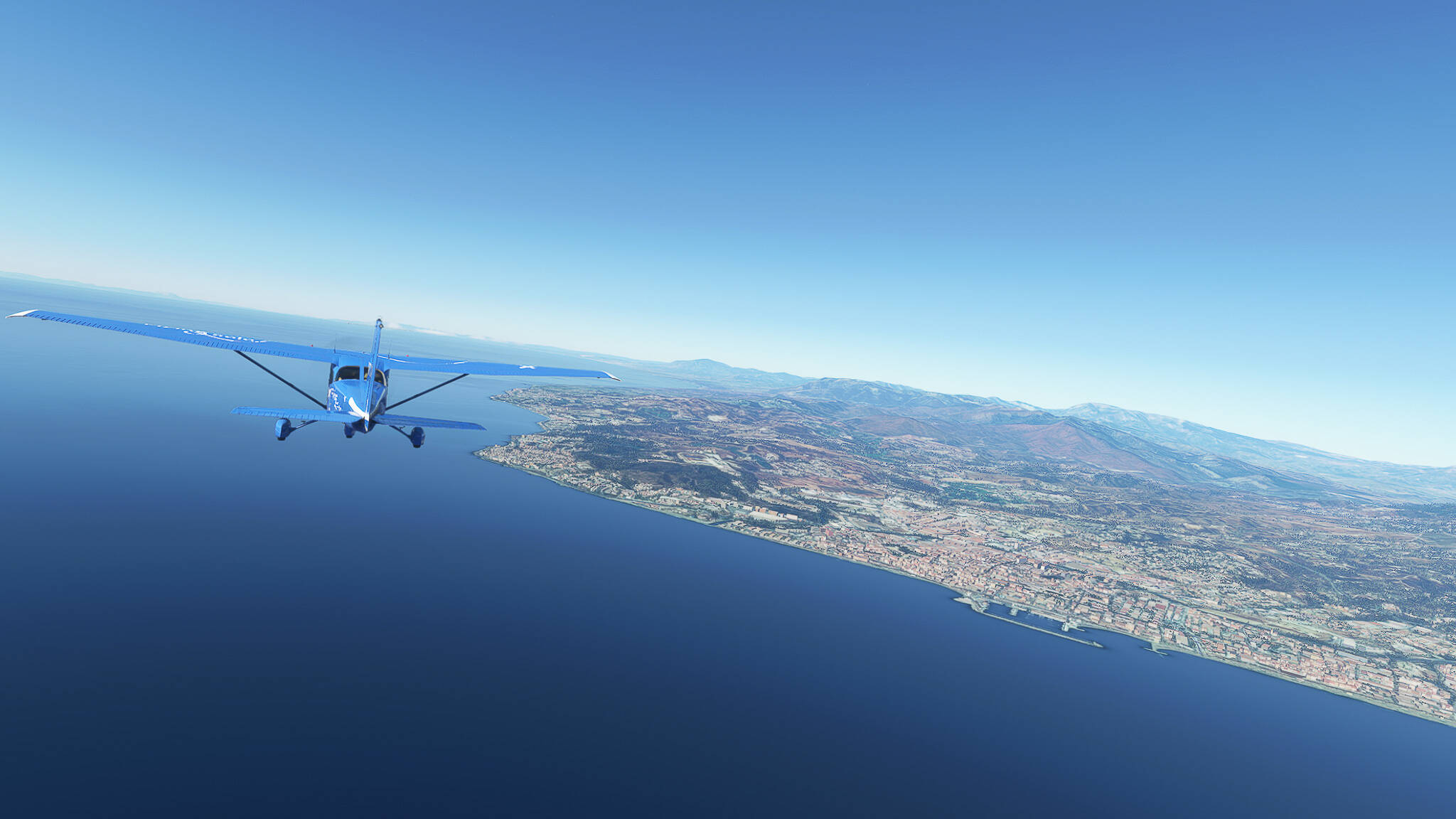
Flight: Ouessant (LFEC) - Vannes (LFRV), France.

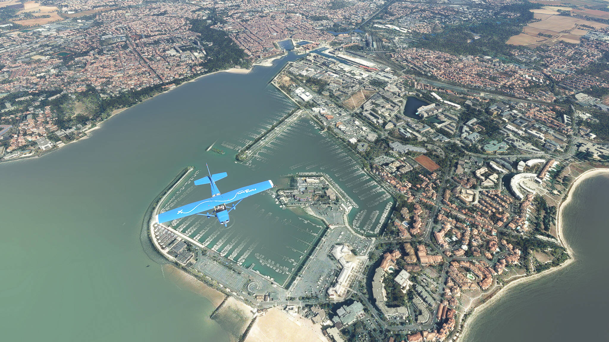
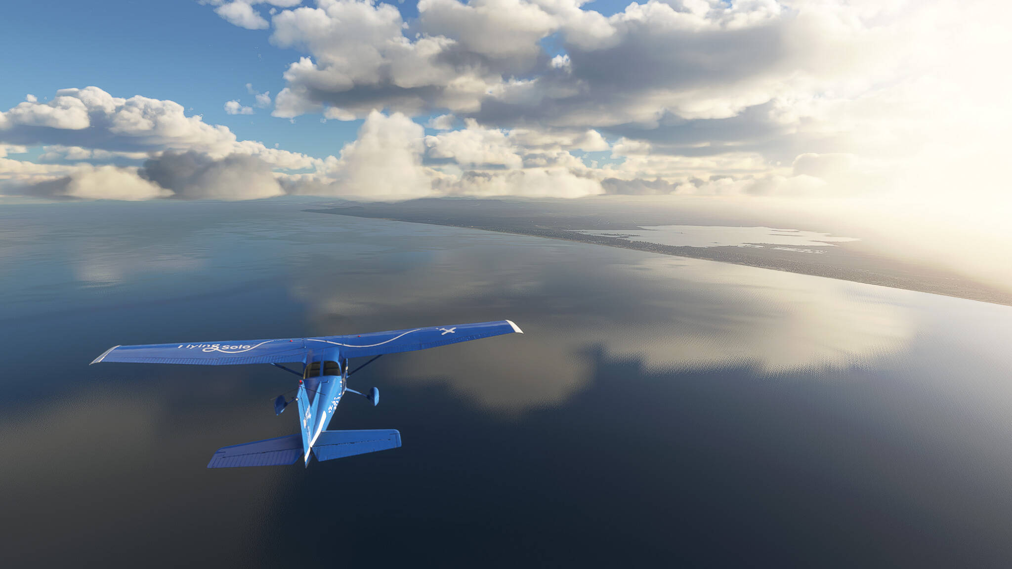
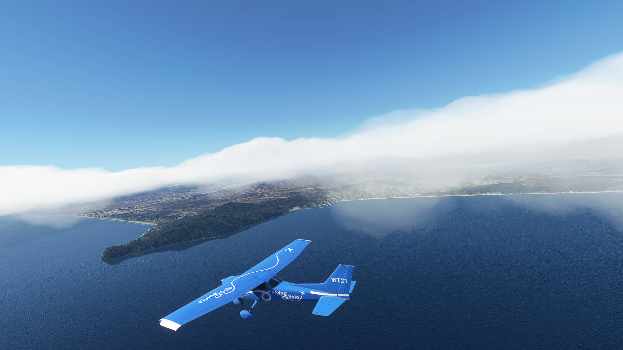
We started today on the Island of Ouessant - the westernmost tip of European France and western entrance marker to the English Channel. The small airfield is only serviced from Brest although ferry connections exist between Ouessant and Molene, a smaller island to the south.


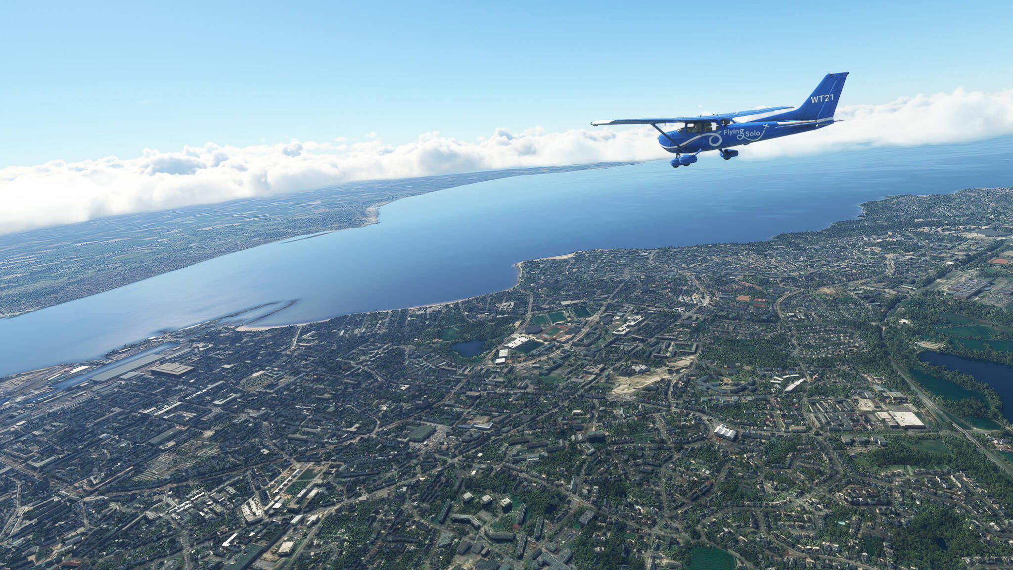
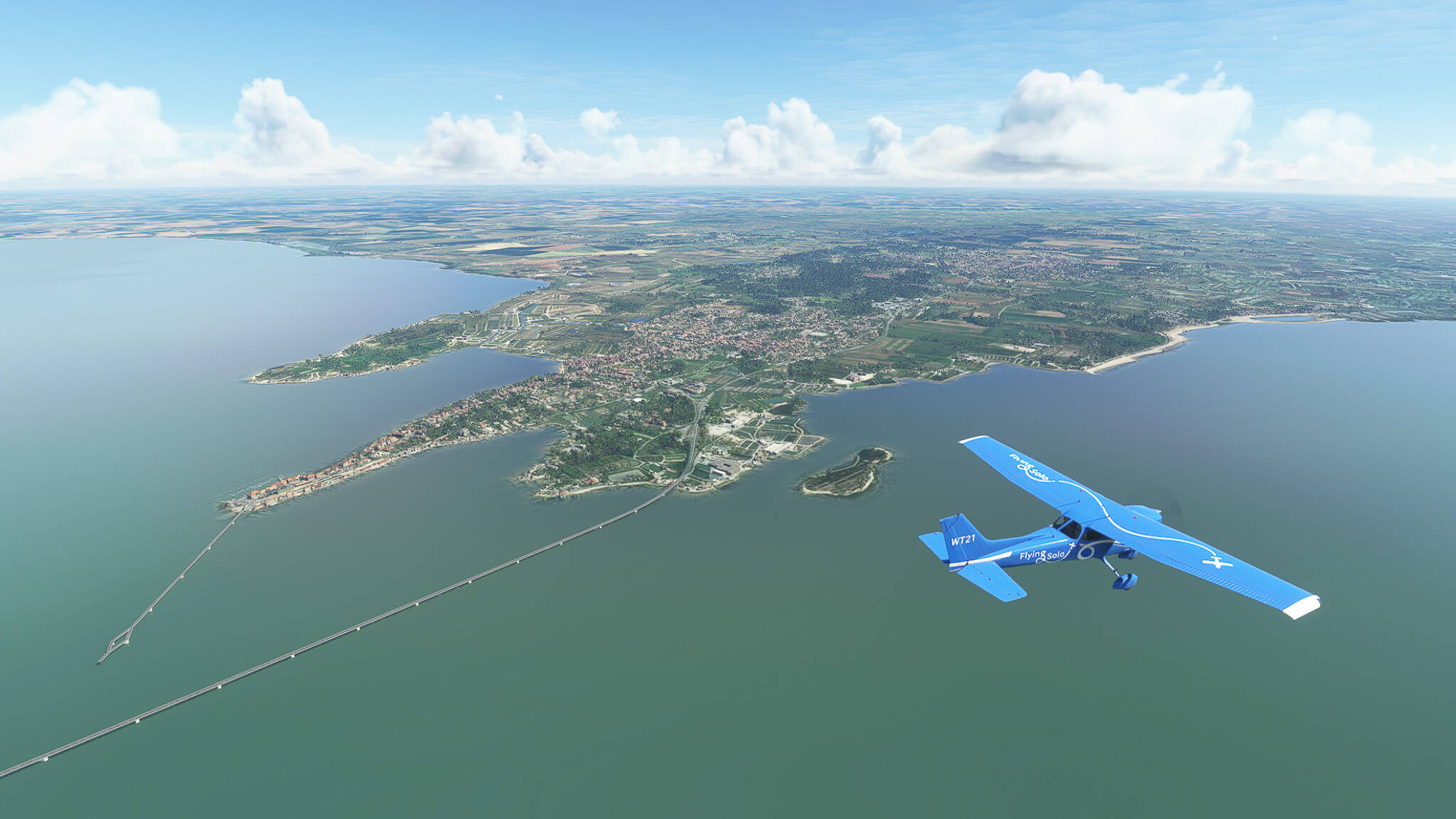
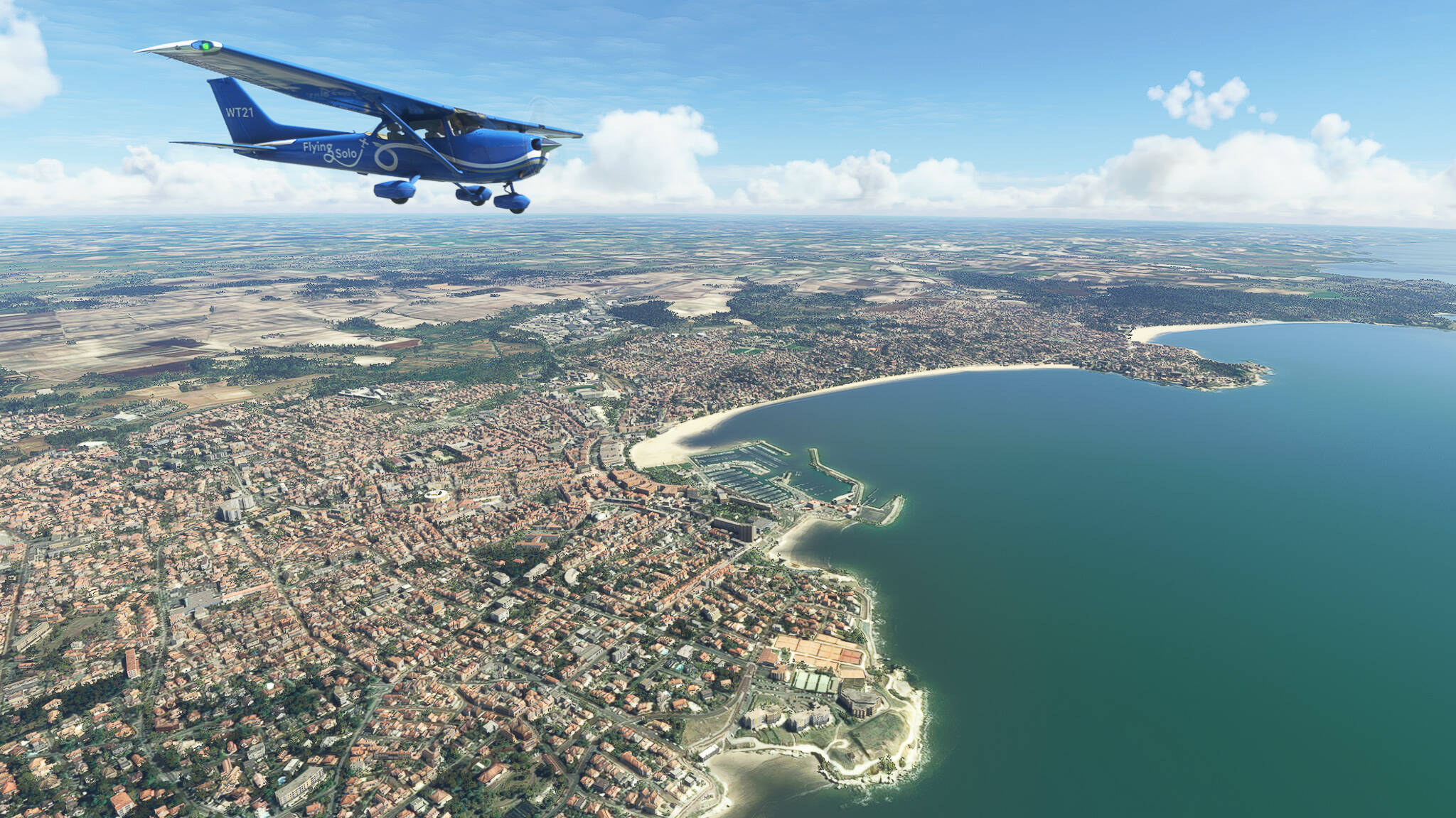
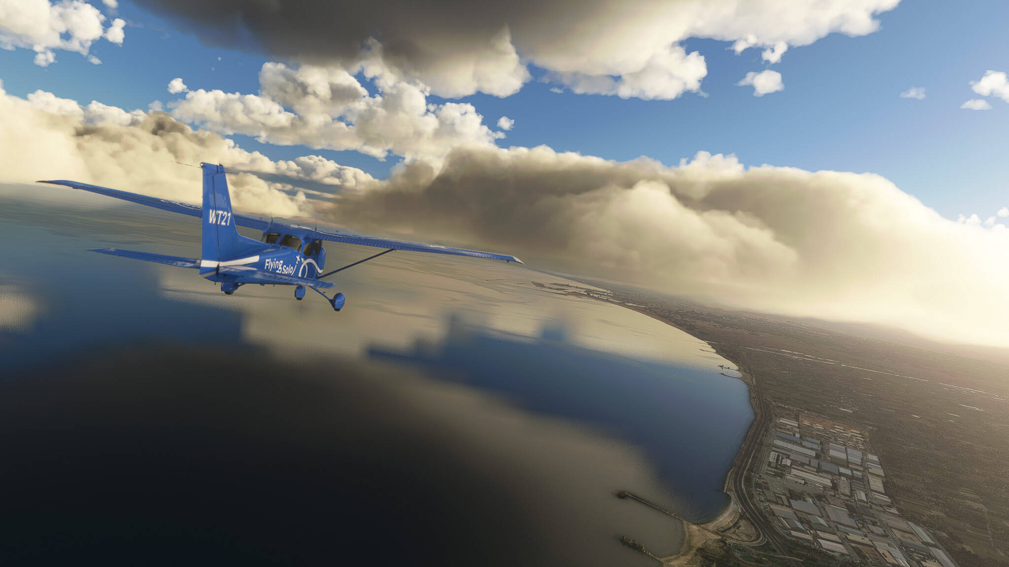
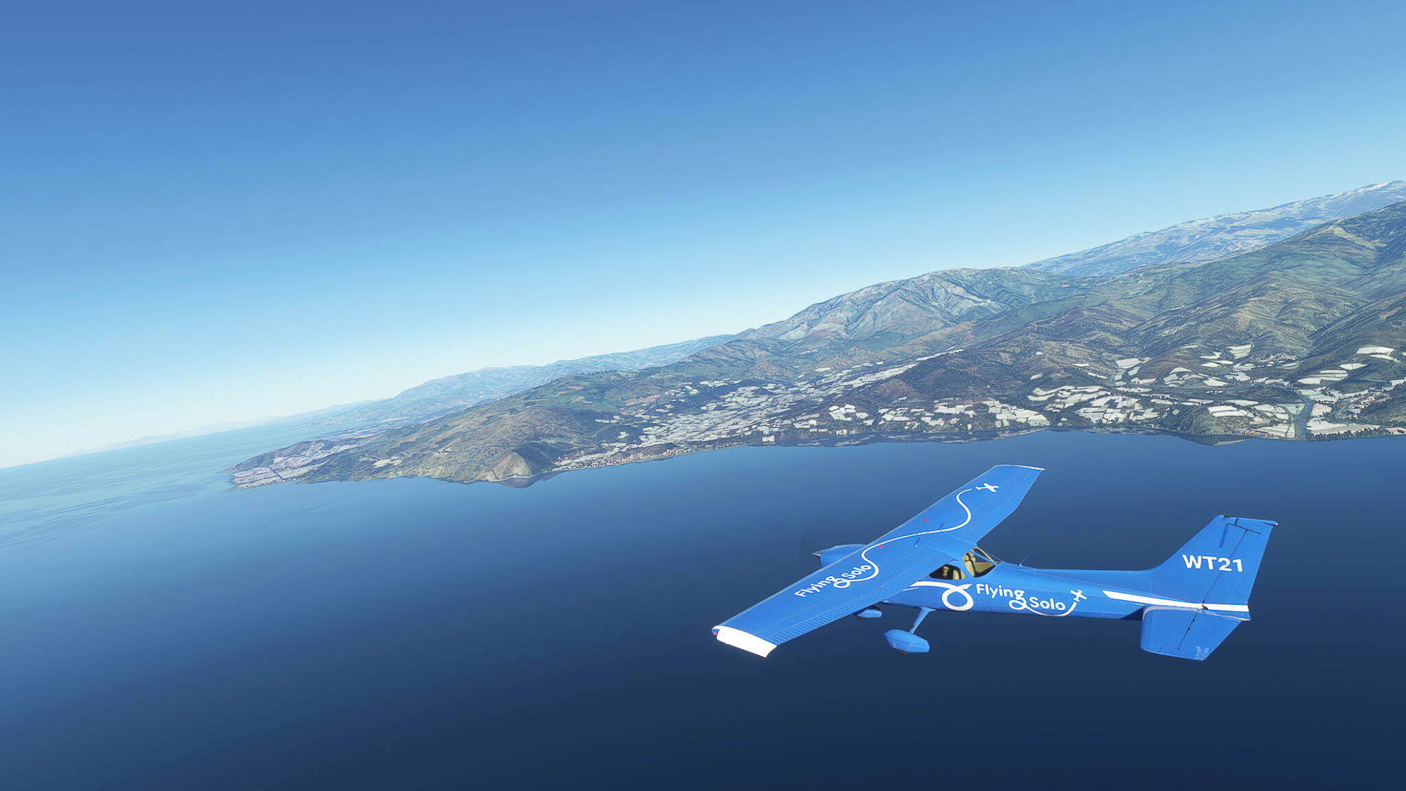
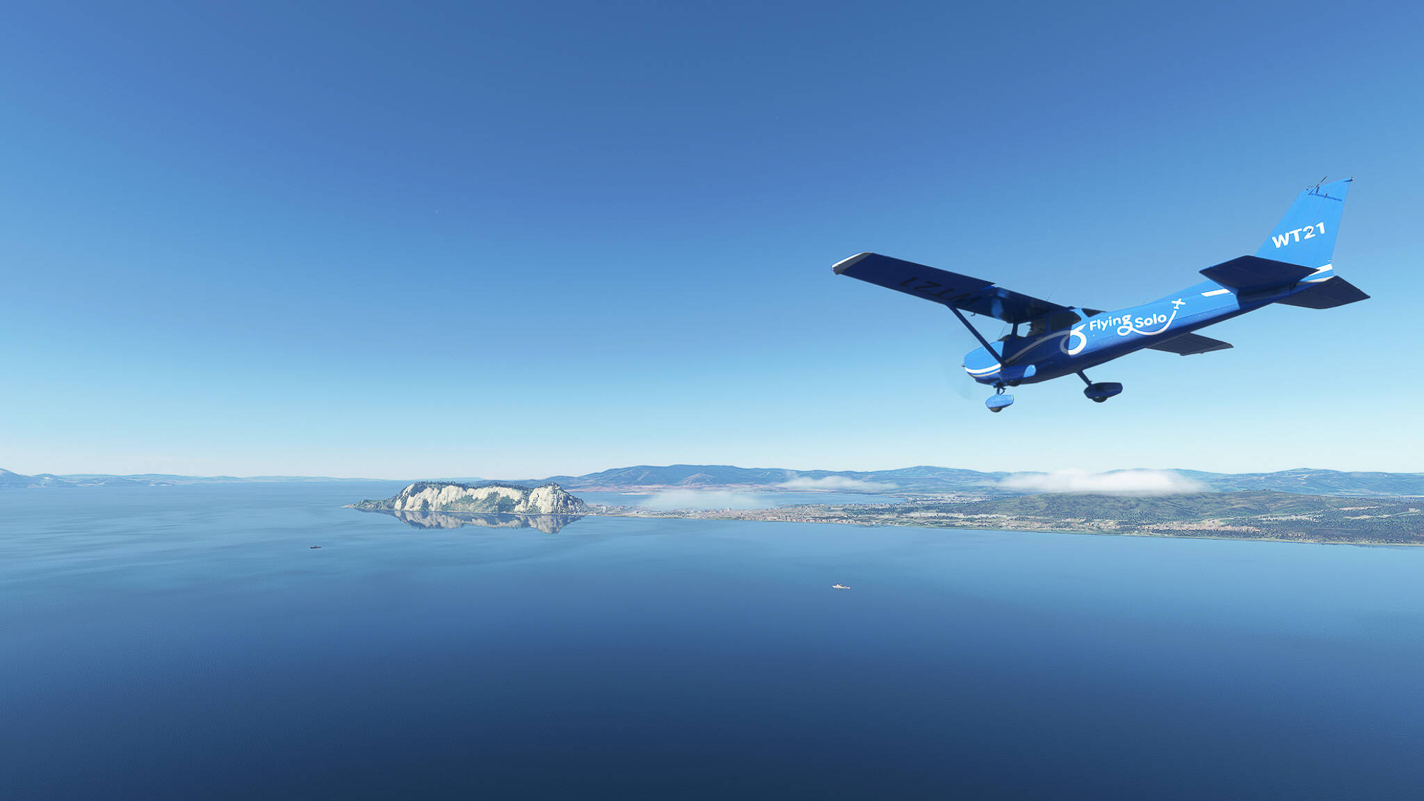
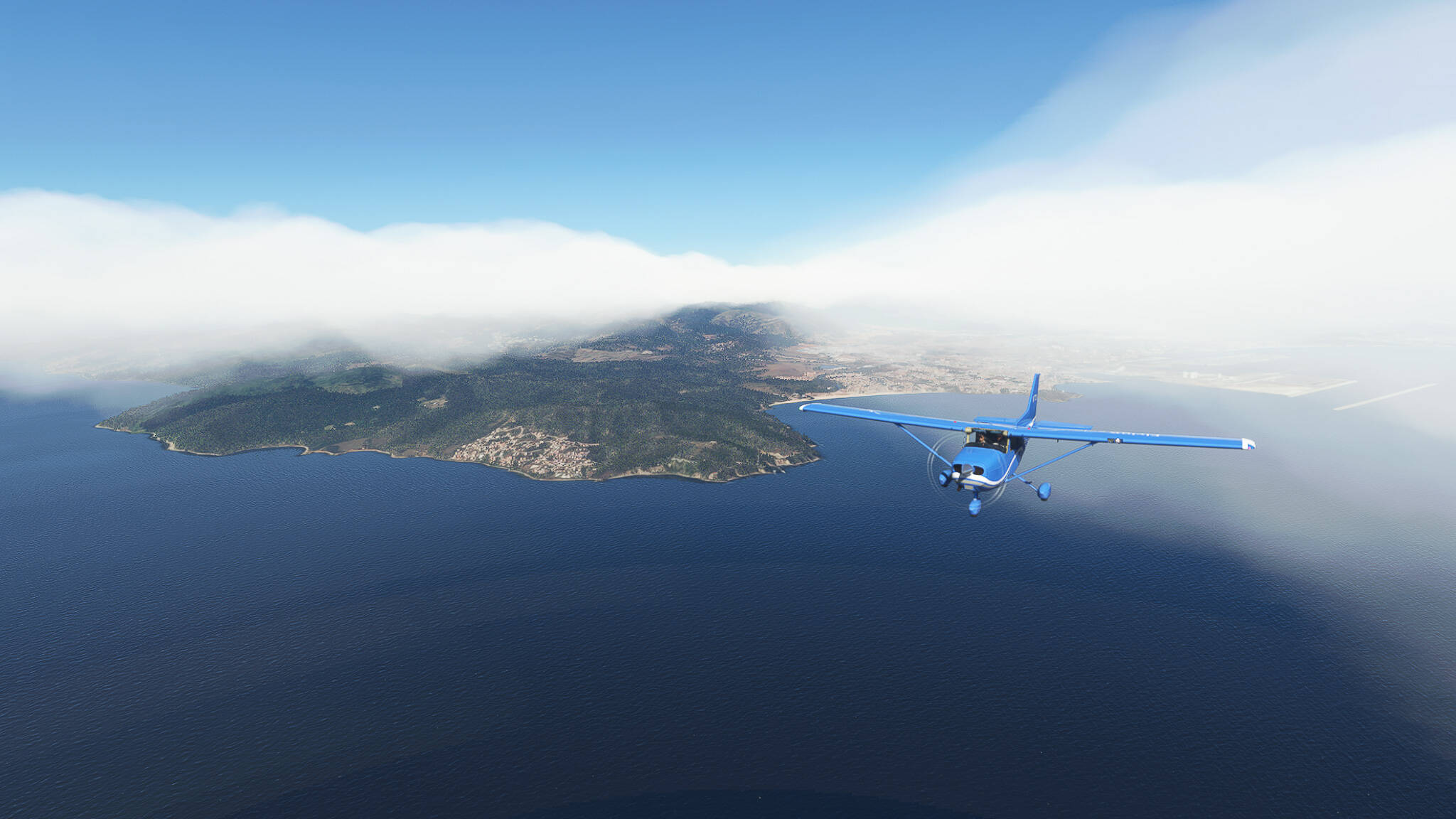
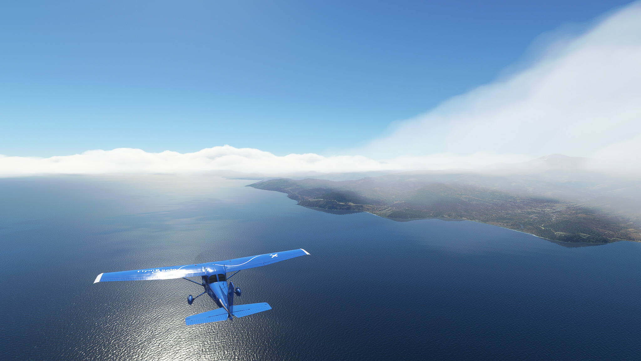
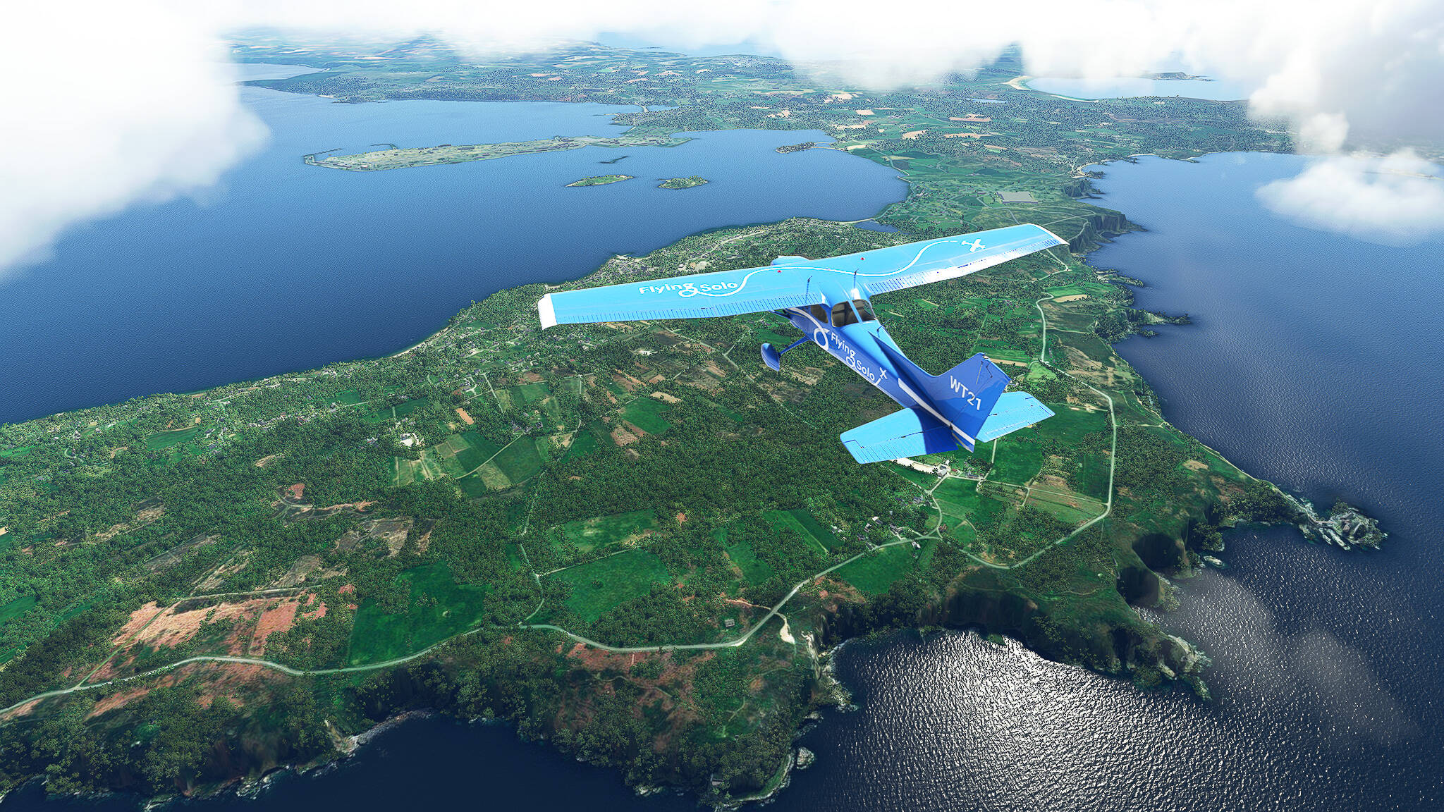
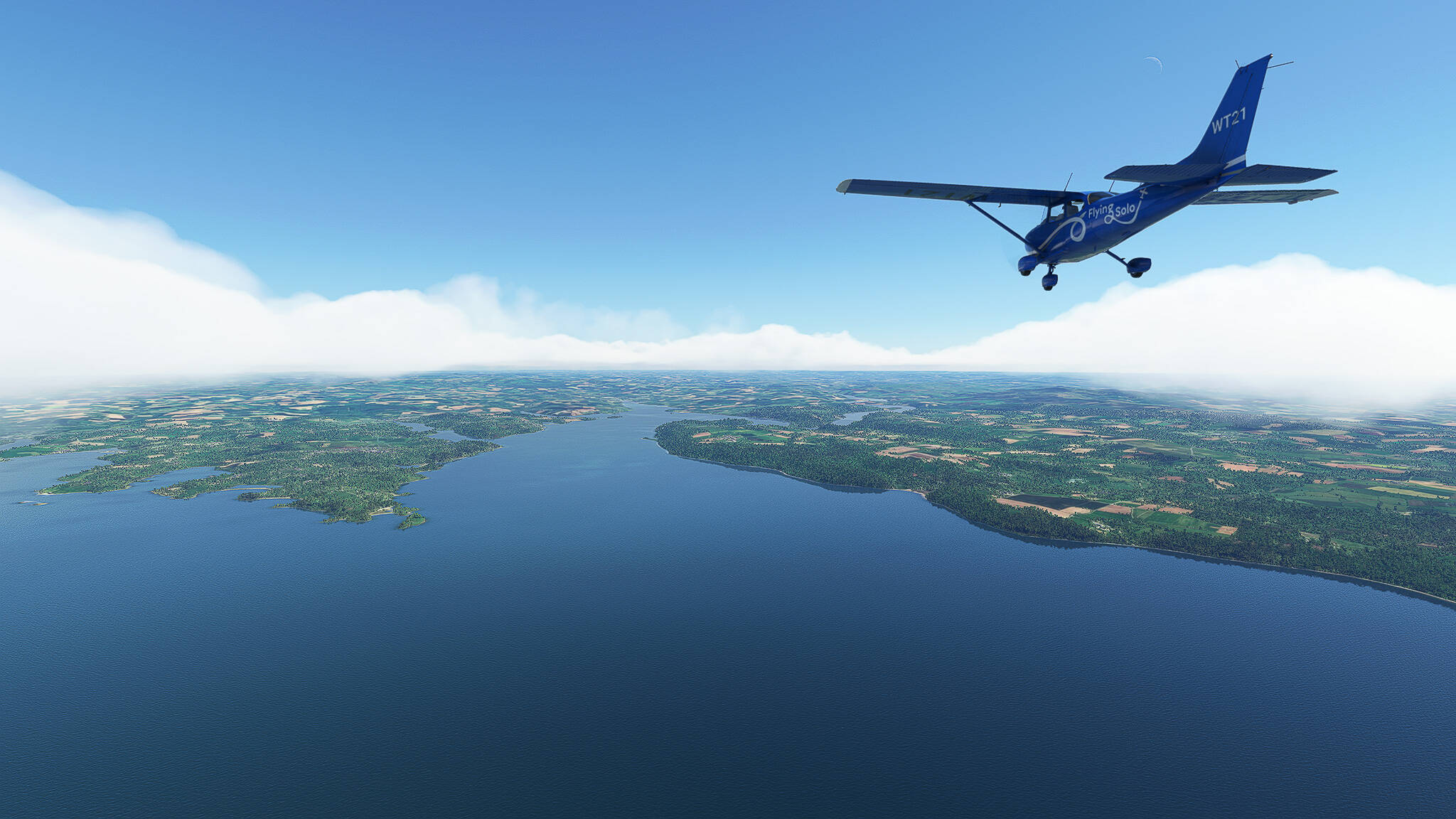
We hit the mainland of France at the southern end of the Cote des Abers near Le Conquet. This little village is an important regional crab-fishing port. Not far from it the Rade de Brest (Roadstead of Brest) meets the ocean near the village Plougonvelin.


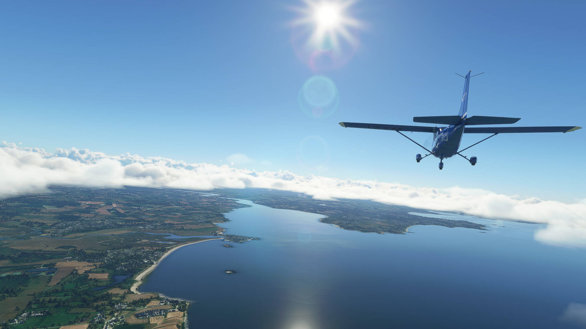
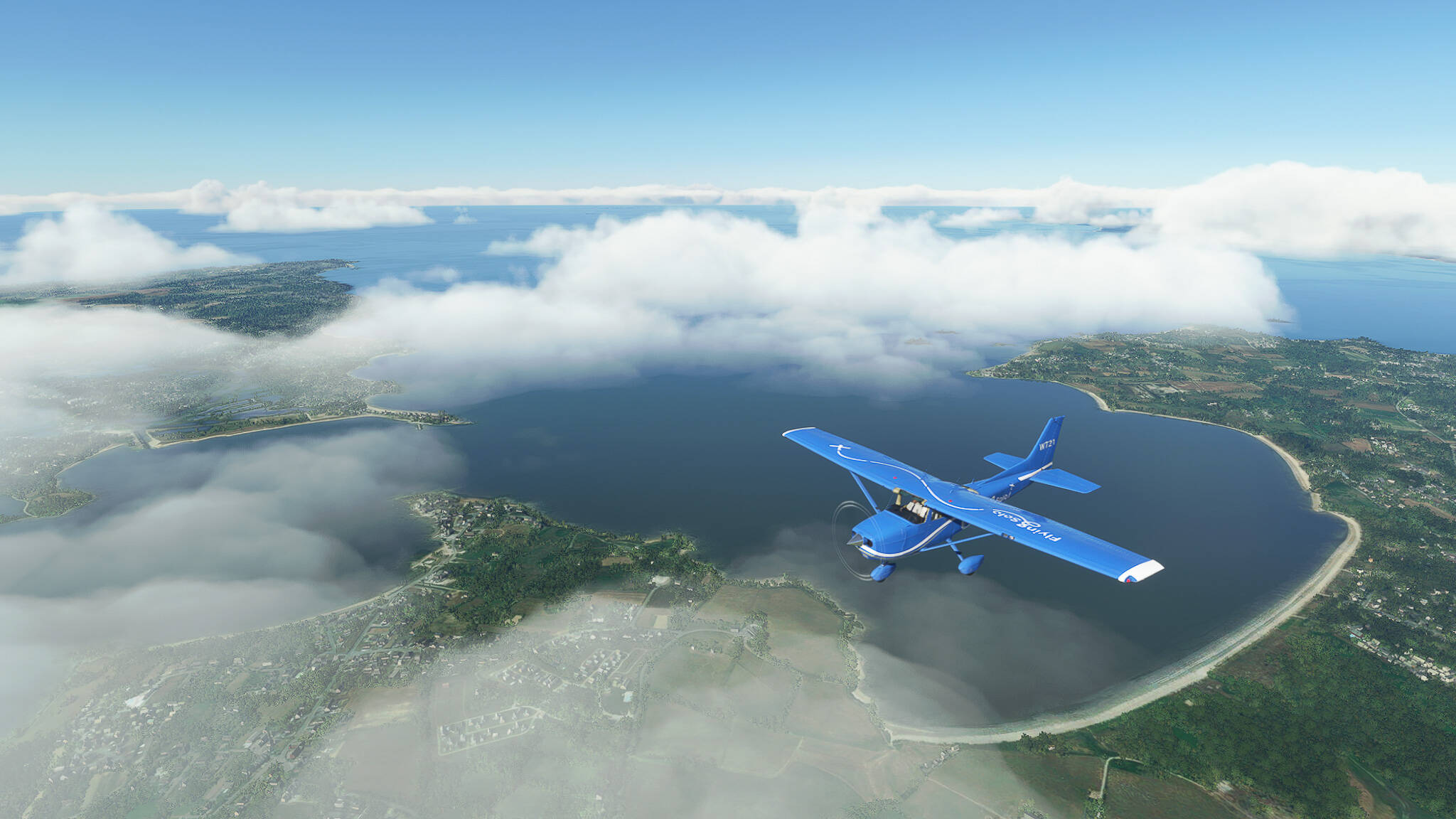
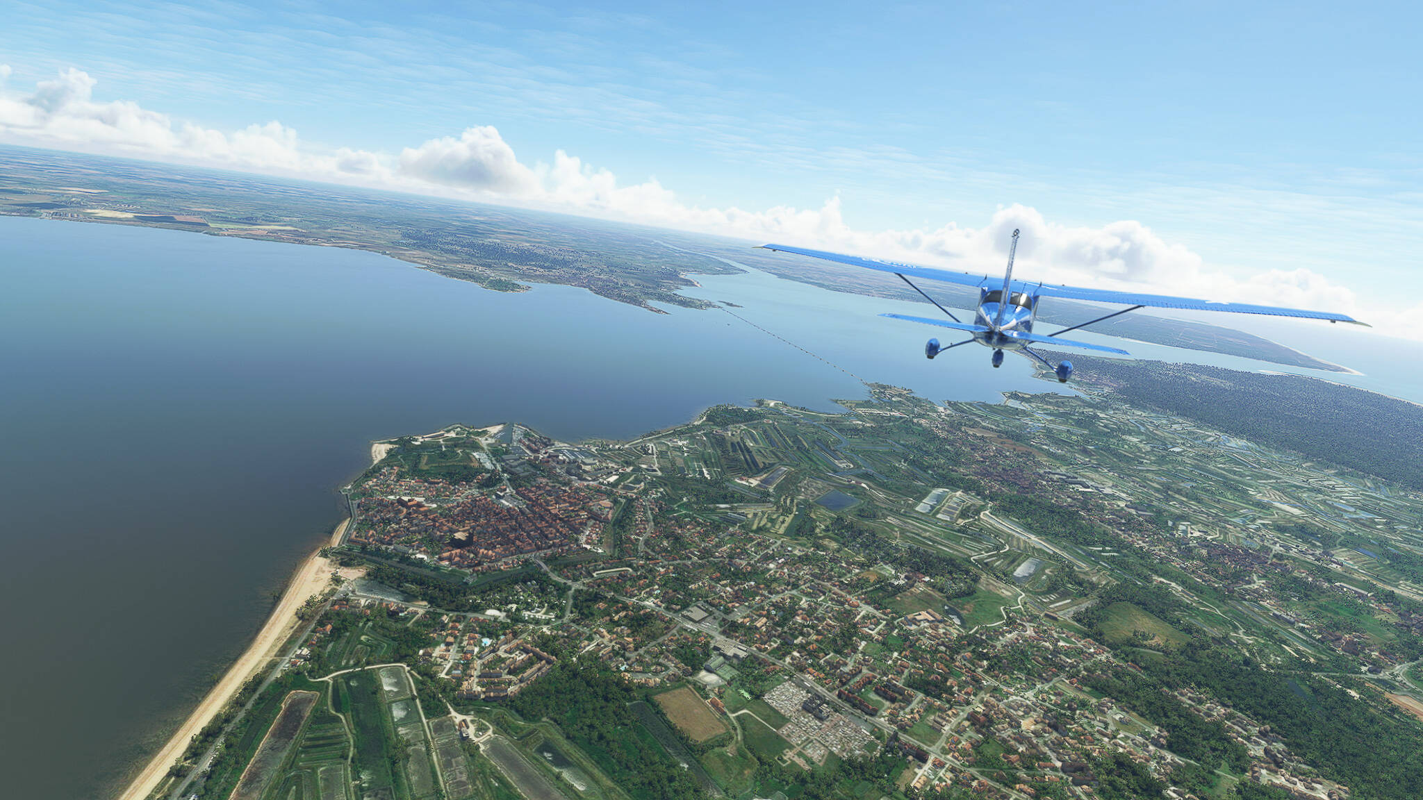
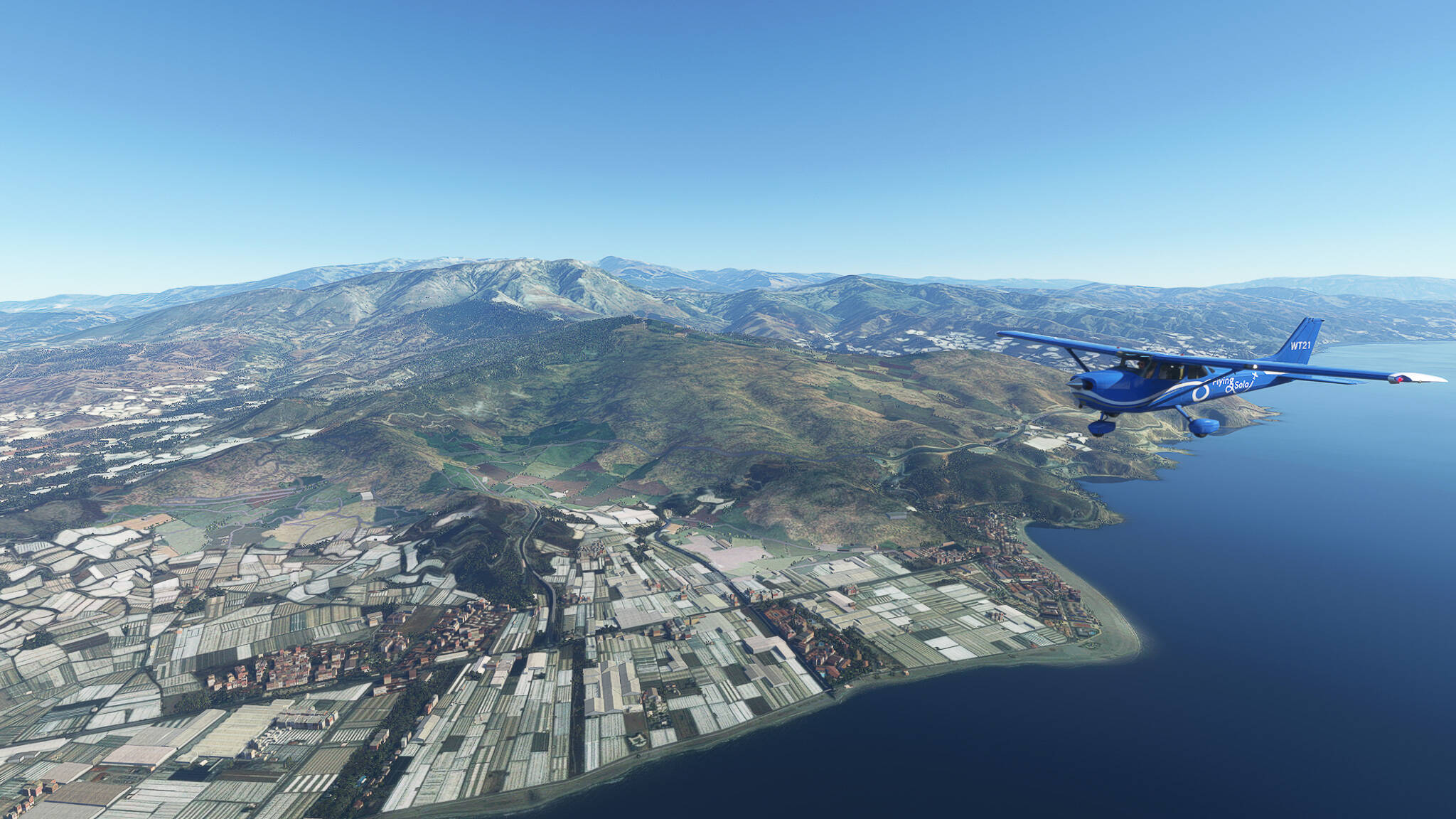
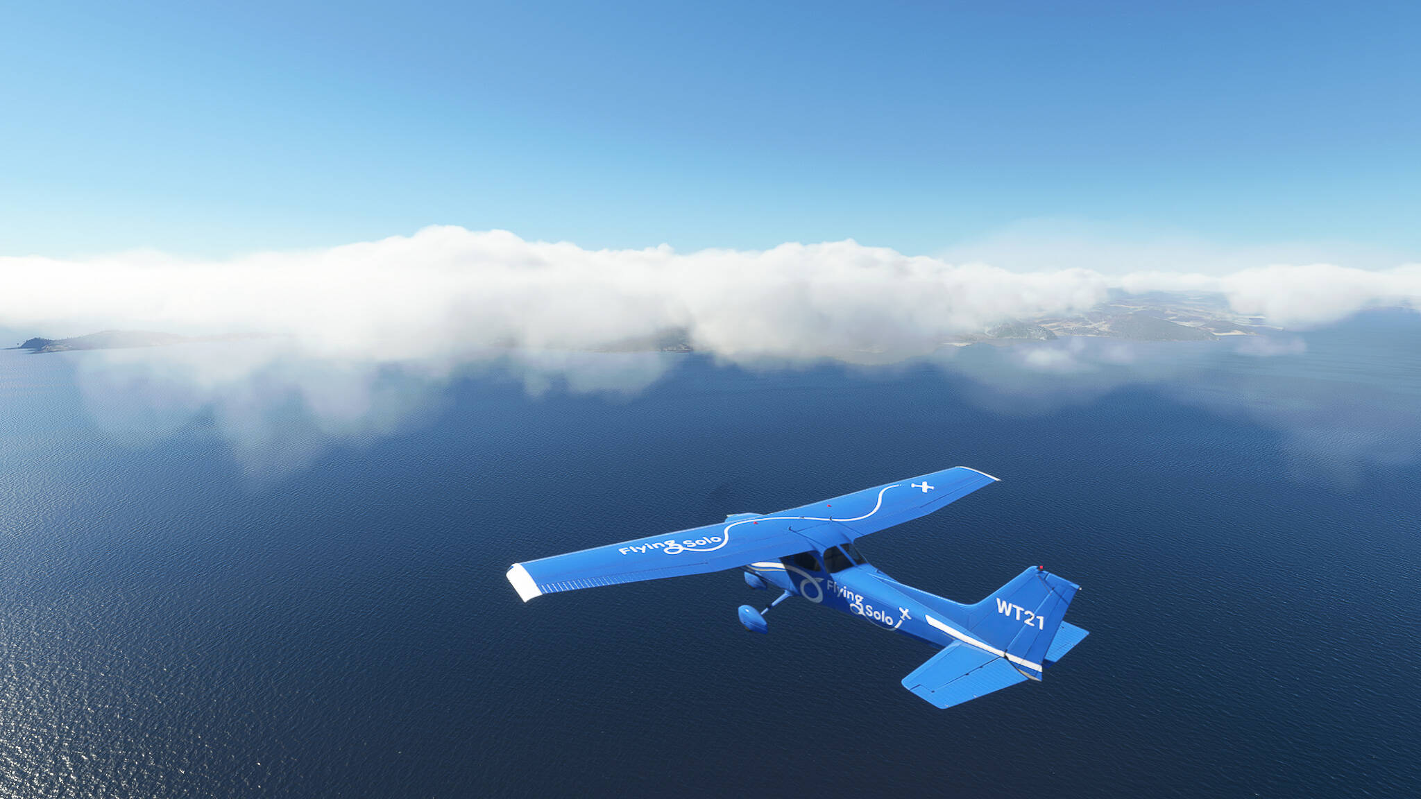
On the other side of the Goulet de Brest, which is the strait connecting the Rade with the Atlantic Ocean, lies the Presqu’île de Crozon (Crozon Peninsula). We crossed its northwestern tip near Roscanvel to reach the Rade itself.


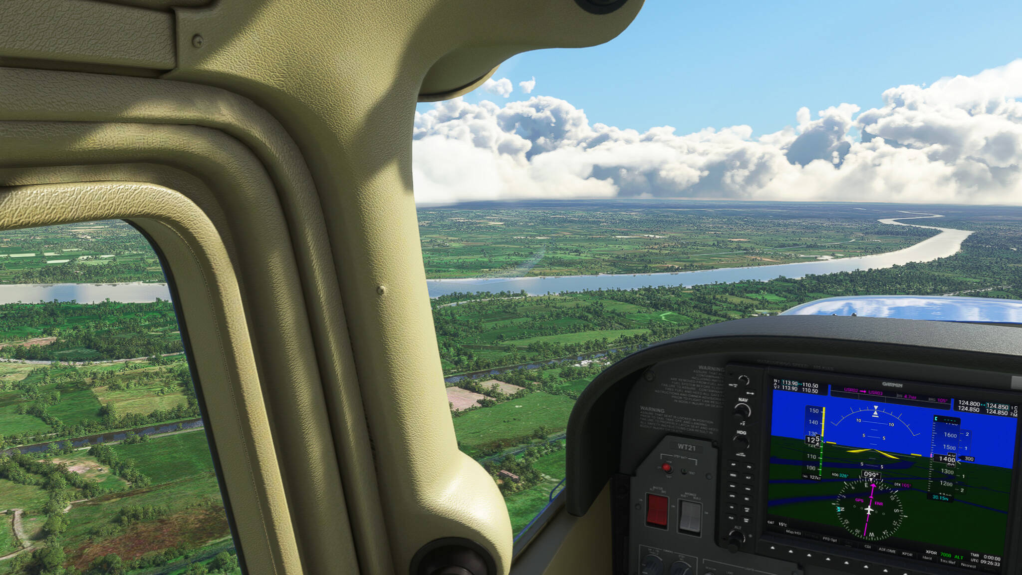
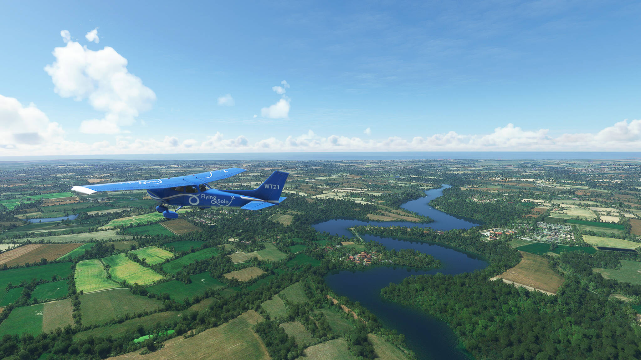
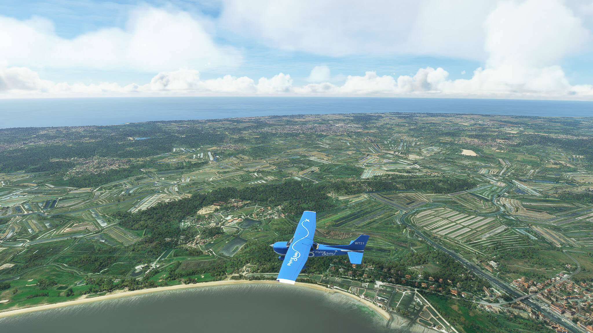
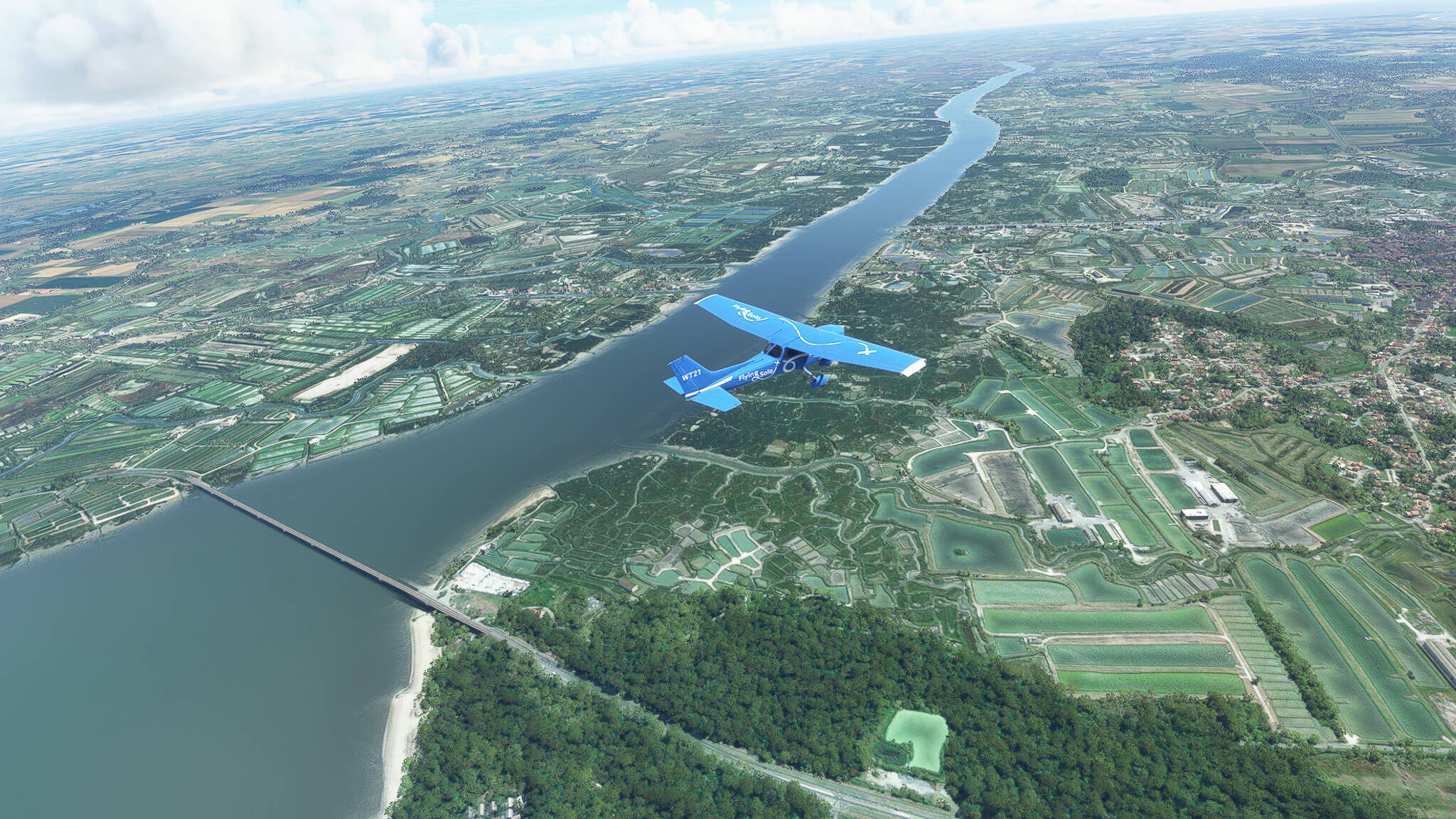
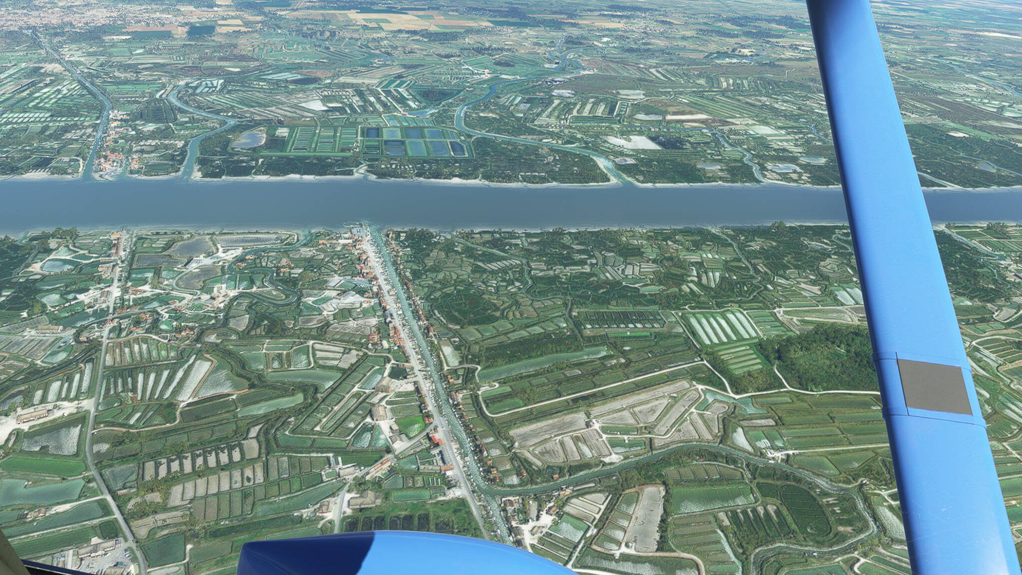
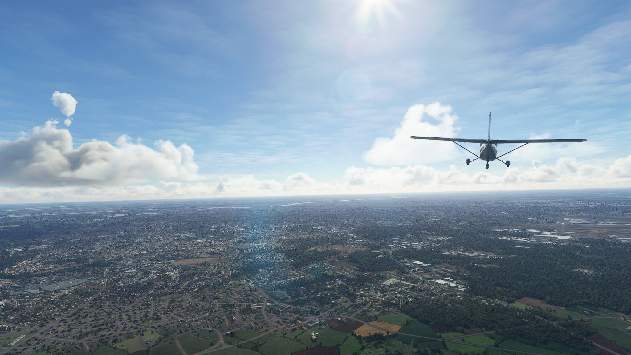
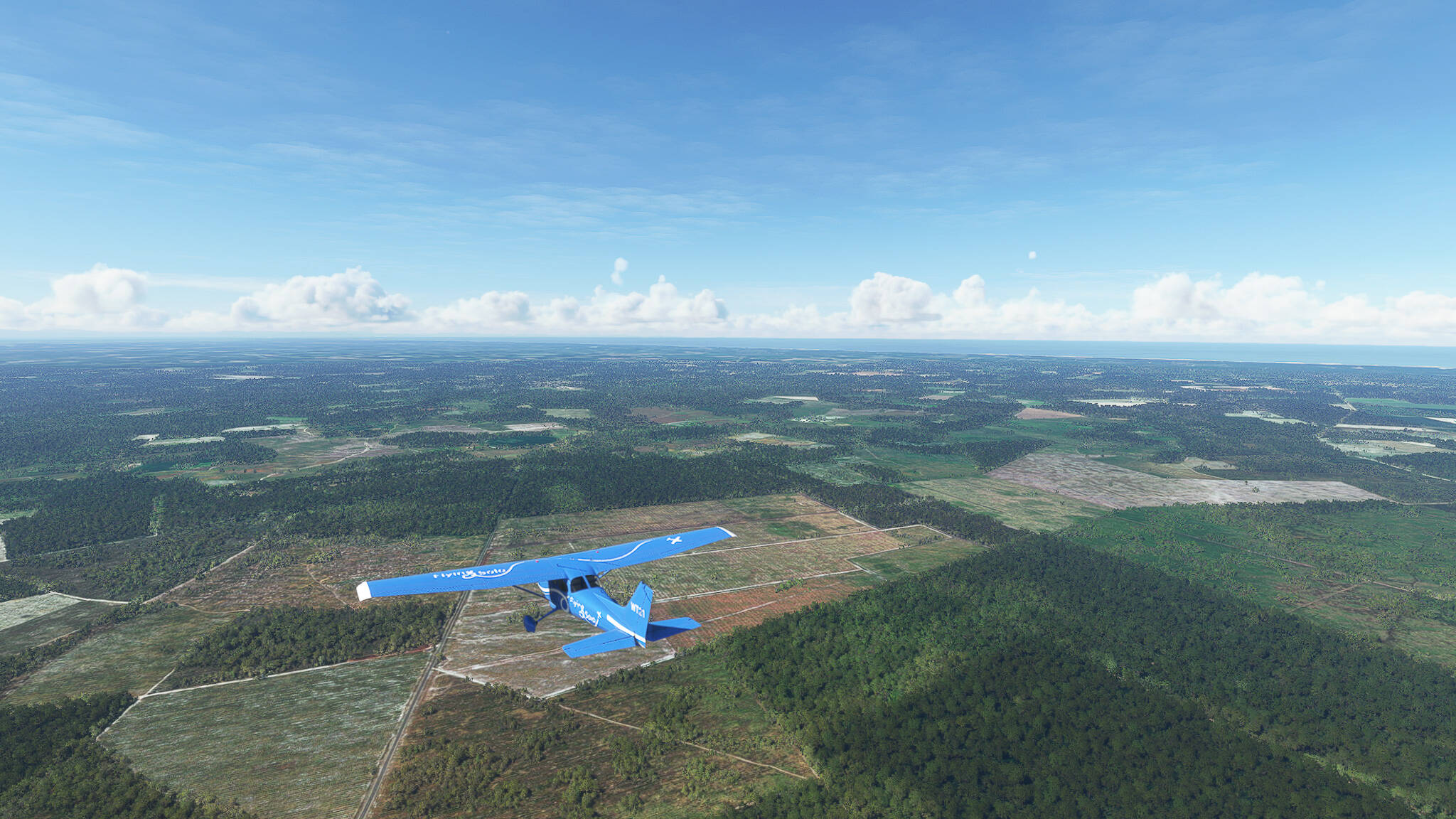
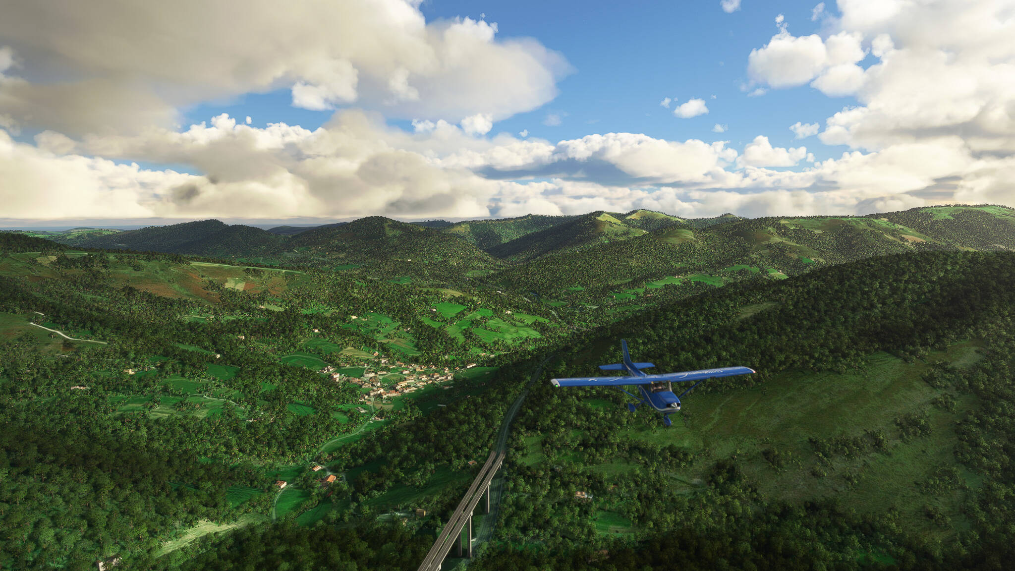
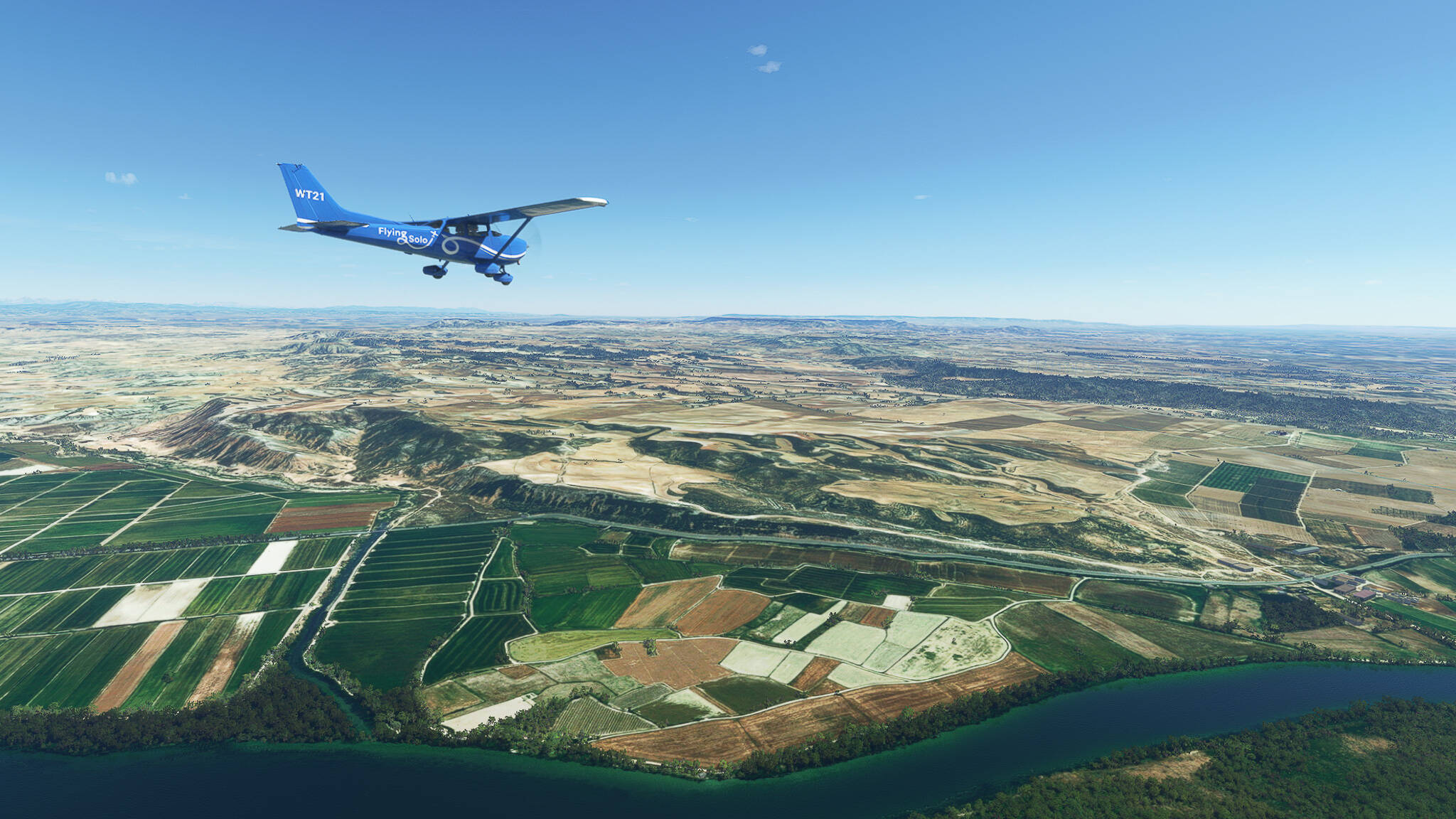
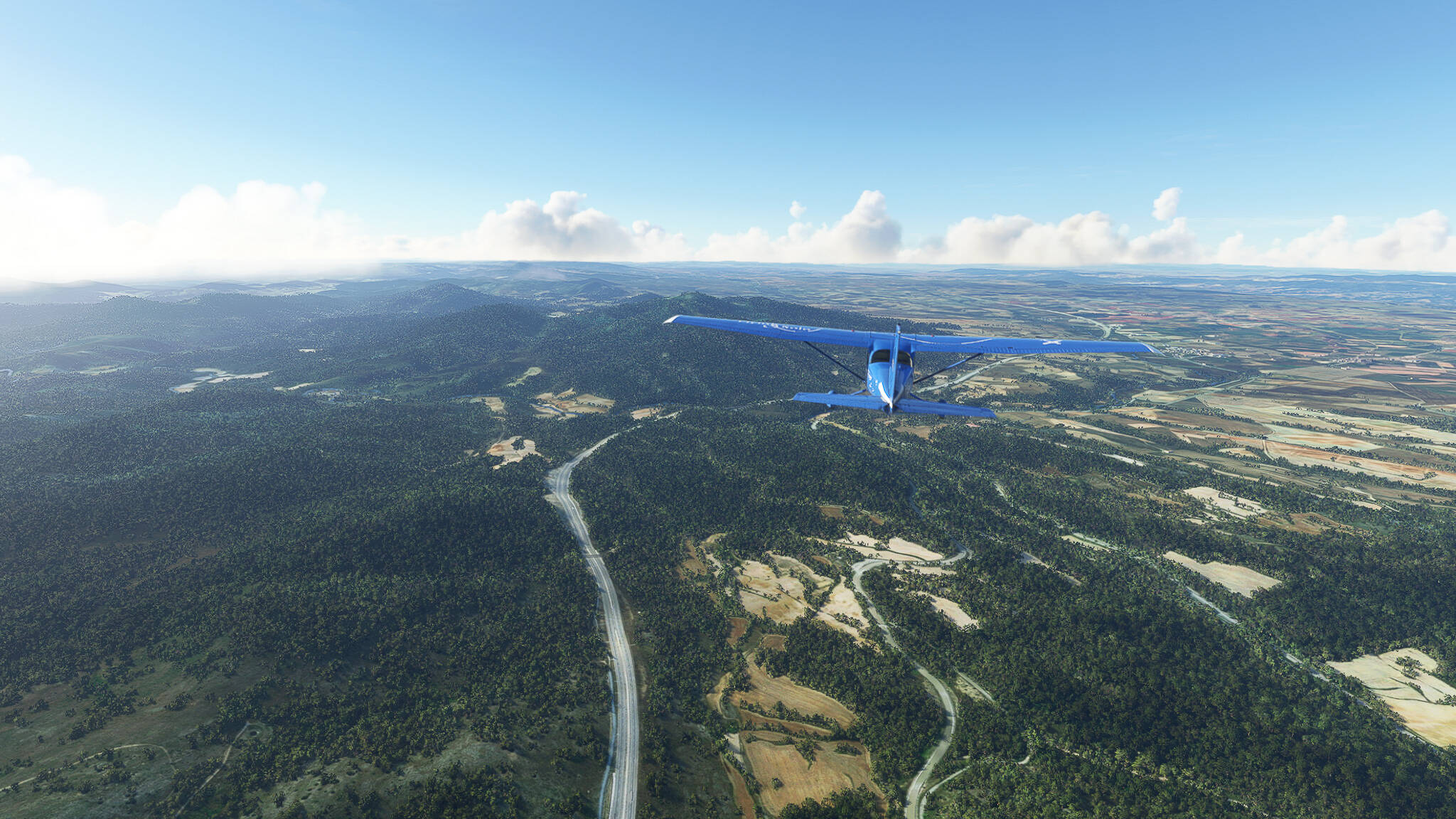
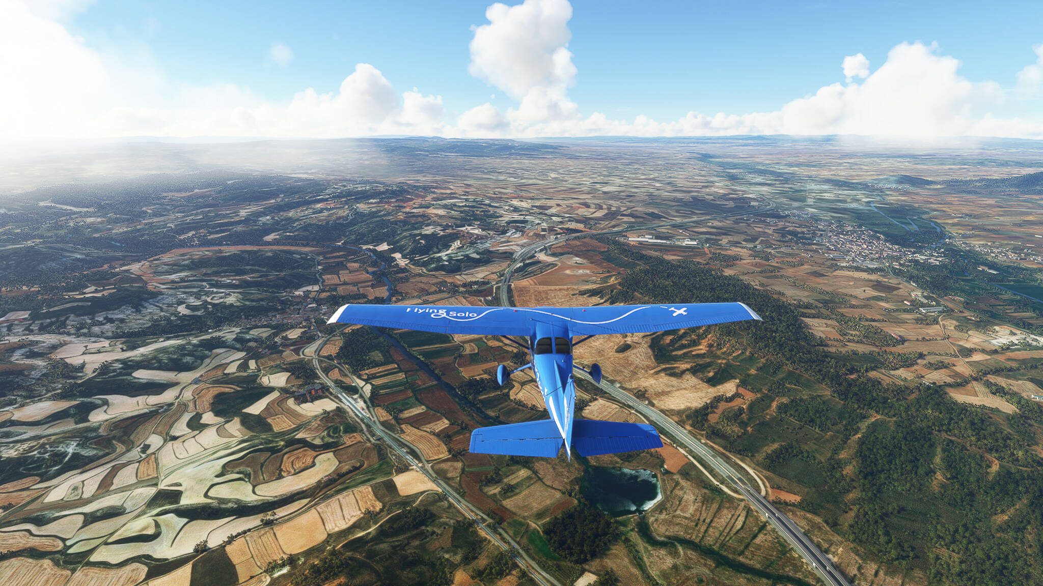
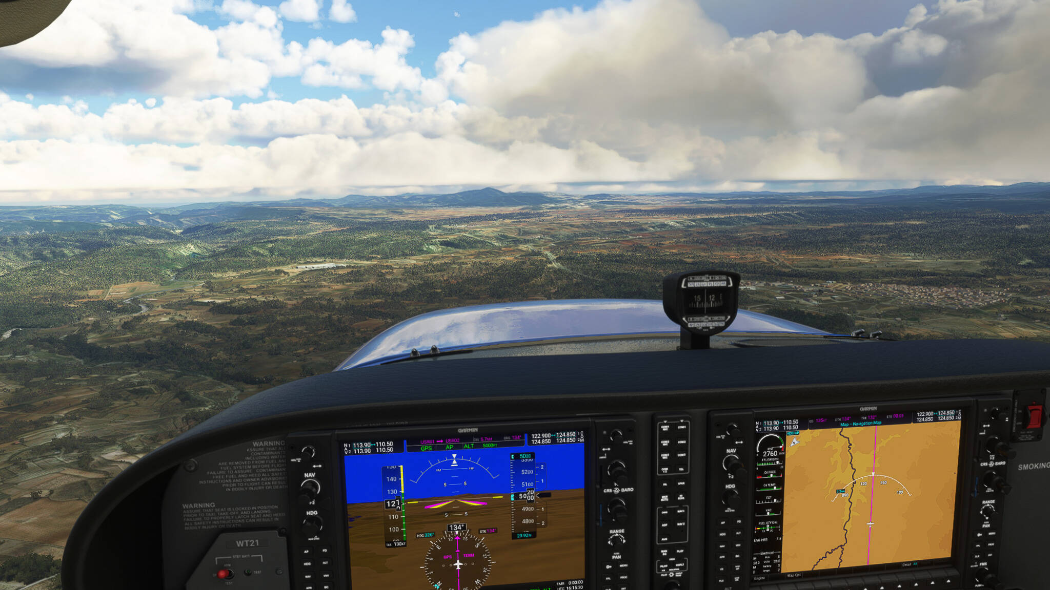
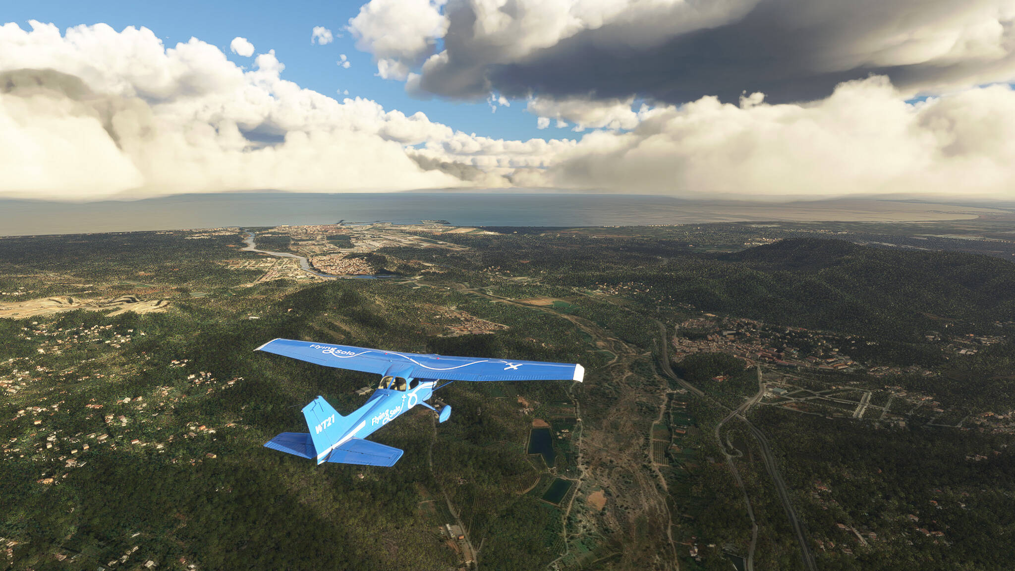
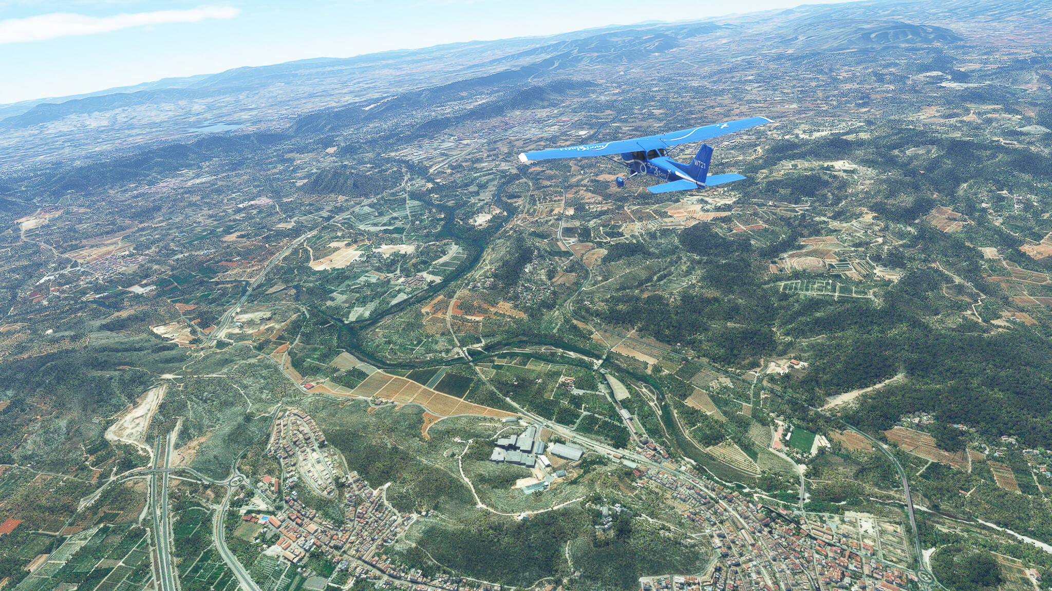
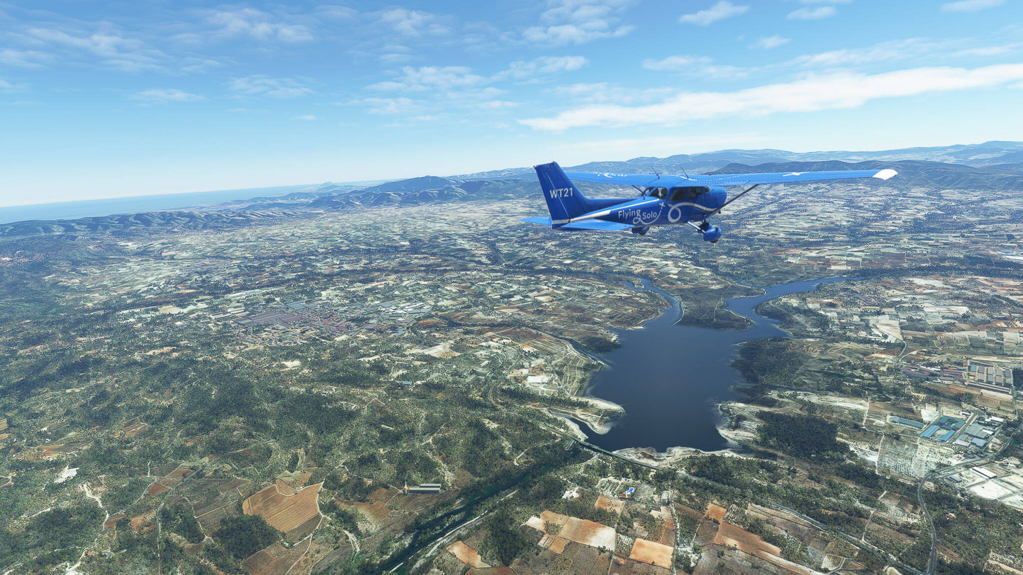
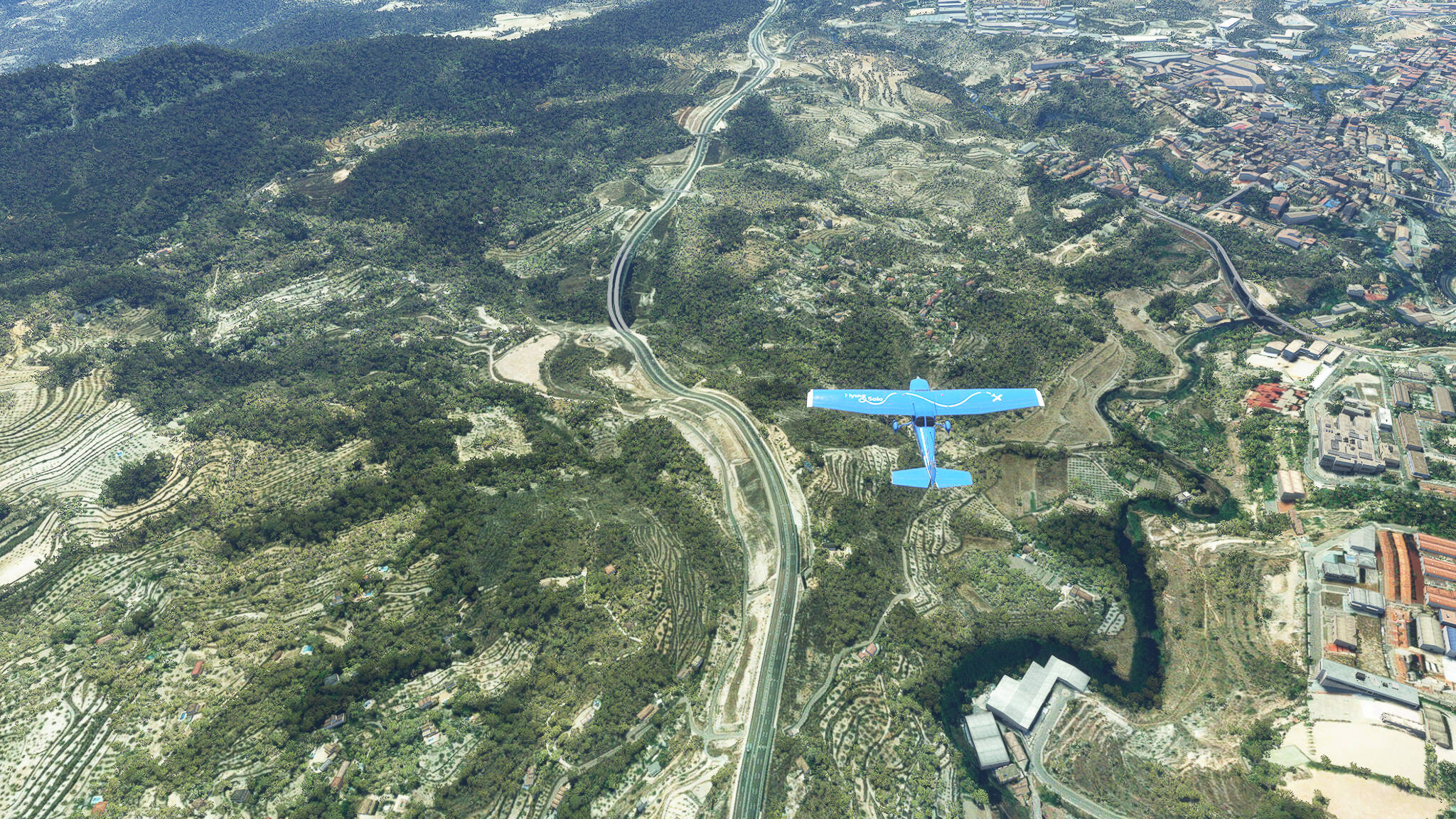
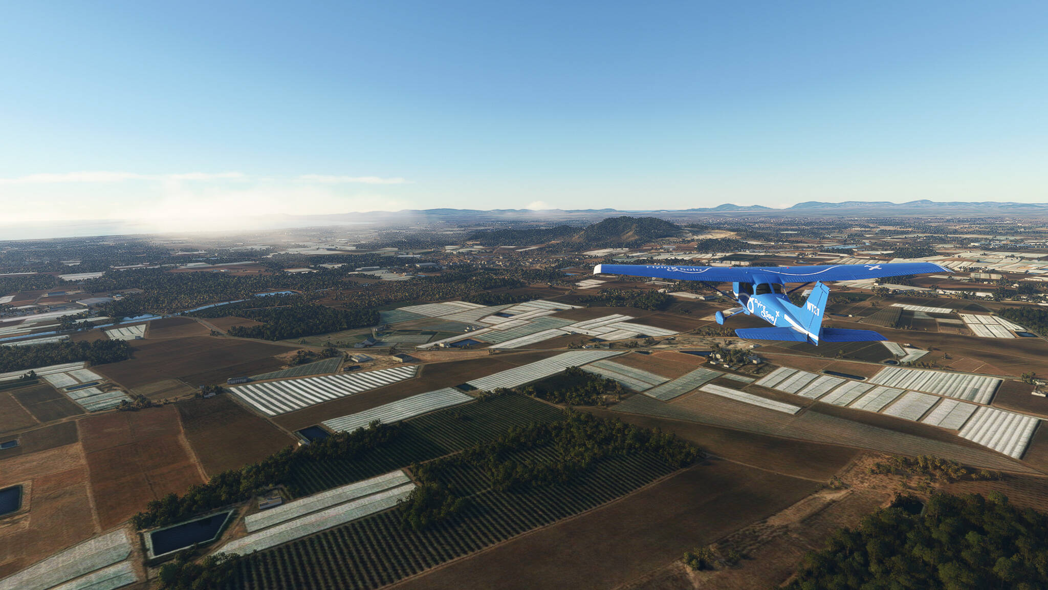
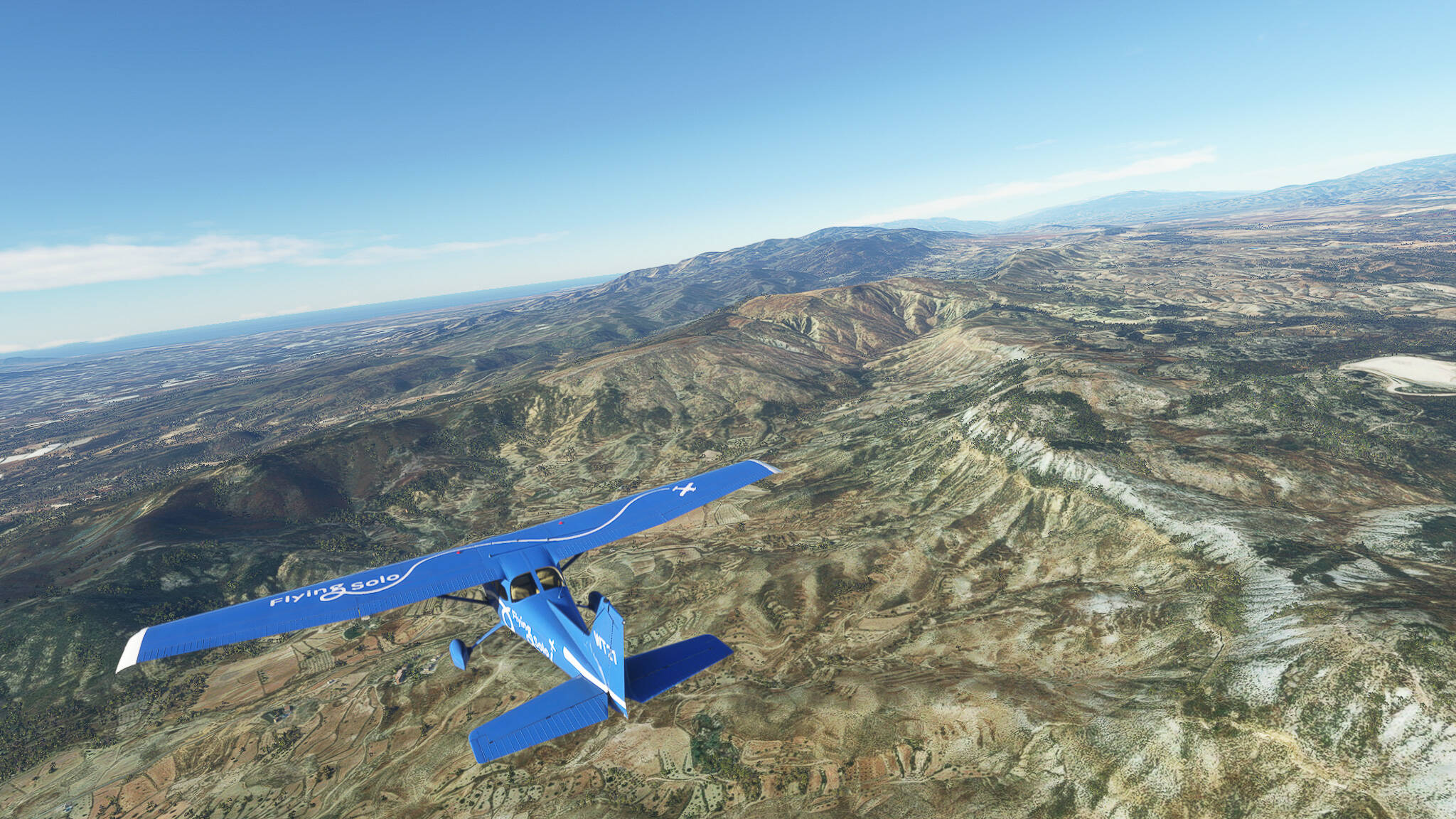
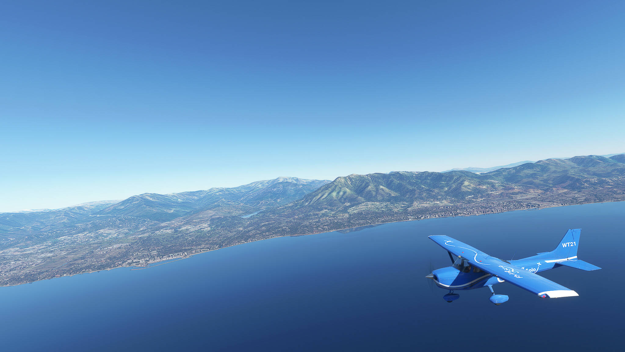
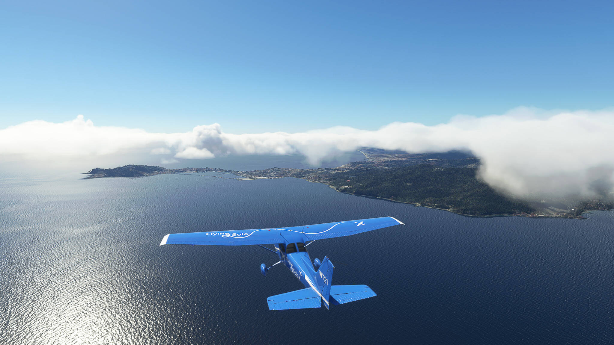
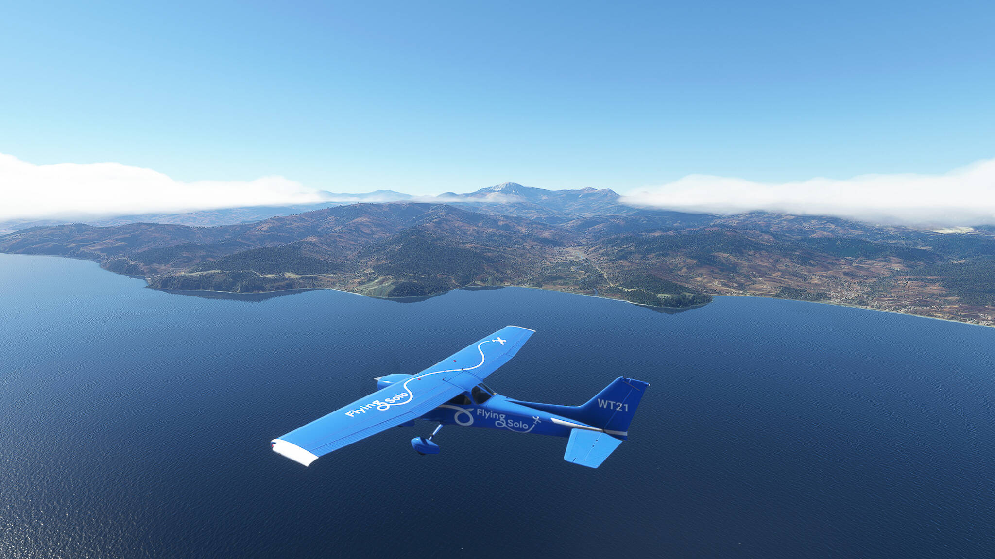
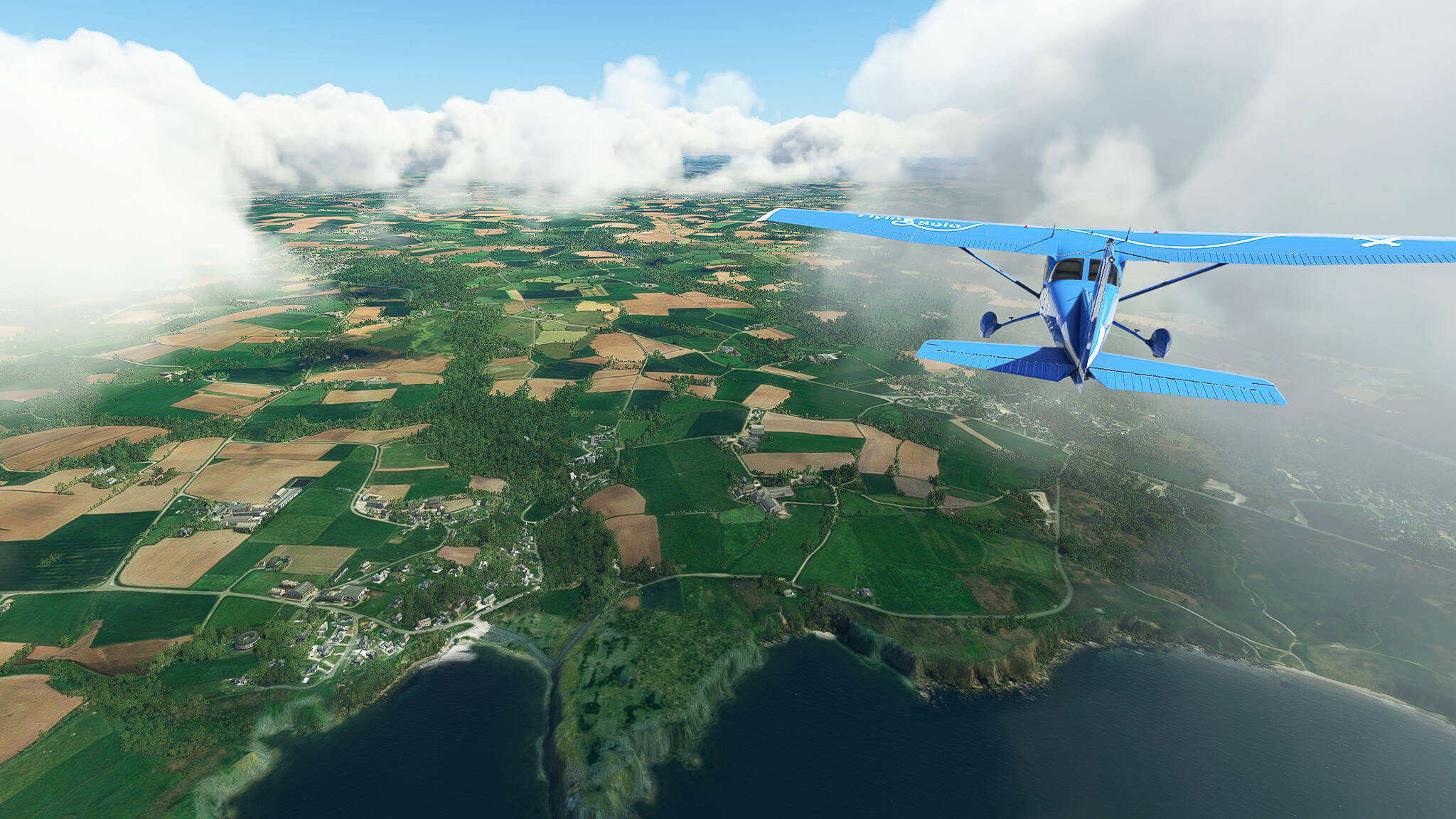
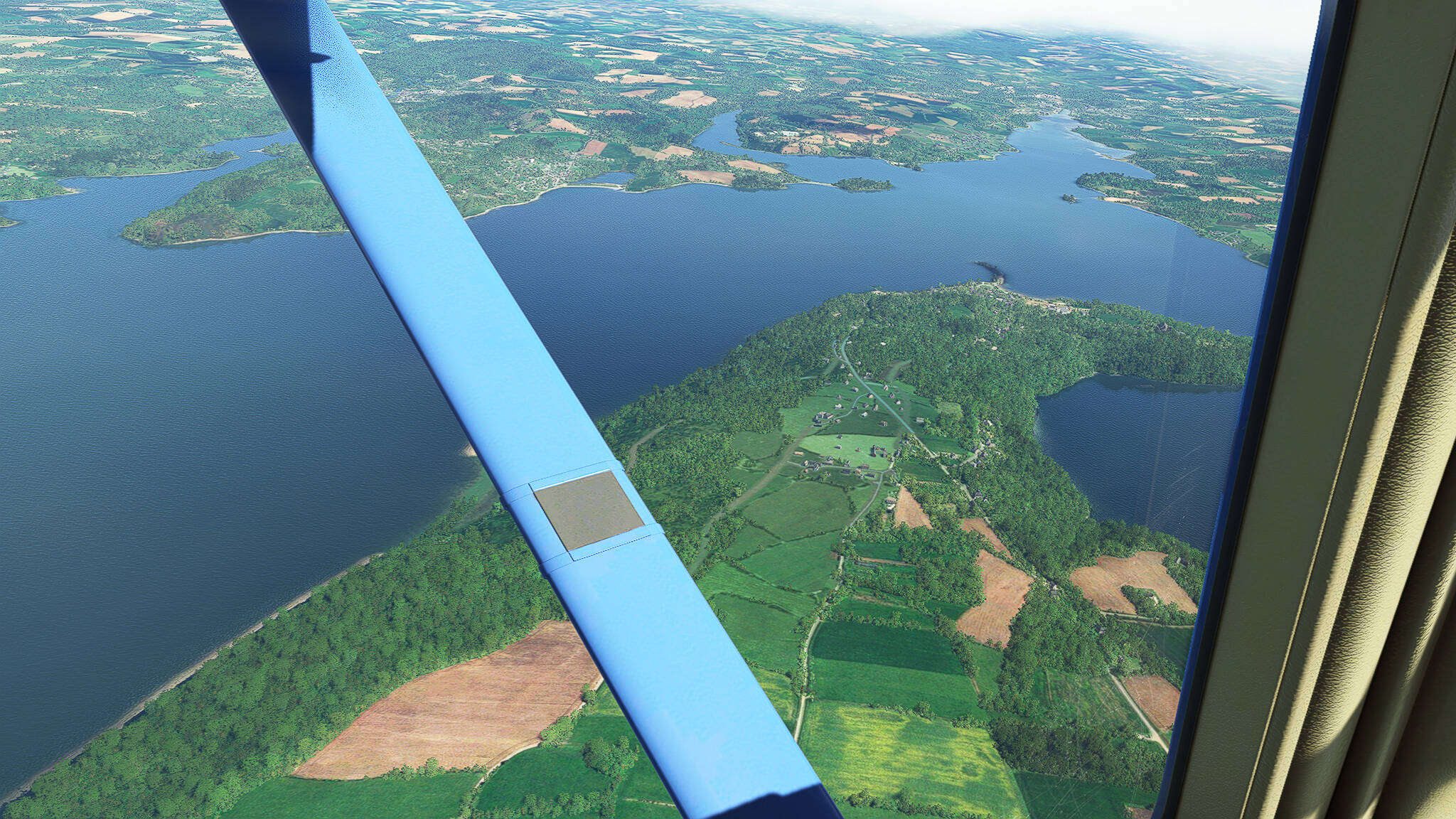
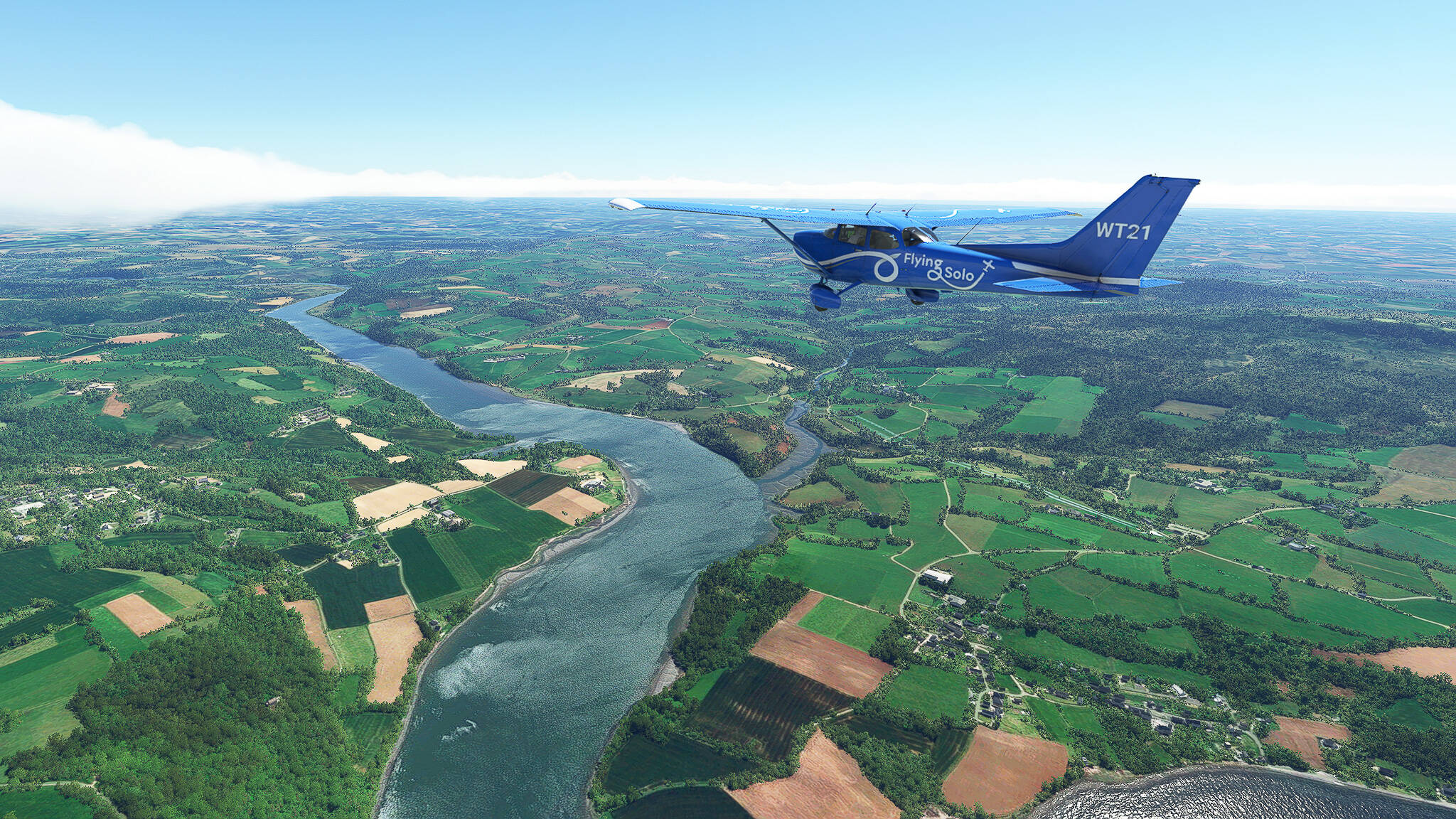
After reaching the southeastern end of the Rade de Brest we could already see the estuary of the Aulne river. We followed it in a southeastern direction until finally leaving it near Chateaulin.


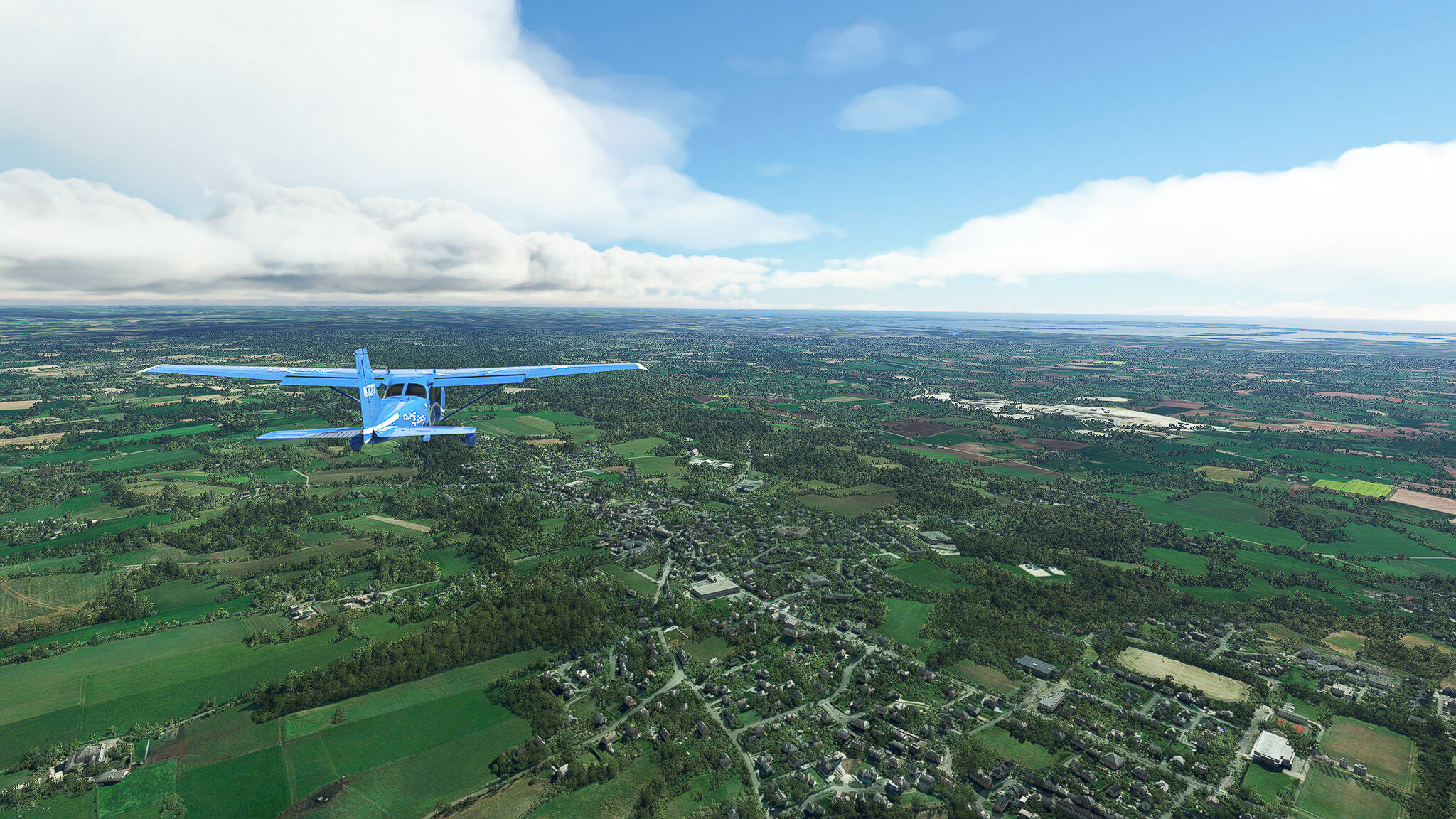
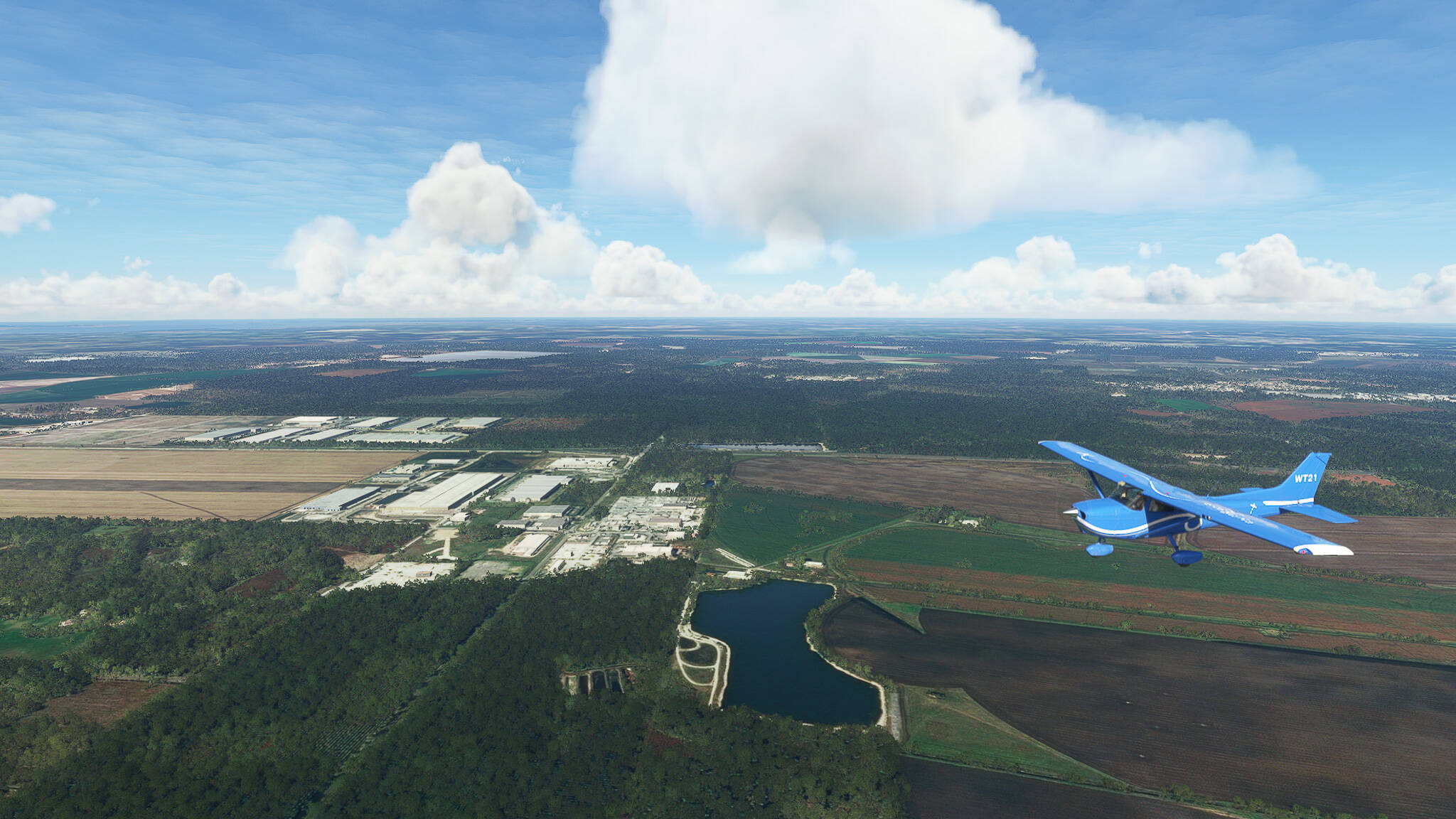
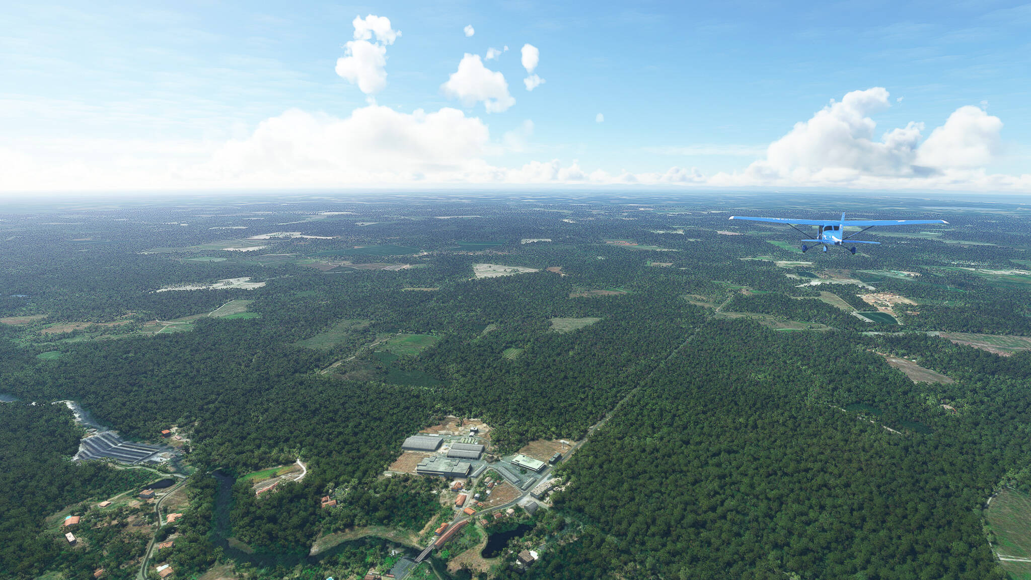
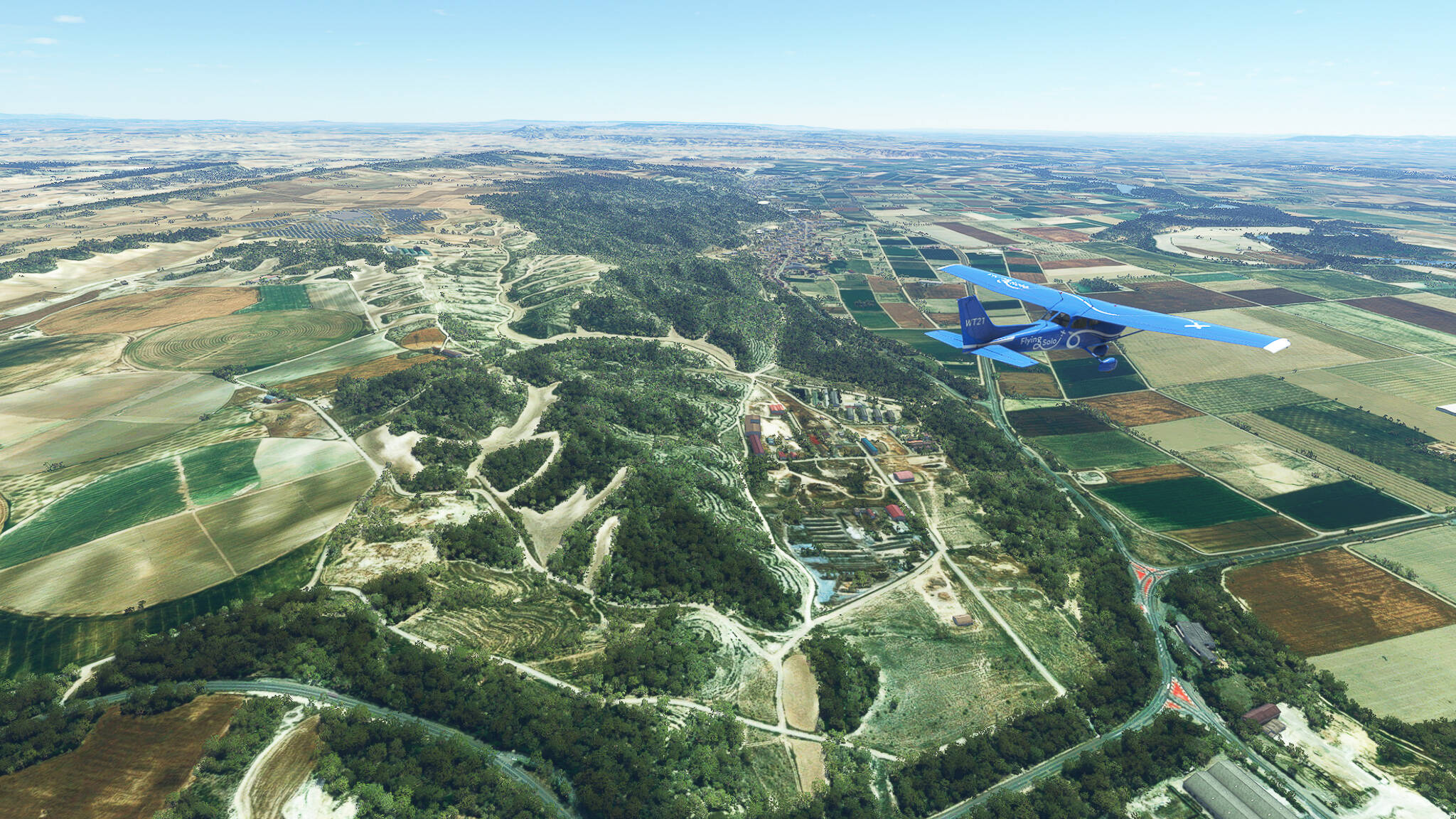
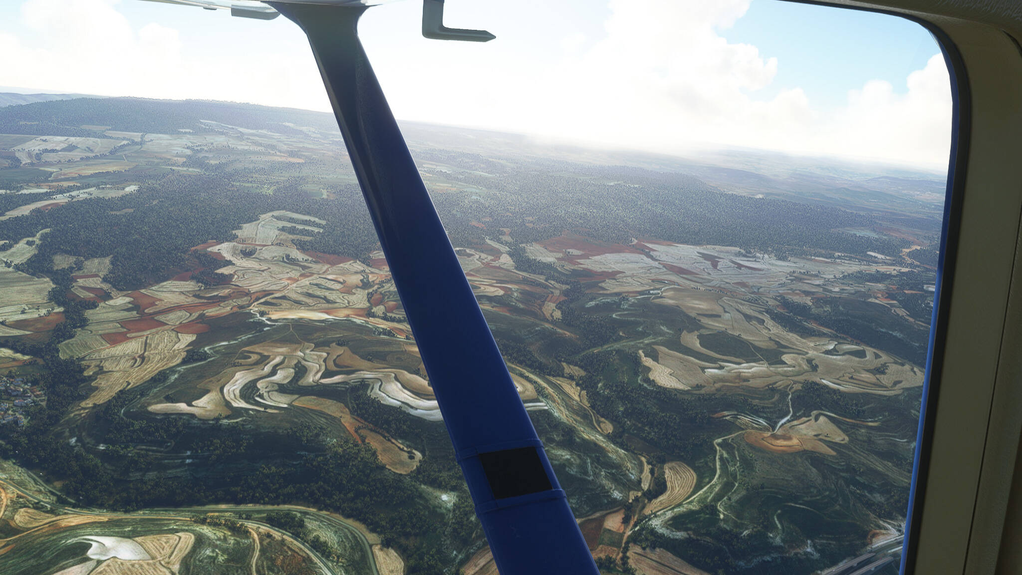
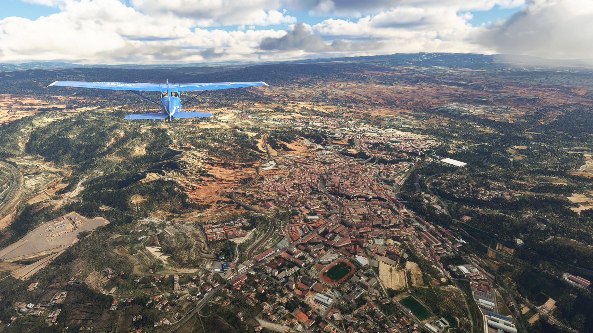
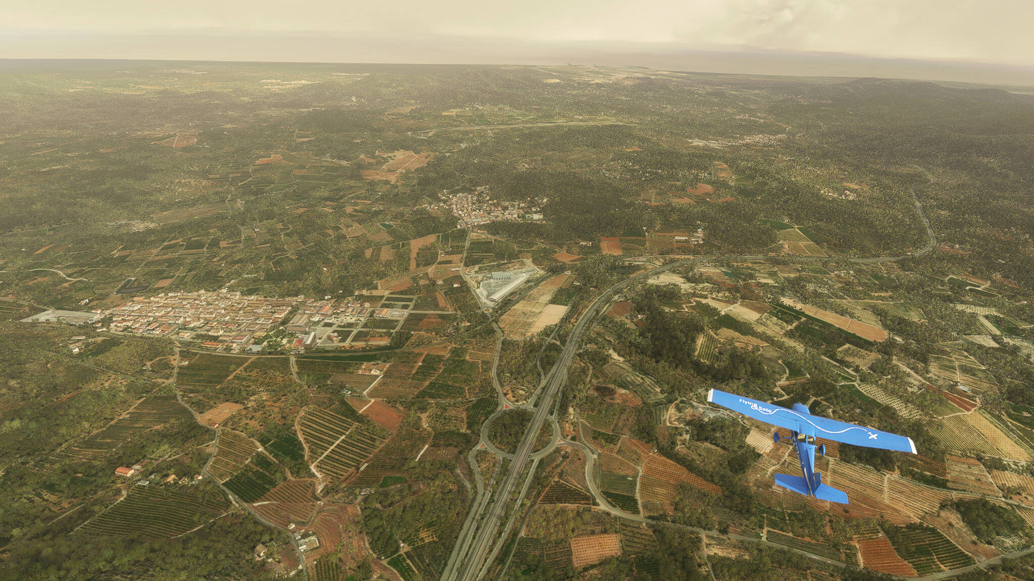
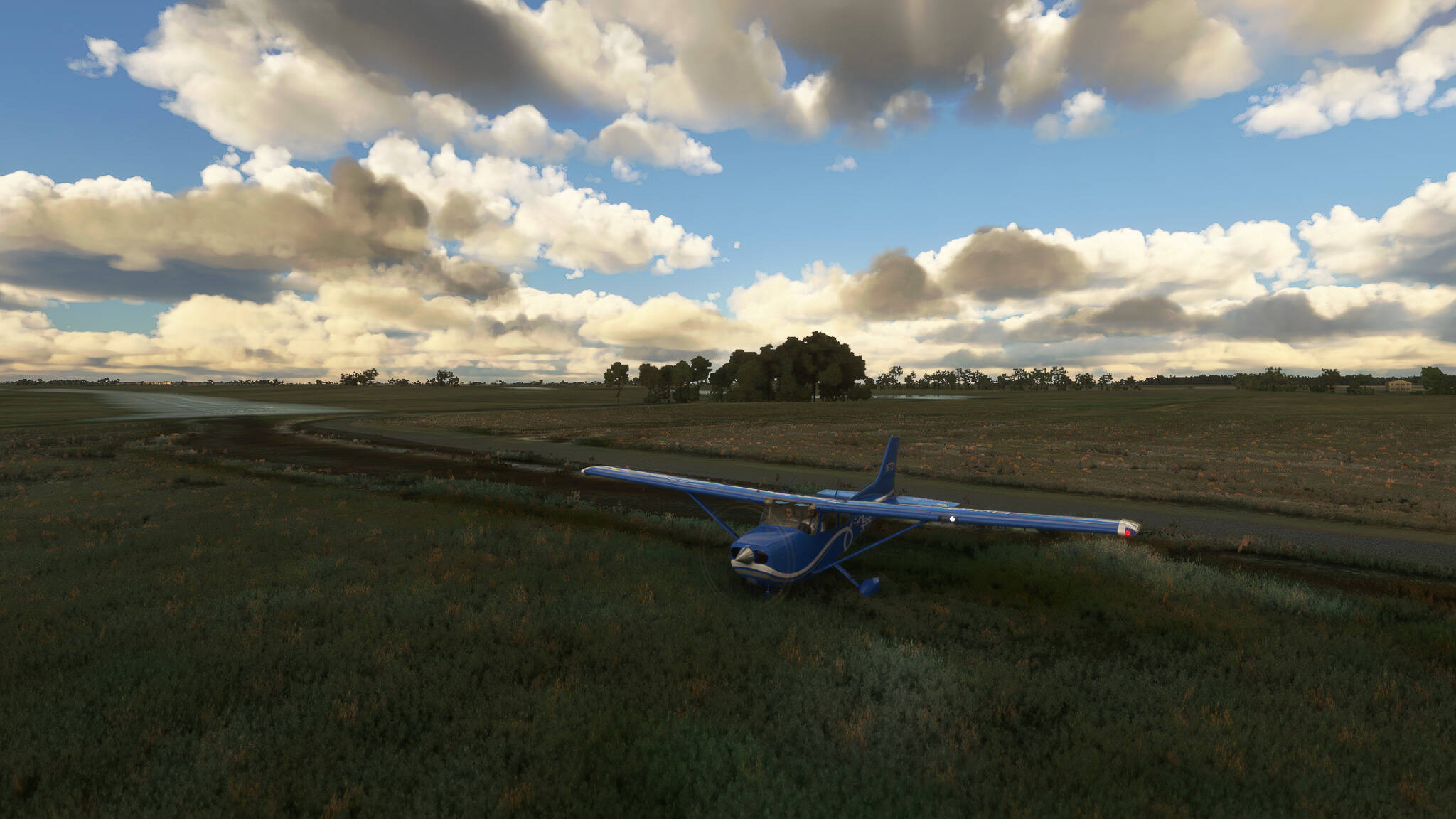
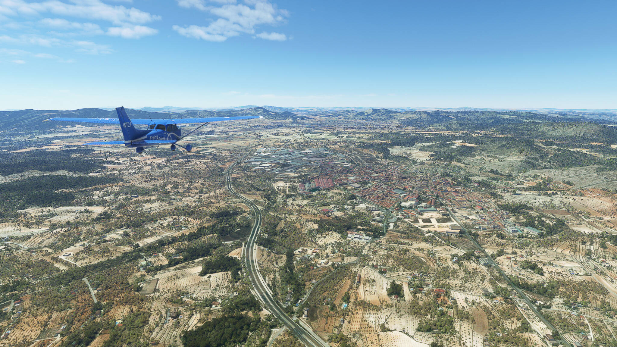
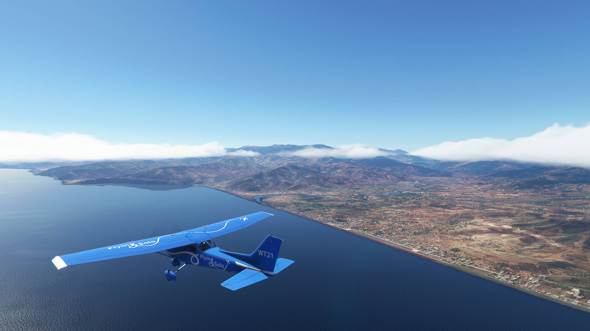
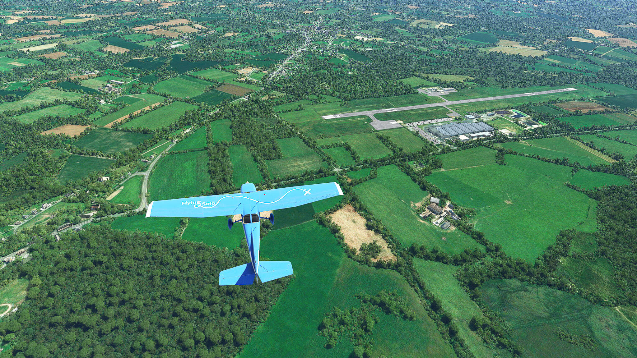
After a while we left the Departement Finistere and entered Morbihan, the cultural center of the Breton Neolithic Period. As a fun fact - the airfield in this picture belongs to the town of Scaer, which lies in Finistere. The airfield itself is in Morbihan.

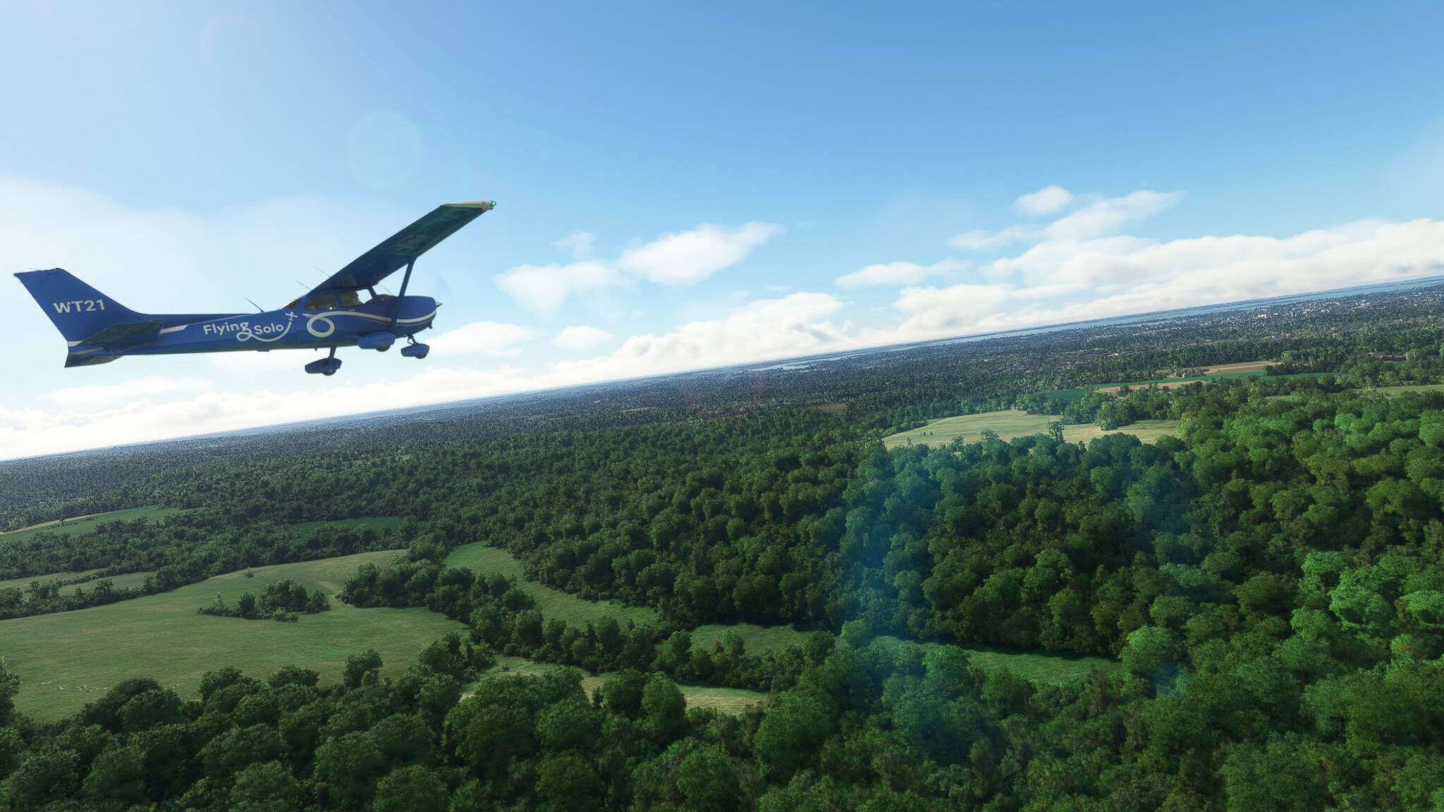
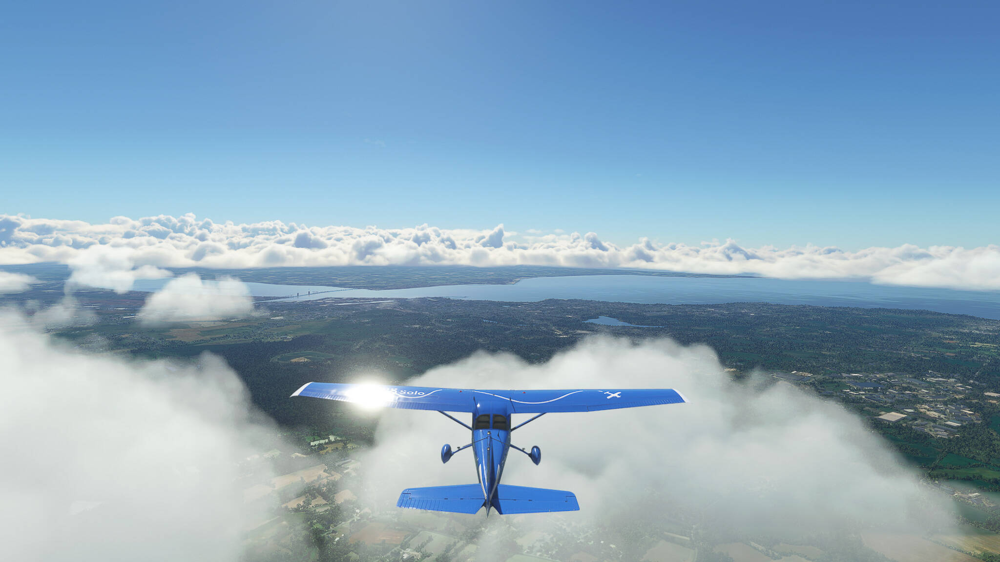
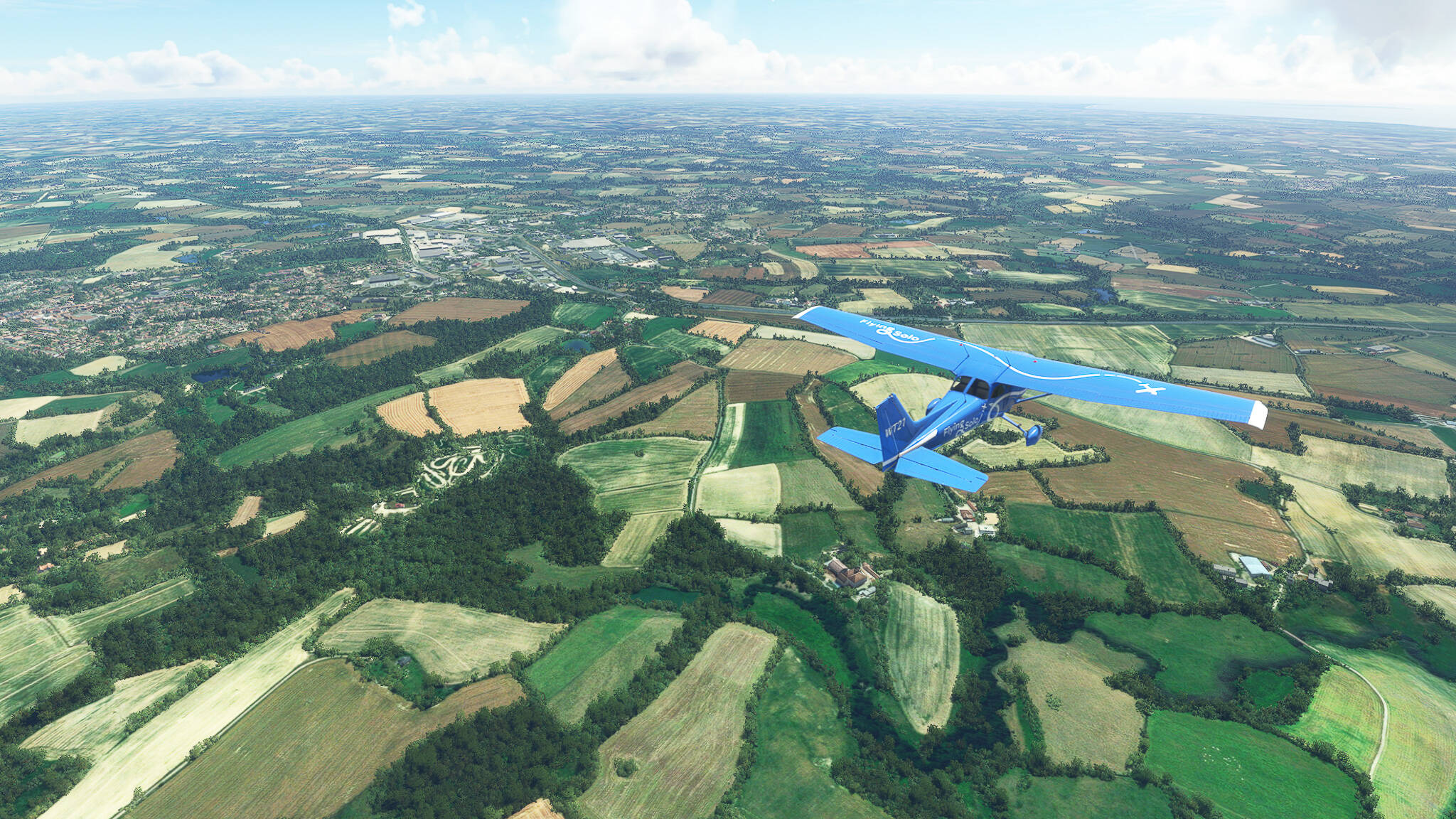
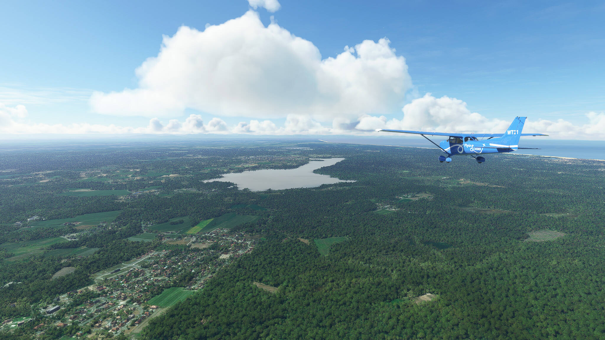
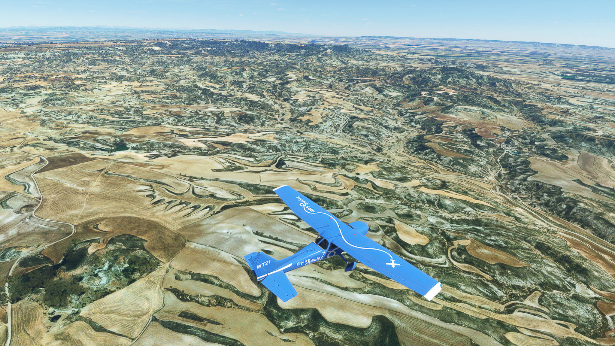
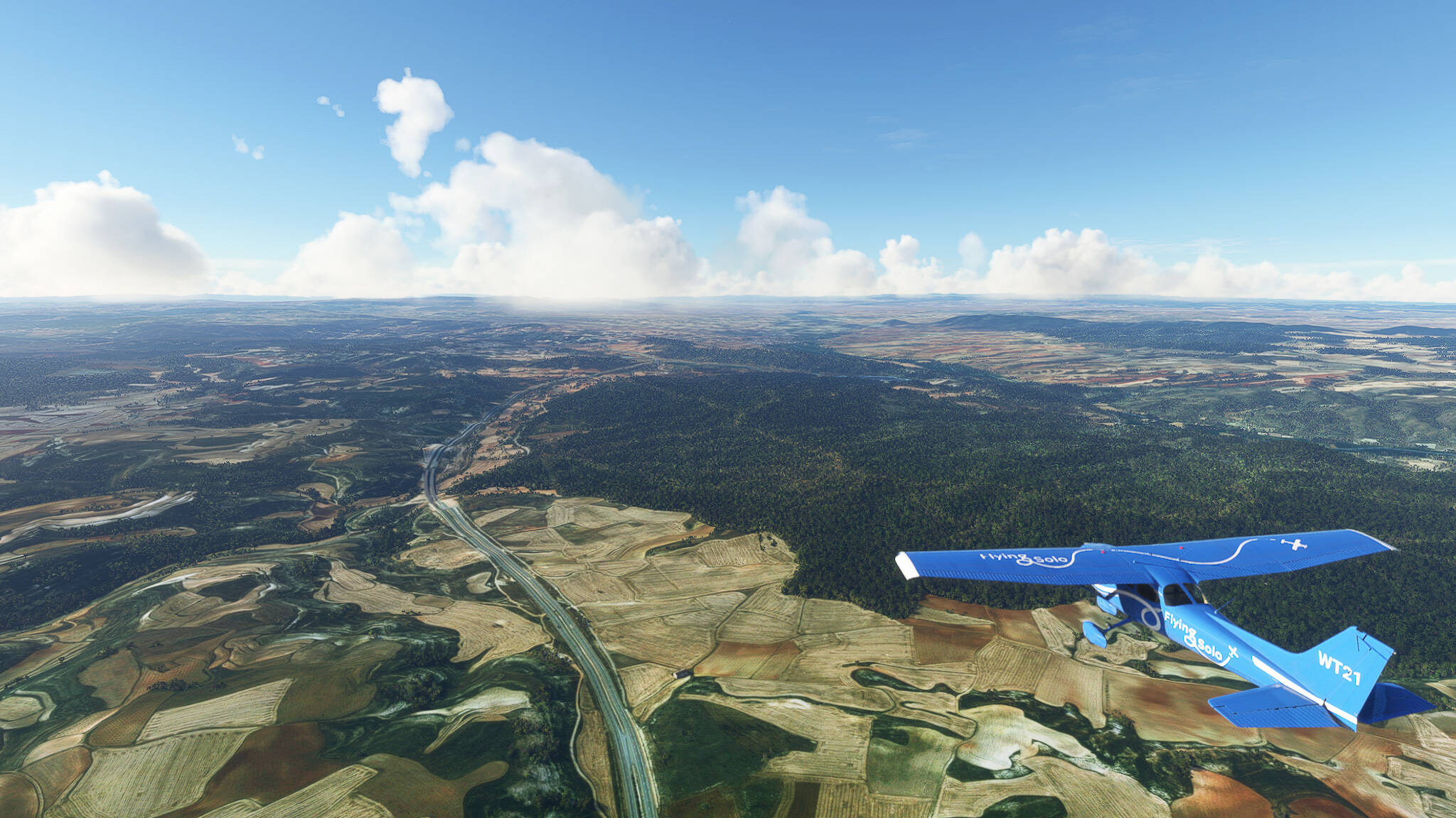
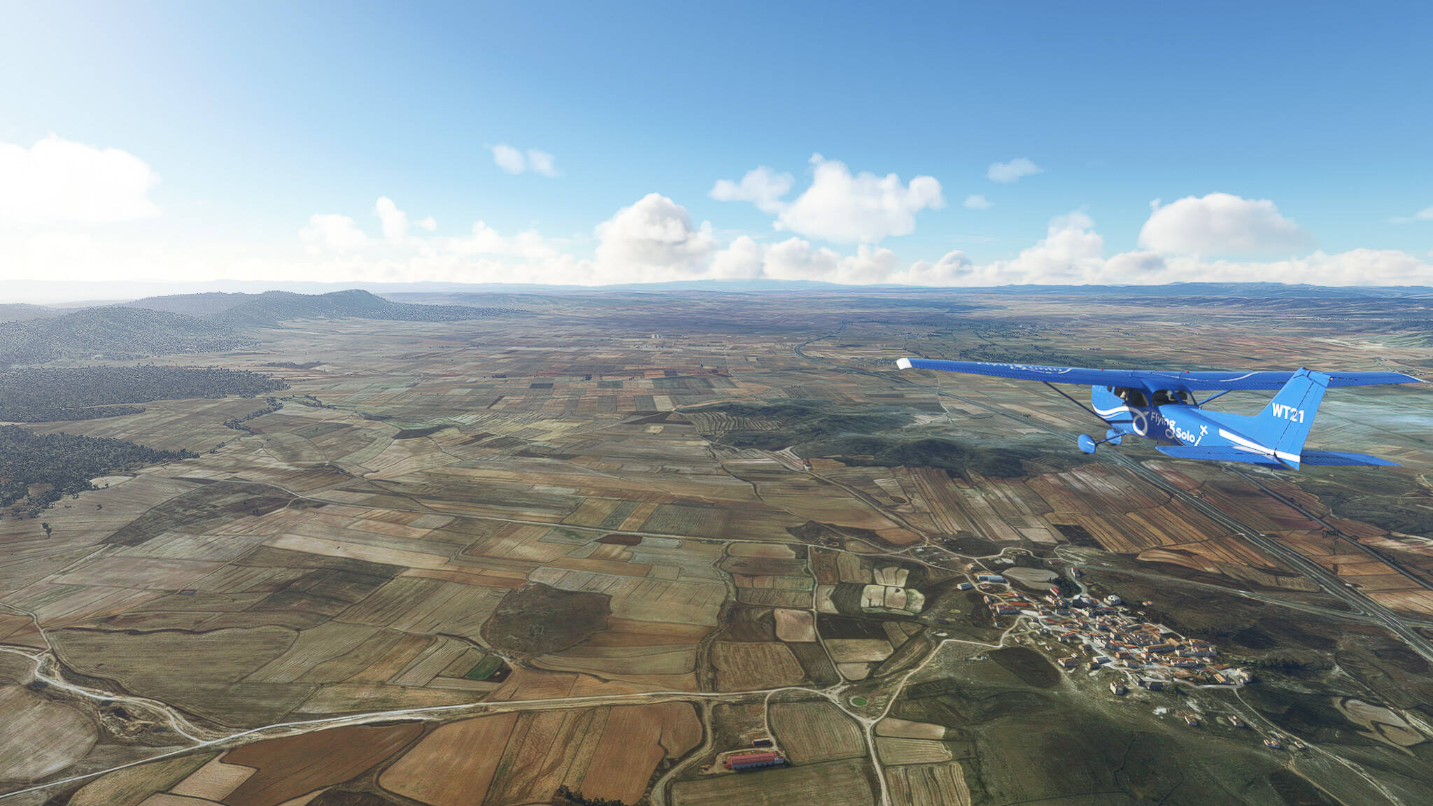
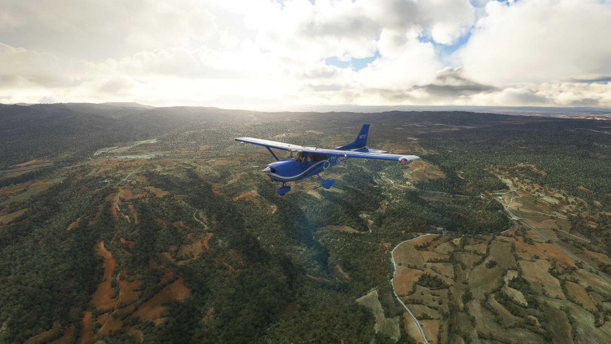
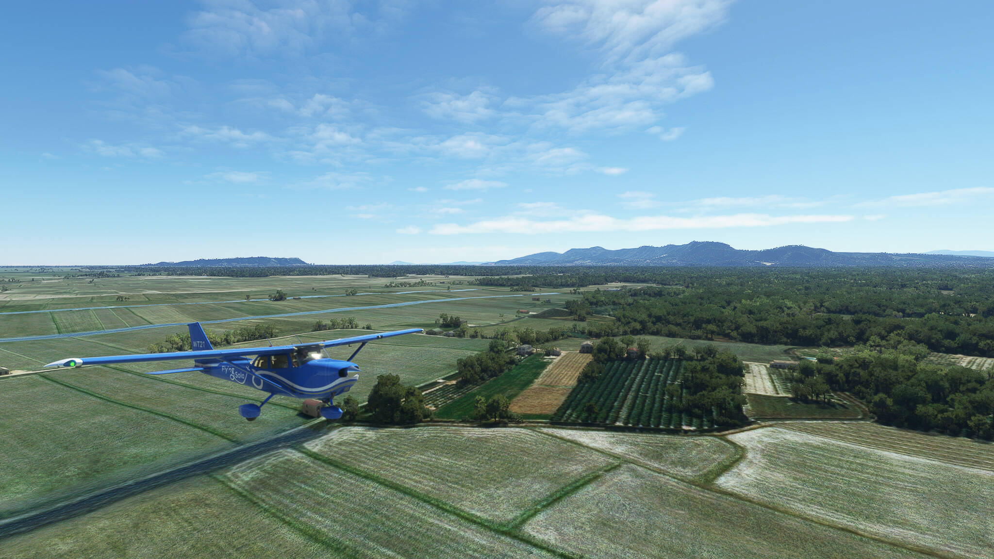
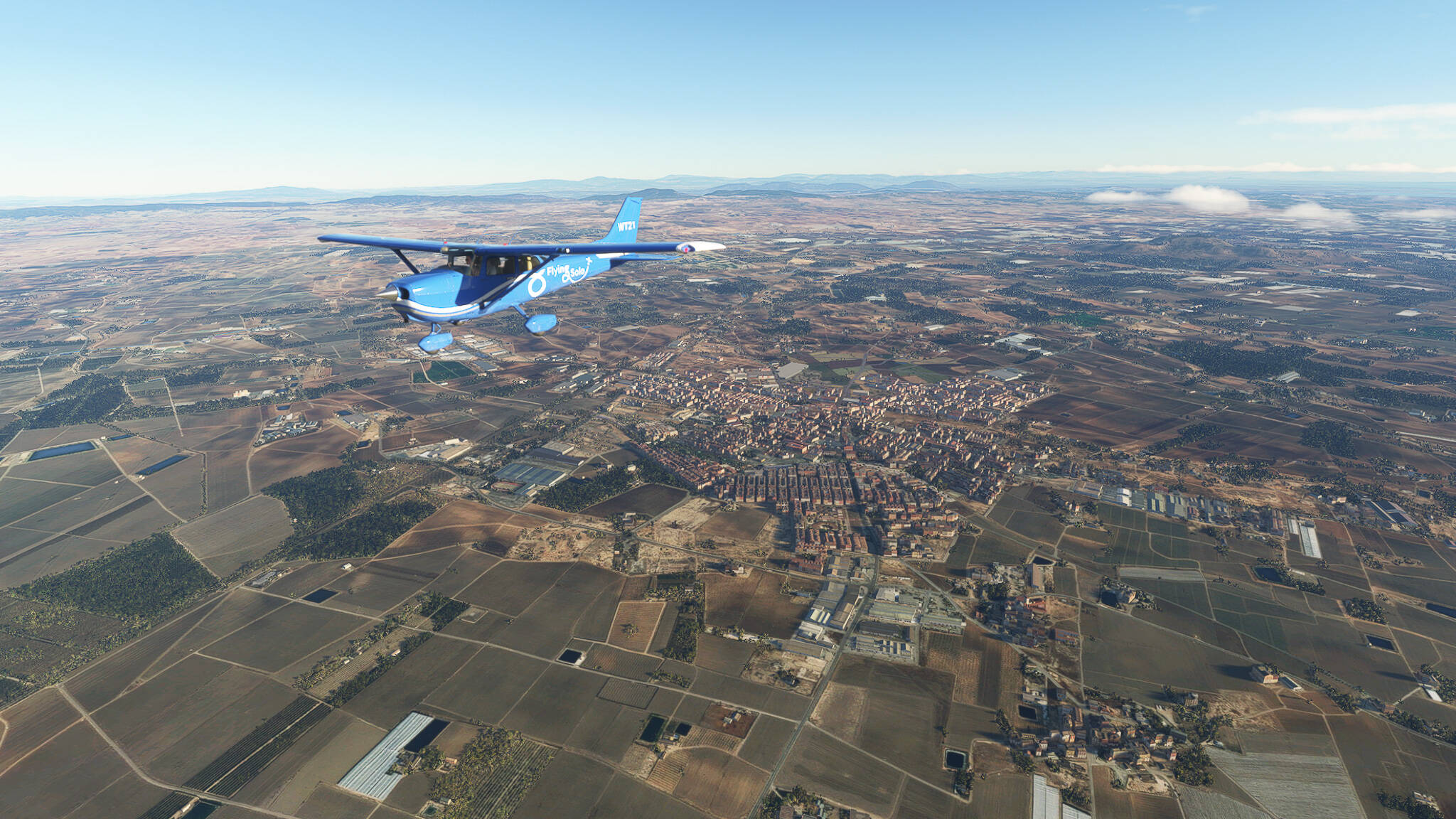
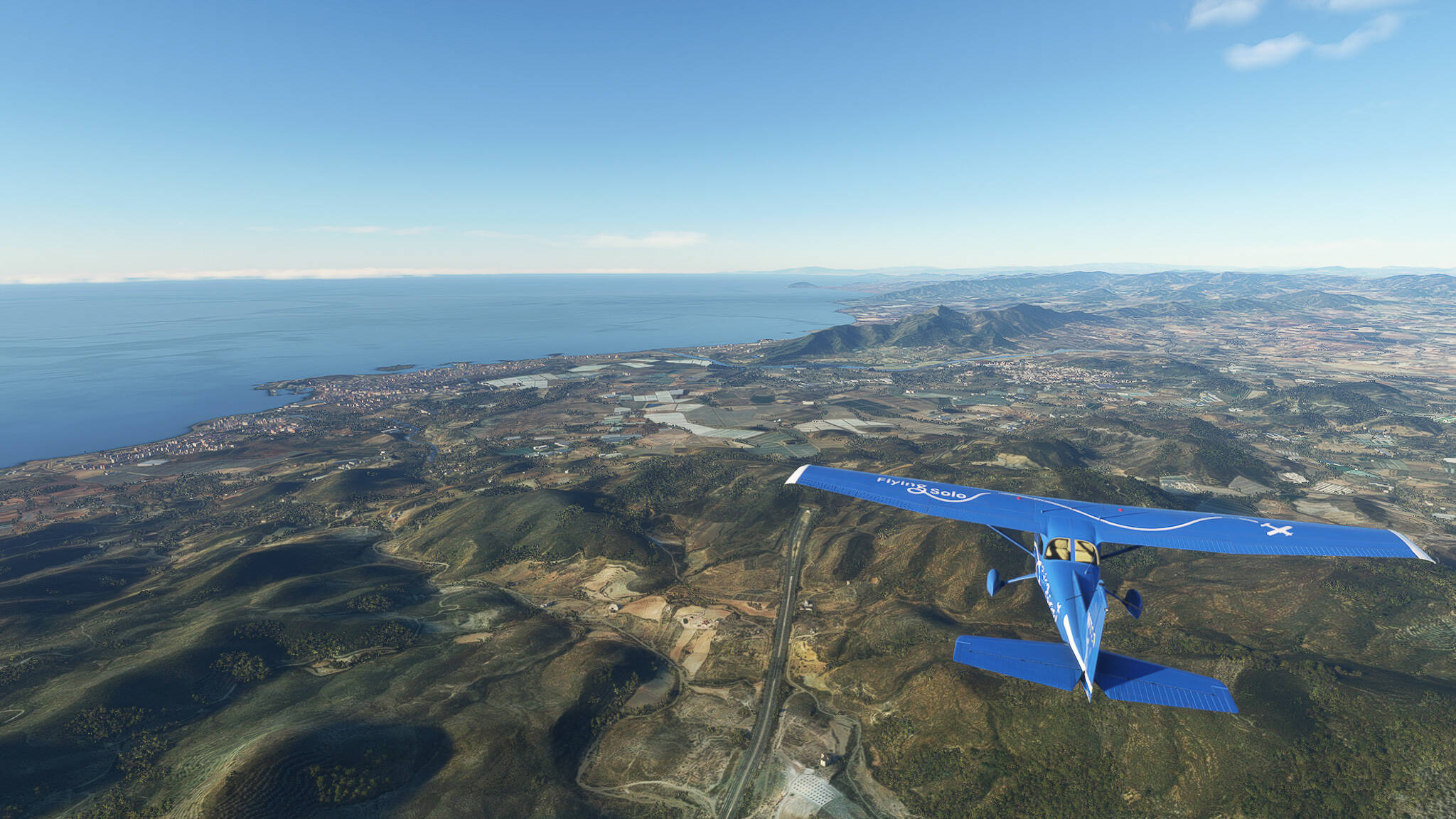
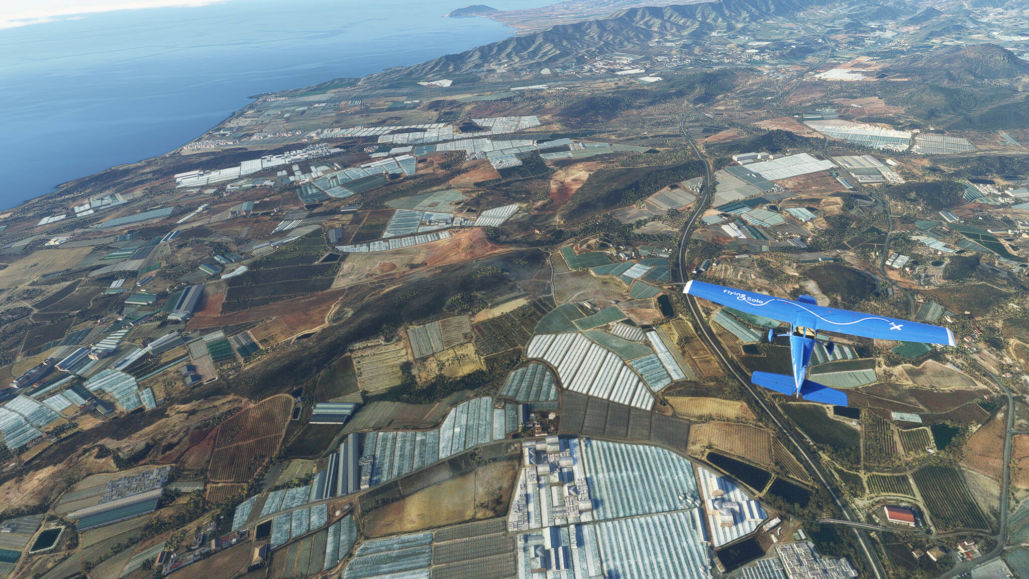
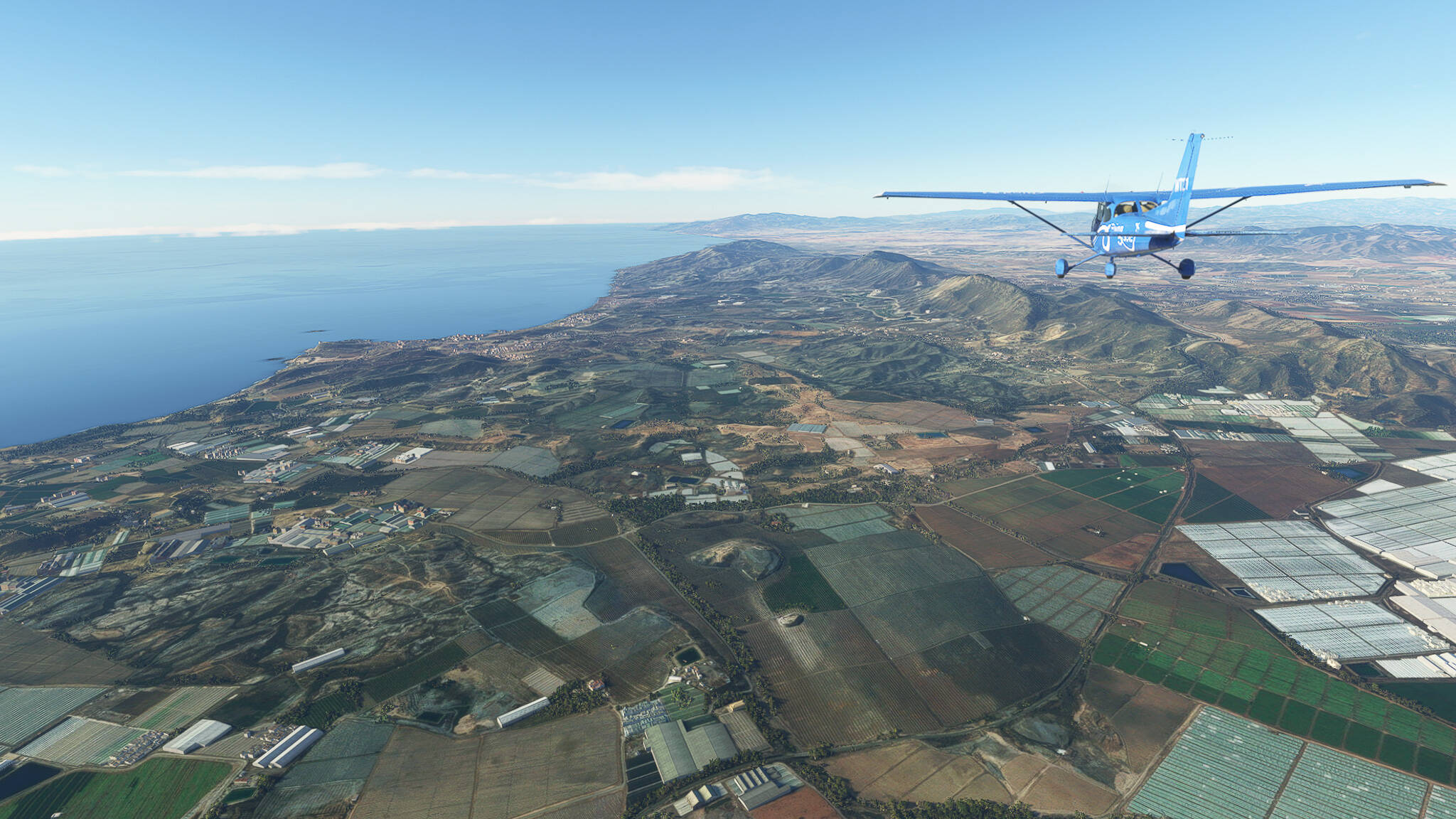
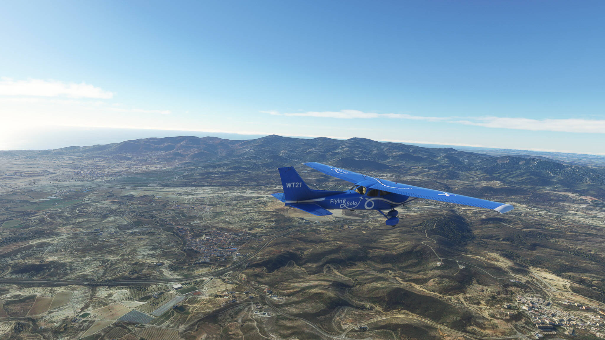
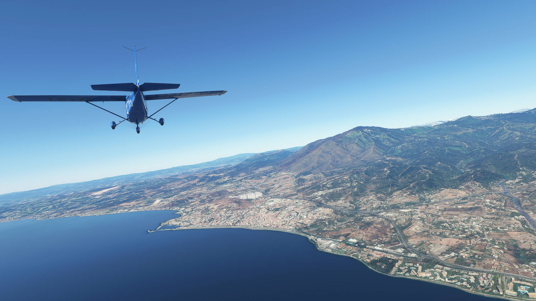
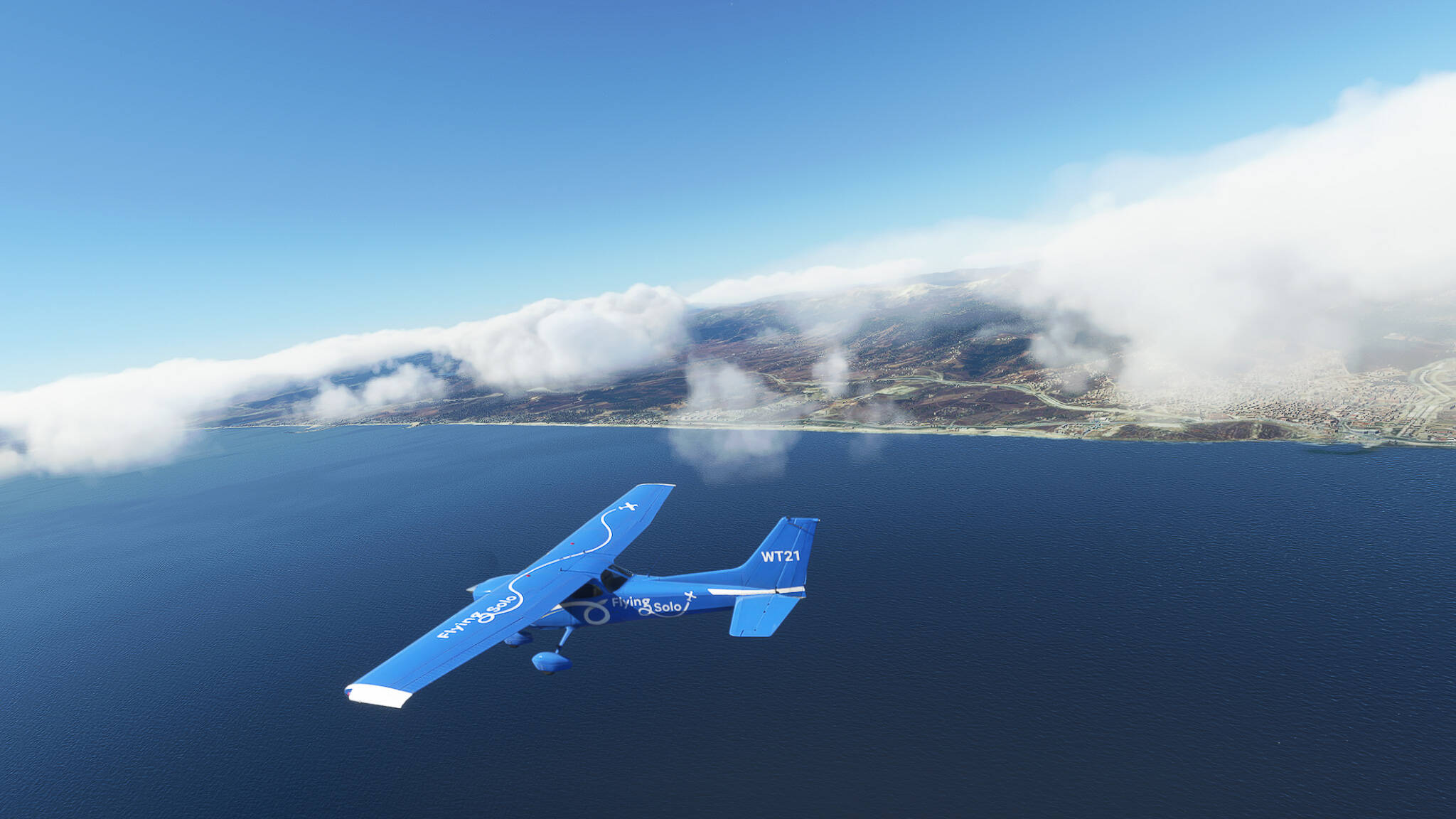
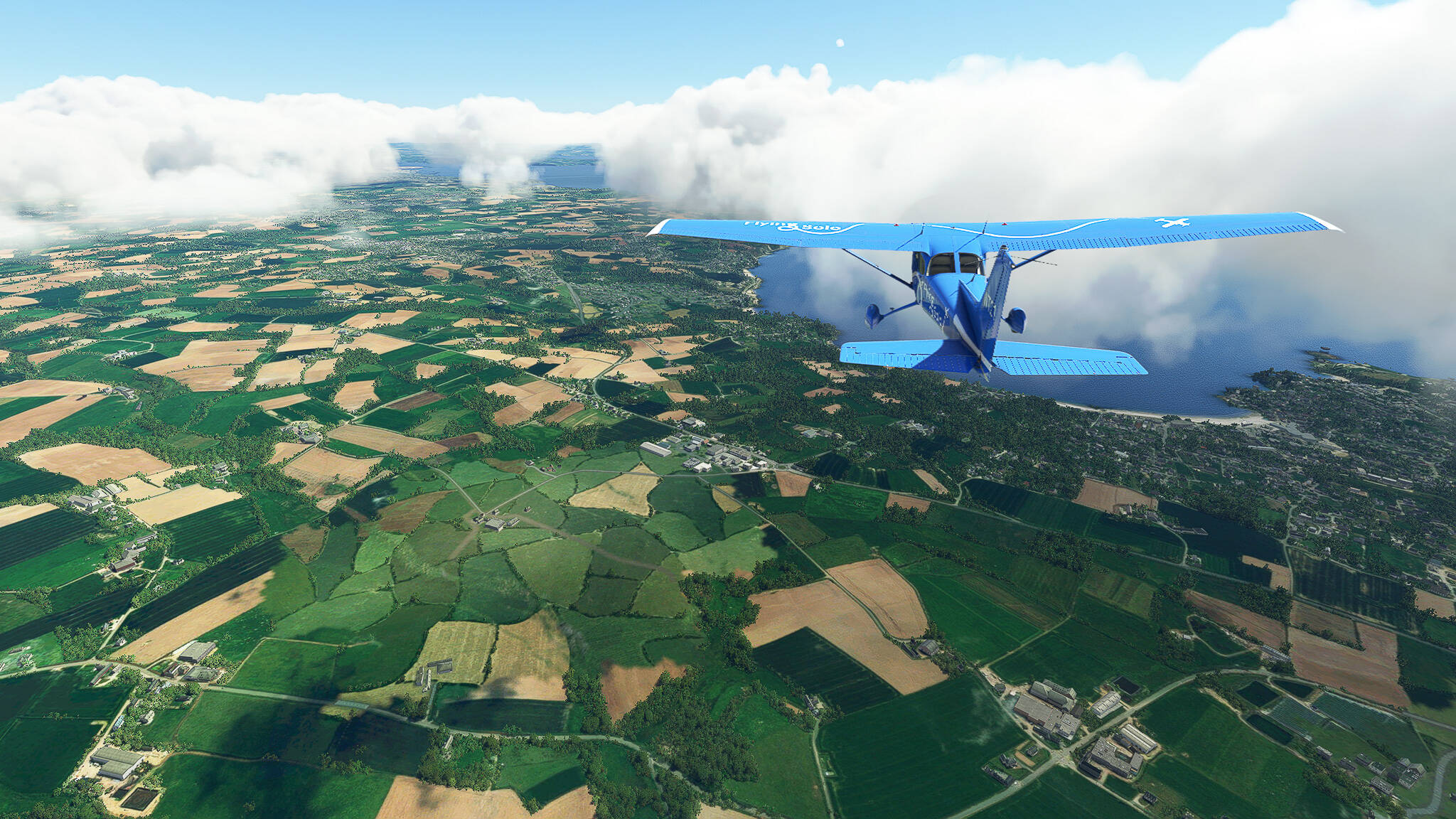
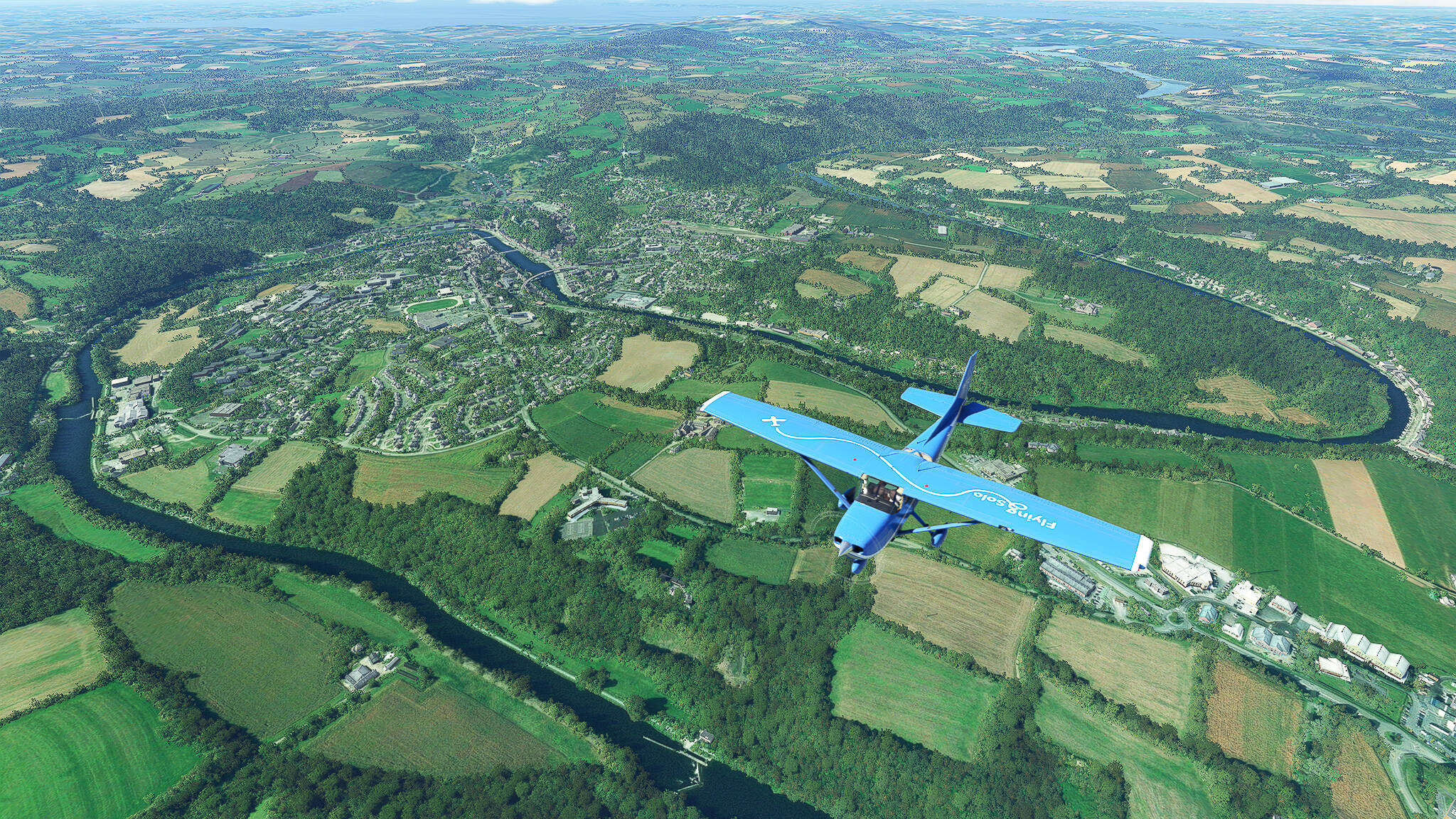
After more rather uneventful cross-country flying we crossed the Foret de Pontcallec near Berne and spotted the town of Plouay where two major annual cycling races take place - sadly to late to take a closer look.


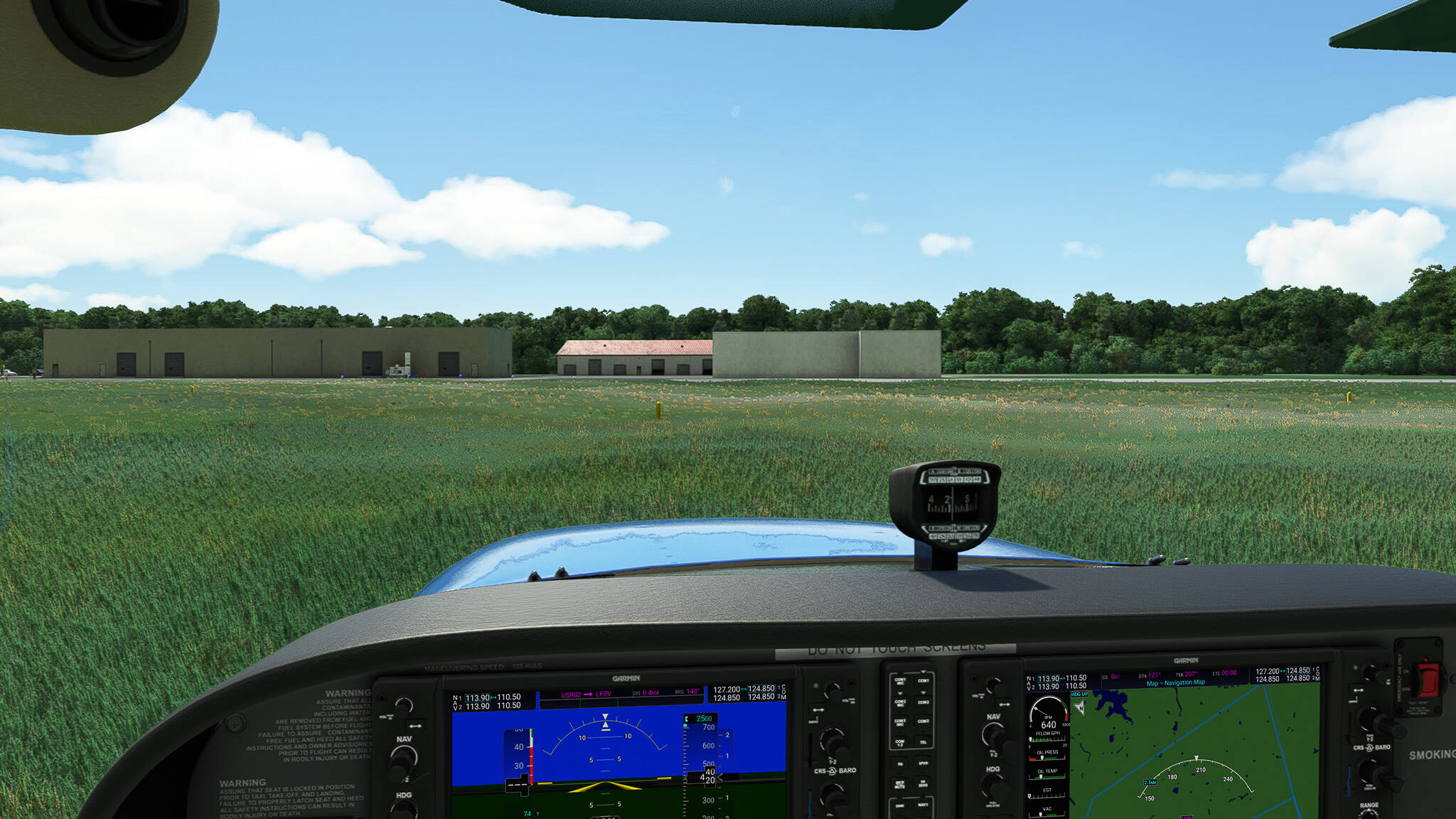
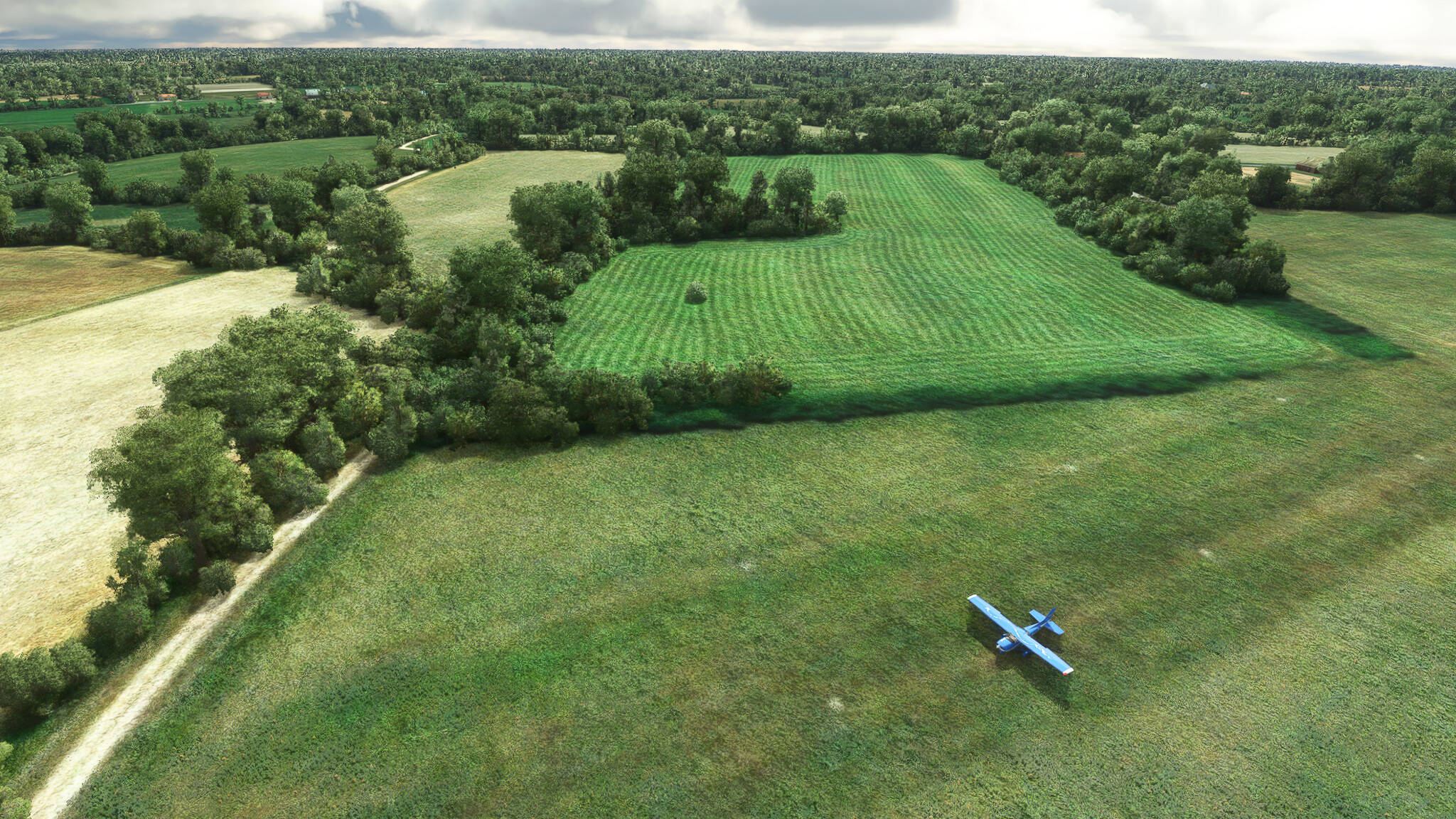
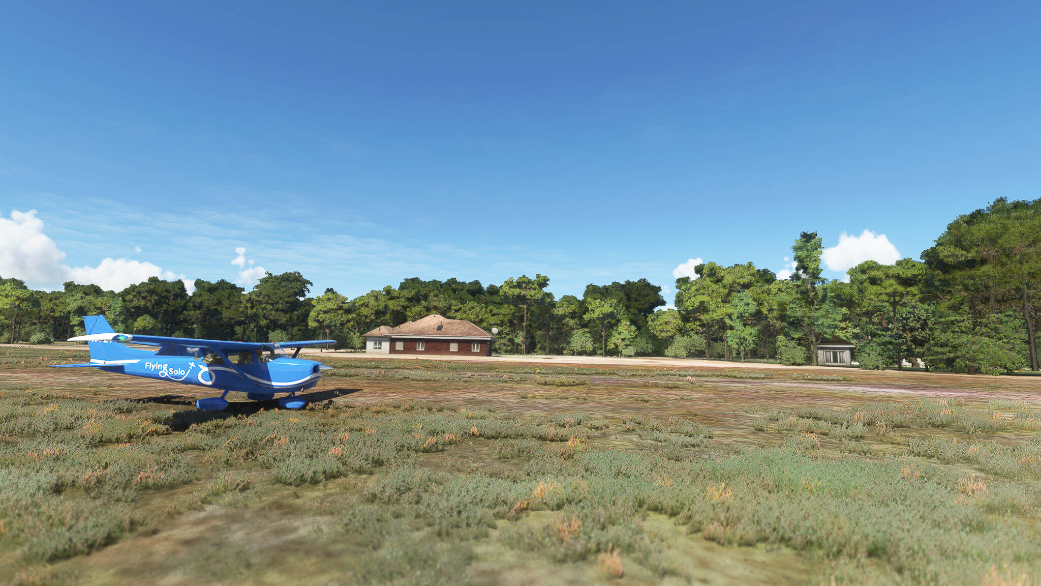
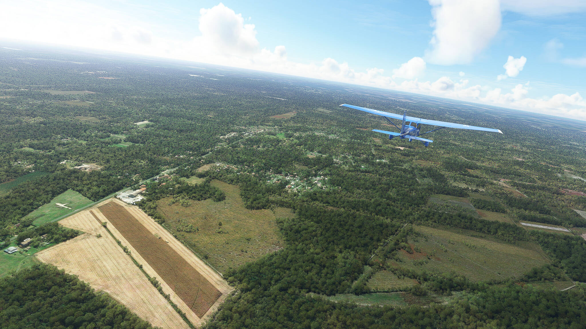
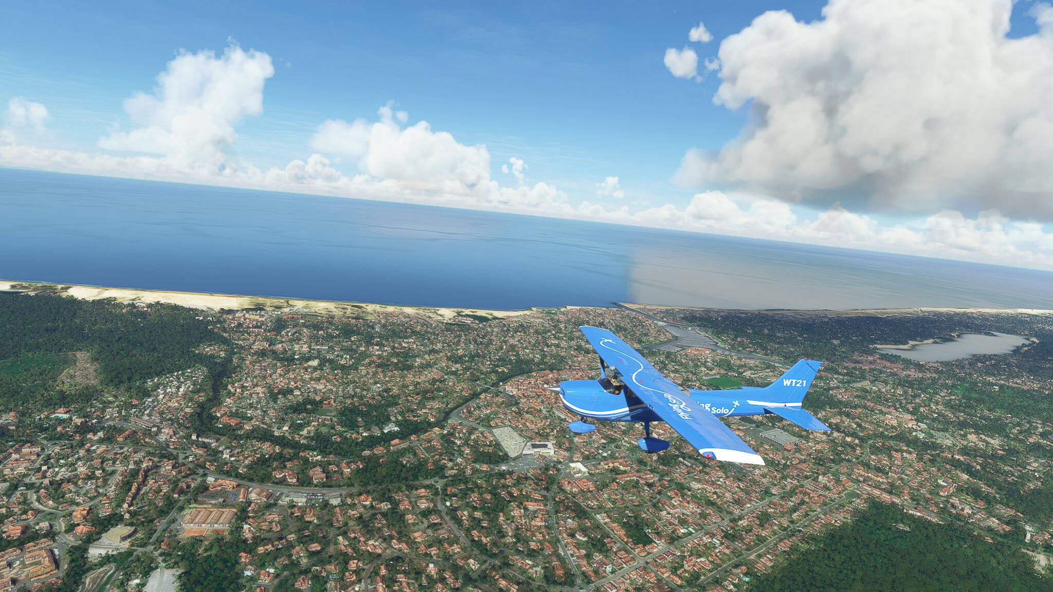
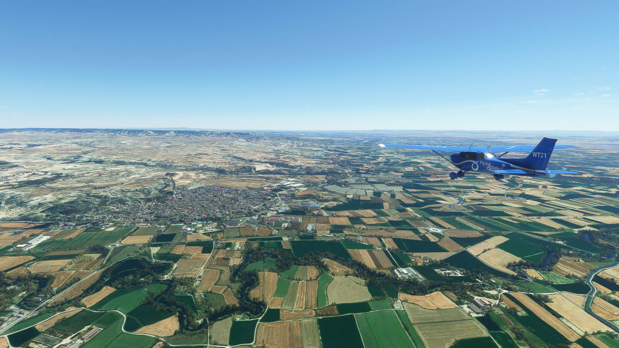
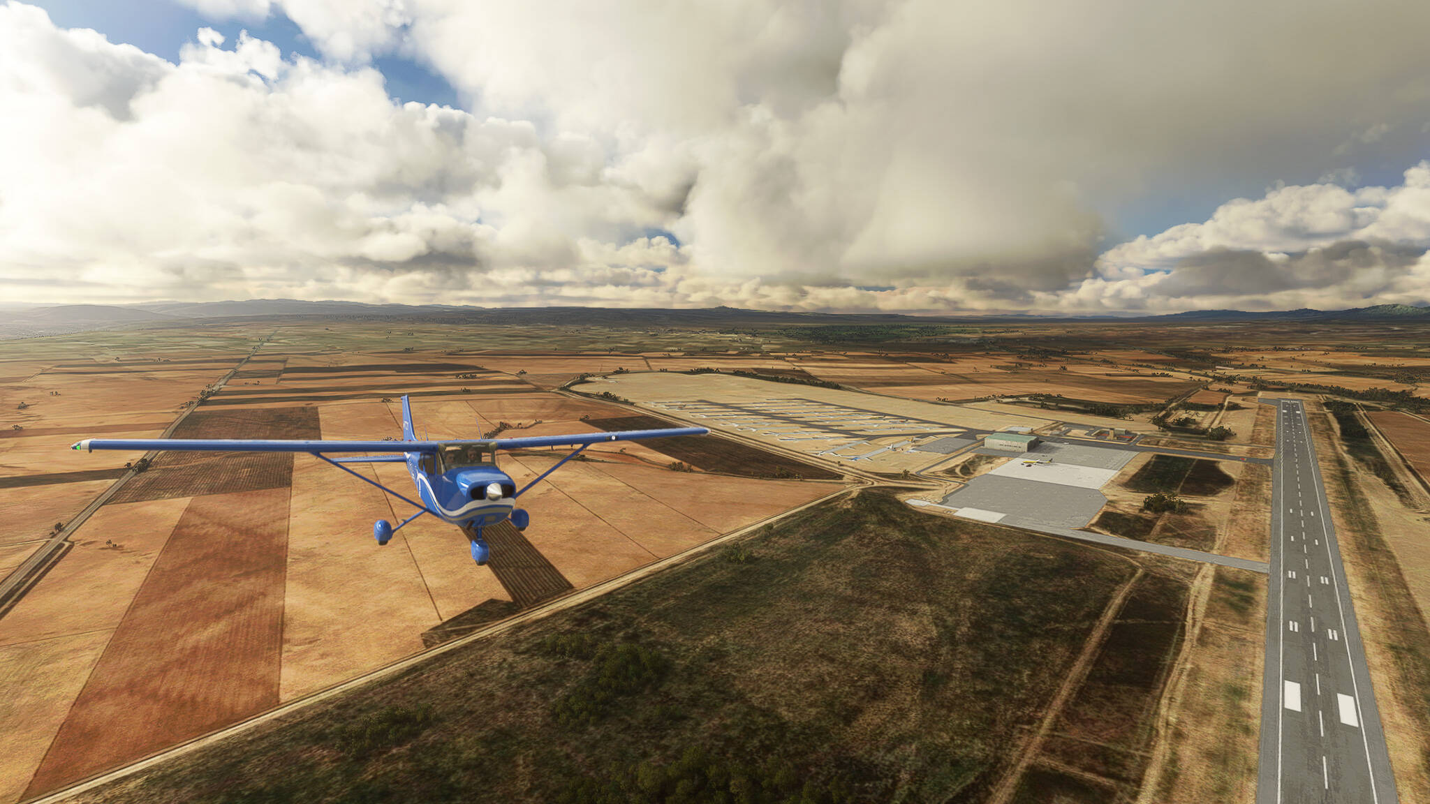
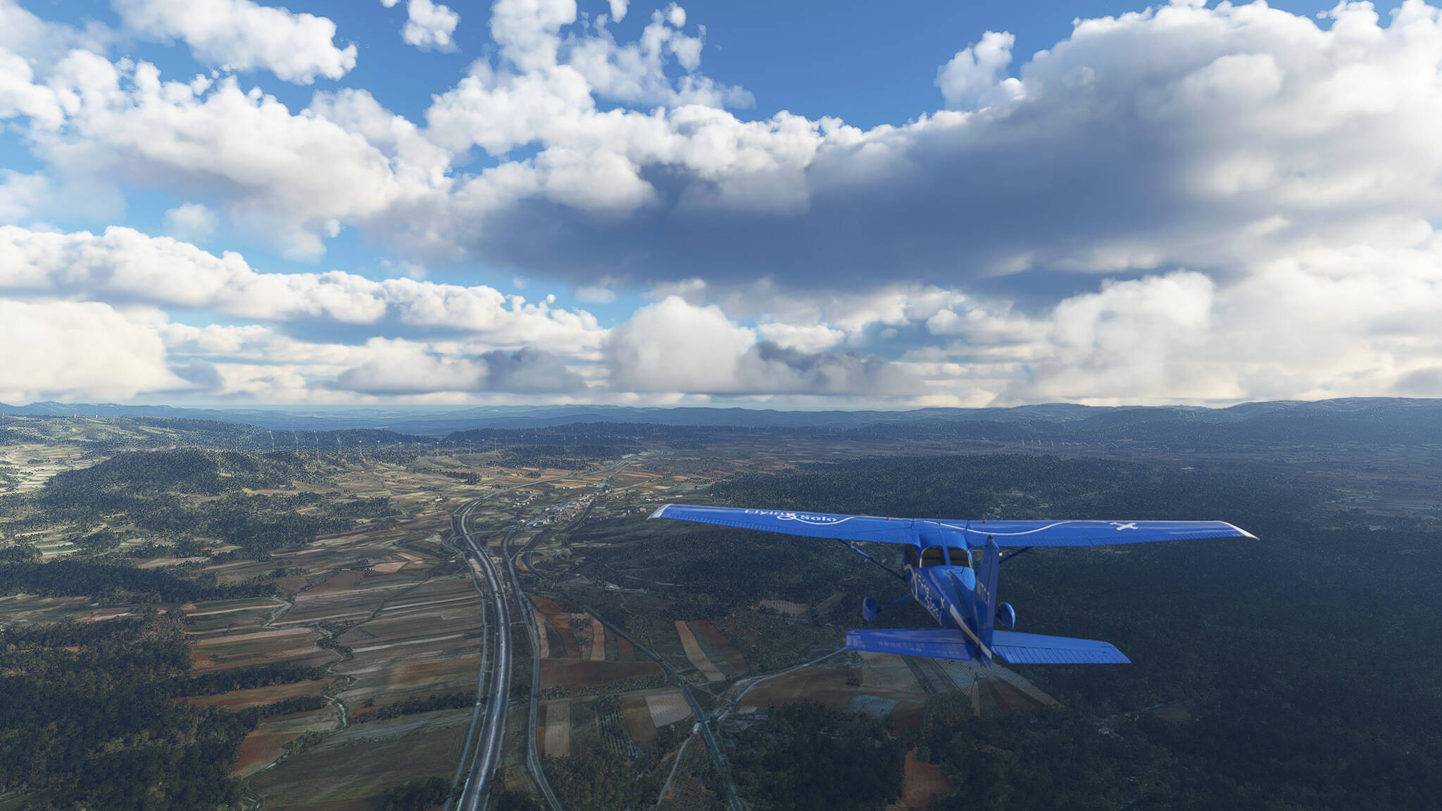
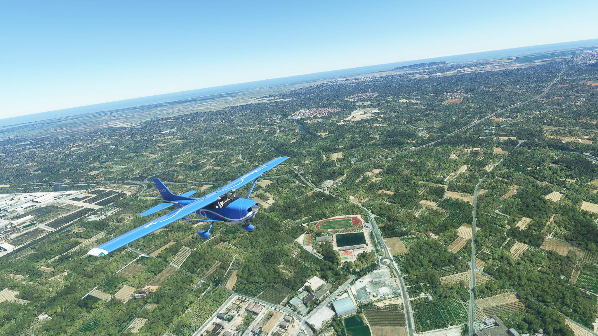
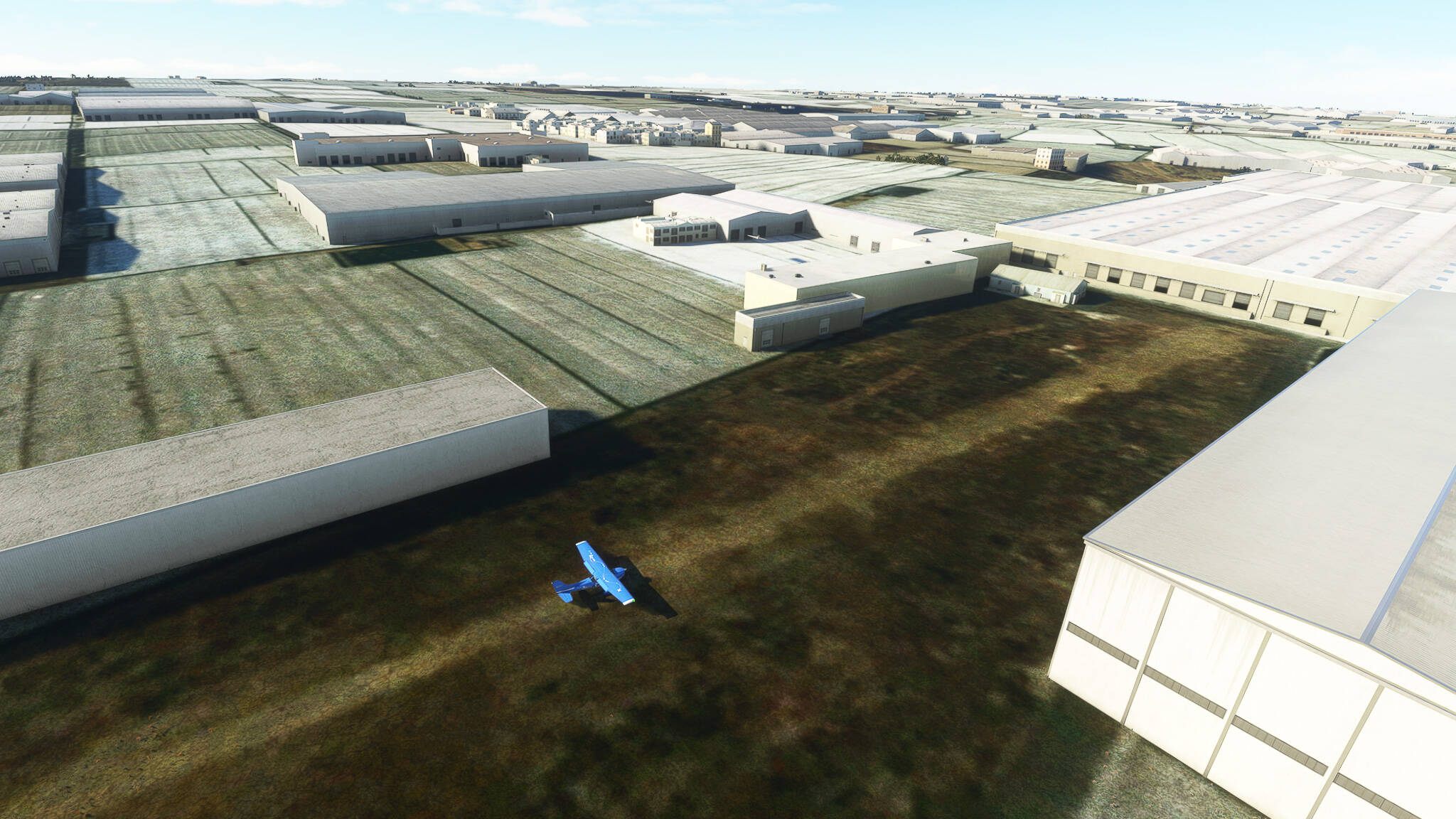
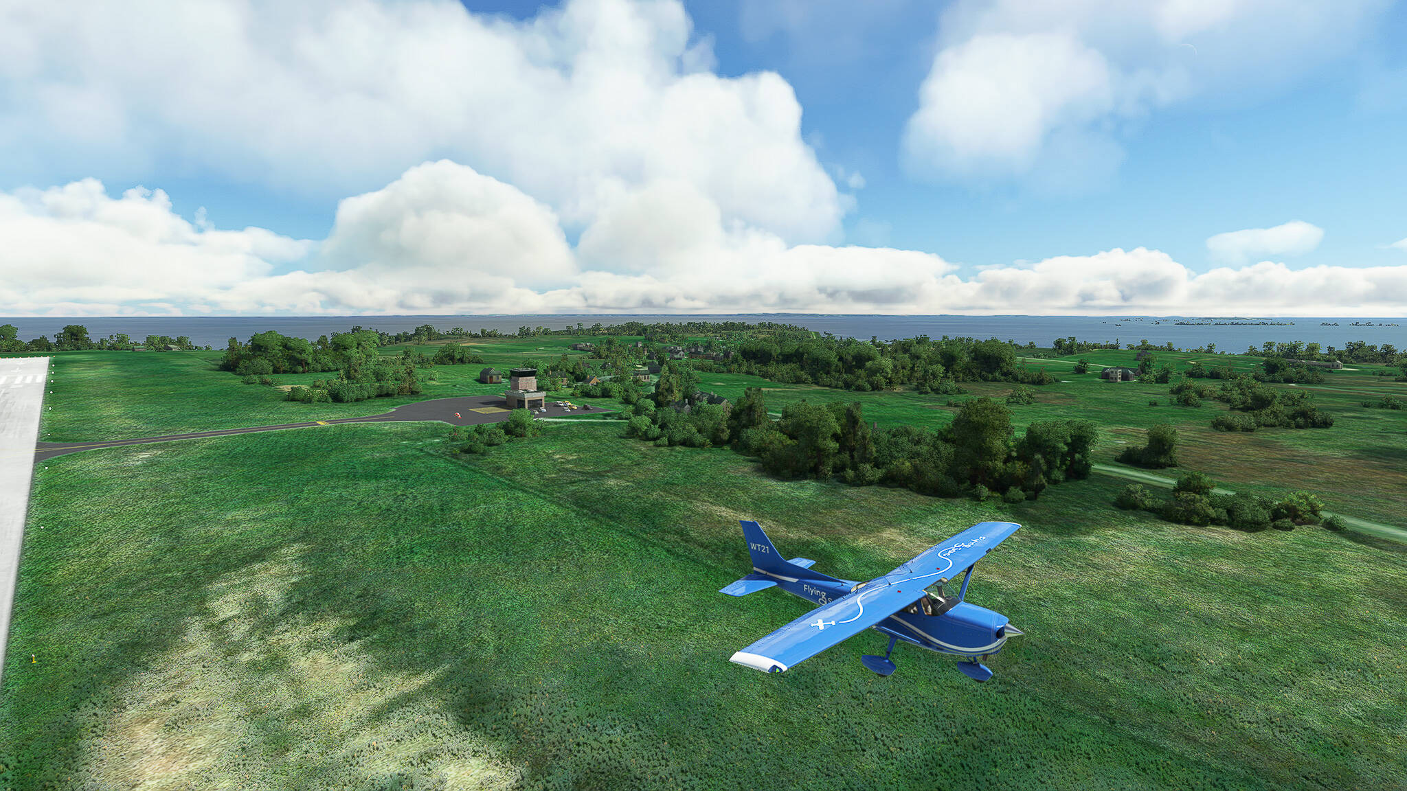
We started our final descent above the town of Grand-Champ and finished it on the green grass of the Aéroport de Vannes-Golfe du Morbihan to the north of Vannes itself.


1 Like

I’ve been doing a RTW trip in the 172 since msfs launched. It’s by no means a straight line. I started in the UK, went via Sweden and Norway, down through Germany, Italy and Greece into Egypt.

I must admit that I swapped aircraft to something a little quicker for the long slog over the desert into Saudi, Kuwait, into Pakistan and India before heading to Nepal and then down to Singapore, Indonesia etc to fly right around Australia. Then back up to Japan and into China before going to Akaska and right down the West Coast of Canada and USA then across the US to Florida.

I’m currently sitting at Key West pondering my route through the Caribbean before heading north up the East Coast of the USA and then make my way home.

3 Likes

This sounds like a great experience you had / have! Wishing you much success with finding a route through the Caribbean - never flew there myself but it sure is a great region to explore!

Flight 002: Vannes (LFRV) - Coex (LFJJ).
VFR Meucon (LFRV) to Flugplatz Coex (LFJJ).pln (2.4 KB)

We took off from the Aéroport de Vannes-Golfe du Morbihan into a beautiful Saturday morning sky! Crossing Vannes itself we reached the Golfe du Morbihan which isn’t just the namesake of the local airfield but also of the entire departement (Morbihan is Brezhoneg for “small sea”).


We reached the Atlantic Coast near Damgan at the Estuaire de la Vilaine (Vilaine Estuary). Here we left the Region of Britanny and entered the Pays de la Loire Region and the Departement Loire-Atlantique.


During our border crossing the cloud coverage constantly increased so we had to make a decision soon if we should ascend above them, fly through, find a way around or dive below them. But there was still time to enjoy the magnificient view above Saint Nazaire, where the River Loire meets the Atlantic Ocean.


Since I like to be able to fly my planes in any weather conditions (except storms of course) I keep Icing set to “Visual Only” (personal preference). Knowing this I decided to enter the cloud bank above the Loire and take a short trip to Nantes at 1300ft altitude. We didn’t reach Nantes but got some good shots of the Loire and a few southern suburbs like Coueron!


The last part of the trip consisted of hopping in and out of cloud cover on our way south to Coex. Whenever there was a hole I tried to take a shot since even in this weather it is a pretty landscape south of Nantes!


After 42 minutes (plus the time where I paused to set up my drone cam) we landed in Coex after playing my favourite game: “Is this a pasture or the airfield?”. Had to take another approach from the south because I couldn’t really confirm if it was the real deal or not on my first try.

Flight 003: Coex (LFJJ) - Sainte-Helene (LFVR).
VFR Flugplatz Coex (LFJJ) to Flugplatz Sainte-Helene (LFVR).pln (3.2 KB)

After taking off from the Aerodrome de Coex la Boissiere we took a southeastern course to reach the Atlantic Coast. We crossed the Retenue du Jaunay at Martinet (Picture 1) and passed the Chateau Le Plessis Landry (on our left) near La Mothe-Achard (Picture 2).


We finally reached the coast near La Guittiere, where the Payre Estuary meets the Atlantic Ocean (Picture 3). Sadly I couldn’t find any information about this beautiful landscape below and how it came to be.

Further south we passed the Reserve Biologique de la Pointe d’Arcay (Pointe d’Arcay National Park), where the River Lay enters the Atlantic Ocean near L’Aiguillon-sur-Mer (Picture 4).

The next two pictures (Pictures 5 & 6) show the City of La Rochelle, once a center and stronghold of the Templar order and later the French Hugenottes, the coastal city keeps her position as an important Atlantic port even today.


From La Rochelle we crossed the Pertuis d’Antioche (Passage of Antioch) towards the Ile d’Oleron, the second-largest island of European France (Pictures 7, 8 & 9). It was here where the Angevine Queen and Duchess Eleanor was imprisoned for 16 years and where the historical code of maritime law, the “Roles d’Oleron” was written and published.


We left Oleron for the French mainland by crossing the Pertuis de Maumusson (Passage of Maumusson) near Bourcefranc-le-Chapus (Picture 9) in the south. The next two pictures were taken while following the Seudre river from it’s estuary to La Tremblade (Pictures 10 & 11).


At Royan we crossed the Gironde Estuary to reach the Medoc Peninsula to the northwest of Bordeaux (Pictures 12 & 13). The Medoc Peninsula, an important wine-making region in Western France, houses our destination - the Aerodrome de Sainte-Helene (Picture 14) just two stops outside of the city limits of Bordeaux.


Personal Comments: if you want to keep the 172 platform but desire a bit more performance, especially at climbing and cruise as well as range, consider using Tommymxr’s C172 JT-A, the diesel powered version of the Skyhawk. I’ve used this in many cross-continental trips.

1 Like

Thanks for the tip! I am currently happy with the Standard 172 G1000 but if I want to change it up for a bit I will look into the JT-A!

Flight 004: Sainte-Helene (LFVR), France - San Sebastian (LESO), Spain.
VFR Flugplatz Sainte-Helene (LFVR) to San Sebastian (LESO).pln (2.3 KB)

After a few days of downtime we started this morning in near Sainte-Helene to the northwest of Bordeaux to fly our (atm) final leg in France! Sainte-Helene itself can be seen in the first picture of today (Picture 1), which was shot after departing to the west and then turning eastwards to Bordeaux.

A short while after we reached Bordeaux, capital of the Nouvelle-Aquitaine region of France as well as the Departement Gironde. Due to it’s great historical importance it is often called “the second capital” of the country. Due to our planned route we could only visit the western part of the city (Pictures 2 & 3).


Near Cestas we turned to the southwest on our way to the Spanish border. Here we came across the ZAE du Pot au Pin, an industrial area to the southwest of Bordeaux. (Picture 4).

Flying further we crossed a larger distance mainly covered by woods and fields without any real POI - of course I still documented that part with shots of a landing strip-like field near Le Barp (Picture 5), our crossing of the highway A63 near Lugos (Picture 6) and the rural area near Escource (Picture 7).


Near Levignacq we saw the Pyrenees in the distance for the first time! This picture also shows the Pisciculture (fish farm) in Levignacq, which I first thought to be a lock in the Ruisseau du Vignac river (Picture 8).

This lake near Leon caught my interest so I had to take a photo of it! It is called Etang de Leon (Pond of Leon) whose western part belongs to the Reserve naturelle du Courant d’Huchet, a natural reserve around the Courant d’Huchet river (Picture 9).

Now closing in on both the Atlantic Coast and the Pyrenees we came across the Etang de Soustons (Pond of Soustons, Picture 10) as well as Soustons itself (Picture 11). The woods around the town are part of the Foret de Landes, the largest forest in Western Europe!


We finally reached the coast near Soorts-Hossegor and Capbreton (Picture 12), of whom the latter won the “Two Flowers” contest in 2017, making it the French town with the most beautiful flower decoration of that year.

The next city we reached was Tarnos, the westernmost center of the Landes Departement on the Cote d’Argent (Silver Coast, Picture 13). Across the River Ixalupa / L’Adour sits the old trade port of Bayonne, which served during most of Europe’s history as a place of cultural and political exchange and cooperation between French and Spanish parties. Even further south sits Biarritz on the Cote d’Argent, a former tourist spot for aristoricratic visitors during the Belle Epoque and - since the 1960s - the European capital of professional surfing (Picture 14).


The last place we visited before descending on San Sebastian was Saint-Jean-de-Luz (Picture 15). Due to it’s natural harbour it served as the southwesternmost harbour of France during it’s history as well as a favourite seaside resort on the Cote Basque (Basque Coast).

After initializing our descent we approached the Aeropuerto de San Sebastian on the Spanish side of the bisected city. This photo (Picture 16) was shot just before making the final adjustments for the landing.

1 Like

Thanks for sharing! I am touring the world in my C172 as well. Currently in the UK “site seeing” but making my way south soon. Good times…

1 Like

It’s just such a fun plane to fly, right? Haven’t flown many planes in MSFS (Savage Cub, 152, 172, Bonanza & Caravan) but the 172 is still my eternal sweetheart!

1 Like

Flight 005: San Sebastian (LESO) - Pamplona (LEPP), Spain.
VFR San Sebastian (LESO) to Pamplona (LEPP).pln (3.6 KB)

Disclaimer: Due to the epic beauty of the Basque landscape, I decided to put on the official Lord of the Rings: The Fellowship soundtrack and it fits the scenery perfectly! Just a recommendation for anyone trying out that trip.

Well, we arrived in Spain three days ago - time to move on southwards! We left Hondarribia, where the airport of San Sebastian is located (Picture 1) and followed the AP-1/AP-8 highway and later the A-15 through the mountains towards Pamplona.

We passed the industrial city of Errenteria, a center of Spanish metallurgy in the Basque Country (Picture 2) and turned south near Hernani, which provided us with a gorgeous shot of the mountains Kaxargain (right), Atxurro Mendi (center), and Txoritokieta (left) (Picture 3).


The centerpiece of this flight was the actual passage through the mountains - due to the lighting as well as the LOTR soundtrack a truly epic adventure! So here are some impressions, taken near Bildotseta Mountain (Picture 4), Belabieta Mountain (Picture 5), Areso (Picture 6 & 7), Akordategana Mountain (Picture 8) and Latasa (Picture 9).


After passing through the mountain gap between Ahizpa Haundia and Ahizpa Txikia we turned east over Irurtzun and could spot the plateau in the distance on which Minas Tiri… eh “Pamplona” sits (Picture 10).

We reached the city limits of Pamplona (or Iruna in Basque) near Lotza (Picture 11) and crossed the city itself which was partially obscured by the bright sunlight (Picture 12)! I basically had to take these pictures half-blind.


With Picture 13 our trip was finished - we crossed the Pyrenees and reached Pamplona!

Flight 006: Pamplona (LEPP) - Cogullada (LEZA), Spain.
VFR Pamplona (LEPP) to Cogullada (LEZA).pln (1.7 KB)

Phew, this flight was kind of problematic: First a faulty airfield in LittleNavmap that caused my PC to crash whenever I loaded the Flight Plan in MSFS 2020, then my autopilot got stuck and constantly tried to turn me around in a circle. But - after fixing the first problem and deciding to simply not use the autopilot we took of from Pamplona, circled around the city and left it to the south near Tiebas (Picture 1).

The first part of our journey led us along the AP-15 highway towards the River Ebro. We came across the town of Pueyo (Picture 2), the Parque Solar La Pedrera I y II, a solar power plant (Picture 3) and Caparroso on the southern bank of the Rio Aragon (Picture 4).


I don’t know what the story behind this awesome looking landscape is, but it was pretty so I took a picture. It’s located southwest of Caparroso (Picture 5).

This next shot was taken near Cadreita while looking towards Valtierra near the bend of the Carretera de Eje del Ebro (Picture 6). If you look closely, you can see a circular irrigation plant in the left background!

After 20 minutes of flying south we crossed the Rio Ebro near Castejon! We turned east near the Canal de Lodosa and left the AP-15 behind us (Picture 7). A bit later we crossed the Ebro near Murillo de las Limas for a second time on our way to Zaragoza (and therefore Cogullada, an airfield north of the city).


Near Fustinana we came across another solar power plant, but this one was much larger than the first we’ve seen (Picture 9)! Afterwards we passed the mountains Cabezo del Fraile and La Modorra (Picture 10).


We had to cross another river on our way east and towards Zaragoza - the Rio Arba near the historical town of Tauste (Picture 11)!

The last part of our trip took us through the Campo de Maniobras de San Gregorio, a shooting and manouver range and training center of the Spanish Army north of the Ebro and northwest of Zaragoza (Pictures 12 & 13).


At last we started our descent towards Cogullada Airfield. The buildings below us belong to the Academia General Militar, the Military Academy on the eastern edge of Campo de Maniobras de San Gregorio (Picture 14).

Flight 007: Cogullada (LEZA) - Teruel (LETL), Spain.
VFR Cogullada (LEZA) to Teruel (LETL).pln (2.4 KB)

After finally fixing my troubles with Little Navmap (meaning: deleting the whole program and all files, then reinstalling and synching with MSFS) we could continue our trip south! We took off from Cogullada in a western direction and initially turned left to cross the city of Zaragoza (Picture 1).

From there we followed the A-23 highway which will eventually lead us to our destination Teruel. The area directly south of Zaragoza is home to multiple large wind parks like the Parque Eolico La Plano I - III (Picture 2, in the background). We came also across multiple small towns along the highway, for example Mozota (Picture 3).


Near Mezalocha the first outlying foothills of the Sistema Iberico appeared (Picture 4). The Sistema is a mountain range covering the southern half of Aragon as well as a part of Burgos Province. We entered int near Cerveruela, where we adjusted our course from southwest to south (Picture 5).


The next four pictures were shot in short succession in the area north of Calamocha (Pictures 6-9, Calamocha is visible in Picture 9). Nothing to say here, except that I liked the look of it.


Further south, near Singra, we came across the small Torremocha Airfield on a large highland plain between Calamocha and Teruel (Pictures 10 & 11). A rather dreary-looking place in my opinion!


The last two pictures were taken during our descent to Teruel (Pictures 12 & 13). Fun Fact: In the last one you can clearly see the dividing line between two different sets of satellite images!


Flight 008: Teruel (LETL) - Polinya De Xuquer (LEPD), Spain.
VFR Teruel (LETL) to Albalat De La Ribera (LEPD).pln (3.2 KB)

We finished our first evening flight! Starting in Teruel we crossed the southernmost part of the Sistema Iberico, reached the Mediterranian Sea and finally landed on the Albalat De La Ribera Airfield near Polinya De Xuquer to the south of Valencia.

After take-off we turned to the southeast, so we could follow the A-23 highway towards Teruel (Picture 1). We reached the city shortly after (Picture 2) and continued following the highway, which also carries the name “Autovia Mudejar” in this area (Picture 3).


After leaving the plateau on which Teruel sits we entered another one near La Puebla de Valverde (Picture 4). You can enjoy this breathtaking view in the next shot, taken from our cockpit and just west of La Escaleruela with the mountain Cerrito Enebral in the background (Picture 5)!


Near the eastern rim of the Sistema Iberico the haze became much stronger, tinting the next pictures blue. We passed Barracas as well as the wind turbines on the slopes of the Cerrito Enebral, Santa Barbara Monte Pina and Alto del Mazorral mountains (Pictures 6 & 7).


Near Jerica we finally left the Sistema behind us and could already see the Mediterranian Sea in the background! But before reaching it we slowly descended from 5000ft to 3000ft near Navajas and the Lake Pantano El Regajo (Picture 8).

The closer we came to the coast, the denser the cloud cover became. This led to the setting sun in the west tinting this next shot yellow - a rather unhealthy hue of yellow if you ask me. It was taken above Algimia d’Alfara and Torres Torres (Picture 9).

The next city we reached was Sagunto, the first battlefield of the Second Punic War and an ancient Greek colony in Eastern Spain. The harbour in the background is the appropriately named El Port de Sagunt, where we turned south the pass Valencia and reach Polinya de Xuquer (Picture 10).

We left the Spanish mainland at Platja de la Pobla de Farnals (Picture 11) and crossed the coastal waters near Valencia, spotting the l’Albufera lagoon (Picture 12), but not Valencia itself due to the heavy glare of the evening sun and finally making landfall again near Les Palmeres (Picture 13).


After an hour and a minute of total flight time we landed on the Albalat De La Ribera Airfield and took our last shot of the day (Picture 14).

Flight 009: Polinya De Xuquer (LEPD) - San Javier (LESJ), Spain.
VFR Albalat De La Ribera (LEPD) to Aeroclub Mar Menor (LESJ).pln (3.0 KB)

Well, what can I say - Albalat De La Ribera Airfield isn’t a good one for a take-off in a western direction! Due to the close tree line I had to deviate a bit and use a nearby field as a runway which had us initially flying to the north before turning to the southwest (Picture 1).

We passed the town of Algemesi on the northern bank of the Rio Magre. You can see the local stadion in the lower portion of the picture (Picture 2)!

Near Tosalnou we already saw the first ranges of the Prebaetic System (Picture 3) - one of the three subsystems of the Baetic System, which is like the northern Sistema Iberico a broken chain of multiple mountain ranges. The Prebaetic’s eastern end is located in the southern part of the Valencian Country. Our entry into the system was near Xativa. The lake in front of us is the Embalse de Bellus, a reservoir of the Riu Albaido (Picture 4).


Following the A-7 highway we crossed our next range between the Cerro de la Cruz and Penya del Flare mountains (Picture 5).

The next city we reached was Alcoi / Alcoy, an industrial and university city, sitting in a crescent-shaped valley in the Prebaetic System (Pictures 6 & 7).


Using the A-7 as our guiding line towards the sea we passed Ibi (Picture 8) and Castalla, the Cabec Roig mountain (Picture 9) and finally Tibi, where we turned towards the coast of the Mediterranian Sea (Picture 10).


I would have loved to take a good shot of the City of Alacant / Alicante but due to some satellite data issue MSFS decided to paint the entire city grey and brown - a dirty and ugly shade of both, making it look like Mordor. So instead I turned to the other side of my plane and shot this picture of the Serra Mitjana and Serra de Fontcalent mountains (Picture 11)!

Flying along the coast towards our destination near Murcia we passed multiple salines - two near Santa Pola (Picture 12 & 13) and two near Torrevieja (Picture 14 & 15).


After passing San Miguel de Salinas we began our descent with a beautiful view across the coastal towns between Torrevieja and San Pedro del Pinatar (Picture 16).

Sometimes it’s even worth it to pause and look around during your manual descent! Otherwise I wouldn’t have seen the rather pretty looking town of El Pinar de Campoverde, of which I just had to take a picture (Picture 17)!

After a total flight time of 60 minutes we landed on the Aeroclub Mar Menor near San Javier!

Flight 010: San Javier (LESJ) - El Ejido (LEEE), Spain.
VFR Aeroclub Mar Menor (LESJ) to Ul-Gelande El Ejido (LEEE).pln (2.8 KB)

To be honest, I don’t understand why MSFS always messes up the starting positions in my imported flight plans. Had to fly another round above Mar Menor to get onto our route to the south. But during that turn I could take a nice picture of the fields near Tarquinales (Picture 1)!

Our first goal for today was to reach Cartagena, so we crossed the Cabezo Gordo near Camachos (Picture 2) and passed Torre Pacheco on our right (Picture 3). Near La Aparecida we turned southwest and could see Cartagena in the distance (Picture 4, slightly left on the coast).


In La Aparecida we joined the AP-7 highway and followed it towards the border to Andalusia. We passed between the Alto de las Cutandas and Morra Tallante mountains of the Probaetic System, the southernmost part of the Baetic System, near Collado de Tallante (Picture 5).

We came across the City of Mazarron (center) and the Puerto de Mazarron (Picture 6, left) and followed the AP-7 through a rural area near Ifre - Pastrana (Picture 7).


After crossing another range we saw the Cocon de Cope in the distance, a mountaineous headland on the southern end of the Parque Regional Cabo Cope y Puntas de Calnegre (Picture 8). After passing Aguilas, we finally crossed the border into Andalusia near San Juan de los Terreros (Picture 9).


Looking back towards Guazamara and the Region of Murcia (Picture 10) we continued following the AP-7 towards Los Gallardos, which we passed while having a great view of the Cerro de Cucar and Los Ericos mountains (Picture 11).


Before entering the coastal plains near Almeria we passed the mountain El Cerron (Picture 12).

After turning to the west we approached Almeria. But first we came across the Escuala Publica de Golf El Toyo near Retamar, which looked so pretty that I just had to take a picture (Picture 13)! Not long after we reached Almeria, in medieval times the main harbour of Moorish Spain (Pictures 14 & 15)!


Flying along the Costa de Almeria and passing Roquetas de Mar we landed in El Ejido - which proved to be rather difficult. I misjudged how long 935ft really are and had to wiggle my way between two buildings while braking and praying (Picture 16). But we managed it, although I am rather afraid of tomorrow’s start.

Hi! Are you flying real time and weather?

Hi! Since I use my flights also for my Virtual Photography on Instagram I need good visibility to take my shots. I try to use LiveWeather and Time as often as possible but when the weather obscures too much of the scenery I’ll use a custom weather set as close as possible to the real weather!

Until now, custom weather was used between Bordeaux and Zaragoza, otherwise I used LiveWeather.

Flight 011: El Ejido (LEEE), Spain - Gibraltar (LXGB), United Kingdom.
VFR Ul-Gelande El Ejido (LEEE) to RAF Gibraltar (LXGB).pln (2.8 KB)

Live Weather: YES
Radio Station (via radio.garden): Radio Sintonia, El Ejido.

Our last flight in Europe as of now: Tomorrow we will leave the continent for Africa! But today we flew our last leg in Southern Spain from El Ejido to Gibraltar. After taking off (and turning 180°) we took our first shot above the fields south of El Ejido (Picture 1) and of the coast near Balerma (Picture 2).


Since I love to experiment we took a route along the coastline but above the sea, only flying over land shortly after takeoff and right before landing! Sadly I misjudged the distance on the map since I would have preferred to fly closer to the shore for better pictures. Like in this shot near Adra (Picture 3) for example.

Our first goal of the day was Motril, a town famous for it’s sugar cane plantations and refineries. On our way there we passed La Rabita (Picture 4) and Los Cambriles (Picture 5), before turning slightly north near Calahonda (Picture 6) and finally reaching Motril (Picture 7).


Further onwards on our way towards Malaga (which we missed due to the aforementioned mistakes during planning this trip) we came across Almunecar and the Punta de la Mona / Mona Point (Picture 8) as well as the small town of Nerja (Picture 9).


We passed Malaga about 6 nm away from it, but we could get a nice shot of the town Rincon de la Victoria to the east of Malaga (Picture 10) as well as both the Bay of Malaga (Picture 11), the coastal suburbs and airport area to the west (Picture 12).


We closed in on the coast near Torremolinos, where we could get a good shot of Benalmadena Costa and its harbour (Picture 13) as well as the town of Fuengirola to the southwest (Picture 14). We also came across several settlements along the Avenida Mare Nostrum, for example the Urbanizacion Torrenueva (Picture 15, Fuengirola can be seen in the background).


Another settlement we passed was the Urbanizacion Marbesa (Picture 16) before arriving in Marbella (Picture 17).


Near Estepona (Picture 18) we turned south for the final run towards Gibraltar. We could already see the North African coast in the distance, as well as the Gibraltar Peninsula (Picture 19).


The final approach to Gibraltar was nothing but awesome due to a rather funny coincidence: The moment I spotted Gibraltar the Radio Station from El Ejido began playing TOTO’s “Hold the Line” (which basically makes everything epic). So here are the final shots of our journey through Spain (Pictures 20-23)!


Now onwards to Africa! I still have to plan a general route for us but at the moment the only real options are either following the coast of West Africa or crossing the Sahara. Both options sound awesome so I’ll give it a good thought!

Flight 012: Gibraltar (LXGB), United Kingdom - Al Hoceima (GMTA), Morocco.
VFR RAF Gibraltar (LXGB) to Cherif El Idrissi (GMTA).pln (3.0 KB)

Live Weather: YES
Radio Station (via radio.garden): BFBS Gibraltar, Gibraltar & Cope Ceuta FM 89.8, Ceuta.

It is time to leave Europe behind us! This morning we started our engines and took off from RAF Gibraltar while listening to the British Forces Broadcasting Service Gibraltar (Picture 1). We turned south above Algeciras, the Spanish city on the western side of the Bahia de Algeciras / Bay of Gibraltar (Picture 2) and looked back one final time to see the Iberian Peninsula fade away (Picture 3).


It was cloudy above the Strait of Gibraltar but we could already see the coast of Morocco and therefore Africa in front of us (Picture 4)! But first we passed Spanish territory - the city enclave of Ceuta (Picture 5 & 6), which is still a major point of political fraction between Spain and Morocco.


After leaving Ceuta behind us our long trip along the Moroccoan Coast towards Al Hoceima began: We passed Fnideq (Picture 7), M’Diq and the Cabo ■■■■■ (Black Cape, Picture 8) and Martil (Picture 9).


Near Azla, a coastal town southeast of Tetouan, we finally left the clouds that obscured our view during the first part of our journey (Picture 10 & 11). We only had to cross some smaller clouds on our remaining way, so we didn’t miss out on anything important and / or pretty!


Near Oued Laou we spotted for the first time one of those sharp coastlines with almost 90° angles on their northern end, making them look almost cut into their current form. They appear to be natural and not man-made, but they definitely look weird (Picture 12)!

We found another one of those sharp coastlines near Targha (Picture 13), while also noticing how the mountains have already reached the sea, forming a coastal range which is sometimes broken by smaller plains.

Passing Steha (Picture 14) and Bni Bouzra (Picture 15), we finally reached El Jebha (Picture 16). In the distance you can already see a strange formation on the coast (in Picture 16 on the left) about which we’ll talk soon!


What appears from the distance like a group of small hills on the coast is in reality the breathtakingly beautiful Mers Dar, a small bay northeast of El Jebha (Picture 17)! I was suprised myself when I came closer and suddenly saw this beauty to my right!

After passing the Mers Dar we continued along the coast and the Rif Mountains (Picture 18) before reaching first the estuary of the Oued Feddal (Picture 19) and shortly after Cala Iris with its two small islands on the western end of the Parc National Al Hoceima (Picture 20).


Turning northeast we were almost at our destination. We crossed the coastal part of the Parc National Al Hoceima (Picture 21) and near Tala Youssef we could already see Al Hoceima on its peninsula in the distance (Picture 22!)


Now our descent began: We flew across the peninsula, looking back towards Al Hoceima (Picture 23) before finally landing on the Cherif El Idrissi Airport on the southern shore of the bay east of the city (Picture 24).


Note: I thought hard about where to go next from Gibraltar and found the idea of braving the desert more alluring than just continue to fly along a coastline. So we’ll go for a good point to cross the Rif and Atlas mountains first and then follow a “caravan route” of airfields through the Sahara! I’m already thrilled!