Exploring the World in a C172 Skyhawk G1000 (World Trip)

Flight 013: Al Hoceima (GMTA) - Oujda (GMFO), Morocco.
VFR Cherif El Idrissi (GMTA) to Angads (GMFO).pln (3.0 KB)

Live Weather: NO (Clear Skies + Lightning, so I picked Clear Skies preset).
Radio Station (via radio.garden): Radio Nador, Nador.

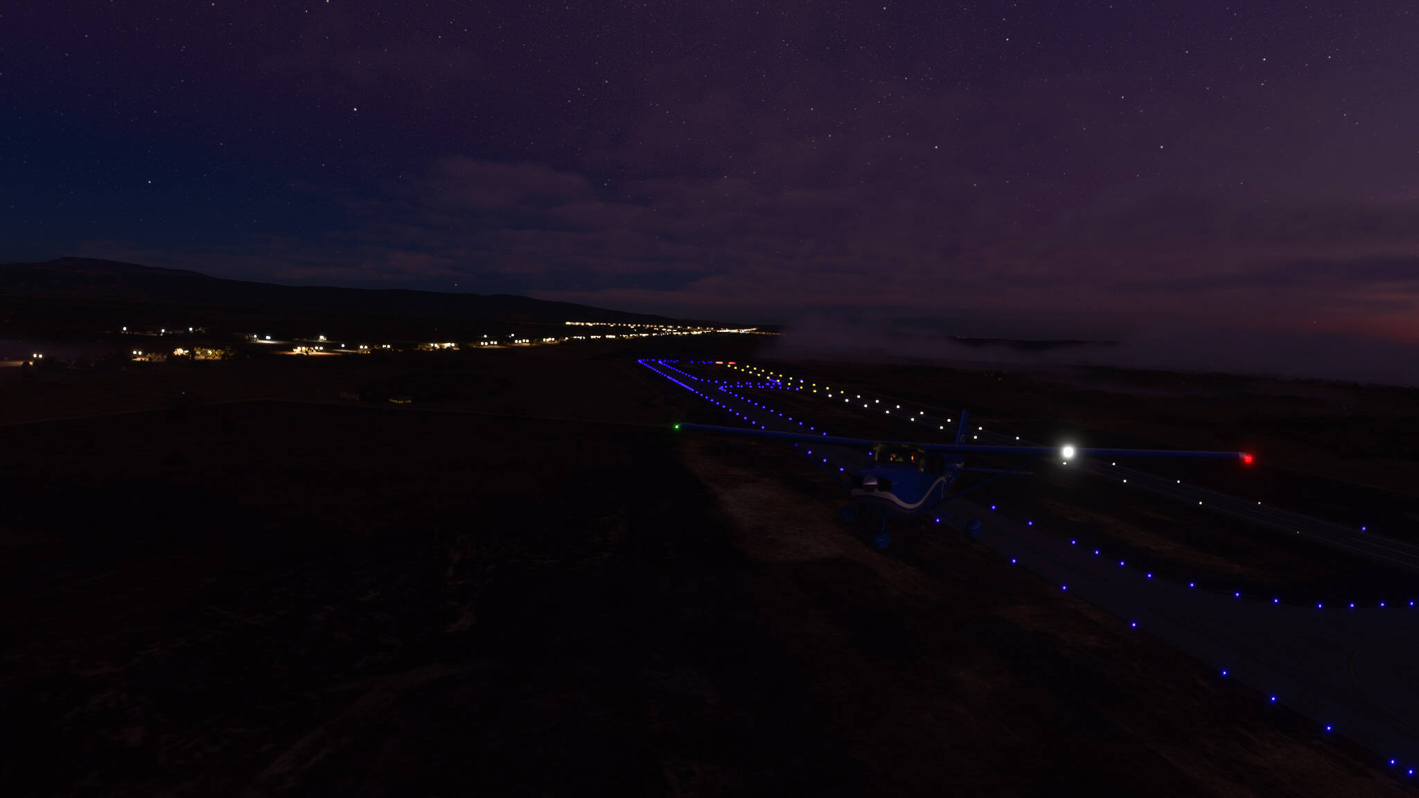
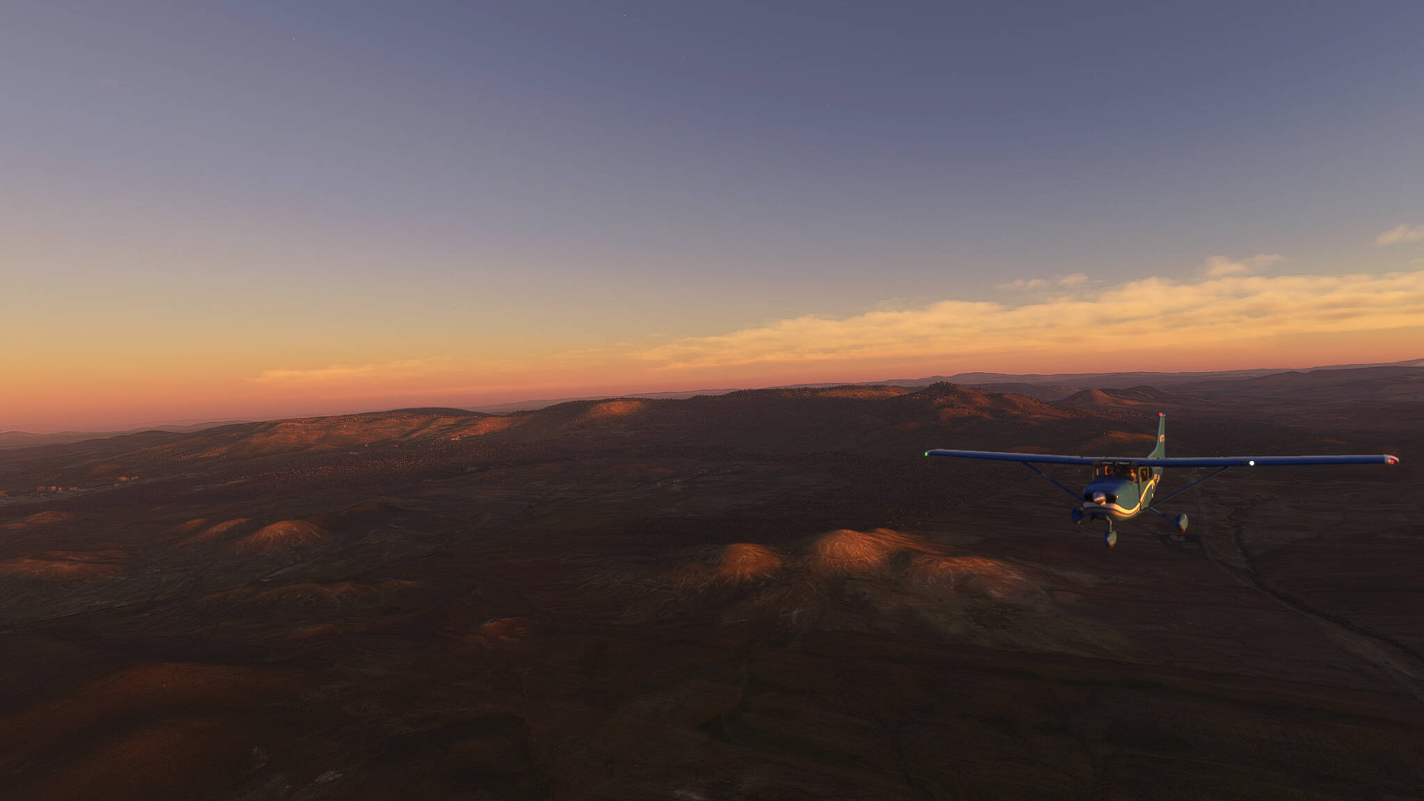
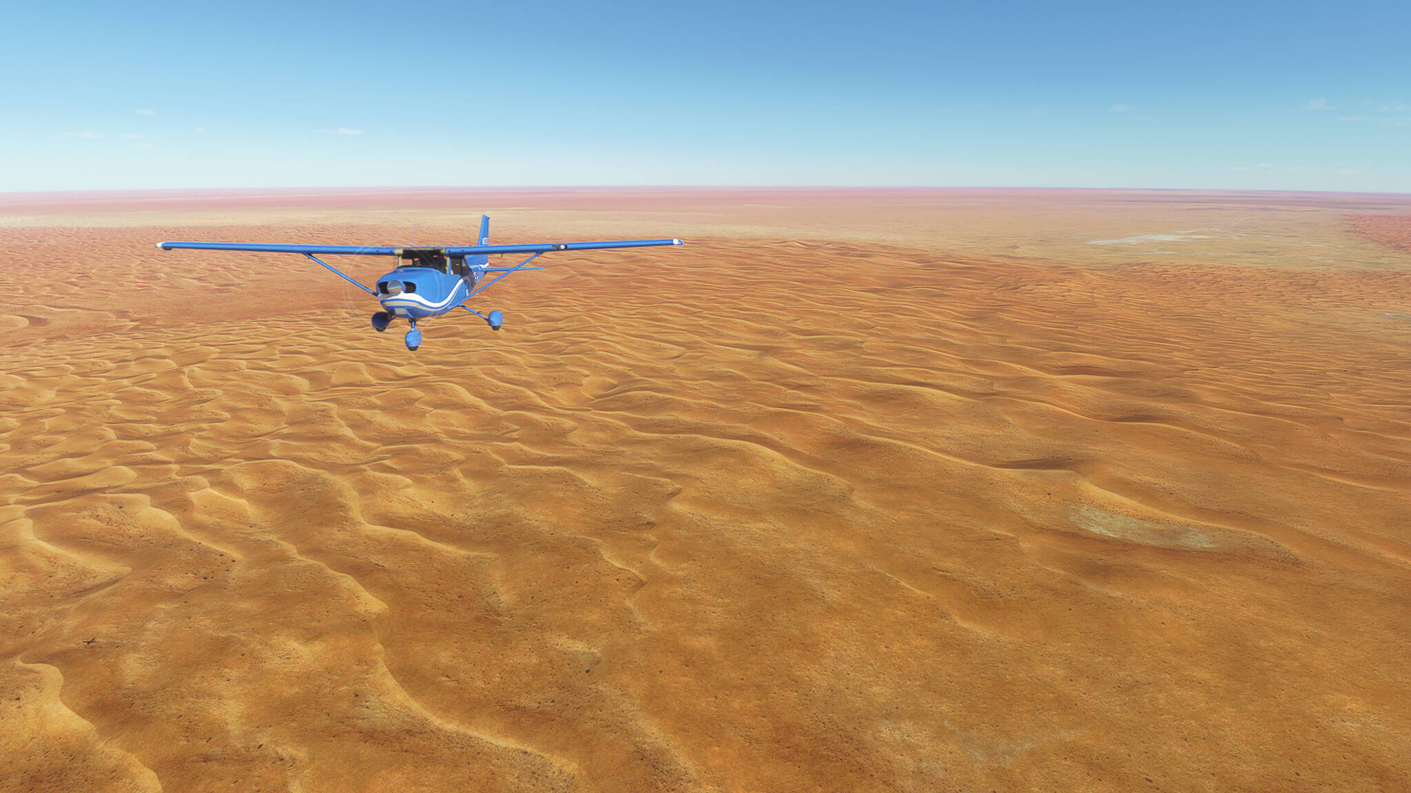
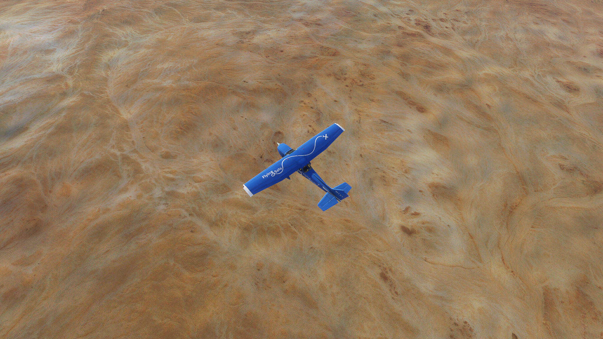
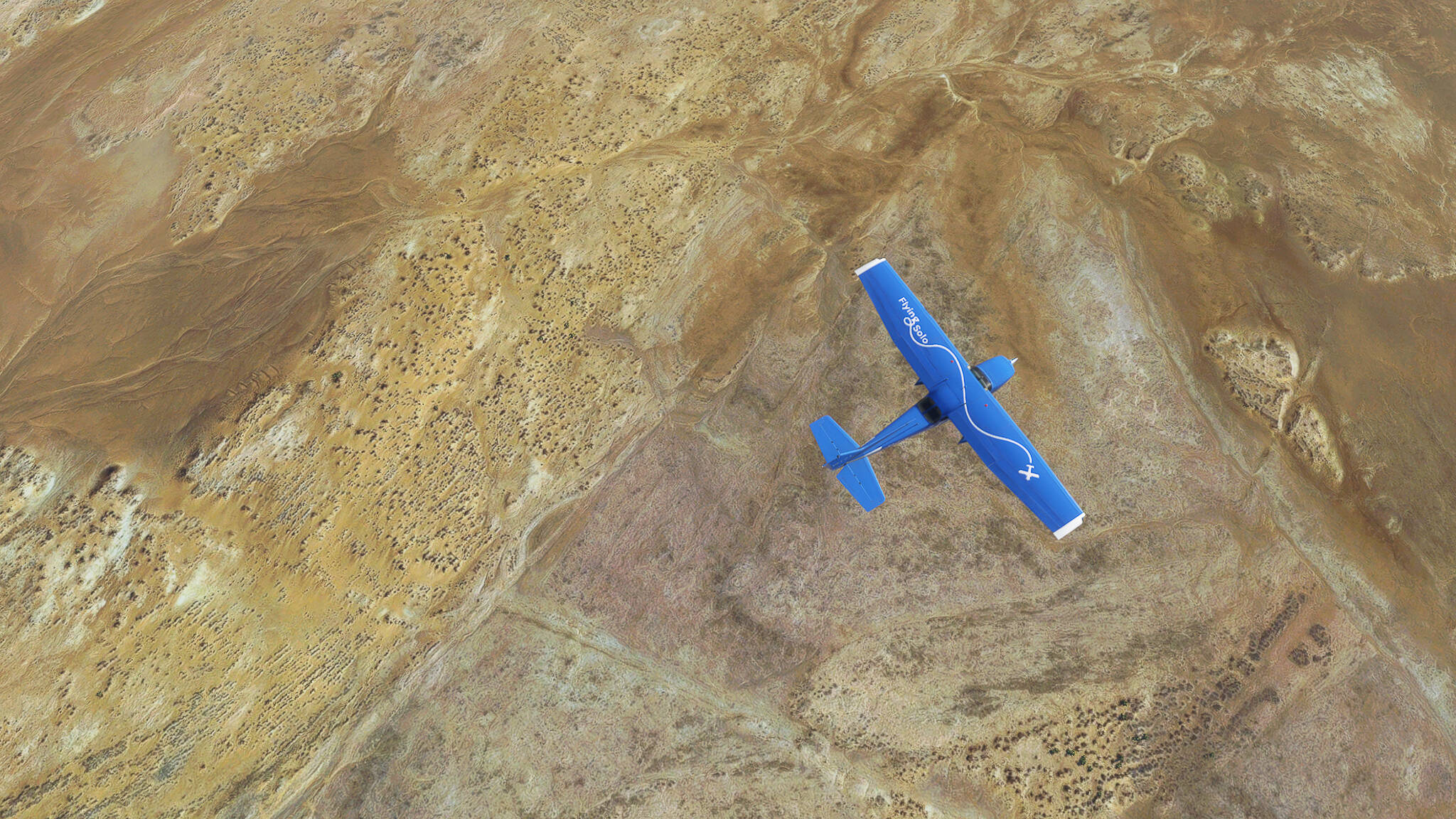
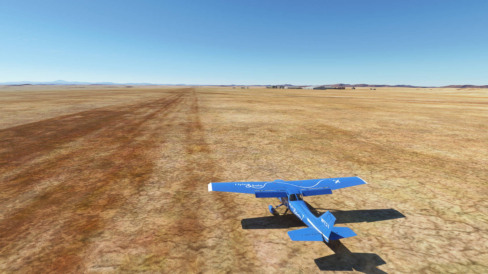
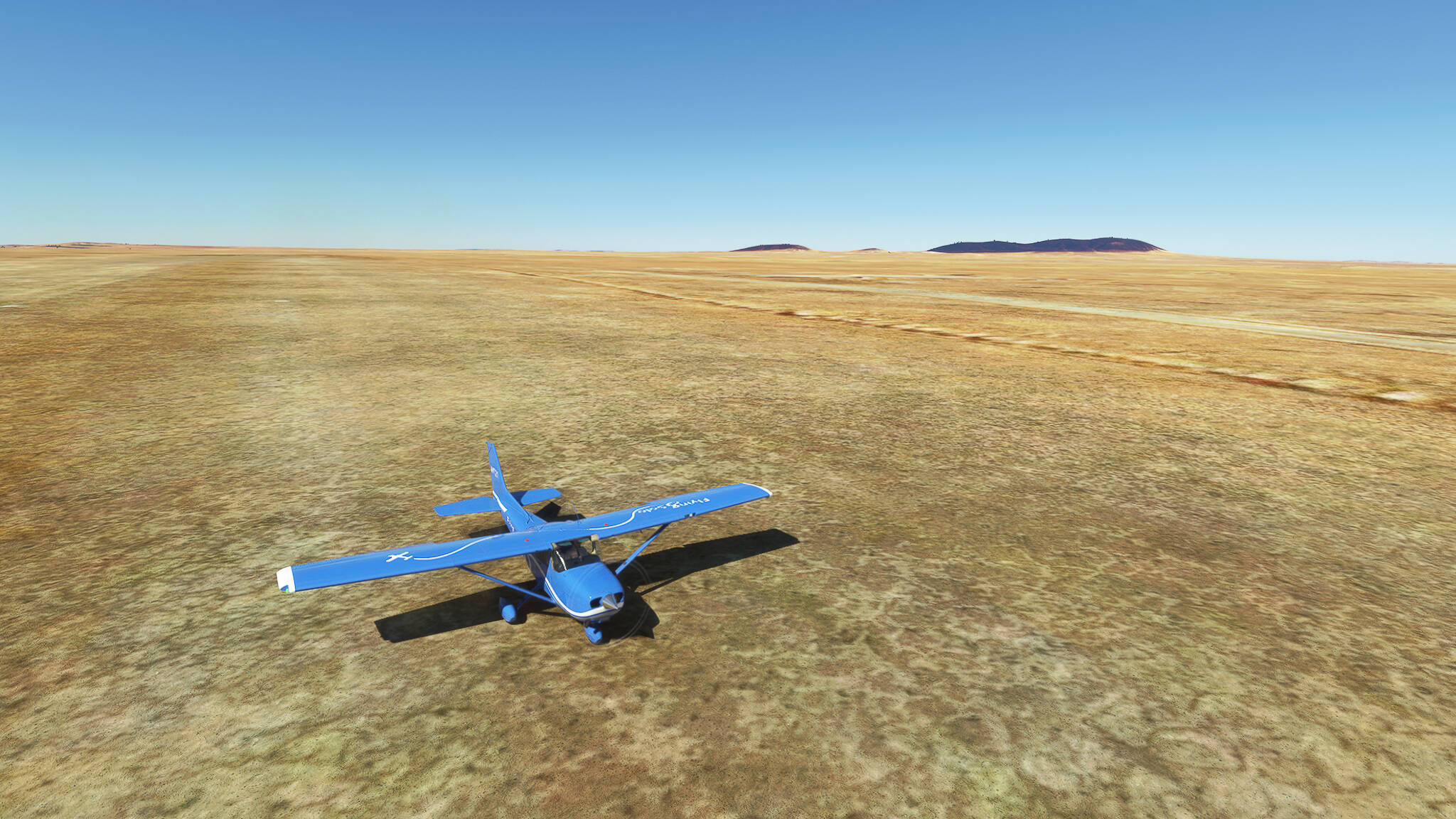
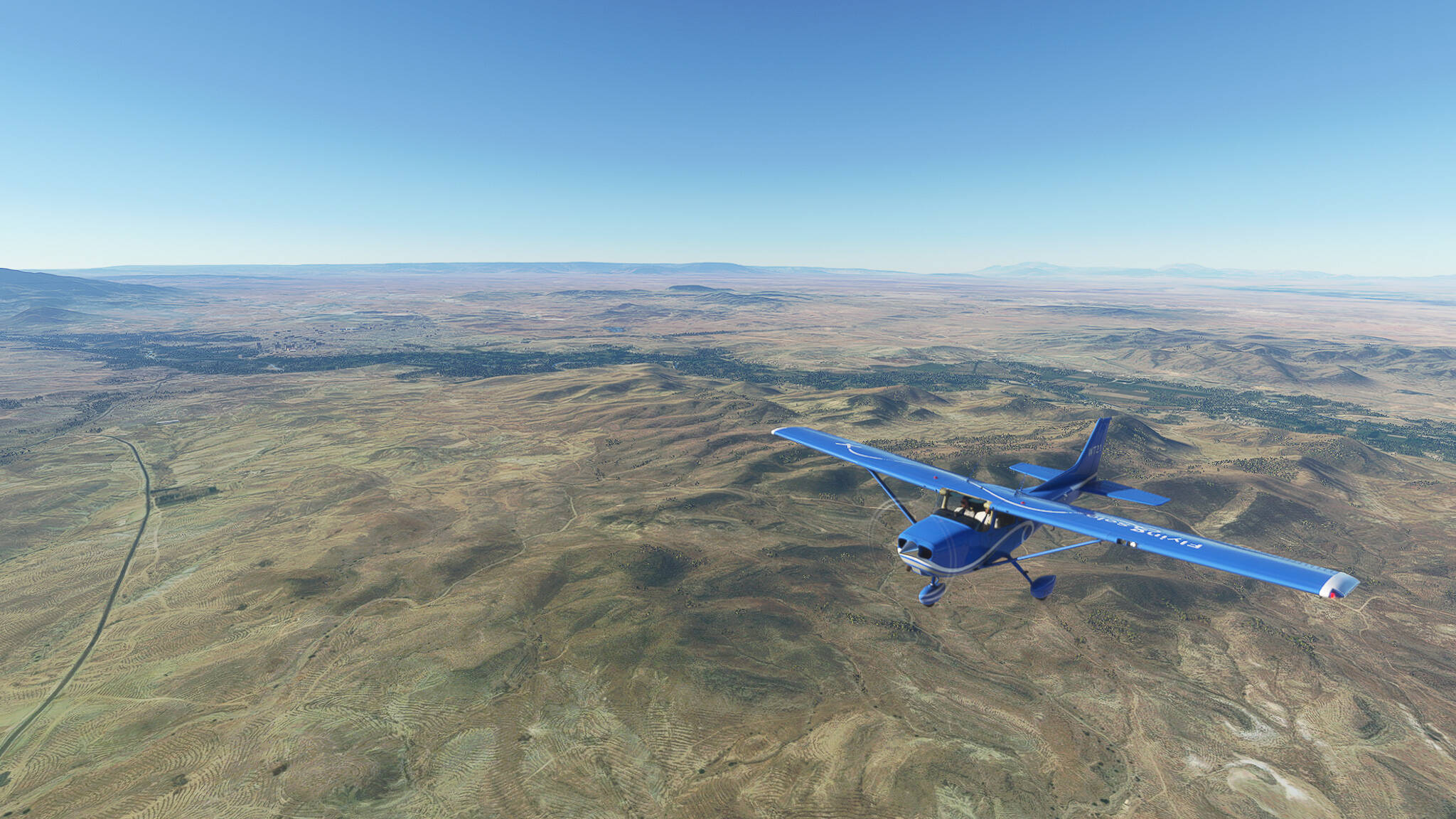
Guys, I learned something today: Don’t fly half an hour after waking up. You’ll forget important things. Like I forgot for almost the entire first half of the flight to actually take screenshots…

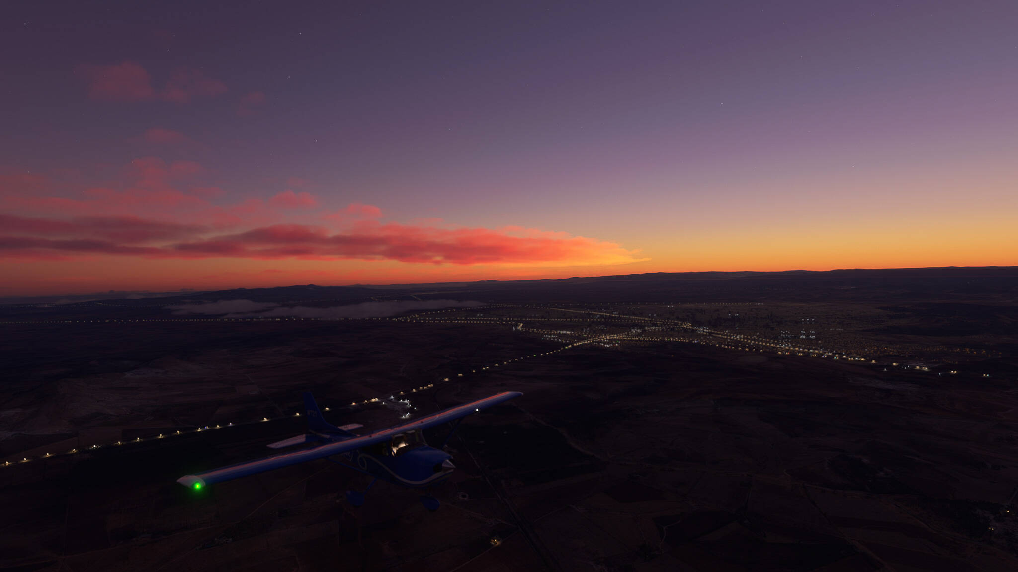
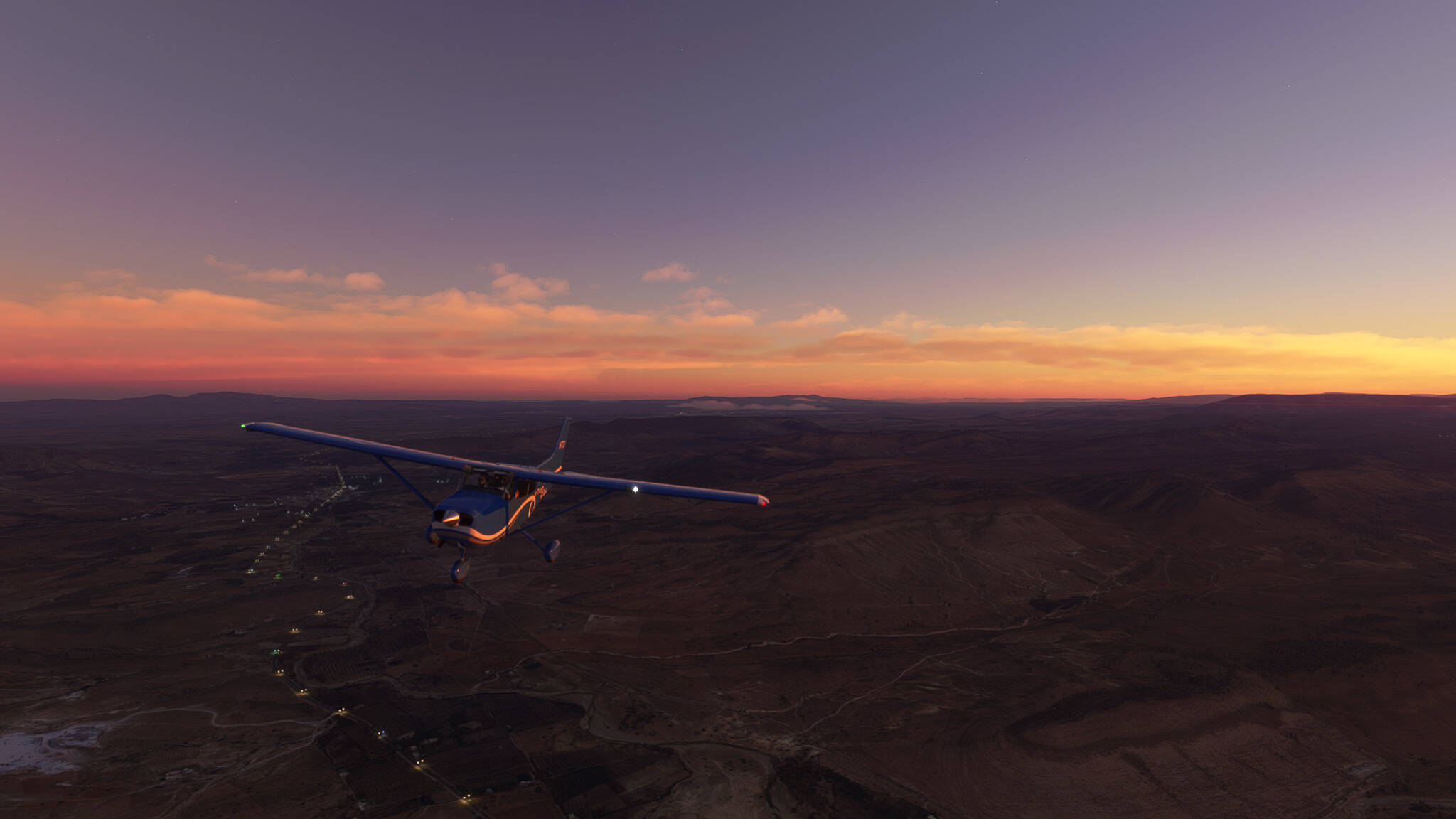
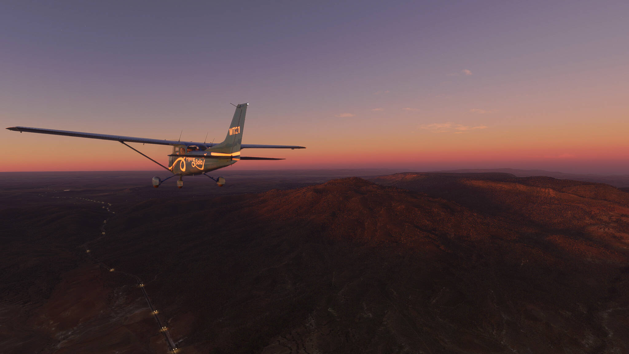
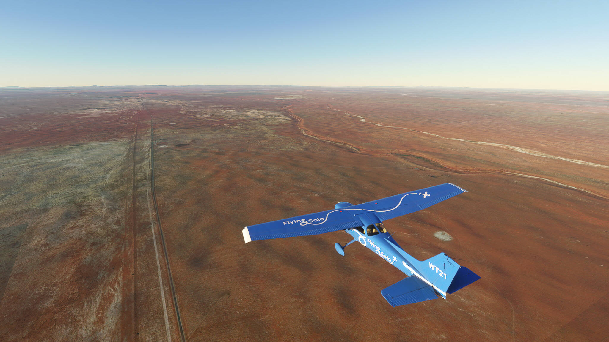
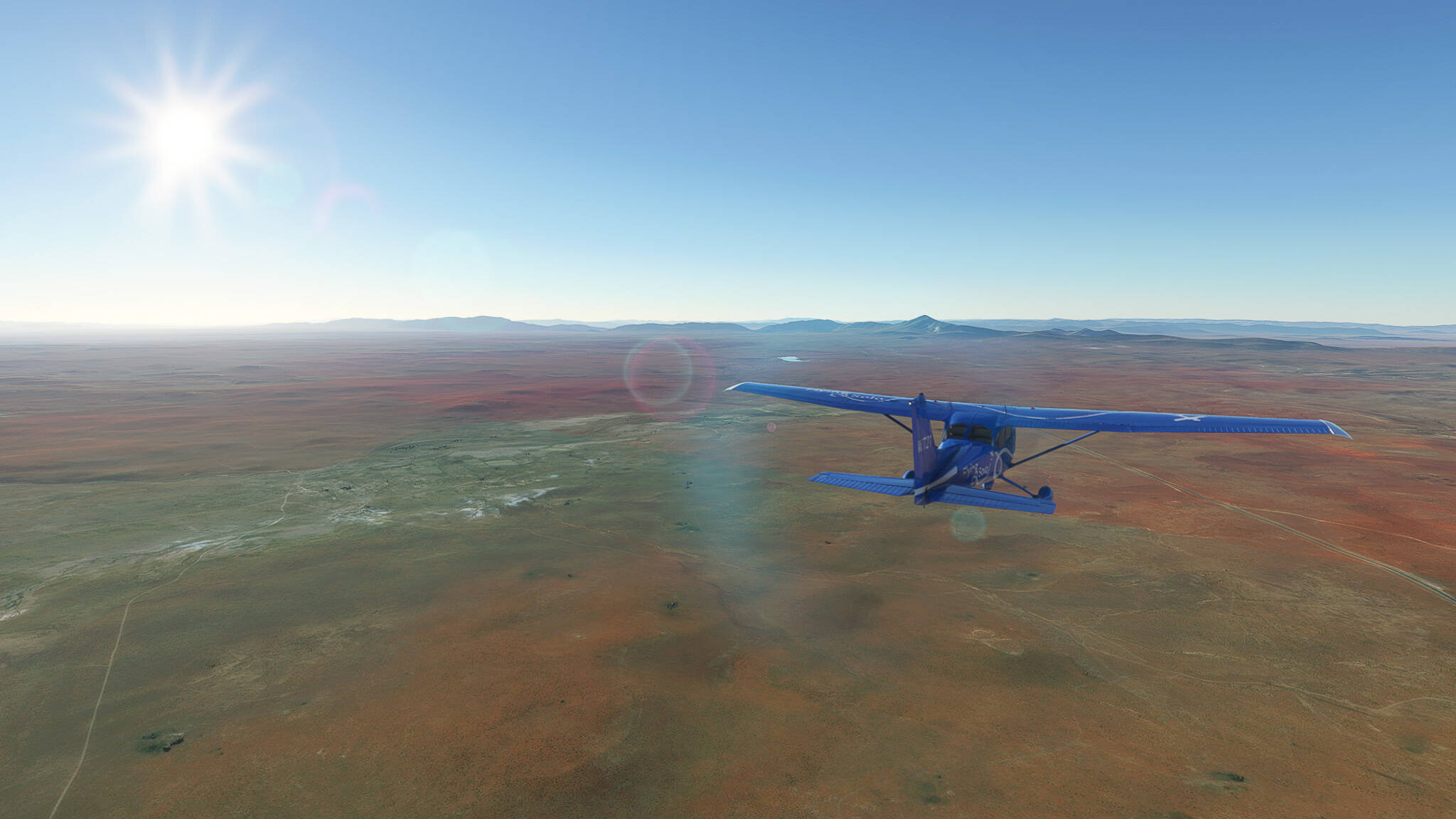
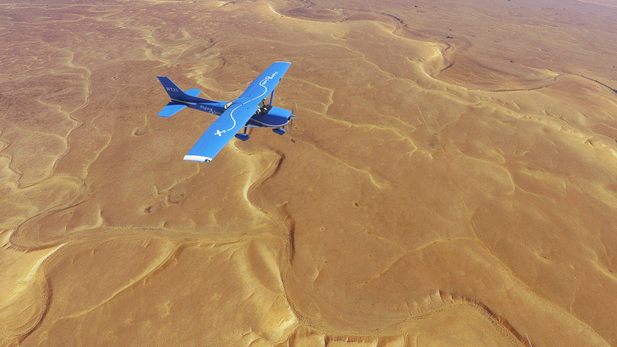
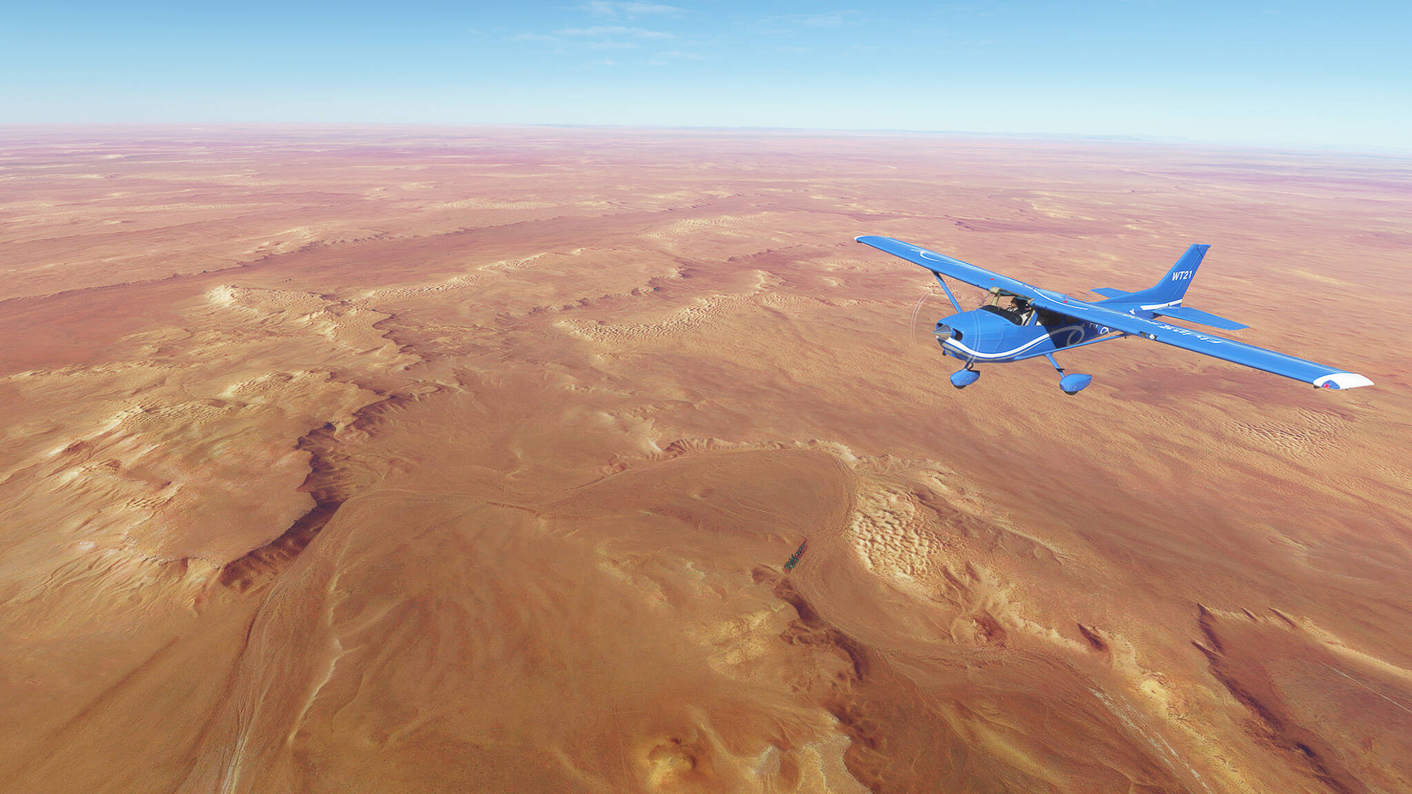
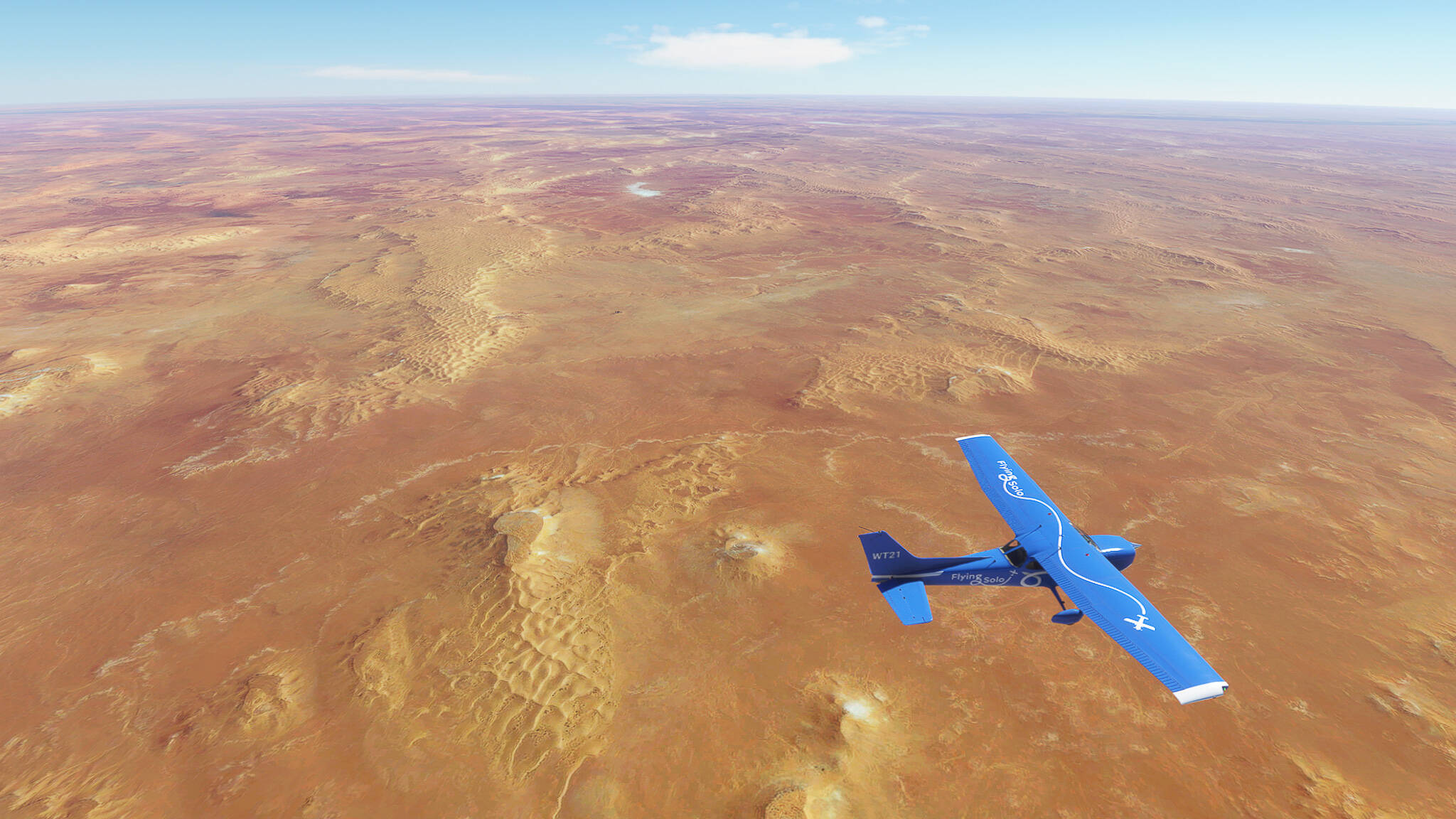
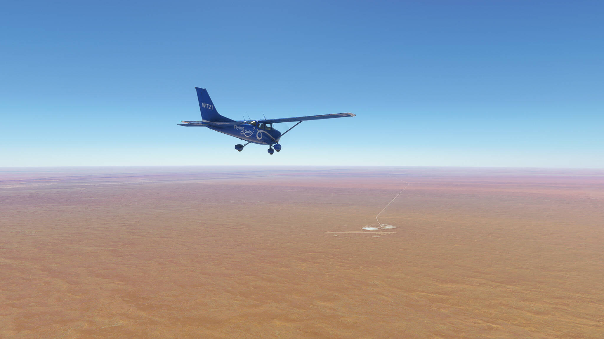
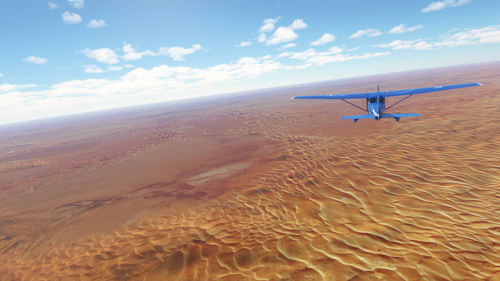
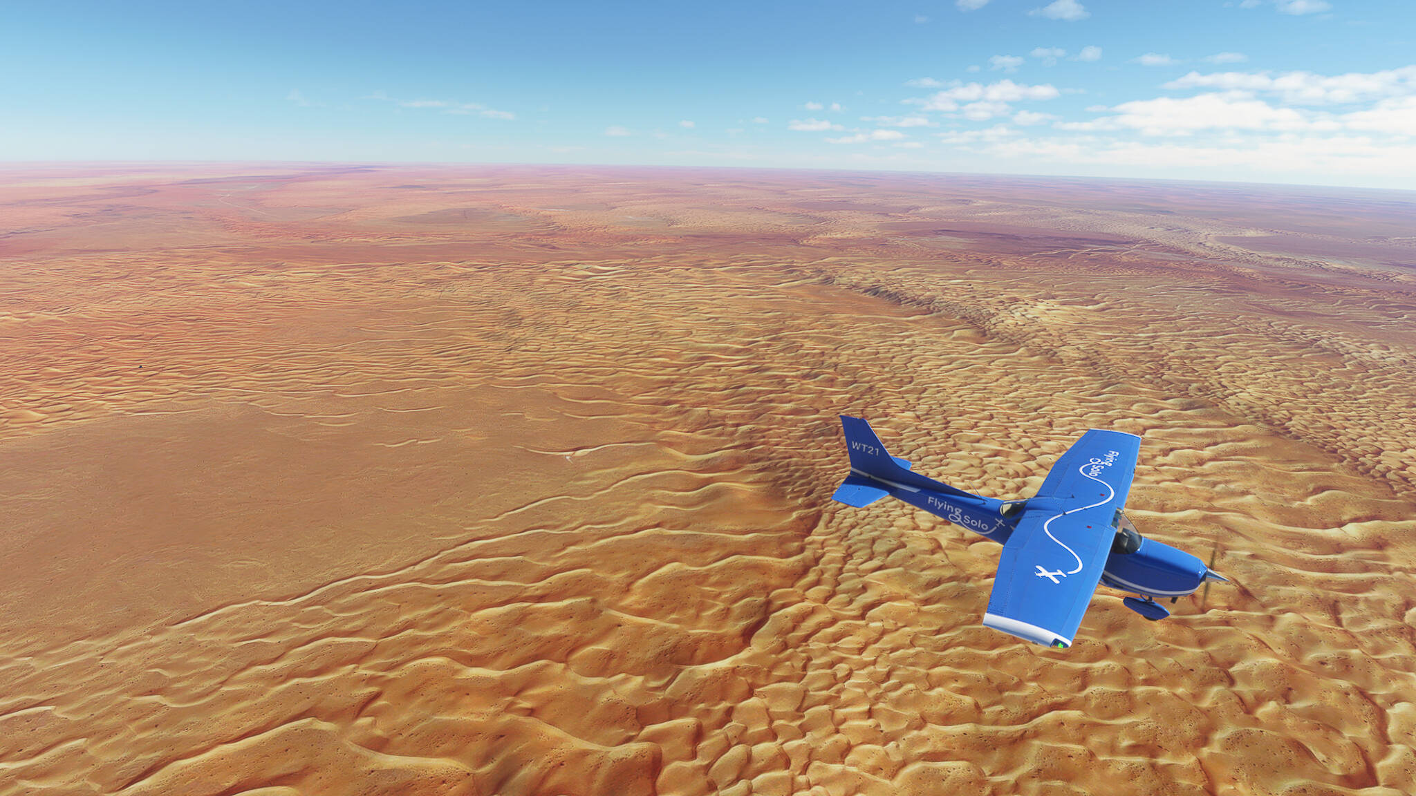
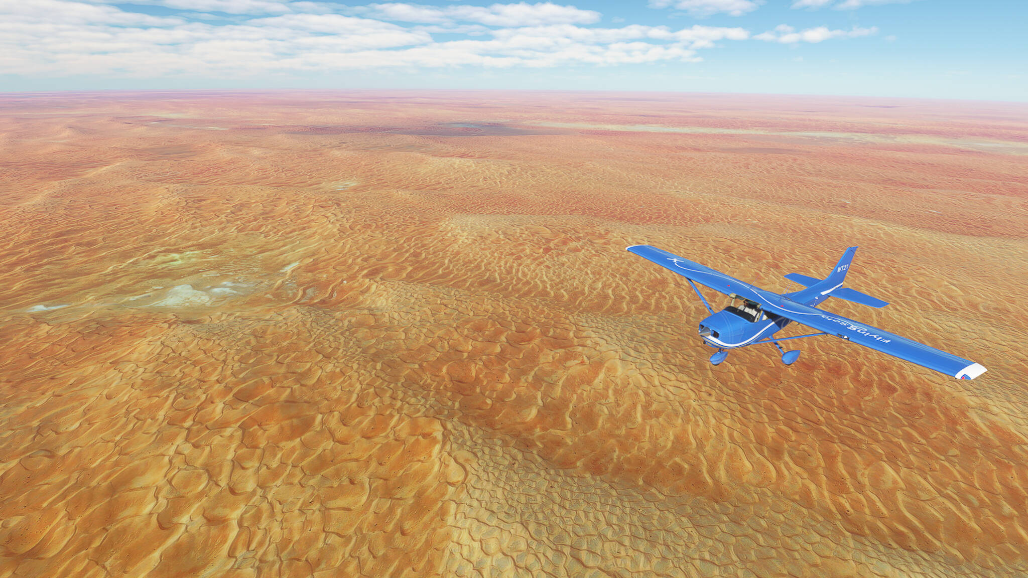
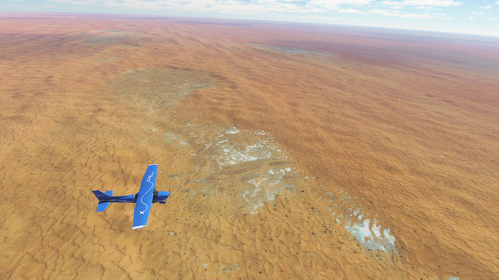
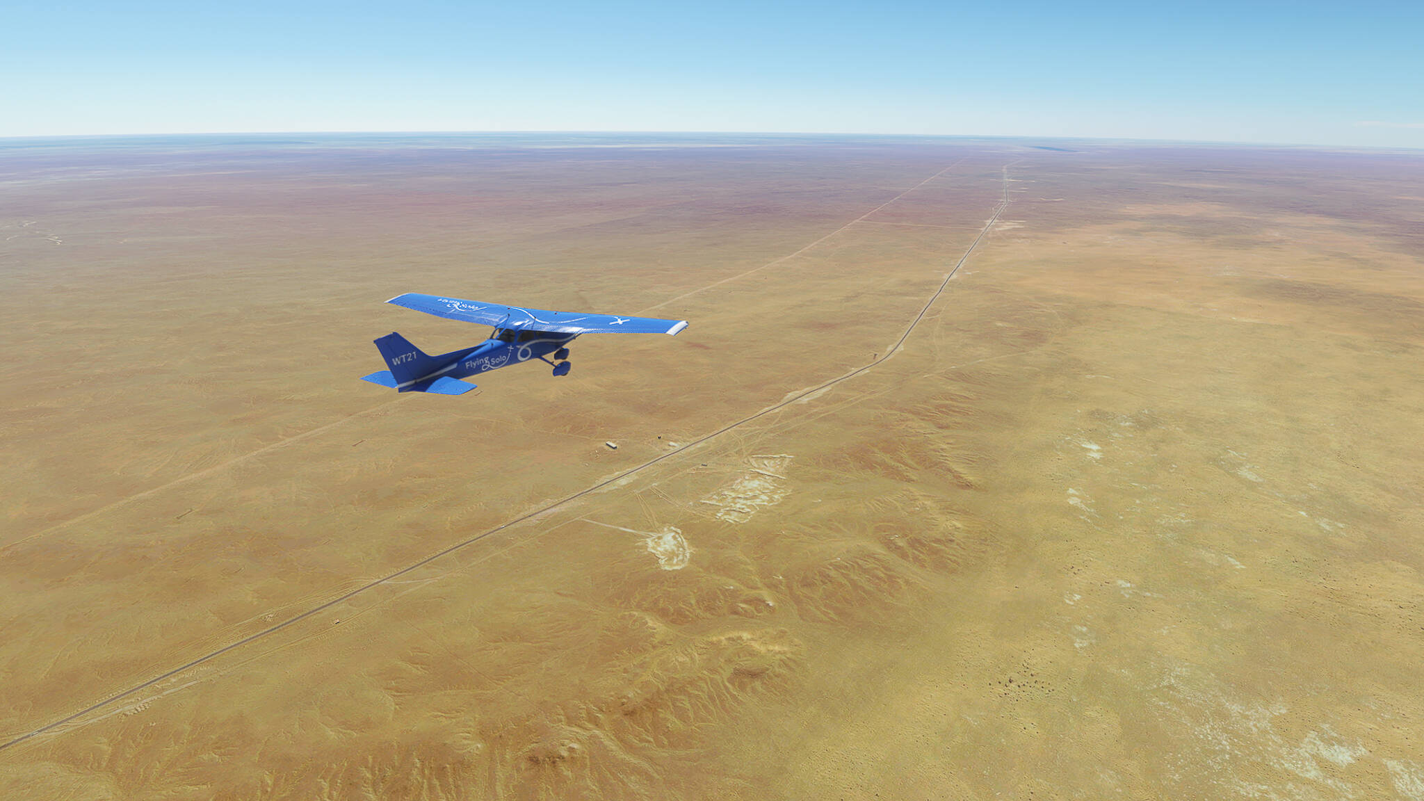
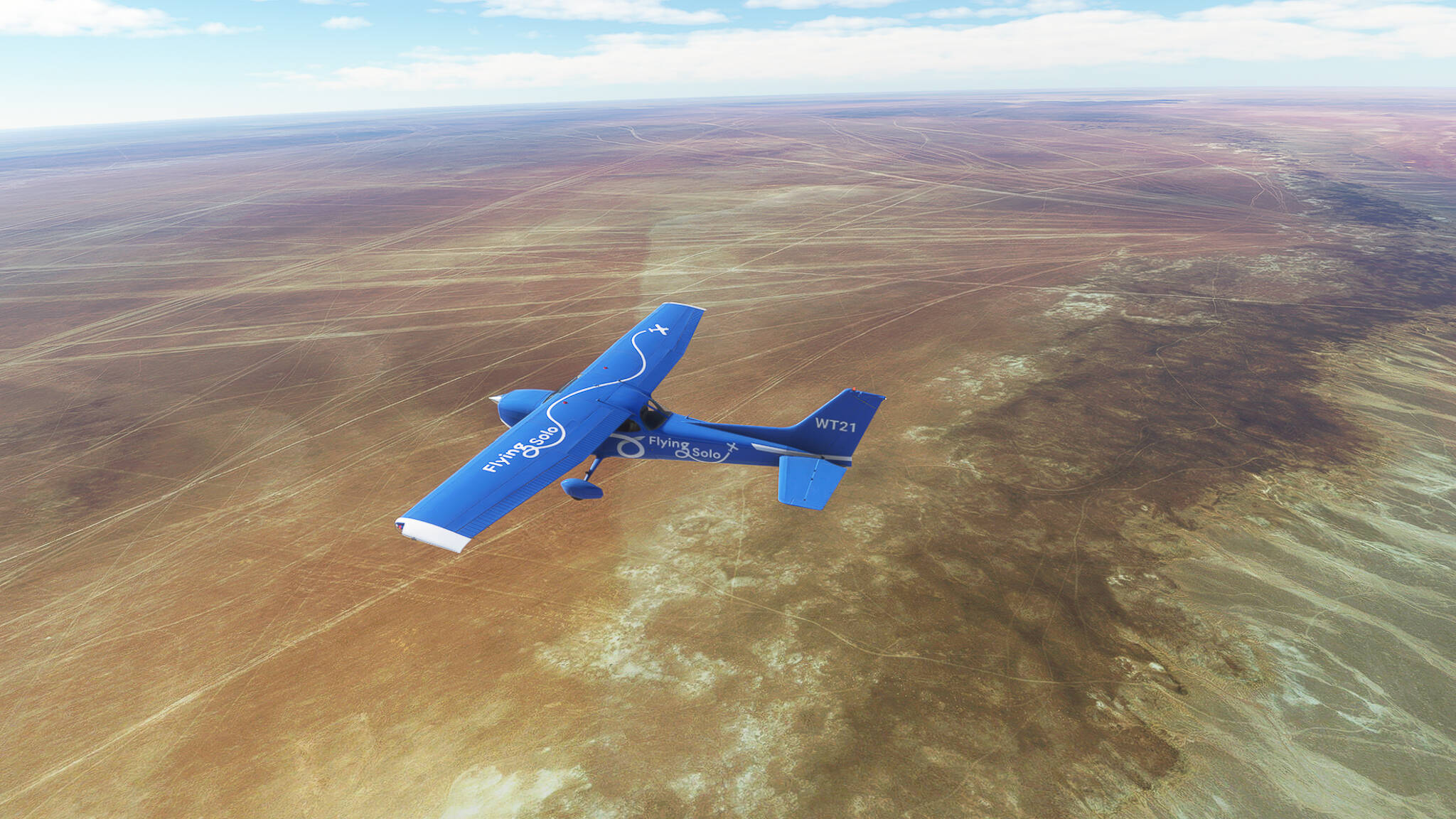
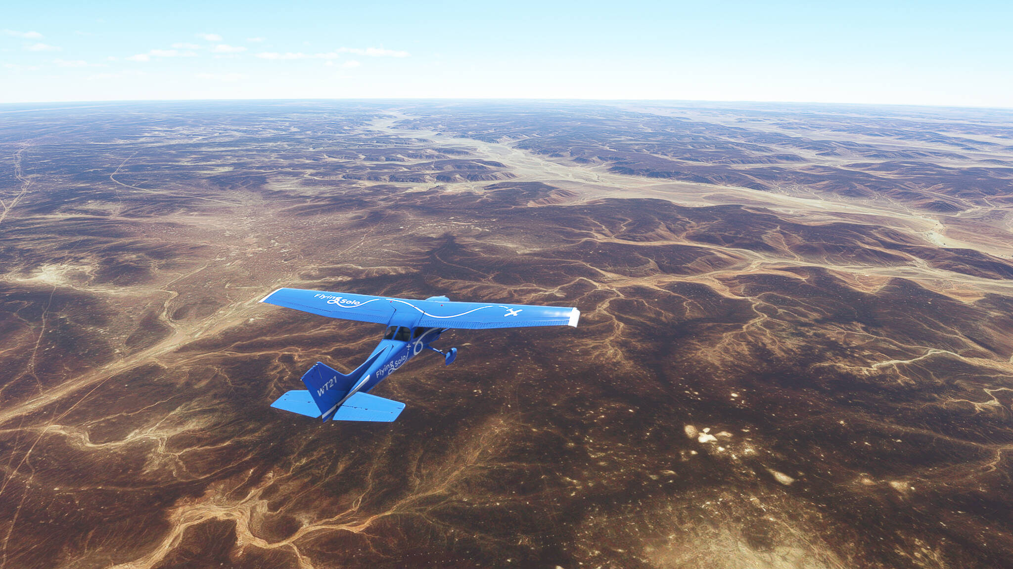
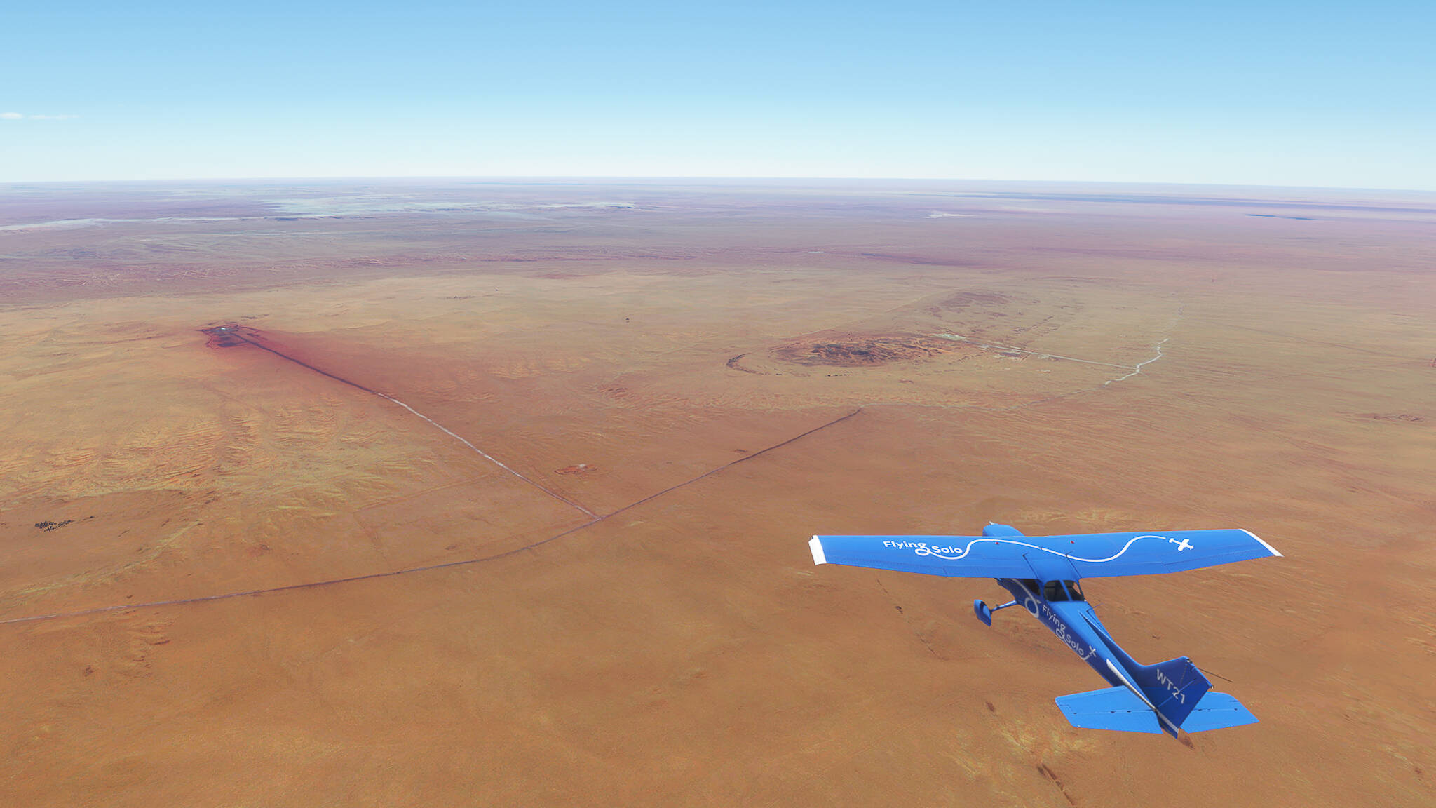
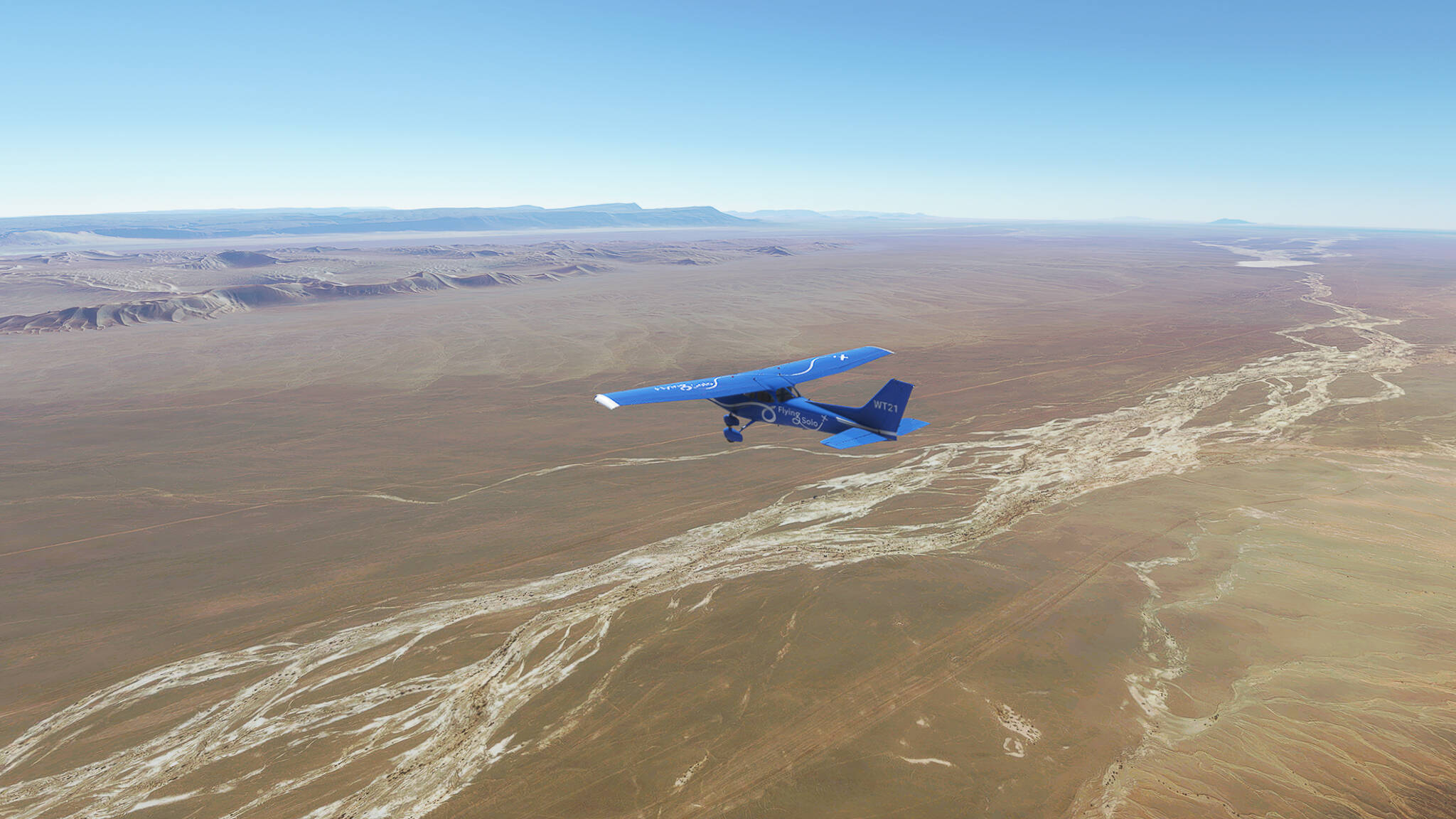
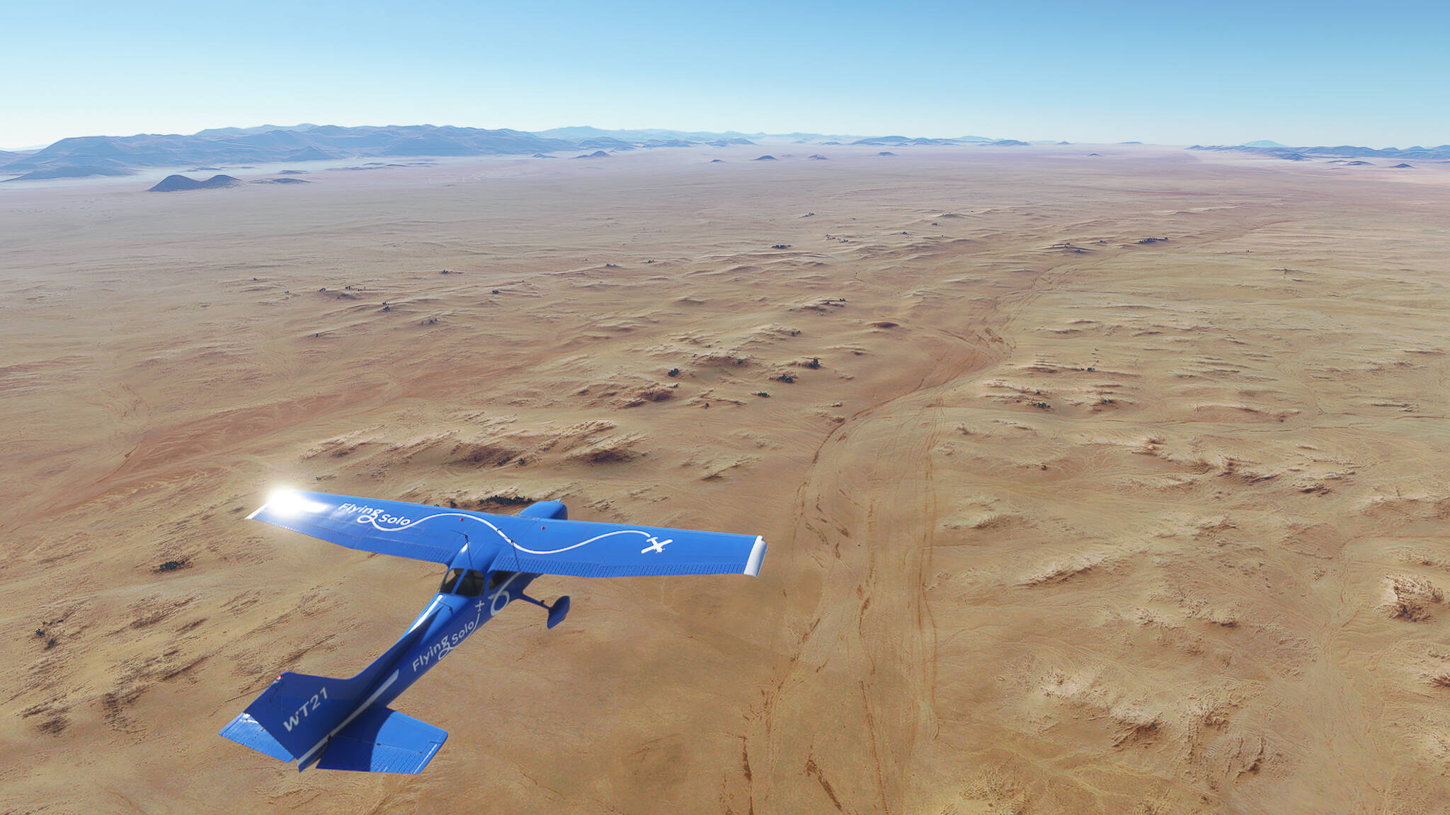
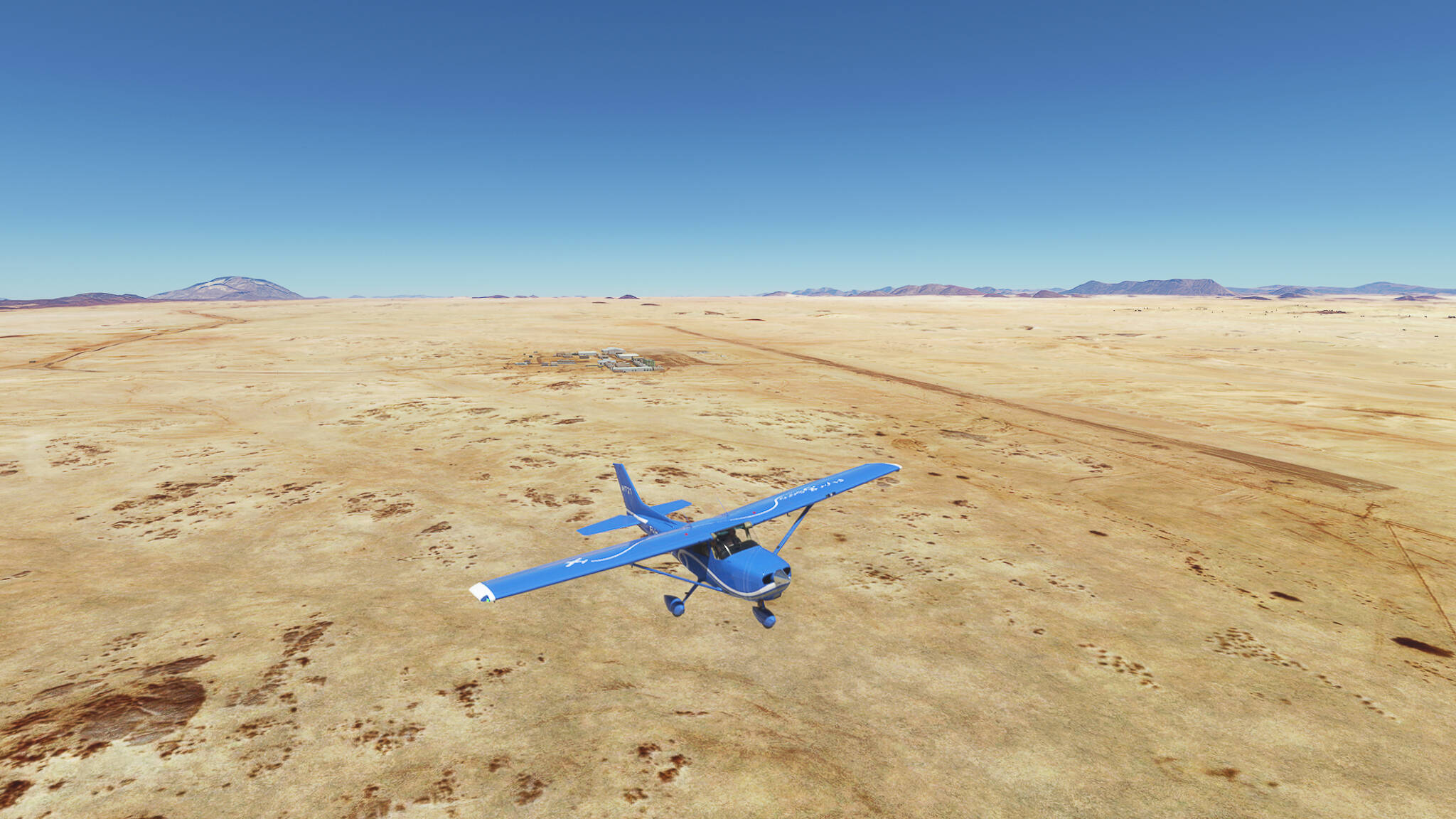
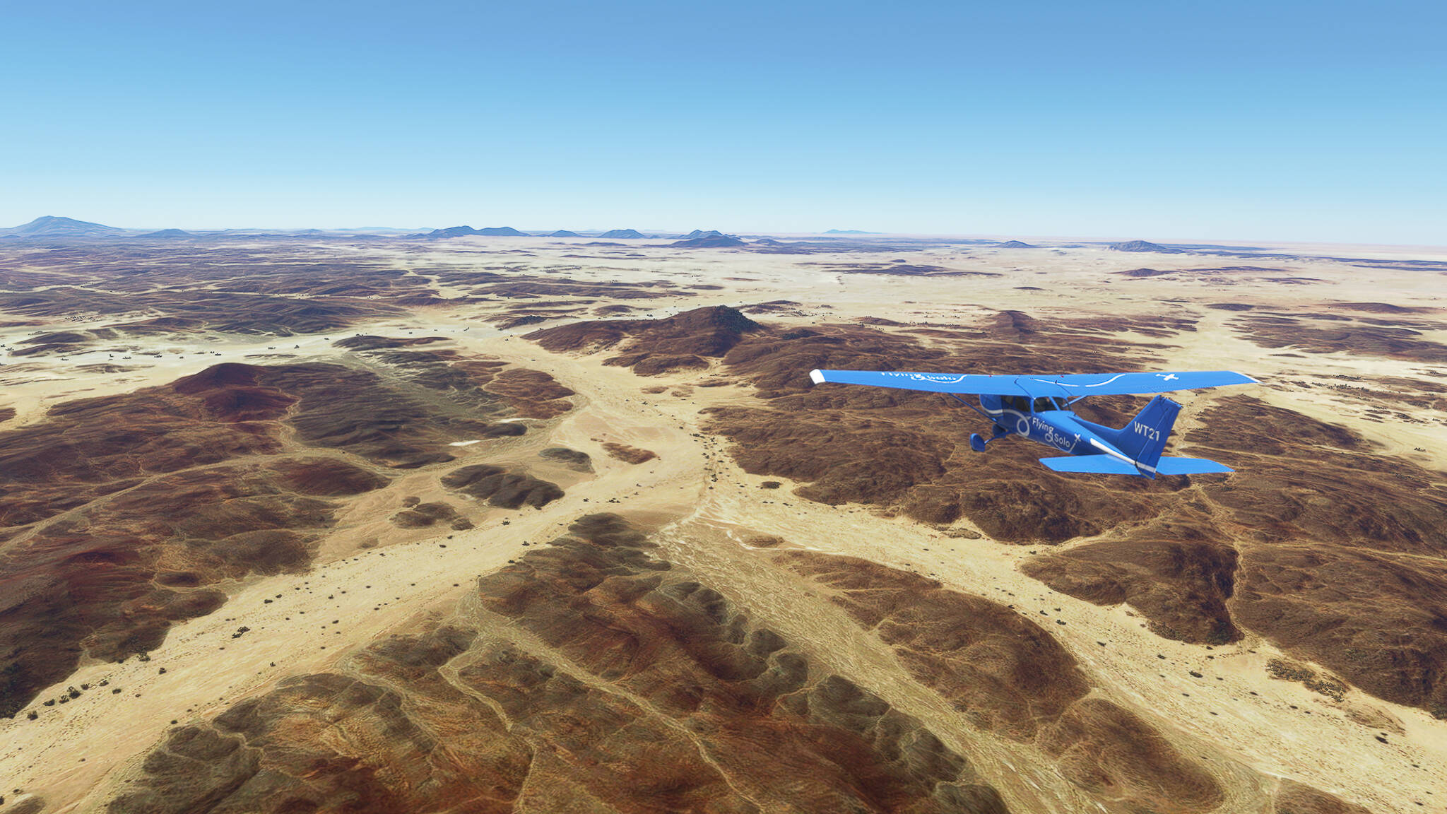
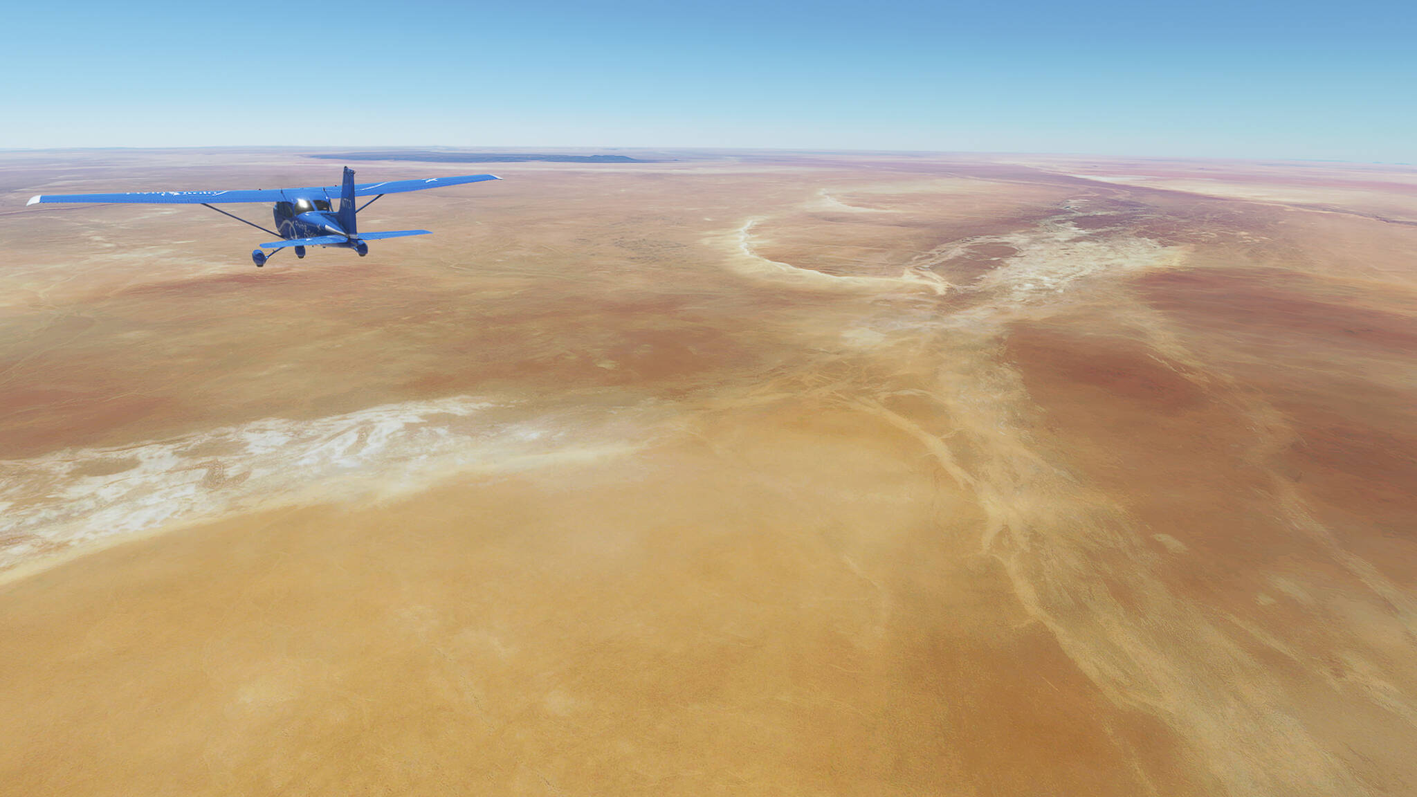
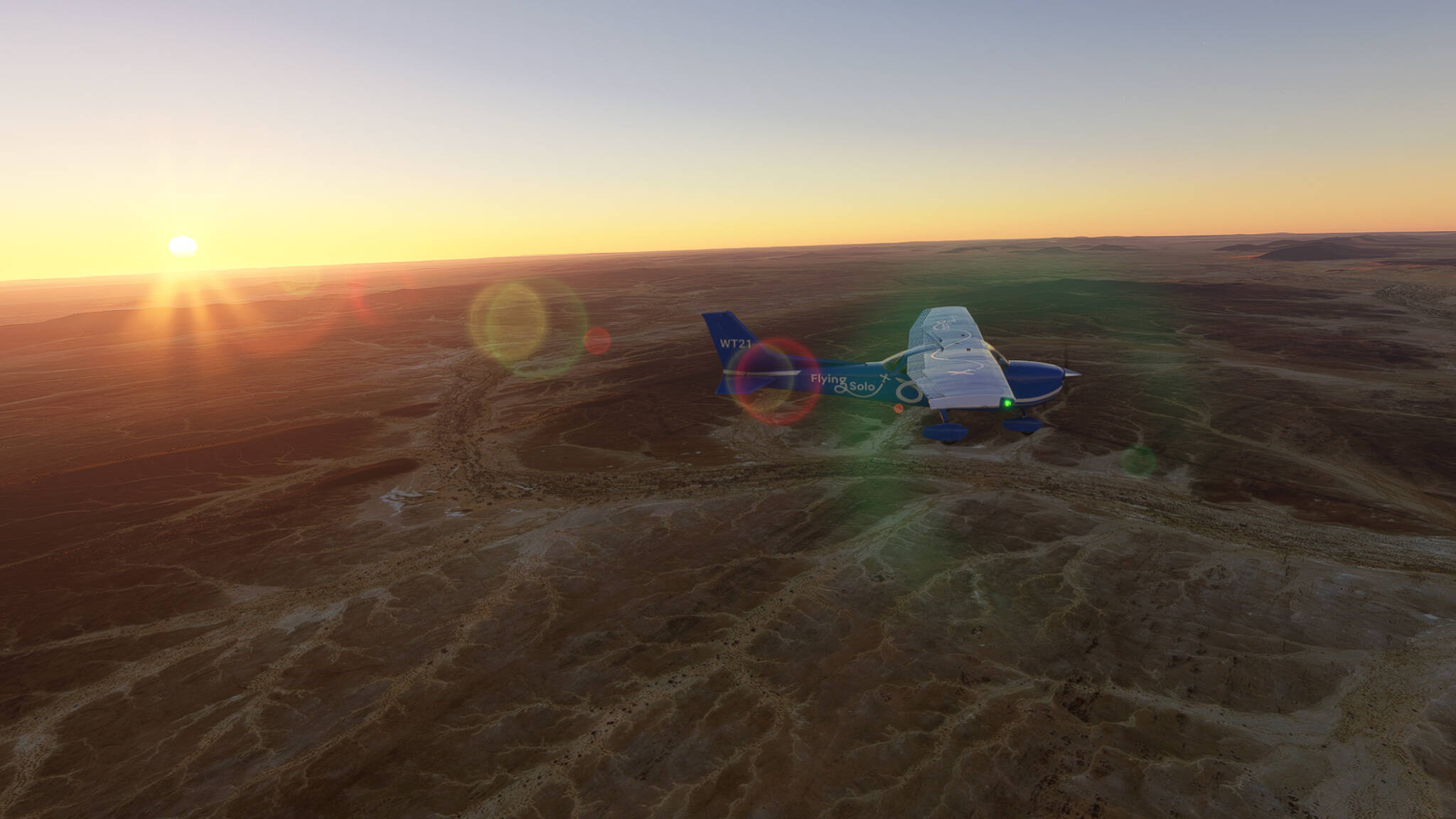
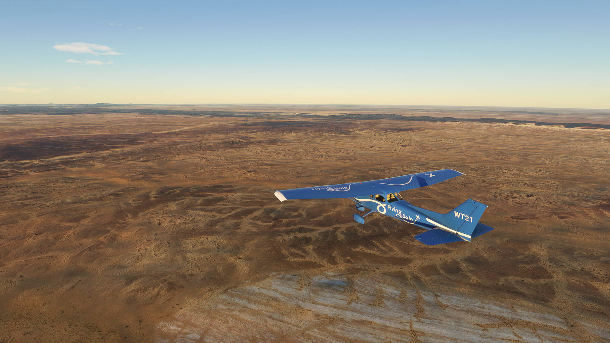
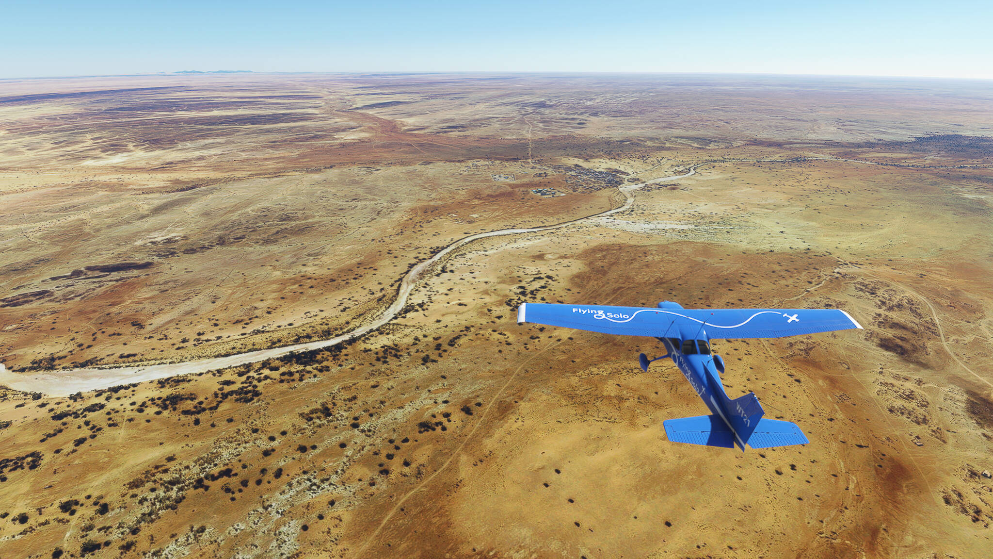
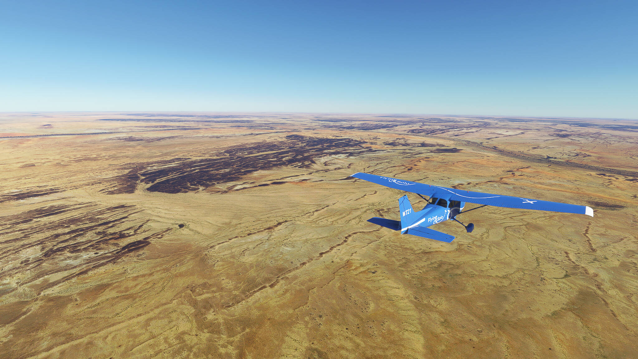
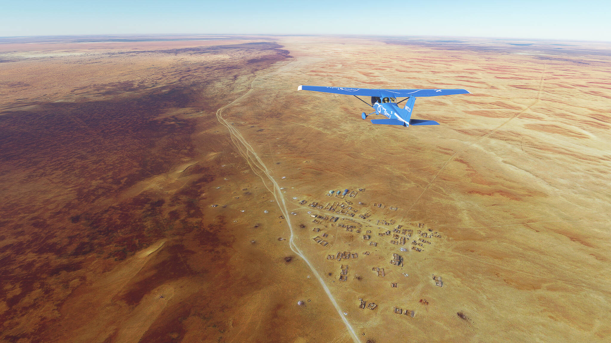
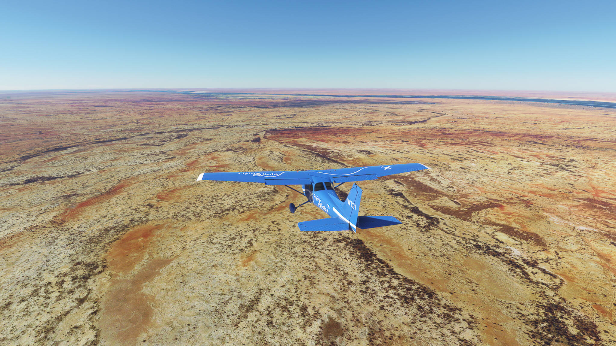
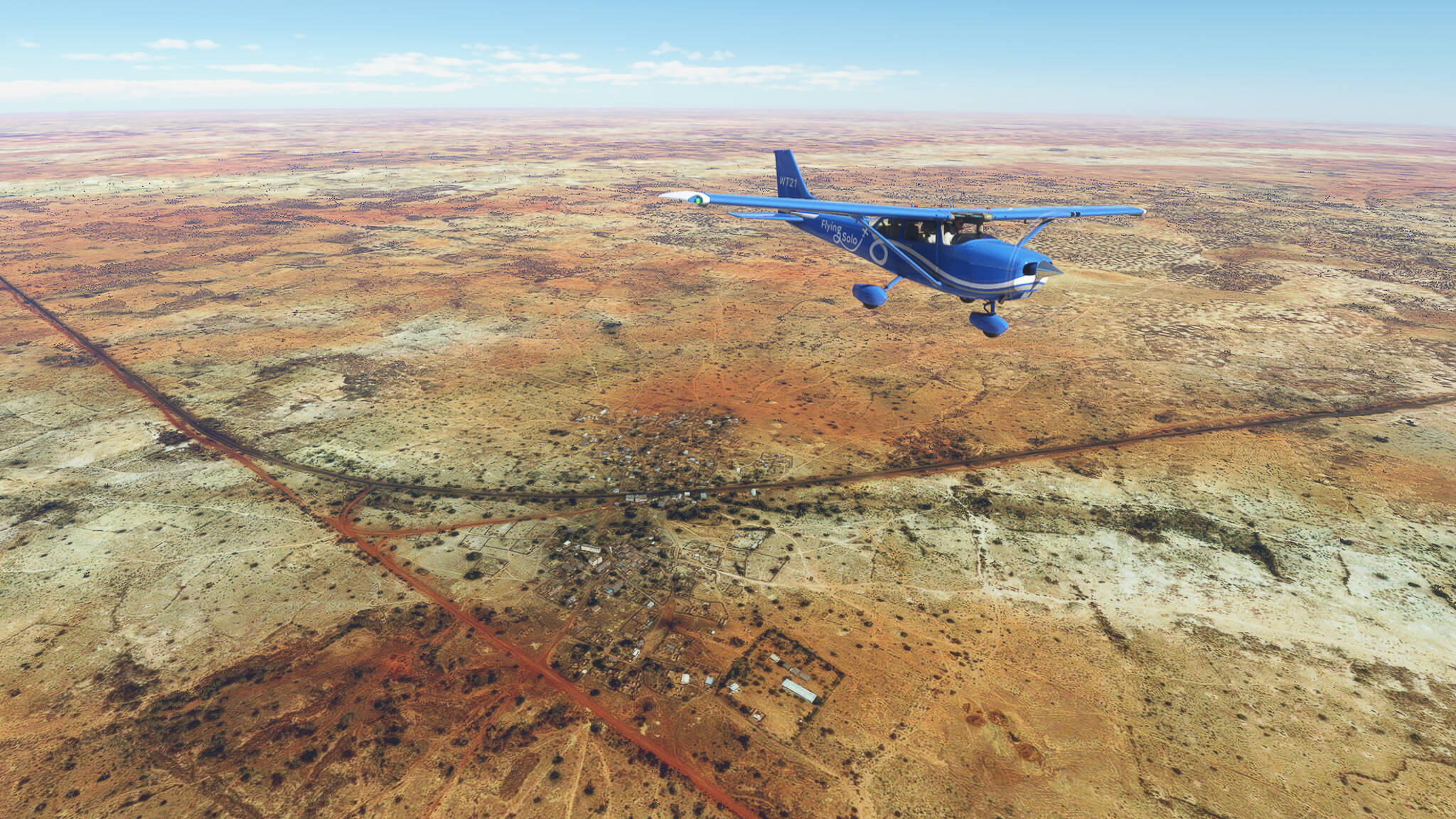
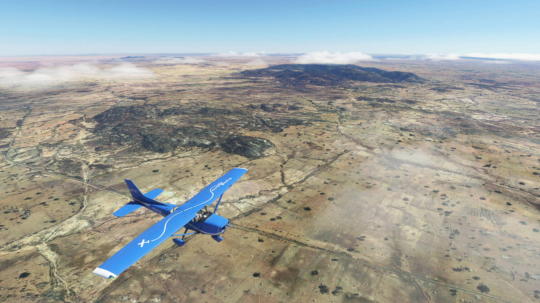
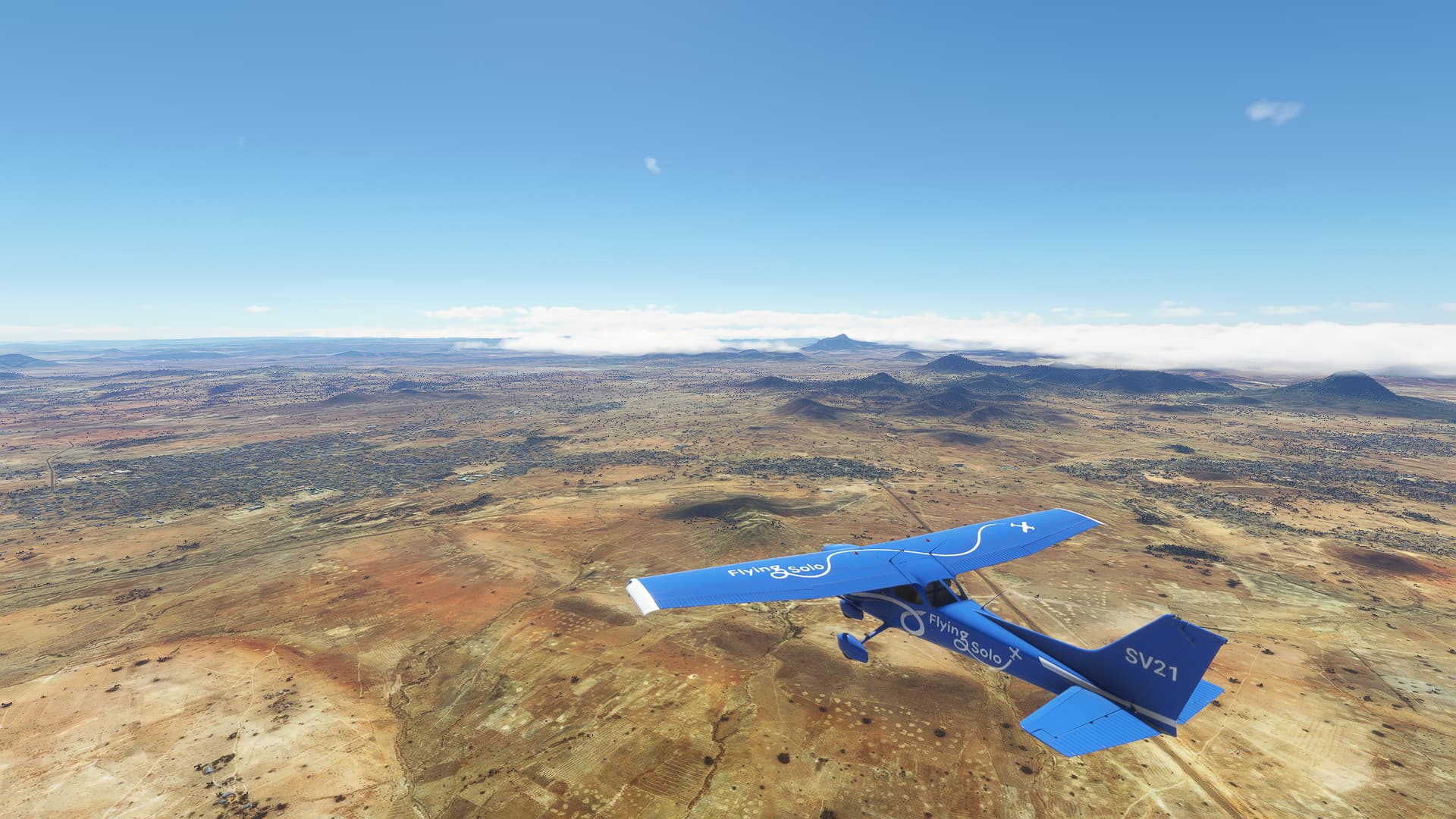
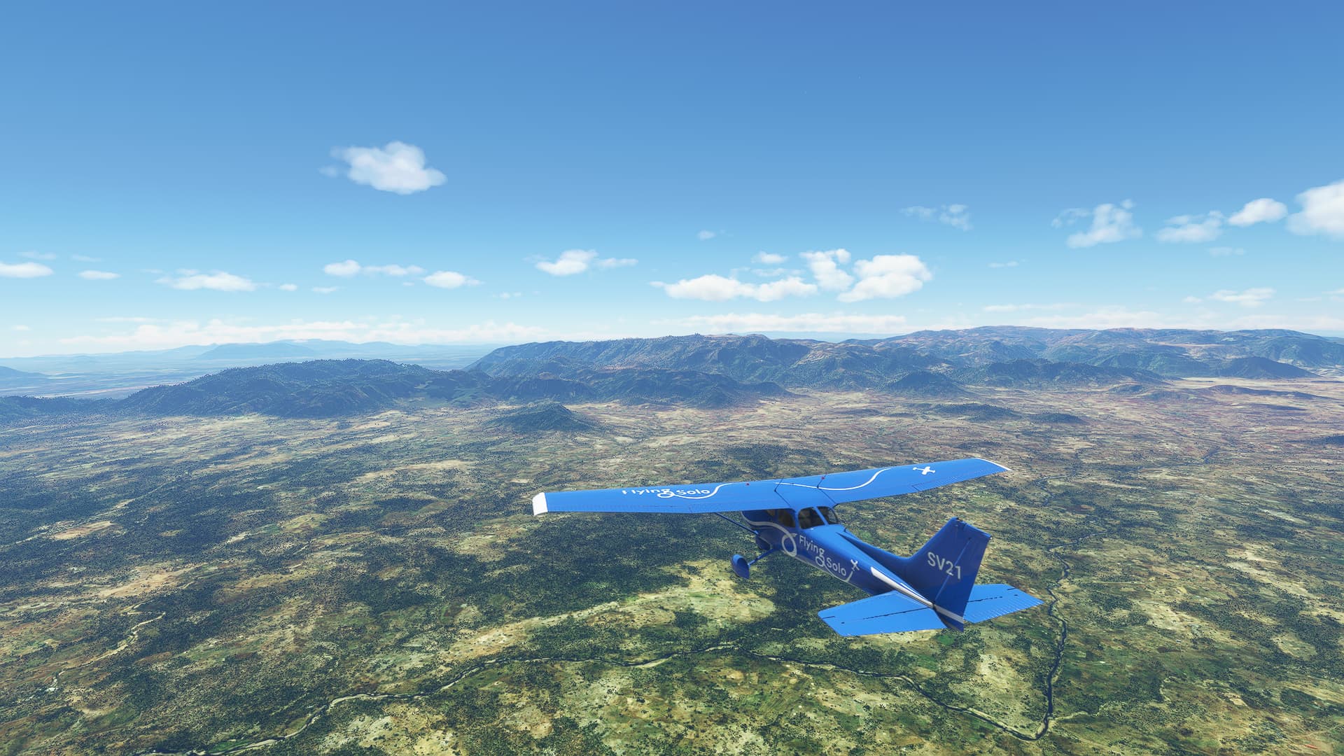
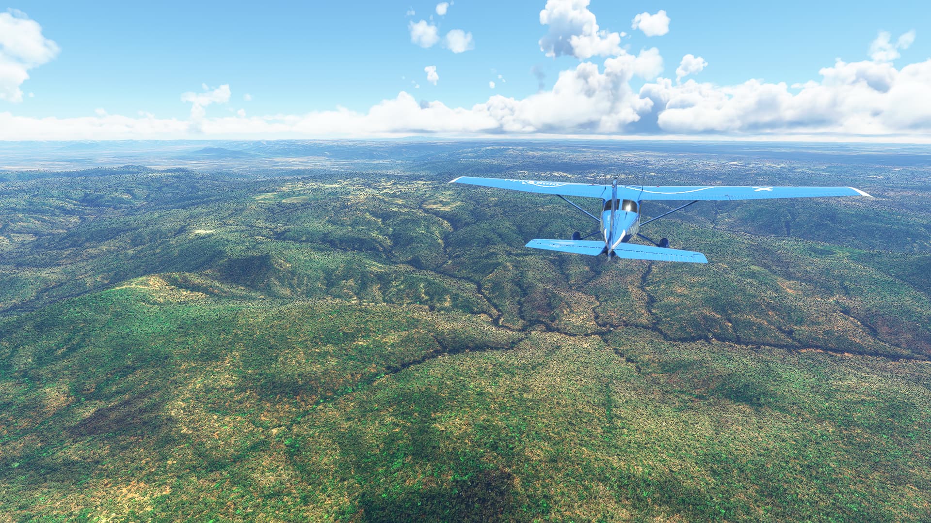
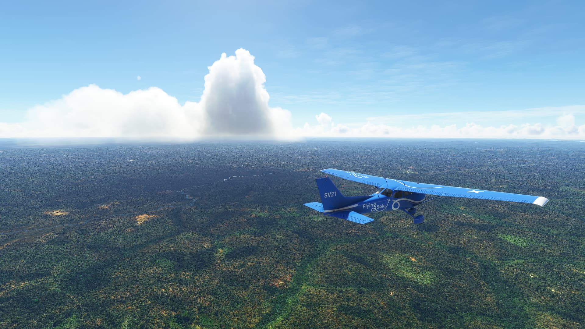
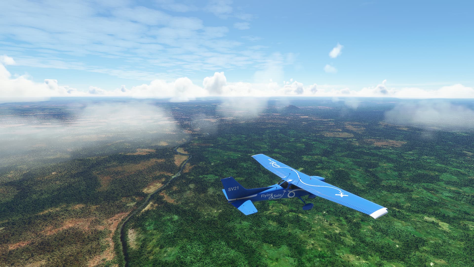
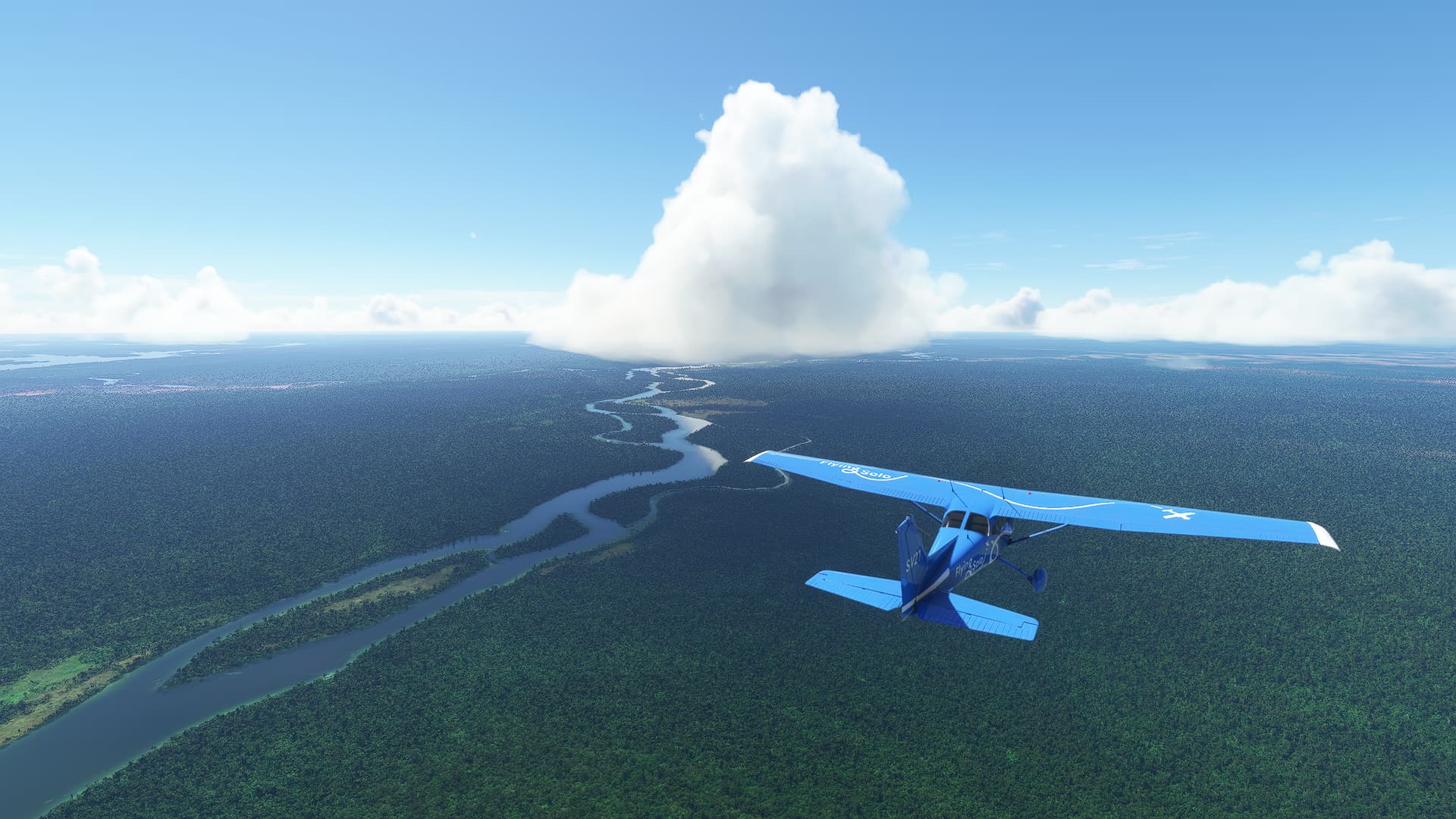
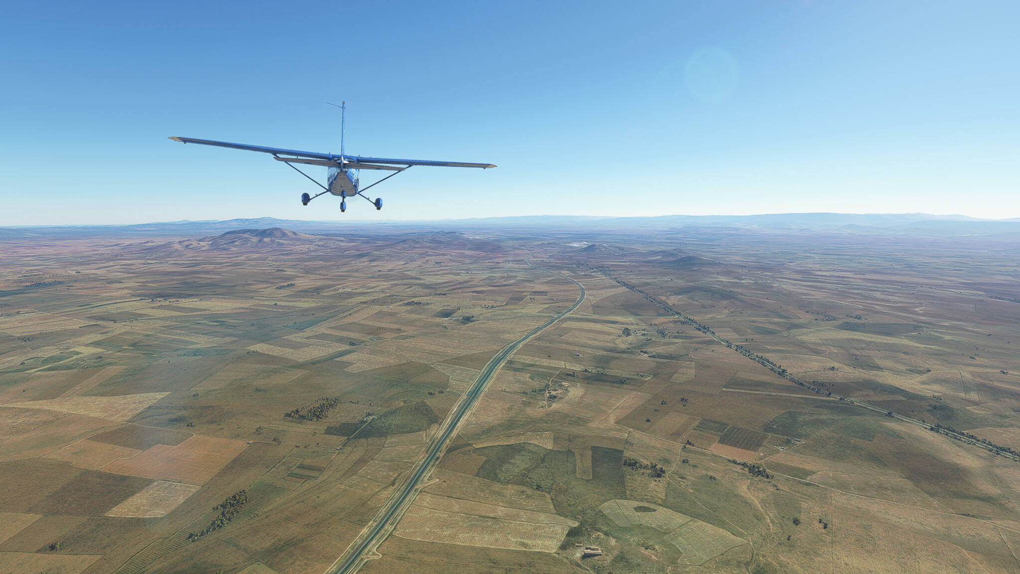
A short summary: We took off from Cherif El Idrissi in Al Hoceima, crossed the Rif Mountains by following the RN29 road, crossed a large plain in the west of Driouch Province, entered Guercif Province and finally turned east near En Nkhila. Then I remembered to take screenshots, so let’s get started with the second half of this chaotic flight!

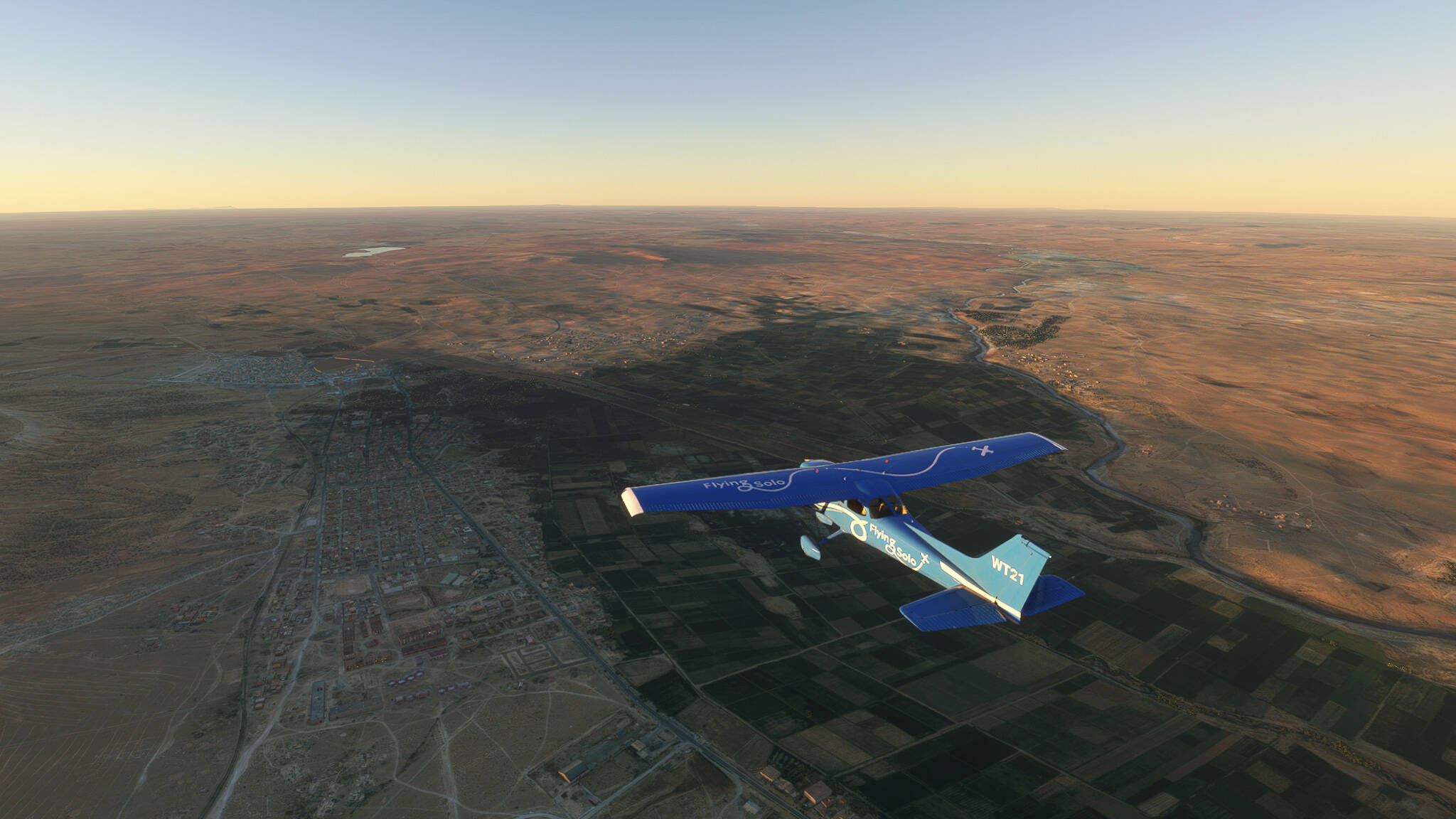
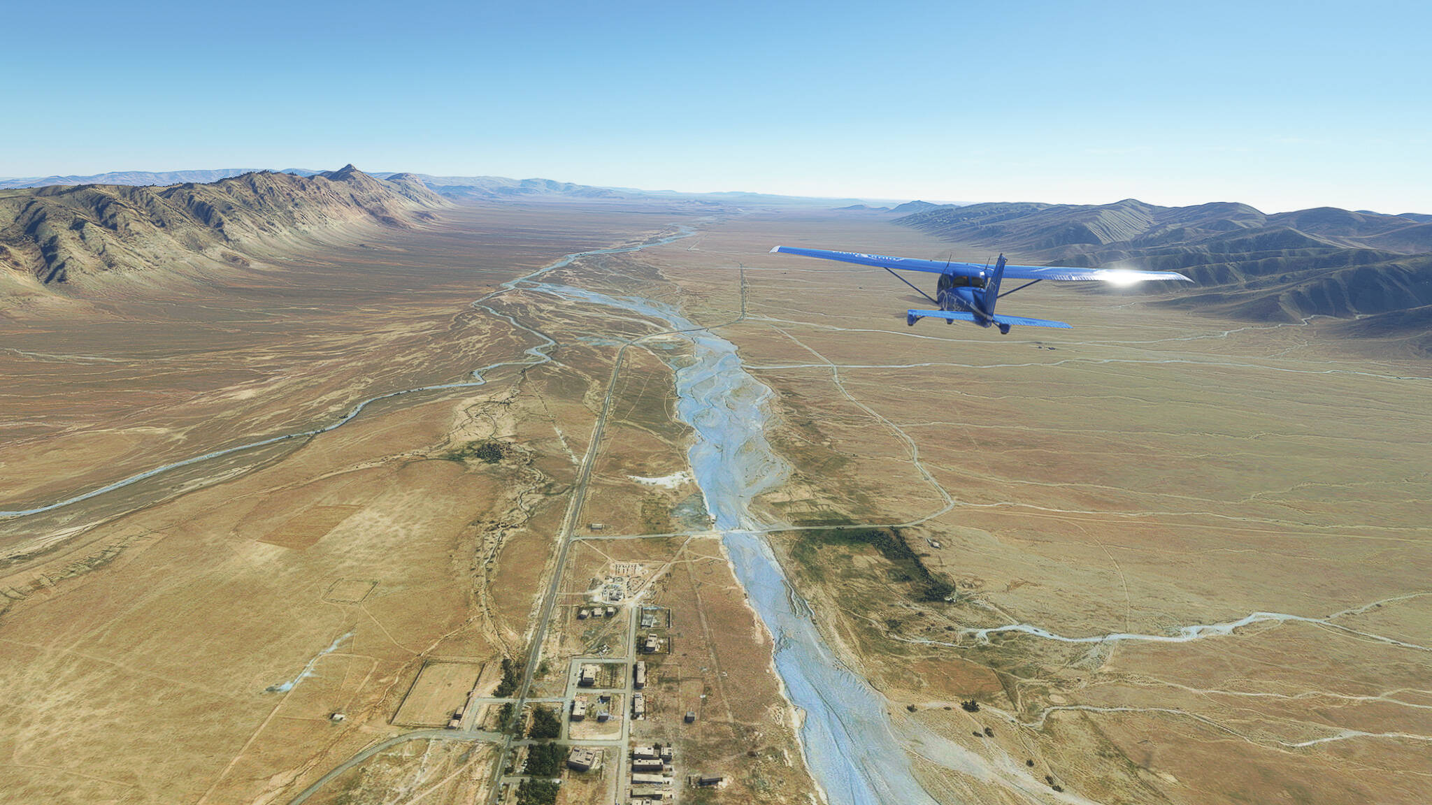
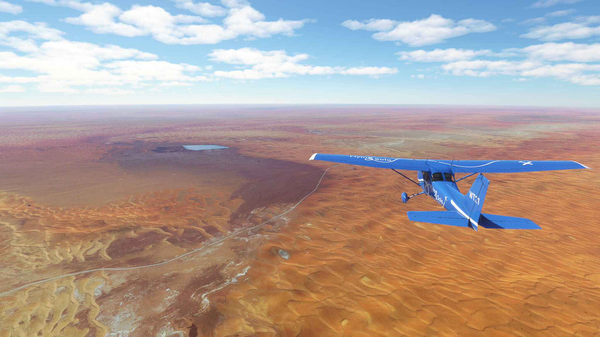
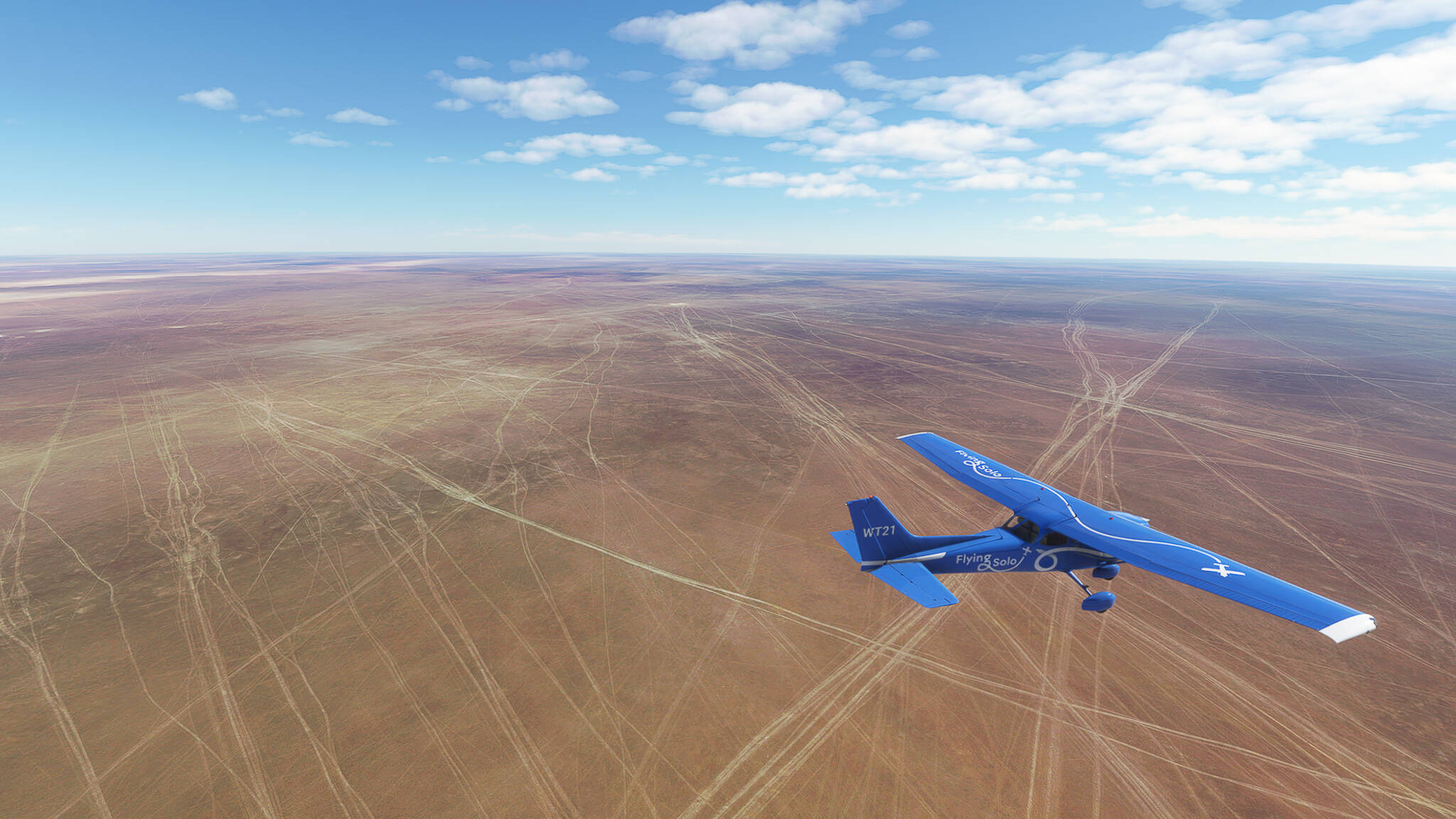
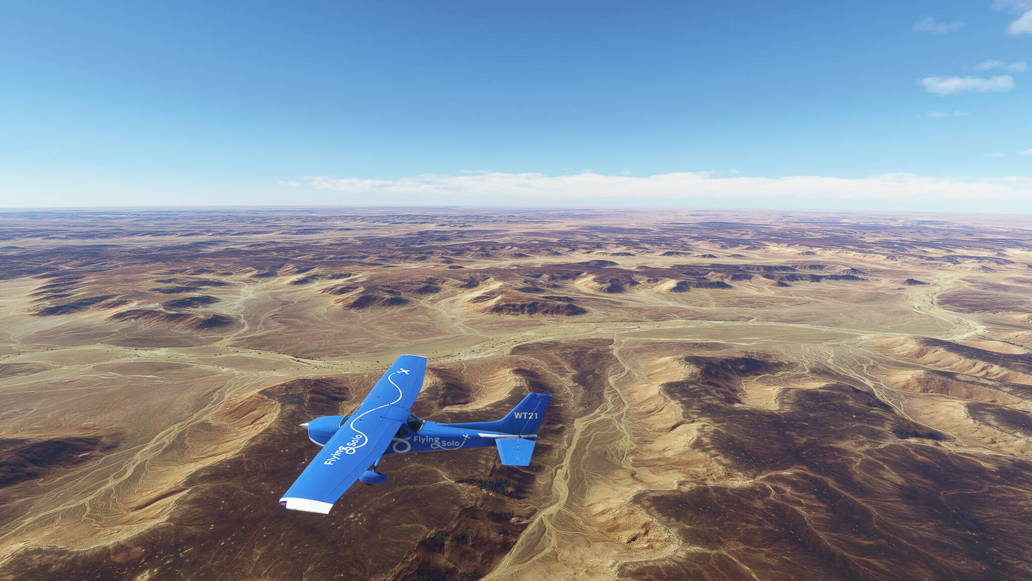
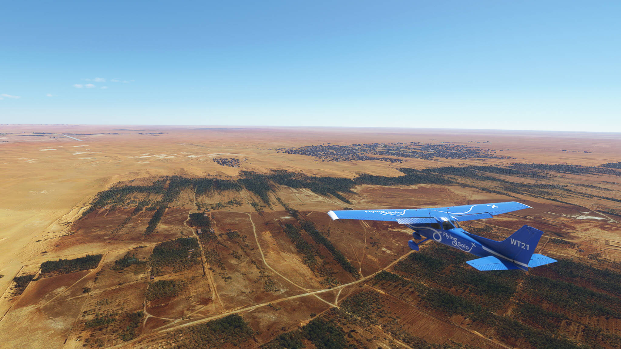
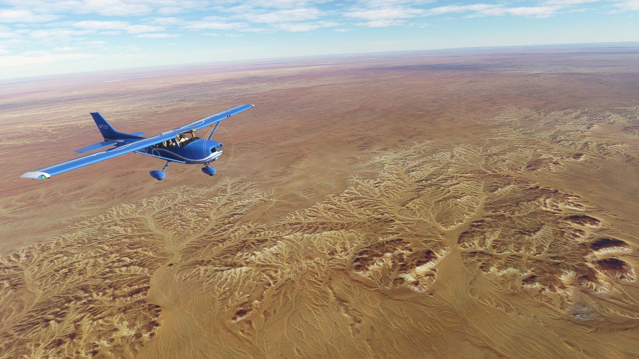
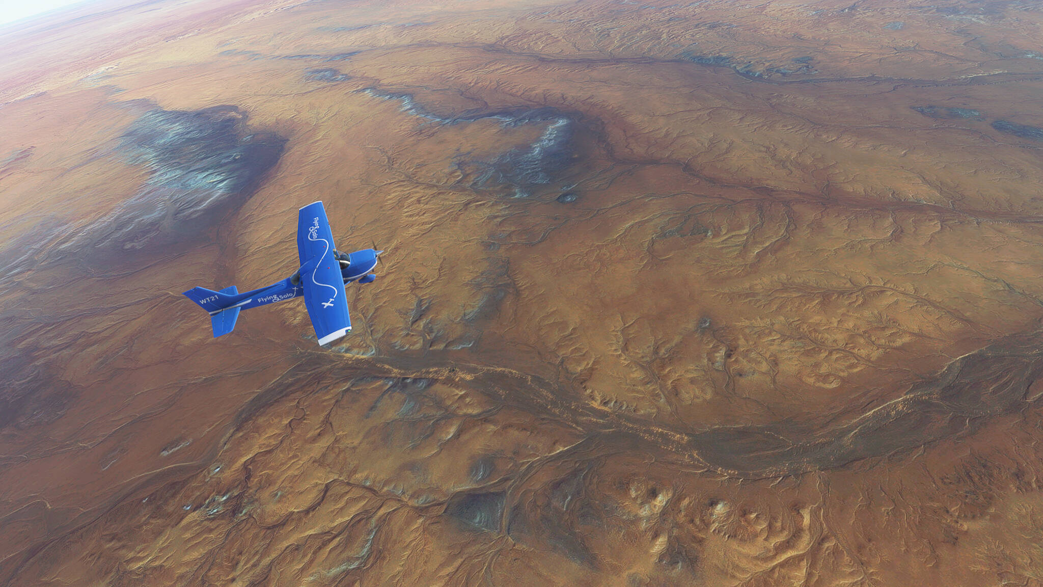
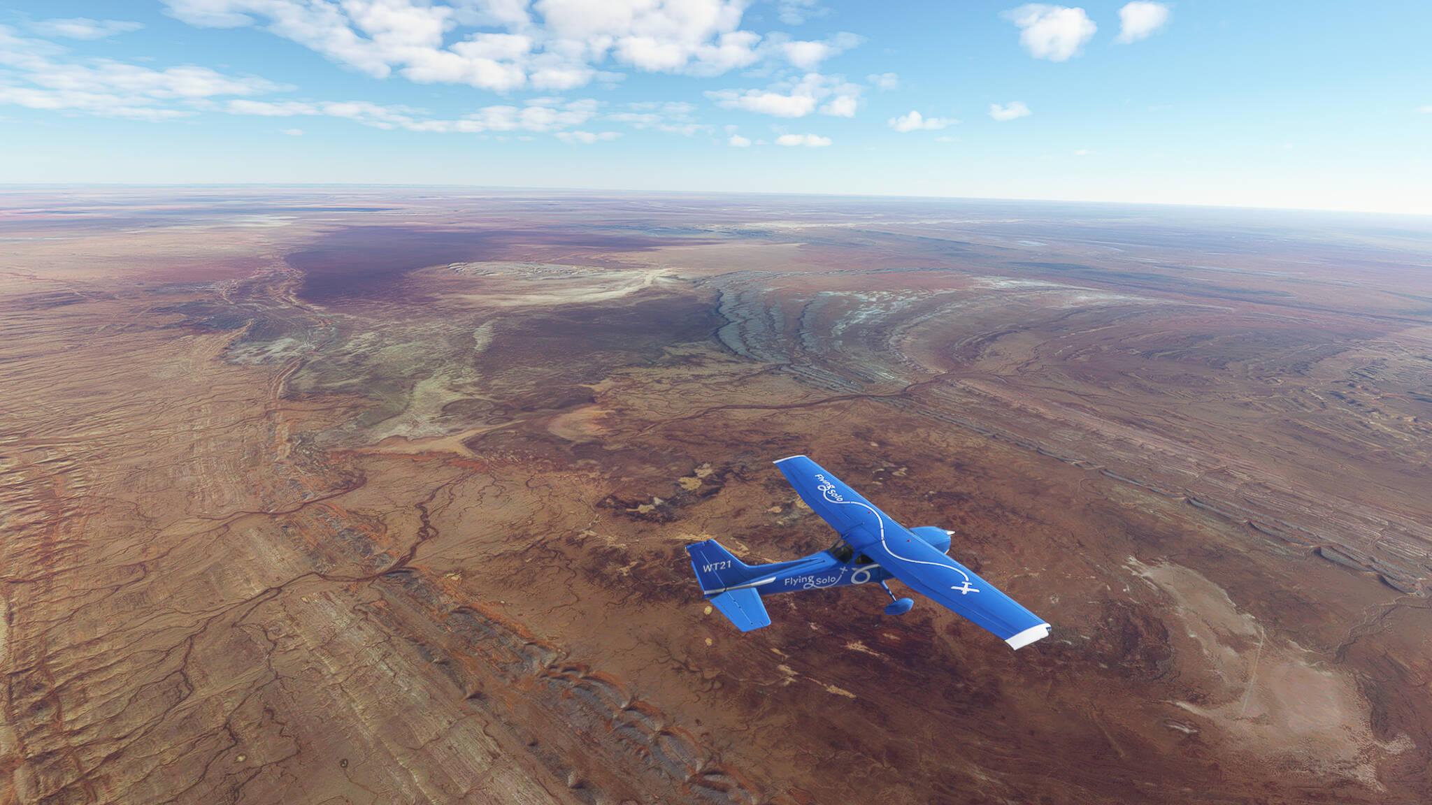
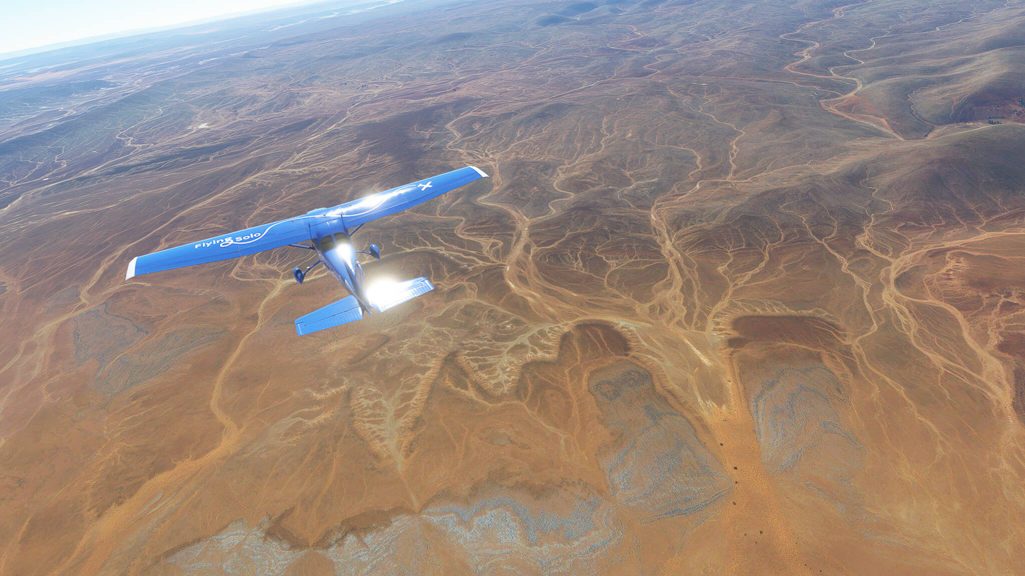
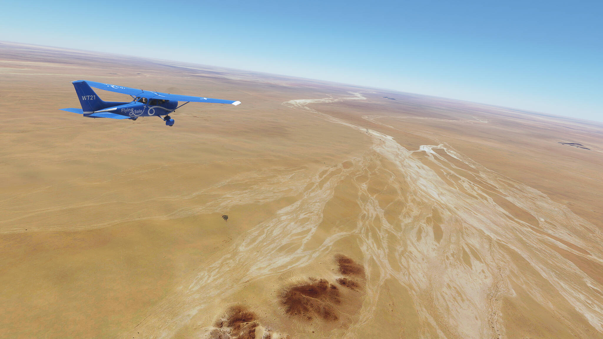
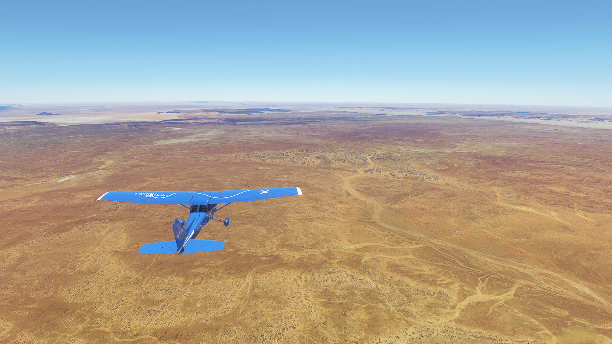
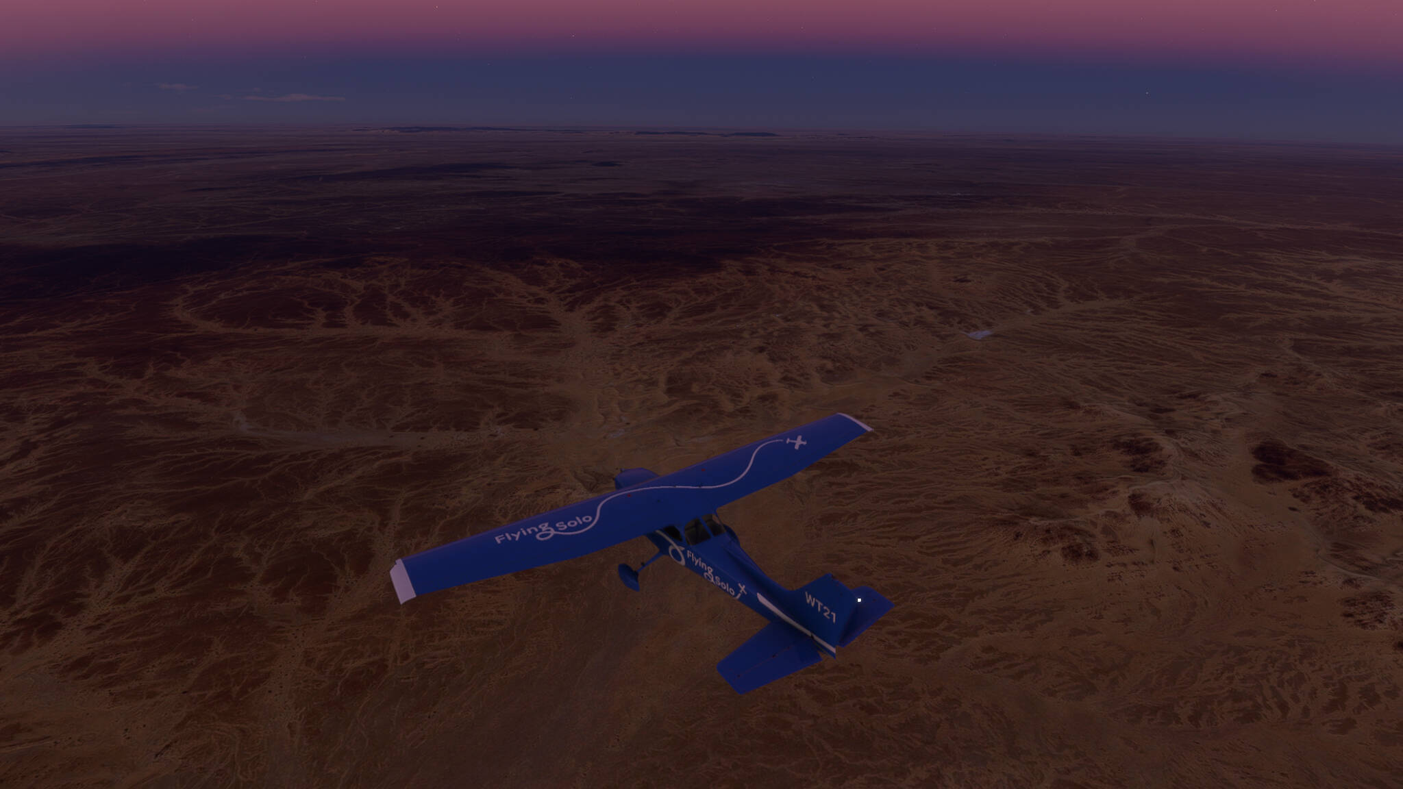
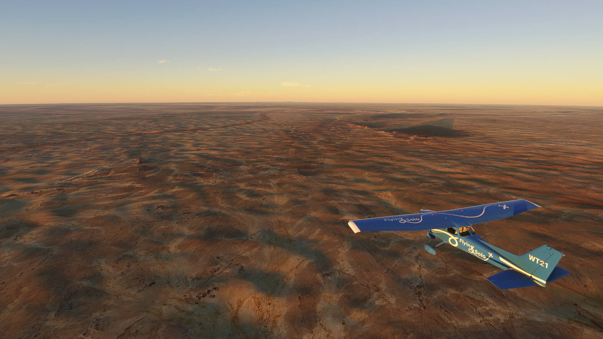
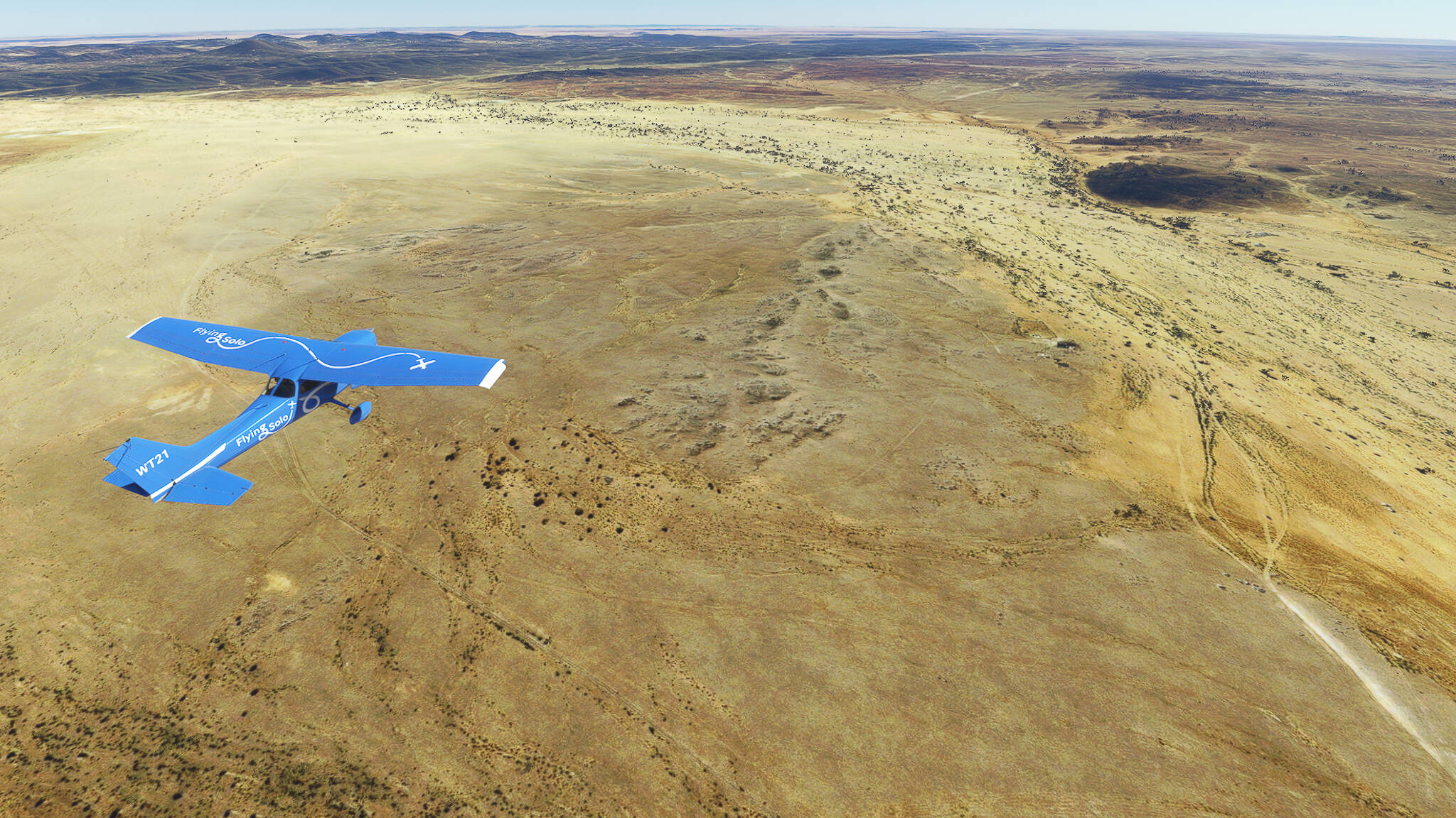
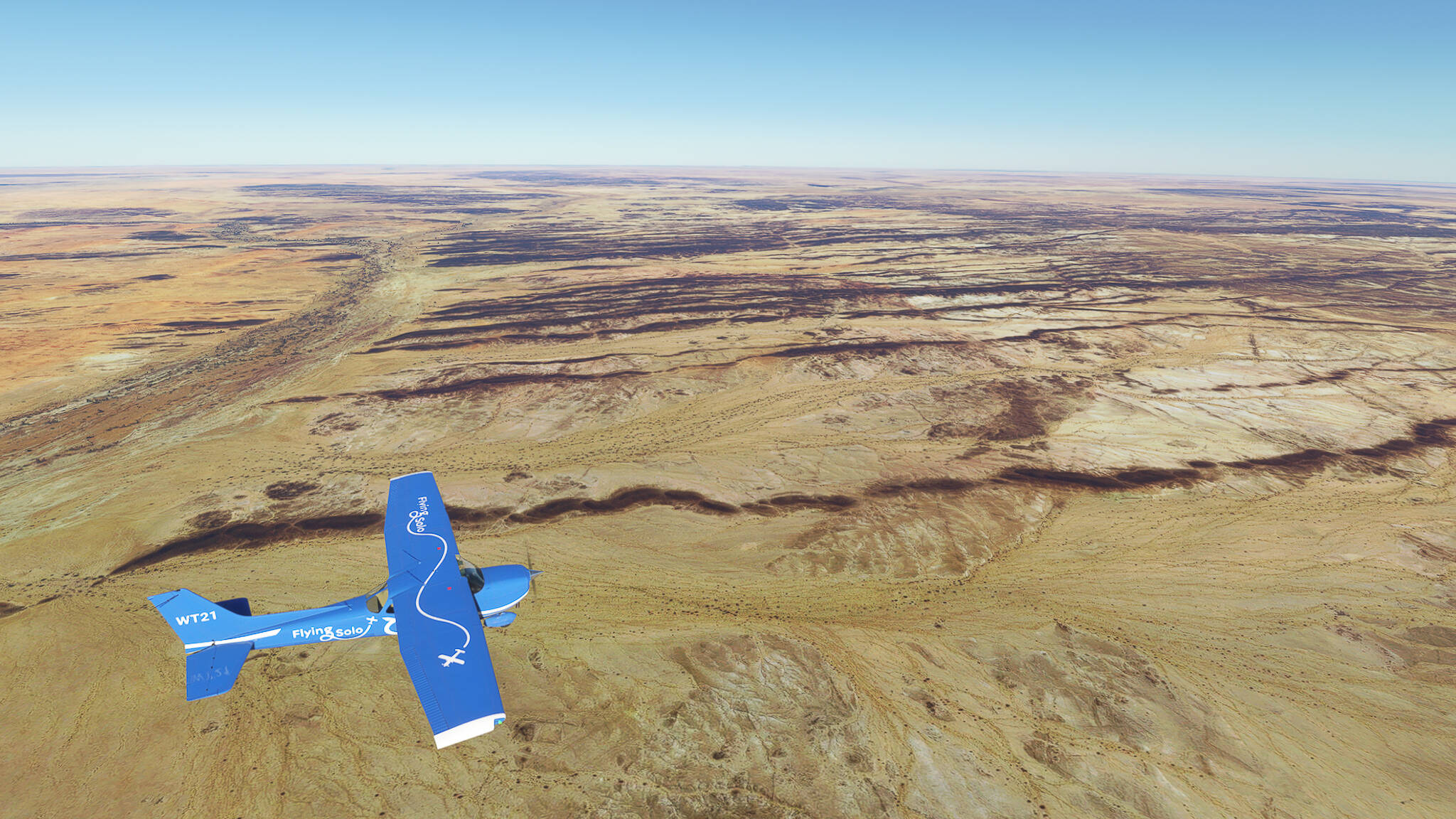
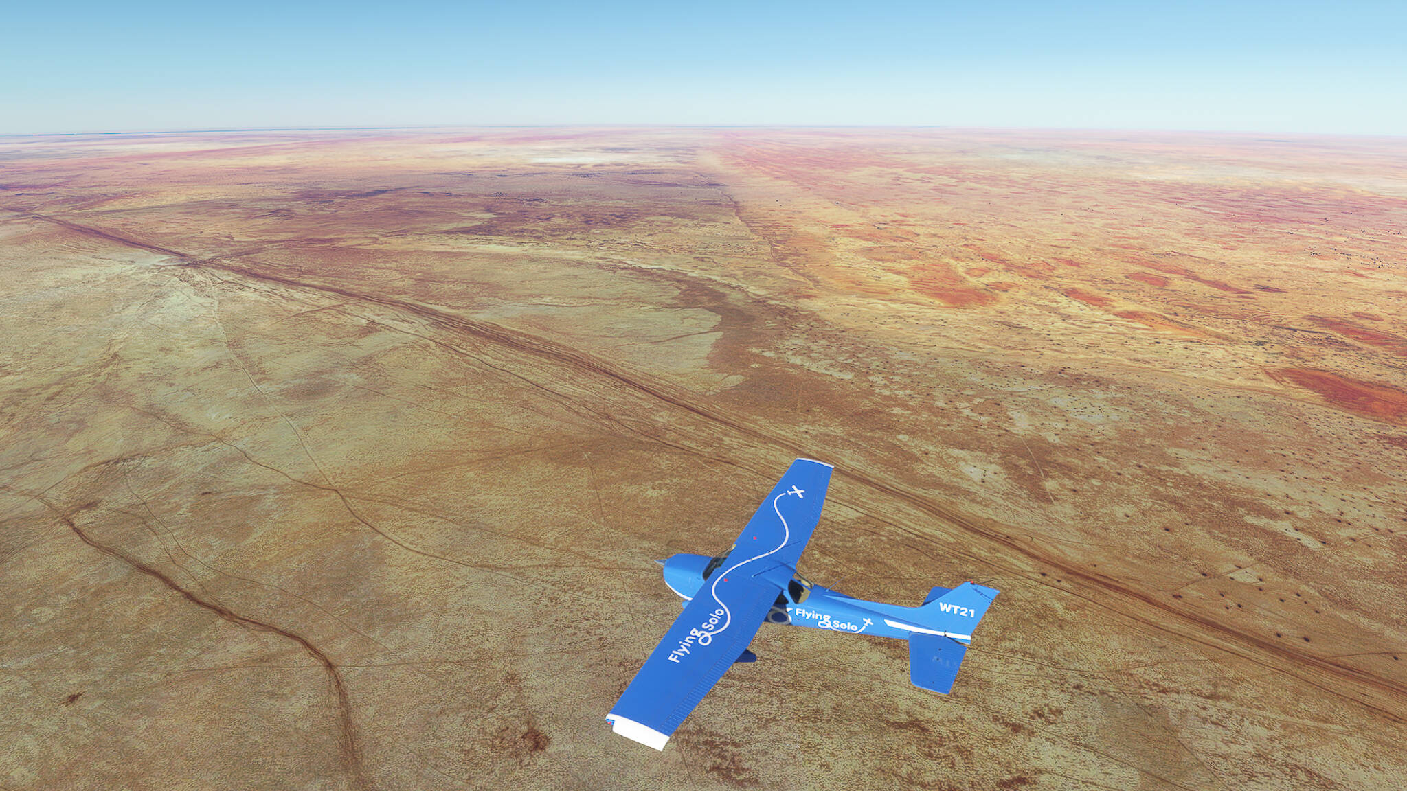
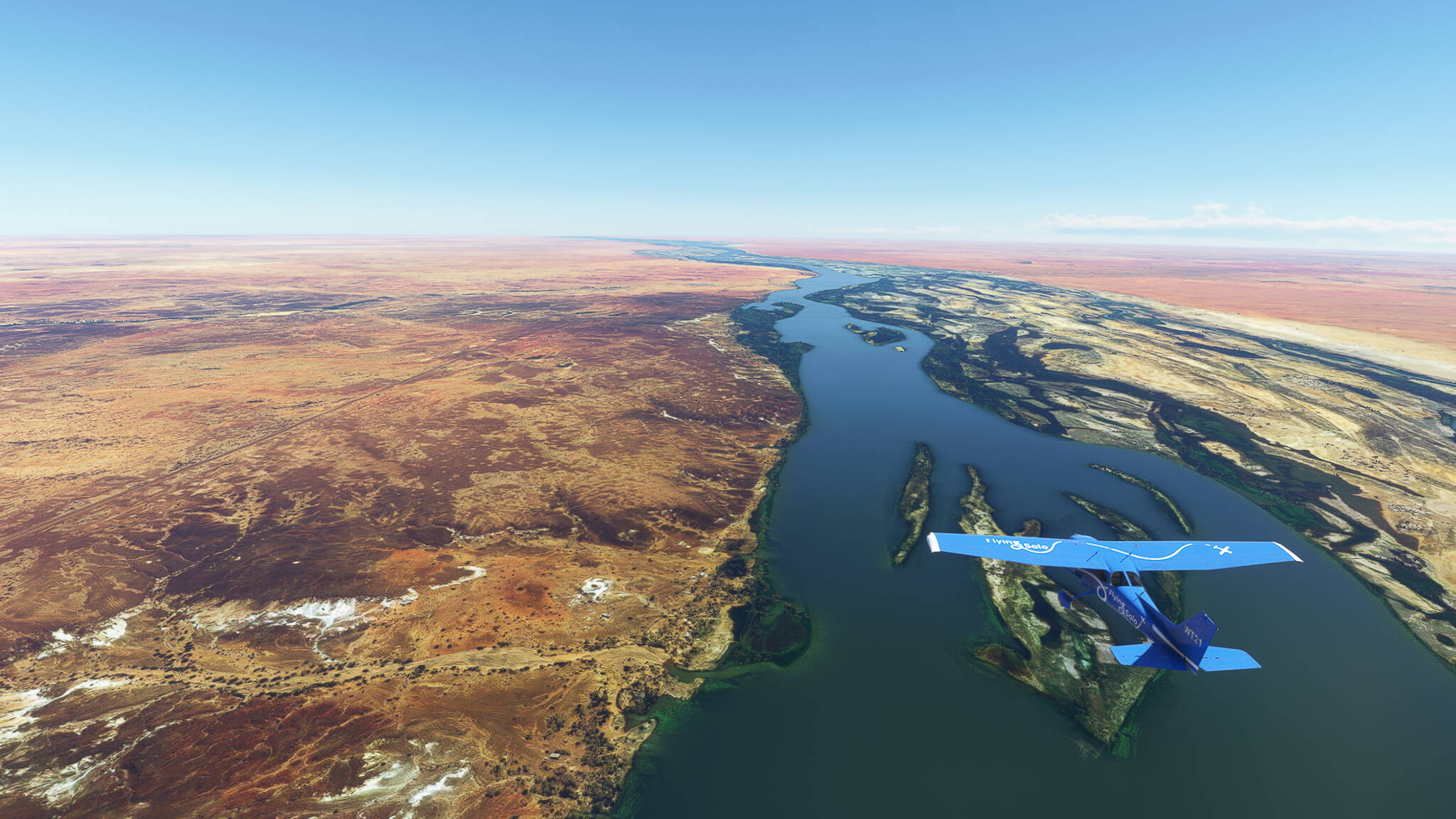
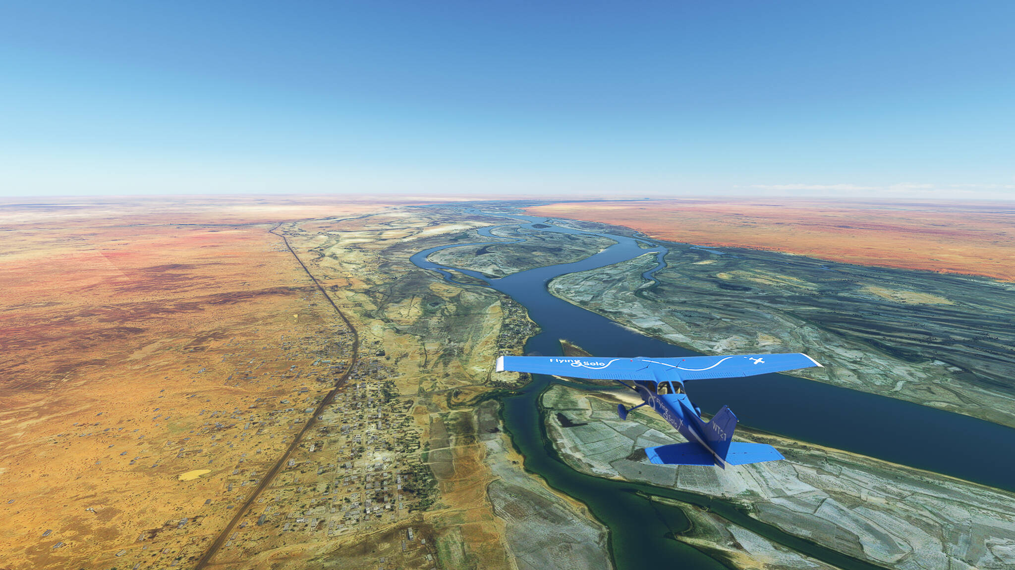
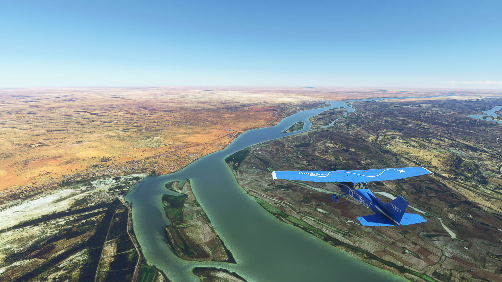
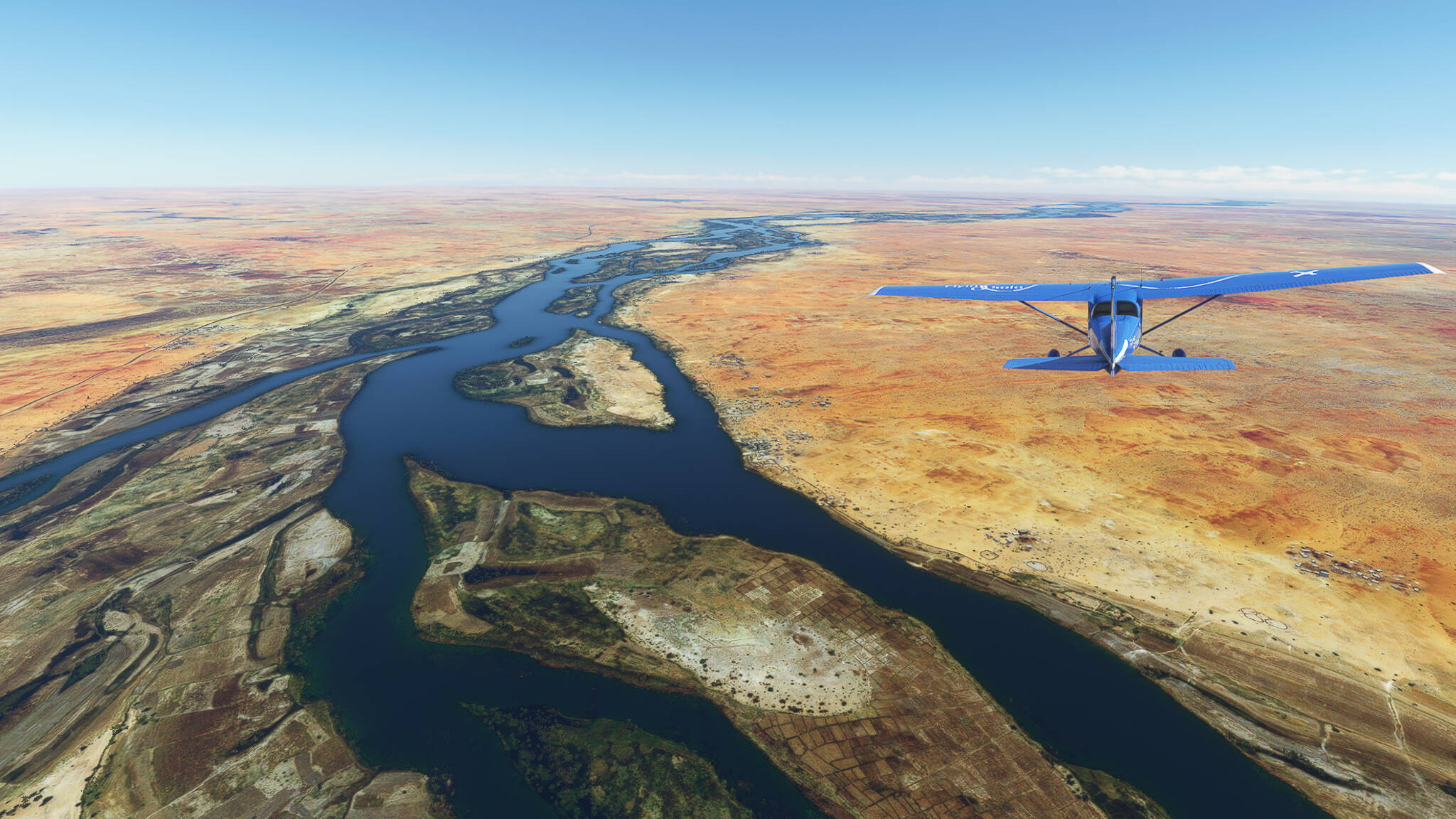
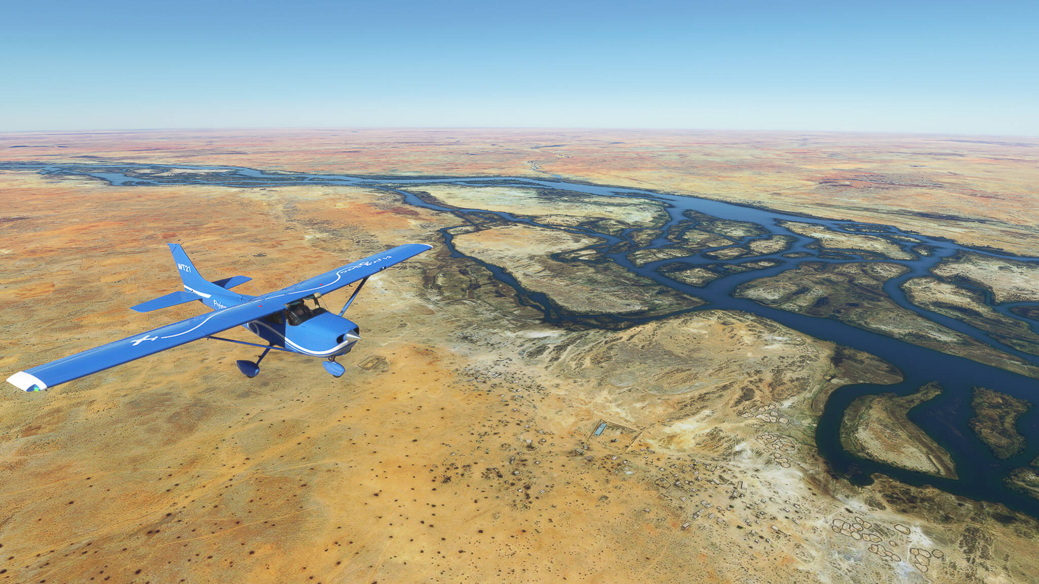
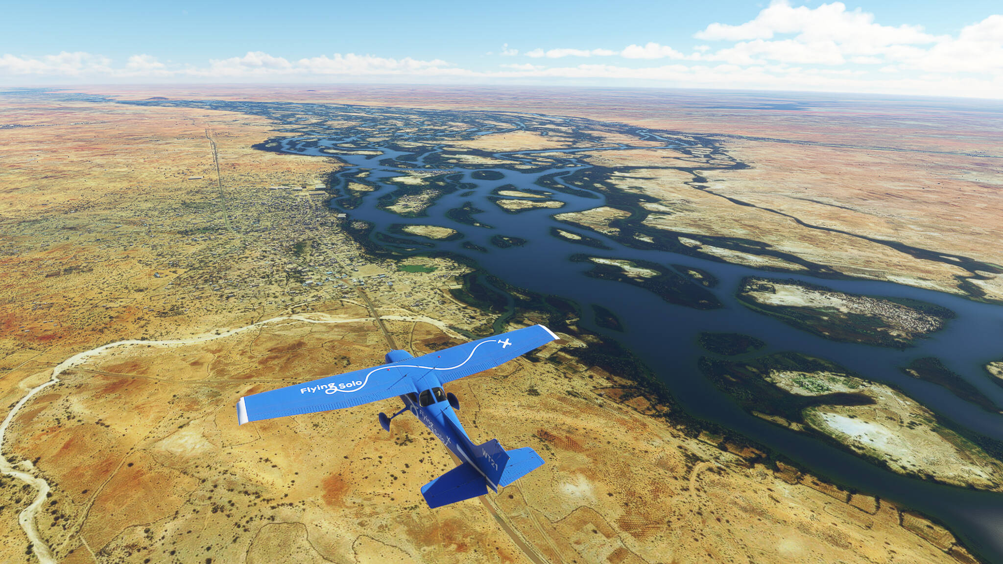
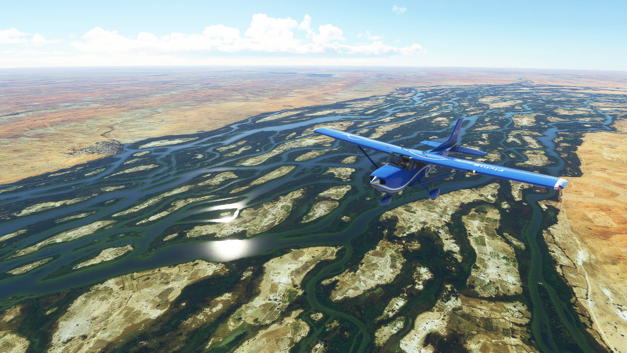
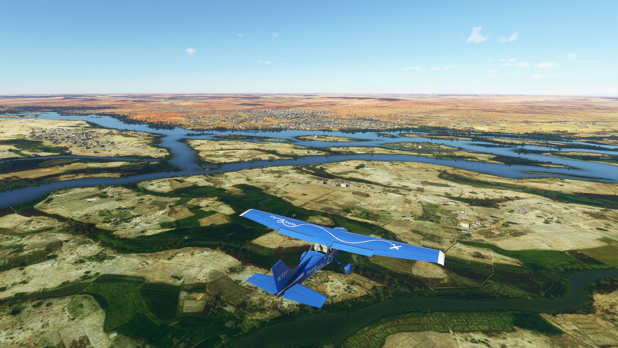
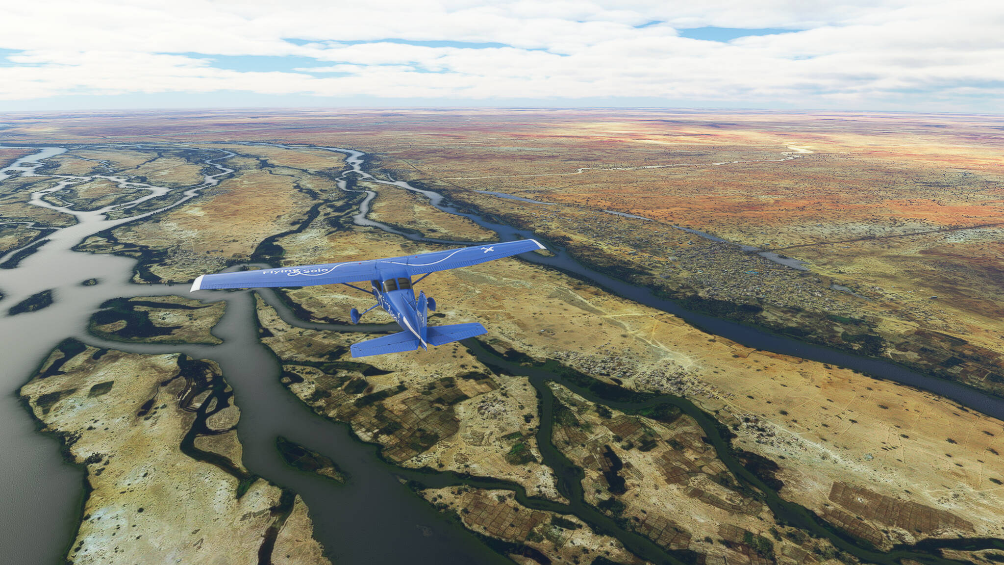
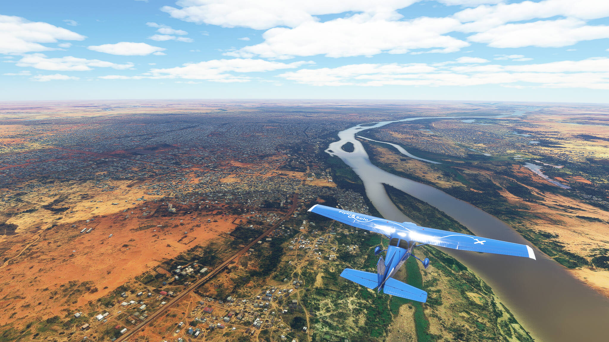
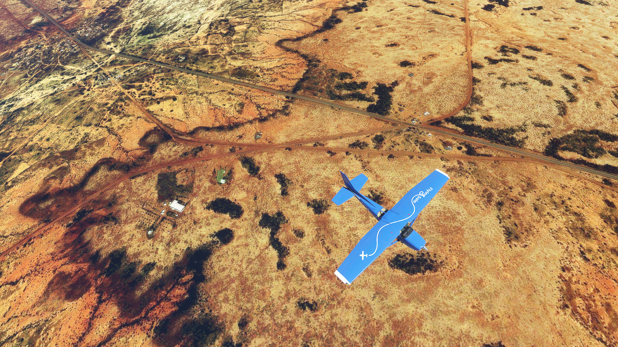
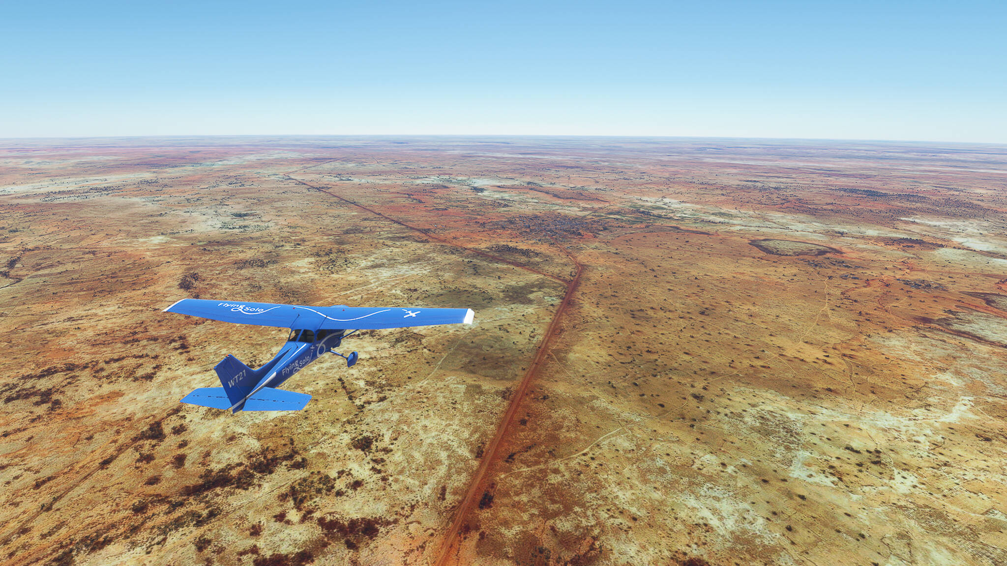
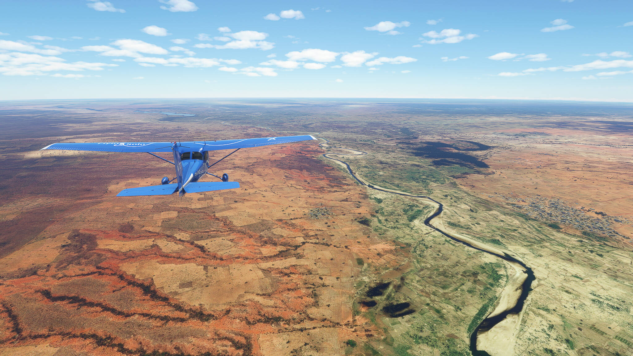
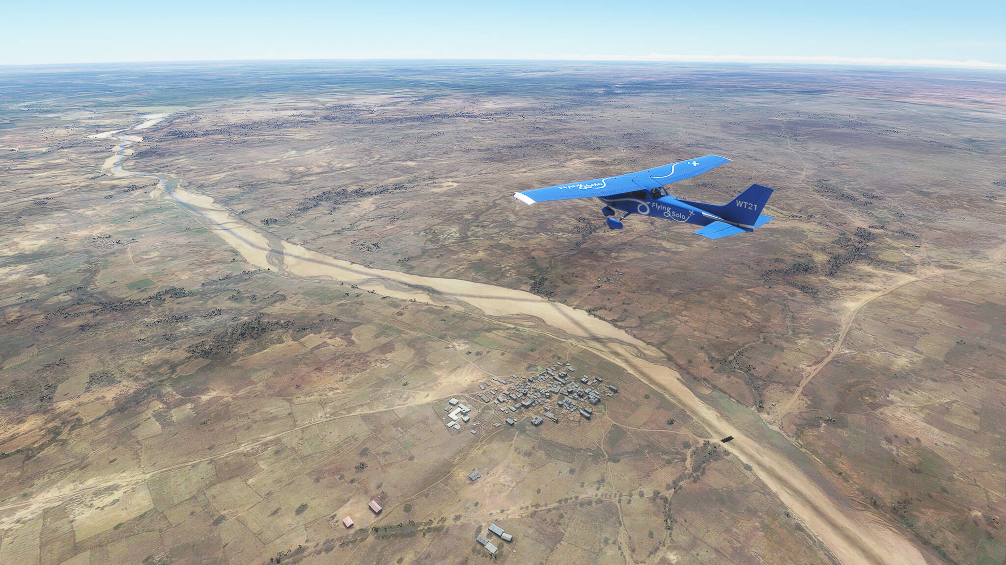
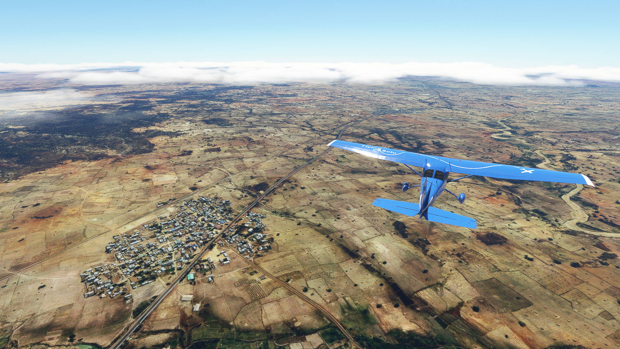
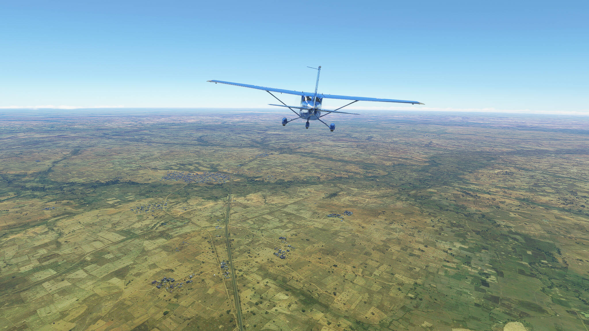
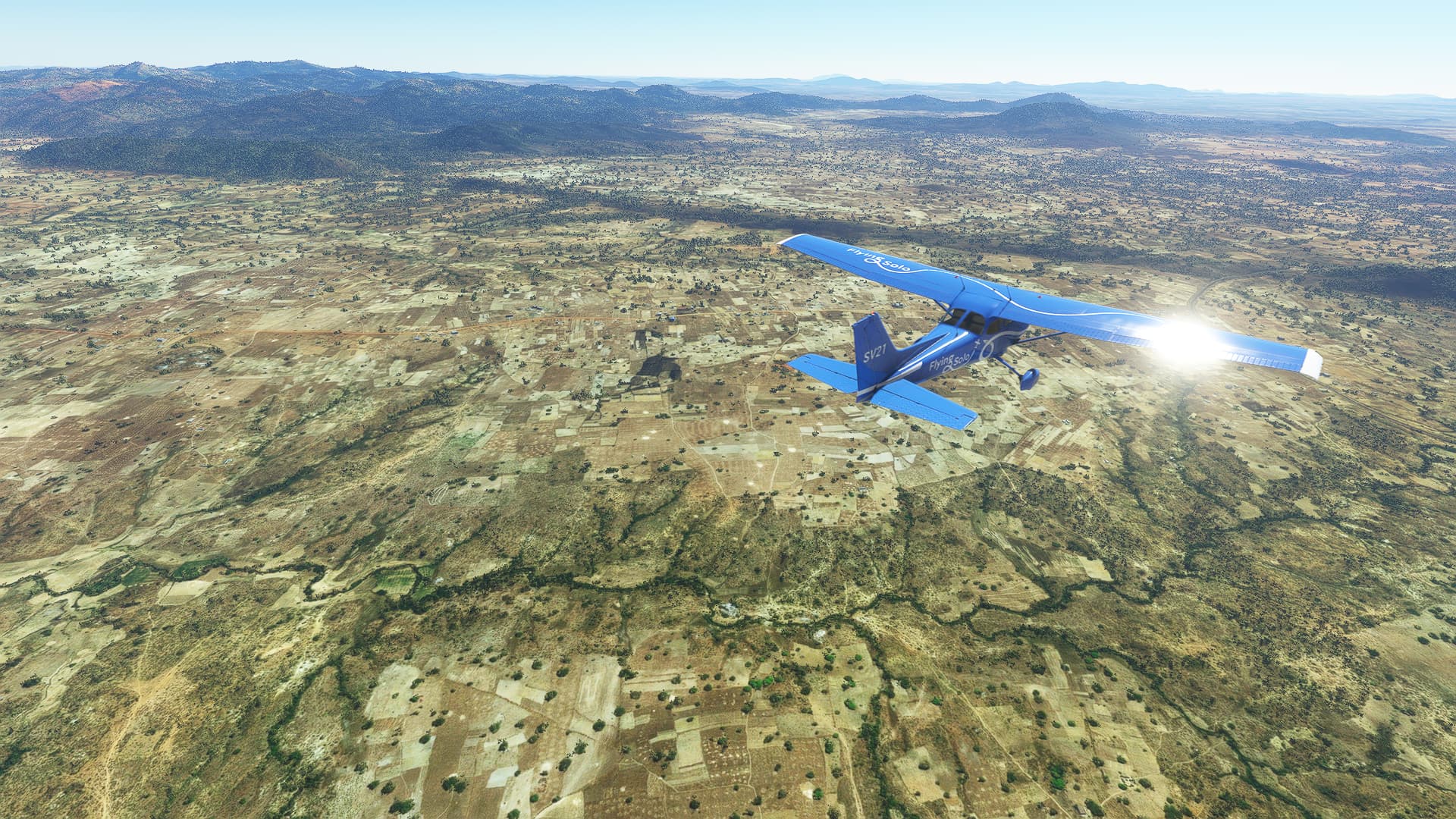
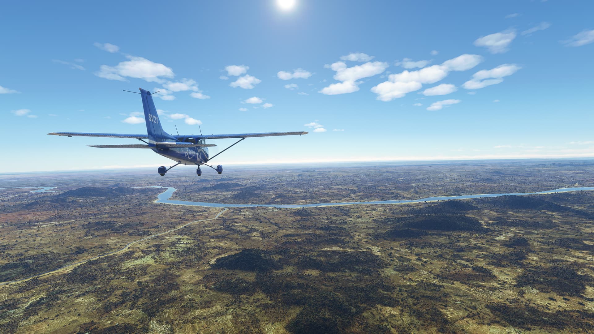
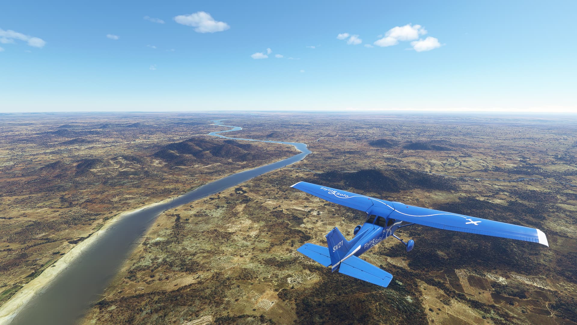
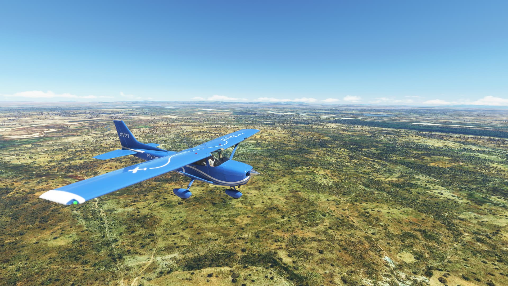
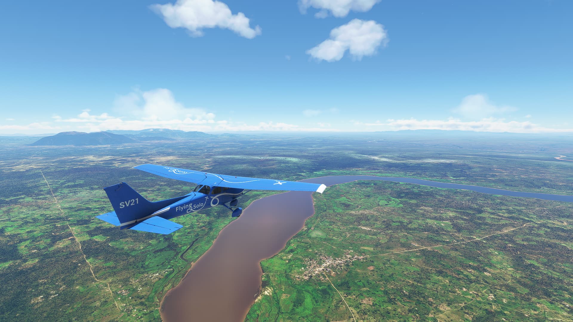
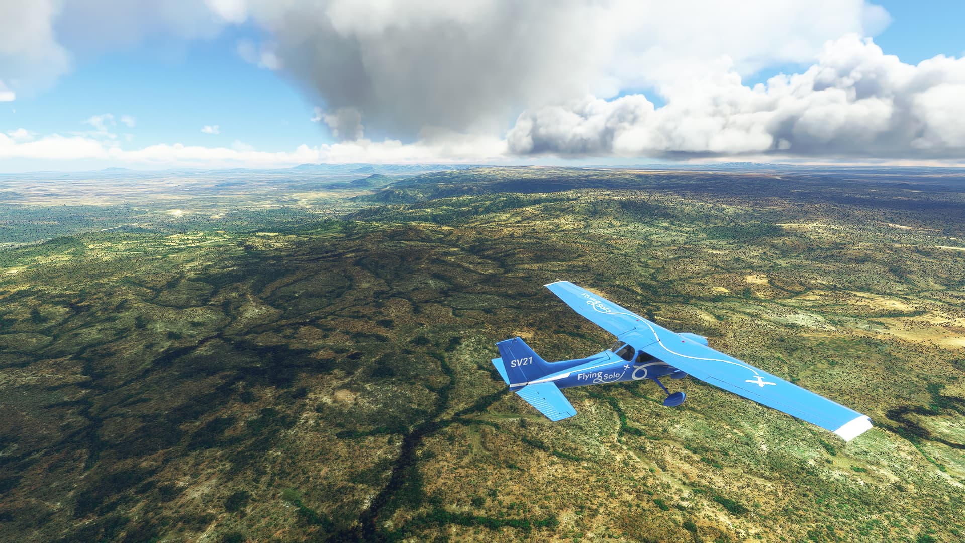
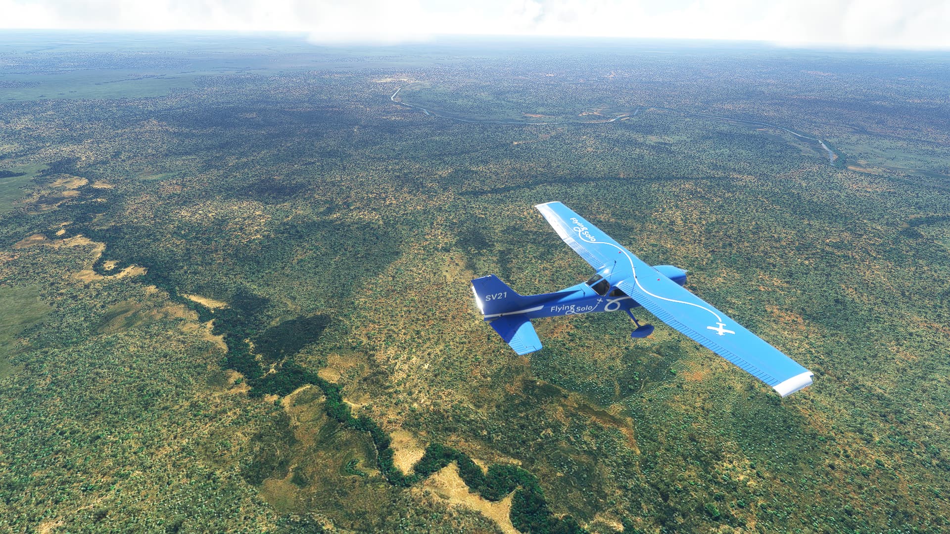
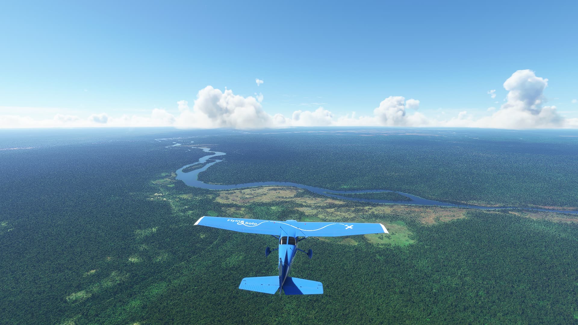
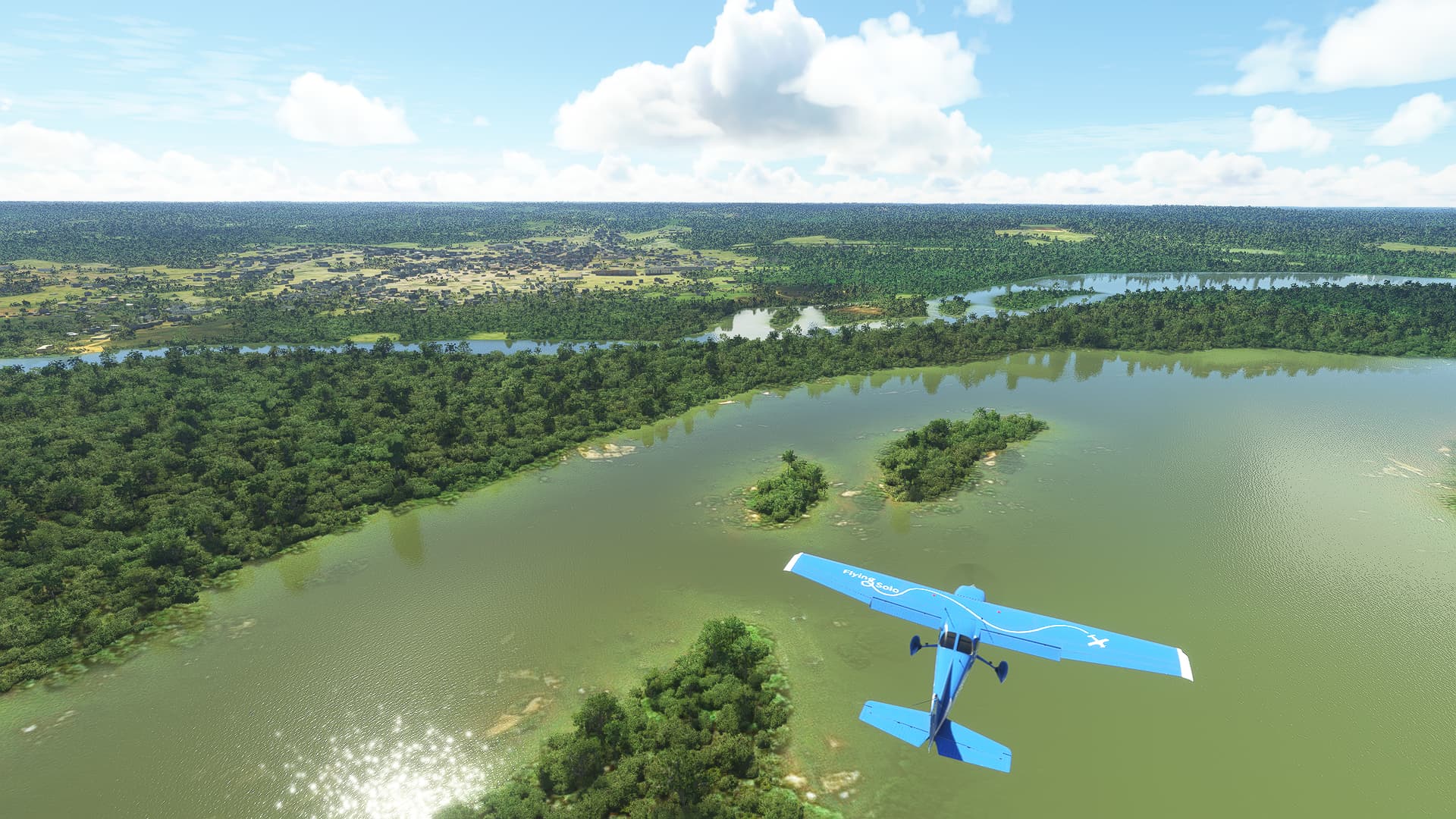
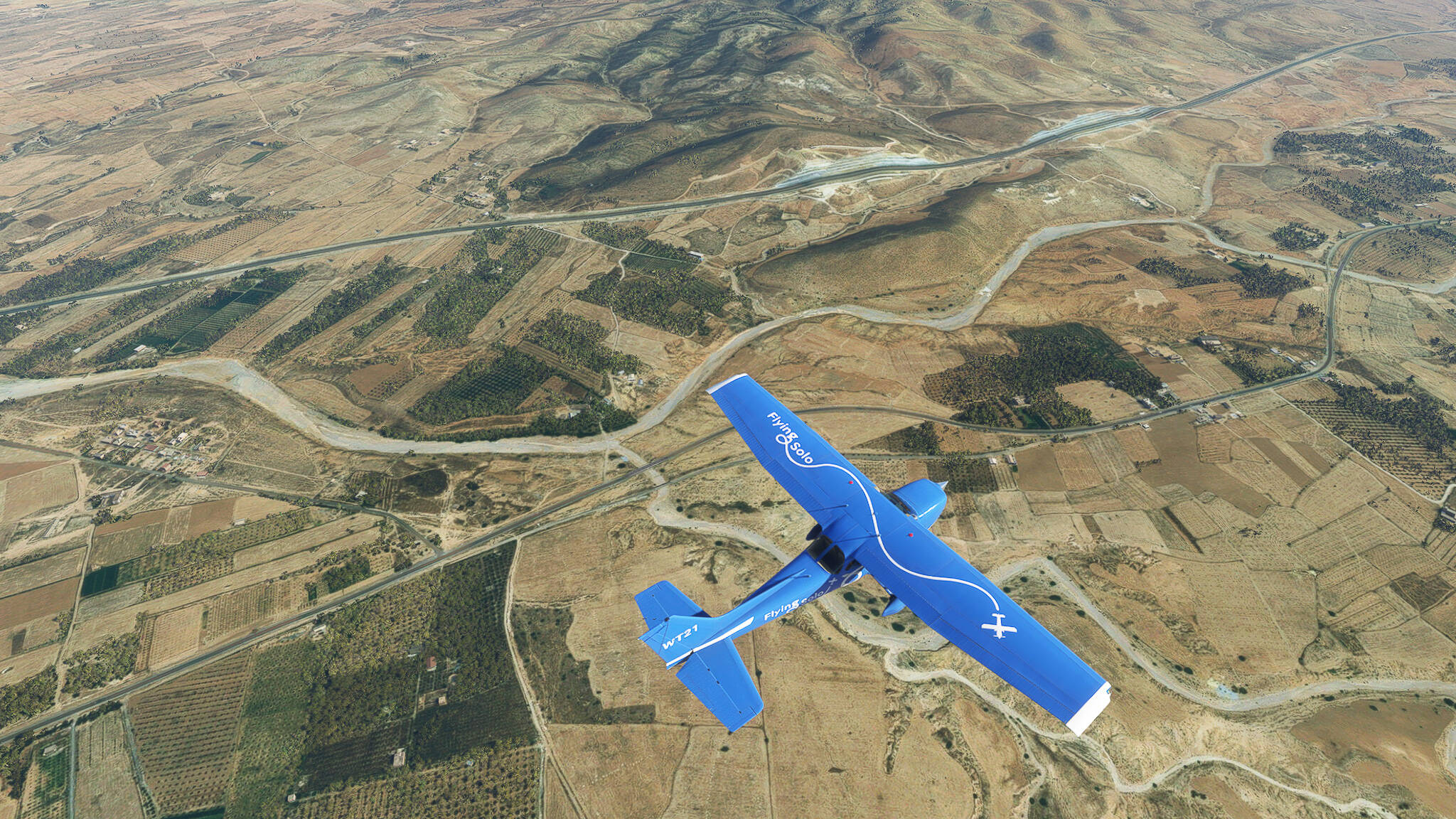
We looked back over our shoulder to see the the green fields along the Oued Moulouya (Picture 1). We crossed the Oued Moulouya itself near the border between Guerif and Taourirt Province only a short while after (Picture 2). To our left we could see the town of Melga el Ouidane, or rather the agricultural zone around it (Picture 3).


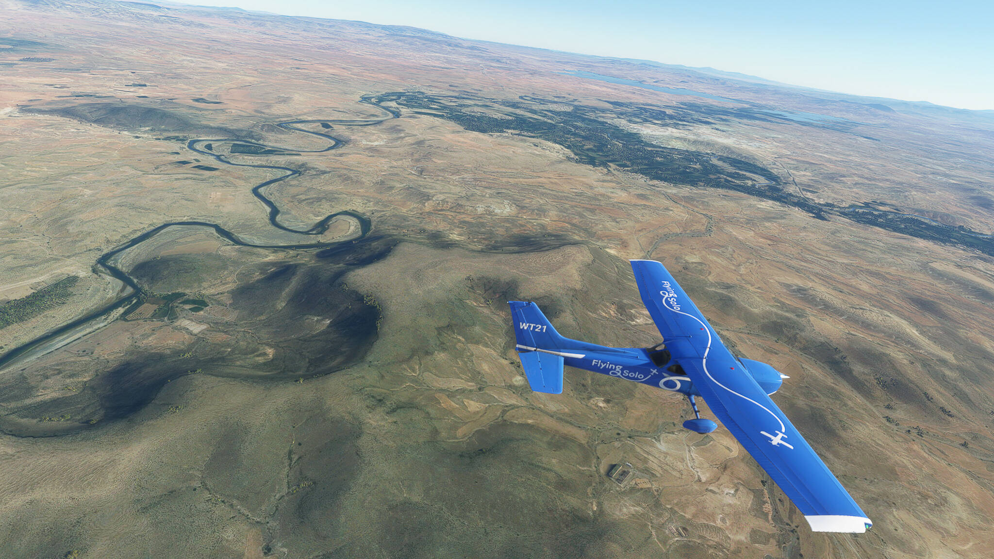
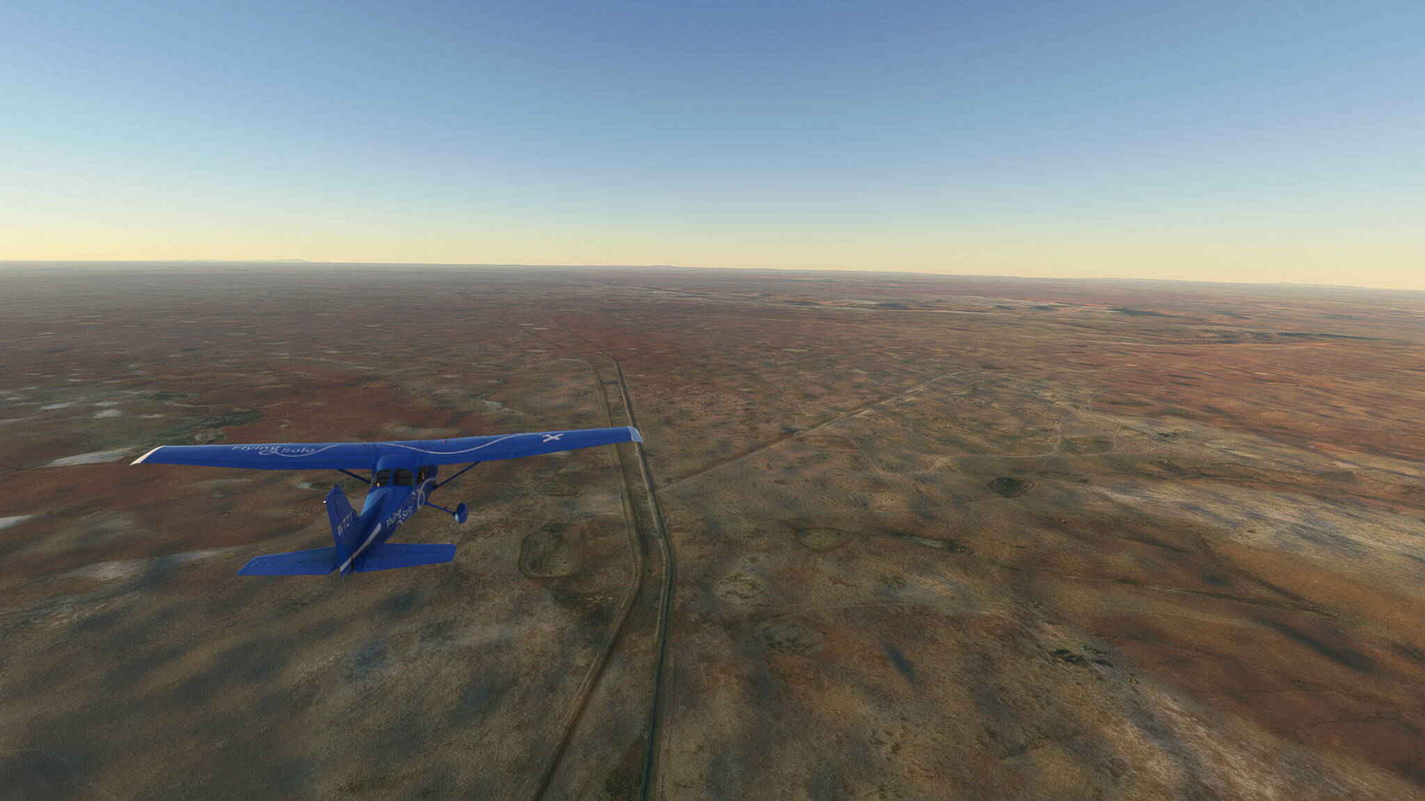
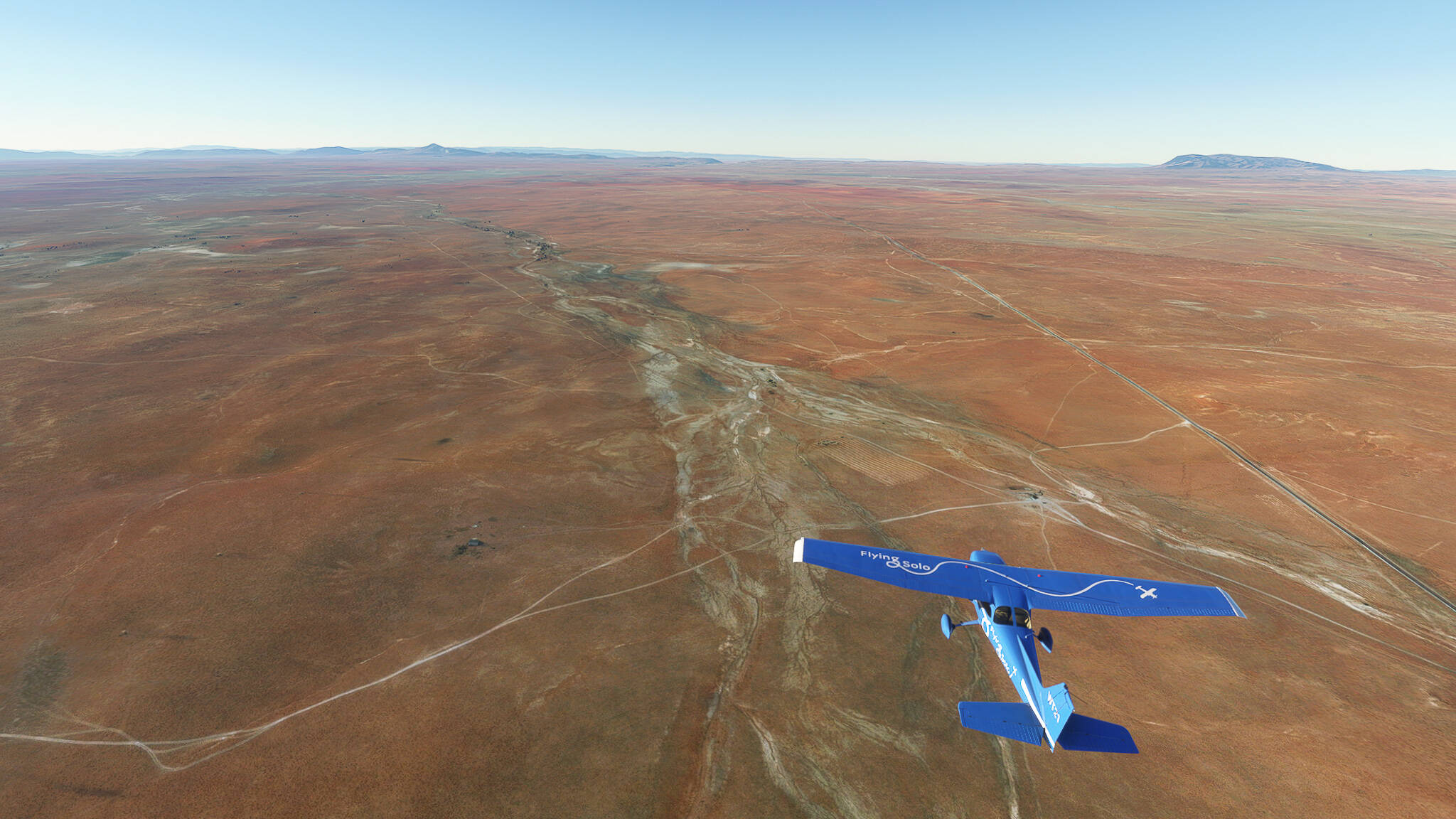
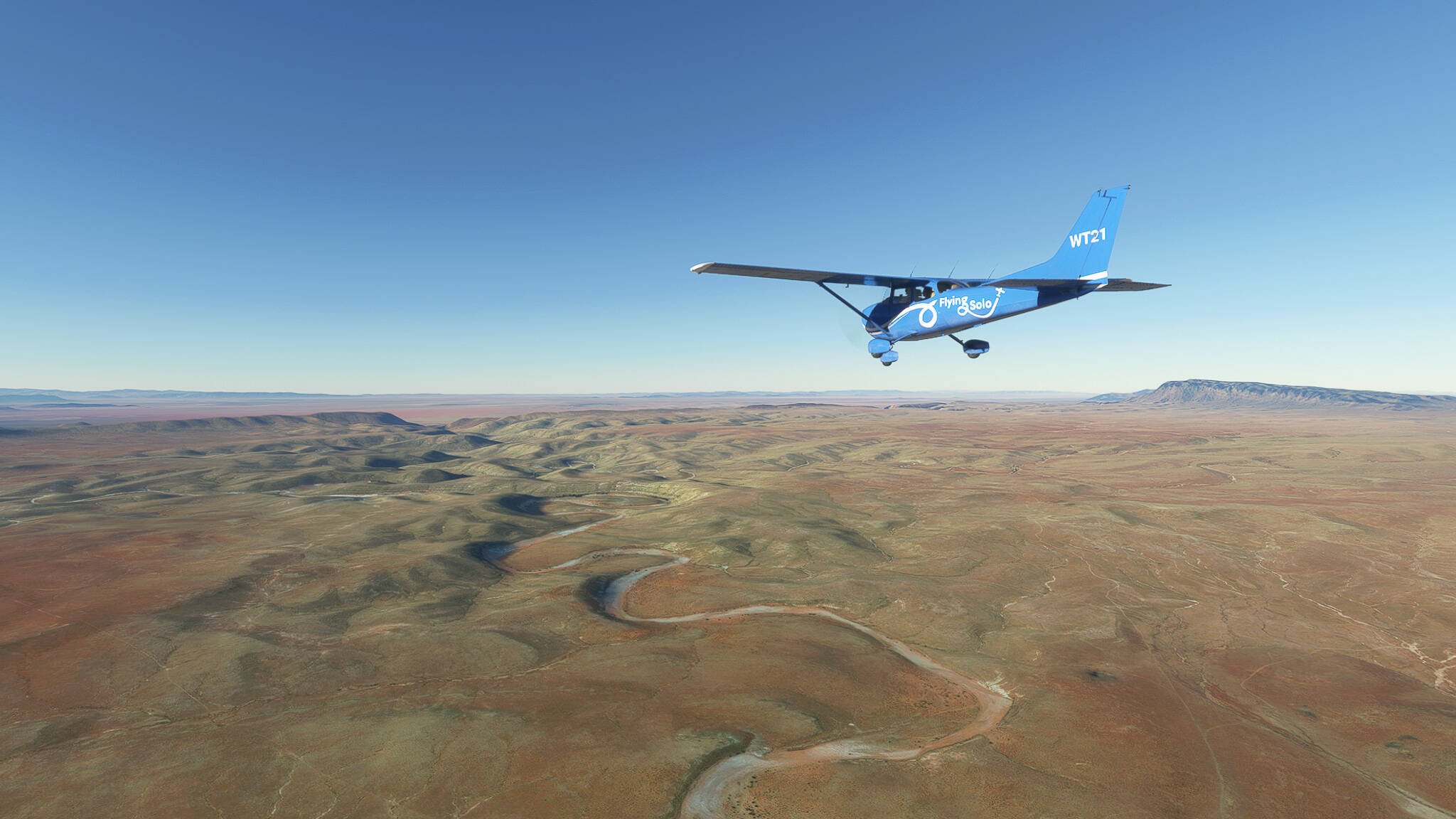
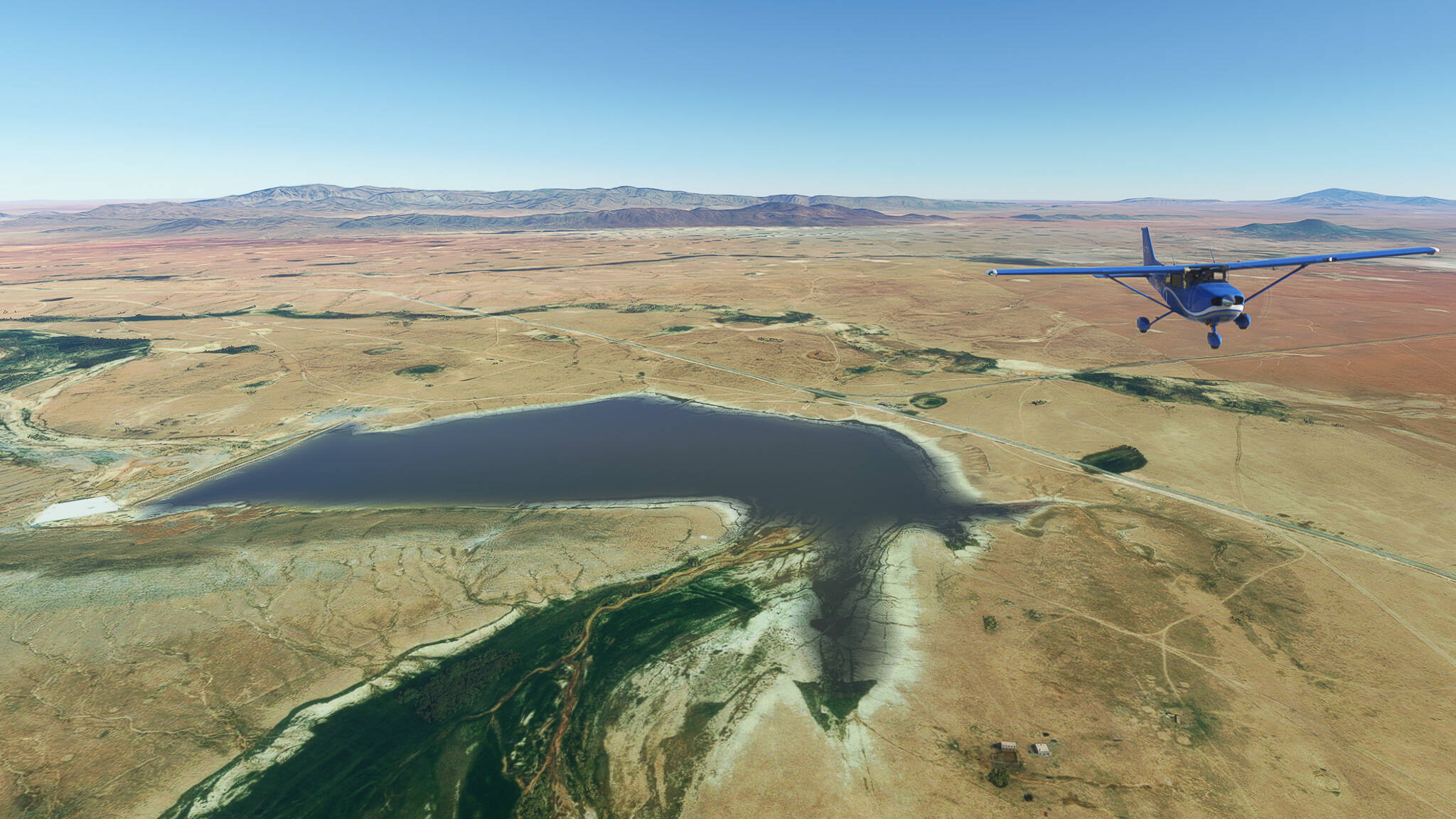
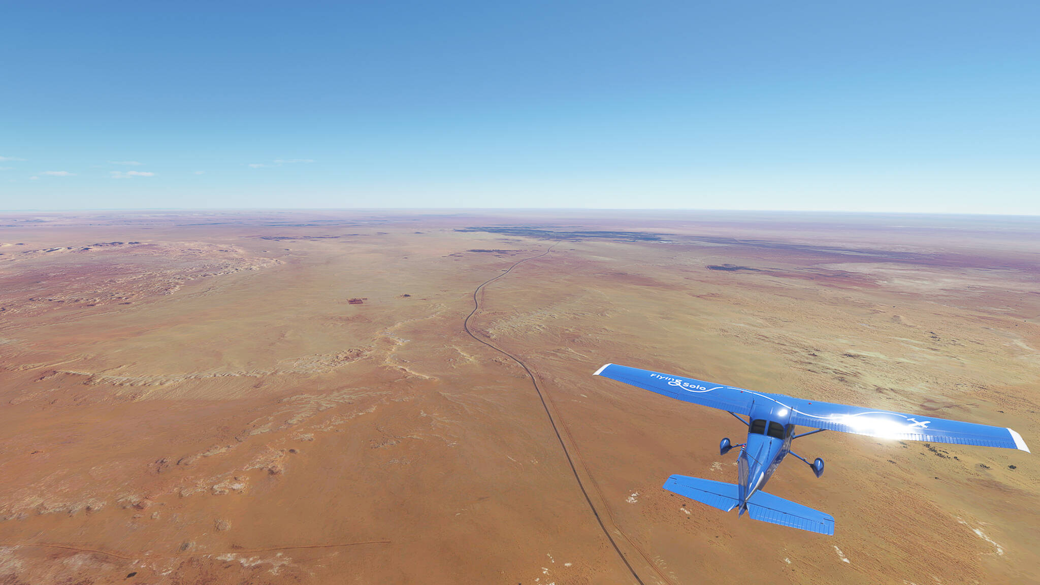
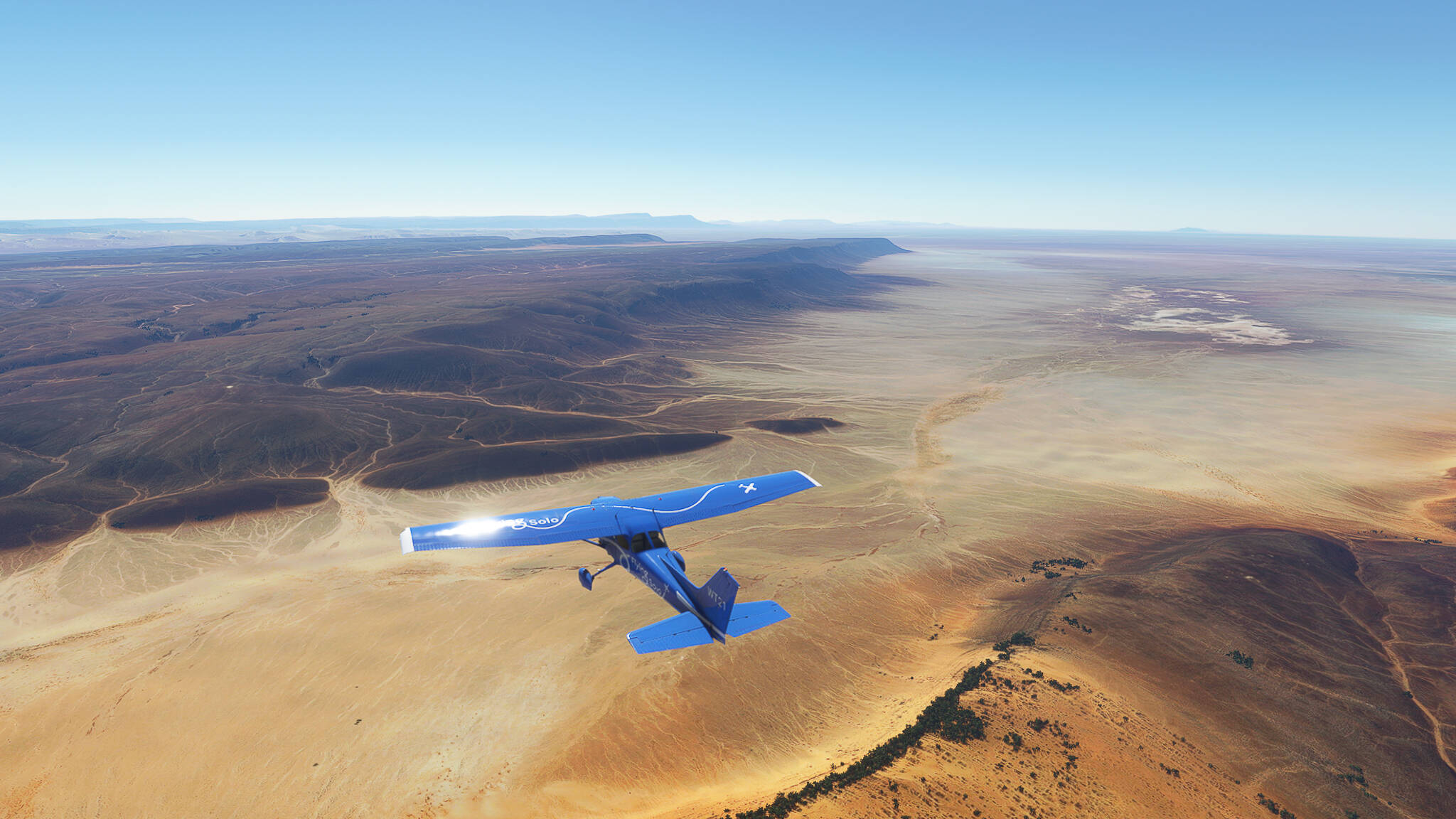
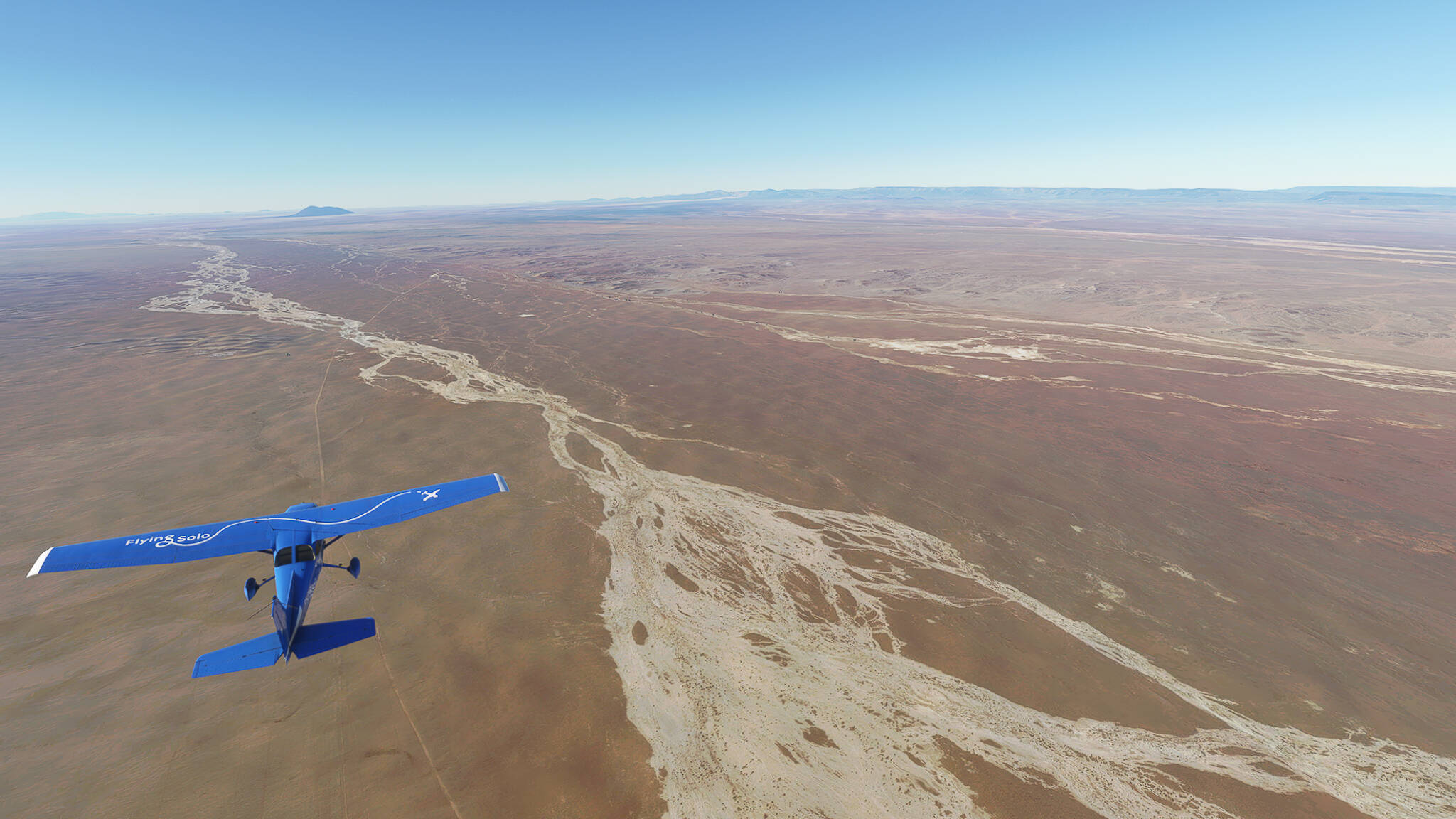
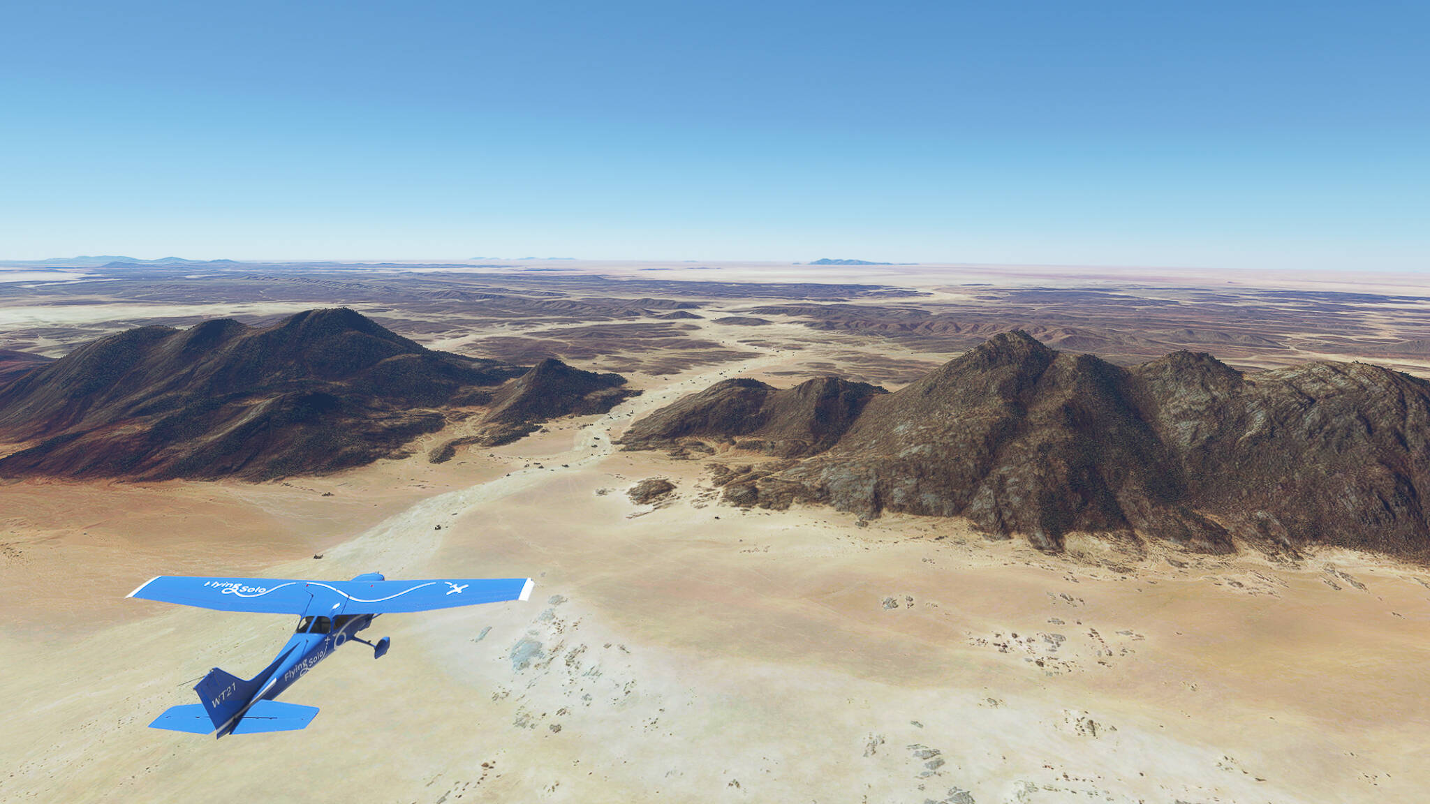
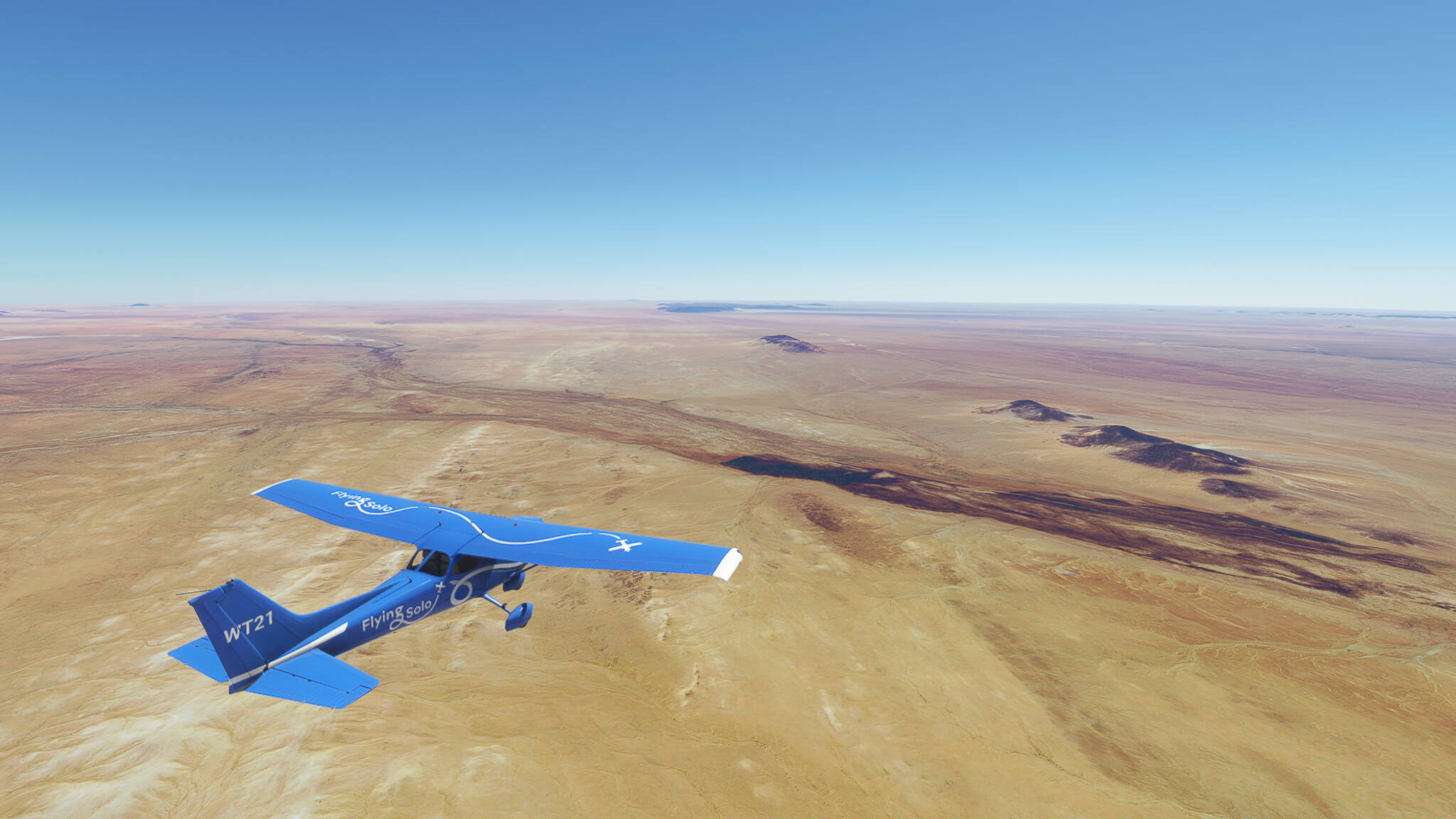
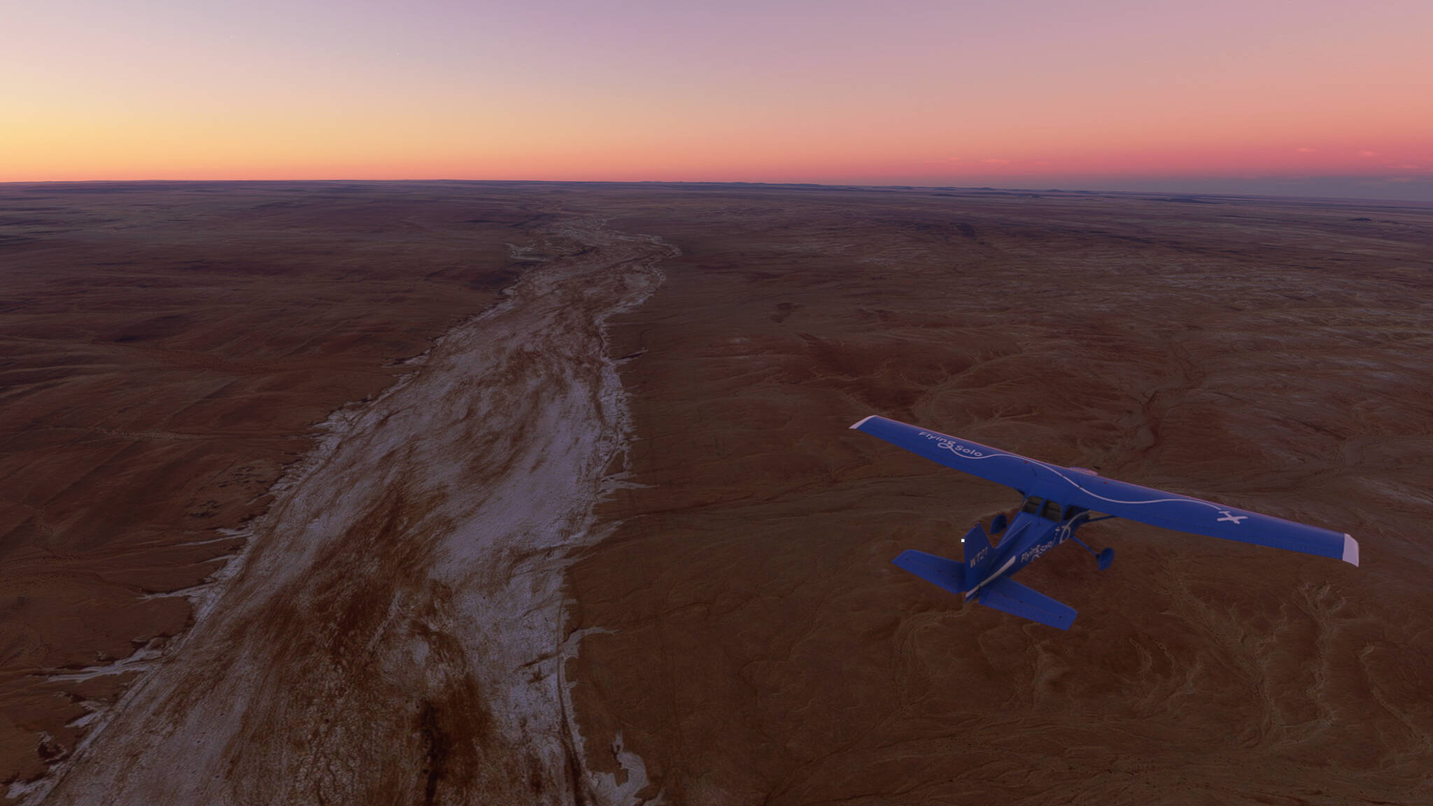
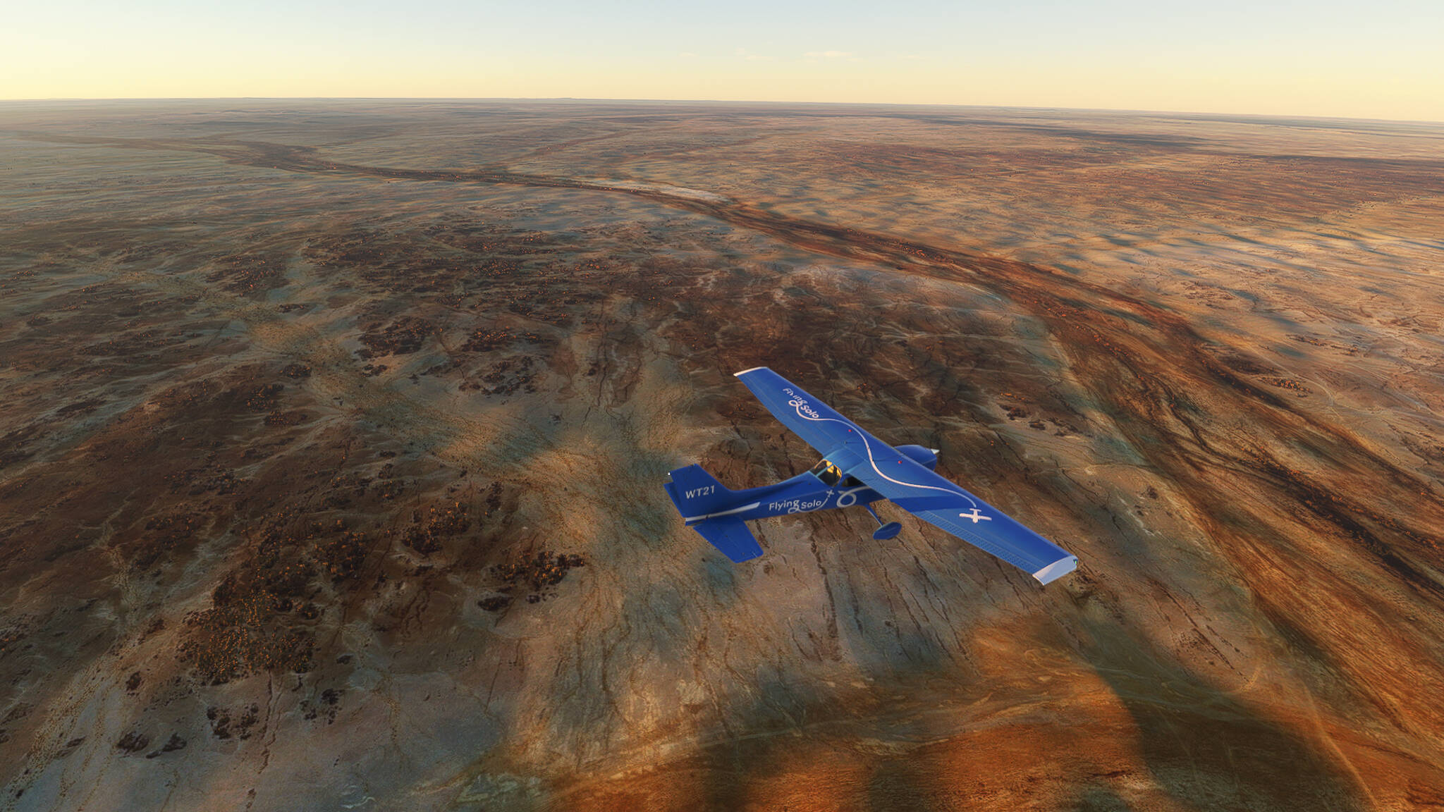
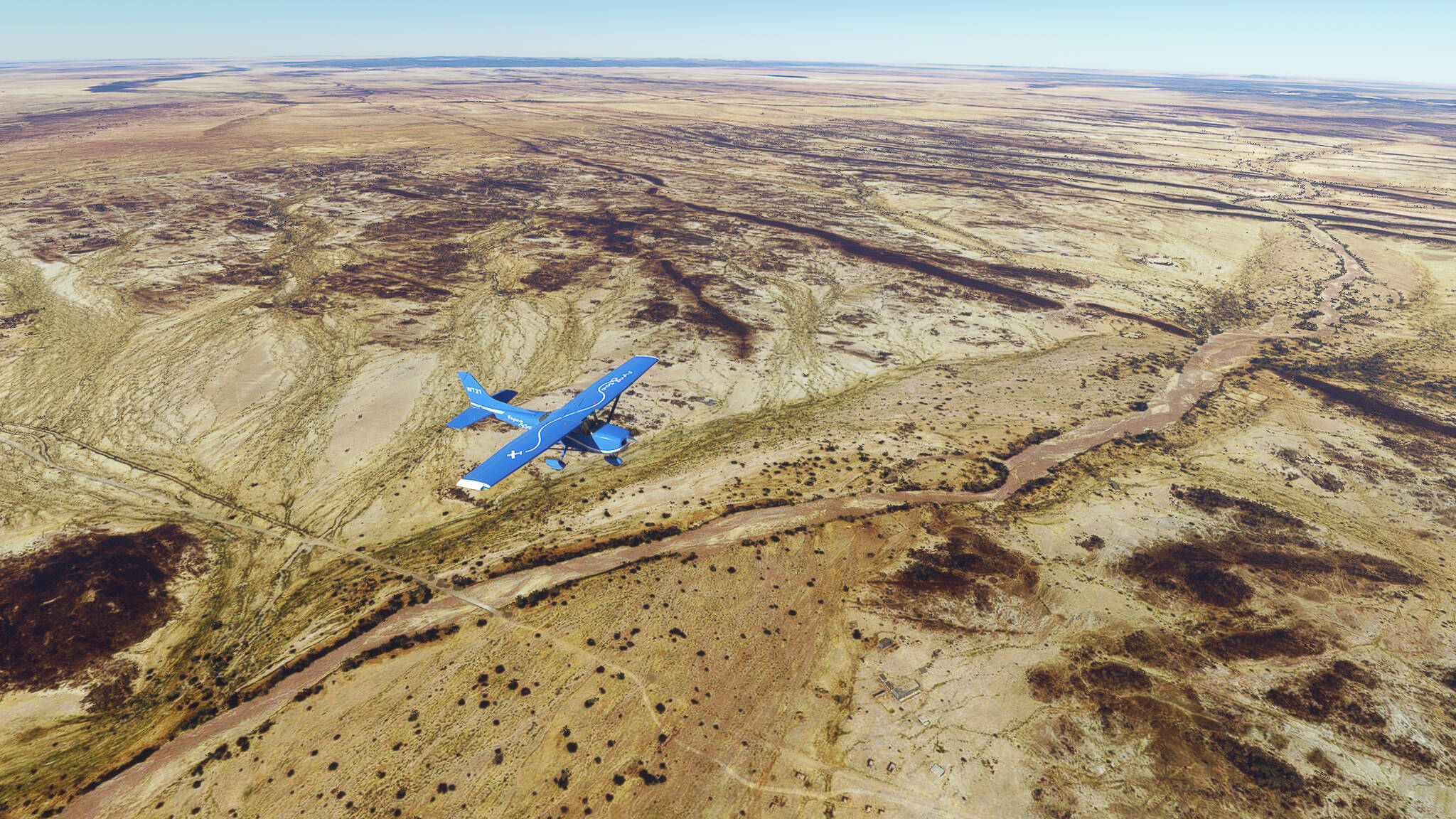
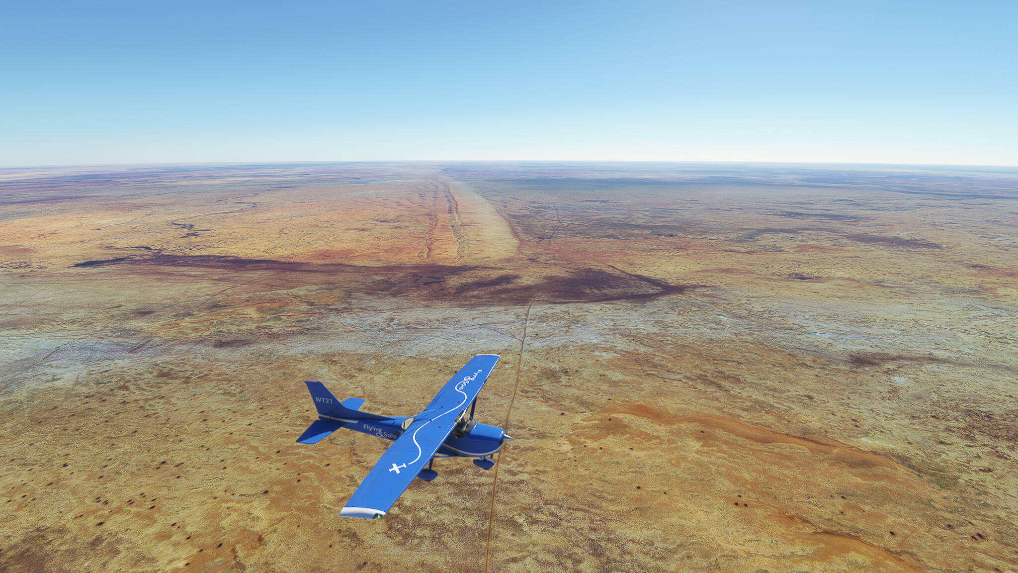
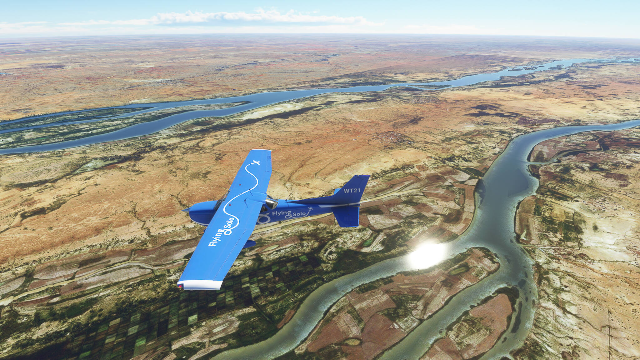
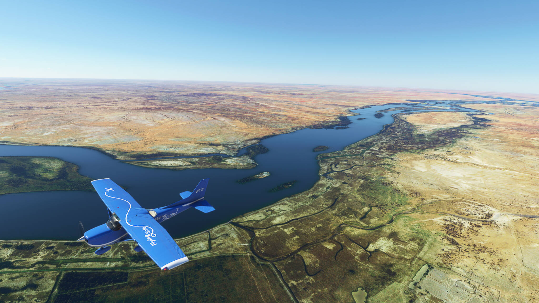
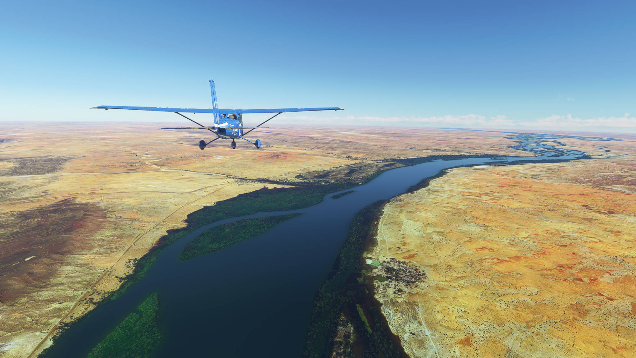
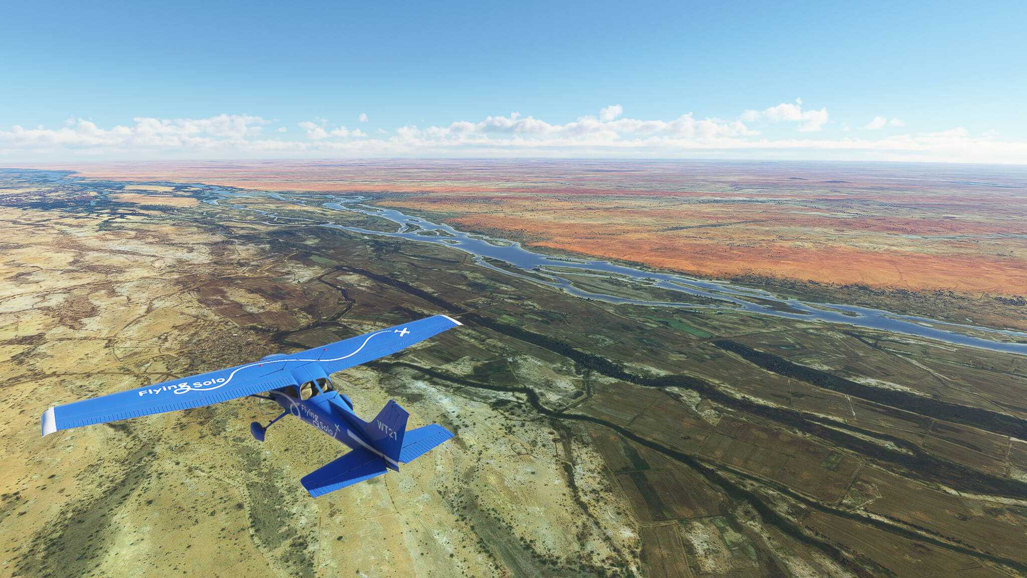
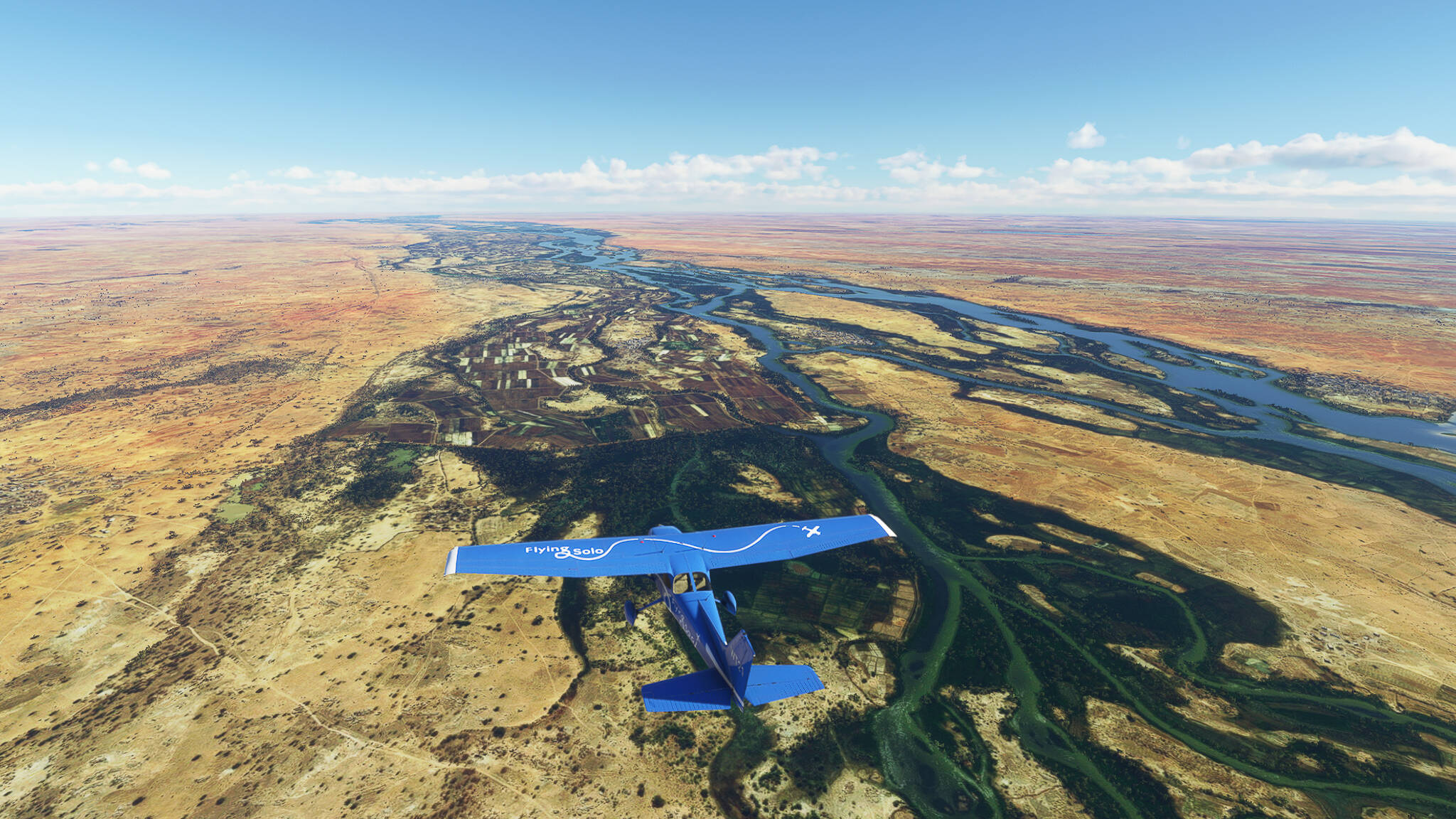
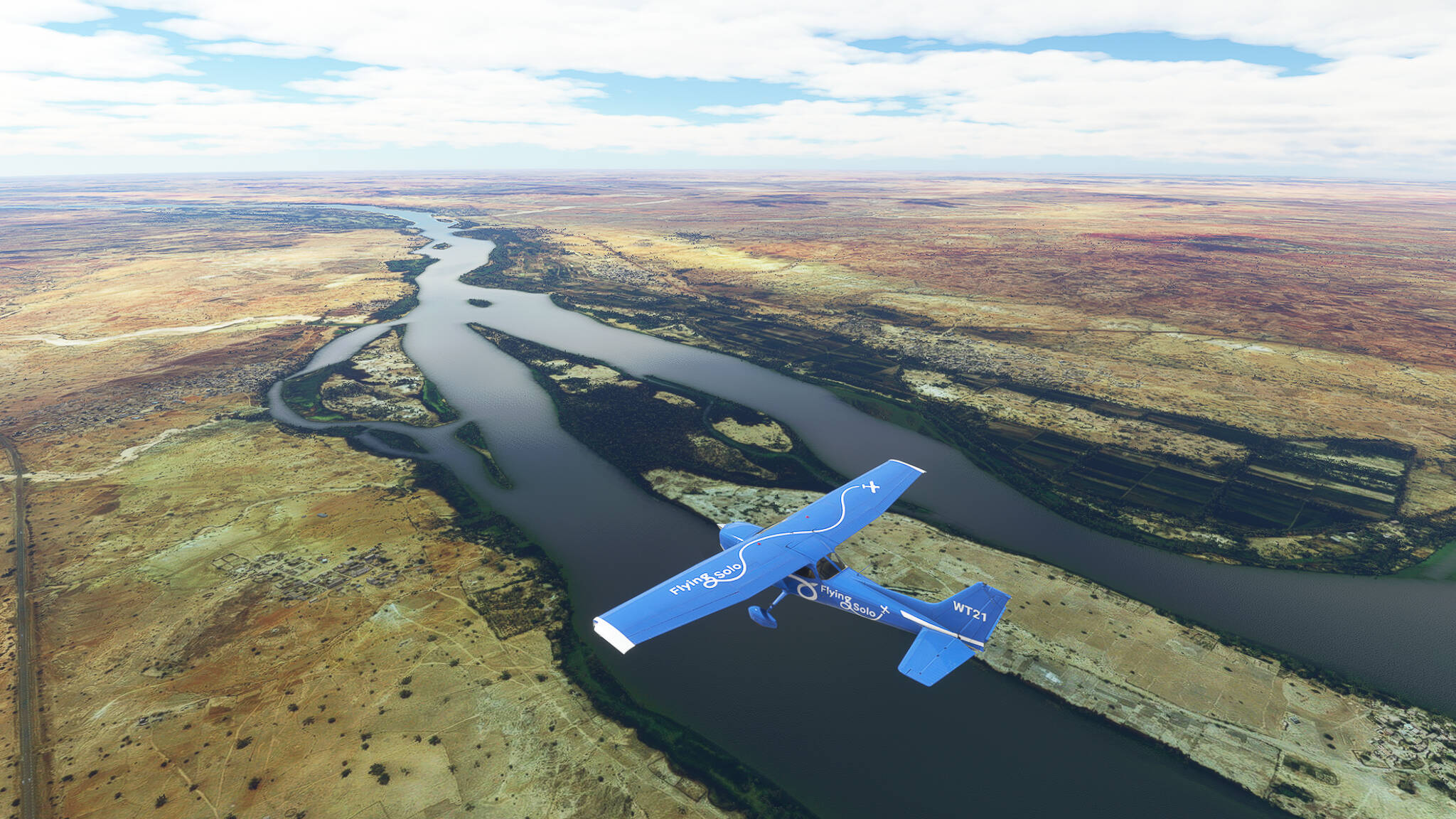
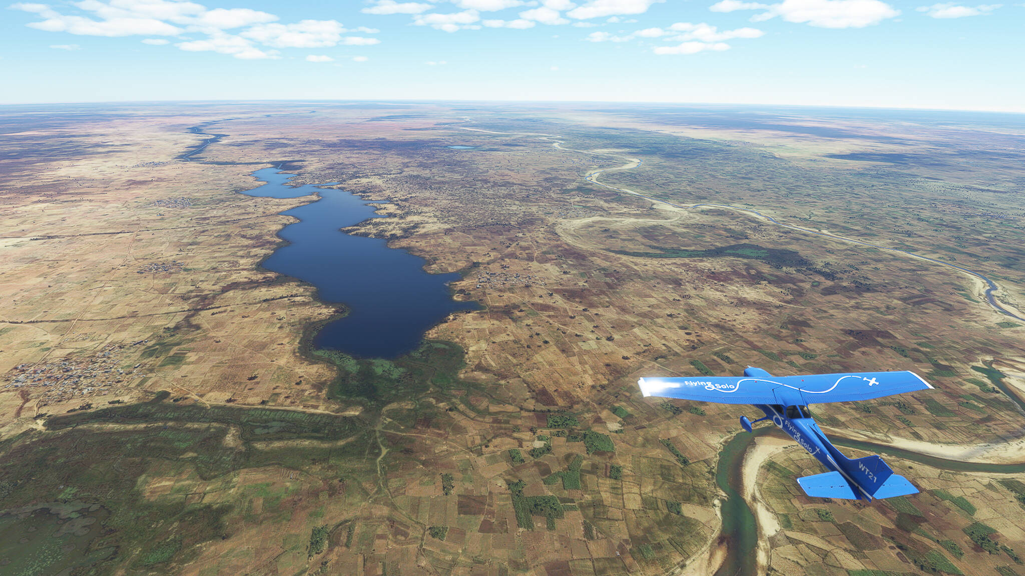
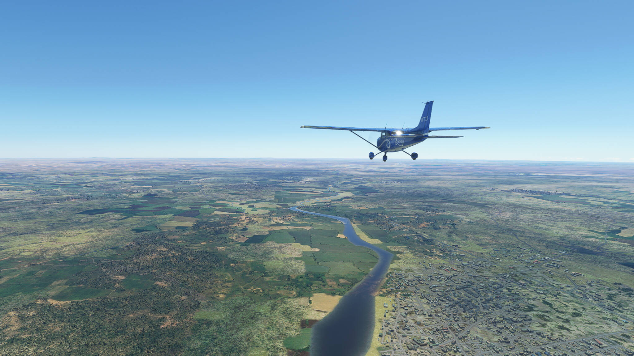
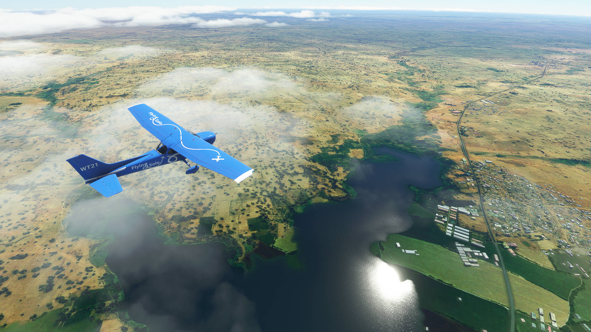
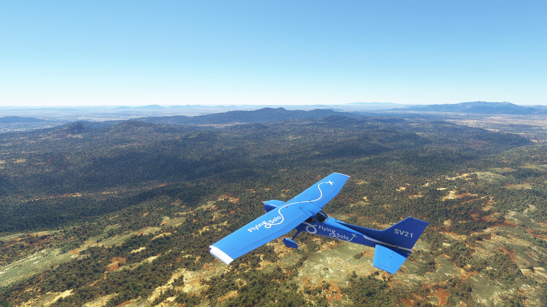
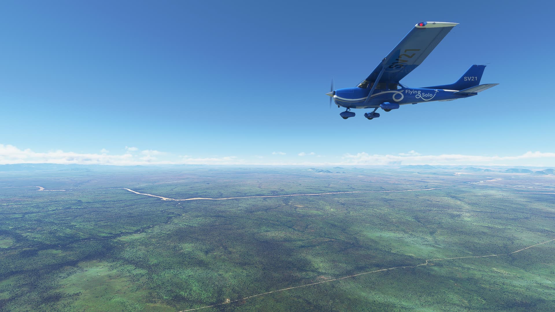
We met the Highway A2 near the Taourirt Ouest intersection, taking a shot of the Oued Za and its surroundings (Picture 4). Near Taourirt Est we could spot the Barrage Mohamed, a large reservoir, to our left (Picture 5) and the city of Taourirt in the far distance to our right (Picture 6, to the far left in the picture).


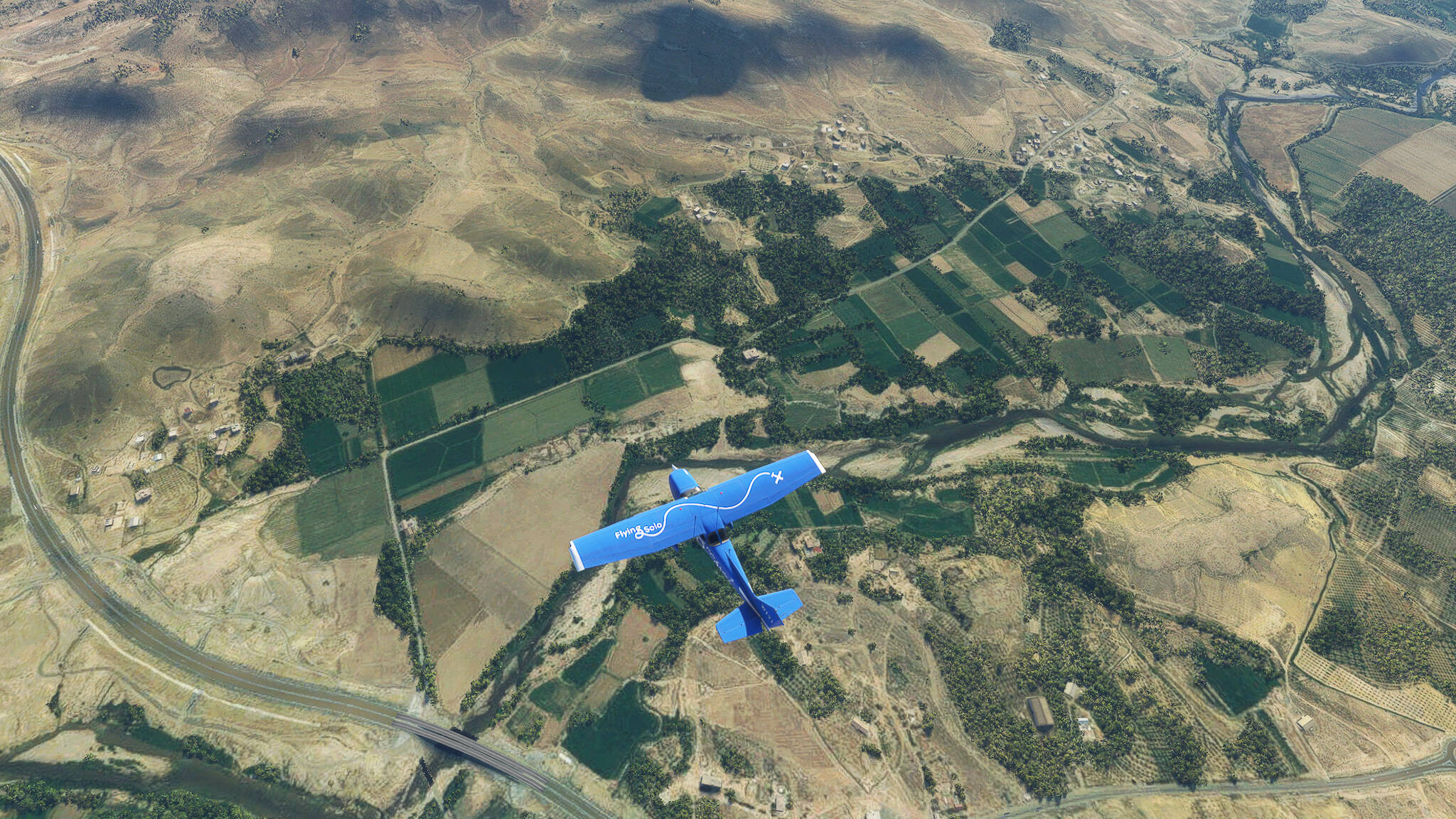
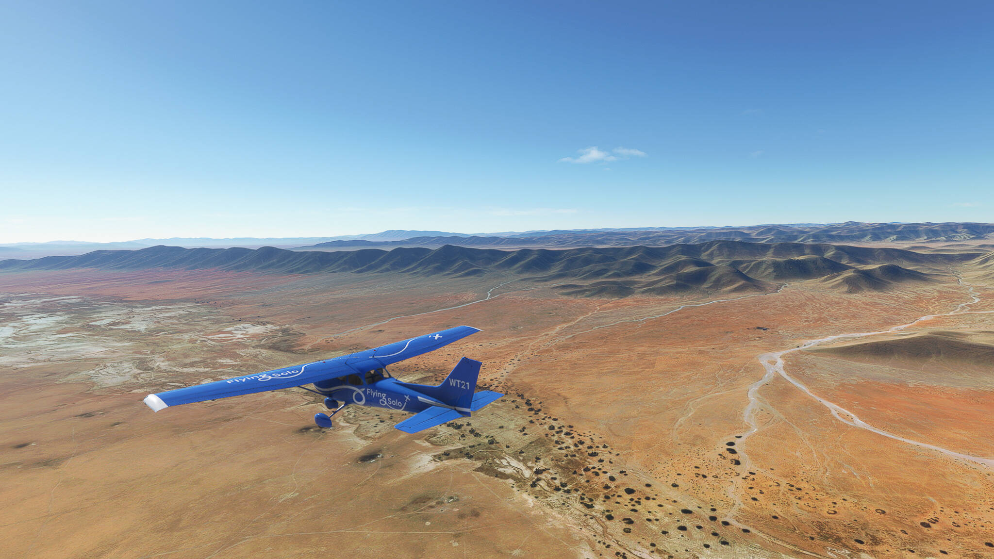
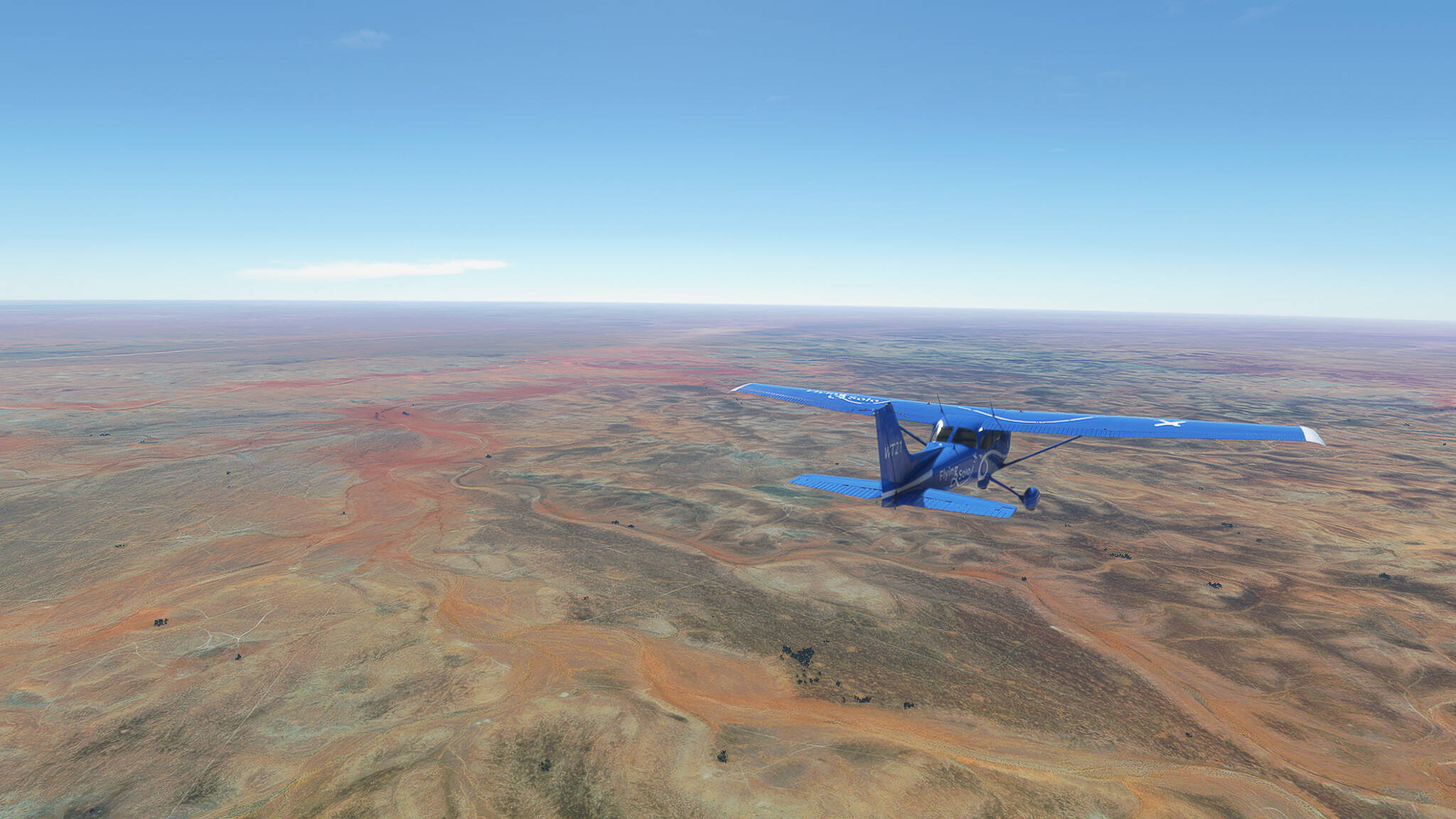
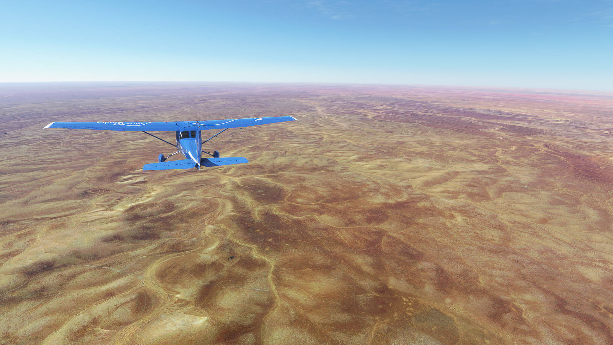
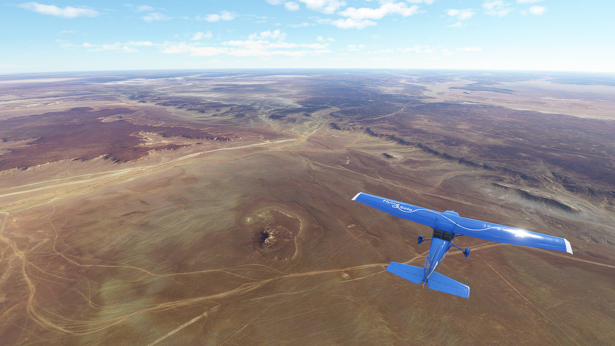
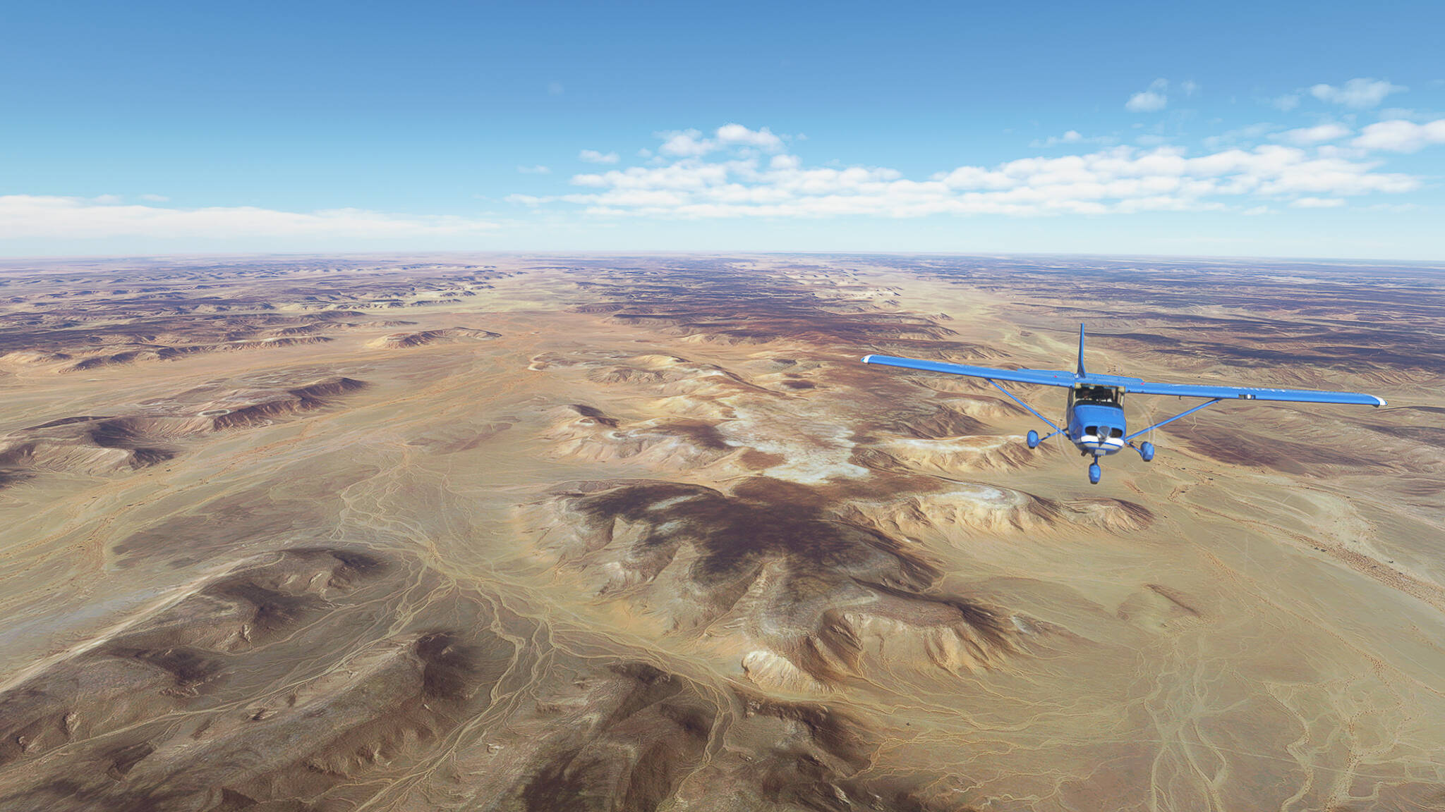
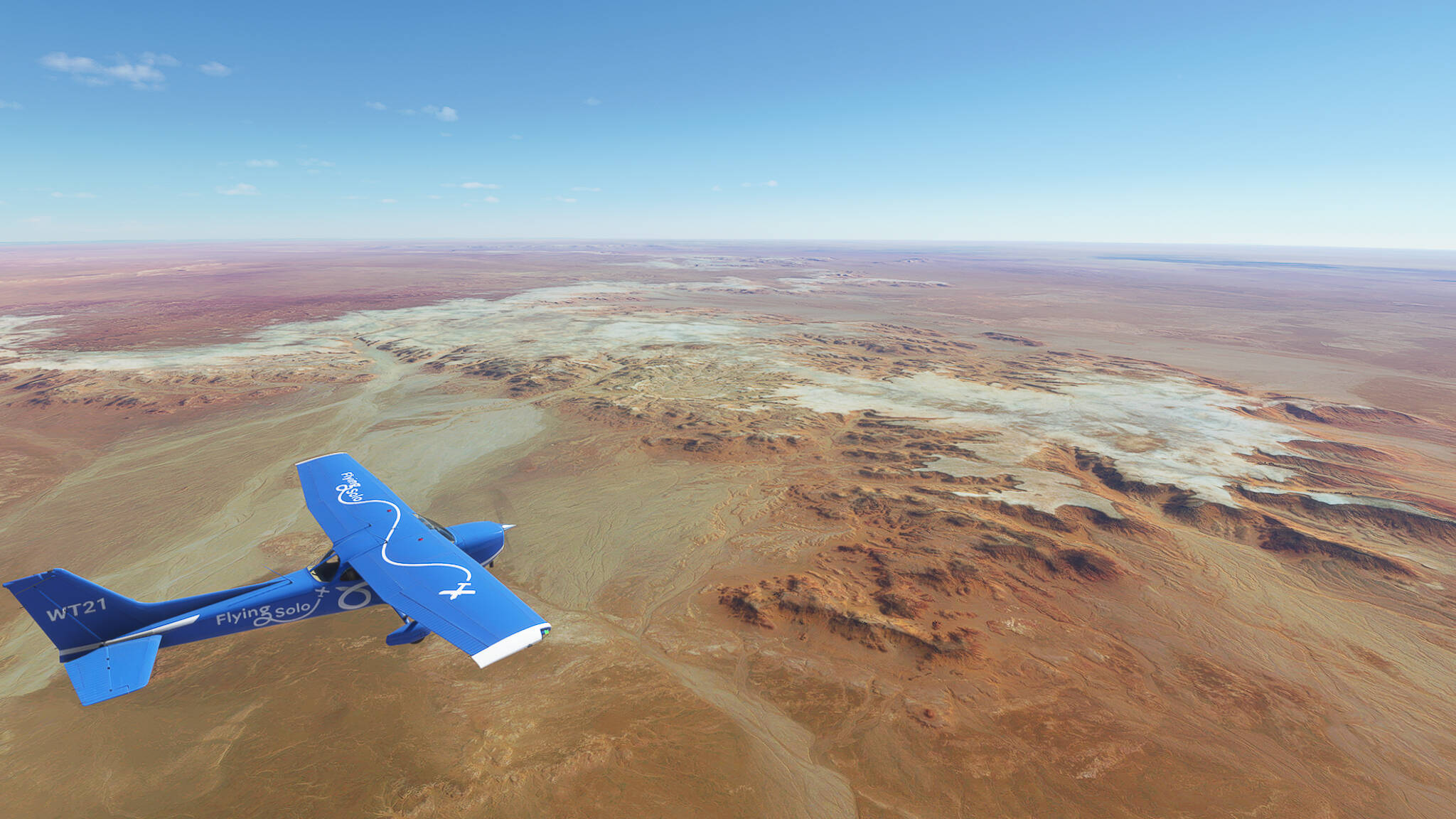
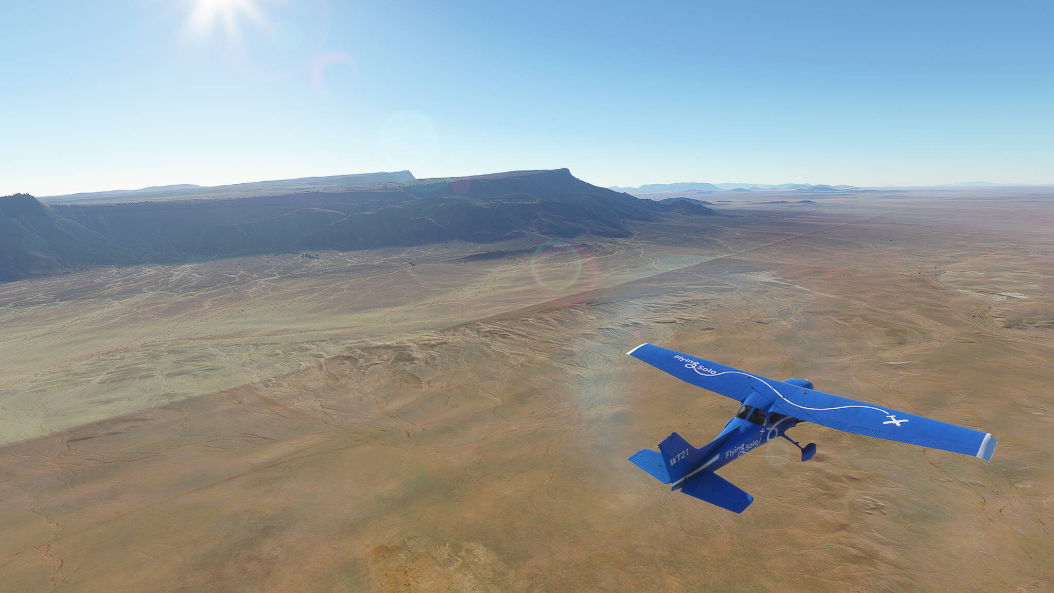
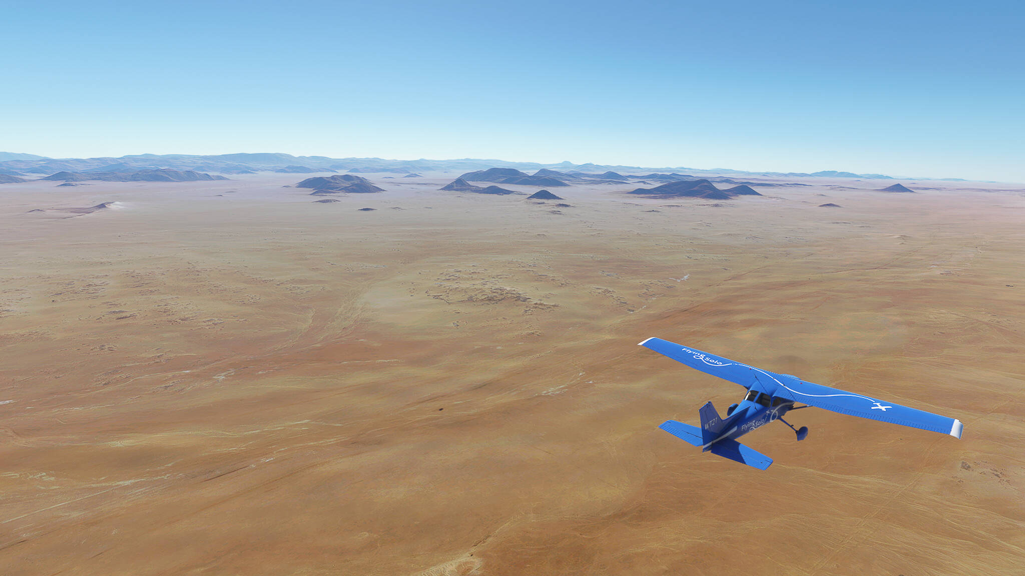
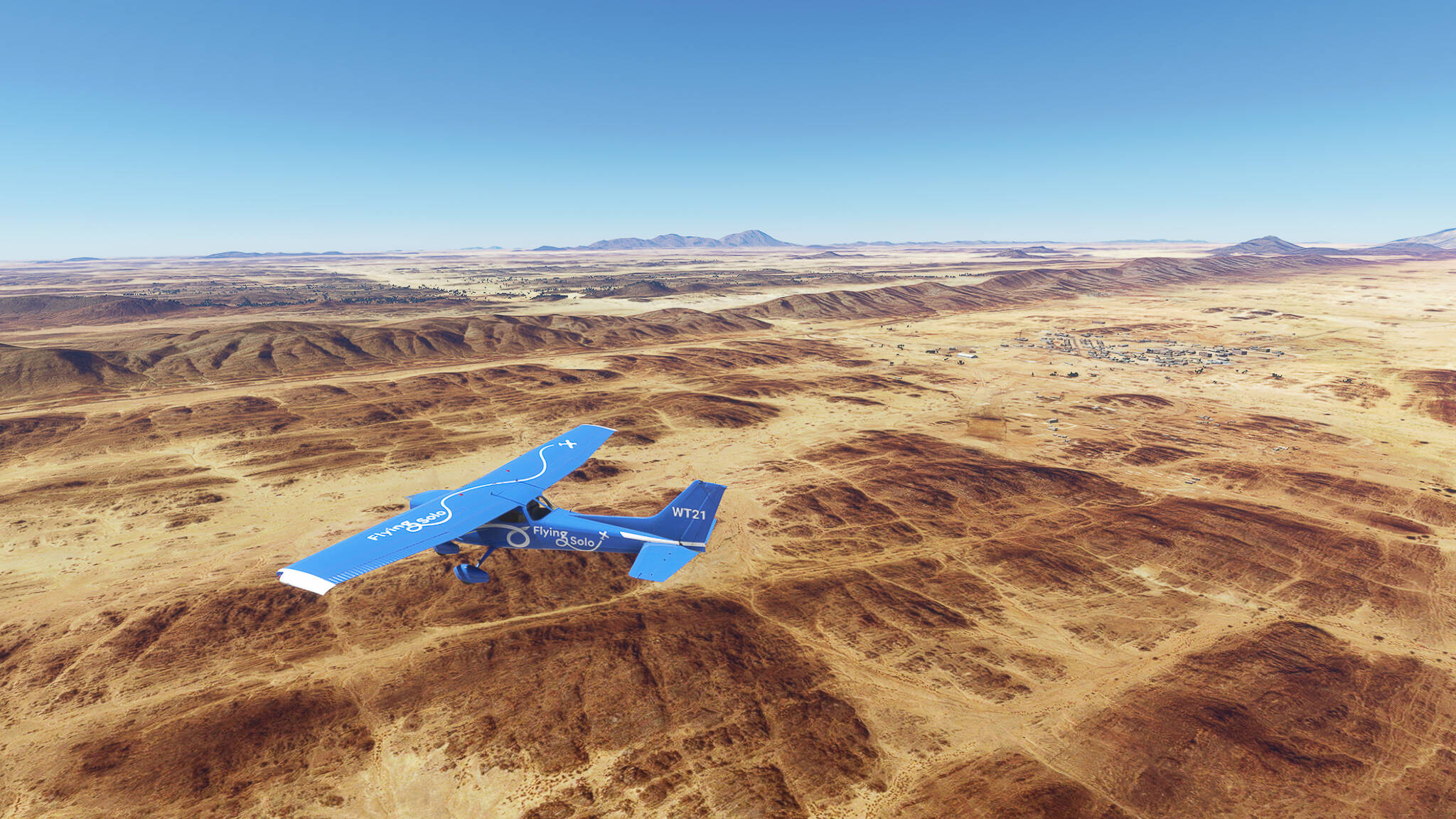
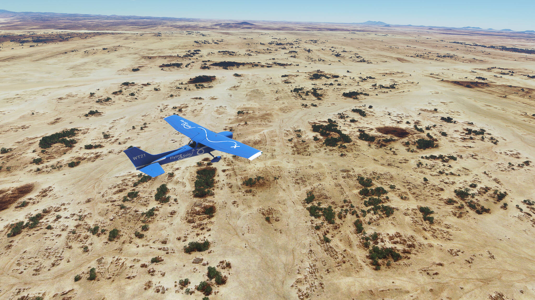
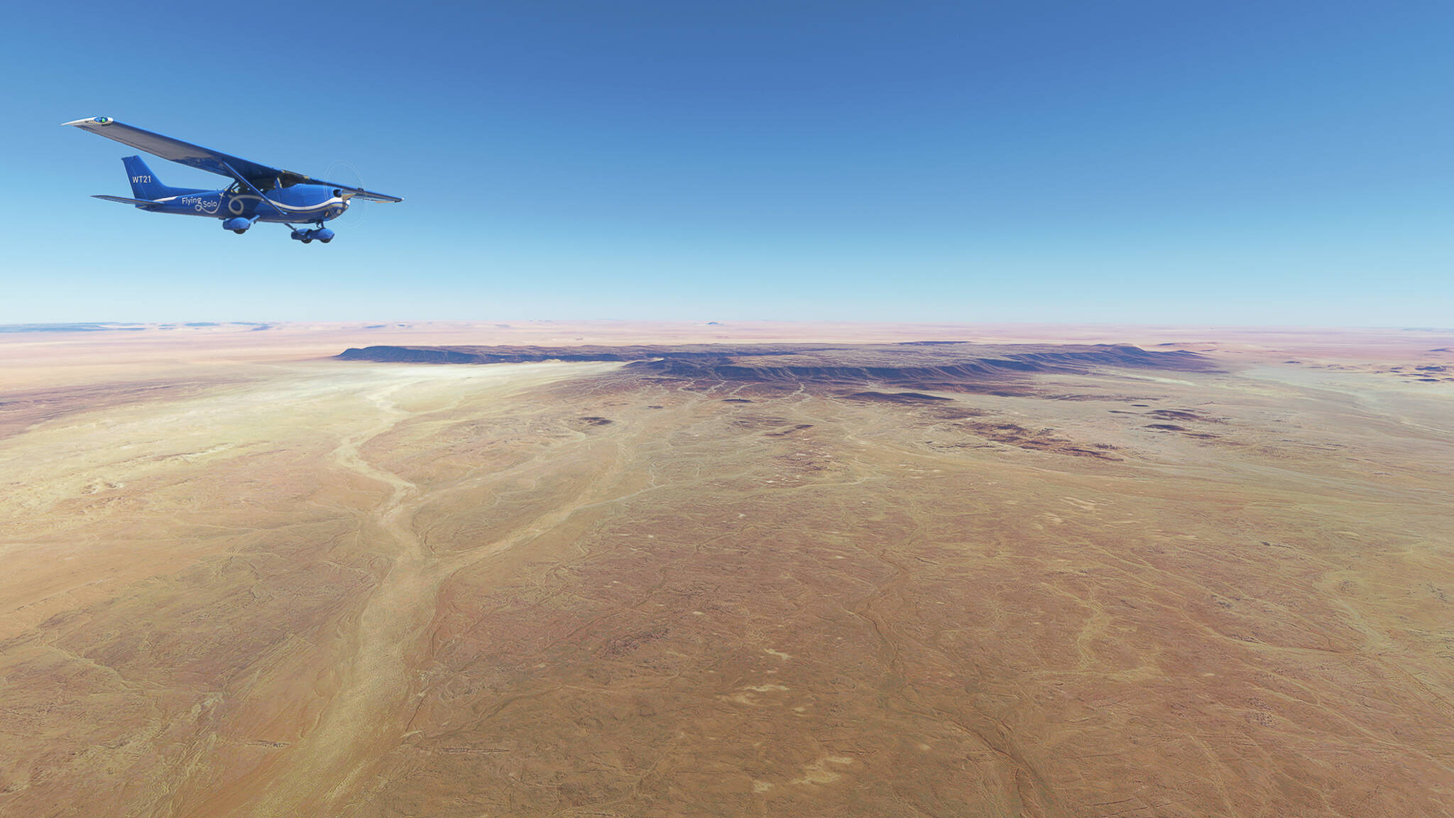
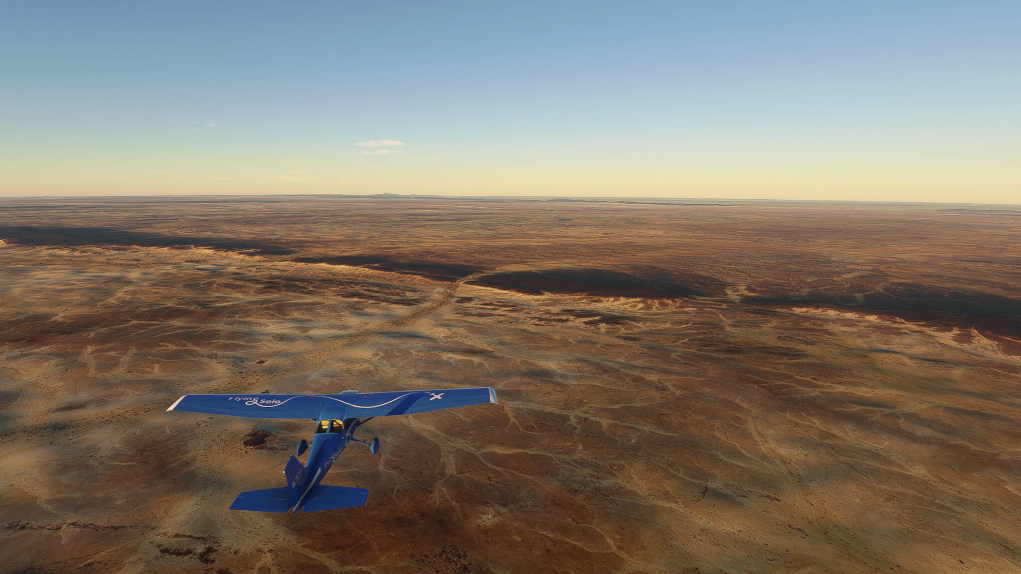
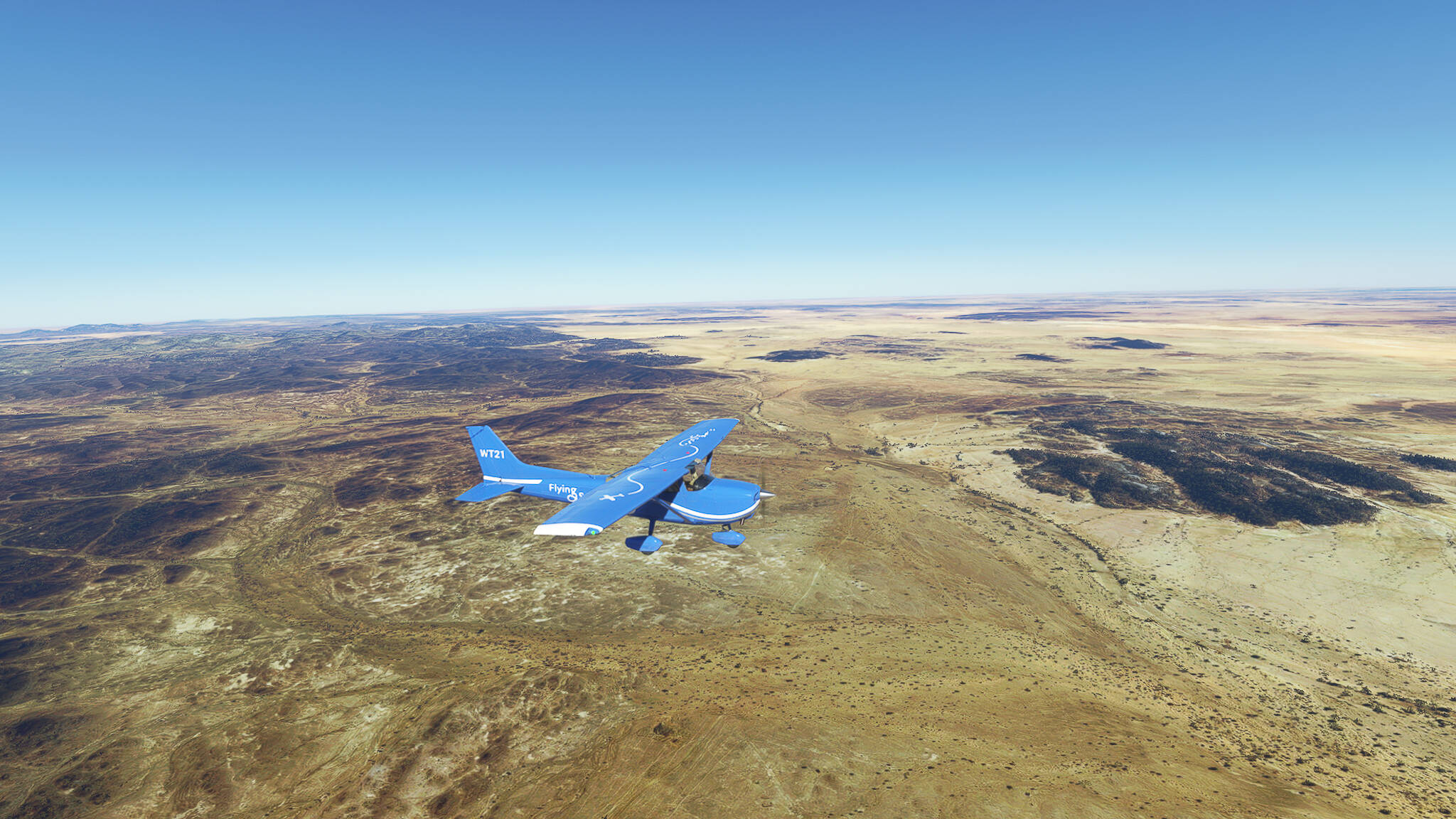
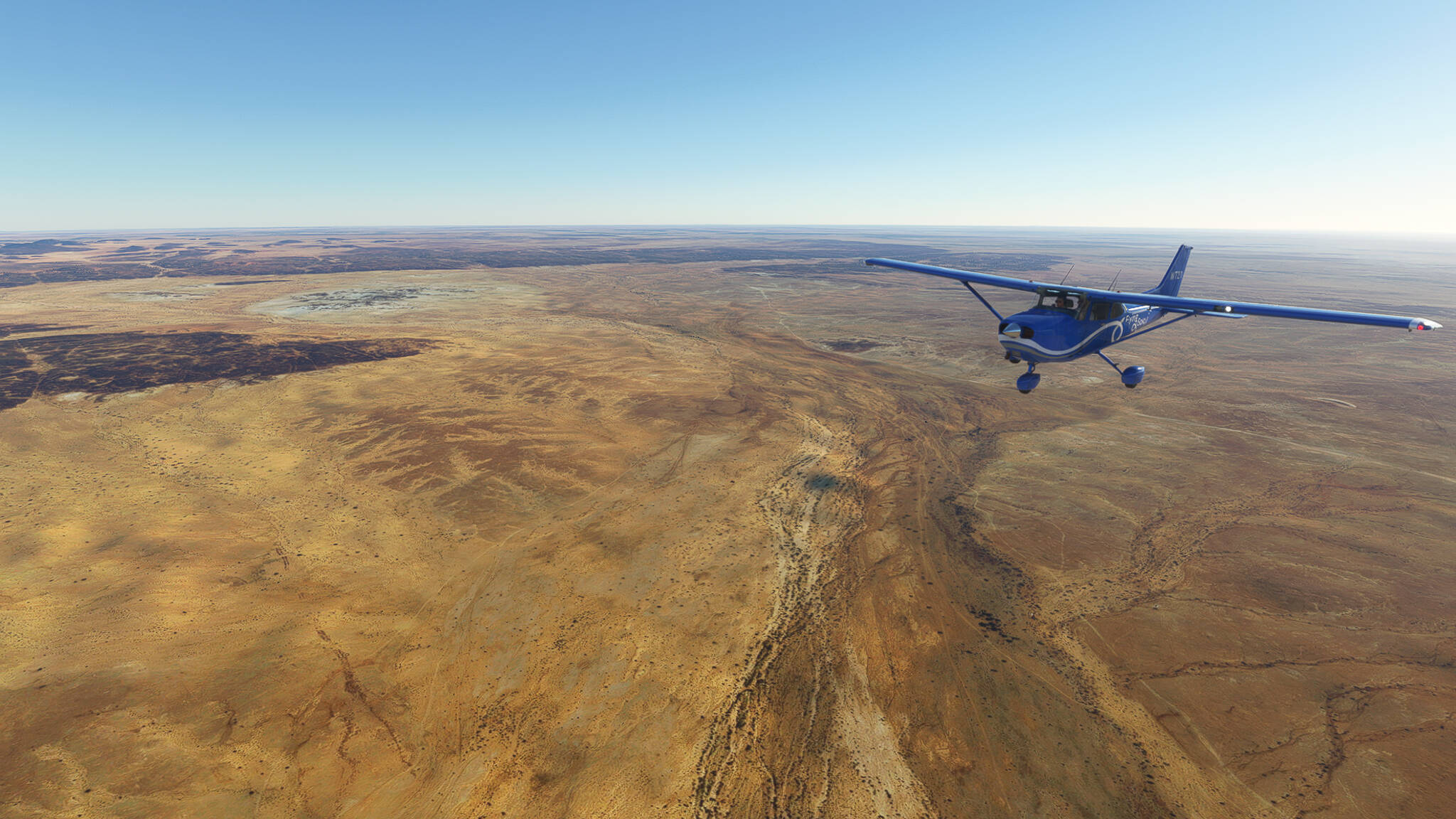
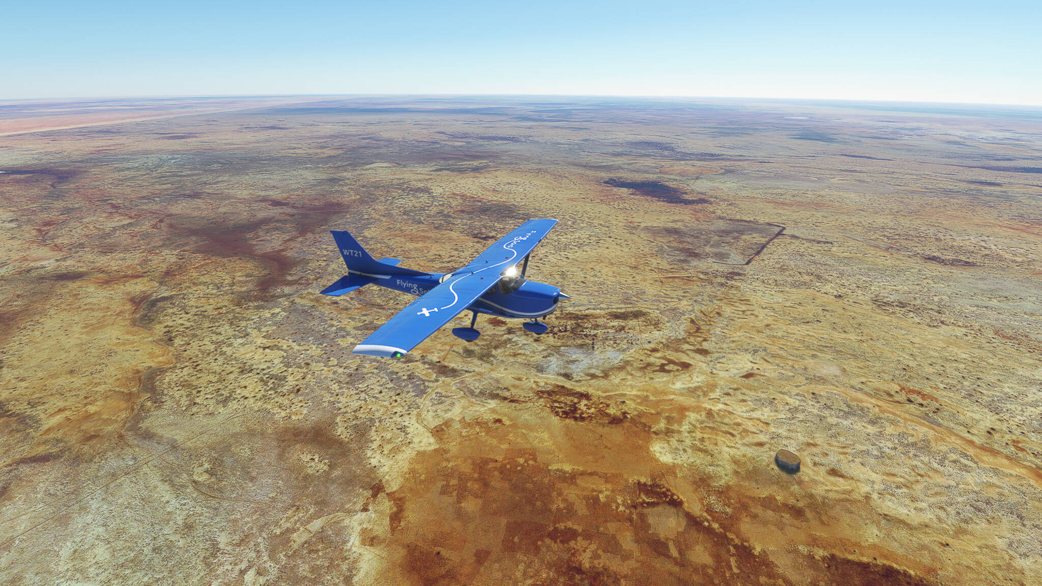
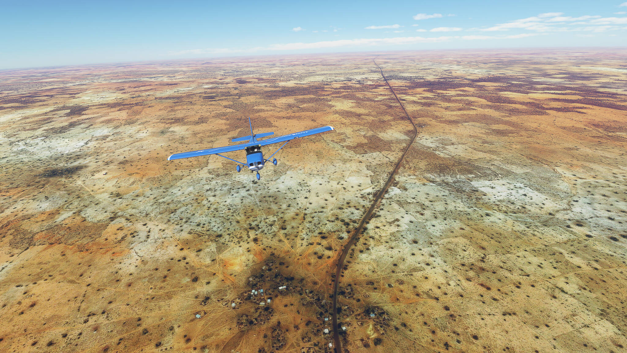
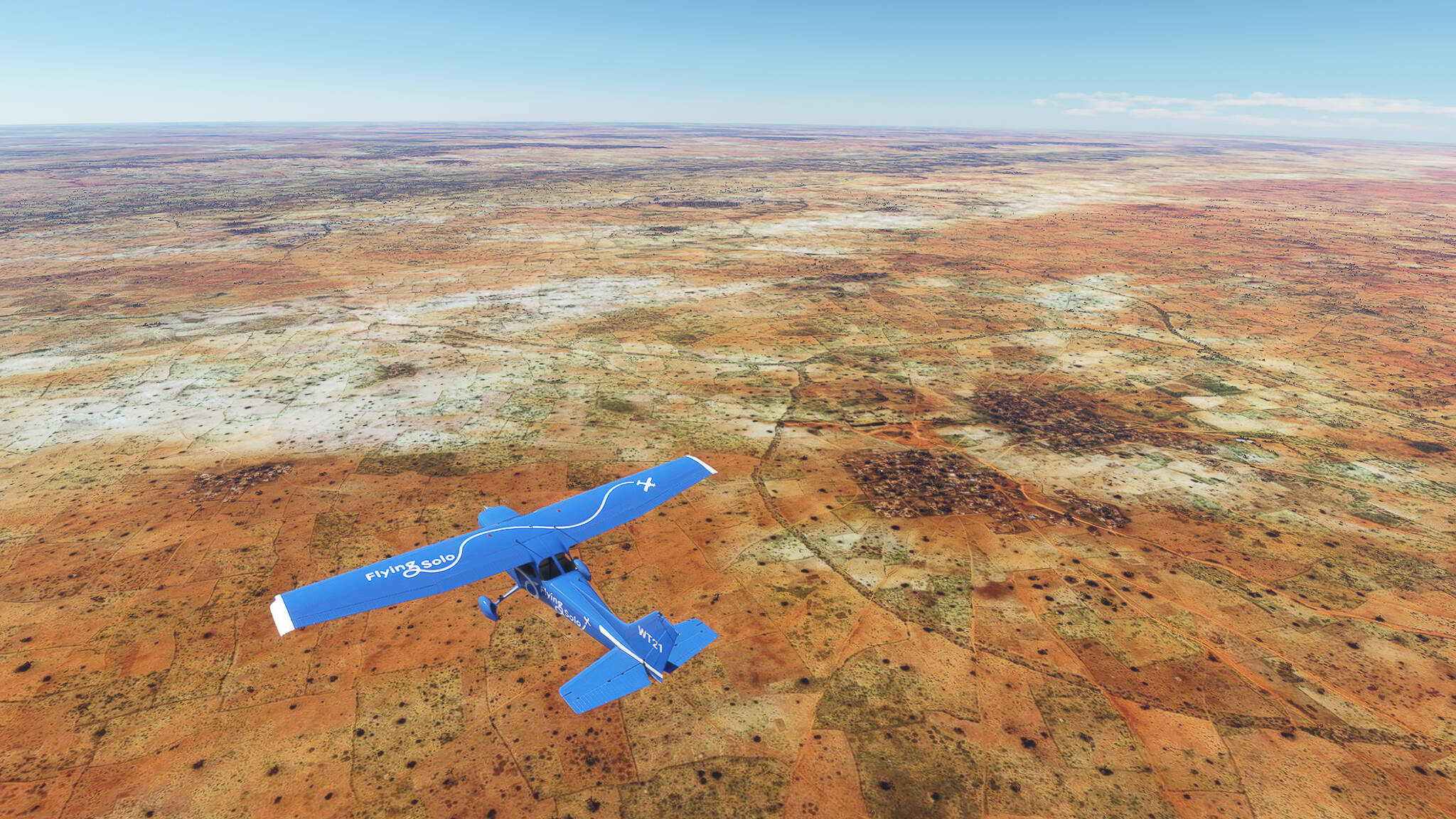
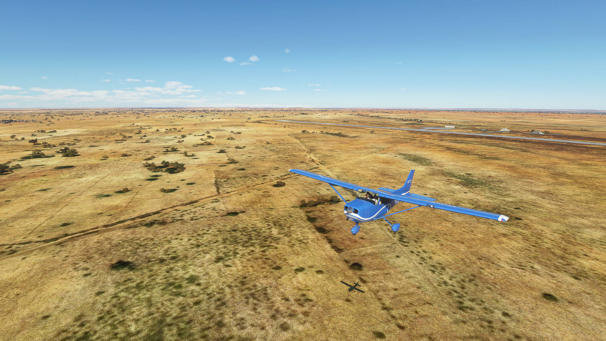
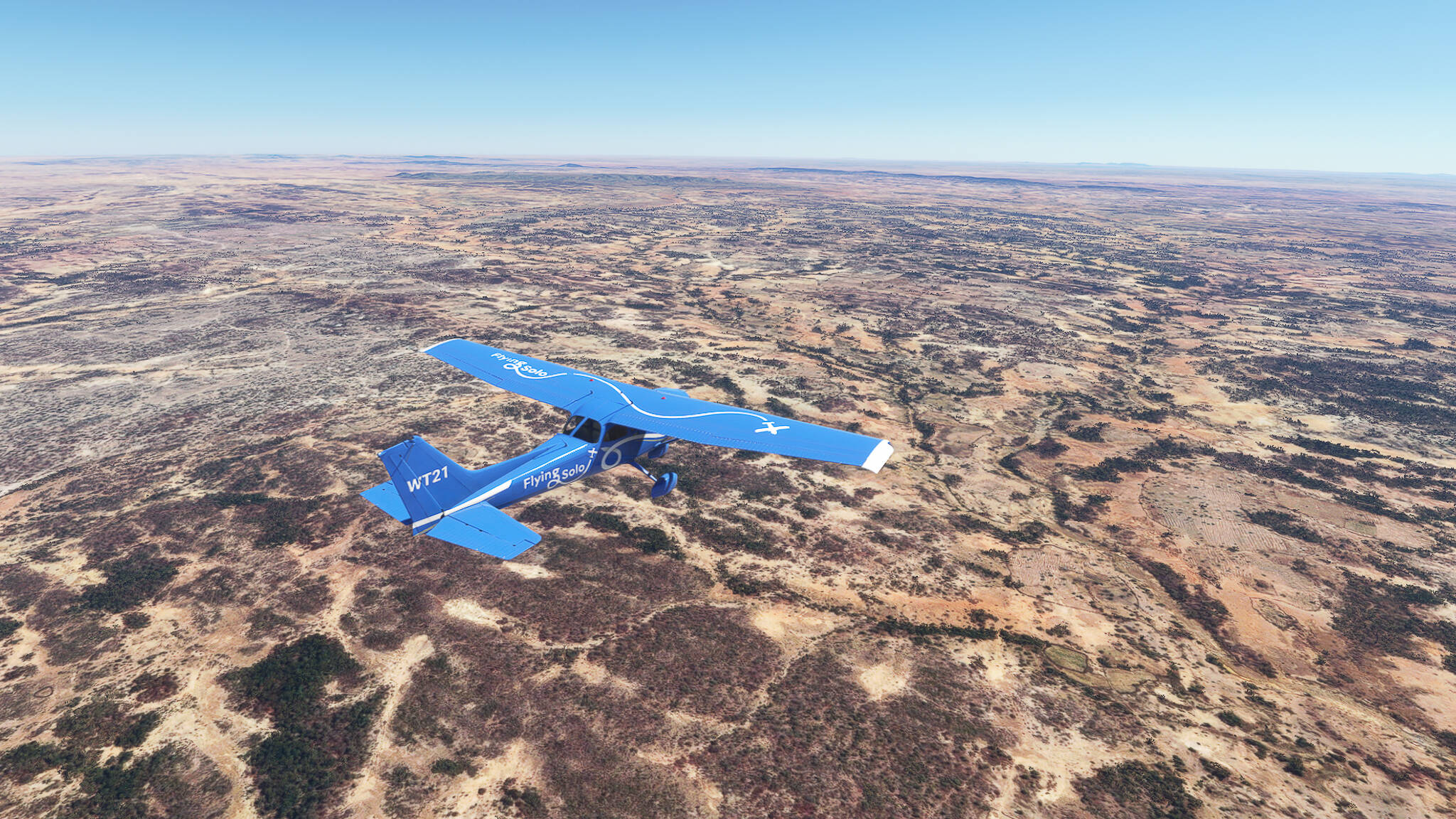
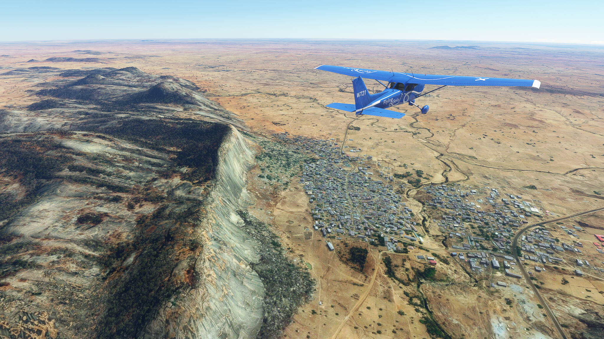
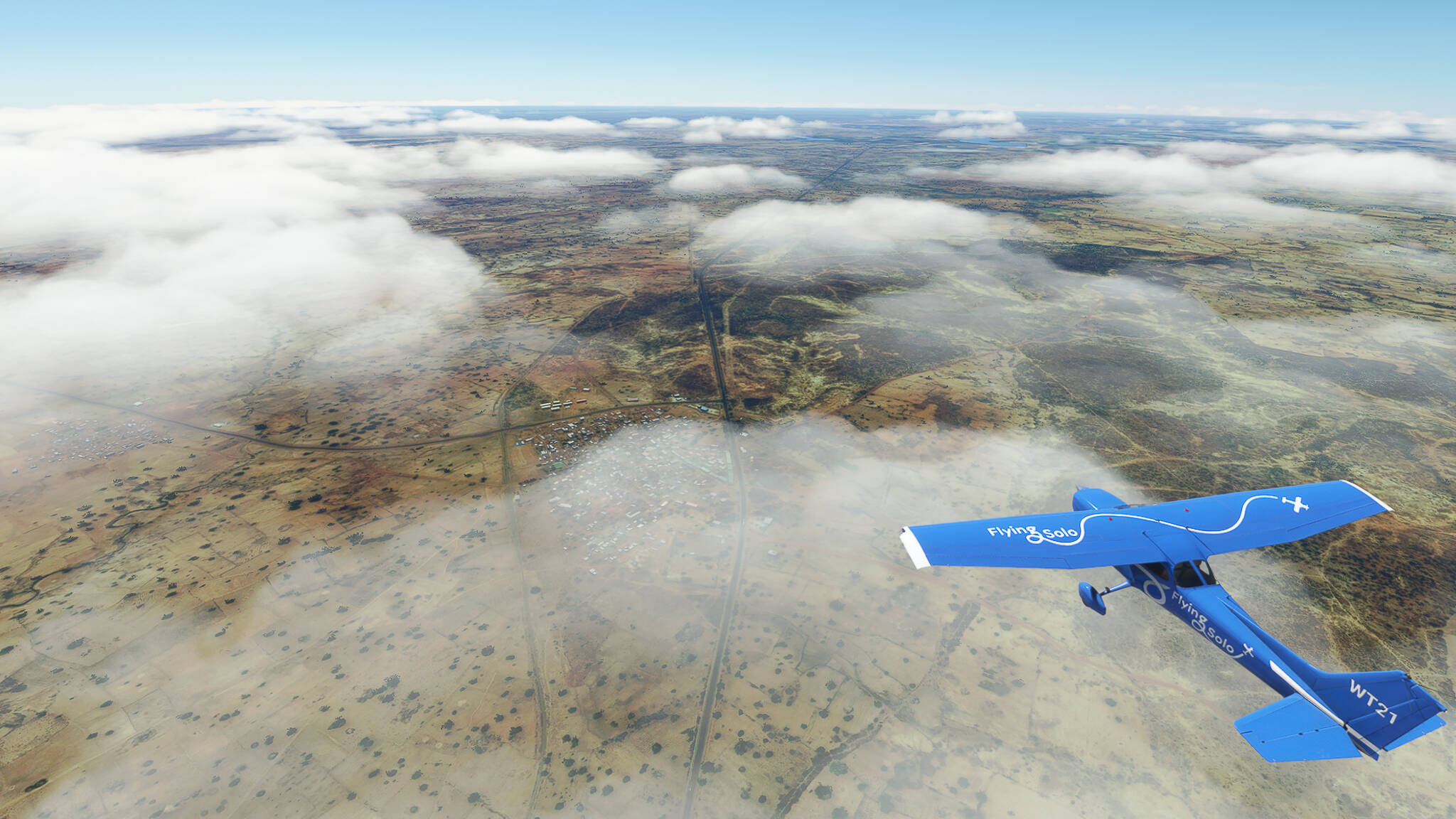
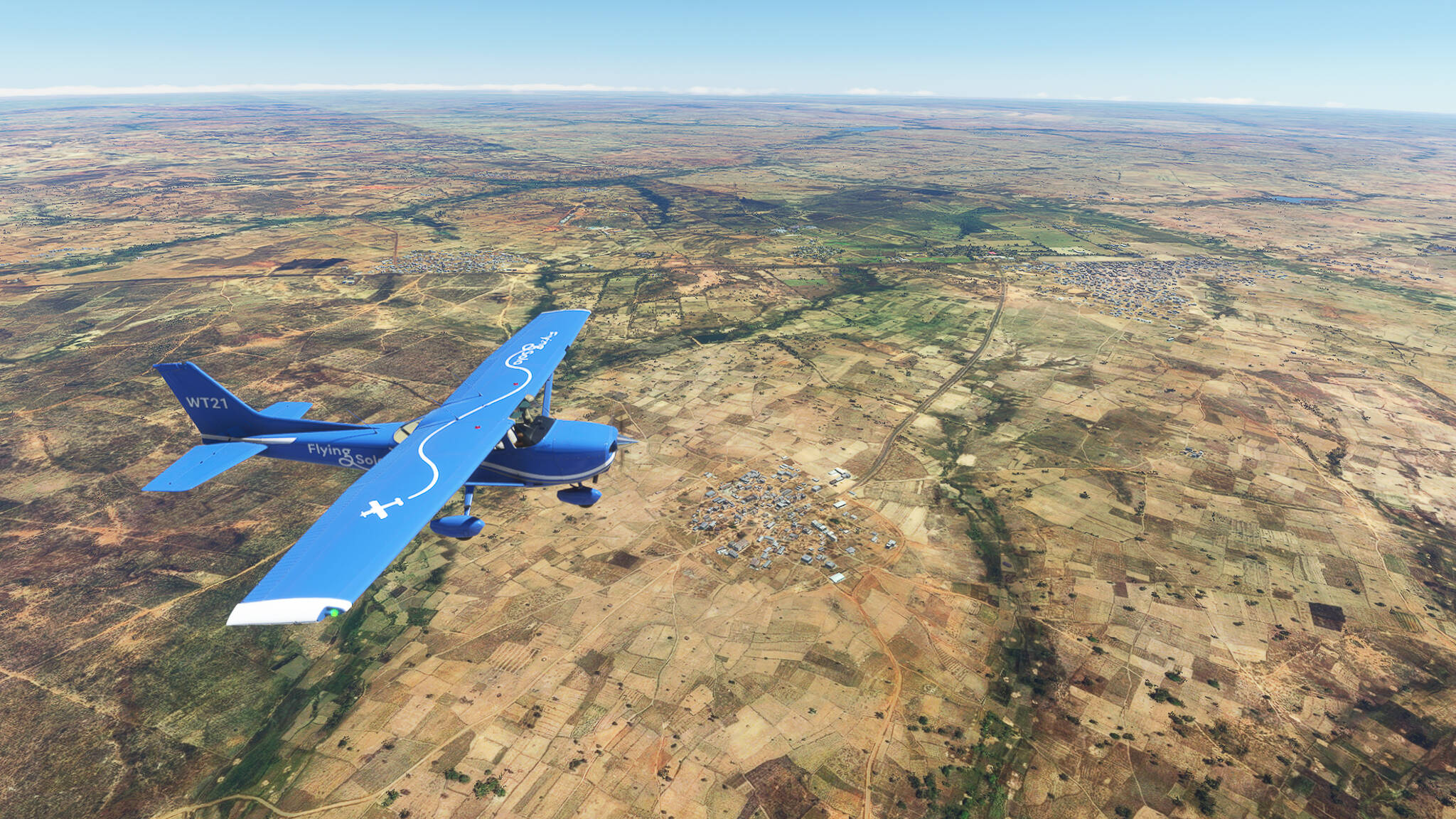
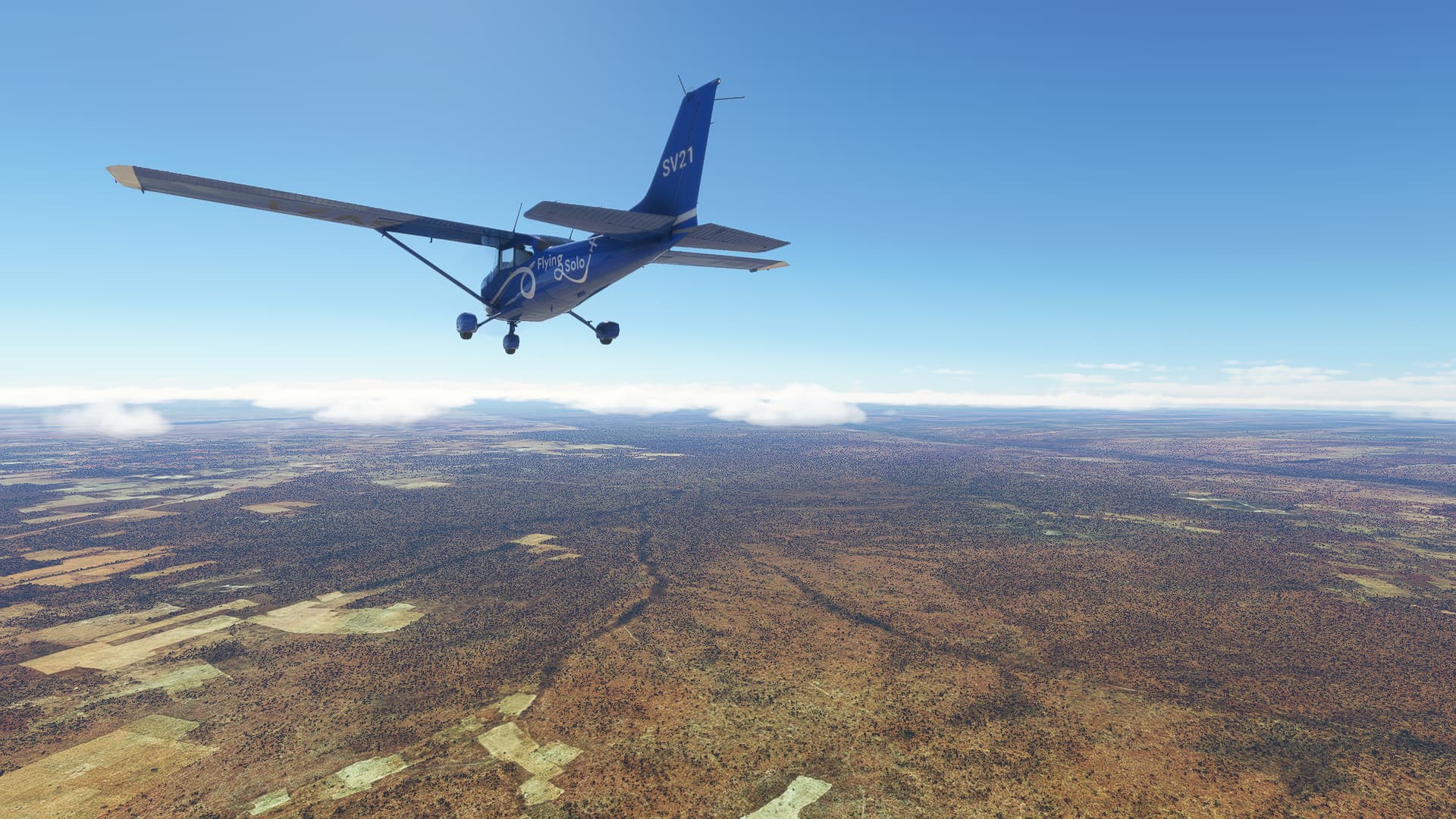
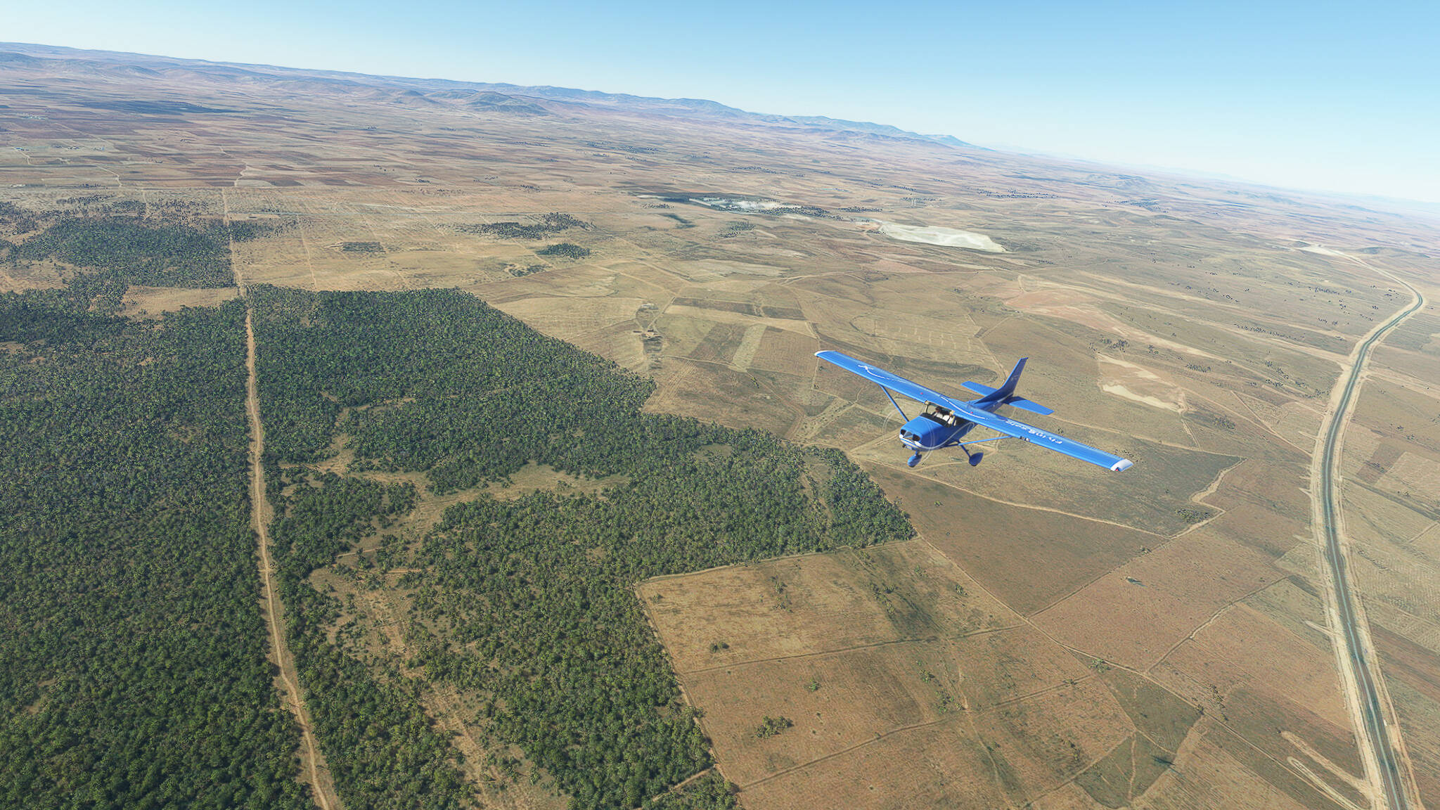
Near the border of the Caidat de El Aioun-Banlieue and the Oued Bourdim the landscape began to change. We could see more and more small fields and small wooded areas (Picture 7) as we drew closer to the southern foothills of the Tell Atlas (“Little Atlas”).

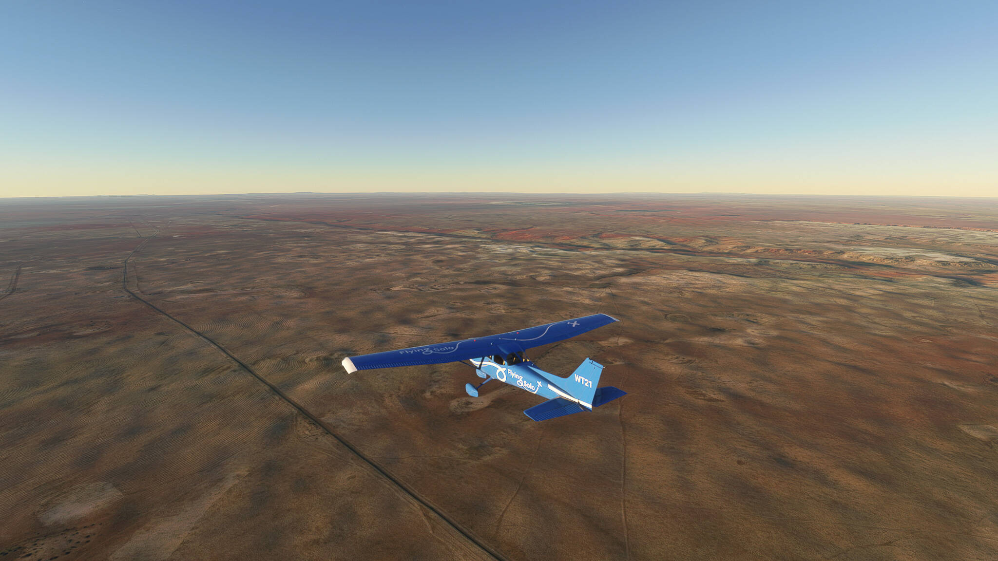
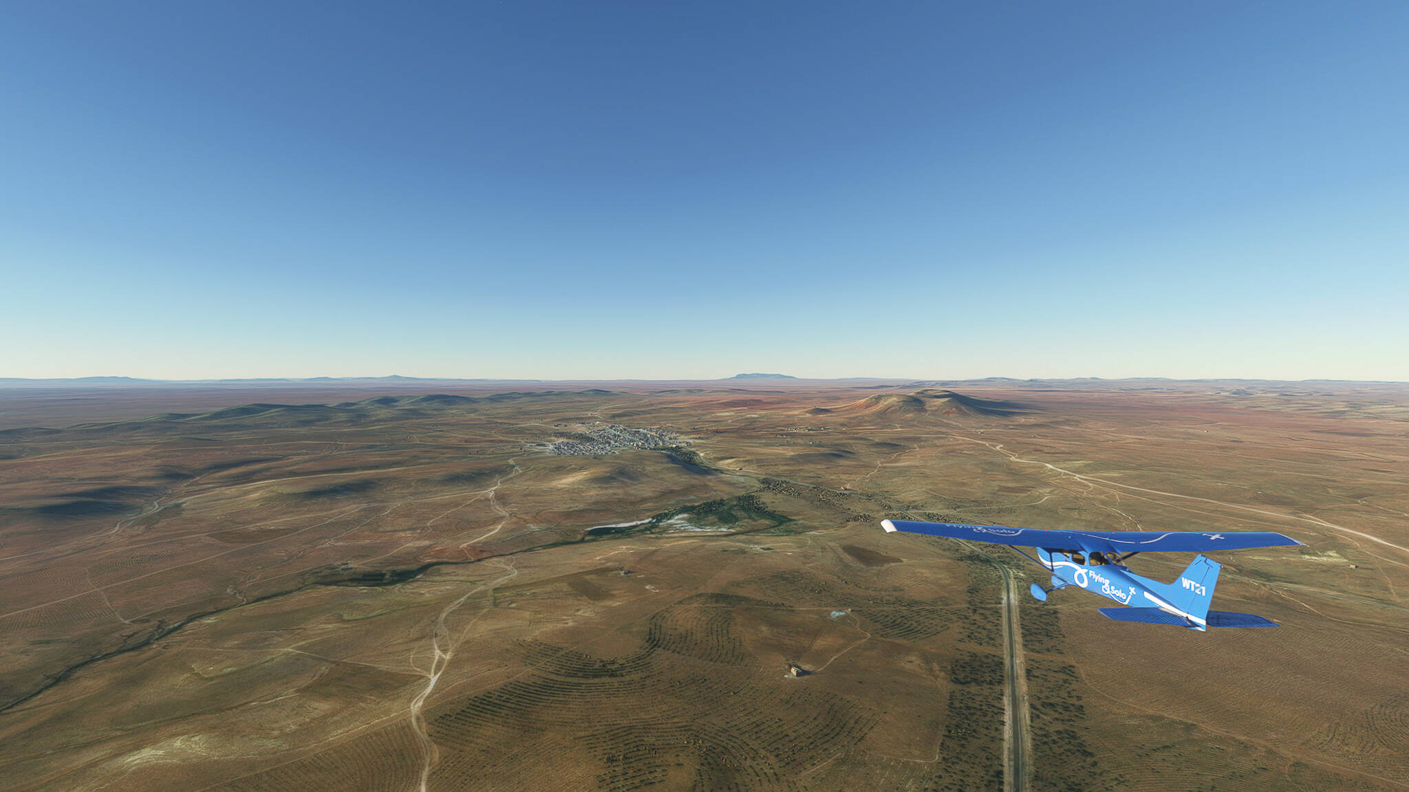
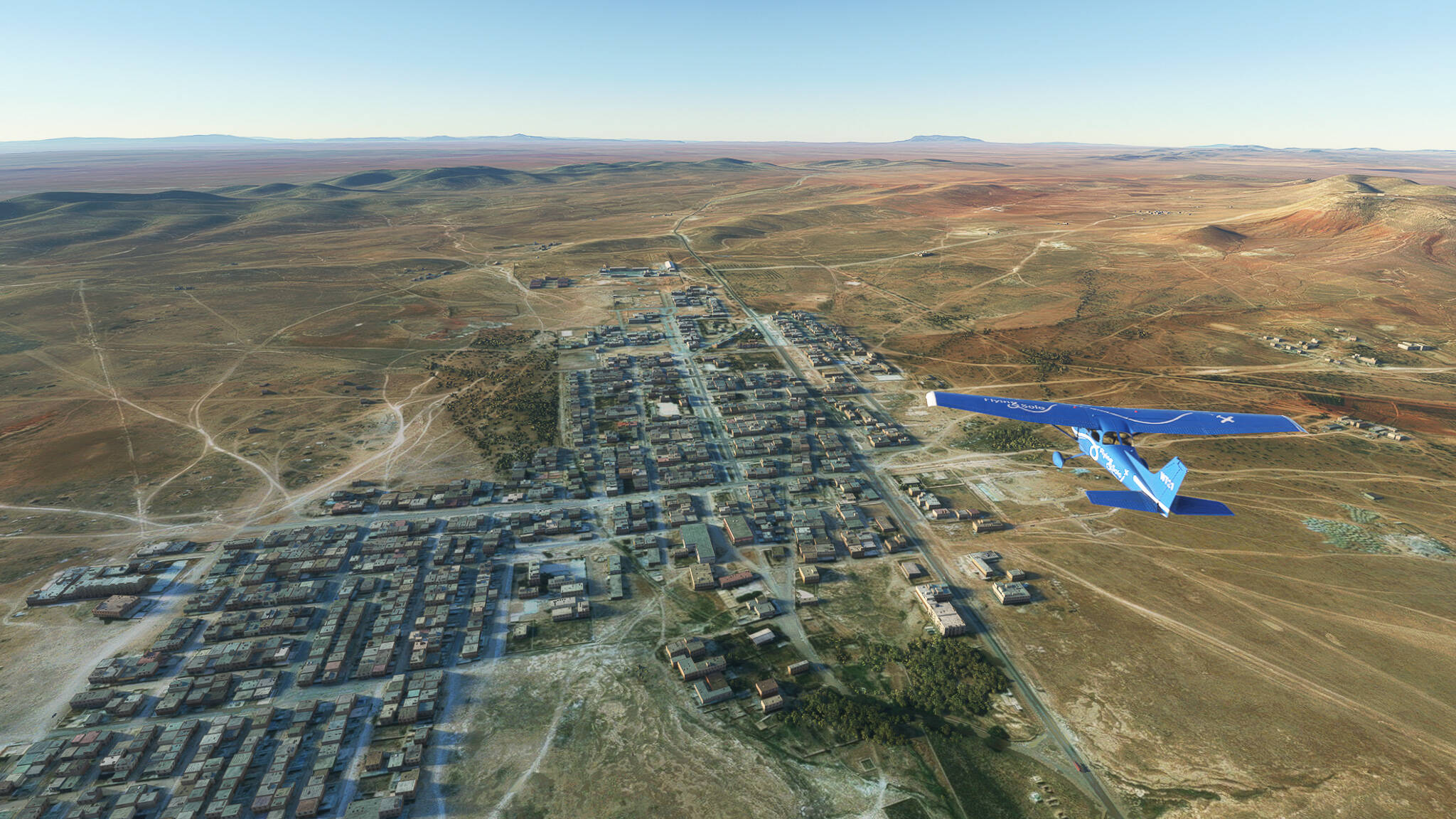
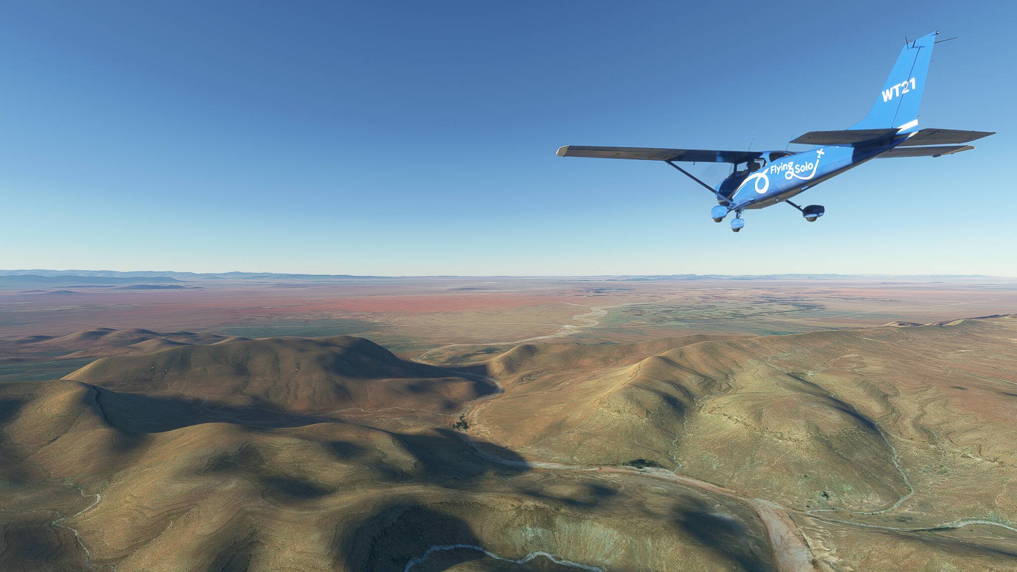
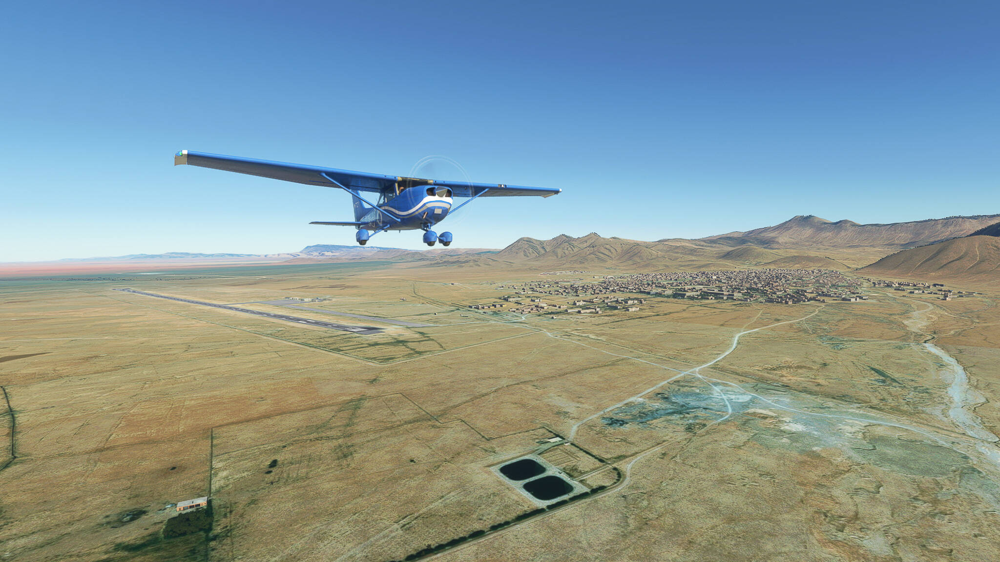
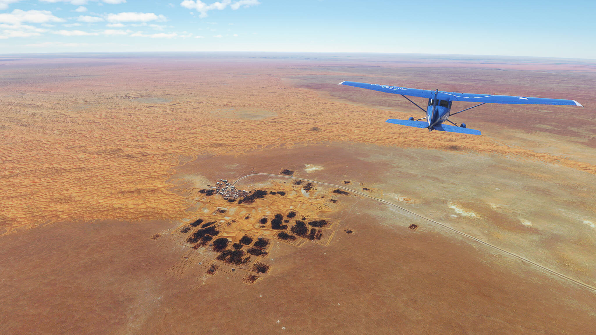
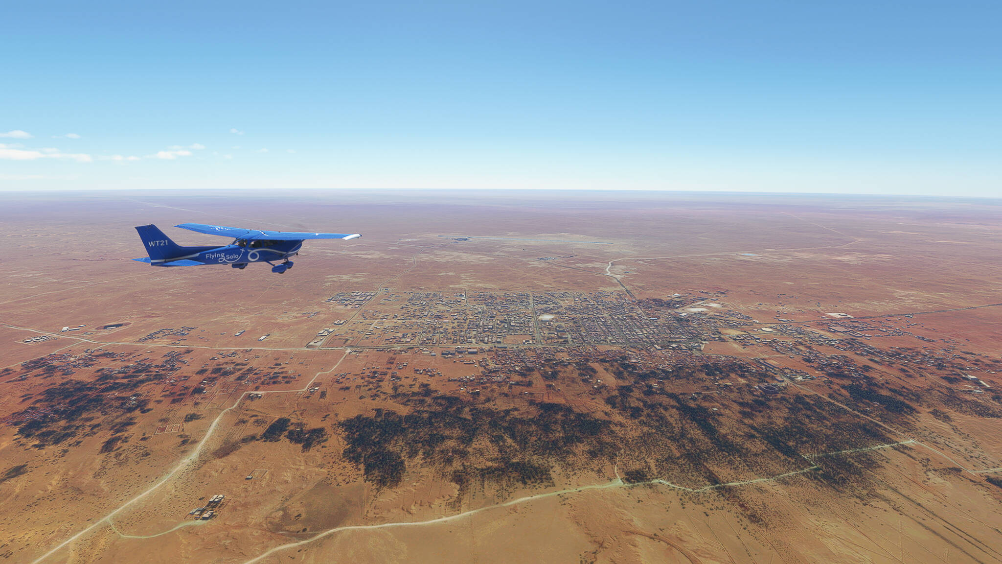
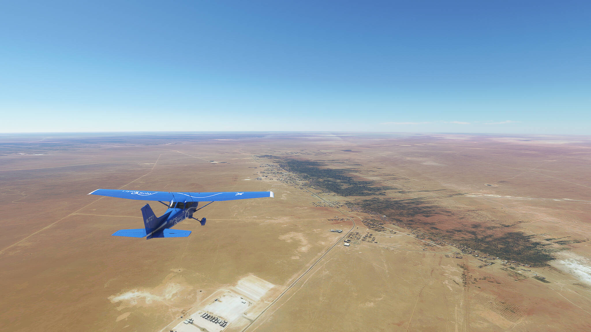
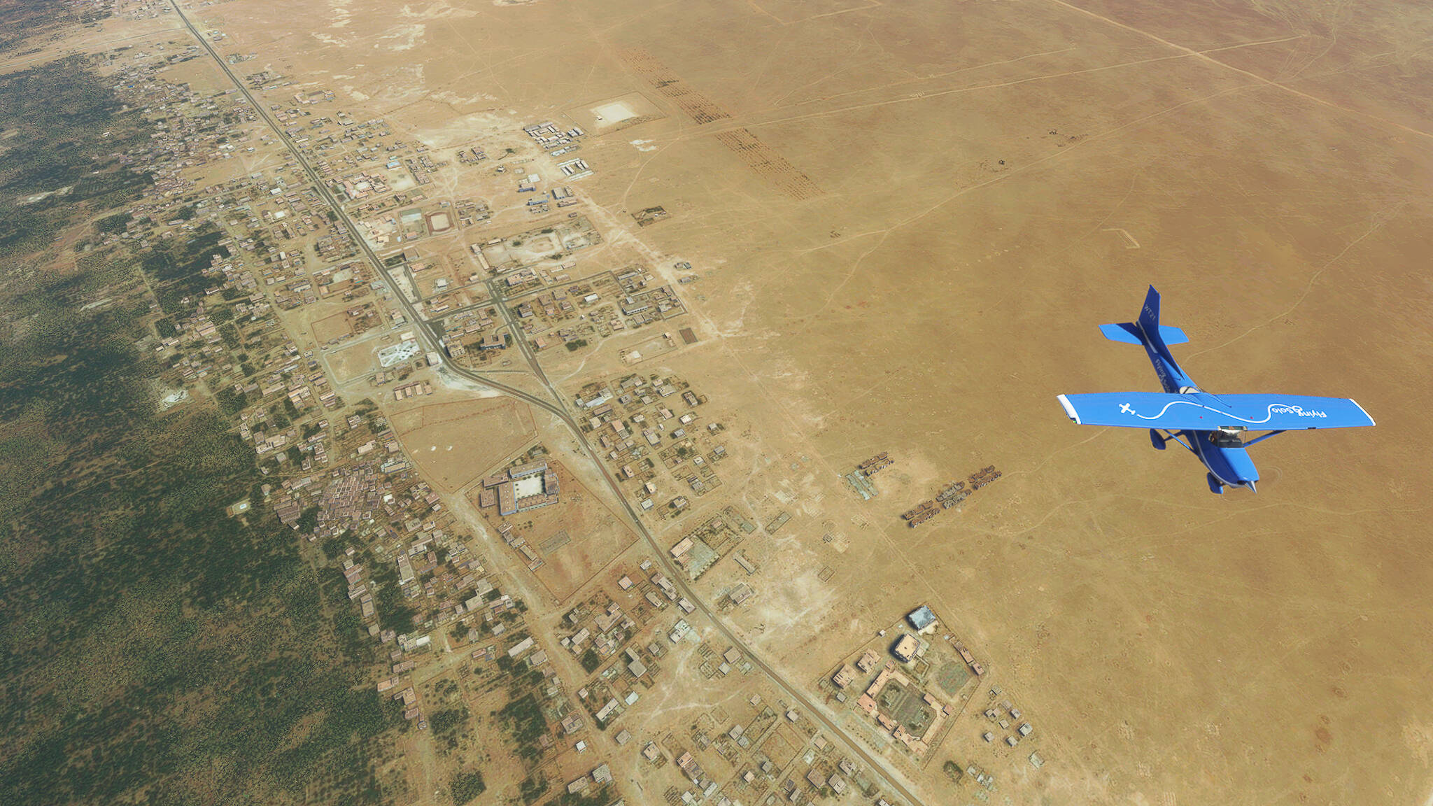
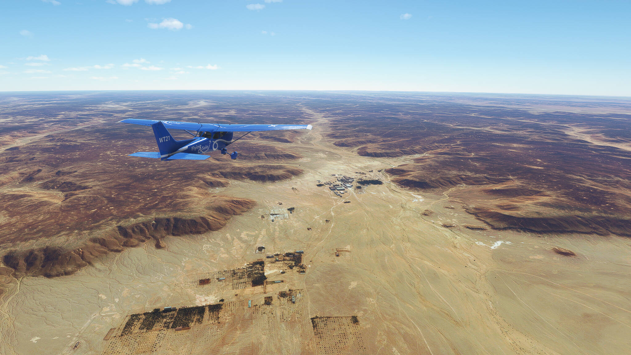
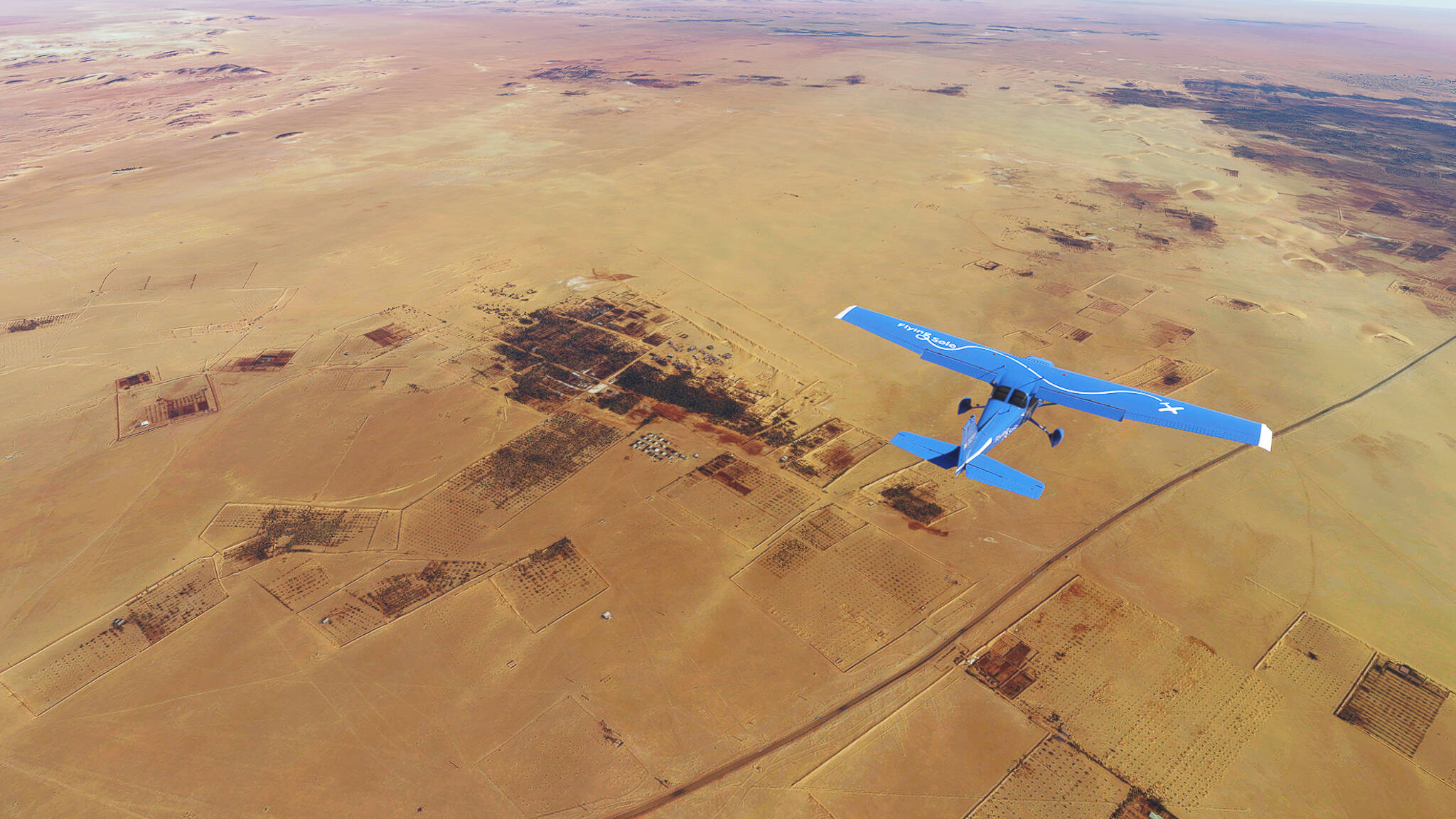
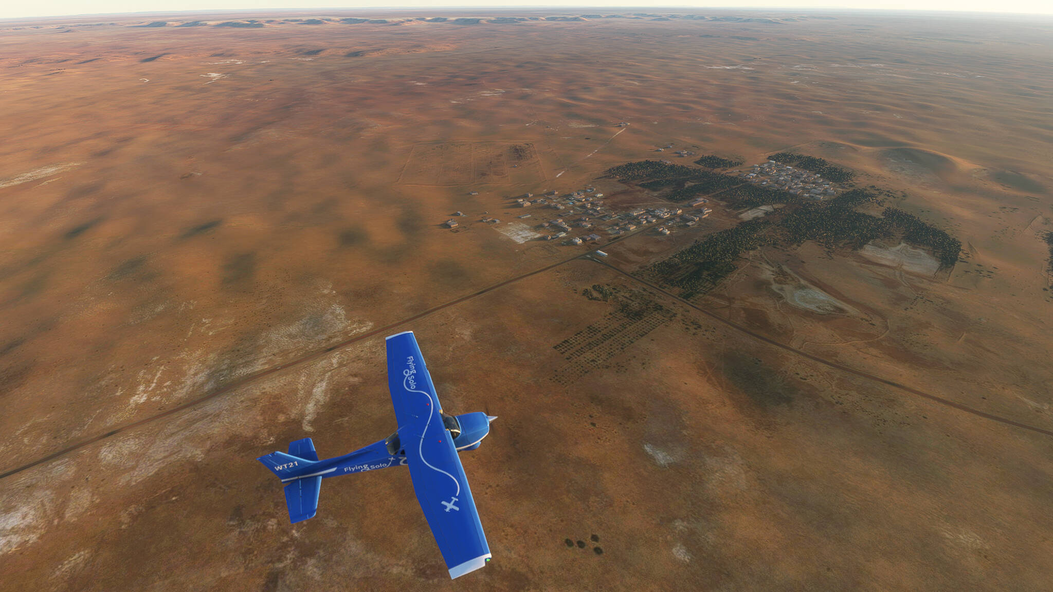
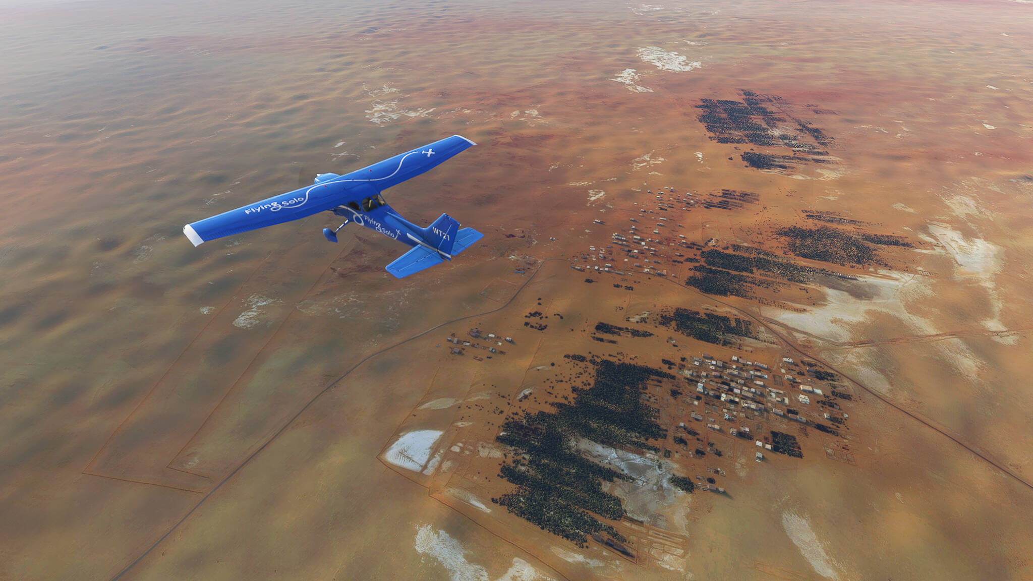
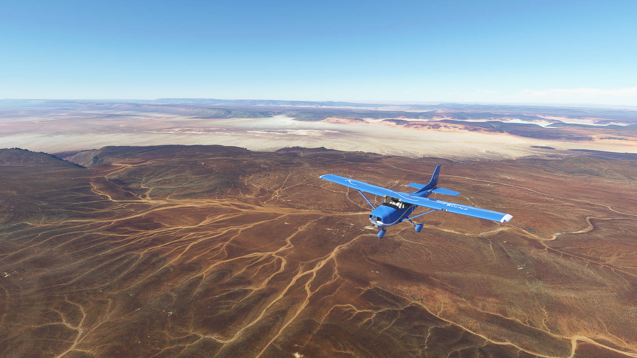
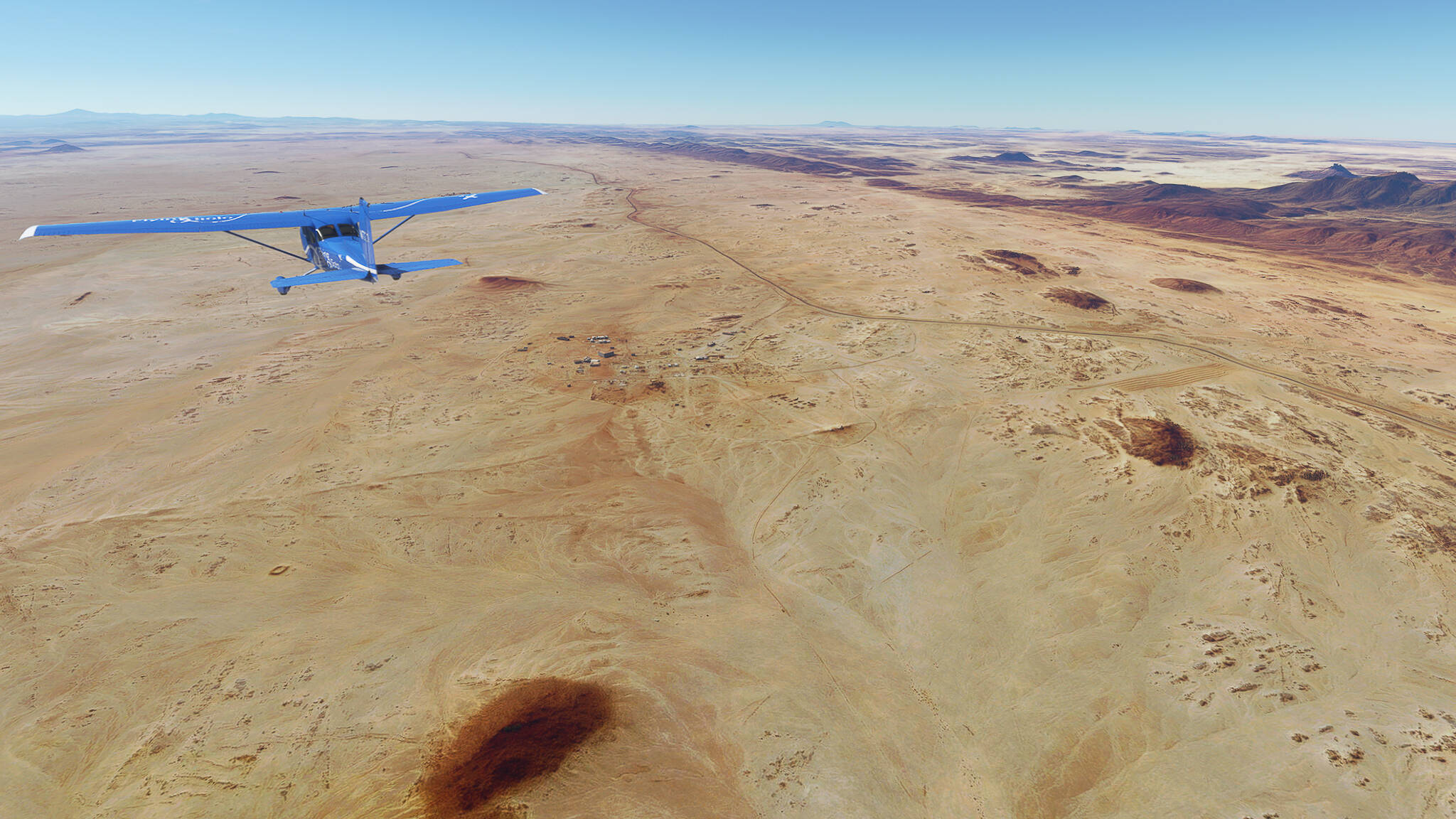
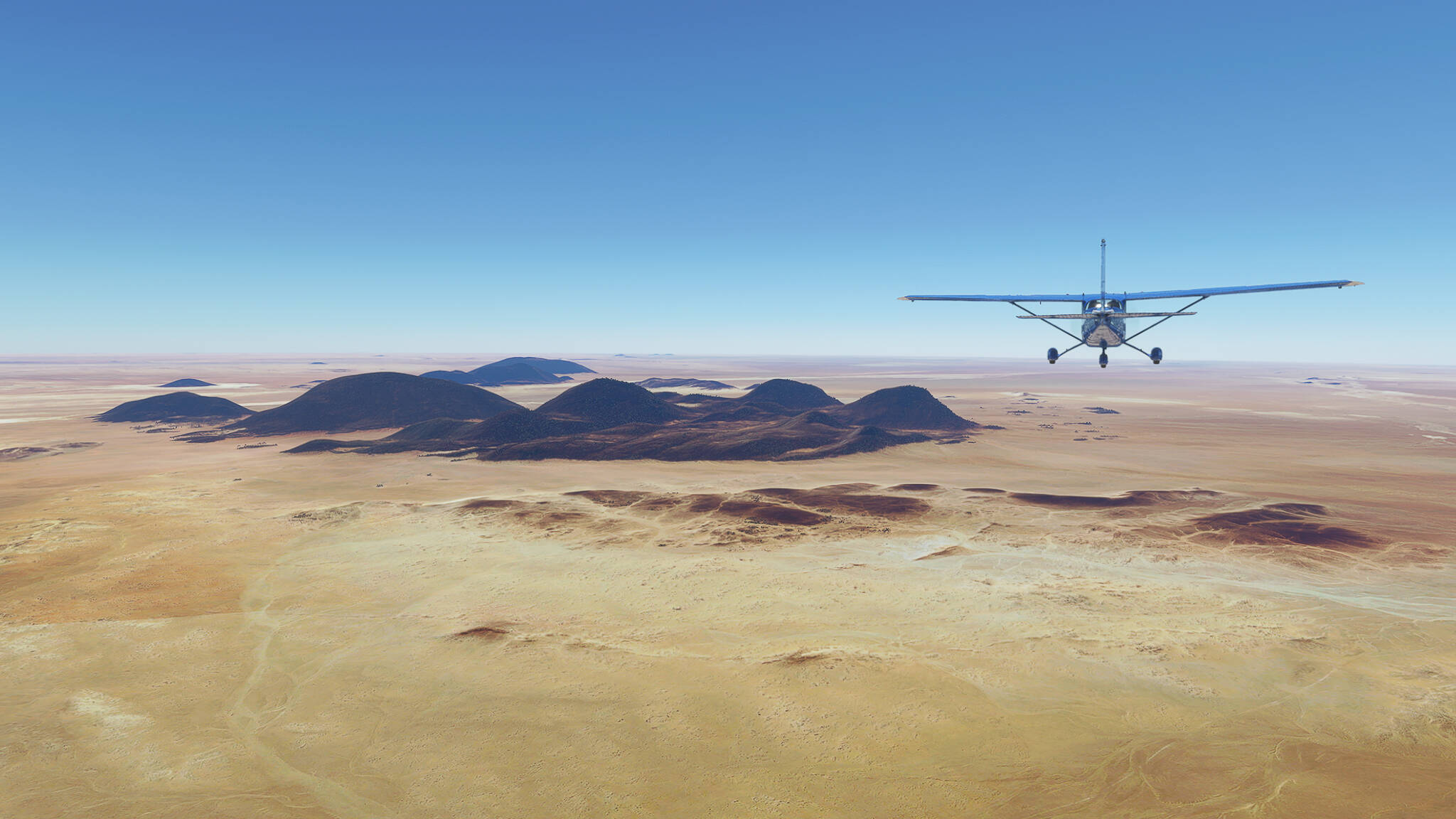
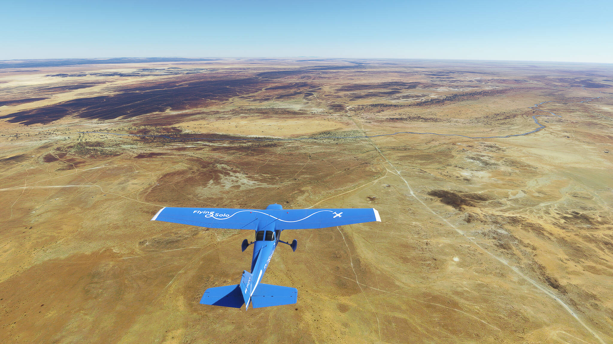
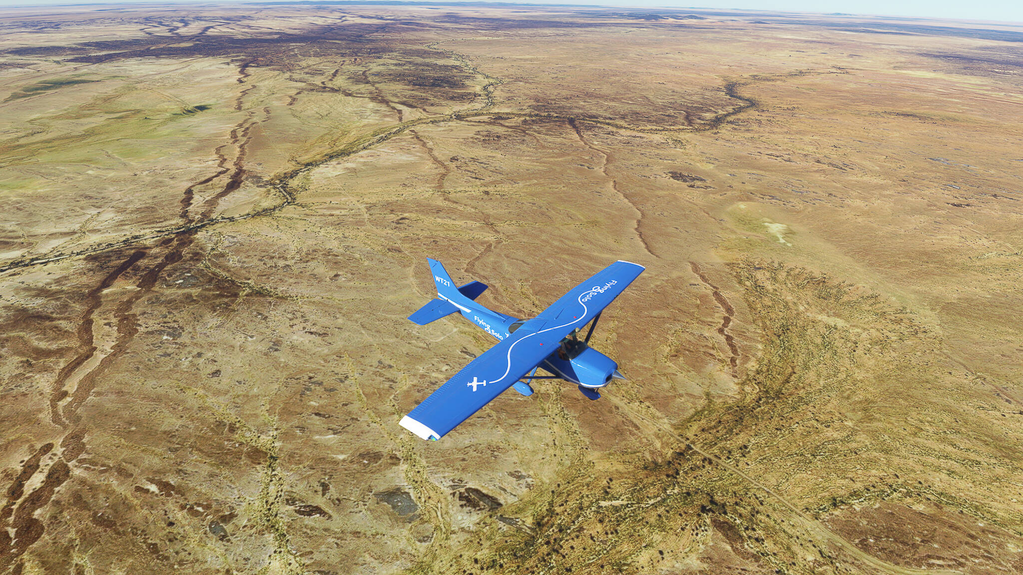
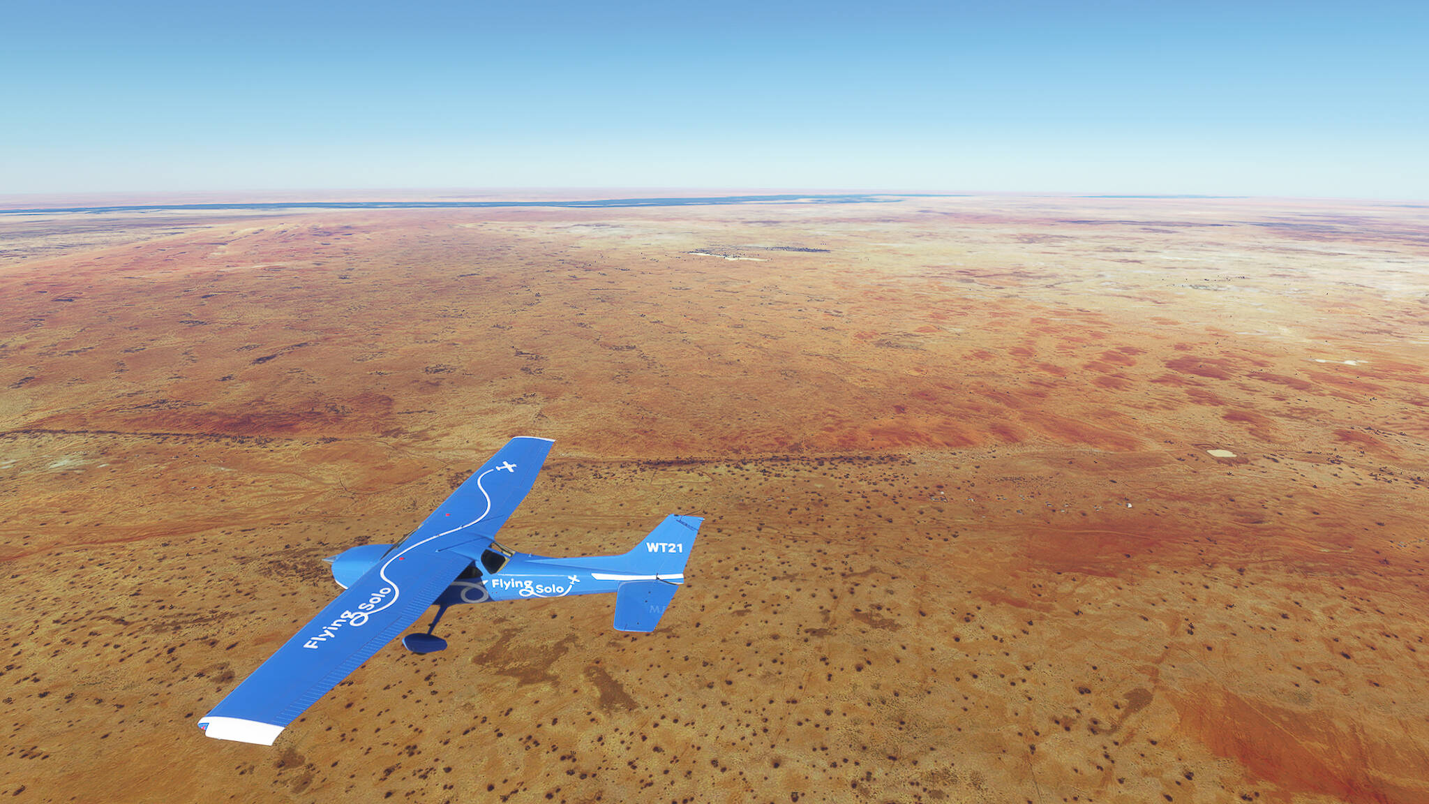
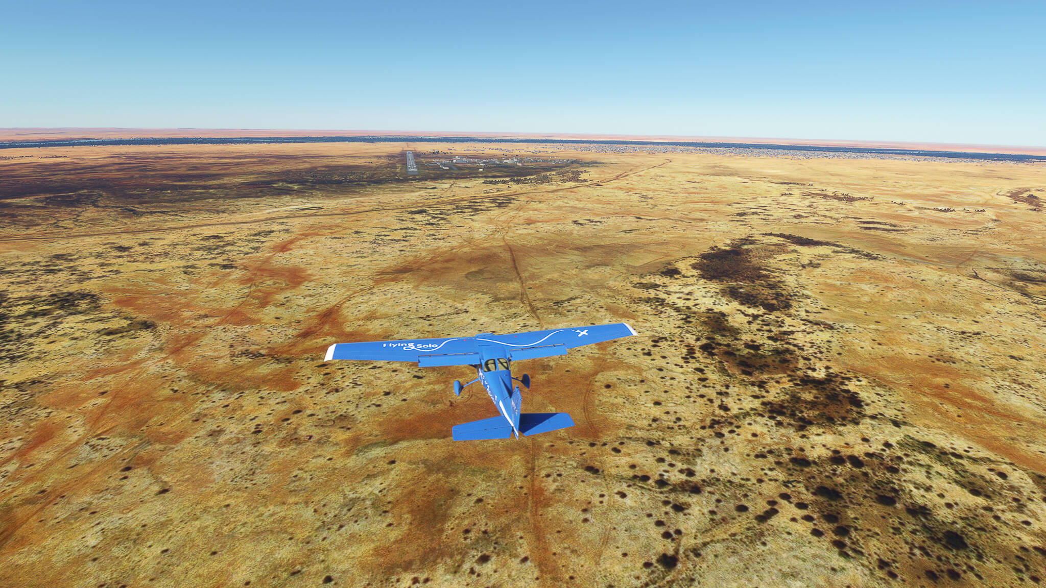
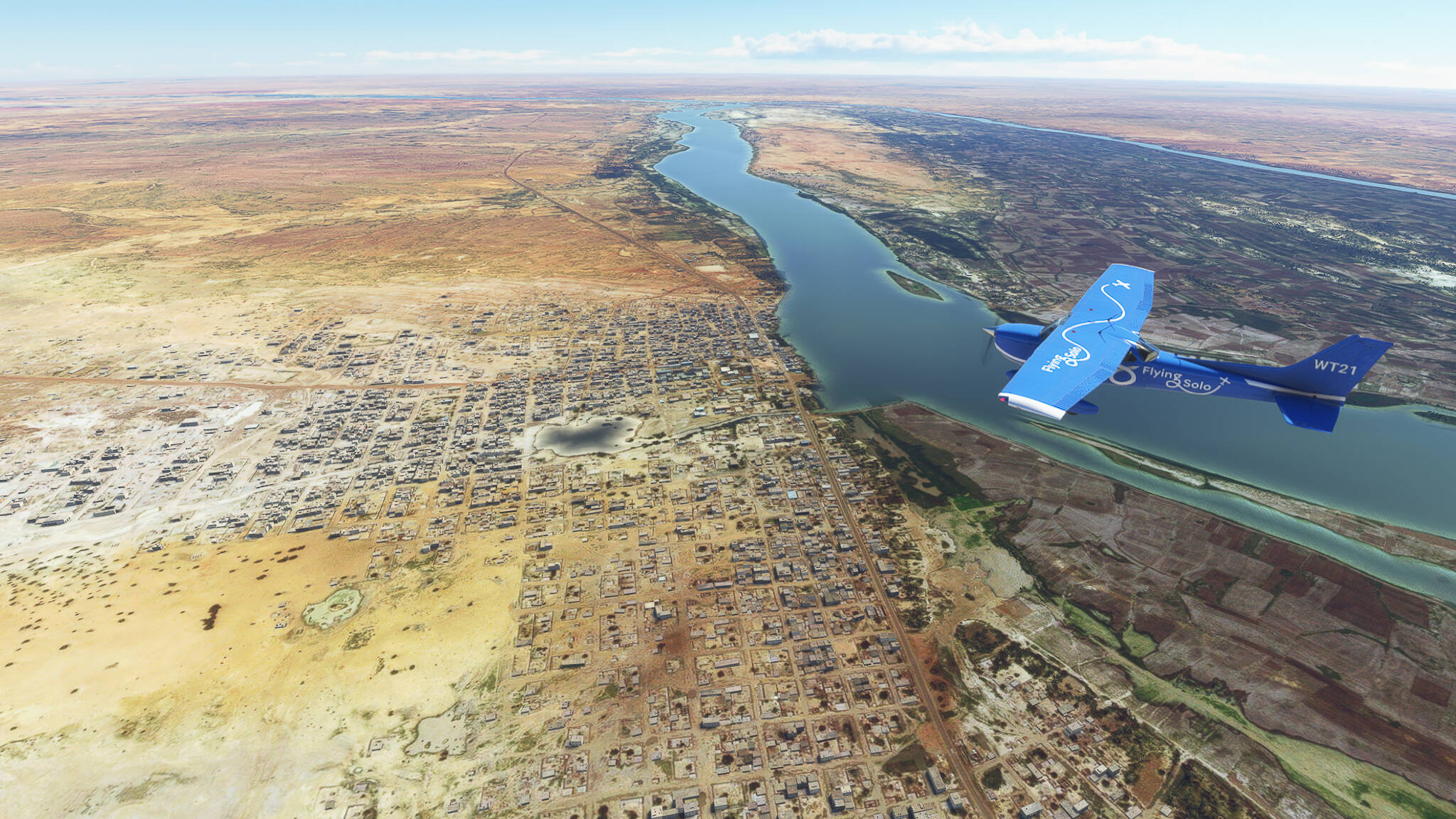
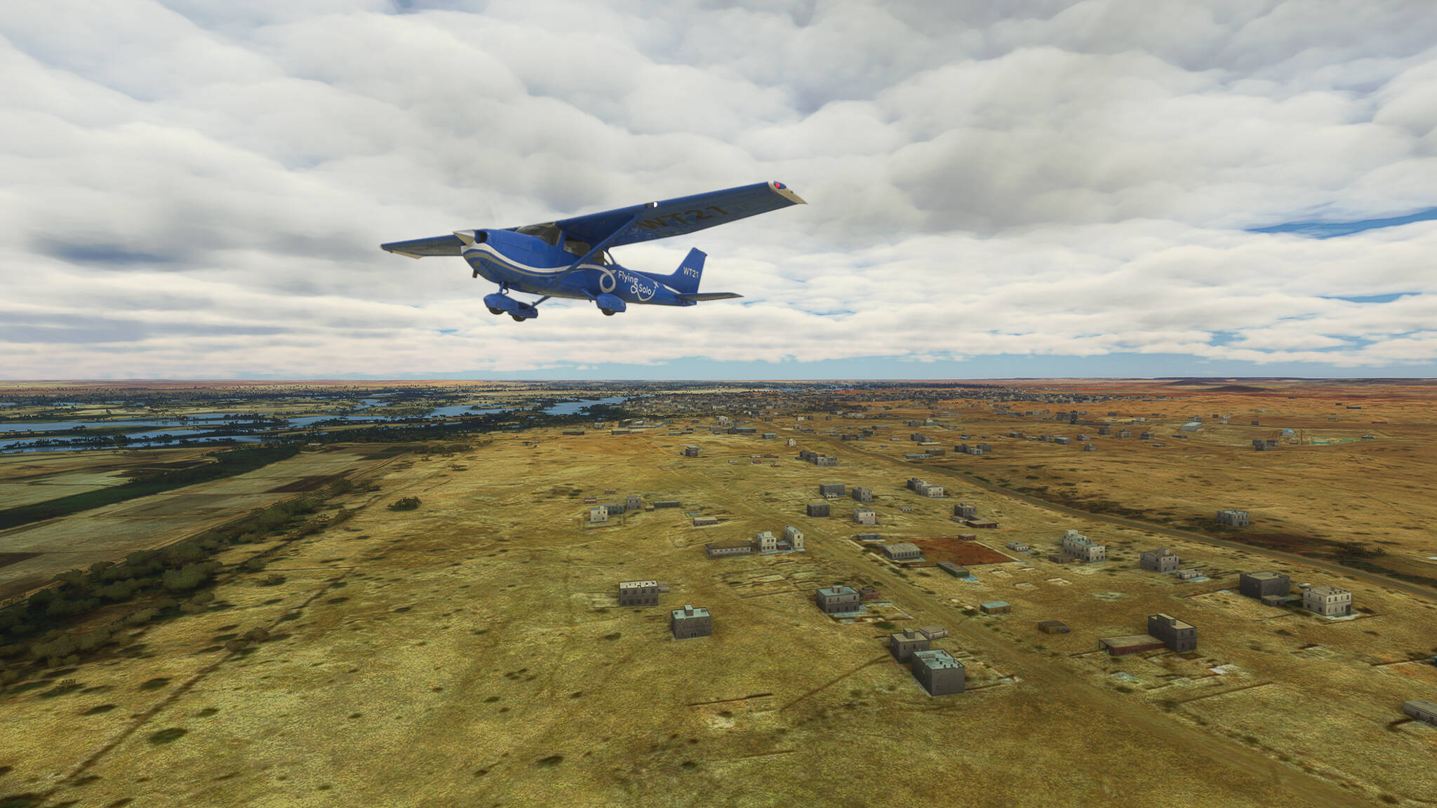
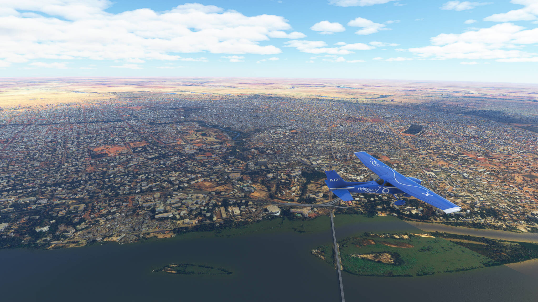
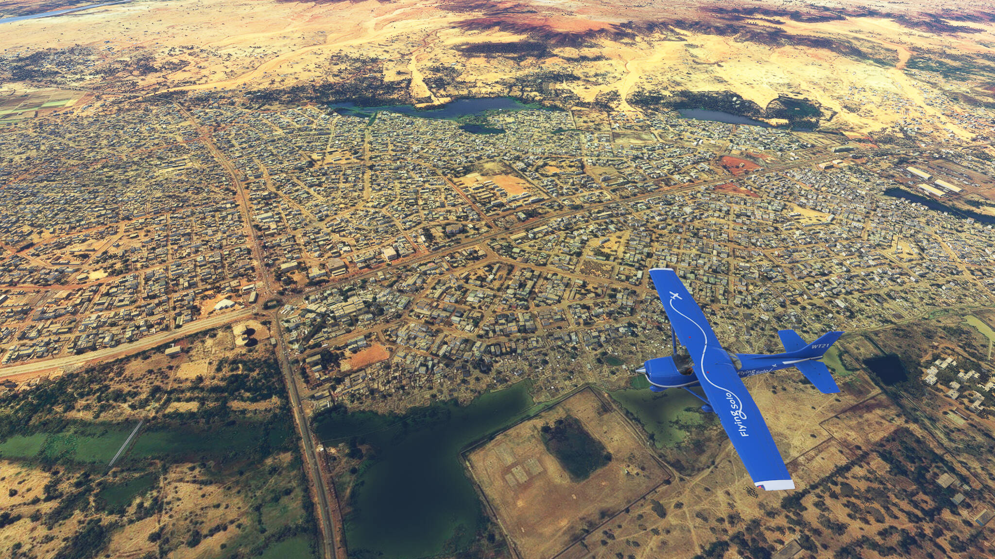
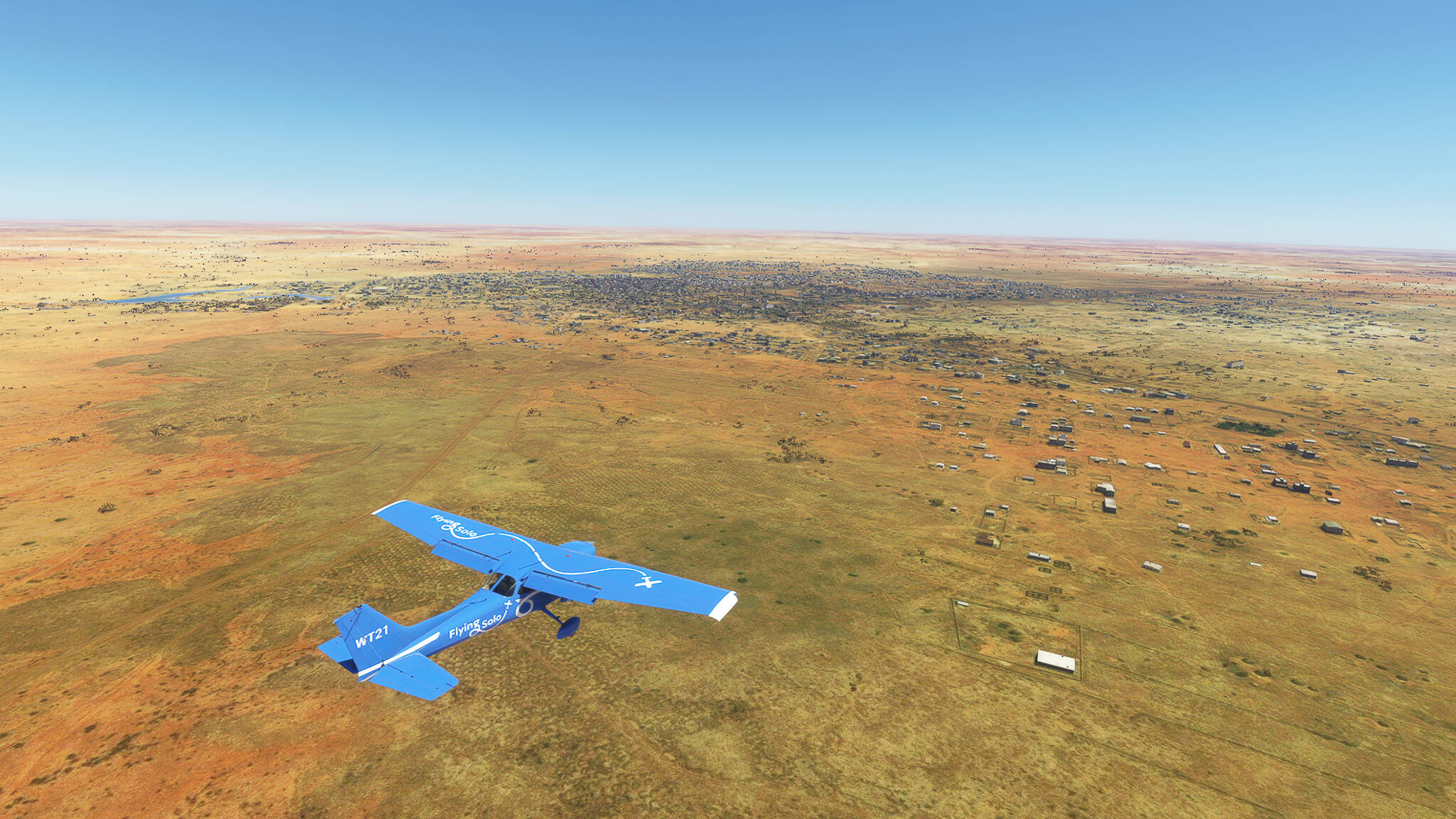
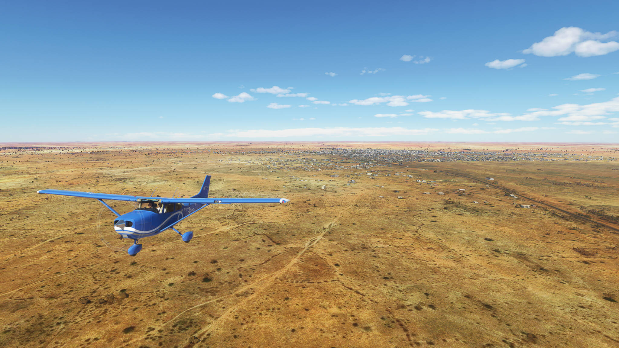
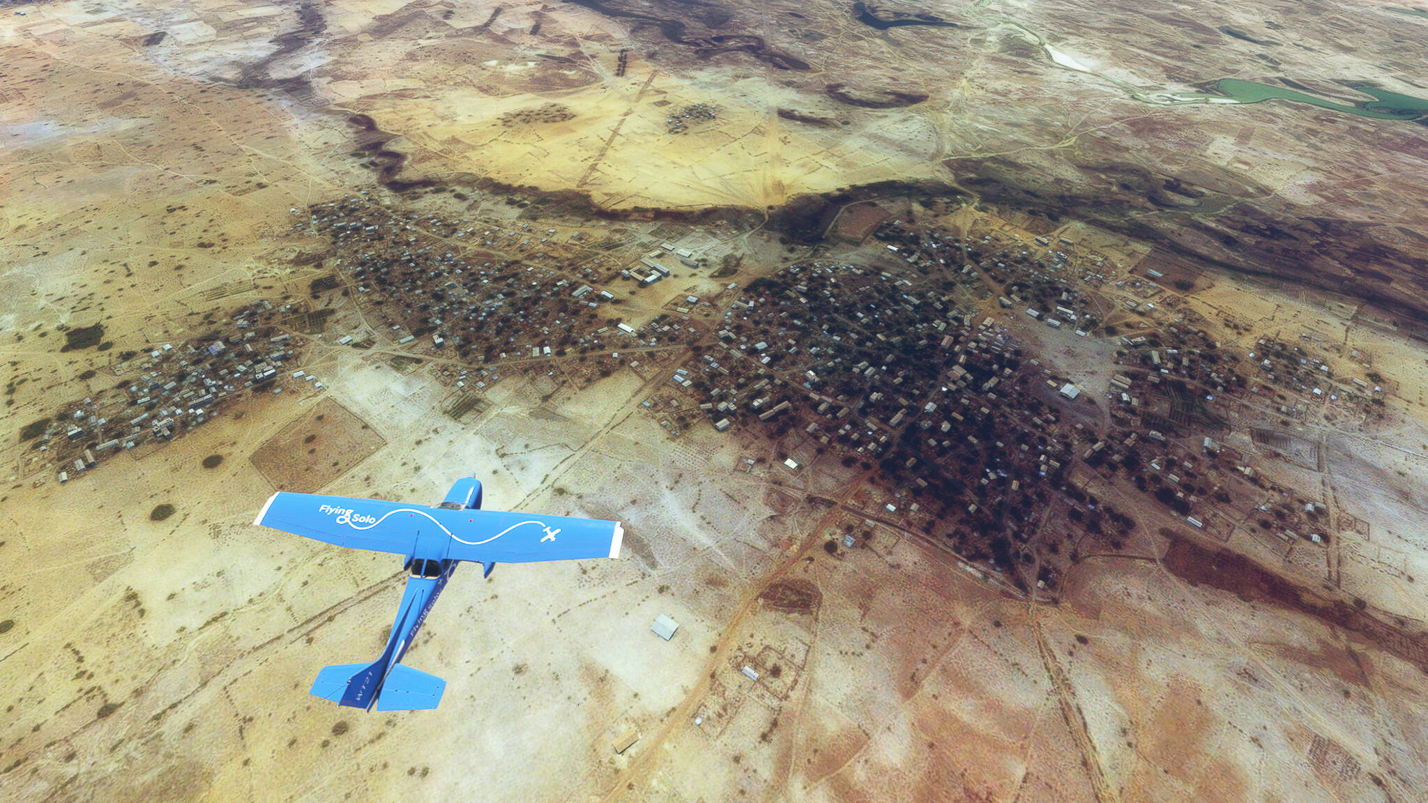
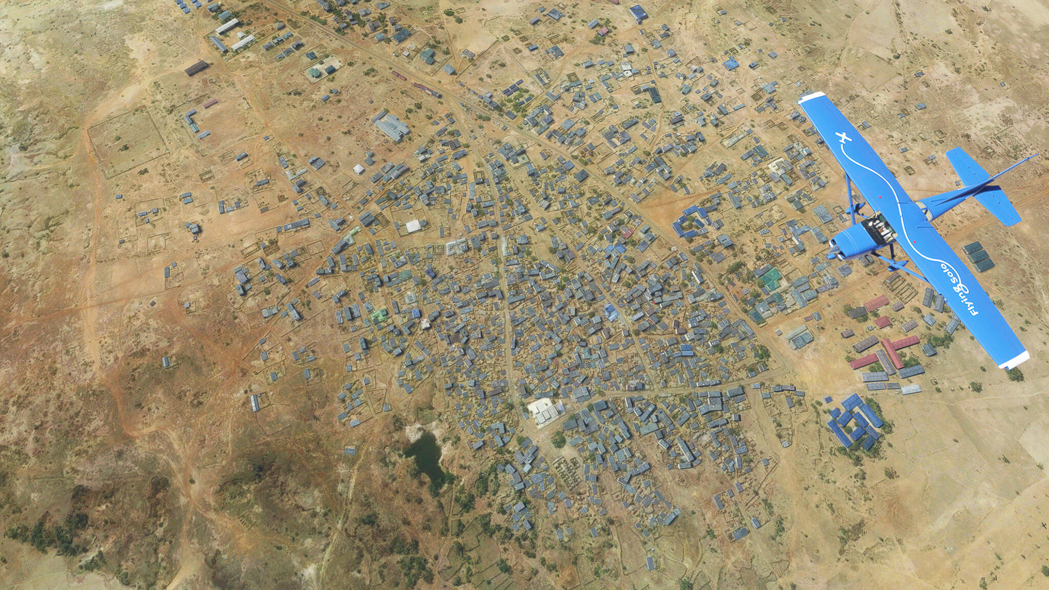
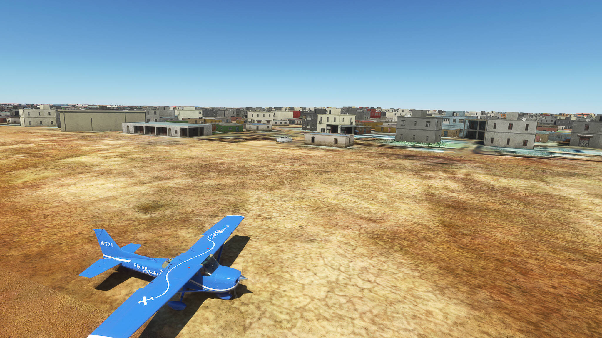
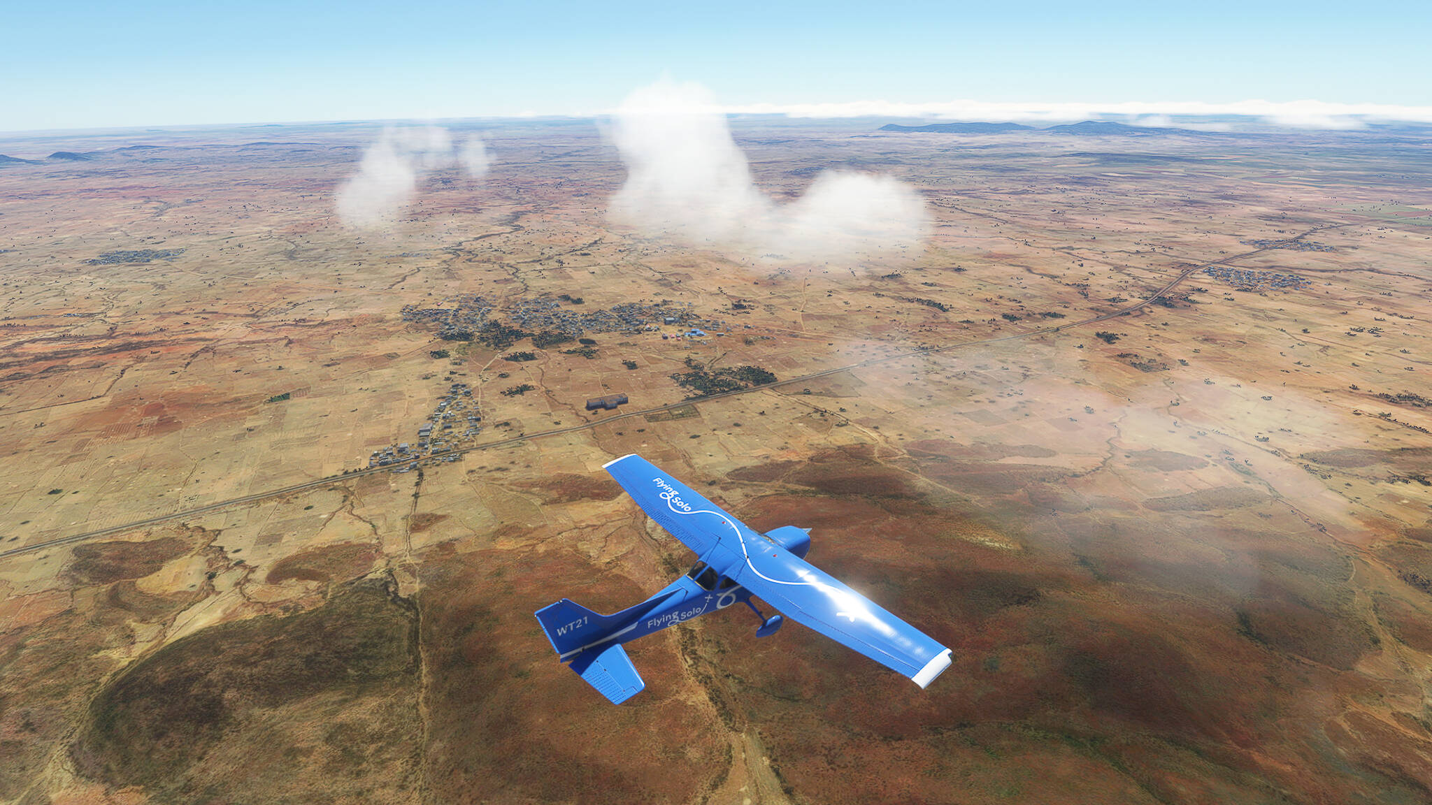
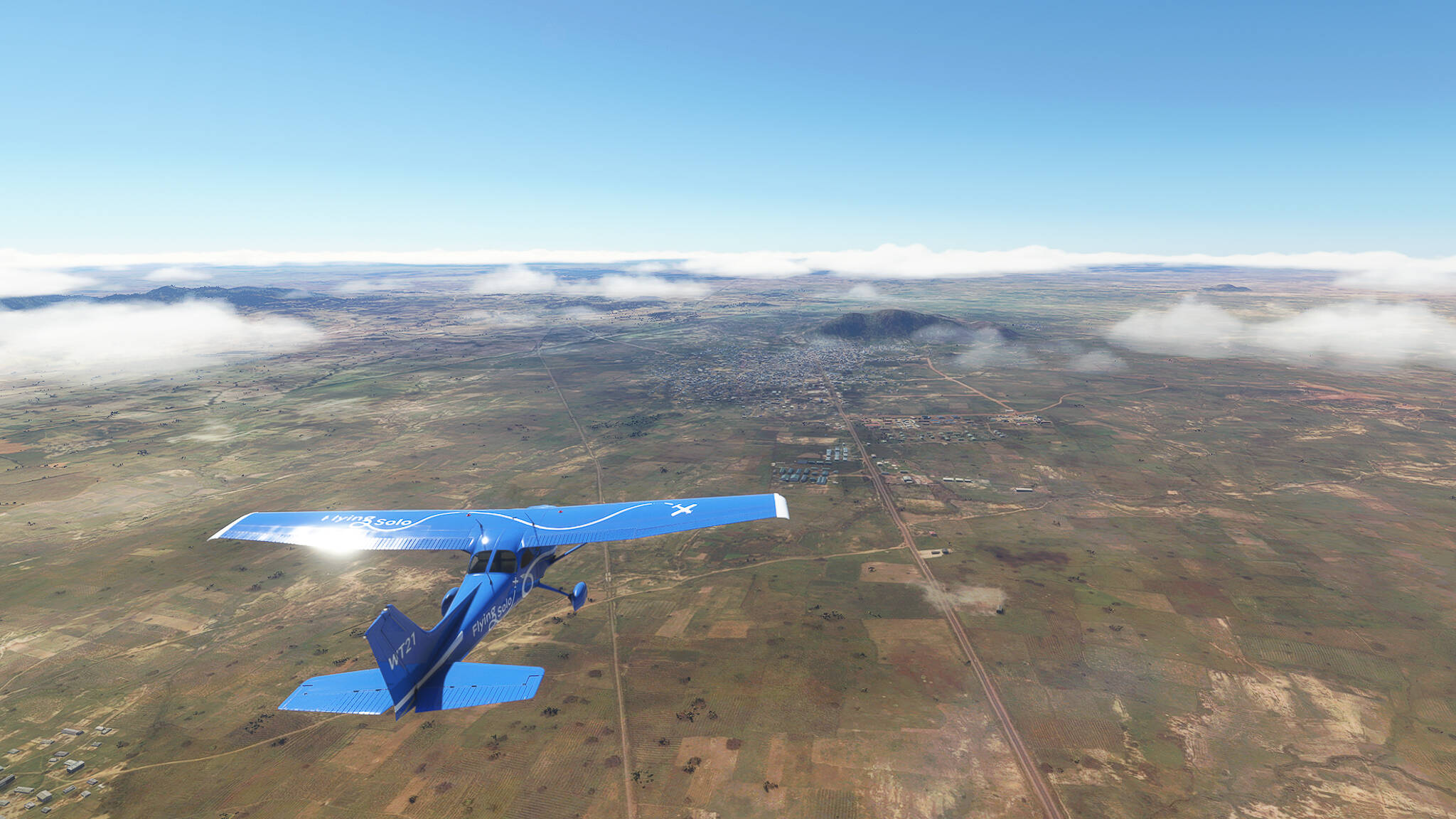
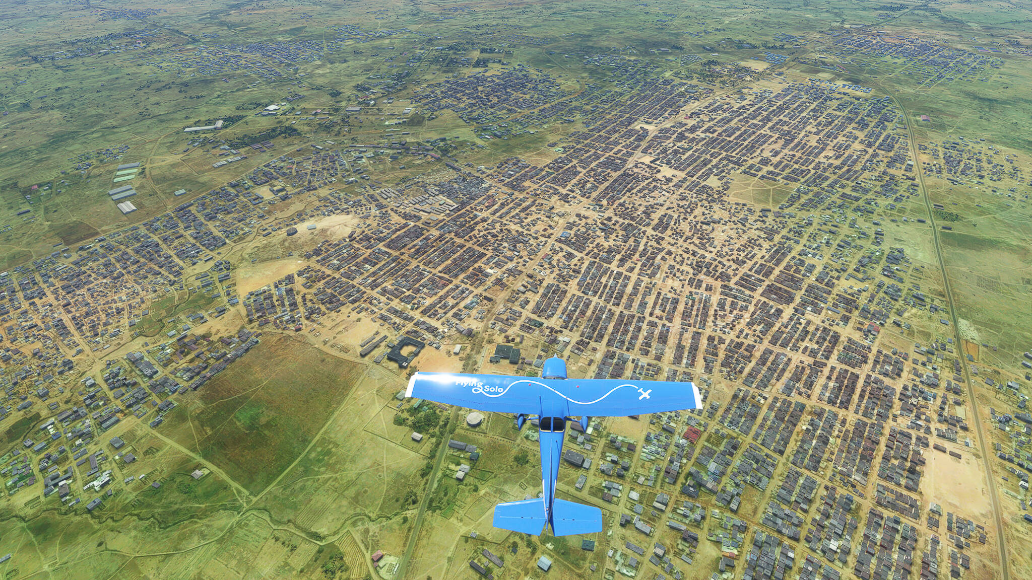
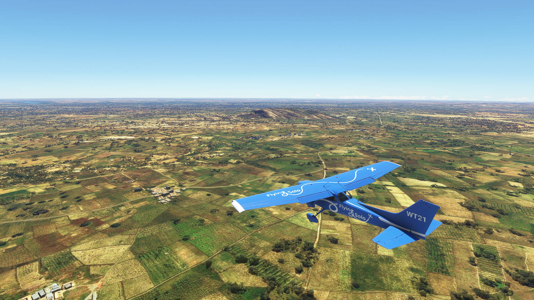
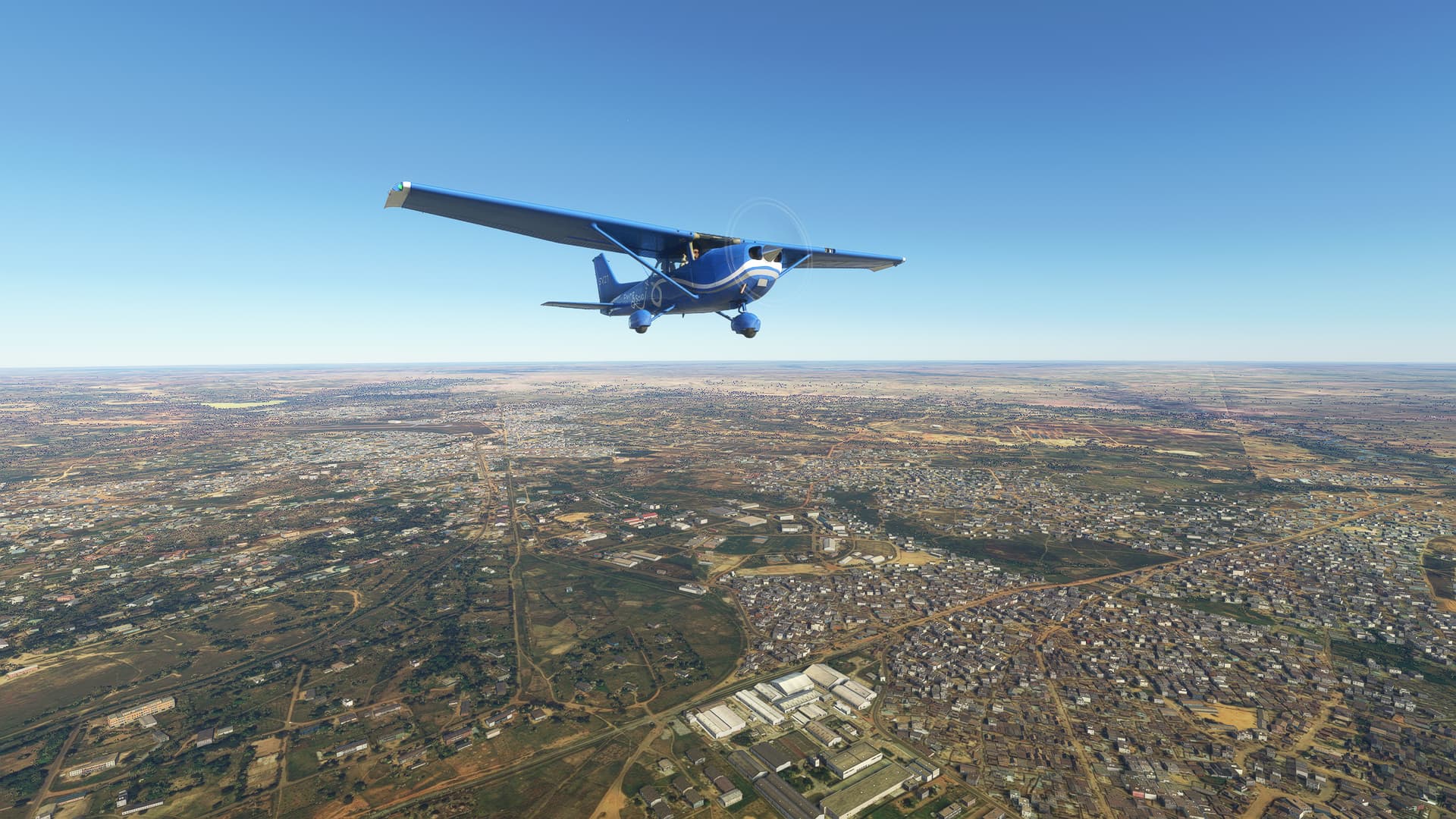
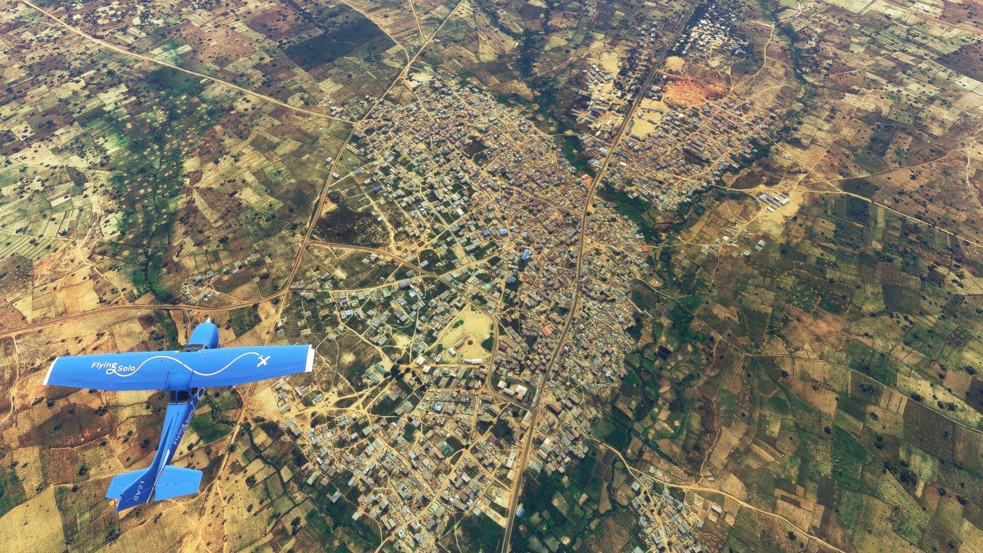
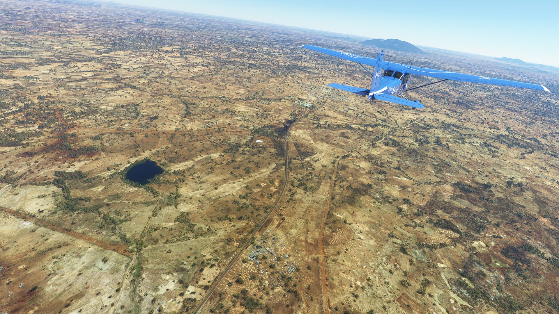
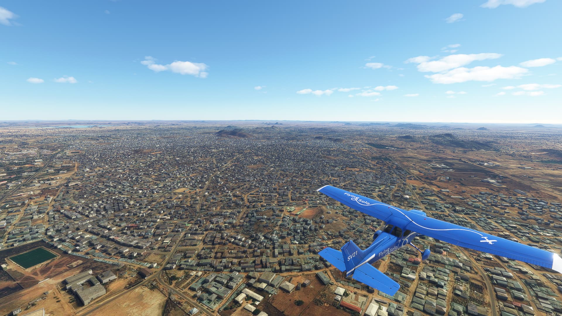
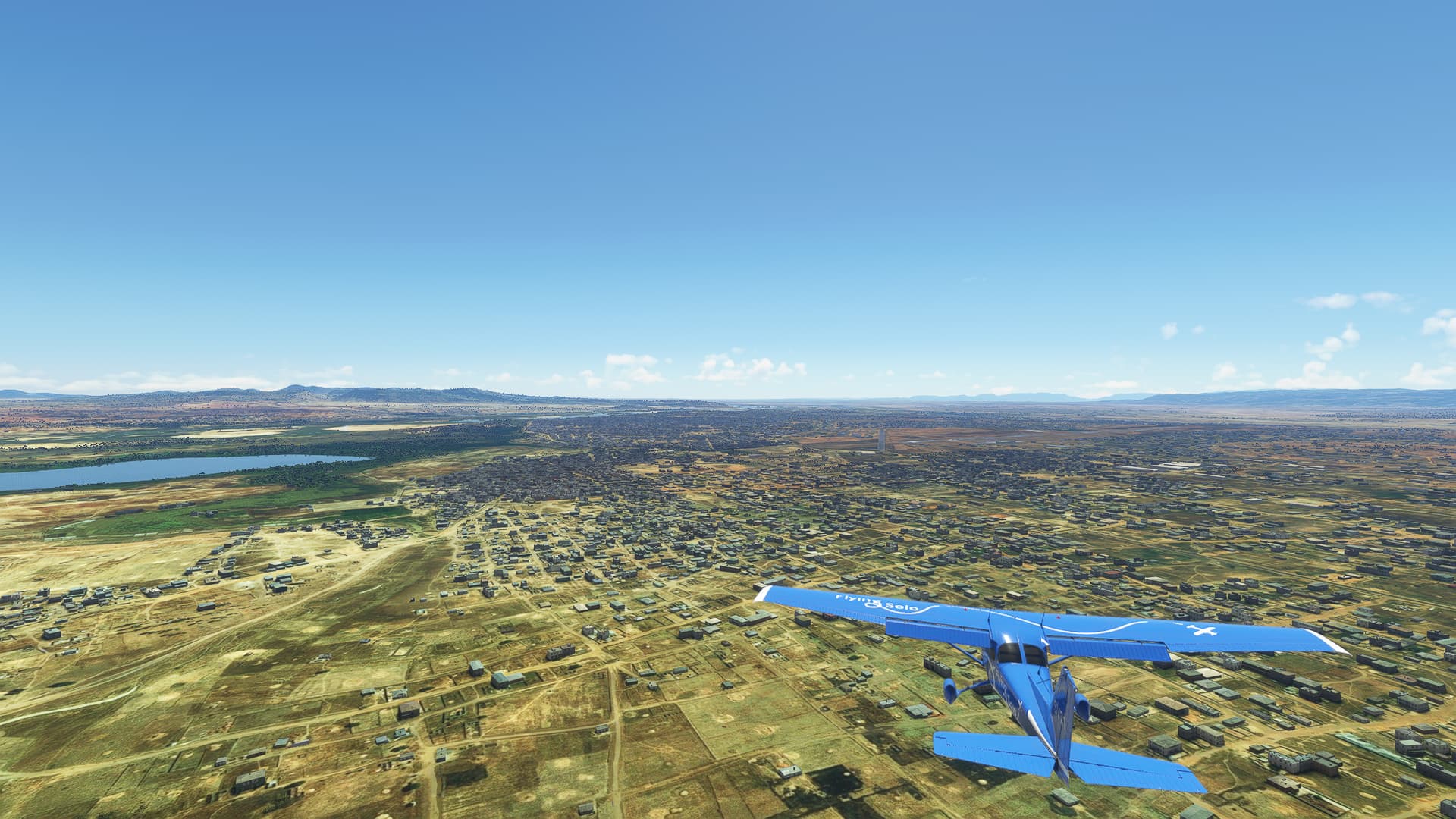
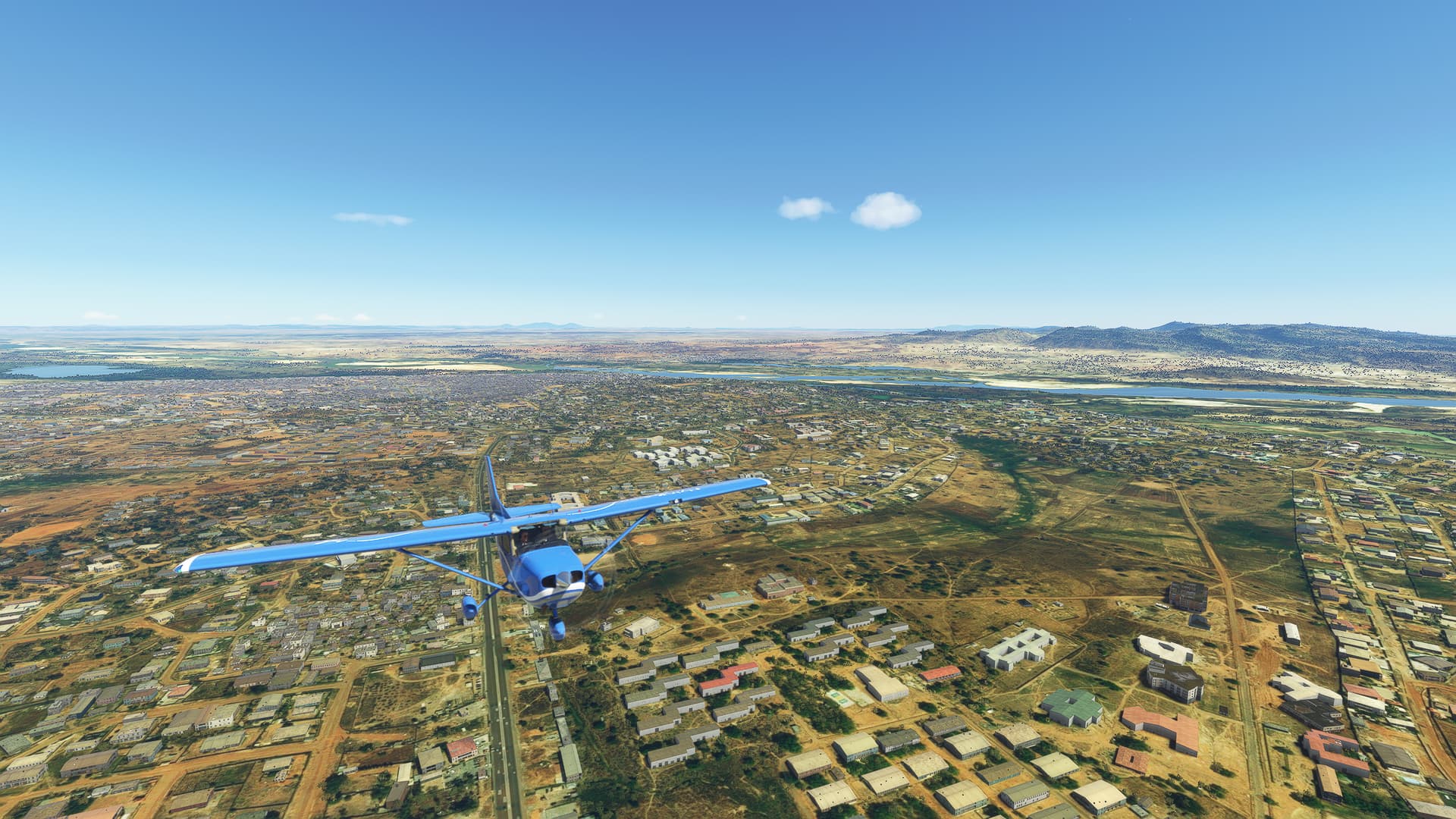
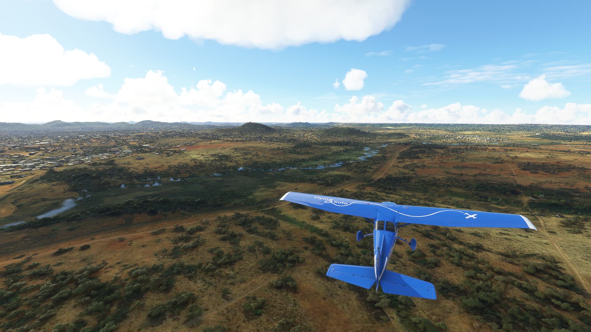
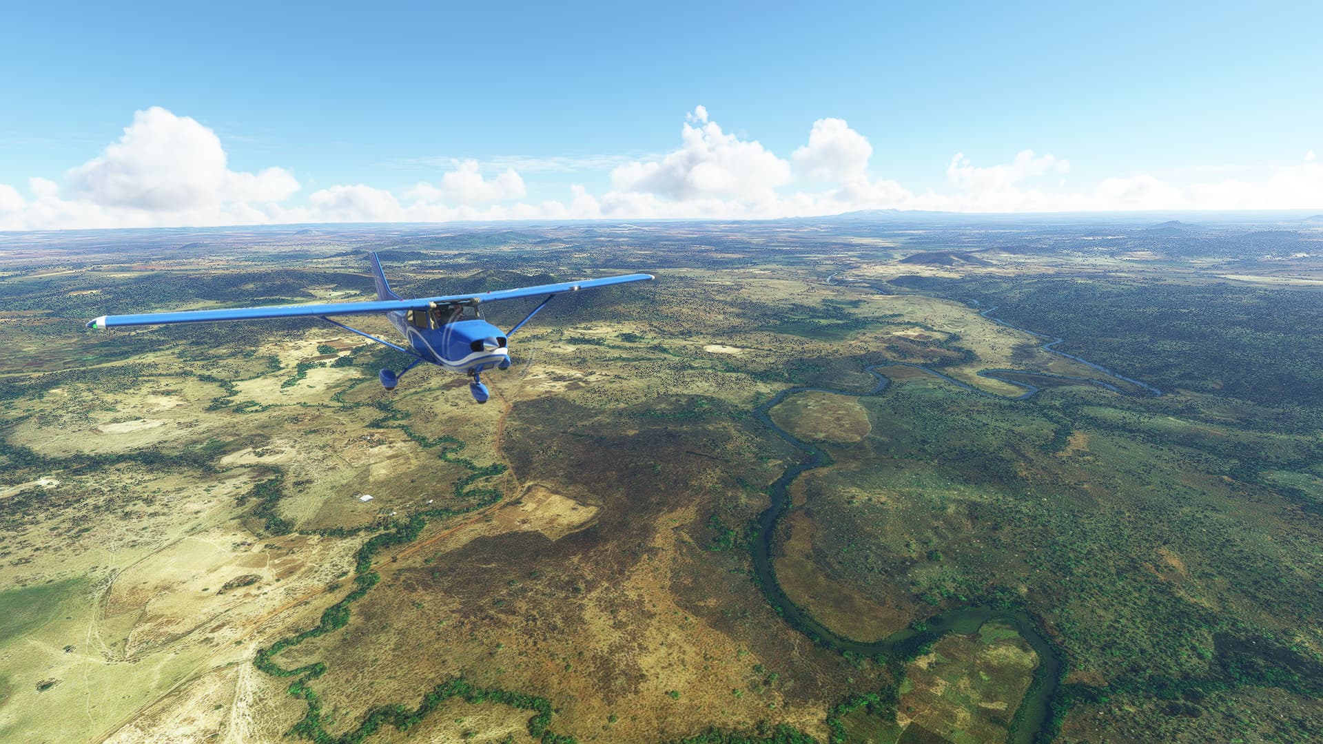
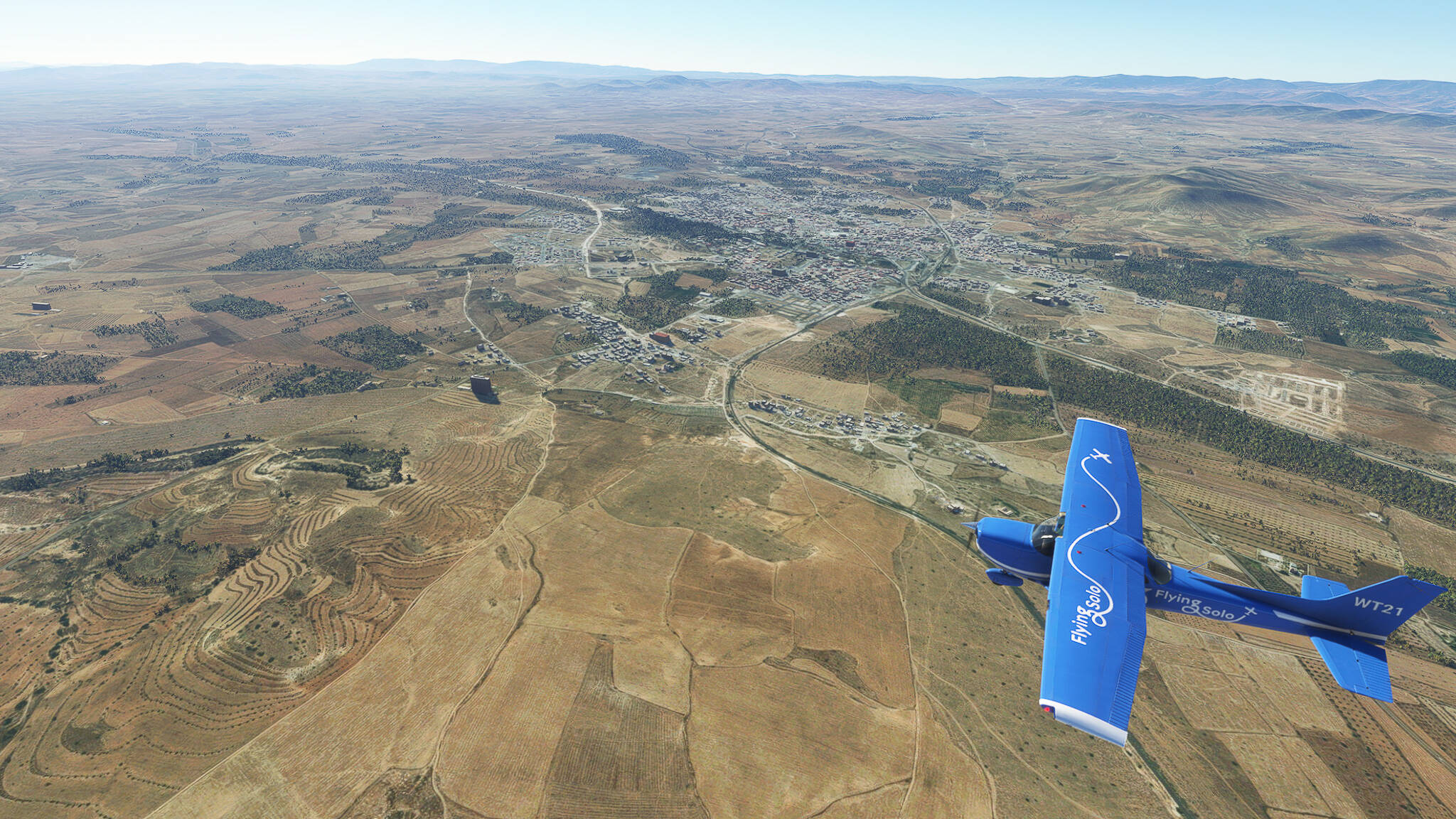
Further following the A2 we arrived in El Aioun Sidi Mellouk, a city near the border of Taourirt and Berkane Province as well as our last major settlement before Oujda (Picture 8). We also came across a pretty little formation of several hills to the northeast of El Aioun (Picture 9) as well as a large wooded area west of Naima (Picture 10).


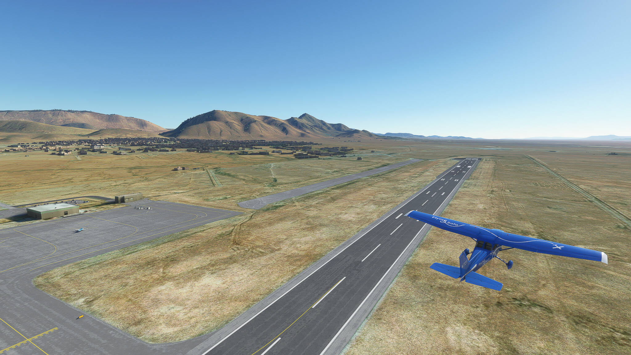
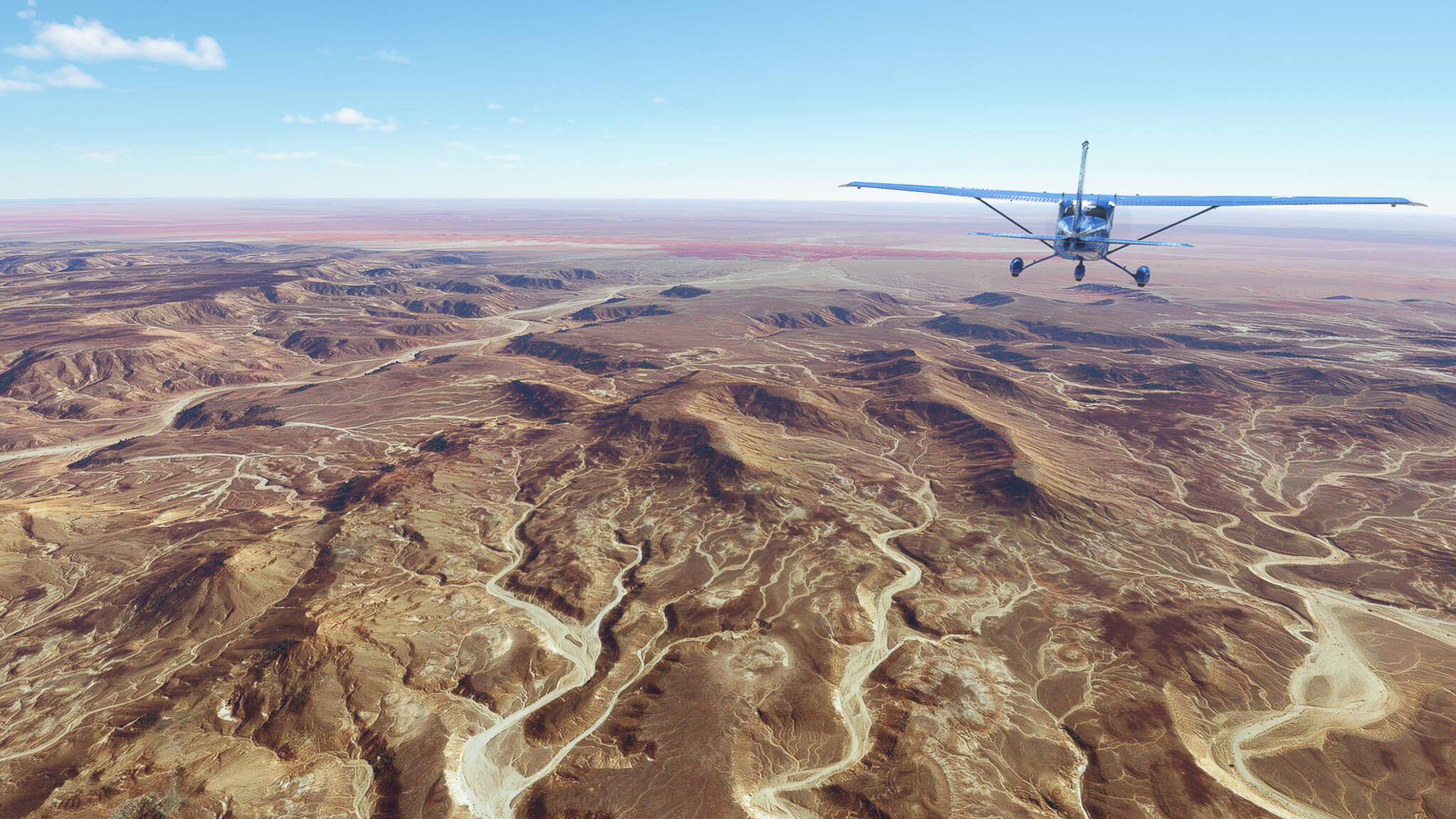
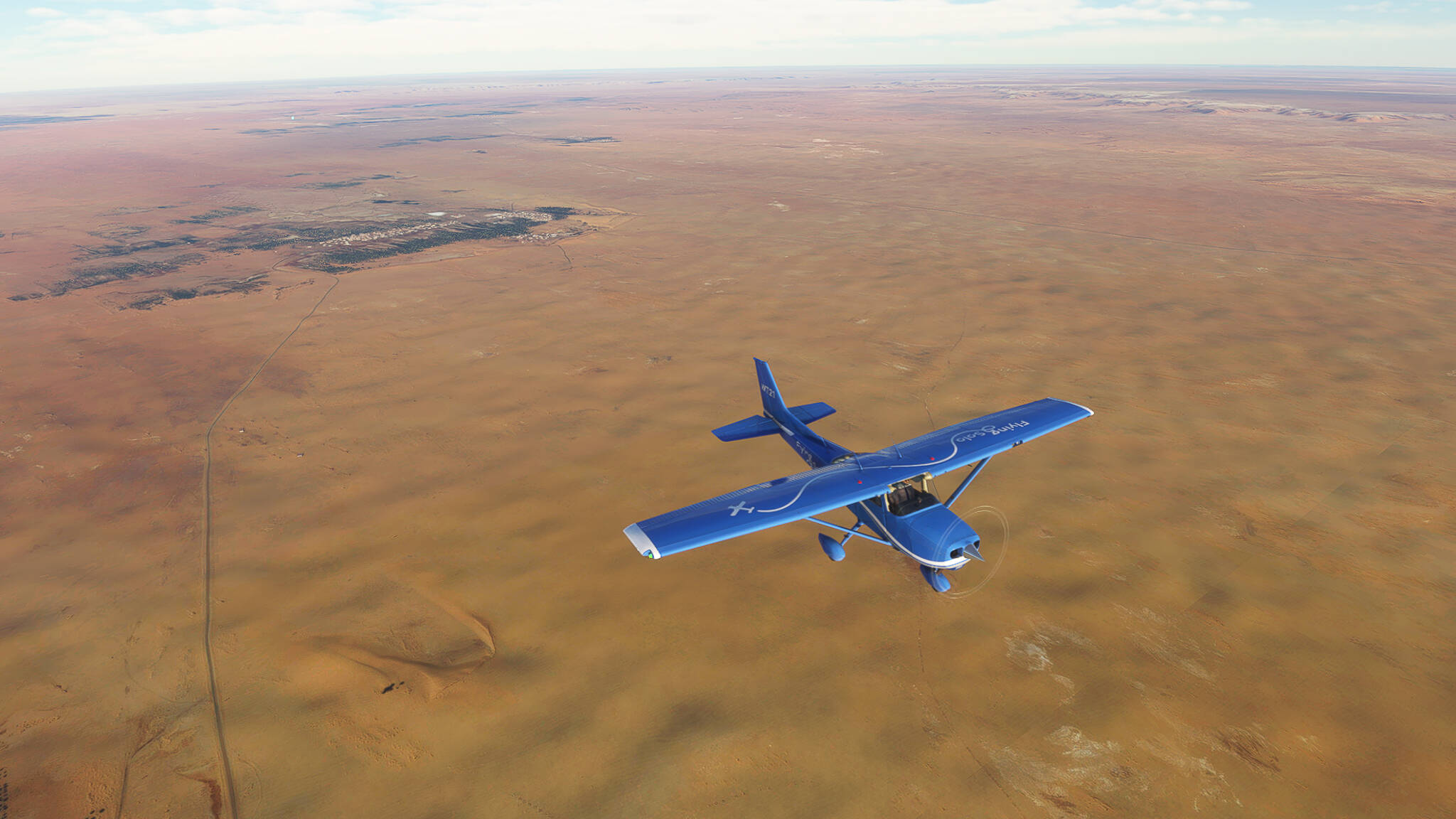
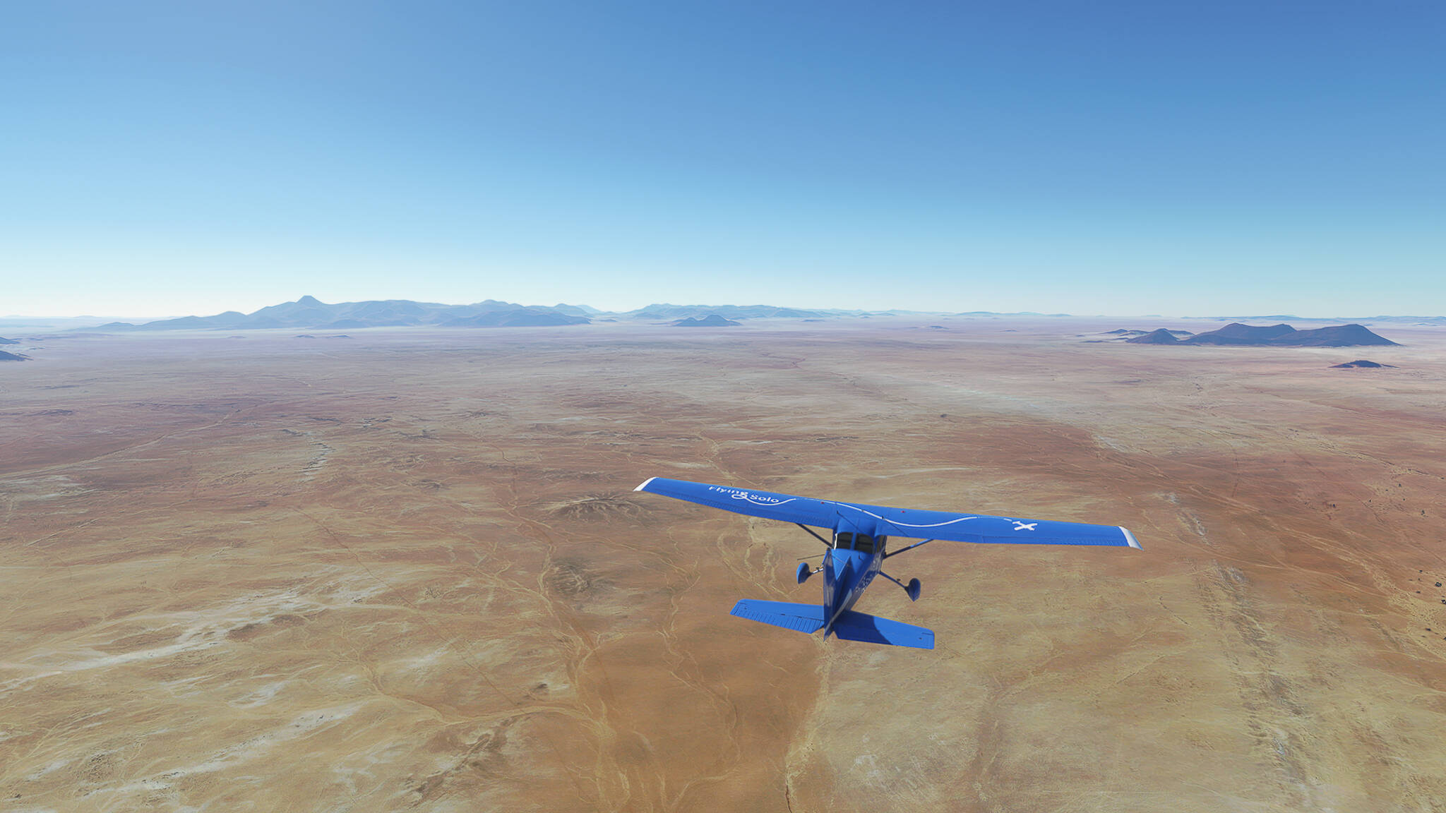
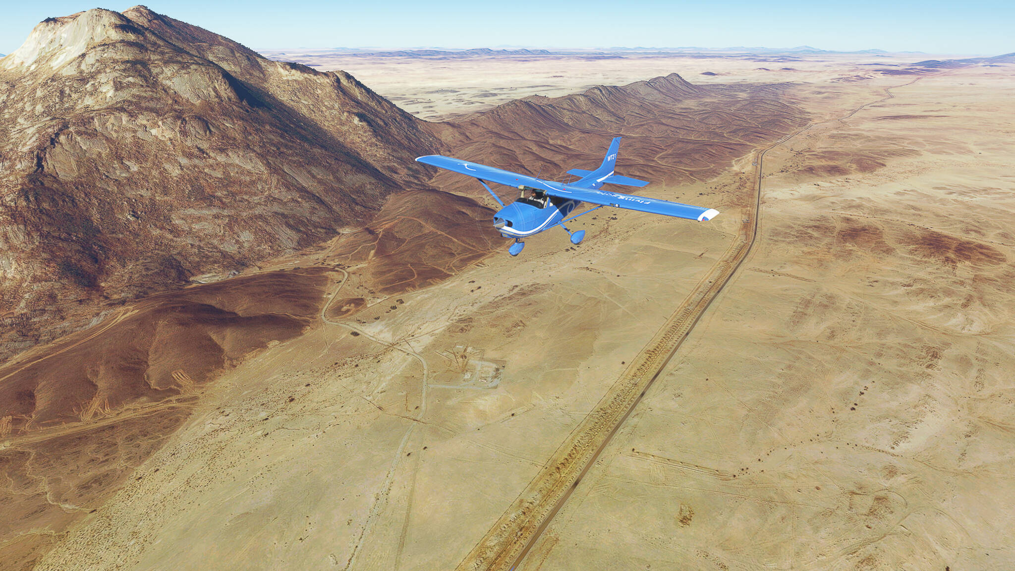
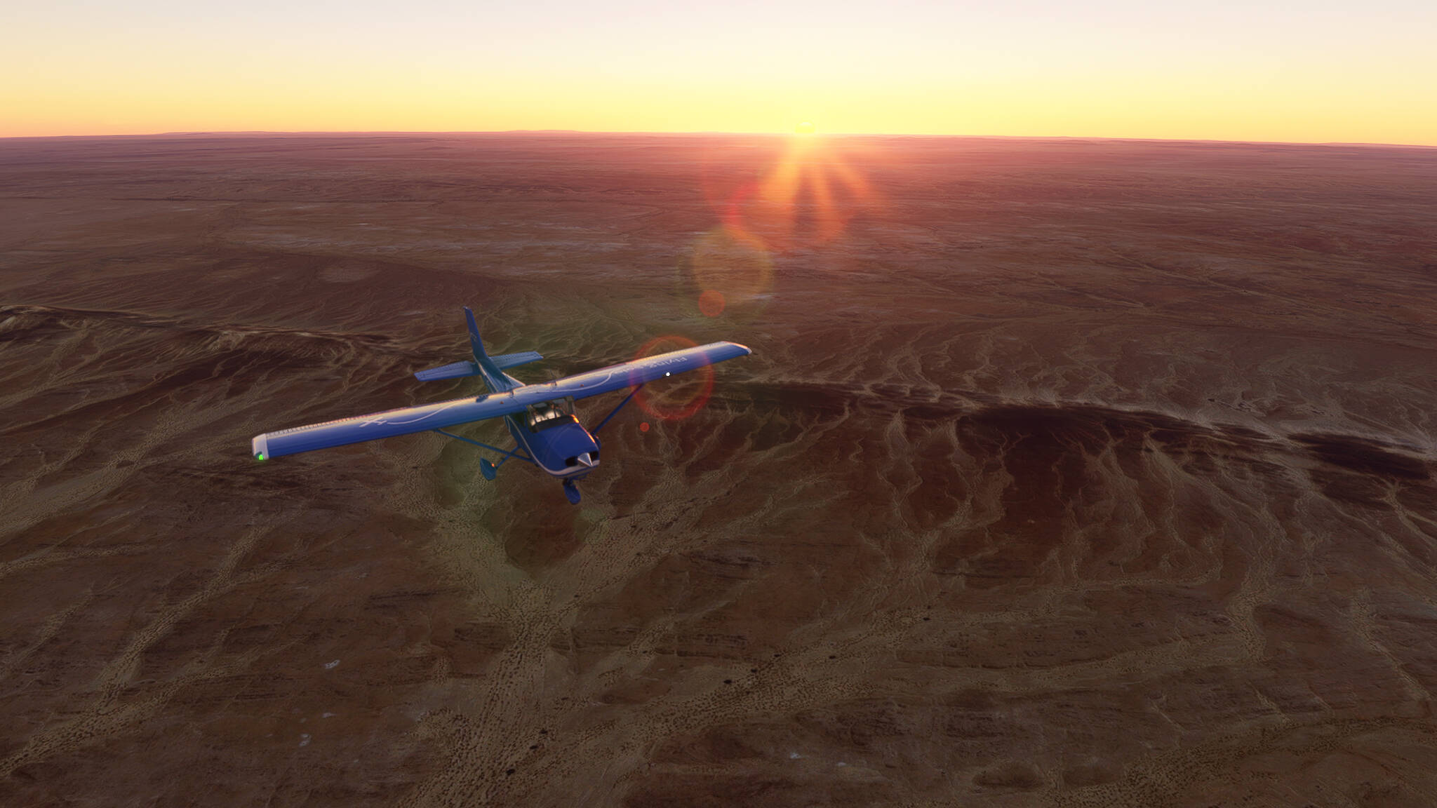
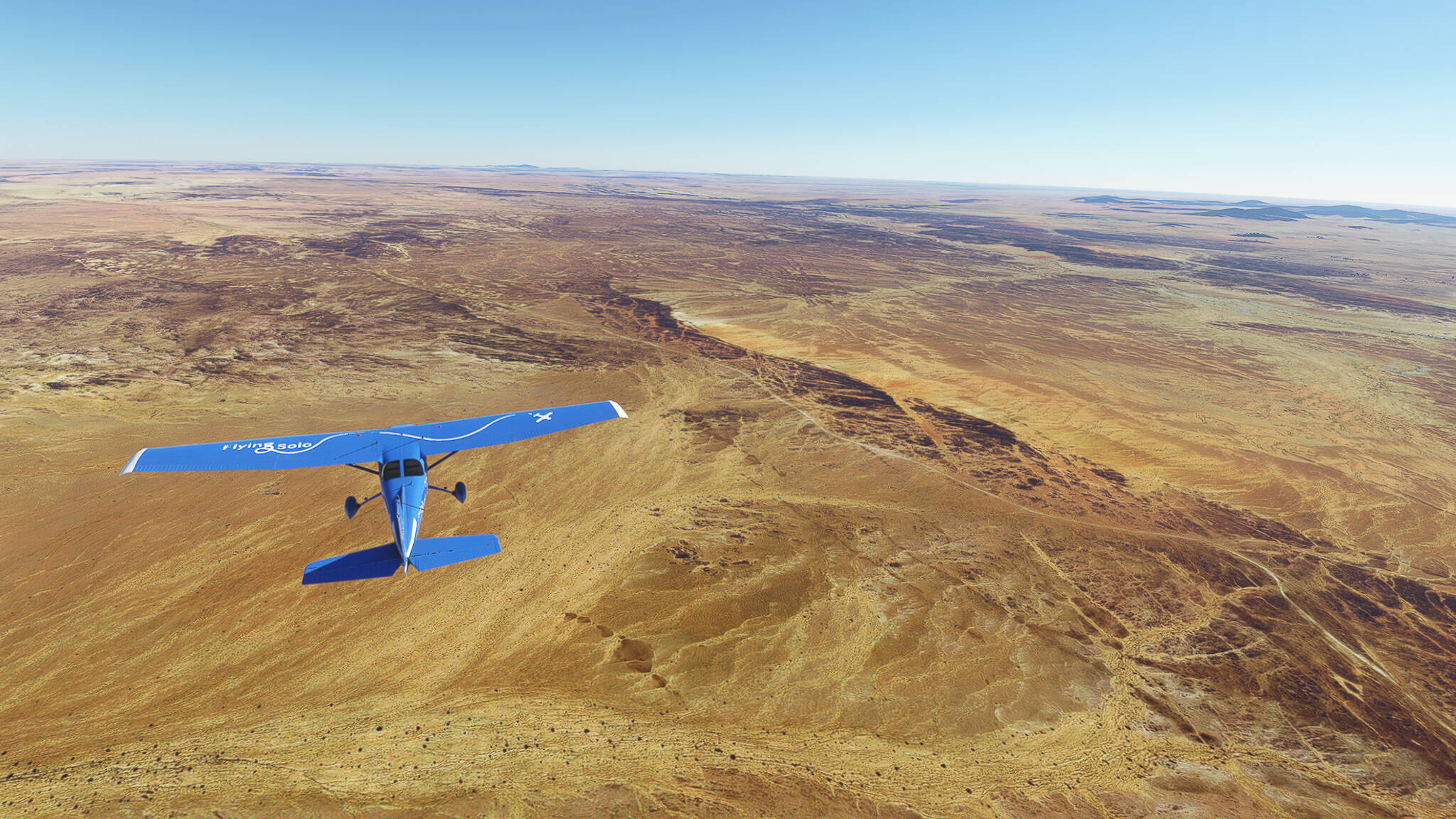
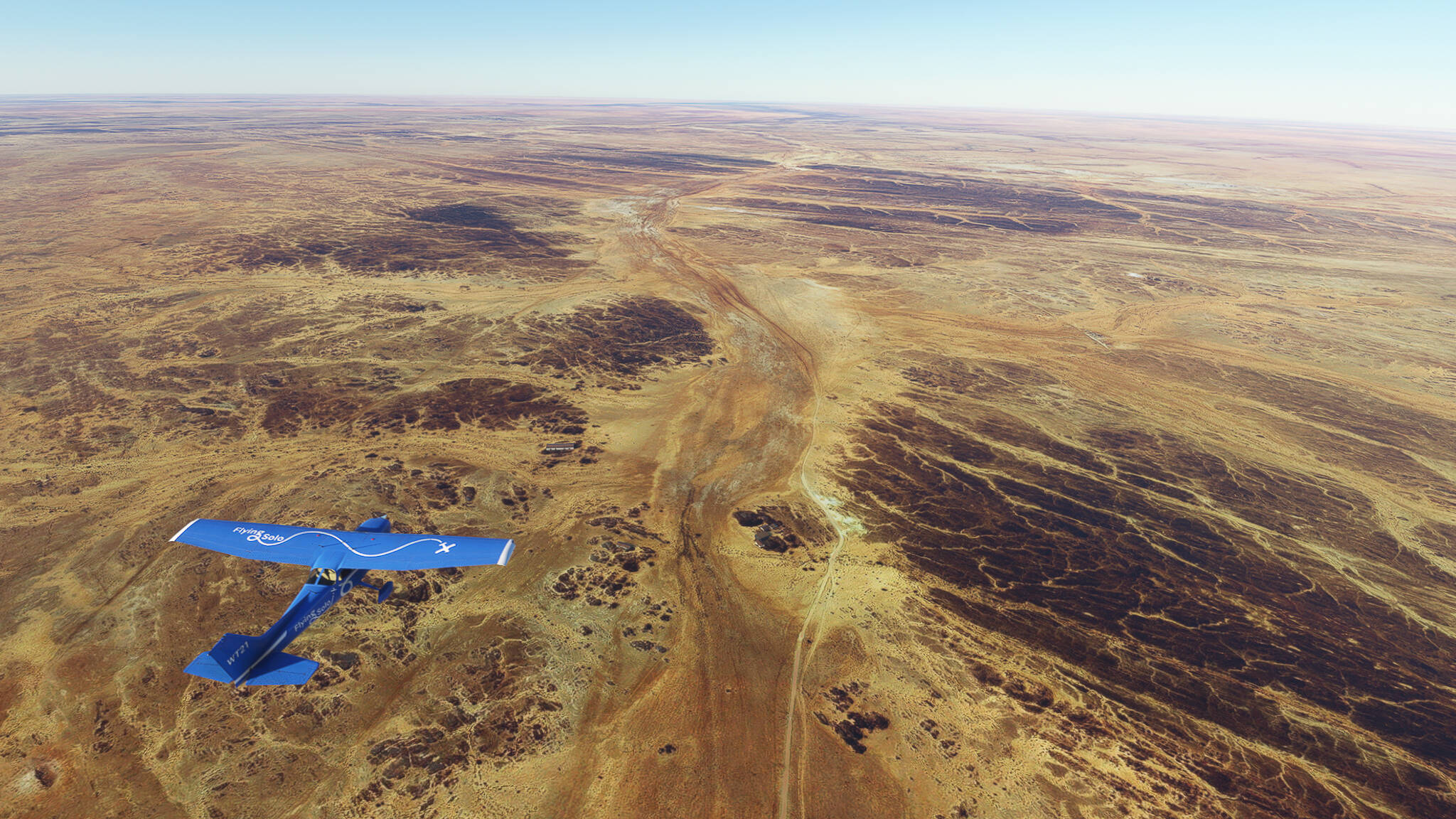
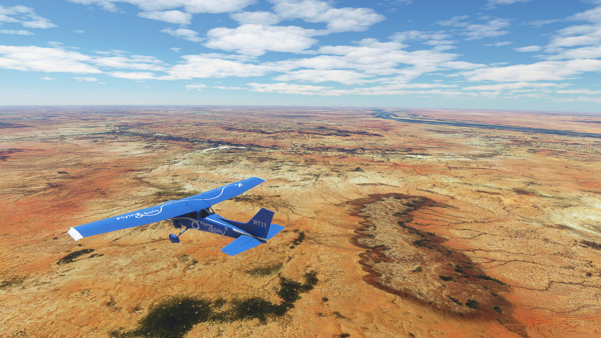
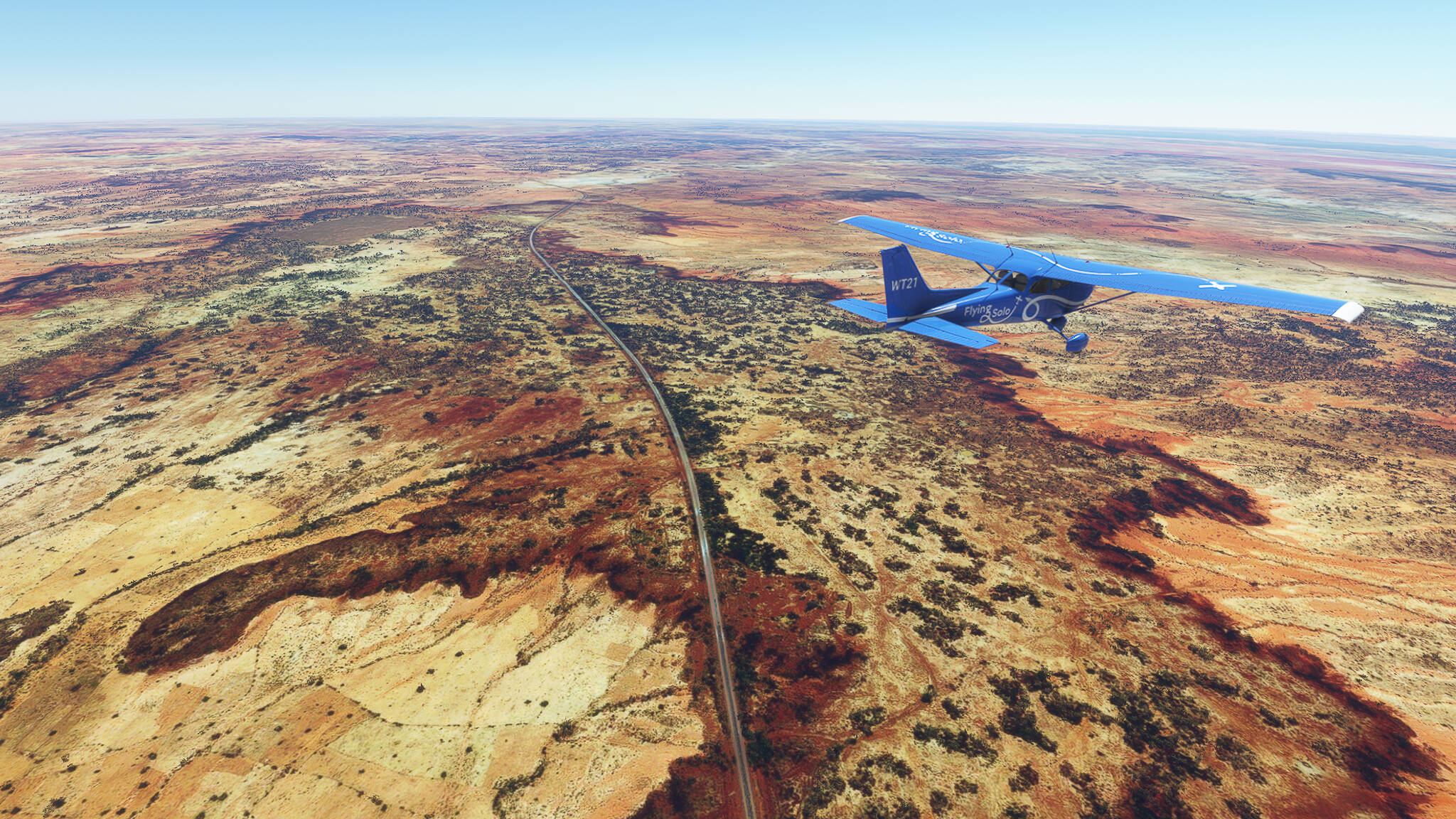
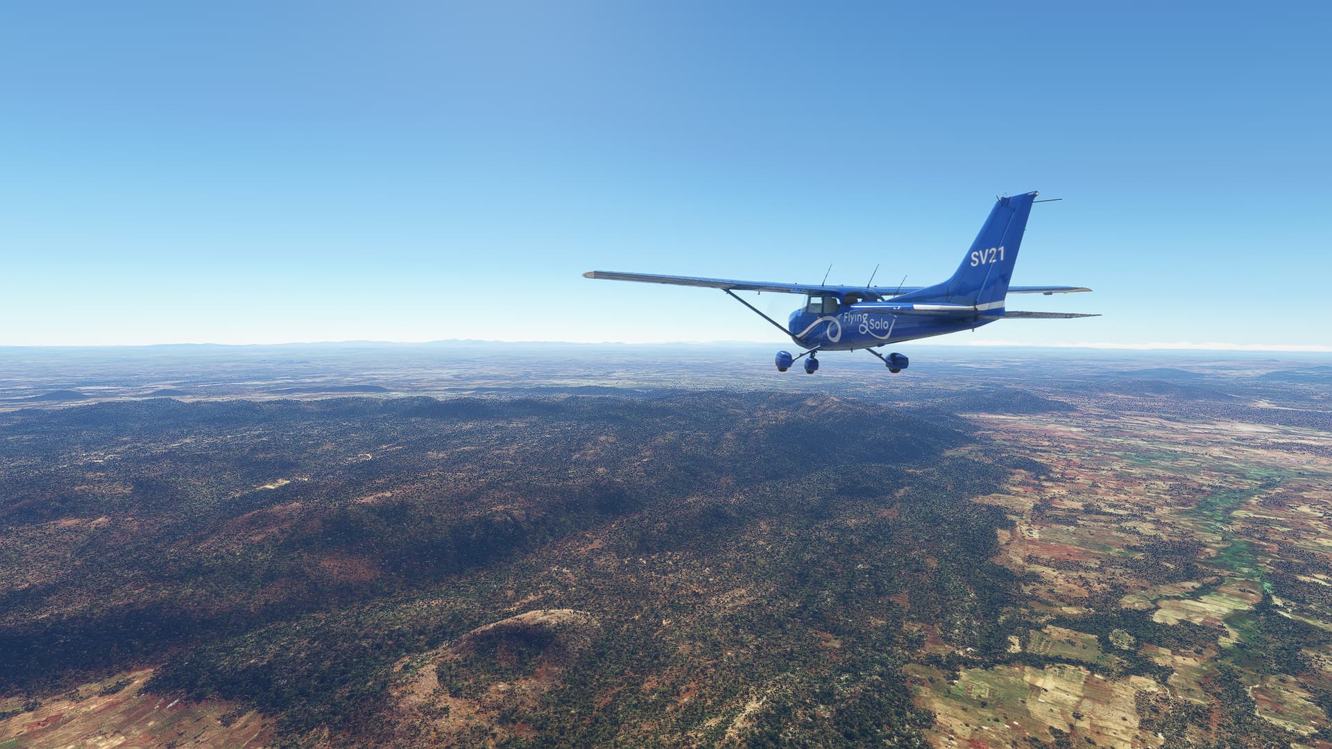
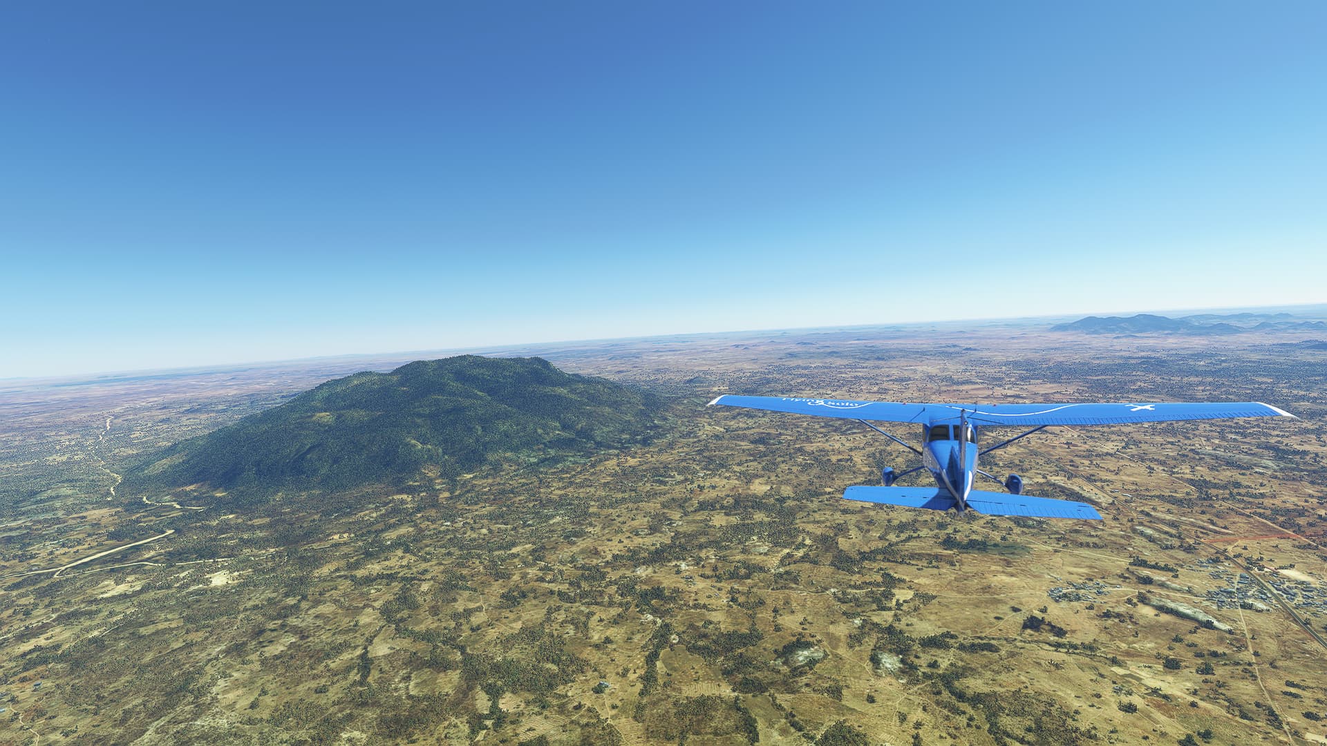
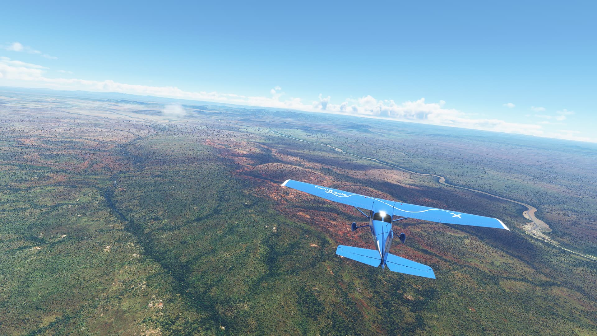
After passing Naima we turned northeast near the eastern border of Caidat d’Ain Sfa, getting a beautiful shot of the mountains southwest of Oujda in the process (Picture 11). We drew closer to them (Picture 12) and descended above a small forest (Picture 13) towards Angads Airport.


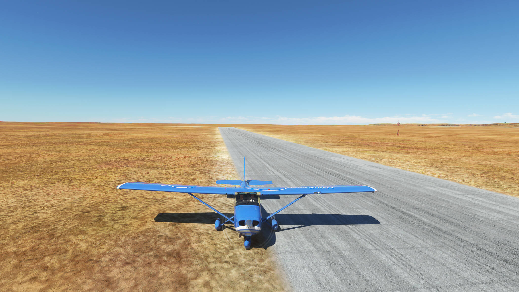
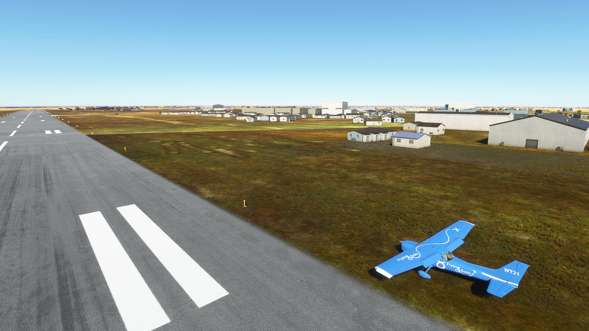
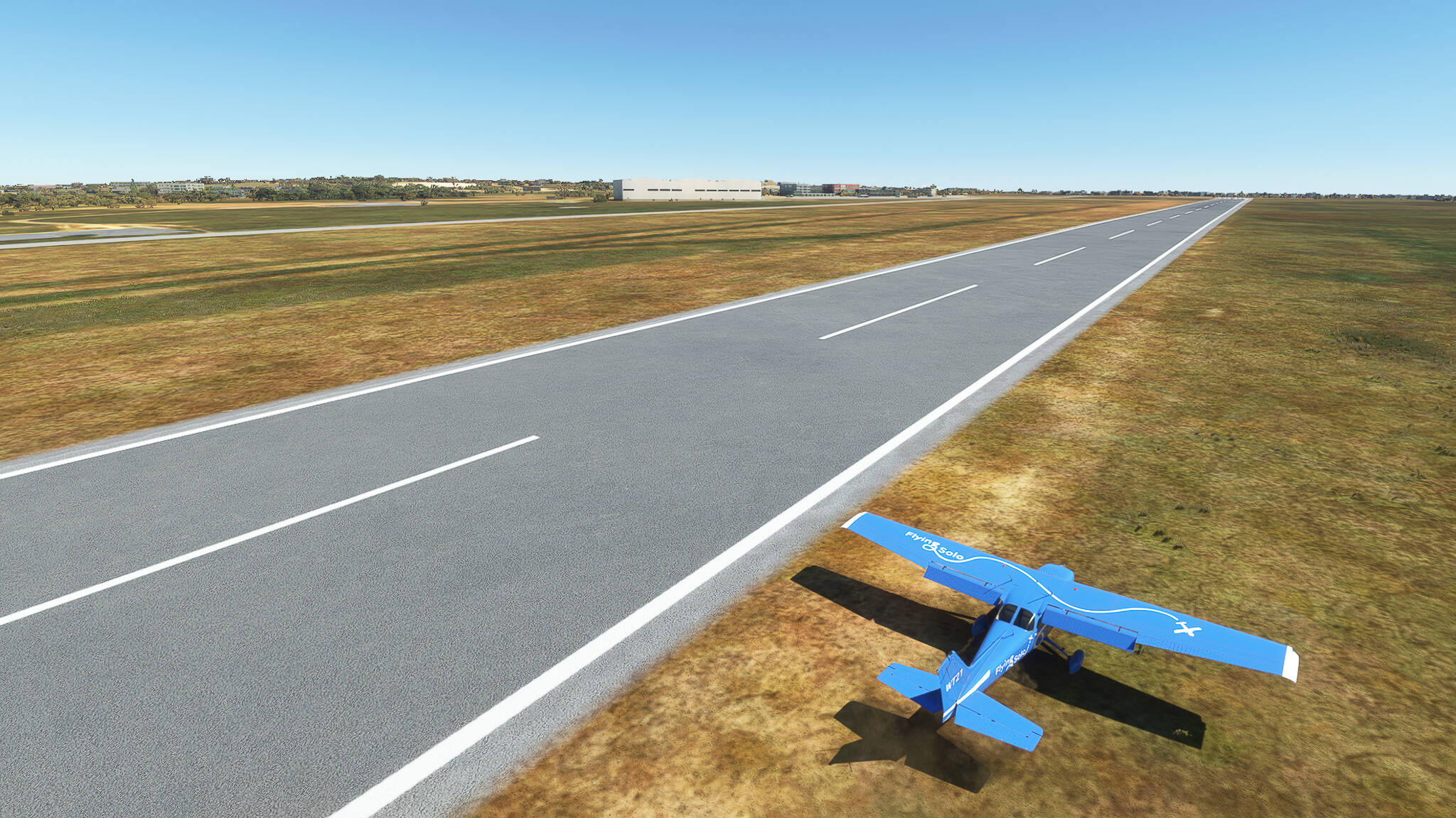
After one hour and eight minutes we touched down on the airport near Oujda (Picture 14).

Well, what a mess! But I promise to properly wake up before starting my next flights so that I’ll remember to actually take shots during the entire flight!

Flight 014: Oujda (GMFO) - Bouarfa (GMFB), Morocco.
VFR Angads (GMFO) to Bouarfa (GMFB).pln (4.2 KB)

Live Weather: YES.
Radio Station (via radio.garden): Radio Nador, Nador.

Well rested and motivated we finally took on our challenge of crossing the Sahara desert! Due to the lack of radio stations in Eastern Morocco we went again with Radio Nador - which really awakened a newfound fascination for Moroccoan music in me!

After our take-off in Oujda during the earliest stages of dawn (Picture 1) we turned to the southwest and joined the Route Nationale 17 which would lead us to our destination Bouarfa in the south. During this we could see the lights of Oujda in the distance (Pictures 2, 3 & 4).


Crossing the A2 highway we finally found the RN17 near Sidi Moussa Lamhaya (Picture 5) and could witness the beautiful colours of an “Oriental dawn” - you know, because the region we’re in is called “Oriental”? No? All right… (Pictures 6-9).


After leaving the mountains near Jerada we met the Oued Charef (Picture 10) and crossed the town of Ain Bni Mathar (Picture 11), home of Morocco’s first Thermo Solar Combined Cycle Power Plant.


The next part of our trip constisted mainly of following the RN17 through the desert highlands south of the Rif Mountains (Pictures 12 - 14). Instead of the stereotypical sand deserts one would associate with the Sahara, this region consists of “hamadas” or “stone deserts”.


During our flight the landscape below us slowly but surely increased in elevation: But instead of the rather lifeless hamadas we crossed before we found small oases (Picture 15) and finally flew across the small town Tendrara, located at the intersection of two RN’s in a river oasis near the Algerian border (Pictures 16 & 17).


After crossing Tendrara we could already see a mountain range in the distance. We continued along the RN17 (Picture 18) towards greener pastures - or rather “greener desert areas” (Picture 19), before leaving the Route Nationale 17 and following a small seasonal river (Oued) through a valley towards Bouarfa (Picture 20).


Leaving the mountain range behind us we entered a large plain (Picture 21), turned to the east and landed against the rising sun in Bouarfa (Picture 22).


Flight 015: Bouarfa (GMFB), Morocco - Timimoun (DATA), Algeria.
VFR Bouarfa (GMFB) to Flughafen Timimoun (DATA).pln (2.8 KB)

Live Weather: YES.
Radio Station (via radio.garden): Radio Nador, Nador & Radio Bechar, Bechar.

It is time to leave Morocco behind us and start our journey through the world’s largest desert for real! We took off in Bouarfa (Picture 1 & 2) and began to follow the Route Nationale 6 towards Figuig at the Algerian border.


As we are in the eastern part of the Sahara Atlas, we were surrounded my multiple mountain ranges as we flew through the valley east of Bouarfa along the RN6 (Picture 3). Turning south we came across a small reservoir (Picture 4) - a thing we hadn’t encountered since leaving the Rif Mountains.


We crossed through a small gap in a mountain range to the south (Picture 5) and entered the valley of the Oued Tisserfine near Abou Lakhal (Picture 6).


Turning around Jbel Himer we saw Figuig, the border city at the southern rim of the Saharan Atlas (Picture 7). Here we crossed the border, where we looked back to say farewell to the beautiful and colourful Kingdom of Morocco (Picture 8). It was also here that I switched the radio station to an Algerian one.


Now everyone should already know that I like to describe our current locations so that people might have an idea of our route and find these POI’s themselves. This will become difficult from here on since we simply have no towns or villages or even roads around us from here on.

After leaving Morocco we came across another large hamada where we could take some nice shots (Pictures 10 - 13).


The next change of landscape happened shortly after as we drew closer to the Prime Meridian: We entered the northwesternmost parts of the Grand Erg Occidental - the Great Western Sand Sea. This is the second-largest Erg in Algeria with an area of about 78,000 sqkm (Pictures 14 - 18).


The first sign of human life we came across in this gargantuan Sand Sea was an old airfield far to the north of Timimoun (Picture 19). After following a small road for another 10 minutes we finally arrived at
another Timimoun Airfield (DATA; there are multiple ones in the region, which are all called “Timimoun Airfield”) after 1 hour and 45 minutes (Picture 20).


Flight 016: Timimoun (DATA) - Adrar (DAAR), Algeria.
VFR Flughafen Timimoun (DATA) to Flugplatz Adrar (DAAR).pln (2.7 KB)

Live Weather: YES.
Radio Station (via radio.garden): Radio Adrar, Adrar.

After crossing the northern portion of the Grand Erg Occidental during the last flight today we have the southern part in front of us. Our destination for this trip is the old airfield northeast of Adrar.

Passing Timimoun Airfield (DATA) after our turn (Picture 1).

The southern portion of the Grand Erg Occidental (Pictures 2 - 4).


The remnant of a lake which was fed by the Oued Namous (Picture 5). Taken near the Beni Abbes - Timimoun provincial border.

Further trekking through the Great Western Sand Sea (Pictures 6 & 7).


The first sign of human life for quite some time: The village of Taouenza to the north of Timimoun (Picture 8).

The oases of Ouled Said and Badriane in the distance (Picture 9).

The city of Timimoun (Picture 10) and it’s main airfield (Picture 11).


Following the Route Nationale 51 (Picture 12).

The town of Auogrout (Pictures 13 & 14).


The area around Oued Zine (Picture 15 & 16).


Landing complete at Adrar Airfield (DAAR) near the Groupement GTG Gas Field (Picture 17).

Note: I tried to reduce the amount of text and focus on my screenshots. I hope you guys like it!

Flight 017: Adrar (DAAR) - In Salah (DAUI), Algeria.
VFR Flugplatz Adrar (DAAR) to In Salah (DAUI).pln (2.6 KB)

Live Weather: YES.
Radio Station (via radio.garden): Radio Adrar, Adrar.

We left the Grand Erg Occidental during our last trip: Now a truly desolate region awaits us: Some call it “The Garden of Satan” - we might use the name “Tademait Plateau”. This uninhabited desert plateau is one of the hottest places on our planet! Let’s hope we don’t catch a heat stroke up there!

Taking off from Adrar Airfield (Picture 1).

We reached a very strange looking landscape: A plain where dozens of straight lines were carved into the ground (Pictures 2-4). Are those natural formations? Or man-made paths and dirt roads?


Reaching the first formations of the Tademait (Pictures 5 & 6).


The small villages In Belbel (Picture 7) and Matrioune (Picture 8).


“The Garden of Satan” (Pictures 9-12).


The dunes south of the Tademait Plateau (Pictures 13-16).


The Route Nationale 52 towards In Salah (Picture 17).

The fields and orchards of In Salah (Picture 18) as well as In Salah itself (Picture 19).


Landing complete. We crossed the Tademait Plateau (Picture 20)!

Flight 018: In Salah (DAUI) - Amguid (DAIA), Algeria.
VFR In Salah (DAUI) to Flugplatz In Salah (DAIA).pln (2.1 KB)

Live Weather: YES.
Radio Station (via radio.garden): Radio Adrar, Adrar.

Well, it was time to leave the date orchards of In Salah for our next challenge: Crossing parts of the Ahaggar mountains and finally reaching In Amguel. But for today’s flight we had to reach the mountains first, so we chose the small airfield of Amguid as our next stop.

Taking off from In Salah (Picture 1) we passed Hassi El Hadjar (Picture 2) and looked back a final time (Picture 3) before pushing further into the desert!


Trekking through the desert (Pictures 4-10).


Crossing the (currently dry) Wadi Sayyidi Musa (“Wadi of the Pilgrim Musa”, Picture 11).

The smaller wadis (Pictures 12-14).


The first plateau of the Ahaggar mountains (Pictures 15-17).


The Oued-i n Gharis (Picture 18).

Landing complete. We reached Amguid Airfield (Picture 19).

Flight 019: Amguid (DAIA) - Im Amguel (DATR), Algeria.
VFR Flugplatz In Salah (DAIA) to Flugplatz Tamanrasset (DATR).pln (3.6 KB)

Live Weather: YES.
Radio Station (via radio.garden): N/A

It seems like our route towards the Malian border is the best we could pick: Giving the main part of the Ahaggar mountains a wide berth we only had the western ridges and the slowly rising terrain to deal with, which proved to be no problem at all.

Taking off in Amguid with the Tassili n’Ajjer National Park in the background (Picture 1).

The westernmost parts of the Tassili n’Ajjer mountains (Picture 2).

Following the Oued Igharghar (Pictures 3 & 4), then the split-off Oued Taremert n-Akli (Pictures 5 - 7).


Along the Route Nationale 54 (Pictures 8 - 13).


A military zone of the National People’s Army (of Algeria) at the slopes of the Taourirt Tan Afelia mountain (Pictures 14 & 15).


The Base SONAREM near Im Amguel (Picture 16).

Landing at Im Amguel (Picture 17). The complex in the background is the Ex Centre d’experimentations militaires des oasis where the French Army conducted multiple nuclear tests during the 1960s.

Flight 020: Im Amguel (DATR) - Tamesmessa (GATE), Algeria.
VFR Flugplatz Tamanrasset (DATR) to Flugplatz Tessalit (GATE).pln (2.1 KB)

Live Weather: YES.
Radio Station (via radio.garden): N/A

Despite our morning flight to Im Amguel I felt like flying again so I did the trip scheduled for tomorrow just an hour ago! This is also the longest flight during our journey so far with 222nm to cross. It is also our last flight in Algeria.

We took off from Im Amguel Airfield, turned south above the Ex Centre d’experimentations militaires des oasis (Picture 1) and then southwestwards near a small unnamed complex (Picture 2).


Landscape in the western foothills of the Ahaggar Mountains (Pictures 3 - 5).


Crossing the desert towards the Malian border (Pictures 6 - 10).


The Tim Missaou Plateau at the border of Tamanrasset and In Guezzam provinces (Pictures 11 - 14).


Landscape southwest of the Tim Missaou (Pictures 15 & 16).


Approaching Tamesmessa (Picture 17) as well as our landing shot (Picture 18).


Flight 021: Tamesmessa (GATE), Algeria - Tessalit (GATS), Mali.
VFR Flugplatz Tessalit (GATE) to Tessalit (GATS).pln (2.3 KB)

Live Weather: YES.
Radio Station (via radio.garden): N/A

Well, today is a perfect day for flying so I did my third flight in a row: I had only to adjust the time to have something to actually take pictures of so I set it to an early morning setting. Live Weather was kept on.

Taking off from Tamesmessa and passing the local mines (Picture 1).

The border region between In Guezzam (Picture 2) and Bordj Badji Mokhtar (Pictures 3 & 4) provinces.


Sunrise in Bordj Badji Mokthar (Pictures 4 & 5).


Crossing the Malian border north of Timiaouine (Pictures 6 & 7).


Outlying rock formations and foothills of the Adrar des Ifoghas in northeastern Mali (Pictures 8 - 11).


Landing in Tessalit complete (Picture 12).

Flight 022: Tessalit (GATS) - Kidal (GAKL), Mali.
VFR Tessalit (GATS) to Kidal (GAKL).pln (3.6 KB)

Live Weather: YES.
Radio Station (via radio.garden) N/A

After a good night’s rest we were back on our way south towards Kidal, a Tuareg town south of the Adrar n Ifoghas Mountains.

Turn after take off in Tessalit (Picture 1).

The desert areas south of Tessalit (Pictures 2 & 3).


Joining the Route Nationale 19 (Picture 4).

The village of Taghlit on the southern side of Tibeggalitn River (Picture 5).

A strange grey rock formation southeast of Taghlit (Picture 6).

Aguelhoc Village (Picture 7) and Aguelhoc Aerodrome (Picture 8).


Along a rural road towards Kidal (Pictures 9 - 12).


The Southern Adrar n Ifoghas near Essouk (Pictures 13 - 15).


Approach to the town of Kidal and its airfield (Pictures 16 & 17).


Flight 023: Kidal (GAKL) - Gao (GAGO), Mali.
VFR Kidal (GAKL) to Korogoussou (GAGO).pln (3.0 KB)

Live Weather: YES.
Radio Station (via radio.garden): N/A

It is time to move on towards the Great River, the Niger, which is often called the lifeline of Mali itself. The region we’re currently in has established roads and named rivers, making a description of where we actually are much easier. A quick reminder: We’ve disabled the radio due to the large distance to active stations. From tomorrow on we’re close to the stations in Subsaharan Africa, which means I can begin to recommend them here again.

Taking off from Kidal (Picture 1) and joining the Route Nationale 18 (Pictures 2 - 4) towards Gao.


The village of Anefif or Anefis near the border to Gao Province (Picture 5).

The village of Tabankort (Picture 6).

Leaving the RN18 and cutting across the unpopulated landscape east of Tarkint (Pictures 7 & 8).


South of Tarkint some small houses, camps and settlements began appearing (Pictures 9 - 14).


Approaching Gao with the Niger River behind it (Pictures 15 & 16).


Landing in Gao complete (Picture 17)!

Flight 024: Gao (GAGO), Mali - Tillabery (DRRL), Niger.
VFR Korogoussou (GAGO) to Tillabery (DRRL).pln (3.8 KB)

Live Weather: YES.
Radio Station (via radio.garden): Tin Tua Kantchari, Kantchari.

Our short etappe through Eastern Mali has come to an end with this flight. We followed the River Niger to the east and towards the Country of Niger. Our next long-term goal after crossing the Sahara is Kinshasa in the DRC.

Aligning ourselves with the River Niger after take off in Gao (Picture 1).

Following the river upstream (Pictures 2 & 3) and reaching Gargouna Village (Picture 4).


The villages of Bara (Picture 5), Monzonga (Picture 6) as well as the Town of Ansongo (Picture 7).


Other rural communes along the Niger River (Pictures 8 - 12).


The border town of Labbezenga with the Labbezenga Ile to the left (Picture 13).

The villages of Souley Goundjia (Picture 14), the town of Ayorou (Picture 15), as well as the rural communes Abuja (Picture 16) and Diomona (Picture 17) in Niger.


The village of Mehana on the western bank of the Niger River (Picture 18).

Gari and Gari Gourma Village (Picture 19) near Namarigoungou.

Approaching Tillabery from the southwest across the river (Picture 20).

Flight 025: Tillabery (DRRL) - Dosso (DRRD), Niger.
VFR Tillabery (DRRL) to Dosso (DRRD).pln (3.2 KB)

Live Weather: YES.
Radio Station (via radio.garden): Tin Tua Kantchari, Kantchari.

Today is a premiere: We visited our first capital city! Flying along the Niger River we came across Niamey, the capital of Niger. Behind it we left the great river and followed the Transsaharan Highway towards Dosso.

After take off in Tillabery (Picture 1).

An overcast day on the riverside near Matoum (Picture 2).

Gotheye Village south of Tillabery (Picture 3).

The rural communes of Koyra (left) and Latakabiey Songay (right, Picture 4).

The riverbend near Namaro (Picture 5) and Karma Village (Picture 6) just behind it.


The capital city of Niamey (Picture 7). The northern (main) part of the city (Picture 8) as well as the southern quarters Karadje and Pons Kennedy (Picture 9).


Saga-Aviation near Diori Hamani Airport (Picture 10).

Leaving the Niger River (Picture 11).

The camping site “Camping touristique de Koure” near Bangou Kouarey (Picture 12).

The Town of Birni N’Gaoure (Picture 13).

Approaching Dosso Airport (Picture 14) and the shot after our landing on the “runway” (Picture 15).


Flight 026: Dosso (DRRD), Niger - Birnin Kebbi (DNBK), Nigeria.
VFR Dosso (DRRD) to Sir Ahmadu Bello (DNBK).pln (3.0 KB)

Live Weather: YES.
Radio Station (via radio.garden): Garkuwa FM 95.5, Sokoto.

After a day of R&R in Dosso we’re ready to cross our next border: Today we enter the Republic of Nigeria or, more precisely, the northern and predominantly Islamic part of Nigeria. A rather short flight with just 80 nm that takes us to the Sir Ahmadu Bello International Airport, from where since 2014 Nigerian pilgrims can easily travel to the Jedda International Airport in Saudi Arabia and further to their holy cities of Mekka and Medina.

Take off in Dosso (Picture 1).

The villages of Haba (Picture 2) and Bolbol (Picture 3) in Dosso Departement.


Lido (Picture 4) and the double village of Anga Bandawaki (Picture 5) in Dongondoutchi Departement.


Ungwan Kolgo (left) and Amugoro (right, Picture 6) on the Nigerian side of the border.

The Federal Highway 133 that connects Kamba and Mazuru (Picture 7).

The villages Baban Dutse (left), Gwargare (middle) and Tambona (right, Picture 8) near Ungwan Makera (Picture 9).


Tarasa and the Sokoto River (foreground) with Birnin Kebbi in the distance (Picture 10).

Landing complete at Sir Ahmadu Bello International Airport (Picture 11).

Flight 027: Birnin Kebbi (DNBK) - Gusau (DNGU), Nigeria.
VFR Sir Ahmadu Bello (DNBK) to Gusau (DNGU).pln (3.4 KB)

Live Weather: YES.
Radio Station (via radio.garden): Garkuwa FM 95.5, Sokoto.

Are you tired of the colours yellow and ochre by now? Then maybe this flight can remedy that! It seems like we’re about to leave the arid steppes of northern Nigeria on our way to the east. Today’s destination is Gusau in Zamfara State, a largely agricultural state in the northern center of the country.

Take off from Sir Ahmadu Bello International Airport (Picture 1).

Gulumbe in the far distance (Picture 2).

Kaura and Aliero near the Gwandu-Sokoto provincial border (Picture 3).

Following the Zamfara River from Bakaya to Anka (Pictures 4 - 10).


Landscape near Yan Uku Hill (Picture 11) and Kurkudun Hill (Picture 12).


Approaching Gusau (Picture 13) and Landing Shot (Picture 14).


Flight 028: Gusau (DNGU) - Zaria (DNZA), Nigeria.
VFR Gusau (DNGU) to Zaria (DNZA).pln (3.4 KB)

Live Weather: YES.
Radio Station (via radio.garden): Cool FM Kano 96.9, Kano.

Today we finally reach the central part of Nigeria: We’ll leave Zamfara State to reach the city of Zaria in Kaduna State. Zaria is the southernmost of the old Hausa city states and was a major medieval trade hub for caravans from beyond the Sahara Desert.

Leaving Gusau (Picture 1).

Mountains near Zaman Gira (Picture 2) and Kwatarkwashi (Picture 3).


Seeing the first clouds since leaving the Atlas. Taken near Yan Doton Daji (Picture 4).

Following Highway 126: Rucca Village (Picture 5), mountains near Dan Abou (Picture 6) as well as Kutcheri Village (Picture 7).


Cloud coverage increasing above Shemi near Kabenda Hill (Picture 8).

Kanaki Village (Picture 9) with the lakes near Kamanji in the background.

Dukke to the southeast of Kamanji (Picture 10).

The Town of Funtua (Picture 11).

Following Highway 126: Ungwan Ango Makeri Village (Picture 12), Angwan Shehu (Picture 13) and the villages of Tsibiri, Shika and Ungwan Gungurfu (Picture 14).


Approaching Zaria (Picture 15) and landing selfie on the airport (Picture 16).


Flight 029: Zaria (DNZA) - Bauchi (DNBA), Nigeria.
VFR Zaria (DNZA) to Bauchi Airport (DNBA).pln (2.6 KB)

Live Weather: YES.
Radio Station (via radio.garden): Cool FM Kano 96.9, Kano.

Today we are crossing the Jos Plateau towards Bauchi. This plateau is the largest elevated area of Nigeria, stretching about 8600 sqkm of mountaineous savanna and giving the name to the “Plateau State”, which encompasses the entirety of this ecoregion.

Gaining altitude above Zaria (Picture 1) and leaving the city behind us (Picture 2).


The Zaria Dam Reservoir on the Galma River (Picture 3).

The village of Soba (Picture 4).

The fertile land around Kubau Village (Picture 5).

Entering the Jos Plateau near Kudaru Hill (Picture 6).

Wukoro Hill Formation near Unguwar Kotci (Picture 7).

Mountains with a small river in front of them near Jengre (Picture 8).

Dass Mountains as seen from Ziem Peak (Picture 9).

Small pond near the A3 Highway at Nabordo (Picture 10).

Zaranda Hill near Bichiki (Picture 11).

Flight 030: Bauchi (DNBA) - Yola (DNYO), Nigeria.
VFR Bauchi Airport (DNBA) to Yola (DNYO).pln (2.4 KB)

Live Weather: YES.
Radio Station (via radio.garden): N/A.

Our last trip through Nigeria has begun! Tomorrow we’ll cross the border to Cameroon, but today we have to reach Yola on the Benue River. Yola is actually the name of two cities: The historical city of Yola in the south and the modern administrative center Jimeta in the north. For ease of use both are referred to as “Yola”.

Gaining altitude above Bauchi (Picture 1).

The Gongola River (Pictures 2 & 3).


The northern border of Yankari National Park (Picture 4).

The towns of Biliri (Picture 5) and Kaltungo (Picture 6).


Entering a large swath of wooded highlands near Tula Yari (Picture 7) while cloud cover keeps increasing (Picture 8).


Descending towards Yola: The rural area northwest of Jimeta (Picture 9) as well as Jimeta itself (Picture 10).


Flight 031: Yola (DNYO), Nigeria - Ngaoundere (FKKN), Cameroon.
VFR Yola (DNYO) to N Gaoundere (FKKN).pln (1.5 KB)

Live Weather: YES.

After returning from my vacation I finally found the time again to take to the air with my 172! Today we left Nigeria for Cameroon, the 8th country on our world trip (if you count Gibraltar, then our 9th). We took off in Yola and landed an hour later in Ngaoundere.

Take-off in Jimeta (Picture 1) and visiting Yola proper (Picture 2).


Wooded mountain range near Loli Uki (Picture 3).

Approaching the border range between Nigeria and Cameroon near Bakanti (Picture 4).

Faro River near Nguede (Picture 5) and as seen from Voko Village (Picture 6).


Multiple smaller rivers joining Faro River near the Faro - Mayo-Rey provincial border (Pictures 7 & 8).


The Adamaoua Plateau in Central Cameroon (Pictures 9 & 10).


Lake Bini near Ngaoundere (Picture 11).

Approaching Ngaoundere Airport with the city in the background (Picture 12).

Flight 032: Ngaoundere (FKKN) - Belabo (FKBE), Cameroon.
VFR N Gaoundere (FKKN) to Flugplatz Belabo (FKBE).pln (1.5 KB)

Live Weather: NO.

I believe we finally reached the tropical rainforests of Central Africa! Today we travelled from Ngaoundere in central Cameroon to Belabo Airfield on the southern bank of Sanaga River. We saw trees … a lot of trees … oh, and some nice bugging satellite images, too! Enjoy.

Gaining altitude near the Mordock River on the western rim of Ngaoundere (Picture 1).

Crossing the Vina River (Picture 2) and passing Mangom (Picture 3).


Above a tributary of Djerem River (Picture 4).

The southern Adamaoua Region (Picture 5 & 6).


Weird textures near the Adamaoua-Est provincial border (Picture 7).

Pangar River near Boundou (Picture 8).

Djerem River near the western border of the Parc National de Deng Deng (Pictures 9 - 11).


Approach to Belabo Airfield with the Sanaga River below us and the town of Belabo to our left (Picture 12).