Finally finished my tour, should have taken screenshots. 940000nm avge ground speed 450kts
2 Likes
No idea what my average ground speed is - not sure I’ll be able to work it out, but it’ll be closer to 120kts…
I can tell you that the journey up to Bahrain has been a little over 60,000nm (the Bahamas-Bahrain leg was the longest so far, at 9,135nm, over 59 legs.
Off across Asia towards Bangladesh now…
2 Likes
It’ll take you years to complete at that rate. Did you do Antarctica? I left it out as not a country in its own right.
I’m doing this countries on this list - List of sovereign states - Wikipedia
It’s a bit arbitrary, of course! I might make it down to some of the ‘extras’ like Antarctica along the way…
A little bit more number crunching on the journey so far, for anyone who’s interested. (Datafrom FSEconomy, where you can presumably follow all this as it happens…)
| Country | Miles | Landings | |
|---|---|---|---|
| Afghanistan | 1 | 2739 | 14 |
| Albania | 2 | 2853 | 13 |
| Algeria | 3 | 647 | 5 |
| Andorra | 4 | 669 | 6 |
| Angola | 5 | 3267 | 11 |
| Antigua and Barbuda | 6 | 8614 | 30 |
| Argentina | 7 | 3013 | 14 |
| Armenia | 8 | 8308 | 28 |
| Australia | 9 | 4301 | 23 |
| Austria | 10 | 8046 | 33 |
| Azerbaijan | 11 | 1409 | 6 |
| Bahamas | 12 | 6818 | 38 |
| Bahrain | 13 | 9135 | 59 |
I’m just on the last leg of the trip from Bahrain to Bangladesh at the moment (taking off from Kolkata VECC) - update to follow shortly…
Oh, and I’m keeping a count of how many times I land in each country and each airport on the way…
So far, 36 landings in the USA (I’ve had to cross it a couple of times at least now), making it the ‘most visited’ country.
And 3 landings at Keflavik (BKIF) - the most visited airport so far, though I’m sure that’ll increase with all the times I’m likely to have to cross the Atlantic!
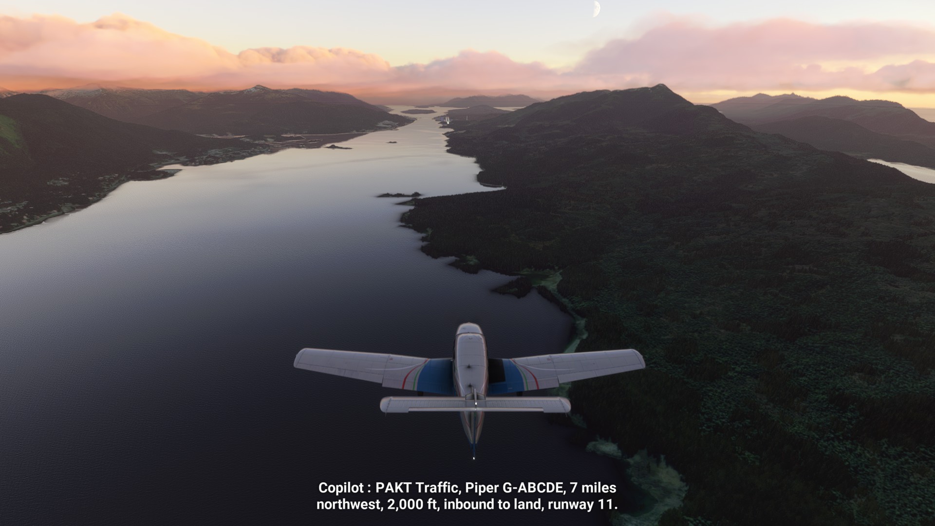
Country 14 - Bangladesh
One of the shorter legs so far - a little over 2000 miles between Bahrain and Bangladesh, flying in a reasonably straight line across the Gulf, Pakistan and India.

It would lovely if there was a tad more add-on scenery available for this part of the world - some of the default airports look like they’re lacking just a little in buildings, character and so on… Perhaps something for a future world update?
Curiously, Bahrain and Bangladesh are linked by a year in history - it was during 1971 that both countries declared their independence. Though both can claim histories and cultures that reach back far beyond contemporary political independence.
A few highlights from this leg of the trip…
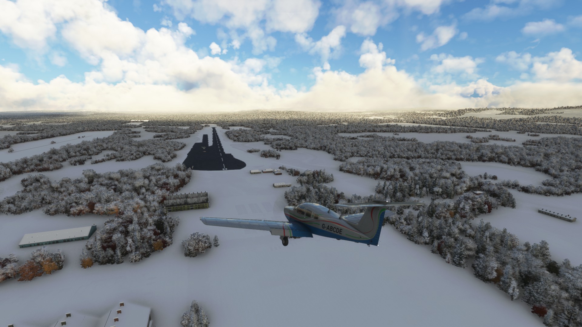
A building that’s been built curiously close to the runway

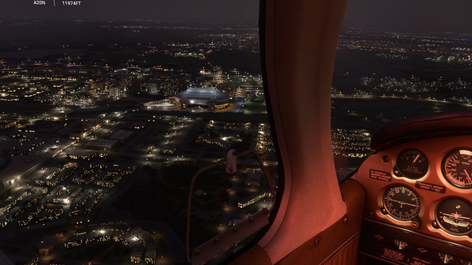
Some great night lighting (I think this is Kolkata)

Oh, and the one time I may have forgotten to lower the landing gear (I got away with a belly landing without triggering a crash, but I fear there may be a call from the control tower…)

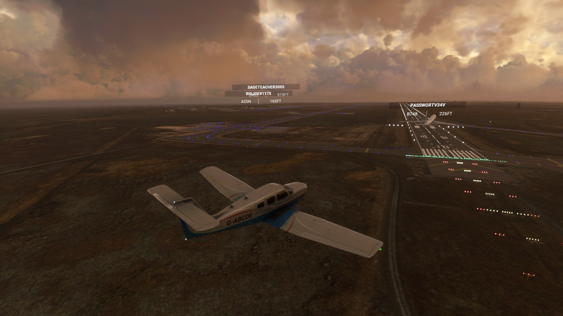
After fixing the plane and finally getting to Dhaka, there was something of a close call with a jet trying to land right behind me.

According to the list, it’s Barbados next. (And where better to head during the rainy European autumn?) In theory, the quickest way is to turn back west, and follow the great circle route across the North Atlantic, but I’ve done that route pretty recently. So I’m going to keep heading East, instead, across China, Russia, and Alaska, before heading down across the rest of the US from the Pacific North-West diagonally towards Florida and the Caribbean.
It’s looking like a long trip, but I’m excited to fly across some parts of the world I’ve never explored before. (There are still an awful lot of 'B’s left - another 13 before Cambodia.)
2 Likes
A quick update…
It’s an awfully long way from Bangladesh to Barbados, travelling east! I’m currently in Alaska, having flown across China with a quick stop in Korea, and then across the Aleutian Islands.
Before all that, I took a bit of a detour to the mountainous northeast of India and the foothills of the Himalayas.


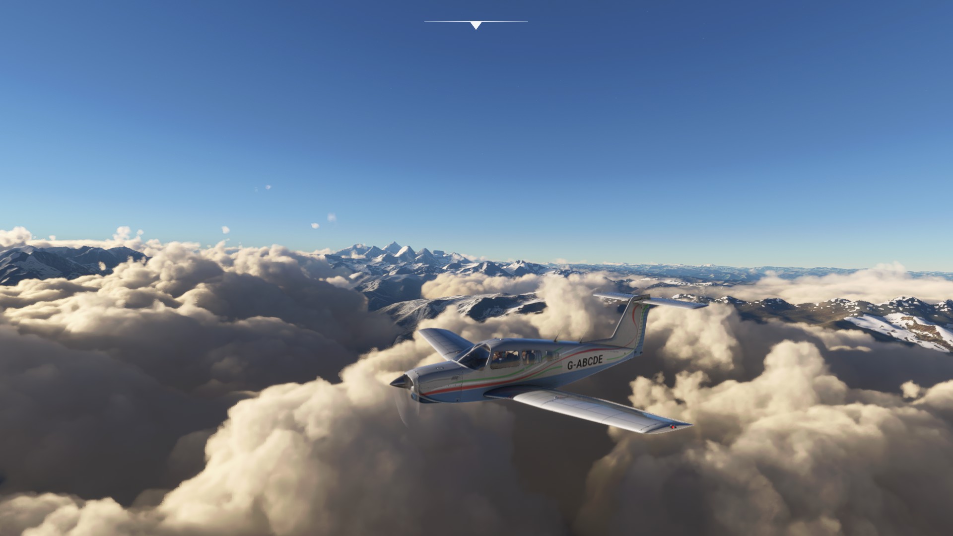
China was mostly a nighttime trip as the time zones weren’t quite in my favour. But here are some mountains by day…
And a very regularly laid-out city by night.

The far east of Russia has some very pointy mountains…here’s one near Petropavlovsk:

Another update to come soon…
4 Likes
An overdue update…it’s been a few days now since I reached…
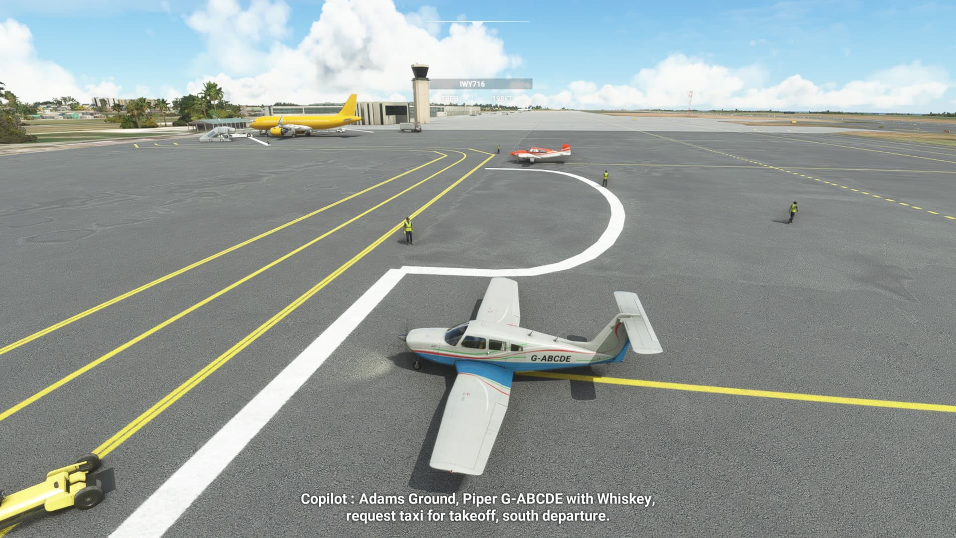
Country 15 - Barbados
From Alaska, I flew more or less south-east towards Florida, though not in a totally straight line.

It’s fair to say there was a fair bit of scenery along the way, and it wasn’t all totally VFR conditions, either.


The weather warmed up by the time I hit Florida, needless to say.

And there’s some truly awesome water masking in the Caribbean


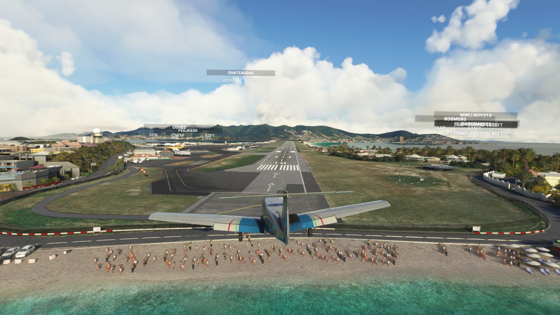
Always fun to fly the approach low over the beach at Princess Juliana International
Barbados has just the one airport (Adams International), so it was a quick flying visit. As I’m writing this, the country is preparing to replace Queen Elizabeth with a President, becoming a republic tomorrow (November 30th). So there’s some pub quiz trivia for you.
Off now to much colder climes: Belarus is next…
For this, I’ll be heading south at first, and then crossing the Atlantic via Ascension Island once more, before heading north-east across western Africa. Something like this…
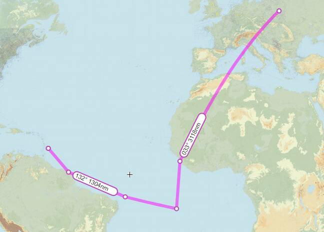
It’s another long trip, but after that, a relatively short hop between Belarus and Belgium awaits.
3 Likes
Oh my goodness. This is amazing!? Are you doing live weather and time during your flight time? Night time flights must be a killer in undeveloped countries.
Mostly live weather and time, though not completely consistently. Night flying is fine so long as there’s a way of navigating (though not much to see!). It’s much trickier when I’m looking for a grass strip with basically no navaids - that pretty much requires daylight, though I’ll keep live weather as much as possible.
The other tricky thing is when FSEconomy airfields no longer exist… I’ve landed in a few fields, a couple of roads that maybe used to have a landing strip… I should really check more thoroughly before setting off sometimes!
Really cool what you’re doing! Are you using the GNS530 in the Arrow, or all by traditional navigation means (VOR, NDB)?
And if you want to use my Citation when passing through the Netherlands for some legs, just let me know. It is in FSE as well (at EHRD), and you can use it for free 
It’s all traditional as far as possible  SkyVector and OpenStreetMap (sometimes Google Maps too for a satellite view)
Just the occasional use of the in-game VFR map when I really have to.
Thanks for the offer of the Citation! Just a bit faster than the Arrow…though I’m trying to get it completed all in the same aircraft…
2 Likes
Hallo, interesting way to fly around the World, I will follow your progress for sure. I am doing also one World tour and I am posting my progress on my website asl500 .com Are you flying online (Vatsim or IVao)?
Hi - thanks! I’m not on Vatsim or IVao, though maybe I’ll look into that at some point…
1 Like
Sure, please let me know so if I see you somewhere I will join you if you are in same country at that moment. 
1 Like
Country 16 - Belarus
Although, in the real world, most airlines are currently avoiding overflying this country (for reasons I’m not going to get into here…) Belarus was next on my list, so off to Brest I went. (Not to be confused with various other places with the same name…)
My route took my across the Atlantic, as I mentioned earlier, before heading up to Spain and across Europe via France, Germany, the Czech Republic and Austria (a bit of a dog-leg route, but via Vienna, so that’s nice - although my scenery is doing some very weird things there…)

Not quite right, is it?
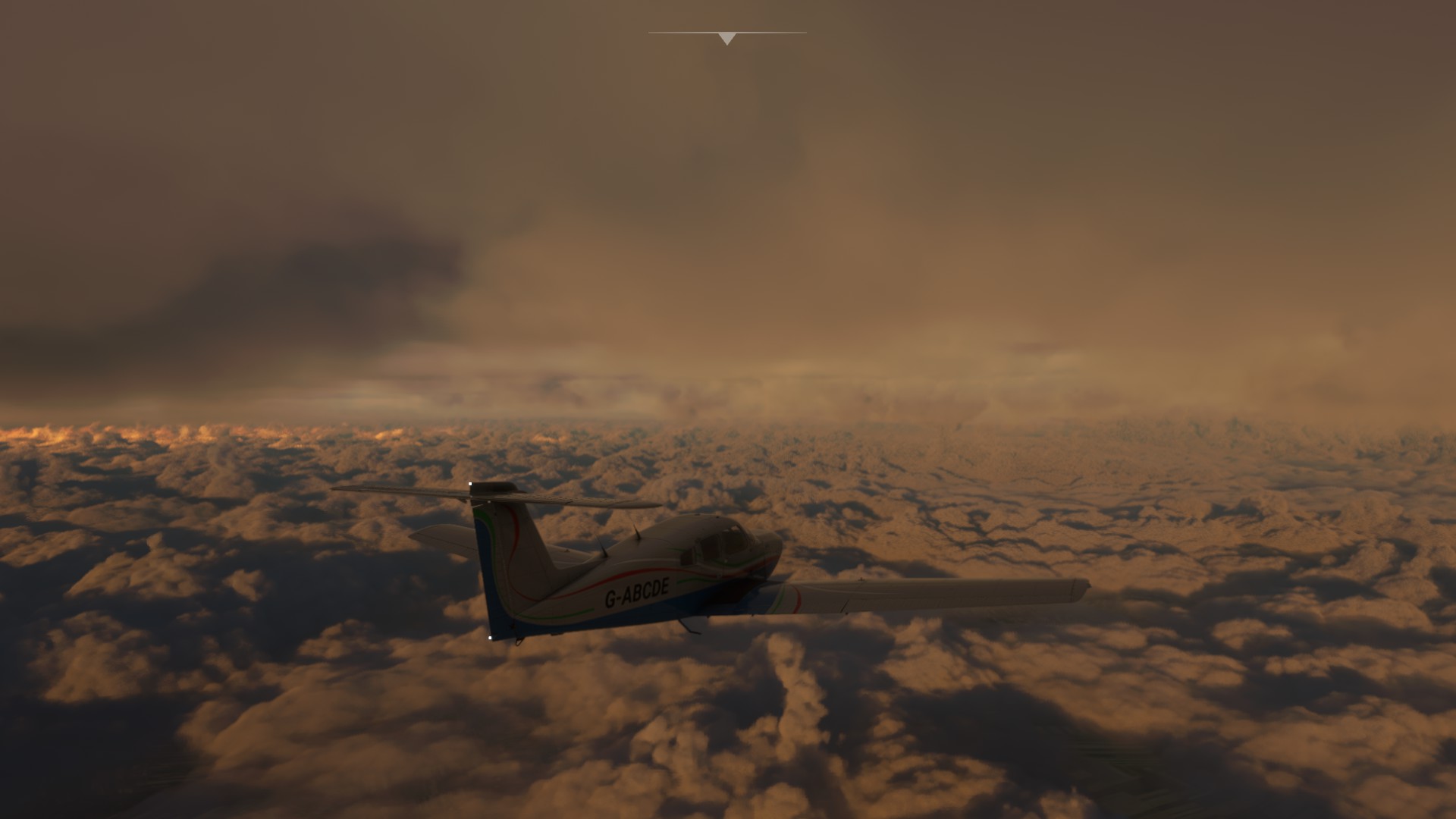
Here’s some pretty weather, somewhere on the way from Vienna to Belarus:


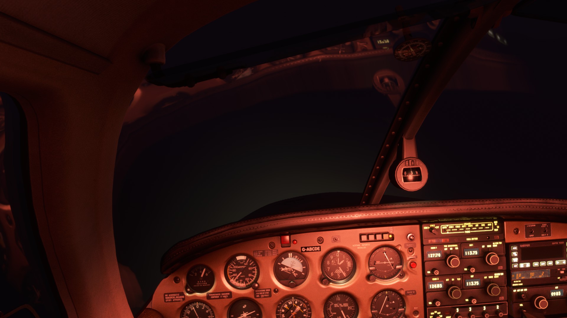
By the time I got to Brest, conditions were rather less than ideal. Don’t do this in real life, folks…

Next up, it’s Belgium! It looks like there’s some great airfield scenery on flightsim.to, so I might tour around a little.
What else should I see while I’m there? Suggestions welcome!
1 Like
Country 17 - Belgium
A comparatively short trip, just across Europe via Poland, Germany and the Netherlands. A mere 772NM, broken up nicely in a couple of places and with the opportunity for a little fly-by sight-seeing, too.
Here’s the Palace of Culture in Warsaw:

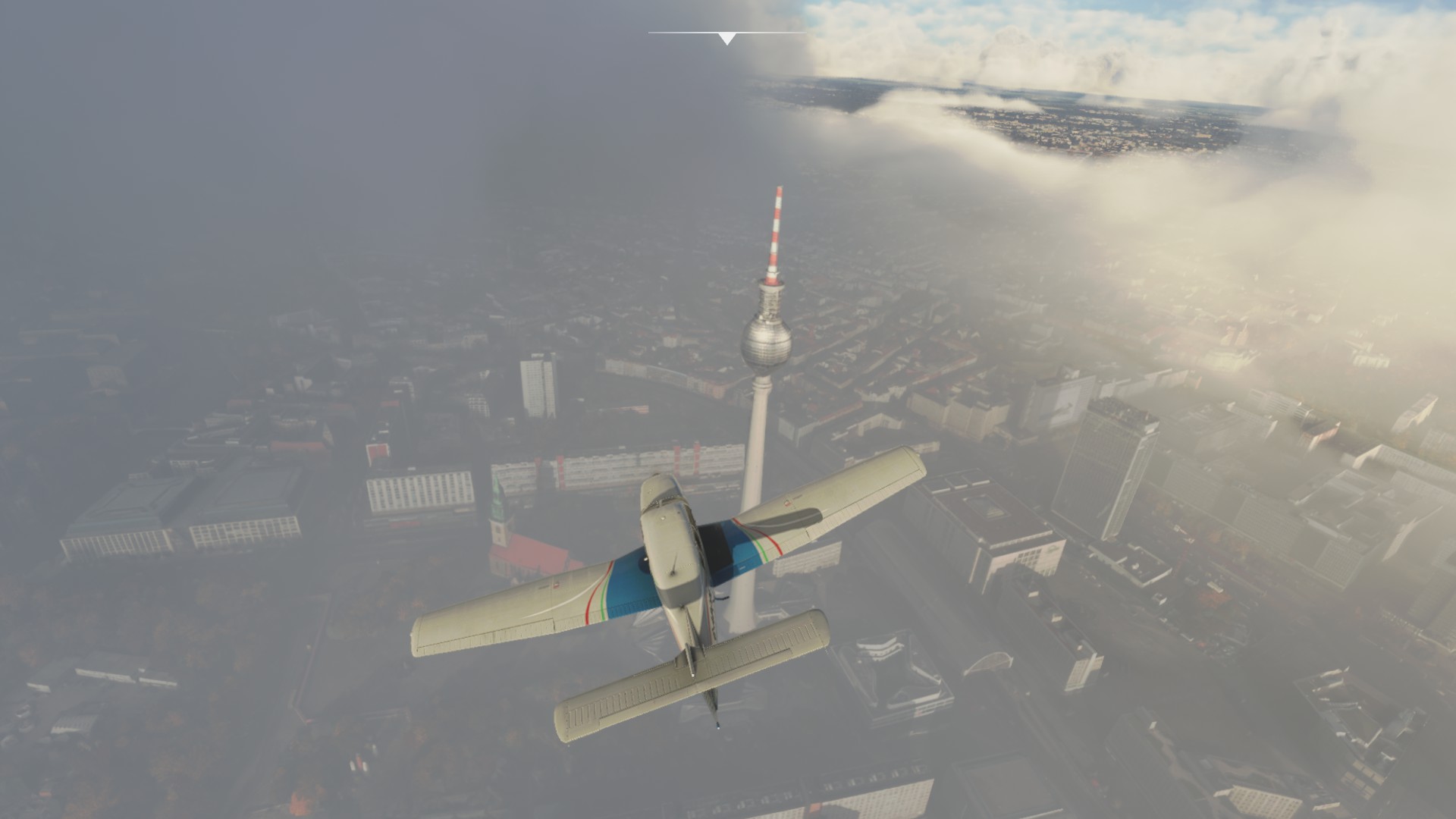
Here’s Berlin:

One FSEconomy curiosity along the way: the airfield at Nauen, which hasn’t existed for a good number of years, by all accounts, but at which I needed to land. Curiouser still, MSFS has put one of those ubiquitous flashing beacons where the airfield was - clearly whatever database informs the positioning of these is some years out of date. Handy, though! You can see it just behind the rectangular building on the right, here:

I managed to land in an adjoining field, which was close enough for FSEconomy’s purposes. (In real life, I fear this may have been a field of cabbages rather than grass, so not optimal for the landing gear…)

After that, to Deurne (and some great freeware scenery) via Amsterdam


Next up, Belize! So it’s back over the Atlantic again…and through the northern winter, too.
3 Likes
Country 18 - Belize
A long overdue update… As I write this, I’ve actually just arrived in Bolivia, which is in a couple of country’s time…
It was a little over 5,500 miles from Belgium, north, across the Atlantic, and down the US’s eastern seaboard and into the Carribean towards Belize. Quite the mix of weather, as you might expect in the winter, with particularly vicious headwinds between Greenland and Canada. In real life, this sort of thing might be fairly inadvised!
I flew up via the UK, so here’s the obligatory white cliffs of Dover shot…


And here’s Canterbury Cathedral

The winds were really pretty strong by the time I got to Iceland. Here’s someone landing a 747 more or less sideways at Keflavik.
And somewhere in northern Canada, I believe…
It was pretty snowy, to be honest. Decidedly IFR conditions on the way to Boston.

But altogether more pleasant weather by the time I got to the Bahamas.

Safely in Belize, it was a quick stop before heading towards Benin, next in the alphabet, back across the Atlantic.
2 Likes