I’ve already created a number of sceneries from Google Maps.
I use the Google Earth decoder, then import the data into Blender,
cut the scenery and export it. In the MSFS SDK I open the project and create the package with .
After the flight has started, the scenery object can be loaded into the Scenery Editor. So far everything is okay.
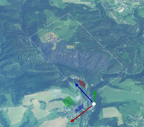
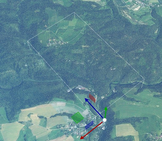
In a few cases it happens that the object is only visible from a very great height (ochel-mit.jpg).
As soon as I zoom in, the scenery disappears, only the markings can still be seen (ochel-ohne.jpg).
Polygons and others have not yet been inserted, so there is no shape or scene file either.
Has anyone ever had this effect and a solution for it?
Thanks


 whistles …