Much as I run the sim with all the settings maxed out, I still find the ground textures way too blurry, is there any way to increase the Bing Maps ground texture resolution ?
Well, i don’t think it’s a true bug topic to up vote etc. I was just seeking advice from the community.
Understood, but if there’s something to remedy, we’d like to get it here as future readers may look in this sub-forum first. It’ll still show up on anyone’s Latest and New views unless they muted this category.
1 Like
usercfg.opt and fiddle with the LOD settings in there if I remember correctly. You’ll have to make the file read only after you edit it, or the game will reset them to the lower settings…
There are a couple of threads on this already…
There isn’t much of a solution, I think, other than MFS abandoning bing imagery for the same photo sources as google, of much better resolution almost everywhere. just compare bing map and google map to see the difference in quality with zoom. But this is a dead end subject.
That will only help mainly with photogrammetry. It won’t help with Bing resolution. That’s something Asobo will have to apply.Probably on going improvements. Some area it looks really good from 20000ft
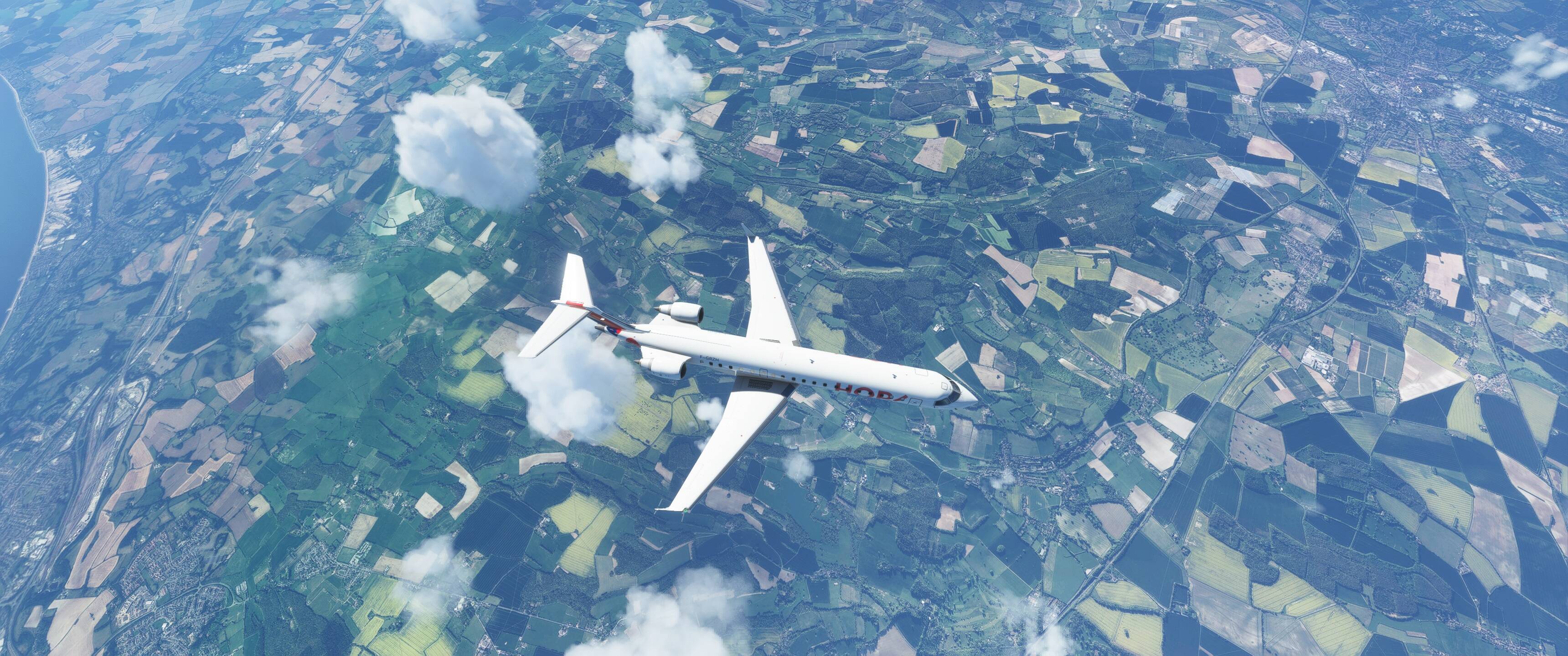
But I rarely fly at 20,000ft hell I barely fly at 2000 ft, I tend to fly in the dirt everywhere. Its strange though, I’ll fly out of tribal air one day and there are millions of cacti all around, and the next hardly any at all, though you can see the blobs on the surface where they should be drawn.
Thats the problem with the game, to much is reliant on the network functions, IMHO the only thing that should be running from the network is the scenery, everything else should reside on your drive and run from there. but MS wants to show us that running all software from their ‘secure’ system is much better then from your own PC…
… you say you fly low altitude…ultra settings… but are you sure you run Render Scaling at 100% ?
It’s at 120 per cent.
What happens at 100 ? and can you show an image of the issue please ? what altitude…
We don’t have enough storage in our PCs to store high resolution textures of the entire earth. I take it that is what you meant by scenery.
When textures are too blurry, the only “solution” I found is to fly higher.
Yes thats what I meant when I said scenery thats why they should send you the world. And honestly if I wanted to fly at 20000 ft, I’ll fly P3D. If Im going sight seeing I fly this. But the point still remains, that way to many things in the game require network connectivity and thats just wrong…
If Microsoft did send you the world, where would you keep it? Bing imagery that is used as the basis for generating the MSFS 2020 world scenery is 2 petabytes in size (google “MSFS2020 total scenery 2 petabytes”). For better or for worse, the only way to make this approach to rendering scenery of the entire planet work at this time is to stream it.
1 Like
Hey, dudes. I hope you are all doing fine.
I figure your concerns as to how data is managed in MSFS, but you must come to understand that MSFS is a totally new concept when it comes to ground textures and autogenerated data along with PG, where available. It is almost impossible for the users to own such a massive data set and we just conveniently leech it from gigantic MS servers / azure every time we fly.
My only gripe here was merely to find out if there is a setting on my end to adjust the level of resolution of the Bing Maps photorealistic ground textures.
You are right, as I said above, bing’s photos on many places are catastrophic, as is google, but I think google’s sources are better on many places. Do the experiment with Bing Map and google Map. at max zoom, the terrain texture is often much better on google map. so if you take a poor quality terrain photo, compressed and transformed to MFS format, it will be even worse. So I don’t think there is much solution to improve ground texture in VFR, except if one day, there is a software like Orthi4xp for x-plane or ORBX
1 Like
Easy they dont send you the graphical image of the world they send you a file in bin (0100100110110) and then have your client convert the numbers to translate the real world.
But this is what Im saying its fine that they stream the actual world data to your machine, but it seems that they also stream most of the aircraft functions as well, and there should be no need for me to run the aircraft part of the sim from the cloud. A good example is the vfr map, during laggy times, the vfr map takes longer to update then if your playing during non prime time.
Last Sat. my new joystick started to act up the elevators were flapping wildly, and I thought great brand new joystick and already junk, uninstalled drivers for the stick still the same thing, tried a different stick and still the same issue) The next morning Sun, loaded up the sim and all was back to normal.
TO OP: sorry started to get longwinded here, the answer to your question is NO…before they update bing maps a few months back it looked better etc, but the last update to bing maps sunk stadiums, and other visual degradation. The strange part is that sometimes the scenery will look just fine and other times it looks like LOD is set to .5
This topic was automatically closed 30 days after the last reply. New replies are no longer allowed.