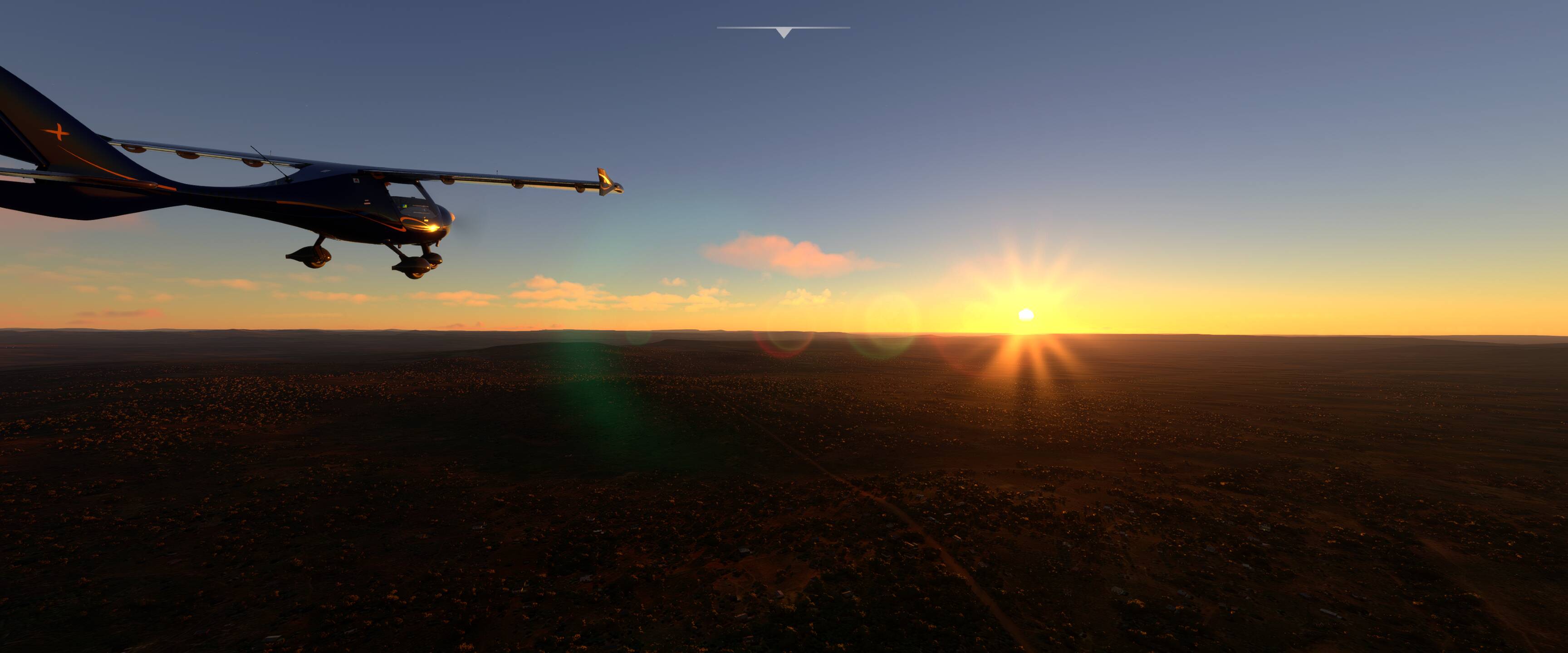
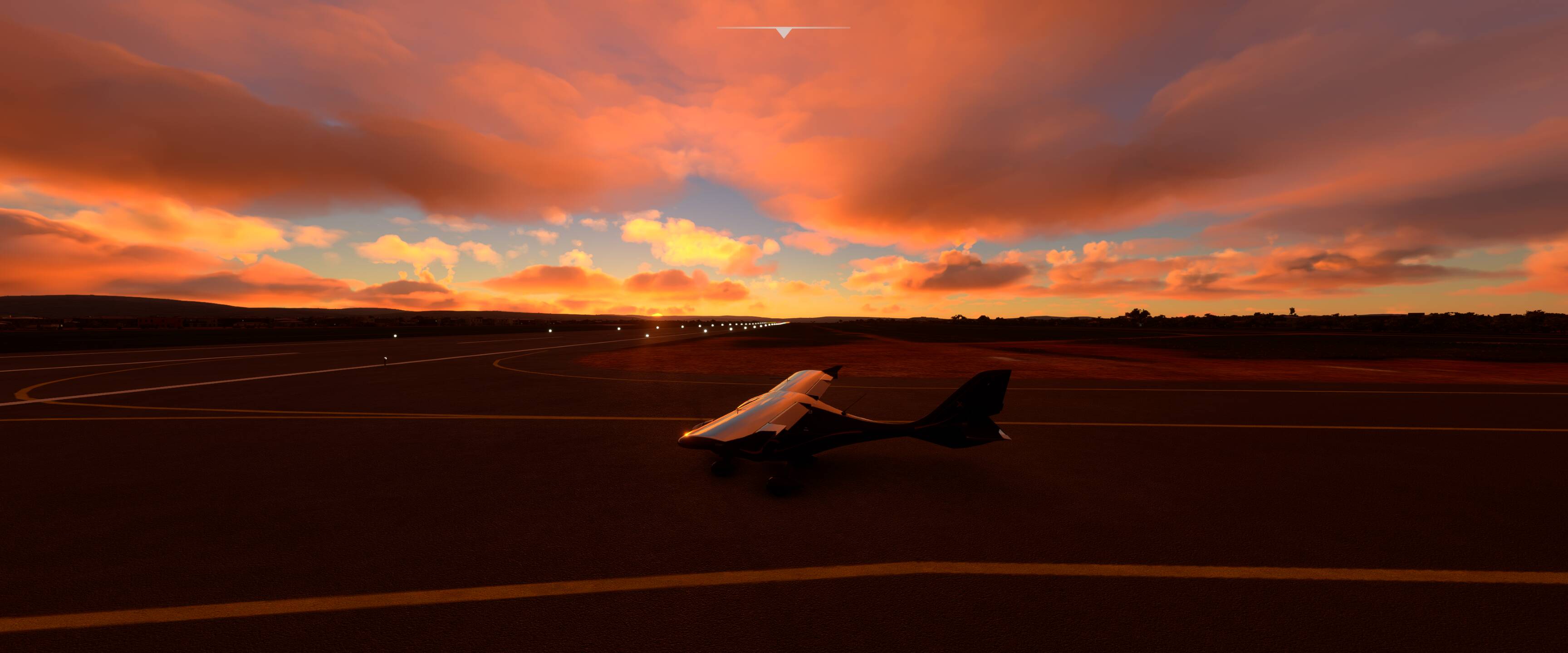
Leg 23 Kifura (HTKF) to Kigali International (HRYR) - 173 NM
A backdrop of pink morning clouds brought us northwards over increasingly hilly terrain to Kigali our first international airport in ages. It felt a little strange after thousands of miles of wilderness to suddenly be in a sprawling urban environment with a 10,000 foot runway!
1 Like
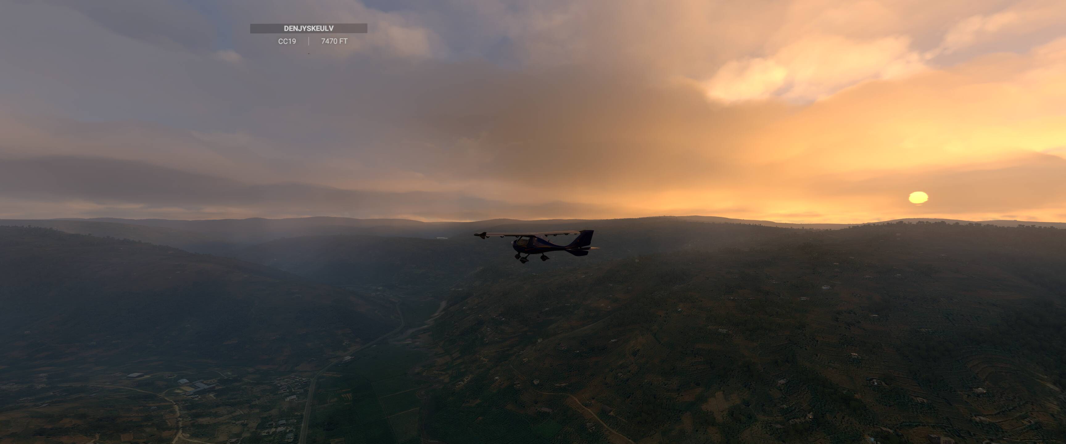
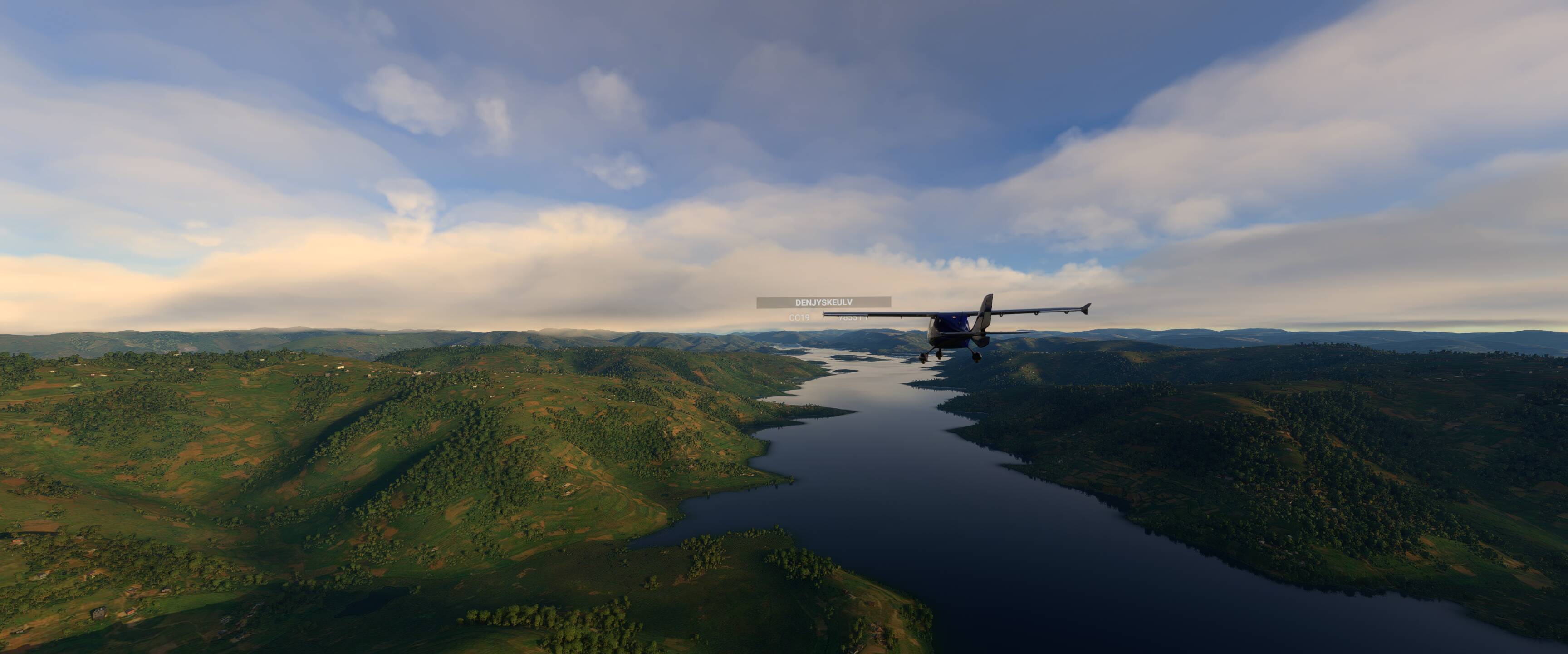
Leg 24 Kigali International (HRYR) to Mbarara (HUMA) - 134 NM
Quite a short hop by our standards but a stunning one nonetheless. Leaving Kigali international we immediately started a steep climb to clear the 8000 foot peaks ahead of us in the mountains of Northern Rwanda. I struggled to keep up with @DenJyskeUlv cub with its superior climb power!
It was interesting to see how populated Rwanda was despite the steep terrain and valleys. Everywhere we looked there were villages and small settlements clustered around the roads.
In no time we crossed the border into Uganda to a do a tour of Lake Bunyonyi before landing at Mbarara.
Tomorrow evening’s flight will see us crossing the Equator, a significant milestone! Join us on discord for the celebration if you can 
1 Like
It all looks so tranquil in flight and really stunning sunsets👍
1 Like
Perfect summary of the trip Slowly cruising over awesome scenery.
I am a sucker for pink fluffy clouds. Most of the shots so far are actually sunrises, it’s much easier from a flight planning perspective to avoid us plunging into sudden darkness without IFR equipment
Oops, my mistake but enjoying reading your reports anyway…
1 Like
Hi
I have just found this post and have started following you. I have just started this morning from FAAF. So a long way to go, maybe try to catch you.
1 Like
Sorry started at FASH, so even further lol.
1 Like
Great to have you along for the ride… we have at least 2-3months to go so I’m sure you’ll catch up with us
Yes hopefully, I am 73 next week so just taking my time with it, but enjoying the journey.
2 Likes
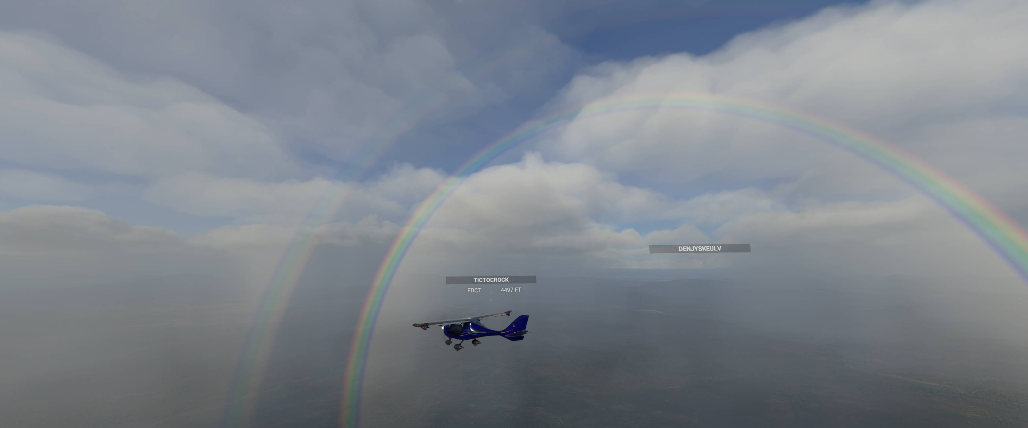
Leg 25 Mbarara (HUMA) to Kajjansi (HUKJ) - 147 NM
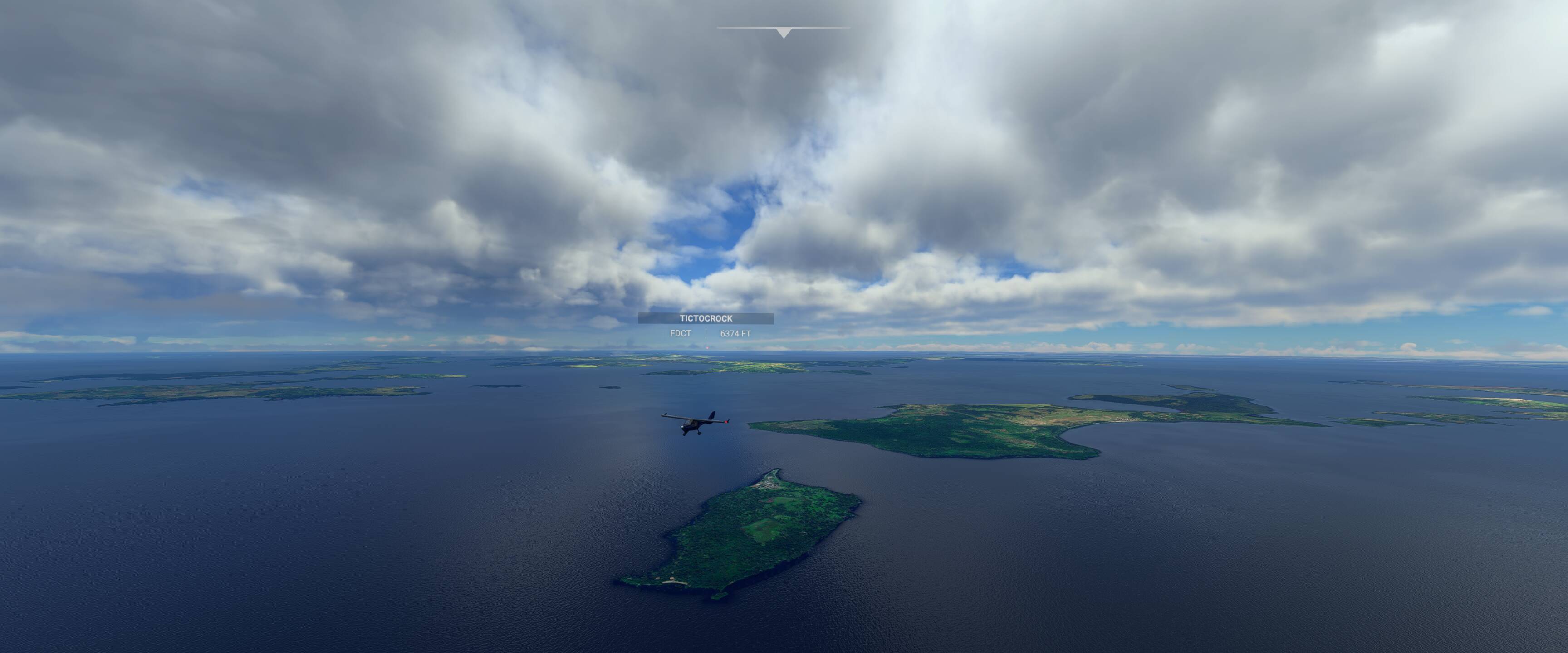
We took off from Mbarara under crystal clear skies following country roads and green hilly terrain to the shore of Lake Victoria. After 30-40 miles of island hopping we reached a milestone on this trip, crossing the equator!
The equator brought much celebration along with dotted thunder showers including one hovering just over our approach at Kajjansi. @TicTocRock and I had to be creative with our circuit patterns to maintain sight of the field.
Changing hemisphere’s brings with it a time for reflection:
- 3500 miles flown to date
- 10 Countries: South Africa, Namibia, Botswana, Zambia, Zimbabwe, Mozambique, Malawi, Tanzania, Rwanda and Uganda
- Circa 40 hours spent cruising the skies and getting to know @DenJyskeUlv and @TicTocRock (you guys are awesome!)
@DenJyskeUlv it was such a shame that your network issues prevented you from joining us on this momentus leg, it wasn’t the same without you! Don’t worry we’ve already planned a slight detour for the next leg which will allow for another equator celebration
2 Likes
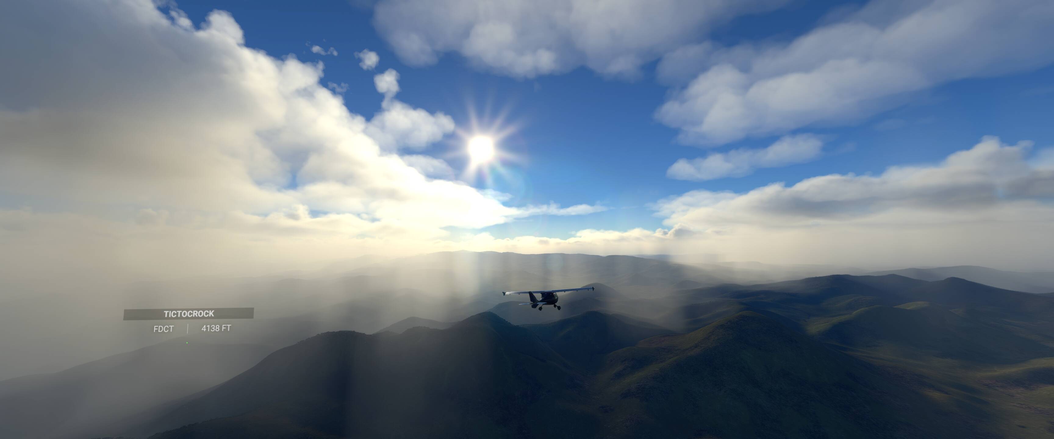
Leg 26 Kajjansi (HUKJ) to Eldoret (HKED) - 184 NM
Fortunately @DenJyskeUlv had resolved his network issues so Sunday’s flight saw us cruising along the equator in a flying V formation over lake Victoria to celebrate the thousands of miles we’ve covered over the last few months.
The route from Lake Victoria up to Eldoret saw us climbing up to 8,000 feet for the pattern altitude. Tomorrow’s leg is going to be a struggle for the CTSLs as we’ll have to push even higher.
2 Likes
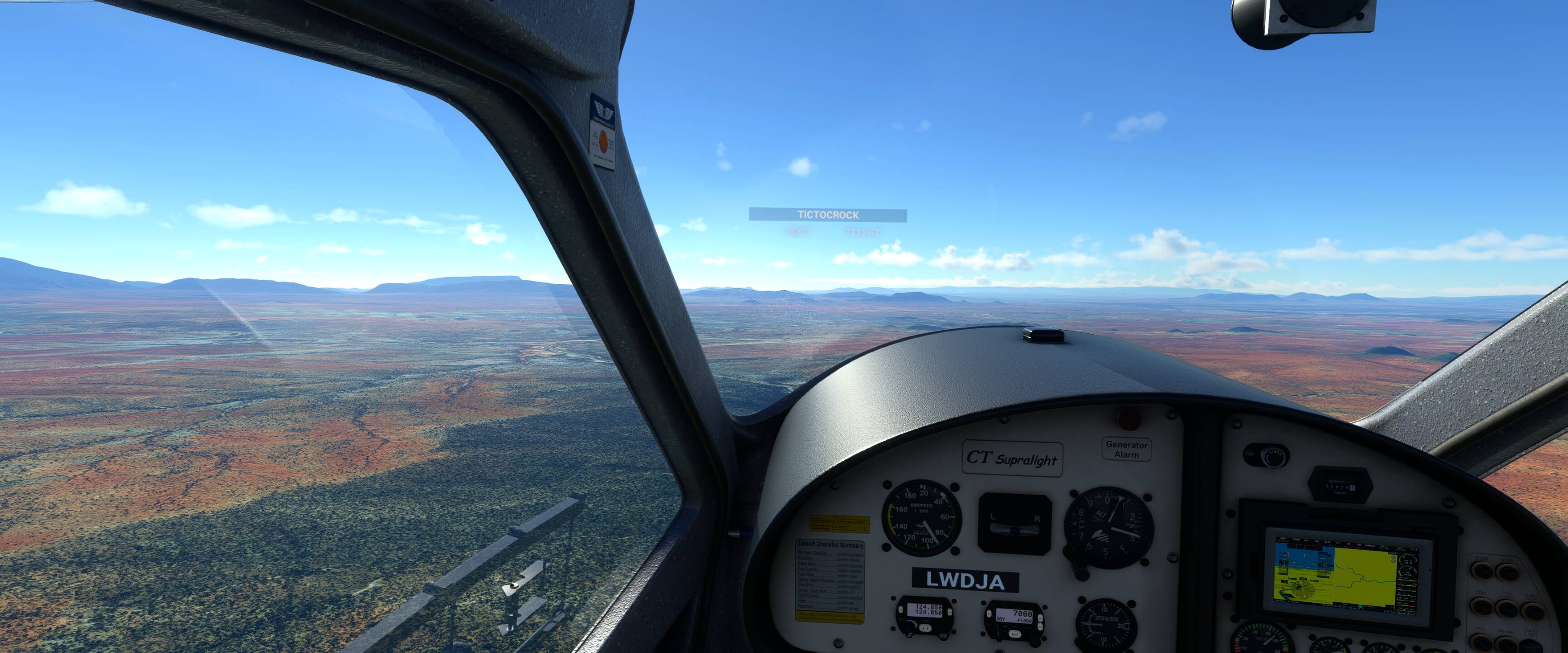
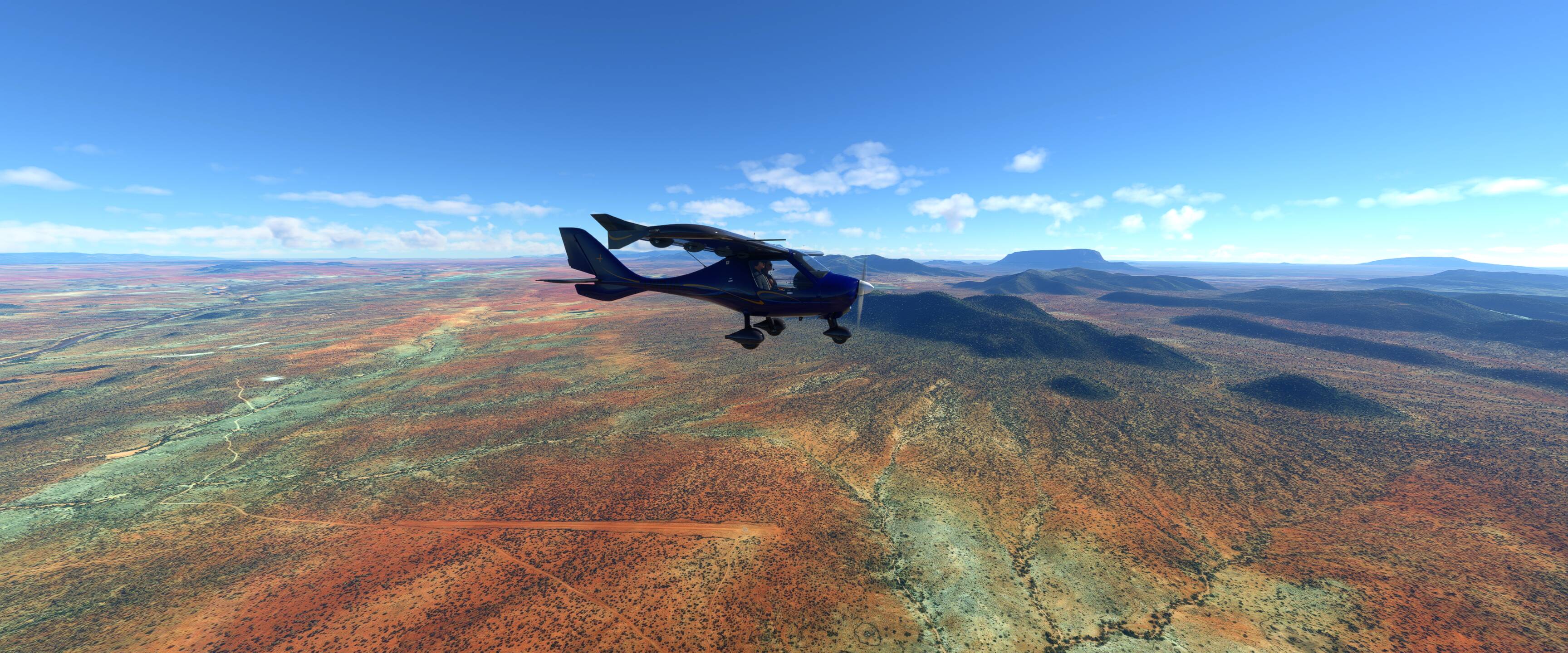
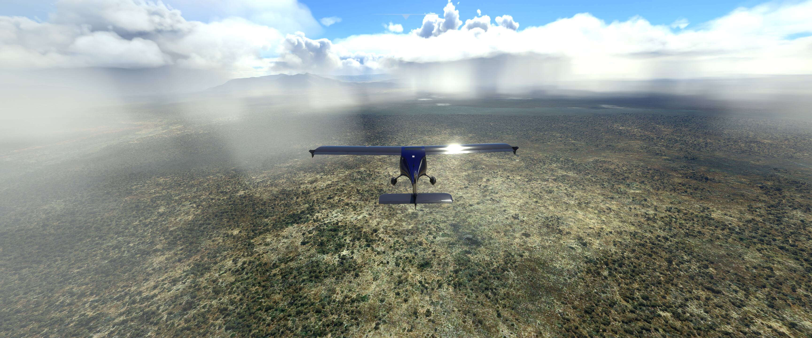
Leg 27 Eldoret (HKED) to Buffalo Spring (HKSB) - 195 NM
A varied leg. We climbed a few thousand feet to summit the hills beyond Eldoret before plunging 5000 feet down into the valleys and eventually plains of northern Kenya. The terrain is gradually loosing the rich vegetation of the equator to make way for the desserts of northern Africa. Looking forward to continuing the journey northwards this evening.
1 Like
Hi
Can you help please. I have reached number 30 WP17 but I am unable to change the time of day so am being forced to fly in darkness. Any ideas on changing this, I have tried everything .
Wow you’re making great progress! The time of day can be changed using the slider on the World Map page before you start the flight… also you can change it in sim by clicking on the weather menu which you can access from the menu bar in the top of your screen. I’ll drop a couple of screenshots this evening
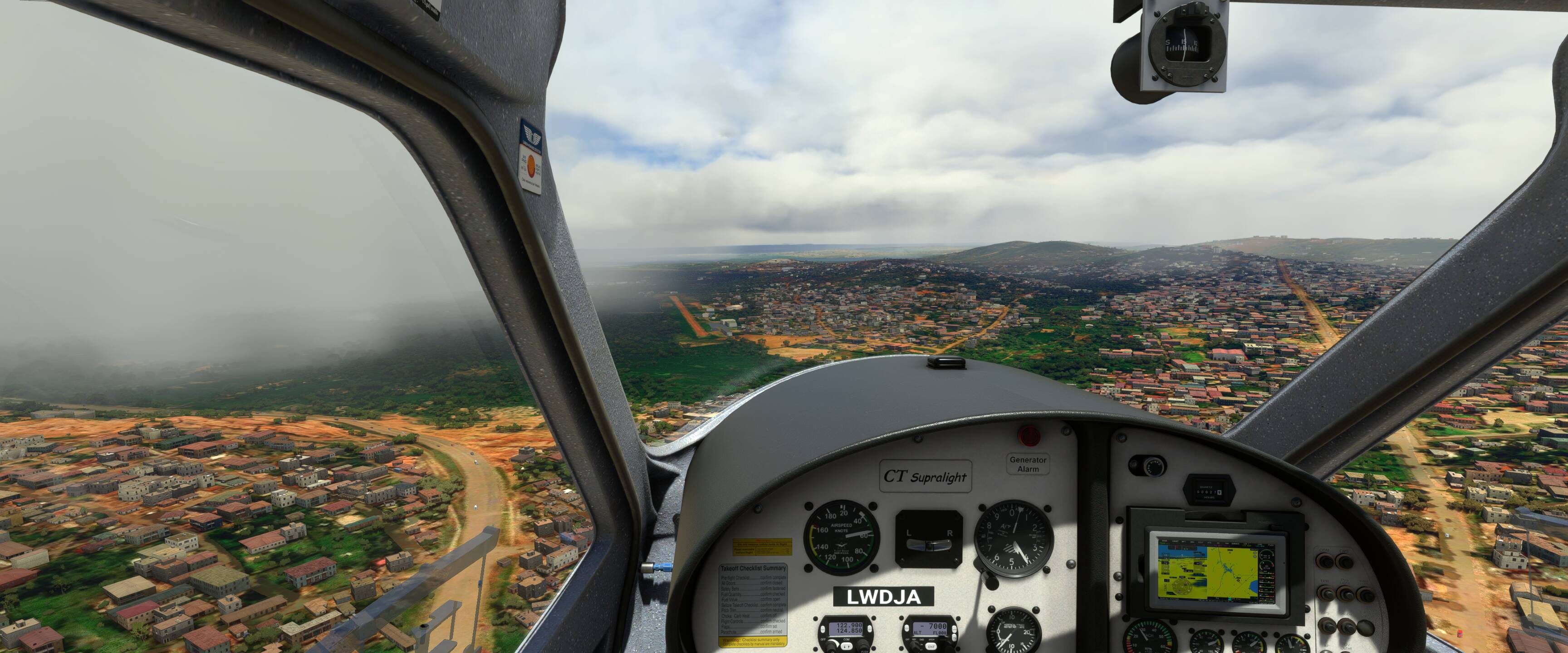
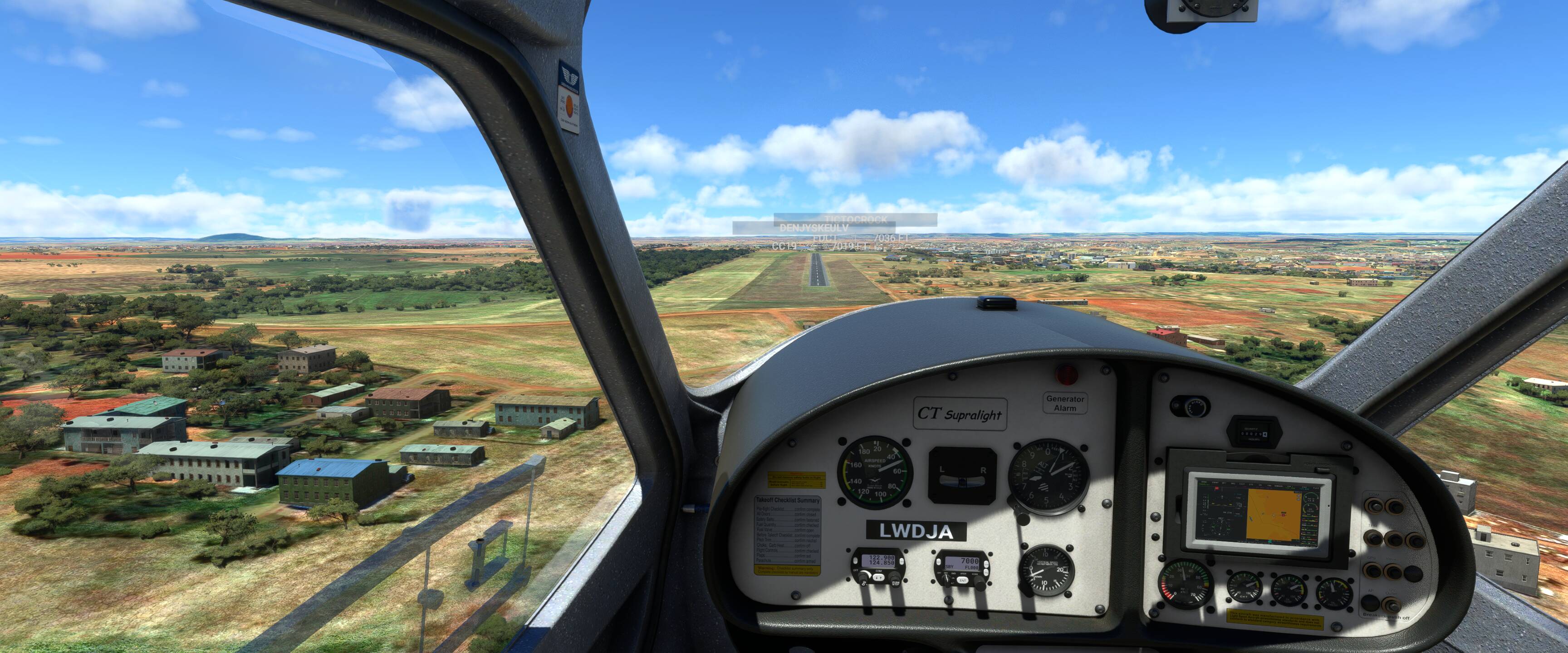
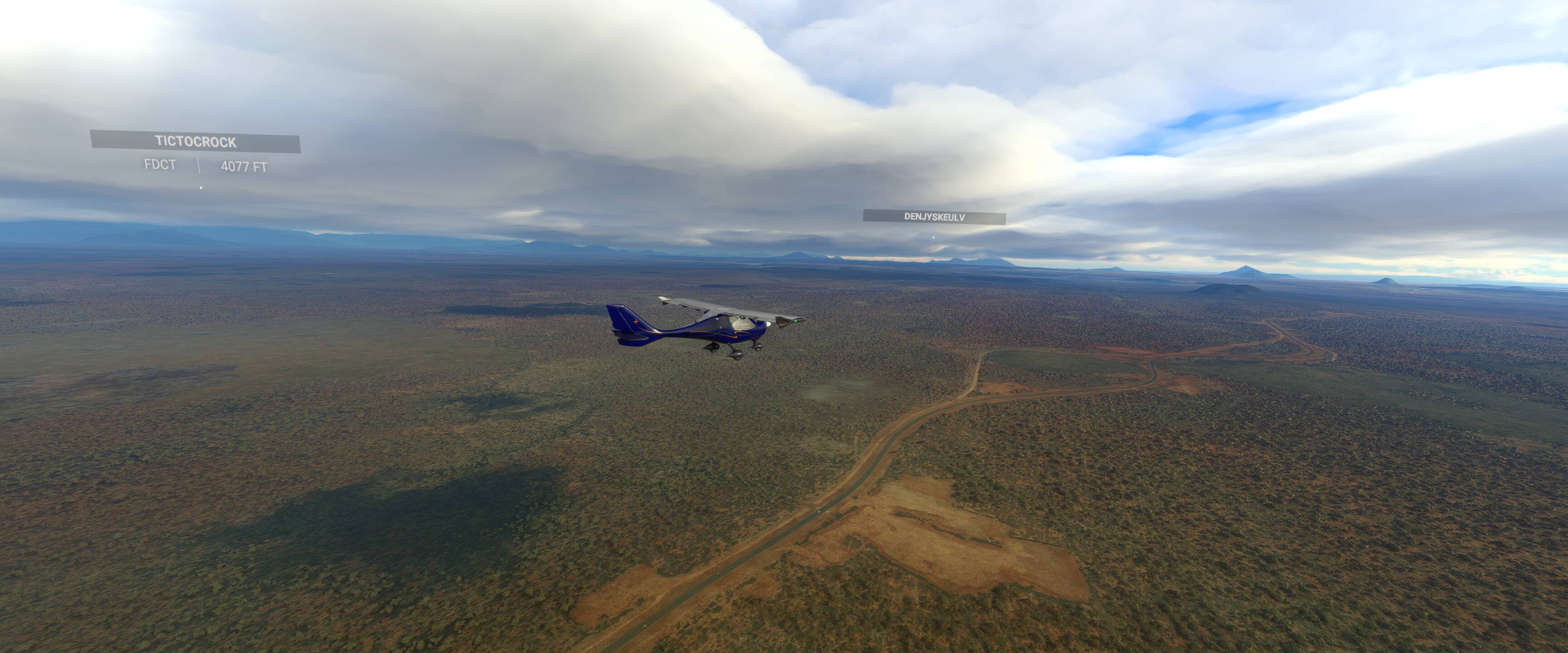
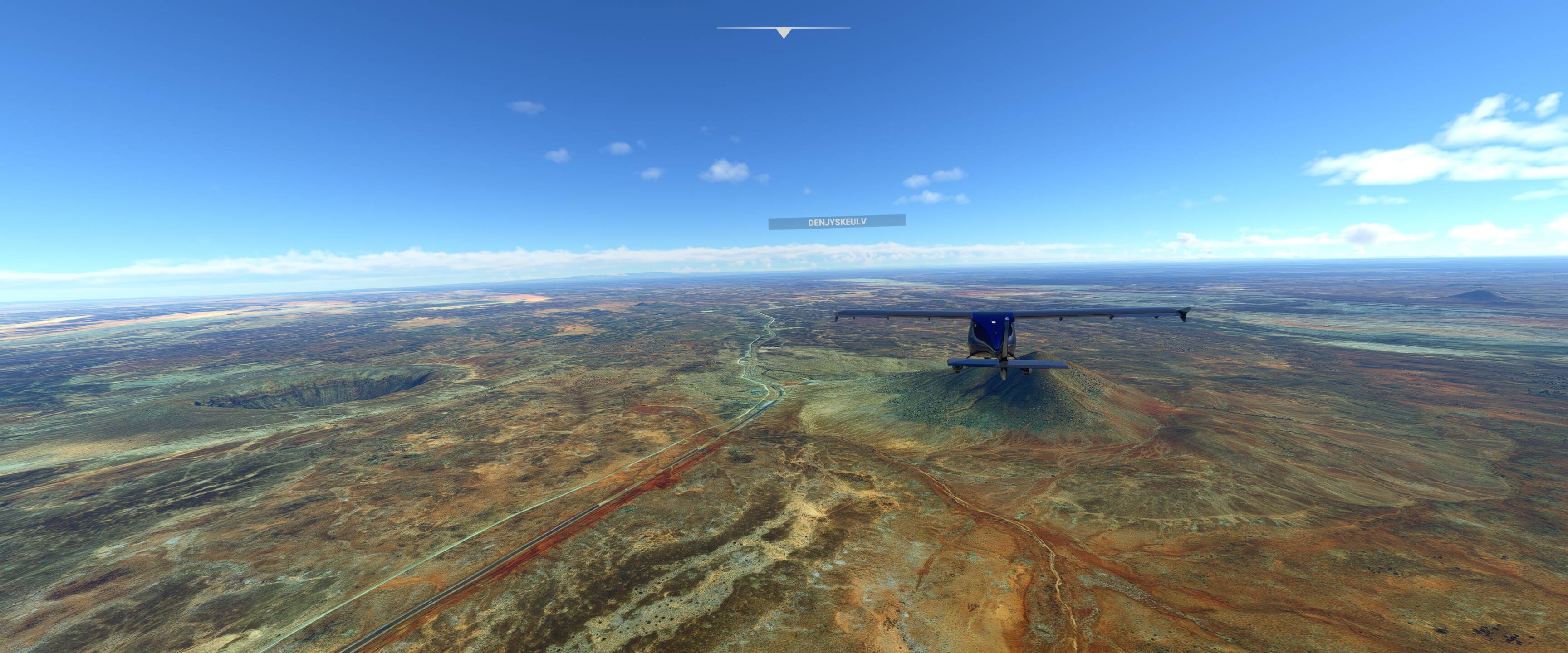
Leg 28 Buffalo Spring (HKSB) to Moyale (MYS) - 228 NM
The longest leg of our trip so far and I expected it to be a bit of slog following the Nariobi to Addis road northwards. Fortunately the sim surprised us with a landscape of wide open savannah showing signs of volcanic activity with craters, hills and multicoloured sands.
The approach into Moyale was especially “sporting” dodging rain clouds to find a clear path. Lesson learned from this trip, Little Nav Map shows the Metar for the nearest available station in the case of Moyale this station was over 100 miles away in clear skies!
1 Like
Have tried that in flight but the weather is greyed out. I have tried starting from scratch again and saving but makes no difference.
Hi glad you are enjoying the trip, stick with it we have seen some amazing scenery along the route.
Make sure that you have all the options under General > Data > Data Connection set to on or at least Online Functionality, Bing Data World Graphics, Live Weather, Multiplayer.
Make sure that you are connected to a Server i.e. Status online and a server populated.
When you set up your flight Conditions under Multiplayer select all players.
Under Weather and Time select Live weather.
Load up the flight and then check to see if you can open the weather tool bar from the top of the screen. If you are on Live Weather everything will be greyed out in the window, under the selection at the top is a blue line with the time written underneath it to the right, you should be able to adjust the time of day using the slider.
1 Like
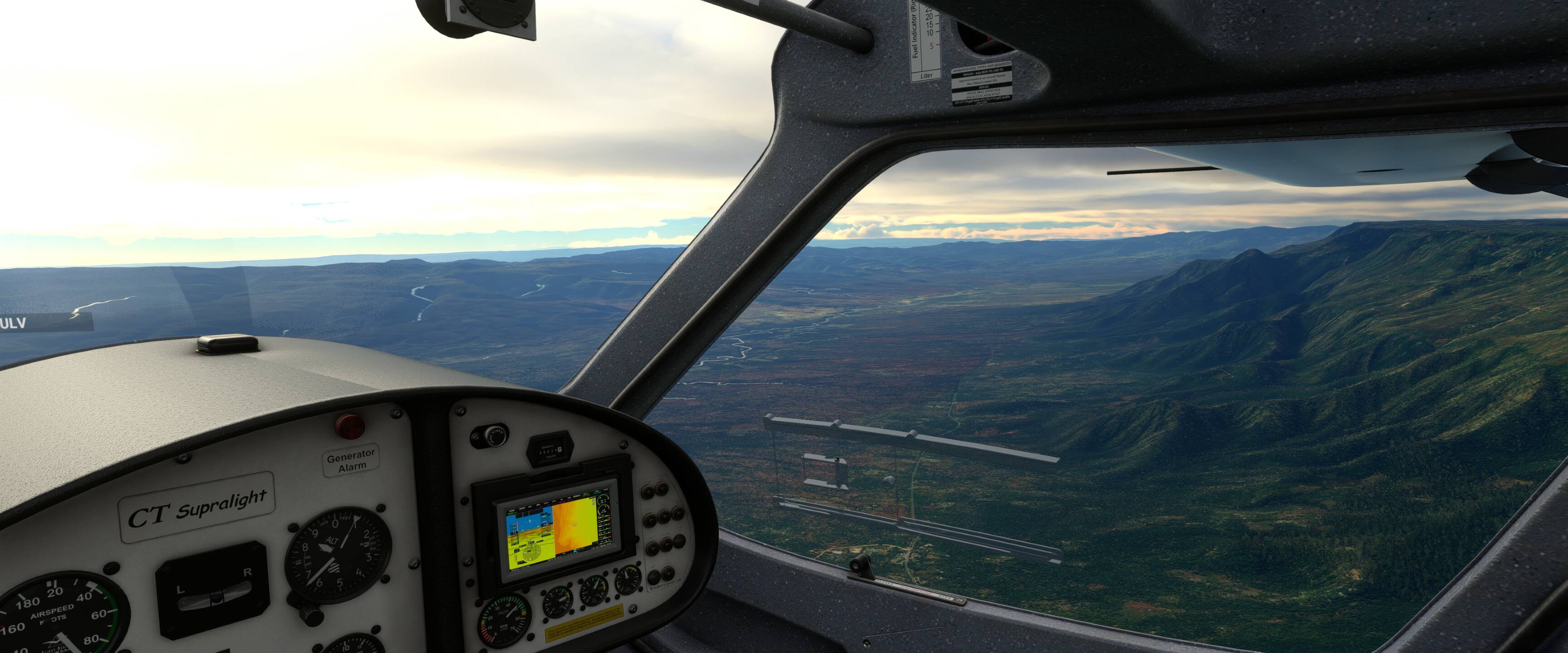
Leg 29 Moyale (MYS) to Arba Mich (HAAM) - 191 NM
There was a fair bit of weather on route for this leg but fortunately we were able to find gaps in the cloud base to wind our way northwards crossing the border from Kenya into Ethiopia.
I’ve extended the flight plan in the orginal post to chart our way through the Sudan, Egypt (Pyramids of course!), Libiya, Tunisia and across the med into Italy! 4200 miles flown 3700 miles until we hit European shores and the final stage of our journey. With a best guess estimate we will be in Scotland in time for my B’day in September!
1 Like
Hi, tried all different ways to change local times but have finally managed it by pressing esc then going into General. Go to Developers and enable developer mode then you can change local time. Sorted. Thought I was going to have to start from scratch again.
Glad you’ve got it sorted, it’s much nicer to fly when you can see the scenery