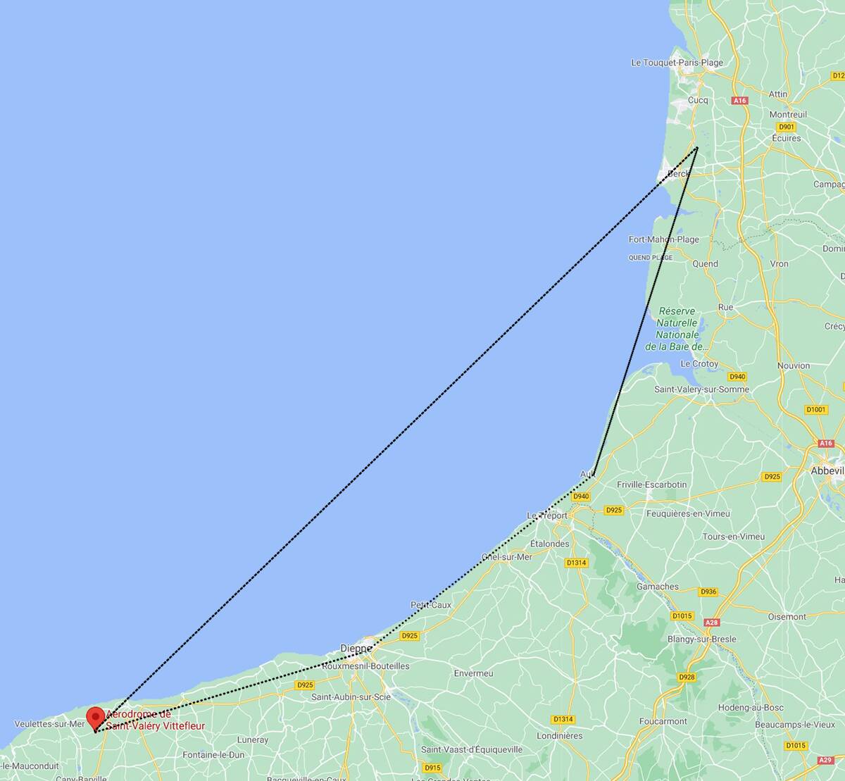
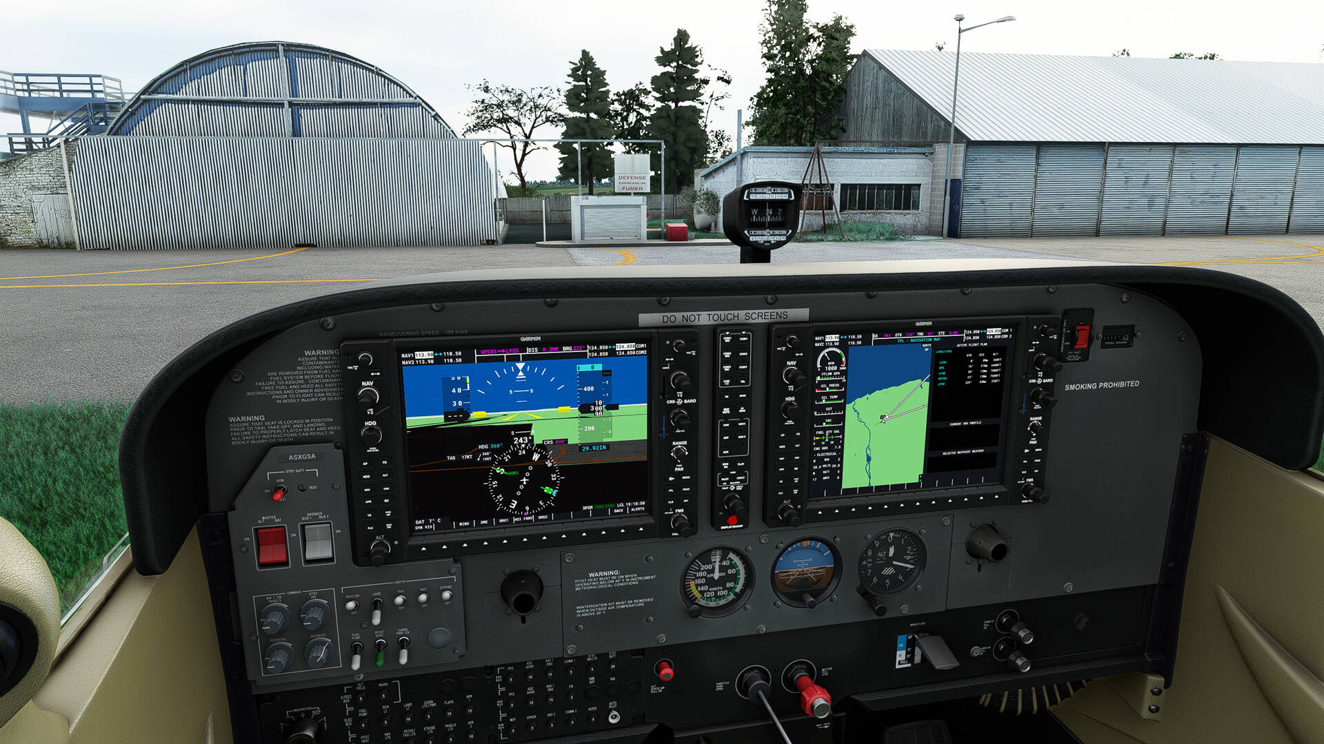
LFOS >>>> LFOS
Free add-ons : LFOS - Saint Valery Vittefleur 1.1 (flightsim.to)
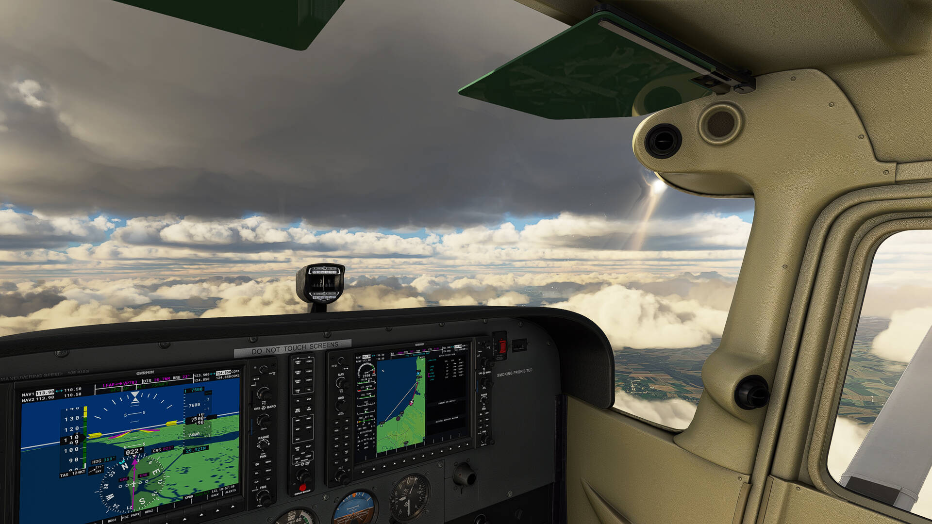
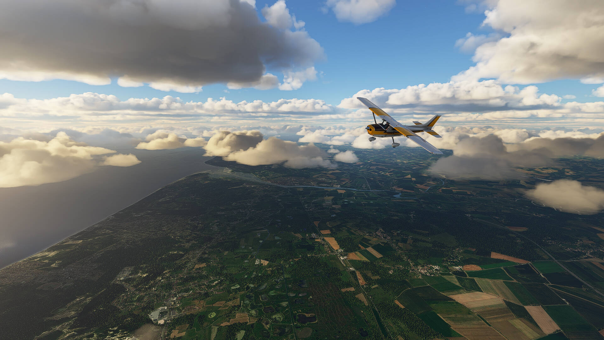
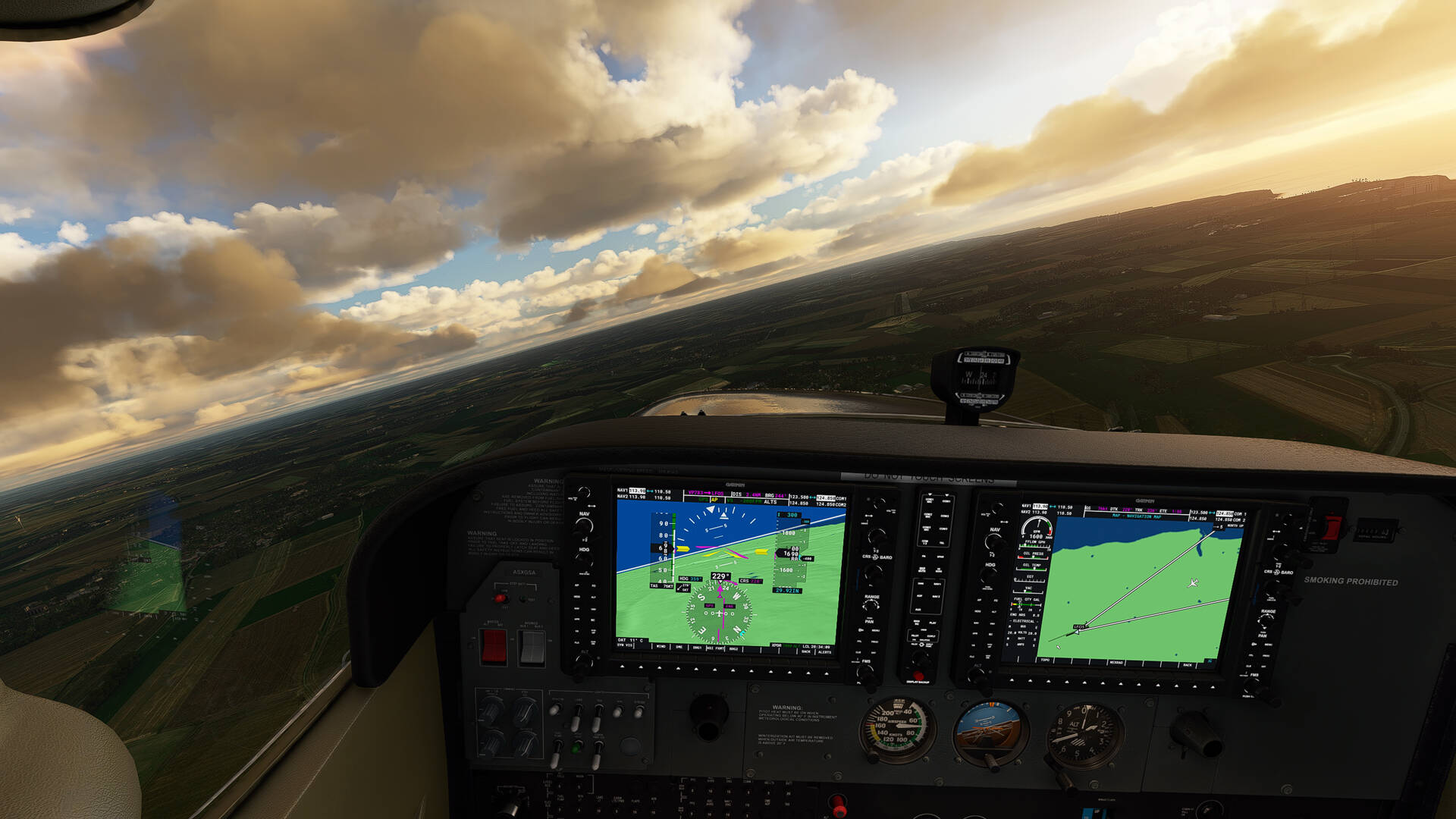
Takeoff from ‘‘l’Aérodrome de Saint-Valéry Vittefleur’’ in direction of ‘‘Le Touquet’’ along the coast of the Channel.


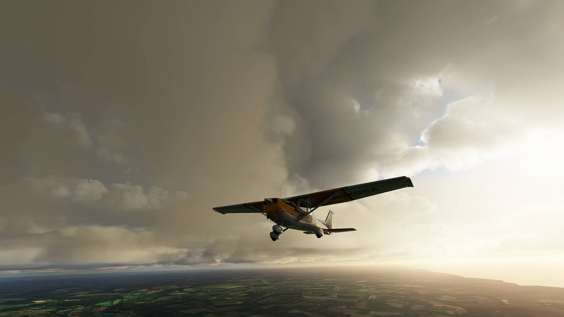
The weather is very cloudy and I hope to enjoy the landscape.
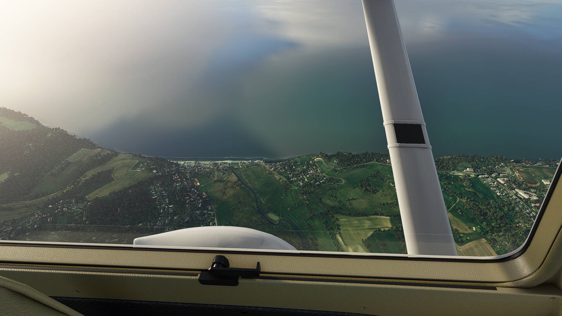
We go along the villages of the ‘‘Plage de Veules-les-Roses’’ and of ‘‘Sotteville-sur-Mer’’.
In the distance, the coastal river of France and the Normandy region “La Saâne” which splits the landscape on two on the picture.

Pourville-sur-Mer and the coastal river of Normandy ‘‘La Scie’’ and ‘‘Hautot-sur-Mer’’ which looks a little like a horseshoe (yellowish color) at the edge of the sea on the right of the beach.
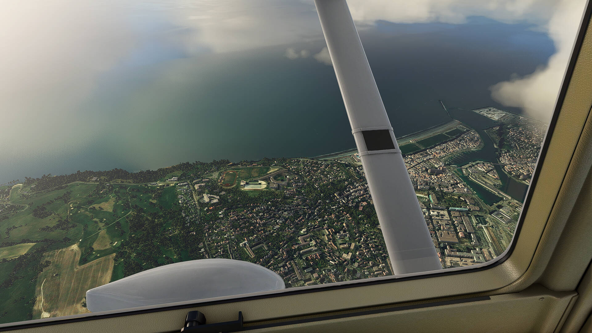
The city of Dieppe before clouds pass between me and the city.
The ‘‘Centre Nucléaire de Production d’Électricite de Penly’’ located not far from the city of Dieppe.
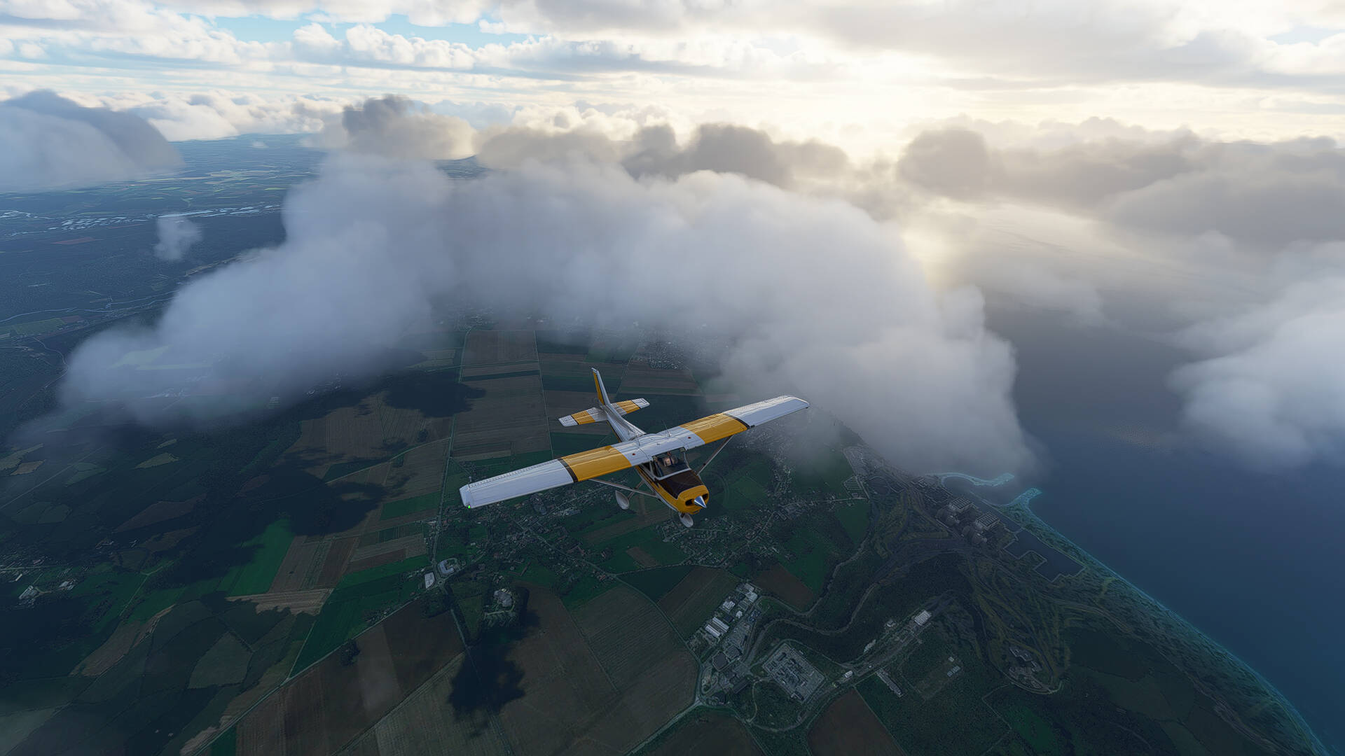
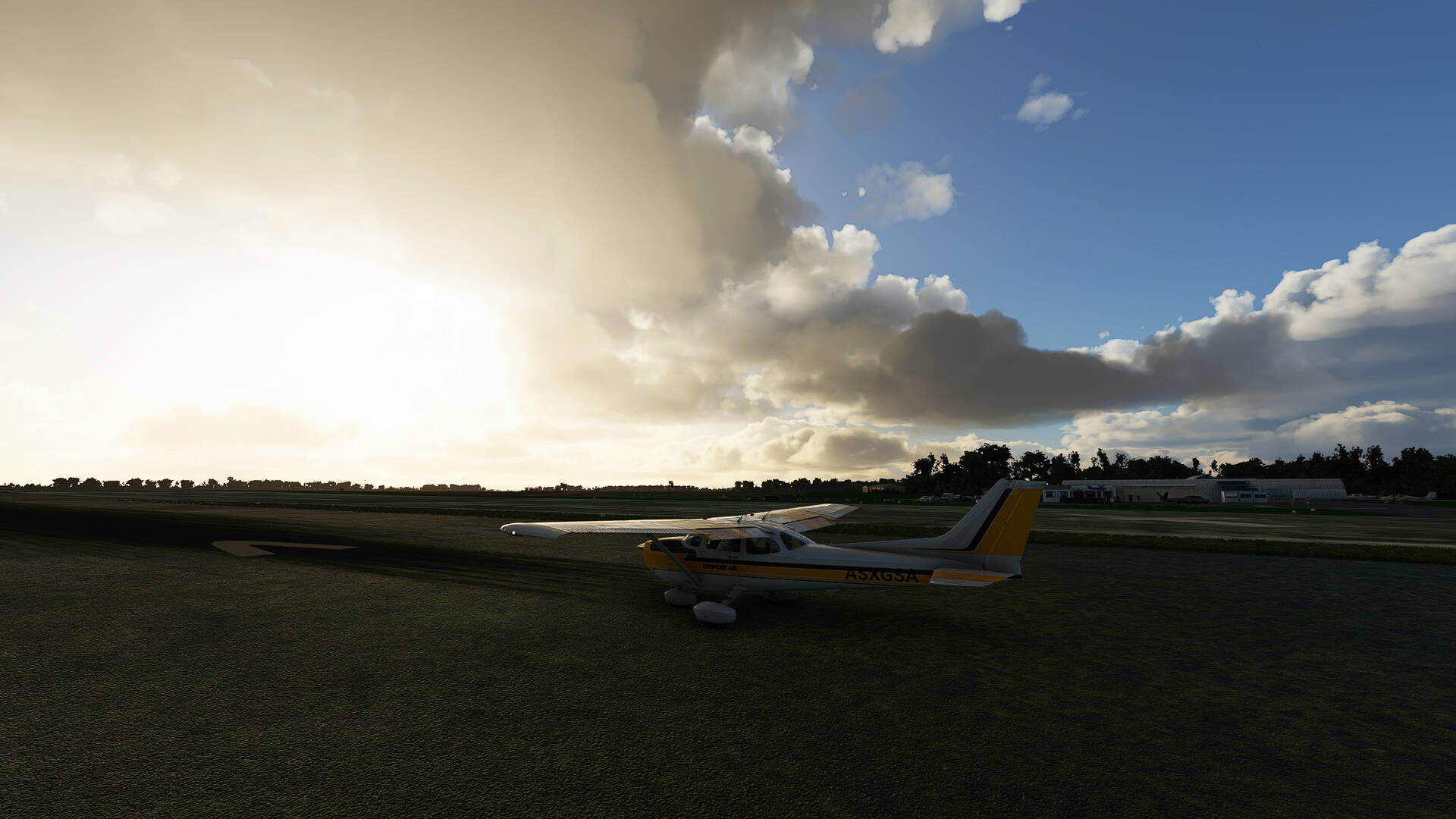
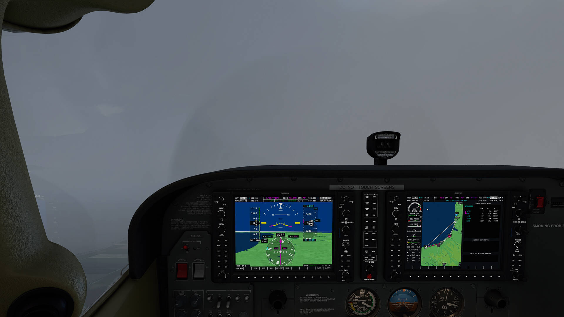
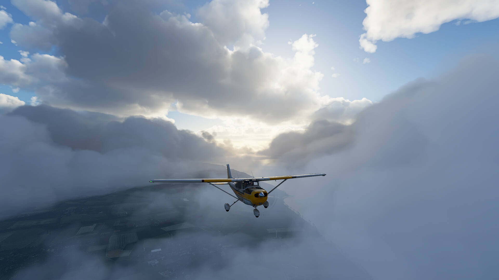
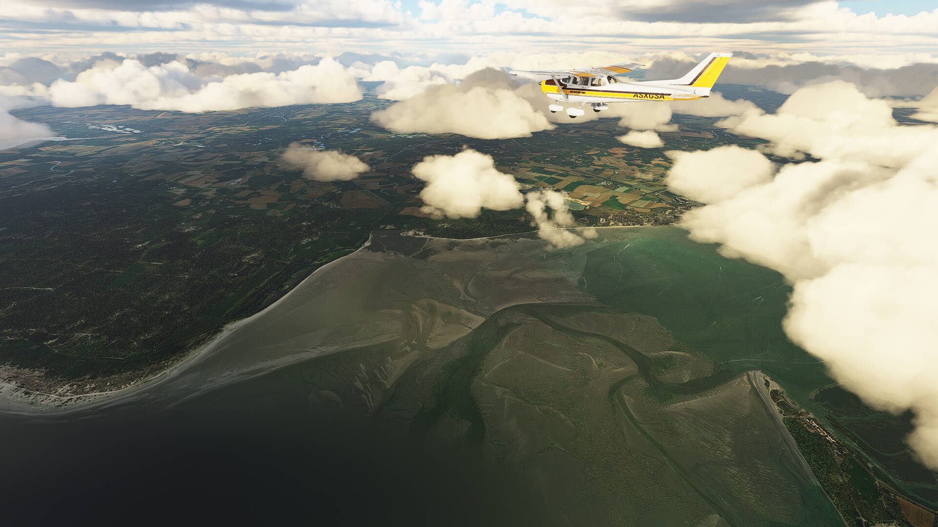
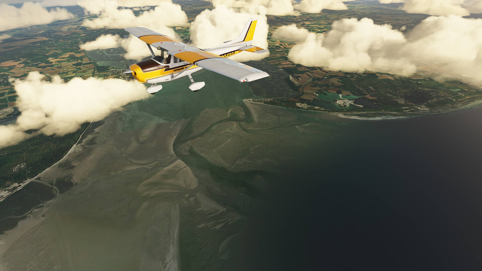
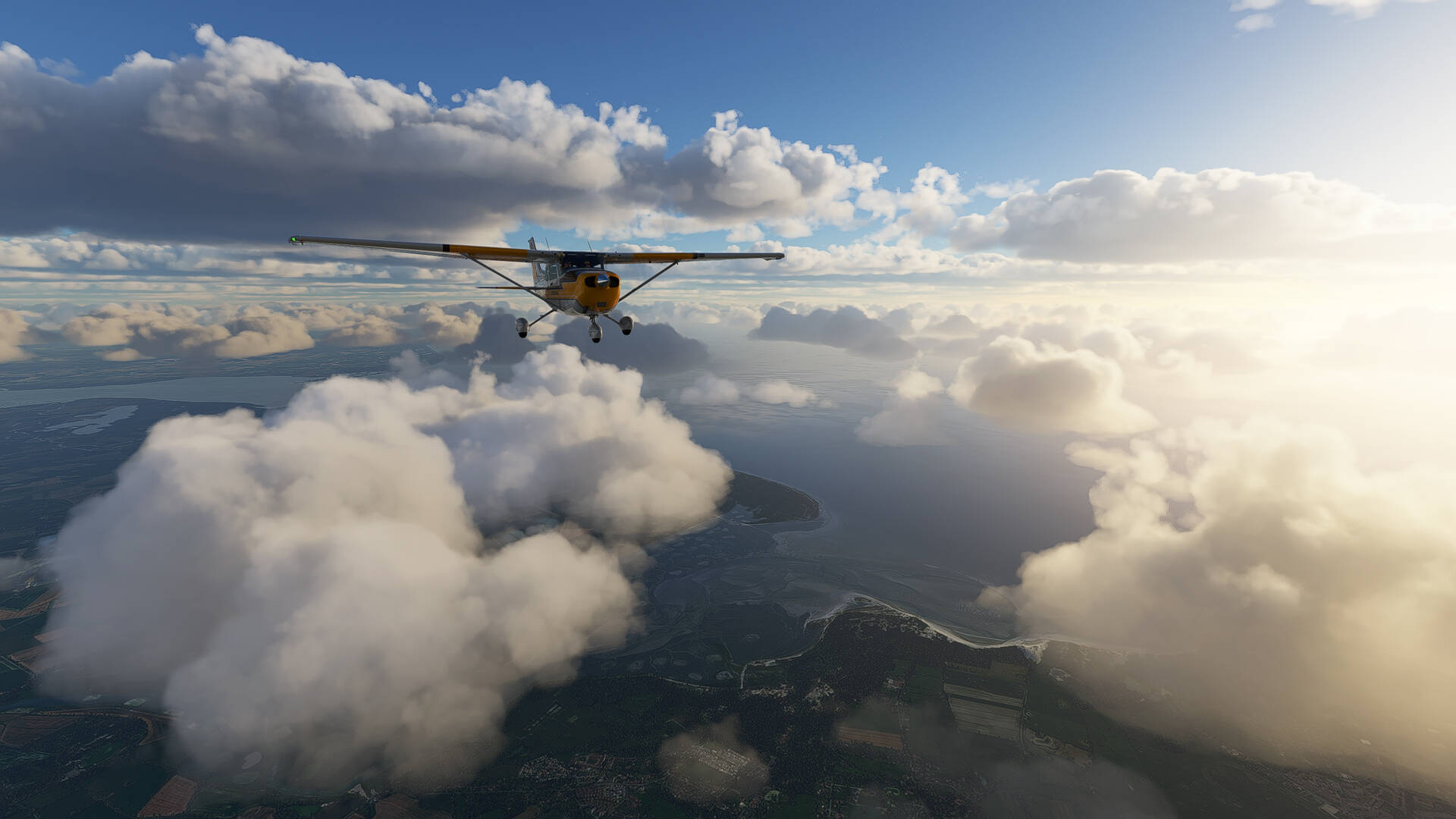
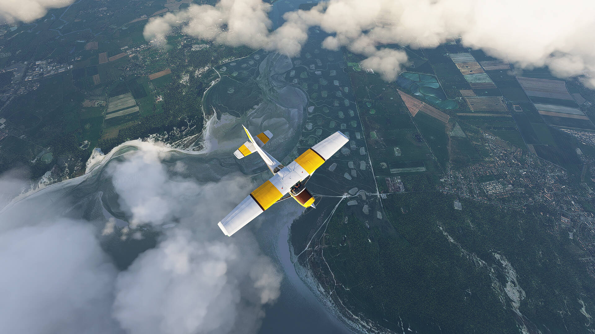
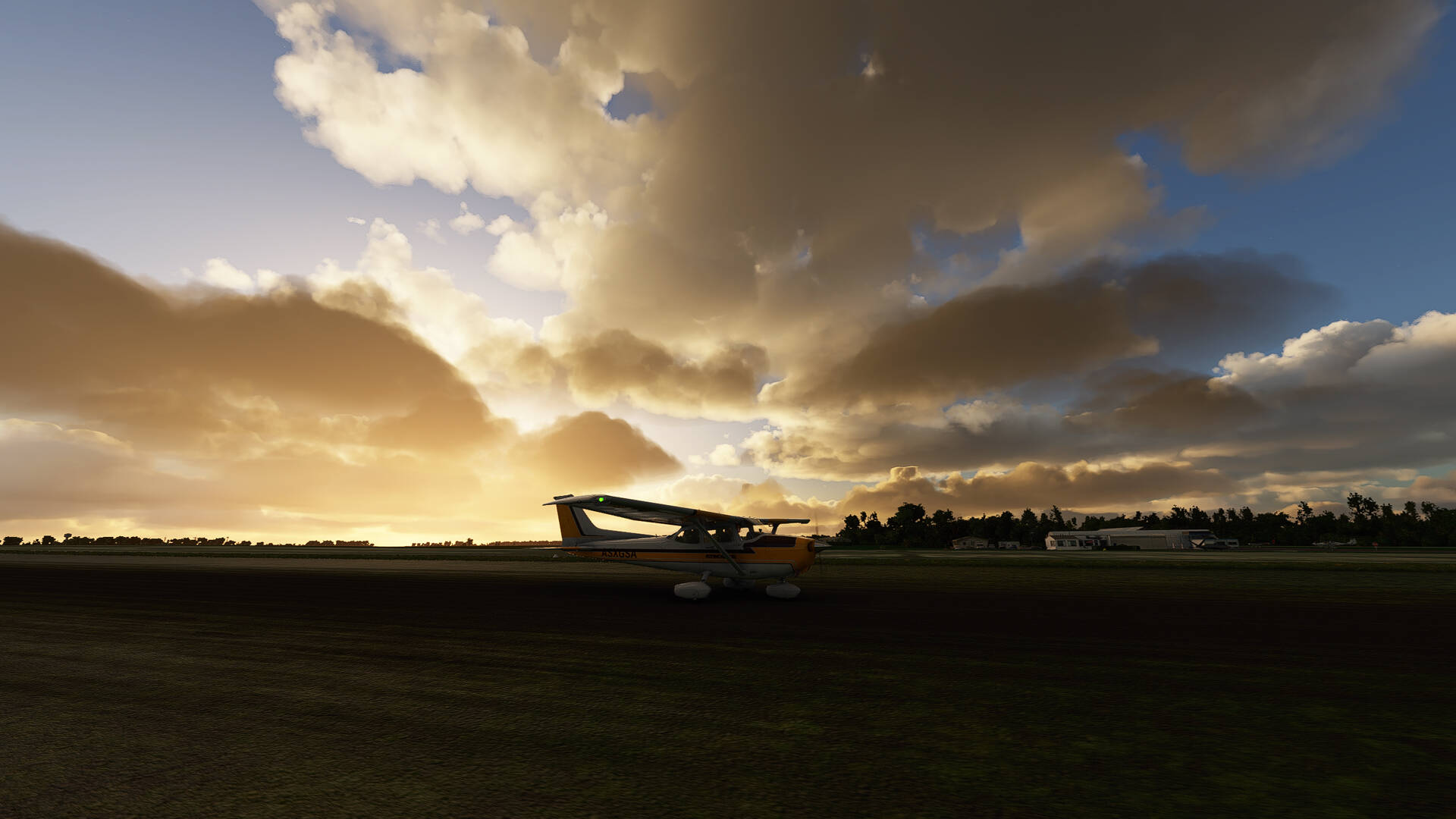
I got a nice cloudy sky today
below the plane ‘‘Le Hâble d’Ault’’ which is a protected area of the Picardy coast located in the department of the Somme, one distinguishes then the ‘‘Plage Naturiste de l’Amer Sud’’ which is just before the city of ‘‘Cayeux-sur-Mer’’ in the distance in front.
We also distinguish the ‘‘Pointe du Hourdel’’ in the background (top of the picture).

And here is the ‘‘Baie De Somme’’ with ‘‘La Pointe du Hourdel’’ at the bottom of the image and in the center of the image the dark spot is the ‘‘Réserve Naturelle Nationale de la Baie de Somme’’.
Here is the “Baie d’Authie” with the “Plage de Berck” at the bottom right, I’ll go back there on the way back
I turn back, one distinguishes the city ‘‘Le Touquet’’ and the mouth of ‘‘La Canche’’.
At the bottom left of the picture and along the coast, we distinguish the family vacation resort ‘‘Stella Plage’’ and ‘‘Merlimont Plage’’.
Here is the ‘‘Baie d’Authie’’ with the ‘‘Plage de Berck’’ completely on the right, and in the center left there is the ‘‘Parking de la Baie d’Authie de Fort Mahon Plage’’ (small gray square) and on the other side of the road it is ‘‘L’Etrier Centre Equestre’’ (it forms a large square on the picture) and more on the left the city of ‘‘Fort-Mahon-Plage’’.
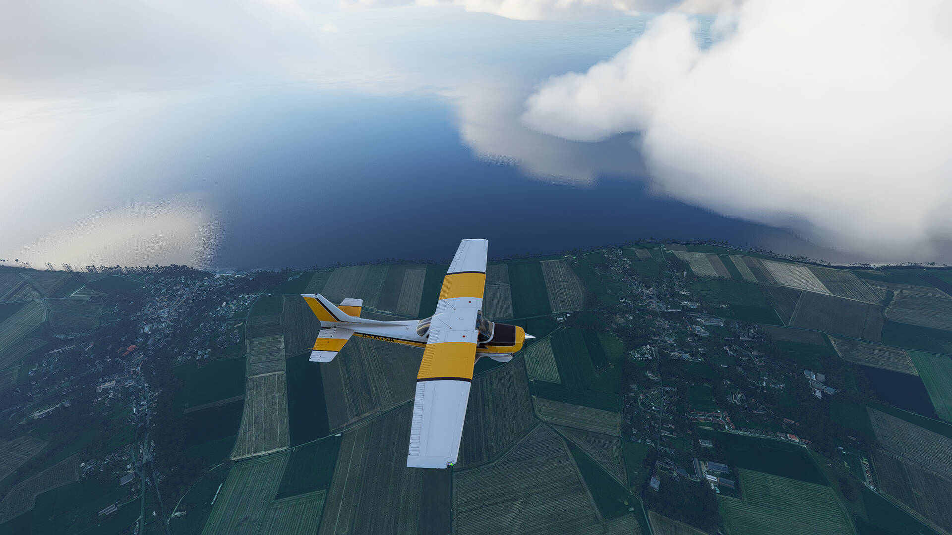
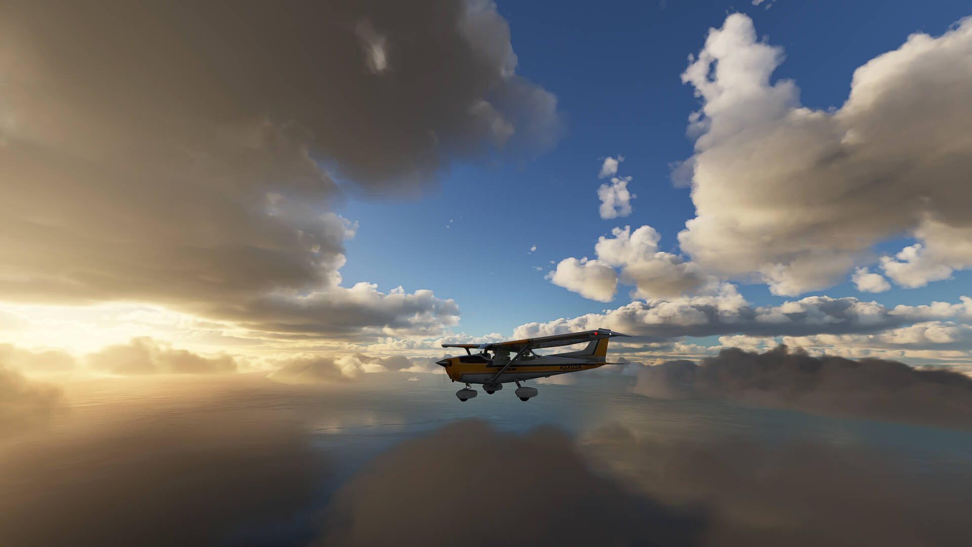
Direction the house, there is a nice light with the sun through the clouds.

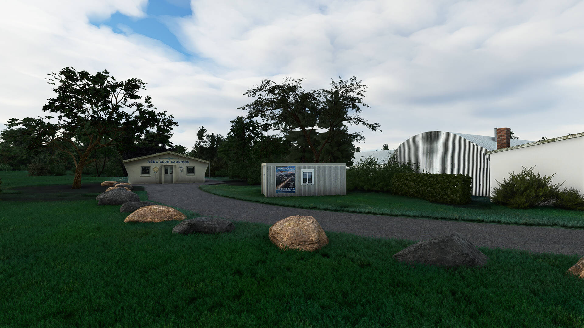
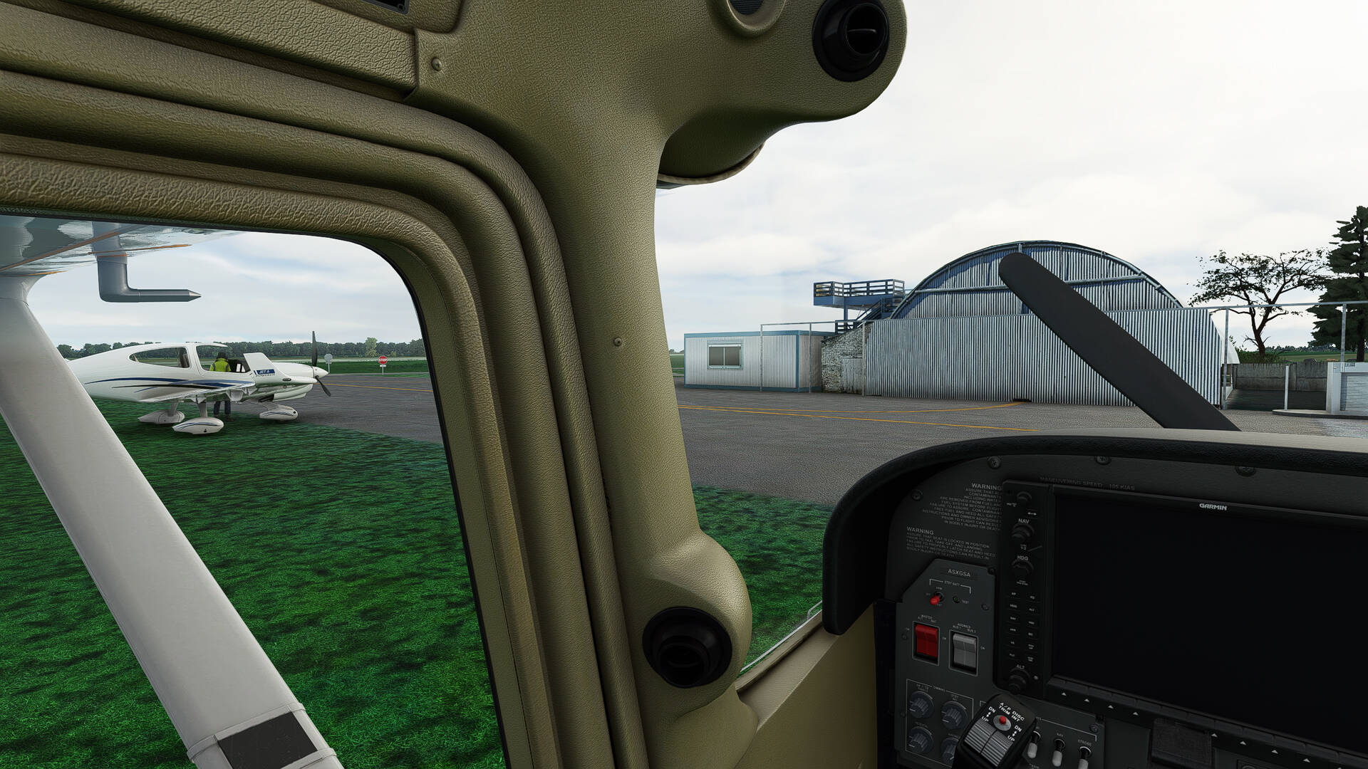
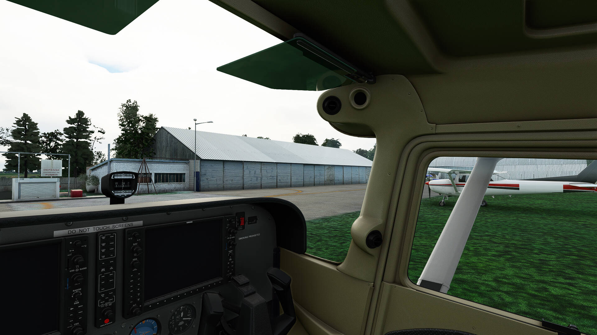
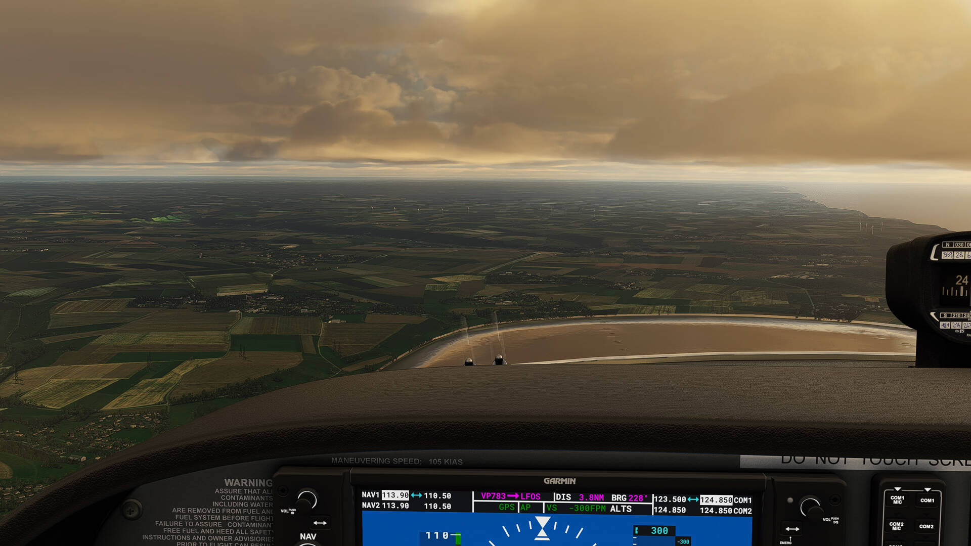
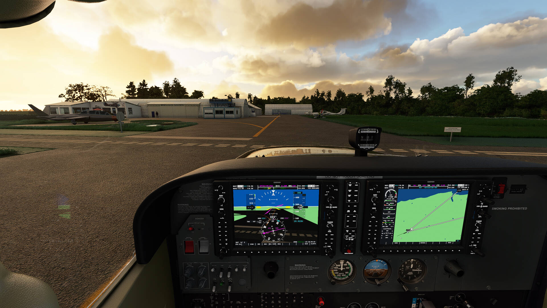
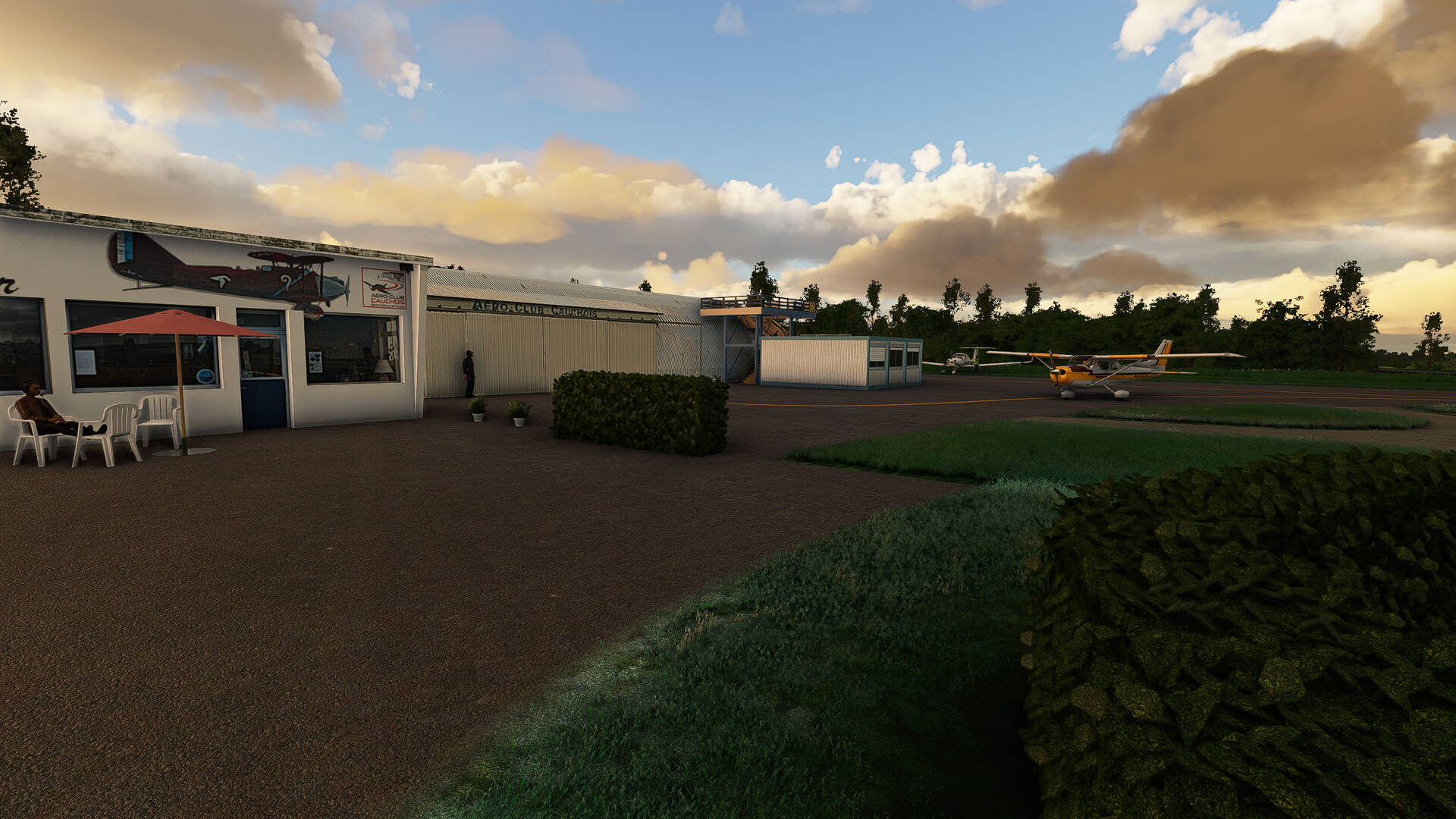
The airfield is just in front, a soft landing on the grass and we go to the bar-restaurant of the ‘‘Aeroclub Cauchois’’ to have a beer.
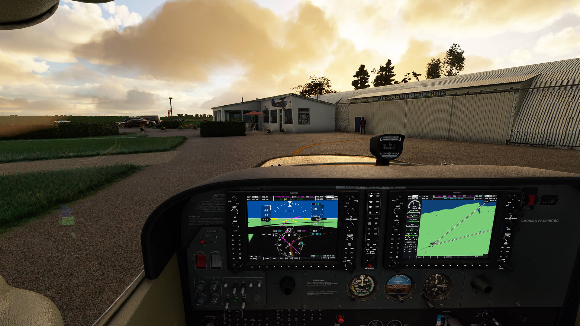

I sit at the table waiting for my beer and stretch my legs out on a chair to relax.
See you soon
This thread dedicated to my walks in France offers a lot of pictures with place names that you can check on google map (or Bing map) for more information