The game lives with these shame now since Nov/2021. I think the topic is closed for Asobo, there have been no improvements so far and it is no longer even discussed or worked on.
The only thing that remains are nice thoughts and videos/pictures from before SU7.
Until there is no other sim devs that makes the weather equally or better than pre su7 i will stay optimistic. Most amazing weather experience i have ever had in a flightsimulator. It’s hard for anyone to top that. Feels like it’s hard for Asobo too. They needed to improve the layersystem suddenly but they could make it amazing with the old layersystem, thats strange in my opinion. I think what we see after su7 is a bug in the system that converts the data from Meteoblue to be rendered in the sim or that the more frequent updates from Meteoblue has less detailed data than the 12hour data we had pre su7.
Why do they not compare the system with the old. Do they not keep backups?
Sitting at an airfield in NW Puerto Rico right now where there’s currently a fairly big tropical storm IRL… broken cloud, moonlight, very near windless in sim. Flew out to the NE of the island & still very little cloud visible - radar was reporting something resembling a small rainstorm, but not anything approaching the real weather, and more to the point not actually matching the weather out the windscreen(!). What on earth is going on.
I spent a fair bit of the last hurricane season flying into them & they were all where & roughly as big as they should have been. Well, let’s see what happens when there’s a properly large hurricane.
Well this is another example on how METAR areas destrois the weather is some places. I still don’t know why and how this happens. But here you can see the clouds outside Phoenix, looking realistic
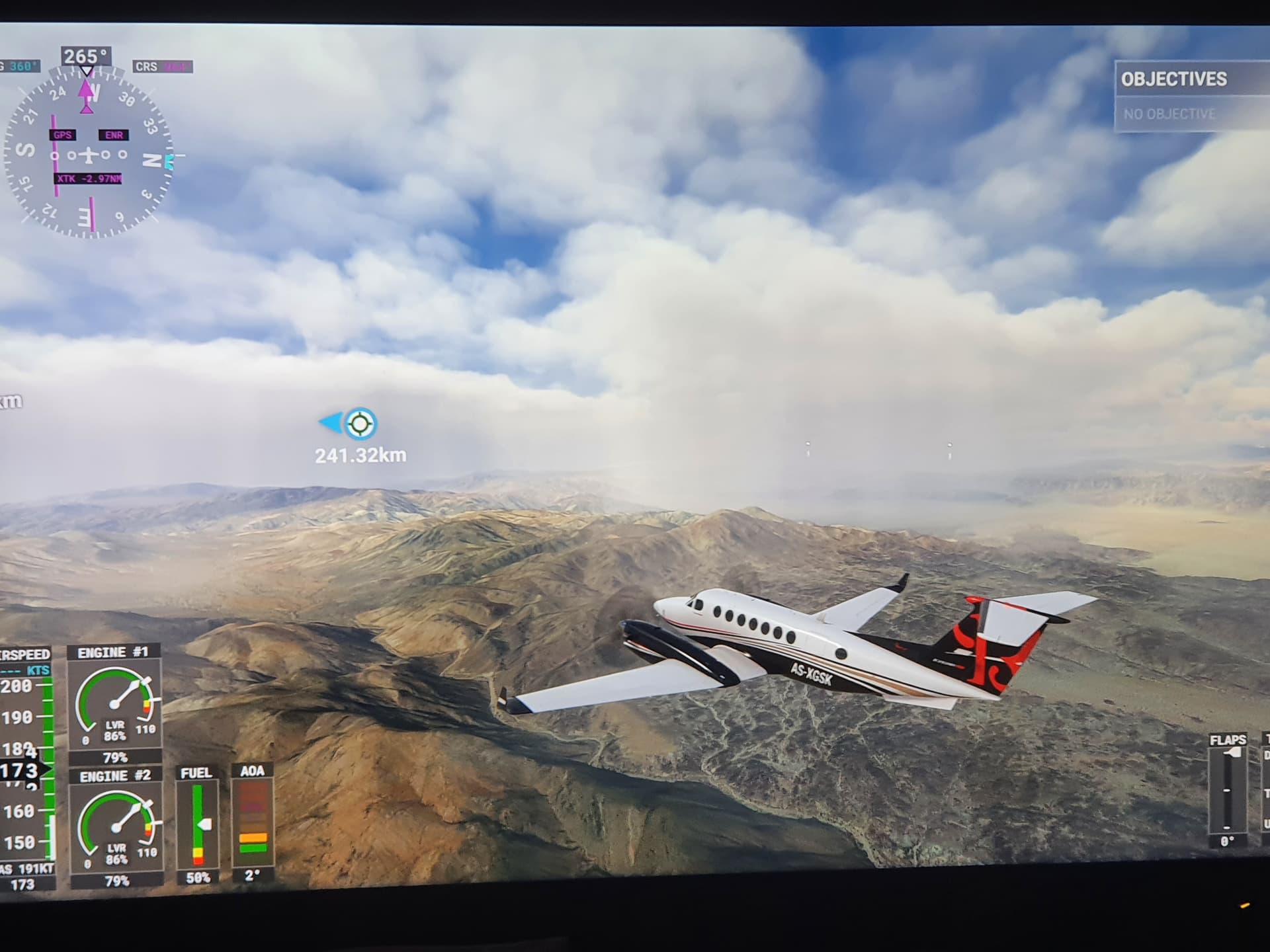
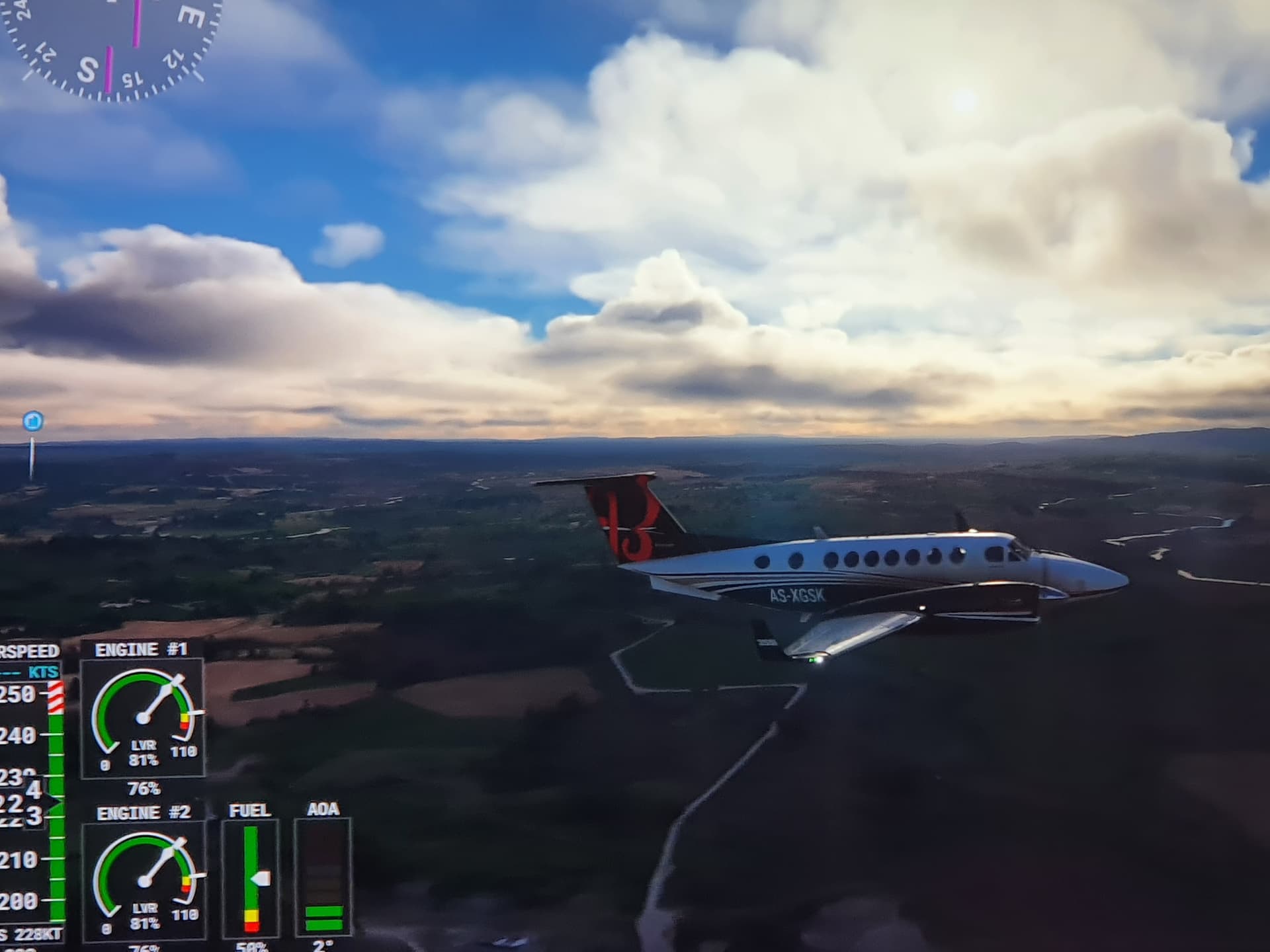
Since SU7 I have always found the weather in particular around LA and San Francisco like this - horrible unrealistic towering cumulus, far from the realistic coastal stratus we used to get. So disappointing. Was hoping the new “could layer system” in SU10 would help. Guess not
Just a reminder on hoe METAR is still a curse for the sim.
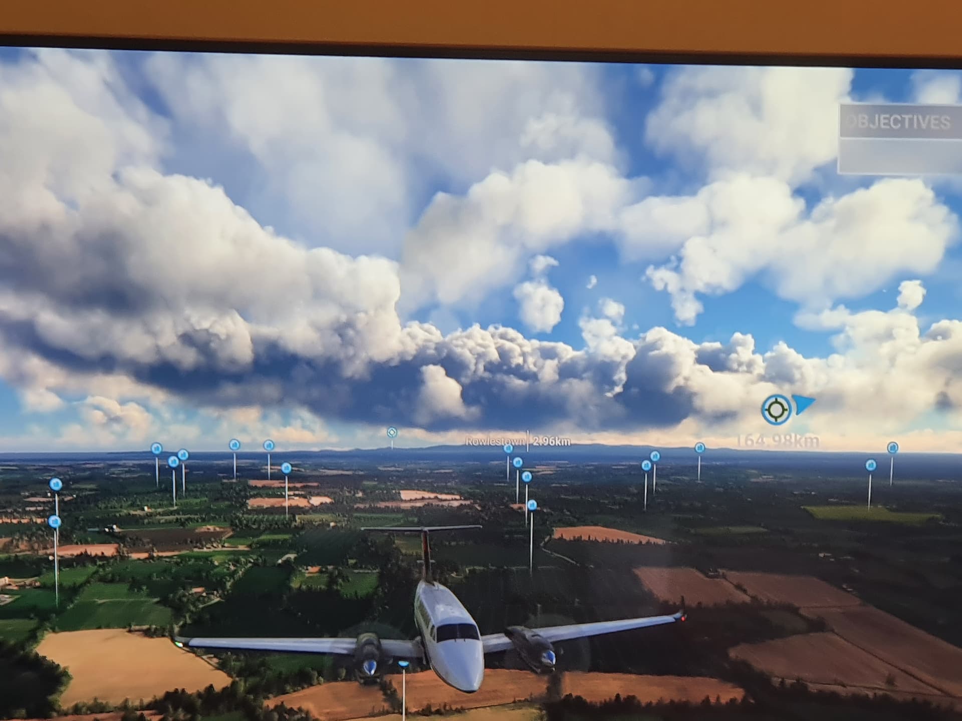
This is Dublin, one of the worplace in the game for METAR, towards the south you can the METAR clouds
Did a quick SU10 test in various cloudy locations, metar/non metar zones but unfortunately clouds still look pretty much the same everywhere, no variety, some high level clouds but looks like flat cumulus not cirrus type. Apart “new cloud layer system that will provide more vertical precision at low altitudes to better reflect the various cloud altitudes and thickness close to the ground”, I knew SU10 was not going to give us back the clouds we had pre-SU7. Hope SU11 will bring major improvements to clouds depiction and variety.
I’m glad to see Hurricane Fiona is actually a hurricane complete with eye, although a) it’s all still either cumulus or just “cloud” and b) … well I got to FL420 & the top of the clouds just cut off in a cylinder around me.
The thing that is the most unrealistic to me is that we are able to fly in those hurricanes. We should feel the need to avoid them, especially when we are using a cessna or a glider.
Hurricanes is really dangerous IRL. Why not make them dangerous in the sim as well? It’s a simulator right? Should simulate real conditions.
I bet some would complain the winds are too strong but thats how it is. Can’t tune down hurricanes IRL to have less strong winds. Need to avoid them.
People do fly into hurricanes, even in Cessna business jets - but the ride is still a bit smooth ( there were realistic wind speeds on my flight at least - the wind speed is in the top right of the centre MFD top-down radar view, 120kts is about what NOAA were reporting for Fiona ). The problem is going to be generating enough turbulence without also generating hilariously overdone turbulence in other parts of the world.
But turbulence occuring when the air is unstable. That can occure anywhere in the world. Especially in thunderstorms. And overdone is subjective. If you thinks its overdone it doesn’t automatically means every user thinks it’s overdone.
Yes, and the problem is still scaling turbulence in one area without scaling it too much somewhere else - unless they can pull much more granular weather data. I’m not a meteorologist or someone who works on weather models, but it should be possible to generate turbulence maps from weather models, I’d think.
Hi there, thats a good point actually. I am a meteorologist and worked with convection resolving models in the past, so sorry if the discussion triggered me now But maybe I can provide a bit of a meteorological background here:
The problem with turbulence and numerical weather prediction (NWP) is the scale of turbulence: For almost all NWP models it’s a subgrid-scale process, meaning that the models grid spacing is too large to explicitly resolve processes like turbulence (most models already fail at resolving larger processes like convection). This could be a possible explanation for the troubles MSFS appears to have with convection: Model data does not explicitly provide location and time of single cumulus cells, instead they implicitly consider the impact of possible convection within a grid cell – a strategy called parameterization. What could be the case here: The sim gets little info on the exact scale or location of single convective cells unless they are large enough for the model grid to be represented explicitly (which will never be the case with turbulence as its a small scale process). Hence convection & turbulence may pose a huge challenge for Asobo: They would have to make the sim interpret meteorological conditions and paremeterize convection on their own, which would include a simulation of convective processes, turbulence, cloud microphysic etc.
However, the regress of stratiform clouds observed since SU7 cannot be explained by the above. In my eyes it appears they violently tweaked the cloud representation to be more cumulus-like, but thats anyway another story.