Good points regarding the need for the flight simulator to also consistently simulate the unresolved processes in the input weather data.
The thing is, they have surely been familiar with the required technology in the early versions. I am certain they have used some kind of sub-grid modelling to achieve that superb cloud representation. At least I couldn’t find another explanation and I’ve been professionally modelling the atmosphere in mesoscale and microscale for the last 35 years (and flight simming even longer ![]() ).
).
So if Asobo with their weather partners continues along that path they are definitely capable of a sufficiently realistic simulation of clouds and turbulence. Let’s hope they soon get back to it.
I think the biggest challenge is to make it good for every sim pilot without options to turn it off or manually set limits for turbulence in live-weather.
Even adding options in live-weather creates complains.
I like the way x-plane 12 handles live weather. I can use live weather and then switch to custom and i can cusomize the live-weather with higher thermals, turbulence and gusts. I can even set how much the weather should change over time to not feel like a preset.
But overall i like MSFS so much more though and hope they nail the weather in the future. I also like the idea that live-weather is same for everyone and can’t be changed because nobody can change real weather but it makes them need to balance it to be userfriendly. It’s forced to whatever Asobo finds realistic and every single change they make will come with complains because we we have different opinions and no options besides using static presets in custom weather that sets same weather all over the world.
I agree, I like the idea either. Also I think the devs have proven that they can provide us with very good weather, see the extensive and realistic cloud scapes in previous MSFS builts. They just got stuck on reshaping the weather around the user demands, I wish they had been more careful when touching the weather engine, especially when introducing METARs. We’ll see if they find a way back, until then I only launch MSFS after a new Sim-Update has arrived to see if something changed. Wasn’t the case this time… again ![]()
4 Likes
Totally agree. I also think Asobo should have explained the limitations of forecasted weather before release. And they should have prioritized fixing errors in Meteoblue data instead of instantly add things from METAR that disturbs the forecast models because it’s 2 completely different things.
We as users demanded it to be the weather 100% we see outside our windows all the time and that we now know is impossible to get. I had close to what i had outside my windows or that the weather i had in the sim appeard maybe 1 hour later or sometimes never. But the weather that was happening in the sim felt believable.
Su10 has improved weather a bit since su7 i must admit but they have much to improve to get back to pre su7 standards (central europe time zone, i need to mention if the timezone is the issue).
7 Likes
Thanks for the input! I do have a background in building approximate models of processes at least, so I have some appreciation of what corners have to be cut. The best I think we can ask for is a map of the probabiltiy of turbulence, or to pick a bunch of factors which will result in turbulence & attempt to get maps of approximations of those. I mean, you can’t just pick how energetic the air is, can you imagine trying to fly in the jetstream…
How much resolution can you get out of a model? will it give you a weather front, or is it just a difference between cells?
Well, I haven’t flown inside the sim for a while now, so I don’t know what turbulence is like now. But I always felt thats how they dealt with it and that there is a spatial grid for turbulence probability. It rises close to mountain ranges and felt really good when flying over mountains, it was also sometimes connected with cloud layers I think. But aside of mountains heavy turbulence is almost certainly connected to convection, especially when there are clouds involved. And thats unfortunately the weak point of MSFS weather.
The resolution usually is a fix model characteristic. I assume Meteoblue uses a variety of global weather models whose grid points usually have a spacing of 10-30 km. They may use some interpolation to regrid the model data for their own representations and analysis, but that will not increase the resolution of the weather data itself. So everything below the models grid spacing must be modeled seperately, e.g. for the representation of clouds. This is what we had especially in ealier builds: Weather fronts, cloud banks and large scale convection from the model, where all the small details where created by some cloud-algorithm in the sim.
Now, what they could do: Create a seperate model, that somehow immitates convection with all its turbulence and cloud characteristics in areas, where the model data shows unstable conditions. But thats hell of a work and I doubt a majority of users would appreciate it as much as I do ![]()
2 Likes
Thats the issue. Even if they implement it as real as it gets, not everybody wants it and says it’s “overdone” or something. Thats the issue with MSFS live-weather without options. Asobo needs to balance the weather to fit all of the users instead of make it as real as it gets.
How much resolution does a METAR have though? It’s really limited in describing weather in my opinion. For example it only takes data of clouds up to around 5000FT. That means even if the METAR says NCD it can have clouds above 5000FT and then we says the weather is wrong in the sim because Meteoblue has data of clouds above 5000FT. It also only reports winds at 10M height and sets it at any altitude in the sim, that conflicts with Meteoblue winds that has higher winds at higher altitudes but METAR want to set 10m winds at 2000FT for example.
The thing with weather is that it always changing. Even if they had 1 Meter res at the moment they make the forecast it doesn’t know what will happen in the future. It calculates the future but it may be wrong. The more calculations they make the better the accuracy will get. If we compare the accuracy of forecasts that is made now is much more accurate than those forecasts that was made 10 years ago. That means that forecasts always improving the accuracy of future weather but it will never be 100% correct.
Injecting new reported METAR into a calculated future weather makes it worse in my opinion.
Well not quite. I assume the state of the weather provided by meteoblue are analyses rather than predictions. In the context of numerical weather prediction analyses means that the current state of the atmosphere is determined by both, past numerical predictions and measurements obtained by surface stations and remote sensing. Injecting the measurements into the model is done in a complex data assimilation procedure, whose result is a set of model data showing us the approximate state of the atmosphere from a certain point in time (this is done every 6 or 12 hours) as well as a short prediction for the next hours. Analyses are quite close to the observed atmosphere, so usually there shouldn’t be a large difference between them and observational data like METAR.
However, you are right about the accuracy. METAR is very basic weather data, often obtained by automated stations. For example, cloud coverage is sometimes determined by a ceilometer, so the reflection signal of a single light beam into the sky is used to determine the entire coverage around the airport. I also suspect Asobo implemented METARs by tweaking the weather around airports to fit, when actually it would be easier to just auto-gen METARs directly from the sim weather. Not sure why some people need real world METARS to fly in a sim.
1 Like
I think Metars should probably be a sanity check more than a determination when it comes to clouds & so on - wind & pressure really do need to be local though.
Yes those past METARS is used as initial condition to calculate the prediction in those super computers to make those fit globally. The new released METARS is not calculated to fit the prediction because nobody knows what they will report before they are reported. Adding those interfare with the already calculated models. Needs to be recalculated to match METAR. I think they do that with “nowcast” or whatever it is called, but injecting that creates more hard transitions. The more updates of weather we get the more frequent hard switches in weather we get. Known data is static. Unknown data is able to change/be dynamic. As soon as they make known data dynamic it’s not matching those known data anymore.
I really doubt that METARs and short term predictions would deviate too much from each other, models are quite reliable when it comes to predicting the next few hours, thus meteoblue data and METARS should fit nicely in most cases.
But I think there are other problems right now with the cloud rendering in live weather. Somethings really messed up (see the thread about the sims incapability to render overcast skies) and we’ll probably not be able to figure out what exactly goes wrong. Let’s hope this is not the case with the dev team and they’ll figure out how to return to the consistent and beautiful weather MSFS once used to have.
2 Likes
Overcast seems improved , certainly I’ve had overcast in the last couple of days that’s not been entirely uniform. Still no variety in cloud types, though.
My overworked MEI friend who’s up literally every day approves of the new turbulence/gust model - he doesn’t go particularily high or far off his patch, so I guess that’s a qualified “for GA”.
3 Likes
SealedVolcano5: I was wondering if you opened a zendesk ticket for the issue you reported in that post since it is not even tag feedback-logged ?
Your post is related to missing medium/high cloud coverage what is totally true. In some rare occasions we can see medium/high clouds but they are depicted very bad, even the cumulus we have 90% of the time are badly depicted (too transparent). So I was wondering if we should open a new thread+zendesk only related to “wrong cloud types depiction, all layers” since they advertised at FS2020 launch the “Native support of All Cloud Types”.
8 Likes
Good idea. And as someone who looks at the sky all day everyday, I’m willing to post my own shots of every cloud type I have :P.
2 Likes
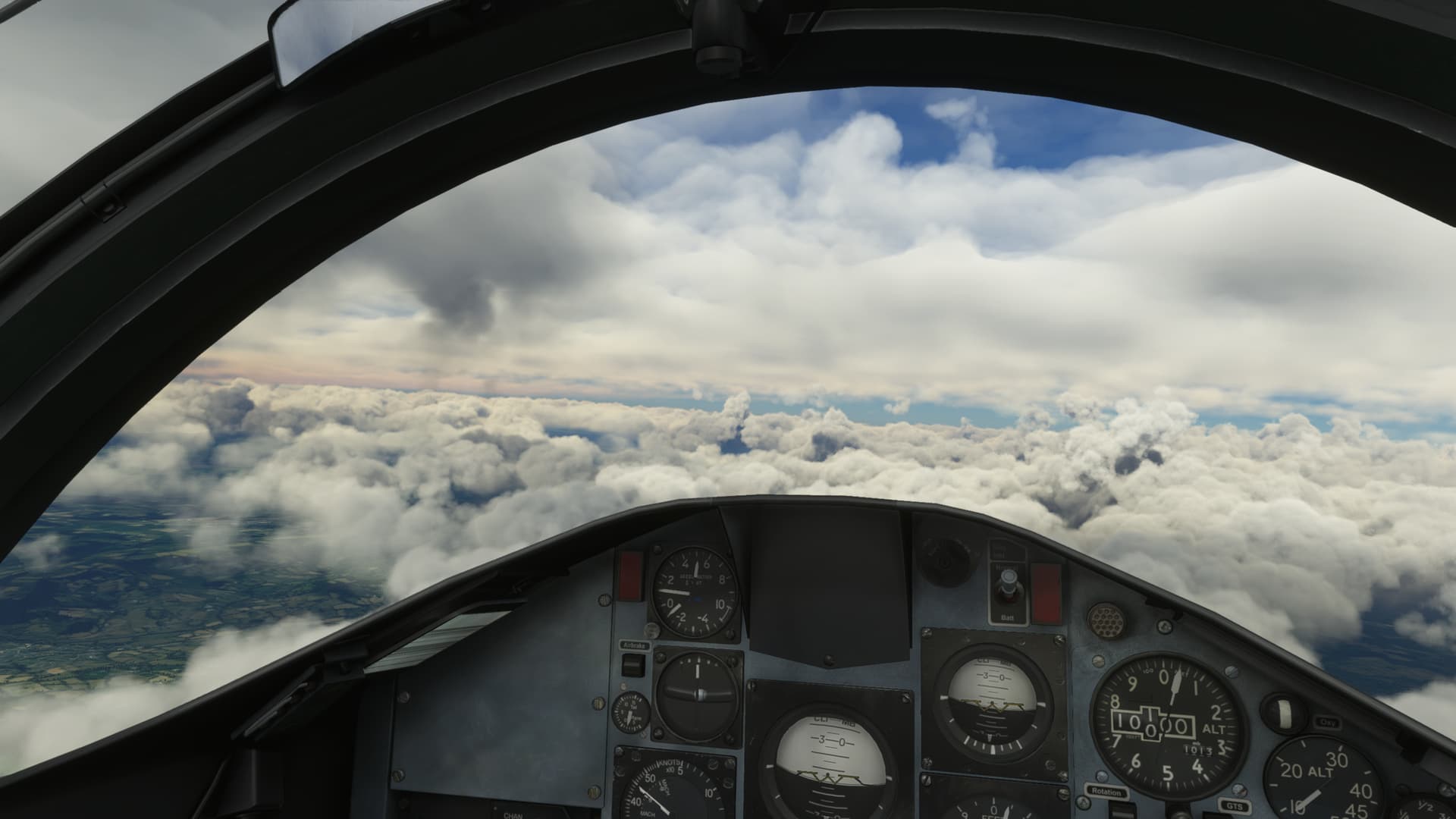
Some of the very high high clouds look very transparent, with more solid outlines. They kind of look like small splashes of water, in little pools. I’m guessing they are supposed to be Cirrus.
4 Likes
No i didn’t open a zendesk ticket for this topic, I di open one for the other topic, weather like pre su s7 before 8am uk time ![]()
1 Like
All the high level clouds are just cumulus still… there’s nothing resembling stratus clouds at all as well as no feathery cirrus. DCS does cirrus reasonably well, it’s not impossible.
If it can do hurricane eye-walls, you’d expect there to be a chance the cloud engine could indicate fronts and inversions too, unless the eye-wall is a canned “here’s a hurricane of eye diameter X” thing.
2 Likes
Well, I’ll take some of it back - think there is a definite attempt at some stratus -
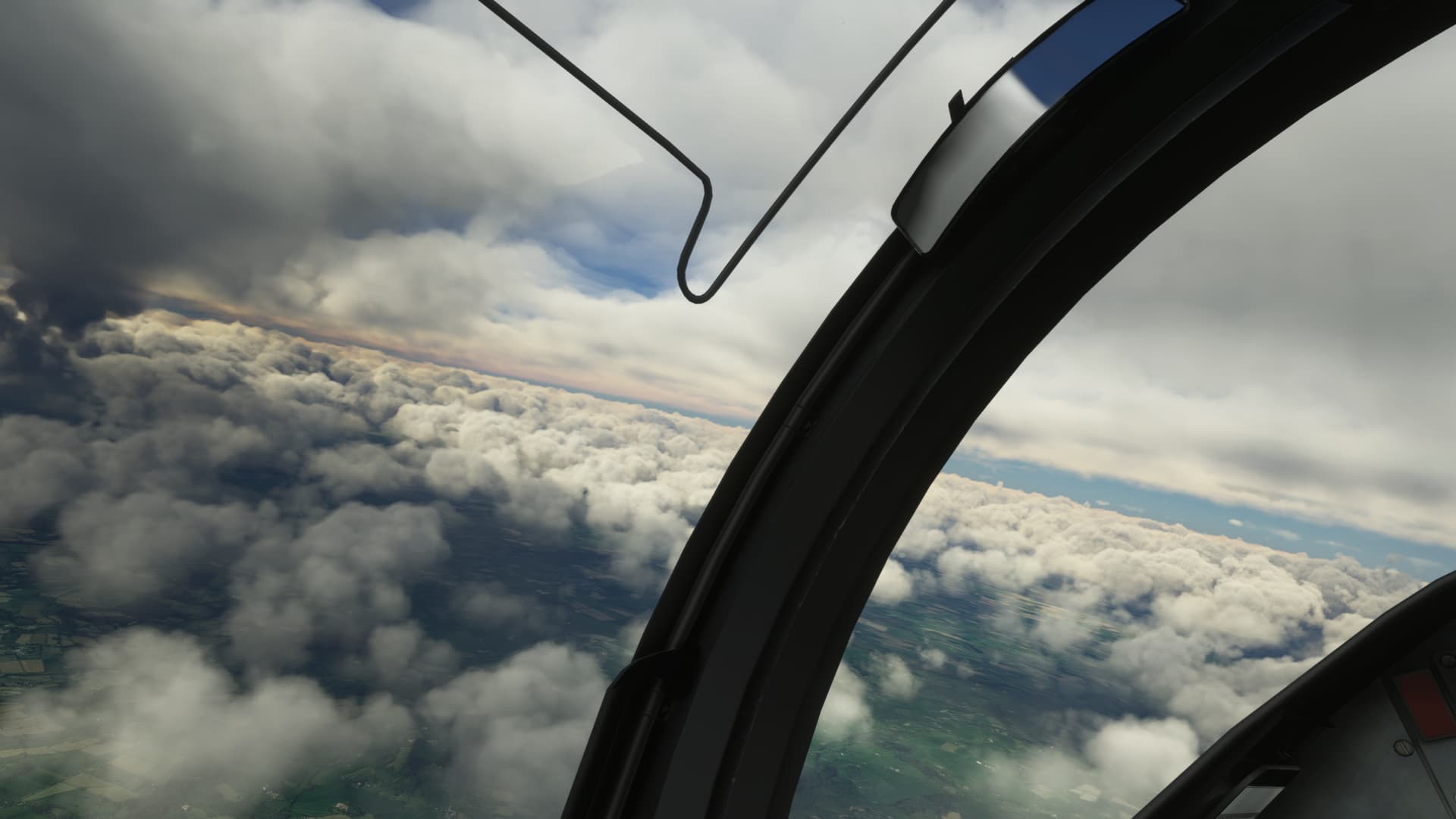

Not very volumetric, is it… definitely looks more like blobby sprites overlayed.
And what graphical settings you have?
I mean be fair to compare with other users, simply due different settings if we can compare something ![]()
I hope following thread will get more votes so devs can take it in consideration soon: More cloud formations!