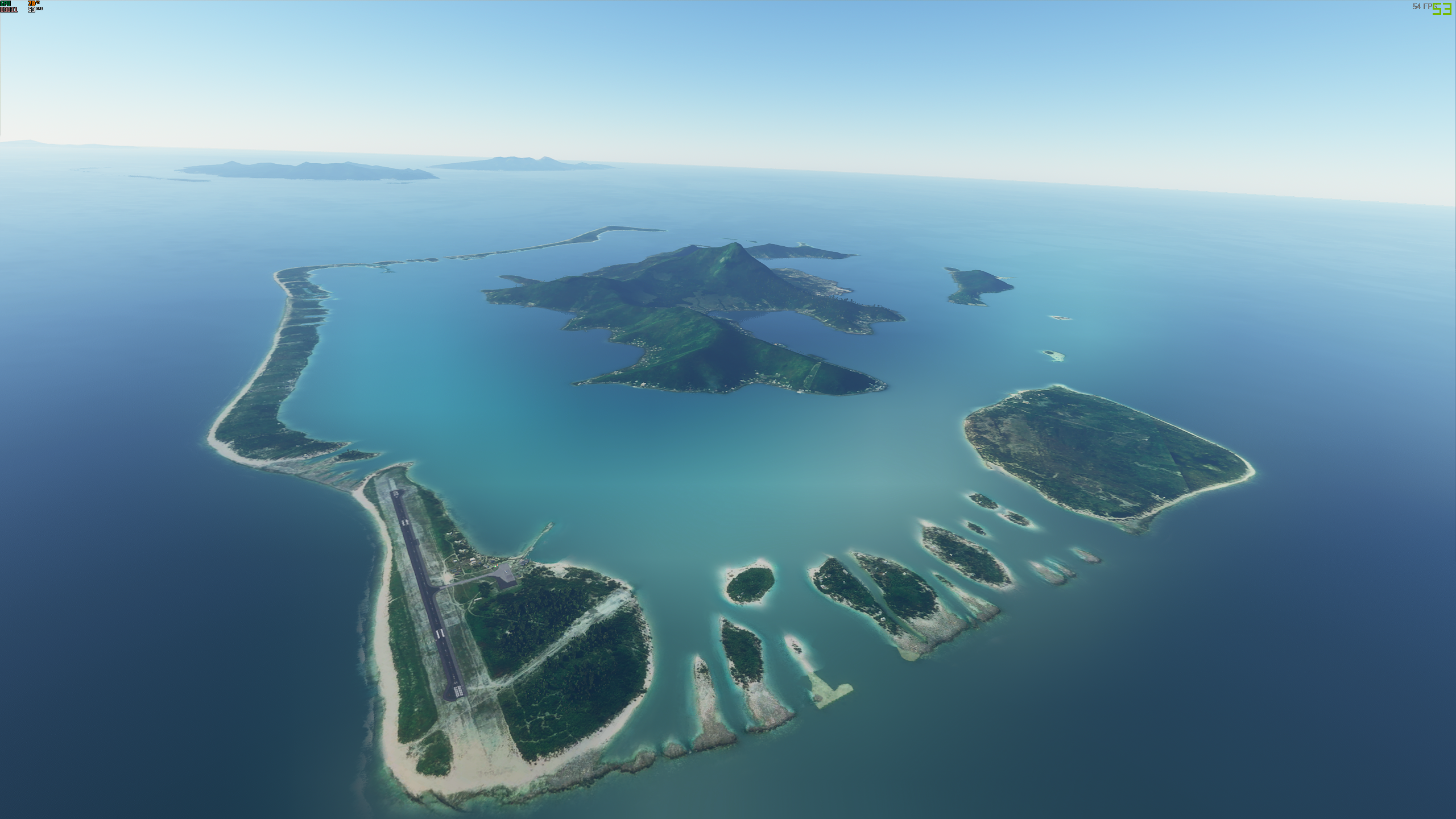
Watching the MS2020 official video showcasing parts of the world (Oceania) they were flying in the French Polynesia Boro Bora area and the water area looked like this in the first pic.
When I fly the same area I’m getting this, all settings are on Ultra, what are others seeing as my water looks nothing like the MFS2020 videos they are showing.
I can’t remember where, but somewhere I recall hearing that that image is part of the first patch. Don’t take my word for it though, as I could be very, very wrong.
maybe I am wrong, but the top photo looks like a sat photo with the sim water level underneath the coast, but the bottom photo looks like the sim water level is now over the sat photo so you don’t see the “sand” in the sim now. This doesn’t look like trickery as much as it looks like a sea level change.
That makes me wonder: Are tides simulated as well?
And if yes, are sea levels calculated using gravitation and position of the moon, or are they scripted?