I now understand why Jorg was so excited about releasing the DEM for the Switzerland with World Update 6.
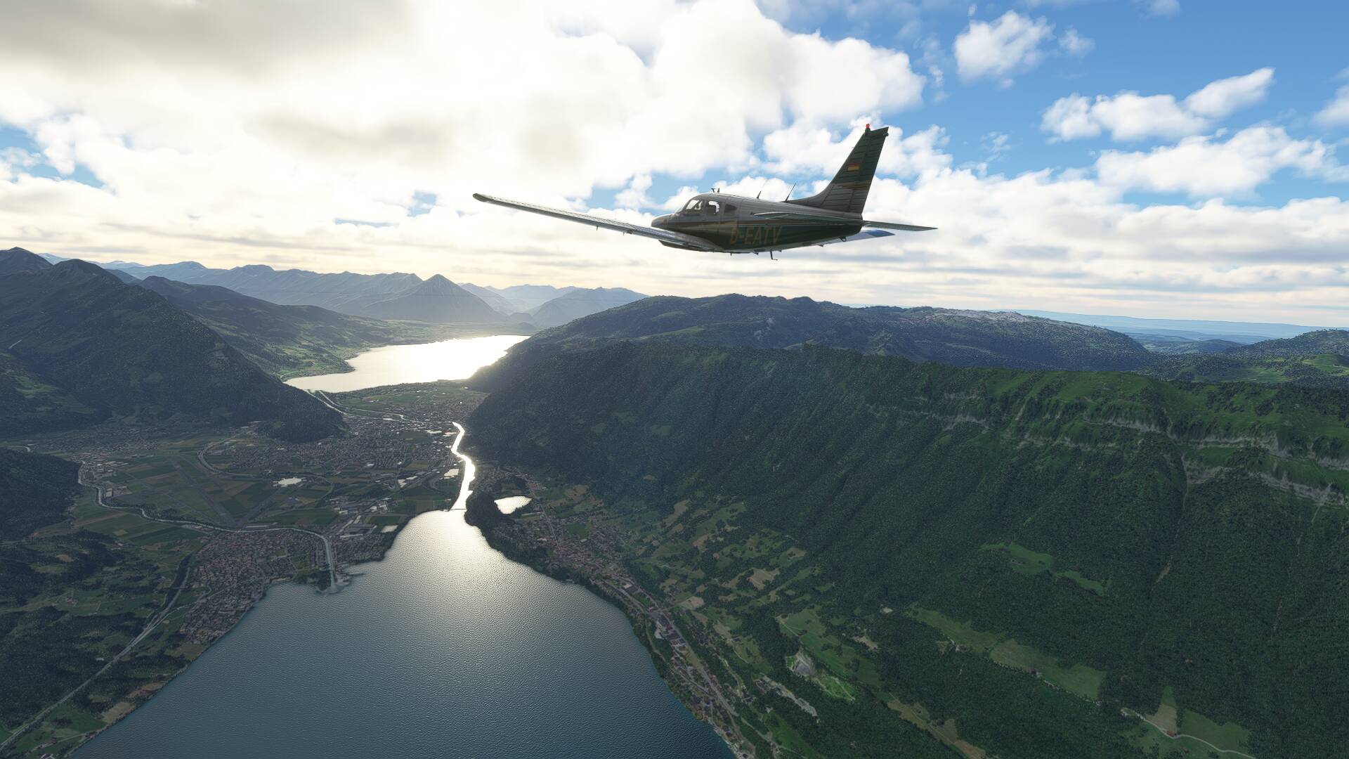
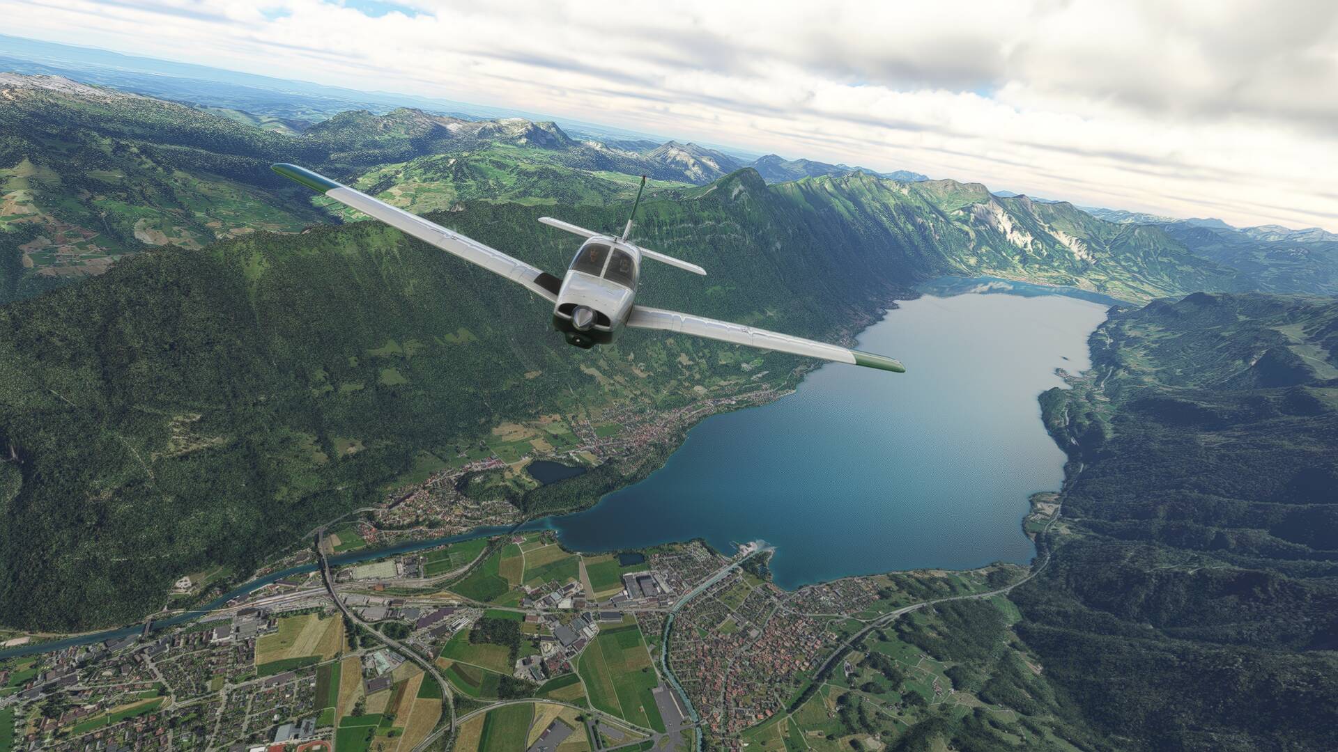
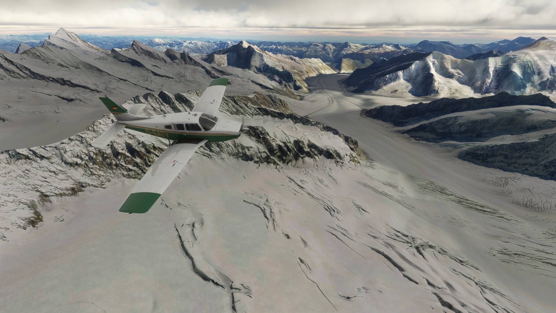
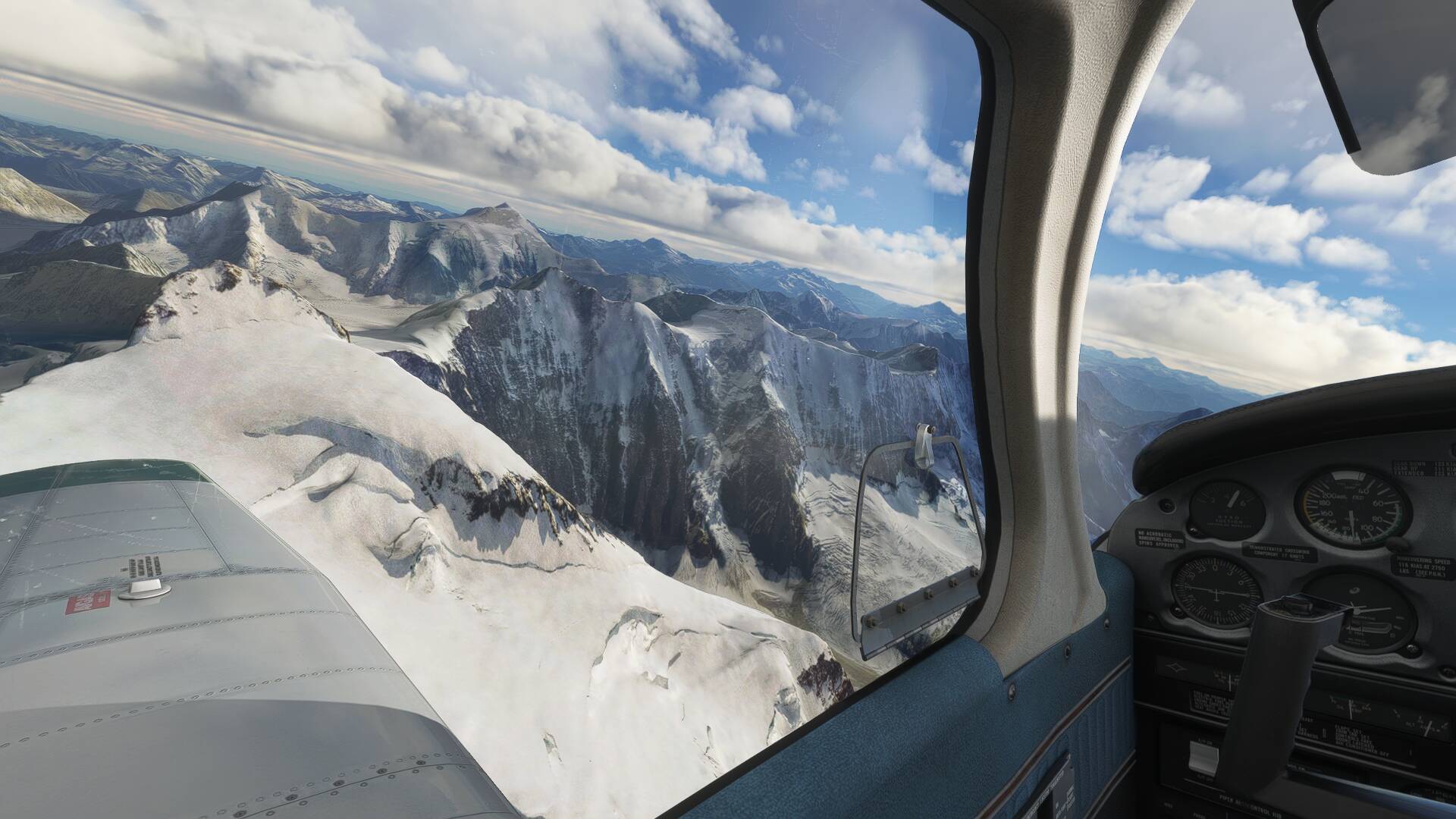
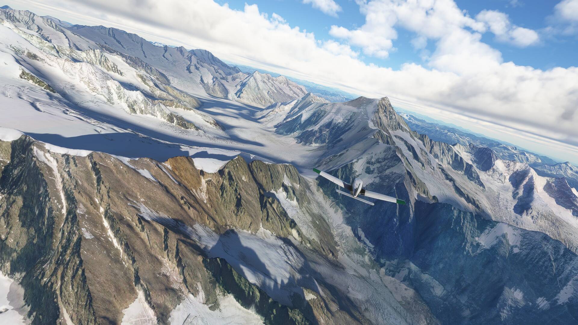
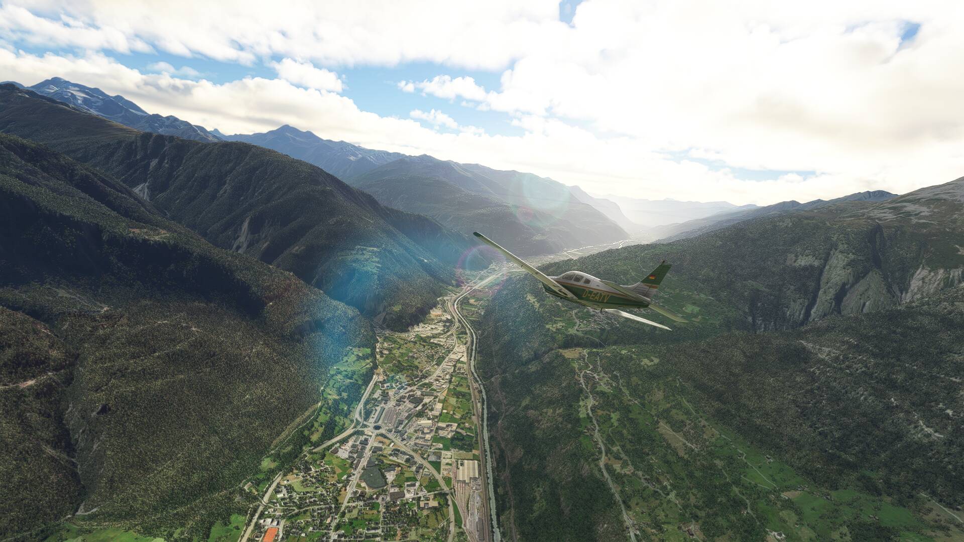
The combination of the high resolution terrain DEM for the Bernese Alps, along with crisp photorealistic ground textures plus the atmospheric environment engine is absolutely breathtaking. Out of the nearly 500 hours I’ve spent in MSFS, today’s flight around Jungfrau absolutely takes the cake of the highlight of my simming experiences to date!
Flightplan file is linked below for those who wish to trace the route, but for now I’ll let the screenshots to the talking:
Wonderful pictures!
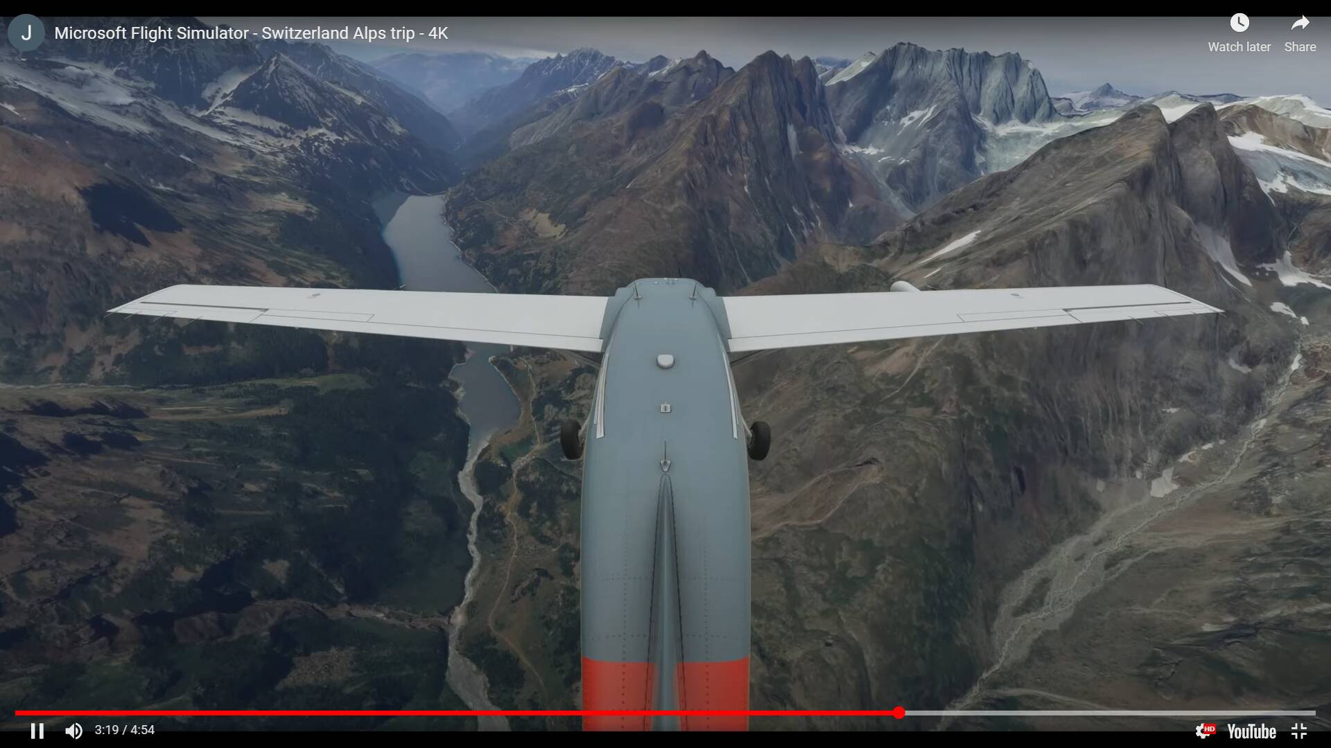
I did I similar flight two days ago, and made this video…
I agree it looks awesome, but they (Asobo) should do something to reduce the mountain morphing…
I do not consider it a deal breaker, but is certainly distracting…
Epic video @jfoguet61! I wonder if the slower airspeed of the piston single (flying around 120 knots IAS) helps with the terrain morphing because I certainly didn’t notice it as much as it appears in your recordings.
Thanks for the praise
Please note that The video was recorded using Flight Replay app., meaning most of the terrain must be already in the local cache, meaning less morphing. Also, I tried to edit out most morphing deffects, to make the video look nicer. Nevertheless morphing can still be clearly seen, and there is a very ugly dark halo in Mt. Zermatt.
About the lake (actually there seems to be a dam, so it is artifficial), I found it on the valley descending from Zermatt into Sion. I do not know its name or exact location.
Thanks for the reply- based off your description I was able to find it on Google Maps. I’ll add this to my future to visit list and continue to experiment with different airplane types in the area to see if it affects terrain morphing for me.
I have PreCaching to HIGH (2) and as I wrote above, I can see some occasional morphing in the Alps, but it is acceptable for me. Anyway, I am sure that this can be easily fixed (by Asobo) by increasing the draw distance of the high-resolution mesh (it looks to me like the morphing is not because of the textures, but because of the more detailed mesh as you get close to mountains).
Sion is a stock airport, certainly nothing to be excited about.
But the surrondings look very nice (railway tracks, etc.), if you look at the end of my video.
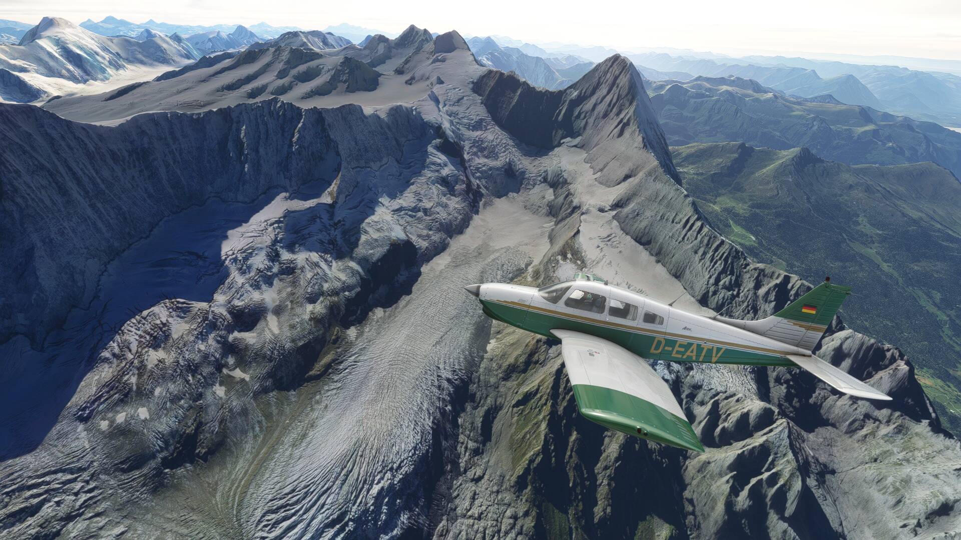
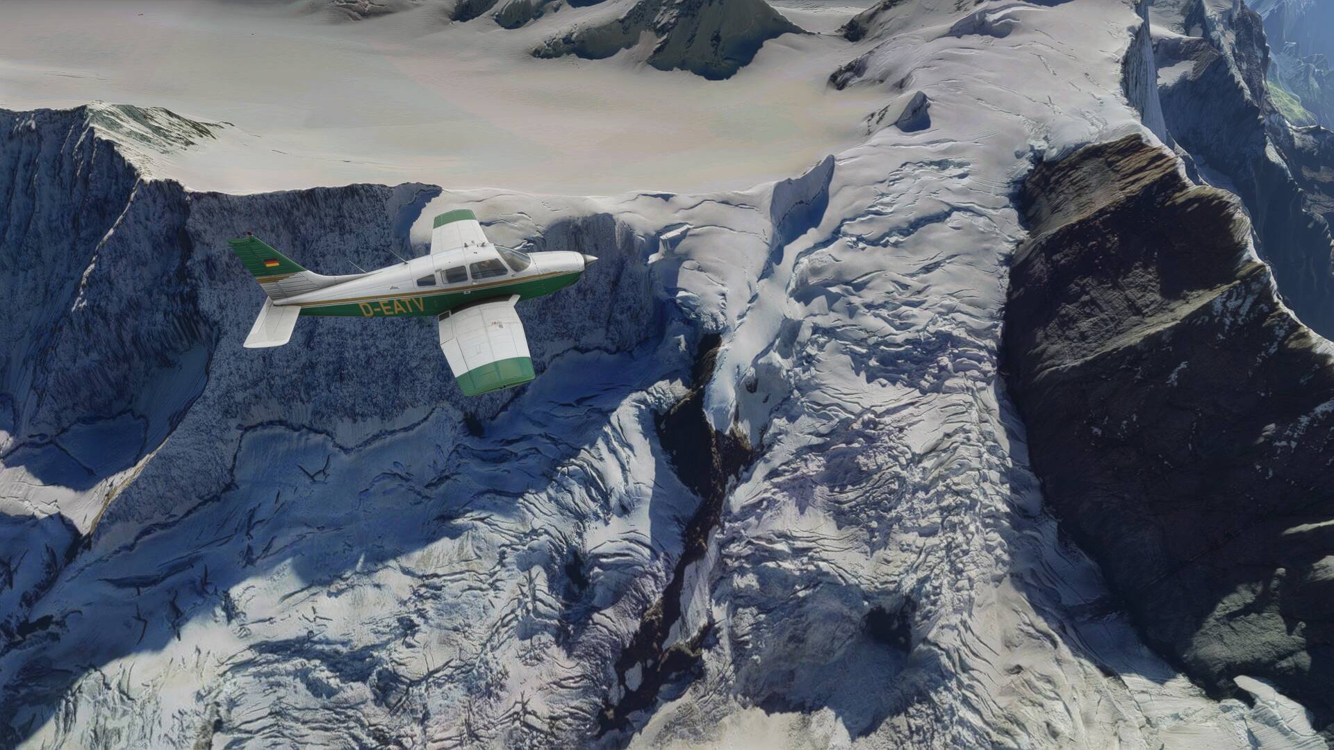
I’m assuming that is snow in some of the OP’s pictures? I don’t think it looks right. Instead of snow it looks like melted Swiss cheese. Some of it though is obviously snow. I see the same melted cheese looking snow in the Rocky Mountains West of Denver. So maybe that’s the way Asobo depicts certain areas of snow.
You guys obviously do not fly around using live weather… otherwise you would have noticed that since WU6, whole Switzerland is covered with snow above around 1500m, again ruining the otherwise wonderful scenery after WU6. Really sad that they obviously continue to fail to finall y get things done right the first time…
Right. Just because live weather isn’t working correctly everything is ruined.
Since Asobo hasn’t promised that they fixed live weather for WU6 I don’t see the connection anyway.
I have flown above Berner Oberland the day before WU6, no snow coverage. With WU6, everywhere snow above 1500m, although temps are above 15°C. Coincidence? I doubt, the weather was pre- and post WU6 update almost identical here in Switzerland, so this totay wrong snow coverage was introduced with WU6.
And sorry that I prefer to fly with live weather in those sunny autumn days in Switzerland and not using a preset. But of course, I could simply phantasize snow coverage at 15°C not being an issue, sure…
in my eyes you simply chose to be unhappy because you refuse to use a workaround for a known problem. If it’s a coincidence or not we will never know but since live weather has never really worked like it should the point is moot. The devs are aware of the problem and are trying to fix it. You can either accept it or not.
Posting your displeasure here and dragging down the optimism and fun of all the others posting here, is just SELFISH of you.
But unfortunately this seems to be the way this forum works at them moment. No matter what the topic is, you will always find some miseable entity who manages to brutally suck the life and joy out of it, so everyone is as miserable as he is. Congratulations.
On the images above the “snow” you can see is just from the satellite aerials. So it’s basically just a sat picture of real snow. Nothing Asobo can do about that. But I’ve been there before and to me it looks quite realistic.
The DEM source data that is made available to Microsoft/Asobo will be at differing resolutions from the governments or agencies from each country as Jorg has mentioned on the recent developer live streams. He said Switzerland had the highest resolution, hence this topic!
Gosh some people are very hard to please… This flight in this topic was flown with a custom weather preset without any simulator generated surface snow. These textures seen on the ground are the Bing satellite imagery that will be present all year round. This is something you are going to have to accept if you want to see photorealistic ground texture coverage of (nearly) the entire globe rather than generic computer generated substitute textures as seen in every other global flight simulator up until MSFS. (Thanks for explaining this concept to Bam @Archer374)
For reference, here is a family photo of a visit to the same location IRL in August. Plenty of snow around at higher elevations
Right on the money again @Archer374! The vocal minority on this forum breath a huge amount of negativity into this community which is a real shame. None of the other long running FS forums that I am part of have anything like this posted on them and you can certainly pick those who are new to flight simulation here rather than long term hobbyists very quickly.
I guess miserable people tend to focus on the things that bring them displeasure where as happy people focus on the things they love!
Yeah, Zion airport surroundings look stunning. It is only the airport buildings that are plain average MSFS stock… but you do not see those until after landing.
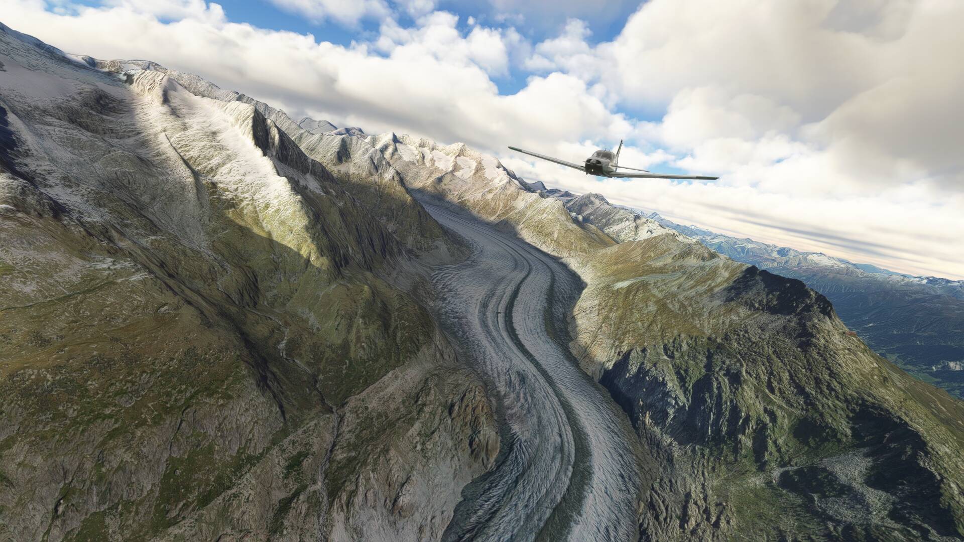
As for the Aletsch Glaciar, I have been there two times in the last 30 years, both times in July, and yes, this is the real look, same as seen in MSFS. Perpetual snow as it is more than 3000 m height (if I remember well, the Jungfrauhoch bahn (train) has its arrival station at ca. 3300 m of altitude)