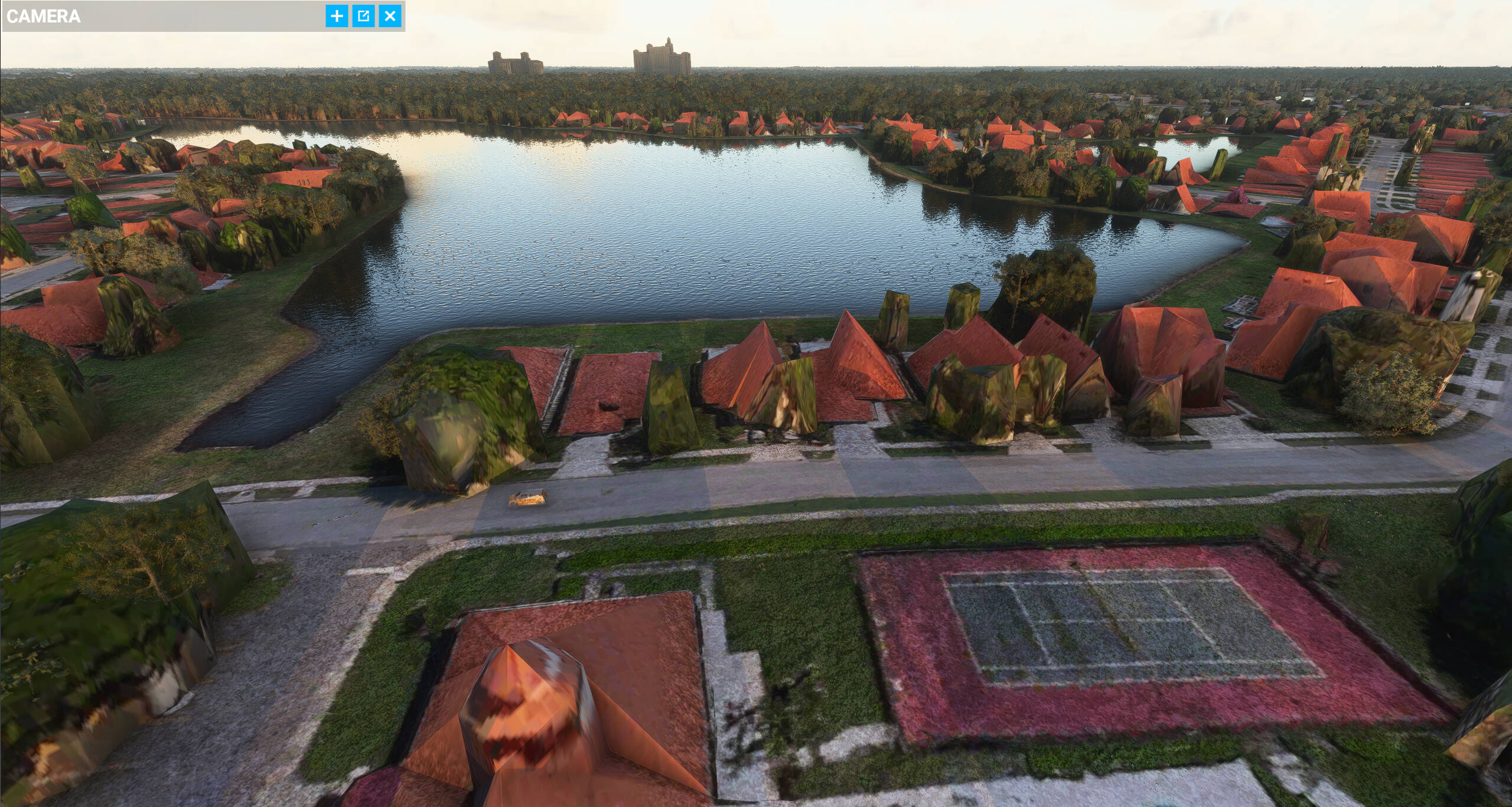
I have the ultra preset on and am flying in the Orlando area and pretty much all scenery is low poly and I’m not sure what to do. My frames are fine as my specs are 5600x, RTX 2060 super, 32GB 3600 ram, and is installed on a NVME drive. My internet speed is about 240mbps which I think should be more than enough. I tried running both 1440p and 1080p. I’m currently using 1080p for better frames and I cleared my rolling cache before changing to 1080p. I’m using 64GB of rolling cache. I’ve posted a screen capture. Any help would be appreciated.
Some photogrammetry data is that poor. However this also looks like it’s not fully resolved yet.
Where was that screenshot taken?
And does it get better if you ‘hang out’ in the area, paused.
You internet may be fast but there are many other factors at play. What is your terrain detail (LOD) set at for example? If it’s very high the sim might be busy updating tiles far away.
To make sure everything is loaded, check the performance monitor and leave the game paused until it stops receiving (significant amounts of) data.
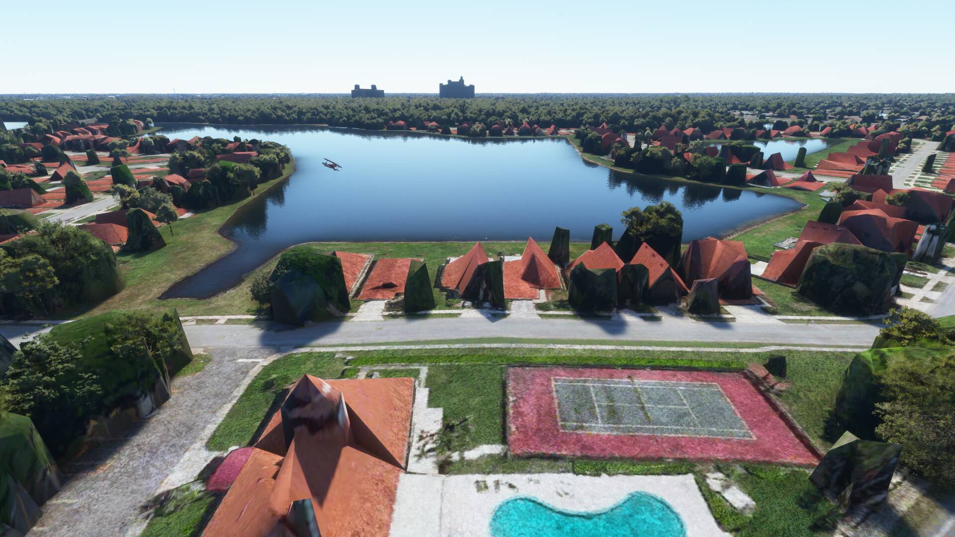
I have shots of the Orlando area from my world tour leg through there
PG data is not meant for ground level viewing, I’m about as low as it allows to still get good quality visuals. Not all PG areas have the same resolution either, perhaps you were in a low detail area.
1 Like
This image was during a paused flight using the drone camera to get low. As for terrain lod, the best answer i can give is whatever thr ultra preset sets that to is where it is at. This area was west of orlando international and slightly south as if heading to disney world. Ive seen youtube videos of the same area that appear to have more detail in the PG. I guess some of the commercial buildings look better, but all houses have that melted deformed look and the trees look horrible close up. I know PG was meant to be looked at from above, but i just want to acheive the best quality possible.
I can only confirm it’s not your system or anything you can do. I don’t use any caches and have forced multiple reloads of the area and it always looks like this
28° 24’ 28.27" N 81° 26’ 42.33" W
It’s simply a bad photogrammetry area. It looks better on Google maps but still low poly and melted. But at least the houses are actually houses. Too much optimization it seems, flattened detail, or just a worse quality data source.
FPS is indeed excellent thanks to the ‘optimizations’, much better than what I was getting over flat Denmark without any PG data…
ok, at least I know it isn’t any setting or my machine. Thanks for your help!