Hi Sydicek,
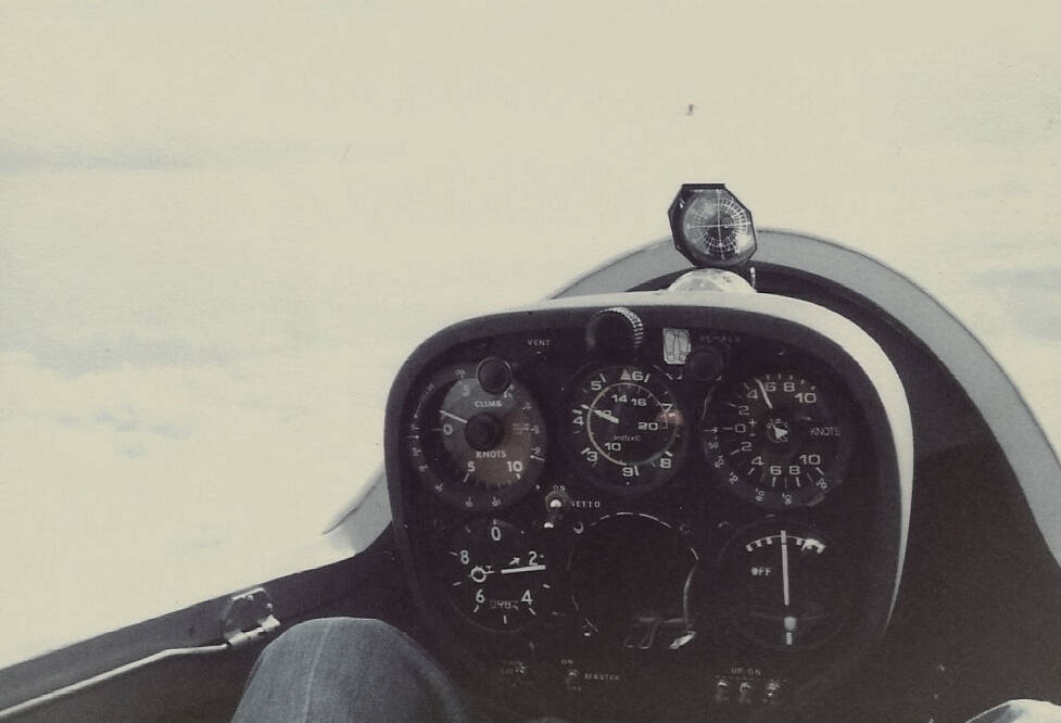
Here are some scanned photographs. The quality is not very good. The picture of the instrument’s was taken at 17,200’, (according to the altimeter) however, my friend and I managed to get up-to 22,000’
The picture of the lenticular cloud has some refraction, see top right corner of photograph. The object that looks like a spade in the cloud is a piece of string with tape holding it to the outside of the canopy. This is a YAW string, which allows us to look out without looking at the T/S indicator.
In these days. (1981) we did not have GPS tools. My friend had built a directional aerial antenna which could be rotated on the ground to locate our radio signal to give a bearing from the airfield! One of my friends flew into a new type of cloud during his decent at Aboyne, ‘cumulo granitas’  , in other words, a cloud with a big lump of granite in it. Fortunately he avoided the mountain!
We tried spinning down from altitude, alas this did not work. The glider would not spin. I resorted to a spiral dive with airbrakes open, OMG! did my ears hurt for a long while after we had landed!
This is one flight that I nearly did not return from, but that is another story!
BRGDS. Charles.

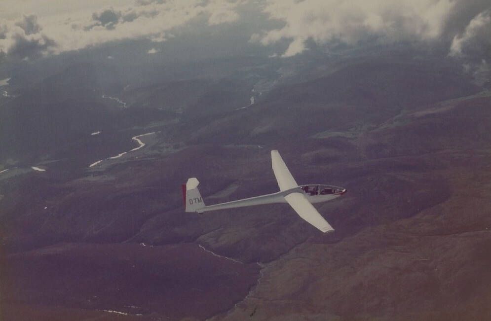
DTM showing River Dee
