I do not know when it happened but I just realized that the handling of water in rivers (and most likely even along beaches) seems to have changed dramatically in some of the last updates (of the world data) … and this is a lot lot better then “back in the old days”.
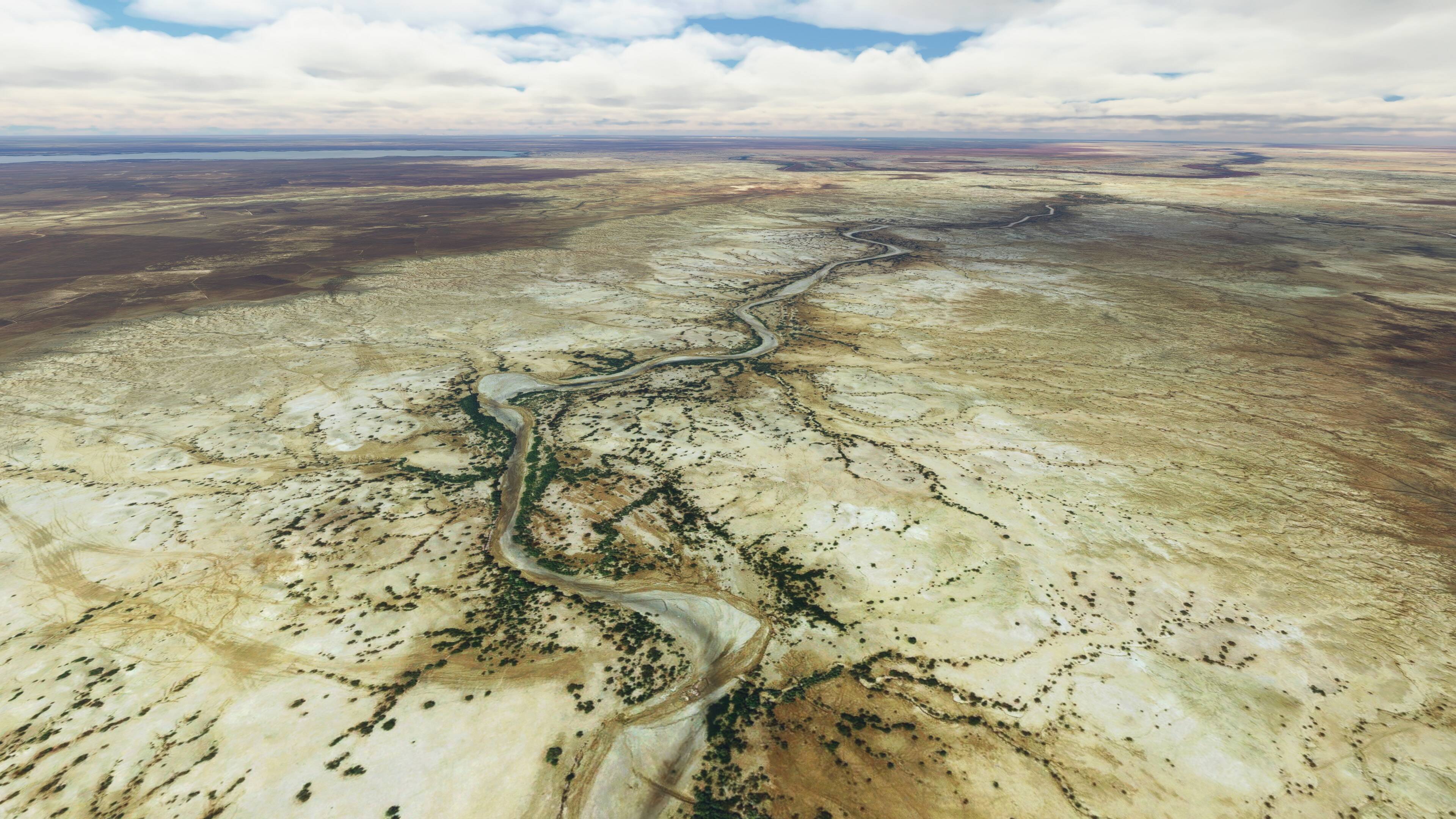
We used to have dry river beds in deserts filled with shiny water … now dry river beds are dry, even when the OSM data draws them as rivers. Perfect!
And even in very fragmented rivers, with lots of tiny islands, it seems like the water masks are now way better aligned with the sat images and 3D elevation and not primarily following the OpenStreetMap pathes.
Maybe I just got lucky with the locations that I was visiting … and I will pay more attention to this detail in the future … but what I have seen in the past days looks way more realistic than in the past.
Thank you, Asobo!