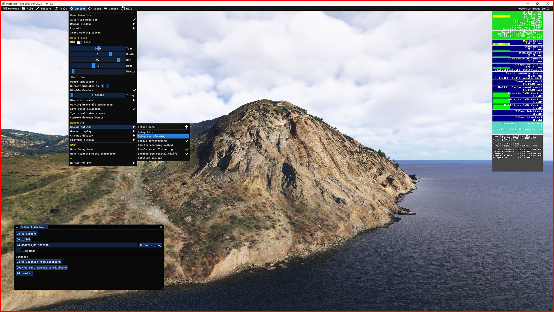
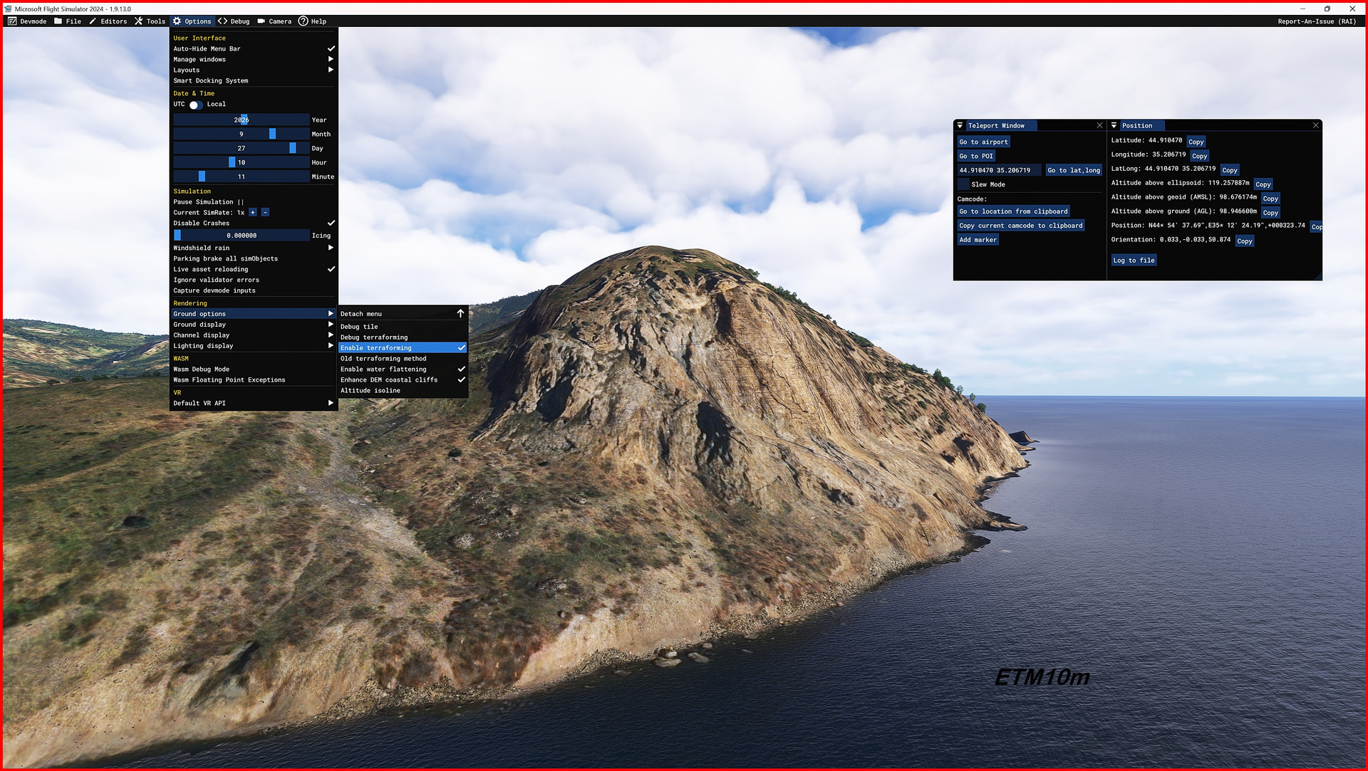
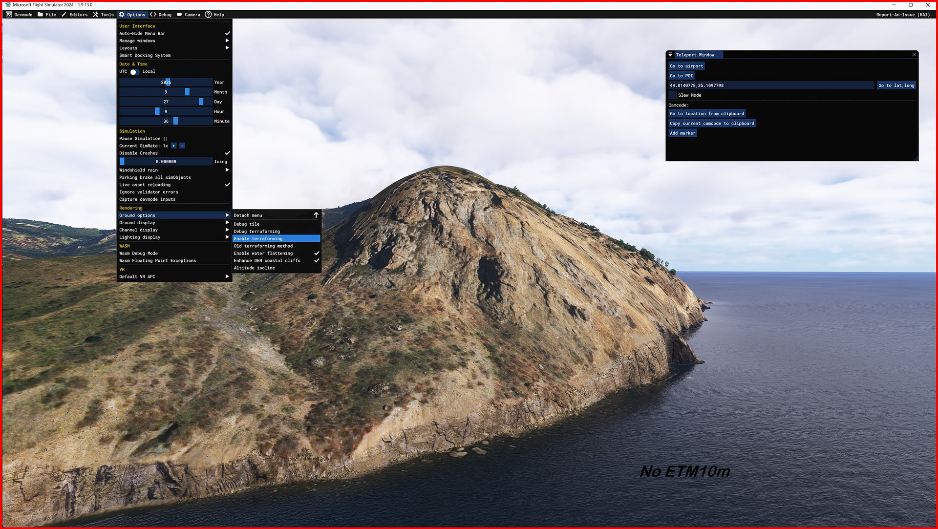
Enhanced Terrain Mesh (ETM) 10 meters for CRIMEA
Avaliable on SimMarket
ItalianCharter Team – Gjanosh61 With over a decade of experience in flight simulation development, I specialize in high‑resolution terrain mesh and VFR scenery enhancements. My work has been widely published on AVSIM Library and Flightsim.to, with thousands of downloads and strong community recognition. Focused on accuracy, realism, and technical innovation, I deliver products that bring new life to underrepresented regions, ensuring pilots enjoy immersive and authentic landscapes.
Product Details
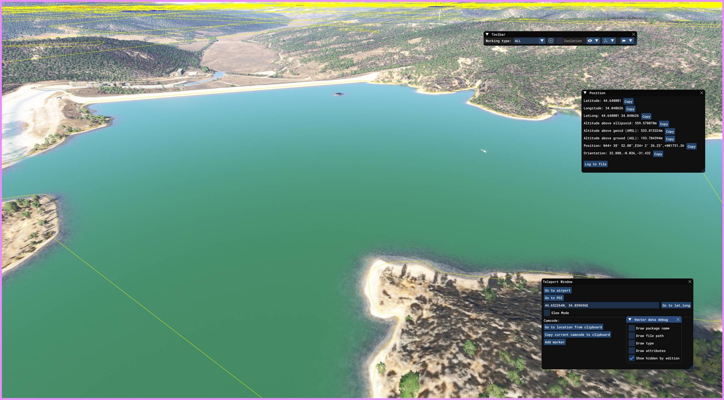
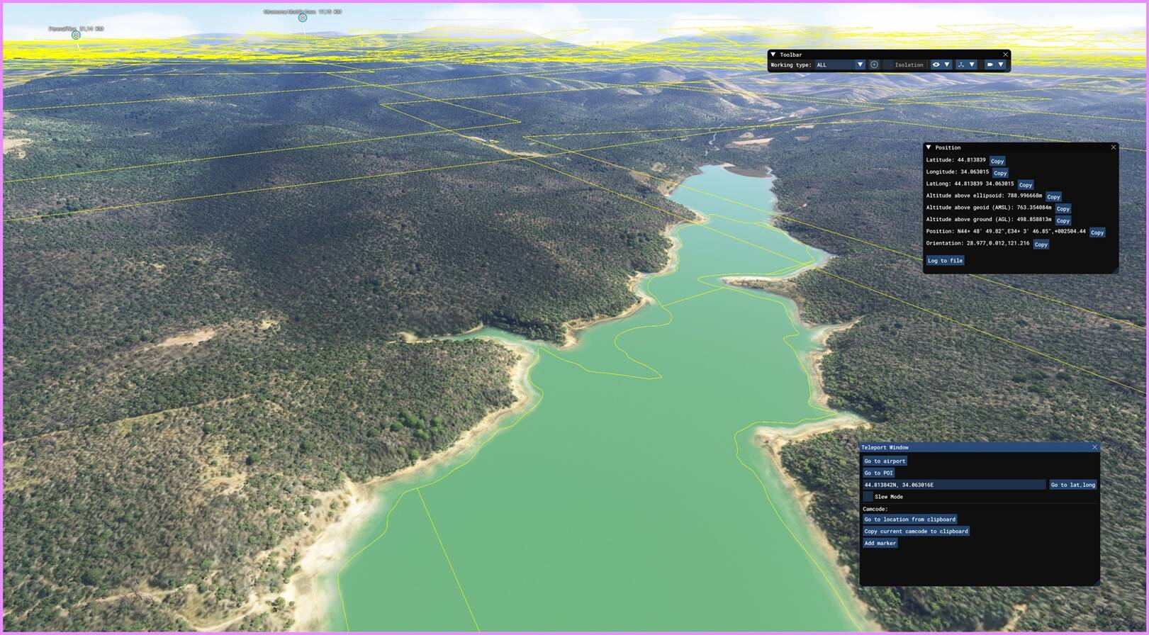
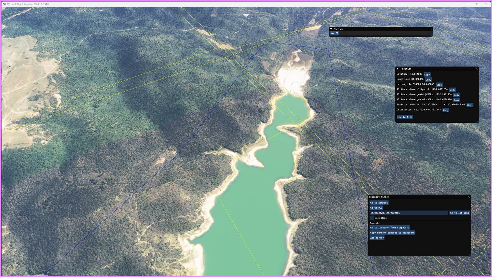
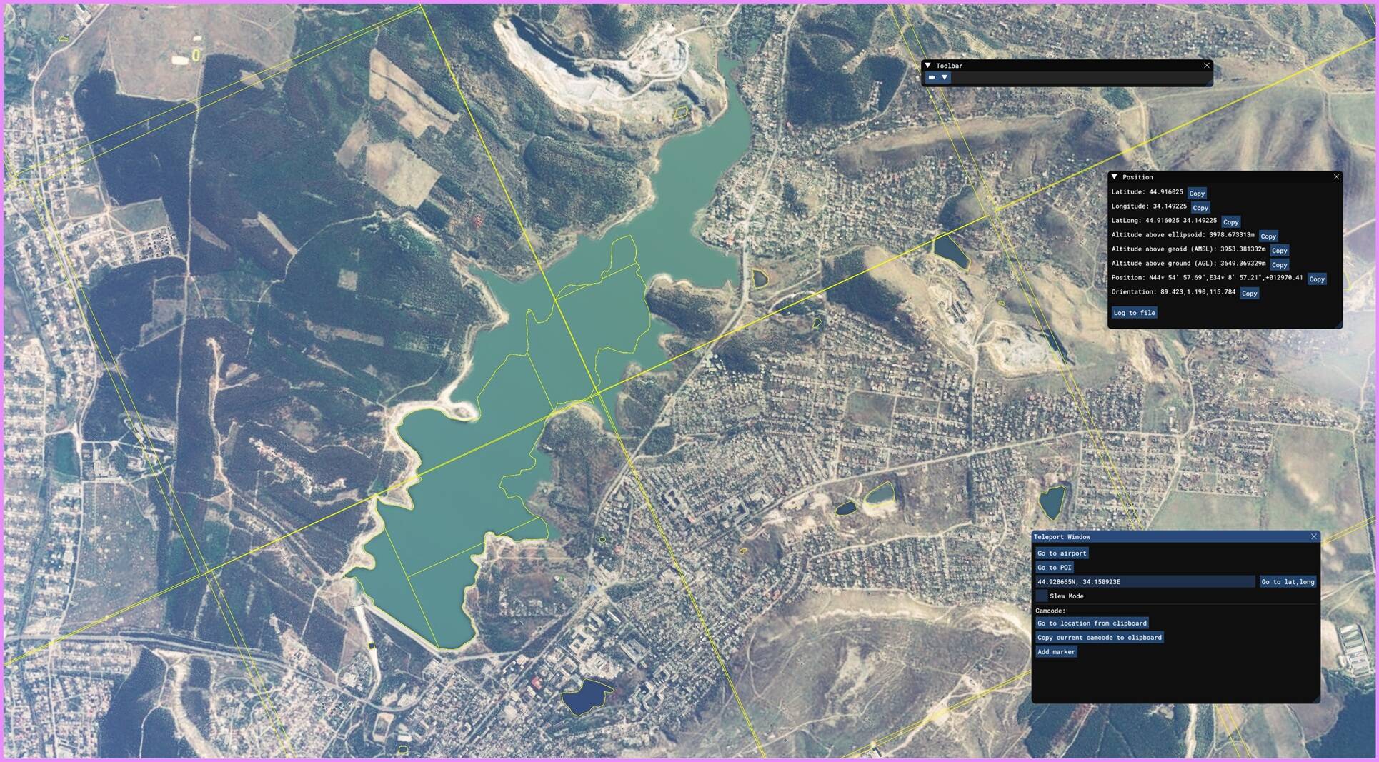
This project does not include LOD optimization, as it is not required for this type of content. Instead, I performed a custom adaptation of default water bodies to ensure proper integration with the new terrain mesh.
Data Sources and Tools
- DEM data is sourced from ESA Copernicus Sentinel-1, reprocessed and optimized for MSFS.
- Mesh Technology: Proprietary, developed in-house,
Key Features
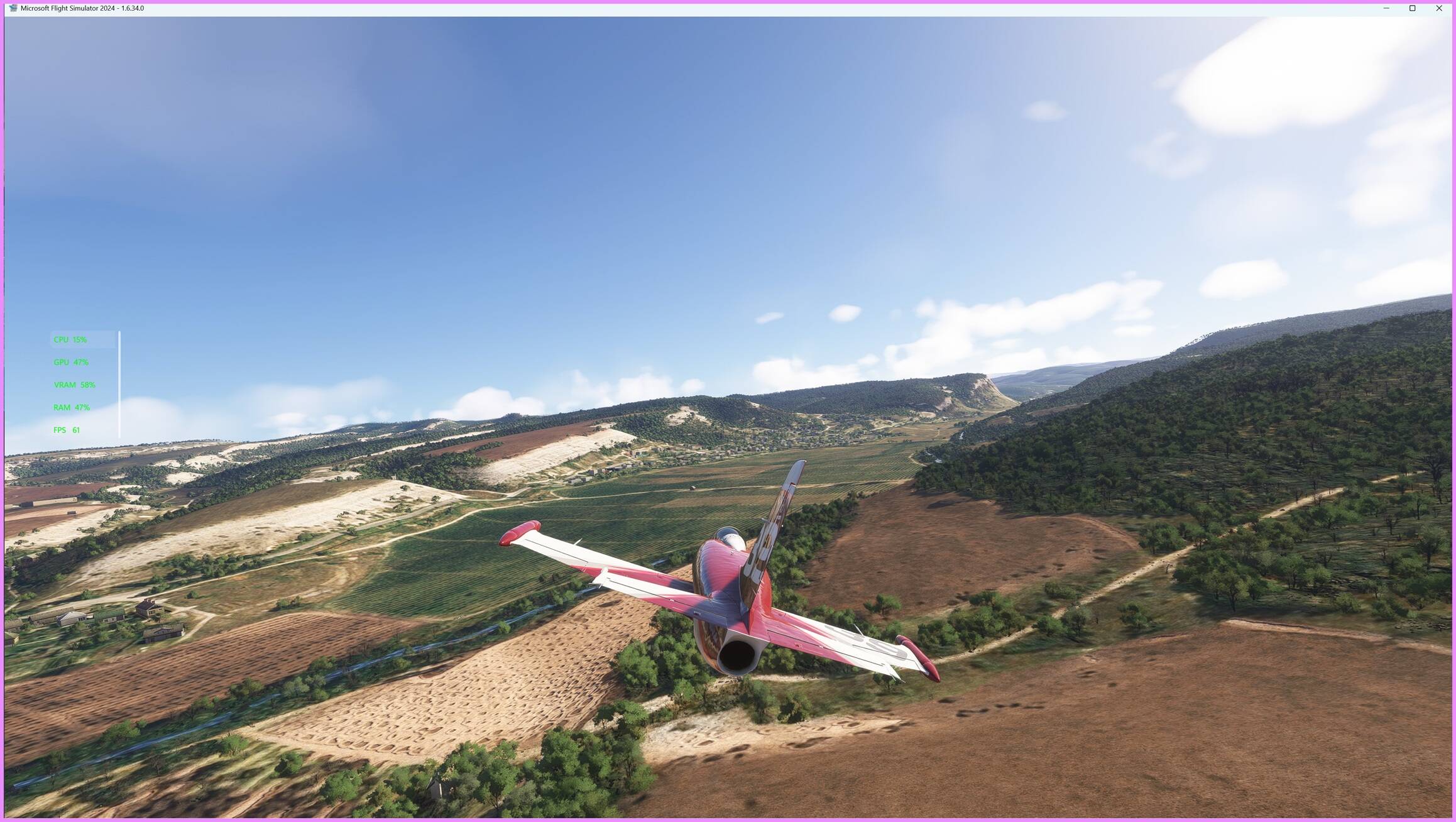
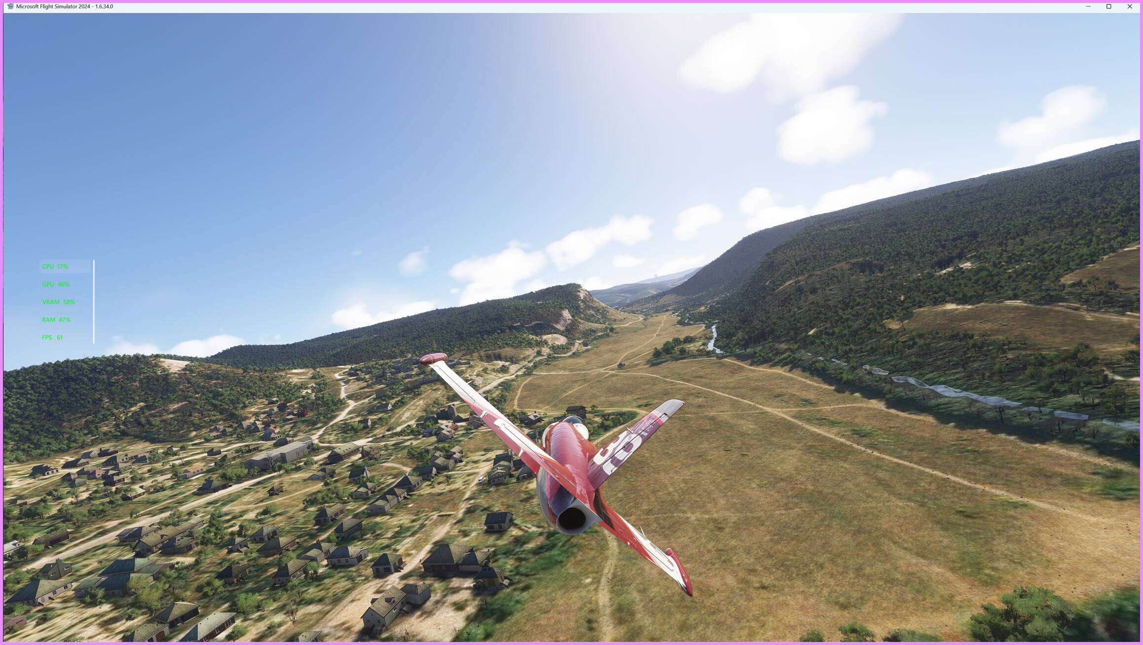
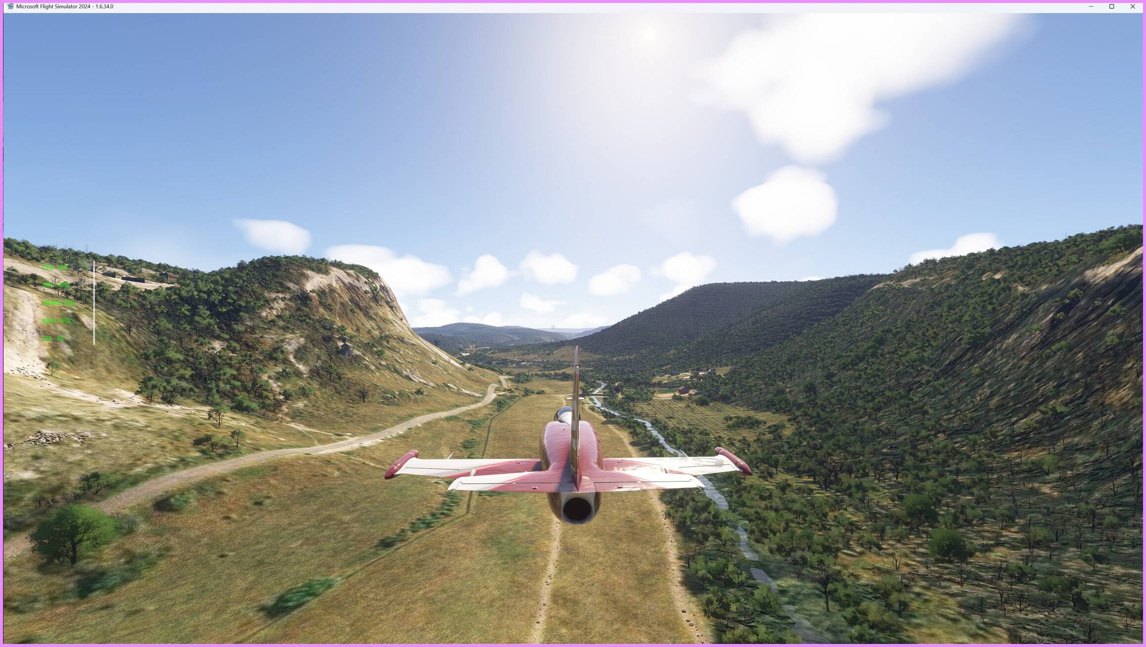
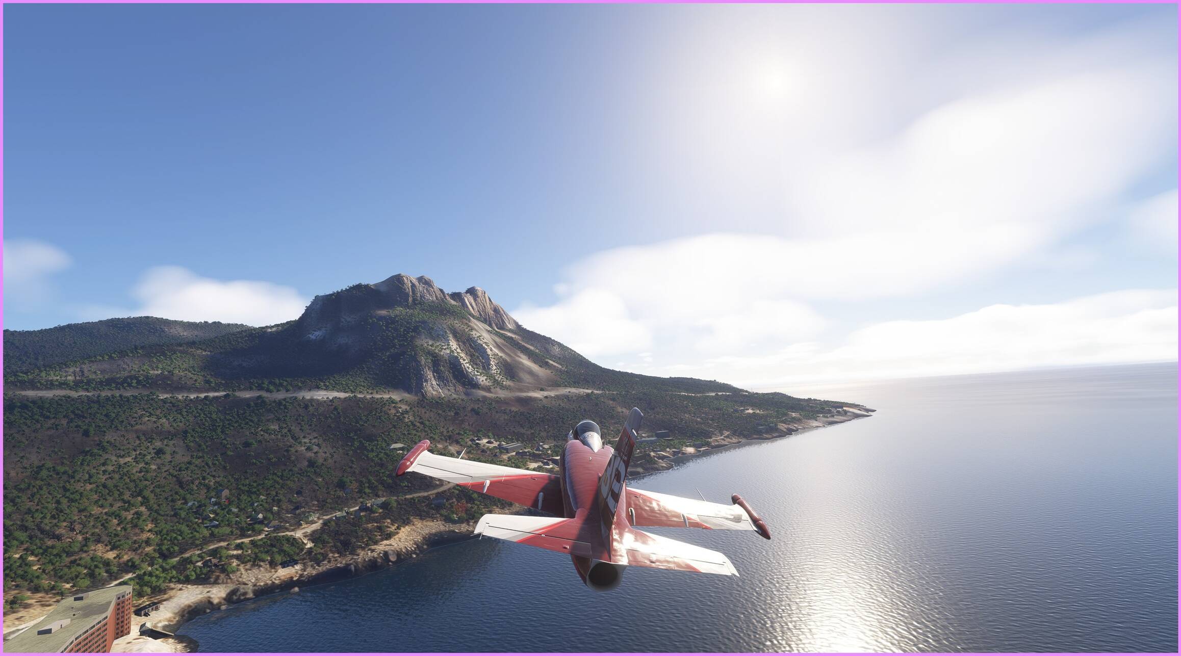
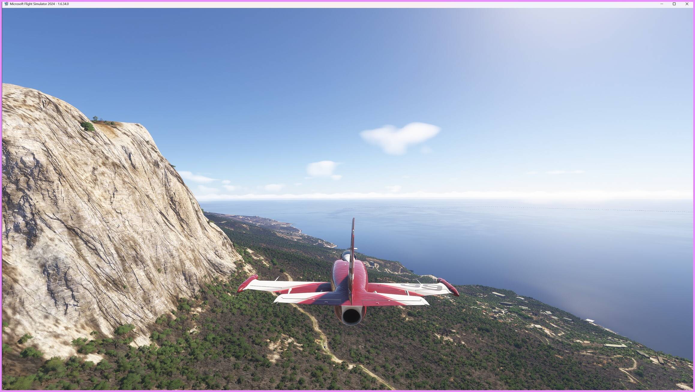
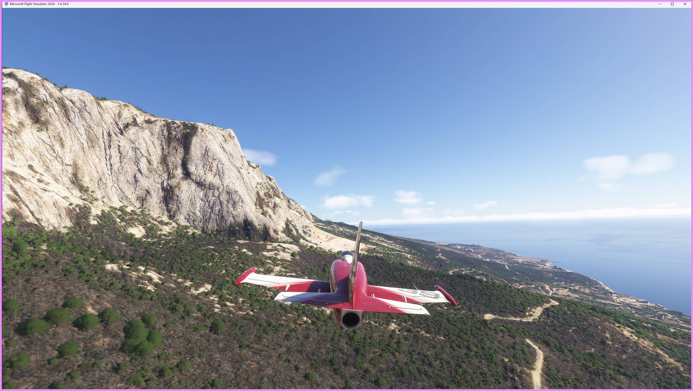
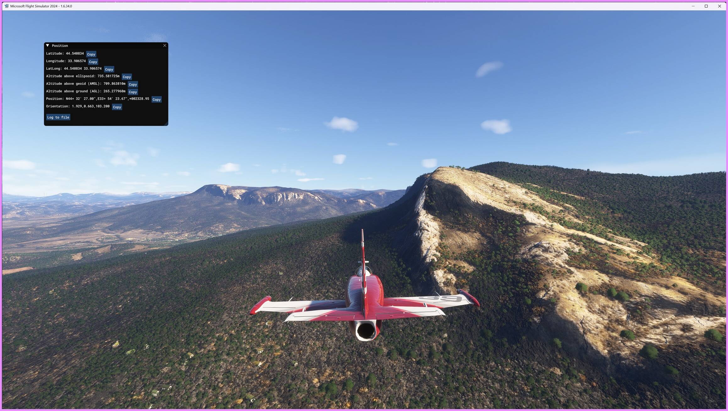
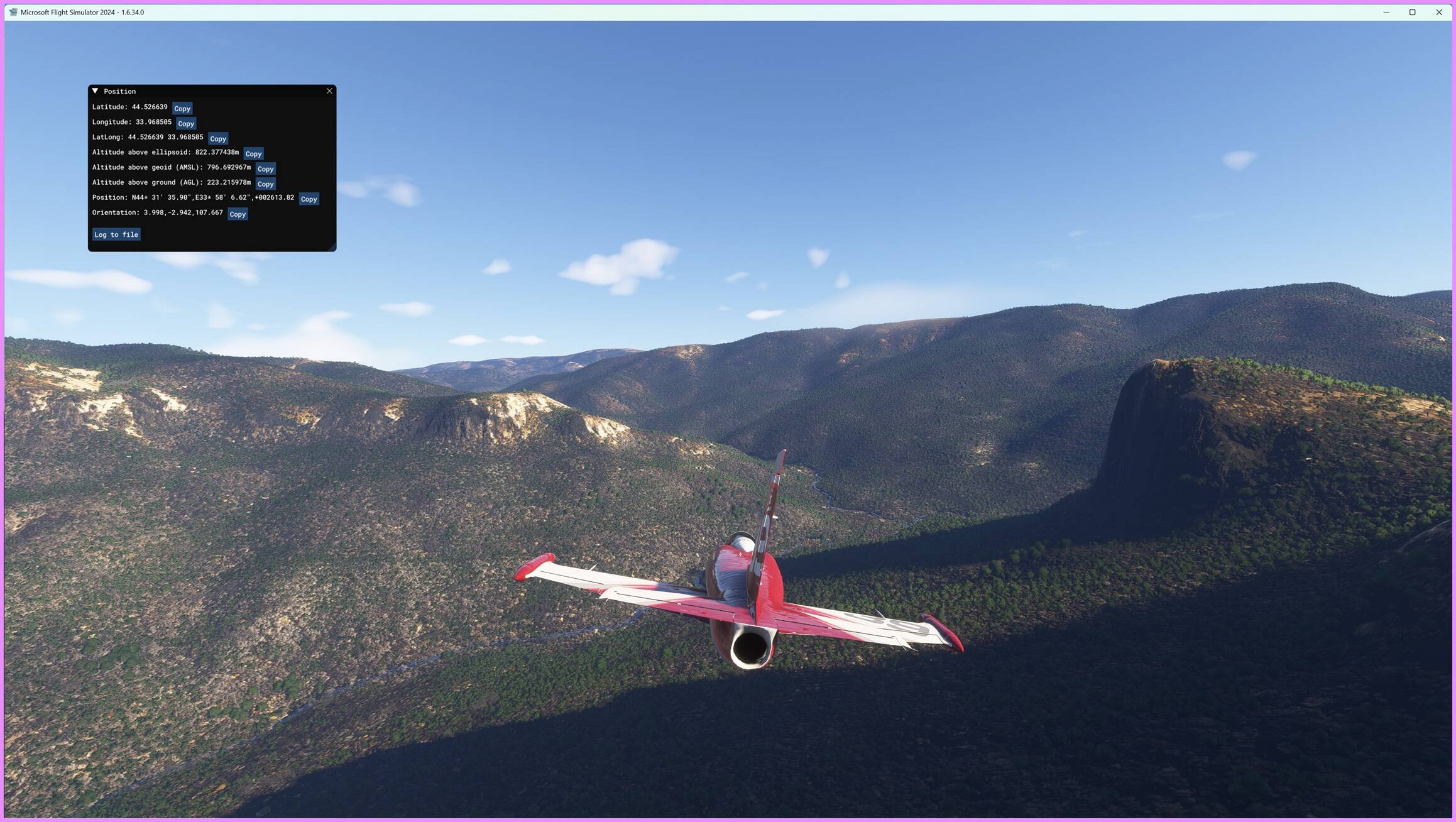
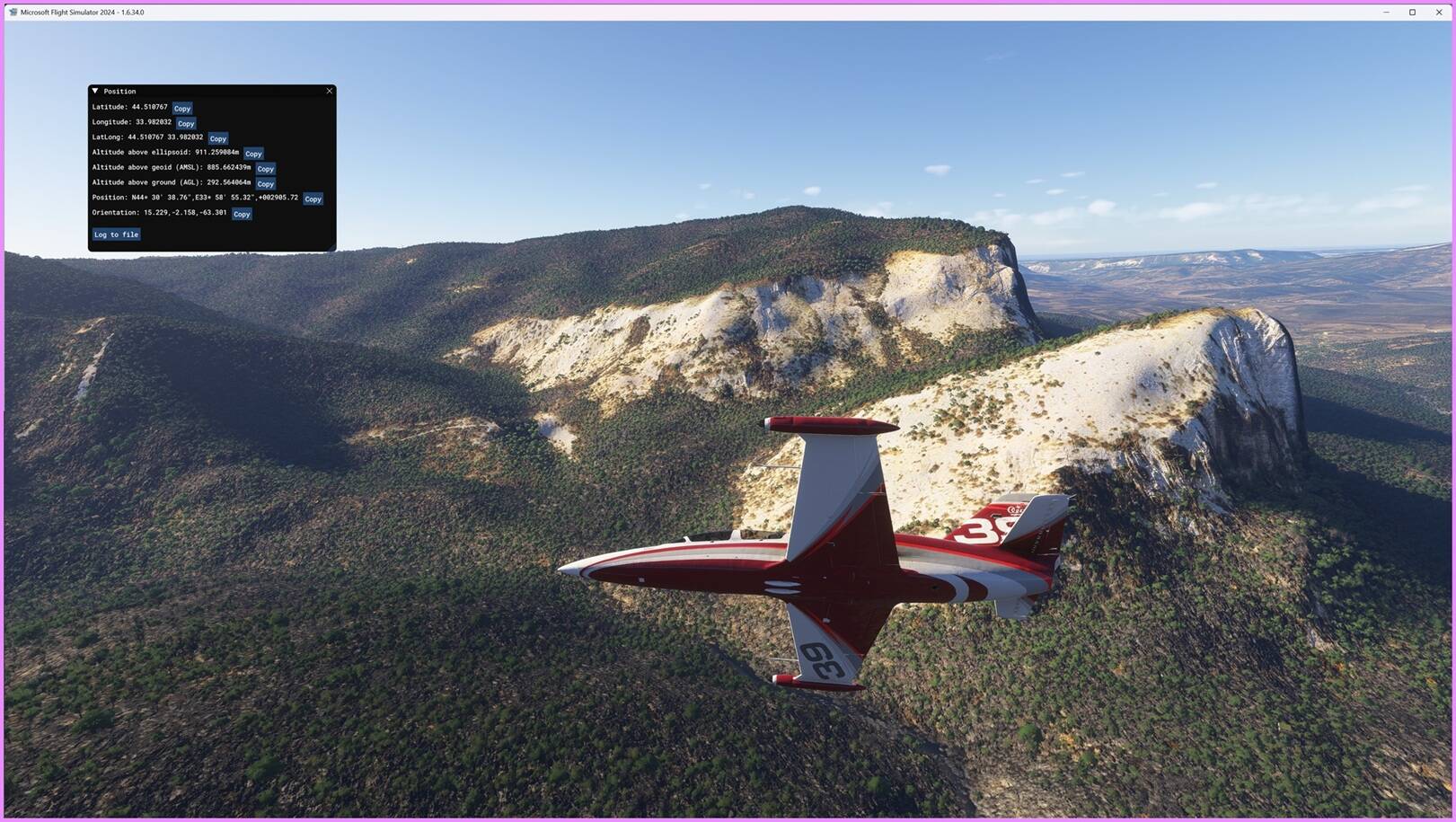
- 10-meter (1/3 arc sec) terrain mesh resolution, based on Sentinel-1 data, offering a dramatic improvement over default SRTM1 (30m) coverage.
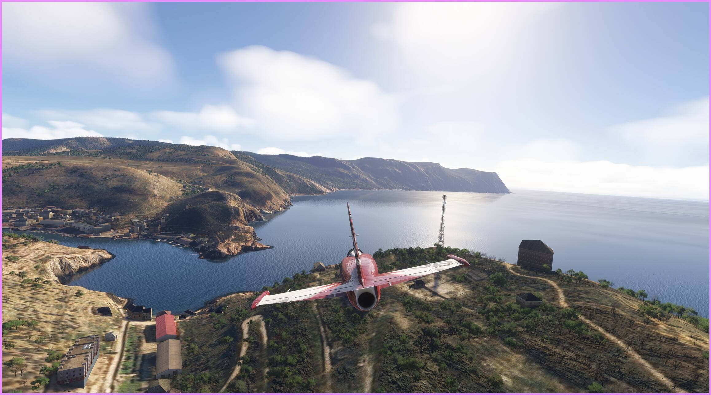
- Water body adaptation: default lakes, shorelines, and coastal flats have been flattened and reshaped to match the new elevation model.
-
Optimized for VFR flying; to fully appreciate the terrain detail, it is recommended to fly below 500 feet AGL.
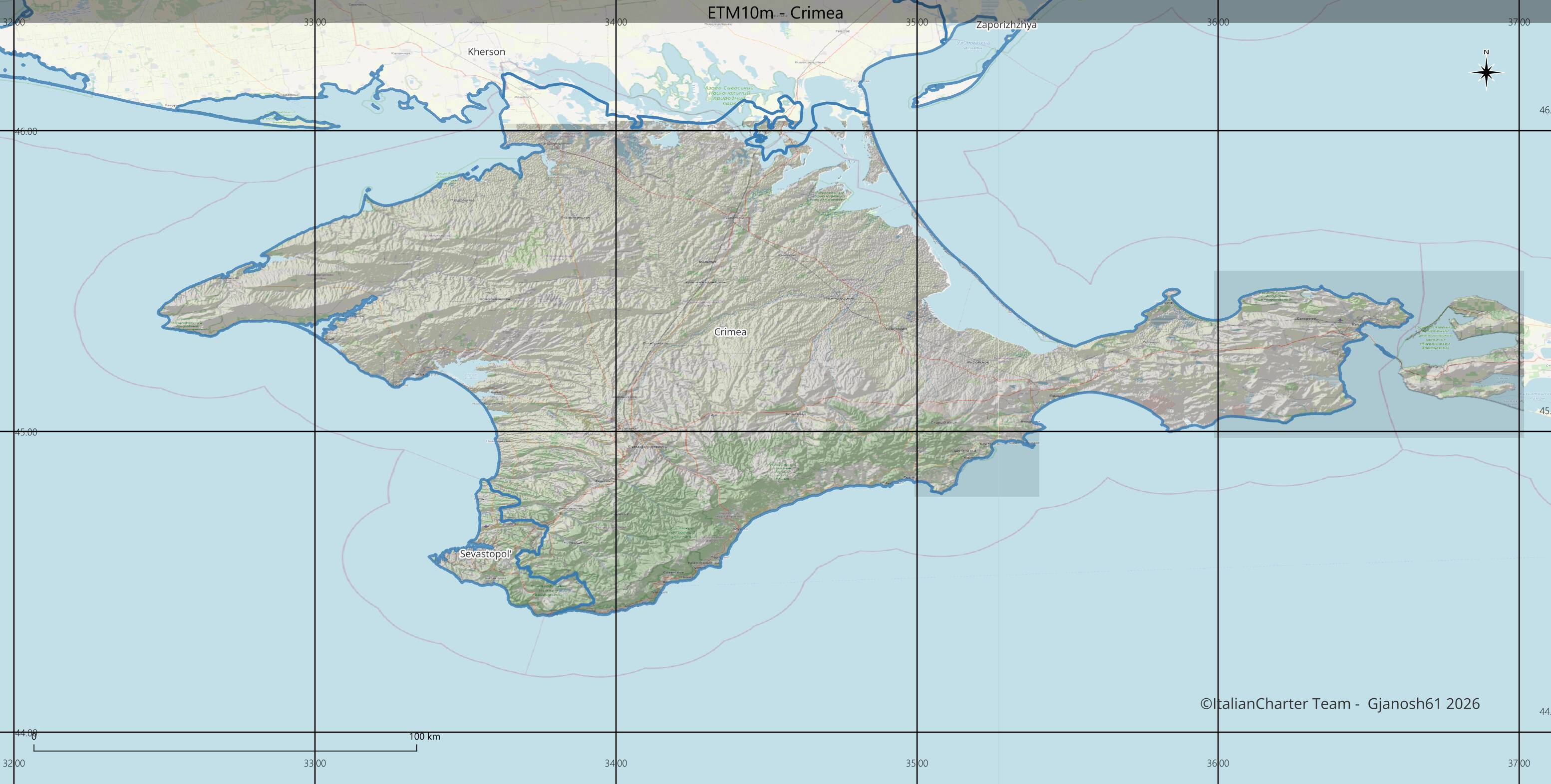
Support on ItalianCharter Team (Bug-reporting and Feedback). Thanks!


#TerrainMesh #MSFS2024 #Sentinel1 #SAR #QGIS #DEM openstreetmap #ETM10m