Since Sky Dolly v0.10 flights can also be exported in GPX format.
For Photographers - GPS-Tagging
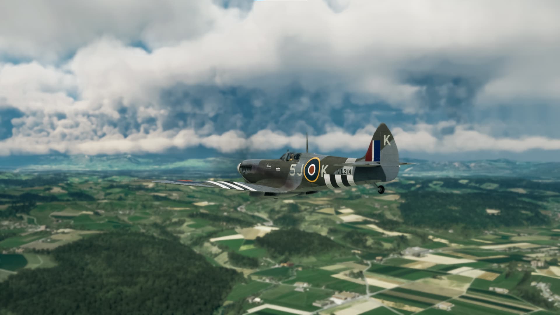
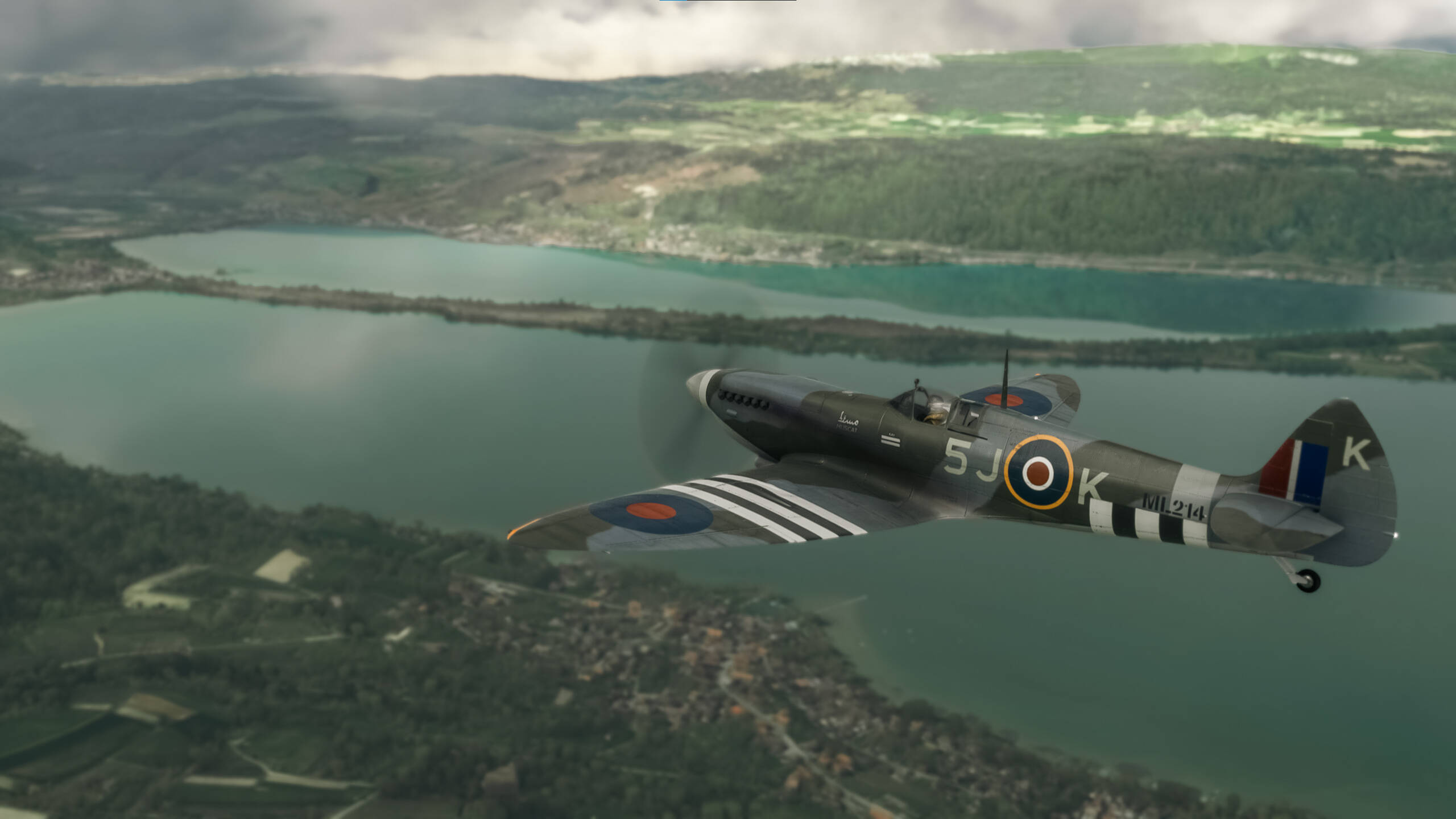
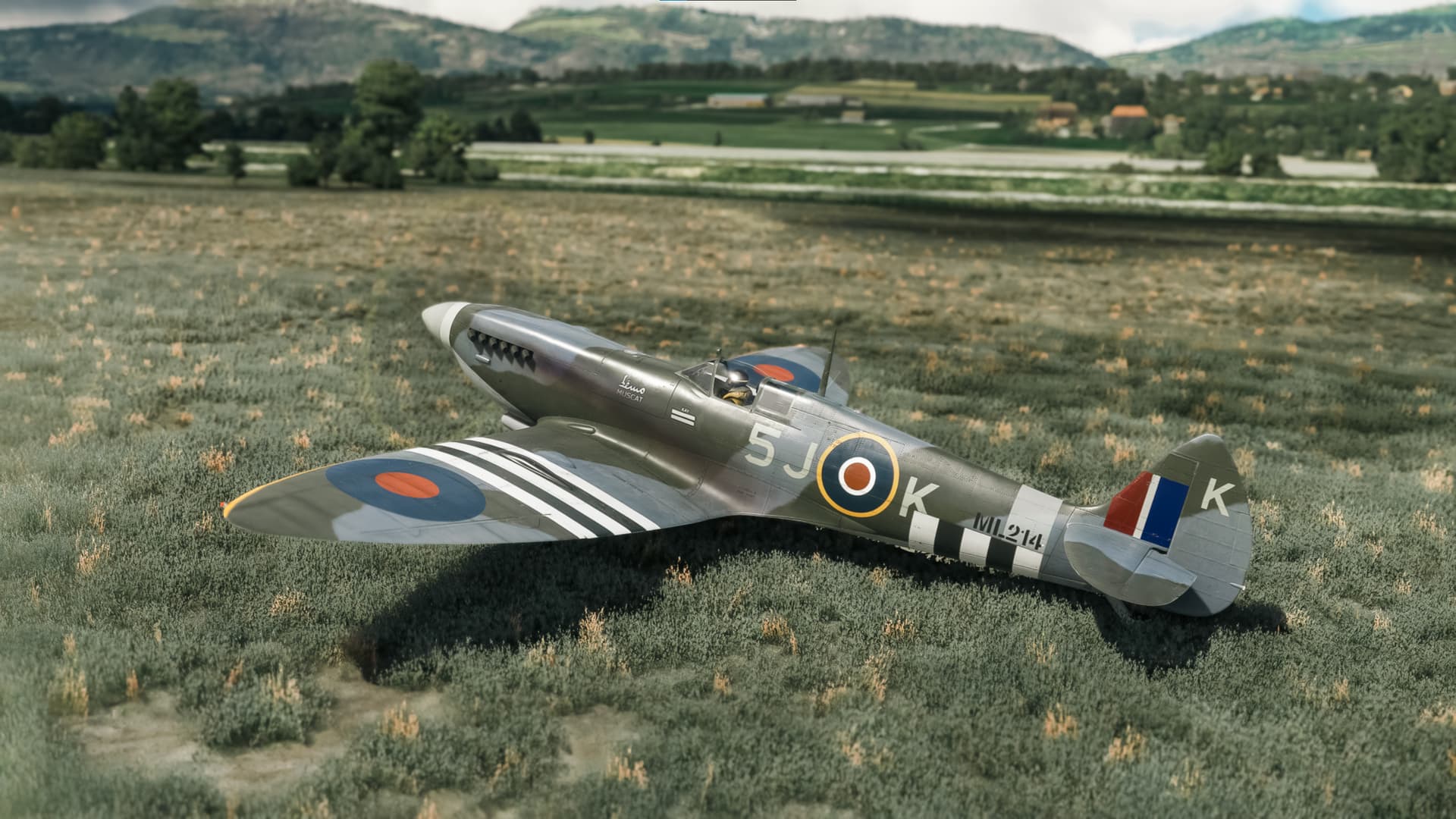
There is a neat little thing that may be useful for photographers: automatically GPS-tagging your screenshots taken during a flight recording. The actual GPS tagging of the screenshots (“photos”) is to be done with an external photo application of choice, but the essential workflow is:
Sky Dolly
- Export the flight as GPX, with “Recording (real-world) time” timestamps
Photo Application
- Import the screenshots: make sure to preserve the original file creation timestamp
- Import the previously exported GPX file (“track”)
- Automatically GPS-tag the photos
Here is how this could work in detail:
- In Sky Dolly, load a flight (by e.g. double-clicking on a flight in the logbook)
- Choose File | Export | GPX
- Now for the Timestamps option select Recording (real-world) time
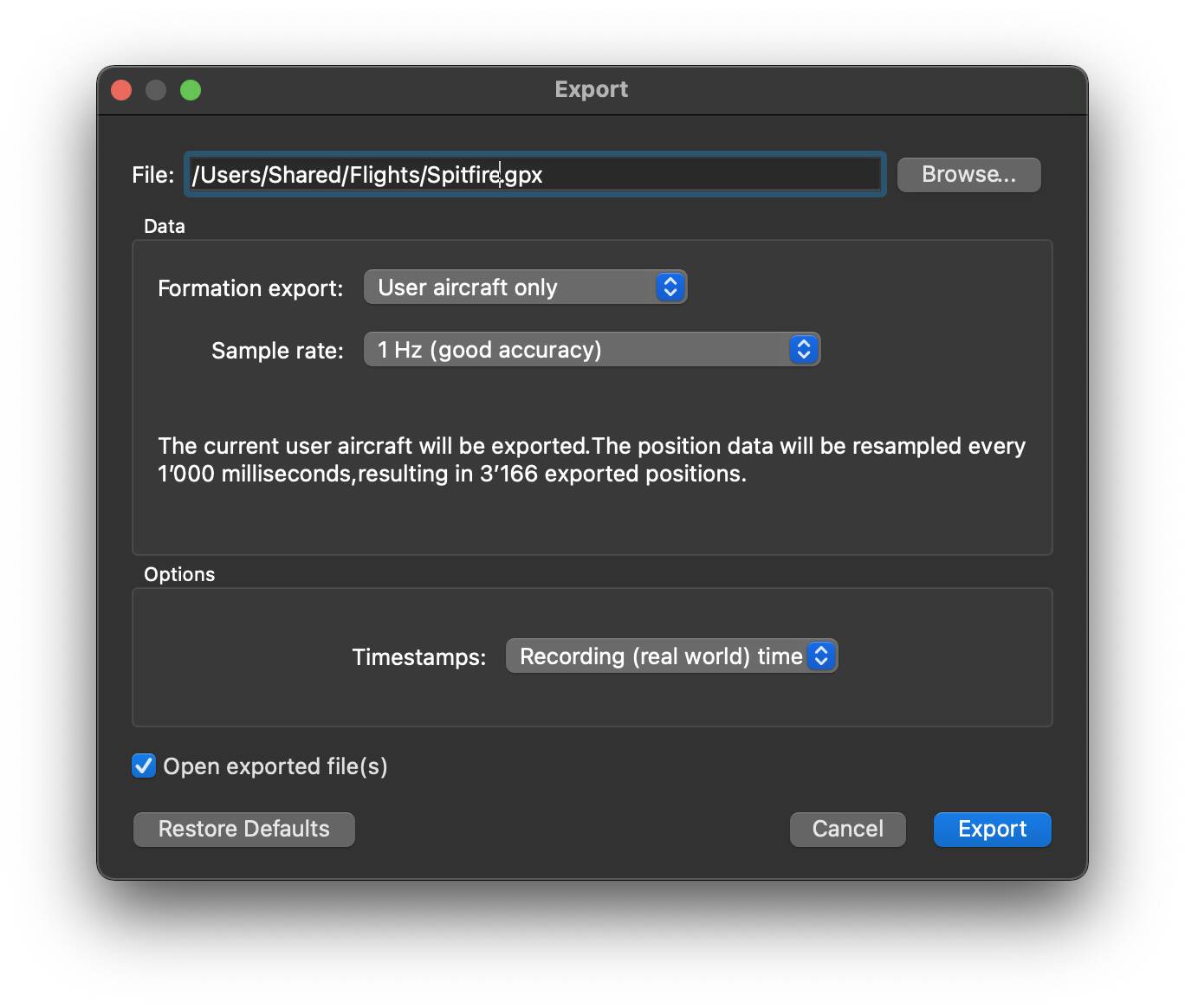
The exported GPX track then contains the actual real-world timestamps (converted to zulu time), and not timestamps based on the simulation time. Why is that useful? Because now the photo application can make a correlation between the creation timestamp of the screenshot file and the corresponding GPS coordinate.
Note that resampling the recorded flight data with 1 Hz (“one sample per second”) should give us a good precision when it comes to geolocating the corresponding screenshots, but of course you may also choose 1/10 Hz only (“one sample every 10 seconds”) or - if you are flying with a very fast aircraft and precision is everything - choose 10 Hz, or even “Original data” (if the recording frequency was kept at “auto” this gives you up to 60 Hz sample rate, depending on your actual frame (simulation) rate).
However most GPS tagging algorithms interpolate anyway between the GPX track points, so again: 1 Hz (or even less) resampling rate is a good choice for our purpose here.
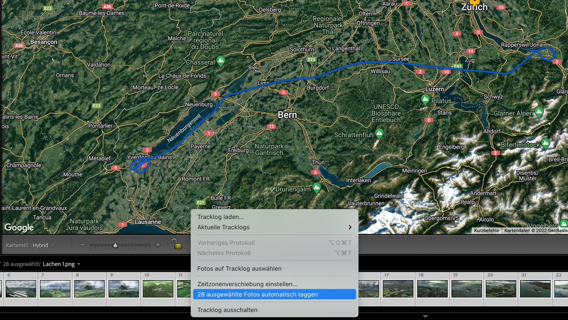
We now switch to the photo application of choice, import the screenshots (again, pay attention that the original file creation timestamps are preserved) and load the GPX track:

The GPX timestamps are always Zulu time (= UTC+0). Depending on the photo application the application may assume that the timestamps of the screenshot files are also in the same UTC+0 (“Zulu time”) timezone. However since the file creation timestamps refer to your local timezone (as set in the operating system) the timezones most often do not match (unless you happen to live in an UTC+0 timezone).
So in most cases we need to adjust the timezones of the screenshots:

In my case I live in the UTC+2 timezone, so the expected difference between the GPX track timestamps and the screenshot creation timestamps is two hours:
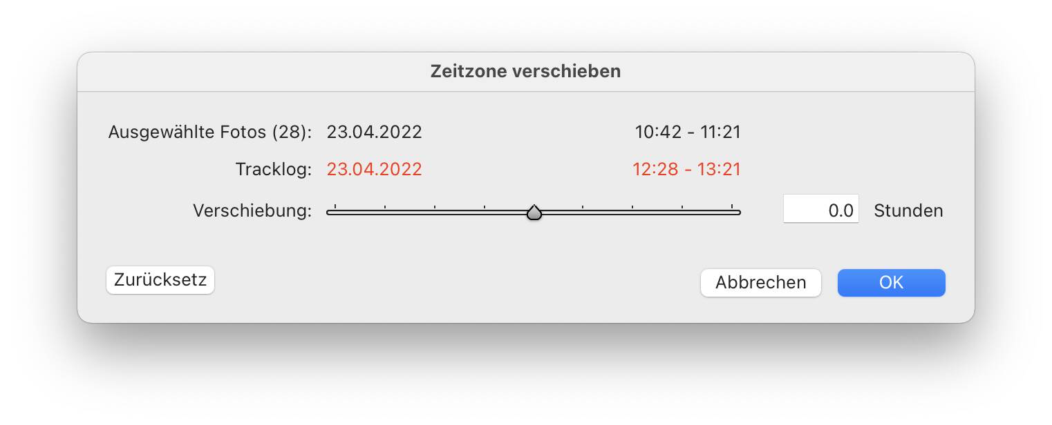
The timezone difference is quickly adjusted however:

Now with the adjusted timezone we can start with the automatic GPS tagging:
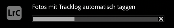
This may take a while…
… but once it is done each screenshot has now assigned its GPS coordinate where it was “taken”:

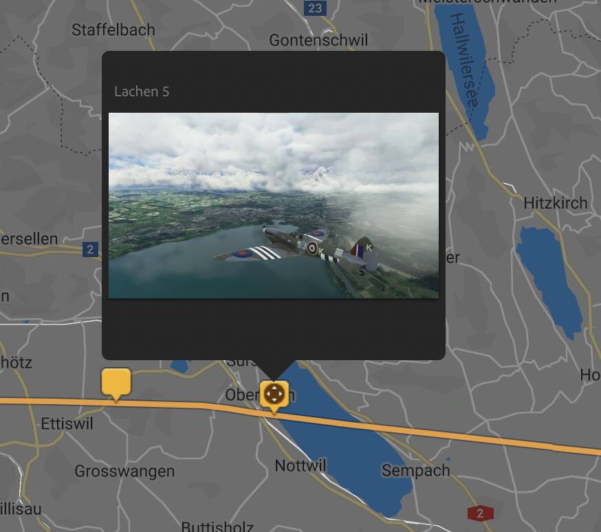
Now we could spin this further and - with the help of the appropriate tool - export the photos in KML format, in order to show then “geolocated”, e.g. in Google Earth. Even in combination with the actual flight path which Sky Dolly can directly export as KML. You get the idea 
Conclusion
Sky Dolly can export your flights in GPX format. By setting the timestamp format to “Recording (real-world) time” the exported GPX track data may be used to automatically GPS-tag your screenshots, with the help of the photo editor of your choice.