Ever heard of “Entschleunigung” or the “Slow movement”? A bunch of bright people got the idea that human life accelerates more and more which turns out to be pretty unhealthy. So to counteract it, they developed a living philosophy of slowing-down. Now I came into contact with it recently and try to incorporate it into my life - as I am an avid flight simmer / virtual tourist, I want to carry it into this hobby, too.
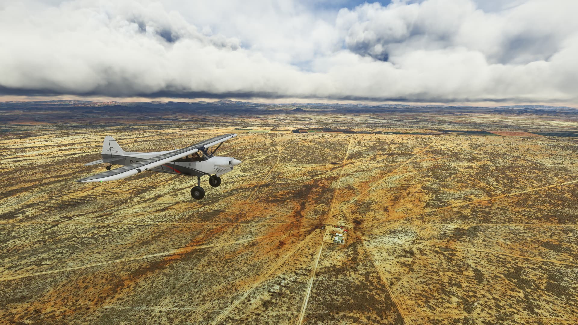
So here it is - “Slow and Steady”. Just some nice consecutive flights with an XCub, starting in Sedona, USA. I take shots of basically anything as long as it can grab my attention. And yes - I don’t have a plan except that we’re going south.
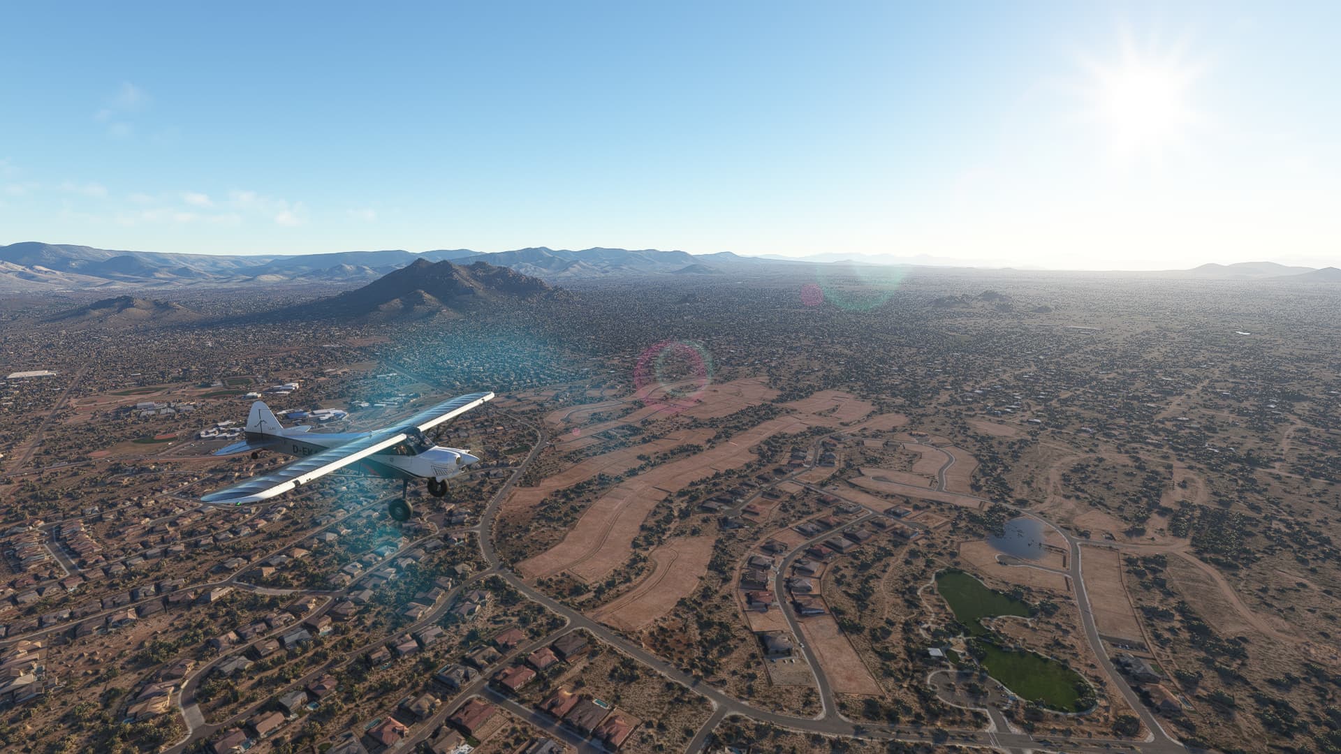
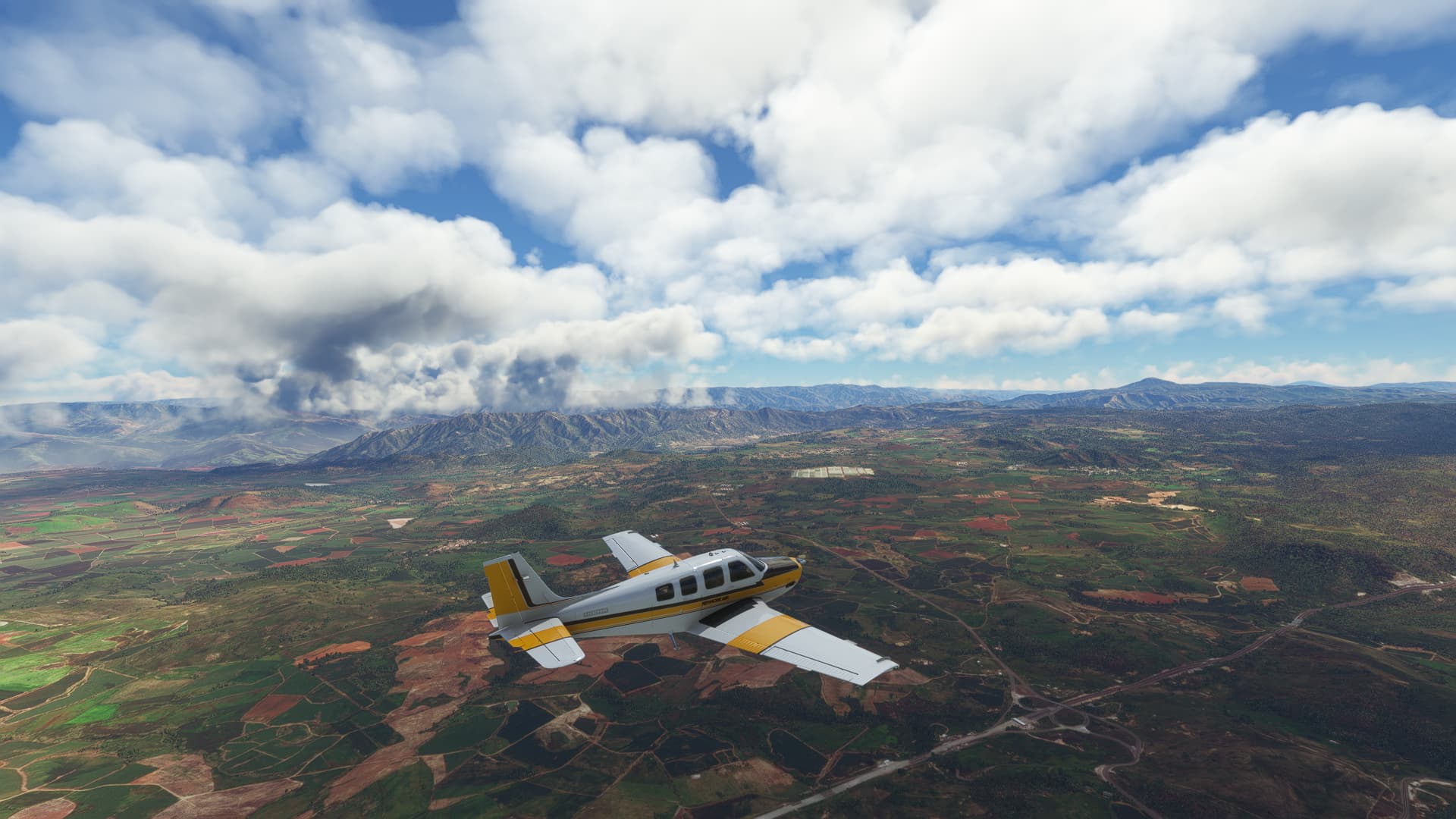
UPDATE! We switched to a Beechcraft Bonanza G36 for the time being since it was a bit too much stress to fly an XCub in the mountains after 8 hours of work and 2 hours of commute.
USA (3/3)
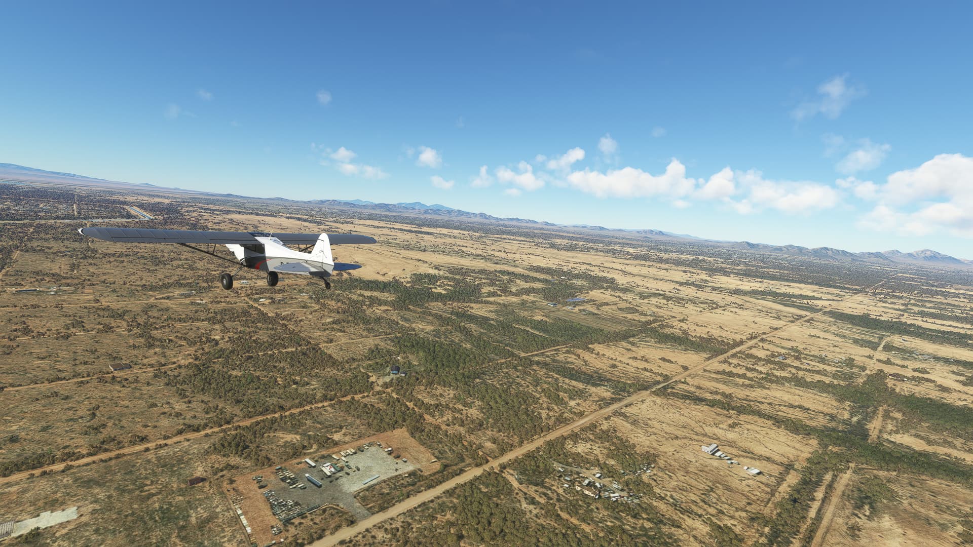
#001 Sedona (KSEZ) - Scottsdale (KSDL).
#002 Scottsdale (KSDL) - Pinal (KMZJ).
#003 Pinal (KMZJ) - Nogales (MMNG).
Mexico (8/x)
#004 Nogales (MMNG) - Hermosillo (MMHO).
#005 Hermosillo (MMHO) - Guaymas (MMGM).
#006 Guaymas (MMGM) - Mayocoba (MX-0332).
#007 Mayocoba (MX-0332) - El Caimanero (MX-0518).
#008 El Caimanero (MX-0518) - Mazatlán (MMMZ).
#009 Mazatlán (MMMZ) - Tepic (MMEP).
#010 Tepic (MMEP) - Zapopan (MMZP).
011 Zapopan (MMZP) - Jaujilla-Zacapu (MM47).
2 Likes
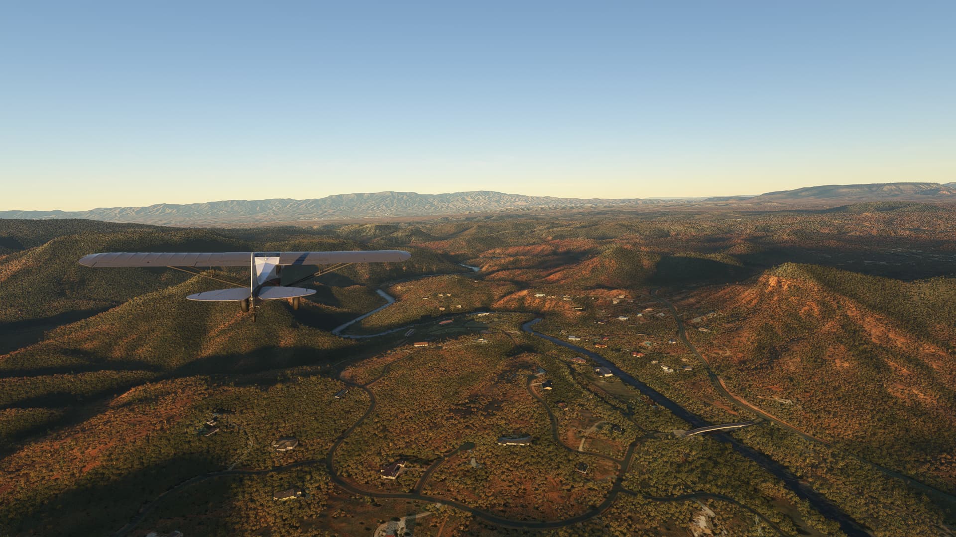
001 Sedona (KSEZ) - Scottsdale (KSDL).
-
The Red Rock Loop Road and Oak Creek southwest of Sedona, AZ.
-
Landscape near Cornville. AZ.
-
Arizona Veterans Highway in Middle Verde, AZ.
-
Some houses on Clenega Creek.
-
Between Squaw Mountain and Black Canyon City, AZ.
-
Carefree Foothills in Carefree, AZ.
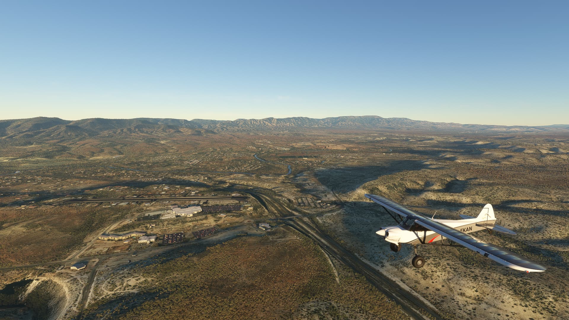
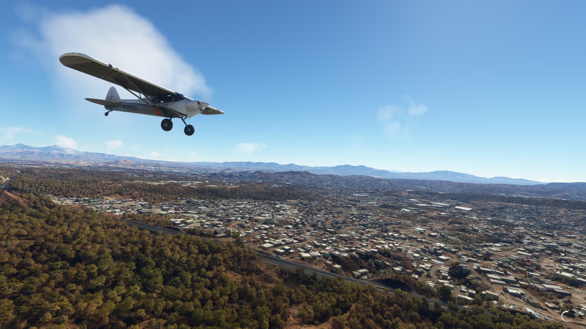
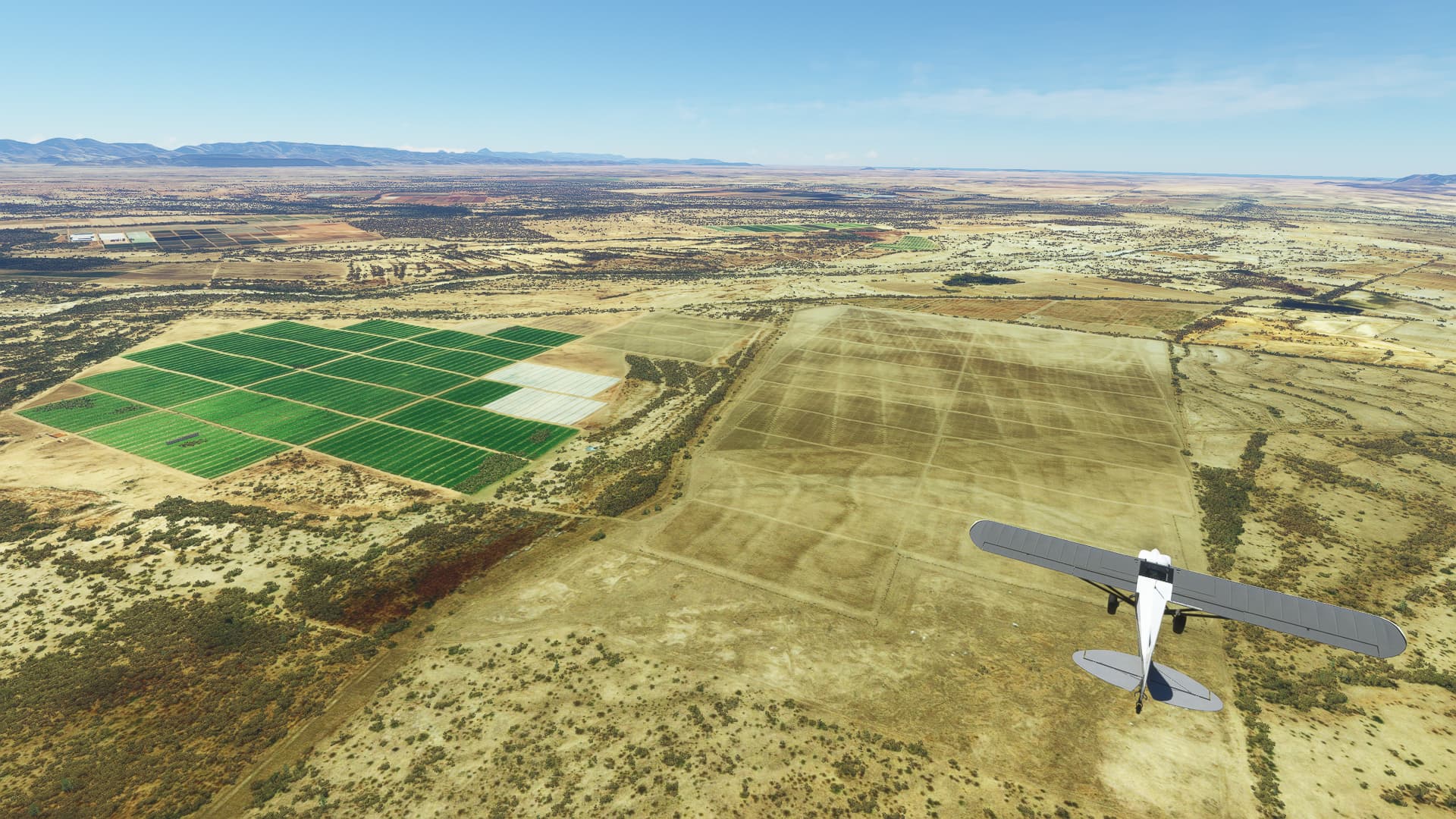
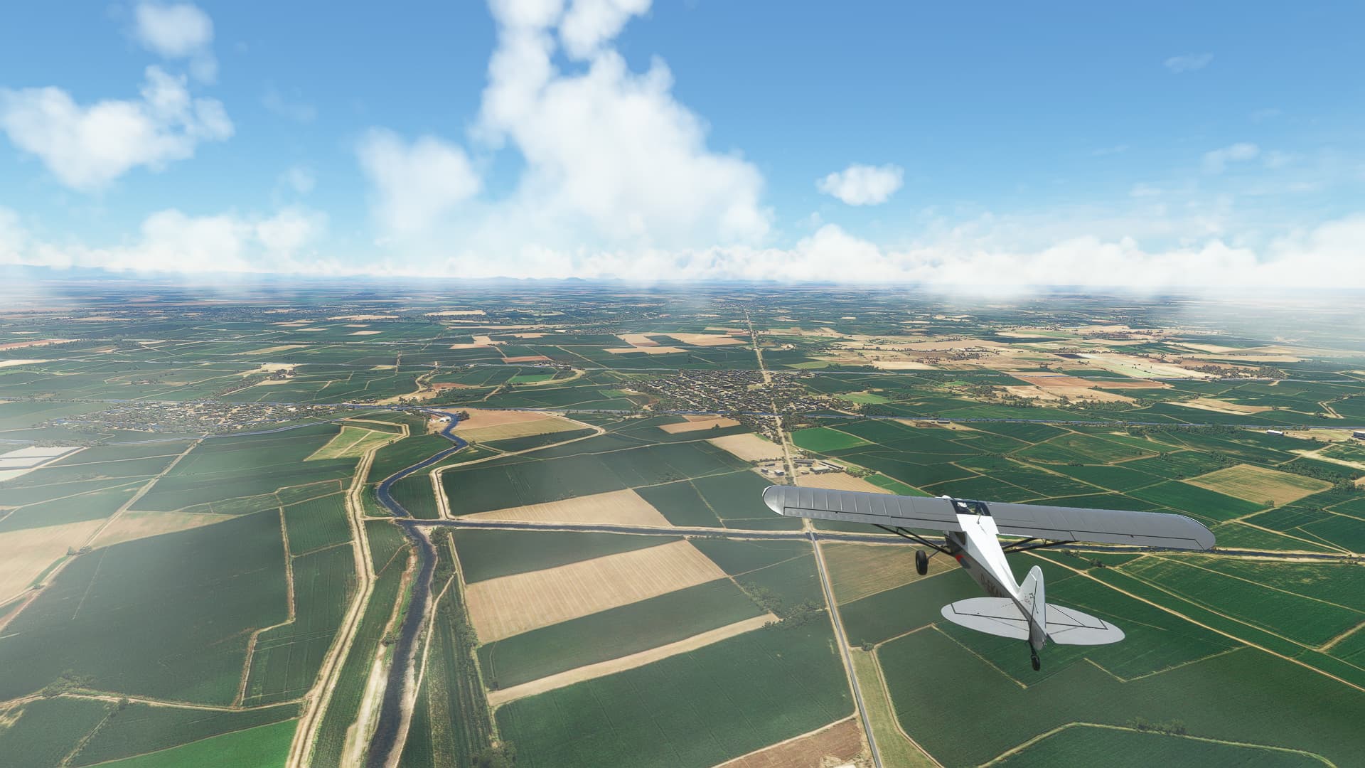
002 Scottsdale (KSDL) - Pinal (KMZJ).
-
Fields near Andalusia, AZ.
-
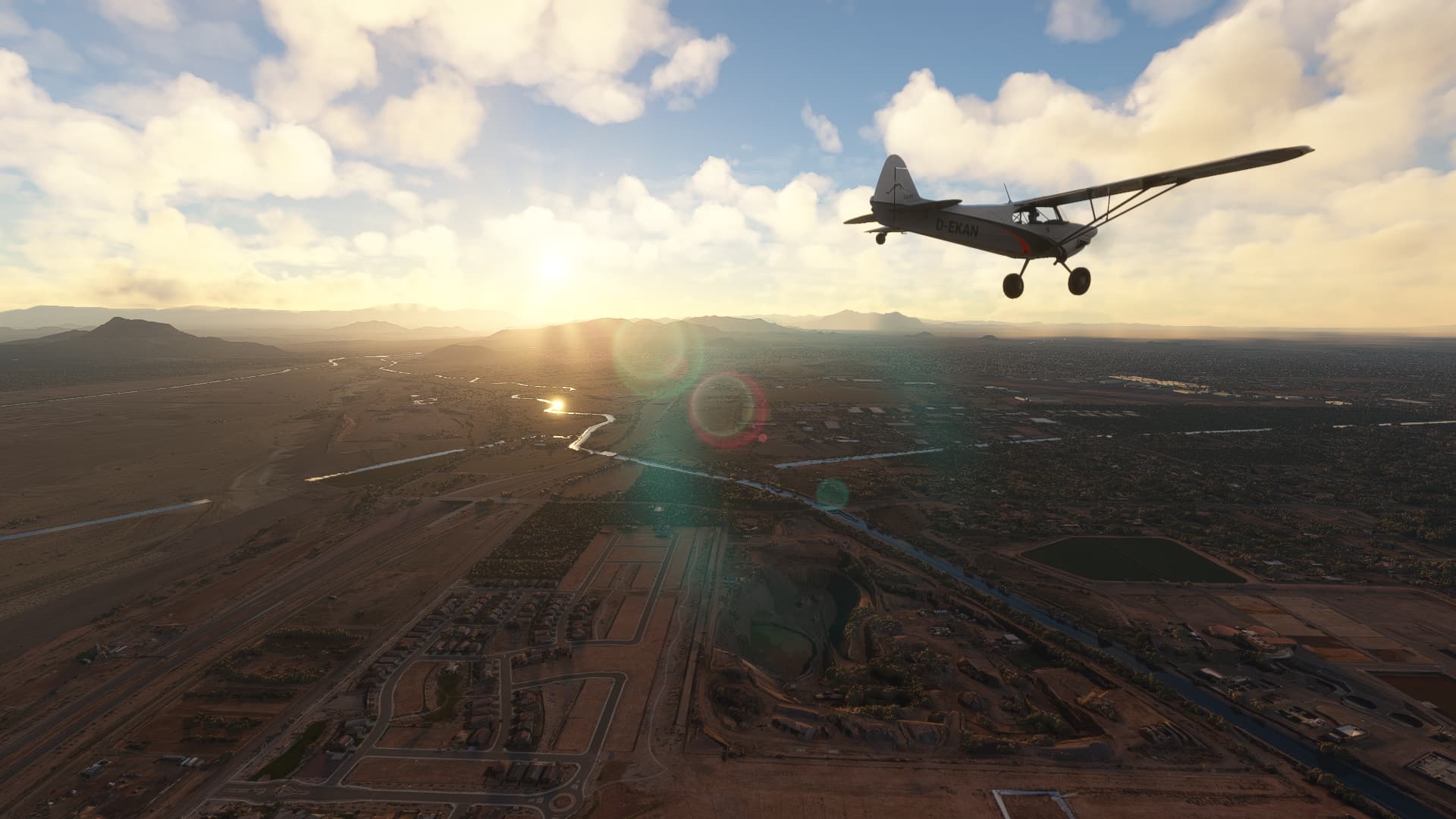
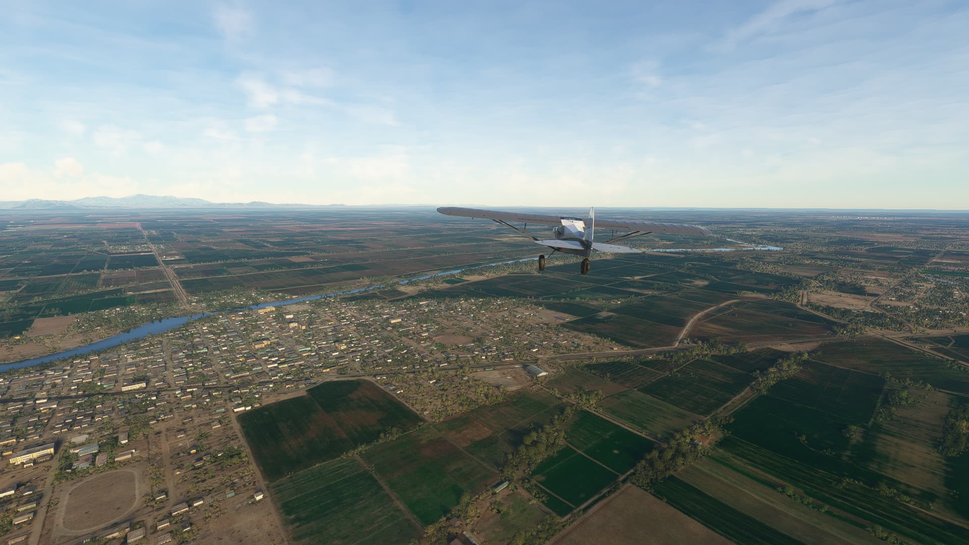
Entering the city of Mesa, AZ from the north by crossing Salt River.
-
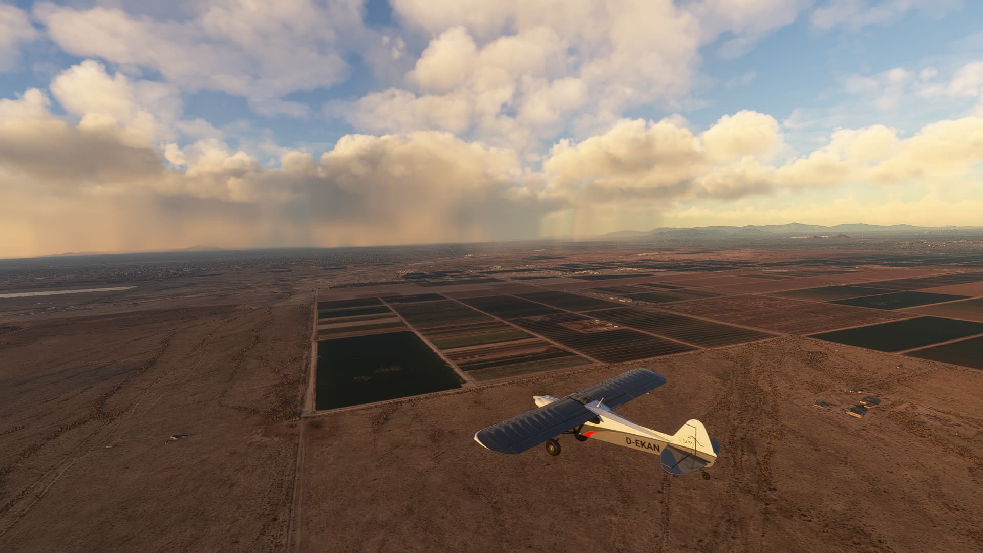
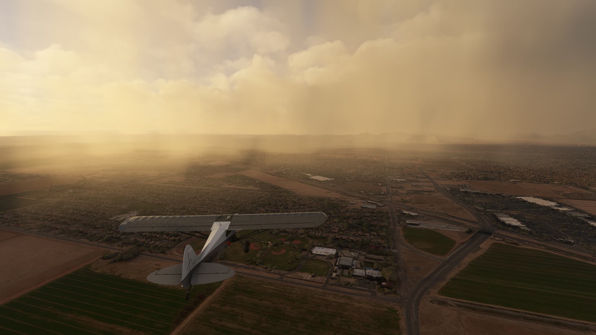
The small town of Queen Creek, AZ with a lot of dust in the air but almost no wind going (1-2kn).
-
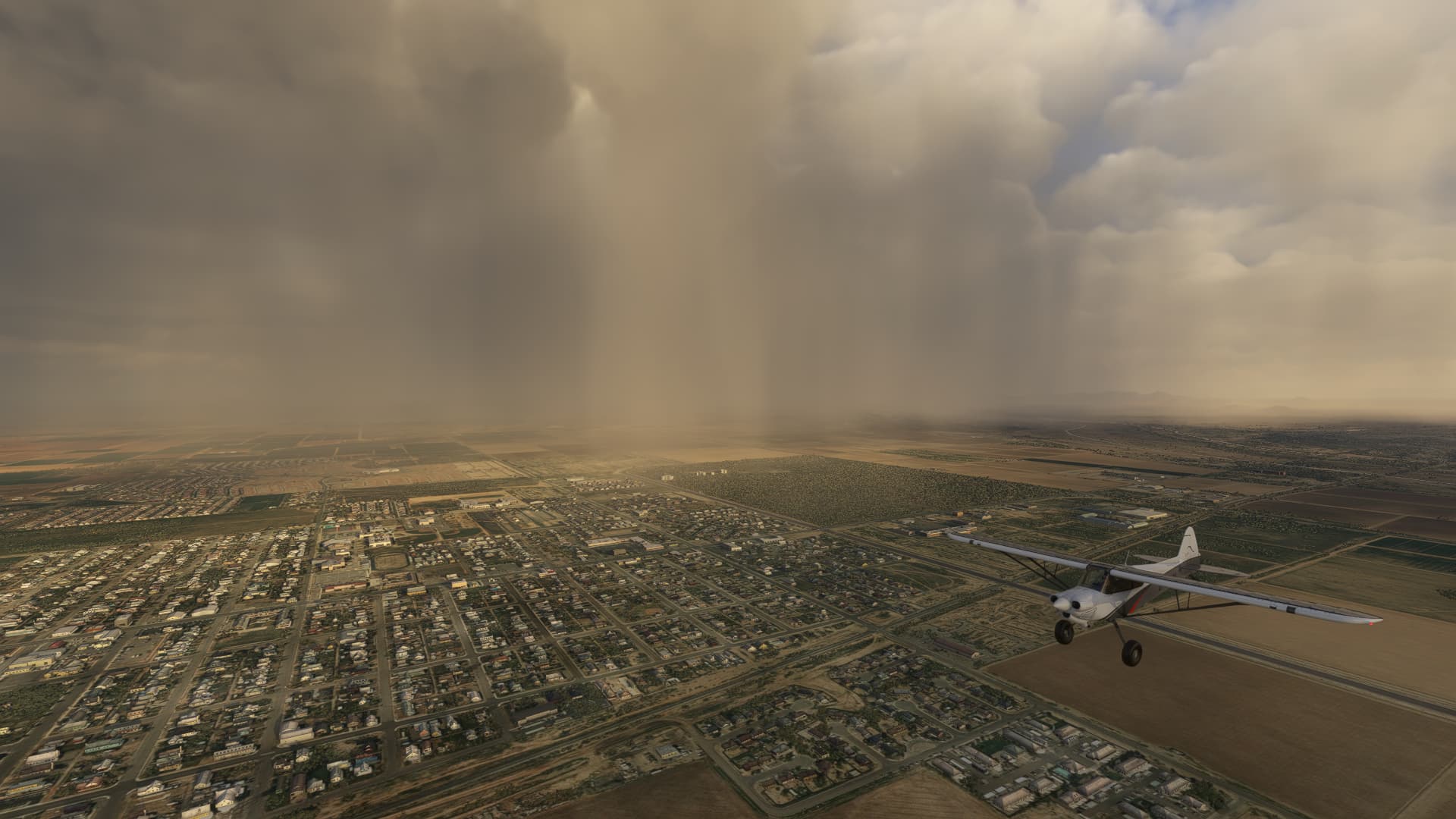
The city of Coolidge, AZ.
-
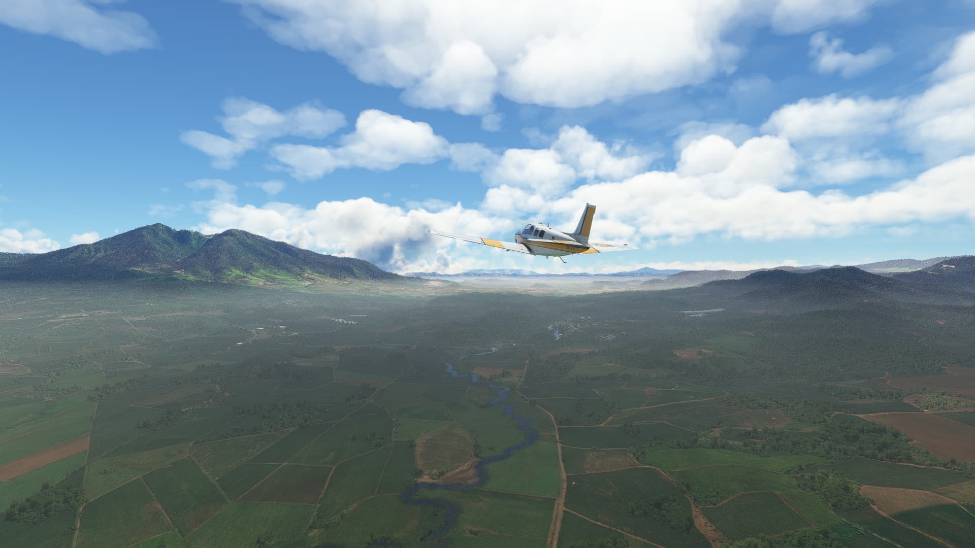
Near Red Rock, AZ: I don’t know what I’ve taken a picture of this time… the form of the cloud brings to mind a wildfire but there’s a rainbow above it… idk, I’m baffled by this shot.
2 Likes
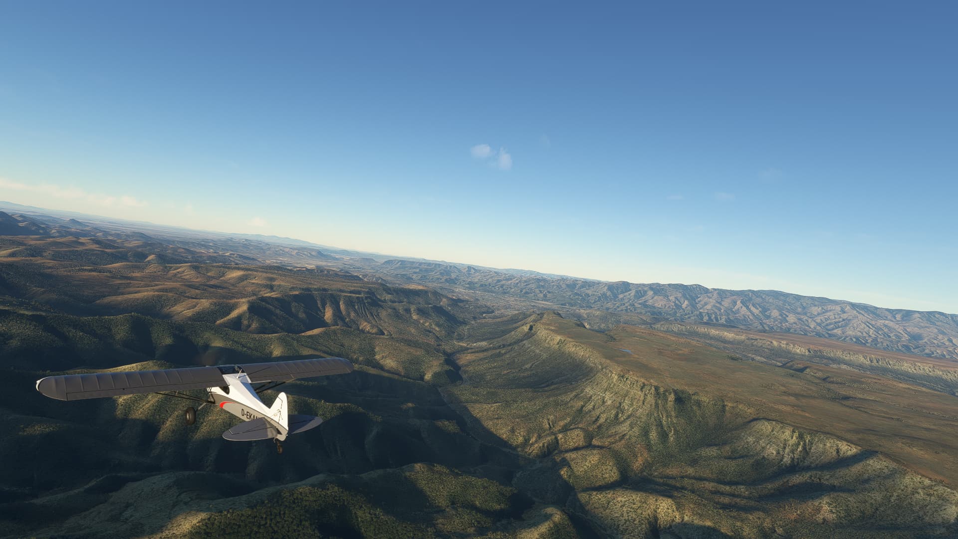
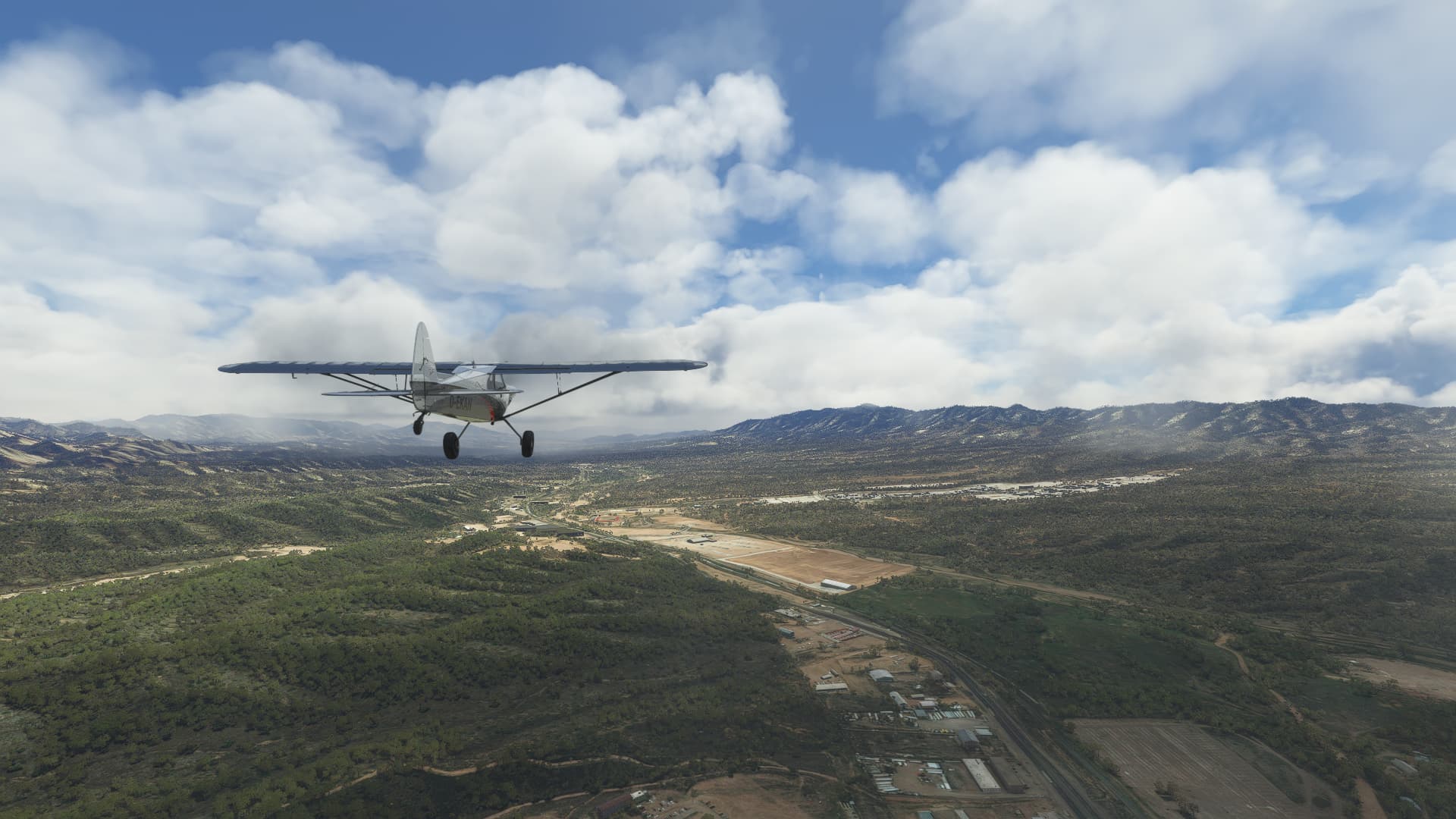
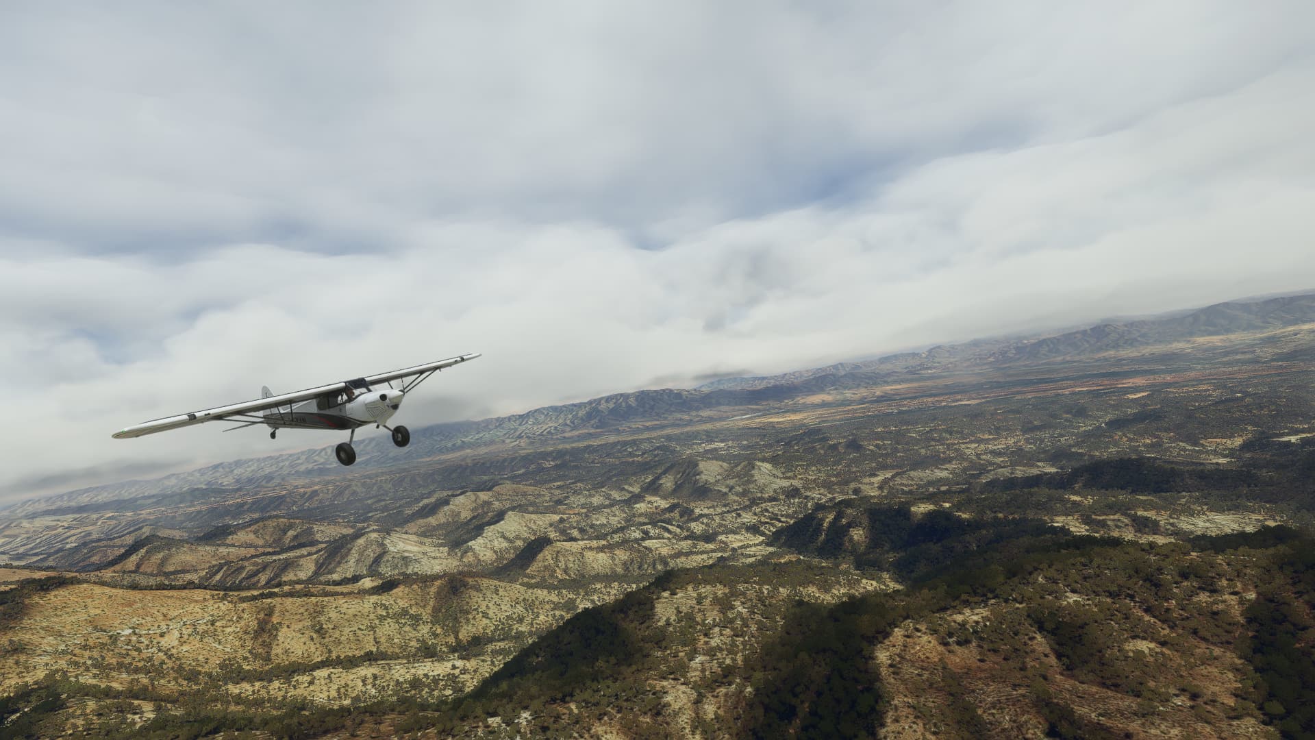
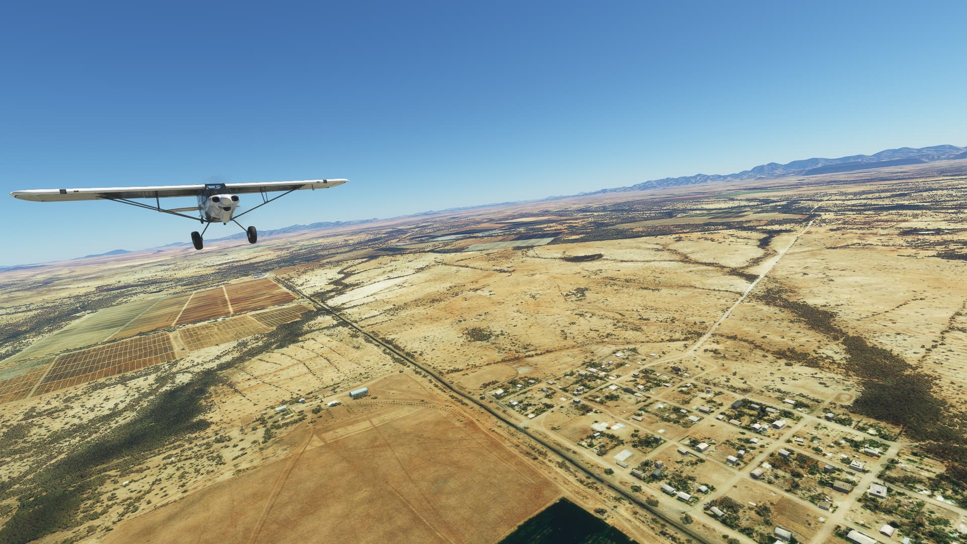
003 Pinal, USA (KMZJ) - Nogales, Mexico (MMNG).
-
Picture Rocks, AZ.
-
Brawely Pumping Point, which is part of the “Tucson Aqueduct”.
-
The Asarco Mission Complex near Sahuarita, AZ.
-
Fields to the west of Arivaca Junction, AZ.
-
Village on a hilltop near Rio Rico, AZ.
-
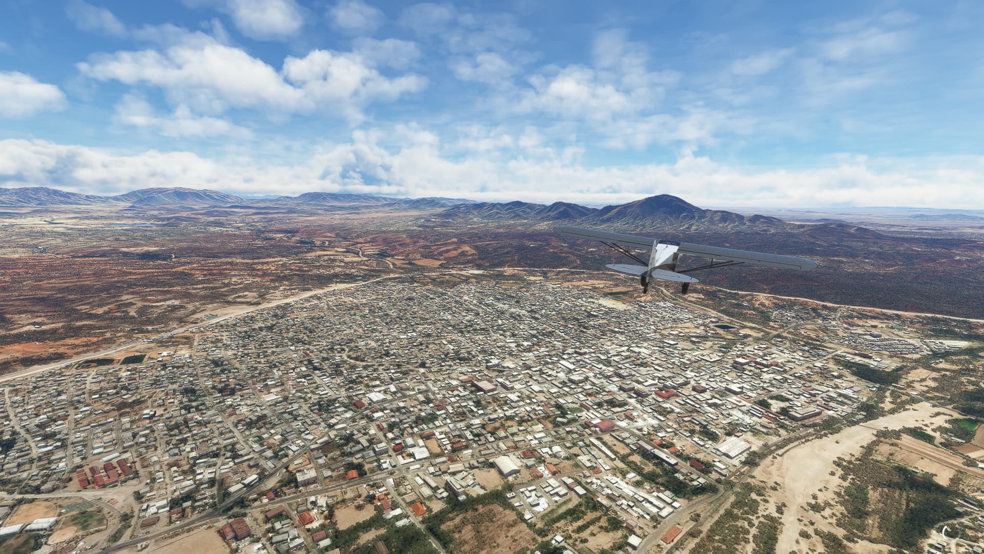
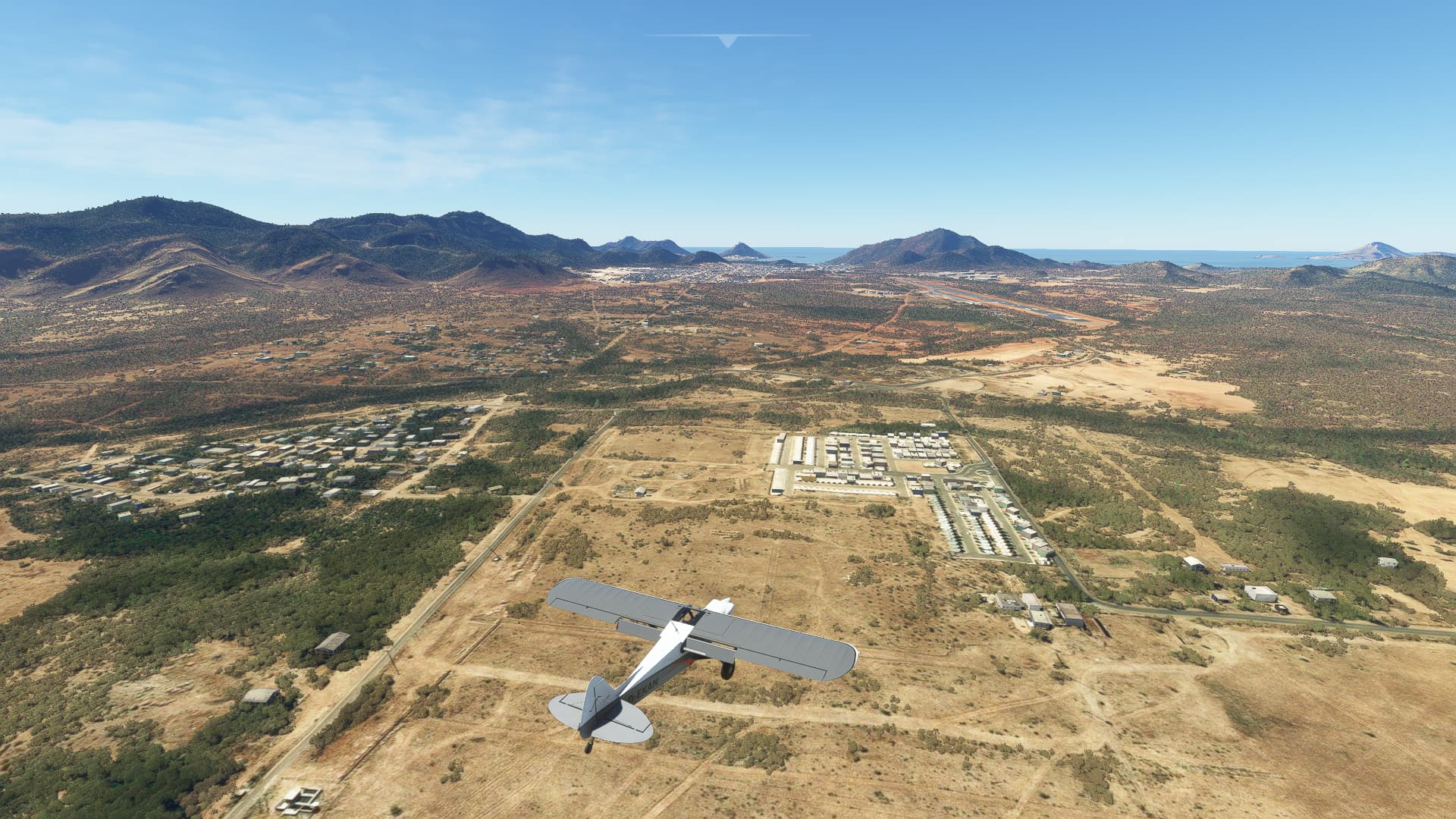
Heroica Nogales, our first city in Mexico!
1 Like
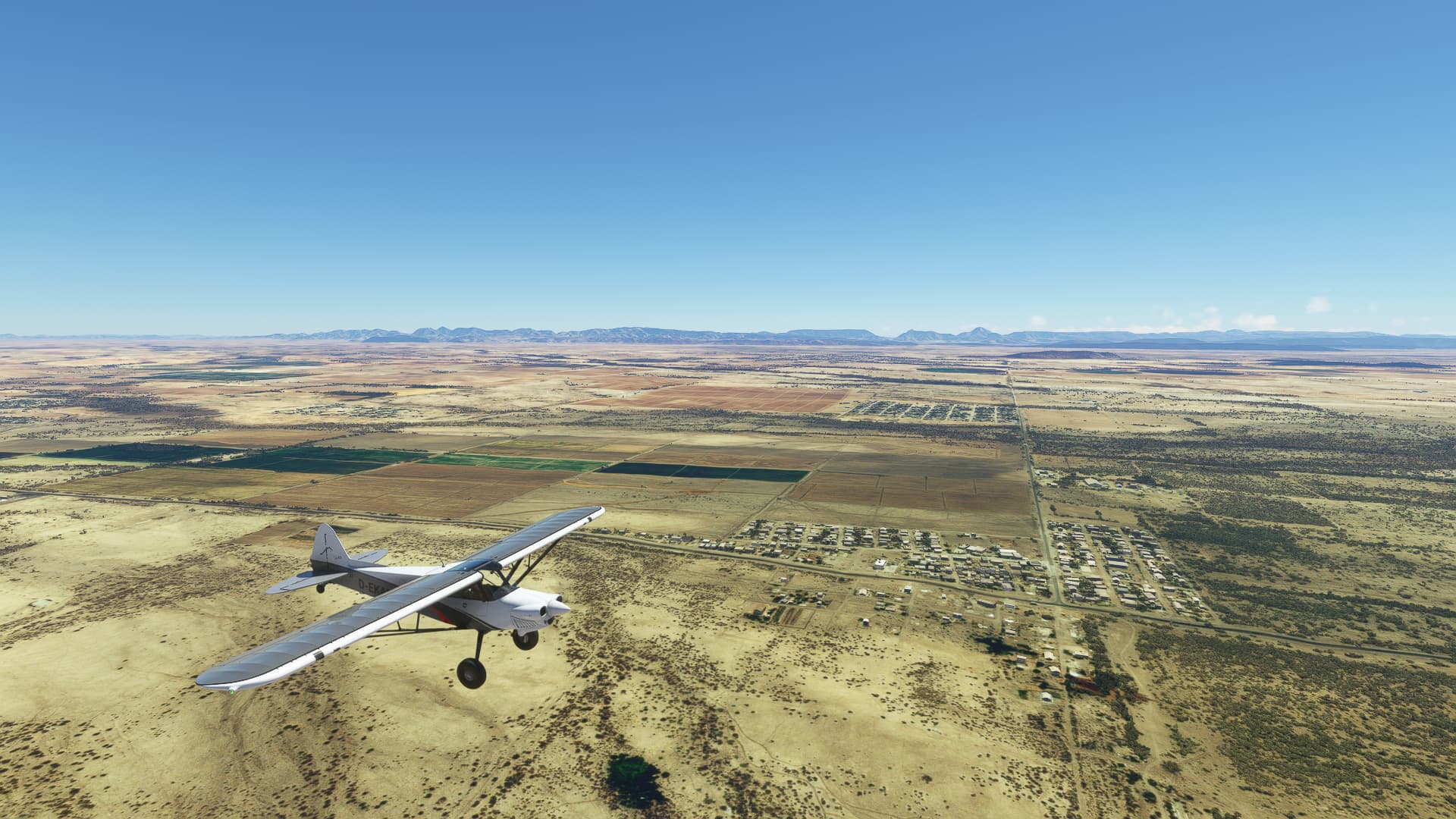
004 Nogales (MMNG) - Hermosillo (MMHO).
-
Near Agua Zarca (center background) and Arollo Ancho (to the right of it).
-
In the mountains near the village of La Mariana.
-
The city of Magdalena de Kino.
-
Landscape southeast of Benjamin Hill.
-
Close to the town of Carbó.
-
Rancho EL 60 near La Lamina.
-
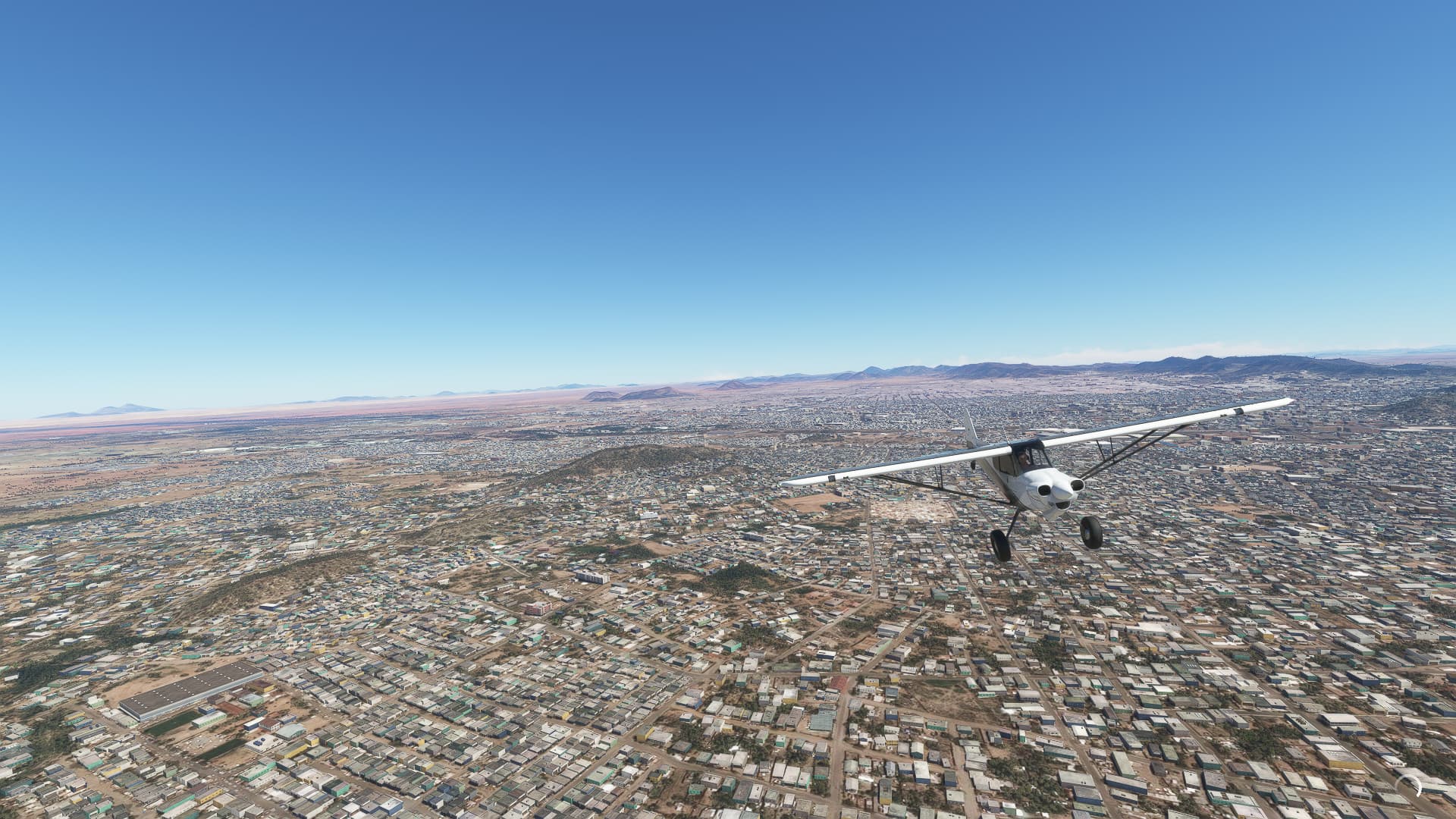
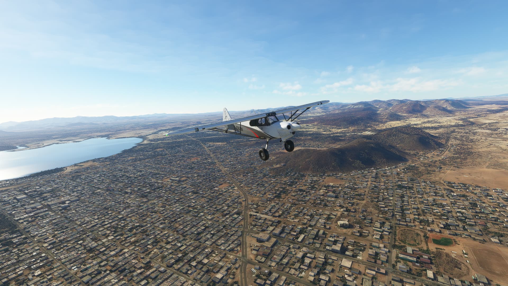
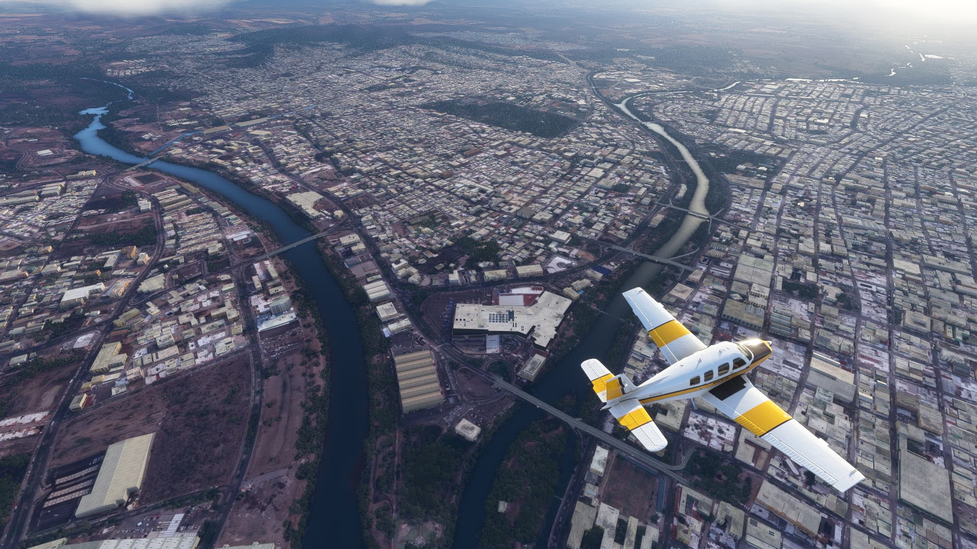
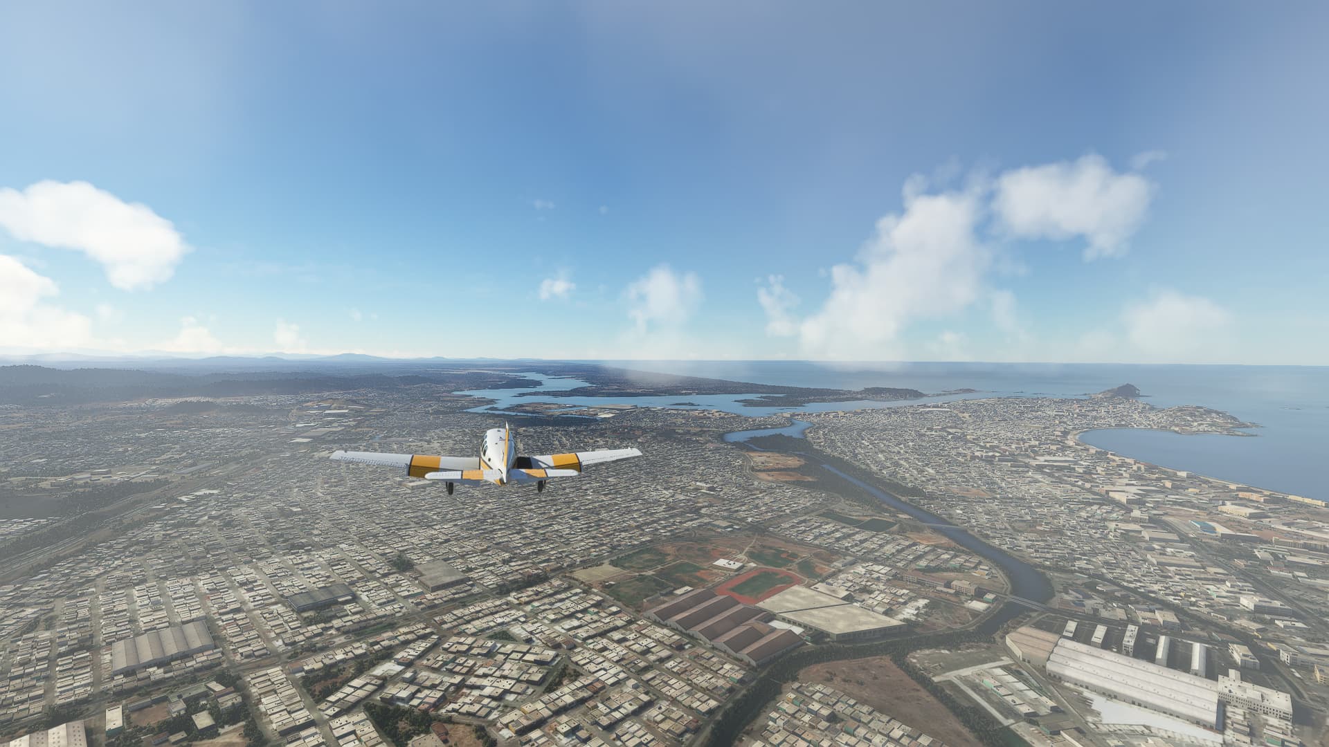
Hermosillo as seen from the northern outskirts.
1 Like
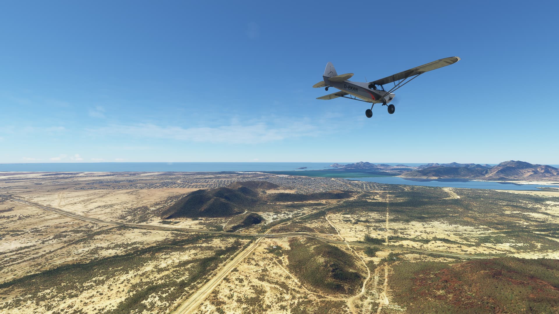
005 Hermosillo (MMHO) - Guaymas (MMGM).
-
We took of from General Ignacio P. Garcia International in Hermosillo. This shot was taken shortly afterwards above the Villa Hermosa district.
-
Flying south we saw the circular irrigation farms of Agricola Santa Anita southeast of Hermosillo.
-
We followed an overland road, passing Represo de Tapia on our right.
-
Halfway between Ortiz and General Mariano Escobedo we came across these fields, standing out from their yellow-brown surroundings.
-
Already near the coastline we passed the Profesor Graciano Sánchez settlement (right).
-
Going further south we took this shot with the settlements of La Palma (closer) and Mi Patria Es Primero (further away) behind each other in a straight line.
-
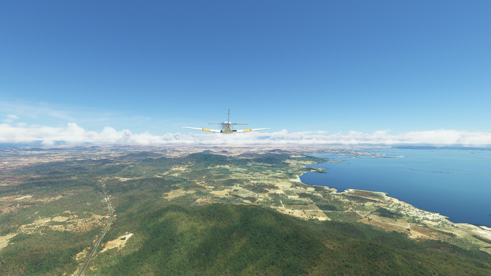
Finally, we reached the sea near Empalme and turned towards Guaymas.
-
At the outskirts of Guaymas we took our final picture of this … well, I don’t really know? In StreetView it seems like a “tiny house” settlement? It looks kinda weird and kinda cool so I guess it serves well as a final shot even though I don’t really know what it is.
1 Like
Nice itinerary!!
I think these are the type of flights that are the most exciting. Especially in VR.
Nice pictures:wink:
Cheers Mark
1 Like
Thank you for your kind words, Mark!
Yeah, I love these low and slow VFR flights. You just have all the time to watch the scenery pass by, discern details and find great vistas for your shots. Also you actually have to evade stuff like mountain or hill ranges, etc. As a bonus I always look up the places I took pictures off in StreetView for further immersion.
Sadly I don’t have a “true VR” device, but even a normal headtracking gear like I use improves the immersion so much.
1 Like
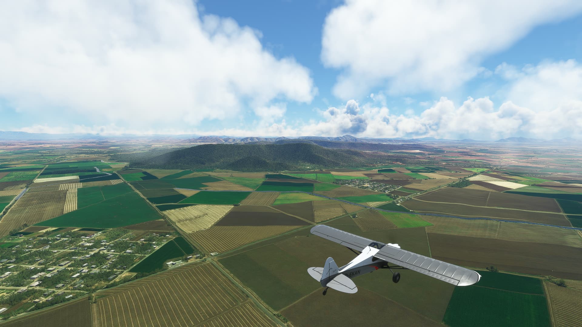
006 Guaymas (MMGM) - Mayocoba (MX-0032).
-
This time we crossed Empalme instead of passing it. Our first shot was taken directly above Libertad district.
-
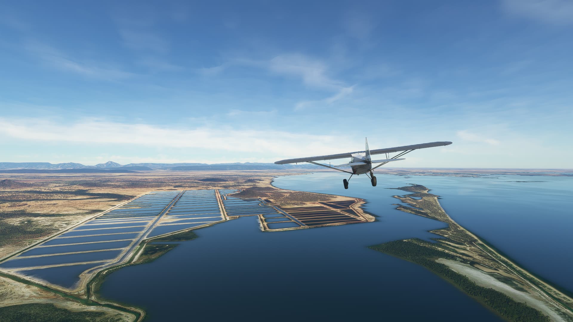
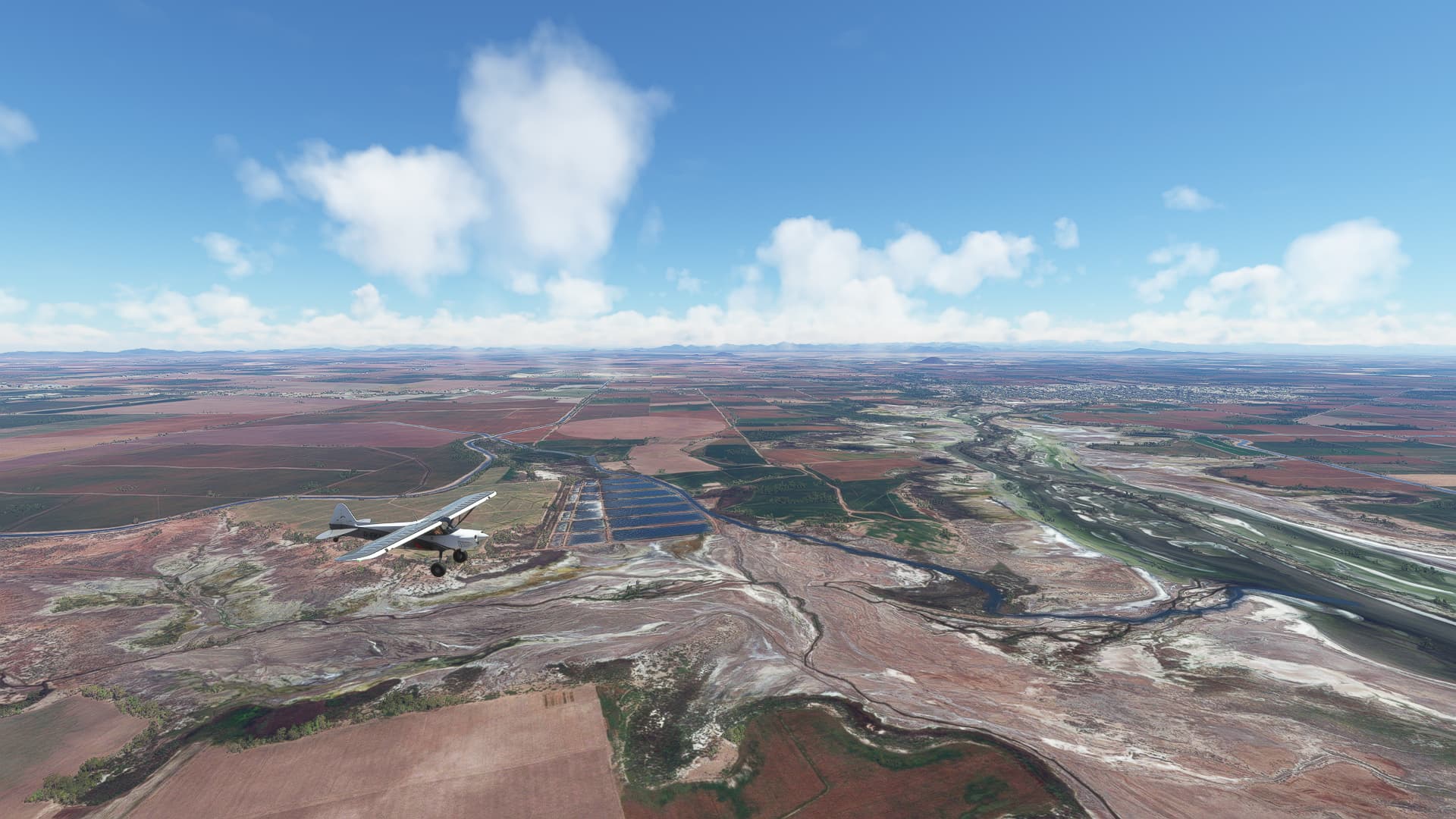
I believe these are water desalination fields? We found them on our way along the coast near Guásimas.
-
We took a look back towards the coast near Pitahaya (lower right corner).
-
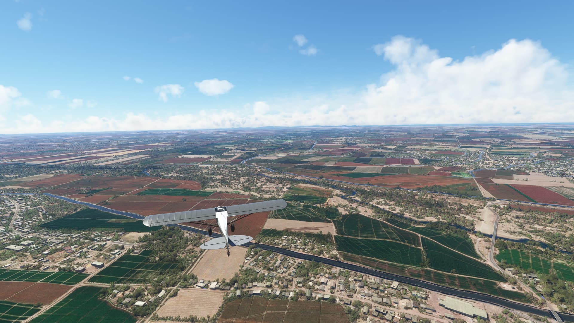
We passed the town of Vicam after following the Carretera Guaymas - Ciudad Obregón for a while.
-
The landscape changed after turning southeast again - now it was mostly green fields and a lot of small settlements and towns like this one called Francisco Javier Mina.
-
We crossed the Canal Bajo at Quetchehueca. Fun fact - I thought at some points that I saw a larger city in the distance to our left. Well, we actually managed to circle around Ciudad Obregón without even noticing it.
-
Our first proper river crossing took place at Bacobampo. We soon left the Rio Mayo behind us.
-
For our last shot we found a pretty awesome location: The village of El Jitzamuri, located on an island within a coastal lagoon. Especially gorgeous in the beginning sunset!
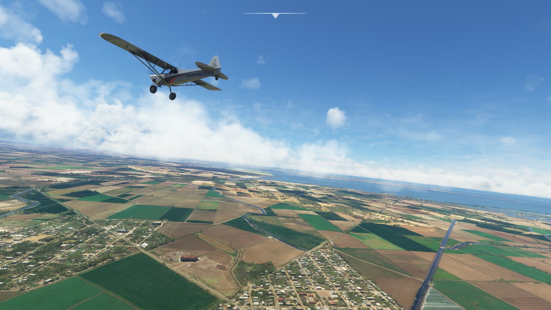
007 Mayocoba (MX-0032) - El Caimanero (MX-0518).
-
After taking off we turned east above Fuerte River, passing Cohuibampo (right), El Guayabo (left) and Ahome (right background) in the process.
-
We found the city of Los Mochis just southwest of Ahome. This shot was taken above Jardín Botánico Benjamin Francis Johnston (the park to our right).
-
East of Los Mochis we crossed the Arroyo Batequis, a seasonal river valley, leading to the Bahia Ohuira.
-
Following a road eastwards we passed the town of Corerepe (left).
-
The landscape gets greener the further we move into the State of Sinaloa! Here we saw some large fields near Ej El Cubilete (center).
-
Moving closer to the coast we saw these - i guess desalination fields? - on the northern shore of Bahia Playa Colorada.
-
To the southeast of Angostura we came across the first hill ranges in Sinaloa near Protomártir de Sinaloa (left).
-
Please ignore the toolbar symbol at the top, I accidentally moved my mouse. Our last shot was taken above Leopoldo Sánchez Celis (right) and Colonia Agricola Sinaloa (left), looking towards the Bahia Santa María.
1 Like
008 El Caimanero (MX-0518) - Mazatlán (MMMZ).
Changes: Switched to Beechcraft Bonanza G36 / Switched from Volanta to LNM
-
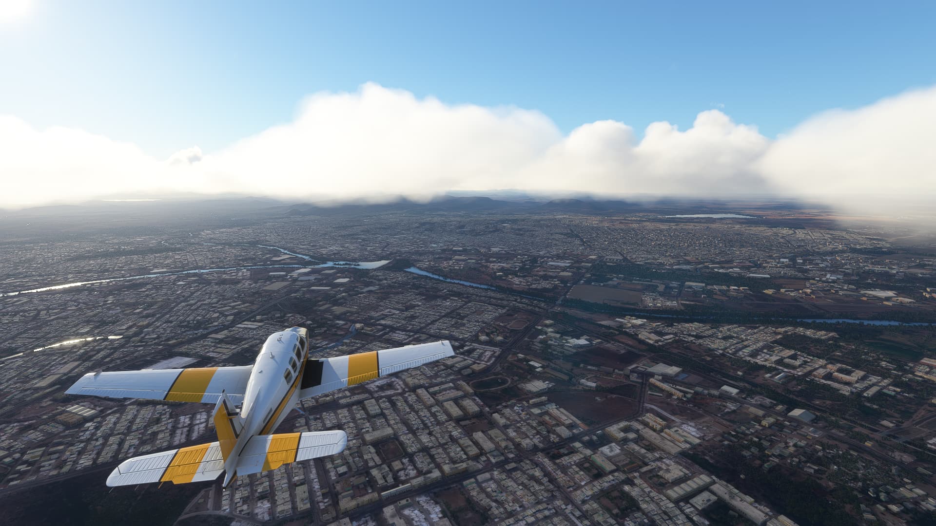
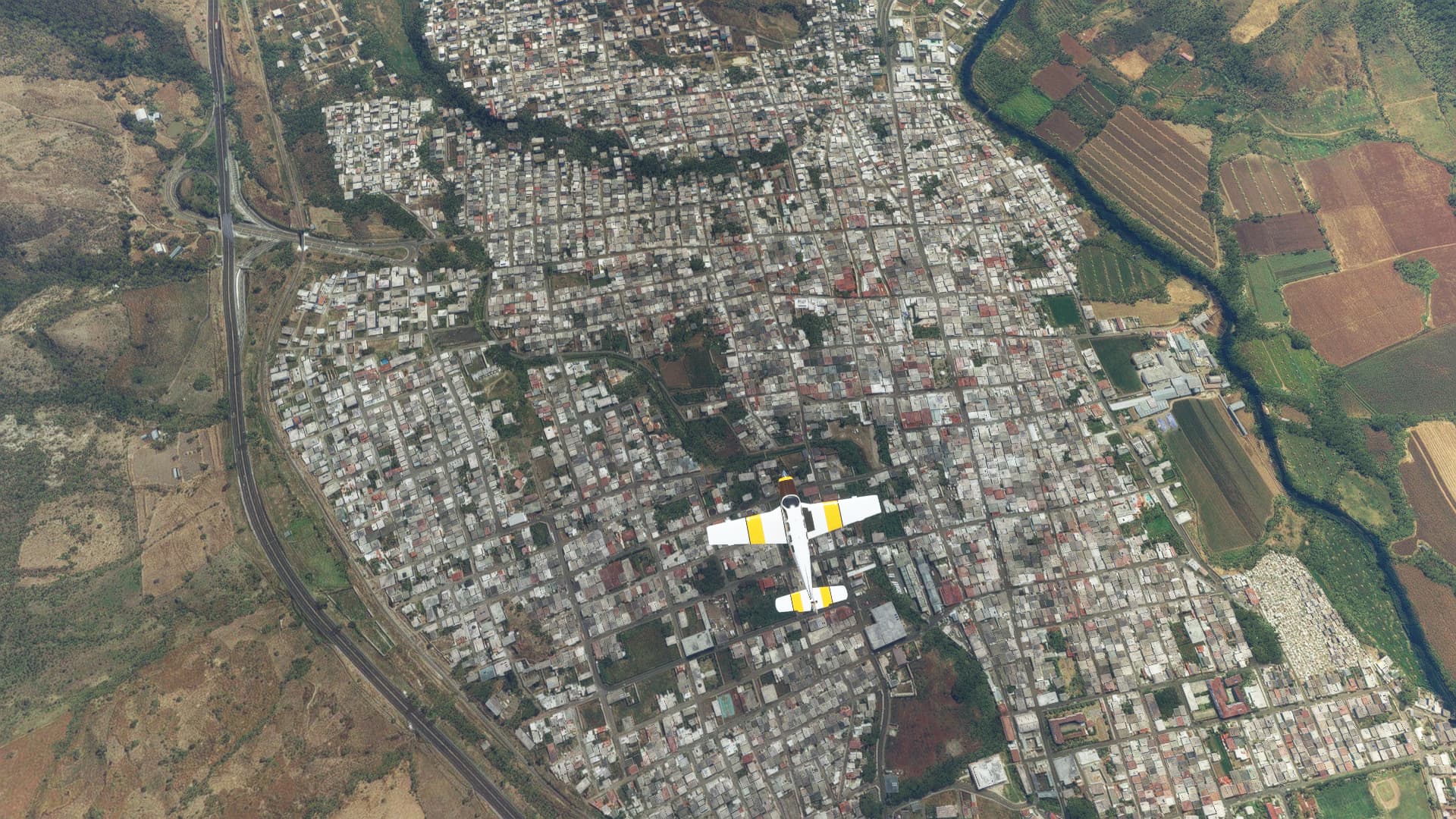
Not long after take-off we reached the outskirts of Culiacán, the state capital of Sinaloa. This shot was taken above the La Conquista district and the Principal Bacurimi.
-
The city center of Culiacán with the Bandera Monumental directly beneath us. The rivers are the Humaya (left) and the Tamazula (right) with the small Isla de Oraba visible to the right below our tail.
-
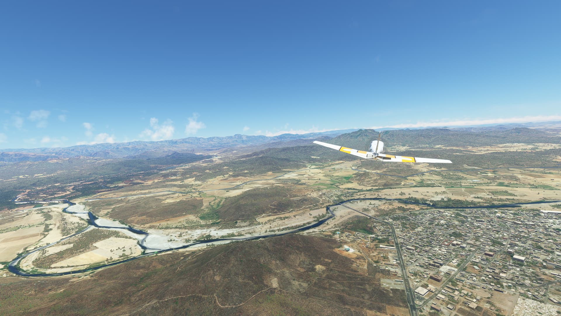
Leaving the city on a southeastern course we came across the first foothills of the mountain ranges to the east near El Salado.
-
The terrain became more and more rugged with hills and mountains to the north. This one was taken between Chiqueritos and Baila.
-
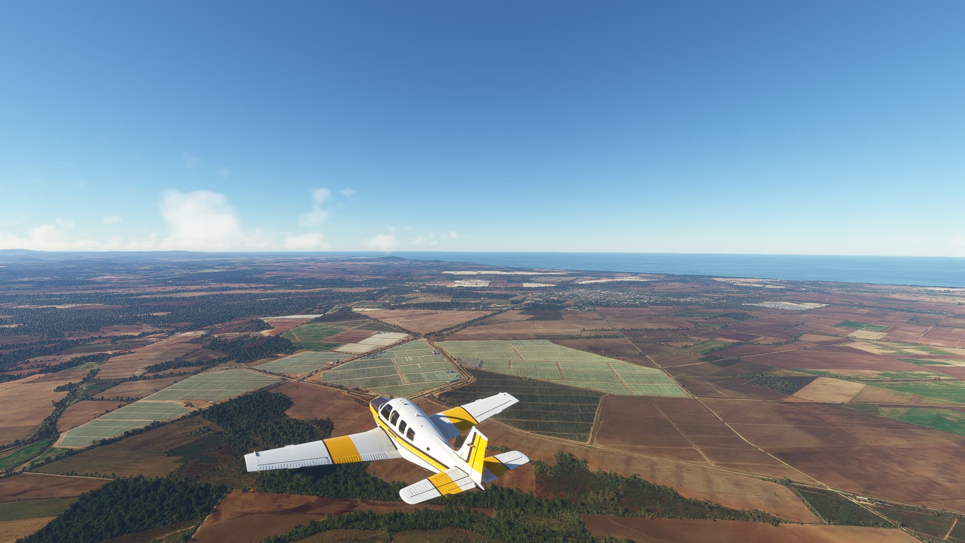
The next larger city we came across was La Cruz de Elota, visible in the right background near the coast.
-
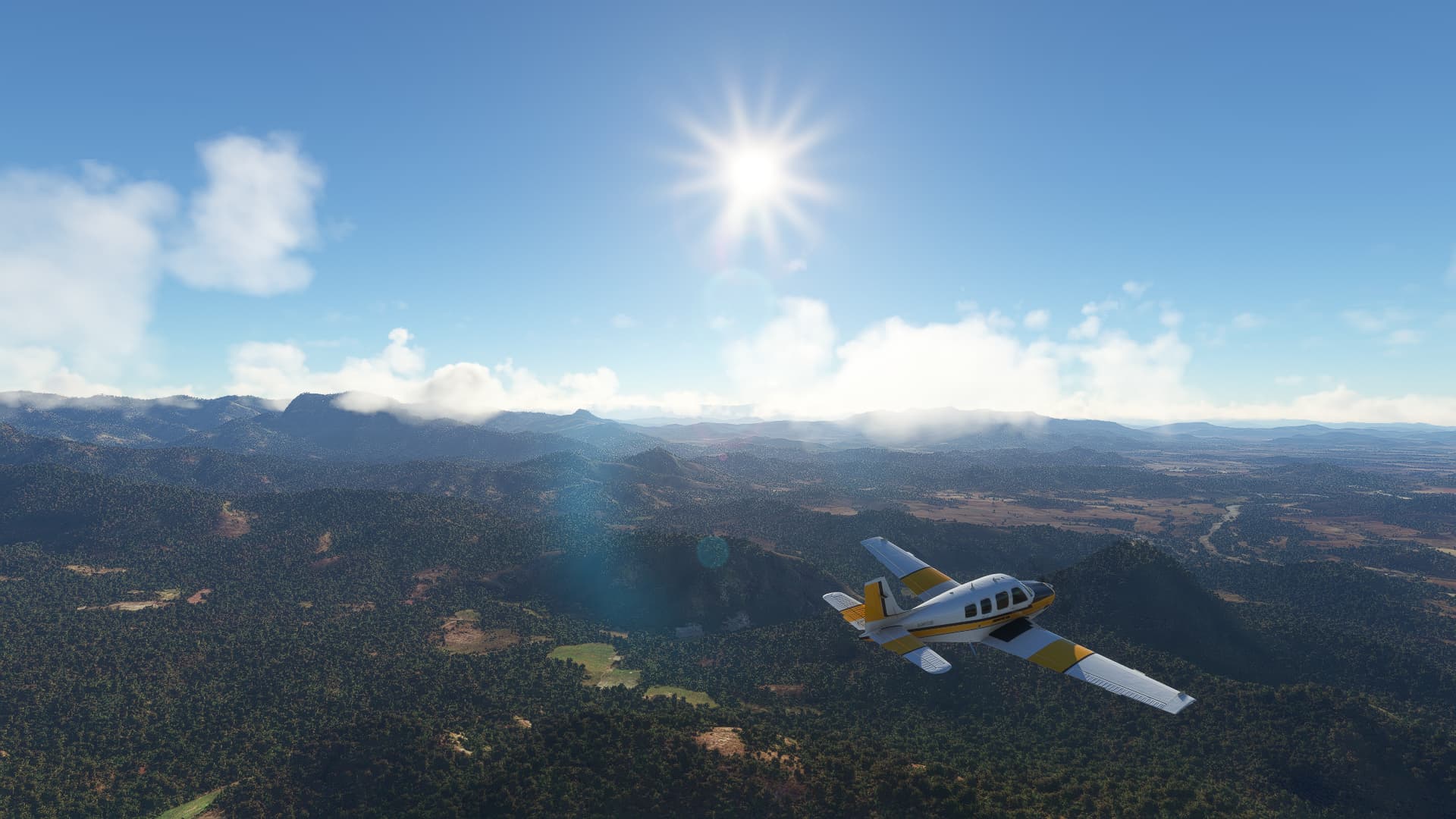
South of Estación Dimas we found ourselves above the largest woodland area we’ve came across yet on our way down from Arizona.
-
Reaching the coast at the Marina Mazatlán with the Isla de Pájaros (right) and the Isla de Vanados (left) off the coast.
-
I might have misread the clock as 0:59 remaining instead of 5:59 remaining, so I almost landed smackdab in the city center of Mazatlán. Here you see me with flaps extended and gear out directly above the Avenida Santa Rosa.
009 Mazatlán (MMMZ) - Tepic (MMEP).
-
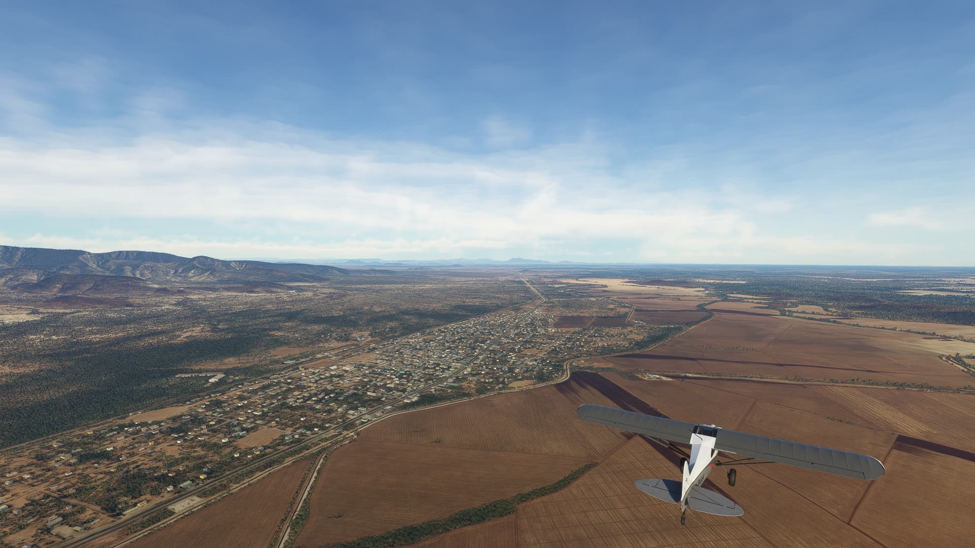
The first town we reached on our trip along the MEX 15D highway was El Rosario on Rio Baluarte.
-
Further south we came across Escuinapa de Hidalgo with a (on both LNM & GM sadly nameless) river crossing through it.
-
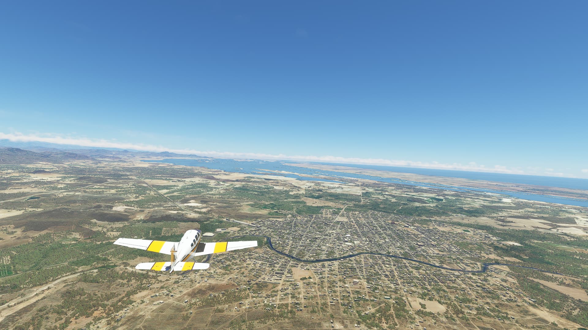
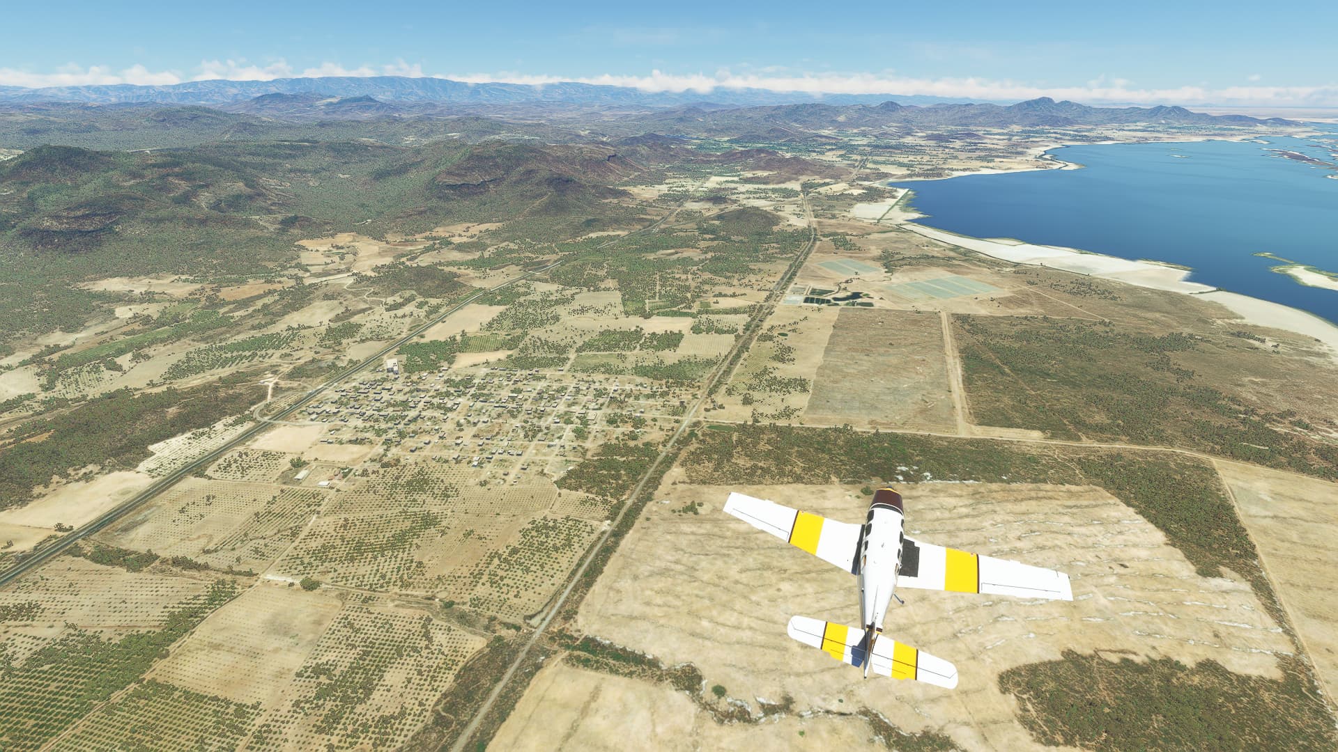
Flying east we passed the Agua Grande Lagoon with the village of Tecualilla on its northern shore.
-
Arriving in the city of Acaponeta we officially left Sinaloa state and entered Nayarit.
-
Turning south we travelled quite a while along the highway in a straight line, passing El Chumbeno lagoon near Francisco Villa on our way.
-
Our next river crossing took place near Tuxpan (right) across Rio El Mezquital.
-
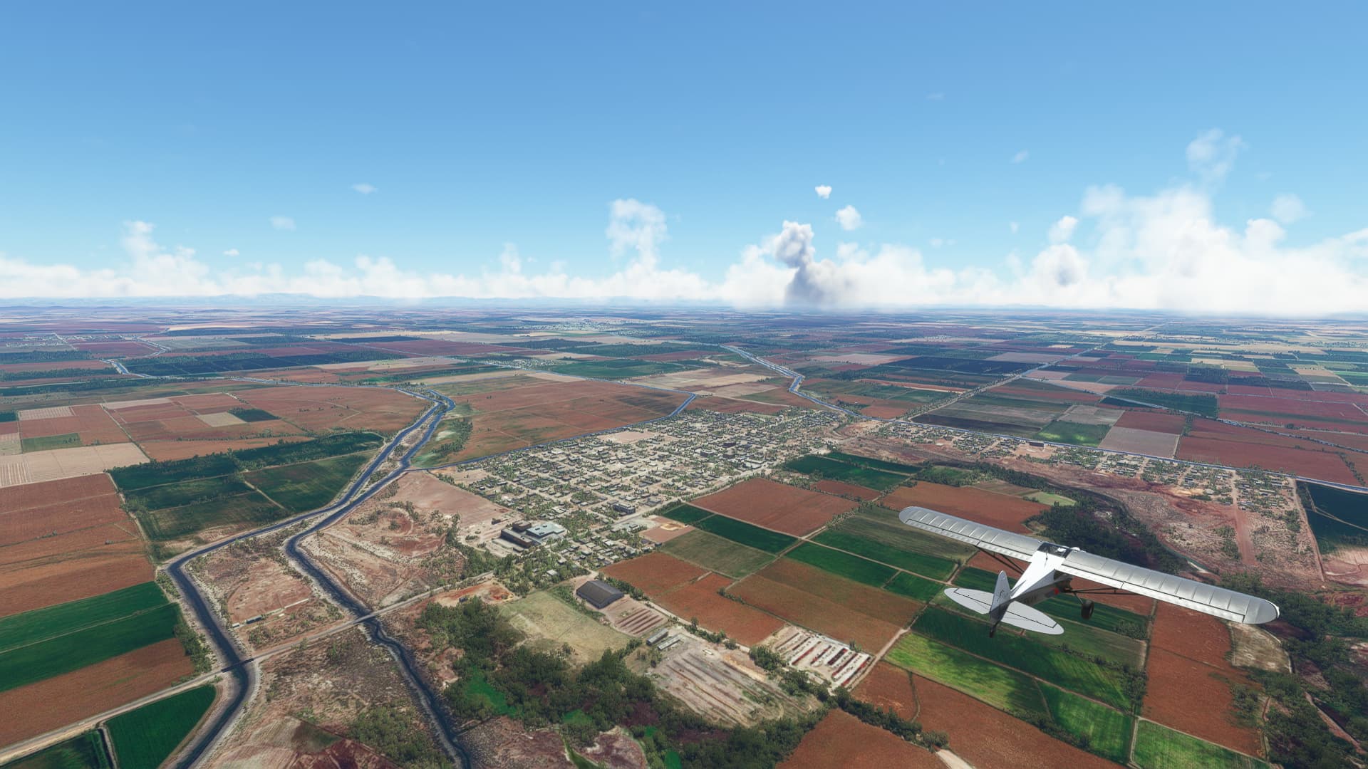
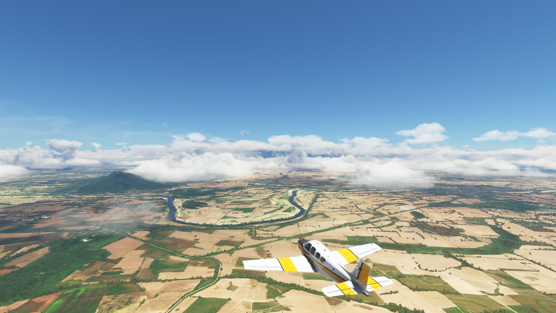
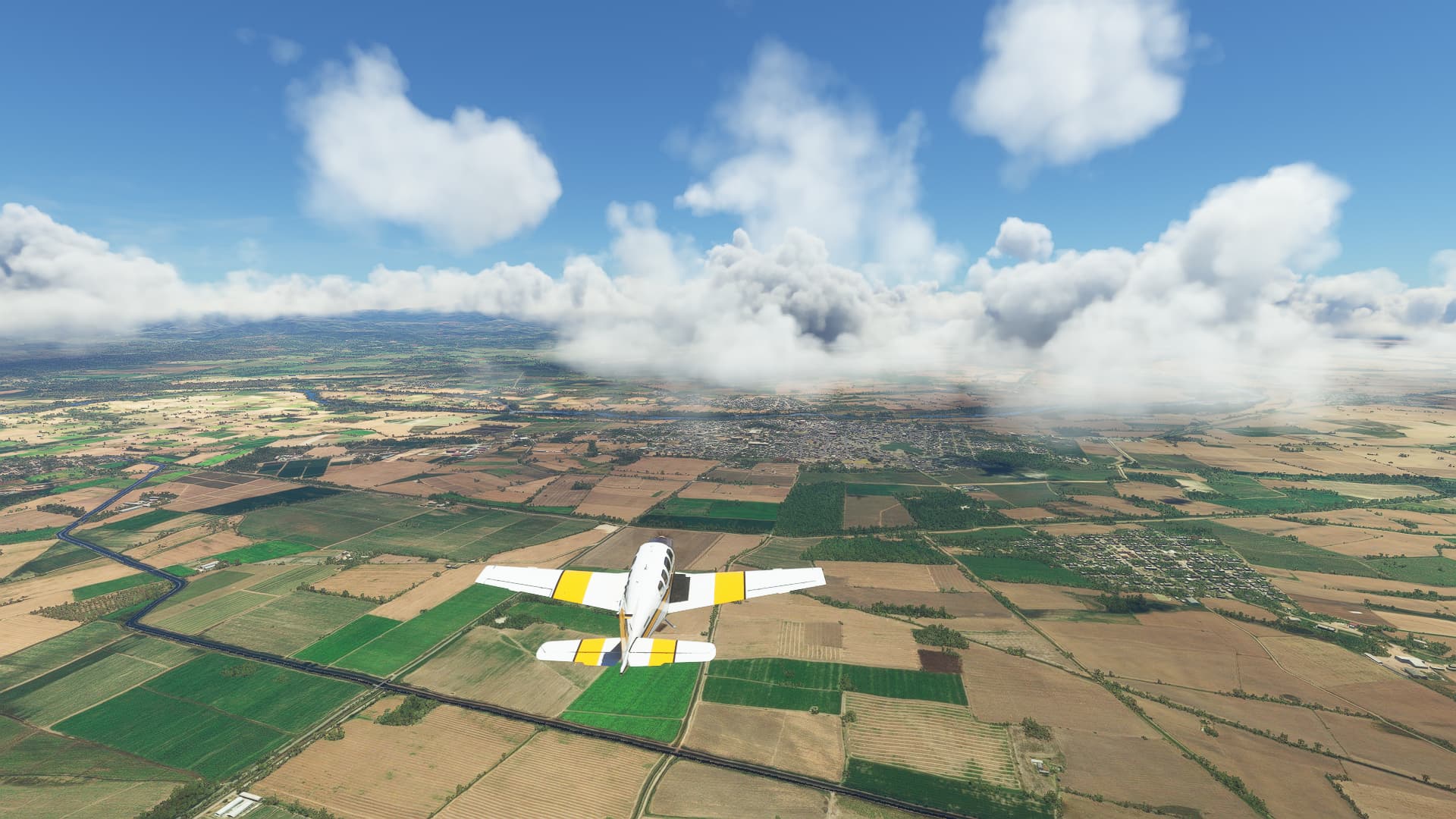
Pushing through a cloud bank we stumbled across Santiago Ixcuintla on Rio Grande de Santiago.
-
Climbing 2000ft to cross the mountains we pushed through a valley when Tepic, capital of Nayarit state and our destination appeared in front of us.
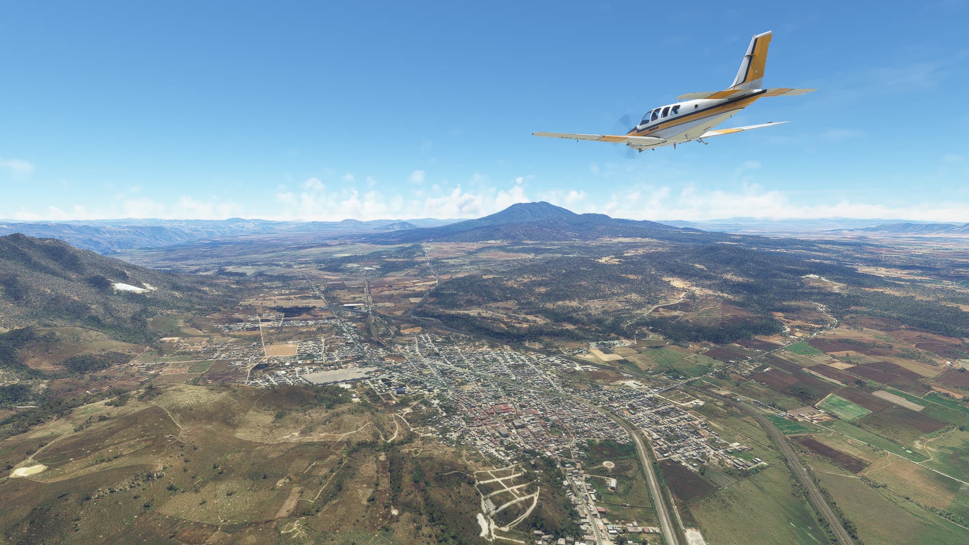
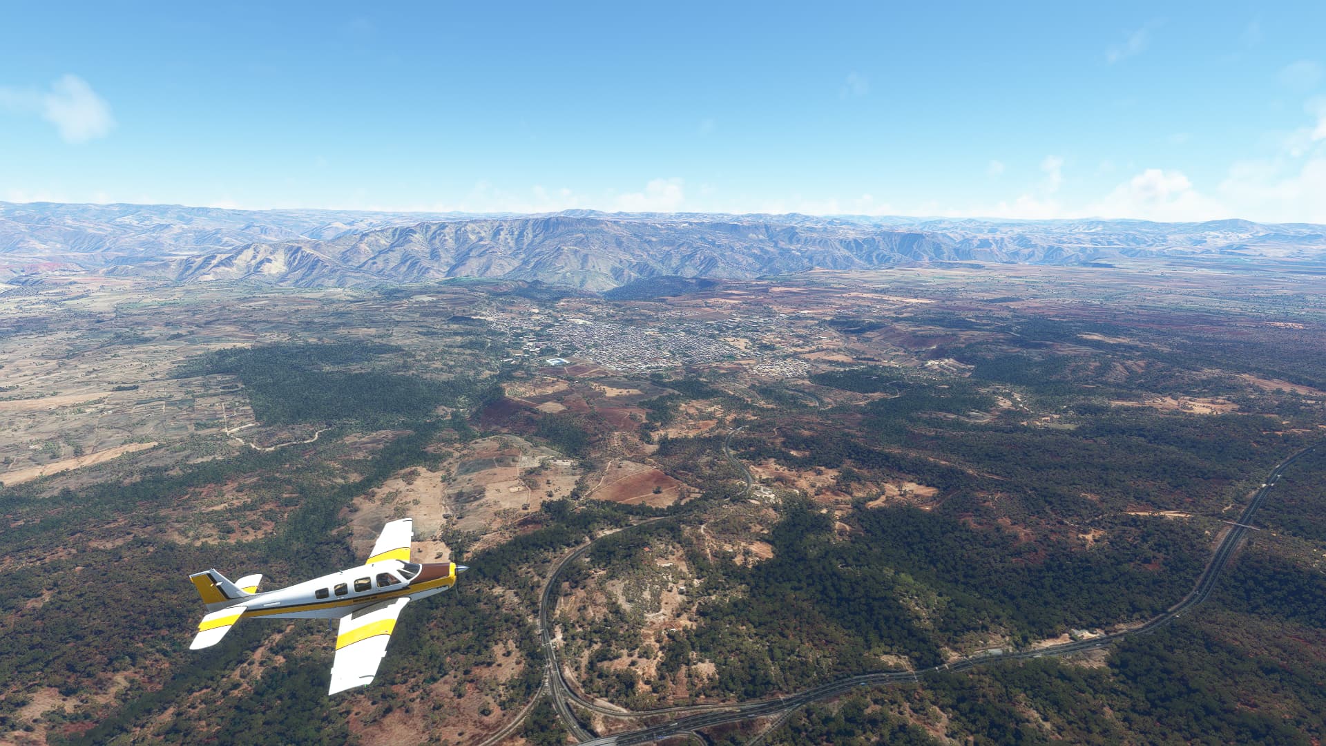
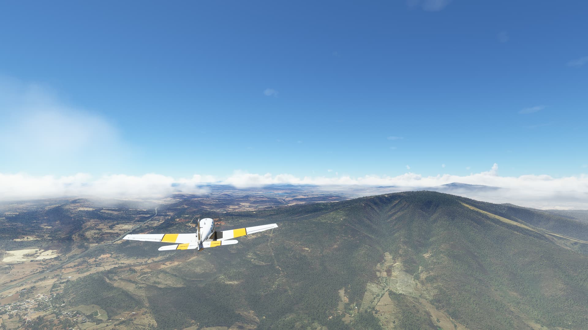
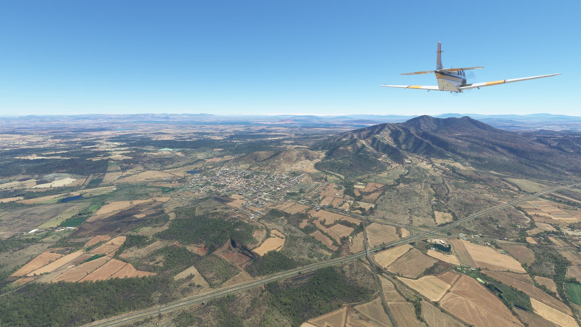
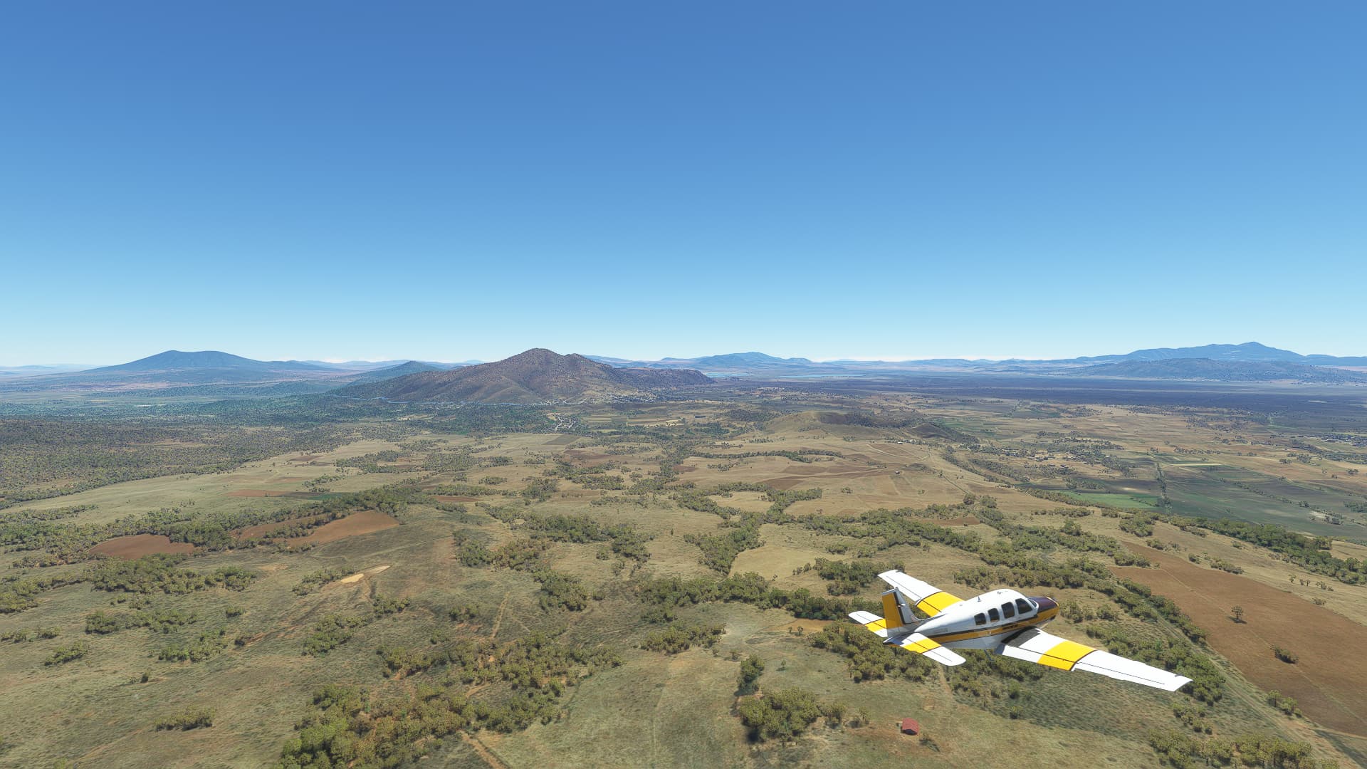
010 Tepic (MMEP) - Zapopan (MMZP).
-
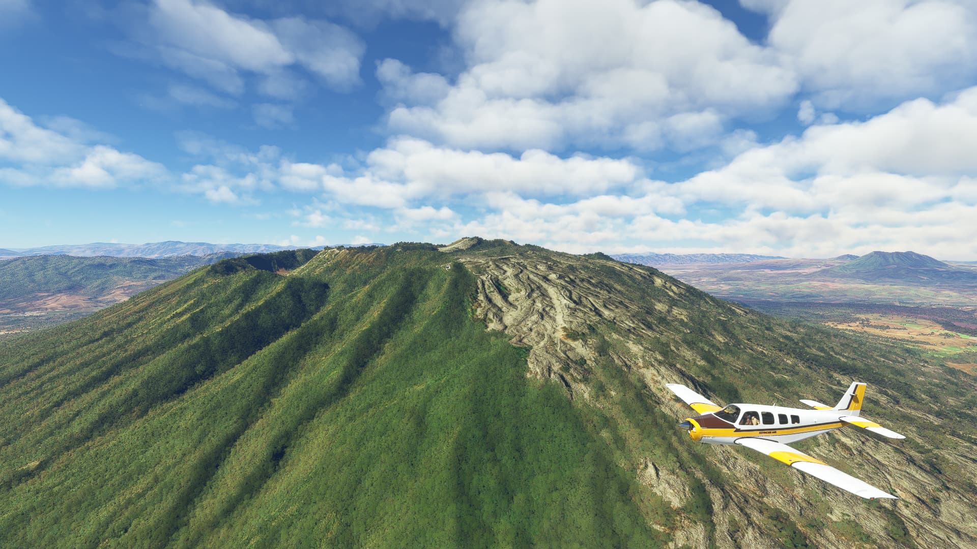
After taking off we flew a tight turn to the north and began our climb to 7,000ft. As we did so, the Volcán de Sangangüey came into view. Quite majestic!
-
The highlands are looking beautiful! This shot was taken halfway between San Leonel and La Galinda.
-
Further east we passed the Volcan Ceboruco near Coapan.
-
A benefit of our higher-than-usual altitude - as soon as we cross valleys we can have some nice top-down shots as seen here above Ixtlán del Rio.
-
After entering the State of Jalisco we kept following Highway 15D, passing La Quemada on the way. in the background you can spot the Volcán de Tequila.
-
We’re getting closer! On our way towards the volcano we stumbled across the town of Magdalena.
-
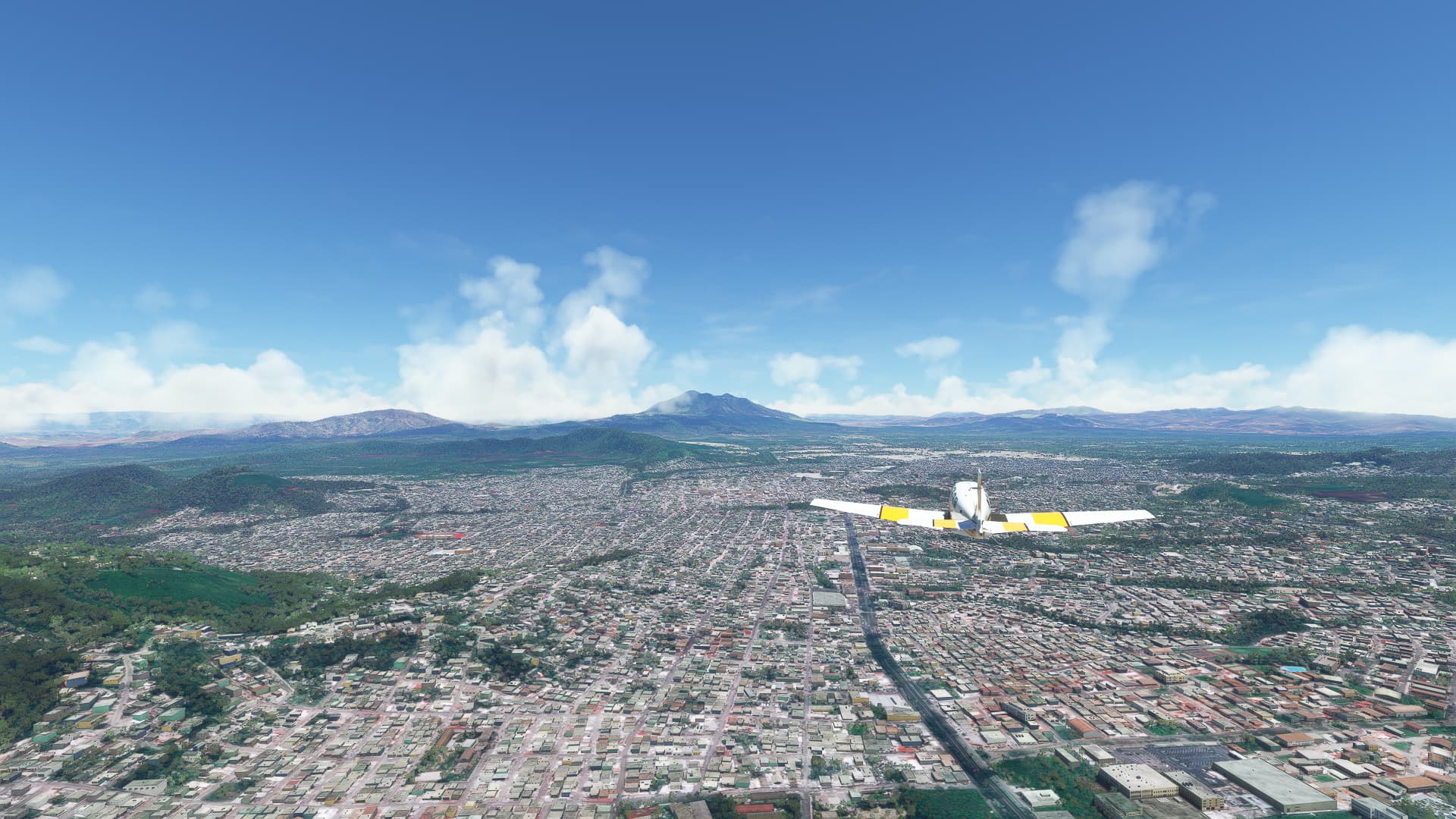
One of the Top 10 favourite cities of party people - TEQUILA! Sadly I couldn’t get both the city and the volcano into the same shot, but the valley beyond is a nice background, too.
-
Almost in Guadalajara! This was taken near La Primavera. If you look closely you can see some really high mountains rising out of the fog in the far distance!
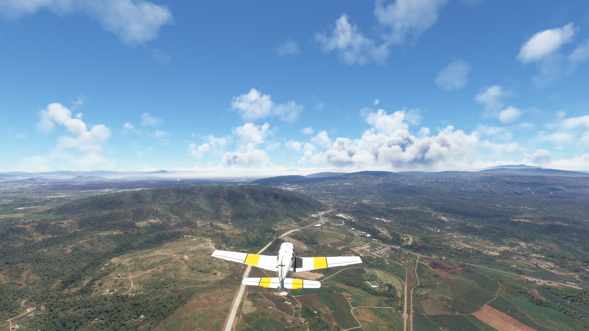
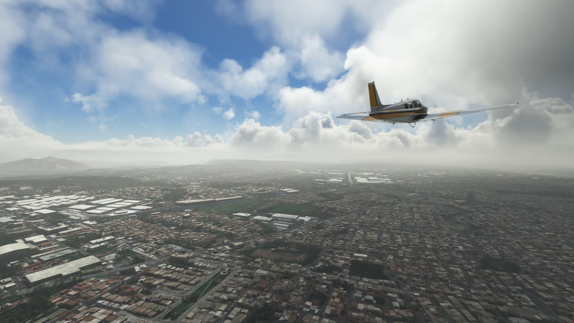
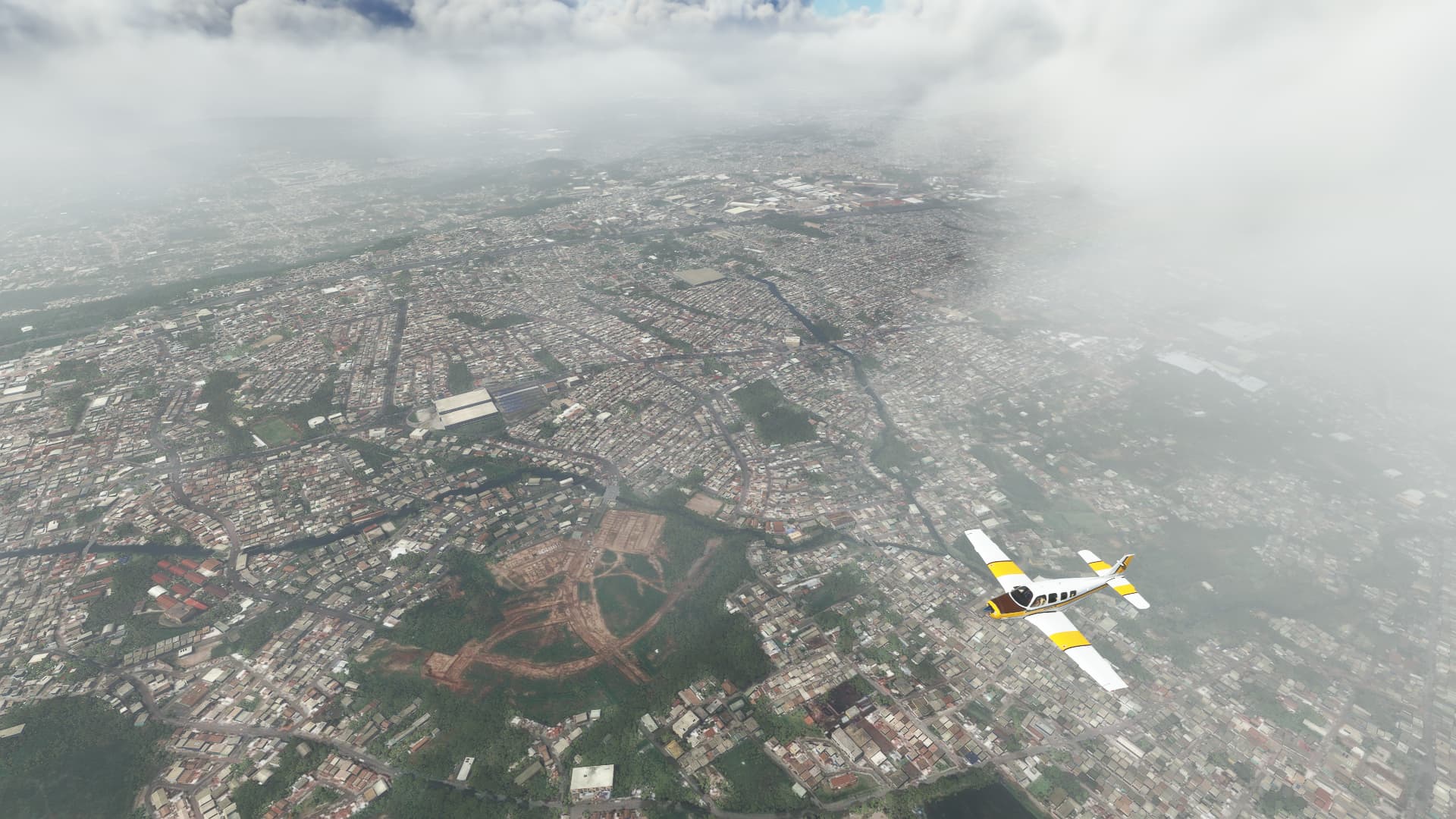
011 Zapopan (MMZP) - Jaujilla-Zacapu (MM47).
-
As we took off I feared for the worst - rain, heavy clouds and fog on the entire way. But despite the problems this combination causes high up in the mountains, it also provides some great views like this one above Calle San Felipe in Zapopan.
-
Climbing up to 8,500ft we entered Guadalajara and took this shot through a hole in the clouds above the Calle Juan Rulfo.
-
Pushing through the last cloud bank we arrived in the clear skies of Central Mexico. Still it was quite foggy at the foot of Cerro Grande.
-
Here I began to question everything I knew about Mexico’s topography - as I remembered I was far away from the sea and then this happened: A large body of clear blue water without visible limits to our right. Gladly it was just a very large lake in the highlands, called the Lago de Chapala.
-
Further east we crossed over into the State of Michoacán near La Barca.
-
To be honest I just like the look of these fields near Ecuandureo. But as a bonus you can see Cerro Grande La Piedad rising in the distance.
-
Passing Churintzio we were almost at our destination. Notice the beautiful weather we had? Proves that my guesses about the weather further away from our departure airfield are 90% of the time wrong.
-
Actually we just reached the current champion when it comes to high-altitude airfields we visited on our journey so far! Passing VIlla Jiménez and the Cerro Brinco del Diablo we arrived at Jaujilla-Zacapu Airfield at an altitude of 6523ft.