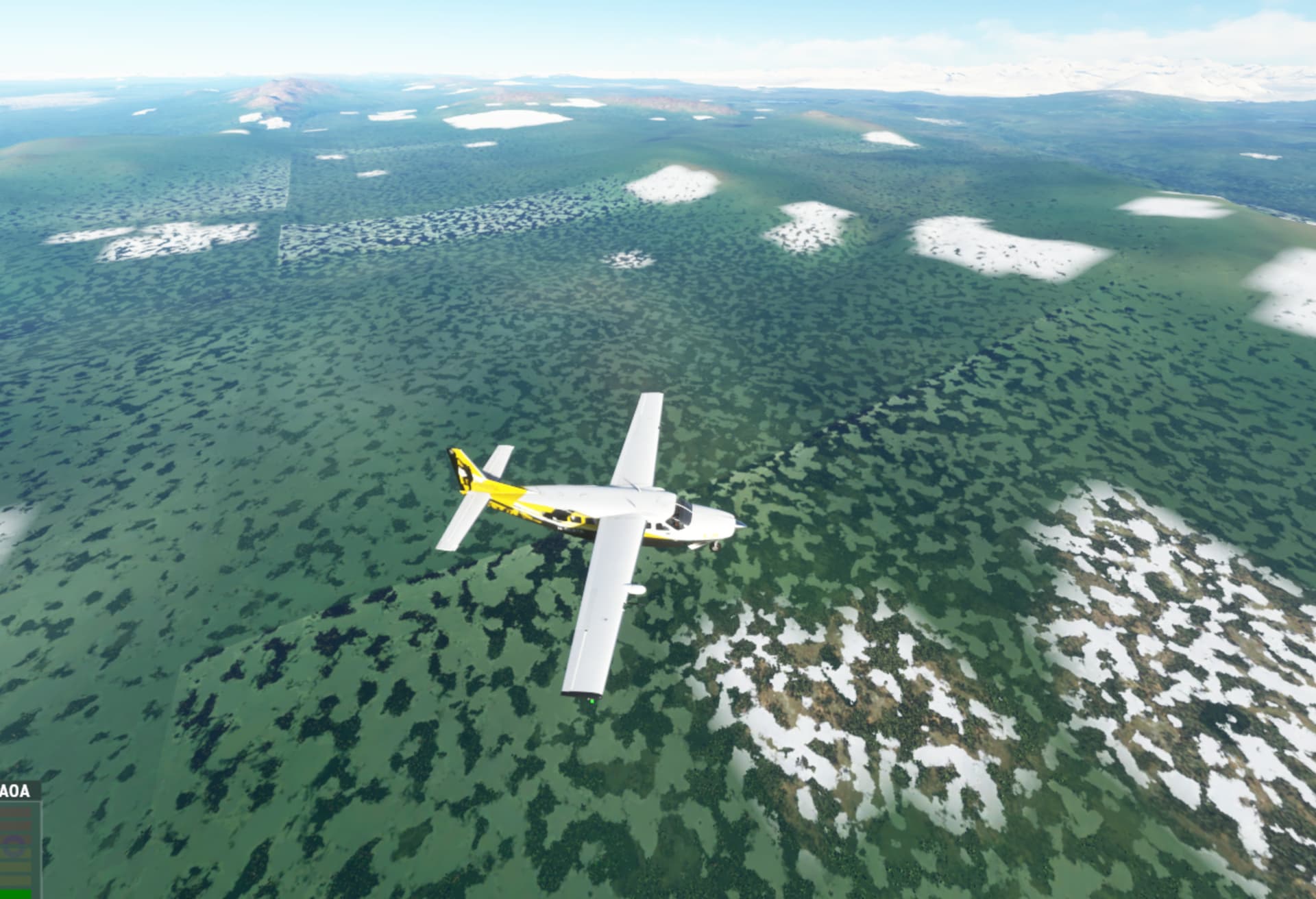
I have the Orbx Alaska Mesh installed, and granted, what I am showing does not happen everywhere. But is this a symptom of poor satellite data in remote areas of Alaska, Canada, etc?
Or are these sorts of areas encouraged to be submittlable to Asobo, as areas to mark for enhanced scenery fixes? Similar to back in the day when we used to report large anomalies like spires just growing out of nowhere for thousands of feet.
Public satellite imagery in most of Alaska is not great unfortunately. What you’re seeing is normal. Although your bottom screenshot shows no textures in that area, possibly military but MSFS normally uses a backup texture for those areas?
You can use Google Earth and zoom in to parts of Alaska and you will see the same imagery, I know the sim uses Bing but a satellite sees the same planet, just at different times. You will also see what looks like square patterns of tree placement, like space invader shapes, as the OSM data for trees is so low resolution.
I am currently flying through Alaska after buying the ORBX mesh and I’m not impressed. There are so many errors in the mesh, it’s like ORBX didn’t even check it before putting it up for sale.
Alaska really needs some more love, it’s such a beautiful part of this planet. Tongass Fjords was such a lovely piece of scenery!
This image was taken in Google Earth near CZST to show how different the quality can be in a small area.