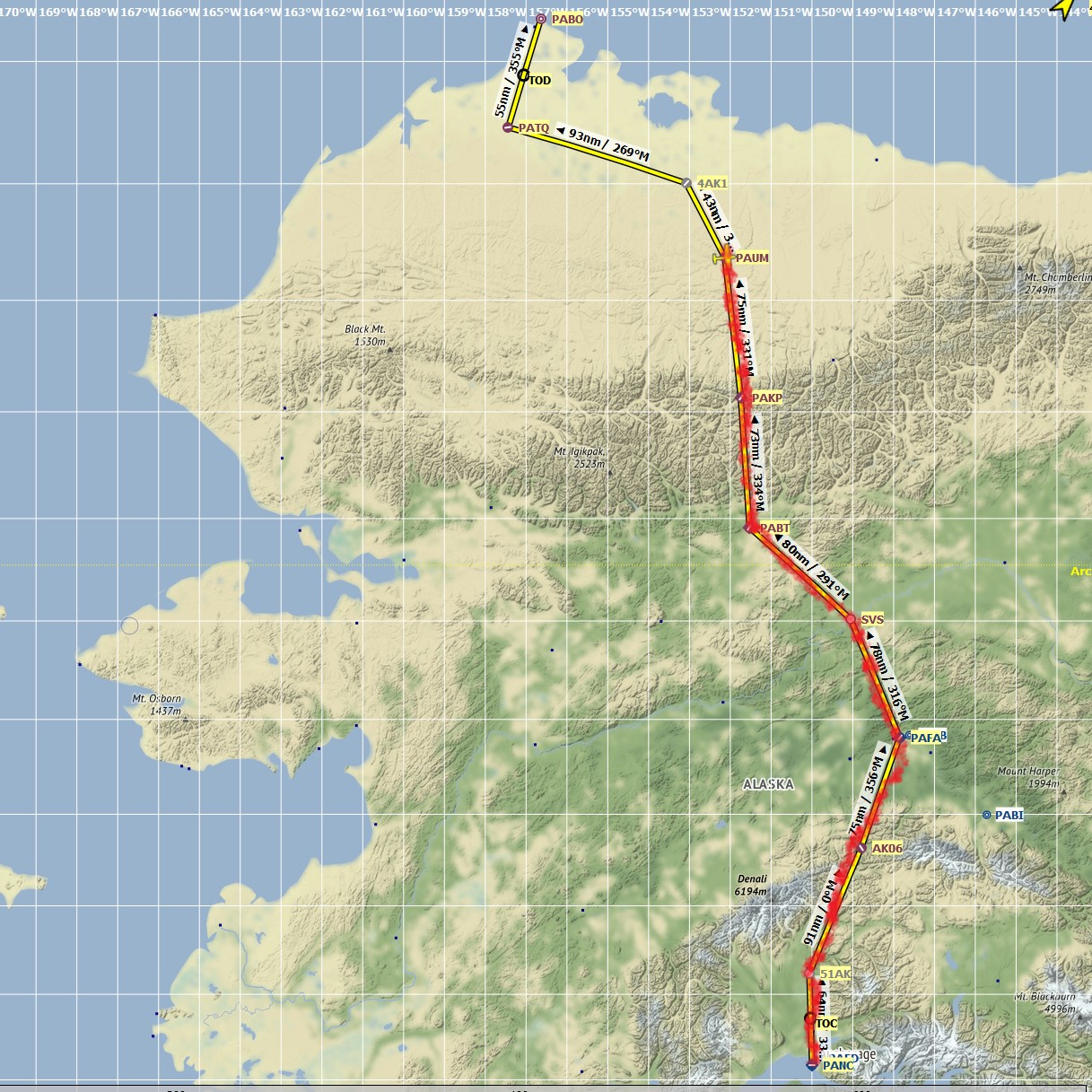
Leg #6: Anaktuvuk Pass to Umiat. Distance 84 nm, flight time 66 minutes. Conditions: zero visibility unless climbing to 10,000 feet. Temps -35 celsius. Cruising altitude: 10,000 feet.
I accepted the risk of bad weather and low scenery opportunities by flying in Alaska in February/March, but I regret not sitting out the weather today especially. The ground was only visible if I was about 300 feet above it, both on take-off and landing:
A real pilot in these conditions would be at high risk of death due to spatial disorientation alone, if not expertly trained. But I have the luxury of taking cues only from instruments and not from my body, eyes, and ear drums, so I managed to navigate the steep mountains of Anaktuvuk while relying on the Garmin’s radar topography. I could not simply depart straight out either. I had to actually turn around within the narrow canyon I was in, to gain sufficient altitude, all with zero visibility.
I broke free of the clouds at around 10,000 feet:

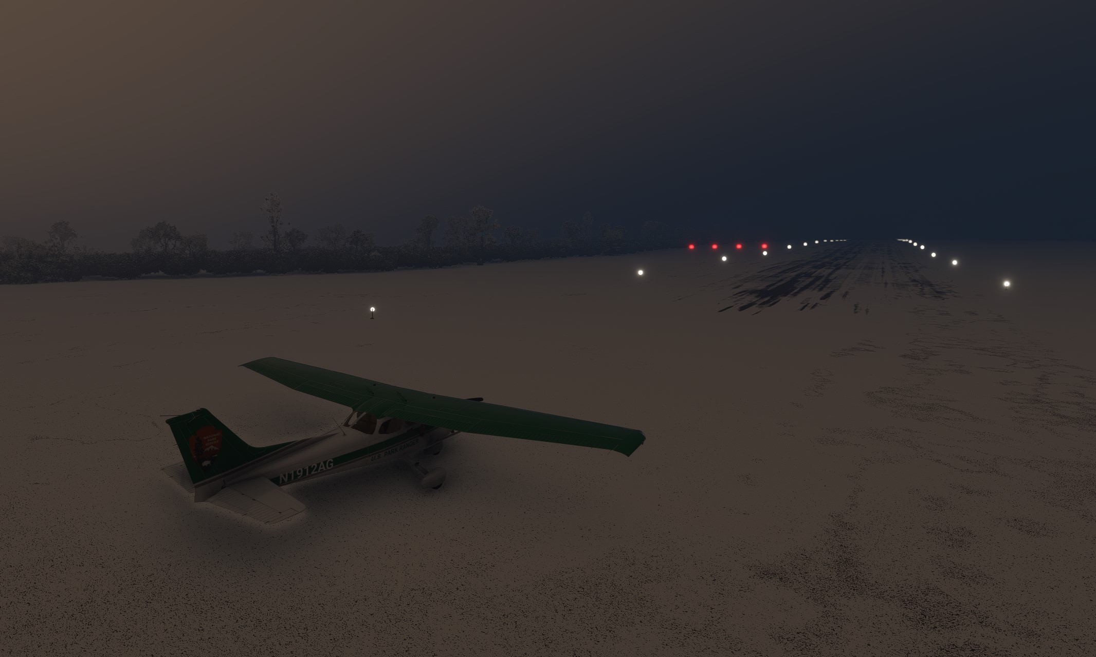
Umiat is a lighted runway. I am also getting decent at landing with zero visibility with the aid of the radar and at least a few hundred feet of visibility, so landing here was again fine. I now have to choose between taking my currently-posted route below, or heading straight up north so I can fly along the Arctic Ocean until I reach Barrow.