Dominic and String were there in Nagoya for me while I was teaching English in the late 80s. There is an Airwolf livery, but the 135 is not wicked enough to wear it. Happy landings!
3 Likes
I have to drop by Baker, up the road from Barstow to Vegas, and see if anyone modeled the giant thermometer. Happy landings!
1 Like
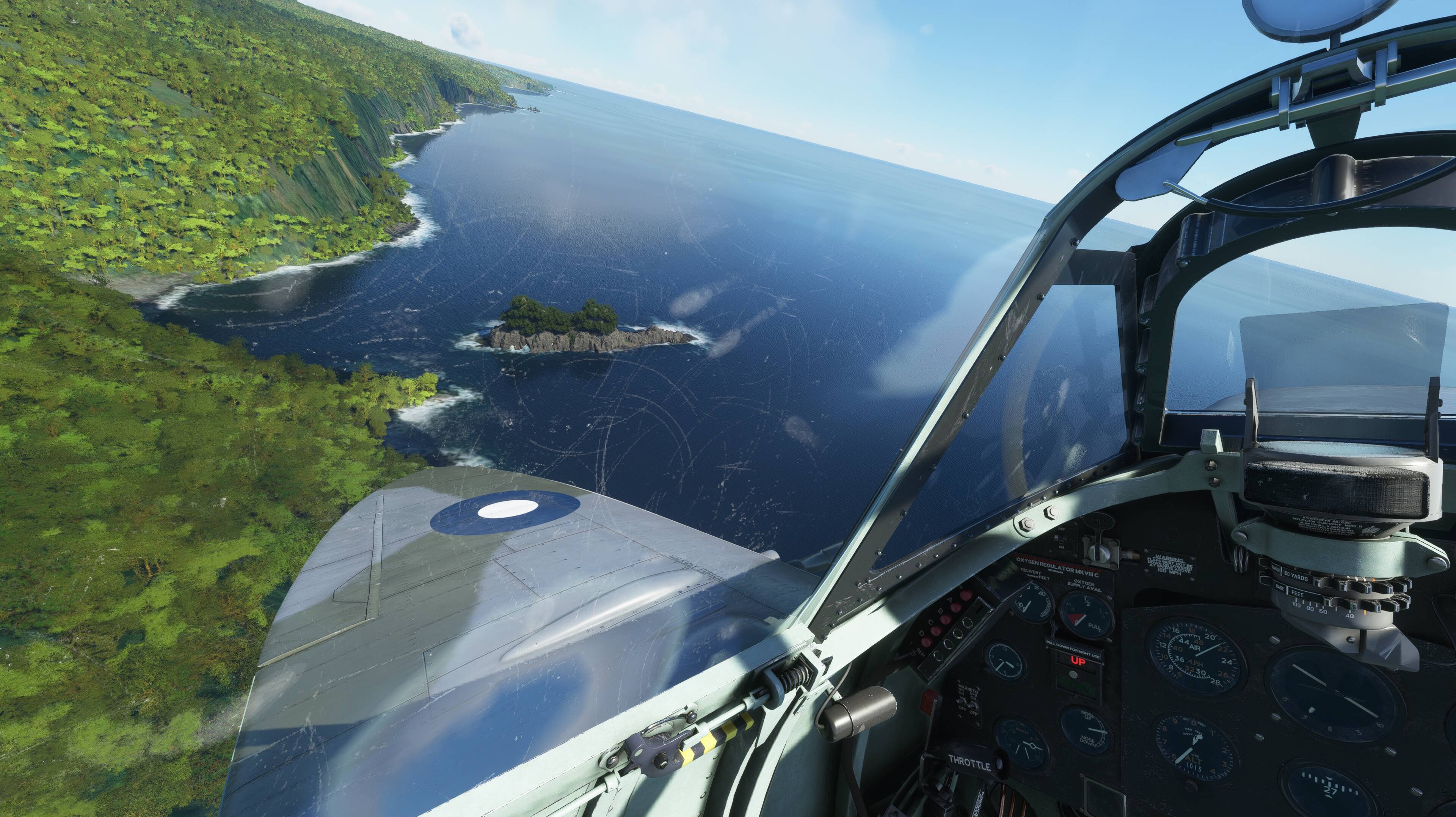
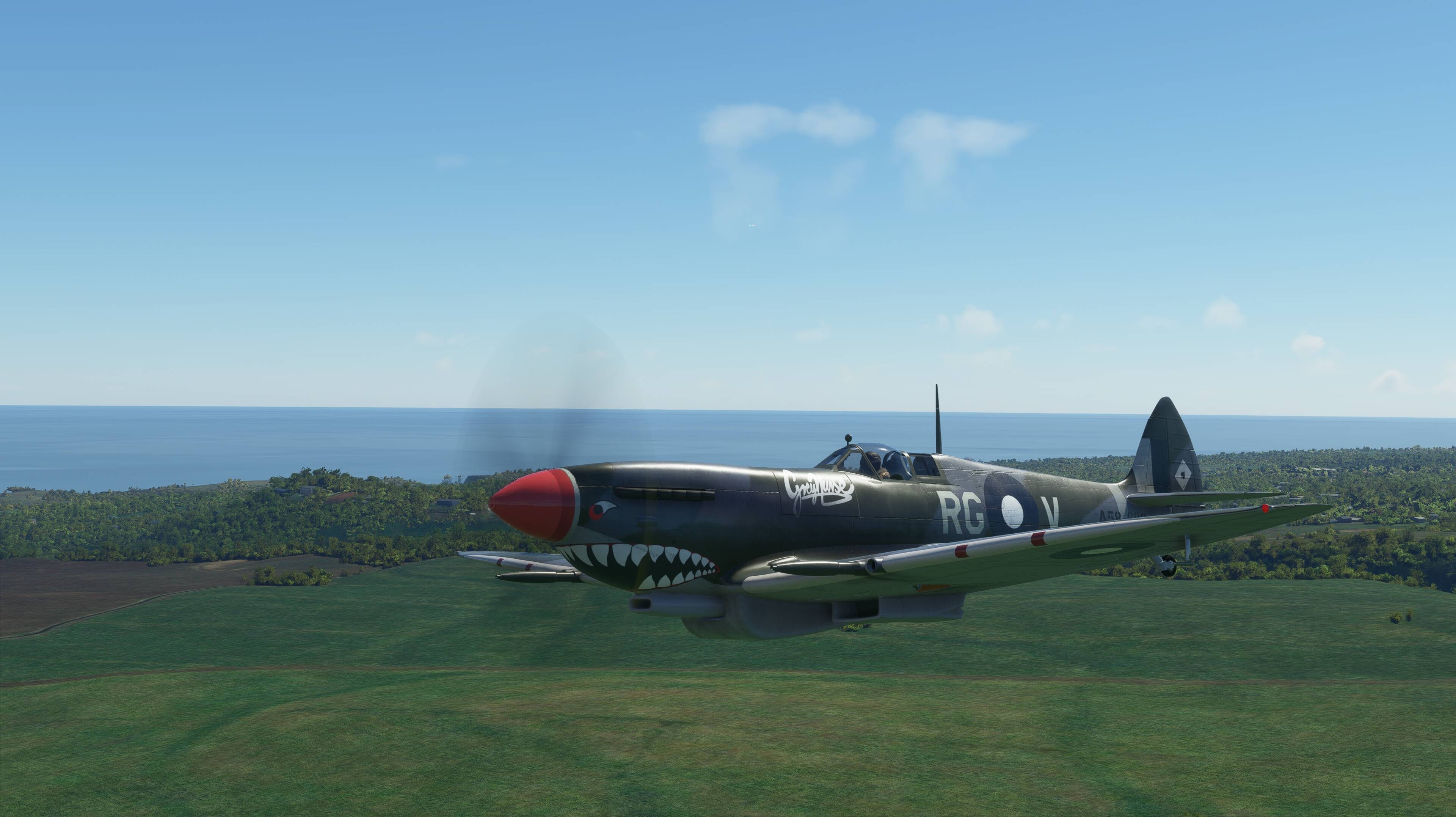
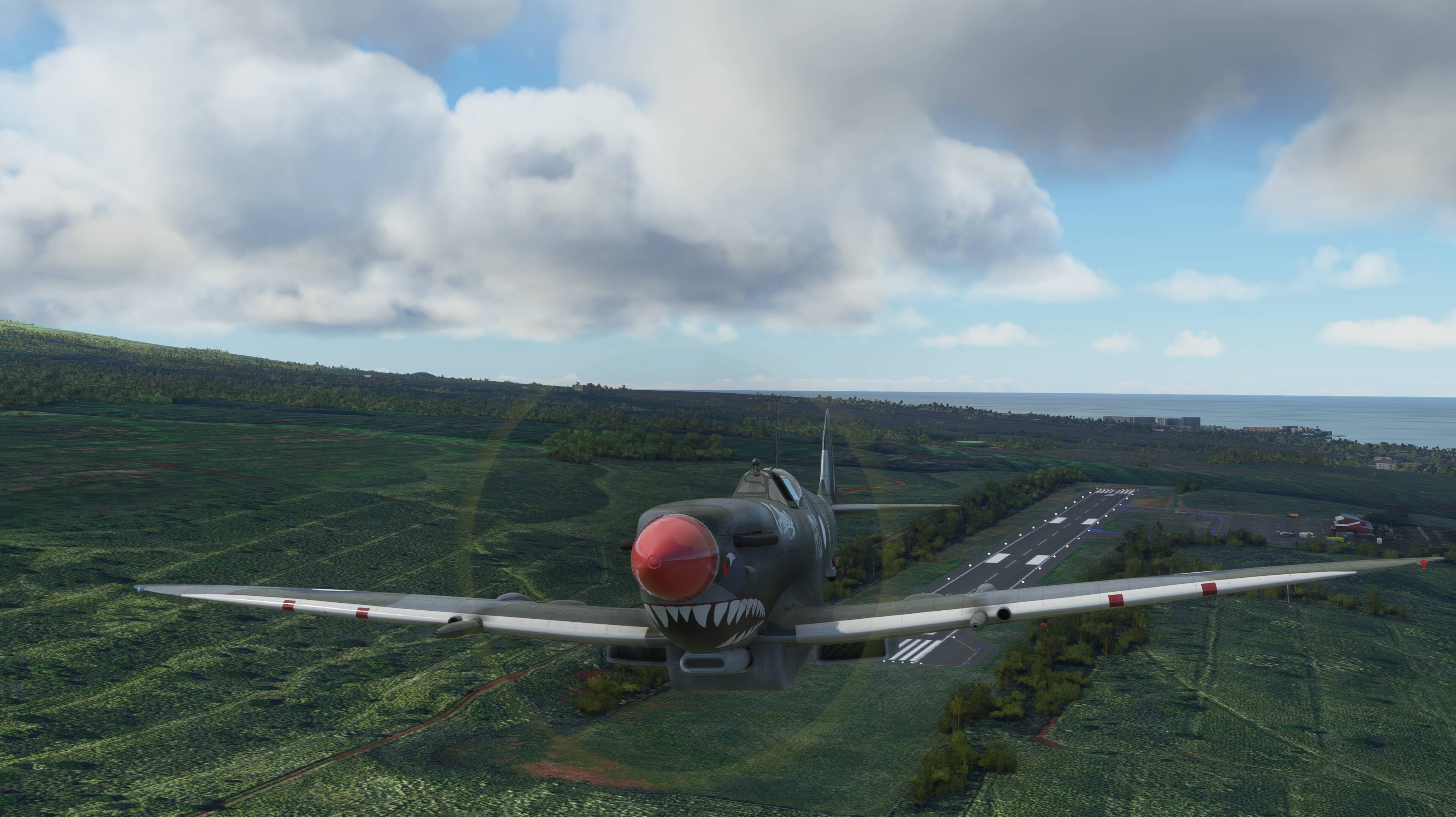
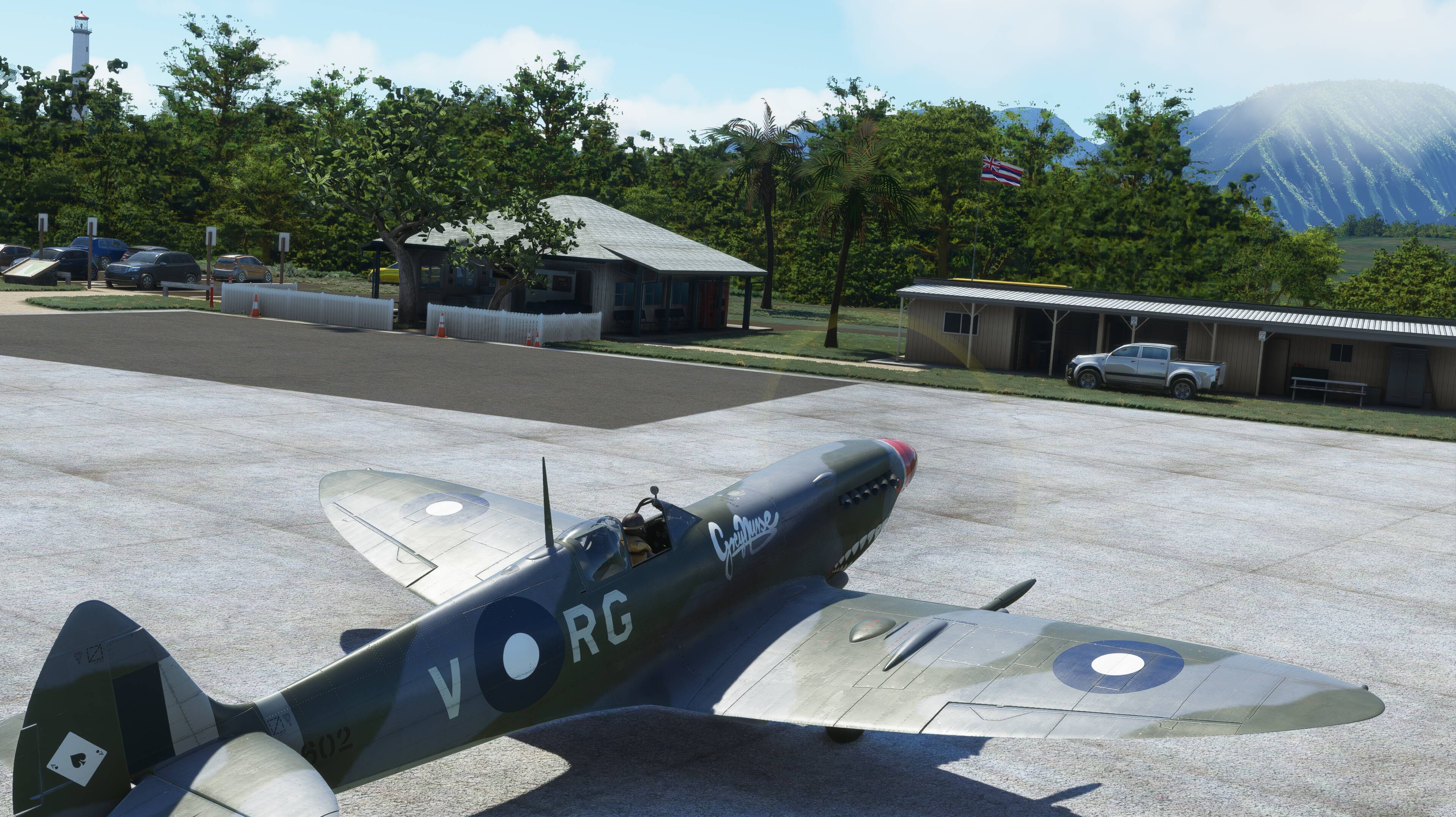
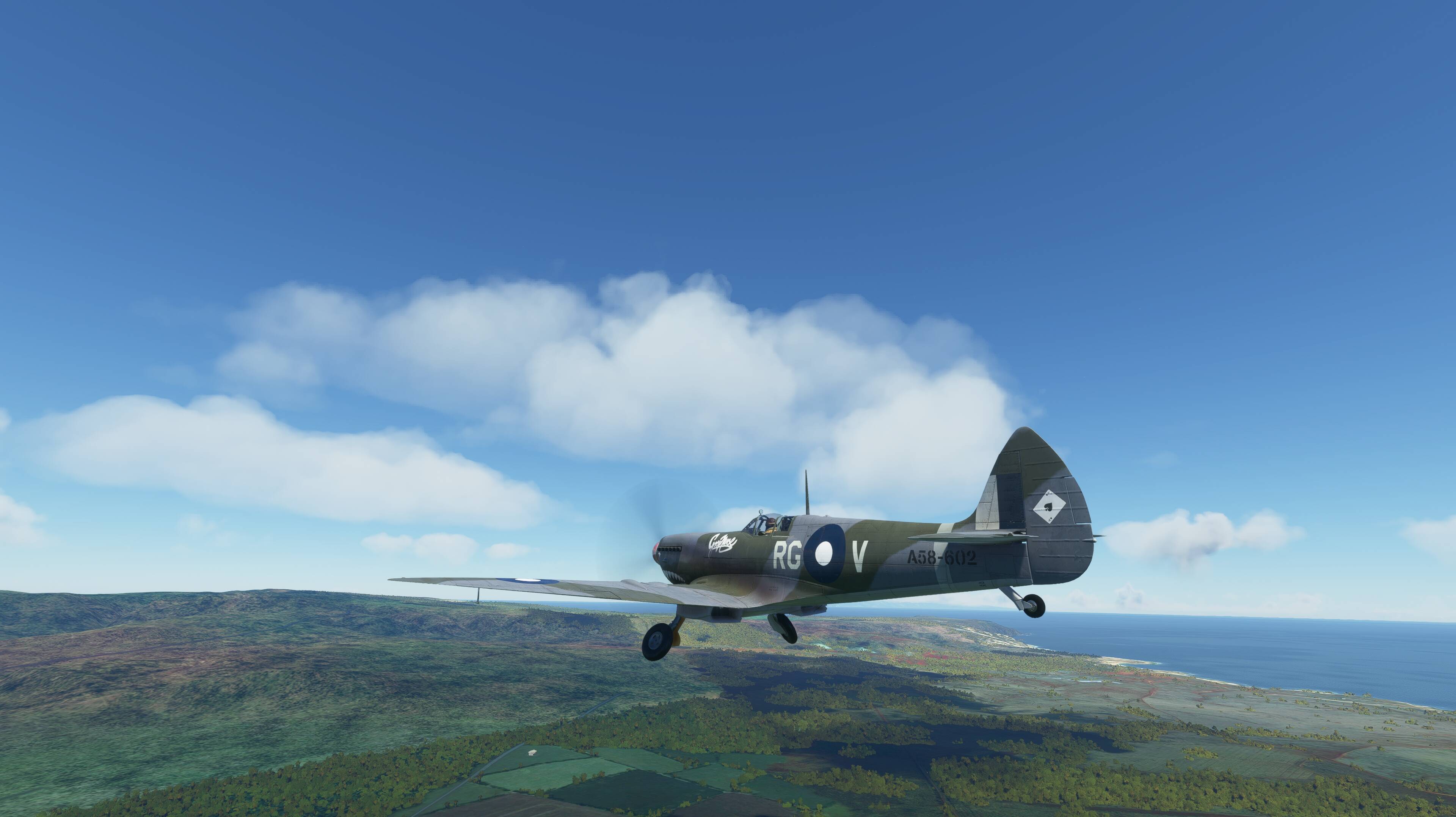
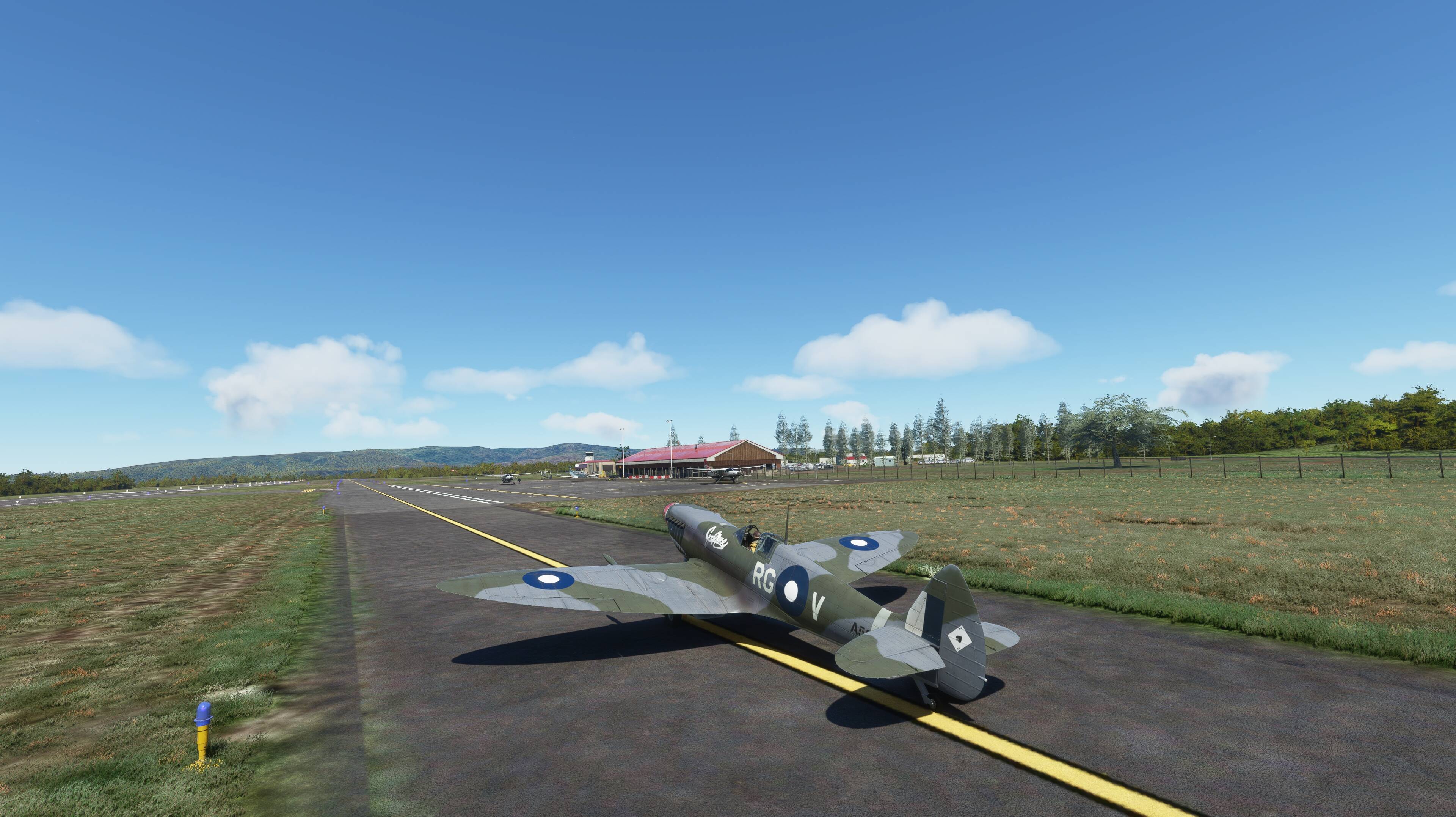
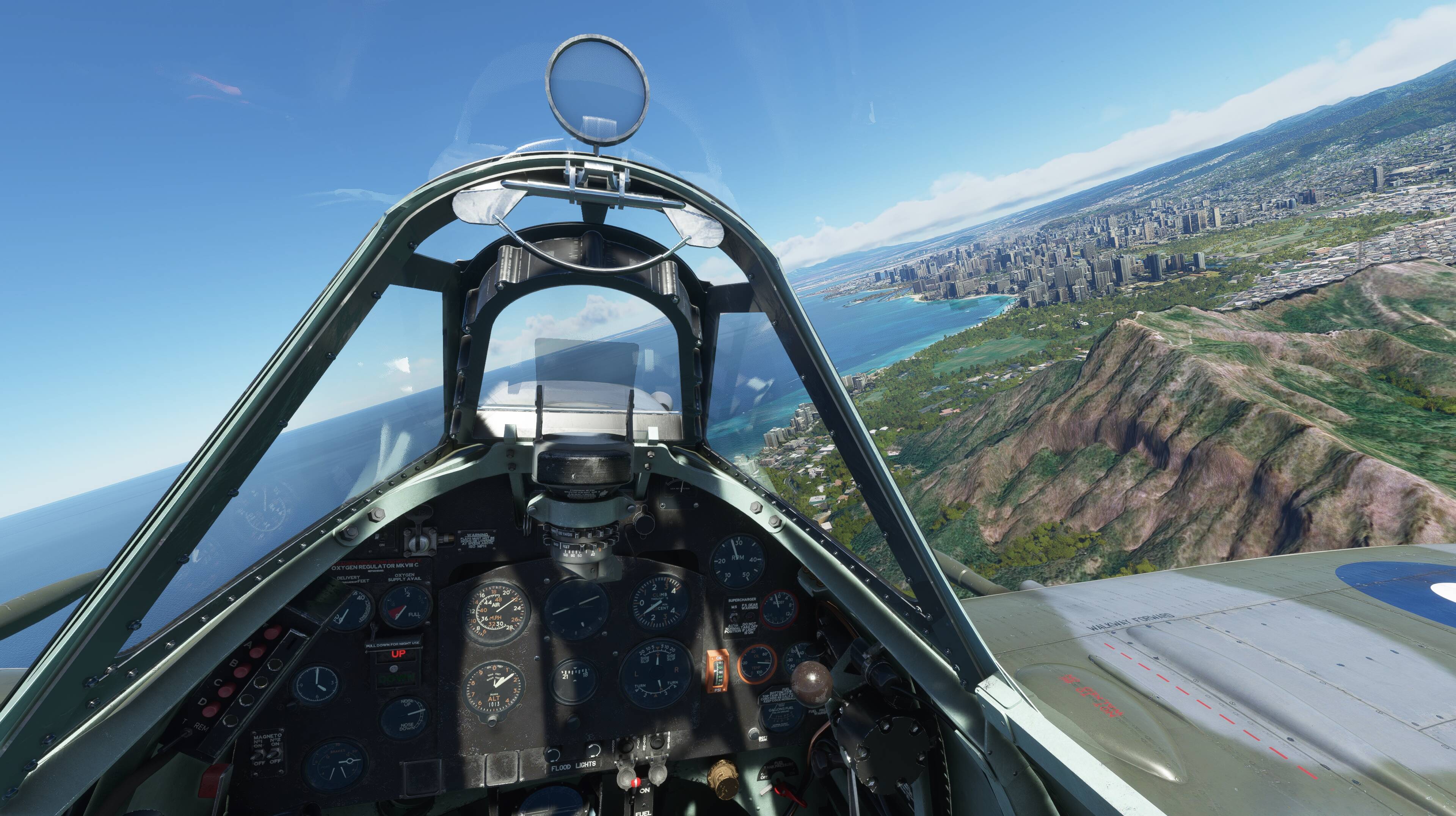
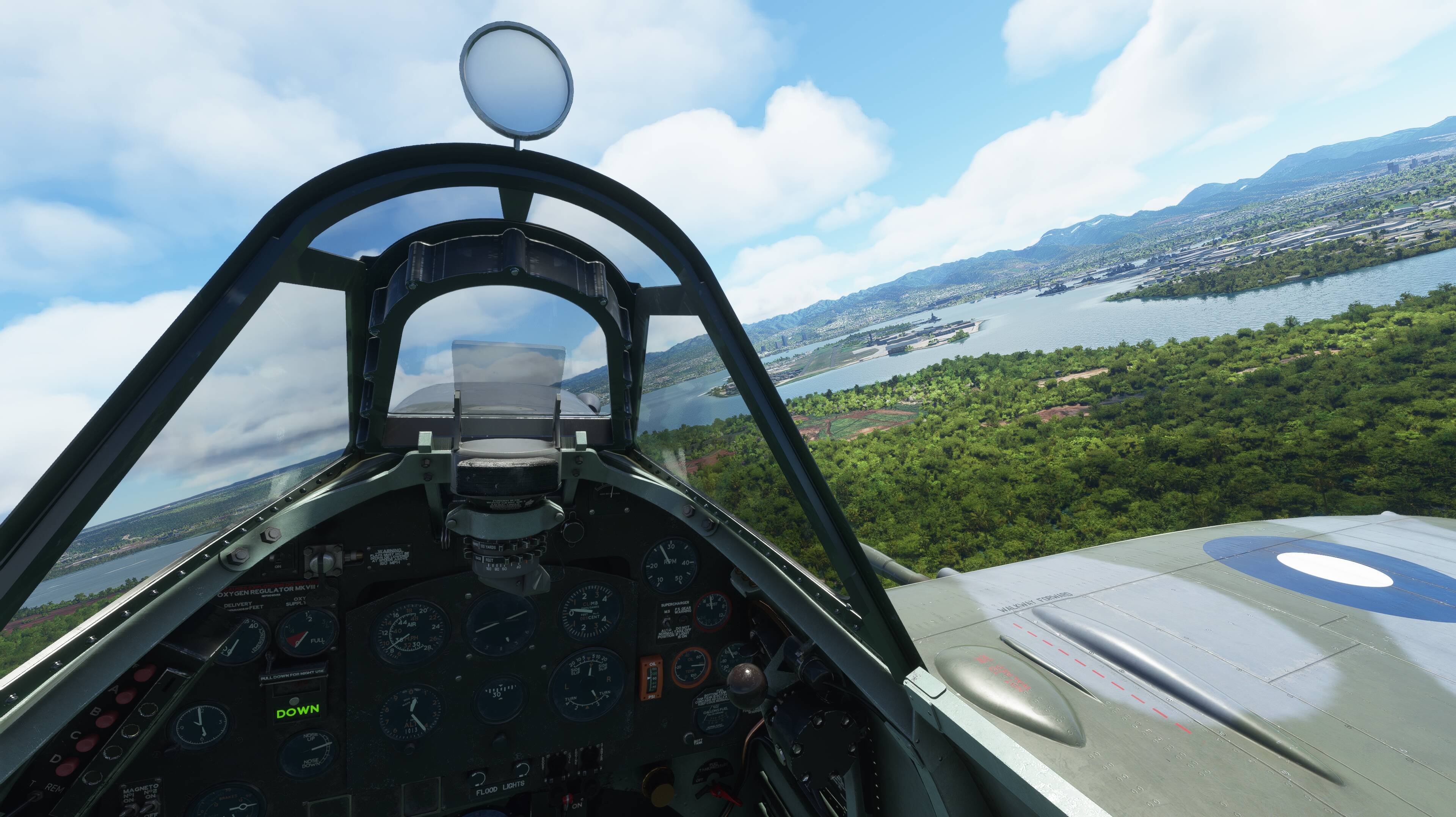
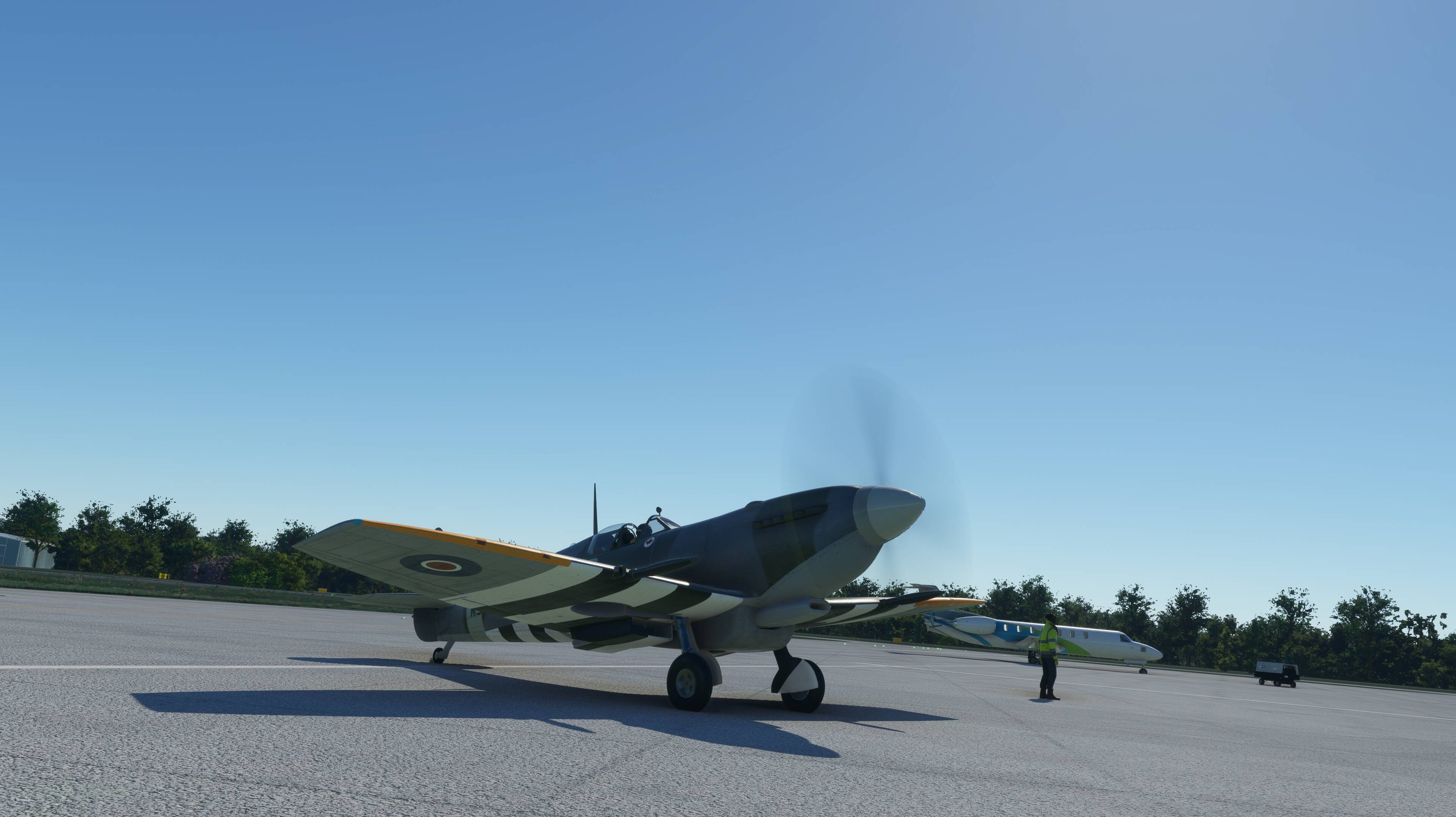
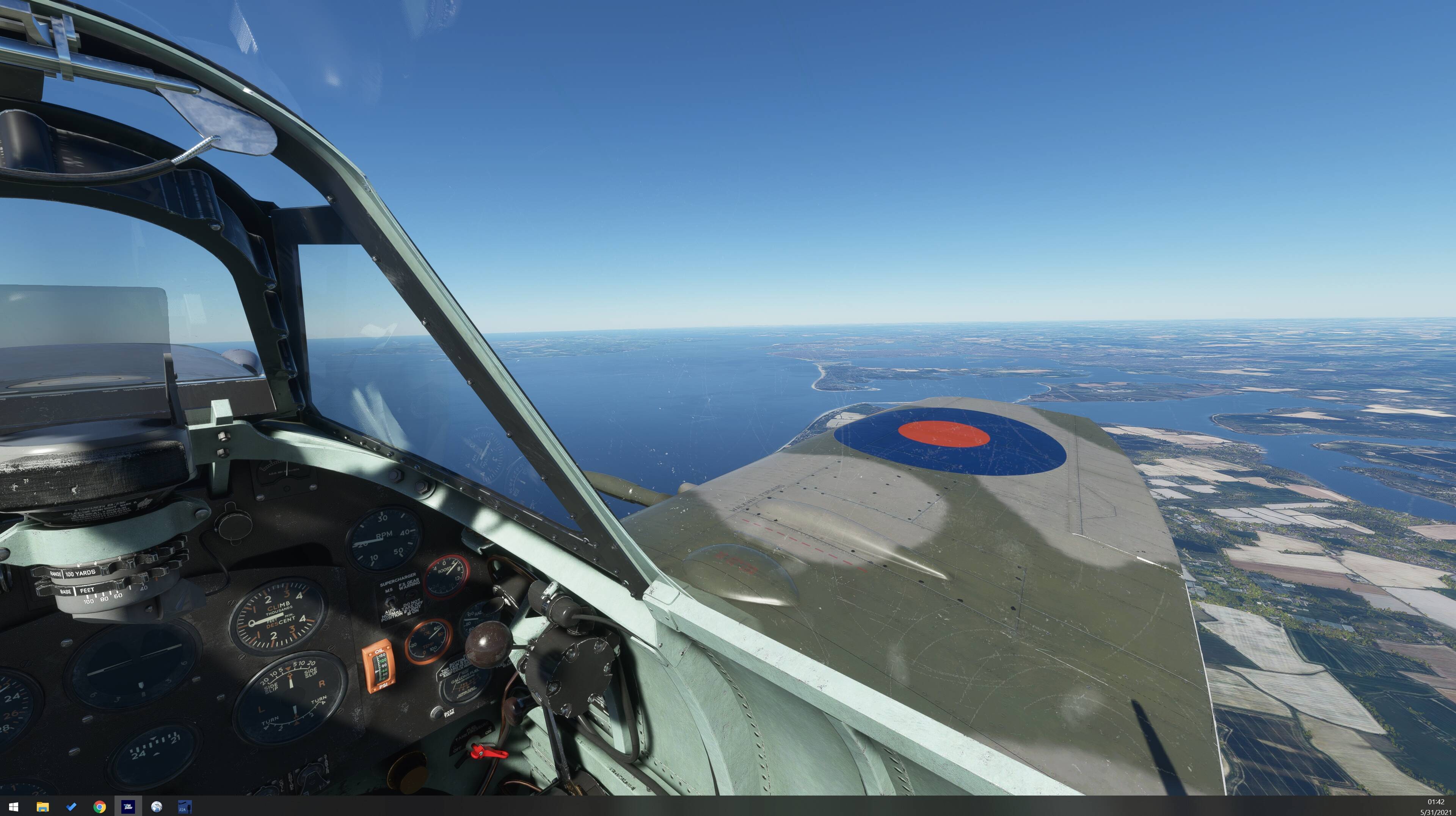
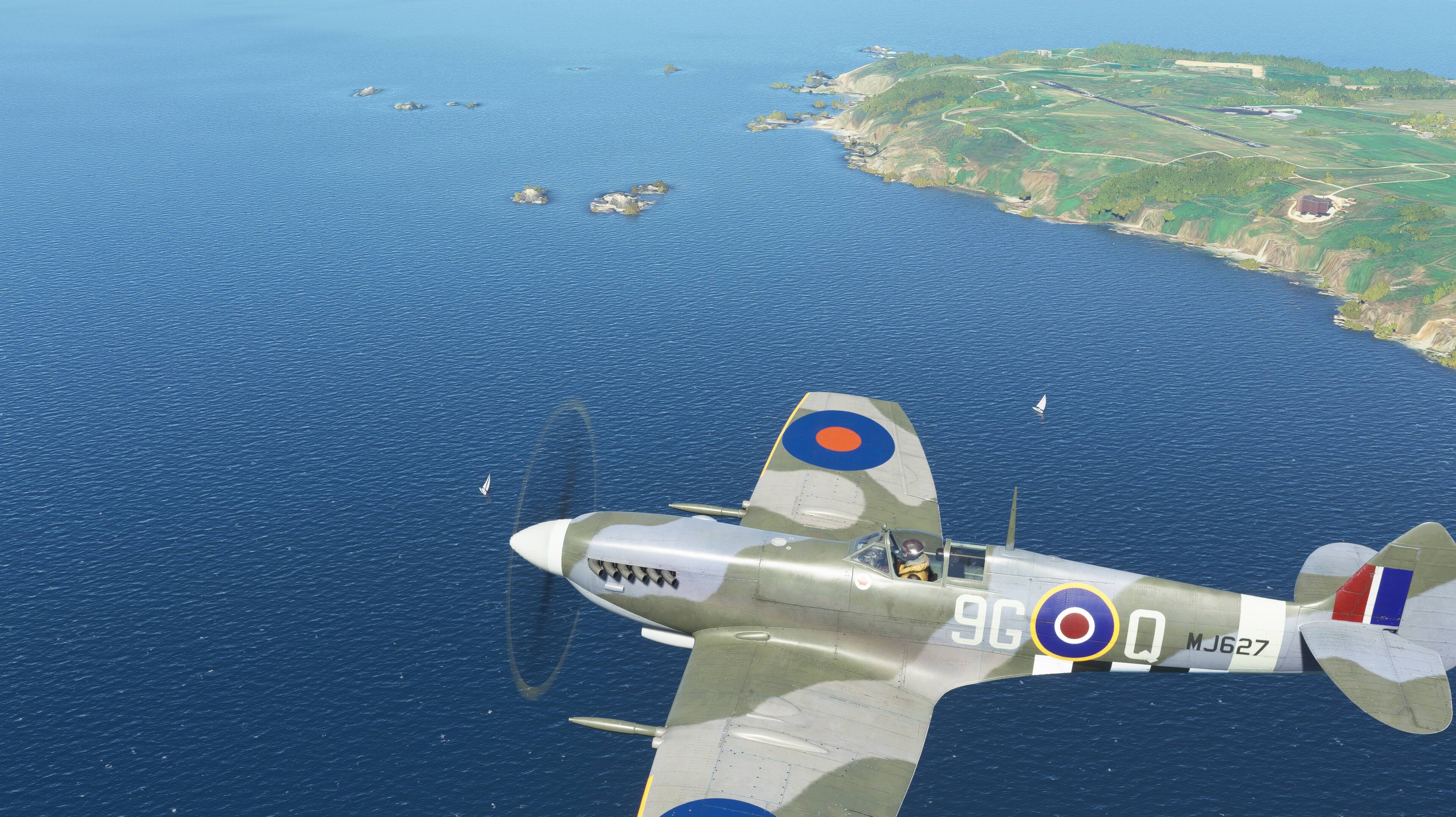
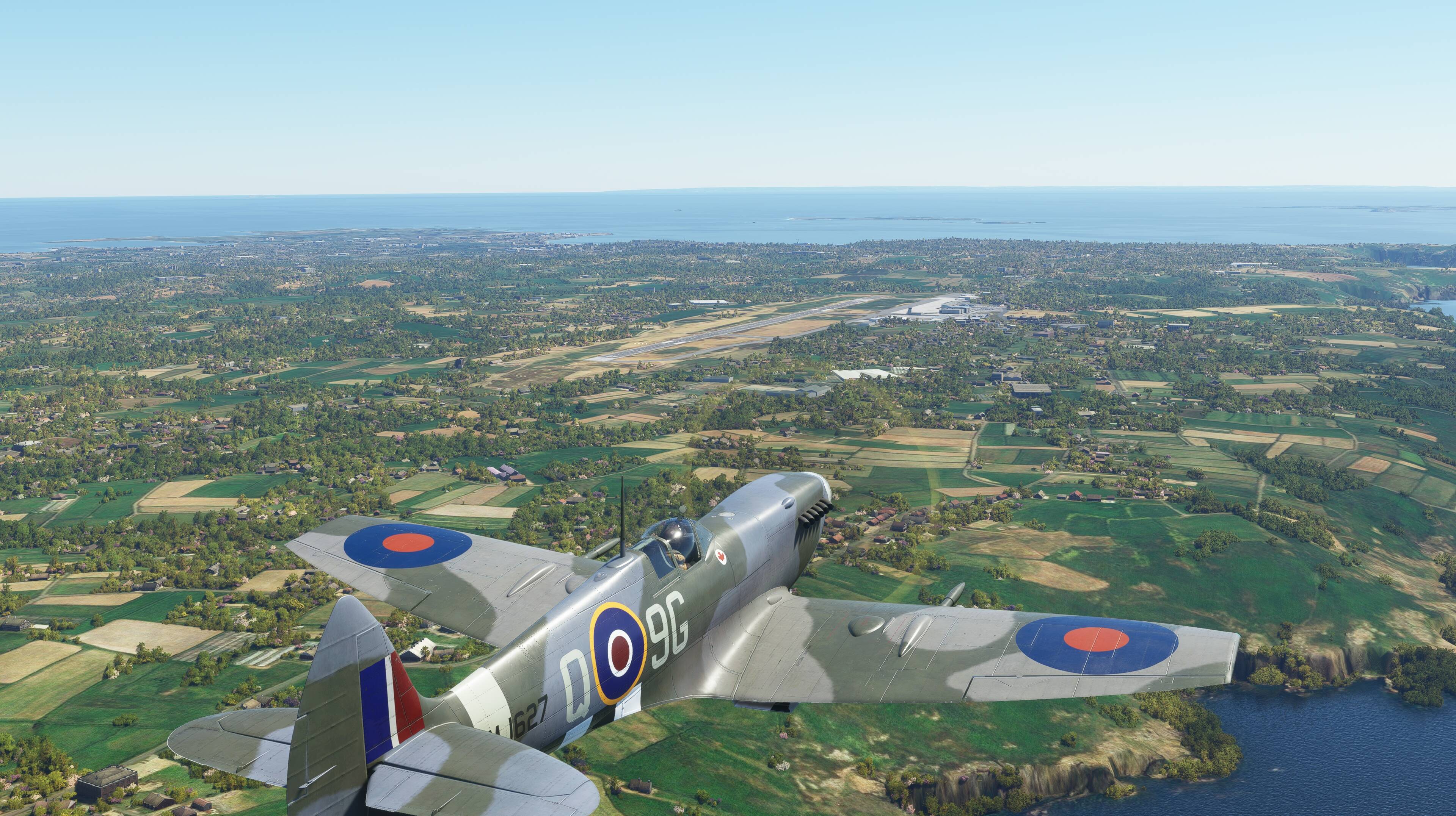
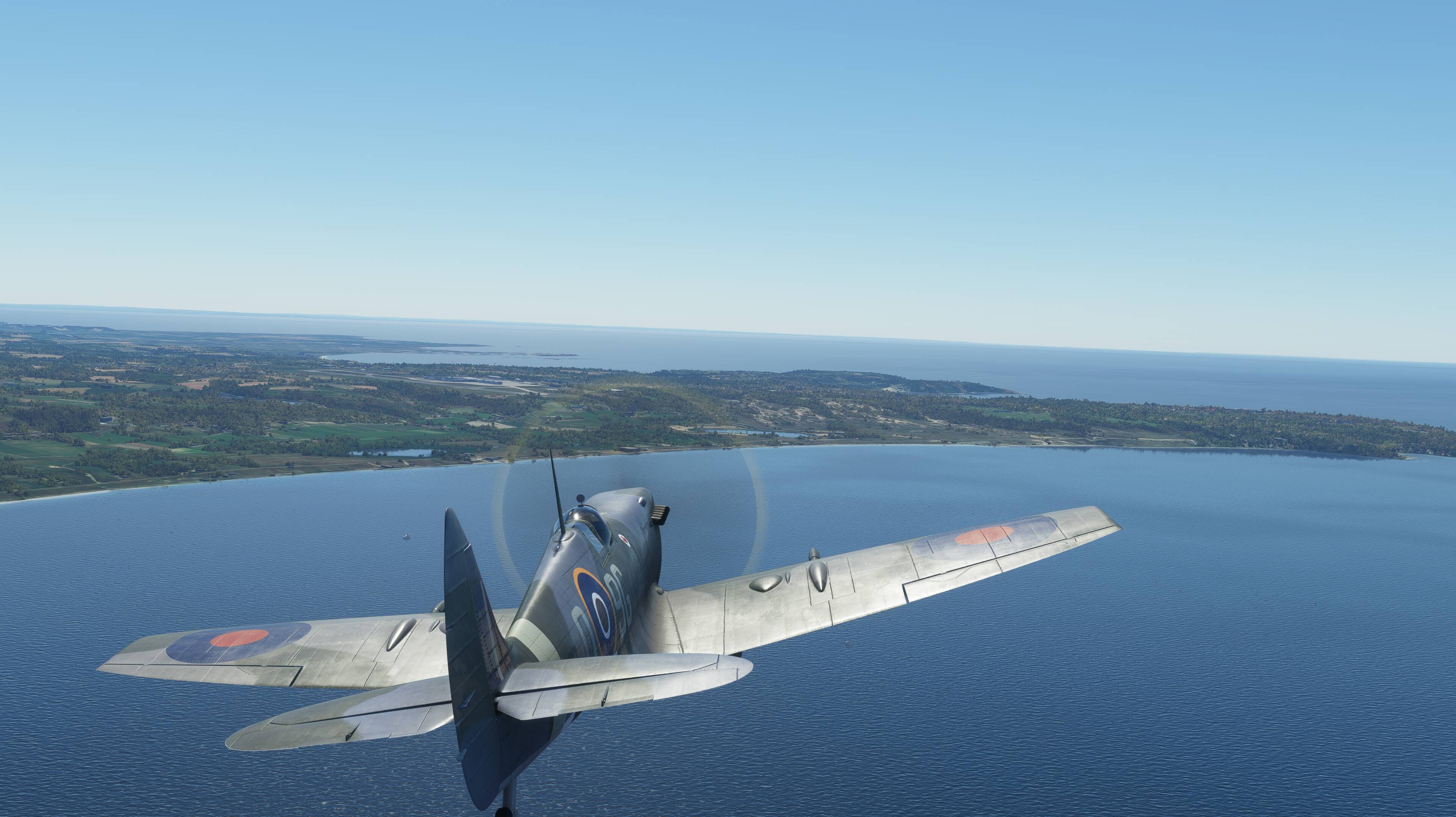
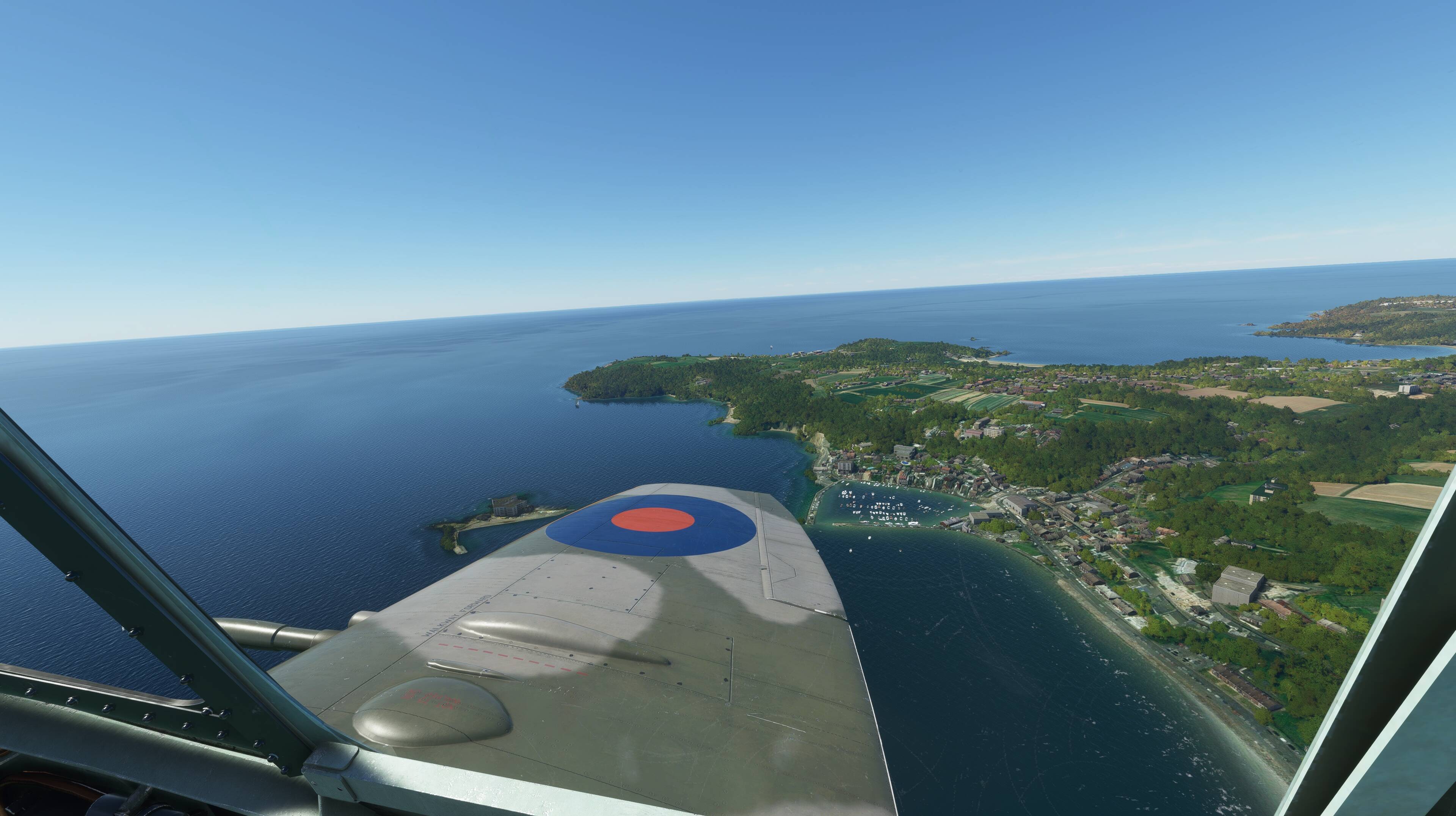
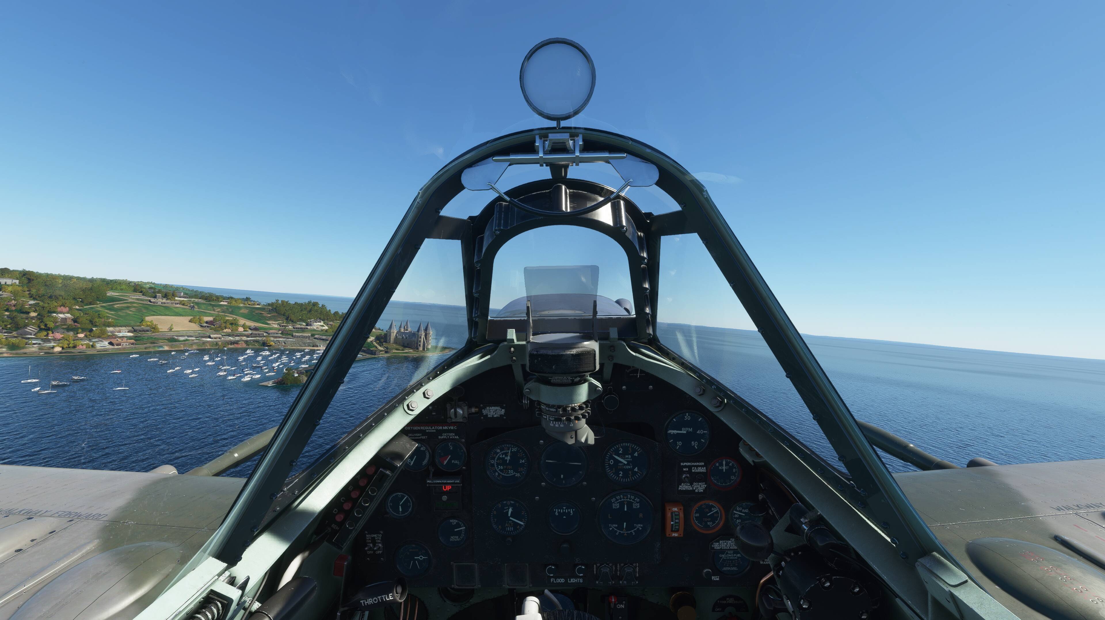
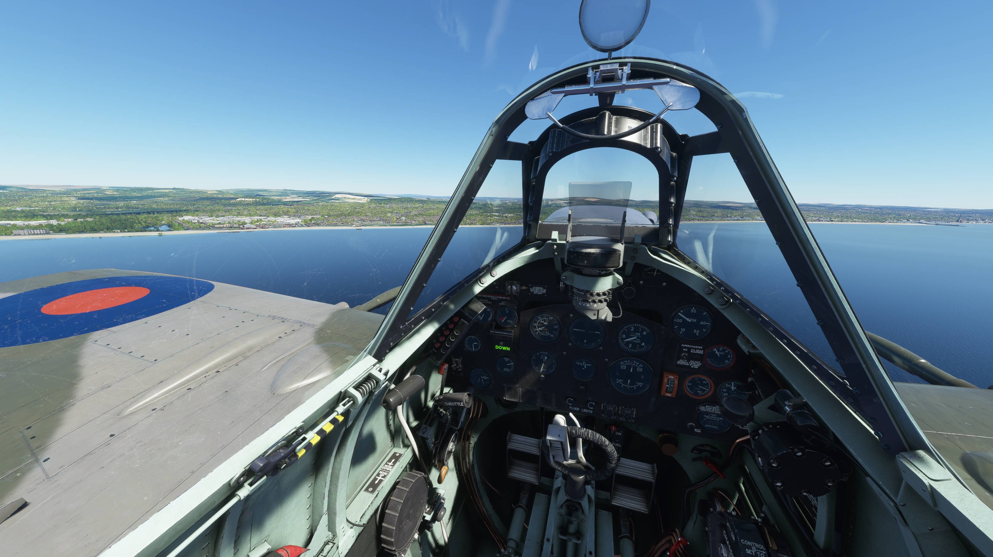
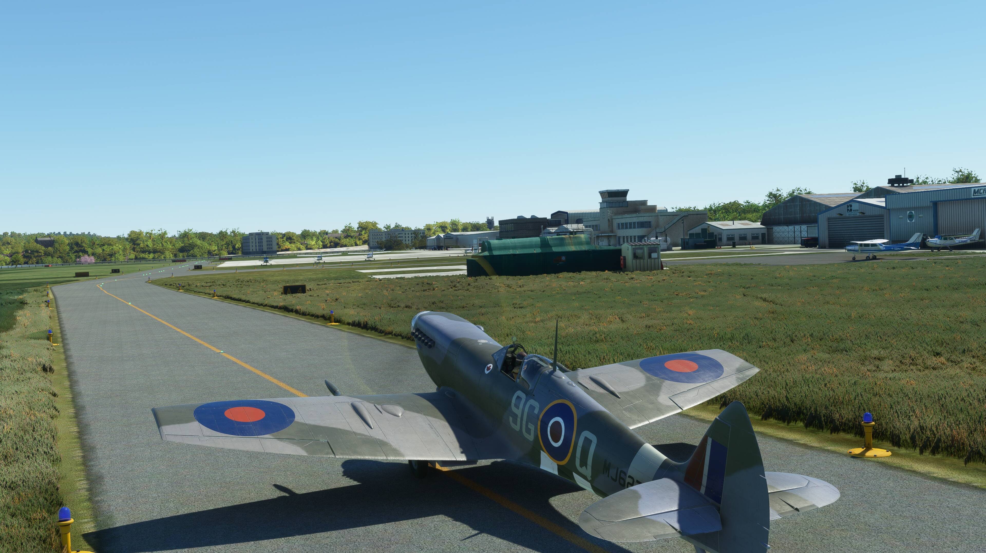
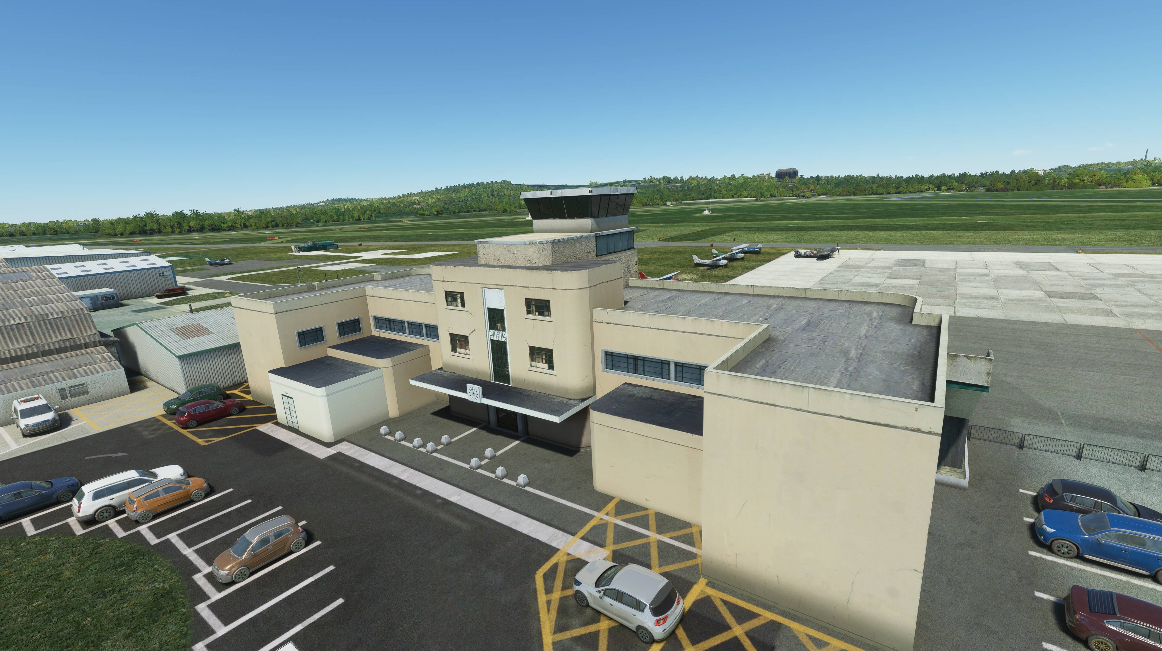
So, tested my new Spit IX and new (and old) Hawai’ian small payware airports, PHNY, PHHN, PHJH, PHLU, PHMK and a free modified NALF NPS. It’s a good plane, landings were not graceful, but got plenty of practice. Miss the A2A spit.


4 Likes
you got me started to work on it… revitalize an old yt channel, but still gonna have to find a half decent editor after wasting yesterday with online options
couldn’t get the camera pan and rollout 100% gonna have to work on that!

4 Likes
Flew from Costa Rica to Venezuela
3 Likes
Aziz, Lummier! My new w YT channel for the odd Flight Sim vid. May attempt some live feed flights down the track
do you want more vids shared here? If poeople like this, I might put together an edited short vid of the big trip above Melbourne-LAX via South American and the Caribbean
 departure from French Polynesia headed to Rapa Nui")

conditions… not good

playing with weather… Very impressive sea conditions. The only fault is the waves approaching shore

4 Likes
Ive done nothing spectacular or screenshot-worthy, but I’ve been practicing radio navigation. I’ve been using the Cessna 152 and today was a day of navigating around using VORs and NDBs to find my way without GPS or autopilot.
This is probably something I should have learned a long time ago, but I guess it’s a case of “better late than never”. I understood the principle and how it worked (in a broad sense), but never actually put it into practice before. I’ve always relied on GPS and autopilot for long cruises.
So far, I’ve been successful and haven’t gotten lost, even without Little NavMap or Navigraph trackingme and assisting my progress.
8 Likes
beating the storm front into Quito.
Something happened in the final seconds. The GS suddenly dropped and staggering cause issues with the landing, resulting in a very hard landing, slammed the nose gear and played pong with the sides of the runway. The scenery was just too beautiful to not share it., and I am not a believer in editing out mistakes (so I make flimsy excuses instead lol)
that terrain radar…

3 Likes
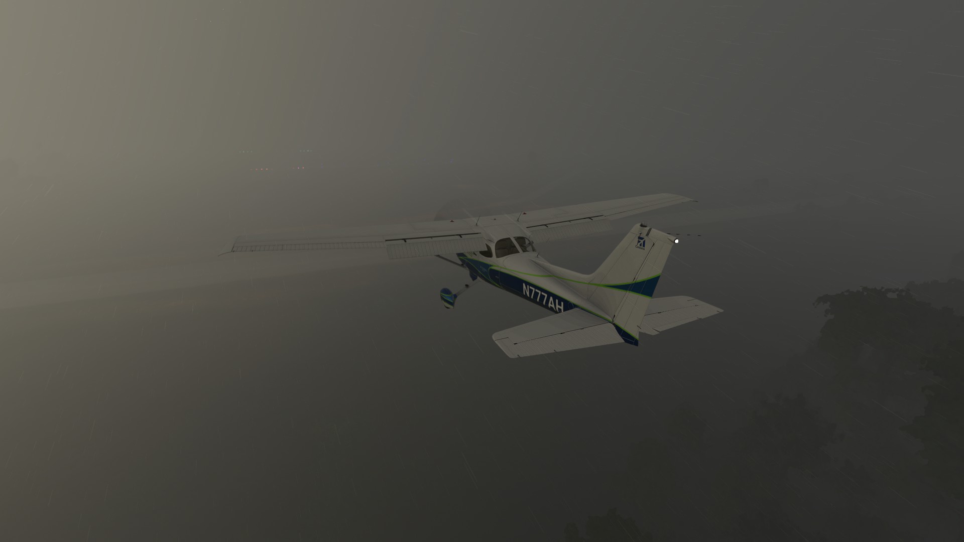
Albuquerque to Tucumcari on my I-40 Cross-Country. Weather can bite you hard. Bad cells over the arrival field, and I only broke out the runway lights at about 290 feet and less than a tenth of a mile. That new weather radar is the cat’s meow though. It showed me exactly how SOL I was, and every time I crossed into an amber zone or higher on the Nextrad - I could hear the raindrop patter on the windshield.  My lesson learned from tonight - trust the velocity vector. If it’s pinned on the runway numbers, disregard the VASI. You are not low.
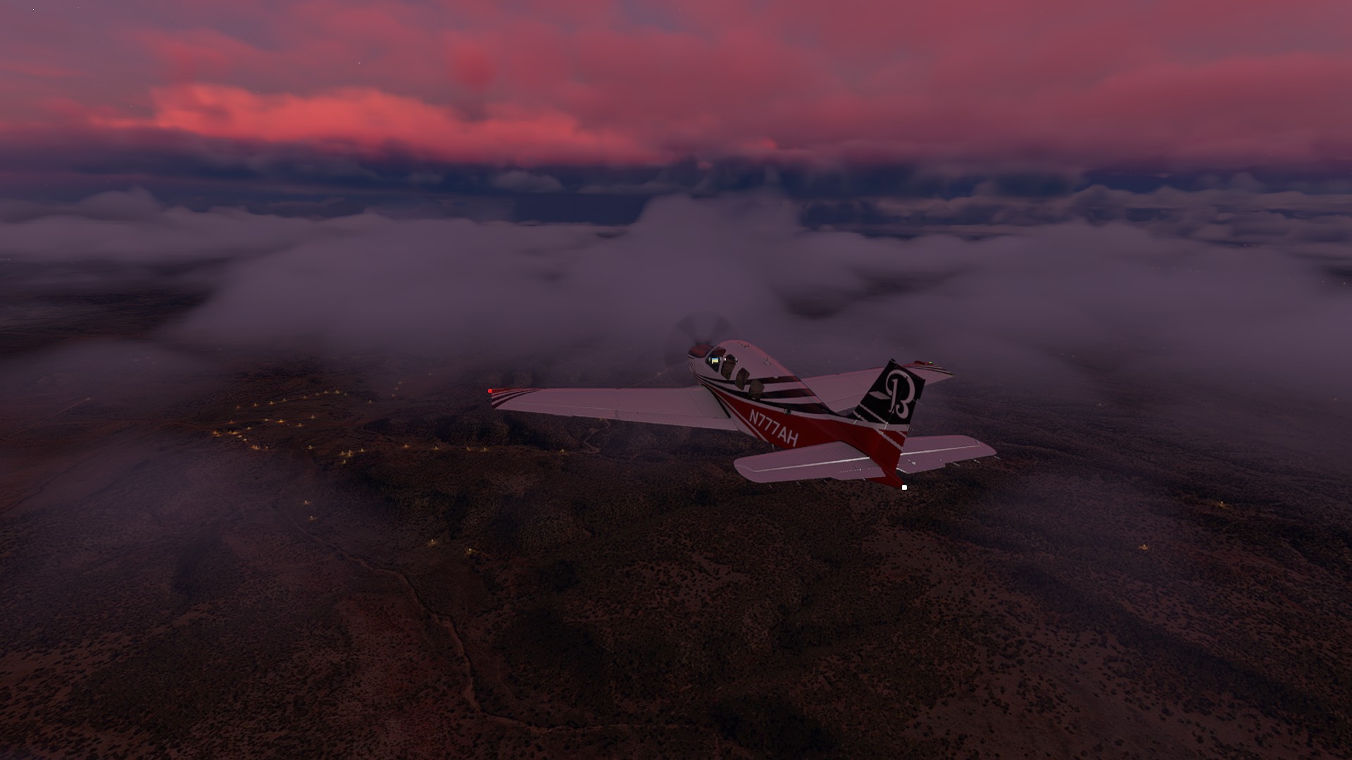
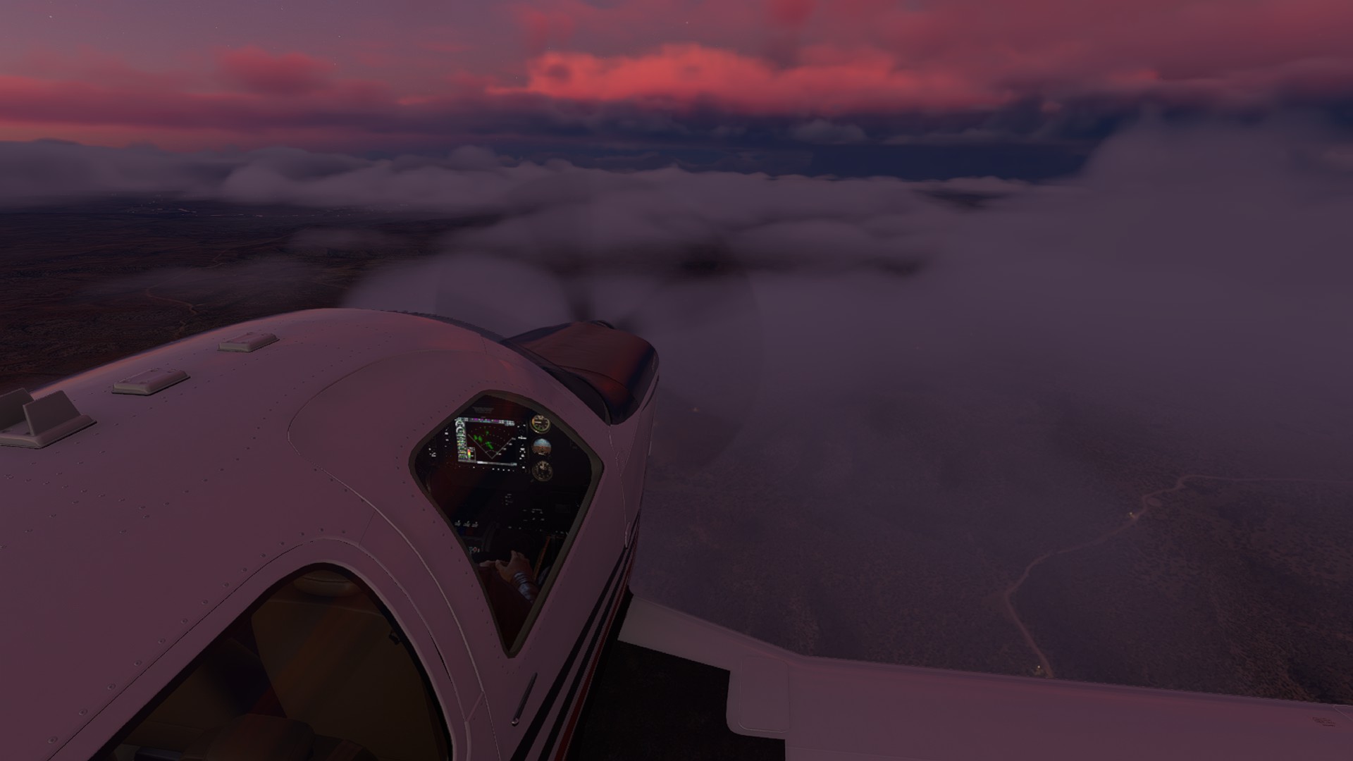
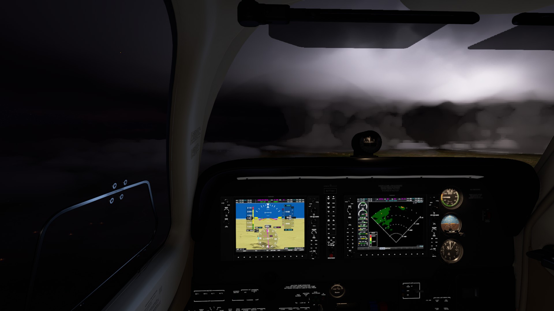
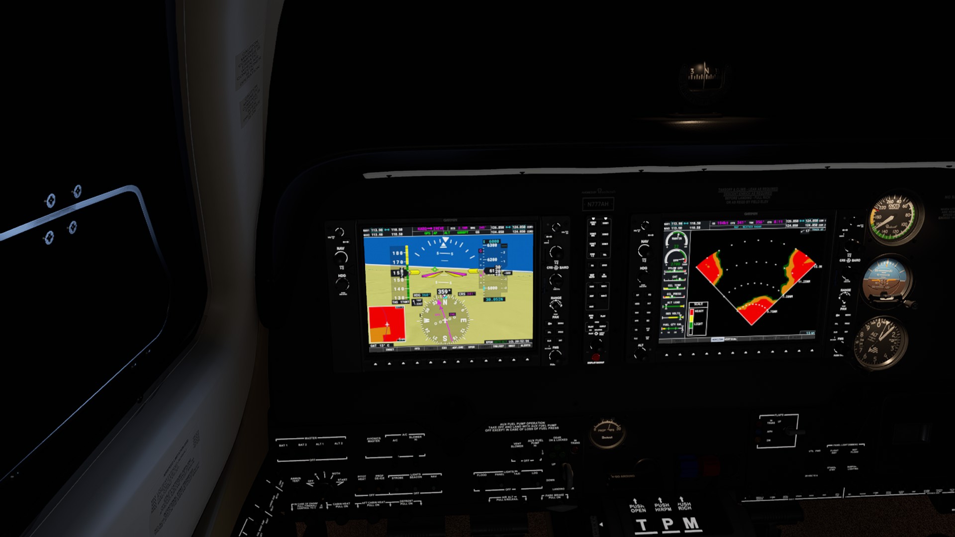

4 Likes
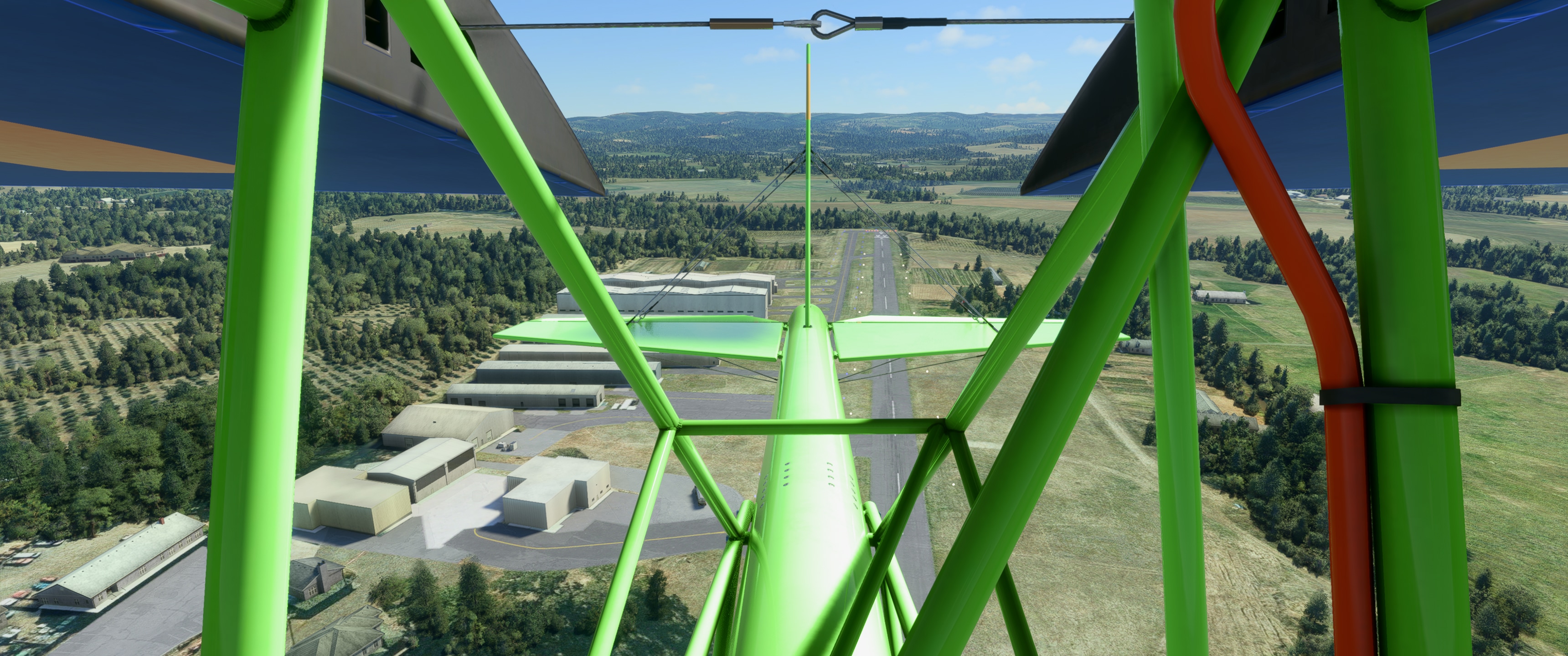
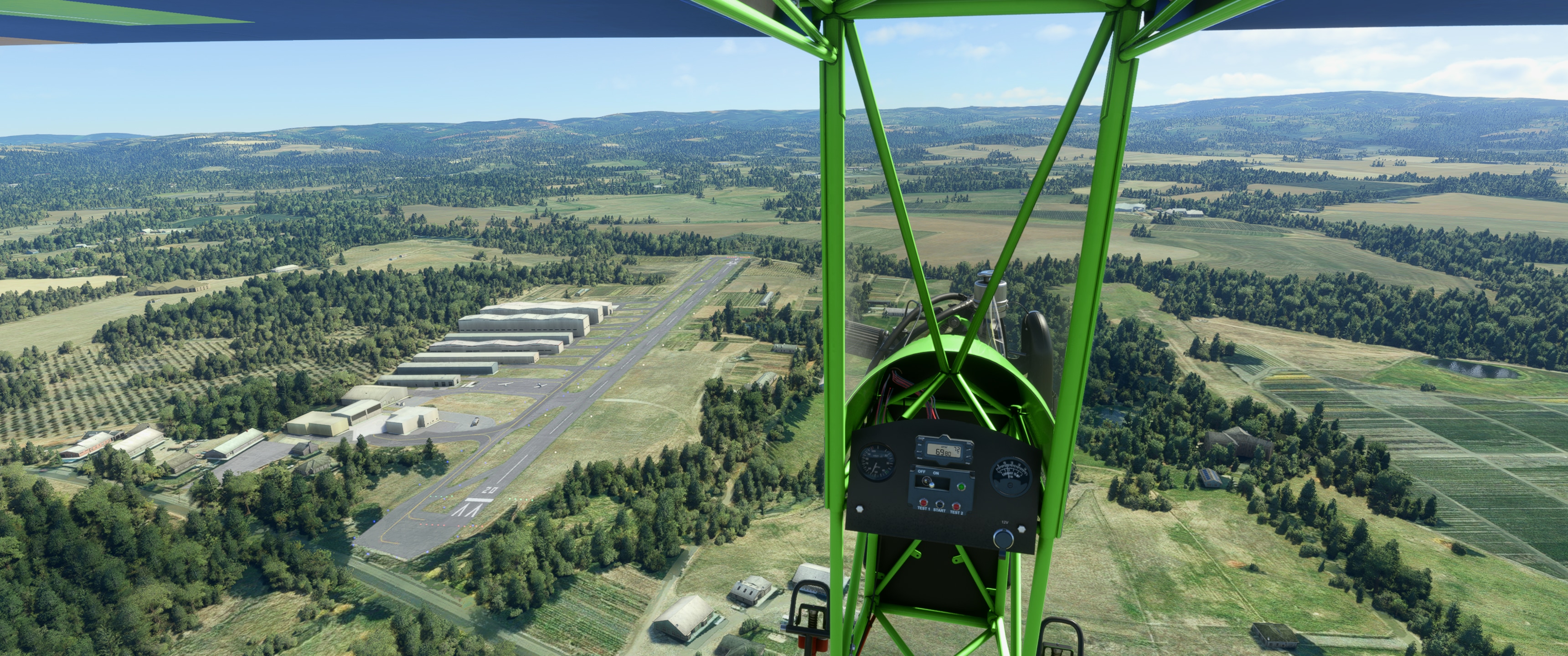
I practiced flying the Top Rudder Solo 103 by visual reference around a local airport outside of Portland, Oregon. I’ve been to this airport IRL for an EAA Flying Start event, and did a ride-along in a Piper Cherokee Warrior – the basic layout is correct but the size of the hangars is not accurate. 
Stark’s Twin Oaks (7S3) - Hillsboro, Oregon

3 Likes


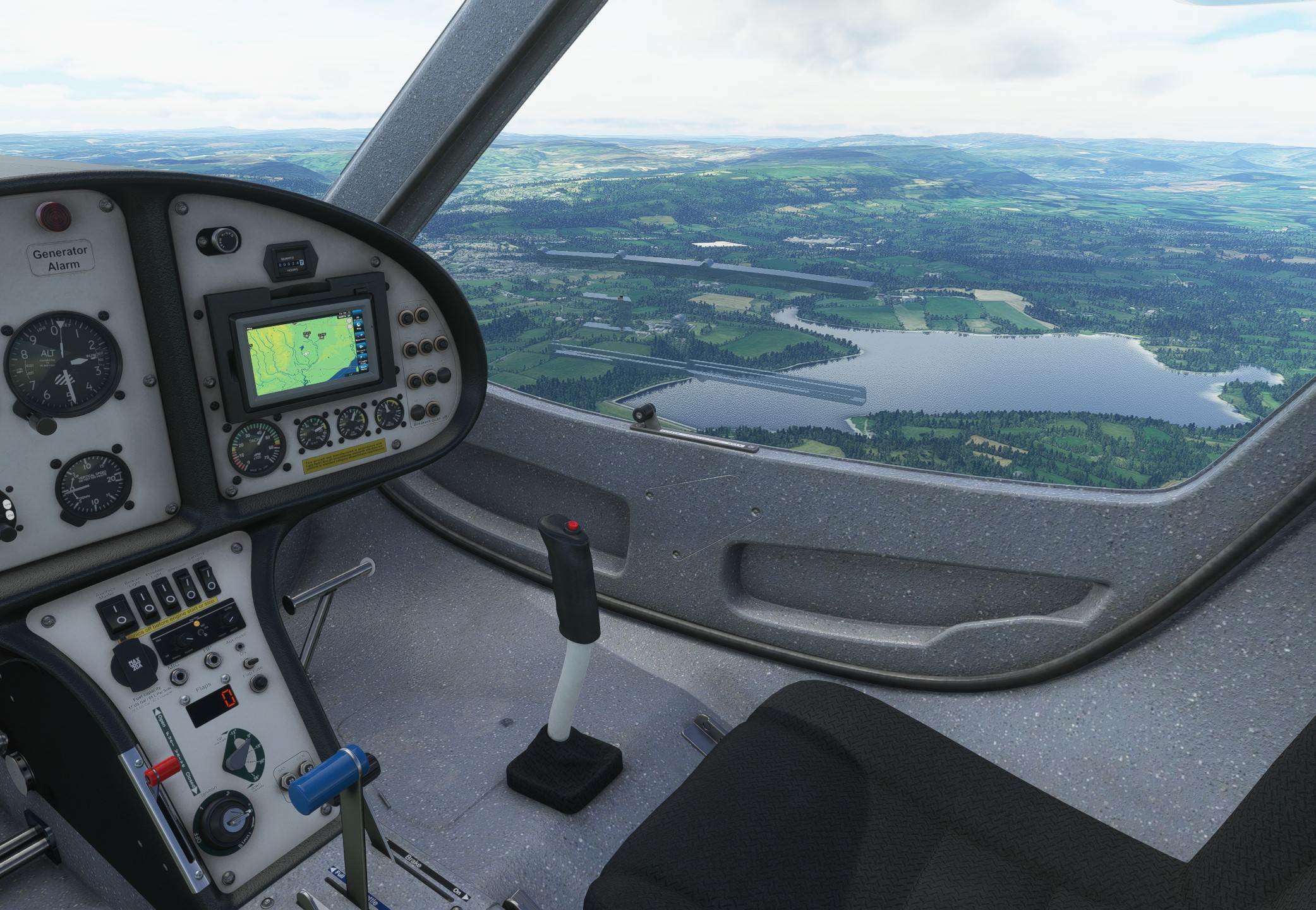
Went Flying this morning IRL, then followed the same Route in MSFS this afternoon.
Below Llandegfedd Reservoir VRP, IRL and in the Simulator.

7 Likes


I just got this achievment…flying at 2300ft on my way to CYYJ.

I’ll take it!
4 Likes
Didn’t you fly the early versions of MSFS back in the 80’s and early 90’s ? As I recall that was the only
non-visual navigation method before GPS satellites went up. It was fun stepping on the Ball to stay on the beacon.
Took the Caudron C.430 for a live-weather hop from a nice little grass field in northern Luxembourg (Useldange Glider: ELUS) to Lille, France. Despite the half-kilometre of cockpit framing in front of the pilot, this classic example of Gallic eccentricity is surprisingly good for sightseeing, since you are so far behind the wing that it hardly blocks the view at all. You just have to fly alongside anything you want to look at, rather than towards it.

And then more live weather, over the Alaskan Peninsula, for another leg of my XCub world trip. The weather has been anything but helpful lately, and I’m glad to see the back of the Aleutians, with their interminable stormy lows. I’ll be heading south soon, to see where summer is hiding.

2 Likes
No. I flew a few combat sims back in the day starting with Falcon 3.0 back in 1993-ish when I got my first PC. Never really got into civil aviation sims at the time. They didn’t really appeal to me until the last few years.
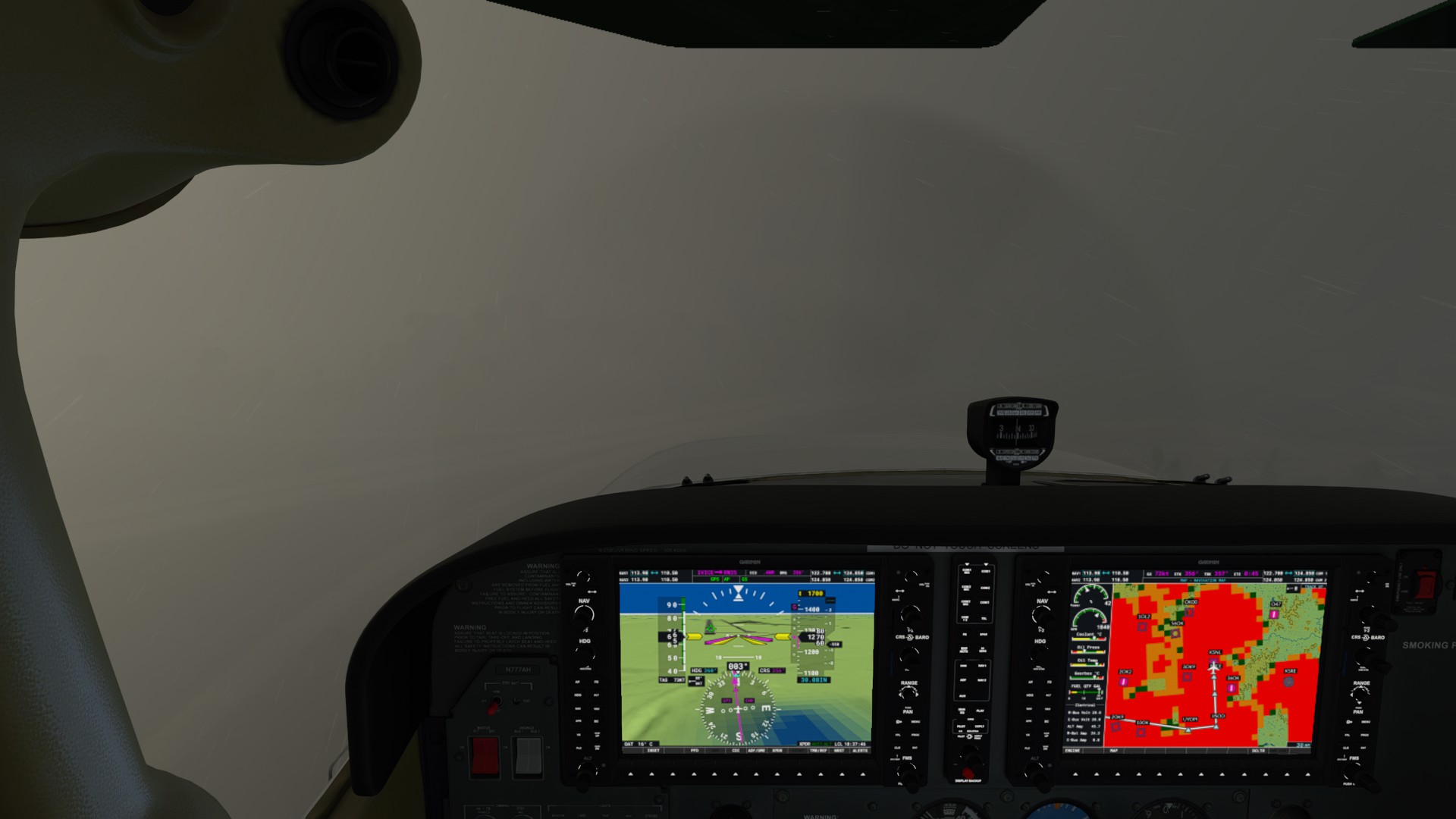
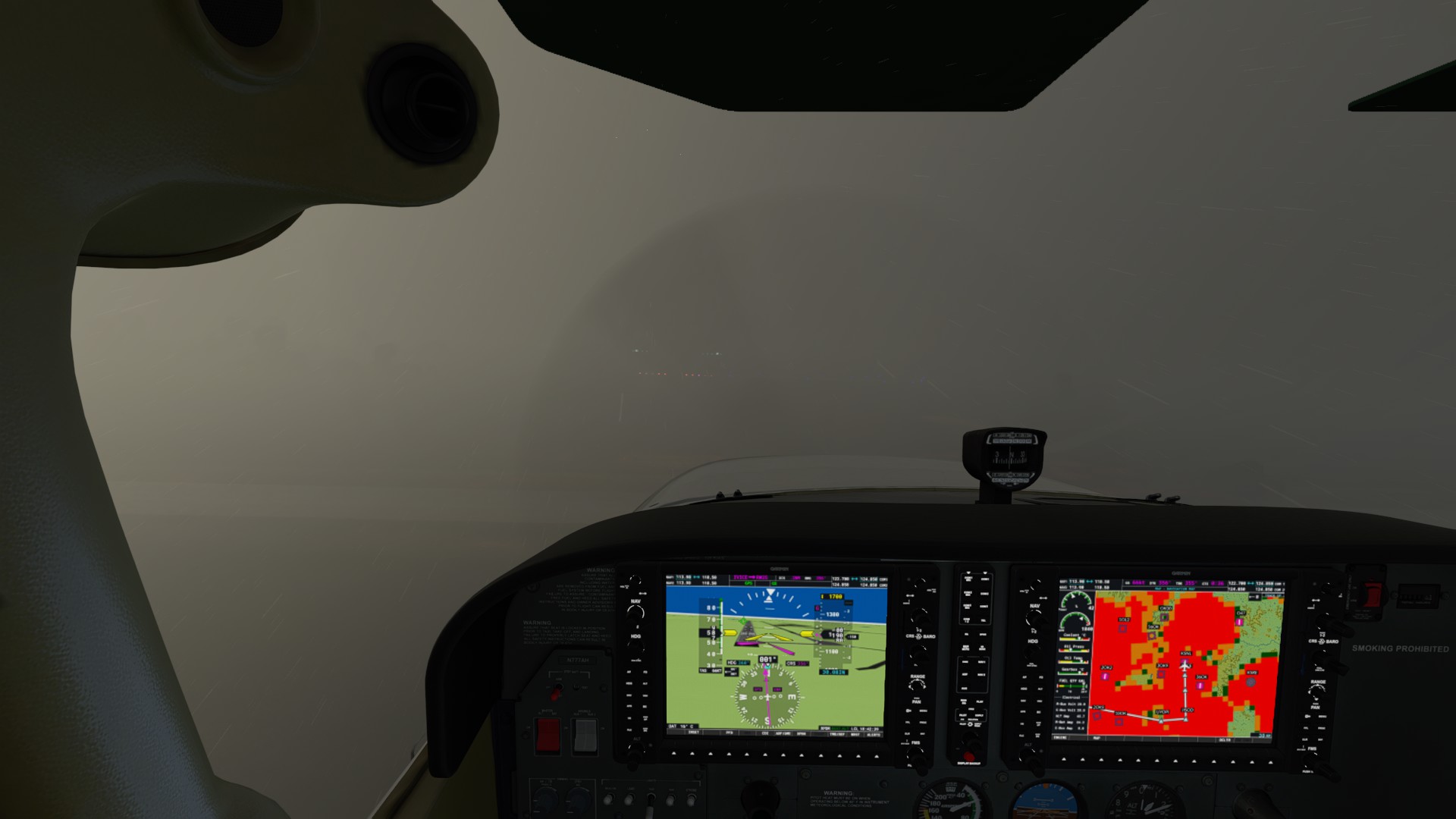
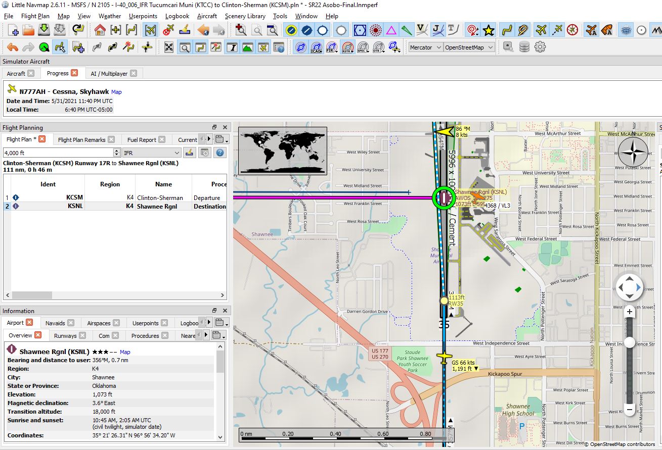
Yes, this Live Weather can deliver a true low-visibility landing scenario.
This is Shawnee Regional KSHL today using Live Weather. LNM holds me at .12 nm and 1100’ on the altimeter. The airport elevation is 1073’. Thank goodness for WT G1000 Velocity Vector. I hit AP disconnect, maneuvered to put the VV on the runway piano keys and continued landing. Freaking. Amazing.
4 Likes