And a market for almonds for us in the cabin?
Maybe a Llama or something. Not sure about a market
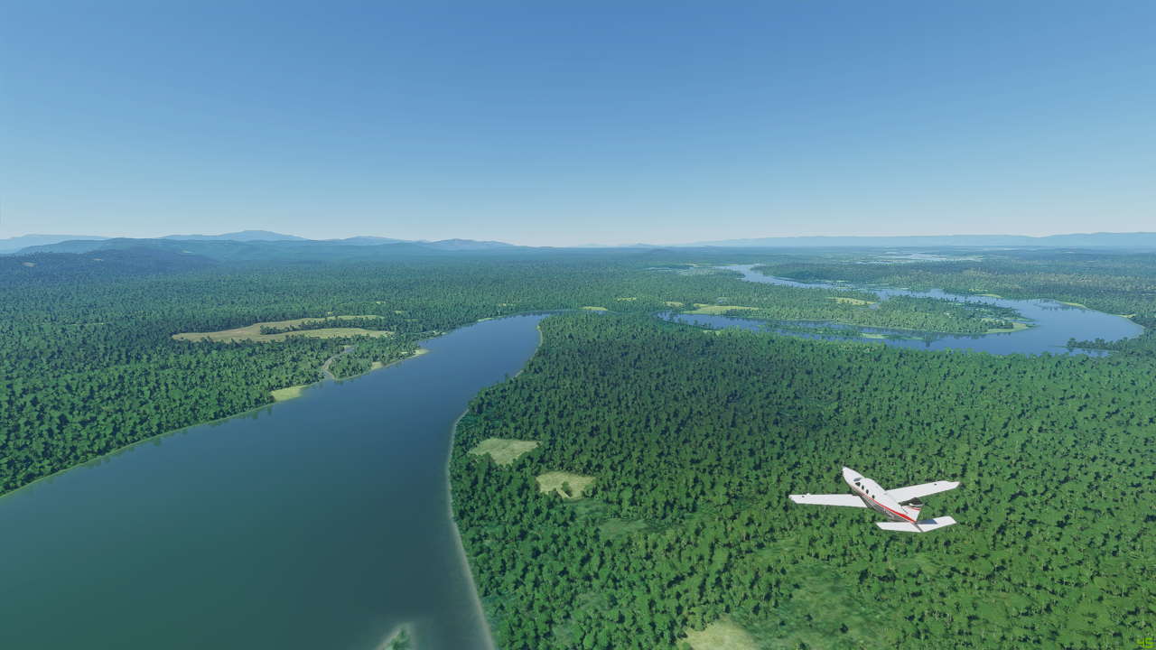
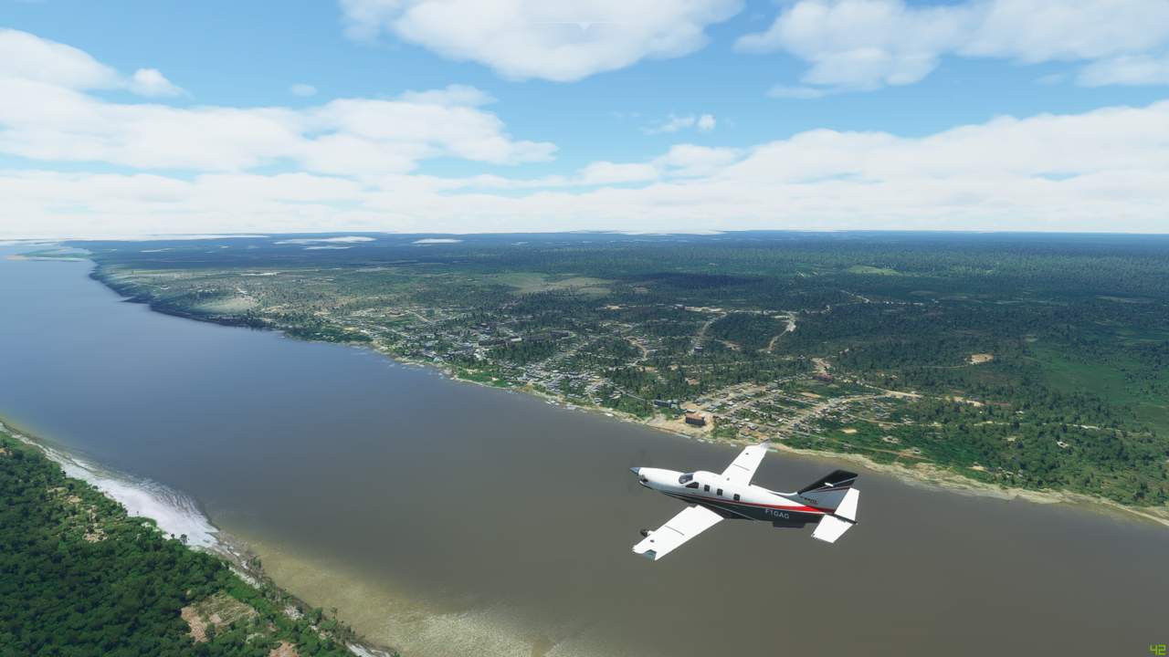
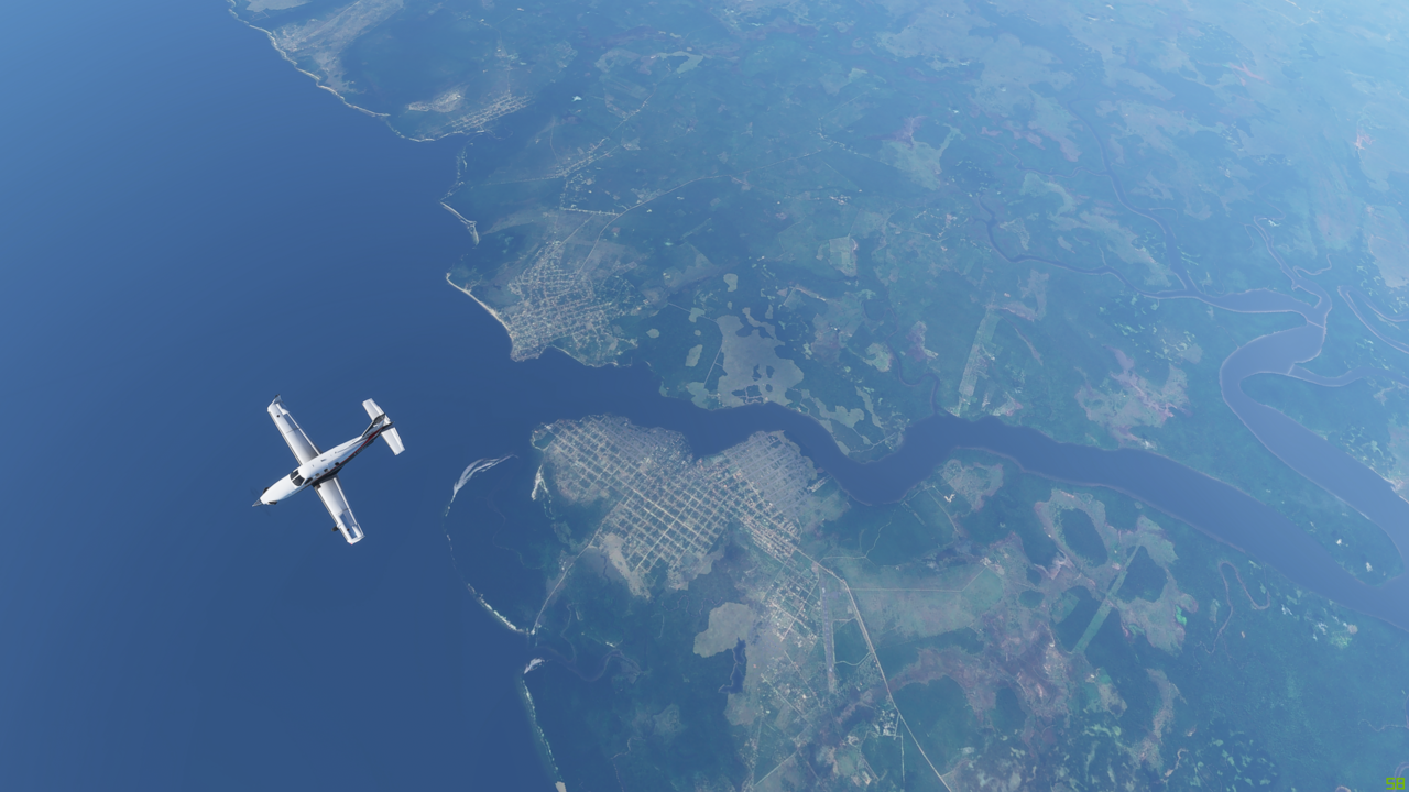
Leg 15 - Cagual, Peru (SPGL) to Iquitos, Peru (SPQT) - Reach the start of the Amazon itself
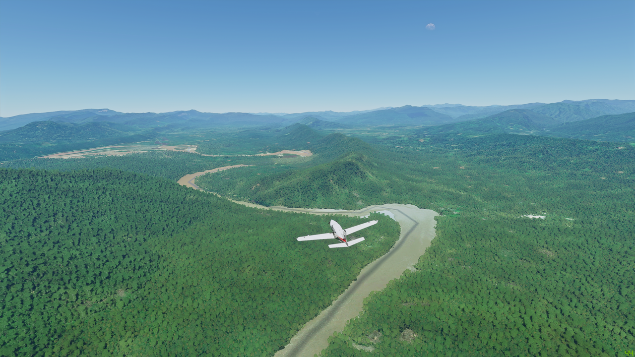
So after a few snifters last night to fortify the nerves after the slightly hairy landing yesterday (and also managing to pinch some peanuts from the bar for those in steerage in the cabin  ) it is time to follow the Maranon down the final few thousand feet to reach the Amazon itself. As a direct flight, it would be about 350Nm. But we are following the river all the way, so it’s a bit longer than that! To follow the river I added nearly 300 waypoints to the route, increasing the total distance to 716Nm! More than double the distance. Credit Little Nav Map for making that easy to do and upload the flight plan into the TBM.
Here it is on the World Map:

This leg: 715Nm, 2:35 flying time
Total so far: 13,878Nm, 53:12 flying time
So a bit windy! I shall be testing the TBMs autopilot to the limit with this one! We are hoping for some decent weather today too, as this is going be quite a long flight.
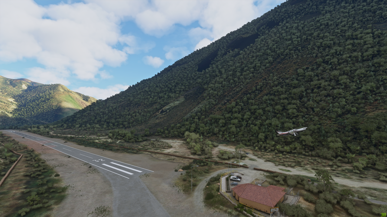
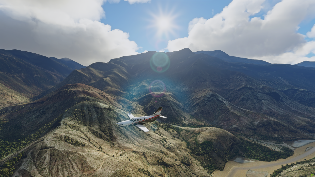
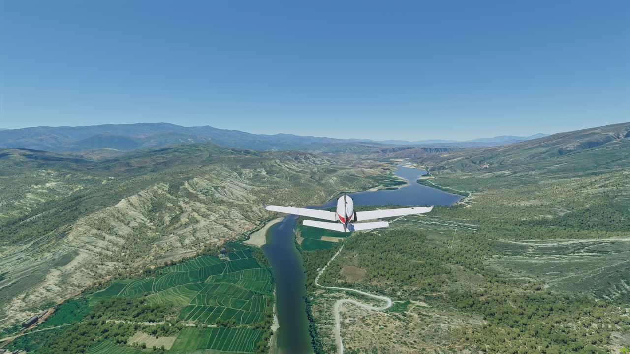
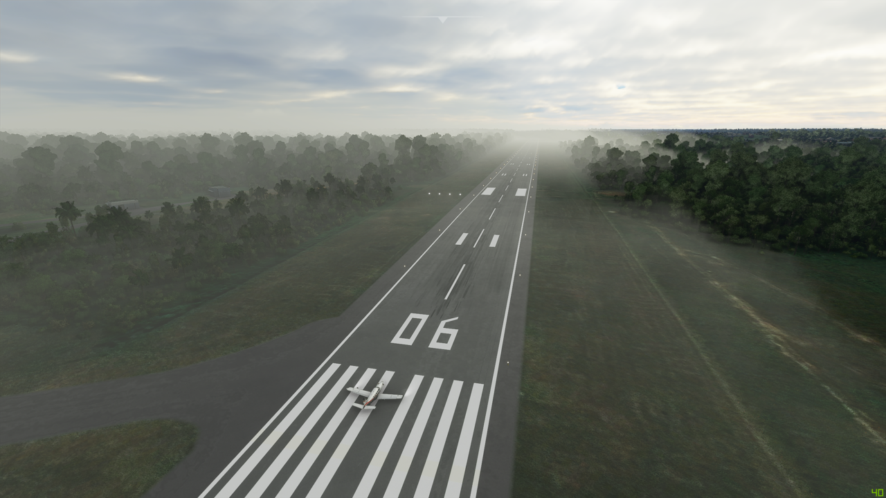
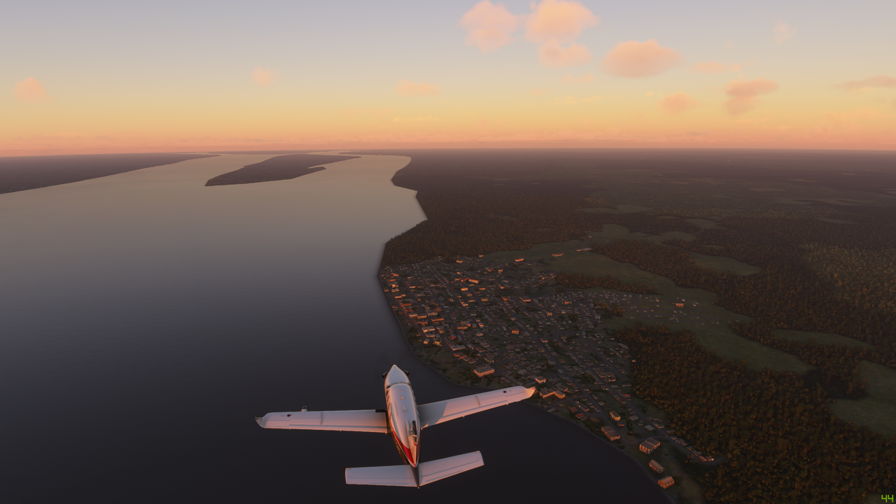
So here we are on the runway in the airport of death, otheriwse known as Chagual. If you fancy dancing with the grim reaper, try giving this one a go! Anyway…

I mean look at this place - it’s just surrounded by mountains

And I tell you what, that building at the end of the runway looks bl**dy huge as you are hoping you can reach rotation speed before you get to it! Phew!
So a quick circle around and we are heading the right way back over the airfield and down the river. Not too many clouds about, so looking good for the day
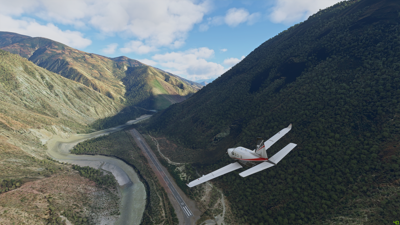
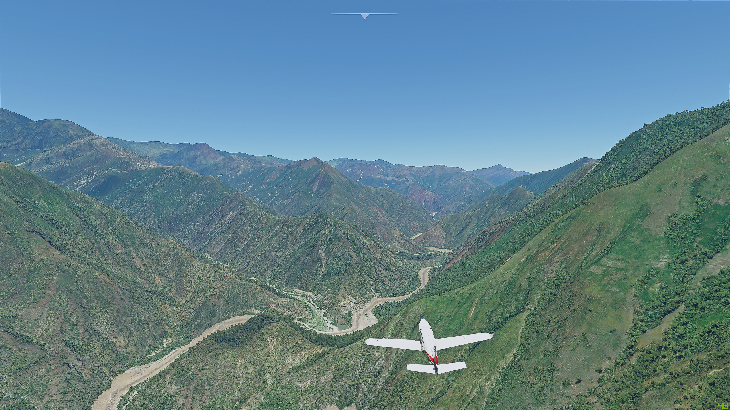
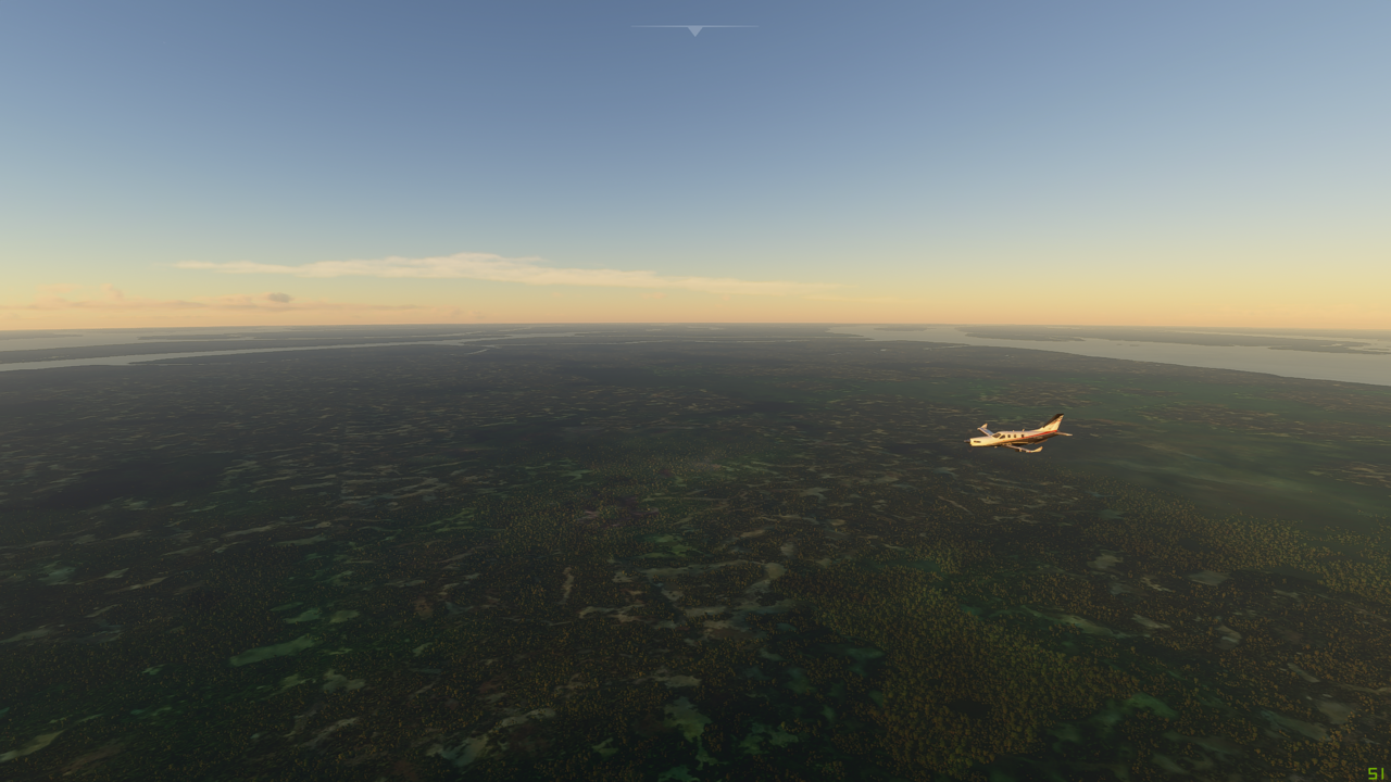
Already the scenery is looking incredible

Can’t stop taking these pictures
To be continued…
2 Likes
I did that flight last week form SPJR to SPGL. One of the more scenic and challenging I have done in MSFS so far.
There are a couple of good tutorials on You Tube:

and

Leg 15 - Cagual, Peru (SPGL) to Iquitos, Peru (SPQT) - continued
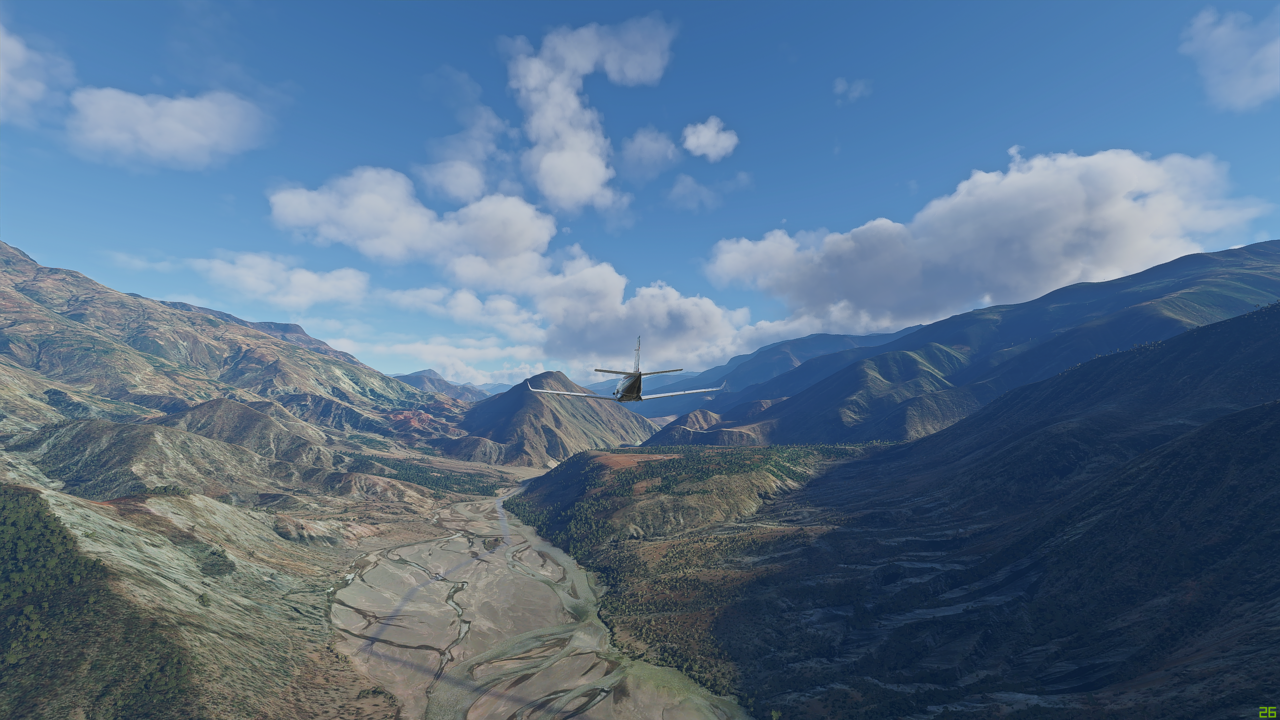
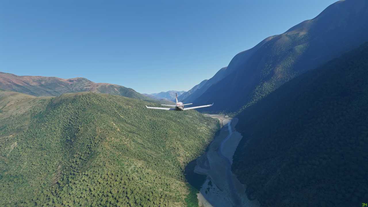
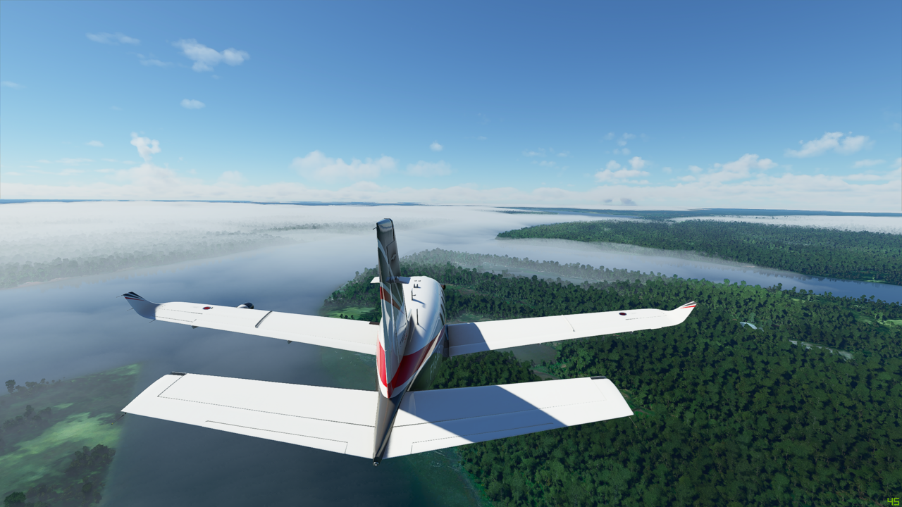
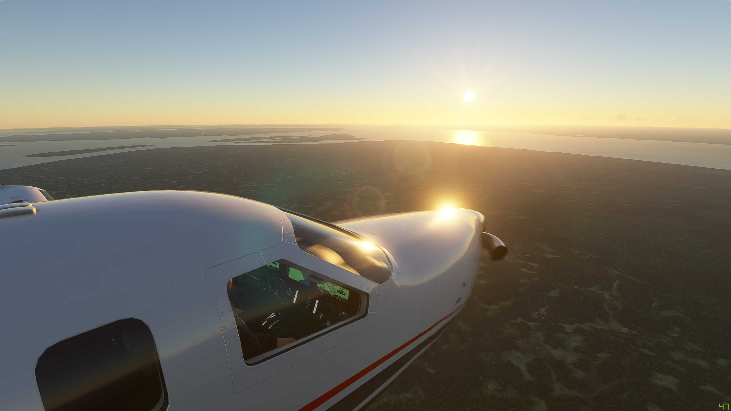
The scenery around here is awesome
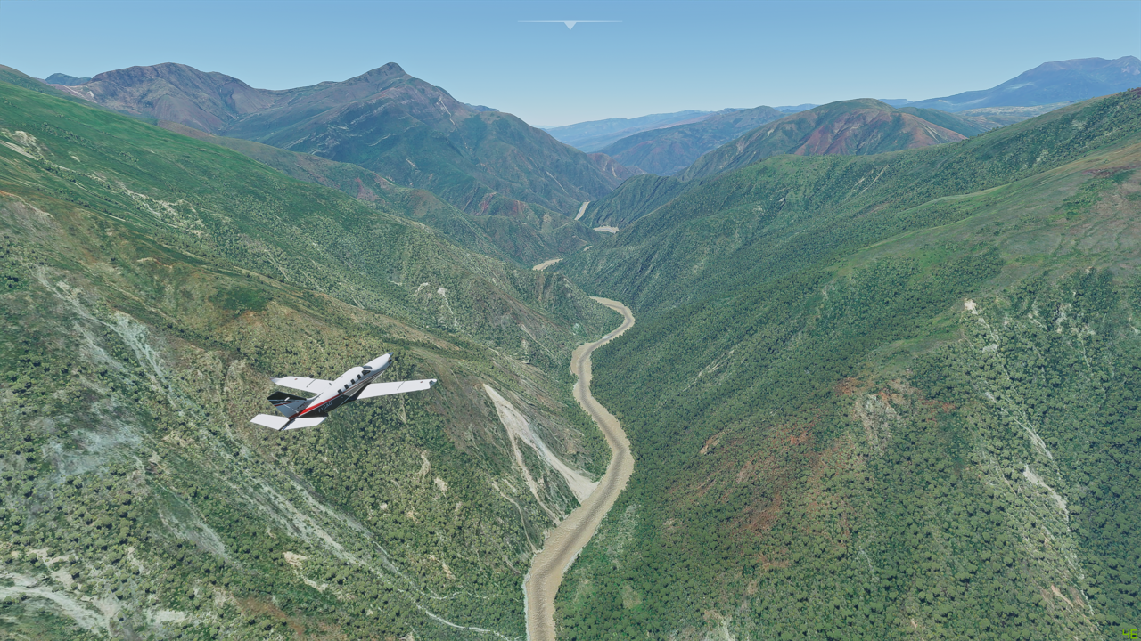
And slowly but surely we are heading out of the steep hills towards the plains
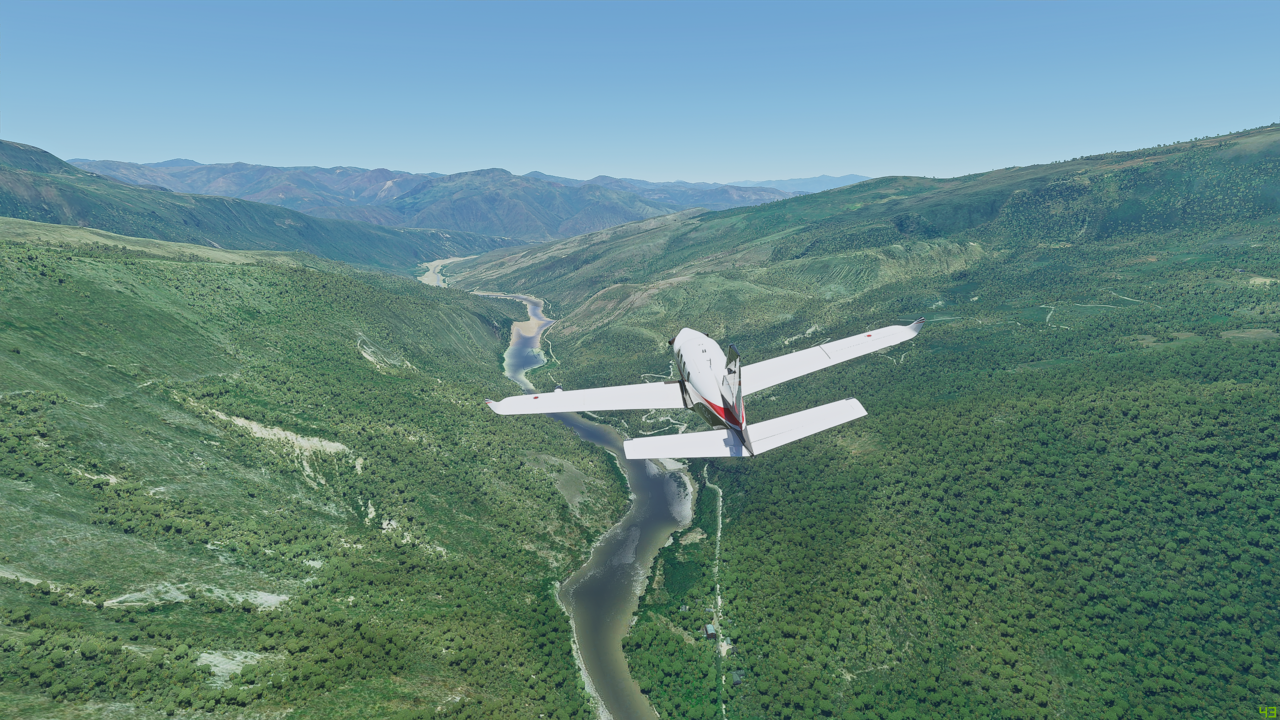

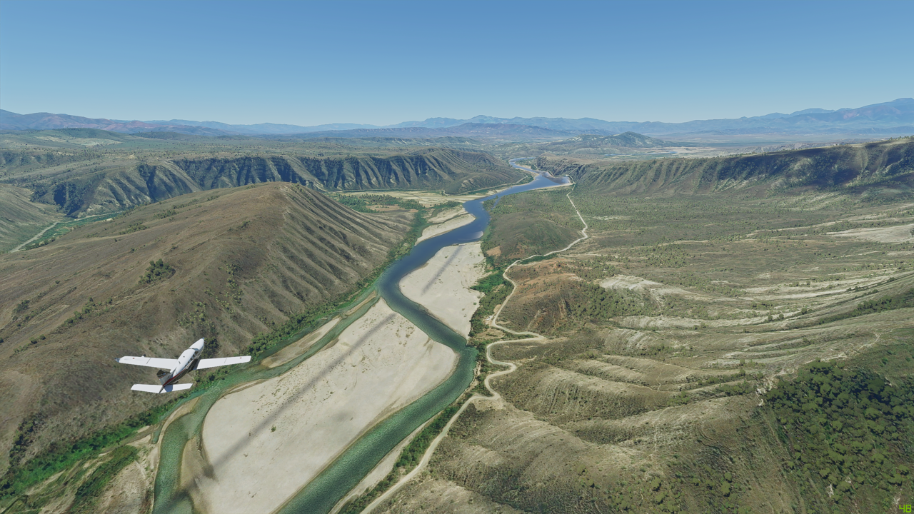
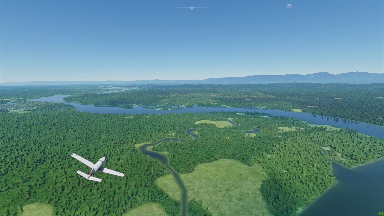
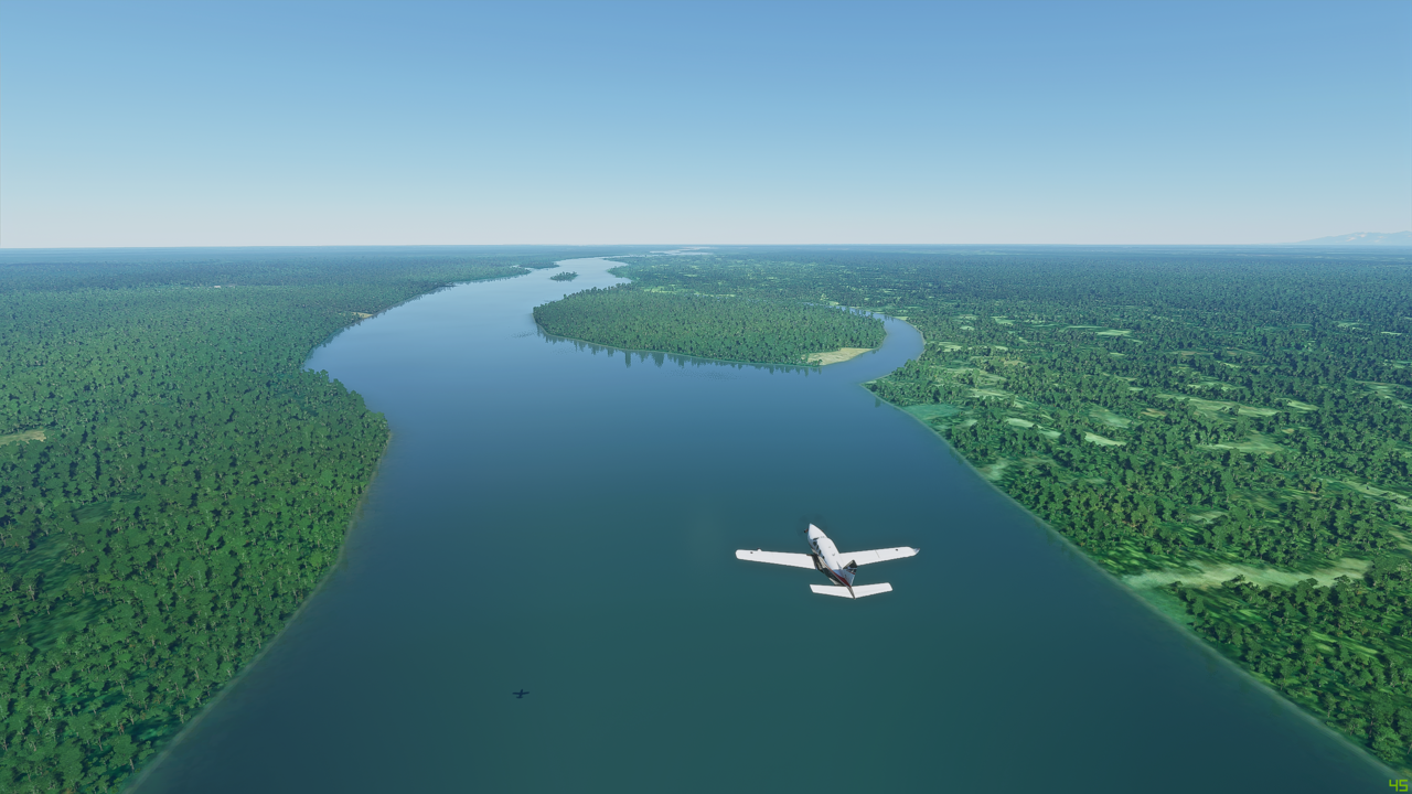
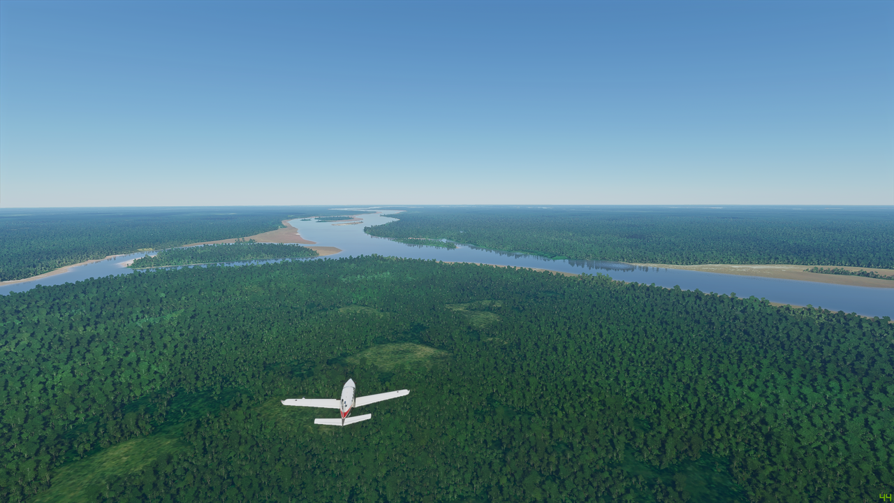
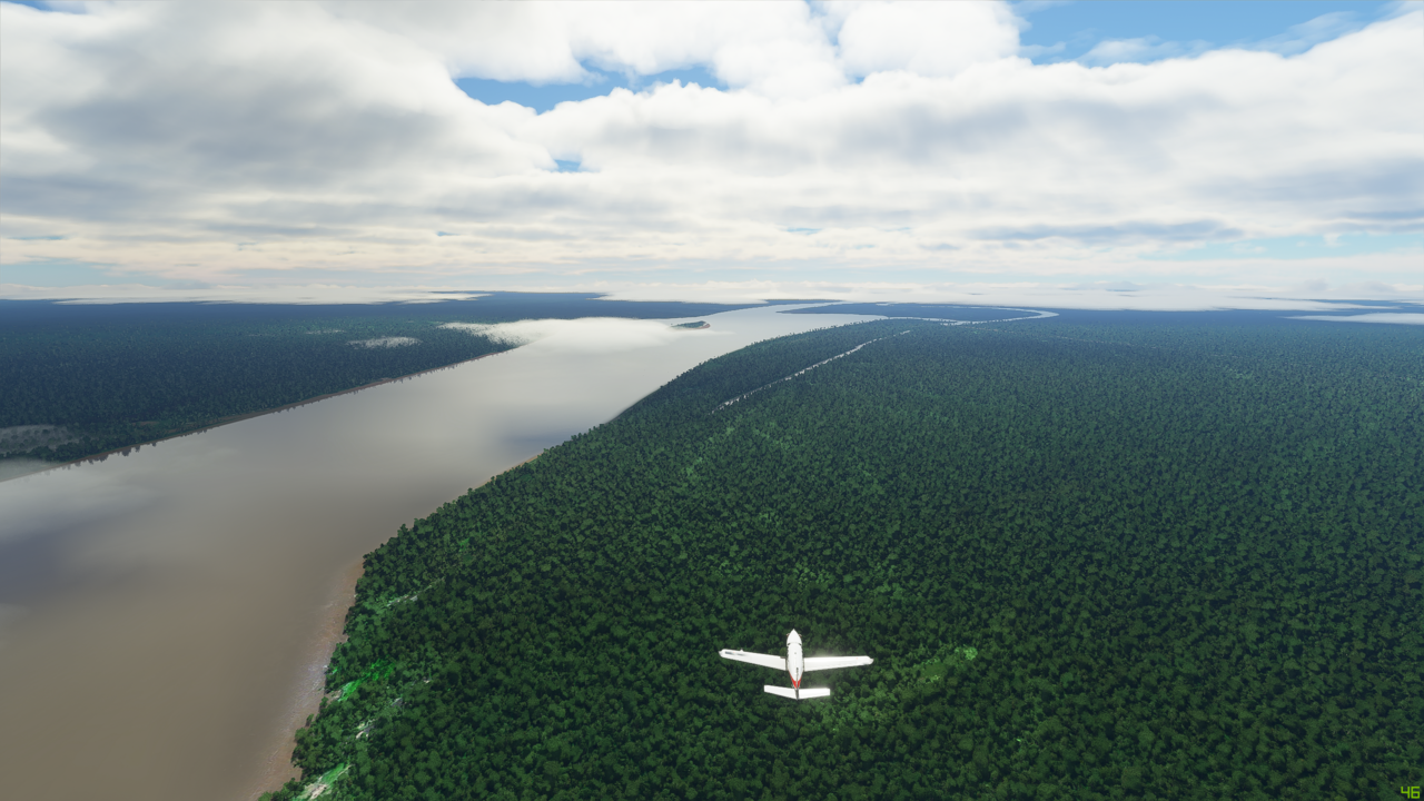
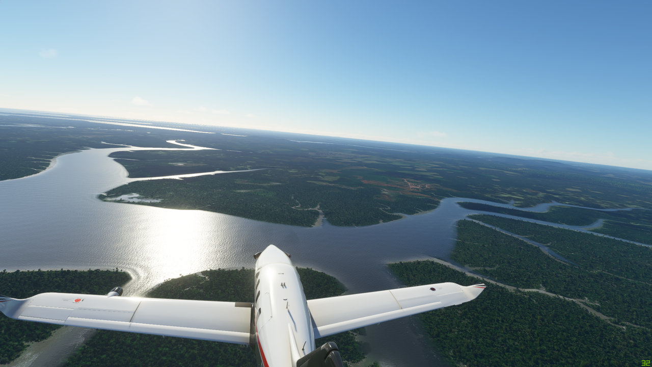
For the first time, the Maranon starts to look like a real river as it starts to broaden out on the plain
I mean this is stunning…
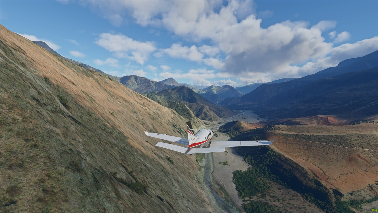
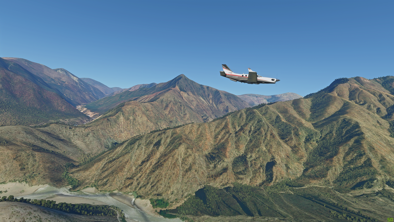
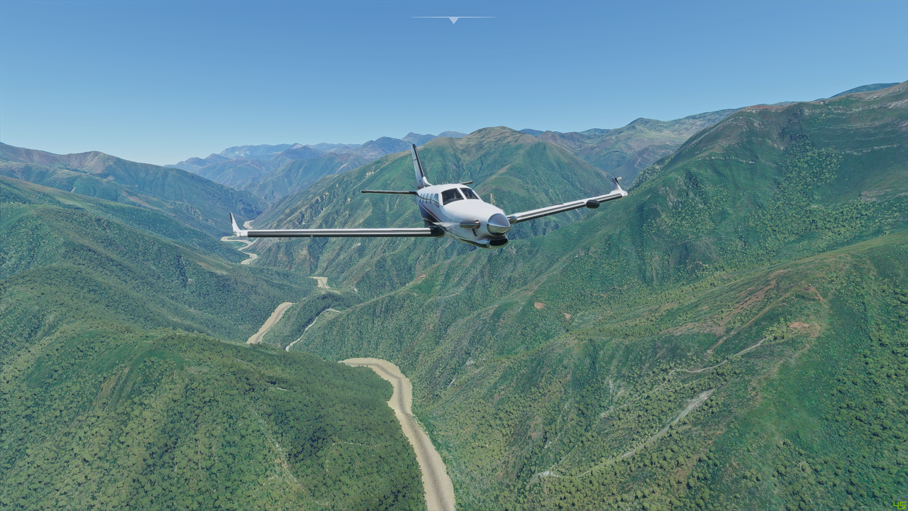
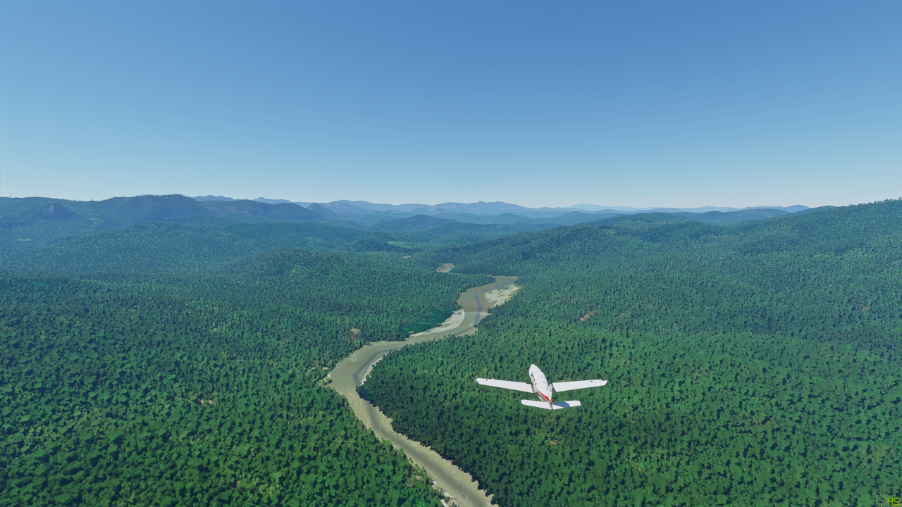
Now going through a few more foothills

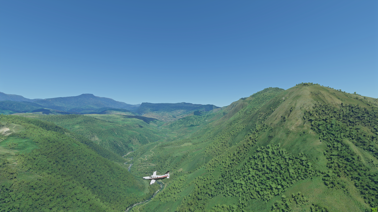
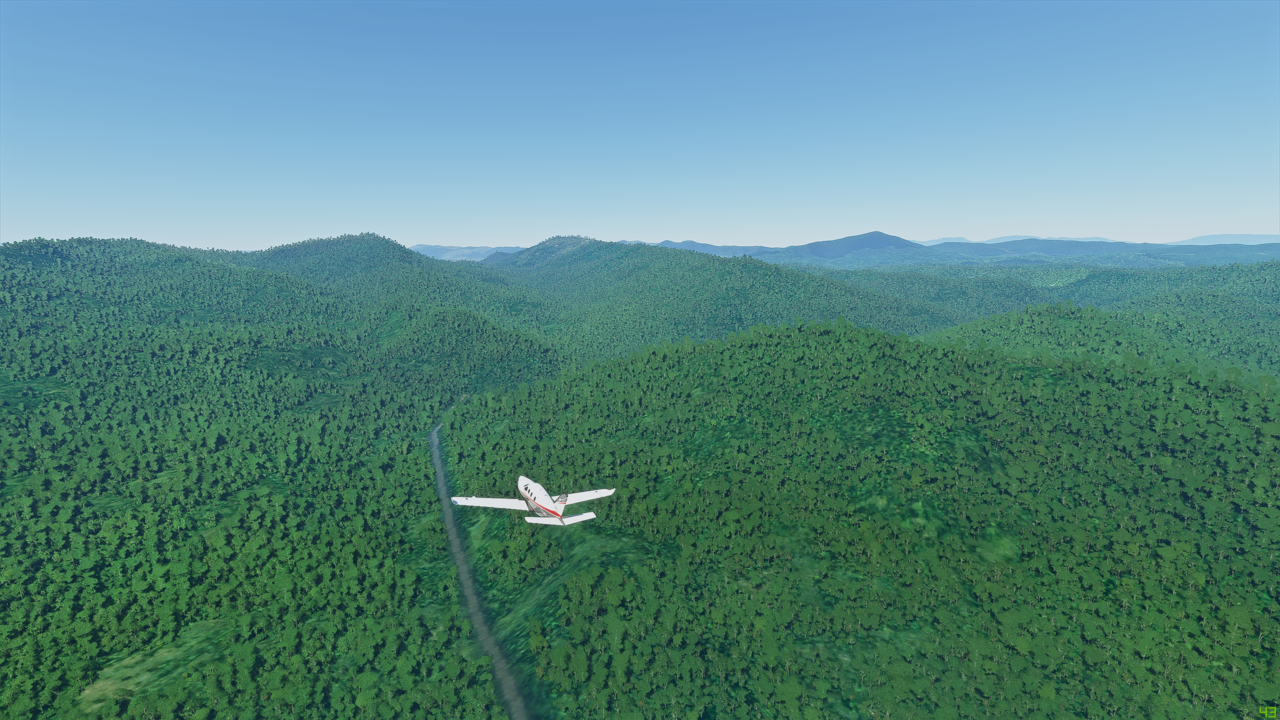
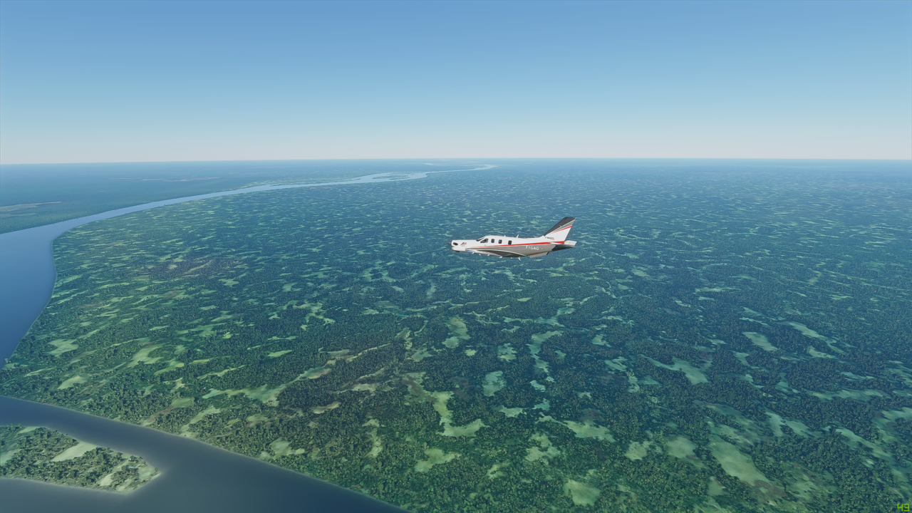
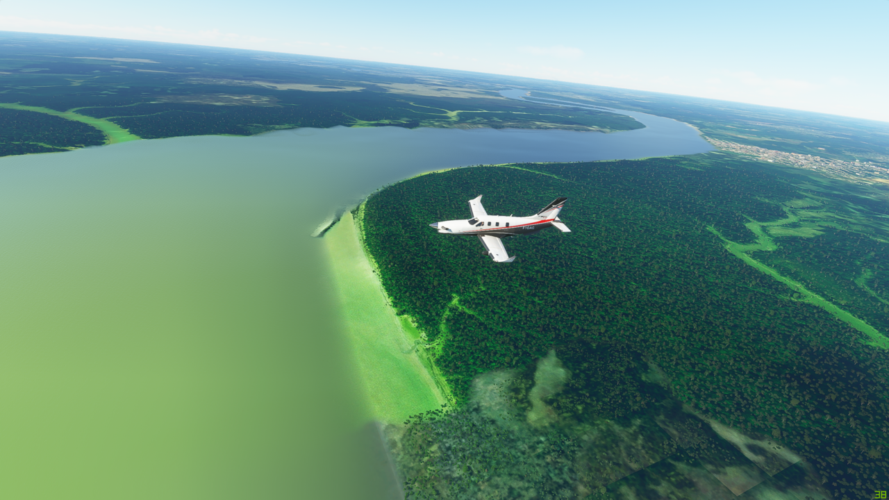
Trees as far as the eye can see - which I think is going to be a recurring theme on this trip!

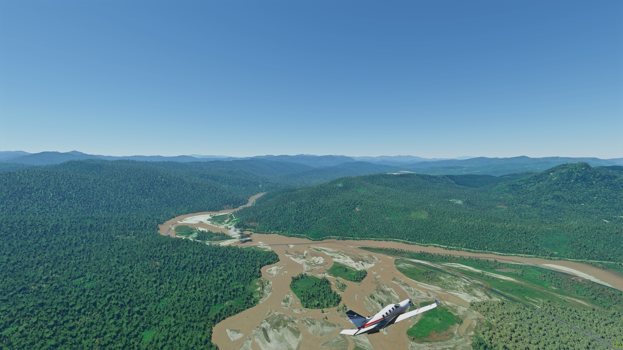
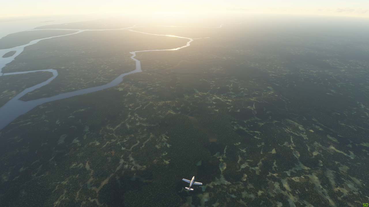
Here is where the Rio Chirioco river joins the Maranon
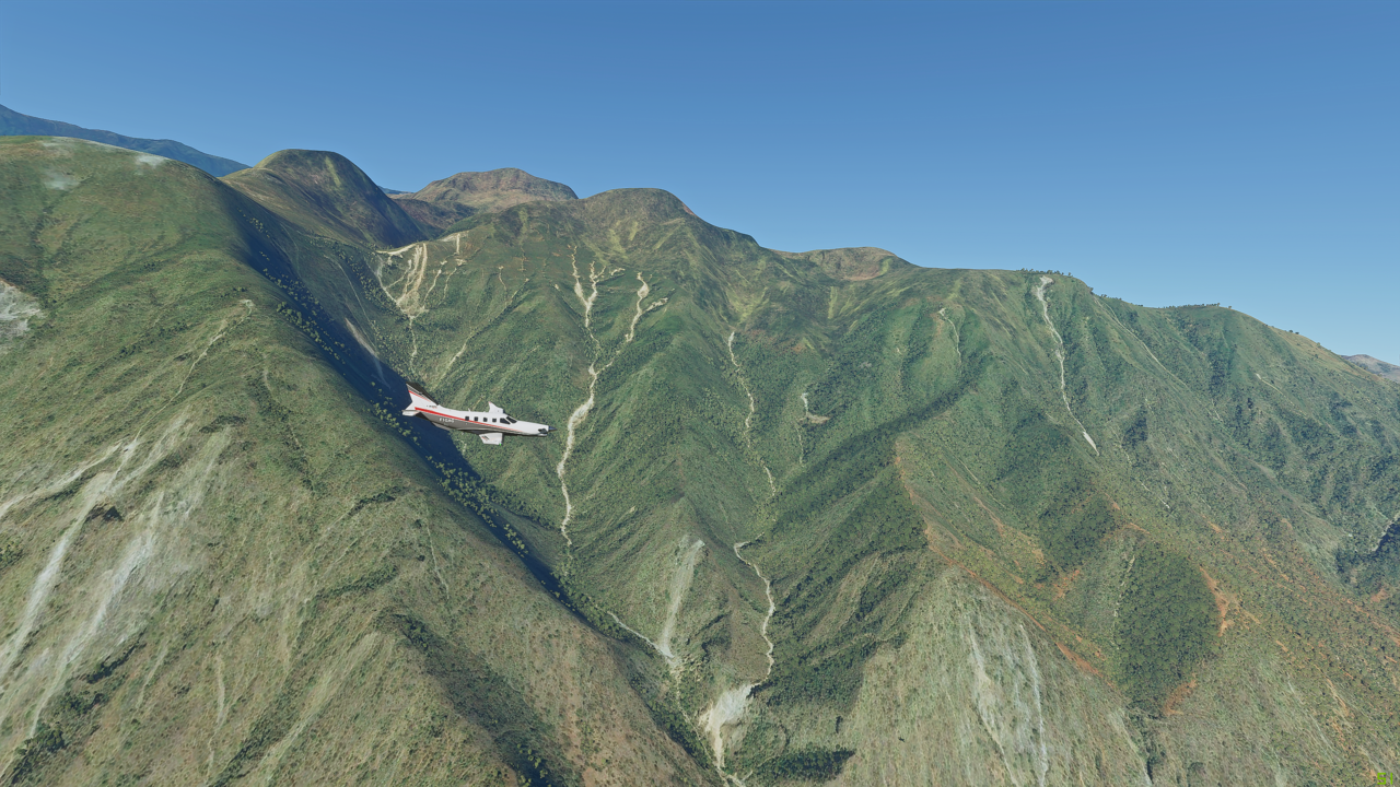
I tell you, if anyone seems to be worried about the tree drawing distance being shortened in the latest patch needs to come here and have a look at this…

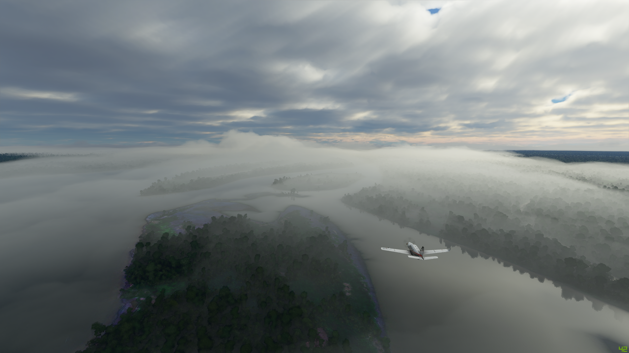
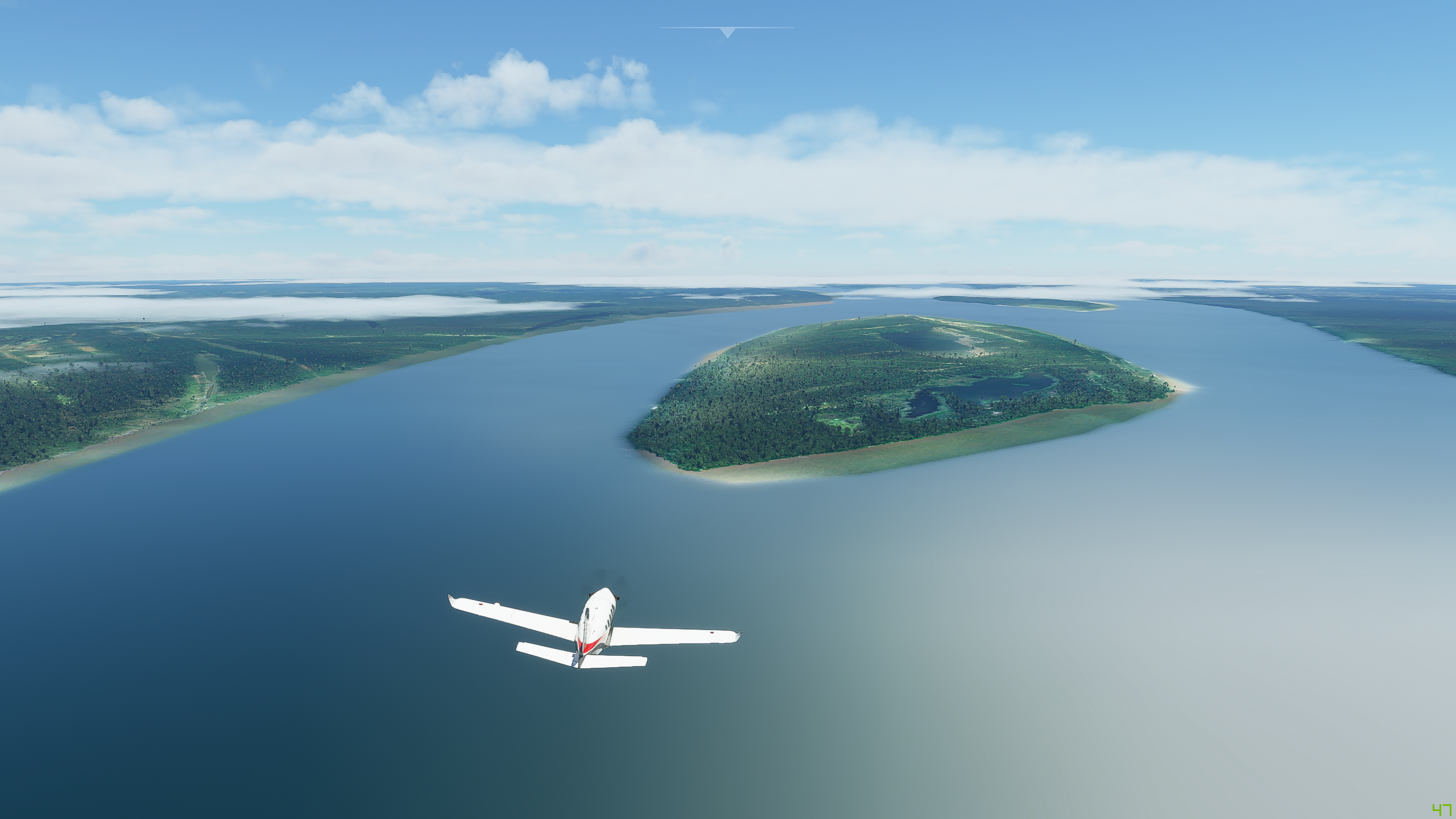
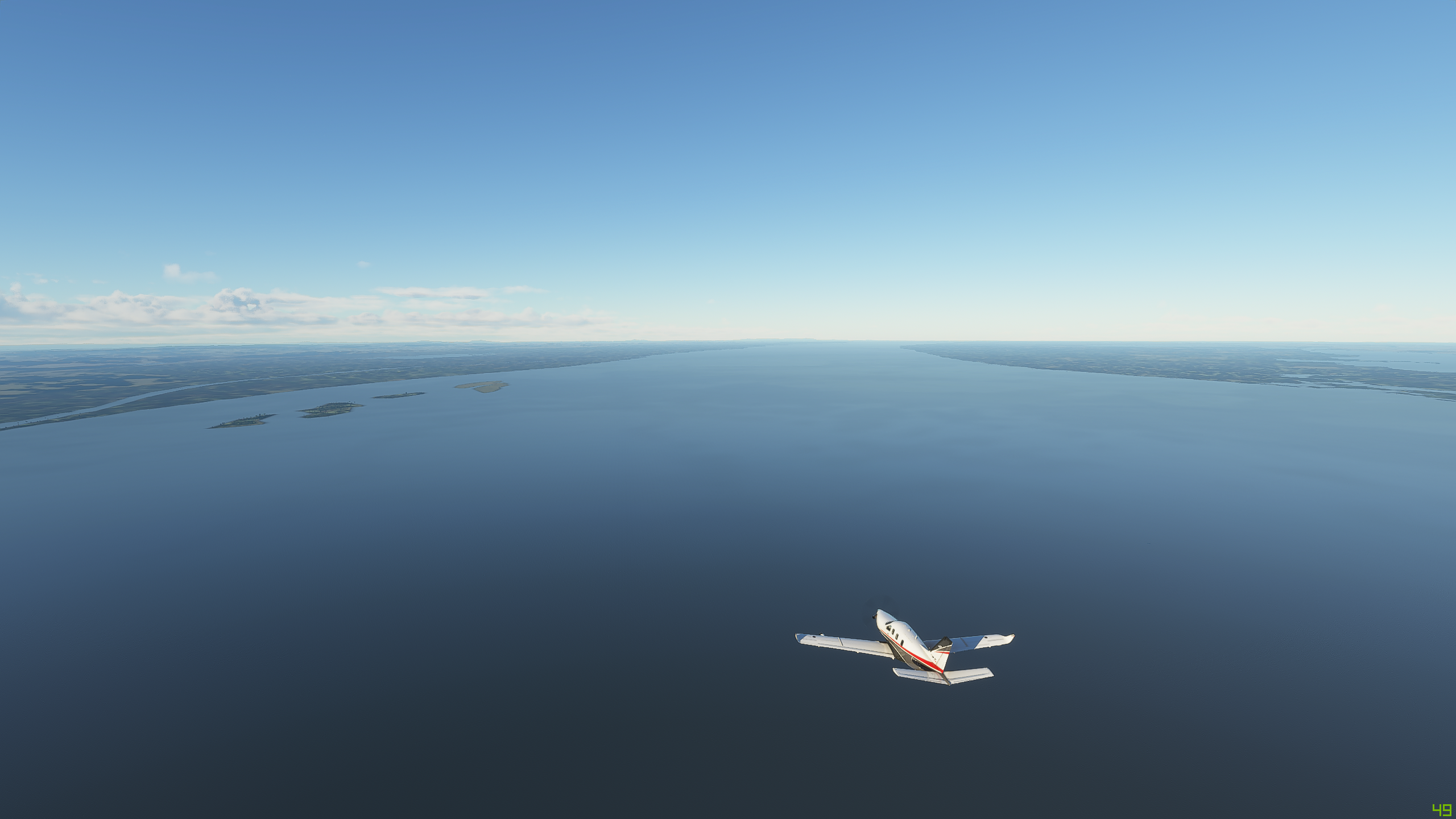
And now the river broadens out as we come into one of the many flood plains
Here’s a remote airstrip - Ciro Algeria (SPAC) - pretty much in the middle of nowhere

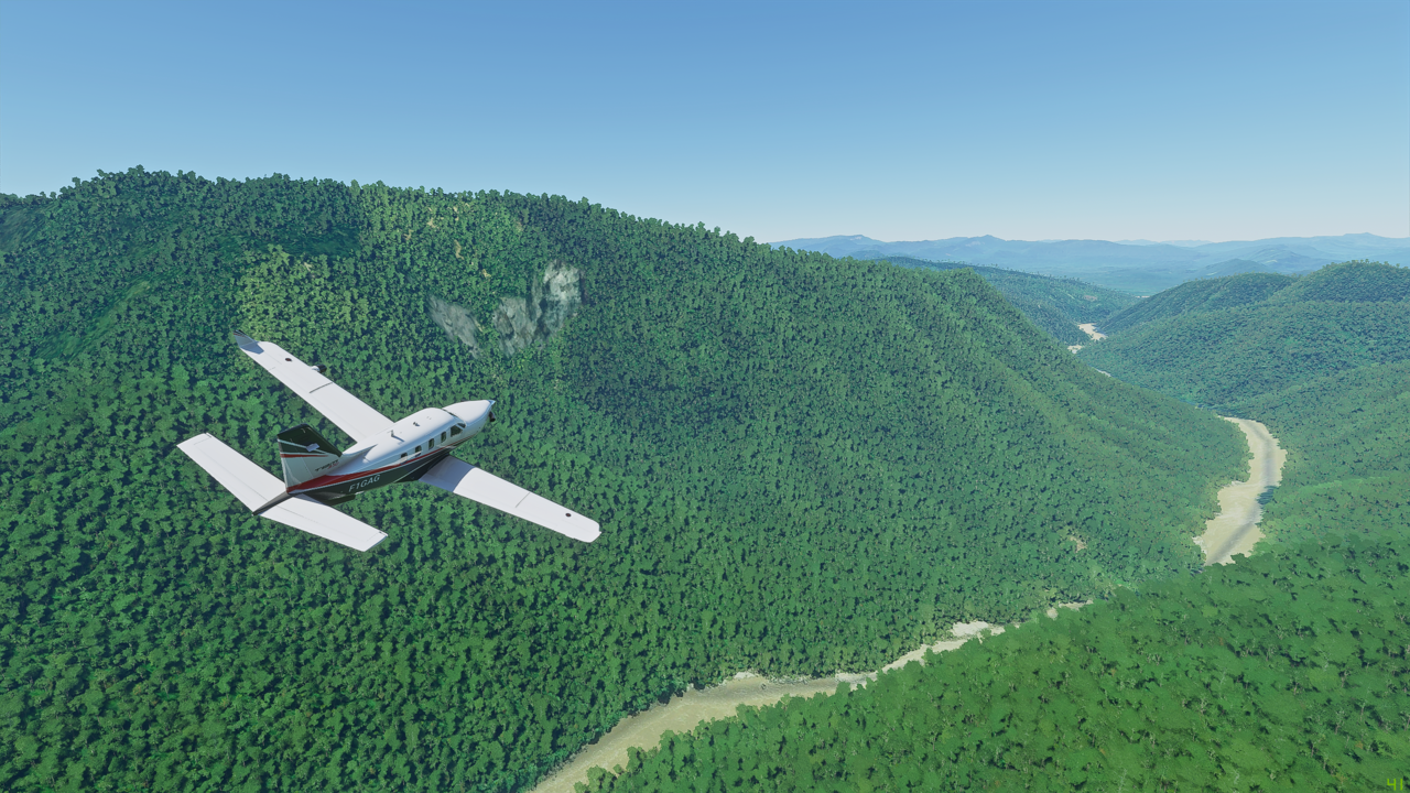
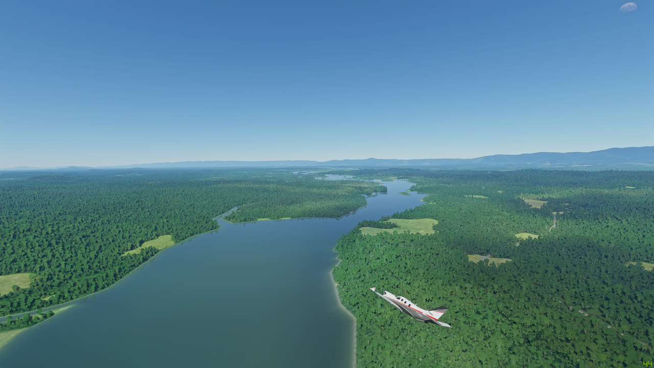
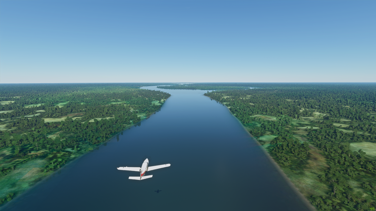
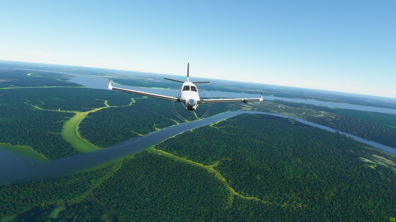
The river continues to meander through the rainforest

It’s a big river…you can just see the plane over the river at the very bottom of this shot


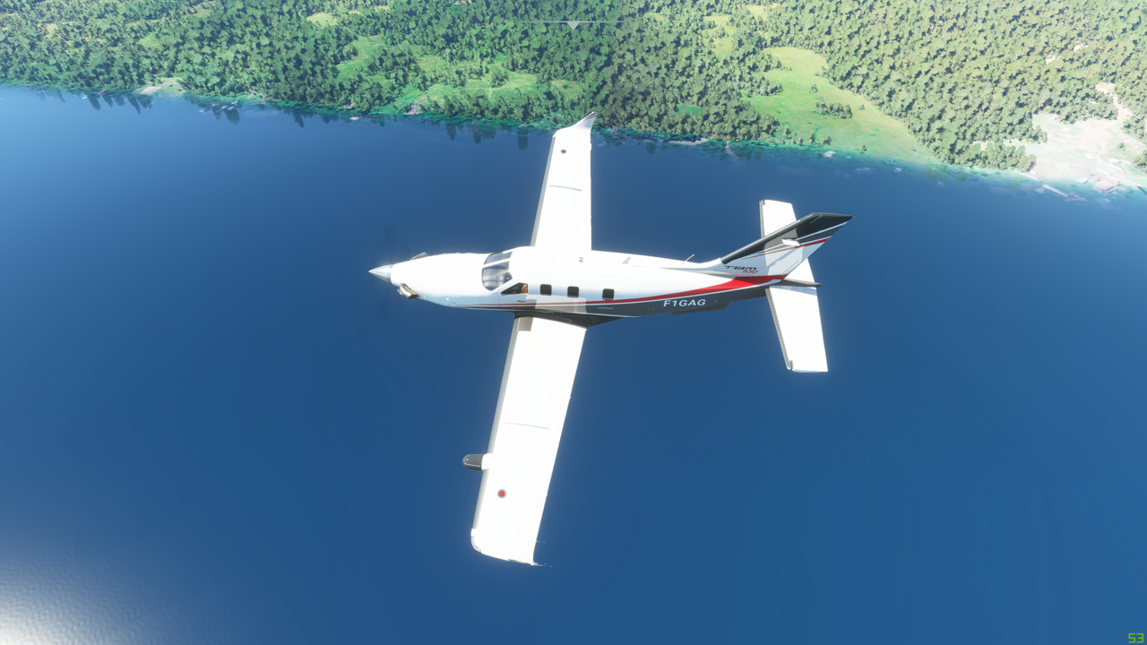
Nice and low down to the surface of the river now

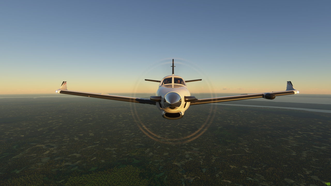
And now climbing up to 3,000ft to get a bit of a higher view of things
Back down towards the river
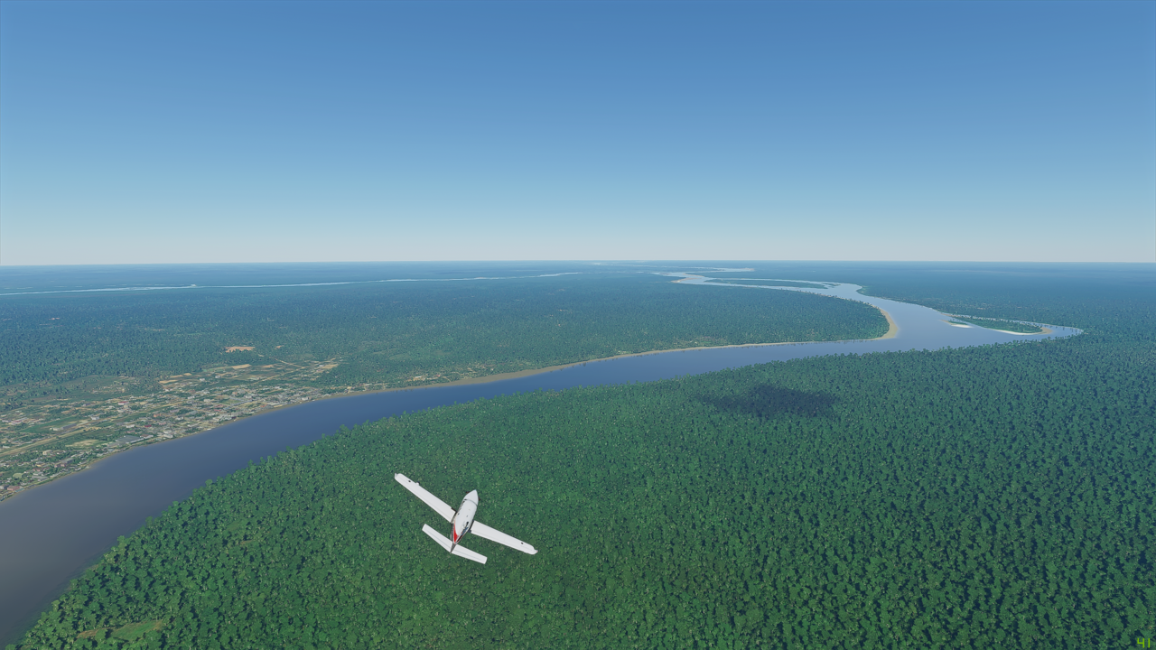
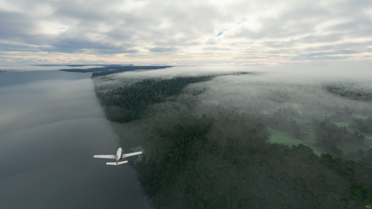
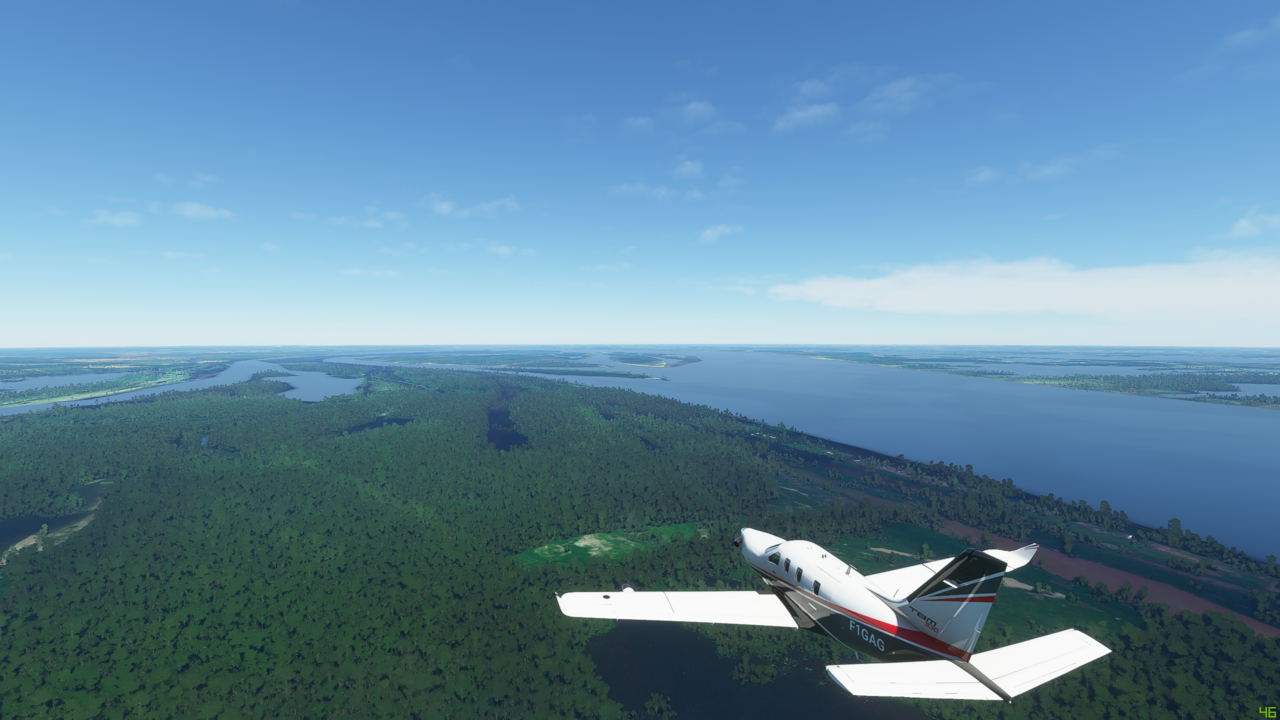
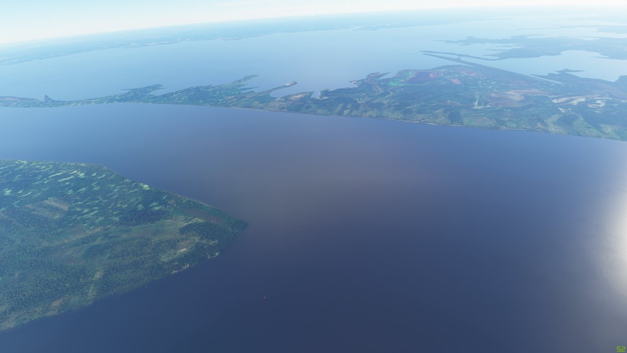
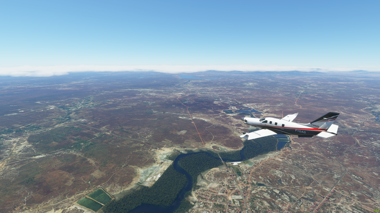
The Rio Huallaga joins the Maranon from the right as the river begins to get wider and wider


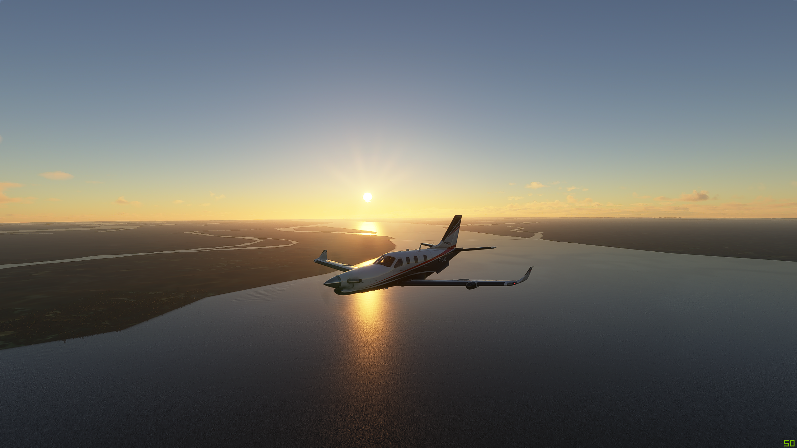
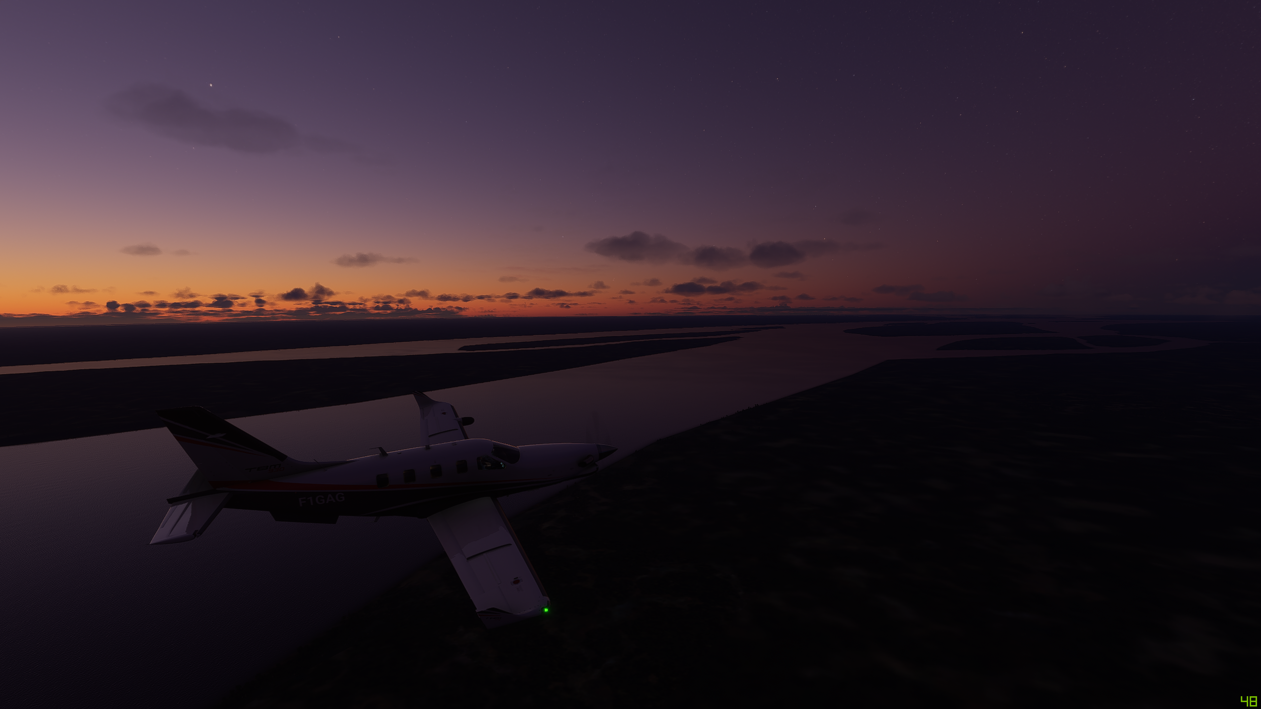
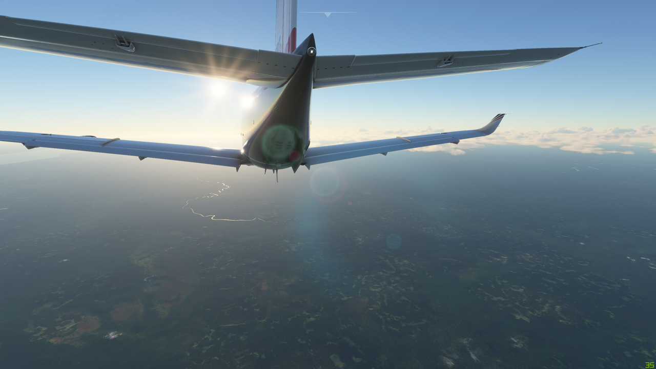
The sun is starting to get a little low in the sky as we head into the home stretch of our journey today


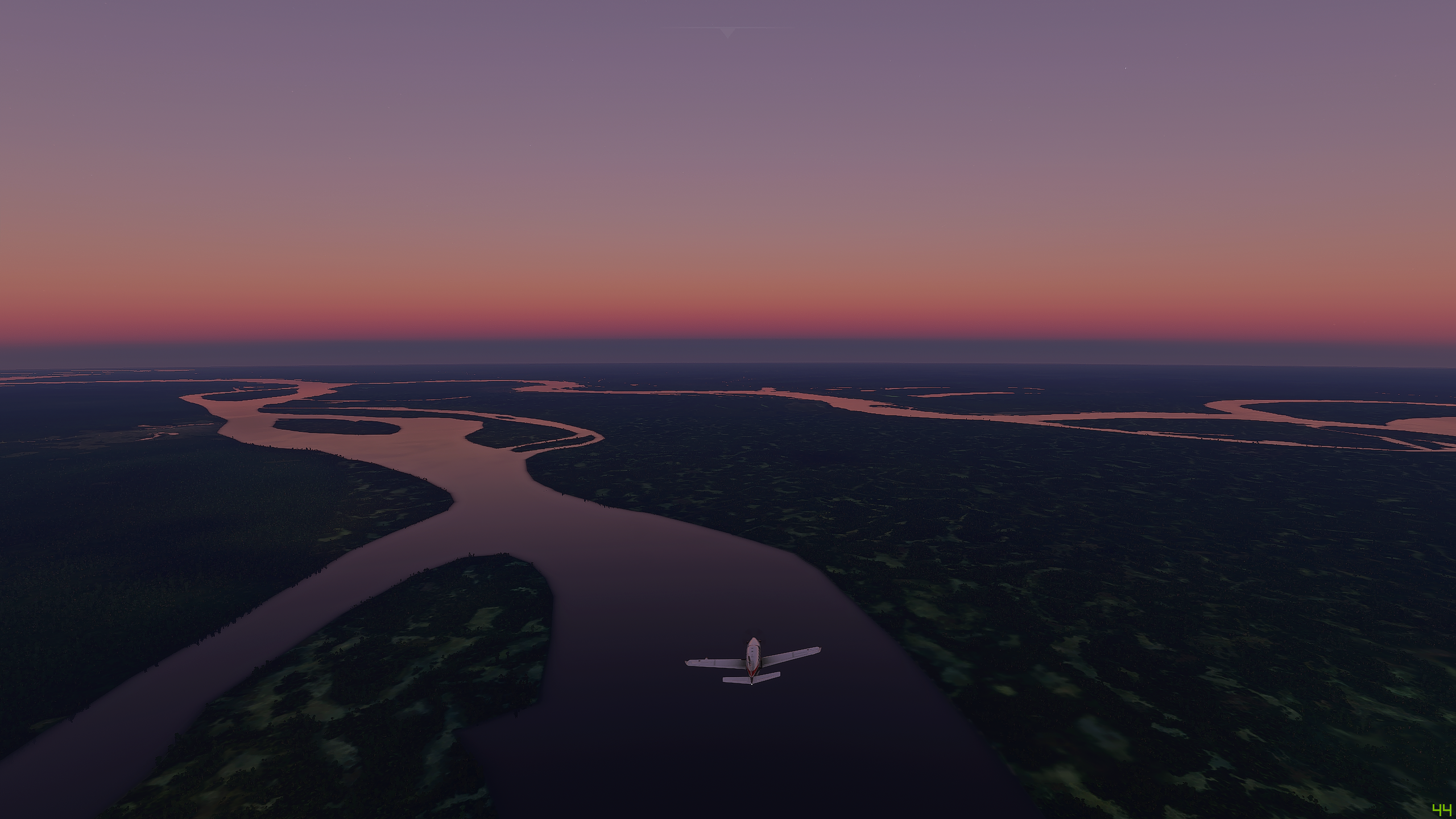
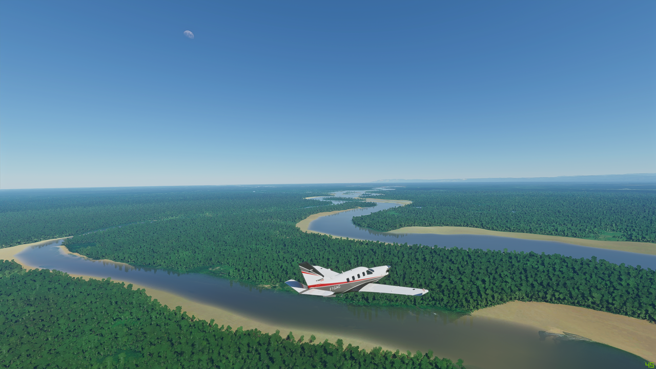
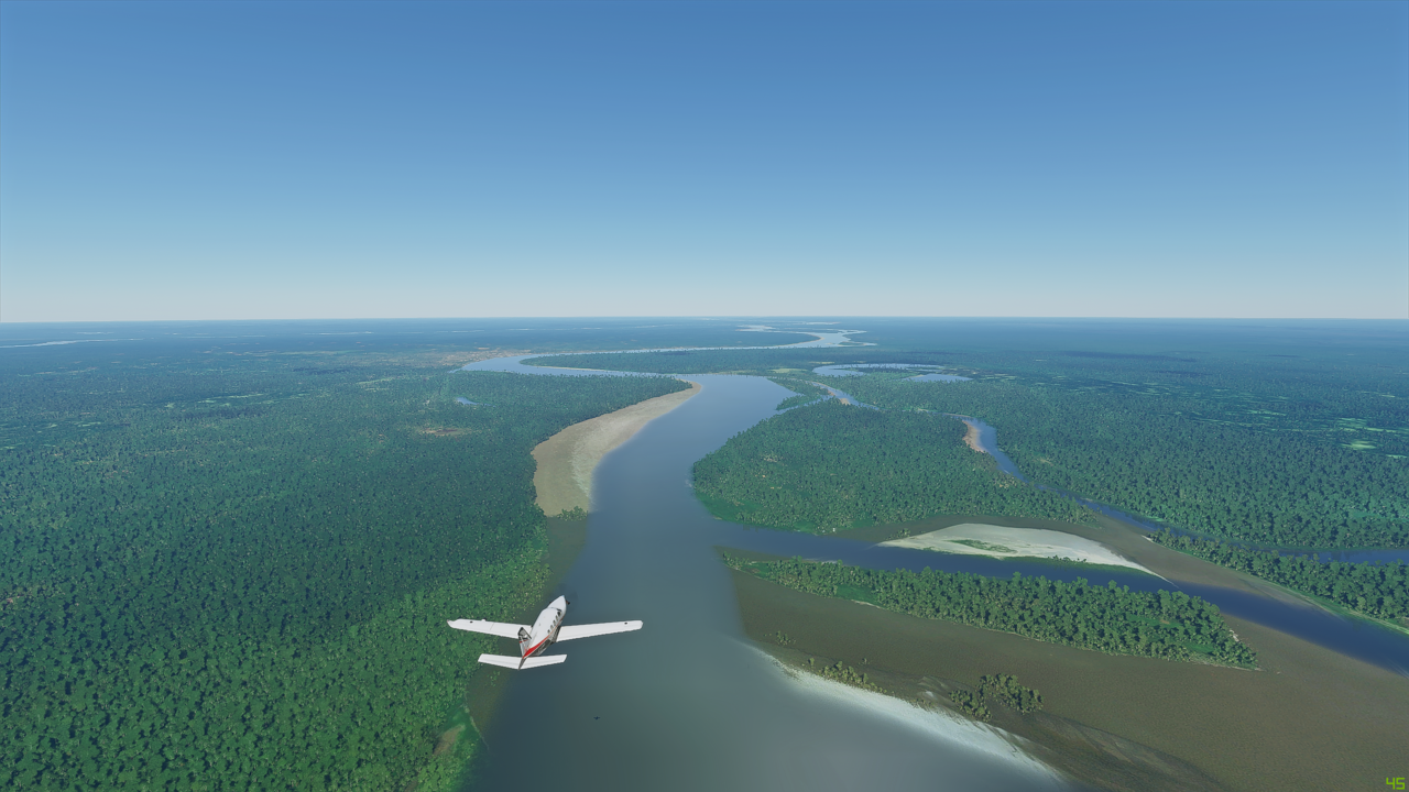
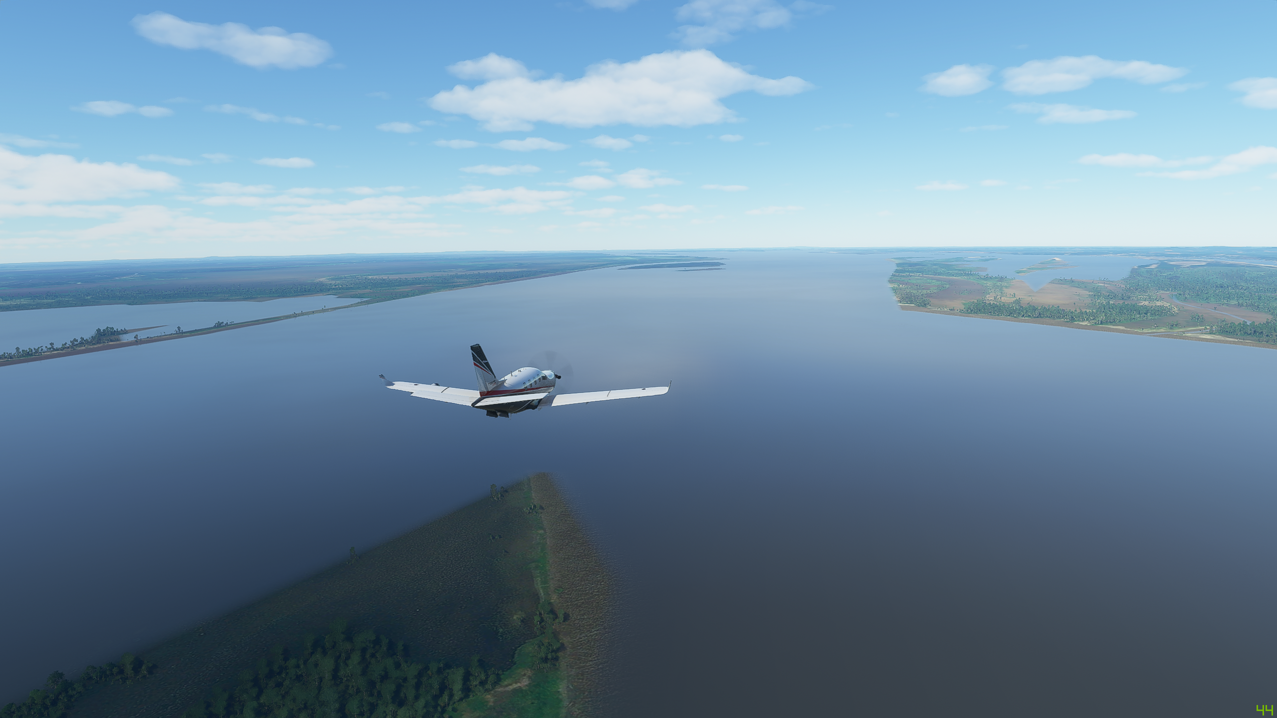
And here is the last big river joining the Maranon - it’s the Rio Ucayali - together they finally form the start of the river actually called the Amazon at this junction

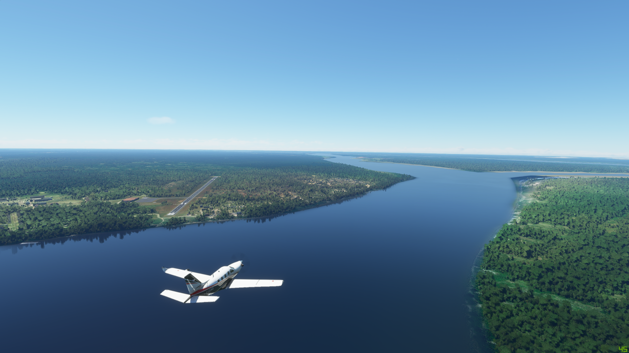
Getting dark now, as we get close to our destination. Can just make out the runway to the right
Runway ahead - ILS engaged - here we go

And down. That was nice and smooth.
Time to find a local hostelry for the night now…and almonds for the increasingly restless steerage passengers
1 Like
 Yea!
Yea!
Leg 16 - Iquitos, Peru (SPQT) to Afua, Brazil (SBAC)
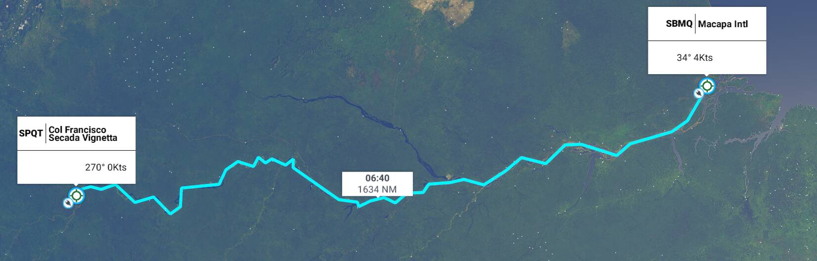
This leg: 1,634Nm, 6:40 flying time
Total so far: 15,512Nm, 59:52 flying time
So time to head East now and make for the Atlantic following the Amazon itseld. This one is at the limit of the endurance of this plane - nearly 1,600Nm. If fuel consumption goes badly, we may need to rethink!
Some dramatic weather whilst we line up on the runway - low cloud and some flashes of lightening over the rainforest. This could be interesting!

Early morning low cloud over the wide river - a relatively still day though although still hearing rumbles of thunder in the distance


Trees as far as the eye can see…

To be continued…
1 Like
Leg 16 - continued
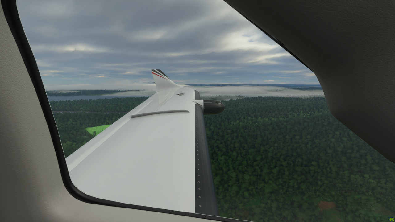
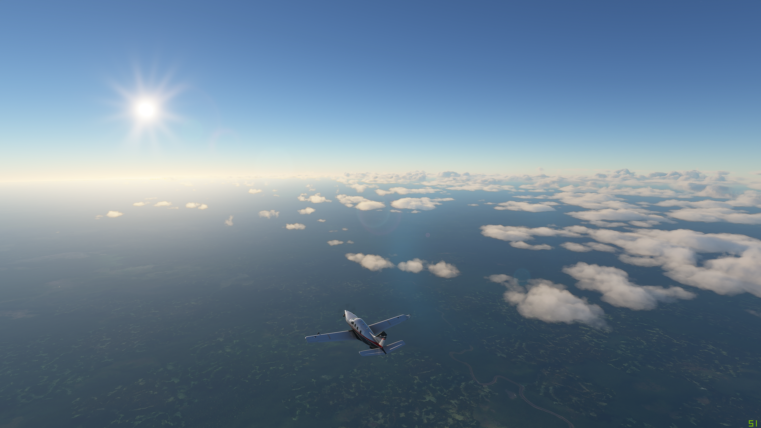
As we continue along the river, the clouds above start to dissapate and the sun breaks through more. Still a lot of low cloud and mist over the trees around the river though which looks very cool

A few more clouds bubbling up now and even the odd rumble pof thunder in the humid tropical heat

Over to our right, we are passing the tiny village of Caballococha with it’s own little airstrip

Then on to Tabatinga with it’s international airport

Tiny village of Sao Paula de Olivenca
And now passing Santo Antonio do Ica shrouded in low cloud and mist

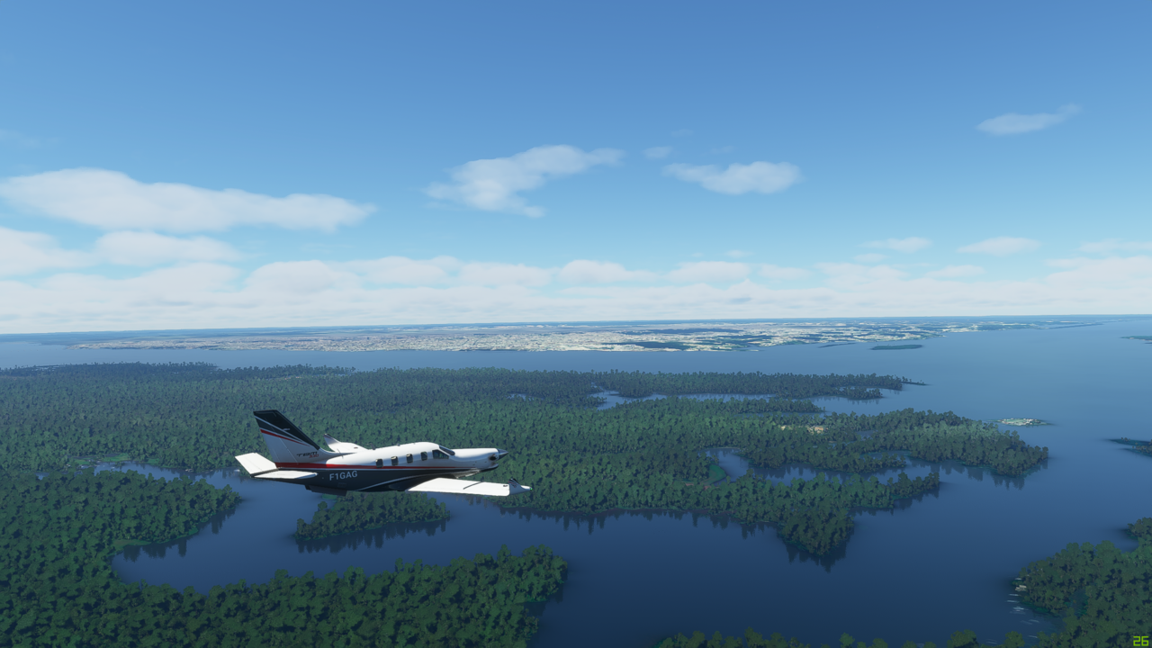
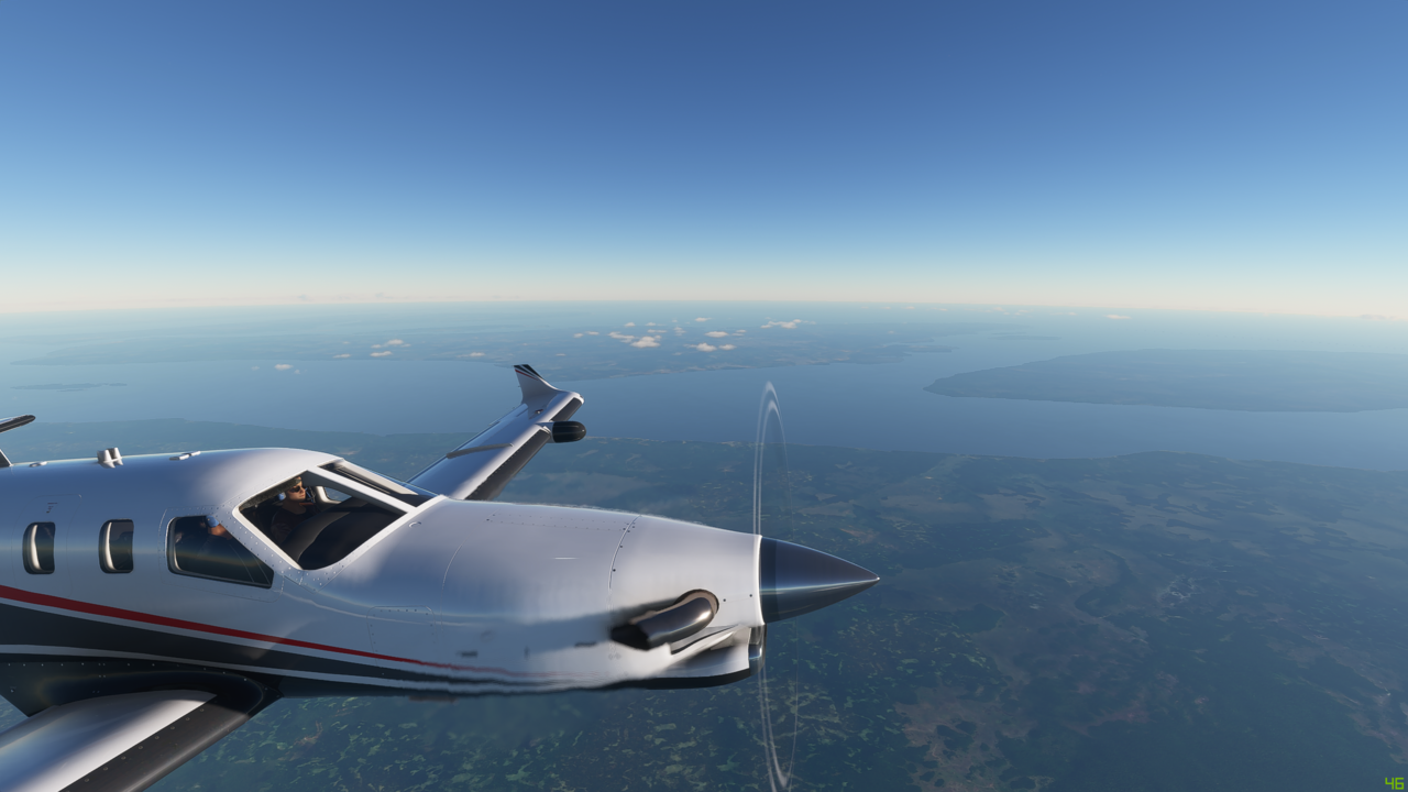
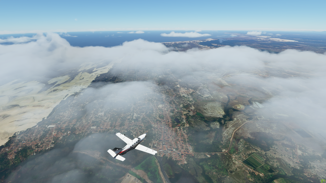
Passing Manaus now on the left in the heart of the Amazonian rainforest

To be continued…
1 Like
Leg 16 - continued again…
Nearing the town of Obidos now


The water getting increasingly wide and sprawling as we get ever closer to the mouth of the river


The sun starting to set as we near our destination - just the last few twists of the winding Amazon to go
Passing over the little village of Gurupa now
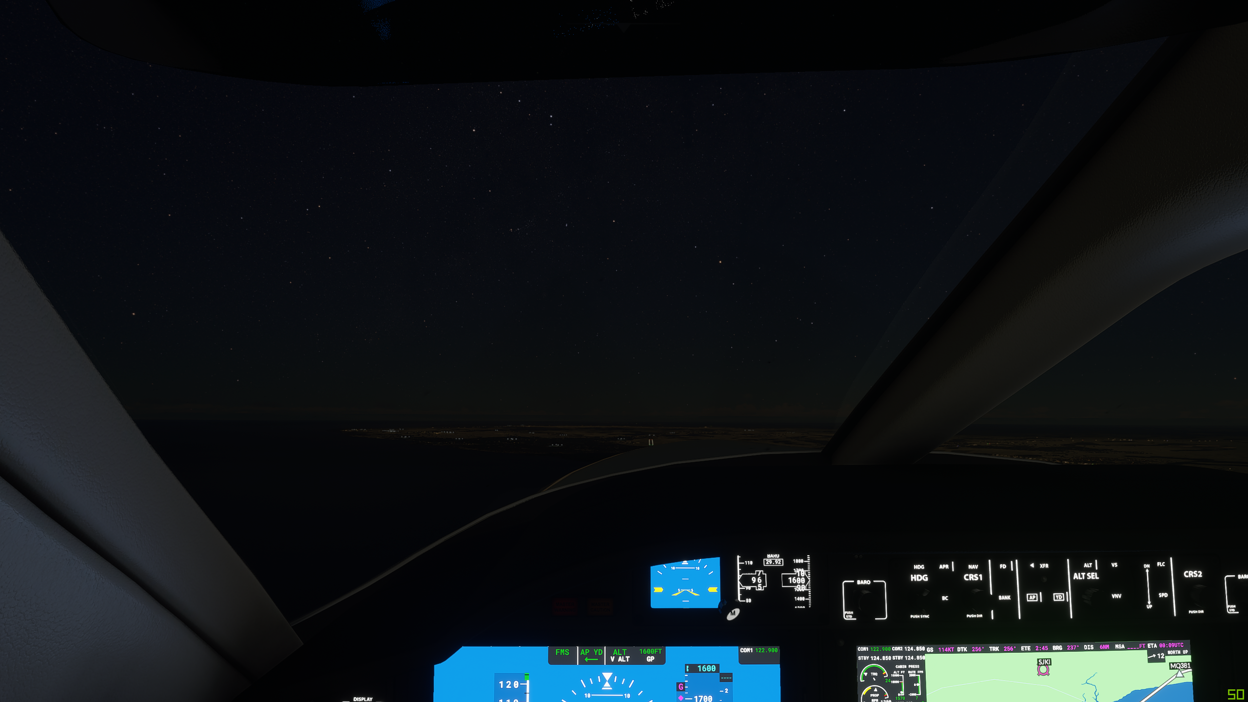
So I’ve just checked and Afua airport has no landing procedures or IFR equipment, so as it is getting dark, it’s going to be tricky to get lined up correctly by eye - not ideal!
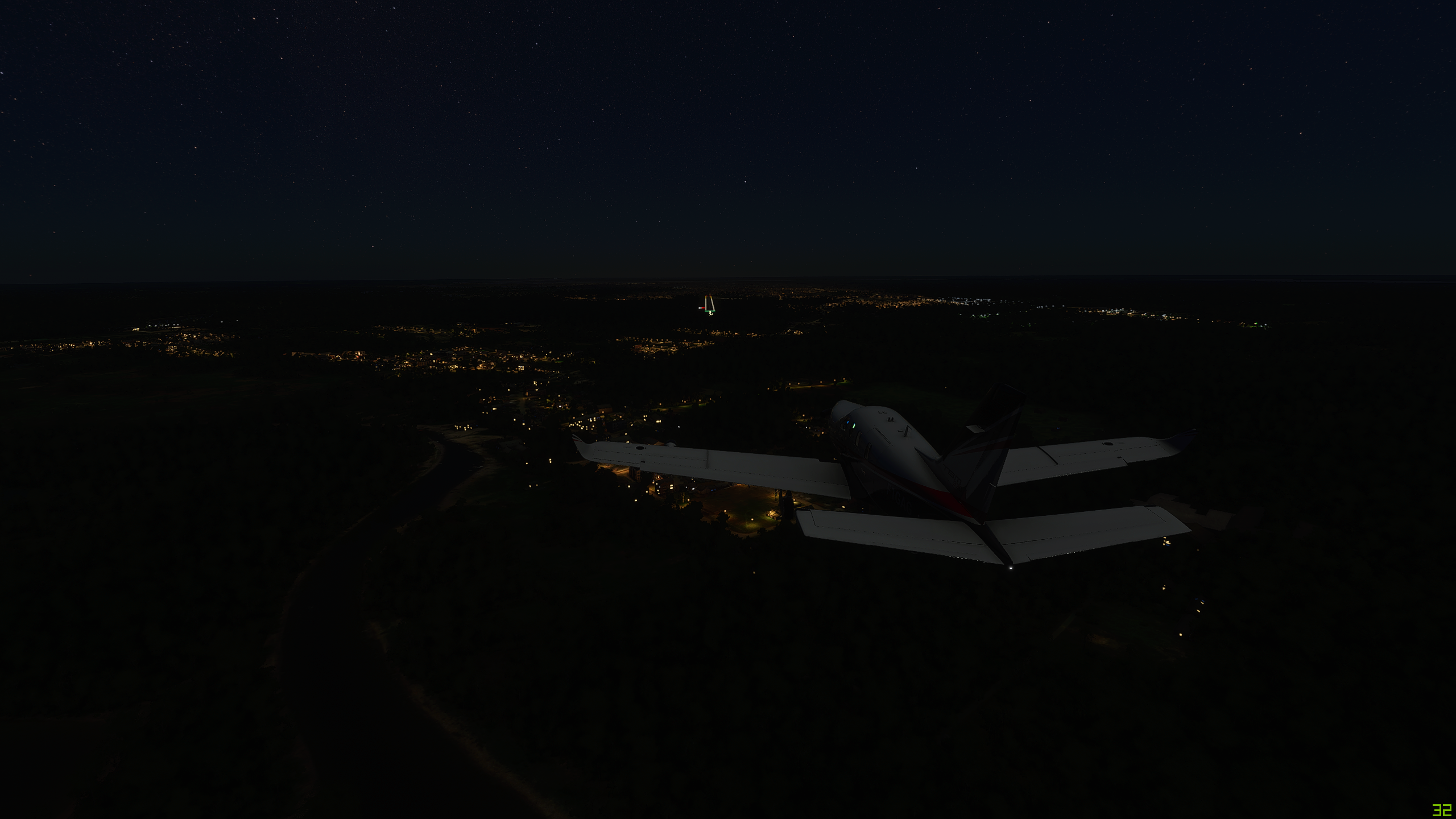
Pitch black outside now - no point in showing you pictures - it is literally black!
Here’s the town now…but where’s

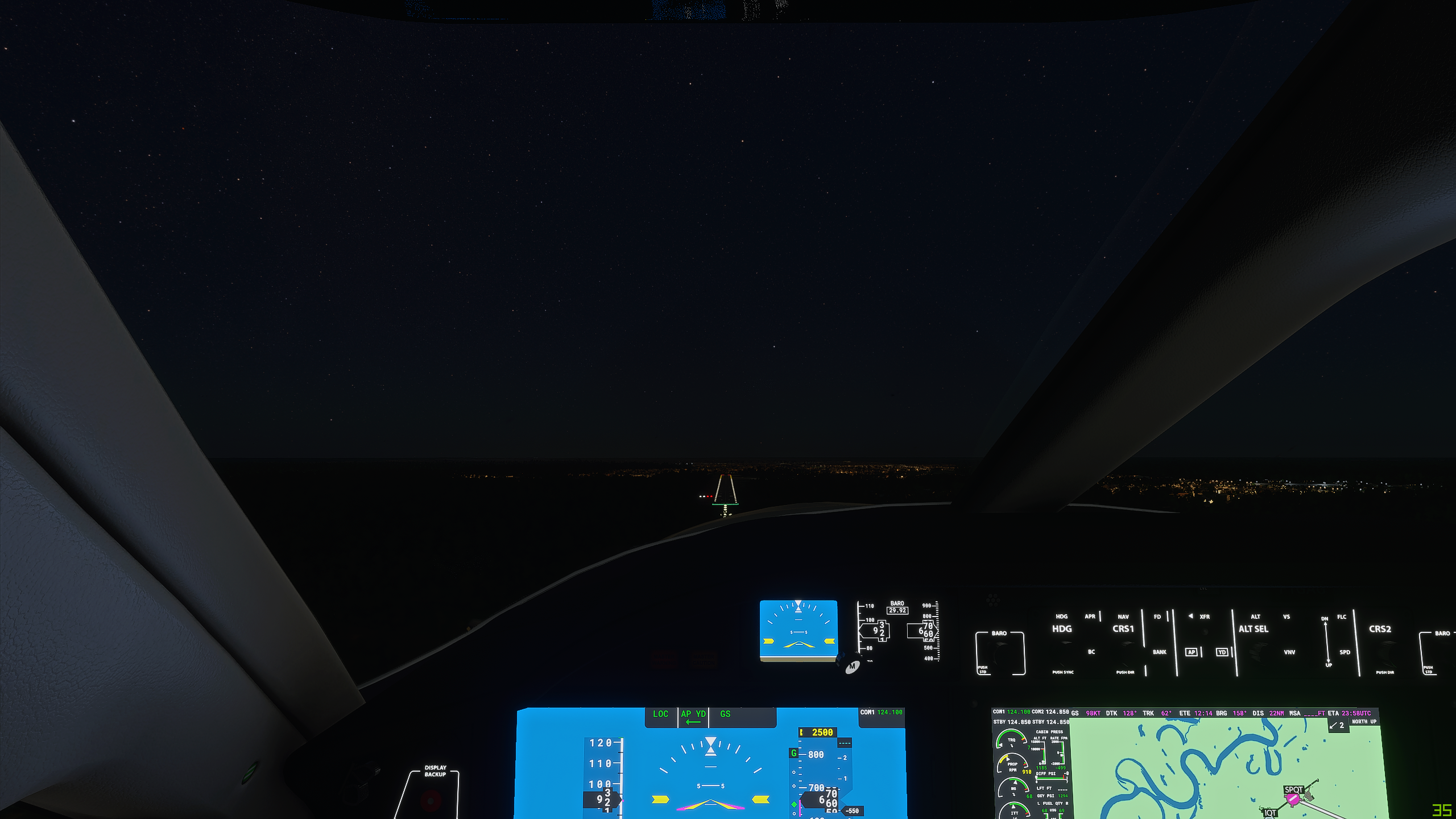
OK, basically it looks like there are no runway lights at that airport - so I’m going to have to find somewhere else in the dark. My charts tell me there’s an airport to the North that has an approach pattern! So maybe it has ILS or something similar. It’s called Macapa International (SBMQ). So let’s get that programmed into the FMC
Ok, this looks better. On the approach now, taking me to the East of the airport and circling around to face West. The moon is up now, shedding a little bit of moonlight on the scene now.

Well there are some lights out there somewhere, but I hope the runway gets more visible!

I can definitely see the runway now! There are lights!
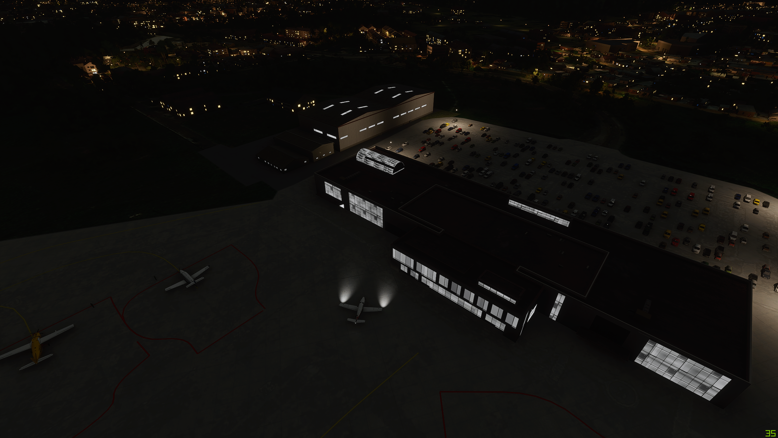
Something of a bigger place than it looked on the map

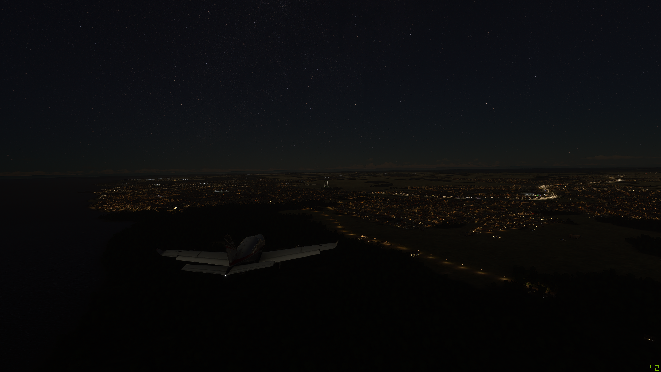
And parked

So tomorrow, after a good nights rest and restocking the almond supplies, we can tour around the mouth of the Amazon before heading further South around the coast of Brazil.
2 Likes
Will you be headed downward in Peru? Macho Picchu? Or going to fly straight across from your current position?
Thanks for the almonds!
Current thiking is to follow the coast of Brazil South and ultimately round the horn - maybe popping over to Antartica - before going up the West coast of South America
OK. I was confused. I thought you were heading West now. You are going East.
See what happens when I eat too many almonds? ha
Leg 17 - Macapa, Brazil (SBMQ Macapa International) to Maceio, Brazil (SBMO Zumbi Dos Palmares)
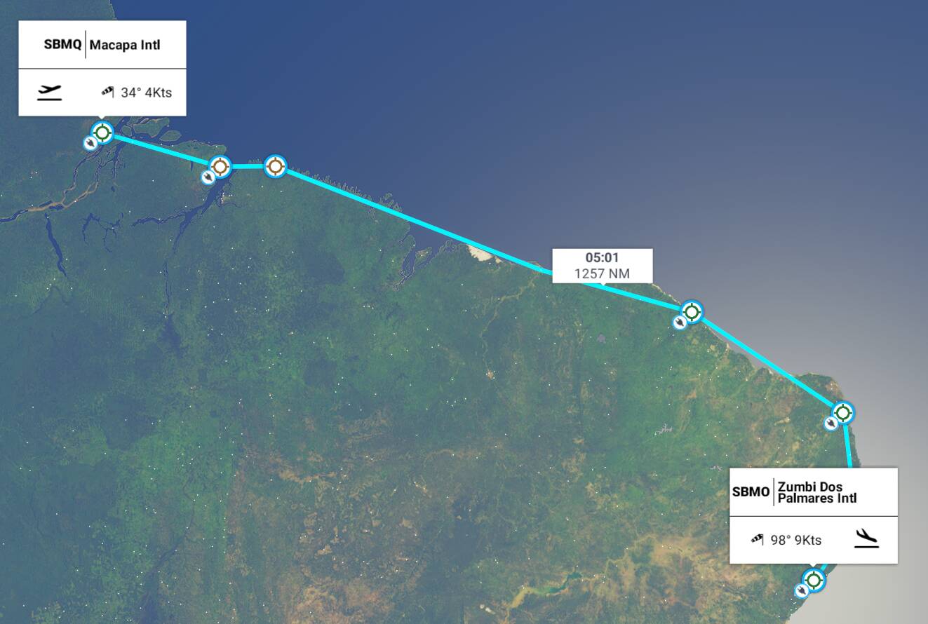
This leg: 1,57Nm, 5:01 flying time
Total so far: 16,769Nm, 64:53 flying time
Well, after our marathon flight down the long and winding Amazon, fully refreshed after a few days rest, restocking the peanuts (2nd class) and almonds (1st class), it’s time to start our long journey down the East coast of South America. This first leg takes us East and then South, keeping close to the coast, finally landing at Zumbi Dos Palmares International Airport (SBMO) in the town of Maceio in Brazil. This is about 1,300Nm in total, so should be in range.
This time, I’m going to experiment a little by adding a departure and arrival procedure, and see if we can do this one a little bit by the book. We shall see.
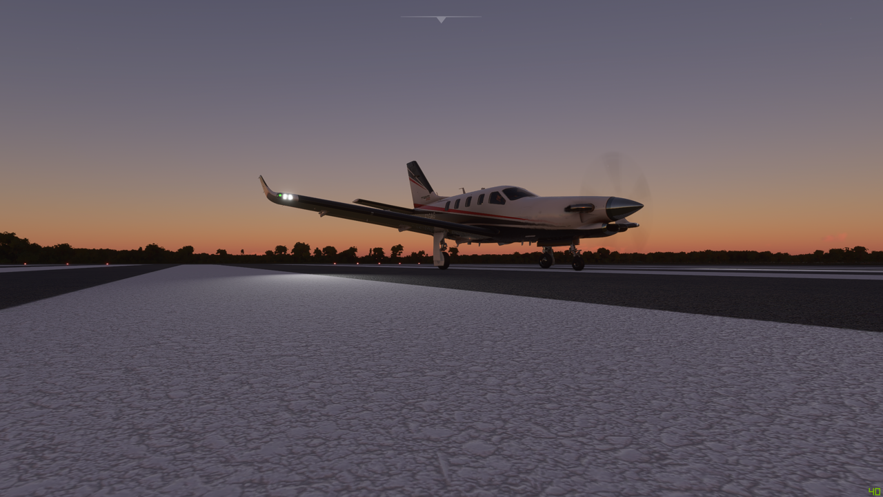
Ready everyone? Final call. Nice early dawn start.

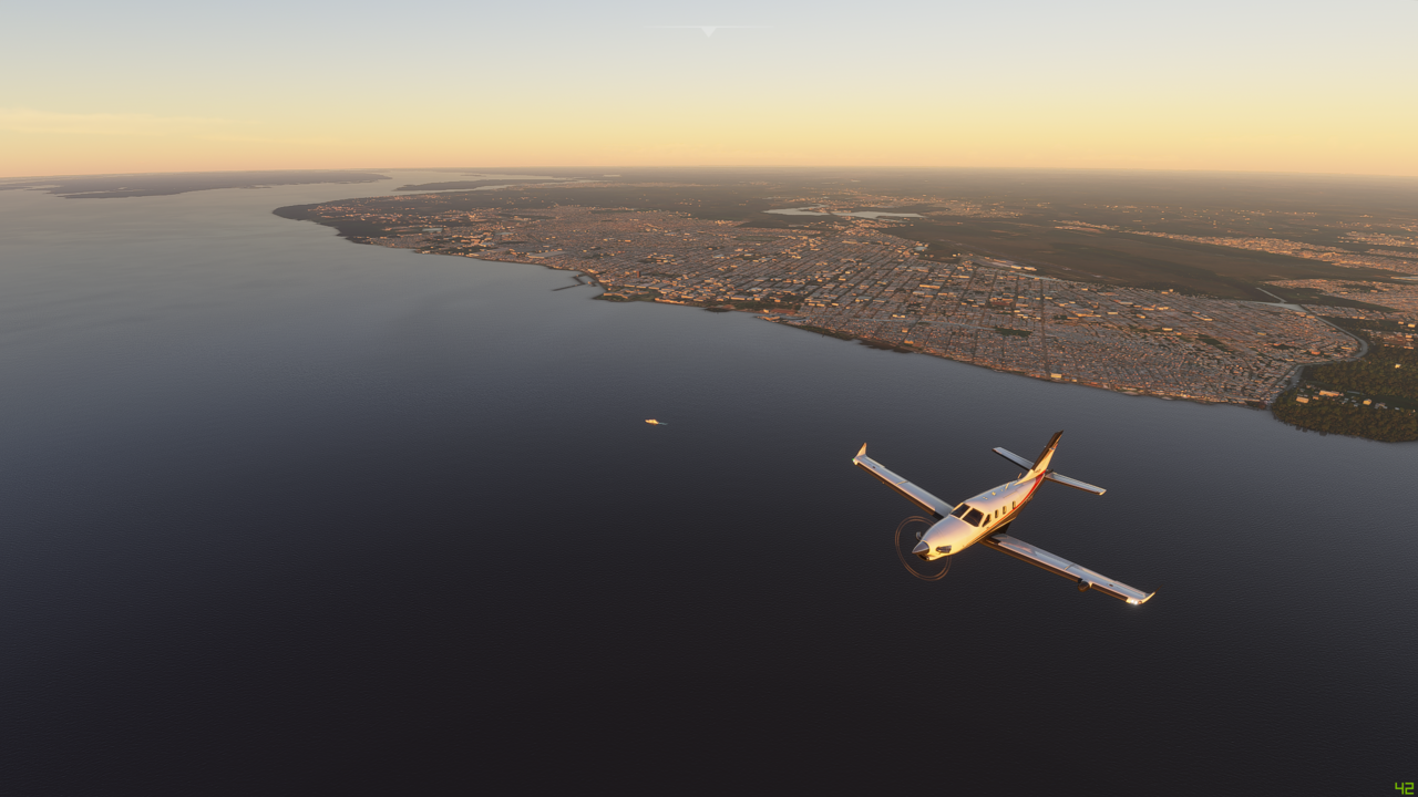
Crossing Ilha Queimada at the mouth of the Amazon
And approaching the much bigger island of Marajo - cut off from the mainland by the various tributaries of the Amazon that snake through the rainforest
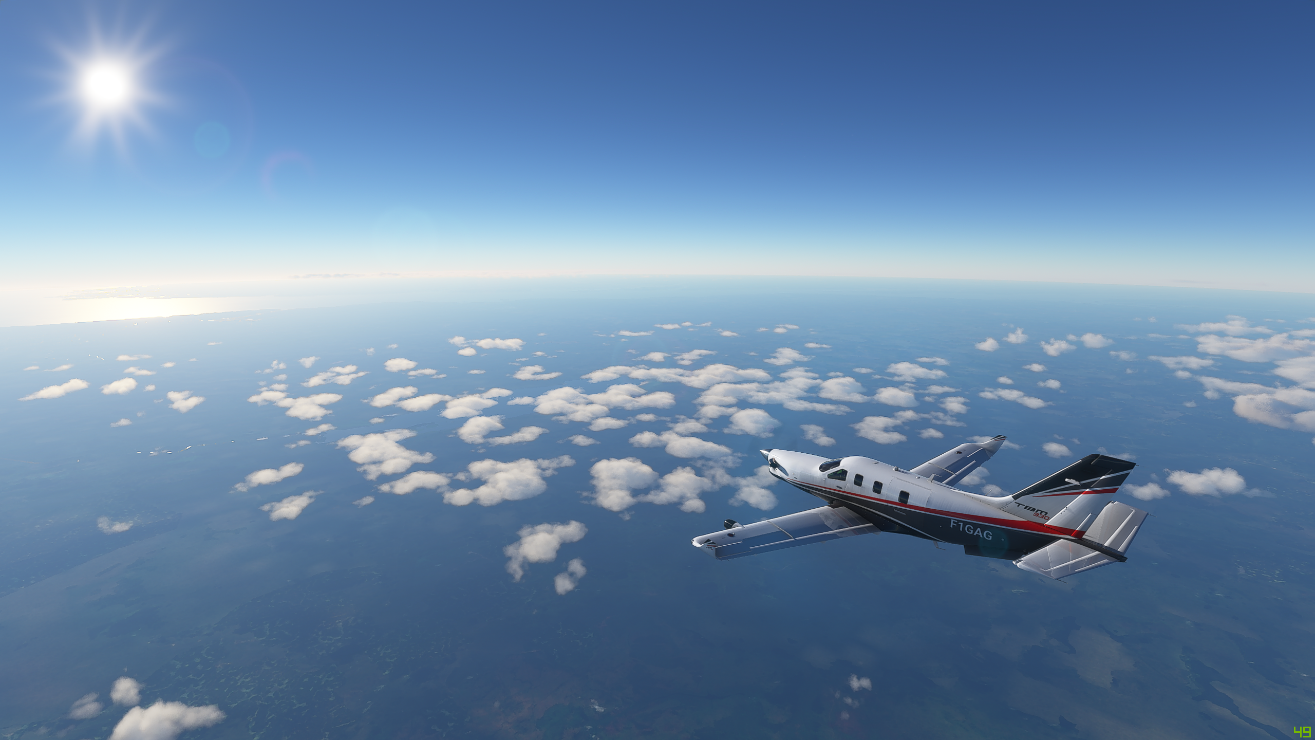
ATC instructs us to climb to FL210, and I’m not one to disobey orders (much) so let’s go for the climb - and we can see what the view is like from up that high. Climbing up above the clouds now
Wow, ATC pushing us up to 29,000ft, so let’s go see how the world looks from up that high. Wind is up to 15Knts up here and getting a little bit of buffeting now

And here is the view from FL290

Approaching and passing over the town of Soure

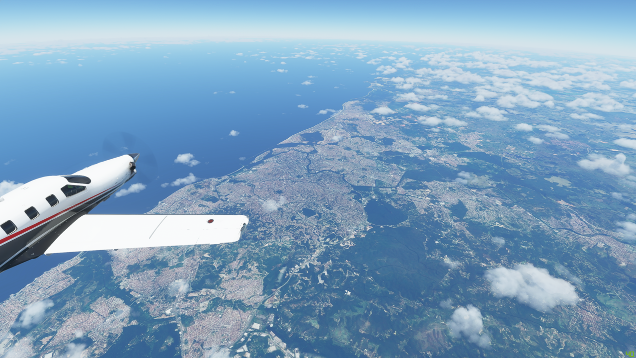
Crossing more of the Amazon delta, and ahead are the many inlets and islands along the Brazillian coast. We are headed towards Salinopolis, about 50Nm from here

There is Salinopolis, 29,000ft below us

Great view over the Atlantic Ocean over the left wing

So remember I said always do what I’m told? Well yeah, time to buck that trend and take us down to 1,500 feet to see what the scenery looks like down there. Hopefully ATC won’t be too fed up with us 

p
And now we have reached the Golfao Maranhense - a vast stretch of water at the mouth of the Rio Mearim

And now on our right, the Parque Nacional dos Lancois Marahenses a stunning area of rolling sand dunes

Closing in on the town of Parnaiba


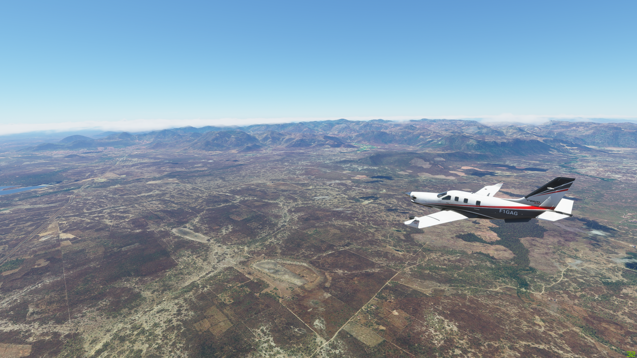
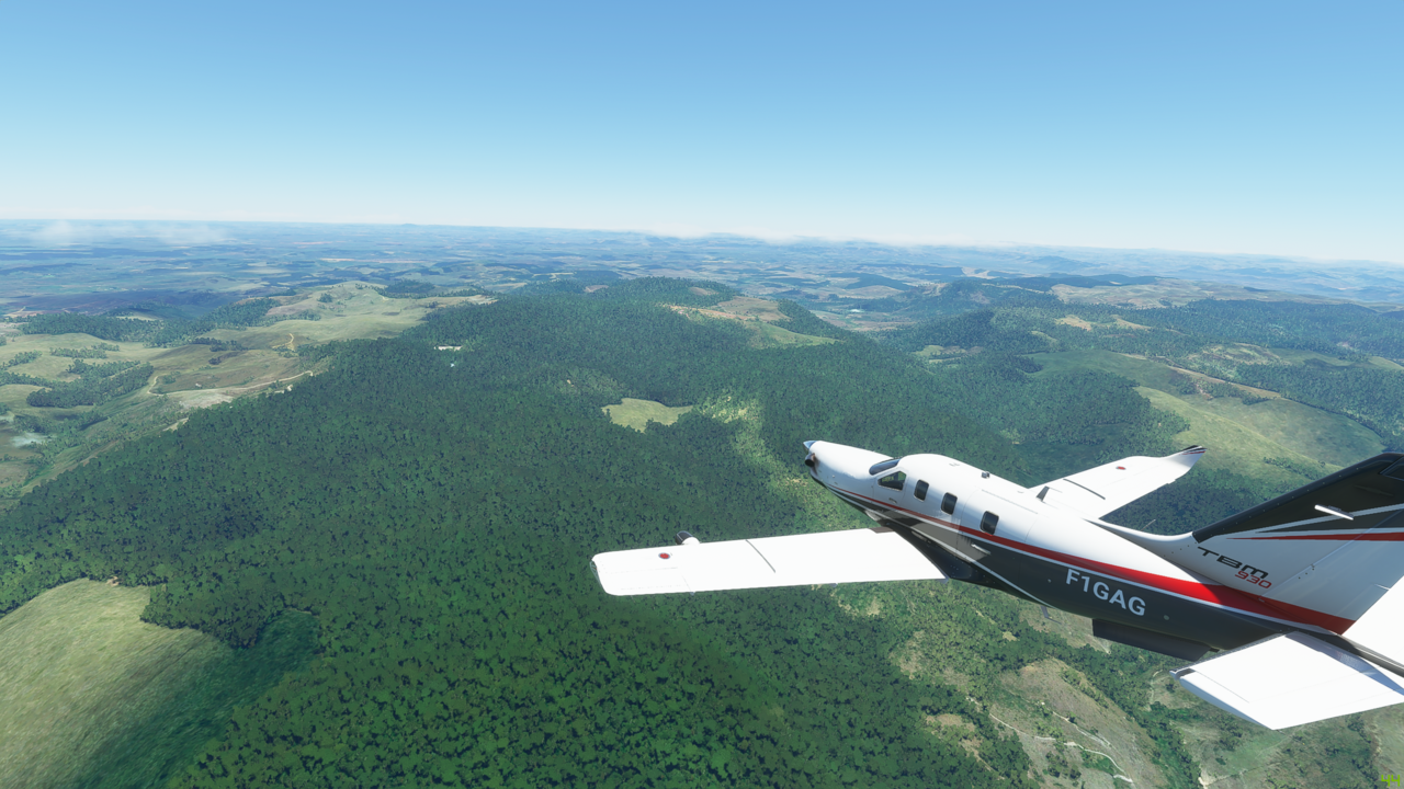
The scenery here is much drier and more desert like than I was expecting - was thinking it would be endless tracts of rainforest, but not the case really
And now some higher ground off to our right on the way to Fortaleza
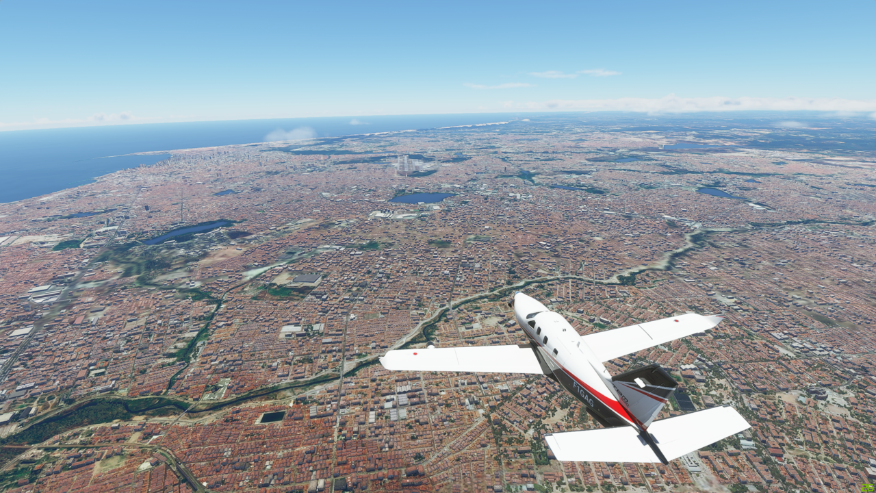
Some nice looking beach hotels and apartments down below
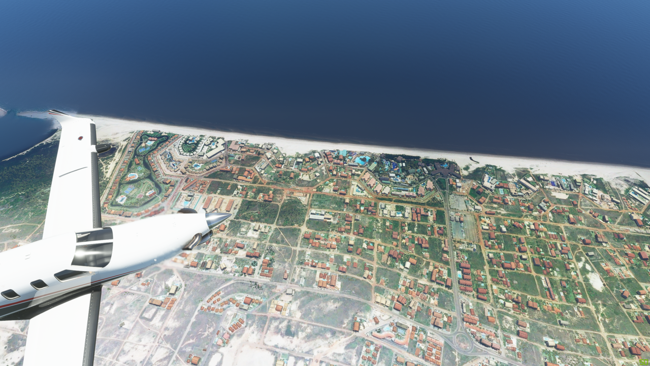
Heading now to Recife before the final leg
Descending now and getting ready for final approach into Maceio
17Knts wind is throwing the plane around a little as we descend

On final approach

And down

Nice. That was a good flight. Now to find a hotel for the night, and stock up with some Brazilian Brigadeiro for our first class passengers. A bit of an upgrade over almonds!
3 Likes

Because of you, Gordon, I decided to go the other way around the world. I waved as I flew by!
I started in Richmond (KJGG Williamsburg/Jamestown, VA) and landed in EIDL Donegal Ireland this evening. I am only flying about two hours a day so I expect it will take me another 60 to 70 days to complete (at least). I am using real-time, time and weather so I have installed a dual clock on my computer so that I can see what time it is in the time zone I am at. Currently I am working at doing my flying in my local morning time so that I can take advantage of the sunset in Ireland (-5 hours difference).
I have been updating my manual/analog pilots manual as I go. 
Looking through this thread I did not see what tool you are using to draw your trip around the world; on the world map. What are you using, if I may ask?

Thanks for sharing your trip, Man!
Hi Mark, thanks for your message - and I’m sure I’ll have seen you wave!
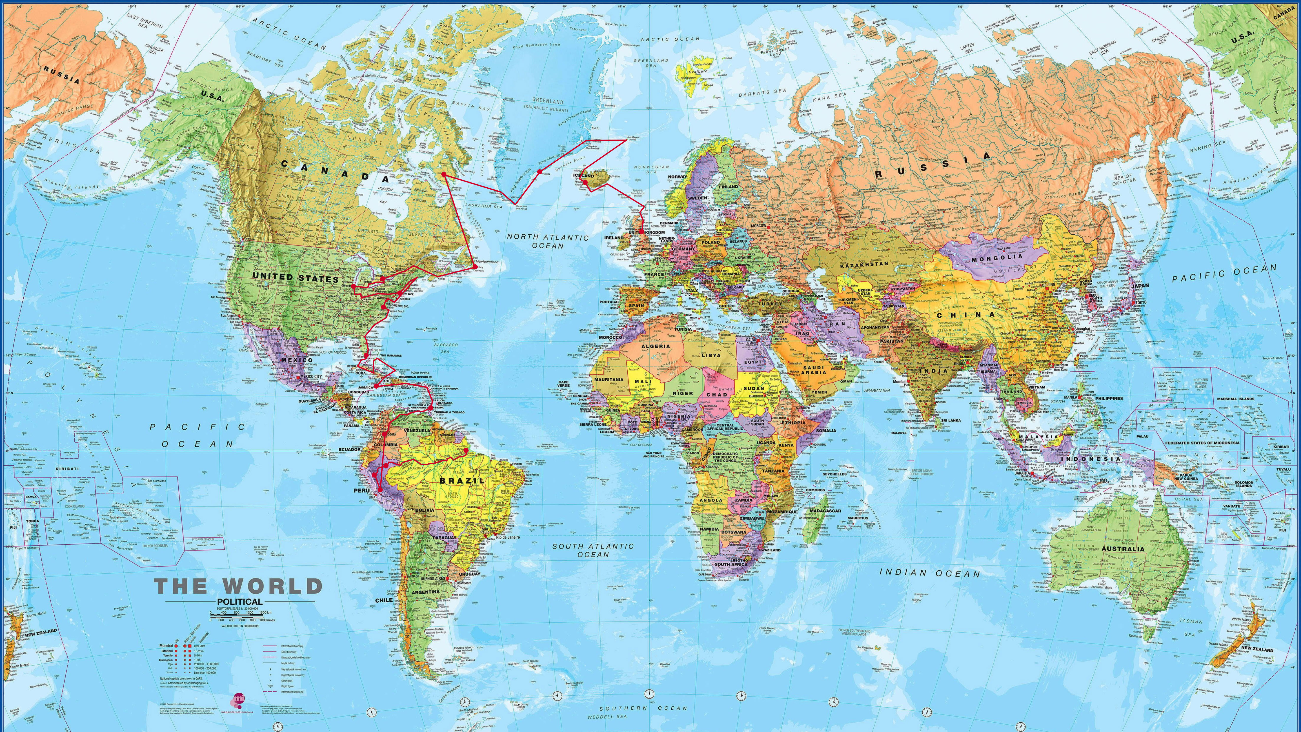
I’ve been using real weather throughout, but not real time - otherwise I think I’ll end up spending too much time flying in the dark and miss the great scenery. I fly mainly at night, and have been doing a leg or two a week. No idea how long this might take me - aiming to circumnavigate, but definitely indirectly! Currently planning to go down to the tip of South America and then thinking of a quick tour around Antartica - just because. Then all the way up the West coast of the Americas to Alaska. I’ll need to zigzag around the US a bit to see the Grand Canyon and other sites on the way of course. Then South through Japan, Oceania etc, to Australia, back North with just Asia, Africa and Europe to go - might take a while!
My map is actually really basic - I pinched a map of the world from Google and manually add the dots and lines in Photoshop
Mostly I’ve not had too many bugs and things - although sometime on the longer flights I save and have had issues with reloading not bringing the flight plan back, which is a bit annoying. I picked the TBM due to it’s range and speed (this trip would take even longer in a Cessna!) but that seems to have been a fortunate decison as the TBM seems one of the more stable planes.
I like your log book. I guess I’m using this thread as my logbook of sorts. I’ve got over 600 screenshots now, which I use as my desktop wallpaper folder…I wonder how many pics I’ll end up with by the time I’m done?
1 Like
e-kal-oo-it
Thank you! I even googled your post before I thought to check which of my posts you were replying to! Now I know how to pronounce it if I ever get to go there in person!