Leg 8: T’Blisi (UGTB), Georgia to Yerevan (UDYZ), Armenia
Summary
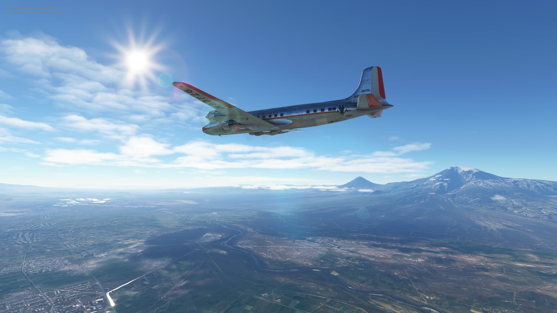
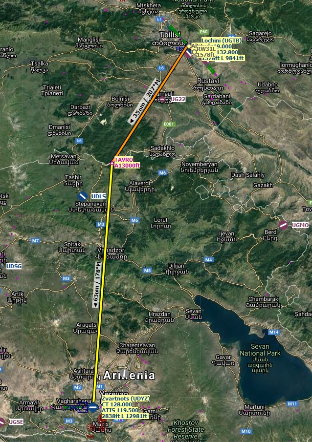
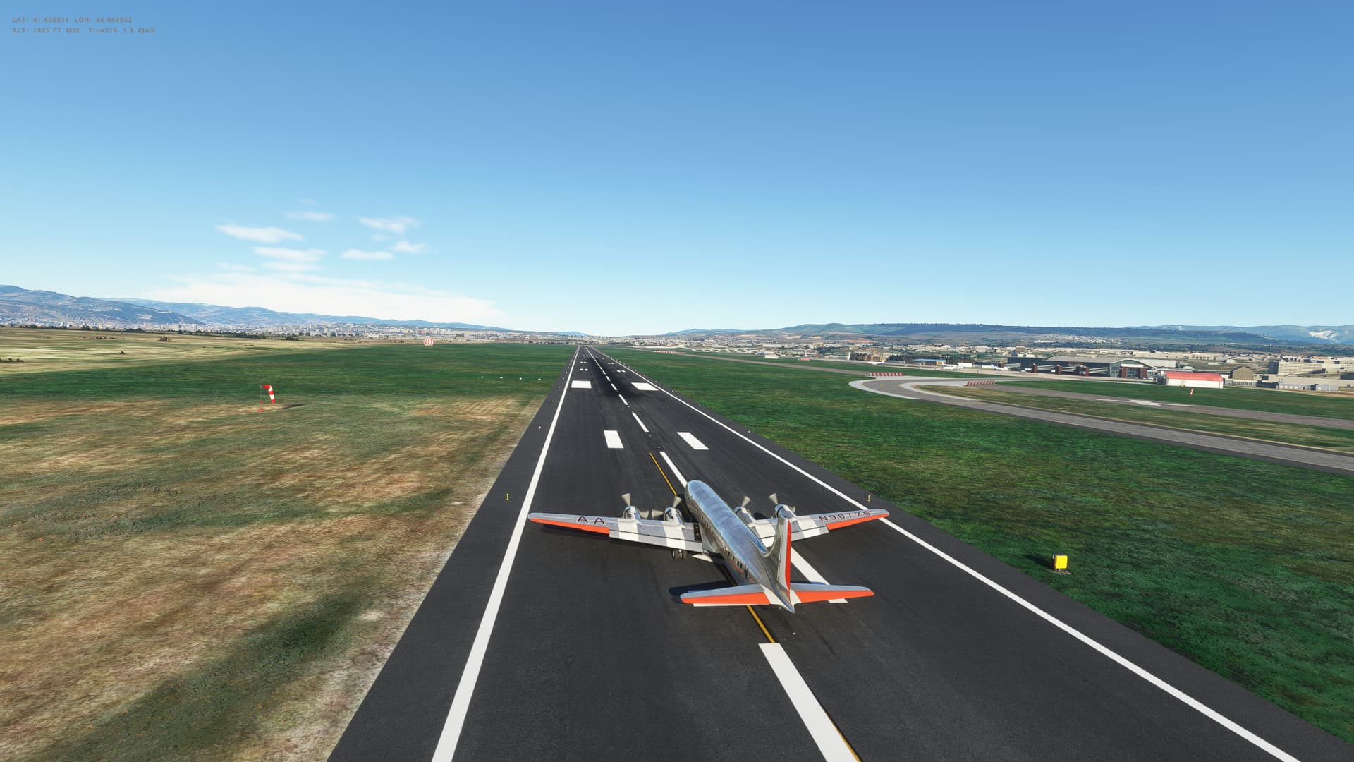
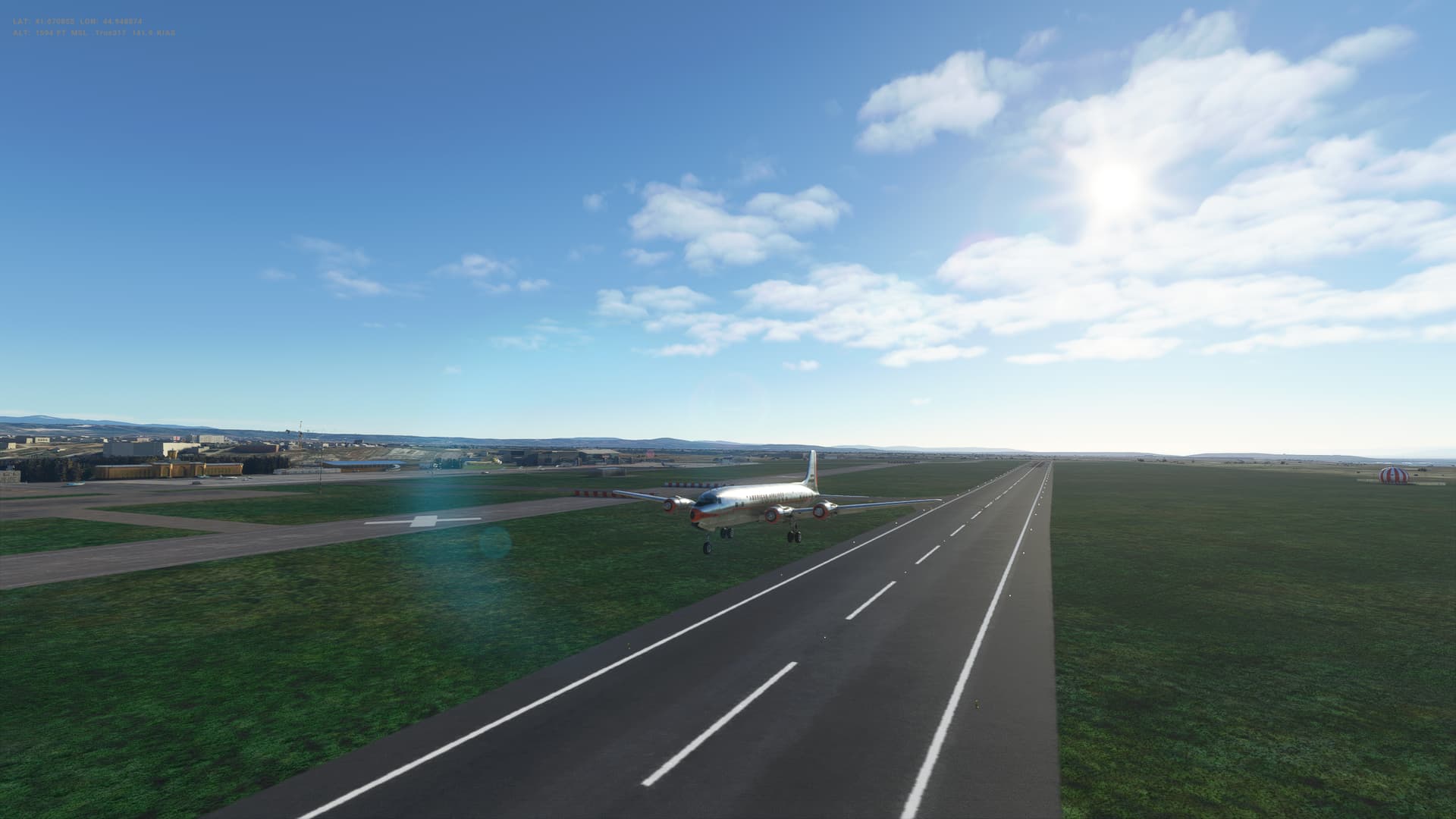
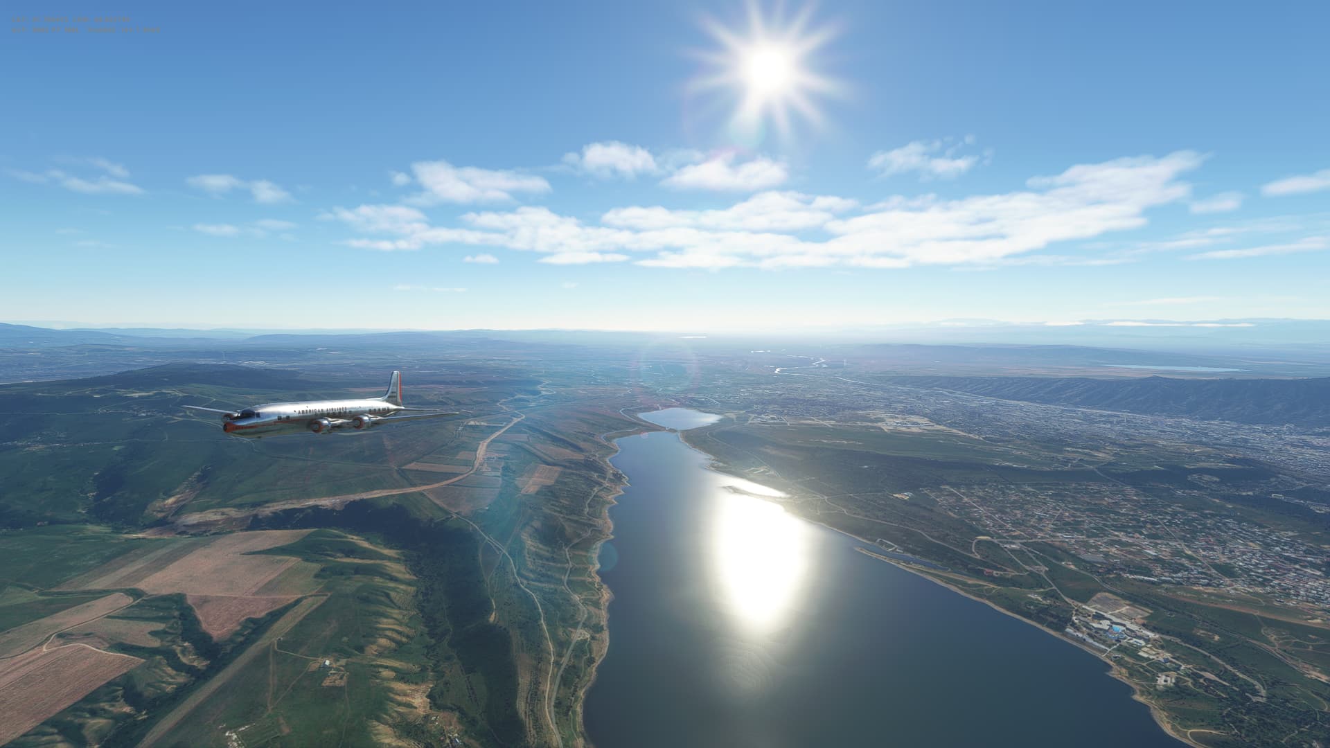
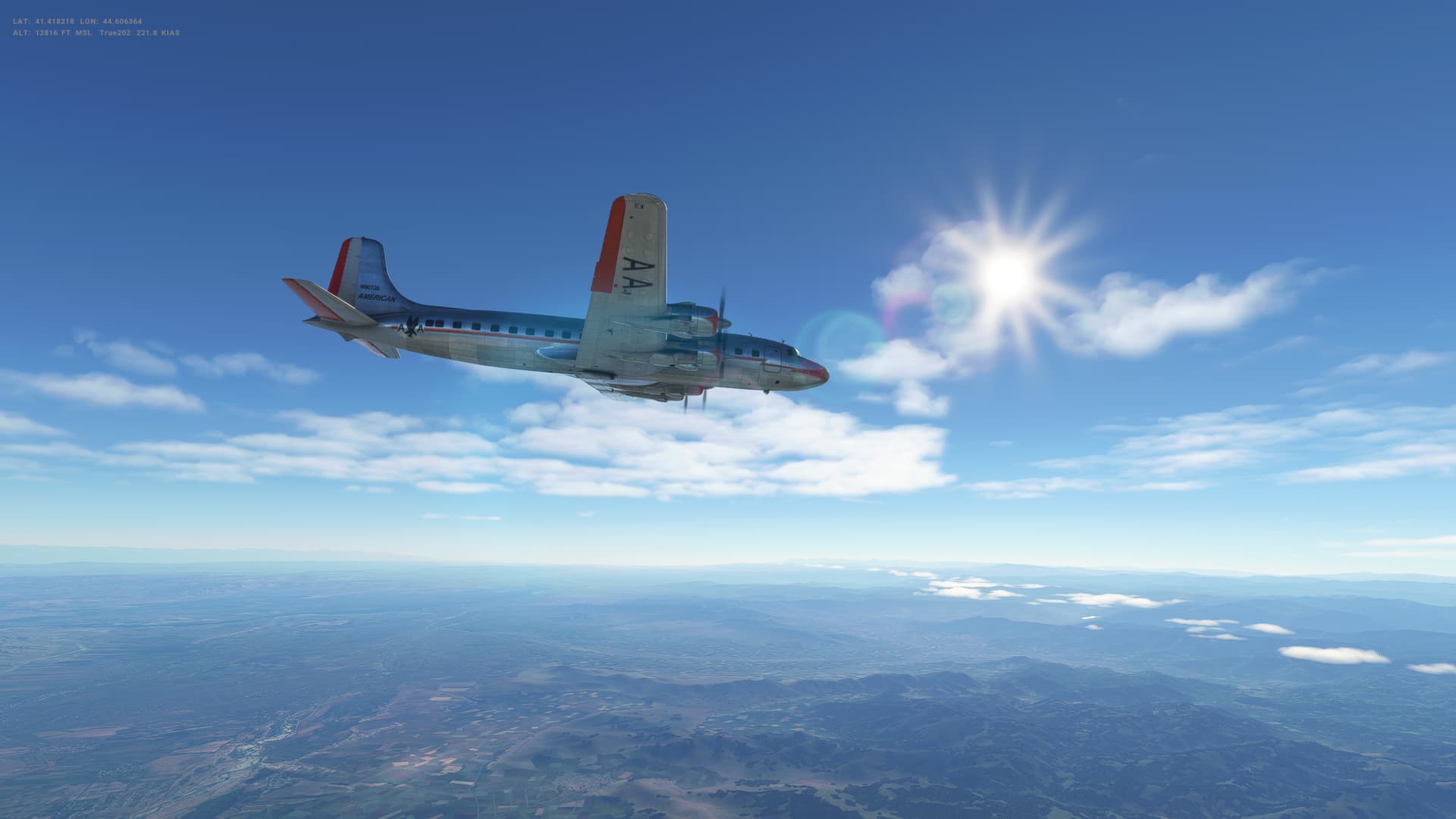
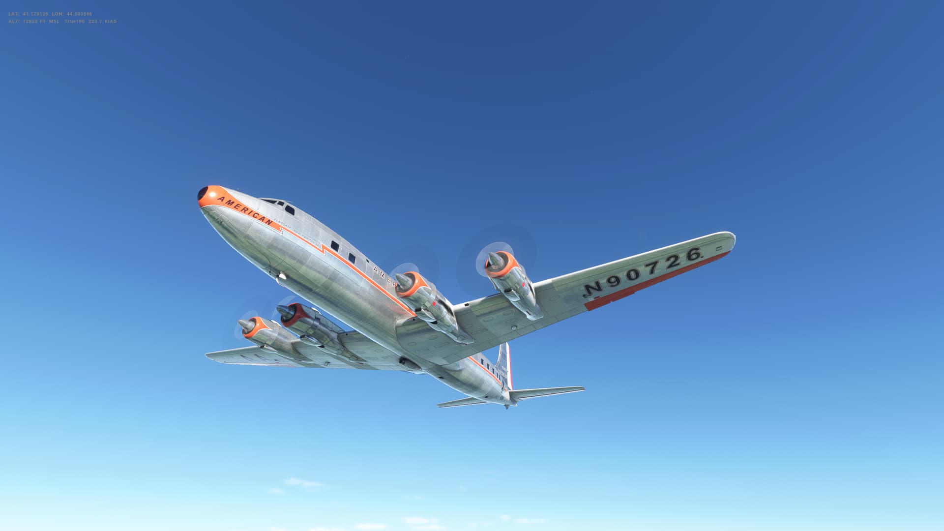
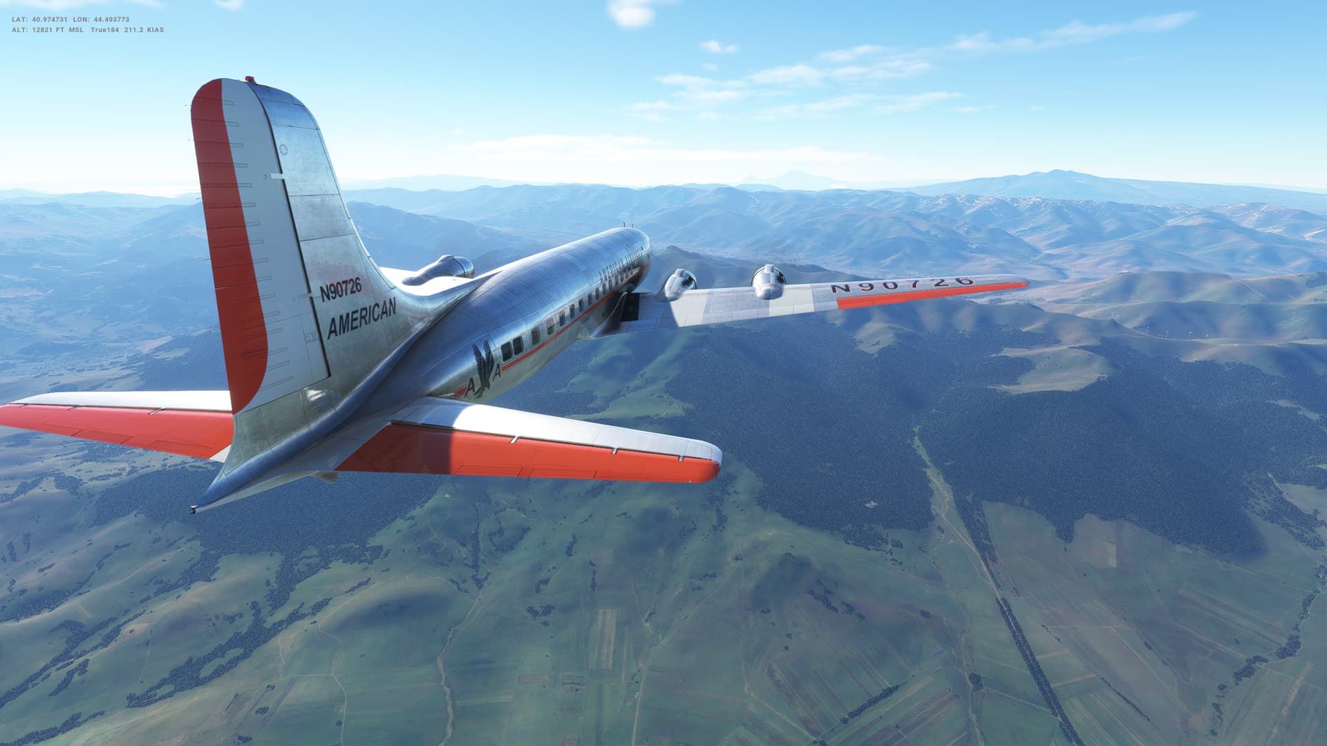
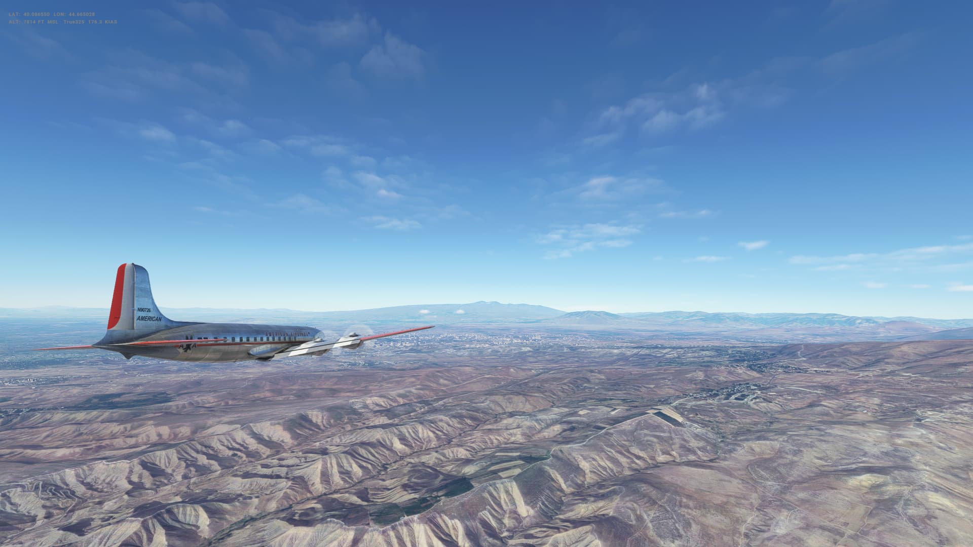
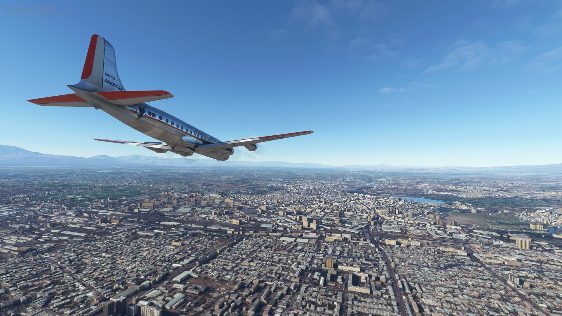
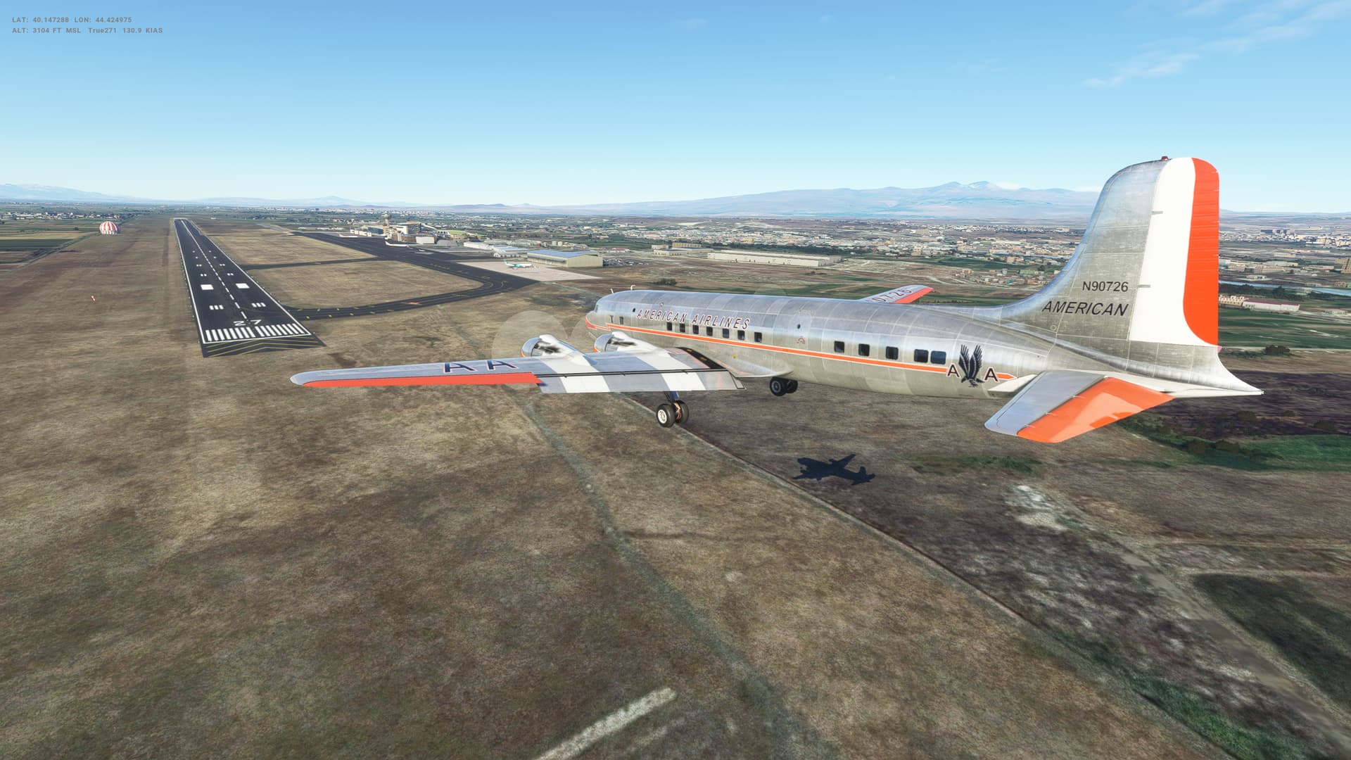
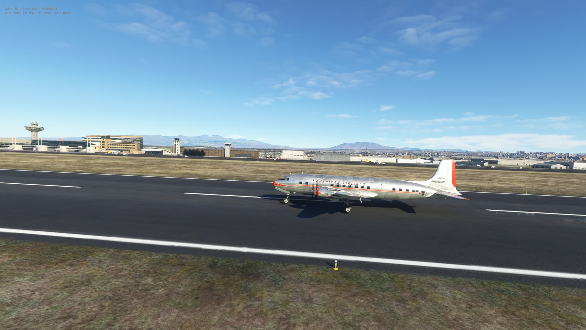
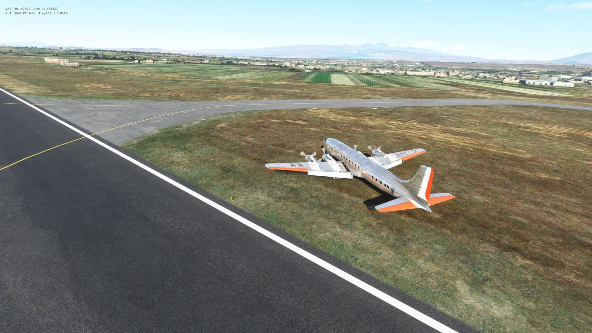
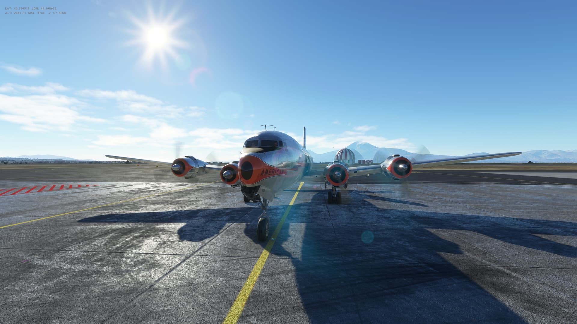
Leg 8 is very short - just 100 Nm or so, heading South. Bit of a problem in that we needed to quickly climb to 13,000 feet to get over the mountains between Georgia and Armenia which also meant that getting back down and slowed down in time to land proved too much of a challenge. I should probably have circled around to bleed off speed. I attempted to slow the descent to avoid picking up too much speed, ended up a bit high on approach, and in getting back on a sensible glideslope ended up landing at c. 140 Kts - which proved to be uncontrollable on the runway. Ended up sliding off at the end in a graceful drift! No prizes for that landing, but I think everyone probably walked away ![]()
Armenia
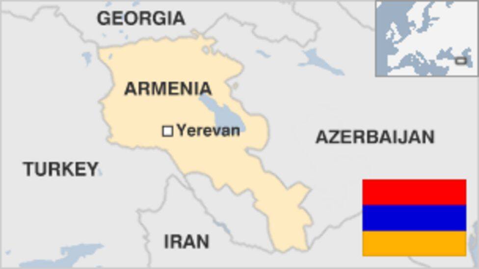
- Capital: Yerevan
- Population 3.1m
- Area 29,743 sq km (11,484 sq miles)
- Major languages Armenian, Russian
- Major religion Christianity
- Life expectancy 71 years (men), 77 years (women)
- Main exports Diamonds, machinery, foodstuffs
Logbook
| This Leg | Leg | 8 | ||
|---|---|---|---|---|
| Date | 18/11/2021 | |||
| Departure Airport | ICAO | UGTB | ||
| Airport | Tbilisi International Airport | |||
| Capital City | T’bilisi | |||
| Country | Georgia | |||
| Runway | 31L | |||
| Arrival Airport | ICAO | UDYZ | ||
| Airport | Zvartnots International Airport | |||
| Capital City | Yerevan | |||
| Country | Armenia | |||
| Runway | 27 | |||
| Actual Time (Local) | Pushback Time | 09:36 | ||
| Take Off Time | 09:40 | |||
| Touchdown Time | 09:58 | |||
| Arrival Time | 10:01 | |||
| Air time | 00:18 | |||
| Total Time | 00:25 | |||
| Ground Distance (Nm) | 122 | |||
| Air Distance (Nm) | 123 | |||
| Great Circle Distance (Nm) | 95 | |||
| Fuel Start (lbs) | 5,016 | |||
| Fuel End (lbs) | 2,725 | |||
| Fuel Used (lbs) | 2,291 | |||
| SID | TAVAR01D | |||
| Route | UGTB/31L TAVRO1D TAVRO UDYZ/27 | |||
| STAR | Direct | |||
| Approach | RNAV 27 Y | |||
| Passengers (000 lbs) | 0 | |||
| Cargo (000 lbs) | 0 | |||
| Take Off Weight (000lbs) | 68.7 | |||
| Cruising Altitude (feet) | 8,000 | |||
| Cumulative | Ground Distance (Nm) | 3,556 | ||
| Air Distance (Nm) | 3,635 | |||
| Great Circle Distance (Nm) | 2,869 | |||
| Total air time | 14:01 | |||
| Total time | 15:05 | |||
| Fuel Used (lbs) | 43,336 |
Flightplan: IFR Lochini (UGTB) to Zvartnots (UDYZ).lnmpln (1.4 KB)
Timelapse Video

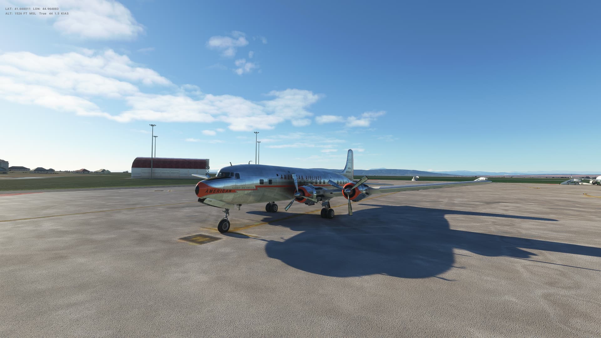
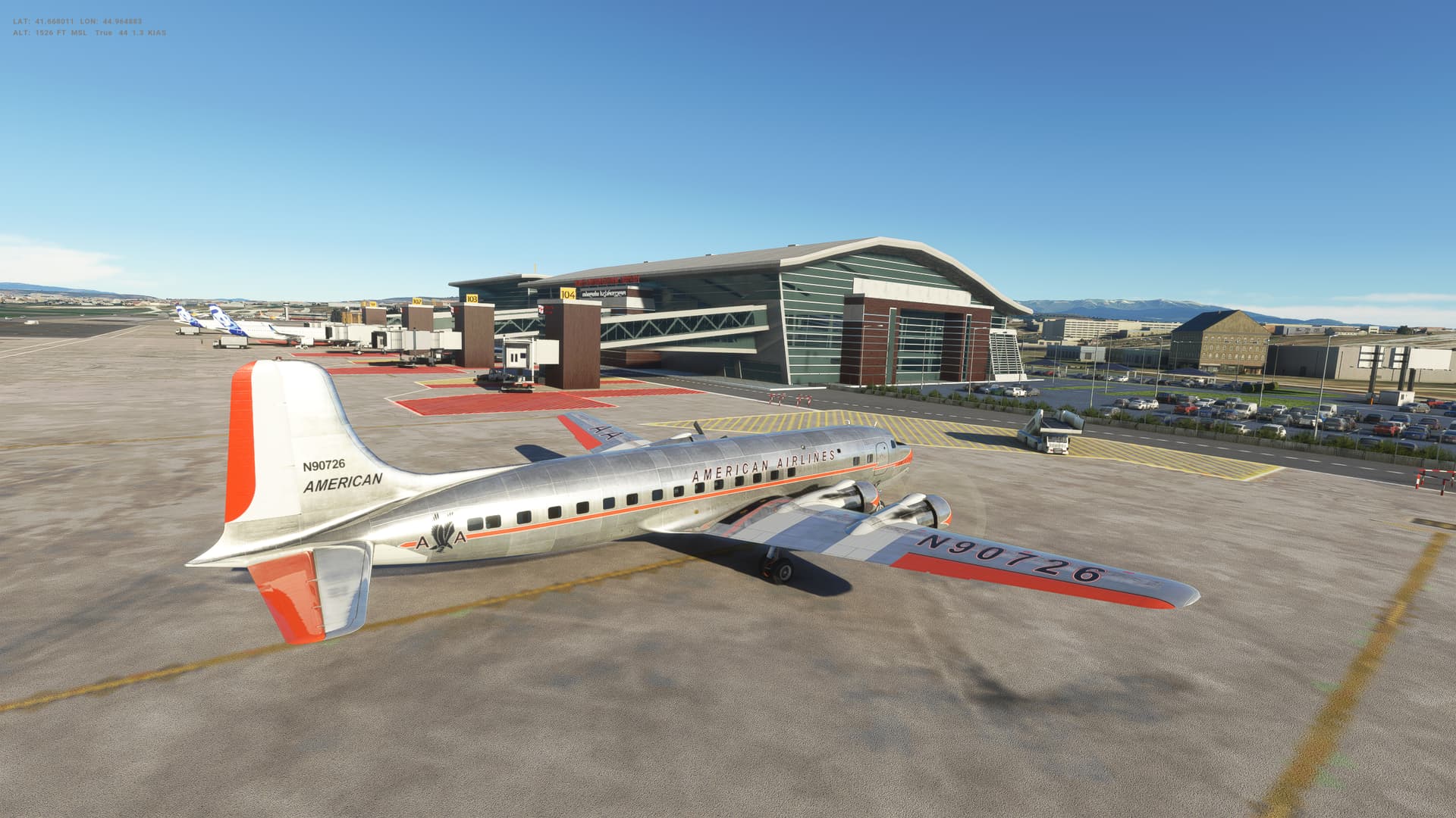
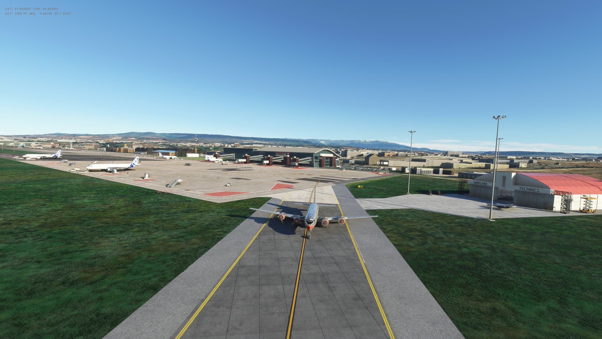
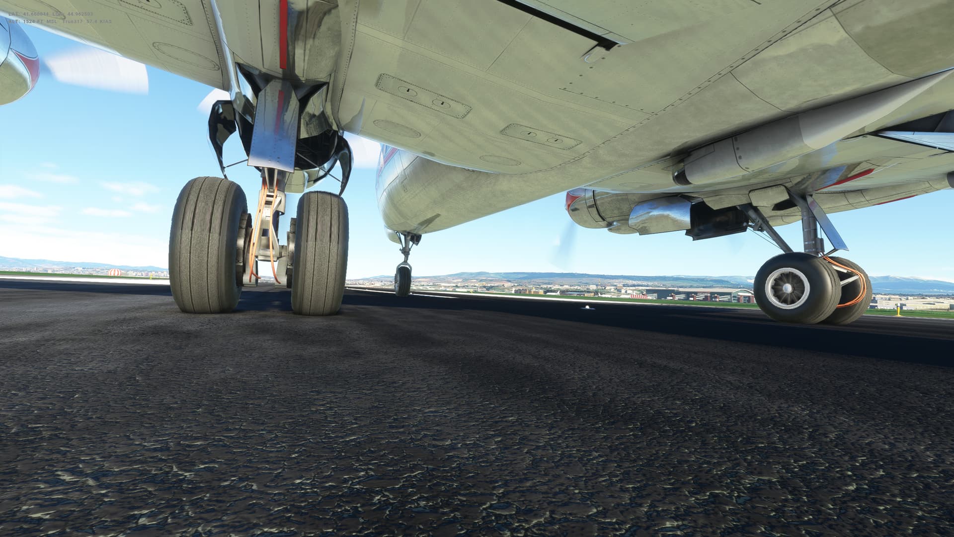
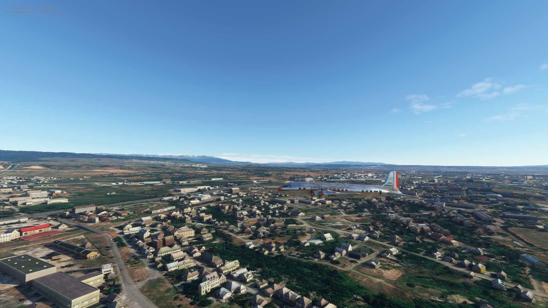
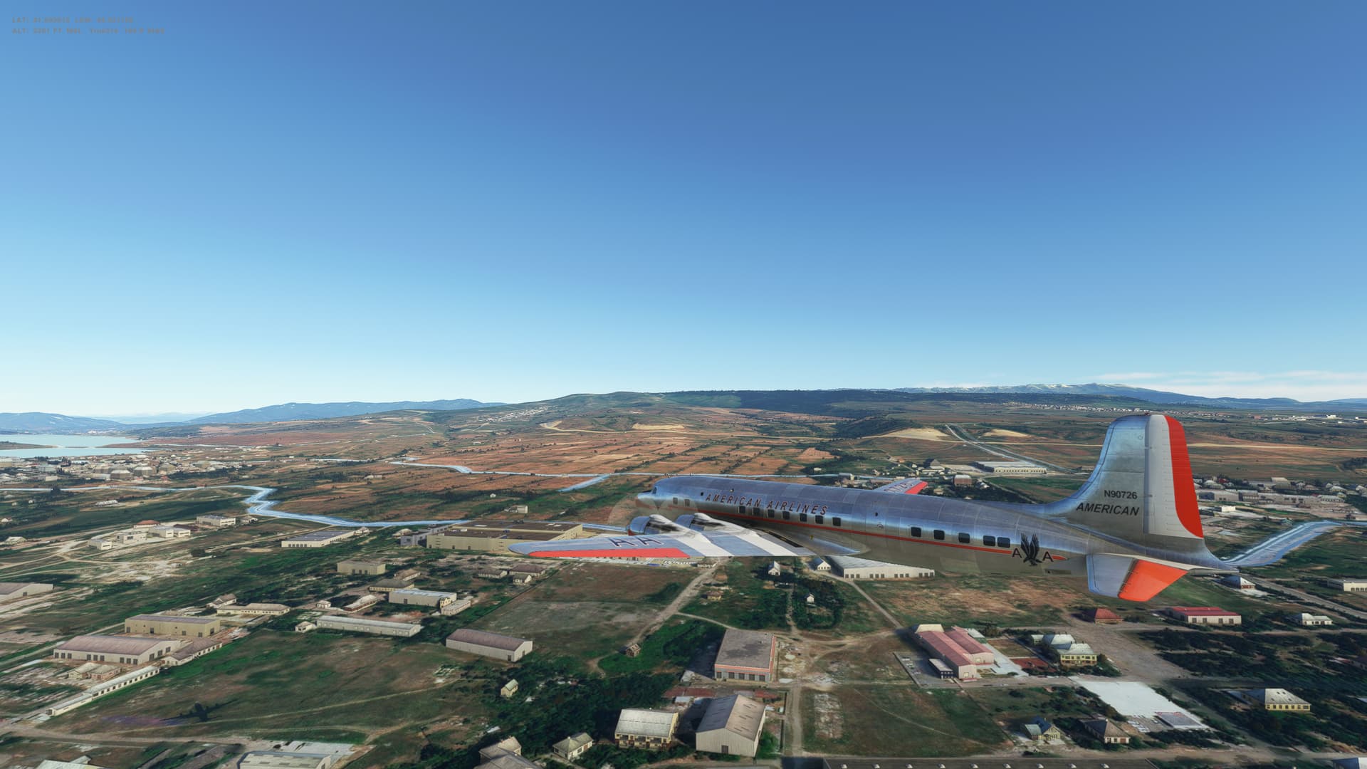
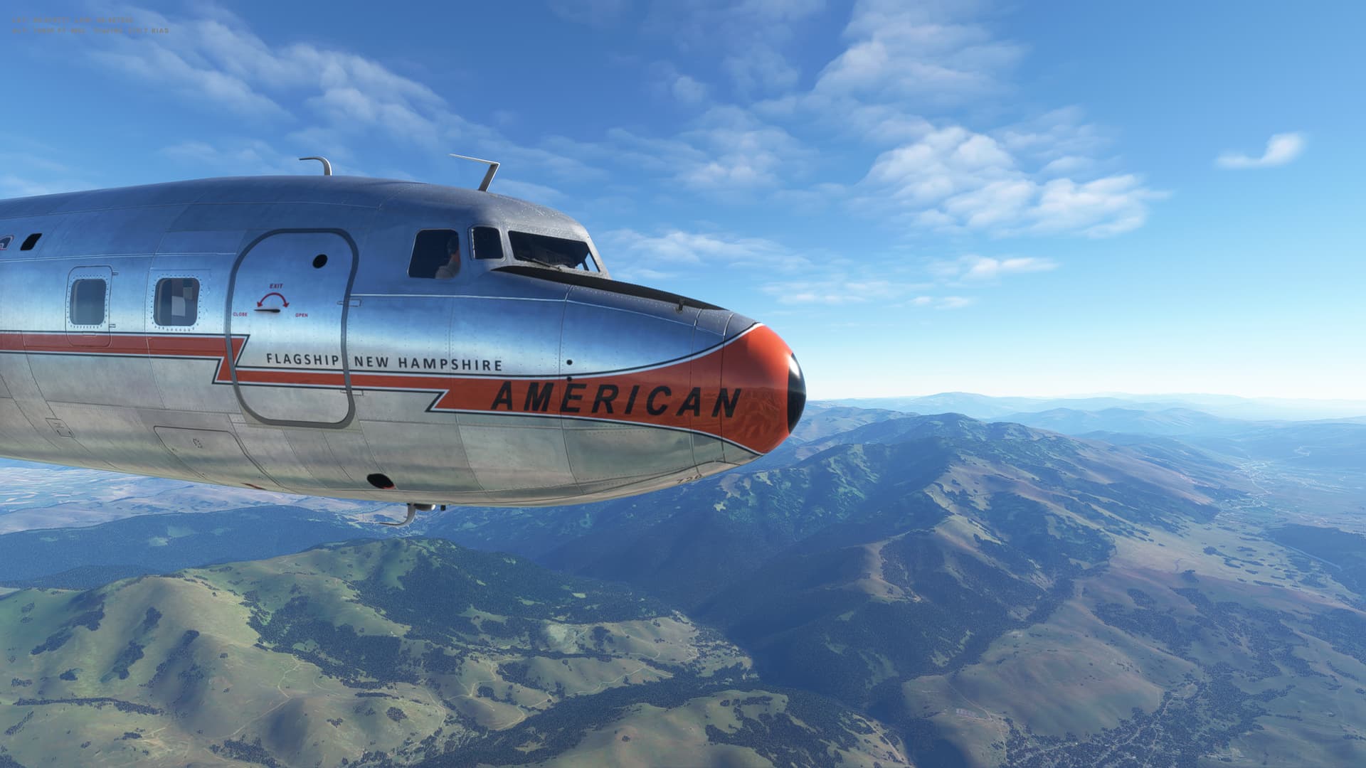
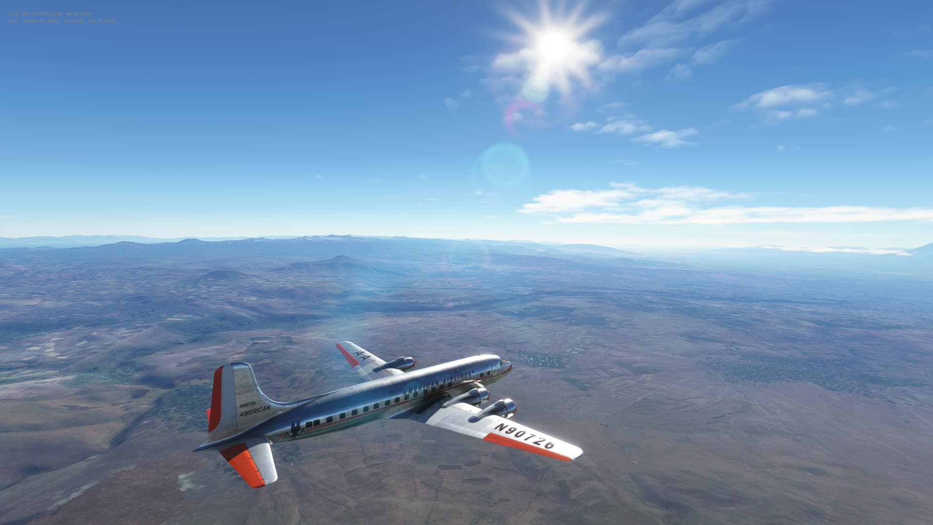
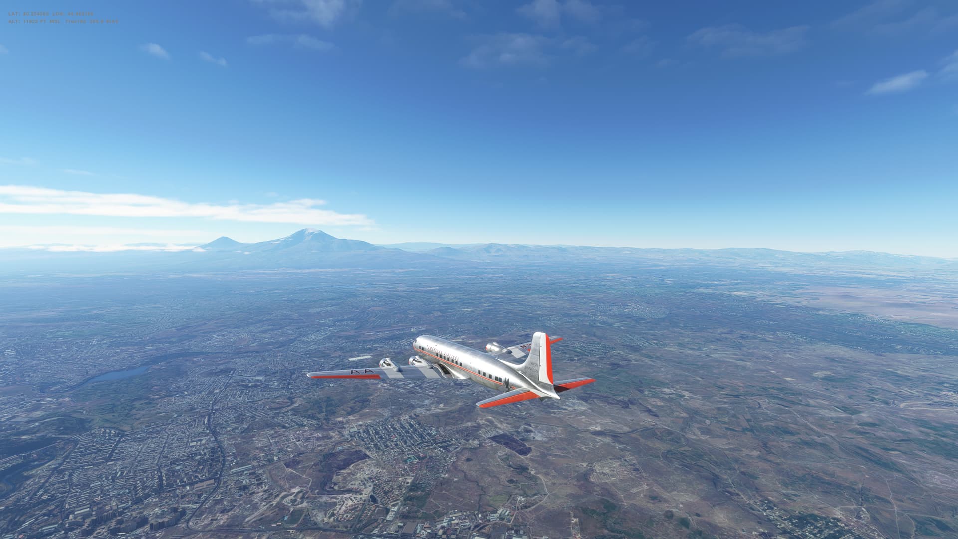
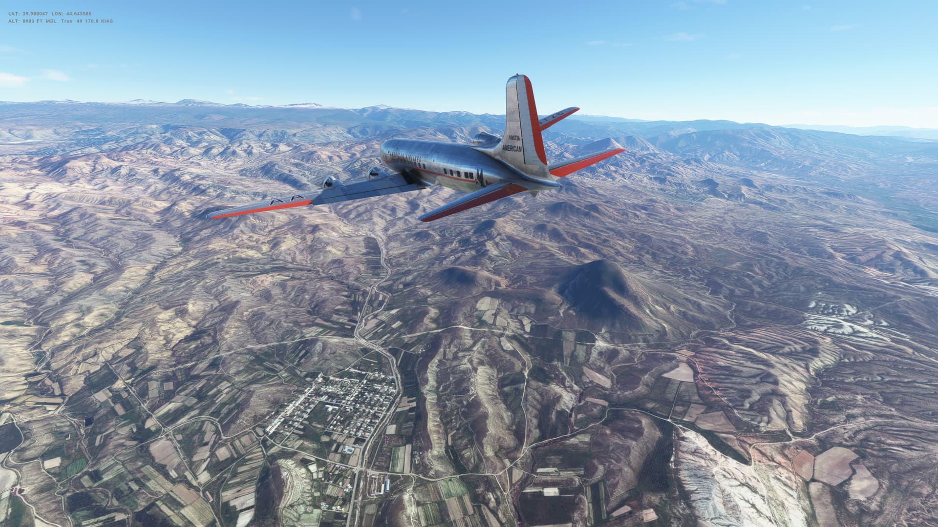
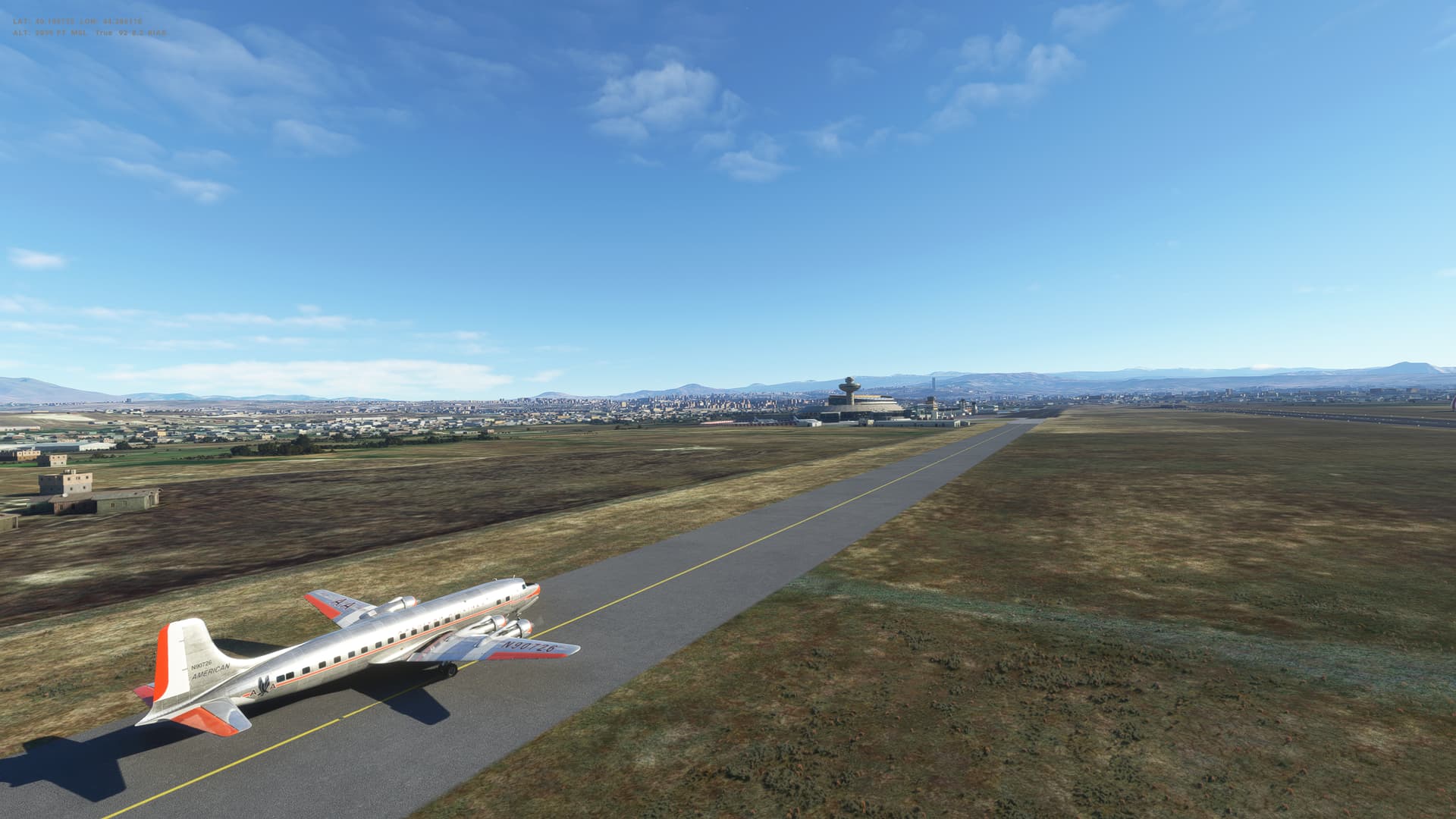
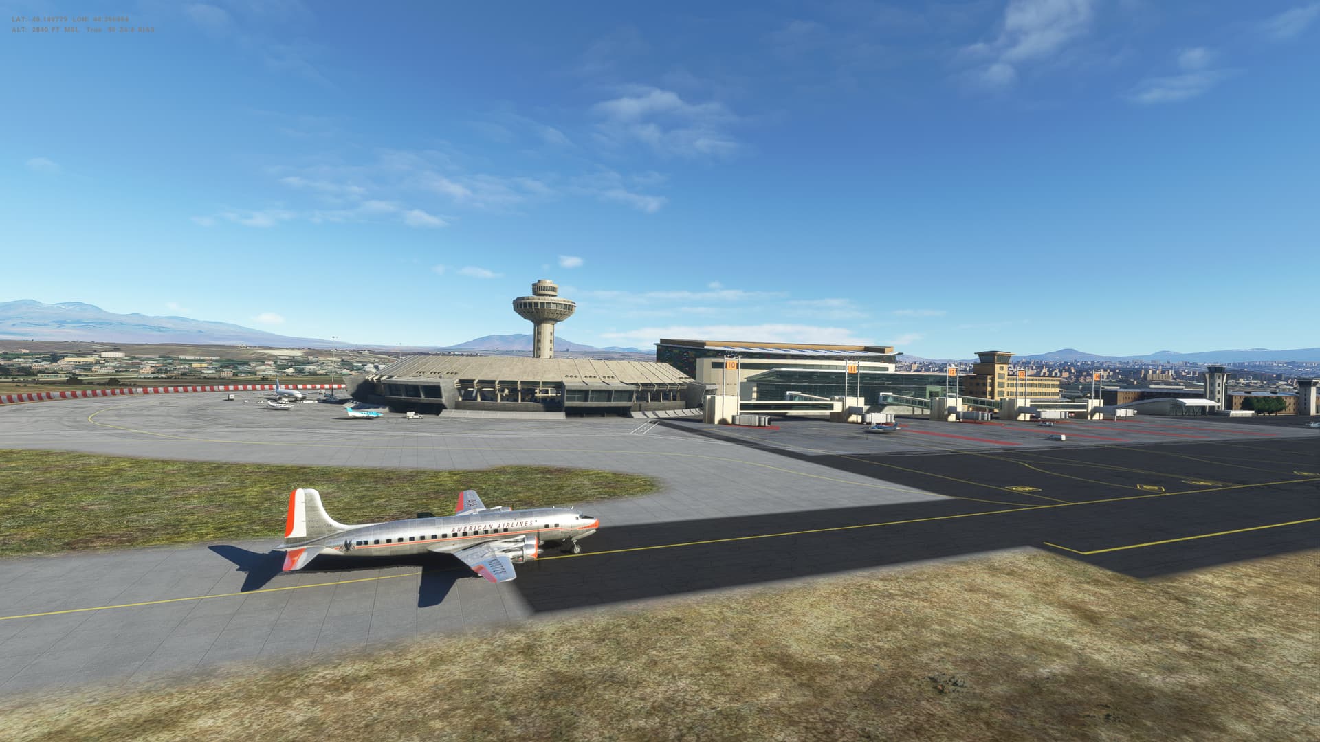
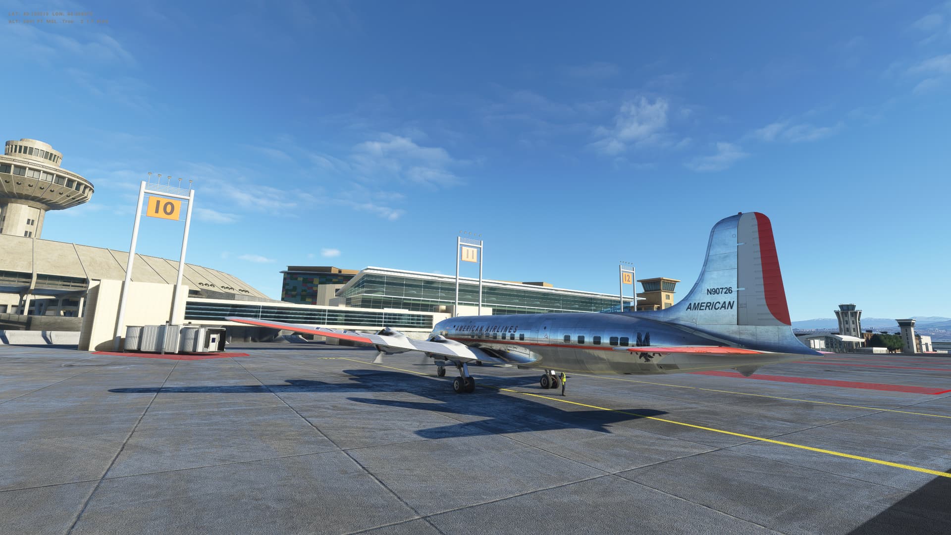
Screenshots


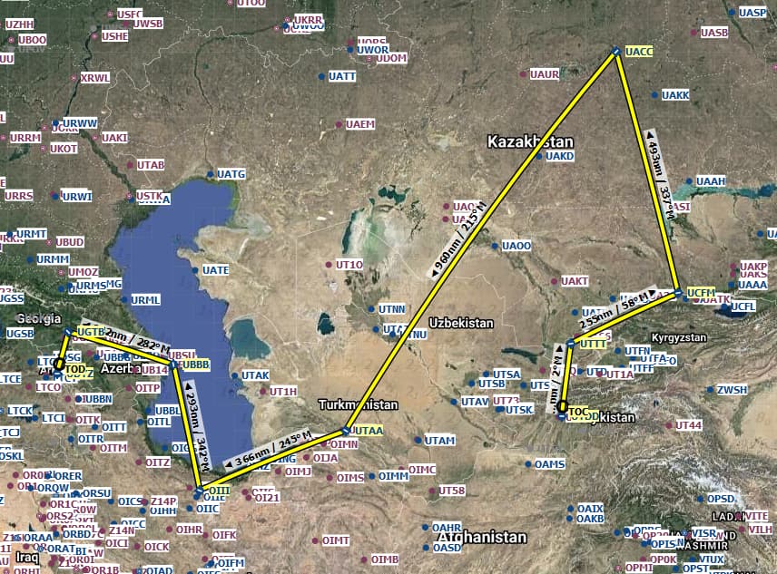
Overall route so far
UTDD UTTT UCFM UACC UTAA OIII UBBB UGTB UDYZ