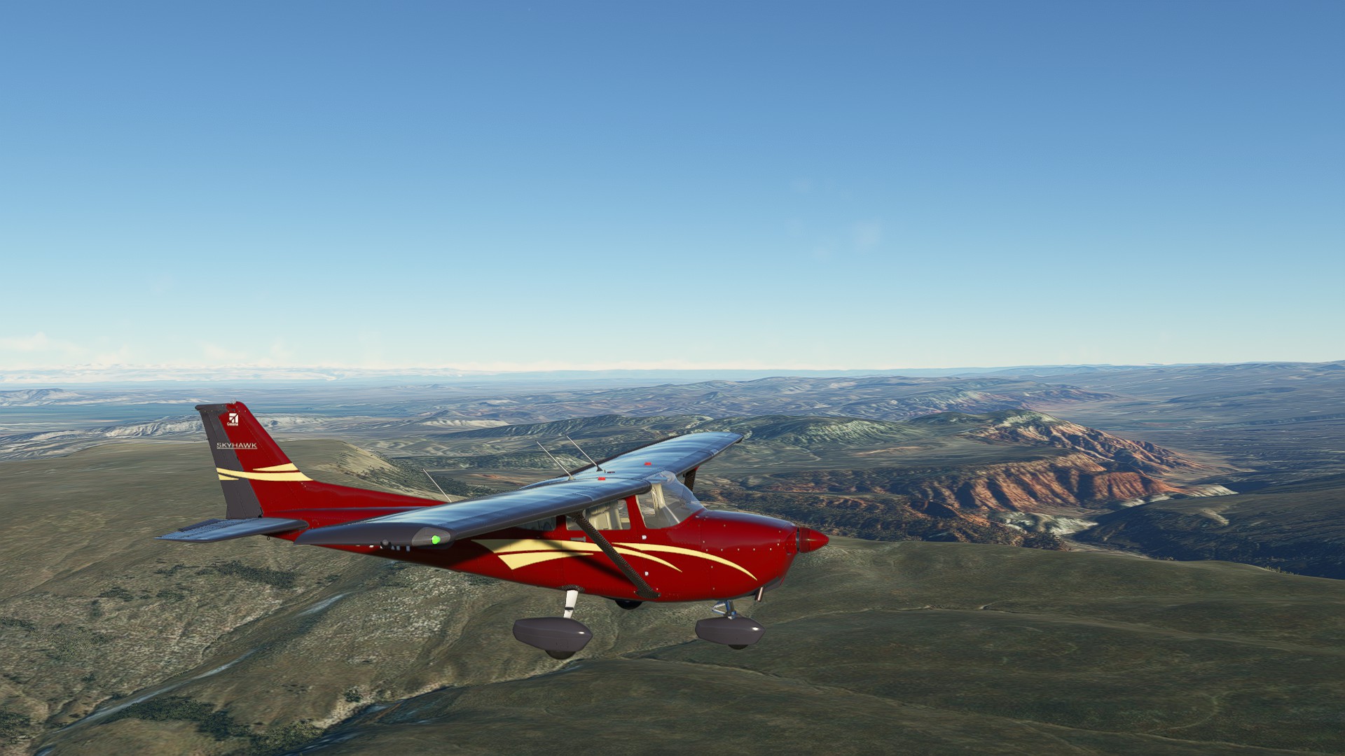
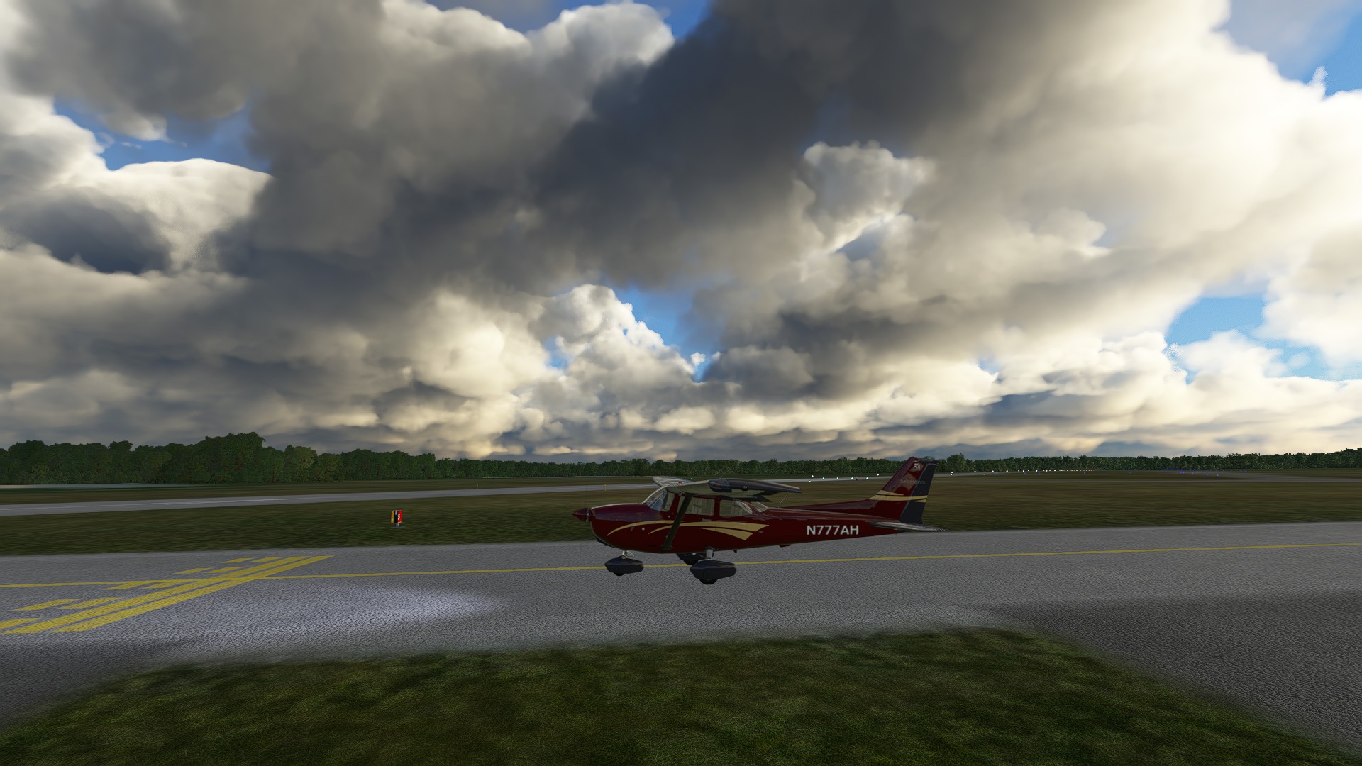
Leg 9: Hot Springs Co., WY to Converse Co., WY 160 NM ETE 70 MINS
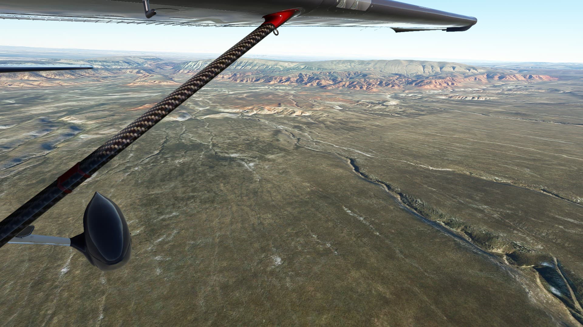
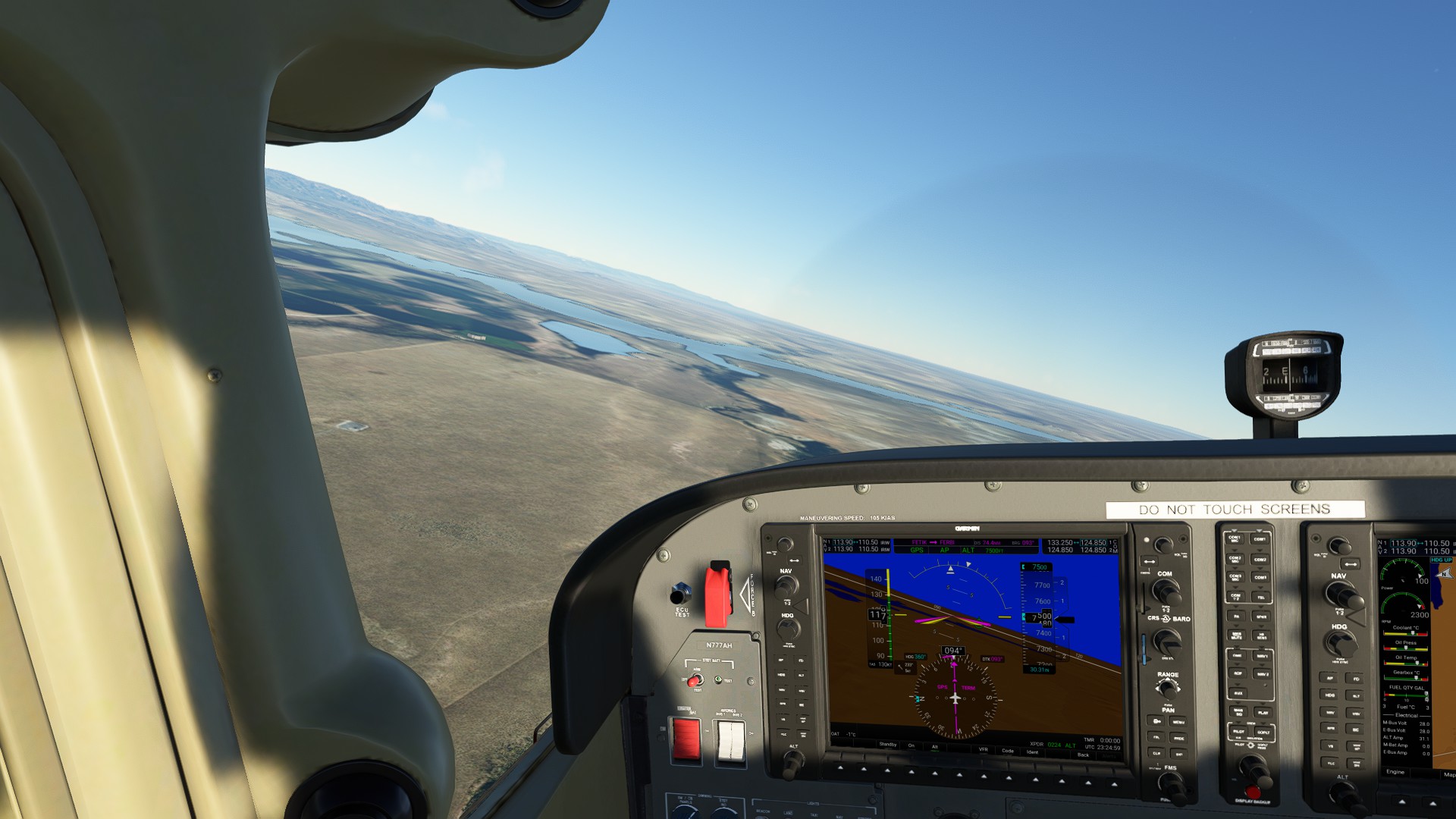
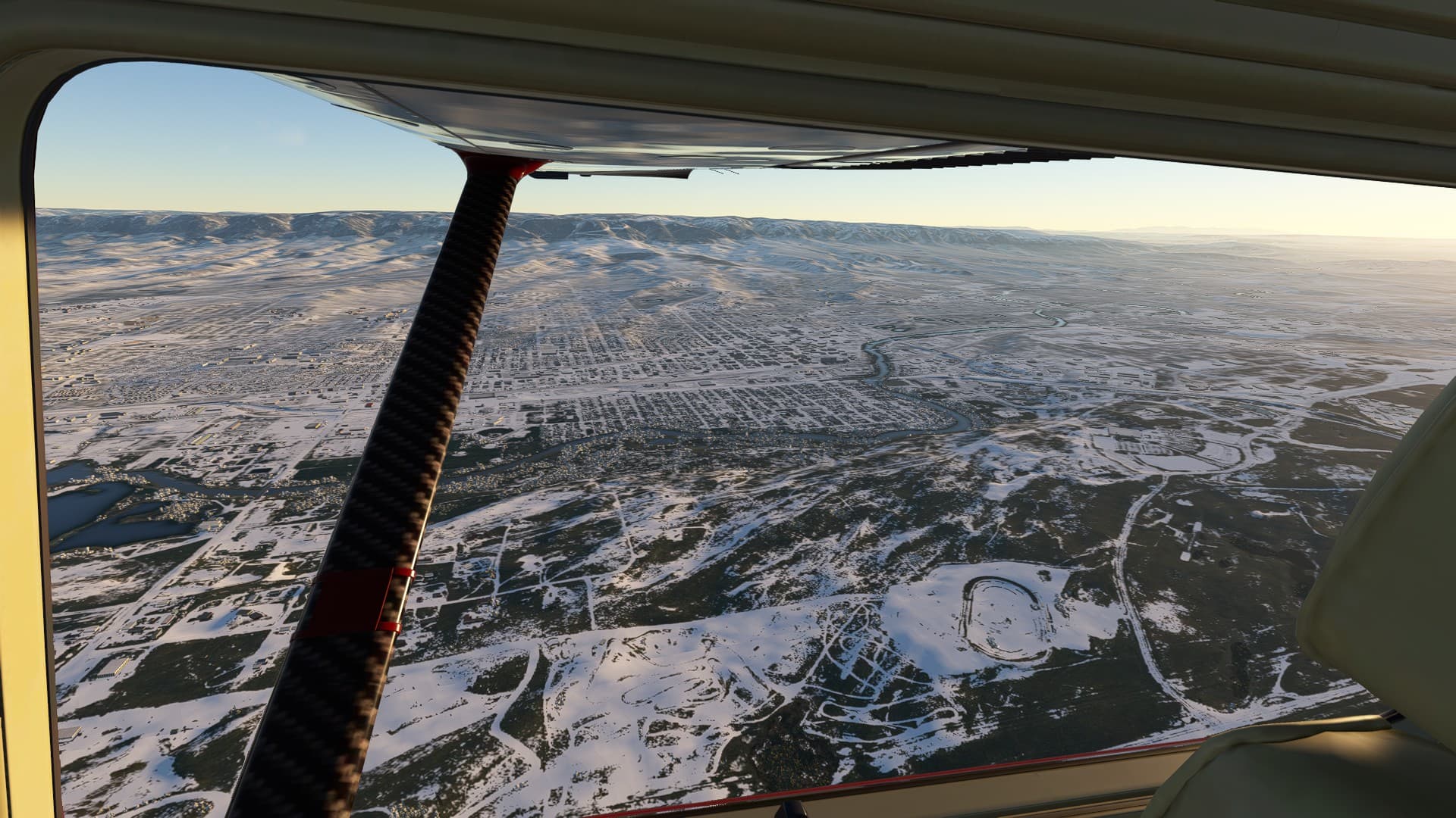
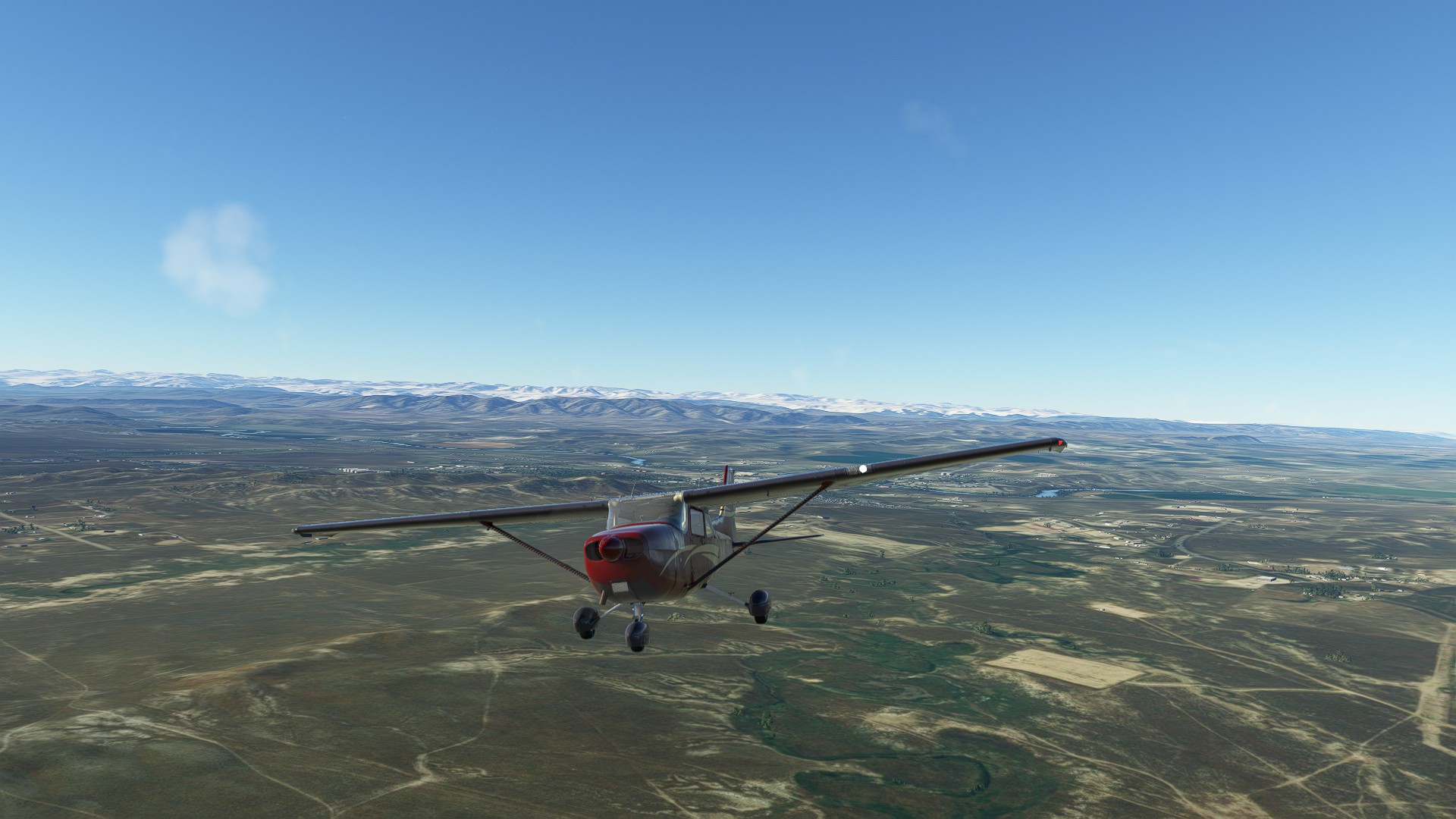
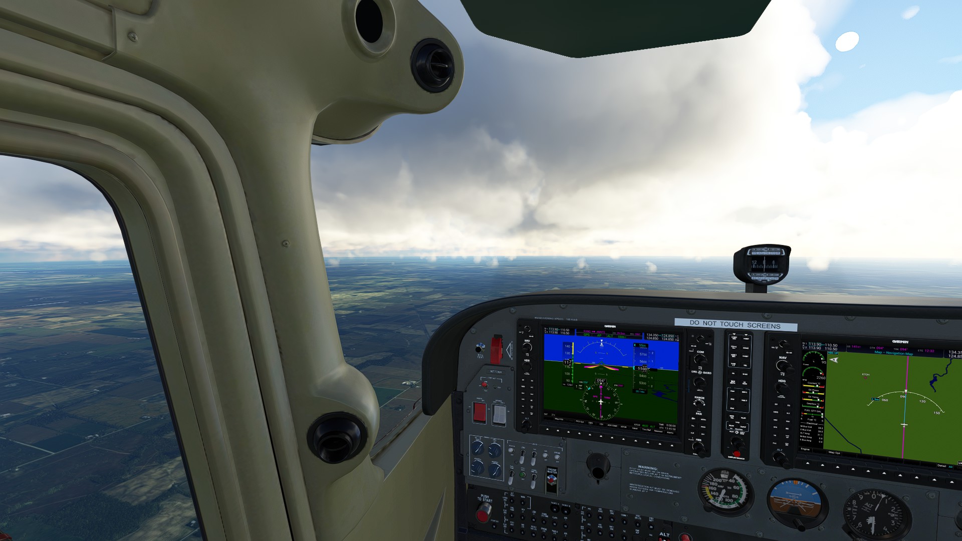
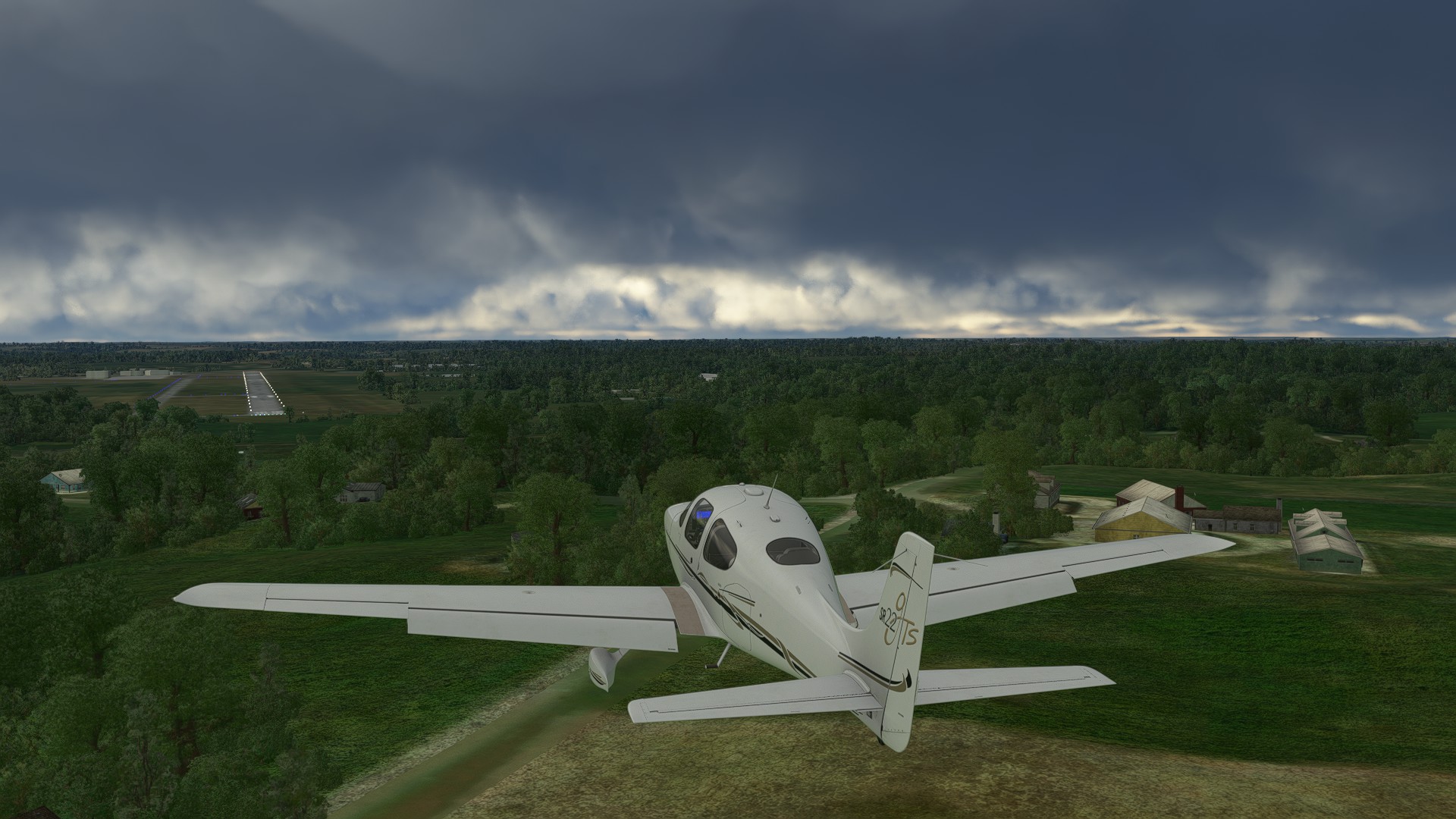
Decent flying weather as we departed Hot Springs, you could barely see precip on the far horizon headed East. Once up at cruise, the view was spectacular, hard rolling hills and mountains until you got down to the Shoshone Plains.
Turnpoint at Boysen Resevoir and a long 75NM segment leading to Casper and Evansville
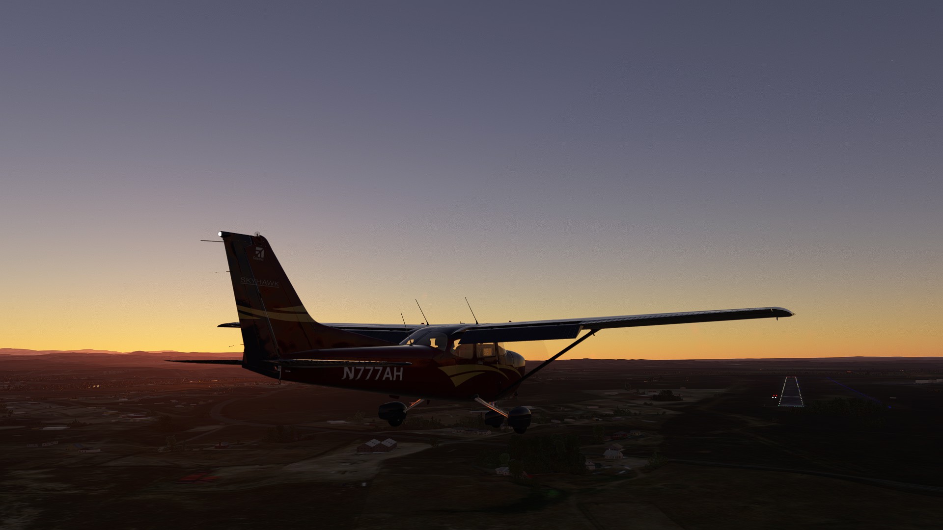
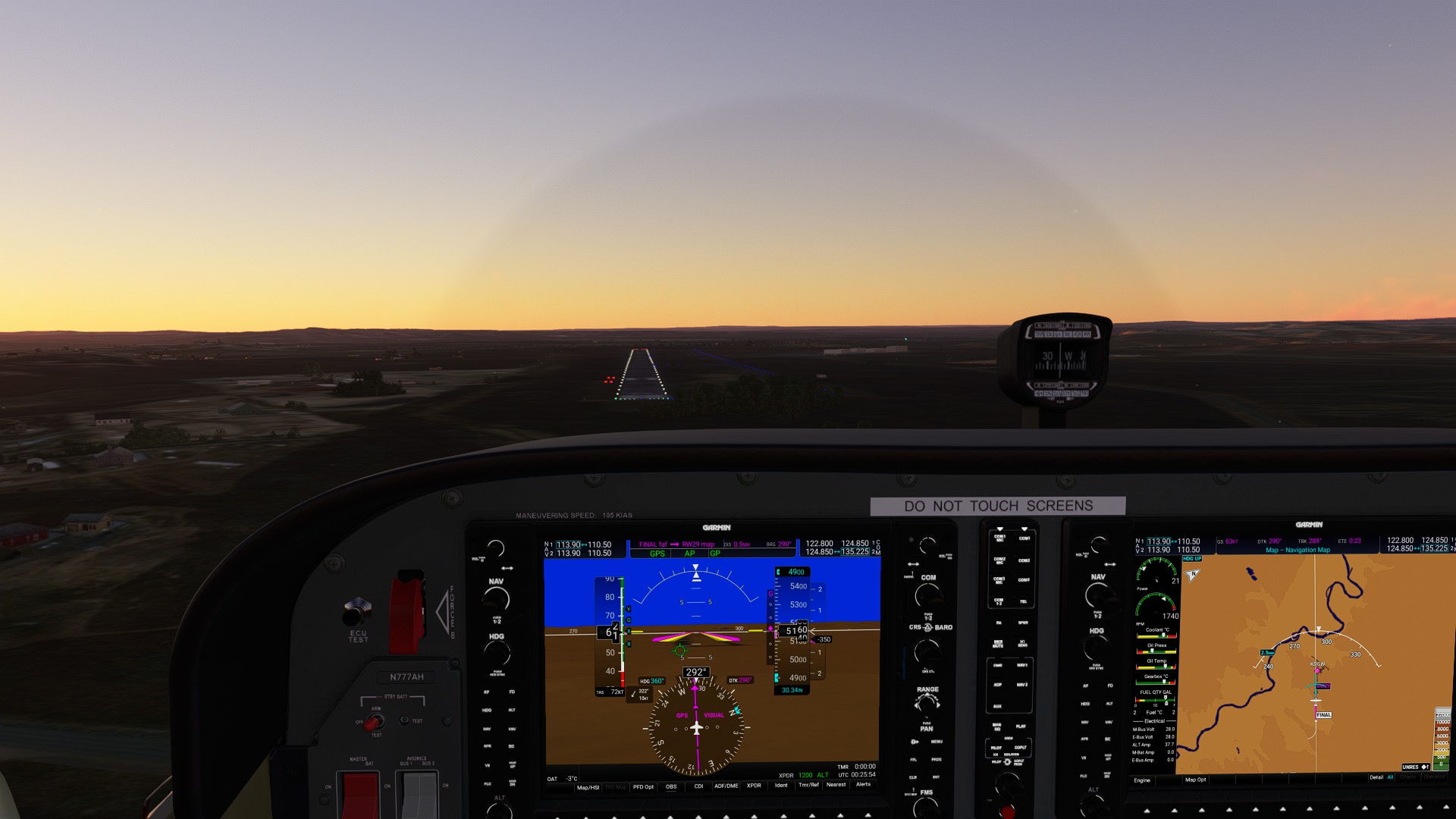
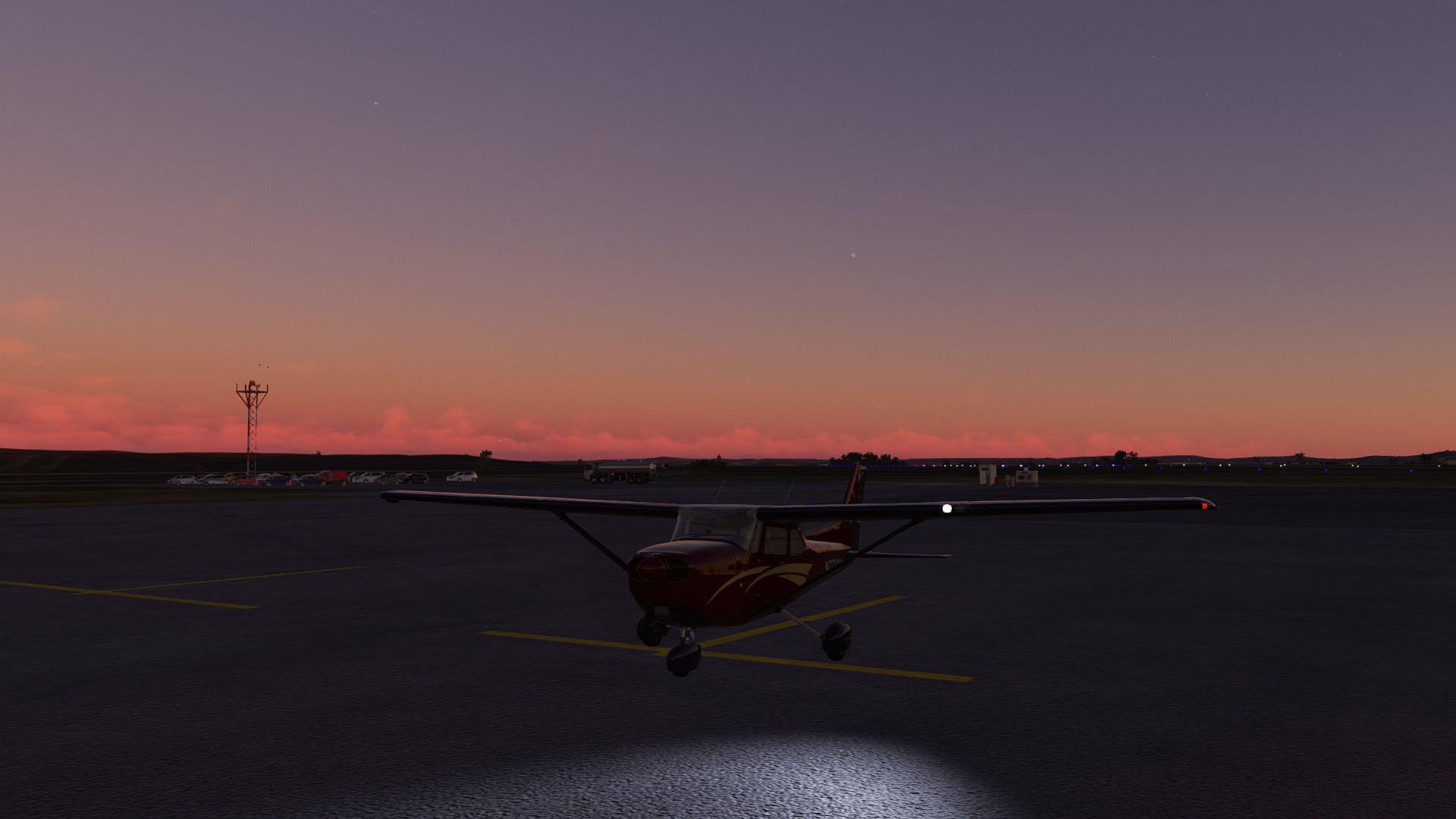
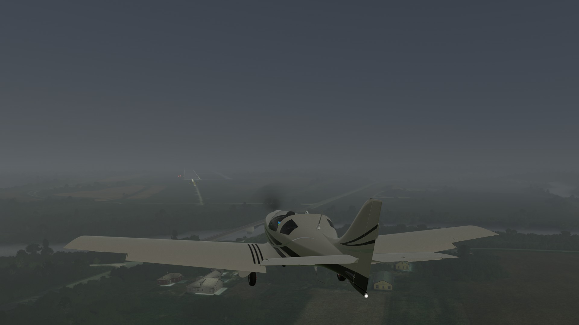
The wind’s shifted a bit to SSE, so we set up for a visual approach into RWY 29 just as the sun’s setting. We’re on the ramp just as the first spectacular pinks start coloring the horizon, while the stars begin to peak in the evening sky.
1 Like
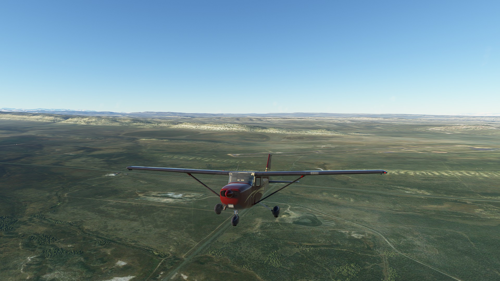
Leg 10: Converse Co. WY to Cole Memorial, NE 171 NM, ETE 76 MINS
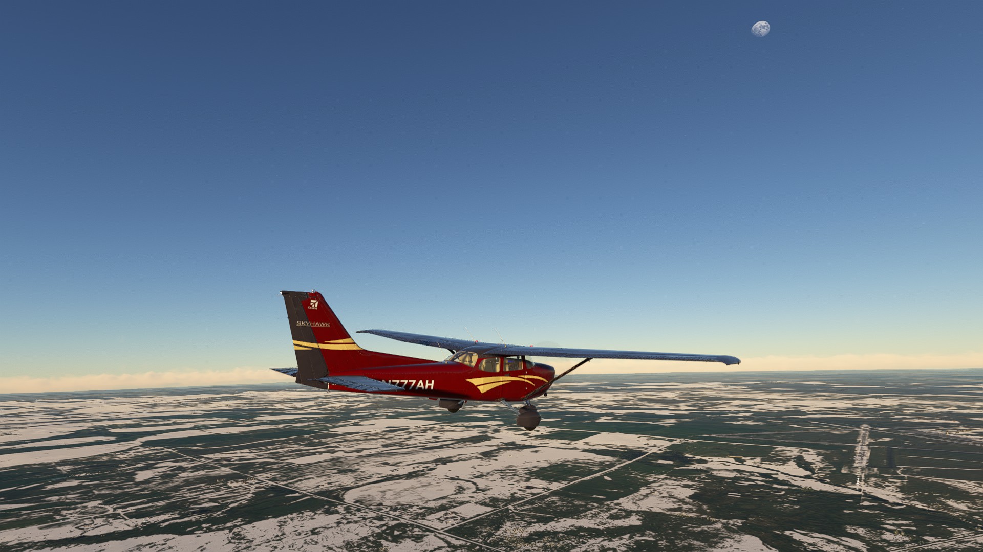
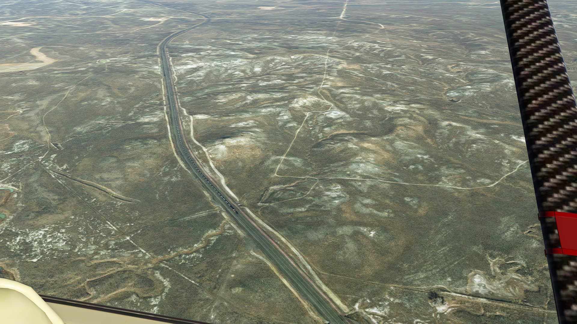
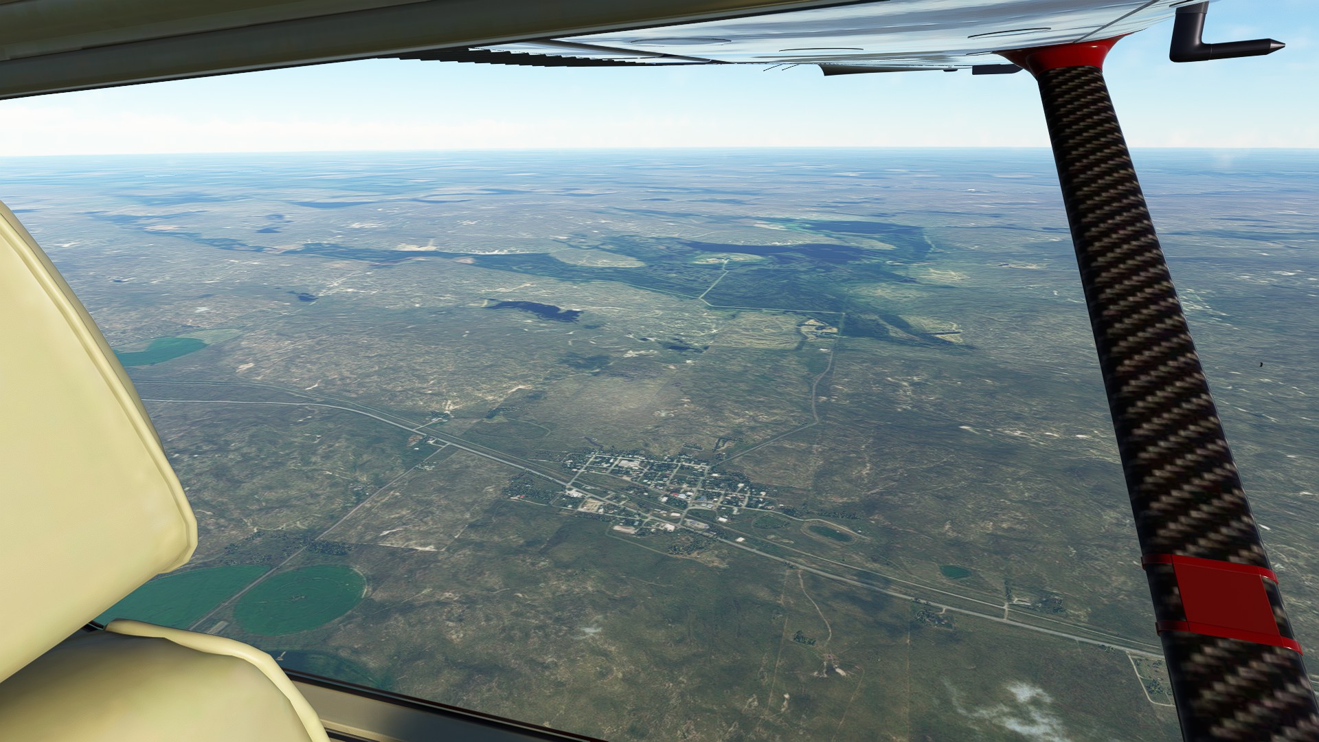
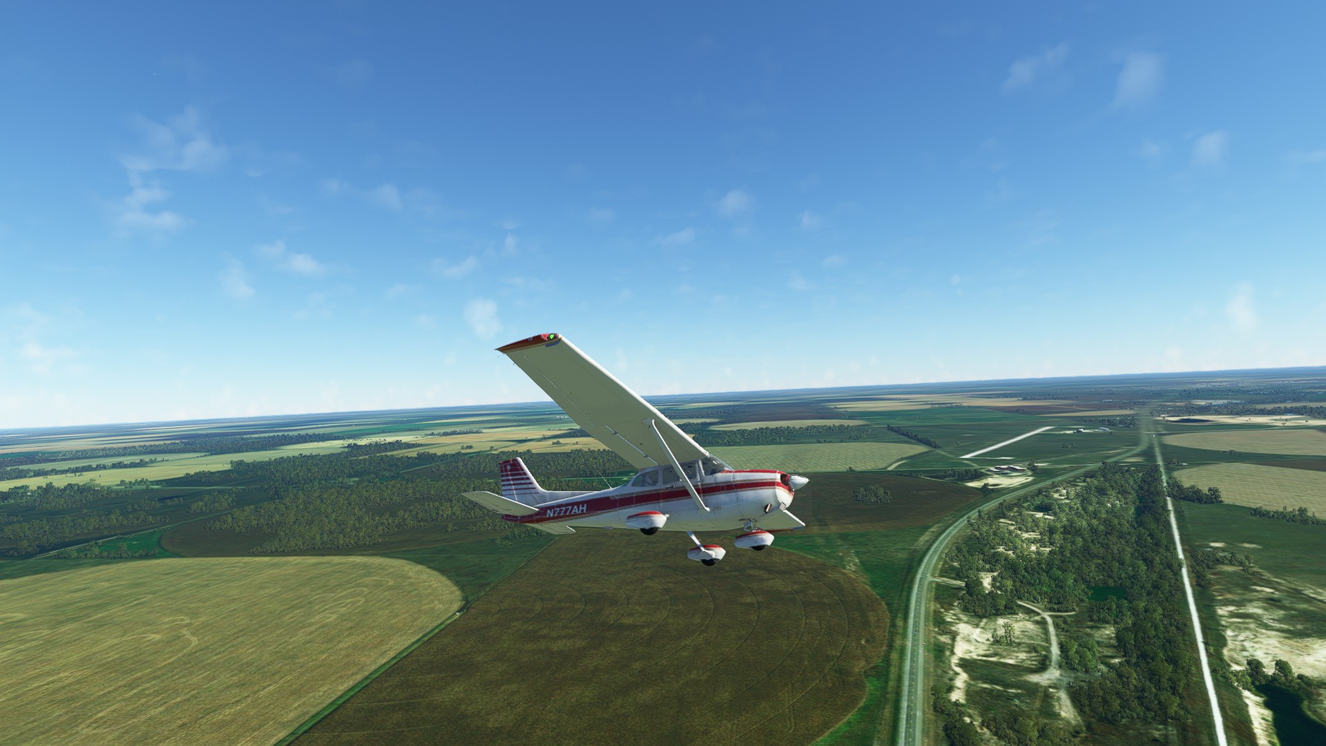
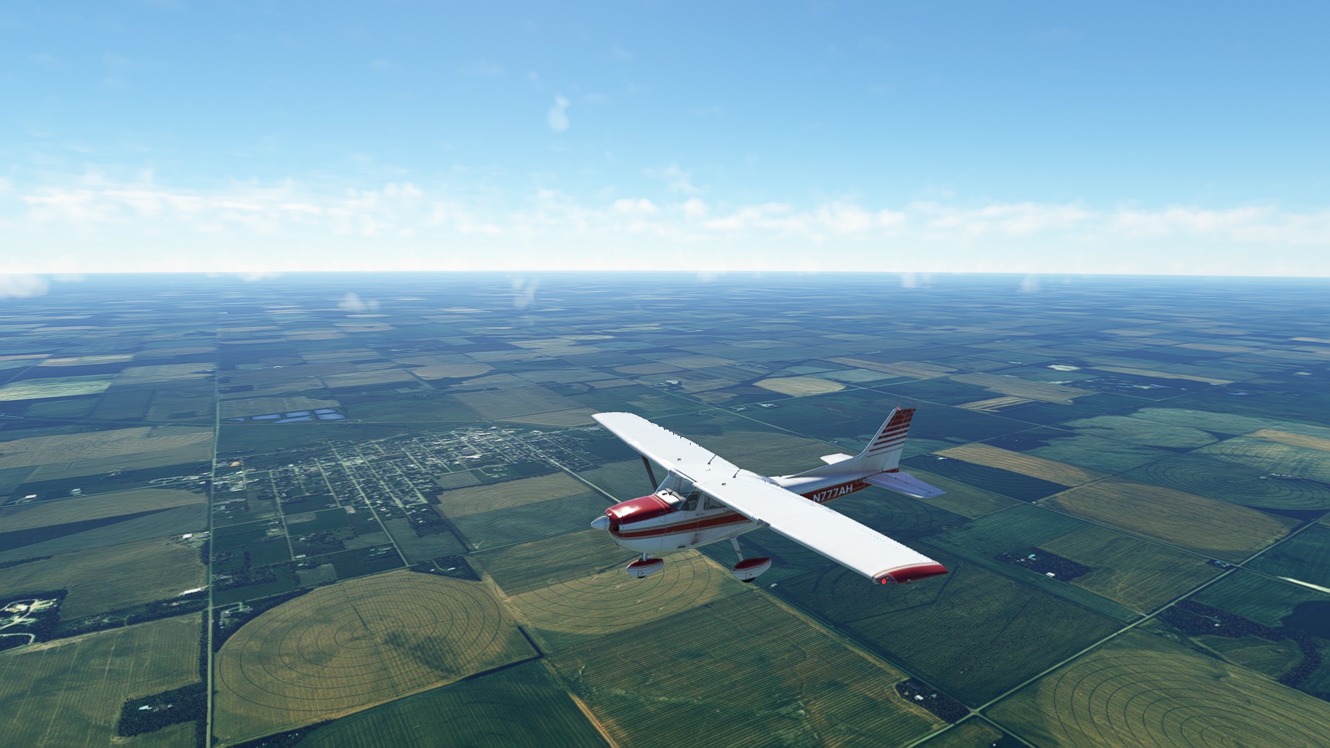
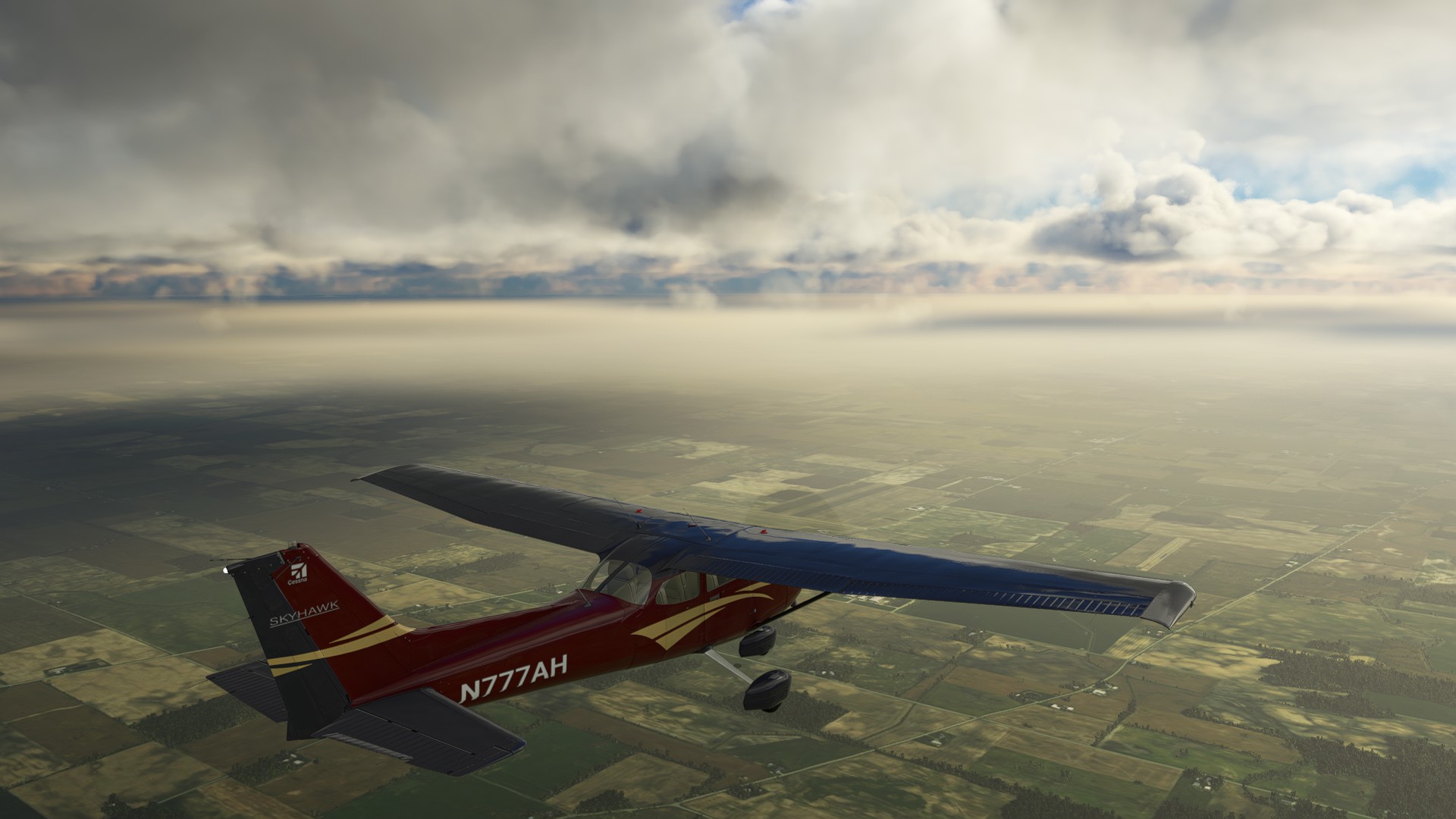
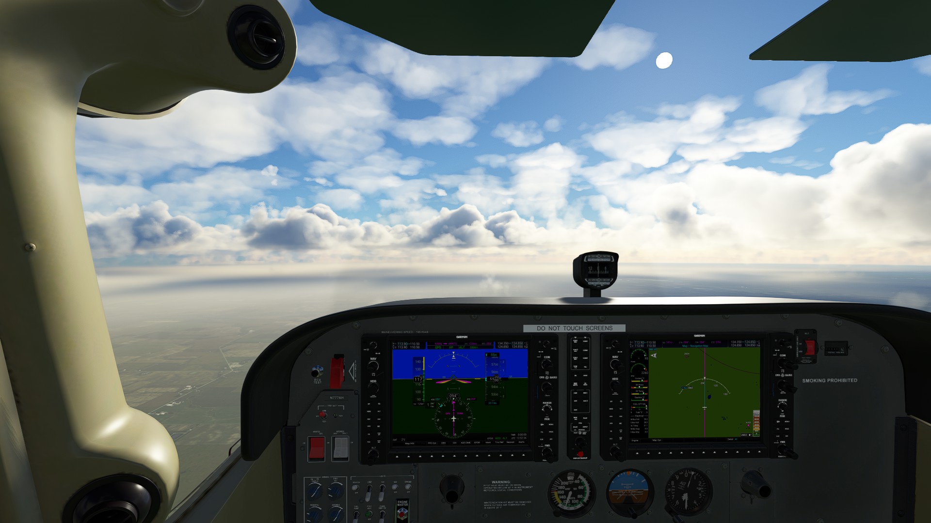
Another great flying day following SR20, and we cross over from Wyoming into Nebraska. A glimpse of a long “consist” of trains running parallel to our route, and the stretching plains are occasionally broken by collections of buttes.
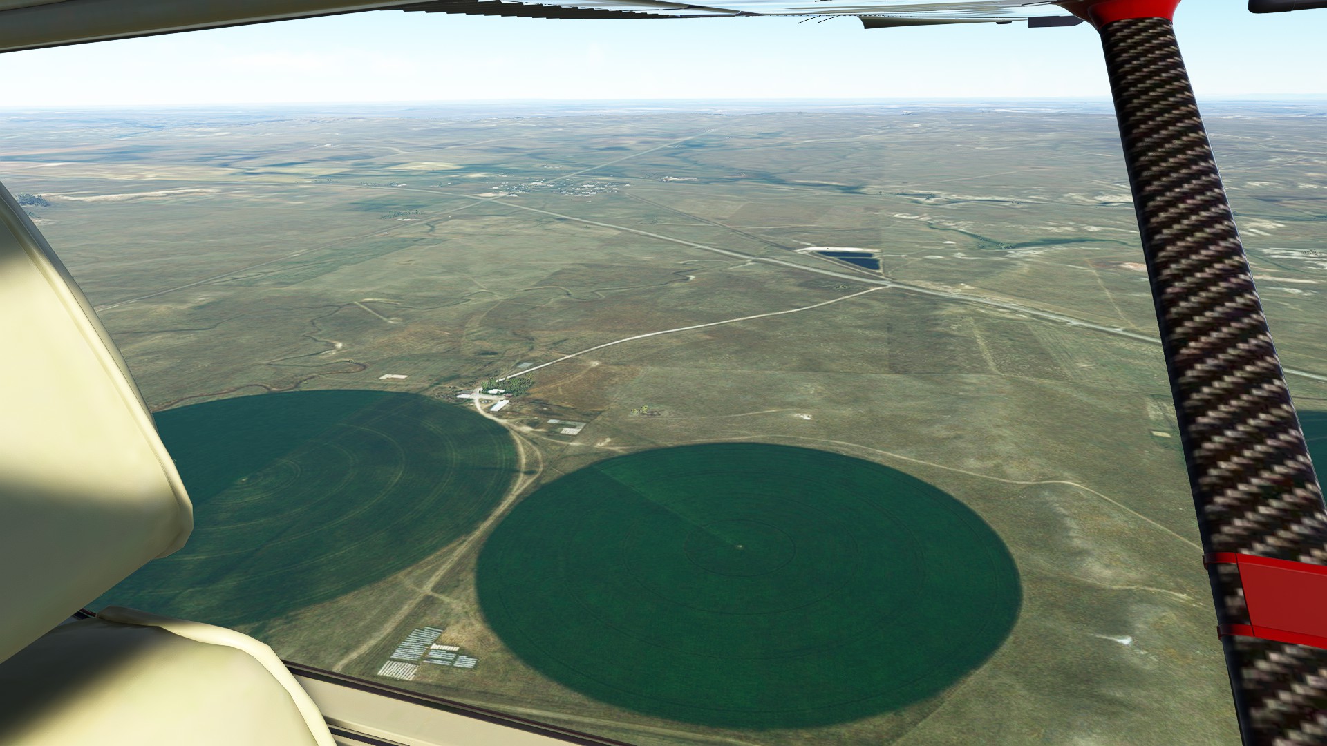
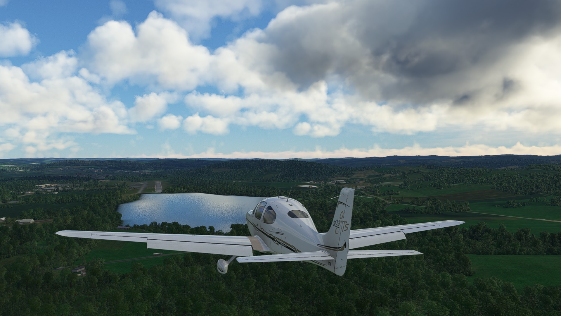
Nebraska farmland stretches out from beneath us to the far horizons. Crop circles abound, as well as small towns, before arriving at 57NE Cole Memorial, a privately held field next to a picturesque lake.
2 Likes
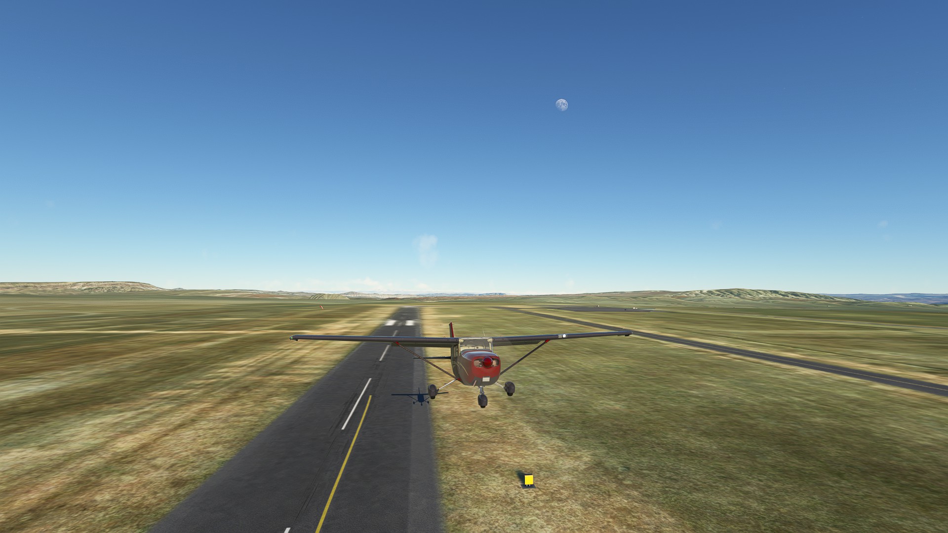
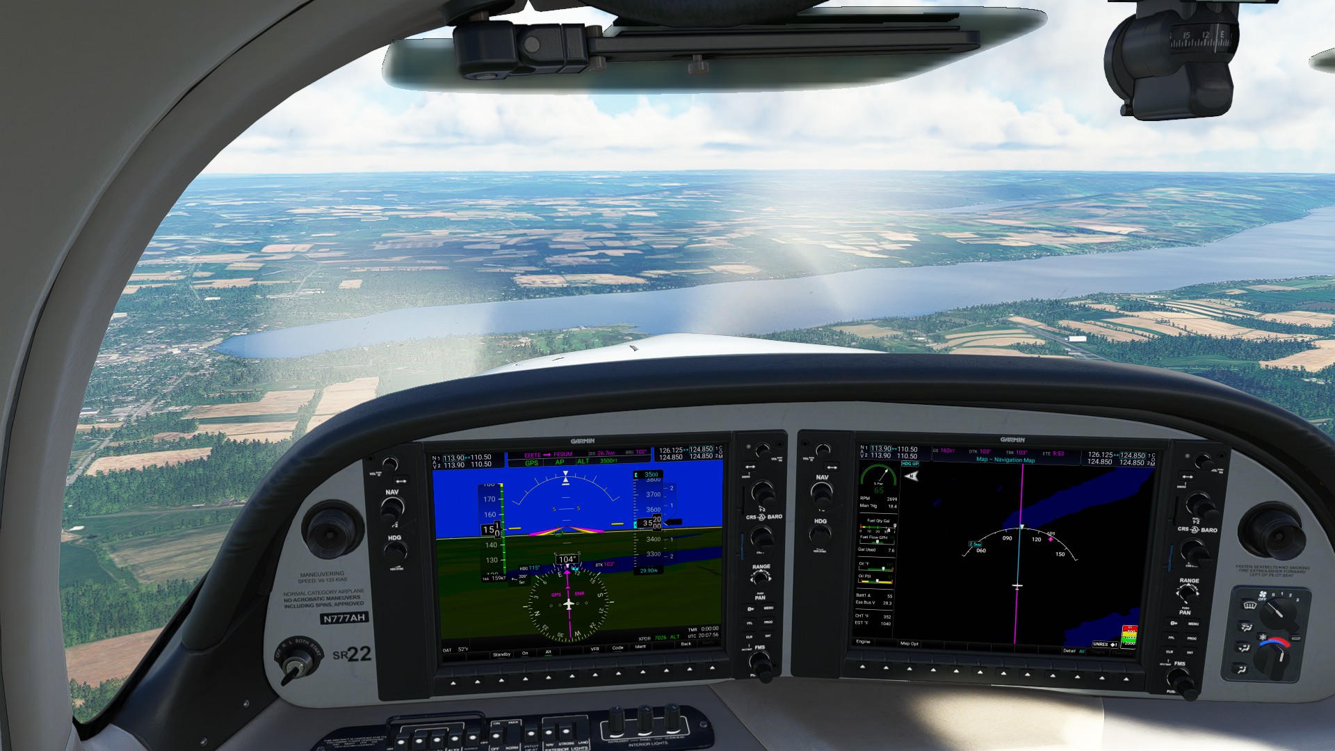
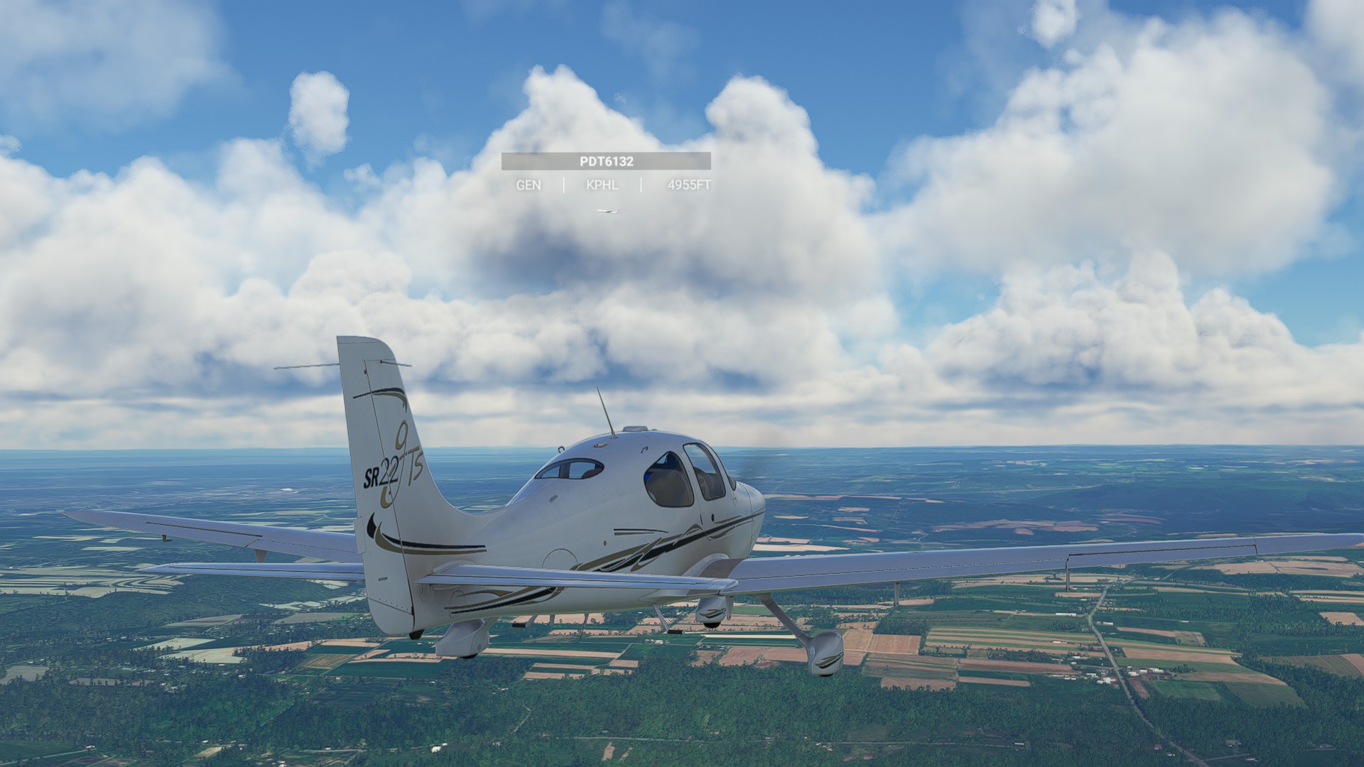
Leg 11: Cole Memorial, NE to Stuart-Atkinson Municipal, NE 125 NM ETE 58 MINS
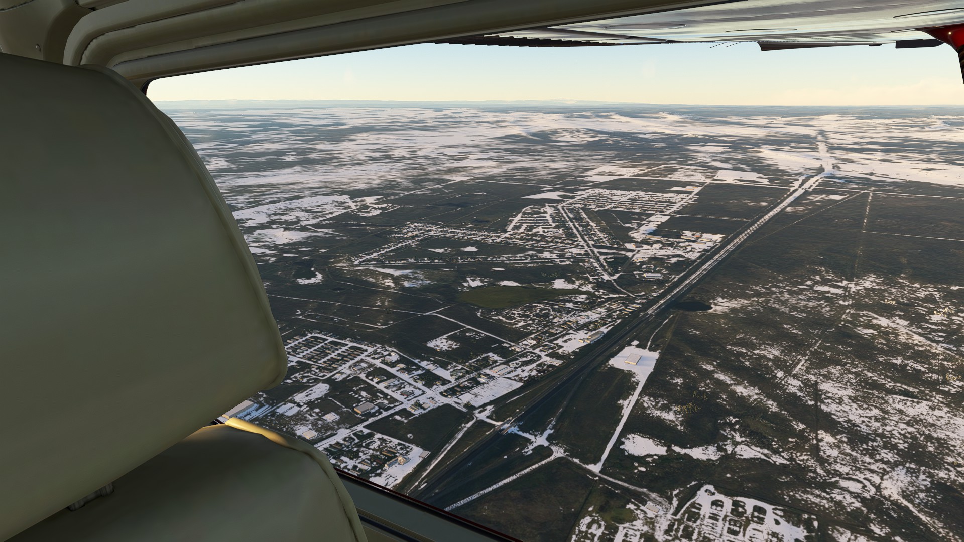
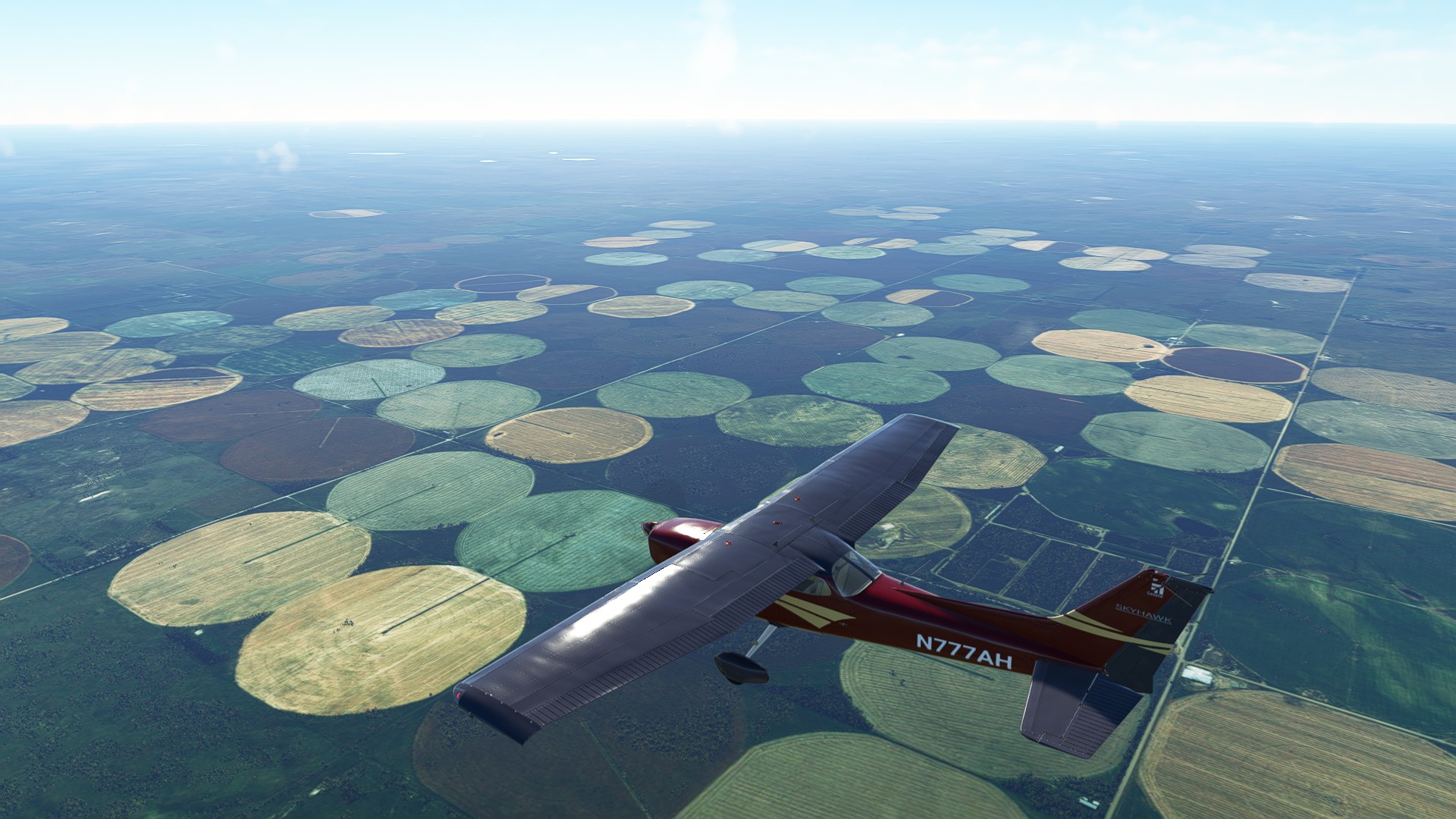
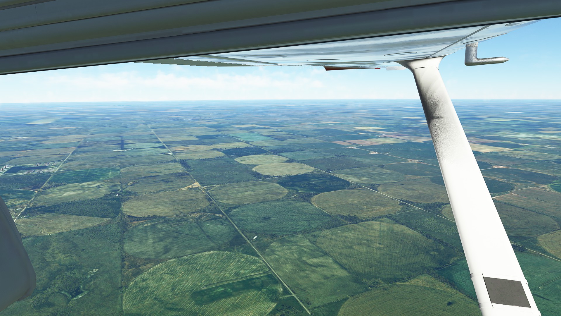
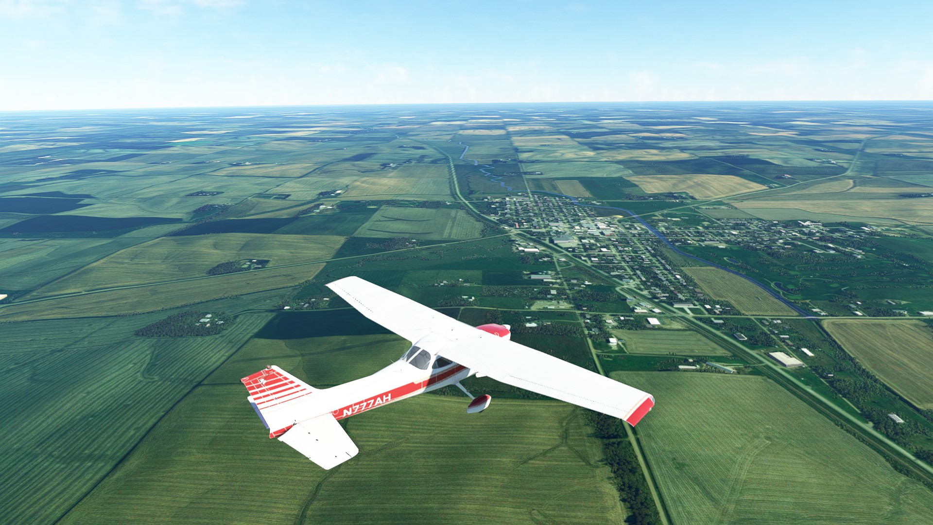
We continue our journey through Nebraska, from Cole Memorial private field, following the undulating plains. Being airborne but low enough to see a variety of detail gives a very different perspective on the land below - SR20 is a classic highway, relentlessly marching on, with towns directly connected to it as a lifeblood link and bypasses of tertiary roads leading to even smaller population centers.
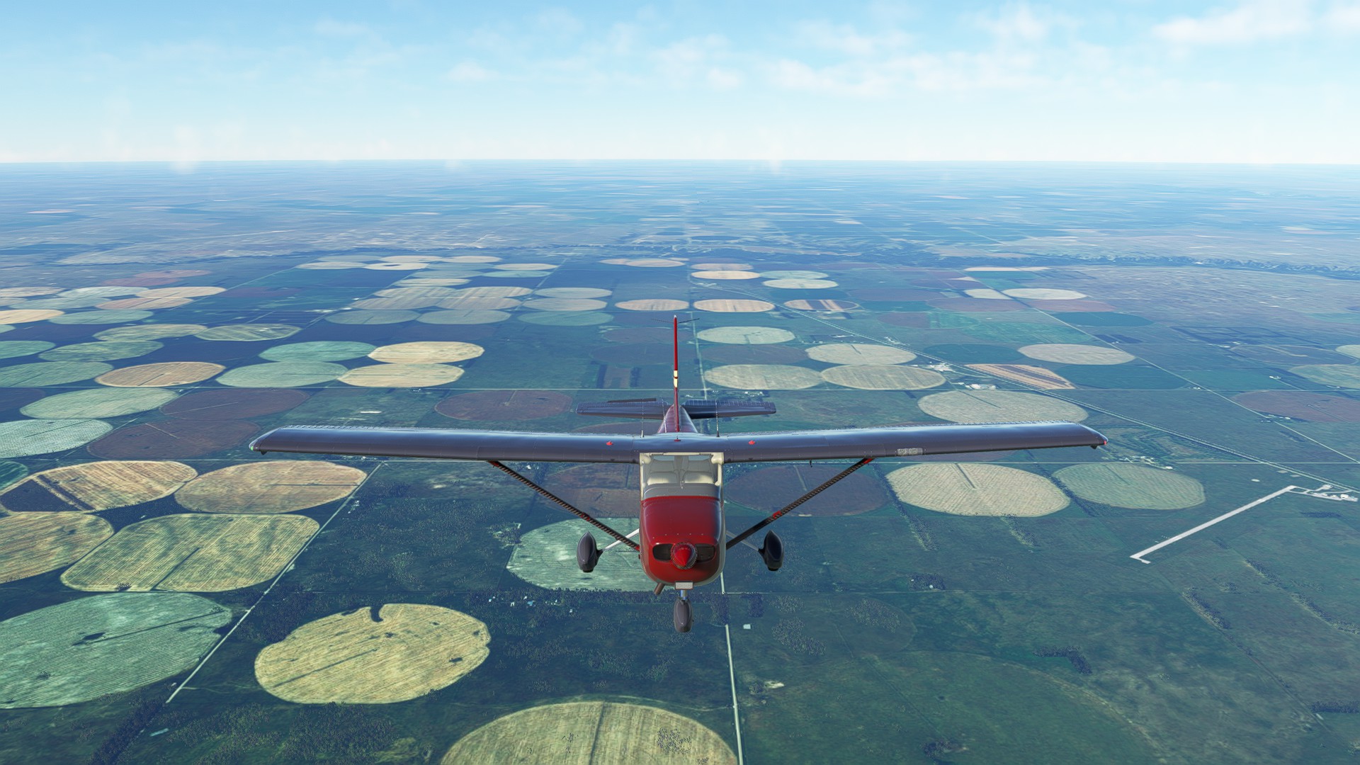
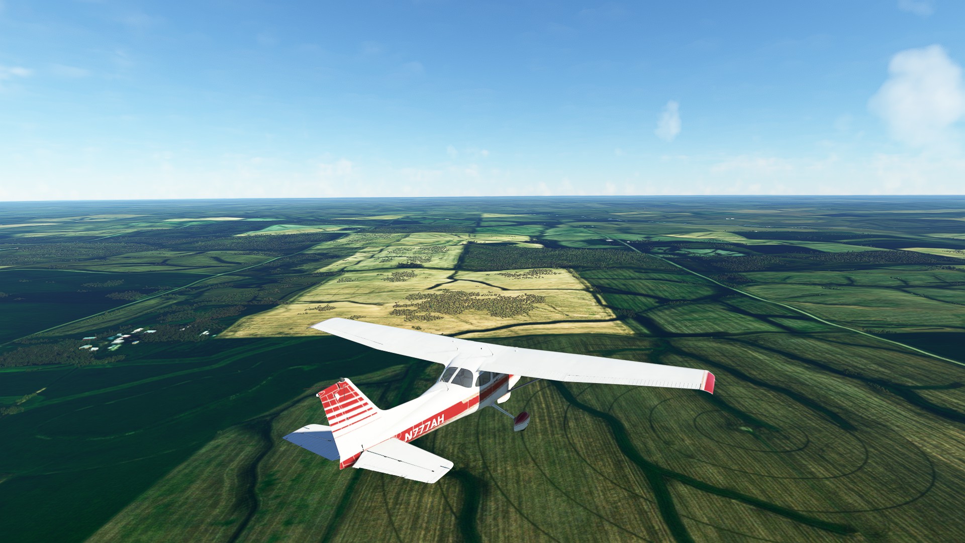
You can tell you’re in the heartland of the United States by the sheer number of crop circles and farms.
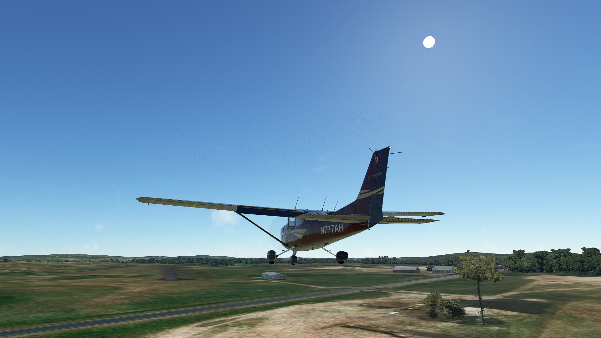
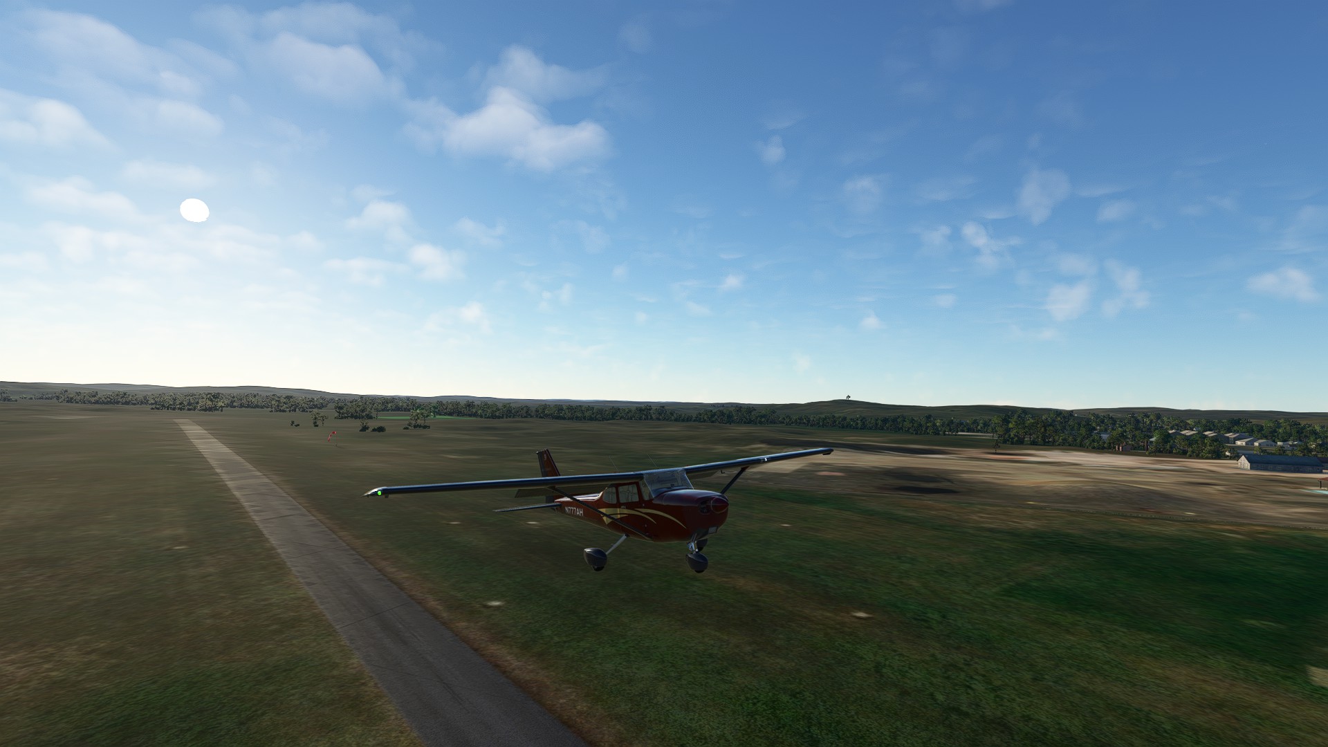
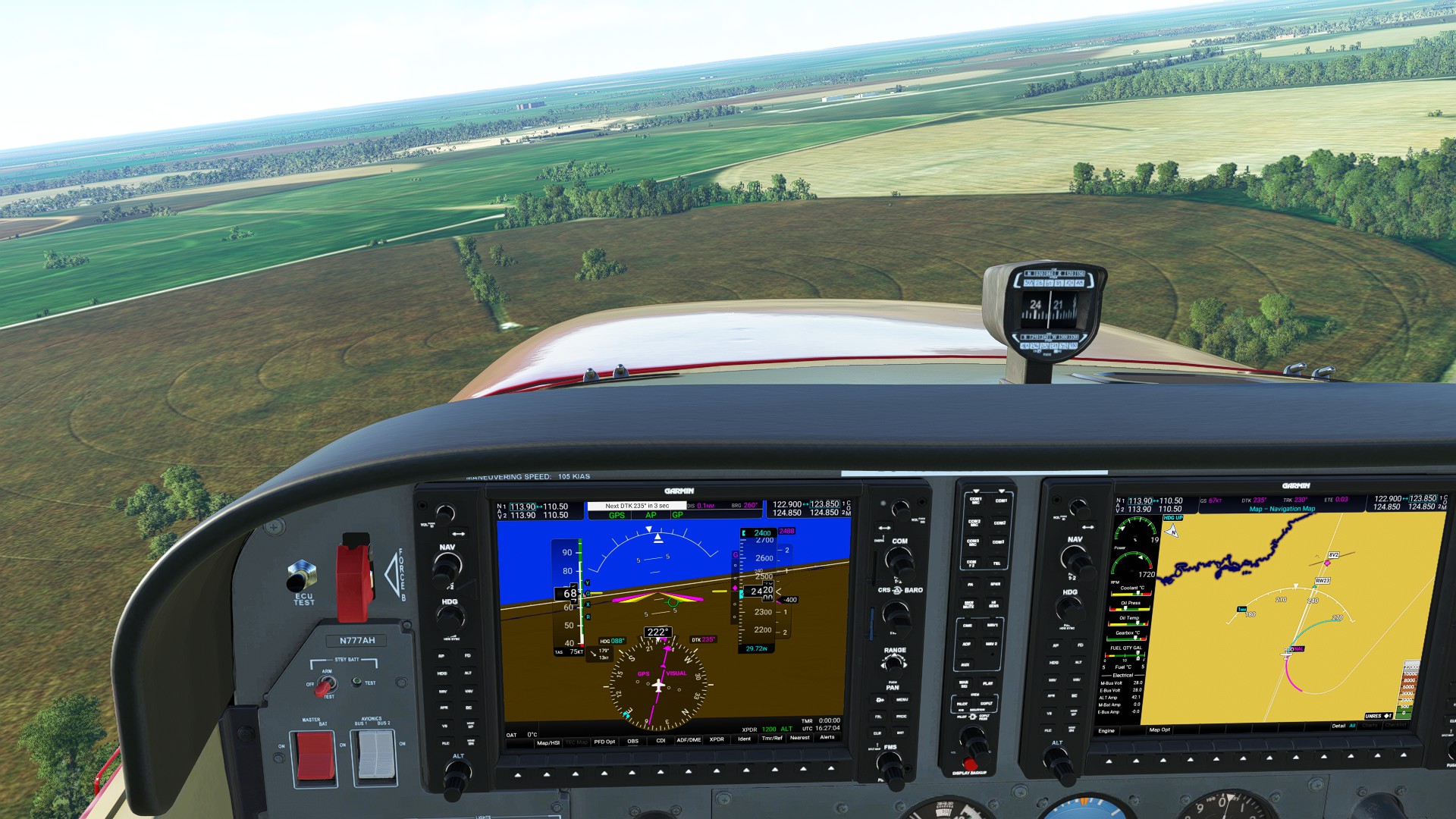
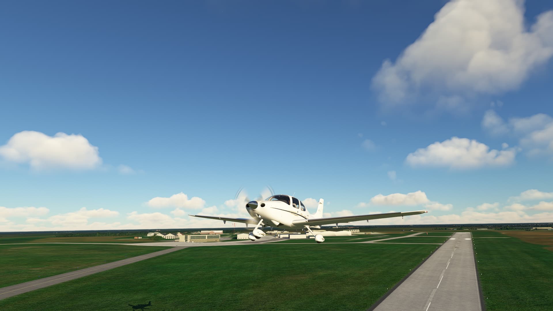
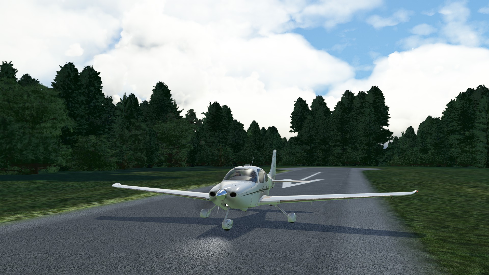
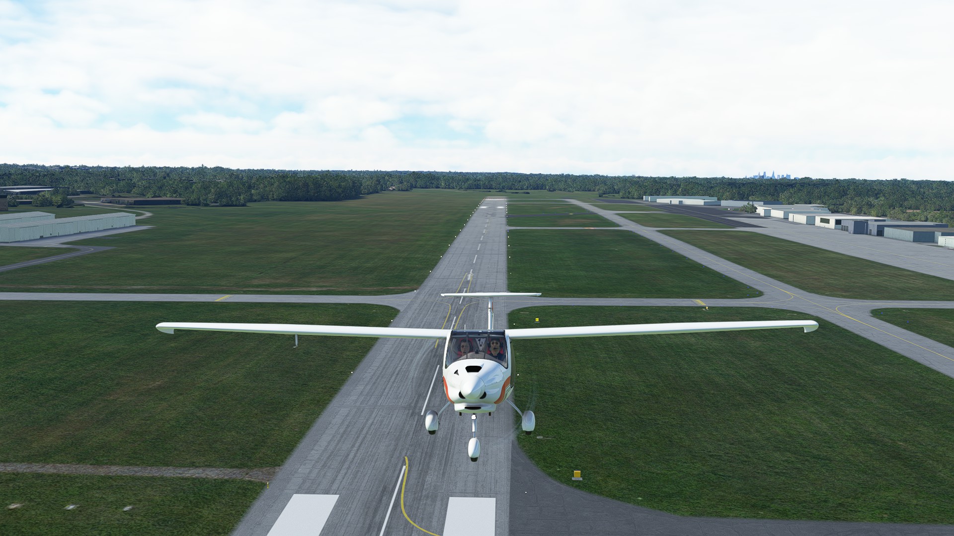
Arriving at Stuart-Atkinson Muncipal, we elect to take the unique Runway 23 which a grass strip perpendicular to the concrete runway.
Leg 12: Stuart-Atkinson Municipal, NE to Wayne Municipal, NE 98 NM, ETE 51 MINS
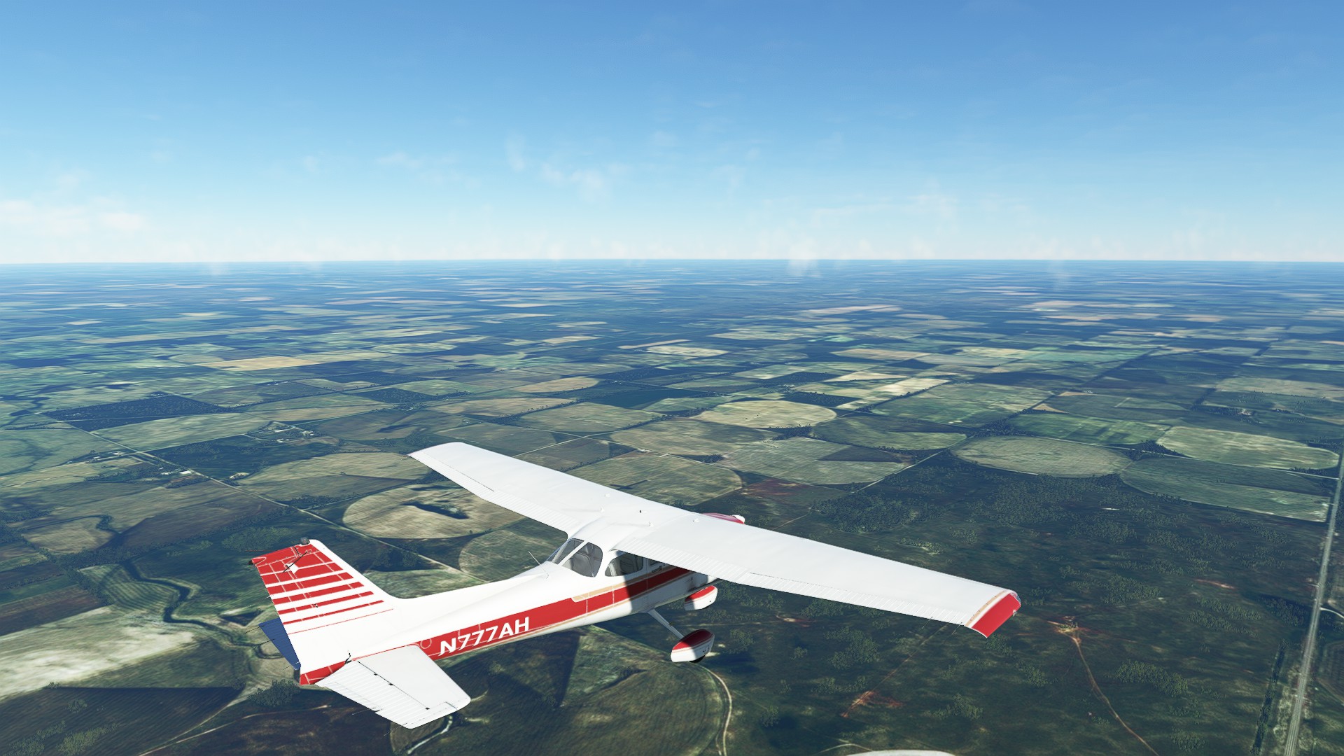
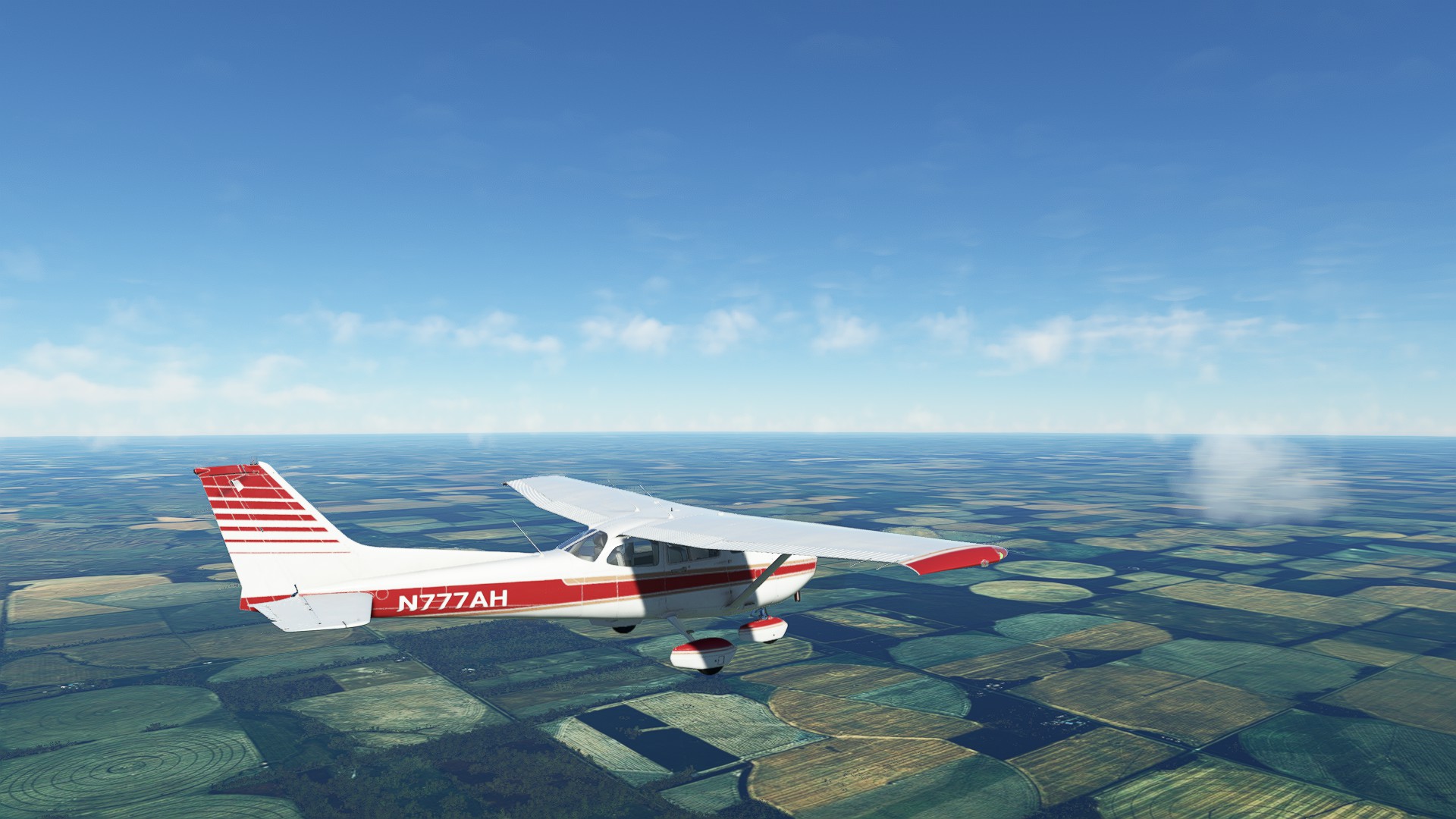
We’ve finished our last leg in beautiful (but very flat) Nebraska, ending up at Wayne Muncipal just SW of Sioux City, IA.
Good launch and yes,if you love Crop Circles, Nebraska is your state.
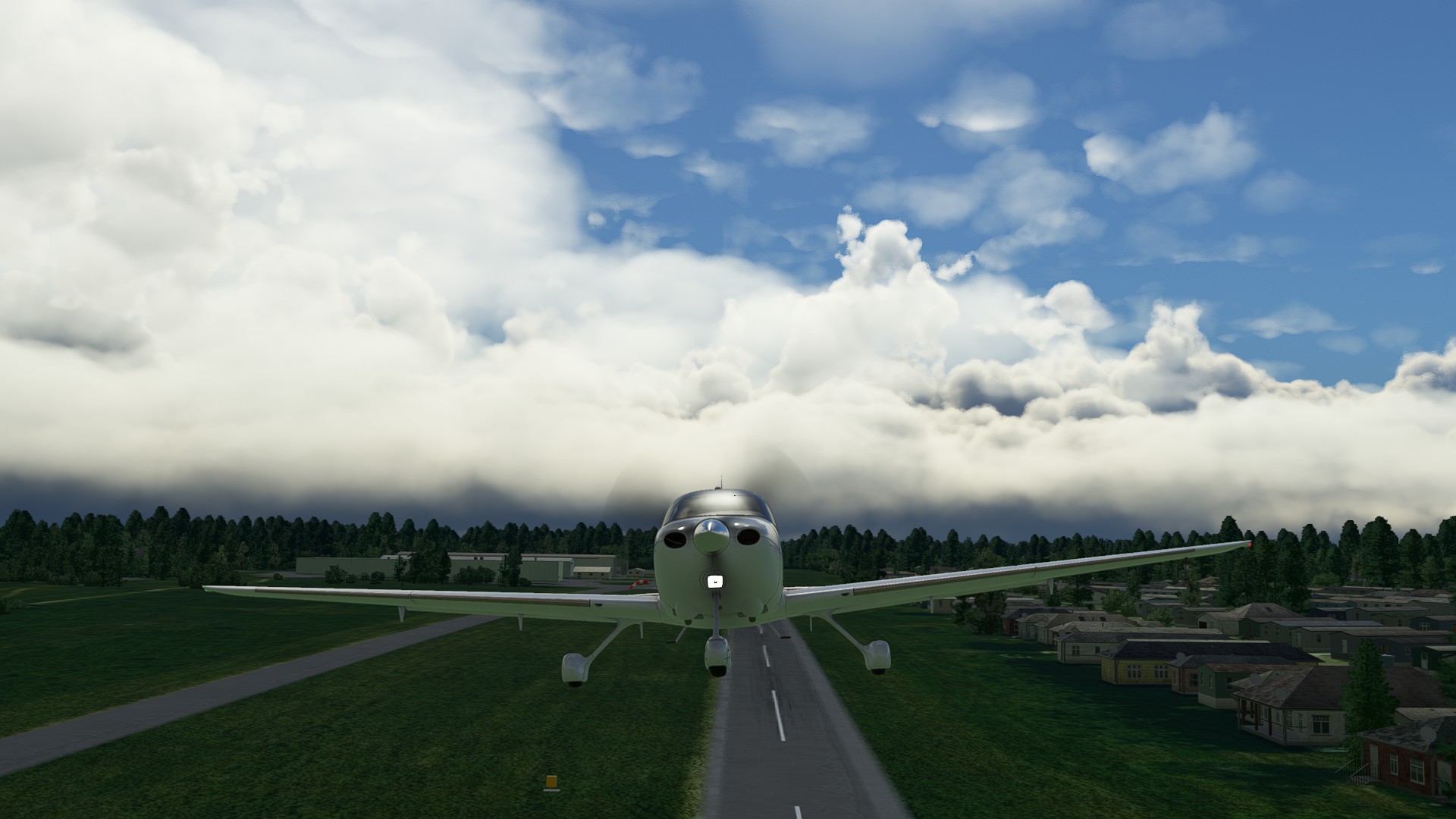
Wayne Municpal is another combination asphalt and grass airfield, but this time we elected to land on RWY23 due to the prevailing wind.
1 Like
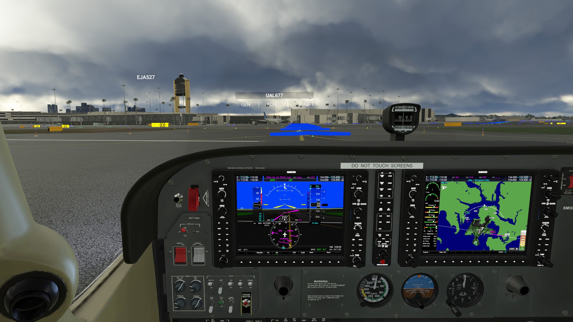
Leg 13: Wayne Municipal, NE to Ft Dodge Regional, IA 135 NM 0:28:00 ETE
Switched to the Vertigo for a change of pace, it takes a bit of muscle memory to go from a 115 kts plane to a PT-6A monster that barely breaks a sweat at 250 kts.
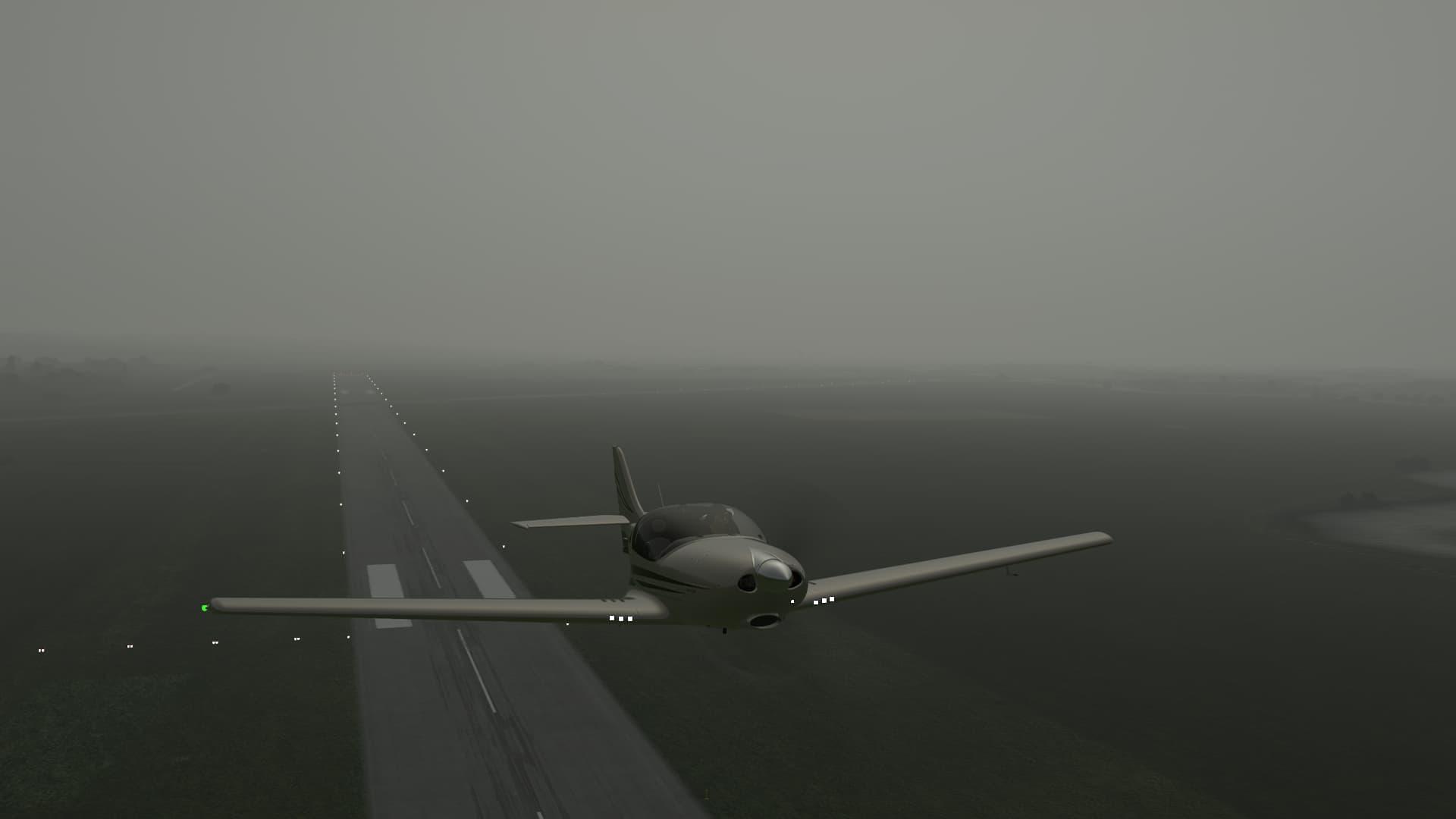
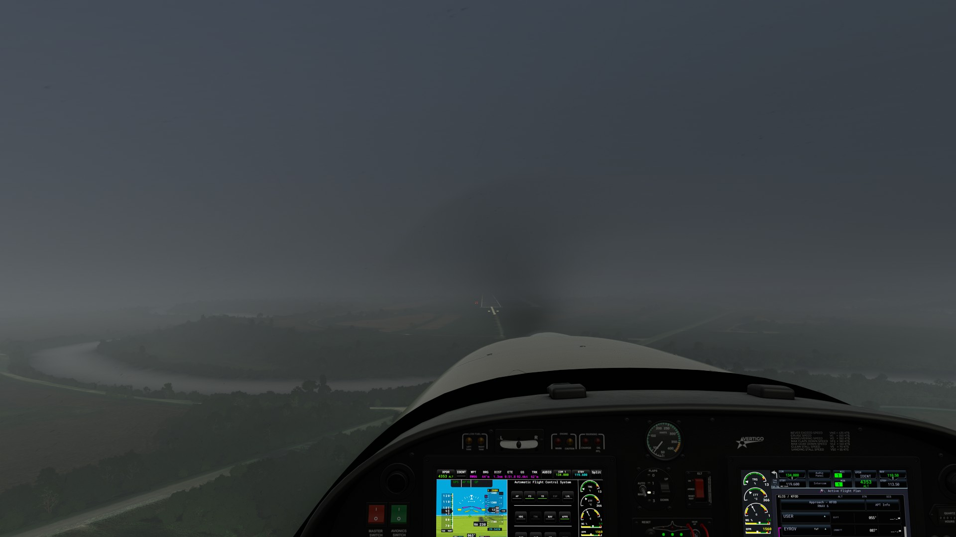
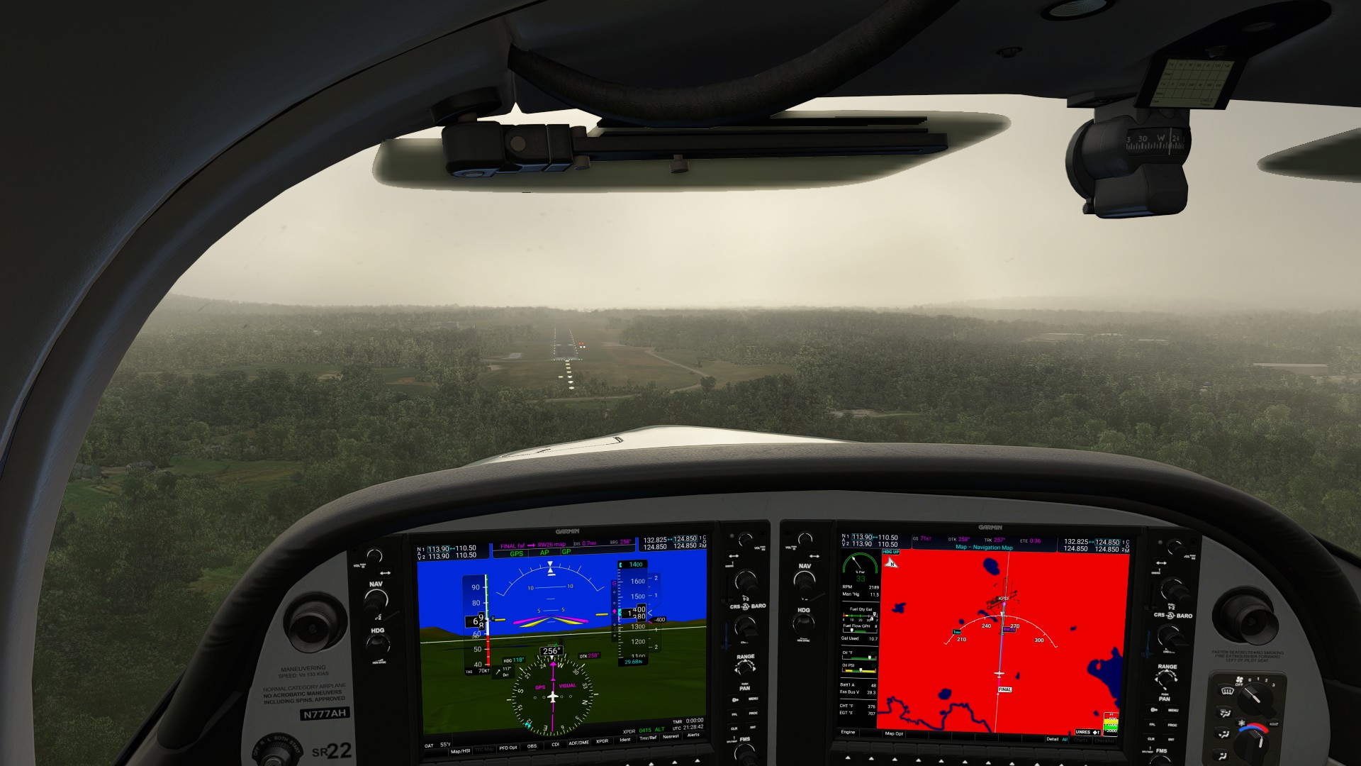
Definitely an IFR day - OVC at 1400’ solid in rain, declared a plan as soon as I broke 500’. Heavy precip all along the first half of the route. Breakout around 9,800’.
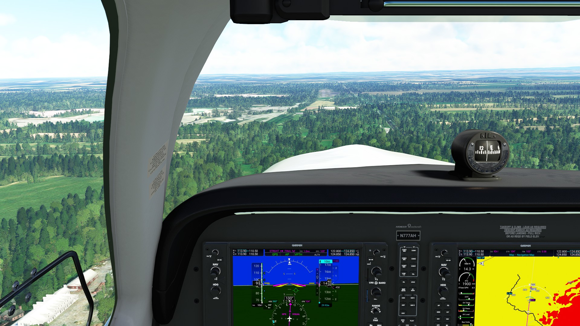
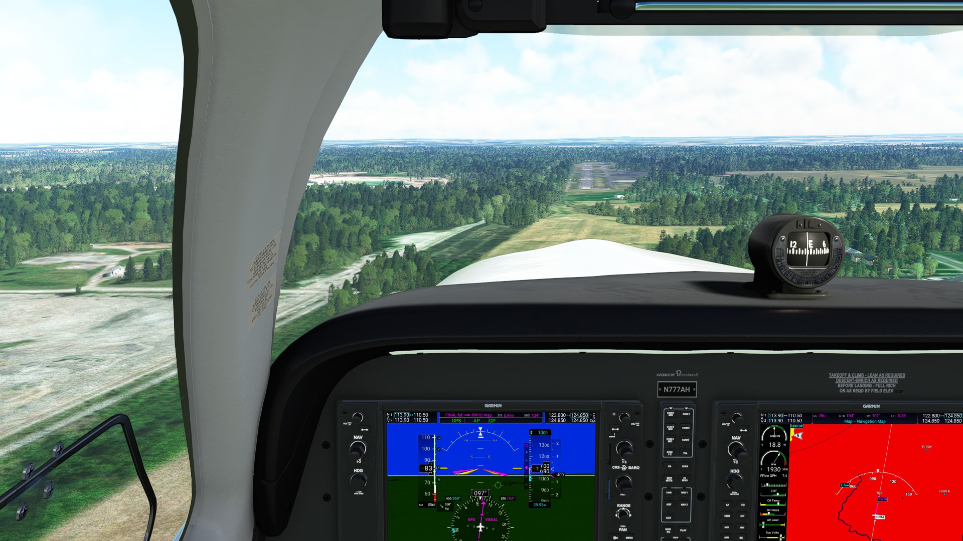
Not too much traffic, and it’s all above me around FL200 or better. Couldn’t really capture the RNAV, so I handflew the approach, thank goodness for Synthetic Vision and the Flight Path Marker, I just kept head down putting the FPM on the runway and managing speed plus control surfaces. Safe arrival at Ft Dodge.
Leg 14: Ft Dodge Regional, IA to Manchester Municipal, IA 120 NM 0:47:00 ETE
Headed steadily East under lightly scattered clouds, passed by Independence airport (not the same home as the Cessna plan - that’s in Kansas) and arrived under a beautiful sunset. Manchester Municipal is a tiny field with three ramp spots - very quaint.
1 Like
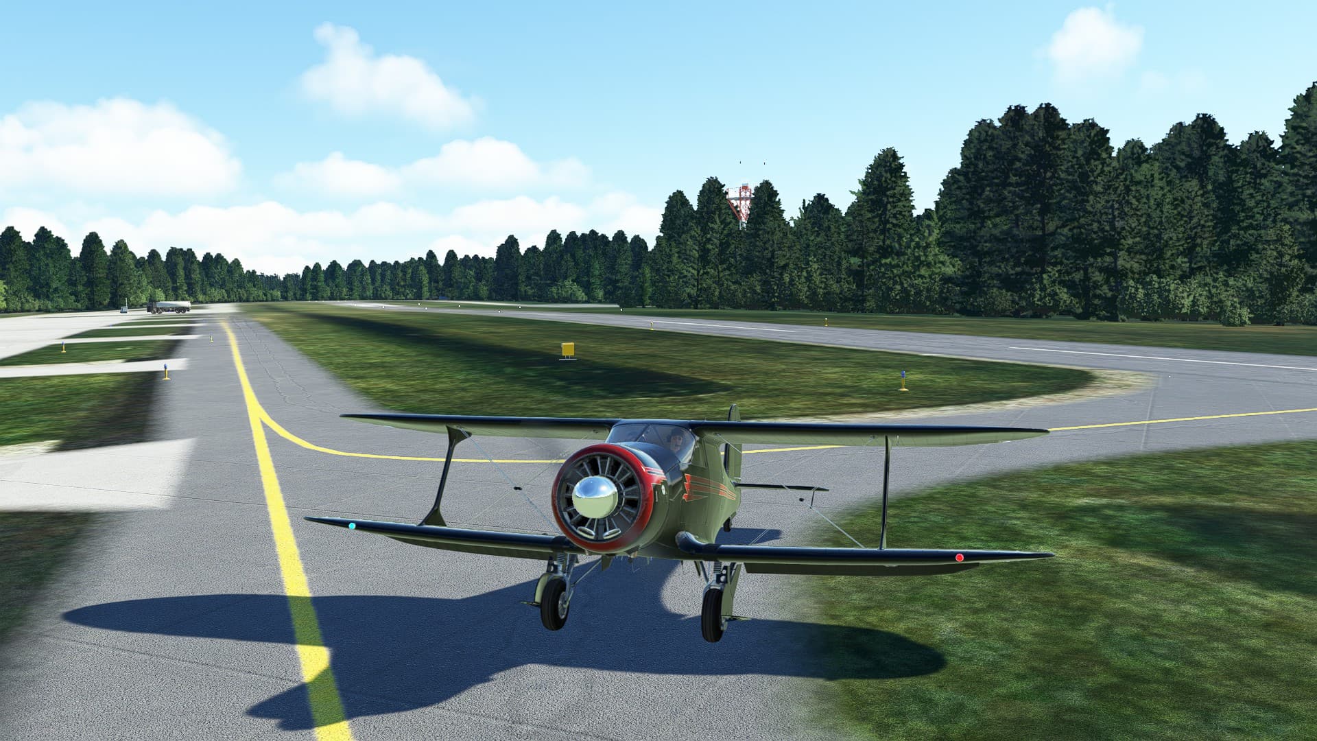
Leg 15: Manchester Municipal, IA to Landing Condominium, IL 141 NM, 1:09:00 ETE
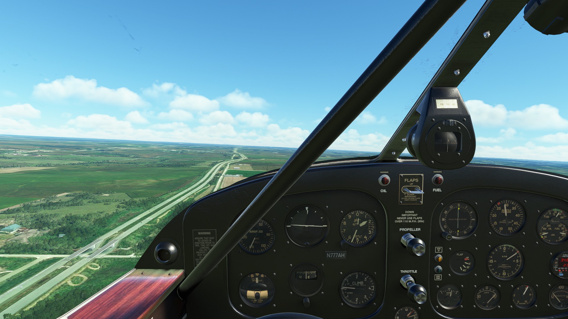
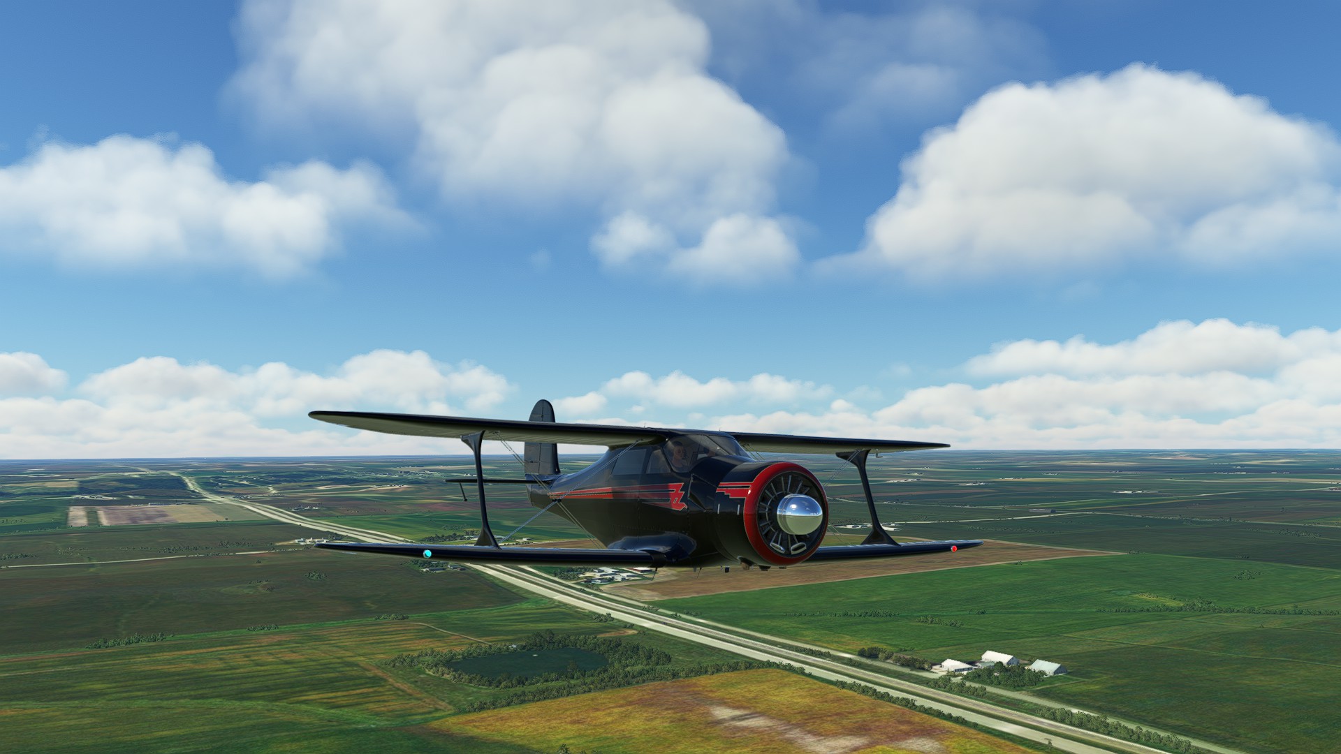
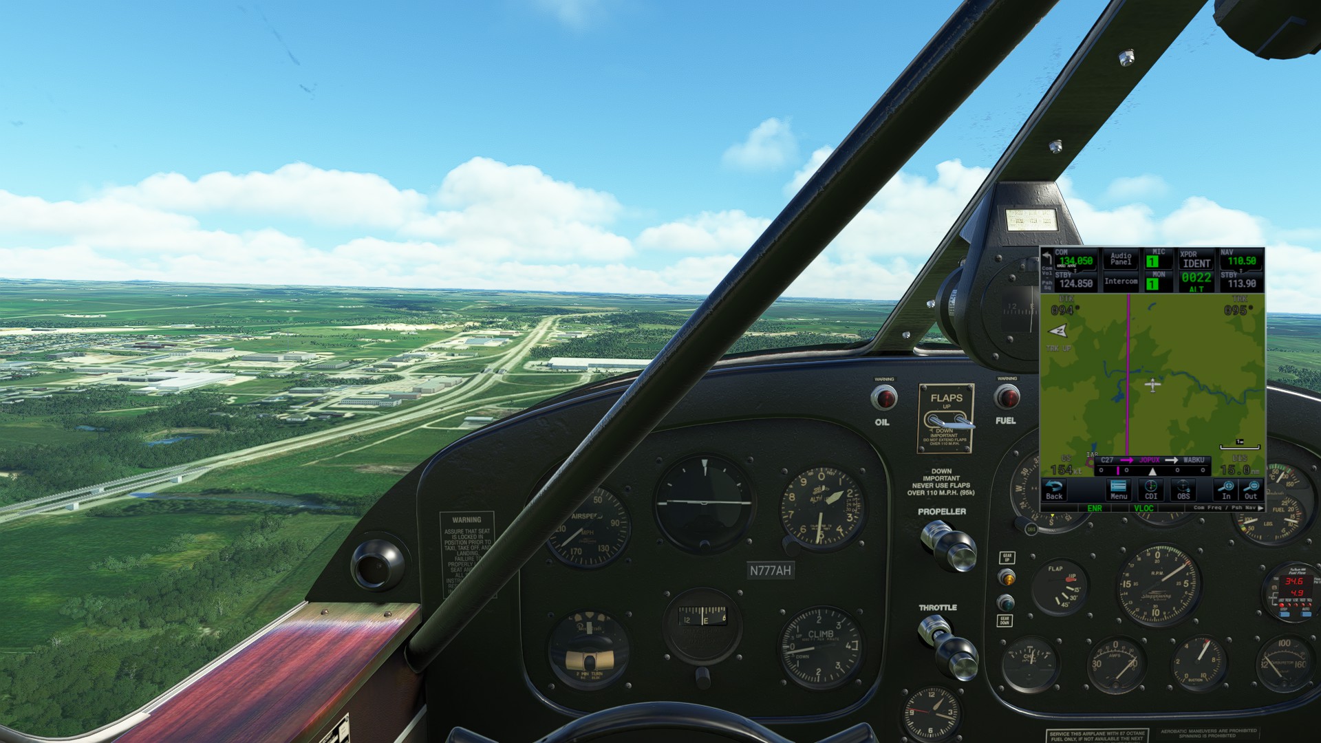
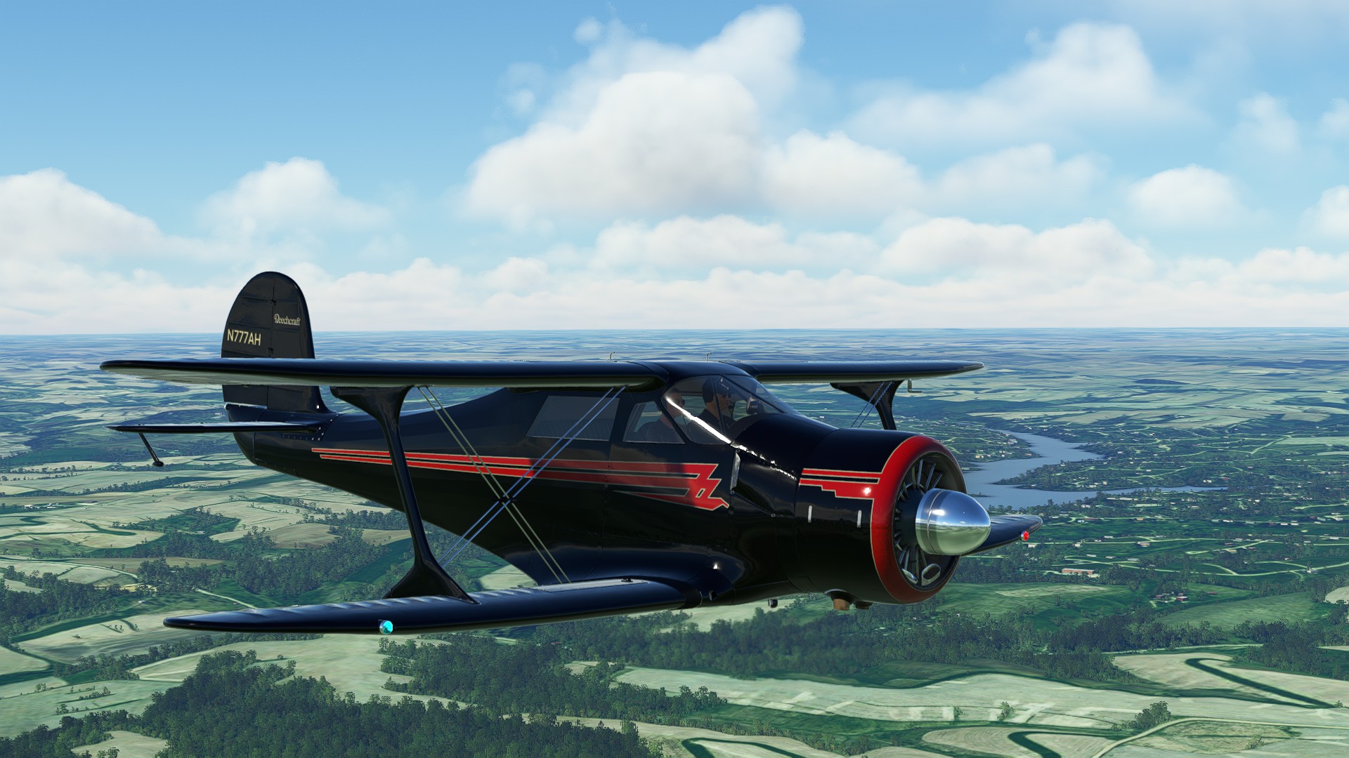
I (foolishly) decided to take the Staggerwing on it’s maiden voyage for this leg. Mr Toad’s Wild Ride was organized by comparison. My altitude hold was pitiful based on the vertical profile post-flight in Little Nav Map, lateral navigation was better. Modern concession was made to use the GTN750 in-cockpit from the Toolbar, while handflying and system-managing the aircraft expected. All in all, a different trip made enjoyable by the experience of true landmark VFR backed up by the Garmin for safety.
The Staggerwing is definitely an interesting bird, not sure I’ll continue to use it for this Coast-to-Coast but it was unique and a nice change of pace from the Glass Cockpit aircraft I’ve used to date.
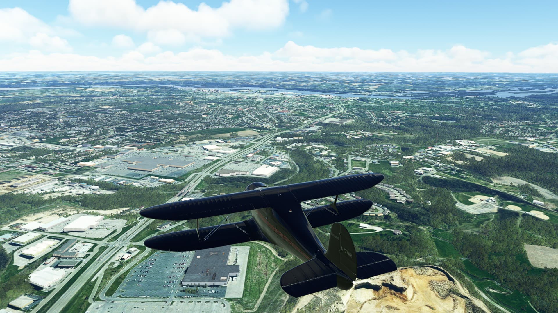
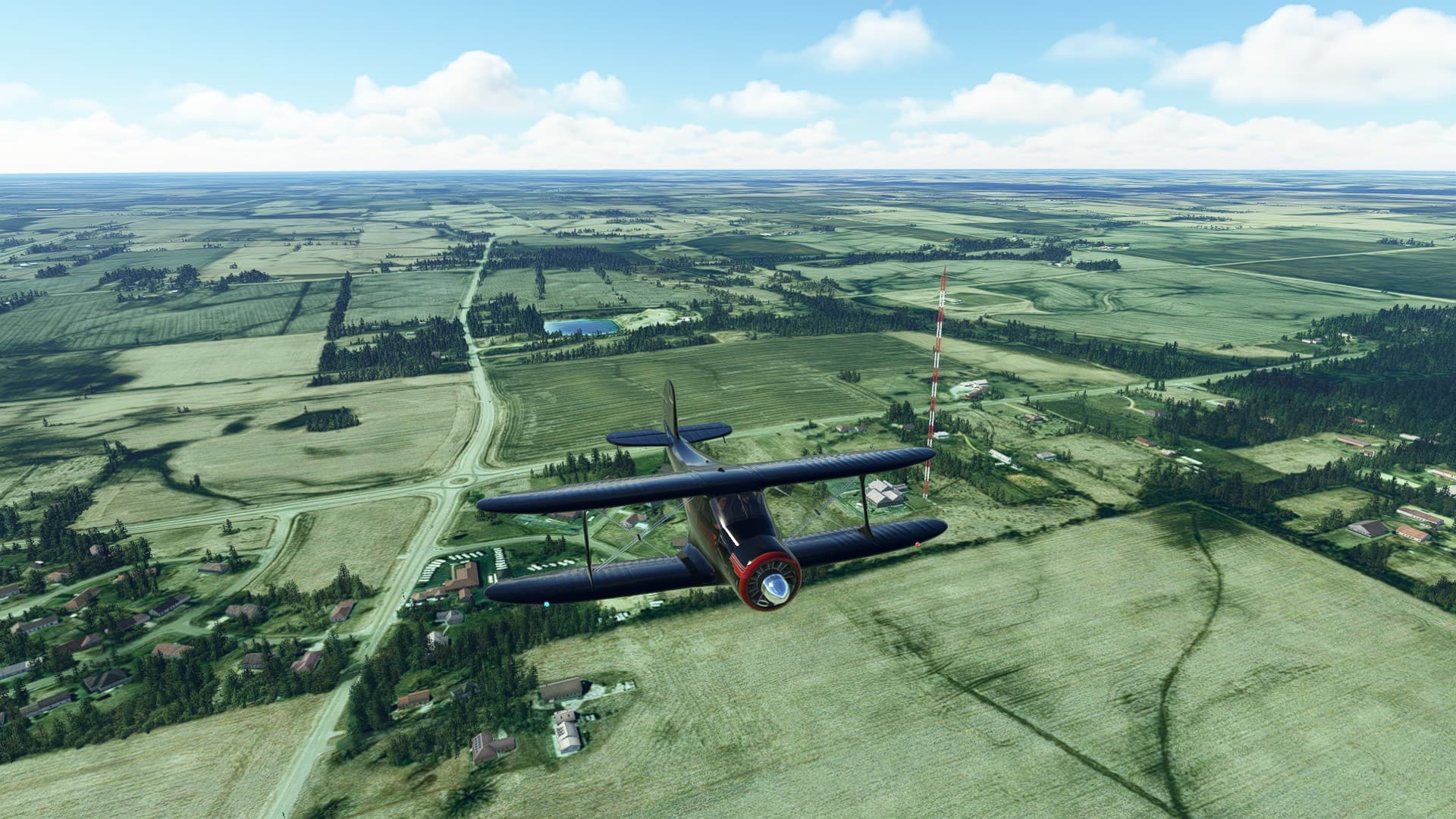
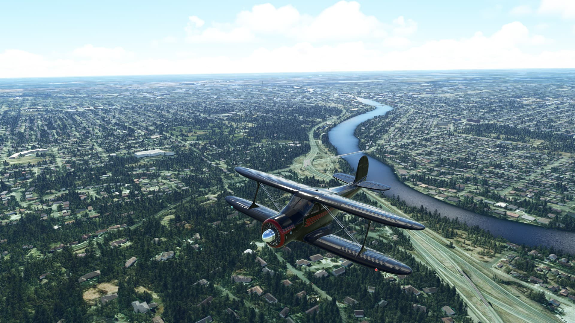
Passed Dubuque IA, the Mississippi River, Rockord IL to a private strip just outside of Chicago. The thing about flying at or about 2500’ and a much slower speed of advance is you get to really pay attention to the landscape. Plus the trim button on my new VKB got a workout!
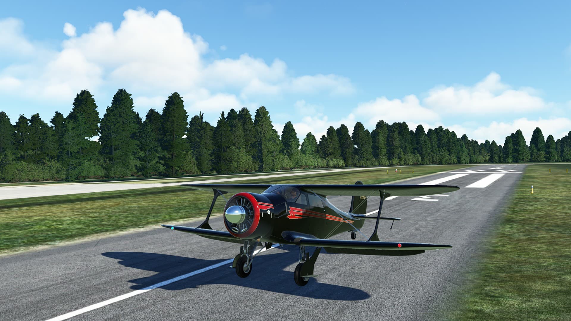
On approach,the Staggerwing is slick -really slick. I had full flaps and near idle crossing the threshold and I felt like a freight train headed downhill. And I forgot to lock the tailwheel lol. But number of t/o=number of landings, and I made the ETE by two minutes over, so it’s a decent ending and a good flight.
1 Like
Real Life gets in the way. ™ 
Updates on this trip loading now.
Leg 16: Landings Condominium, IL to Hobart-Sky Ranch, IN 63 NM 0:34:00 ETE
Due to Real Life ™, there’s been a long delay in updates and Trip Progress. But we’re back in the left-hand seat and prop is turning!
This trip segment had glimpses of beautiful scenery interspersed with some tough VFR. We should have declared IFR right at the beginning, but the blue skies on departure were deceiving. Check the enroute WX!
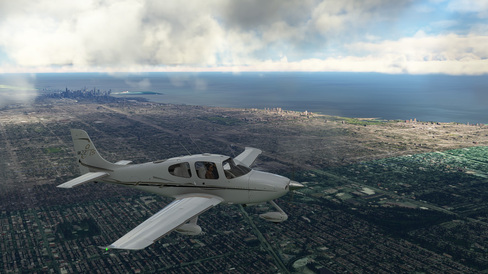
Great glimpses of the famous Chicago area airports - O’Hare and Midway, plus a nice long glance of the Chicago City lakeside.
Leg 17: Hobart-Sky Ranch, IN to Tri-State Steuben Co, IN 99 NM 0:50:00 ETE
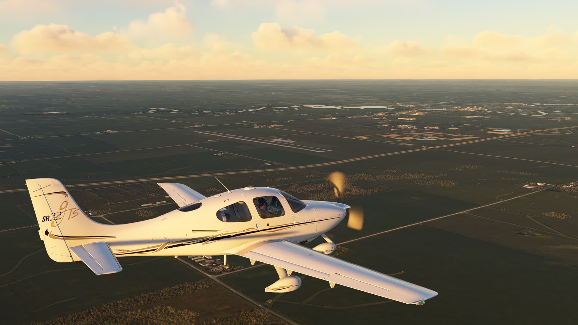
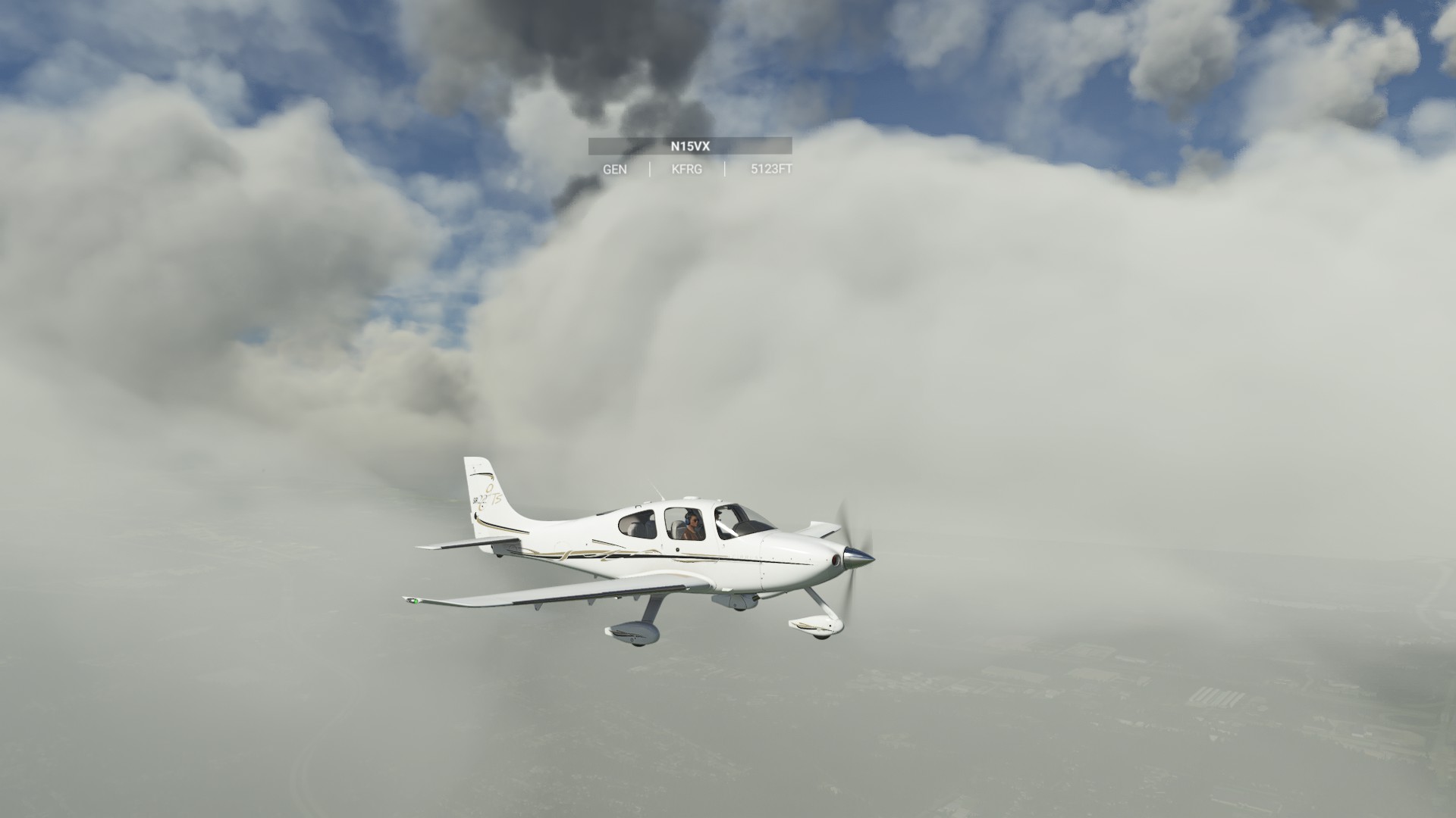
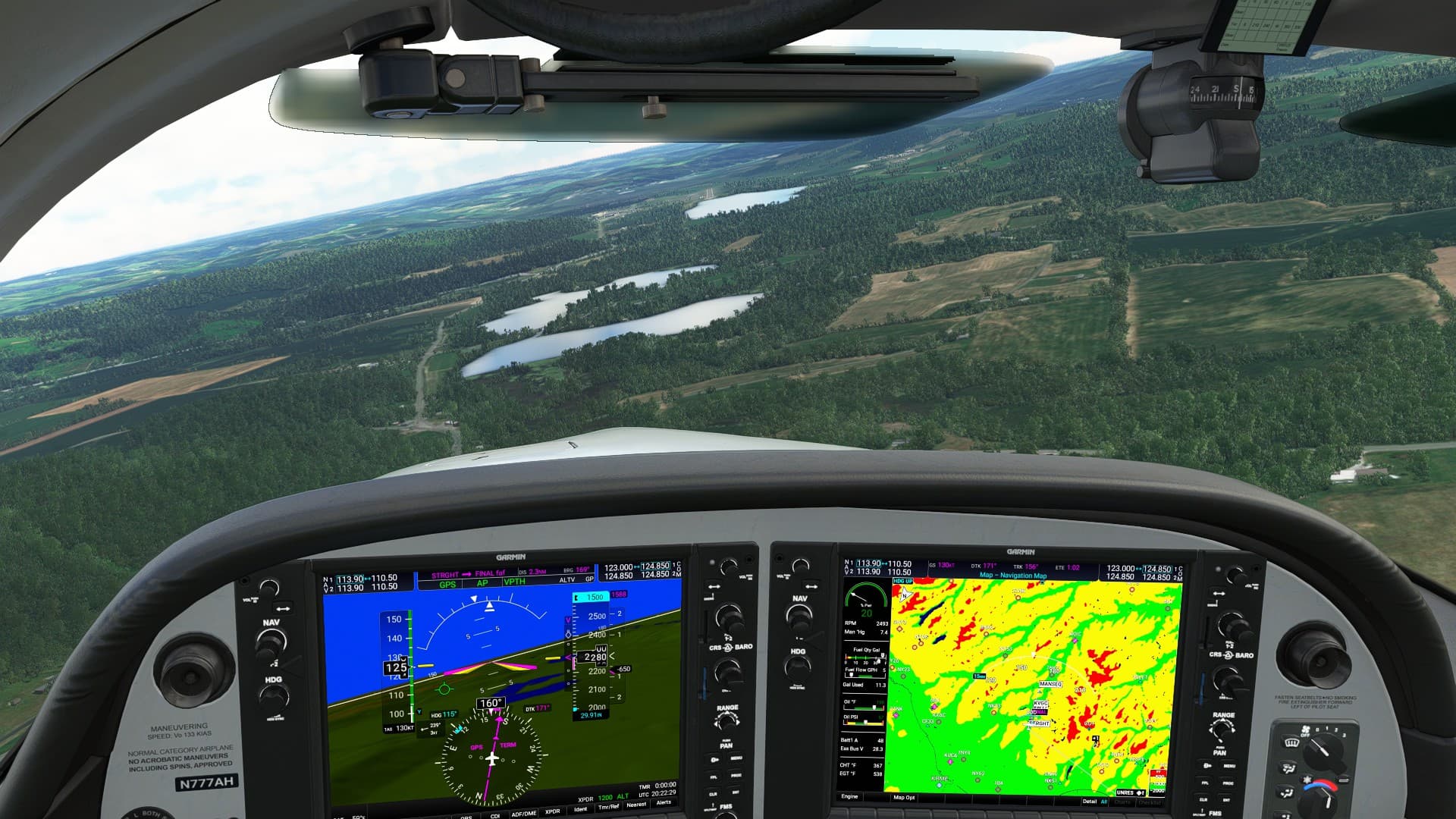
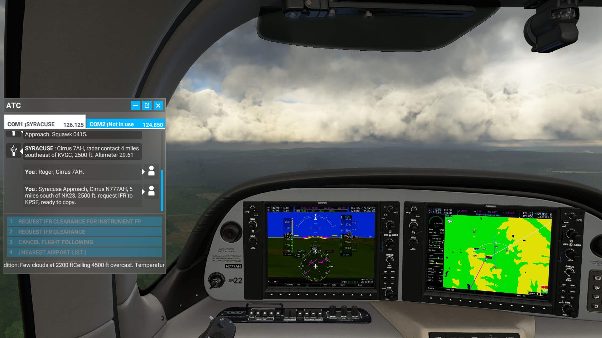
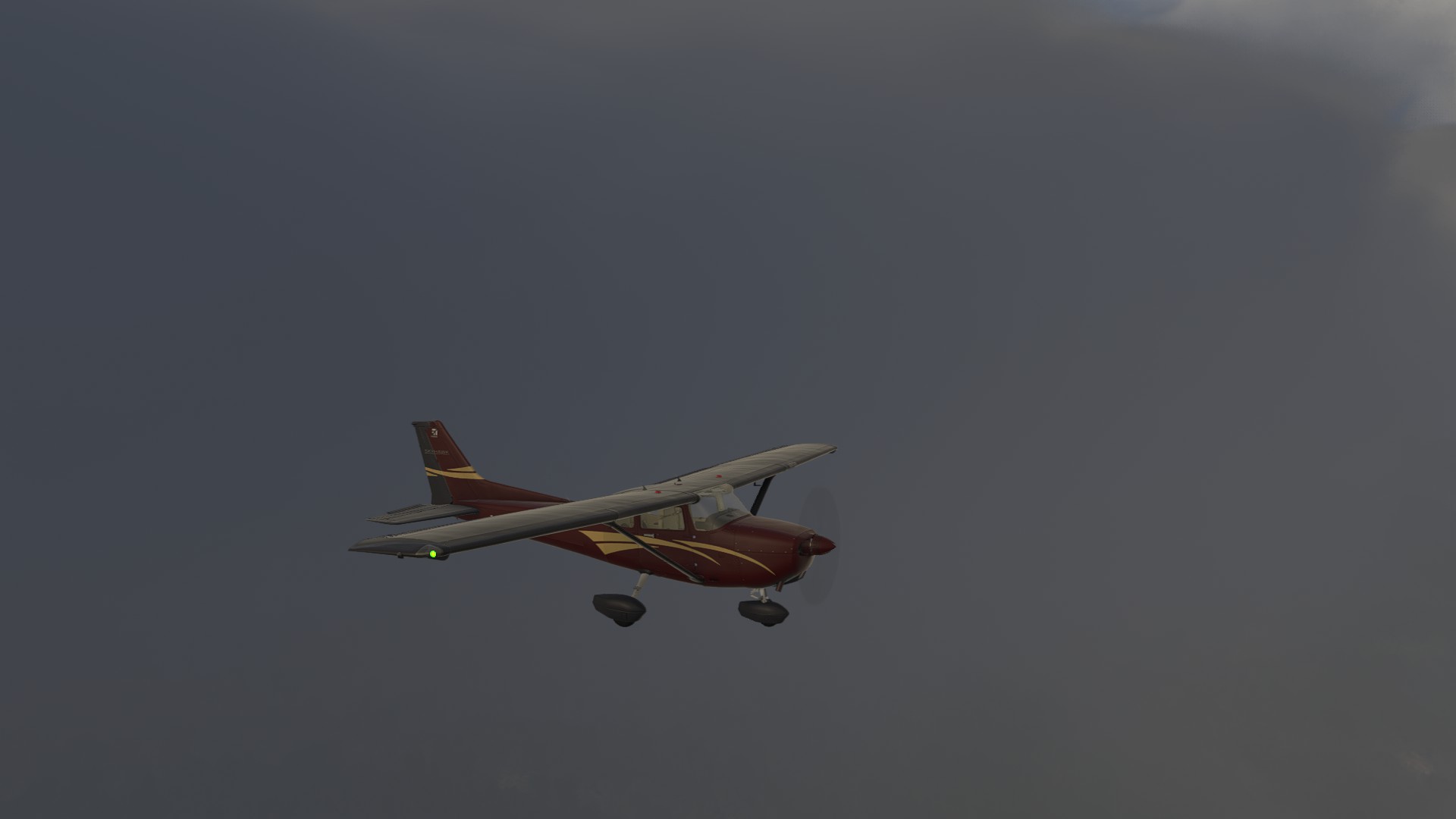
Tough leg cutting across the bottom of Michigan Peninsula. It was mostly IFR, and I didn’t even catch a glimpse of South Bend, which was the largest population center on the route. Because of bad icing on the last leg, I elected to take the Cirrus with it’s superior anti-icing.
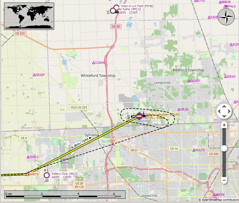
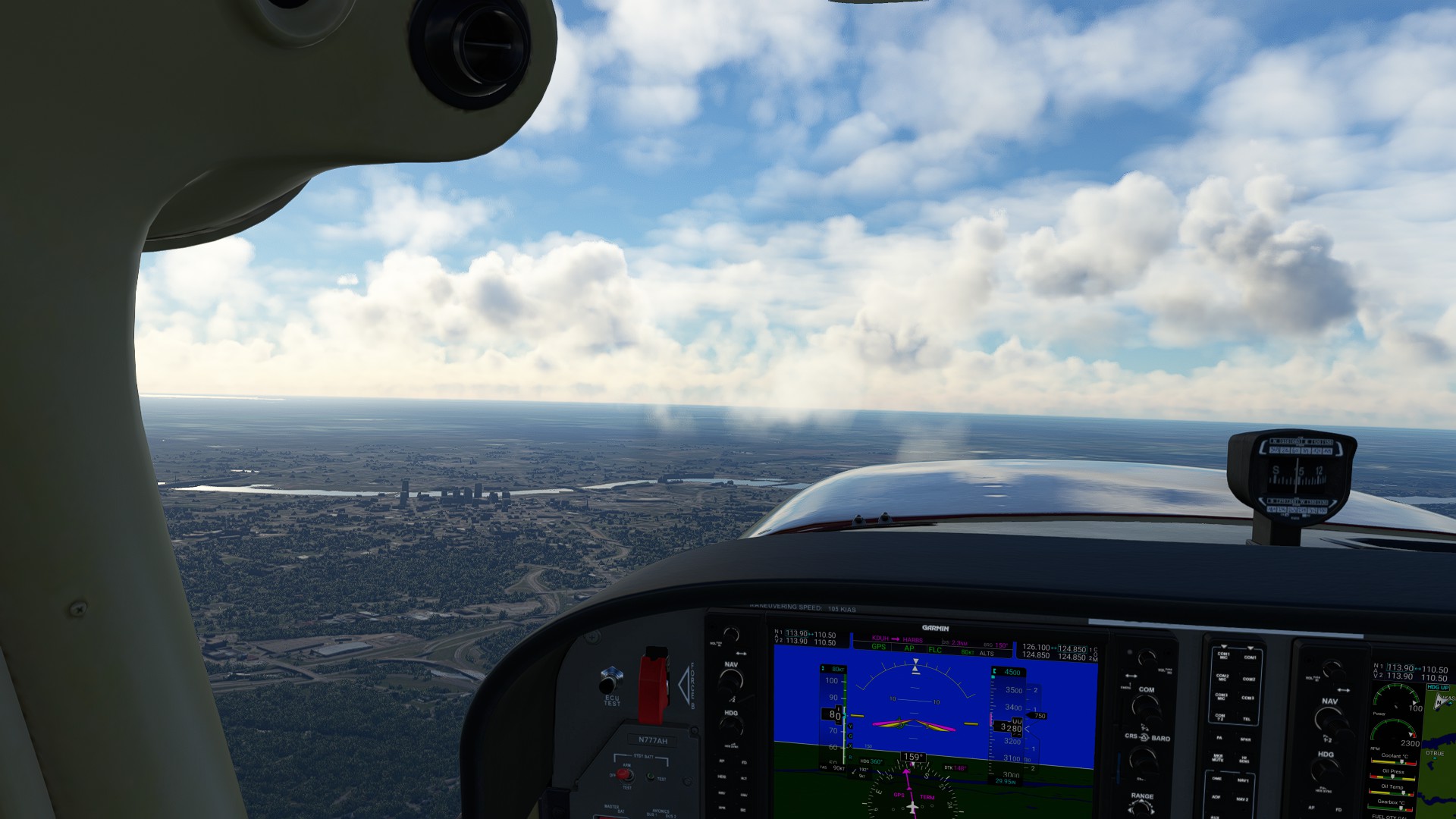
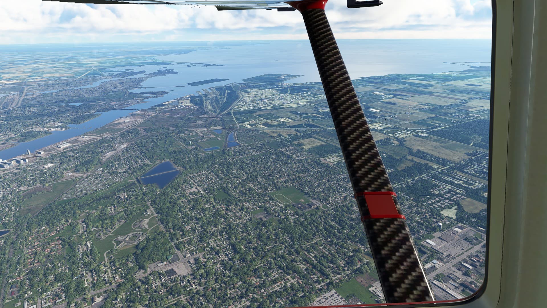
Leg 18: Tri-State Steuben Co, IN to Toledo Suburban, MI
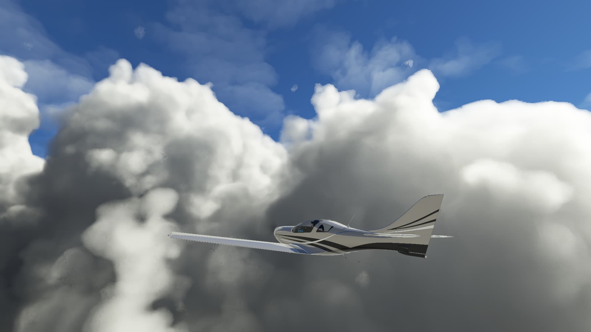
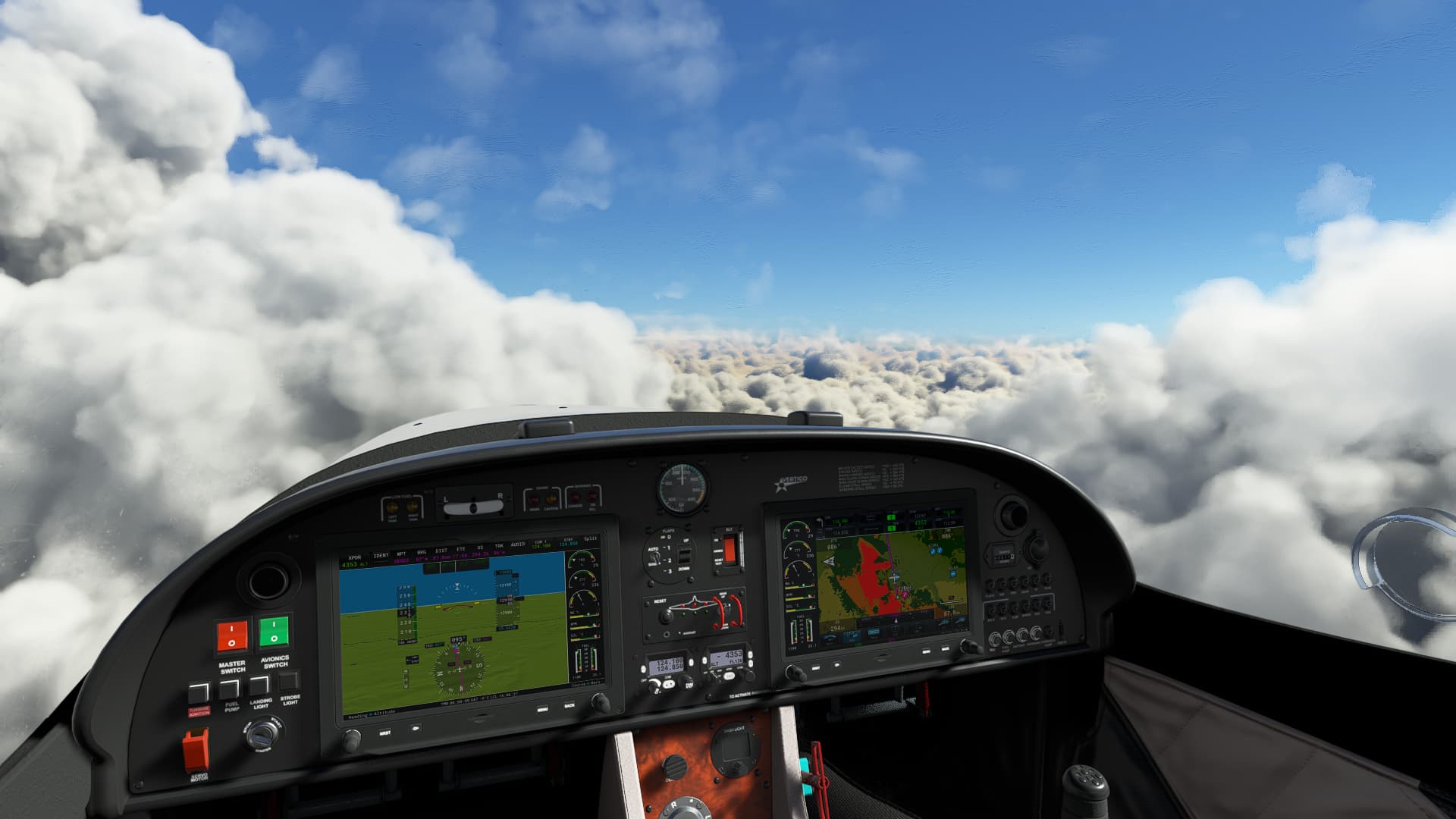
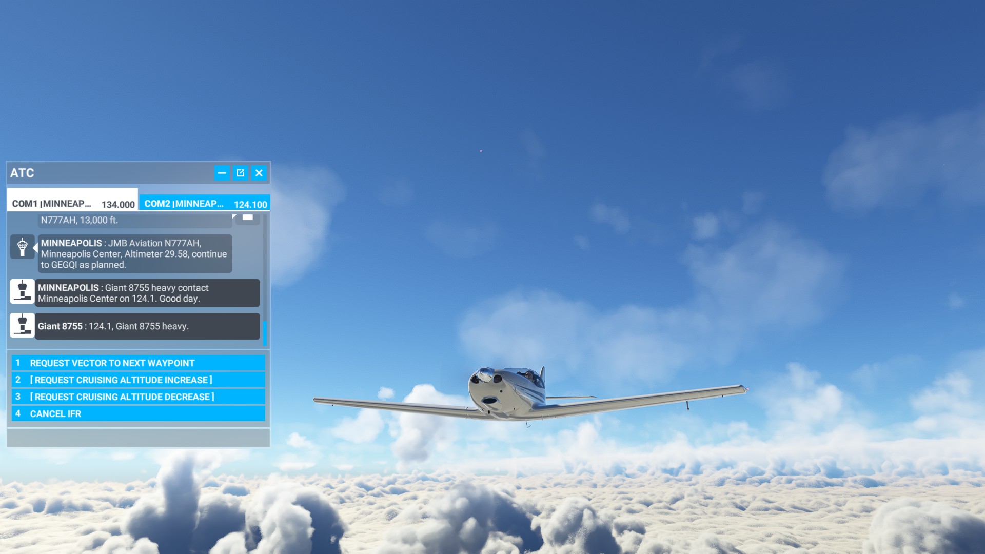
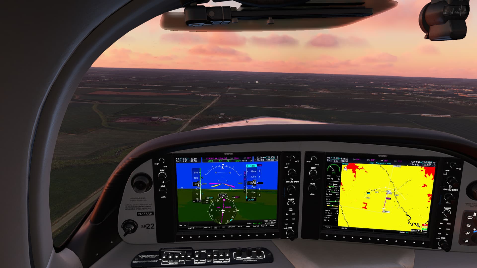
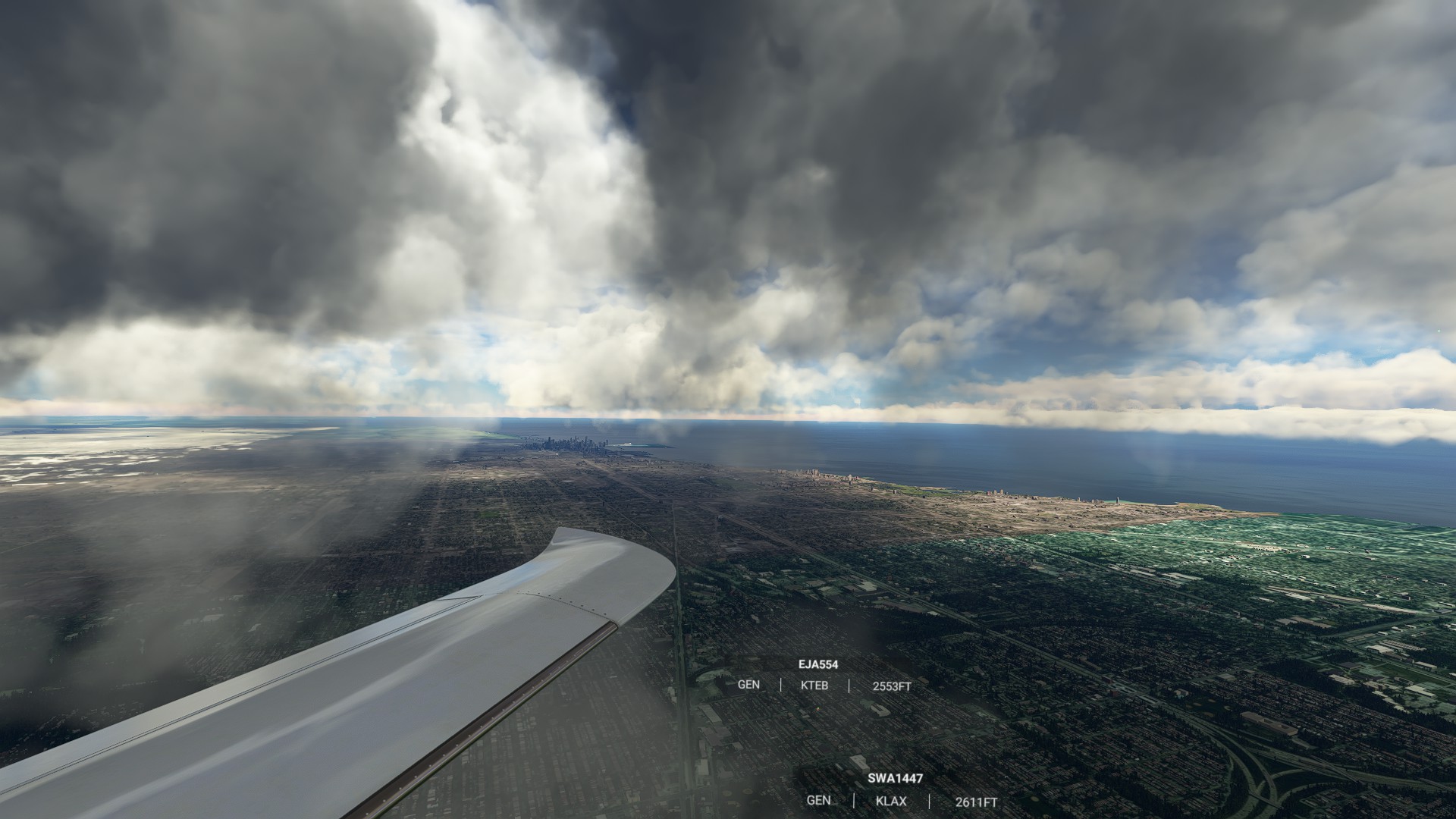
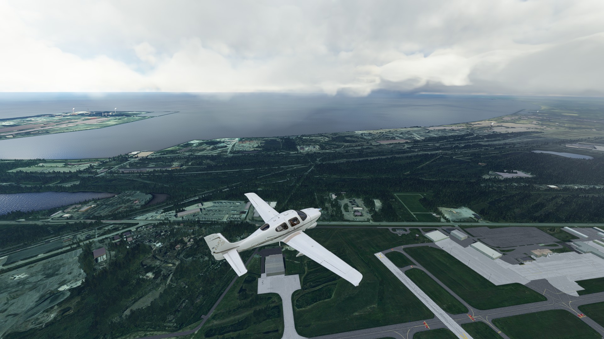
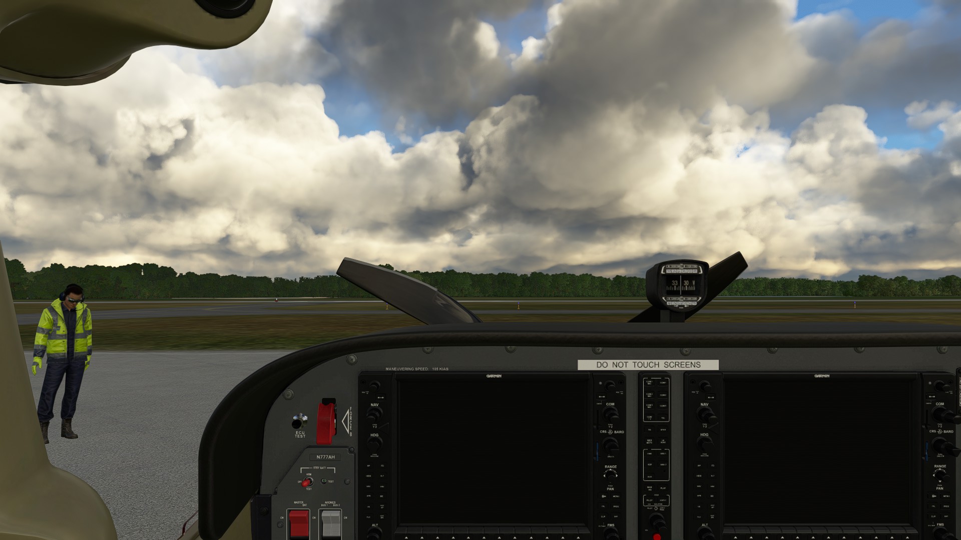
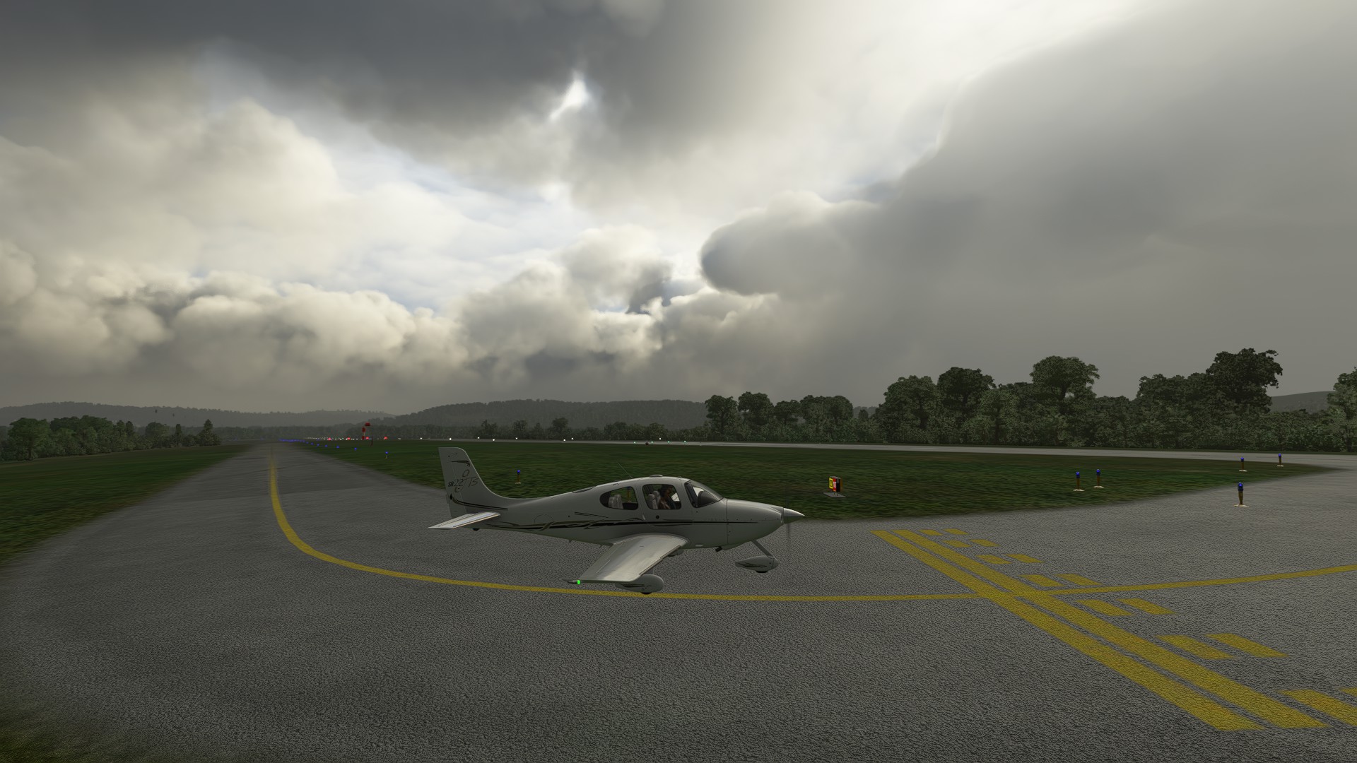
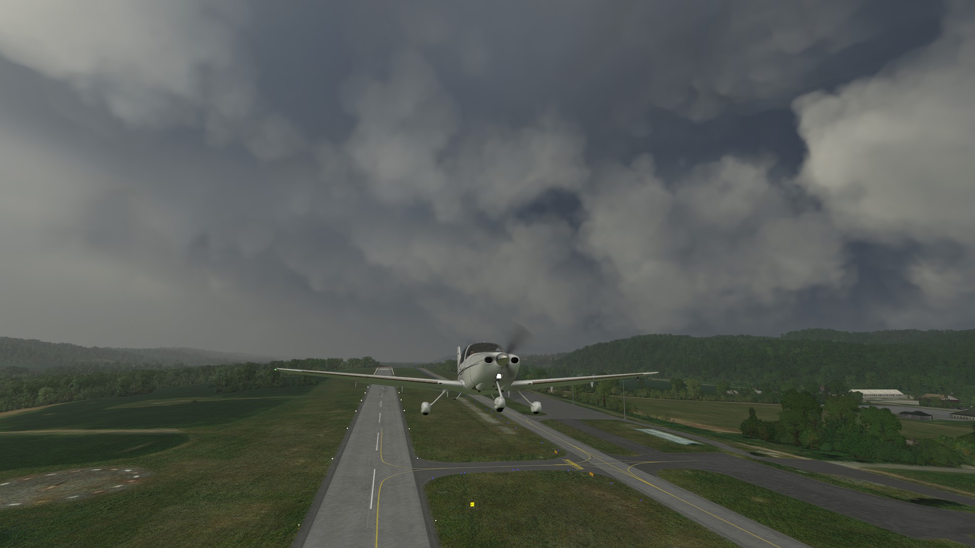
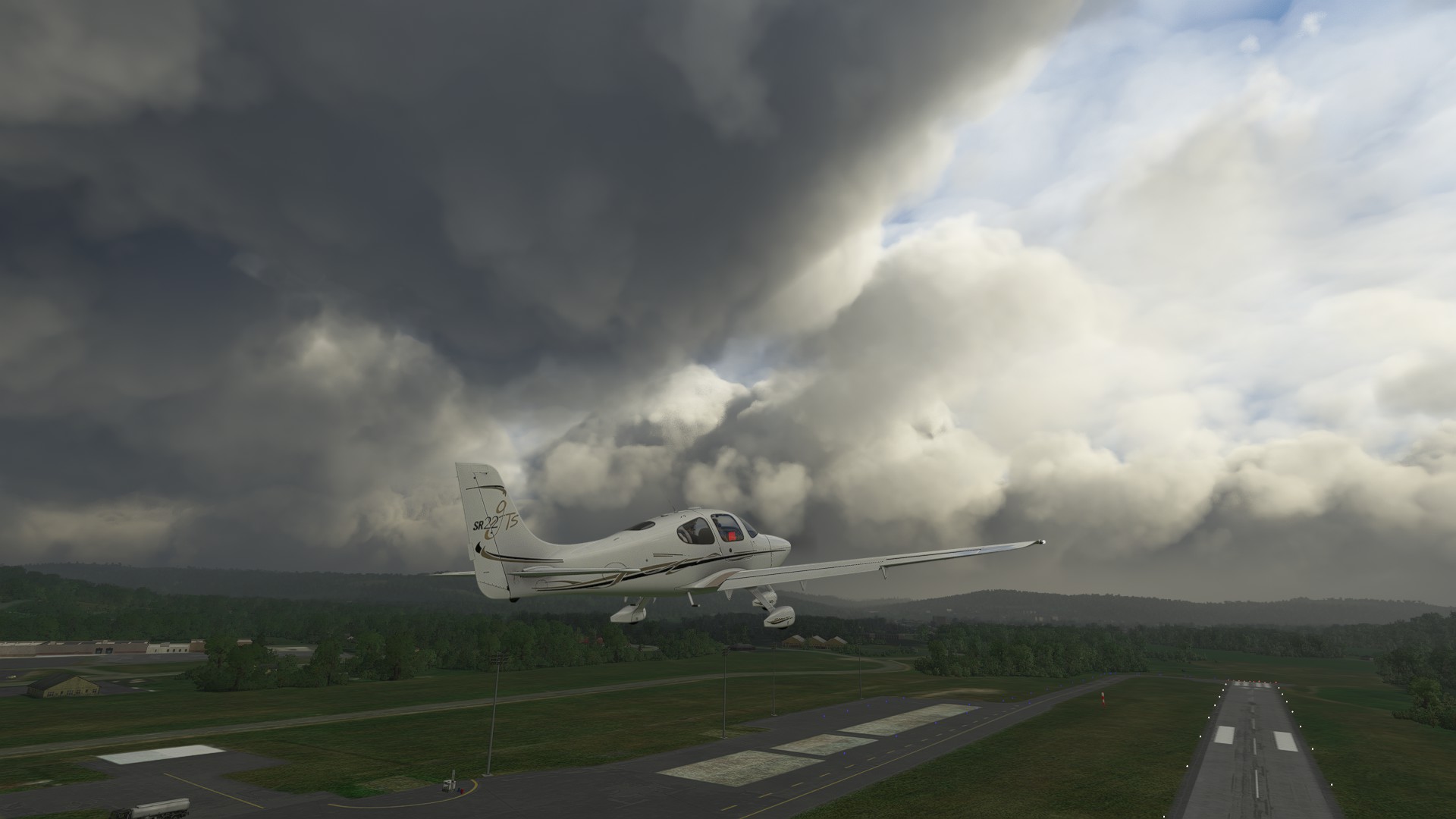
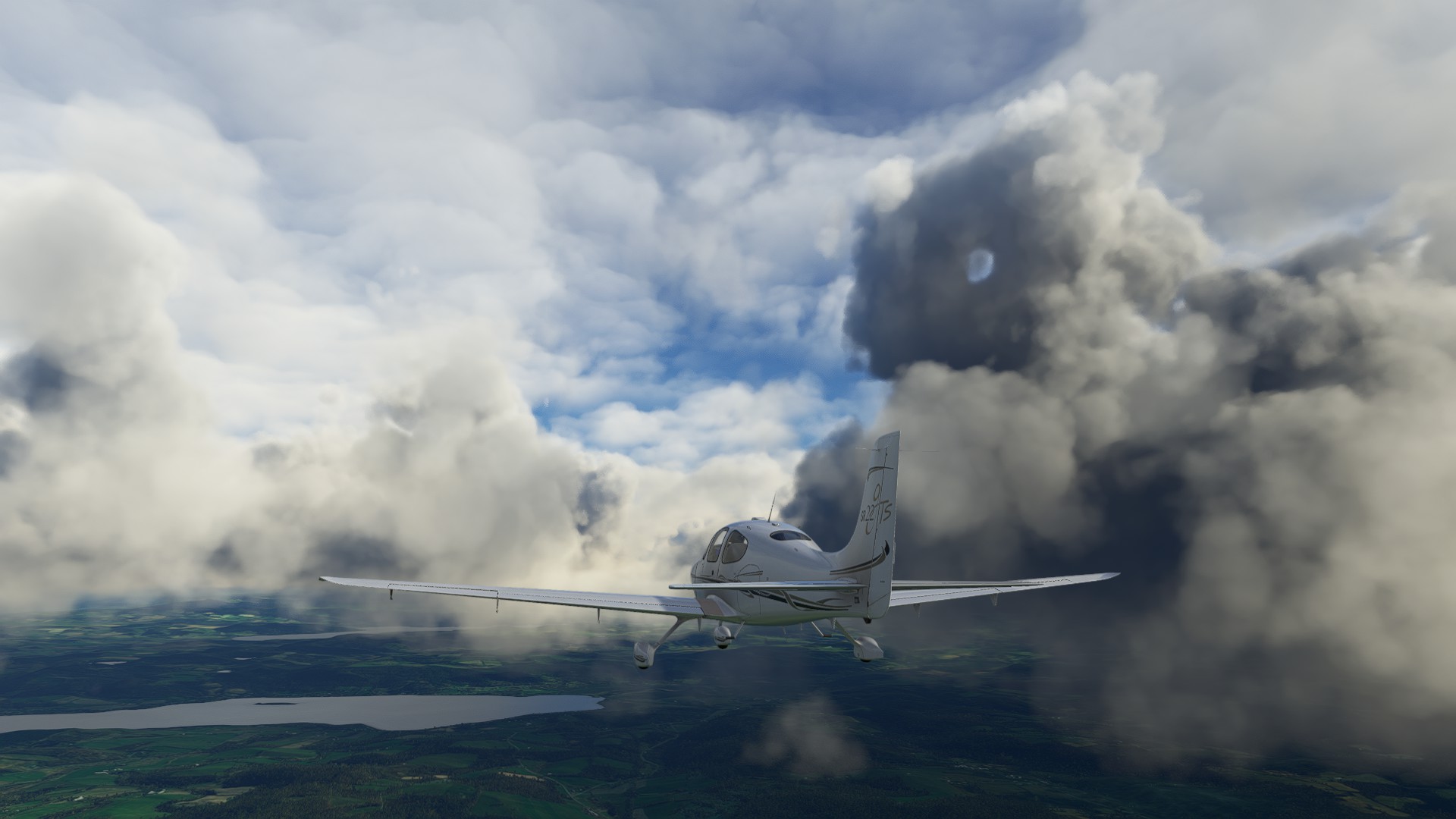
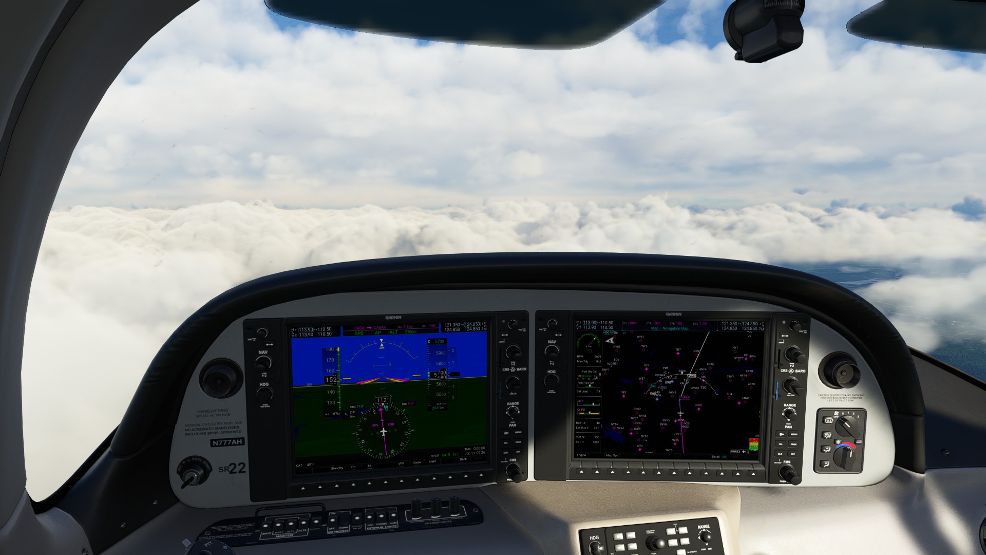
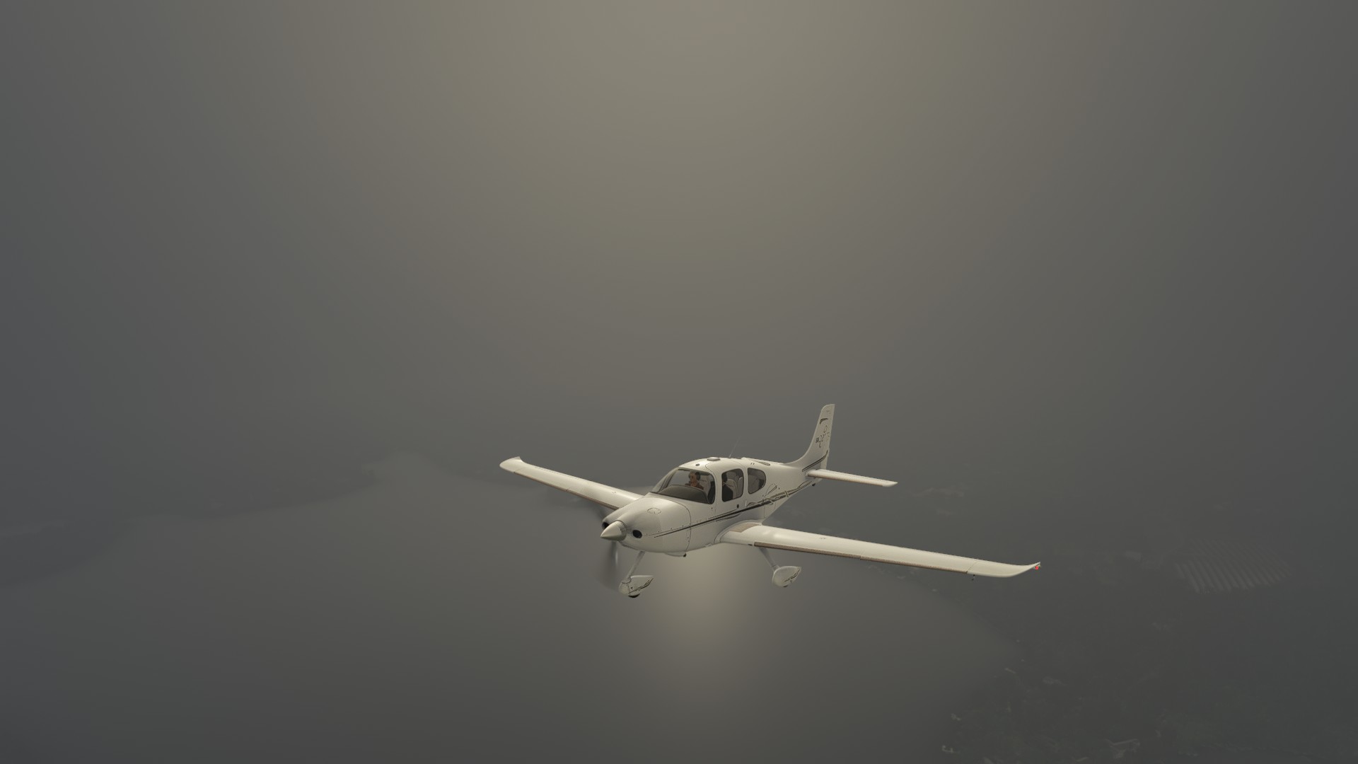
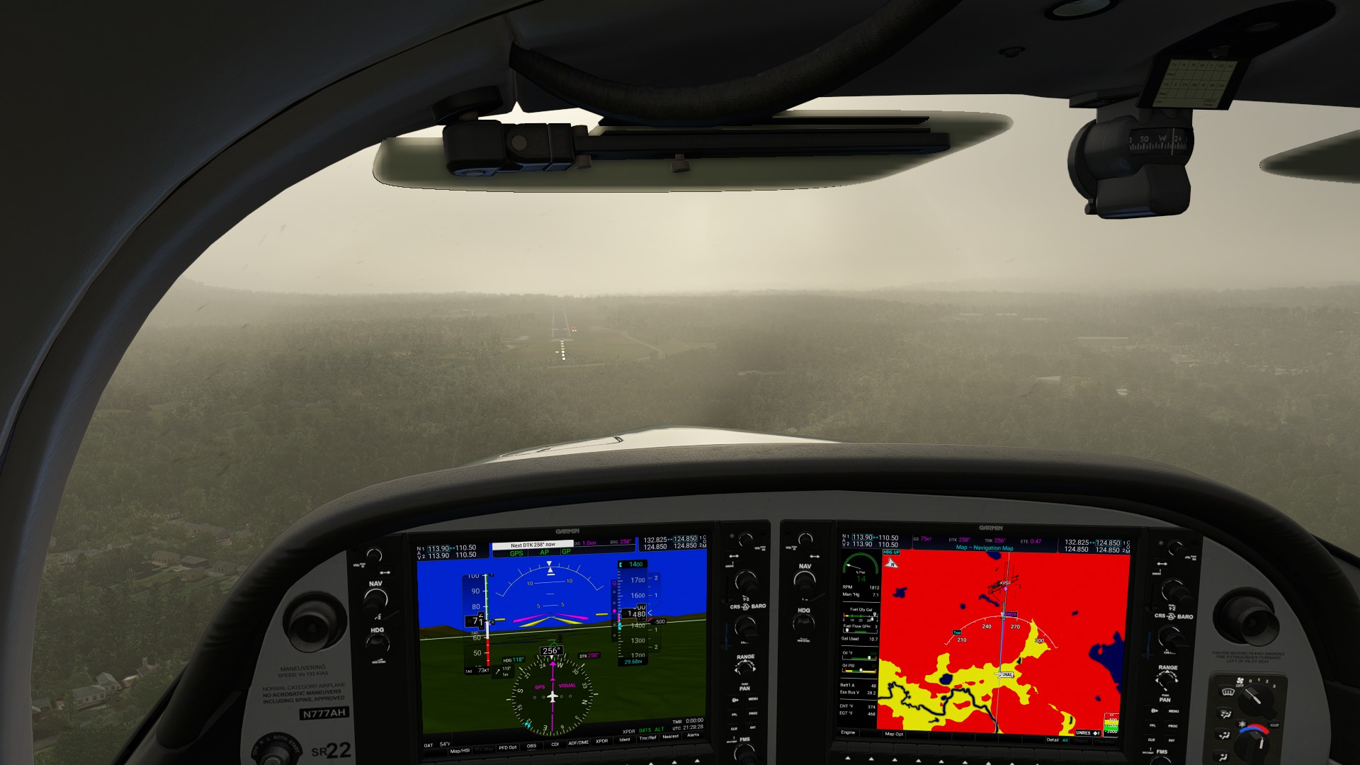
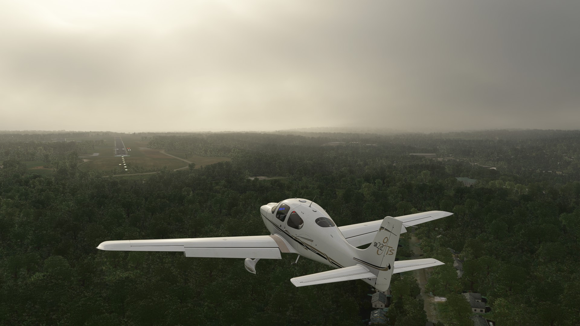
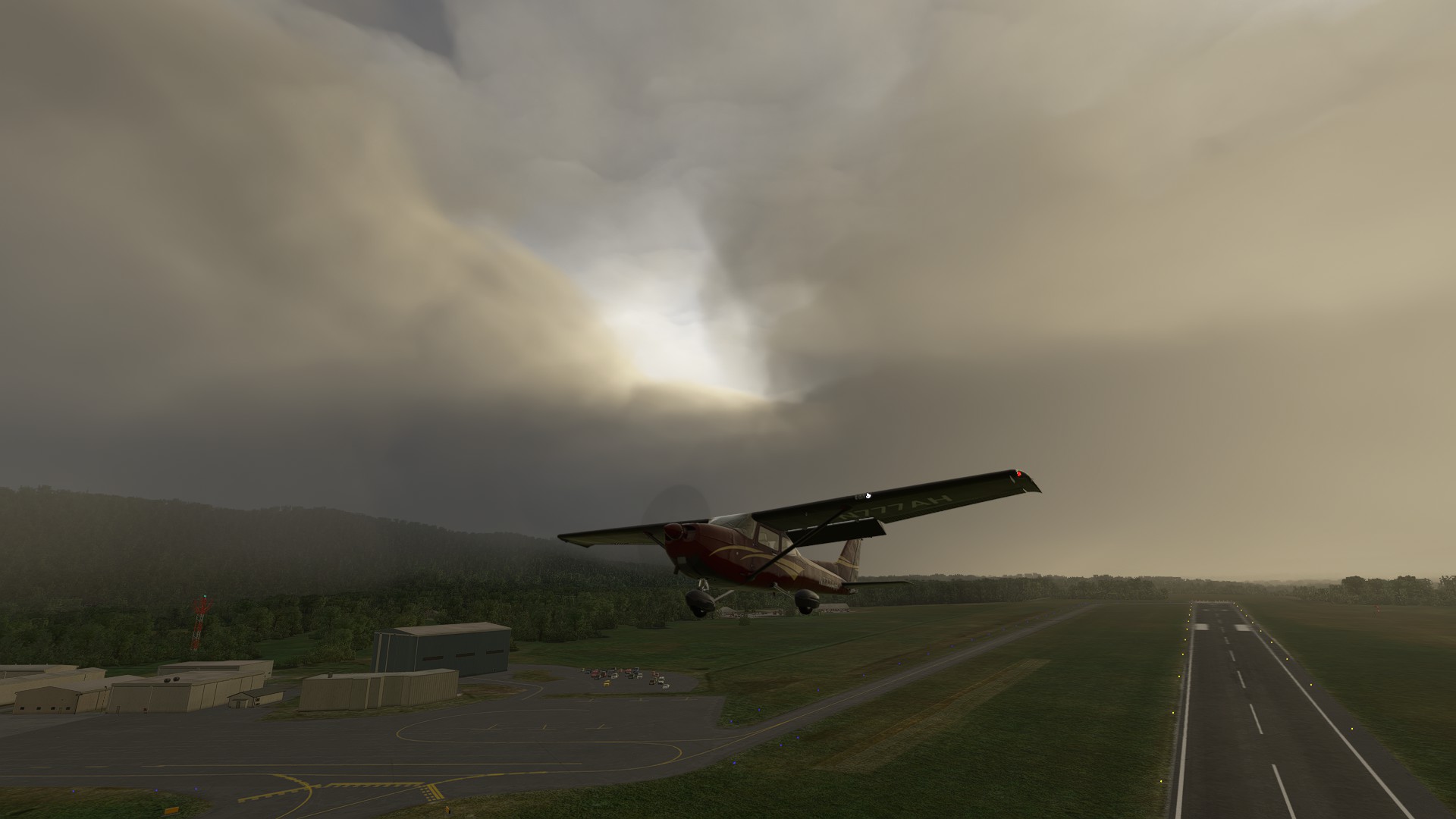
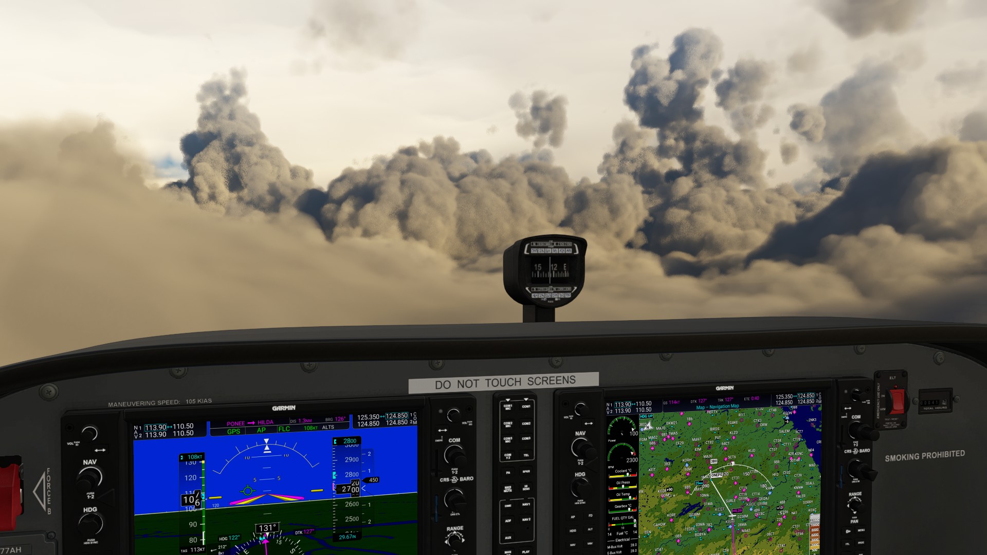
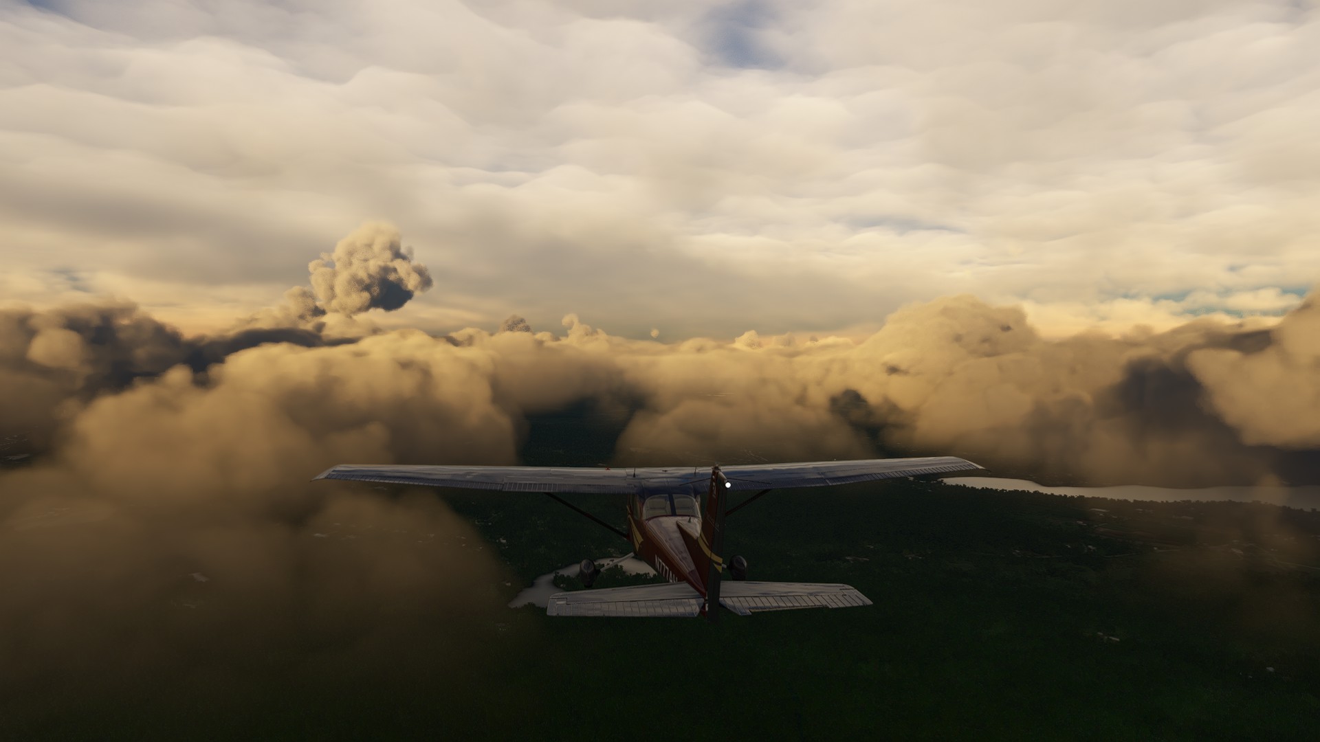
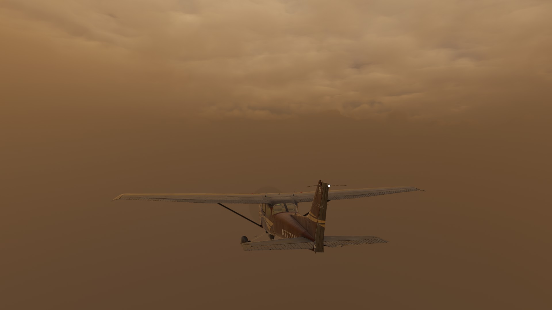
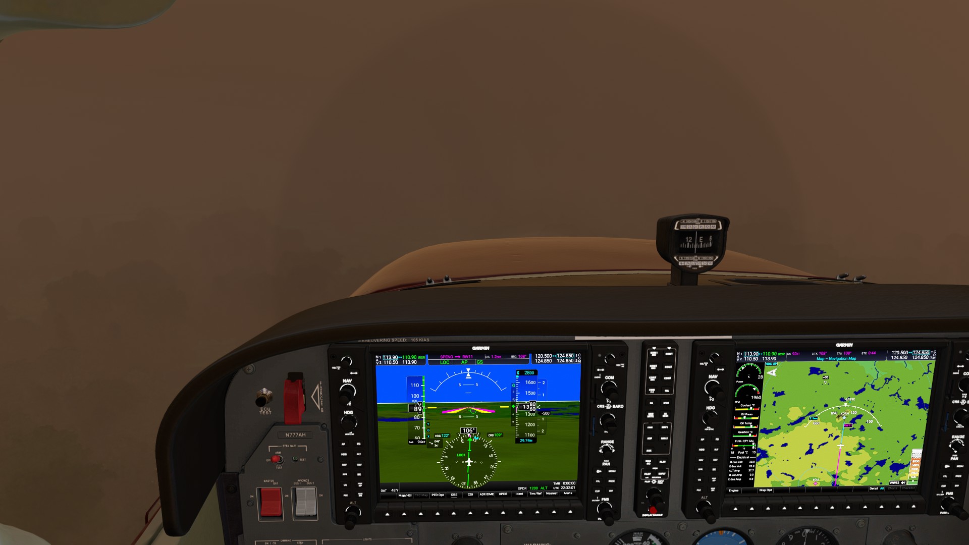
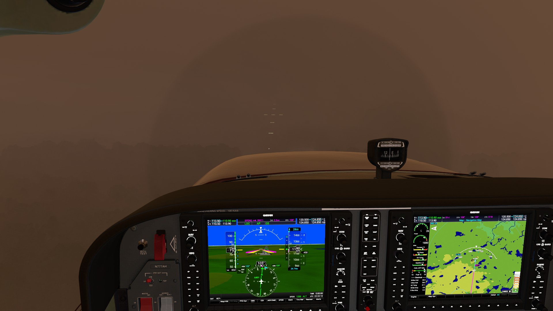
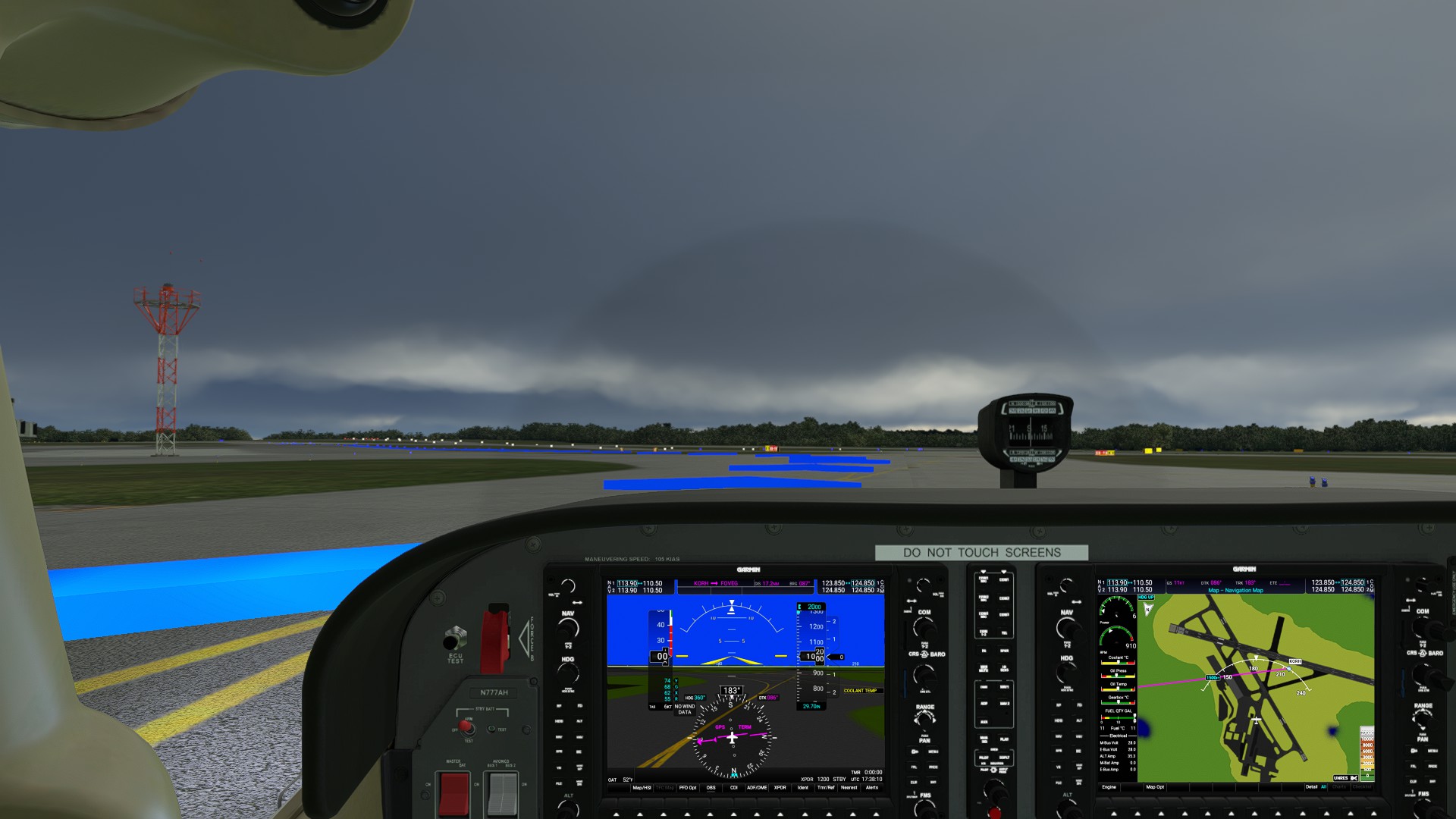
I know folks will pan me, but I just had to take some extra shots of the weather, starting from the ramp. This was some of the most amazing WX pattens I’ve seen so far in the sim, and very exhilarating. Things got hazy near destination and it made for some awesome in-cockpit experience. Despite the destination airport’s name, I was actually still in Michigan, but north-west of Toledo OH, and remained safely south of Detroit Metro’s very busy airspace.
I blew the TOD mark on the visual approach, ended up too high on final and horrors (!) had to go-around and actually hand-fly a circuit. A bit messy (see LNM screenshot) but not too bad. What was strange is that for an airfield that size, it had exactly ONE valid ramp spot.
1 Like
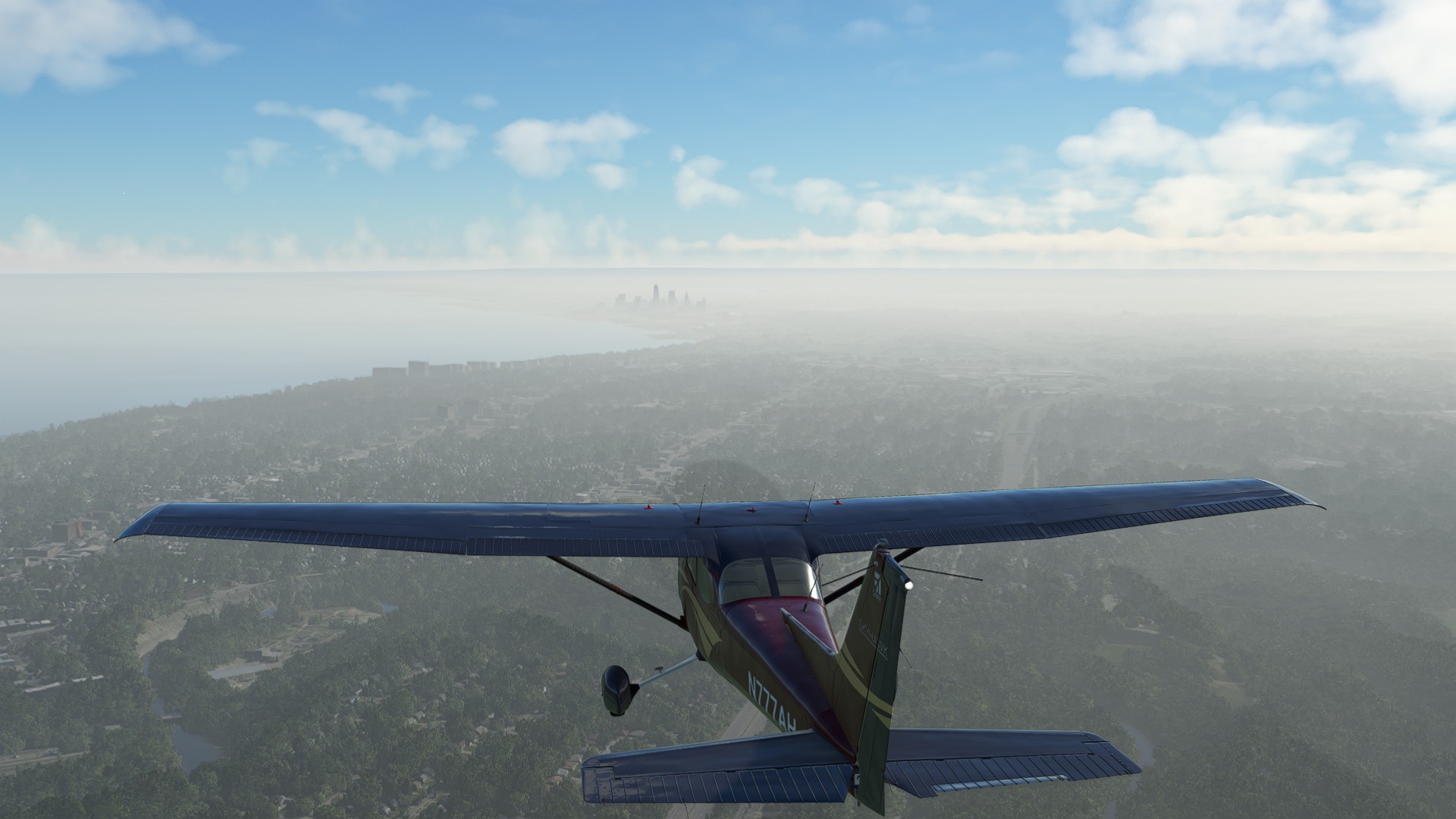
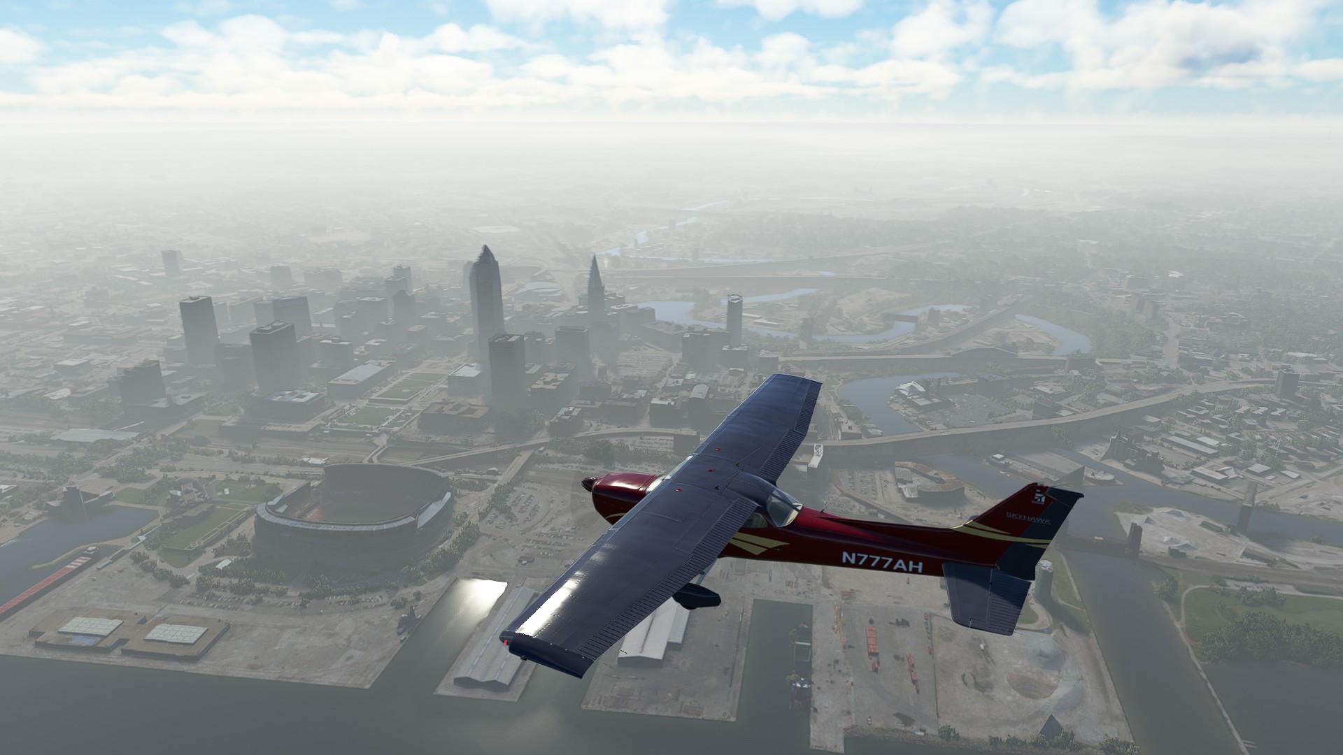
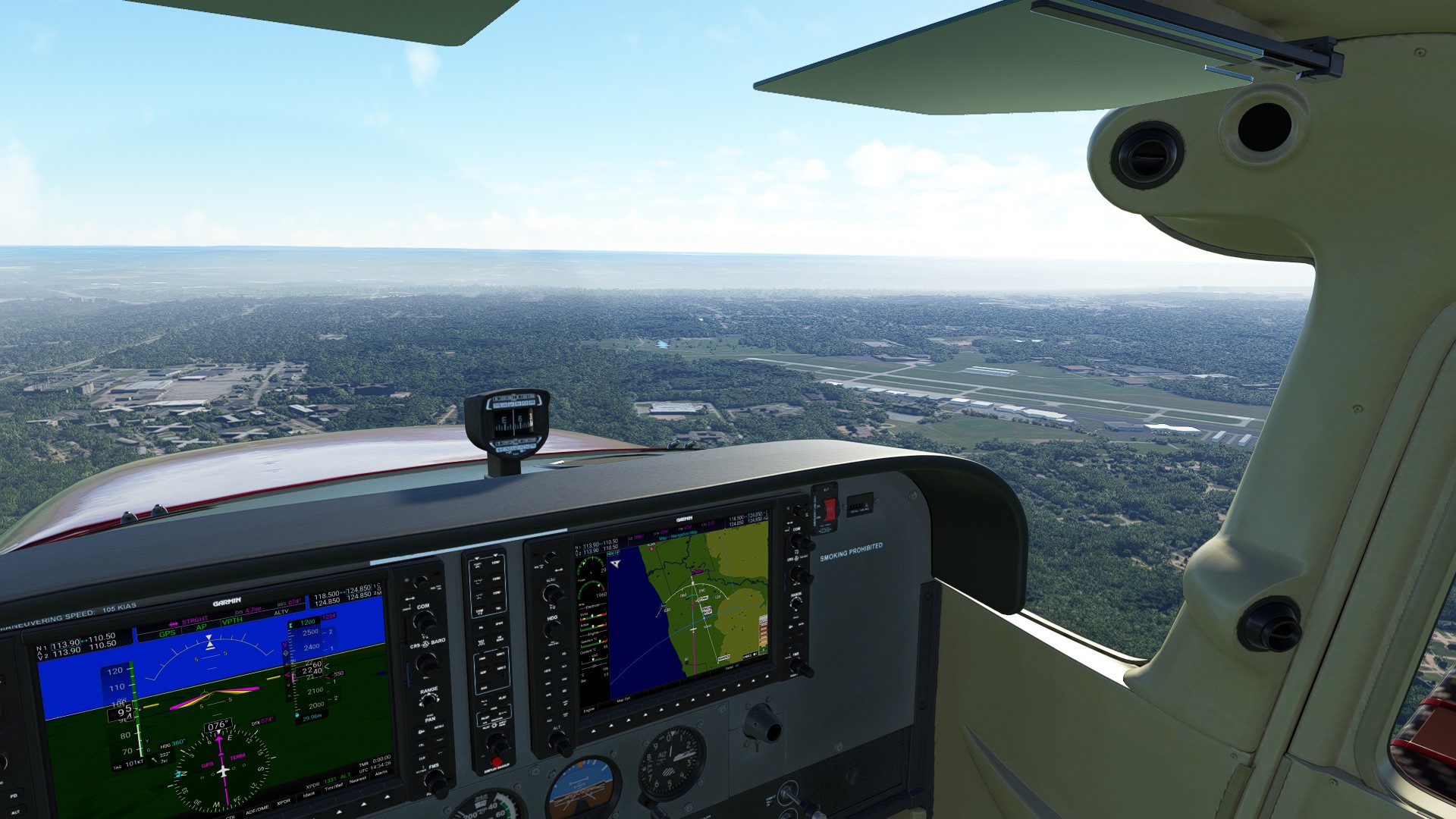
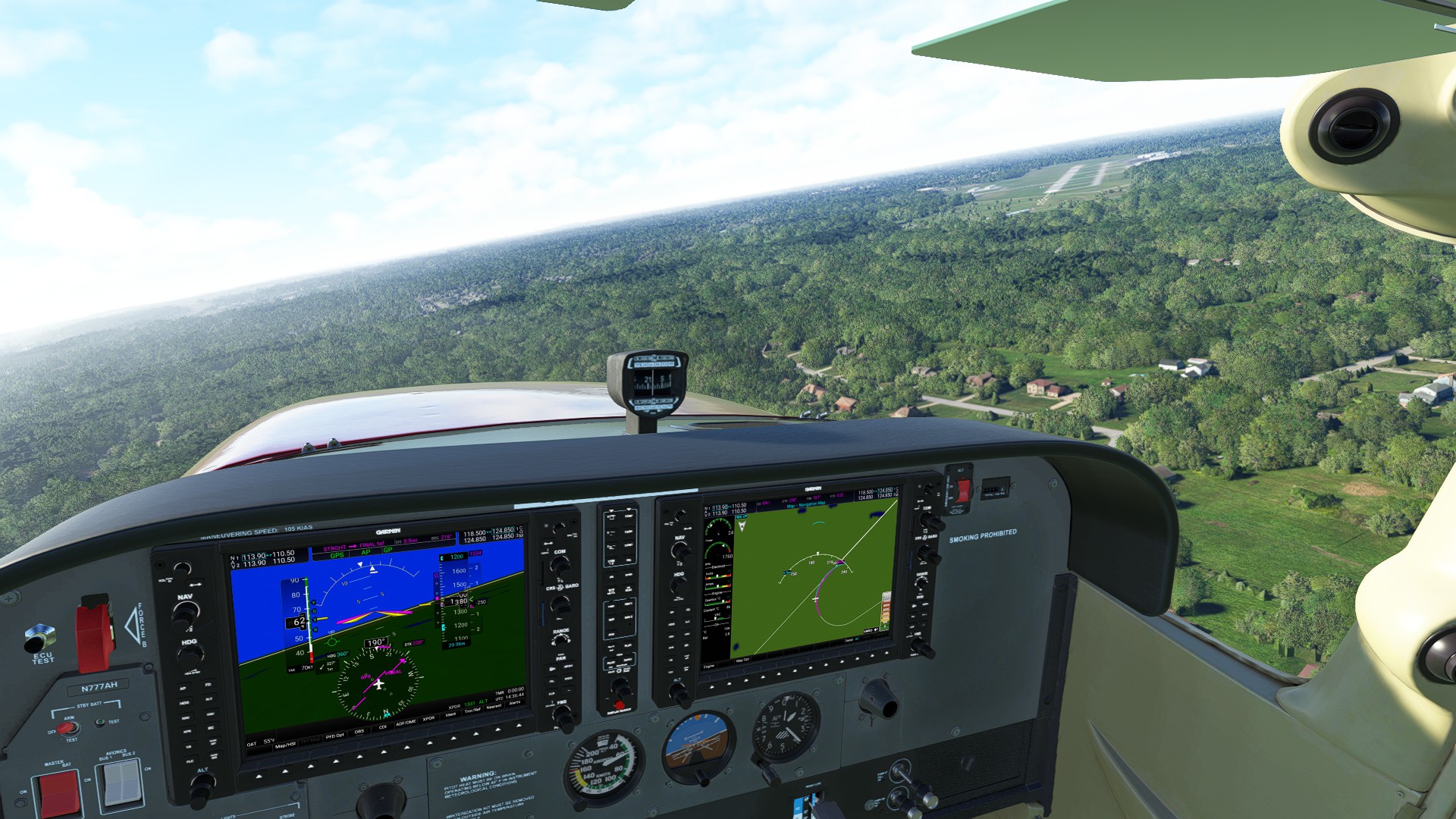
Leg 19: Toledo Suburban, MI to Cuyahoga County, OH 109 NM 0:53:00 ETE
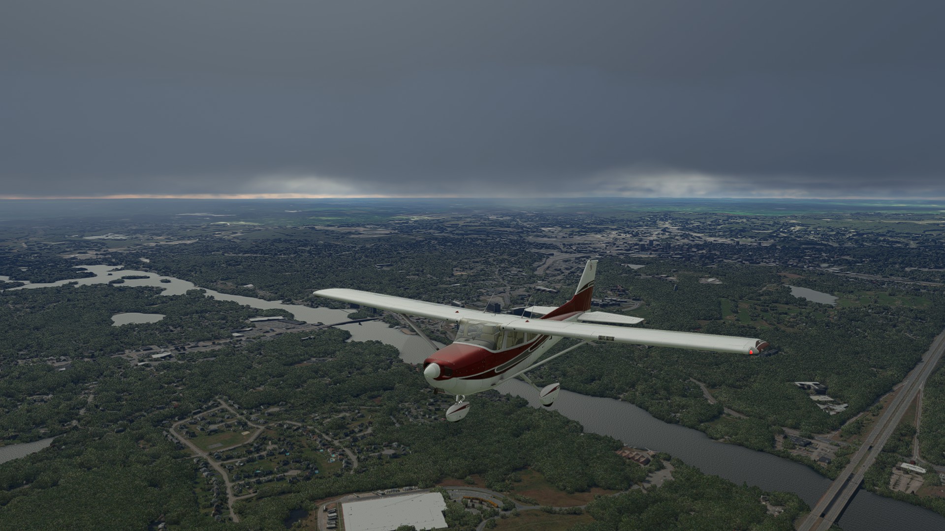
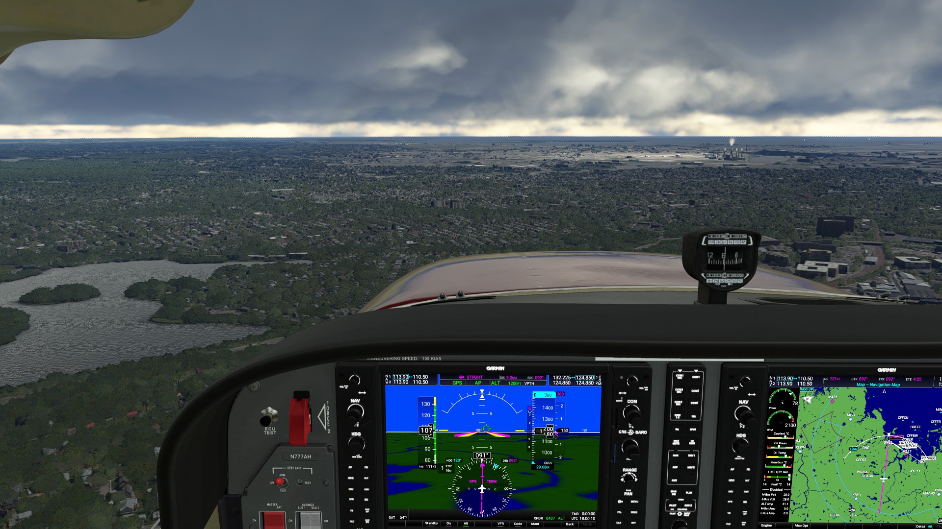
This was a longer haul following the south shore of Lake Erie as we continue East to NY State. Great views of the major cities like Toledo while the weather was clear. Cleveland was shrouded in fog - what a great effect.
Leg 20: Cuyahoga County, OH to Chautauqua Co Dunkirk, NY 116 NM 0:55:00 ETE
Another long haul as we head East, this time aiming to finally land in Western NY and the beginnings of New England. We’re on the home stretch.
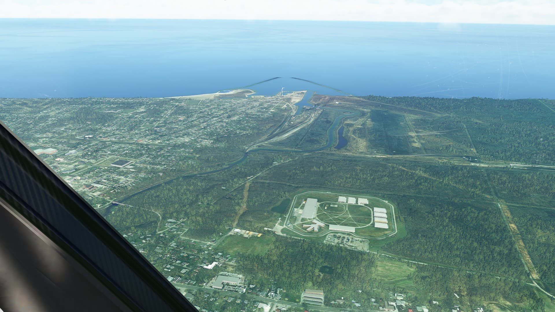
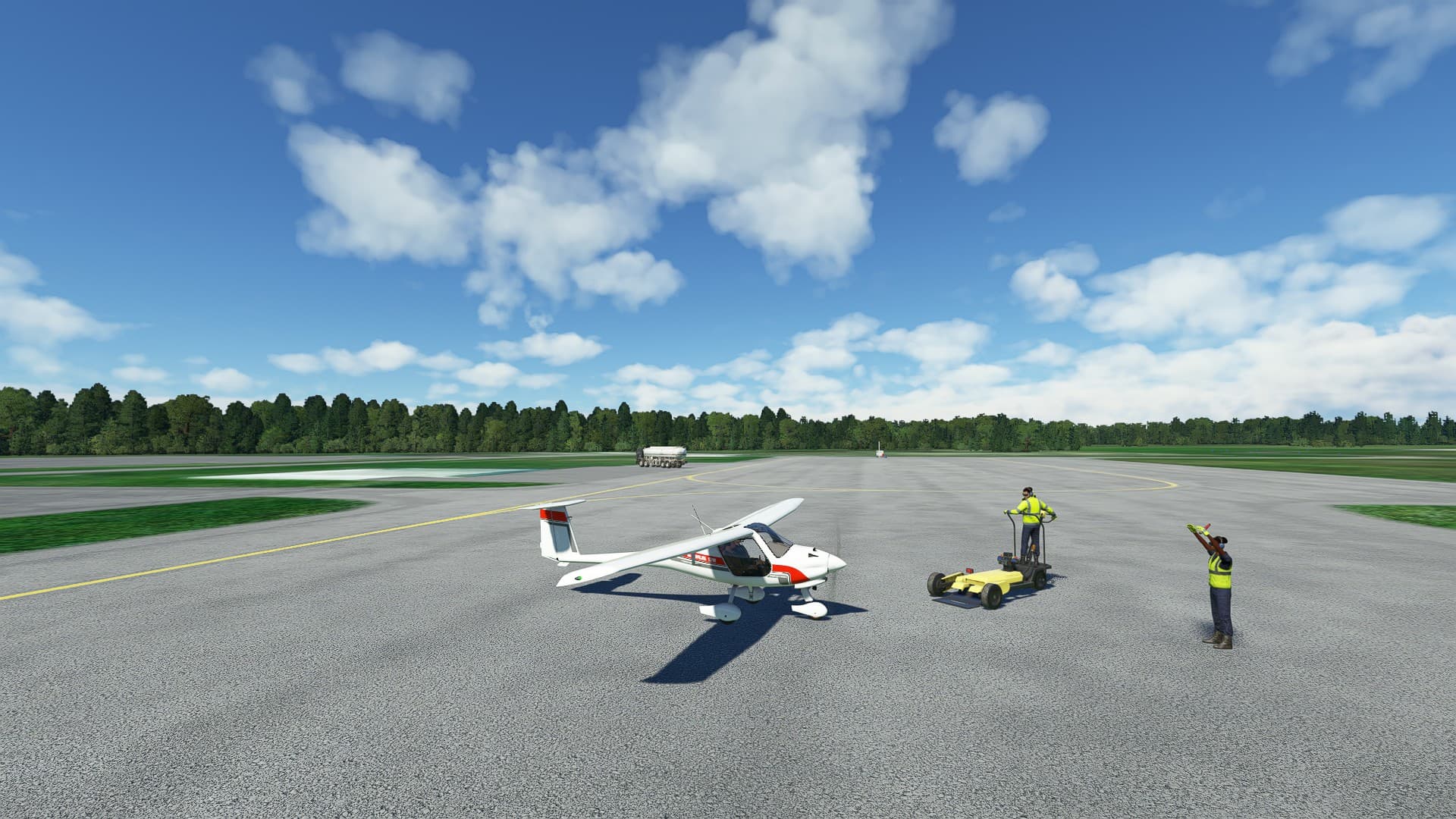
For a change of pace, I fired up the Pipistrel Virus SW121. It’s still quirky in both performance and avionics. Fortunately, a true VFR day, so no need for too much instrumentation. Follow the road! Highlights included the quirky named town of Ashtabula, the last stop before Canada and freedom for the Underground Railroad, the lakside city of Erie and it’s very visible and large penitentiary. Good thing I read the PIREPS on the Virus - it’s true, flaps are pretty ineffective on final (they will make you float), better to look up and - hey, what’s that lever? Yep, this is an LSA with speed brakes. pull on that and adjust as needed to burn down speed, just DO NOT deploy it over 100 KIAS. Slow down first using throttle/RPM. Then deploy as much as you want on final, point the nose and adjust to taste.
Leg 21: Chautauqua Co Dunkirk, NY to Le Roy, NY 71 NM 00:31:00 ETE
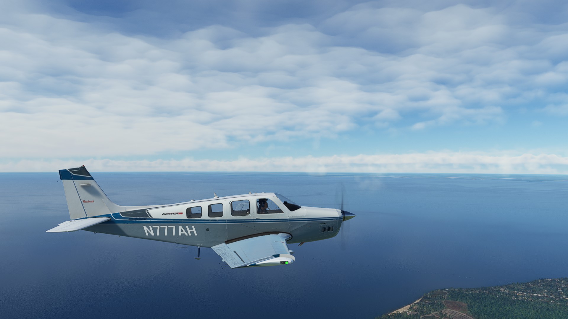
We broke out the Turbo Bonanza for this leg, she’d been gathering dust, and it was a nice day to show off the nifty Crispy blue livery.
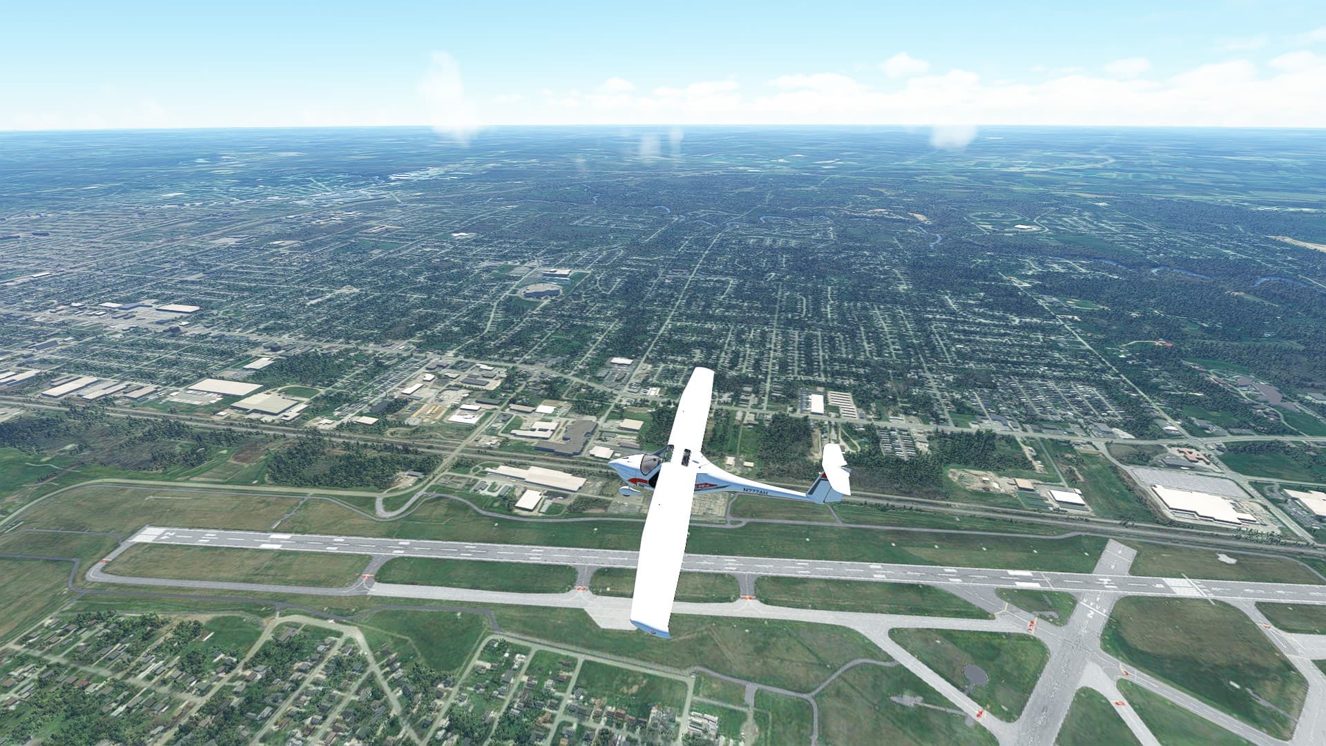
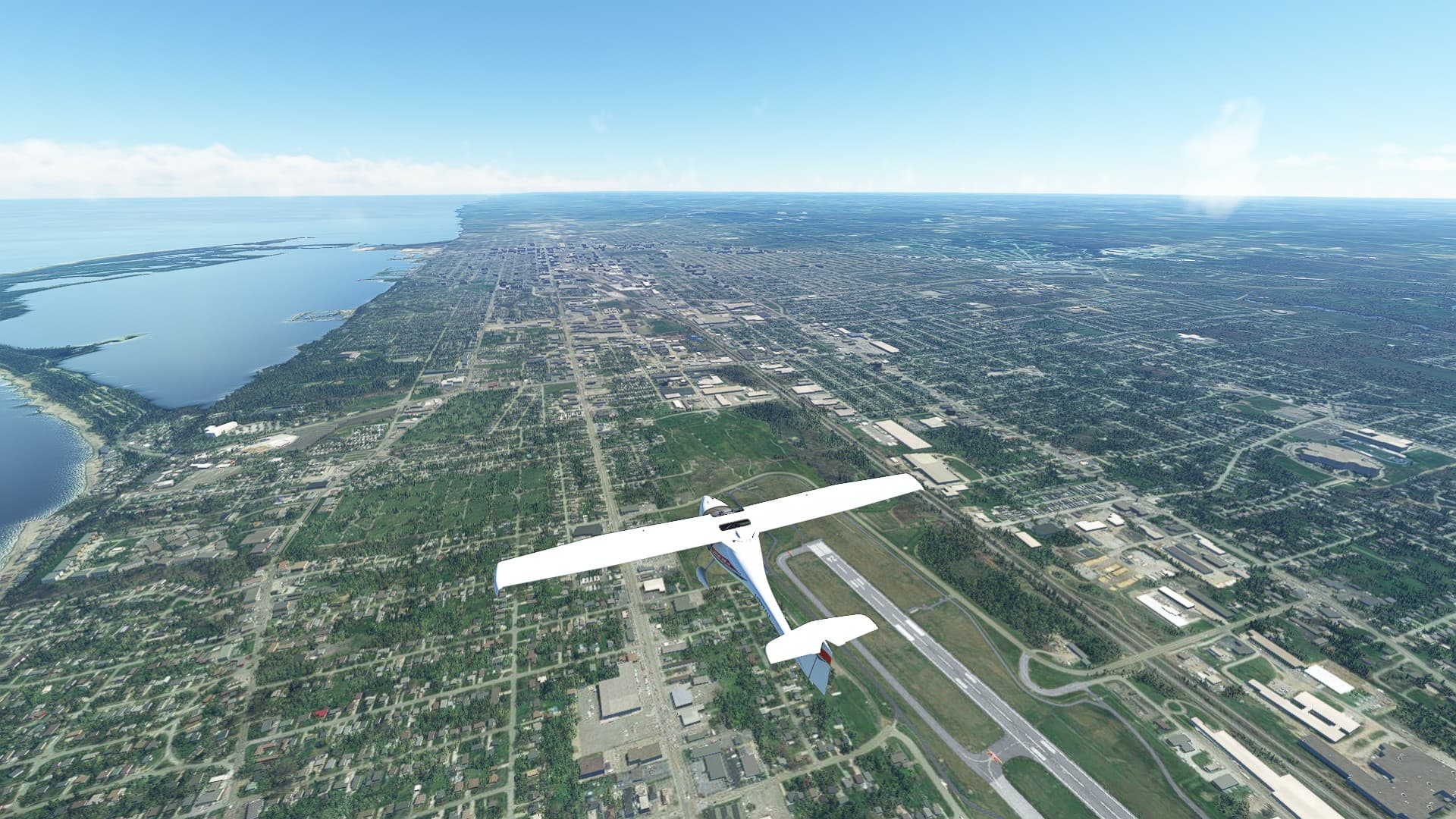
Great views of Lake Erie, a flyover of the Blue Cross/Blue Shield Arena in Rochester and very busy airspace around Buffalo/Niagara International. The Bonanza made short work of this segment.
Leg 22: Le Roy, NY to Hamilton Mun, NY 108 NM 00:53:00 ETE
This longer leg had us back in the Cirrus for the faster speed, but small enough to handle the landing at Hamilton, just south of Woodman Pond. We get a great tour of the Finger Lakes region of upper NY State, and pass the towns of Geneva and Seneca Falls. The terrain starts to gently rise as we approach Western MA.
1 Like
Leg 23: Hamilton Mun, NY to Pittsfield Mun, MA 106 NM 00:42:00 ETE
I really wanted to stay VFR over this segment, but the weather was having none of it. Requested a pop-up IFR shortly after seeing a solid cloudbase ahead of me for at least 180 degrees across my intended route. Good thing too because it all fell down on approach, misty and foggy up until about two mile final.
1 Like
Leg 24: Pittsfield Mun, MA to Southbridge Mun, MA (Divert to Worcester Regional, MA) 63 NM 00:25:00 ETE
Always have an alternate field at least in mind if not planned for when traveling cross-country. The weather shut down so badly that every field for about an hour’s flying time away was IFR conditions only. I had to divert north to Worcester Regional as it was the nearest field with a precision approach. As it was, I broke so many rules on this ILS - the rabbit lights weren’t visible until 2/10ths of a nautical mile and I was already at 150’ AGL, well below MDA, but committed to the landing. Sheesh.
Leg 25: Worcester, Regional, MA to Logan International, MA 40 NM 0:16:00 ETE
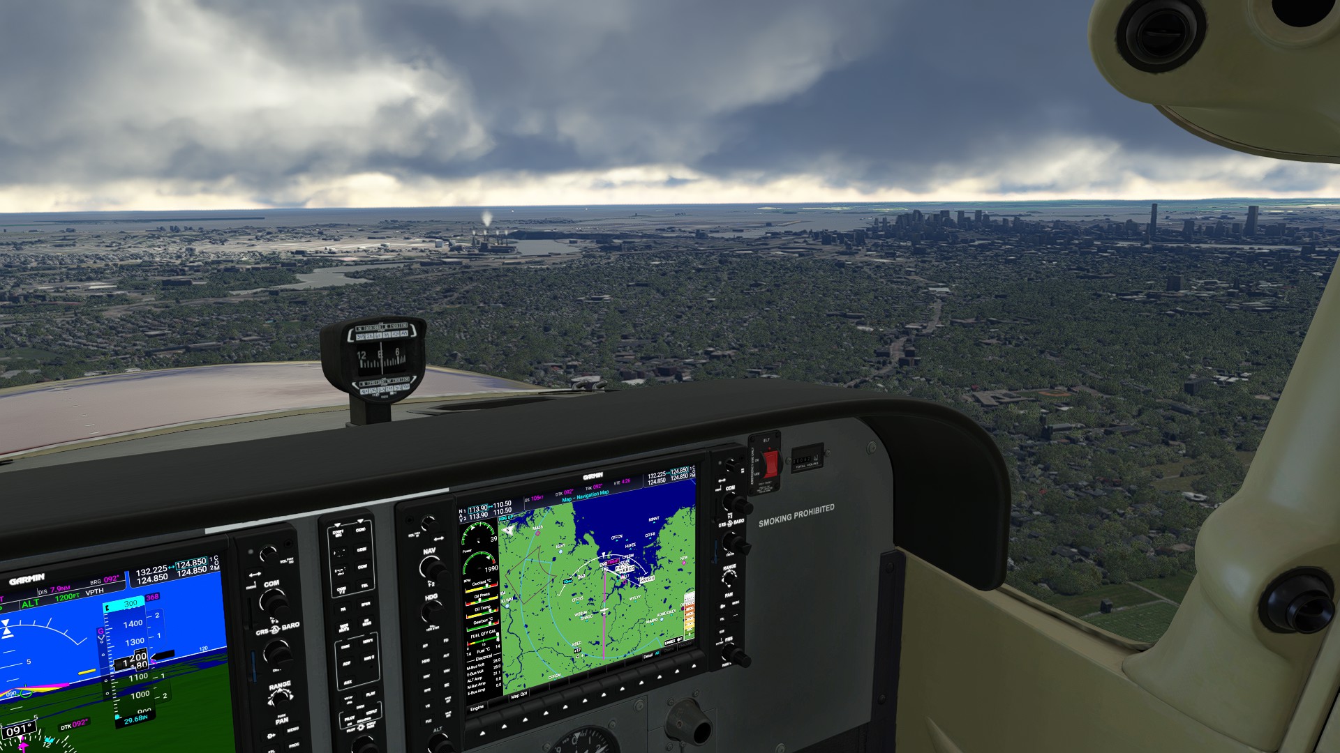
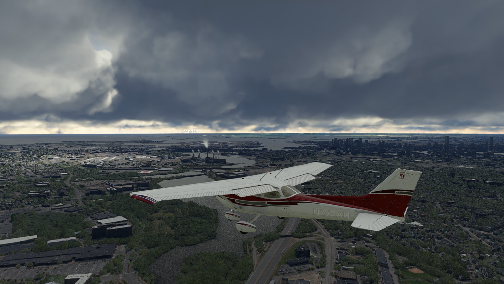
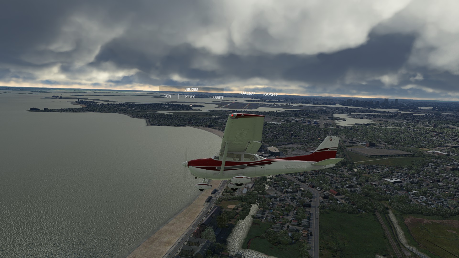
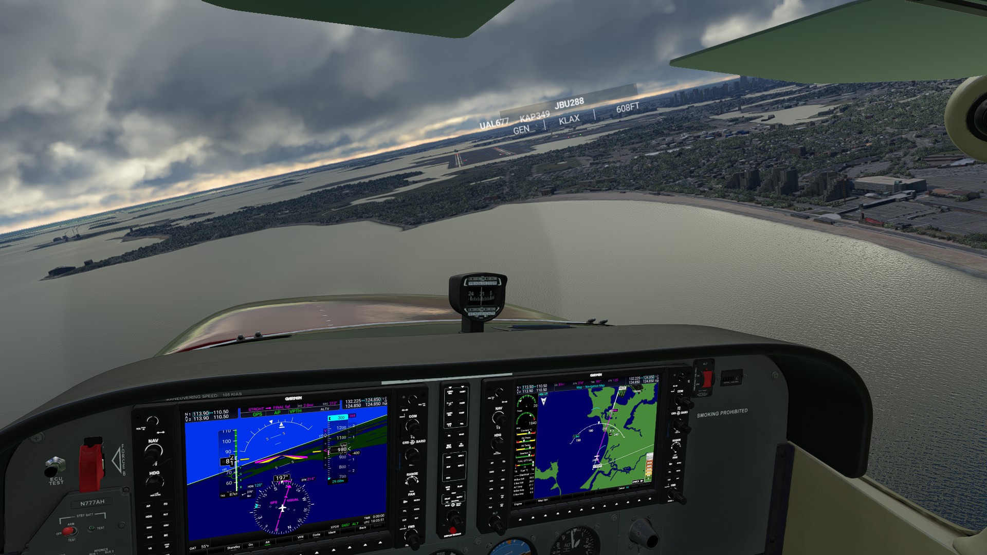
The final leg - it’s hard to believe I started this Coast-to-Coast before the holidays last year. It seems like such a long haul. Given all the distances and what I’ve seen since leaving the California Coast, it’s almost a little anti-climatic. Nonetheless, there’s this feeling of “coming home” since Southern New England is my home base - all the familiar sights upon departing Worcester - seeing the big sprawls of the 'boros - Marlborough, Northborough, Westborough, Framingham. Seeing downtown Boston appear in the distance and grow like an urban island, making the classic 22L approach into KBOS and the distinct Tower design. We made it! Thanks again to @newtestleper984 for a great cross-country trip. I highly recommend it!
1 Like
Very nice. I left off just outside the MA state line. Might pick away at the final legs tonight.
1 Like