Can I explain more clearly: -
The current GPS location of your aircraft whilst in flight. No map will give you that info.
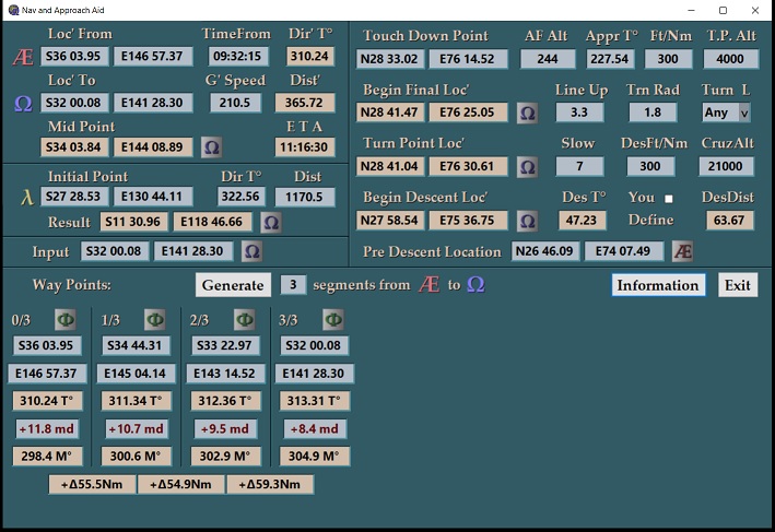
To obtain a fix you need current GPS location, a clock time, and present altitude. Then with the GPS supplied ground speed and ground track, you are able to navigate to the next target waypoint. I use a navigation calculator. This is the second one that I developed using Visual Basic. Here is a OneDrive Link https://1drv.ms/u/s!AmtbE8kFX0Z5gRg84Xiiw9Zruvqa?e=khJEZa
This is a free windows app to anyone. As I am not a recognized vendor you will get a warning message, but be assured the app does not access anything on your computer.
Screenshot
I hope the Long/Latt does become available on MSFS2020 sooner or later, because it is a lot of fun practicing unconventional approaches and complicated mountain passes etc