Ok,
Here’s the MeteoBlue NEMSGLOBAL cross section info:

And here are screenshots from the sim, all looking West
Ground:

3000ft:
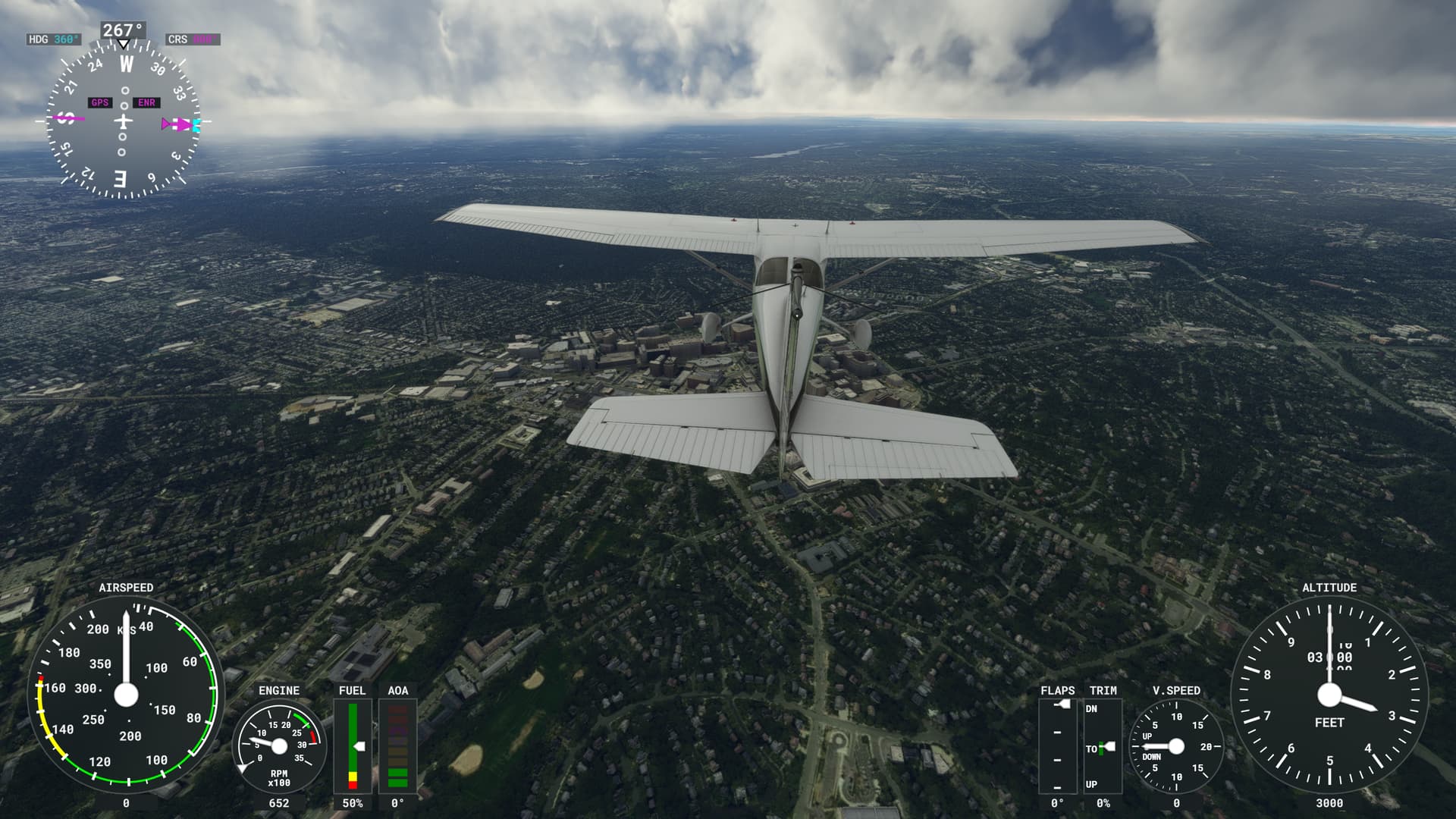
8500ft:

12000ft:
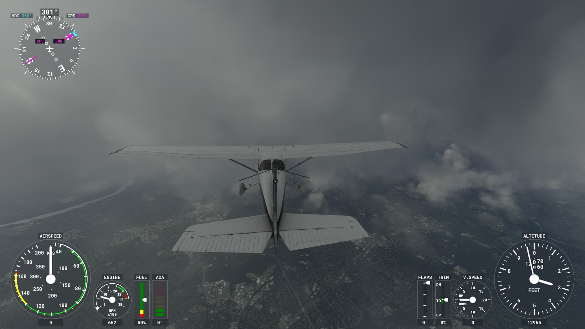
41000ft:

METAR at the same time, although it’s not used to render clouds:
KCGS 301850Z AUTO 05009KT 10SM SCT120 16/11 A3016 RMK AO2 T01610112
Thanks for riding along on my quest to understand what data is used to render clouds!
I think SU10 is doing a fantastic job of rendering clouds. I’m now convinced it’s using NEMS (likely NEMS30) data from 30 layers visualized in the cross section METEOBLUE diagrams to draw clouds. Although this is from one spot on the planet near Washington, DC, the clouds rendered in the sim closely match the cross section info.
@Perrry @WxMarc I used your old thread from Dec 2021 to help figure out where cloud data comes from. The release notes state SU10 added layers lower in the atmosphere which seems to help limit giant towering cumulus from being rendered everywhere and more accurately represent lower level clouds. not perfect but getting better ![]()
![]()