

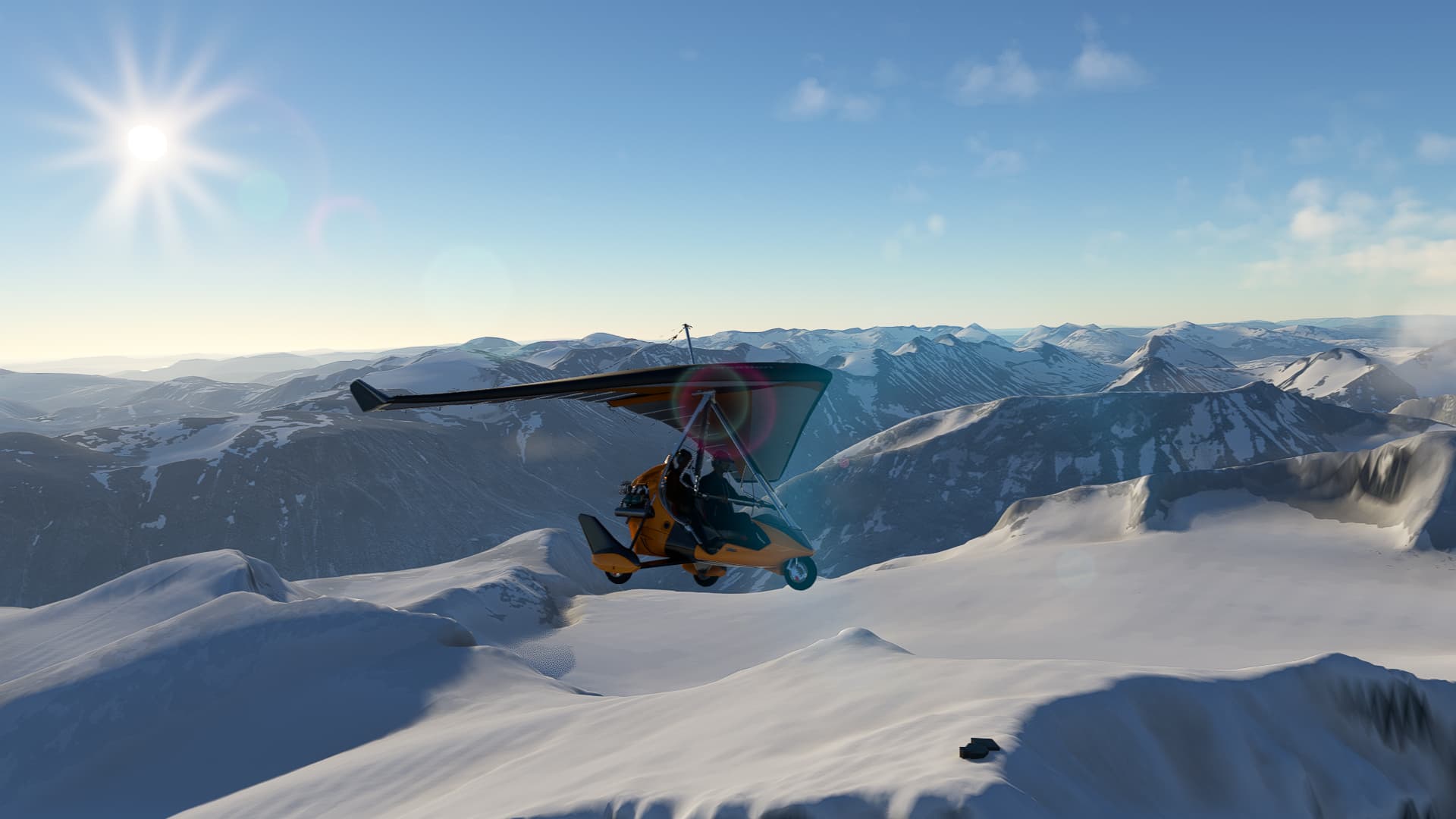
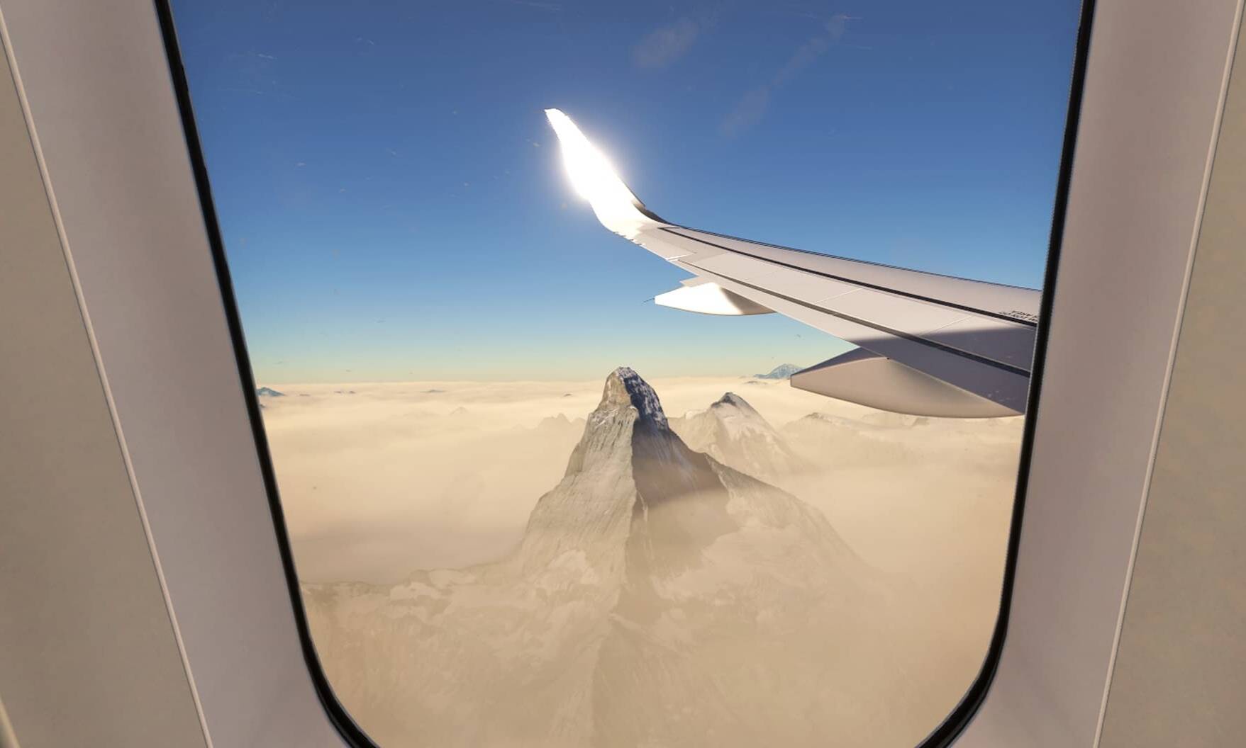
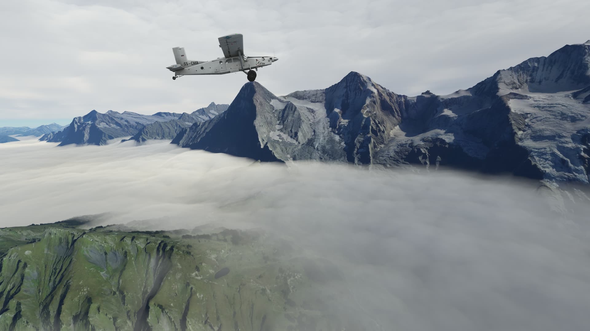
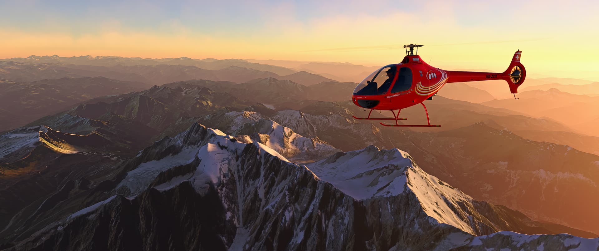
Over Galdhøpiggen (Norwegian pronunciation: [ˈɡɑ̀ɫhøːˌpɪɡn̩]), the highest mountain in Norway ![]()
You can see the cabin on top in MSFS (8.100 ft).
Very nice. It looks like a real photo. ![]()


Hello from Peru. I was setting up a flight plan to post here, but first I shared it with a couple close friends and I tested it today.
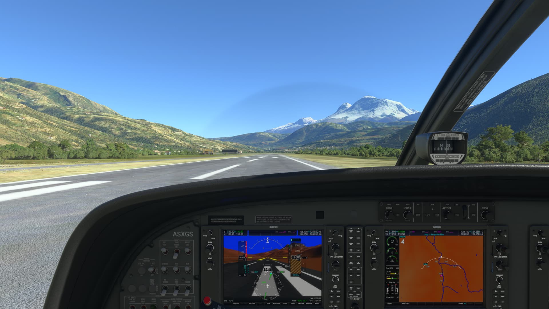
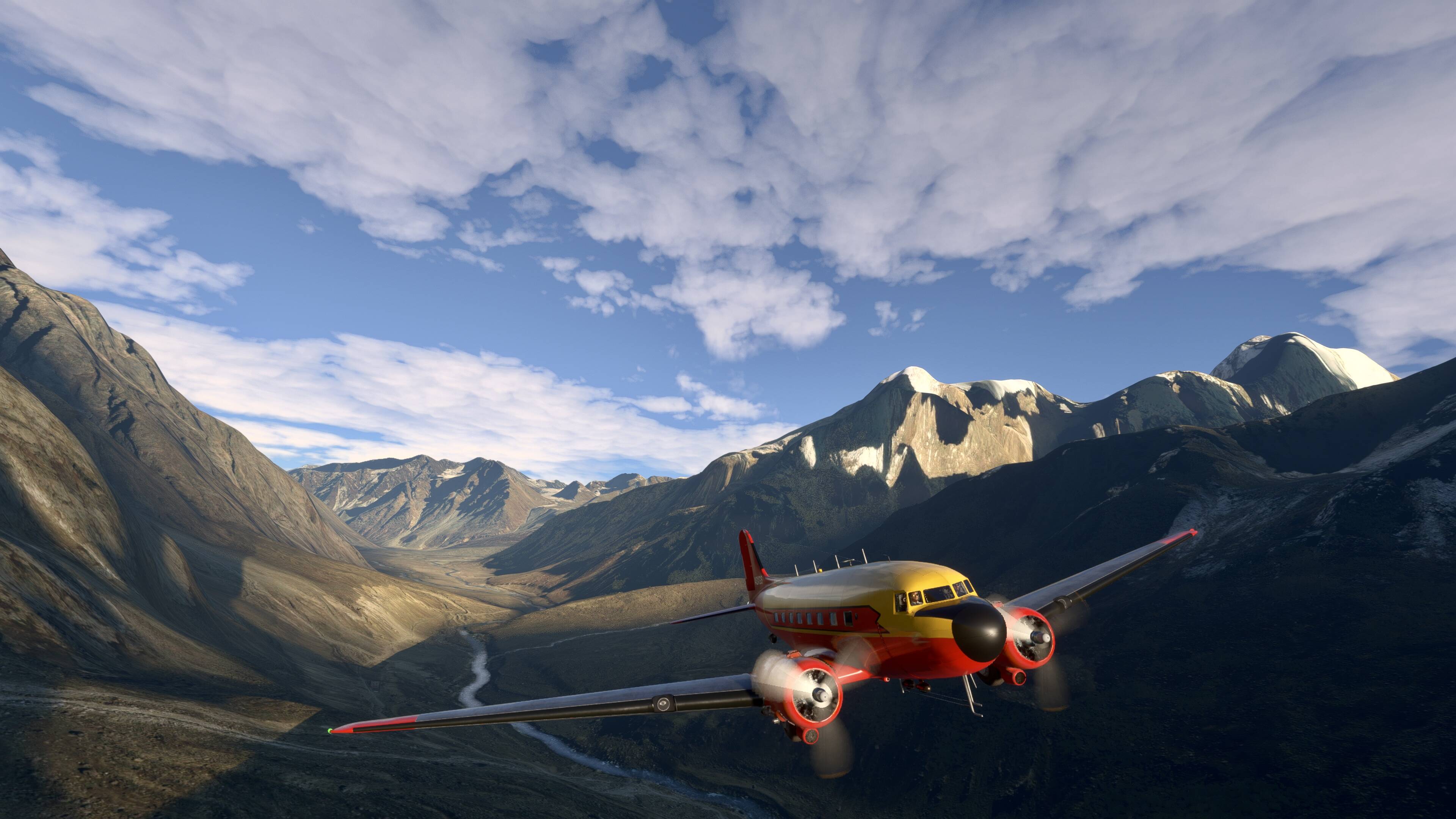
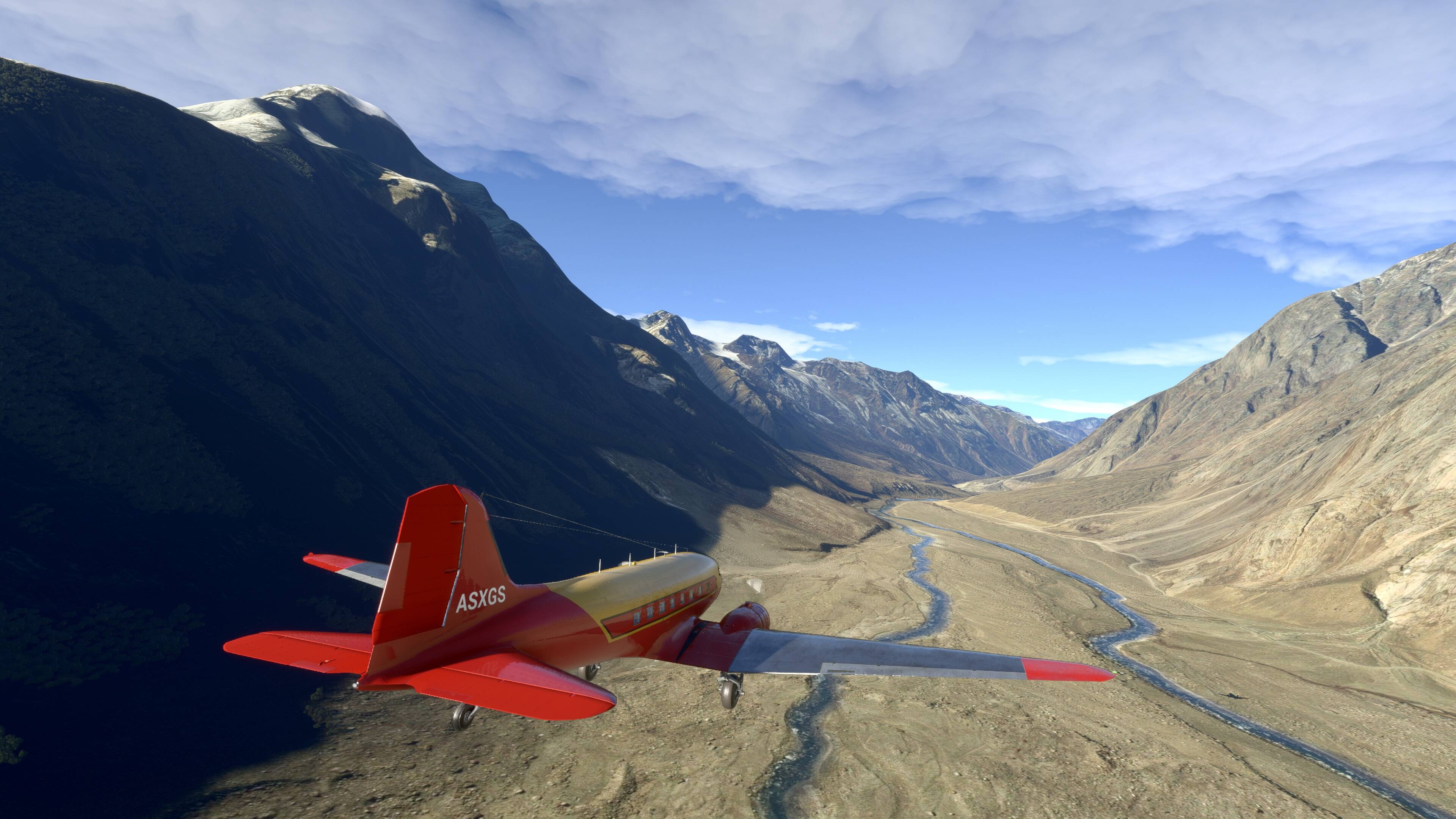
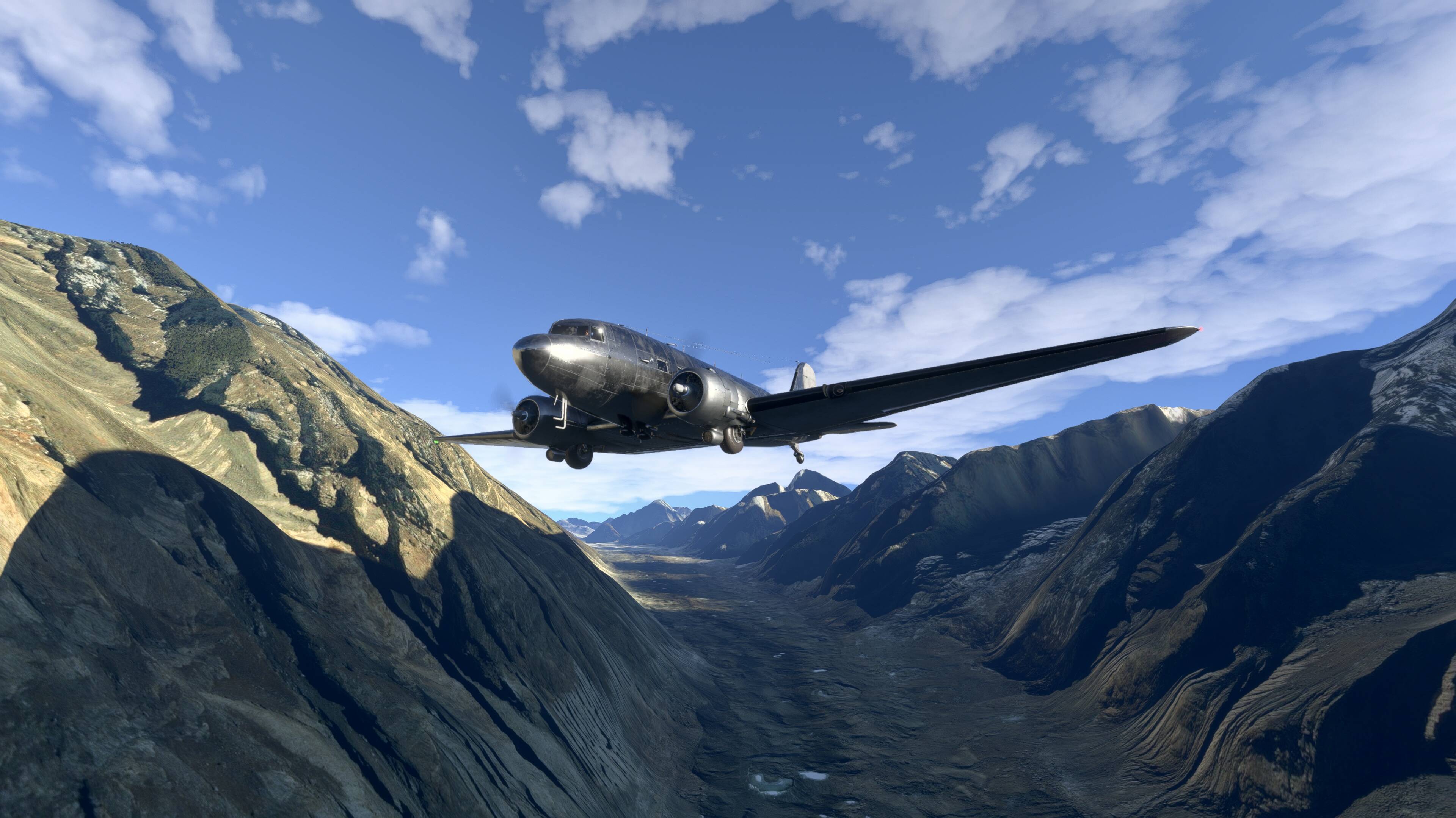
The core of it is departing from Anta, an airport just north of the city of Huaraz. Huaraz is an important city in the Callejon de Huaylas valley, home to some of the tallest mountains in Peru.
My flight departs from Anta and proceeds North, passing over the cities of Yungay, Carhuaz and Caraz, between the Cordillera Negra (Black Range) to the West and the Cordillera Blanca (White Range) to the East. I spent the afternoon flying around such mountains as Huascaran, Huandoy and Alpamayo.
After gaining enough altitude to reach the top of these mountains, I could safely turn West to cross over the Cordillera Negra and start descending in order to land at the coast city of Chimbote.


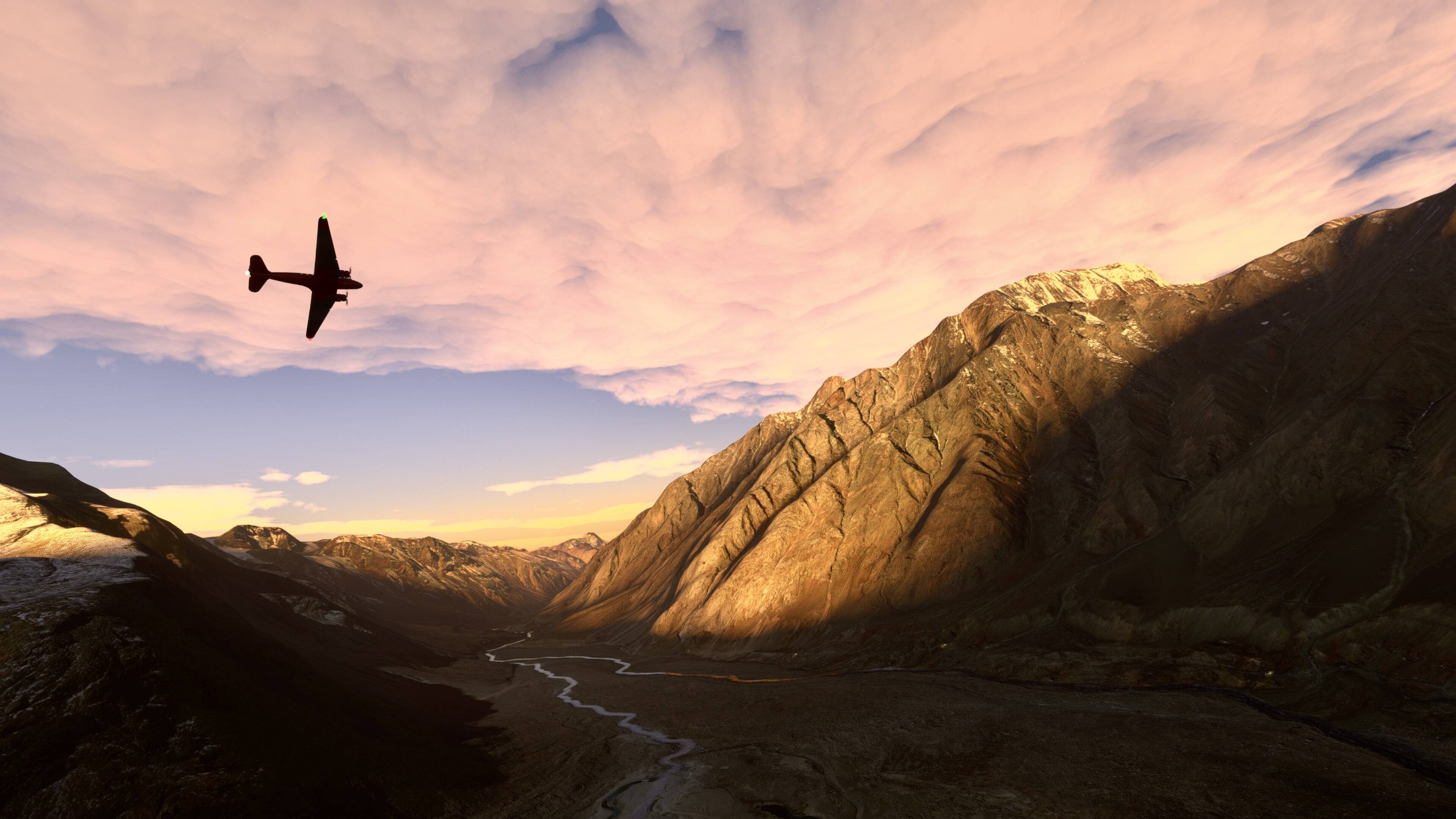


Hello again from Peru.
After testing it last week on my console, I’m sure I can share my flight plan here. I hope you like it here.
VFR_LIMA_CHIMBOTE_RUTA_DE_LOS_NEVADOS.PLN (9.6 KB)
Warm regards from Peru!