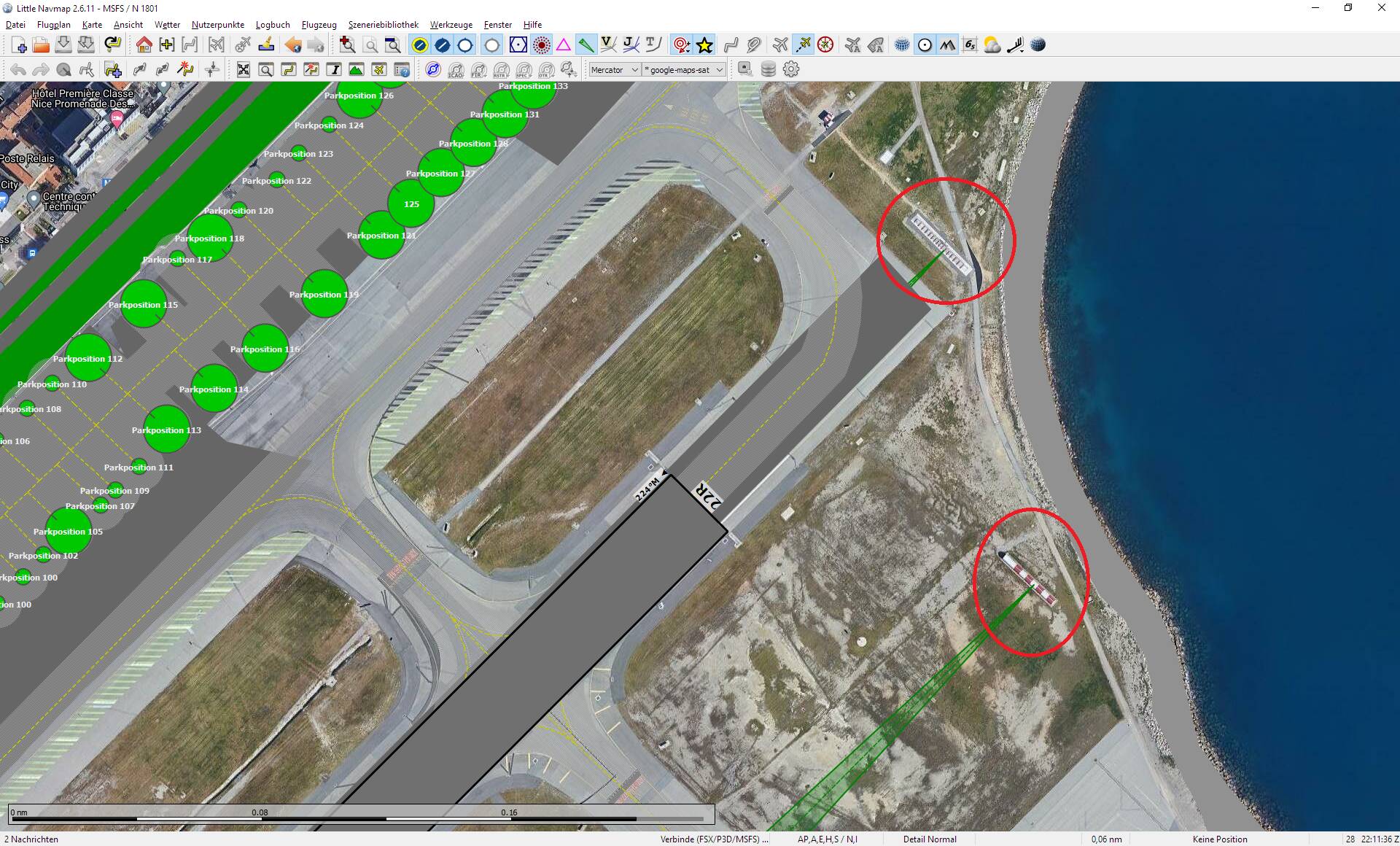
I have Navigraph enabled. In Little Navmap with Google overlay, the ILS antennas (marked in red) and ILS beacons (green triangles) are clearly visible. Some ILS antennas are positioned next to and not behind the runways because there is no space behind the runways (water in the three examples).
The Navigraph data appears to be correct. Is it possible to set an offset during the ILS approach?
By the way, MSFS default ILS in China is really wrong most of the time and becomes correct only with Navigraph data.
LFMN:

LOWI:


MKJP:

