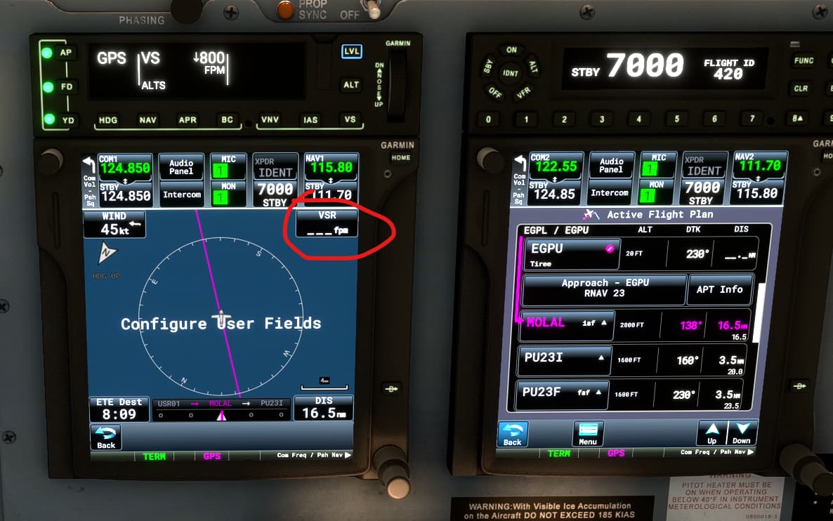
another question for you. an RNAV approach is currently the next waypoint (MOLAL) and it has pre-programmed altitude (2000’) so I thought the field VSR (vertical speed required) would show me what my VS is supposed to be to hit the altitude constraint. However it’s blank.
What else do I need to do to get this field working? Thanks!