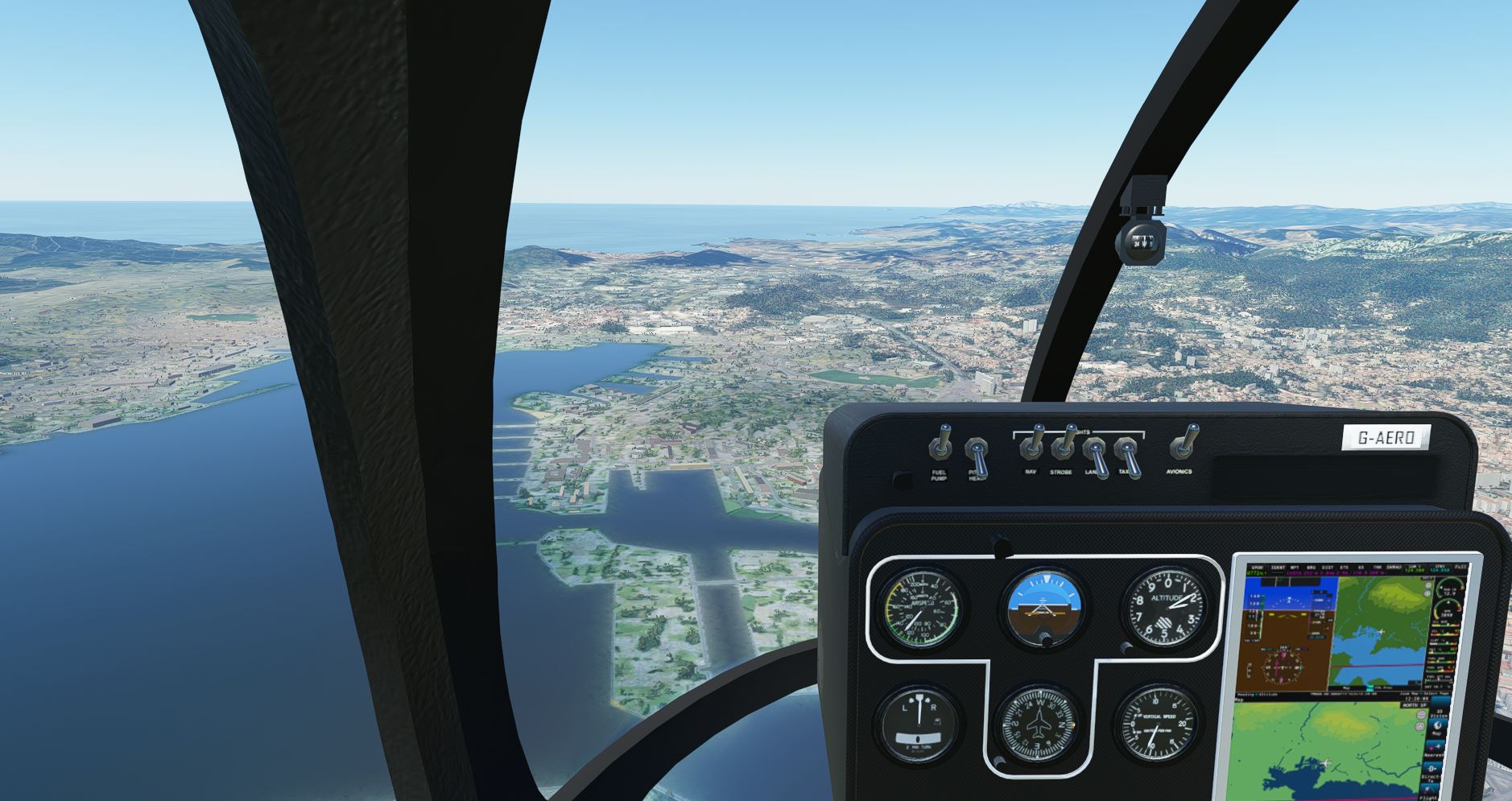
Military restrictions should not really be a problem. From the perspective of military security, MSFS is a game. The harbour of Toulon is the military area, blurred out in GE and not filled in.. indeed disappointing.. it looks like a zoo without the animals ! this area may be “secret”, but I’d love to see some big naval ships (fantasy or not ! I don’t mind in this case !)
1 Like
Hello,
It seemed to me that the city of Carcassonne was improved with the world update 4.
But I’m not sure if we can say that it is an improvement

See you soon
1 Like
Ajajaj indeed .. I put the aerial from 123rf..
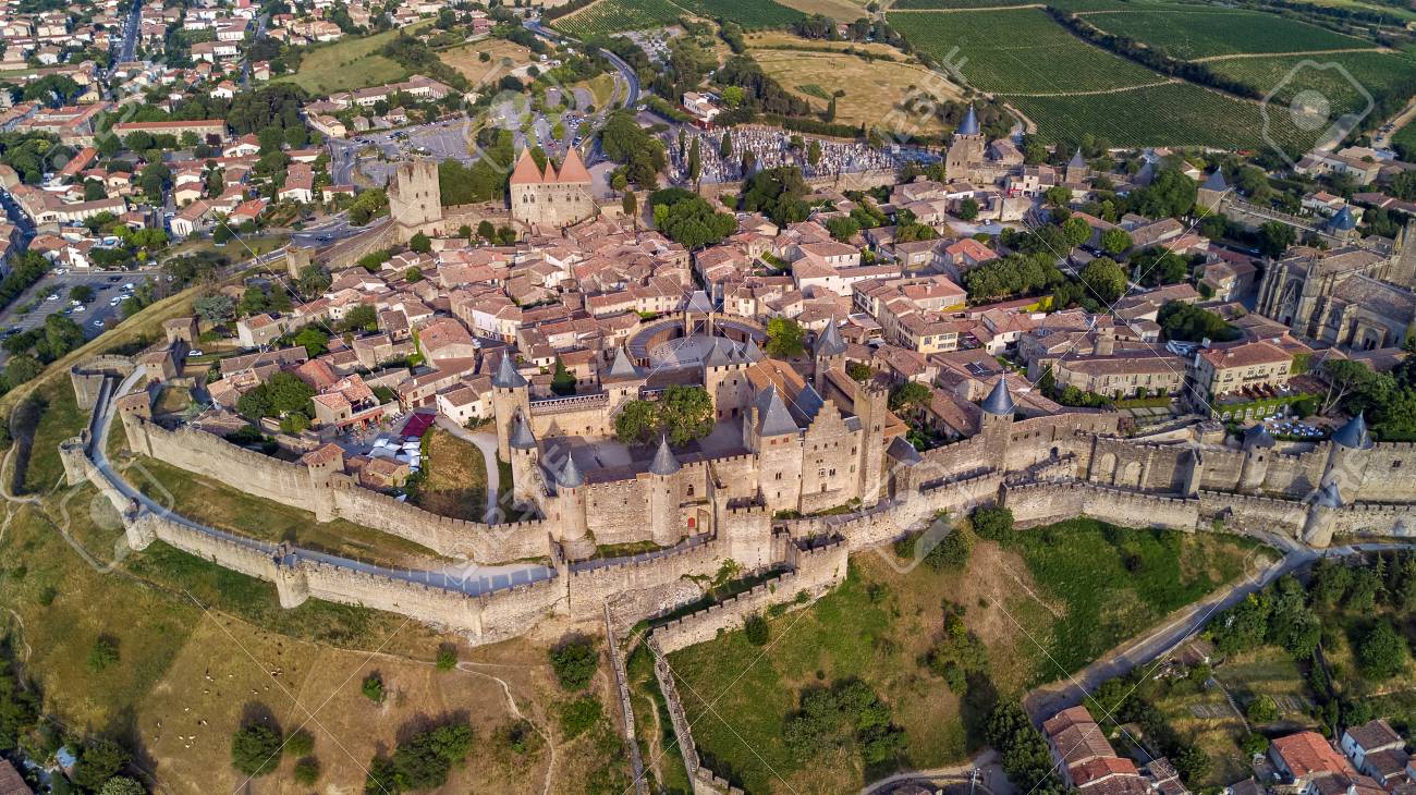
.. btw also for this one, check available scenery elsewhere when you want a nice flyover..
https://fr.flightsim.to/file/577/cite-de-carcassonne-walled-city
there’s payware too check Google Search
I mean.. realistically… who at earth‘s sake uses Bing in „real life“ except Peter Parker?? Google is the way people go for a reason. Cars work with Google data instead of Bing or others. Only MSFS uses Bing, what do we expect ![]()
We rather get a SpaceX version of the whole surface of Mars than Bing at matching quality on Earth.
When I told my mum about MSFS in summer and told about Bing data she even asked what that was, it sounds chinese. Lol
2 Likes
I agree about google Earth and Bing comparison in general, but saying this, I see big improvements over those last months on Bing side, and MSFS is part of this dynamic. When I flew over Marseille and “La Canebière”, the city look like far more “melted” in google at ground level than during my fly where buildings and streets were very good.
Fingers crossed
Hello Arcane,
Yes I know his work
I asked him about the compatibility with WU4 and for the moment these scenes are not
1 Like
Au moins c’est Maman, et pas la voisine ![]()
2 Likes
At least you had a “world update”.
Check Tel Aviv in Israel. It’s horrible even in google maps.
The satellite imagery is blurred and the scenery is awful.
1 Like
Glass half empty or half full? Eventually the Bing data will improve. Dont hold your breath for MS to switch to Google. Lol
.. or more vendors - and region specialized vendors - will emerge. This data is big business.. rural planning, city planning, traffic routers, automated driving, emergency services etc. There is a big market for accurate mapping products. Problem is.. these military zones can spoil a lot. Policy can change, e.g. when Google shows more correct elevation near Toulon Harbour, that material may be more recent, or aquired seperately from a French company. Microsoft/Asobo can choose to form cooperations with (or aquire !) companies that do the work for certain countries, or regions. They know best how to aquire certain data.
2 Likes
right - I think we have to think of MSFS / Bing to date as a ‘proof of concept’ rather than a finished product. Give it time folks, because - as a concept it works wonderfully. In a year or two when the floodgates are fully open and this thing is in full development with aftermarket enhancements and further investment of data and new materials being available to MSFS / Asobo et al it should be brilliant
2 Likes

Thanks to the Mods for their vigilance. This comment was making light of a Topic about an obvious and soon to be corrected oversite by Asobo. There was no Xenophobic element and the word ‘Ugly’ was within inverted Commas which demonstrated that this word should not be taken literally.
We are not Xenophobes and neither is Catherine Tate,… Have Fun.
Hypothesis: Someone at Microsoft went apoplectic when Google released their very simple flight sim based on Google Earth data and went charging into the boss’s office screaming about how Microsoft are the King of flight sims and Bing Maps can do everything Google can do and how Microsoft can embarrass Google by producing a new flight sim off Bing Maps data that’ll blow this pathetic effort by Google into the weeds. And he said it all in one breath.
However, what it’s mostly managed is to highlight just how deficient Bing maps data is over Google’s.
(This hypothesis may indeed be completely incorrect, that’s the beauty of hypothesisisisis’s).
4 Likes
We need a merger : MS for the sim engine, Google for the map data, which is never gonna happen.
I think that has other reasons.. many areas seem to be left blurry intentionally, Israel is a hot topic and its (your?) government and military probably prefer not to display better images of Tel Aviv, Jerusalem etc
XP for sim engine, MSFS for graphics and google for map data
2 Likes
This topic was automatically closed 30 days after the last reply. New replies are no longer allowed.