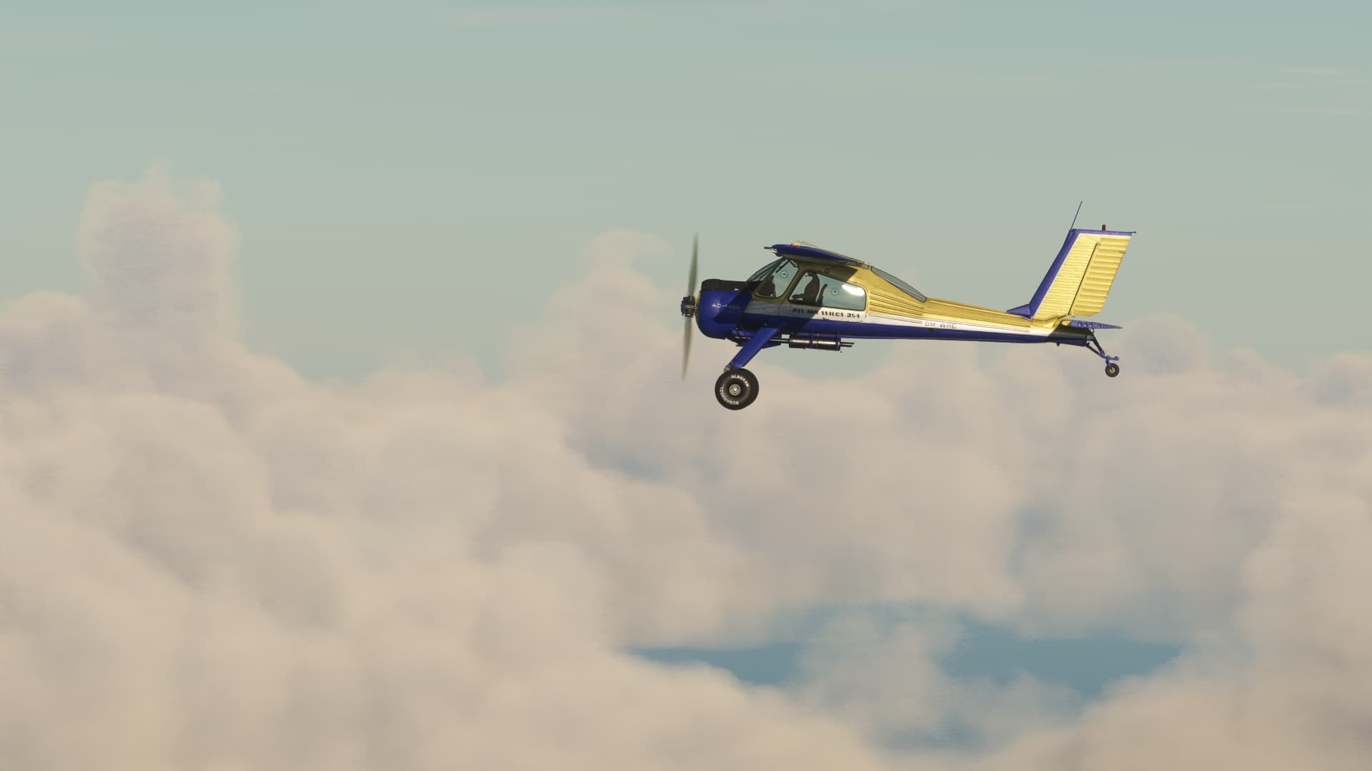
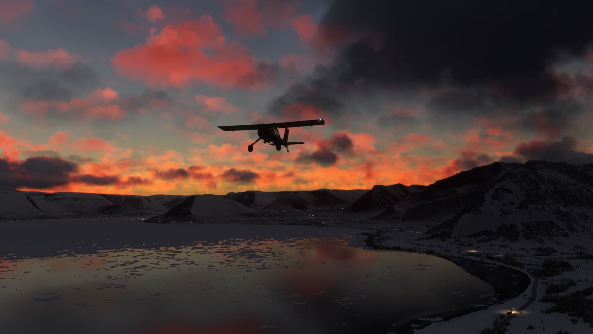
Pffffff, I would have told you to turn around if I had been that controller… No mercy !! ![]()
1 Like
They all fall for the old “I’m such a tiny airplane with no fuel to spare and nowhere else to go”. ![]()
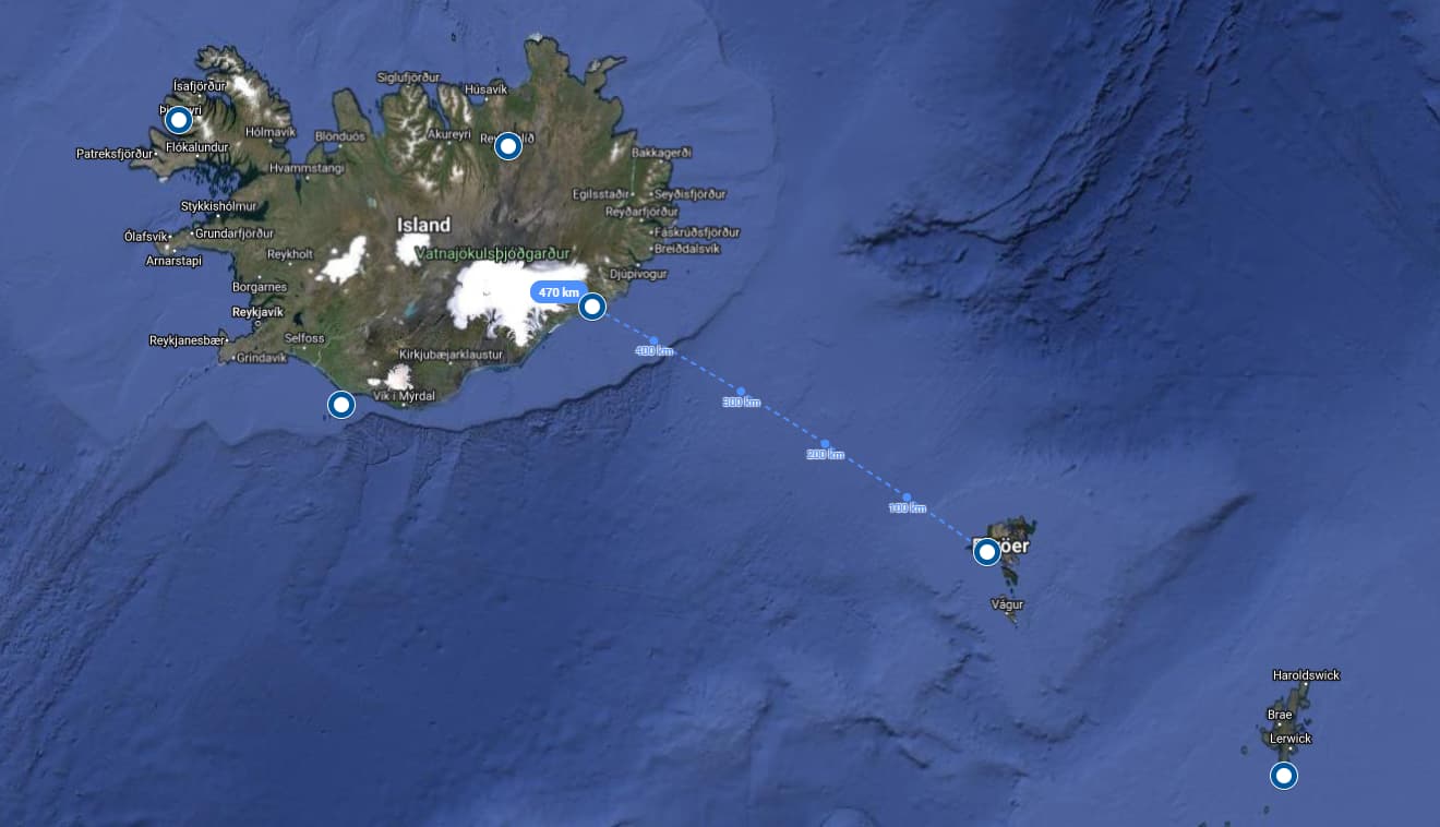
Nearly two weeks and more than 1.300 km into the trip, I had to learn: Traveling by plane is different from my usual coffee-flight-round trips. You need planning and you must be prepared for your flight. Know the weather, know your route, waypoints, frequencies, check on your fuel regularly etc..
Especially in a region like the atlantic ocean in feburary you need to have: Patience. If the weather isn’t right, you simply have to wait.
So I waited for the right conditions for the next leg: From Sumburgh, Shetlands to Vagar on the Faroe Islands.
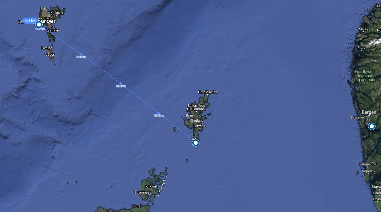
Two days later the sky had cleared, wind was calm and so I left Sumburgh in the morning for another 200 nm over the atlantic ocean.

Thanks to the calm weather and the medium-range NDB at Nolso, I had no trouble finding Faroe Islands, which greeted me two and a half our later. Got cleared for a straight final into RWY 30 at Vagar.

3 Likes
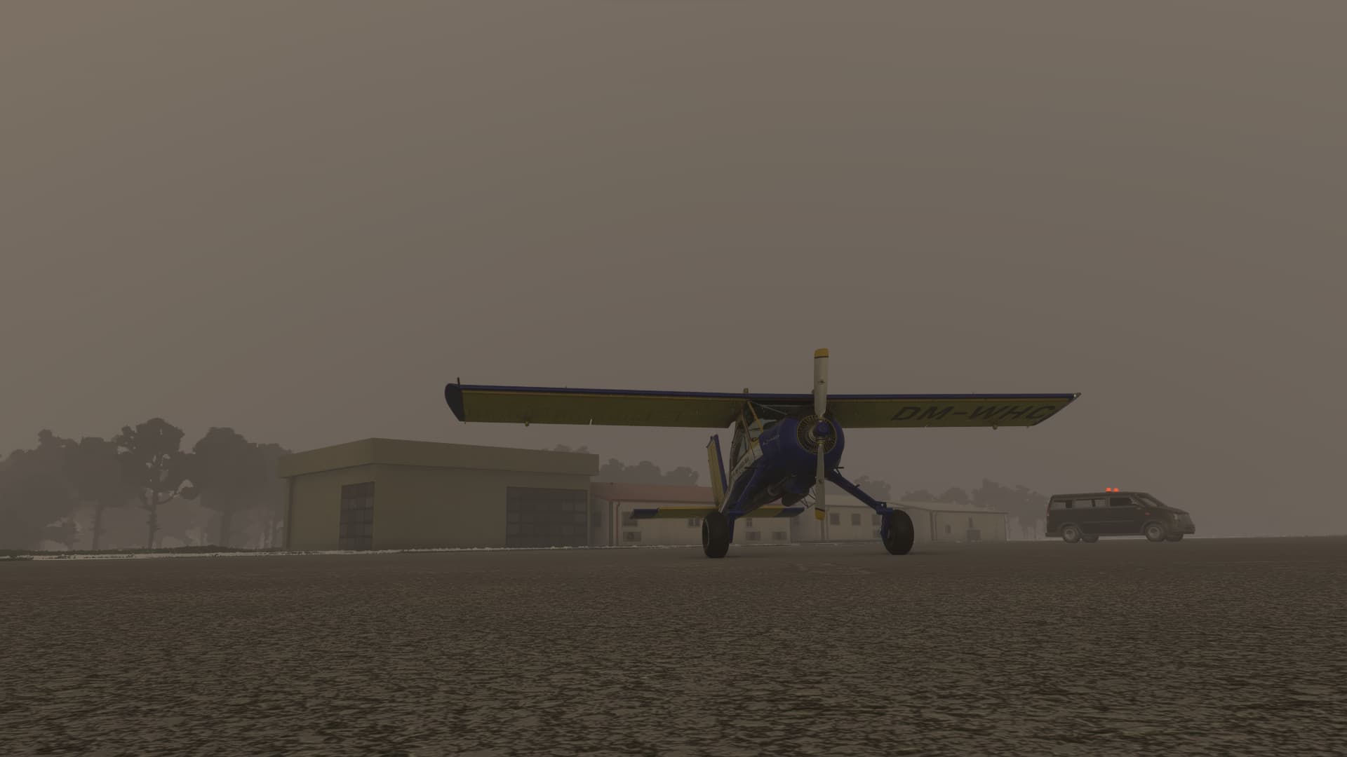
The great weather stayed for another day, but unfortunately I didn’t find the time to use it and another day later, heavy winds and low clouds were back. So I again tweaked a bit and reenacted the calm weather I had missed to make a step forward and finish the 250 nm from Faroe to Iceland.
Waiting for take-off at Vagar:
As with the other legs across open water, I picked airfields with strong NDBs in their neighbourhood to compensate for possible miscalculations of the wind. Today I had Myggenaes NDB near Vagar in my back for 75 nm and the long range Hornafjordur NDB in the southeast of Iceland to guide me to the airfield with the same name.
Looking back, the two and a half hour went by pretty unspectacular and calm, but it was nevertheless thrilling to reach the calculated range of the destinational NDB and waiting for the needle to lock in.
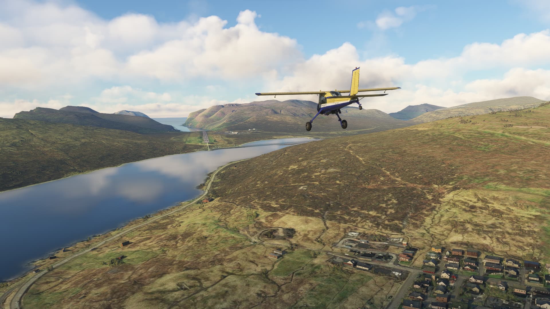
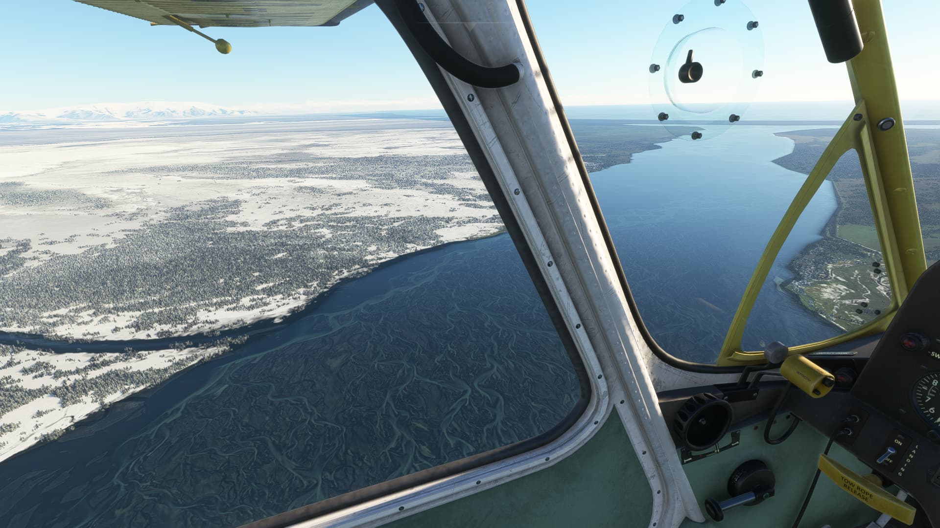
Whe arriving in Iceland, I found it quite un-icy, which is a clear downside of not using live Weather. But very scenic anyway.
4 Likes
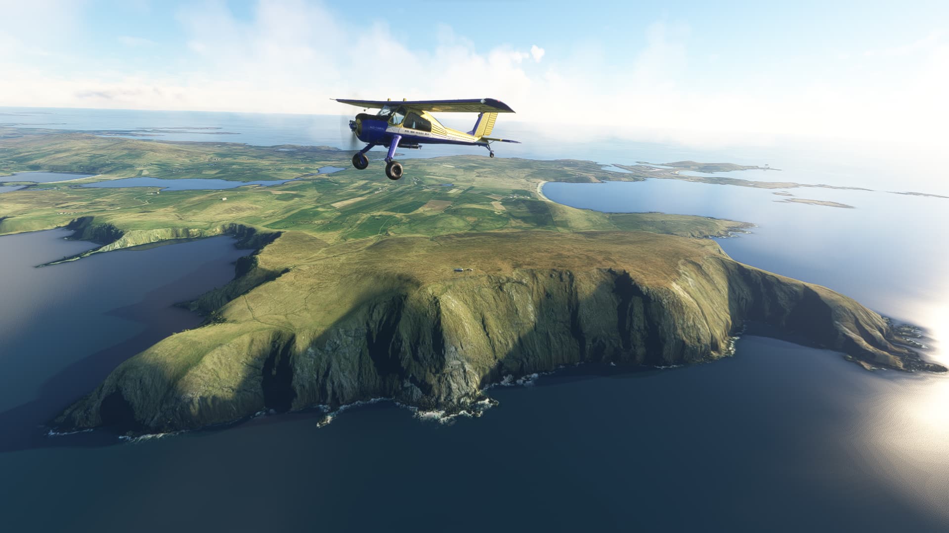
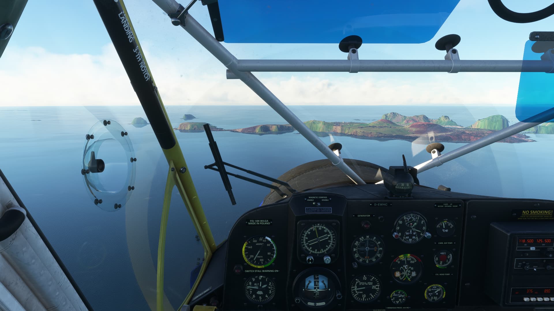
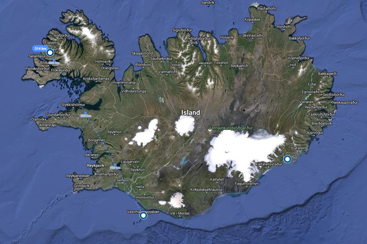
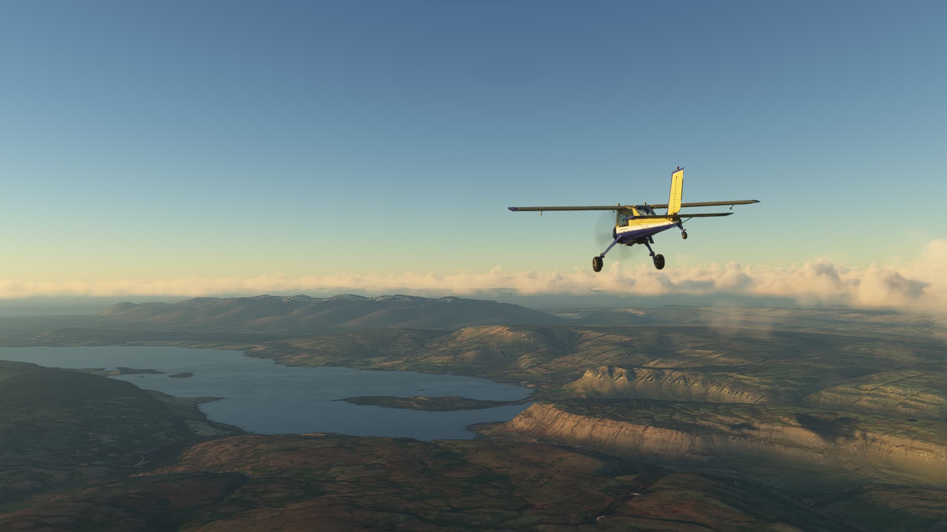
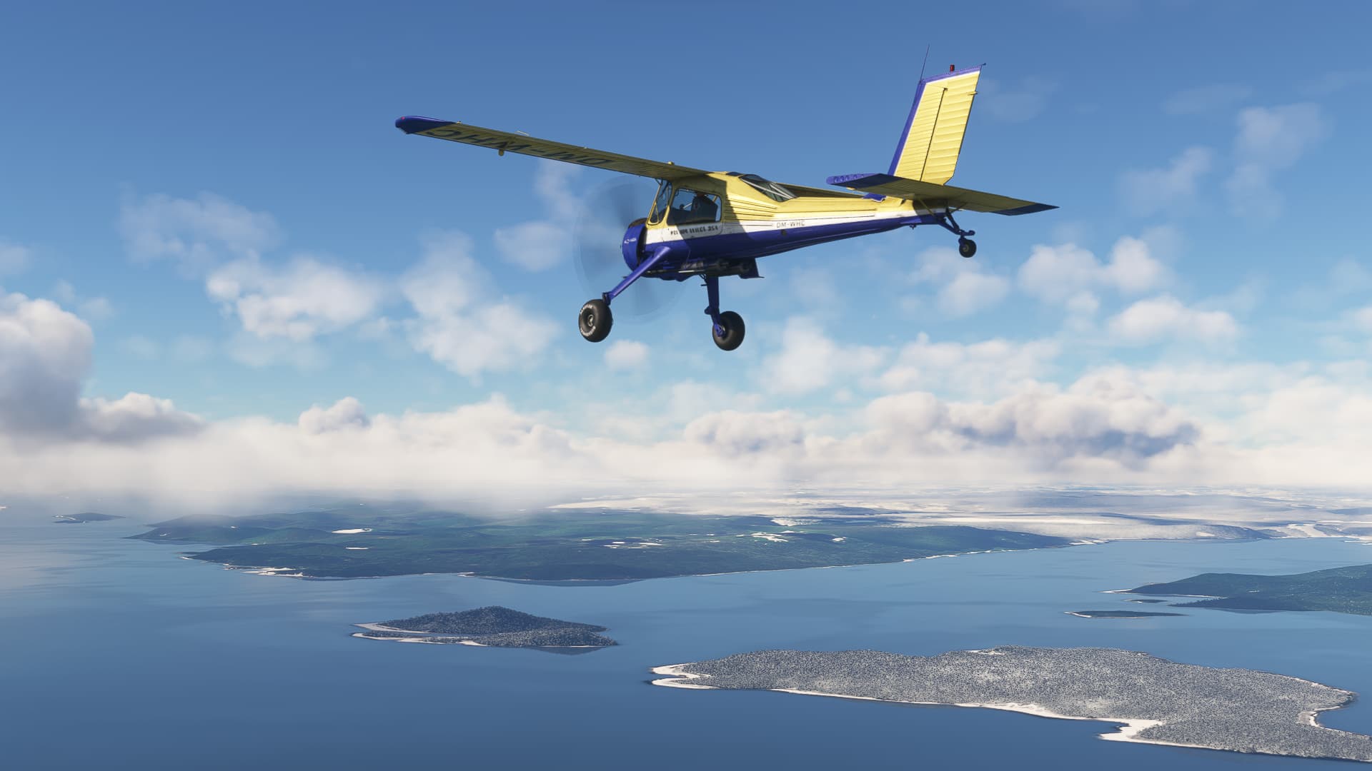
A promising weather forecast tempted me to skip the direct route through Iceland and do a little sightseeing along the southern coast. I started off from Hornafjordur for a 1,5-hour flight to the small volcanic islands of Vestmannaeyjar off the south-eastern coast of Iceland.

With Live-weather on, Iceland regained its Snow and Ice. The short distance allowed a cruise speed around 110 knots (simulated AVGAS prices are stable at 0,00 $/litre, so what?).
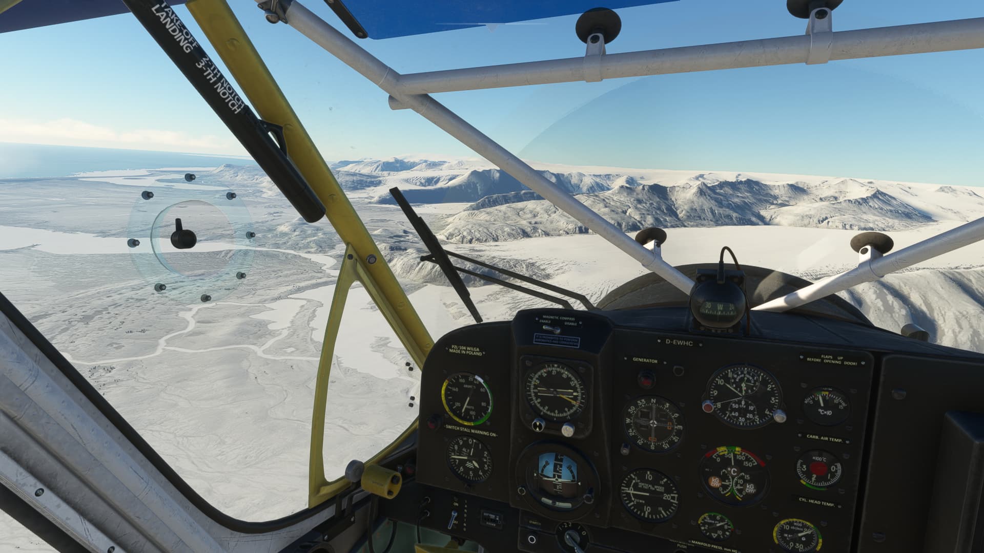
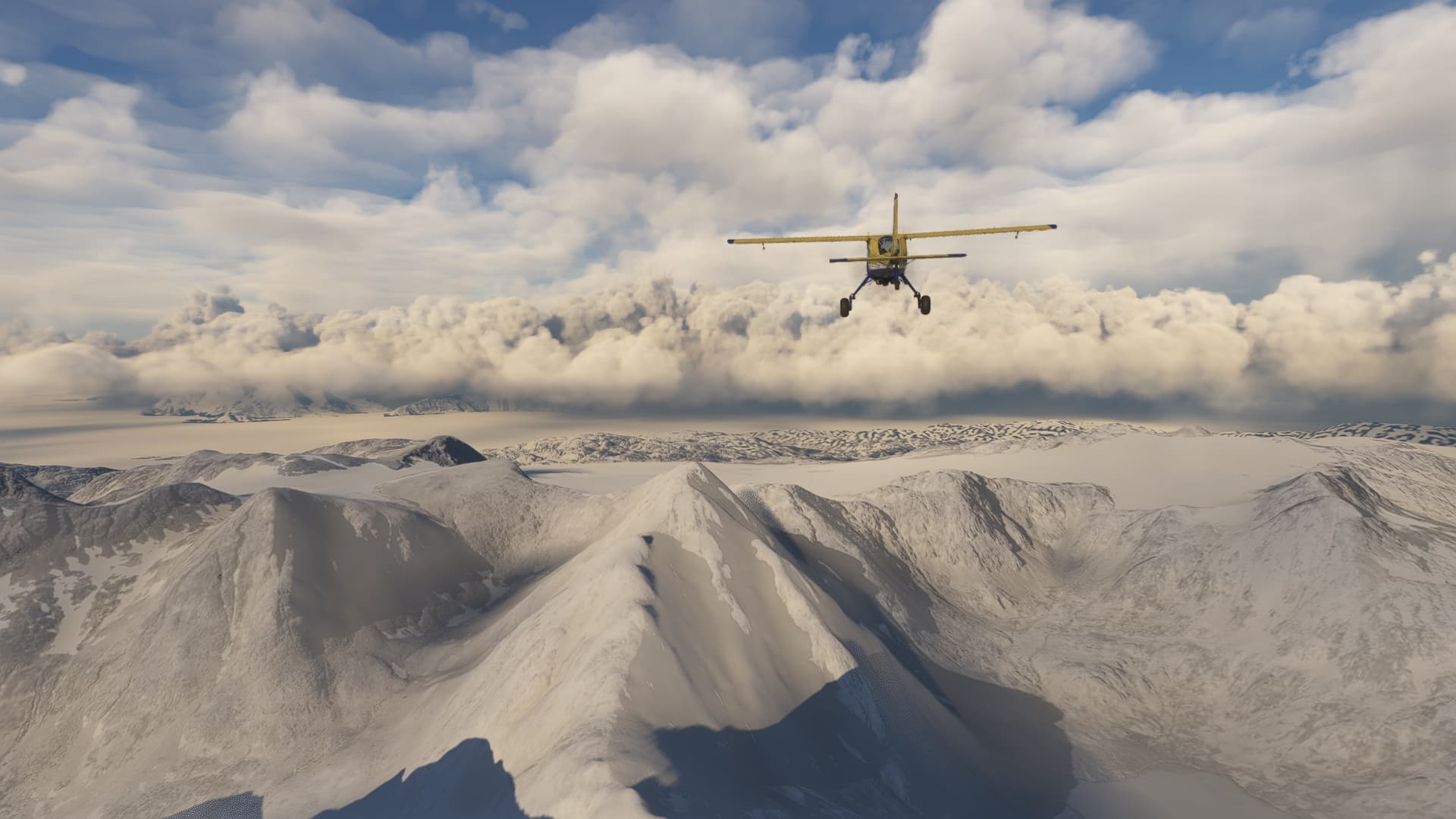
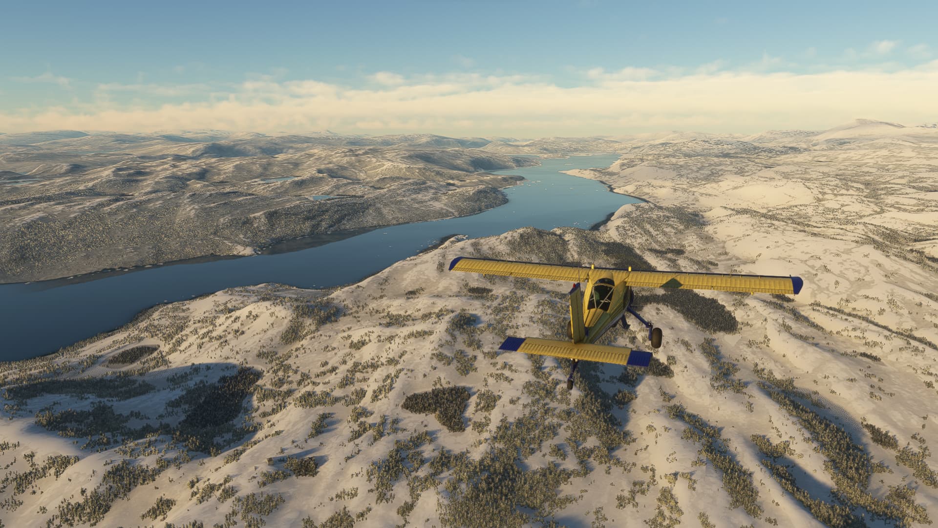
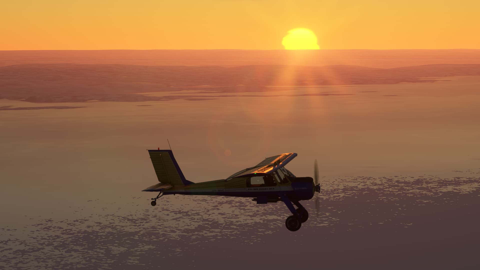
A lot of impressive glaciers along the way. I wonder, if Greenland and Canada ca top this:
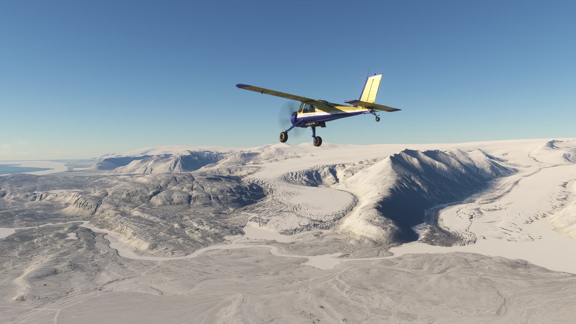
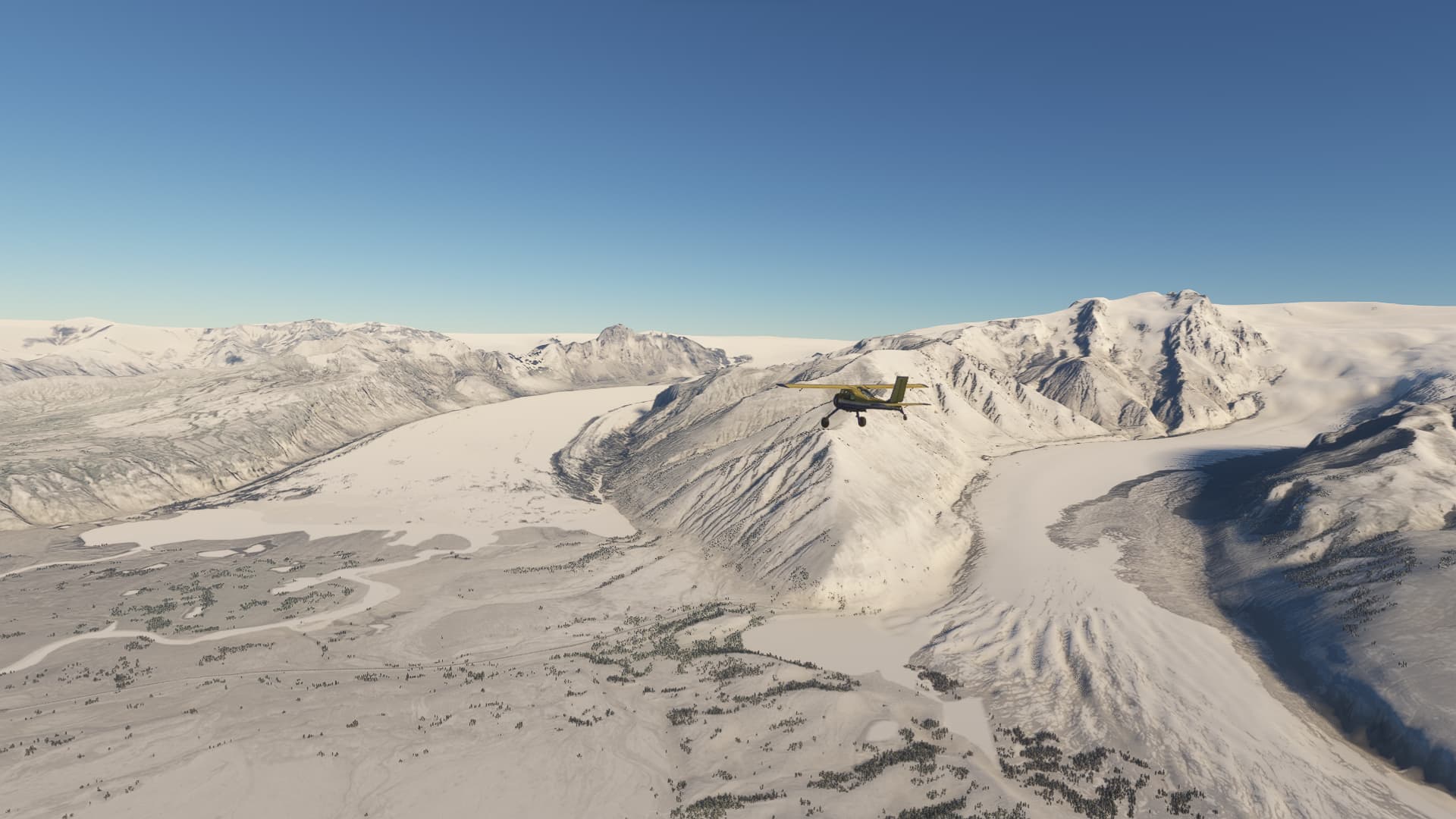
Farther west, apparently there hadn’t been as much snow in the last days.
Apporaching the volcanos of Vestmannaeyjar and its Airfield right beside Helgafell:
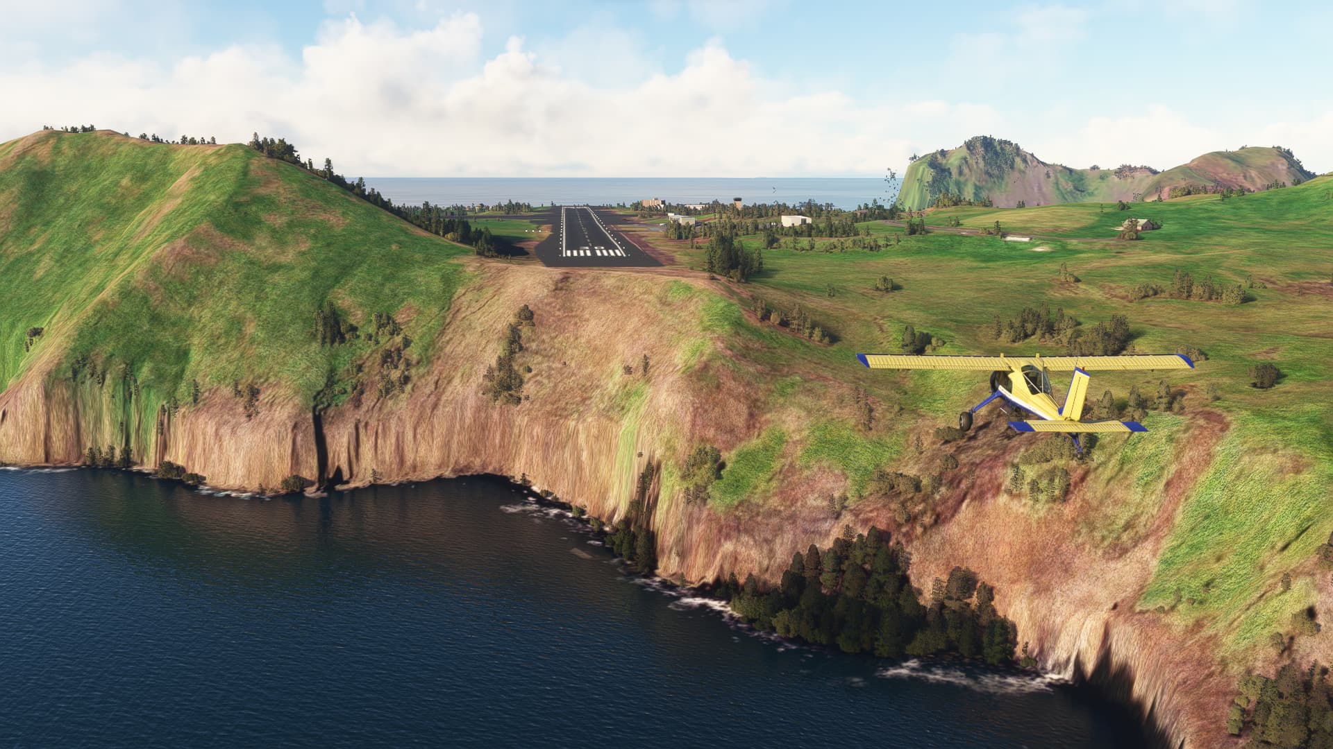
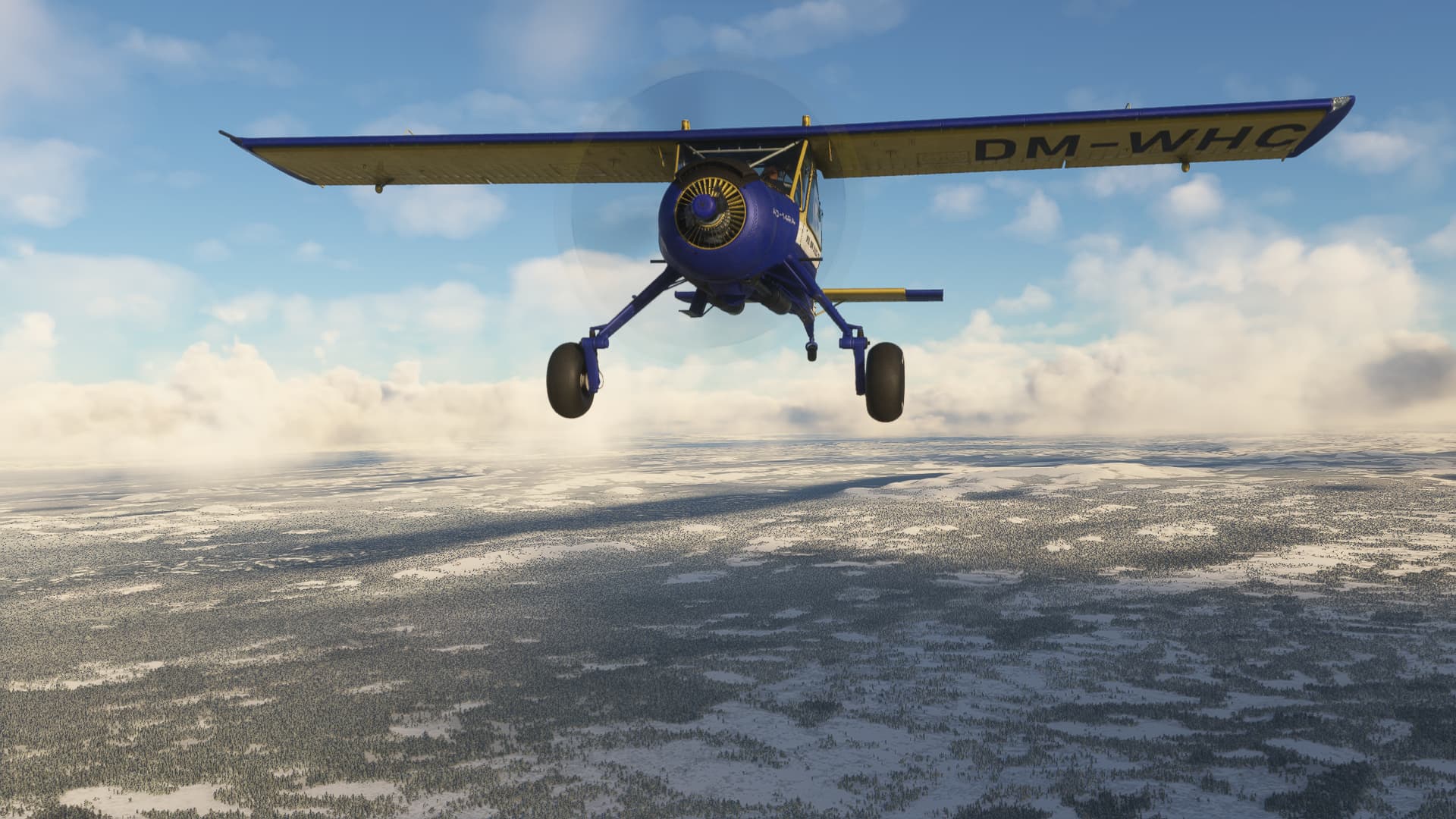
Still a bit unreal to cruise over Iceland in a Wilga and knowing, that it actually made it all the way from germany up there.
5 Likes
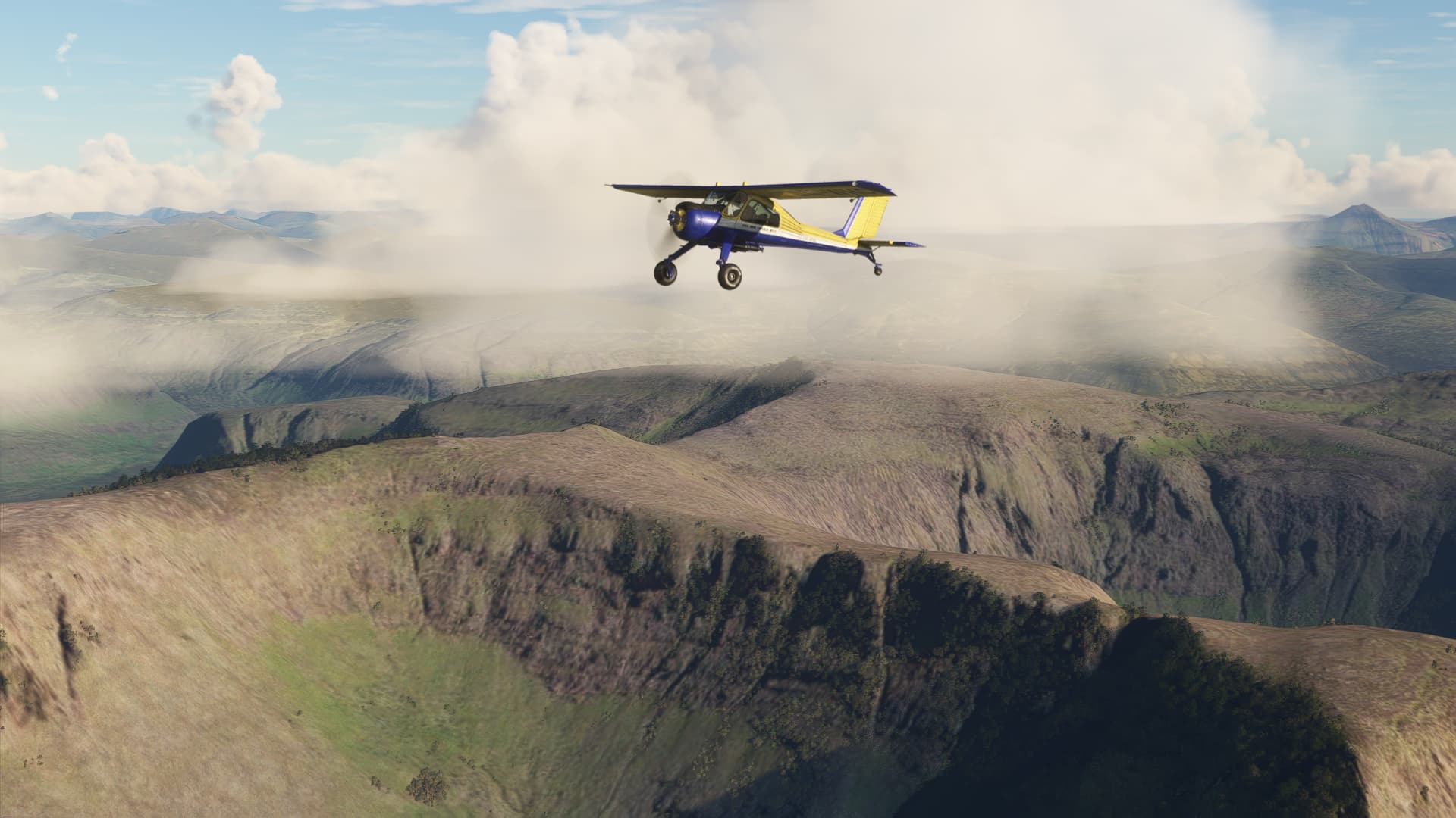
The next leg should lead me north, along the alley of volcanos (and some waterfalls) in the middle of Iceland. But a look at the weather forecast offered a surprising window of oportunity. A low just passed south of the Island and would bring two things: Nice tailwinds to Greenland tomorrow and at least two days of precipitation and zero visibility all over Iceland.
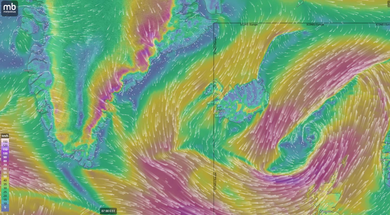
So the decision was: a scenic ride today an at least one more week of waiting or rushing up to my north-western starting point to greenland and possibly being Kulusuk tomorrow?
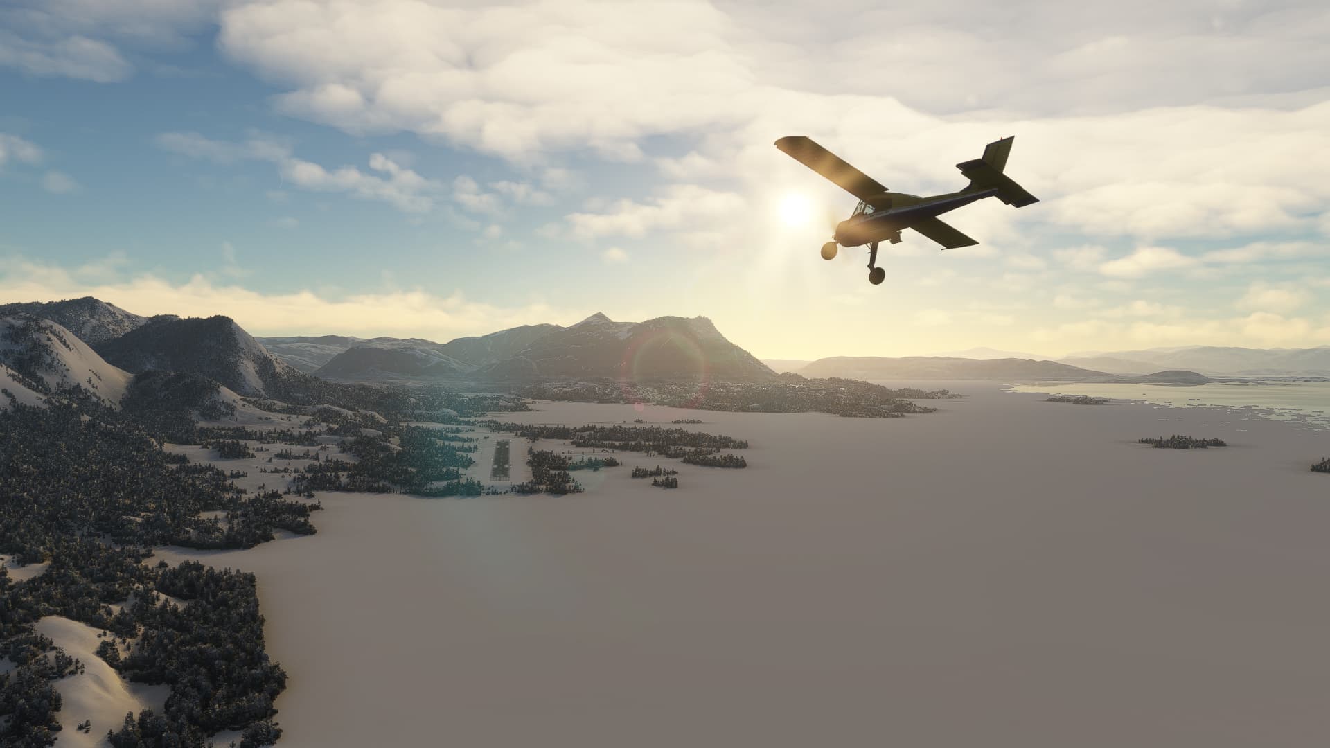
Sightseeing had to wait. I fuelled up the tanks, checked for the clock and decided, that 1,5 hour until sunset would be enough to make the 170 nm to Thingeyri.
Up and away, no more time to enjoy the marvelouse views of the Vestmannaeyjar islands I paced my Wilga along the black shores of Rangárþing ytra.


Sun began setting, which was very nice on the one hand, but in combination with the steady headwind of more than 10 kts a bit intimidating also. I made good use of the M-14Ps 60 extra horsepowers to make it to Thingeyri before darkness.
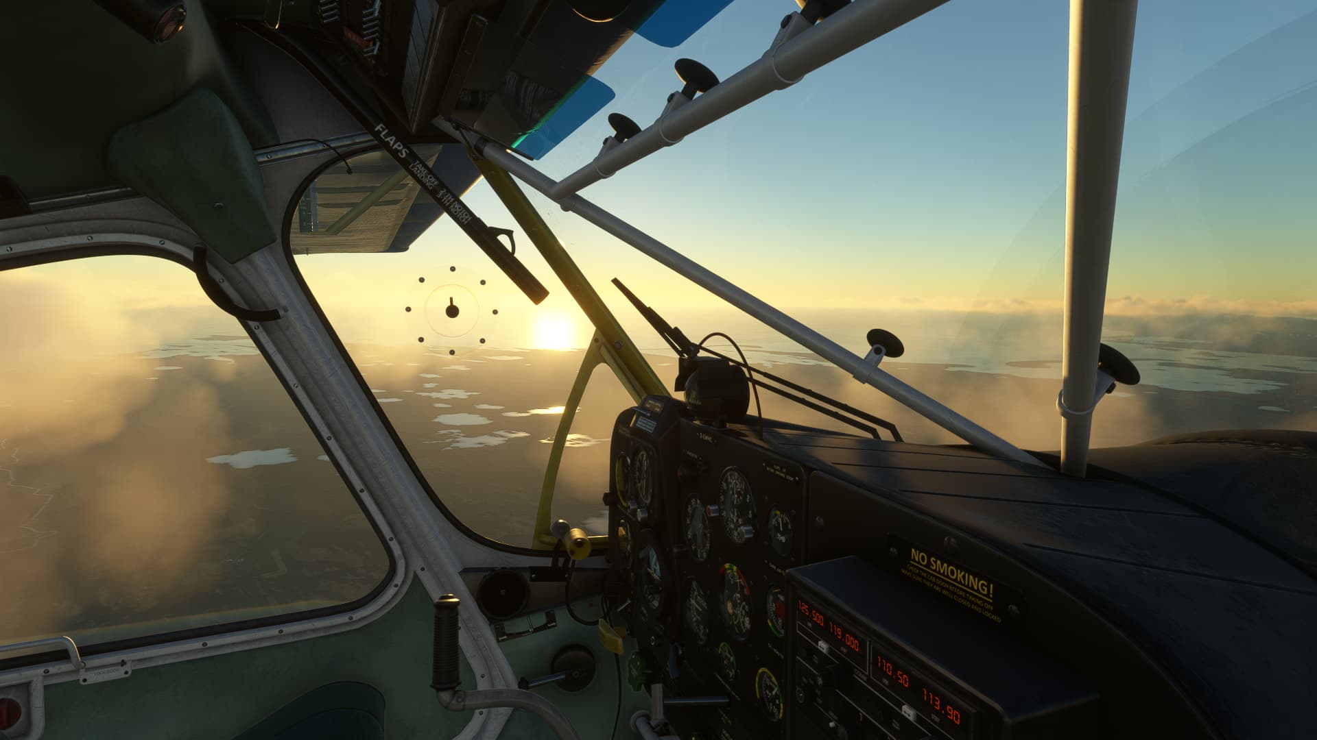
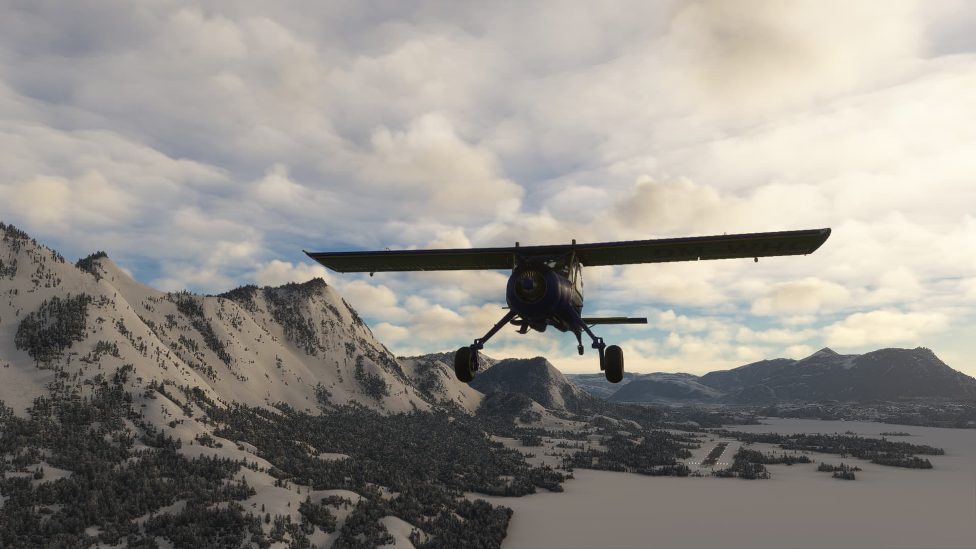
Wind made this a really close call. Sun had already set, when the last „finger“ came in sight, the peninsula of Ísafjarðarbær.
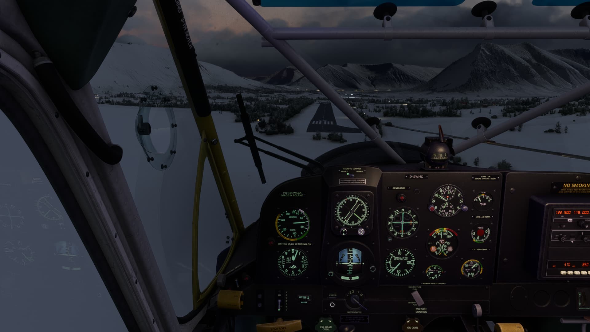
I followed the lights of the crossing 626 highway to the other side and approached the dark runway of Thingeyri. Looks as if my PPR-request wasn’t filed correctly, no one’s home.

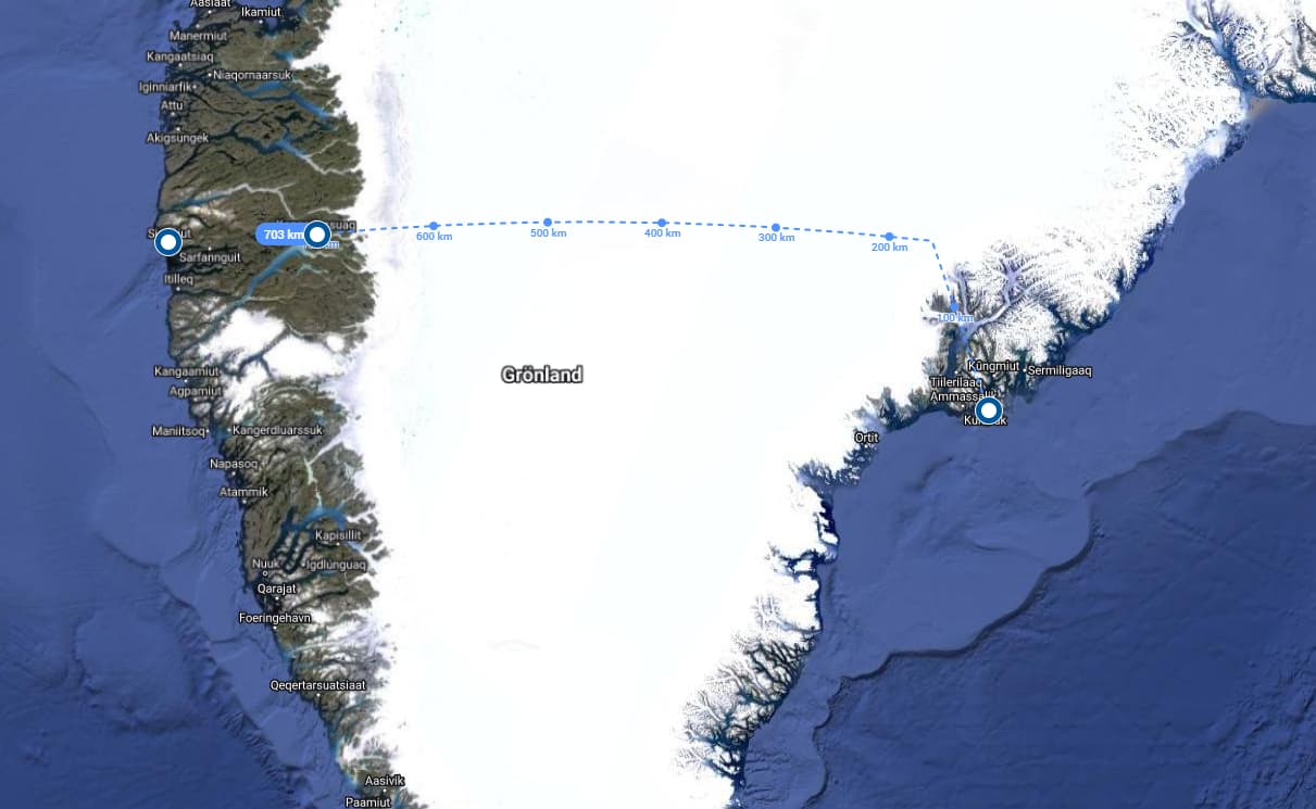
Alone on an locked in on a closed airfield, I spent an uncomfy and short night in the Wilgas rear compartment, hugging my guitar. Just 12 hours until the next leg: 340 nm to greenland (if someone would show up to unlock the gas station until then).
6 Likes
Hoping you weren’t too cold over night. Keeping my fingers crossed the weather is kind for your next leg. sPK
1 Like
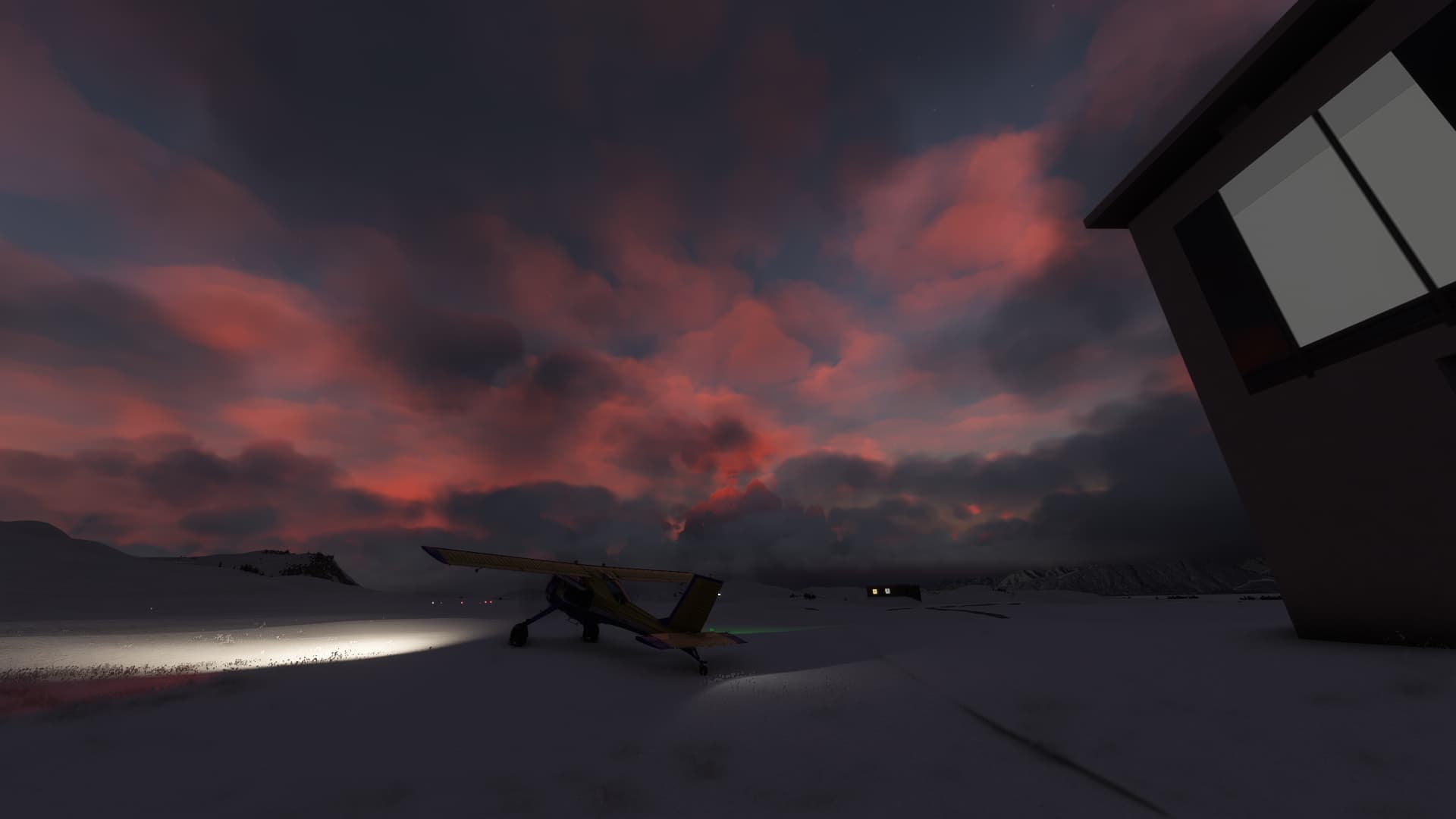
At 6 o’clock the gas guy showed up and let’s put it like this: Someone in a 50 years old polish towplane surprisingly appearing overnight and wanting to fly to greenland wasn’t enough to even raise him an eyebrow. He fueled me up, took the cash and gave me a hint, that the tower crew wouldn’t show up before nine. „No landing, no start“, he said smiling.
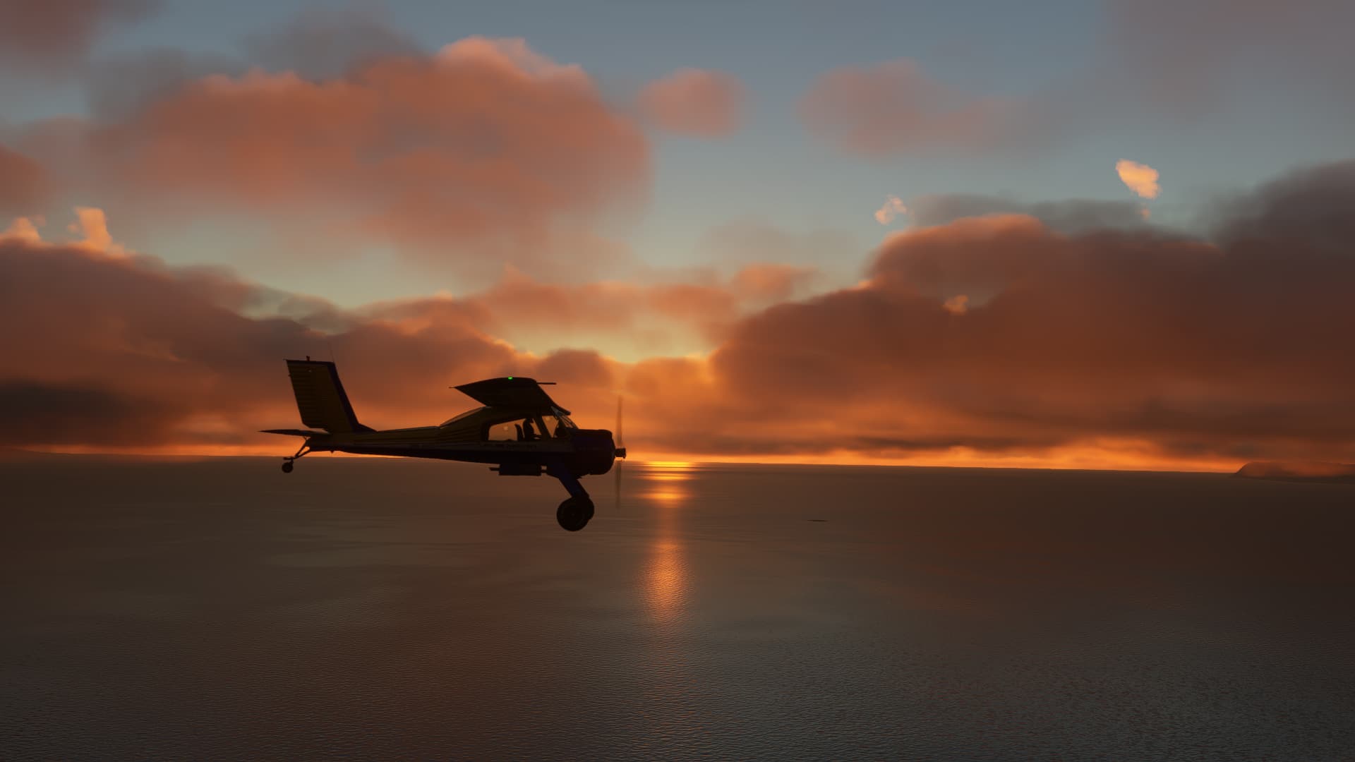
So I decided to skip the coffee, warmed up my engine and hushed out of Thingeyri in the early dawn. And what a dawn that was!

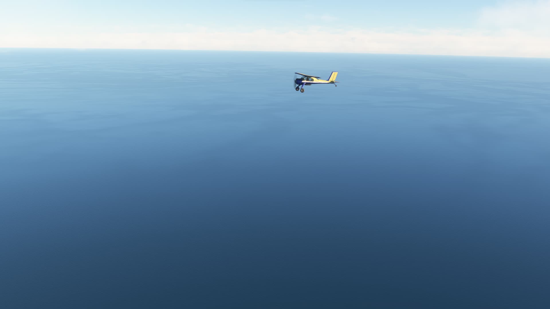
As I had 340nm of open water before me, I carefully watched my engine regime this time and set the parameters for most economic cruise, I had figured out before: Leaned down to 20%, 1730 RPM, Throttle just enough to keep 80 kts and staying below 1,000 ft. This should give me well above 6 hours of flying time in theory. Along with some 10 kts of tailwind, safety margin was big enough to risk the trip without a ferry tank.

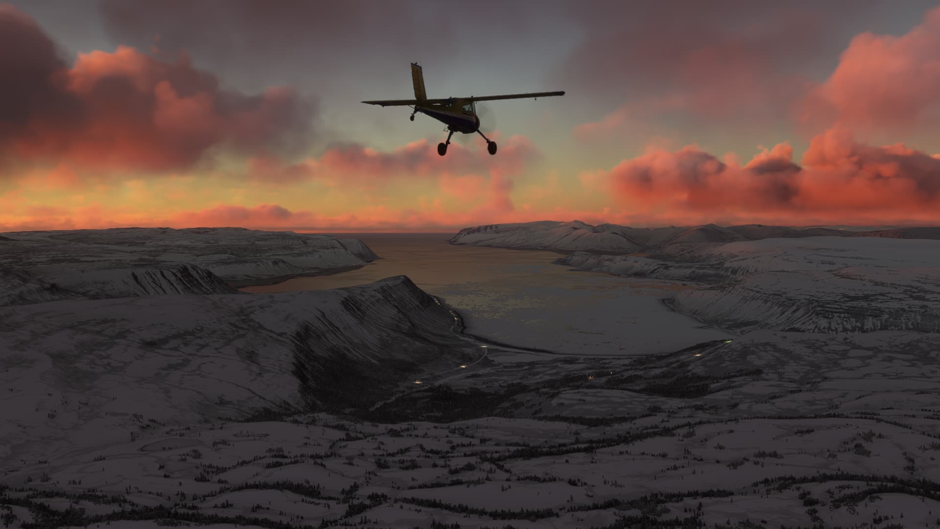
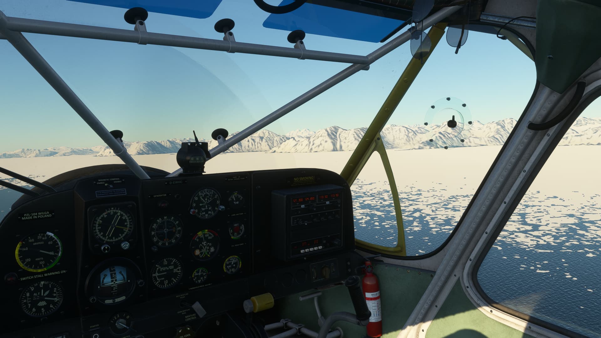
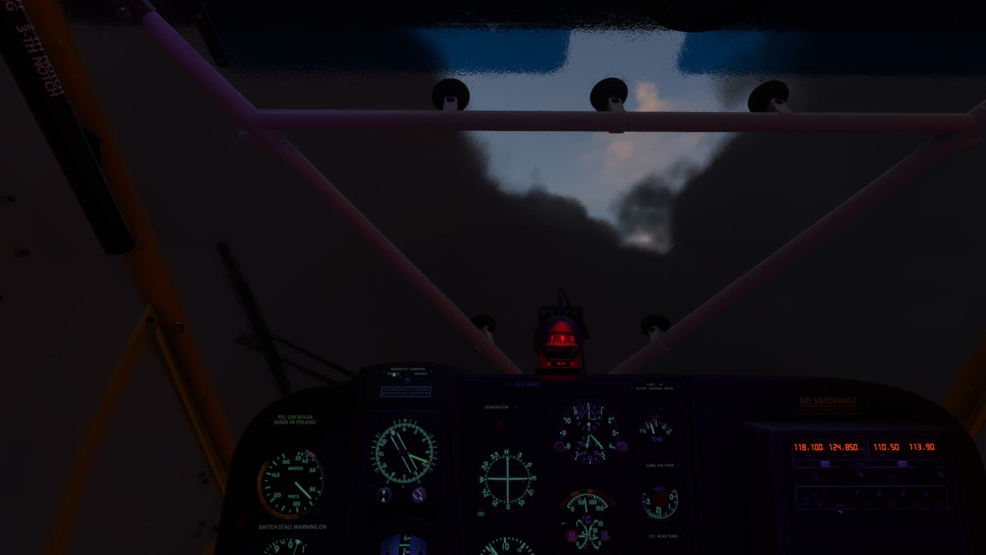
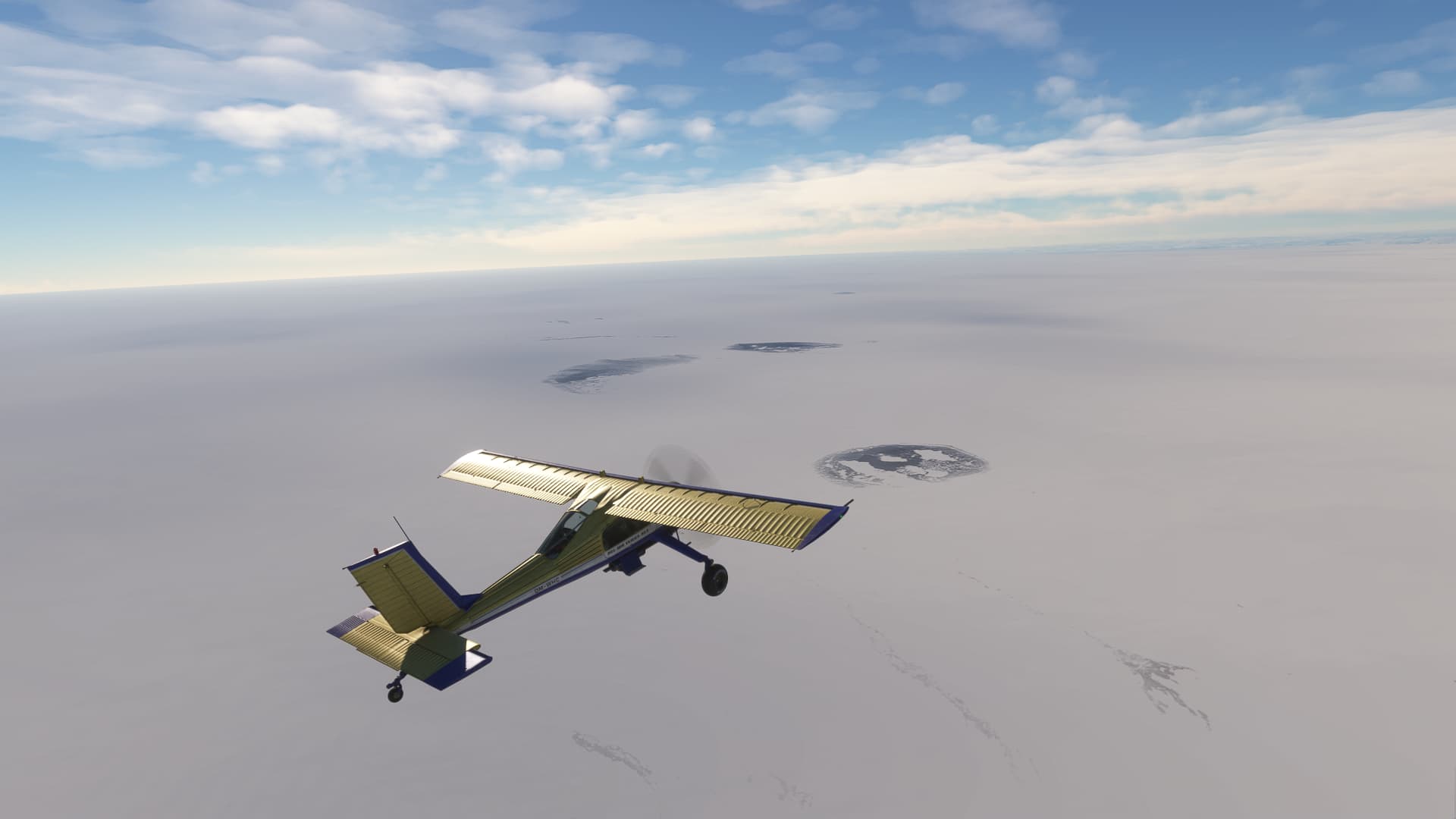
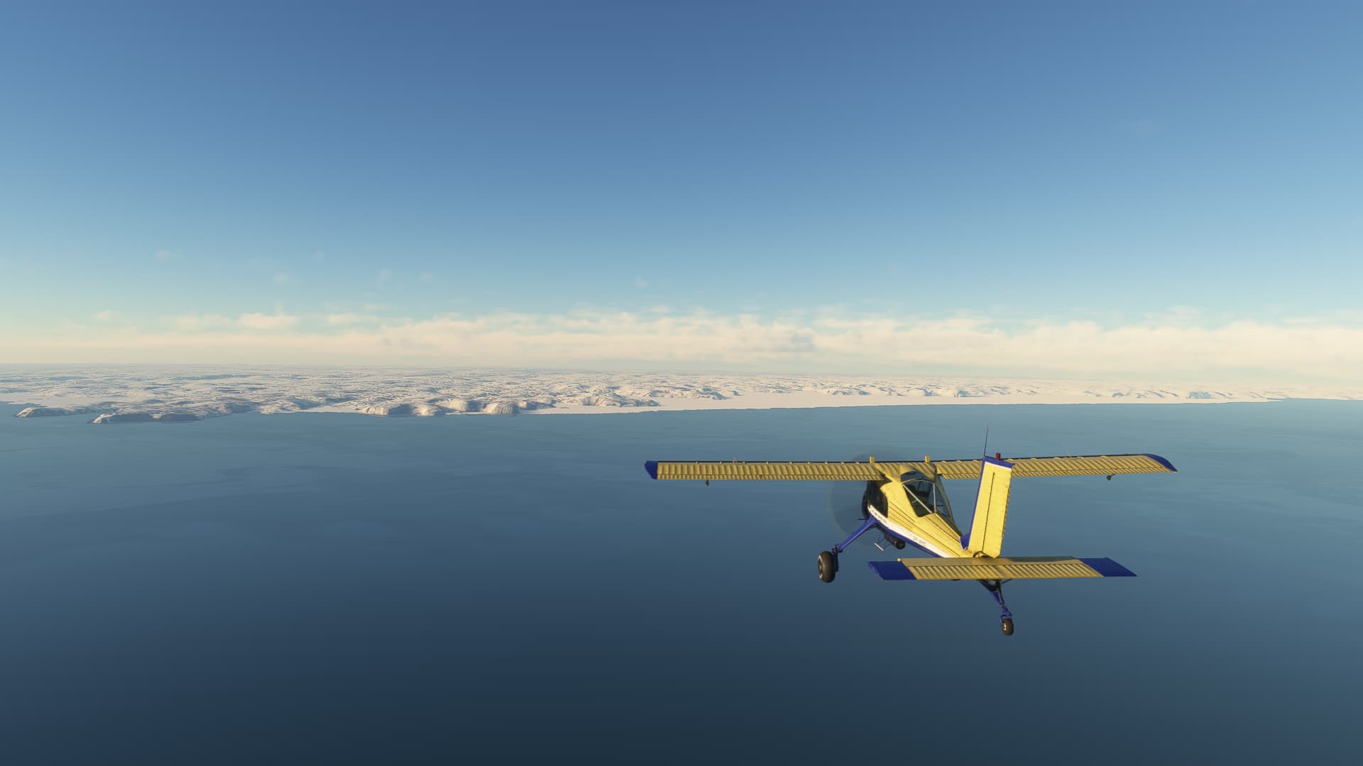
After 2,5 hours, earlier than expected, a wall of Ice began to grow on the horizon. It took a while for me to realize that the reason, why greenland appeared so early was simply, that its ice shield is that huge: The glaciers rise up to 10,000 ft!
I flew towards it for another 1,5 hours and the mountains on the horizon simply became larger and larger.
Finally, the ADF locked in on the NDB of Kulusuk with only a modest deviation to the north. This was quite a relief because I realized, that navigating by sight would have been far more challenging than I expected. One icy fjord looked like the other to me. So having a clear direction was of much help and I had enough fuel left to speed up a little on the last 75nm to Kulusuk.
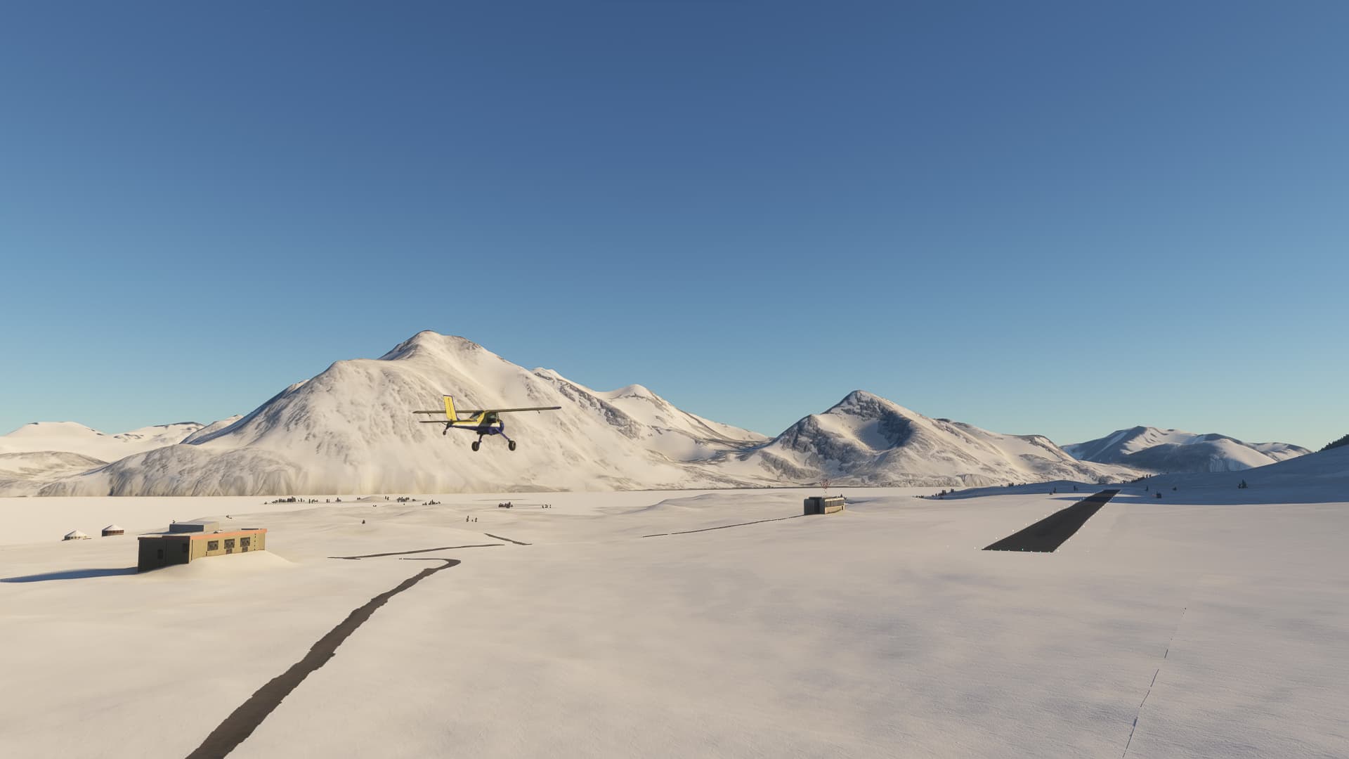
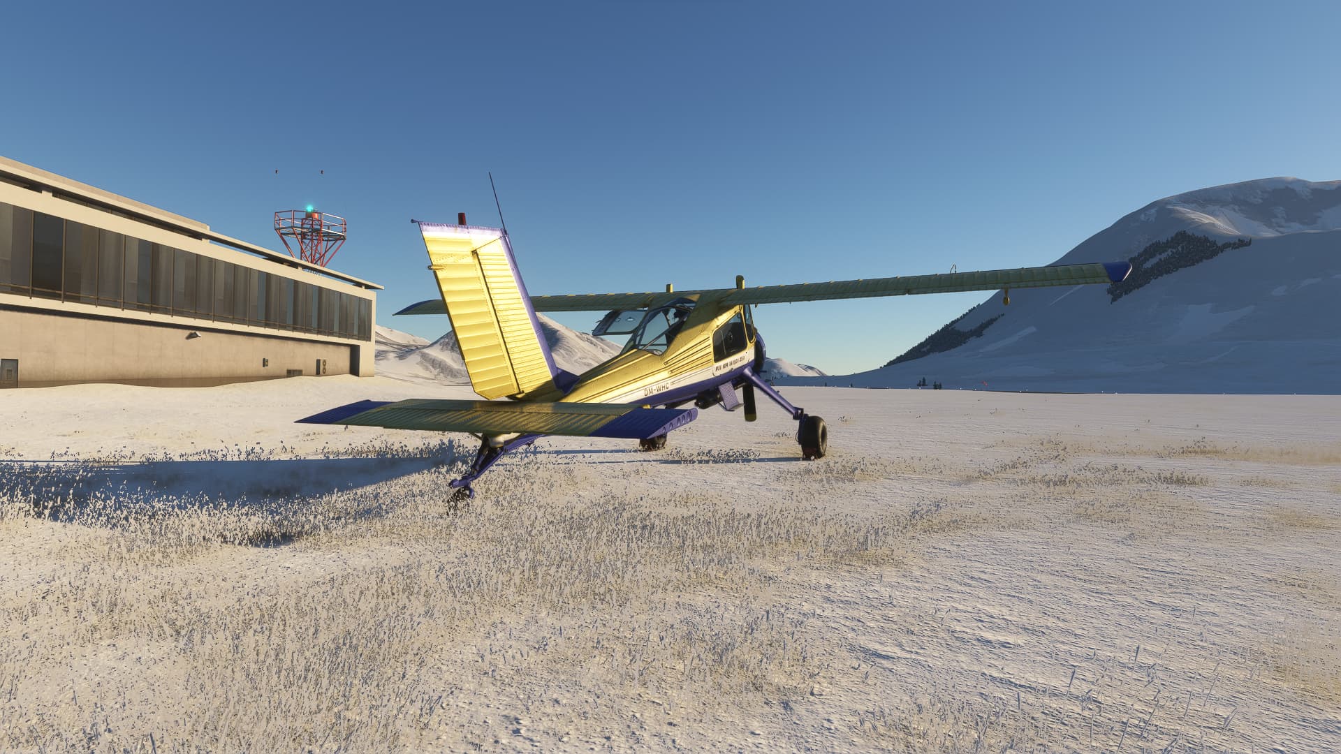
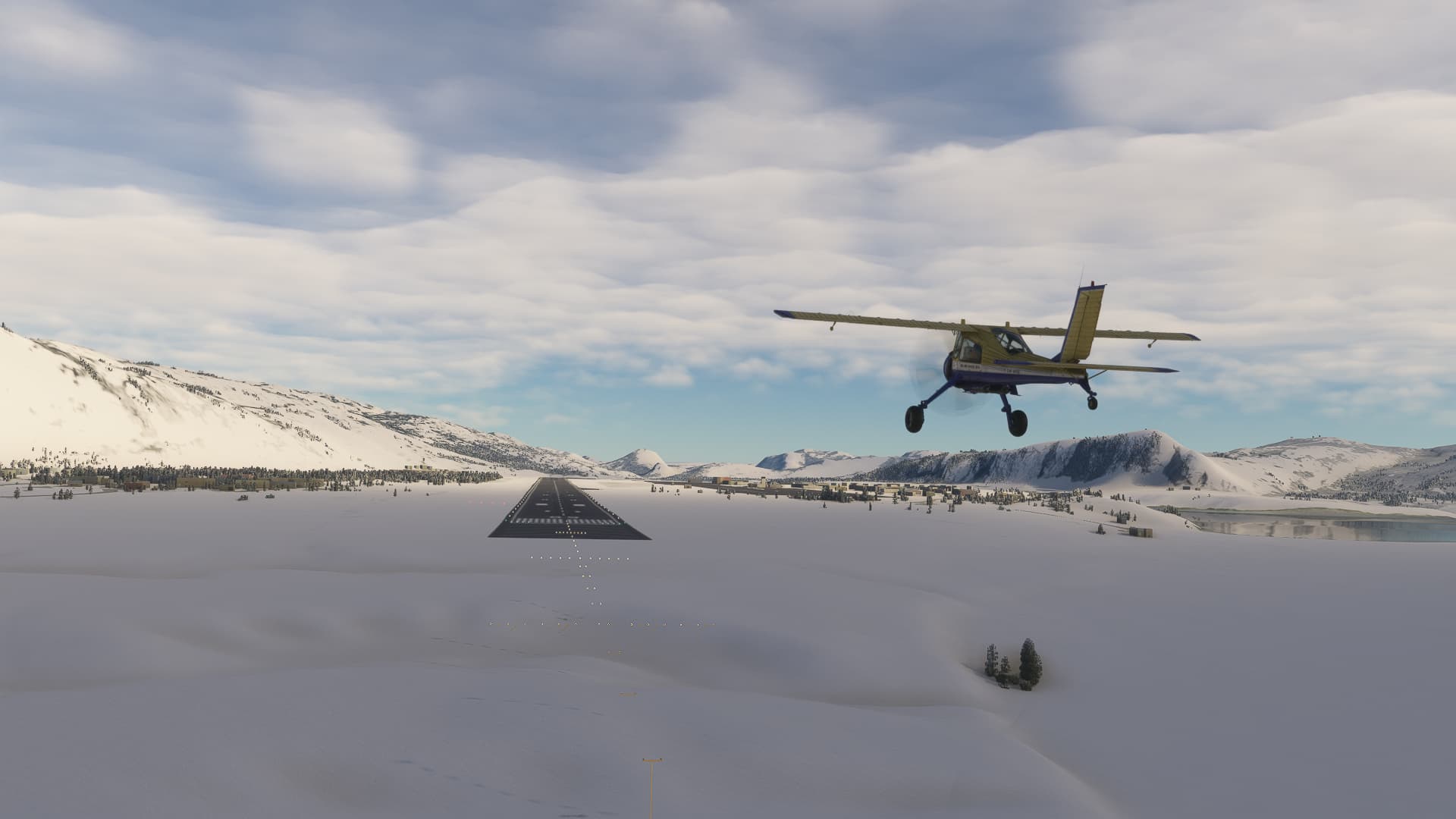
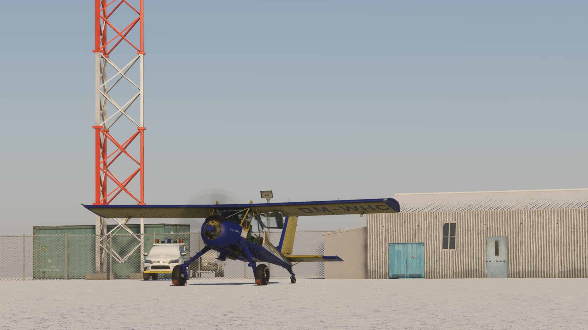
The airfield itself was quite unimpressive, but it has a runway, a gas station and is in the right place. So there I was: Hello Greenland!
8 Likes
The early start was worth it for the dawn sky.
1 Like
What they don’t tell you about Greenland: It’s easier to get there than to get off there. Or over it. On the night after my arrival, a snowstorm broke loose and didn’t stop for a full week.
I learnt the word Piteraq, a katabatic downslope wind from the ice shield, that channels through the coastal fjords and reaches up to 100 kts wind speed.
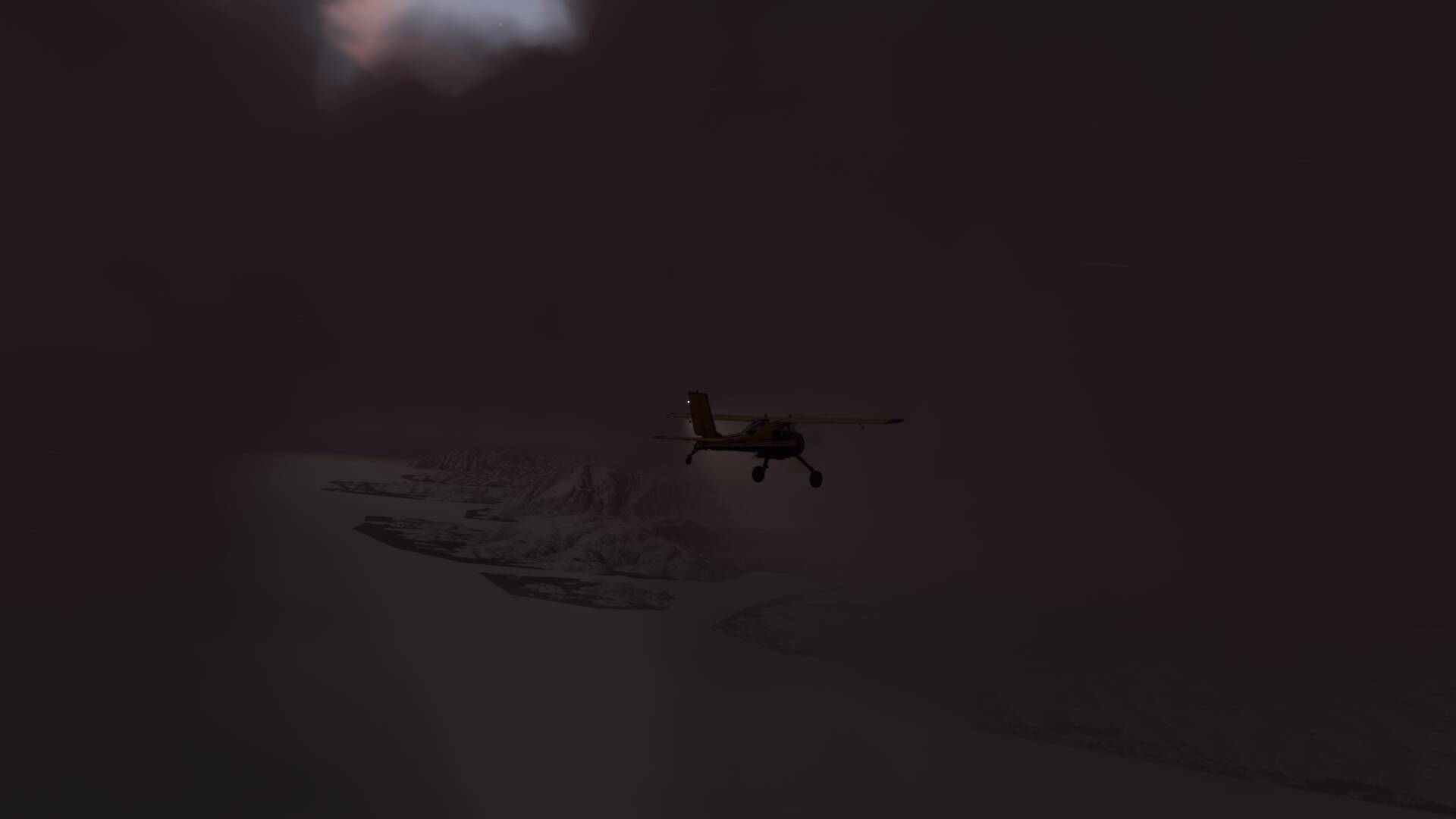
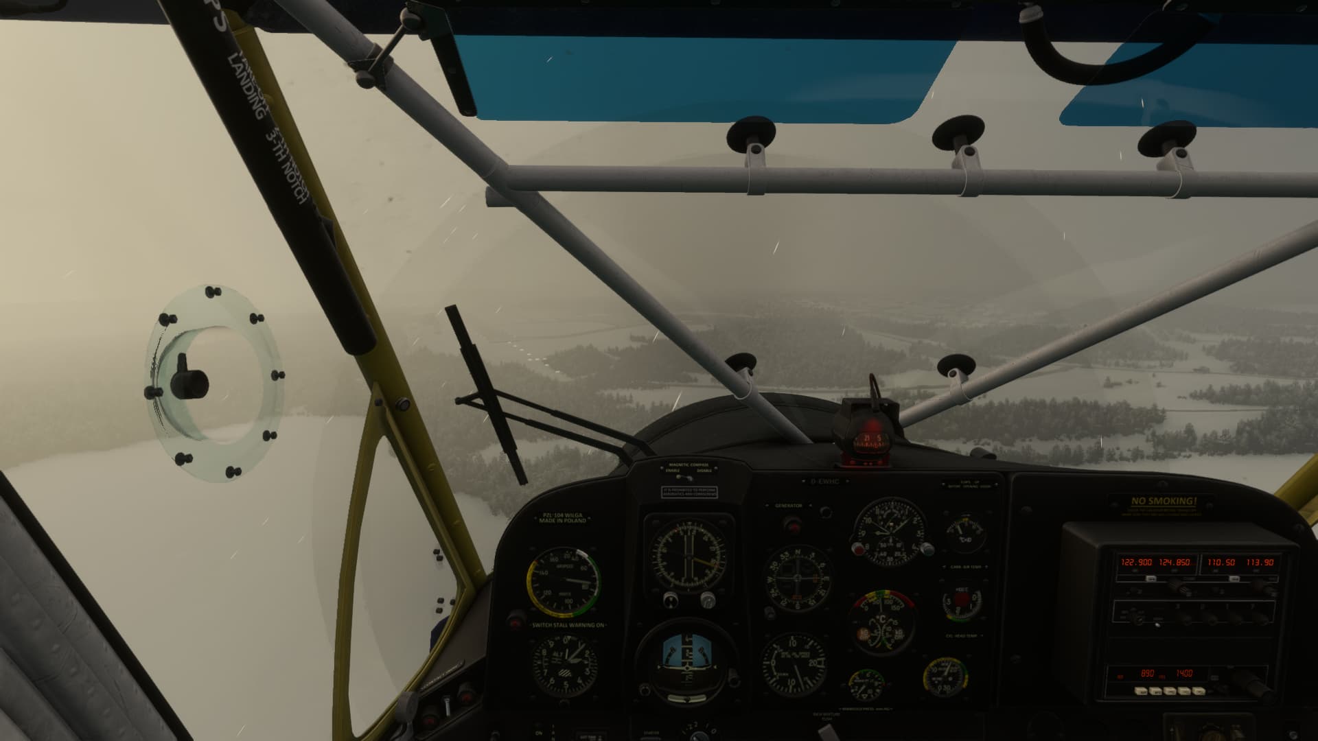
On day seven, I started a desperate attempt to break through the storm barrier and climb atop the ice shield. It was a freaking scary experience with a shaking aircraft, zero visibility and more Icing than any window heater could remove.
On top of that, I had to be thrifty with my fuel to make the 340 nm to Kangerlussuaq, the nearest airport on the west side. After I had burnt 8 gallons of fuel fighting the wind and not even reaching cruise altitude, I turned around and spent another windy night in my hotel in Kulusuk. This journey wouldn’t continue until Piteraq was over.
3 Likes
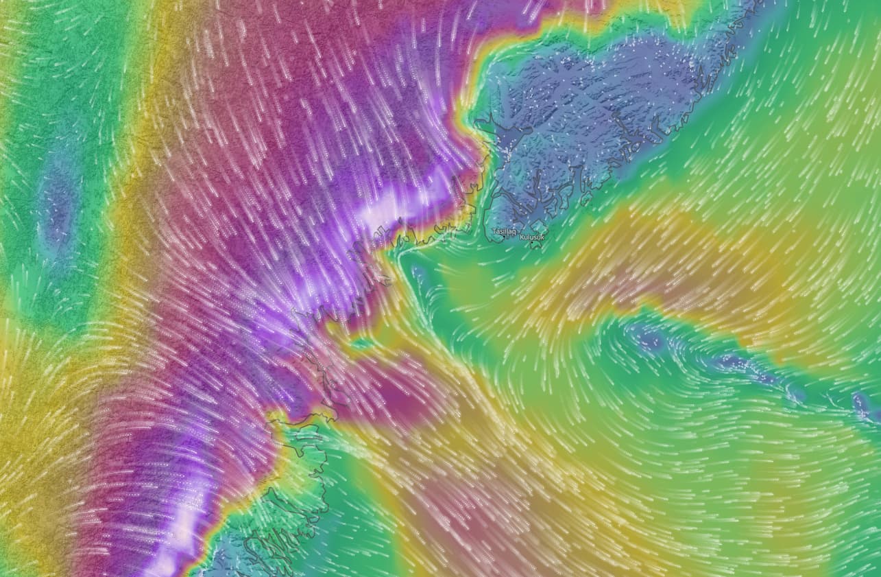
Have you looked at the wind using Little NavMap? In the Caribean where I am flying my Islander I have been suprised at how different the low leve and high level winds are. sPK
Yes, I am doing my flight planning in Little NavMap, but for the weather I use the site of meteoblue, where MSFS gets its weather from because some times there’s quite a deviation to the NOAA-weather, that Little NavMap can read.
2 Likes
The next day broght up a narrow window of opportunity: Wind was still heavily jolting the barracks of Kulusuk, but the wall of clouds became thinner and just 50 nm north, the sky was clear and a strong wind of 40 kts would blow me westward. If I could make it there.
The take off around noon was actually quite nice. Wind was strong but straight on the nose and not too turbulent. Then, some minor clouds came in sight.
I managed to stay clear of the high towering cumulus clouds and kept on getting altitude to not accidentally crash into the constantly rising terrain.

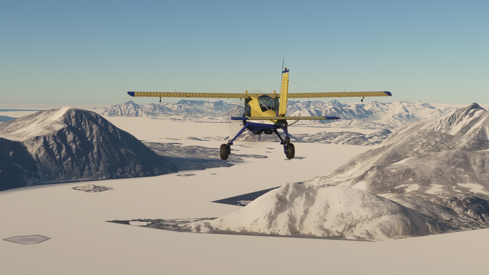
30 minutes later, the cloud barrier became thinner and the sun finally found her way back through. The uniform and contourless surface of the ice shield made an absolutely unreal scenery. You couldnt’t tell, if you’re 10,000 ft above the terrain or just 100. Or if you were moving at all.
This kind of static scenery lasted for about 2 hours, until the snow showed some stains and an thin line of grey rock appeared on the horizon. The ADF locked in on the long range NDB of Sondre Stromfjord with just 10 degrees deviation to the south.
The suddenly returning detail of the landscape was nearly overwhelming to the eye after 2 hours of plain wite and blue.

Kangerlussuaq, greenlands biggest airport, lay calm in front of me,no other traffic in sight.
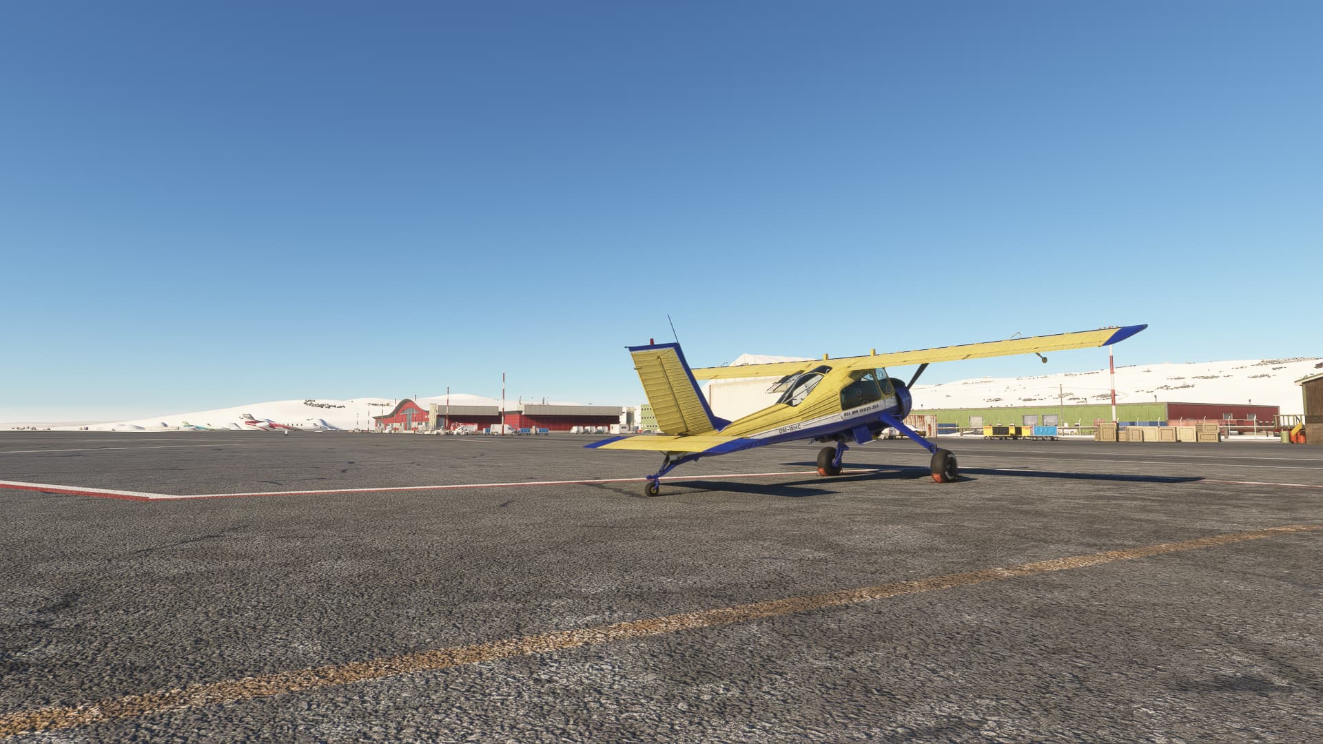
I got clearance to taxi straight to the north-eastern terminal, parked my Wilga right in front of the Grønne Bar. Crossing greenland and leaving the the eastern blizzard behind me was well worth a beer!
7 Likes
You are an excellent storyteller! I am waiting to see what happens next!
3 Likes
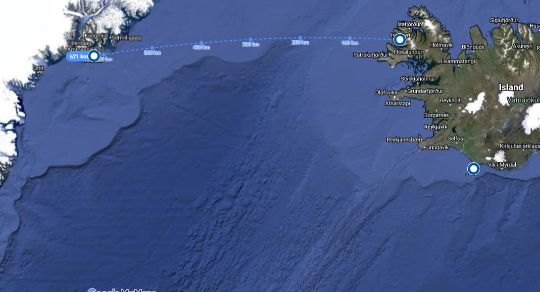
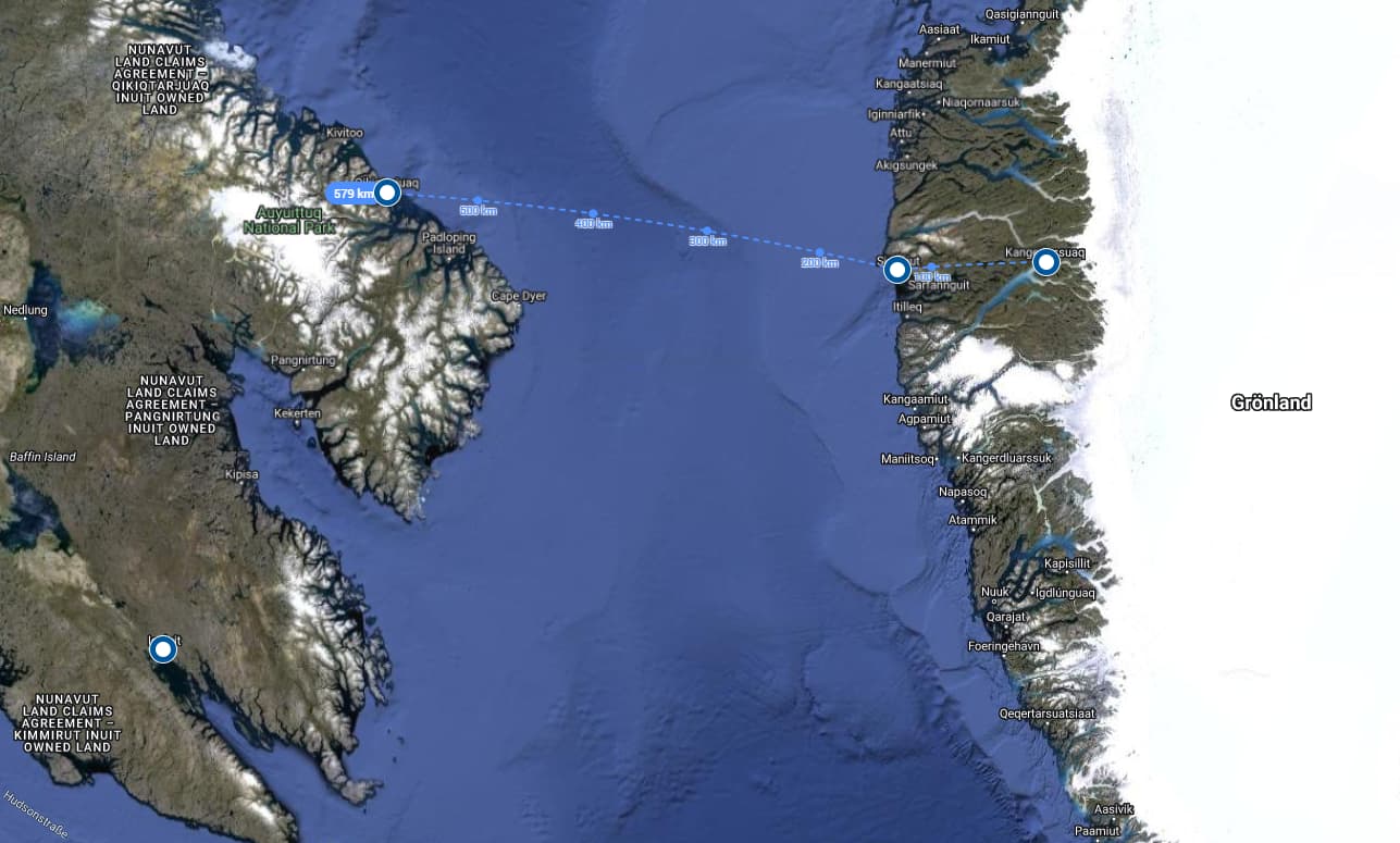
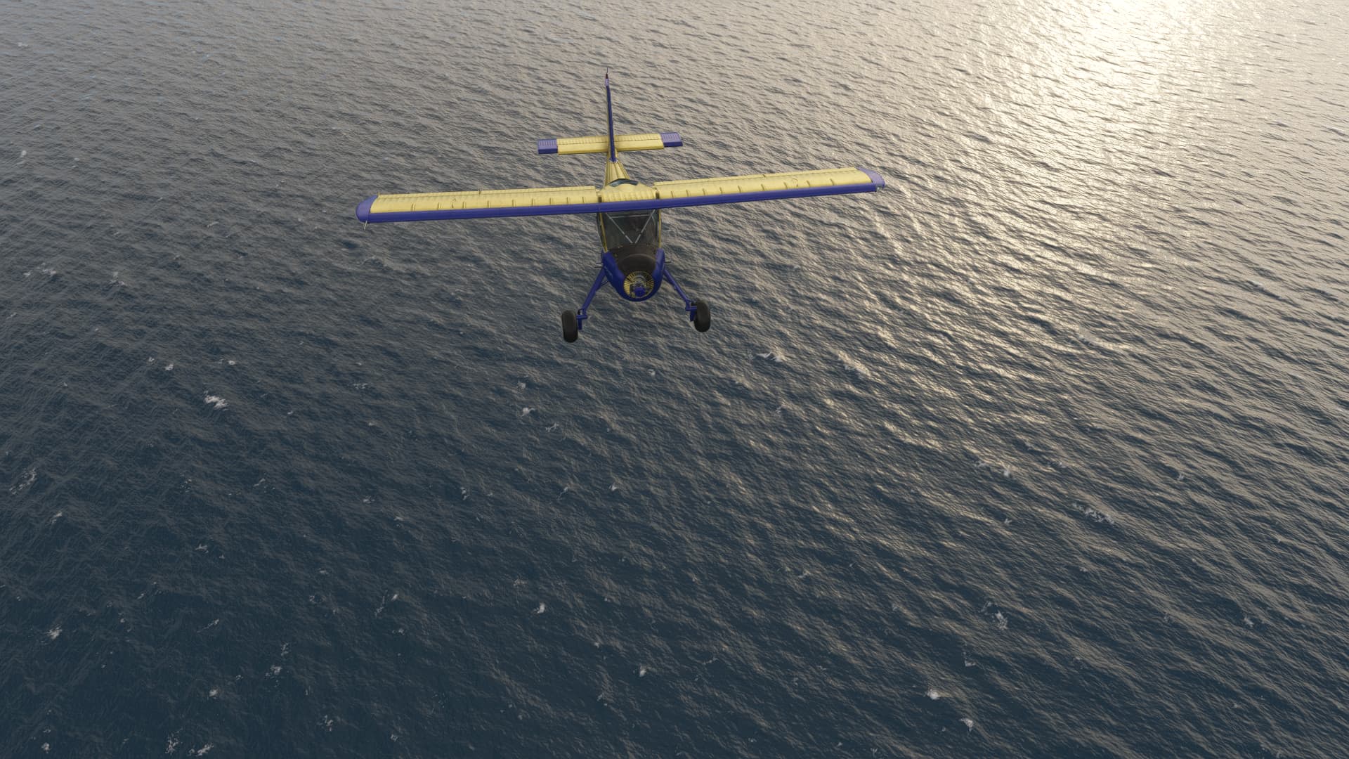
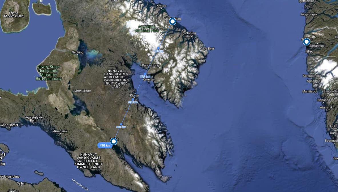
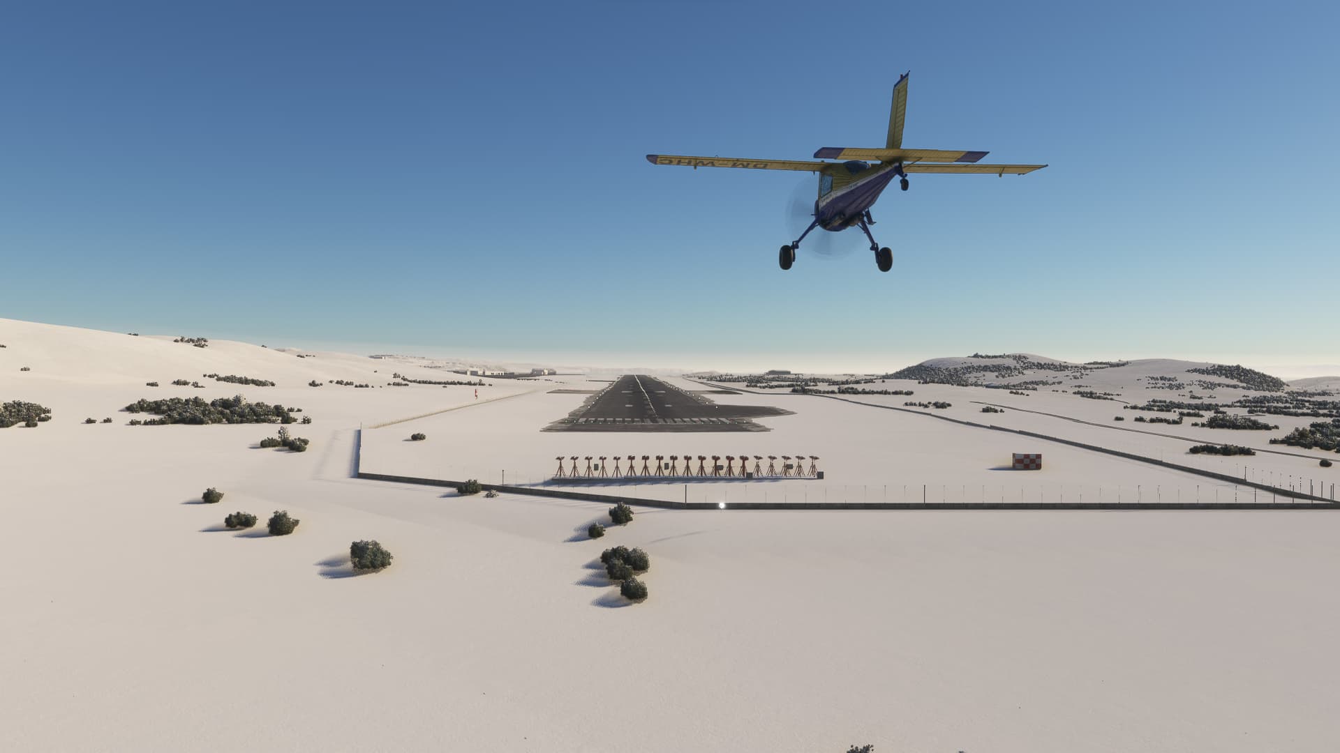
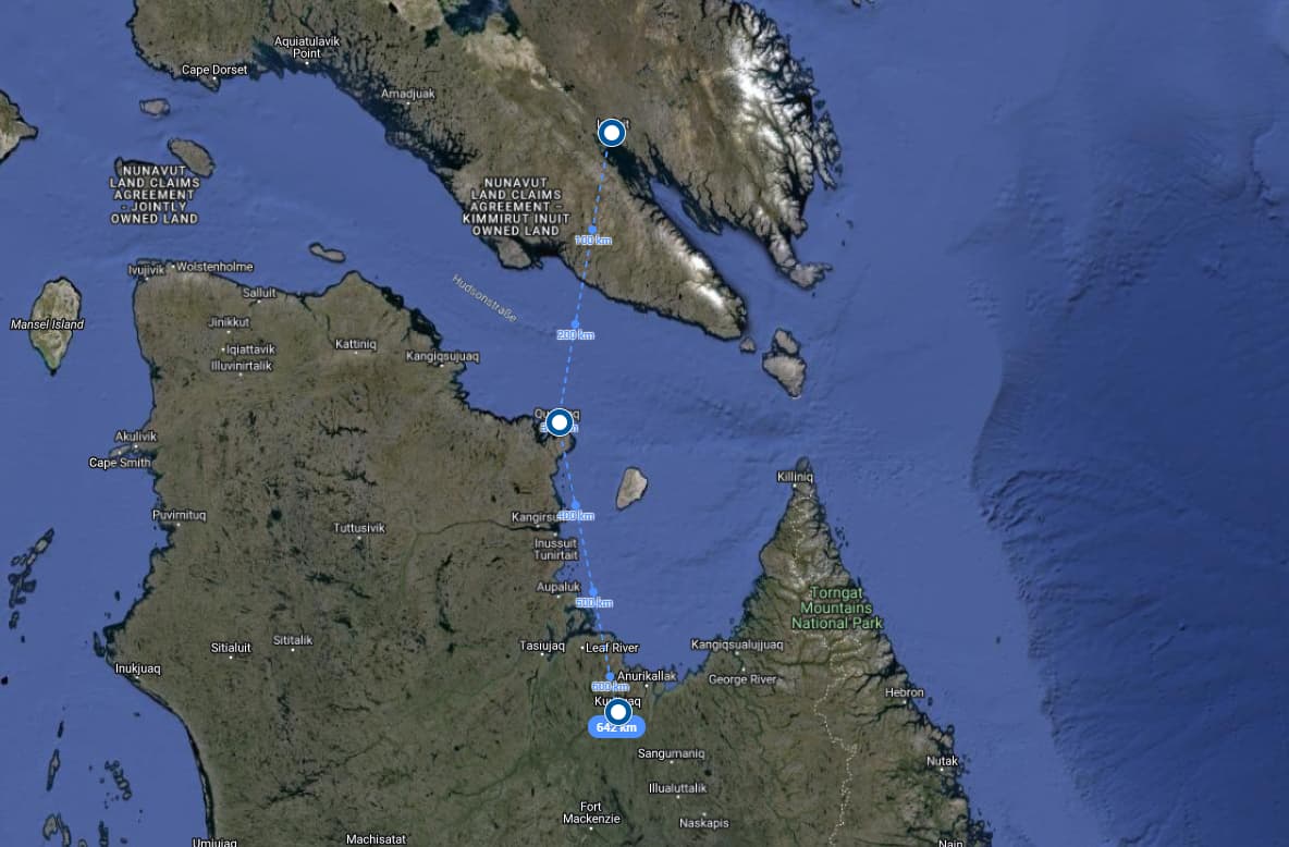
The weather at the Davis-Strait stayed friendly and I went to the last major leg over open water: 315 nm from Kangerlussuaq to Qikiqtarjuak on Baffin Island, the northernmost stop of my trip.
First, I headed along the fjords to Sisimiut for a short stopover to refuel. Although I had completed the longer leg to Kangerlussuaq before without refueling and even 25% of fuel left, the wind was not as beneficial this time and I didn’t want to take a risk.
Nonetheless, my landing at Sisimiut became unnecessarily thrilling, after I got the wind direction wrong. No flaps, a far too steep approach and some tailwind can make even a 2,600 ft runway rather short for a STOL-aircraft.
So not my finest hour here, but it worked out. Refueled and headed back in the direction I came from.
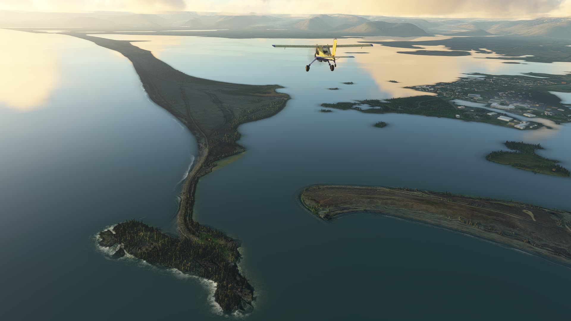
Two calm hours over the labrador sea later, Baffin Island emerged on the horizon. Strictly speaking, I was headed to Broughton island just off the coast of baffin island.
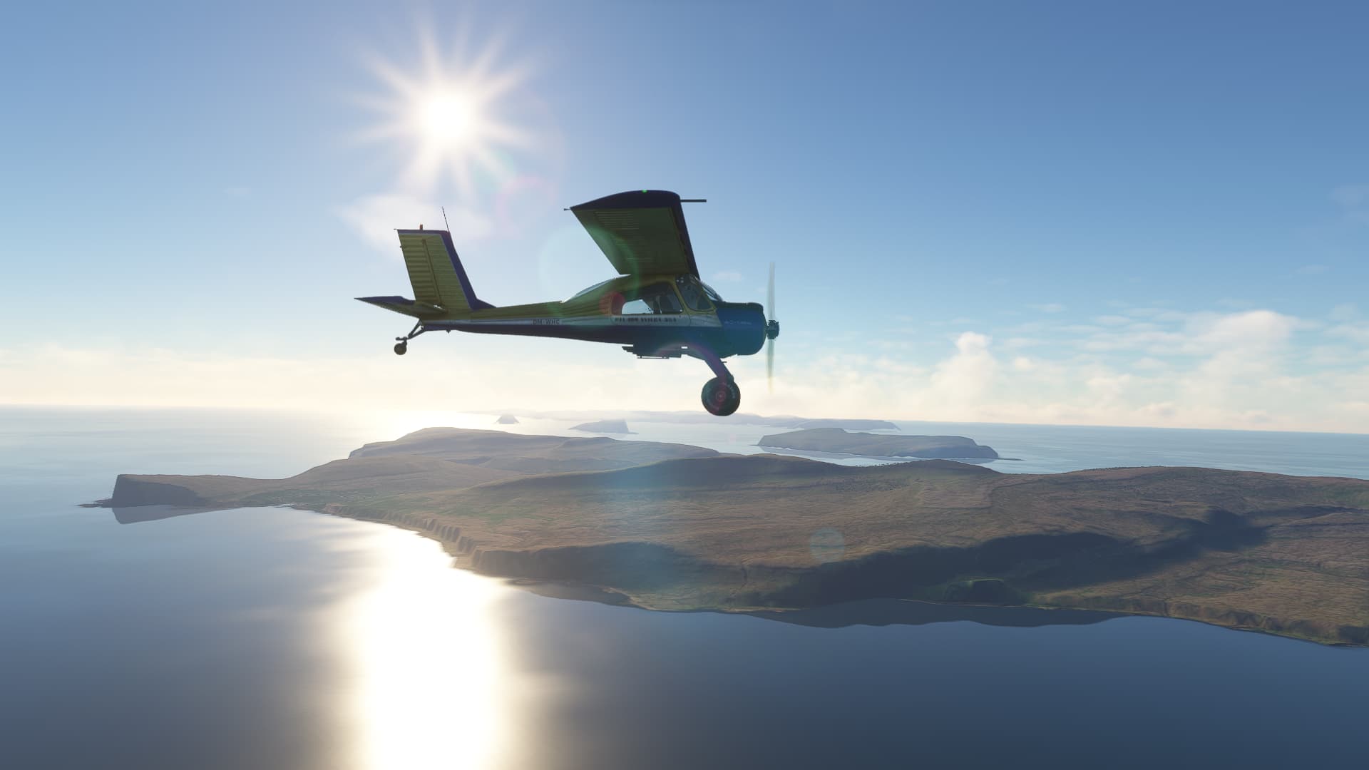
Upon my arrival, it covered itself in a fine mist, but the NDB guided me safely to Qikiqtarjuak airfield (resembled here by the work of ARH64CDN, who dedicated quite some time to fill the digital outback, that the very northeast of the american continent is in MSFS. Lots of airfields and Navaids are missing by default).

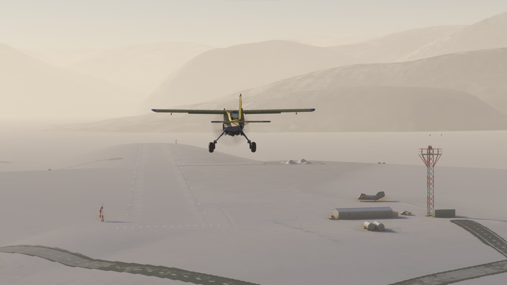
67° North. From here on, my journey will only go southwards.
5 Likes
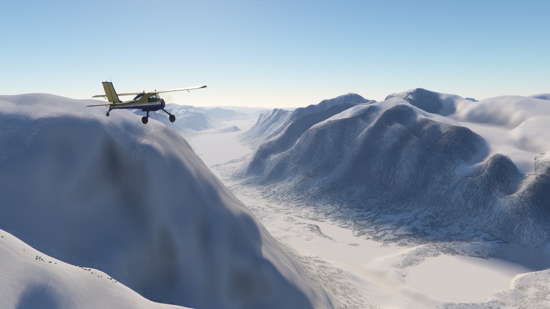
Next I had to cross Baffin Island.
I followed the Pangnirtung Fjord, crossed the Cumberland sound and headed straight to Iqaluit at the Frobisher Bay.
Fortunately, this Airport was part of the Canada world update. So at least some variety to the eye after all the snow and blue skies.
4 Likes
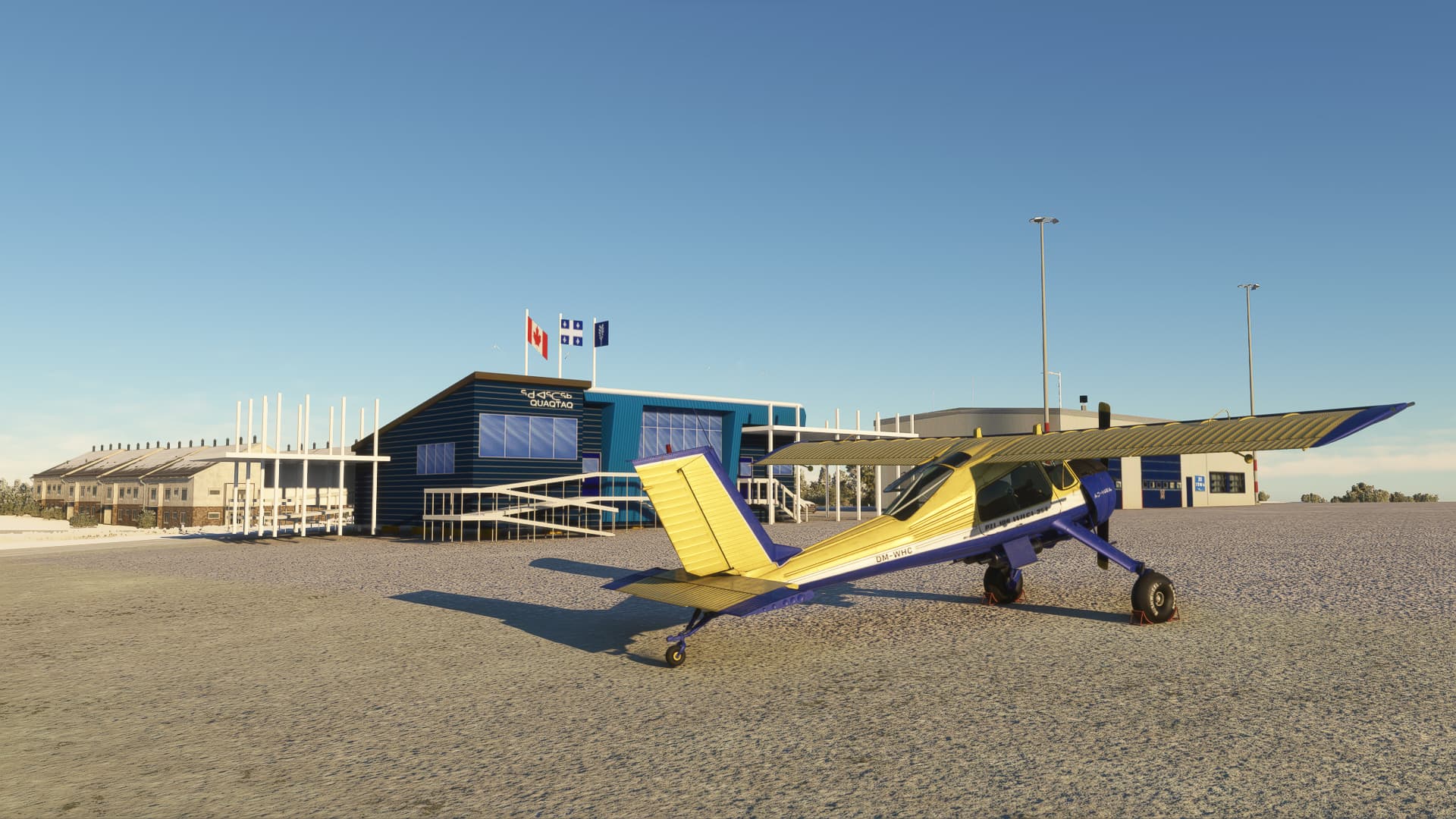
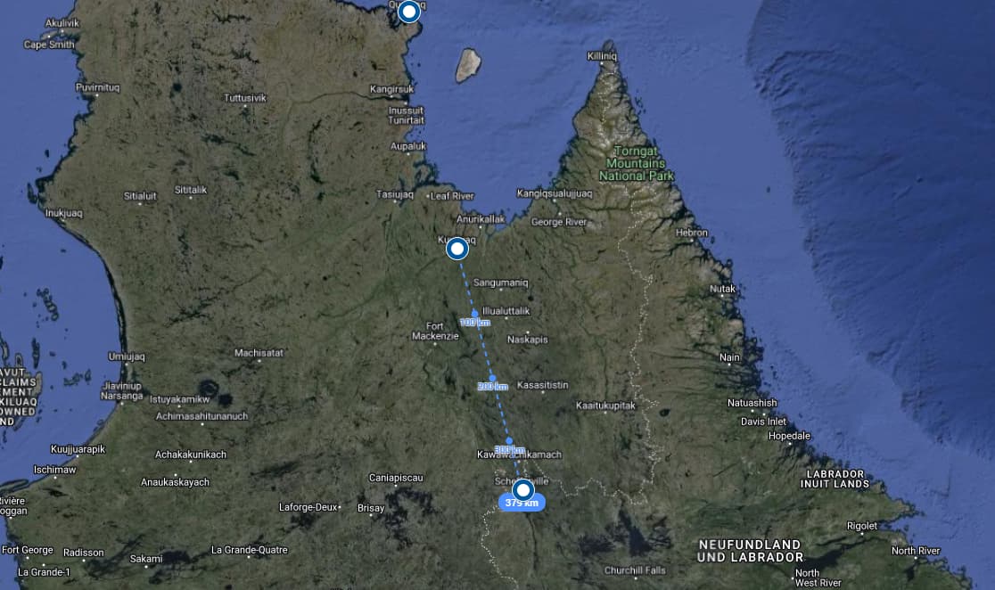
Iqaluit - Quaqtaq - Kuujjuaq:
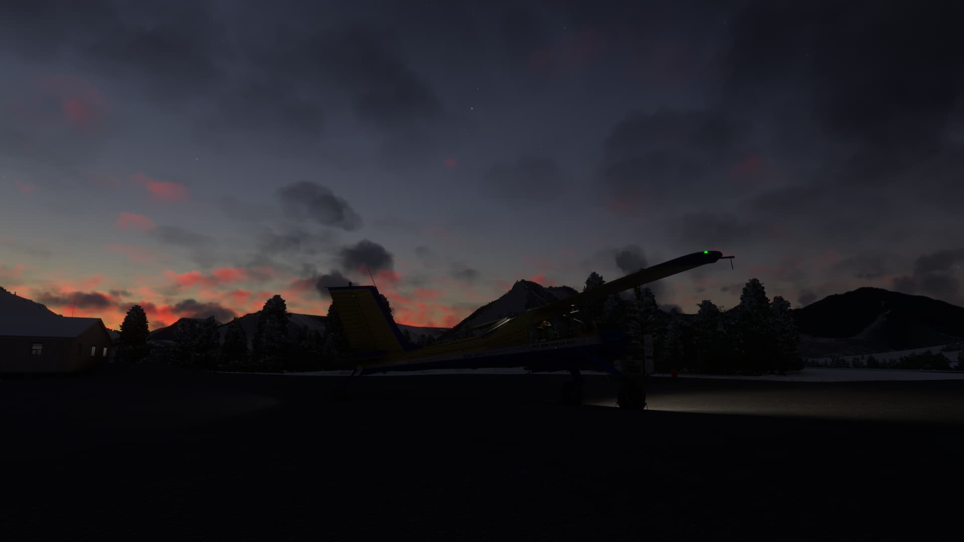
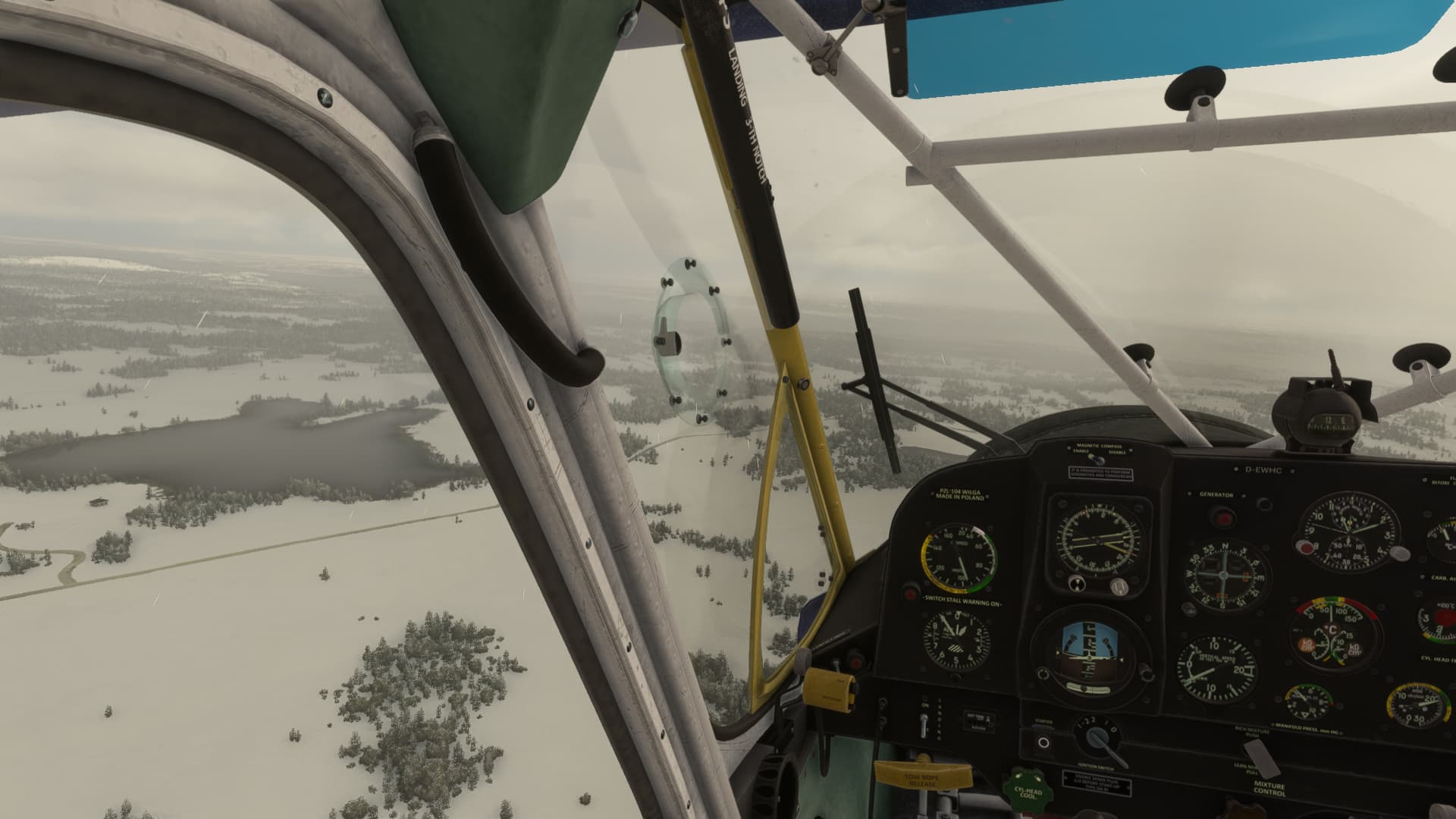
Early morning, -20°C but the Vedeneyev engine started up without hesitation.
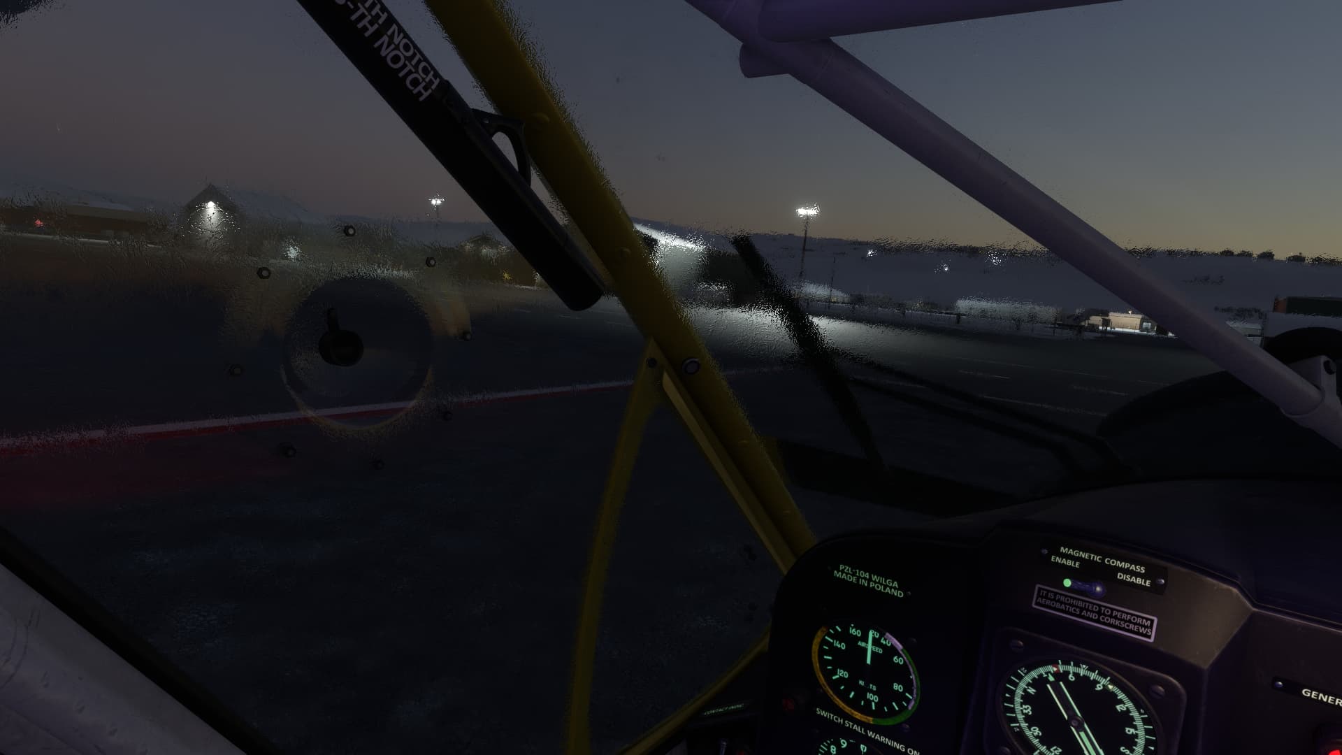
I left Iqaluit in the early dawn and was already in the middle of frobisher bay when sun rose. One and a half hour, until I would finally set my tyres on north american soil!
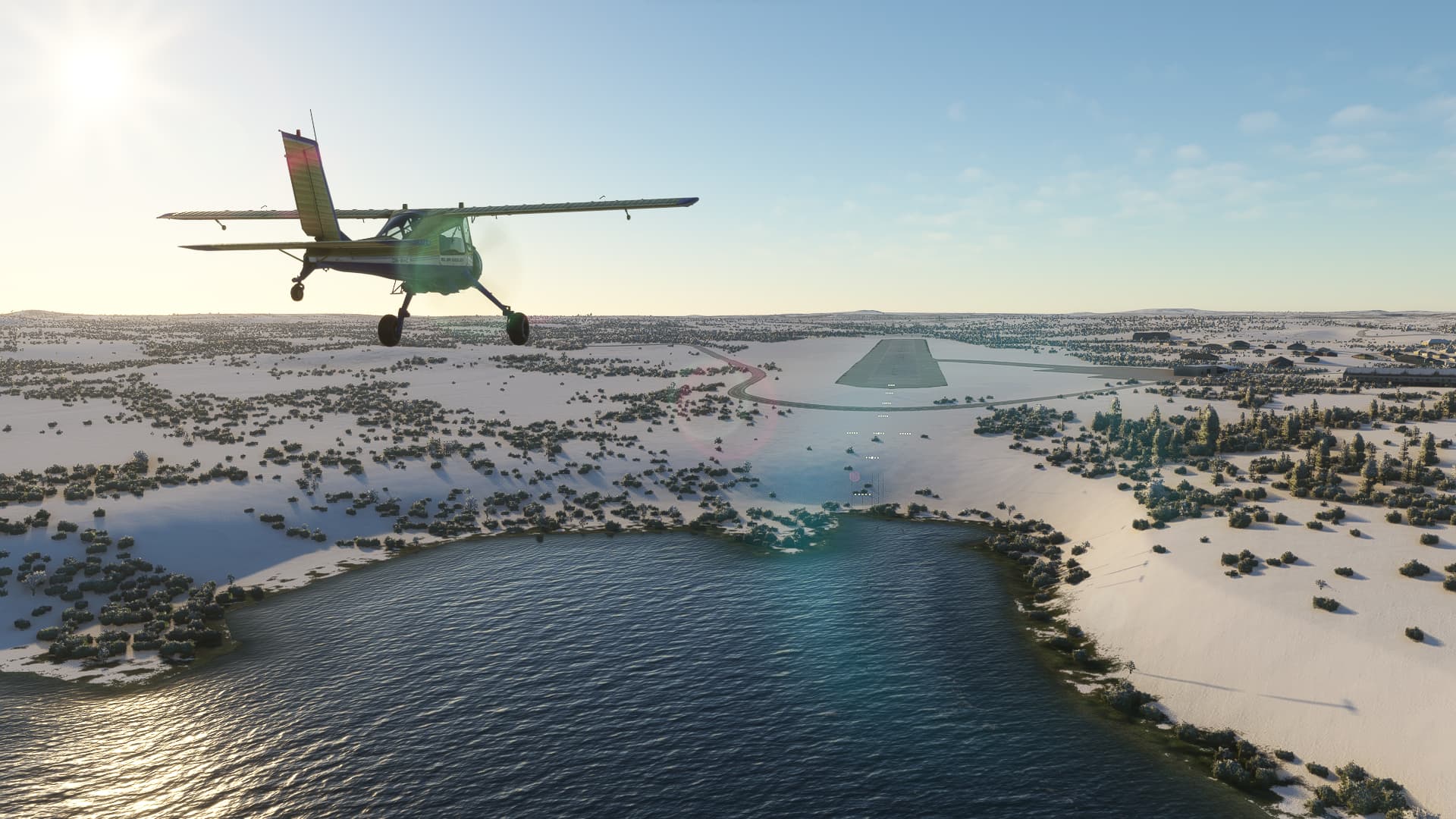
The airfield of Quaqtaq (added to MSFS by Jean-Pierre Fillion) has no NDB, but it should be easy to find anyway: It sits on the northwestern corner of a small peninsula that reaches into Ungava bay.
Well it turned out that icy peninsulas in this region quite look alike, so I headed for the wrong one for a while because I mistook Quaqtaq peninsula for the neighbouring Akpatok island. But in the end I found my way.
I filled my tanks and used the calm weather to go farther south, off to Kuujjuaq. On my way along the western shore of the Ungava bay, I had my first encounter with a special sight of Nunavik and Quebec, at least in the MSFS-world: Wooden lakes. The algorithm seems to have problems with the myriads of glacial lakes and paves them all with trees. You can only recognize them by their darker surface.
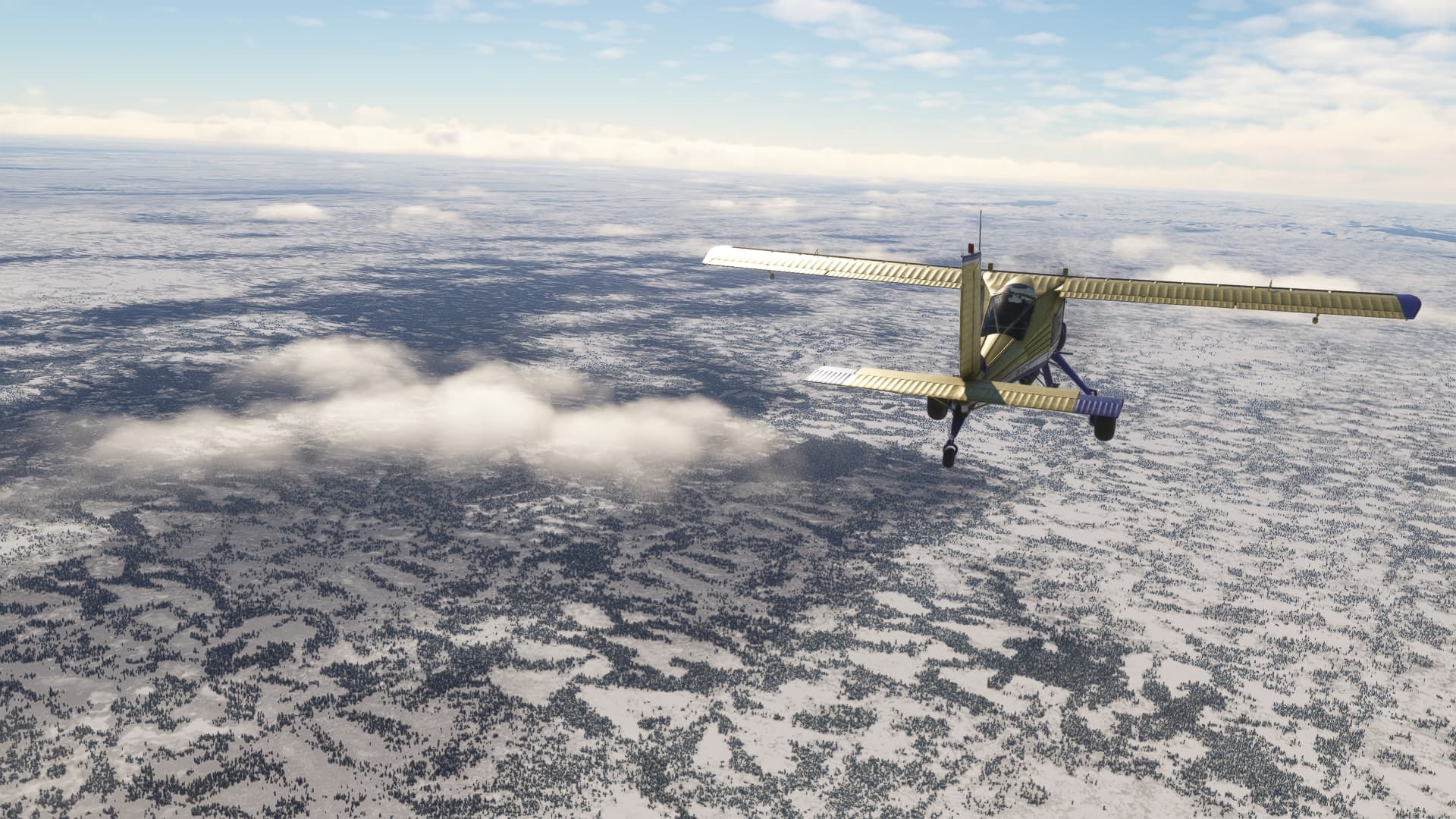
This will make navigation really challenging for the upcoming legs, having not much more than lakes and some hills for orientation.
Actually Kuujjuaq, sitting on the wide Koksoak river, should have been rather easy to find, but a snowstorm suddenly formed right over where the airfield should be. Fortunately, the tower was able to give me a course and guided me to the runway.

6 Likes
Lovely pics
1 Like
Kuujjuaq – Schefferville
This will be the third traveling day heading southward. It will be another 200 nm until Schefferville, the first outpost that even has something like roads and railways.

200 nm with no navaids, no shoreline, no large rivers and lakes plastered with trees. I’m not gonna lie: The trip at no point has been as tedious as here in the real and digital wilderness of northeastern Canada. I mean, what is this, minecraft?:
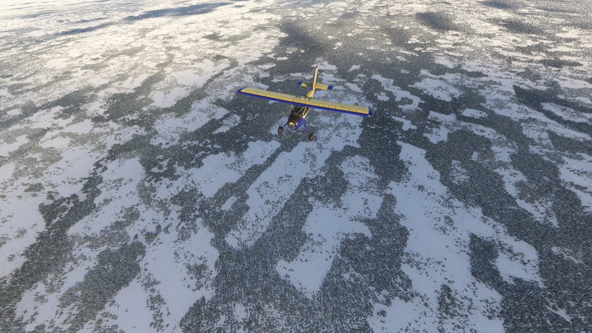
At least, the visibility enhanced quickly after the start.
I managed to identify at least the larger lakes along the way and found myself quite well on course, when the weather did the same trick as before: Shortly before arrival, heavy clouds formed and the visibility dropped to a few miles.
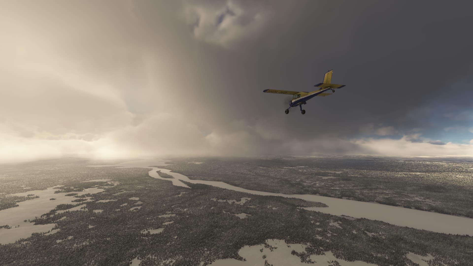
Unfortunately, Schefferville didn’t offer the opportunity for radio localisation like Kuujjuaq did before. But I got unexpected help by an airliner, that suddenly materialized to my left (knock knock ATC, someone’s home?) and apparently was on final to Schefferville:
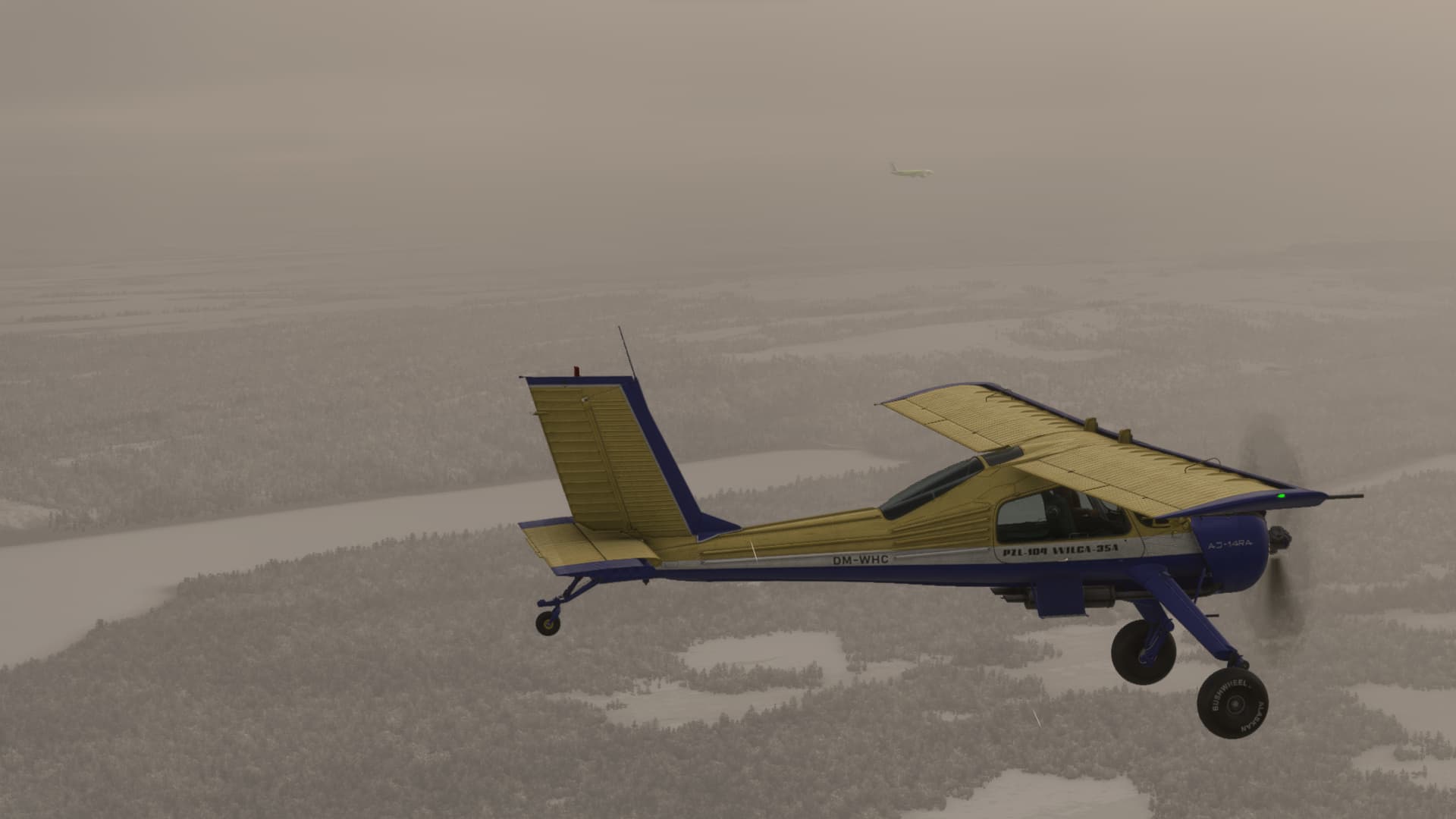
I followed him, parked on the apron and took a walk through the godforsaken bunch of houses, that owed its oversized airport to an iron ore and a radar station nearby, both already abandoned for decades now.
6 Likes
record scratch, frame freeze: Yep, that’s me. You might wonder how I got in the middle of a storm, a few meters above the waves of St. Lawrence River with a stuttering engine? Well, it all started on a stone cold, yet beautifully quiet morning on the apron of Schefferville:
I left this outpost of normal western life with the early dawn and headed for its contemporary replacement, Labrador City.
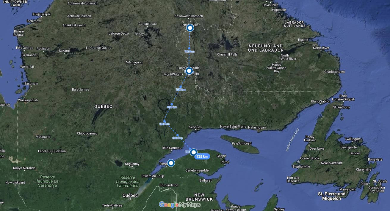
Navigation by lakes and rocks was quite a challenge again and the airport covered itself again in a snow shower, as it seems to be tradition in this part of the world.
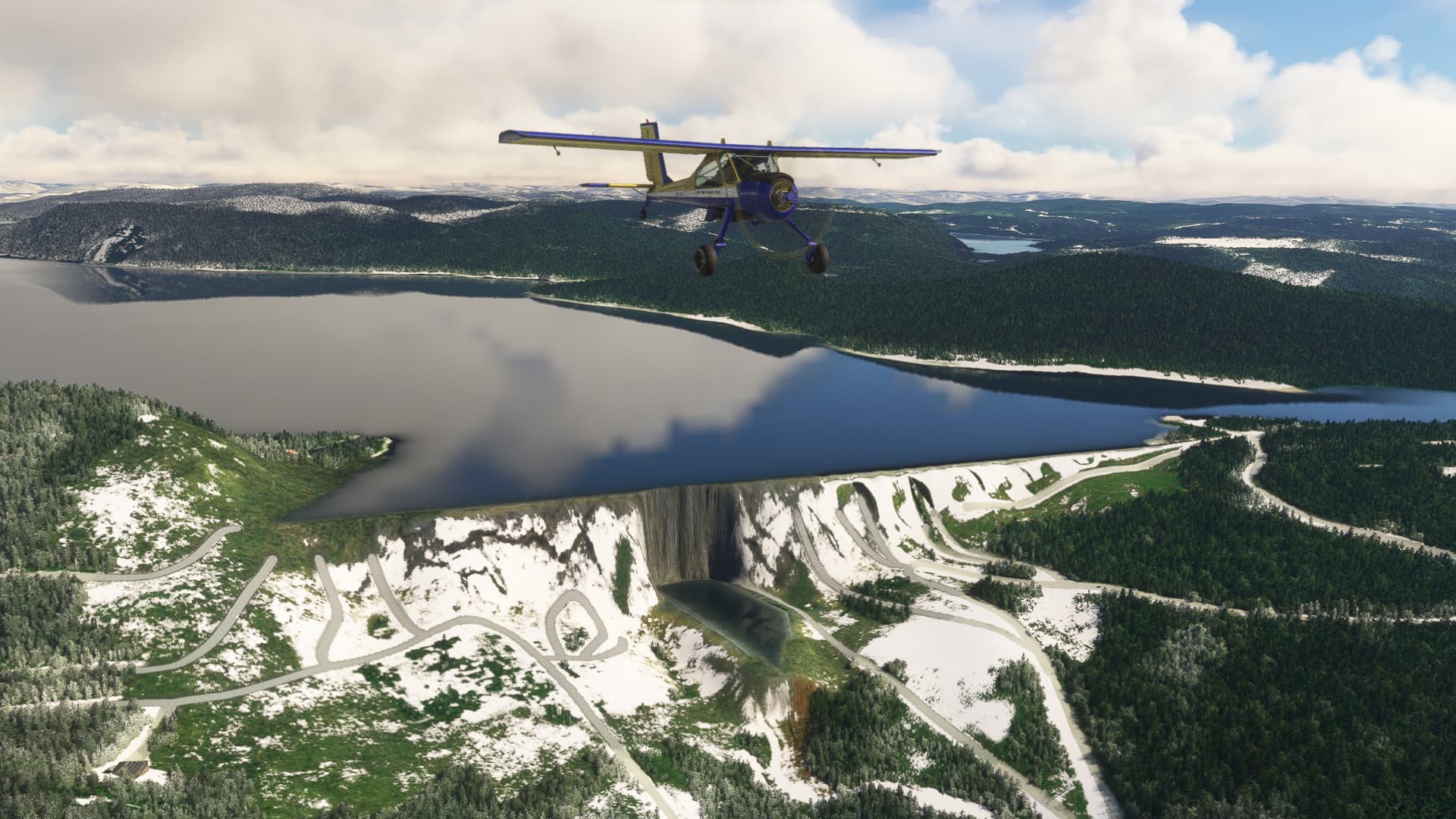
I let the shower pass while refuelling and headed on to a waypoint, I was eager to see since the very beginning of the trip: The „Barage Daniel Johnson“ south of the Manicouagan reservoir, one of the largest barrages of the world, 214 m tall and more than 1,3 km wide.
I followed the ring-shaped crater lake southwards and was curious, how good the dam was modelled in MSFS. Let’s put it like this: The implementation is creative, in a way. Obviously, this landmark wasn’t part of the Canada world update.
I changed the course to the southeast to reach today’s destination: Mont Joli, just south of the St. Lawrence river. Either me or MSFS must have gotten the weather briefing wrong: A wall of clouds started to form on the horizon and wind picked up. Meanwhile, the ADF had locked in on the destinational NDB so I tried to go above the weather.

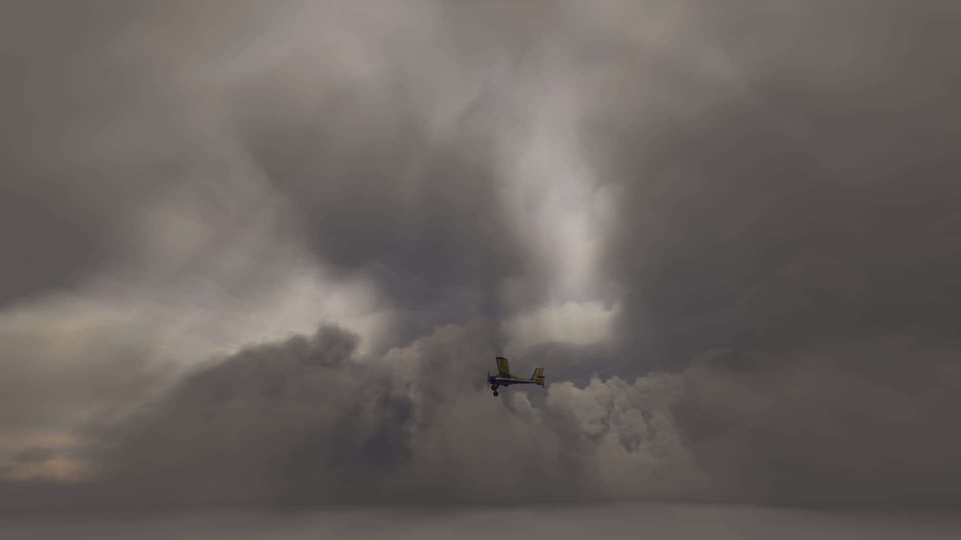
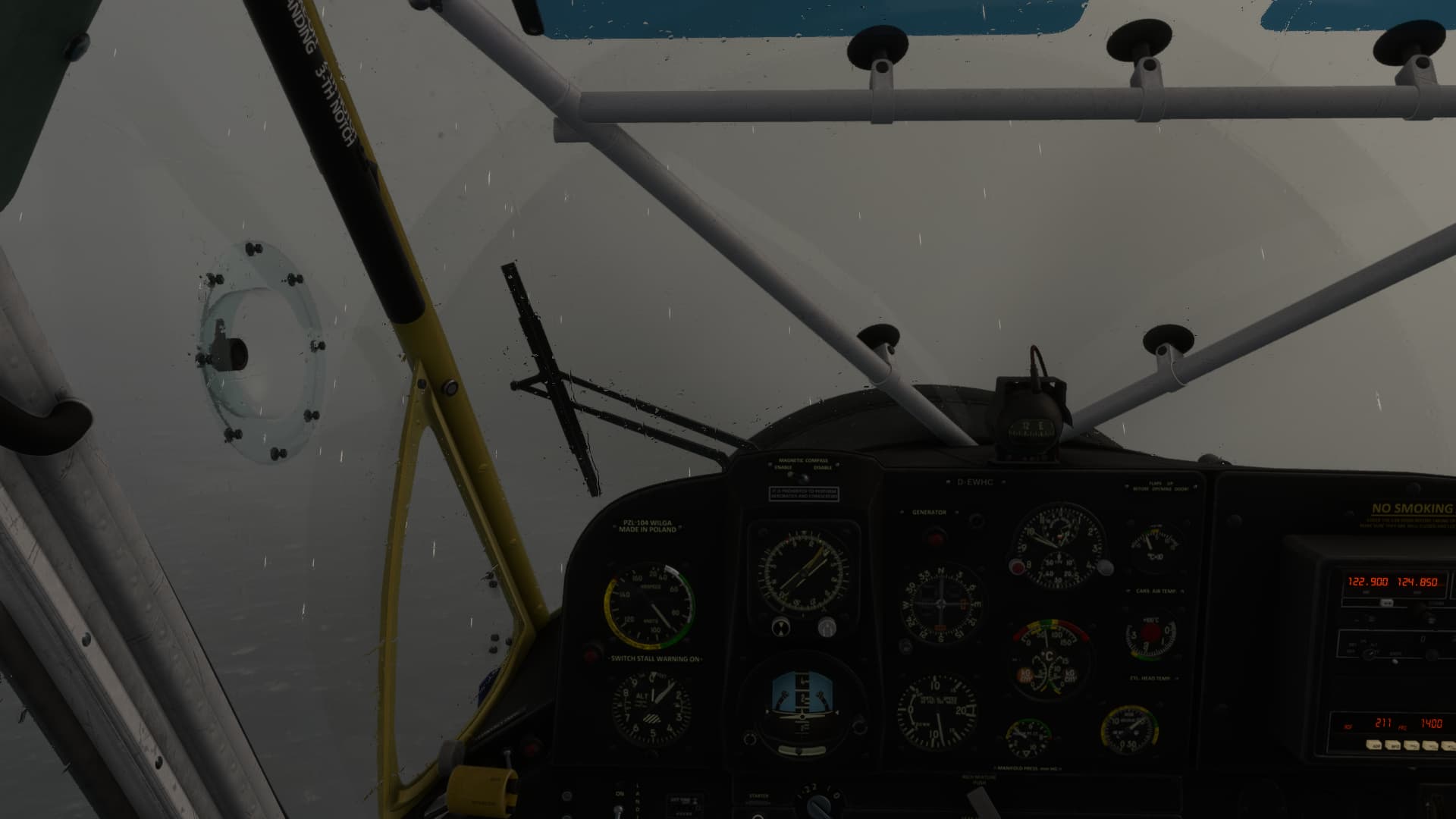
I had reached about 10.000 ft, when suddenly my engine died. Apparently, someone had forgotten to switch the fuel tanks regularly. I switched the tank, began the restart procedure and sank into the storm. Heavy gusts threw me around, while I was hastily trying to keep the plane upright and get the engine going again. When sinking below 2,000 ft, I hit Strg+E because nothing else worked. Now, the motor came back to life, but still threw dark clouds and sounded all but well. Storm-tossed waves rose below me, I must have reached St. Lawrence.
For the moment, the Wilga held itself in the air, but the engine stuttered and I had no control over pitch and mixture. Which added another problem: I had at least 30nm to go, with storm wind on the nose, my engine running full rich and the remaining tank emptying fast. In this moment, I was pretty convinced, that my journey would end here.
After what felt like an hour, the southern shore came into sight and I limped onto the airfield, shut down the engine and took a veery deep breath. Hopefully, the repair would not become too expensive.

After a coffee I scratched my head: The Airfield somehow didn’t match my preparation at all. A quick look at the map revealed: I inadvertently routed for Saint Anne des Monts instead of Mont Joli. Definitely too many Mont-airports at St- Lawrence!
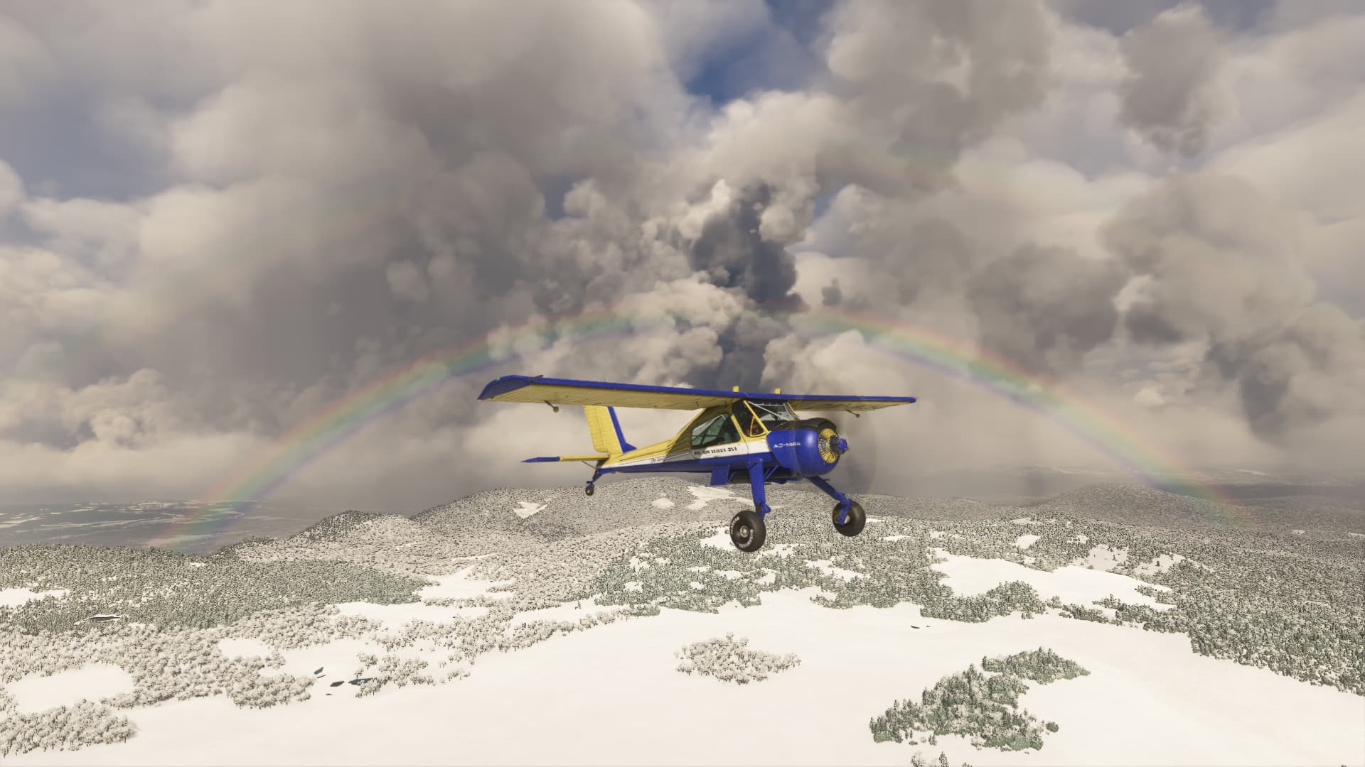
Luckily, the mechanic convinced me that my engine was fine except for a few fowled spark plugs. So I set off to cross the US border on the same evening and went to Northern Aroostook Regional airport. A very nice rainbow welcomed me to the United States.
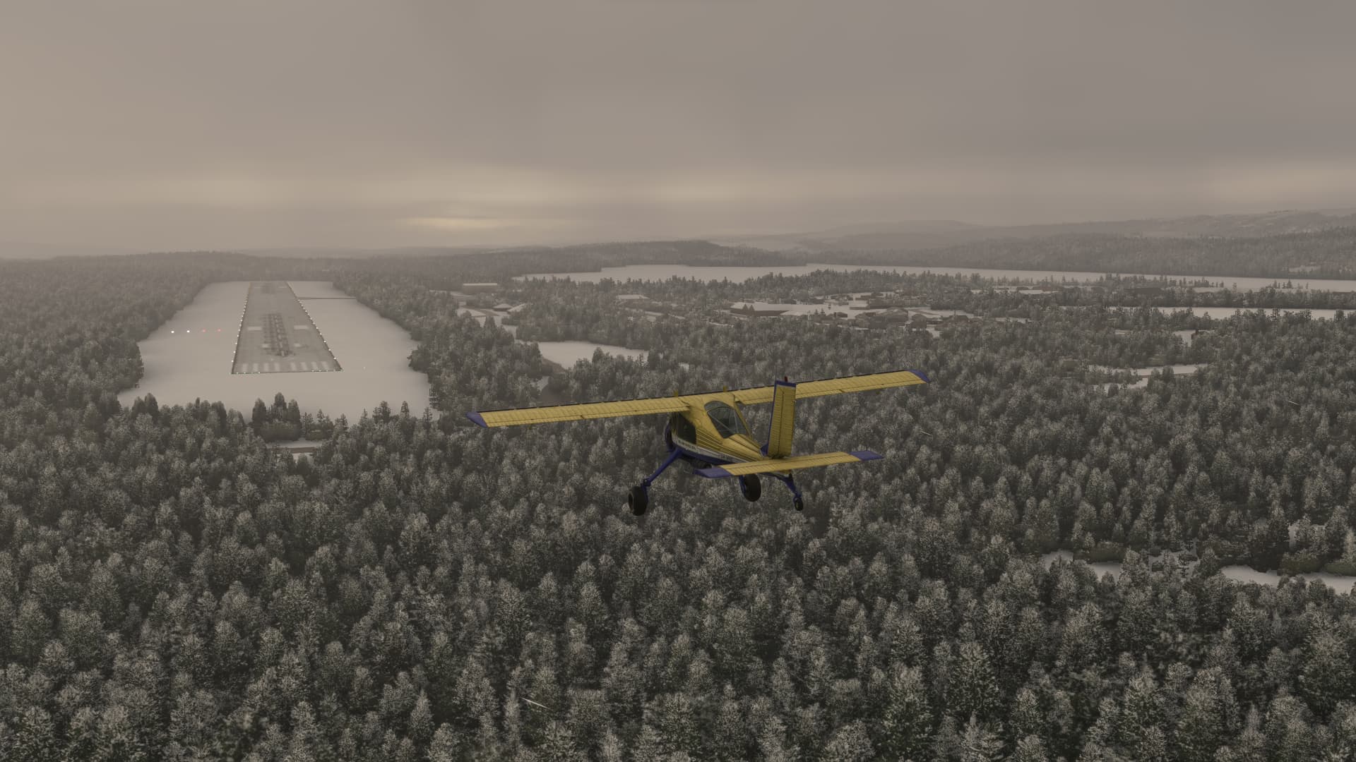
Aroostook Regional however welcomed me with the mandatory severe drop of visibility. Nothing that could have scared me after this long day.
6 Likes