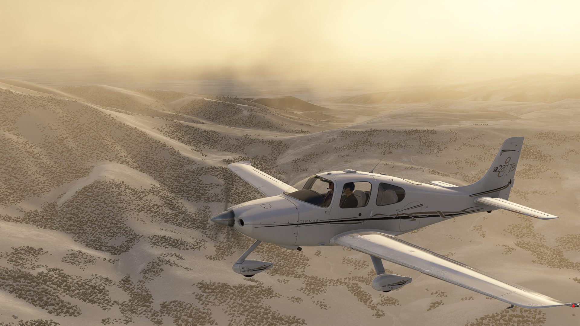
Leg 5: Mountain Home ID to Arco Butte Co ID ETE 53 mins 97 NM
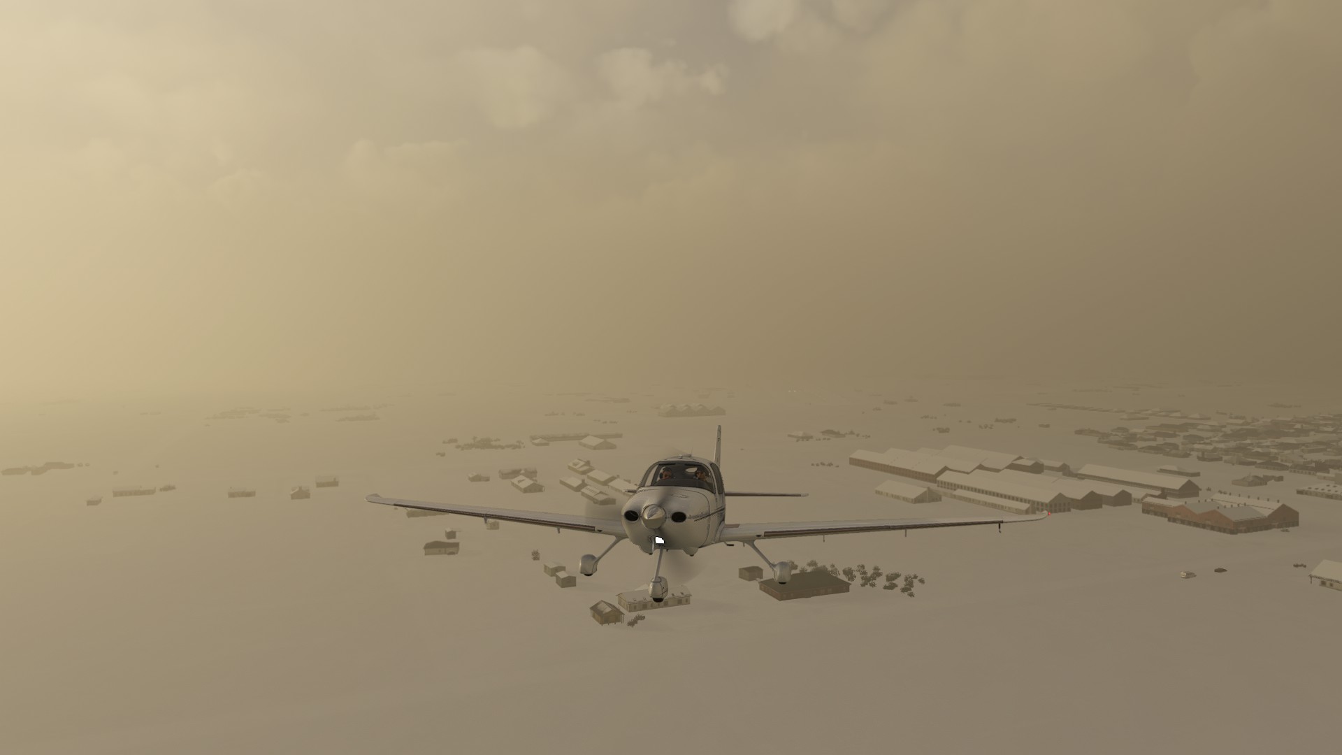
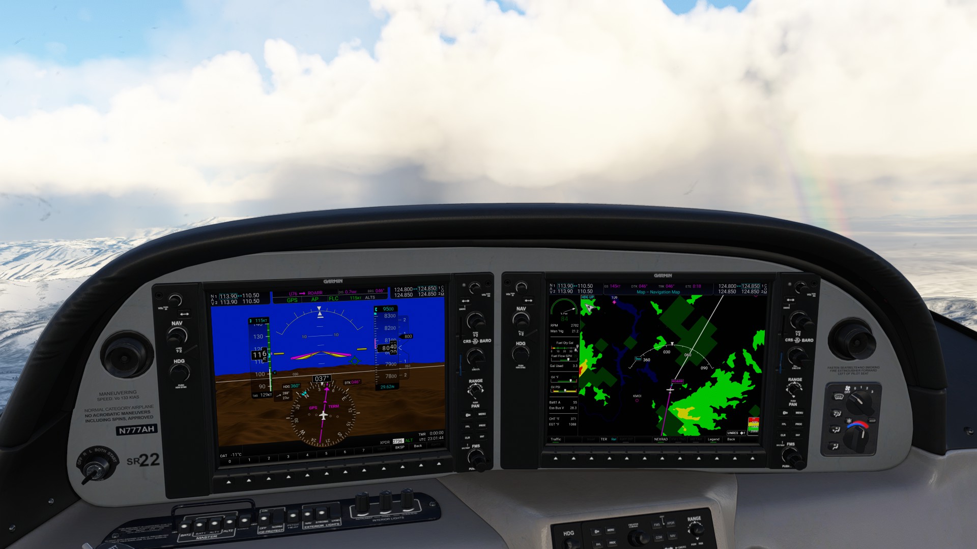
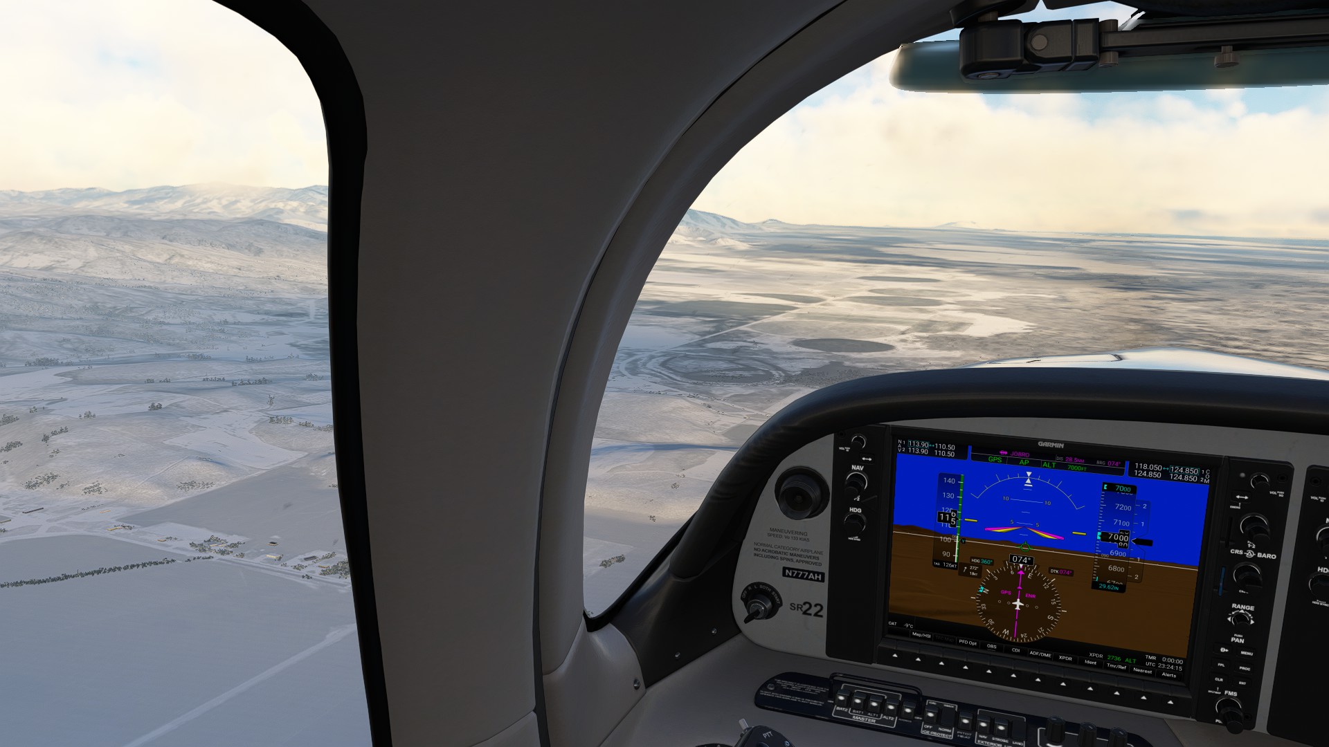
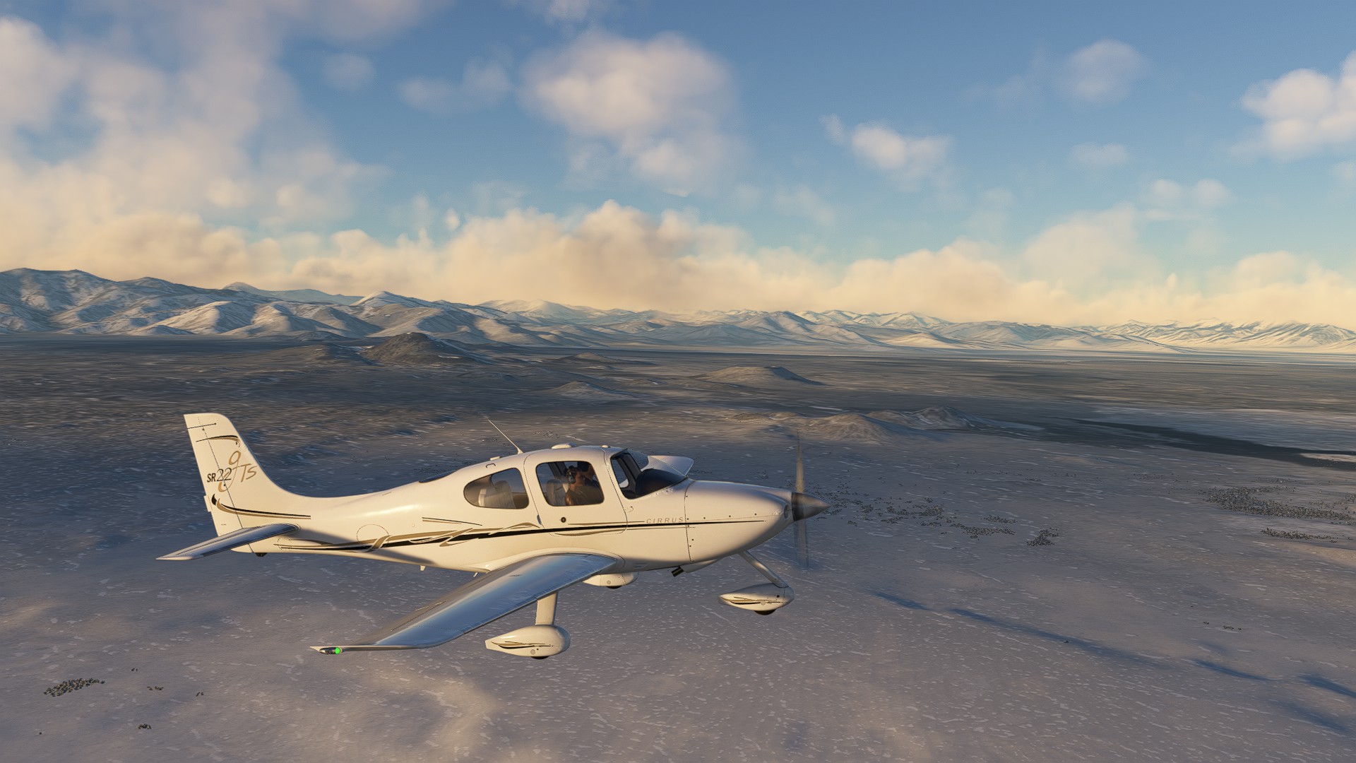
Another cold and blustery departure. Given I was at minimum safe leg, the Cirrus was struggling a bit to close that last 1000’ - it was hard reading the MFD between the terrain warnings and figuring out where the actual precip formations were.
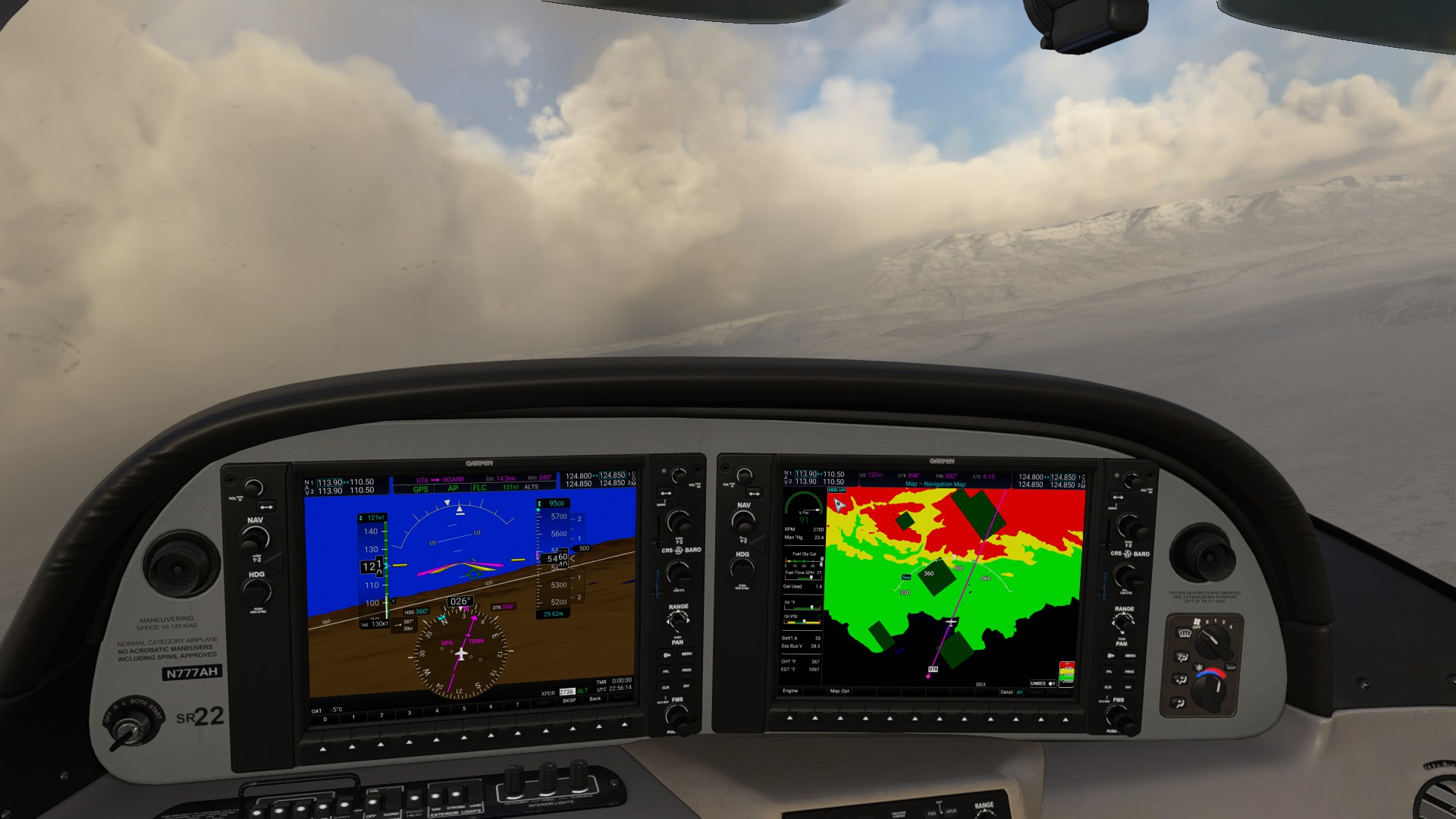

Broke out into a clear patch about a third of the way on the trip, but it wasn’t going to last long - the unbroken cloudbase that stretched horizon to horizon told the whole story - passing over the mountains to stick close to US-20 wasn’t a sustainable plan at this point.
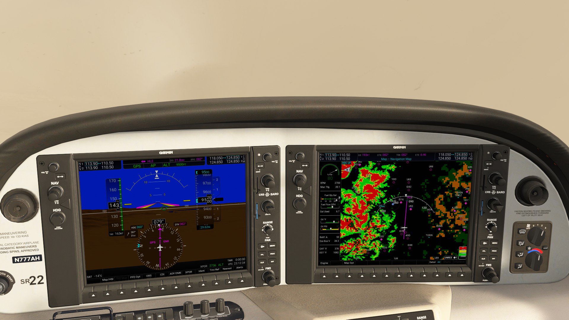
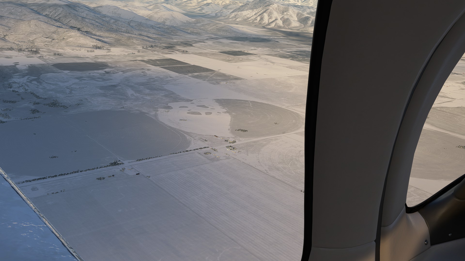
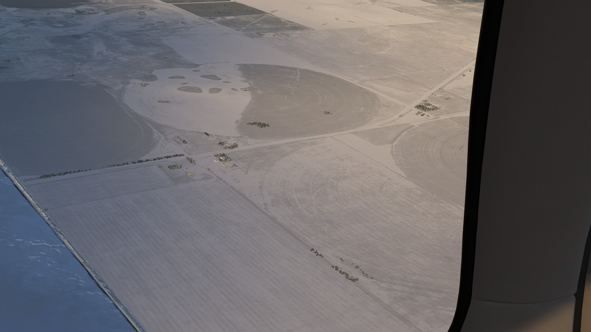
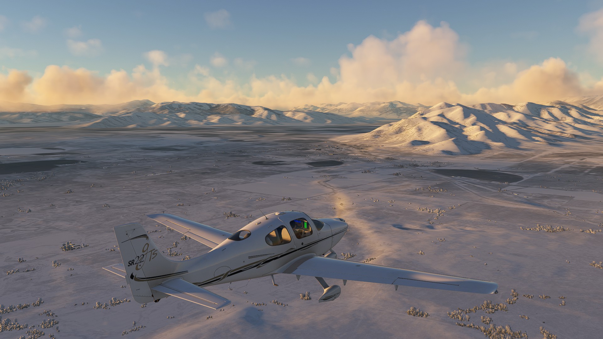
I started picking some alternate Navpoints south of the ridgeline, staying in the relatively safe plateau, passing the I-75 split headed North into the mountains towards Bellevue, and kept headed East over Carey. I even caught a glimpse of a lonely farm complex hard on US-20 - from the cruise altitude, it probably didn’t look much different than it did perhaps hundreds of years ago - an outpost of lonely civilization in an otherwise frozen landscape. It’s at that point I also note the icing buildup on the leading edges - good thing the Cirrus has icing boots!
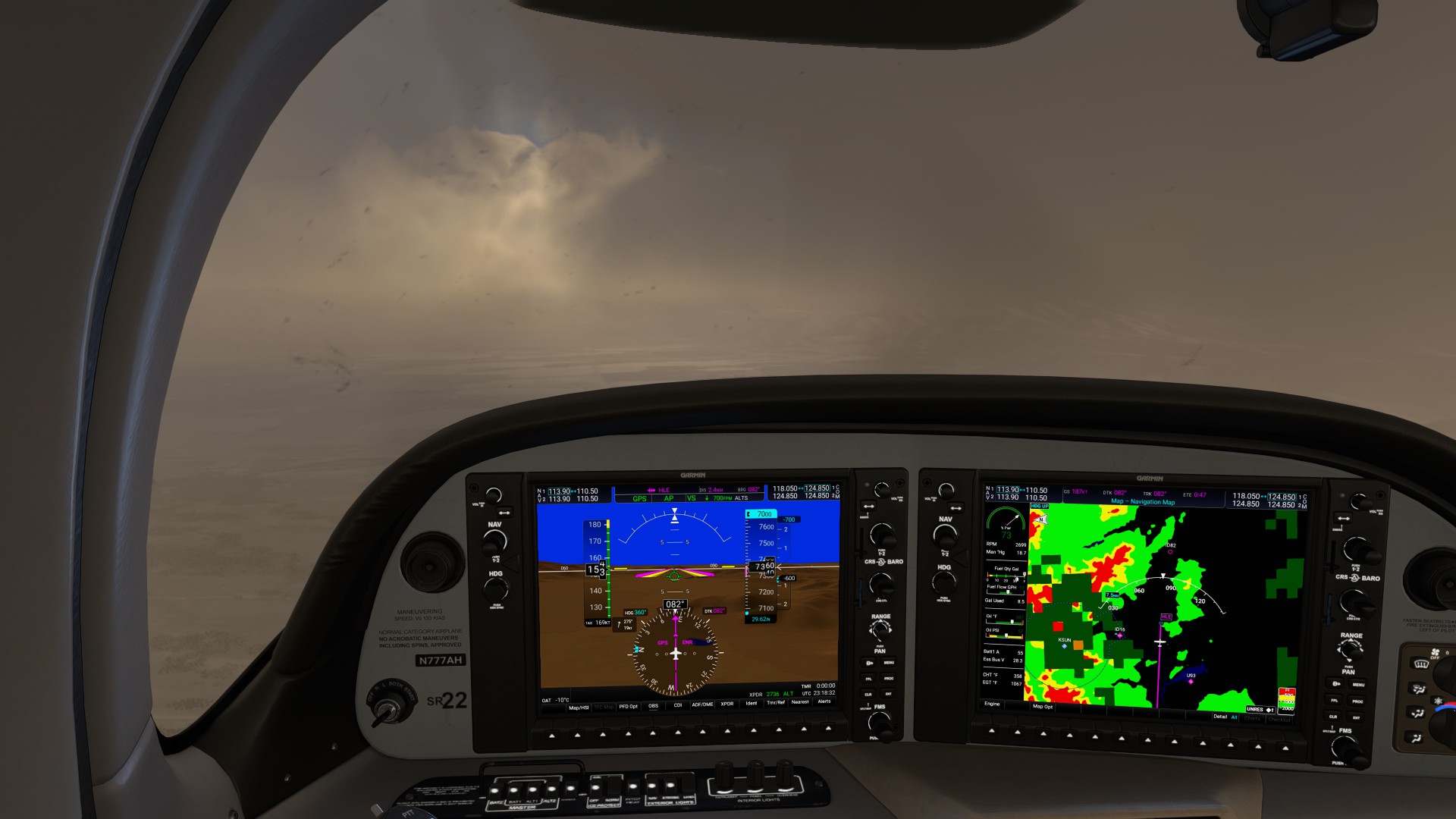
Right before the turn North to Arco-Butte County, I passed a butte field marked on the map as Craters of the Moon National Monument. I did glimpse a few craters, but it was hard to make out at MEA.
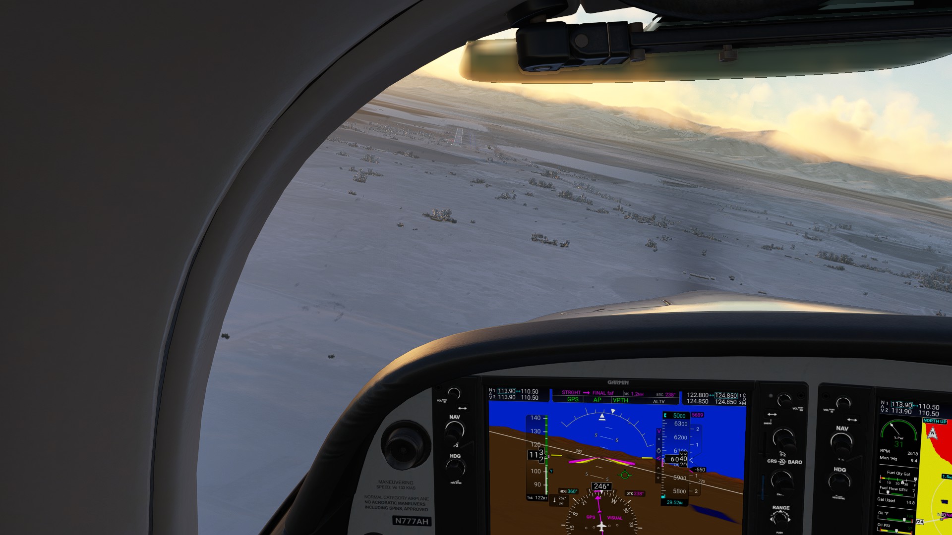
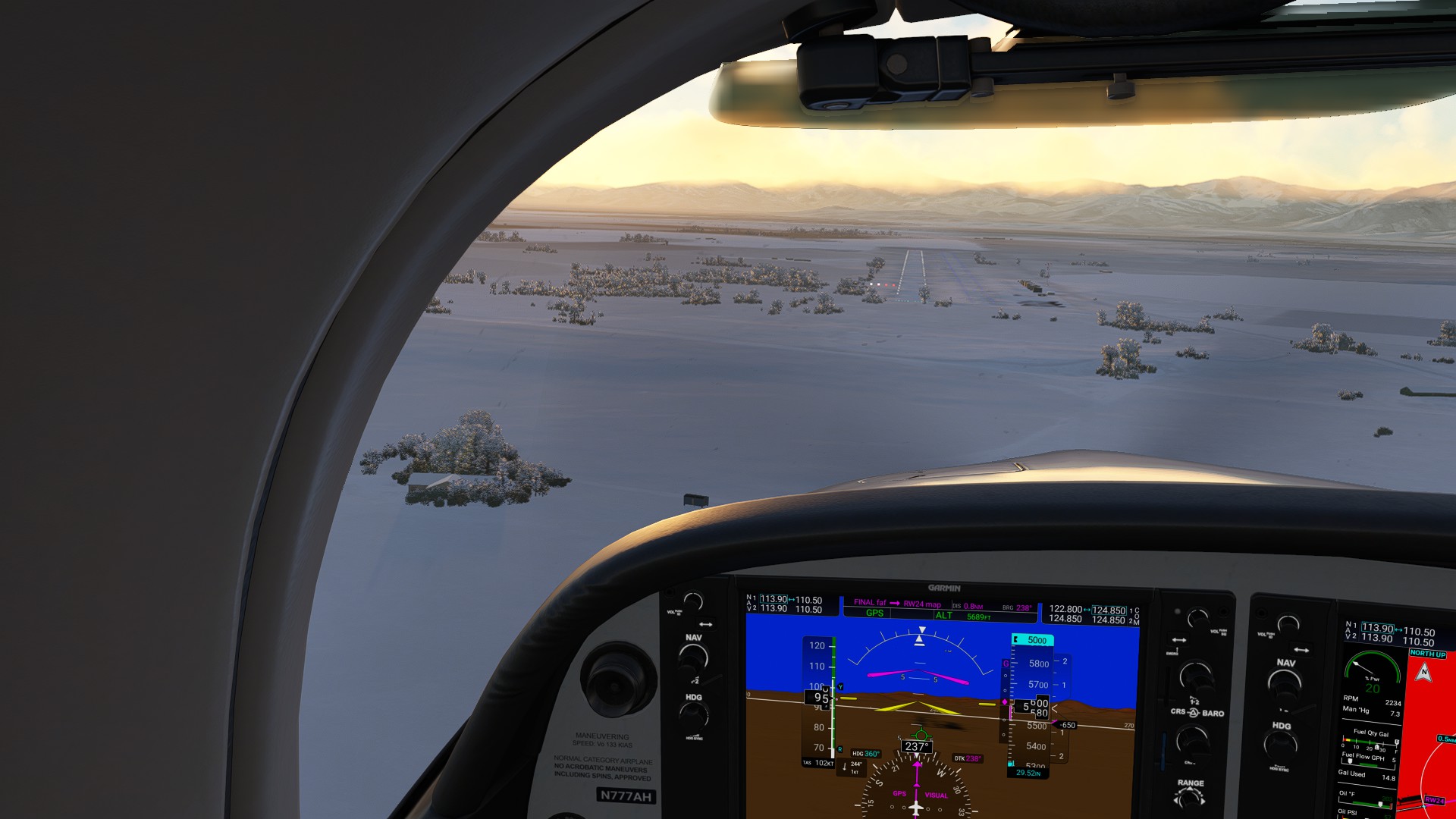
Following guidance for a Visual approach to Runway 24, I pass over the tiny town of Arco hard against the mountain foothills. Originally known as Root Hog (I can see why they changed the name!), it was the junction for two well-known stagecoach trails. Interestingly enough, this tiny town of less than a 1,000 residents was the only town in the US to receive power by nuclear energy (from the nearby Idaho National Laboratory) in the 50s.
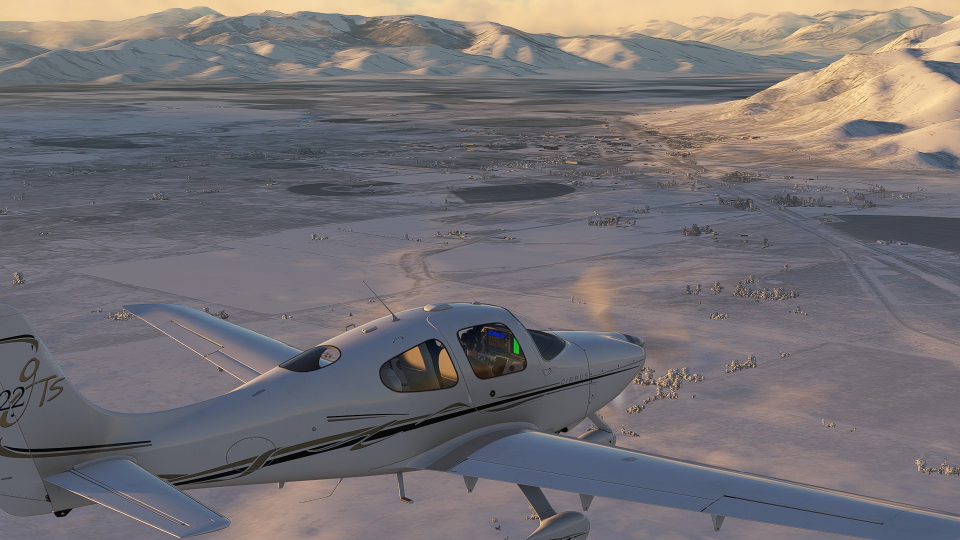
The approach doesn’t bring me any closer to the mountains, whew, and good daylight makes it an easy landing.