I think we all are right to varying degrees. Yes, changing the display distance seems to allow the NAV radio frequencies to be active at a greater distance, but there is a caveat. It seems that there is still a difference in the way the VOR stations are coded. So far in my test flights it seems that some are coded as 'low altitude" and in the sim that, means no matter what distance is set in G3000 settings, the signal is not active above 18,000 ft nor at a distance greater than 100 nm (that is the way VOR stations are commonly set in Europe). “High altitude” VOR station signals are able to be received at high altitudes and from distance of 150 nm. The problem is that many of the VOR stations are not coded correctly according to the most current charts (and Navigraph). Many “high altitude” VOR stations are wrongly coded as “low altitude” or even “terminal” and thus cannot be used for high altitude enroute flight the way they would be in the real world. I believe that this is not a Navigraph or G3000 issue but rather coding errors that need to be corrected by Asobo programmers.
VOR ranges are getting worse. I’m 51 NM from quebec and no vor signal… Grrrr
Which VOR is it?
| ID | YSC |
|---|---|
| Name | SHERBROOKE |
| Type | VOR/DME |
| City, State | SHERBROOKE |
| ?? |
YSC is a High range VOR Nominal 230 nm range
Quebec is a big province, and there’s also Quebec city so hard to guess which one ![]()
YQB Quebec is also a 130nm VOR
Decommissioned in 2020 according to NAV CANADA.
if you’re using Navigraph, I believe they’re working on making VOR ranges more in line with the real world. If there are mountains in the way, or if you’re flying low in general, that will stop you from receiving the VOR signal as well.
That being said, the distance very much depends on the aircraft altitude (and line of sight, altough this is probably not simulated in MSFS (?)). I find this video very helpful:
YQB is a TACAN. It may have once been a VORTAC but the VOR portion has apparently been decommissioned.,Only the DME portion would work with a standard VOR receiver
Thank you very much, it all makes sense now. It did work but only 30 miles out. So I used GPS and the bug for autopilot. I suppose it would cost too much to cover Canada in vor.
I did the med perimeter quest, and that was end to end vor. Brilliant.
Canada (and North America for that matter) has been on a steady schedule of decommissioning VOR’s. They are costly to maintain and GPS systems are much more accurate and flexible.
Here’s NAV CANADA’s plan.
I have been creating VOR navigation events for a long time now. I have been trying to create a series that will follow the eastern coast of South America. There are more than a multi handfull number of these that don’t work as advertised. I don’t care if you fly them with an airliner at 30 K Feet, they stop at 25 or 40 NM, when databases indicate they are 130 NM nav aids. This may force me to stop trying to do these events. My entire premise was to fly these WITHOUT using a magenta line GARMIN flight plan. It’s hard to point fingers where the problem lies. Is it the old GHOST of FSX??
![]() Thank you using the Bug section, using templates provided will greatly help the team reproducing the issue and ease the process of fixing it.
Thank you using the Bug section, using templates provided will greatly help the team reproducing the issue and ease the process of fixing it.
Are you using Developer Mode or made changes in it?
No
Brief description of the issue:
Range of VOR stations shorter than they should be. From what I can tell via LittleNavMap, the OH & AA VORs in New Zealand should have a range of 130nm. However flying to and from them the range seems to only be 80nm as this is the range that the VOR loses & gains signal.
Provide Screenshot(s)/video(s) of the issue encountered:
Detailed steps to reproduce the issue encountered:
Fly NZWN-WN-PP-OH-TM-AA-NZAA. Note that on OH-TM leg that the OH signal gets lost at 80nm while on the TM-AA leg signal does not get acquired until 80 DME.
PC specs and/or peripheral set up if relevant:
Navigraph AIRAC 2205 installed
Build Version # when you first started experiencing this issue:
1.25.9.0
![]() For anyone who wants to contribute on this issue, Click on the button below to use this template:
For anyone who wants to contribute on this issue, Click on the button below to use this template:
Do you have the same issue if you follow the OP’s steps to reproduce it?
Provide extra information to complete the original description of the issue:
If relevant, provide additional screenshots/video:
I think you need more proof.
According to real world doco, 2000 watts gives a range of 75nm at all altitudes.
Do you have the same issue if you follow the OP’s steps to reproduce it?
yes
Provide extra information to complete the original description of the issue:
No matter how high i fly, VOR loses signal at 37nm.
If relevant, provide additional screenshots/video:
Hi, I would like to up this thread.
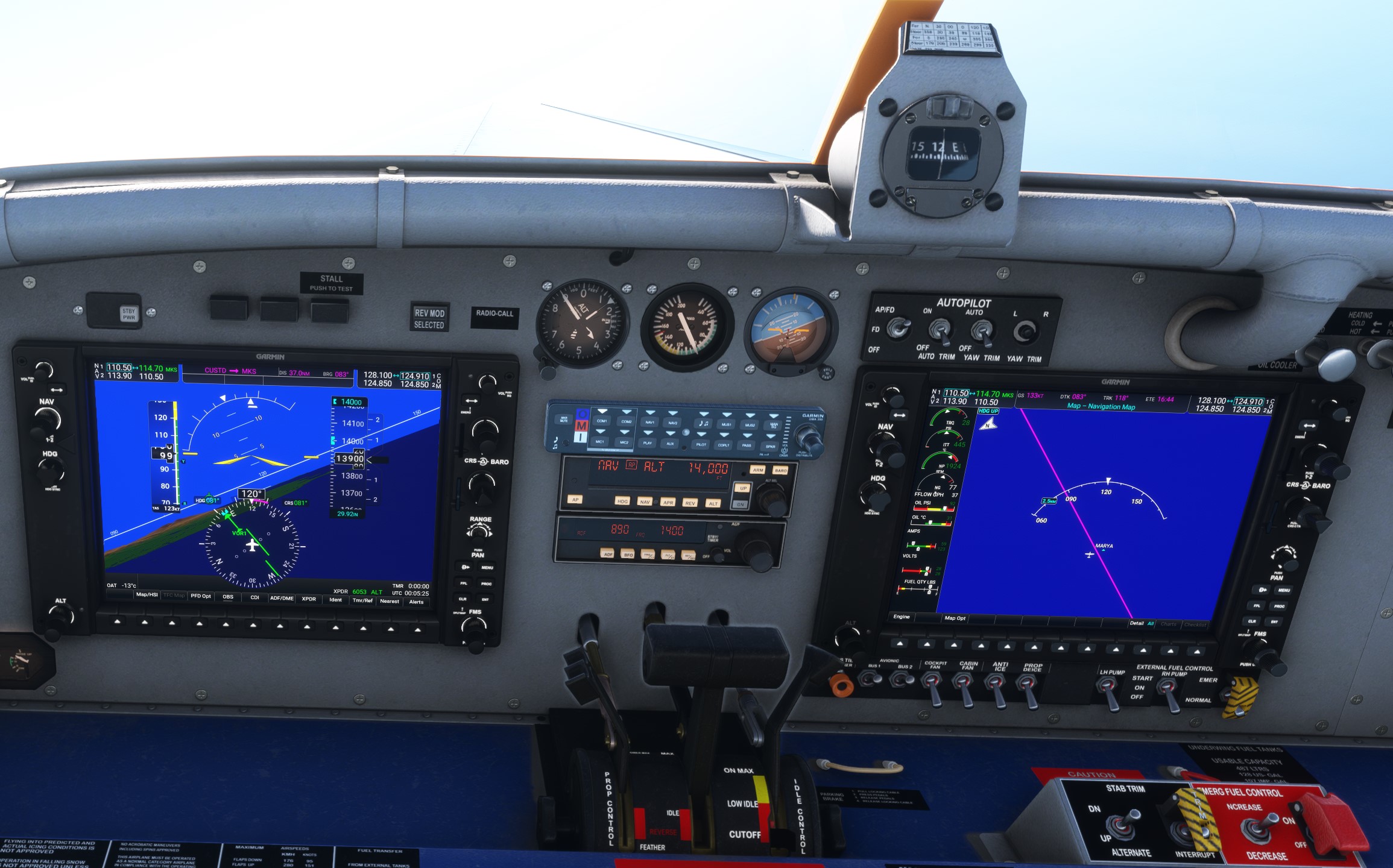
VOR are broken in this sim. I think it could be a good idea to COMPLETELY rework VOR/VORDME/VORTAC in MSFS considering their state. I fly mainly in US, South Africa / madagascar, Indonesia and Papua New Guinea, and many VOR can’t be received until a few Nm. Just as of today, in the Fokker F-28, at 23 000ft I received the Makassar VOR (114.7, MKS indonesia) at litteraly 7.9nm… I have encountered this kind of behaviour MANY times, it’s getting frustrating right now.
In the US, we can say it’s not that bad… But anywhere else outside US and Europe, VOR navigation is an horrendous experience. I fly with many different aircraft (BAe-146, Fokker F-28, Pilatus PC-6, Kodiak 100, Cessna 414, Blacksquare’s King Air, Caravan, PAC-750, Transall), and often use VOR only, no GPS. And the experience is the same everytime… I never know if I would be able to receive a VOR on MSFS. Frustrating.
Yes, I know many of the limitations like terrain altitude etc. But it’s not related to this. VOR don’t have enough range in general in MSFS, specialy in less flown area. And yes, I talk about VORs listed as ‘‘high altitude’’ VOR in Navigraph, without any terrain masking the line of sight, that you are not able to receive until less than 30nm (if it’s not less than 20nm)… Can we ask for the devs to take a look at this ?
And considering this topic is quite old and the problem still unadressed, can we make a new bug report about this ?
Thank you very much
Hi @Jowen
I’m not here to argue that VOR’s in general don’t need some attention, but I am a bit confused by the VOR you specifically mentioned (MKS).
I gave it repeated trials with the D930, and picked it up at about 37.5 NM’s while coming inbound from the mountain side at FL180, and lost it outbound over the ocean at about 37 NM’s at FL180. I’m not seeing quite the issue you are with that specific navaid, so I’m wondering if it’s in the implementation of the nav subsystems in those aircraft you’re using, or the nav database has an issue. The only aircraft you mentioned I can test is the PC-6 and I’ll give that a try later.


Regards
P.S. I tried it with the PC-6, inbound from the west, and it locked on the VOR about 37nm out.
Second P.S. I ran a flight from GMMN (NW Africa) to GMAD. Along the way, I did a quick test of some VOR’s off to the side of the route to see what I got. With ESS (112.7) it was reading over 46 NM’s before I tuned it out. And MAK (113.3) was reading over 76 NM’s when I exited reading it. Again, in the D930, and my altitude was ~14K and descending all the way. So the mystery deepens!
Regards
Other than MKS, do you have other examples where VOR range is inaccurate?
Hi, thank you very much for your answer and the time you put to test.
The simple fact that you picked it at 38nm from 18 000ft is already pointing a range problem. This is not a terminal VOR, range should be far greater. We can see that the terrain is not the problem since you lost it at pretty much the same range while being over the ocean. So there is a problem already.
114.7MHz means that it’s a high altitude VOR both in theory (will link a source at the end of the post) and according to Navigraph. With your aircraft altitude, from the sea, you should be able to pick it between let’s say 100 and 175nm. We would agree that it’s all theory. But this VOR is a good exemple, from south west and west, there are absolutely no terrain to interfere, so we should be able to pick it at a far greater distance than 38nm.
According to this general formula :
dm=1,23×(√H1ft+√H2ft)
H1 is your aircraft altitude in ft, and H2 the VOR altitude ; we should pick this VOR at around 140nm. Even if you pick it at 70nm or so like you did with ESS VOR, it’s still only half of the theorical range. I had tons of exemple since I play MSFS in which VOR are far too short of a range.
I know it’s all theory here, but let’s face it… Without GPS, you can’t navigate with VOR which have a practical range between 40 to 70nm, that’s not realistic. Even NDBs range between 100 and 200nm. Yes, terrain should play a role reducing the max range of a VOR beacon (as many other factors, we will agree), but as we saw woth your exemple, terrain doesn’t seem to be taken into consideration (or is wrongly implemented if i may say so.)
The ranges of the VOR are completely random in MSFS. Never reliable. I don’t ask for always max range, off course, but something you can actually rely to properly fly an aircraft.
To expend a little about the MKS VOR, my flight plan was as follow : Take off from WADS, follow a 31° heading until MKS, the sooner I receive MKS the better it is because if there are powerful winds in altitude, I may not be able to compensate for it, especialy in old aircraft like the F-28. When MKS recieved, intercept 348° radial in direction of MJU VOR on 115.2 (once again, not a terminal VOR, so good distance expected, more terrain masking however). I recieved it at 29nm… From MJU, original plan was to fly a direct to my destination, WAFF with the PAL VOR on 116.2. But considereing the terrain around it, instead of going directly to this VOR, I choosed a different route, a followed a 017° radial from MJU, set PAL on NAV 2 until I intercept a 152° course towards PAL. This way the emiter was clear of the terrain and this flight plan made me fly at approximately 28nm north west from PAL without terrain masking… I NEVER received PAL. Looking outside, I saw the little peninsula that you can see around the GUMEL RNAV waypoint and understood I had overshoot my destination. I decided to descent under the clouds and follow the coast until I can identify the Palo Gulf. I finaly received the PAL VOR at 21nm…
As you can see, this whole VOR flight is a complete failure in terms of navigation. I was more in HDG mod than in VOR (Beam mode in the Fokker).
What are your thoughts about that ?
Thanks again for your answser and happy new year.