What a Wonderful World Tour

From Langkawi International (WMKL) to Simpang (WMKF)


We cross Malaysia from north to south on the Central Forest Spine that groups a set of 4 tropical forest complexes in the center of the country. The monsoon fronts force us to ascend so as not to collide with the mountains


Temenggor Lake, is a stunning reservoir that stands as one of the largest man-made lakes in Peninsular Malaysia. Spanning approximately 15,200 hectares,

Surrounded by one of the oldest rainforests in the world, estimated to be over 130 million years old, This unique landscape provides a sanctuary for wildlife, including Malayan tigers, Asian elephants, hornbills, and various species of deer and primates.

The lake is also a haven for bird enthusiasts, as it plays host to endemic and migratory species. A particularly noteworthy sight is the gathering of hornbills, often dubbed “the hornbill capital of Malaysia.” These majestic birds, emblematic of the region, are an indicator of the thriving ecosystem that Temenggor Lake supports.


We left the lush forests to land in the capital and could not avoid the temptation of trying those challenges that are only possible in MSFS.

Hi! Great to look at screenshots of your world tour by diffrent aircraft!
Made it by helicopter - may be some sights from the video will be helpfull for your next legs!
It is included ICAO airport + sight name:
Around the World by Helicopter in Flight Simulator - YouTube
Nice to meet an around the world enthusiast! Have a great journey!)

Hi! Pilotbul. Thank you so much!, Truly inspiring, wonderfull travel!!.Helicopters are my pending subject You know. Happy to meet you.

Nice to hear from you and happy to hear that you are inspired by the world around journey!)
As for helicopters I have created topic which included the quality videos which helped me to learn basics of helicopter flying in MSFS 2020:

Helpful guide videos for beginner helicopter pilots in flight simulator - Community Content Hangar / Videos & Streams - Microsoft Flight Simulator Forums

I tried to collect most quality videos that answer basic questions of beginner virtual helicopter pilots!

Wish your journey to continue and bring you new great emotions!

1 Like

From Simpang (WMKF) to Silangit (WIMN)

A visit to Toba,Lake


After departing from Simpang, As we gained altitude over the last ridges of Malaysia, the coastlines of Sumatra appeared on the horizon, vast and alluring across the waters.

Crossing the narrow strait, we entered Indonesian airspace, the land below a mosaic of ancient rainforests, rivers, and volcanic silhouettes. Approaching North Sumatra, the terrain rose in gentle undulations, hinting at the dramatic volcanic birth that shaped these lands.


Soon, the glint of Lake Toba’s immense blue surface became visible, framed by rugged caldera walls and distant highlands—a sight that seemed to suspend time itself.

Circling over the lake, the aircraft provided sweeping views of Samosir Island, its lush hills rising from the heart of the water like a green jewel. Descending gently toward the lakeshore. Below, Toba’s shoreline was dotted with tiny villages, that cluster near the water’s edge.

Some 74,000 years ago, a cataclysmic eruption shook the region, far surpassing the power of any recorded in human history. The Toba eruption ejected vast amounts of ash and rock—estimated at nearly 2,800 cubic kilometers—into the atmosphere, blanketing wide swathes of Southeast Asia and even altering global climatic conditions. Scientists believe this event caused a “volcanic winter,” dramatically lowering temperatures worldwide and possibly influencing the course of human evolution.

When the magma chamber beneath the ancient volcano emptied, the land above collapsed, forming a massive depression or caldera. Over time, this vast bowl filled with rainwater, creating Lake Toba as we see it today. Stretching about 100 kilometers in length and up to 30 kilometers in width, it is the largest volcanic lake on Earth.


Landed at Silangit with the picture of lake ahead.

From Silangit (WIMN) to Tabing (WIEZT)


Take off first thing in morning flying over valley of Barisan Mountains when sun switches off the lights below on the ground.


Gunung Ophir, also known as Mount Ophir, it stands as one of the most prominent and legendary peaks in Peninsular Malaysia. Rising to an elevation of approximately 4,186 feet, it is the highest mountain in the state of Johor, its slopes are cloaked in dense rainforest, forming part of the majestic Endau-Rompin Forest complex that stretches across the region.

Close to Ophir Mount flew over Danau Daninjao, often referred to as Lake Maninjau, a vast volcanic caldera formed by a cataclysmic eruption thousands of years ago. Measuring approximately 16 kilometers in length and 7 kilometers in width, with a surface area of about 99.5 square kilometers, it is one of the largest lakes in Sumatra.


Descend below the cloud layer discovering Danau Singkarak, or Lake Singkarak, a magnificent natural lake spanning approximately 107.8 square kilometers, it is the second largest lake on the island of Sumatra. Its deep, clear waters reflect the lush green mountains and scattered villages that line its shores, creating a breathtaking panorama that captivates every visitor. The lake is renowned not only for its beauty but also for its unique endemic fish species, including the famous “ikan bilih,” which can only be found in its waters.


Heading west to land at Tabing (WIEZT).

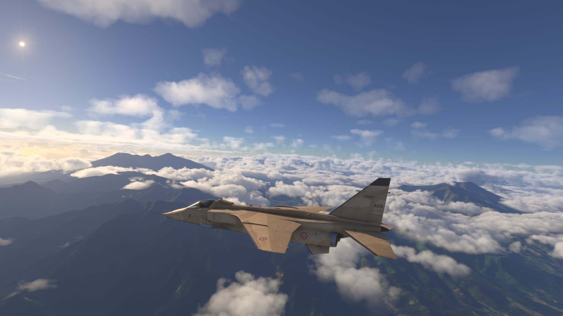
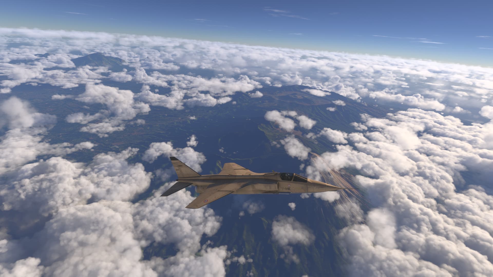
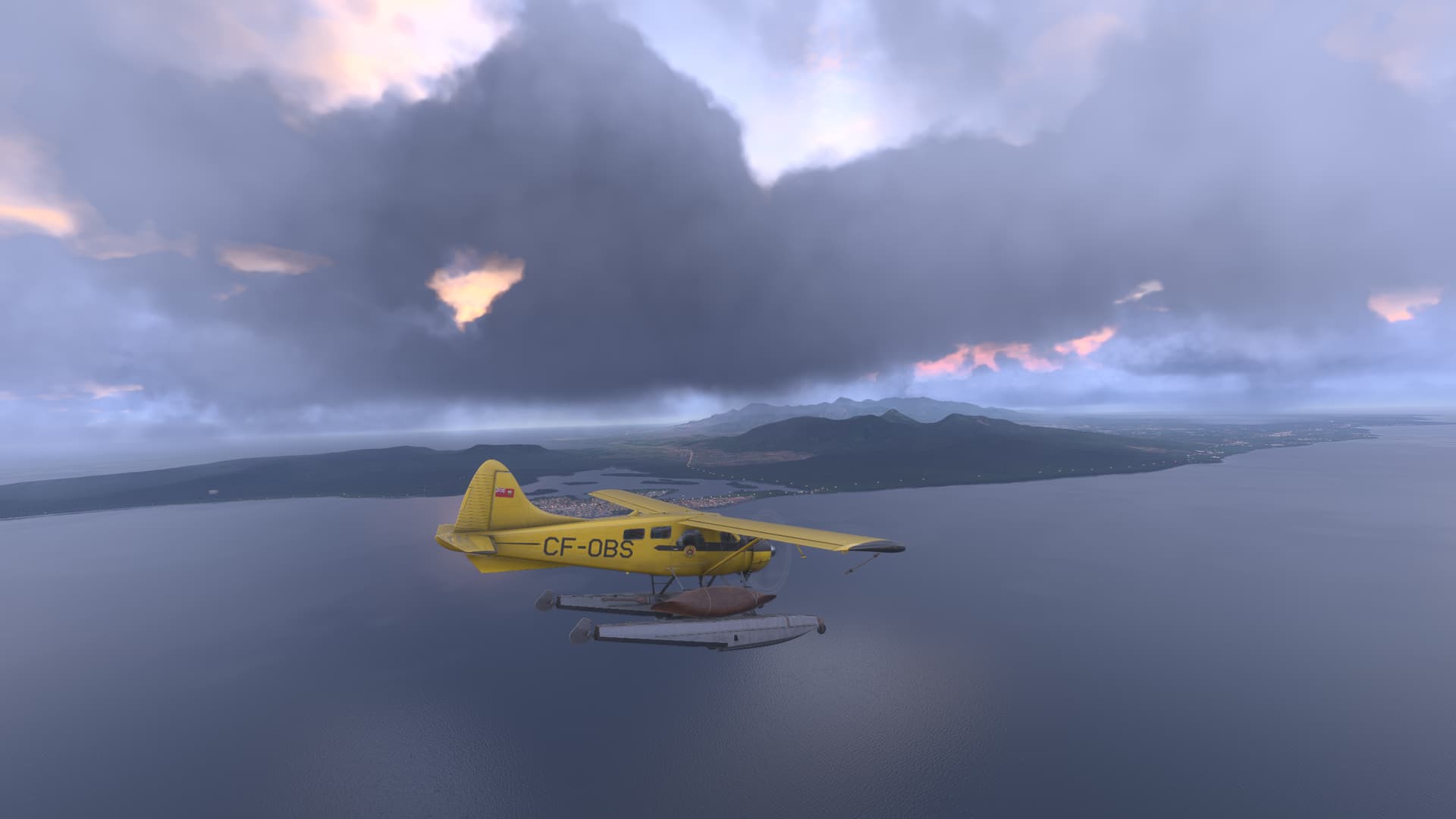
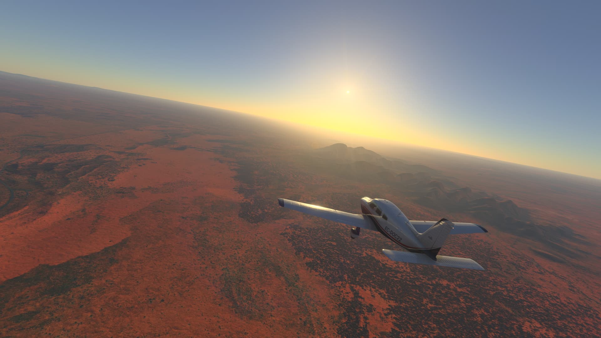
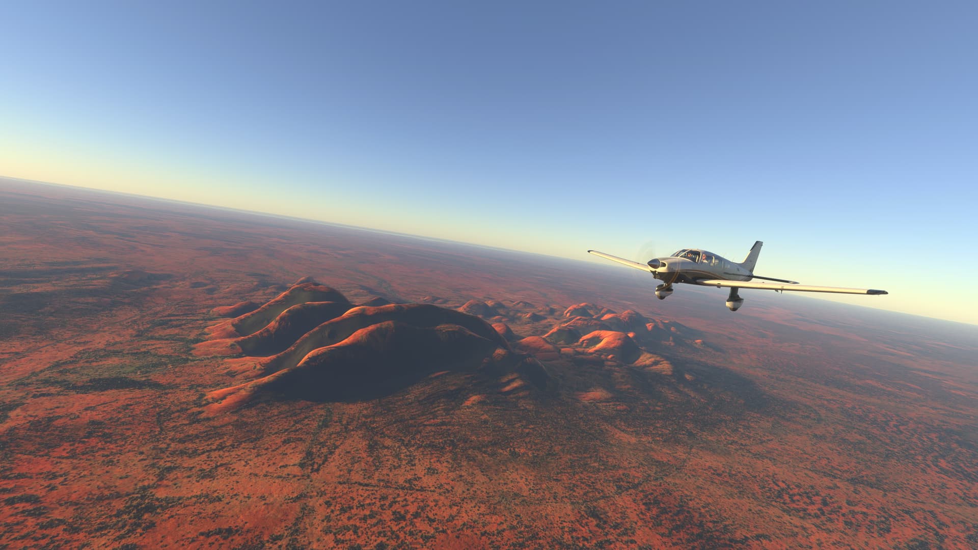
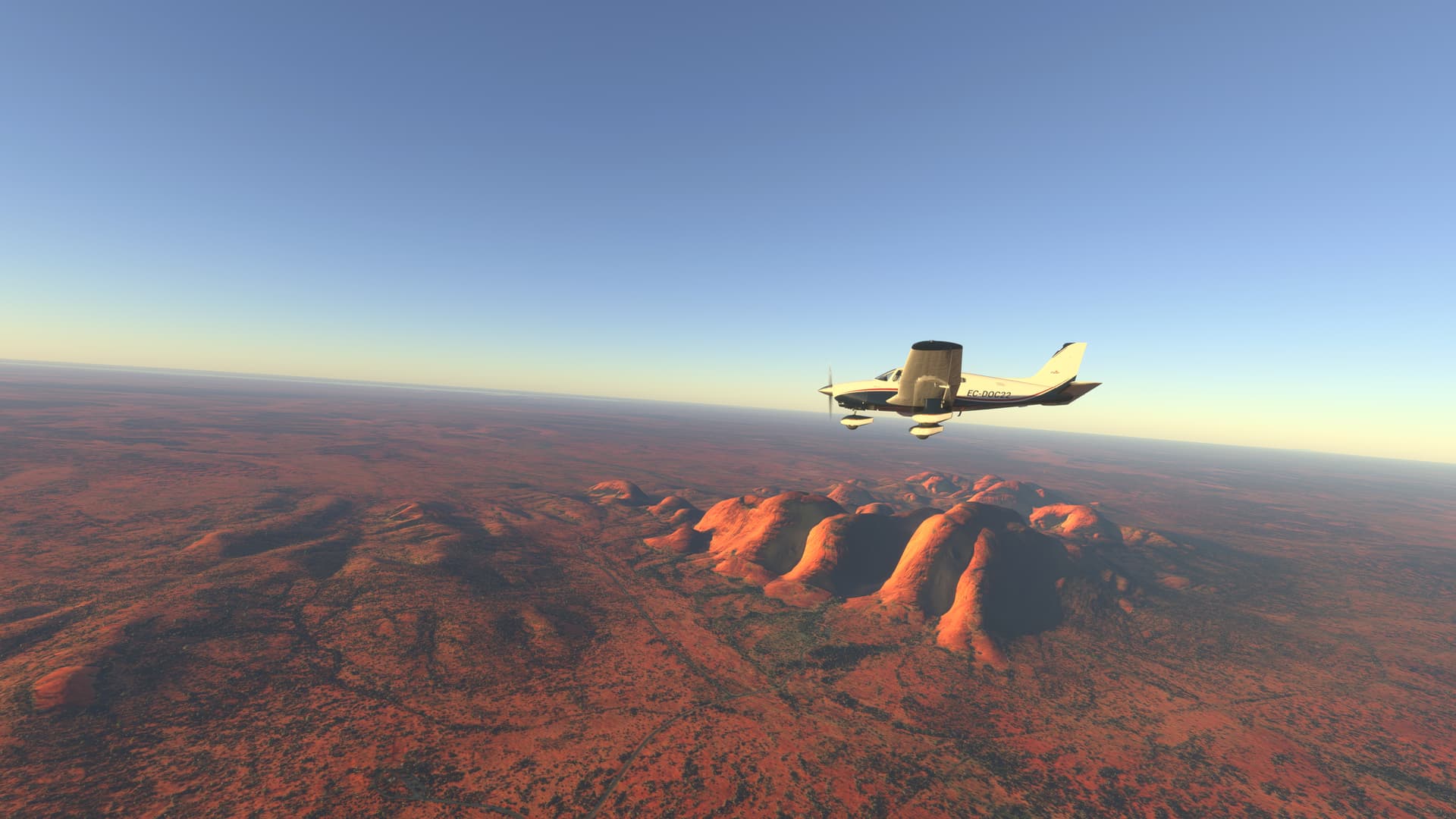
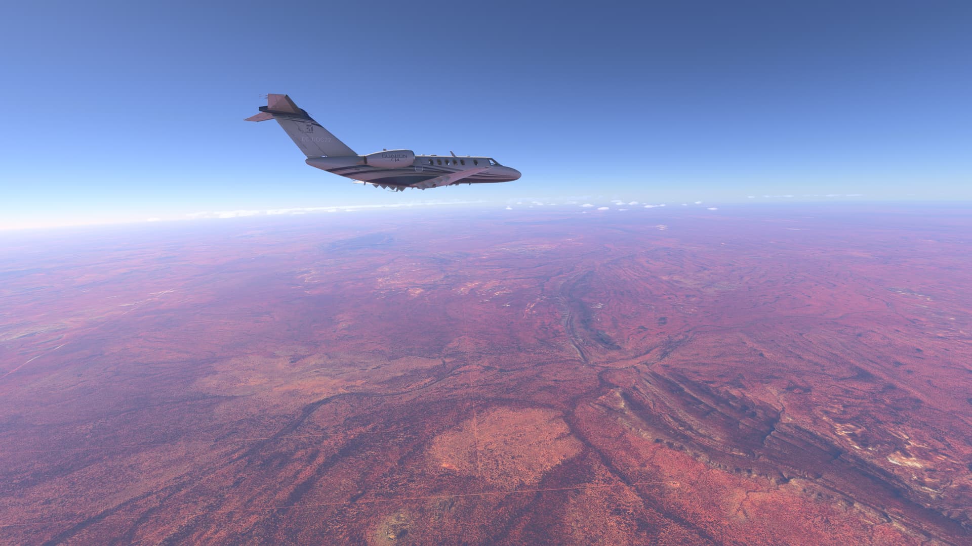
From Tabing (WIET) to Radin Inten Li (WILL)


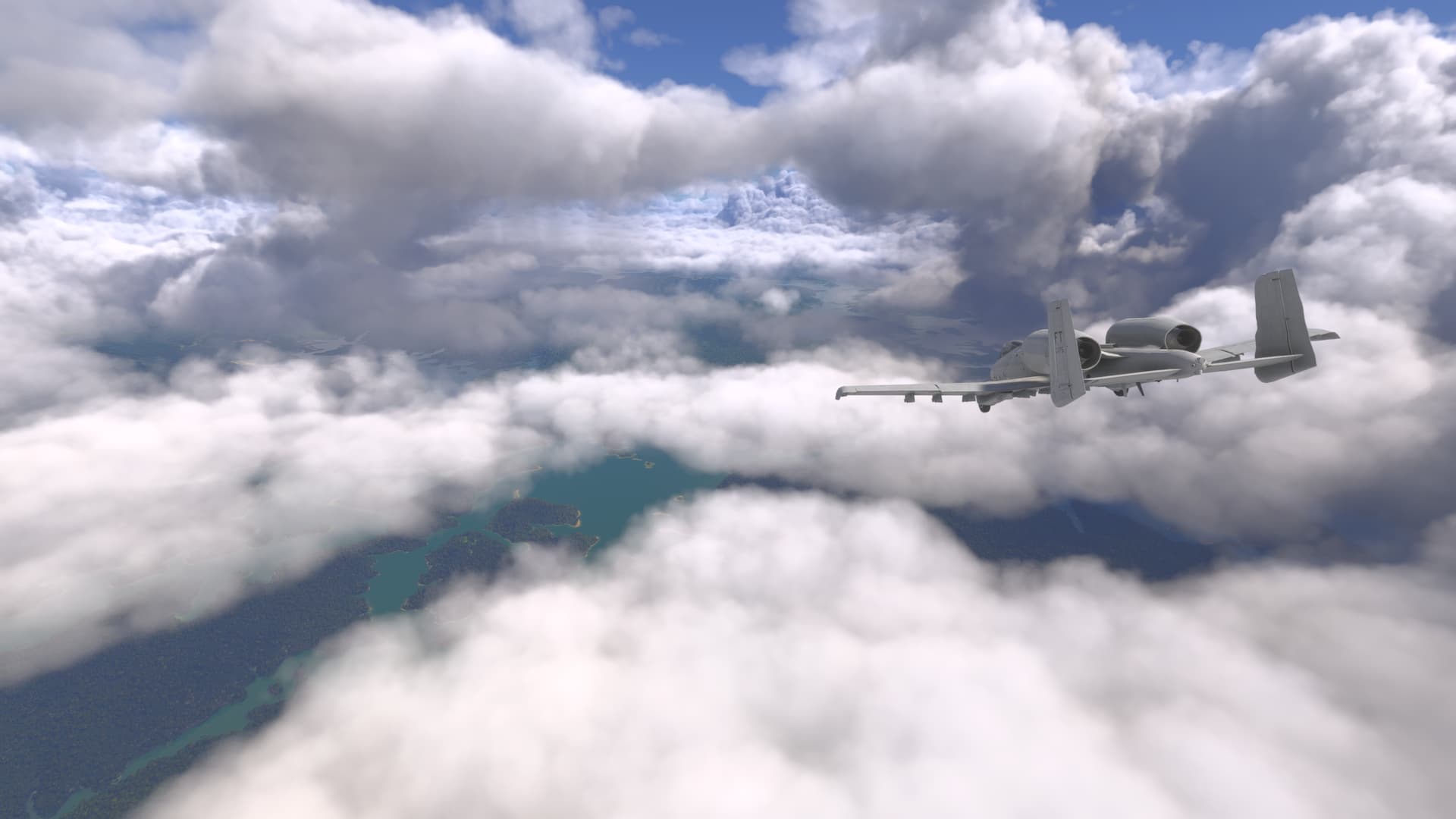
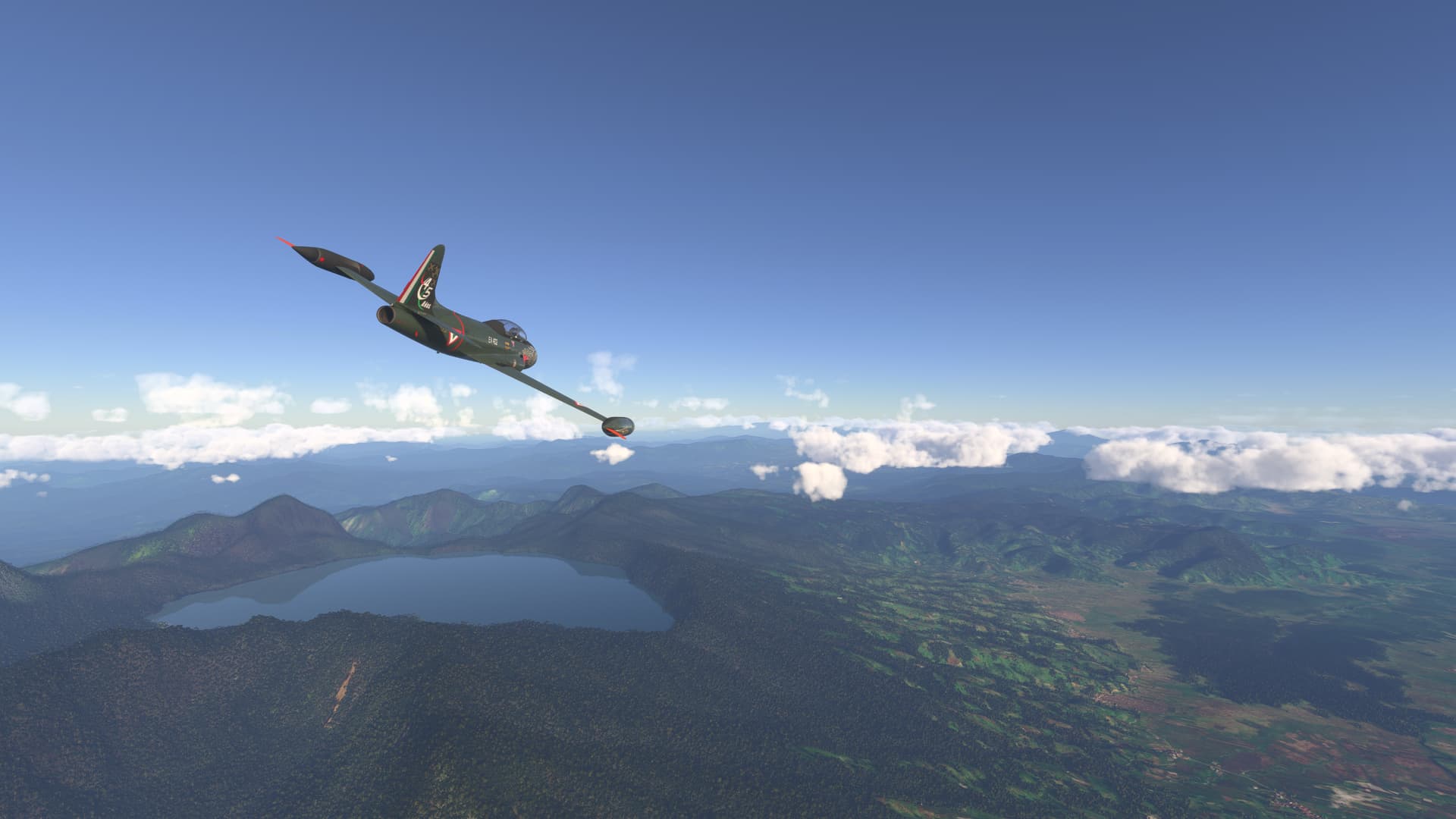
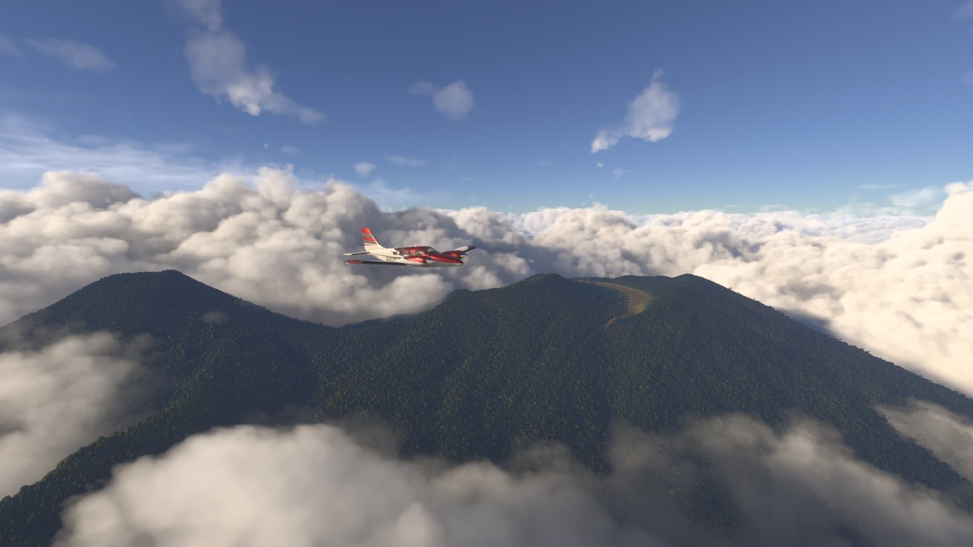
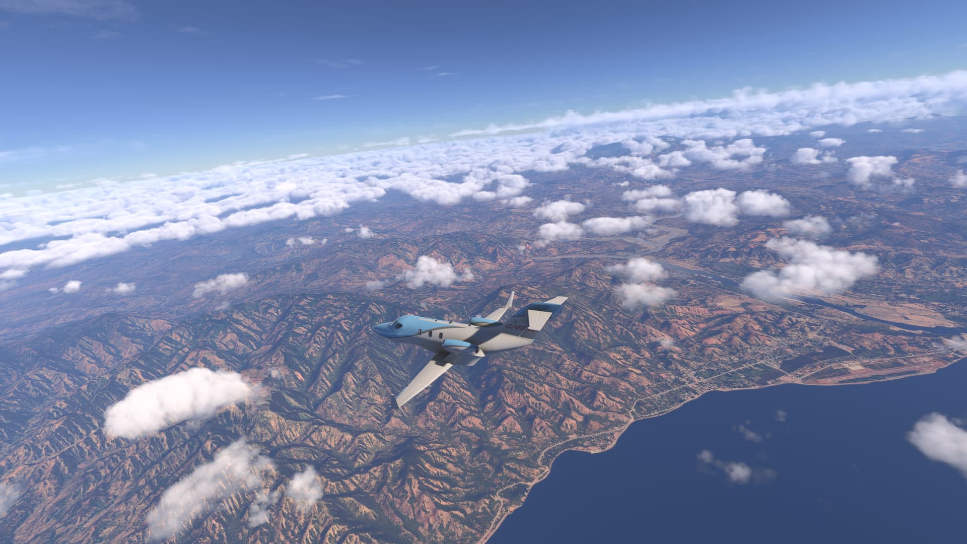
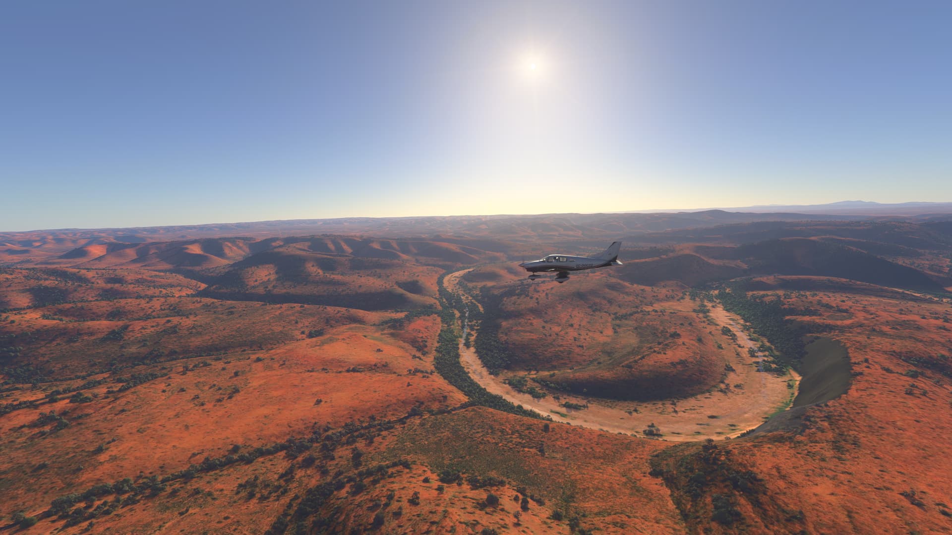
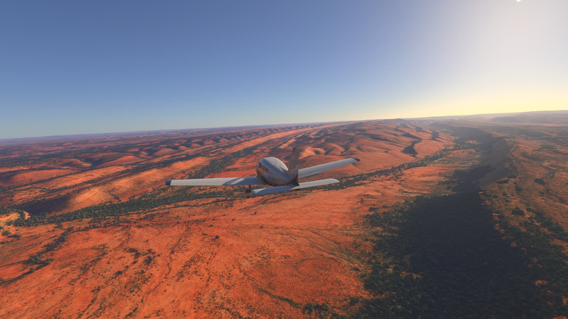
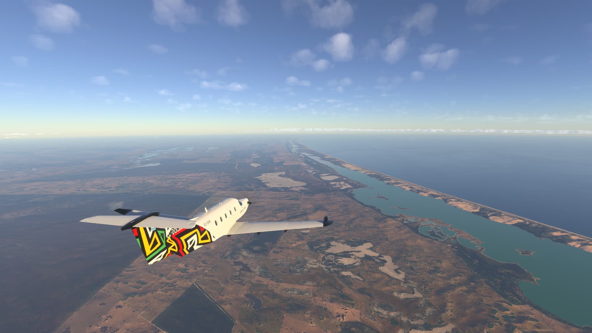
flight proceeds south, into the jungle interior, into the vast Taman National Park. One of Indonesia’s ecological jewels, this reserve stretches like an endless sea of greenery, crisscrossed by meandering rivers and dotted with lagoons where the sun’s rays dance over the water. From the air, Taman National Park reveals its magnitude and richness: The biodiversity is amazing. The jungle hides orangutans, Sumatran tigers and a myriad of endemic species, signs of a territory still dominated by nature.


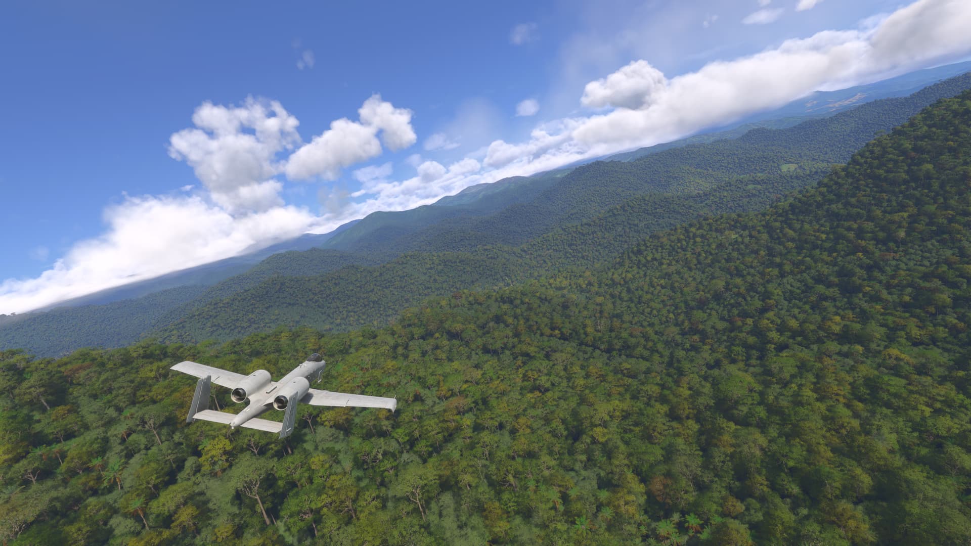
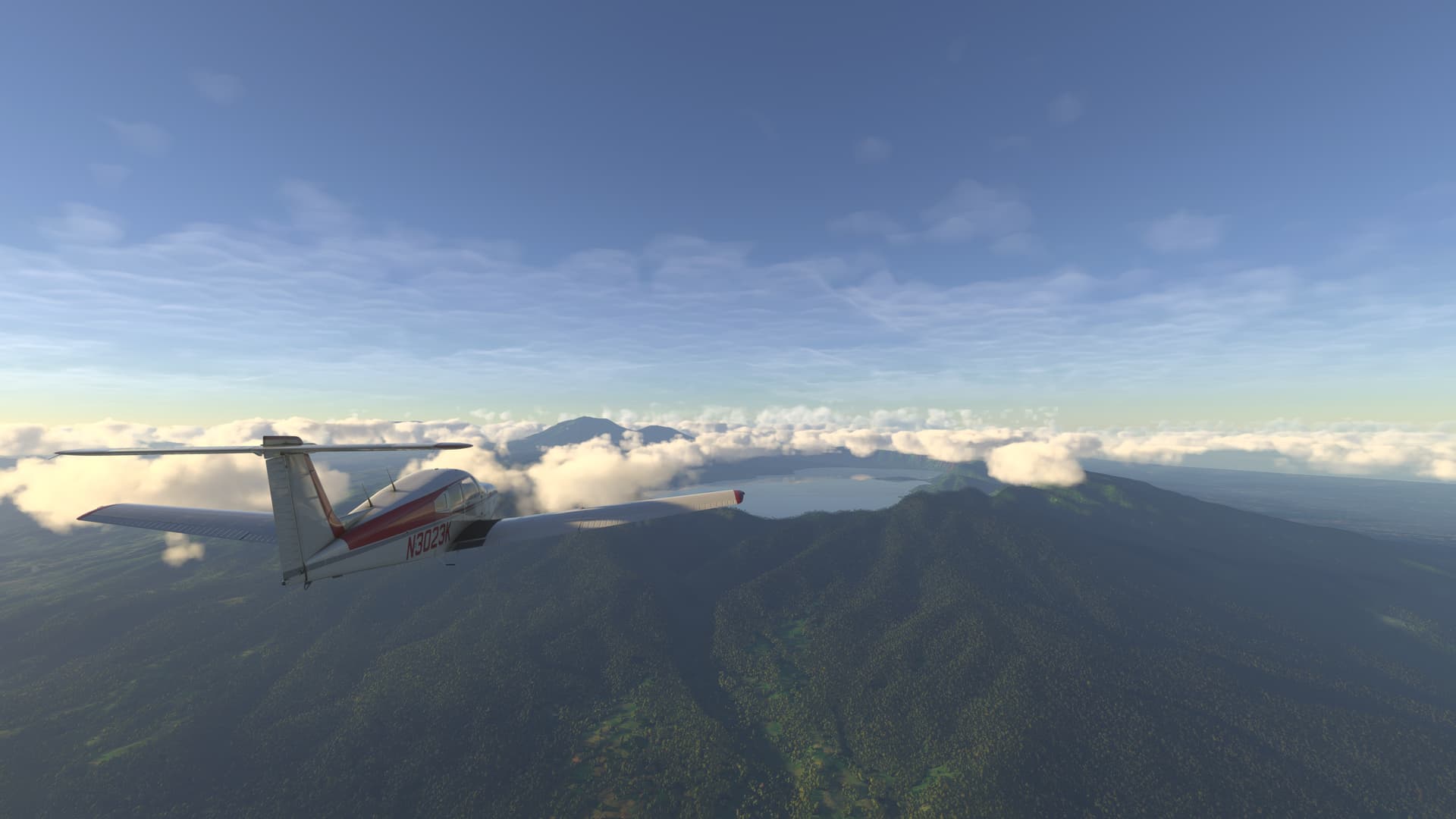
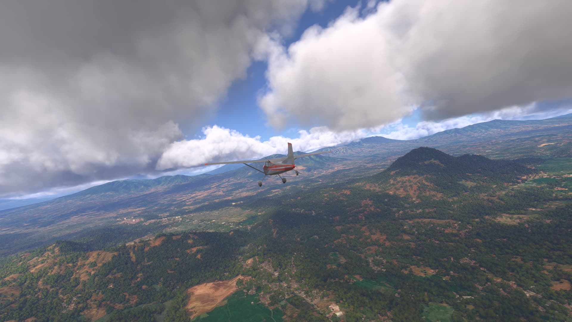
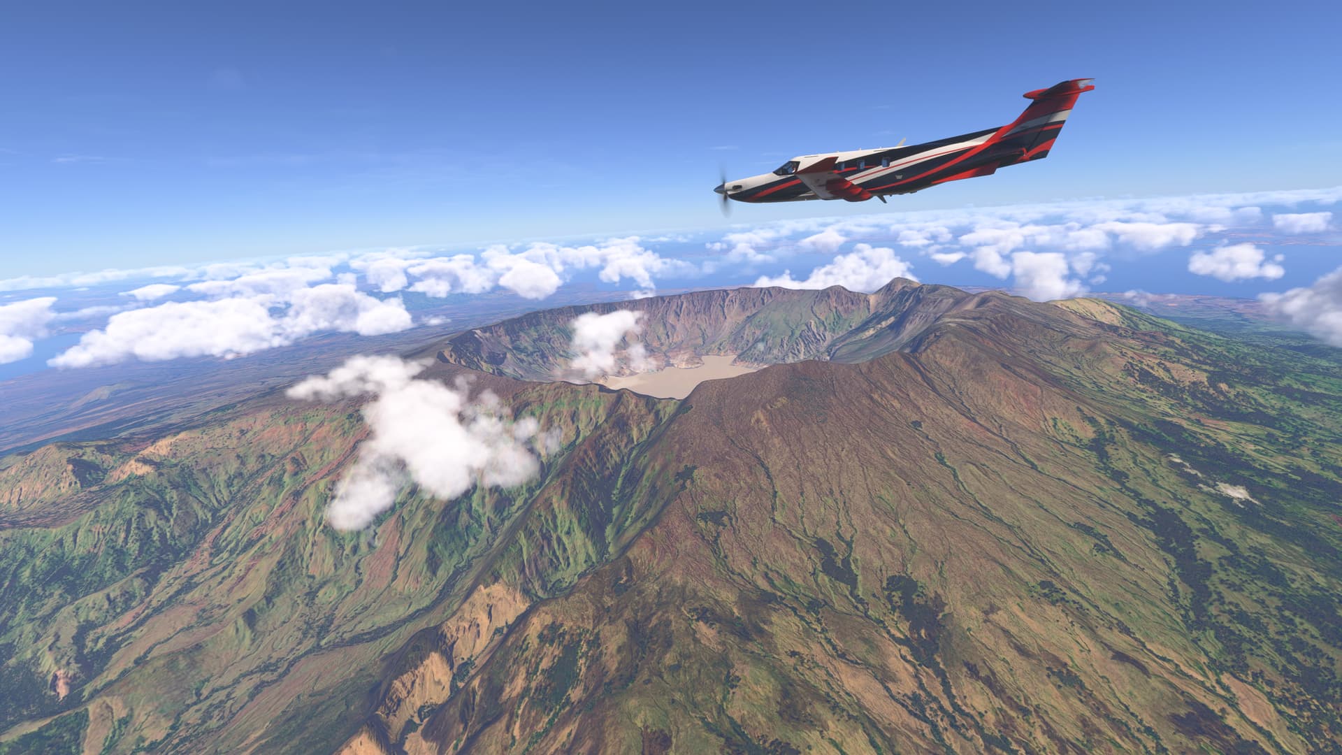
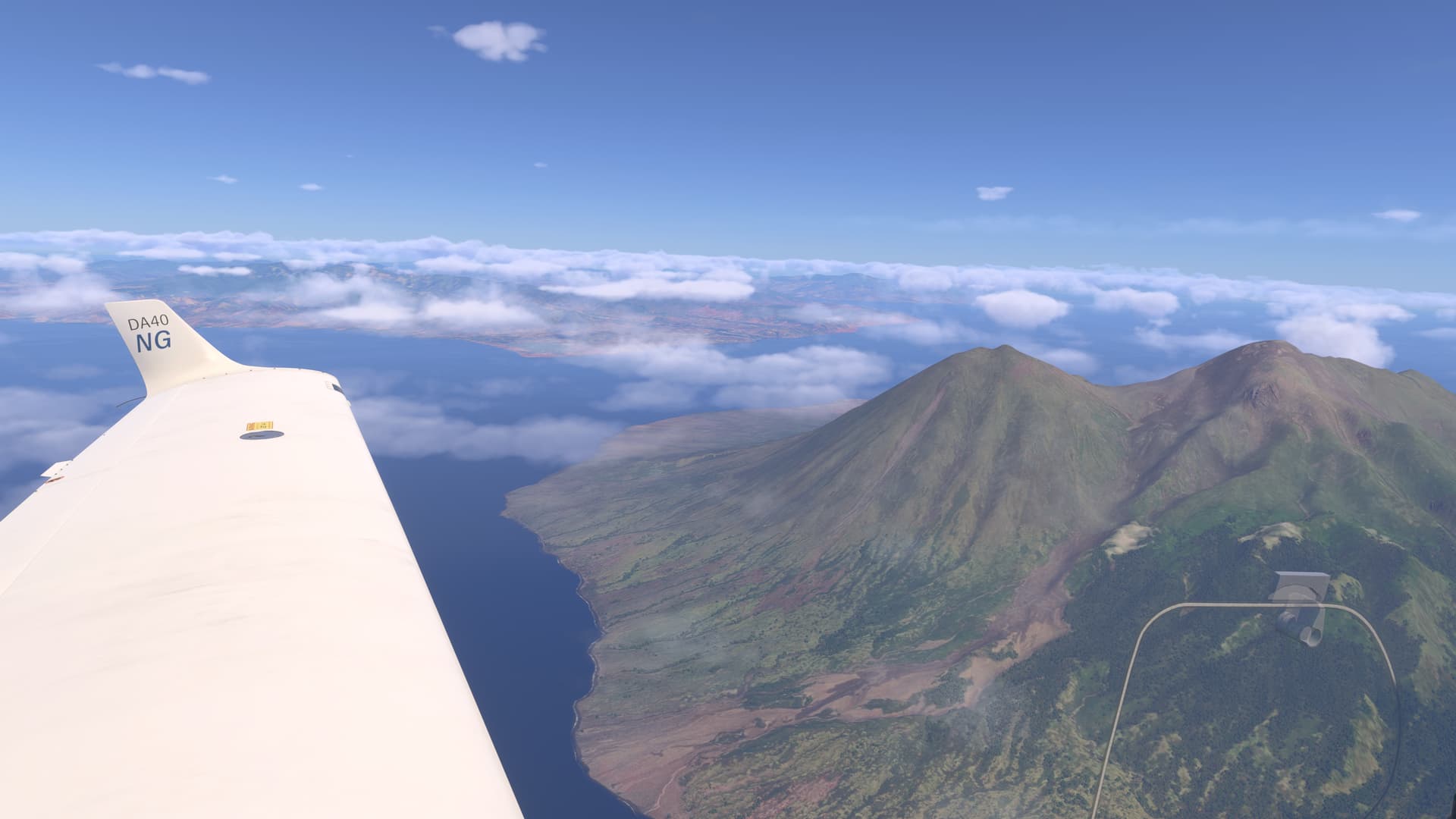
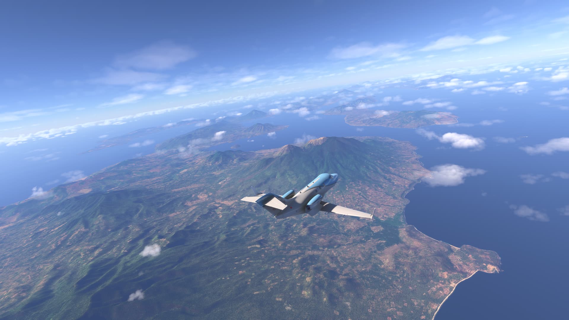
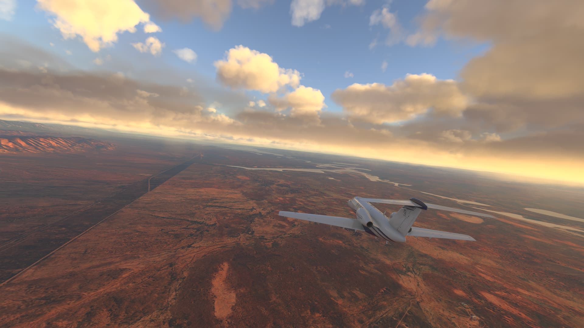
In the heart of the island, there is a majestic mountain that dominates the horizon and the imagination of all the people who contemplate it: Gunung Kerinci. With an altitude of 3,805 meters above sea level. Gunung Kerinci is located in Jambi Province, within Kerinci Seblat National Park, one of Indonesia’s largest and most biodiverse nature reserves. This UNESCO World Heritage Park covers more than 13,000 square kilometers and includes ecosystems ranging from low-lying rainforests to mountain forests and moorland areas. The mountain itself is part of the Bukit Barisan Mountain range, which runs the entire Sumatran spine.

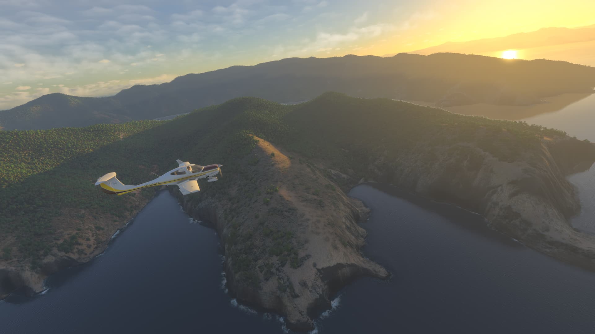
The volcano forms an unmistakable silhouette, visible from dozens of kilometers around, with its slopes covered with vegetation and a summit often shrouded in clouds. Its slopes are home to hot springs, waterfalls and numerous rivers that irrigate the fertile valleys of the region. In its surroundings are traditional Minangkabau and Kerinci villages, whose people have developed a culture deeply connected to the mountain and its natural cycles.


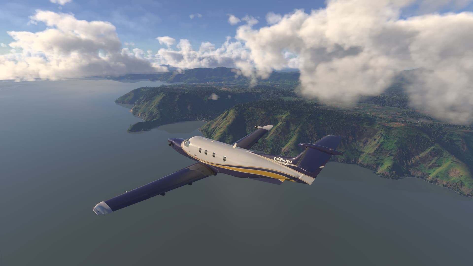
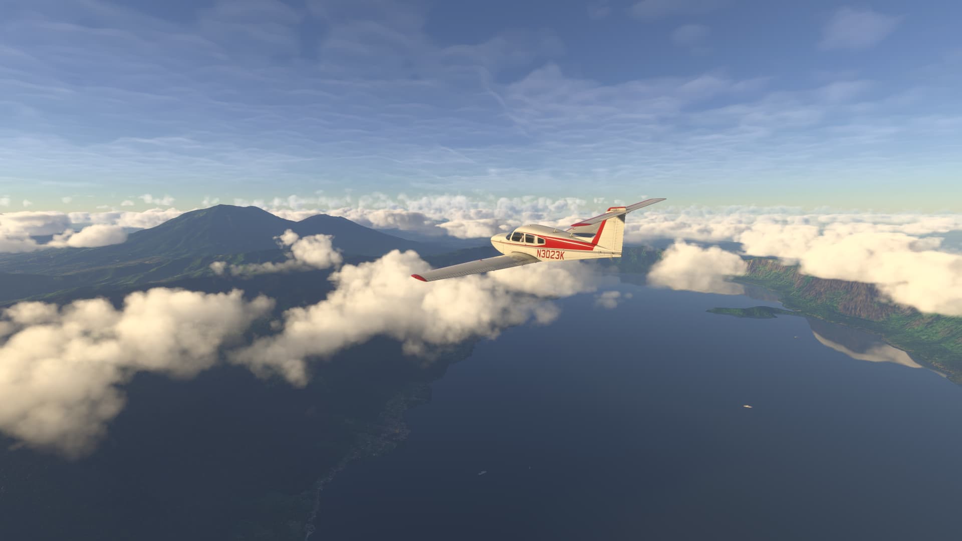
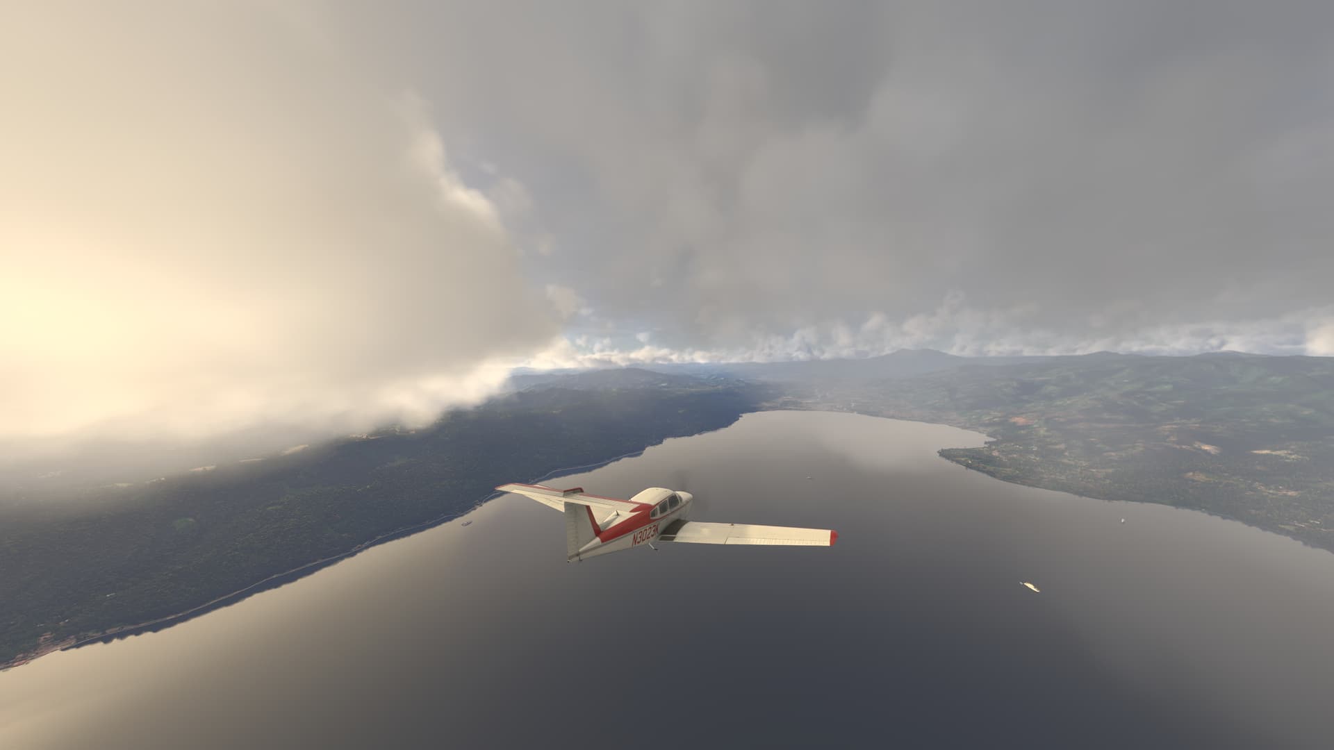
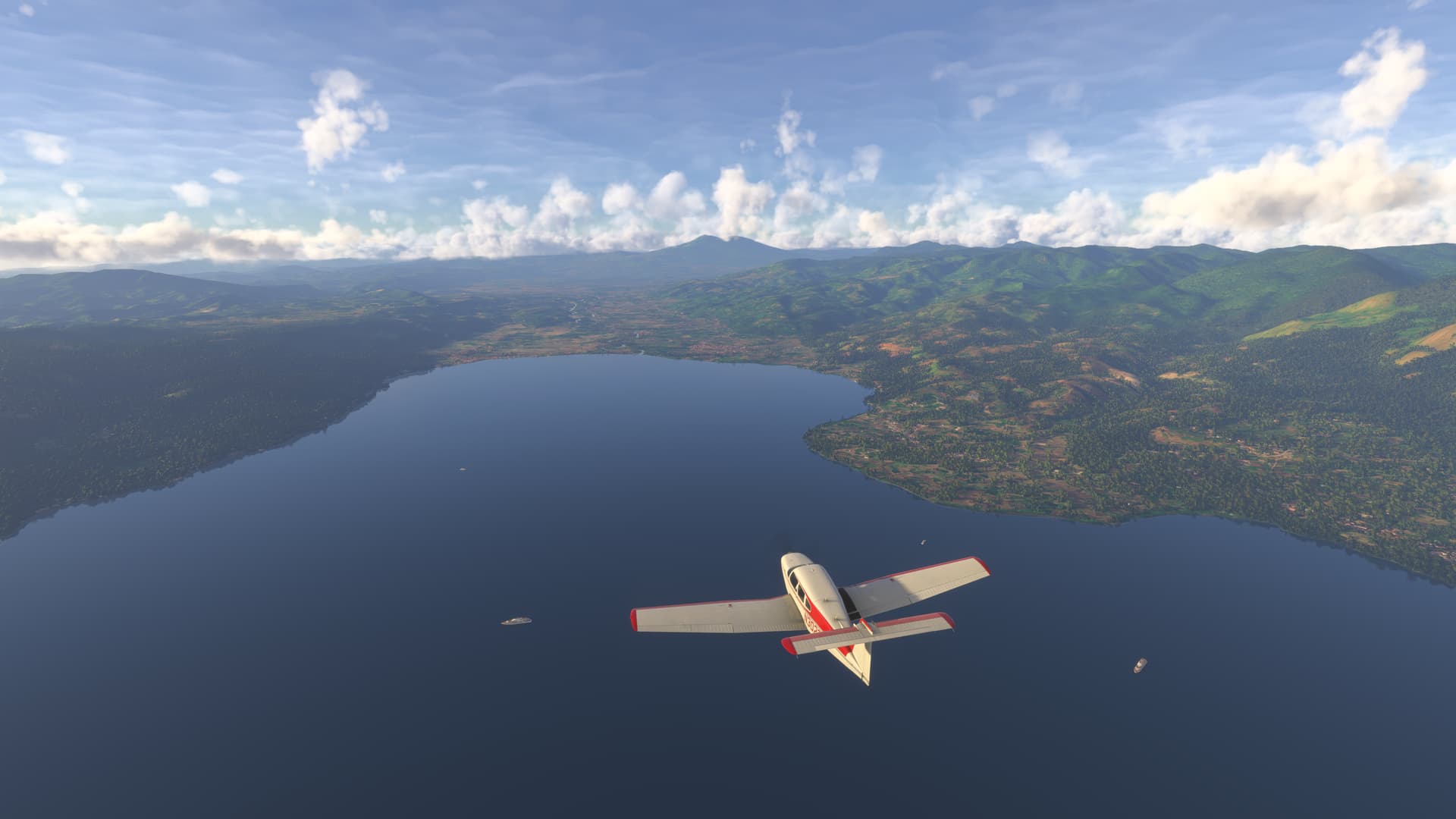
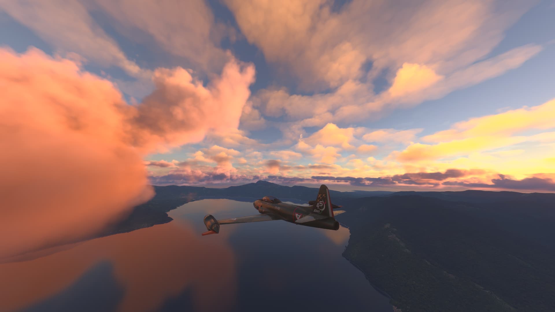
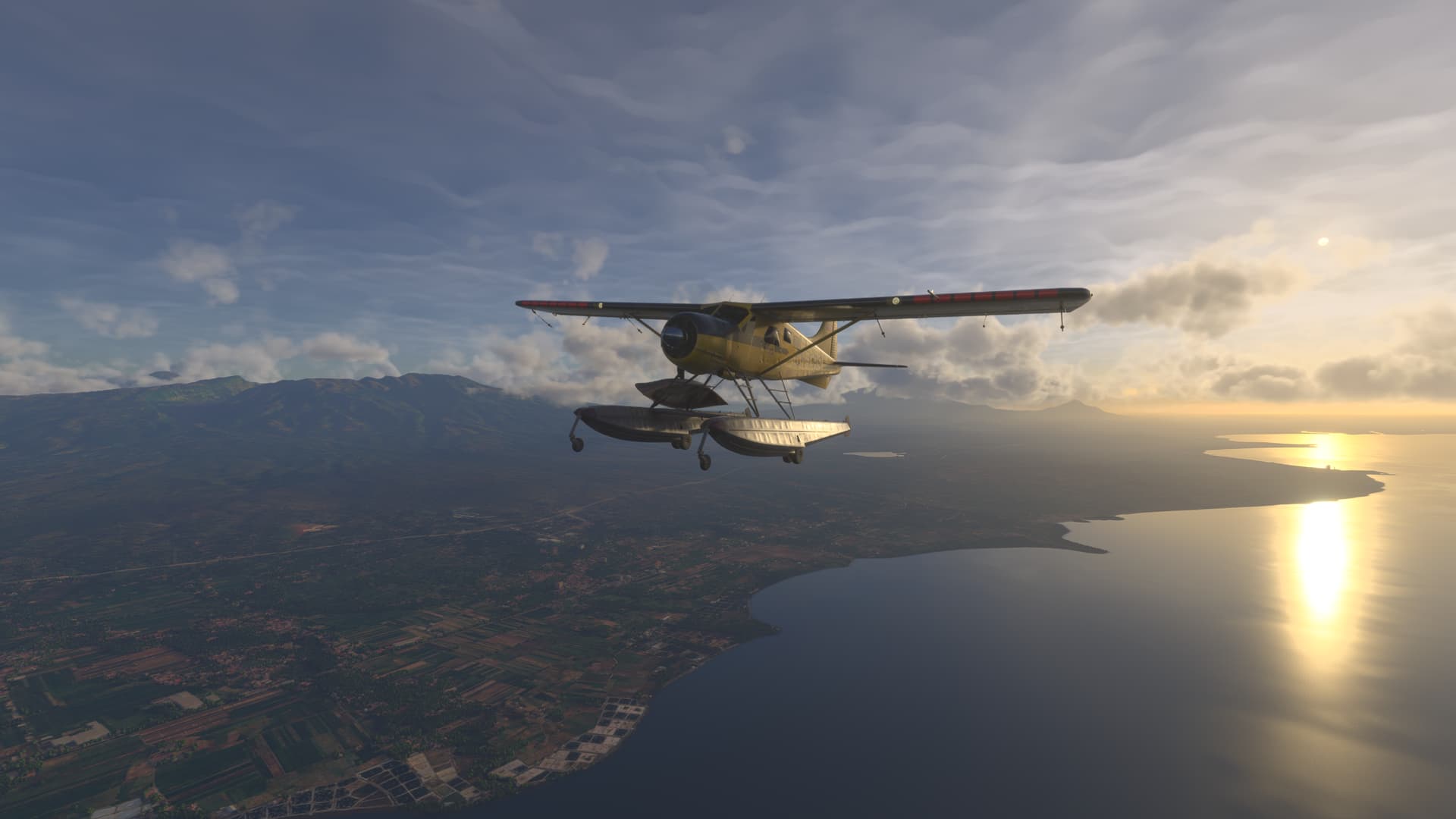
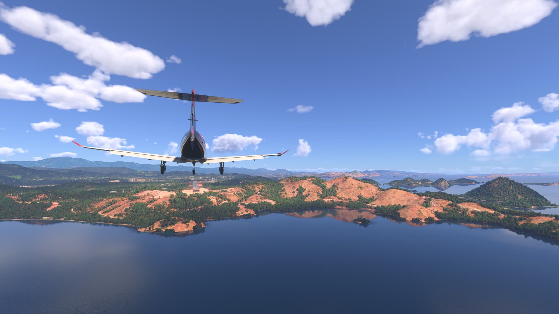
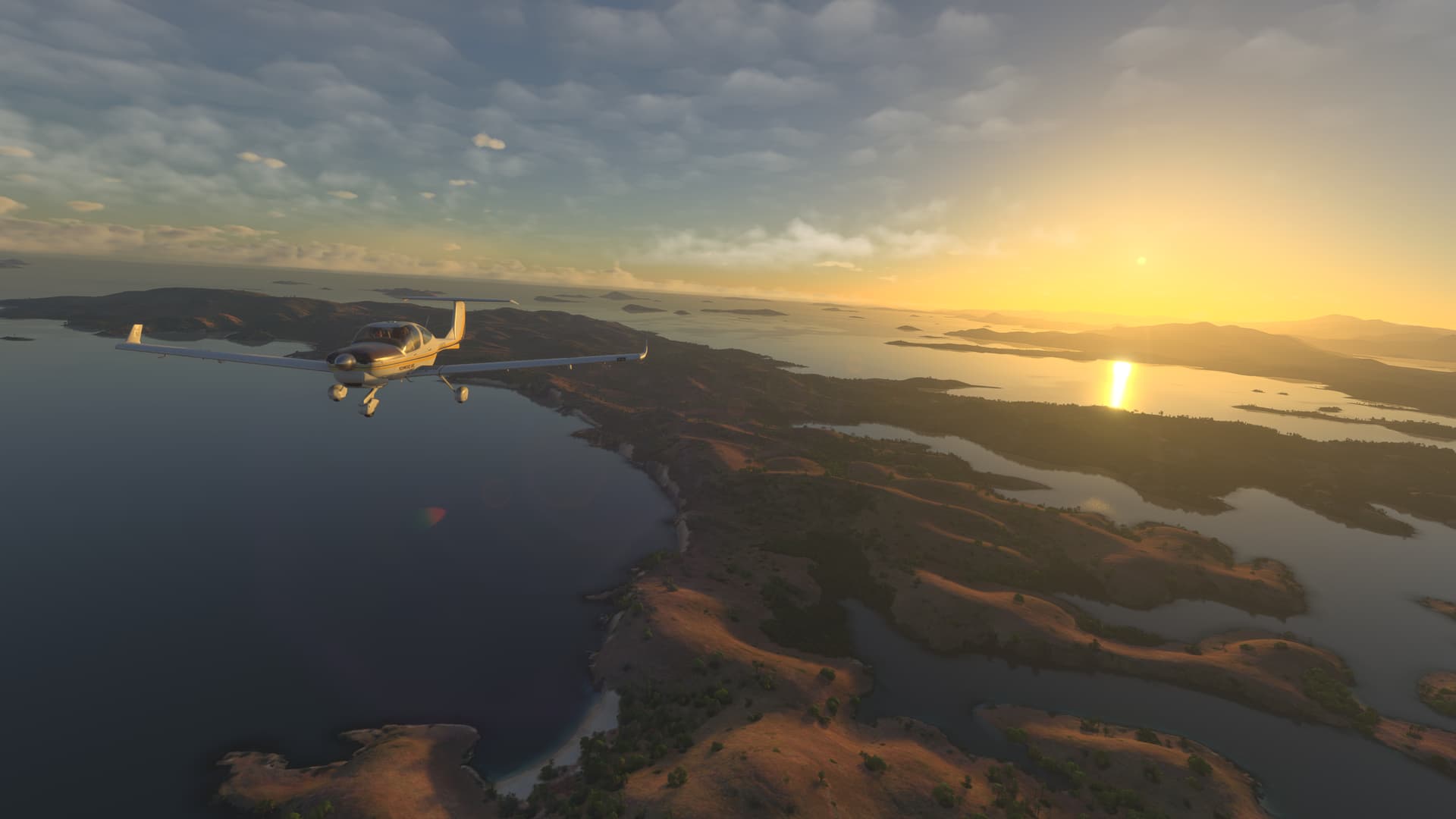
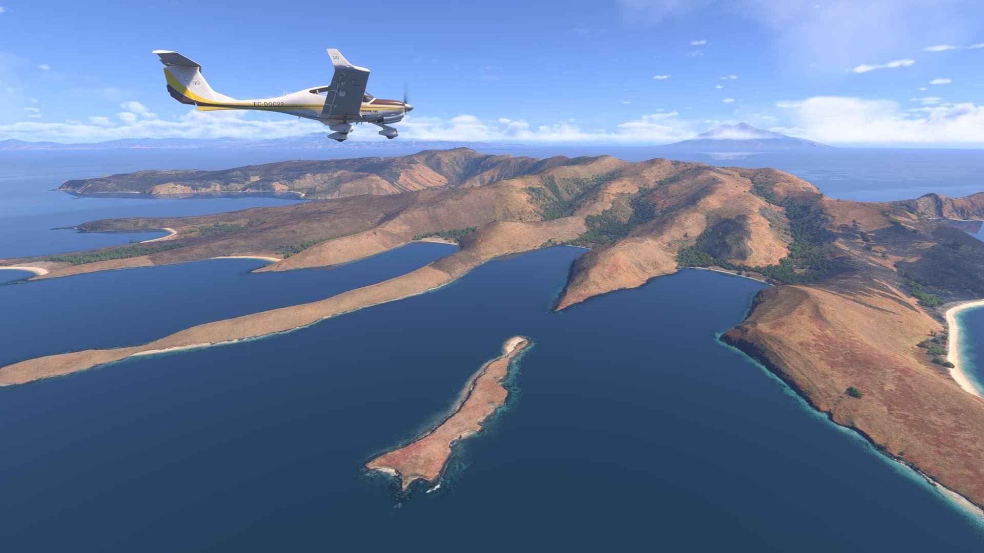
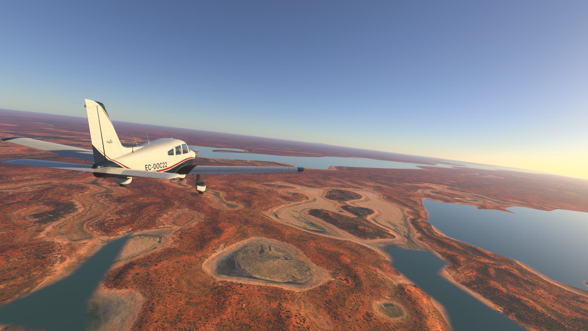
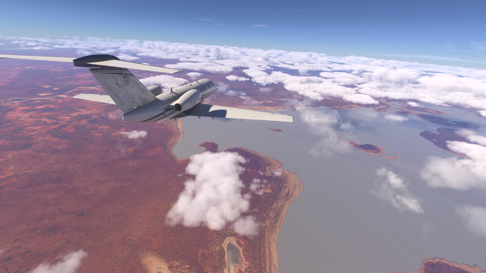
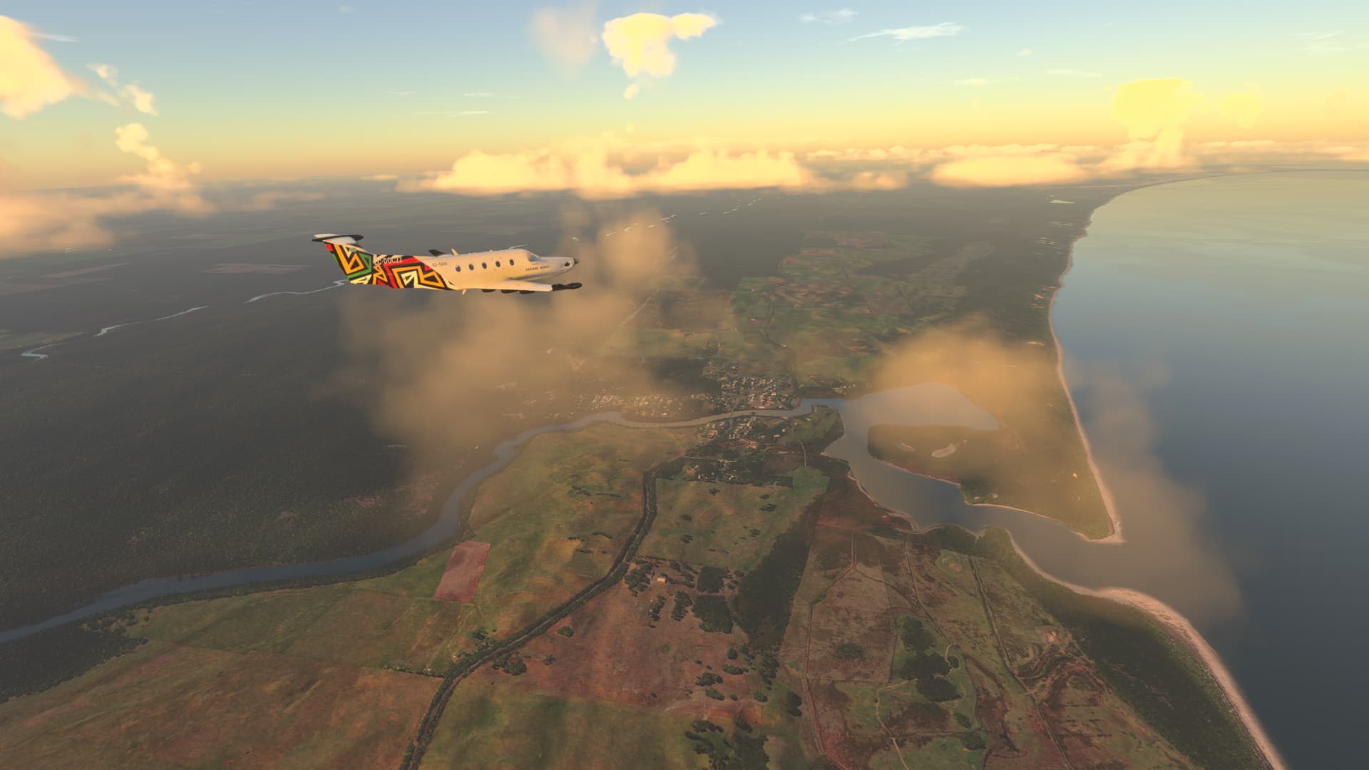
As we approach the southern tip of the island, we find Lake Danau Ranau, located on the border between the provinces of South Sumatra and Lampung, is one of the largest, deepest and most spectacular lakes in Indonesia, this lake of tectonic-volcanic origin offers landscapes of astonishing serenity and an atmosphere that evokes both mystery and tranquility.

Danau Ranau was formed thousands of years ago after a powerful volcanic eruption, the remains of which can still be seen in the abrupt relief that surrounds it. With deep blue waters and emerald reflections when the sun caresses its surface, the lake covers approximately 125 square kilometers, making it the second-largest lake in Sumatra. In addition to its natural value, the lake is surrounded by legends and myths passed down from generation to generation by the people who inhabit the region.

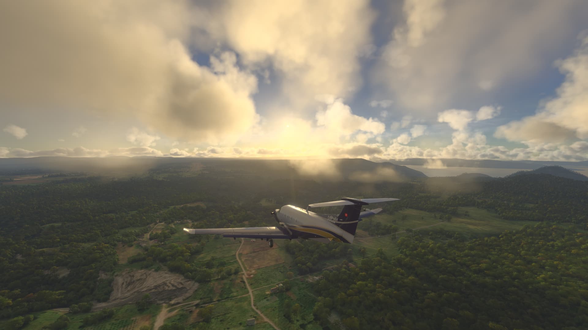
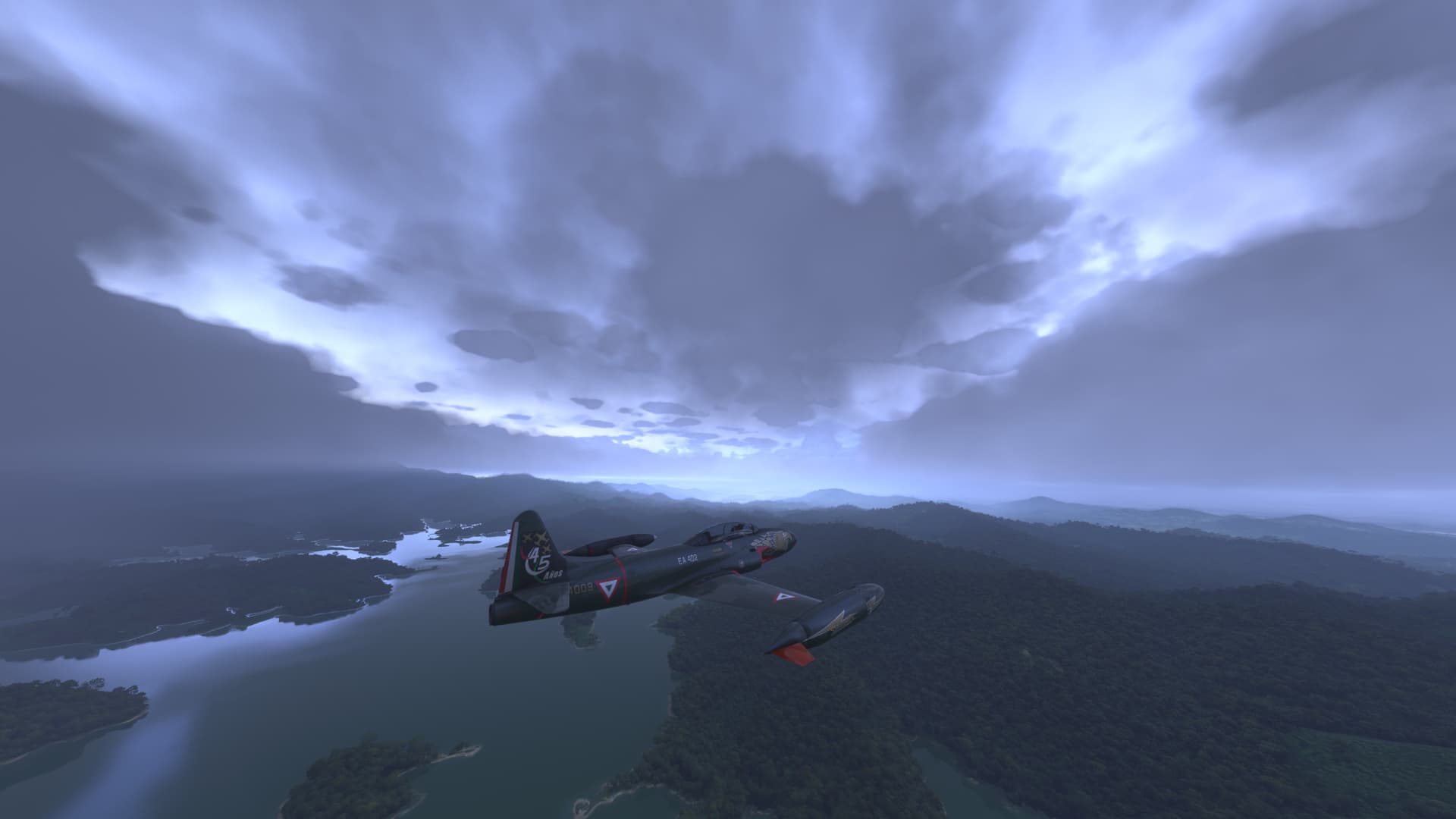
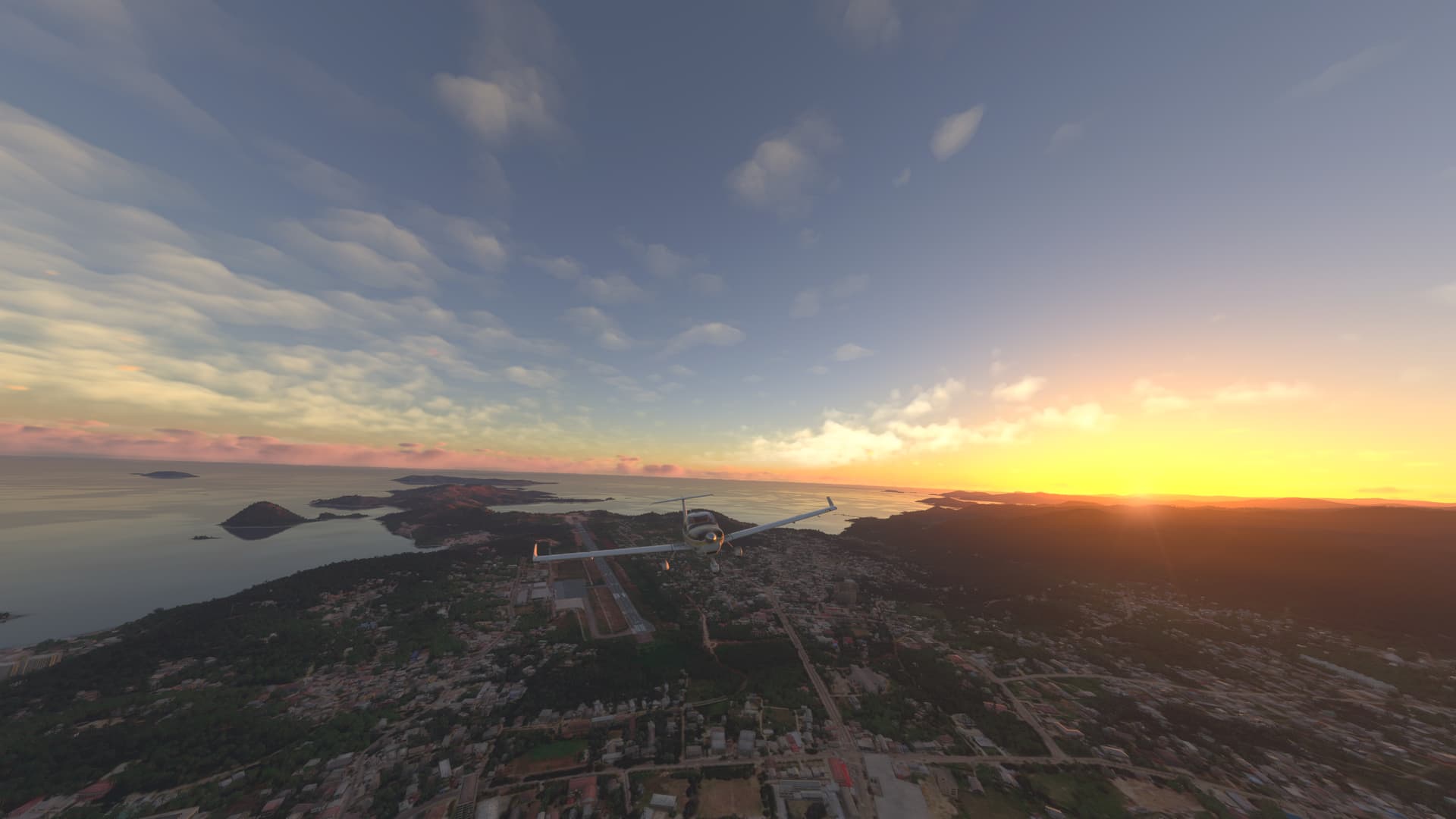
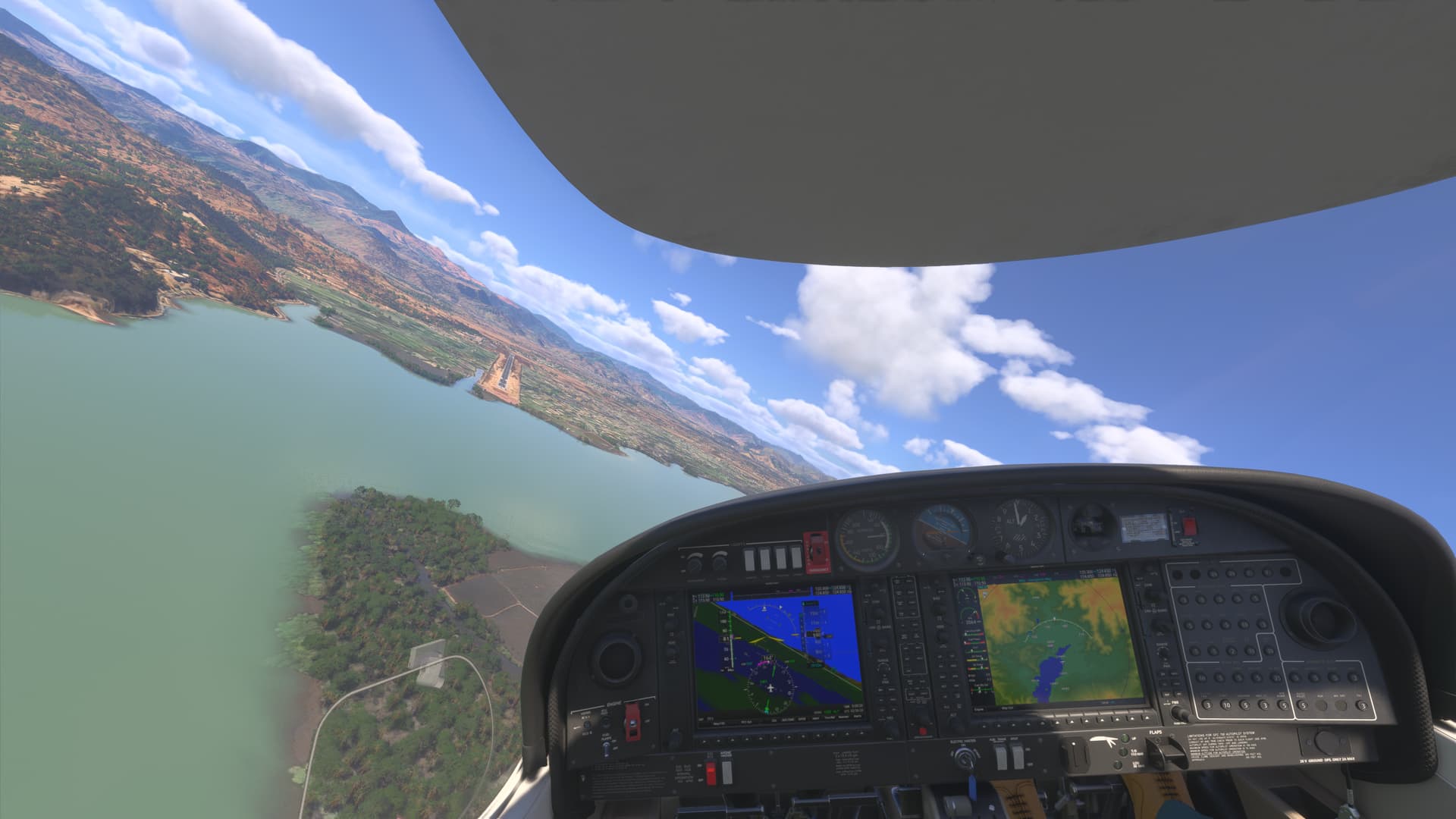
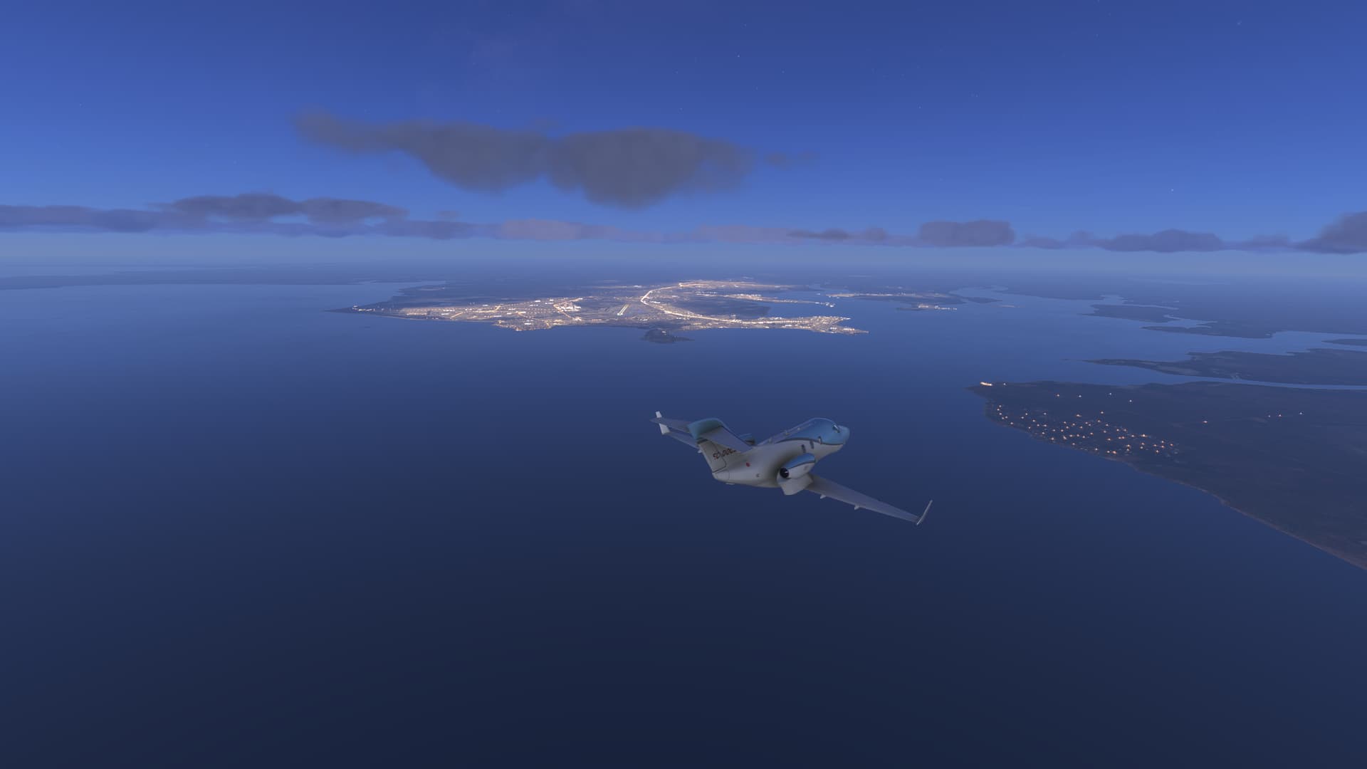
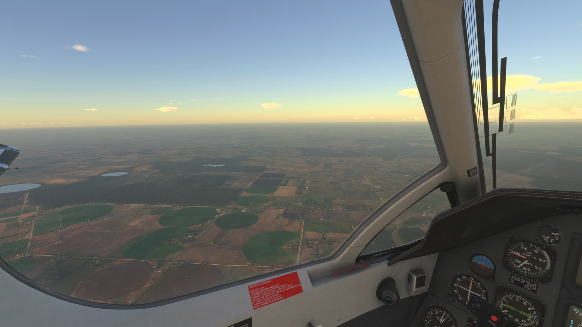
Landed at Radin surrounded by tropical rain.

1 Like

From Radin Inten Li (WILL) to Husein Sastranegara (WICC)


Departed from Radin climbing over the clouds crossing toward Java.


Rising above the lush, undulating landscapes of West Java Gunung Pangrango is a mountain that weaves together geology, biodiversity, and culture. This extinct stratovolcano, standing at (9,905 feet) above sea level, forms the heart of the twin peak complex within the Gunung Gede Pangrango National Park—a UNESCO Biosphere Reserve. Its slopes, shrouded in mist and verdant forests, hold stories of ancient eruptions, unique wildlife, and the enduring connection between people and the land.

Gunung Pangrango is classified as an extinct stratovolcano, meaning it was once volcanically active but has not erupted for thousands of years. The formation of Pangrango, is part of the geologically dynamic Sunda Arc, where the Indo-Australian Plate subducts beneath the Eurasian Plate, giving rise to the string of volcanoes that define Java’s spine.

Unfortunately xbox series X has an issue and the screenshots taken from Pangrango to destination were not saved and were lost. I notice it when the flight ends and went to onedrive to choose the best for sharing in the forum. Apparently after 7 to 10 shots the loading process stops.

I am looking ways for continuing registering the tour.

1 Like

From Sastranegara (WICC) to Achmad Yani (WAHS)


Departed from Bandung watching a typical storm on the left and followed a wide valley with scattered mountains, all dormant volcanos then we met Gunung Slamet .


also known simply as Mount Slamet, is one of Indonesia’s most prominent and awe-inspiring volcanoes. Rising to an impressive elevation of 11,247 feet, it stands as the highest peak in Central Java and the second-highest volcano on the island, after Mount Semeru. Its imposing silhouette dominates the landscape, shrouded in dense tropical forests and often crowned with a ring of white clouds.

Major eruptions occurred in 1772, 1820, 1847, 1888, and the early 20th century. In the modern era, significant eruptive episodes were documented in 2009, 2014, and 2020. These eruptions were characterized by ash columns rising several kilometers into the atmosphere, ashfall covering nearby villages, and occasional lava fountains and glowing crater activity at night.

The slopes of Gunung Slamet are blanketed with some of the last remaining tracts of pristine montane and subalpine forest in Central Java. These forests are extraordinarily rich in biodiversity, providing habitat for a dazzling array of flora and fauna, some of which are endemic or rare.


Descended heading east but thick cloud layers hide the landscape. We jump from VFR conditions to IMC in a while. Take care of your altitude, behind the clouds may be a dormant volcano wall.

Landed with poor visibility at Semarang .

From Achmad Yani (WAHS) to Pasuruan (WAPZ)


Will visit three landmarks of east Java riding and learning jaguar secrets. After takeoff a rapid ascent to reach clear Skyes. Climbing through several clouds layers is always a, rewarding experience.

First we met Gunung Lawu, classified as a stratovolcano, like many of Java’s other great peaks. However, it is considered dormant, its last recorded eruption dating back to the late 19th century (specifically, 1885). The volcano’s profile is marked by several craters, the main one near the summit and others along the slopes, often veiled by swirling mists and cold winds

Second is Gunung Arjuno, part of the Arjuno-Welirang volcanic complex lies within the Bromo Tengger Semeru National Park, a protected area renowned for its dramatic volcanic landscapes and rich biodiversity. The Arjuno-Welirang complex is comprised of two main peaks Arjuno and Welirang.


Finally we met Mount Semeru

known locally as Gunung Semeru. Rising to an elevation of 12,060 feet, it is not only the tallest mountain on the island of Java but also one of the most active volcanoes in Indonesia. Revered as Mahameru, meaning “The Great Mountain,” Semeru has been a dominating force both geographically and culturally for centuries. It is one of the most active volcanoes in Indonesia, with eruptions that are largely characterized by regular explosions of ash and occasional pyroclastic flows.

The most recent significant eruptions, occurring in December 2021 and December 2022, caused villages to be blanketed with ash, triggered evacuations, and prompted temporary closures of hiking routes. Volcanic hazards such as pyroclastic flows, lava domes landslides, and lahars (volcanic mudflows) are continuously monitored by Indonesia’s Center for Volcanology and Geological Hazard Mitigation. Despite these dangers, the volcano remains a significant draw for adventure seekers and spiritual pilgrims.


Landed After two missed approaches.

From Pasuruan (WAPZ) to Bali Int. (WADD)


We say farewell to Java an early evening for enjoying the sunset over the clouds until we met Fire Mountain.


Gunung Merapi, meaning “Fire Mountain” in Indonesian, is one of the most active and iconic volcanoes in the world. Located on the border between Central Java and Yogyakarta, it rises to an altitude of approximately 2,930 meters (9,610 feet) above sea level. Its steep, symmetrical cone dominates the landscape and the imagination of millions who live in its shadow.

Records of Merapi’s activity stretch back for centuries, with major eruptions documented in 1006, 1786, 1822, 1872, 1930, 1994, 2006, 2010, and as recently as 2021. The 2010 eruption was among the most violent in recent memory, resulting in significant loss of life, large-scale evacuations, and widespread ash fallout. Due to the constant risk it poses, Merapi is among the most closely monitored volcanoes in the world.


From Merapi crater descended crossing Bali strait and flying Bali coastline. landed in front of Bali Internatinal RW 27/09
1 Like

Dear Pilotbul.Thank you so much for giving me the last push for jumping to helicopters. Below screenshots of my first landing and take off at plaza de España (Sevilla) a tribute to your help.
A new amazing world to discover.

So gratefull my fellow.


1 Like

From Bali Int. (WADD) to Labuan Bajo (WATO)
I tested in this flight the PC 12 NGX and loading flight plans from web and sending to aircraft avionic. All went very well. A wonderful tool. We flew heading east enjoying iconic landmarks of Indonesia.


Mount Rinjani, or Gunung Rinjani as it is known locally, rises in majestic solitude on the island of Lombok, Indonesia. With an elevation of 12,224 feet, it is the second-highest volcano in Indonesia, surpassed only by Sumatra’s Mount Kerinci. Rinjani stands not merely as a geographical landmark Its slopes are wrapped in dense rainforests, its summit often shrouded in wisps of cloud, and within its vast caldera lies the spectacular Segara Anak.

Rinjani volcanic complex is characterized by a massive caldera, approximately 6 by 8.5 kilometers in dimension, which was formed by a cataclysmic eruption estimated to have occurred around 1257. This eruption, left behind the collapsed summit and the spectacular Segara Anak lake that fills the caldera today.


Rising above the island of Sumbawa in Indonesia, Gunung Tambora (Mount Tambora) stands as a monument to the planet’s raw power and capacity for transformation. Though quiet today, Tambora’s catastrophic eruption in 1815 remains etched in the collective memory of humanity as one of the most powerful volcanic events, Tambora soared to an estimated elevation of about 14,100 feet, making it one of the tallest peaks in the Indonesian archipelago. Today, after its violent transformation, the mountain rises to about 9,350 feet above sea level. The vast caldera, formed by the collapse of the summit, measures roughly 6 to 7 kilometers across and plunges 600 to 700 meters deep, forming one of the world’s most dramatic volcanic craters.

Landed at Flores for preparing our next leg visiting Komodo National Park.

From Labuan Bajo (WATO) to Bandar Udara (WADB)


Komodo National Park, known as Taman Nasional Komodo in Indonesian, is a legendary sanctuary nestled in the heart of Southeast Asia’s Coral Triangle. Famed worldwide as the last stronghold of the mighty Komodo dragon, this UNESCO World Heritage Site is a living tapestry of rugged volcanic islands, pristine turquoise waters, and a dazzling array of biodiversity.

Komodo National Park is in the Lesser Sunda Islands of Indonesia, between the islands o Sumbawa and Flores. The park comprises three major islands—Komodo, Rinca, and Padar—along with numerous smaller islets, each characterized by steep hills, dry savannahs, and pockets of lush forest. The region’s volcanic origins are evident in its rugged ridges, soaring peaks, and unique rock formations, while the adjacent seas are among the richest in marine biodiversity on Earth.


Close to Komodo park stands as one of Indonesia’s most dynamic and enigmatic volcanoes, rising from the waters of the Flores Sea off the northern coast of Sumbawa. The name “Sangeang Api” translates from Indonesian as “Mountain of Fire” — a title well-earned through centuries of eruptions, While less globally renowned than Krakatoa or Tambora, Sangeang Api’s brooding presence, frequent activity, and role in the daily lives of those who live in its shadow make it a fascinating chapter in Indonesia’s volcanic saga.

Despite the island being officially uninhabited, local people — particularly the Bima and Sumbawanese — maintain a deep cultural and spiritual connection to Sangeang Api.

From Labuan bajo (WADO) to Darwin (YPDN)

We left Indonesia to land in Australia at Honda jet hands.


Heading east wondering Flores Island volcanic landscape.


Heading south, crossing over Timor where we changed flight level avoiding a thick storm.


Arrived Australia at a nice sunset for landing at Darwin International.

Hello GhastlyMammal68!) You welcome and hope you enjoy your flights by helicopter) Great bird to discover the landmarks in VFR in flight simulator. You made a good landing at Plaza de Espania in Sevillia - as for me I remember that during my world around flight by helicopter had a hard roll over on landing there - 4 mln Bell 407 helicopter was crashed (good that it is just in flight simulator - no in real life)) Anyway it is just new experience compare to the fixed wing aircraft. All the best! Fly safe!

From Darwin (YPDN) to Alice Spring (YBAS)


This leg cross Australia’s Northern Territory,a vast expanse of dramatic landscapes, ancient geology, and unique ecosystems. Territory is home to a relatively small population, concentrated mainly in the capital, Darwin, named in honor of Sir Charles Darwin.

Heding south lies the Red Centre, an arid region defined by vast deserts, dramatic mountain ranges, A hot desert climate with scorching summers, cool winters, and very little rainfall. Daytime temperatures can exceed 40°C in summer, while winter nights may drop below freezing.


Expanses of red sand dunes, gibber plains (stony deserts), salt lakes, landscape is punctuated by rocky outcrops, gorges, and waterholes that serve as refuges for wildlife.

The Northern Territory sits atop some of the oldest rocks on Earth. The region’s geology is a record book of the planet’s history, with formations dating back over 2 billion years. The untired action of wind, water and temperature variation washed away any hight leaving a flat surface.


Not dramatic Hights (7.310 feet Mount Kosciuszko) but a wonderful palette of red, oranges and blue when arrived at Alice Springs
1 Like

From Alice Spring (YBAS) to Ayers Rock (YAYE)


Departed from Alice Spring located at Australia center and the south border of Northern Territory to fly over the MacDonnell Ranges and visit Uluru World Heritage site.


MacDonnell range forms a striking backdrop to Alice Spring; their jagged profiles etched against the endless desert sky. These ancient mountains, weathered by eons of wind and sun, stretch for over 600 kilometers both east and west of the town, shaping the landscape with dramatic gorges, waterholes, and ochre-streaked cliffs.


Heading west, standing alone on the flat red desert is Uluru-Kata Tjuta National Park, a World Heritage Site since 1987 Uluru-Kata Tjuta National Park - UNESCO World Heritage Centre.


May be less famous, Kata Tjuta, the rock domes located west of Uluru, are equally impressive. Under red light of sunset , your imagination set the limits of what you see.


Landed at Ayers Rock with Uluru on the right…Nice!

From Ayers Rock (YAYE) to Adelaide (YPAD)


We leave central Australia with Uluru-Kata in front to cross the south of the country to its capital Adelaide.


The state of South Australia is home to several salt lakes, on our route we cross Lake Gairdner is considered the third largest salt lake in Australia. It stretches over 160 kilometers in length and 48 kilometers in width, The lake is part of the Lake Gairdner National Park, which also includes Lake Everard and Lake Harris. The lake has been the site of various land speed record attempts on its salt flats. Since 1990, it has hosted the annual Speed Week event run by the Dry Lakes Racers Australia.


We start the descent crossing a dense layer of clouds to fly over Spencer Gulf a significant inlet on the southern coast of South Australia, The gulf is known for its rich marine wildlife, it has also been a site for whaling vessels and was considered as a potential site for a capital city before Adelaide was selected . The Gulf is also the natural mouth of Lake Torrens when it overflows due to abundant rain.

From Adelaide (YPAD) to Melbourne Int. (YMML)


We leave Adelaide to visit a part of the South coast of Australia.


We fly over Coorong National Park, a protected area that covers a coastal lagoon ecosystem officially known as The Coorong. Follow the coastline of never-ending beaches and At the mouth of the Glenelg River in Nelson we leave the coast to begin the approach to Melbourne. Historically, the Glenelg River was important to Indigenous Australians, forming the traditional tribal boundaries for the Bungandidj people (western bank) and Gunditjmara people (eastern bank)


We arrived in Melbourne at the end of the sunset enjoying the city lighting and the cockpit of the Simworks Pilatus 12. The screenshots have turned out to be brighter than the flying sensation, to consider for the future.