For those exploring Antarctica, the MSFS world map shows only two airports; Base Belgrano (SAYB) and McMurdo Station (NZPG). Looking for a stopping off point from South America, I found another on an island at the tip of the Antarctic Peninsula; Marambio Base (SAWB). The graphics are rough but it is there. That’s my TBM 930 idling off the end of the probable runway.
3 Likes
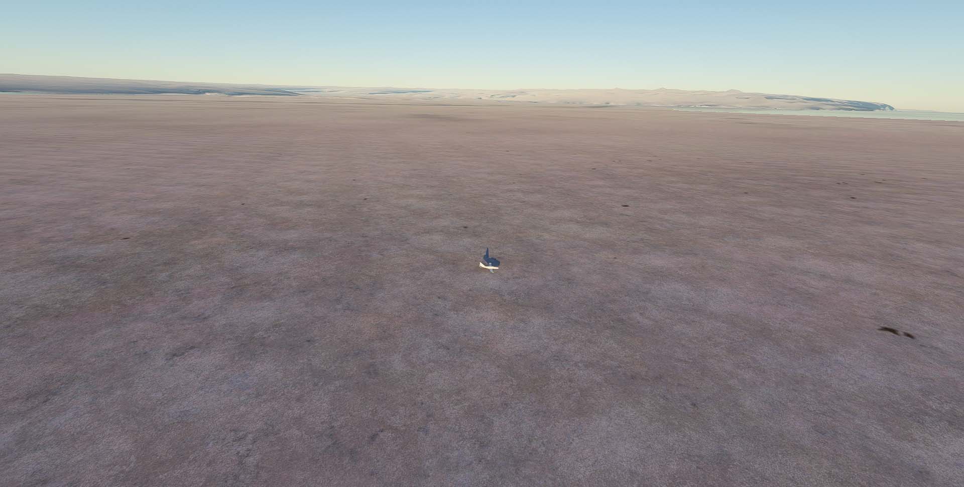
This is strange. I flew to the Base Belgrano Airport in Antarctica shown on the MSFS World Map and landed on the runway. This is my TBM 930 again sitting on the runway. No indication of a runway and no base buildings. I know it is the right location because I got the landing red/blue brackets guiding me in. Note that the Garmin display show this in the ocean so I suppose it is an ice shelf.
Yep, Little Nav Map and Navigraph show SAYB as a near 4000’ rough strip.
This base might have moved inland to Base II?
I checked Bing Maps and there’s very low level resolution coverage of that Belgrano II camp.

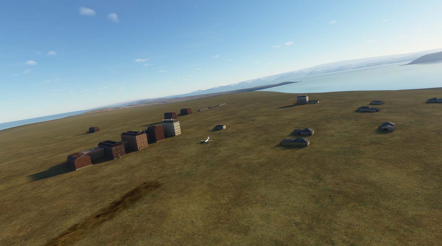
I noticed that there was not the usual MSFS 5-mile sign in the sky either. When I got to McMurdo today, there was the 5-mile sign, the red/blue landing route and one long building near the runway.
The Belgrano to McMurdo flight navigation was weird. The direct route runs somewhat across the continent getting close to the south pole. The compass and nav direction was always pointed southerly, even after starting back north half way across. The Garmin map showed water the vast majority of the time even when I knew I was over land and not an ice sheet but the plane did turn northerly after passing the pole. I only knew I was headed right by watching the sun and moon. (I had fooled with the weather and time settings to have visibility throughout the 5-hour flight.)
I don’t fault MSFS because it has to be a software challenge to allow for the poles.