Are you using Developer Mode or made changes in it?
no
Brief description of the issue:
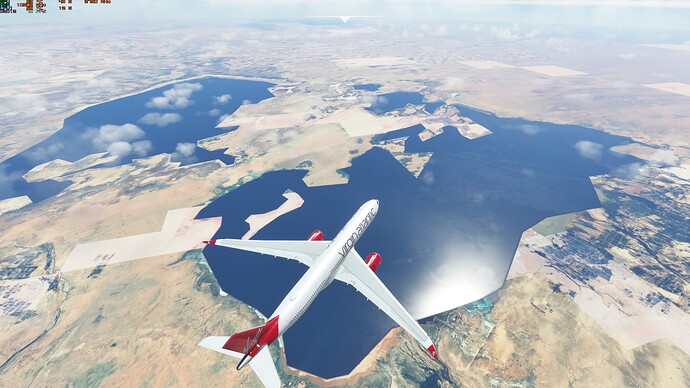
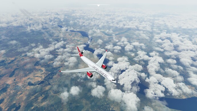
Africa River data extremely low resolutions
Provide Screenshot(s)/video(s) of the issue encountered:
ICAO or coordinates (DevMode > Debug > Display position)
FKKJ, Logone River. Also seen issues at El Mghair oasis, Algeria.
Detailed steps to reproduce the issue encountered:
Fly over africa (EGLL - FAOR for example)
![]() For anyone who wants to contribute on this issue, Click on the button below to use this template:
For anyone who wants to contribute on this issue, Click on the button below to use this template:
Do you have the same issue if you follow the OP’s steps to reproduce it?
Provide extra information to complete the original description of the issue:
If relevant, provide additional screenshots/video:

