Saint-Amand-Montrond (LF94) - Chaudes-Aigues (LF38).
France.
Flight No. 007.
-
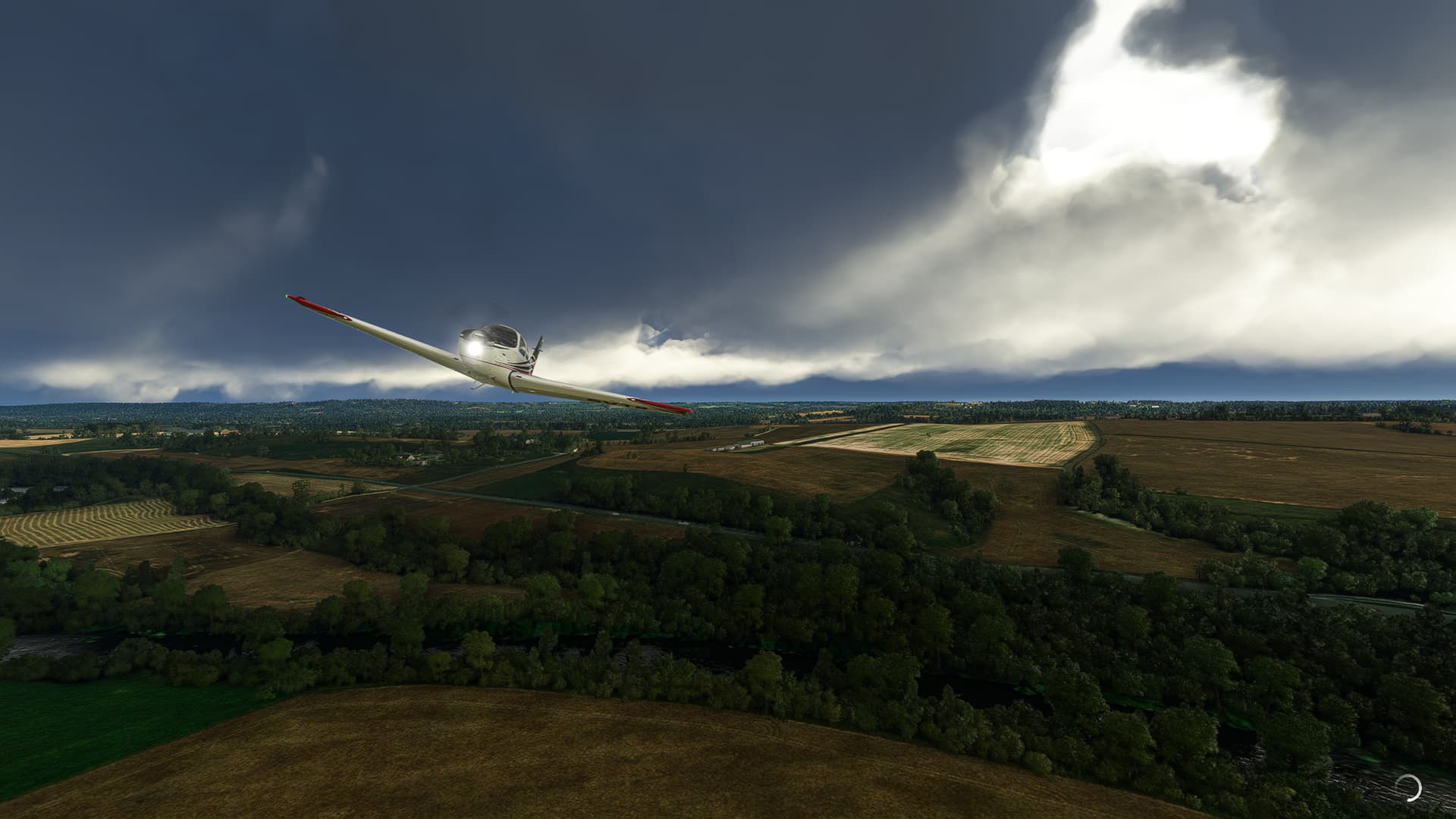
Takeoff from Saint-Amand-Montrond Airfield across the Cher River near Ainay-le-Vieil.
-
Le Vernet (below us) and Meaulne-Vitray (right center).
-
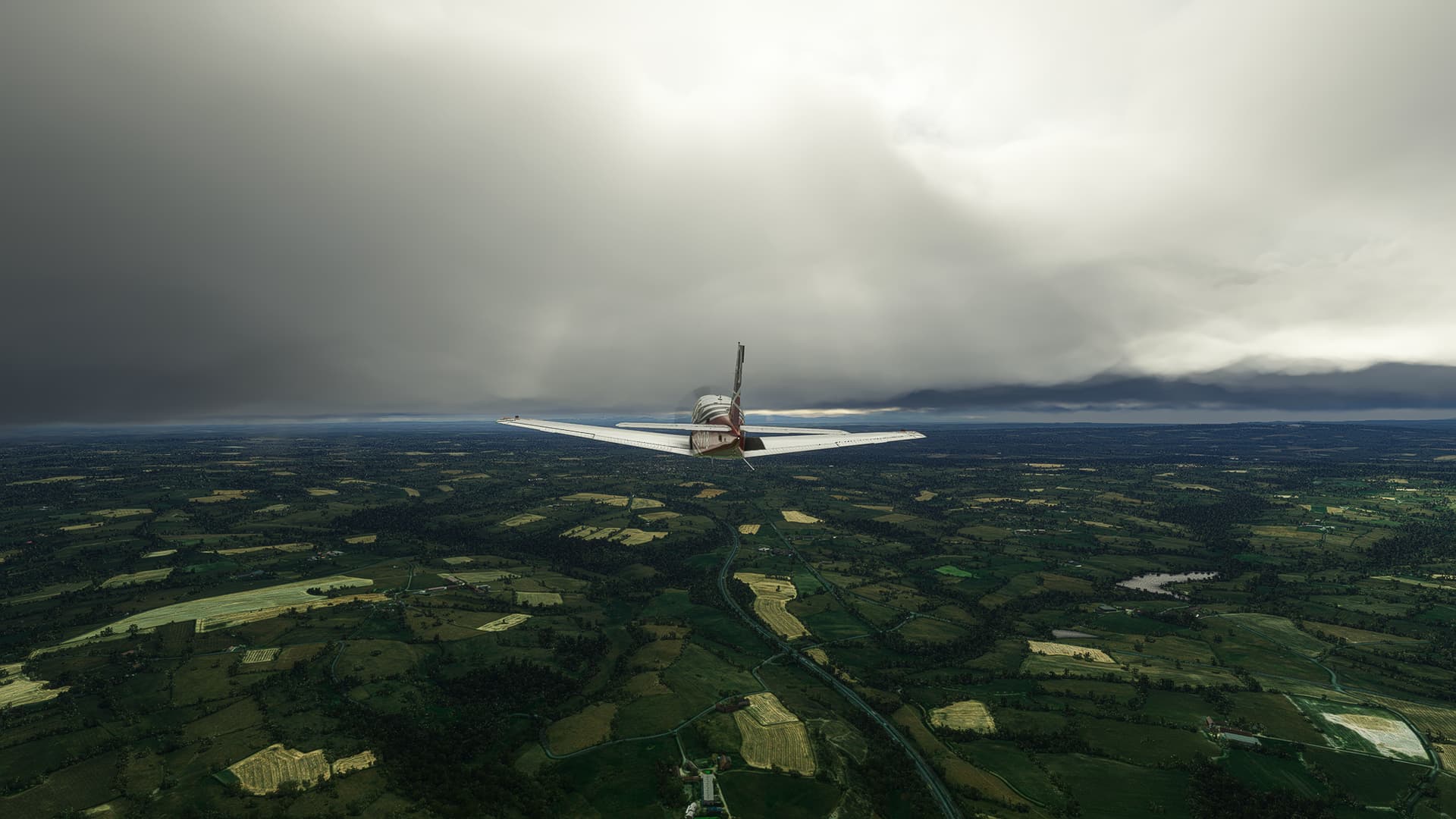
Joining Highway A71 “L’Arverne” near Ronfière (center).
-
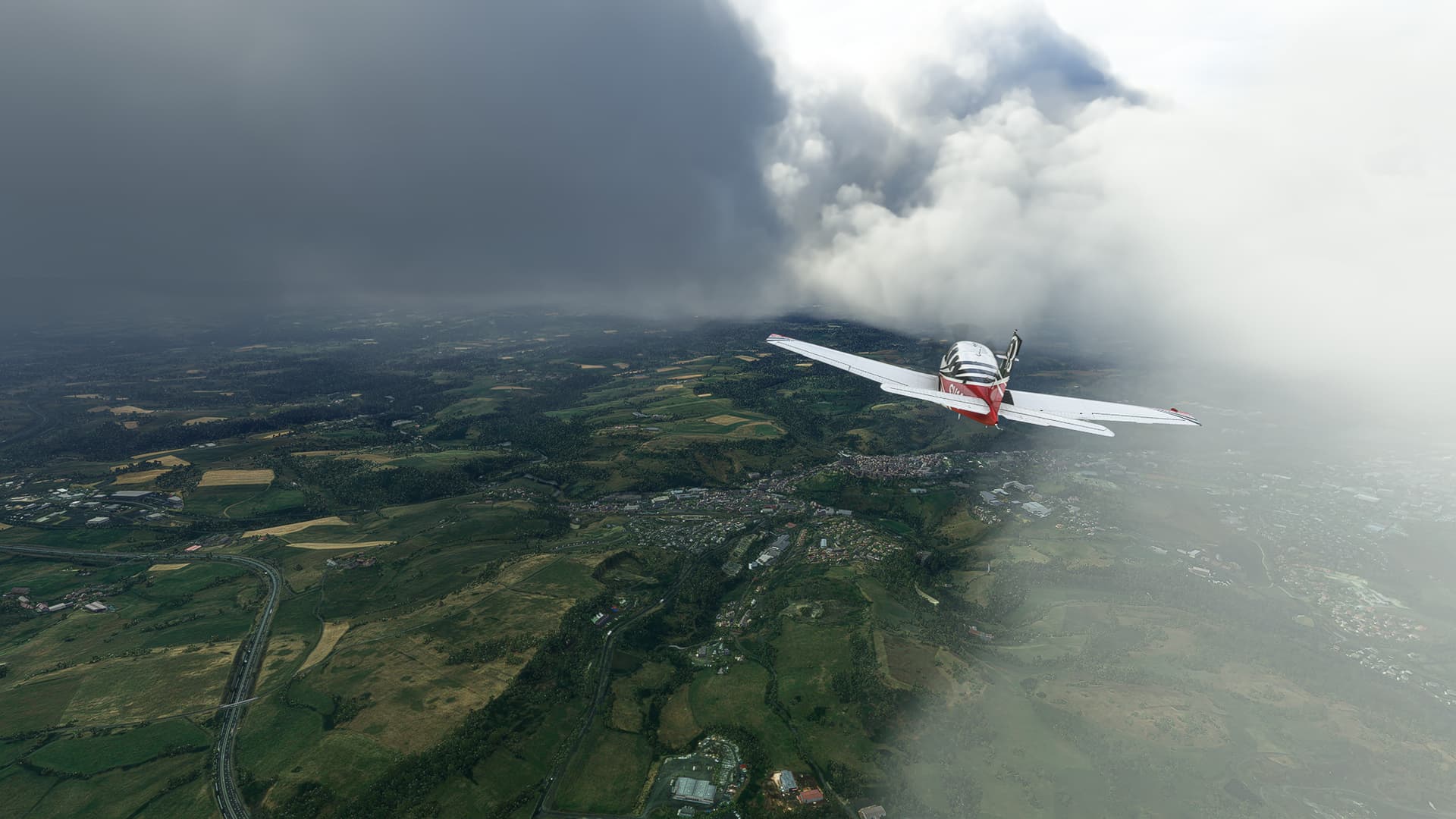
Crossing Œil River near Le Tremblet. The weather is getting worse again - as usual during our France trip!
-
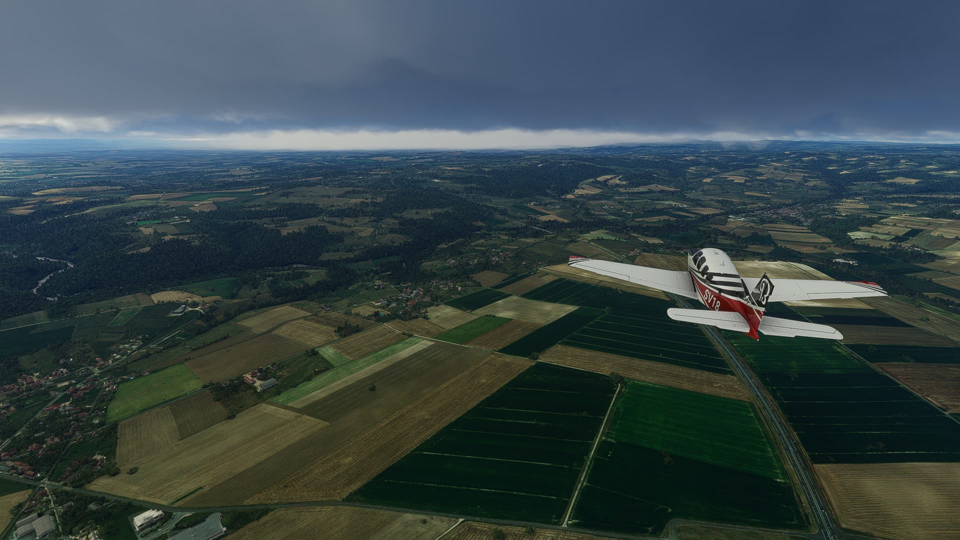
Flying in between the L’Arverne (center right) and the Russeau des Brasses (center left) near Bost.
-
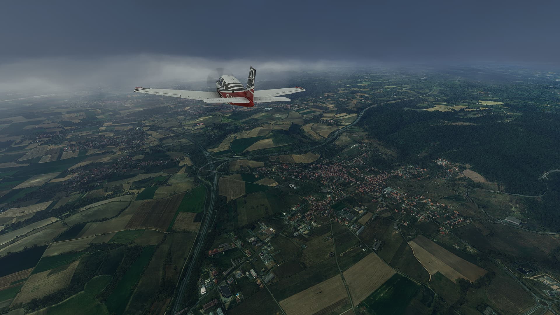
Saint-Bonnet-de-Rochefort (left) with the Sioule River behind it.
-
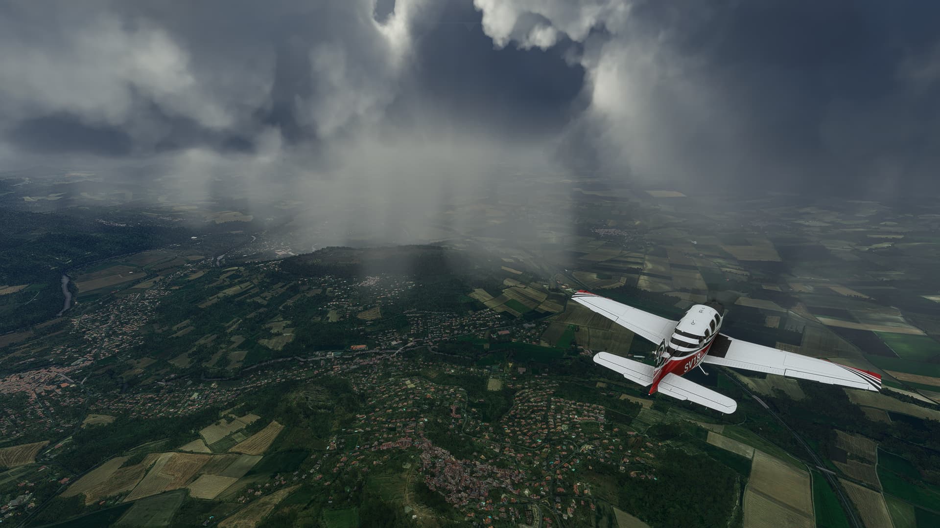
The town of Combronde to our right. We’re coming closer and closer to entering the clouds above which will limit our photo opportunities immensely.
-
As I already feared another large French city was hidden in the clouds - we had to pass Clermont-Ferrand without a chance to take a photo. But at least we were able to hit a hole in the clouds near Les-Matres-de-Veyre (left) and Veyre-Monton (center) to take a picture of the area around C-F!
-
The ground is rising beyond Clermont-Ferrand so we had to adjust our own altitude to about 5500ft. This shot was taken after finishing our second ascent near Issoire (right).
-
A pretty obscured shot but you can make out both Charbonnier-les-Mines (below us) and Sainte-Florine (right) if you look closely!
-
A rare ray of sunlight near Lorlanges.
-
Massiac (right) on the confluence of Arcueil and Alagnonnette River.
-
Saint-Flour (center), where we left the A75 “La Méridienne” (we left the L’Arverne in Clermont-Ferrand) to reach our airfield nearby.
-
Descending above the Lac du Barrage de Grandval (Reservoir of the Great Valley) to our airfield near Fridefont.