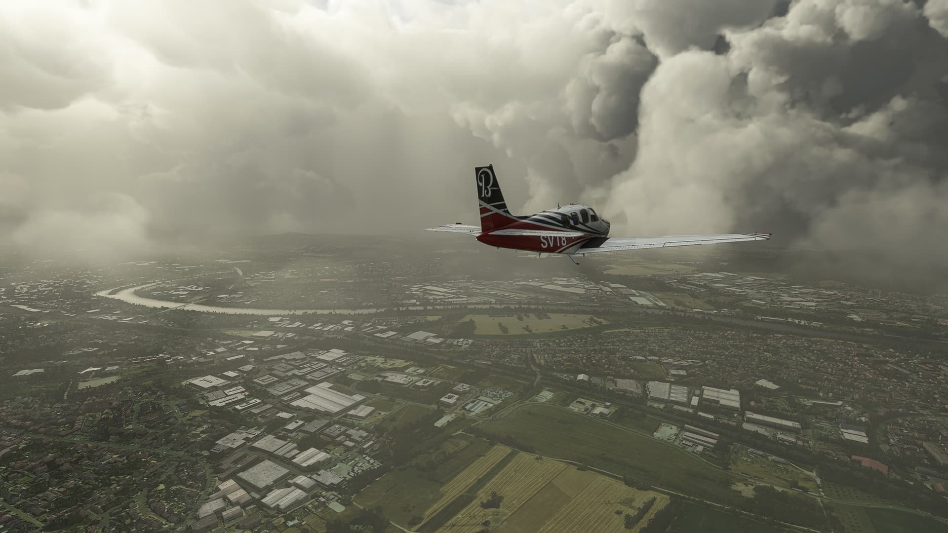
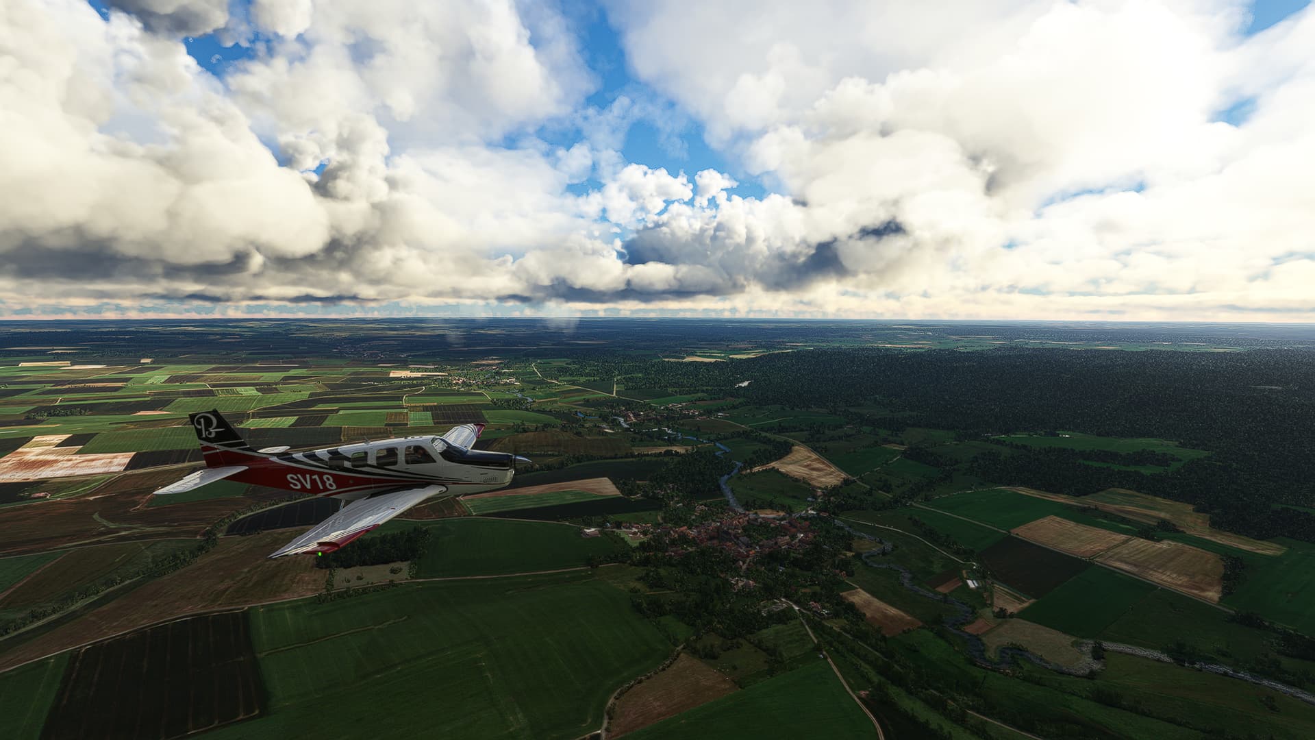
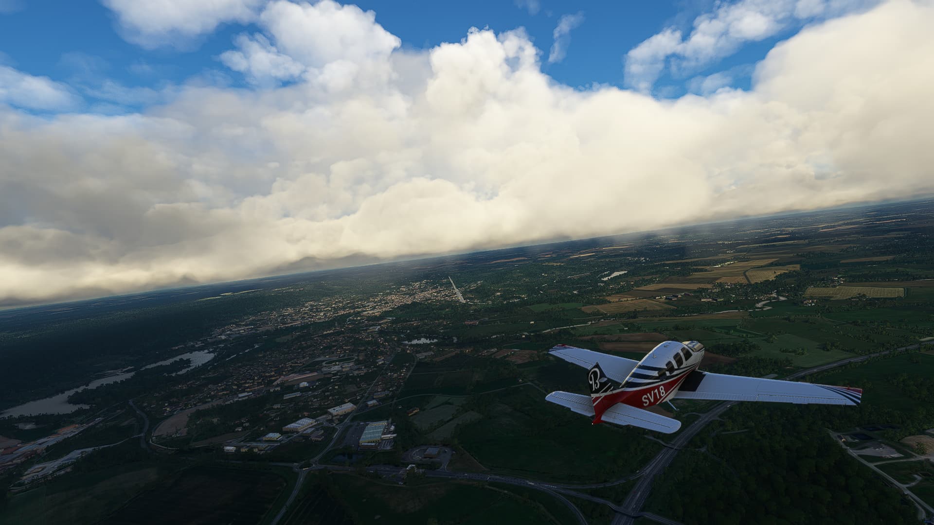
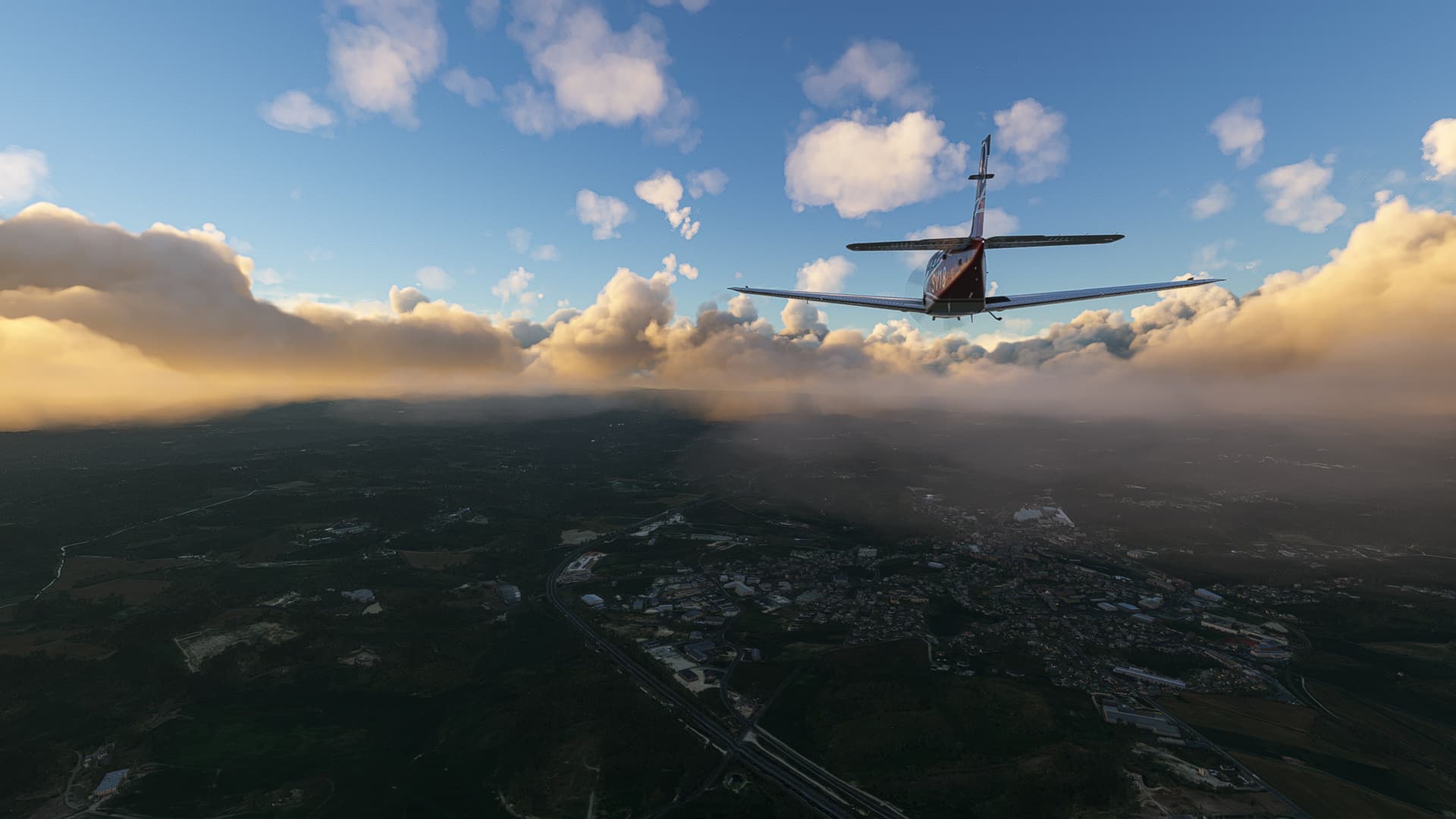
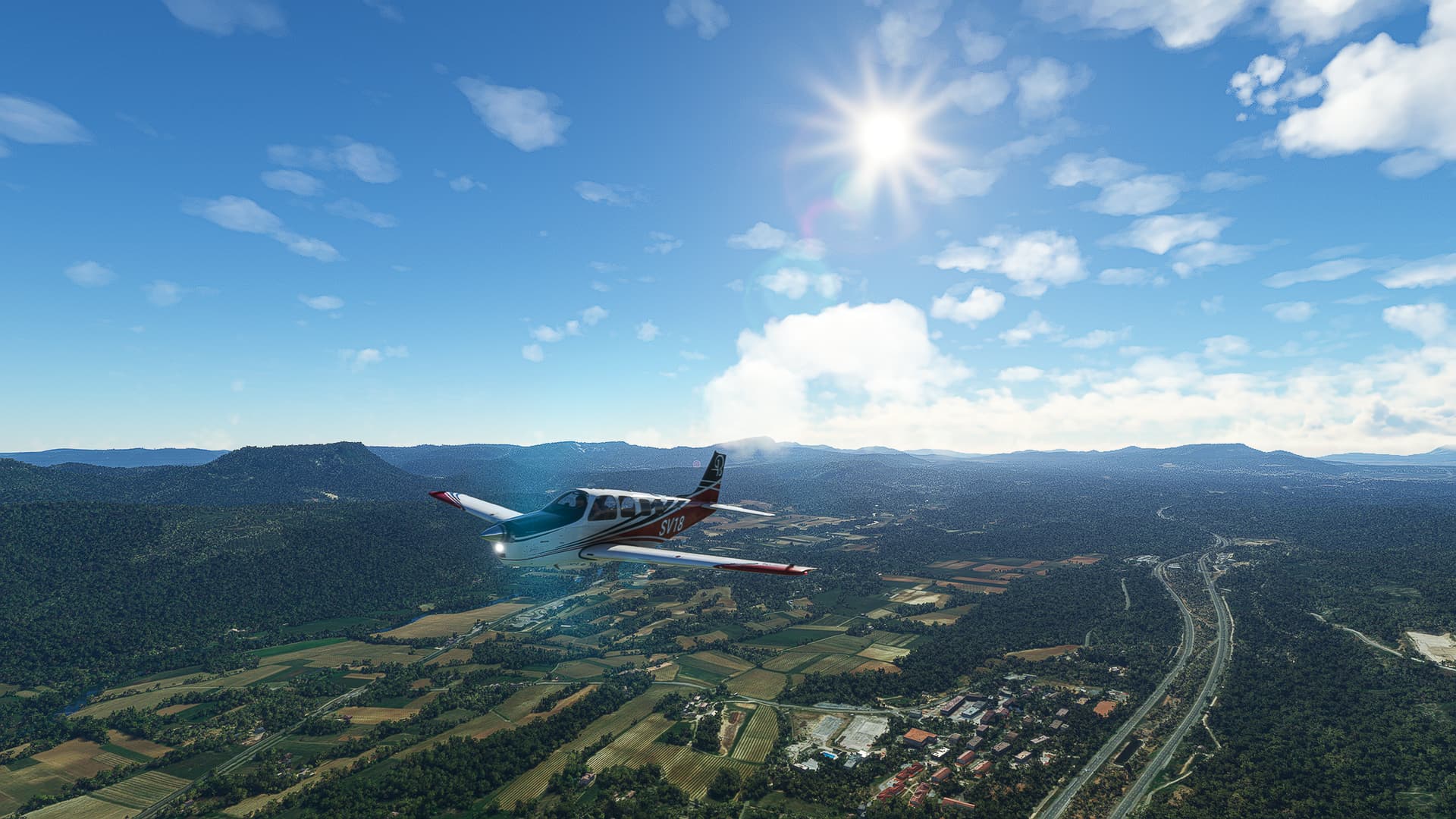
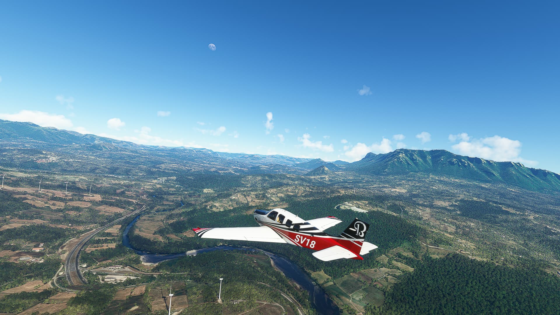
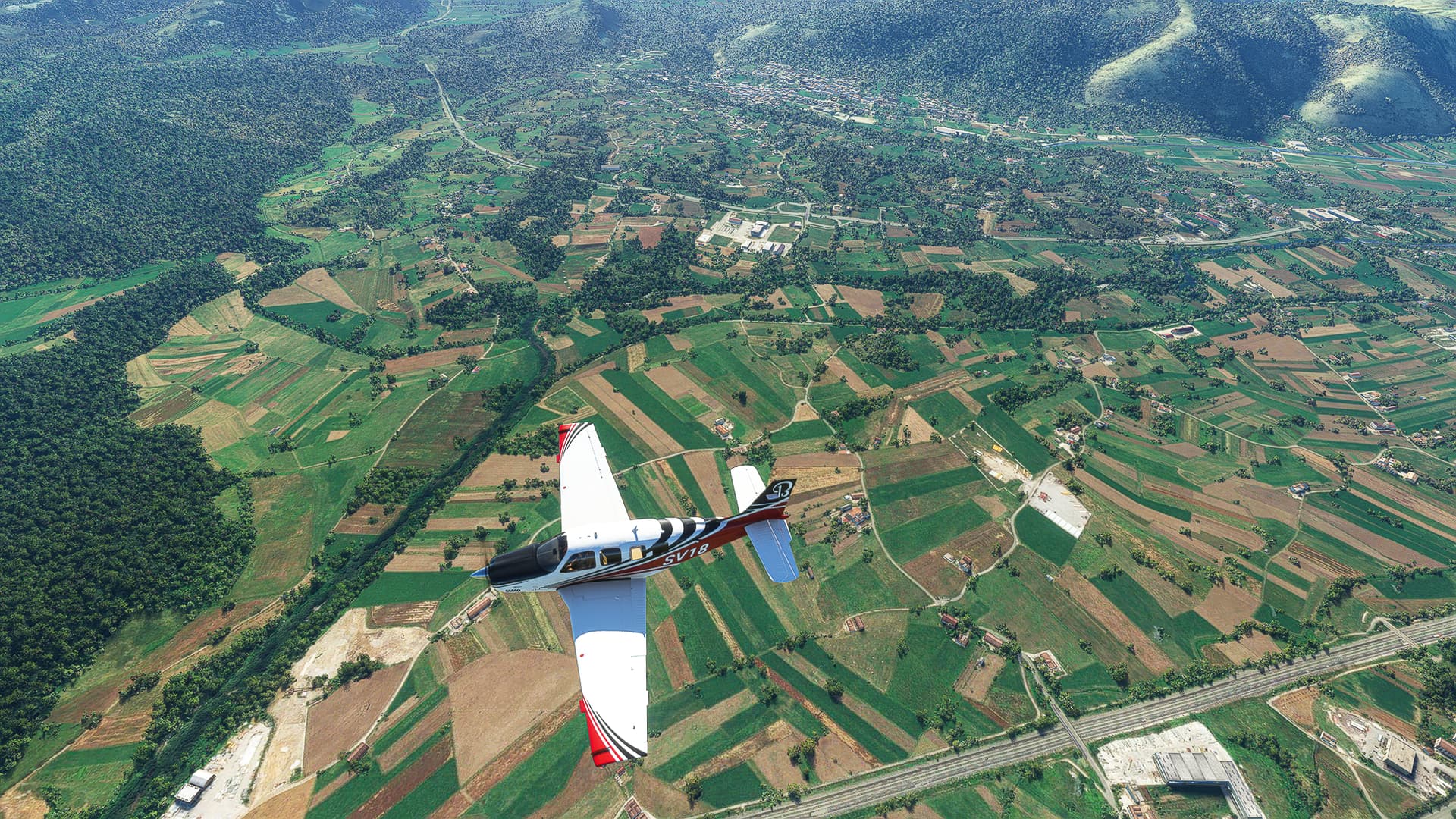
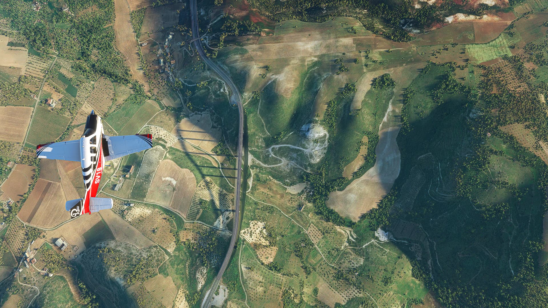
Saarmund (EDCS) - Eisenach-Kindel (EDGE).
Germany.
Flight No. 001.
-
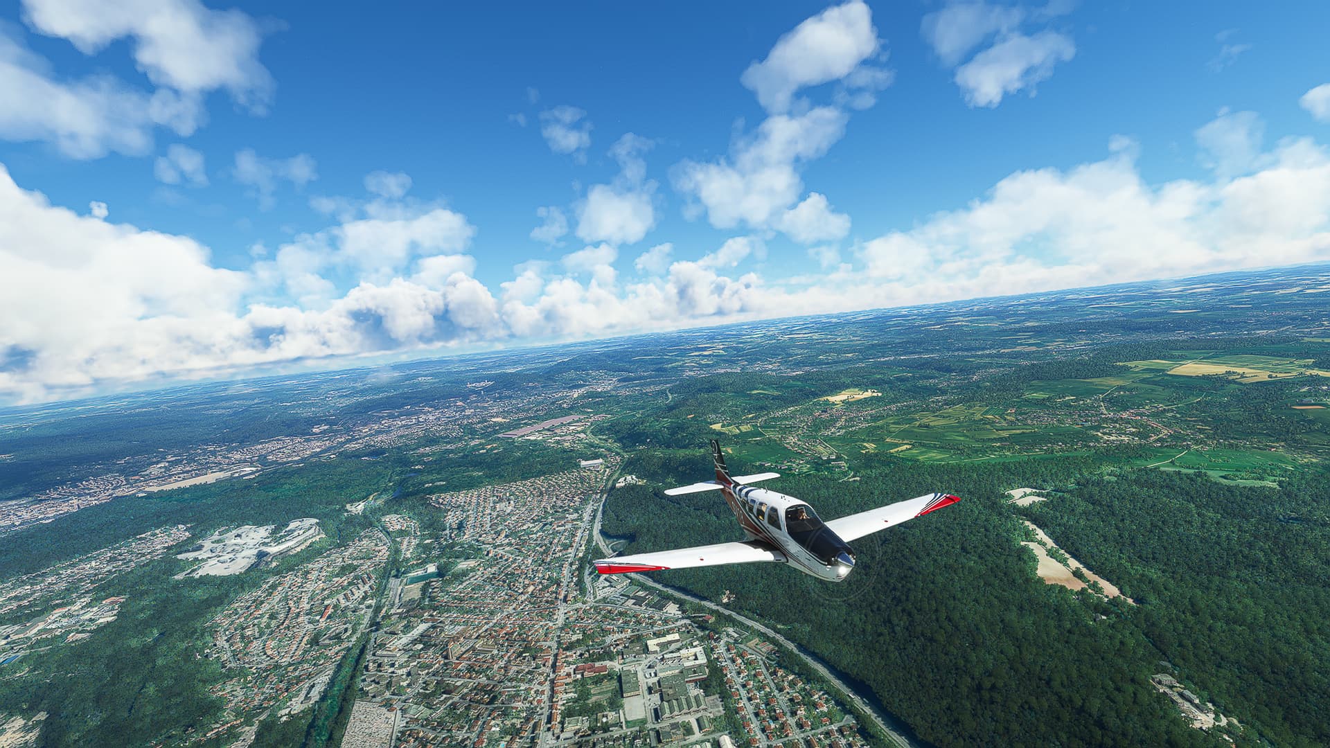
Takeoff from Flugplatz Saarmund near the Highway A10 south of Potsdam.
-
The “Großer Seddiner See” (Greater Seddin Lake) with Wildenbruch (left), Kähnsdorf (center) and Seddin (right).
-
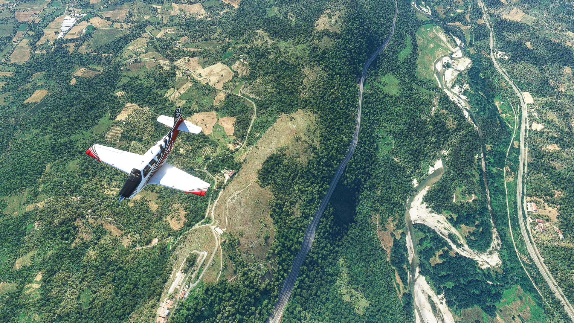
Following the Highway A9: To the left is Groß Marzehns (Greater Marzehns), directly behind it runs the state border between Brandenburg and Sachsen-Anhalt.
-
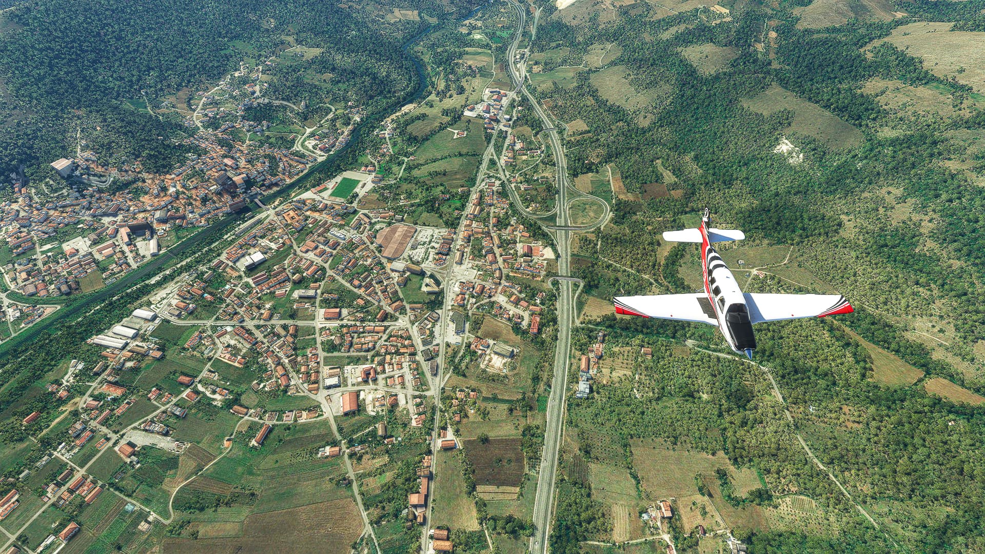
The town of Coswig north of the Elbe River.
-
Löberitz (left) and Zörbig (right). A wind park can be spotted in the background.
-
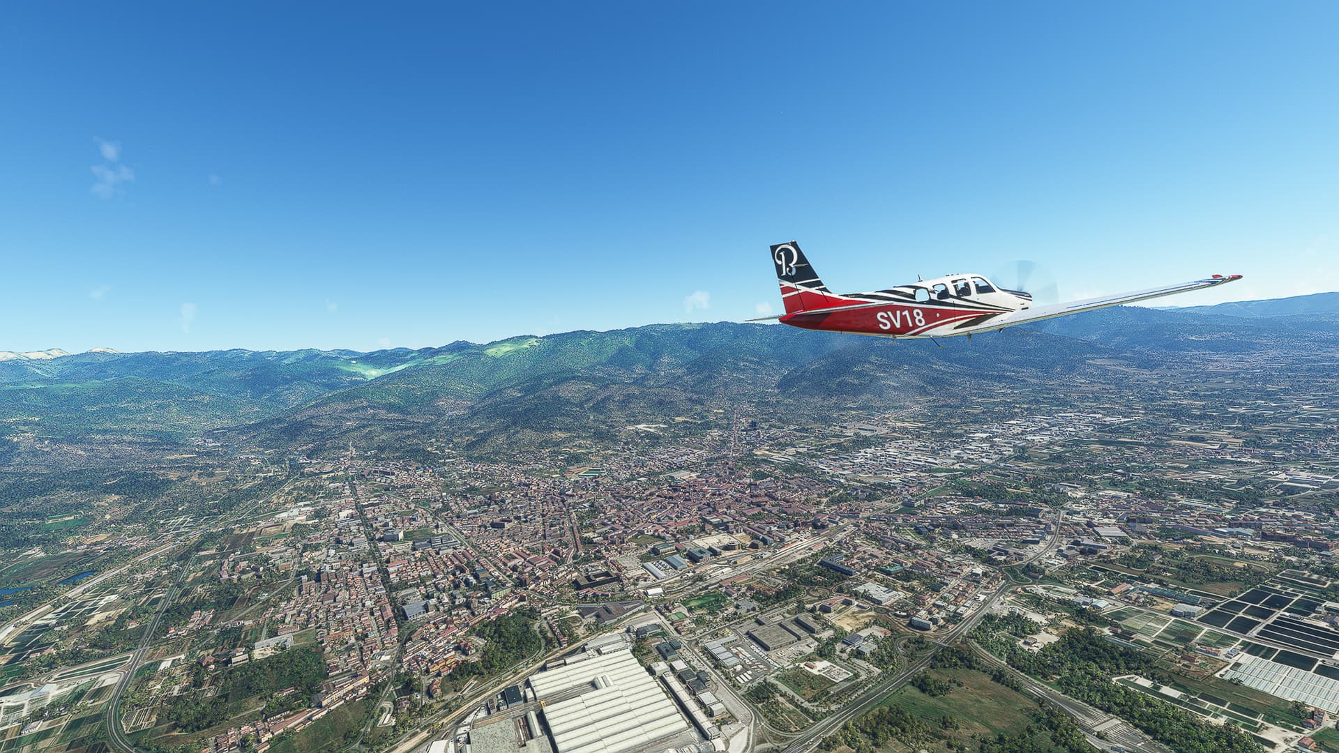
A higher-altitude picture of Halle (Saale), more specifically the Innenstadt (downtown), the Saale River and Kröllwitz (on the right bank of the river).
-
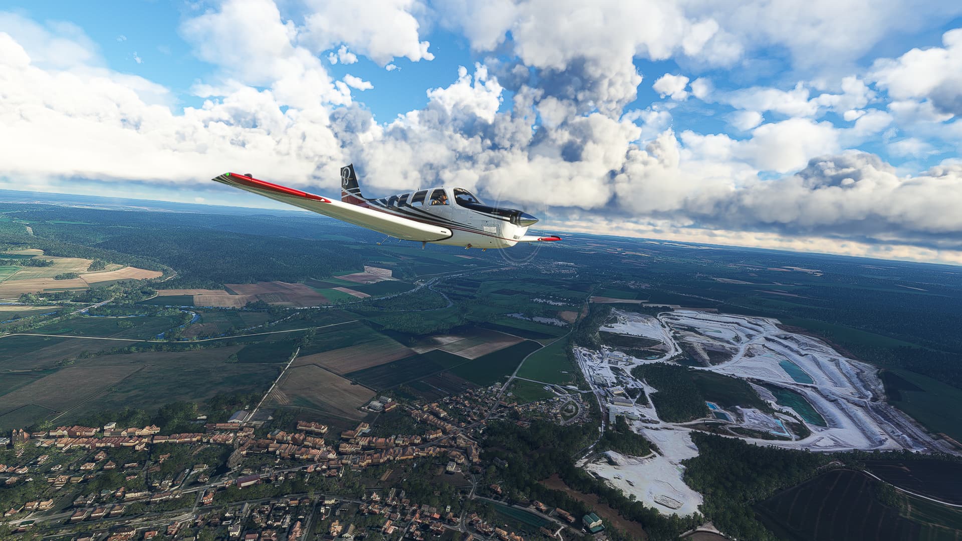
The Kiesgrube Saaleaue (Gravel Pit ‘Saaleaue’) directly below us with the Rabeninsel (raven island) behind it as well as the southern districts of Halle. The cooling towers of the Schkopau olefin plant can be seen to the right.
-
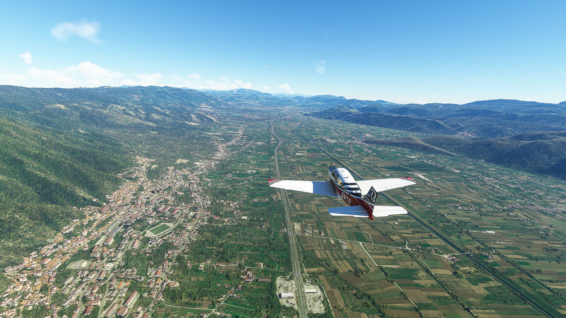
Following the A38 westwards: This image was taken near the Querfurt highway exit with Esperstedt in the left background.
-
Crossing the state border between Sachsen-Anhalt and Thüringen near Voigtstedt (center). Another wind park can be seen across the highway.
-
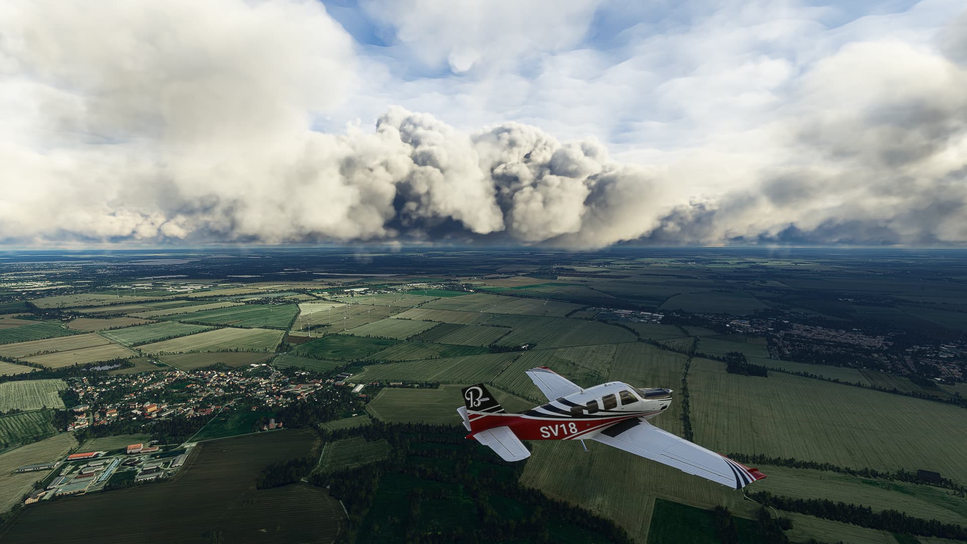
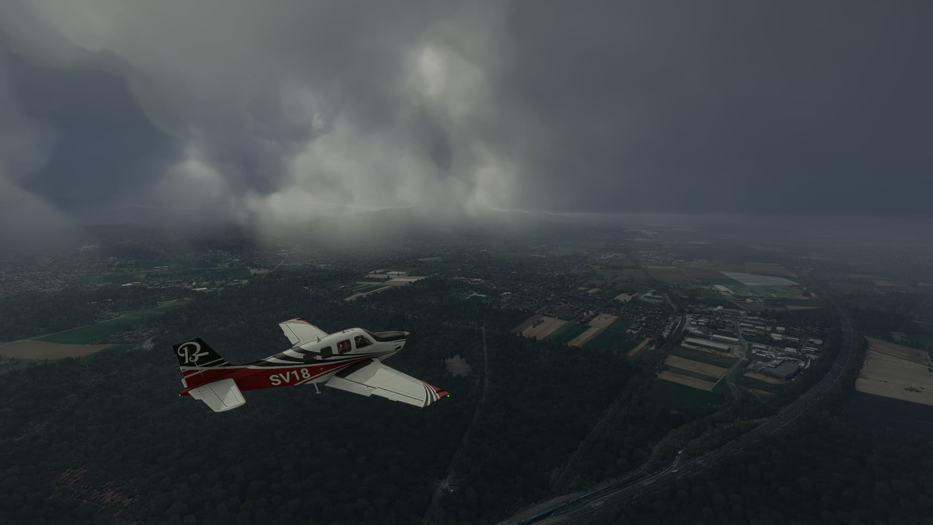
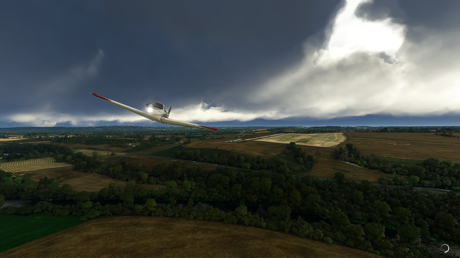
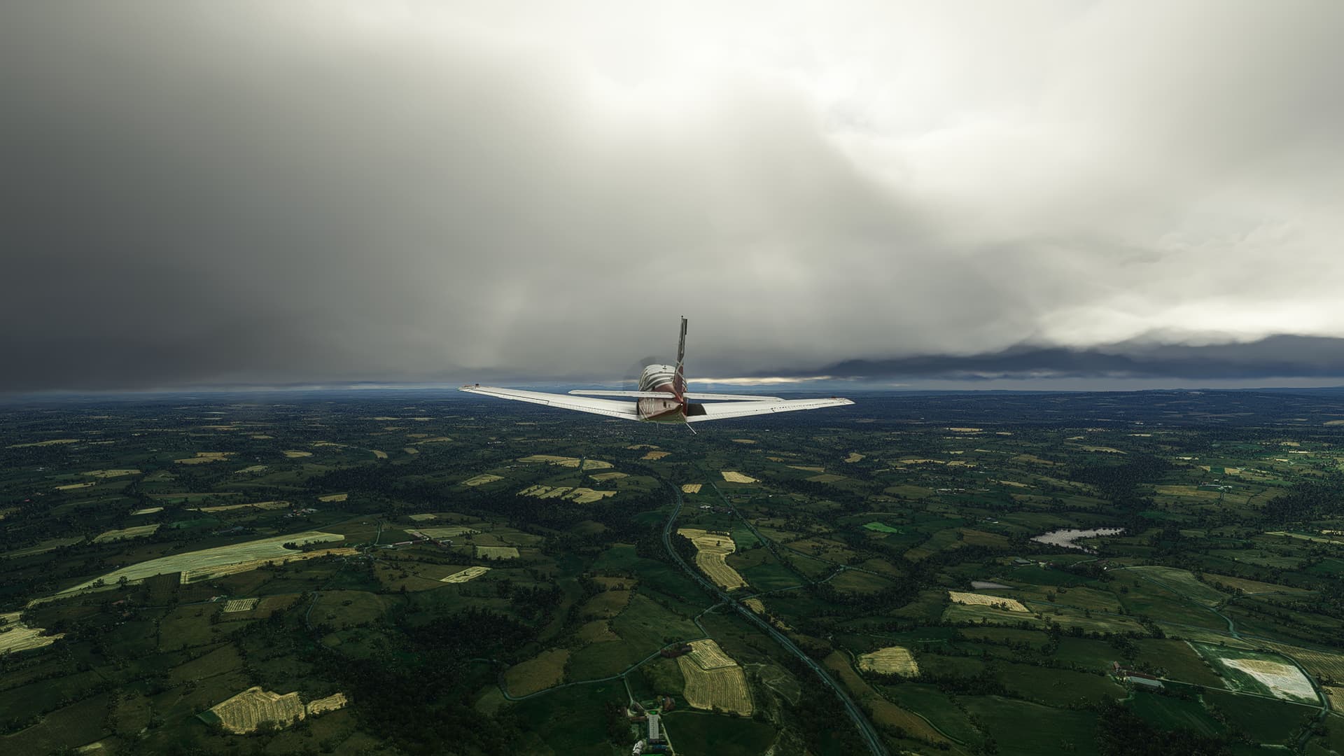
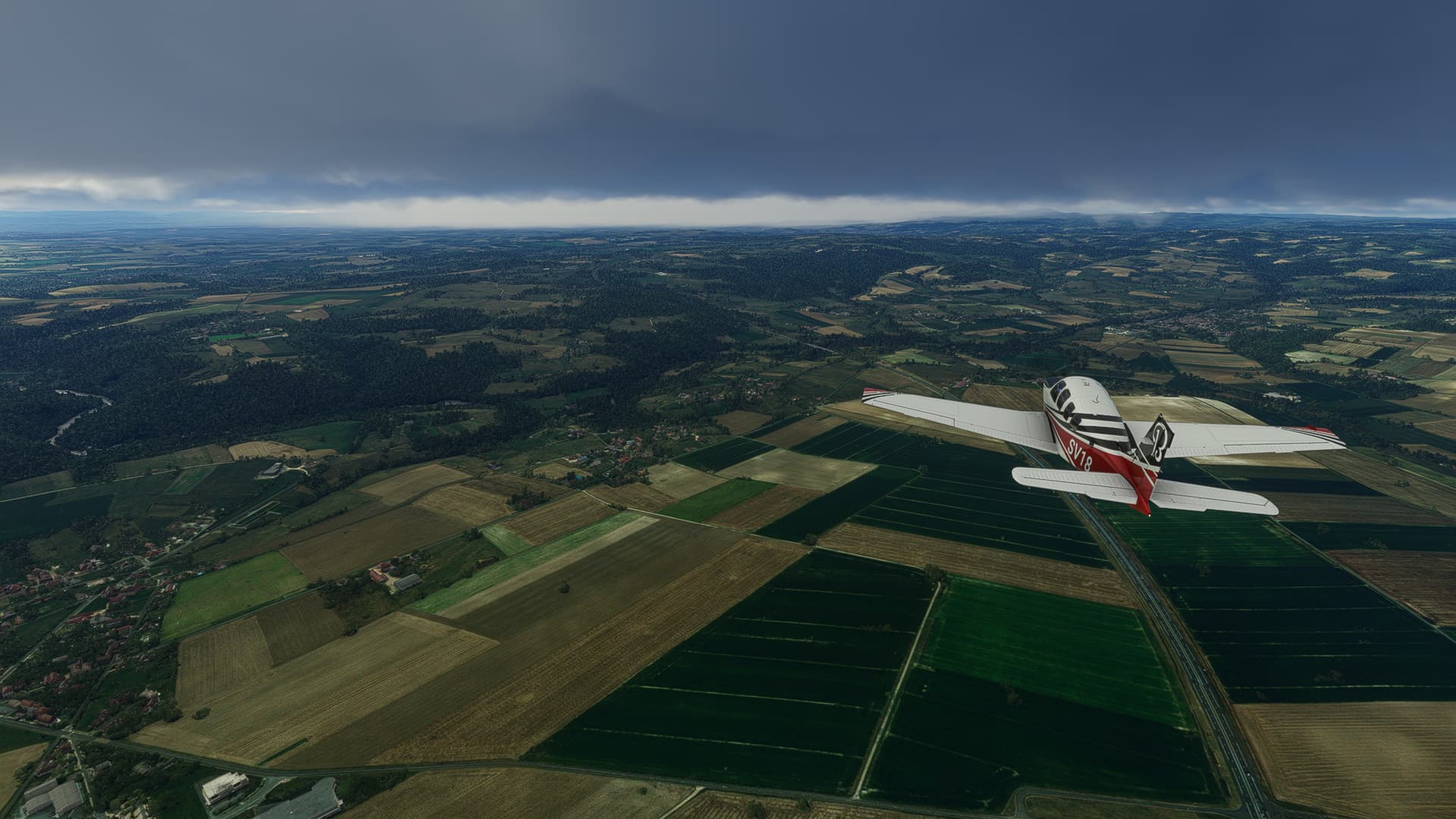
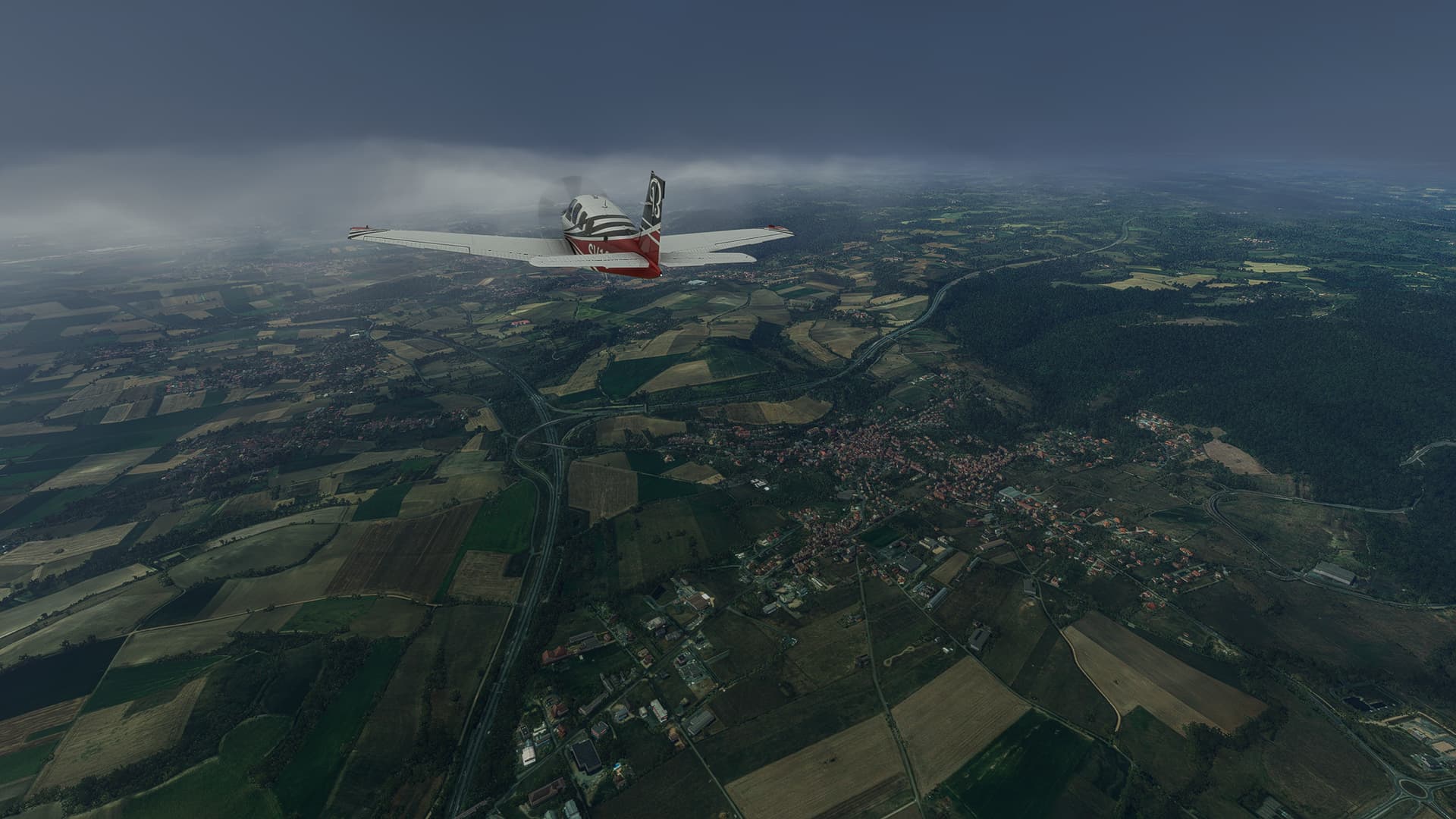
The weather is getting worse near Sömmerda.
-
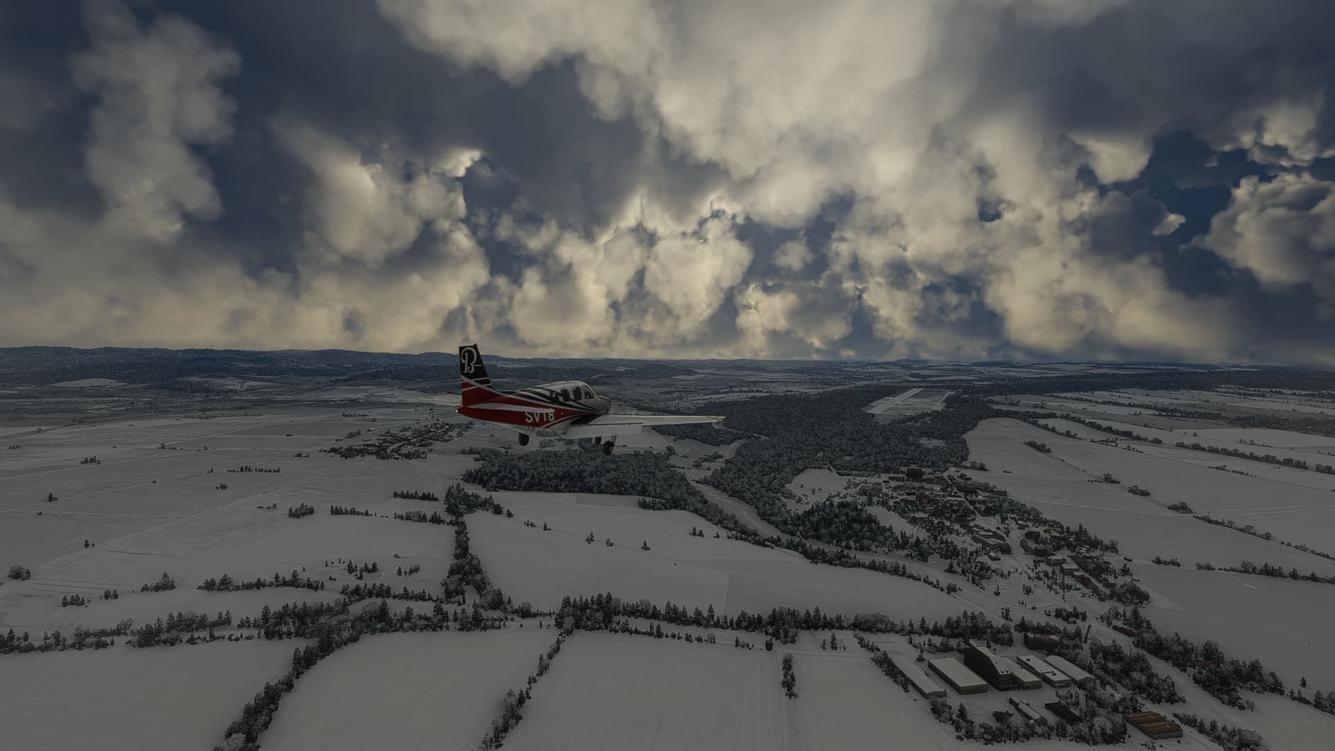
Out of the clouds, into a winter landscape! Taken near Molschleben (left).
-
Goldbach on the Wilder Graben (“wild ditch”) that appears to be frozen over (at least in reality it definitely isn’t frozen at -2°C!).
-
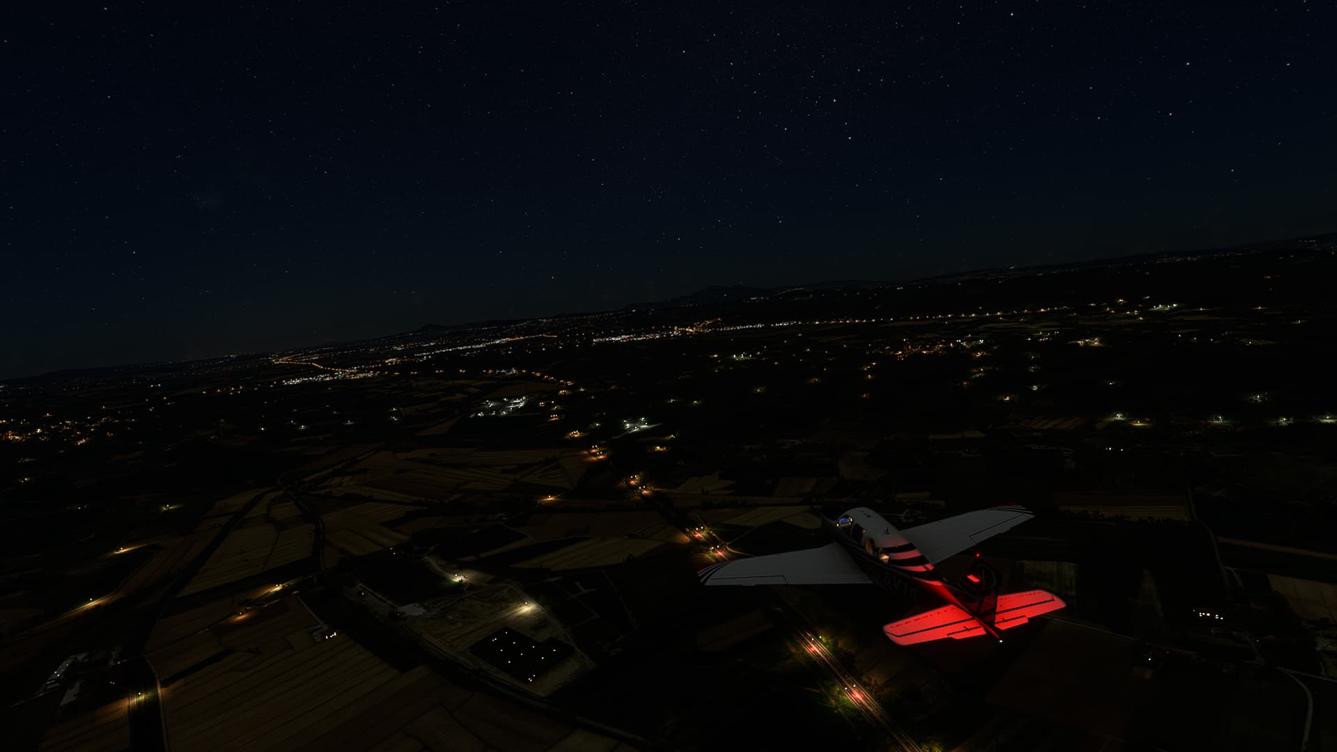
Crossing the Nesse River near Haina and descending towards Eisenach-Kindel airfield.
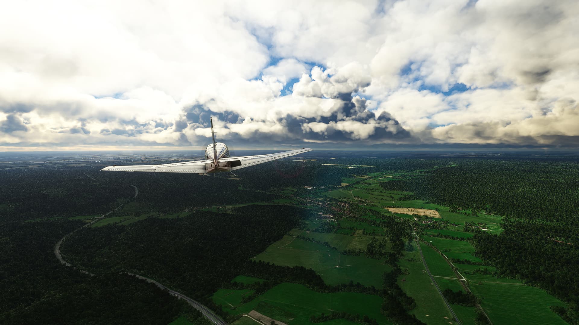
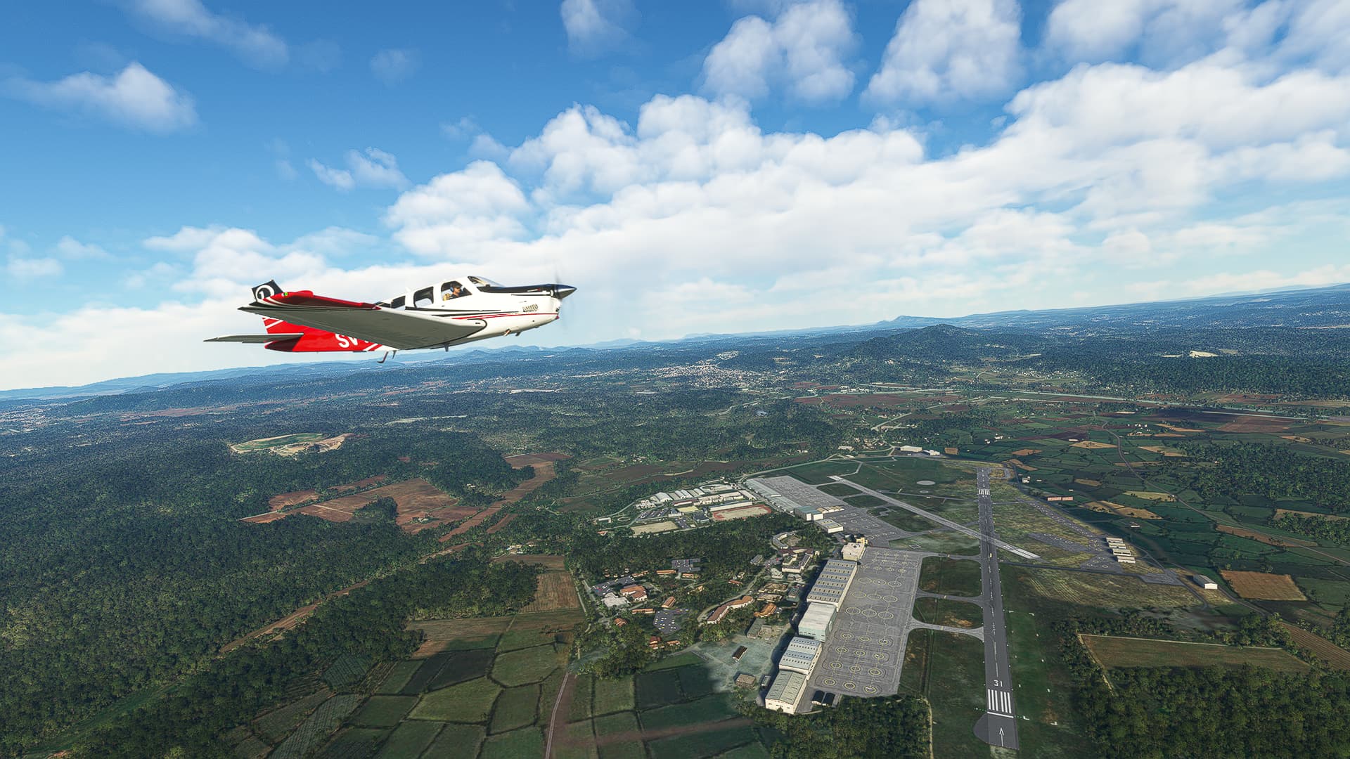
Eisenach-Kindel (EDGE) - Bensheimer Stadtwiesen (EDEU).
Germany.
Flight No. 002.
-
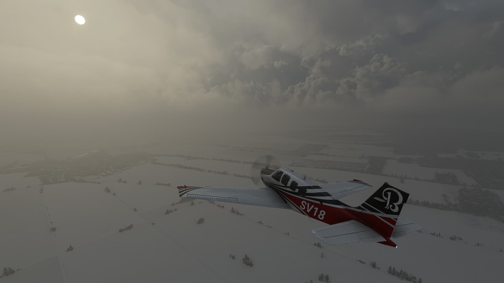
Almost no visibility after taking off from Eisenach-Kindel. Still you can make out the Industriegebiet Kindel (Kindel Industrial Complex) beneath.
-
Above Stregda.
-
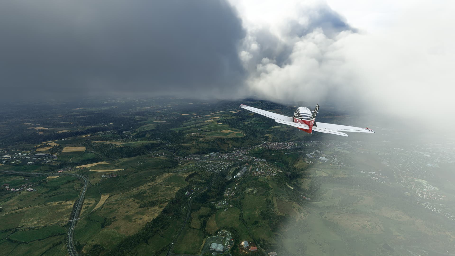
A rare break from all the snow and rain above the Seelenberg near Herleshausen (right).
-
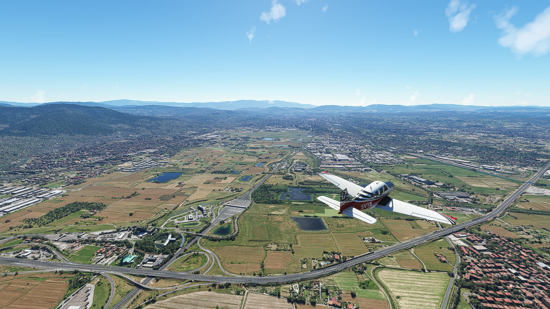
Fields around Kathus northeast of Bad Hersfeld.
-
Unterhaun on Haune River. Oberhaun can be spotted on the upper rim of the image (which is quite funny since it is literally “Upper Haun” being on the upper rim of the shot).
-
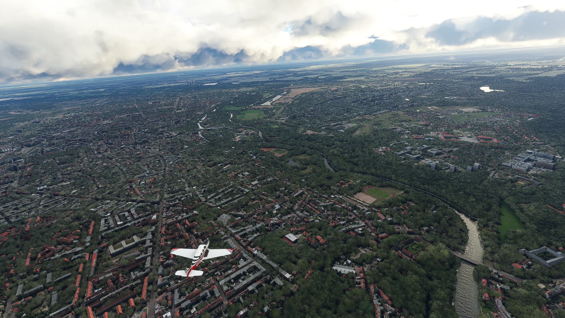
The city of Fulda as seen from above Fulda Main Station. The rail tracks can be seen below us.
-
Heavy snowfall above Rommerz Village.
-
Another break in the clouds near Oberafferbach (beneath us) with Steinbach in the distance.
-
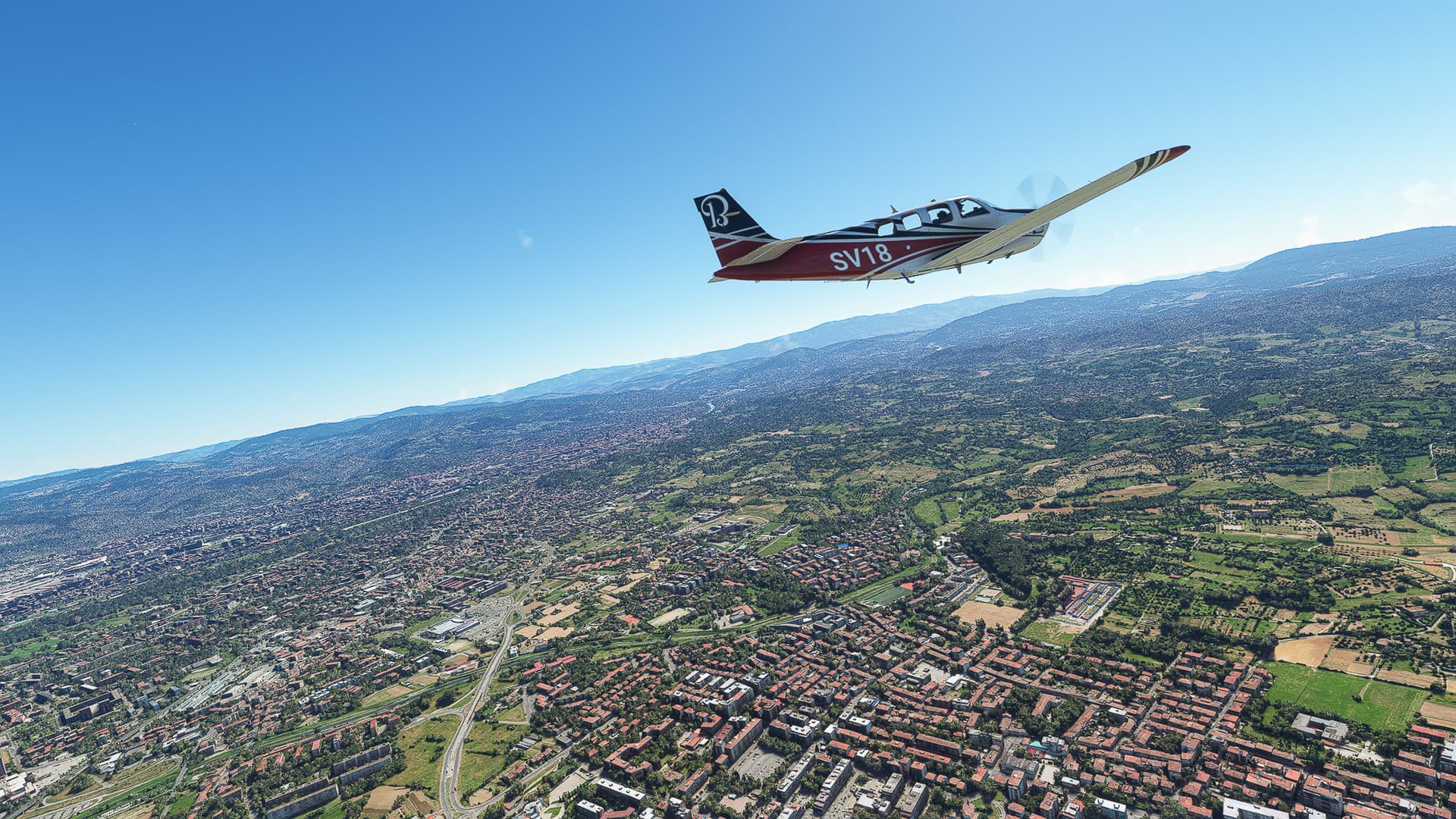
The city of Aschaffenburg on Main River, more specifically the districts of Strietwald (left) and Mainaschaff (right).
-
Wind park on Tannenkopf Hill near Roßdorf (background).
-
Bickenbach (Bergstraße) with Highway A5 beside it.
Bensheimer Stadtwiesen (EDEU) - Doncourt Les Conflans (LFGR).
Germany & France.
Flight No. 003.
-
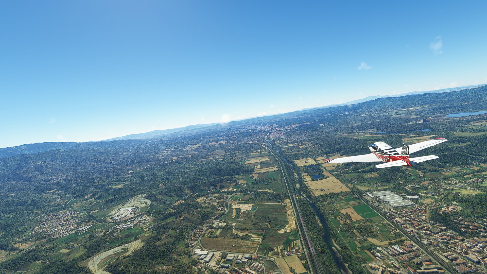
Biblis (left) with the Baggersee Groß-Rohrheim (Quarry Lake Groß-Rohrheim) to the right. Behind it the Nuclear Power Plant Biblis can be spotted.
-
The city of Worms on Rhein (Rhine) River. The Nibelungenbrücke is crossing the river to our left, the Rheinbrücke below us can’t be seen.
-
Deciding to follow Highway A63 to the west near Marnheim. The idea is born to try to follow roads and highways during this world trip!
-
Steinbach am Donnersberg (Stonecreek on Thunder Mountain, what a bad*ss name!) to our right, as well as Börrstadt and Breunigweiler left of the highway.
-
The city of Kaiserslautern, more specifically the Innenstadt (downtown) as well as Grübentälchen (below us), Kaiserberg and Galappmühle (near the highway).
-
Ramstein AFB to the west of Kaiserslautern with Kindsbach beside it.
-
Bruchmühlbach and Bruchmühlbach-Miesau south of Highway A6.
-
The industrial area Rohrbach-Süd with St. Ingbert behind it. Saarbrücken, the capital of the Saarland, can be spotted to the far right.
-
Crossing the Saar River near Güdingen south of Saarbrücken (center right). To the left you can see the wooded Warndt Hill and the French city of Stiring-Wendel.
-
Stiring-Wendel, the first French city we reach with Saarbrücken visible in the distance.
-
Freyming (right) as well as Betting and Seingbouse (left) on the intersection of A320 and A4.
-
Rural landscape west of Freyming: To our right is Narbefontaine, to our left the villages of Brouck (center), Marange-Zondrane and Hallering (left).
-
The city of Metz on La Moselle River as seen from above Borny.
-
Crossing La Moselle River near the Ile du Saulcy in southwestern Metz.
Doncourt Les Conflans (LFGR) - Belleau (LFFH).
France.
Flight No. 004.
-
Jarny on Orne River.
-
Orne River near Olley with Saint-Jean-lès-Buzy further along the river.
-
Aerodrome Verdun Le Rozelier near Haudainville.
-
Dugny-sur-Meuse (Dugny-on-Meuse) with Lhoist Dugny quarry beside it.
-
Rarécourt and Froidos on Aire River.
-
Les Islettes in the Argonne Forest.
-
Rural landscape near La-Croix-en-Champagne.
-
Saint-Étienne-au-Temple on Vesle River.
-
Change of plans near Vaudemange: We’re leaving the A4 to Reims and turn southwest to circle around a bad weather front and reach Belleau from the south.
-
Reaching Marne River near Tours-sur-Marne (Tours-on-Marne).
-
Épernay on Marne River with Dizy to the right.
-
Œuilly below us with Reuil on the right bank of the Marne and Leuvrigny to the far left.
-
Following the Marne around a bend near Reuilly-Sauvigny (below us). The village to the right is Passy-sur-Marne, the one directly on the bend is Courtemont-Varennes.
-
The towns of Blesmes, Chierry and Étampes-sur-Marne in a row.
-
Descent to Belleau above Château-Thierry. The building directly below us is the Monument américain de Château-Thierry 1914-1918.
hat of for trying it again.
such a big undertaking is nothing for me tho.
Thank you! To be honest I just need some sort of “progression” to enjoy the game to its fullest. So a “world trip” was always my goal since it ties all the individual flights nicely together. During my former attempts there were always phases where my real life intervened and had me pause the project only to return weeks or months later to a “cold” trip that didn’t feel right.
Due to some good things that happened I finally have enough time to pursue this project in my freetime, making me pretty hopeful that I’ll finish this trip! But even if not - the journey is the goal, right? 
Belleau (LFFH) - Baigneaux (LF21).
France.
Flight No. 005.
Problem: Due to the worst weather I had in a while and some buggy Nvidia Photo Mode shenanigans I could only took a few shots during this flight. I think I solved the problems so the next one will have more (providing the weather clears up so I can see actually something!)
-
Fields near Bourbetin (left).
-
Coutrevroult (left) and Saint-Germain-sur-Morin (right).
-
Holes in this grey soup are scarce: Le Kremlin-Bicêtre in southern Paris.
-
Near Chemin d’Antony: Funnily enough the entire airport Paris-Orly is hidden right there beside us. Would have made for a pretty shot, right? Thanks weather gods…
-
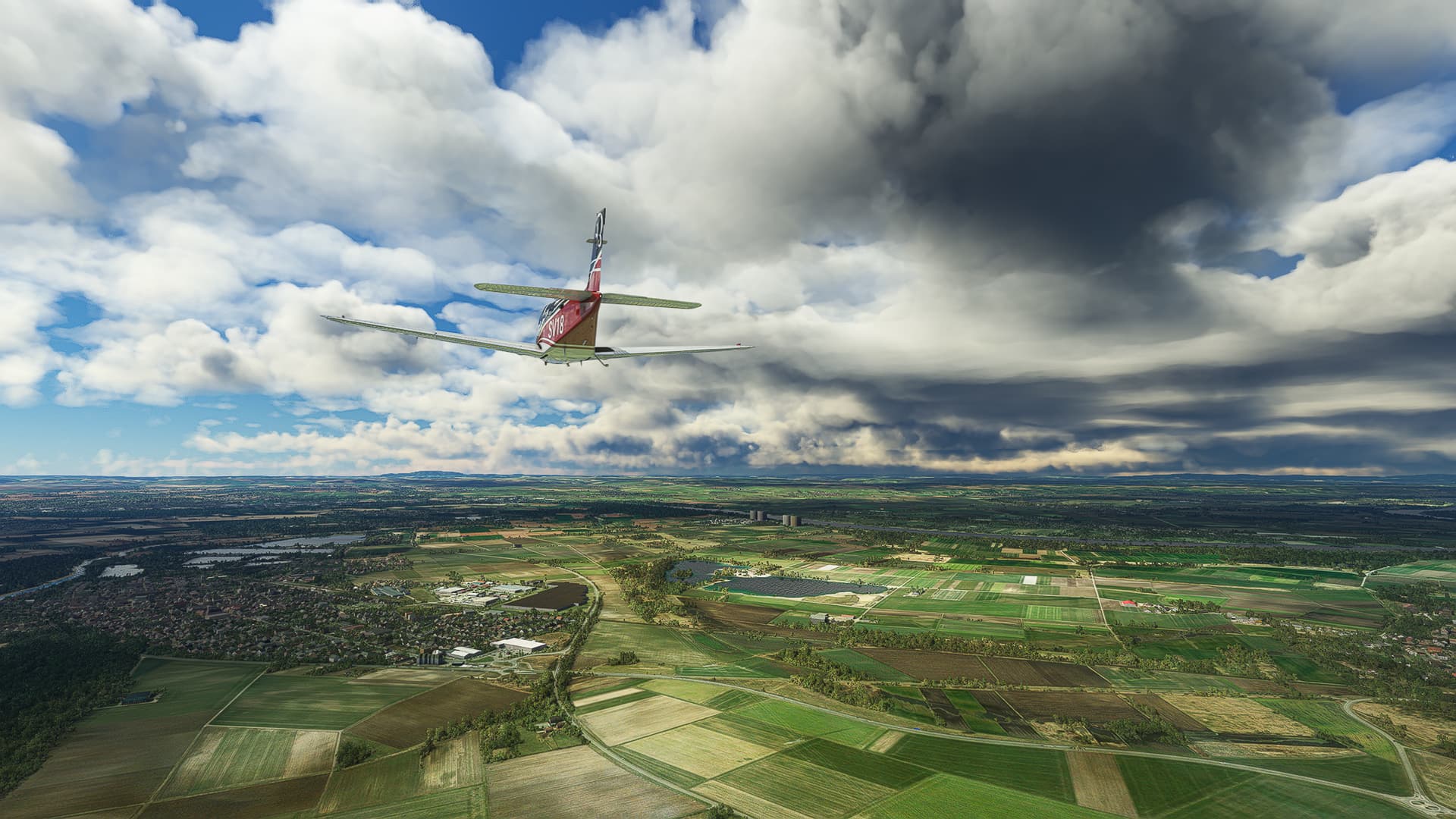
If we can’t look down, we’ll look up! Cloud formations above Briis-sous-Forges.
-
The one shot that apparently killed Nvidia Photo Mode (or whatever it’s officially called) for this flight: Clouds above the Forêt de Saint-Arnoult.
Baigneaux (LF21) - Saint-Amand-Montrond (LF94).
France.
Flight No. 006.
-
Wind park near Santilly.
-
Chevilly, east of Highway A10 (right).
-
After missing out on Reims and Paris we finally found another well-known city: Welcome to Orleans! This shot was taken above Les Marmitaines on our way to the Loire River.
-
Any Age of Empires 2 Player should remember this place: It is here you cross the Loire during the French campaign’s second mission “The Maid of Orleans” after stumbling across a convenient dock! Today the river can be traversed by a much more convient highway bridge though.
-
The 12ième RC Quartier Maison-Fort between Orleans and Ardon serves as a military encampment for the 12th Cuirassier Regiment of the French Army, a former cavalry regiment turned armored regiment in modern times.
-
Lamotte-Beuvron on the Beuvron River with its Parc Equestre Fedéral left of our wingtip.
-
Nouan-le-Fuzelier with its many little lakes and ponds.
-
Vierzon on the Cher River: You can see mostly the northern part of the city, most prominent the Central Station (right) and the Stade Robert Barran (center-right).
-
Foëcy between Cher (not visible) and Yevre River (center). The western parts of Les Varennes can be seen at the left bottom of the shot.
-
The weather didn’t allow us to see much of Bourges, except the Beaulieu suburb as well as the Aeroport de Bourges. What a shame!
-
The villages of Senneçay (left) and Levet (right background).
-
Crossing the Cher River near Bruère-Allichamps - a rare shot taken by chance that perfectly worked out in terms of image composition!
-
Orval (foreground) and Saint-Amand-Montrond (beyond the river).
Saint-Amand-Montrond (LF94) - Chaudes-Aigues (LF38).
France.
Flight No. 007.
-
Takeoff from Saint-Amand-Montrond Airfield across the Cher River near Ainay-le-Vieil.
-
Le Vernet (below us) and Meaulne-Vitray (right center).
-
Joining Highway A71 “L’Arverne” near Ronfière (center).
-
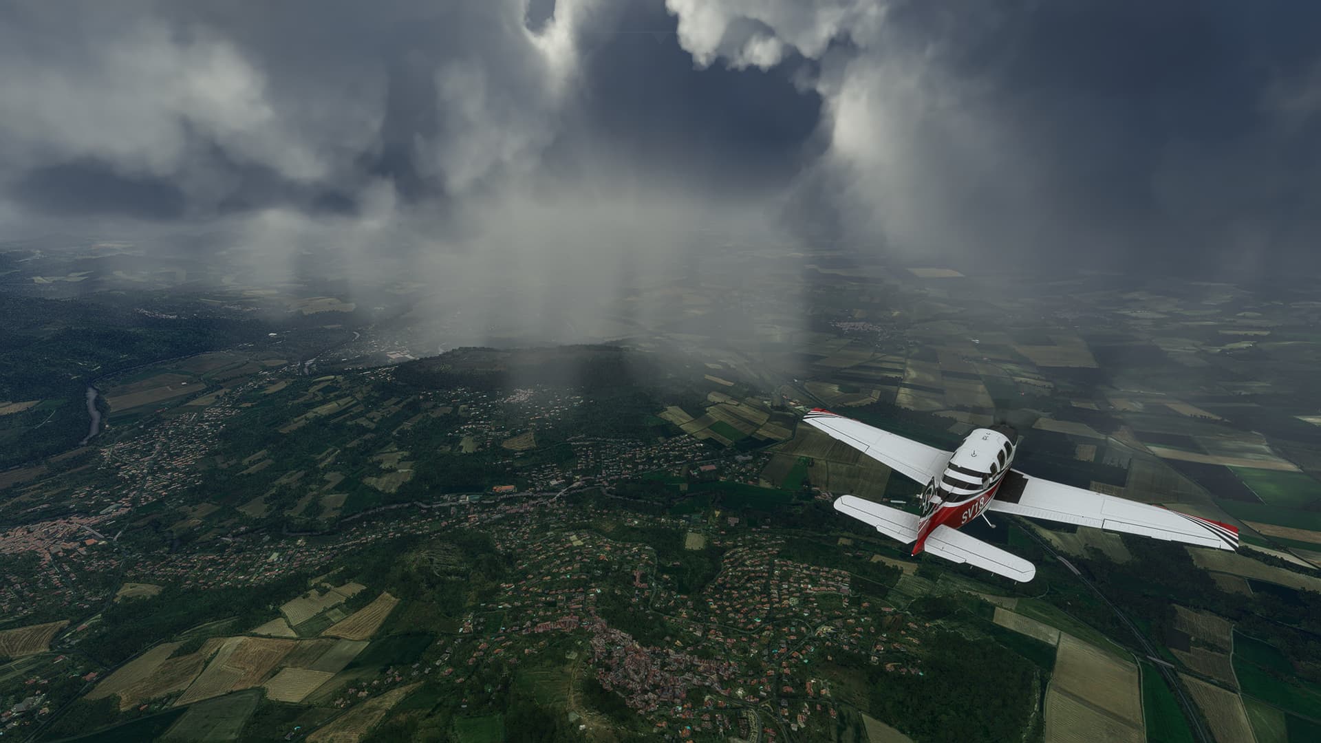
Crossing Œil River near Le Tremblet. The weather is getting worse again - as usual during our France trip!
-
Flying in between the L’Arverne (center right) and the Russeau des Brasses (center left) near Bost.
-
Saint-Bonnet-de-Rochefort (left) with the Sioule River behind it.
-
The town of Combronde to our right. We’re coming closer and closer to entering the clouds above which will limit our photo opportunities immensely.
-
As I already feared another large French city was hidden in the clouds - we had to pass Clermont-Ferrand without a chance to take a photo. But at least we were able to hit a hole in the clouds near Les-Matres-de-Veyre (left) and Veyre-Monton (center) to take a picture of the area around C-F!
-
The ground is rising beyond Clermont-Ferrand so we had to adjust our own altitude to about 5500ft. This shot was taken after finishing our second ascent near Issoire (right).
-
A pretty obscured shot but you can make out both Charbonnier-les-Mines (below us) and Sainte-Florine (right) if you look closely!
-
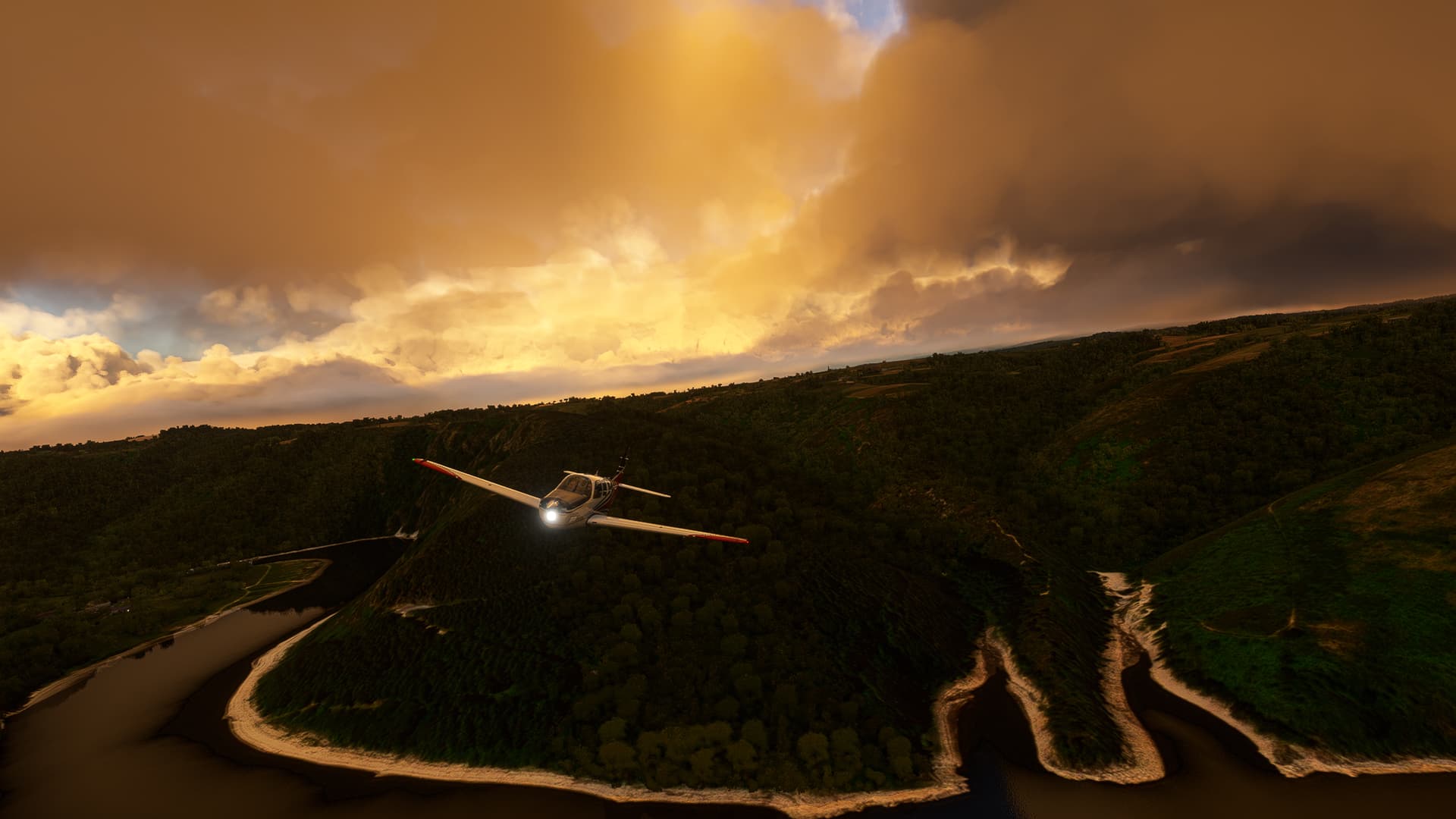
A rare ray of sunlight near Lorlanges.
-
Massiac (right) on the confluence of Arcueil and Alagnonnette River.
-
Saint-Flour (center), where we left the A75 “La Méridienne” (we left the L’Arverne in Clermont-Ferrand) to reach our airfield nearby.
-
Descending above the Lac du Barrage de Grandval (Reservoir of the Great Valley) to our airfield near Fridefont.
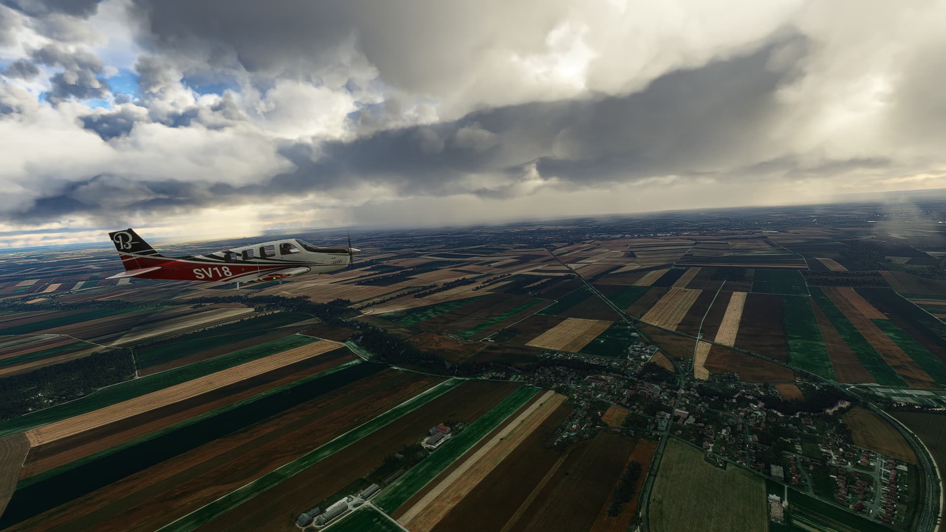
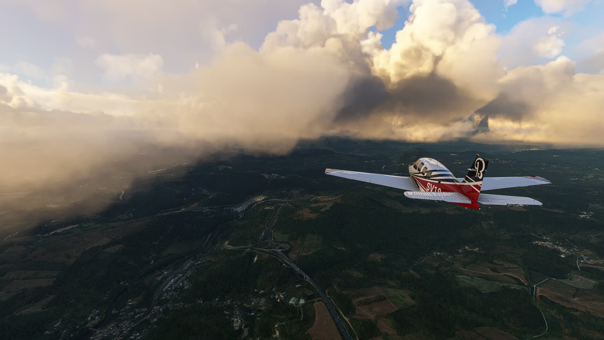
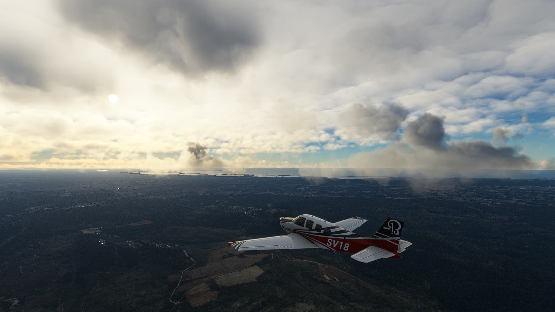
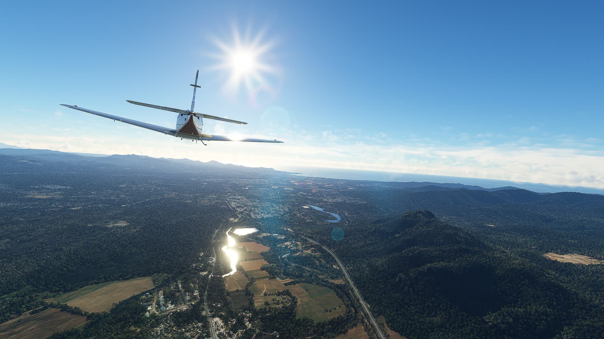
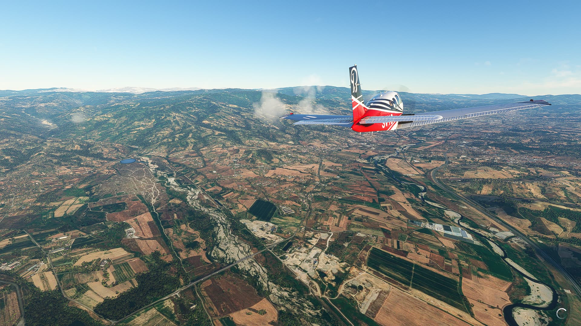
Chaudes-Aigues (LF38) - Montpellier (LFMT).
France.
Flight No. 008.
-
Chaudes-Aigues is perhaps the most awesome airfield I ever took off from! You basically ascend a hilltop and plunge down to the Lac du Barrage de Grandval where you then have to climb out of a narrow valley. 11/10 can recommend it - but perhaps not in anything larger than a Bonanza!
-
Sunrise above the Margeride, a part of the Massif Central. Taken near Saint-Marc.
-
Rejoining the La Meridienne near Saint-Chély-d’Apcher (right).
-
La Pècher (right) and the northern outskirts of Aumont-Aubrac.
-
Marvejols (left) on Colangne River.
-
La Meridienne snaking along the western rim of Colagne Valley near Bourgs sur Colagne (left). If you look closely you can spot a rail bridge crossing the river!
-
Magnificient cloudscape near La Tieule.
-
And another hole in the clouds near Montalies (not visible) and Novis (center).
-
A path has opened! You can already spot the city of Millau through the gap in the clouds!
-
The largest viaduct I’ve ever seen in-game: The Viaduc de Millau (center) poking out of a cloudbank with the namesake city to its left.
-
Passing the Puech de Mus and sainte-Eulalie-de-Cernon (right).
-
Leaving the Massif Central near Soubès and descending to 3500ft. You can see Lodève (right), the Lac du Salagou (center) as well as the Mediterranian Sea (if you strain your eyes in the center background) in the distance.
-
The Lac du Salagou with the villages Cartels (right) and Saint-Frèchoux on Lergue River right in front of it.
-
Leaving La Meridienne for Highway A750 near Saint-André-de-Sangonis (below) and Gignac (center).
-
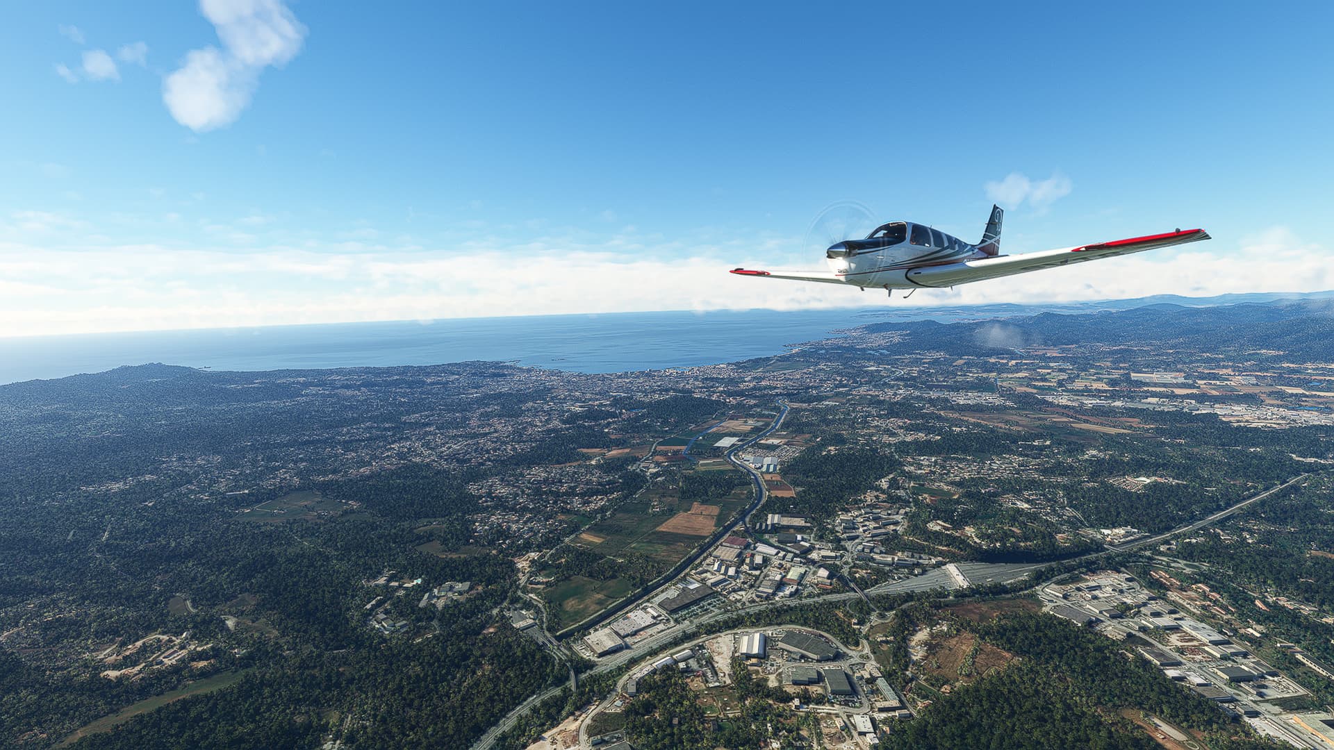
The moment I switched to “La Mer” on Spotify: Getting a full view of the coast near Saint-Paul-et-Valmalle.
-
Montpellier as seen from above Saint-Georges-d’Orques (left).
-
Descending to the Aéroport International de Montpellier Méditerranée above Les Cévennes district.
Montpellier (LFMT) - Le Cannet (LFMC).
France.
Flight No. 009.
-
Joining Highway A9 “La Languedocienne” on our way towards the Italian border.
-
Baillargues (left) and the Parc d’Activité Aftalion (center).
-
Pole Actif near Gallargues-le-Montueux (below). Mus, Vergèze and Codognan can be seen in front of us, La Garrigue to the right.
-
The city of Nîmes with La Languedocienne running along its southern rim (right). We leave the highway here for the A54.
-
What appears to be a vineyard on the Canal des Costiéres near Garrons.
-
Following A54 towards Arles (center background) along the Petit Rhône (Little Rhone) River.
-
The city of Arles on Rhone River. You can spot the famous Arènes d’Arles, an ancient Roman amphitheatre in the center of the shot.
-
Passing Saint-Martin-de-Crau. In the far distance and to the right Miramas can be seen, illuminated by the afternoon sun.
-
Apparently more vineyards on our way to Salon-de-Provence (center).
-
Passing Salon-de-Provence and entering Highway A7.
-
Leaving A7 for A8 “La Provençale” near La Fare-les-Oliviers (right) and Velaux (center left).
-
Aix-en-Provence as seen from above Jas de Bouffan district. The iconic Montagne Sainte-Victoire can be seen behind the city.
-
The Montagne Sainte-Victoire up close as seen from Pont de Bayeux.
-
Trets (right) on Arc River.
-
Passing Saint-Maximin-la-Sainte-Baume further along La Provençale.
-
The Unité d’instruction et d’intervention de la Sécurité civile n° 7 (center) near Brignoles.
Le Cannet (LFMC) - Albenga (LIMG).
France & Italy.
Flight No. 010.
-
The Aerodrome Le Luc - Le Cannet after takeoff and a 270° turn to the east.
-
Vidauban (left) on Argens River as well as Taradeau (left background) and Les Arcs (right).
-
The Argens River near Le Muy (left) with Roquebrune-sur-Argens (center) and Fréjus / Saint-Raphaël (behind it) visible in the distance.
-
Following La Provençale to the northeast: Again, Fréjus (right) and Saint-Raphaël (center background) can be seen behind us.
-
The Lac de Saint-Cassien near Les esterets du Lac (left).
-
Mandelieu-la-Napoule on Siagne River with the Aeroport Cannes-Mandelieu in the lower right corner of the shot. Cannes itself is located near the small headland across from where the two islands are.
-
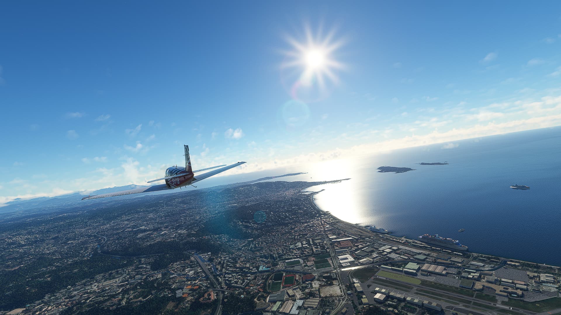
Taken above the Parc de Vaugrenier near Villeneuve-Loubet (left). Cagnes-sur-Mer, Saint-Laurent-du-Var and Nice can be seen in succession along the coastline. The most prominent feature in this shot is the Hippodrome de la Côte d’Azur directly in front of us.
-
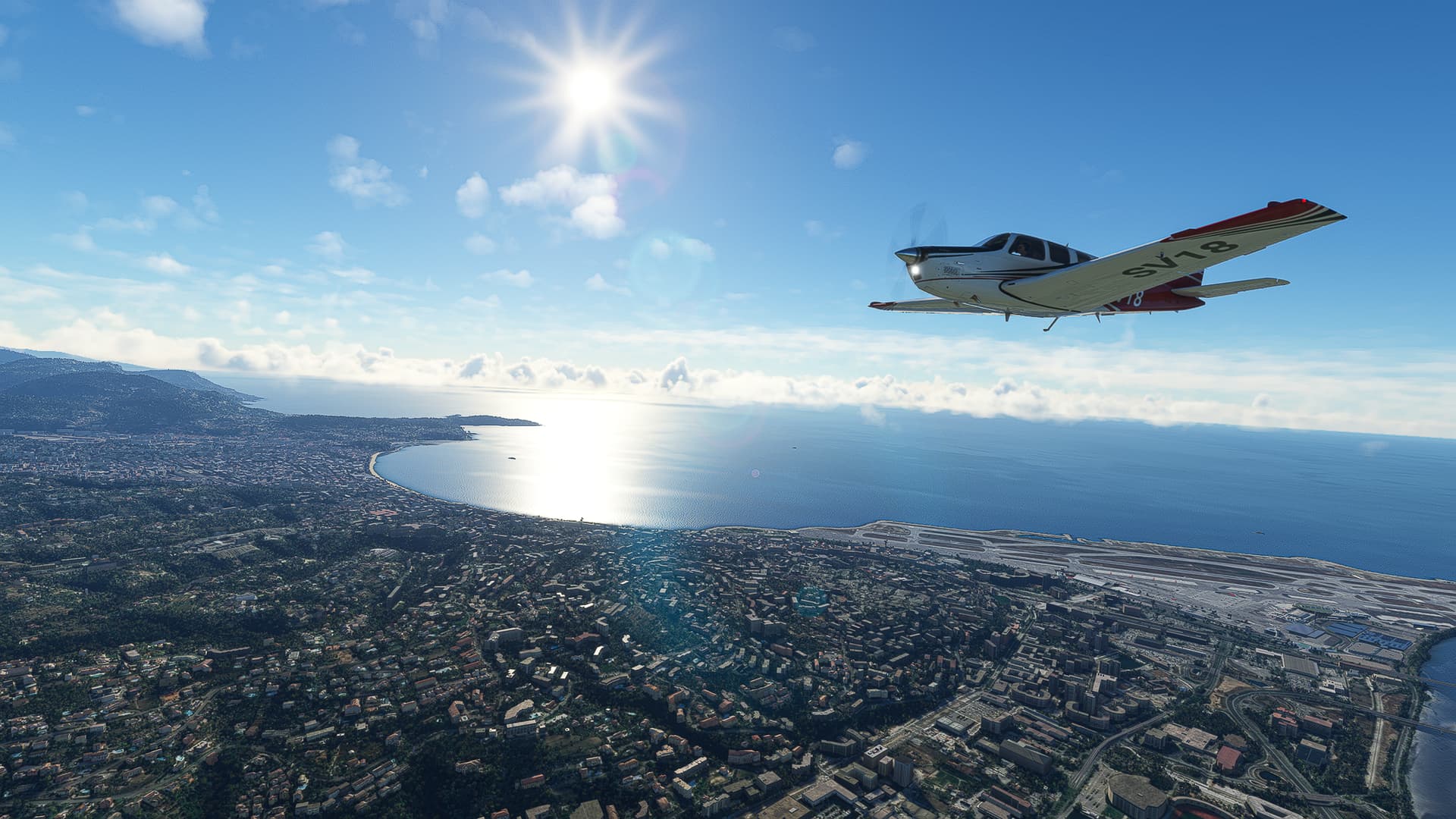
Following La Provençale along Var River to the north while leaving Nice (left) and the Aeroport Nice Côte d’Azur (center) behind us.
-
Another look back towards Nice, this time from above La Trinité.
-
Circling around the slopes of Mont Agel (left) near Beausoleil (right).
-
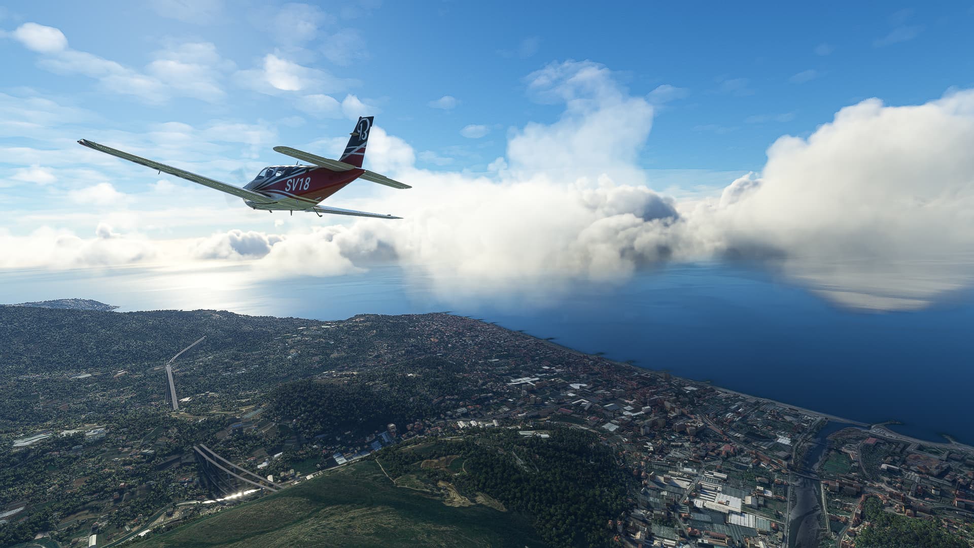
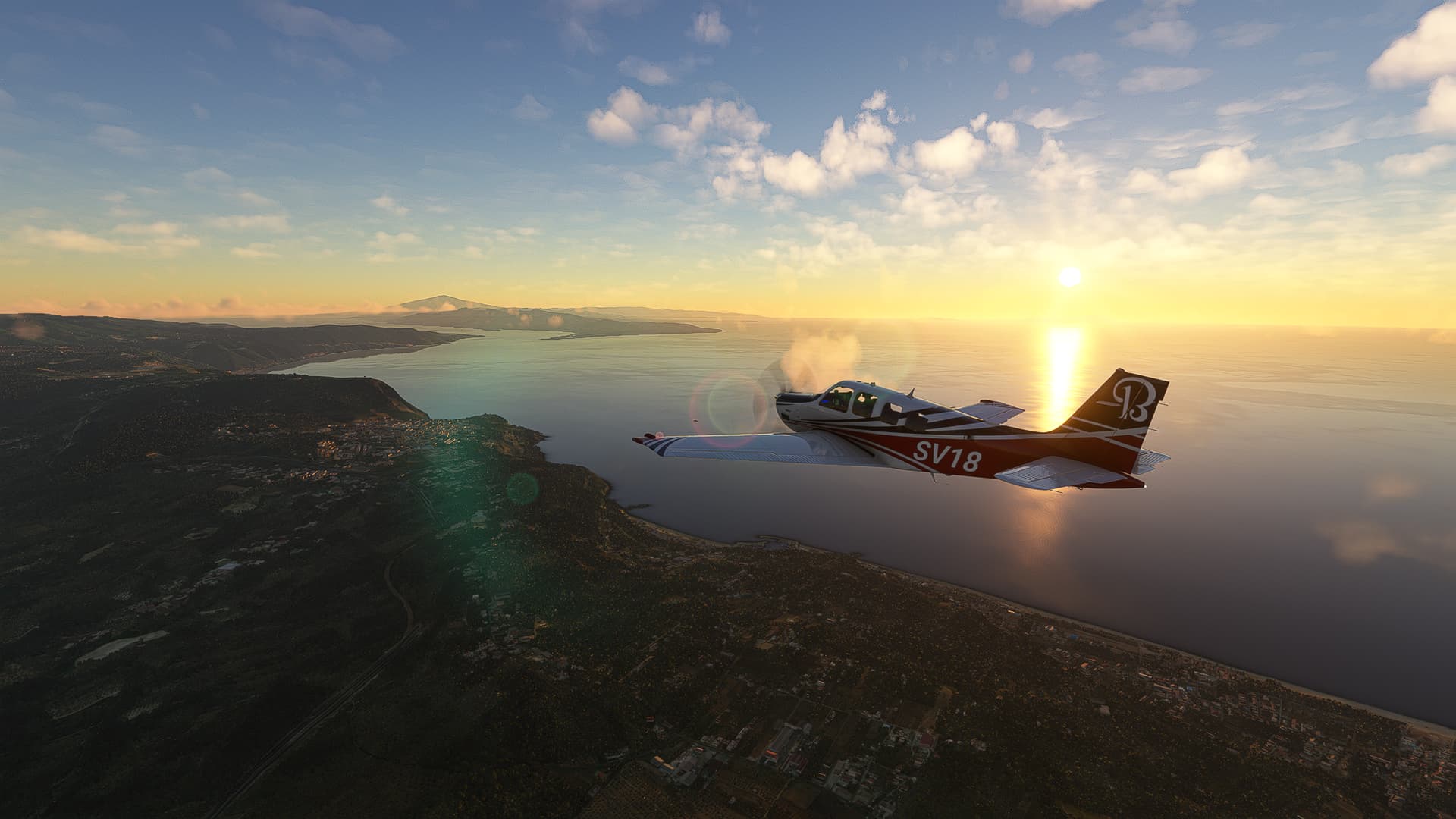
We arrived in Italy! Crossing the Nervia River near Vallecrosia (right) and Bordighera (left).
-
Arma di Taggia (right) on the estuary of the Argentina River.
-
Imperia (center) with Porto Maurizio and the Prino River to the right.
-
Looking back to Laigueglia (left) and Andora on the Merula River (center).
-
Turning east above Albenga and following the Arroscia River towards our destination - the Aerodromo Clemente Panero near Villanova d’Albenga (center).
1 Like
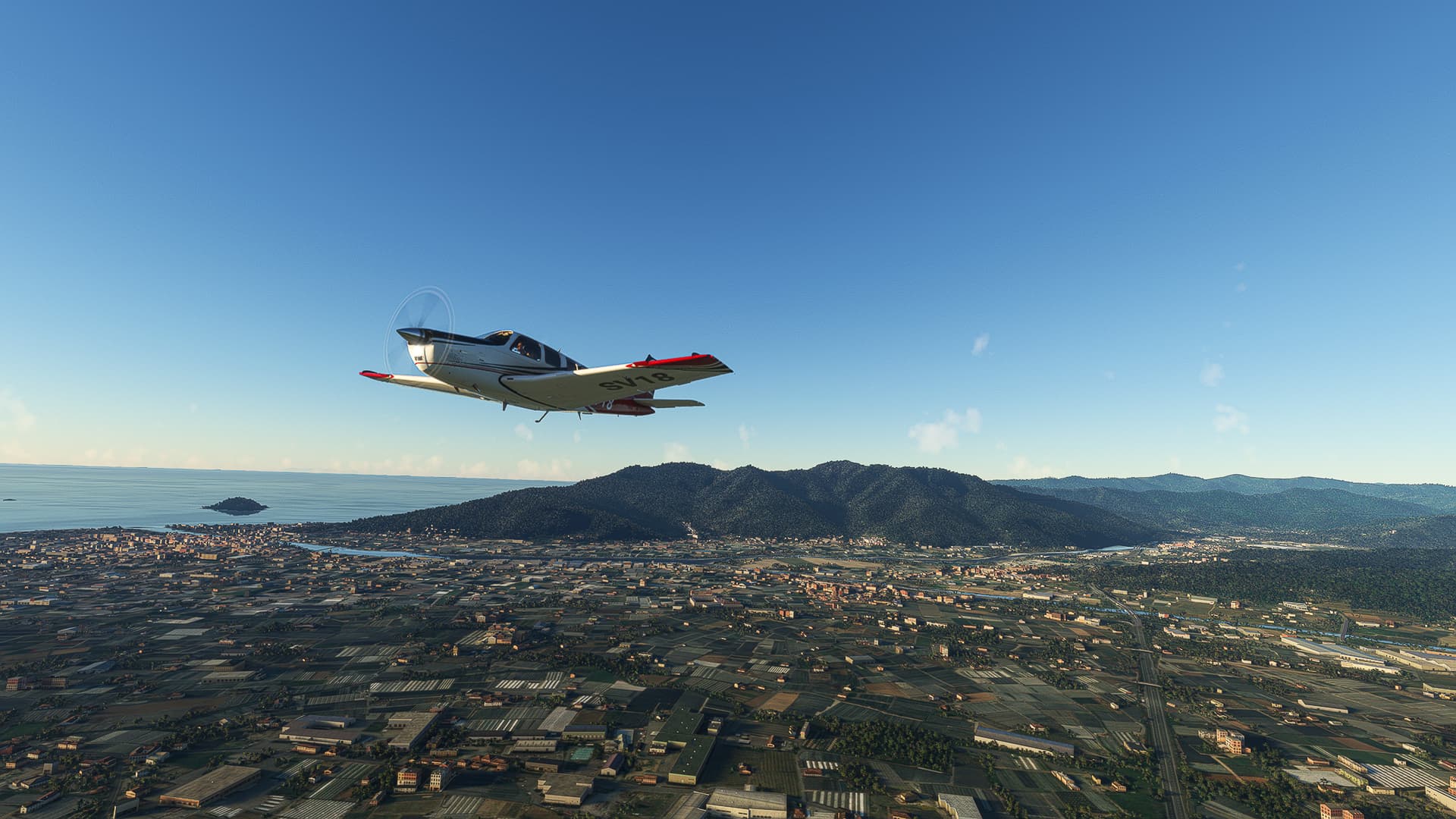
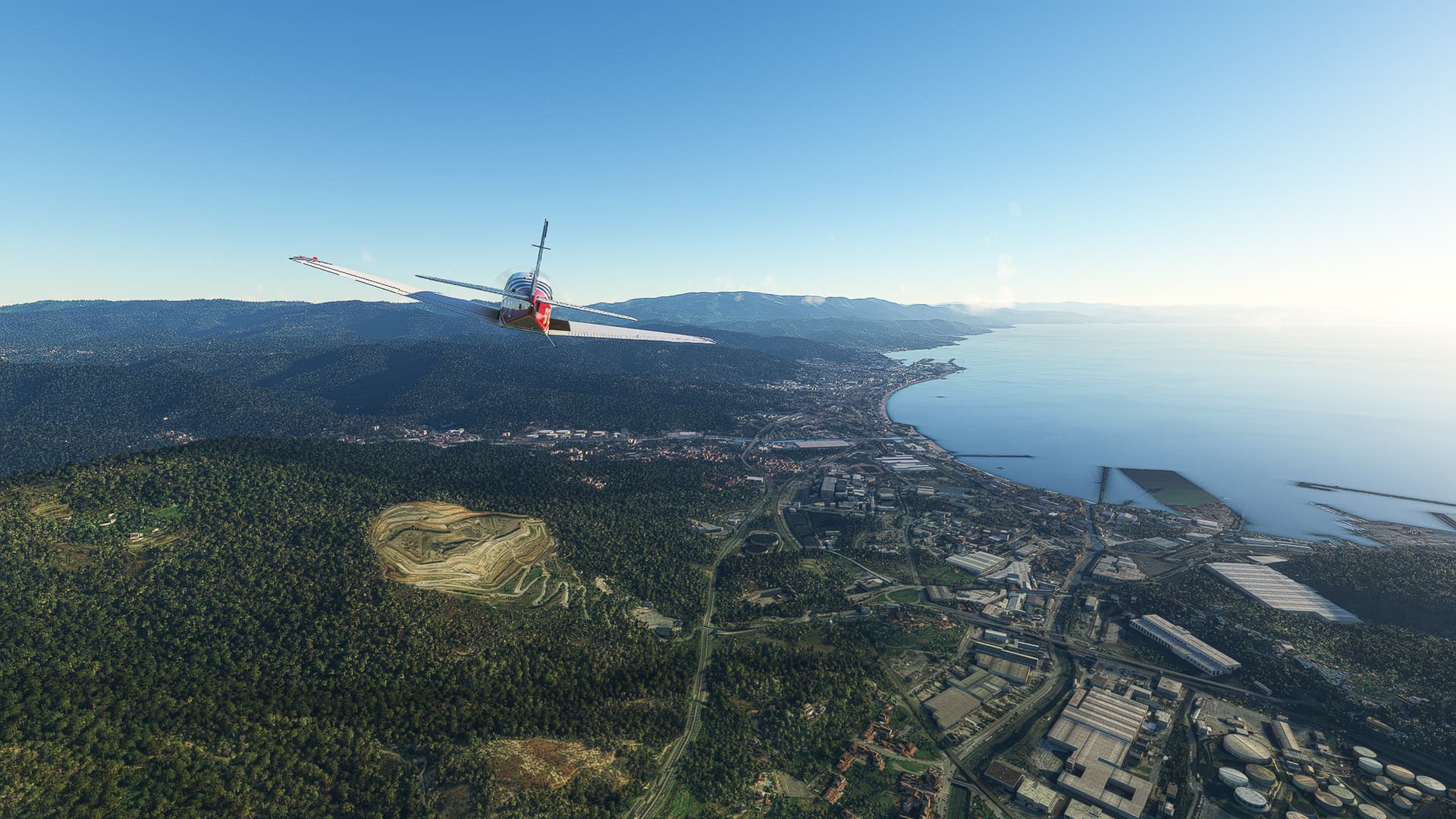
Albenga (LIMG) - Luni (LIQW).
Italy.
Flight No. 011.
-
The Valley of Arrascia River (right) as well as Leca (center) and Albenga (right). The Isola Gallinara can be seen off the coast.
-
The Varatella River snaking its way through the mountains near Toirano (center).
-
The coast between Albenga (right background) and Borgio (left).
-
Savona as seen from above Segno River.
-
The Autostrada dei Trafori (A26) between San Nicolò (right) and Gallinea (background). The large viaduct near the center is the Viadotto Gorsexio.
-
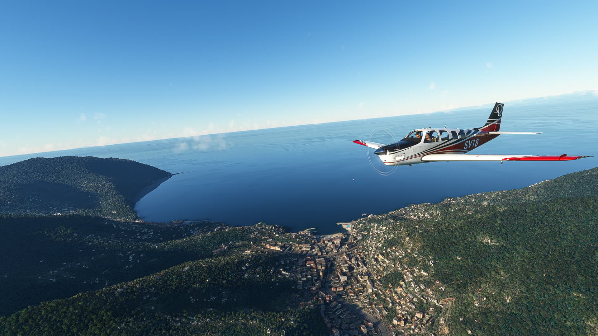
Genova / Genoa (right) with Borzoli to our left and the Polcevera River behind it.
-
Looking to our right we can see the entire city of Genova and its harbour as well as Bisagno RIver running below us towards the coast.
-
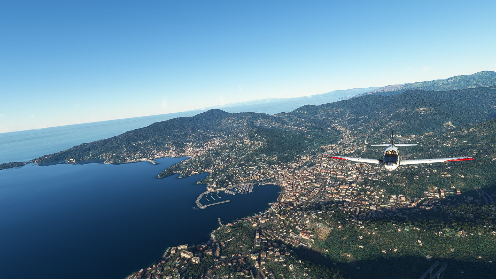
Speaking of the coast: We are following Highway A12 through the seaside mountains to the east - here above Bogliasco (right) and Sessarego (left).
-
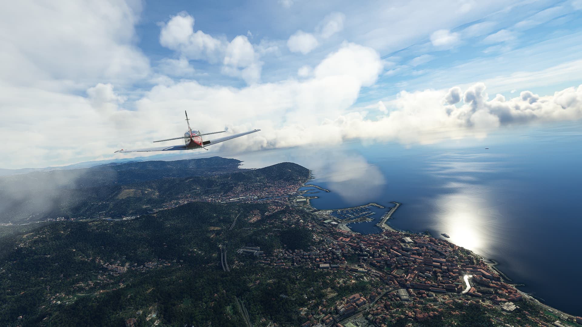
Recco on the western end of Portofino Peninsula.
-
Rapallo, site of the first official treaty between Germany and the Soviet Union in 1922, on the eastern end of Portofino Peninsula.
-
Entella River with Chiavari on its western (upper) and Lavagna on its eastern (lower) bank.
-
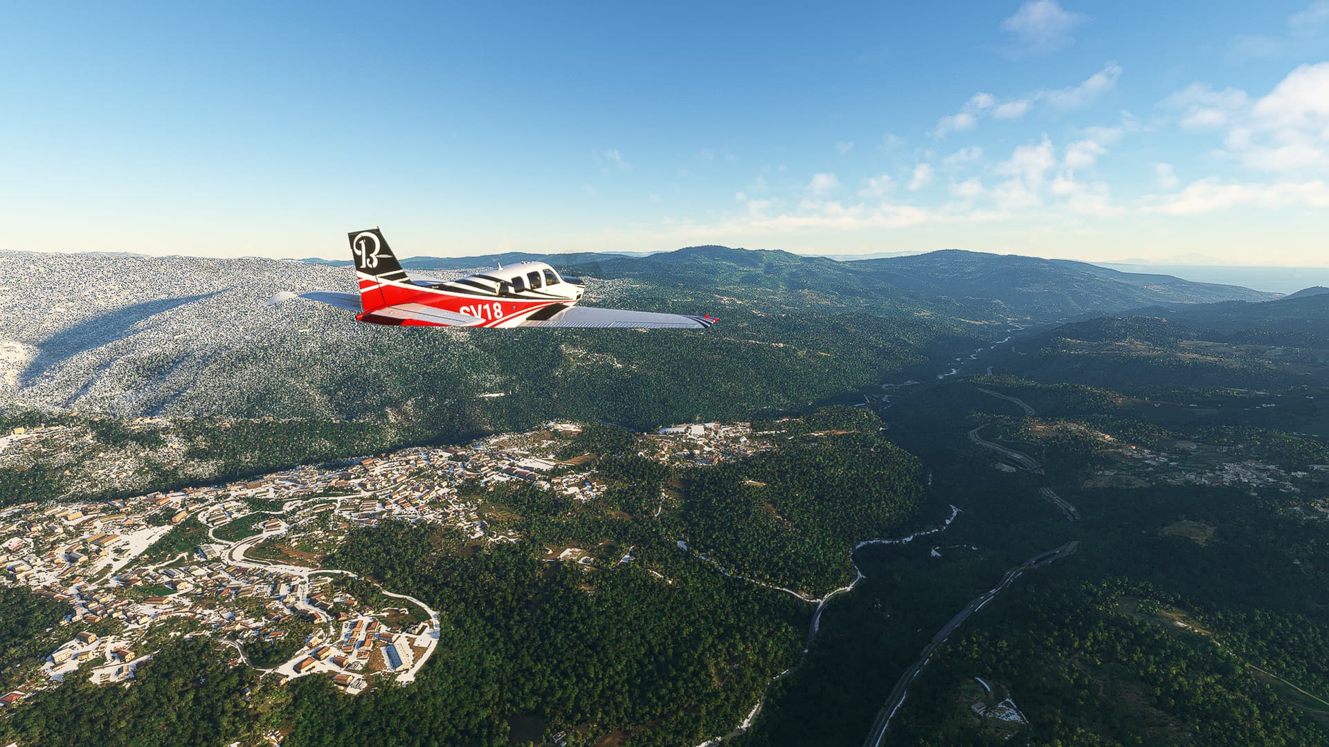
The Ligurian Appenines near Mattarana (left).
-
Descending towards Luni: Santo Stefano di Magra can be seen to our left, Sarzana in the far distance as well as the Gulf of La Spezia to our right.
Luni (LIQW) - Arezzo (LIQB).
Italy.
Flight No. 012.
-
MARISTAELI Luni is an airfield primarily used by the Italian Navy and Coast Guard. The closest town, Sarzana, can be seen to the left.
-
View towards Monte Brugiana (left) with Massa in front of it.
-
The coast near Marina di Pietrasanta (right) and Lido di Camaiore (further along to the left).
-
The Lago di Massaciuccoli (left) with Viareggio to the right. We’re leaving Highway A12 as well as the coast and follow A11M12 towards the mountains.
-
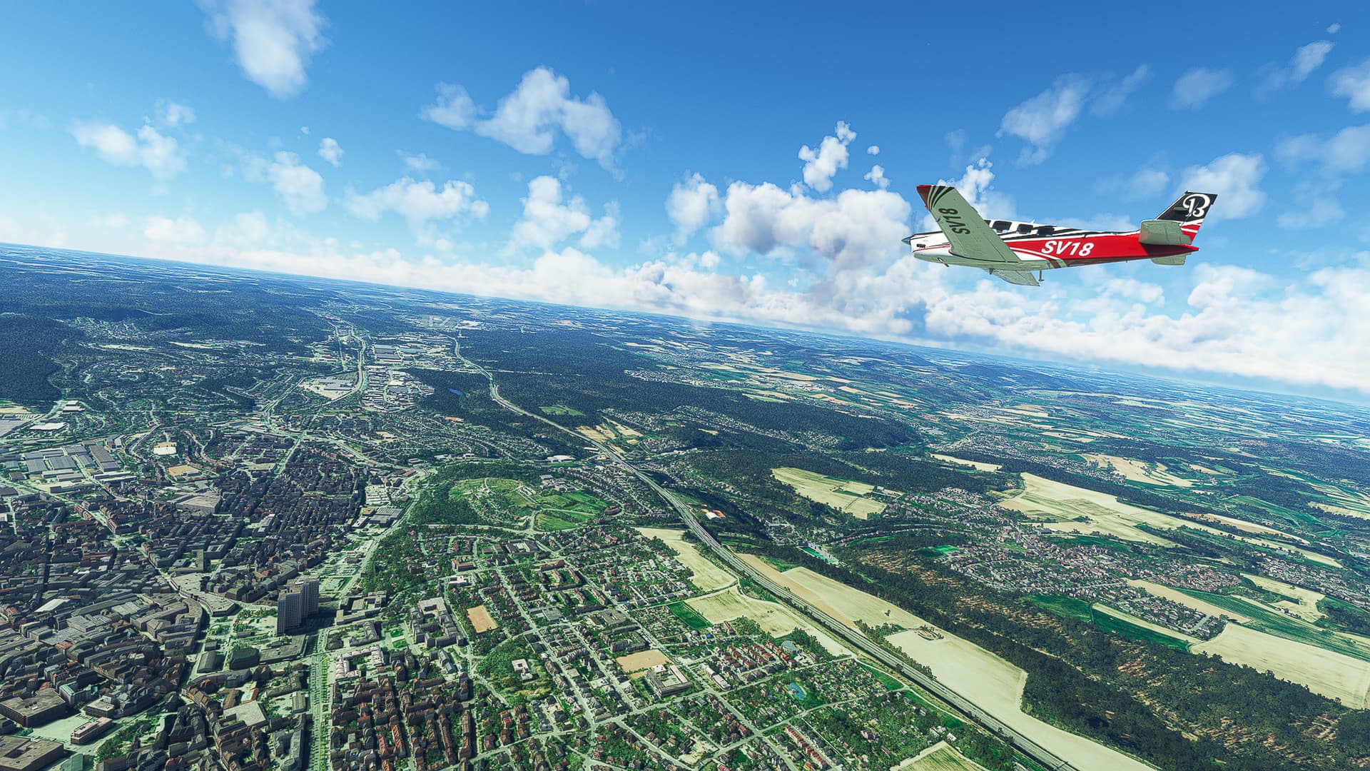
The city of Lucca with its historic city walls as well as the park areas surrounding them.
-
Approaching the Montalbano Hills with Montecatini Terme (center) and Monsummano Terme (right) in front of them.
-
Arriving in Pistoia after crossing the Montalbano Hills.
-
City of Prato near Firenze.
-
Leaving A11 near Limite (left) and Campi Bisenzio (right). The “Area naturale protetto di interesse locale Podere La Querciola” ("Protected natural area of local interest ‘Podere La Querciola’ ") can be seen in the center background (the “empty” space between Limite and Firenze.
-
Following A1 to circle south around Firenze itself: Here a view towards the city (far center background) from above Scandicci (below us).
-
Beautiful Tuscan landscape along the Via Volterrana: Galluzo can be seen right behind our plane with Bottai in the lower right corner near the highway and Firenze to the left.
-
Following A1 towards Arezzo, here near Figline e Incisa Valdarno (right) on the Arno River.
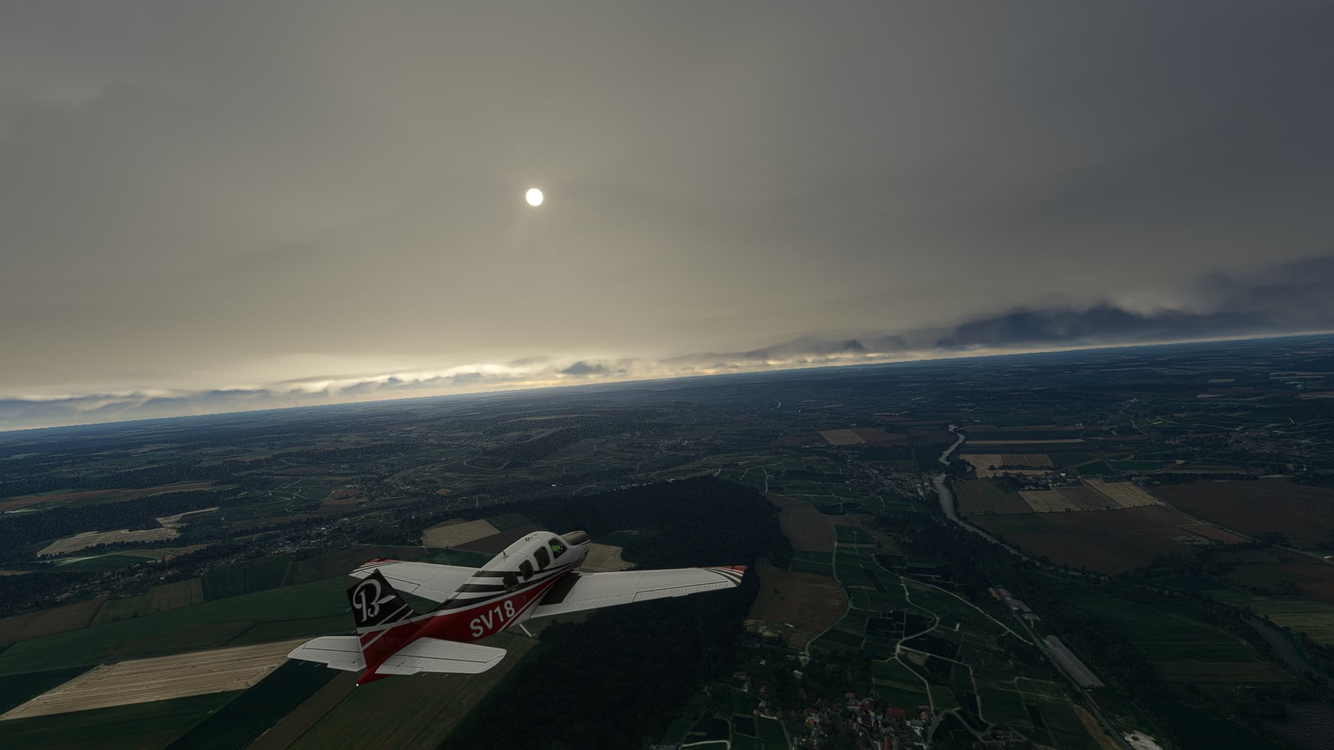
Arezzo (LIQB) - Ciampino (LIRA).
Italy.
Flight No. 013.
-
A rare night flight beginning in Arezzo (center). The Aerodromo di Arezzo-Molin Bianco can be seen to our right.
-
Following Highway A1 to Roma. This shot was taken shortly after joining it near Marciano della Chiana.
-
The night sky above Abbadia di Montepulciano. You can see the Lago Trasimeno in the distance, where Hannibal once destroyed a Roman army.
-
Looking towards Chianciano Terme (center background) and Montepulciano (right background).
-
Near Allerona Scalo (left background).
-
Baschi on Tevere (Tiber) River in top-down view.
-
Vitterbo (center) and Montefiascone (right) in the far distance.
-
Passing Orte (left center) and Petignano (right center) on Tevere.
-
The Monte Soratte (center) with Roma behind it.
-
Turning southwest near Fiano Romano (right) and Passo Corese (left).
-
Leaving A1 for A90, the large highway ring around Roma, near the Parco delle Sabine (center right).
-
Taking a last picture before beginning our descent: View towards the city center from above Via Naide.
Ciampino (LIRA) - Capodichino (LIRN).
Italy.
Flight No. 014.
-
Turning north above Centroni (left) and Morena (right) to rejoin our old friend, the Highway A1.
-
Rural area between Via die Vermicino, A1 and Via di Prataporci.
-
San Cesareo (left) with Zagarolo in the distance.
-
Valmontone with its station nestled into this small valley.
-
Cartiera-Stazione on Sacco River.
-
Pofi Village (right),
-
Monte Cassino (left) with the town of Cassino behind it. Please ignore the AI who decided that the abbey ruins should be some sort of appartment building…
-
Casilina on the southwestern slopes of Marro dell’Arco.
-
Turning south towards Teano (right) and the coast.
-
Pignataro Maggiore (right) with Colle del Castellone right behind it.
-
Crossing the Volturno River near Capua (right) and heading towards San Prisco (center left).
-
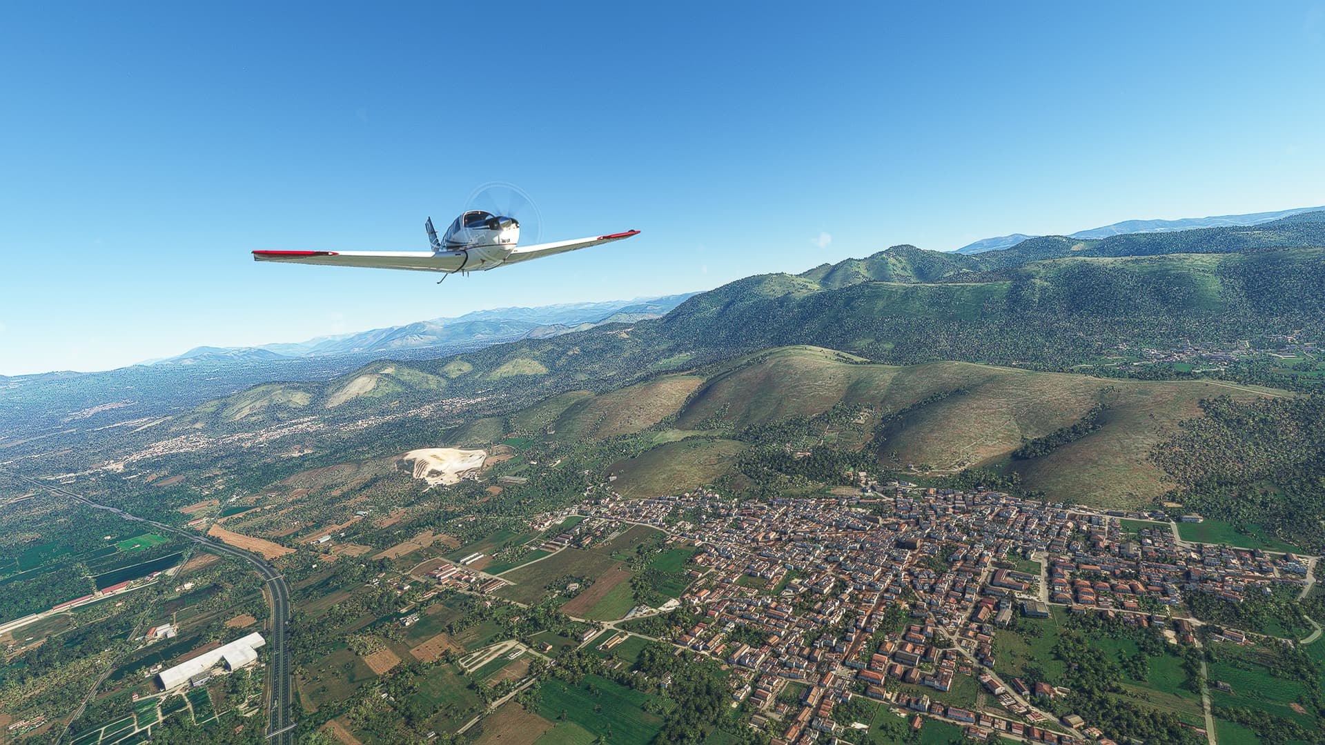
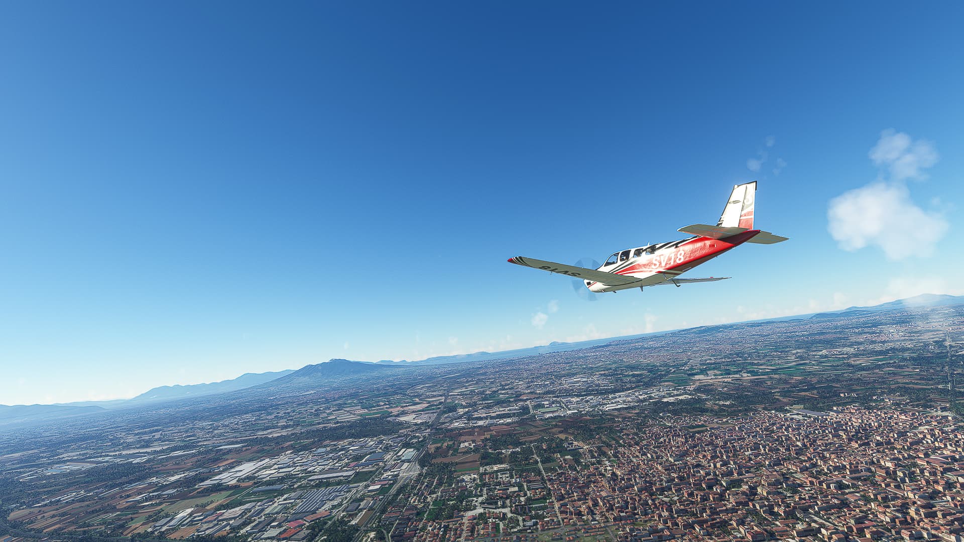
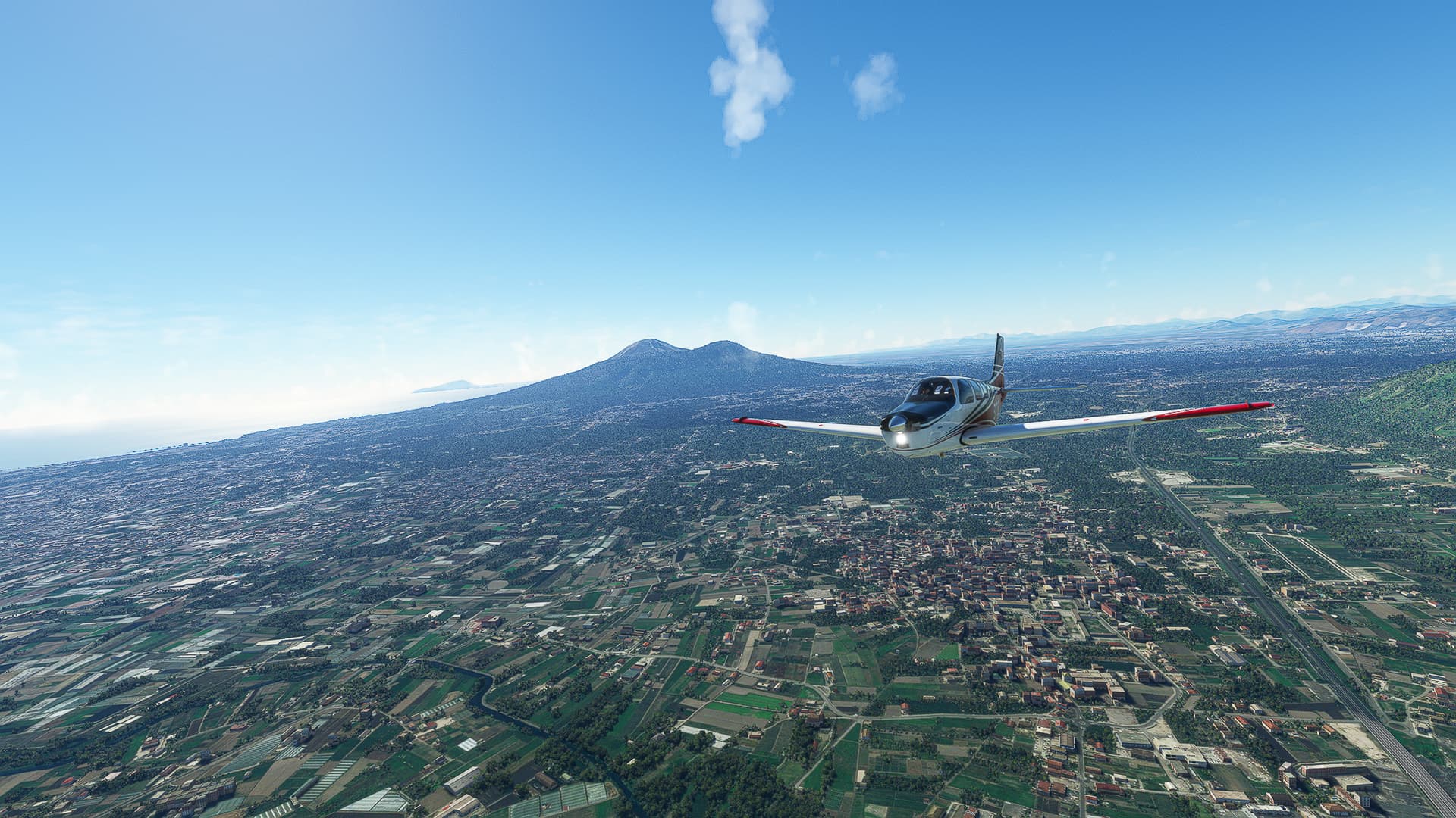
Marcianise (right) and San Marco Evangelista (left) with Mount Vesuvius looming in the background.
-
Turning towards Napoli near Caivano (right) shortly before beginning our descent.
Capodichino (LIRN) - Castrovillari (LIKA).
Italy.
Flight No. 015.
-
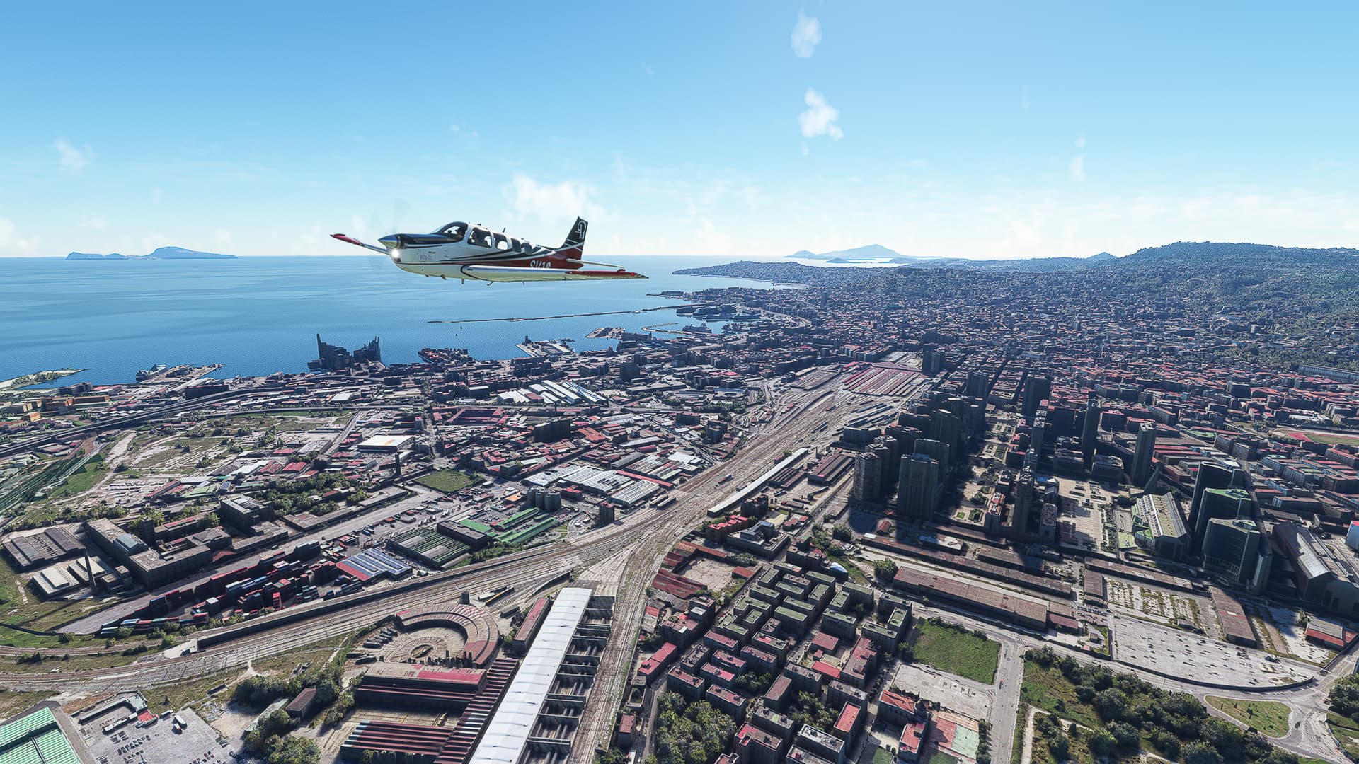
Napoli Centrale (Napoli Main Station) with Vicaria District (right), San Lorenzo District (background) and Mercato District (left) around it.
-
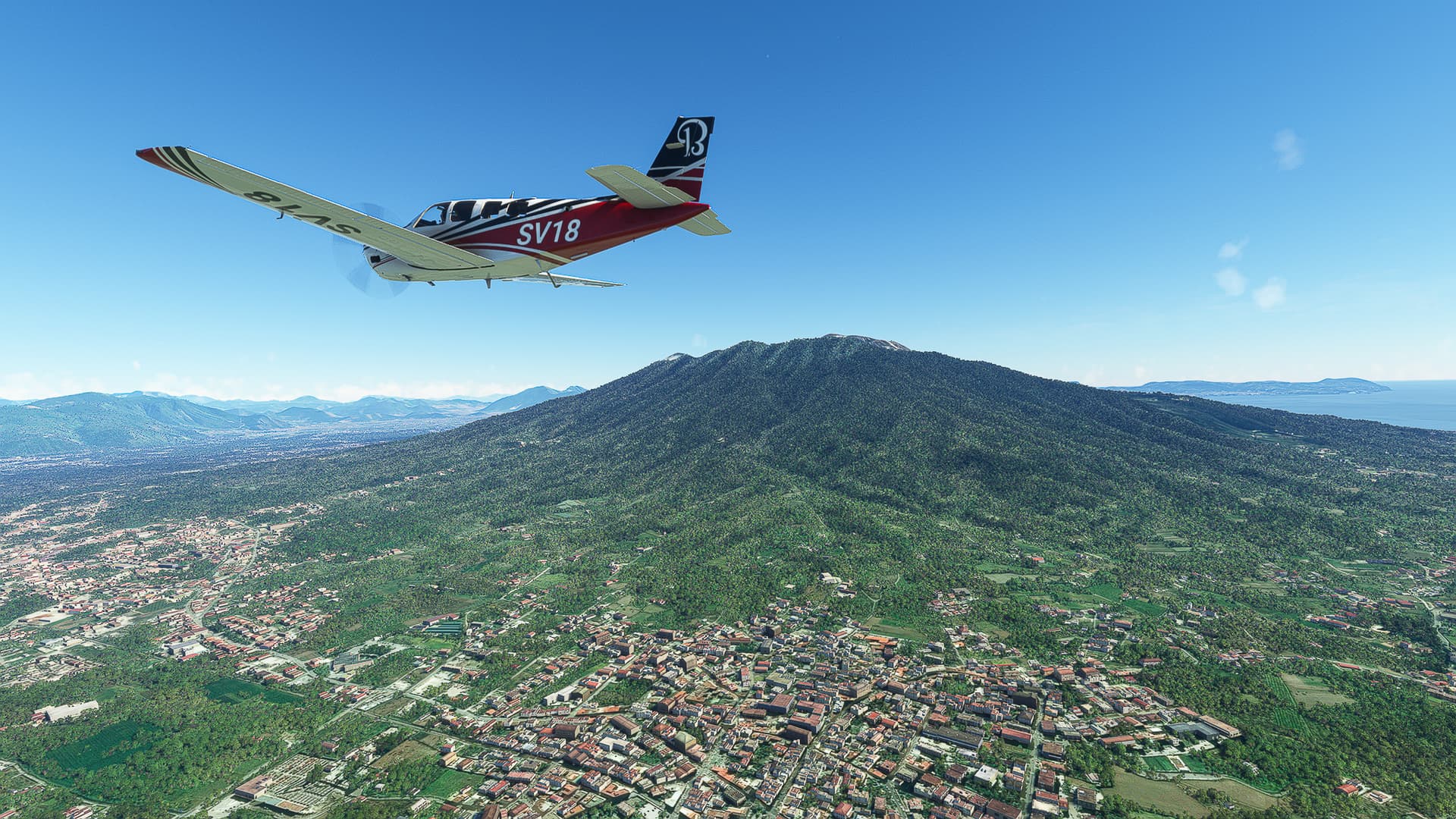
Passing Mount Vesuvius near Sant’Anastasia (right) and Somma Vesuviana (left).
-
Looking back a last time towards Napoli and Mount Vesuvius above San Valentino Torio (right).
-
Lancusi below us with Baronissi (right) and Pellezzano (at the gap in the mountains) behind it.
-
San Mango Piemonte and the Monte Tubenna behind it to the left of Highway A2.
-
The Golfo di Salerno as seen from above Bastipaglia and Bellizi (right).
-
Following Sele River towards Contursi Terme. The prominent mountain range to our right are the Monti Alburni.
-
Due to the increase in ground level we need to ascent to about 4500ft altitude: This allows us a few top-down shots like this one above Castelluccio Cosentino and the Tanagro River (right).
-
Another top-down shot above Polla on Tanagro River.
-
Following A2 in a straight line to the south, passing Sala Consilina (left) on the slopes of Madonna Del Sito Alto mountain.
-
Buonabitacolo (center) on Peglio River.
-
Cima Fabio Limongi, the first 2000m mountain we see on our entire trip.
-
Another prominent mountain in the distance that I had to take a picture of - the Monte Alpi, a twin-peaked mountain near Calda.
-
Looking across Serra la Locara (right), Serra Vaddelonna (left) and Monte Mancosa (left background) towards the sea.
-
Climbing into even higher mountains near Mormanno (center).
-
Spotting our first glance of the Adriatic Sea behind those mountains!
-
The winding highway A2 leads us along the southern slopes of Monte Pollino (left), Serra Dolecedorme (center left) and Timpa del Pino di Michele (center). The smaller Monte Monzone has yet to be passed by to reach our destination!
-
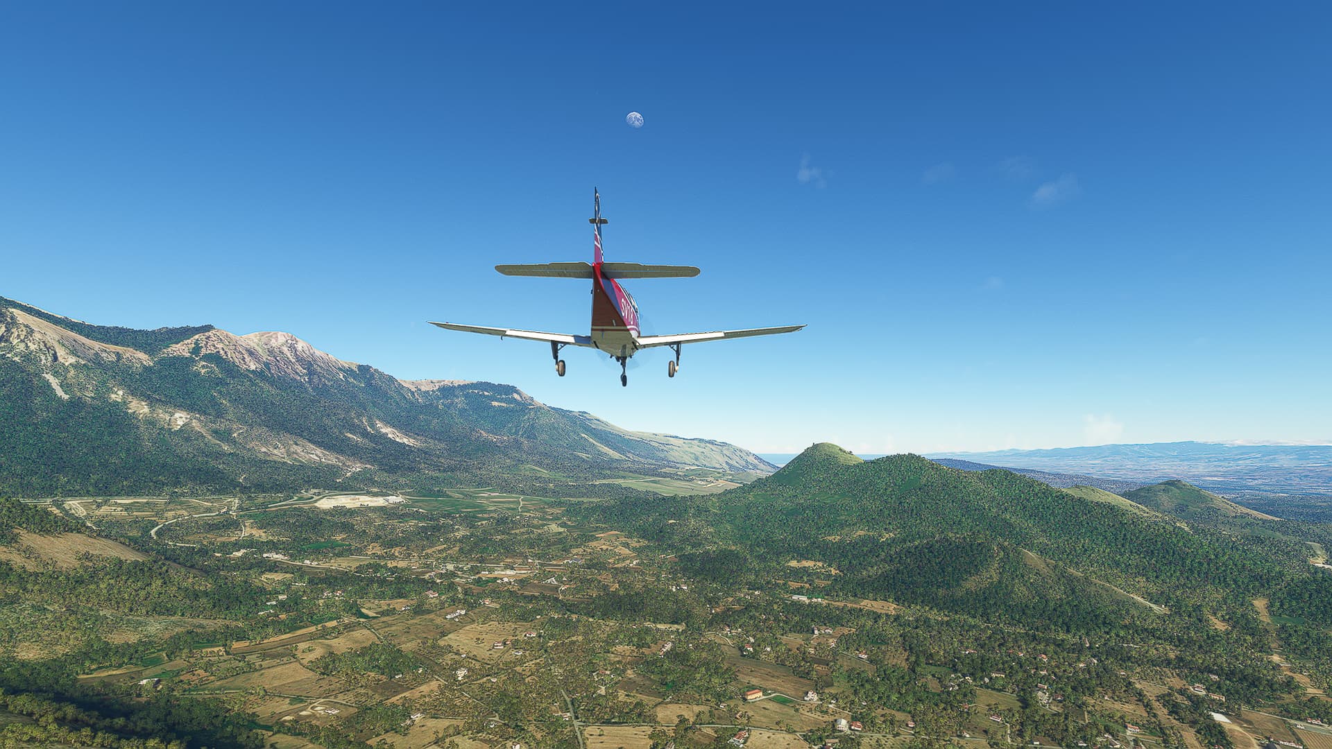
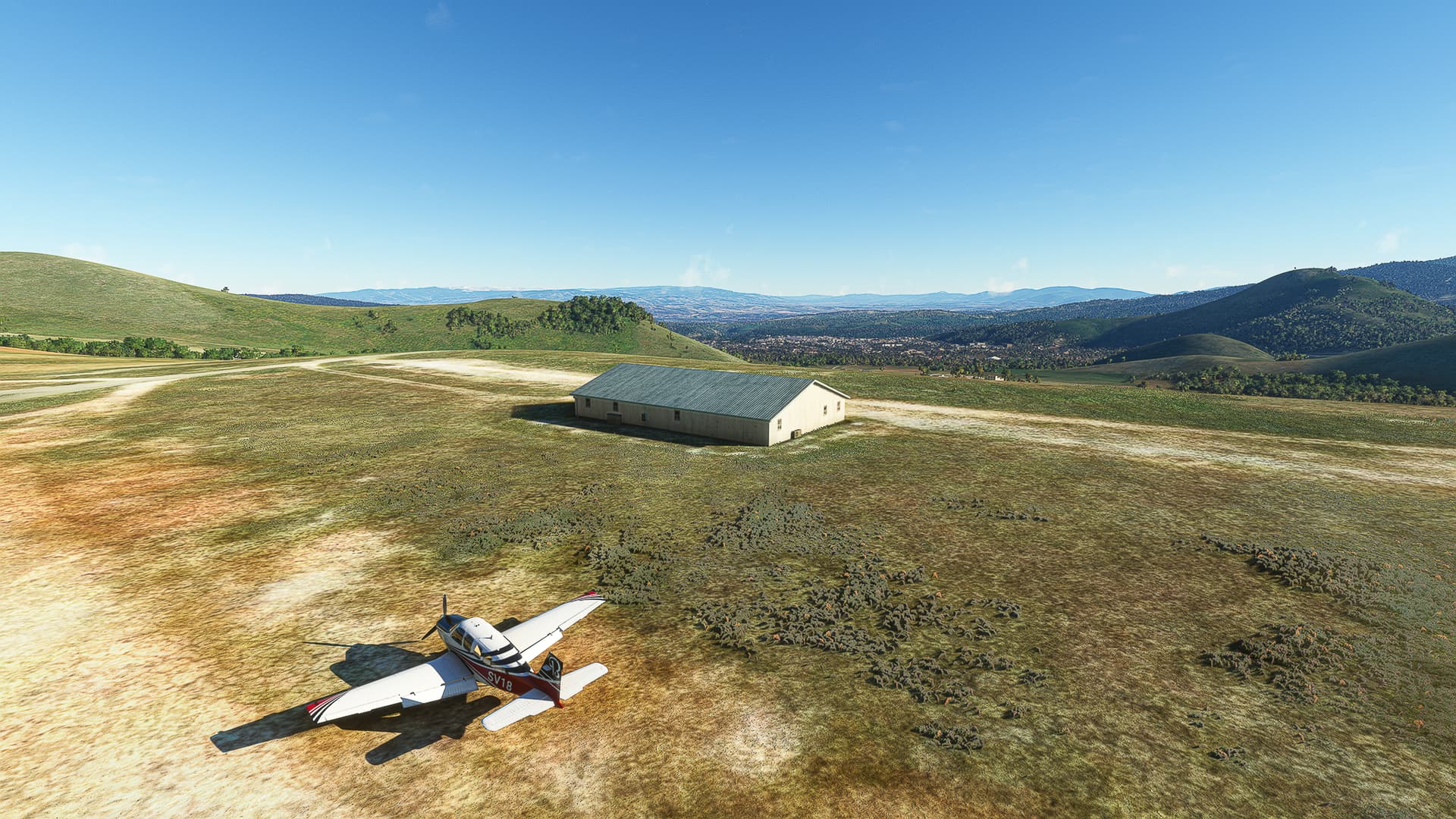
I may have forgotten to read the runway length of Castrovillari. We might need to do a “hilltop start” at the start of our next flight. Still, we got a nice view towards Castrovillari itself (center).
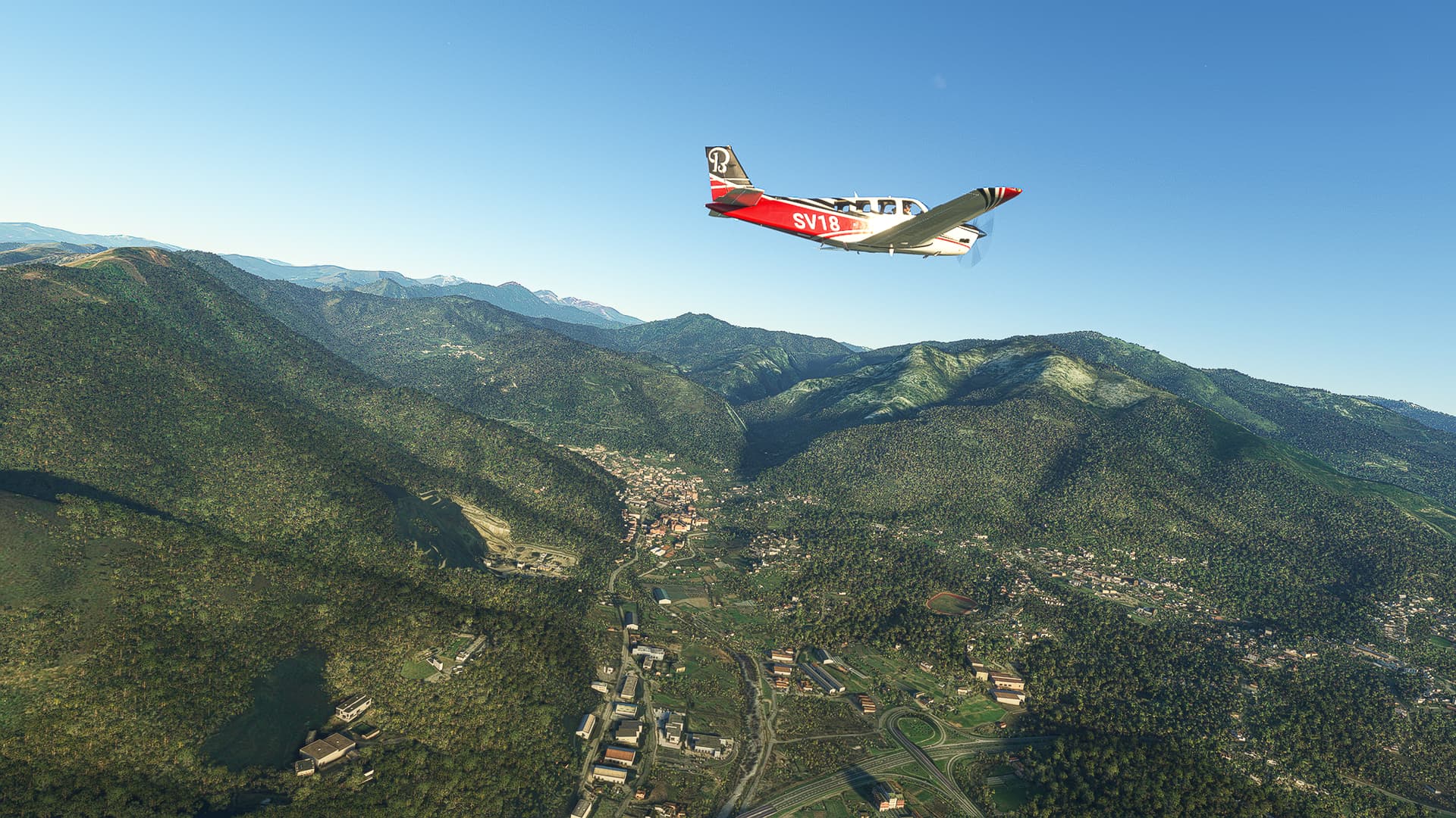
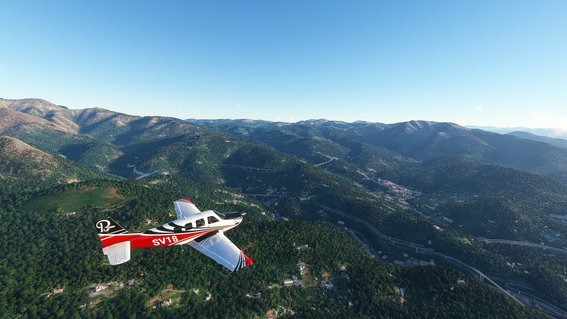
Castrovillari (LIKA) - Reggio di Calabria (LICR).
Italy.
Flight No. 016.
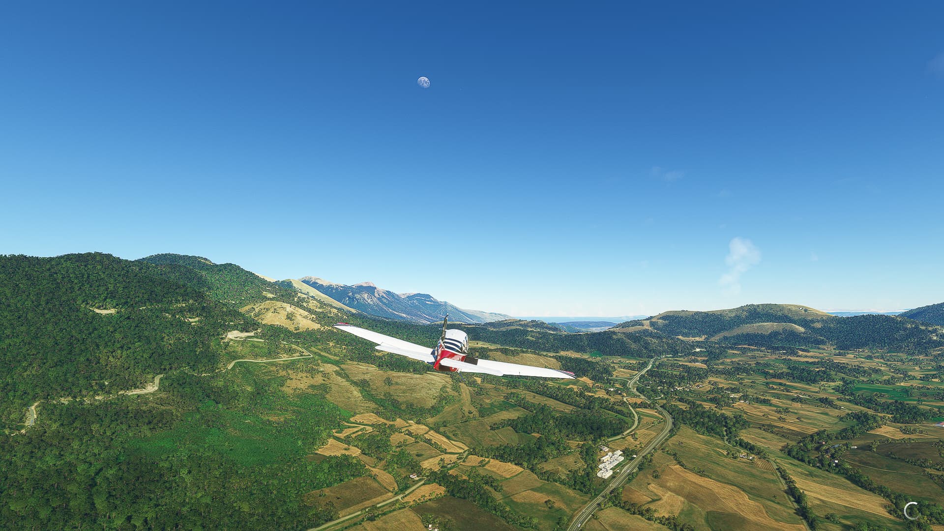
Quick announcement: I’ll divide the flights from now on into small “etappes” which get a full description instead of rambling about every single village in every single picture.
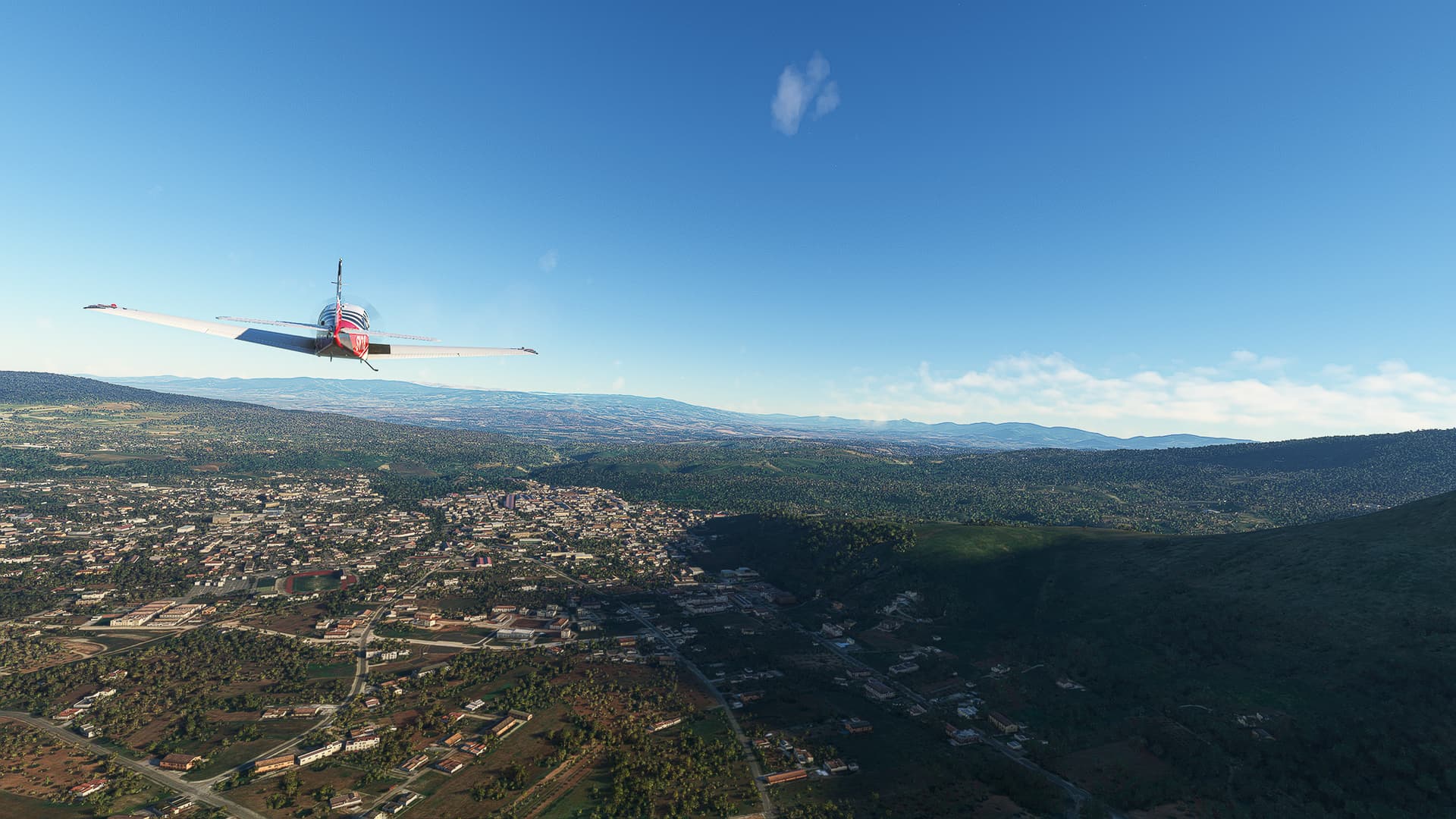
1. Castrovillari - Cosenza: We crossed Castrovillari itself (Pic 1), then followed Highway A2 southwards (Pic 2). We were now in a part of Italy so small, you could see both the Adriatic and the Tyrrhenian Sea from 4500ft altitude (Pic 3 for the Adriatic). Passing Aviosuperficie Cosenza (Pic 4) and crossing Mucone River (Pic 5) we arrived in Cosenza (Pic 6).
2. Cosenza - San Mango d’Aquino: We saw snow in the southern Appenines near Santo Stefano Rogliano (Pic 7) where we joined Savuto River and followed it past San Mango d’Aquino (Pic 8) to the sea.
3. San Mango d’Aquino - Pizzo: Arriving again at the Tyrrhenian coast near Marinella we came across a proper airport - the Aeroporto Internazionale di Lamezia-Terme (Pic 9). We then followed A2 further along the coast to Pizzo (Pic 10) where we could already glimpse the outlines of Sicily.
4. Pizzo - Feroleto della Chiesa: We had to leave the sea for a short while near Sant’Onofrio (Pic 11), passing Acquaro and San Pietro di Caridá (Pic 12) and finally rejoining the coastline near Rosarno with this beautiful view of the mountainside villages of Laureana di Borello, Plaesano and Feroleto della Chiesa (Pic 13).
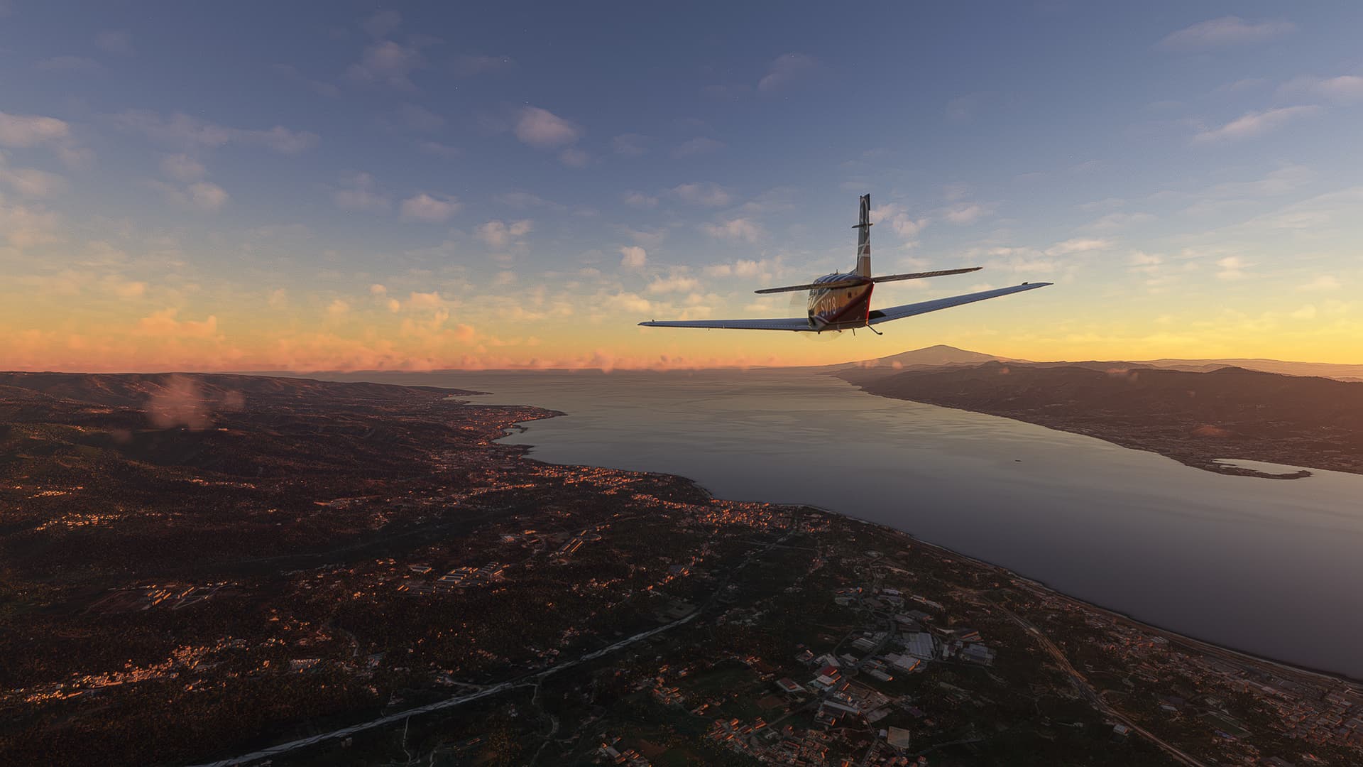
5. Feroleto della Chiesa - Viadotto Stalassà: The sun was already setting when we finally saw the Strait of Messina near Taureana di Palmi (Pic 14). So we gathered our last reserves and sped along the Highway “across” the Viadotto Stalassà (Pic 15) towards the sunset.
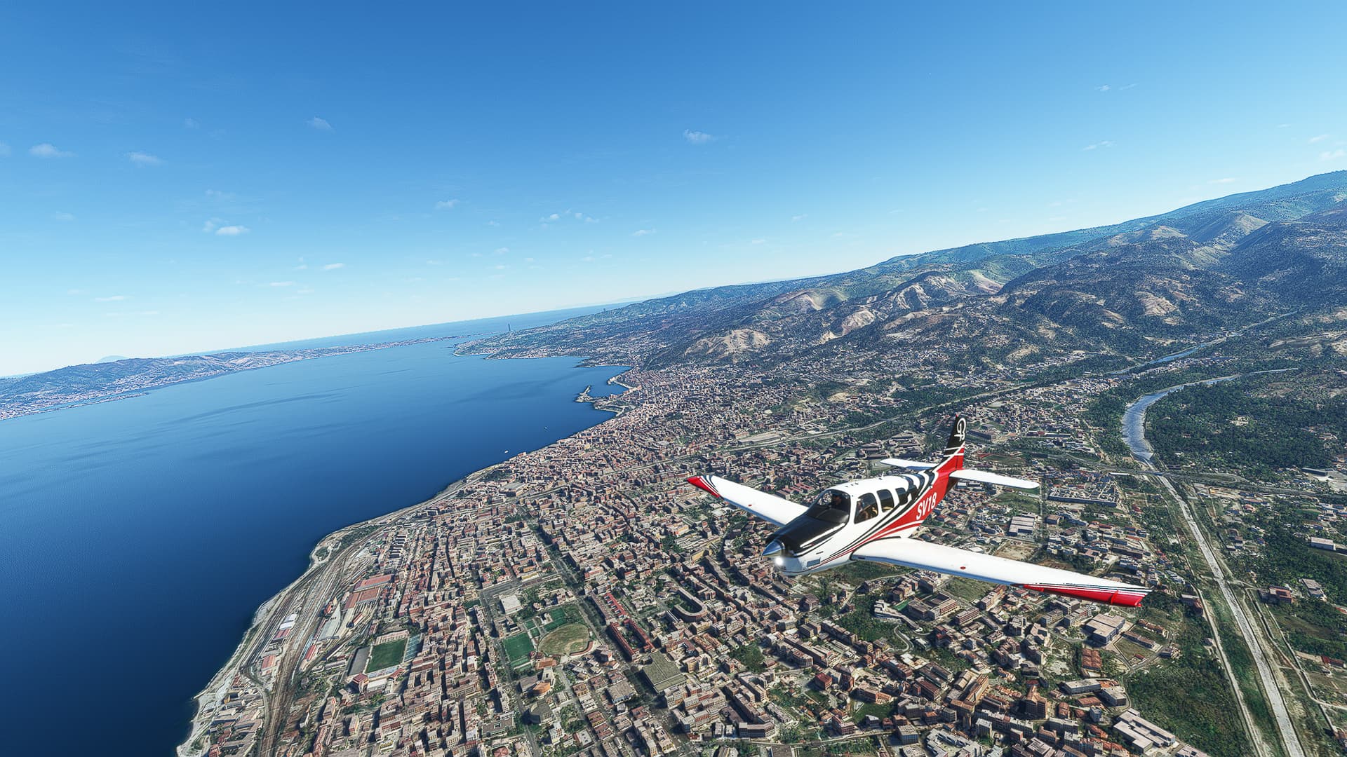
6. Viadotto Stalassà - Reggio di Calabria: After turning around the southwestern tip of the Italian mainland we could see both the Etna as well as Messina across the strait with Catona on our side (Pic 16). Beginning our descent we flew along the coast until Reggio came into sight (Pic 17). Finally, the landing shot - our last landing on the mainland of Europe for the time being (Pic 18)!
Reggio di Calabria (LICR) - Agrigento (LITY).
Italy.
Flight No. 017.
1. Reggio - Catania: Taking off from Reggio we circled the Old Town to gain altitude before heading out across the Strait of Messina (Pic 1). On the other side we turned south near Giampilieri Marina (Pic 2) to follow Highway A18 past Furci Siculo (Pic 3), Taormina (Pic 4) and Chianchitta (Pic 5) to Catania (Pic 6).
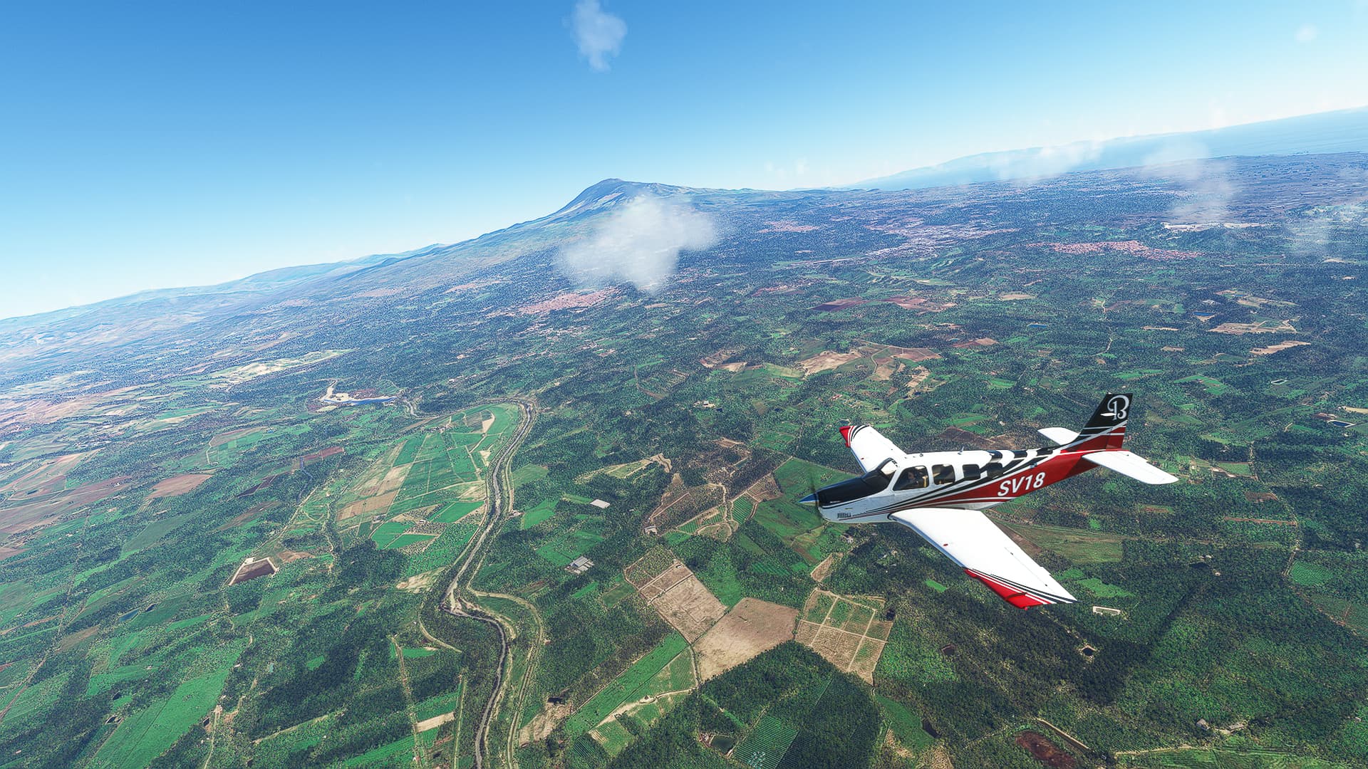
2. Catania - Dittaino: To keep to major roads and reach Agrigento we left A18 near Catania and followed A19 into the center of Sicily, always with Mount Etna looming in the distance (Pic 7). We passed Catenanuova on Dittaino River (Pic 8) to reach the Dittaino Industrial Complex (PIc 8).
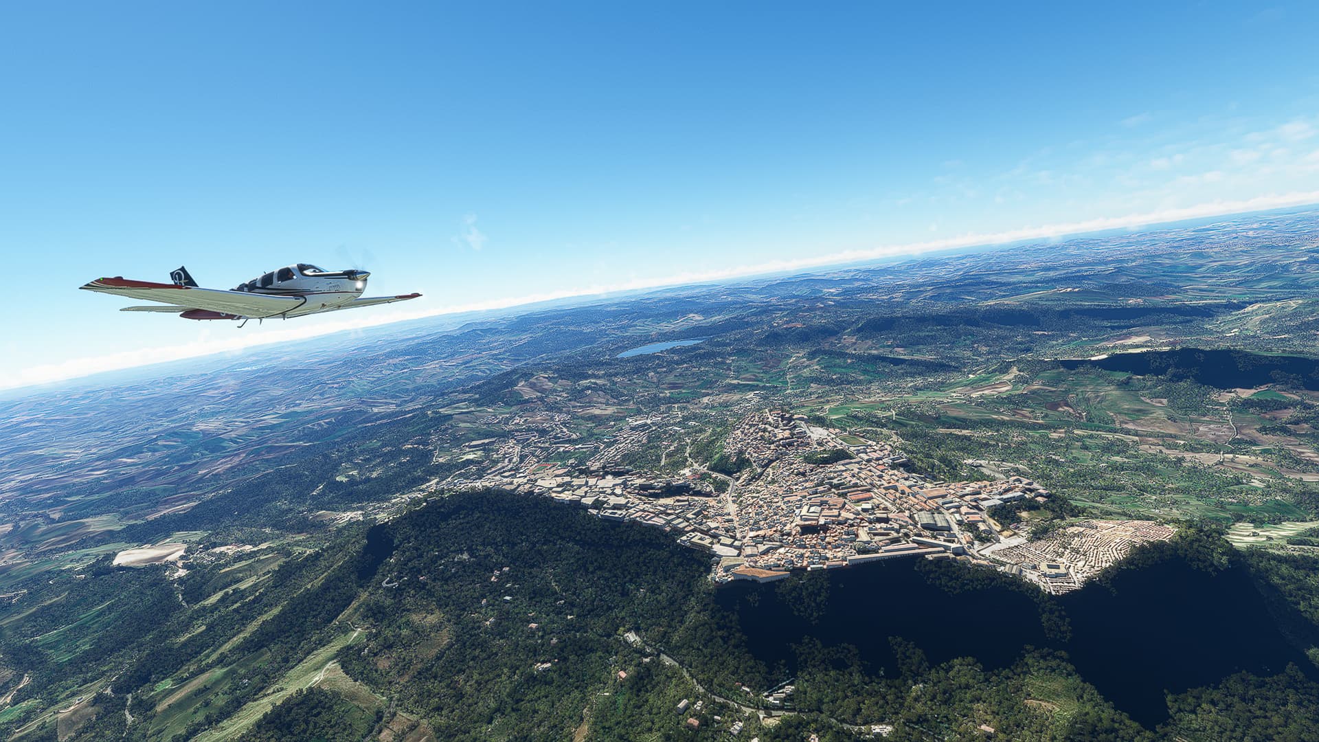
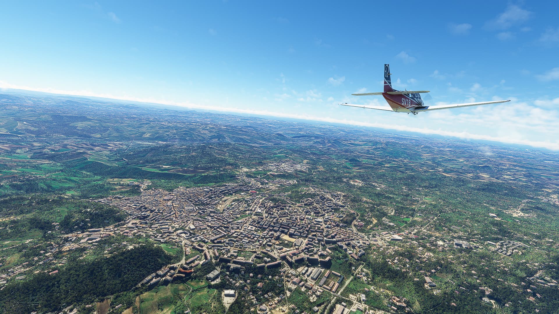
3. Dittaino - Caltanissetta: We came across something familiar to all fans of Classical Antiquity! The town of Enna, which is situated on a real Akropolis, awakening memories of Old Athens in Hellas (Pic 10 & 11). Further west we reached the more level city of Caltanissetta (Pic 12).
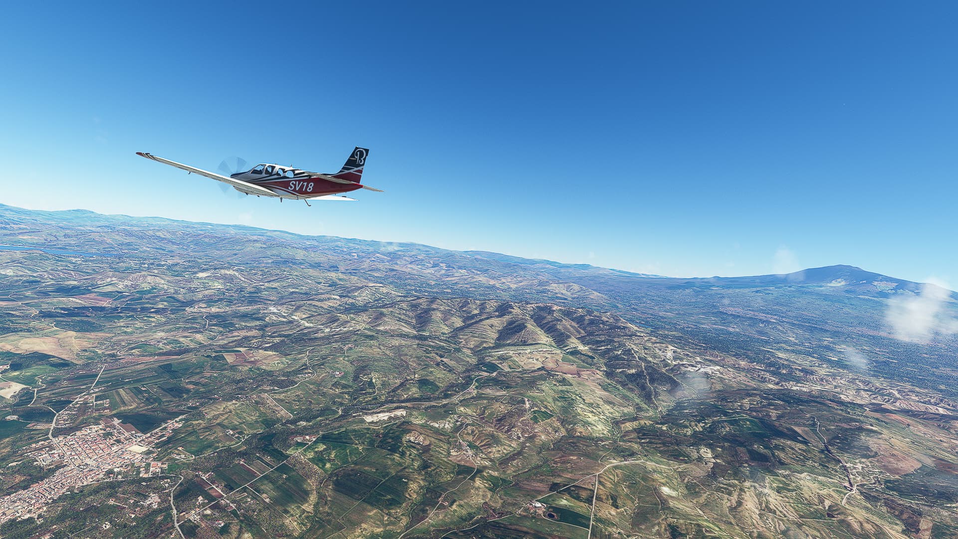
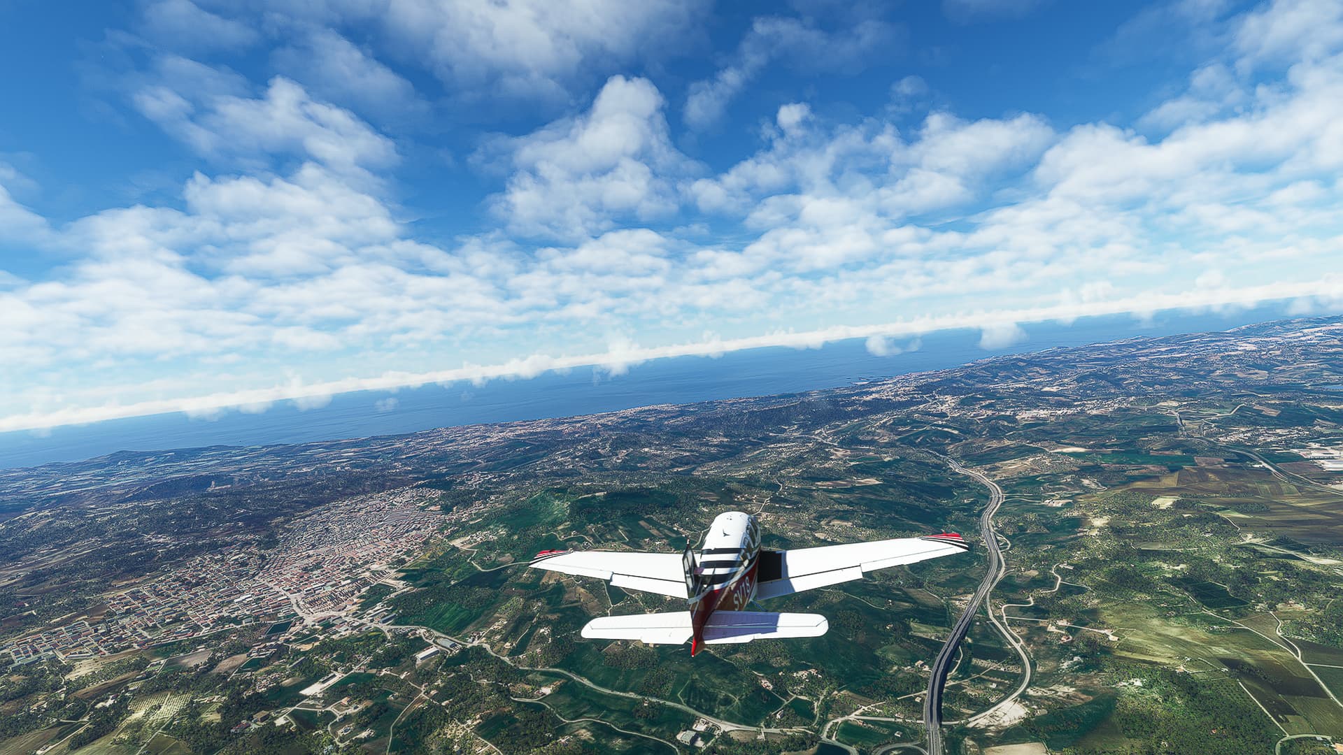
4. Caltanissetta - Agrigento: A last look back towards Central Sicily and the now distant Mount Etna (Pic 13) and we are off to the southern coast! Descending towards Agrigento and Favara (Pic 14) we landed for the last time on Italian and European ground at the Aviosuperficie Agrigento (Pic 15)!
Transfer: We transfer by ship to Tunesia, beginning the next flight at DTTA in Tunis!