Garoua (FKKR) - N’Gaoundere (FKKN).
Cameroon.
Flight No. 035.
Roads Used: National Highway N1 (Garoua - N’Gaoundere).
-
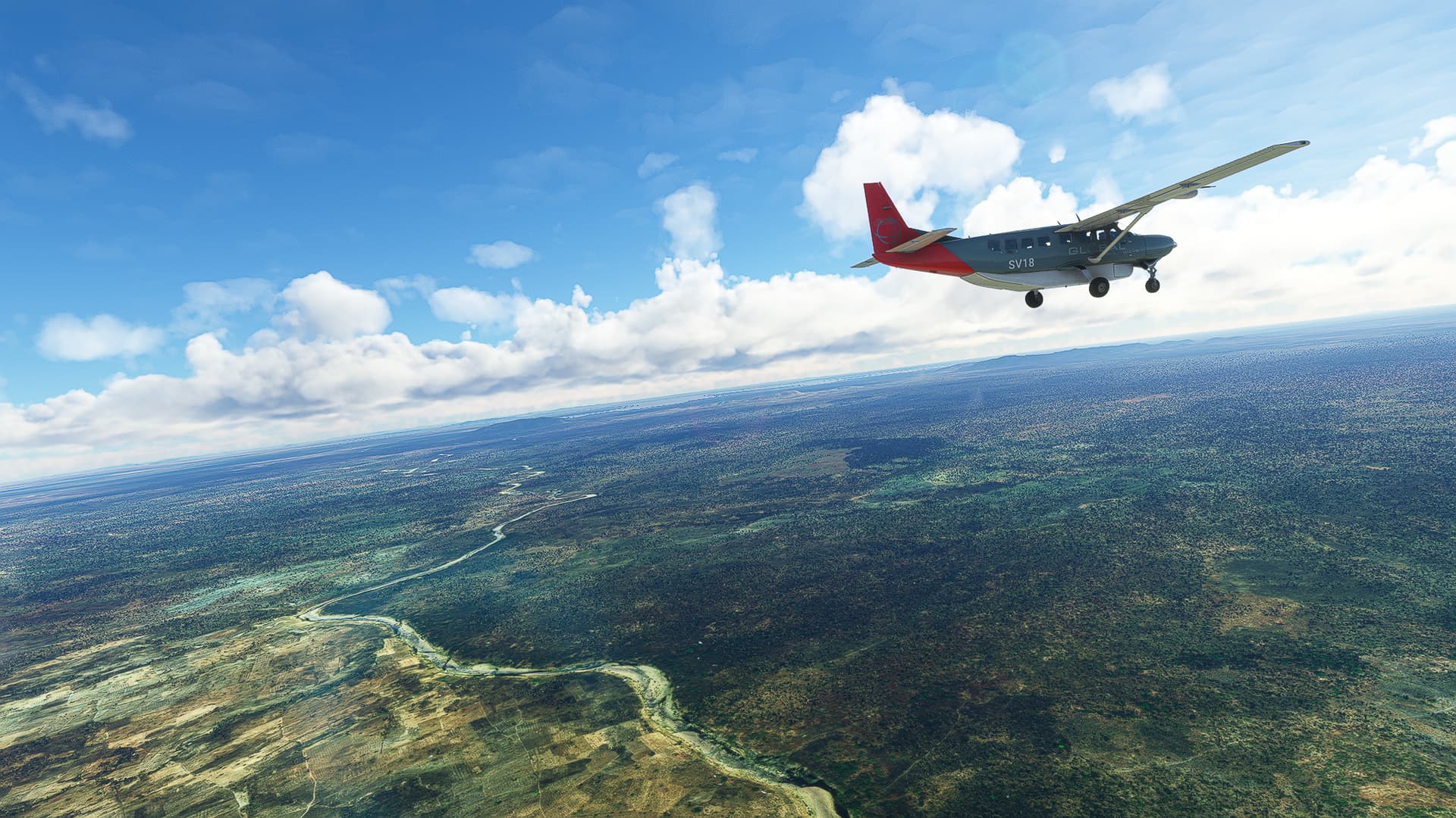
I already knew the last part of today’s first trip due to flying it during my WT attempt last year in a C172 G1000. So I also knew I would finally leave the savanna behind and enter the rain forests of Central Cameroon! But my first shot was a reminder of our previous adventures, a last glimpse of the savanna near Sanguere ndere with the sun shining down upon a chain of hills near the village.
-
As promised we entered the rain forests - or more specifically the Parc national de la Bénoué - after about a third of the flight. In this picture I just crossed the Mayo Salo River near Mayo Salah and followed N1 along the southern border of the northernmost part of the Bénoué National Park.
-
The last half of the flight consisted of me constantly increasing altitude until I reached about 6500ft to enter the highlands on which N’Gaoundere is situated. This third shot was taken just as I was about to finish the last climb near Karna Manga with Mazélé River to our left, flowing down from the mountains to enter Bénoué River right behind us.