Karthago (DTTA) - Thyna (DTTX).
Tunesia.
Flight No. 018.
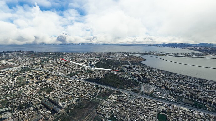
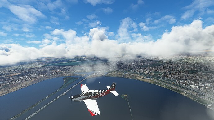
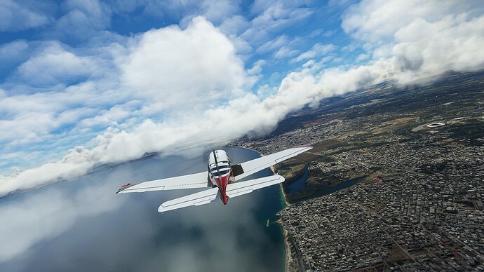
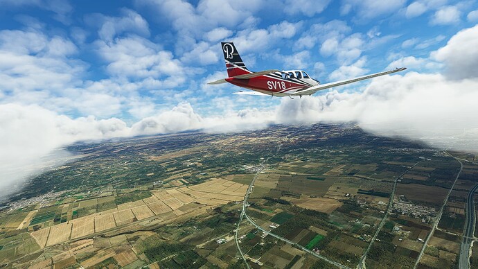
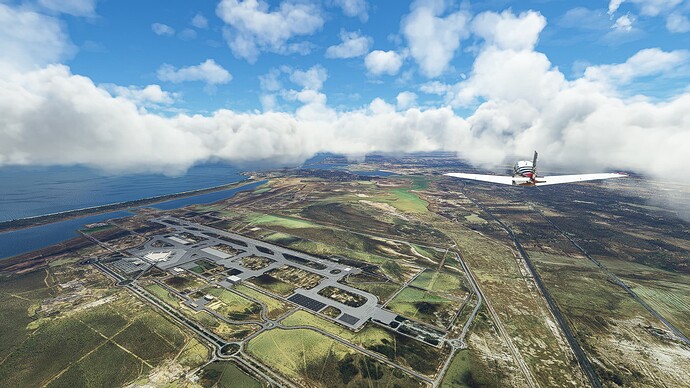
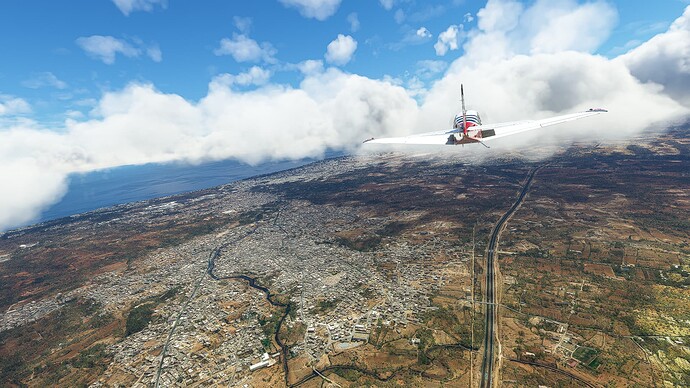
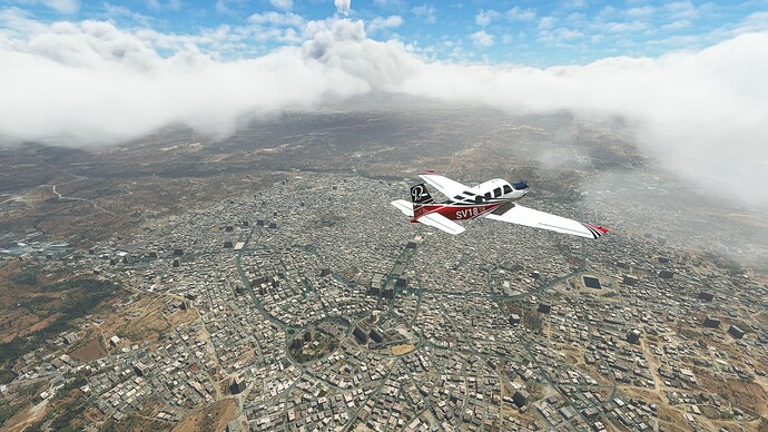
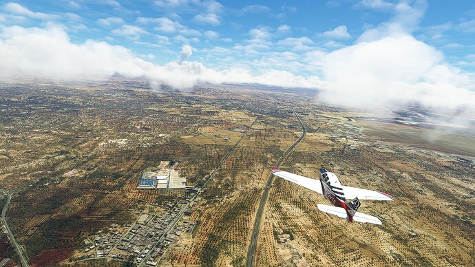
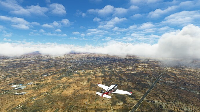
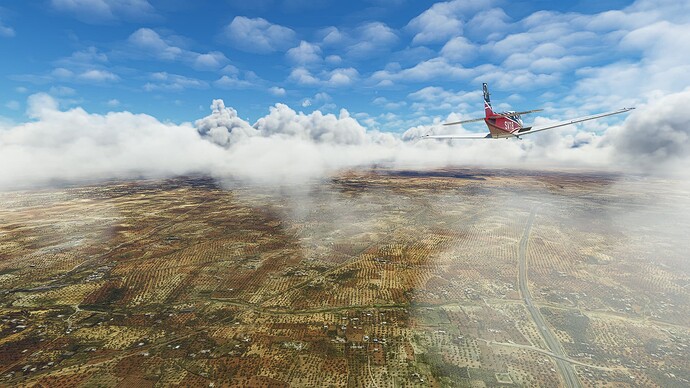
1. Tunis - Rades: After taking off we climbed to 3500ft altitude and took a picture halfway into our turn above the Tunis-Carthage International Airport (Pic 1). We then crossed the Lake of Tunis (Pic 2) and passed Rades (Pic 3) before joining Highway A1.
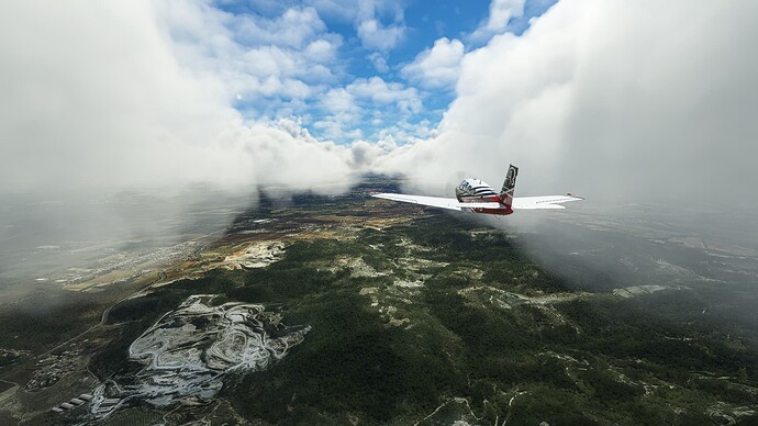
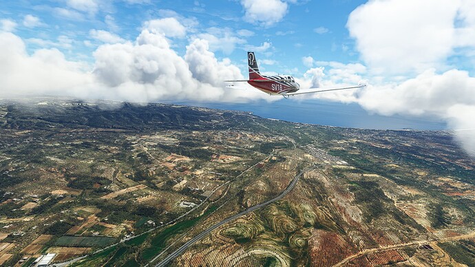
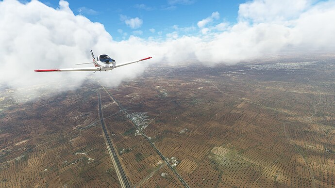
2. Rades - Hammamet: The clouds parted in front of us as we reached Boukornine National Park (Pic 4). Passing Bou Argoub (Pic 5) we reached the coast again near Bir Bou Rekba (Pic 6).
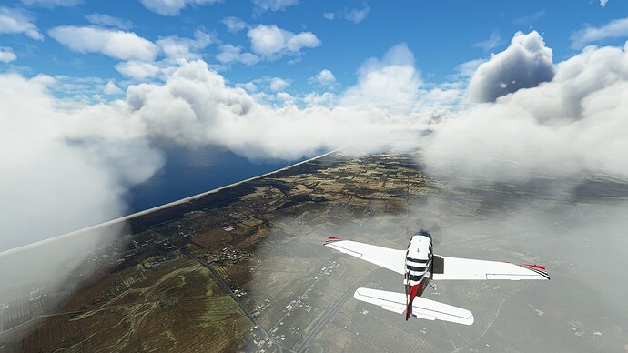
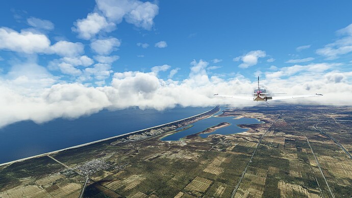
3. Hammamet - Enfidha: Following the coast from Hammamet past Sidi Mtir (Pic 7), the Sebka Sidi Khalifa (Pic 8) to stumble across Enfidha-Hammamet International Airport at the southern end of Sebkhet Assa Jurida (Pic 9).
4. Enfidha - Sousse: The next densely populated area we reached after leaving Tunis was Sousse and its surroundings, e.g. Kalaa Kebira (Pic 10) to the northwest and Masakin (Pic 11) to the southwest of the city.
5. Sousse - El Jem: Cutting through the country we left the coast again and flew along the Sebkhet Sidi El Hani past Al Dadr (Pic 12) and Manzel Hayet (Pic 13) to El Jem (Pic 14).
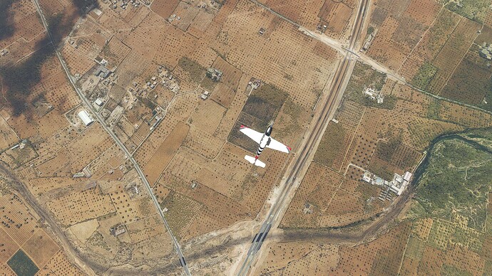
6. El Jem - Thyna: The clouds got denser as we came close to our destination. We left Bi’r Shu’bah (Pic 15) behind us and made our way to the city of Sfax or rather the Sfax-Thyna Airport. Our last shot is a top-down view of the Transafrican Highway A1 near the northern outskirts of Sfax.
