Bensheimer Stadtwiesen (EDEU) - Doncourt Les Conflans (LFGR).
Germany & France.
Flight No. 003.
-
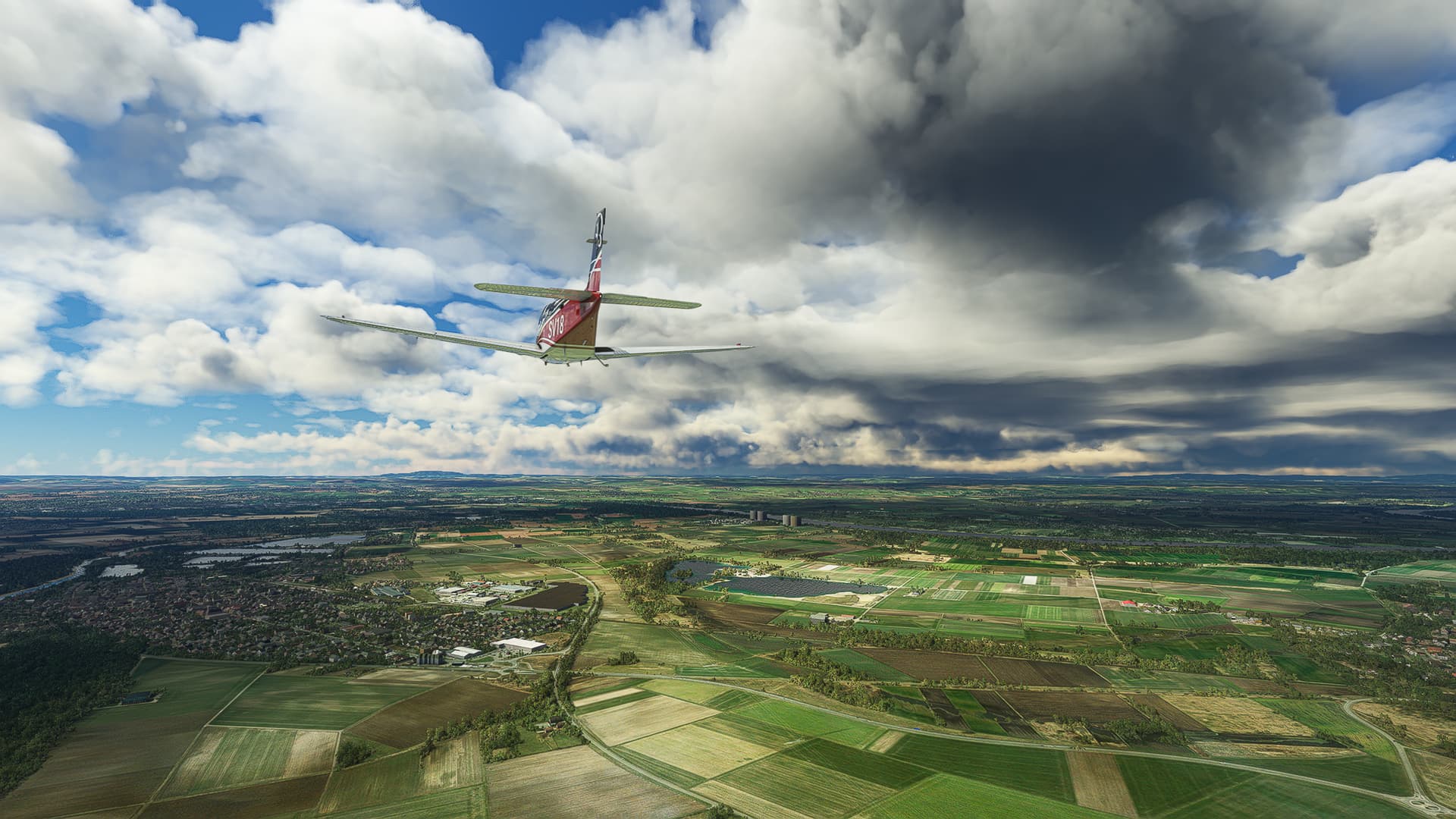
Biblis (left) with the Baggersee Groß-Rohrheim (Quarry Lake Groß-Rohrheim) to the right. Behind it the Nuclear Power Plant Biblis can be spotted.
-
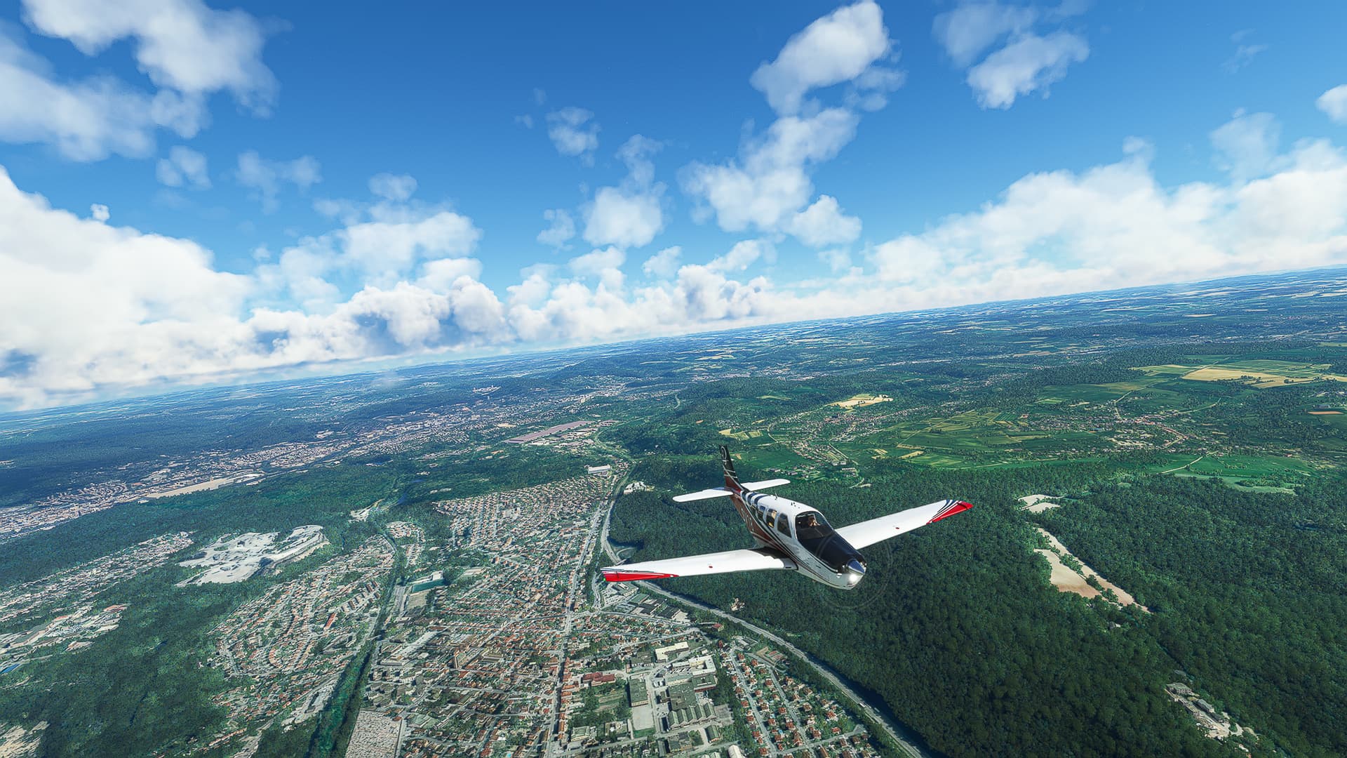
The city of Worms on Rhein (Rhine) River. The Nibelungenbrücke is crossing the river to our left, the Rheinbrücke below us can’t be seen.
-
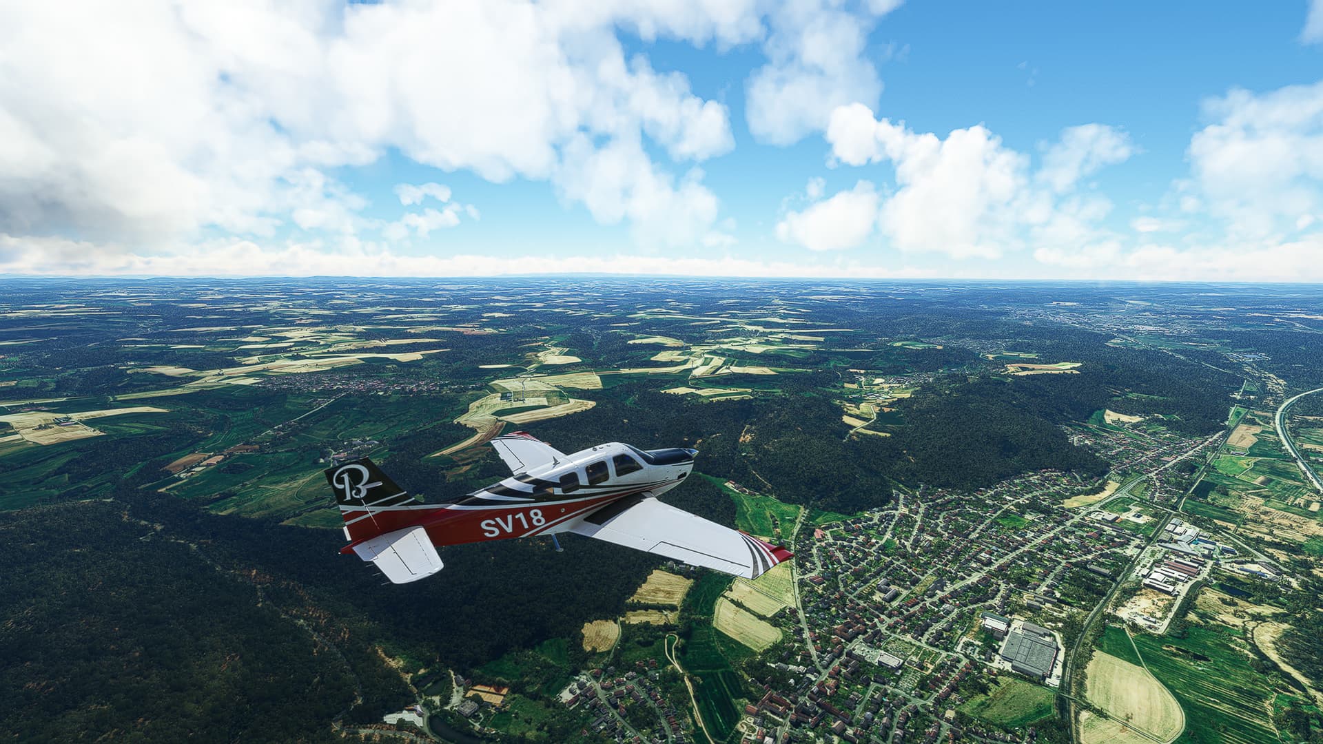
Deciding to follow Highway A63 to the west near Marnheim. The idea is born to try to follow roads and highways during this world trip!
-
Steinbach am Donnersberg (Stonecreek on Thunder Mountain, what a bad*ss name!) to our right, as well as Börrstadt and Breunigweiler left of the highway.
-
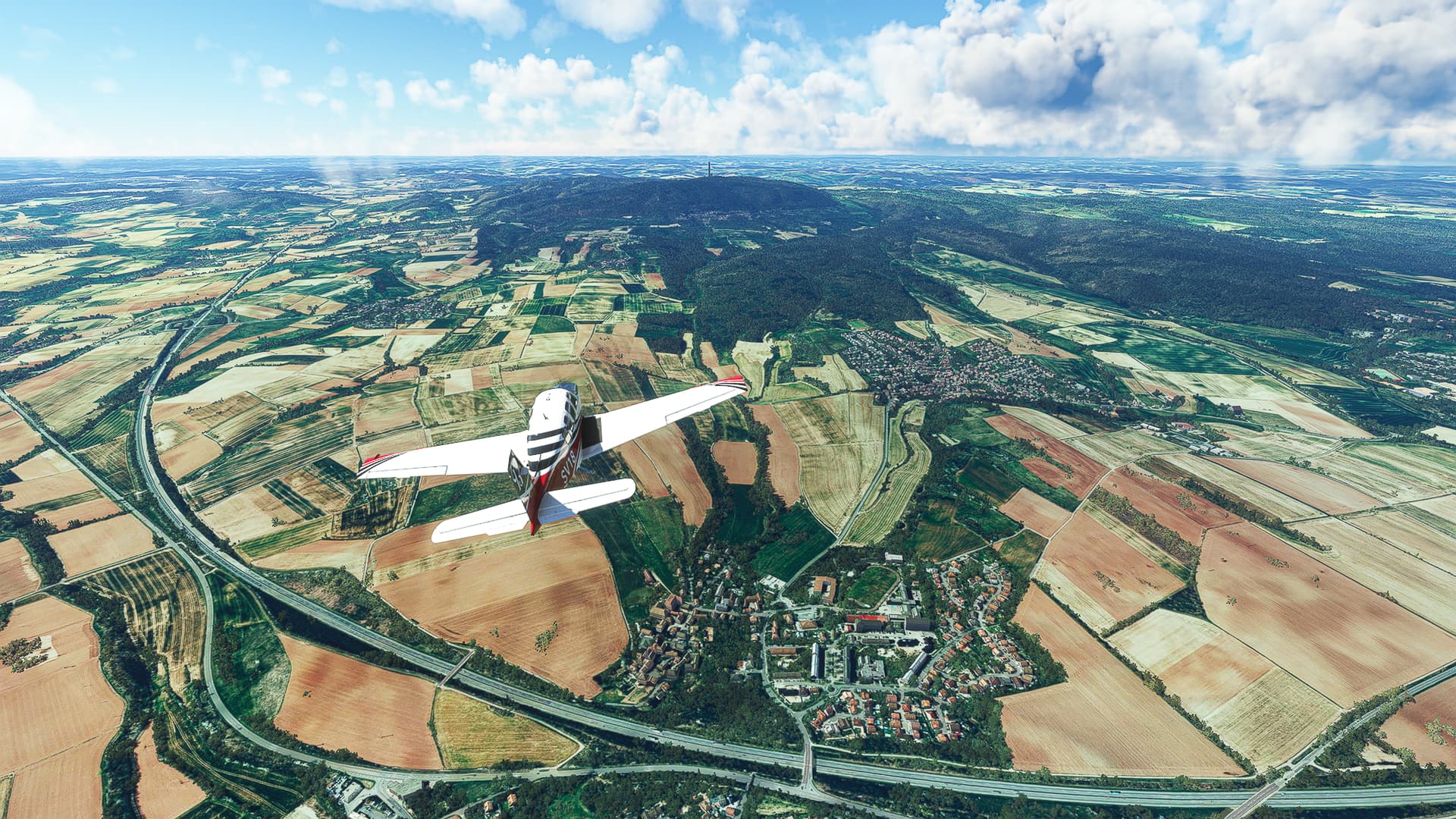
The city of Kaiserslautern, more specifically the Innenstadt (downtown) as well as Grübentälchen (below us), Kaiserberg and Galappmühle (near the highway).
-
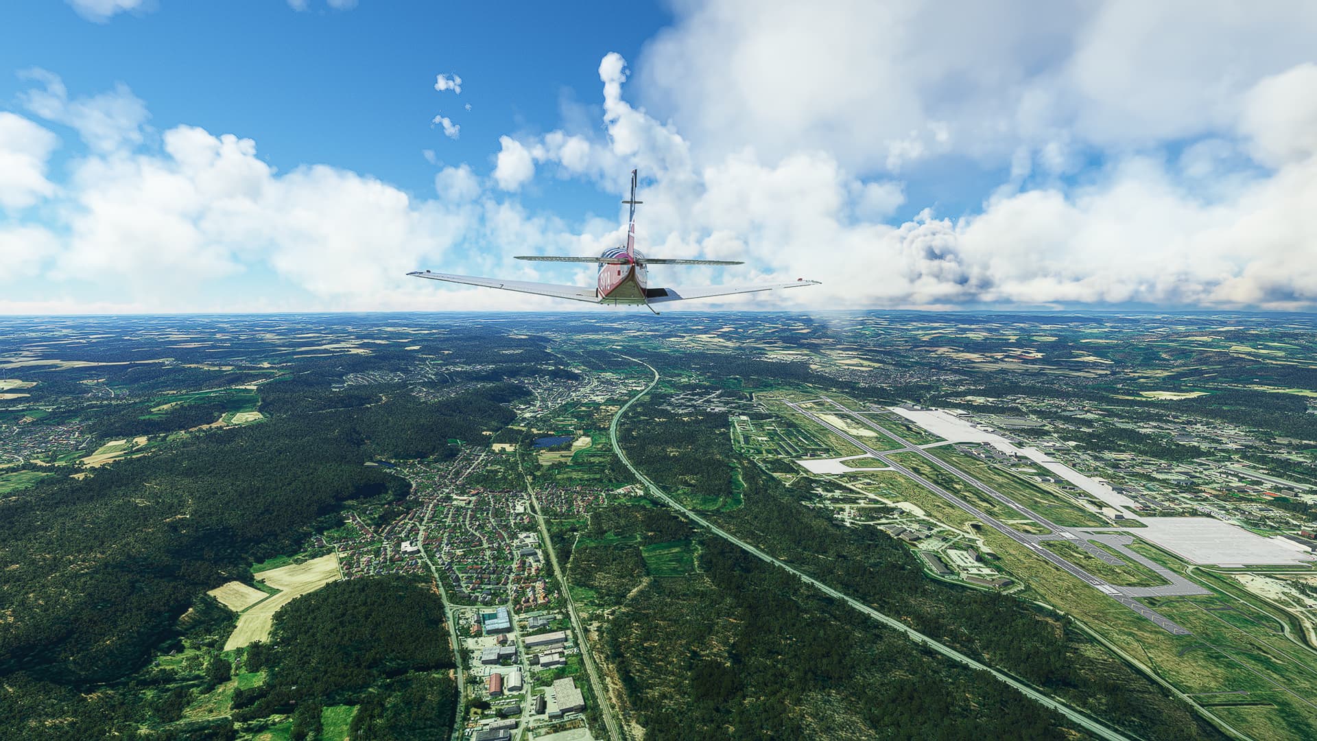
Ramstein AFB to the west of Kaiserslautern with Kindsbach beside it.
-
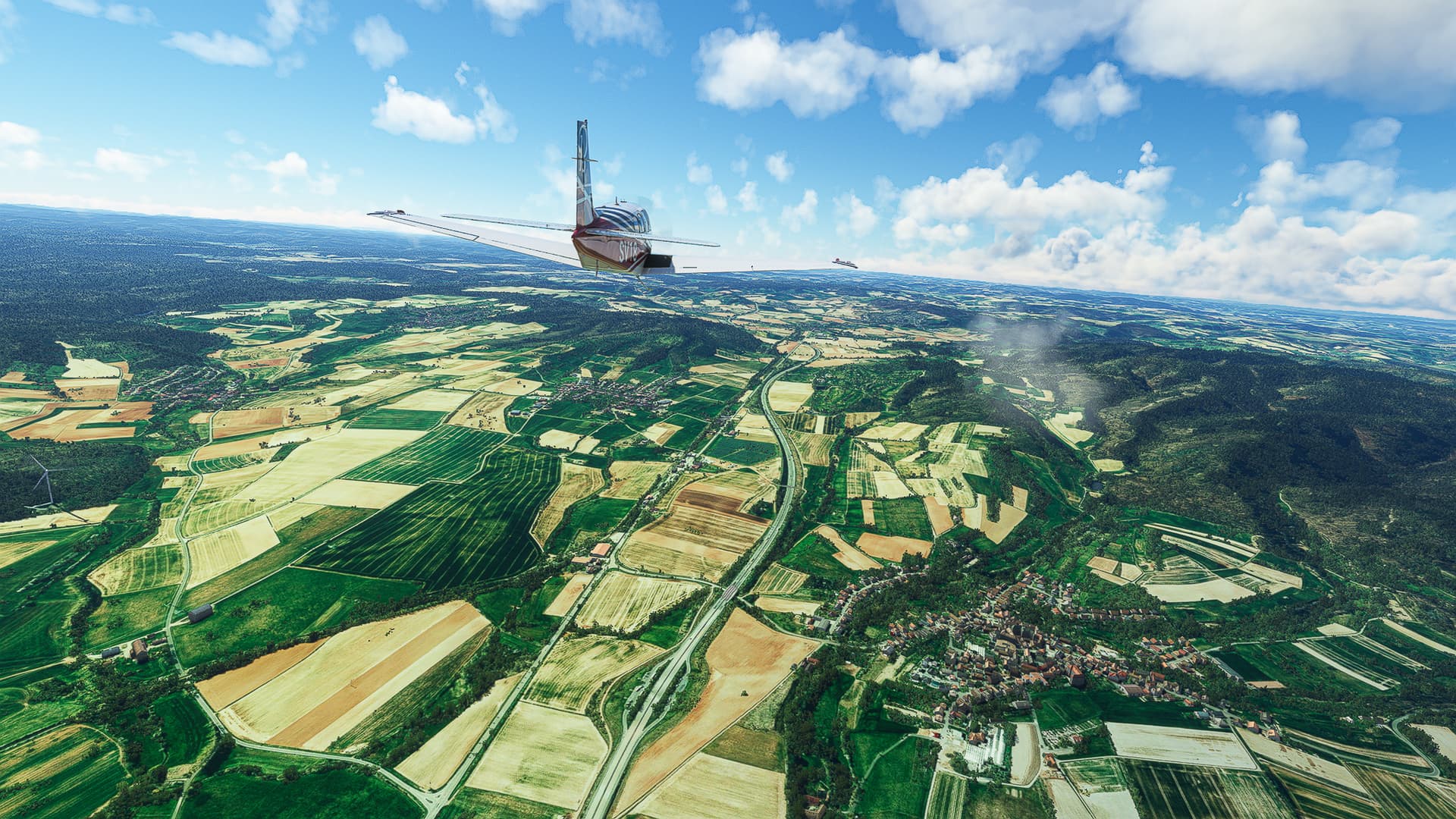
Bruchmühlbach and Bruchmühlbach-Miesau south of Highway A6.
-
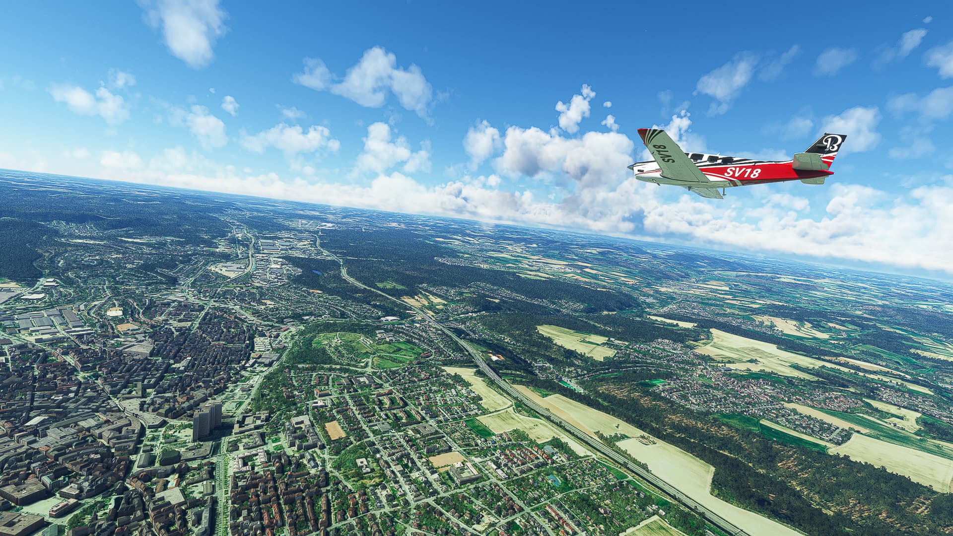
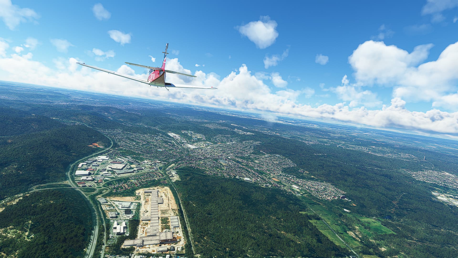
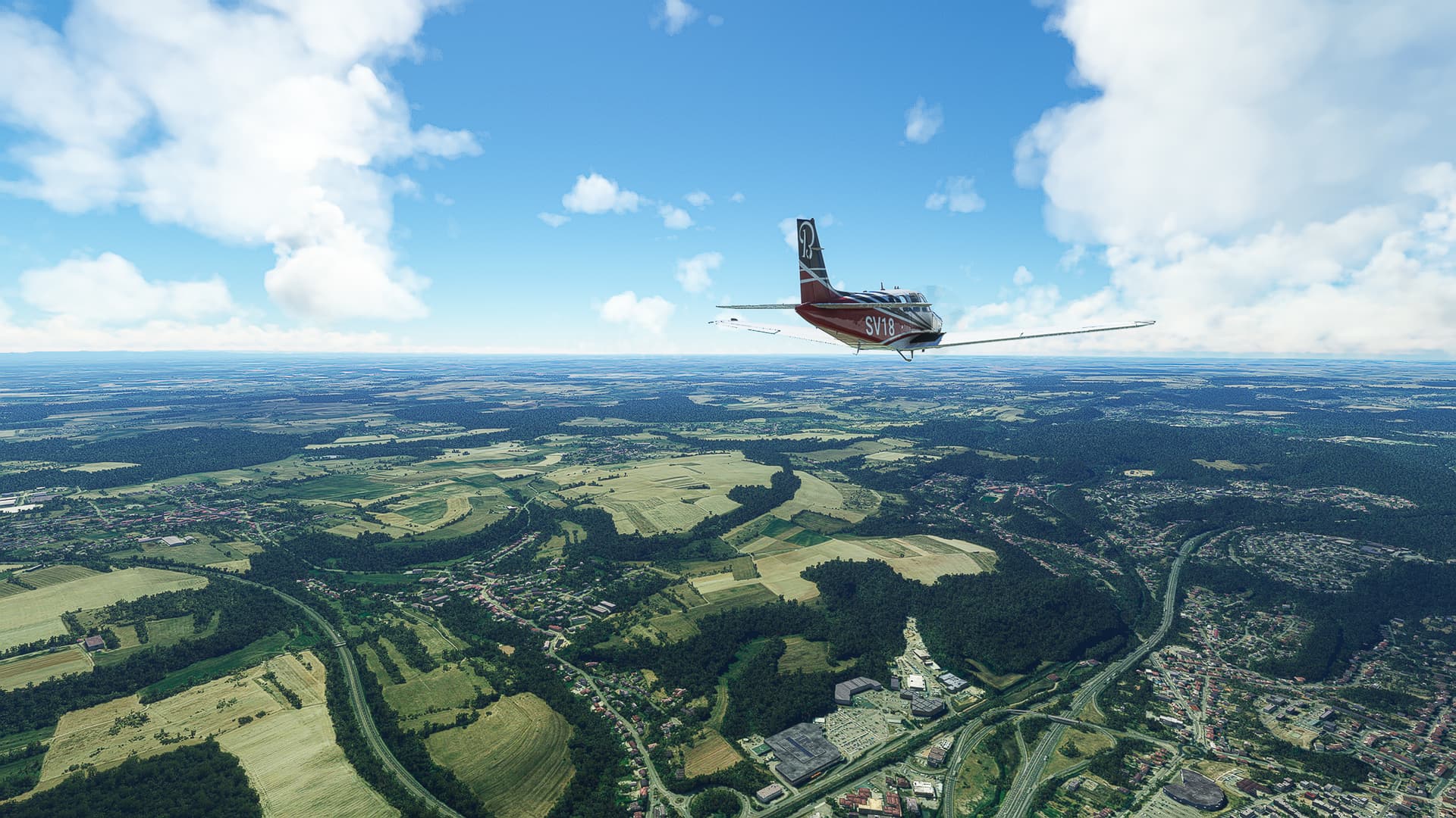
The industrial area Rohrbach-Süd with St. Ingbert behind it. Saarbrücken, the capital of the Saarland, can be spotted to the far right.
-
Crossing the Saar River near Güdingen south of Saarbrücken (center right). To the left you can see the wooded Warndt Hill and the French city of Stiring-Wendel.
-
Stiring-Wendel, the first French city we reach with Saarbrücken visible in the distance.
-
Freyming (right) as well as Betting and Seingbouse (left) on the intersection of A320 and A4.
-
Rural landscape west of Freyming: To our right is Narbefontaine, to our left the villages of Brouck (center), Marange-Zondrane and Hallering (left).
-
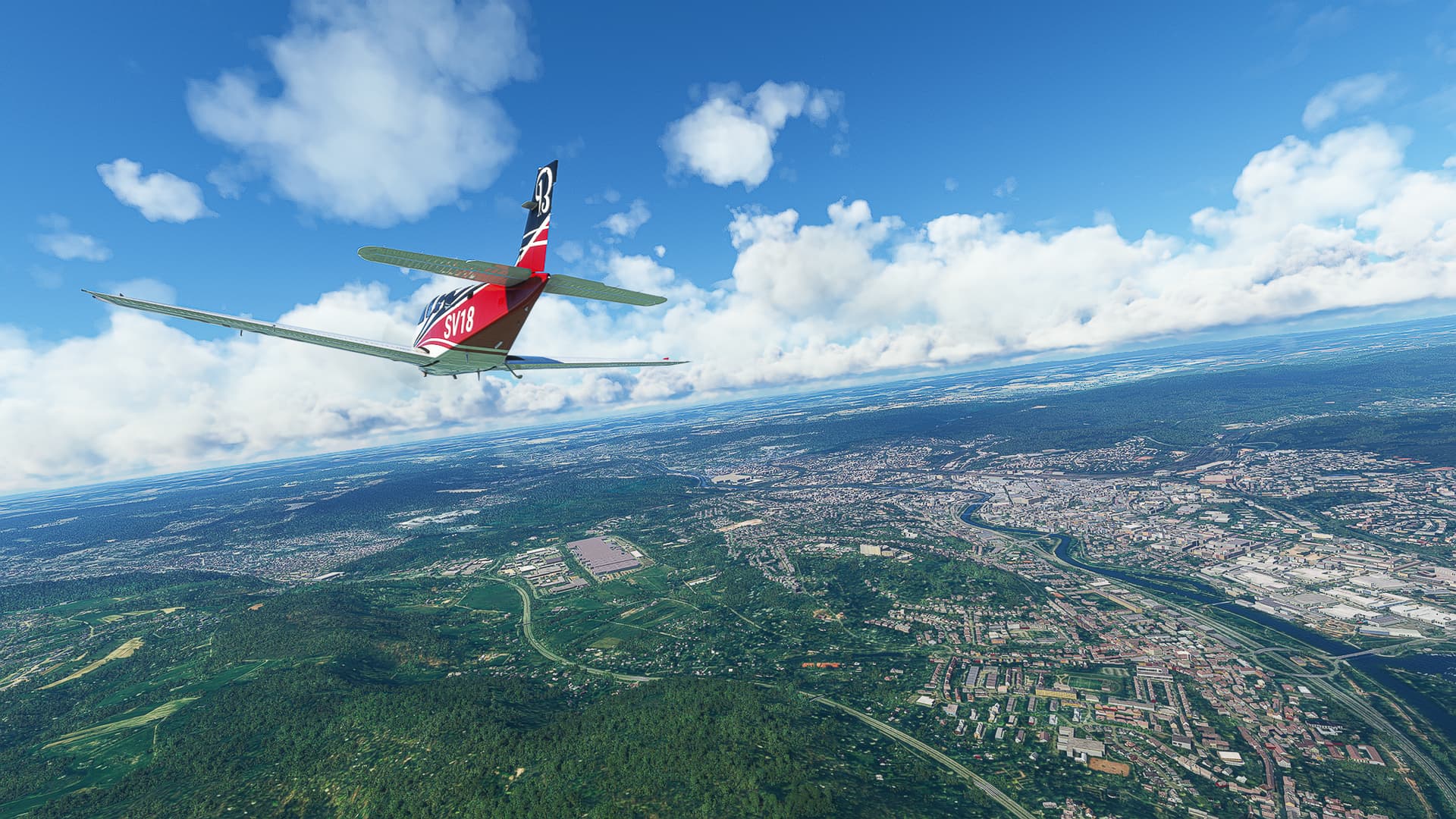
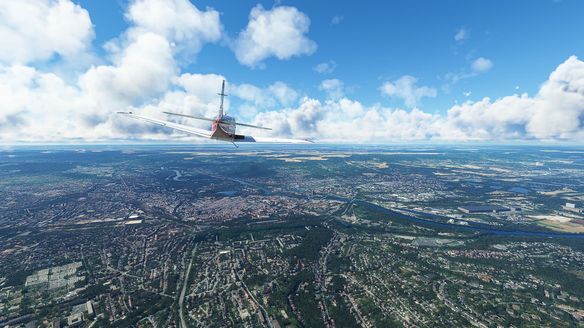
The city of Metz on La Moselle River as seen from above Borny.
-
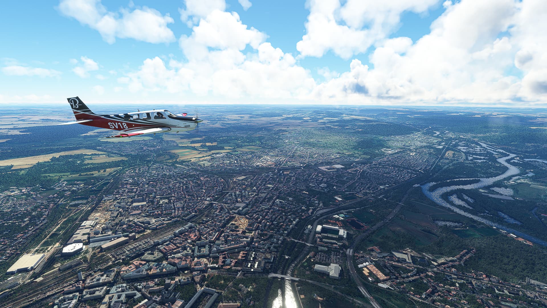
Crossing La Moselle River near the Ile du Saulcy in southwestern Metz.