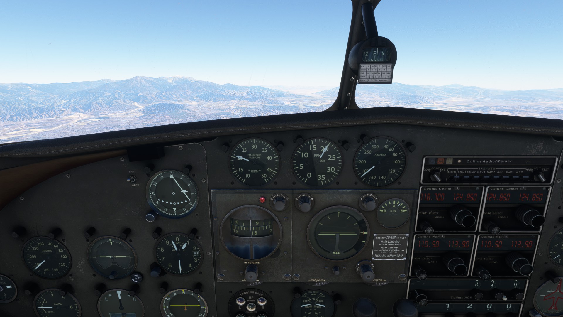
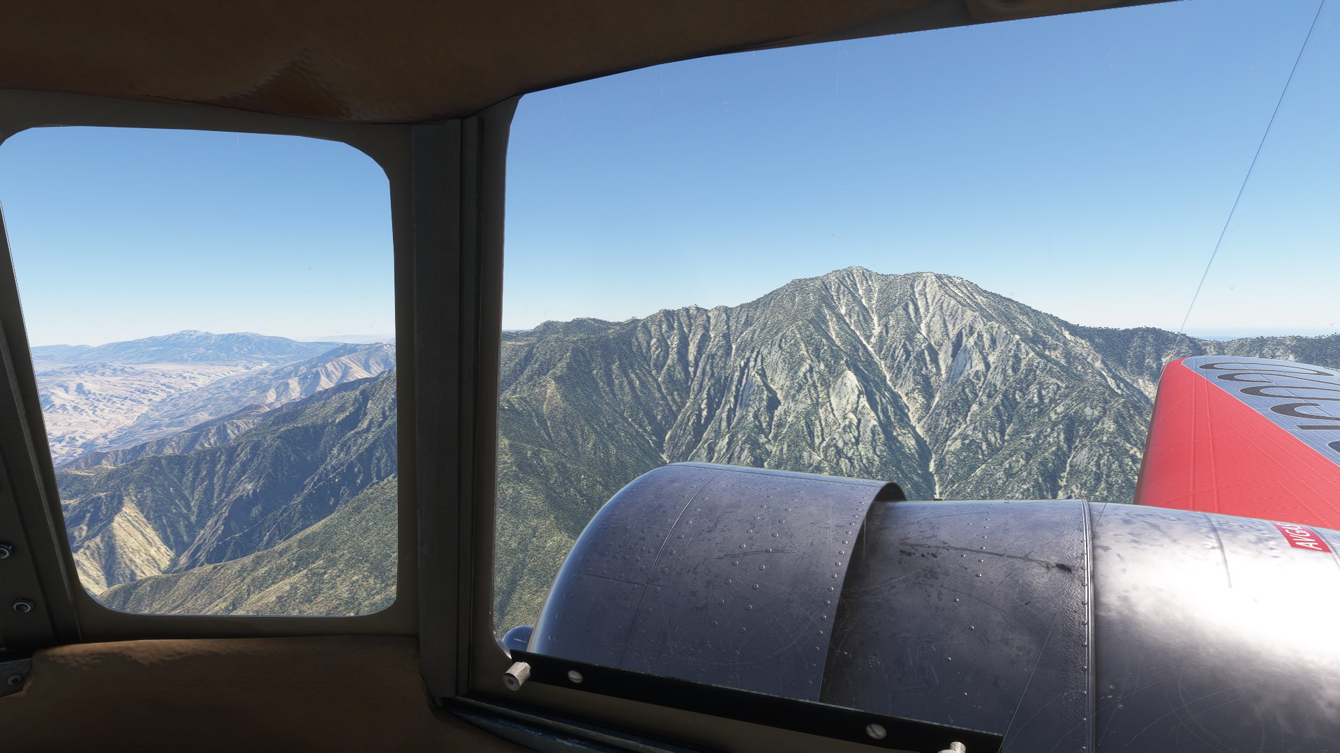
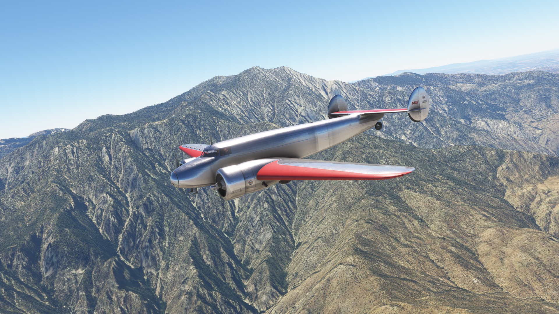
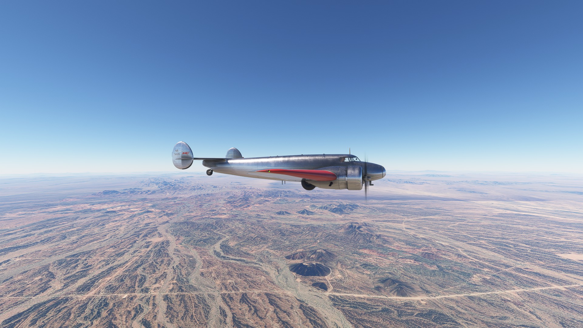
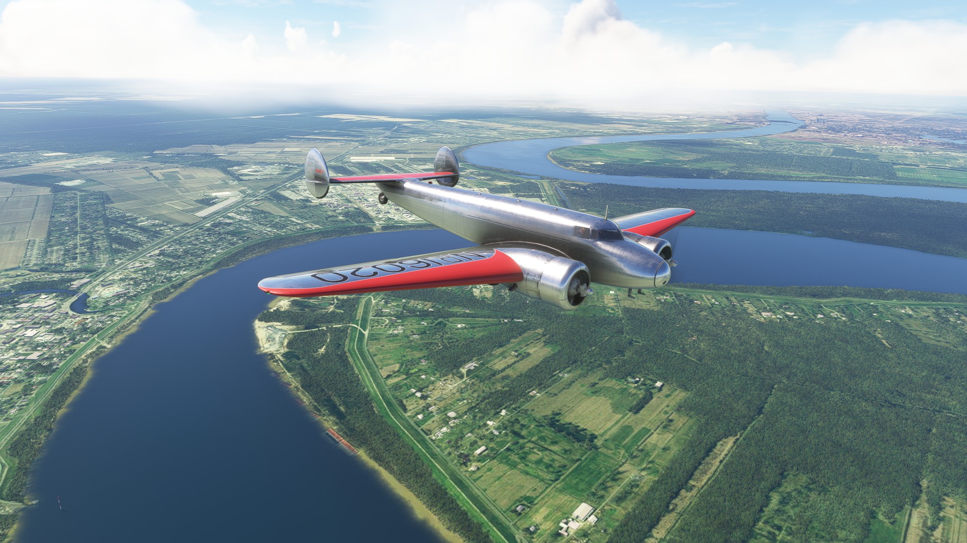
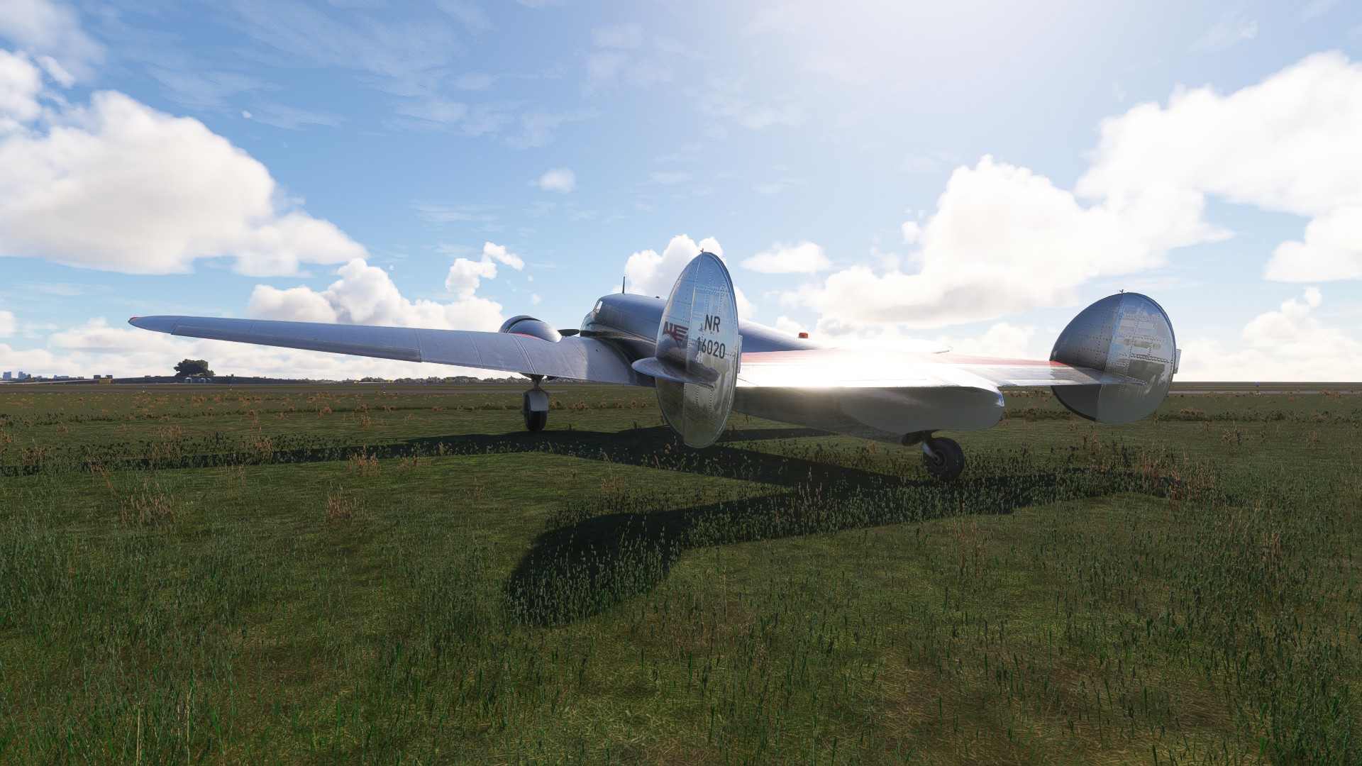
Amelia Earhart Around the World 2026 Edition

I completed this flight a few years back and finally want to try it again. Flying this really gave me an appreciation both of the scale of the undertaking - the vastness of our planet - and the unrelenting pace at which Amelia Earhart and Fred Noonan sought to complete it. This time around I come prepared with more details. I’ve compiled takeoff times and weather conditions to the best of my knowledge, and I’ll use that rather than guesswork and live weather.

My plan is to space this out over the course of the year, and try to make the Howland Island flight on/around July 2. I’m not worrying about celestial navigation at this time, but I am going to try limiting my use of the VFR map to regular intervals. Feel free to join in if you have the Electra or a similar plane of the era. If all goes according to plan, I’ll be plodding along on US-East for the next 7 months lol.

The Tools:
Microsoft Flight Simulator 2020
Volanta
Aeroplane Heaven Lockheed Model 10E Electra (“Special” version from 10A package)
1935 Oakland by Red Wing Simulations
1935 Dakar by Red Wing Simulations
Lae Runway circa 1930s by SkyborneVisions
Howland Island Kamakaiwi Field (HOWL) by SkyborneVisions
USA 1935 by Red Wing Simulations

Optional:
1935 San Francisco by Red Wing Simulations
CelNav for MSFS by ElectronVolt

The Flight Plan - target dates are extremely tentative lol:
1/1/2026 Leg 1: Oakland, California (KOAK) to Burbank, California (KBUR) - 293nmi - 5/20/1937 16:00 Few Clouds 70*
1/3/2026 Leg 2: Burbank, California (KBUR) to Tucson, Arizona (KTUS) - 406nmi - 5/21/1937 14:25 Clear Skies 85*
1/4/2026 Leg 3: Tucson, Arizona (KTUS) to New Orleans, Louisiana (KNEW) - 1087nmi - 5/22/1937 7:30 Few Clouds 75*
1/11/2026 Leg 4: New Orleans, Louisiana (KNEW) to Miami, Florida (KOPF) - 583nmi - 5/23/1937 10:12 Clear Skies 75*
1/17/2026 Leg 5: Miami, Florida (KOPF) to San Juan, Puerto Rico (TJIG) - 915nmi - 6/1/1937 5:56 Clear Skies 85*
1/31/2026 Leg 6: San Juan, Puerto Rico (TJIG) to Caripito, Venezuela (SVMT) - 555nmi - 6/2/1937 7:00 Broken Clouds 85*
1/31/2026 Leg 7: Caripito, Venezuela (SVMT) to Zanderij, Suriname (SMJP) - 551nmi - 6/3/1937 9:00 Rain 85*
2/14/2026 Leg 8: Zanderij, Suriname (SMJP) to Fortaleza, Brazil (SBFZ) - 1152nmi - 6/4/1937 5:10 Few Clouds 85*
2/14/2026 Leg 9: Fortaleza, Brazil (SBFZ) to Natal, Brazil (SNOG) - 223nmi - 6/6/1937 4:50 Broken Clouds 80*
2/28/2026 Leg 10: Natal, Brazil (SNOG) to Dakar, Senegal (GOOY) - 1627nmi - 6/7/1937 3:15 Rain 80*
3/14/2026 Leg 11: Dakar, Senegal (GOOY) to Gao, Mali (GAGO) - 1023nmi - 6/10/1937 6:00 Few Clouds 95*
3/14/2026 Leg 12: Gao, Mali (GAGO) to Ndjamena, Chad (FTTJ) - 919nmi - 6/11/1937 6:15 Clear Skies 95*
3/28/2026 Leg 13: Ndjamena, Chad (FTTJ) to El Fasher, Sudan (HSFS) - 619nmi - 6/12/1937 11:00 Clear Skies 100*
3/28/2026 Leg 14: El Fasher, Sudan (HSFS) to Khartoum, Sudan (HSSK) - 443nmi - 6/13/1937 5:30 Clear Skies 95*
3/28/2026 Leg 15: Khartoum, Sudan (HSSK) to Massawa, Eritrea (HHMS) - 404nmi - 6/13/1937 10:42 Clear Skies 100*
3/28/2026 Leg 16: Massawa, Eritrea (HHMS) to Assab, Eritrea (HHSB) - 257nmi - 6/14/1937 8:00 Clear Skies 100*
4/11/2026 Leg 17: Assab, Eritrea (HHSB) to Karachi, Pakistan (OPKC) - 1568nmi - 6/15/1937 5:55 Clear Skies 90*
4/25/2026 Leg 18: Karachi, Pakistan (OPKC) to Calcutta, India (VECC) - 1183nmi - 6/17/1937 7:25 Rain 85*
5/9/2026 Leg 19: Calcutta, India (VECC) to Sittwe, Myanmar (VYSW) - 298nmi - 6/18/1937 4:52 Rain 85*
5/9/2026 Leg 20: Sittwe, Myanmar (VYSW) to Rangoon, Myanmar (VYYY) - 276nmi - 6/19/1937 3:42 Storm 85*
5/9/2026 Leg 21: Rangoon, Myanmar (VYYY) to Bangkok, Thailand (VTBD) - 320nmi - 6/20/1937 6:30 Scattered Clouds 90*
5/9/2026 Leg 22: Bangkok, Thailand (VTBD) to Singapore, Malaysia (WSSS) - 781nmi - 6/20/1937 11:00 Few Clouds 85*
5/23/2026 Leg 23: Singapore, Malaysia (WSSS) to Bandoeng, Java, Indonesia (WICC) - 547nmi - 6/21/1937 6:15 Clear 80*
5/23/2026 Leg 24: Bandoeng, Java, Indonesia (WICC) to Koepang, Timor, Indonesia (WATT) - 987nmi - 6/27/1937 8:30 Clear Skies 85*
6/20/2026 Leg 25: Koepang, Timor, Indonesia (WATT) to Port Darwin, Australia (YPDN) - 457nmi - 6/28/1937 6:30 Few Clouds 85*
6/20/2026 Leg 26: Port Darwin, Australia (YPDN) to Lae, Papua New Guinea (LAE) - 1016nmi - 6/29/1937 6:47 Few Clouds 85*
7/3/2026 Leg 27: Lae, Papua New Guinea (LAE) to Howland Island (HOWL) - 2228nmi - 7/2/1937 10:00 Scattered Clouds 87*
7/18/2026 Leg 28: Howland Island (HOWL) to Honolulu, Oahu, Hawaii (NPS) - 1653nmi - 7/2/1937 18:30* Scattered Clouds 85*
8/1/2026 Leg 29: Honolulu, Oahu, Hawaii (NPS) to Oakland, California (KOAK) - 2096nmi - 7/3/1937 17:00* Few Clouds 70*
*Date and time projected

Leg 1: Oakland, California (KOAK) to Burbank, California (KBUR) - 293nmi - 5/20/1937 16:00 - Few Clouds
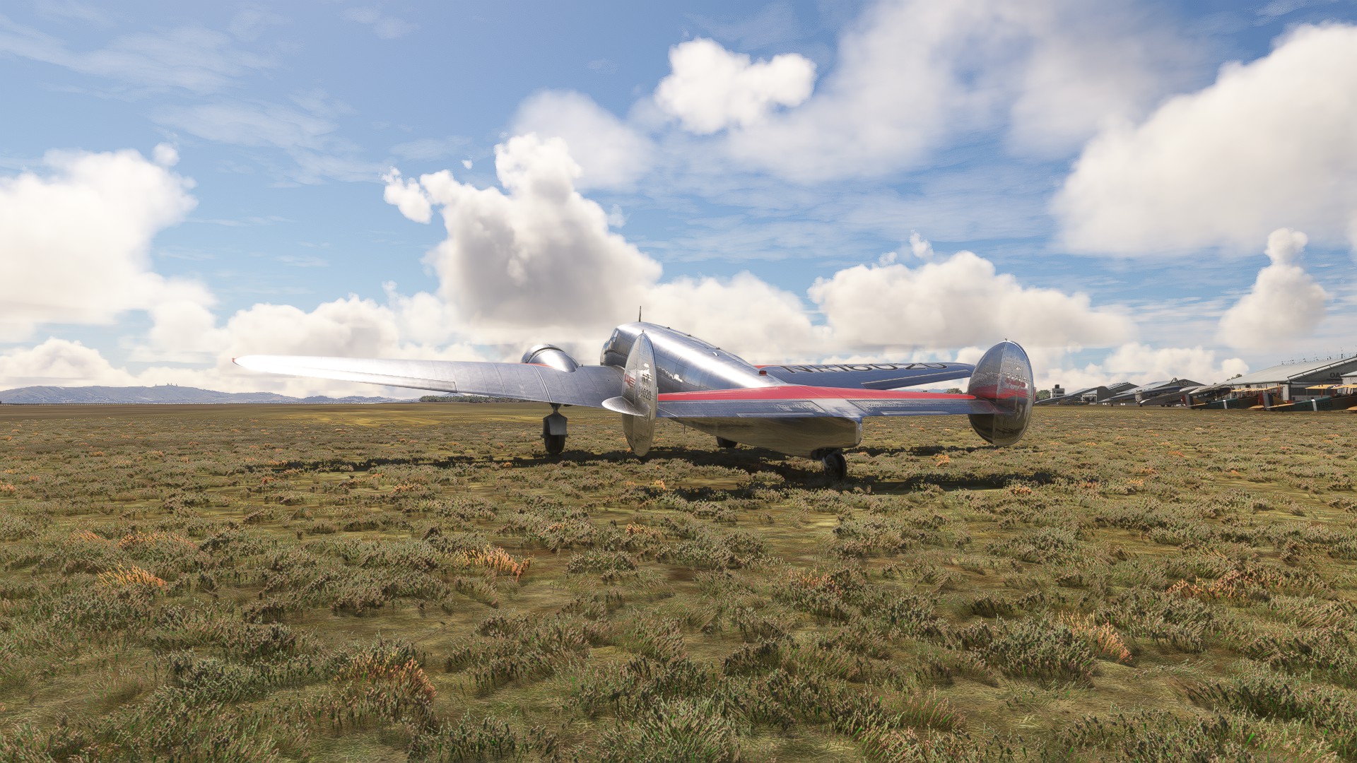
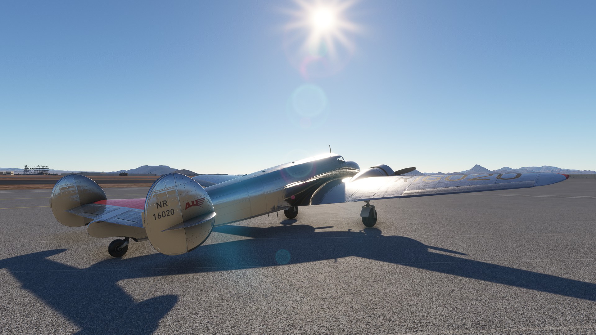
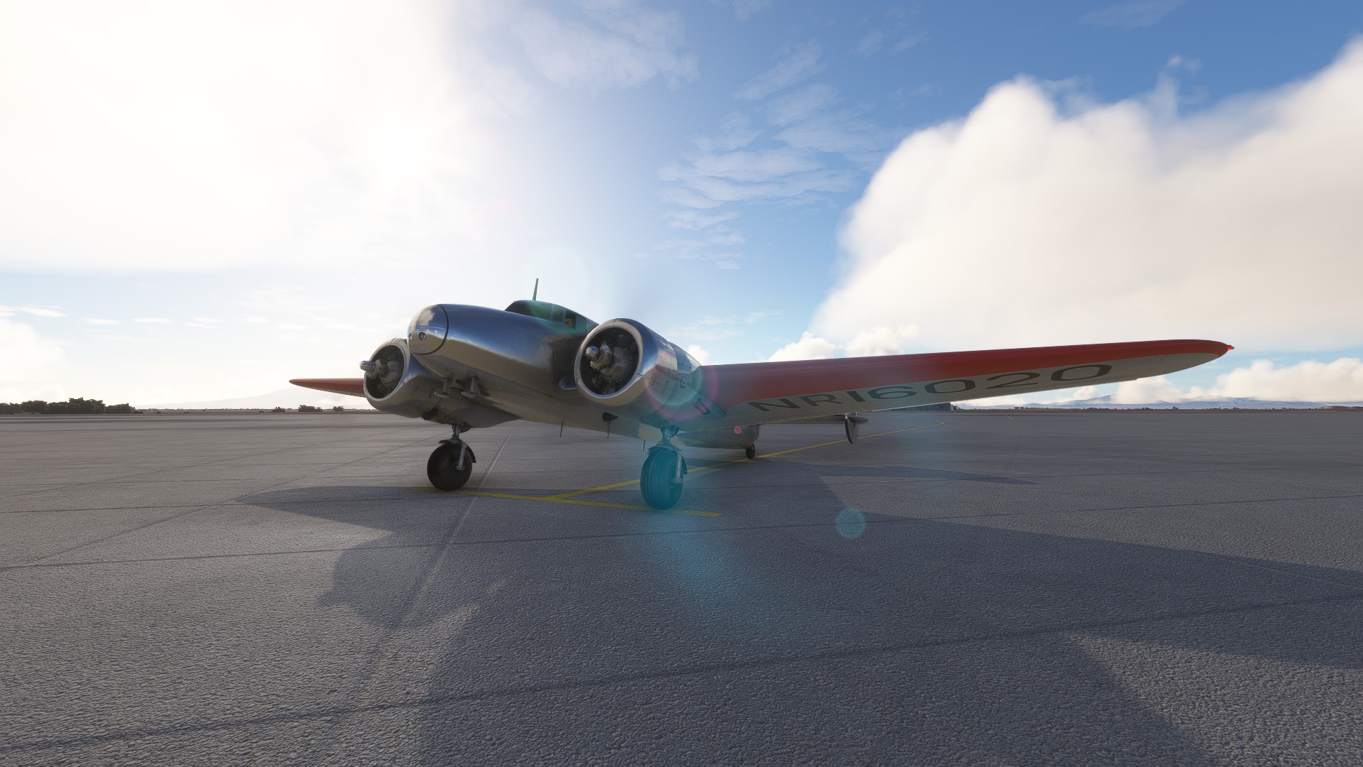
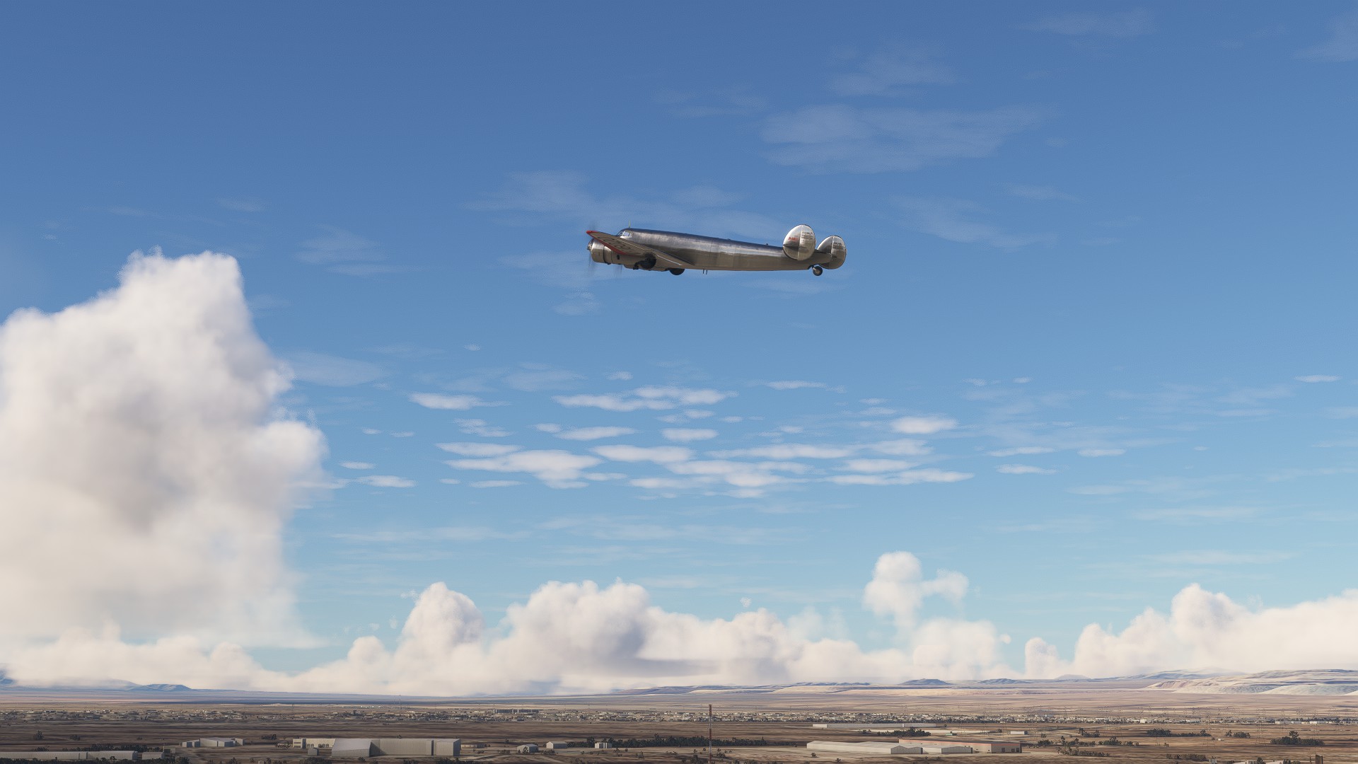
The weather was decent in Oakland to get things started. I took a little extra time for photo ops and posterity’s sake. There was some rust after a few years away, but the Electra felt familiar at the same time. Much like riding a bike. I really like the 1935 Oakland scenery. It’s not perfect - there are some seams and odds and ends with the water masking - but it really helps create the mid-30’s atmosphere. I had done all of 1 warm up flight before this, so I was really rather counting on those bike riding skills. Luckily the Electra had my back. We made a smooth take off and then climbed out headed for Burbank.

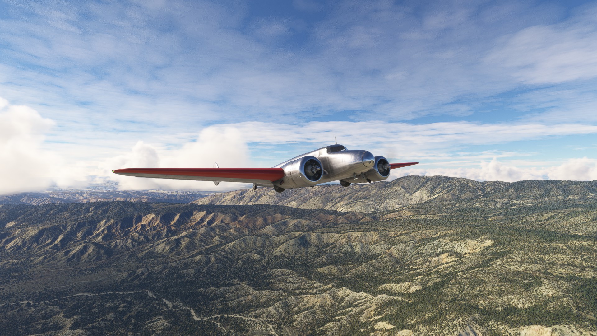
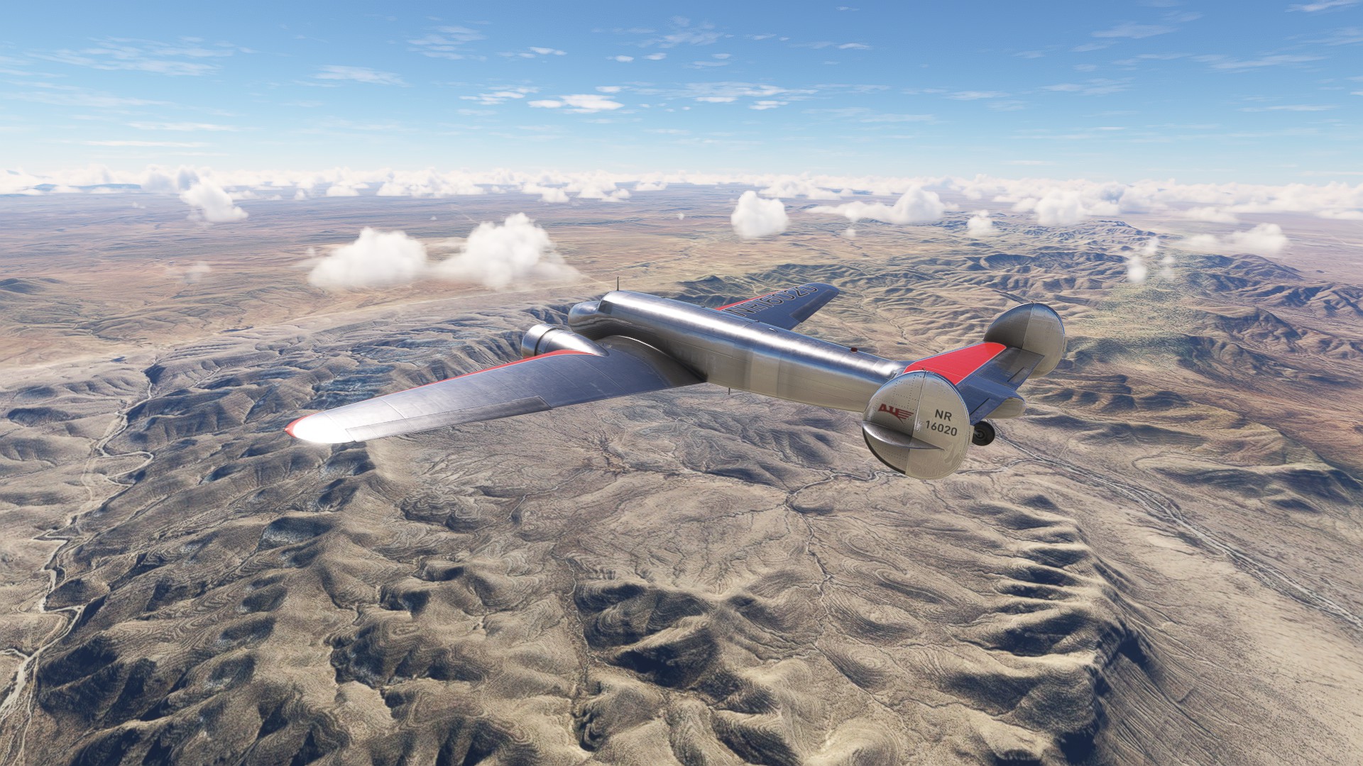
The clouds were pesky at times, but all in all the flight was very pleasant. I had to make a secondary climb when I got to the last bit of the mountains - they came up steeper than I anticipated! That put me up higher than I wanted to be as I neared Burbank, so I did some lazy esses and fully appreciated I run with crash damage off as I came in hot on the final descent. Landing was surprisingly smooth, and although she tried to getting squirrely, we kept it under control to bring the 2 hour flight to a successful conclusion!
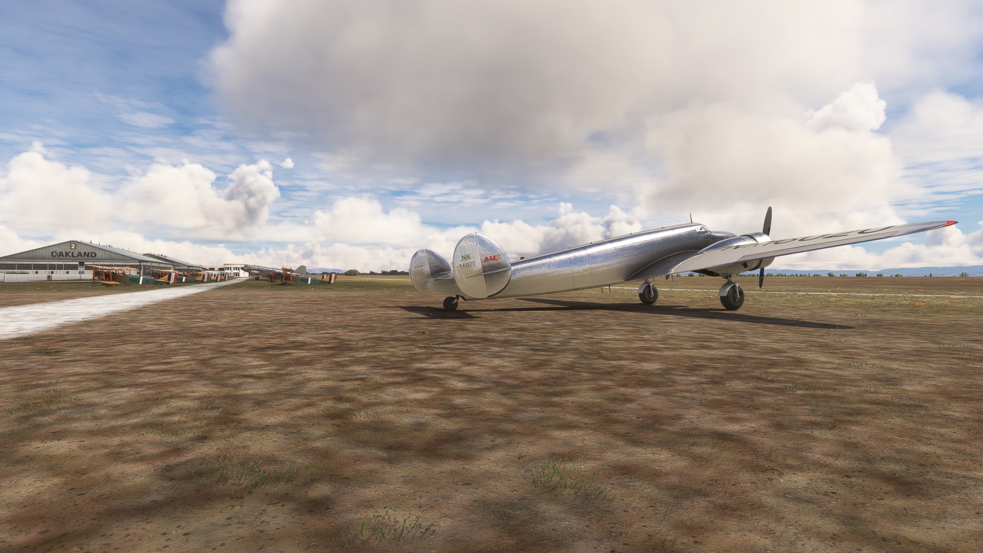

Alone with the Electra in Oakland


Preflight complete
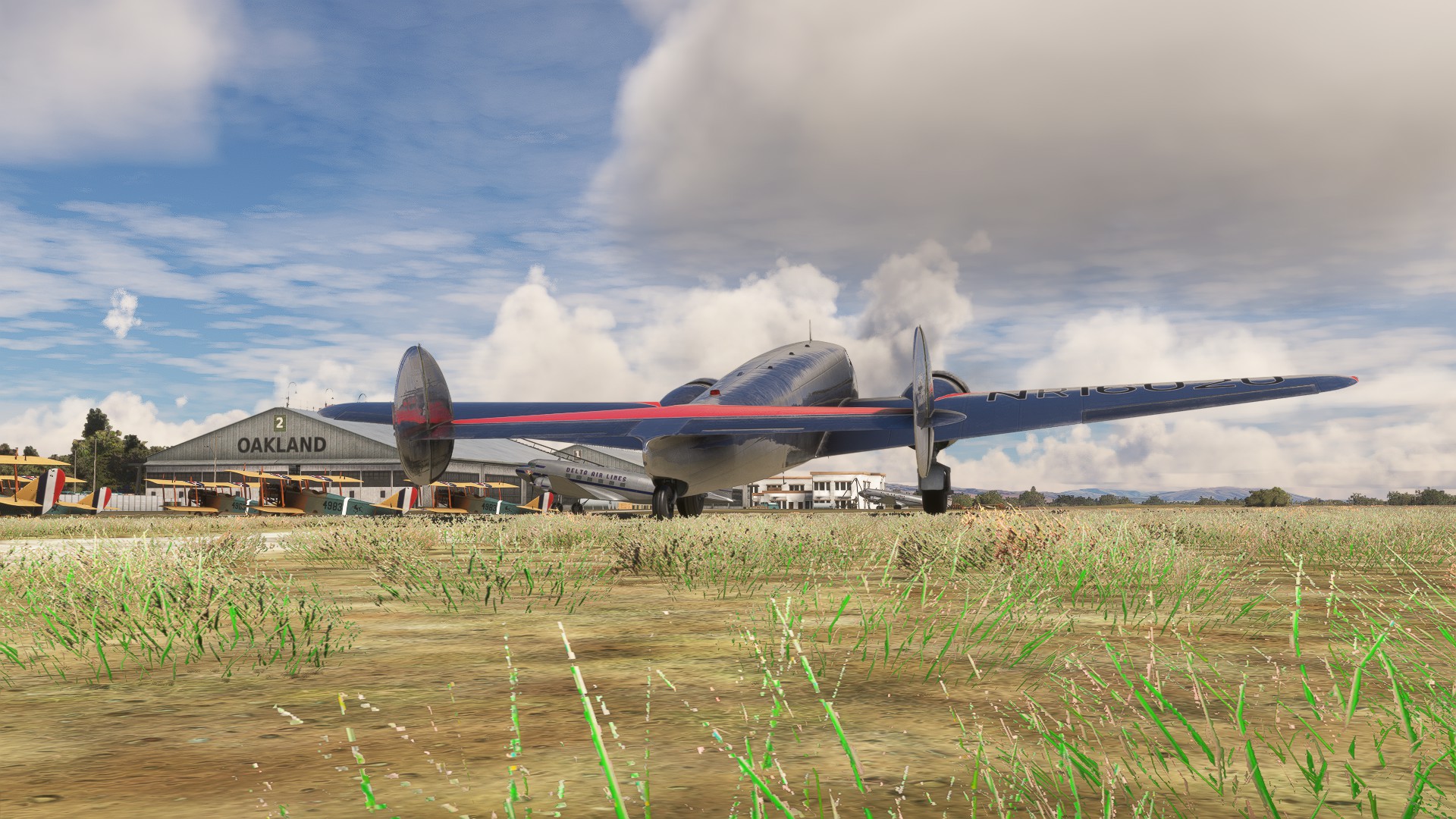

Ready for takeoff
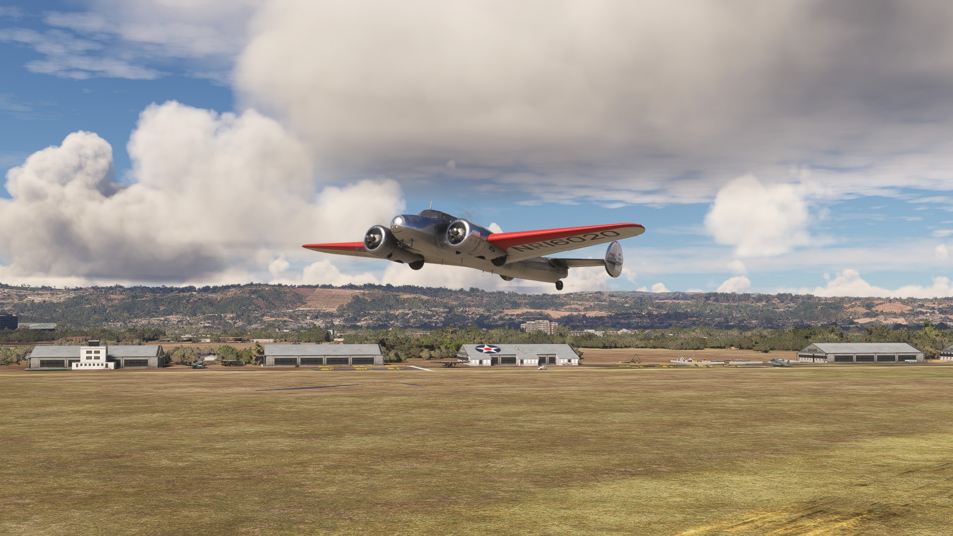

And so it begins!
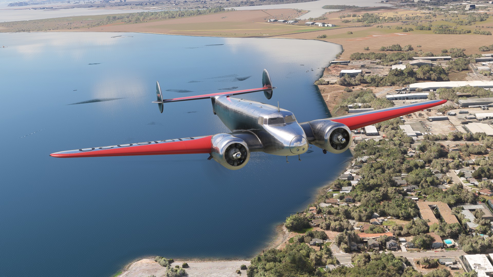

Hello Burbank!

This is great! I’ve had the recreation of Amelia’s flight on my to-do list for a while but haven’t made plans yet, so I’d like to join in if and where I can. If I can’t make the flight, I look forward to following your posts here :blush:

I’ve reached KTUS in the Boeing 247D (FS2024).

Generally using dead reckoning with an online E6B calculator to managed wind impact and distance/time calculations and no following in LittleNavMap. Tricky but fun. Enjoy your flight!

My plan is to alter the Howland Island leg. The 247D will not make it. So from PNG I’ll head towards Japan and do coastal legs then the small hop from the top of Russia across to Alaska. Going to take a while.

Thank you for the kind words. I’ve been fascinated with Amelia Earhart since I was a kid and it’s remarkable that we have the tools now to follow her footsteps virtually. I’ll be taking off on leg 2 shortly - will post details below.

OneFang666:

I’ve reached KTUS in the Boeing 247D (FS2024).

Generally using dead reckoning with an online E6B calculator to managed wind impact and distance/time calculations and no following in LittleNavMap. Tricky but fun. Enjoy your flight!

My plan is to alter the Howland Island leg. The 247D will not make it. So from PNG I’ll head towards Japan and do coastal legs then the small hop from the top of Russia across to Alaska. Going to take a while.

That’s awesome! I’ve read such good things about the 247, it’s a shame the developer has disappeared, but nice to see you got it working in FS24. I don’t know if the Electra works in FS24 (AH hasn’t commented on it that I’m aware of), but I have my scenery and everything setup for it in ‘2020, so that’s why I’m using it for this flight.

Leg 2: Burbank, California (KBUR) to Tucson, Arizona (KTUS) - 406nmi - 5/21/1937 14:25 - Clear Skies

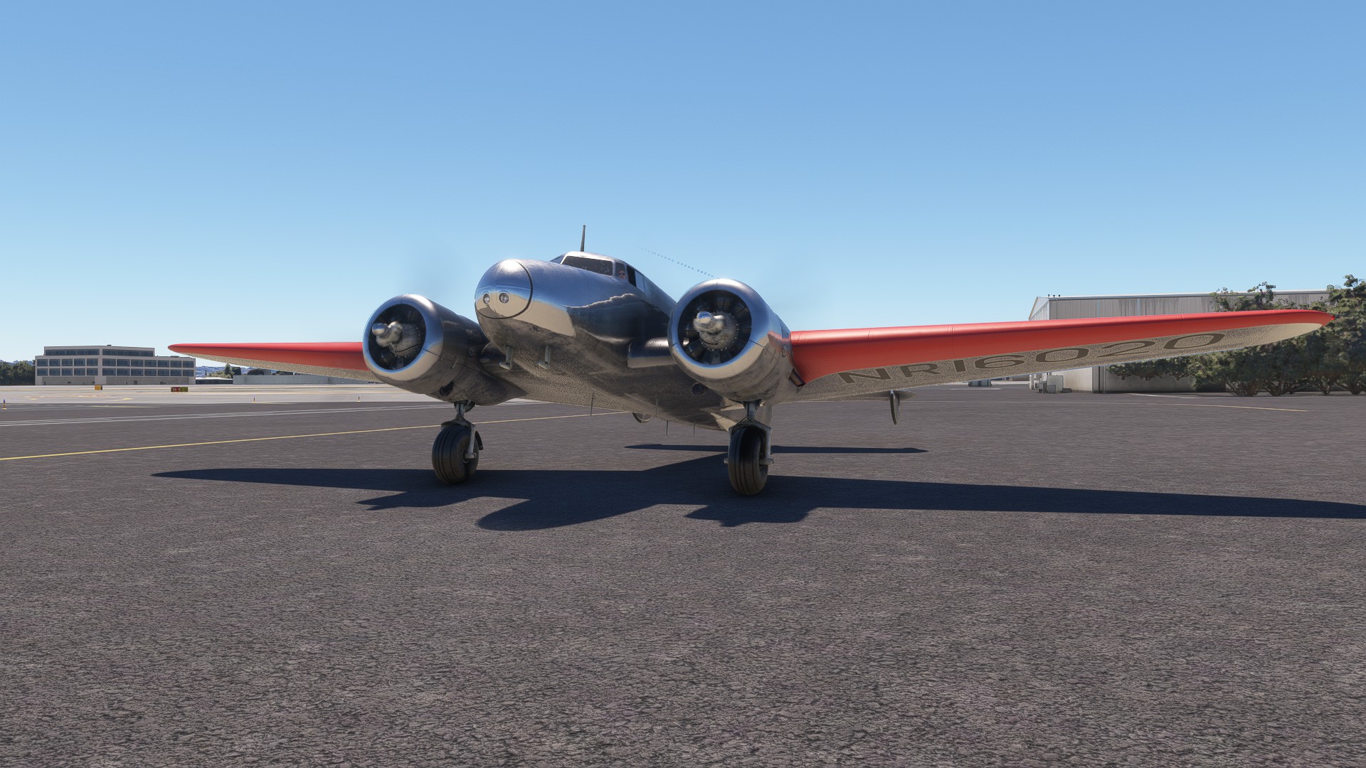
Setting up for the next leg. Hopefully departing in the next half hour or so!

Hey, just to let you know that I am following this thread with interest.

Got two books about her round-the world-attempt with the intention to replicate and follow her footsteps one day.

Fingers crossed :crossed_fingers:

So true, and flight simulation is really the only way we’ll ever be able to experience these vintage planes, and the historic flights done in them, it’s wonderful to see many of these classic planes modelled so faithfully.

Thank you for the heads up, unfortunately it was about 5am here in Tasmania so I wasn’t able to join along this time.

Leg 2: Burbank, California (KBUR) to Tucson, Arizona (KTUS) - 406nmi - 5/21/1937 14:25 - Clear Skies

Leg 2 is complete!

Weather was perfect, if a little warm. Departure was a piece of cake, and I was feeling really good about the day, that is, until I tried to set the autopilot. It wasn’t the weather that got me today, it was mechanical gremlins. The autopilot would not stay course after a few attempts, so I disabled it while considering my options. Eventually I realized the Sperry’s displayed heading was off. Once I set it to the compass instead, we were golden.

Extra info that doesn’t pertain directly to the flight itself: My understanding of the autopilot in AH’s Electra (no idea how accurate it is) is that without level hold on, it will kind of hold pitch at whatever the angle is when you enable it. So my normal procedure for an autopilot climb is to get in a steady climb first, before enabling the AP for my set course. This normally works like a charm, but today the ship kept banking rather sharply to the right, even though I had it set for dead ahead. I eventually realized the “actual heading” of the Sperry was for some reason displaying roughly 180* off, so when I matched up my “set heading” to the “actual heading”, it would then immediately start turning to my new heading that was in reality 180 or so degrees behind me. I remember this happening at least once in the past on a practice flight. I don’t know what the cause or connection is because it normally works fine, so in “story mode” it’s just gremlins.

The rest of the flight was smooth and uneventful. I am still adjusting to not having my VFR map open constantly. For now, I am teaching myself just to “wait a bit” before checking in (like I tell my children lol) and then kind of making a blind adjustment based off my instantaneous location. For the Howland Island flight, I am thinking of checking no more than once an hour, but for now I figure I’m over land so it’s not cheating too bad since I’m sure Earhart had much better VFR skills than me anyway.

I started my descent early on purpose, and the only challenge was spotting the runway. Even though the weather was perfect, I still was straining to spot the airport as soon as possible and make sure I had the right one since there were 2 others in the vicinity, and I wanted to do a straight in approach. Eventually I found it and the landing was smooth, but then I sort of bit myself - I don’t usually use the tailwheel lock on takeoff but I decided to today - and, shockingly I know, I forgot to unlock it once in the air lol. So once the tail settled on the runway, it was a pain trying to get centered. I immediately realized my mistake, and looked down briefly to disengage the lock, and then all heck broke loose as I tried to recover and maintain control. Luckily there was a perfectly placed runway exit for my swerving plane to grace with its presence. And so a should-have-been boring flight was still an adventure!


All set with perfect weather


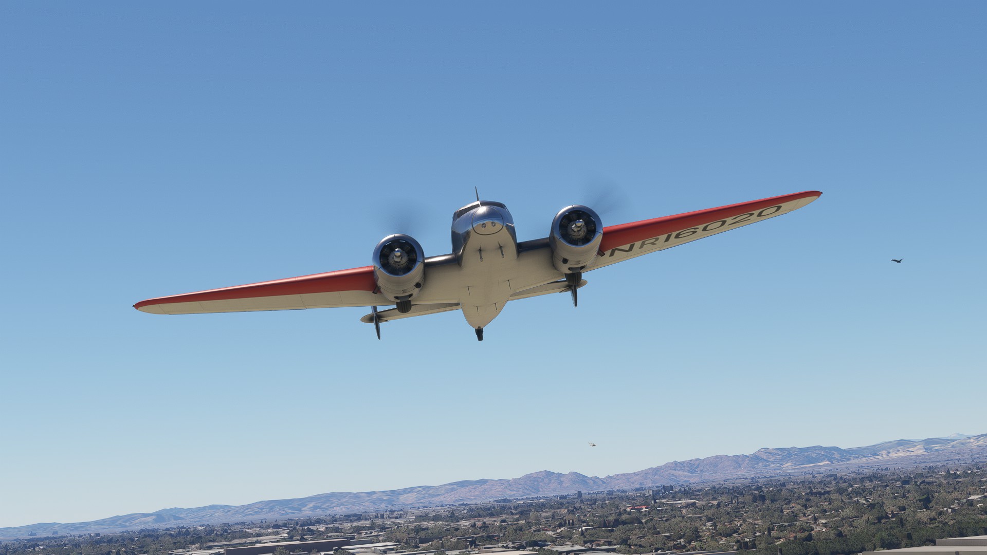
Dodging birds just after takeoff from Burbank


Having found a workaround for the Sperry acting up


Hello Tucson!

I found this a good resource for the PDFs it contains for some historical text.

https://flightsim.to/file/46168/amelia-erhart-s-circumnavigation-of-the-world-in-1937

Leg 3: Tucson, Arizona (KTUS) to New Orleans, Louisiana (KNEW) - 1087nmi - 5/22/1937 7:30 - Few Clouds

First flight using the extra fuel tanks is in the books. My mechanic worked overnight repairing the Sperry autopilot so it was in tip top shape. The weather was good with a few clouds for window dressing. Take off was good, I remembered to unlock the tailwheel when I cleaned up in the air, and it was smooth sailing from there. I elected to fill the main tanks full and only put the extra necessary, plus margin for error, in the fuselage tanks. Last time I did this world flight, I had missed a fuel tank change once or twice along the way, so I was extra careful to NOT miss it this time lol.

The world trip is still young, and yet I’m already seeing the geography change. The valleys and mountains of the southwest gave way today to wide open plains and pastures as I crossed Texas. Things turned green and luscious as I crossed the Mississippi River and arrived in New Orleans. The tail wheel is still giving me grief, getting squirrelly after touchdown, but it didn’t manage to kill me yet so tomorrow is another day!


Engines turning in Tucson


Off we go!


Crossing the Mississippi


Safely on the ground


Hello New Orleans!

This is very interesting. I did Amelia’s flight years ago using FS (not sure now which one) and the Electra. I plan to follow along behind you guys, I’ll be watching your weather, etc. and set to match. The Indian Ocean was a real challenge then.

By the way, I also replicated Amelia’s trans-Atlantic flight from Harbour Grace Nfld, which is about 40 nm west of my real location (YYT); don’t know whether her plane then is available for FS2020.

Cheers, don’t check your 6!

Barry Mackay

Leg 4: New Orleans, Louisiana (KNEW) to Miami, Florida (KOPF) - 583nmi - 5/23/1937 10:12 Clear Skies

Today we left New Orleans and headed out over the open waters for the first time. The weather was clear and calm. Takeoff was smooth and the land soon disappeared behind as we climbed out over the Gulf of Mexico. I decided to level off at 7500 feet, and after setting a heading with the VFR map, the Sperry autopilot took us across the gulf holding pretty true. The cruise was easy and before I knew it we had reached Florida. We ended up just slightly north of our mark, but correcting was no big deal. The landing was smooth, and despite its best efforts to the contrary, the tailwheel remained under control. Good thing I’ll get more practice!

In crossing America, I’ve covered over 2000 nautical miles in over 15 hours of flight time so far!


Let’s go!


Climbing out from New Orleans


Hopping over the Gulf of Mexico


Arriving over Florida


Stepping down as we closed in on our destination


Hello Miami!

Following your expedition with interest. I am also preparing the Electra, scenery, etc.

After finishing two warmup flights with the AH Electra 10A, I have some questions, if you could kindly fill me in:

  1. Amelia flew the 10E in 1937, not the 10A. The plane specs given by AH for the 10A list 450 hp for each engine, but the 10E was 600 hp. I am assuming you are using the 10A from AH with 450 hp. I am also not sure if fuel capacity was greater for the 10E, but I am sure it was.
  2. You mentioned above in Leg 3 that you filled the extra fuselage tanks, but I don’t see any configuration options to do so from AH.
  3. During my familiarization flights, the Electra seems to ‘hobby horse’ - the nose drops and rises within seconds. Very disconcerting for long flights - lol! I suspect the problem here is that trim must be manually set to avoid this, especially when AP is engaged.

I wonder if you can enlighten me on any of these….

Cheers, Barry

I am more than happy to help! The 10E is included with the “Aeroplane Heaven Electra 10-A” package. It shows up as its own aircraft in the sim. This is in FS2020 btw. I have not tried to use it in FS24 as I’ve not seen any statement from AH about compatibility. I don’t know if AH has included the uprated engines, but it definitely does have the extra fuselage tanks. They show up in the weights and balance screen. Again, if you’re trying in '24 I can’t help you there. There is a mod on FS.2 to bring up the old school weights screen - if everything else is working with the Electra then that should do the trick. As for me, I’m using '2020 basically as a vintage platform for the Electra, DC-3, Hughes H-4 Hercules, B-36, DC-6, etc. I bit the bullet and got a lot of 1935 scenery this weekend for future DC-3 flights in the US.

I’m not familiar with your trim issue. With autopilot off and trimmed out, the plane is pretty docile with a slight tendency to pull left. The autopilot has a power switch and 2 mode switches - one for heading control that turns on automatically when you turn on the autopilot itself. The other is altitude hold which does not turn on by default. What I have found is that with altitude hold OFF, the Electra will just seem to hold the attitude it was at when the autopilot was engaged. The trim doesn’t seem to do anything at least as far as I remember from when I last tried to manipulate it. Once you switch ON altitude hold, the Electra will level off and then there is no need to use trim - she holds level quite nicely.

I hope this answers your questions. Feel free to ask more, and that goes for everyone. I’m happy to honor Amelia Earhart’s legacy and I love the Electra!

Edit: Added some extra details and full flight plan to the OP.

Roger on the added flight details - very handy. Prior to that I downloaded route details from references other viewers listed here on the thread (Wikipedia, Koschi, etc).

I was using the 10A ‘Modern’ plane (in FS2020) when I reported the hobby horse. I have now decided to use the Special plane, as you are correct about the fuel capacity. I did not earlier compare the capacity in the task bar settings until your comment. The difference is: 10A 1740 lbs max fuel, vs 6906 lbs for the ‘Special’.

I’ll have to check out the Sperry AP now, and see if the hobby horse effect is solved without touching the manual trim. Am looking forward to a positive result. I flew the Electra years ago (with Sperry) when using FS4 or thereabouts, and that was a completely different experience when recreating Amelia’s flight.

I’m not even thinking about FS2024 at this point. However, I am hoping to do this in VR with my HP G2 Reverb.

Thanks for your advice.

Leg 5: Miami, Florida (KOPF) to San Juan, Puerto Rico (TJIG) - 915nmi - 6/1/1937 5:56 Clear Skies

This was the day Earhart and Noonan made their second attempt to circle the globe official. If the previous flights across the US were the warm up and fine tuning, this was where things got real. I found an interesting article with a photo credited as the morning of take off, so while my destination was clear (officially light haze), I added light clouds and started a tick later to lighten the sky some: June 1st 1937: Amelia Earhart takes off from Miami | Flashback Miami


Engines turning and about ready to go with the main tanks full and just a little extra in the fuselage tanks to be safe.


Climbing out from Miami. The weather was calm and inviting as the world began to wake for the day.


Saying goodbye to the US coastline.


Greeting the morning sun.


Heading out over the open waters of the Caribbean.


The sea was endless, but luckily we followed a string of islands along the Bahamas and Turks and Caicos Islands which served as convenient checkpoints along the way.


Arriving at Puerto Rico. So I went off autopilot as I stepped down from my 7500 foot cruise altitude in anticipation of my arrival, and I discovered just how easy it is to get disoriented over the open water. The Electra has a tendency to pull slightly to the left. If left unchecked you will end up in quite a banked turn and very off course. Now, I usually fly with the VFR map open about all the time, but for this adventure I am making a point of using it only sparingly (to simulate Noonan shooting a position fix) - especially when over the water. Across the US, I had been hand flying the step down using visual references to maintain my heading. Without any land in sight, I tried to instinctively lean right to counter the left pull, but quickly found I was over-correcting and taking myself maybe 20* or so right of course. So I will have to work on trusting the instruments more!


Hello San Juan!


So far, we’ve flown for nearly 21 hours and covered 3300 nm!

Wow. Do you use sim time accelation or you sit throught it in real time?

I do real time. I readily admit, typically I don’t do this type of flying, so I am often AFK buzzing around with real life responsibilities. I check in for location fixes and to monitor fuel levels and take screenshots, but otherwise focus on the hour or 2 around takeoffs and landings.

Nice one! A great and lengthy trip. I’ve done the infamous Howland leg a couple of times.
One suggestion - this is probably your single best moment and reason to do celestial navigation. The CelNav add-on has an automation feature that even does the plotting for you.
Best of luck!

Is the automation an update? Not noticed it before but haven’t done CellNav for a while. I’m doing this trip in the B247d.