Hey guys, I thought of creating a list of parts of the sim world which currently have poor ground textures (generic offline images, clouds baked into the ground, etc). Hopefully this also works as a guide for areas to improve in future World Updates.
Some I’ve seen in my travels
- South Pacific islands (hopefully they will be fixed in the upcoming World Update)
- Western Venezuela
- Parts of Colombia
- Coastal Ecuador
- Coastal west Africa, between Cote d Ivoire and Nigeria
- Parts of Kenya, Tanzania, Rwanda
- Eastern Czechia and Slovakia
- Inland/far north Sweden and Finland
- South Korea
- Taiwan
- Parts of China, heading northeast from Beijing
- Sri Lanka
2 Likes
There are a few patches like this in Japan as well. Most of them aren’t big enough to really disturb my flying experience, but it’s still disappointing to see them in a country that has already had a World Update.
Big chunks of Georgia (the country) are like this as well. I remember Bing Maps didn’t have any low altitude aerials for this areas, it was just a black screen; but they got some good ones recently.
Andaman island could use some freshening up as well, specially the north.
The Dominican republic could use some work as well.
Saudi arabia is such realy terrible. I guess it is because of bad satelite pics for some parts in the world.
It’s seams to be only the countries that are good with NATO that are being updated. Maybe? I wish there was a road map on what countries are next and stop putting the carrot in front of us.
It doesn’t have anything to do with the NATO. The question is, who‘s paying for satellites and who is publishing the data.
Certain countries certainly aren’t interested in publishing high definition pictures or selling them to BING. 
Maybe…
Where is China, Africa, Russia, India, South America, Middle East.
I agree that certain countries aren’t interested.
So MSFS will never get the entire world updated? 
The people responsible probably aren’t into flightsimming. 
If they were, things would be much better and easier, I’m sure.
1 Like
Yeah, I hope future World Updates clean up many of these problems. For what it’s worth, many of the mentioned areas look a lot better in Bing Maps.
We’ll get a taste a few hours from now, the South Pacific islands really look terrible and the update should fix them.
Lots of bad scenery patches around Parnu in Estonia.
So, today’s Twitch stream talked about how they get satellite pics, and the bad news is that their provider, Maxar, is quite spotty in the areas mentioned in this thread. The good news is that the devs are now requesting specific areas (presumably for World Updates). So, this thread is full of suggestions for areas that need new aerials in the sim. Hopefully they’re not all tied to the release of specific World Updates.
Was hoping WU13 would take care of PNG but from what I’ve seen so far, they didnt do anything besides add some poi’s and some bespoke scenery. Haven’t found any gnarly terrain spikes yet but im still east of the areas I found them to exist. But yea, papua new guinea looks pretty terrible in spots. Particularly areas in the mountains.
1 Like
The mountains near AGGH in the Solomons don’t look too good.
Yeah one of my biggest gripes with the sim is the poor satellite imagery covering much of the world outside of the US/Europe/Aus/NZ.
I’ve noticed that it’s generally worse in cloudier areas - mountain ranges and dense jungle/forest - while arid/desert regions generally look pretty good.
For example, the northern Andes around that Cuenca - Quito - Bogotá - Medellin corridor (which is a busy and very interesting area to fly in) is pretty rough, while further south into western Bolivia and Chile the imagery is quite good, but it gets spotty again right down the bottom on the western side of Patagonia. Makes sense obviously, and it’s not exactly a simple issue to fix.
Pretty much all of China is unusable but… that’s part of a bigger situation lol. Mountainous parts of SE Asia aren’t great. The Himalayas are actually pretty good in some areas, but if you explore too hard you’ll definitely end up back in blobby autogen land pretty quickly.
A lot of the Middle East is pretty serviceable (lack of clouds probably).
Mountain regions of eastern Africa are a bit sad, especially the big lass herself Kilimanjaro (I think there’s a payware Kilimanjaro out there even lol). Weirdly, there’s some really good consistent imagery in the mountains of southern Africa, around Lesotho as well as over towards the Escarpment and the Cape Fold mountains. It’s one of my favourite GA areas.
I think if the sim had better texture autogen to fill in those missing/cloud damaged areas in a less jarring and ugly way it would help alleviate the issue. But I’m sure that would be a mammoth job and time that’s probably better spent on improving the current scenery system. It’s just the trade off of using satellite imagery I guess.
4 Likes
The big island of the Comores. The rest of the archipelago seems fine though.
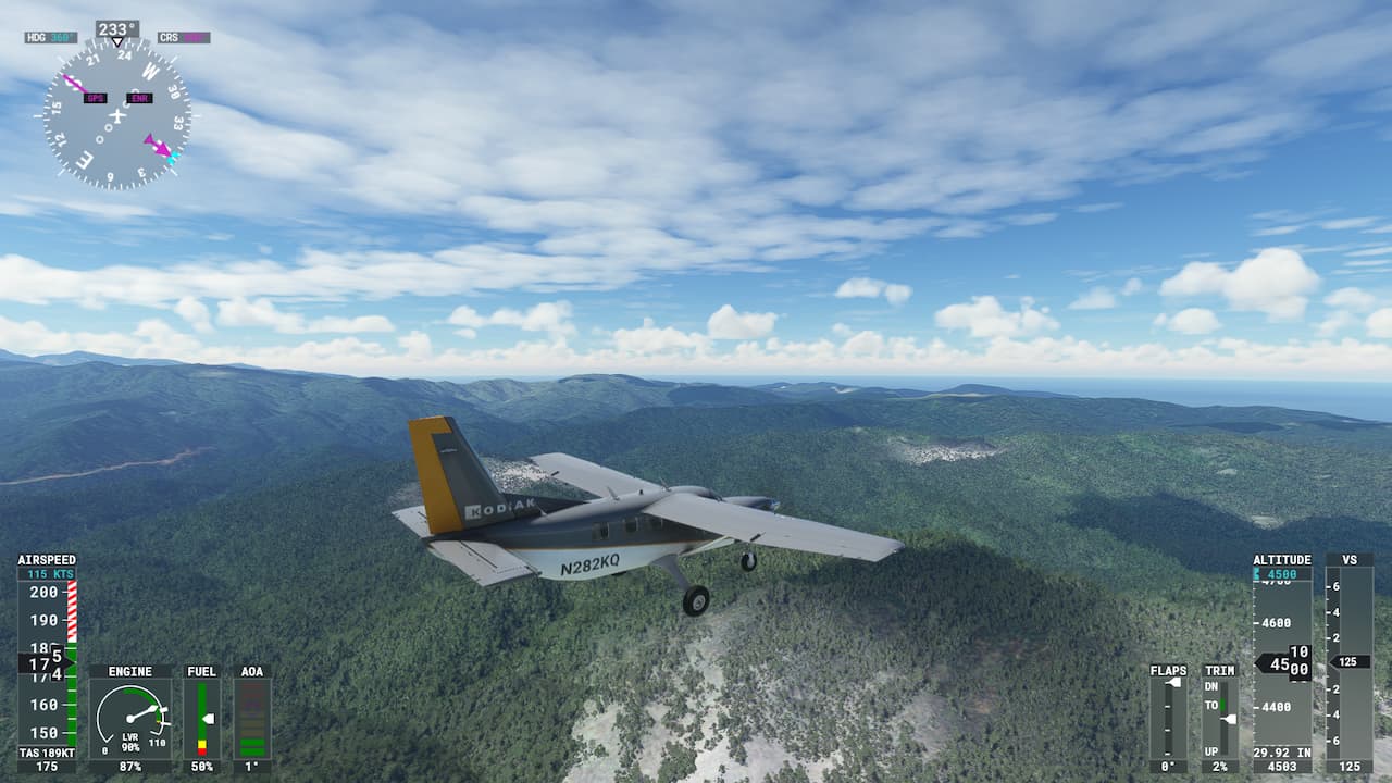
I just flew over Slovakia to check out the new update, it looks significantly improved but there are still some ugly bits
1 Like
I tried Greenland, it was awful. Bing maps has water in the Fjords where there should be ice or glacier.
Even in Austria (WU6), there are still regions with snowy textures (e.g. near attersee) or soo bad in resolution that even large forests are not detected (e.g. south of Krems or my home region between St. Poelten and Linz or around the beautiful Millstättersee west of Klagenfurt).
And in addition, MSFS data, even of Austria, is up to 7 years old, although Bing already has newer data.
I hope for MSFS24 that they build a new process of always using the latest Bing data and then update this data all the time whenever new images get available.
2 Likes