Around the World in a Bonanza G36 (Bering & North Atlantic Skip due to Thalassophobia)

Dear fellow pilots and explorers,

you may remember my old thread about my RTW attempt with a Cessna 172 that stopped being updated after 3 posts - that happened due to me rethinking my entire approach to this kind of World Trip: I realized that I don’t want to shackle myself to any special rules or a posting schedule and rather have some fun - which I’d like to share with you all. So I went on a little vacation, got my bearings again and now that I am back I’ll fly on my own pace.

Now to this World Trip: As the title says we will skip both the Bering Strait Flight and the Canada-Greenland-Iceland-Scotland flights due to my Thalassophobia (=phobia of open waters / oceans). I am fine as long as I can see a shore but I won’t trigger this stuff by going out onto the open seas, even in a game. Otherwise we’ll start in Kalamata (LGKL) since that’s where my last private flight ended and circle around the Mediterranian, go down Africa’s western side, up the eastern side, cross Arabia, southern Asia, Indonesia, Australia, the Philippines, Taiwan, China, Japan and Eastern Siberia. We skip the Bering Strait, travel down the West Coast of the Americas, up the East, skip the Atlantic and finally fly up the Scandinavian Coast, across Western Russia, the Baltics and down to Kalamata.

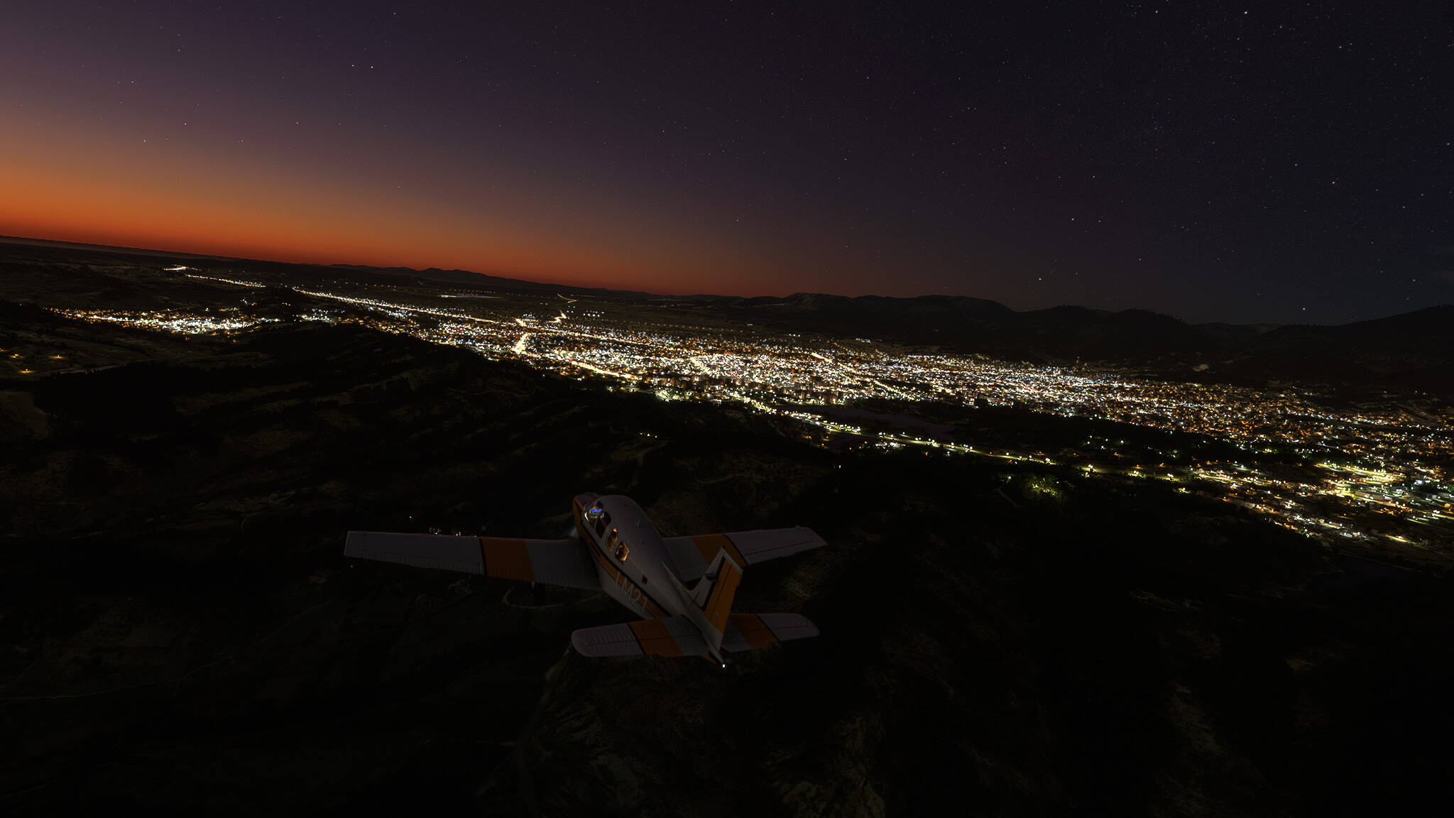
I hope you’ll enjoy it as much as I do, so let’s begin with our first flight from Kalamata (LGKL) to Epitalion (LGEP)!

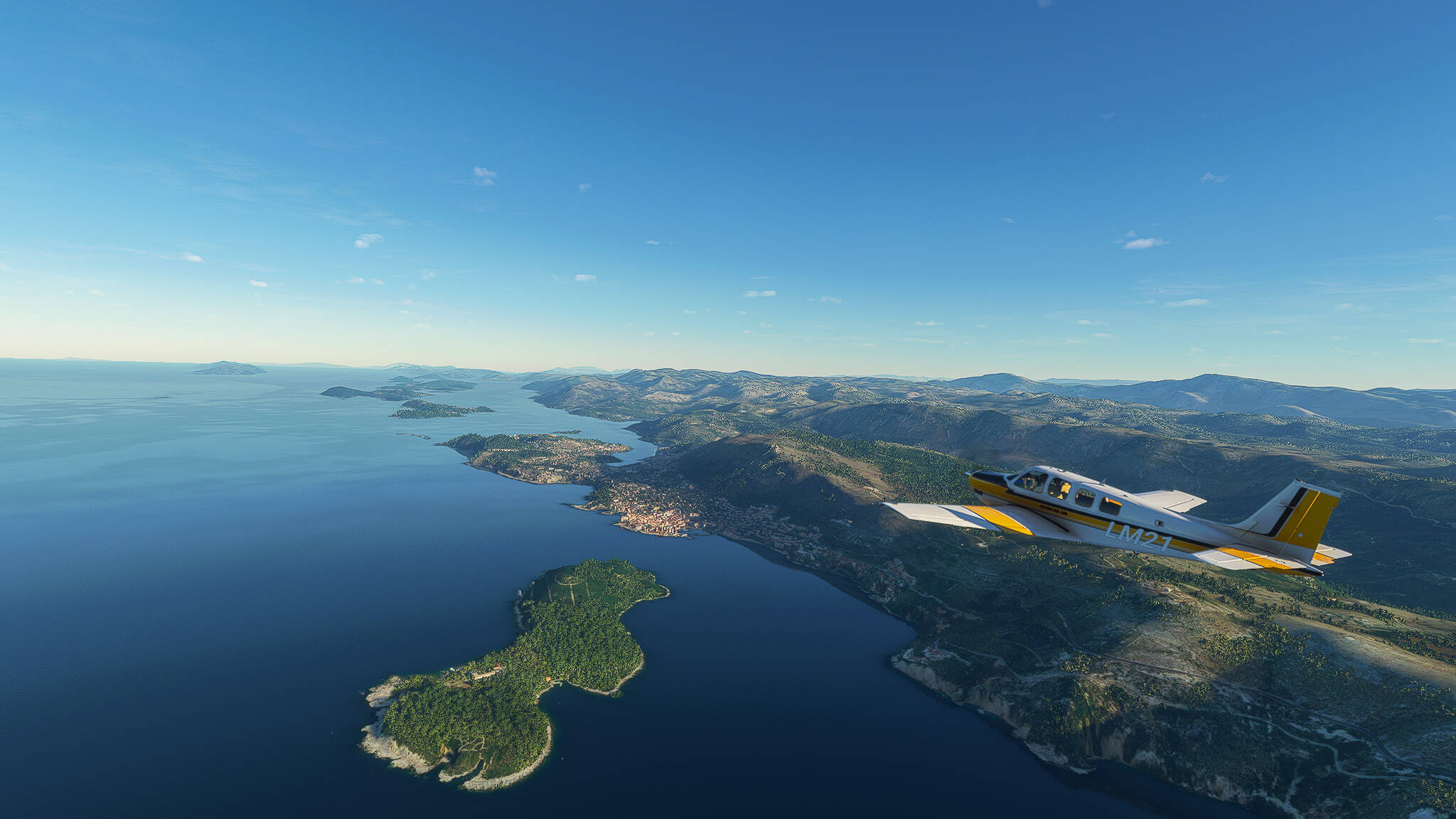
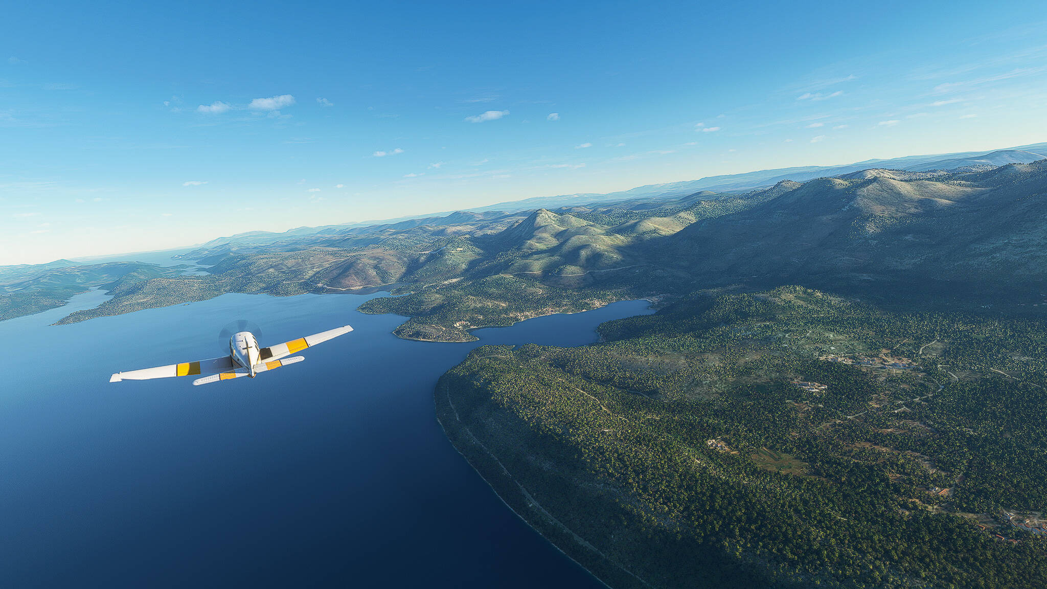
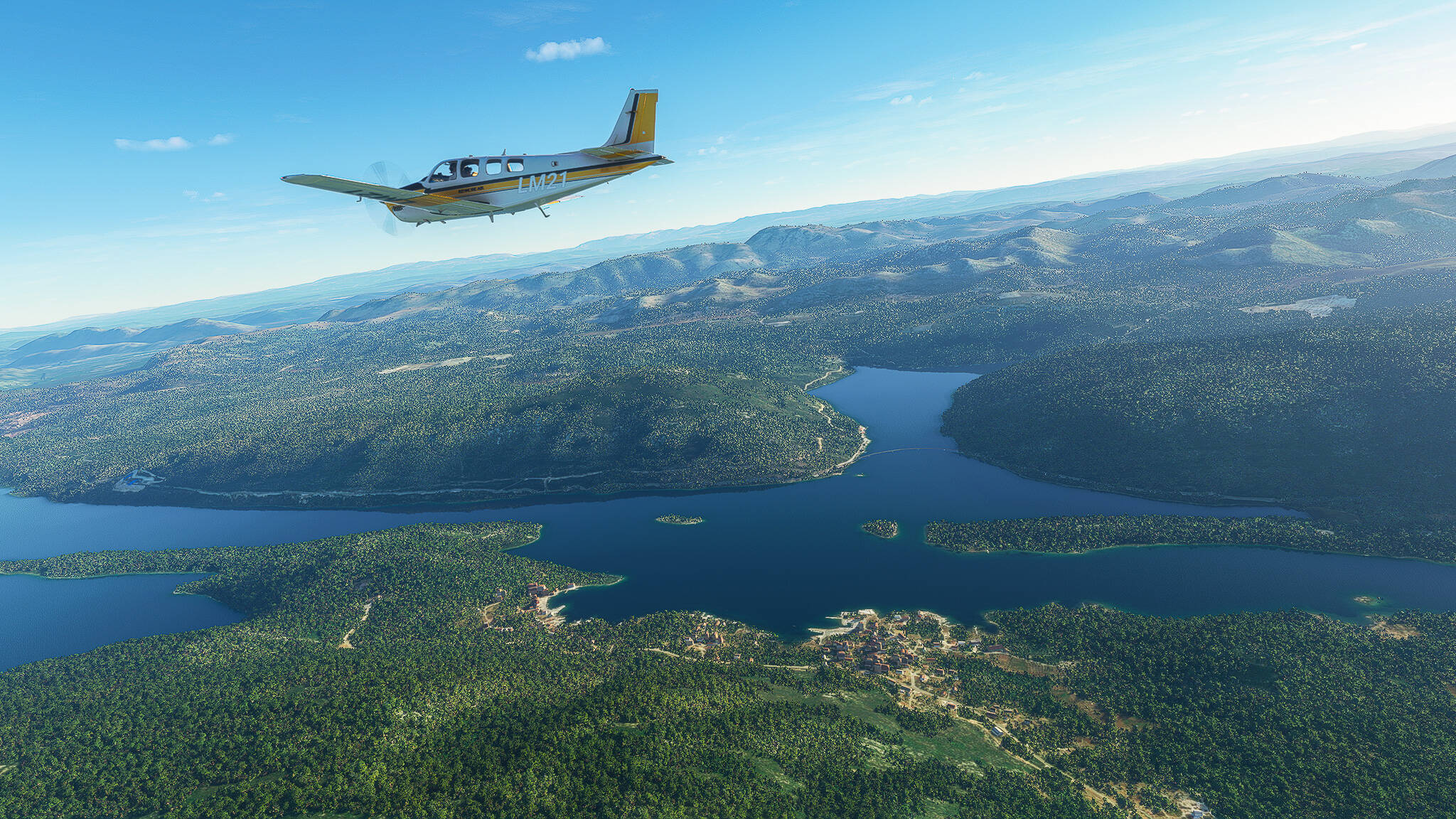
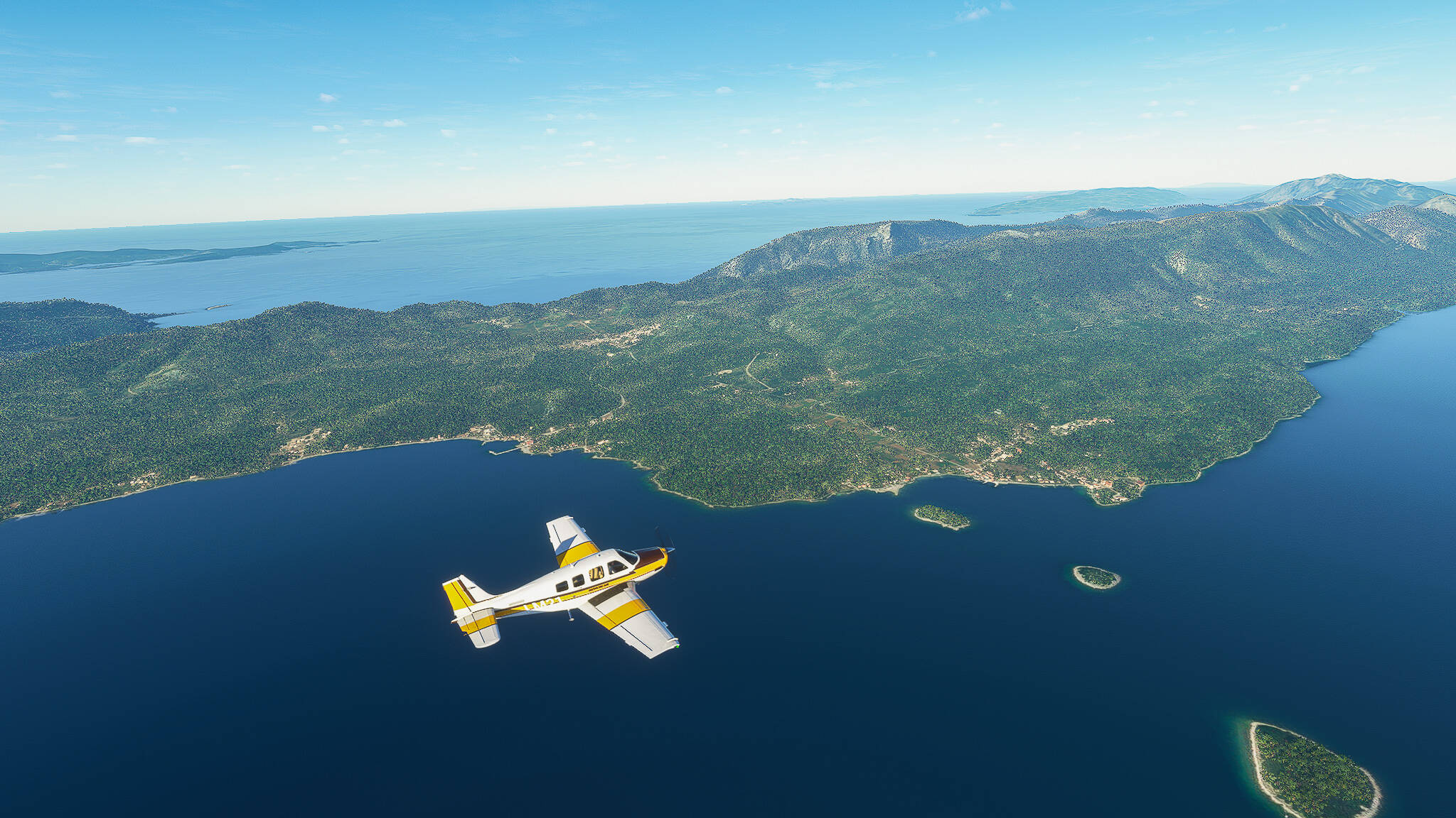
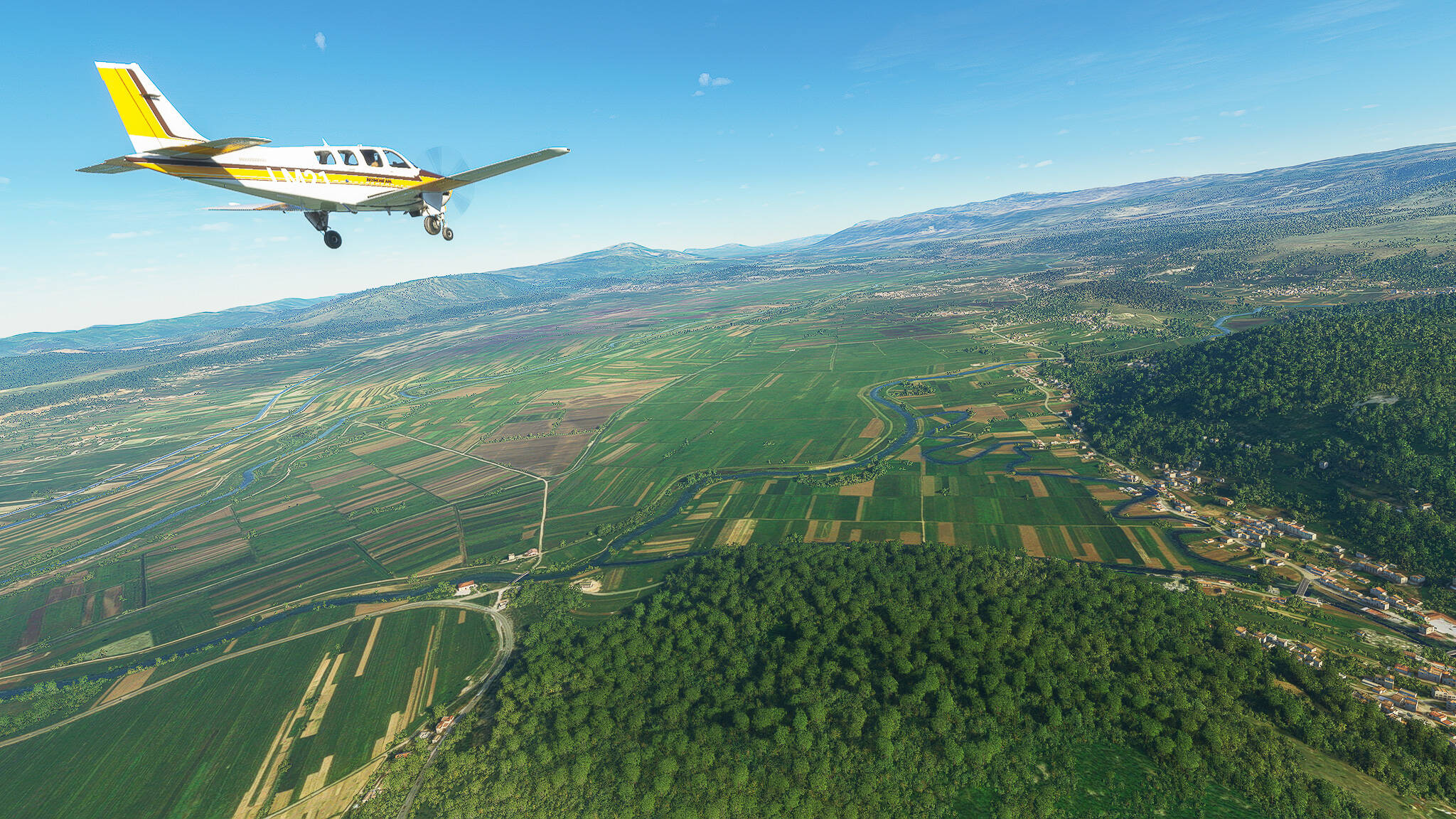
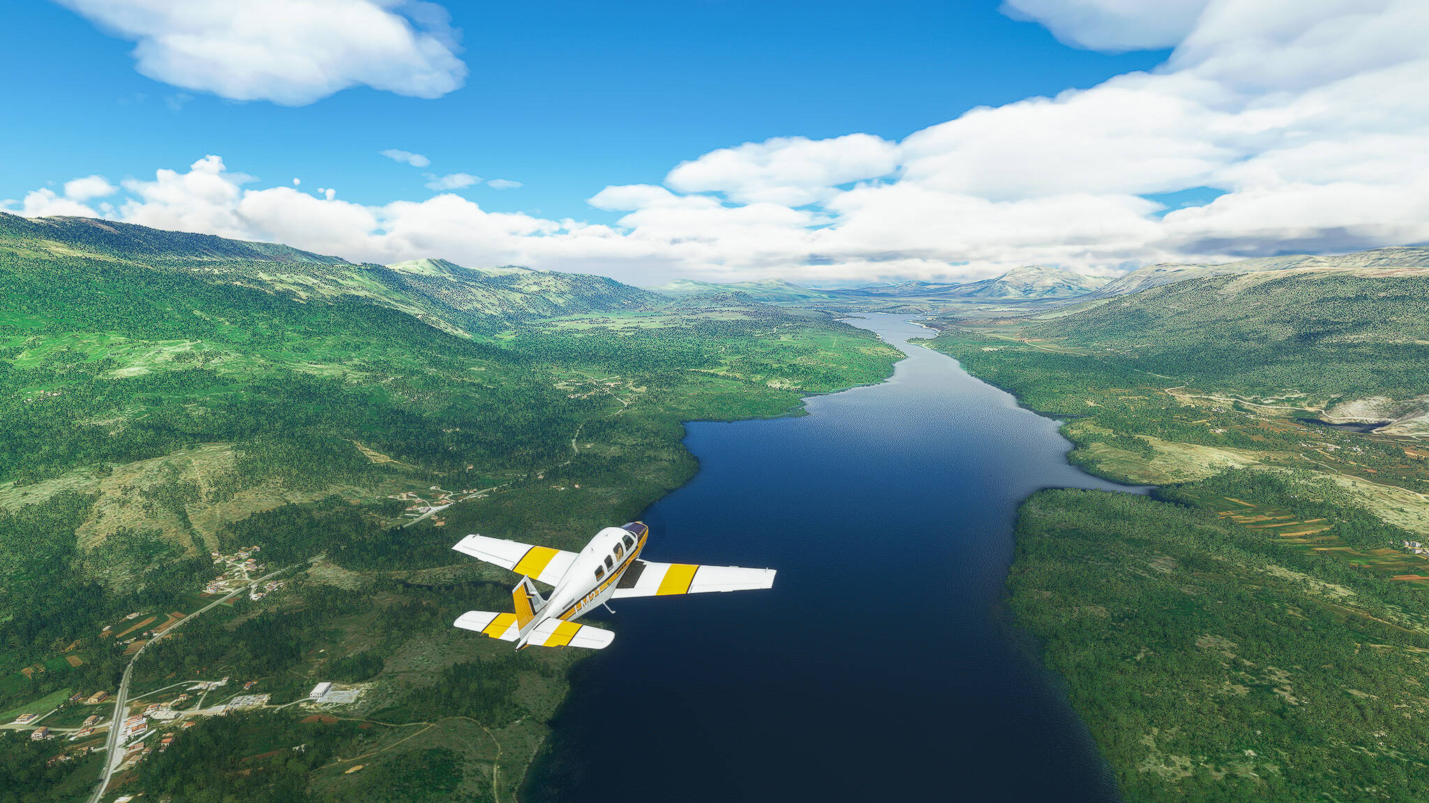
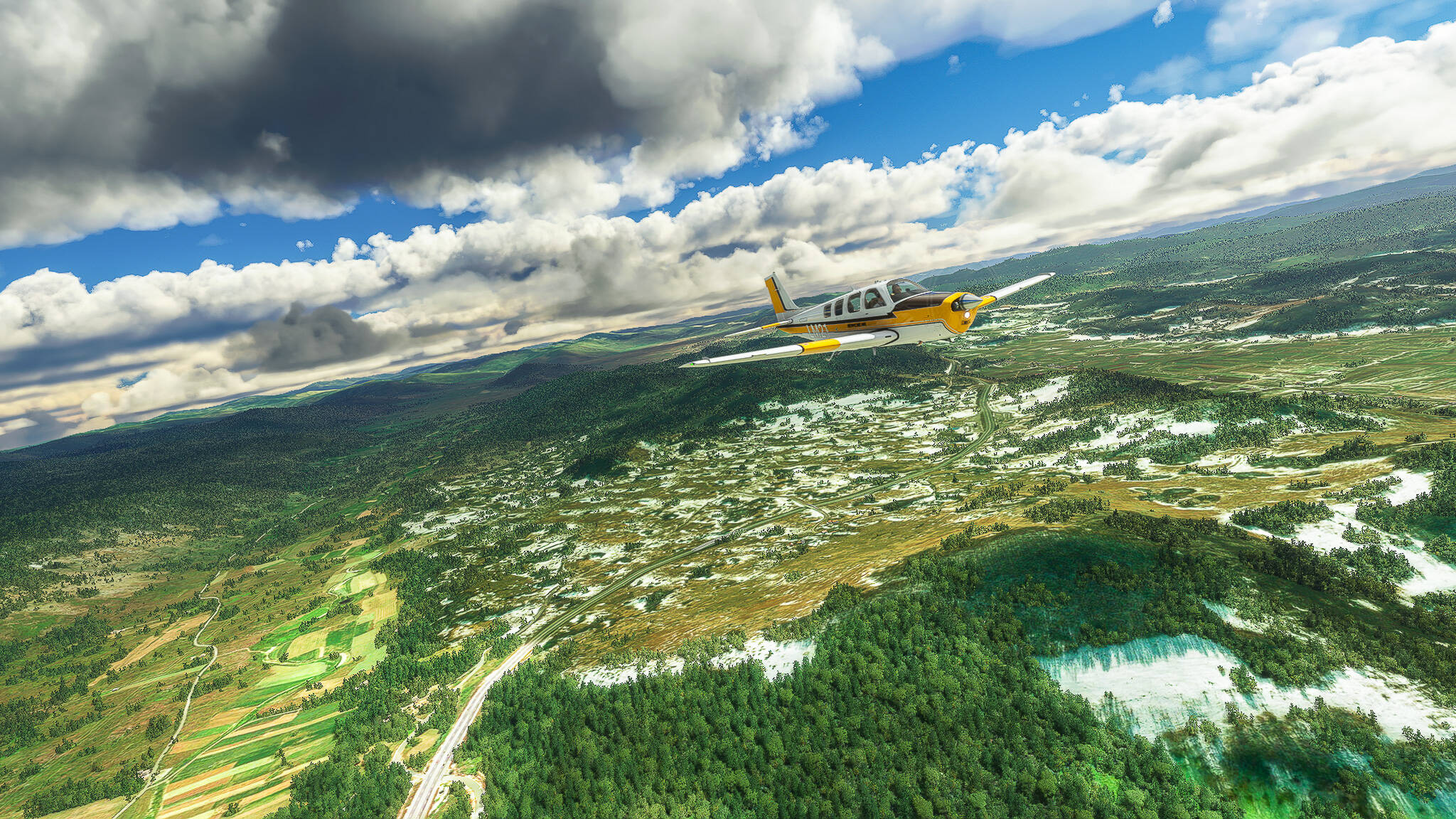
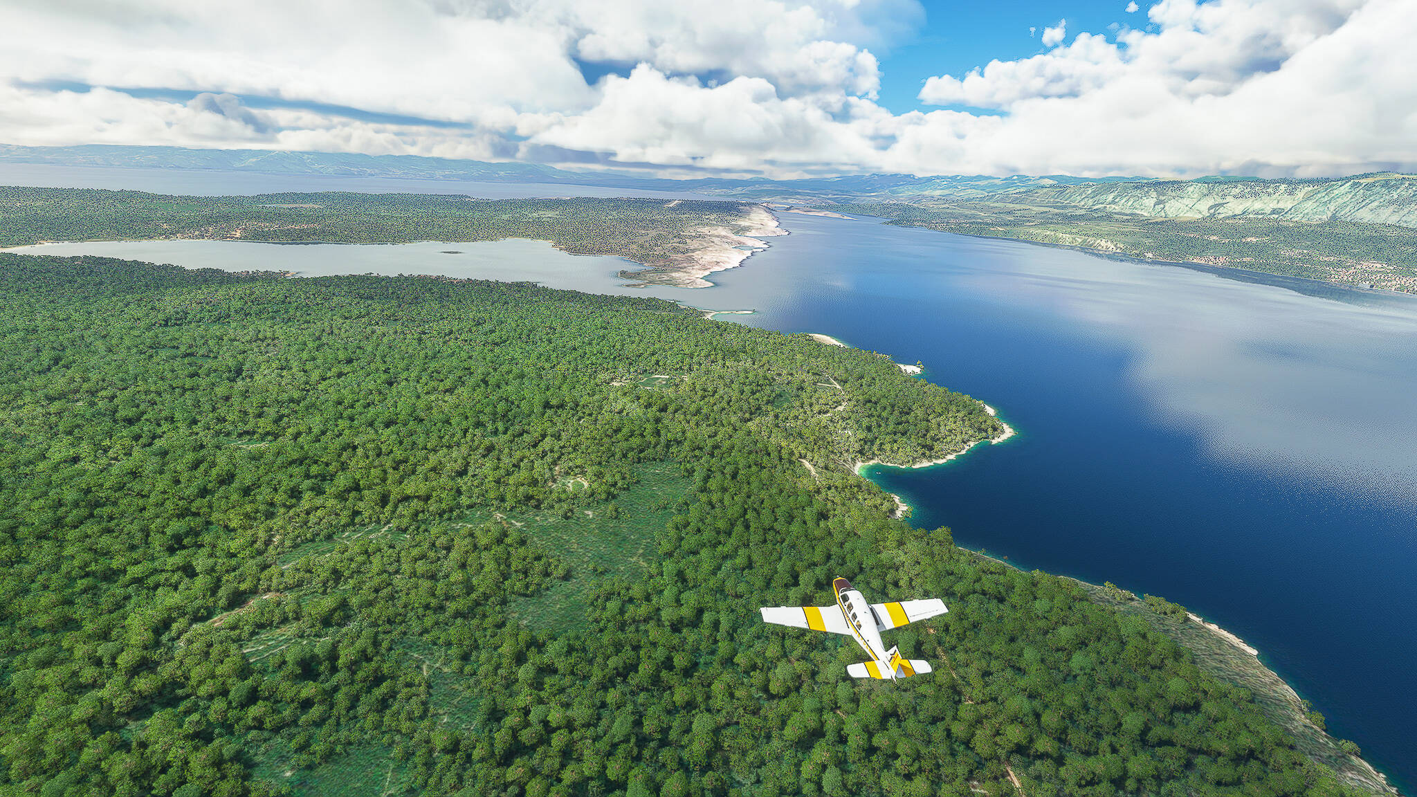
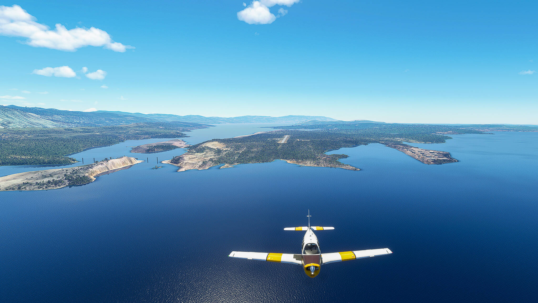
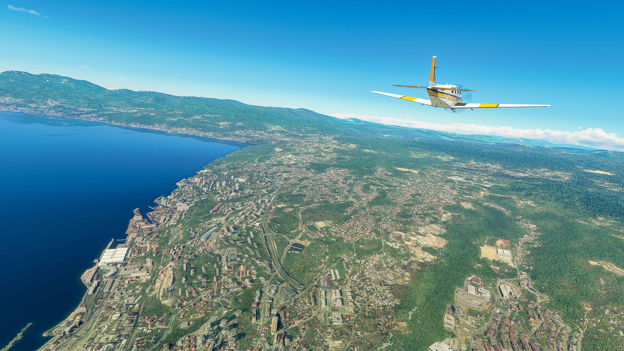
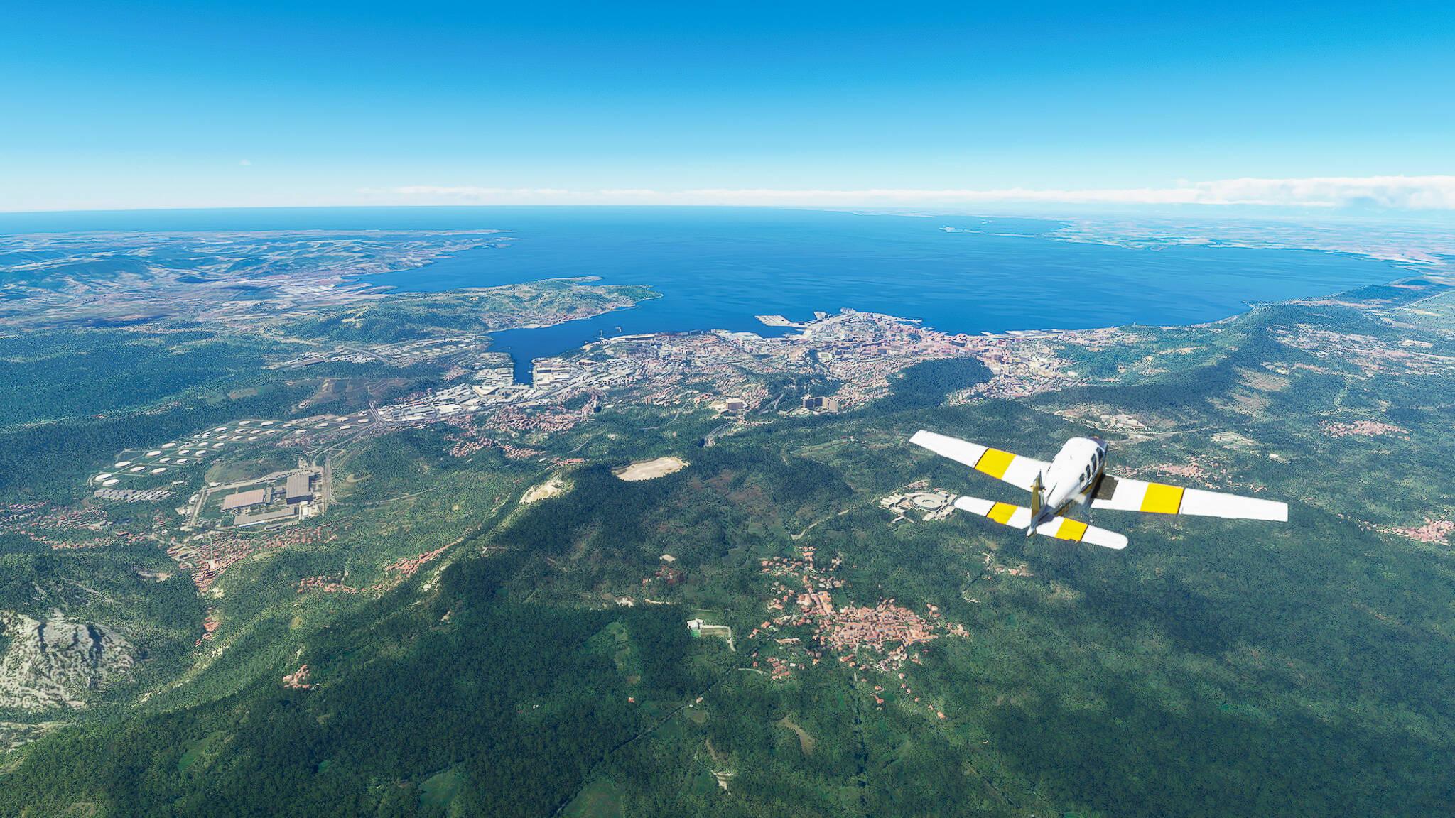
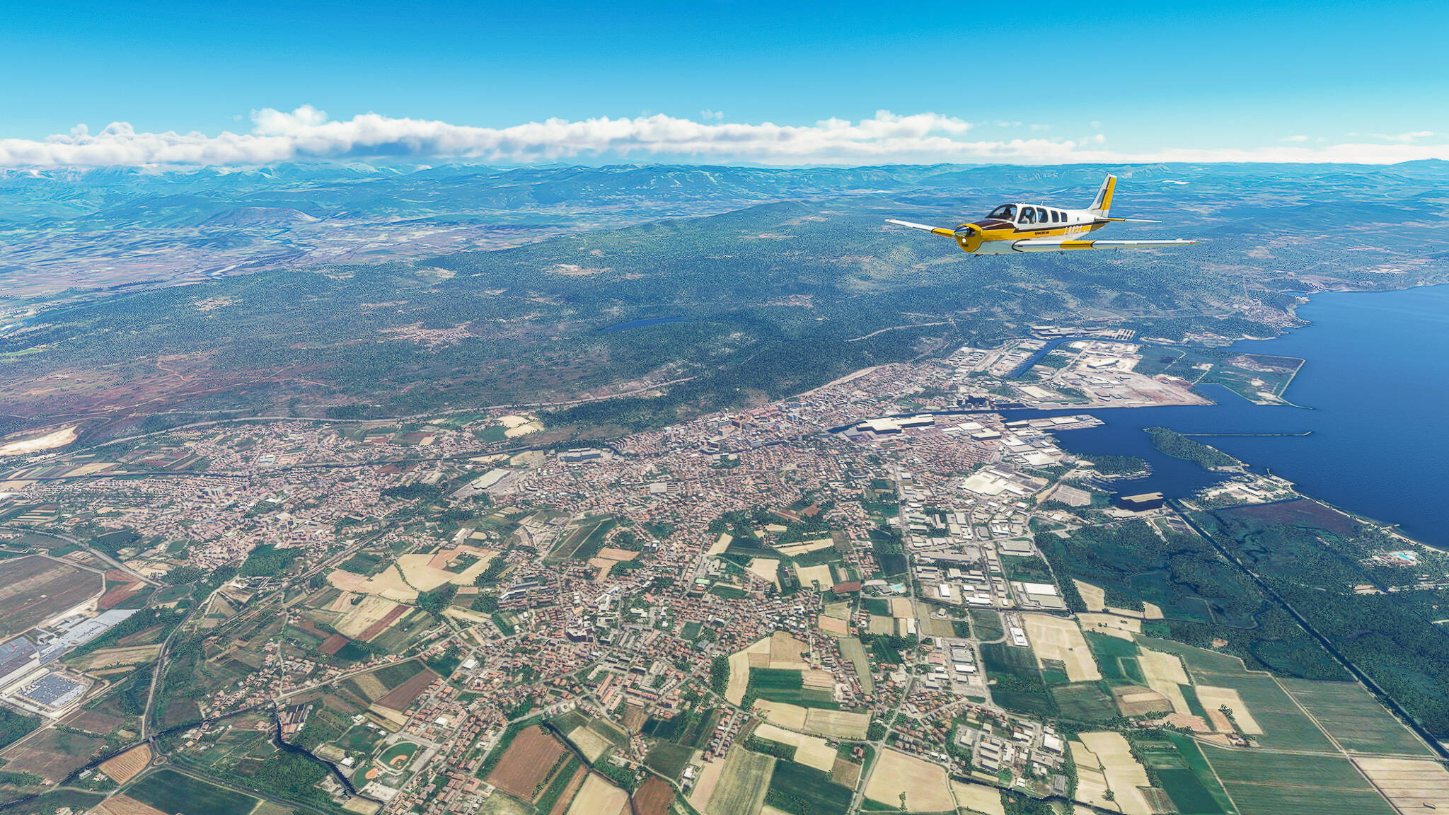
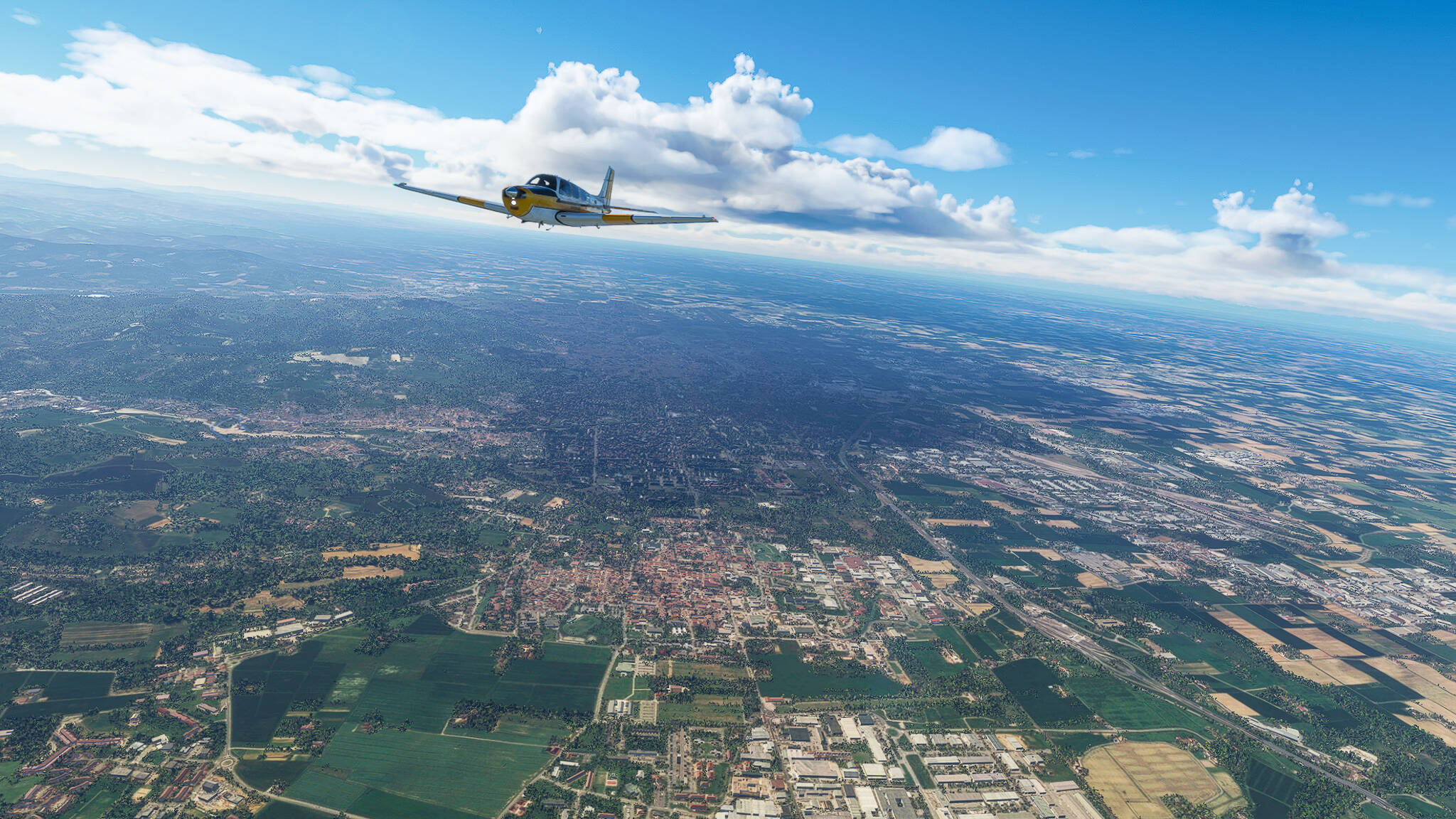
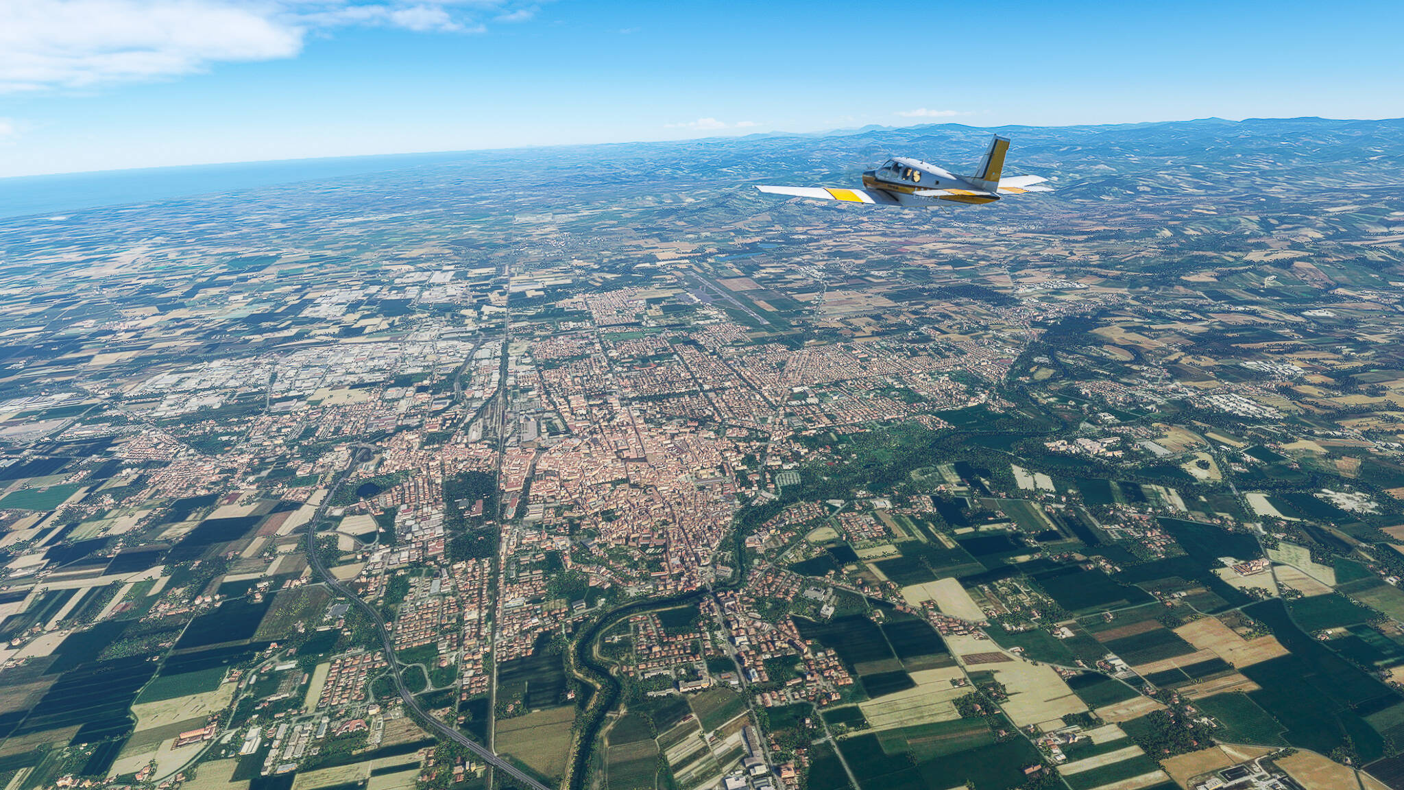
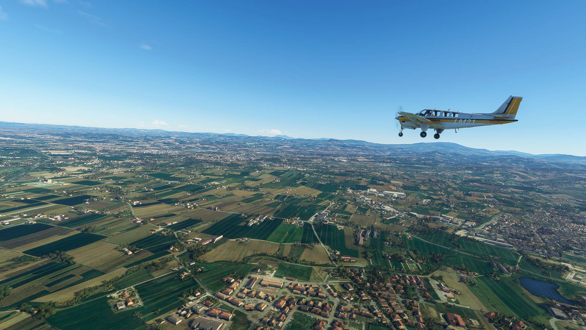
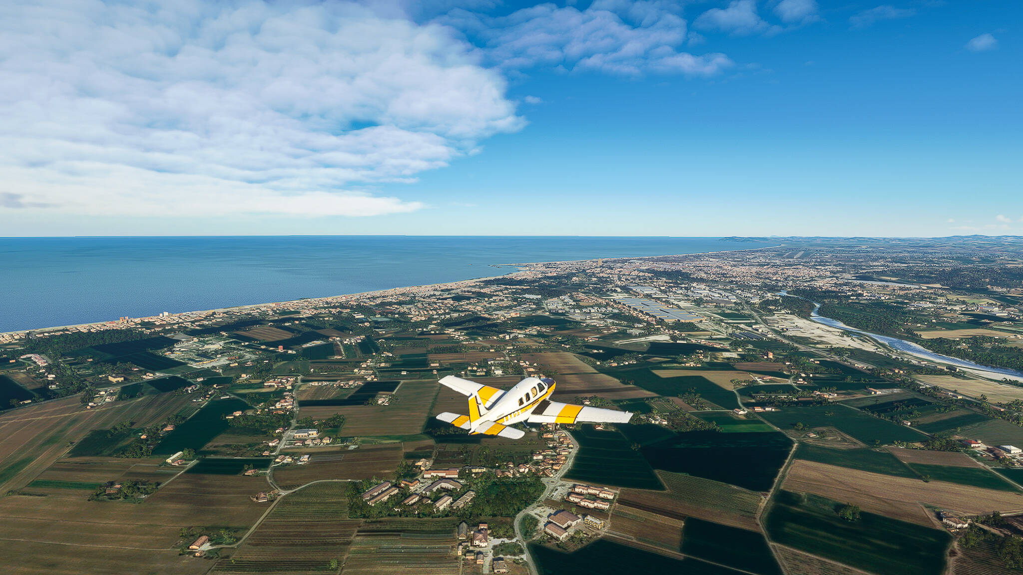
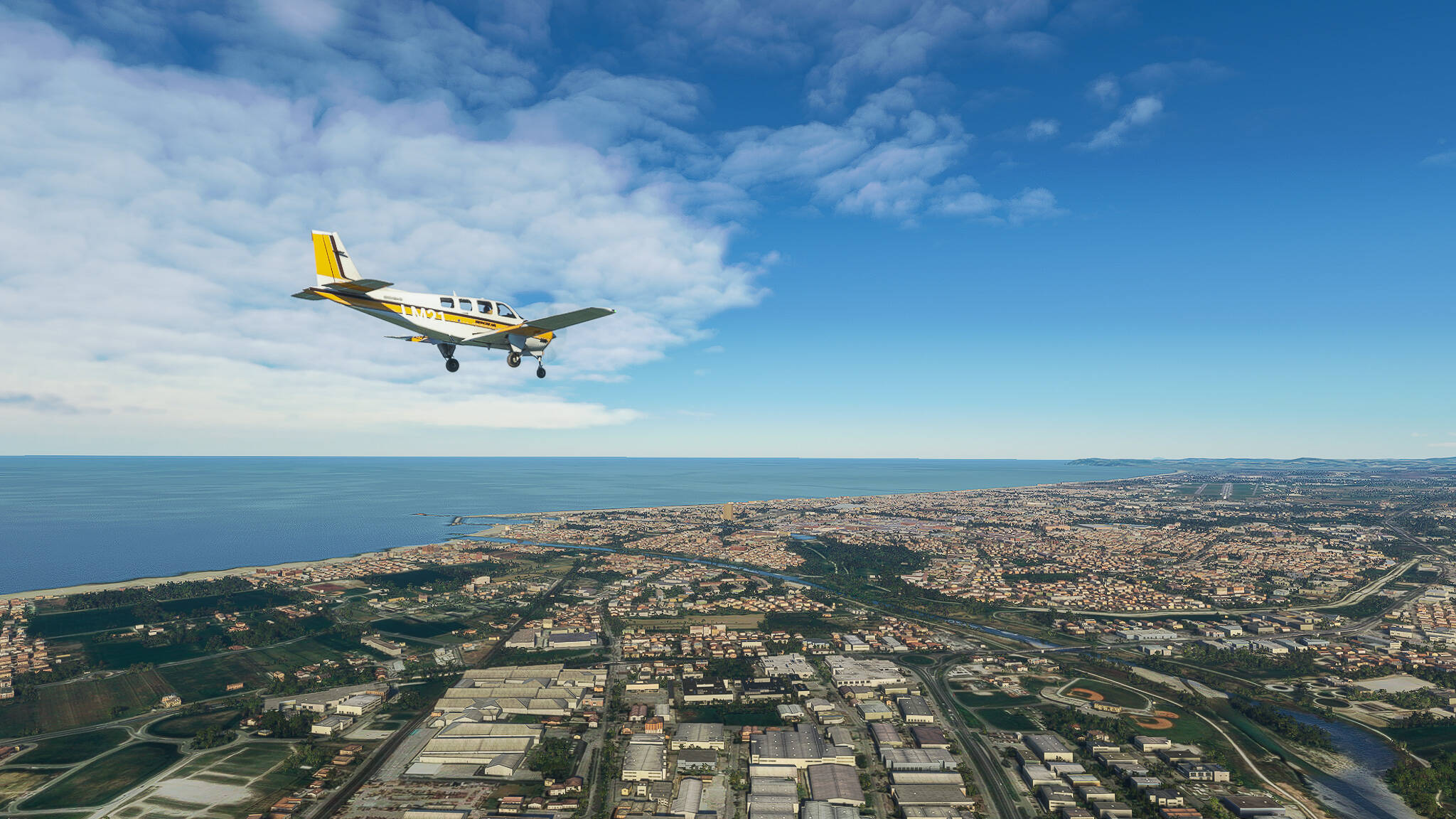
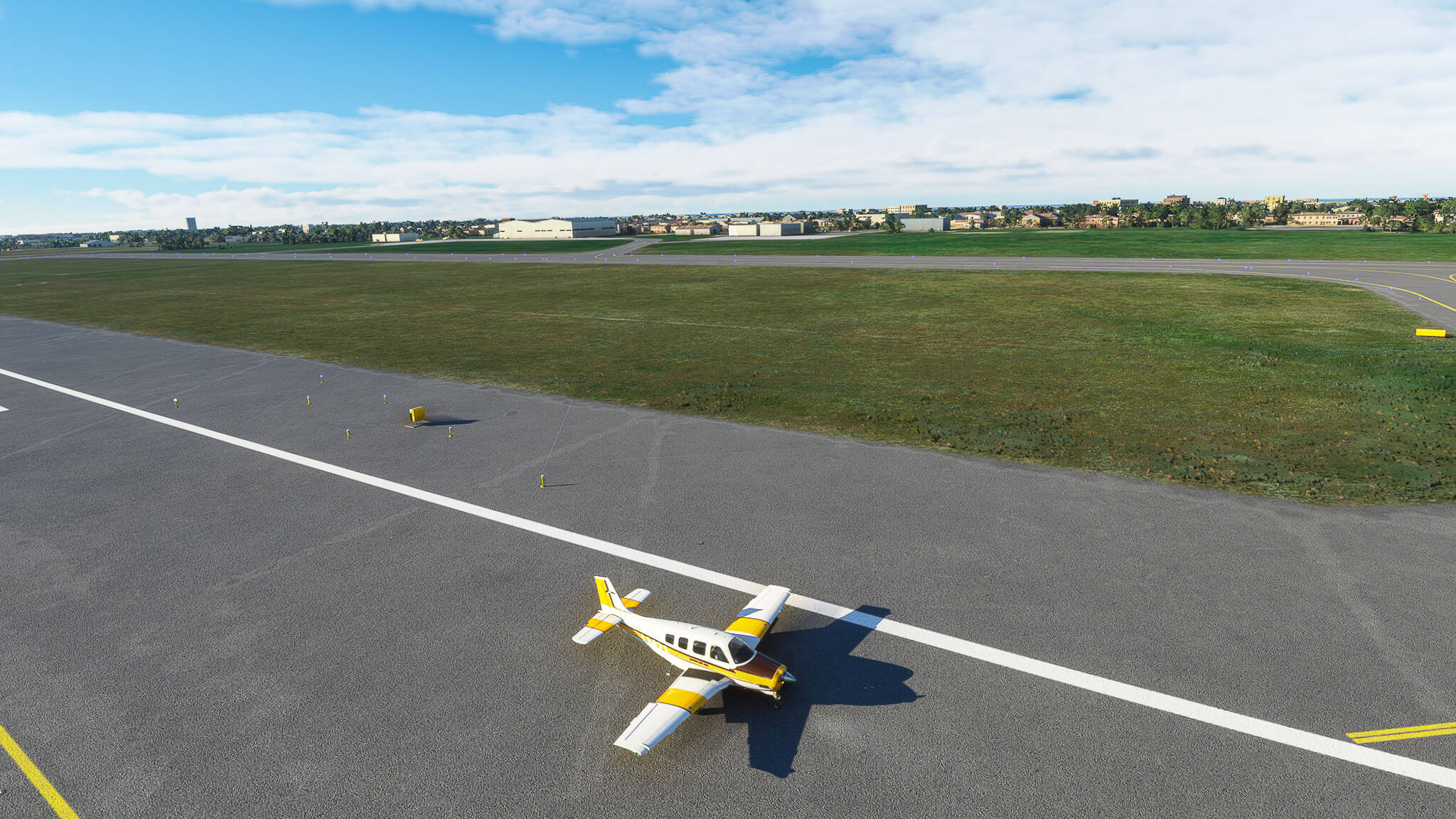
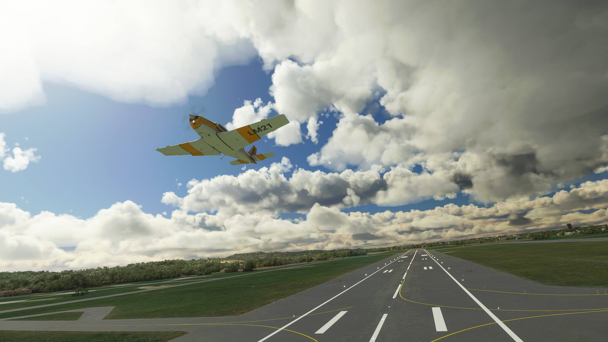
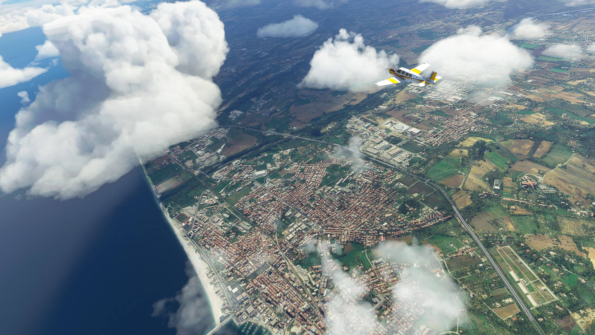
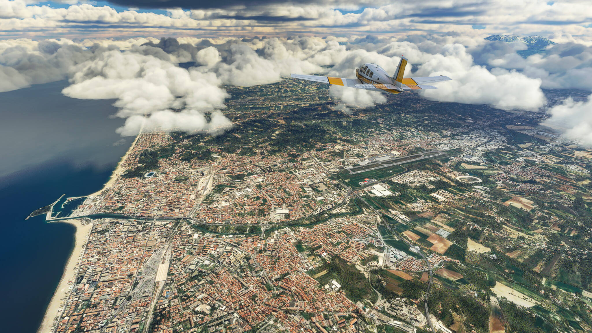
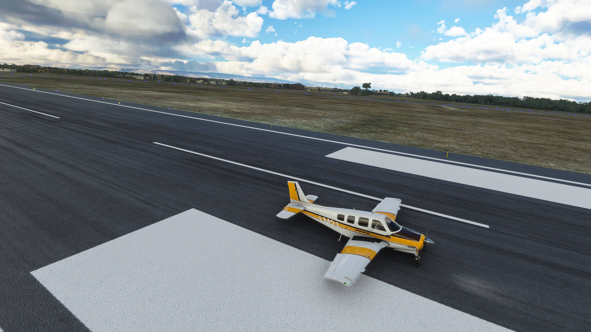
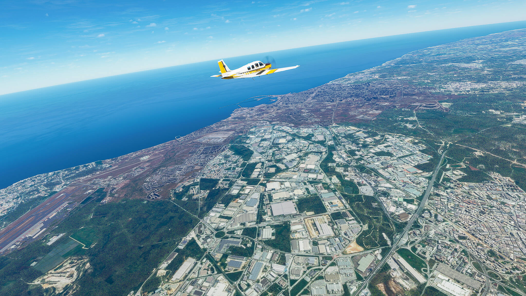
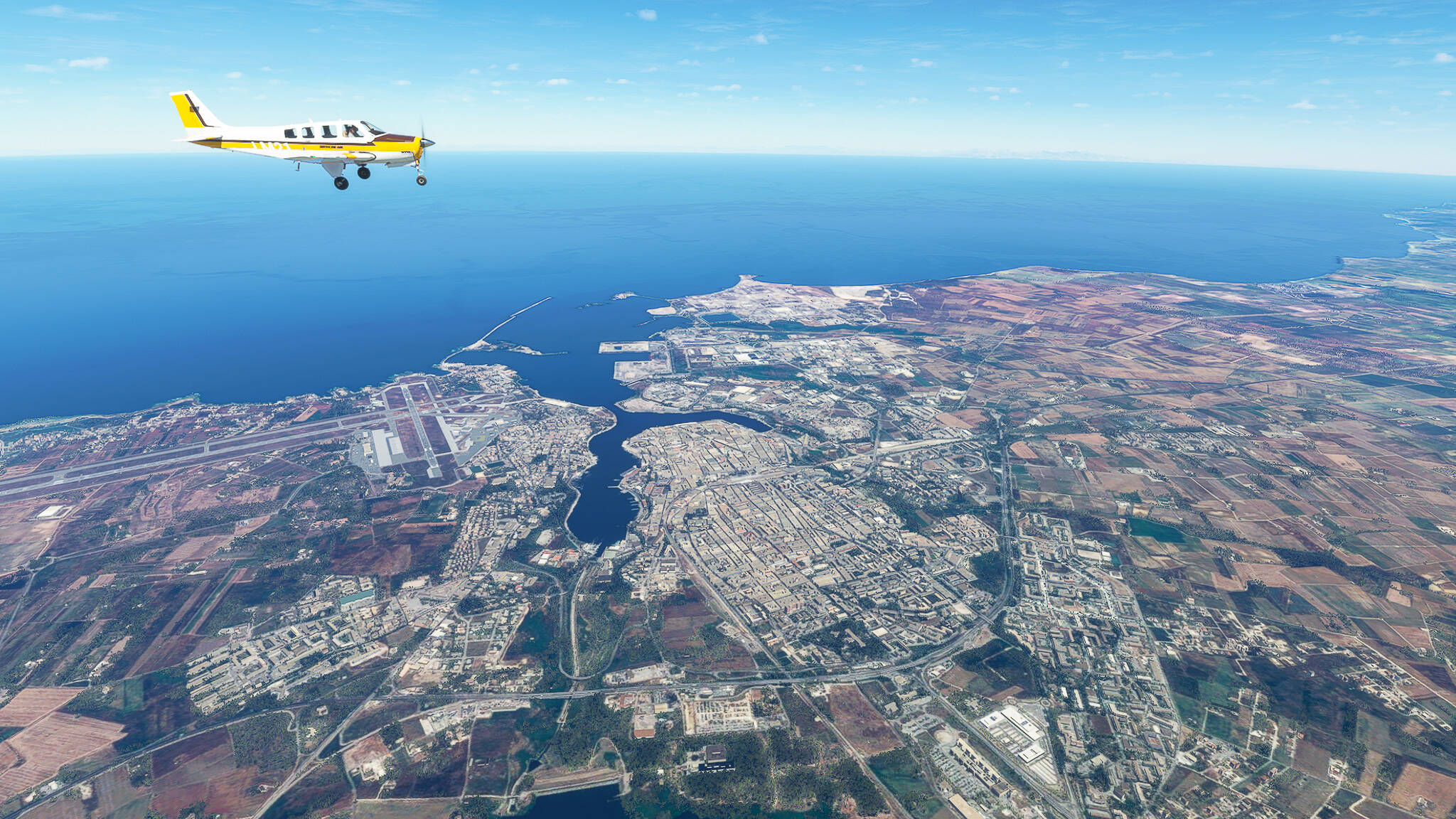
Leg 001: Kalamata (LGKL) - Epitalion (LGEP), Greece. 2500ft AGL.

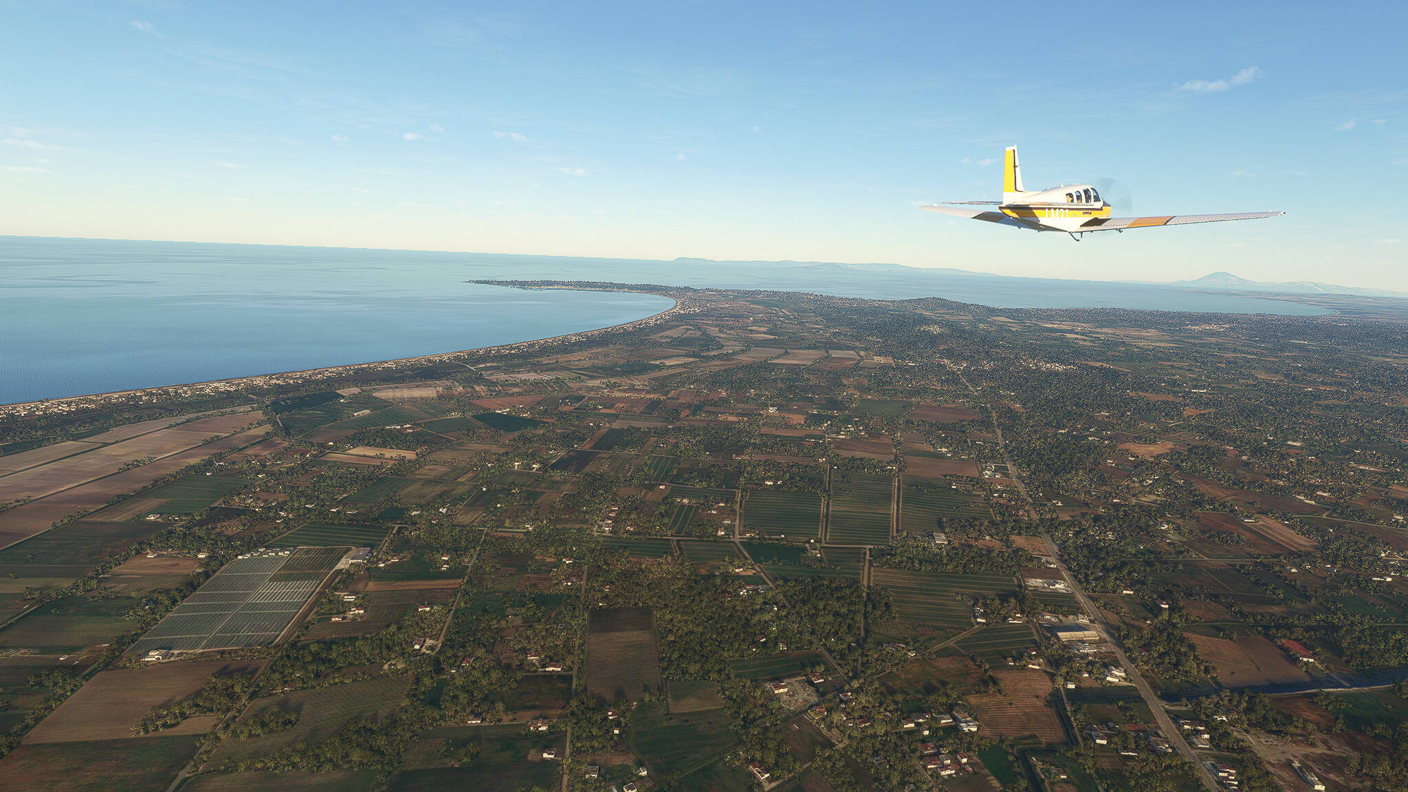
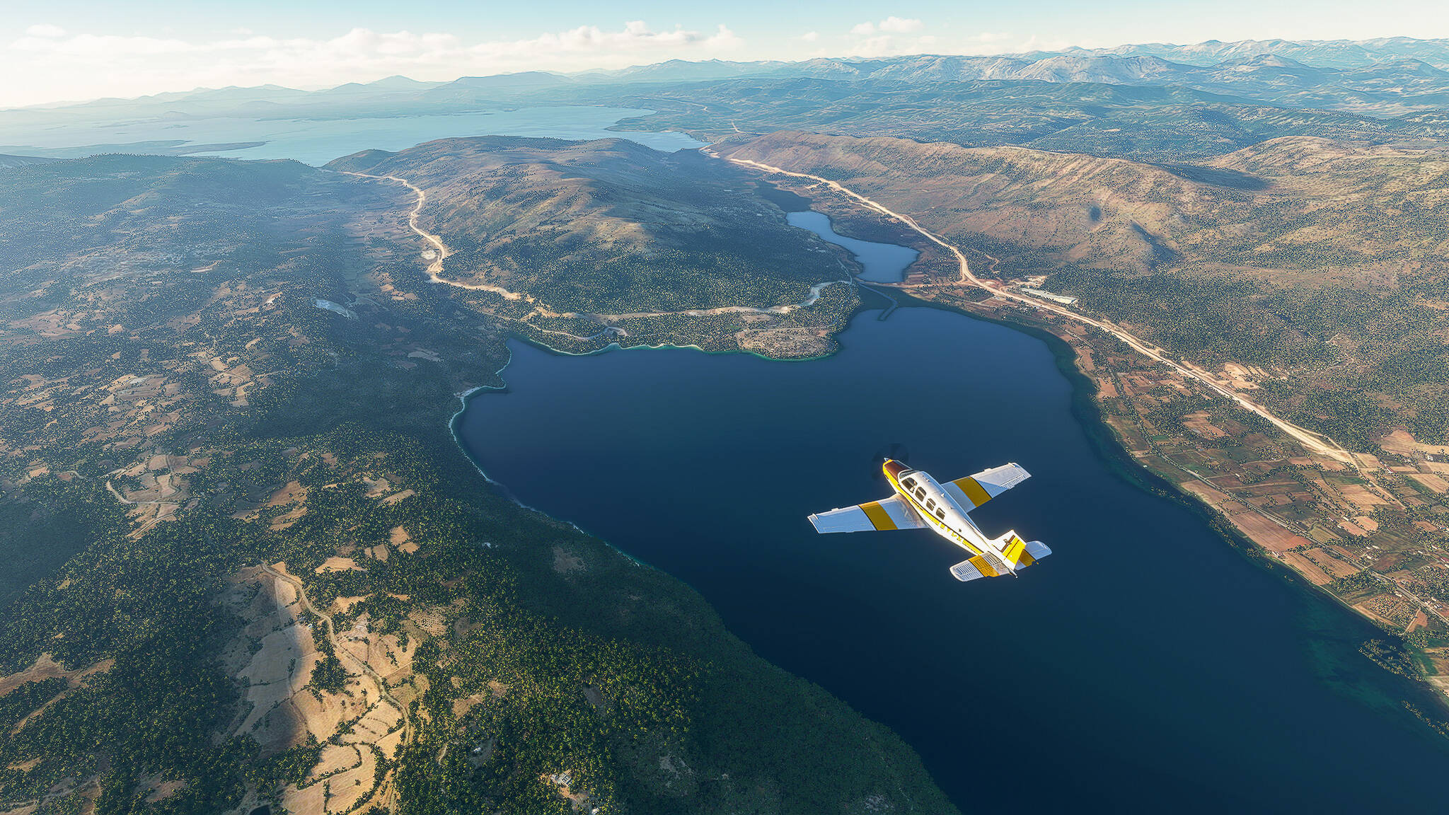
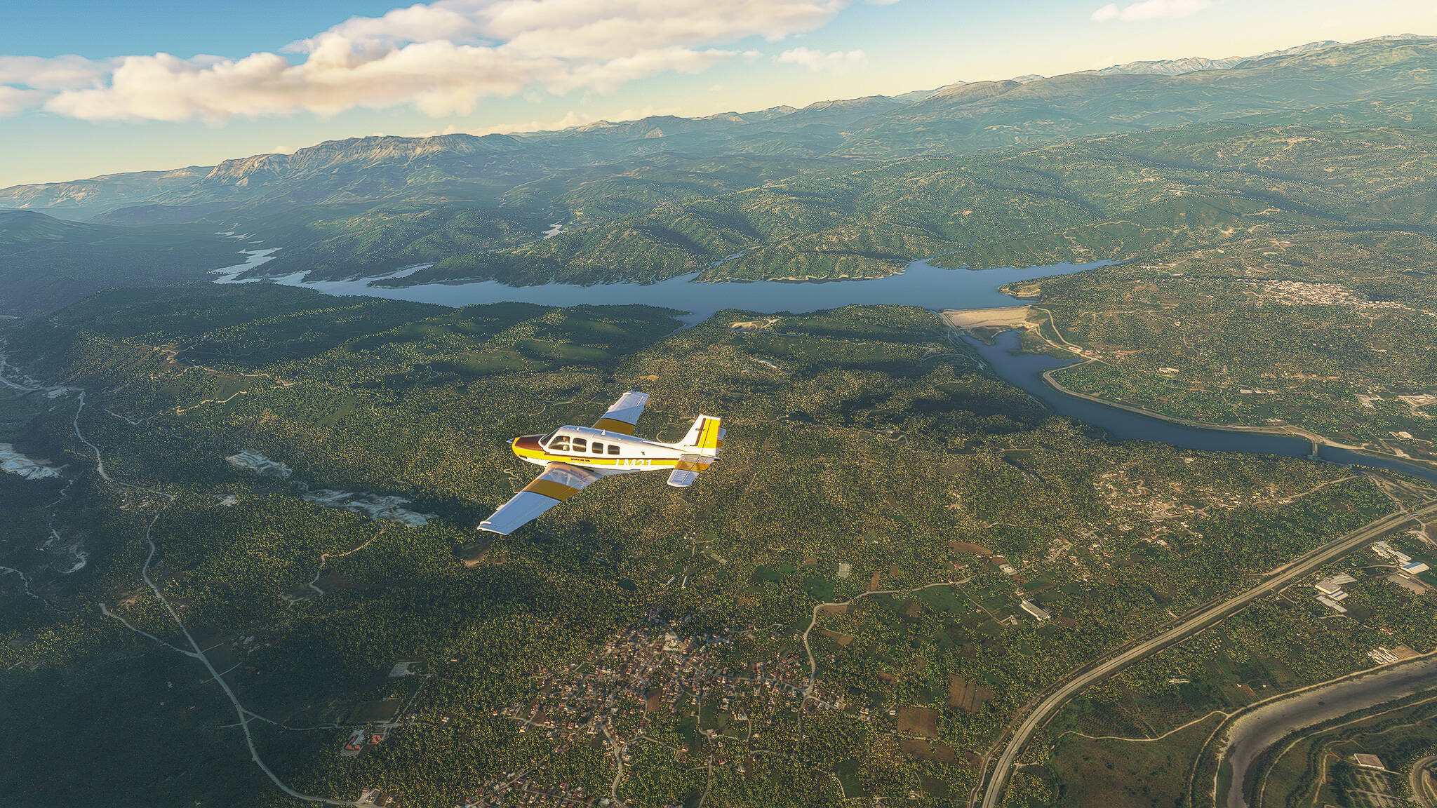
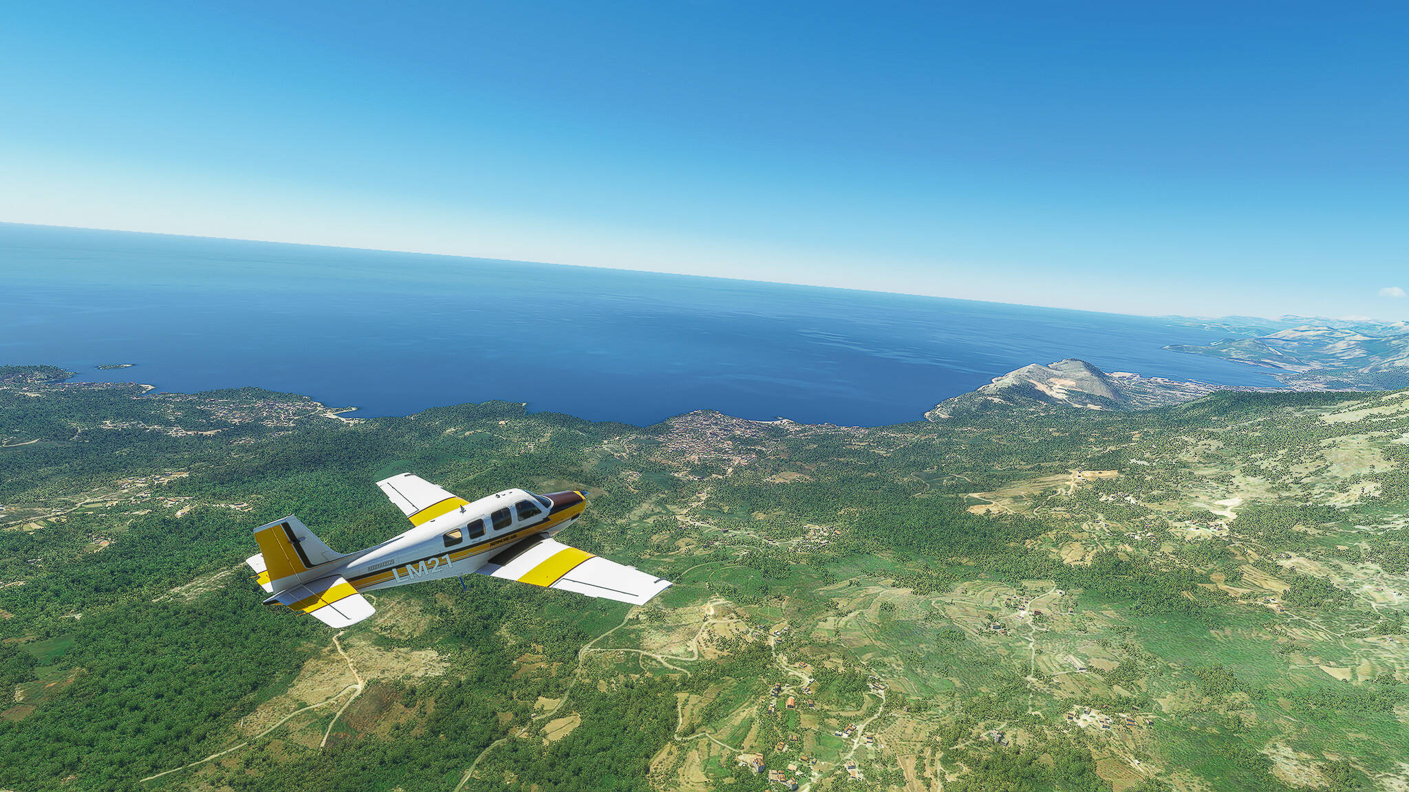
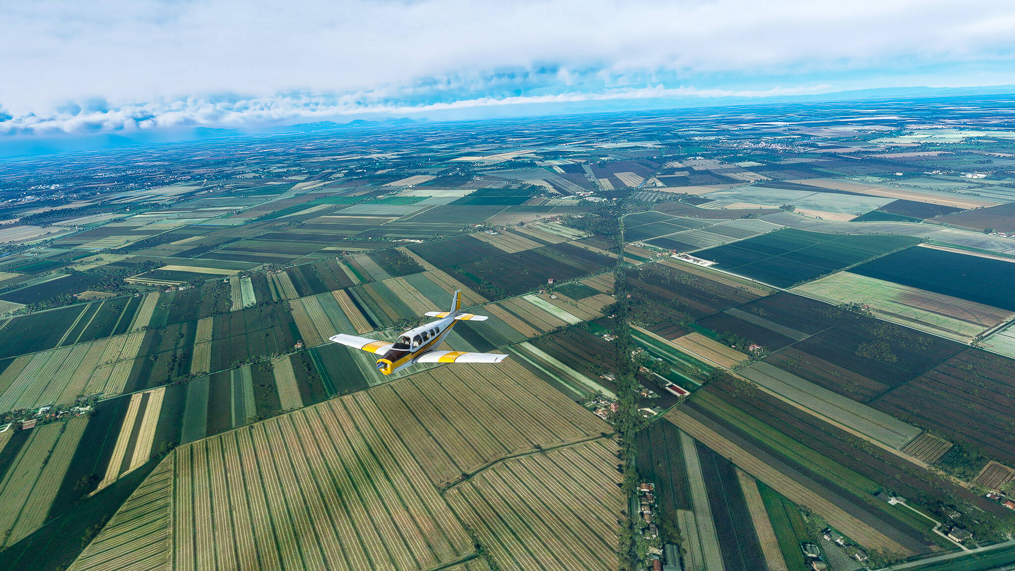
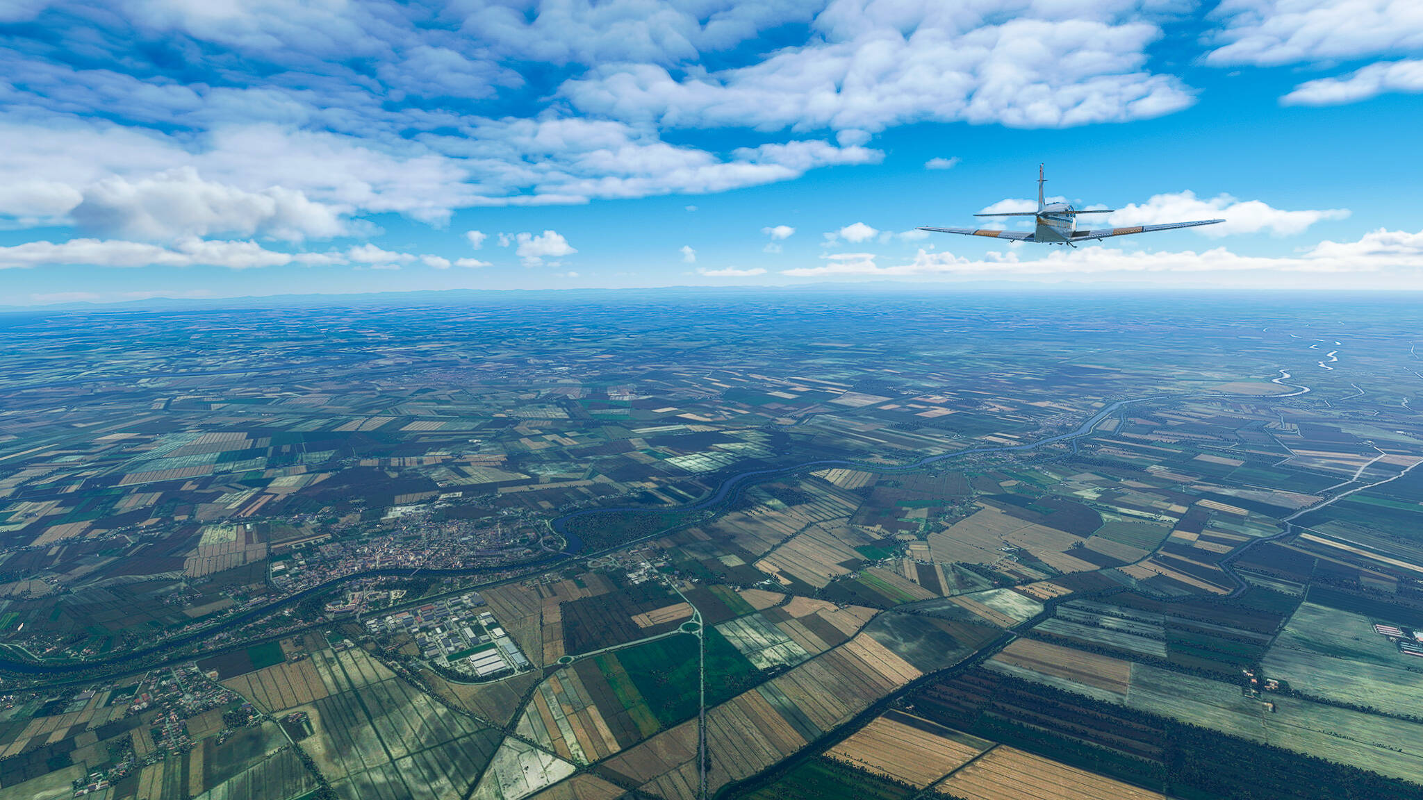
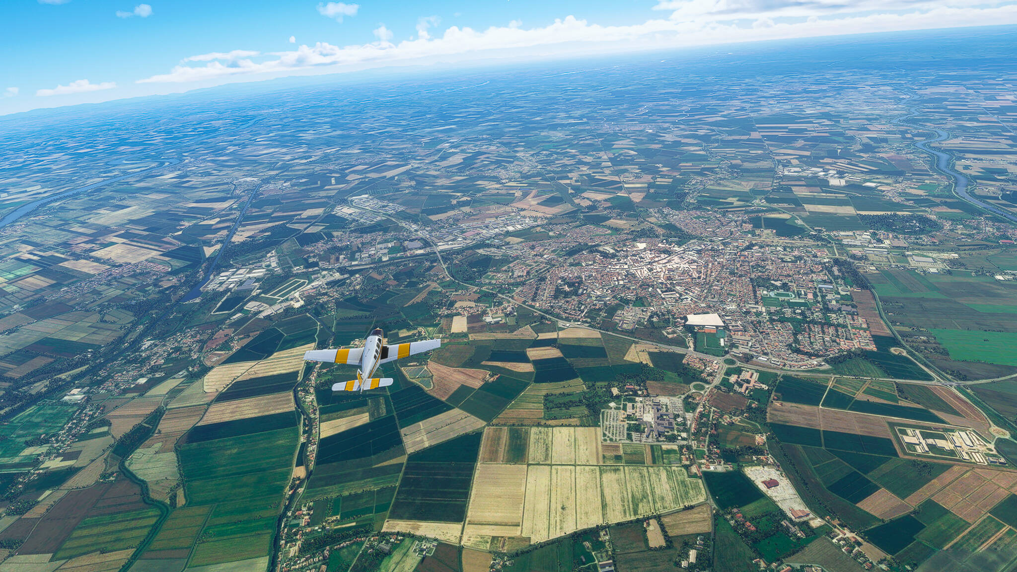
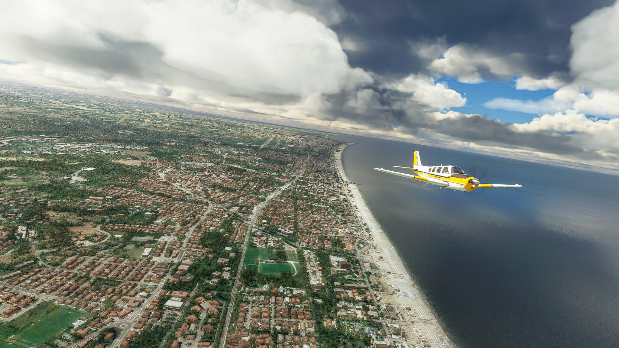
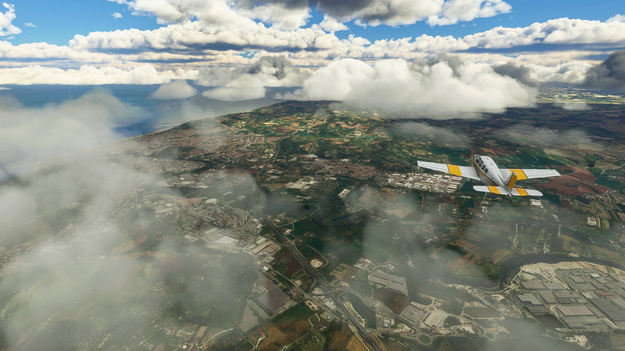
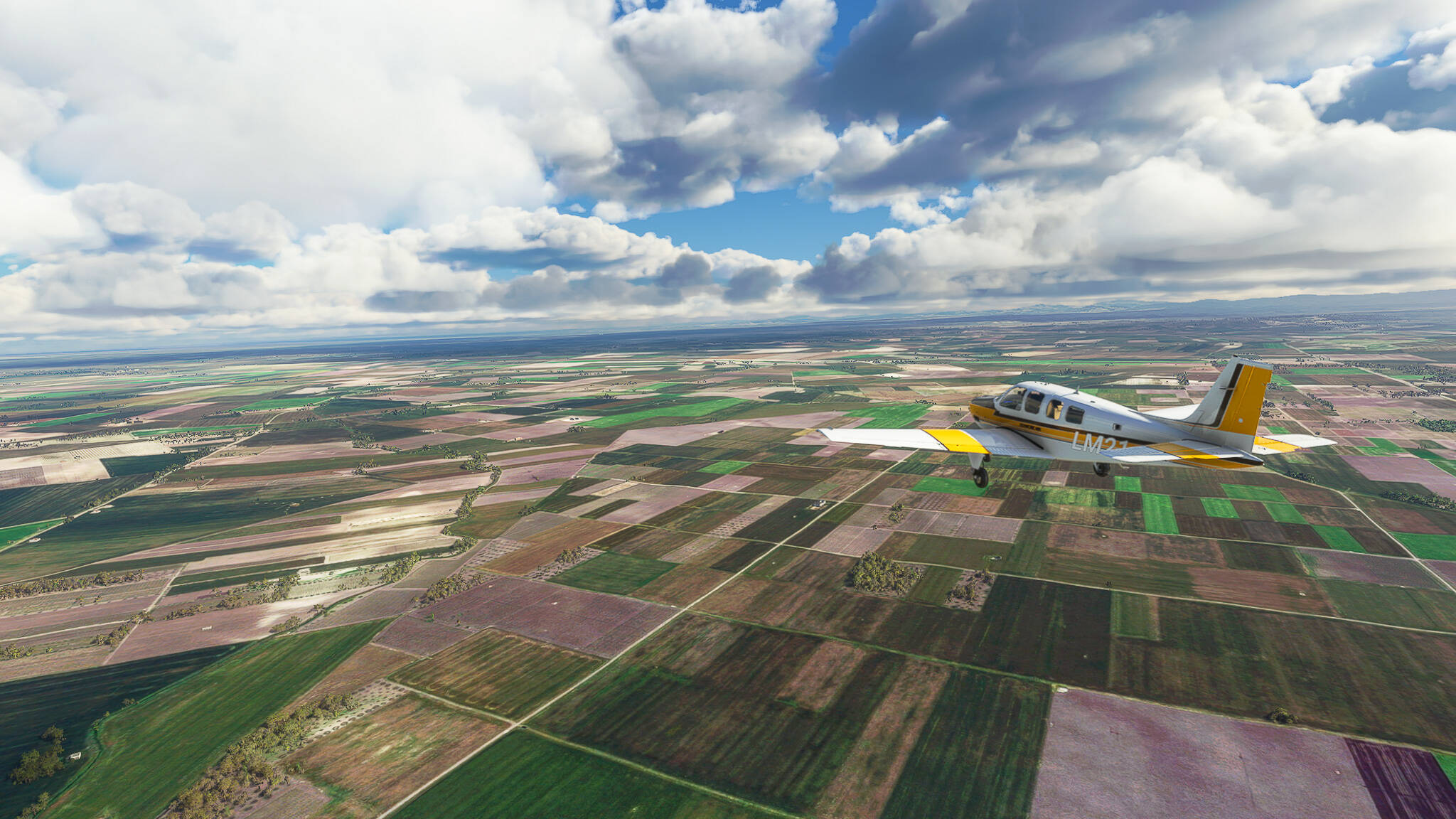
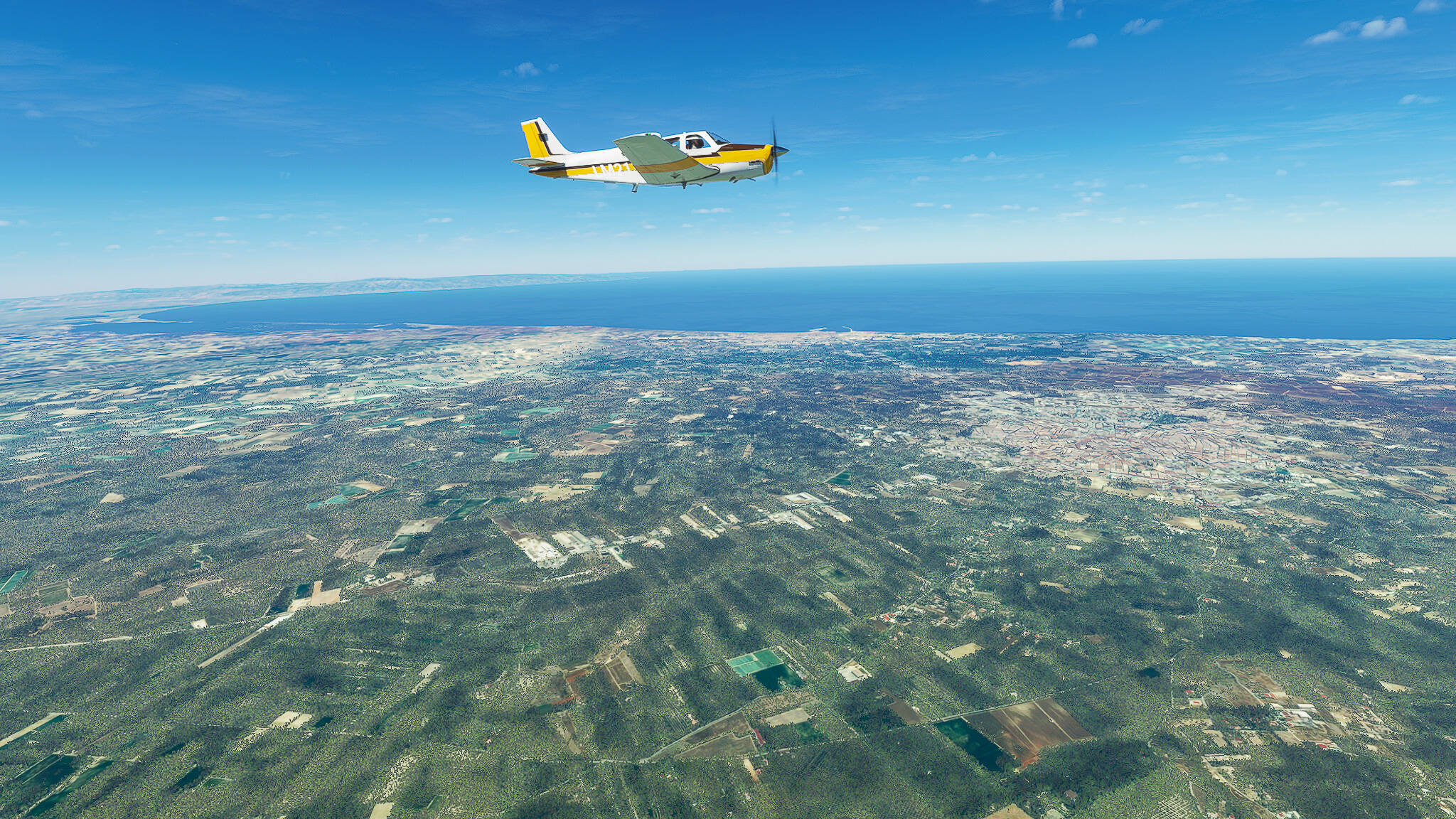
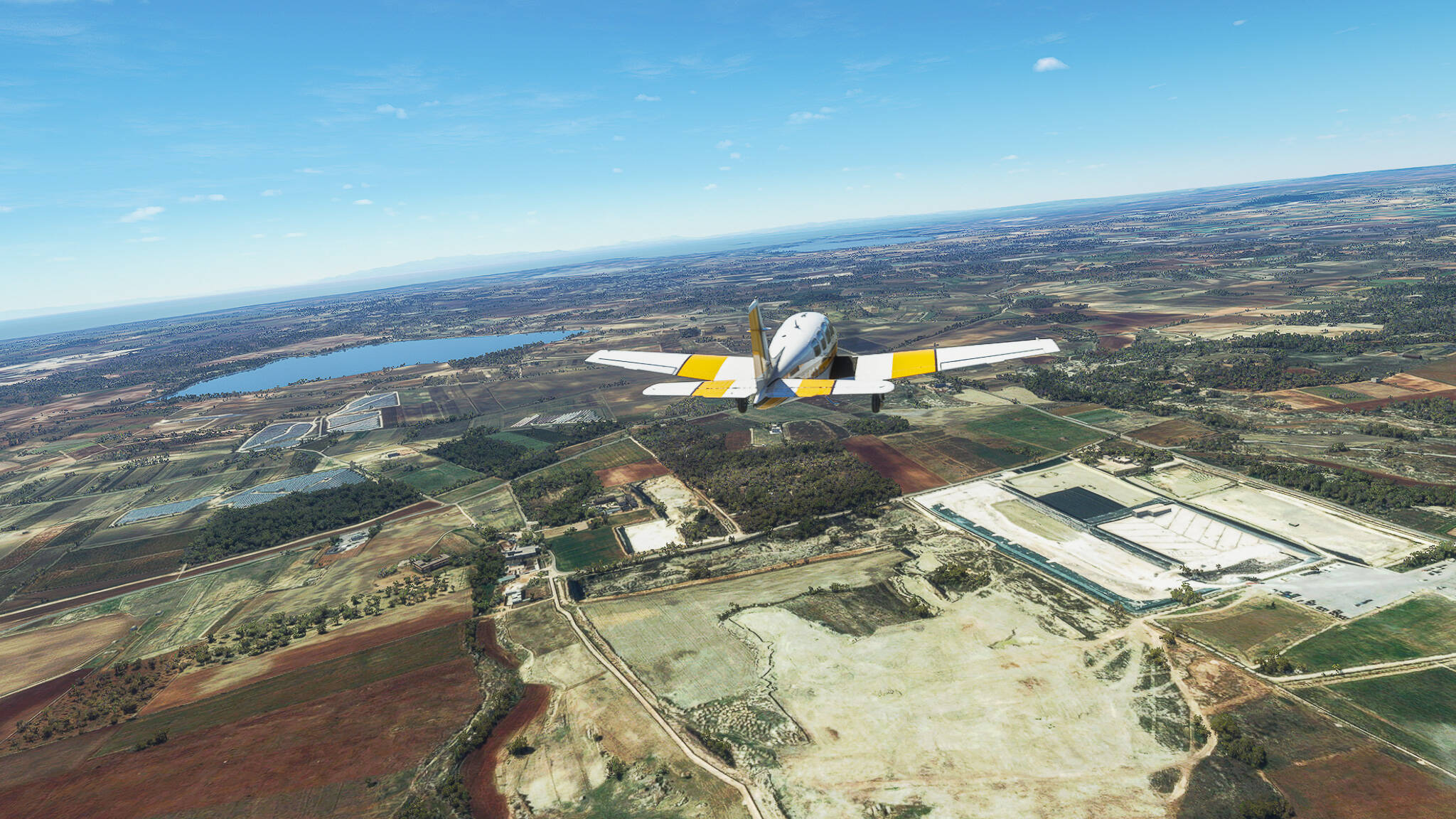
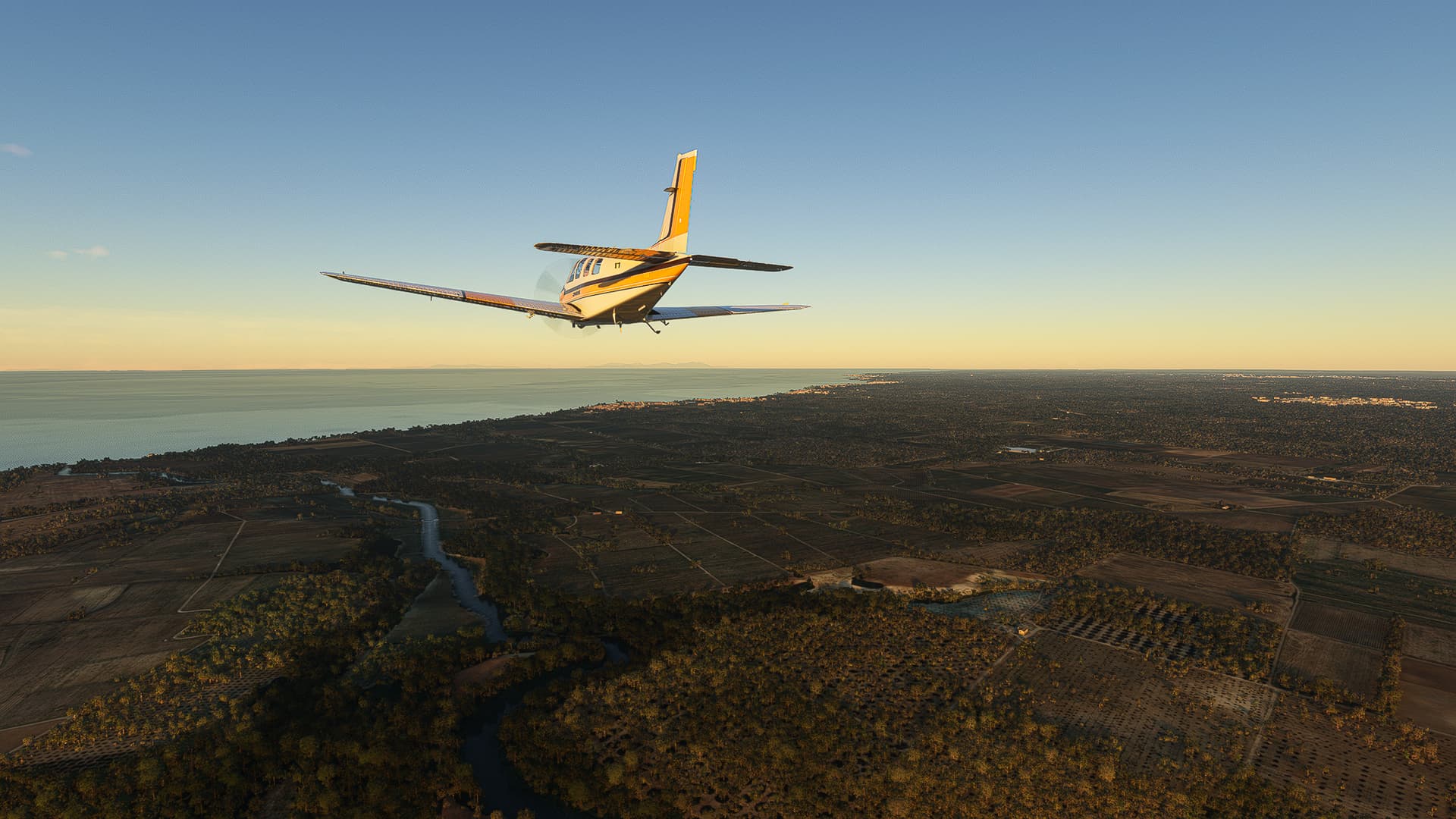
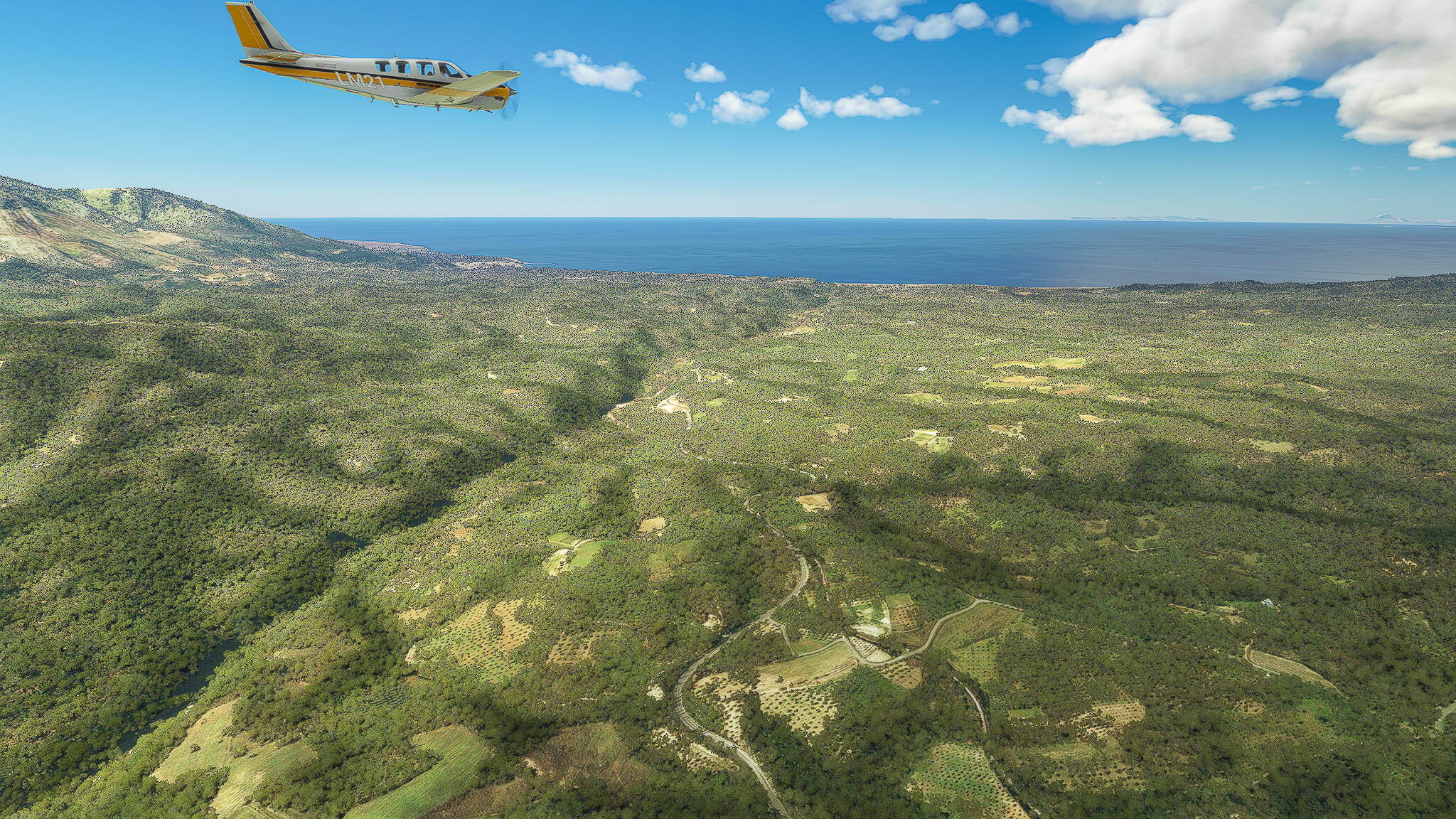
Our first picture was taken above the fields and woods near Nea Argilia and Glykorrizi, in a valley northwest of Kalamata.

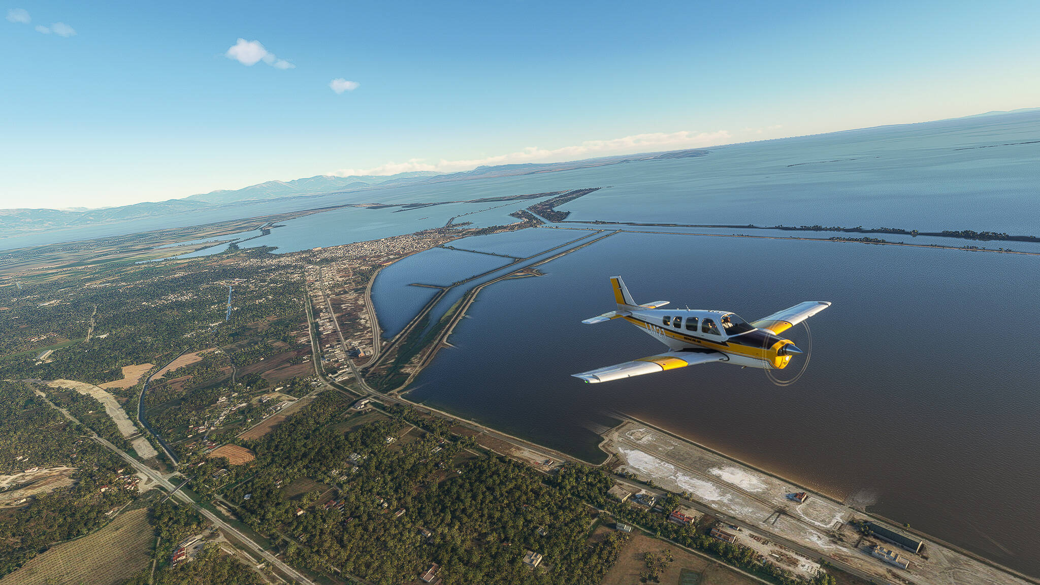
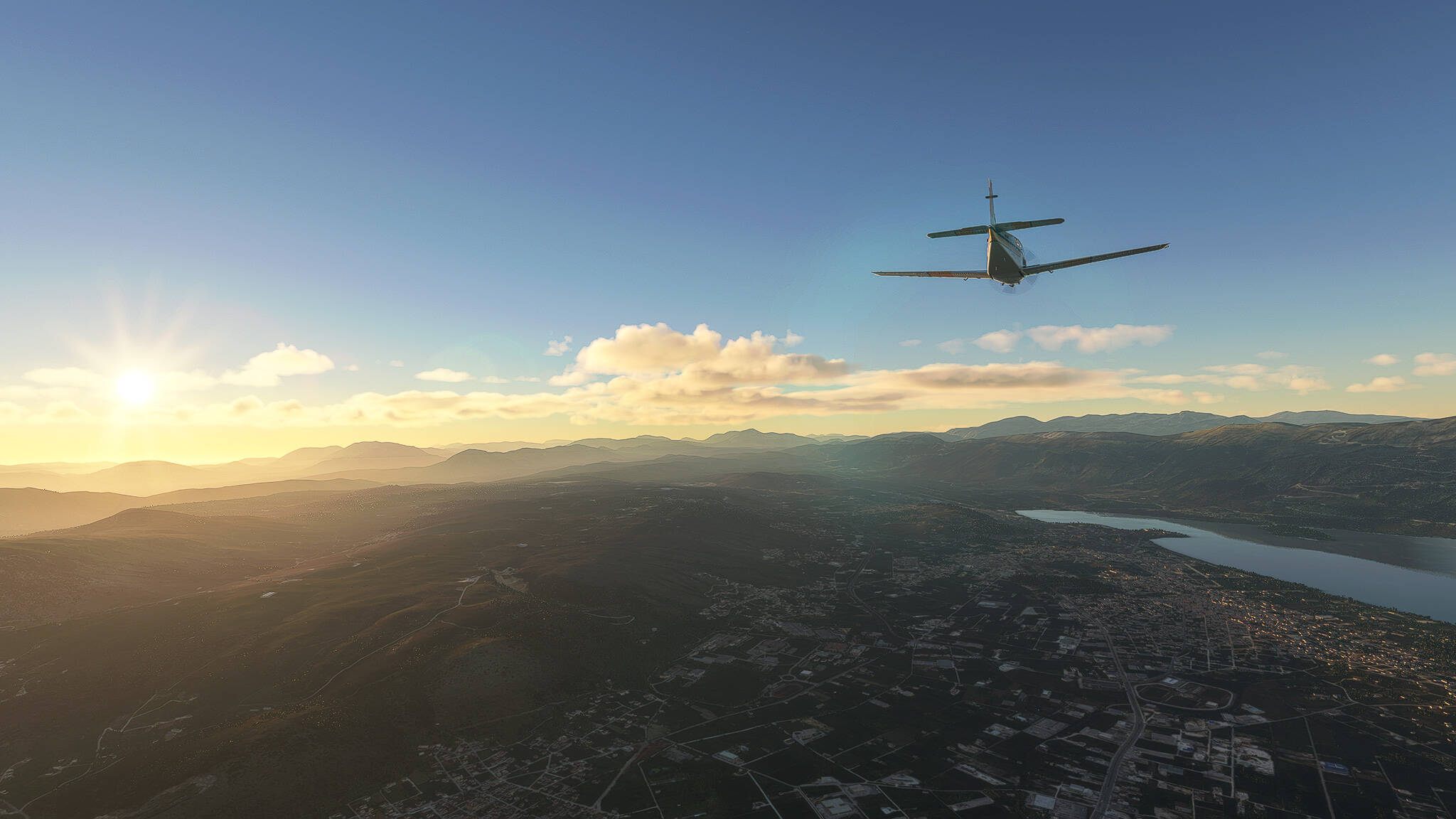
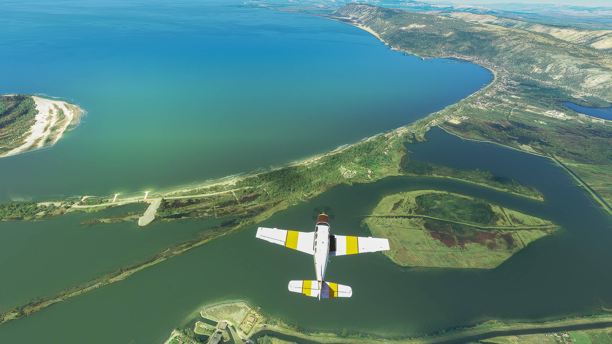
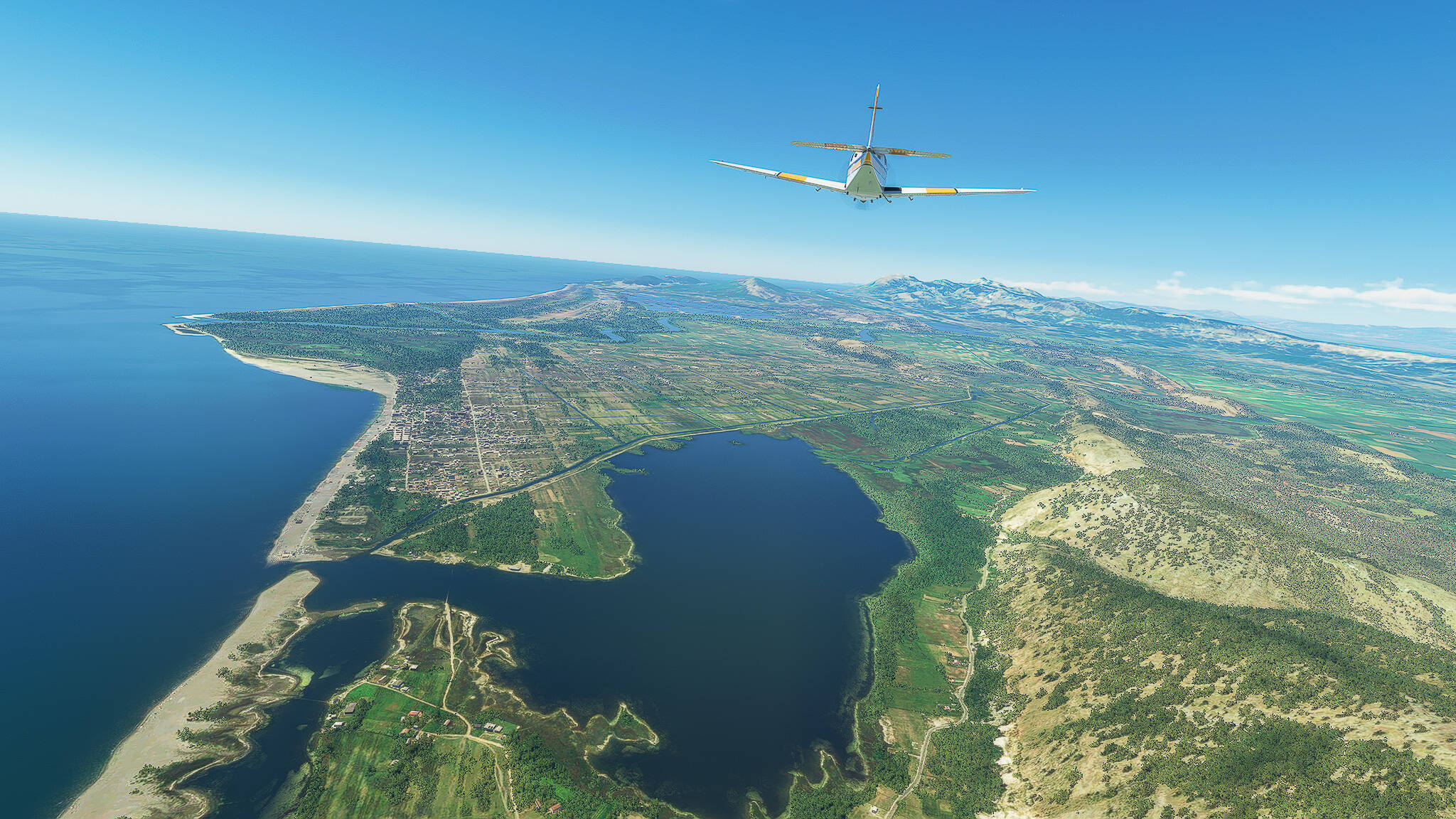
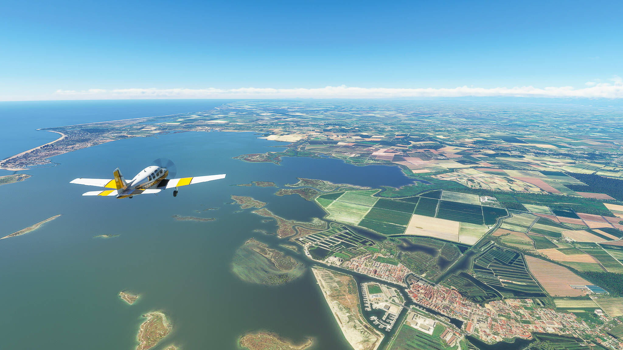
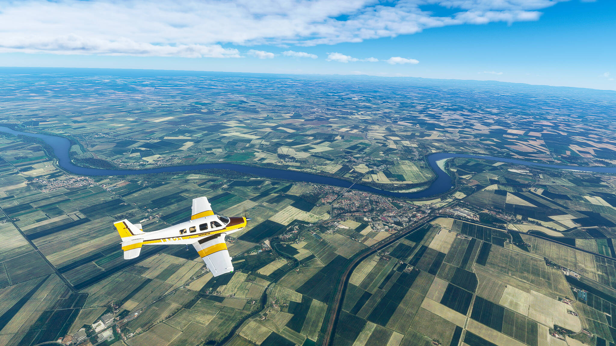
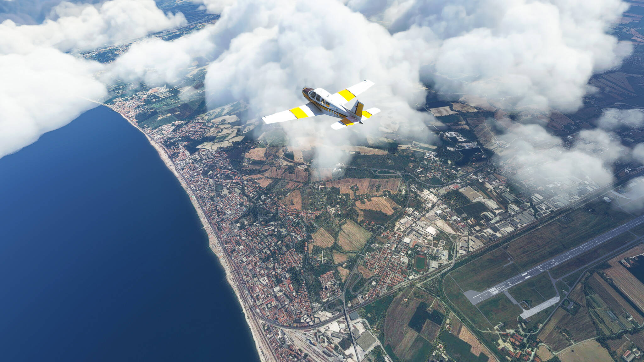
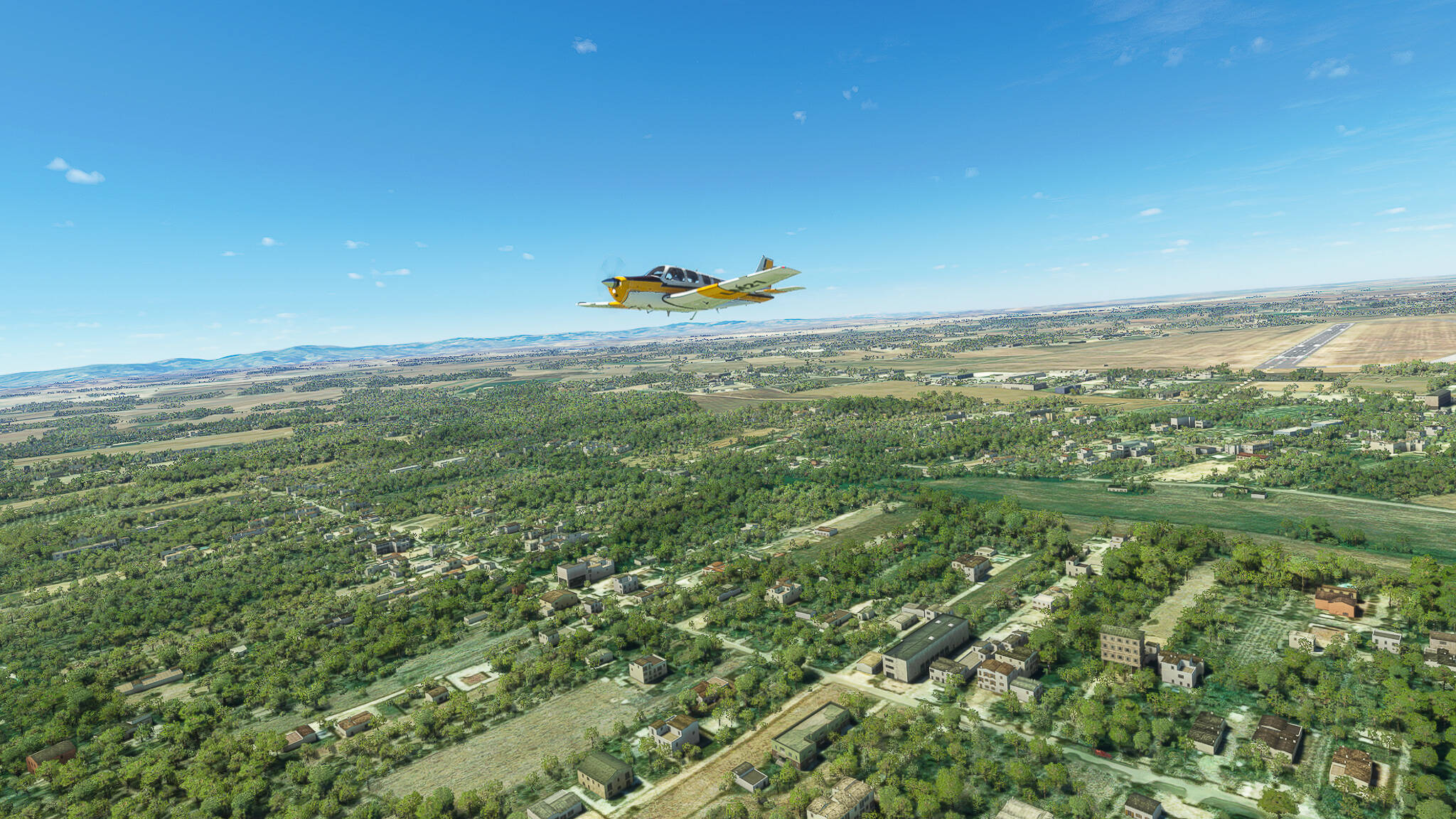
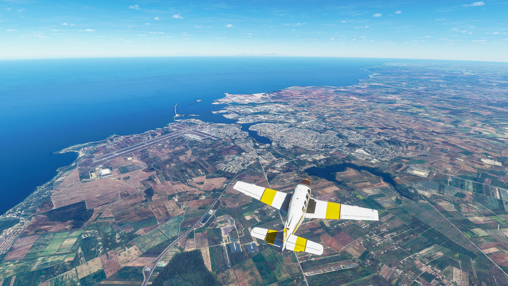
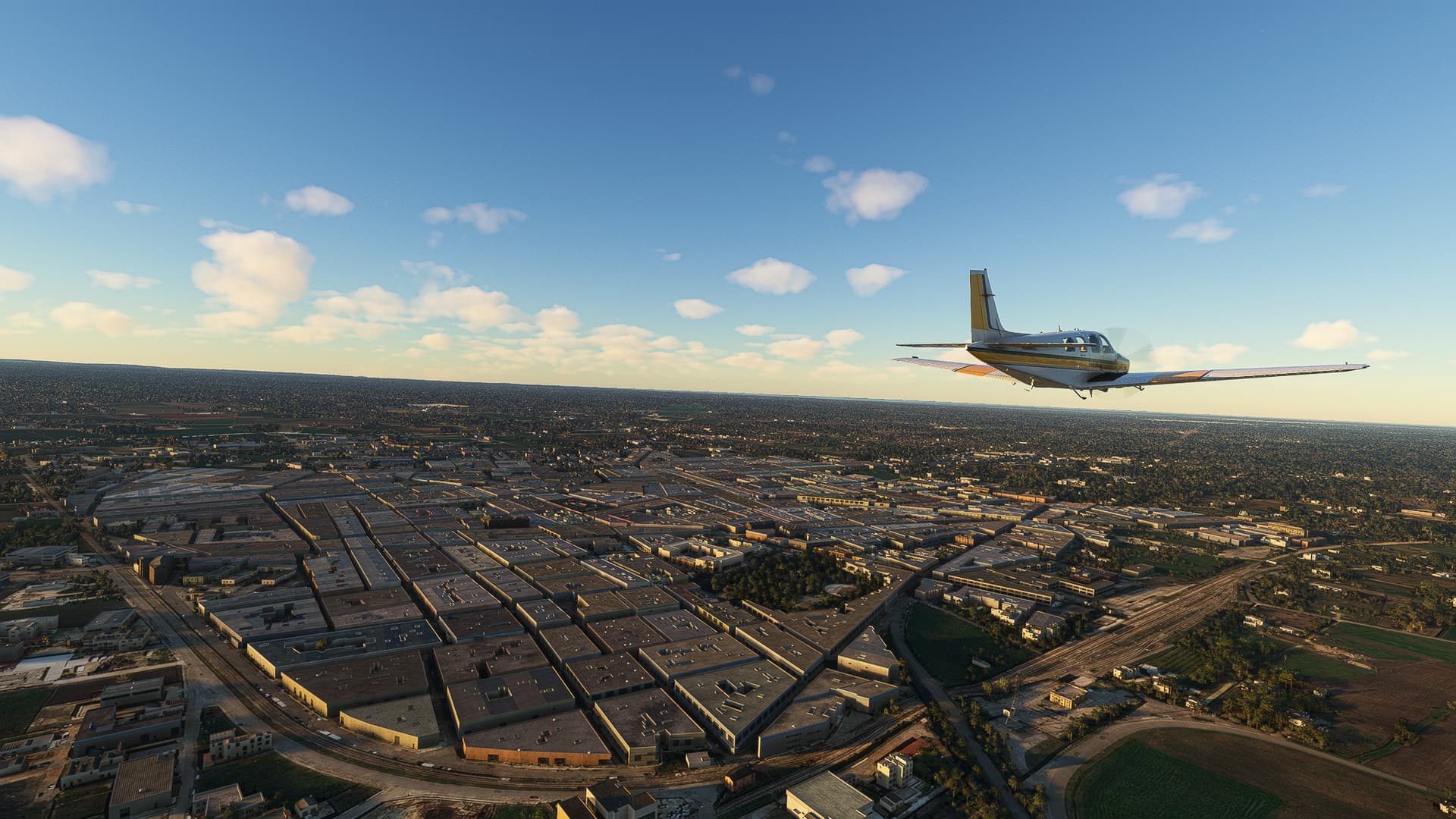
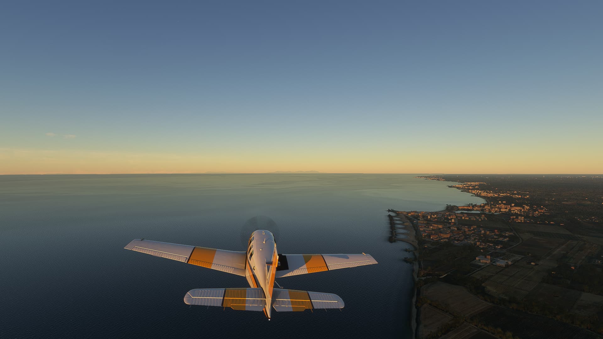
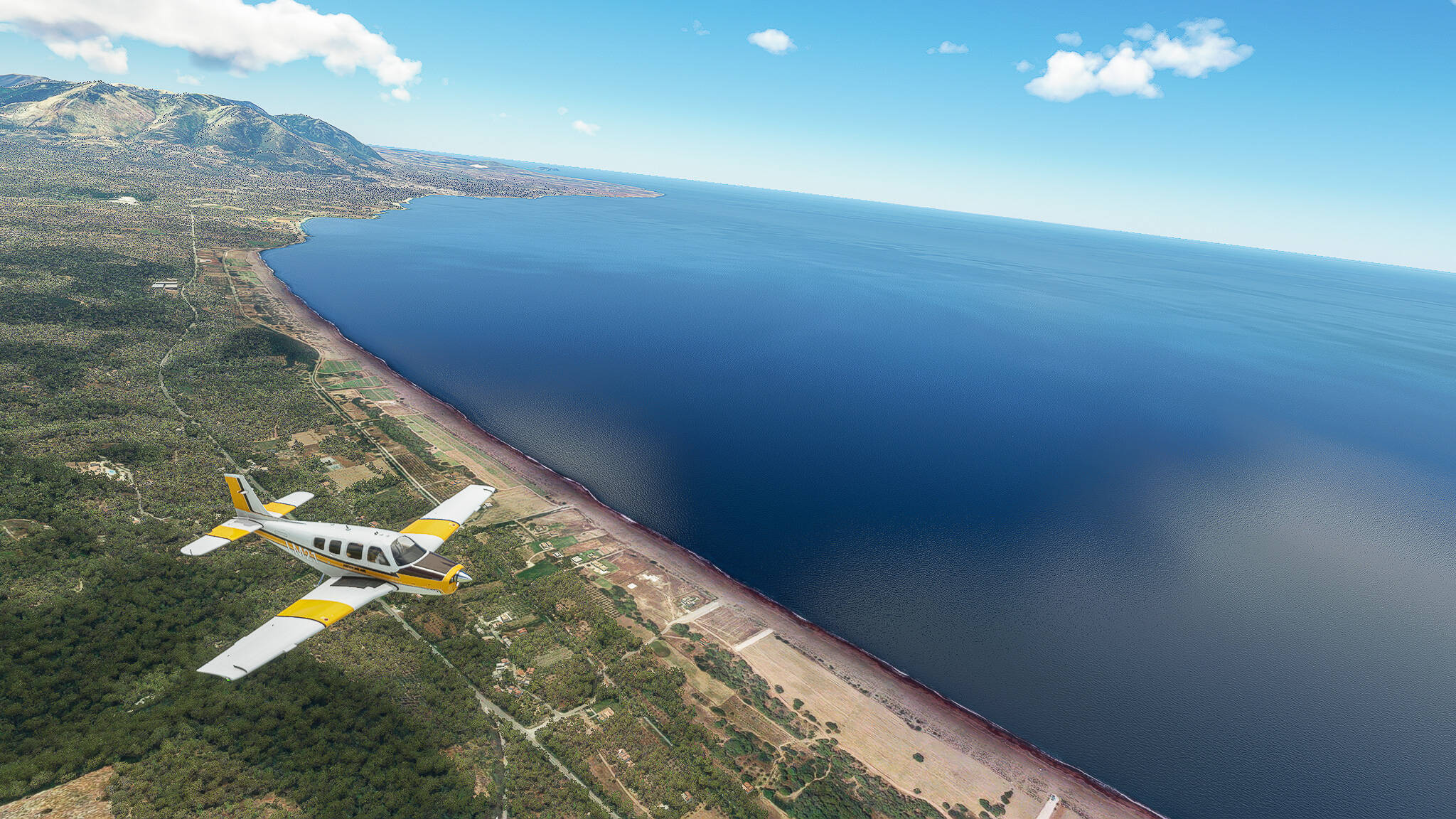
Our second image was taken when we reached the coast near Agiannakis and Elia with the Mountain Agios Konstantinos in the far background.

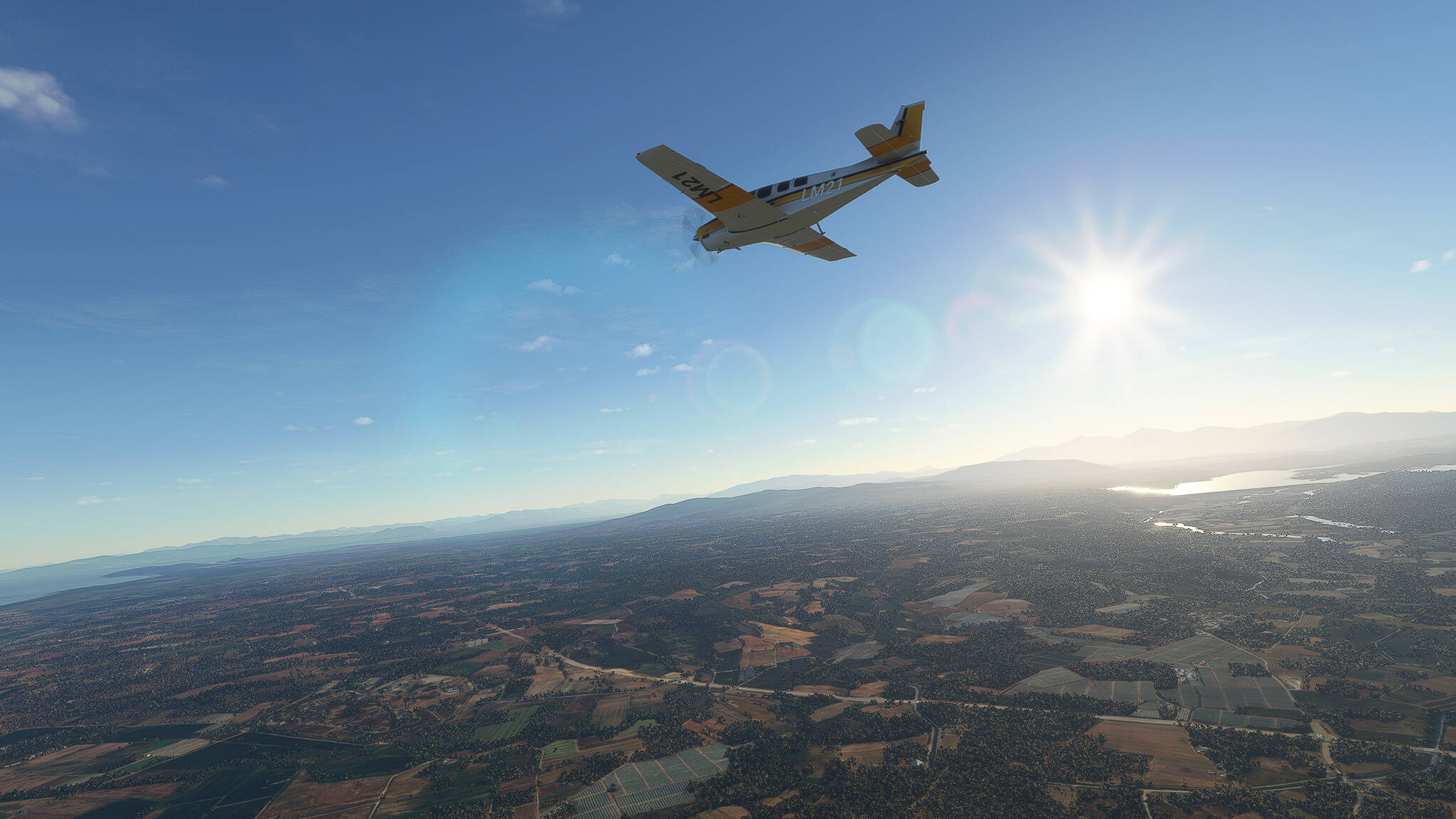
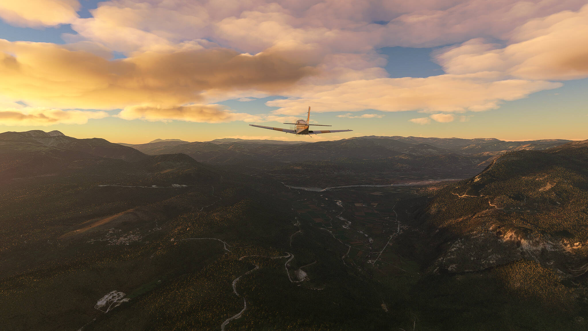
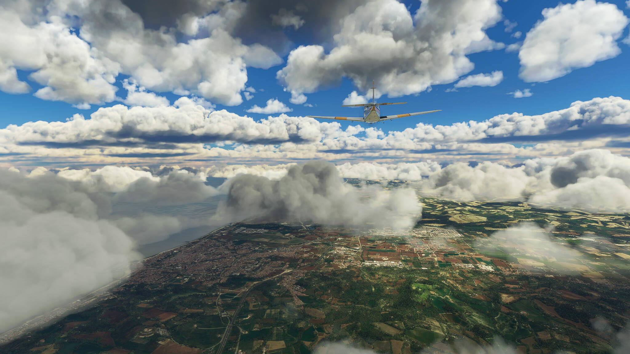
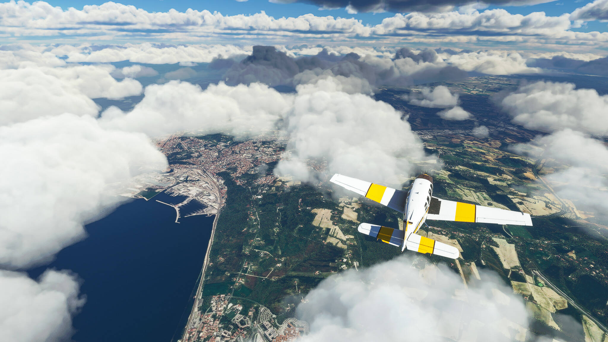
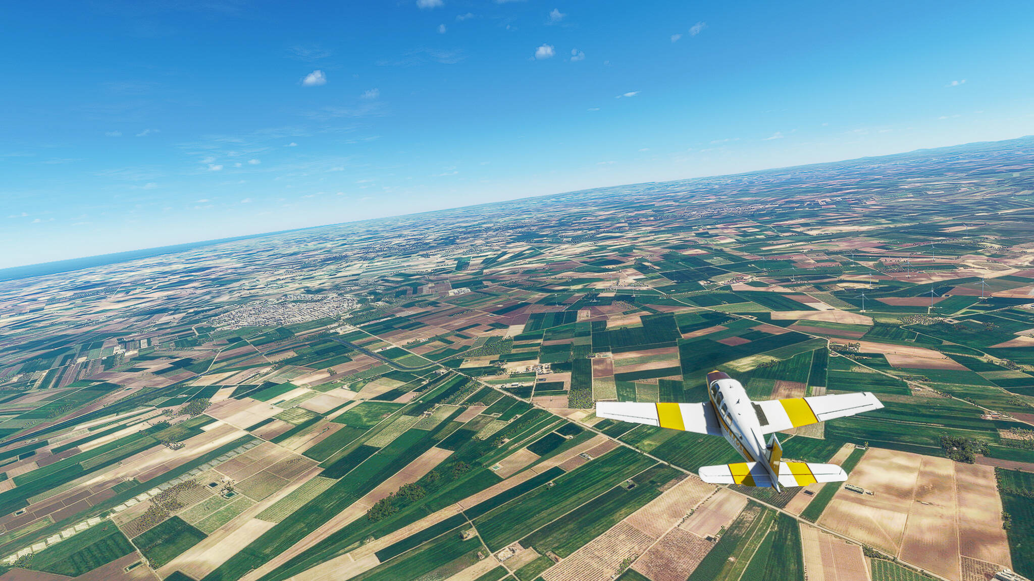
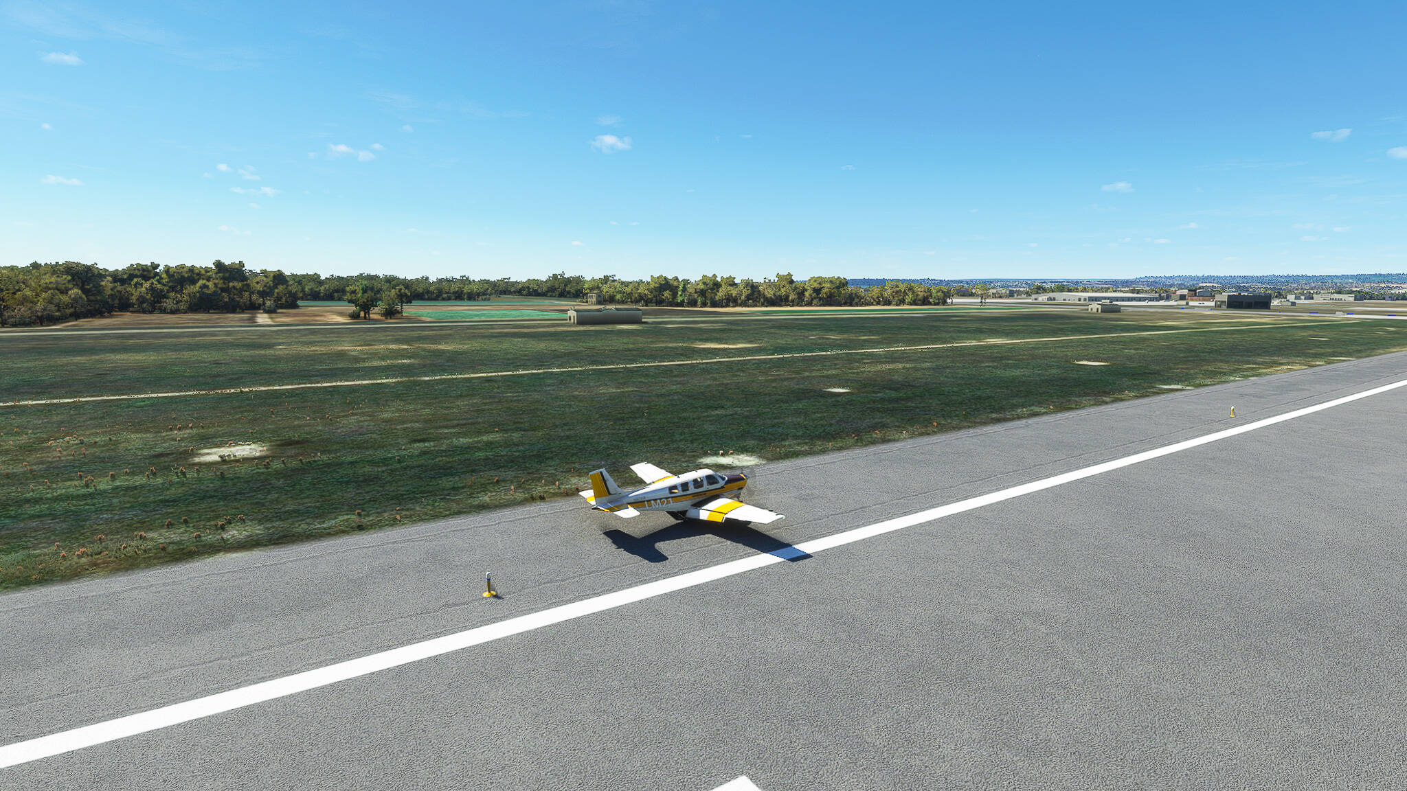
It was a nice little trip, uneventful but through a pretty valley in Southwestern Greece. Thrilled for the next one!

2 Likes

Leg 002: Epitalion (LGEP) - Mesolongi (LGME), Greece. Altitude: 2500ft.
We flew along the Northwestern Peloponnesian Coast and crossed over to Mainland Greece.

First picture: Taken above the fields southwest of Pyrgos near the village of Agia Marina.

Second picture: The towns visible are Kardamas (left) and Amaliada (right).

Third picture: The sunrise above the Pineios Reservoir, shot near Andravida Airbase.

Fourth picture: Coastal area near Kotychi Lagoon in Elis. The Lagoon is visible on the left.

Fifth Picture: The Arazos Quarry on the southwestern shore of the Papa Lagoon. From here we left the Peloponnes peninsula and crossed over to the mainland of Greece.

All in all this was a fun flight with much beautiful scenery!

2 Likes

Leg 003: Mesolongi (LGME) - Tirana (LATI), Greece & Albania. Altitude: 5500ft.
Felt like a) flying another flight this evening and b) doing a longer flight (201nm). We crossed Northwestern Greece and entered Albania.

First Picture: The city of Mesolongi at the eastern shore of the Mesolongi Lagoon.

Second Picture: The northern side of Lake Amvracia with the Ambracian Gulf in the background.

Third Picture: The Town of Arta (foreground) with Pournari Reservoir behind it.

Fourth Picture: The City of Ioannina (right) with Mitsikeli Mountain and Lake Pamvotida behind it.

Fifth Picture: The Valley of Konitsa near the Greek-Albanian border.

Sixth Picture: The Fir of Hotova National Park near Permet, Albania.

Seventh Picture: The Albanian Capital Tirana after sunset.

This was one of my rare dusk flights and one of my first landings after nightfall! Quite challenging since I wasn’t so sure if there were trees near my end of the landing strip or not.

2 Likes

Leg 004: Tirana (LATI) - Dubrovnik (LDDU), Albania & Montenegro & Croatia. Altitude: 3500ft.
We left Tirana and the Albanian hinterlands for a wonderful tour along the Montenegrine and Croatian coastline.

First Picture: The Gjiri i Drinit / Gulf of Drin near the City of Lezhë, Albania.

Second Picture: The Liqeni i Vilunit / Lagoon of Viluni near the Albanian-Montenegrine border.

Third Picture: The coastal towns of Dubrava (center) and Bušat (left). The City of Bar is visible in the distance on the right side.

Fourth Picture: The City of Bar and the Barsko sidrište / Anchorage of Bar (foreground).

Fifth Picture: The Budva Riviera tourism region in Northwestern Montenegro. Visible along the coast are Budva (left) and Sveti Stefan (right).

A breathtaking flight along the Adriatic Coast of Albania, Montenegro & Croatia. 10/10 recommended for a great virtual summer flight!

2 Likes

Leg 005: Dubrovnik (LDDU) - Sinj (LDSS), Croatia. Altitude: 3500ft.
Flying further along the Croatian coast we slipped through a mountain gap into the hinterlands towards Sinj.

First Picture: The City of Dubrovnik with Lokrum Island in the foreground.

Second Picture: The small Town of Slano with Luka Slano / Slano Harbour (right) as well as the Zaljev Budima / Budima Bay in the background.

Third Picture: The villages of Luka and Hodilje (foreground) with the Uvala Bistrina / Bistrina Bay in the background.

Fourth Picture: The villages of Sreser (right), Drace (left) and Janjina (background). Despite looking like they are located on an island this landmass is a peninsula and part of the Croatian mainland.

Fifth Picture: Descent on Sinj (left background) with the village of Grab to the right. This took place near the Croatian-Bosnian border.

It was quite the fight to get good looking pictures due to the time of day they were shot at. Lots of “blue mist” to cull from the raw material before I felt good using them. But a nice little flight nevertheless!

1 Like

Leg 005 A: Sinj (LDSS) - Rijeka (LDRI) - Emergency Stop in Otocac (LDRO), Croatia. Altitude: 3000ft.

Well, this didn’t go well: Due to up to 36kn crosswinds and the mountaineous terrain of Central Croatia I had to decide whether to attempt a mountain crossing to the coast and Rijeka or land in Otocac on the eastern side of the ridge and wait out the weather. Chose the second option so the other half of the flight will happen this afternoon!

The Flight:

After leaving Sinj we already saw the Perućko jezero / Lake Peruća, an artificial lake along the course of the Cetina River.

We turned to the west near the southwestern rim of the Dinara Mountains and - looking back - could see the northern side of the Perućko jezero.

After leaving the valley behind us we came across the Town of Knin which once was the capital of the Kingdom of Croatia during the rule of Zvonimir and Petar Svačić.

After progressively worse weather conditions I decided to make an emergency stop in Otocac to wait out the bad weather. This last picture was taken shortly after making that decision.

I hope that the weather will be better this afternoon so I can finish the flight to Rijeka today.

1 Like

Leg 005 B Otocac (LDRO) - Rijeka (LDRI), Croatia. Altitude: 4000ft.

As promised the second part of our flight from Sinj to Rijeka. With good weather this is quite the enjoyable route!

The Flight:

We left Otocac and turned north- and then northwestwards towards the Coastal Range. After our first turn we came across this strange landscape between the village Brlog and Otocac itself.

When we crossed the mountain range near the Adriatic Coast, we were able to spot the island Krk in the distance across Vinodolski kanal.

Since Rijeka is located at the northern tip of Krk Island we crossed the Vinodolski kanal and could see the Mala vrata in the distance - the small strait between Krk, the small island Sveti Marko and the Croatian mainland.

This one was taken on approach to Rijeka Airport. The airstrip is clearly visible in the background. The body of water in front of us is the Zaljev Soline / Soline Bay.

This beautiful flight concludes our trip through Croatia since we will leave the country tomorrow!

Leg 006: Rijeka (LDRI) - Treviso Sant’Angelo (LIUP), Croatia & Slovenia & Italy. Altitude: 6500ft.

Since I am always listening to Local Radio Stations via Radio.Garden when I’m flying I thought about putting the Stations of the Flight in here, too!

Radio Stations of this Flight: Radio Otok Krk FM 89.2 (Croatia) & Radioattivita FM 97 (Italy).

The Flight:

We started in Rijeka on a beautiful summer morning with clear skies but a constantly increasing eastern wind. The airstrip, the Mala vrata as well as Sveti Marko (both to the left) and the Krcki most / Krk Bridge (the “black towers” between Krk and the mainland) are visible in the background.

After crossing back over to the mainland we flew across the City of Rijeka (below us).

It wasn’t such a good morning for taking pictures since we had to deal with a lot of blue haze that I wasn’t able to filter out properly. This one was taken near the Croatian-Slovenian border with the City of Ilirska Bistrica to the far right.

Not long after passing Ilirska Bistrica we crossed into Italy and came upon the City of Trieste, an important harbour and western end of the “Maritime Silk Road” transport network on the northern end of the Adria.

We reached the City of Monfalcone near the Isonzo estuary. The Isonzo played a large role in modern Central European history since it was the main frontline during WW1 between the Austro-Hungarians and the Italians with 12 “Battles of the Isonzo” being fought.

We turned southwest soon, following the Laguna di Marano (left) towards our destination. To the right is the Town of Marano Lagunare with the Riserva naturale regionale della Valle Canal Novo and the Riserva naturale regionale delle Foci dello Stella behind it which are both - as the name says -Natural Reserves … with pretty long names.

This picture shows the southern end of the Laguna di Marano with the Town of Lignano Sabbiadoro visible across the Lagoon.

Before landing on our Airfield near Treviso Sant’Angelo we came across this landscape full of canals and - what appears to be flooded fields or ponds? The main canal is called “Canale Nicessolo” and joins into the Adriatic Sea near the tourist town of Caorle. I haven’t found any other information about this area but it looks really beautiful!

A beautiful flight through three countries. Now the decision has to be made if we just cross Northern Italy or fly through the entire country (eastern side down, western side up). I have plenty of time to think about it since I have to wait until Monday to post again since I my old holding clamp for my PSEye Cam (for Headtracking) has to be exchanged for a newer one so I can’t fly until then.

Leg 007: Treviso Sant’Angelo (LIUP) - Rimini (LIPR), Italy. Altitude: 5500ft.

Radio Station of the Flight: Radio Clodia.

The Flight:
VFR Aviosuperficie Skydive Venice (LIUP) to Militarflugplatz Rimini (LIPR).pln (5.6 KB)

We started from Treviso Sant’Angelo in the early evening with great weather and a notebook full of tourist spots to check out on our way south!

We didn’t need to go far to reach the northern end of the Laguna di Venezia.

We crossed it on a southwestern course until we reached our first destination of today’s flight: The City that once was known as La Serenissima Republicca di Venezia, today simply called Venezia / Venice.

At the southeastern end of the Laguna sits the town of Chioggia (left background), “anchoring” the Isola di Pellestrina (left) to the mainland.

Turning west, we crossed the River Adige near Pettorazza Grimani (left).

To our right sits the Town of Rovigo with its grand cathedral, where we turned south towards the River Po (left background).

We reached the River Po, which serves as the provincial border between Veneto and Ferrara. At the bend of the river sits the Village of Polesella (Veneto) as well as the Village of Ro (Ferrara).

We reached our second destination, the namesake of the province we just entered - Ferrara. Once capital to the Duchy of Ferrara, ruled by the D’Este dynasty, Ferrara became a center of the Italian Renaissance and home to many great works of art, culture and architecture.

Following the Autostrada Bologna - Padova south we reached the third great city on our course and seat of one of the oldest universities in the entire world, Bologna. Sadly the western mountains already threw their shadows across most of the city so it was rather hard to capture its beauty in its entirety.

We turned east above Bologna, following the mountain range towards our final two tourist spots. But rather by accident we came across the City of Imola, home to the Autodromo Enzo e Dino Ferrari, where the annual Formula One San Marino Grand Prix is held.

The next city is very important to me, being a big fan of the Assassin’s Creed Franchise and Assassin’s Creed 2 in particular! This is the City of Forli, which was once ruled by one of the most famous and most controversial rulers of Renaissance Italy: Caterina Sforza, a Duchess ruling without a Duke (who died rather early into their marriage), fighting in battle (which was uncommon for a noblewoman) and coming into a bloody conflict with the Papal Borgia dynasty.

The last pictures all depict various stages of our landing approach to the Military Airbase at Rimini, a city on the Italian Adriatic Coast, revolutionary center of the Unification period in the 19th century and today an extremely popular vacation spot for European tourists.

A great flight through Northeastern Italy! I changed my flight planning method so I won’t just take an “easy” plan but rather try to directly include areas or places that interest me. Also I’ll start sharing my plans so you can re-fly my trips by yourself!

Leg 008: Rimini (LIPR) - Foggia (LIBF), Italy. Altitude: 7500ft.

Radio Station of the Flight: Radio Icaro.

The Flight:
VFR Militarflugplatz Rimini (LIPR) to Gino Lisa (LIBF).pln (3.3 KB)

We started our trip down south on an overcast afternoon in Rimini. This time I even remembered taking a take-off photo of our Bonanza! Our plan was to follow the Adriatic Coast until we reach Foggia, enabling us to reach the cities of Southern Italy.

One look back towards Rimini, where once Julius Caesar crossed the River Rubicon into Italy to announce the start of his take-over of the Roman Republic. In Rimini - then called “Ariminum” he held his legendary rally to get the Italian Legions to join his cause.

Rimini was in Medieval Times a part of the Duchy of the Pentapolis, a union of five cities in the Eastern Papal State. After leaving it behind we came across the second Pentapolis member, the City of Pesaro (left).

Not long after we reached the third Pentapolis city, Fano, which also served as the capital of this duchy. It was in ancient times the seat of a major Fortuna cult with its own temple.

Sadly we missed the fourth city Senigallia, but at least took two pictures of the fifth - Ancona! This city was always a major port in Italy since it was the closest connection to Dalmatia and Illyricum (modern day Croatia). Due to this it became a major trade hub and maritime republic during the Middle Ages.

Following the Adriatic Coast south from Ancona we came across Civitanove Marche - the union of the former towns Civitanova Alta (“Civitanova the High”) and Civitanova Porto (“Civitanova the Port”), who became popular vacation spots for Italian nobles during the early 20th century.

After passing many villages and small towns along the coastline we arrived in Pescara, the next large city after leaving Ancona behind us. Pescara once served as the main connection of Roman Italy to the Eastern Provinces. The name “Pescara” (meaning: “abundant in fish”) also expresses the cities maritime heritage.

The small harbour to the left belongs to the small city called Vasto. It’s name reflects the violent history of Italy during the Middle Ages and Early Modernity: “Vasto” is the modernized form of “Vasto d’Aimone” (meaning: “Waste of Aimone”) since it was so many times razed by different invaders, the last time during the Turkish Attack on Southern Italy in 1566.

The last pictures all show different stages of our landing in Foggia. We breached the lower clouds and decended quietly from the Northwest onto the Gino Lisa Airport.

A relaxing trip, although the scenery was not so varied as during our trip through Veneto and Ferrara. Still a good transfer flight to Southern Italy!

1 Like

Leg 009: Foggia (LIBF) - Taranto (LIBG), Italy. Altitude: 7500ft.

The Flight:
VFR Gino Lisa (LIBF) to Grottaglie (LIBG).pln (4.0 KB)

After taking off in Foggia we commenced our trip through Eastern Italy: Our plan for today is a drawing a u-shape onto the map by visiting the cities of Bari, Brindisi and finally landing in Taranto after turning to the west.

The rural landscape of Central Italy near Orta Nova, where the Orta Nova DOC red & rose wine is produced!

Turning to the east above Canosa di Puglia we came across the cities of Barletta (left) and Andria (right). Andria was one of the favorite residences of Emperor Frederick II. and became in Angevine times even the capital of a Duchy!

The city below us has an entire Age of Empires II Campaign dedicated to it: This is Bari. The city was once the most important slave-trading hub in Europe during the Middle Ages where Slavic slaves were held and sold to Byzantine and Muslim buyers.

The next two shots below show Brindisi, once the most important connection of Southern (Norman) Italy to the Crusader States as well as to the trade routes of the Eastern Mediterranian.

As usual the last shots depict our descent after turning west towards Taranto. Important vistas include both the Lake Invaso Pappadai as well as the Discarica Lotti 2/3.

To be honest I wasn’t that impressed by the region of Puglia even if it was quite pretty. The area between Brindisi and Taranto was beautiful, though!

Leg 010: Taranto, Italy (LIBG) - Novosele, Albania (LANO). Altitude 1100ft.

The Flight:
You know, I don’t like going west all the time. And I’ve been to Africa twice now during the last year. It is time for a change - we’ll go back east and further beyond! So we took off from Taranto, turned east above Grottaglie and passed Francavilla Fontana (Picture 1).

Following both SS7 and the Canale Reale we came across the towns of Latiano (Picture 2) and Mesagne (Picture 3), both with a very similar layout and a great amount of greenery.


We reached the coast above the Bosco di Cerano or Cerano Forest (Picture 4) and looked south for a farewell, seeing Lendinuso and Casabalate along the shore (Picture 5).


Crossing the Strait of Otranto we saw Sazan Island and Karaburun Peninsula to our right (Picture 5), passing the entire Karaburun-Sazan Marine National Park before arriving at Novosele Airfield northwest of Vlorë.


It was nice to finally fly in the Mediterranean again! Southern Italy and Albania have something I like. Can’t put my finger on it, though!