Around the World VFR (ish) - now complete!

@gordongreig keep this thread going. Good to see how you get on.

I’ve reached Chicago (enhanced) - was over 3nm to the parking ramp!
Nightmare approach though. lined-up and 20nm out, the plane started to flip harshly left & right. May have been the rudder peddles as a rapid push up and down seemed to settle the plane and I caught it before it became over stressed :rofl:

Bizarrely, my FPS sitting at KORD dropped to 18, but I can smoothly look aroudn the cabin and I tried a take-off and really smooth, so no idea why it’s reporting so low and yet everything nice and smooth

Creating my flight plan for Leg 3, and I’m looking at the destination airport Iquluit (CYFB) - no idea how to pronounce that by the way. Anyway, the runway looks kind of long…

That’s 66 miles long by my reckoning. I mean it looks quite big on Google maps, but not that big!

Sorry about cluttering up your thread. I thought I was posting to the Screenshot thread. D’oh. I really like your trip journal!

Not a problem!
Glad you like it

1 Like

LEG 3 - Kulusuk, Greenland (BGKK Kulusuk) to Iqaluit, Canada (CYFB Iqaluit)


This leg: 1,063Nm, 3:52 flying time
Total so far: 3,132Nm, 11:24 flying time

So a beautiful dawn over Greenland as I start to travel South to the tip of Greenland before turning North West towards Canada. Some fanmtastic scenery again, and a smotth flight above the clouds and the tops of the mountains and glaciers in Greenland.

5 Likes

So something of a hairy landing through thick cloud/fog into Iqaluit in Northern Canada! No tower to talk to, no IFR landing capability here - or at least I don’t know how to do it! Used the VFR map and flew low through the clouds hoping I didn’t crash into a hillside!

5 Likes

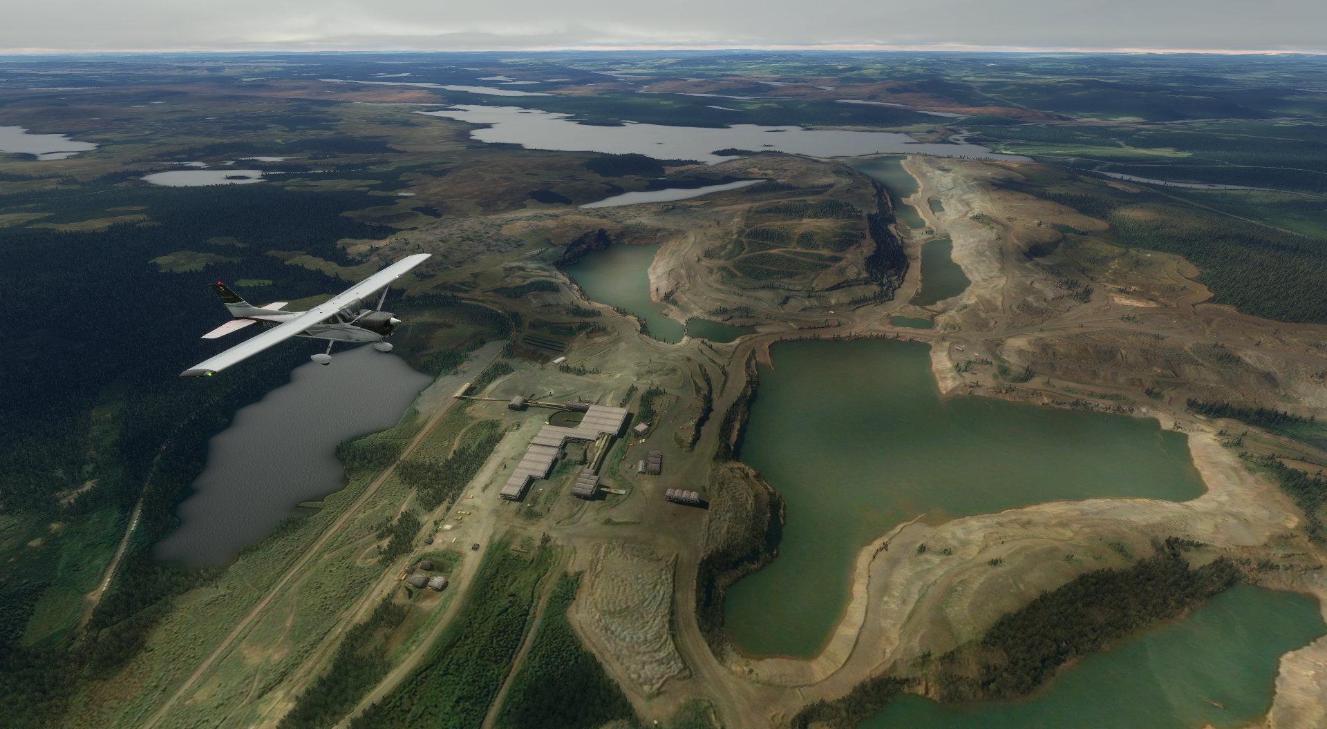
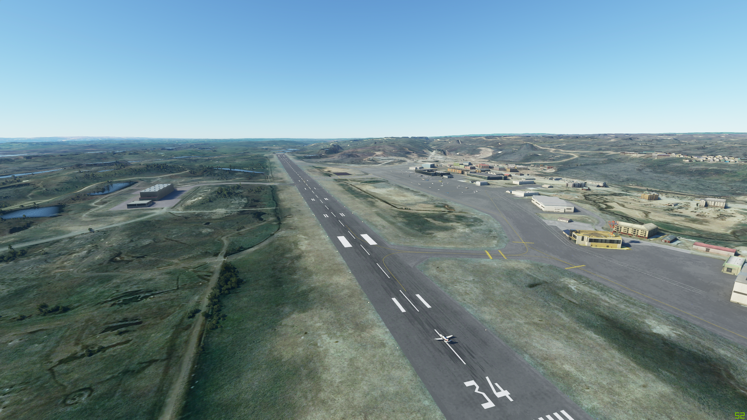
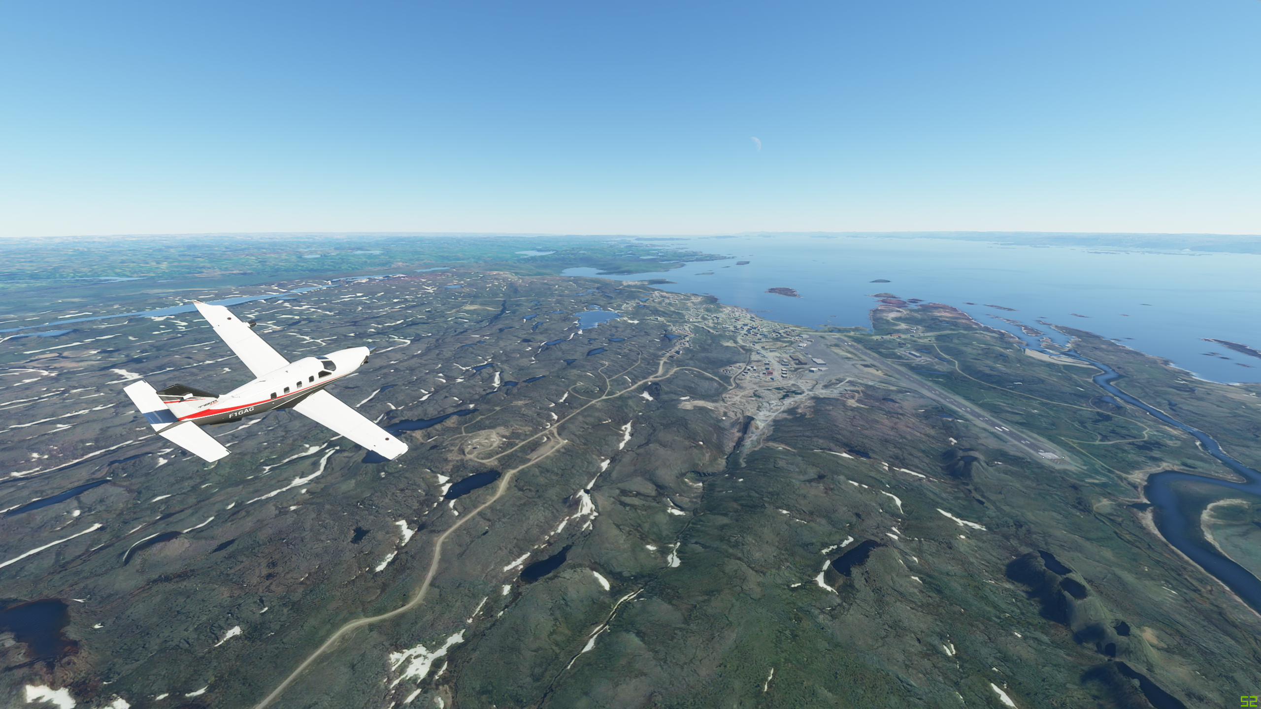
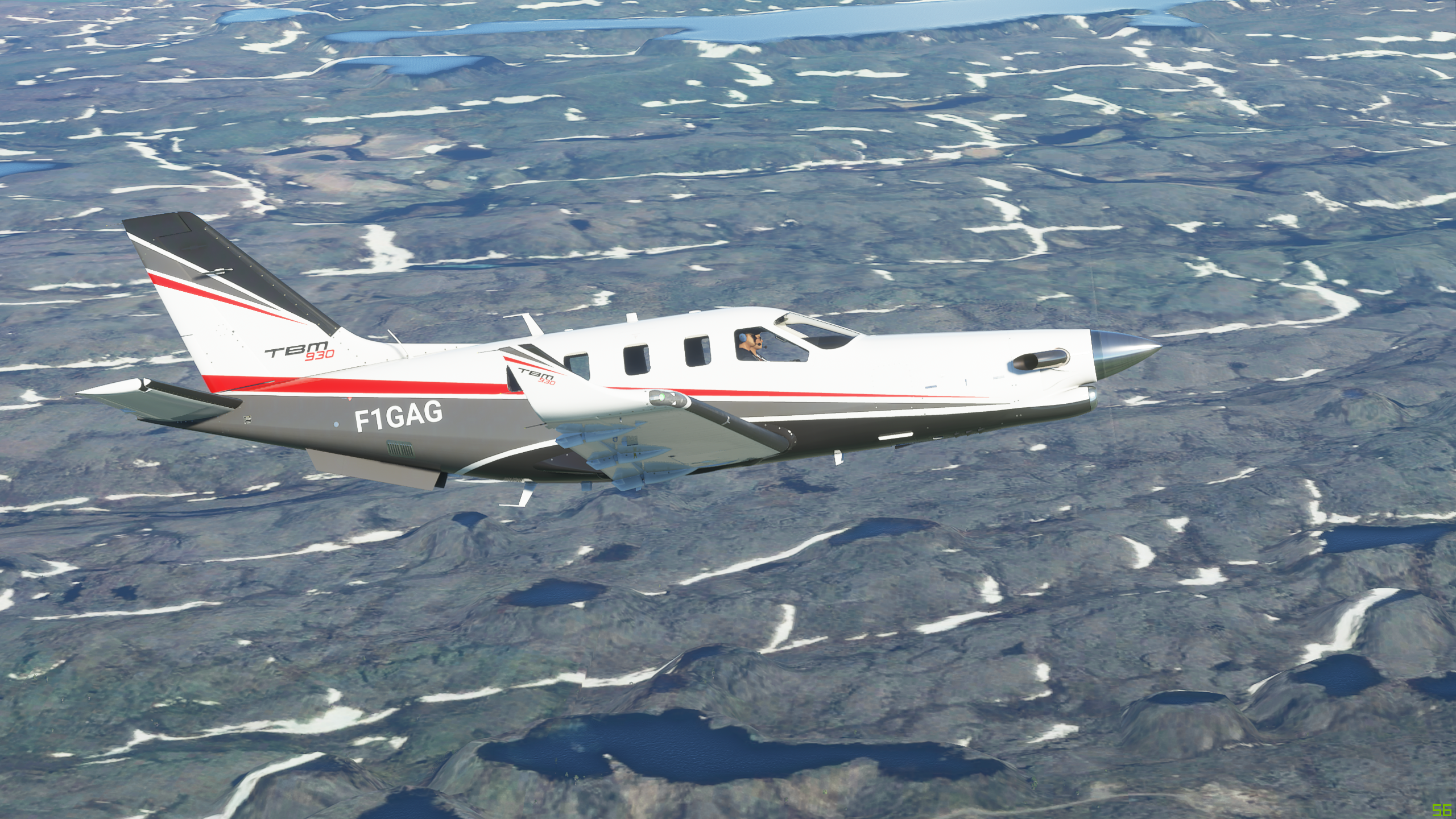
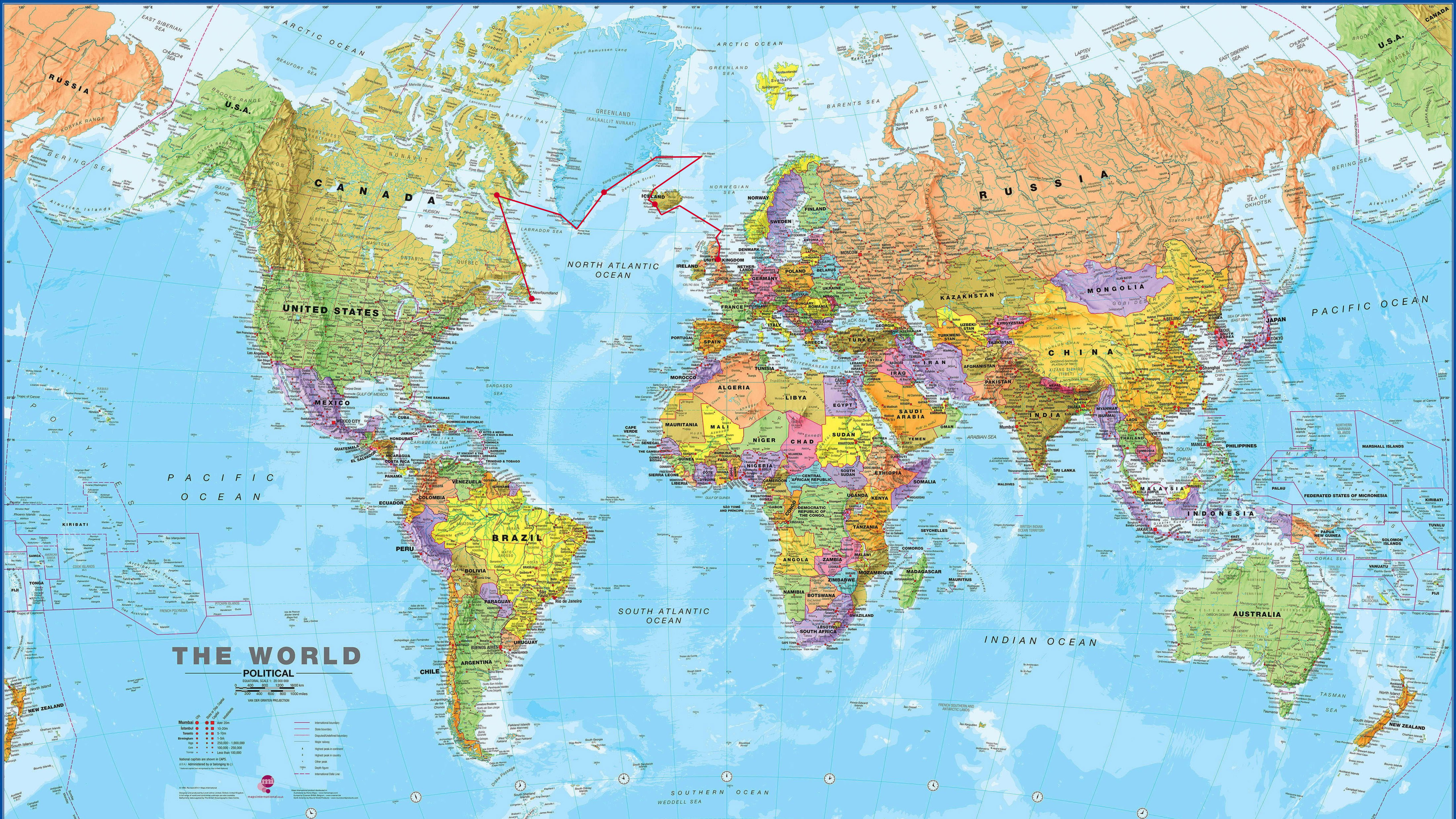
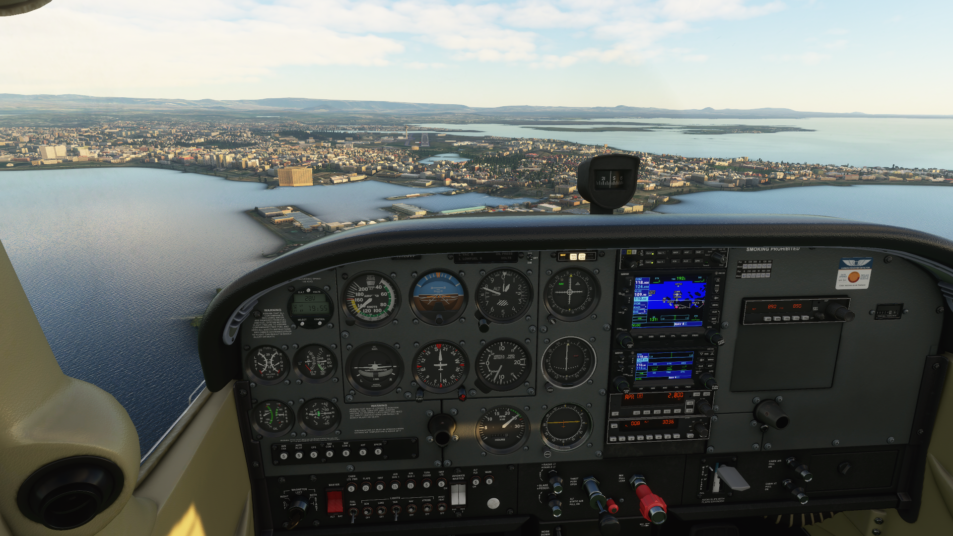
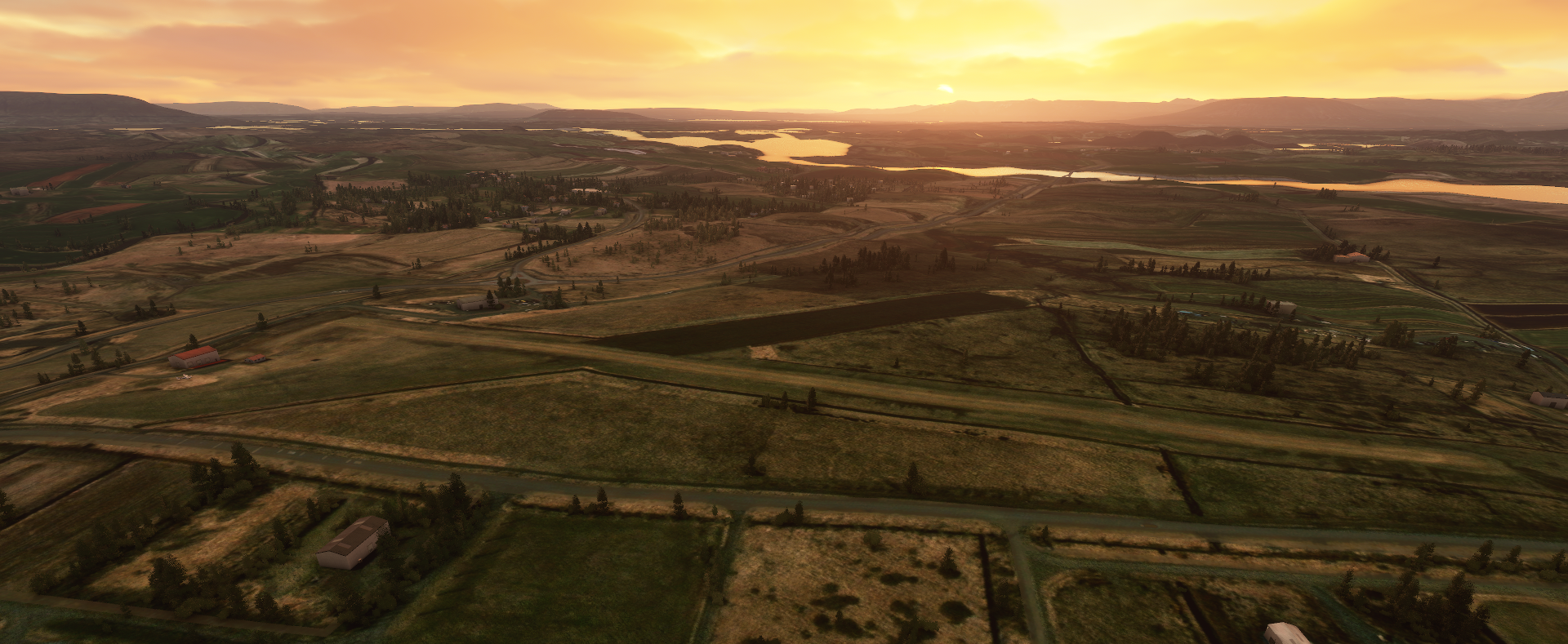
Likeminded. Started some general sightseeing this weekend of the NYC skyline in a 172 basic (unreal BTW), encouraged by this generation leap in just-wow factor for flight sims I meandered up north, then some more. Next thing I knew, I was passing Plattsburgh toward Montreal, then flew the St. Lawrence toward Quebec. Old places I use to fly to. I’m tempting myself - why not go all the way to Europe, in a Cessna basic at his point?? I played around with the idea by flying up to Wabush, CYKL - see if I can stand a couple hours in this seat. It was the weekend, so no blasting operations were happening at the mines - would be nice to see the tundra and take in the views: below, the historic iron ore industry of Labrador city. Again, default scenery - amazing!

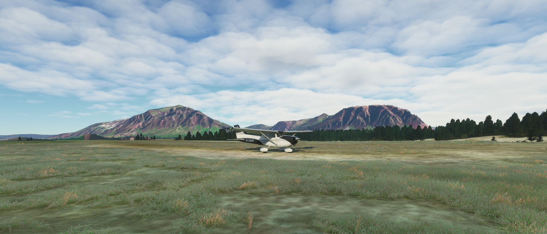
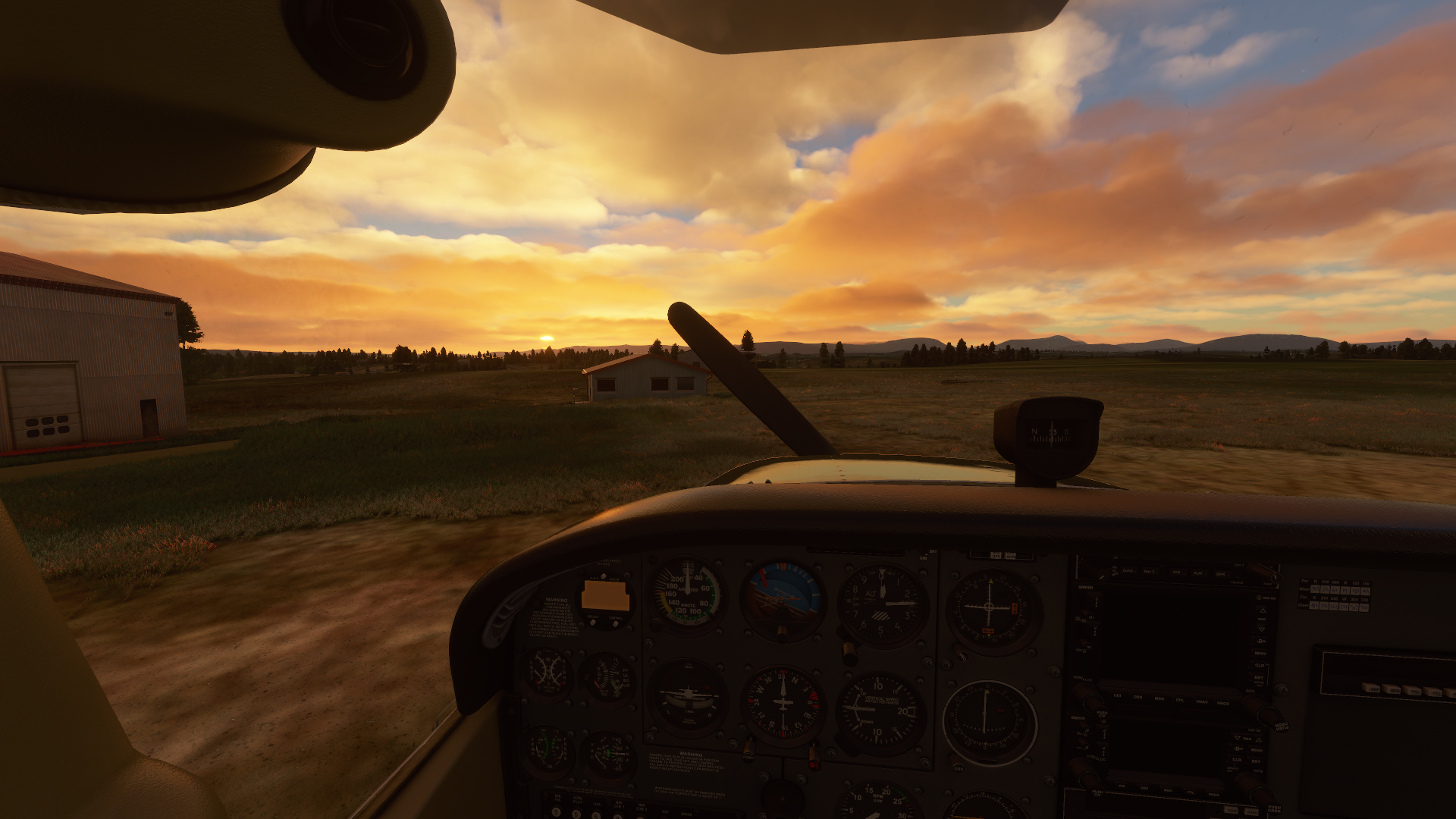
After a cup of Tim Hortons joe, I decided to go for it. I planned a smaller bite size trek to CYVP, Kuujjuaq but no! It doesn’t exist in game. Either, the grass strip that’s in the area nearby. Deflated. Hopefully can be added later. As an aside, I did a grass strip landing in New Milford CT, along the way, so I’m super, super excited to be able to do more of this in game.

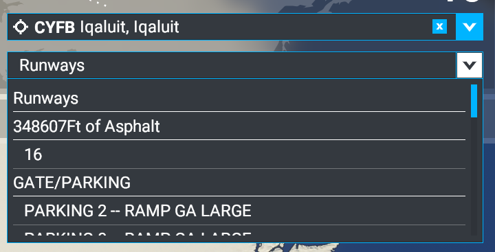
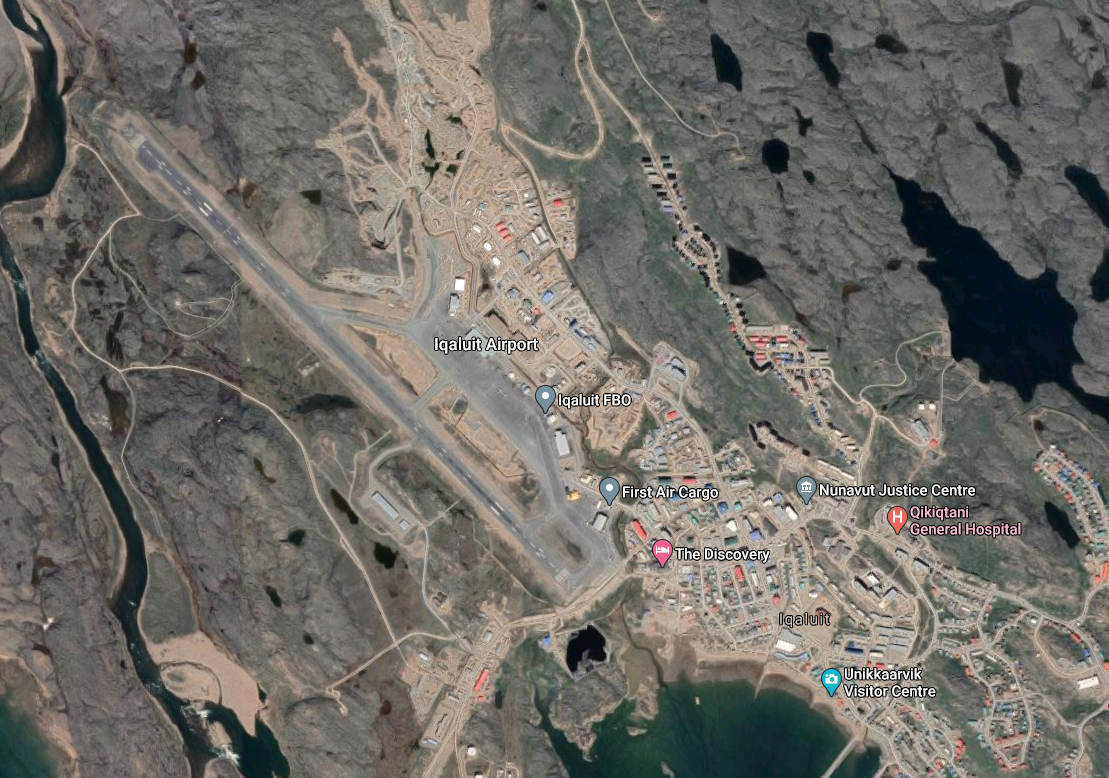
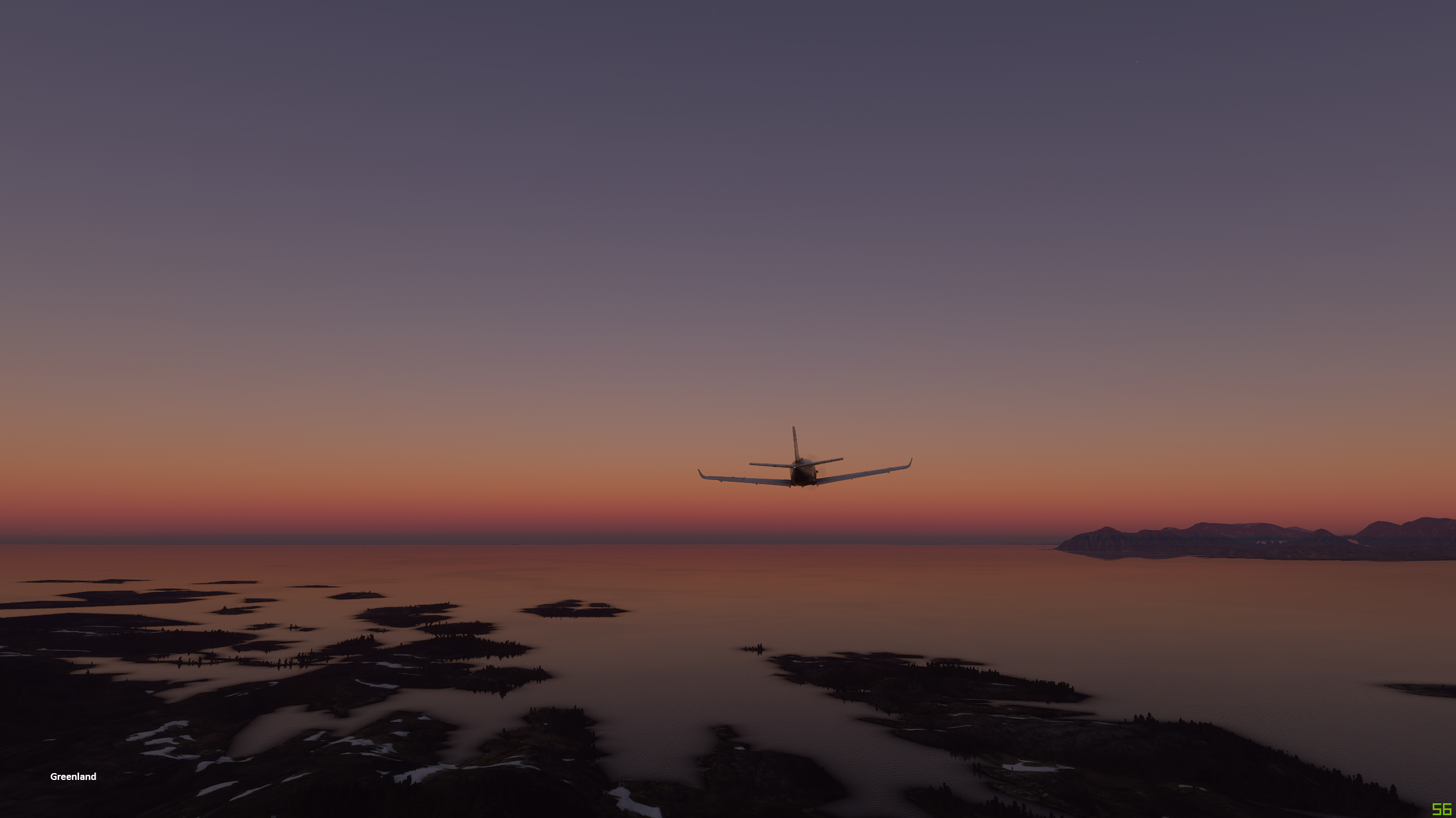
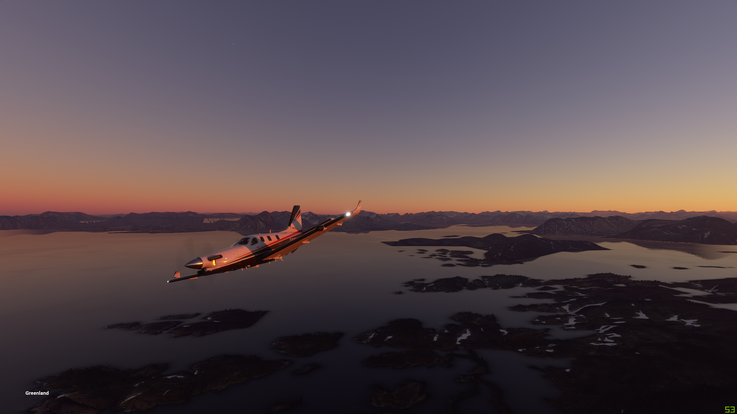
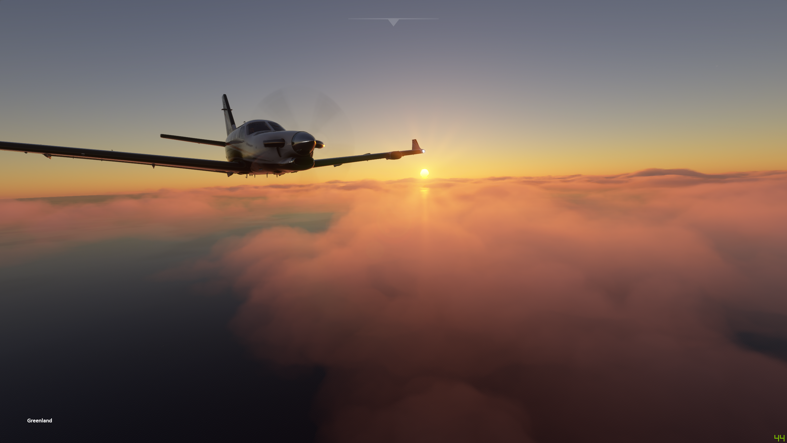
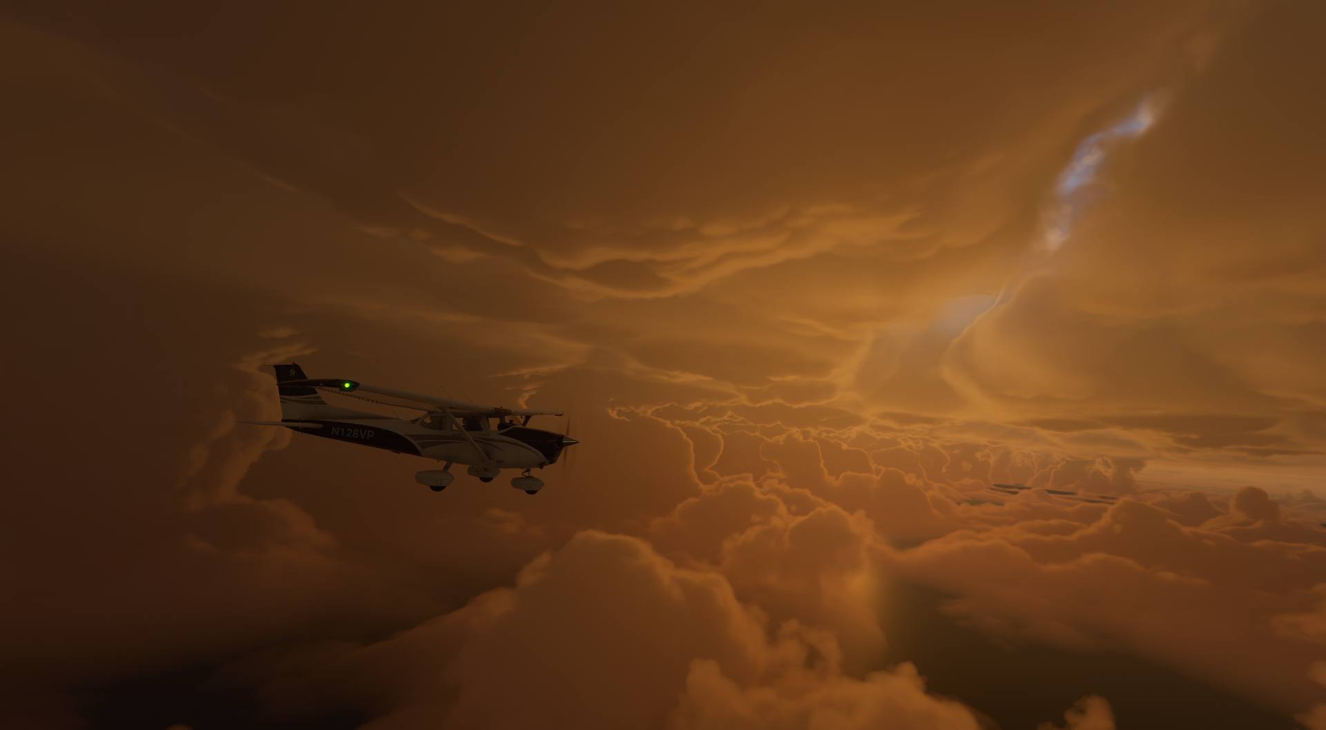
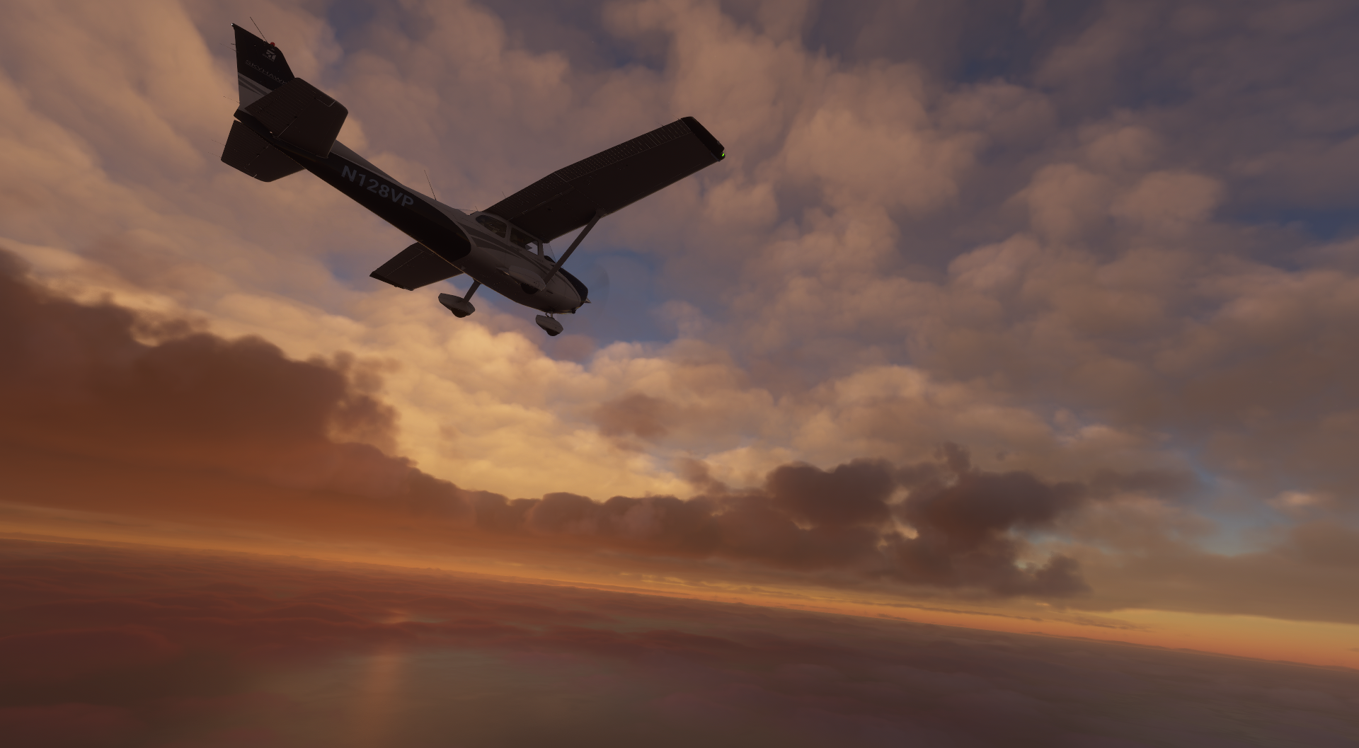
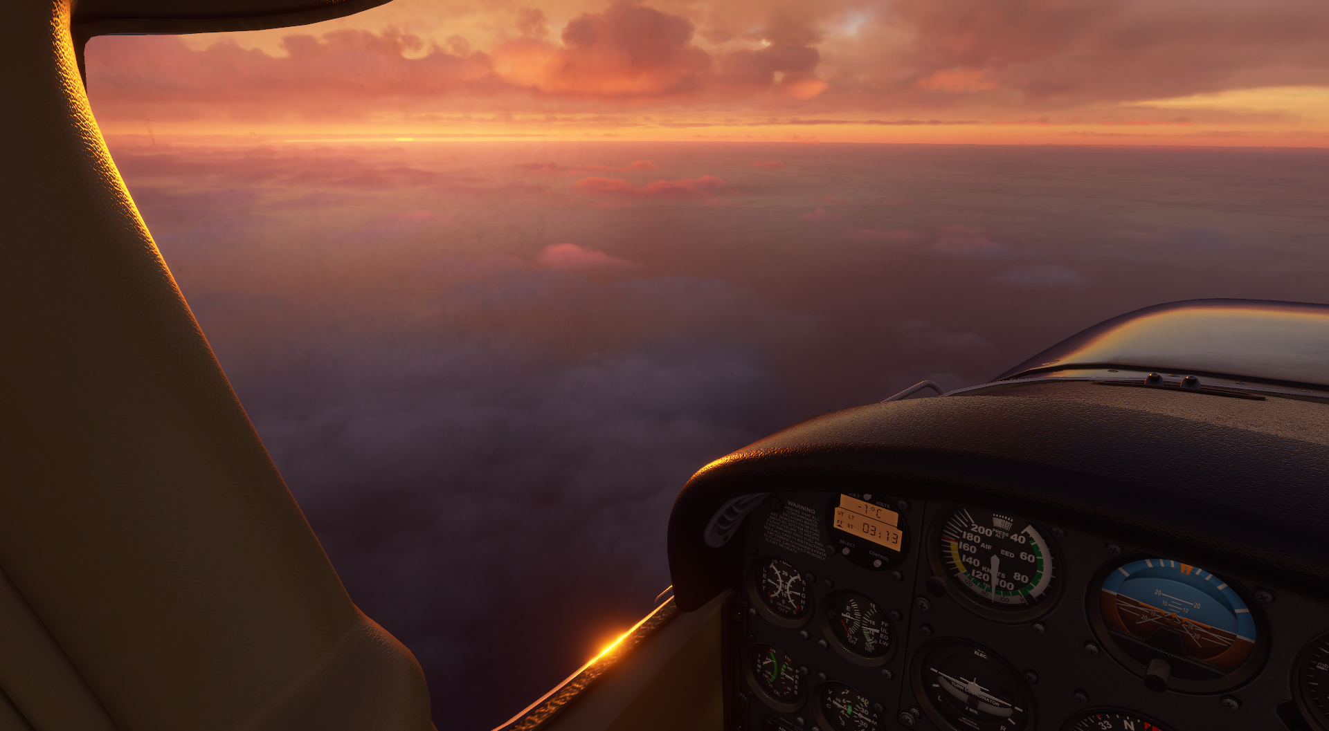
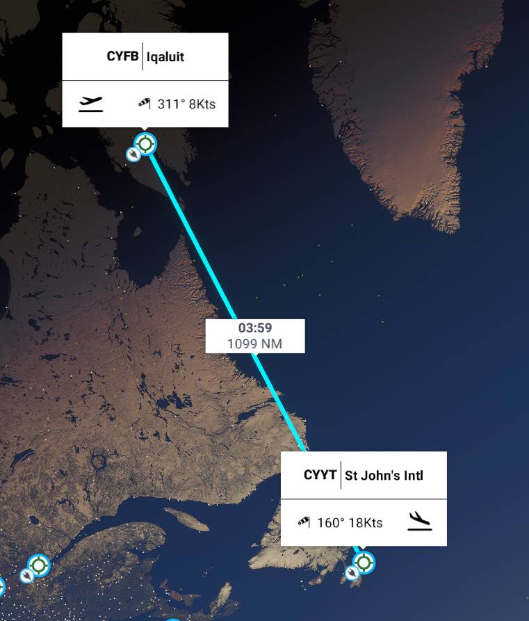
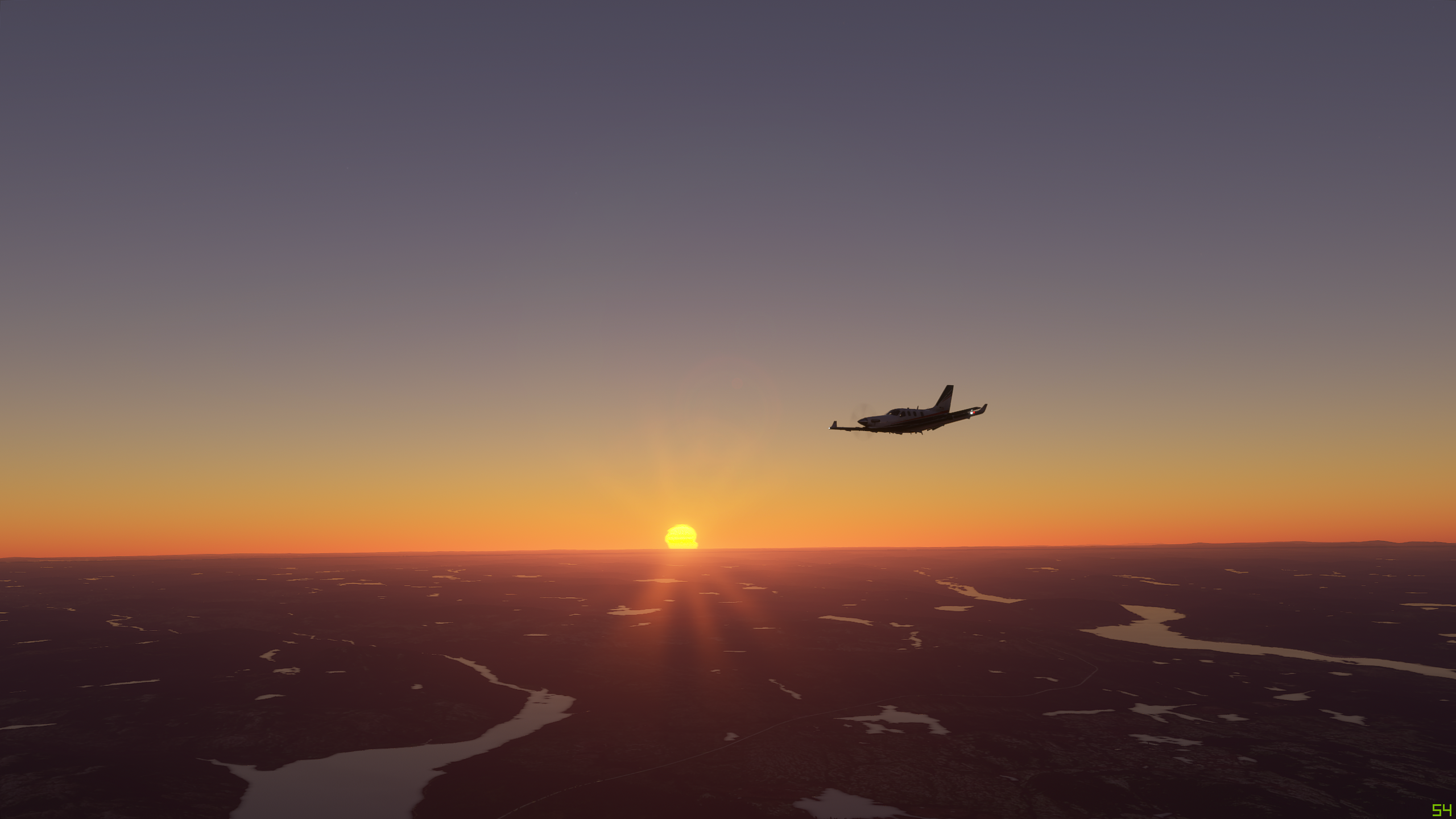
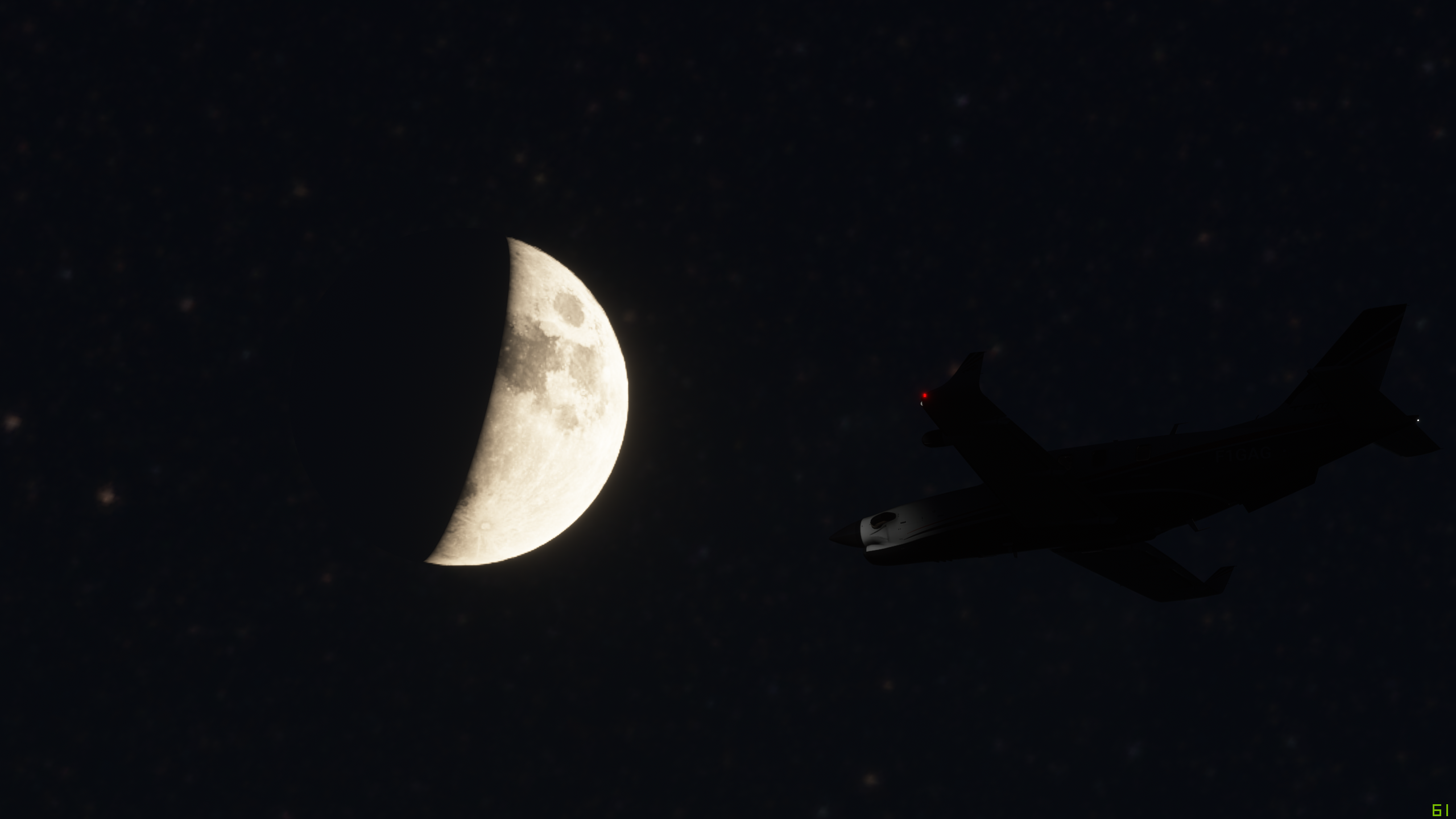
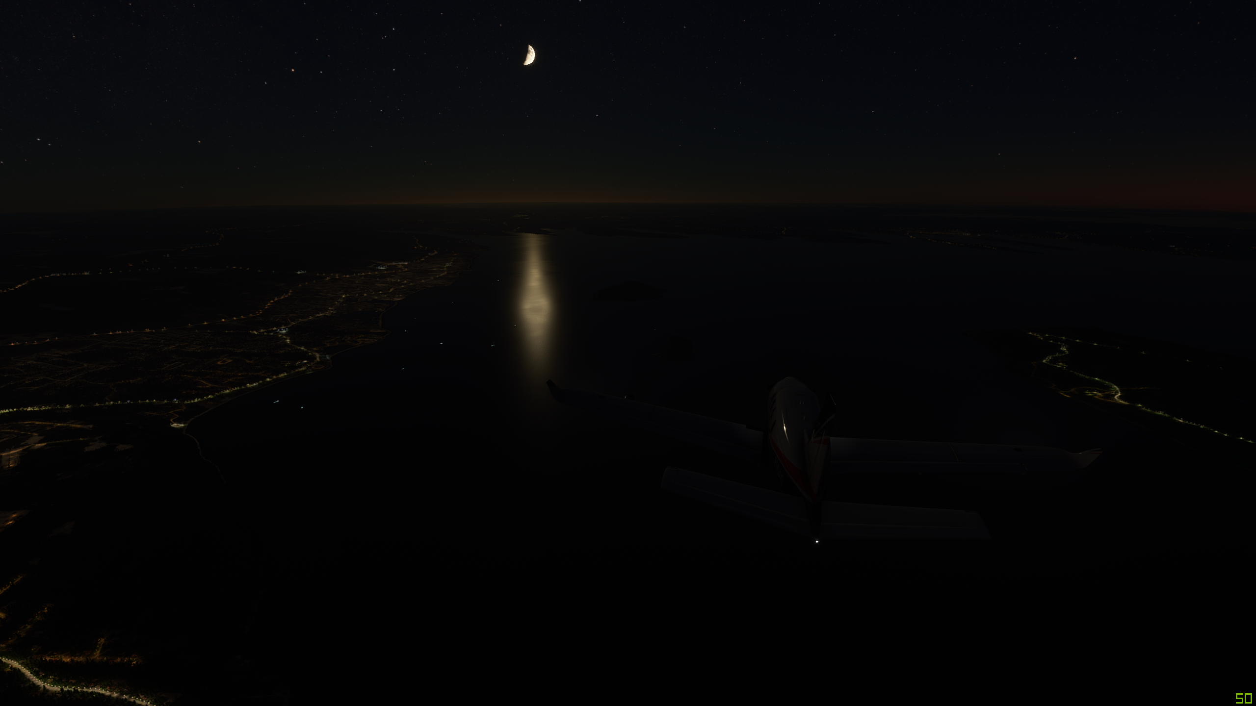
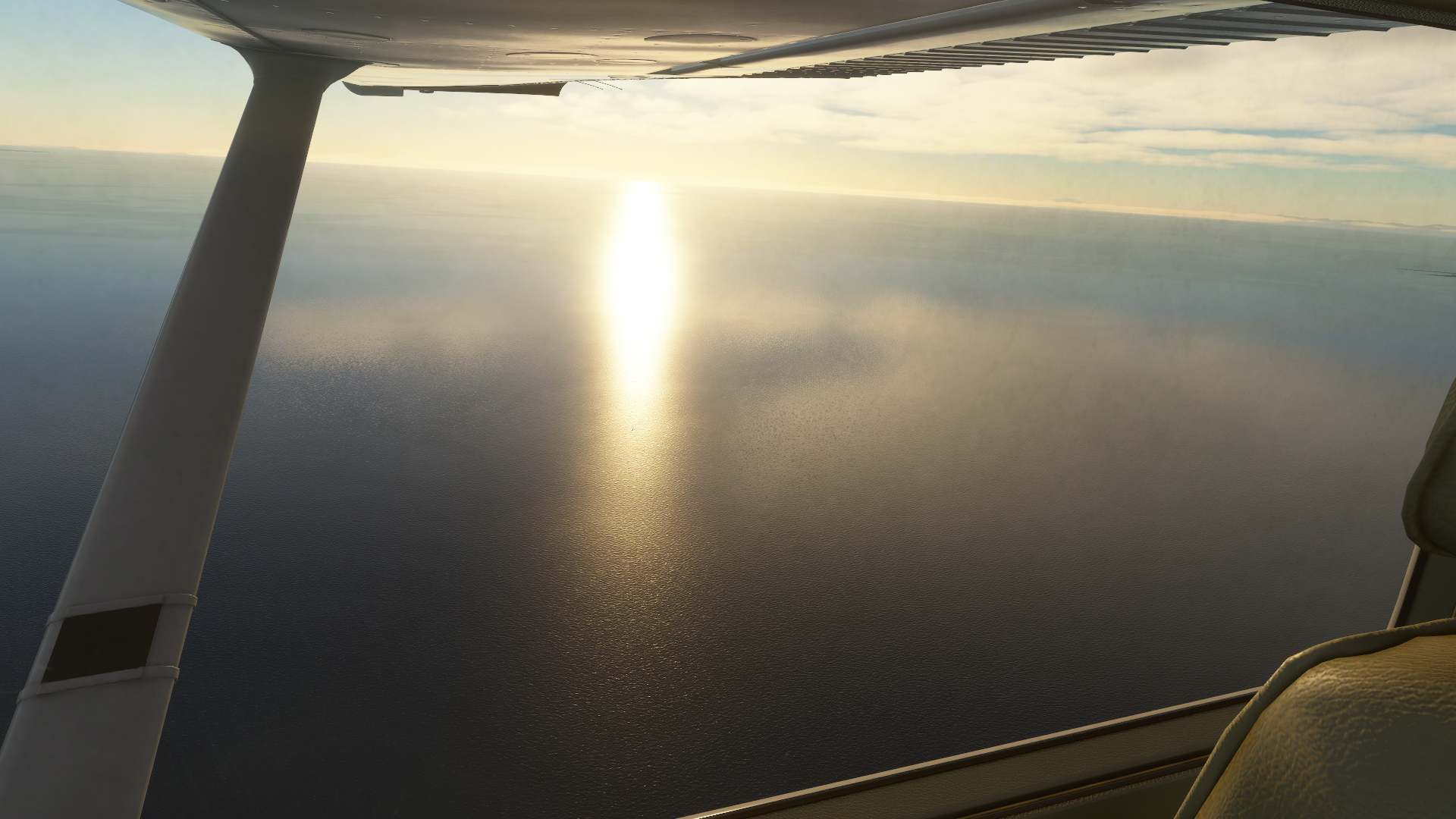
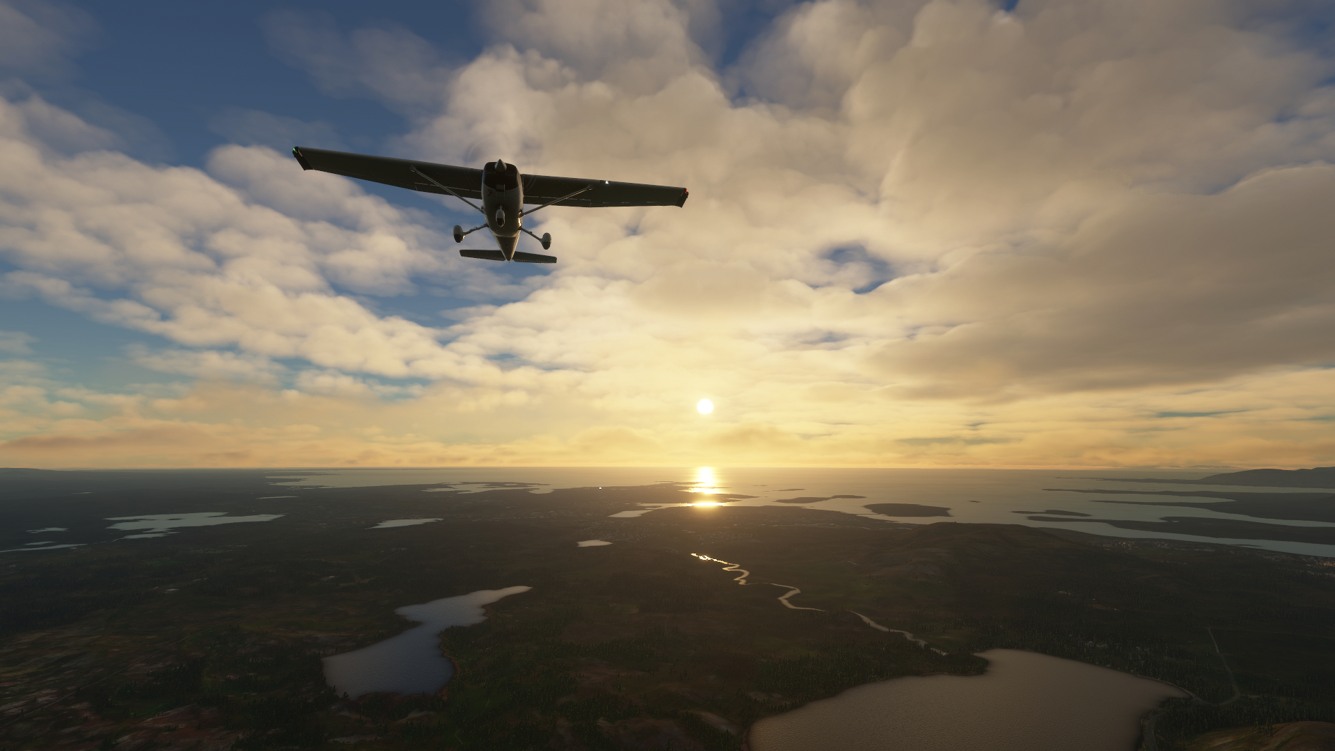
Well, I had to plan a max endurance, 4 hour, 40 minute, real time flight, over the Hudson Strait to Iqaluit, Nunavut - CYFB from here. Along the way I was forced to concede a couple thousand feet enroute as the evening settled in, lowering the OAT aloft. I was expecting this plus rain and I got rain along the way as low pressure troughs on the weather maps delivered the promise of cruddy weather. I was near freezing level in the soup for a solid couple hours - keeping a steady eye on those temps. I was observing the layer starting to break and then popped out the line of precip hark! to log the first ever MSFS2020 sunset into my logbook. Wow!!

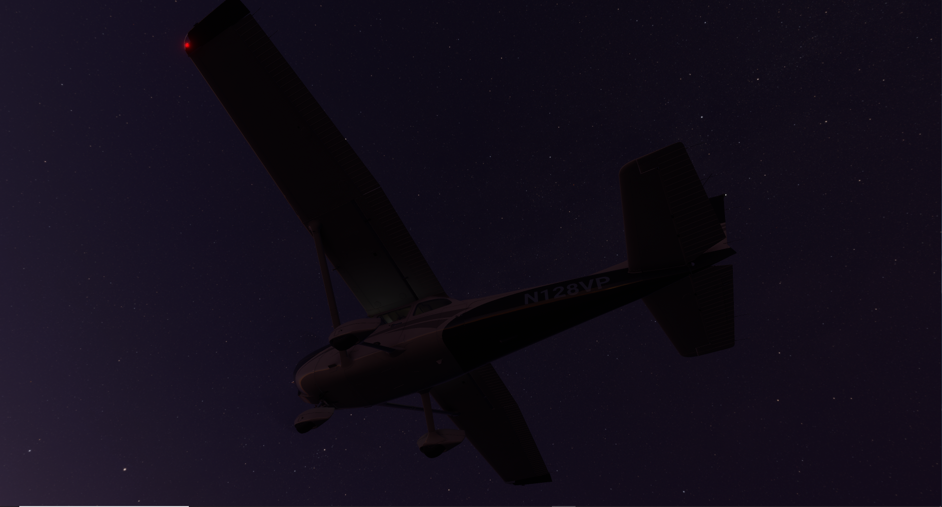
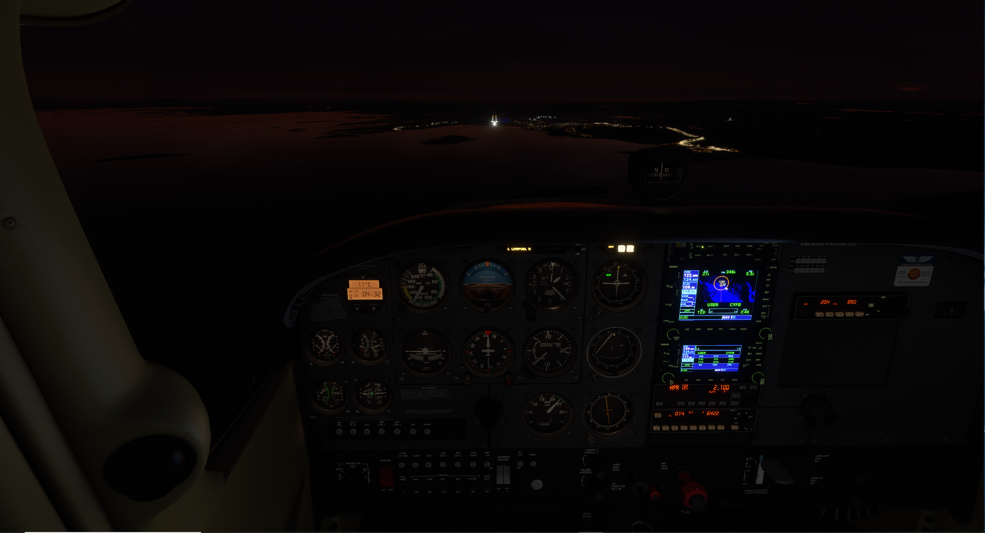
Nightfall shortly after, and confidently lined up with the ILS into Iqaluit.

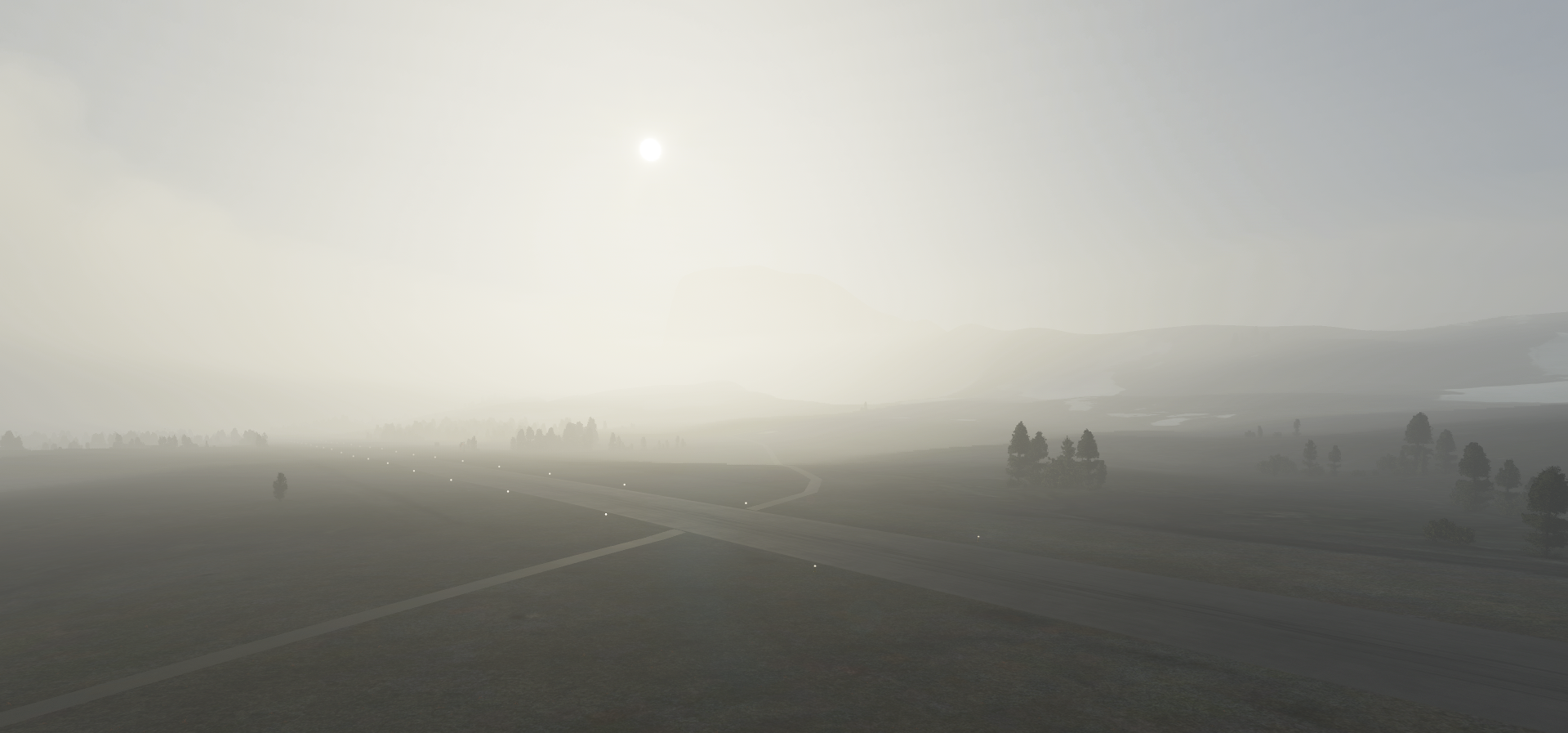
Now this morning I was delayed a couple hours because forecast was showing a dismal 500 meters vis at Nuuk (BGGH) - the maritimes in the mornings of course.
Forecast marginally improved, and off I went.

Does everyone know that the DME is bugged in the 172 basic? None. I had to calculate time/distance because stubborn Nuuk was still IFR. Time to knock the rust off those NDB skills in the form of a LOC Z Rwy 23 which uses NDB inbound/outbound tracking plus an NDB arc :hot_face: (popular in this part of the world). The IFR proficiency potential is great in this sim. Sit here, practice approaches, become a better pilot while ignoring the world’s problems. Yes, please!

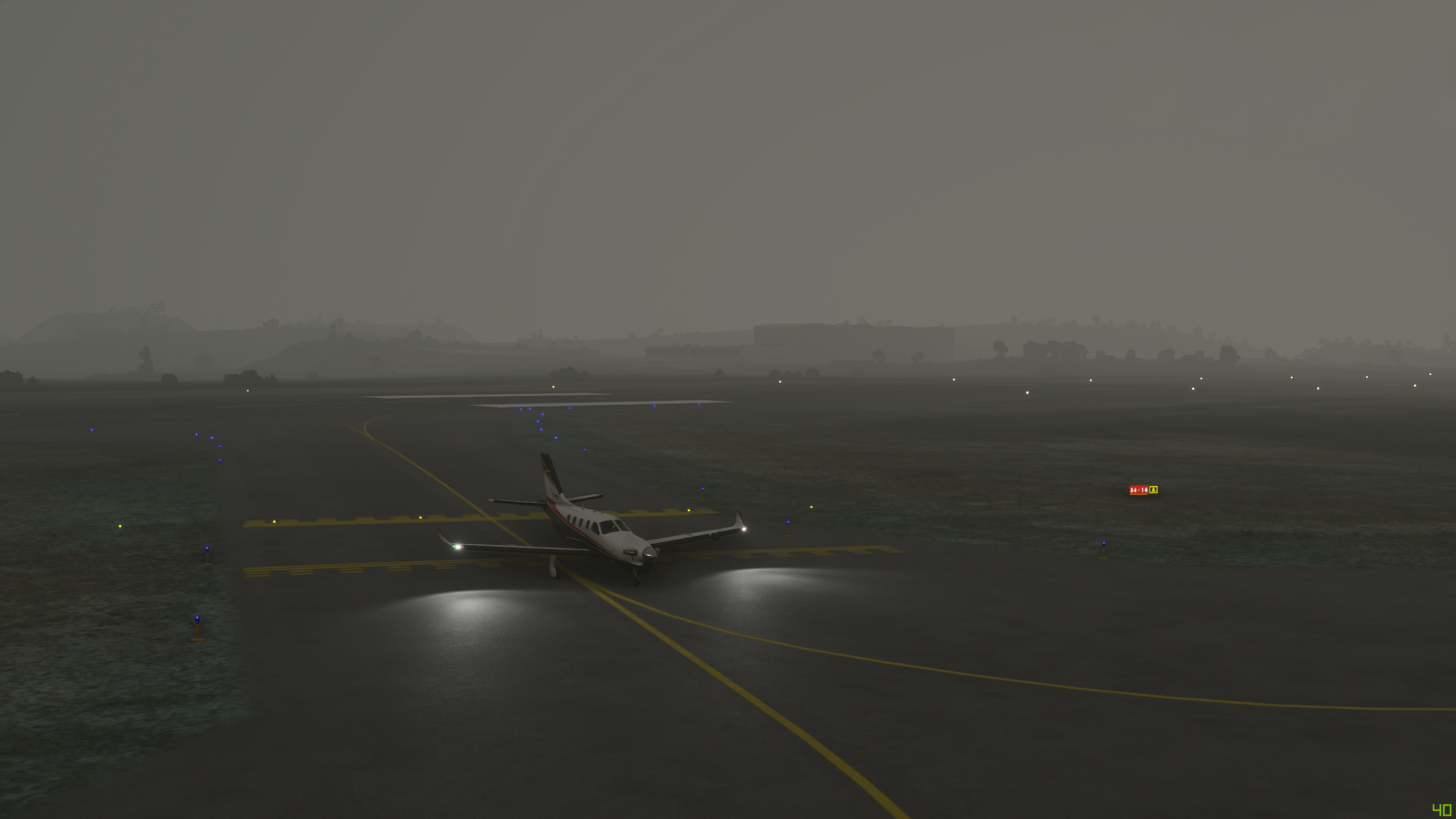
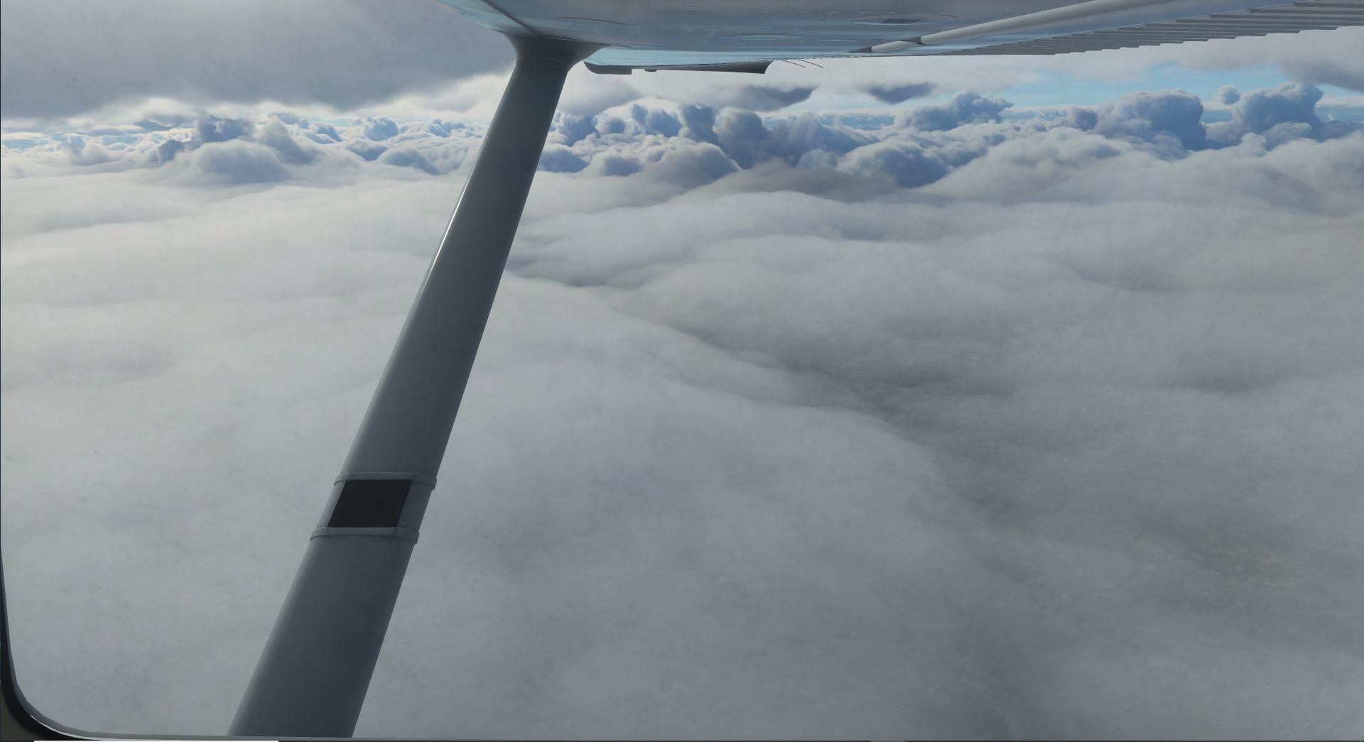
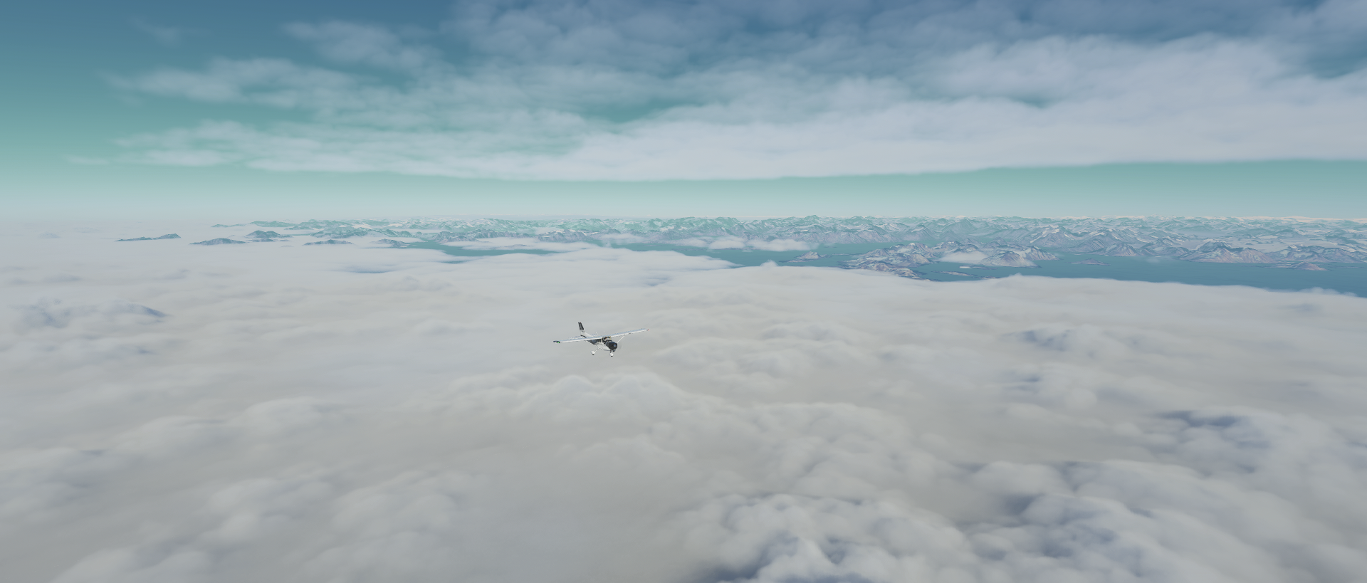
As you can see I got below the overcast and the fog banks have rolled through. Sometimes you never know how variable the overcast can get, whew!

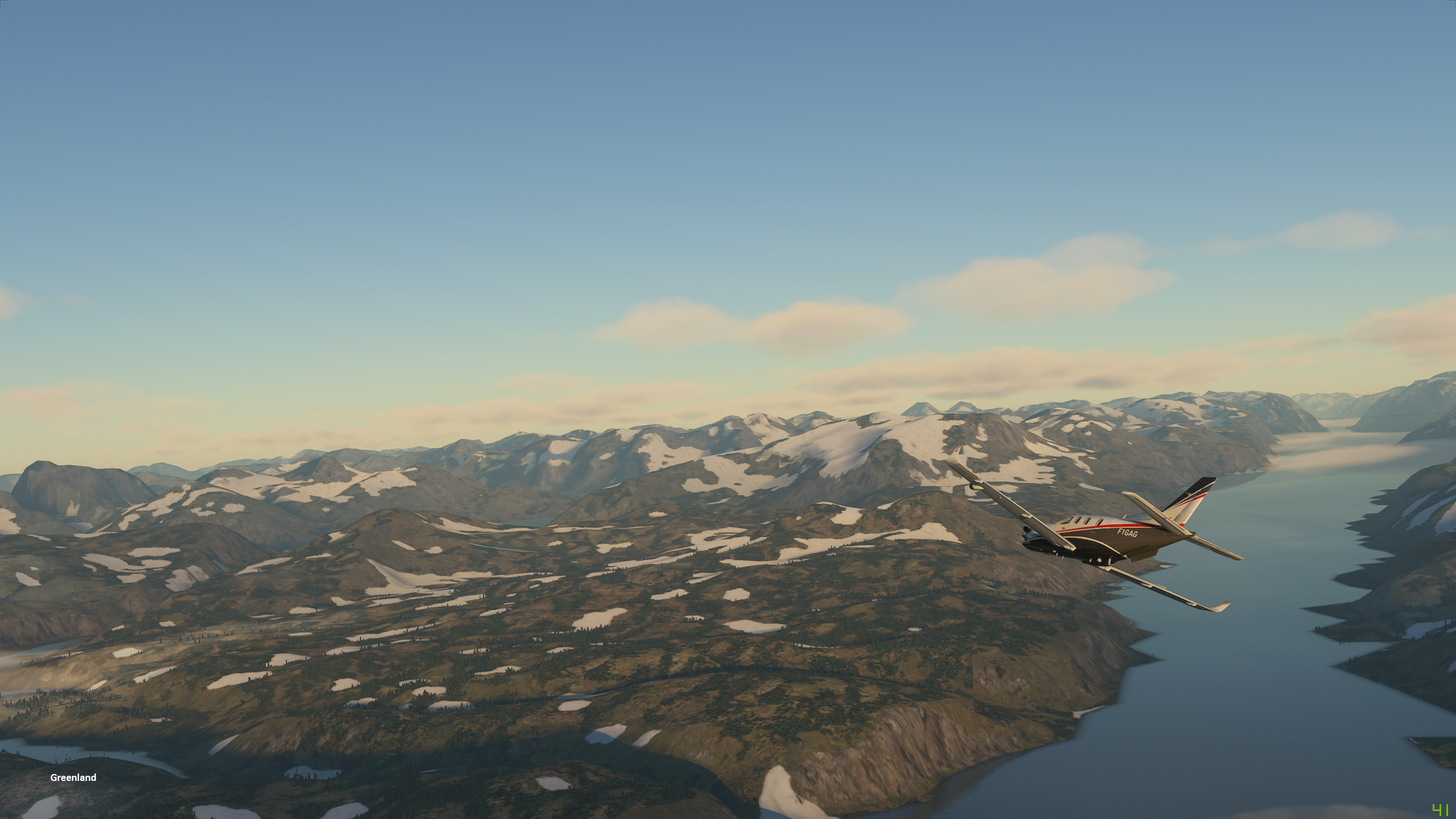
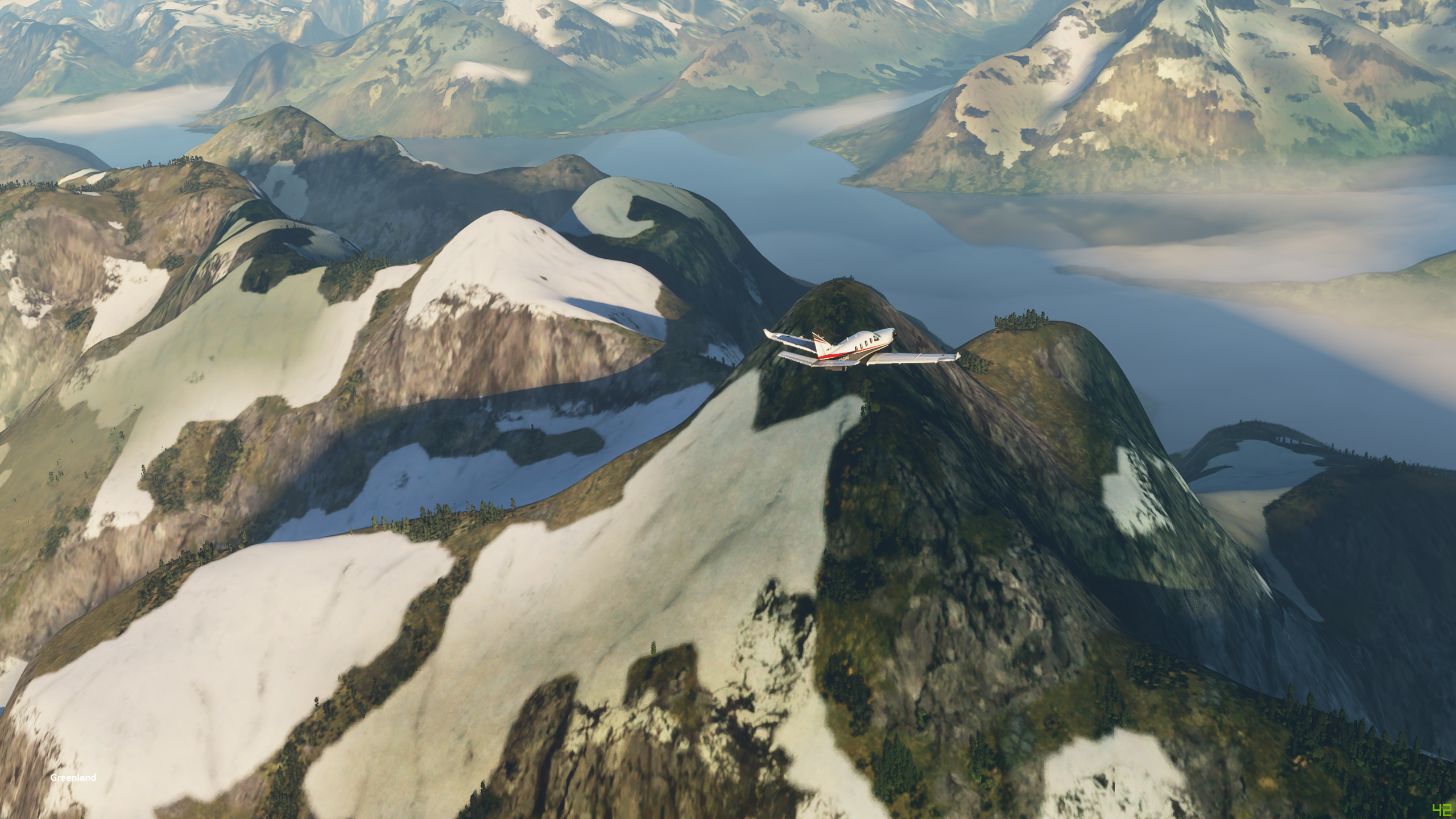
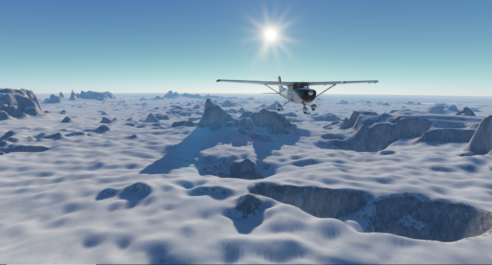
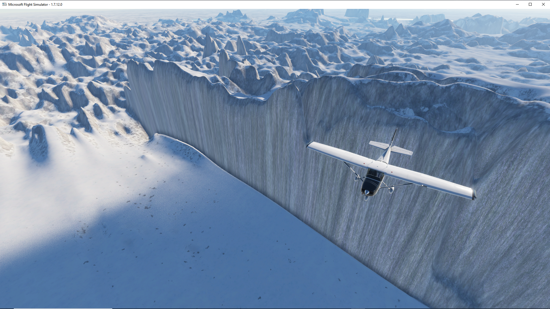
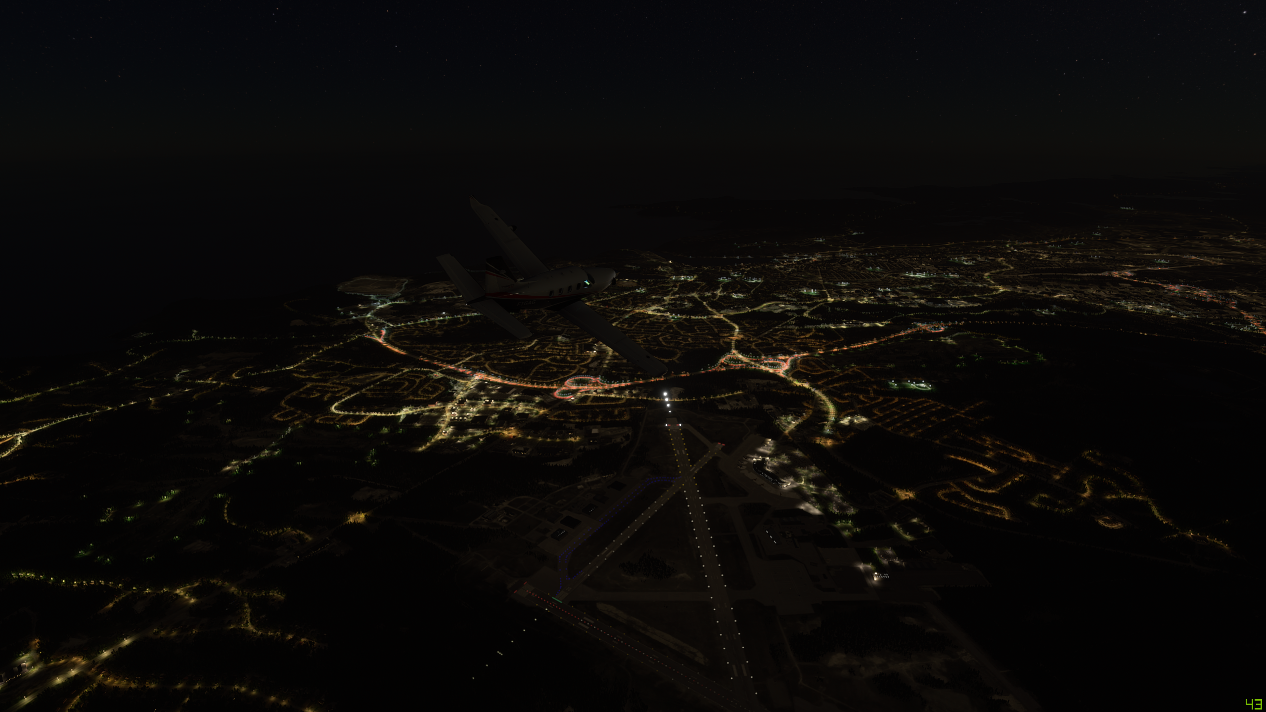
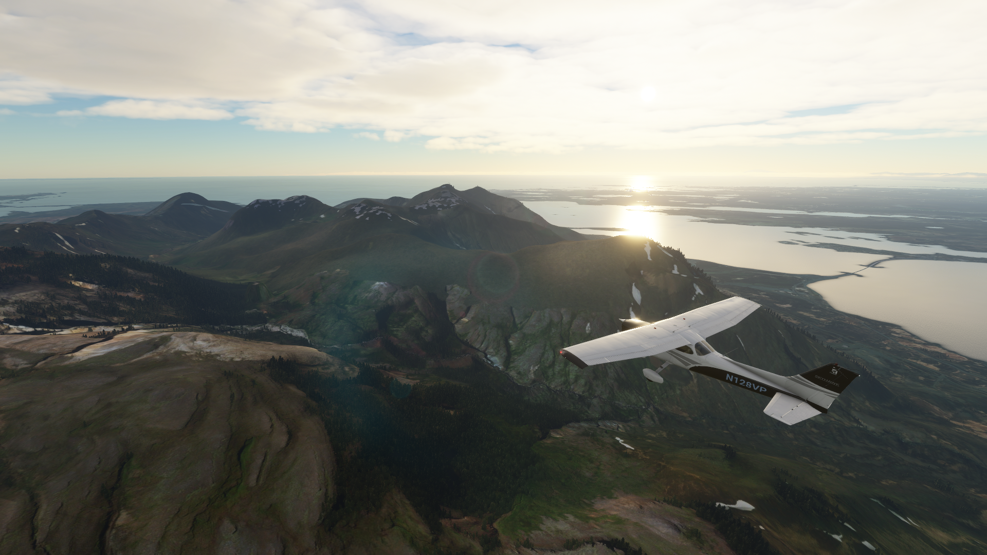
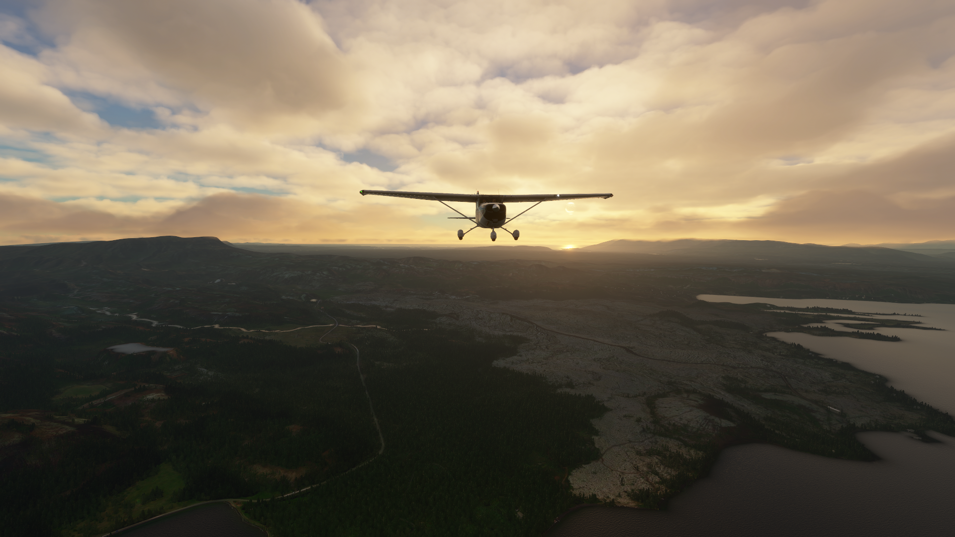
Landed, stretched, fueled up, sandwich at the FBO then headed on to Kulusuk (BGKK). I was loving today’s main forecast for Greenland, dry, dominant high pressure settled in. I was expecting clear skies for the greater part of the journey and sure enough. Everyone know how long it takes to climb a 172 to 12,000?? A very long time, but the last piece of the puzzle to satisfy the high terrain requirements for this leg. I had my virtual O2 tank, which I almost forgot to load back in Nuuk.

For more levity, I found something along the way for all you GoT fans. The sim has it’s limits, or it’s my internet connection but no dragon sightings.

Well now, Kulusk is in range. Another airport on the water built nowhere. Did you know most of these airfields in Greenland were built in the 50s by the United States? All as part of front line defenses against the Soviets back then.

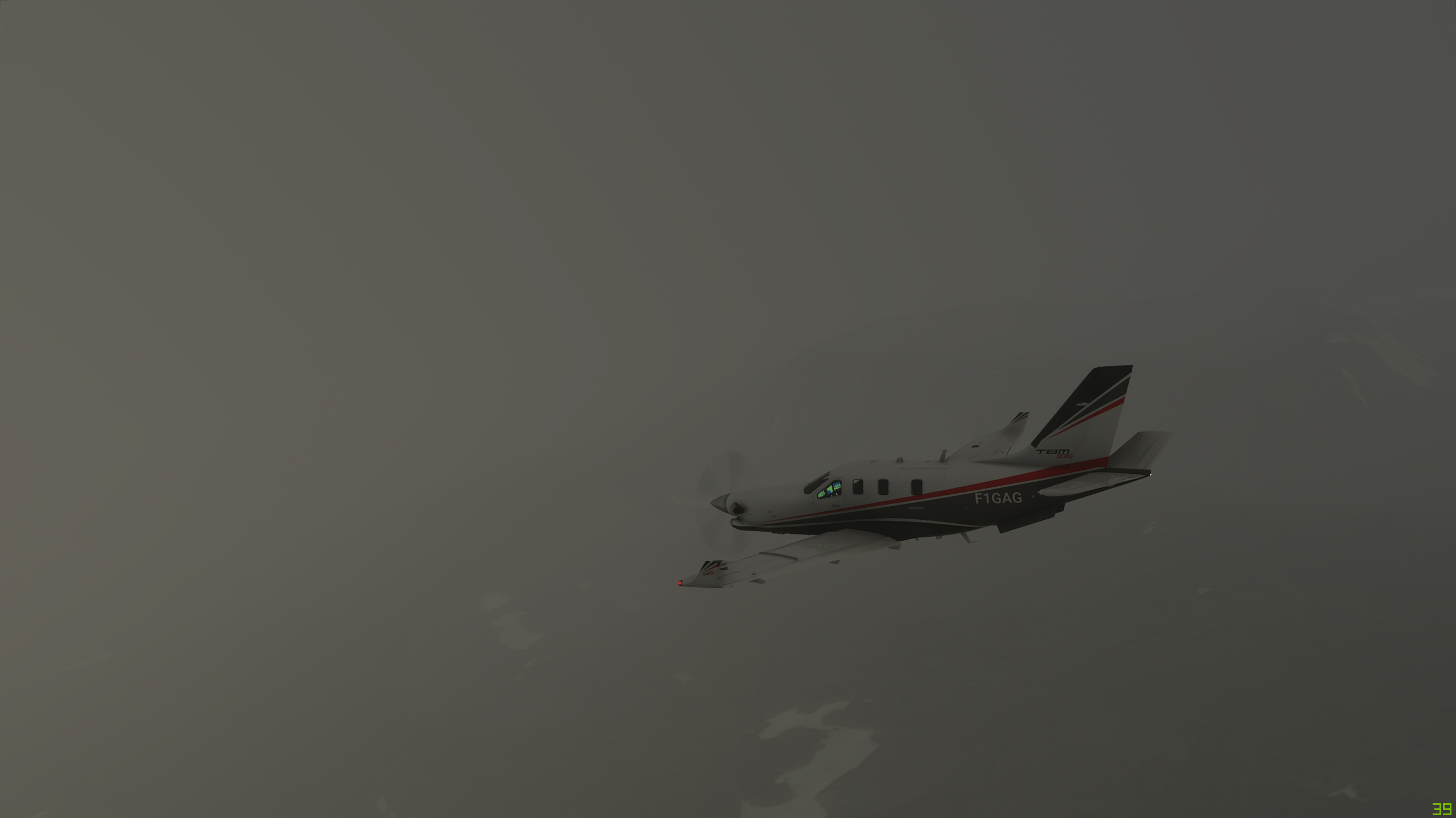
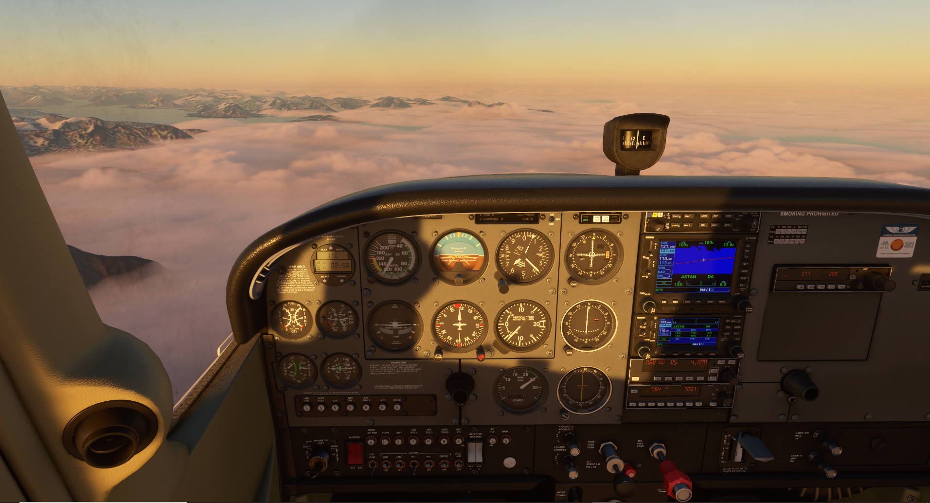
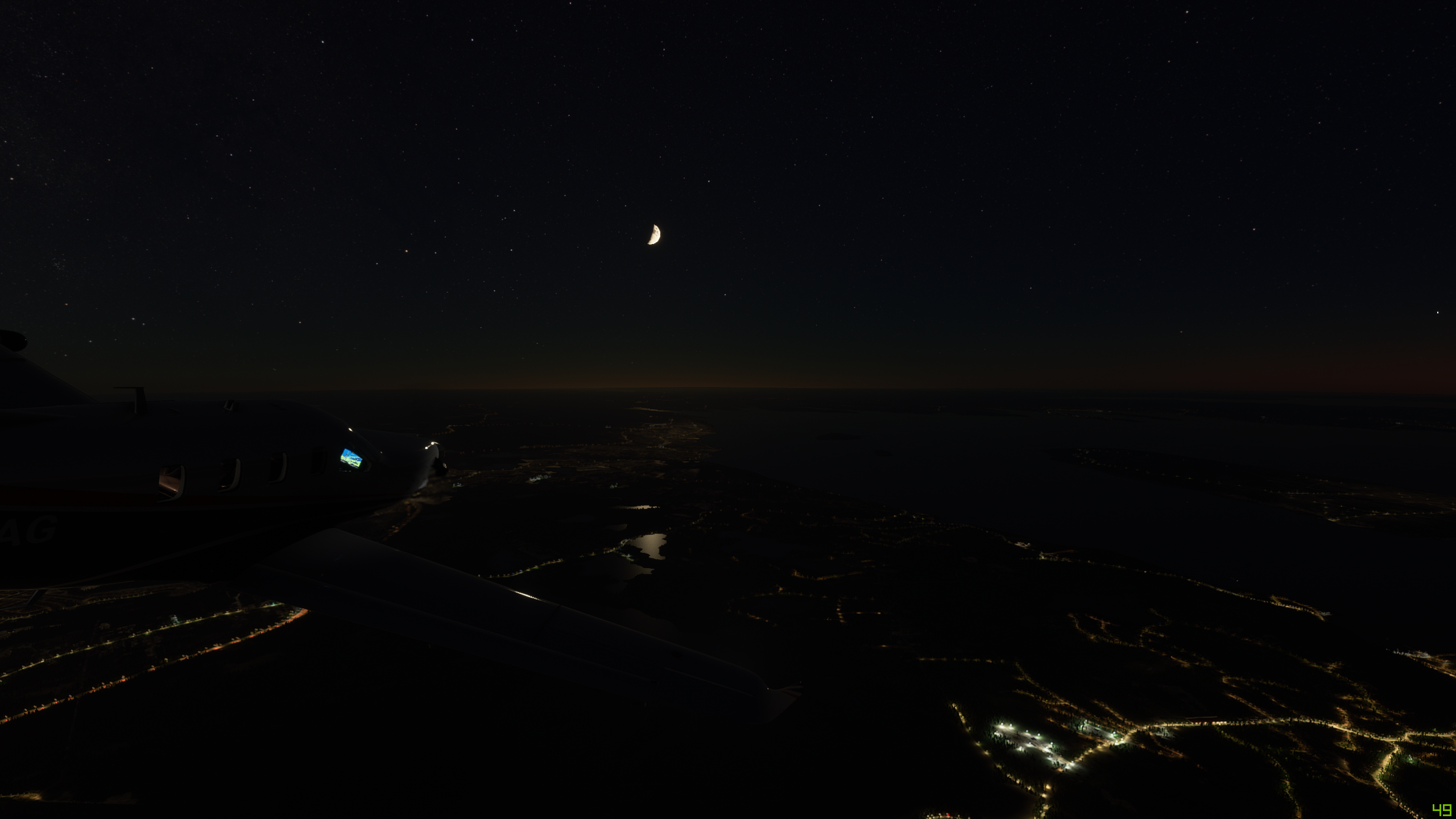
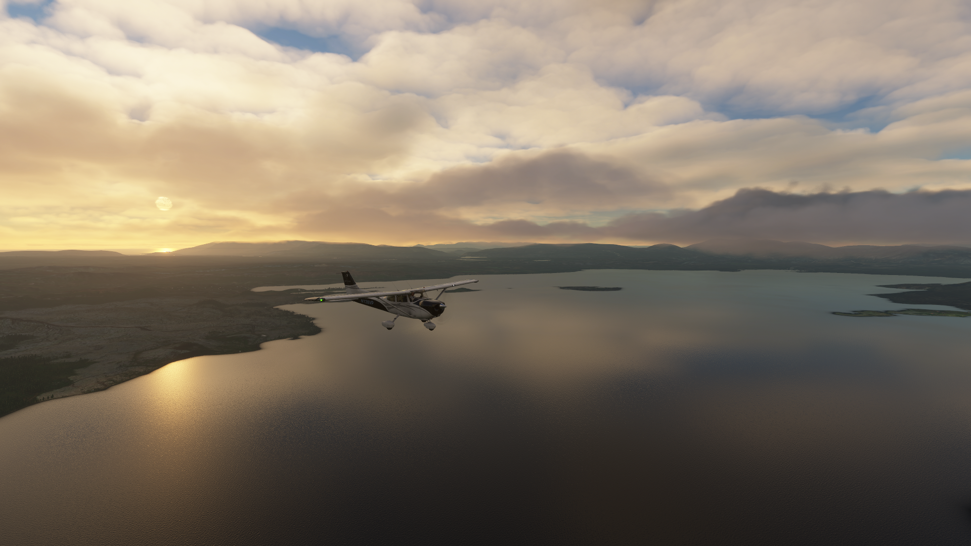
Well, again the sun was setting and the lowering temps promised some lower ceilings over the field. As I closed in, it delivered. But look at the beauty of this fog layer getting ready to rest for the night.

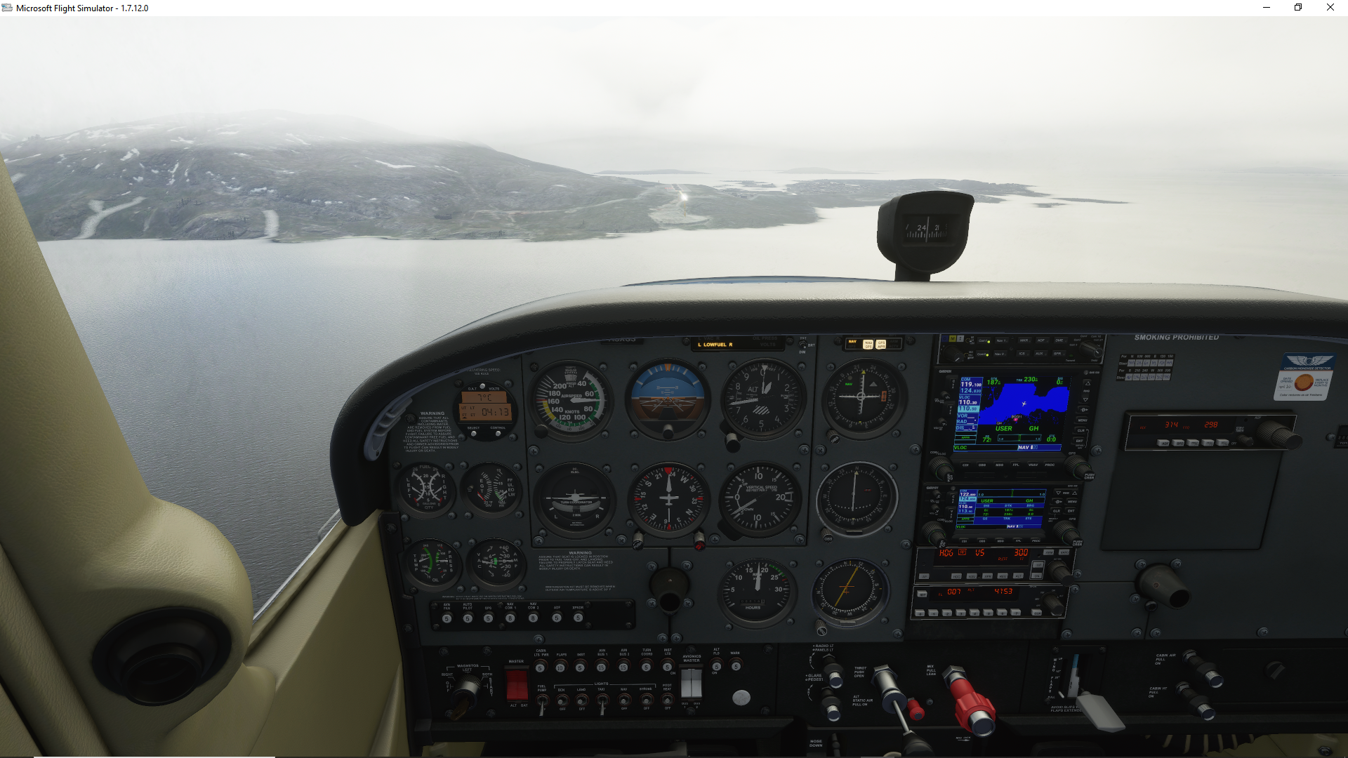
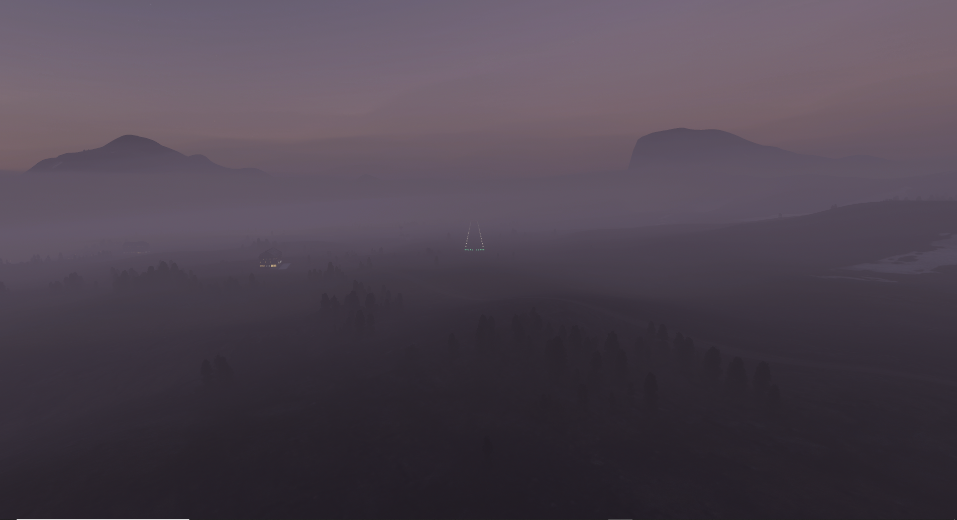
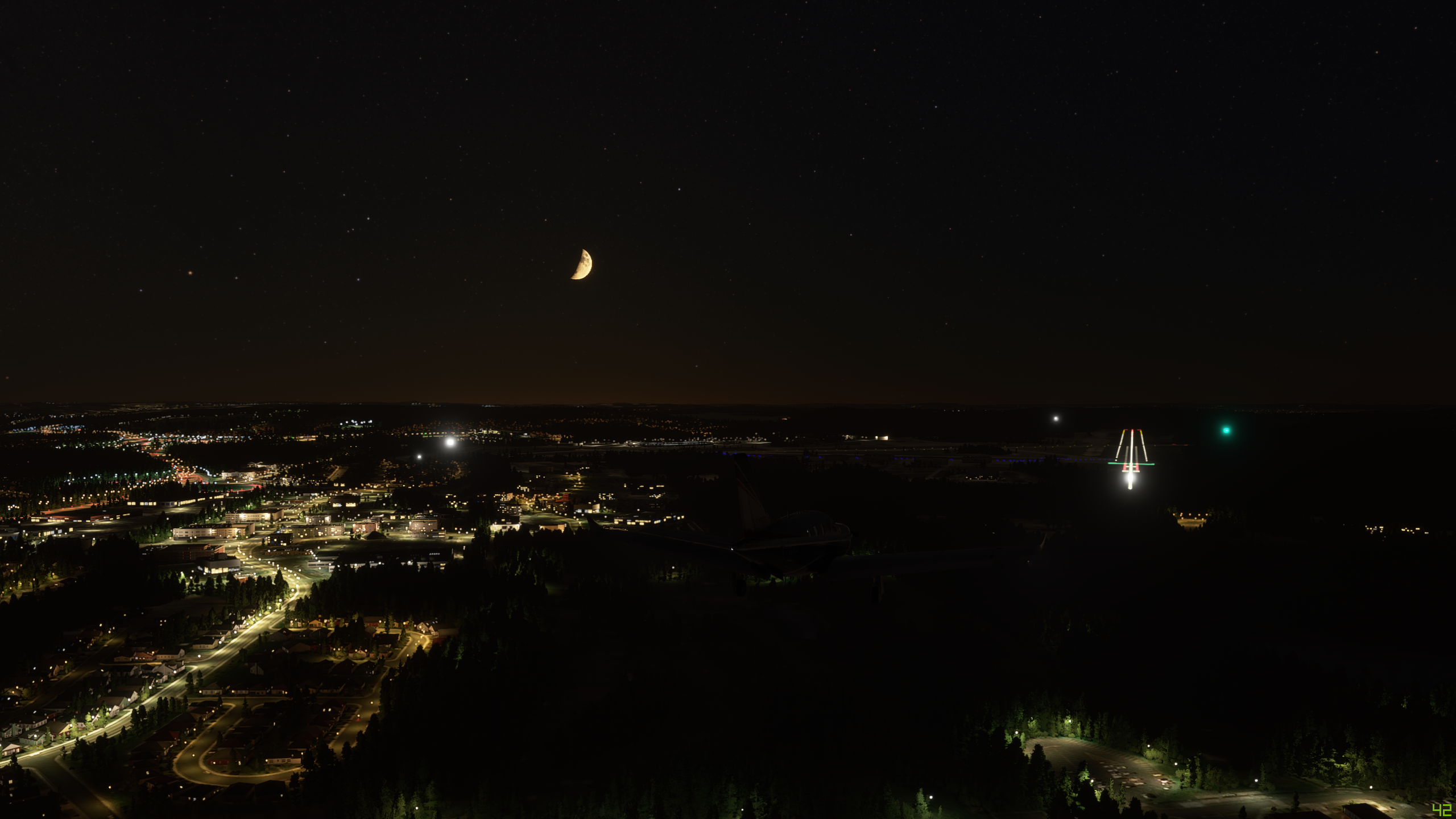
Yes, BGKK has no built in database RNAV approaches, which looking at the fog below is problematic. So what’s left? The NDB 11 approach of course. Classic dive and drive. Absolutely giddy to get to poke the nose into it after the procedure turn. Just love seeing this in game! :heart_eyes: the REILs true to form saying, “hey buddy, over here!”

Landed, took off the headset (much better) parked off in the grass. I reserved a sleeper camper on the field for the evening. Tomorrow… Iceland!!!

I have to throw in a ticket that the DME does not work in this bird. I am getting reliable internet out here still, so maybe I’ll throw in the ticket (maintenance gripe) to MSFS maintenance. No DME function on VOR or ILS… I need this for ILS DMEs! help!! :frowning: :neutral_face: :sleeping:

7 Likes

Great post, and thanks for sharing. You obviously know much more about IFR flying than me - I’ve no idea about how to use NDB, VOR or ILS - but given my landing at Iqaluit I need to find out! Your pictures are stunning.

2 Likes

Leg 4 - Iqaluit, Canada (CYFB Iqaluit) to St Johns, Newfoundland, Canada (CYYT St John’s International)


This leg: 1,099Nm, 3:59 flying time
Total so far: 4,231Nm, 15:23 flying time

Well, this had intended to be a much longer leg than it turned out. My route planning said this was 1500 Nm if I went to Halifax via St Johns (just for the fun of it). Turned out that I must be pretty fuel inefficient, as I basically ran out of fuel just past St Johns and had to turn back - on full tanks I’m supposed to get about 1700 Nm. Never mind.

This time, just to see what happens I got the autopilot to land it for me. Despite a lot of chat in other parts of the forum, “Charlie” did a great job and nailed the landing right down the middle of the runway. It was a night landing and looks really cool. Some great sunset pictures too from this trip.

Next leg will be on to Halifax/Quebex/Tronto etc, before heading into the USA - probably Chicago, Detroit then Boston and New York.

Here are the screenshots:

On the runway at Iqaluit and the early part of the journey in the late afternoon over Northern Canada. Includes a great shot of the moon. Does anyone happen to know if the moon would actually be visible about 5pm on 24th August in Northern Canada? I mean, do we think MS have actually modelled that accurately?

Incredible sunset - my first of those - been trying to avoid night flying up until now

Some great night shots nearing St Johns


And for that last one, does anyone know if the constellations are correct for the place in the world and time? Given everything else they’ve done, it wouldn’t surprise me.

Some final shots as we approach St Johns - that one of the airport is as I merrily flew right over it on my way past to go to Halifax…only to have to turn around shortly thereafter!

And finally, the approach into St Johns itself, nervously watching Charlie at the yoke… :grin:

By the away, you can see my FPS in the bottom right - all pretty good so far. Will see what the big cities bring!

6 Likes

Did you have the AI control the plan on landing? That is cool.

I thought it might be helpful for those of you following to see my trail so far on a map. I’ll add to this each leg and post it from time to time


Quite a long way to go when you see it like that!!

6 Likes

I did it through the autopilot - used ILS and the APR button on the autopilot. I’m not sure if that’s exactly the same as giving the AI control through the top menu bar or not - does anyone know?

That first sunset picture in the clouds is incredible - best screenshot I think I’ve seen so far. How the hell they made a game that can produce images like that in real time is beyond me. You should show that to all the haters in these forums. That should shut them up

You covered a lot of ground today! My day as follows:

Fog still on in the morning as I’m getting the plane ready in Kulusk, Greenland (BGKK) for my flight over to Iceland.

On my way to Rif, Iceland (BIRF). I hope customs doesn’t mind that I’m skipping the port-of-entry…I’ll pay the virtual fine. I got some sight seeing to do before the sunsets.

Now, back in the air after a quick potty break in BIRF. Passing impressive sights near Bjarnarhöfn.

After some touch and go’s at a few airports, lunch break at Stori-Kroppur airport (BISR). They say trolls live nearby that mountain on the right…

Finally on my way to Reykjavik (BIRK). Control cleared me to intercept a fix on the approach. I’m on my way.

Autopilot tracking the ILS, some smooth air, and a nice 140 kts to a 2 mile final in the ole C172. Good time to admire the afternoon sun. I’ve come along way since flying over Tony Soprano’s (RIP) old house back in Jersey, several days ago at the start of this unplanned journey.

On final. Still got the speed up there. What I’m use to, but the trusty 757 can come in even slower than this!

Customs went through my stuff, I got some provisions for the campsite and now off to my night stay in Flúðir (BIFL):

Find the airfield:

With some fancy pilotage I was able to make out the field at first, but lost when I turned final. Where’d the runway go? I climbed back up to pattern altitude and when was certain not to lose it again - lest the locals make me buy them some beers for all the noise I’m making.

Time to grab my stuff and head for the campsite. Looking forward to checking out the local hot springs spot around here tomorrow. I’ll skip the touristy waterfall stuff. Have a decision to make. Start moving toward the European continent or head up toward the Arctic Circle?

3 Likes

Looks fantastic! I will be doing the same leg starting from mid England. I was hoping to make a stop at Vagar but realised it’s missing! Were you planning the same?

Incredible unrealistic

I flew straight over the Faroes, just snapped a couple of pics on the way

1 Like

Some amazing shots there, it looks like you’ve got the bug for it!

I’m about to put in my update, but long story short - the heck they do with the Faroe Islands’ only airport! I actually landed at the missing airport which almost was a disaster since some of it is moguls. I took back off again and completed the journey to the Shetland Islands.

Ouch! Not great